Trails in Switzerland
15,055 hiking trails, each with its route, climb, walking time and grade.
All trails, page 231 of 314
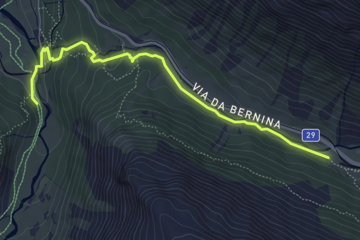
Easy · Trail
Bernina Suot – Morteratsch
5.9 km · ↑ 158 m · 1 h 44 min
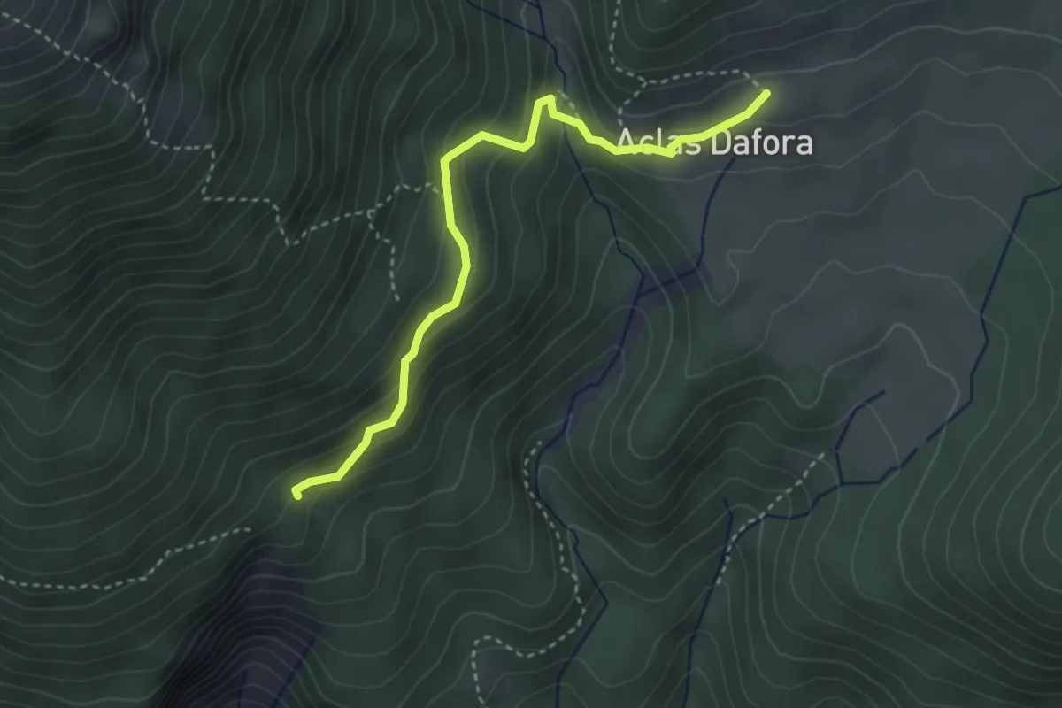
Medium · Trail
Aclas Dafora – Crappa Naira
3.5 km · ↑ 202 m · 1 h 15 min
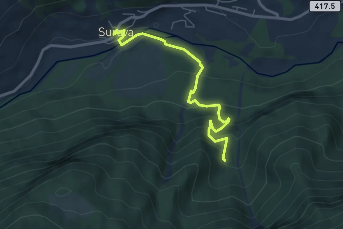
Medium · Trail
Surava – Crap Furò
5.1 km · ↑ 366 m · 1 h 59 min
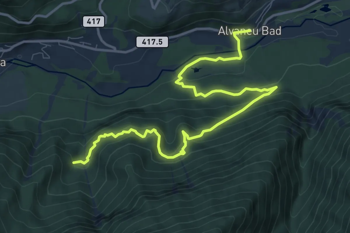
Medium · Trail
Crap Furò – Alvaneu Bad
10.8 km · ↑ 714 m · 4 h 6 min
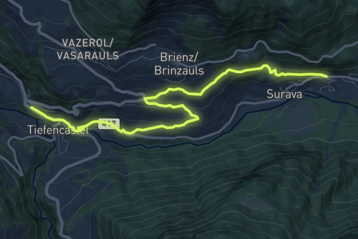
Medium · Trail
Surava Bahnhof – Tiefencastel Bahnhof
11.3 km · ↑ 389 m · 3 h 31 min
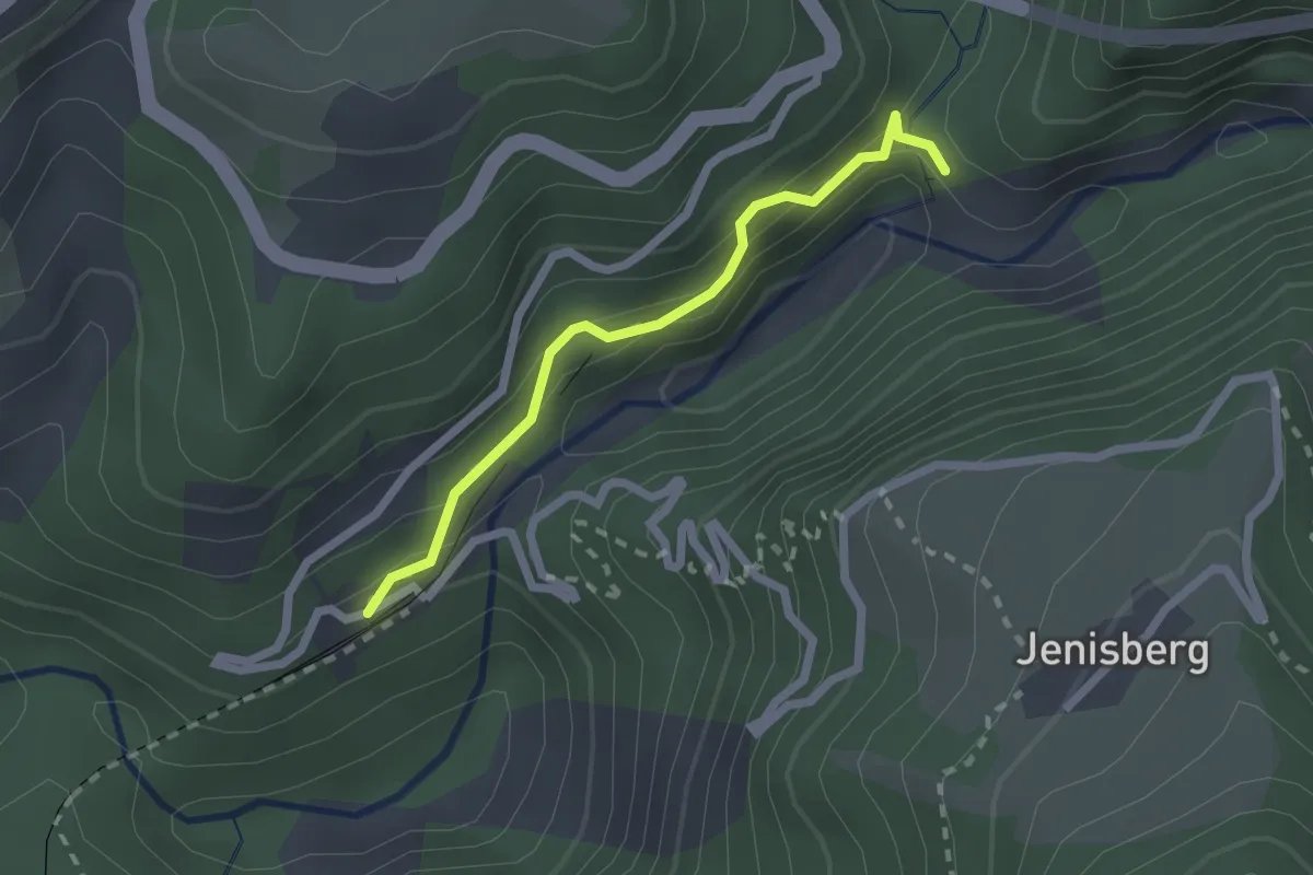
Easy · Trail
Station Wiesen – Bärentritt
2.0 km · ↑ 164 m · 49 min
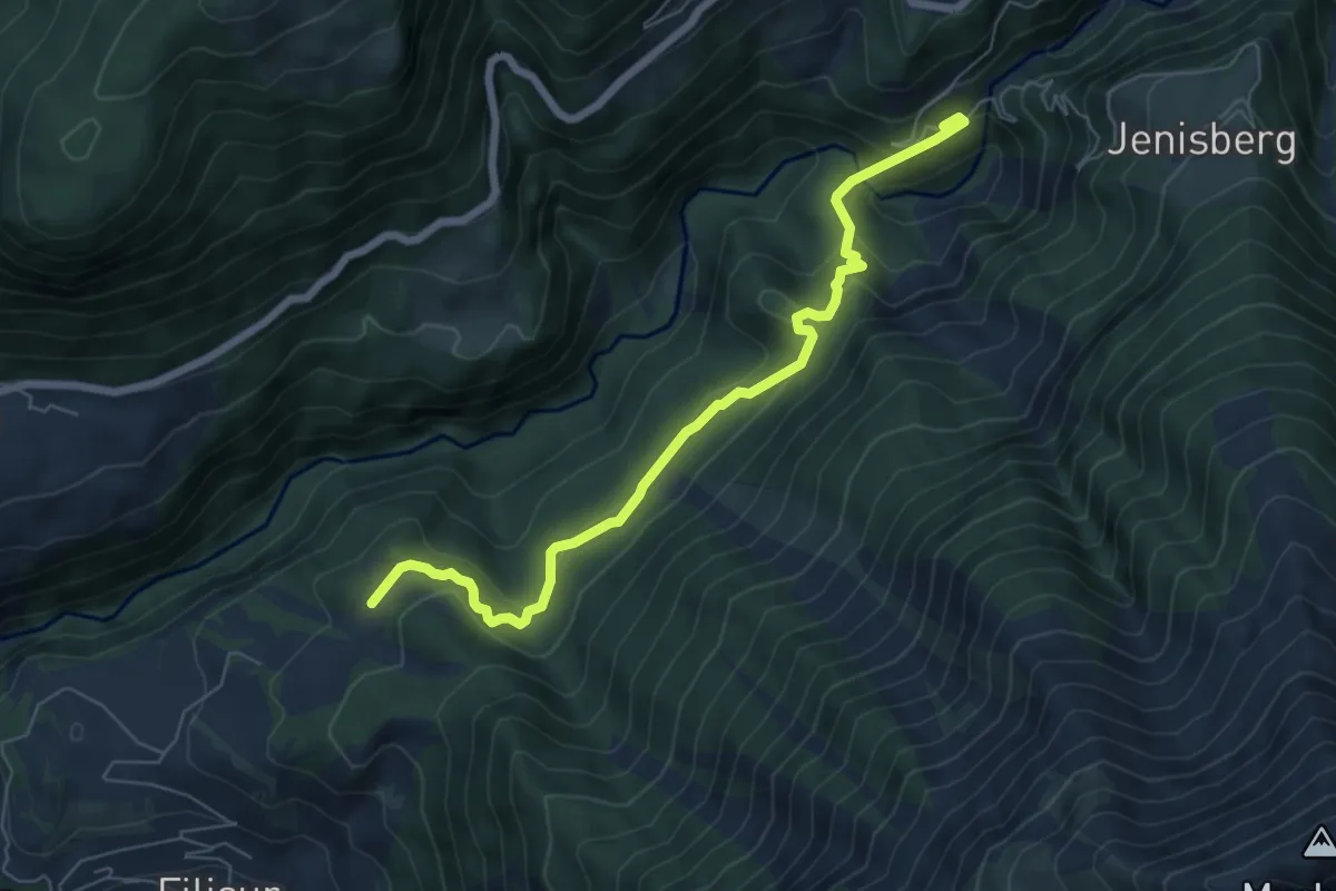
Medium · Trail
Station Wiesen – Schönboden
6.6 km · ↑ 356 m · 2 h 20 min
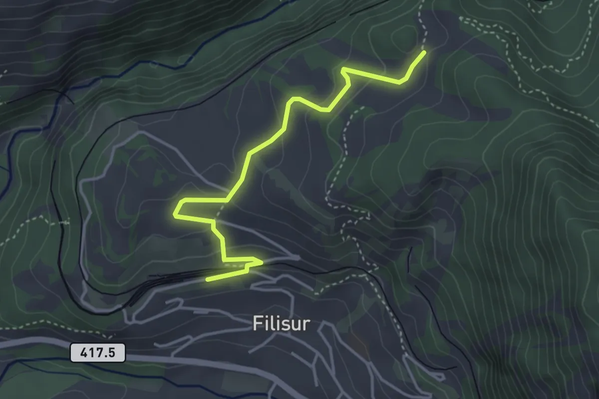
Easy · Trail
Filisur Bahnhof – Schönboden
3.8 km · ↑ 156 m · 1 h 14 min
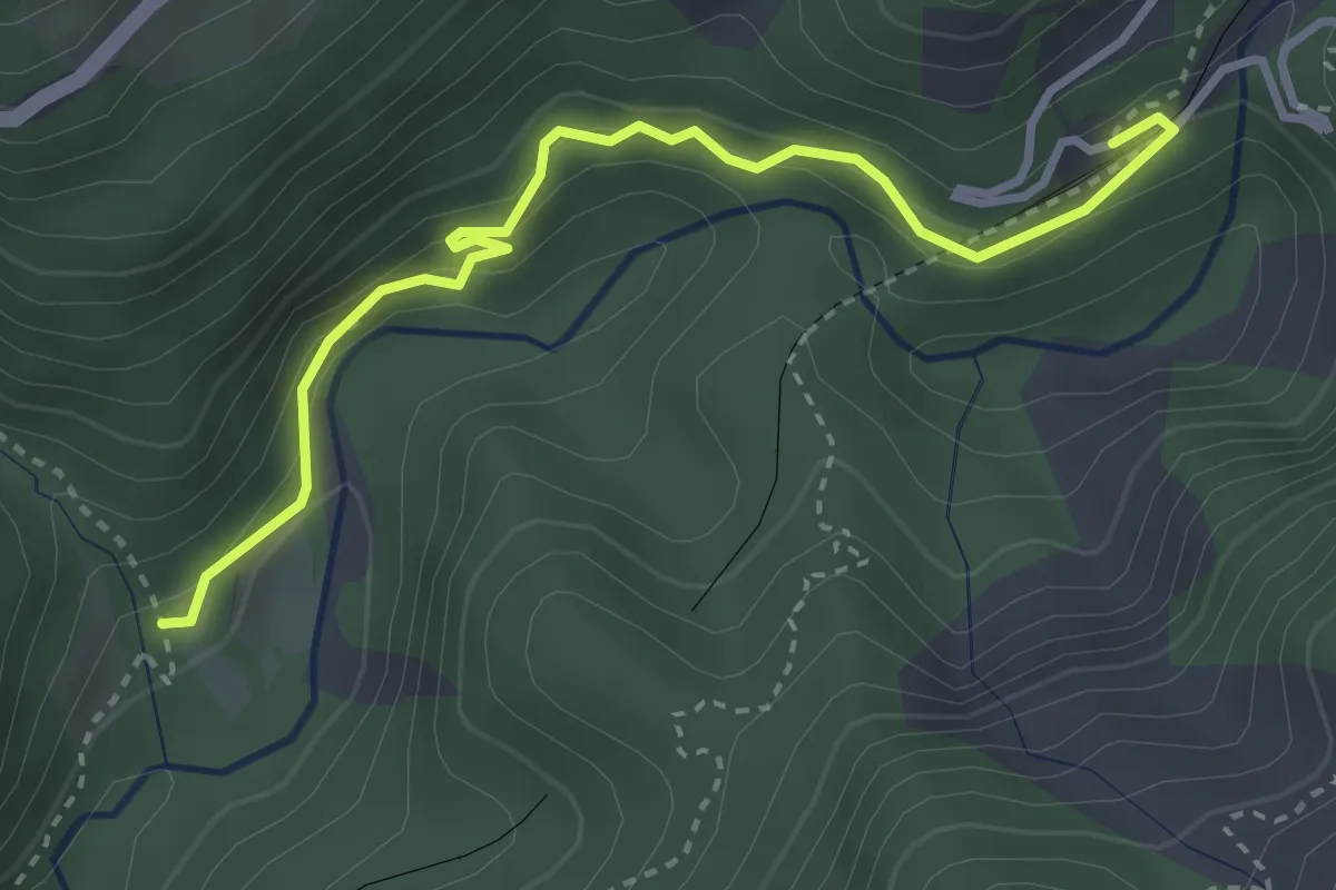
Medium · Trail
Station Wiesen – Leidboden
3.5 km · ↑ 253 m · 1 h 22 min
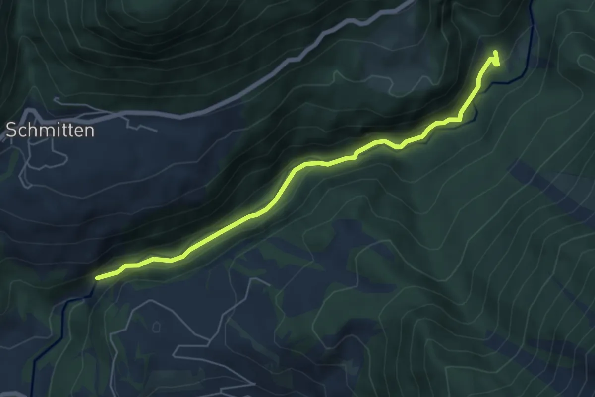
Medium · Trail
Leidboden – Landwasser Viadukt
5.3 km · ↑ 251 m · 1 h 48 min
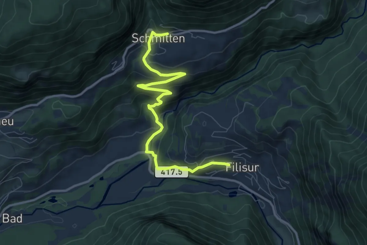
Medium · Trail
Schmitten – Filisur
8.8 km · ↑ 429 m · 3 h
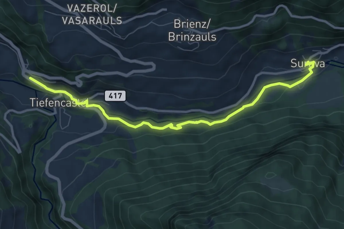
Medium · Trail
Tiefencastel Bahnhof – Surava
8.2 km · ↑ 170 m · 2 h 18 min
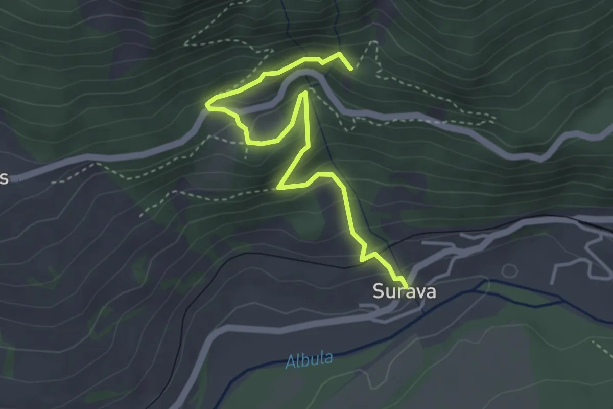
Demanding · Trail
Surava – Ruine Belfort
3.7 km · ↑ 296 m · 1 h 31 min
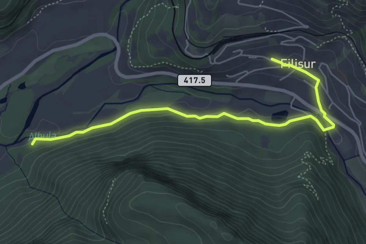
Easy · Trail
Zinols – Filisur
5.2 km · ↑ 76 m · 1 h 24 min
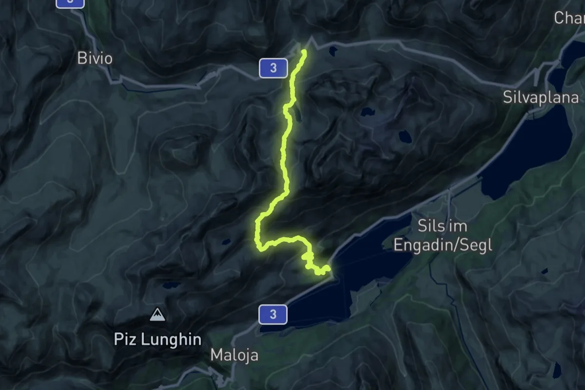
Demanding · Trail
Julier, La Veduta – Plaun da Lej
19.4 km · ↑ 1366 m · 7 h 33 min
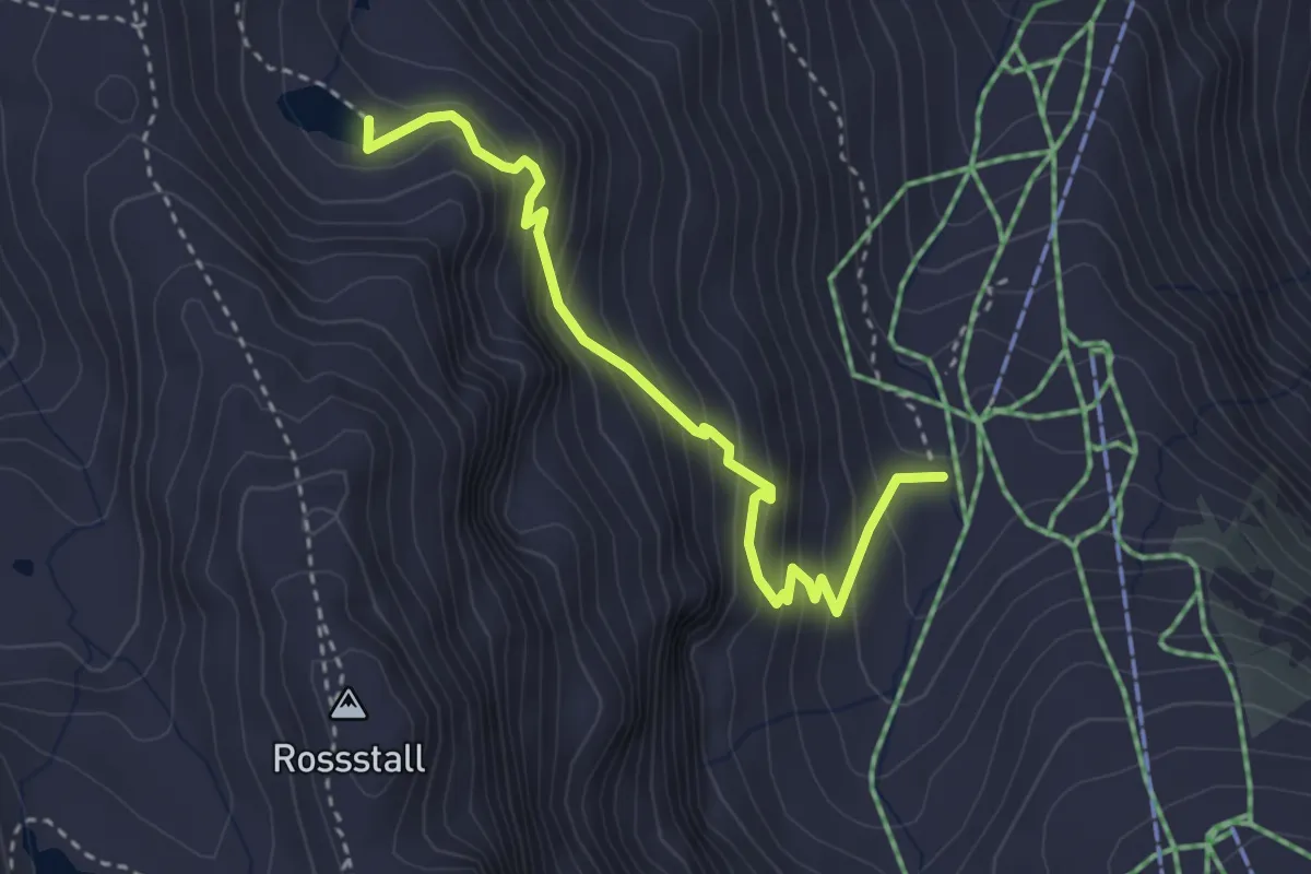
Medium · Trail
Baschalvasee – Alp Gaffia
3.3 km · ↑ 385 m · 1 h 37 min
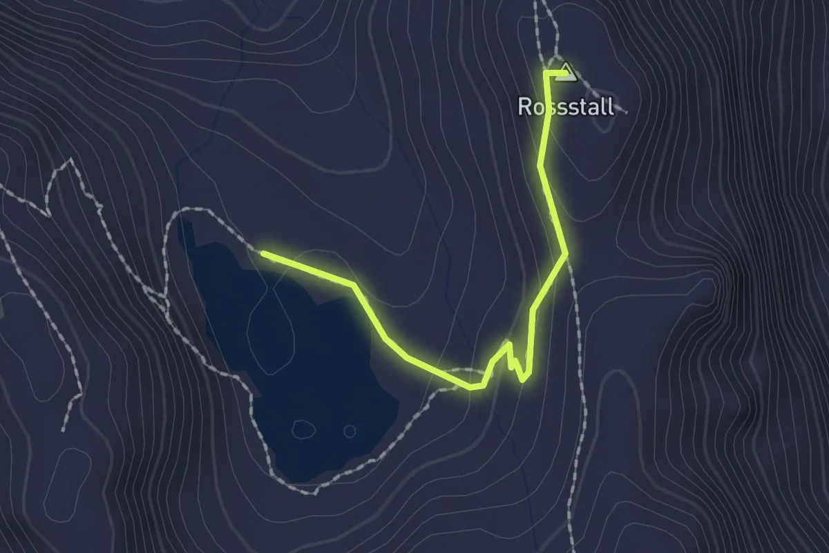
Medium · Summit
Schwarzsee – Baseggla
1.7 km · ↑ 67 m · 32 min
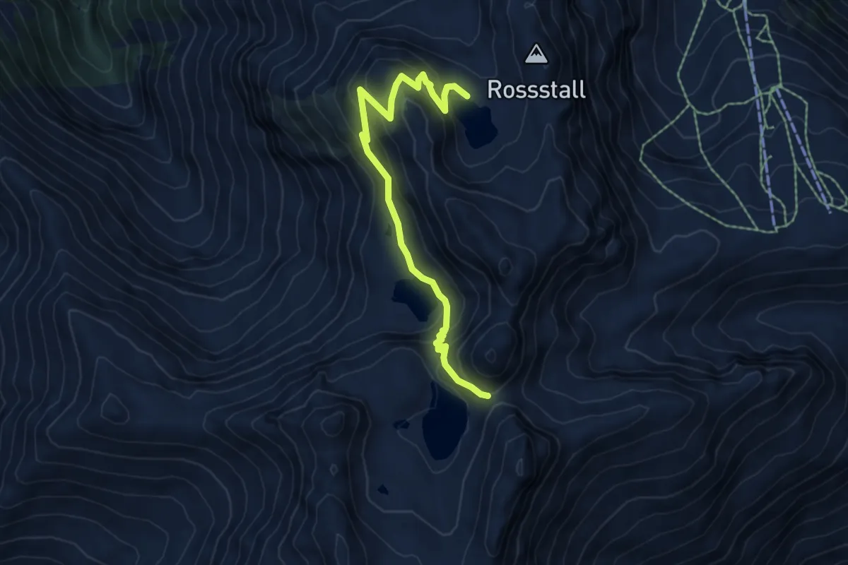
Medium · Trail
Schottensee – Schwarzsee
6.3 km · ↑ 428 m · 2 h 25 min
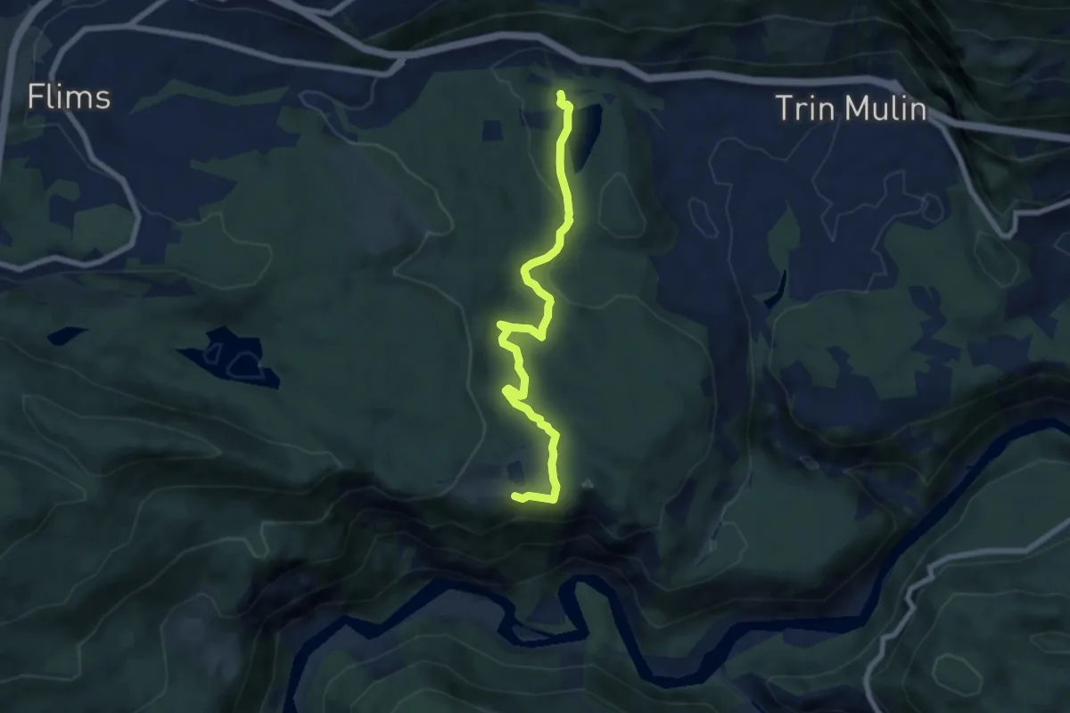
Medium · Trail
Conn – Cresta See
6.9 km · ↑ 157 m · 1 h 58 min
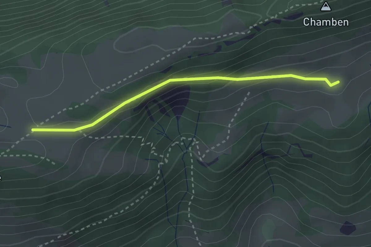
Easy · Trail
Niederwiler Stierenberg – Hint. Hofbergli
2.5 km · ↑ 113 m · 51 min
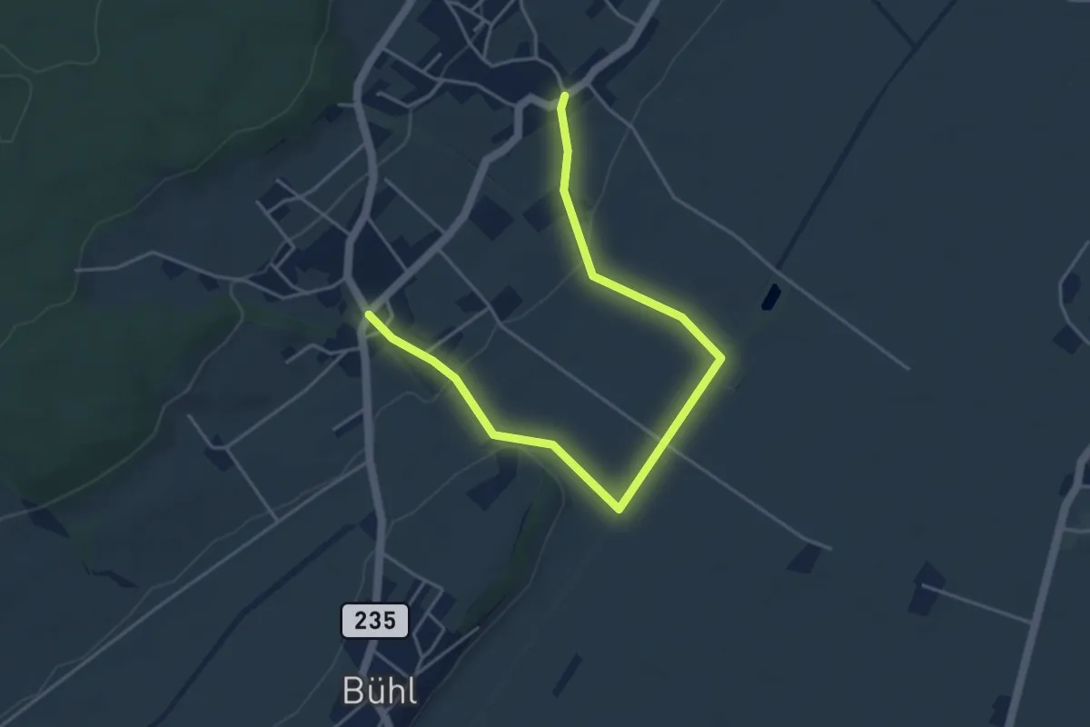
Easy · Trail
Merzligen – Hermrigen
5.0 km · ↑ 56 m · 1 h 19 min
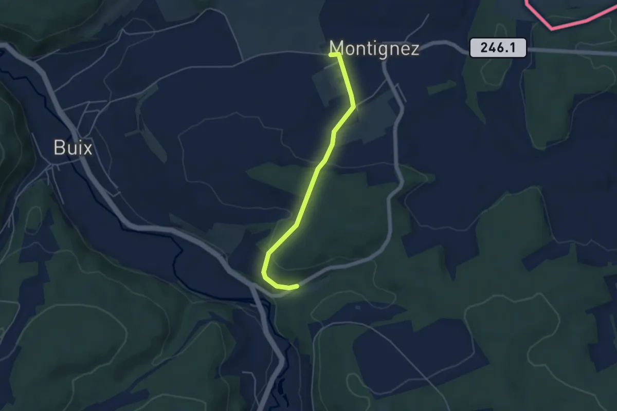
Easy · Trail
Montignez – Grandgourt
4.2 km · ↑ 88 m · 1 h 10 min
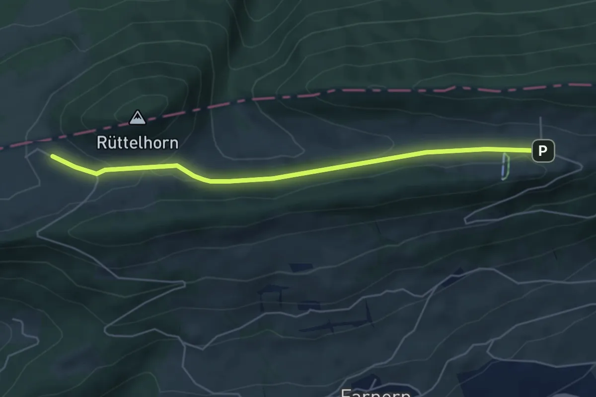
Easy · Trail
Hinteregg – Vordere Schmidenmatt
5.1 km · ↑ 97 m · 1 h 25 min
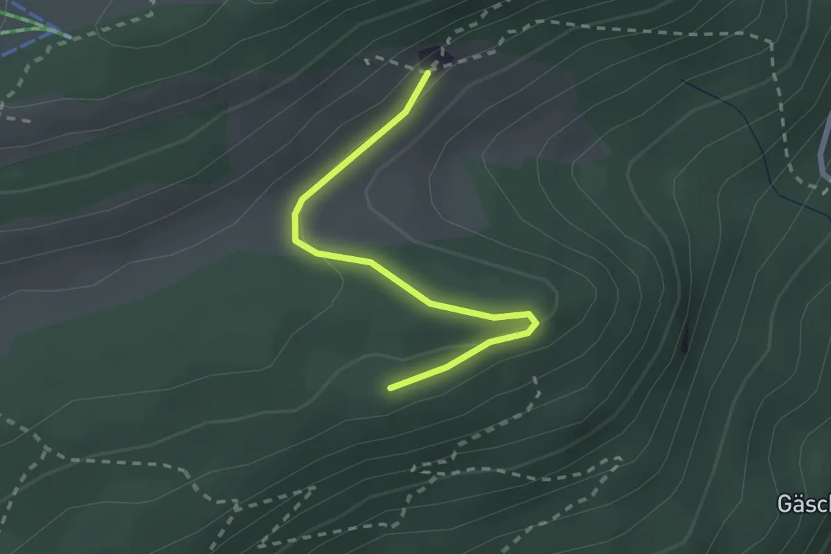
Easy · Trail
Rotflue – Bützen
2.1 km · ↑ 52 m · 36 min
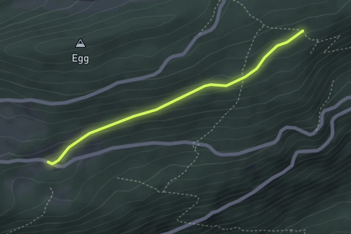
Easy · Trail
Blütti – Stierenberg
3.3 km · ↑ 109 m · 1 h 1 min
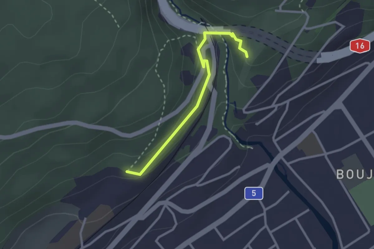
Easy · Trail
Tierpark – Ried
2.3 km · ↑ 51 m · 38 min
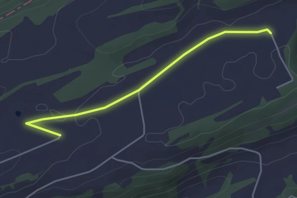
Easy · Trail
Montagne de Moutier – Haute Montagne
3.5 km · ↑ 9 m · 51 min
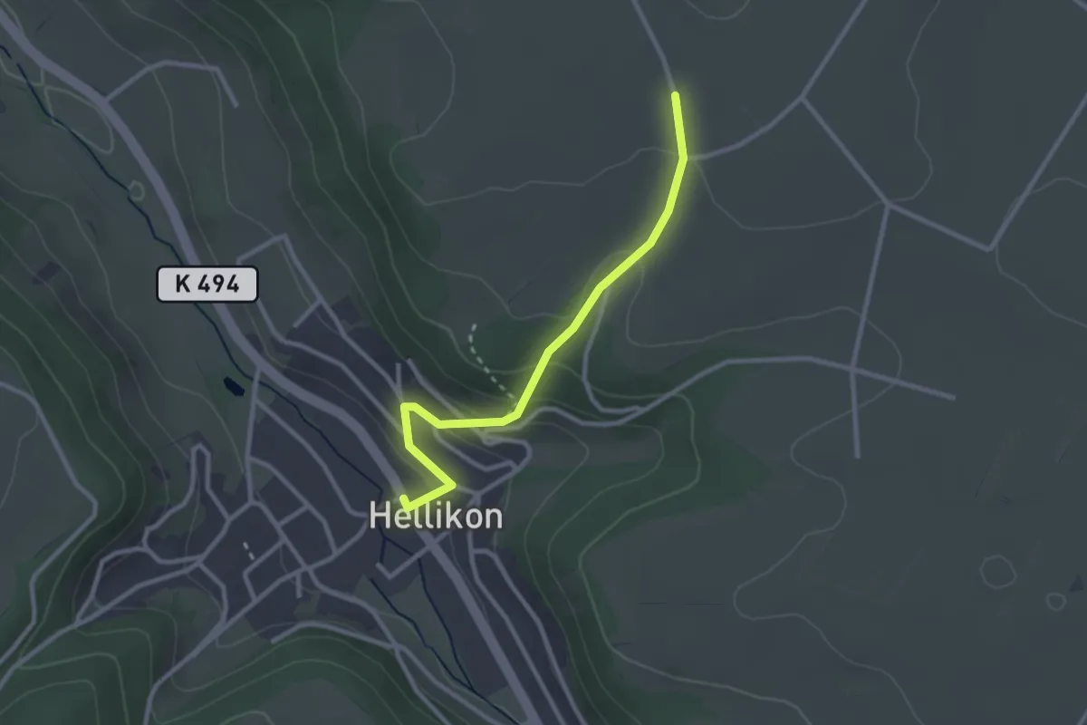
Easy · Trail
Hellikon – Wabrig
2.6 km · ↑ 130 m · 54 min
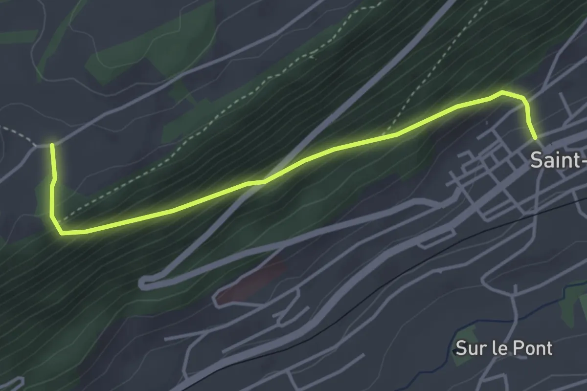
Medium · Trail
La Brigade – St-Imier
3.7 km · ↑ 352 m · 1 h 38 min
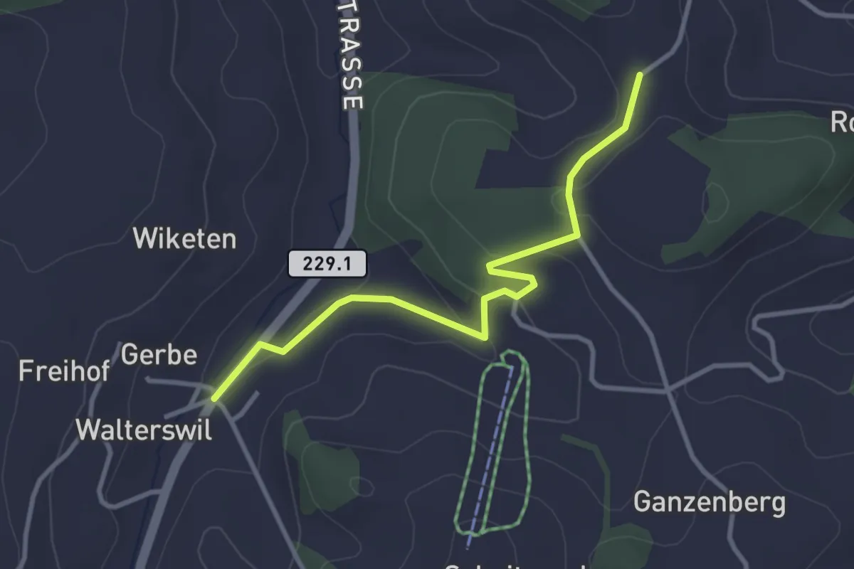
Easy · Trail
Weid – Walterswil
3.1 km · ↑ 68 m · 53 min
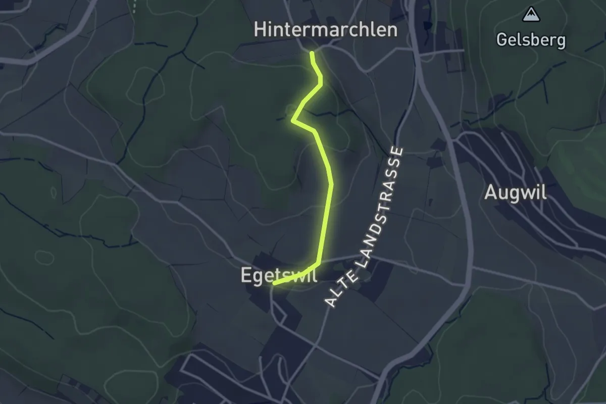
Easy · Trail
Egetswil – Hinter Marchlen
2.3 km · ↑ 68 m · 41 min
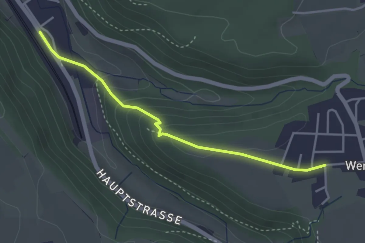
Easy · Trail
Buech – Tecknau
3.1 km · ↑ 148 m · 1 h 3 min
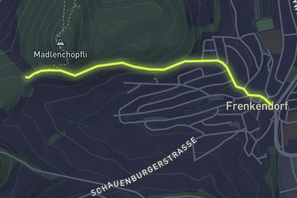
Easy · Trail
Adlerhof – Frenkendorf
3.6 km · ↑ 169 m · 1 h 13 min
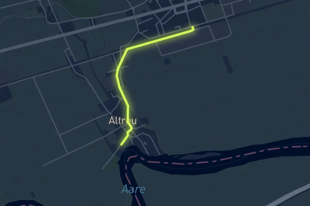
Easy · Trail
Selzach Bahnhof – Altreu
3.4 km · ↑ 9 m · 49 min
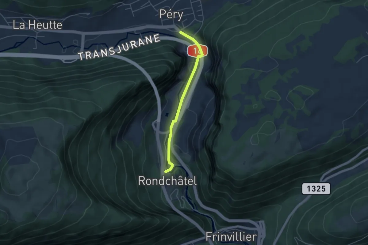
Easy · Trail
Reuchenette – Rondchâtel
3.8 km · ↑ 53 m · 1 h 1 min
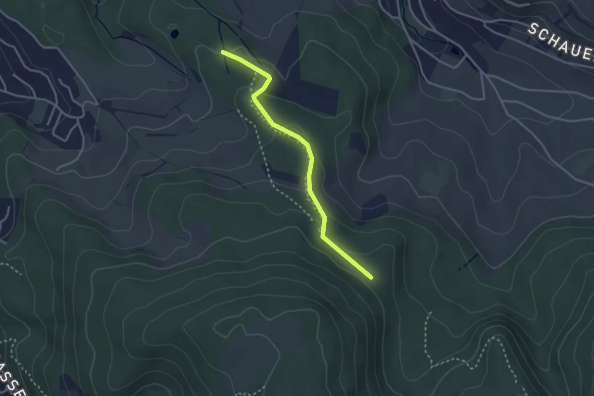
Easy · Trail
Winterhalle – Rütihardbrücke?
2.7 km · ↑ 100 m · 51 min
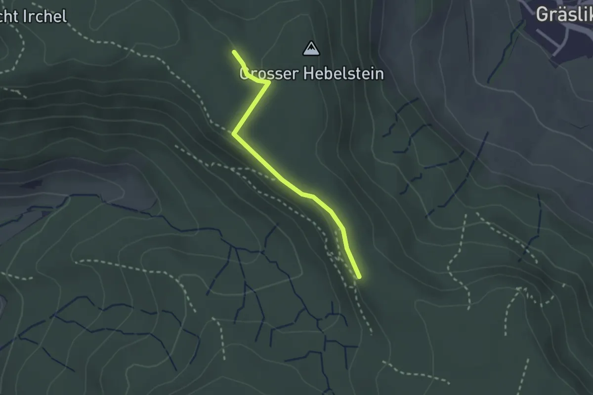
Easy · Trail
Schartenflue – Hebelstein
2.1 km · ↑ 29 m · 34 min
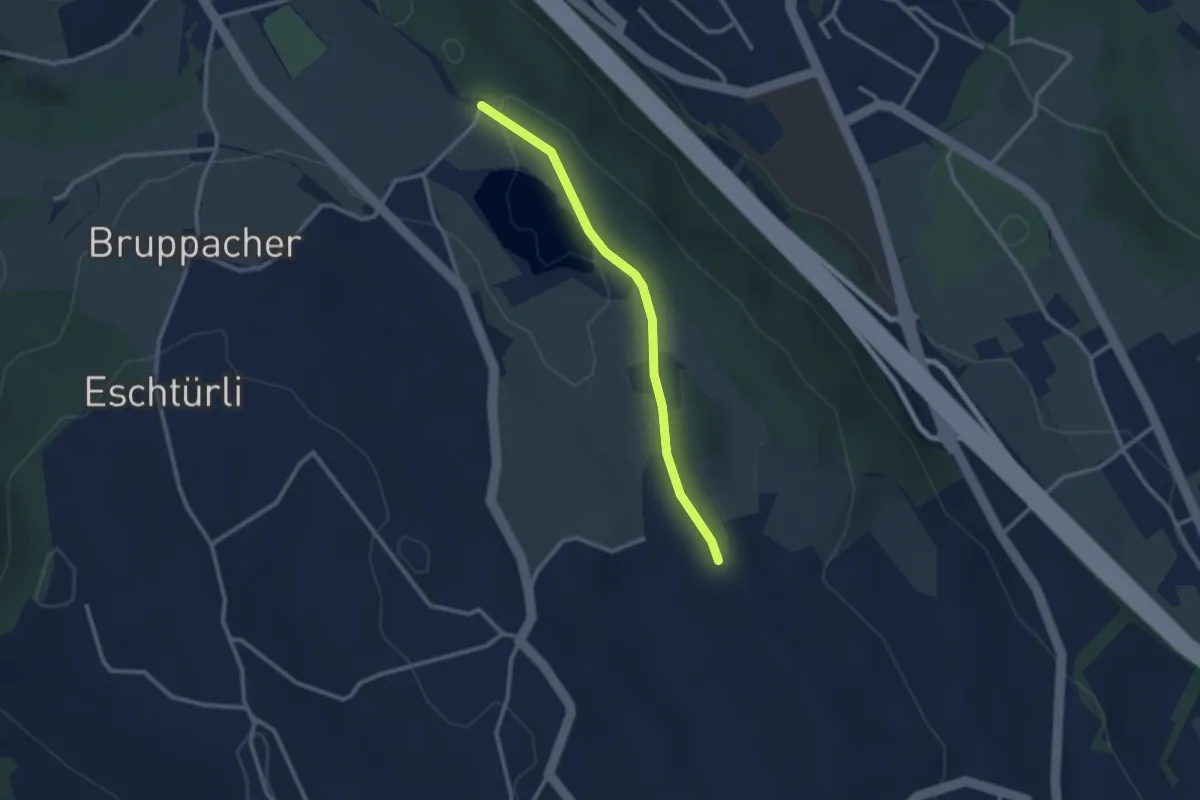
Easy · Trail
Bergweier – Simmismoos
2.5 km · ↑ 24 m · 38 min
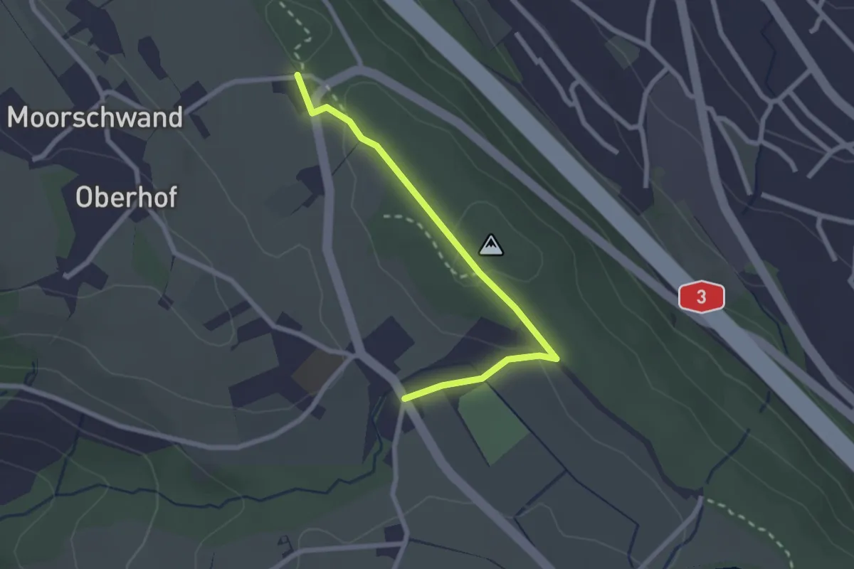
Easy · Trail
Horgenberg – Wüeribach
2.3 km · ↑ 37 m · 37 min
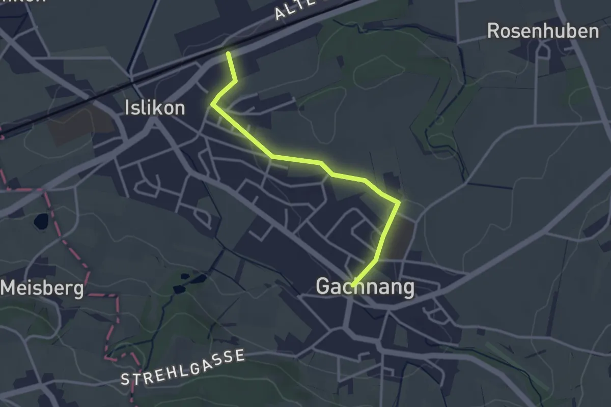
Easy · Trail
Islikon Station – Gachnang
2.8 km · ↑ 45 m · 46 min
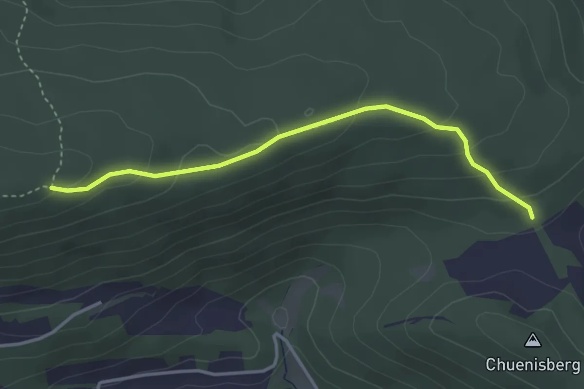
Easy · Trail
Chremer – Blattepass
3.2 km · ↑ 154 m · 1 h 5 min
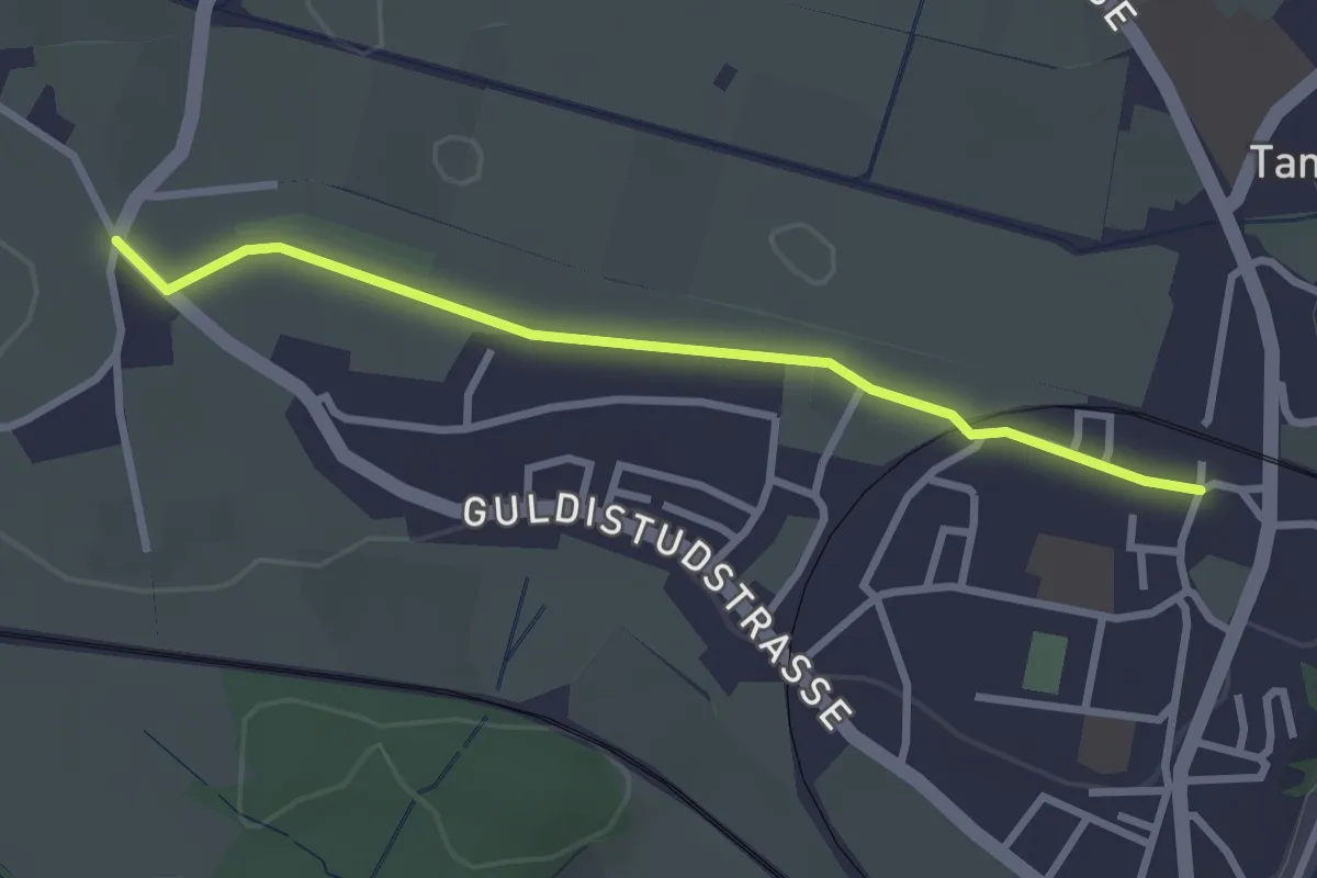
Easy · Trail
Tannägerten – Tann
2.7 km · ↑ 13 m · 40 min
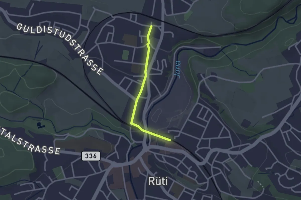
Easy · Trail
Tann – Rüti
2.0 km · ↑ 33 m · 33 min
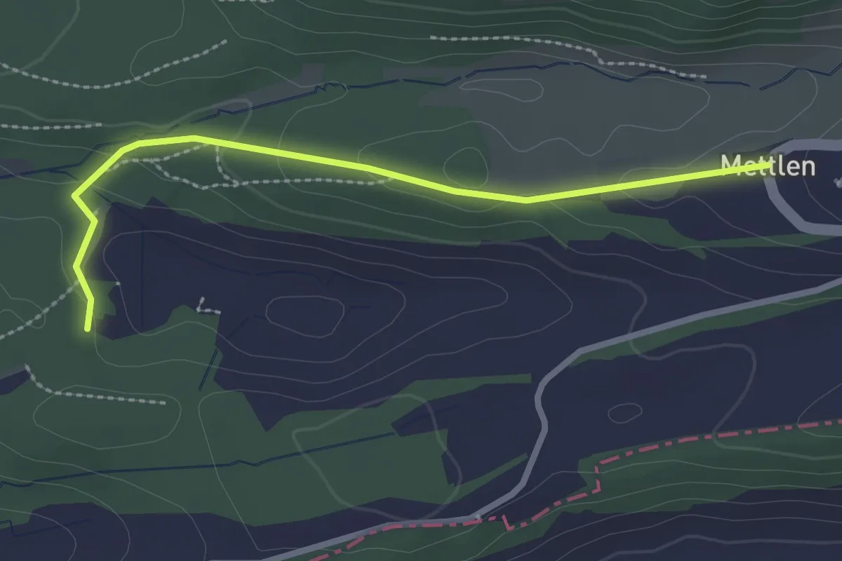
Easy · Trail
Grossweier – Mettlen
2.5 km · ↑ 49 m · 42 min
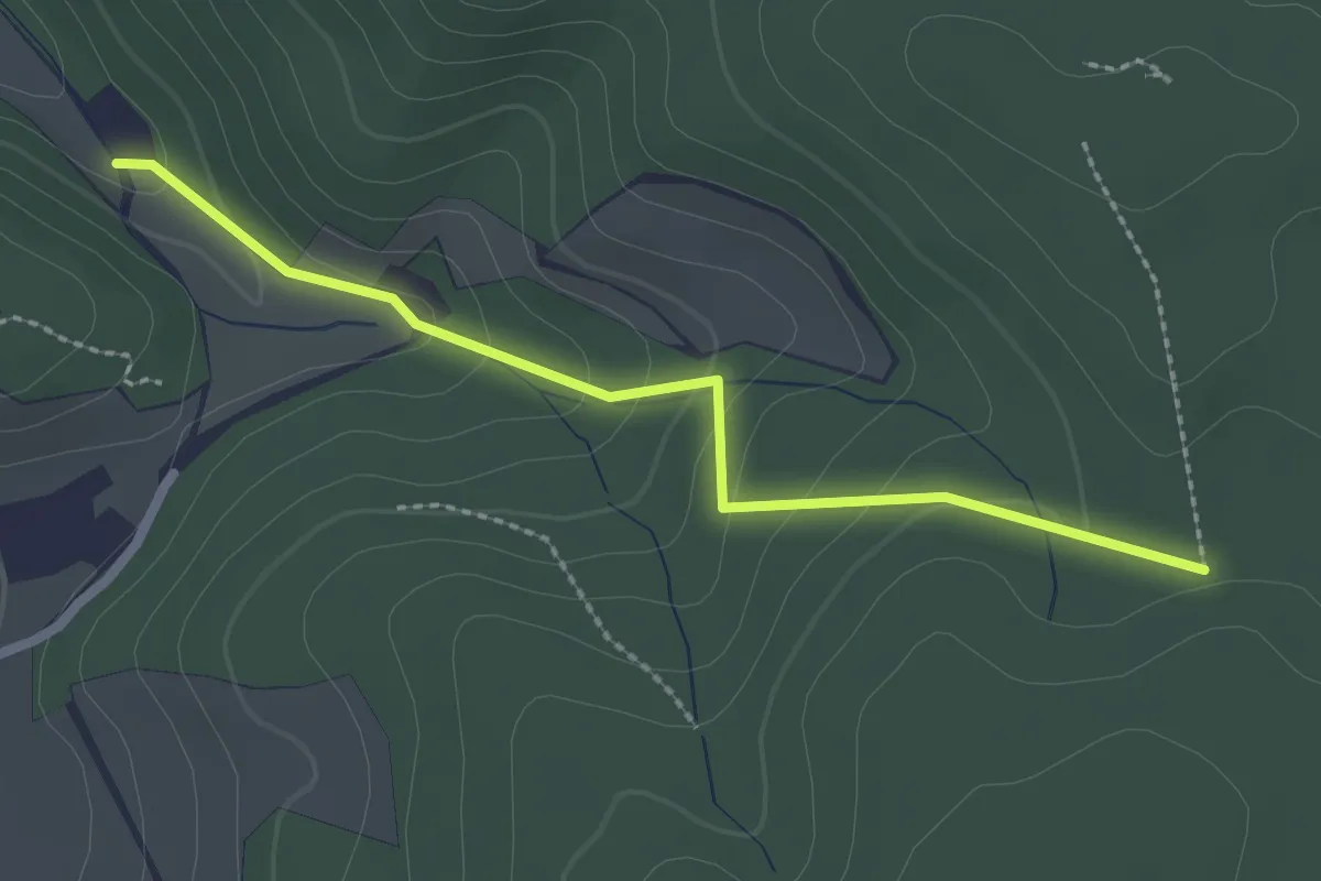
Easy · Trail
Grossmoos – Firmetel
2.4 km · ↑ 116 m · 48 min
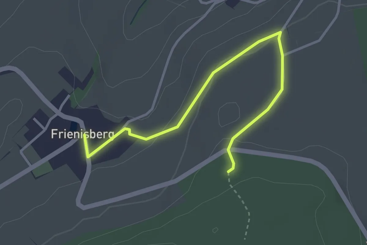
Easy · Trail
Frienisberg – Frienisberger
3.2 km · ↑ 74 m · 56 min
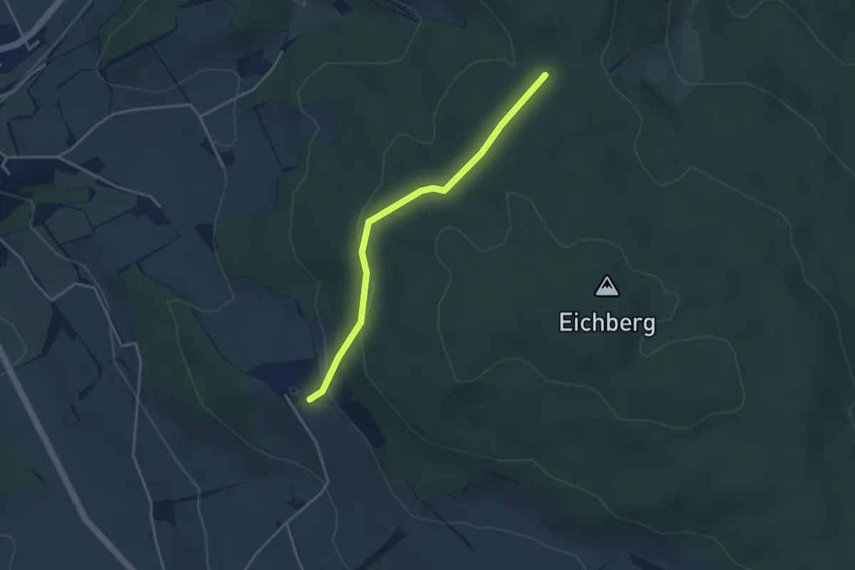
Easy · Trail
Eichberg – Grossmoos
3.1 km · ↑ 118 m · 59 min
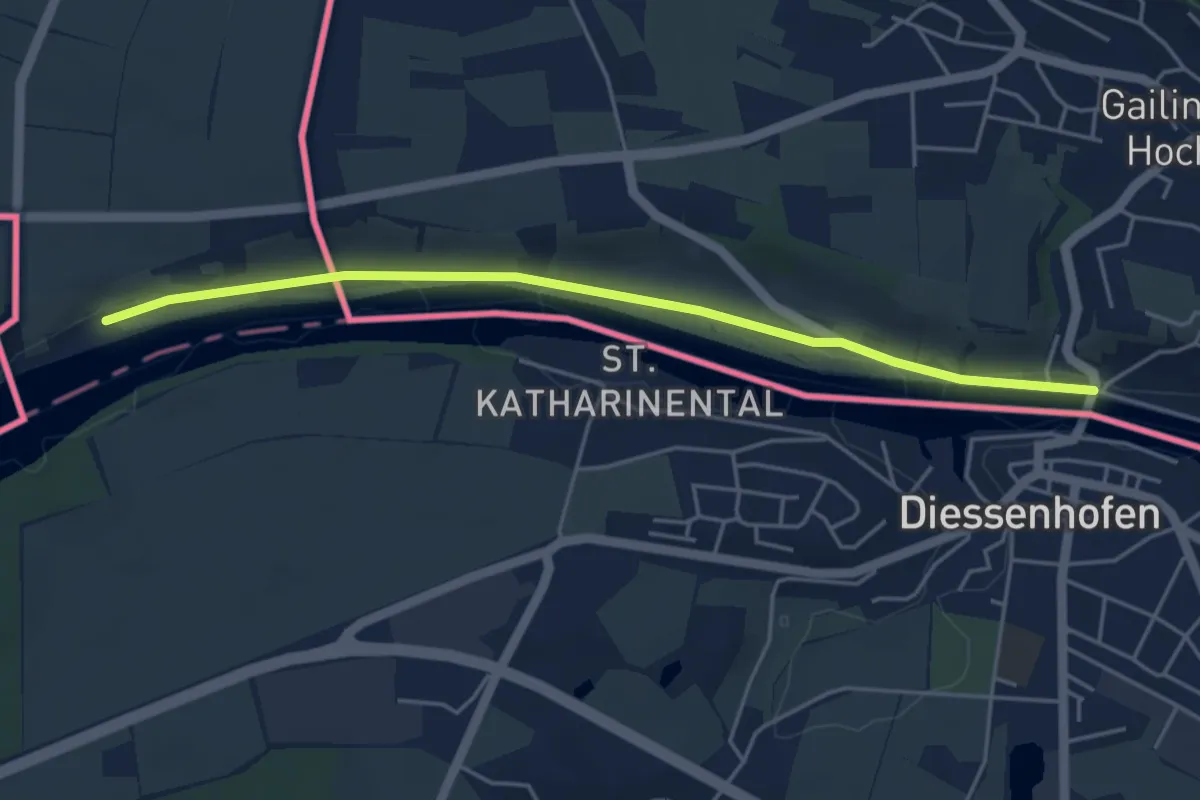
Easy · Trail
Gailingen Brücke – Laag
4.7 km · ↑ 22 m · 1 h 9 min