Trails in Switzerland
15,055 hiking trails, each with its route, climb, walking time and grade.
All trails, page 232 of 314
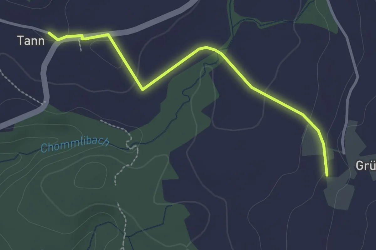
Easy · Trail
Tann – Grüt
2.7 km · ↑ 40 m · 43 min
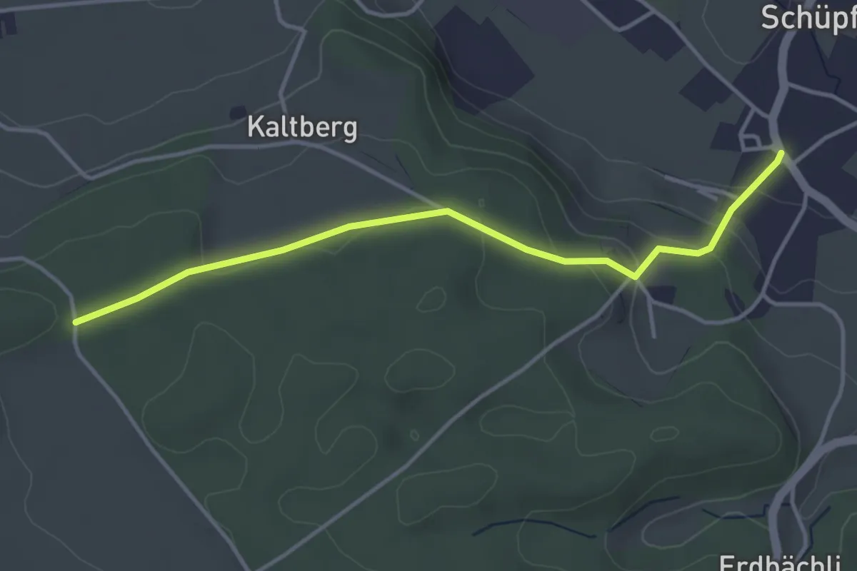
Easy · Trail
Schüpfen – Chappeliegge
3.8 km · ↑ 150 m · 1 h 13 min
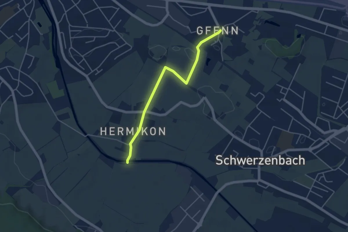
Easy · Trail
Gfenn – Hermikon
3.8 km · ↑ 8 m · 55 min
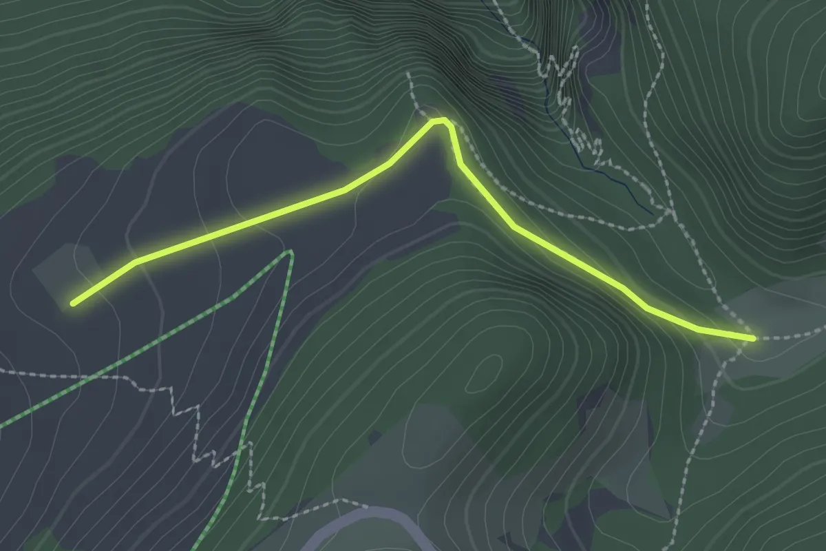
Easy · Trail
Pré aux Auges – Métairie des Plânes
2.4 km · ↑ 184 m · 58 min
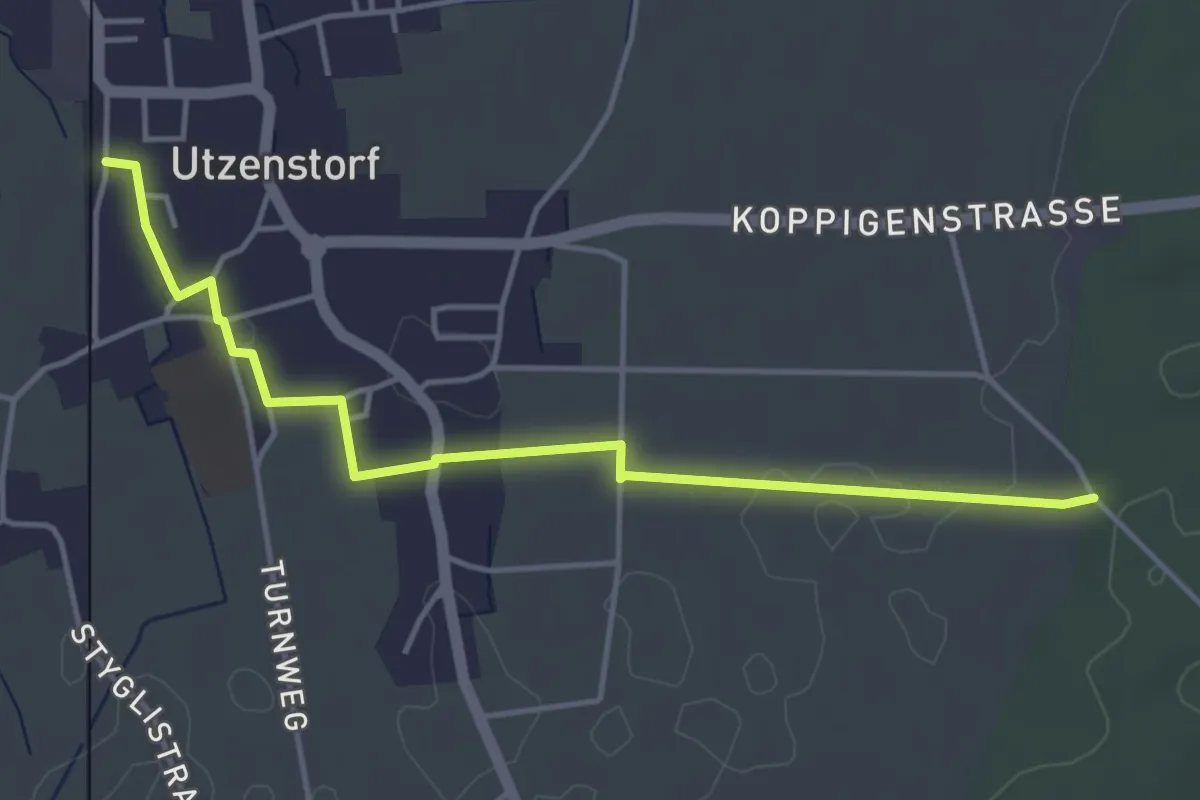
Easy · Trail
Utzenstorf – Unterbüel
4.5 km · ↑ 14 m · 1 h 5 min
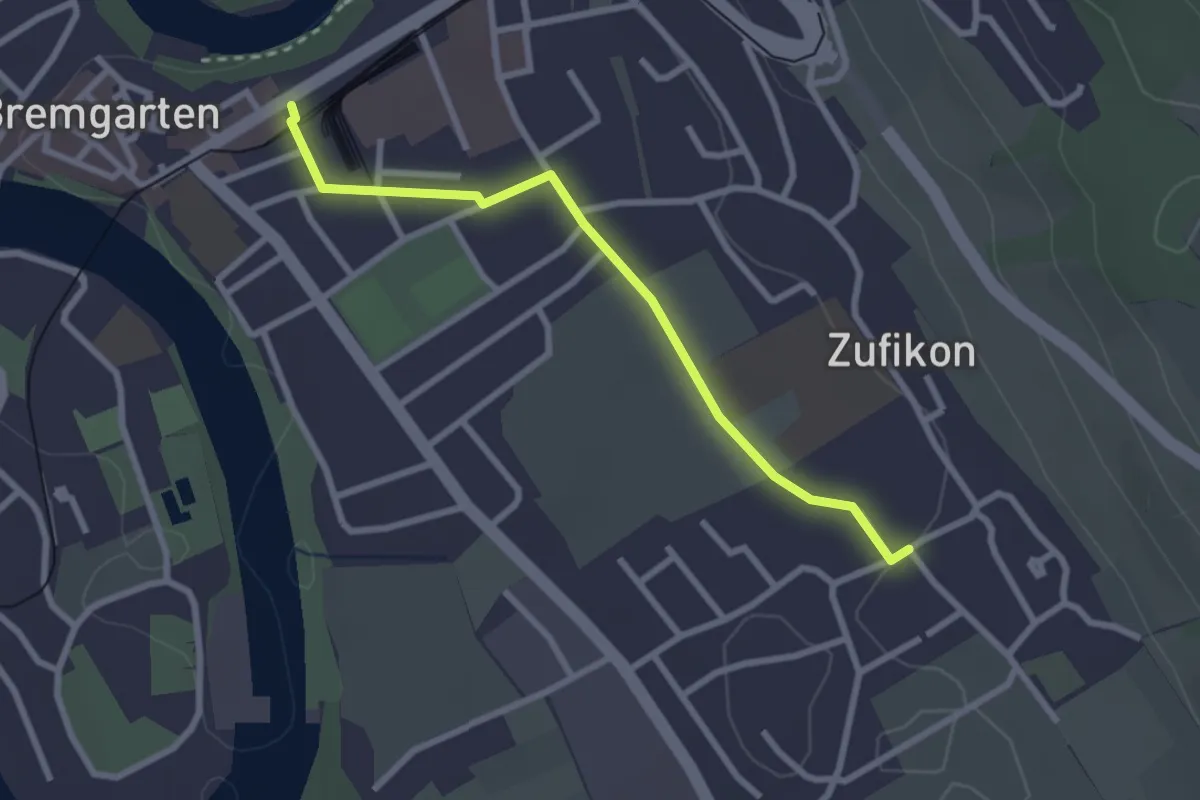
Easy · Trail
Bremgarten – Zufikon
2.6 km · ↑ 15 m · 39 min
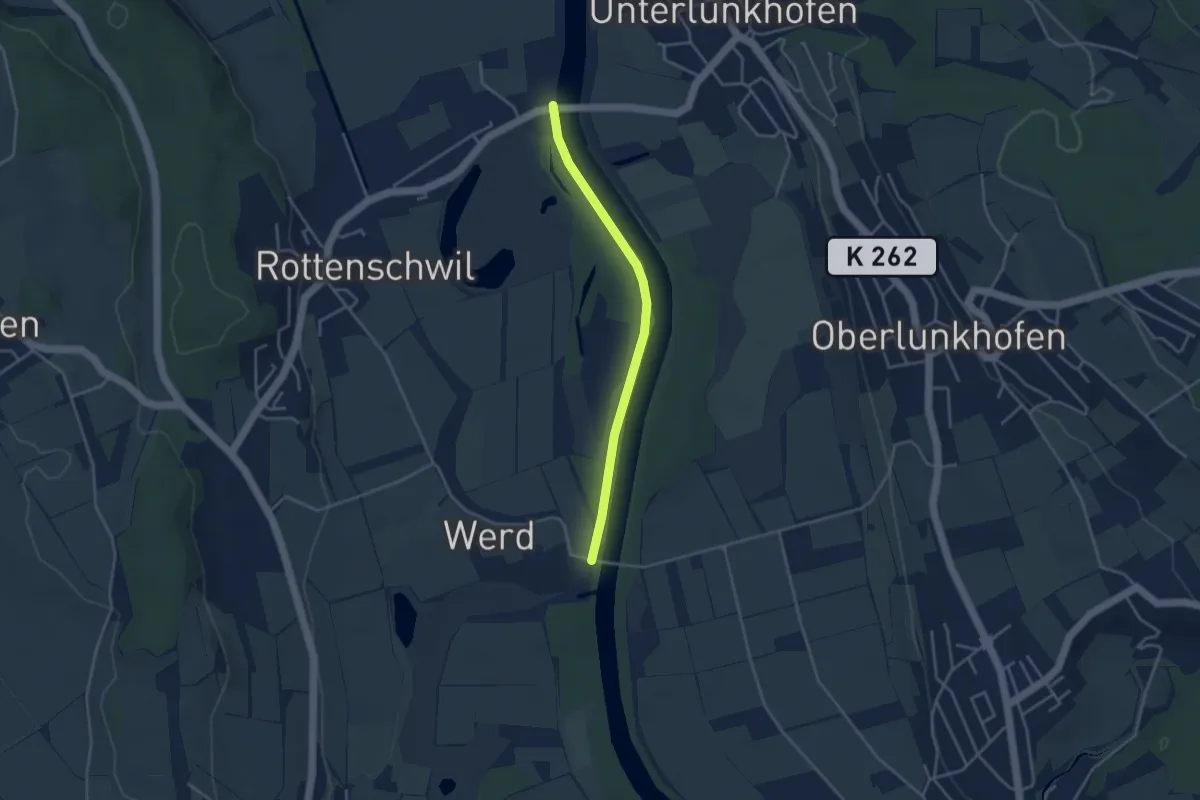
Easy · Trail
Brücke Werd (west) – Rottenschwil
3.4 km · ↑ 8 m · 49 min
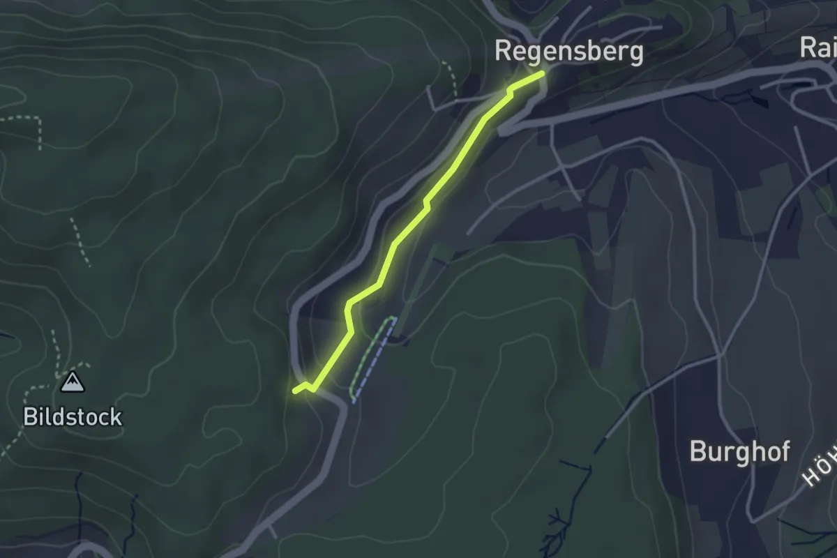
Easy · Trail
Regensberg – Linden
2.4 km · ↑ 110 m · 49 min
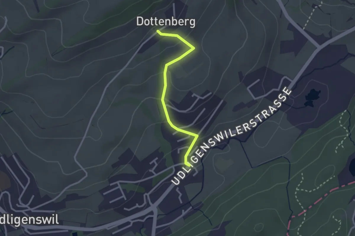
Easy · Trail
Chli Äbnet – Dottenberg
2.3 km · ↑ 110 m · 48 min
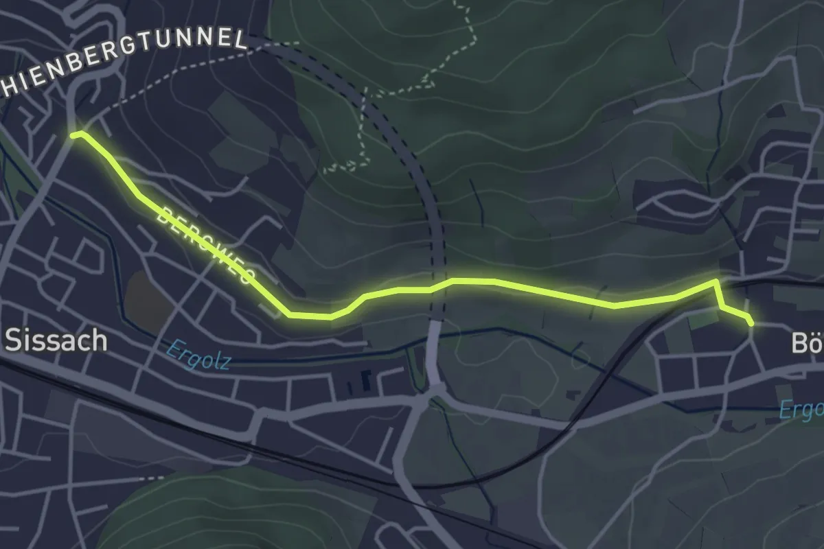
Easy · Trail
Sissach Bergweg – Böckten
4.0 km · ↑ 38 m · 1 h 1 min
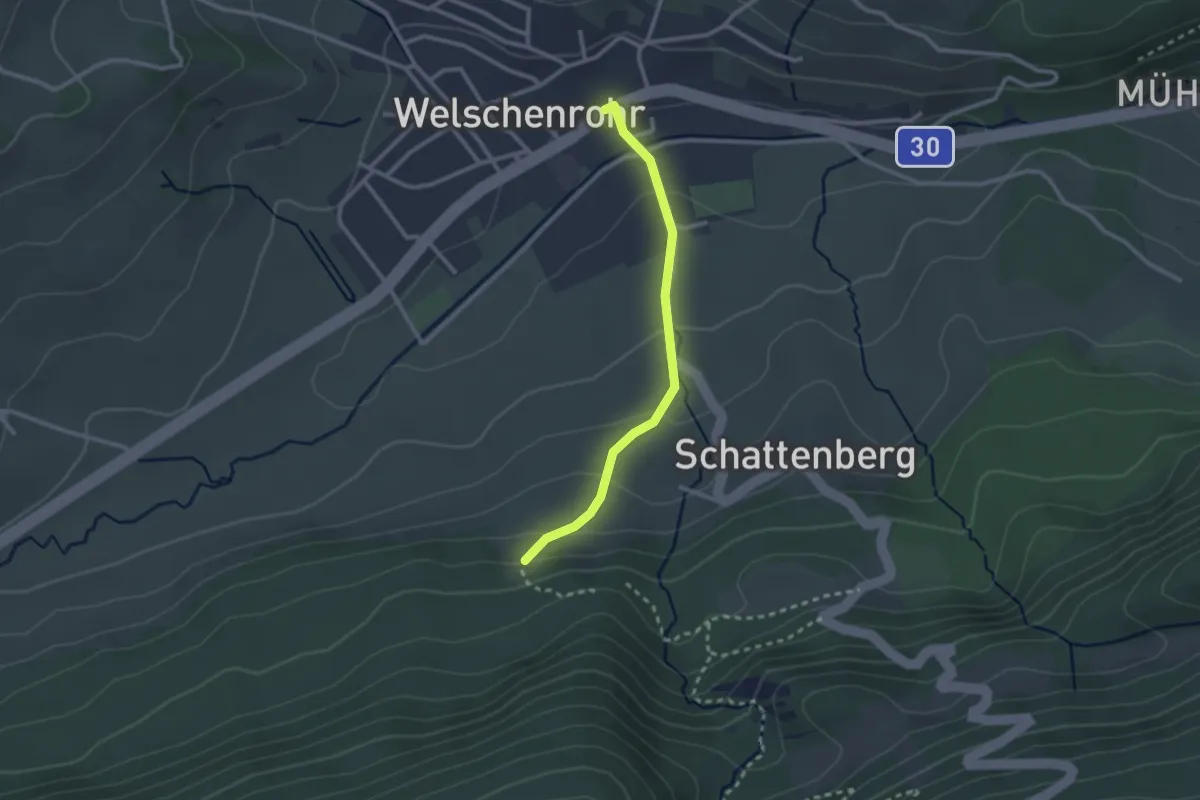
Easy · Trail
Post – Illmatt Schattenberg
2.3 km · ↑ 109 m · 47 min
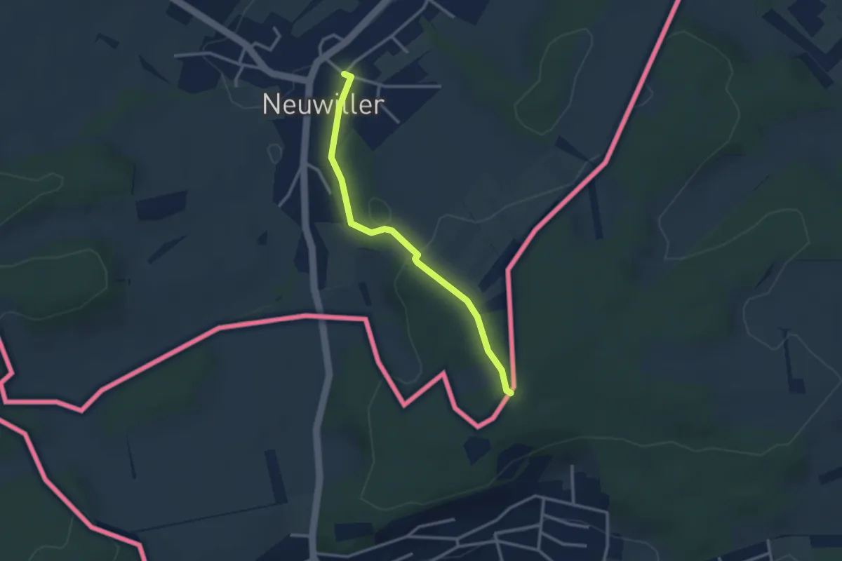
Easy · Trail
Neuwiler Mairie – Biel centre
2.6 km · ↑ 79 m · 48 min
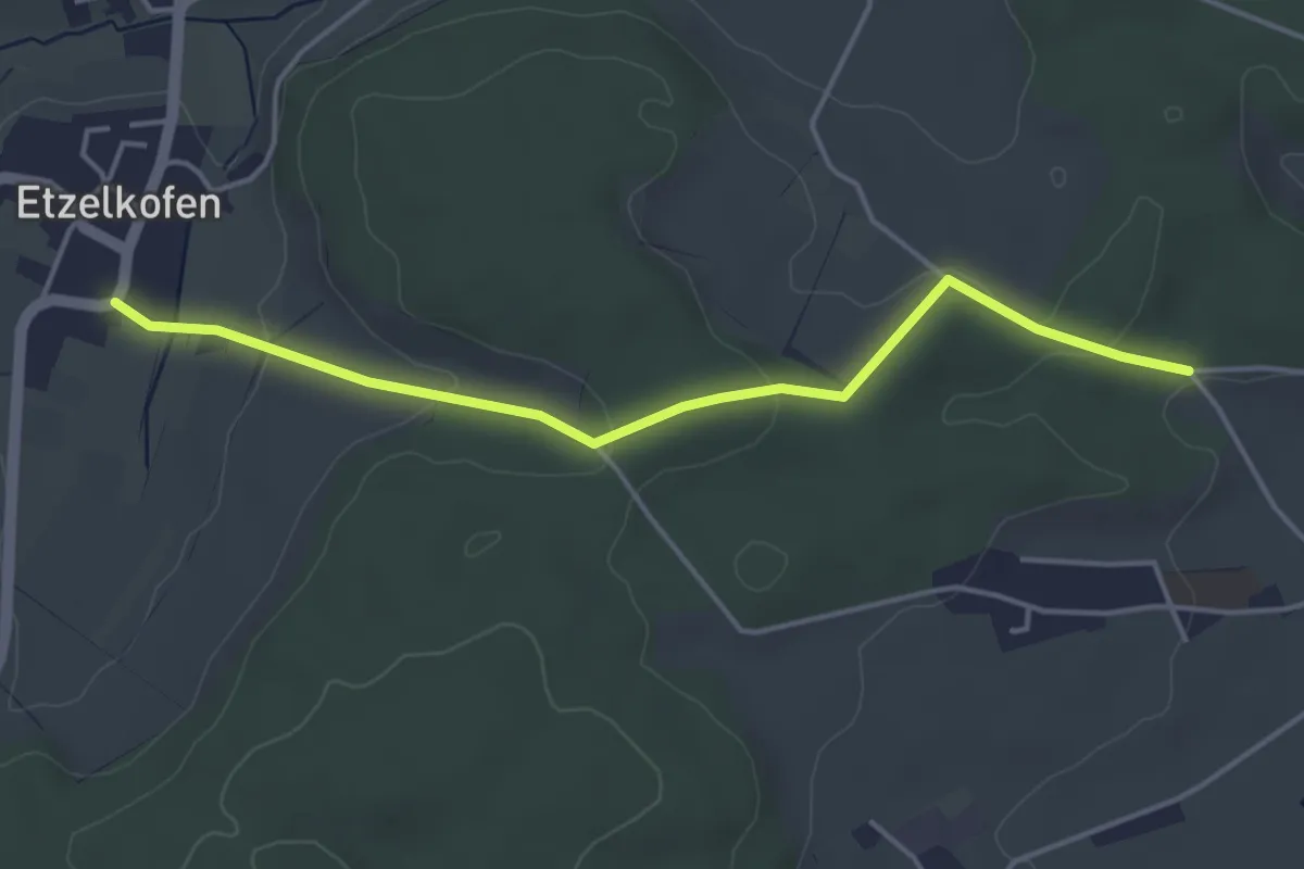
Easy · Trail
Etzelkofen – Vorder Eichsberg
4.3 km · ↑ 108 m · 1 h 14 min
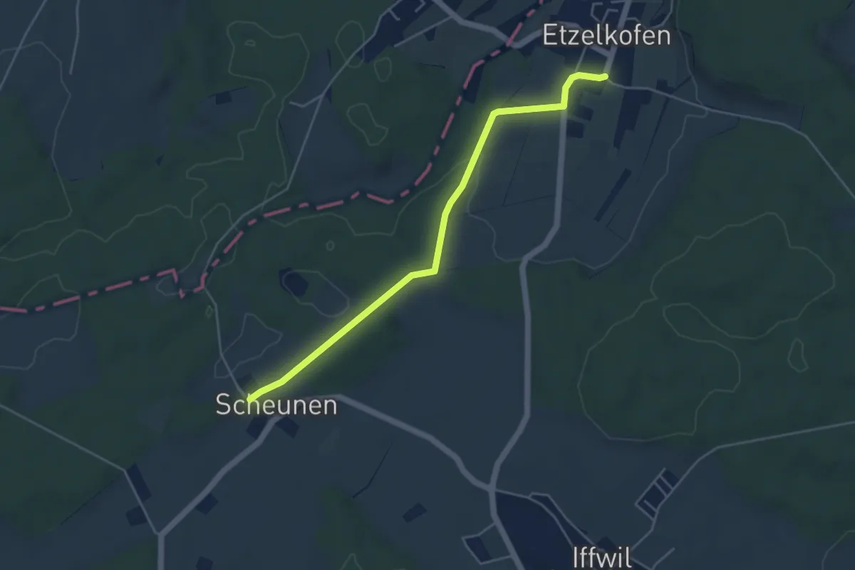
Easy · Trail
Scheunen – Etzelkofen
4.6 km · ↑ 57 m · 1 h 12 min
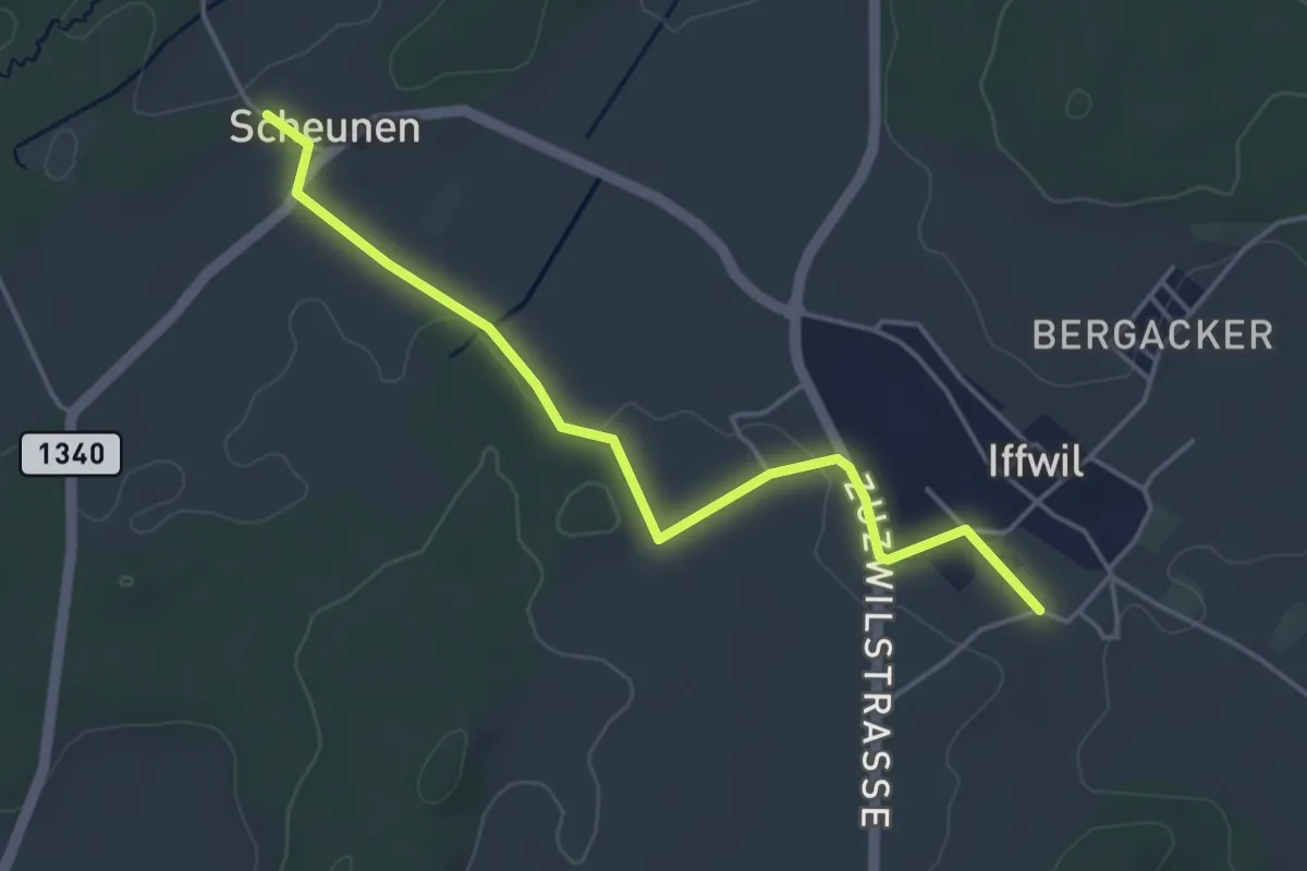
Easy · Trail
Scheunen – Iffwil
4.5 km · ↑ 50 m · 1 h 10 min
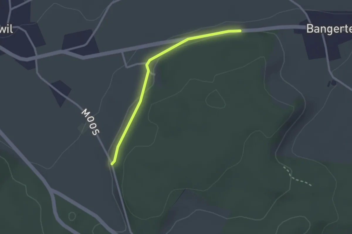
Easy · Trail
Hohrain – Oberholz
2.2 km · ↑ 47 m · 37 min
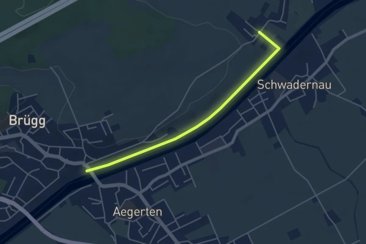
Easy · Trail
Zilwil – Brügg
4.0 km · ↑ 23 m · 59 min
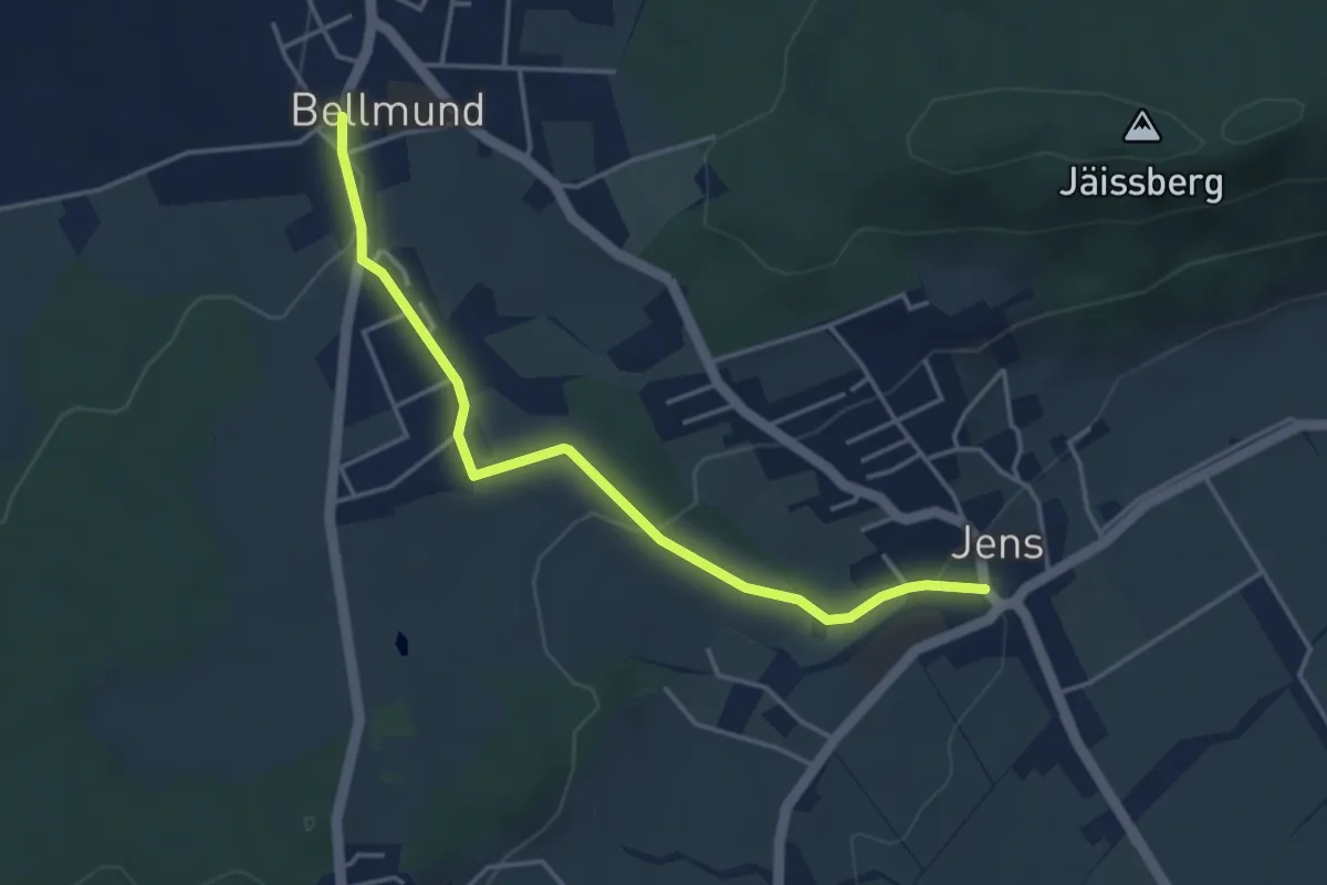
Easy · Trail
Bellmund – Jens
4.1 km · ↑ 75 m · 1 h 8 min
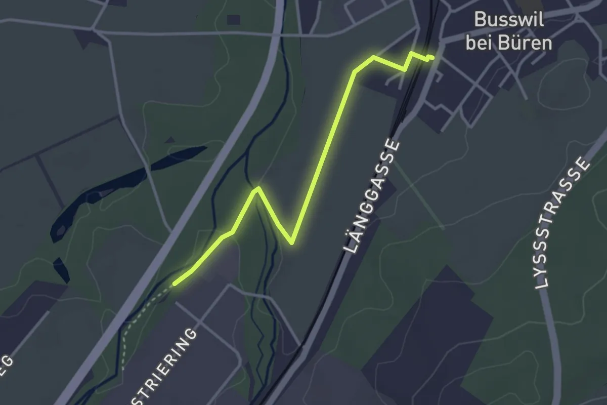
Easy · Trail
Busswil / Station – Alte Aare
3.2 km · ↑ 14 m · 47 min
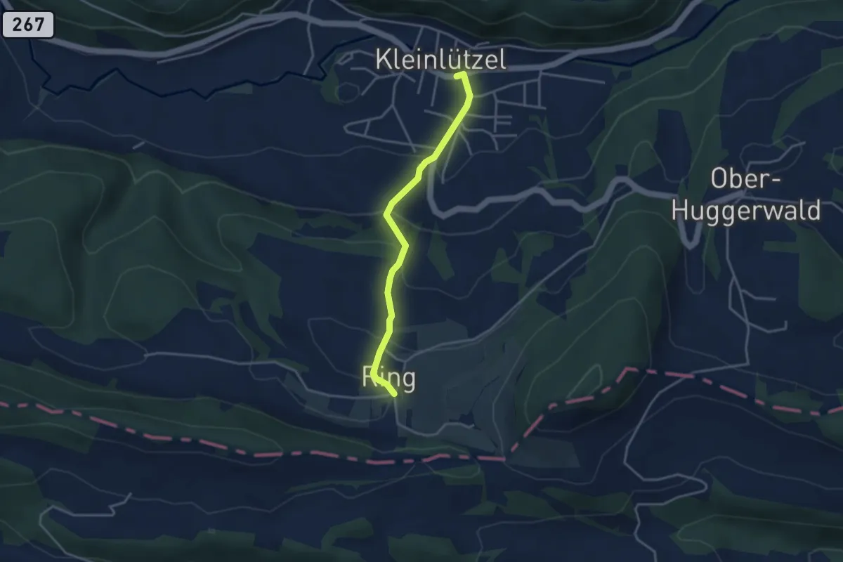
Easy · Trail
Kleinlützel – Ring
3.1 km · ↑ 182 m · 1 h 8 min
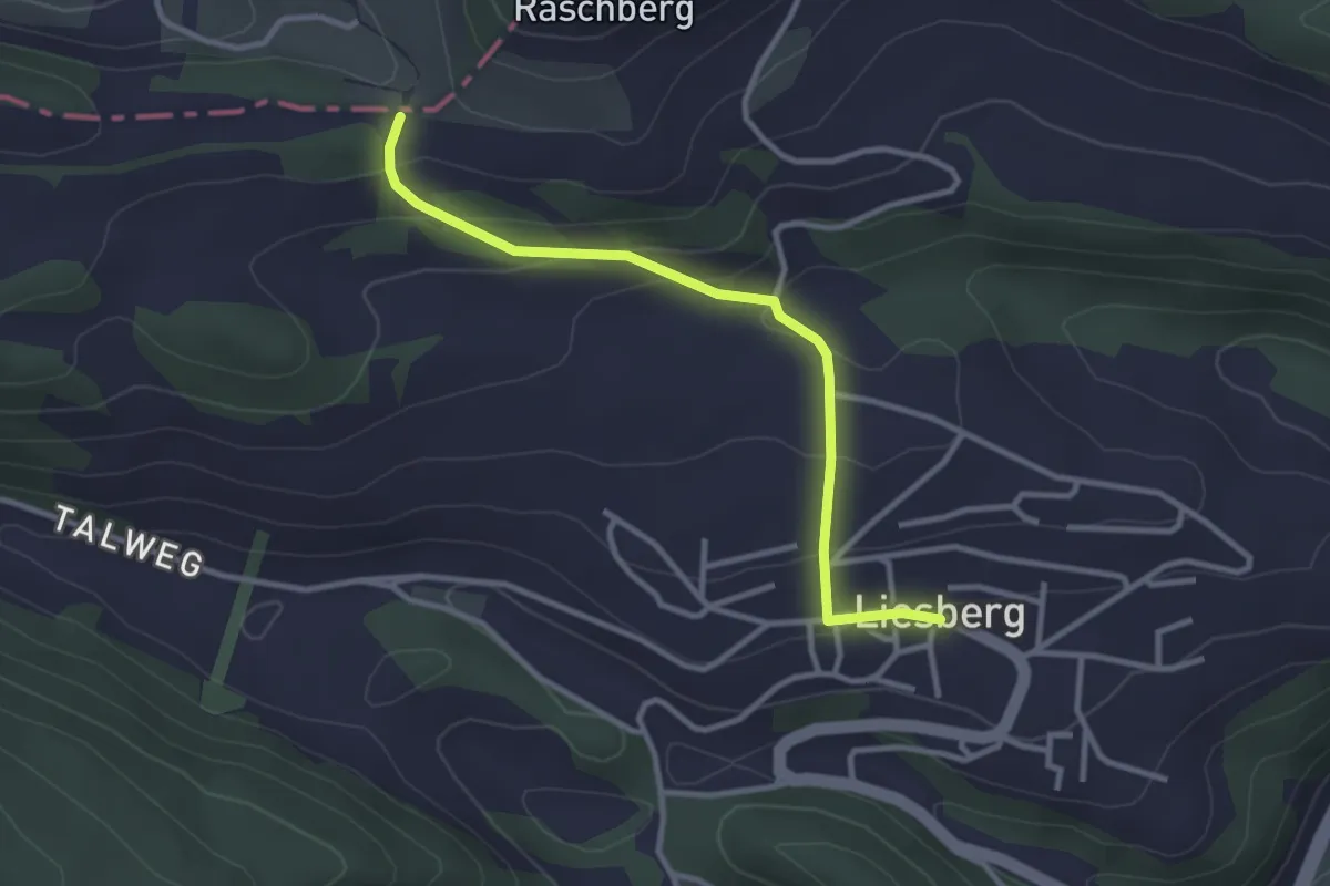
Easy · Trail
Oltme – Liesberg Dorf
3.0 km · ↑ 136 m · 1 h
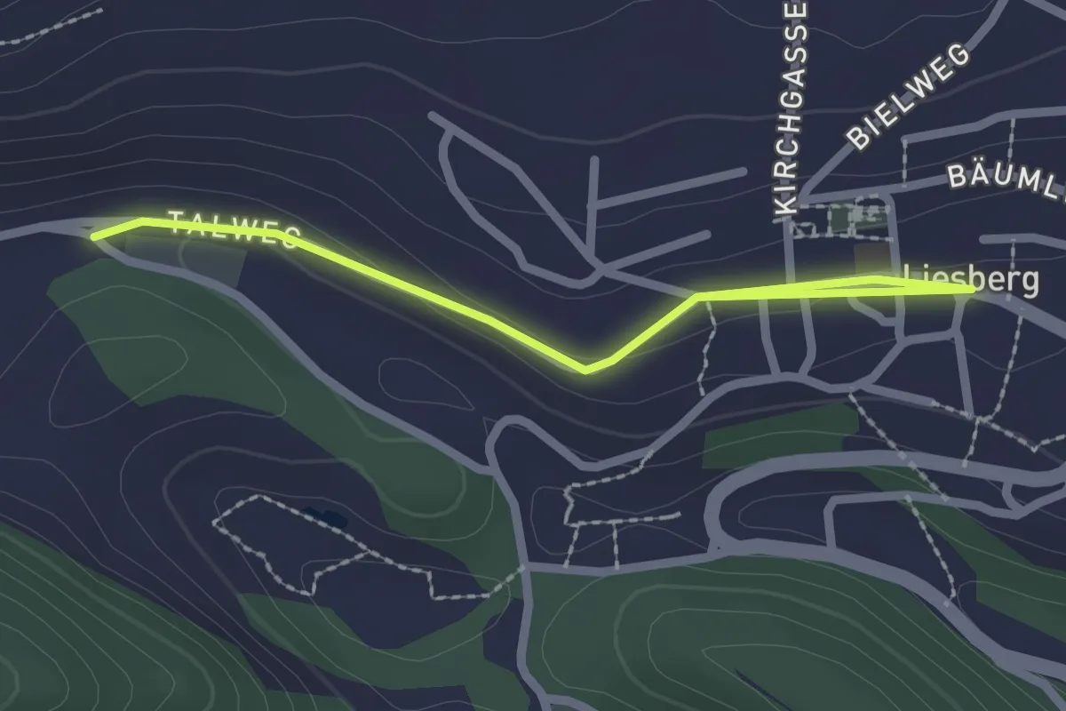
Easy · Trail
Liesberg Dorf – Soyhières
2.4 km · ↑ 37 m · 39 min
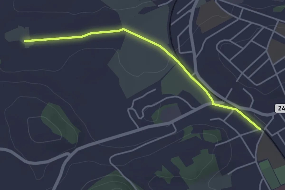
Easy · Trail
Meienmoos – Burgdorf/Steinhof
3.4 km · ↑ 13 m · 50 min
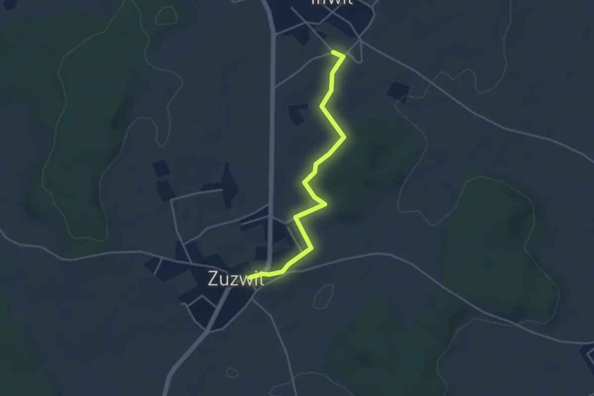
Easy · Trail
Iffwil – Zuzwil
3.5 km · ↑ 29 m · 54 min
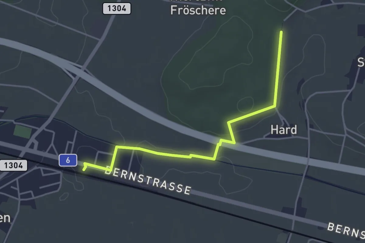
Easy · Trail
Hardwald – Schüpfen / Station
4.0 km · ↑ 45 m · 1 h 3 min
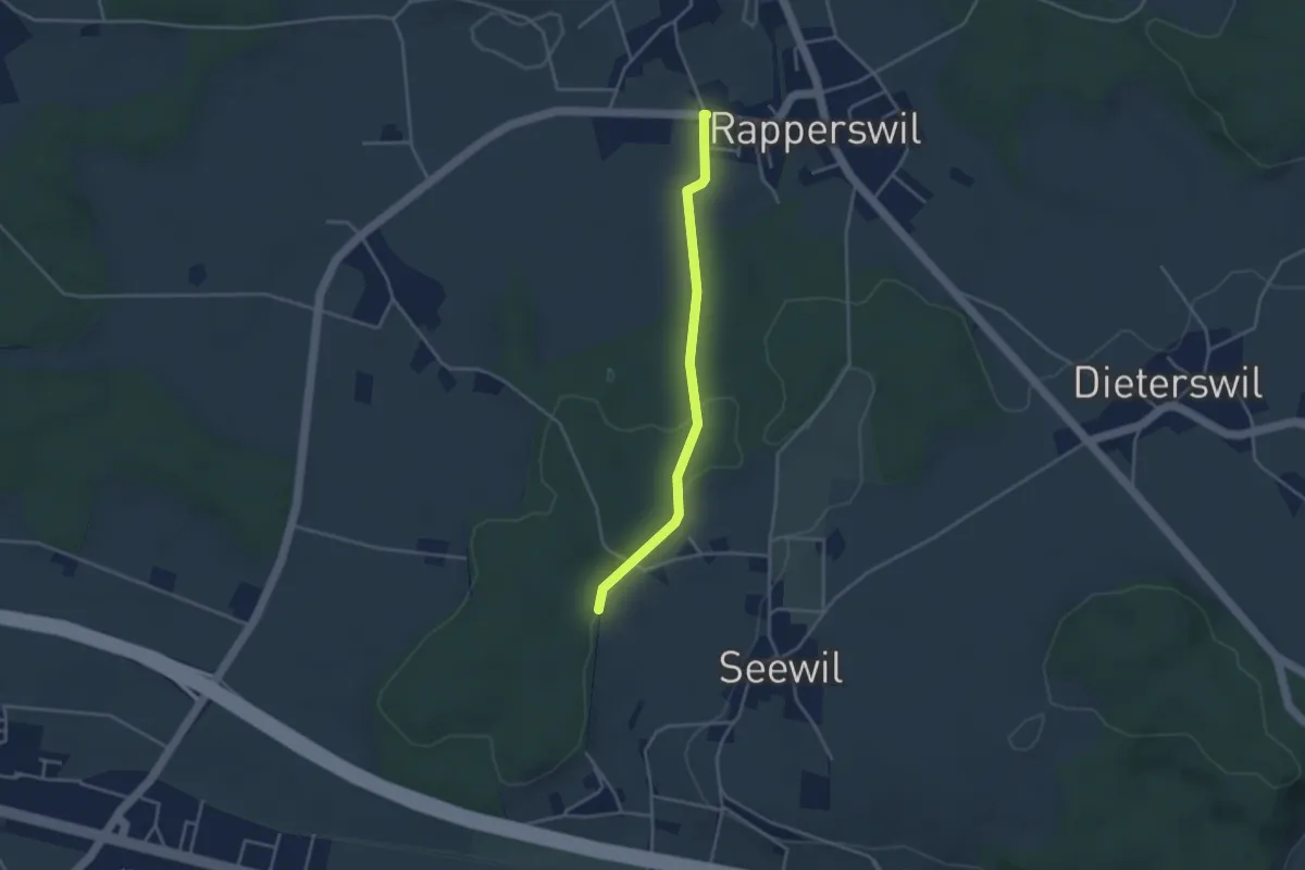
Easy · Trail
Rapperswil – Hardwald
3.4 km · ↑ 57 m · 55 min
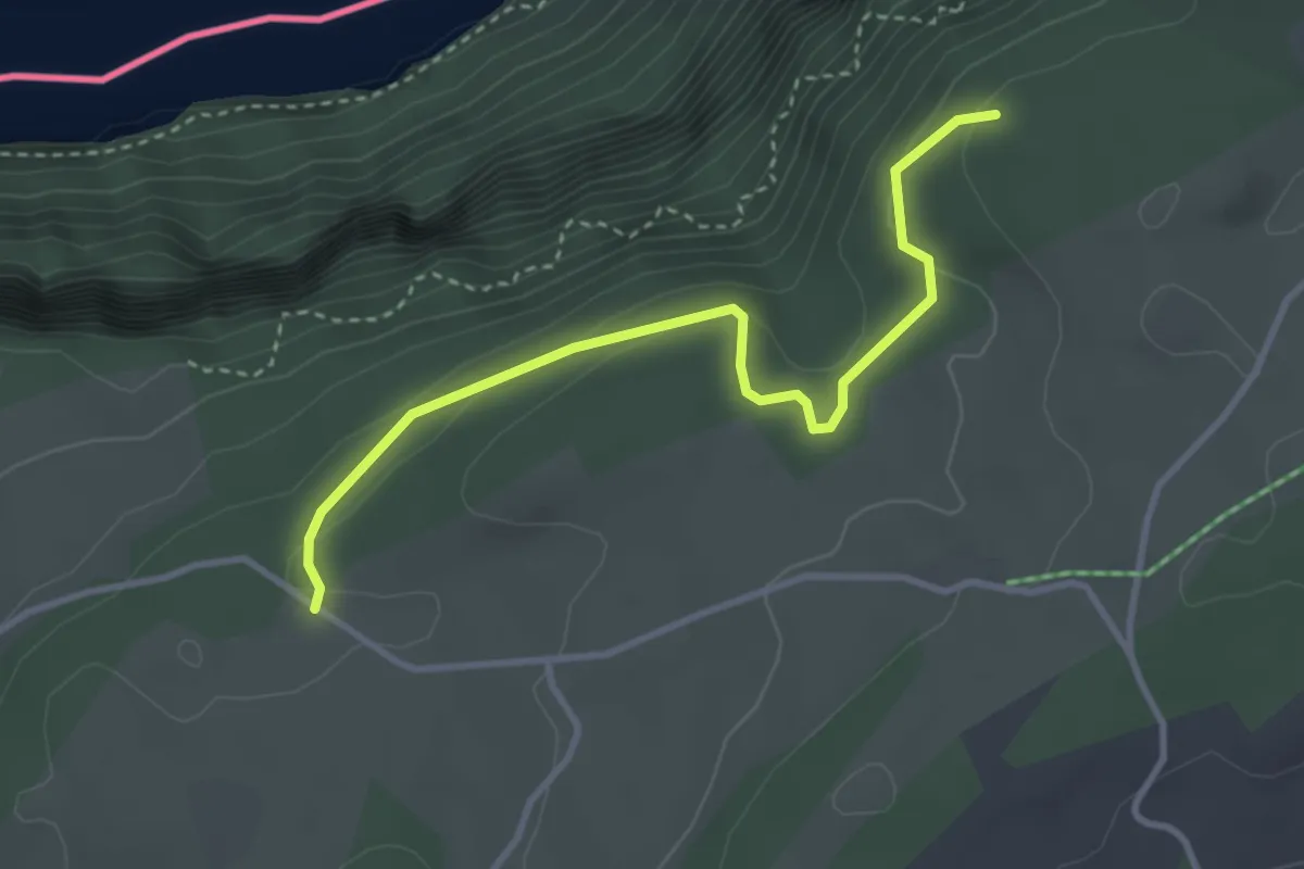
Easy · Trail
L'Escarpineau – Bois du Dar
3.4 km · ↑ 94 m · 1 h
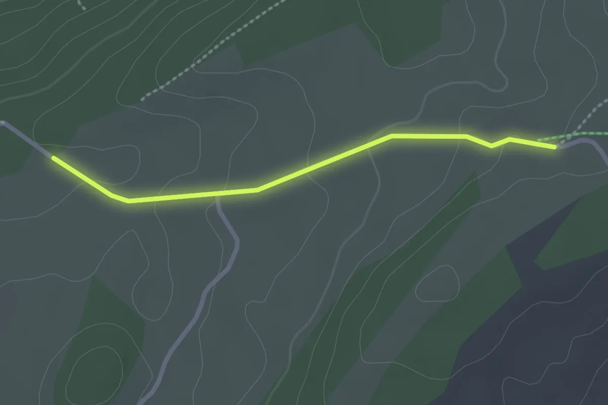
Easy · Trail
Bois du Dar – La Ferme Modèle
2.1 km · ↑ 60 m · 38 min
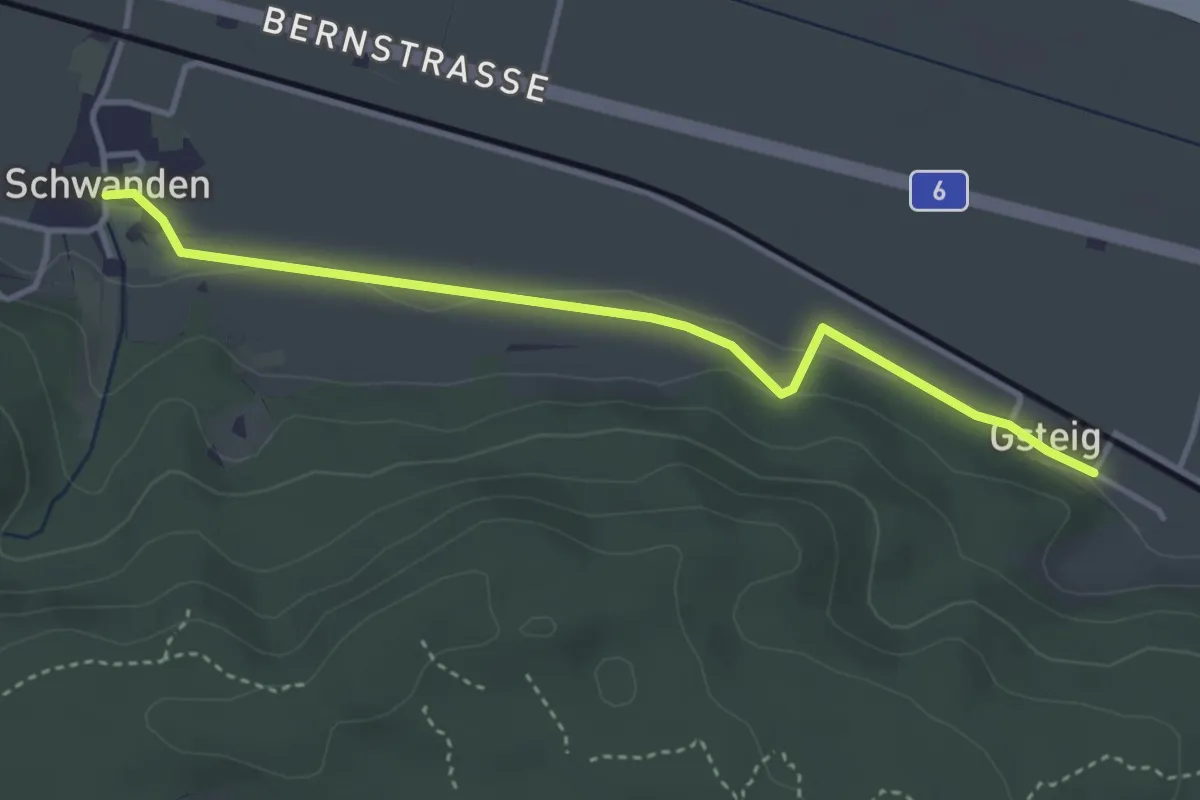
Easy · Trail
Schwanden – Gsteig
3.8 km · ↑ 45 m · 59 min
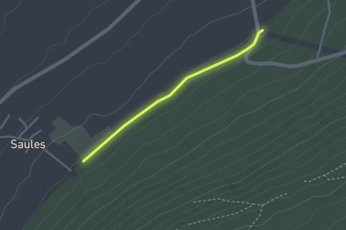
Easy · Trail
Savagnier – Fenin
2.3 km · ↑ 13 m · 34 min
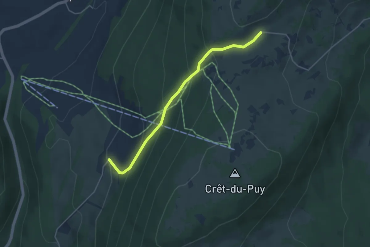
Easy · Trail
Chuffort – Clémesin
3.6 km · ↑ 225 m · 1 h 20 min
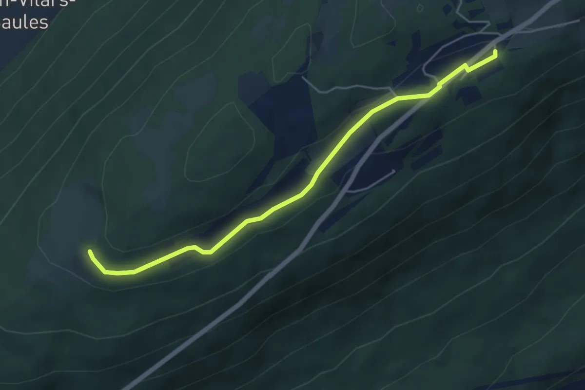
Easy · Trail
Chaumont Funiculaire – Pré Louiset
4.8 km · ↑ 47 m · 1 h 14 min
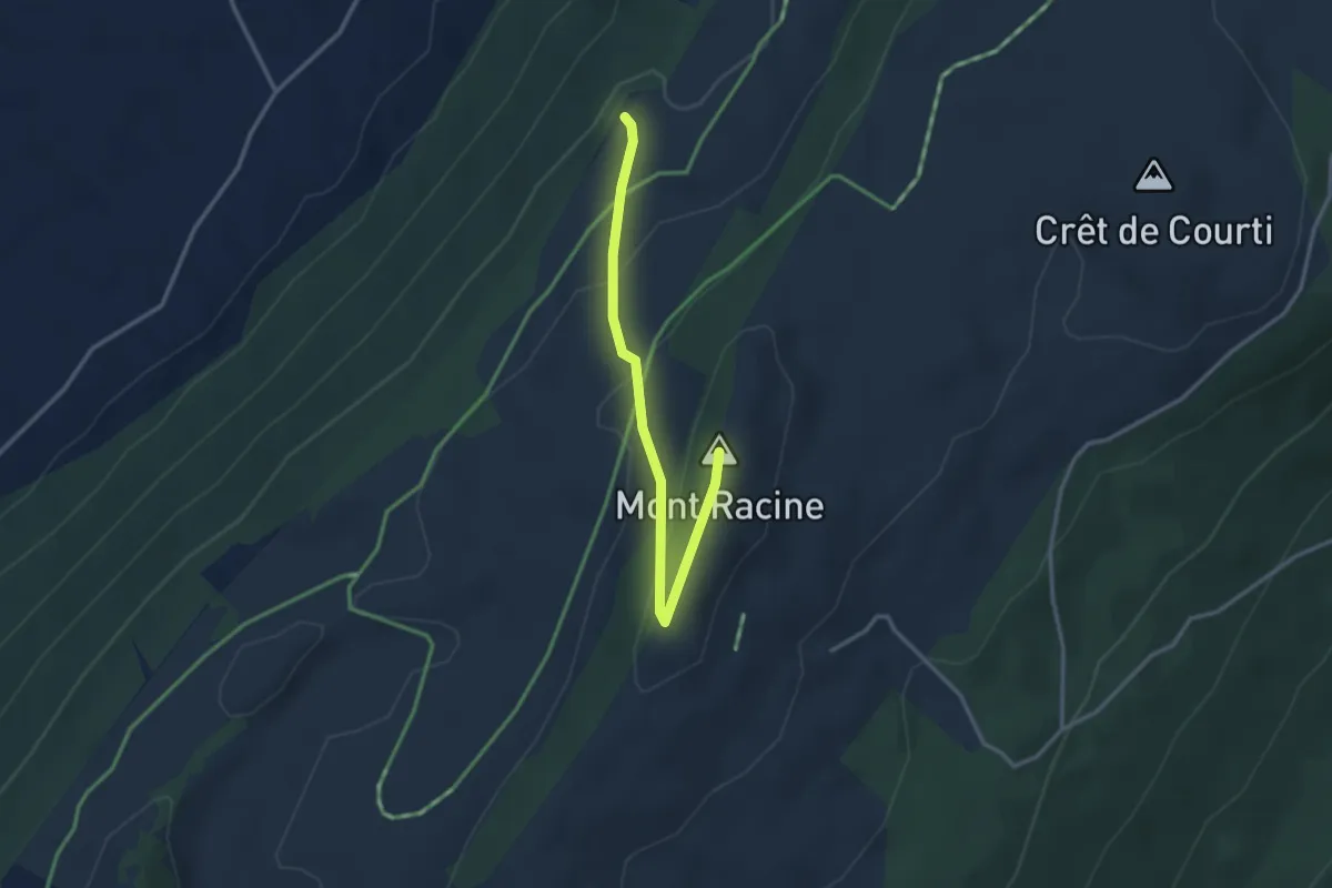
Medium · Summit
Mont Racine – Sentier des Statues
3.1 km · ↑ 169 m · 1 h 6 min
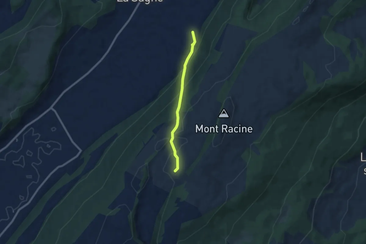
Easy · Trail
Grande Sagneule – Marmoud
4.7 km · ↑ 282 m · 1 h 43 min
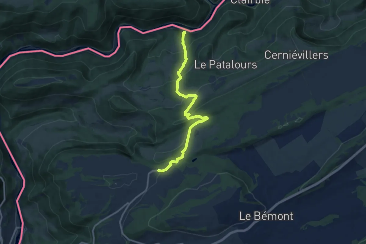
Medium · Trail
Moulin Jeannottat – Les Pommerats
8.6 km · ↑ 497 m · 3 h 7 min
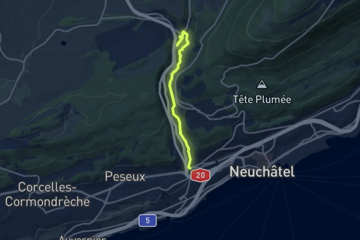
Medium · Trail
Neuchâtel, Pont des Parcs – Valangin
7.9 km · ↑ 366 m · 2 h 39 min
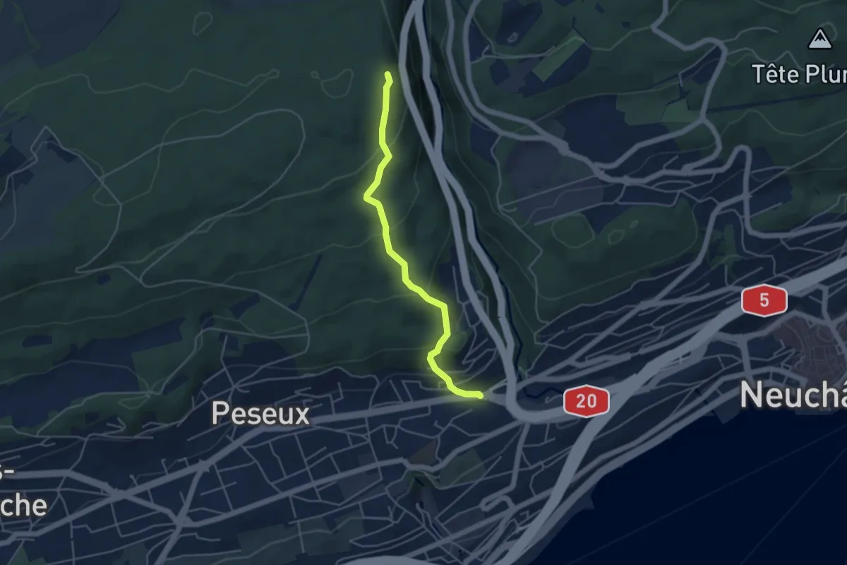
Easy · Trail
Neuchâtel Vauseyon – Le Gibet
4.2 km · ↑ 272 m · 1 h 35 min
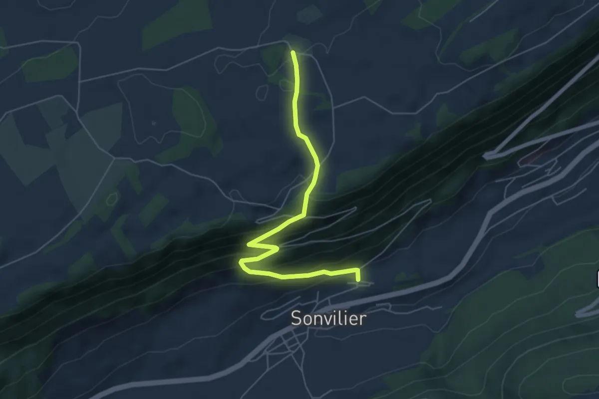
Medium · Trail
Sonvilier Gare – L'Assesseur
5.6 km · ↑ 358 m · 2 h 6 min
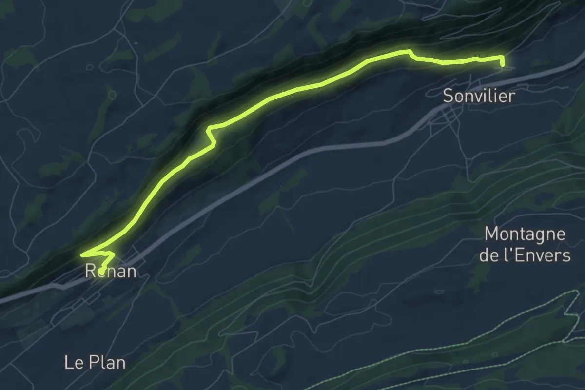
Medium · Trail
Sonvilier Gare – Renan
9.3 km · ↑ 435 m · 3 h 9 min
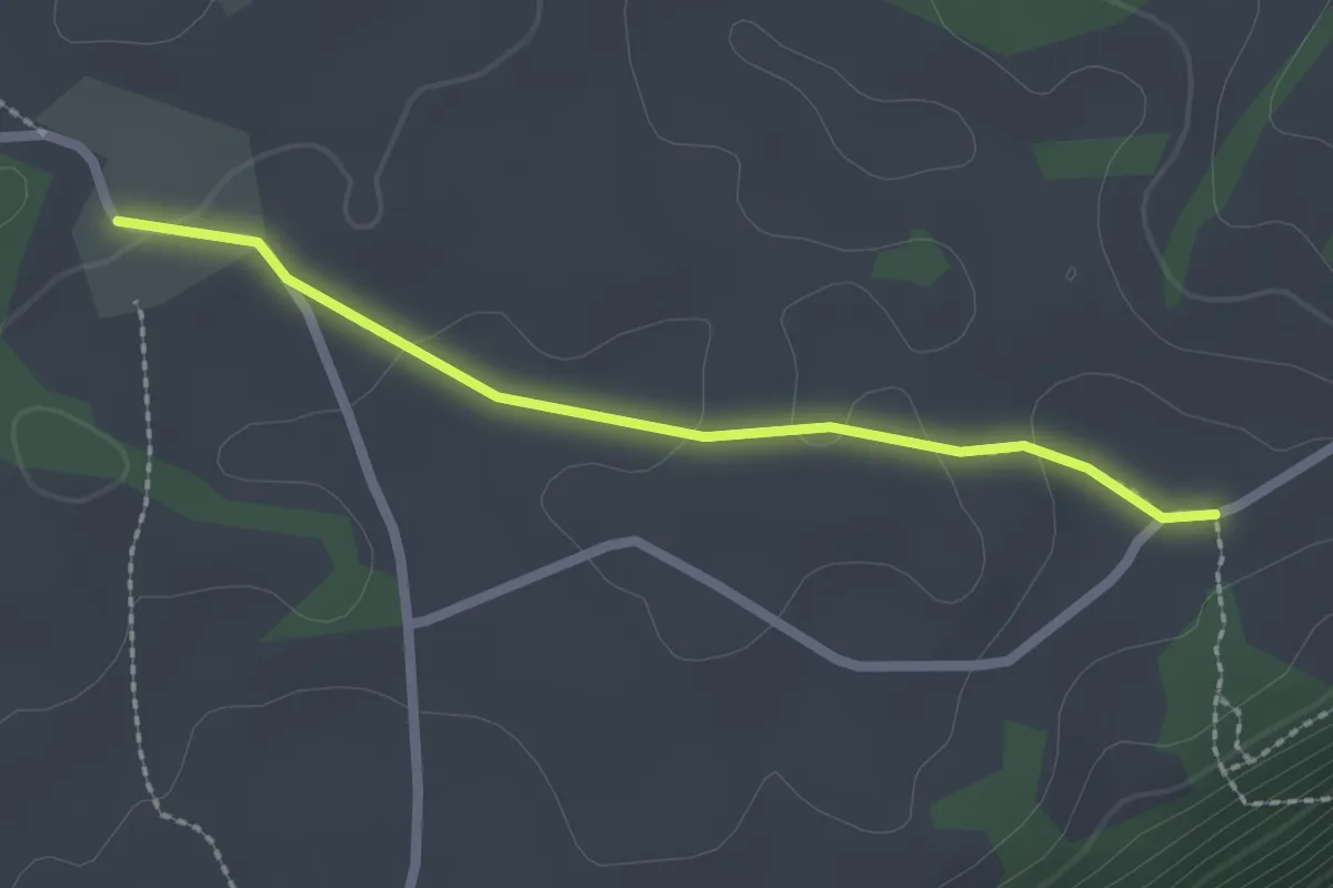
Easy · Trail
L'Assesseur – La Brigade
2.1 km · ↑ 24 m · 33 min
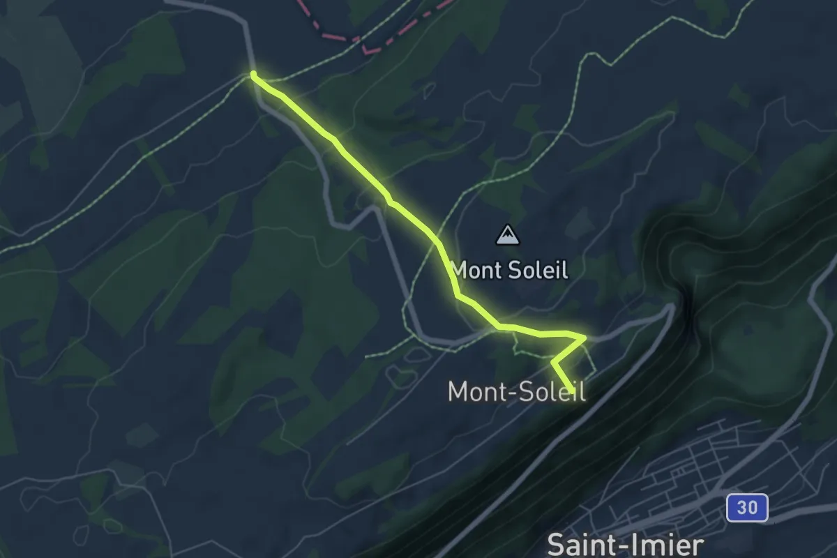
Easy · Trail
Mont Soleil – Combe à la Biche
5.3 km · ↑ 237 m · 1 h 45 min
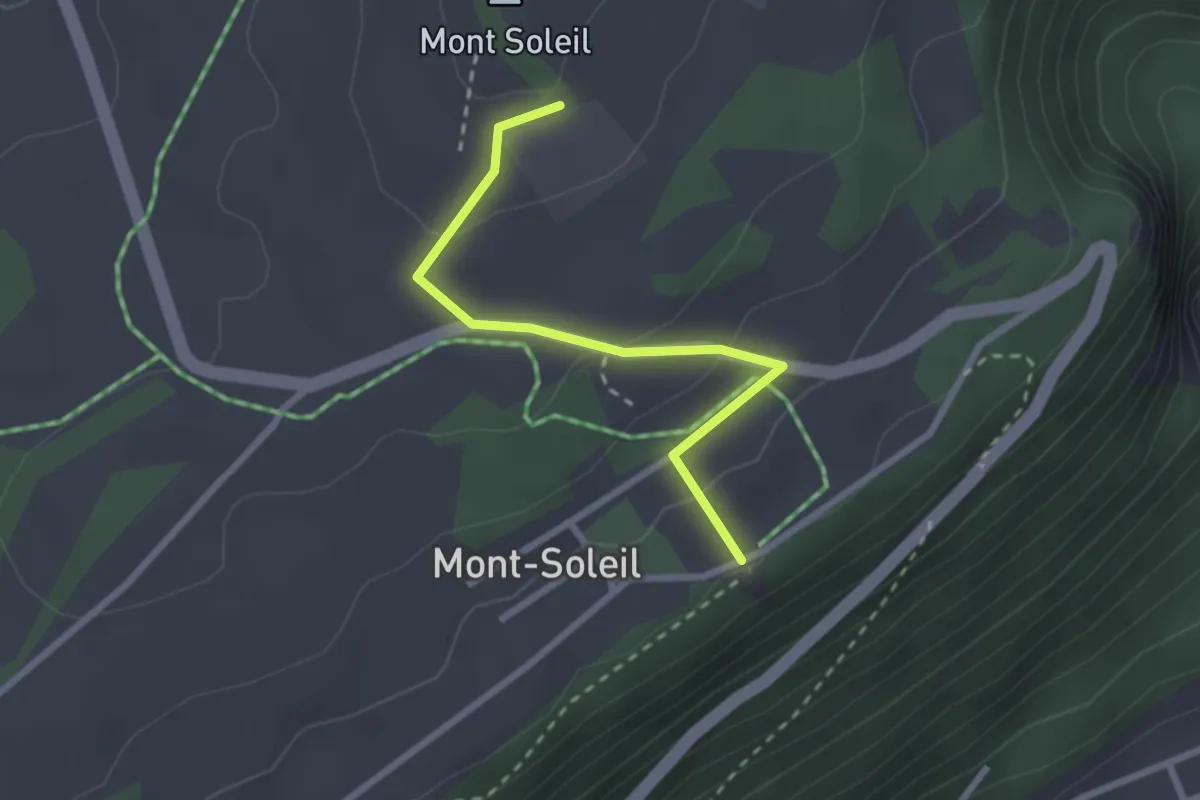
Easy · Trail
Centrale solaire – Mont Soleil
2.5 km · ↑ 93 m · 47 min
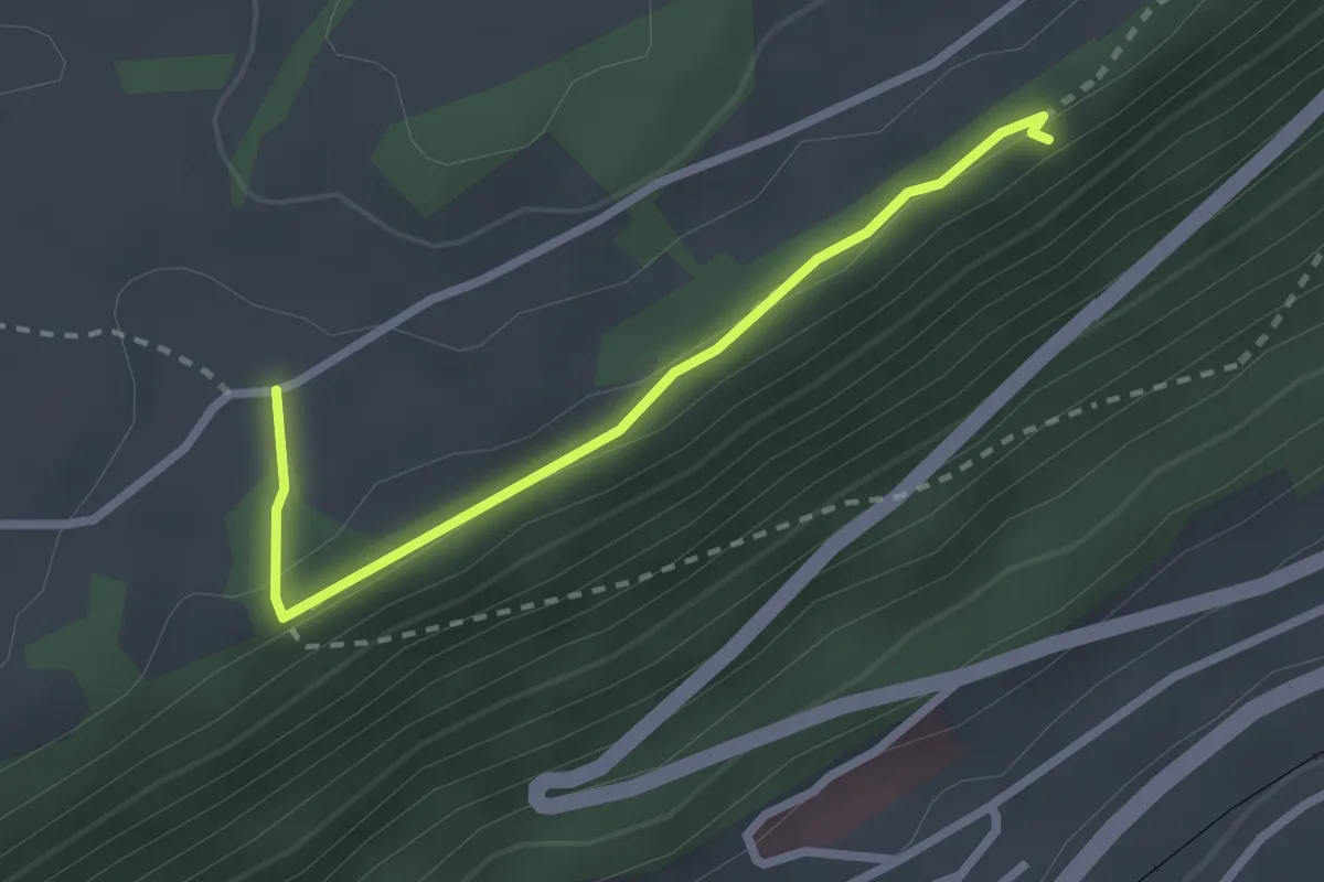
Easy · Trail
La Brigade – Belvédère
2.4 km · ↑ 53 m · 41 min
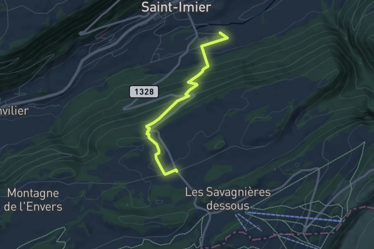
Medium · Trail
Les Longines – Les Pontins
6.4 km · ↑ 348 m · 2 h 16 min
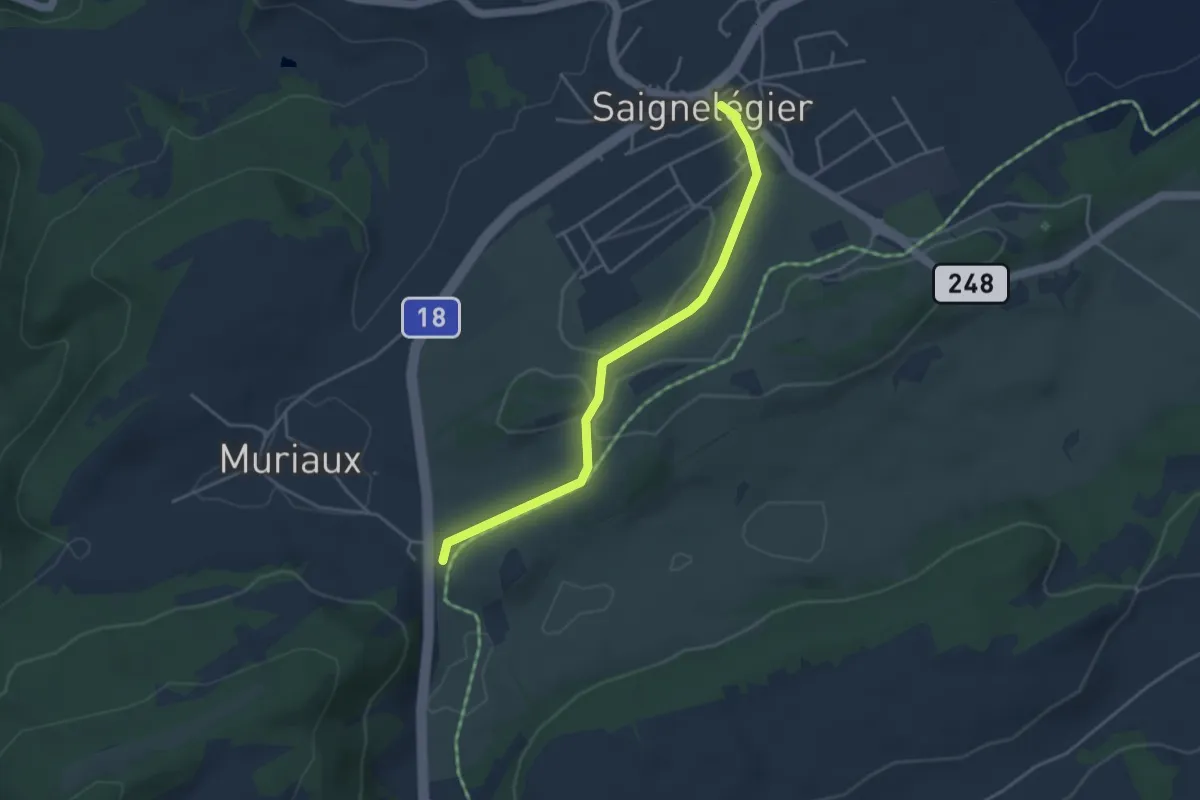
Easy · Trail
Saignelégier – Muriaux halte CJ
3.9 km · ↑ 44 m · 1 h 1 min
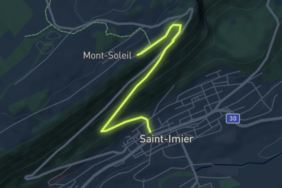
Medium · Trail
Mont Soleil – St-Imier
4.7 km · ↑ 384 m · 1 h 56 min
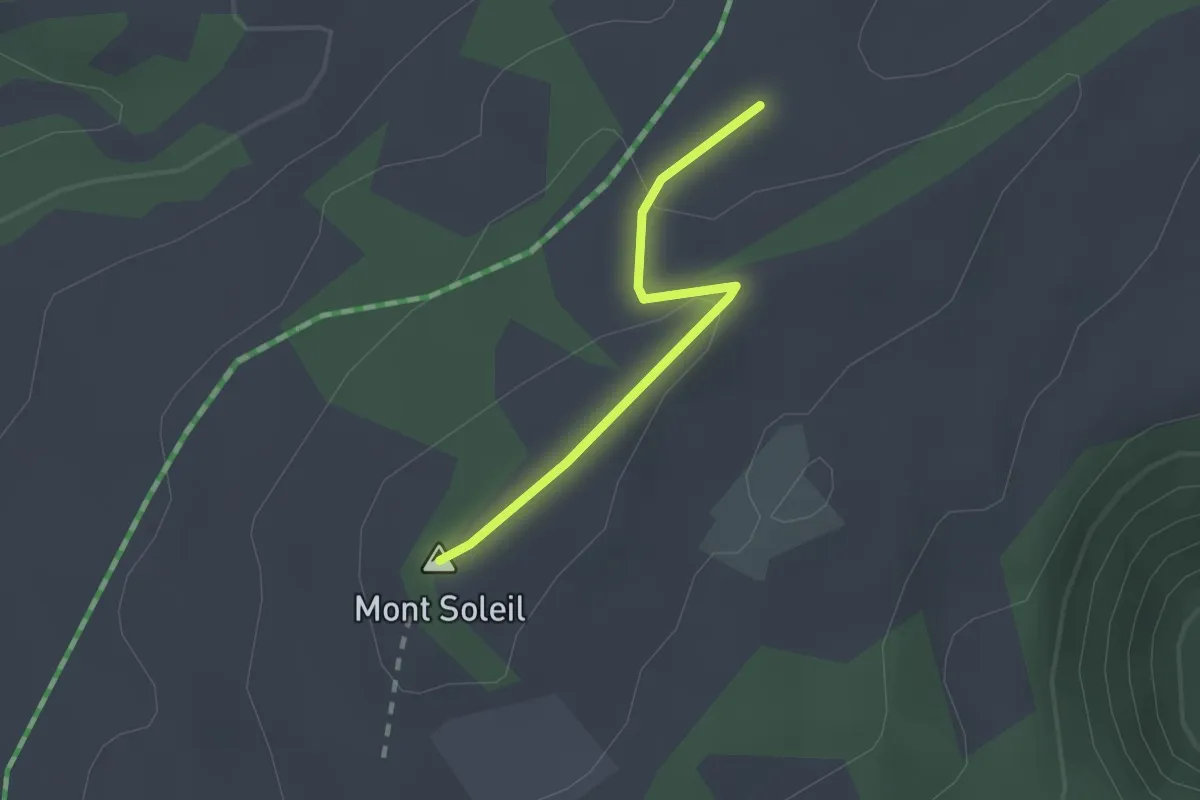
Easy · Summit
Le Bardeau – Centrale solaire
1.7 km · ↑ 45 m · 29 min
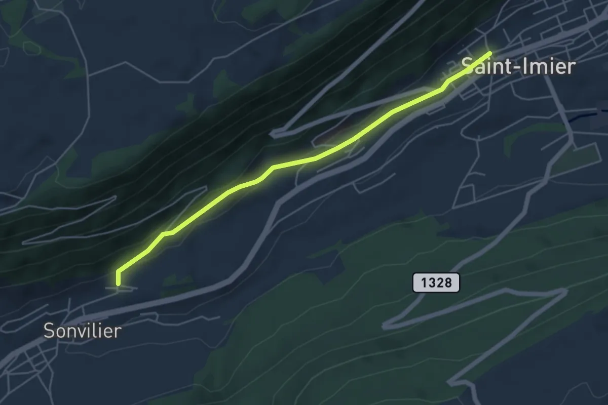
Easy · Trail
St-Imier – Sonvilier Gare
4.8 km · ↑ 133 m · 1 h 25 min