Trails in Switzerland
15,055 hiking trails, each with its route, climb, walking time and grade.
All trails, page 233 of 314
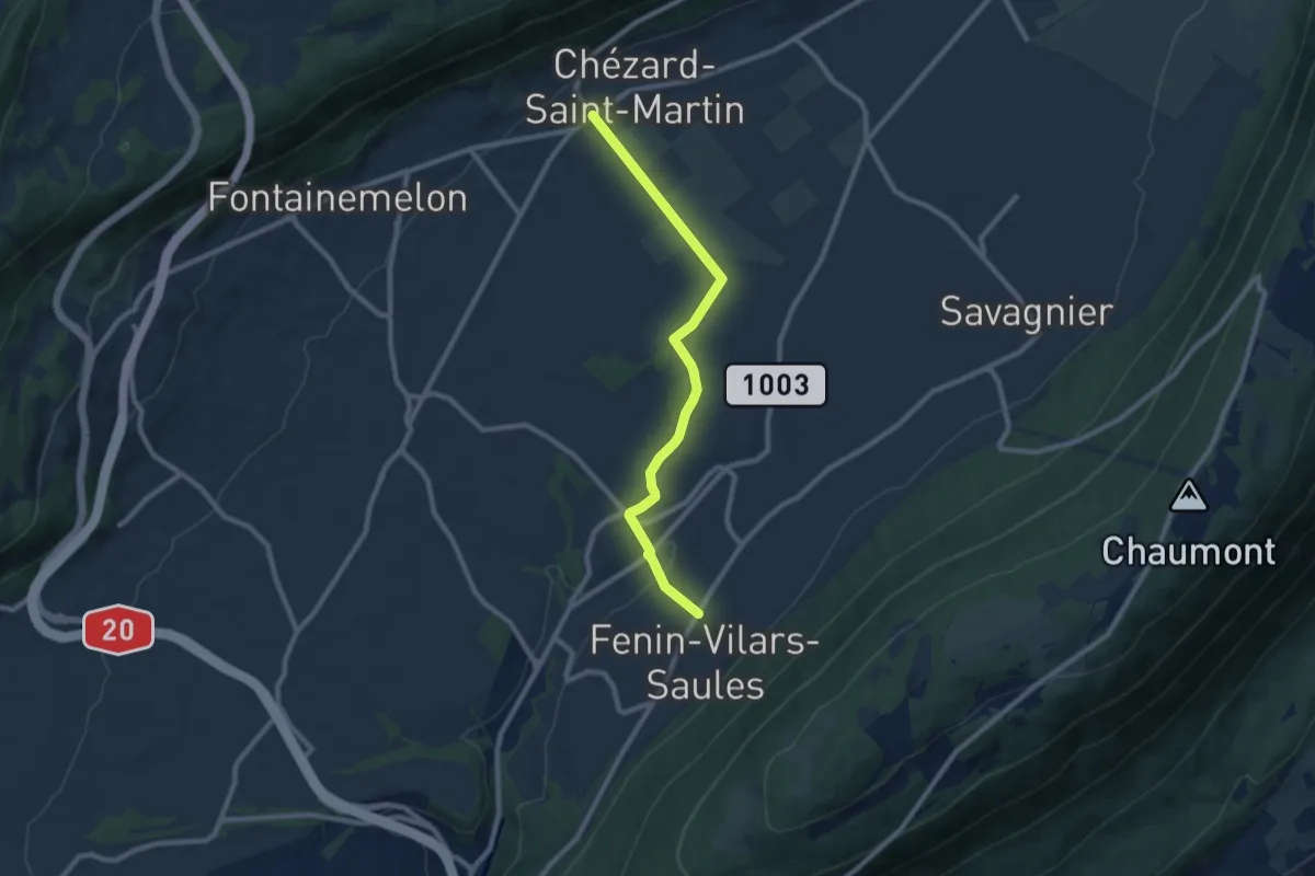
Medium · Trail
Grand Chezard – Villars
8.5 km · ↑ 153 m · 2 h 21 min
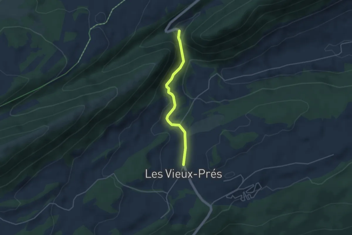
Easy · Trail
Pertuis – Les Vieux Prés
3.3 km · ↑ 138 m · 1 h 5 min
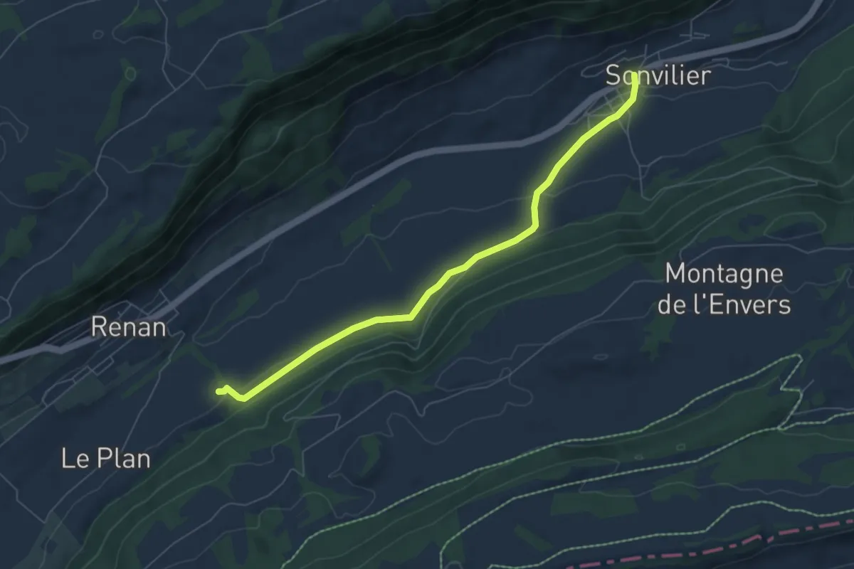
Easy · Trail
Sonvilier – Renan Le Plan
6.5 km · ↑ 149 m · 1 h 51 min
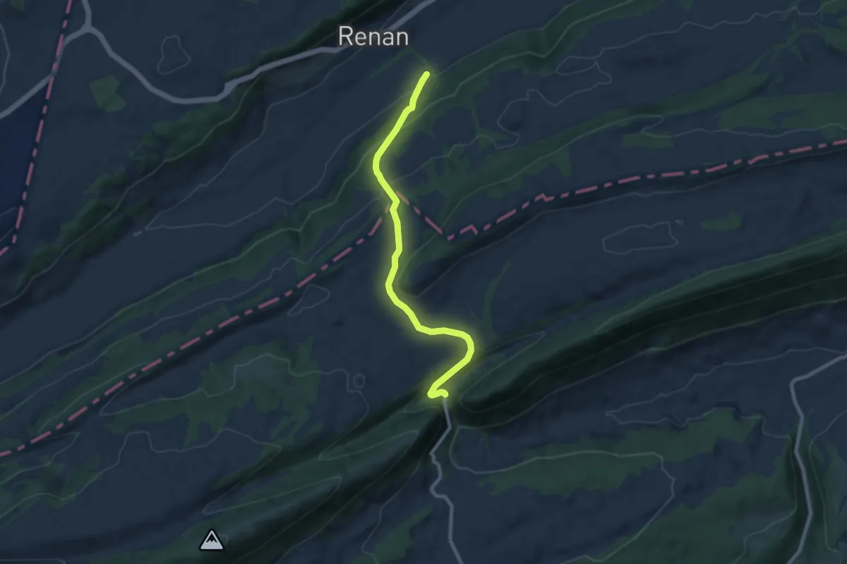
Medium · Trail
Renan Le Plan – Pertuis
8.3 km · ↑ 431 m · 2 h 54 min
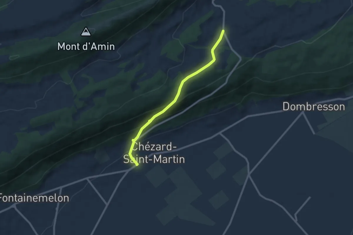
Medium · Trail
Les Vieux Prés – Grand Chezard
6.0 km · ↑ 329 m · 2 h 8 min
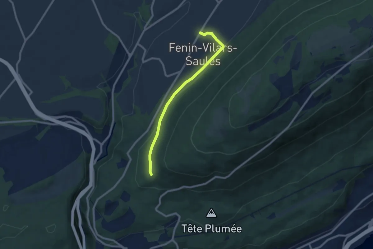
Easy · Trail
Villars – Les Trois Bornes
5.8 km · ↑ 130 m · 1 h 39 min
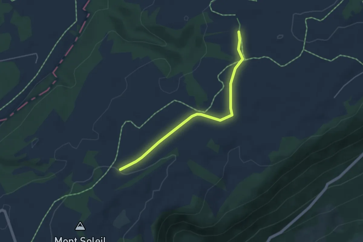
Easy · Trail
Combe Aubert – Le Bardeau
3.9 km · ↑ 46 m · 1 h 1 min
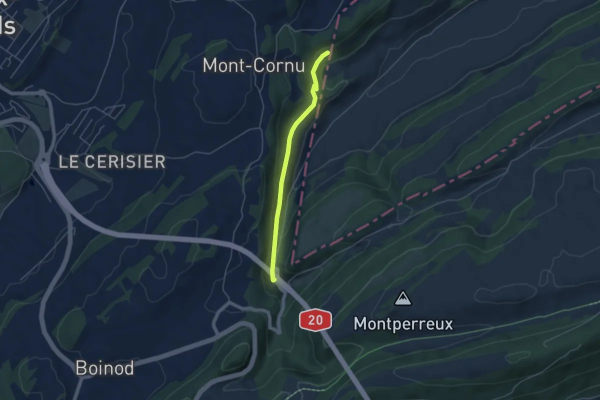
Easy · Trail
Le Creux – Les Convers
4.0 km · ↑ 99 m · 1 h 9 min
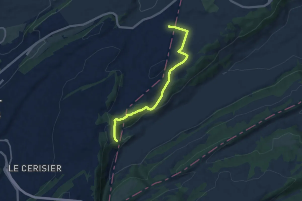
Easy · Trail
La Cibourg – Le Creux
7.2 km · ↑ 201 m · 2 h 8 min
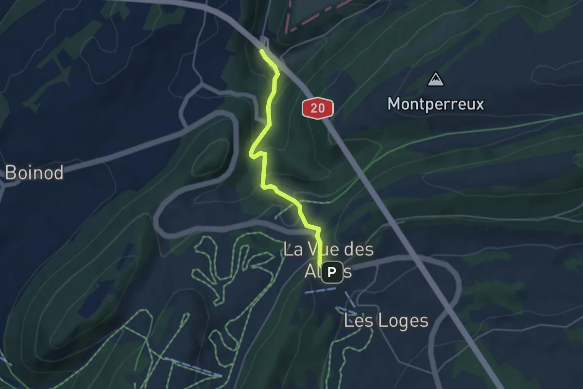
Easy · Trail
Les Convers – Vue des Alpes
3.5 km · ↑ 236 m · 1 h 20 min
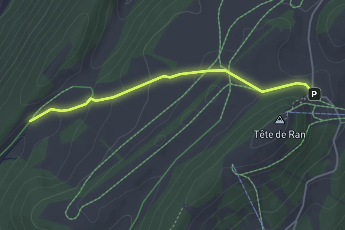
Easy · Trail
Tête de Ran – Mont Dar
3.2 km · ↑ 90 m · 57 min
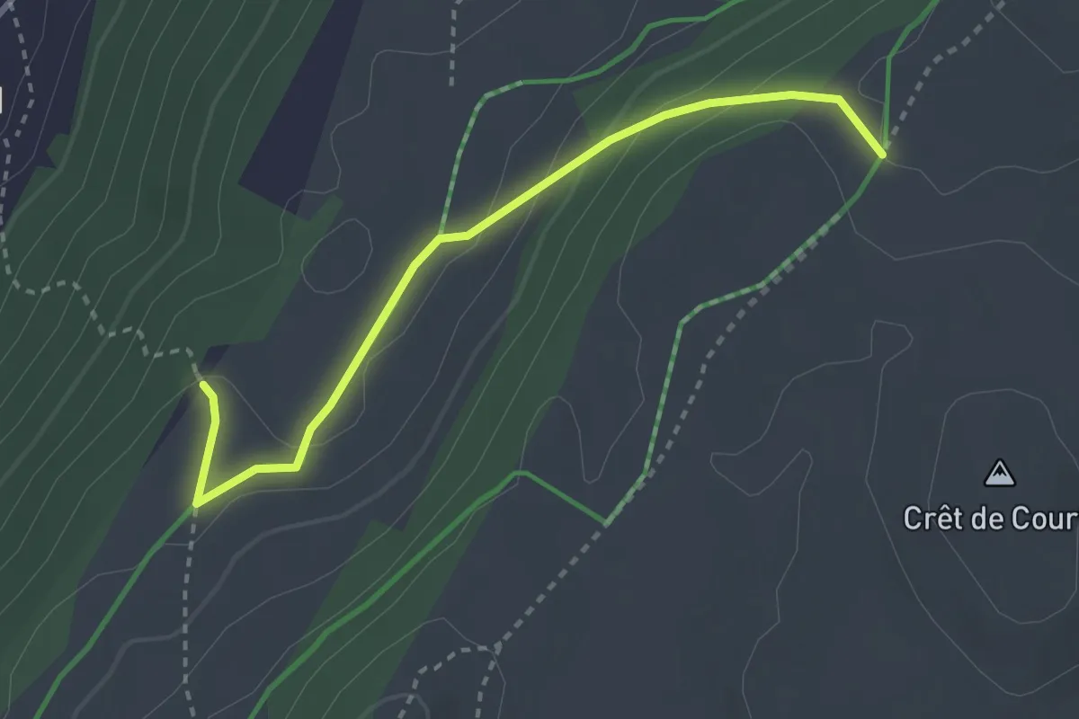
Easy · Trail
Grandes Pradières Dessus – Sentier des Statues
3.0 km · ↑ 148 m · 1 h 1 min
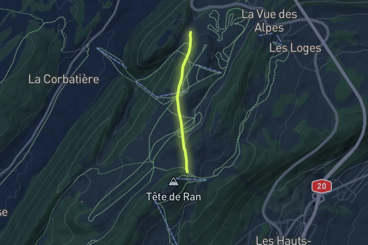
Easy · Trail
Tête de Ran – Pré de Suze
3.7 km · ↑ 121 m · 1 h 8 min
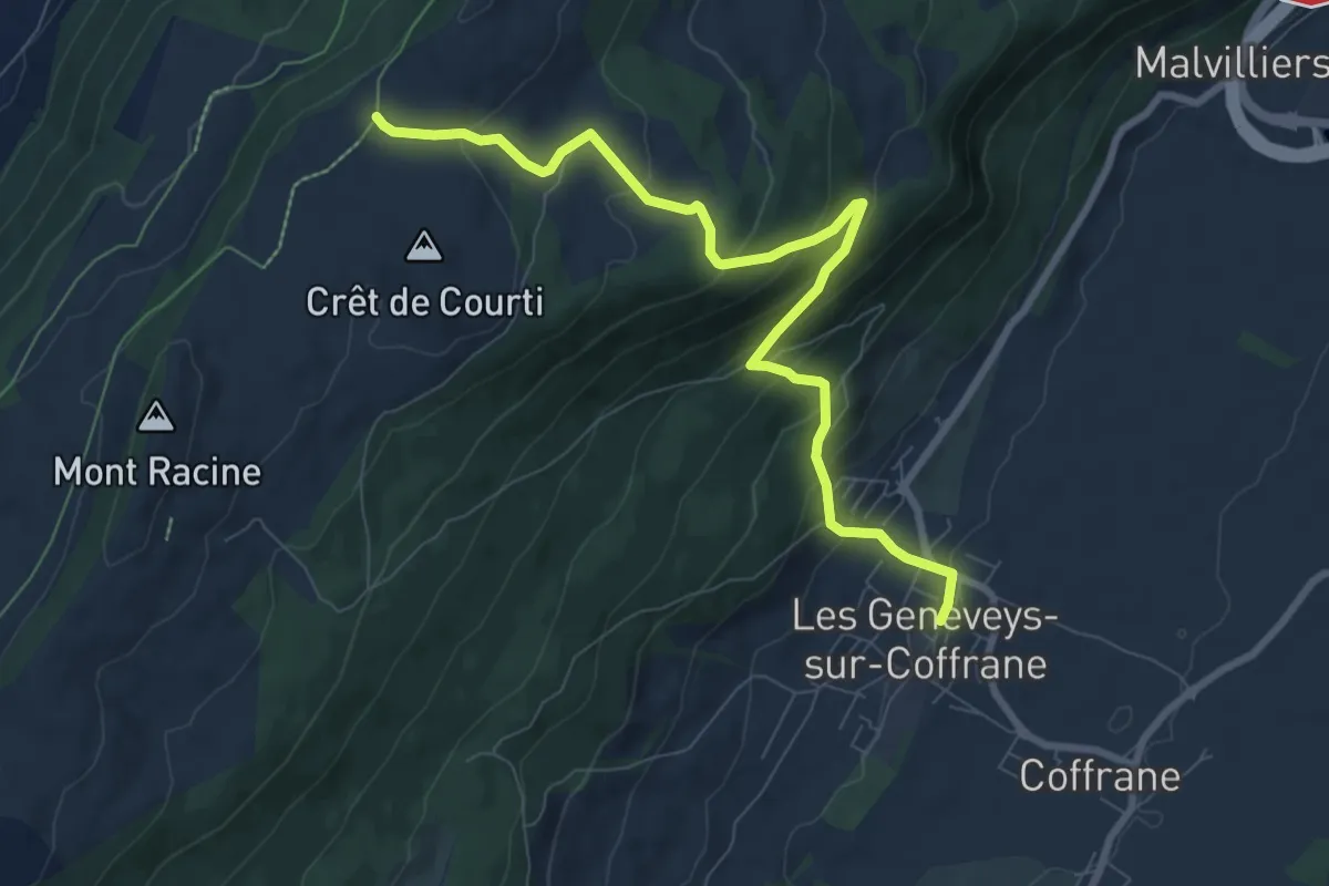
Medium · Trail
Grandes Pradières Dessus – Les Geneveys sur Coffrane
8.8 km · ↑ 505 m · 3 h 10 min
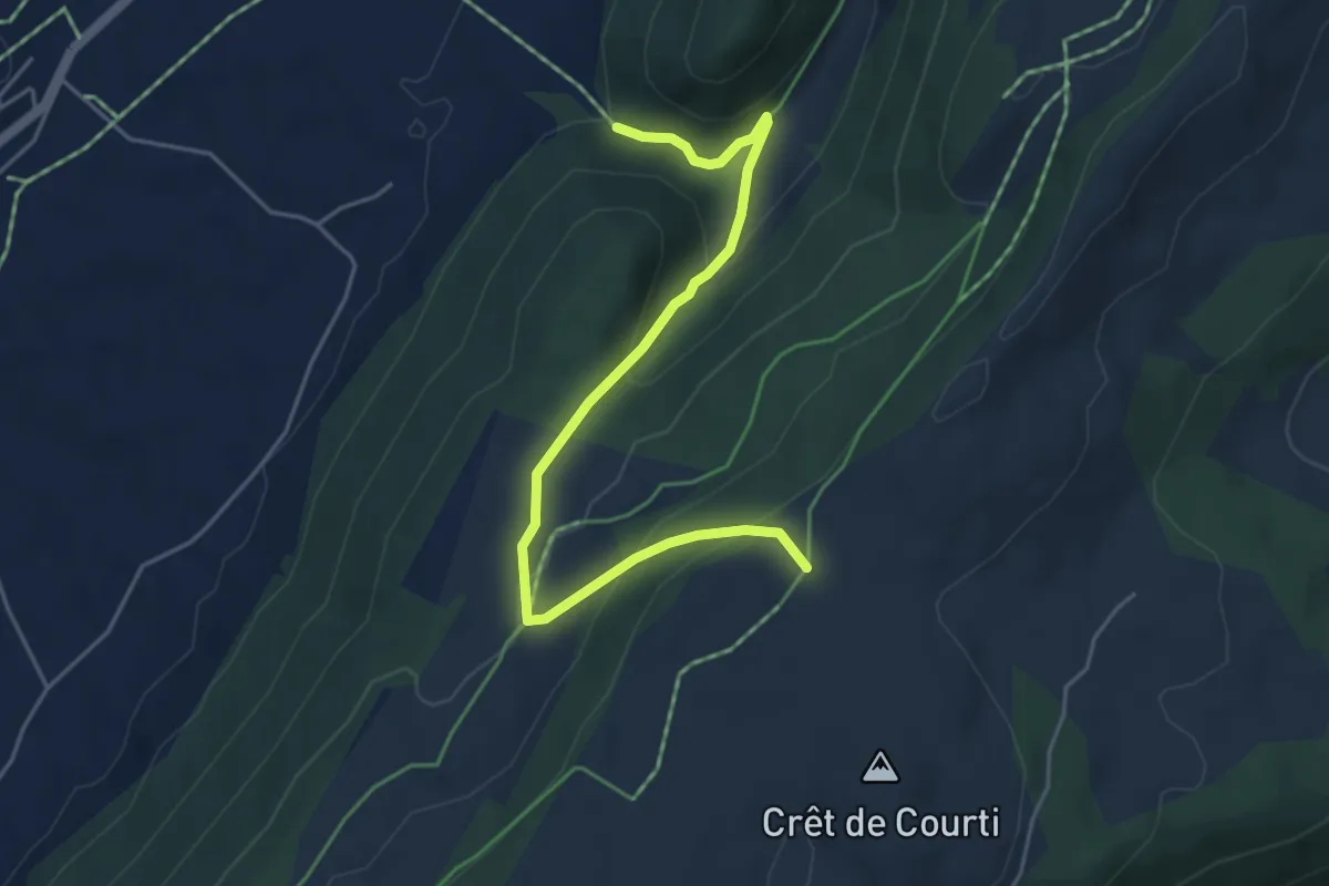
Easy · Trail
Grandes Pradières Dessus – Les Cugnets
5.1 km · ↑ 267 m · 1 h 47 min
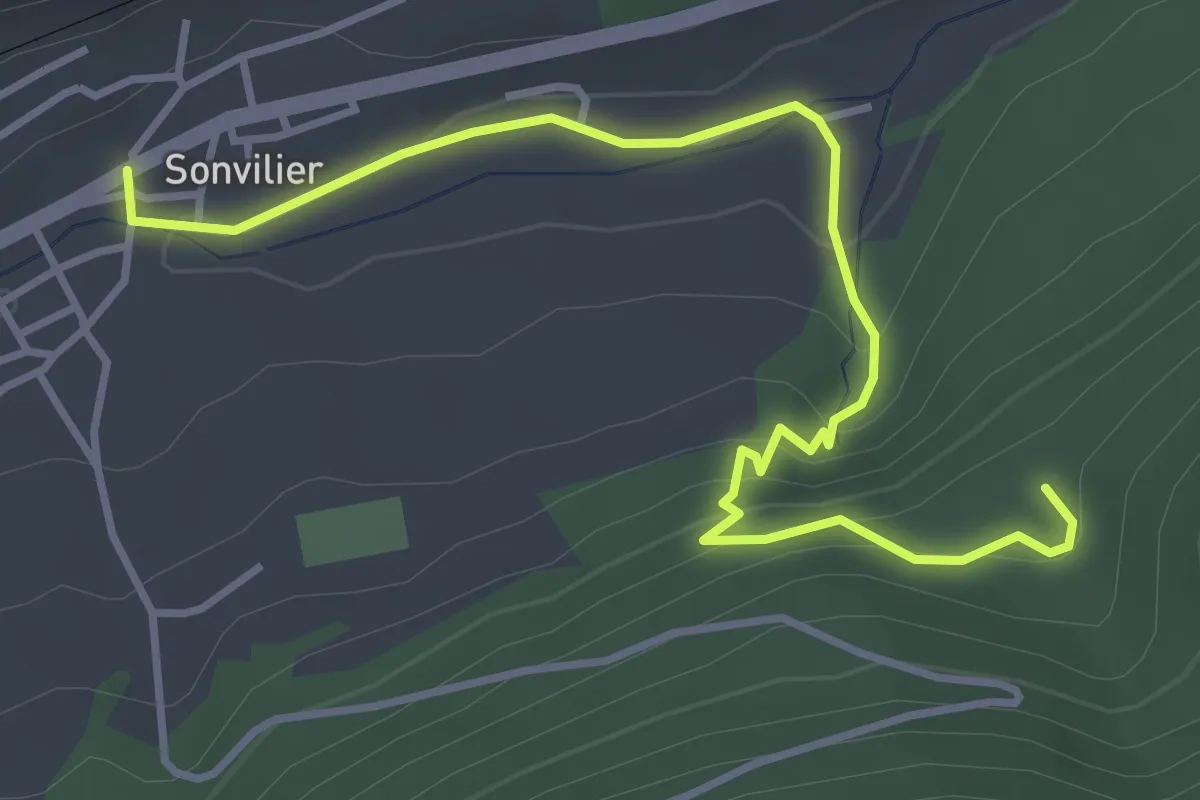
Easy · Trail
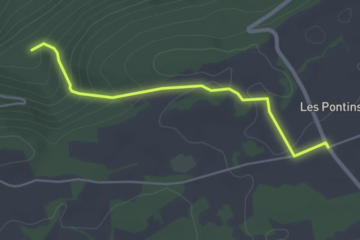
Sonvilier – Ruines du Château d'Erguël
4.4 km · ↑ 215 m · 1 h 30 min
Easy · Trail
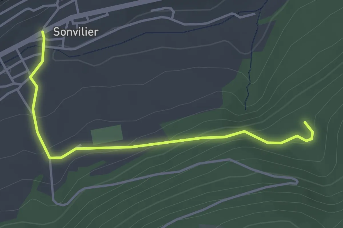
Ruines du Château d'Erguël – Les Pontins
3.6 km · ↑ 195 m · 1 h 16 min
Easy · Trail
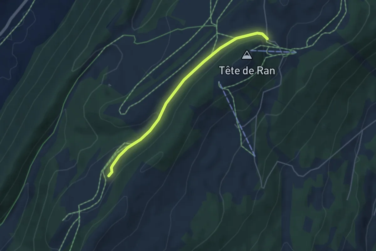
Ruines du Château d'Erguël – Sonvilier
3.5 km · ↑ 154 m · 1 h 9 min
Easy · Trail
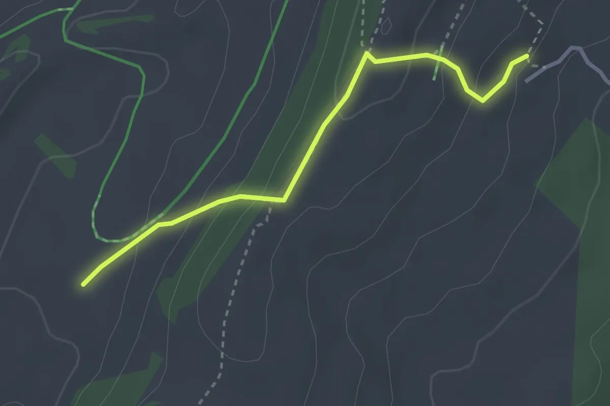
Tête de Ran – Les Neigeux
3.9 km · ↑ 91 m · 1 h 7 min
Medium · Trail
Grande Motte – Grande Sagneule
2.8 km · ↑ 154 m · 59 min
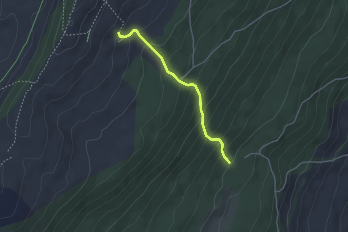
Medium · Trail
Grande Motte – Centre du Louverain
2.7 km · ↑ 233 m · 1 h 9 min
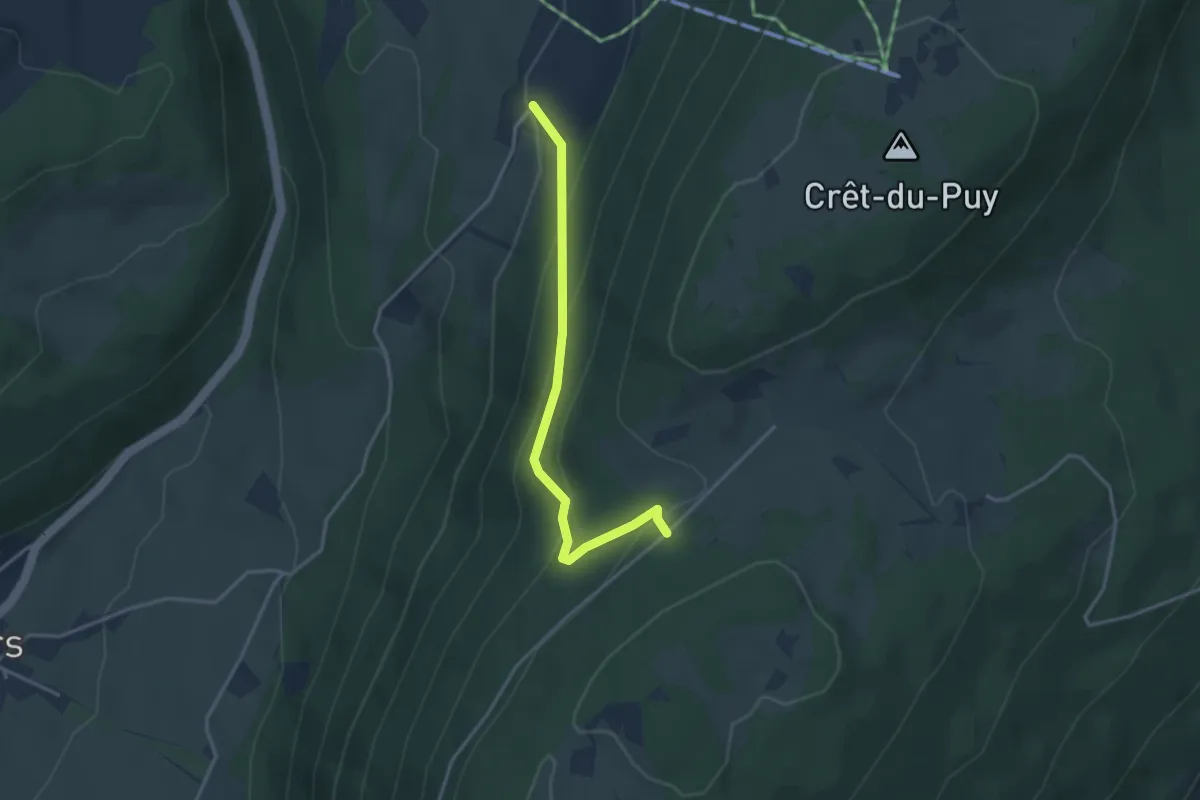
Easy · Trail
La Dame – Clémesin
3.3 km · ↑ 198 m · 1 h 12 min
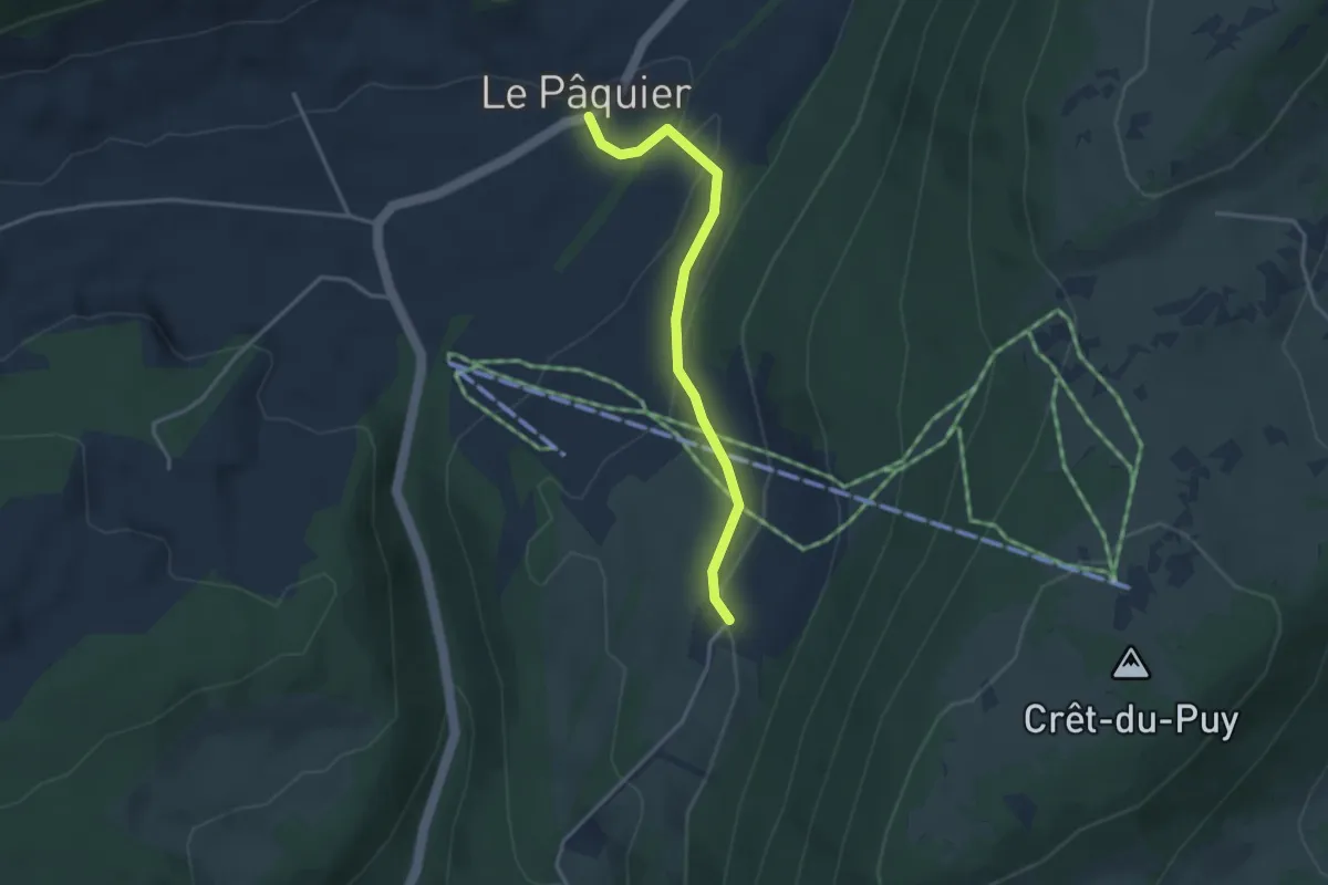
Easy · Trail
Le Pâquier – Clémesin
3.2 km · ↑ 121 m · 1 h 1 min
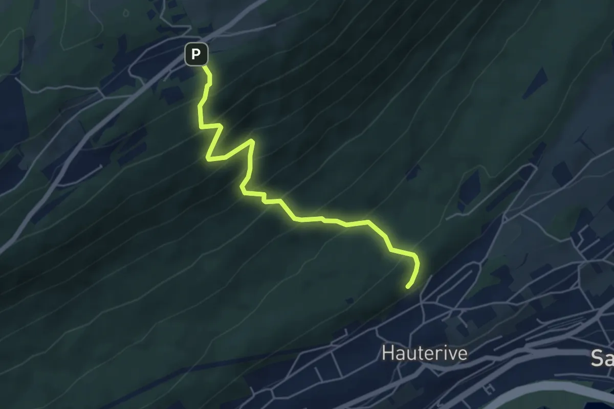
Medium · Trail
Chaumont – Hauterive
4.8 km · ↑ 529 m · 2 h 17 min
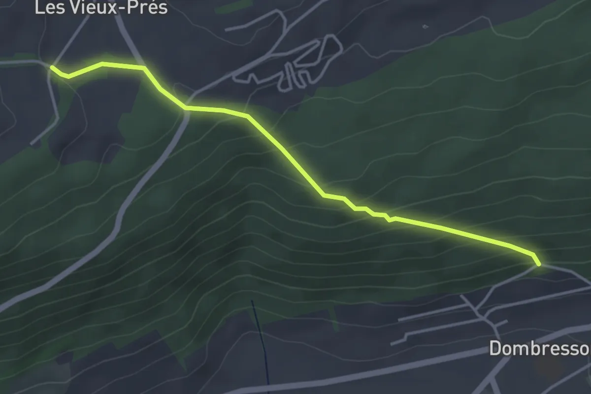
Easy · Trail
Dombresson – Les Vieux Prés
3.8 km · ↑ 228 m · 1 h 24 min
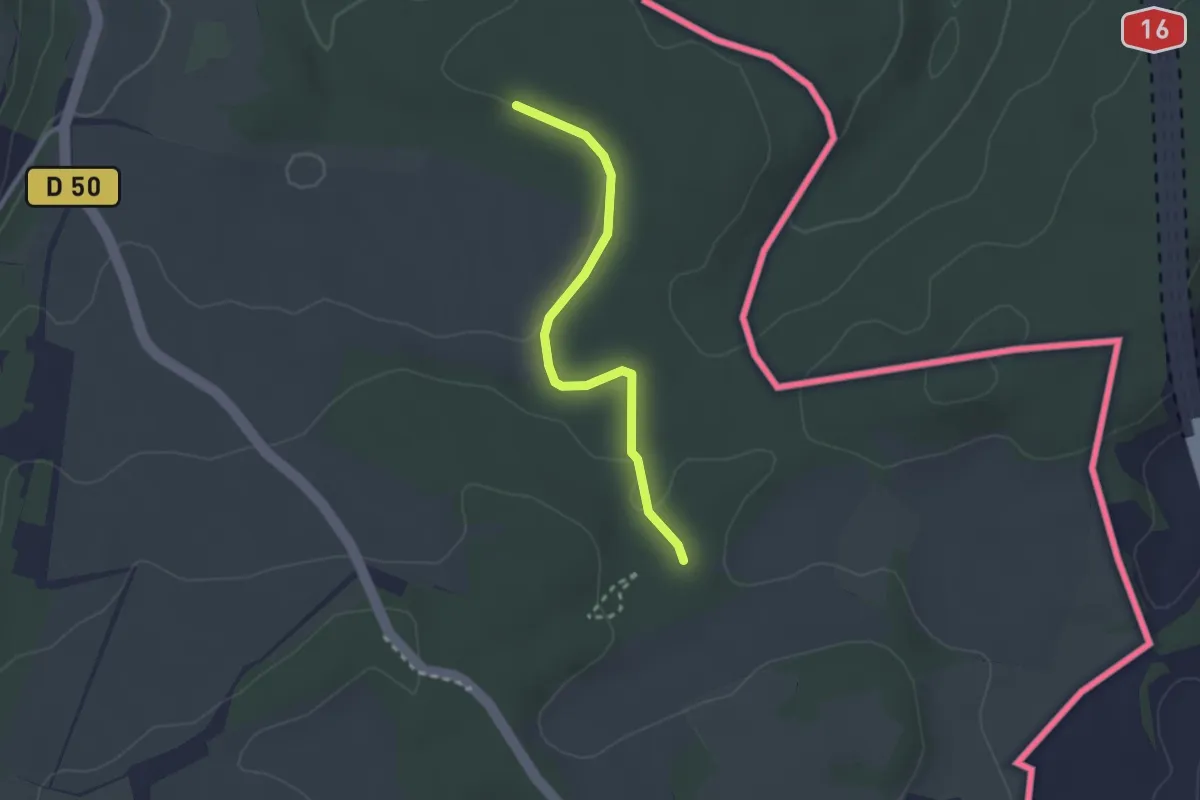
Easy · Trail
Saint-Dizier-l'Évêque – Saint-Dizier-l'Évêque
1.2 km · ↑ 25 m · 21 min
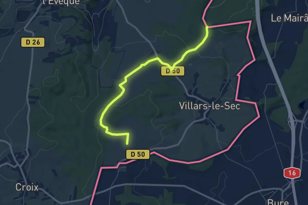
Easy · Summit
Frontière Suisse – Villars-le-Sec
6.8 km · ↑ 81 m · 1 h 47 min
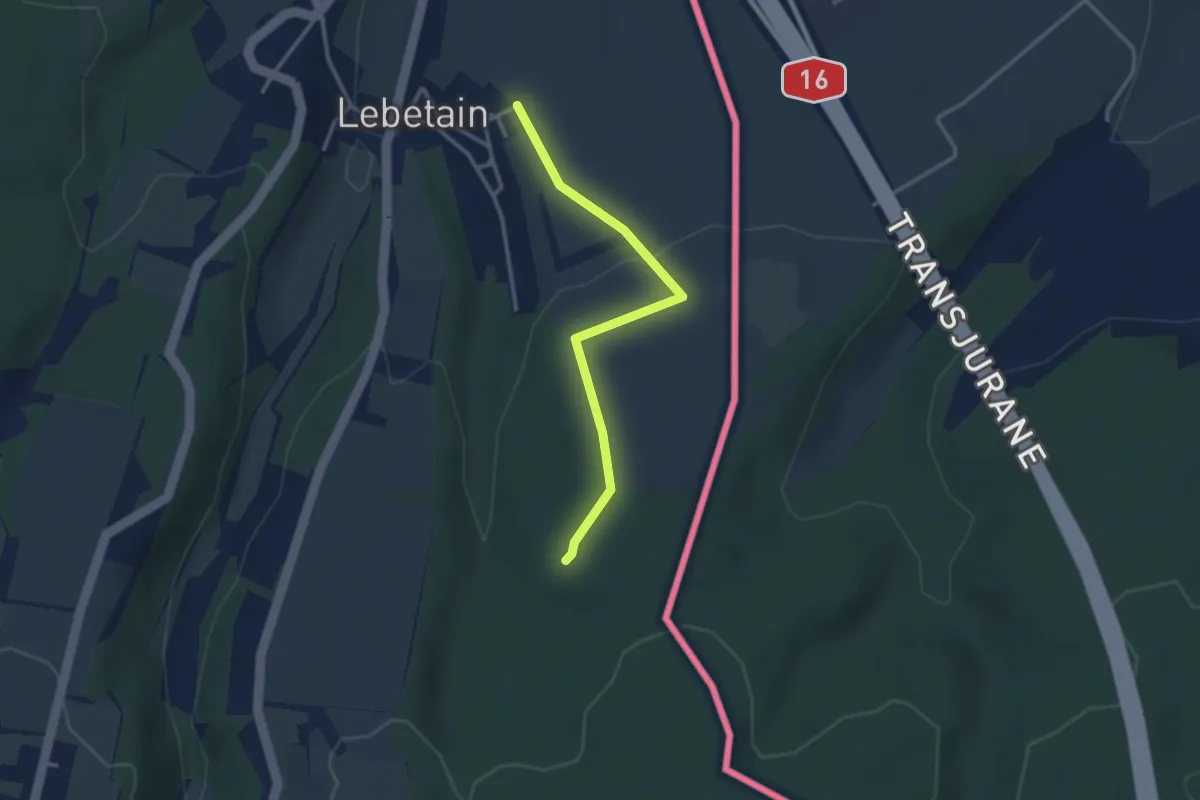
Easy · Trail
Lebetain – Lebetain
1.5 km · ↑ 57 m · 28 min
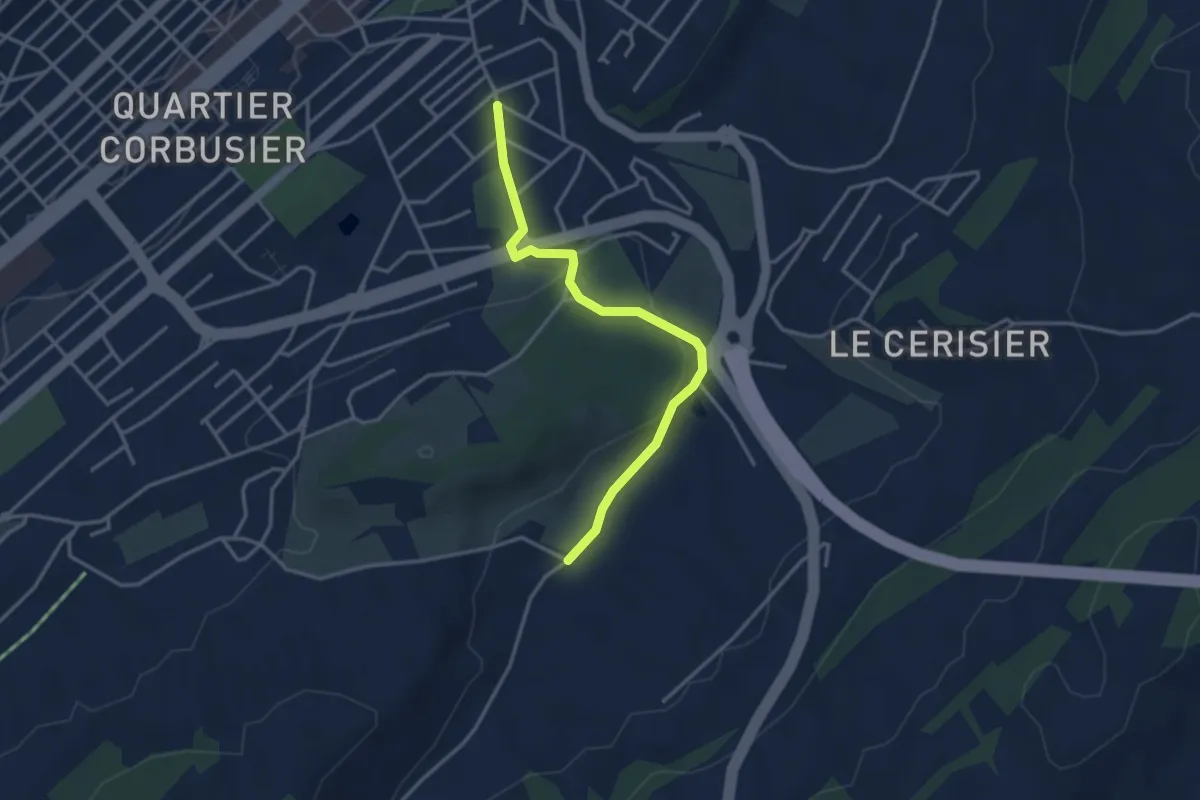
Easy · Trail
Le Chaux-de-Fonds Grenier – Grandes Crosettes
3.5 km · ↑ 67 m · 58 min
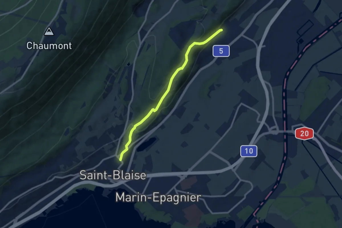
Easy · Trail
Cornaux – Saint-Blaise
7.2 km · ↑ 317 m · 2 h 23 min
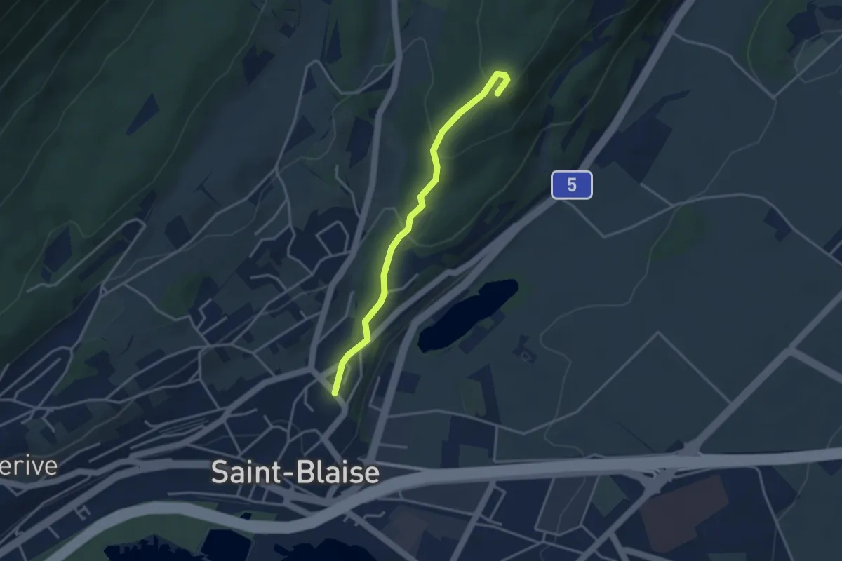
Easy · Trail
Saint-Blaise – Roches de Châtollion
3.2 km · ↑ 151 m · 1 h 5 min
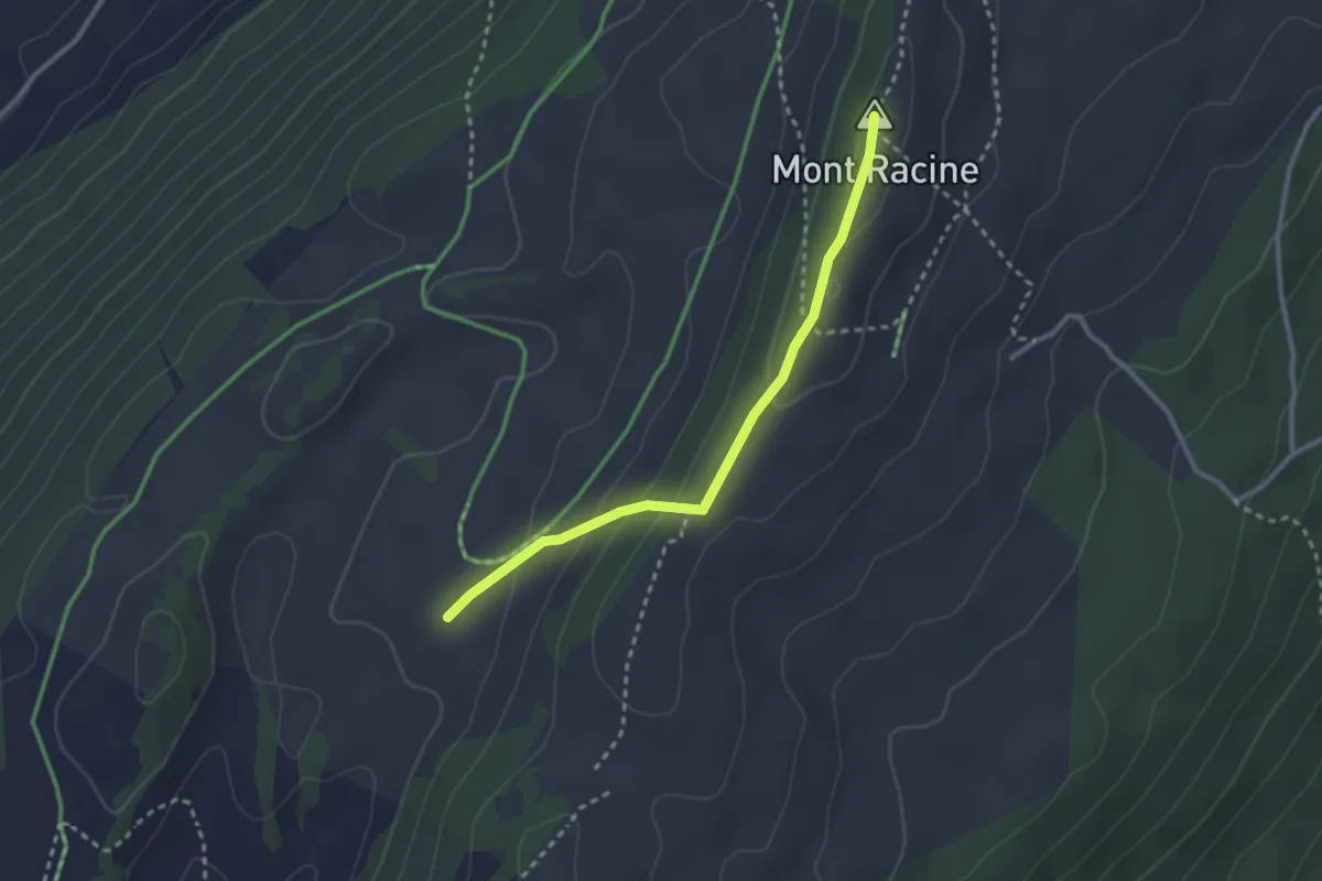
Medium · Summit
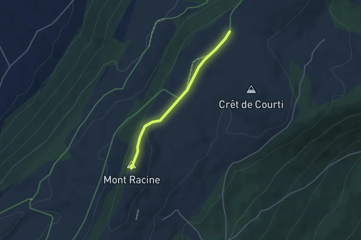
Grande Sagneule – Mont Racine
2.6 km · ↑ 118 m · 53 min
Medium · Summit
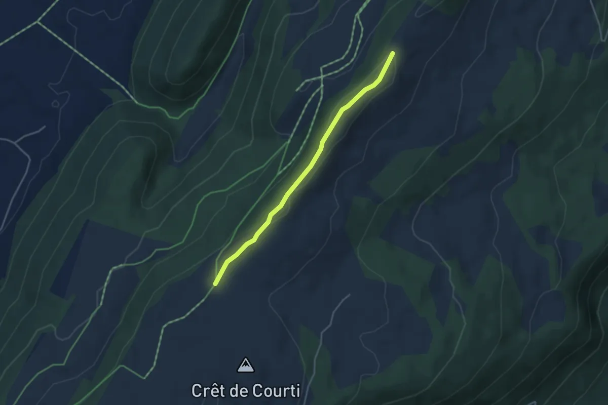
Mont Racine – Grandes Pradières Dessus
2.9 km · ↑ 52 m · 47 min
Easy · Trail
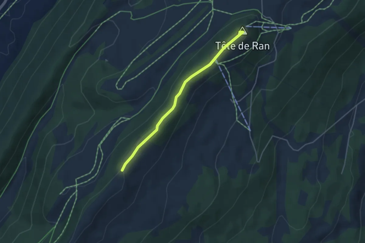
Pouet Carré – Grandes Pradières Dessus
3.4 km · ↑ 80 m · 58 min
Easy · Summit
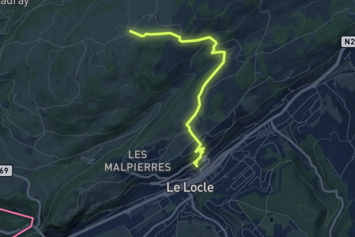
Pouet Carré – Bosse de Tête de Ran
3.4 km · ↑ 109 m · 1 h 2 min
Easy · Trail
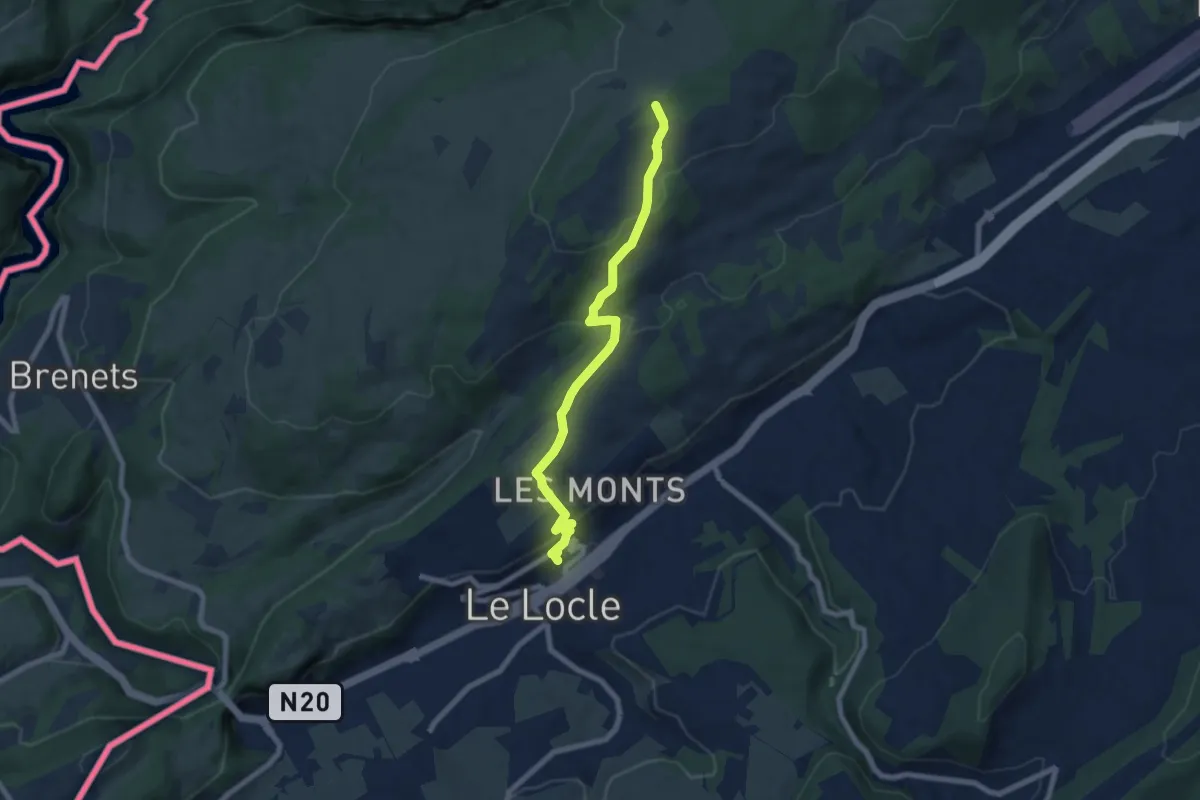
Le Locle – La Saignotte
6.9 km · ↑ 234 m · 2 h 8 min
Easy · Trail
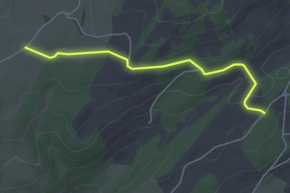
Le Locle – La Ferme Modèle
7.1 km · ↑ 280 m · 2 h 17 min
Easy · Trail
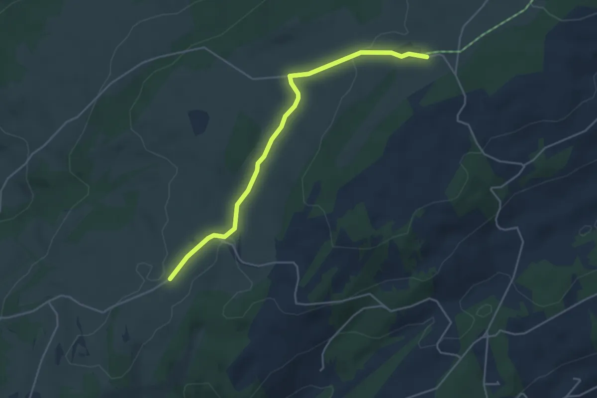
La Saignotte – Le Crêt-du-Locle
3.7 km · ↑ 90 m · 1 h 5 min
Easy · Trail
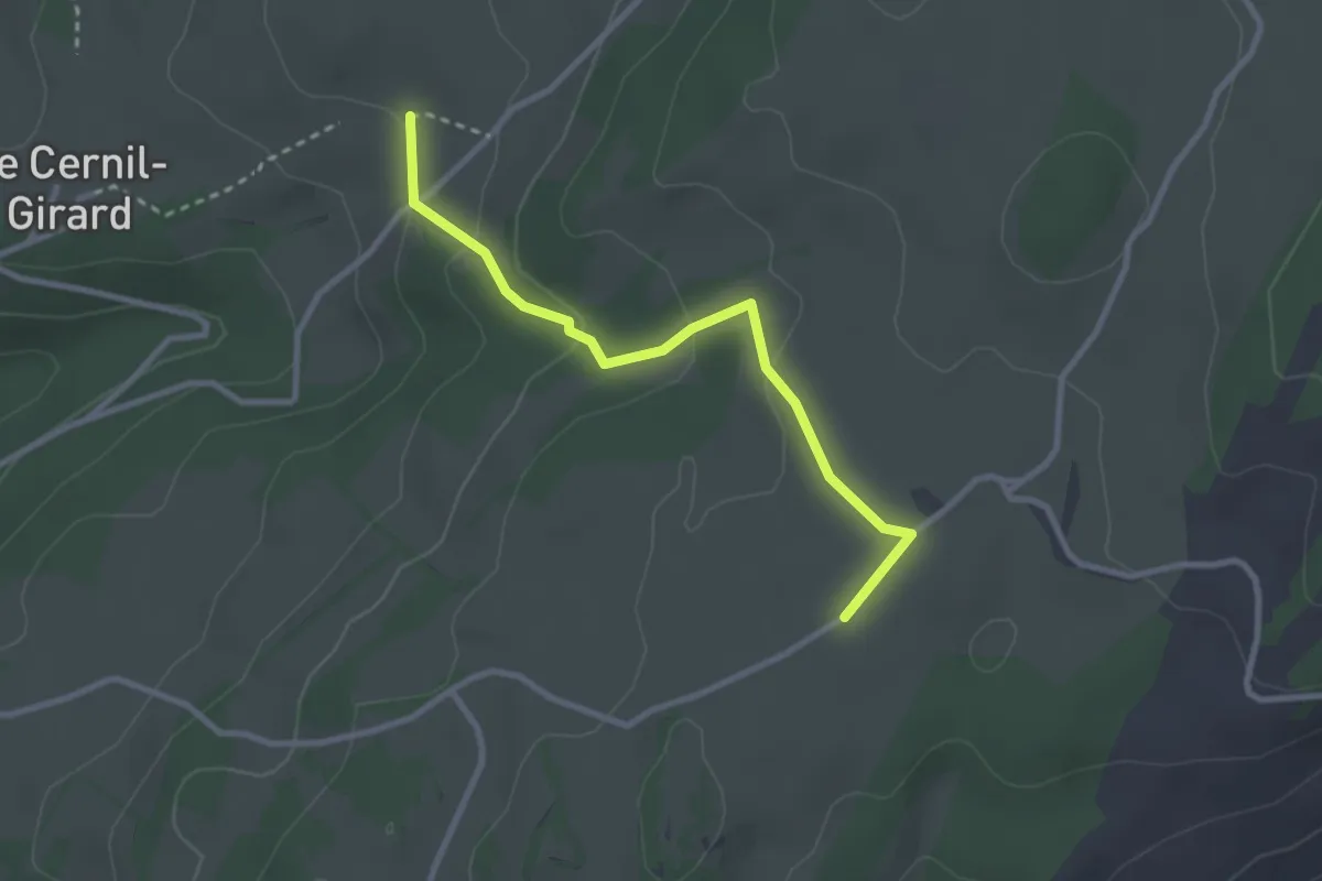
La Saignotte – La Ferme Modèle
4.0 km · ↑ 86 m · 1 h 8 min
Easy · Trail
La Saignotte – Les Recrettes
2.8 km · ↑ 97 m · 52 min
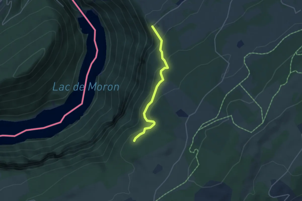
Easy · Trail
Roches de Moron – L'Escarpineau
3.1 km · ↑ 208 m · 1 h 11 min
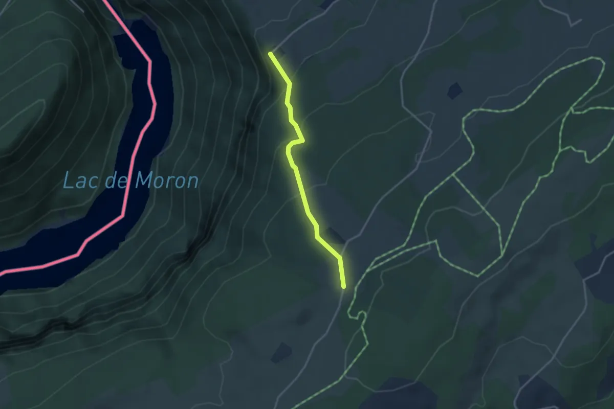
Easy · Trail
Roches de Moron – La Galandrure
2.7 km · ↑ 155 m · 58 min
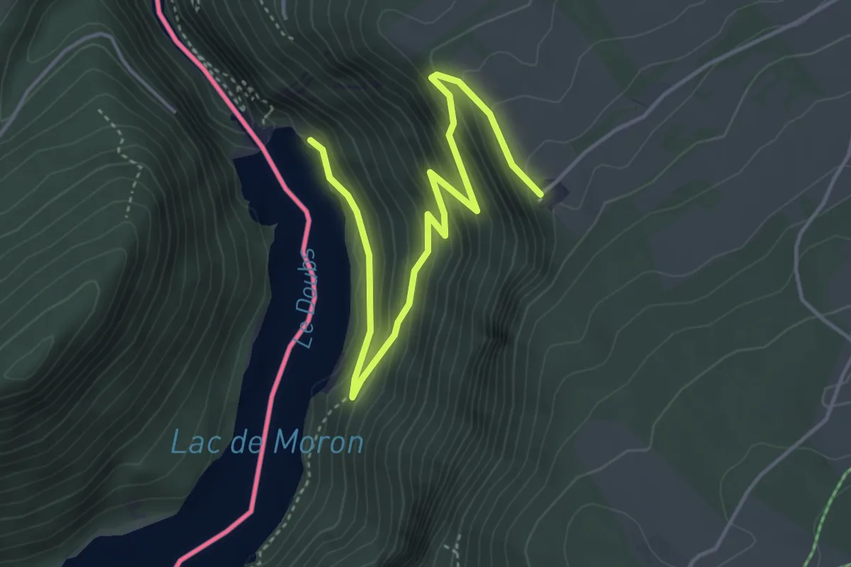
Medium · Trail
Roches de Mornon – Barrage du Châtelot
4.9 km · ↑ 380 m · 1 h 59 min
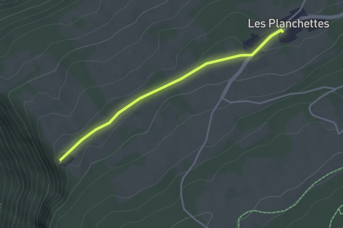
Easy · Trail
Roches de Moron – Les Planchettes
2.9 km · ↑ 28 m · 44 min
Easy · Trail
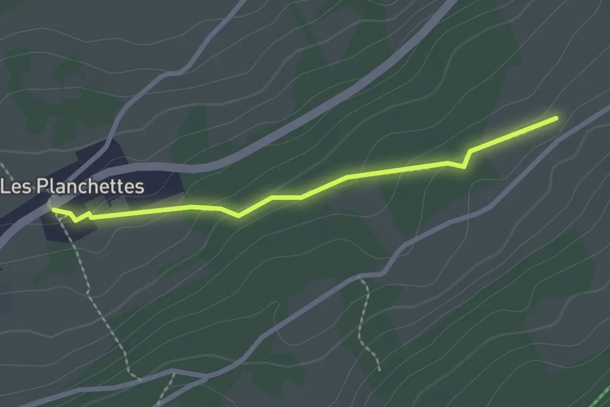
Les Planchettes – La Grébille
2.0 km · ↑ 65 m · 37 min
Easy · Trail
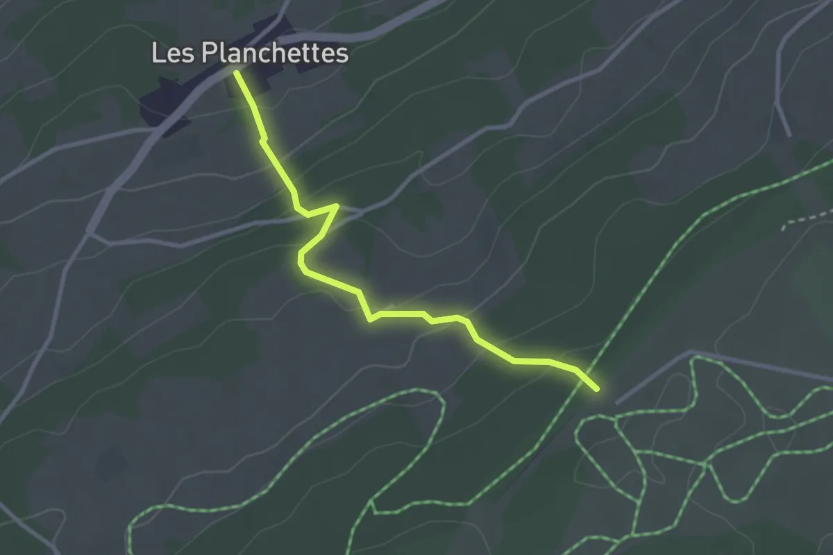
Les Planchettes – Le Maillard
2.8 km · ↑ 182 m · 1 h 3 min
Easy · Trail
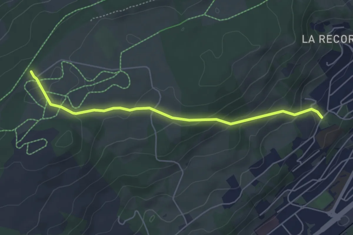
Le Maillard – La Chaux-de-Fonds Bois Noir
4.5 km · ↑ 178 m · 1 h 27 min
Easy · Trail
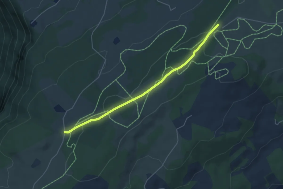
Le Maillard – La Galandrure
4.1 km · ↑ 66 m · 1 h 7 min