Trails in Switzerland
15,055 hiking trails, each with its route, climb, walking time and grade.
All trails, page 234 of 314
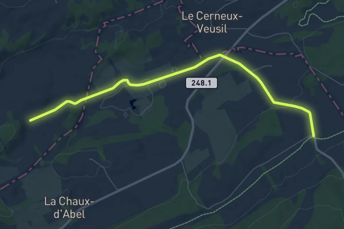
Easy · Trail
Chaux-d'Abel – Combe à la Biche
7.7 km · ↑ 112 m · 2 h 3 min
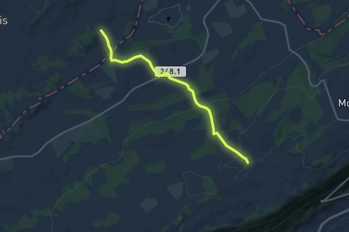
Easy · Trail
L'Assesseur – Combe à la Biche
7.9 km · ↑ 255 m · 2 h 25 min
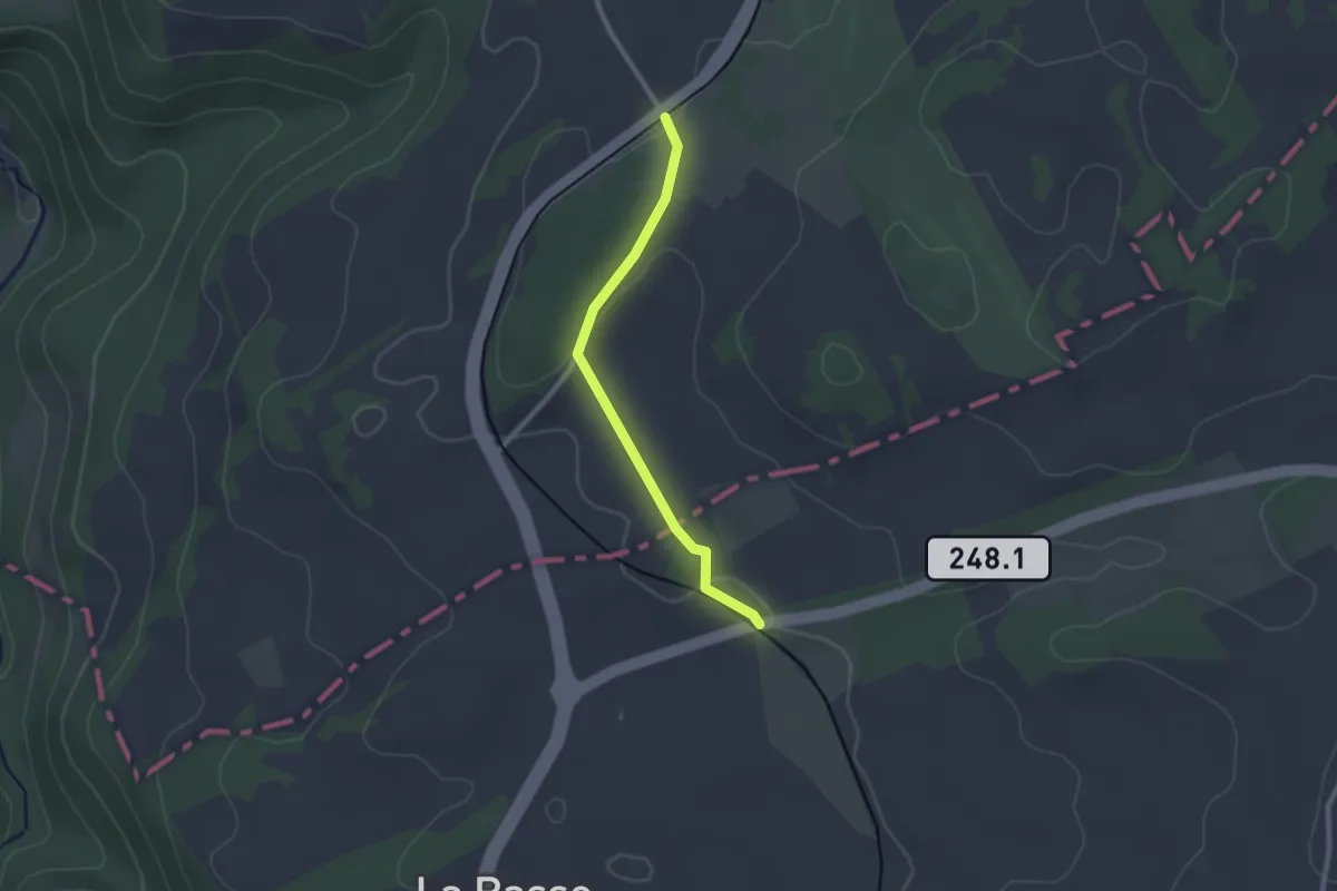
Easy · Trail
Chaux-d'Abel, Gare – La Large-Journée
2.2 km · ↑ 38 m · 36 min
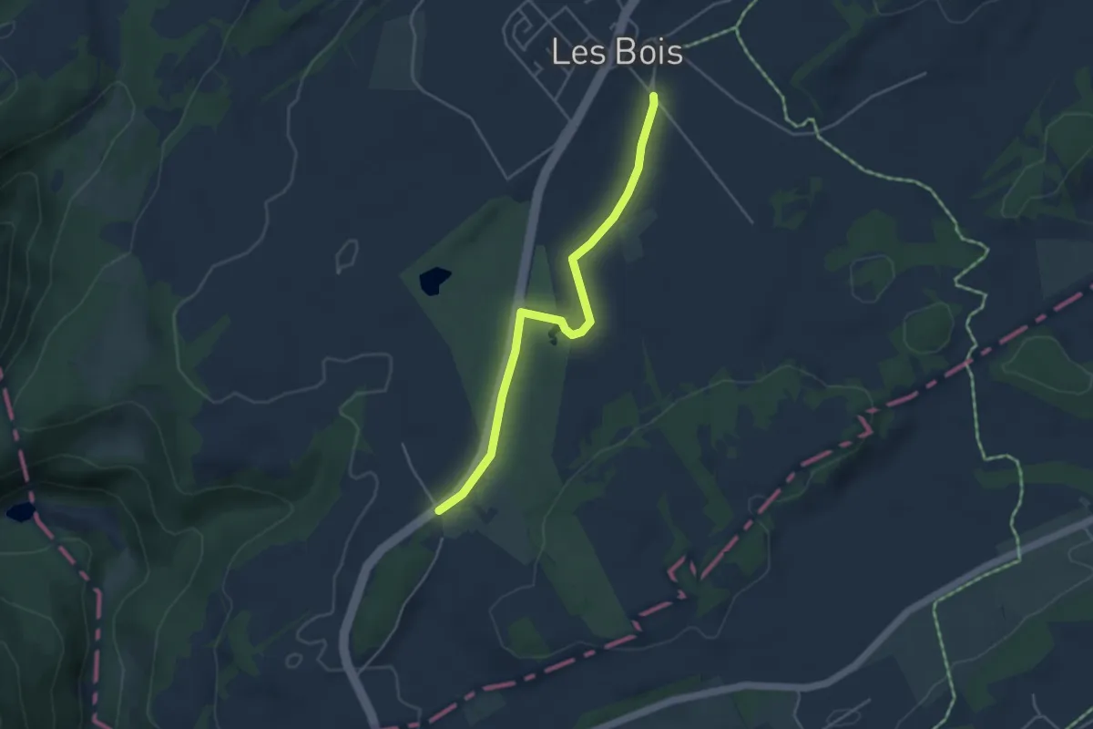
Easy · Trail
Les Bois – La Large-Journée
4.1 km · ↑ 13 m · 1 h
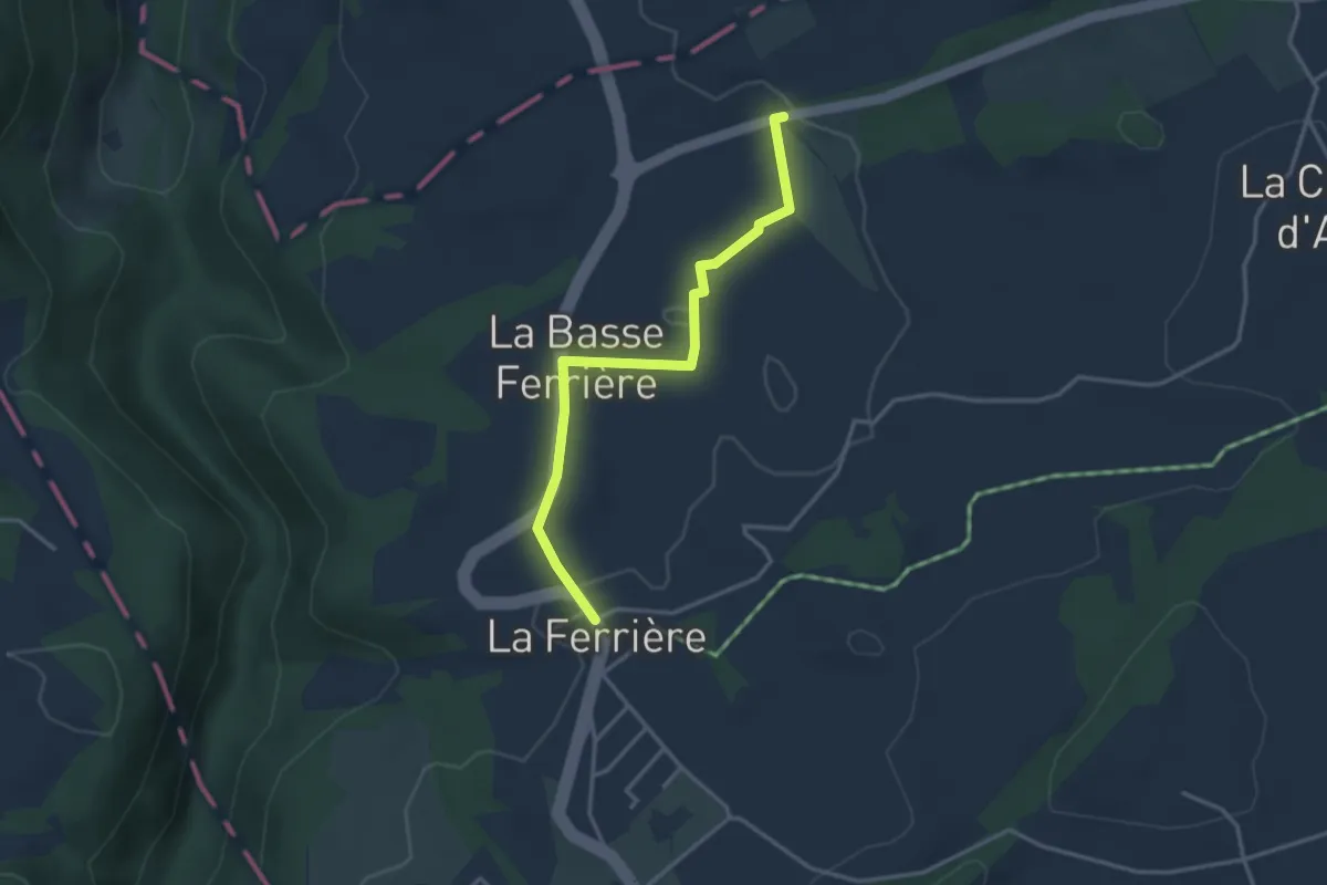
Easy · Trail
Chaux-d'Abel, Gare – La Ferrière
3.3 km · ↑ 58 m · 54 min
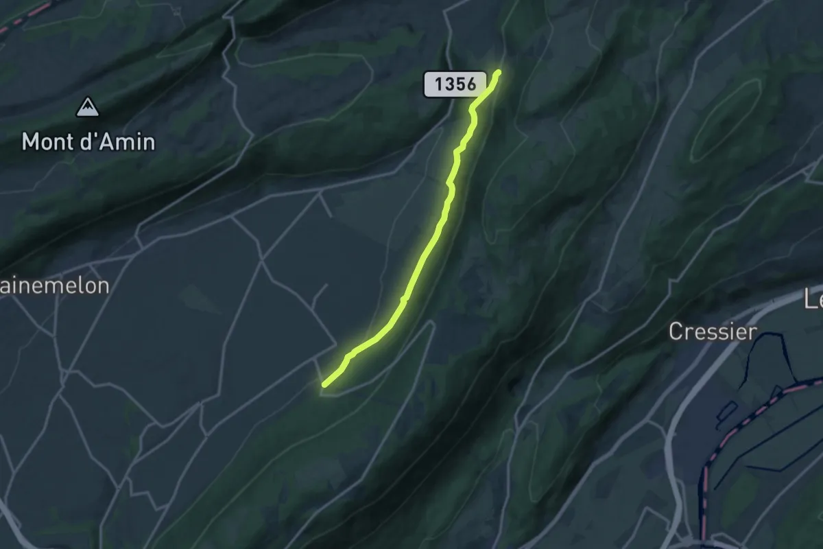
Medium · Trail
Savagnier – Clémesin
11.9 km · ↑ 255 m · 3 h 22 min
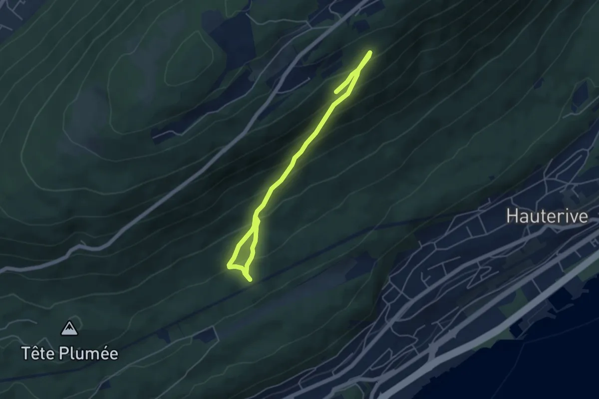
Medium · Trail
Chaumont Funiculaire – L'Ermitage
5.6 km · ↑ 457 m · 2 h 19 min
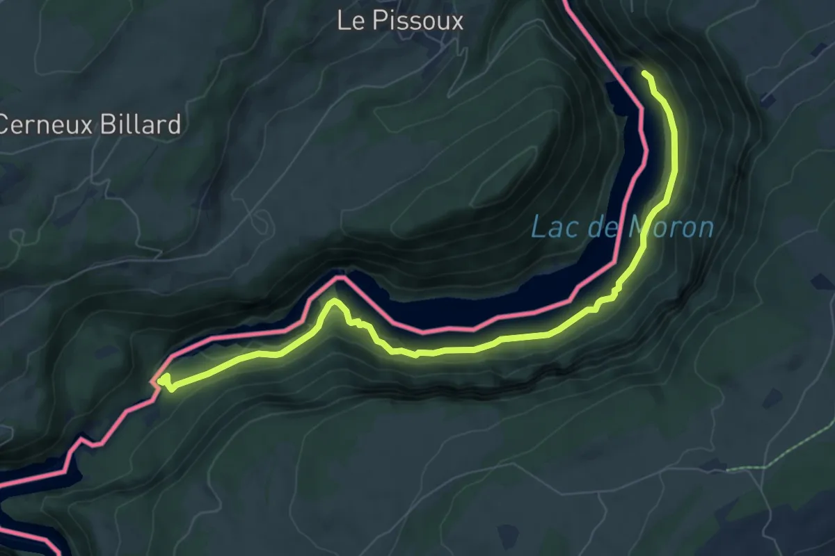
Medium · Trail
Barrage du Châtelot – Saut du Doubs
8.1 km · ↑ 619 m · 3 h 15 min
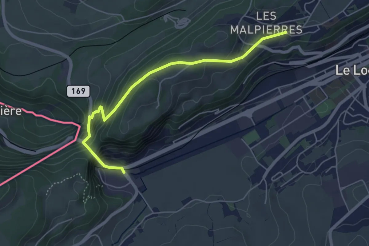
Medium · Trail
Col des Roches – Les Petits Monts
4.6 km · ↑ 329 m · 1 h 48 min
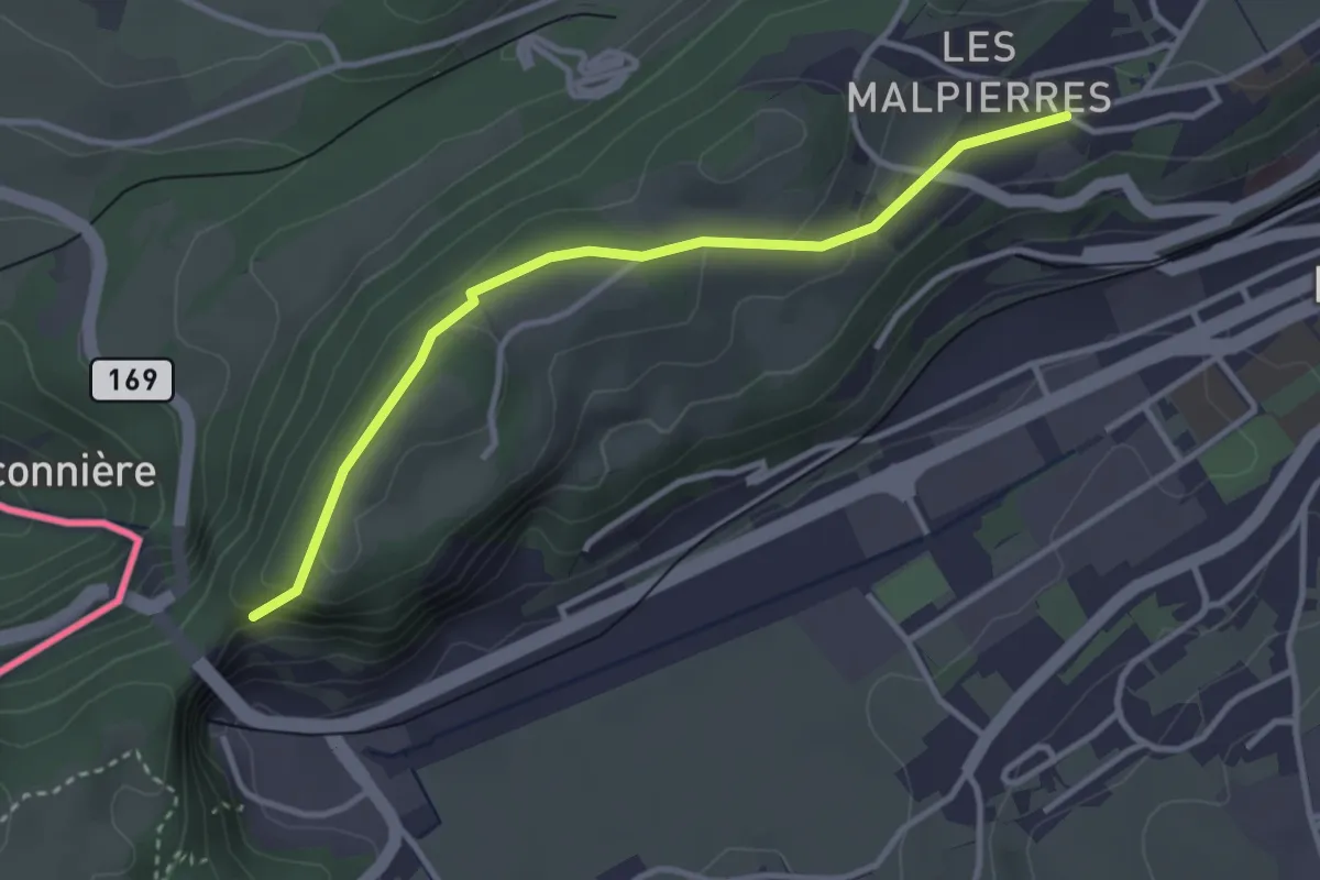
Easy · Trail
Les Roches Voumard – Les Petits Monts
3.3 km · ↑ 94 m · 58 min
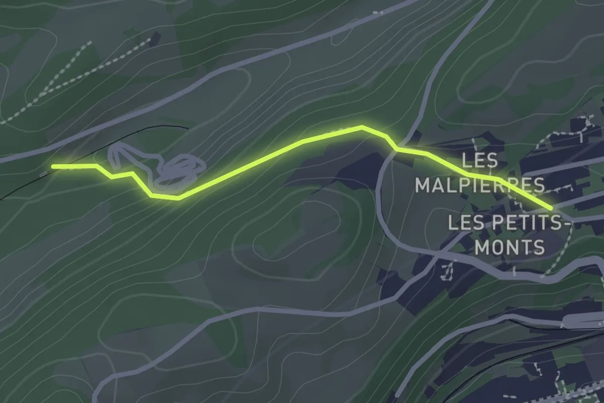
Easy · Trail
Les Frêtes – Les Petits Monts
2.1 km · ↑ 96 m · 42 min
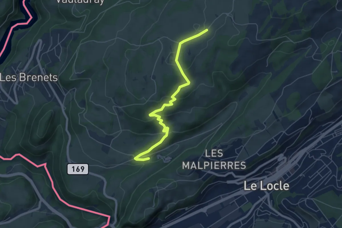
Easy · Trail
Les Frêtes – Saignotte
5.8 km · ↑ 210 m · 1 h 50 min
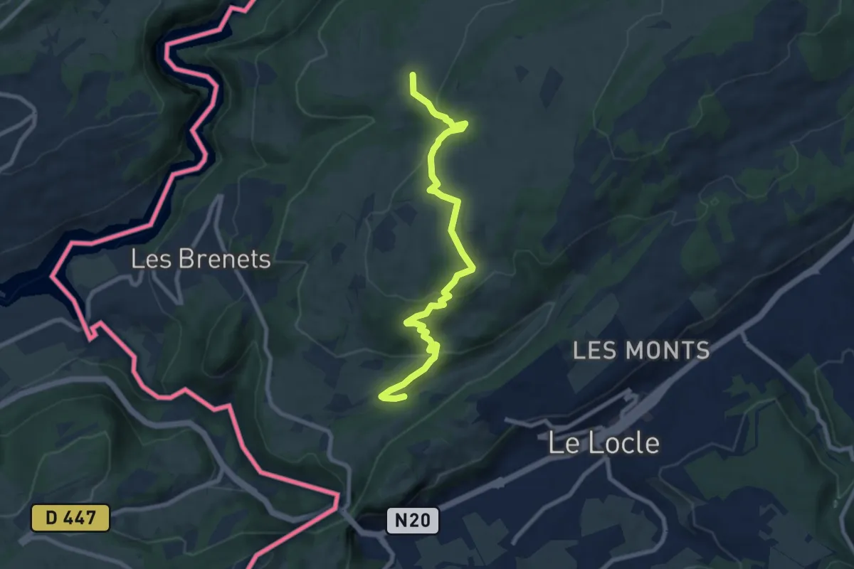
Medium · Trail
Les Frêtes – Les Recrettes
8.1 km · ↑ 295 m · 2 h 34 min
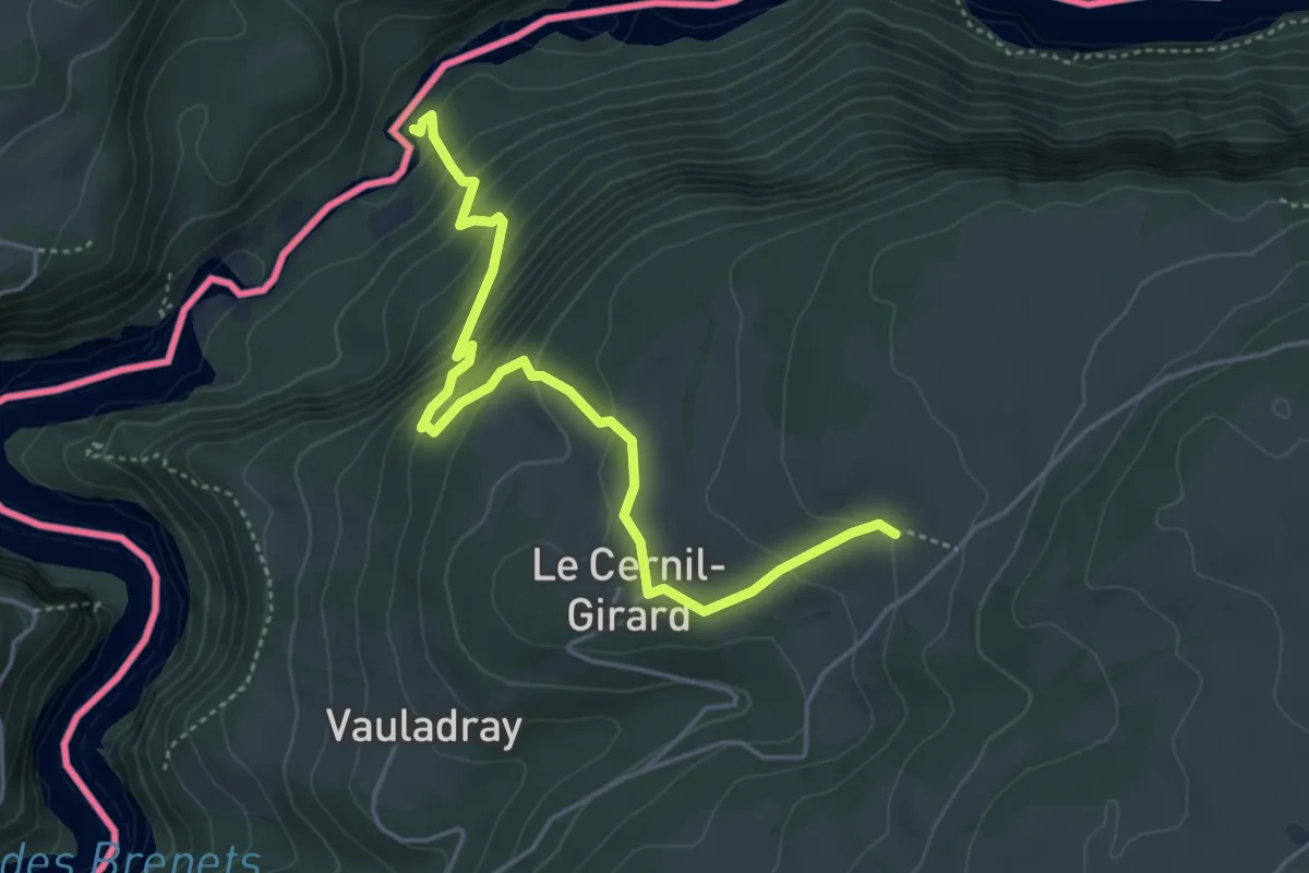
Medium · Trail
Les Recrettes – Saut du Doubs
4.7 km · ↑ 361 m · 1 h 53 min
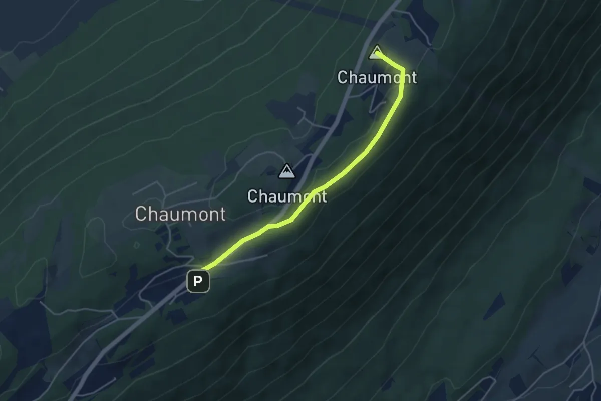
Easy · Summit
Chaumont Funiculaire – Métairie d'Hauterive
4.0 km · ↑ 95 m · 1 h 9 min
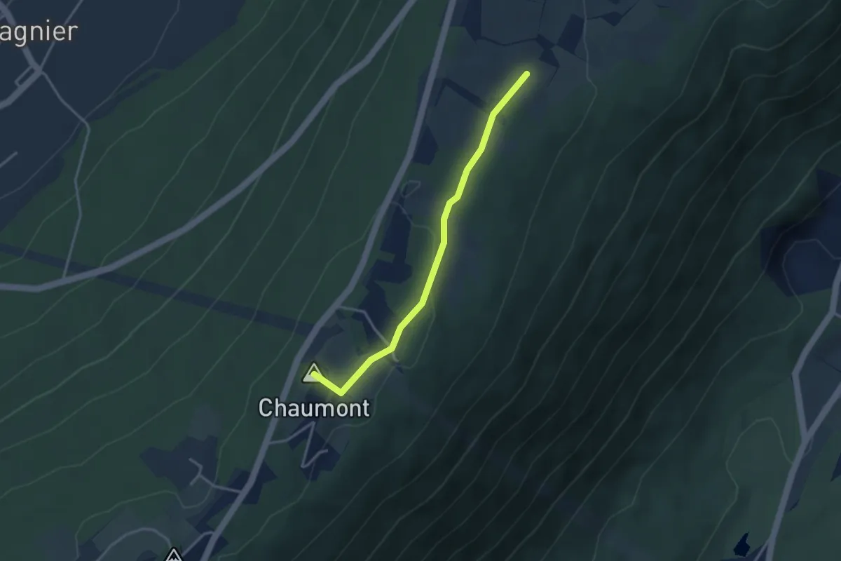
Easy · Summit
Métairie d'Hauterive – Les trois cheminées
3.1 km · ↑ 47 m · 50 min
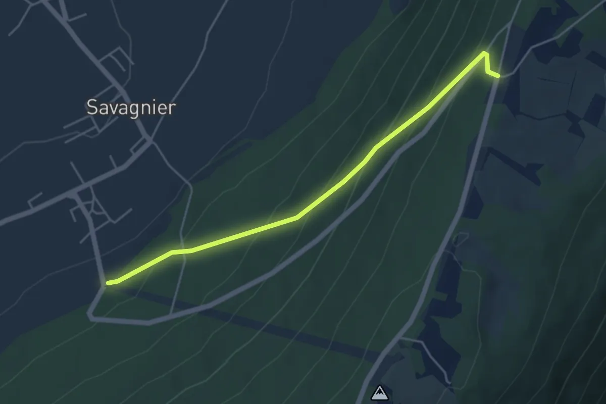
Easy · Trail
Chaumont de Bosset – Savagnier
4.3 km · ↑ 309 m · 1 h 41 min
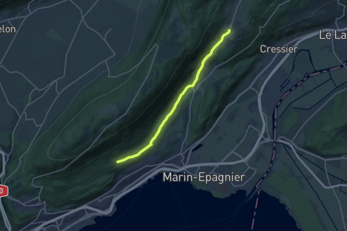
Medium · Trail
Enges – Chemin de la Châtelainie
13.2 km · ↑ 318 m · 3 h 48 min
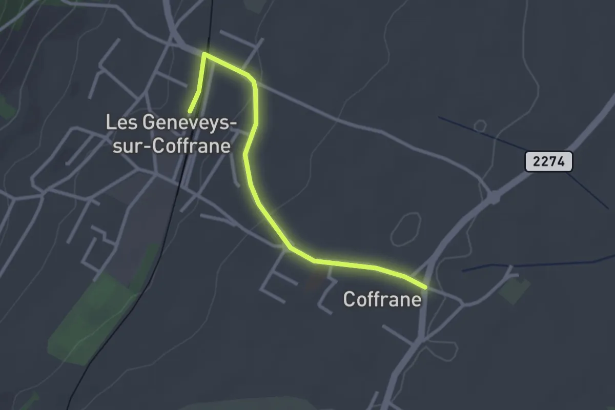
Easy · Trail
Coffrane – Les Geneveys sur Coffrane
2.6 km · ↑ 51 m · 43 min
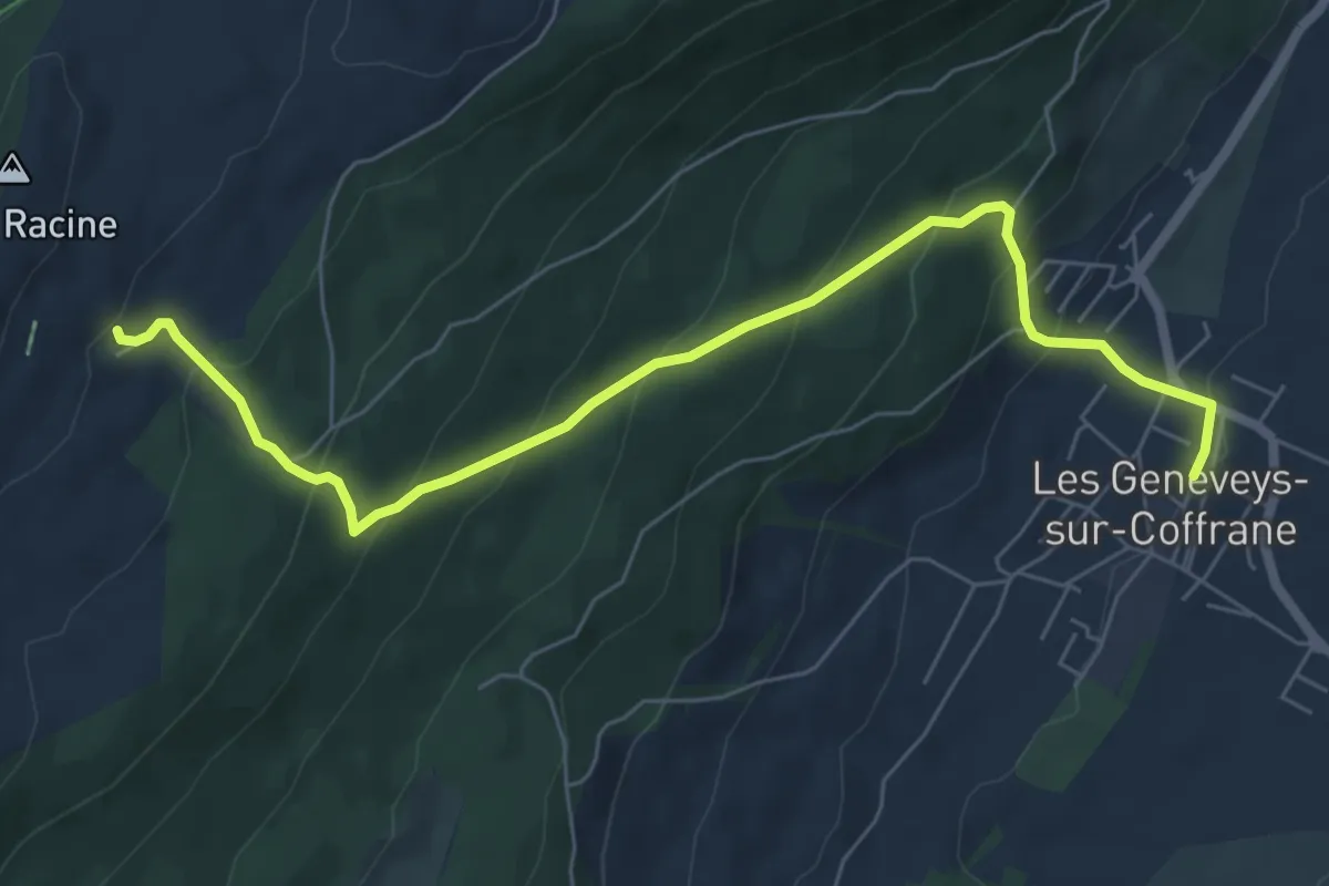
Medium · Trail
Les Geneveys sur Coffrane – Grande Motte
7.2 km · ↑ 491 m · 2 h 46 min
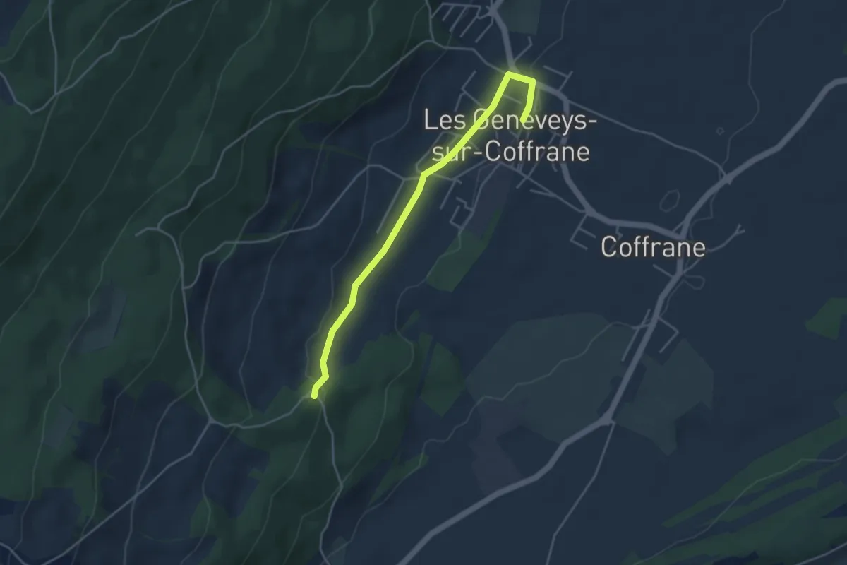
Easy · Trail
Les Geneveys sur Coffrane – Le Louverain
4.0 km · ↑ 58 m · 1 h 4 min
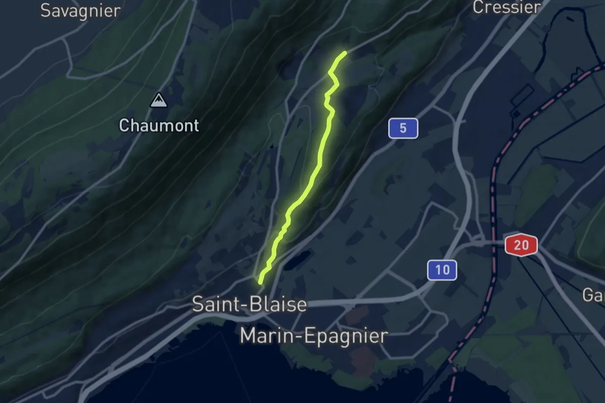
Easy · Trail
Saint-Blaise – Frochaux
7.8 km · ↑ 263 m · 2 h 24 min
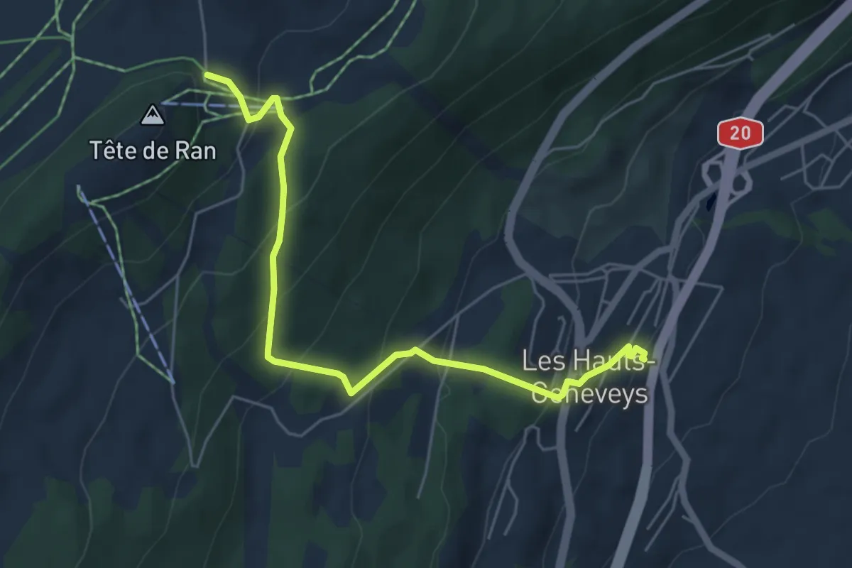
Medium · Trail
Tête de Ran – Les Hauts-Geneveys
5.5 km · ↑ 387 m · 2 h 8 min
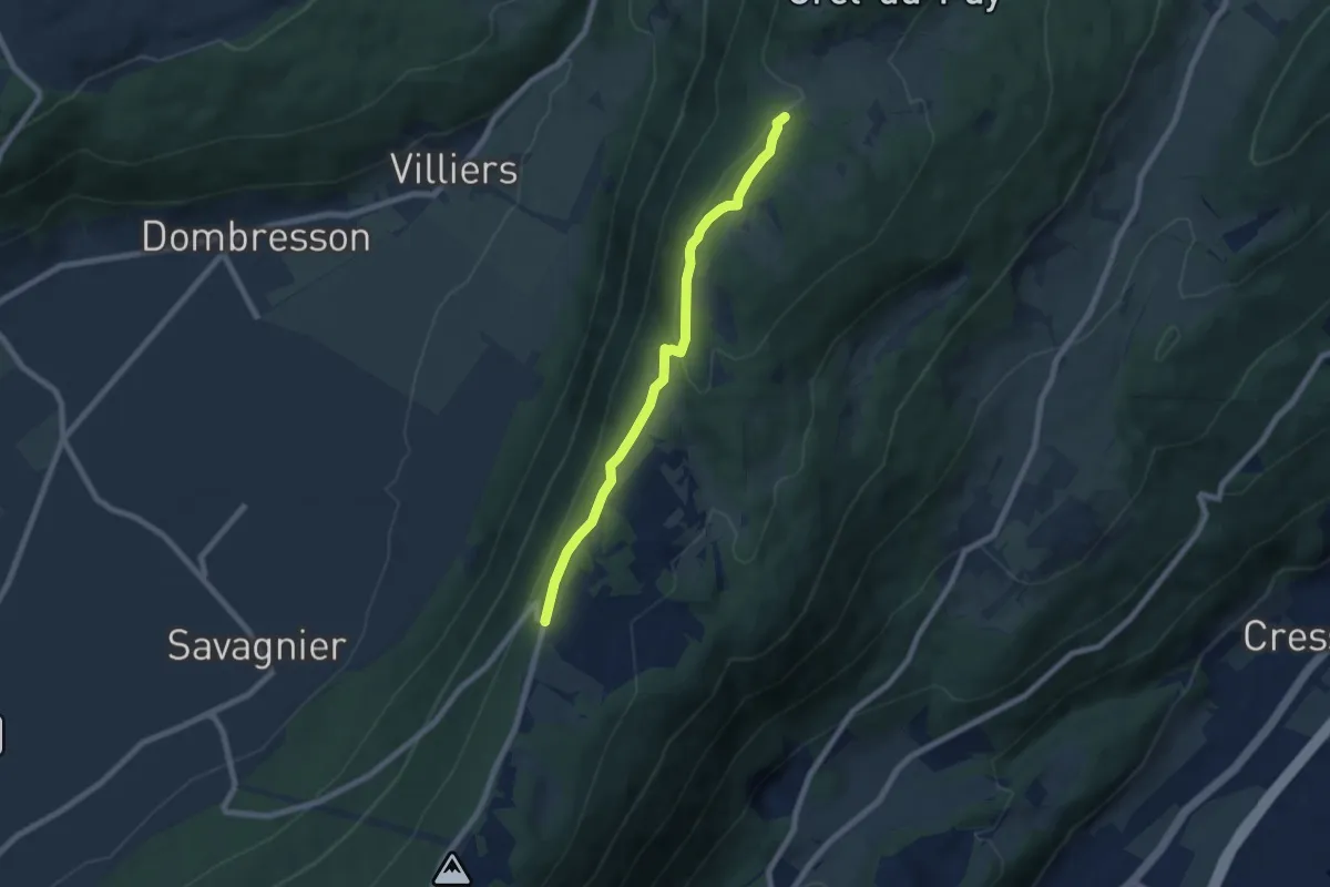
Easy · Trail
Chaumont de Bosset – La Dame
6.8 km · ↑ 168 m · 1 h 58 min
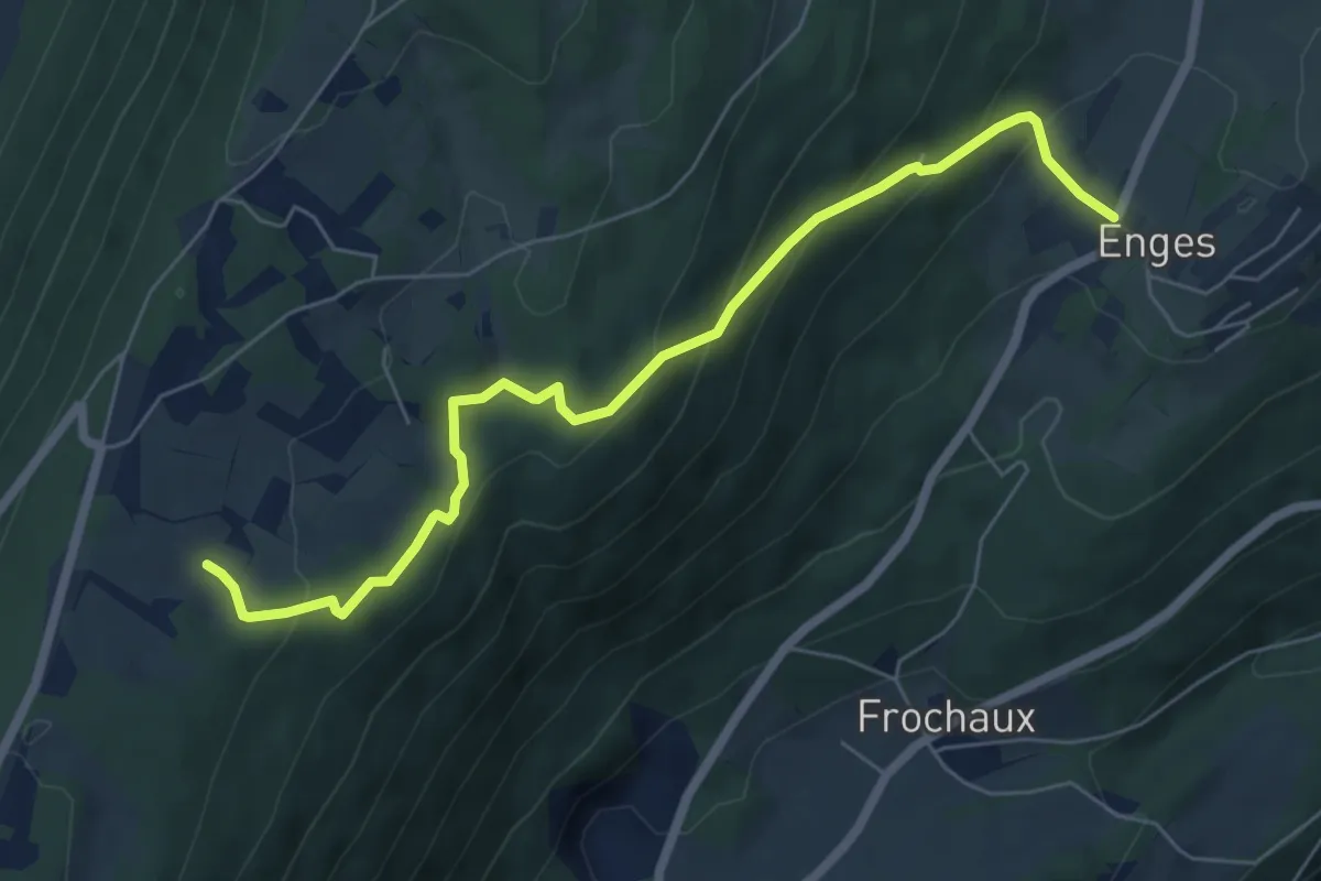
Medium · Trail
Les trois cheminées – Enges
6.7 km · ↑ 348 m · 2 h 20 min
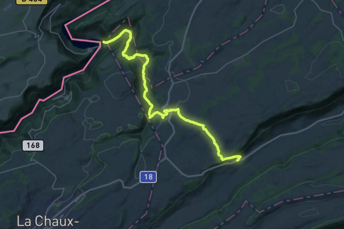
Demanding · Trail
Le Puce – Renan
22.3 km · ↑ 875 m · 7 h 10 min
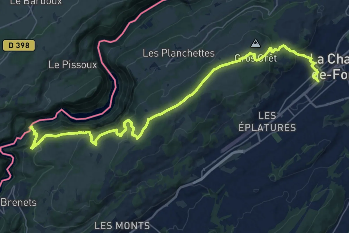
Medium · Trail
La Chaux-de-Fonds – Saut du Doubs
13.3 km · ↑ 405 m · 4 h 19 min
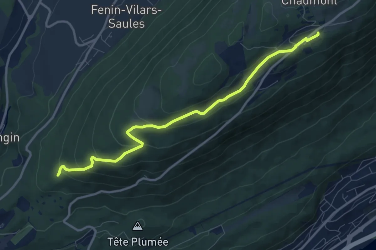
Medium · Trail
Chaumont Funiculaire – Les Trois Bornes
8.5 km · ↑ 288 m · 2 h 38 min
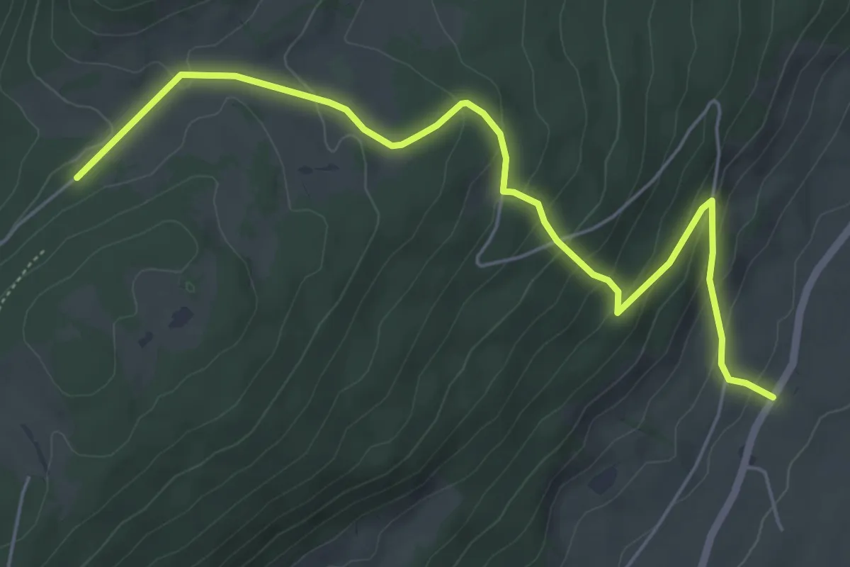
Easy · Trail
La Dame – Lordel
6.2 km · ↑ 315 m · 2 h 9 min
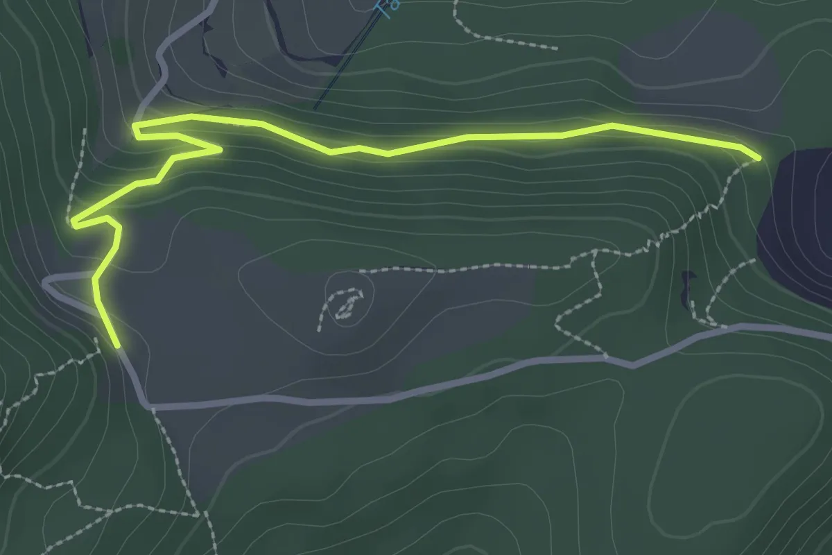
Easy · Trail
Schauenberg – Stallacher
2.9 km · ↑ 127 m · 58 min
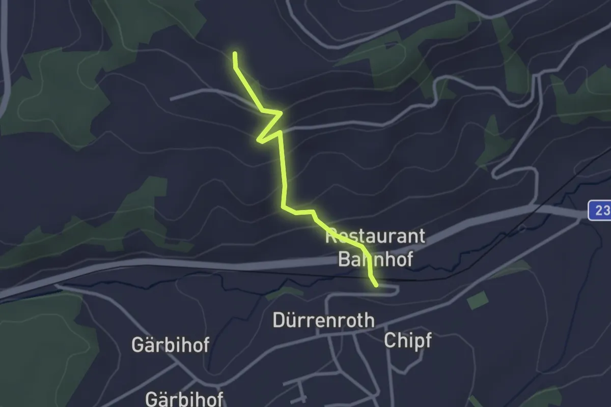
Easy · Trail
Chabisbärg – Dürrenroth Bahnhof
2.2 km · ↑ 150 m · 51 min
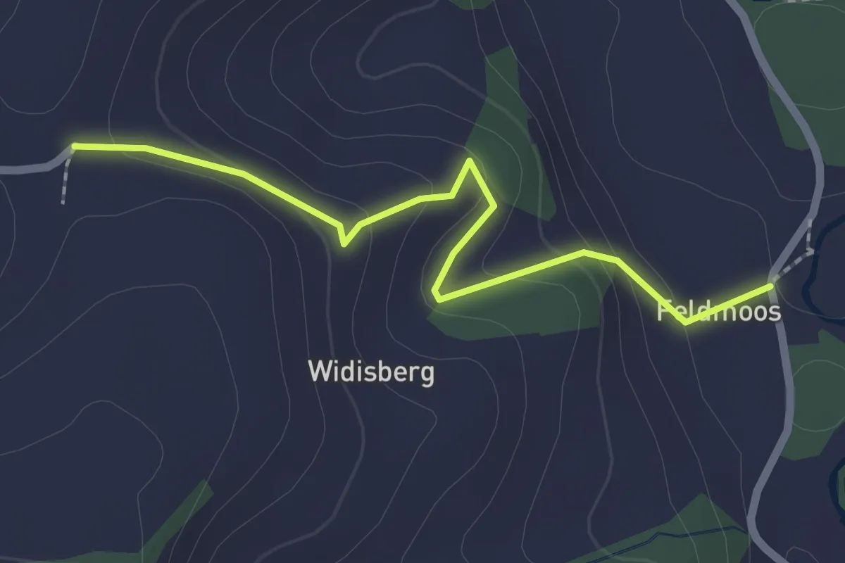
Easy · Trail
Oberglasbach – Feldmoos
2.2 km · ↑ 126 m · 47 min
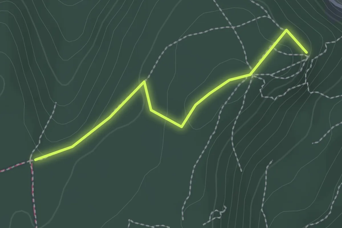
Easy · Summit
Hoher Bannstein – Schauenberg
2.1 km · ↑ 73 m · 39 min
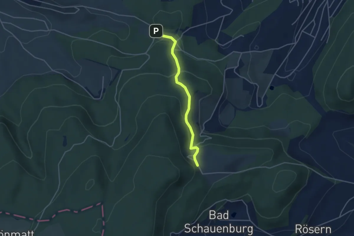
Easy · Trail
Schauenberg – Egglisgraben
3.2 km · ↑ 143 m · 1 h 4 min
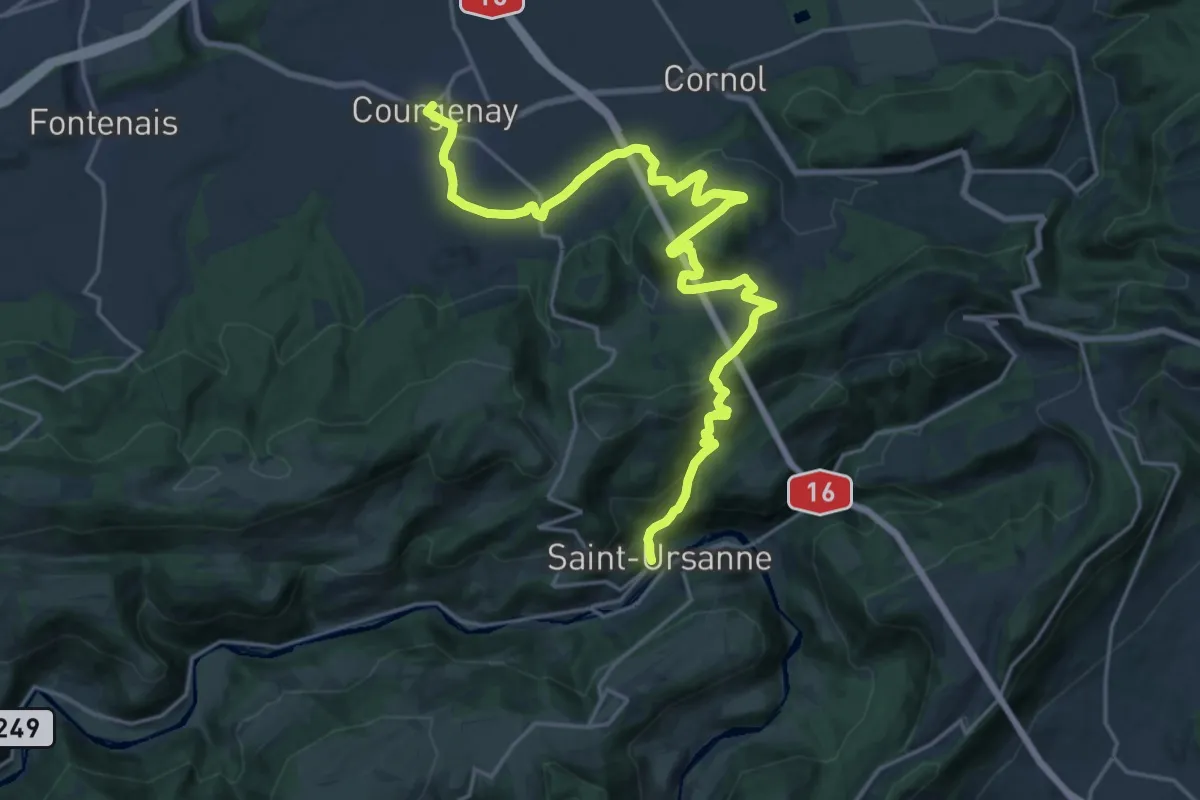
Demanding · Trail
Courgenay – St.Ursanne
23.5 km · ↑ 999 m · 7 h 43 min
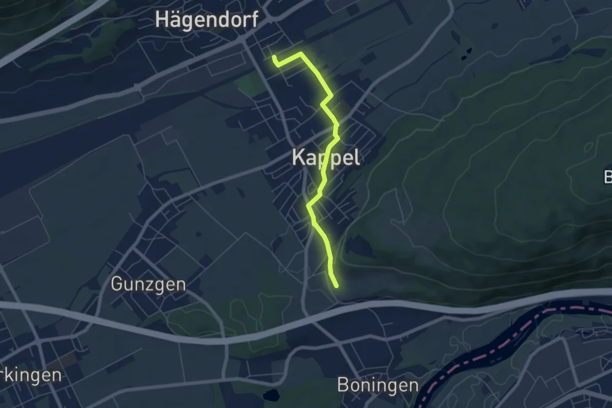
Easy · Trail
Fülerfeld – Hägendorf
5.0 km · ↑ 65 m · 1 h 19 min
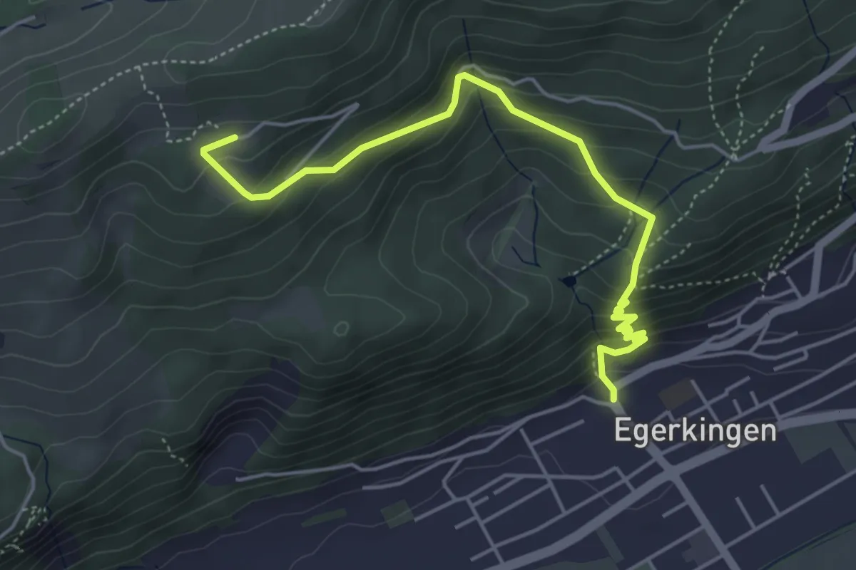
Medium · Trail
Blüemlismatt – Kirche
4.9 km · ↑ 408 m · 2 h 3 min
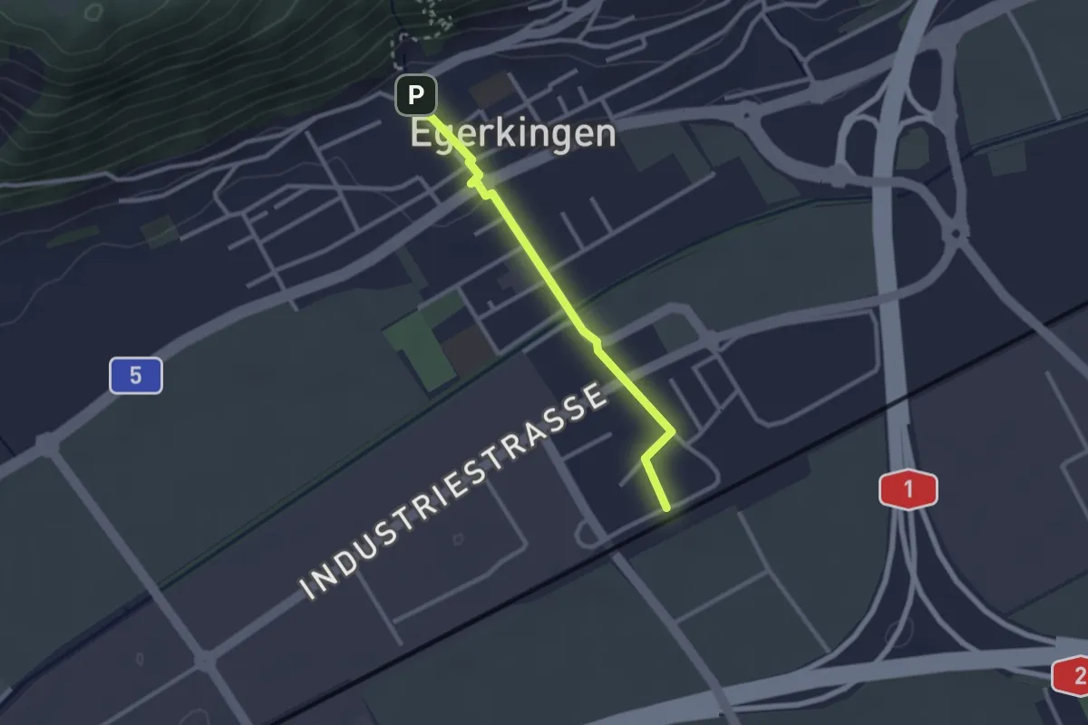
Easy · Trail
Kirche – Bahnhof
2.4 km · ↑ 28 m · 37 min
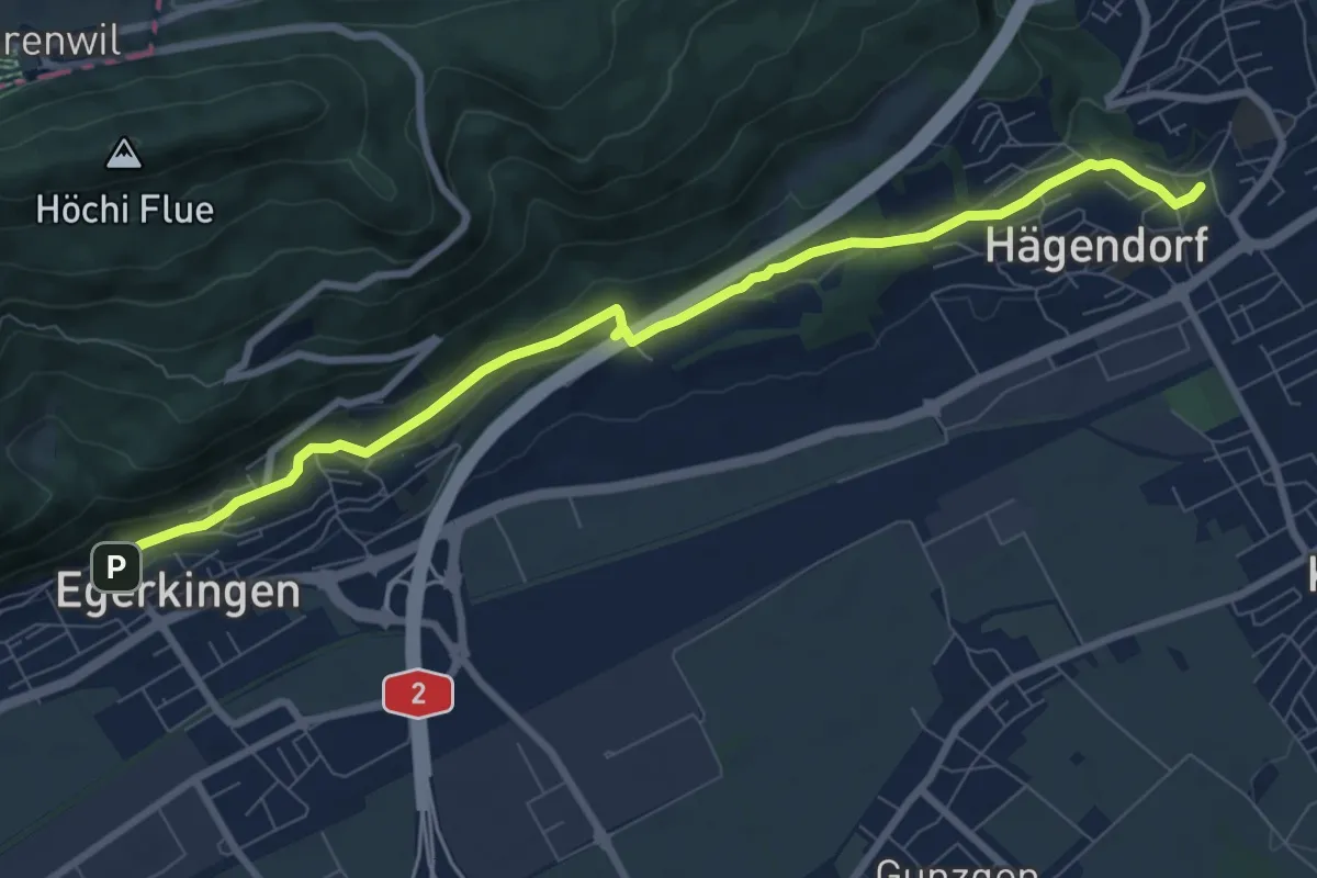
Medium · Trail
Hägendorf Dorfplatz – Kirche
8.8 km · ↑ 208 m · 2 h 31 min
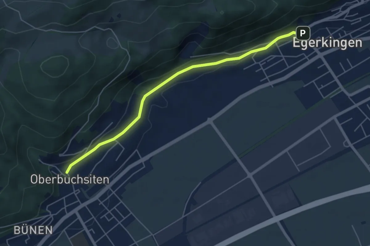
Easy · Trail
Dorfplatz – Kirche
5.0 km · ↑ 102 m · 1 h 25 min
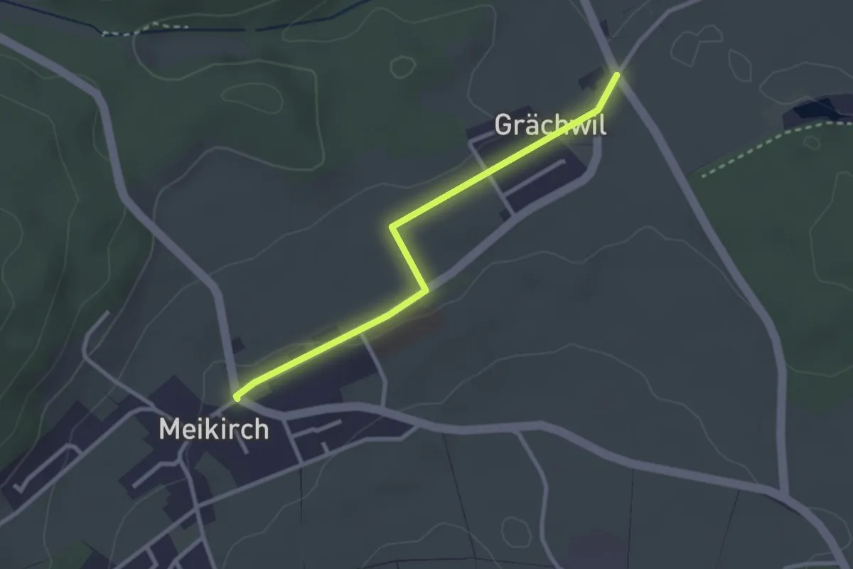
Easy · Trail
Grächwil – Meikirch
2.6 km · ↑ 33 m · 42 min
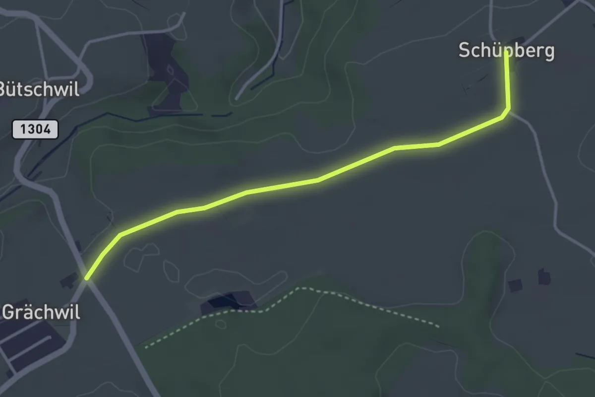
Easy · Trail
Schüpberg – Grächwil
3.5 km · ↑ 23 m · 53 min
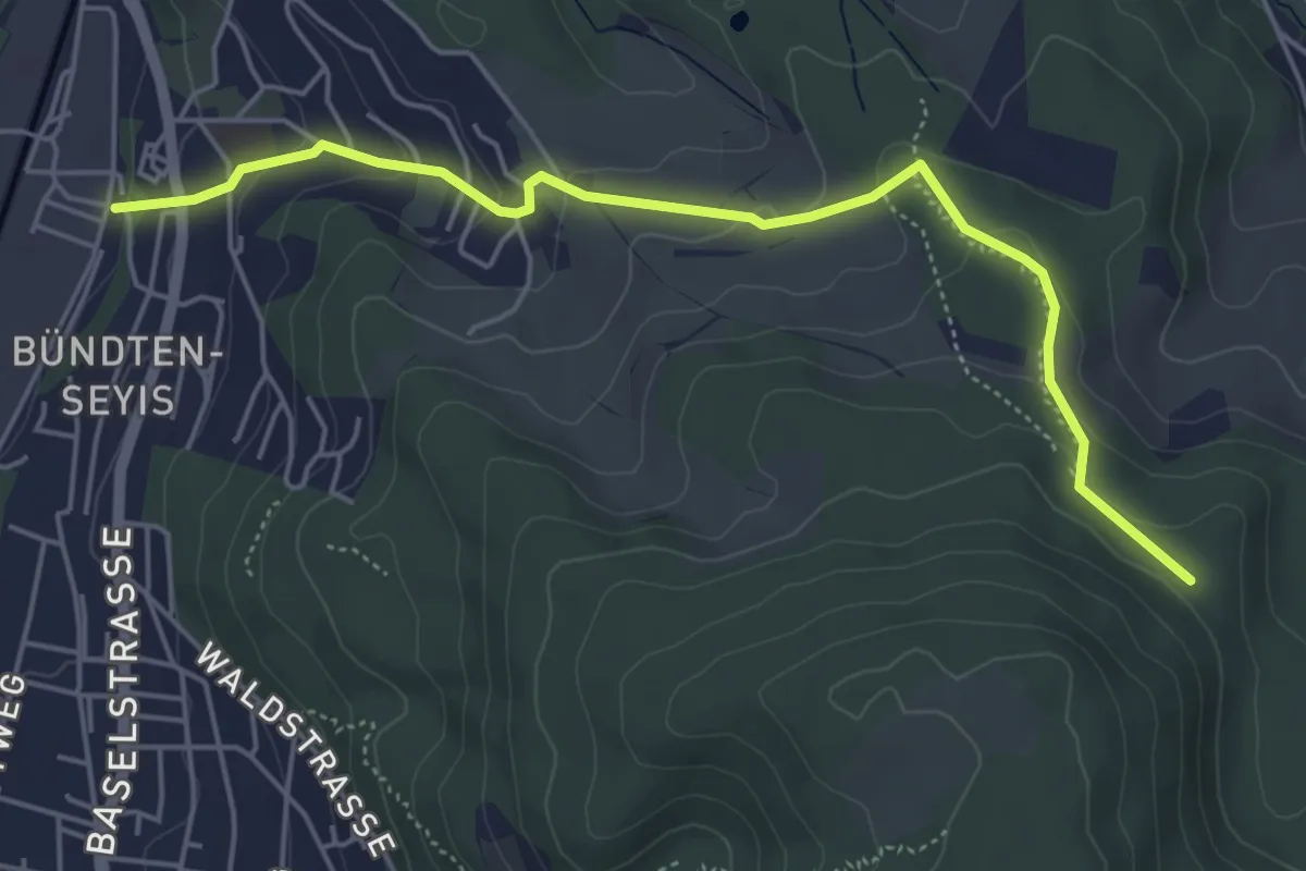
Easy · Trail
Münchenstein – Winterhalle
5.3 km · ↑ 217 m · 1 h 43 min
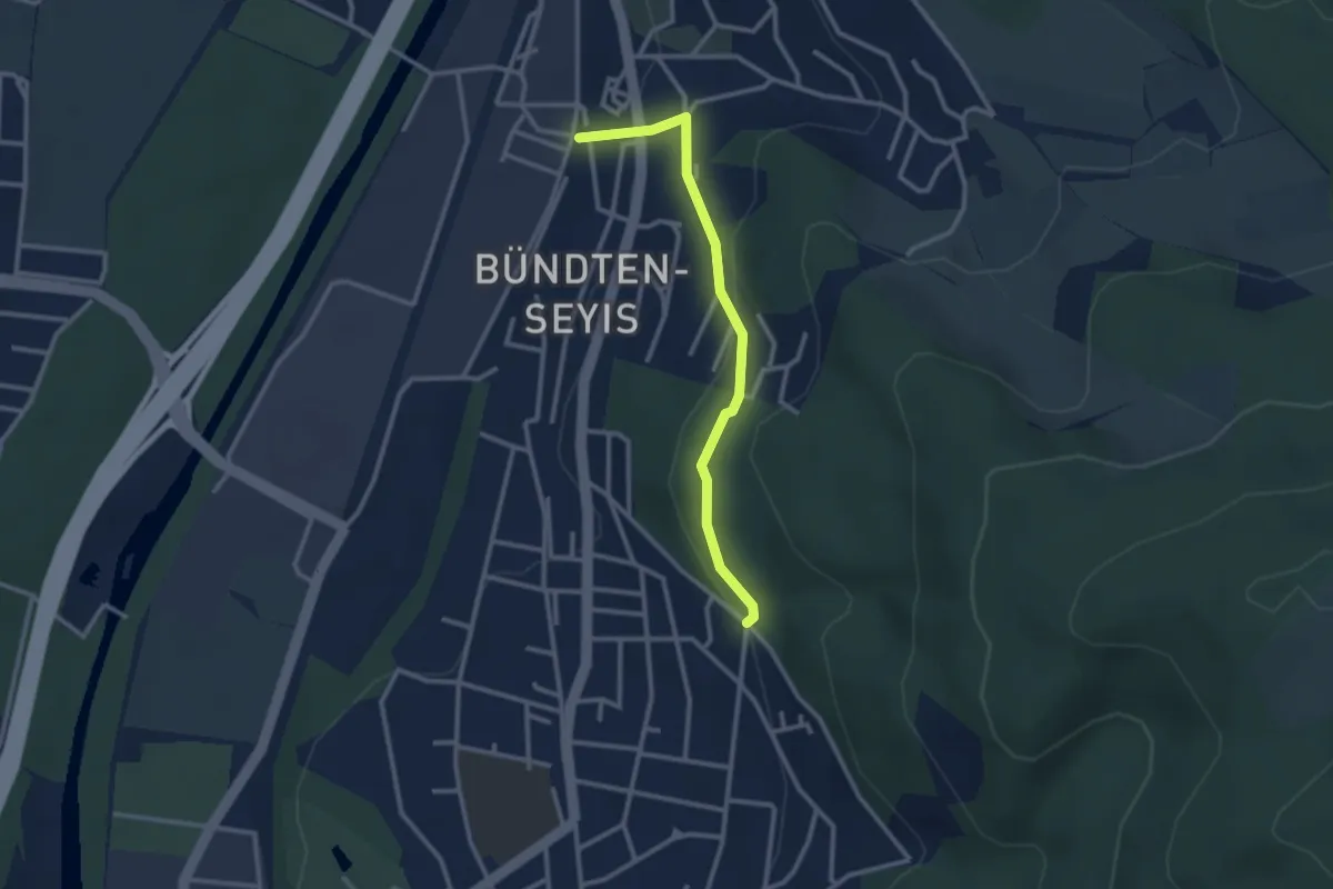
Easy · Trail
Münchenstein – Spitalholz?
2.6 km · ↑ 118 m · 53 min
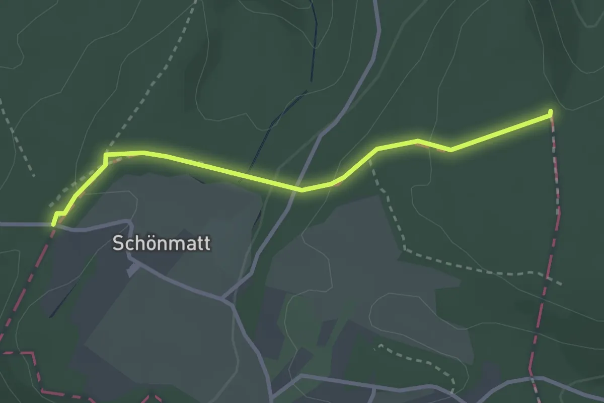
Easy · Trail
Eichmatt – Hoher Bannstein
2.7 km · ↑ 82 m · 48 min
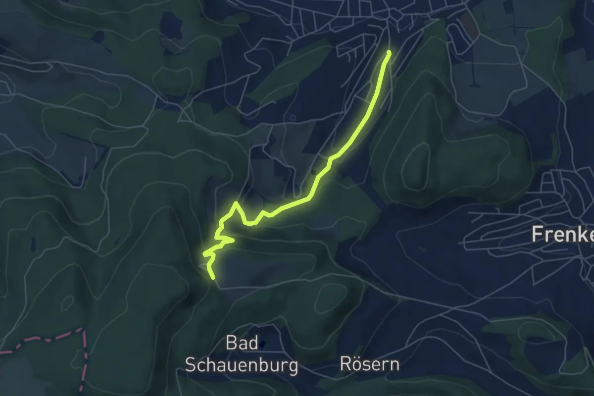
Easy · Trail
Schauenberg – Talbach
5.5 km · ↑ 275 m · 1 h 54 min
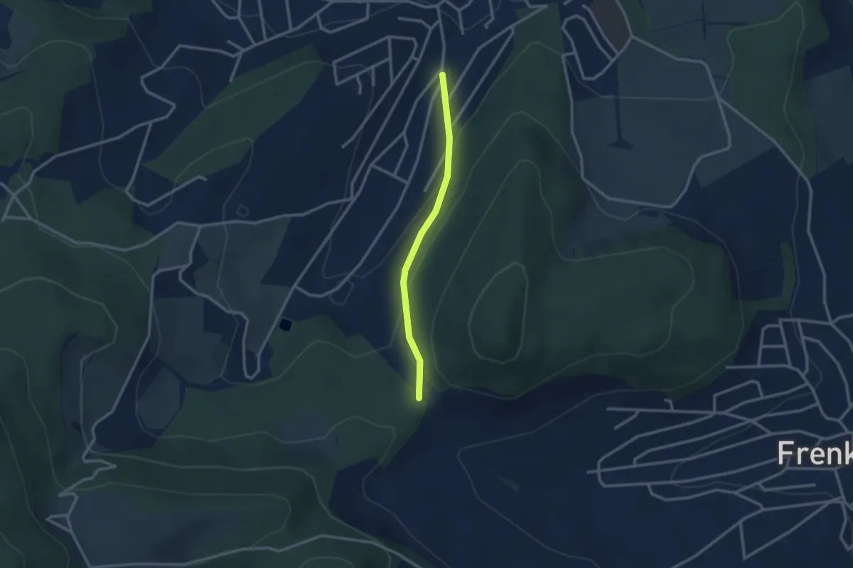
Easy · Trail
Talbach – Adlerhof
2.3 km · ↑ 114 m · 47 min
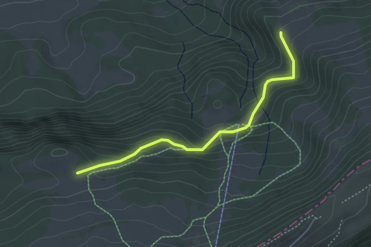
Easy · Trail
Sur le Rives – Bergerie d'Eschert
3.8 km · ↑ 199 m · 1 h 19 min