Trails in Switzerland
15,055 hiking trails, each with its route, climb, walking time and grade.
All trails, page 235 of 314
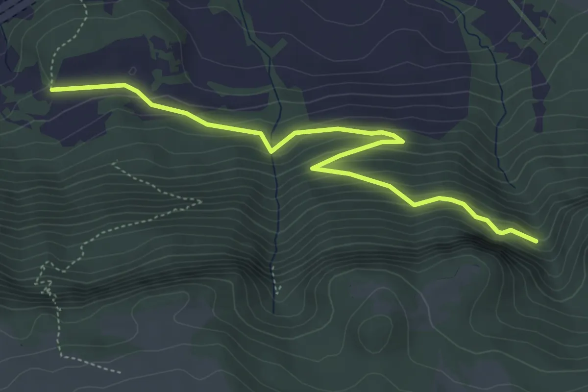
Medium · Trail
Rière Plain Champ – La Combe
5.2 km · ↑ 382 m · 2 h 3 min
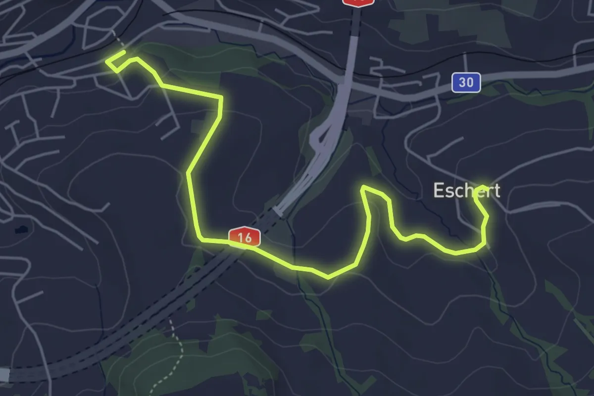
Easy · Trail
Moutier – Eschert
5.8 km · ↑ 132 m · 1 h 39 min
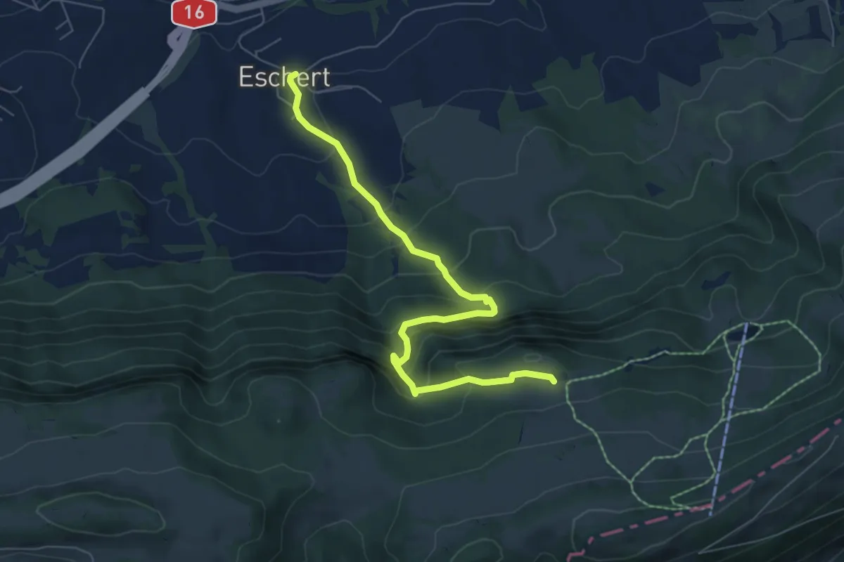
Medium · Trail
Bergerie d'Eschert – Eschert
6.9 km · ↑ 556 m · 2 h 50 min
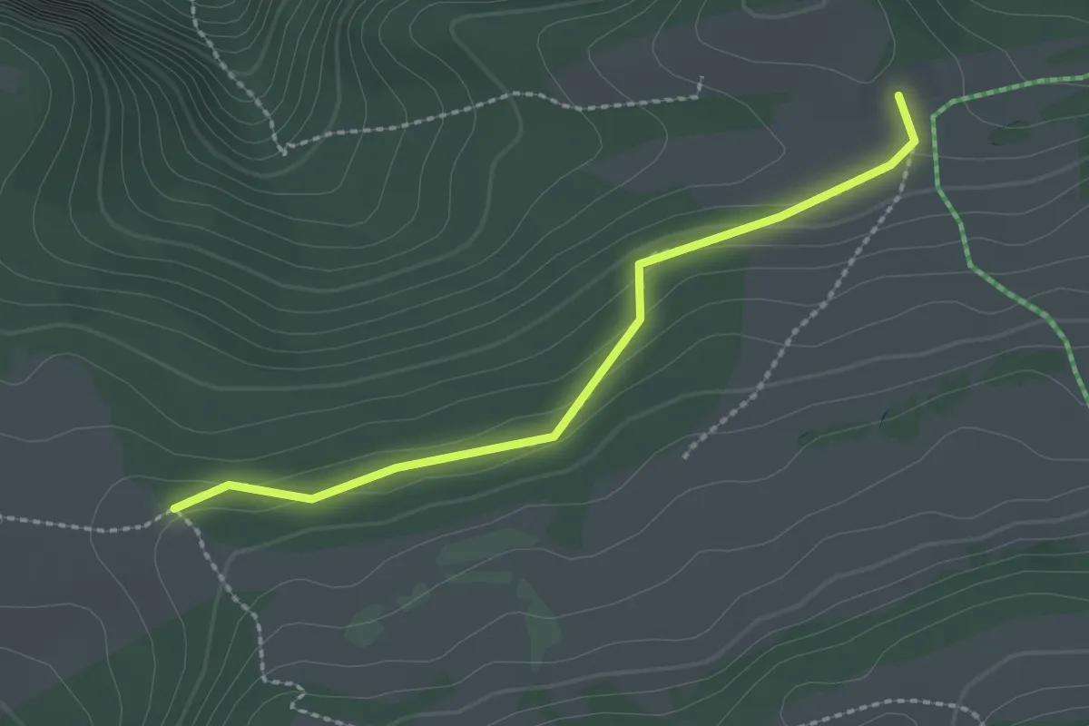
Easy · Trail
Loge aux Boeufs – Bergerie d'Eschert
2.2 km · ↑ 80 m · 42 min
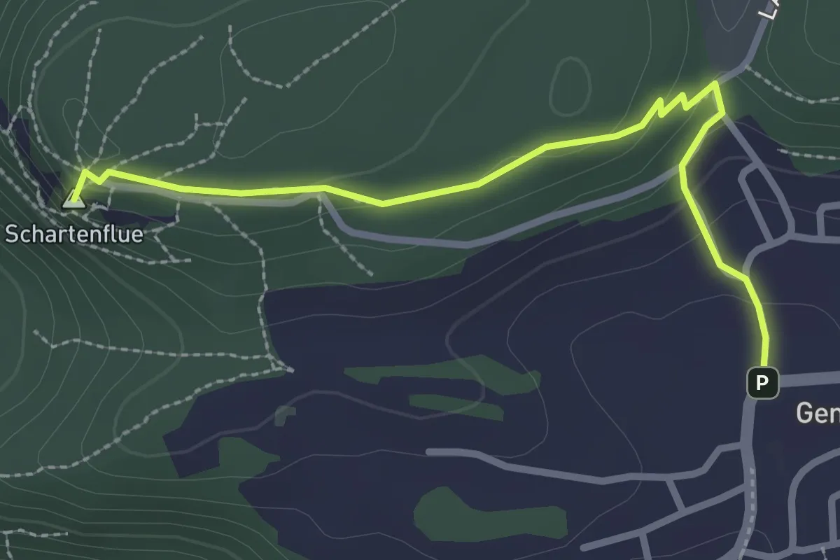
Easy · Summit
Schartenflue – Gempen
2.7 km · ↑ 91 m · 50 min
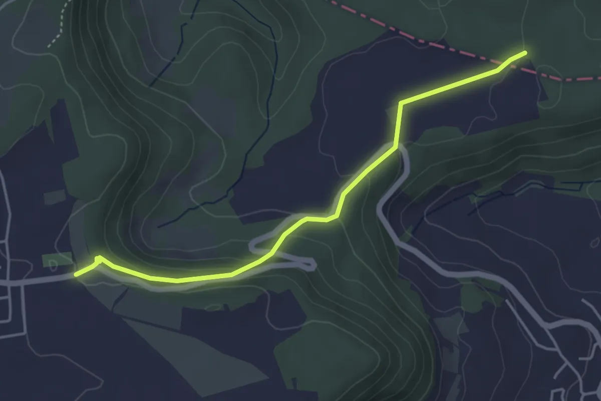
Easy · Trail
Haglenfeld – Muni
4.2 km · ↑ 137 m · 1 h 17 min
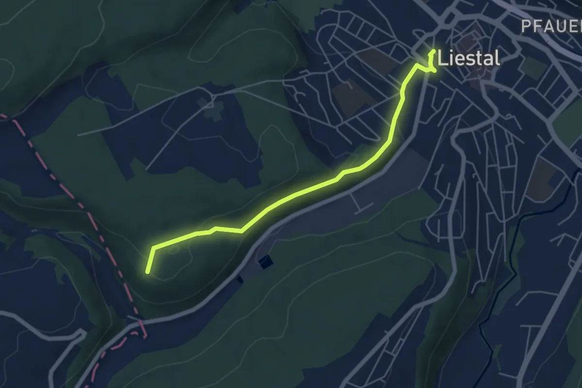
Easy · Summit
Muni – Liestal
4.9 km · ↑ 146 m · 1 h 28 min
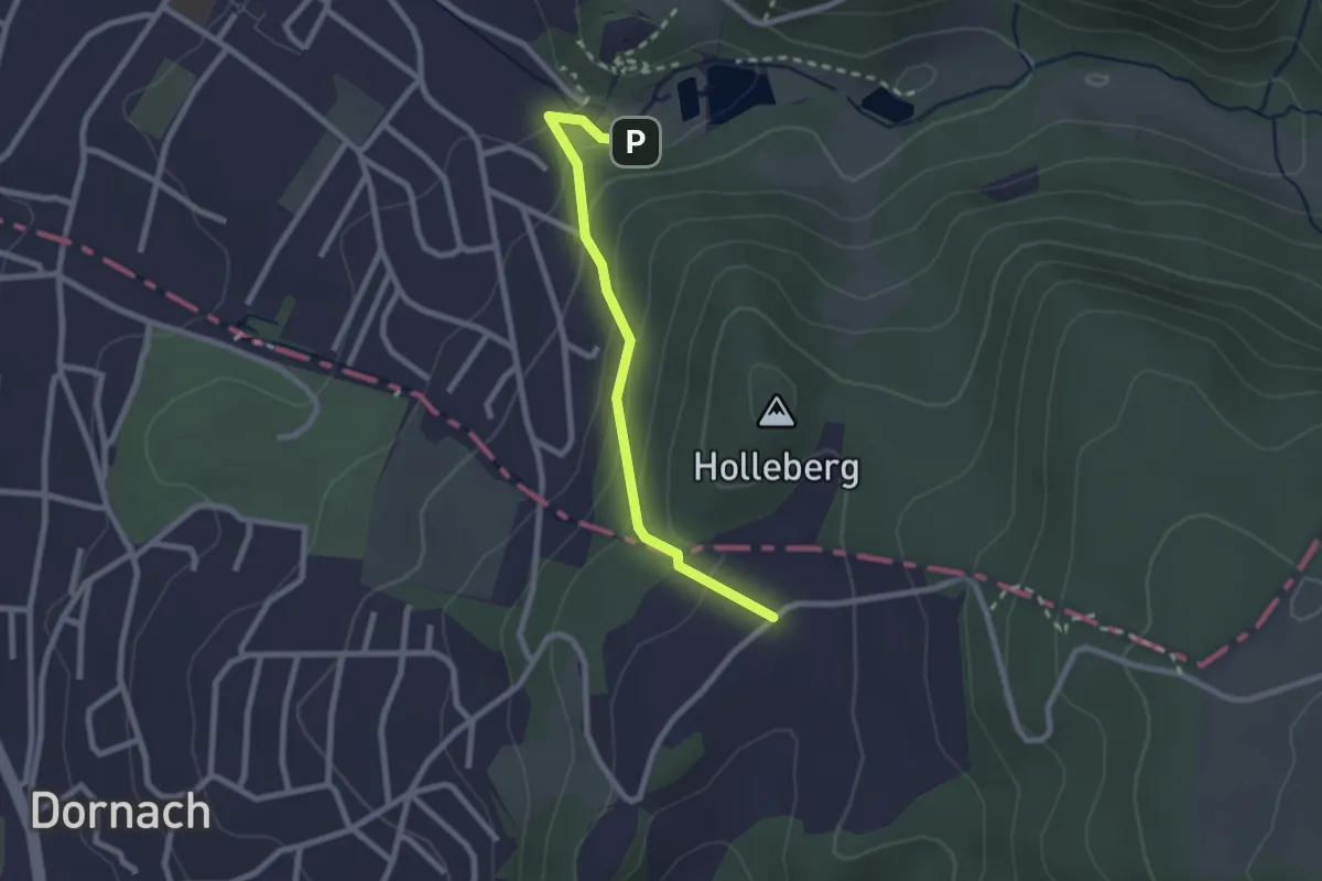
Easy · Trail
Schlosshof – Ermitage
2.3 km · ↑ 150 m · 51 min
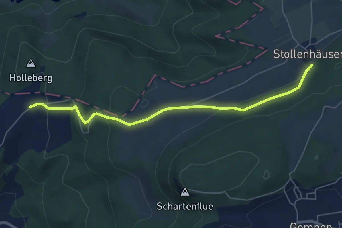
Easy · Trail
Schlosshof – Stollenhäuser
4.9 km · ↑ 186 m · 1 h 34 min
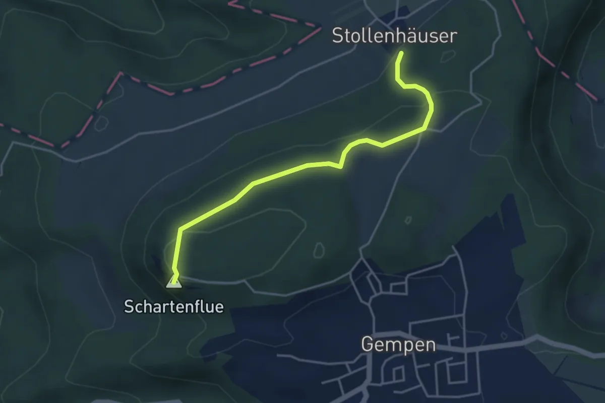
Medium · Summit
Schartenflue – Stollenhäuser
3.7 km · ↑ 125 m · 1 h 9 min
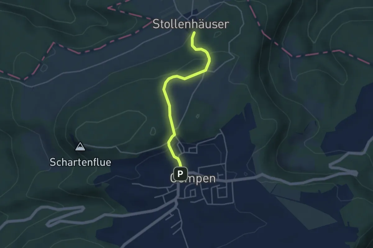
Medium · Trail
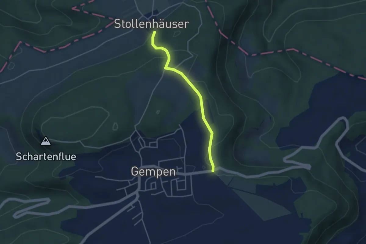
Gempen – Stollenhäuser
3.3 km · ↑ 140 m · 1 h 5 min
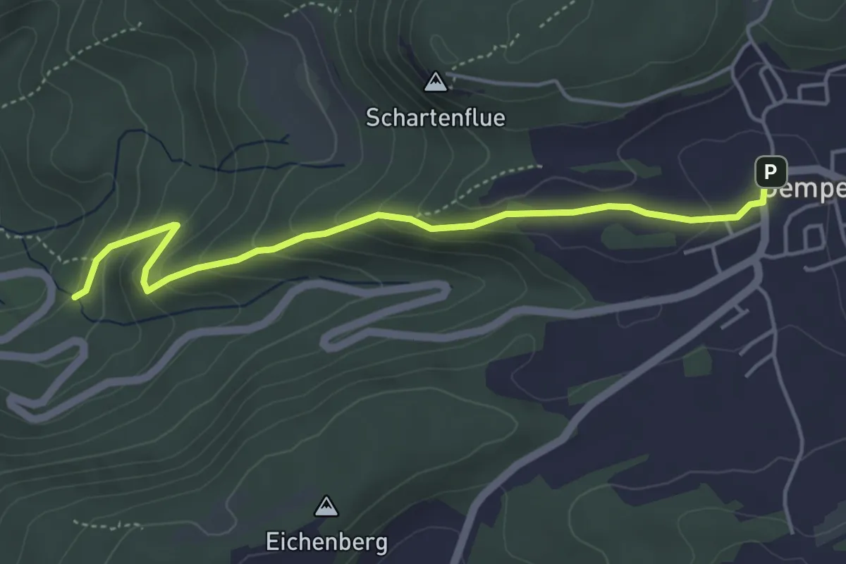
Easy · Trail
Gempen – Woll
4.5 km · ↑ 247 m · 1 h 36 min
Easy · Trail
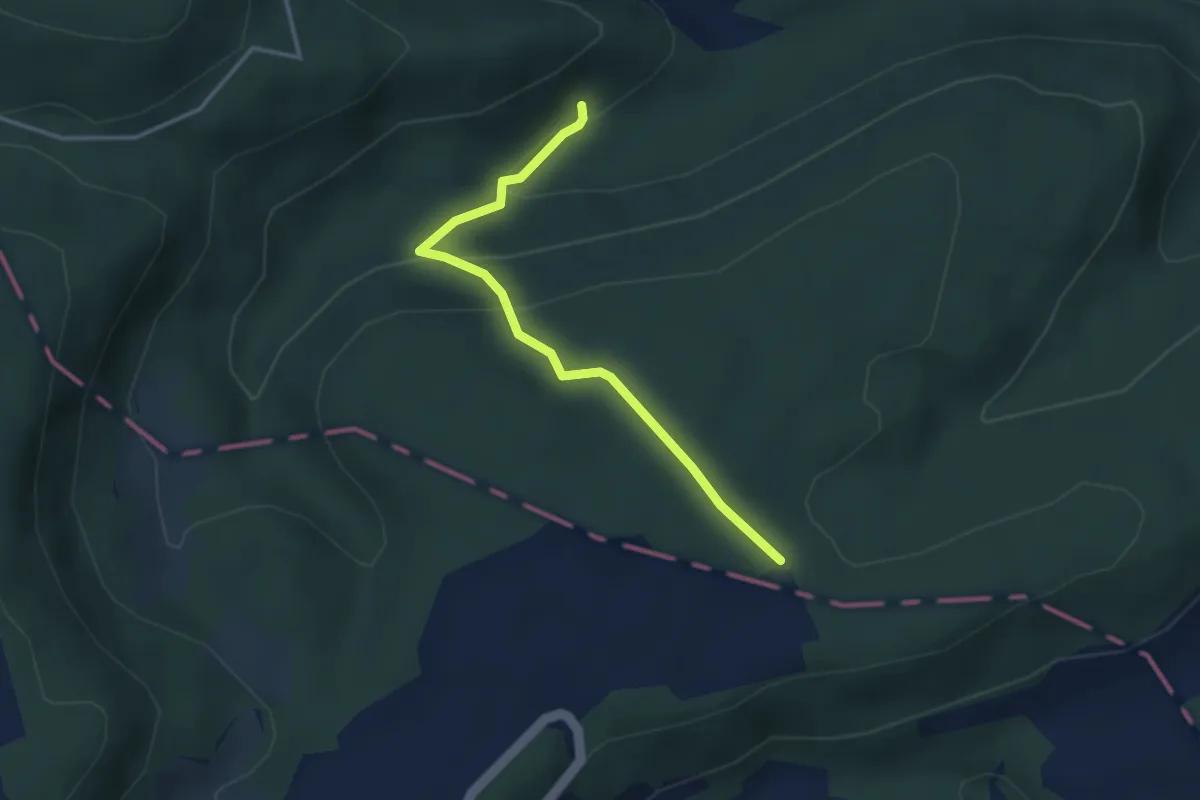
Haglenfeld – Stollenhäuser
3.1 km · ↑ 77 m · 54 min
Easy · Trail
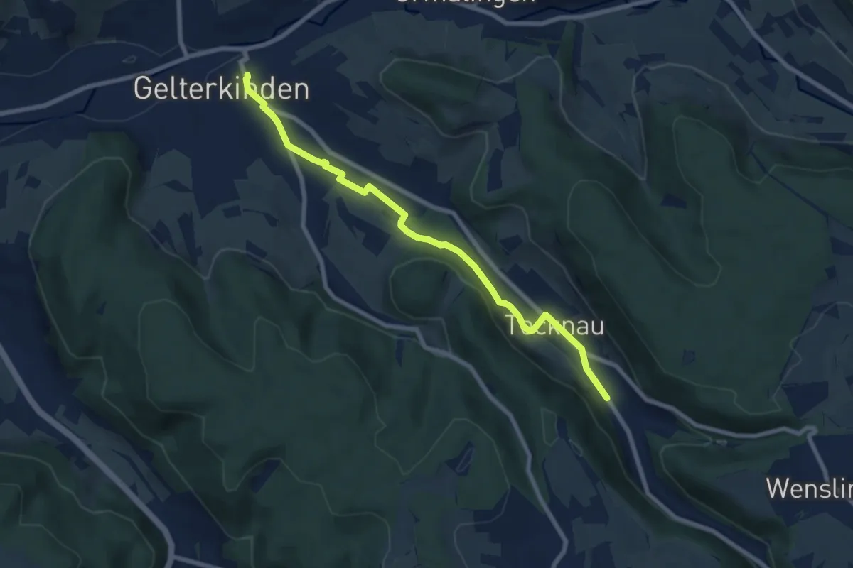
Muni – Röserental
3.2 km · ↑ 160 m · 1 h 6 min
Easy · Trail
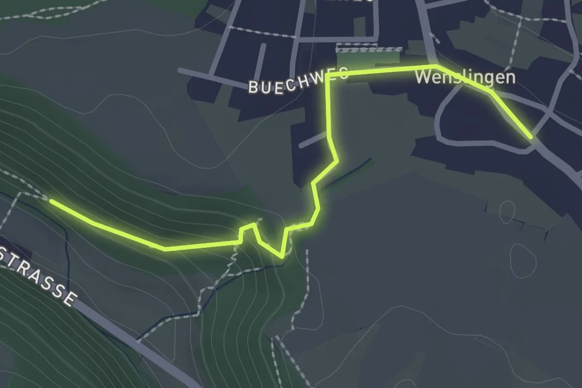
Gelterkinden – Tecknau
7.2 km · ↑ 107 m · 1 h 57 min
Easy · Trail
Burghalden – Buech
2.4 km · ↑ 83 m · 45 min
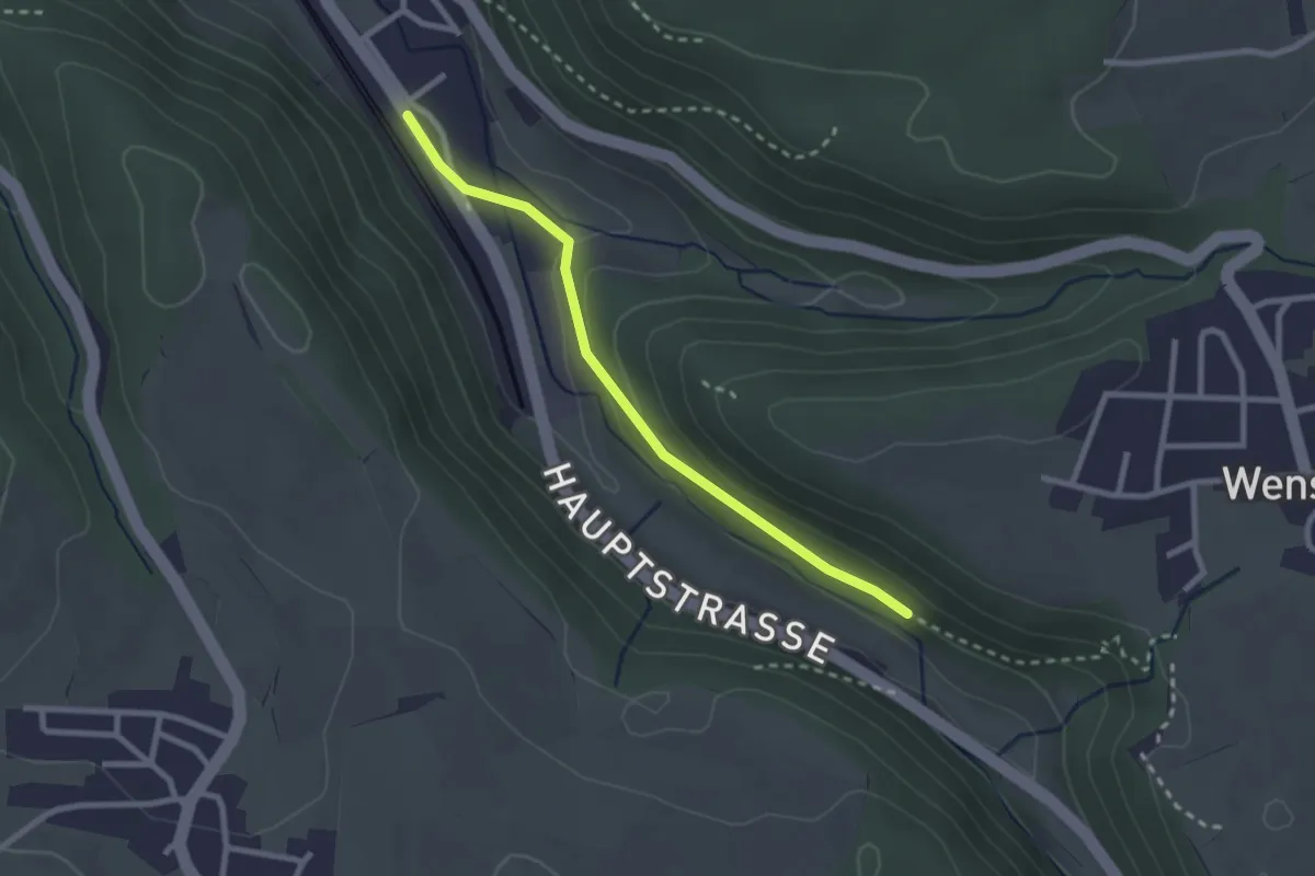
Easy · Trail
Tecknau – Burghalden
2.4 km · ↑ 56 m · 41 min
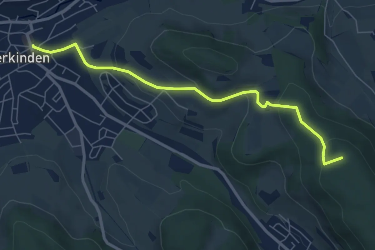
Easy · Summit
Gelterkinden – Wenslingen
5.7 km · ↑ 222 m · 1 h 49 min
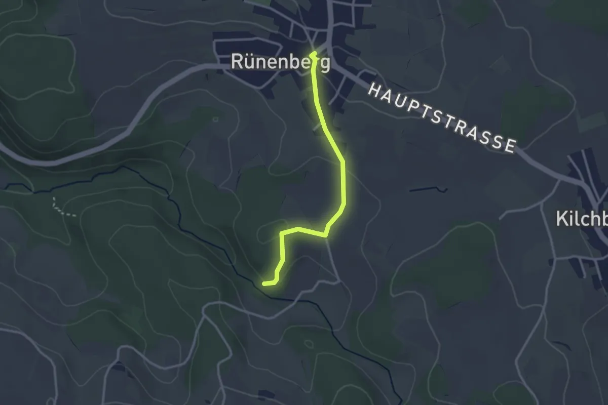
Easy · Trail
Giessen – Rünenberg
2.5 km · ↑ 37 m · 40 min
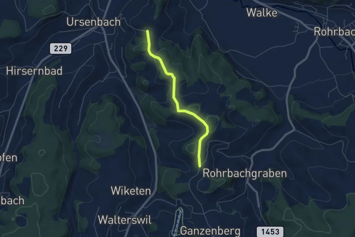
Easy · Trail
Schynensattel – Weid
4.6 km · ↑ 115 m · 1 h 21 min
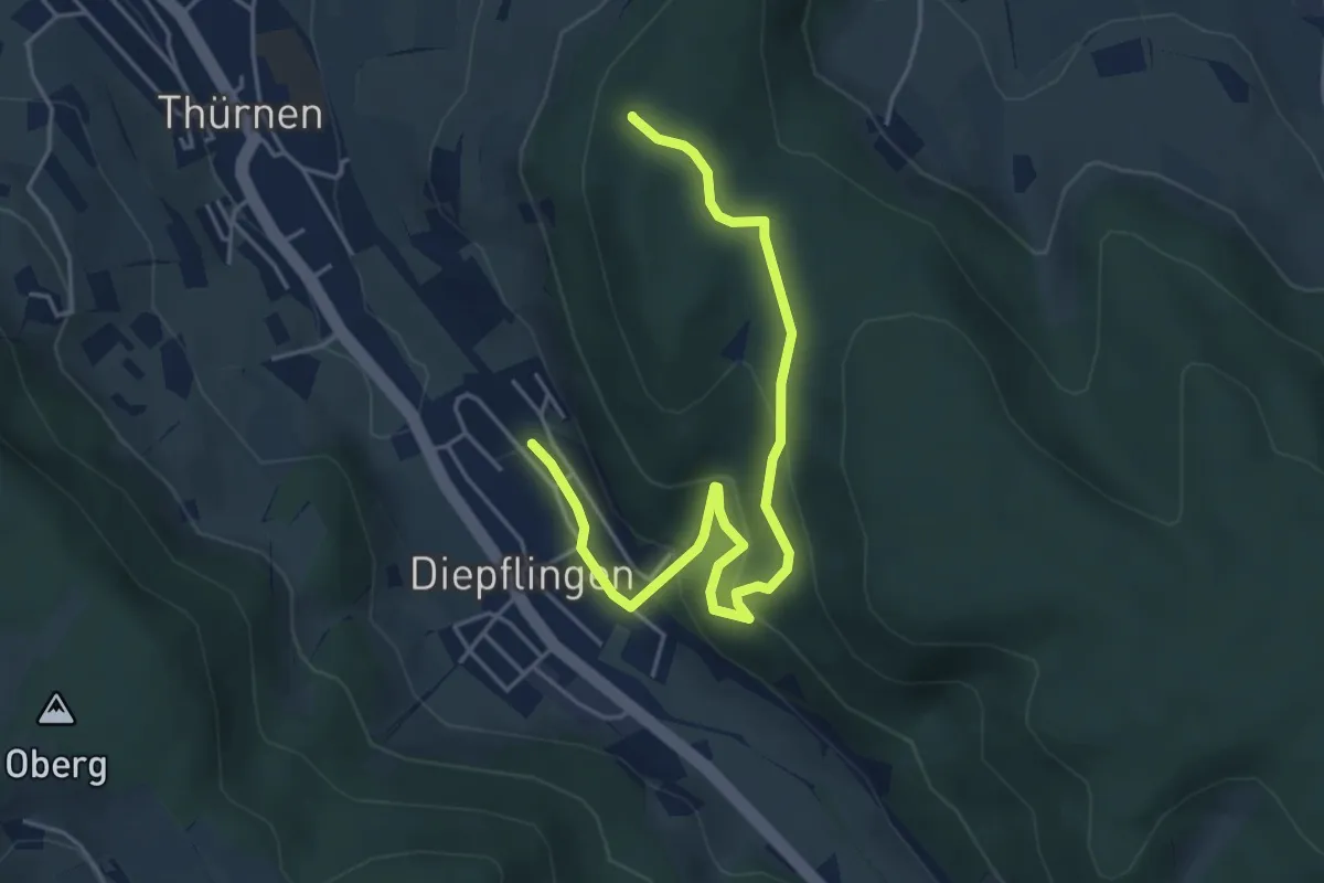
Easy · Summit
Diepflingen – Thürner Flue
5.2 km · ↑ 262 m · 1 h 48 min
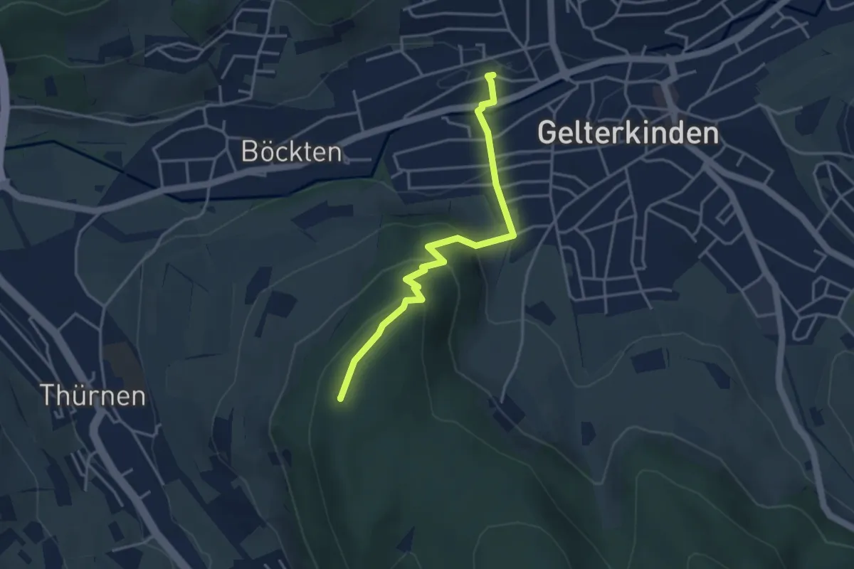
Easy · Summit
Gelterkinden – Thürner Flue
3.6 km · ↑ 187 m · 1 h 15 min
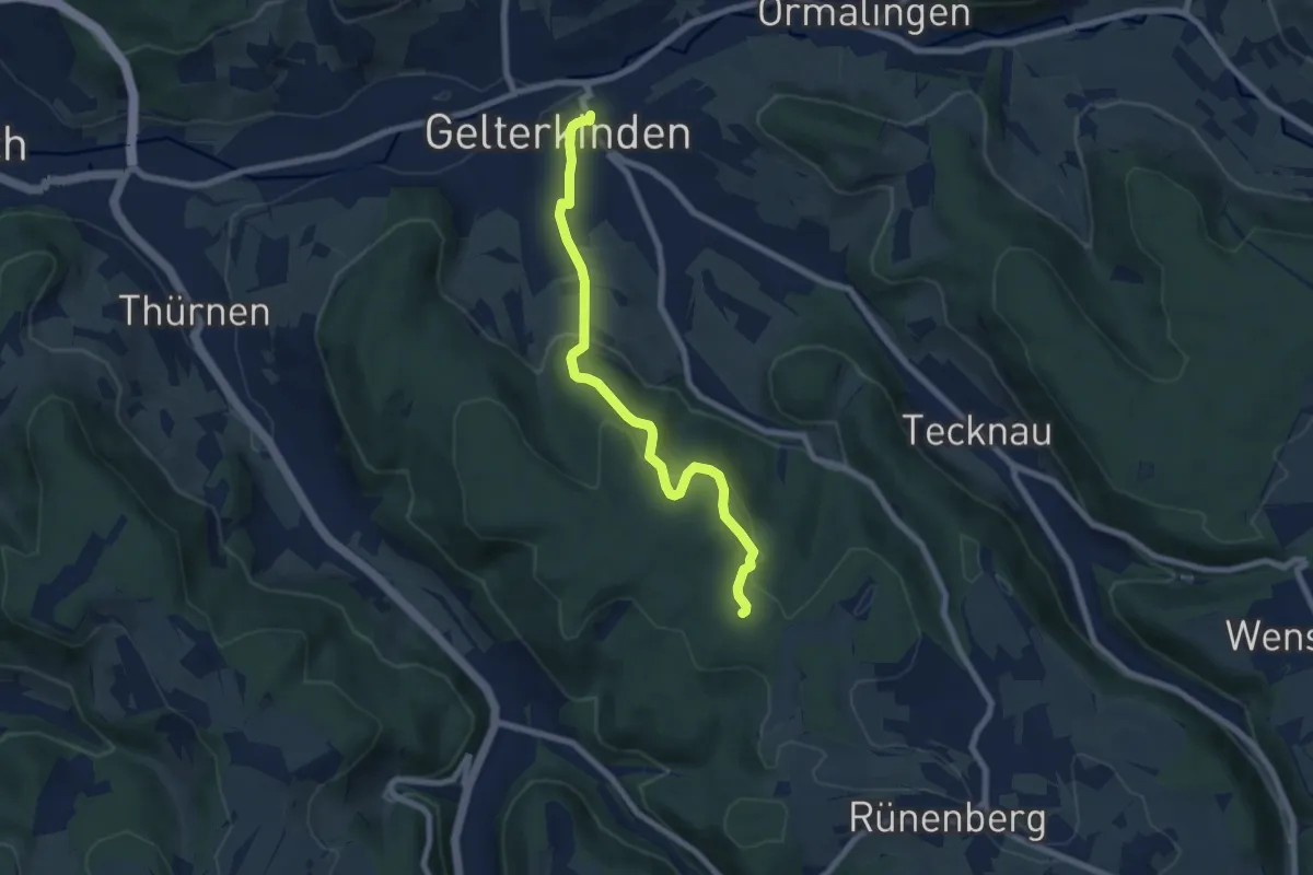
Easy · Trail
Gelterkinden – Gelterkinden Berg
7.1 km · ↑ 282 m · 2 h 18 min
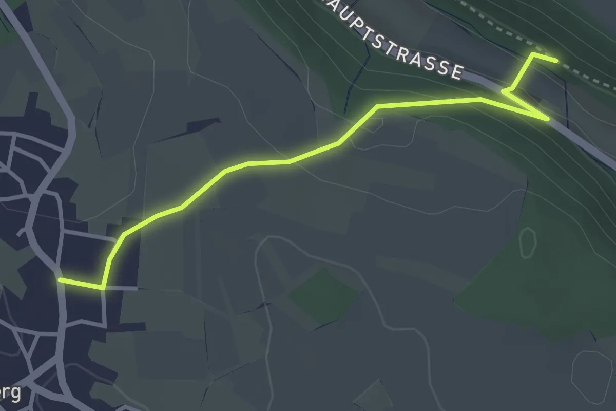
Easy · Trail
Burghalden – Rünenberg
3.1 km · ↑ 123 m · 59 min
Easy · Trail
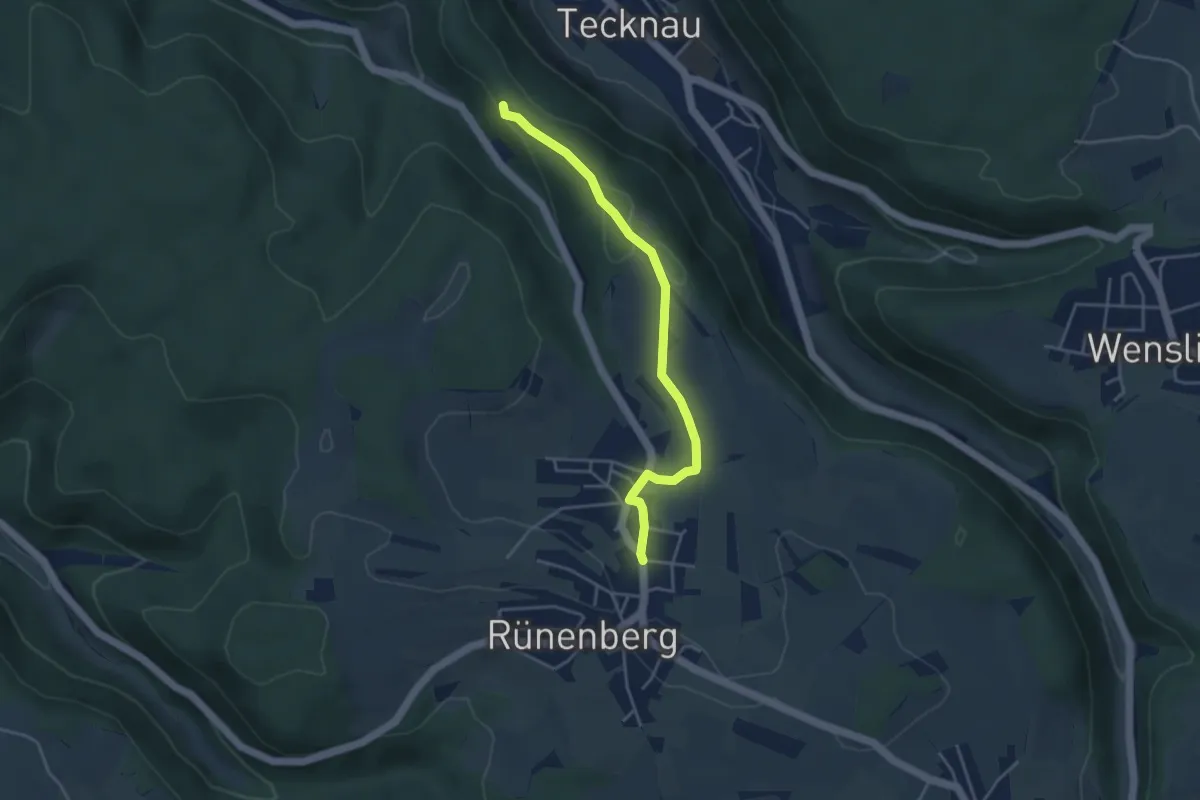
Rünenberg – Ruine Schneidegg
3.9 km · ↑ 88 m · 1 h 7 min
Easy · Trail
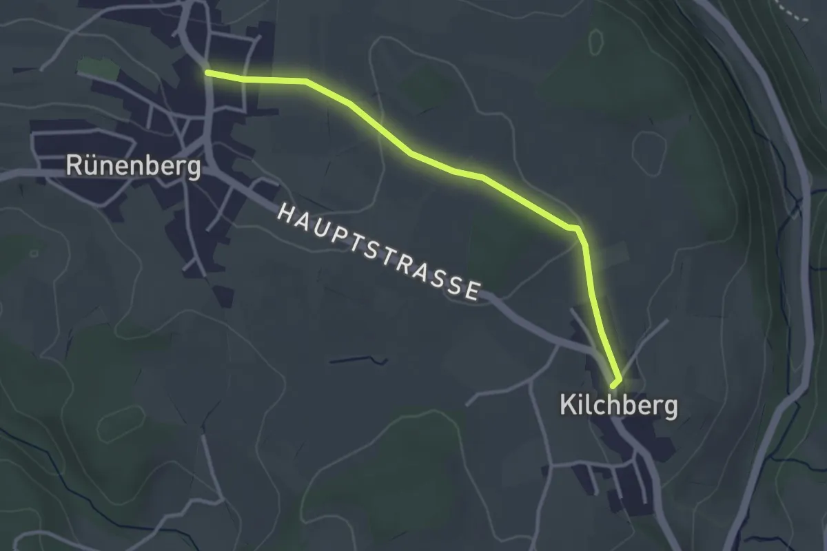
Rünenberg – Kilchberg
3.1 km · ↑ 41 m · 49 min
Easy · Trail
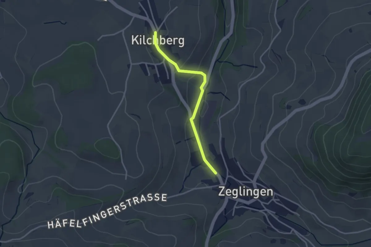
Zeglingen – Kilchberg
2.5 km · ↑ 68 m · 44 min
Easy · Trail
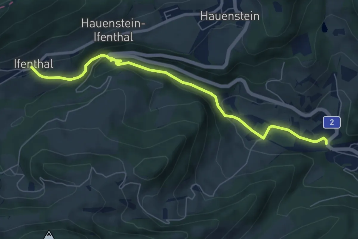
Ifenthal – Trimbach
5.9 km · ↑ 257 m · 1 h 58 min
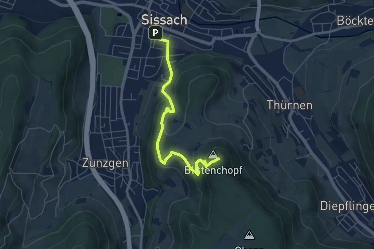
Easy · Summit
Sissach – Ober Giesberg
5.2 km · ↑ 273 m · 1 h 50 min
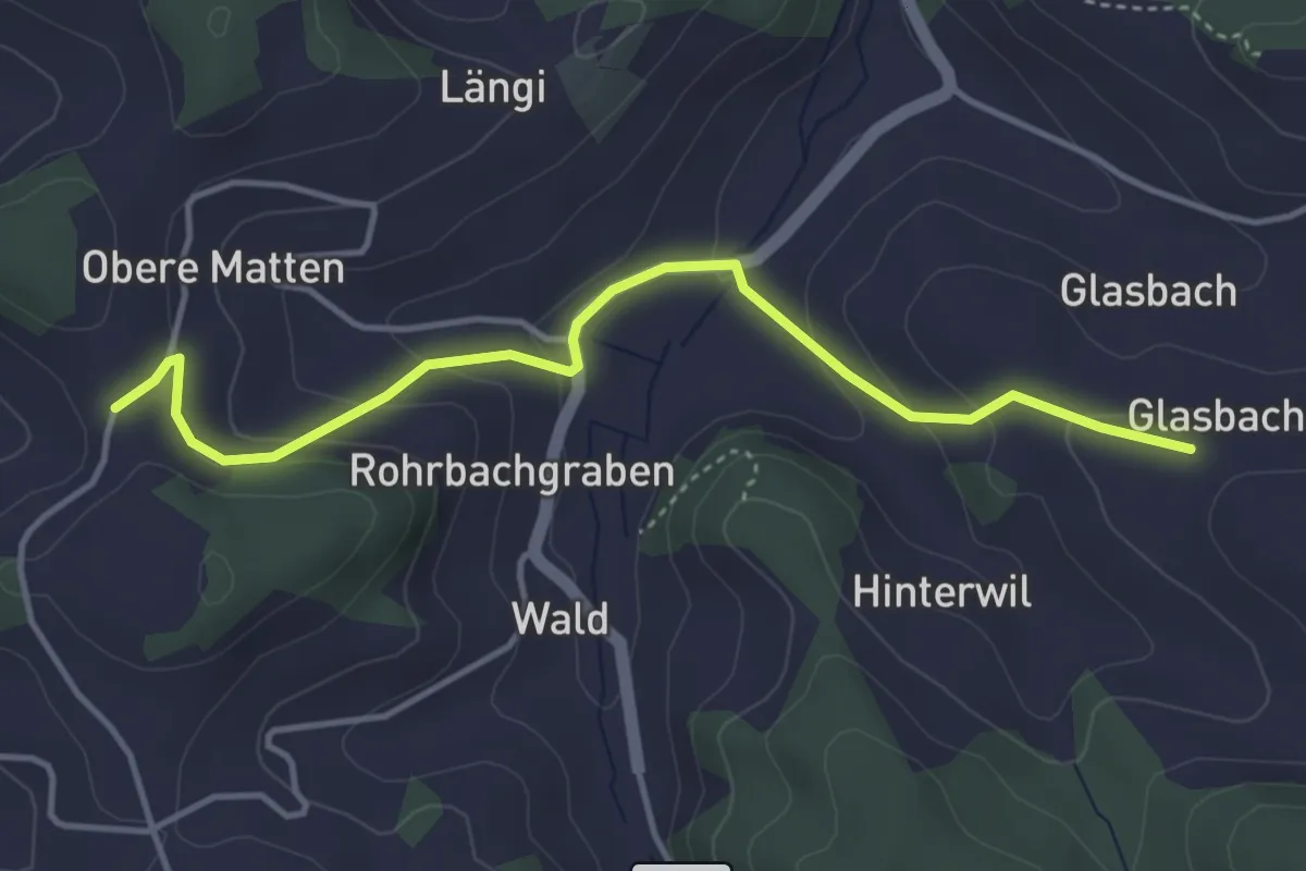
Easy · Trail
Weid – Glasbach
4.1 km · ↑ 191 m · 1 h 24 min
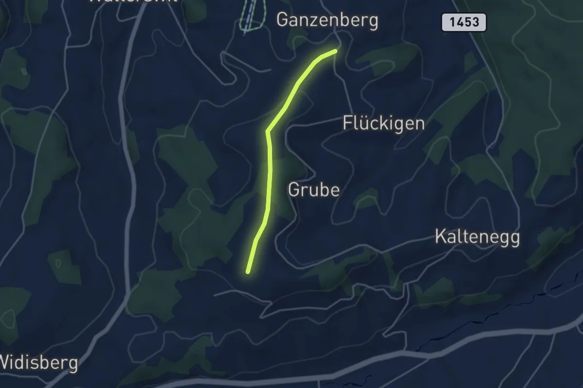
Easy · Trail
Ganseberg – Chabisberg
3.0 km · ↑ 88 m · 54 min
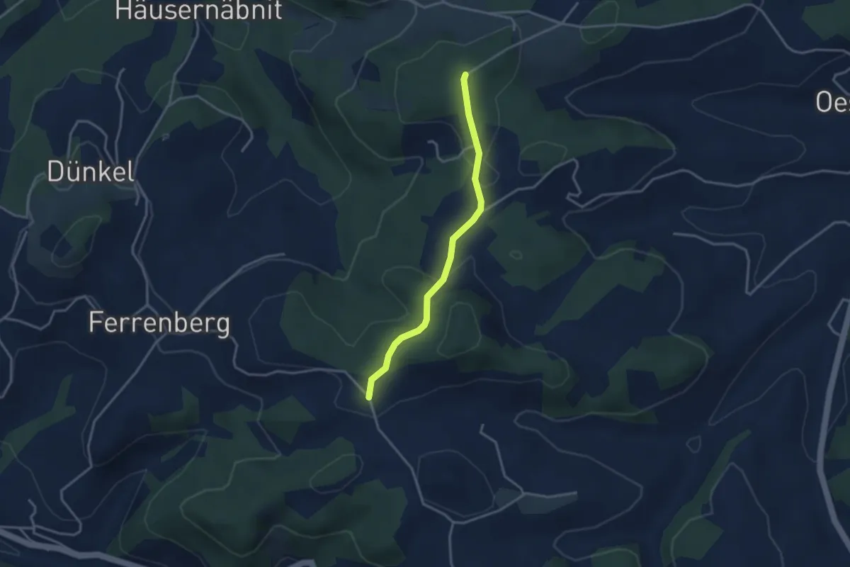
Easy · Trail
Eggstutzwald – Färbergweid
2.9 km · ↑ 85 m · 53 min
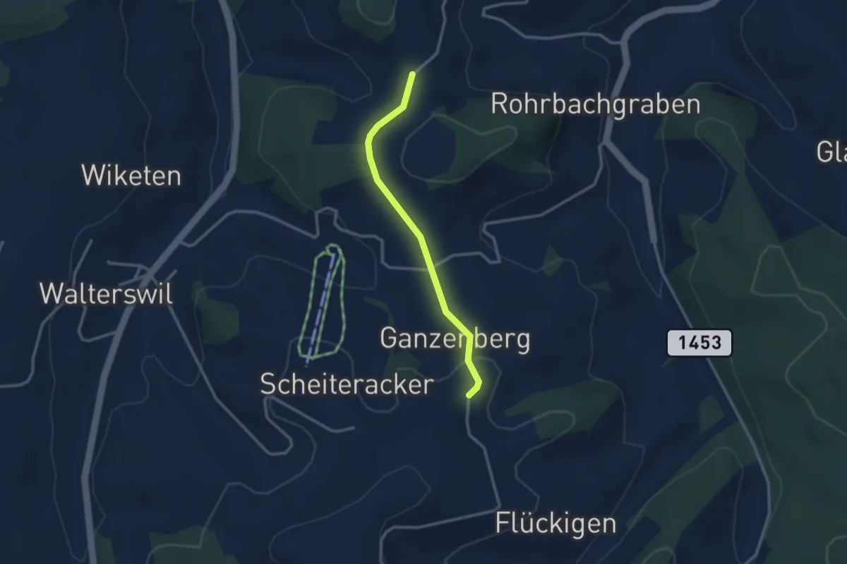
Easy · Trail
Weid – Ganseberg
2.5 km · ↑ 46 m · 41 min
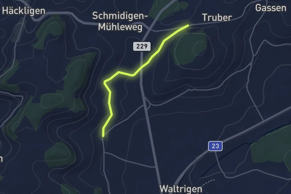
Easy · Trail
Mühleweg – Otterbach
2.9 km · ↑ 80 m · 52 min
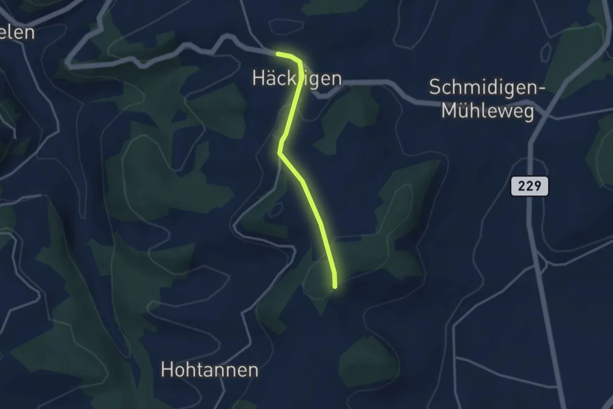
Easy · Trail
Häcklige – Otterbachegg
2.4 km · ↑ 67 m · 42 min
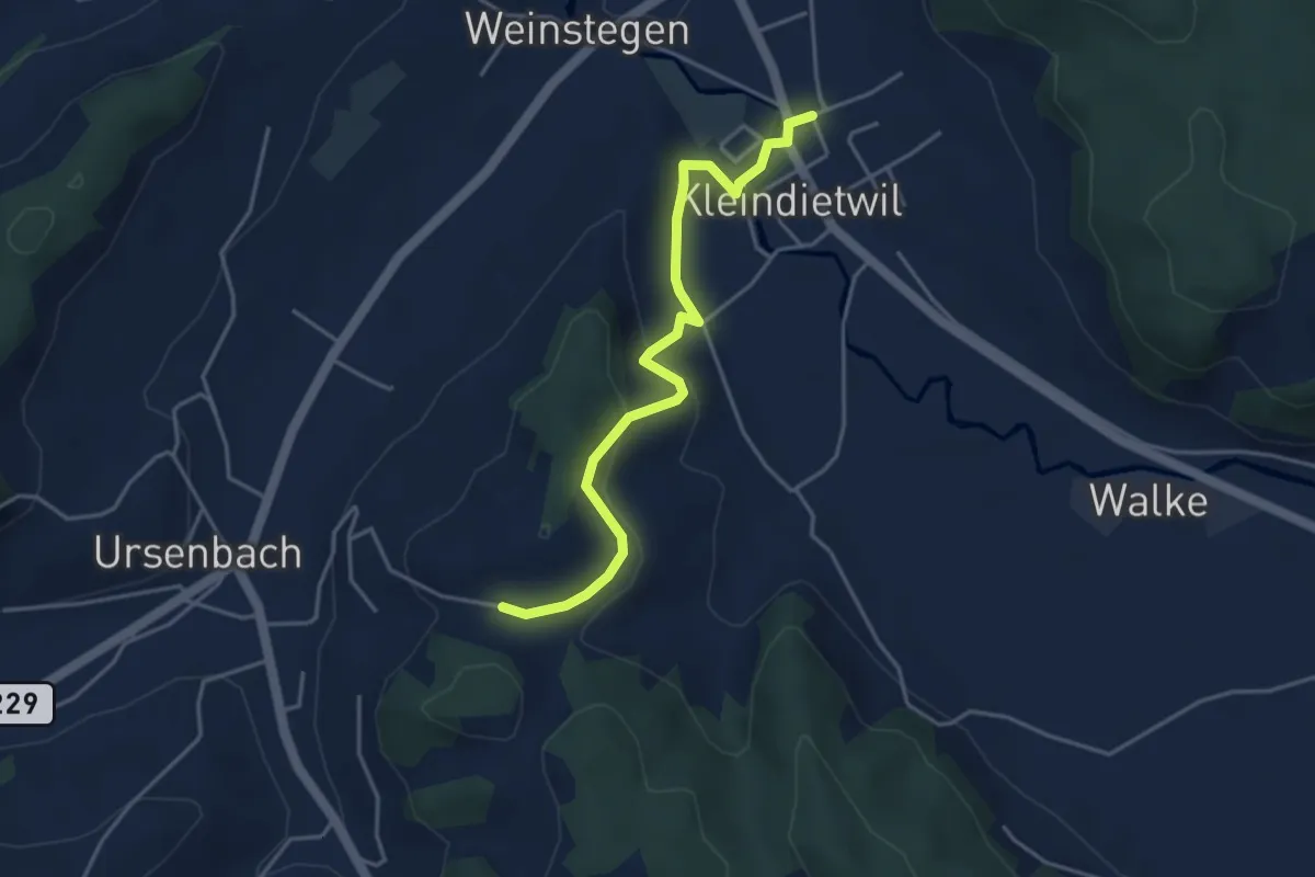
Easy · Trail
Kleindietwil – Schynensattel
4.1 km · ↑ 162 m · 1 h 19 min
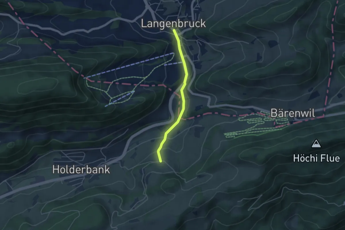
Easy · Trail
Langenbruck - – Bechburg
3.6 km · ↑ 110 m · 1 h 6 min
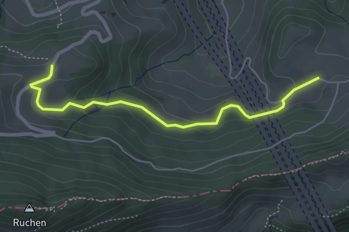
Easy · Trail
Chall – Oberbelchen
4.3 km · ↑ 140 m · 1 h 19 min
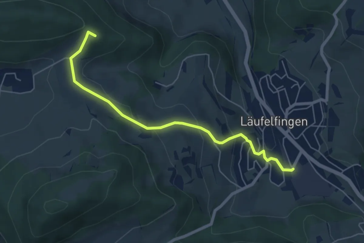
Medium · Summit
Läufelfingen – Ober Diegten
4.9 km · ↑ 203 m · 1 h 36 min
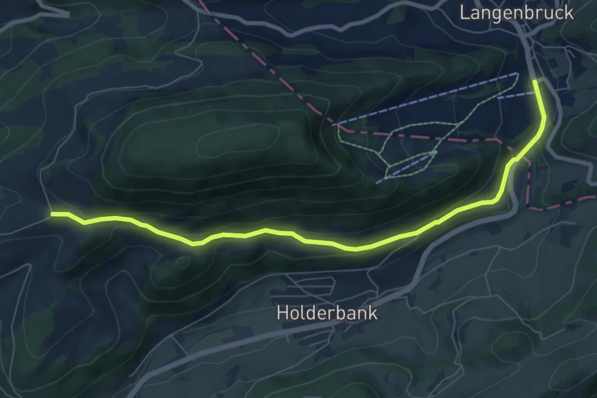
Easy · Trail
Bereten Linde – Holderbank
7.5 km · ↑ 236 m · 2 h 17 min
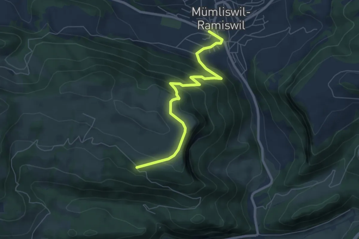
Medium · Trail
Hauptstrasse Mümliswil – Oberberg
6.1 km · ↑ 393 m · 2 h 18 min
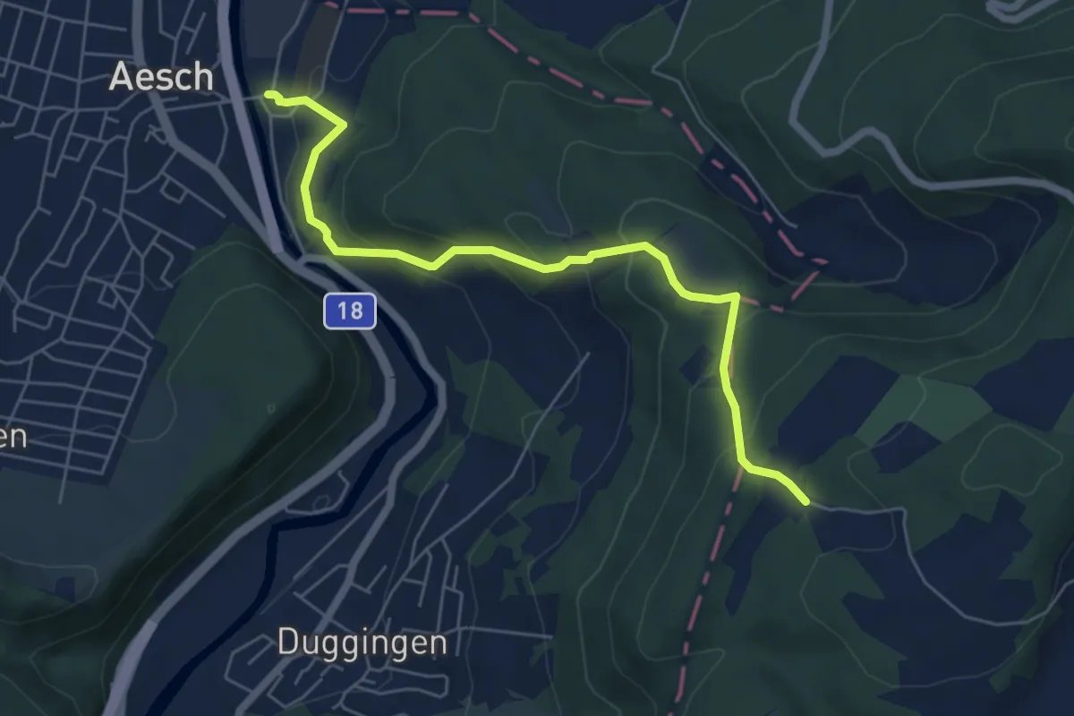
Medium · Trail
Aesch – Herrenmatt
5.9 km · ↑ 324 m · 2 h 6 min
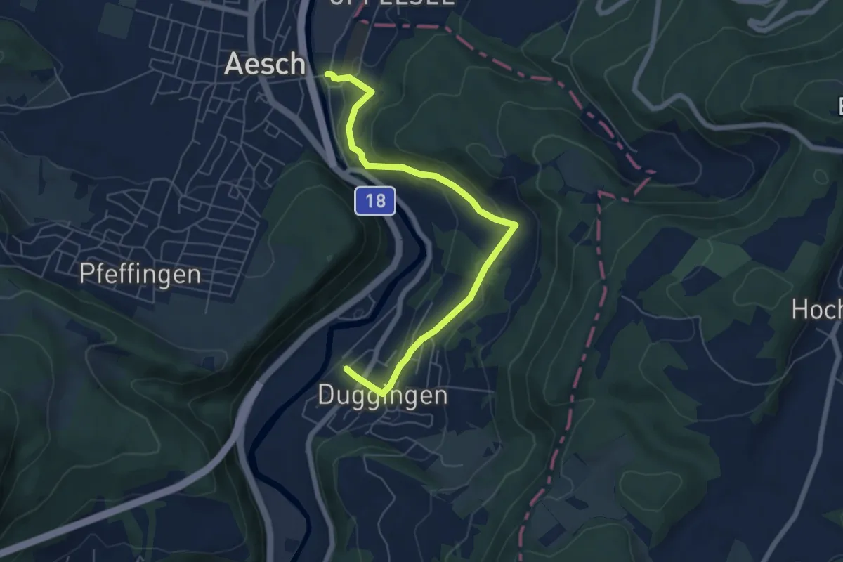
Easy · Trail
Aesch – Duggingen
6.2 km · ↑ 206 m · 1 h 54 min
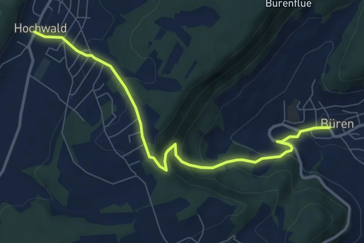
Medium · Trail
Hochwald Post – Büren
7.1 km · ↑ 339 m · 2 h 24 min
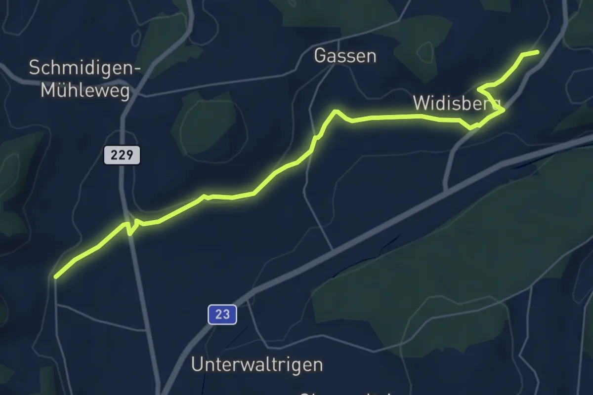
Easy · Trail
Otterbach – Widisberg
6.6 km · ↑ 122 m · 1 h 49 min
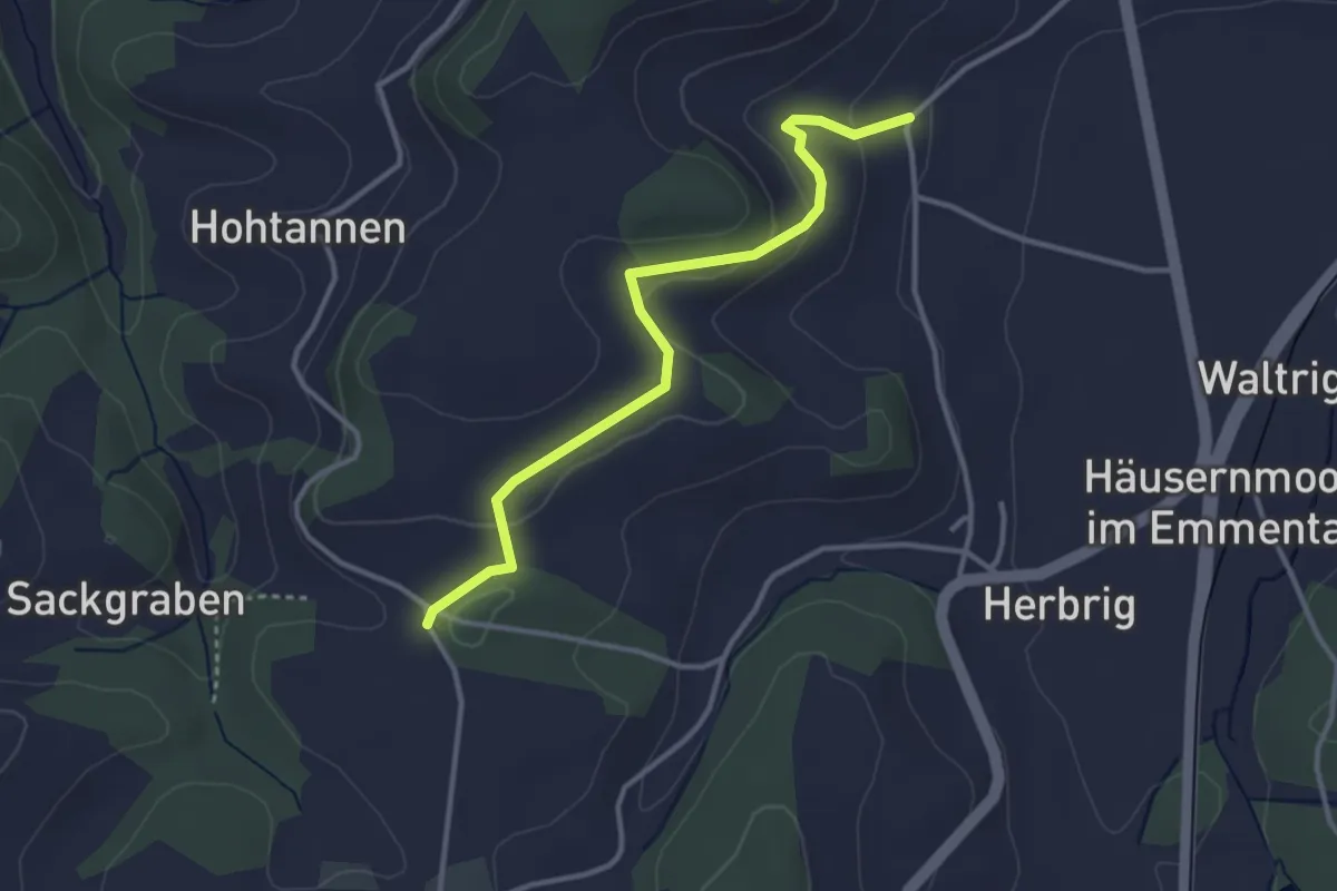
Easy · Trail
Otterbach – Chloster
3.3 km · ↑ 105 m · 1 h 1 min
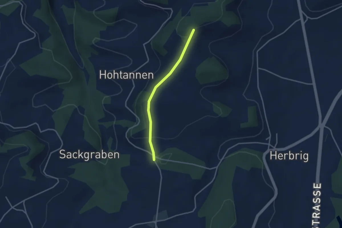
Easy · Trail
Otterbachegg – Chloster
2.4 km · ↑ 58 m · 41 min
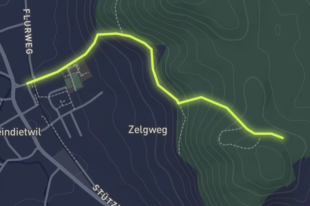
Easy · Trail
Kleindietwil – fixme
2.7 km · ↑ 163 m · 1 h