Trails in Switzerland
15,055 hiking trails, each with its route, climb, walking time and grade.
All trails, page 236 of 314
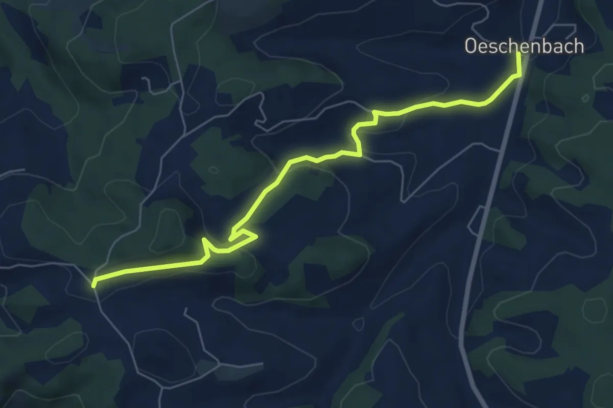
Easy · Trail
Färbergweid – Bleuen
6.3 km · ↑ 209 m · 1 h 56 min
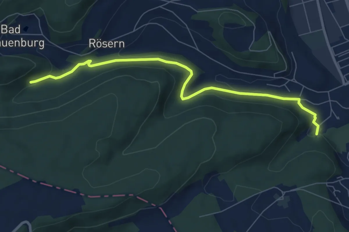
Easy · Trail
Bintal – Röserental
7.0 km · ↑ 217 m · 2 h 8 min
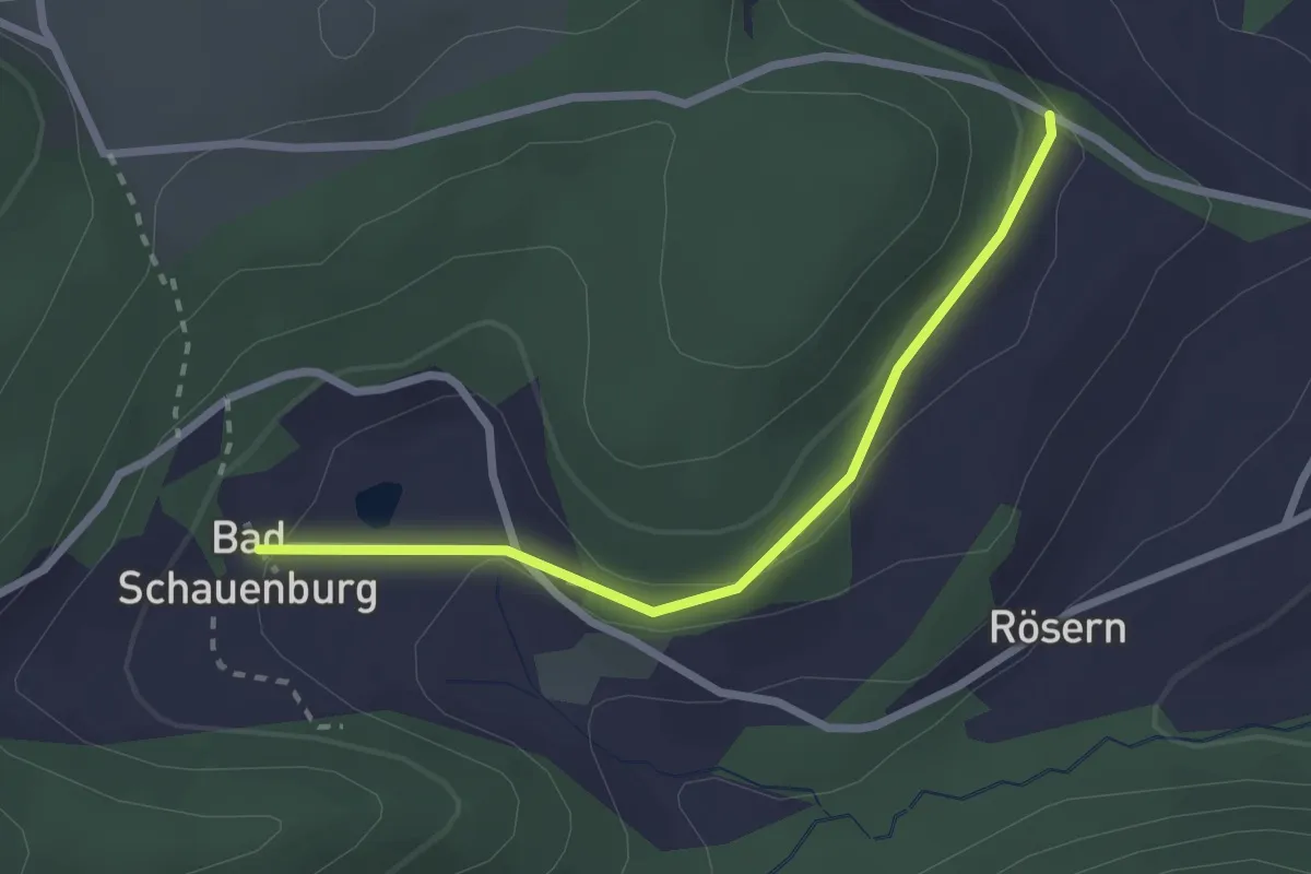
Easy · Trail
Bad Schauenberg – Rosenberg
2.4 km · ↑ 93 m · 46 min
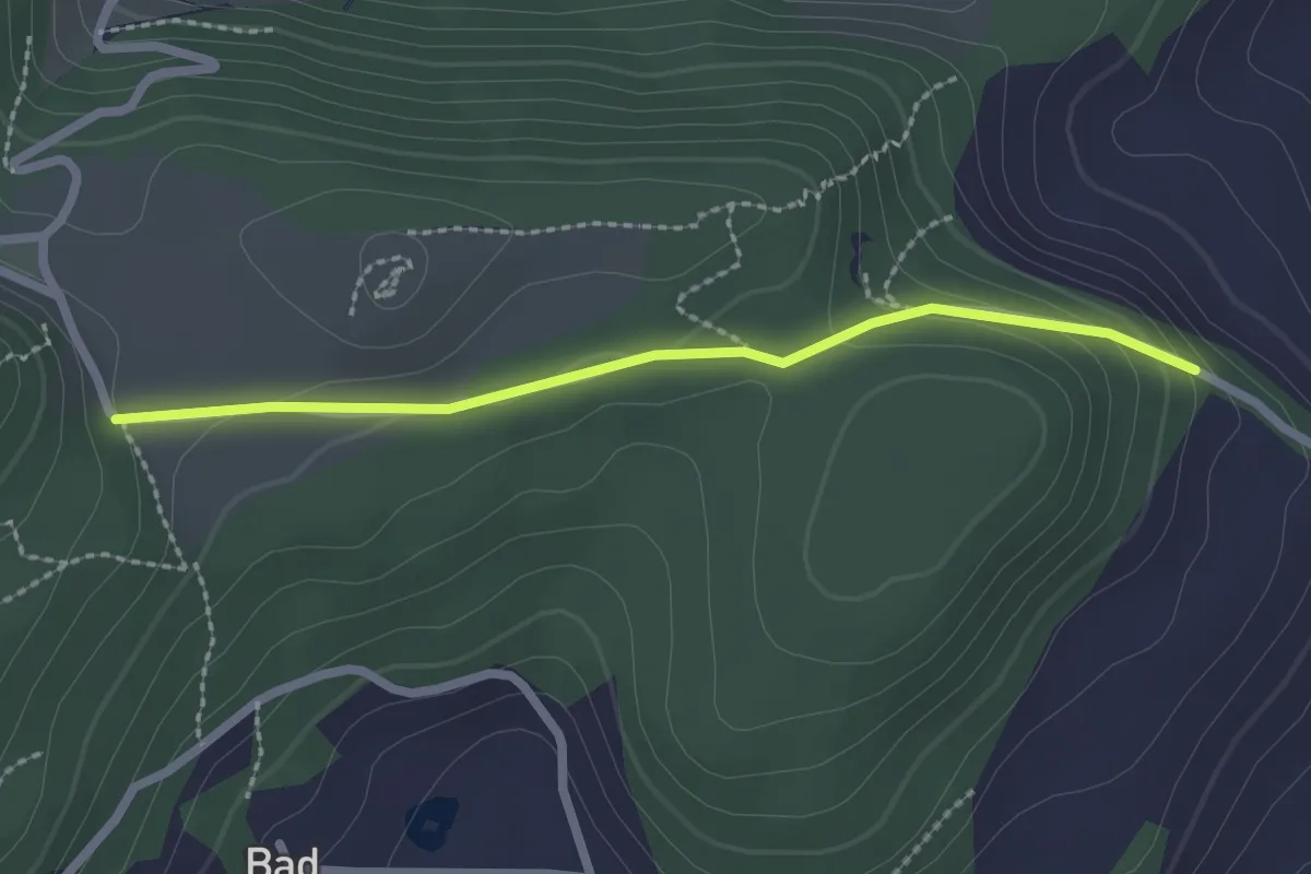
Easy · Trail
Schauenburg Weid – Rosenberg
2.2 km · ↑ 93 m · 43 min
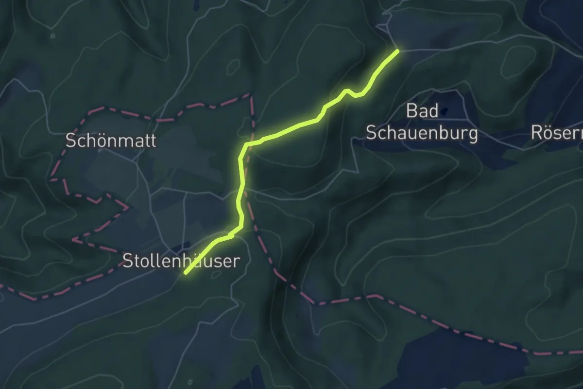
Easy · Trail
Schauenberg Weid – Stollenhäuser
4.6 km · ↑ 178 m · 1 h 28 min
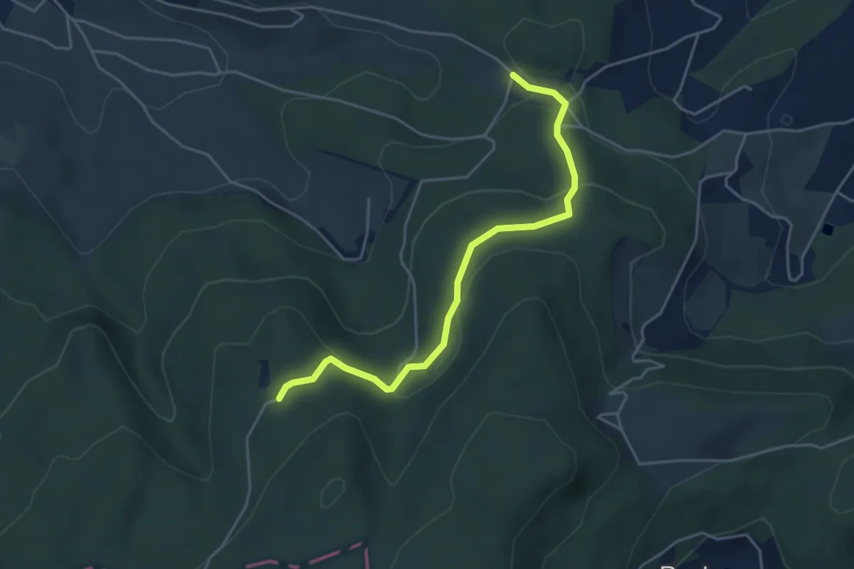
Easy · Trail
Egglisgraben – Sulzchopf
4.2 km · ↑ 177 m · 1 h 23 min
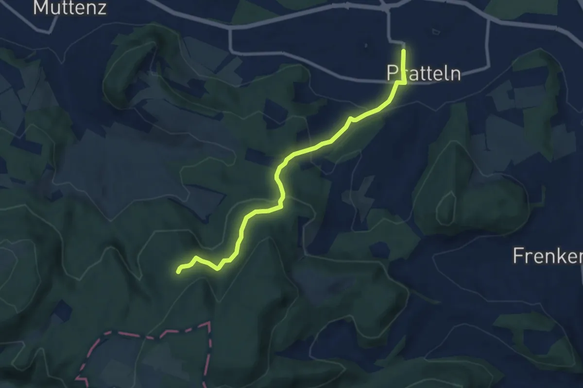
Easy · Trail
Pratteln Tramstation – Sulzchopf
7.6 km · ↑ 313 m · 2 h 29 min
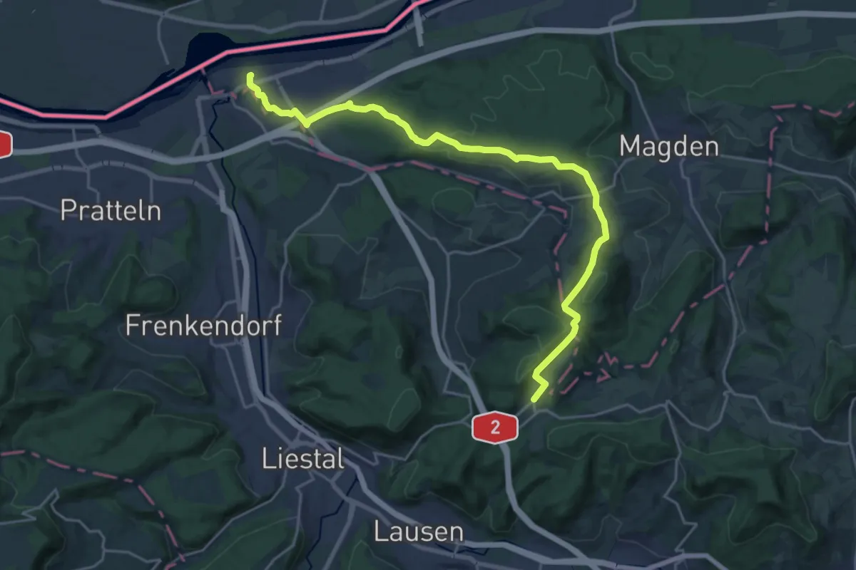
Demanding · Trail
Kaiseraugst – Hersberg
21.6 km · ↑ 489 m · 6 h 10 min
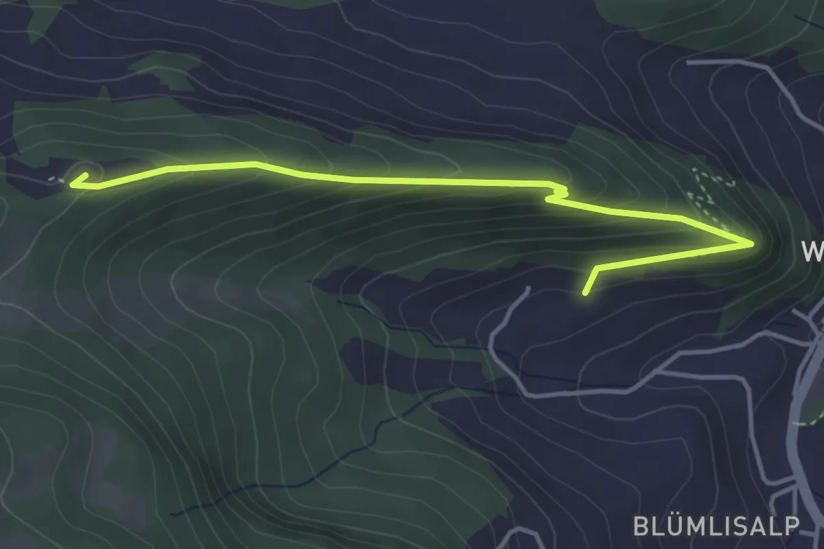
Demanding · Summit
Gagsen – Richtacher
4.1 km · ↑ 306 m · 1 h 38 min
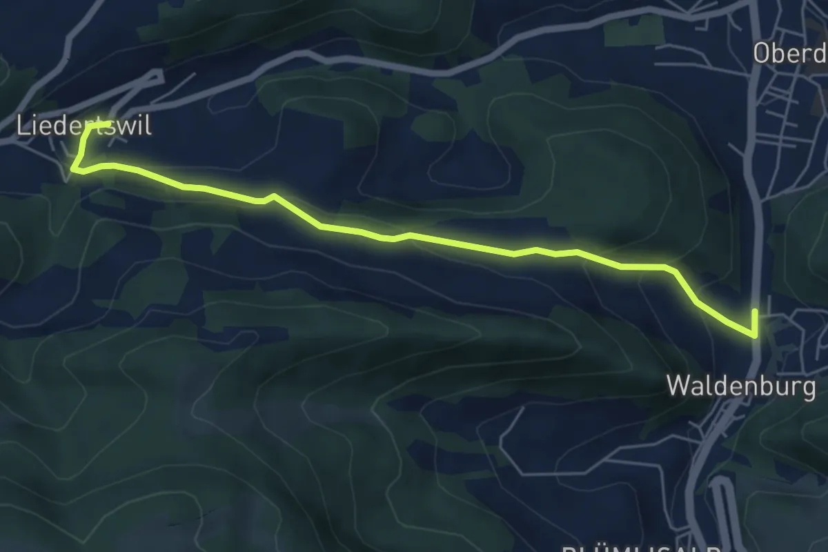
Easy · Trail
Waldenburg – Liedertswil
5.7 km · ↑ 264 m · 1 h 55 min
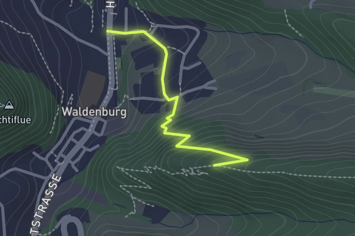
Easy · Trail
Waldenburg – Schlossruine
2.0 km · ↑ 154 m · 48 min
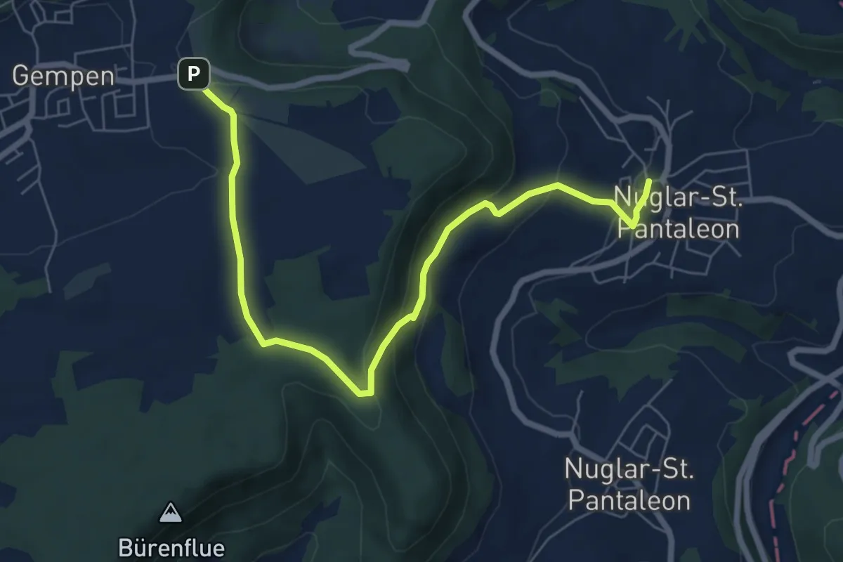
Easy · Trail
Nuglar – Haglenfeld
7.2 km · ↑ 238 m · 2 h 13 min
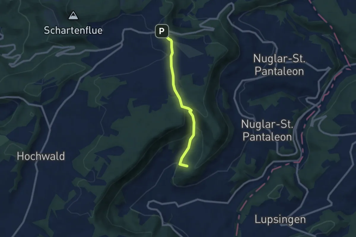
Easy · Summit
Büren – Haglenfeld
5.4 km · ↑ 251 m · 1 h 49 min
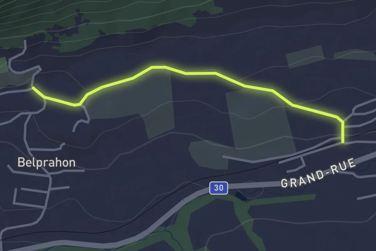
Easy · Trail
Grandval – Belprahon
2.9 km · ↑ 58 m · 48 min
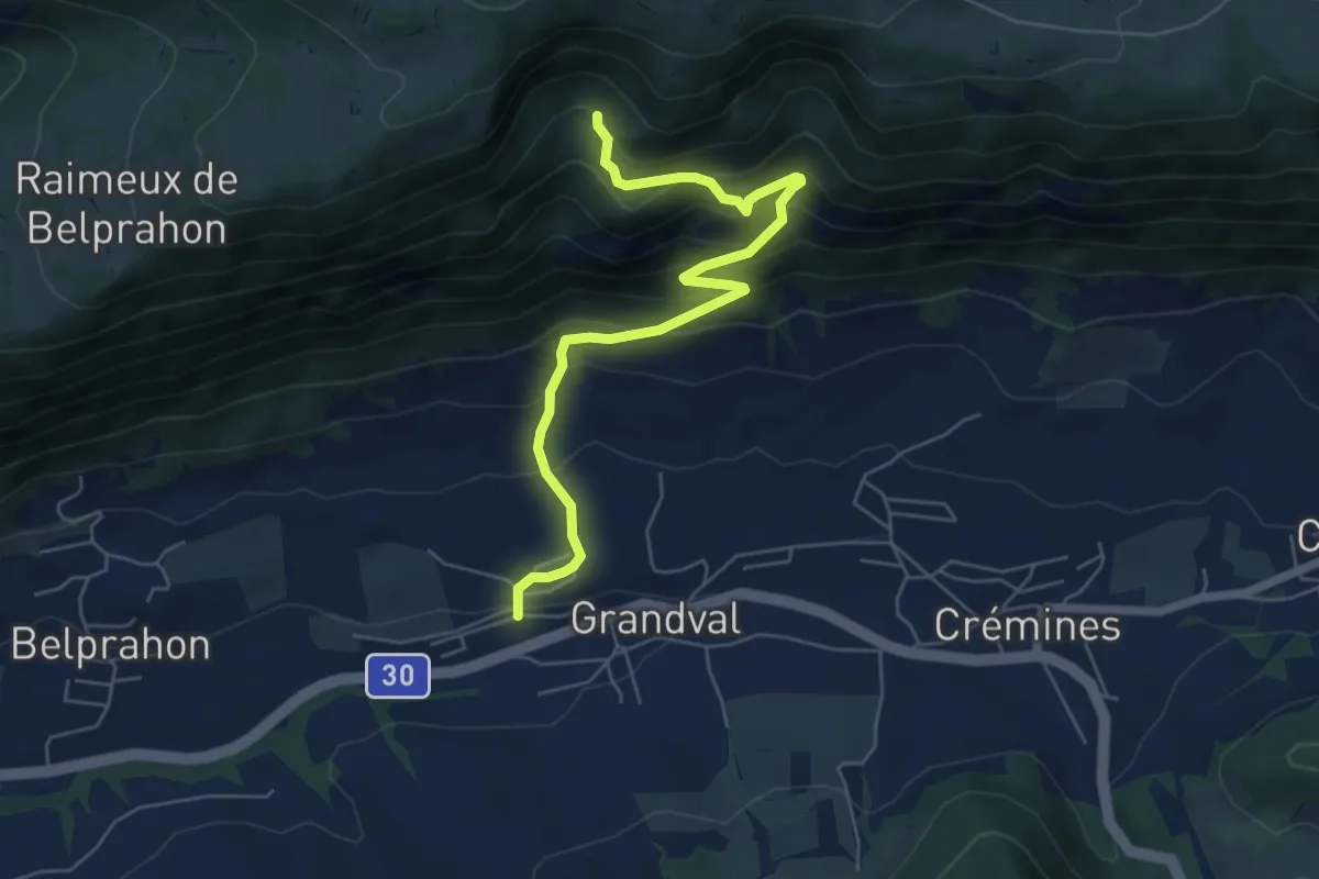
Medium · Trail
Grandval – Combe des Geais
6.1 km · ↑ 477 m · 2 h 28 min
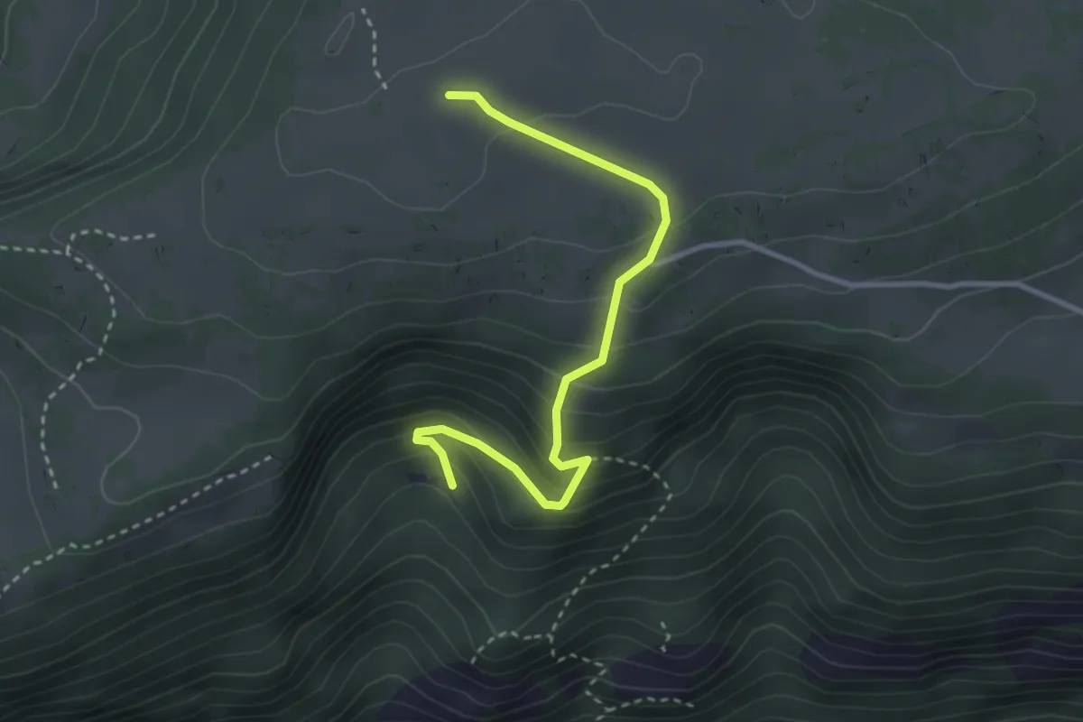
Easy · Trail
Combe des Geais – Raimeux de Grandval
3.2 km · ↑ 253 m · 1 h 18 min
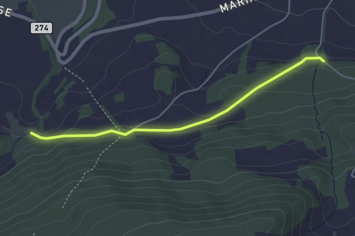
Easy · Trail
Rotberg – Radmer
3.6 km · ↑ 106 m · 1 h 4 min
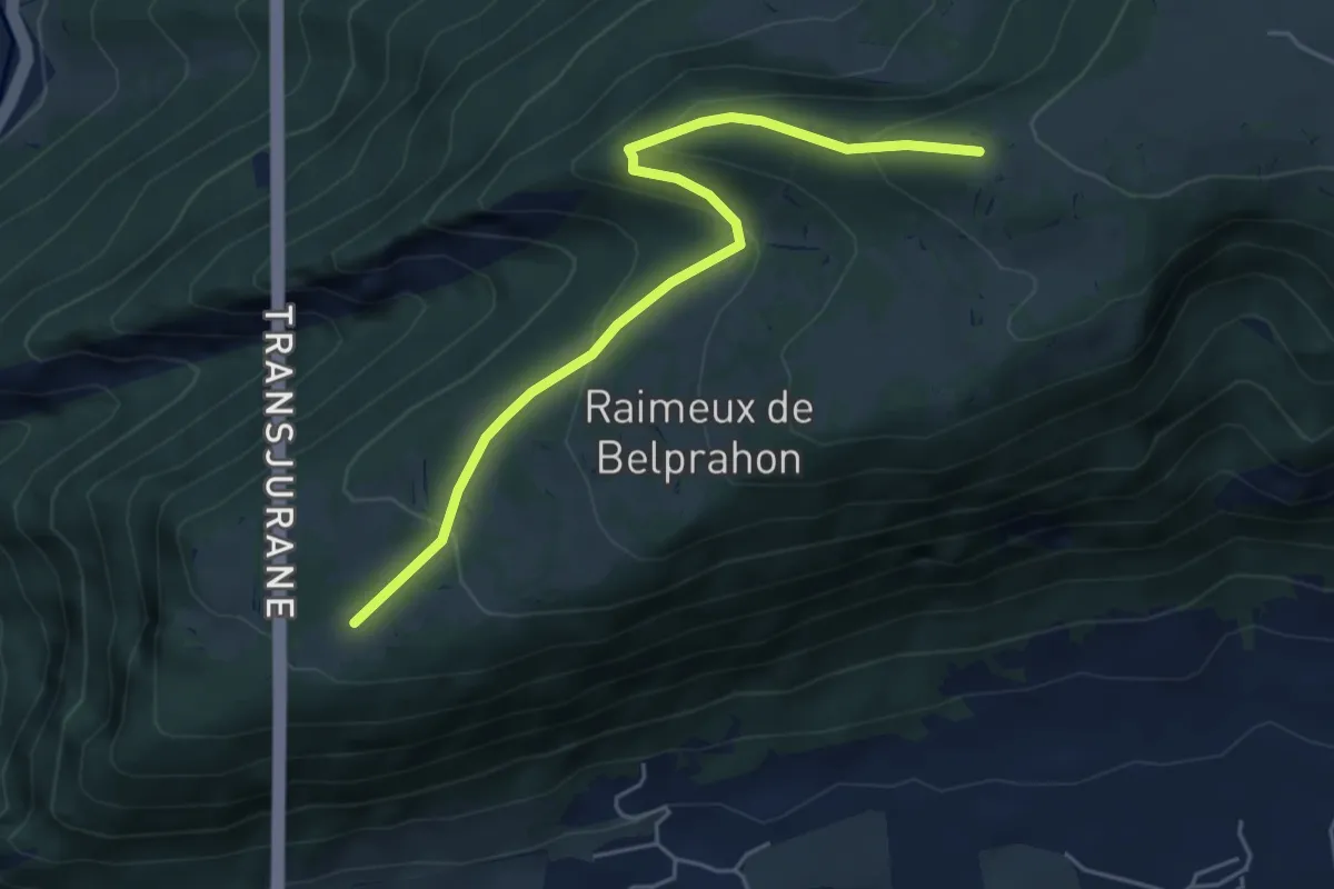
Easy · Cabin
Raimeux – Raimeux Cabane CAS
5.2 km · ↑ 262 m · 1 h 48 min
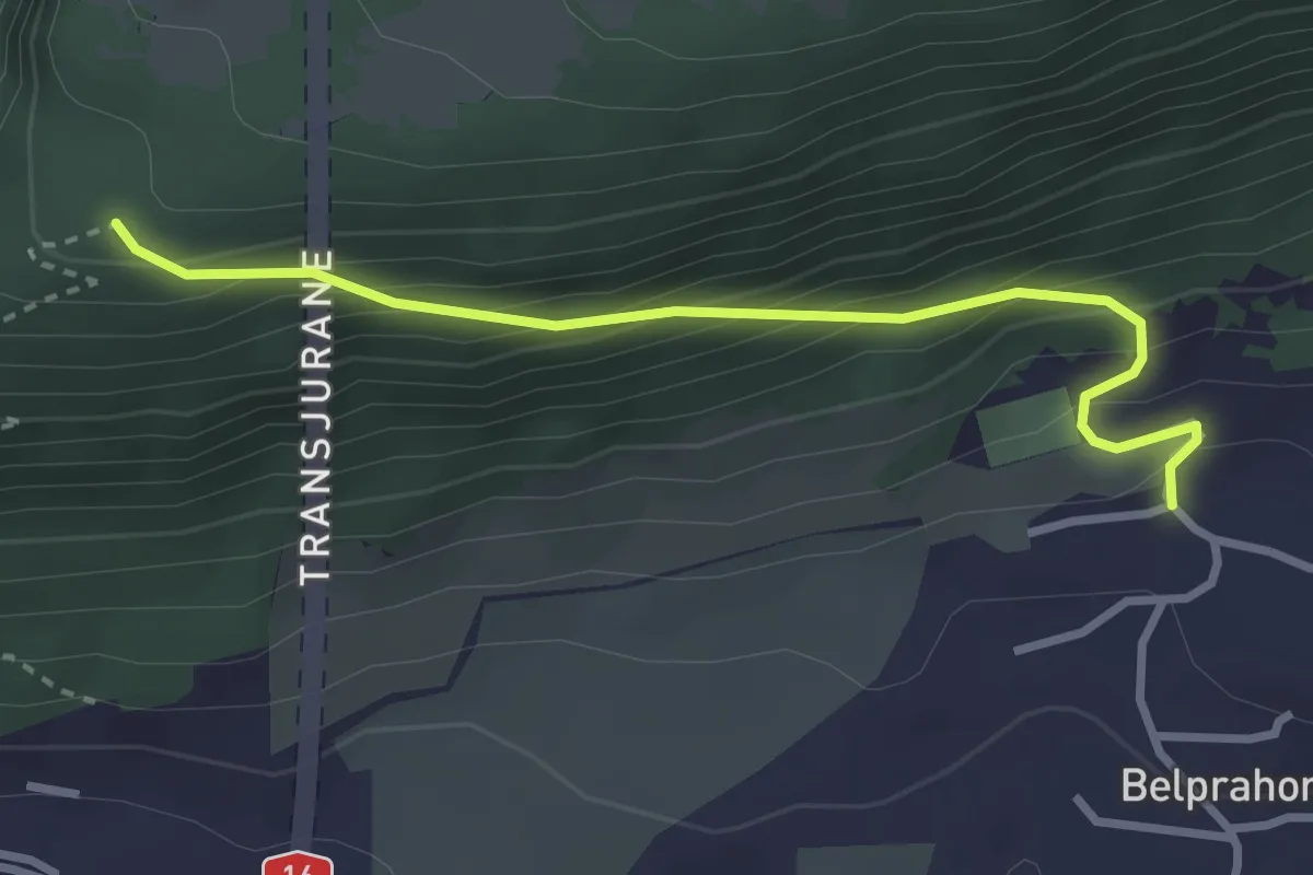
Easy · Trail
Pt. 905 – Belprahon
3.0 km · ↑ 268 m · 1 h 17 min
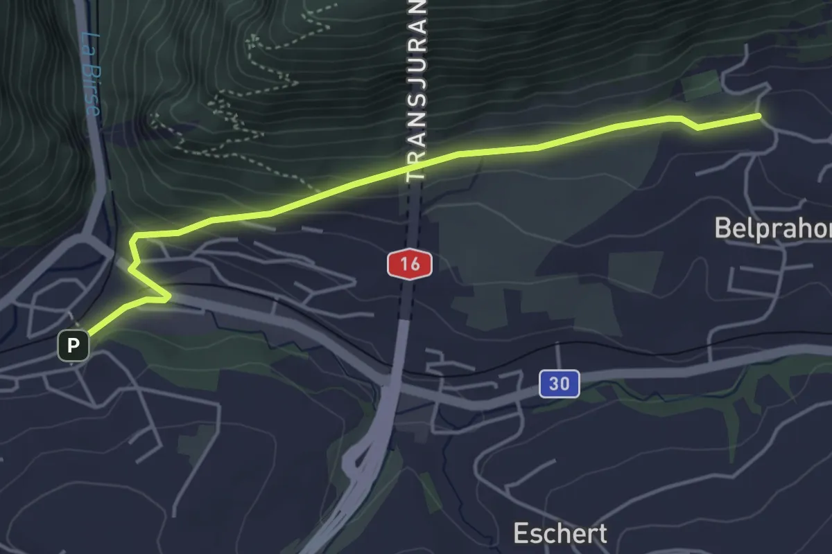
Easy · Trail
Moutier – Belprahon
4.4 km · ↑ 151 m · 1 h 23 min
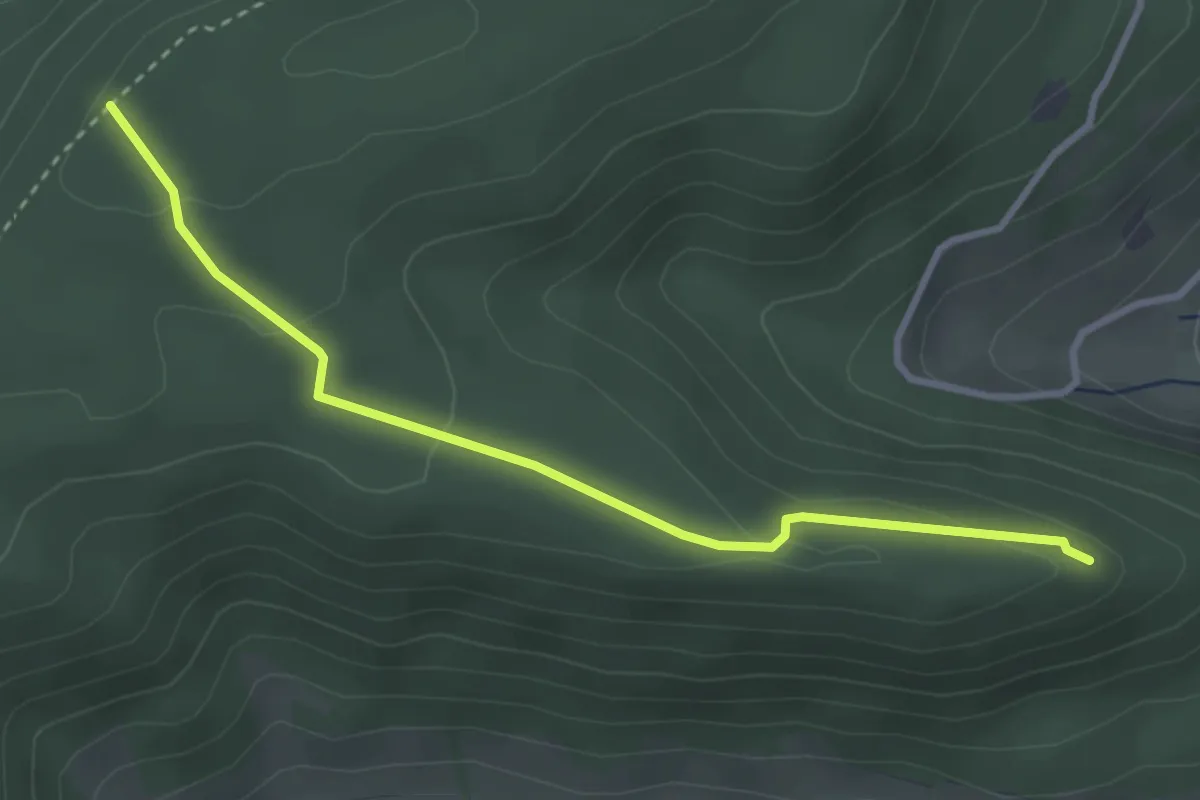
Easy · Trail
Tiersteinberg – Ruine Alt Homberg
3.2 km · ↑ 113 m · 1 h 1 min
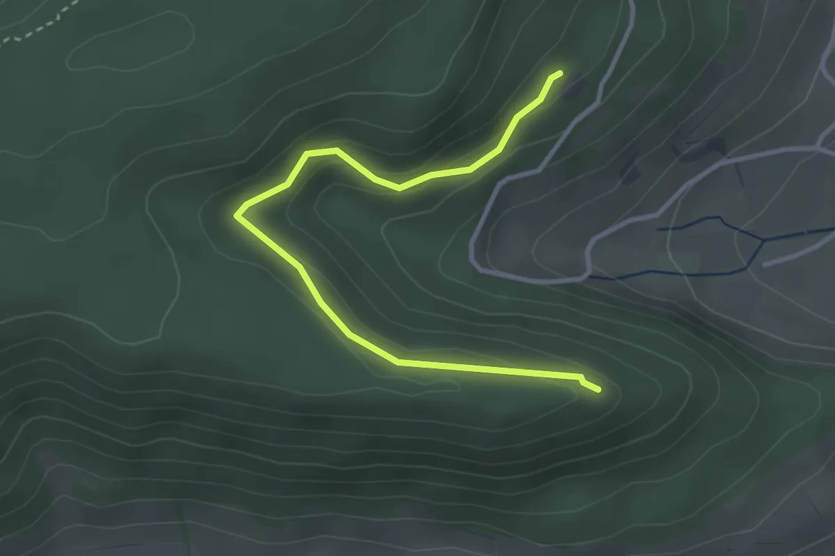
Easy · Trail
Ruine Tierstein – Ruine Alt Homberg
3.4 km · ↑ 160 m · 1 h 9 min
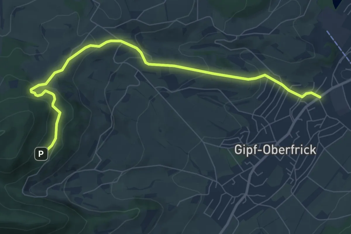
Medium · Trail
Gipf – Ruine Tierstein
8.4 km · ↑ 340 m · 2 h 43 min
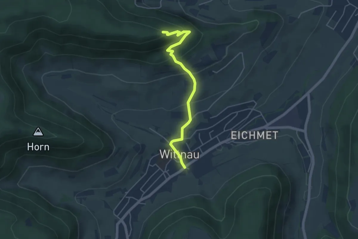
Easy · Trail
Ruine Alt Homberg – Wittnau
4.0 km · ↑ 312 m · 1 h 38 min
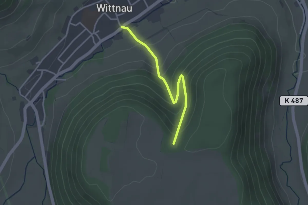
Easy · Trail
Wittnau – Altenberg
2.6 km · ↑ 197 m · 1 h 2 min
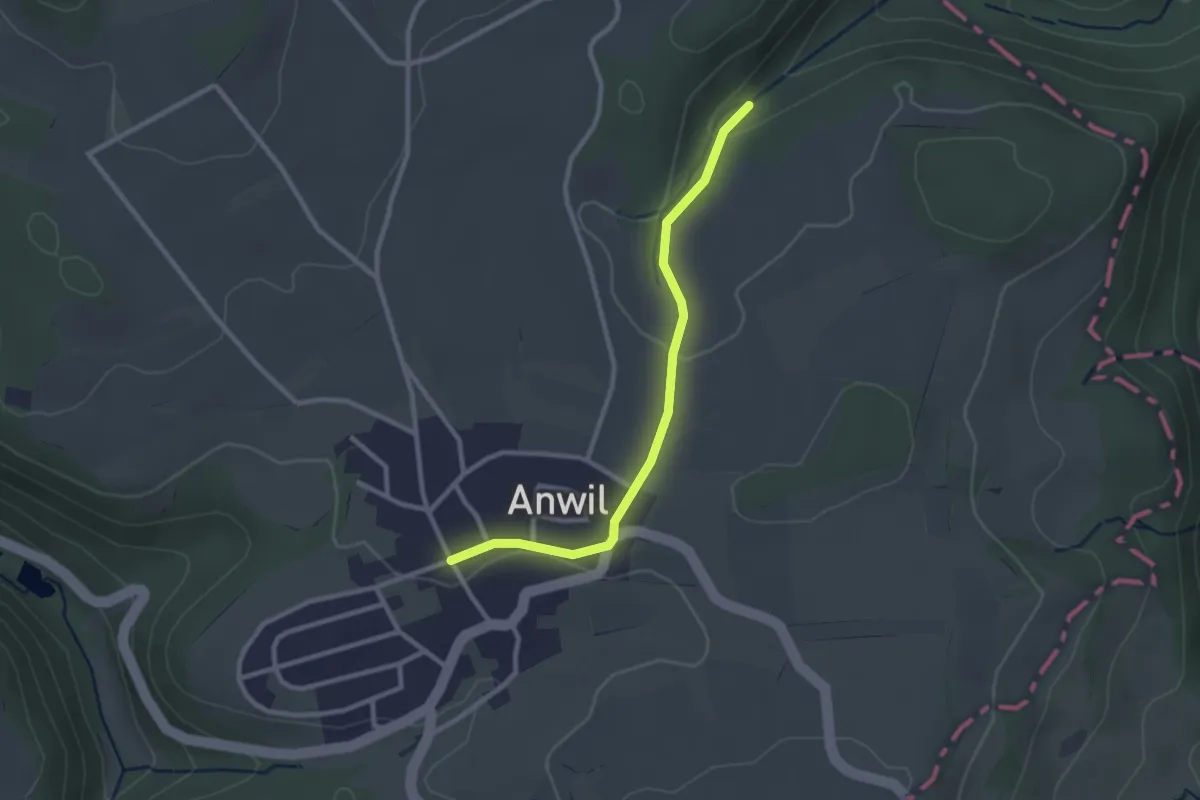
Easy · Trail
Ächtelmatt – Anwil
2.5 km · ↑ 38 m · 41 min
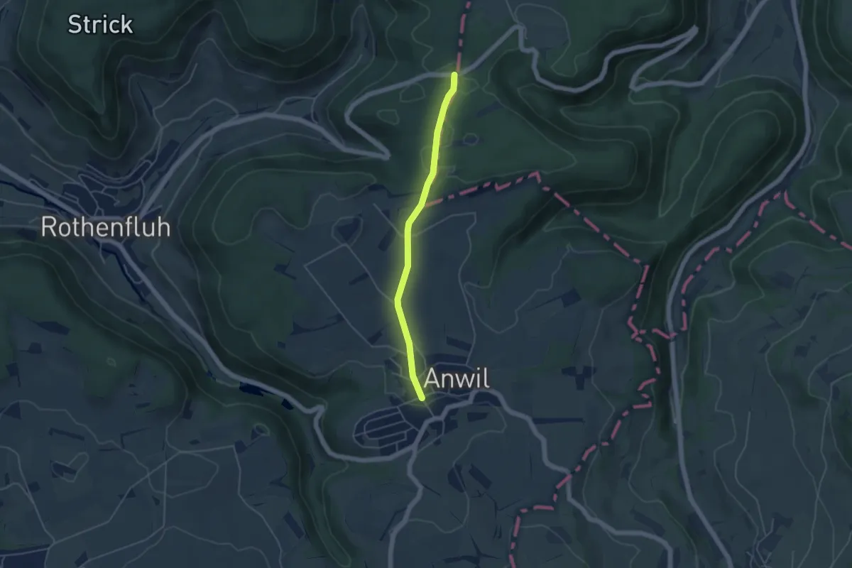
Easy · Trail
Parkplatz Ebnet – Anwil
4.0 km · ↑ 52 m · 1 h 4 min
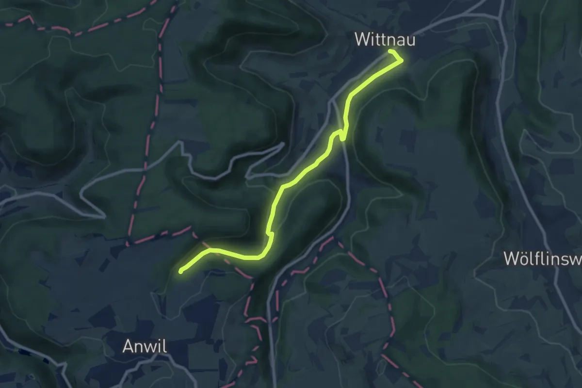
Easy · Trail
Ächtelmatt – Wittnau
7.9 km · ↑ 216 m · 2 h 20 min
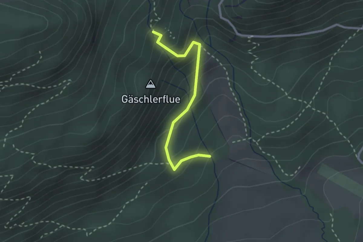
Medium · Trail
Hofacher – Ebenimatt Burg
2.2 km · ↑ 232 m · 1 h 1 min
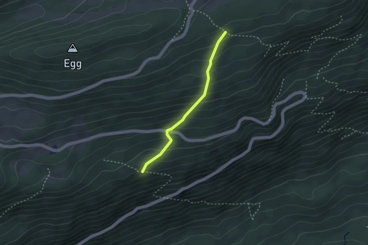
Easy · Trail
Lachen – Vorberg
2.3 km · ↑ 234 m · 1 h 4 min
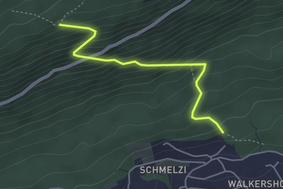
Medium · Trail
Vorberg – Panoramaweg
3.3 km · ↑ 385 m · 1 h 36 min
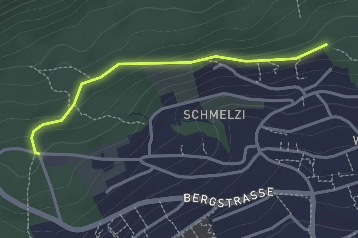
Easy · Trail
Panoramaweg – Holzerhütte
2.1 km · ↑ 68 m · 38 min
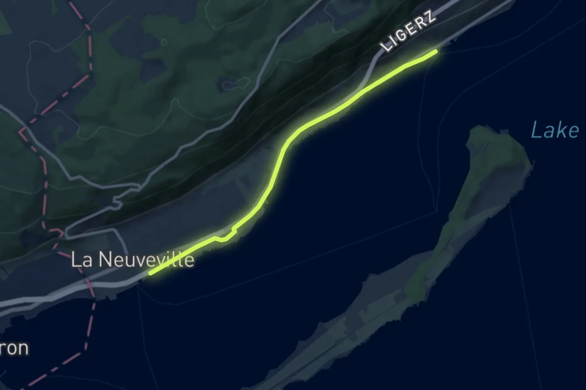
Easy · Trail
Ligerz (Gléresse) – La Neuveville
8.0 km · ↑ 30 m · 1 h 57 min
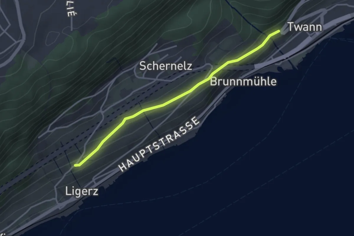
Easy · Trail
Ligerz Kirche – Twann
3.2 km · ↑ 98 m · 58 min
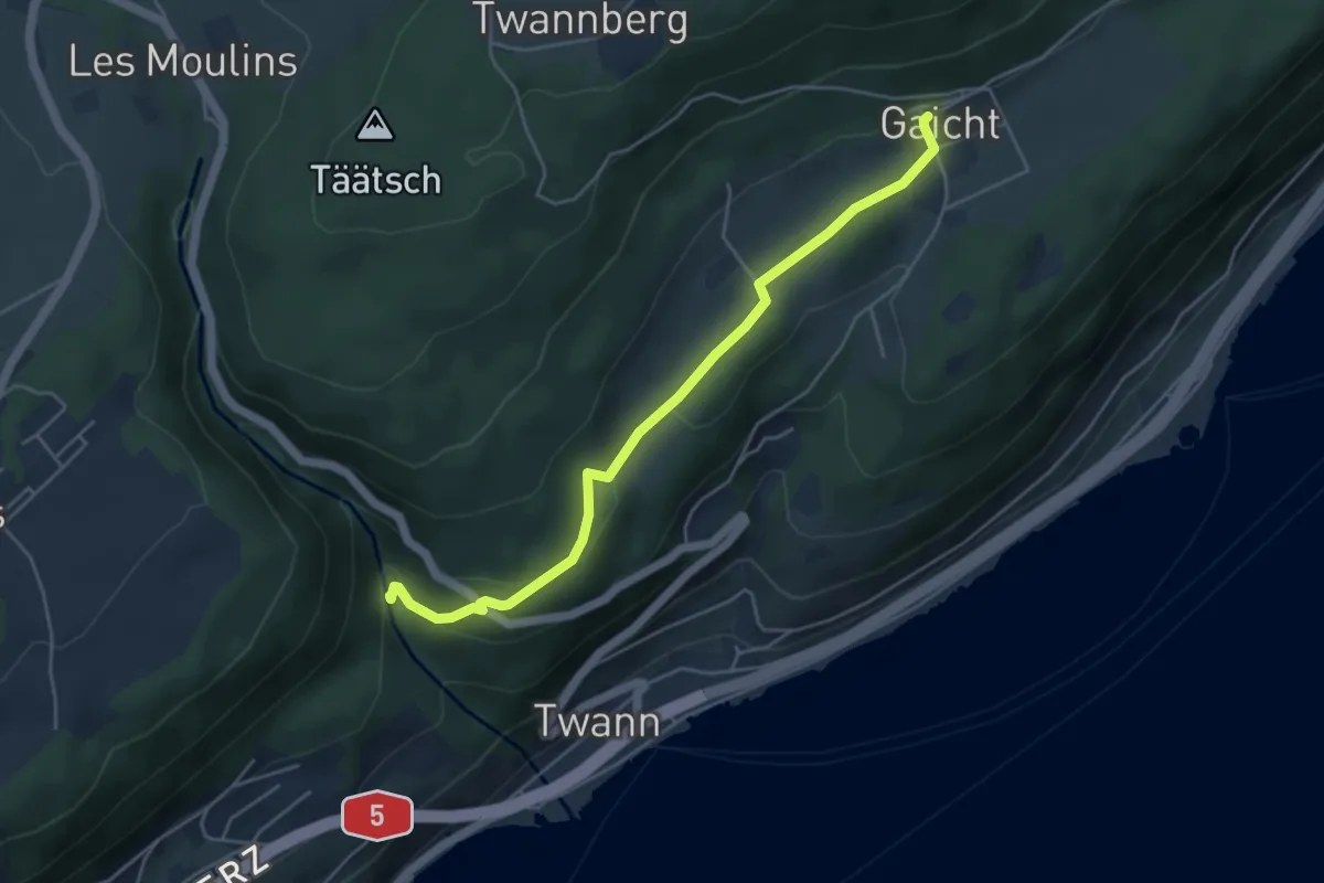
Easy · Trail
Twannbachschlucht – Gaicht
4.8 km · ↑ 143 m · 1 h 26 min
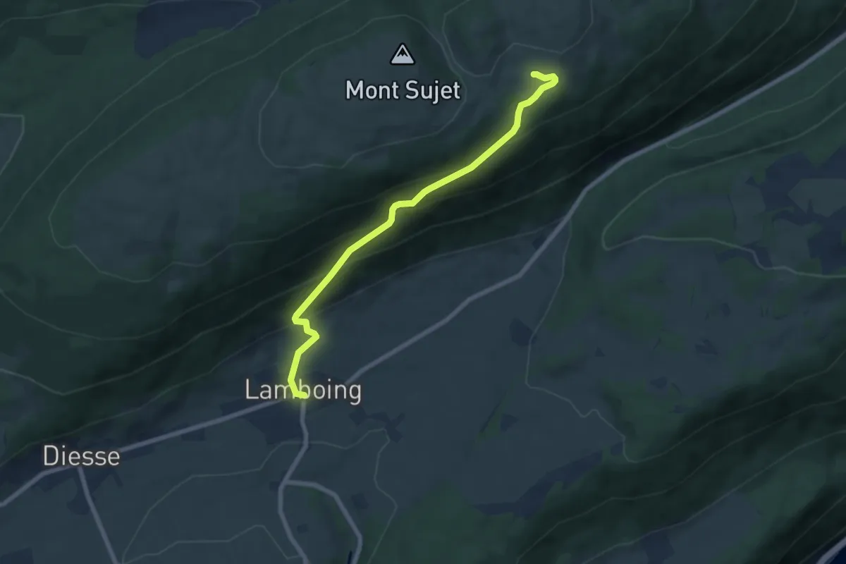
Medium · Trail
Lamboing – Bergerie du Bas
6.7 km · ↑ 454 m · 2 h 33 min
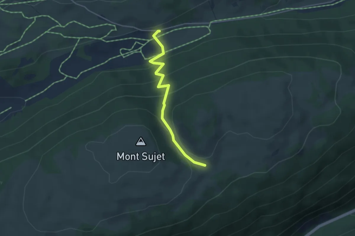
Easy · Trail
Mont Sujet – Métairie de Prêles
3.3 km · ↑ 200 m · 1 h 13 min
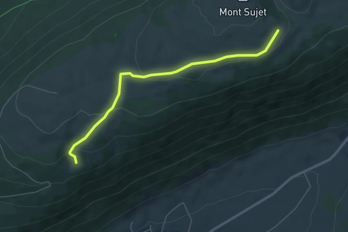
Easy · Cabin
Bergerie du Haut – Combe Robin
5.1 km · ↑ 164 m · 1 h 34 min
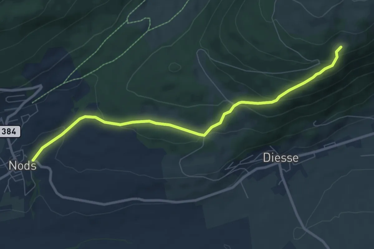
Easy · Trail
Combe Robin – Nods
7.5 km · ↑ 311 m · 2 h 27 min
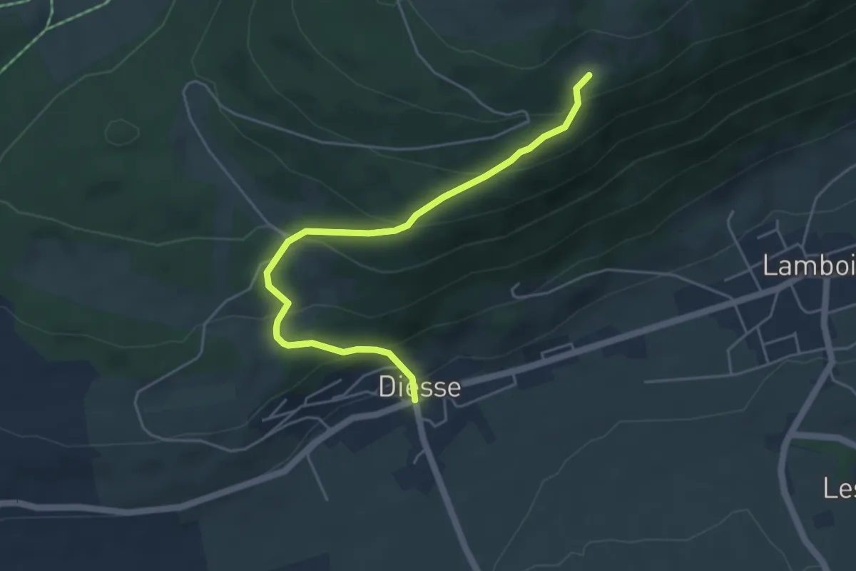
Medium · Trail
Combe Robin – Diesse
4.8 km · ↑ 322 m · 1 h 50 min
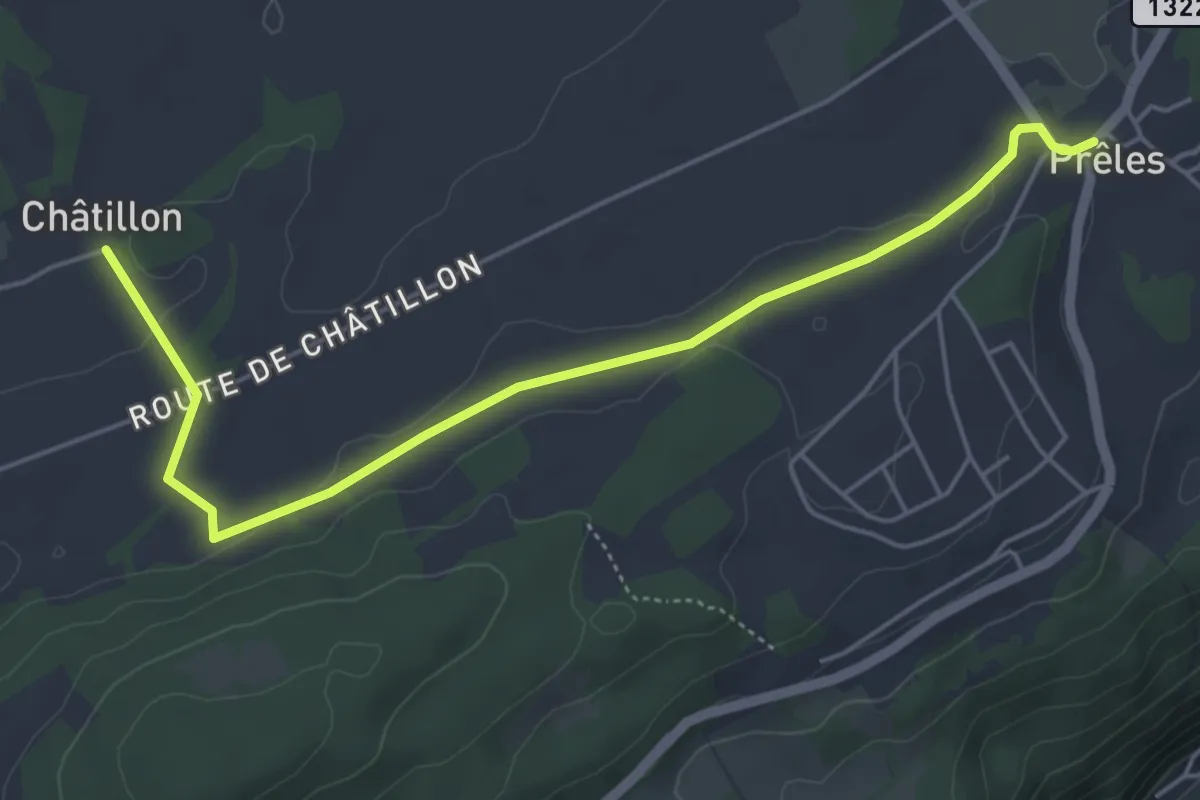
Easy · Trail
Montagne Diesse/Châtillon – Prêles
5.5 km · ↑ 57 m · 1 h 25 min
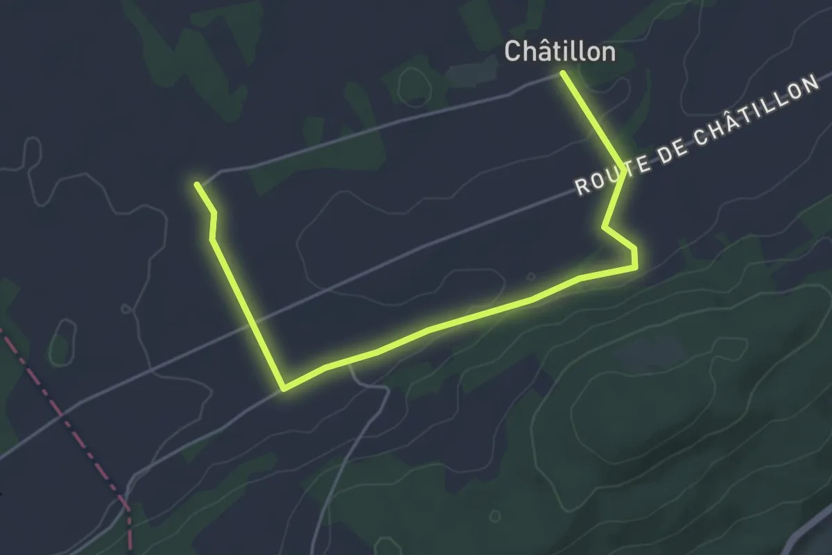
Easy · Trail
Montagne Diesse/Châtillon – La Praye
5.0 km · ↑ 61 m · 1 h 19 min
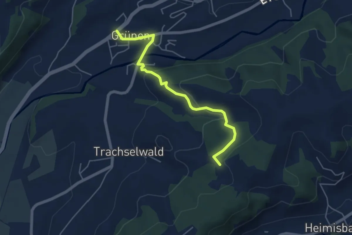
Easy · Trail
Sumiswald/Grünen – Jörberg
4.1 km · ↑ 152 m · 1 h 18 min
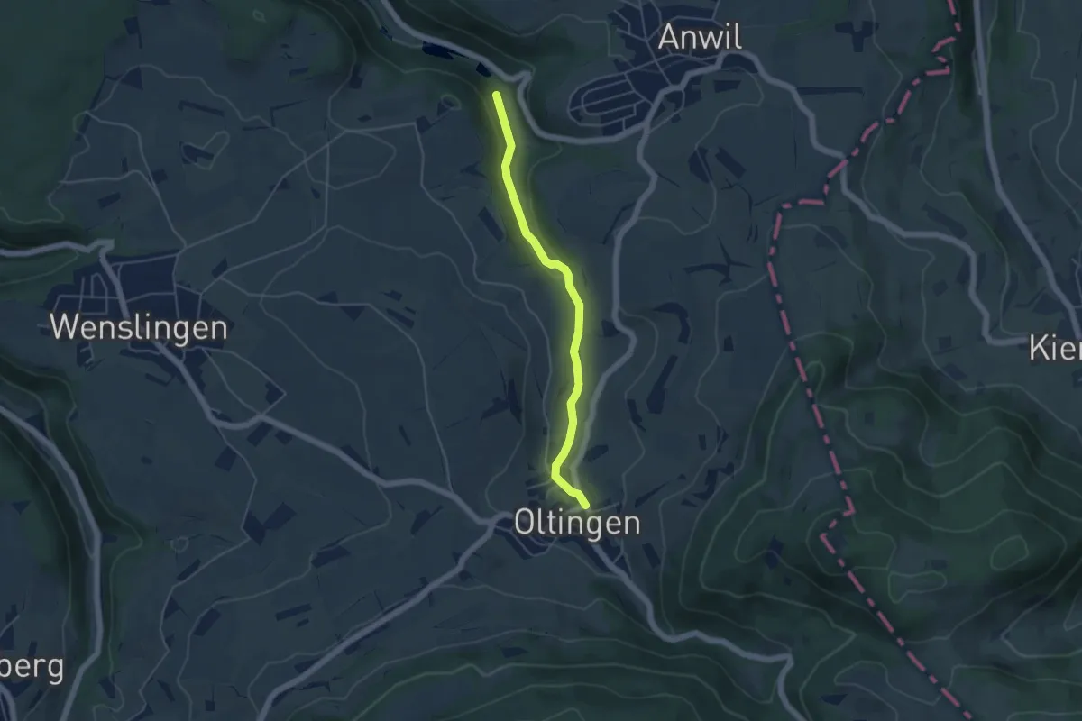
Easy · Trail
Talweiher – Oltingen
4.3 km · ↑ 92 m · 1 h 13 min
Easy · Trail
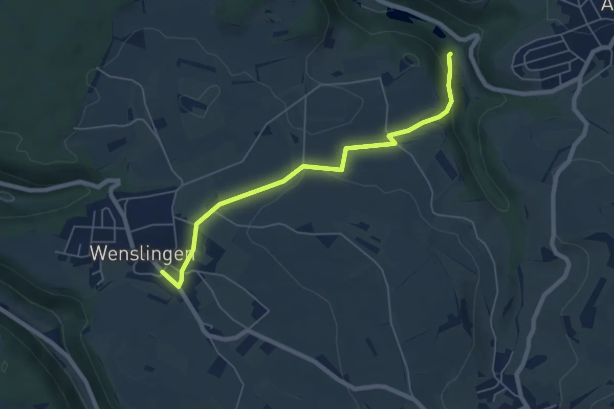
Talweiher – Wenslingen
4.9 km · ↑ 115 m · 1 h 25 min
Easy · Trail
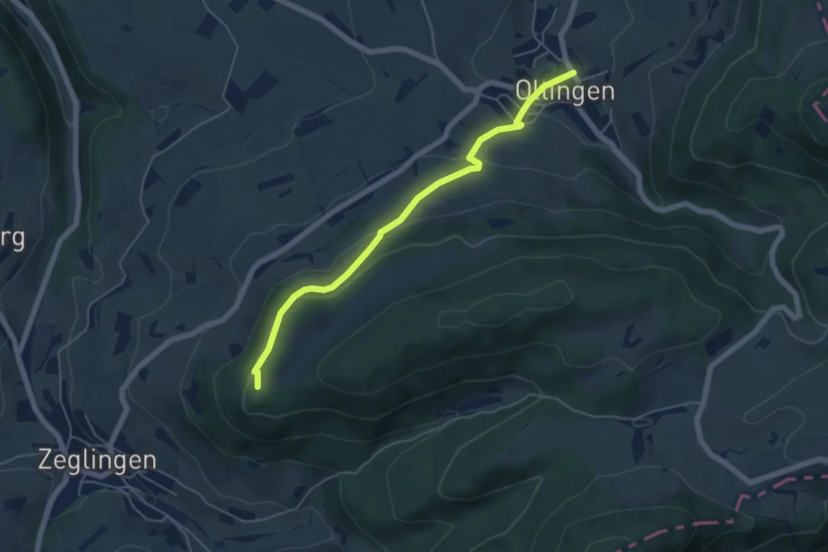
Oltingen – Zigflue
4.6 km · ↑ 225 m · 1 h 35 min
Easy · Trail
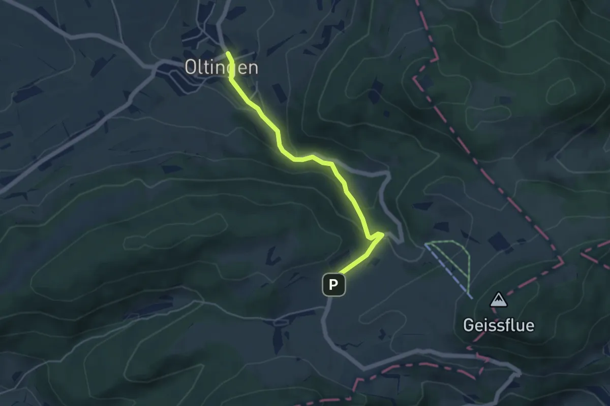
Schafmatt – Oltingen
4.1 km · ↑ 219 m · 1 h 26 min
Easy · Trail
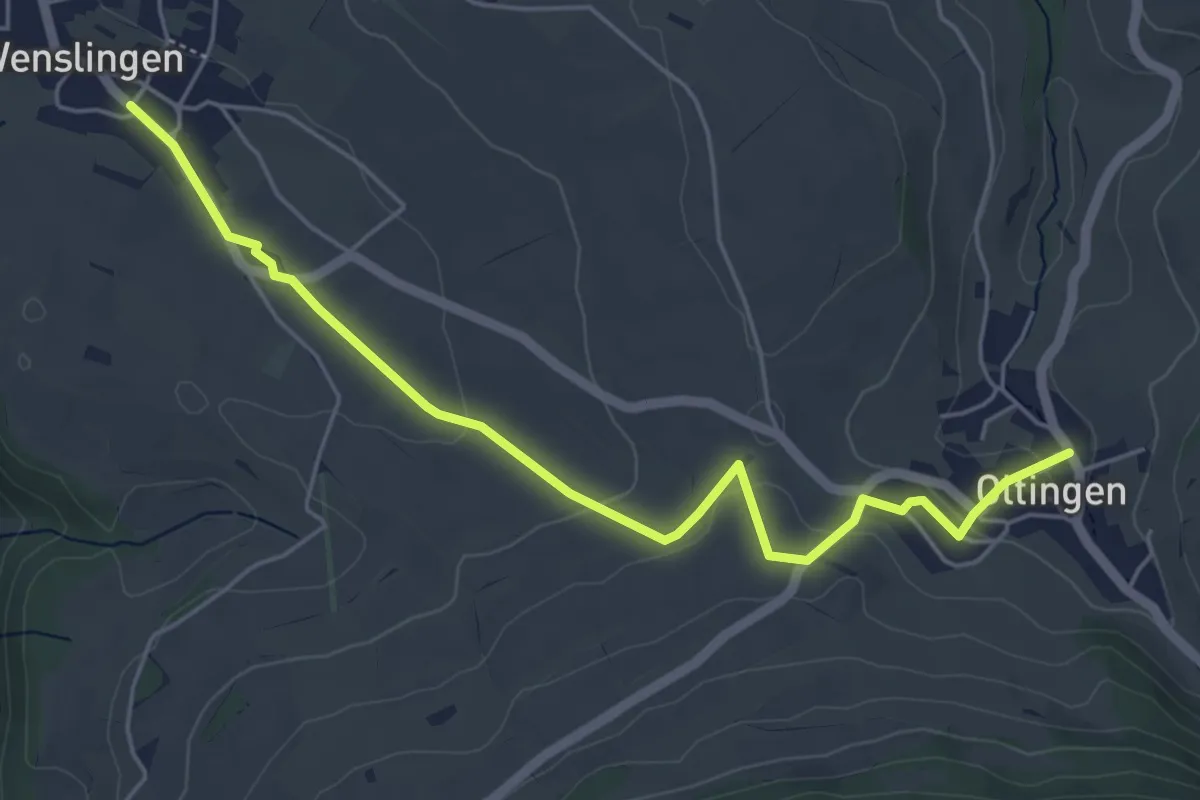
Wenslingen – Oltingen
5.5 km · ↑ 120 m · 1 h 33 min