Trails in Switzerland
15,055 hiking trails, each with its route, climb, walking time and grade.
All trails, page 237 of 314
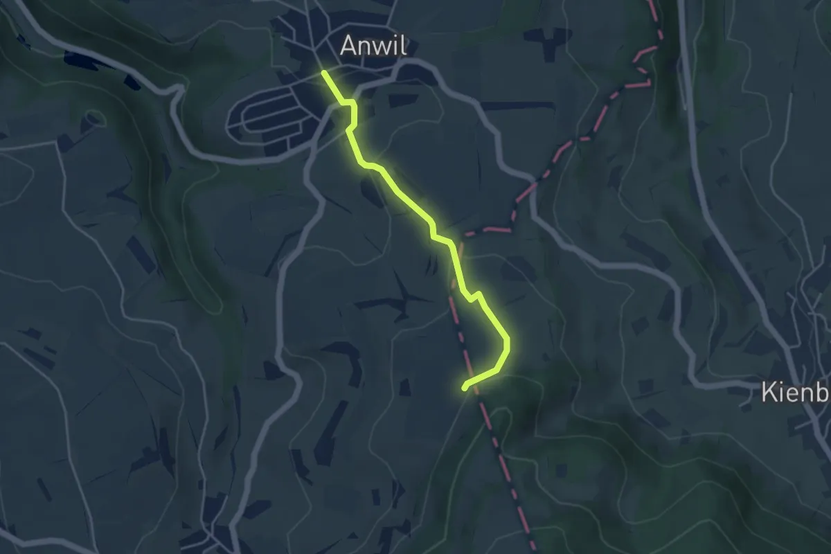
Easy · Trail
Egg – Anwil
3.6 km · ↑ 130 m · 1 h 8 min
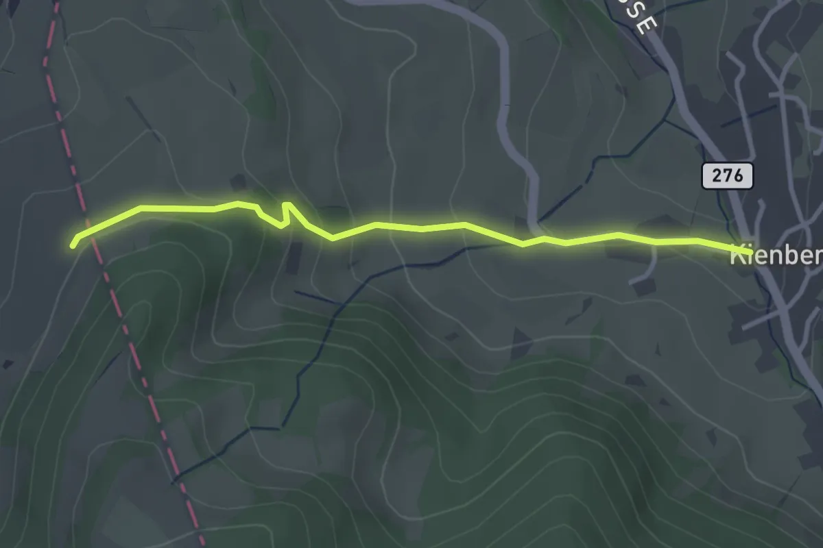
Easy · Trail
Egg – Kienberg
3.1 km · ↑ 150 m · 1 h 3 min
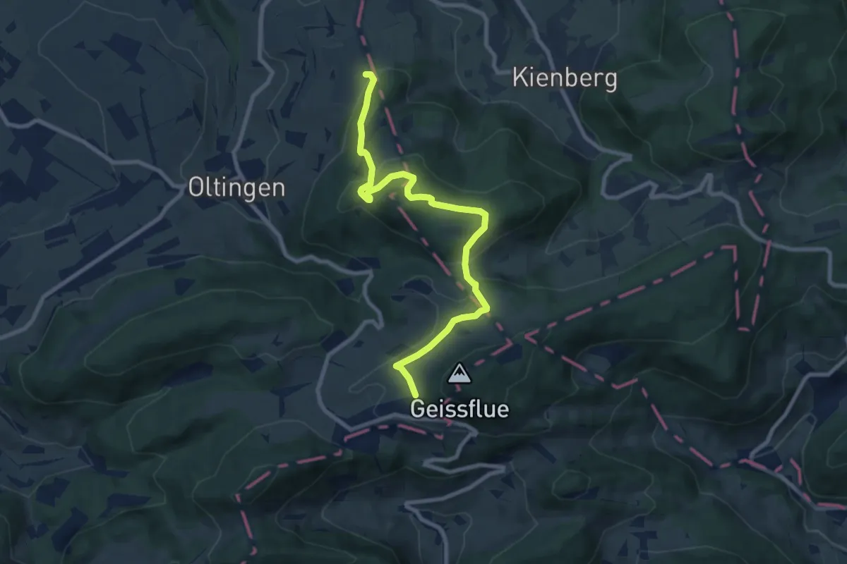
Medium · Trail
Egg – Schafmatt
8.4 km · ↑ 341 m · 2 h 44 min
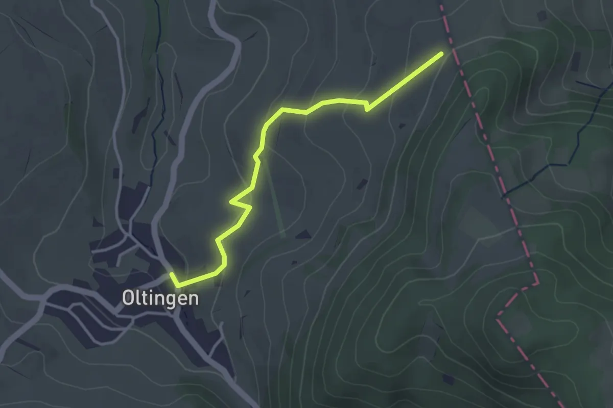
Easy · Trail
Egg – Oltingen
3.1 km · ↑ 134 m · 1 h 2 min
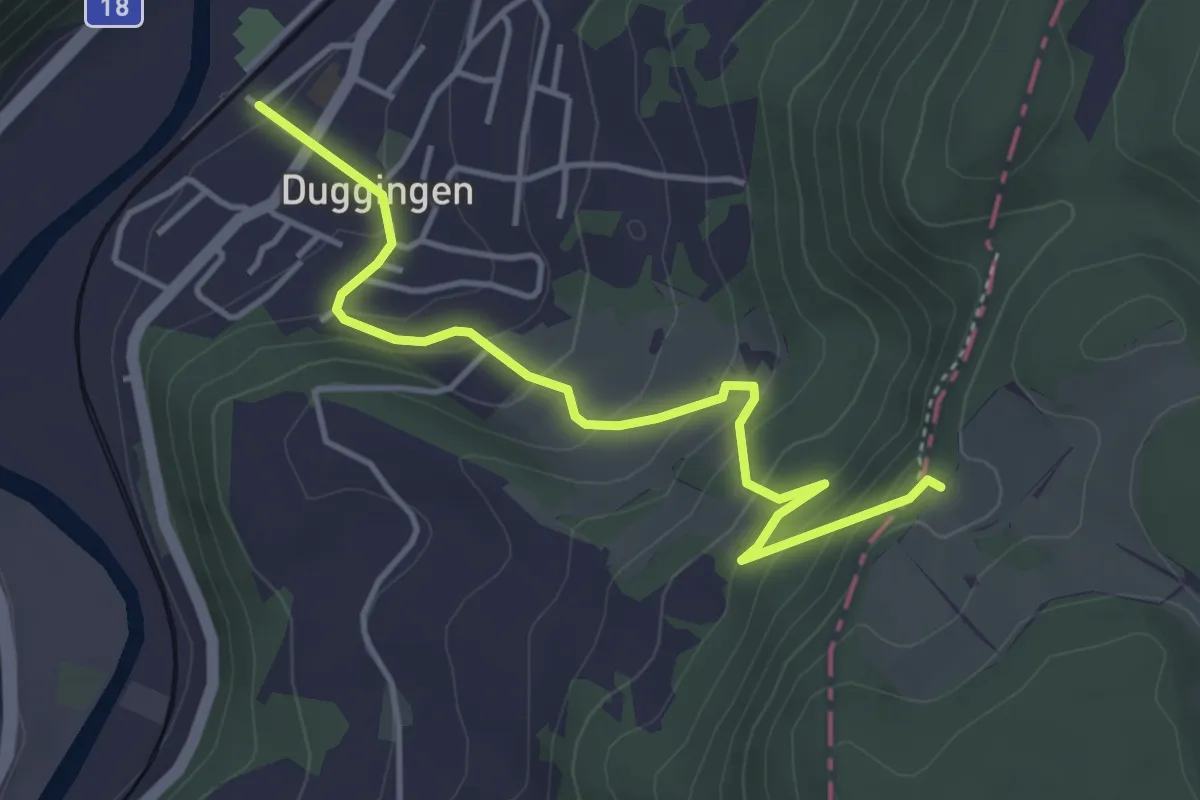
Easy · Trail
Duggingen – Falkenflue
4.3 km · ↑ 303 m · 1 h 40 min
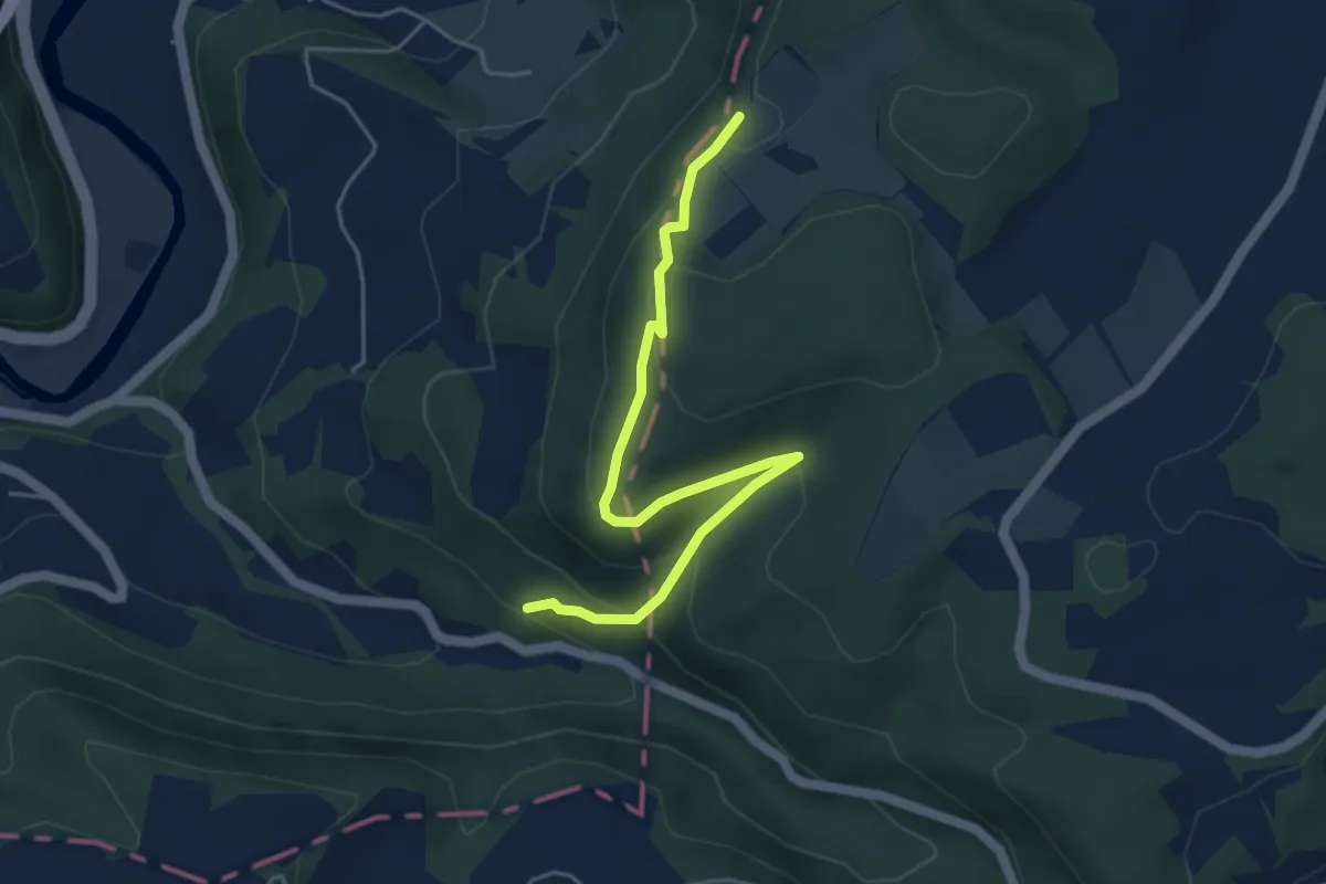
Easy · Trail
Falkenflue – Baslerbrünneli
4.9 km · ↑ 285 m · 1 h 46 min
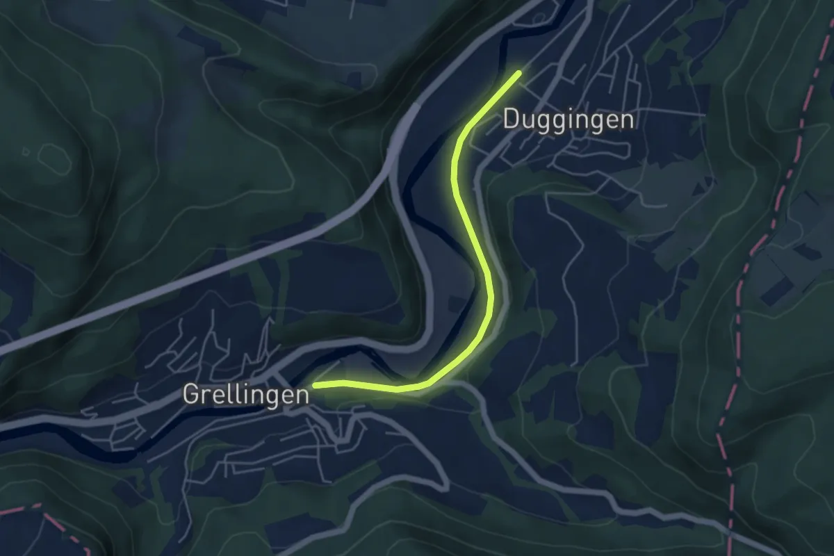
Easy · Trail
Grelligen – Duggingen
4.2 km · ↑ 43 m · 1 h 5 min
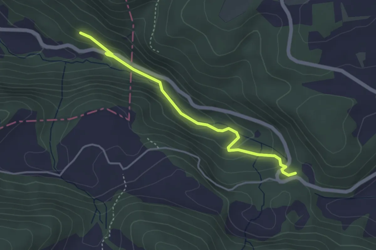
Easy · Trail
Baslerbrünneli – Welschhans
3.5 km · ↑ 136 m · 1 h 8 min
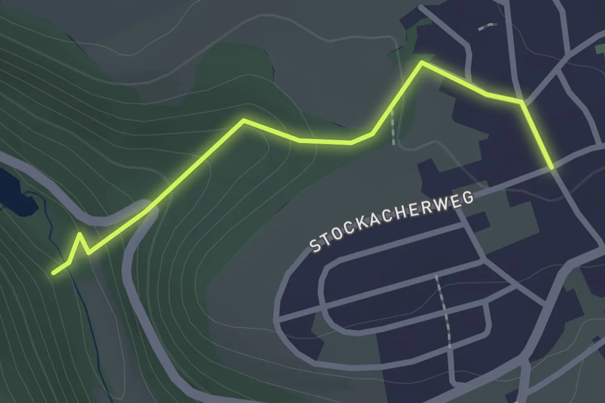
Easy · Trail
Talweiher – Anwil
2.0 km · ↑ 100 m · 42 min
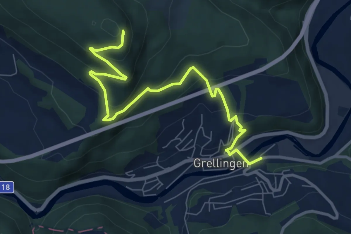
Medium · Summit
Grellingen – Eggflue
7.5 km · ↑ 412 m · 2 h 39 min
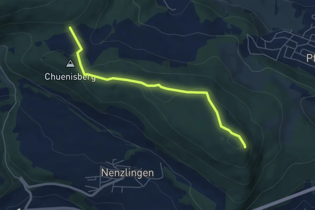
Easy · Summit
Eggflue – Blattepass
5.0 km · ↑ 148 m · 1 h 29 min
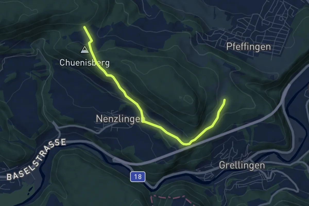
Easy · Trail
Grossi Weid – Blattepass
7.3 km · ↑ 308 m · 2 h 23 min
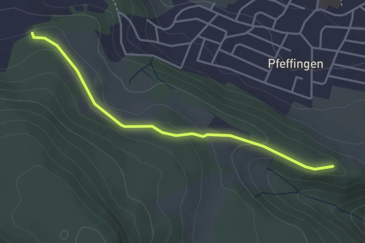
Easy · Trail
Ruine Pfeffingen – Bergmatten
3.3 km · ↑ 119 m · 1 h 2 min
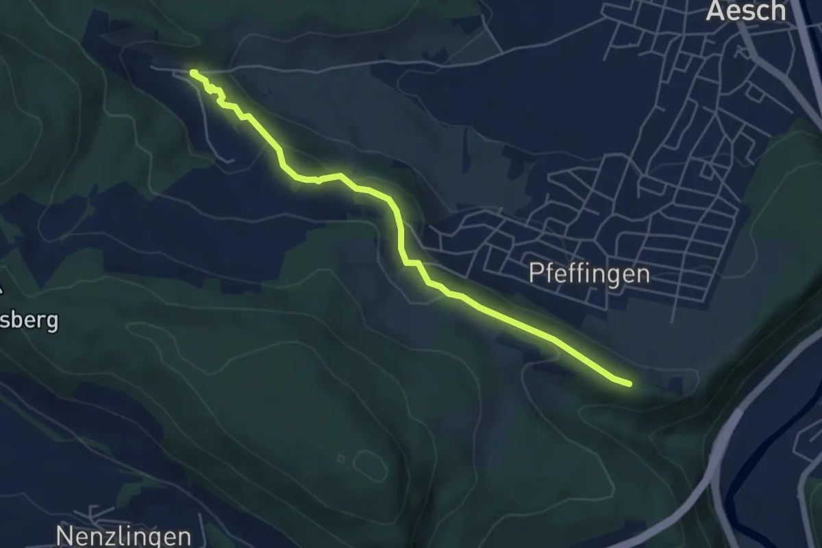
Medium · Trail
Ruine Pfeffingen – Untere Chlus
5.2 km · ↑ 200 m · 1 h 40 min
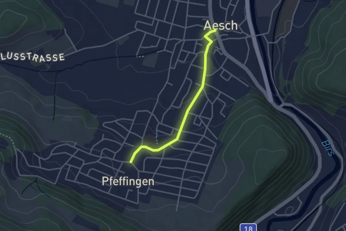
Easy · Trail
Aesch – Pfeffingen
2.7 km · ↑ 75 m · 48 min
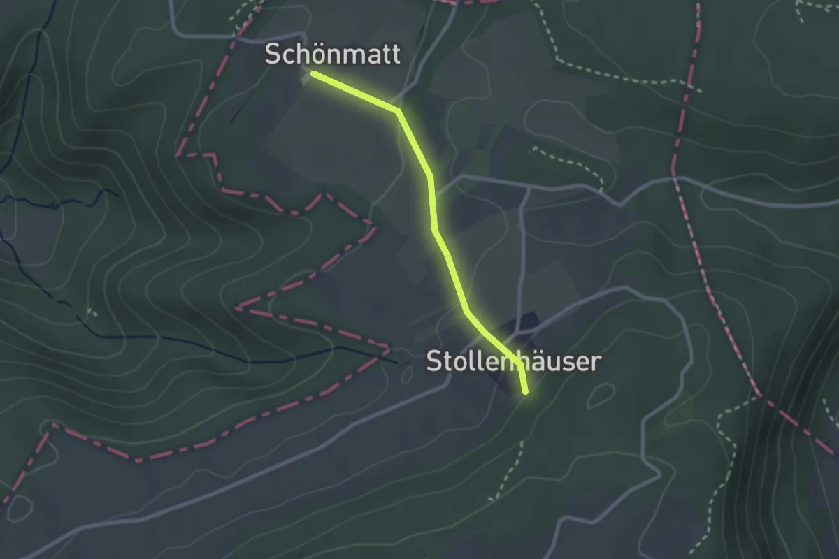
Easy · Trail
Schönmatt – Stollenhäuser
2.1 km · ↑ 70 m · 39 min
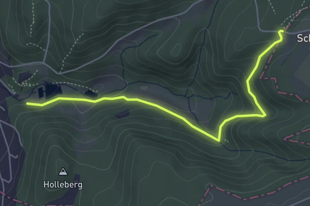
Easy · Trail
Eichmatt – Ermitage
4.8 km · ↑ 232 m · 1 h 38 min
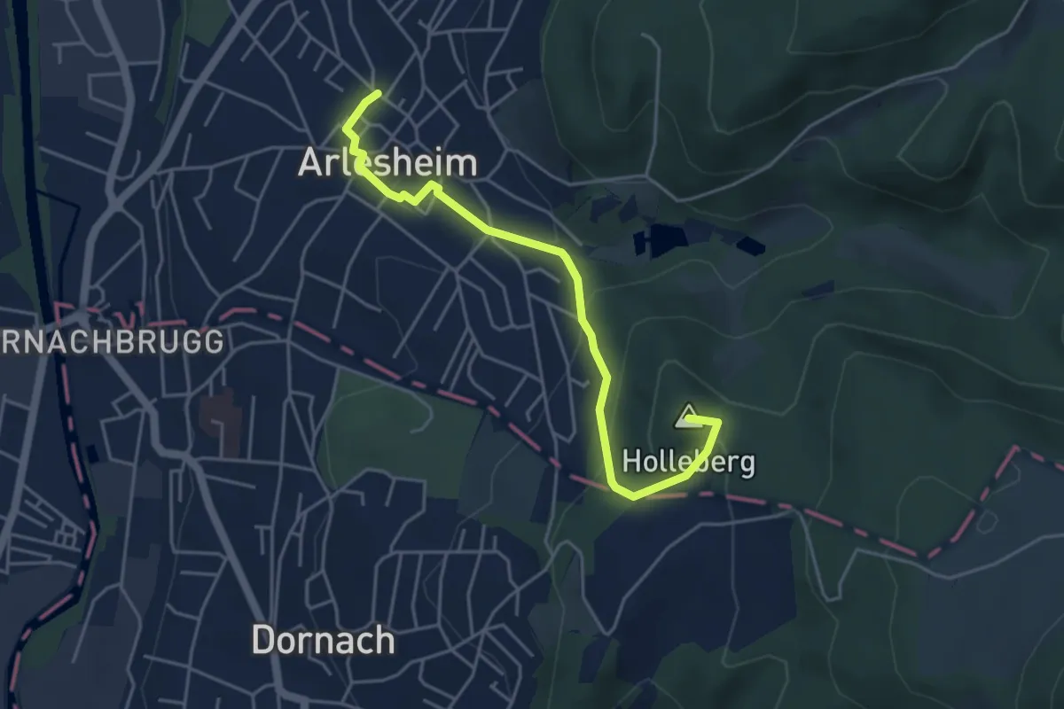
Easy · Summit
Eichmatt – Arlesheim Tram
4.4 km · ↑ 196 m · 1 h 28 min
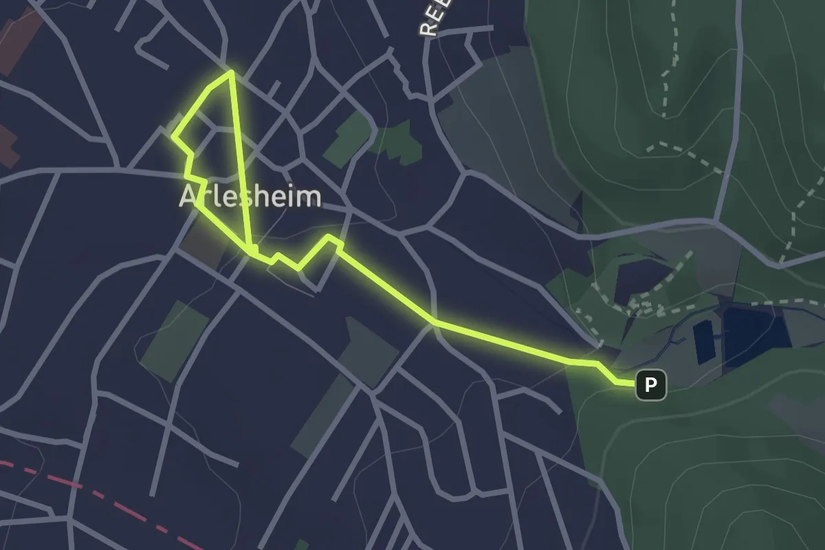
Easy · Trail
Ermitage – Arlesheim Tram
2.9 km · ↑ 54 m · 48 min
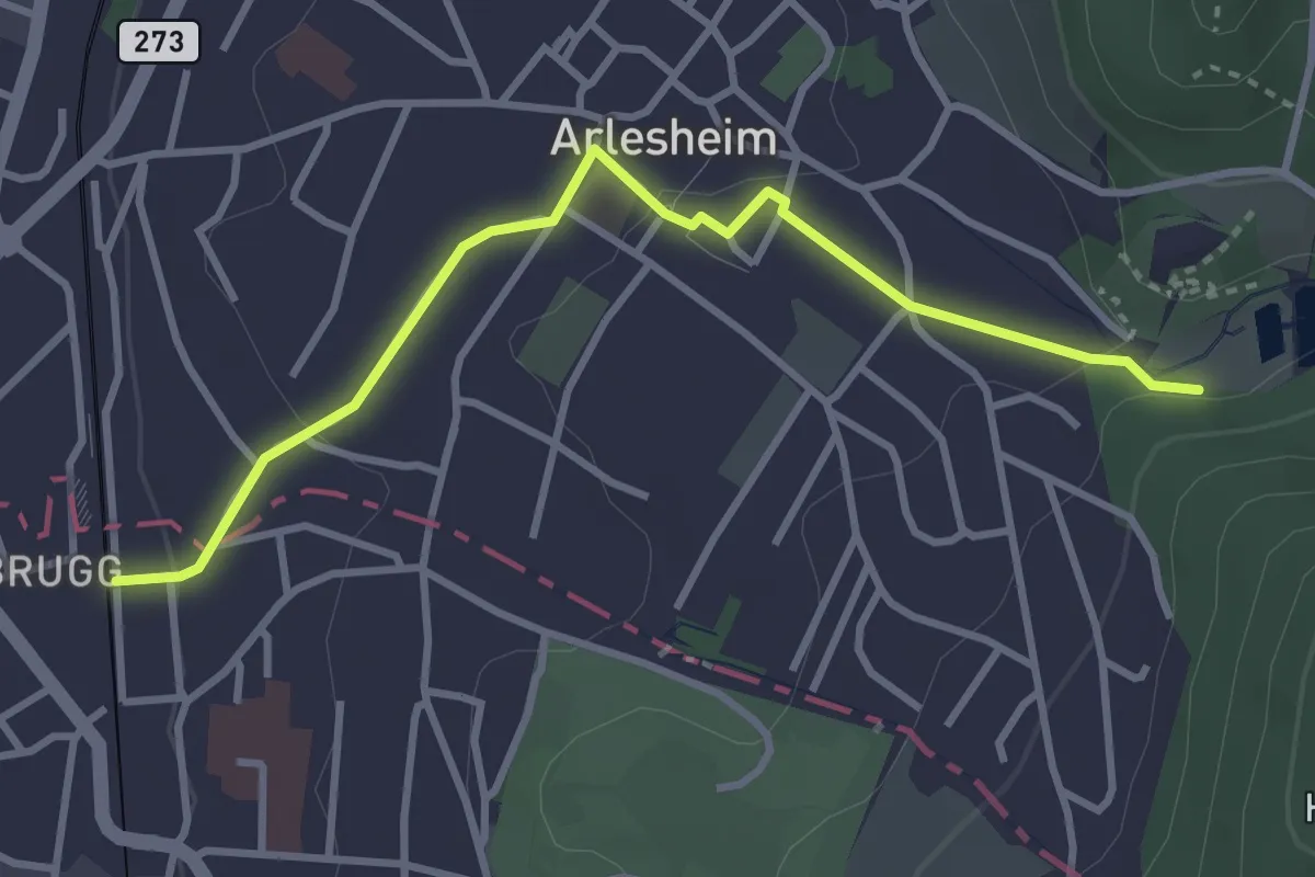
Easy · Trail
Ermitage – Dornach Bahnhof Ost
3.4 km · ↑ 77 m · 58 min
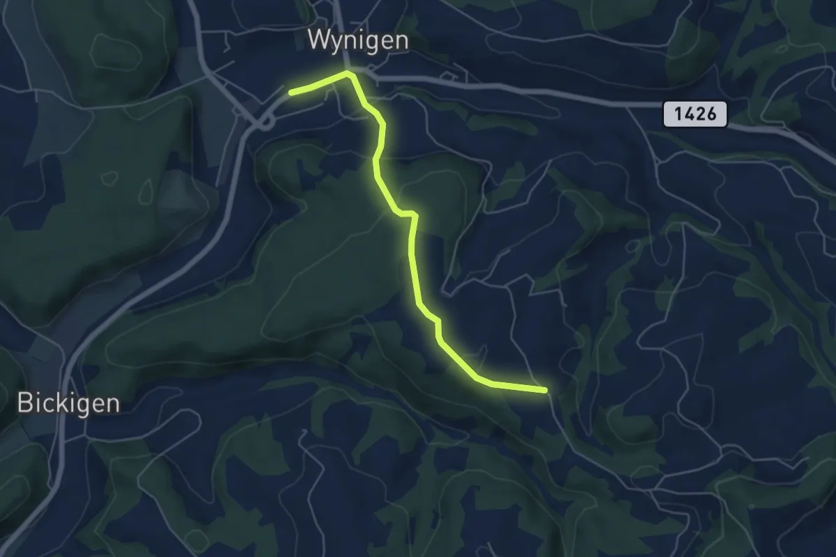
Easy · Trail
Wynigen – Schwande
5.0 km · ↑ 202 m · 1 h 38 min
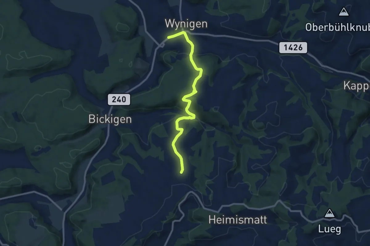
Medium · Trail
Wynigen – Guetisberg
8.2 km · ↑ 340 m · 2 h 41 min
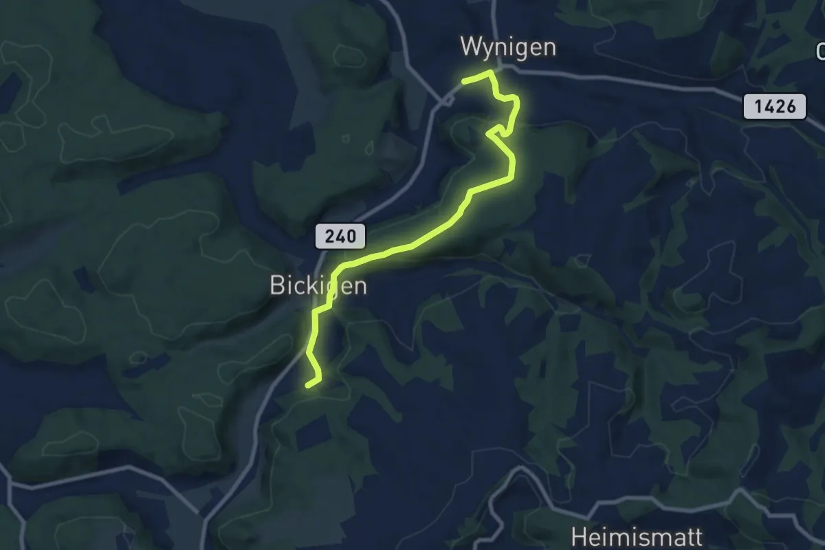
Medium · Trail
Wynigen – Matten
8.2 km · ↑ 272 m · 2 h 32 min
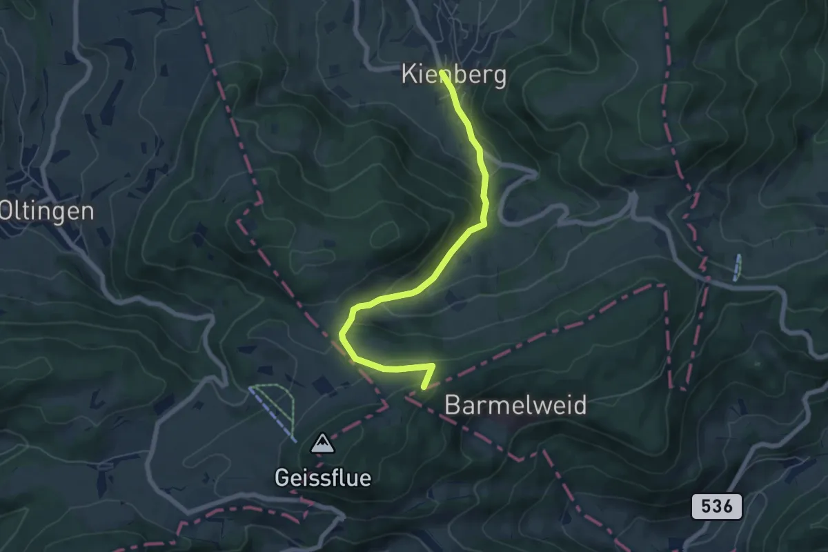
Medium · Summit
Kienberg – Saalhöhe
5.8 km · ↑ 344 m · 2 h 6 min
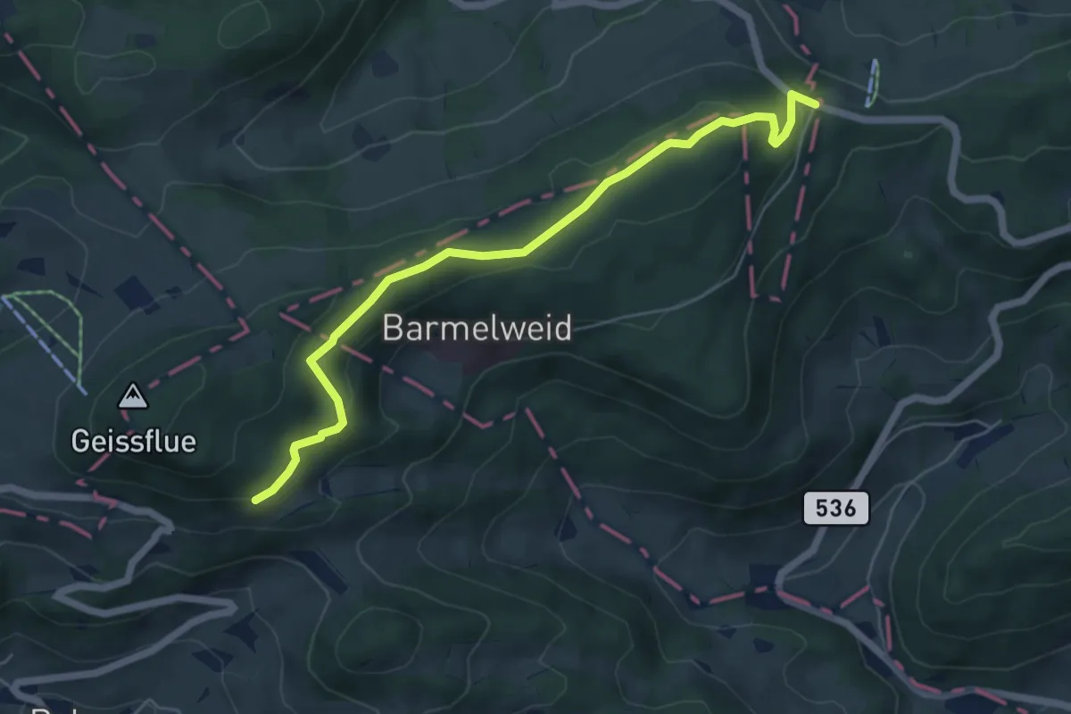
Easy · Trail
Salhöhe – Meierweidhöchi
5.7 km · ↑ 195 m · 1 h 47 min
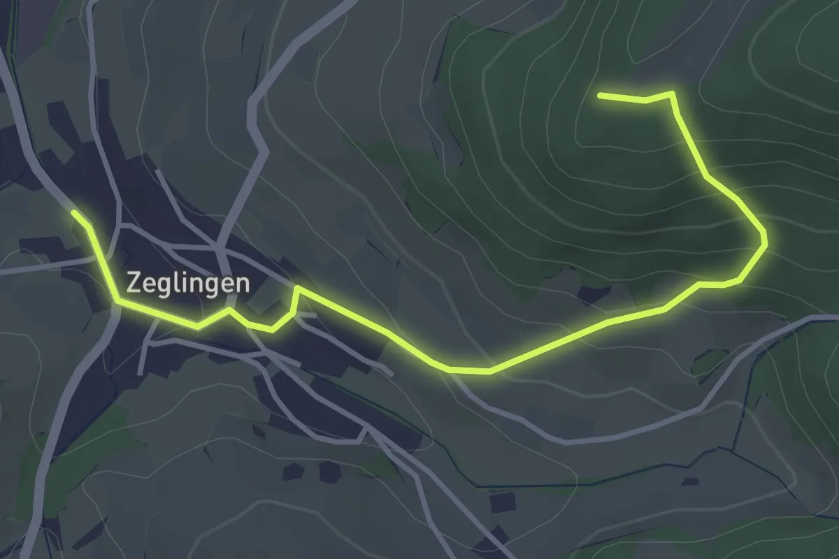
Easy · Trail
Zigflue – Zeglingen
3.9 km · ↑ 250 m · 1 h 28 min
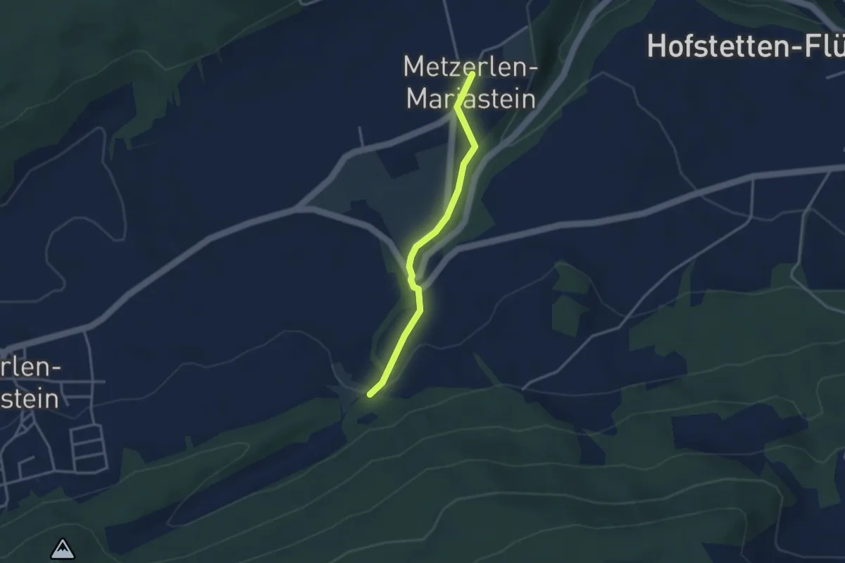
Easy · Trail
Rotberg – Kloster Mariastein
2.8 km · ↑ 57 m · 47 min
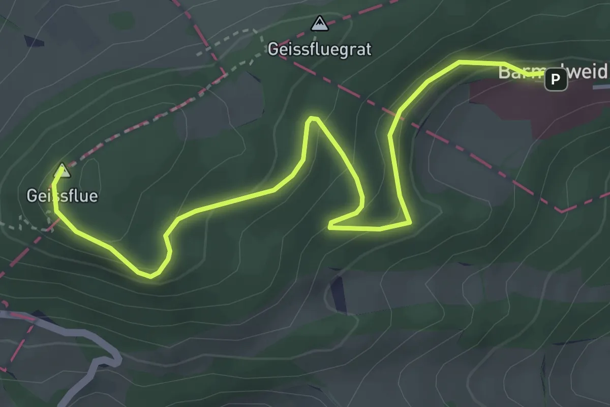
Easy · Summit
Geissflue – Barmelweid
4.4 km · ↑ 256 m · 1 h 36 min
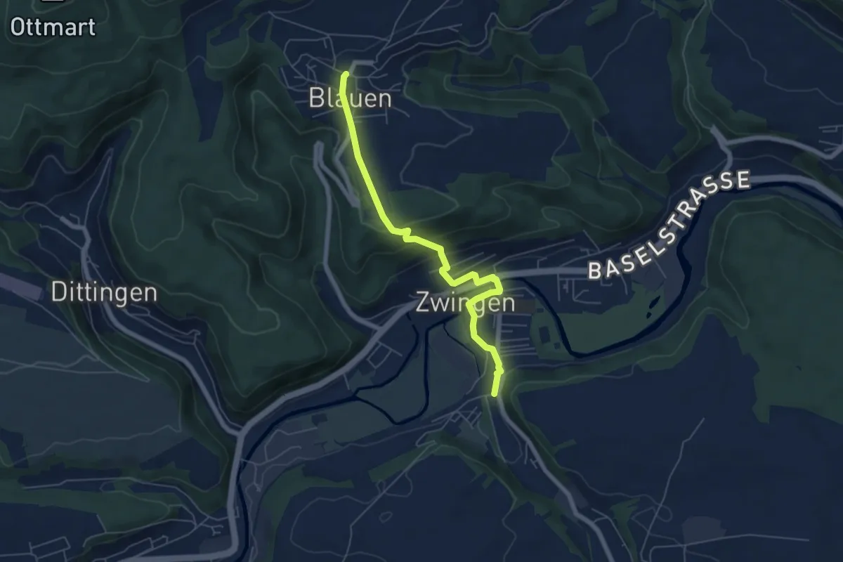
Easy · Trail
Zwingen – Blauen
5.8 km · ↑ 217 m · 1 h 50 min
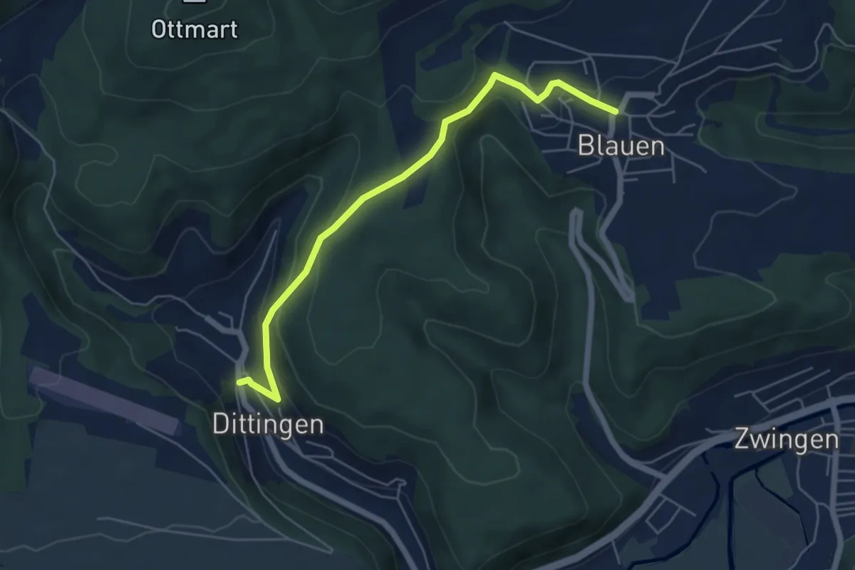
Easy · Trail
Blauen – Dittingen
5.2 km · ↑ 248 m · 1 h 46 min
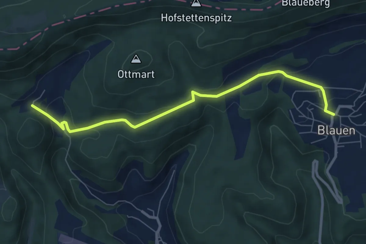
Easy · Trail
Blauen – Bergmattenhof
6.7 km · ↑ 257 m · 2 h 9 min
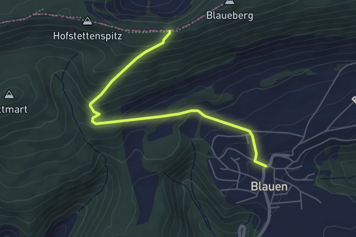
Easy · Trail
Blauen – Blauepass
4.7 km · ↑ 273 m · 1 h 43 min
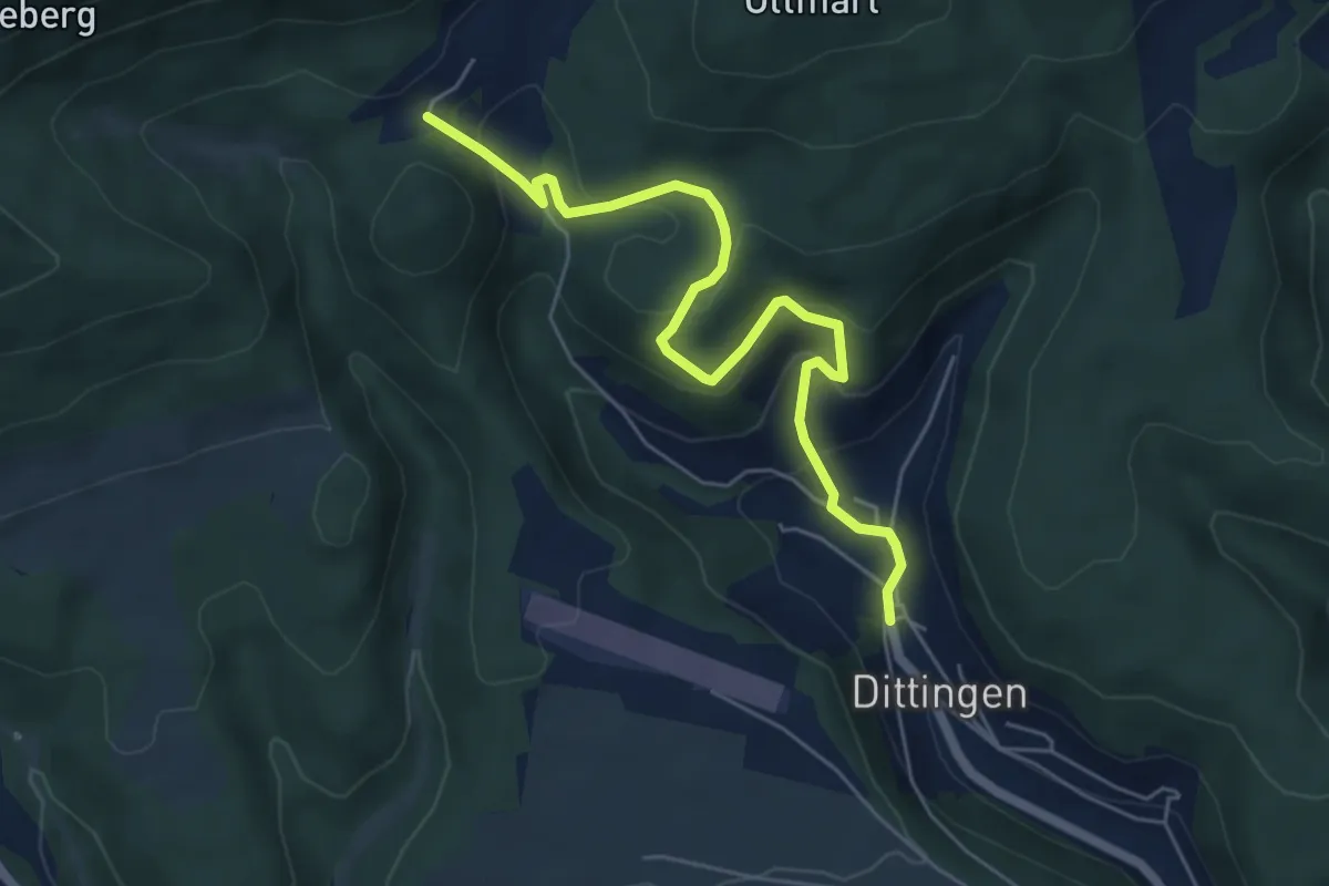
Easy · Trail
Bergmattenhof – Dittingen
5.8 km · ↑ 305 m · 2 h 1 min
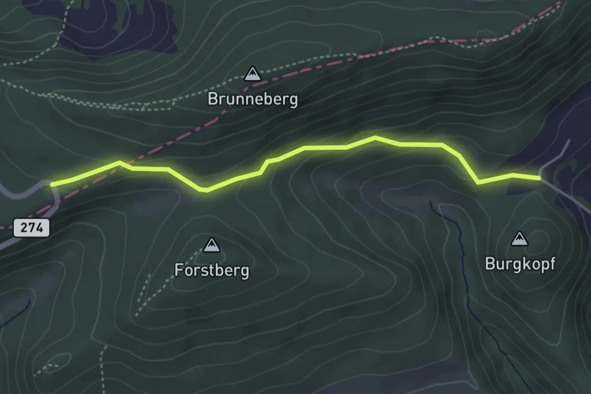
Easy · Trail
Bergmattenhof – Challpass
3.9 km · ↑ 189 m · 1 h 20 min
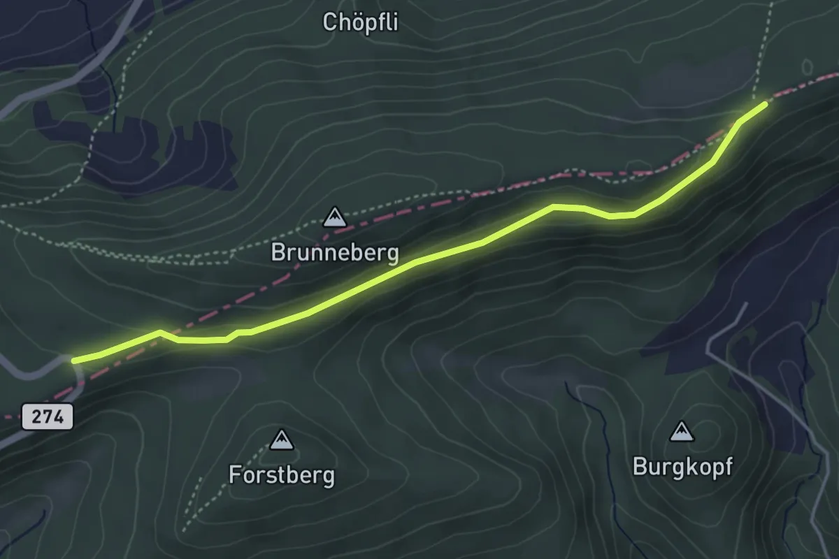
Easy · Trail
Mätzerlechrütz – Challpass
4.4 km · ↑ 139 m · 1 h 20 min
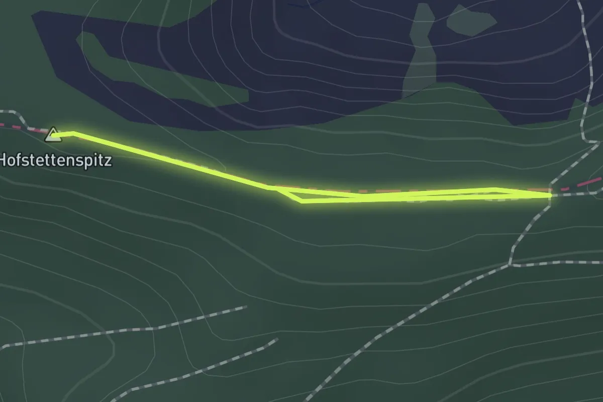
Easy · Summit
Mätzerlechrütz – Blauepass
1.8 km · ↑ 10 m · 27 min
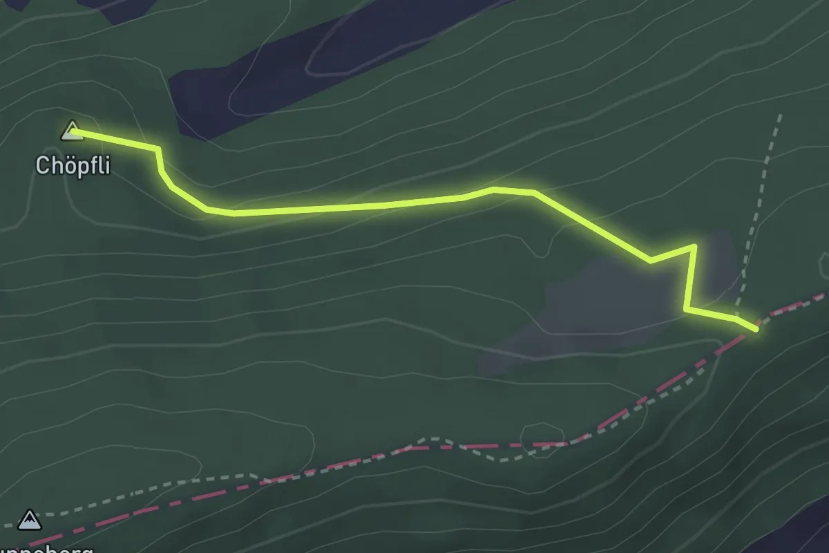
Easy · Summit
Mätzlerenchrüz – Metzerlen
2.7 km · ↑ 146 m · 58 min
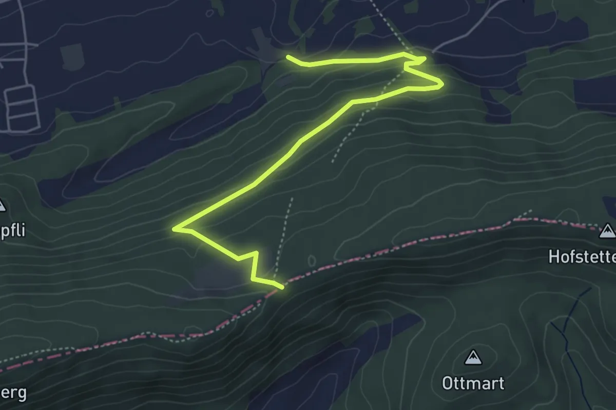
Easy · Trail
Metzerlenchrüz – Rotberg
5.3 km · ↑ 257 m · 1 h 49 min
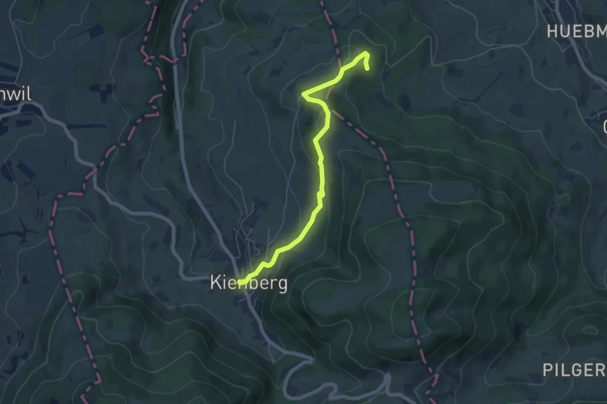
Easy · Trail
Kienberg – Lammetholz
5.4 km · ↑ 220 m · 1 h 46 min
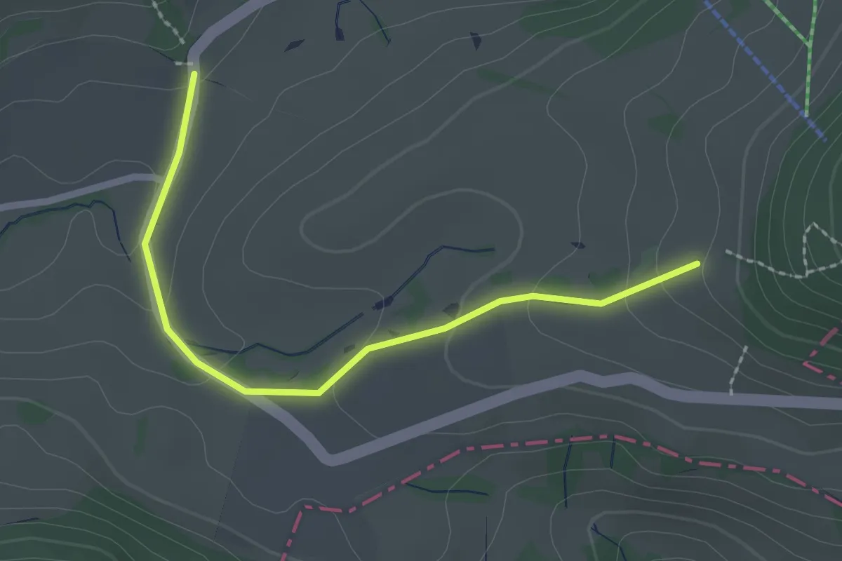
Easy · Trail
Schafmatt – Schafmatt
2.2 km · ↑ 75 m · 41 min
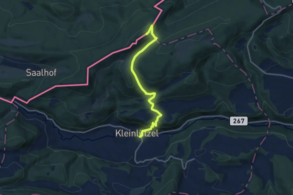
Medium · Summit
Kleinlützel – Remel
7.6 km · ↑ 420 m · 2 h 43 min
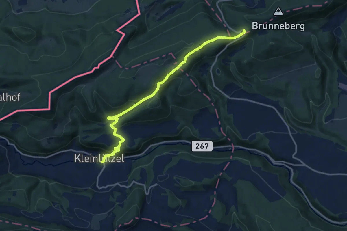
Medium · Trail
Kleinlützel – Challpass
10.9 km · ↑ 463 m · 3 h 35 min
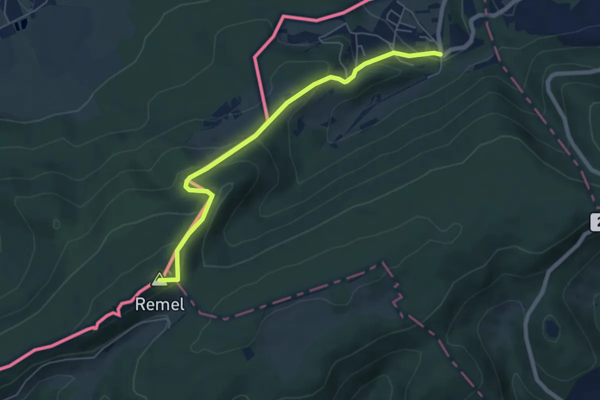
Medium · Summit
Kleinlützel – Burg
5.3 km · ↑ 337 m · 1 h 59 min
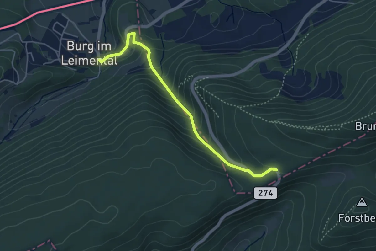
Easy · Trail
Burg – Challpass
3.8 km · ↑ 274 m · 1 h 29 min
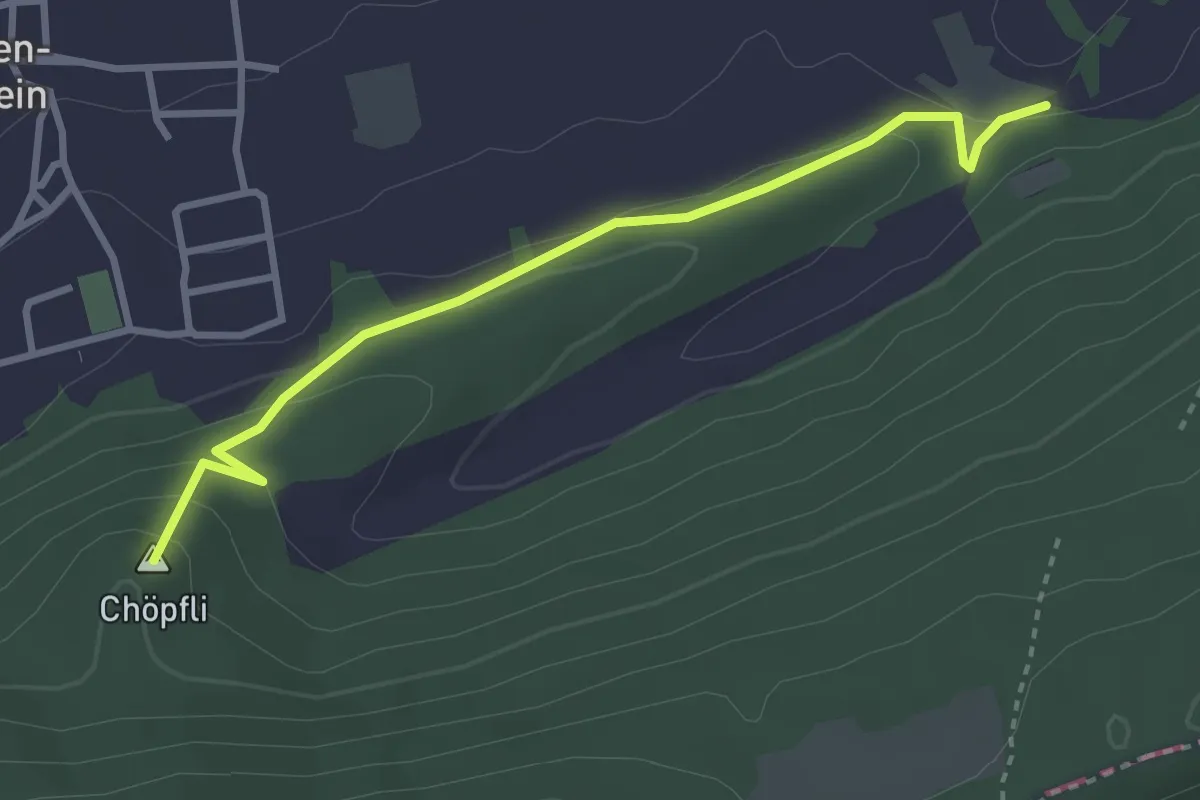
Easy · Summit
Burg – Rotberg
3.2 km · ↑ 160 m · 1 h 6 min
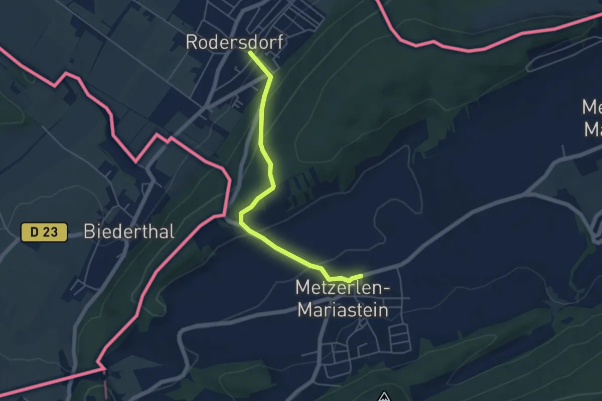
Easy · Trail
Rodersdorf – Metzerlen
4.3 km · ↑ 210 m · 1 h 28 min
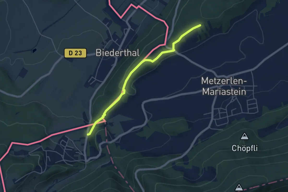
Easy · Trail
Bad Burg – Heulen
4.4 km · ↑ 105 m · 1 h 16 min
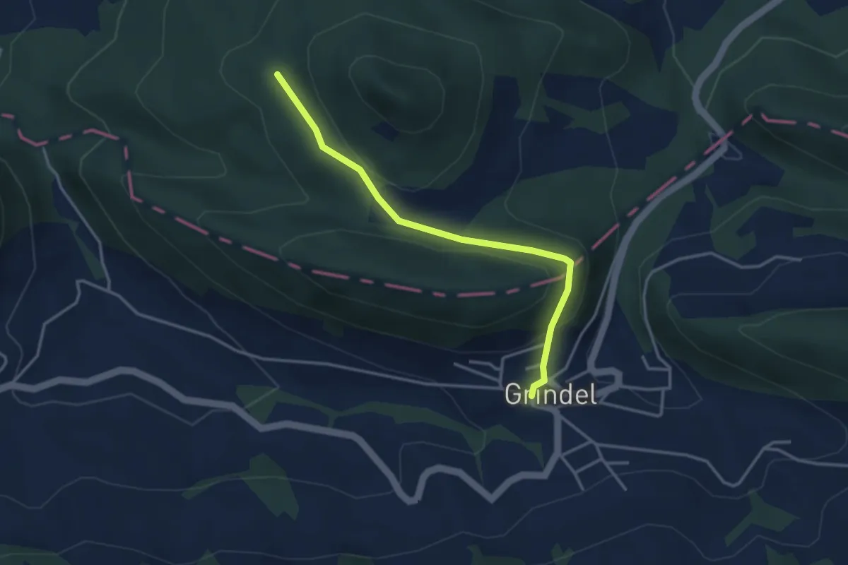
Easy · Trail
Grindel – Stürme
3.3 km · ↑ 154 m · 1 h 6 min