Trails in Switzerland
15,055 hiking trails, each with its route, climb, walking time and grade.
All trails, page 238 of 314
Easy · Trail
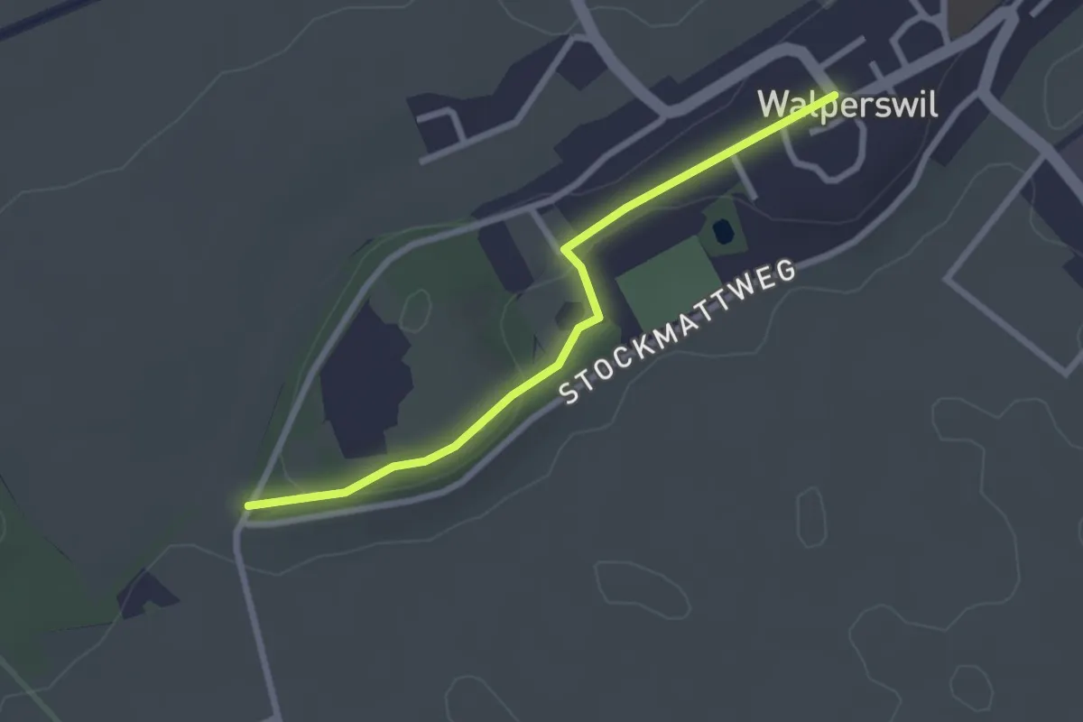
Mattenhölzli – Walperswil
2.4 km · ↑ 37 m · 39 min
Easy · Trail
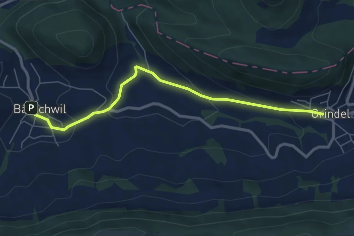
Grindel – Bärschwil Post
5.2 km · ↑ 206 m · 1 h 41 min
Easy · Trail
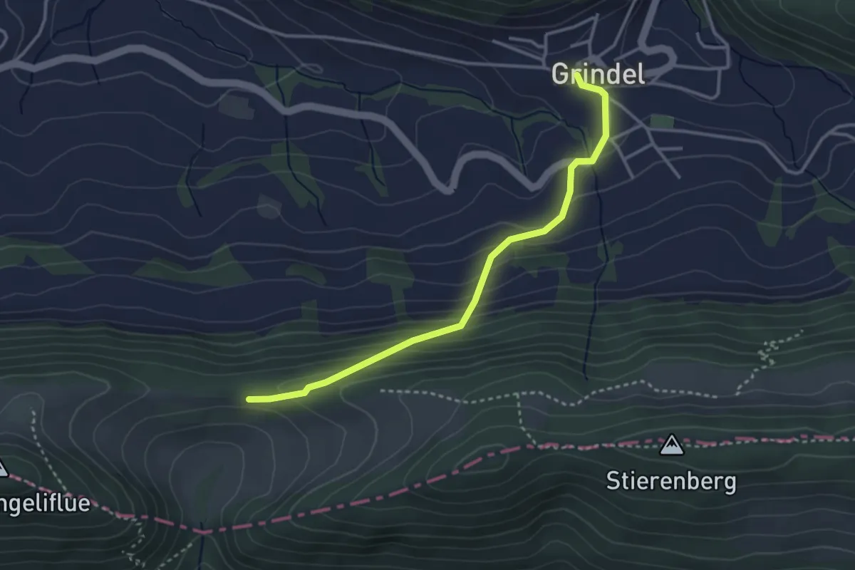
Grindel – Fringeli
3.3 km · ↑ 226 m · 1 h 16 min
Easy · Trail
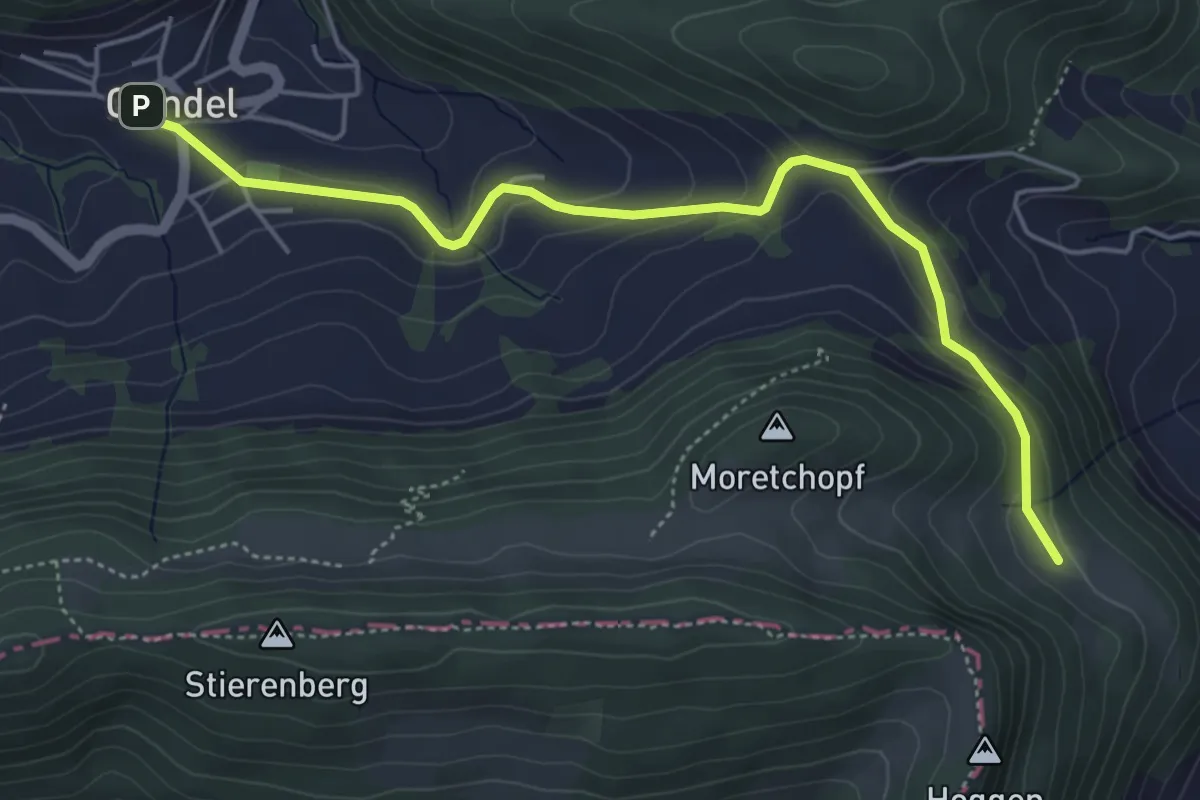
Grindel – Oberbergli
5.2 km · ↑ 195 m · 1 h 39 min
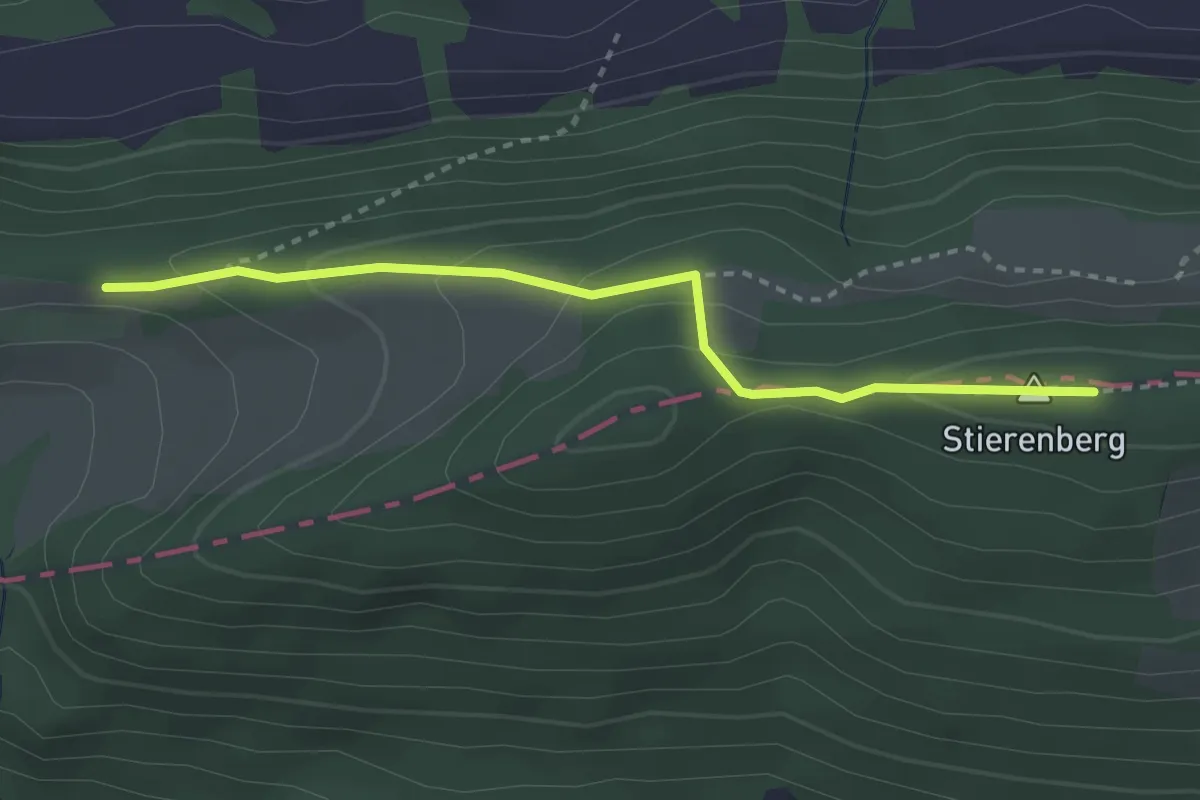
Medium · Summit
Welschgärtli – Fringeli
3.0 km · ↑ 126 m · 59 min
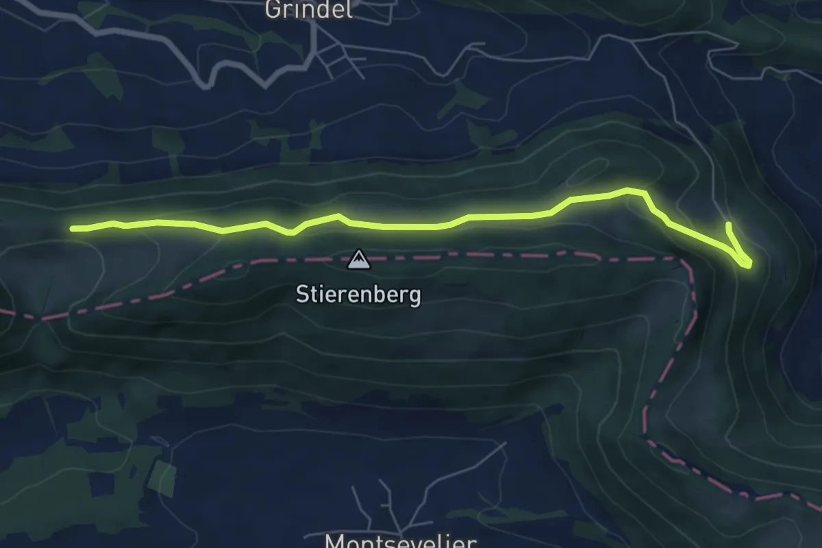
Easy · Trail
Fringeli – Oberbergli
6.6 km · ↑ 249 m · 2 h 6 min
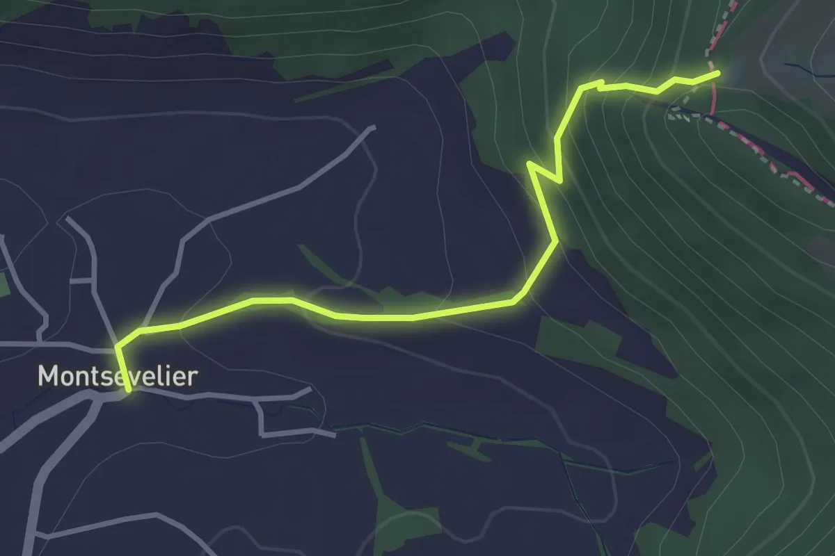
Easy · Trail
Welschgärtterli – Montsevelier
3.2 km · ↑ 240 m · 1 h 16 min
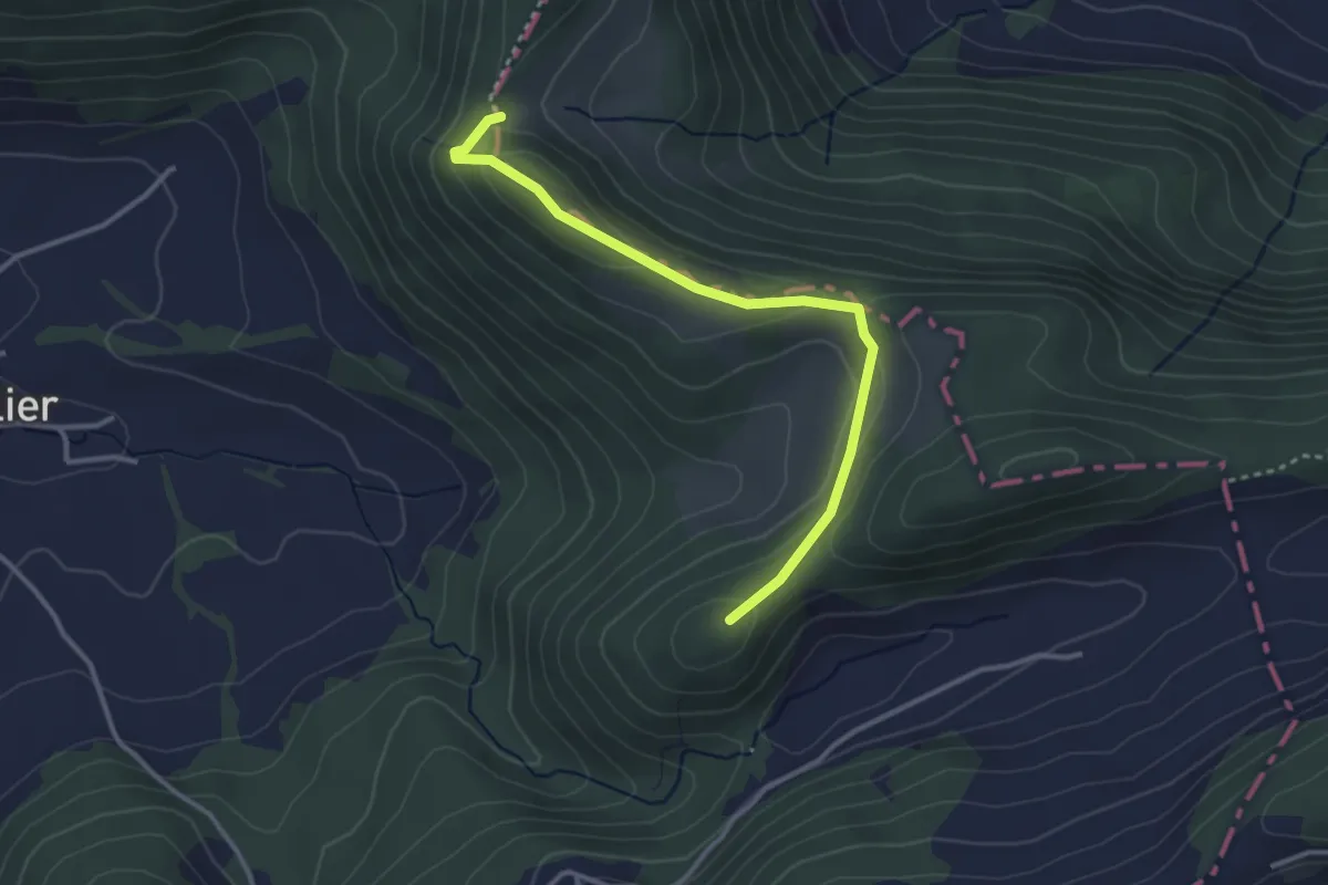
Medium · Summit
Welschgätterli – Le Greierlet
3.2 km · ↑ 147 m · 1 h 5 min
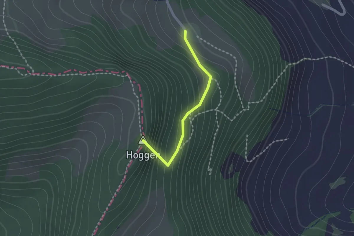
Easy · Summit
Welschgätterli – Oberbergli
1.4 km · ↑ 122 m · 35 min
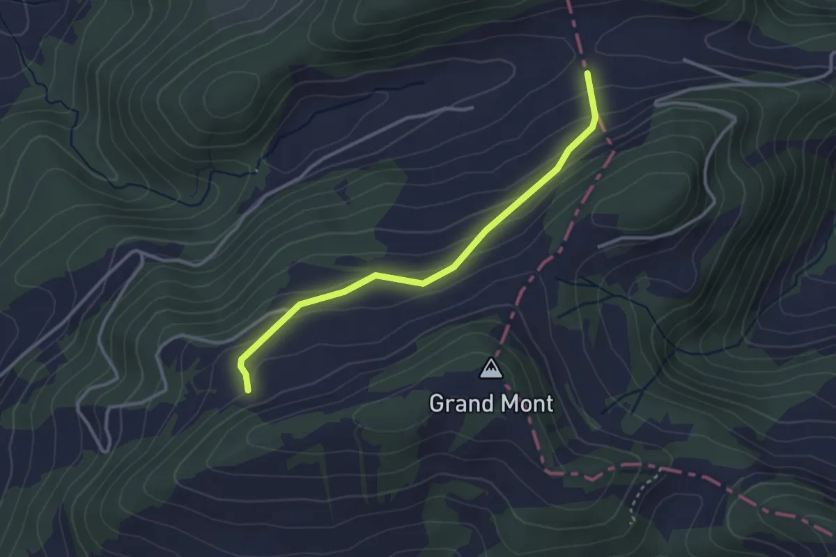
Easy · Trail
Le Greierlet – Le Champre
3.0 km · ↑ 185 m · 1 h 7 min
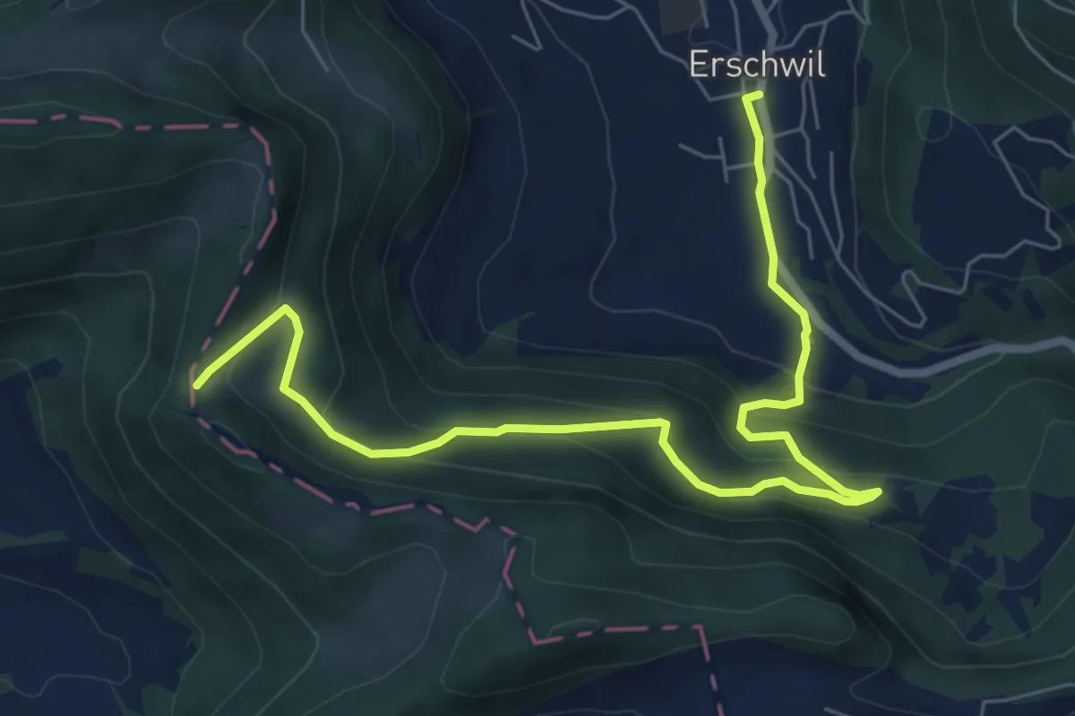
Medium · Trail
Erschwil Dorf – Welschgätterli
7.8 km · ↑ 438 m · 2 h 47 min
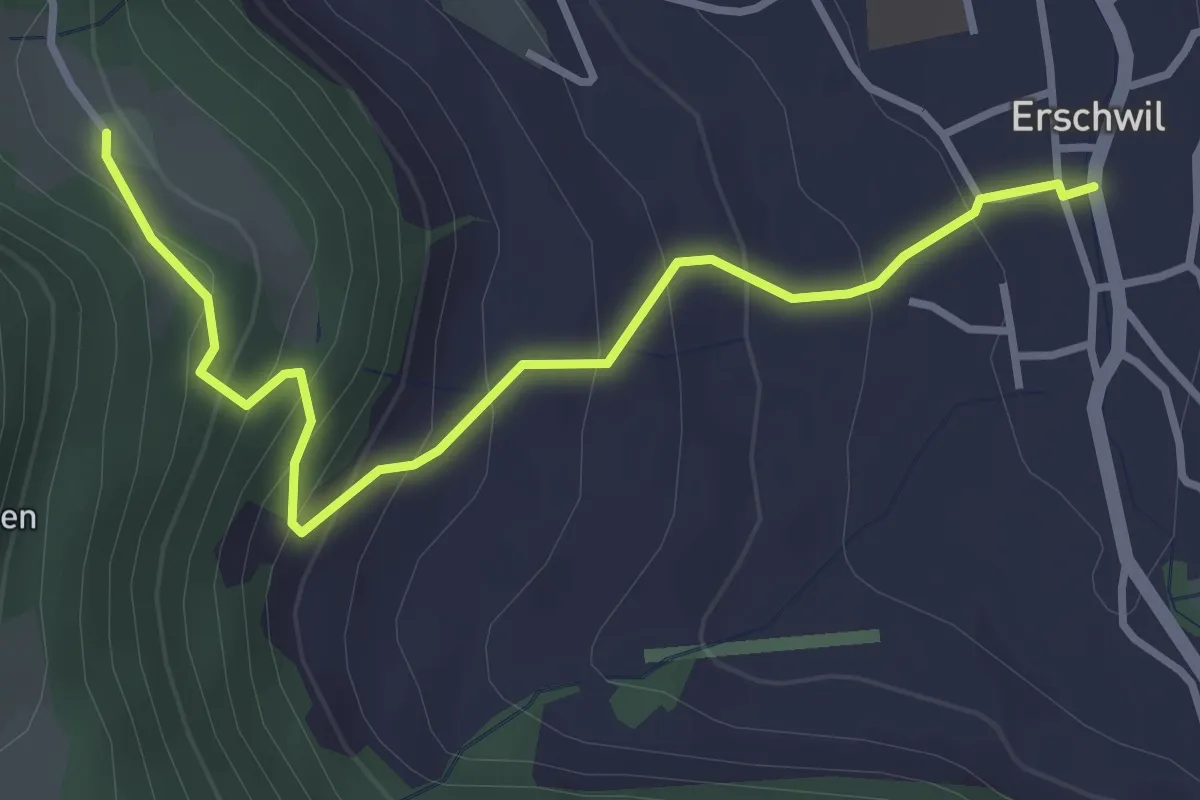
Easy · Trail
Erschwil Dorf – Oberbergli
3.6 km · ↑ 269 m · 1 h 26 min
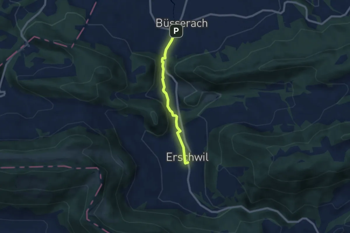
Easy · Trail
Erschwil Dorf – Büsserach
4.6 km · ↑ 86 m · 1 h 16 min
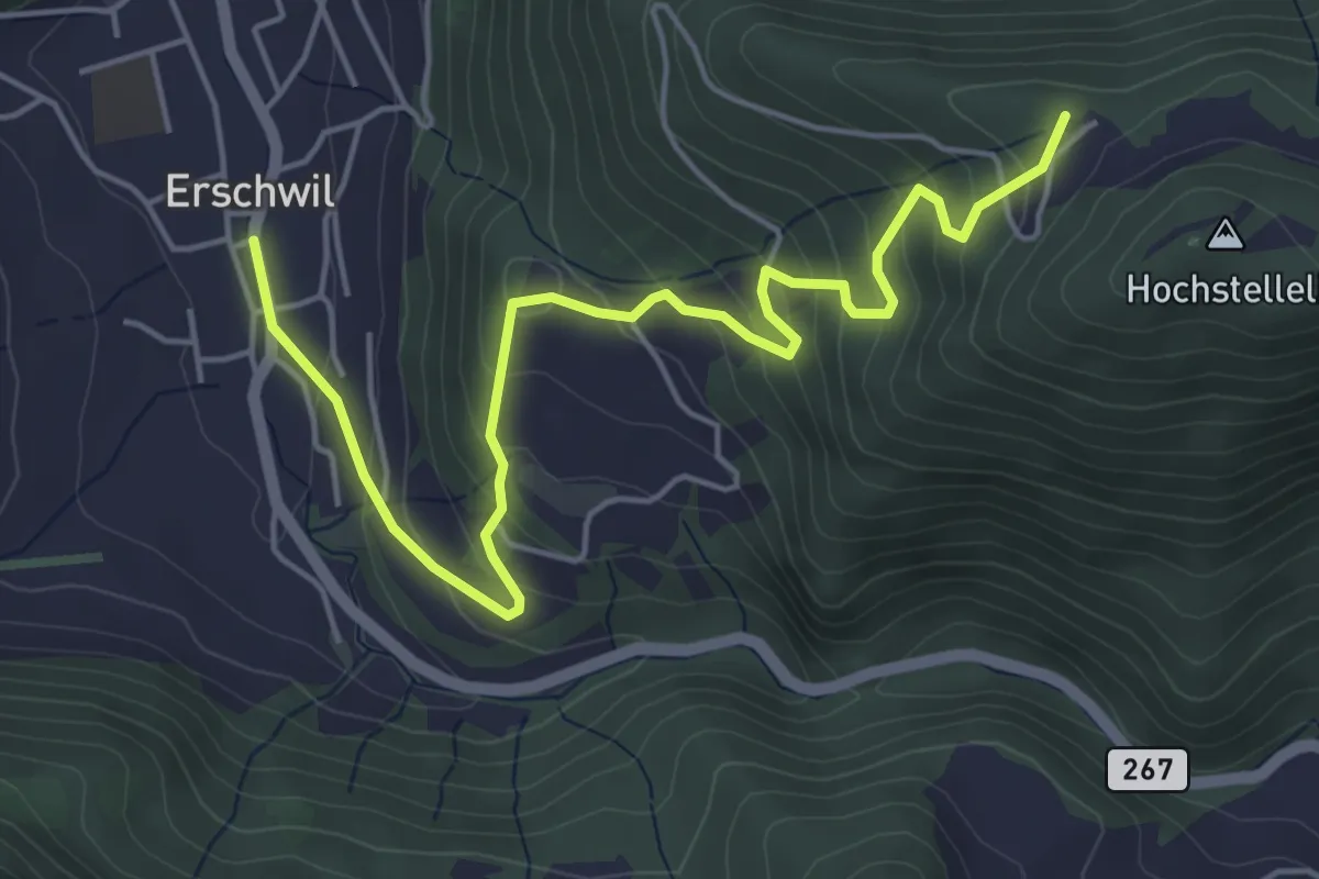
Medium · Summit
Erschwil Dorf – Chäsel
5.8 km · ↑ 379 m · 2 h 11 min
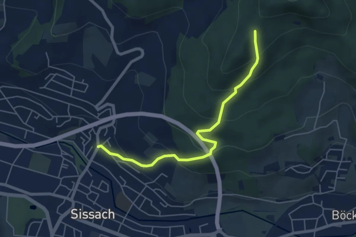
Easy · Trail
Sissach Bergweg – Ruine Bischofstein
4.4 km · ↑ 306 m · 1 h 42 min
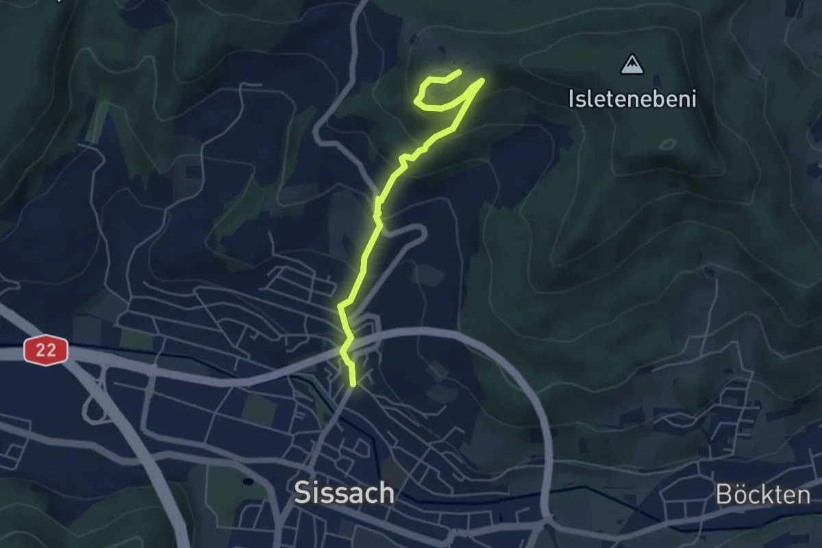
Medium · Trail
Sissach Bergweg – Sissacher Flue
4.8 km · ↑ 382 m · 1 h 58 min
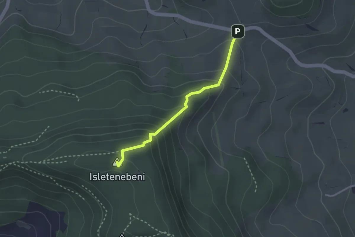
Medium · Summit
Rickenbacherhöchi – Sissacher Flue
2.3 km · ↑ 184 m · 57 min
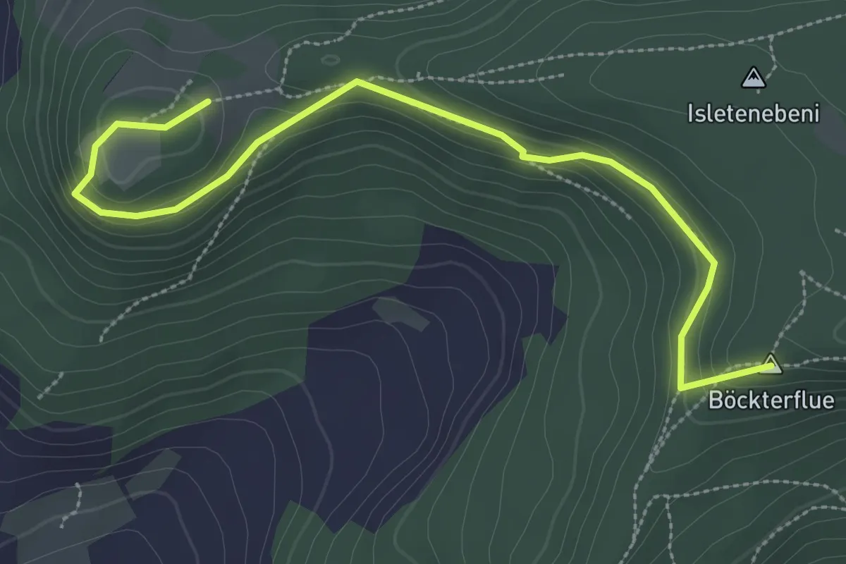
Medium · Summit
Sissacher Flue – Ruine Bischofstein
3.5 km · ↑ 187 m · 1 h 14 min
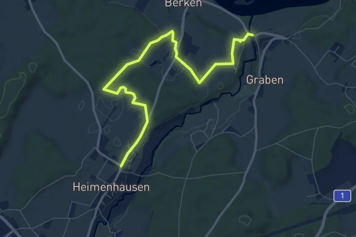
Medium · Trail
Stadönz – Heimenhausen
8.5 km · ↑ 138 m · 2 h 18 min
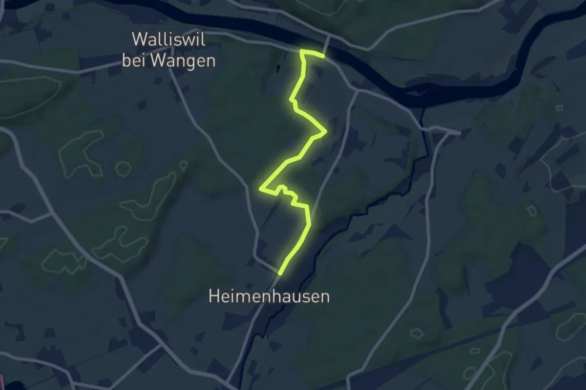
Easy · Trail
Berkenbrücke – Heimenhausen
7.2 km · ↑ 137 m · 2 h
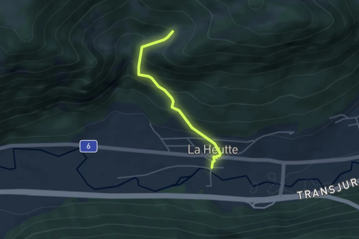
Easy · Trail
La Heutte – Le Van
3.1 km · ↑ 301 m · 1 h 23 min
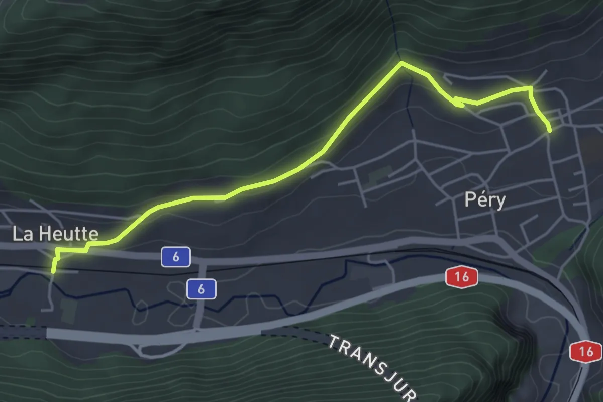
Easy · Trail
La Heutte – Péry
4.7 km · ↑ 176 m · 1 h 30 min
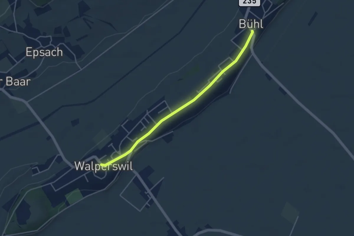
Easy · Trail
Walperswil – Bühl
3.7 km · ↑ 31 m · 57 min
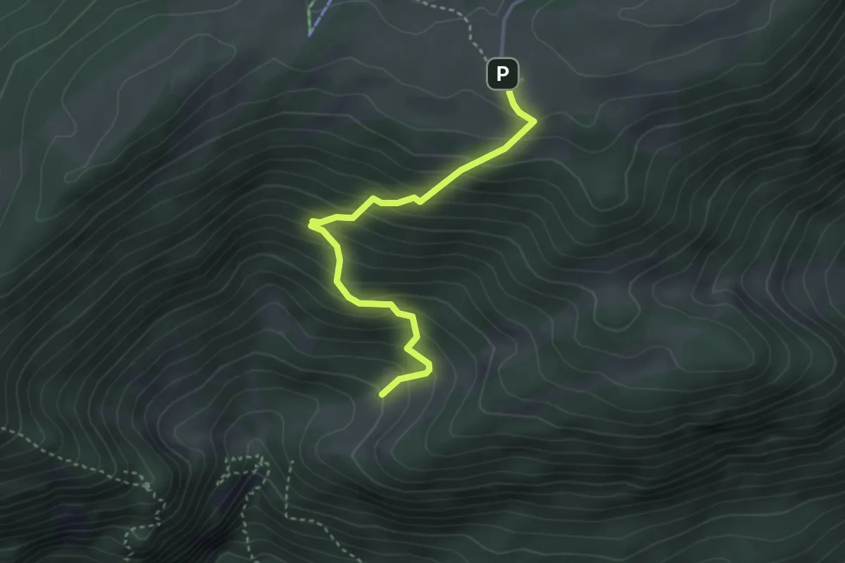
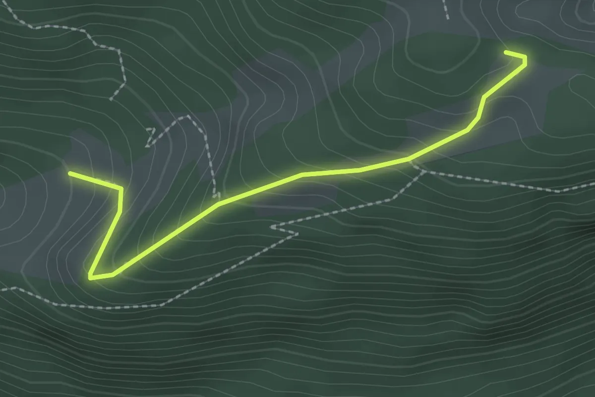
Medium · Trail
Le Van – Métairie de Werdt
3.3 km · ↑ 351 m · 1 h 33 min
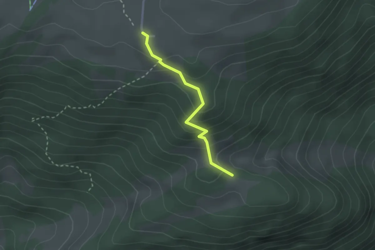
Easy · Trail
Le Van – Ski-club La Heutte
2.3 km · ↑ 210 m · 1 h
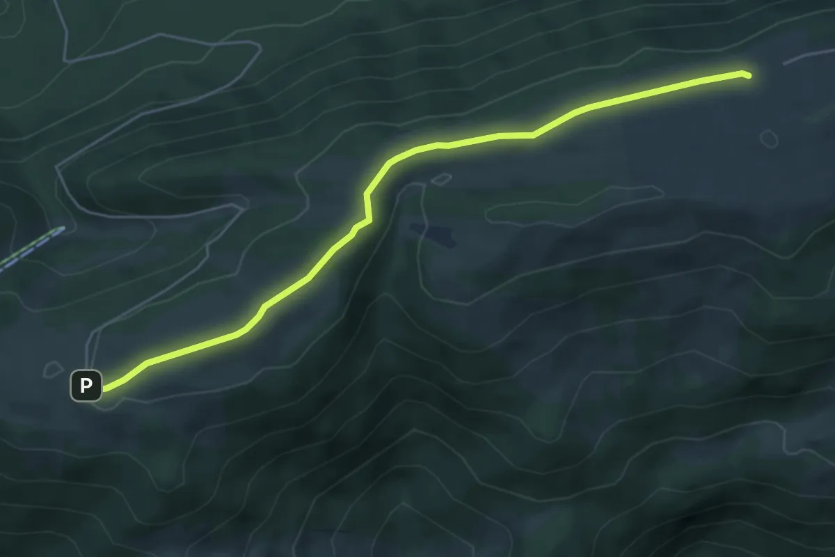
Easy · Trail
Ski-club La Heutte – Métairie de Werdt
2.0 km · ↑ 158 m · 49 min
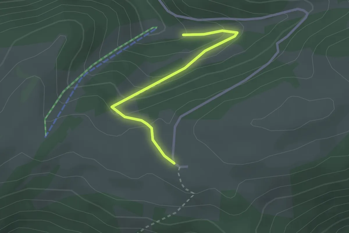
Easy · Trail
Métairie de Werdt – Métairie de Malleray
5.4 km · ↑ 105 m · 1 h 30 min
Easy · Trail
Métairie de Werdt – La Golatte
2.3 km · ↑ 125 m · 49 min
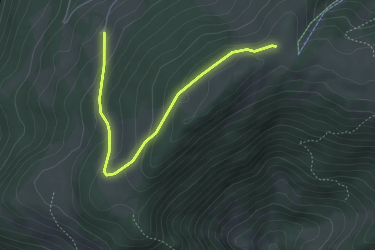
Easy · Cabin
Montoz CAS – Le Grimm
4.3 km · ↑ 194 m · 1 h 25 min
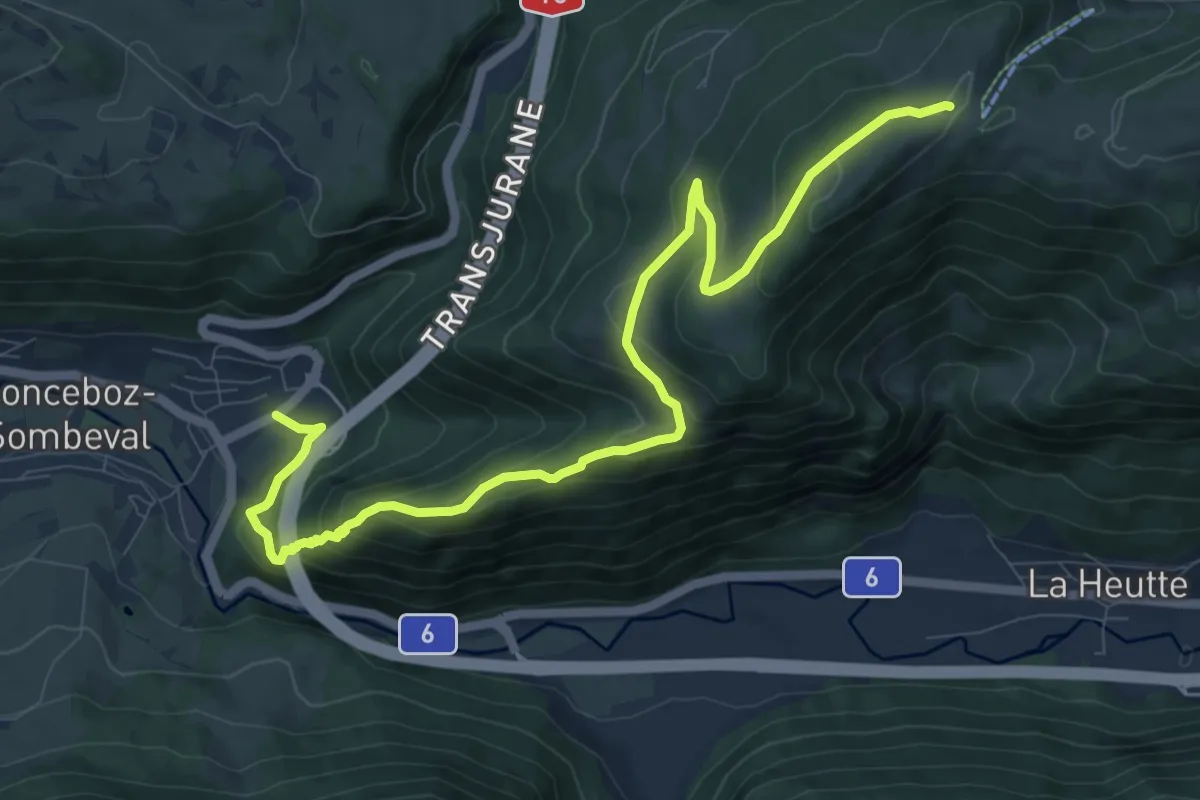
Medium · Cabin
Montoz CAS – Sonceboz
11.4 km · ↑ 658 m · 4 h 6 min
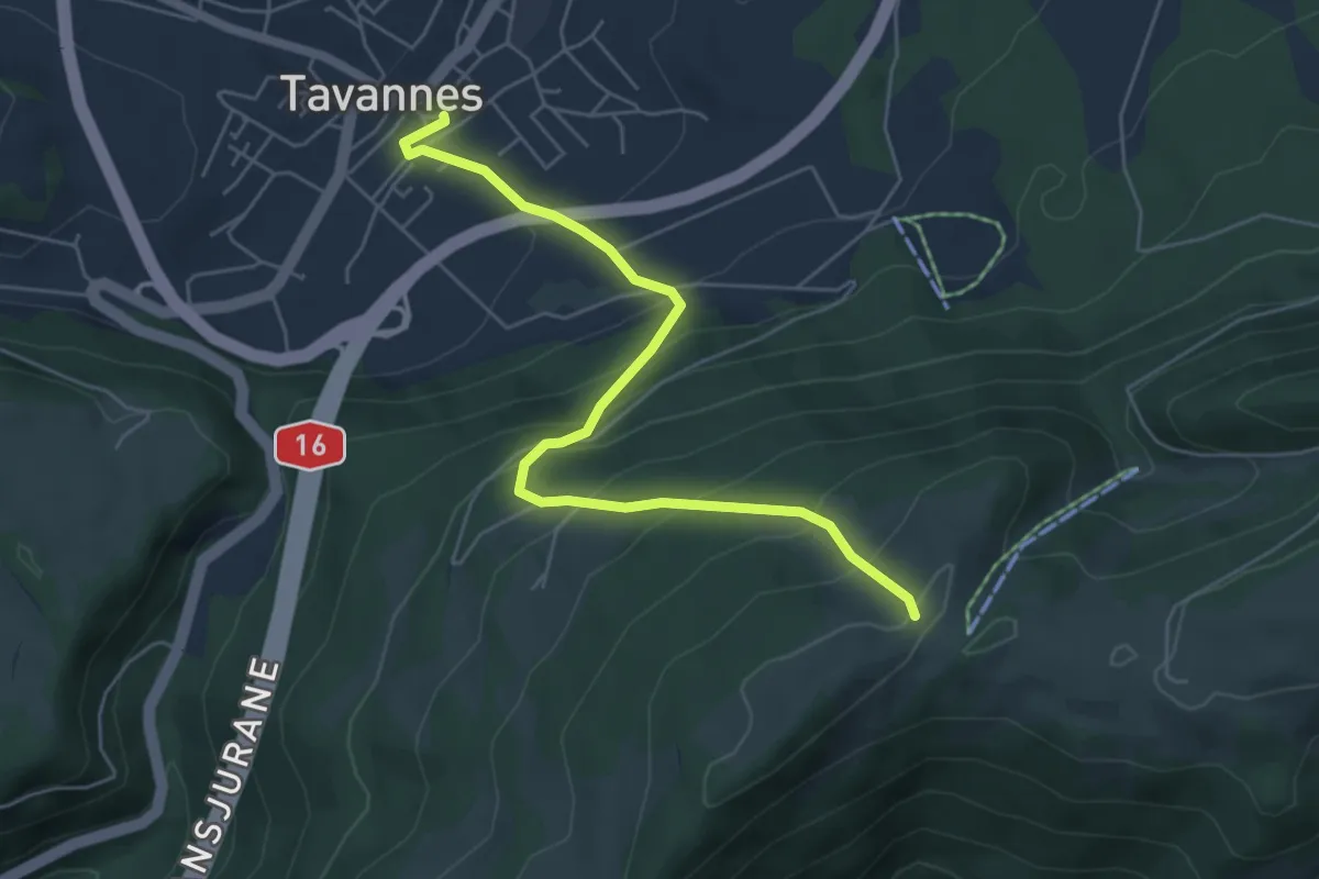
Medium · Cabin
Montoz CAS – Tavannes
5.7 km · ↑ 493 m · 2 h 25 min
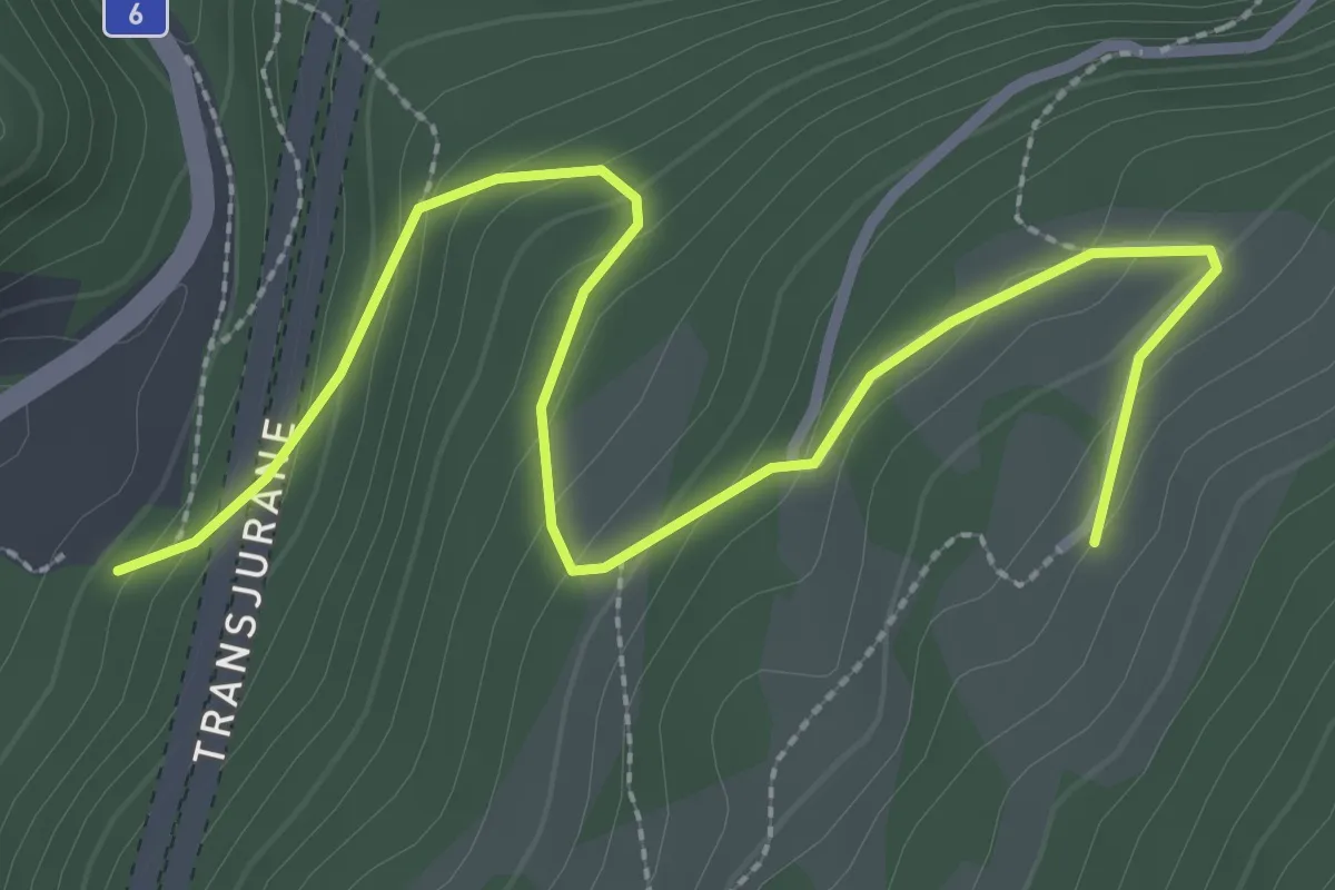
Easy · Trail
Le Grimm – Colde Pierre Pertuis ?
3.4 km · ↑ 222 m · 1 h 17 min
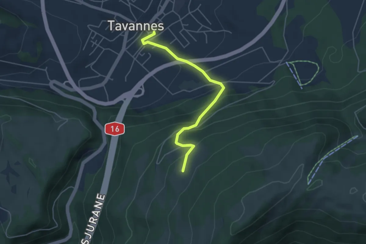
Easy · Trail
Le Grimm – Tavannes
4.2 km · ↑ 309 m · 1 h 40 min
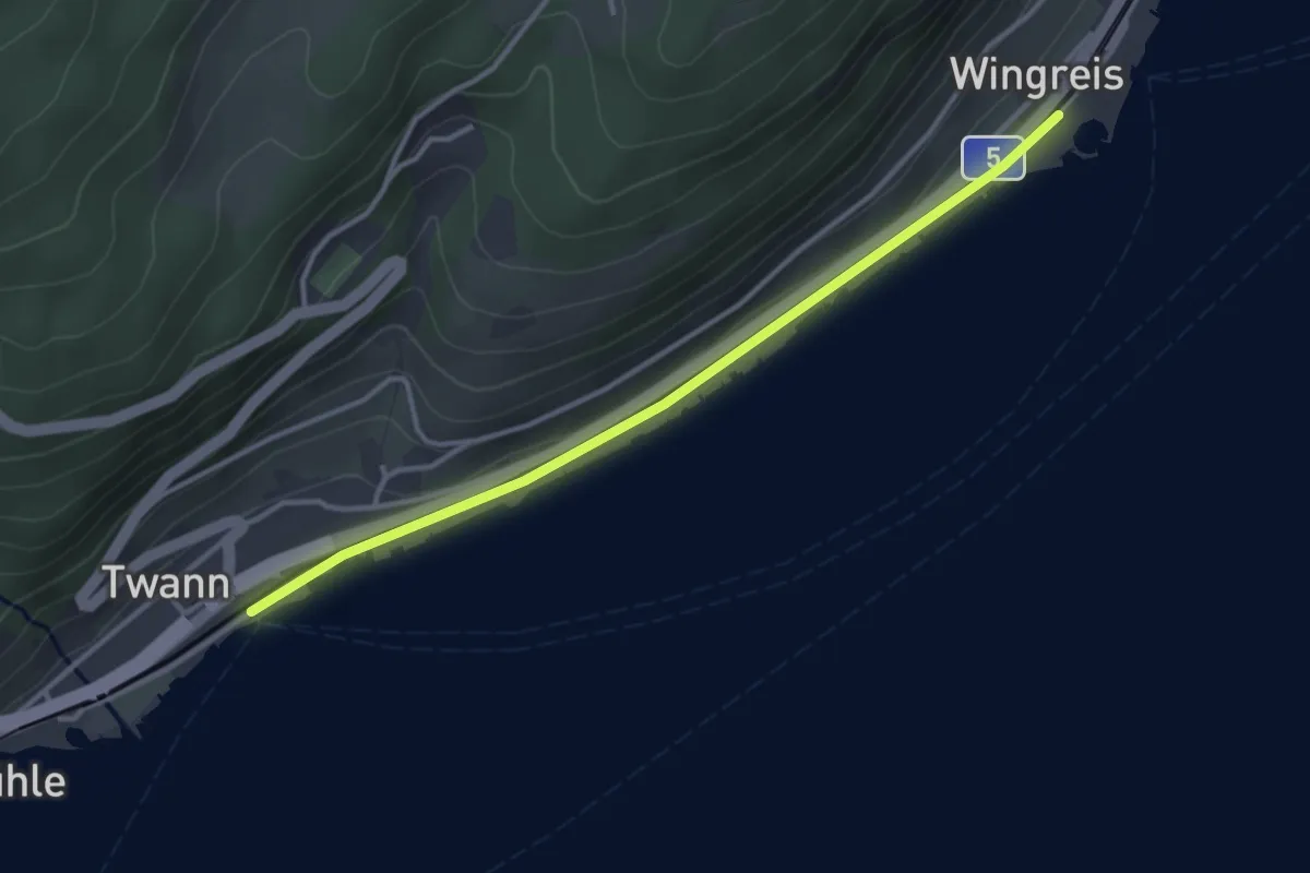
Easy · Trail
Twann (Douanne) – Engelberg
3.4 km · ↑ 13 m · 49 min
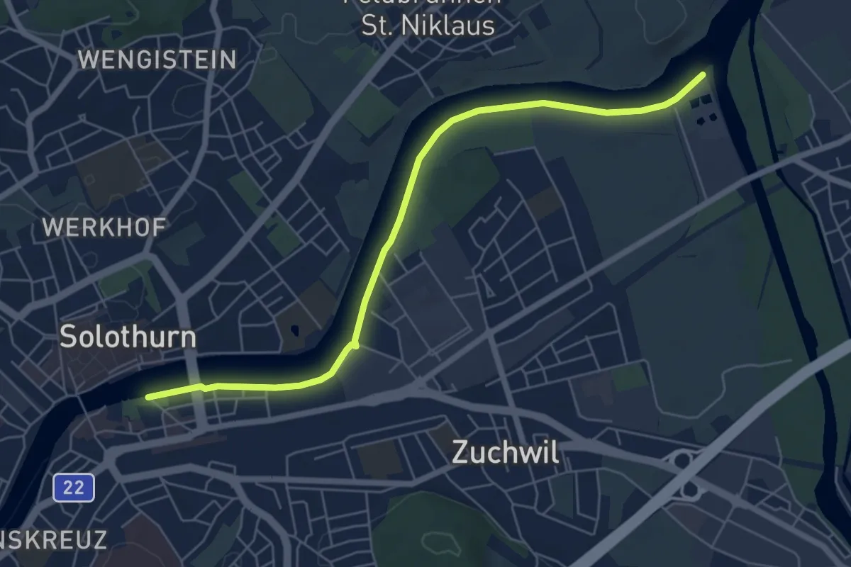
Easy · Trail
Solothurn Kreuzacker – ?
6.3 km · ↑ 0 m · 1 h 29 min
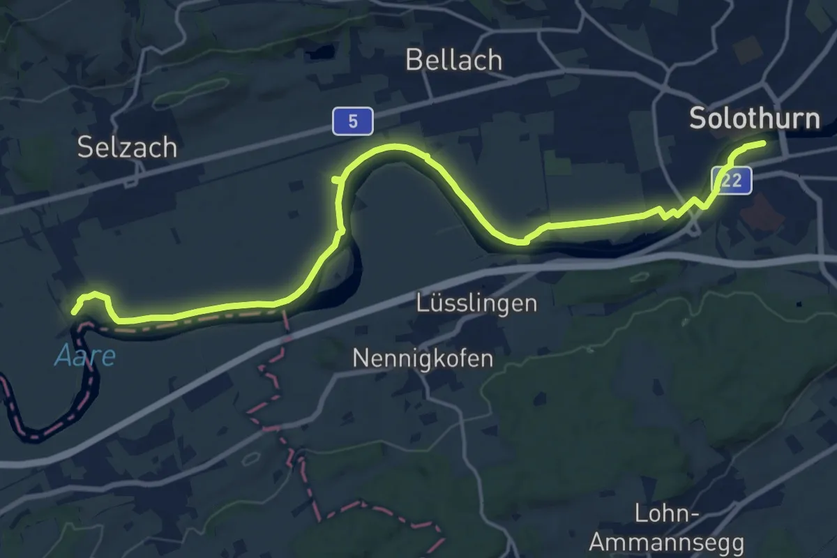
Demanding · Trail
Solothurn Kreuzacker – Altreu
18.8 km · ↑ 9 m · 4 h 27 min
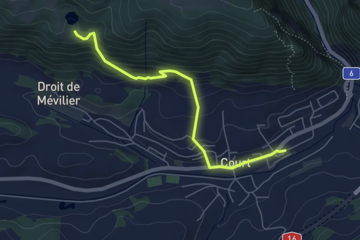
Easy · Trail
Court – Lac Vert
4.8 km · ↑ 314 m · 1 h 49 min
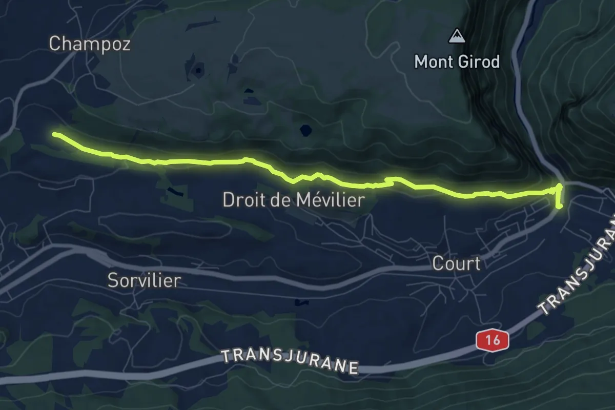
Medium · Trail
Gorges de Court – Moulin des Pécâs
9.0 km · ↑ 344 m · 2 h 52 min
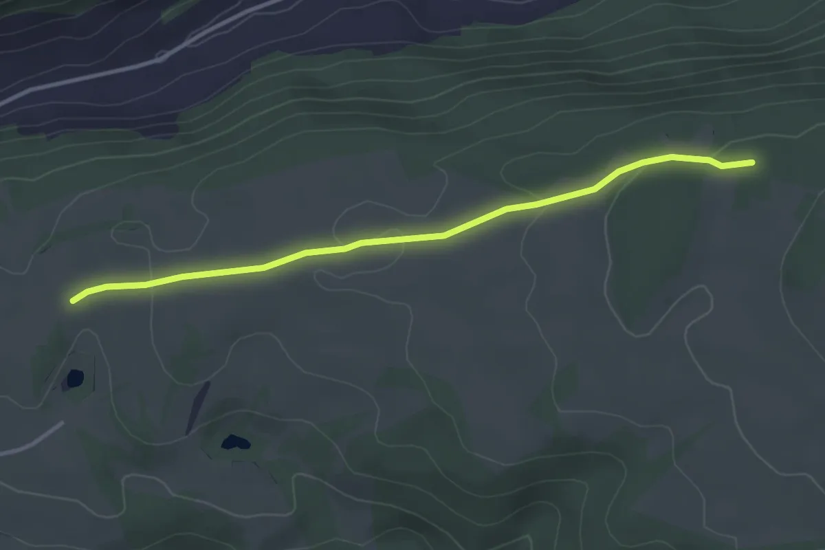
Easy · Trail
Pâturage de Mont Girod – La Joux
3.5 km · ↑ 80 m · 1 h
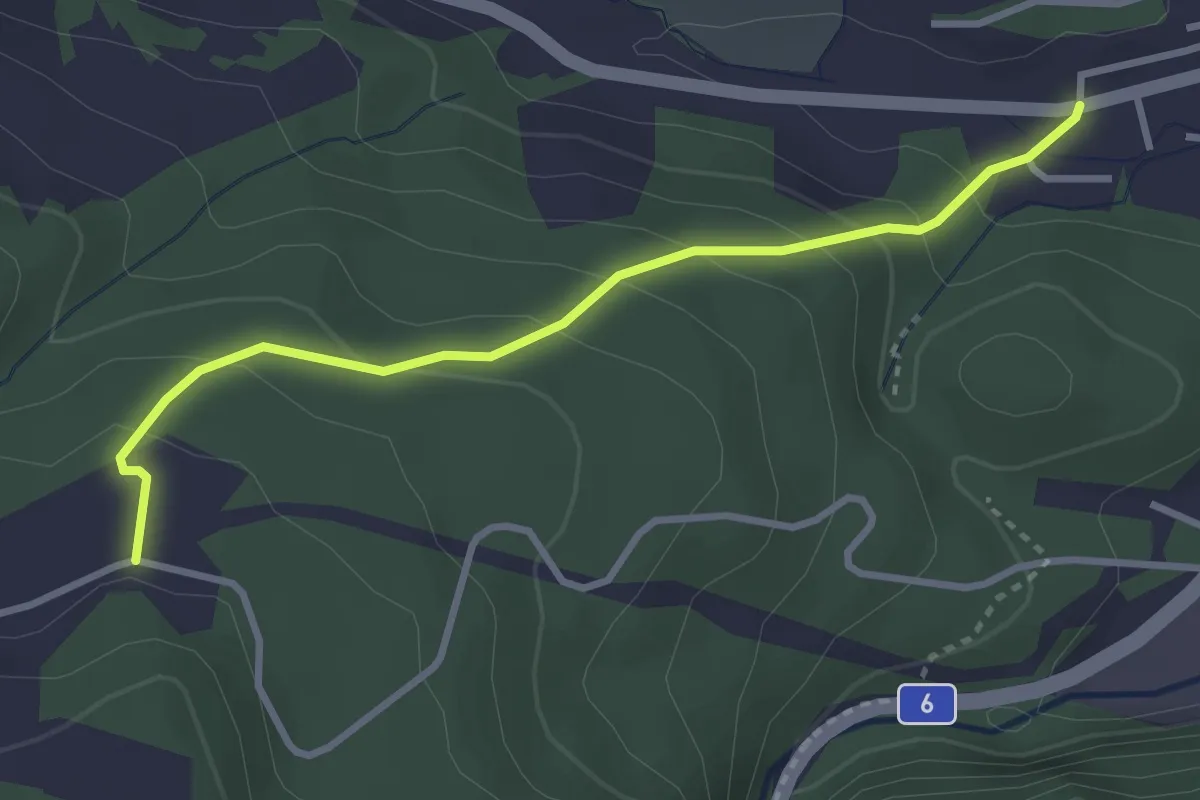
Easy · Trail
Petit Champoz – Moutier / La Foule
3.1 km · ↑ 200 m · 1 h 11 min
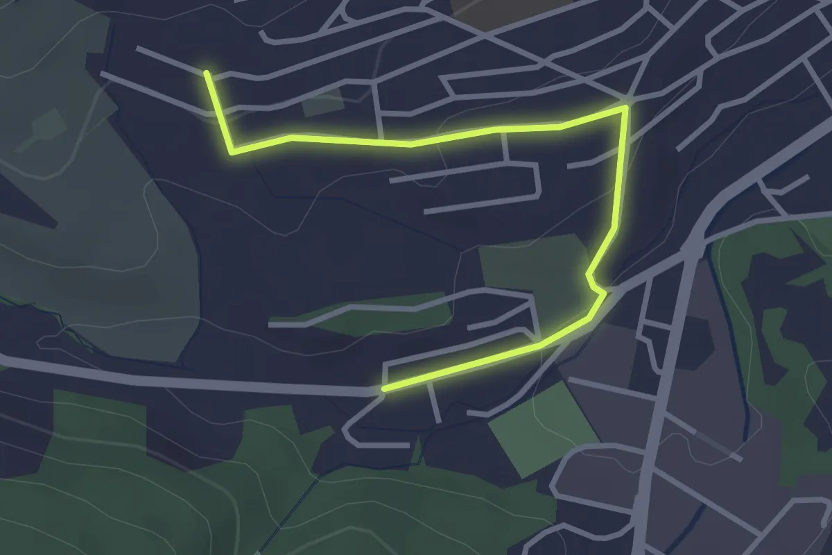
Easy · Trail
Moutier / La Foule – Moutier?
3.1 km · ↑ 73 m · 53 min
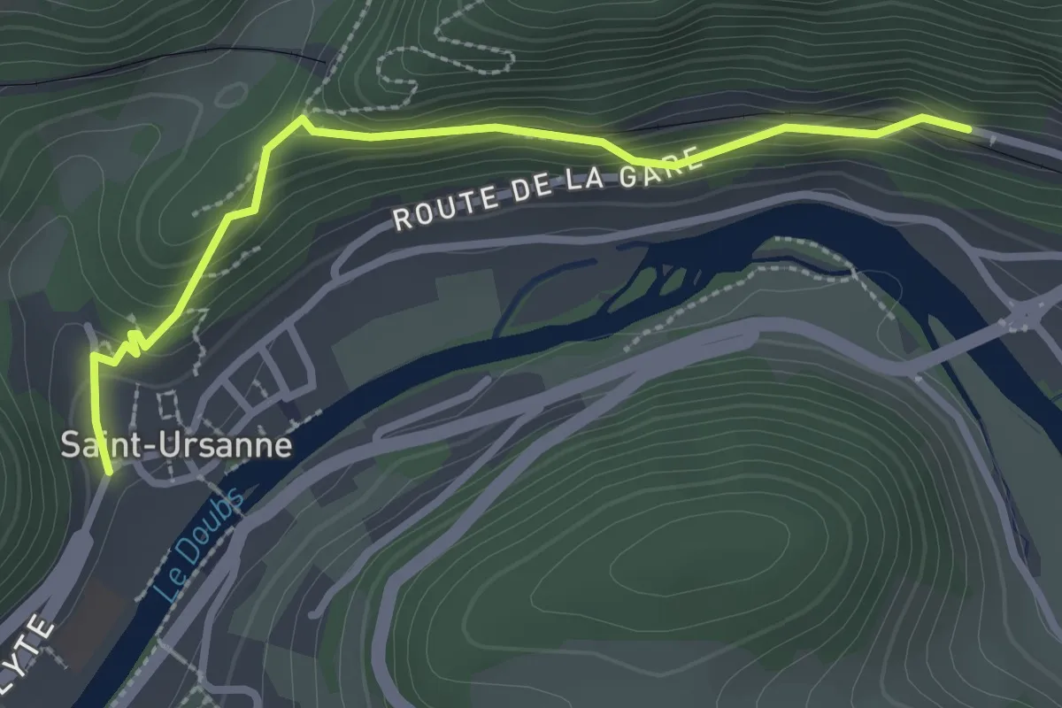
Easy · Trail
St-Ursanne Ville – St-Ursanne Gare via Ermitage
2.7 km · ↑ 122 m · 54 min
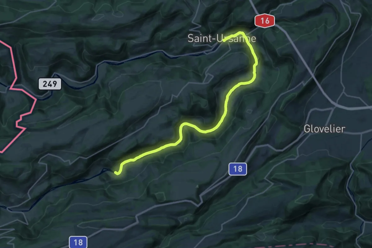
Demanding · Trail
St-Ursanne – Pasarelle de la Charbonnière
20.1 km · ↑ 449 m · 5 h 43 min
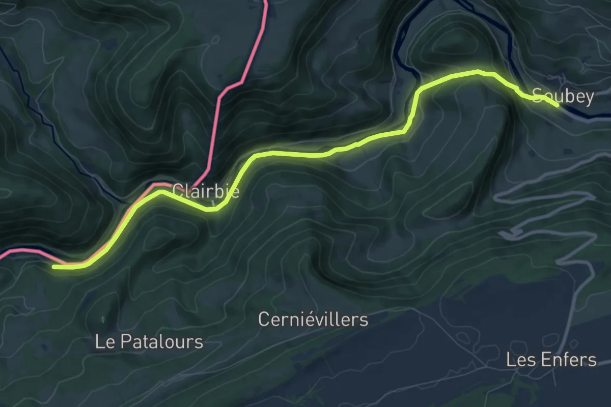
Medium · Trail
Soubey – Moulin Jeannottat
10.2 km · ↑ 339 m · 3 h 8 min
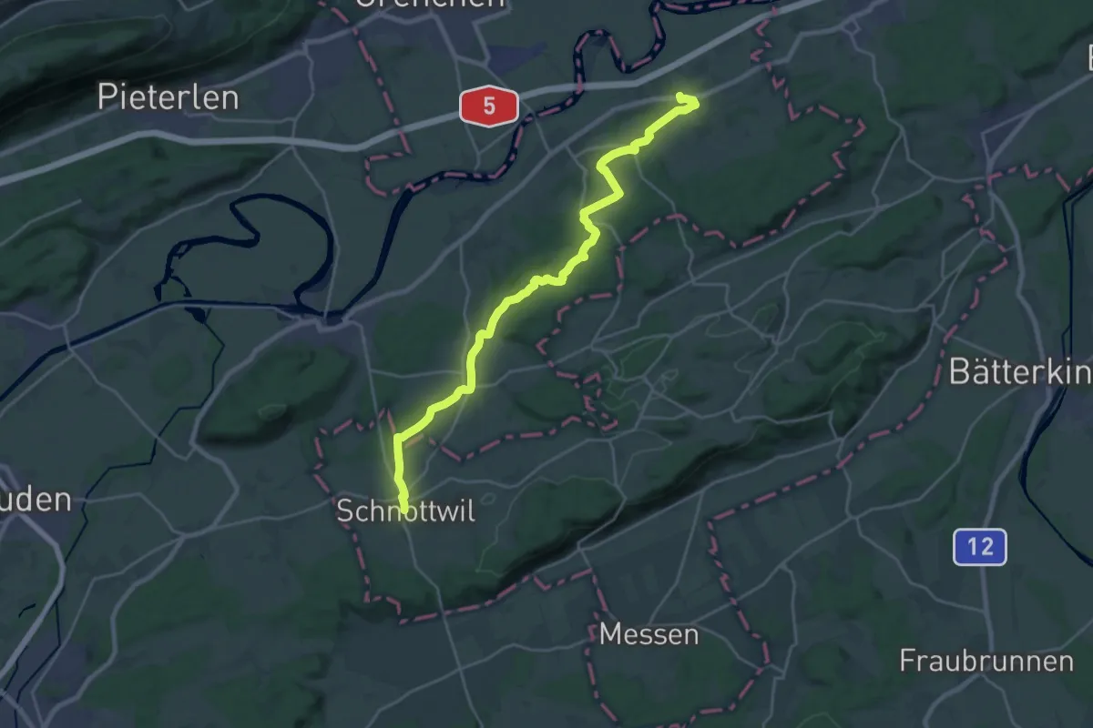
Demanding · Trail
Leuzigen – Schnottwil
22.9 km · ↑ 457 m · 6 h 24 min
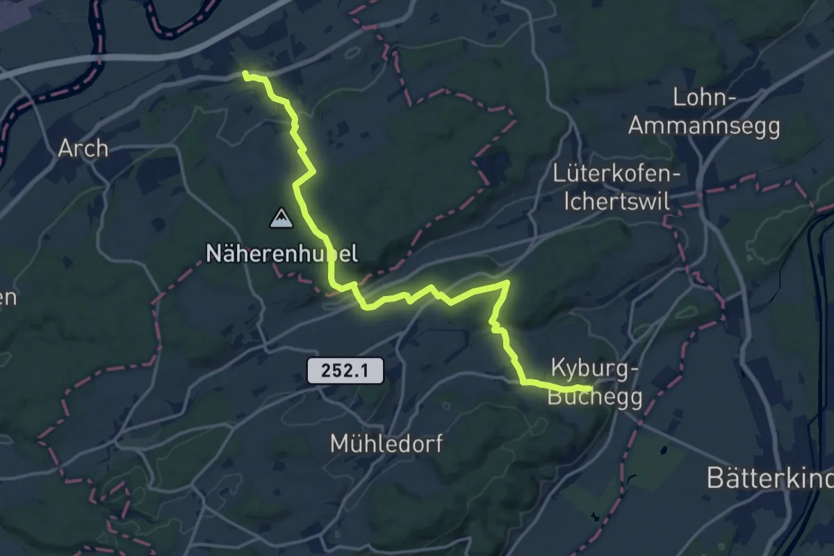
Medium · Trail
Leuzigen – Kyburg-Buchegg Buchegg
16.0 km · ↑ 353 m · 4 h 33 min
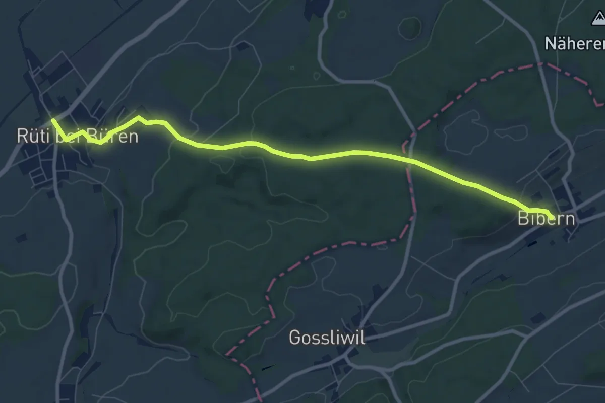
Medium · Trail
Bibern SO – Rüti b. Büren
8.6 km · ↑ 197 m · 2 h 27 min
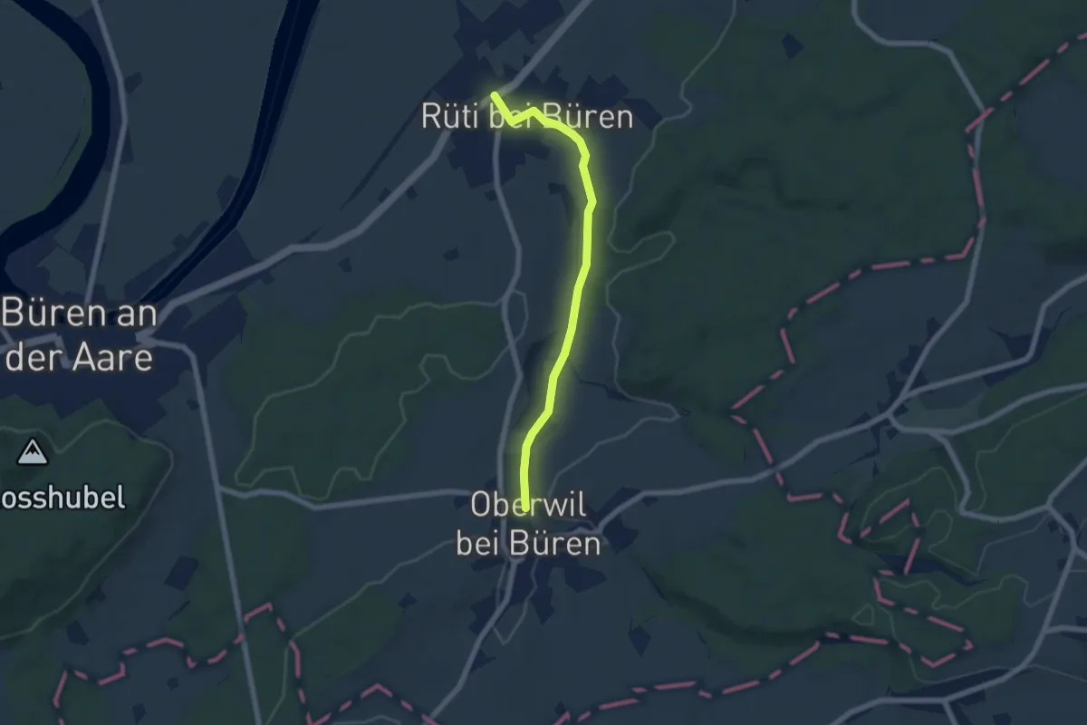
Easy · Trail
Rüti b. Büren – Oberwil
5.7 km · ↑ 57 m · 1 h 28 min