Trails in Switzerland
15,055 hiking trails, each with its route, climb, walking time and grade.
All trails, page 239 of 314
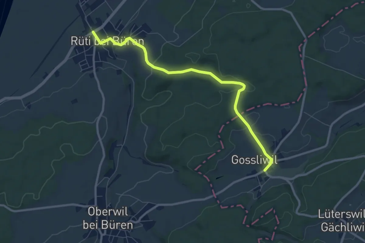
Easy · Trail
Rüti b. Büren – Gosswil
7.6 km · ↑ 159 m · 2 h 8 min
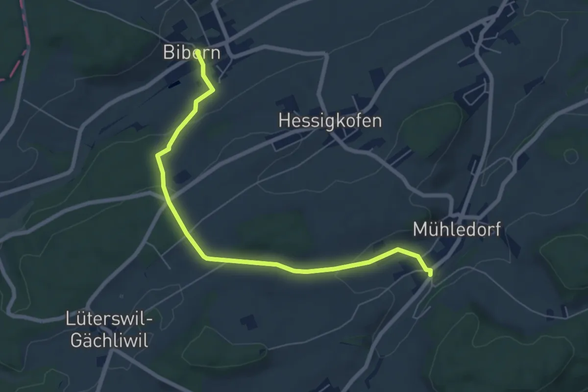
Easy · Trail
Bibern SO – Mühledorf
6.2 km · ↑ 159 m · 1 h 48 min
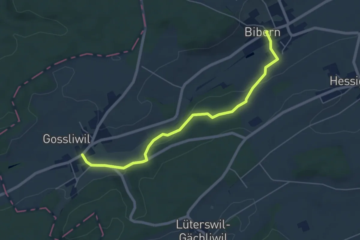
Easy · Trail
Bibern SO – Gossliwil
5.0 km · ↑ 128 m · 1 h 28 min
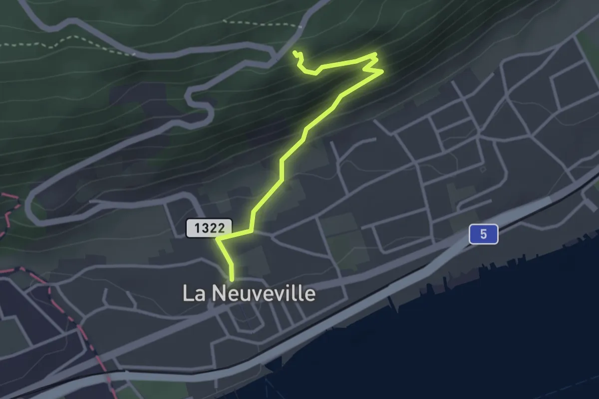
Easy · Trail
La Neuveville – Pavillon
2.8 km · ↑ 212 m · 1 h 8 min
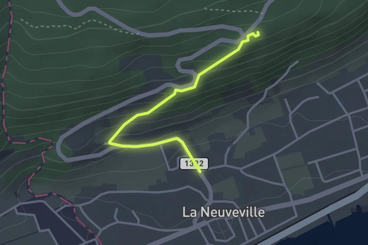
Easy · Trail
Pavillon – Faubourg
2.7 km · ↑ 201 m · 1 h 4 min
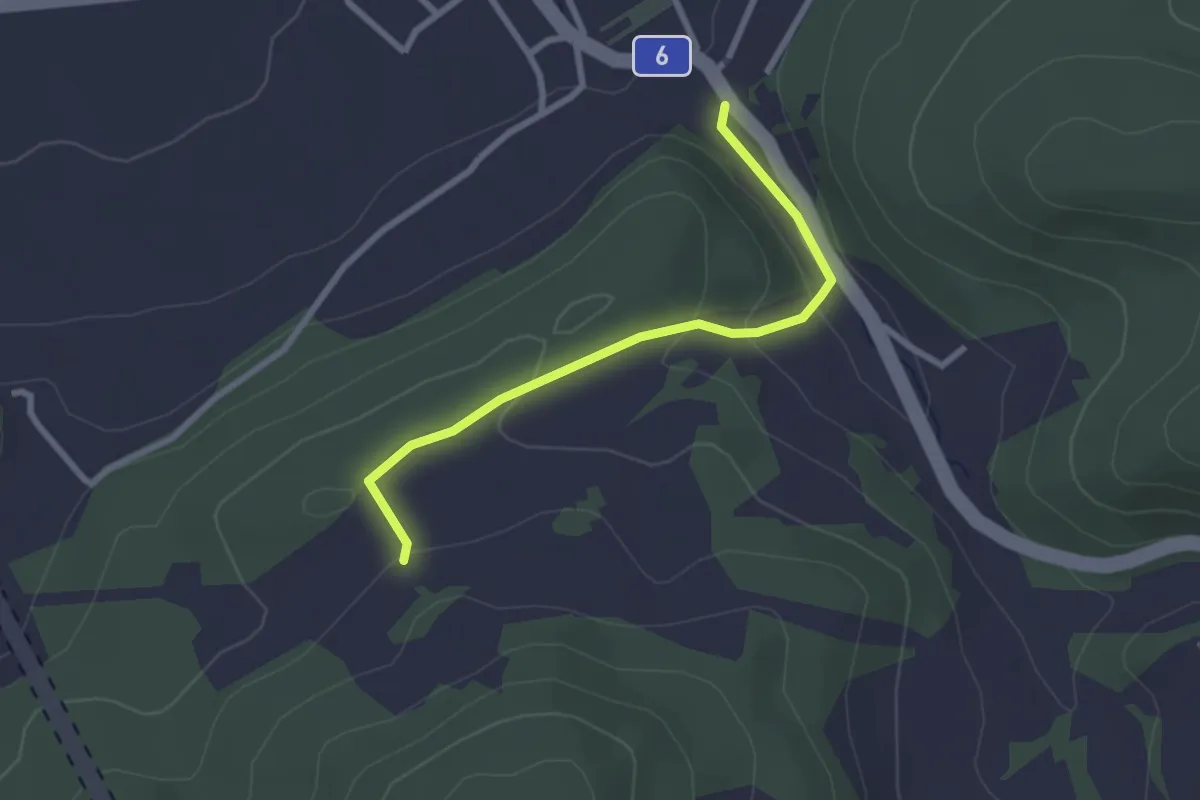
Easy · Trail
? – Cornol?
2.5 km · ↑ 93 m · 48 min
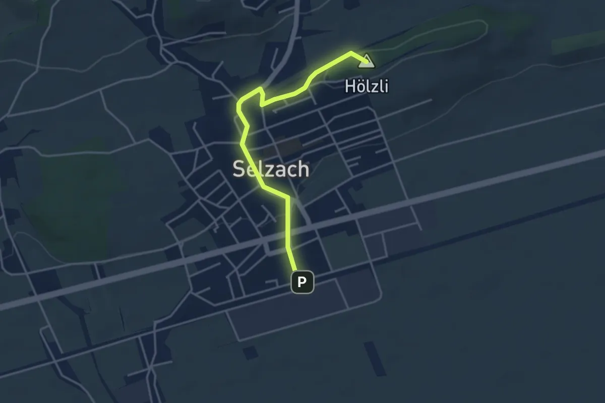
Easy · Summit
Selzach Bahnhof – Bellach Post
3.5 km · ↑ 62 m · 58 min
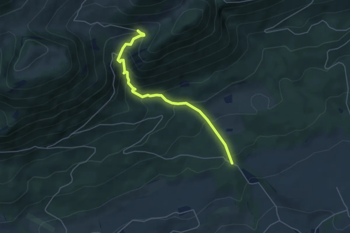
Medium · Trail
Lehmannskreuz – Unteres Brüggli
4.3 km · ↑ 371 m · 1 h 50 min
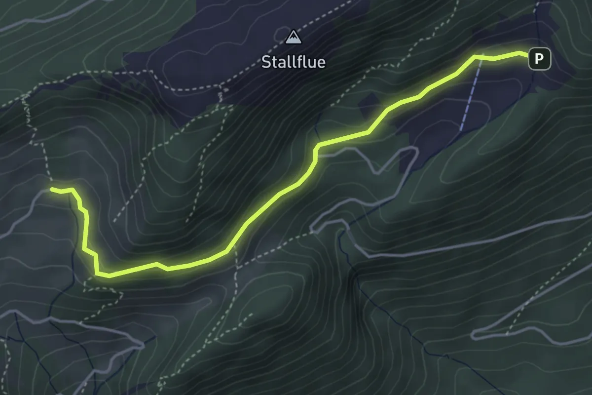
Easy · Trail
Oberes Brüggli – Schauenburg
4.4 km · ↑ 204 m · 1 h 29 min
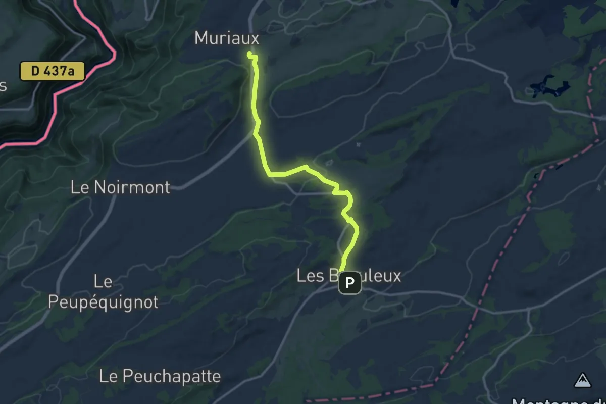
Medium · Trail
Muriaux halte CJ – Les Breuleux gare
11.1 km · ↑ 169 m · 2 h 59 min
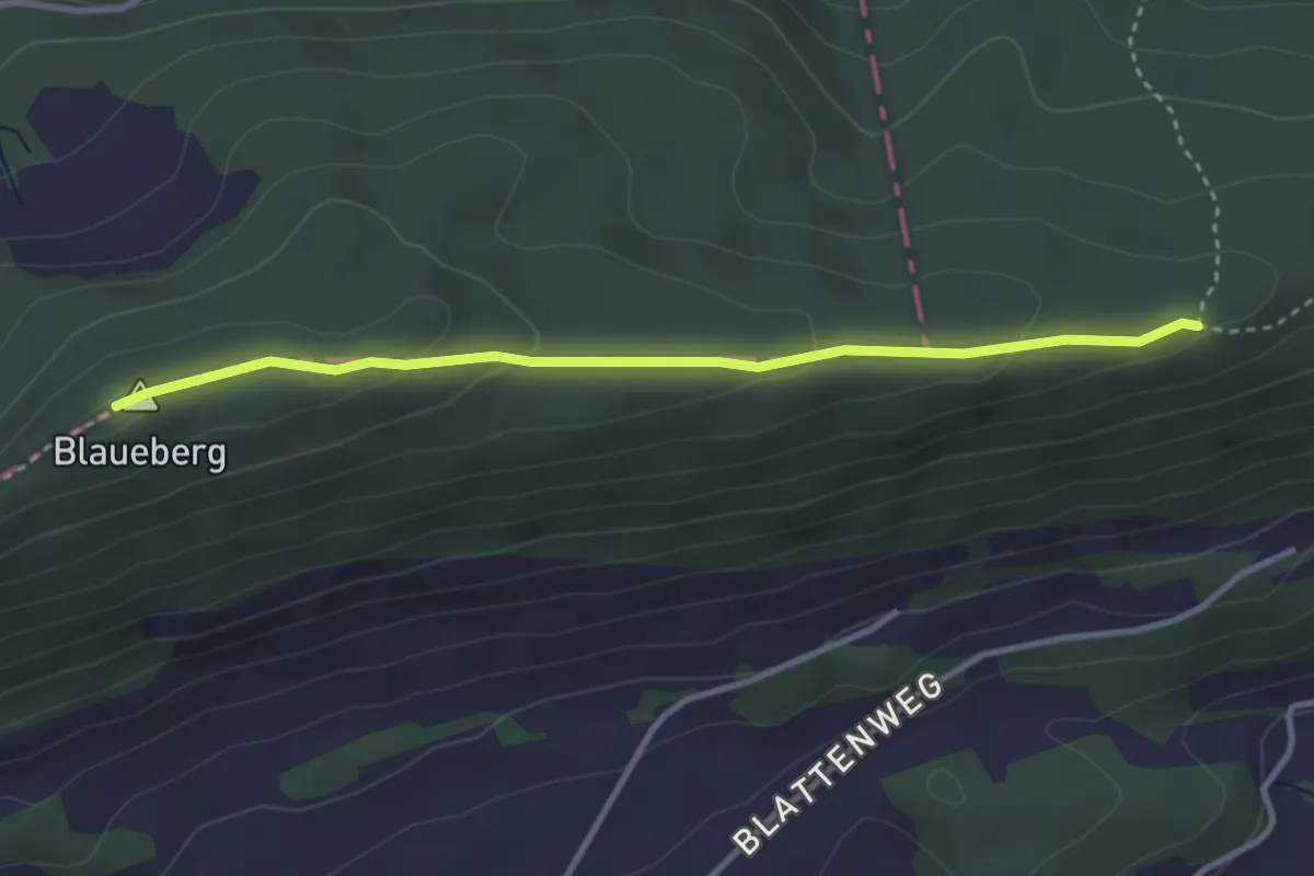
Easy · Summit
Blauepass – Chremer
3.3 km · ↑ 91 m · 58 min
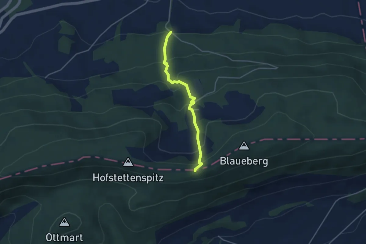
Easy · Trail
Blauepass – Radmer
3.0 km · ↑ 263 m · 1 h 17 min
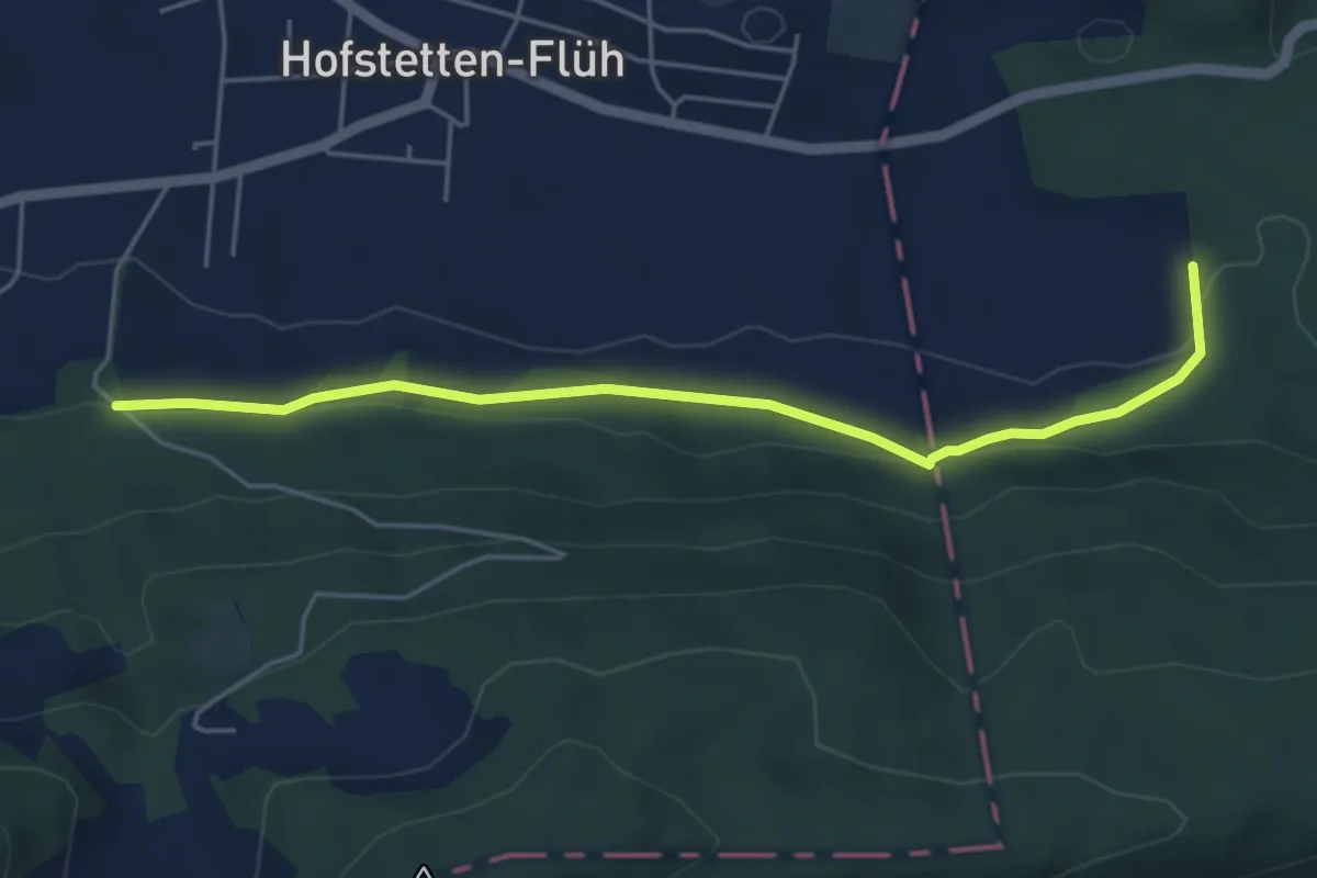
Easy · Trail
Radmer – Mettli? / Aesch?
4.9 km · ↑ 144 m · 1 h 29 min
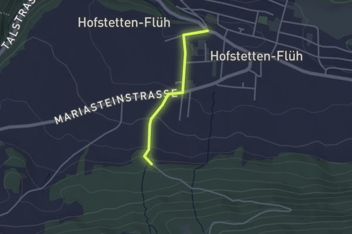
Easy · Trail
Radmer – Hofstetten
2.3 km · ↑ 84 m · 43 min
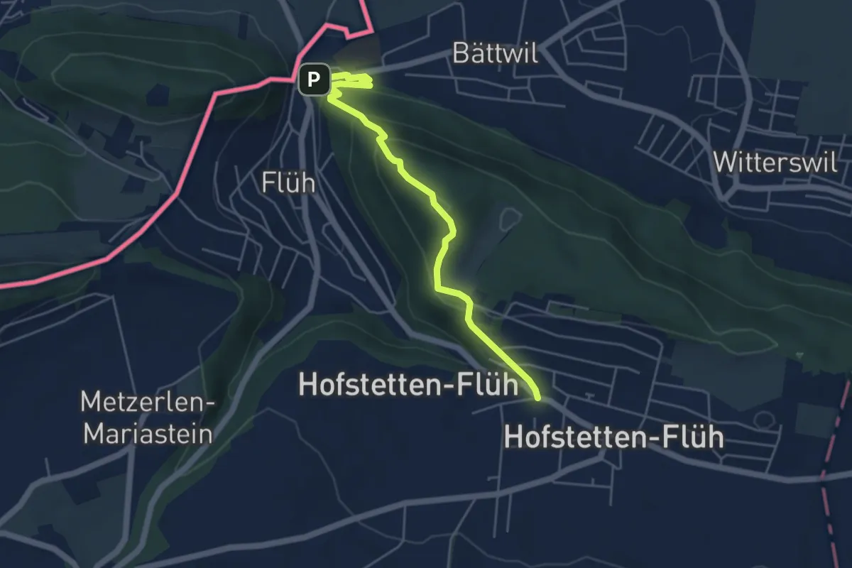
Demanding · Trail
Hofstetten – Flüh Station
4.7 km · ↑ 247 m · 1 h 39 min
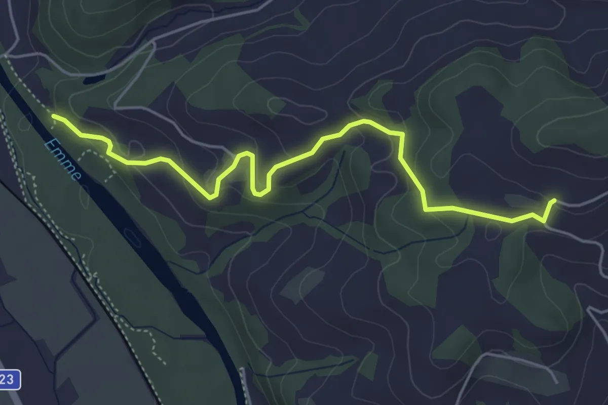
Easy · Trail
Schallenberg – Oberburg
5.0 km · ↑ 212 m · 1 h 39 min
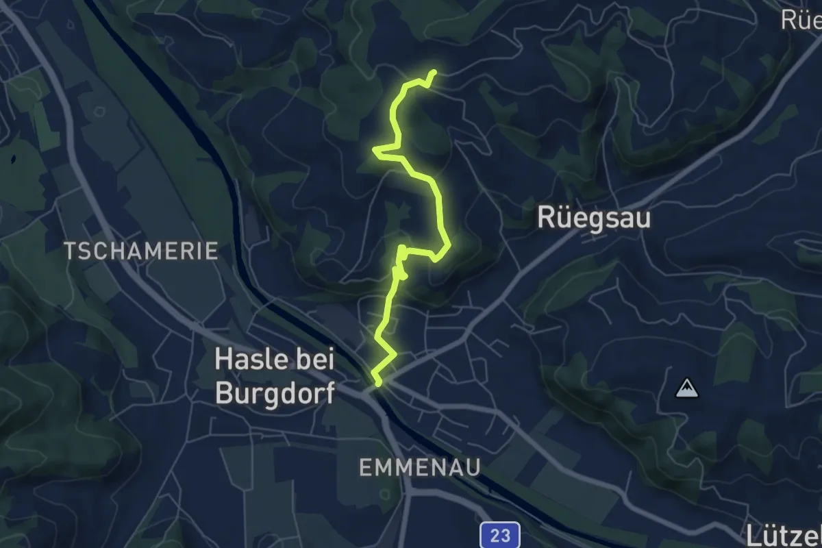
Easy · Trail
Schallenberg – Rüegsauschachen
5.7 km · ↑ 220 m · 1 h 49 min
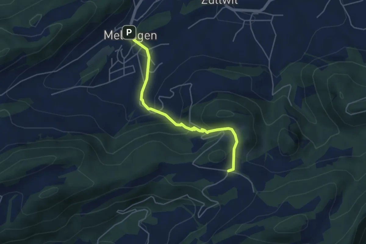
Easy · Trail
Meltingerberg – Meltingen Post
4.1 km · ↑ 238 m · 1 h 28 min
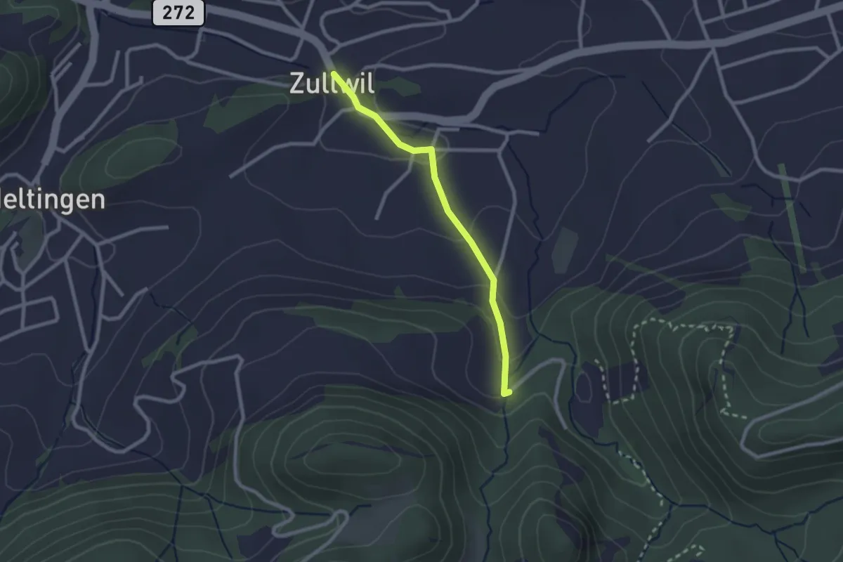
Easy · Trail
Gilgenberg – Zullwil
2.1 km · ↑ 91 m · 42 min
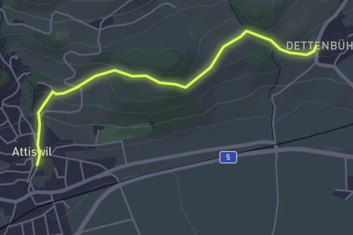
Easy · Trail
Attiswil – Dettenbühl
4.3 km · ↑ 146 m · 1 h 20 min
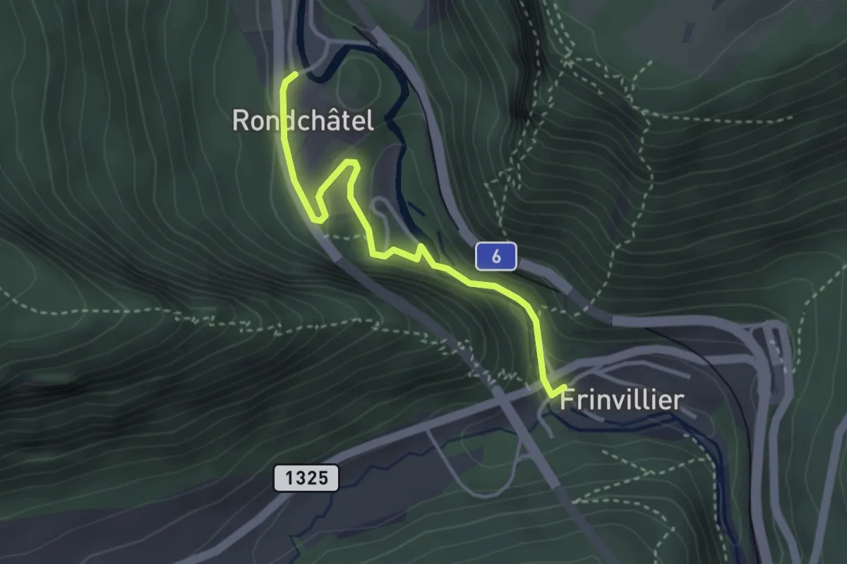
Easy · Trail
Rondchâtel – Frinvillier
3.0 km · ↑ 109 m · 57 min
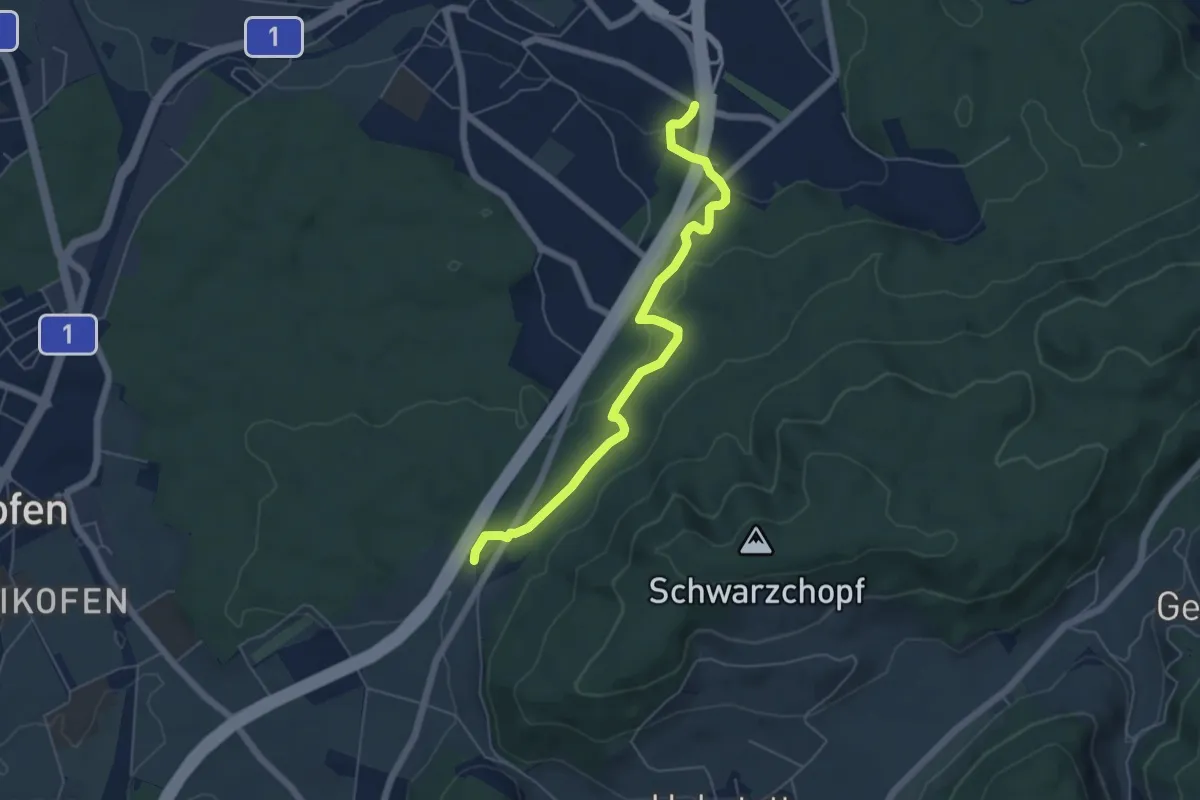
Easy · Trail
Grauholzdenkmal – Forsthus
5.6 km · ↑ 122 m · 1 h 36 min
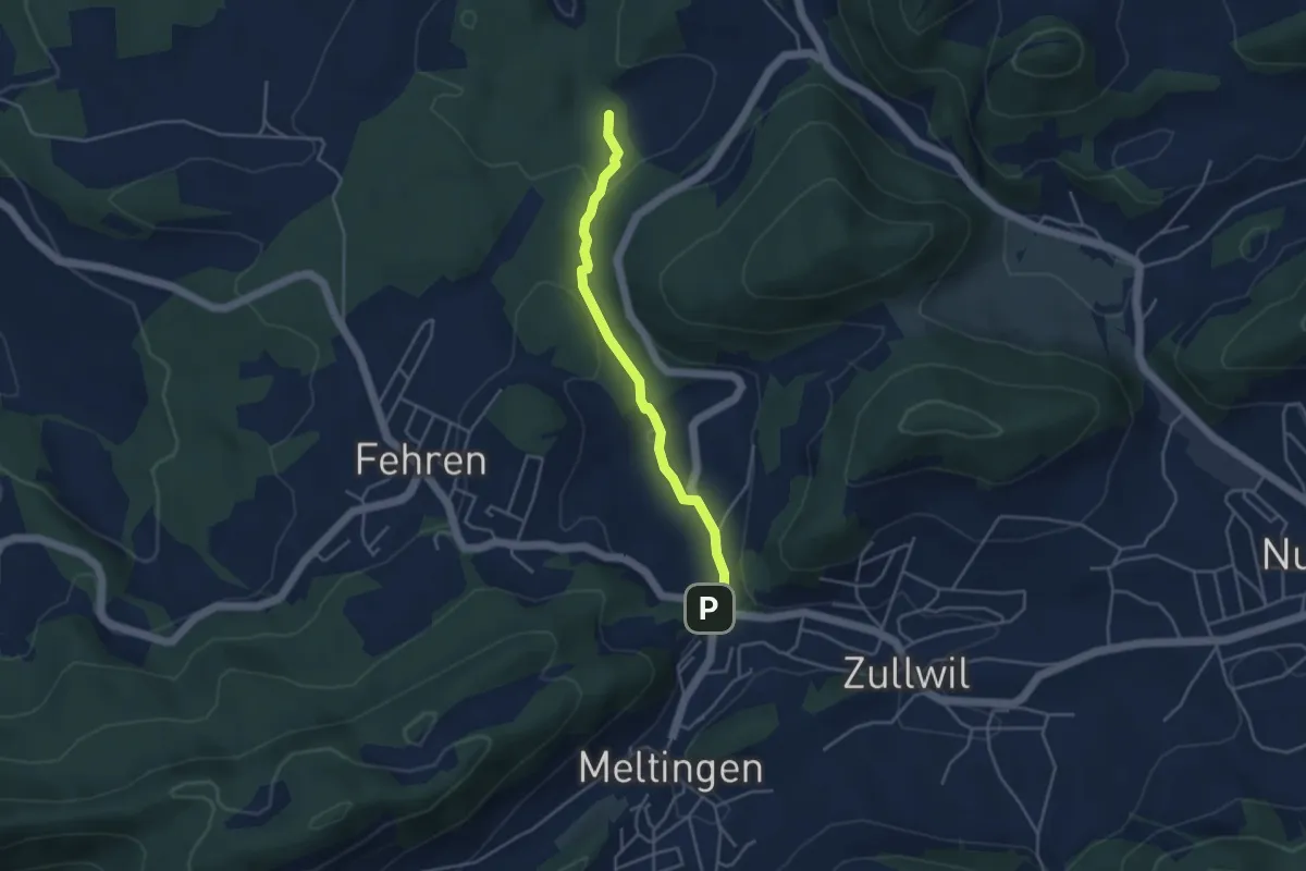
Easy · Trail
Meltingerbrücke – Ibach
3.7 km · ↑ 142 m · 1 h 11 min
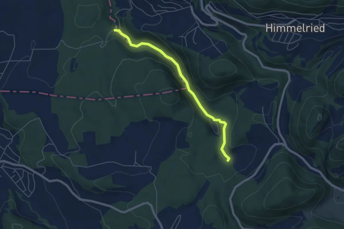
Easy · Trail
Ibach – Chaltbrunnetal
4.8 km · ↑ 195 m · 1 h 34 min
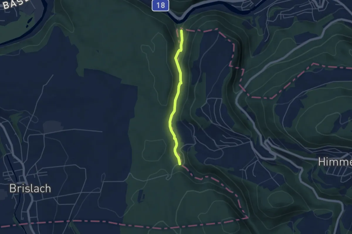
Easy · Trail
Chaltbrunnetal – Chessiloch
3.7 km · ↑ 94 m · 1 h 5 min
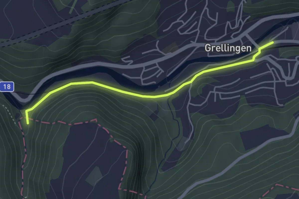
Easy · Trail
Chessiloch – Grellingen
3.9 km · ↑ 50 m · 1 h 2 min
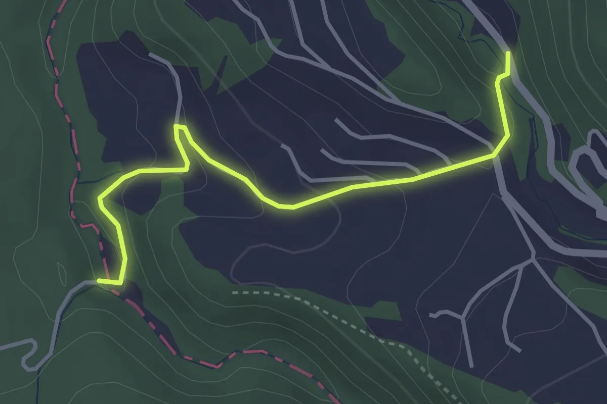
Easy · Trail
Chaltbrunnetal – Steffenschmiede
3.4 km · ↑ 158 m · 1 h 9 min
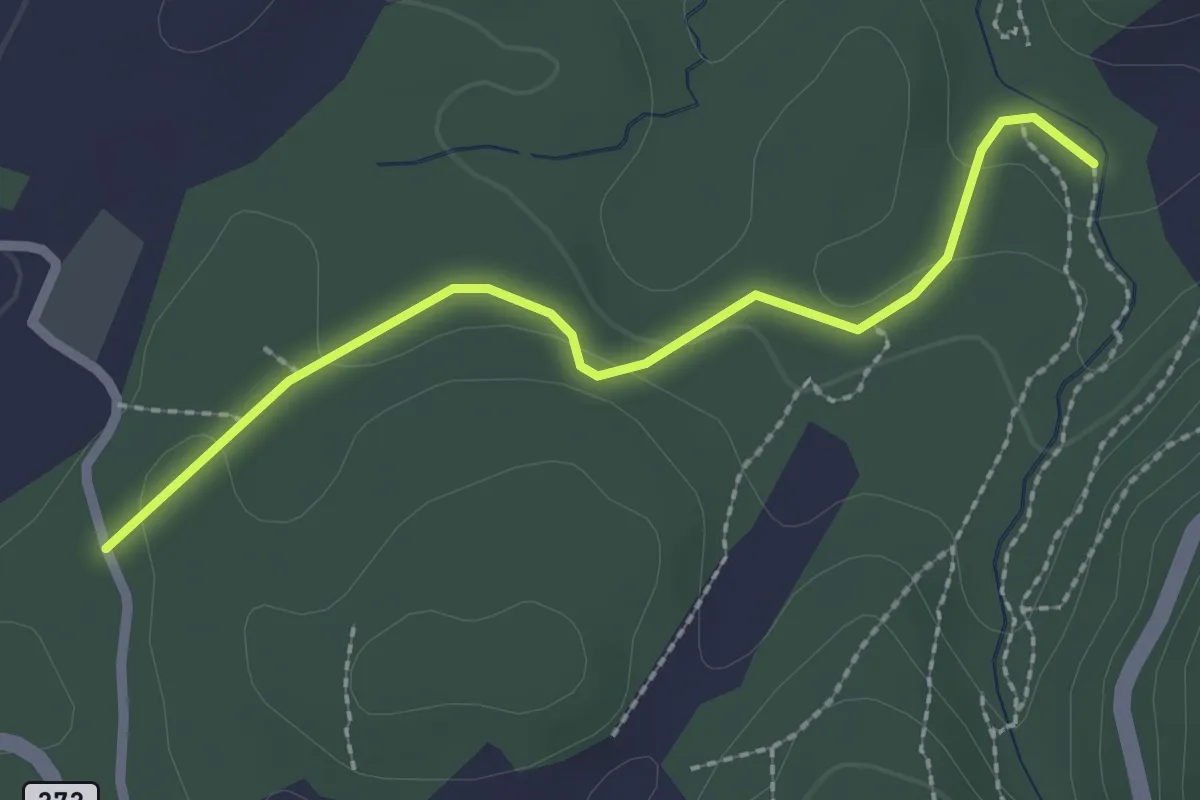
Easy · Trail
Ibach – Breitenbach?
2.3 km · ↑ 48 m · 39 min
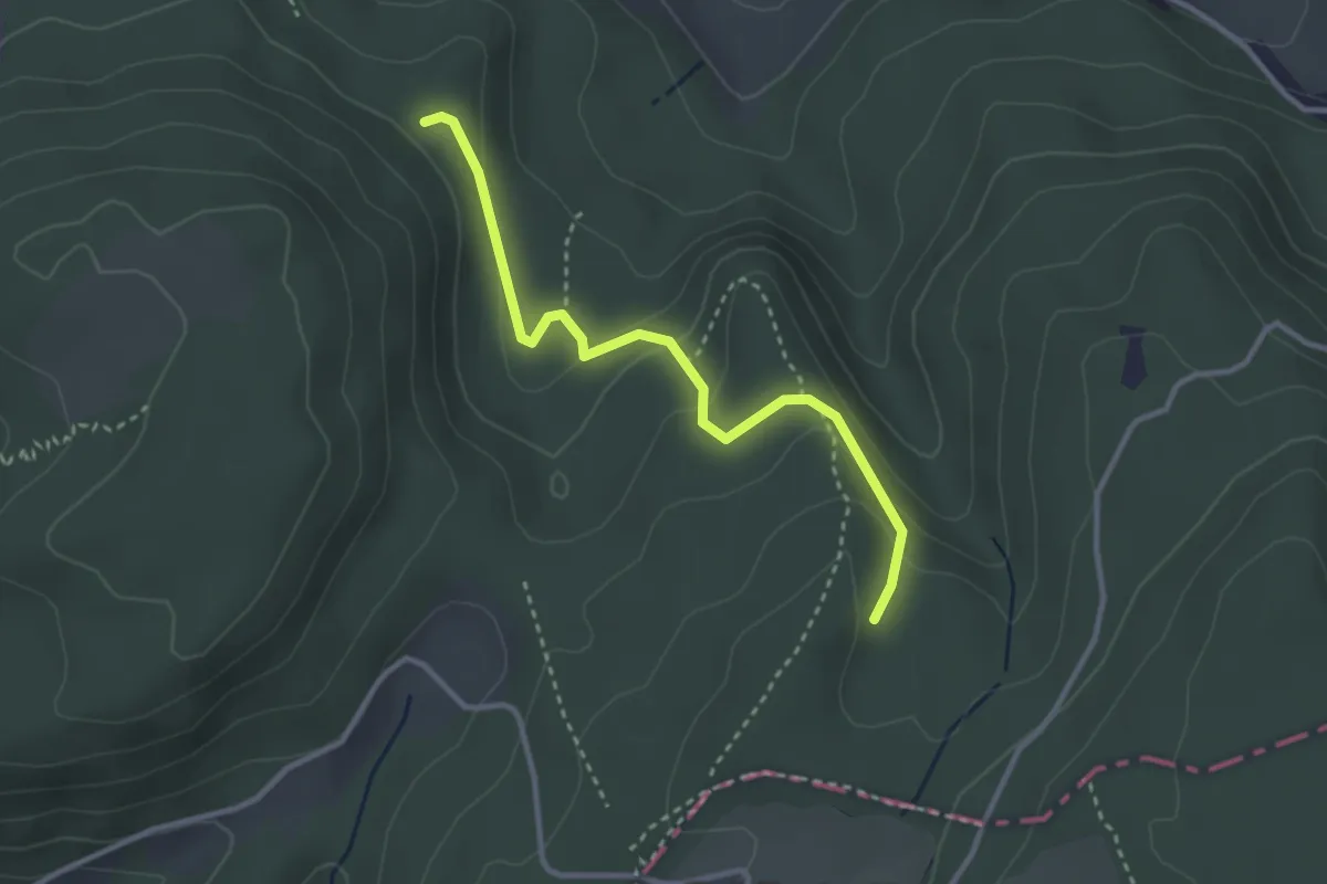
Easy · Trail
Winterhalle – Flösch
3.0 km · ↑ 139 m · 1 h 1 min
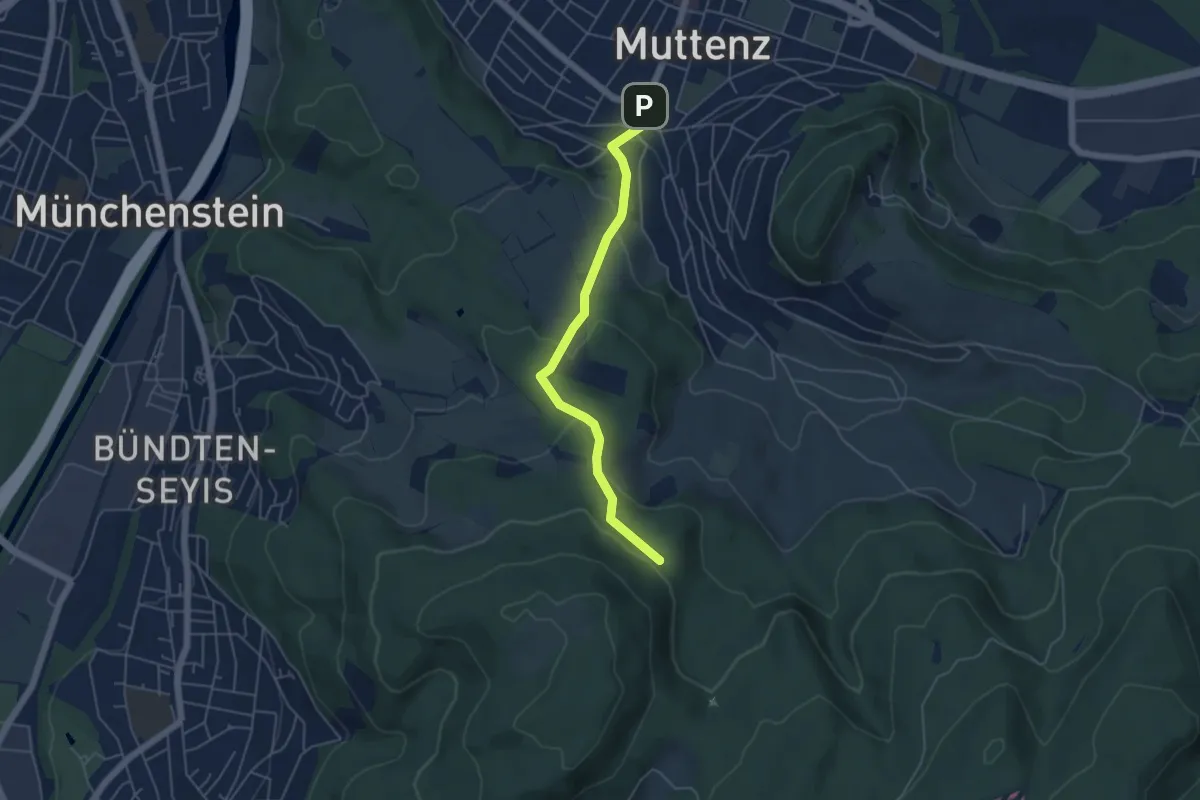
Easy · Trail
Winterhalle – Mittenza
4.6 km · ↑ 205 m · 1 h 32 min
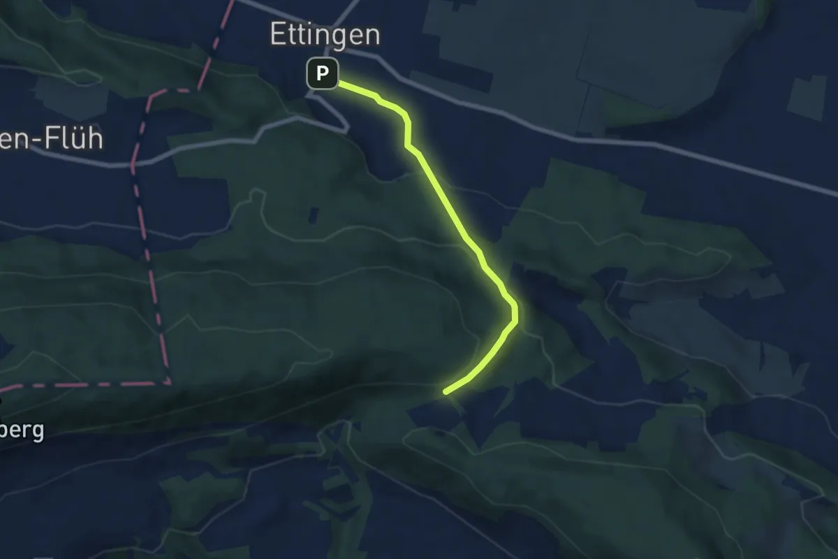
Easy · Trail
Blattepass – Ettingen Dorf
5.6 km · ↑ 267 m · 1 h 55 min
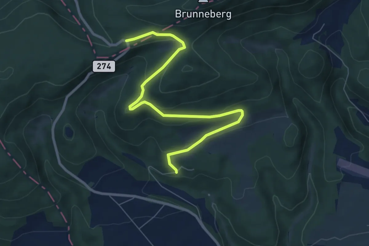
Easy · Trail
Challpass – Schachlete? / Laufen?
7.4 km · ↑ 274 m · 2 h 20 min
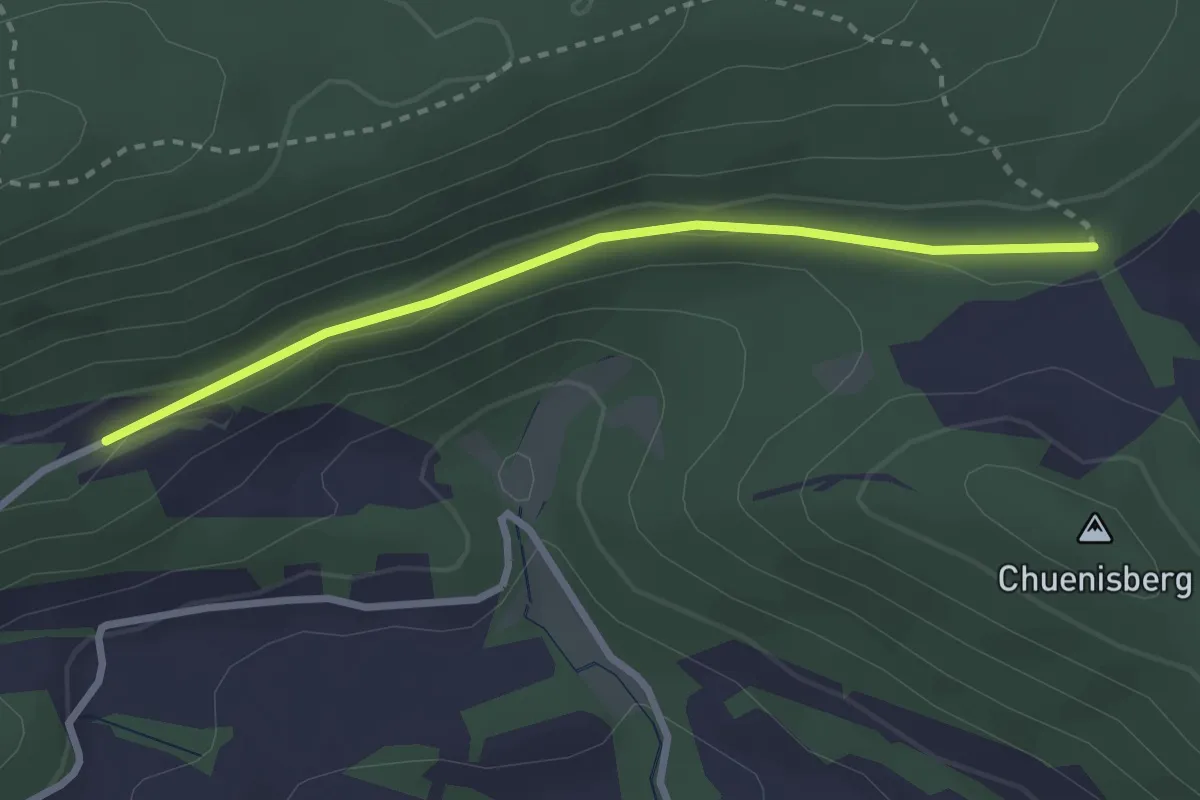
Easy · Trail
Blattepass – Hinderhärd? / Blauen?
2.6 km · ↑ 36 m · 42 min
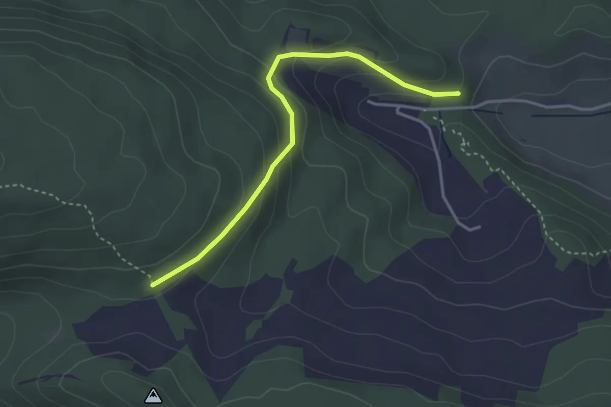
Easy · Trail
Blattepass – Unter Chlus?
3.1 km · ↑ 182 m · 1 h 8 min
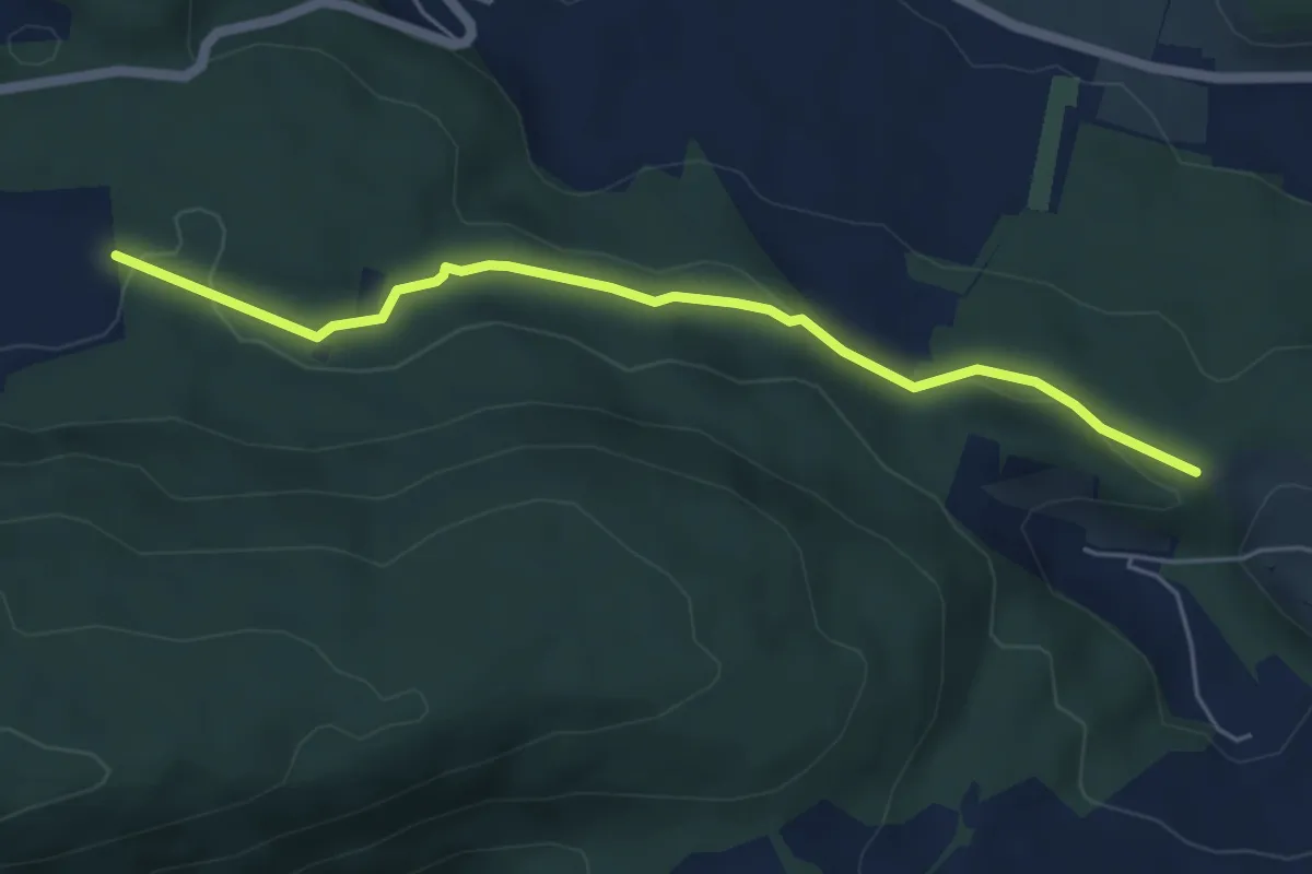
Easy · Trail
Mettli – Chlusboden
5.1 km · ↑ 126 m · 1 h 29 min
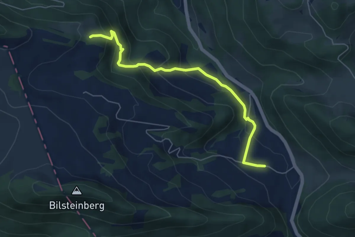
Medium · Trail
Dürrenberg – Schwizerboden
5.2 km · ↑ 345 m · 1 h 58 min
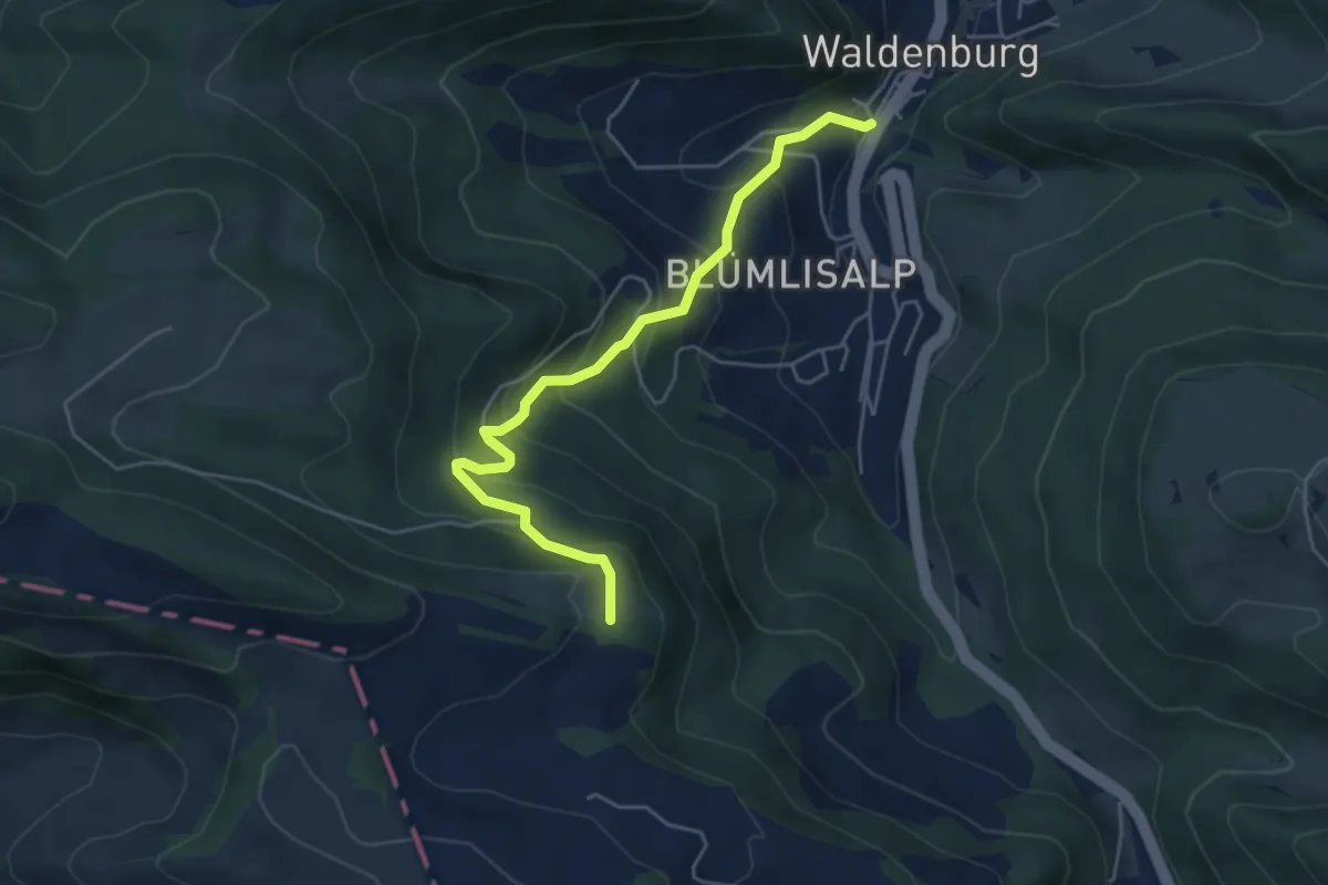
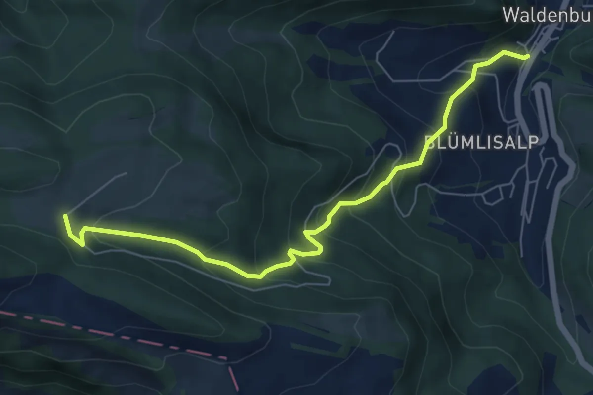
Medium · Trail
Schwizerboden – Waldenburg Torplatz
4.9 km · ↑ 370 m · 1 h 57 min
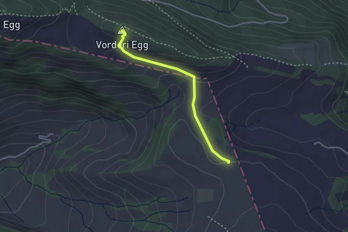
Medium · Trail
Waldweid – Waldenburg Torplatz
6.2 km · ↑ 472 m · 2 h 29 min
Easy · Summit
Waldweid – Sool
2.4 km · ↑ 87 m · 46 min
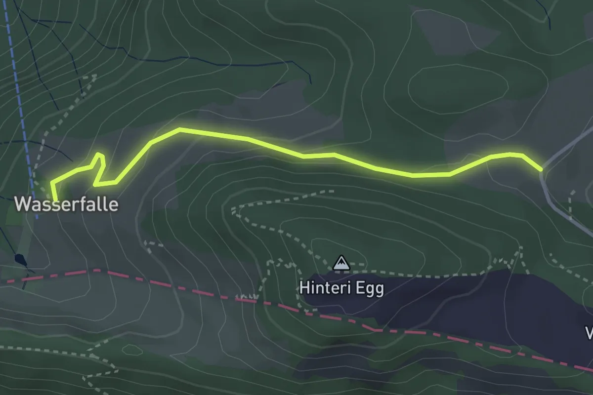
Easy · Trail
Waldweid – Wasserfallen
3.2 km · ↑ 135 m · 1 h 2 min
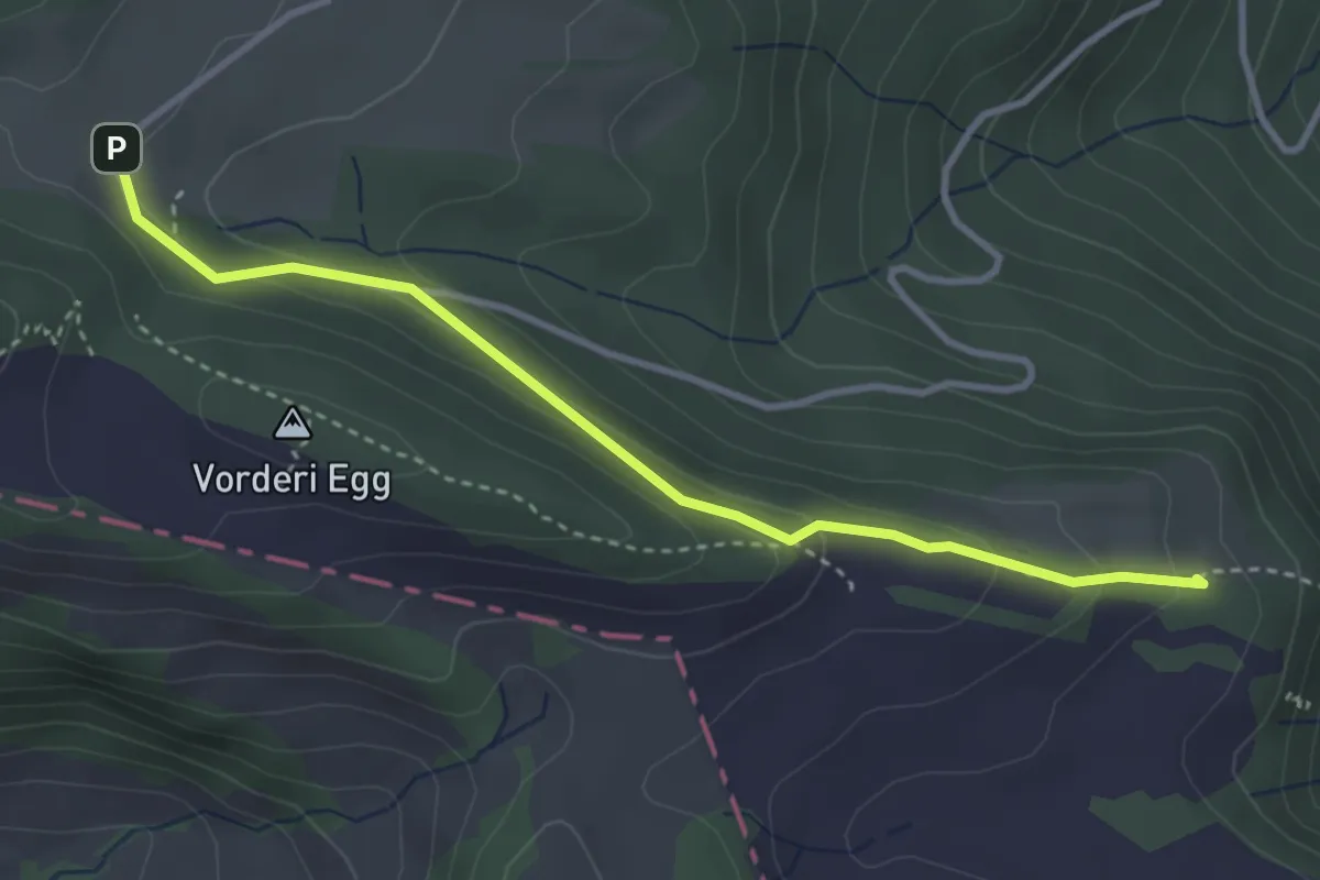
Easy · Trail
Schwizerboden – Waldweid
3.4 km · ↑ 142 m · 1 h 7 min
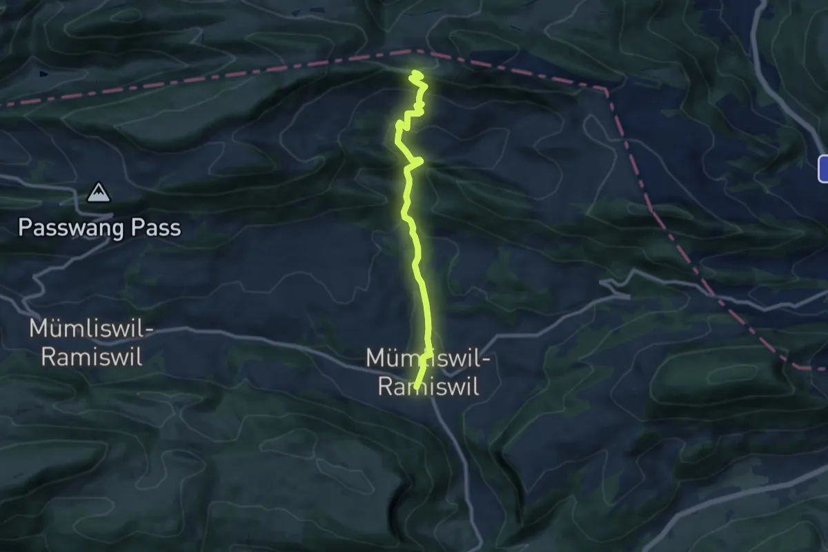
Medium · Trail
Wasserfallen Rochus Kapelle – Hauptstrasse Mümliswil
8.4 km · ↑ 439 m · 2 h 56 min
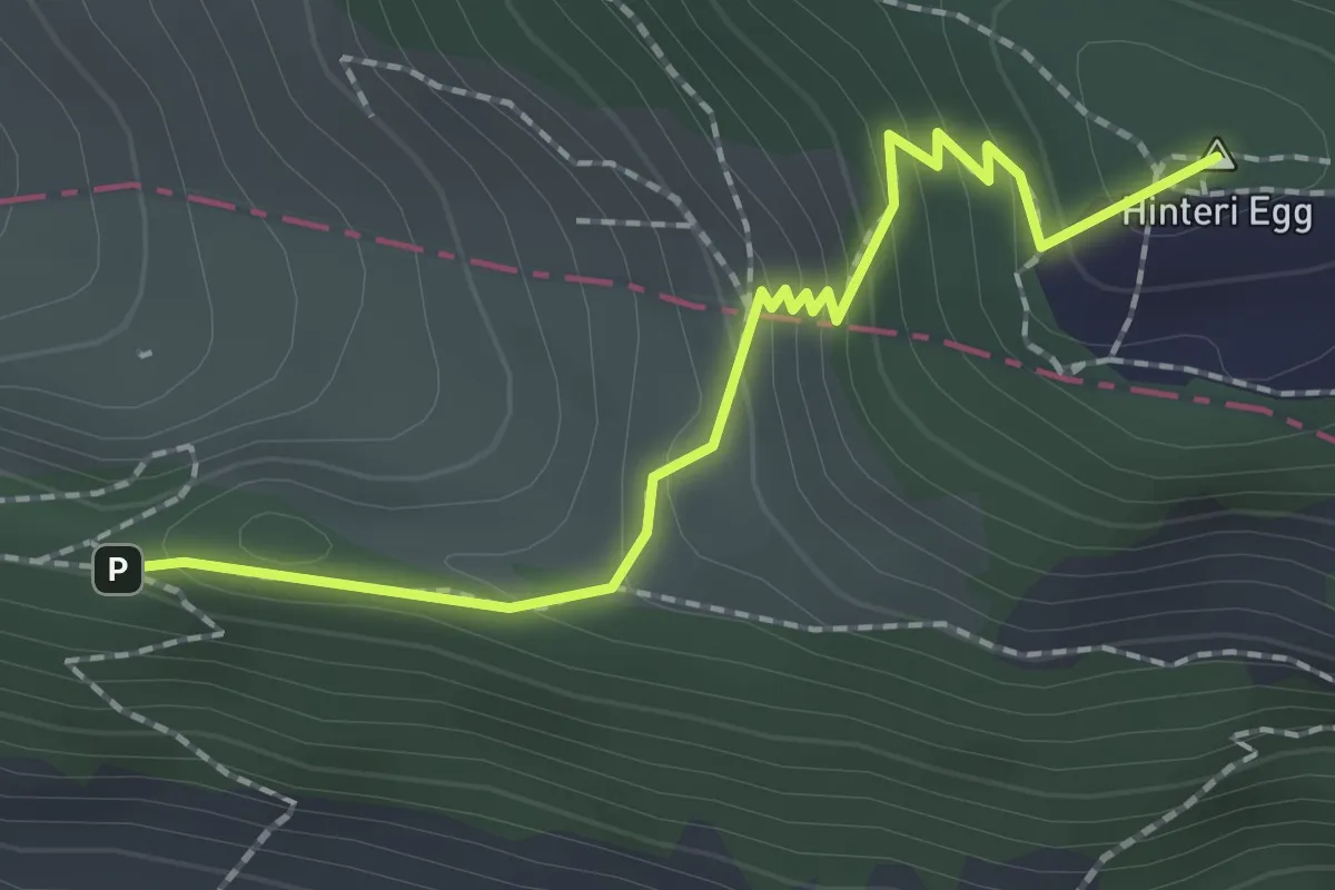
Medium · Summit
Chellenchöpfli – Wasserfallen Rochus Kapelle
2.1 km · ↑ 169 m · 51 min
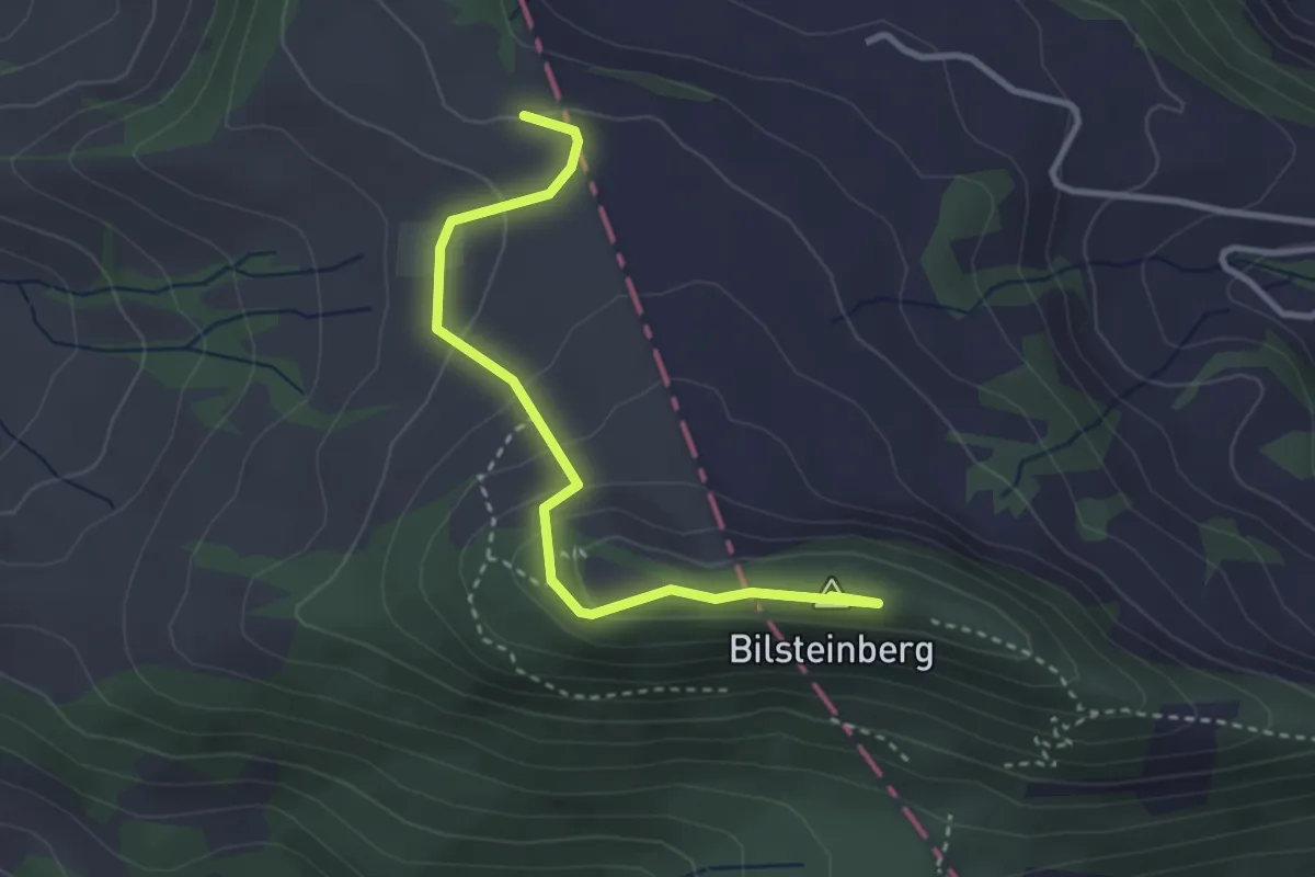
Easy · Summit
Sool – Bilsteinberg
3.2 km · ↑ 150 m · 1 h 5 min
Medium · Trail
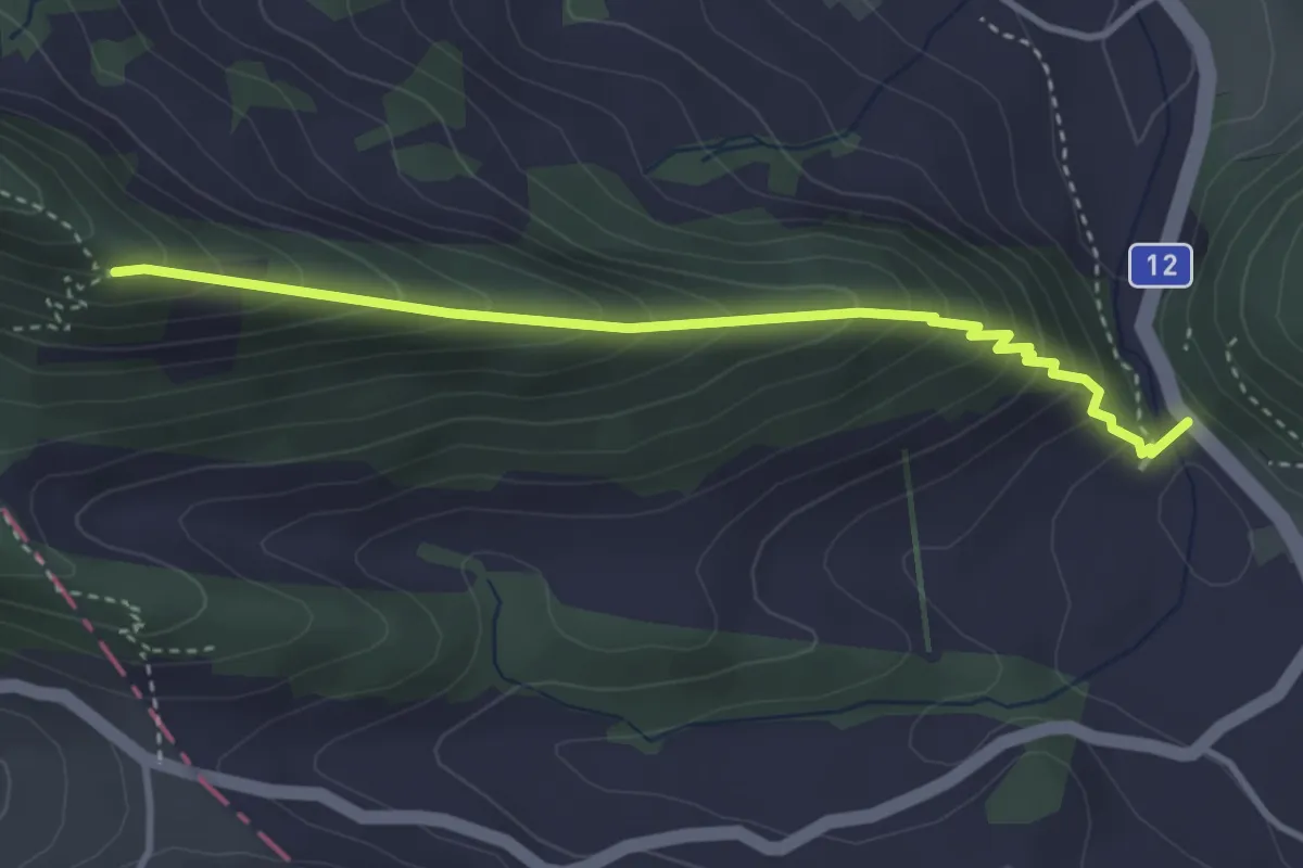
Ober Hauenstein – Bilsteinberg
3.5 km · ↑ 350 m · 1 h 35 min
Easy · Trail
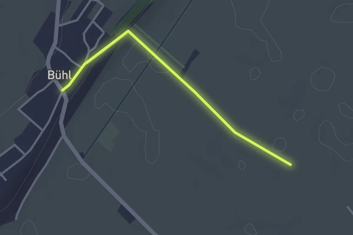
Bühl – Römerstrass
2.6 km · ↑ 23 m · 40 min
Medium · Trail
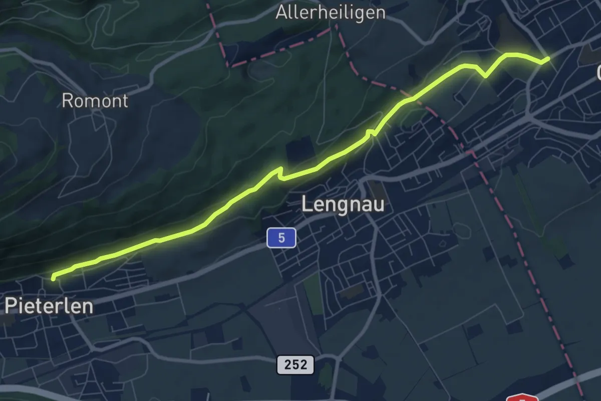
Pieterlen / Kirche – Dählenstrasse
9.1 km · ↑ 222 m · 2 h 38 min
Medium · Trail
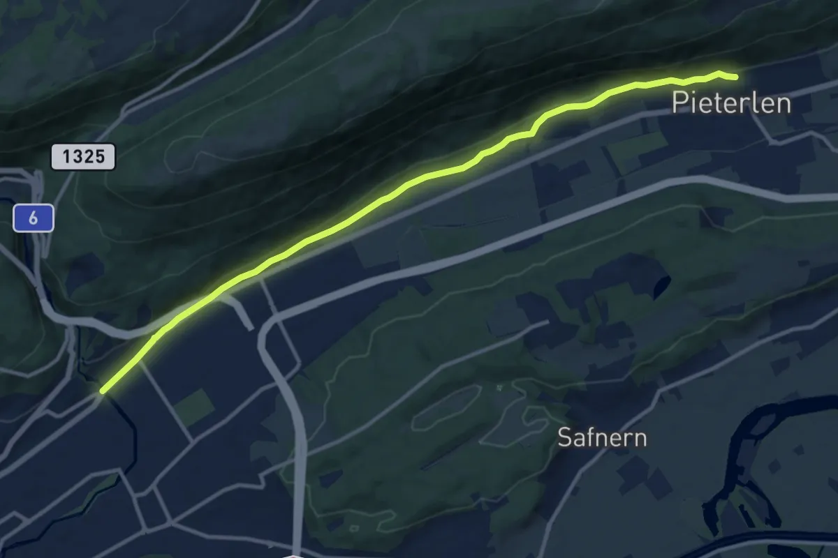
Pieterlen / Kirche – Biel/Bözingen
12.1 km · ↑ 246 m · 3 h 23 min