Trails in Switzerland
15,055 hiking trails, each with its route, climb, walking time and grade.
All trails, page 240 of 314
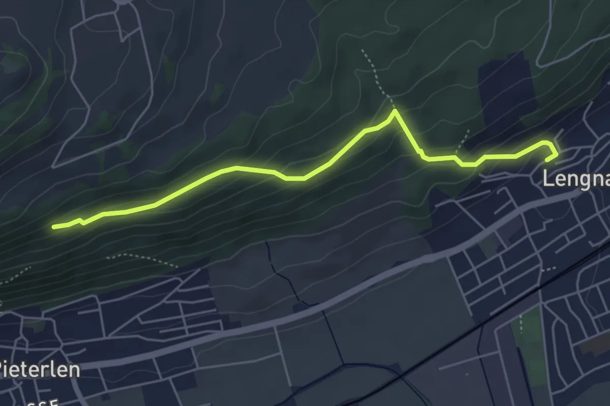
Easy · Trail
Ob der Chilcheflue – Lengnau Kirche
4.9 km · ↑ 273 m · 1 h 45 min
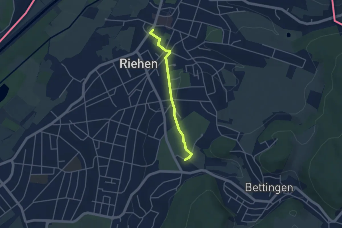
Easy · Trail
Wenkenhof – Riehen Dorf
2.9 km · ↑ 41 m · 46 min
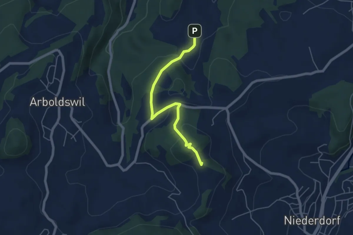
Easy · Summit
Ober Serzach – Arxhof
4.4 km · ↑ 194 m · 1 h 28 min
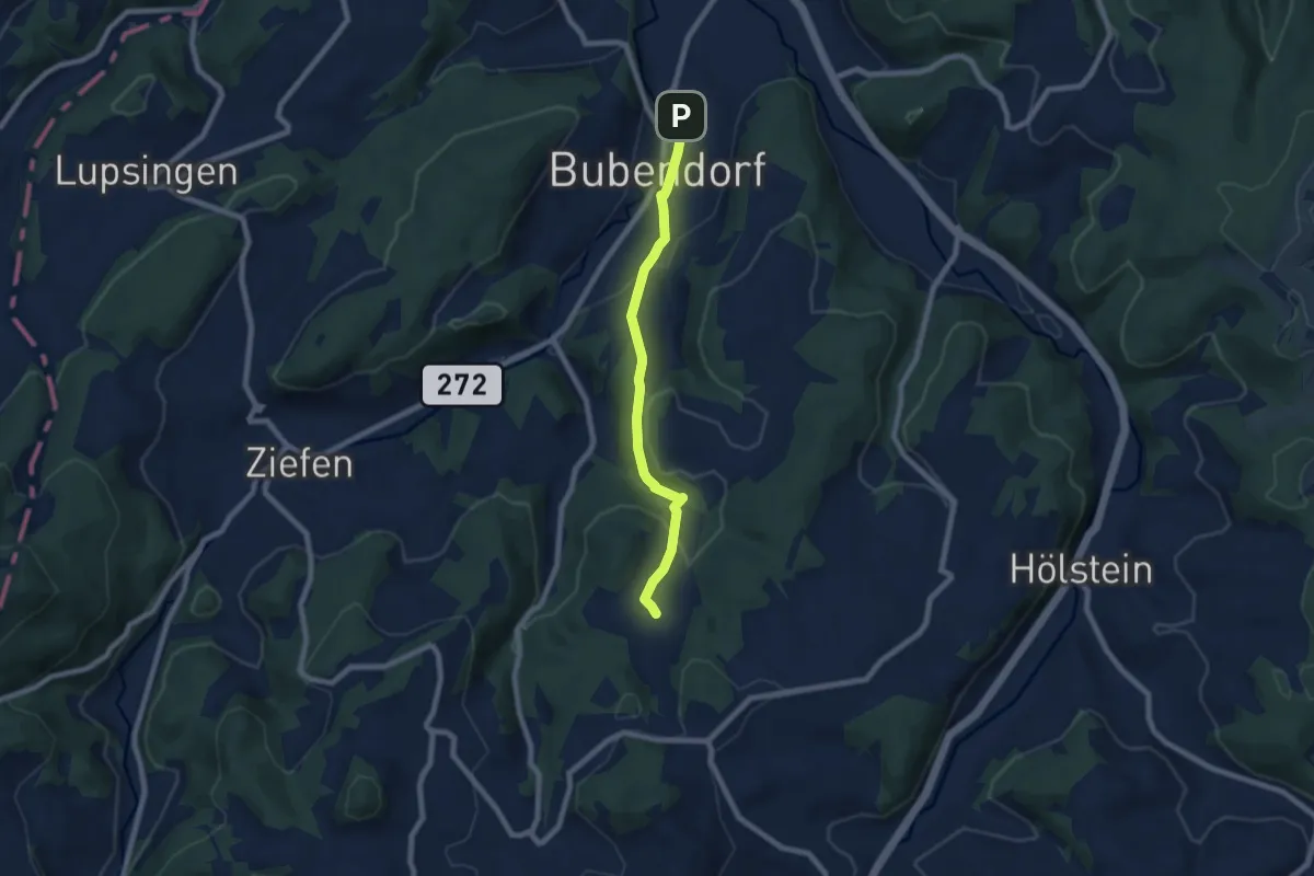
Easy · Trail
Arxhof – Bubendorf
6.8 km · ↑ 209 m · 2 h 4 min
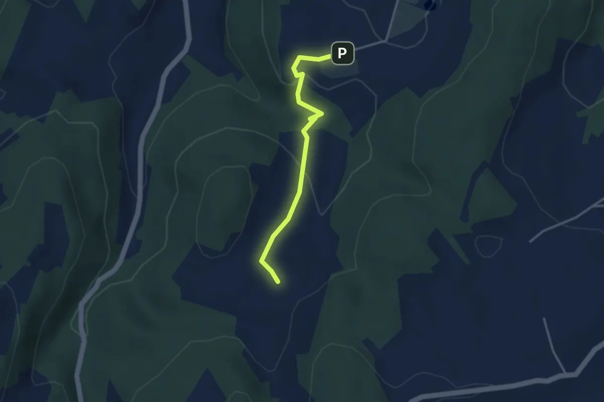
Medium · Trail
Arxhof – Wildenstein
2.8 km · ↑ 77 m · 50 min
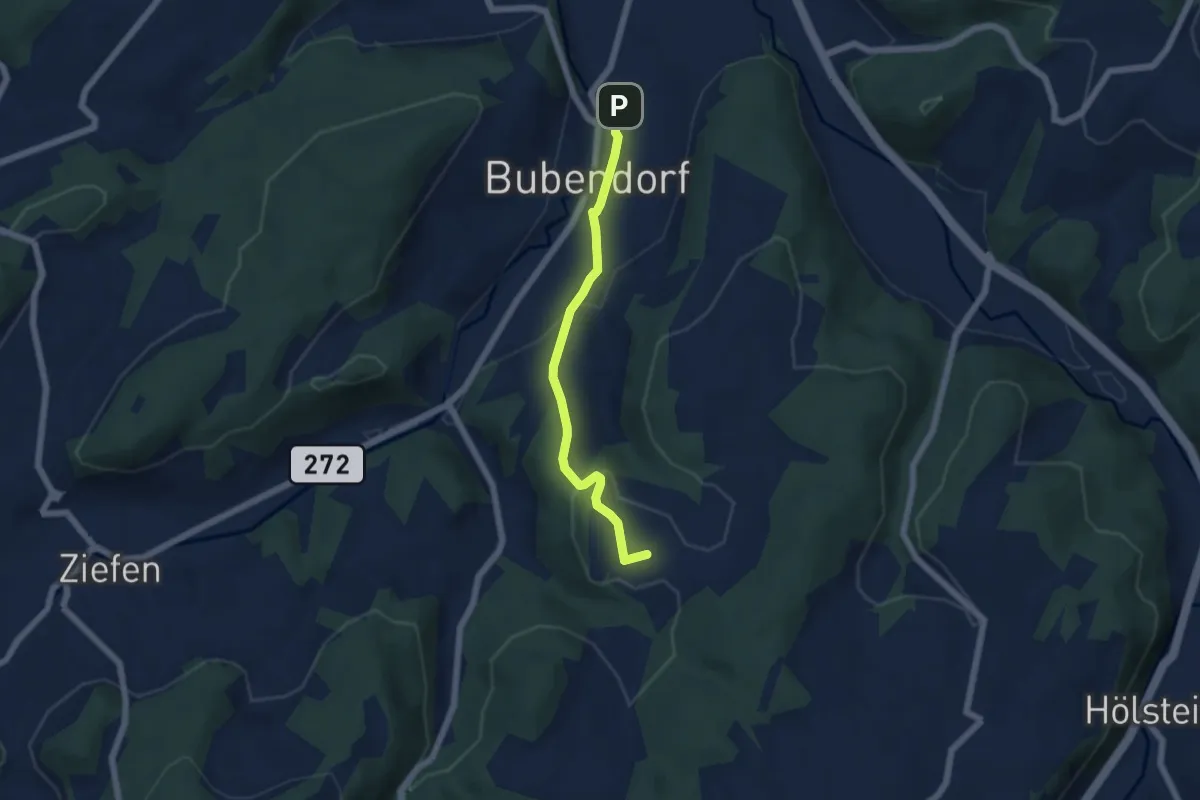
Easy · Trail
Wildenstein – Bubendorf
5.0 km · ↑ 142 m · 1 h 30 min
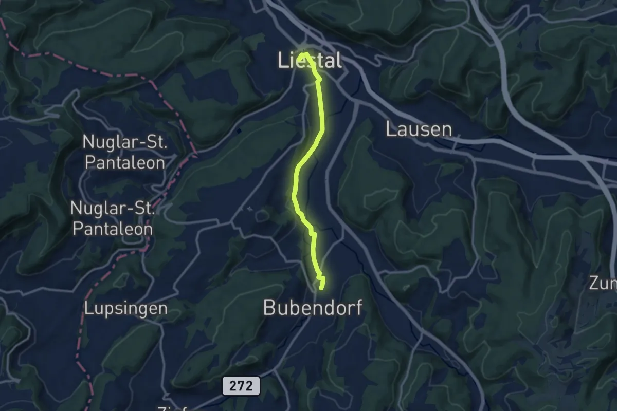
Medium · Trail
Bubendorf – Liestal Bhf.
9.1 km · ↑ 119 m · 2 h 24 min
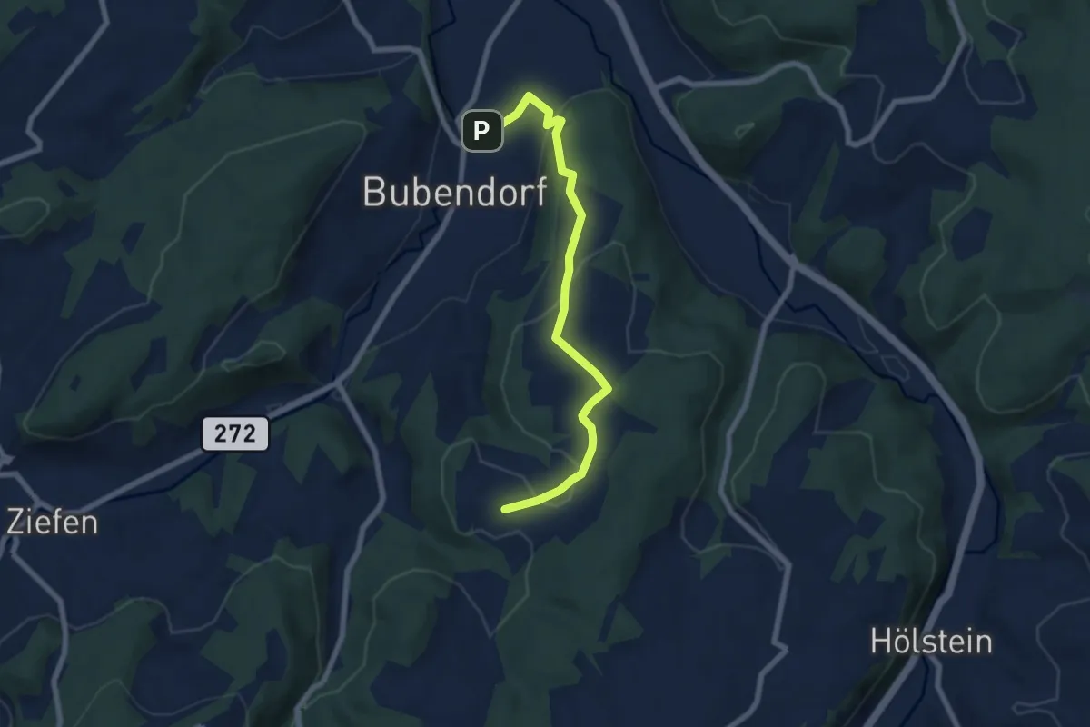
Easy · Trail
Bubendorf – Wildenstein
6.6 km · ↑ 181 m · 1 h 58 min
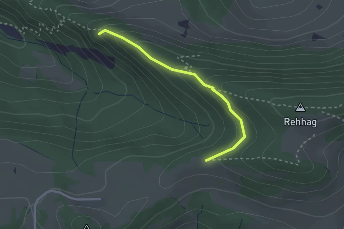
Medium · Summit
Gerstelflue – Humbel
2.1 km · ↑ 145 m · 49 min
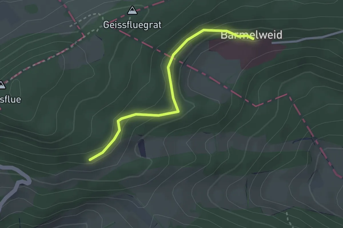
Easy · Trail
Meierweidhöchi – Barmelweid
2.4 km · ↑ 136 m · 52 min
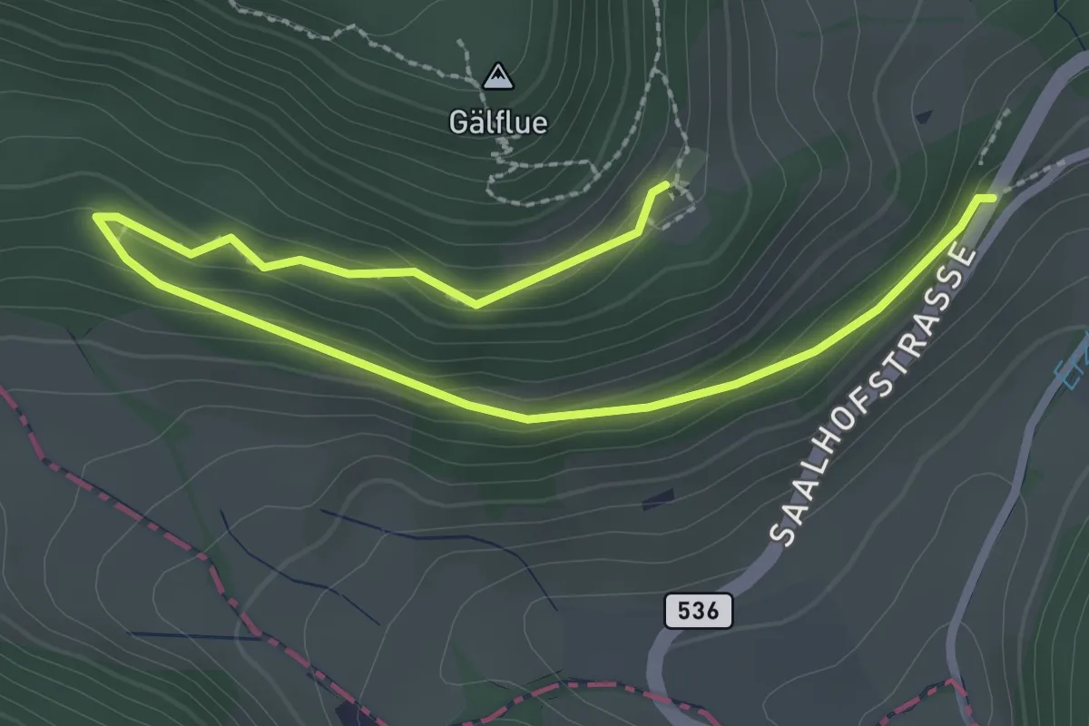
Easy · Trail
Beguttenalp – Laurenzenbad
3.4 km · ↑ 122 m · 1 h 4 min
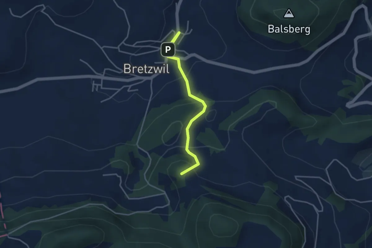
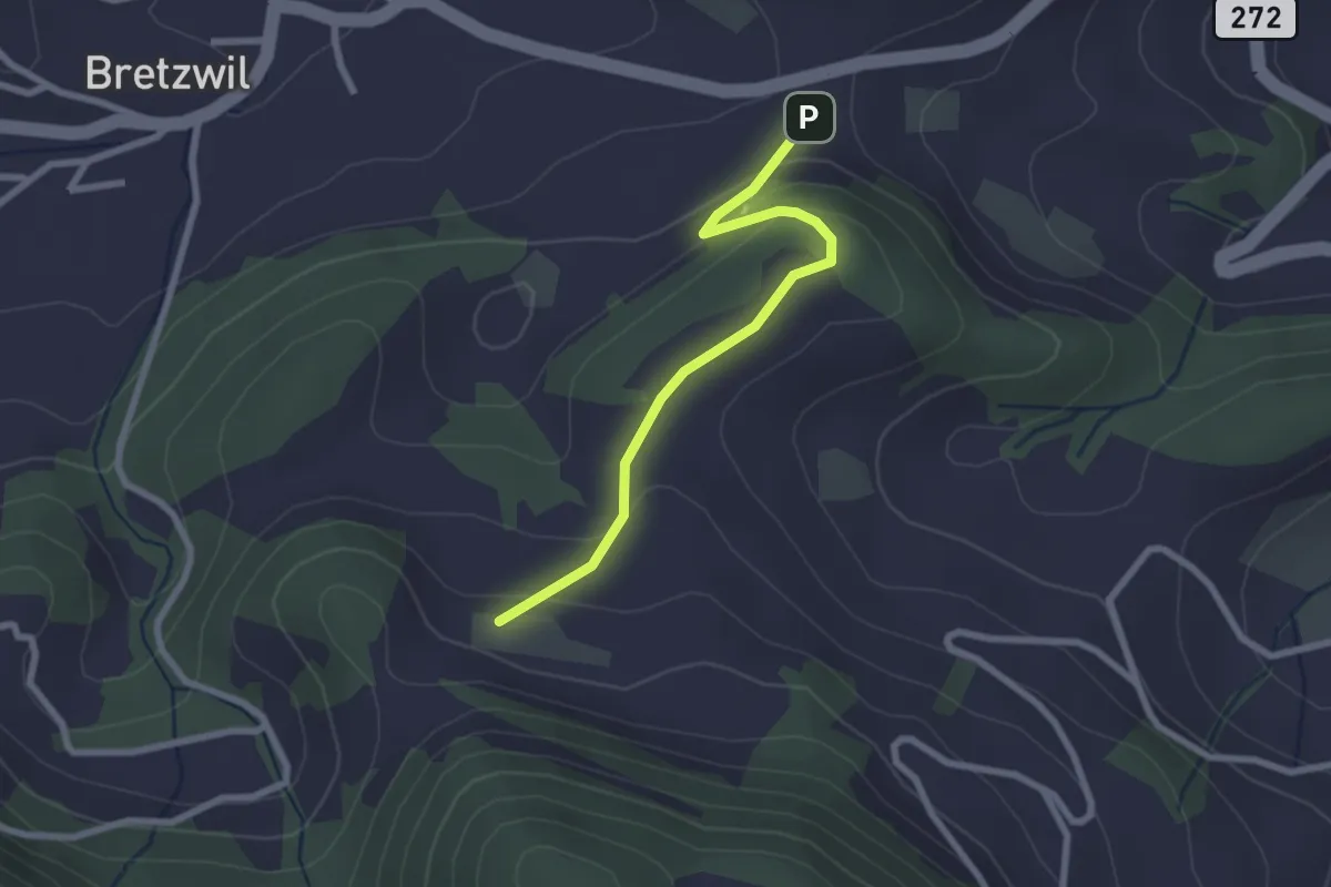
Easy · Summit
Ramstein – Bretzwil
3.0 km · ↑ 181 m · 1 h 6 min
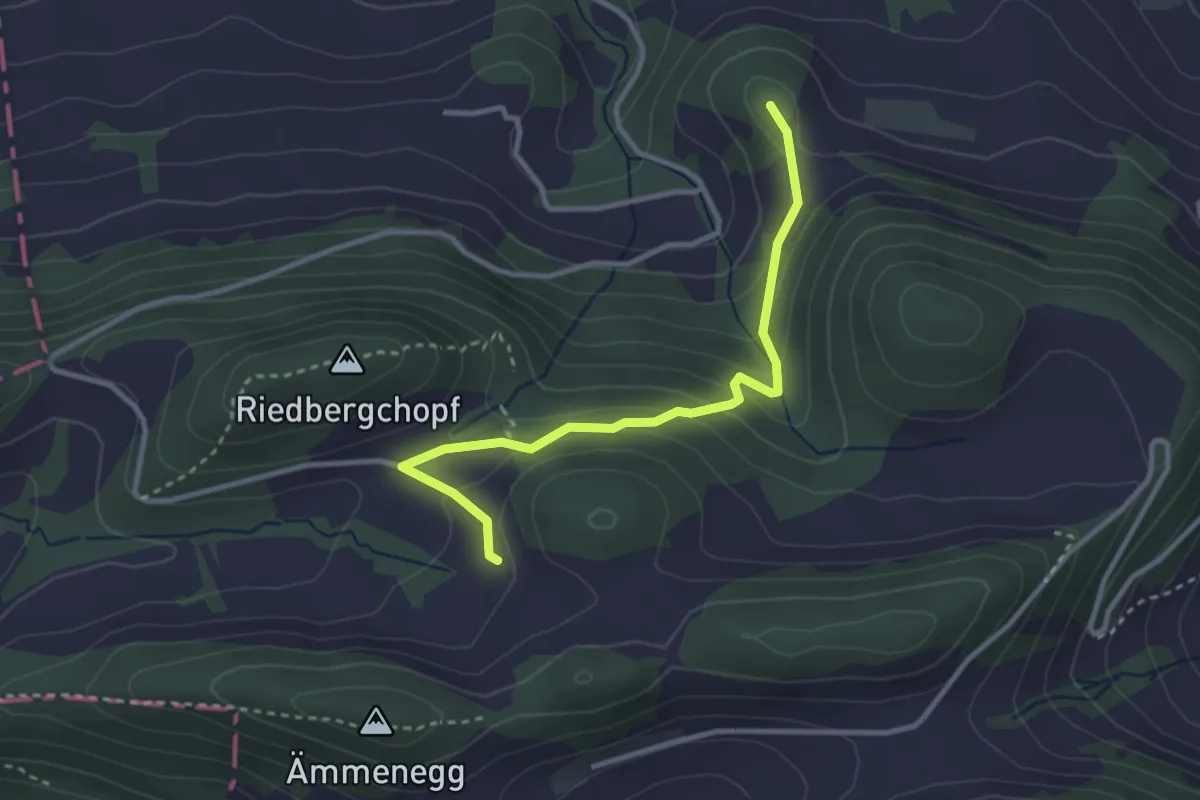
Easy · Trail
Ramstein – Eichhöhe
2.4 km · ↑ 114 m · 48 min
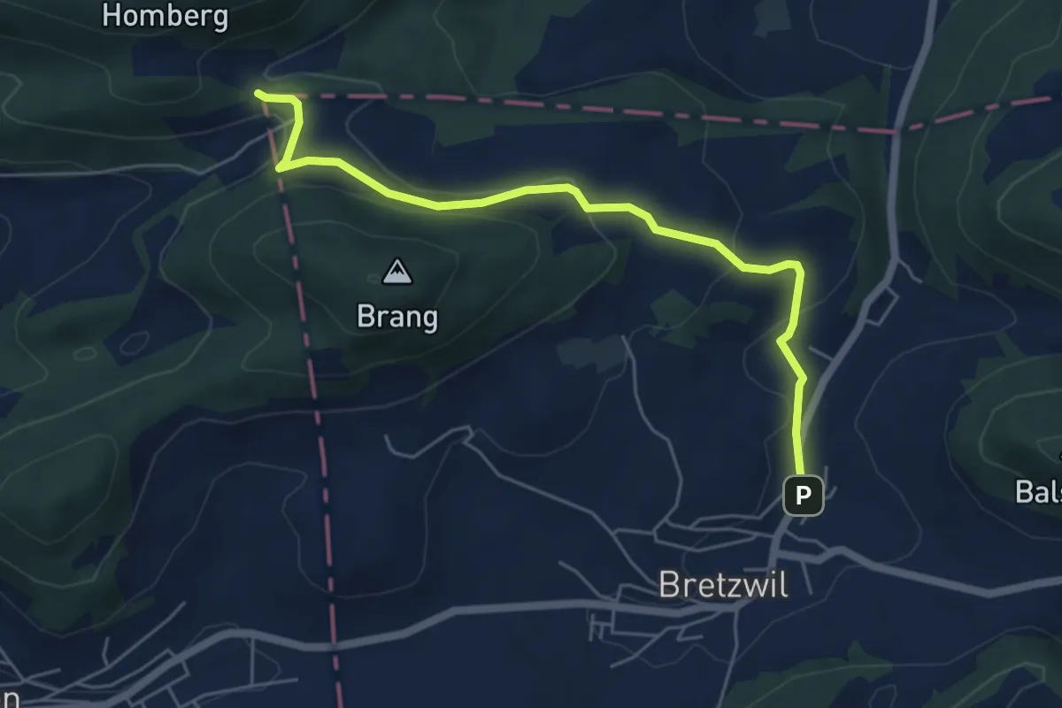
Easy · Summit
Stierenberg – Ramstein
3.1 km · ↑ 164 m · 1 h 5 min
Easy · Trail
Bretzwil – Dietel
5.5 km · ↑ 167 m · 1 h 39 min
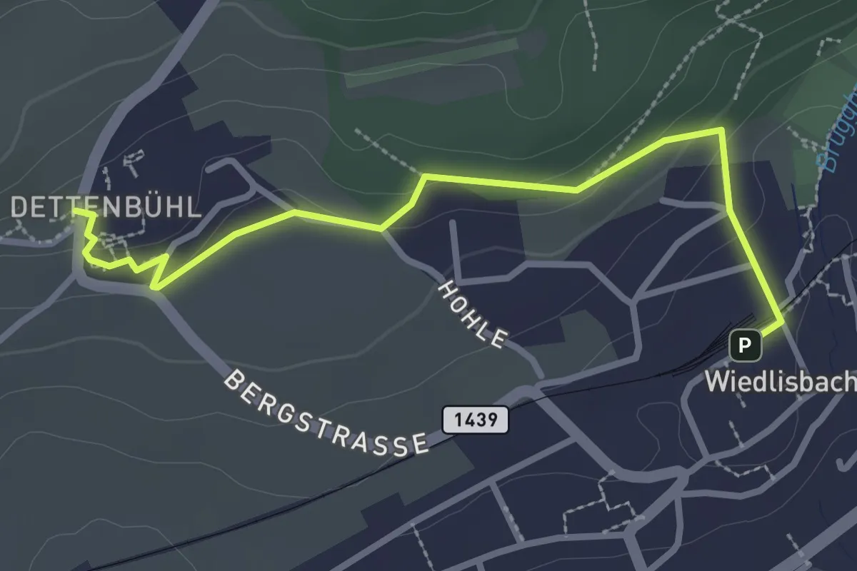
Easy · Trail
Dettenbühl – Wiedlisbach
2.9 km · ↑ 79 m · 52 min
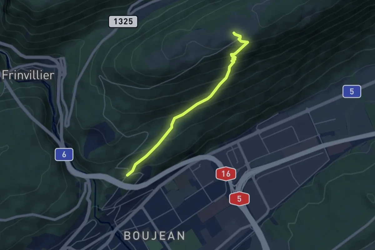
Medium · Trail
Tierpark – Bözingenberg
4.6 km · ↑ 376 m · 1 h 54 min
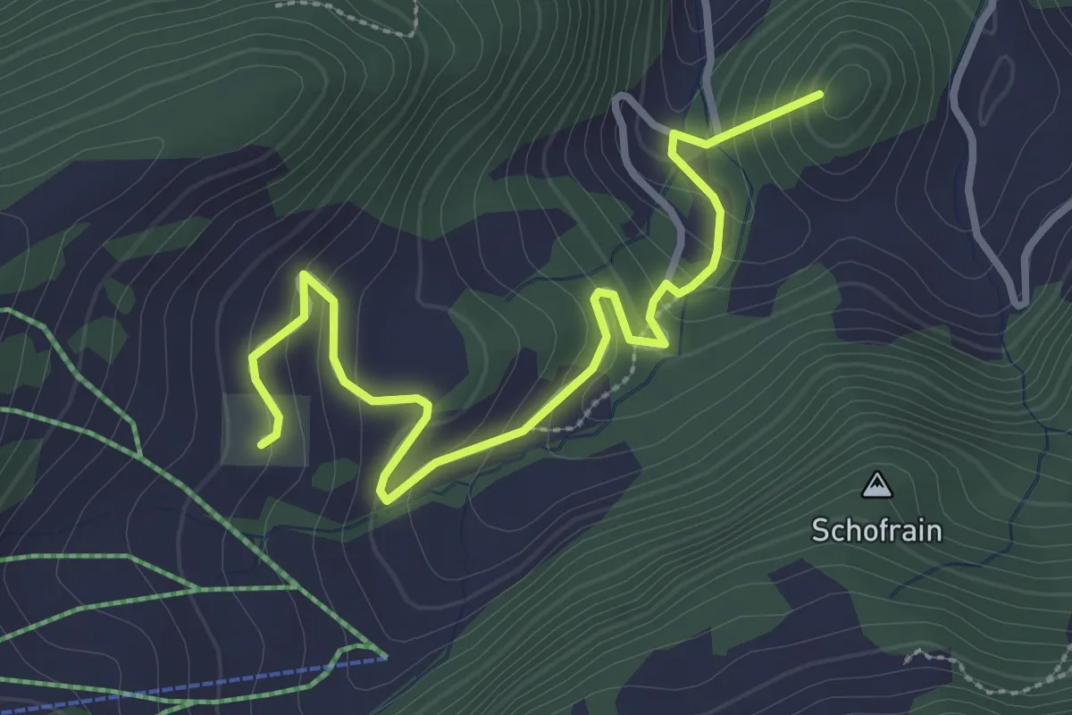
Easy · Summit
Schachen – Bilstein
3.4 km · ↑ 204 m · 1 h 14 min
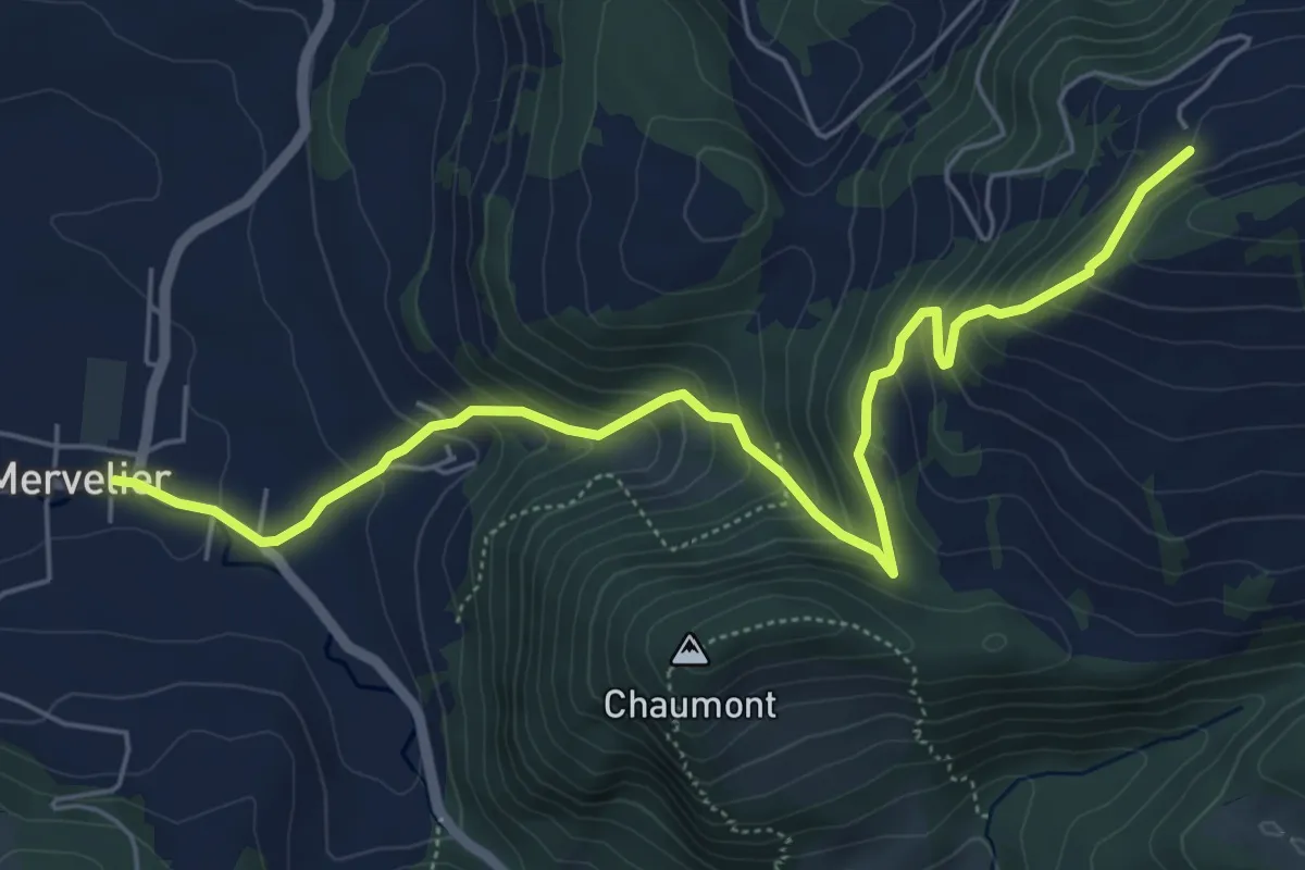
Medium · Trail
Le Champre – Mervelier
6.5 km · ↑ 445 m · 2 h 30 min
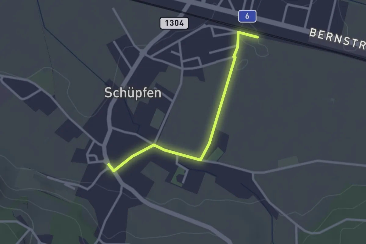
Easy · Trail
Schüpfen / Station – Schüpfen
2.3 km · ↑ 13 m · 35 min
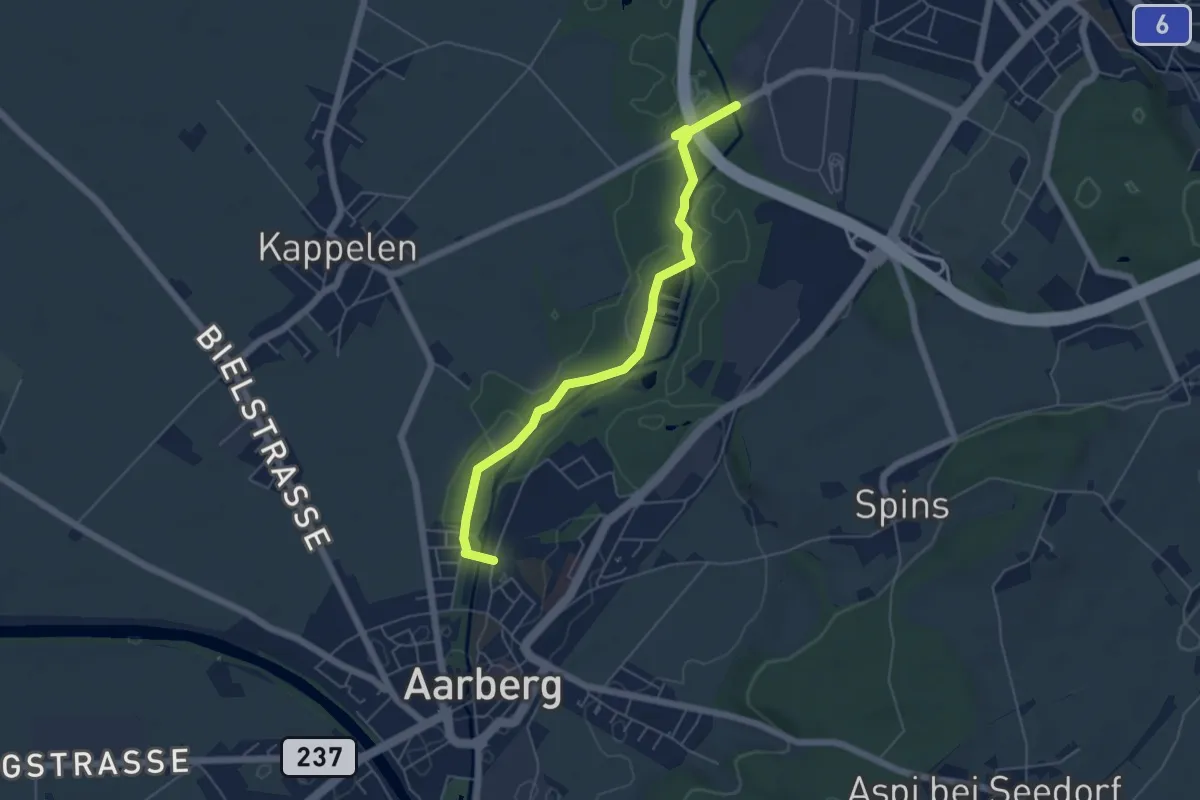
Easy · Trail
Lyss-Grien – Aarberg / Aarolina
5.5 km · ↑ 31 m · 1 h 22 min
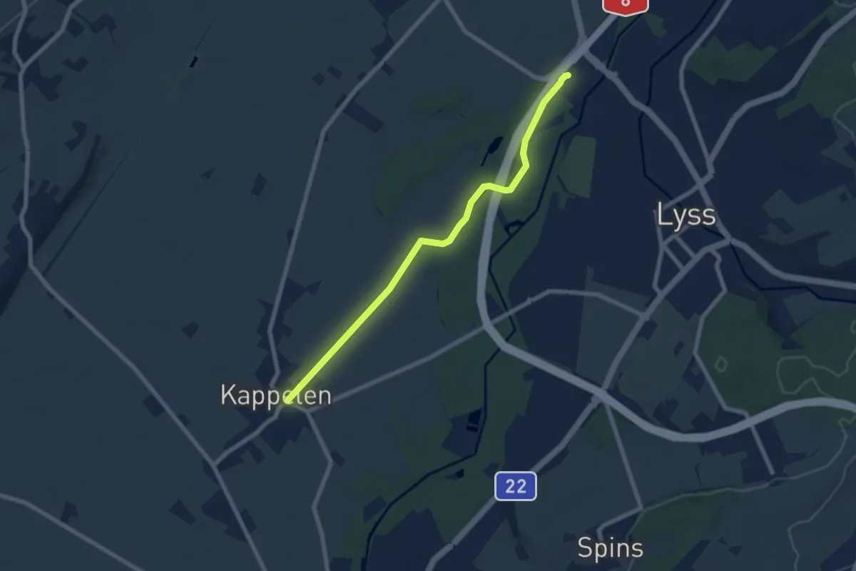
Easy · Trail
Lyss Schwimmbad – Kappelen
6.5 km · ↑ 4 m · 1 h 33 min
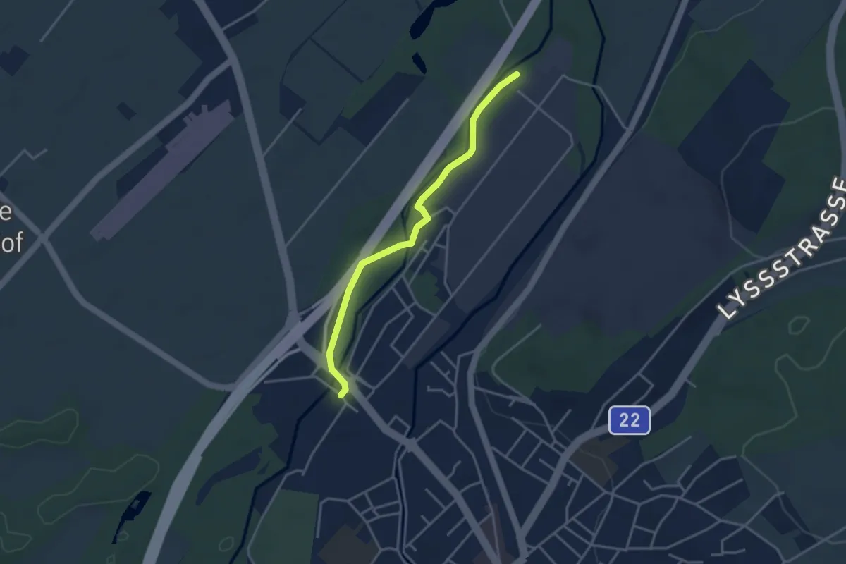
Easy · Trail
Alte Aare – Lyss / Schachen
3.3 km · ↑ 0 m · 47 min
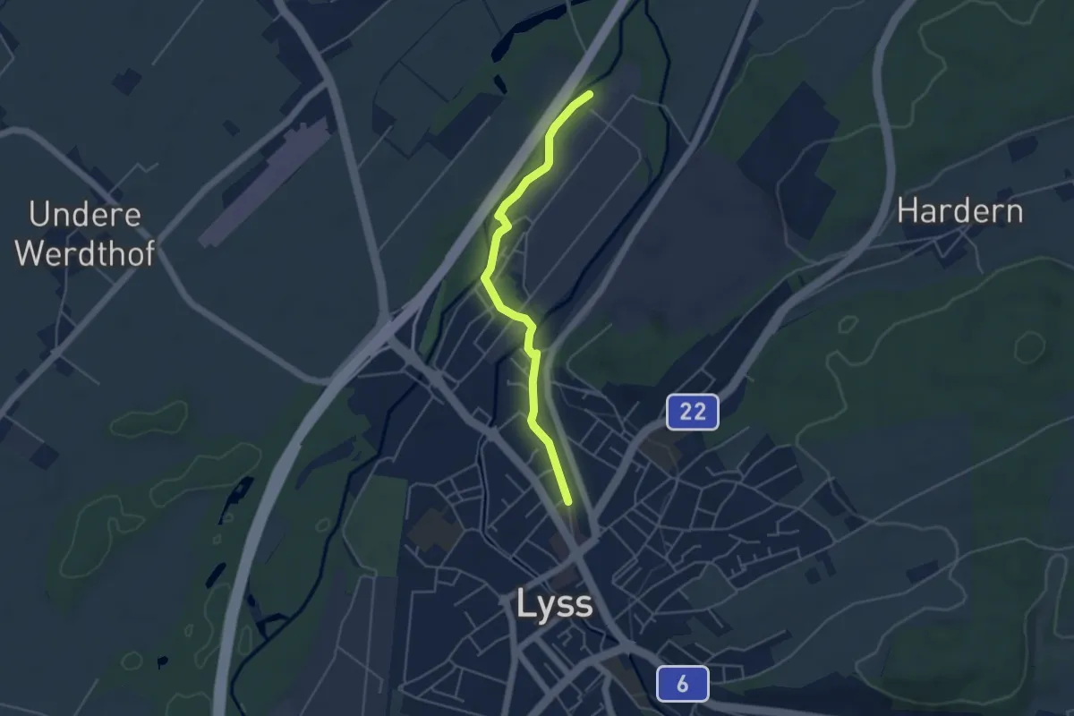
Easy · Trail
Alte Aare – Lyss
4.3 km · ↑ 5 m · 1 h 1 min
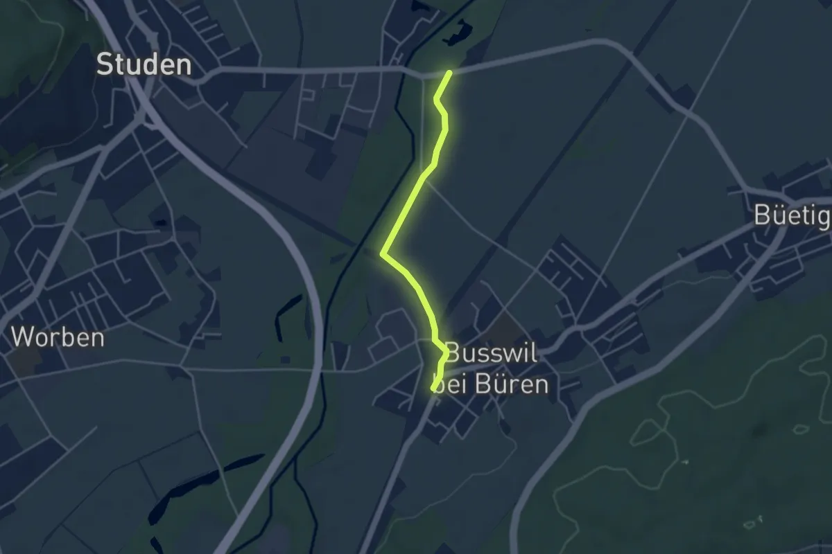
Easy · Trail
Zoo Seeteufel – Busswil / Station
3.3 km · ↑ 0 m · 47 min
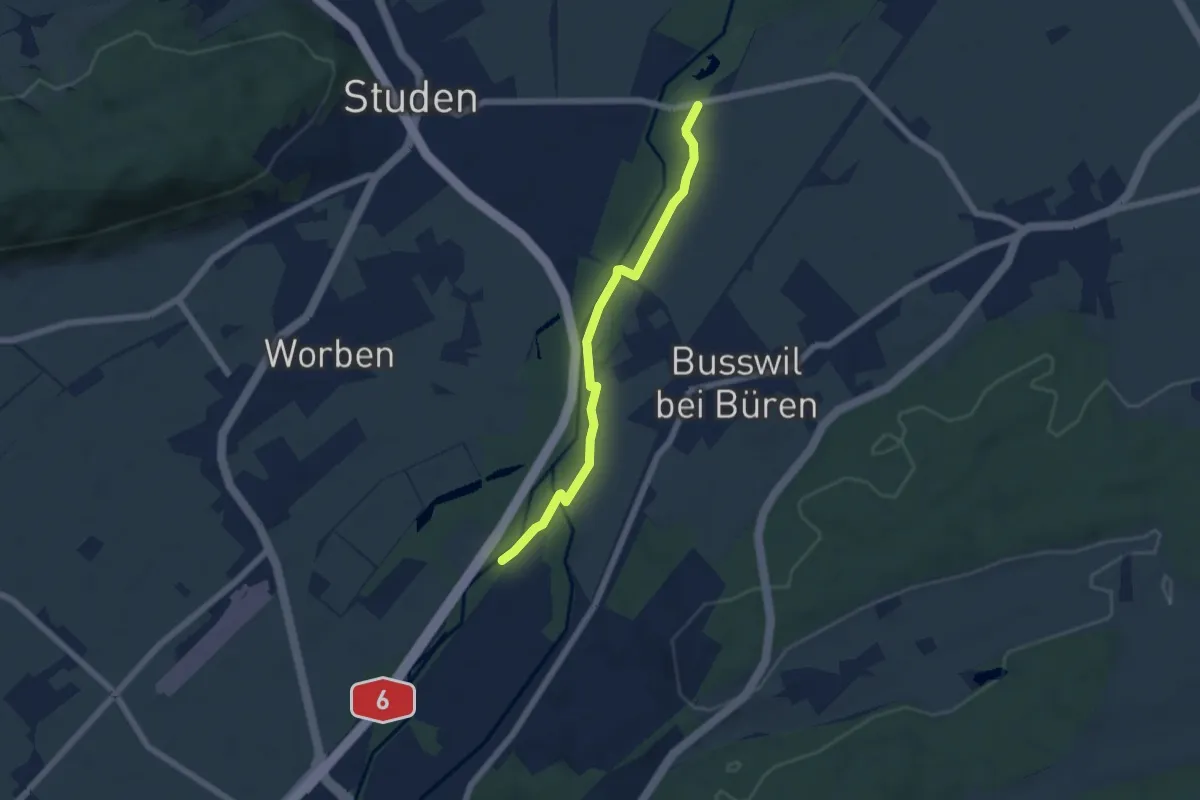
Easy · Trail
Zoo Seeteufel – Alte Aare
5.4 km · ↑ 13 m · 1 h 18 min
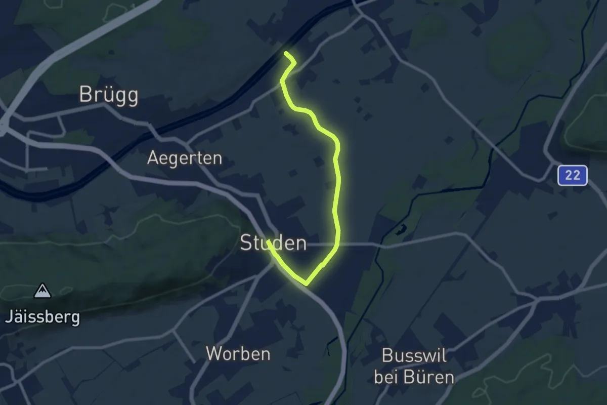
Easy · Trail
Studen – Schwadernau Nidau-Büren Kanal
7.4 km · ↑ 10 m · 1 h 47 min
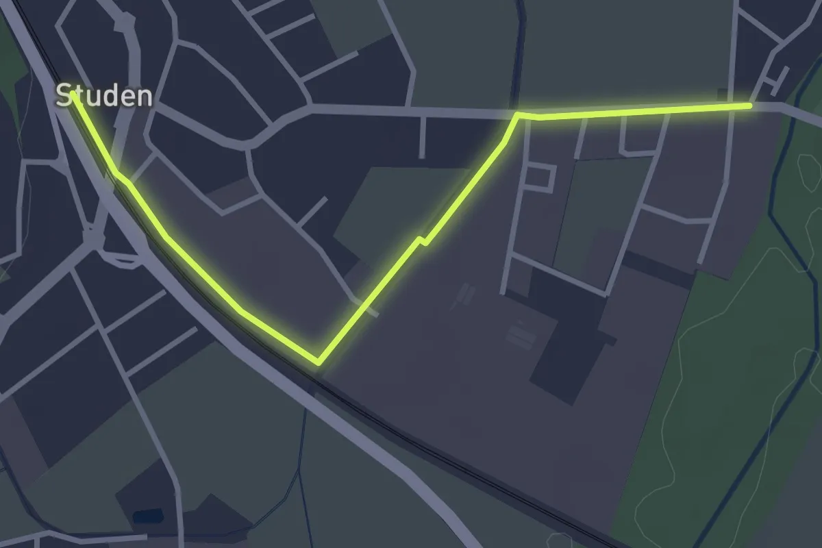
Easy · Trail
Studengrien – Studen
3.2 km · ↑ 0 m · 45 min
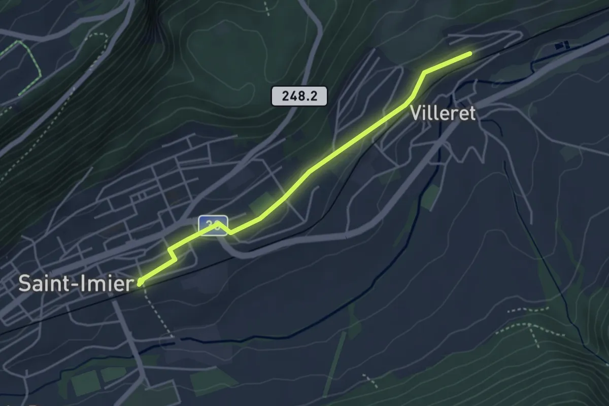
Easy · Trail
St-Imier – Villeret
3.7 km · ↑ 54 m · 1 h
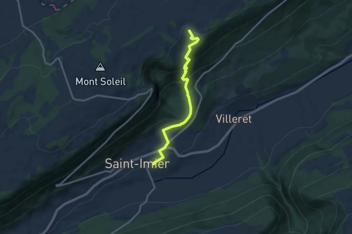
Medium · Trail
Le Sergent – St-Imier
6.3 km · ↑ 410 m · 2 h 23 min
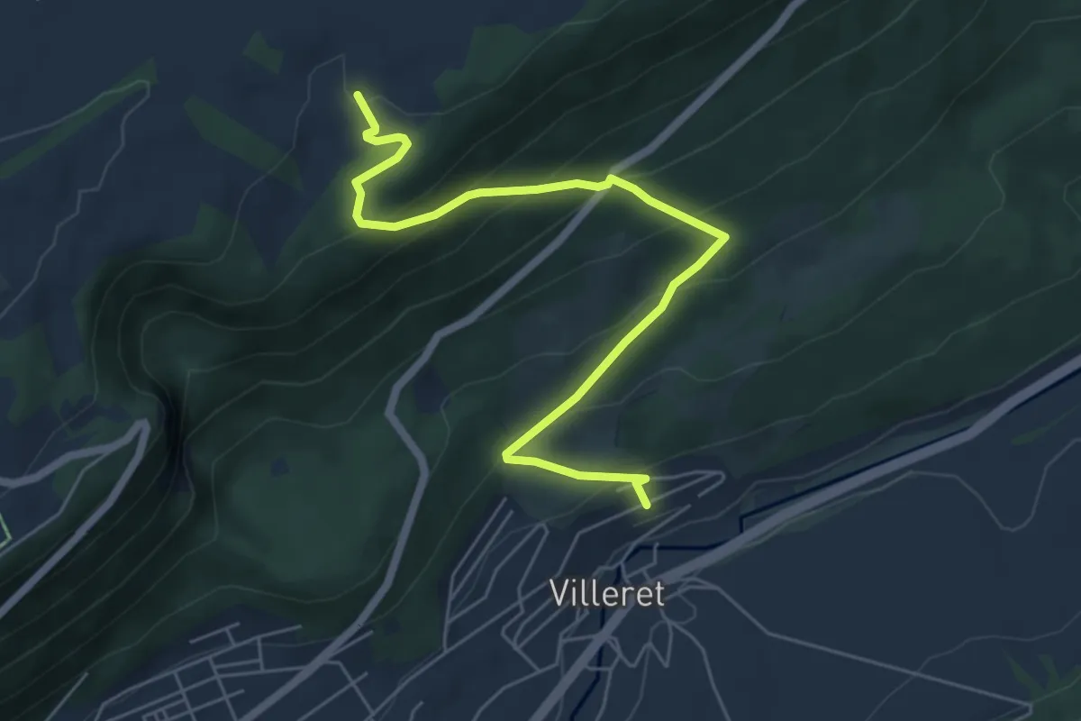
Medium · Trail
Le Sergent – Villeret
6.2 km · ↑ 426 m · 2 h 24 min
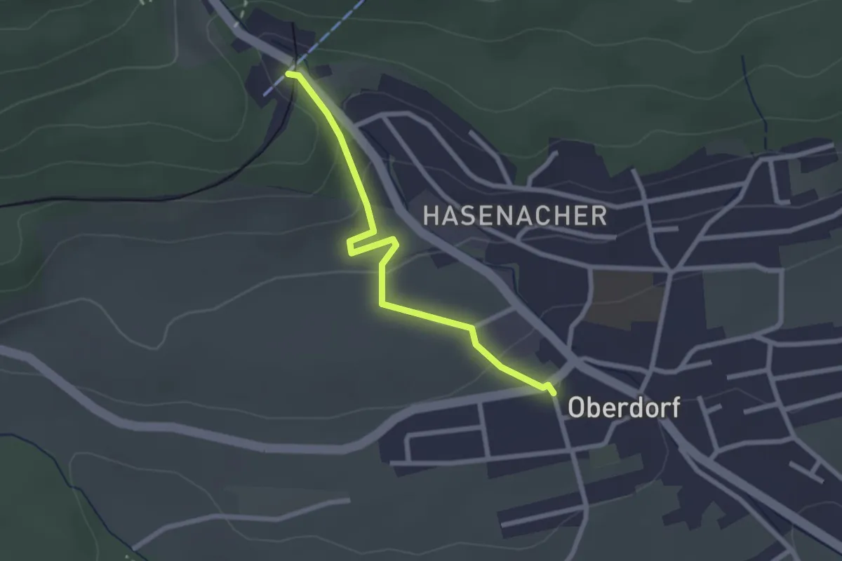
Easy · Trail
Oberdorf – Oberdorf SO
2.2 km · ↑ 87 m · 43 min
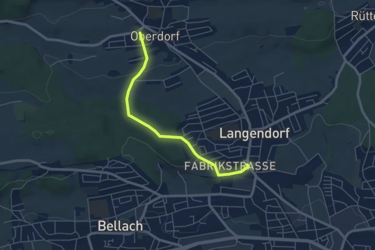
Easy · Trail
Oberdorf – Langendorf
4.6 km · ↑ 101 m · 1 h 18 min
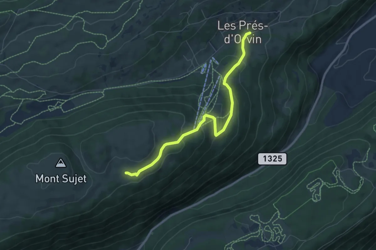
Easy · Trail
Les Prés d'Orvin – Bergerie du Bas
6.9 km · ↑ 285 m · 2 h 14 min
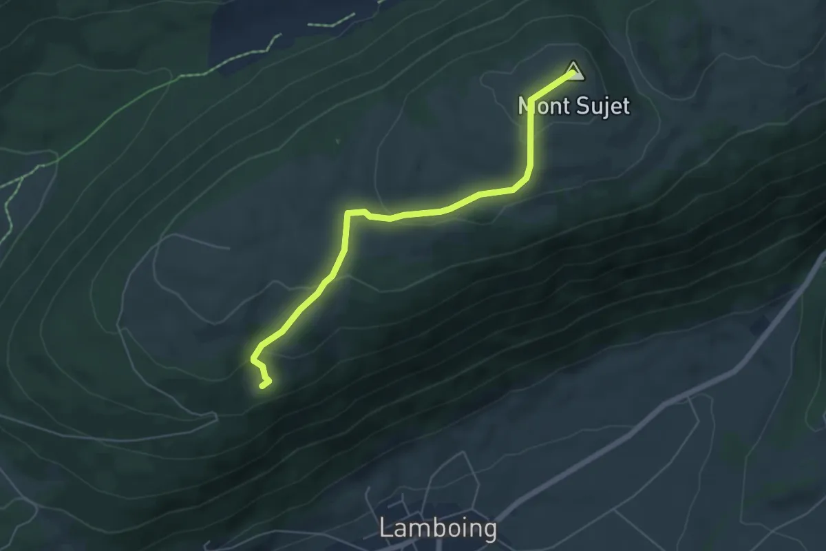
Easy · Summit
Mont Sujet sommet – Combe Robin
5.2 km · ↑ 211 m · 1 h 42 min
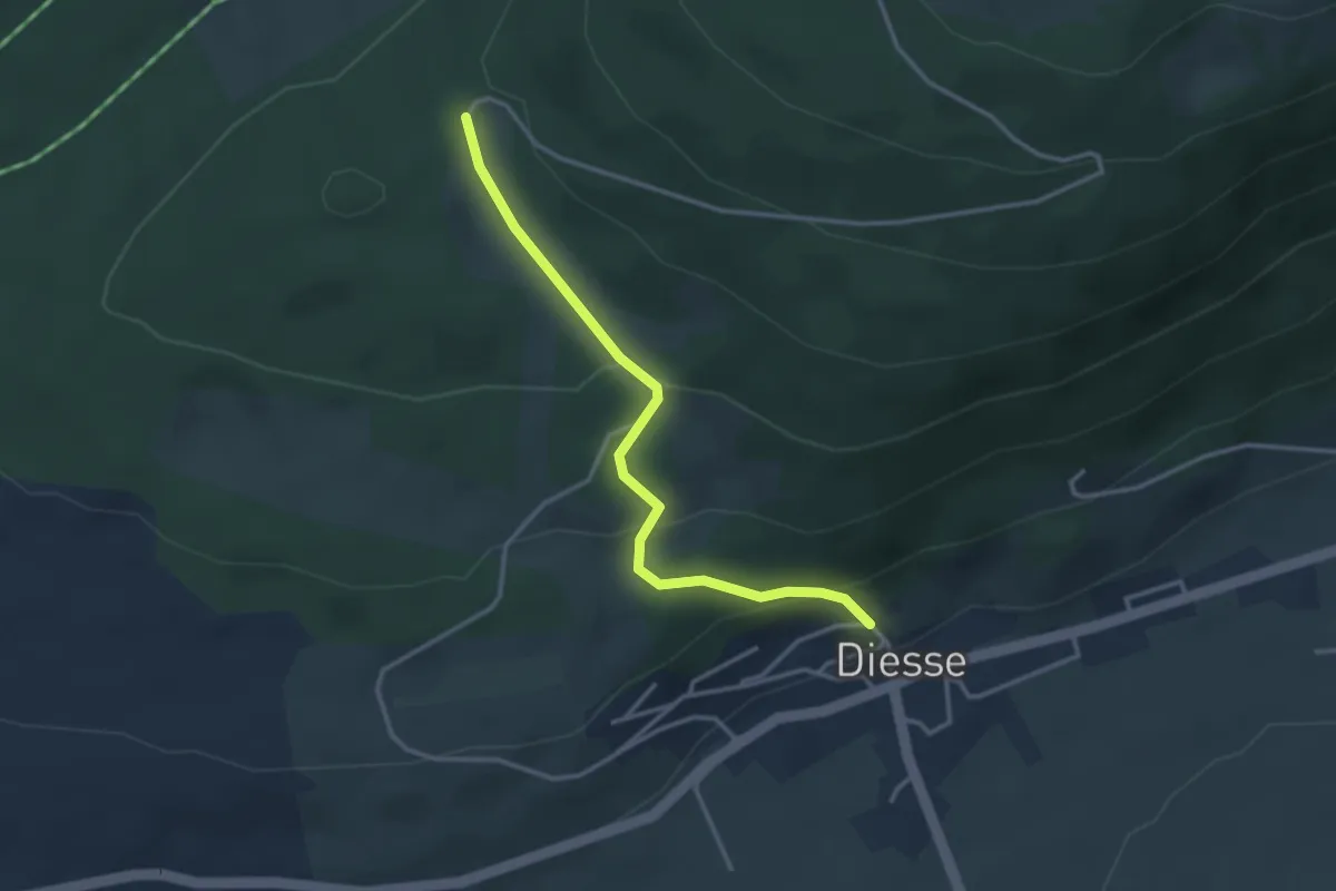
Easy · Trail
Diesse – Les Prés Vaillons
3.2 km · ↑ 162 m · 1 h 6 min
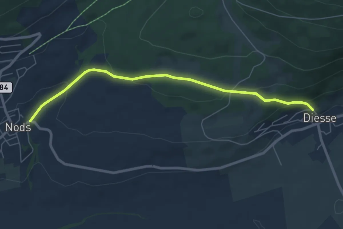
Easy · Trail
Diesse – Nods
5.5 km · ↑ 182 m · 1 h 41 min
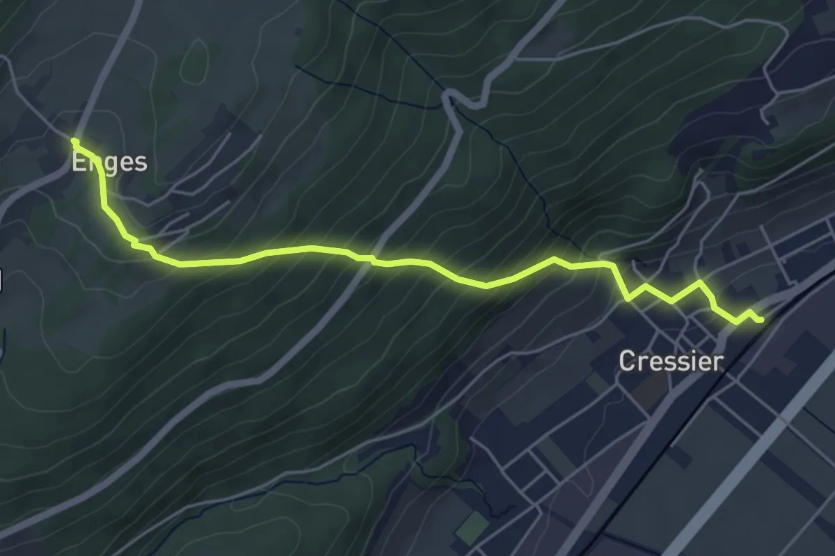
Medium · Trail
Cressier – Enges
5.1 km · ↑ 380 m · 2 h 1 min
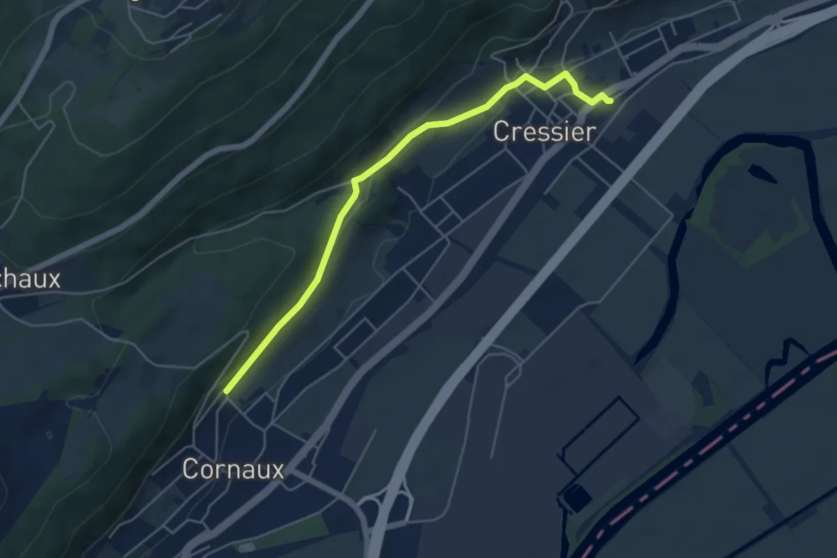
Easy · Trail
Cressier – Cornaux
4.7 km · ↑ 122 m · 1 h 22 min
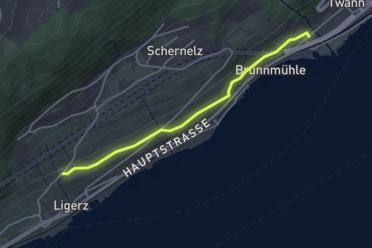
Easy · Trail
Chlyne Twann – Ligerz Kirche
3.1 km · ↑ 122 m · 1 h
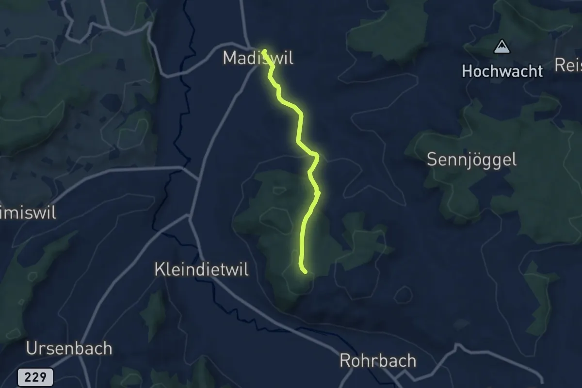
Easy · Trail
Hunzen – Madiswil
5.7 km · ↑ 163 m · 1 h 41 min
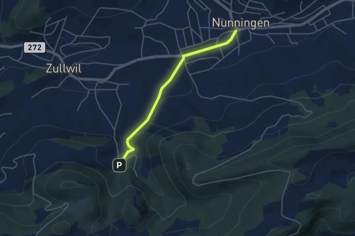
Easy · Trail
Nunningen Dorf – Gilgenberg
3.3 km · ↑ 88 m · 58 min
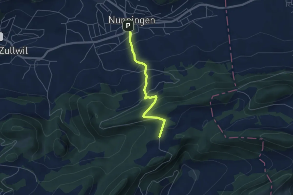
Easy · Trail
Nunningerberg – Nunningen Dorf
4.0 km · ↑ 284 m · 1 h 33 min
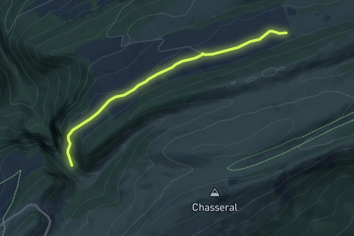
Easy · Trail
Pré aux Auges – Métairie de Meuringe
6.2 km · ↑ 132 m · 1 h 45 min
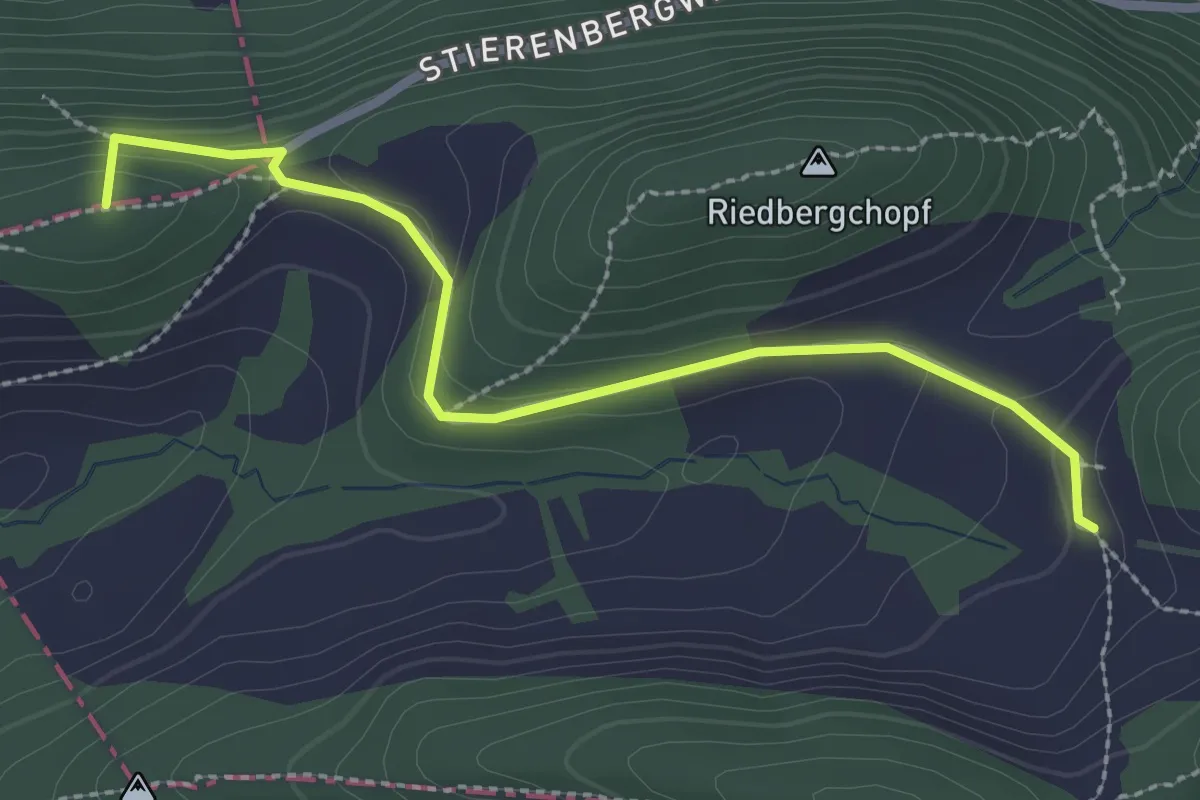
Easy · Summit
Stierenberg – Nunningen Dorf
2.6 km · ↑ 111 m · 52 min
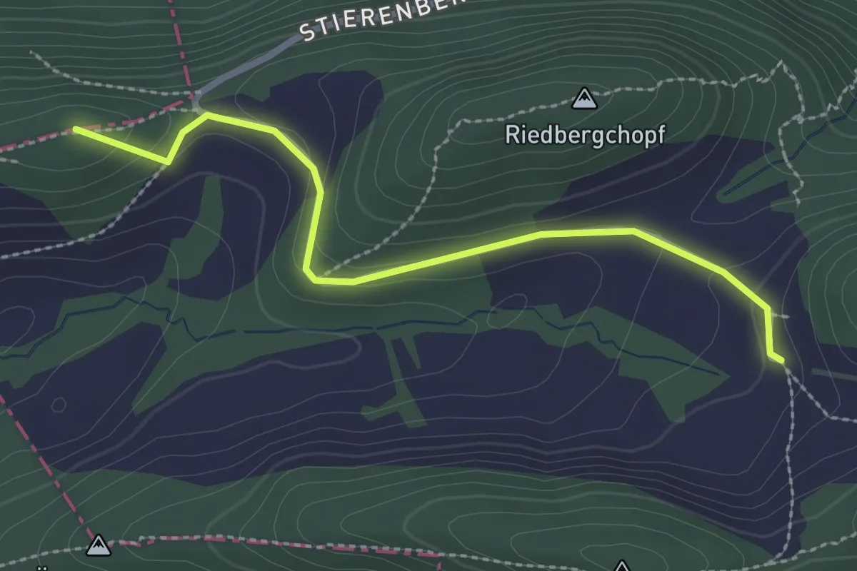
Easy · Summit
Stierenberg – Nunningerberg
2.5 km · ↑ 80 m · 46 min
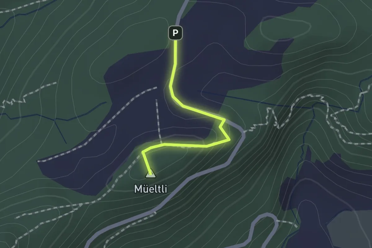
Easy · Summit
Nunningerberg – Zinglenberg
1.2 km · ↑ 37 m · 22 min
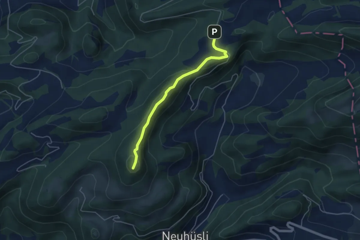
Medium · Summit
Hirnichopf – Nunningerberg
3.9 km · ↑ 206 m · 1 h 23 min