Trails in Switzerland
15,055 hiking trails, each with its route, climb, walking time and grade.
All trails, page 241 of 314
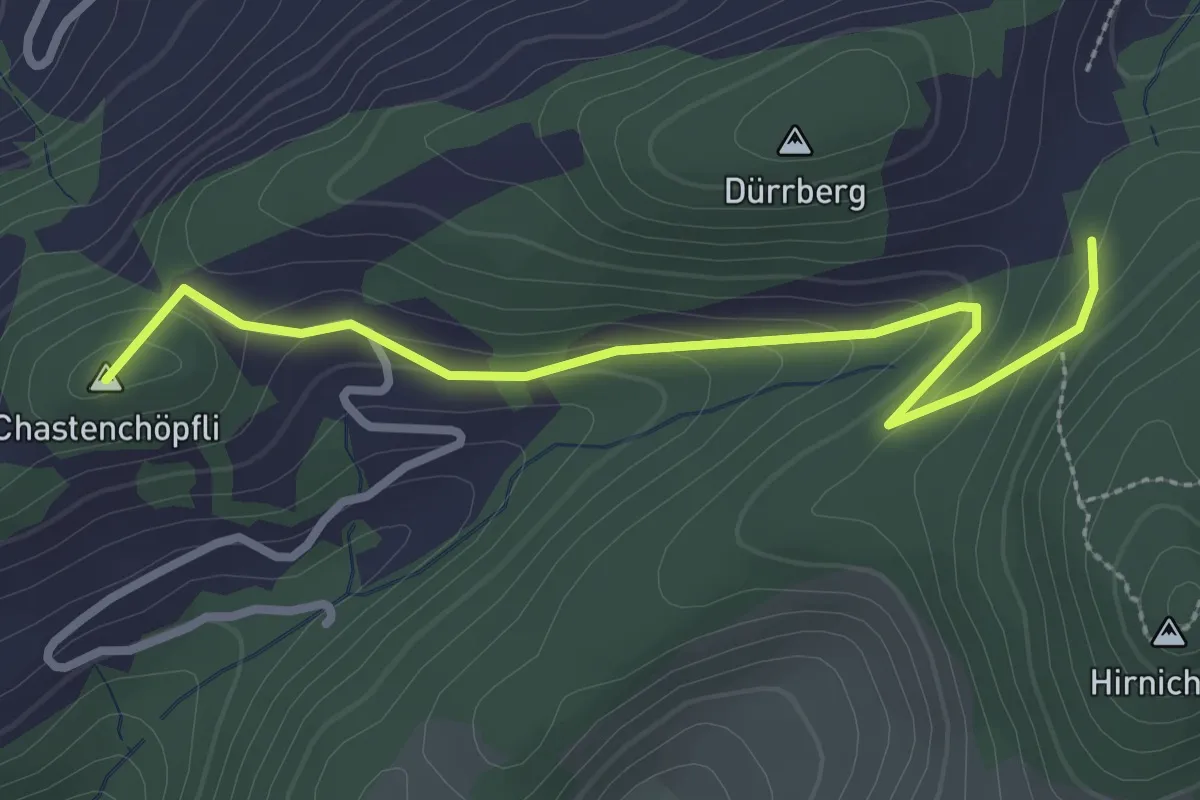
Easy · Summit
Zinglenberg – Chasten
2.9 km · ↑ 134 m · 59 min
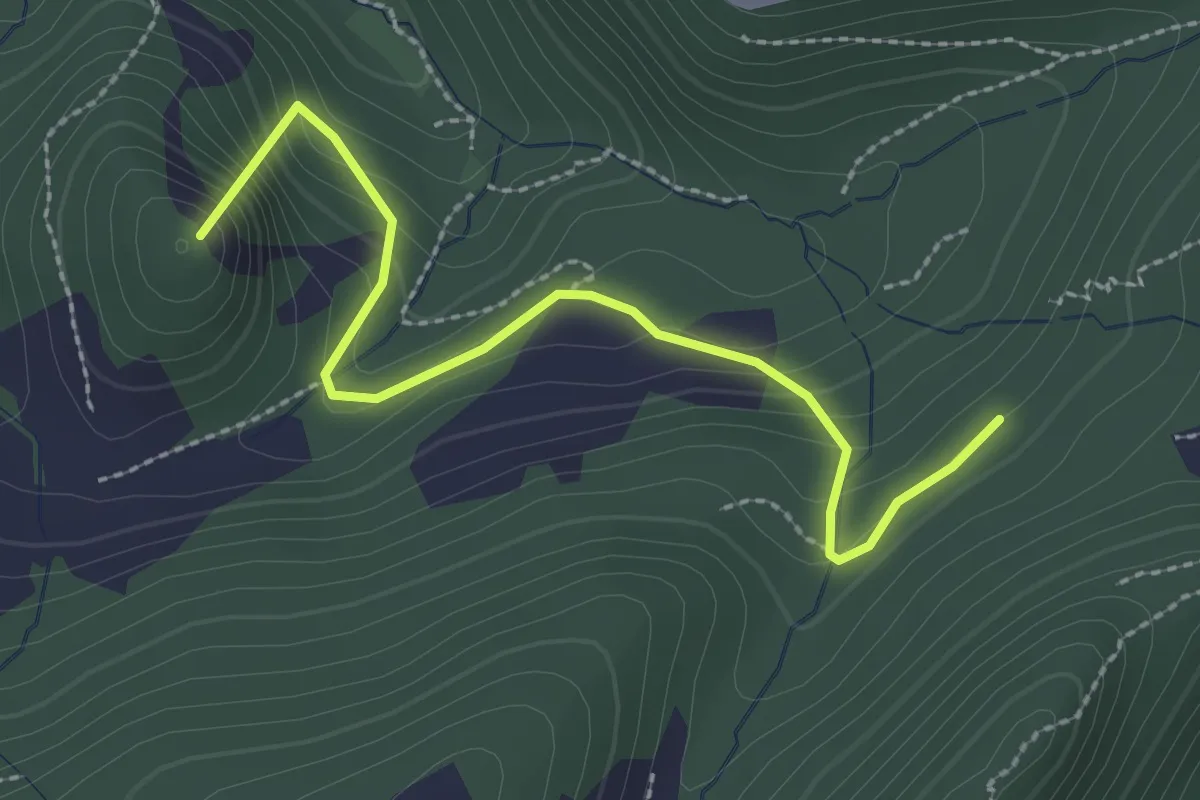
Easy · Summit
Schnäggenrein – Alt Sennhus
2.6 km · ↑ 186 m · 1 h 1 min
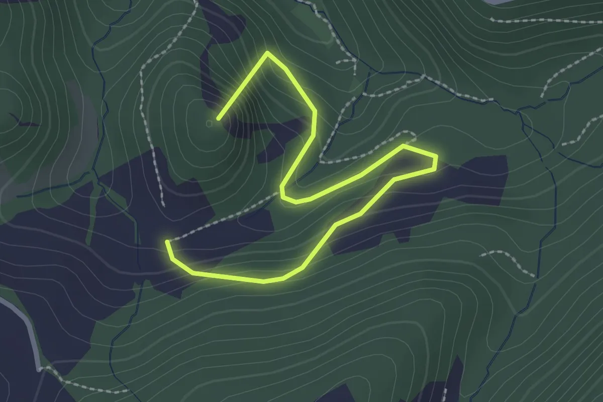
Easy · Summit
Chrüzboden – Alt Sennhus
2.8 km · ↑ 171 m · 1 h 2 min
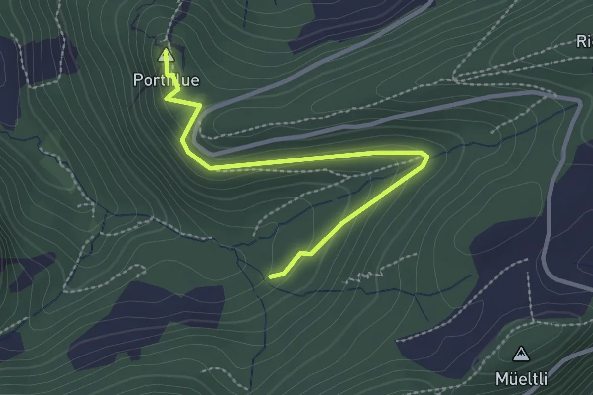
Medium · Summit
Foggel – Portiflue
2.5 km · ↑ 86 m · 47 min
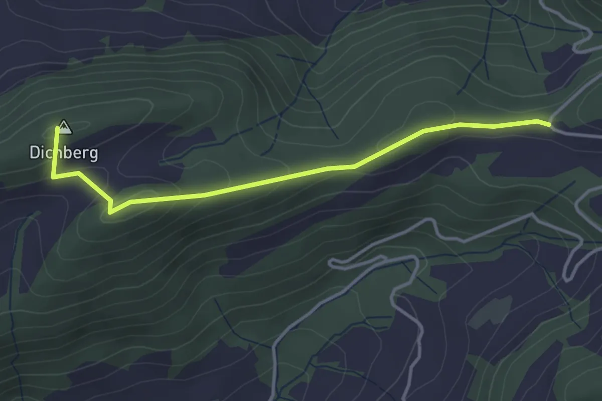
Easy · Summit
Meltingerberg – Chäsel
3.5 km · ↑ 139 m · 1 h 7 min
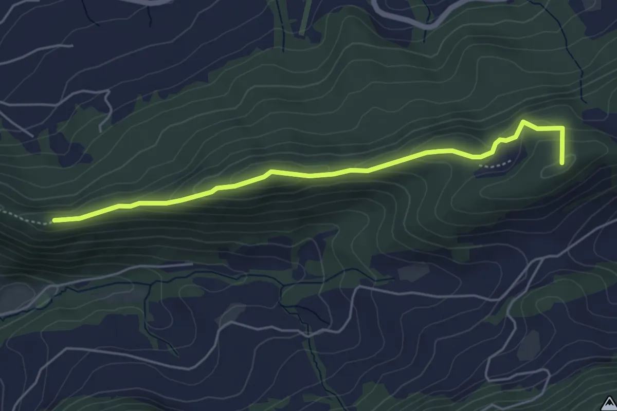
Easy · Summit
Meltingen – Chemmiflue
4.7 km · ↑ 182 m · 1 h 30 min
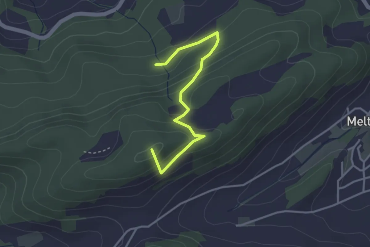
Easy · Summit
Güggelhof – Riedbächli
3.0 km · ↑ 179 m · 1 h 5 min
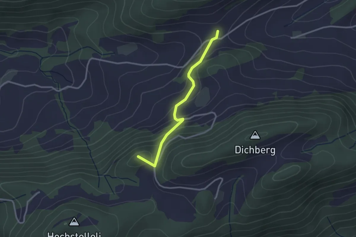
Easy · Summit
Chäsel – Güggelhof
2.4 km · ↑ 151 m · 53 min
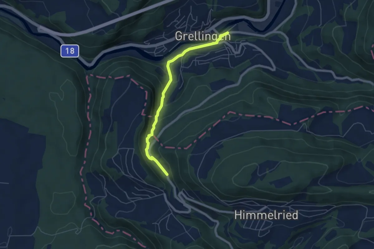
Easy · Trail
Grellingen – Steffenschmiede
5.0 km · ↑ 223 m · 1 h 40 min
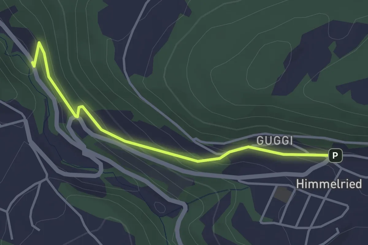
Easy · Trail
Steffenschmiede – Himmelried Kirche
3.3 km · ↑ 145 m · 1 h 6 min
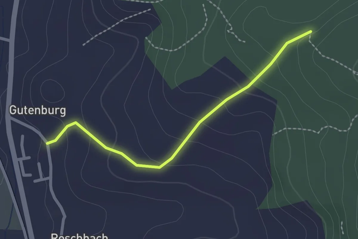
Easy · Trail
Gutenburg Bad – Rappechopf
2.1 km · ↑ 112 m · 44 min
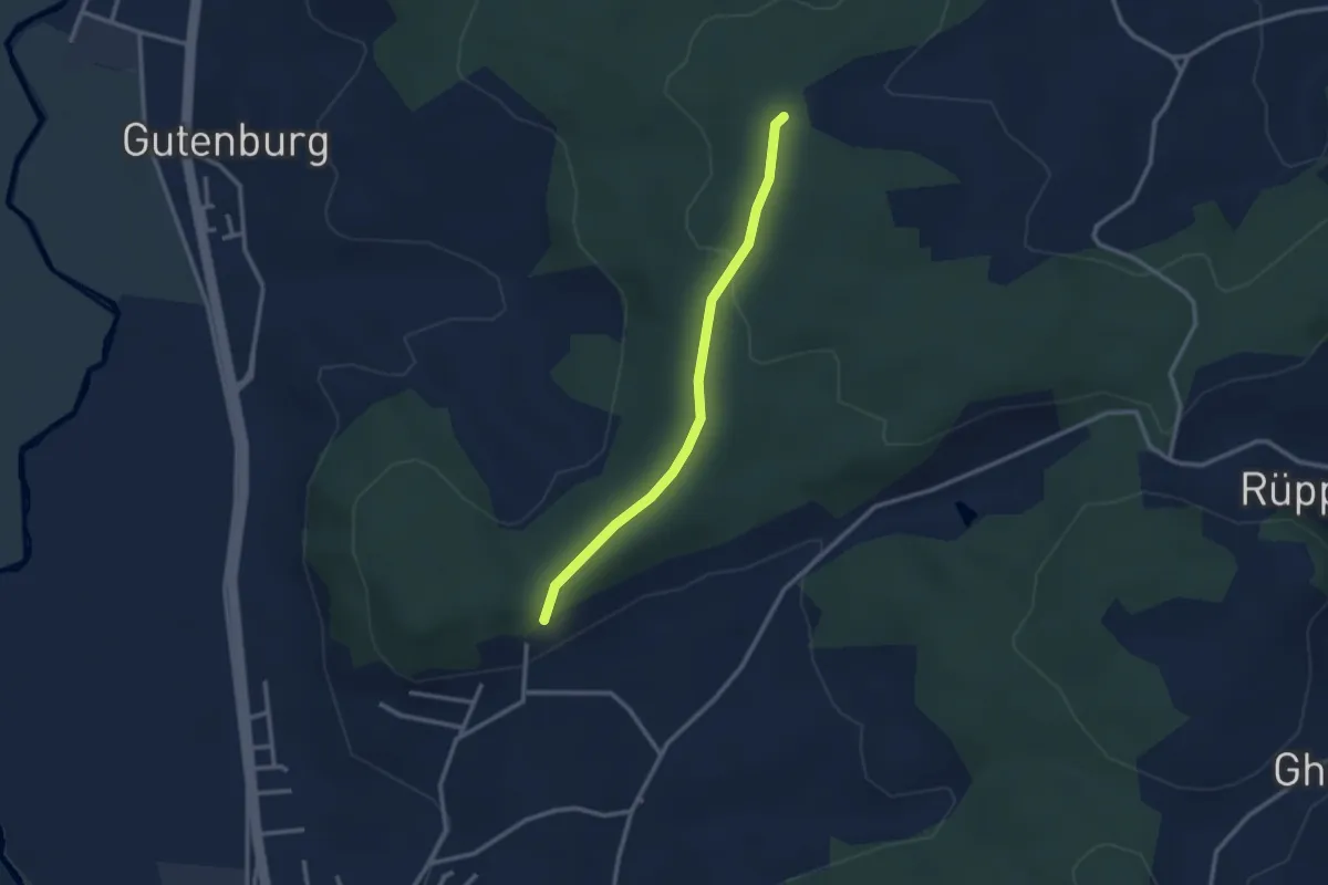
Easy · Trail
Breitacherweid – Zielacher
2.6 km · ↑ 56 m · 44 min
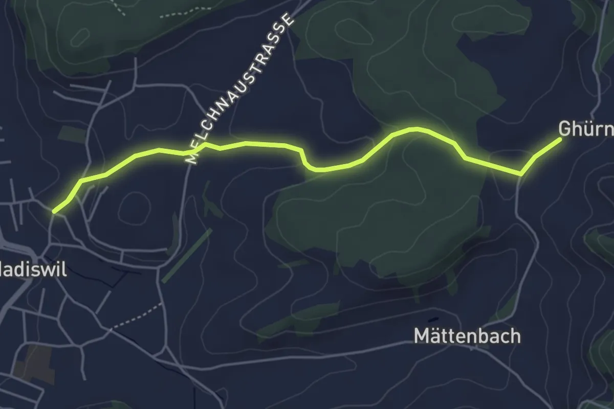
Easy · Trail
Ghürn – Madliswil / Kirche
5.1 km · ↑ 120 m · 1 h 28 min
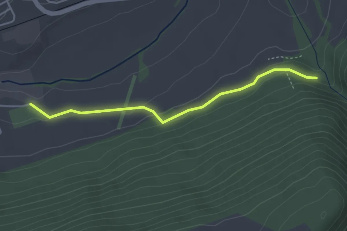
Easy · Trail
Les Longines – Les Covets
3.3 km · ↑ 91 m · 58 min
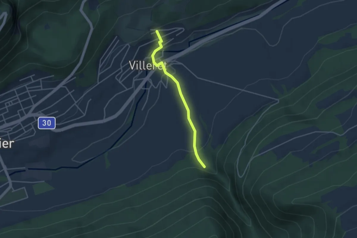
Easy · Trail
Les Covets – Villeret
3.1 km · ↑ 150 m · 1 h 3 min
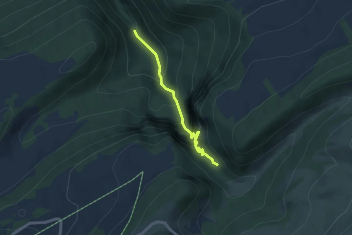
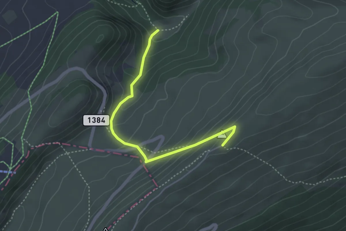
Demanding · Trail
Combe Grède – Pré aux Auges
3.1 km · ↑ 344 m · 1 h 29 min
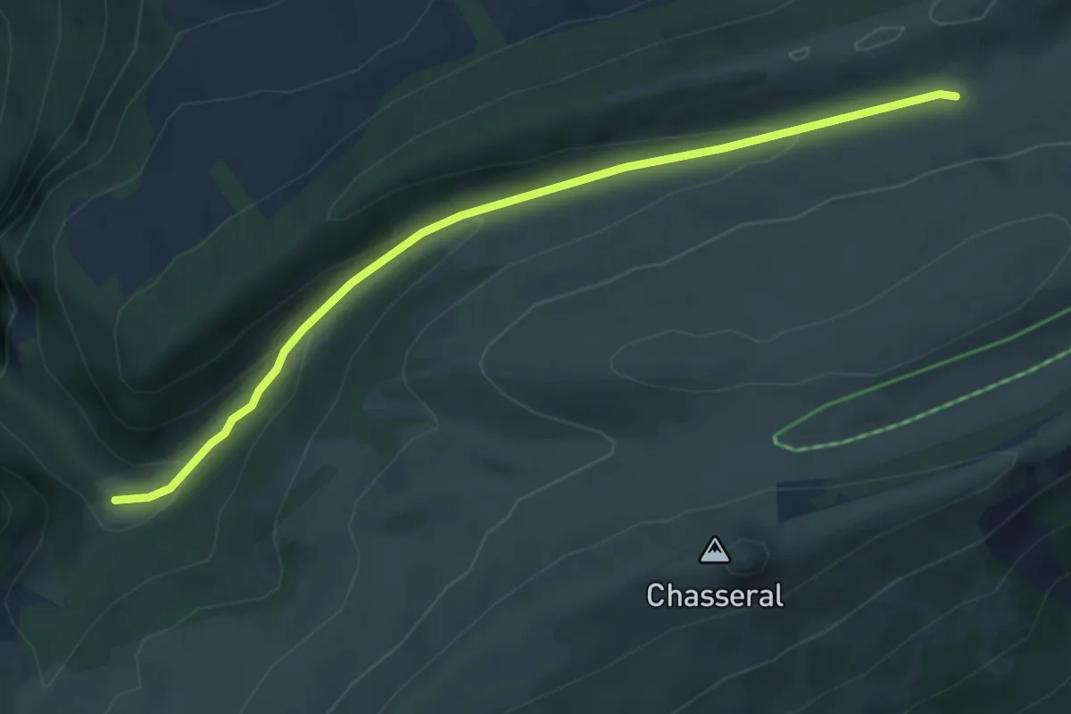
Easy · Trail
Pré aux Auges – Chasseral Hôtel
3.8 km · ↑ 253 m · 1 h 27 min
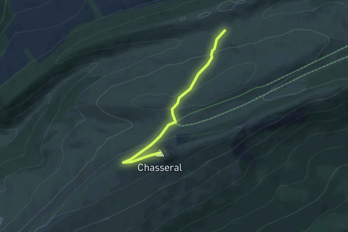
Easy · Trail
Pré aux Auges – Métairie de Morat
4.7 km · ↑ 180 m · 1 h 31 min
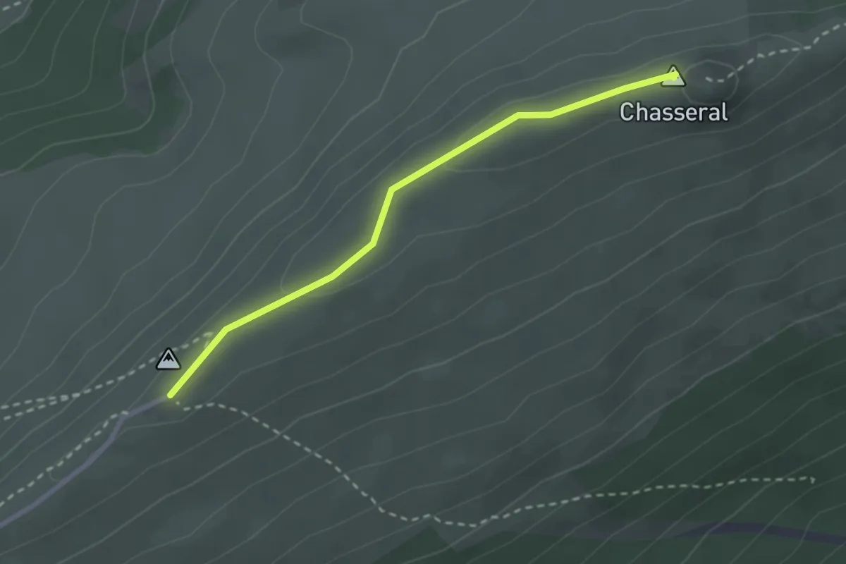
Easy · Summit
Métairie de Morat – Chasseral Signal
3.9 km · ↑ 139 m · 1 h 14 min
Easy · Summit
Chasseral Hôtel – Chasseral Signal
2.6 km · ↑ 42 m · 42 min
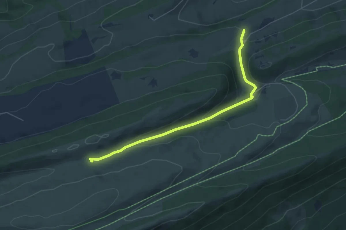
Easy · Trail
Métairie de Morat – Petite Douanne
5.3 km · ↑ 166 m · 1 h 37 min
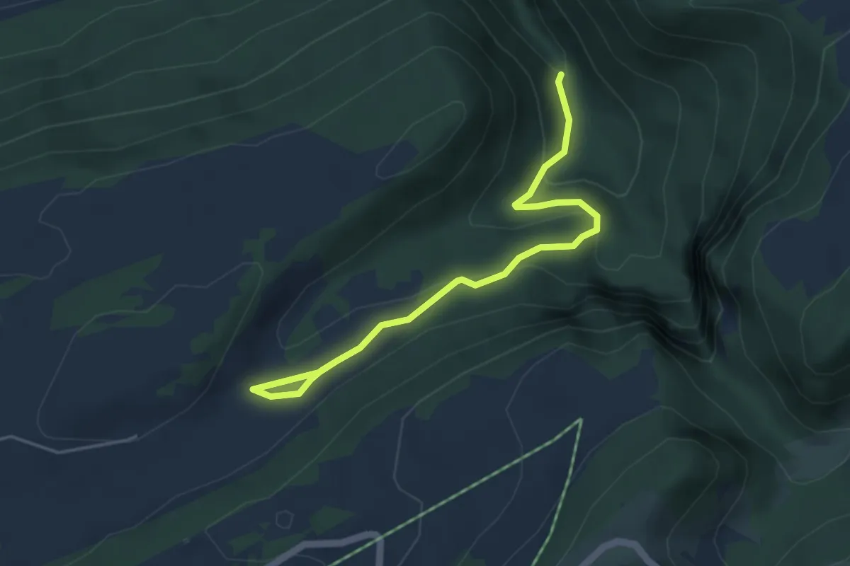
Easy · Trail
Combe Grède – L'Ilsach
4.6 km · ↑ 210 m · 1 h 33 min
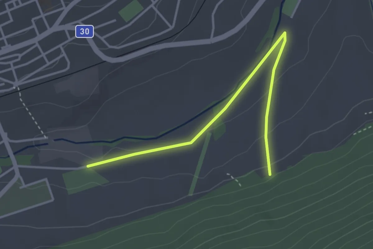
Easy · Trail
Les Longines – Les Covets
3.5 km · ↑ 85 m · 1 h 1 min
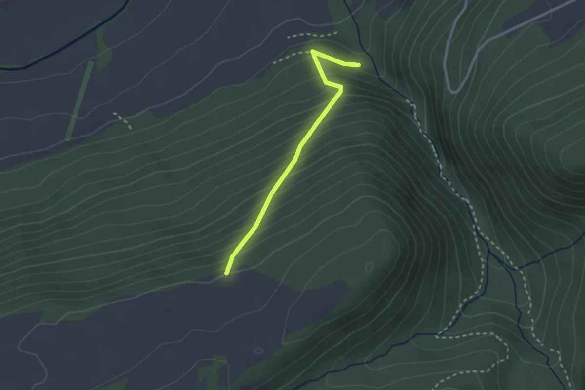
Easy · Trail
Les Covet – Métairie aux Renards
2.3 km · ↑ 286 m · 1 h 9 min
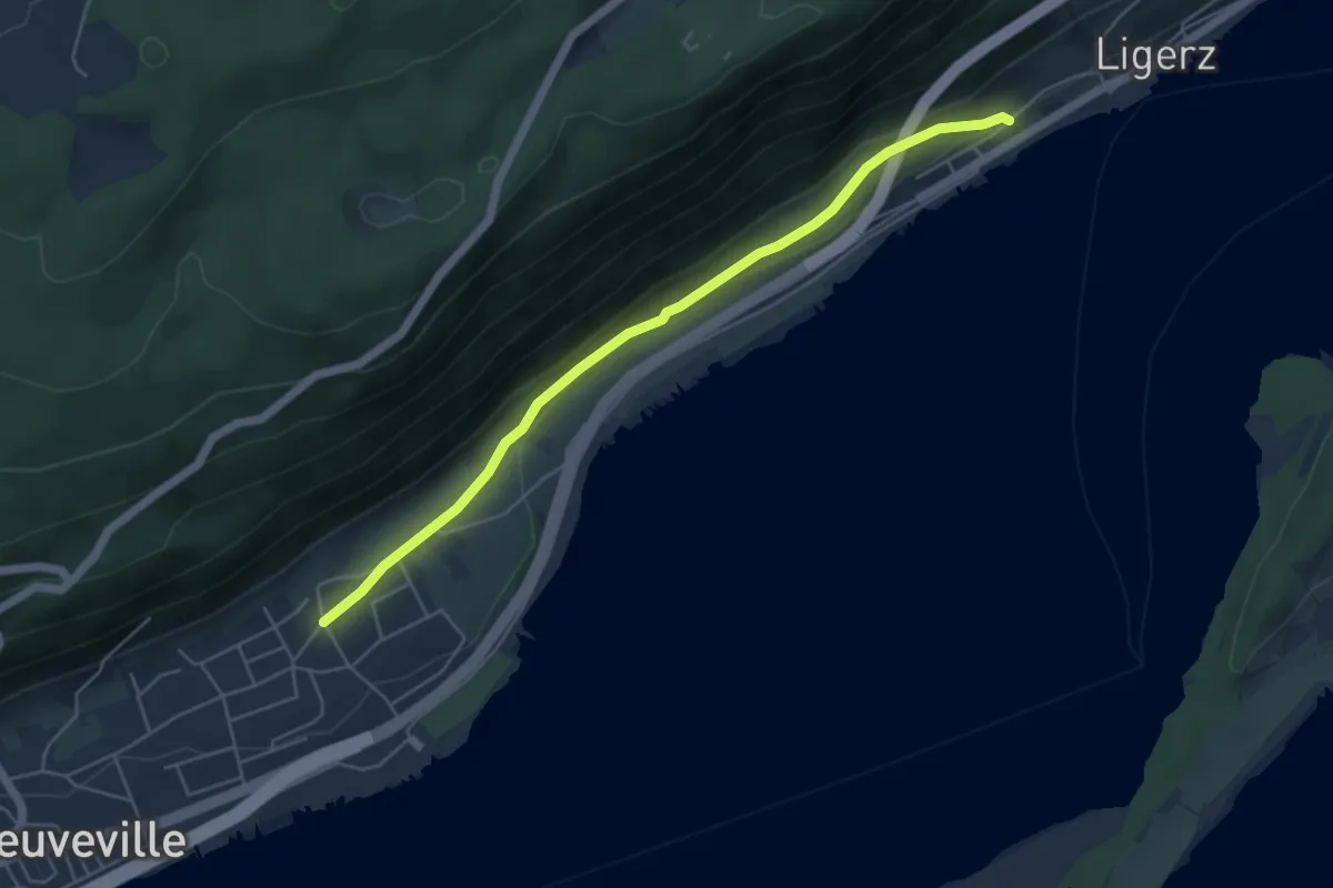
Easy · Trail
Schafis – Maupras
5.1 km · ↑ 71 m · 1 h 22 min
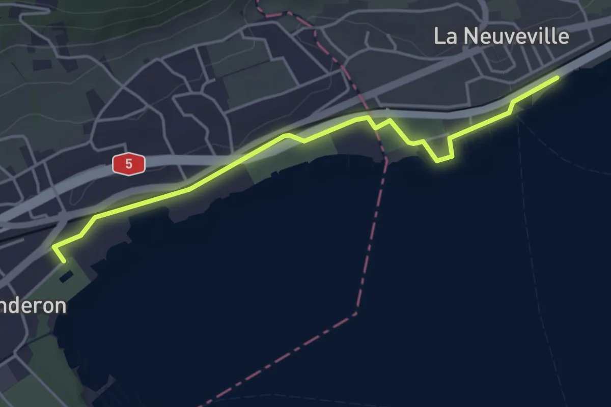
Easy · Trail
La Neuveville – Le Landeron
4.3 km · ↑ 4 m · 1 h 1 min
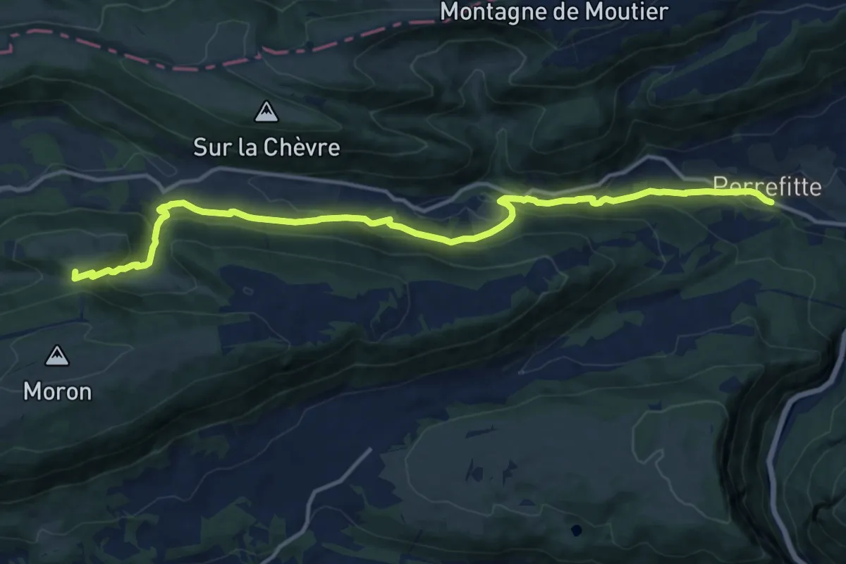
Medium · Summit
Moron sommet – Perrefitte
14.3 km · ↑ 786 m · 5 h 4 min
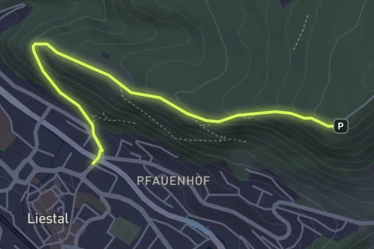
Easy · Trail
Liestal Ergolzbrücke – Schleifenberg
4.7 km · ↑ 290 m · 1 h 44 min
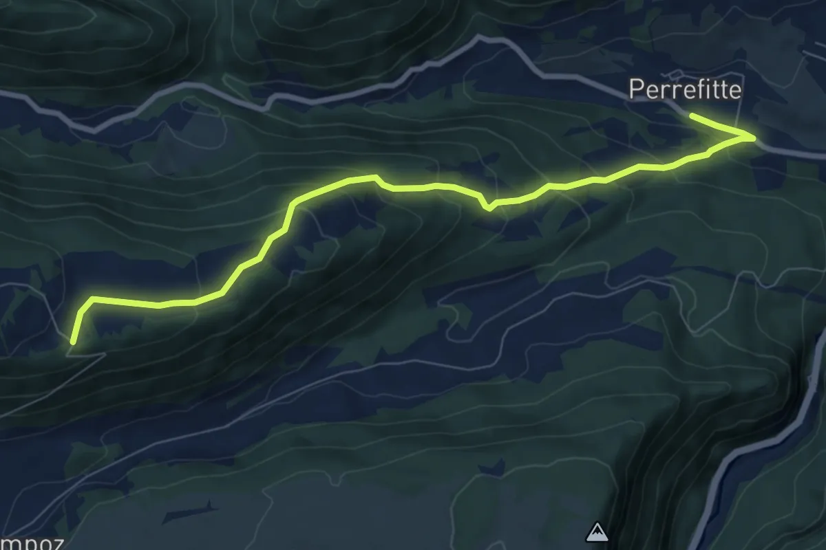
Medium · Trail
Haut de la Charrière – Perrefitte
8.4 km · ↑ 500 m · 3 h 3 min
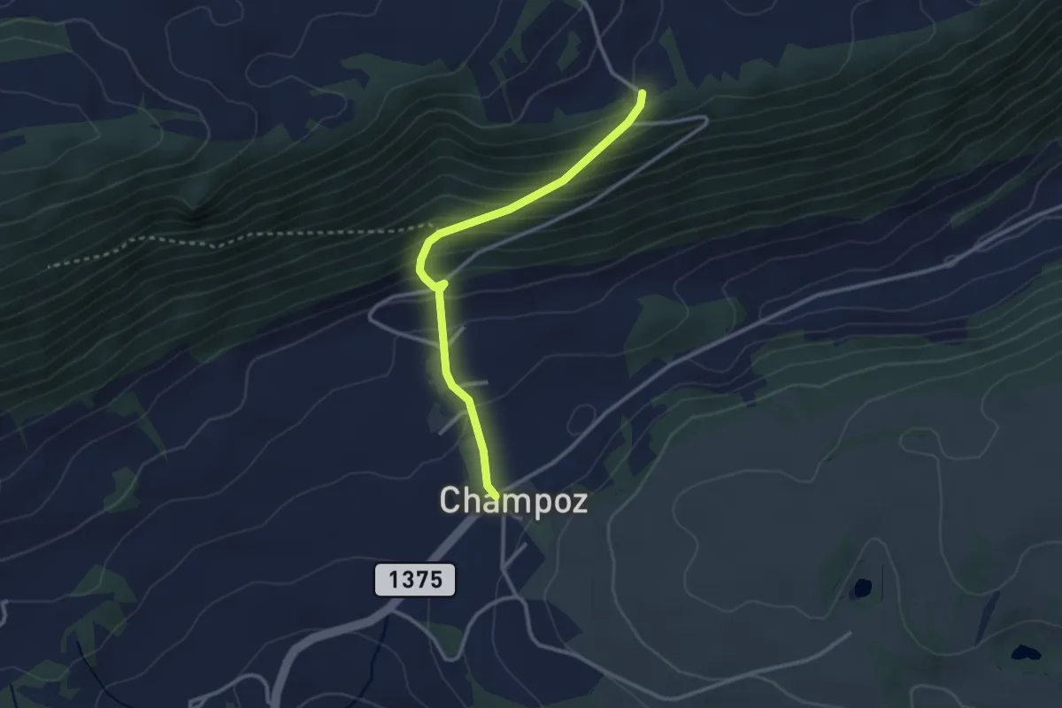
Demanding · Trail
Haut de la Charrière – Champoz
2.7 km · ↑ 222 m · 1 h 7 min
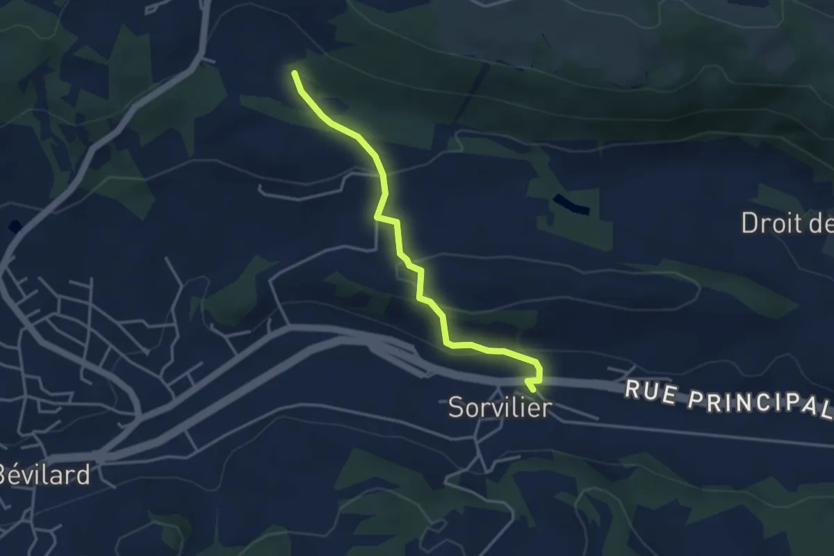
Easy · Trail
Moulin des Pécâs – Sorvilier
3.3 km · ↑ 112 m · 1 h 1 min
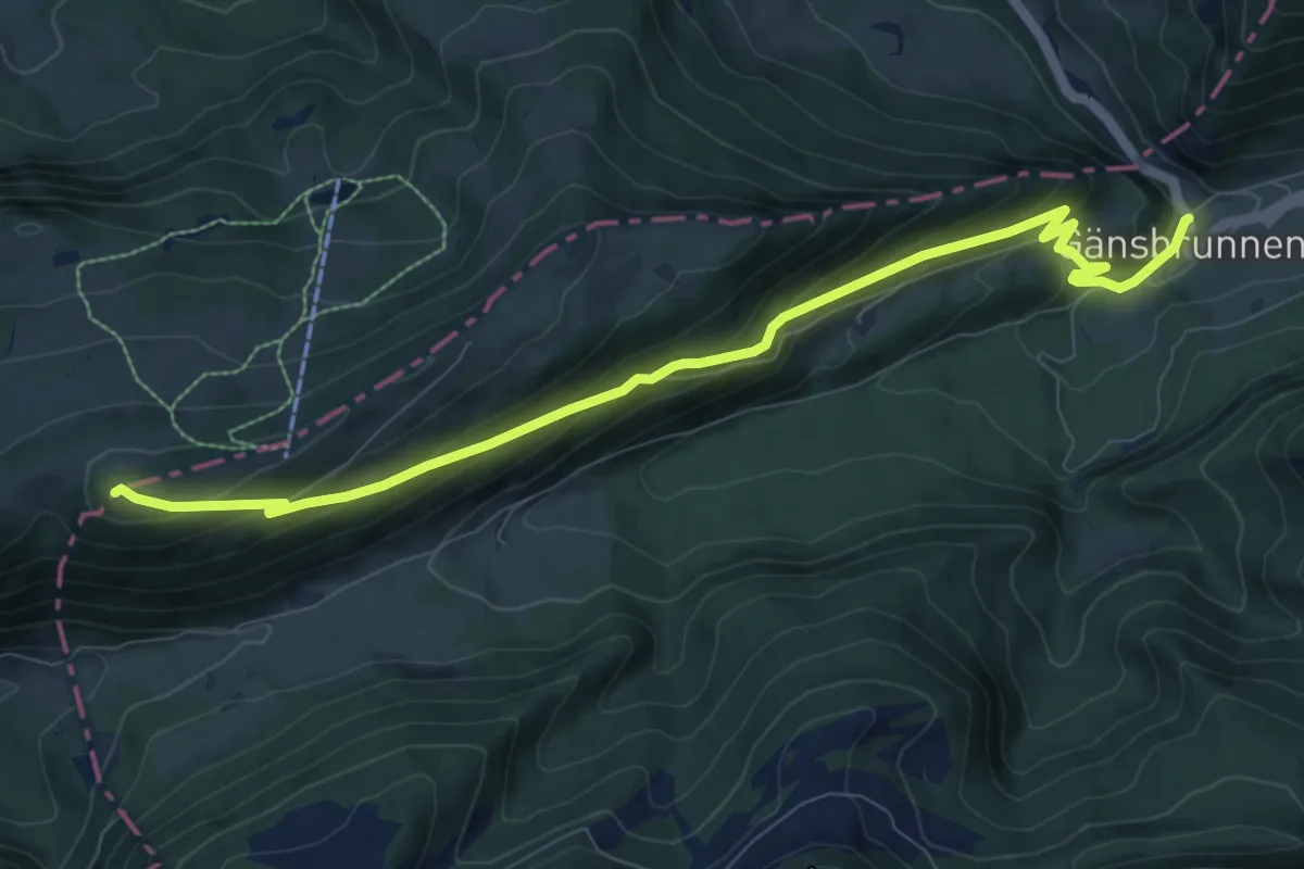
Medium · Summit
Gänsbrunnen St. Joseph – Oberdörferberg
9.7 km · ↑ 581 m · 3 h 33 min
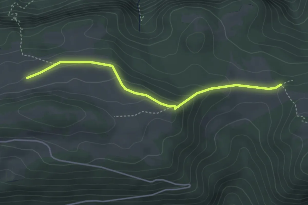
Medium · Trail
Montagne de Graitery – Loge aux Boeuf
3.7 km · ↑ 140 m · 1 h 10 min
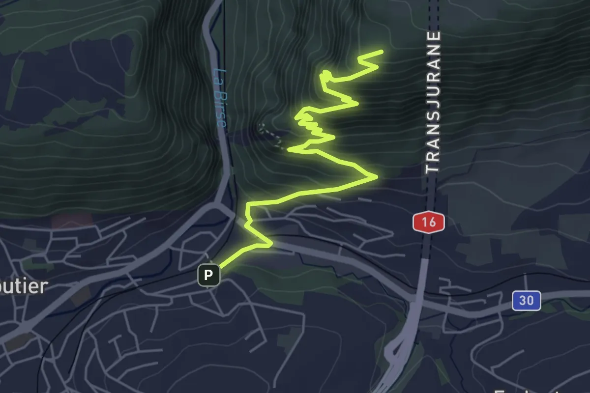
Medium · Trail
Moutiers – Pt. 905
6.0 km · ↑ 446 m · 2 h 23 min
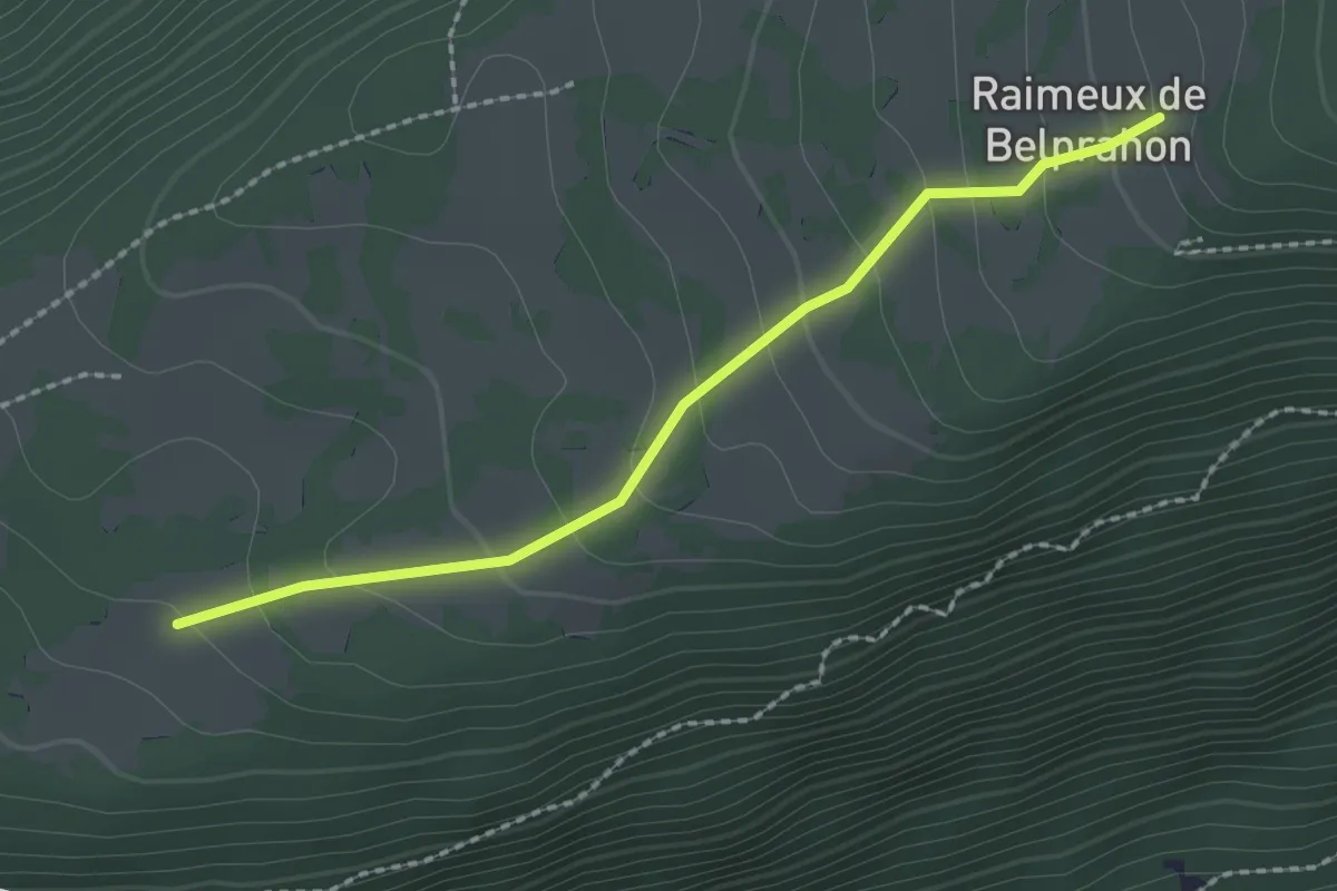
Easy · Trail
Raimeux – Raimeux de Belprahon
2.1 km · ↑ 144 m · 49 min
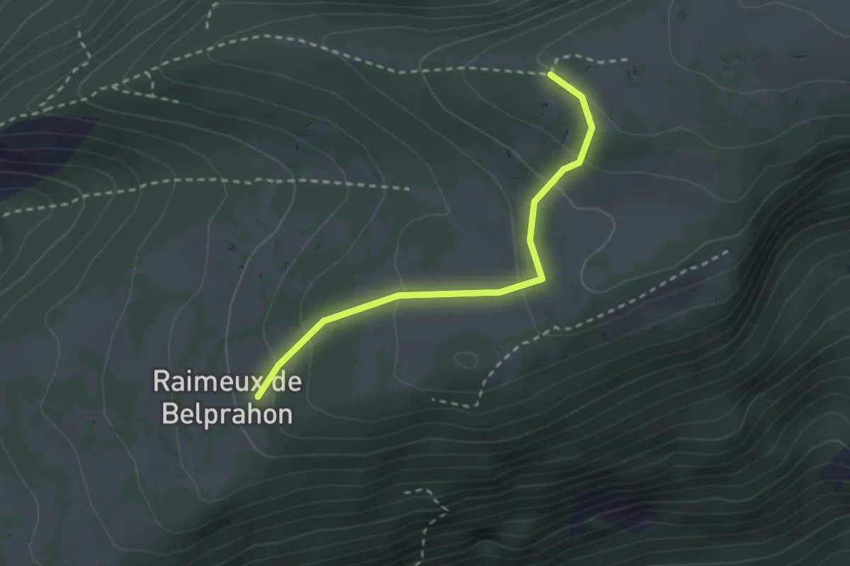
Easy · Cabin
Raimeux de Belprahon – Raimeux Cabane CAS
2.4 km · ↑ 117 m · 49 min
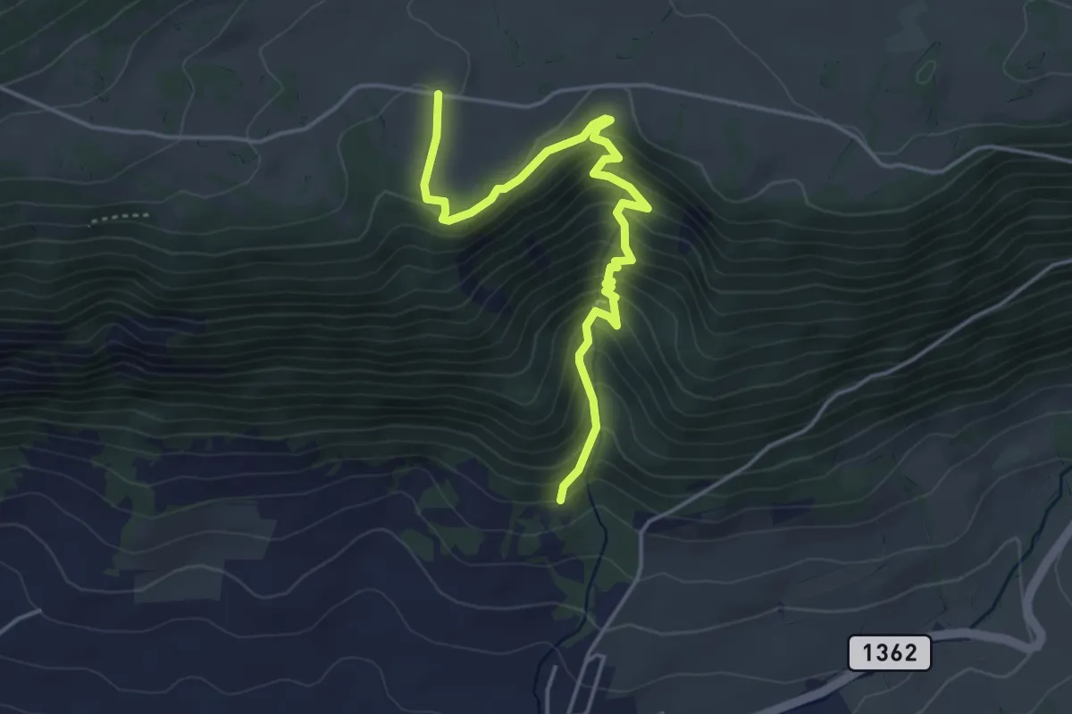
Medium · Trail
Le Gore Virat – Raimeux de Crémines
4.4 km · ↑ 368 m · 1 h 51 min
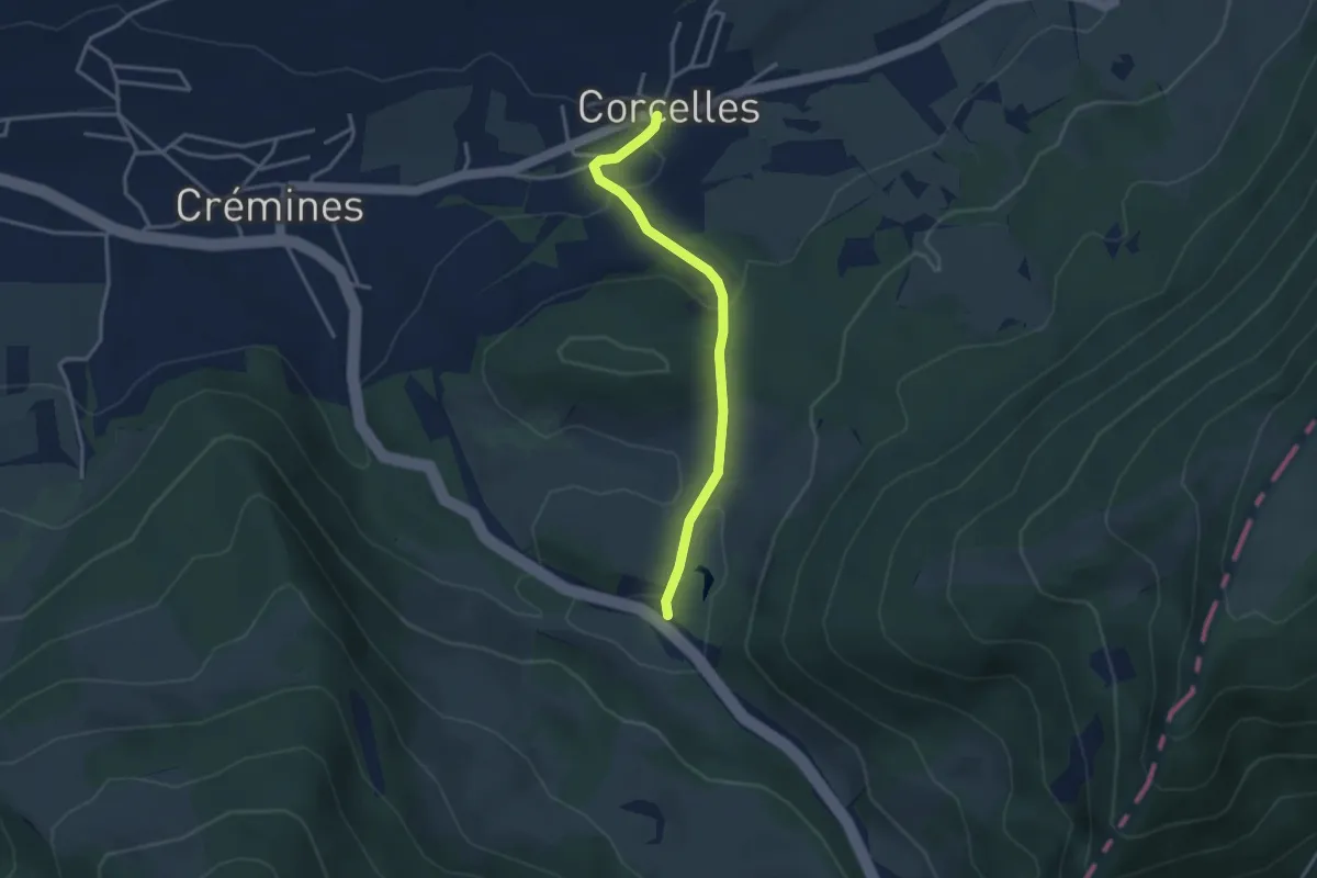
Easy · Trail
Corcelles – Siky-Ranch
3.2 km · ↑ 98 m · 58 min
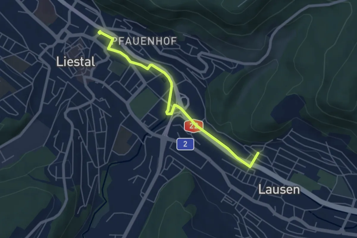
Easy · Trail
Lausen Kirche – Liestal Ergolzbrücke
4.8 km · ↑ 17 m · 1 h 10 min
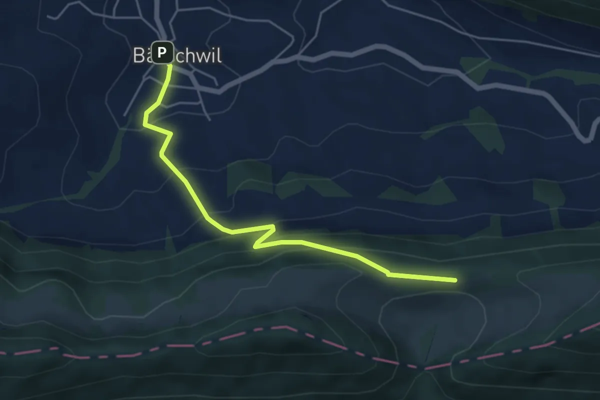
Easy · Trail
Bärschwil Post – Fringeli
4.5 km · ↑ 316 m · 1 h 45 min
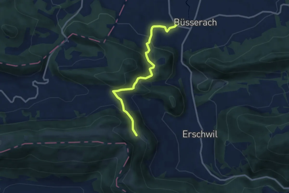
Medium · Trail
Oberbergli – Büsserach
6.7 km · ↑ 379 m · 2 h 24 min
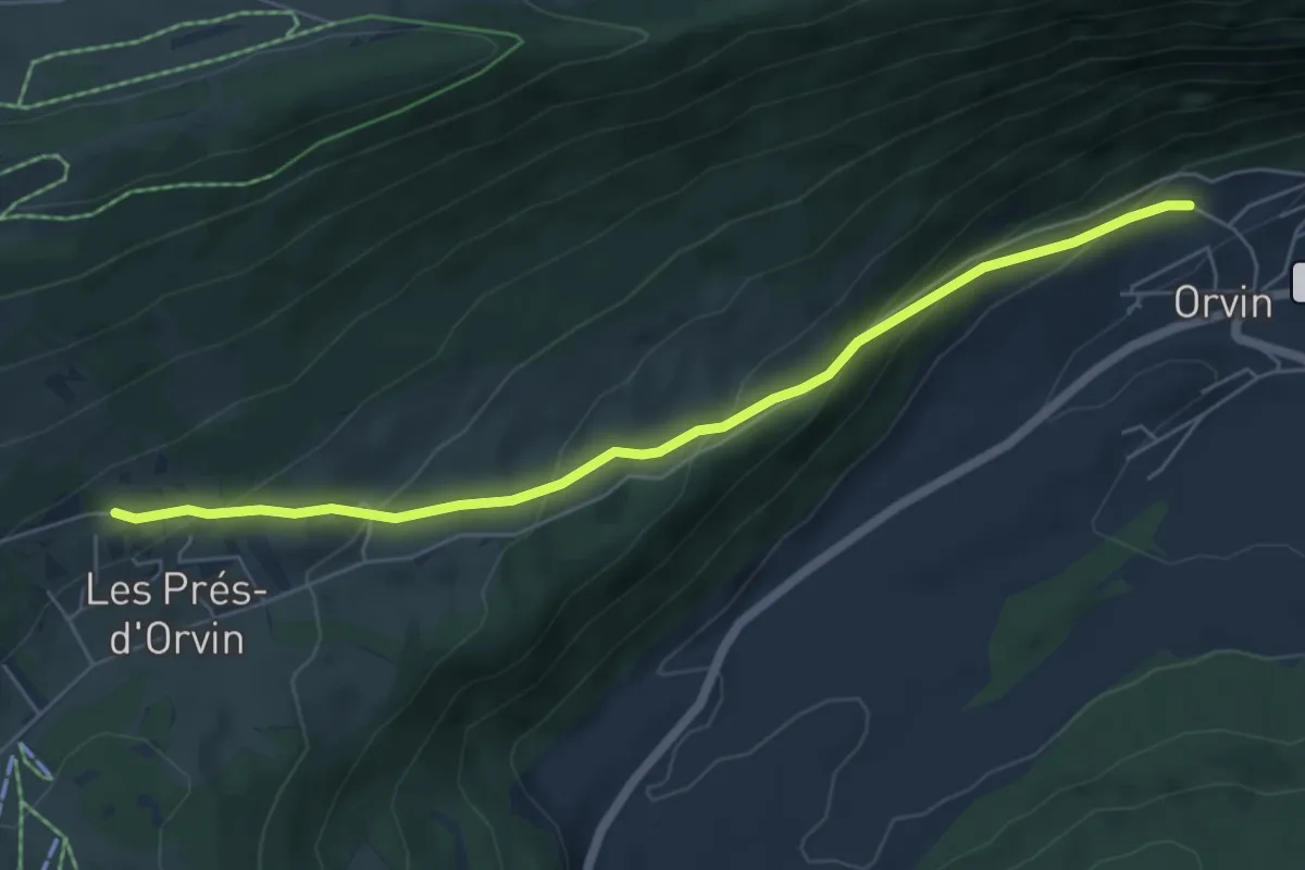
Medium · Trail
Les Prés d'Orvin – Orvin
6.0 km · ↑ 346 m · 2 h 10 min
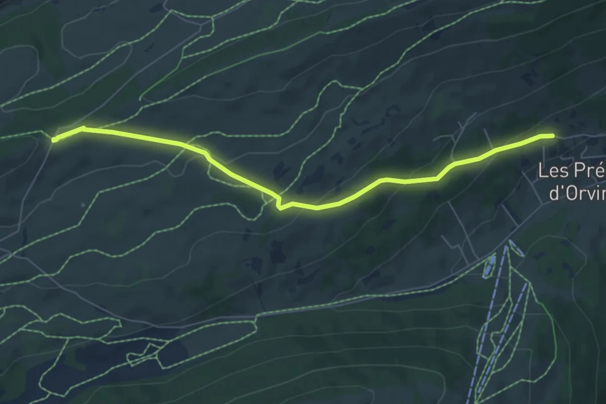
Easy · Trail
Les Prés d'Orvin – Place centrale
6.3 km · ↑ 213 m · 1 h 57 min
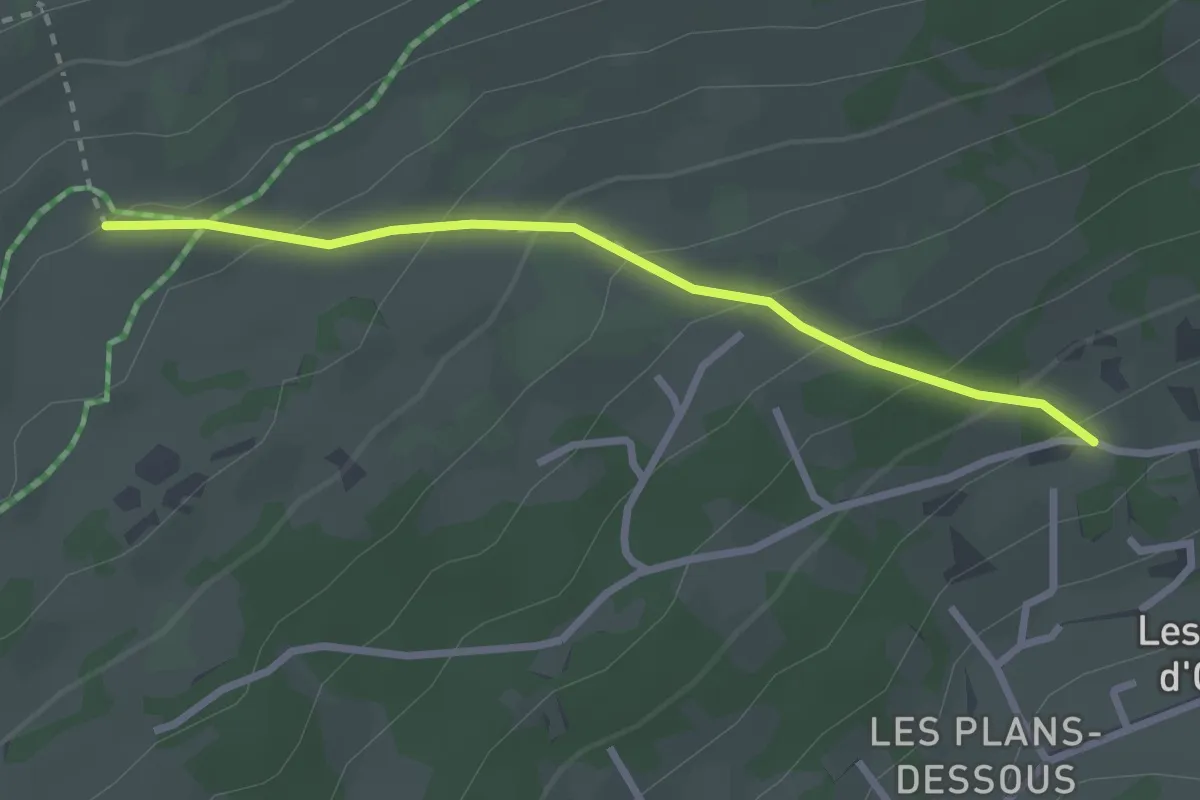
Easy · Trail
Les Prés d'Orvin – Métairie d'Evilard
2.6 km · ↑ 181 m · 1 h
Easy · Trail
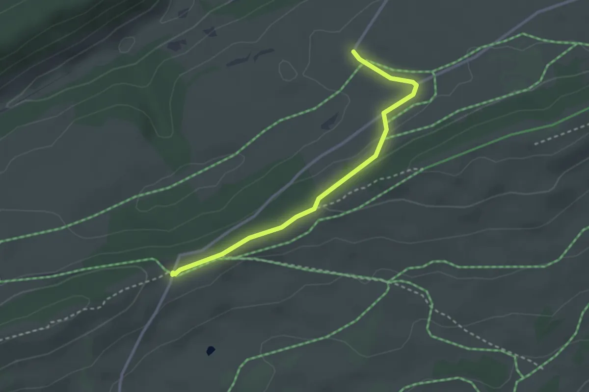
Métairie de Gléresse – Place centrale
2.8 km · ↑ 42 m · 45 min
Easy · Trail
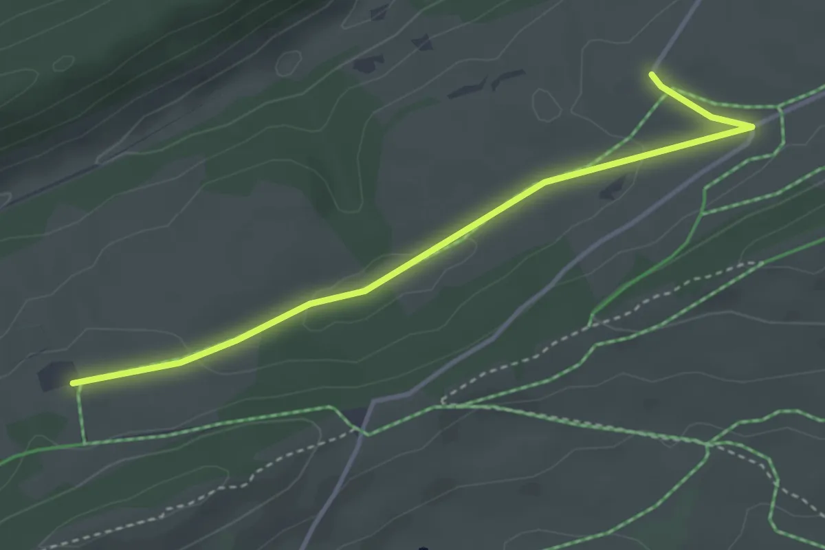
Métairie de Gléresse – Métairie du Bois Raiguel
3.7 km · ↑ 54 m · 59 min
Easy · Trail
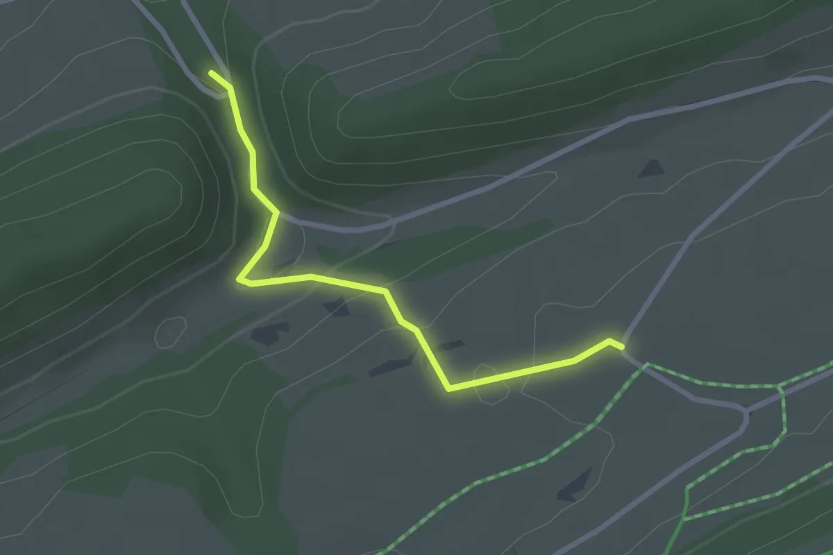
Métairie de Gléresse – Pont des Anabaptistes
2.4 km · ↑ 146 m · 53 min
Demanding · Trail
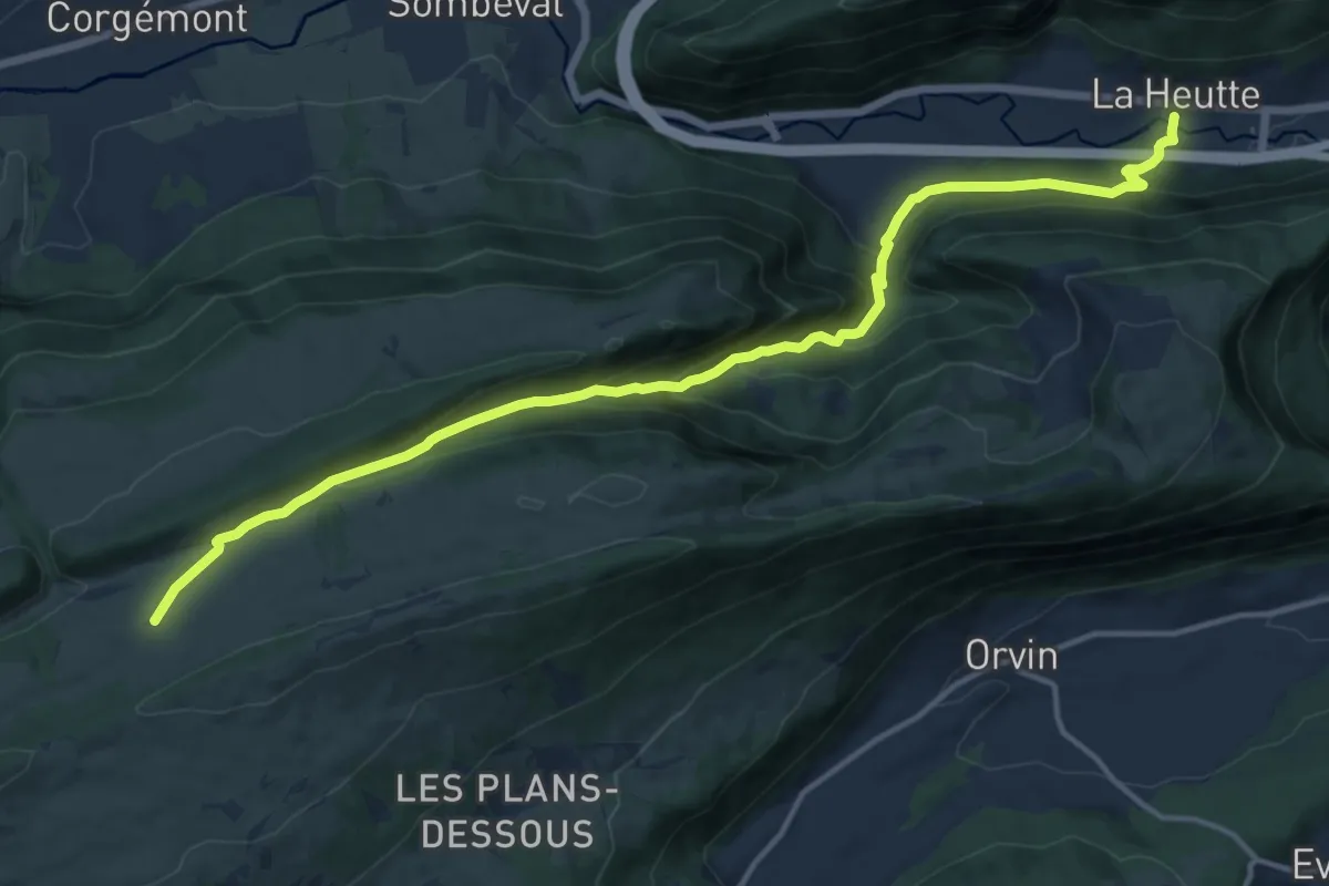
Métairie de Gléresse – La Heutte
15.7 km · ↑ 849 m · 5 h 33 min