Trails in Switzerland
15,055 hiking trails, each with its route, climb, walking time and grade.
All trails, page 242 of 314
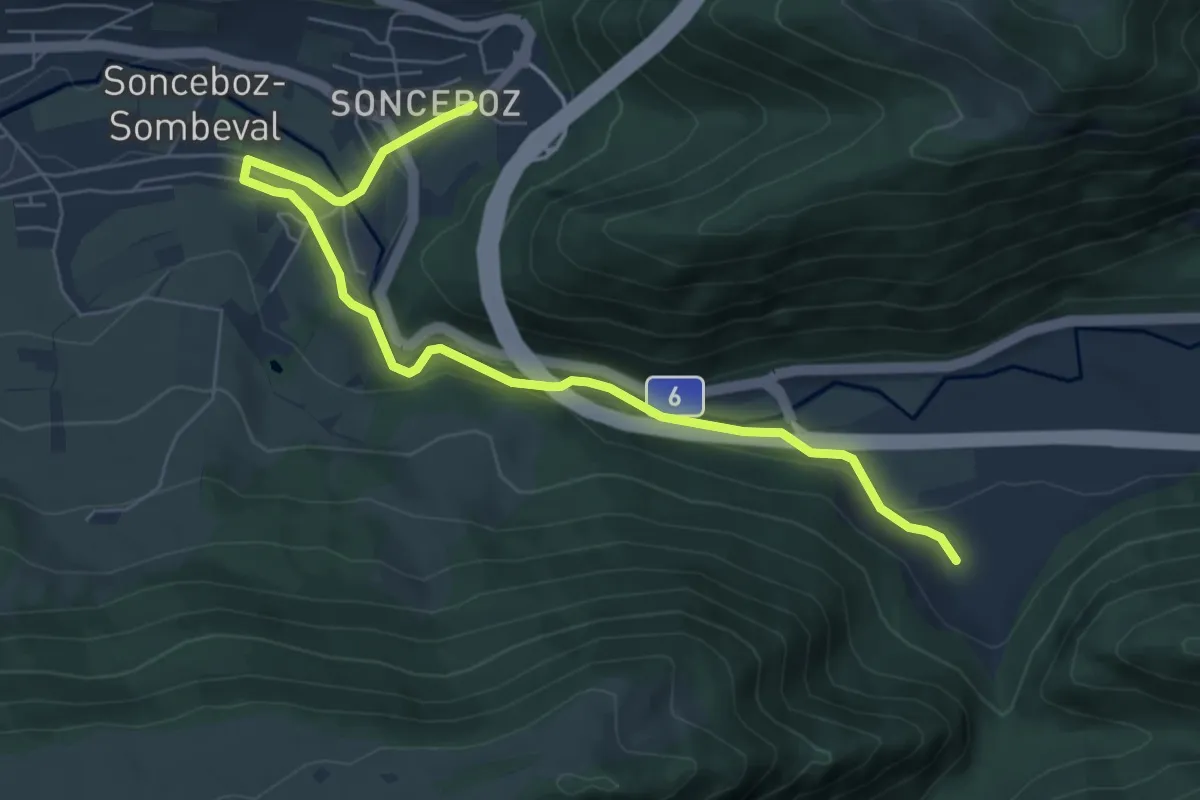
Easy · Trail
Métairie de Nidau – Sonceboz
7.2 km · ↑ 204 m · 2 h 9 min
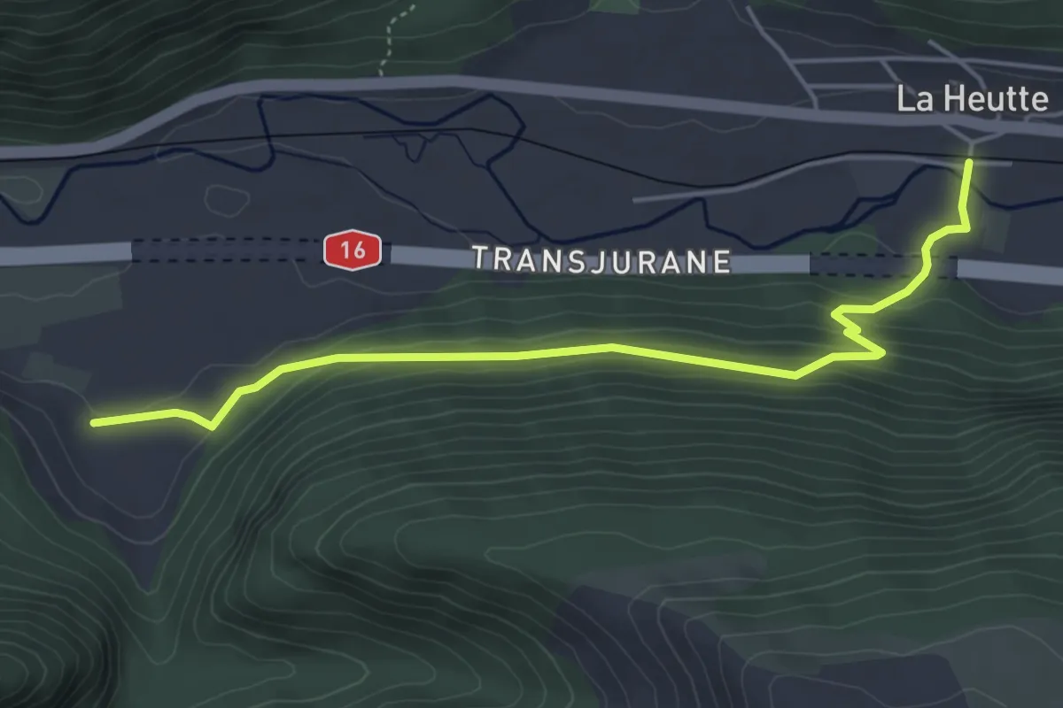
Easy · Trail
Métairie de Nidau – La Heutte
4.9 km · ↑ 243 m · 1 h 41 min
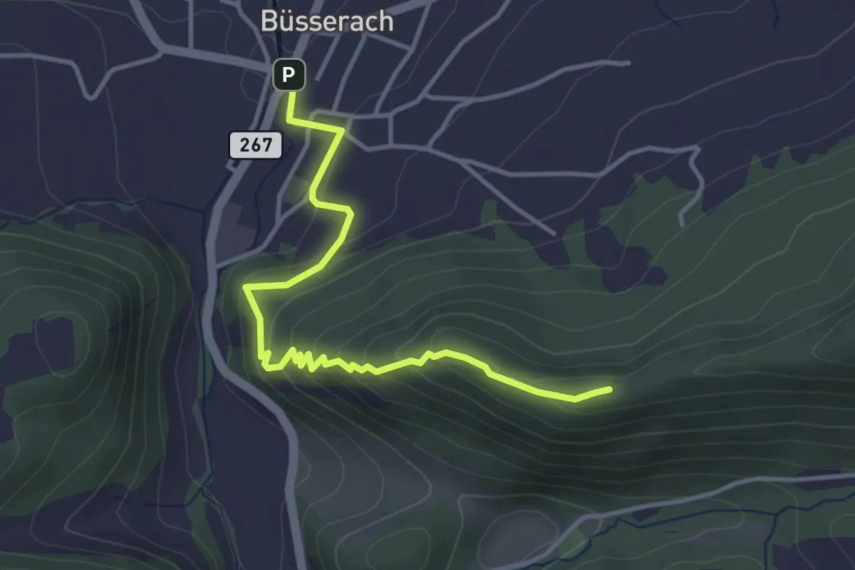
Medium · Summit
Büsserach – Chemmiflue
3.8 km · ↑ 253 m · 1 h 27 min
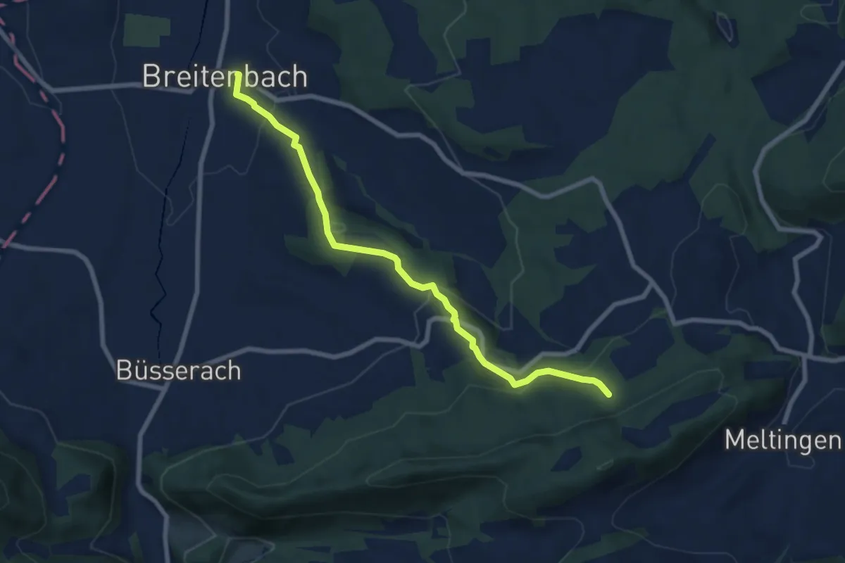
Easy · Trail
Riedbächli – Dorfplatz
7.0 km · ↑ 286 m · 2 h 17 min
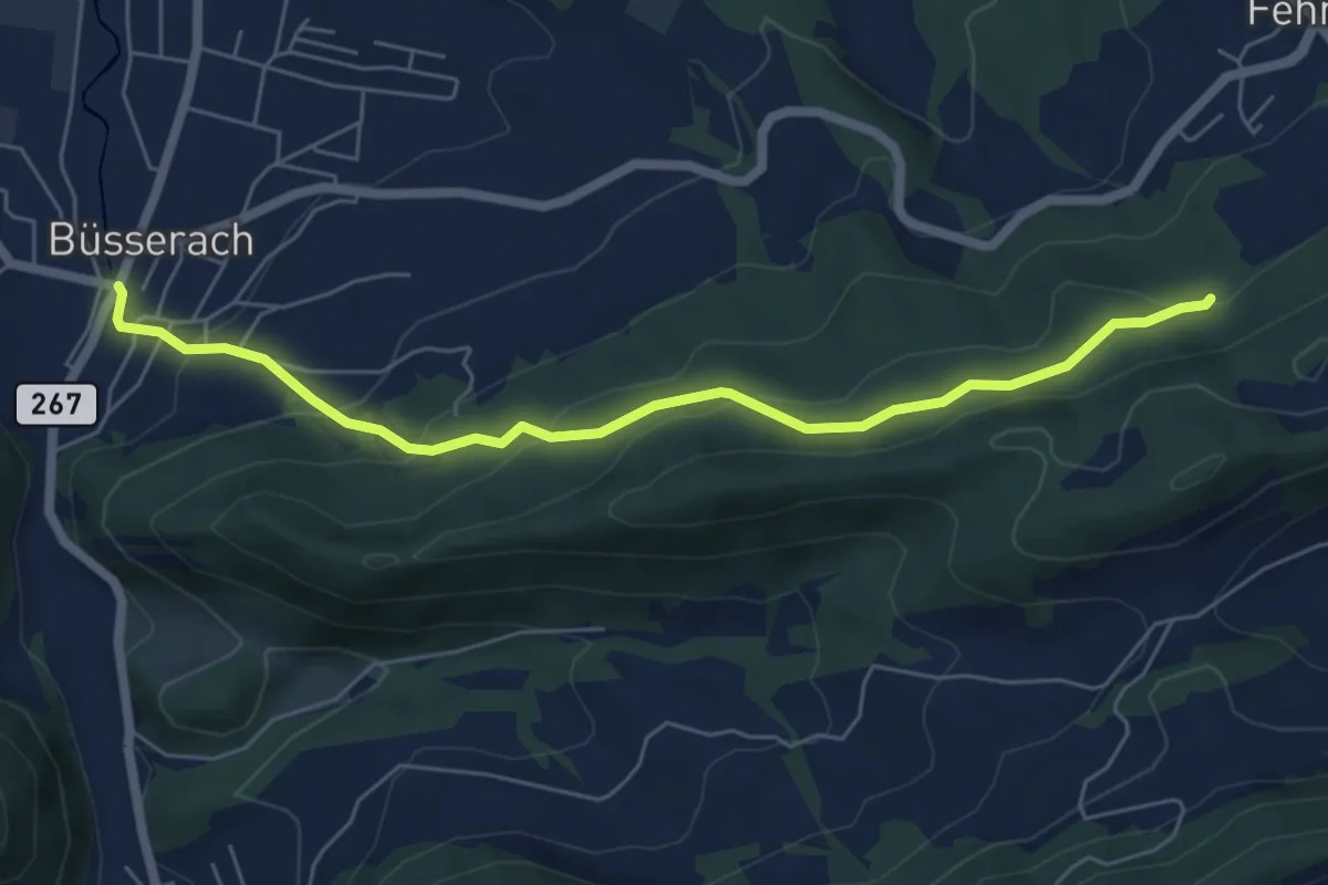
Easy · Trail
Büsserach – Riedbächli
6.1 km · ↑ 276 m · 2 h 3 min
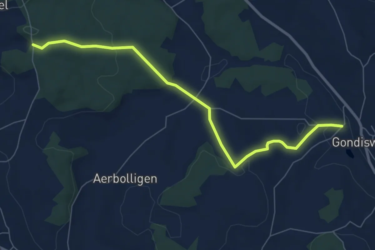
Easy · Trail
Egg – Schmwidwald
6.9 km · ↑ 182 m · 2 h 1 min
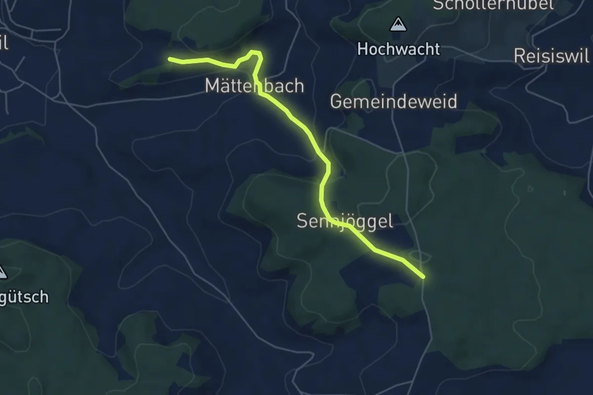
Easy · Trail
Egg – Schmwidwald
5.1 km · ↑ 196 m · 1 h 37 min
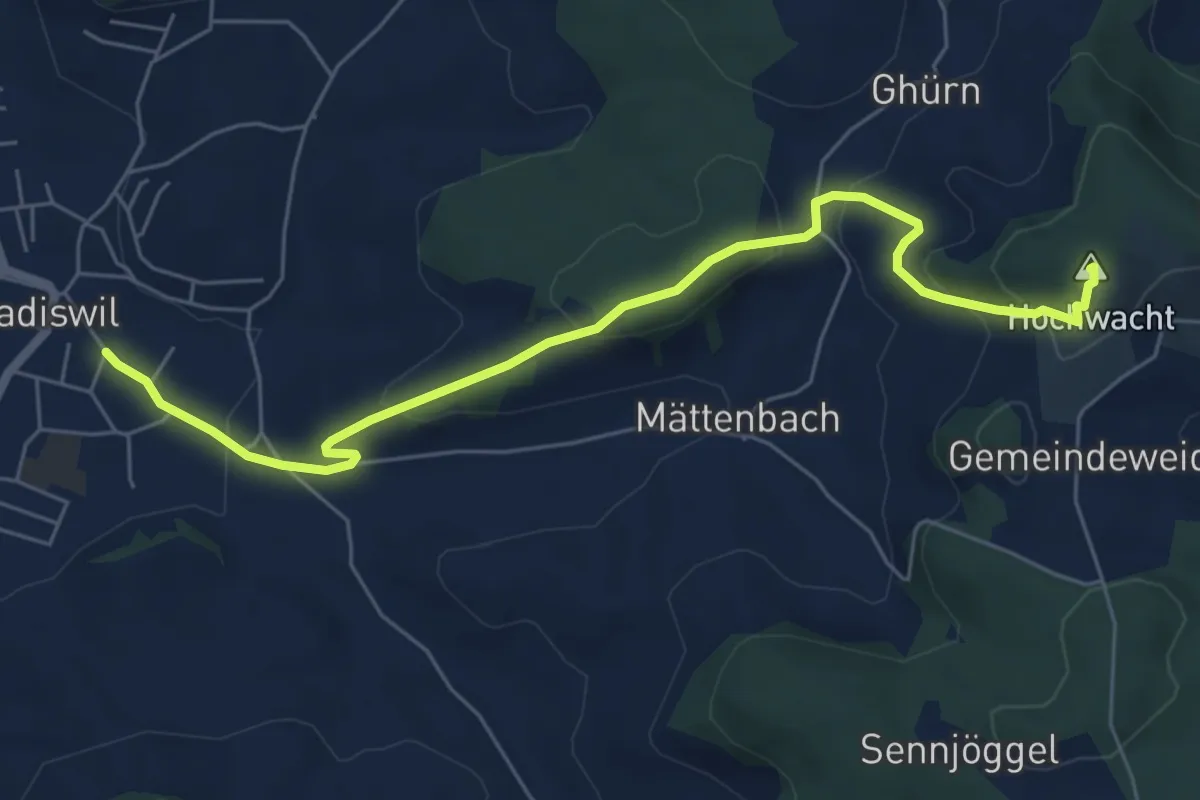
Easy · Summit
Madiswil – Hohwacht
6.7 km · ↑ 283 m · 2 h 11 min
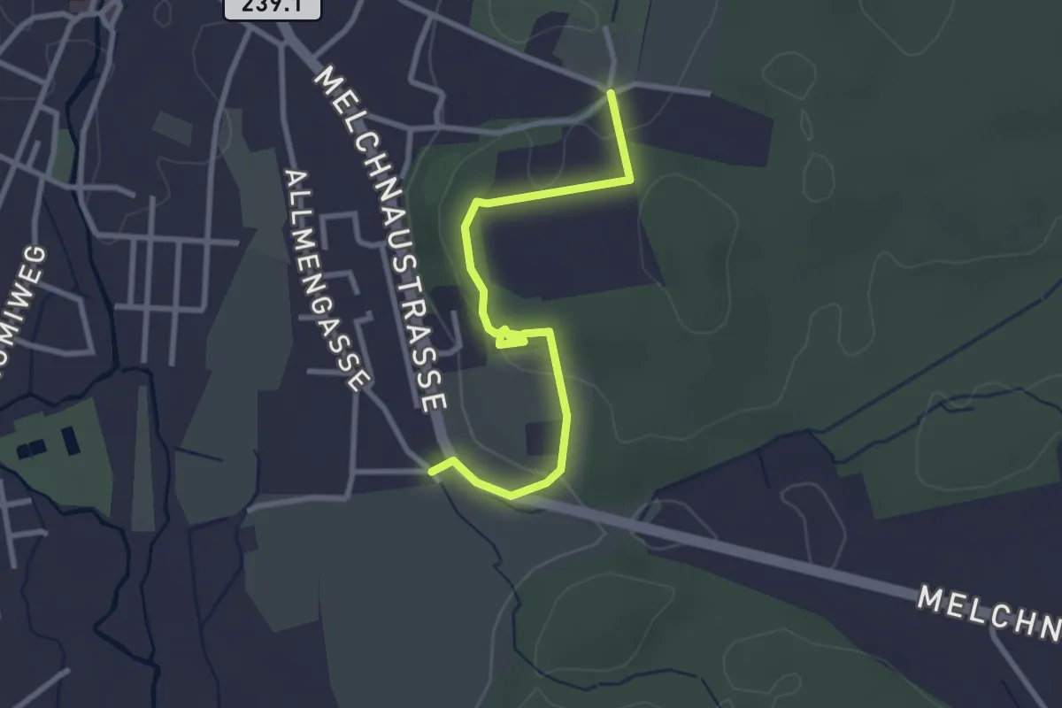
Easy · Trail
Allme – Hinterberg
2.9 km · ↑ 74 m · 50 min
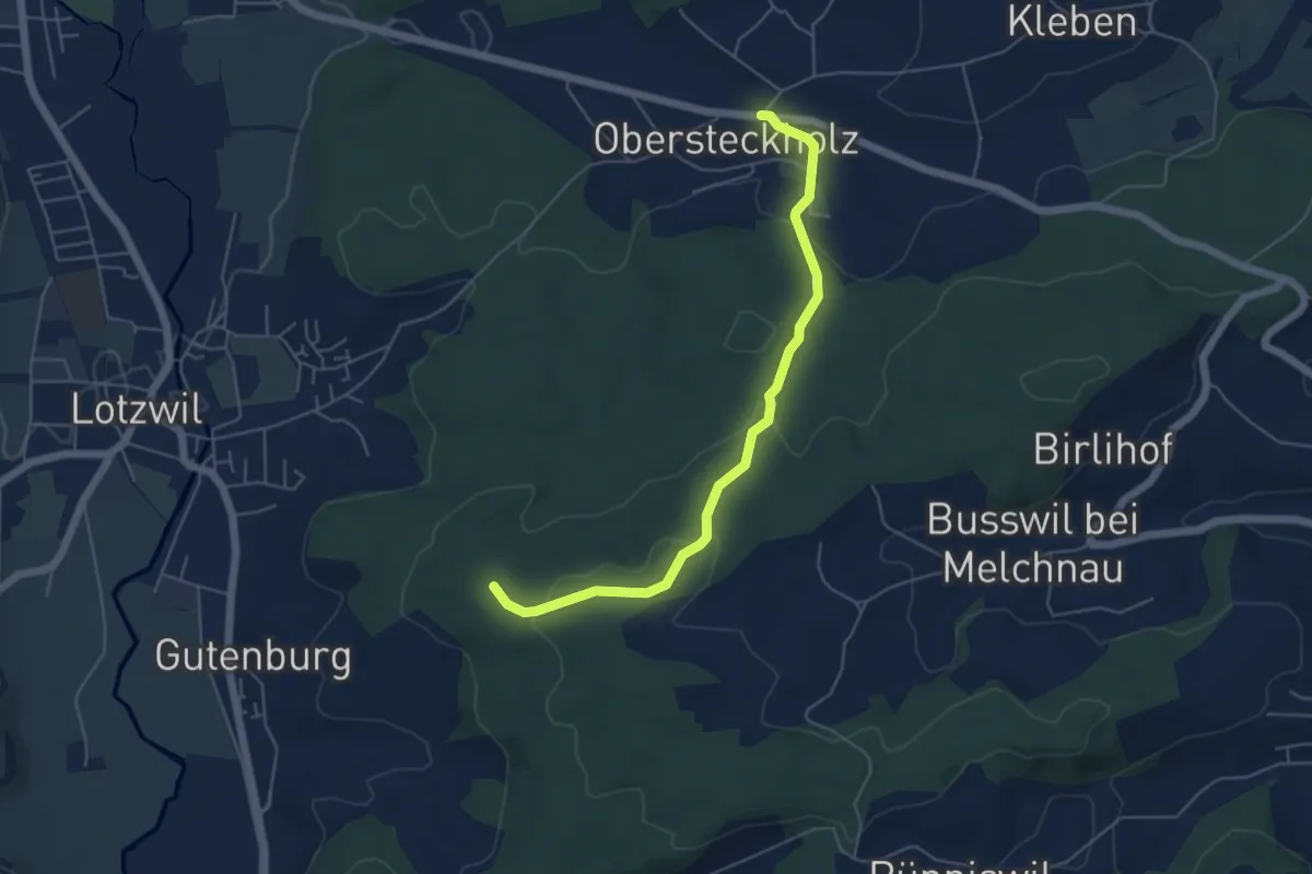
Easy · Trail
Rappechopf – Obersteckholz
5.2 km · ↑ 158 m · 1 h 35 min
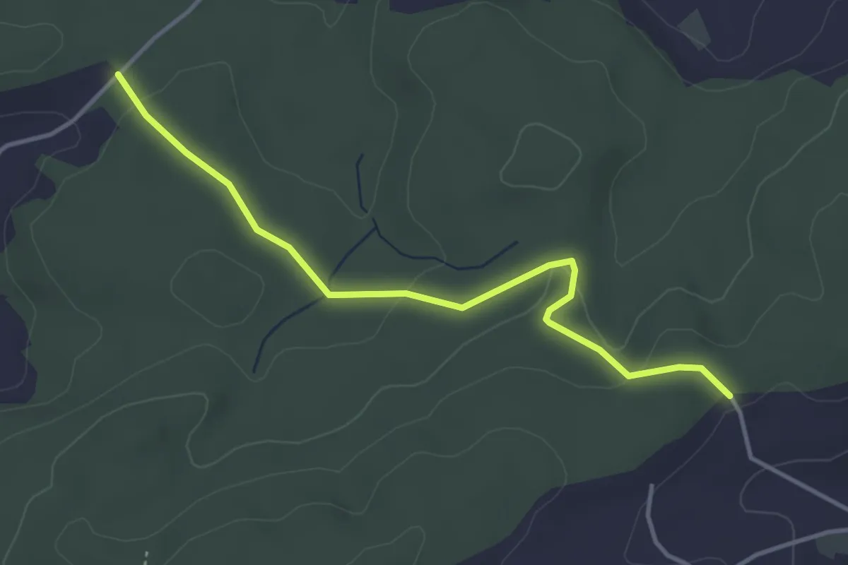
Easy · Trail
Hambüel – Busswil / Hole
3.8 km · ↑ 69 m · 1 h 3 min
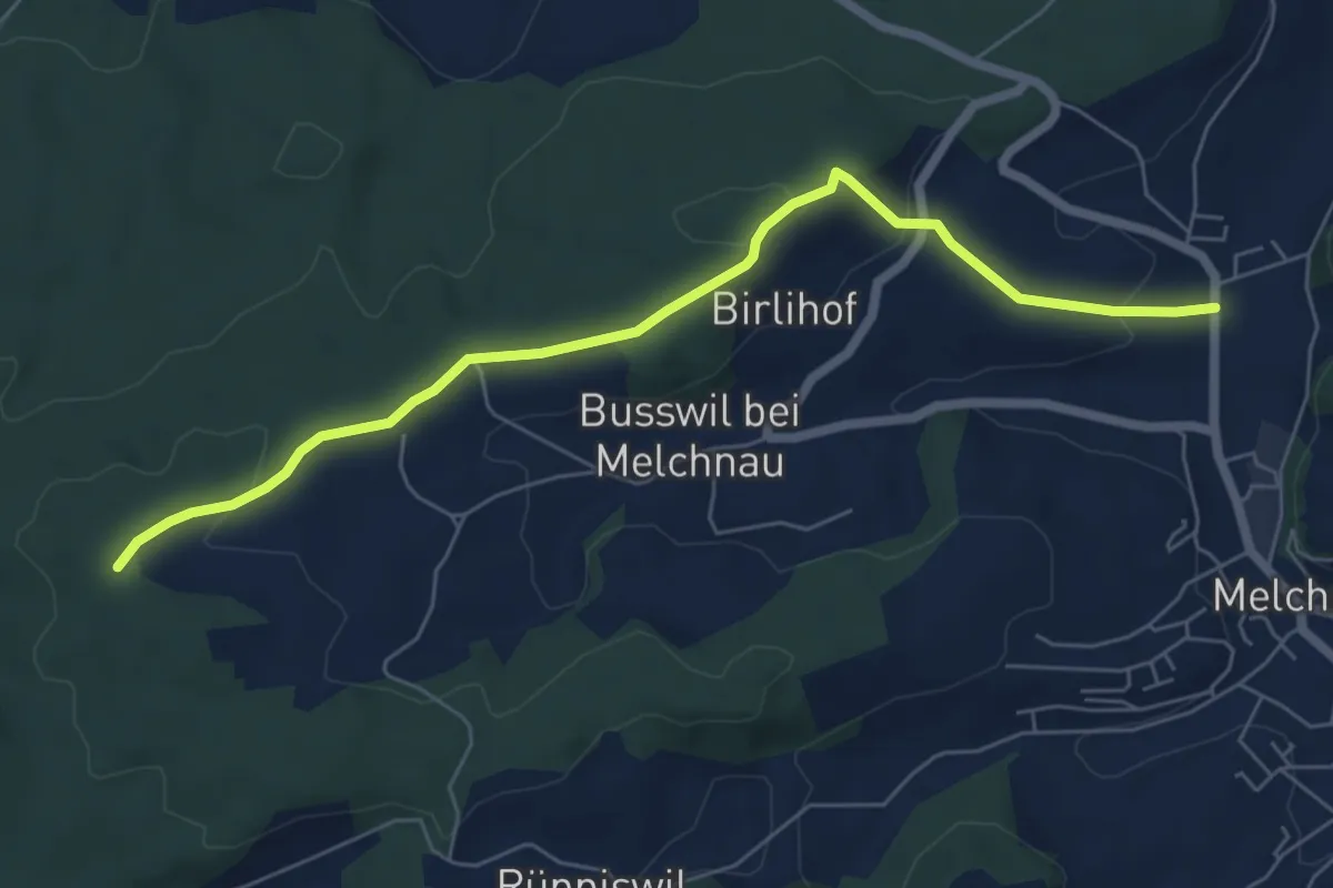
Easy · Trail
Melchnau – Breitacherweid
6.6 km · ↑ 195 m · 1 h 59 min
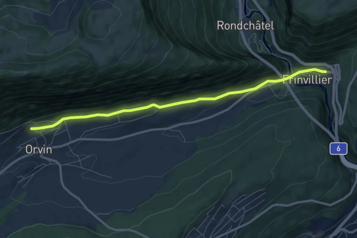
Easy · Trail
Frinviller – Orvin
7.4 km · ↑ 258 m · 2 h 18 min
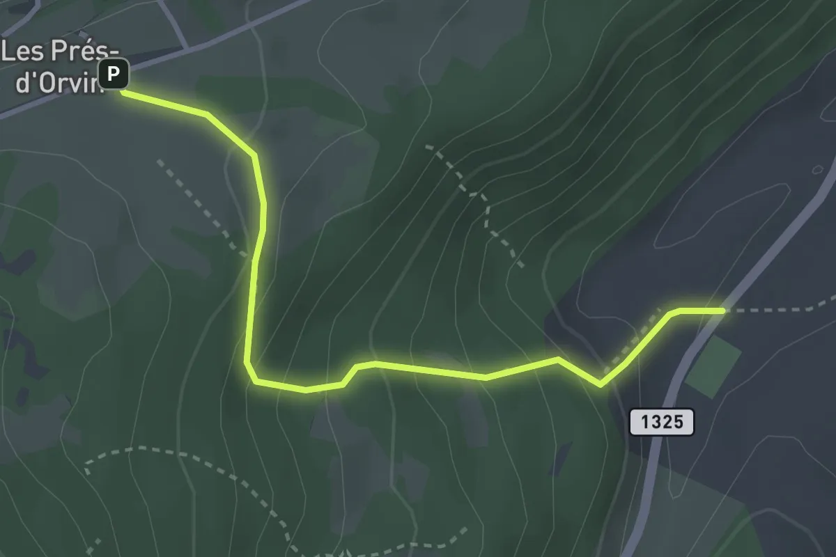
Easy · Trail
Jorat – Les Prés-d'Orvin
3.3 km · ↑ 248 m · 1 h 19 min
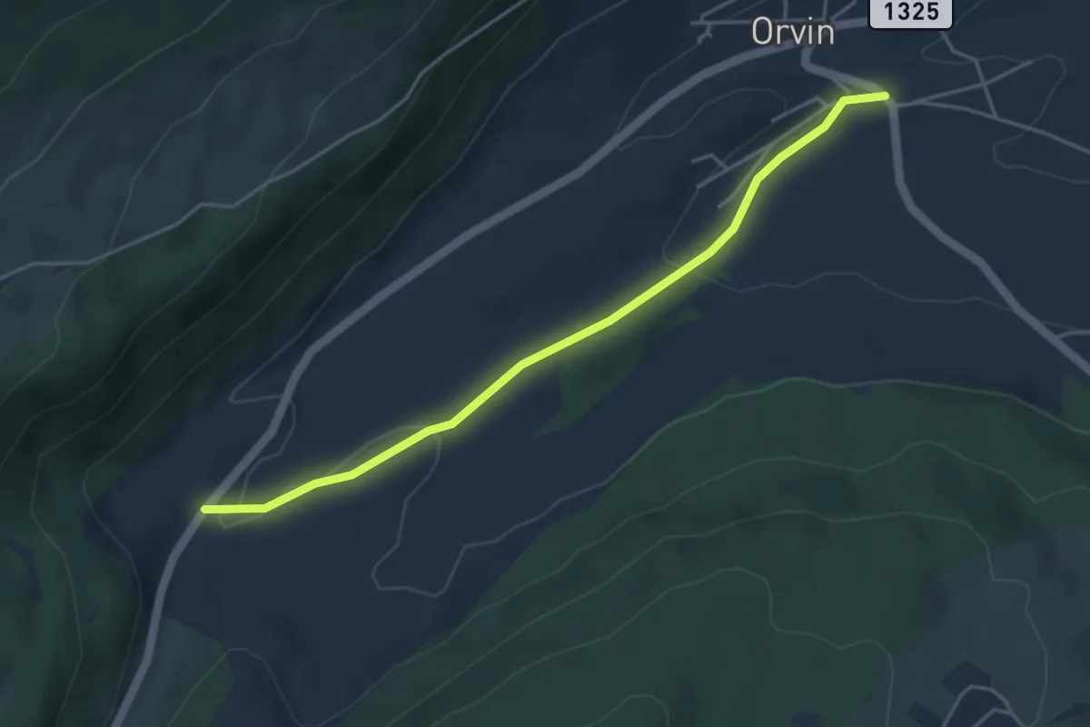
Easy · Trail
Orvin Eglise – Jorat
4.3 km · ↑ 90 m · 1 h 12 min
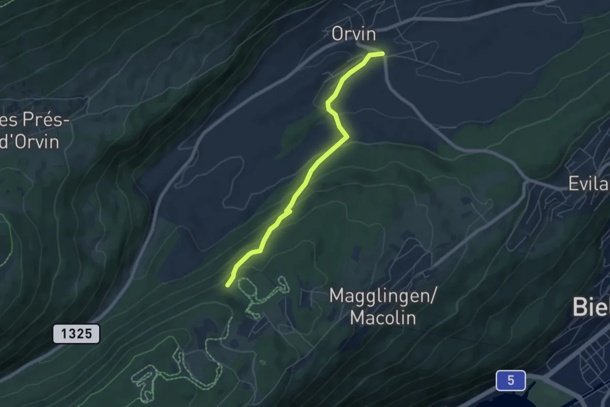
Easy · Trail
Orvin Eglise – End der Welt / Fin du Monde
5.3 km · ↑ 289 m · 1 h 53 min
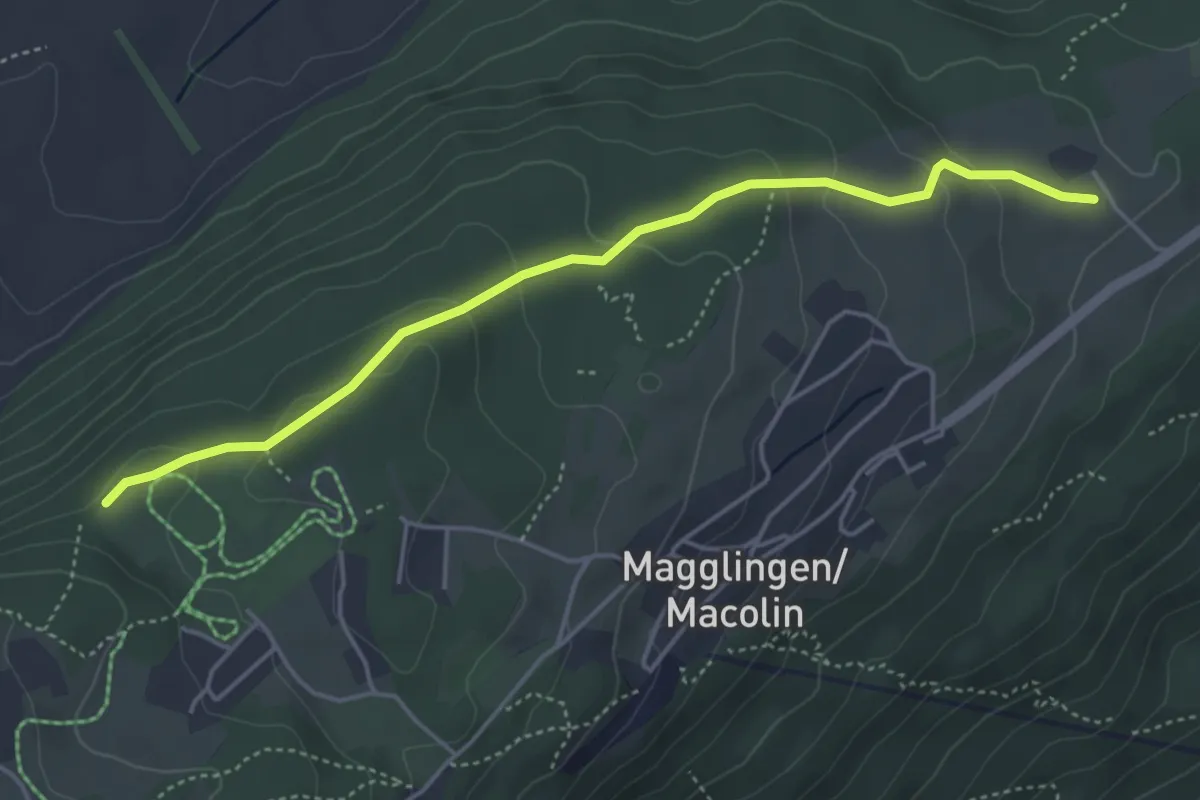
Easy · Trail
End der Welt / Fin du Monde – La Combe
4.6 km · ↑ 159 m · 1 h 25 min
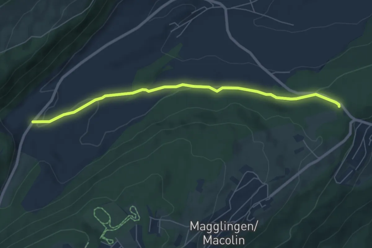
Easy · Trail
Jorat – Evilard
6.0 km · ↑ 86 m · 1 h 36 min
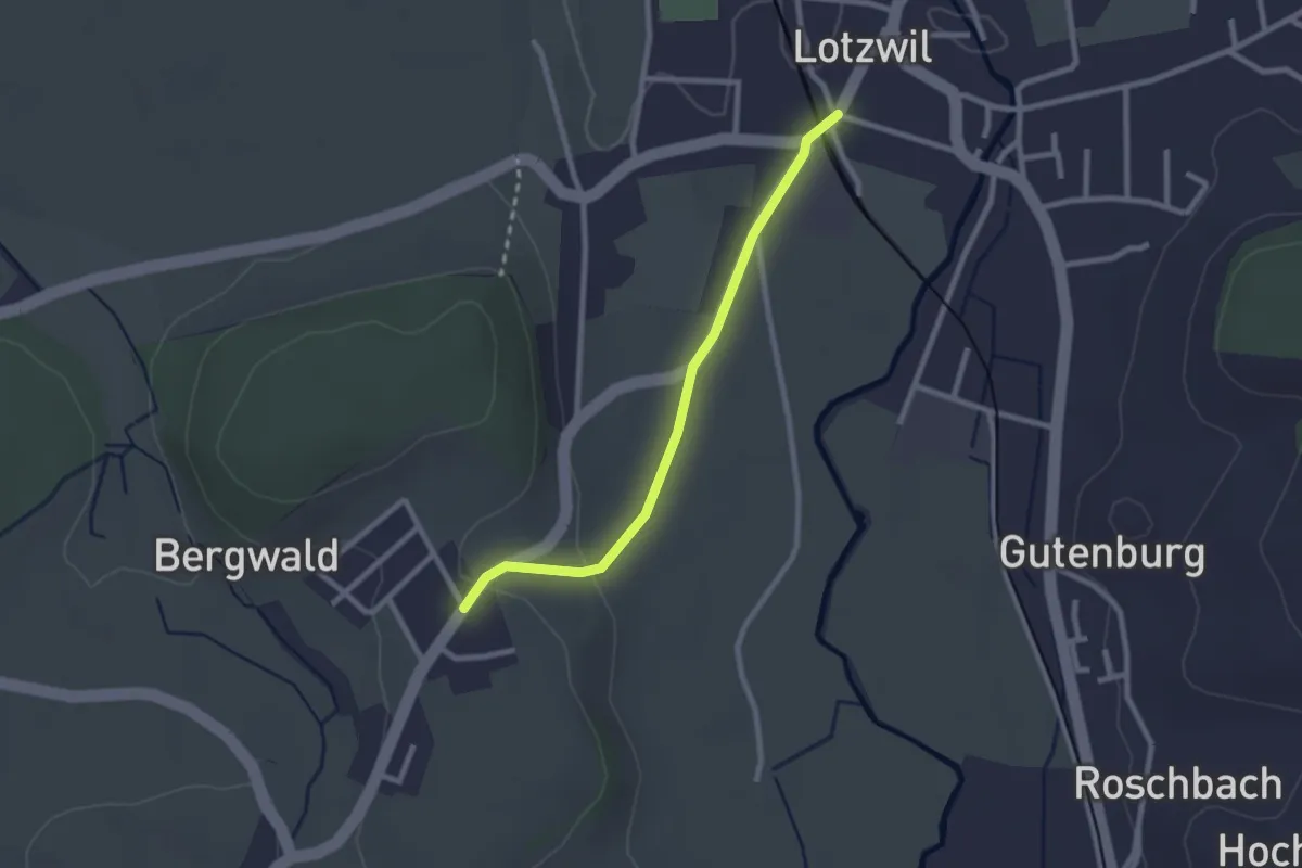
Easy · Trail
Lotzwil – Berg
2.3 km · ↑ 39 m · 38 min
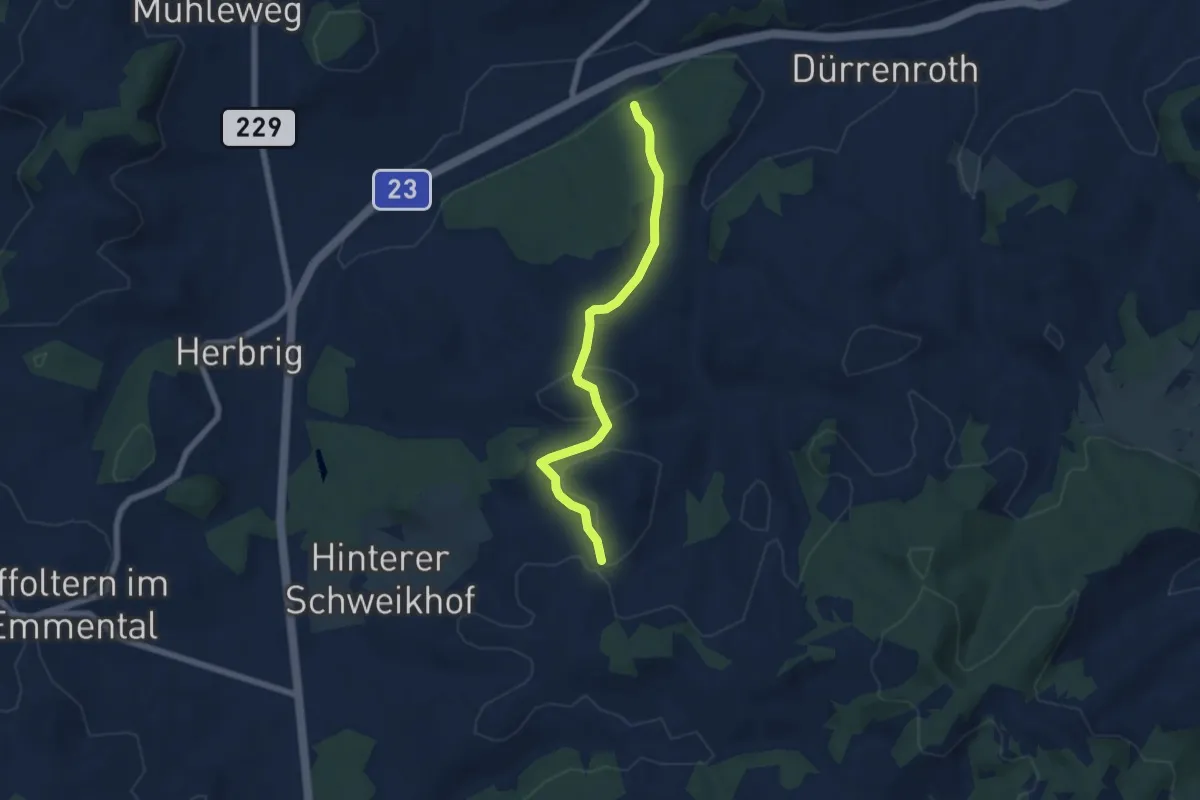
Easy · Trail
Rotwald – Brunnen
5.9 km · ↑ 148 m · 1 h 43 min
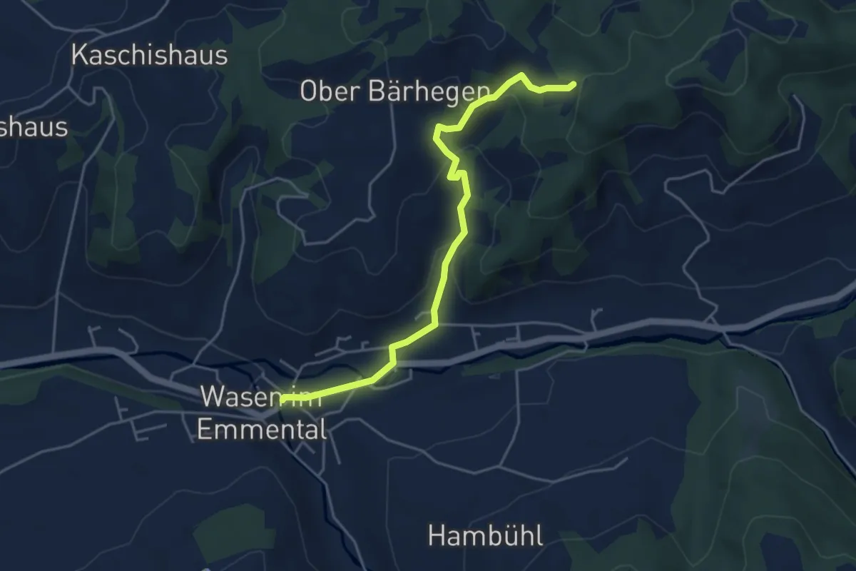
Easy · Trail
Freudigenegg – Wasen i. E.
4.4 km · ↑ 190 m · 1 h 27 min
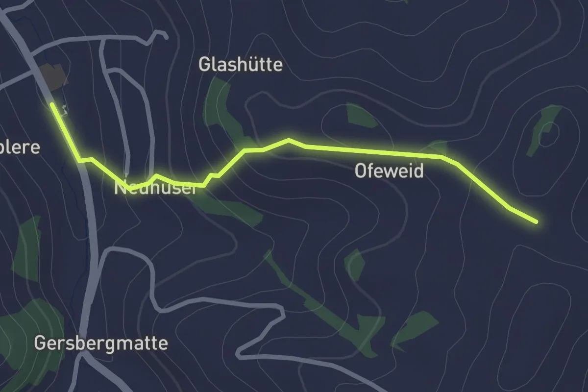
Easy · Trail
Wyssachen – ?
2.3 km · ↑ 118 m · 48 min
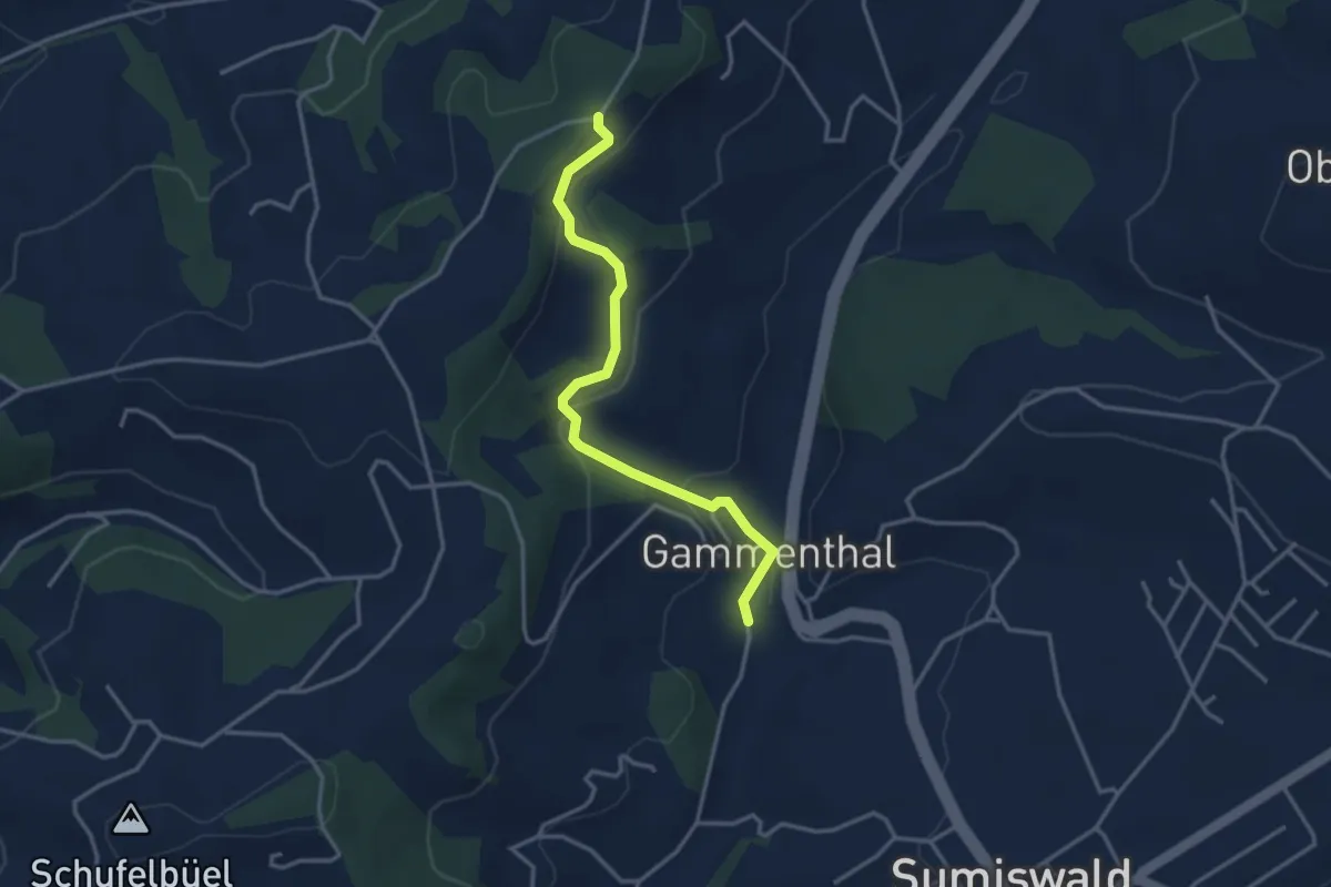
Easy · Trail
Gammenthal – Hegenegglücke
3.4 km · ↑ 134 m · 1 h 5 min
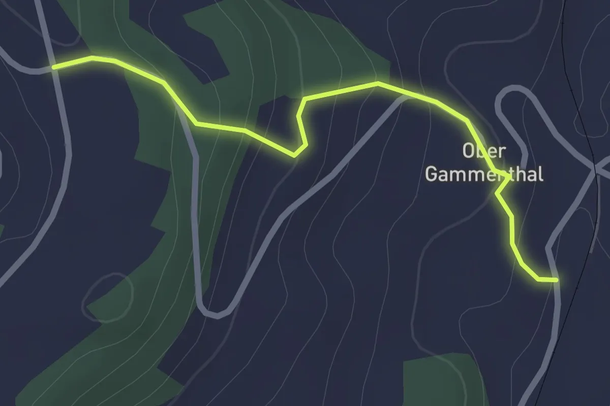
Easy · Trail
Gammenthal – ???
2.1 km · ↑ 112 m · 44 min
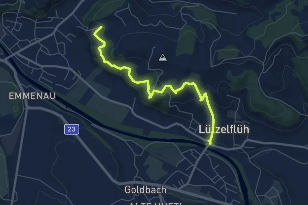
Medium · Trail
Lützelflüh – Weingarten
6.0 km · ↑ 531 m · 2 h 34 min
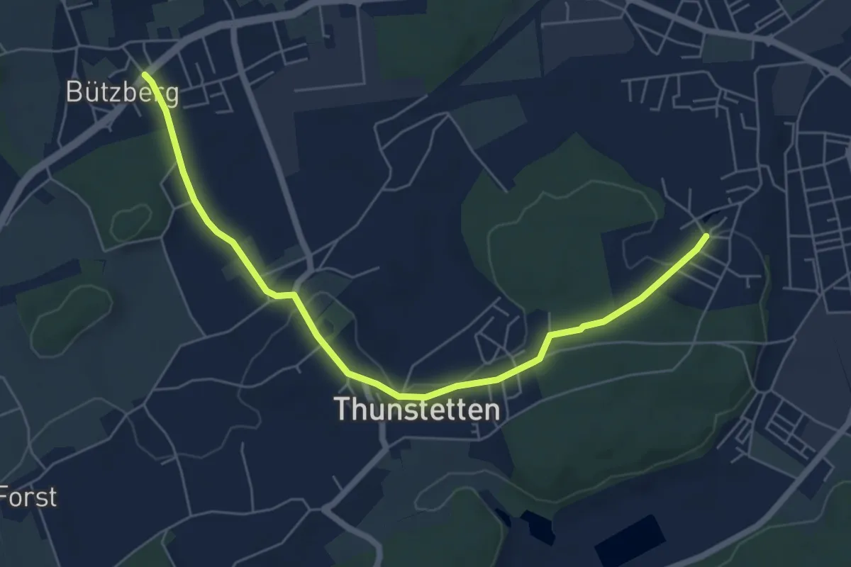
Easy · Trail
Schorenweiher – Bützberg
6.4 km · ↑ 93 m · 1 h 43 min
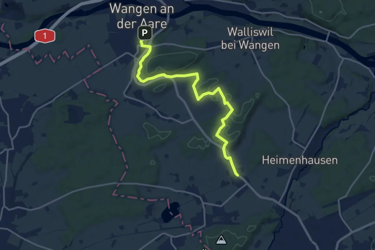
Medium · Trail
Röthenbach – Wangen an der Aare
12.0 km · ↑ 196 m · 3 h 16 min
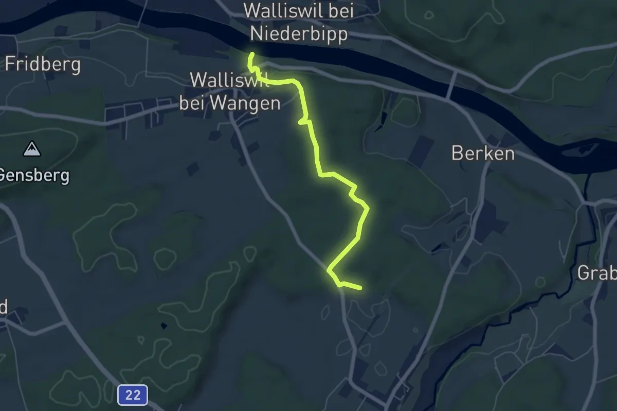
Easy · Trail
Rütinen – Walliswilsteg
5.3 km · ↑ 89 m · 1 h 27 min
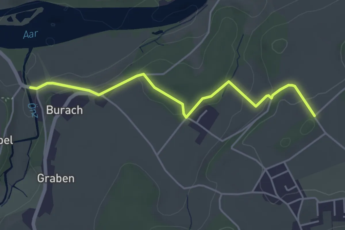
Easy · Trail
Haldimoos – Stadönz
4.0 km · ↑ 121 m · 1 h 13 min
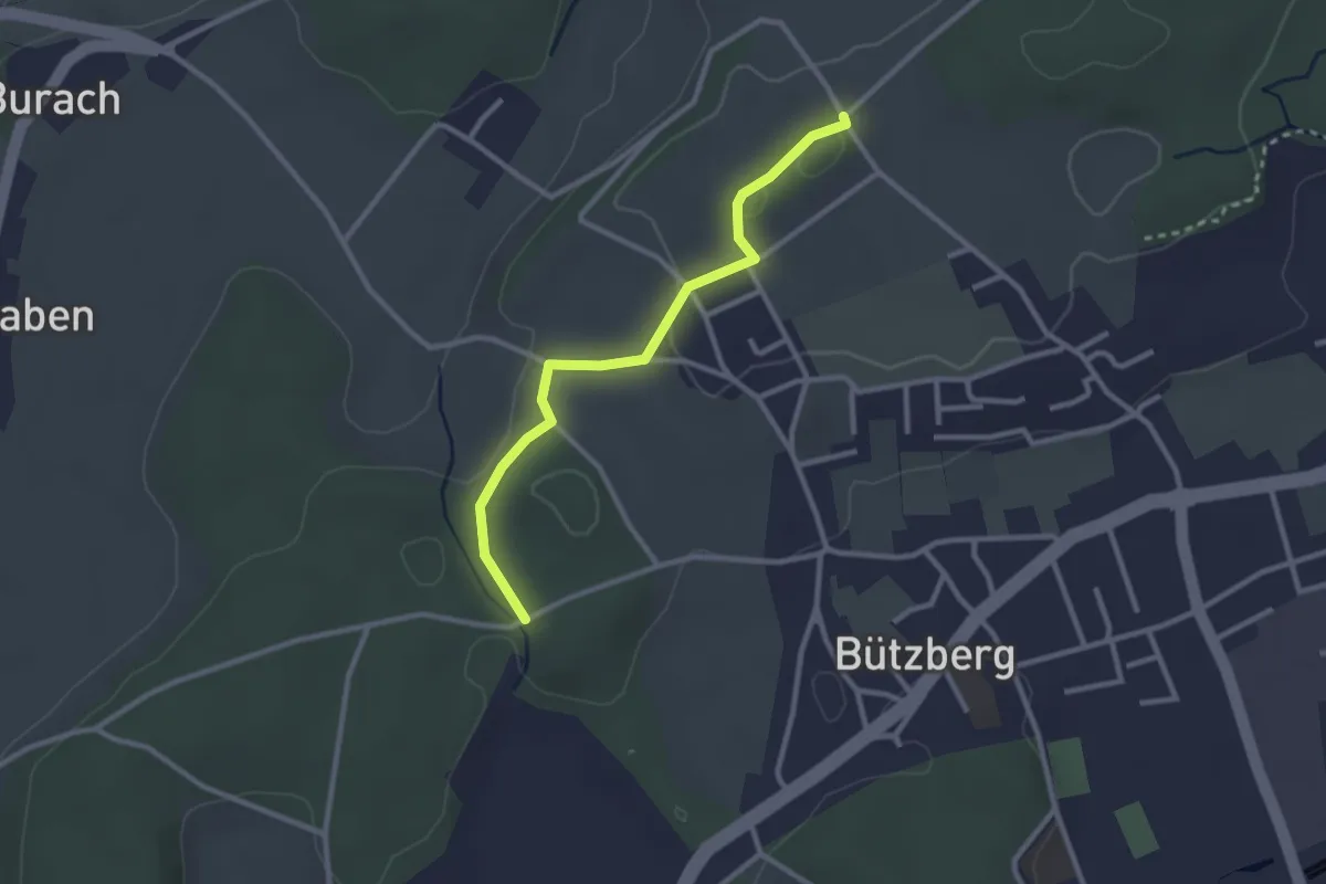
Easy · Trail
Gratwald – Haldimoos
2.7 km · ↑ 41 m · 43 min
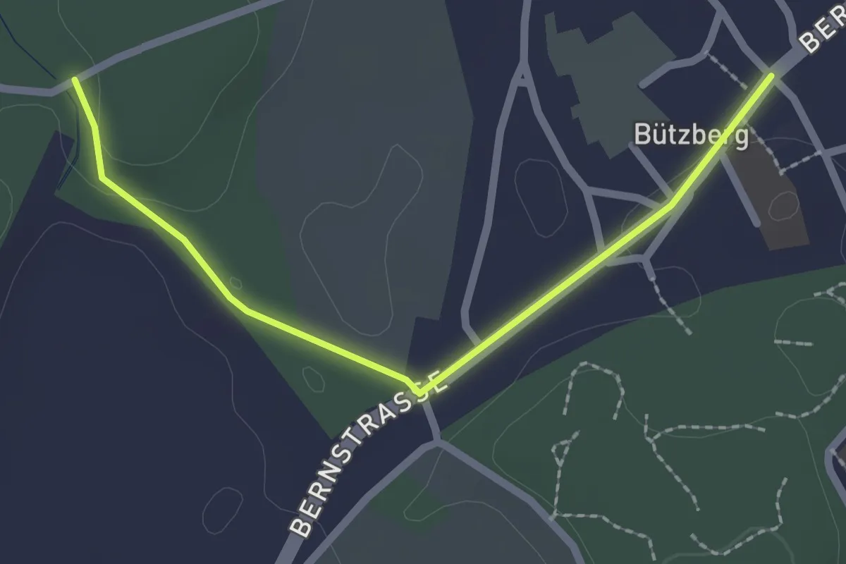
Easy · Trail
Bützberg – Gratwald
2.2 km · ↑ 19 m · 34 min
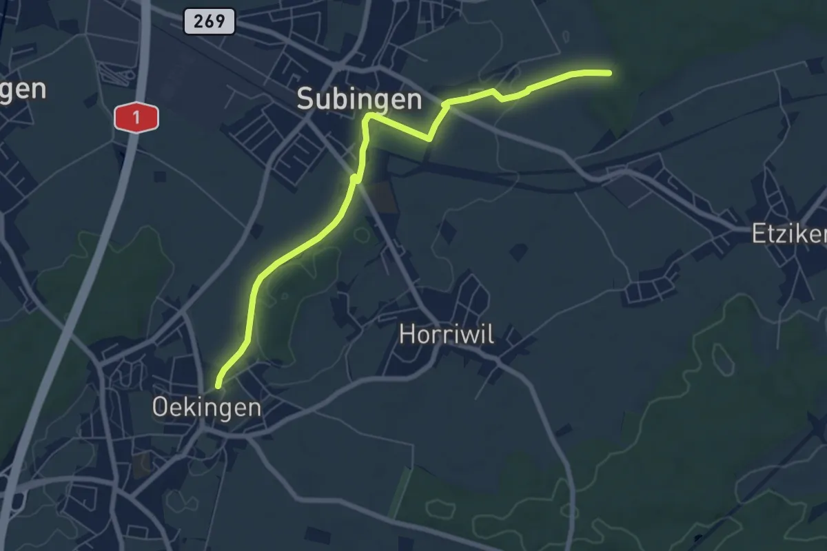
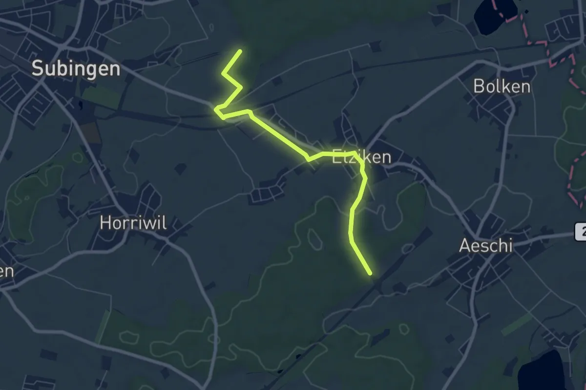
Easy · Trail
Weiher – Oekingen
6.9 km · ↑ 21 m · 1 h 40 min
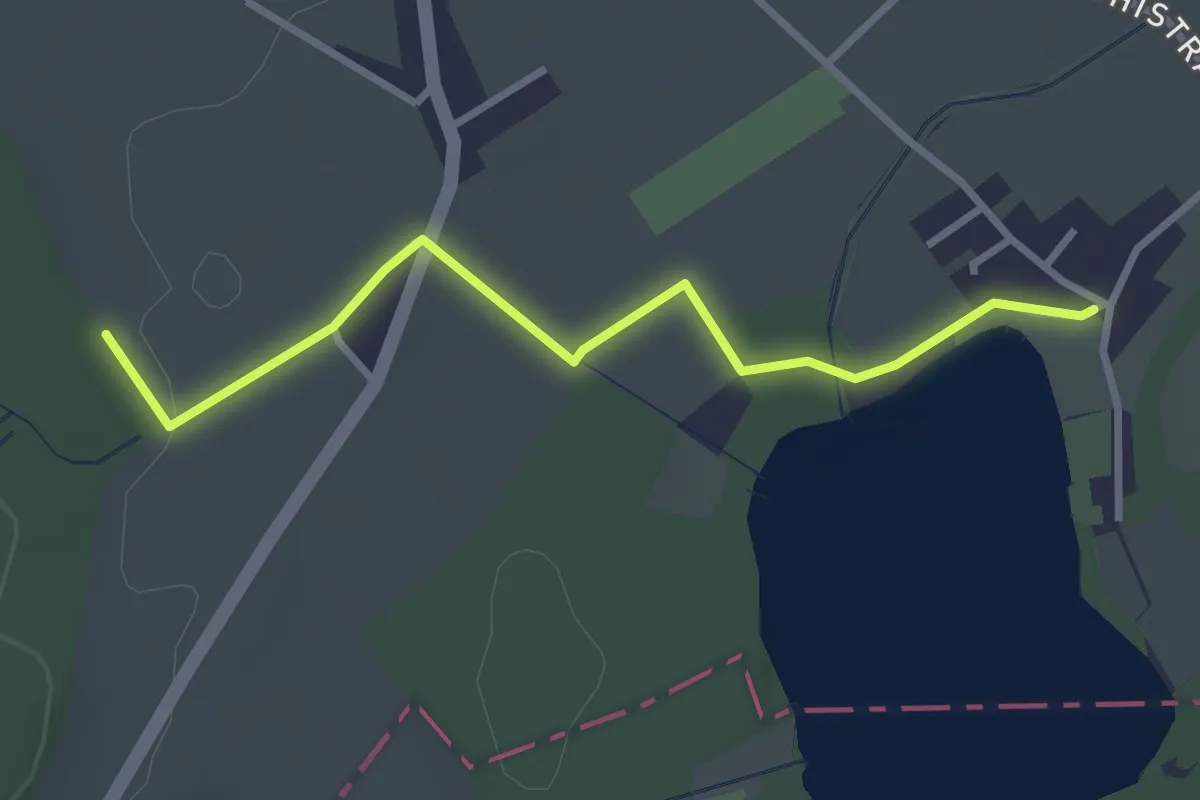
Easy · Trail
Cholholz – Weiher
6.4 km · ↑ 86 m · 1 h 42 min
Easy · Trail
Burgäschi – Stöckermatt
3.0 km · ↑ 31 m · 46 min
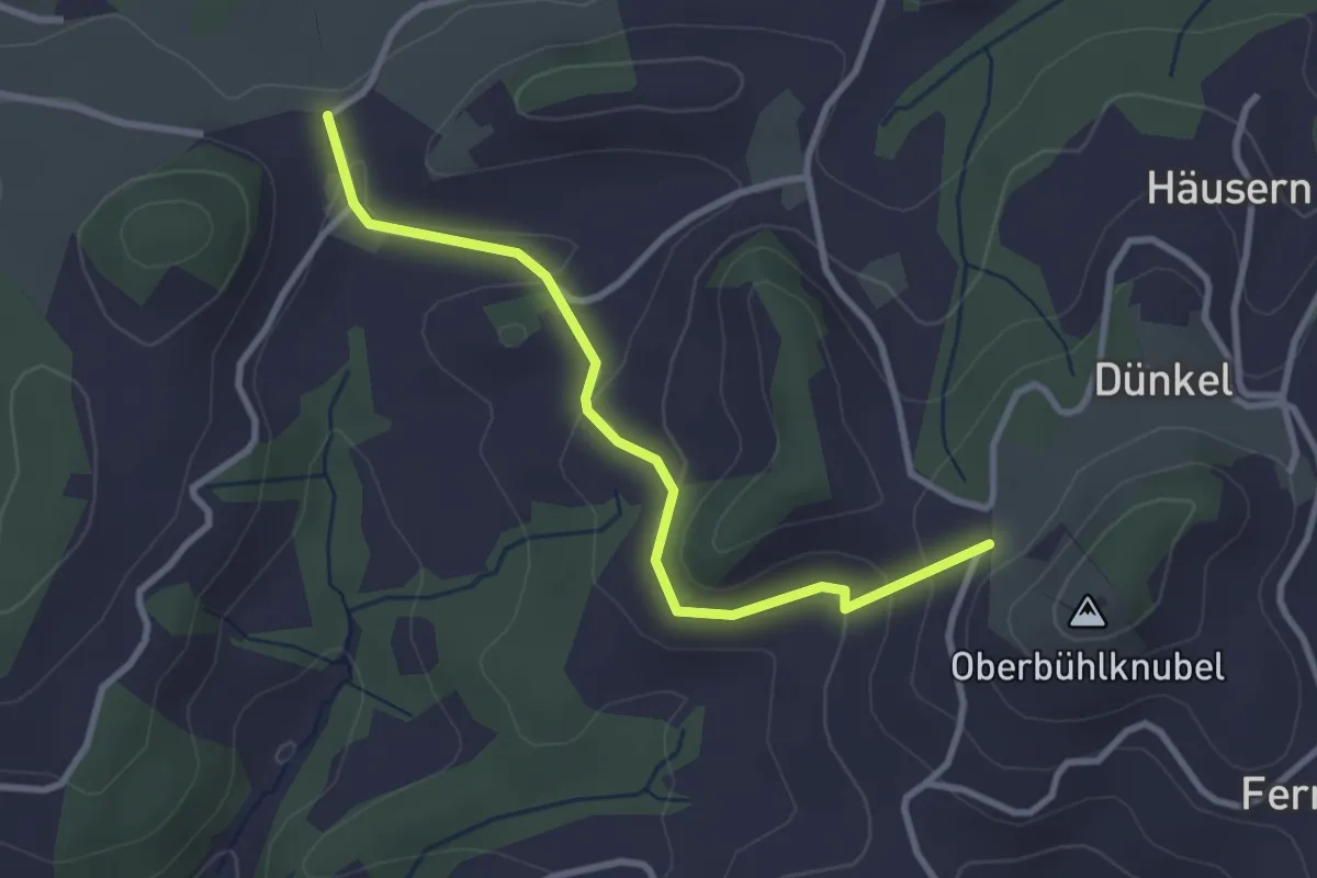
Easy · Trail
Oberbüel – Hinter Leggiswil
3.0 km · ↑ 97 m · 56 min
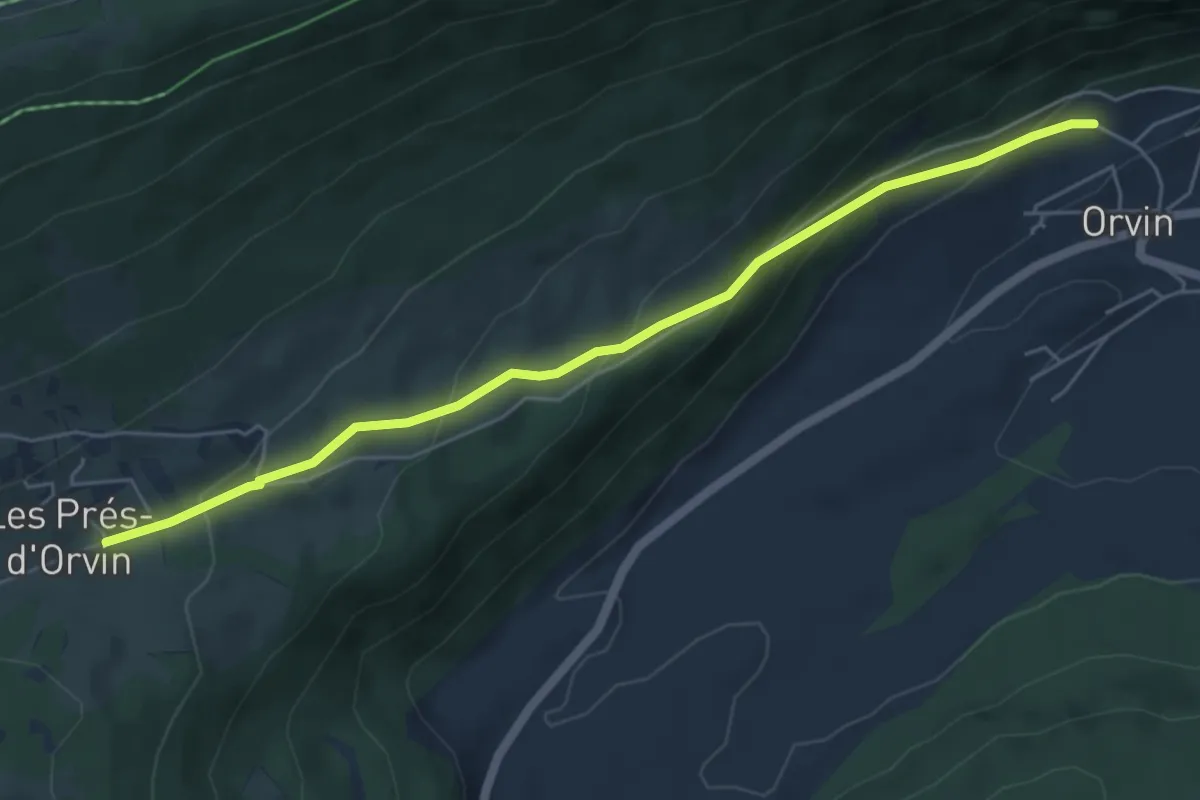
Easy · Trail
Les Prés-d'Orvin – Orvin
5.6 km · ↑ 281 m · 1 h 56 min
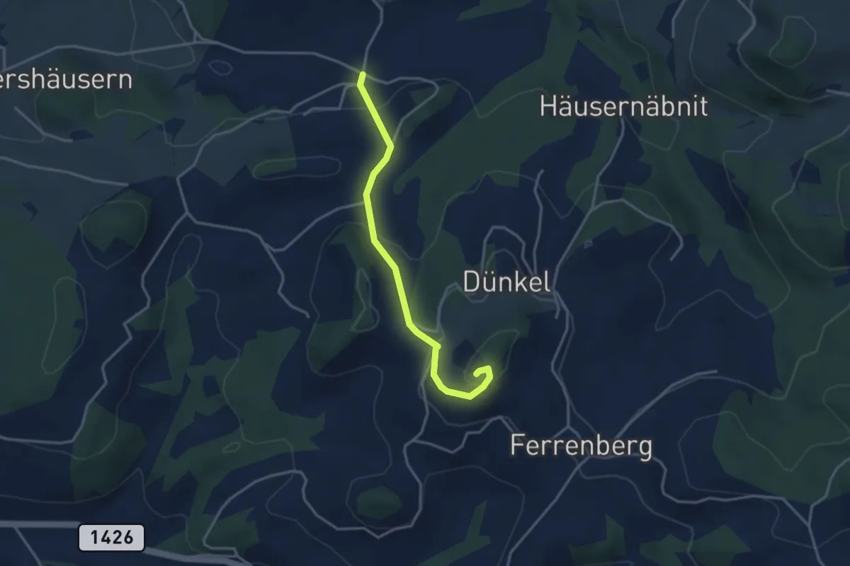
Easy · Summit
Rüedisbach – Oberbüelchnubel
3.2 km · ↑ 163 m · 1 h 6 min
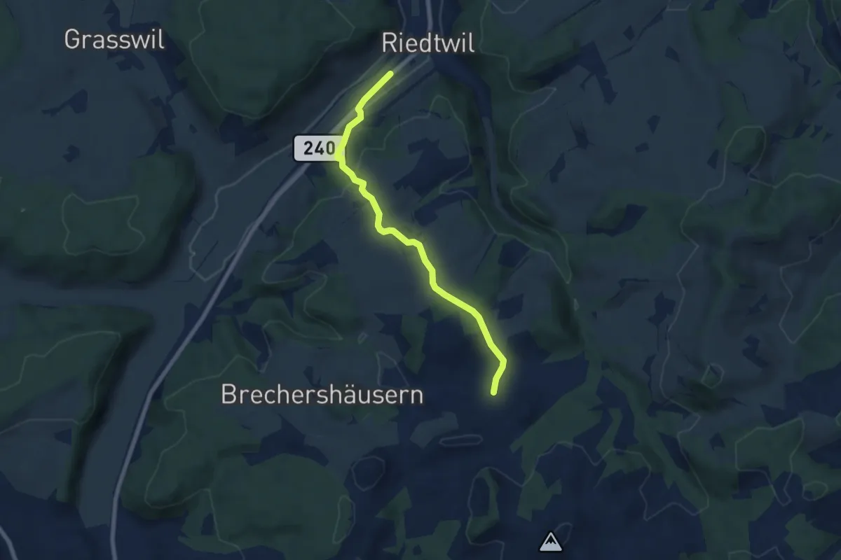
Easy · Trail
Riedtwil – Rüedisbach
6.2 km · ↑ 212 m · 1 h 55 min
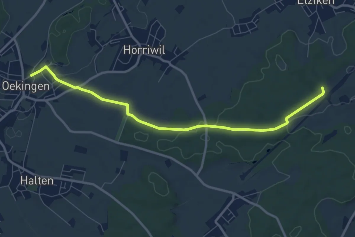
Easy · Trail
Oekingen – Cholholz
7.7 km · ↑ 102 m · 2 h 2 min
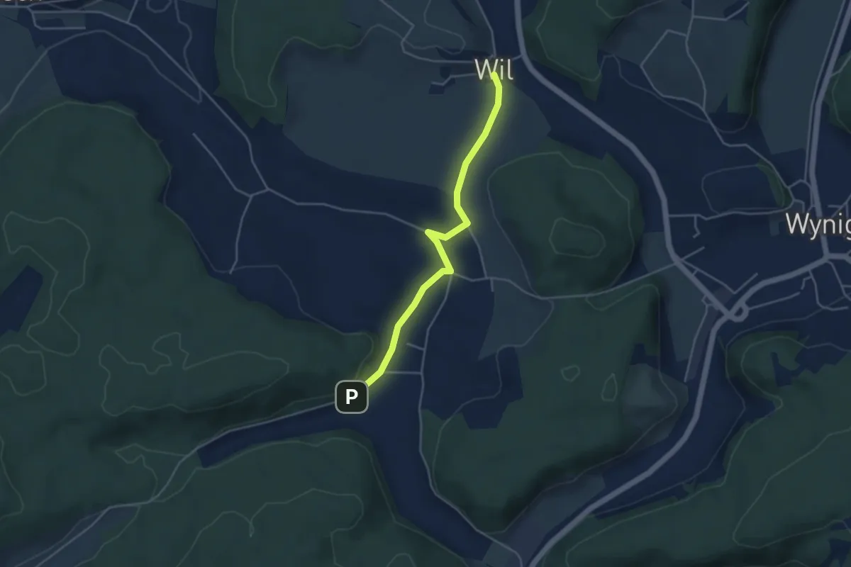
Easy · Trail
Wil – Riedmatt
4.0 km · ↑ 61 m · 1 h 4 min
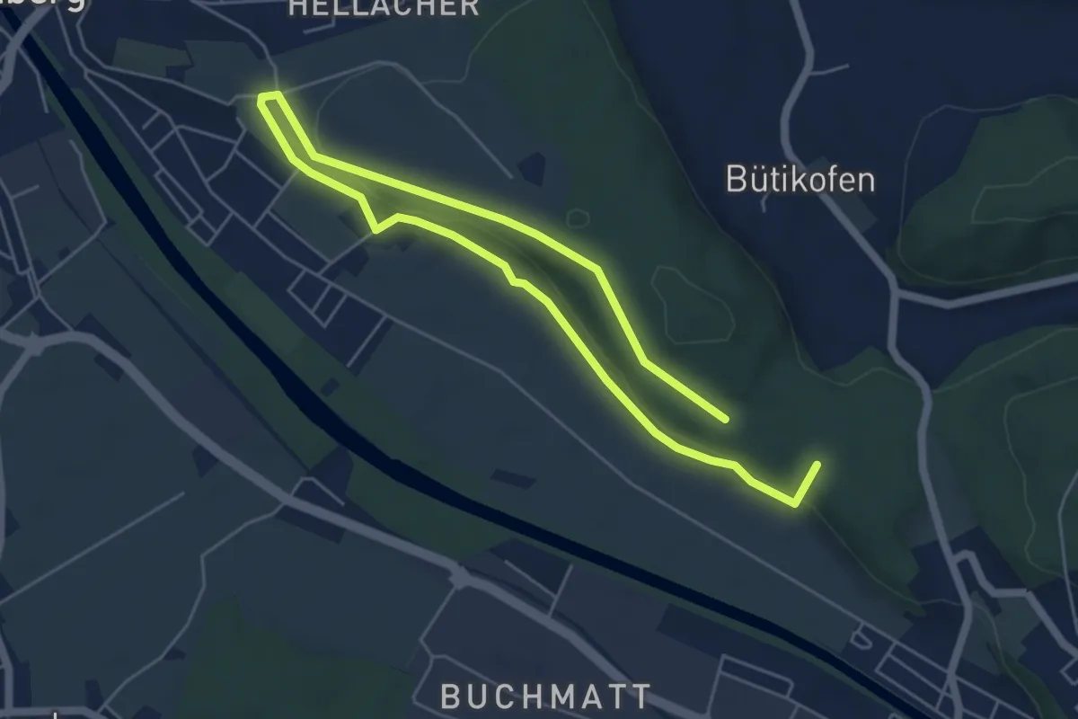
Medium · Summit
Hüntu – Eybrügg
8.2 km · ↑ 178 m · 2 h 20 min
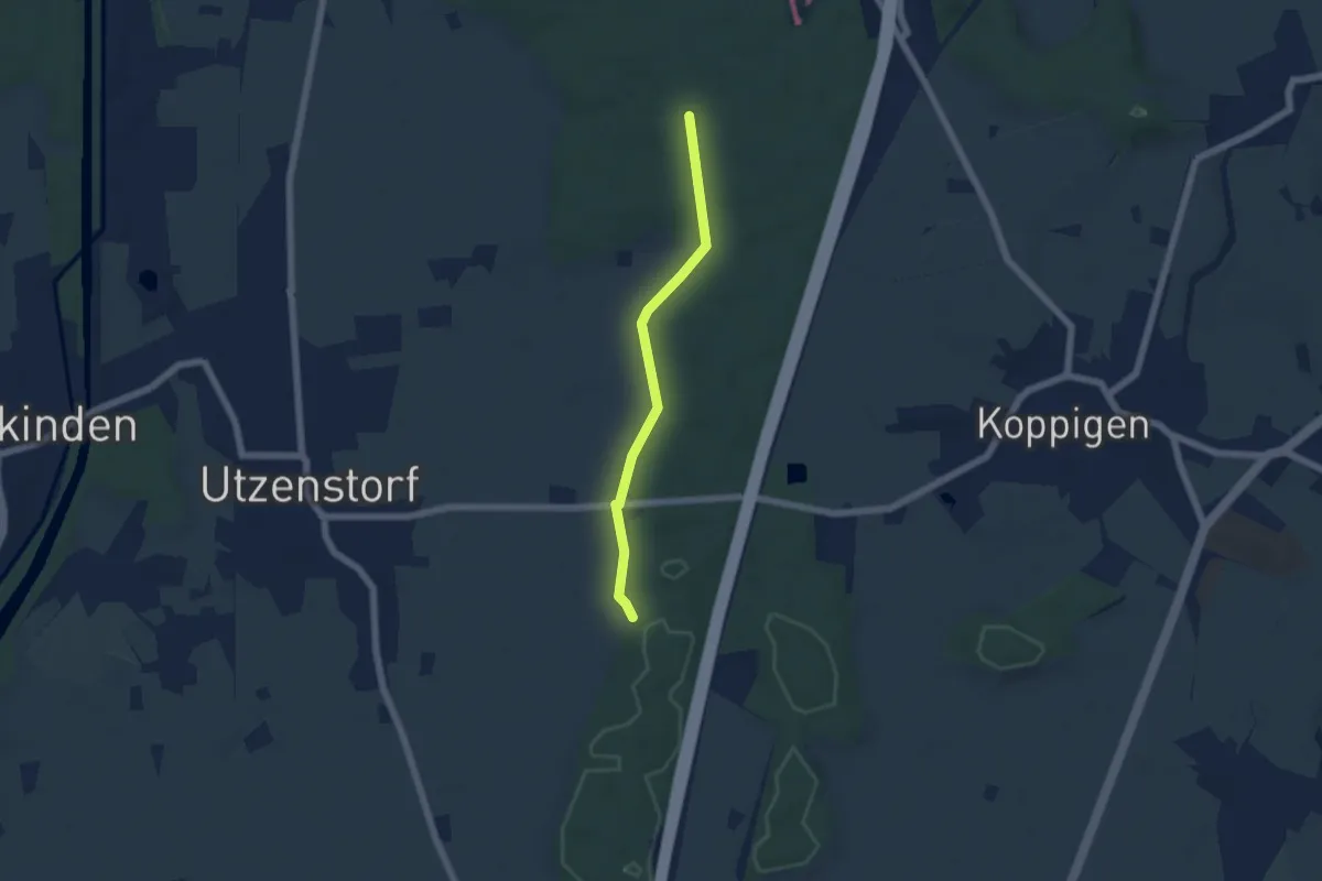
Easy · Trail
Bürgerwald – Unterbüel
4.8 km · ↑ 63 m · 1 h 16 min
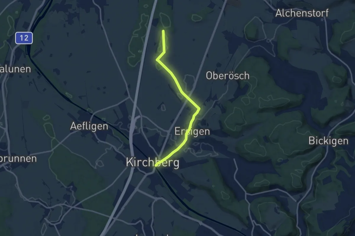
Medium · Trail
Loon – Kirchberg
10.0 km · ↑ 65 m · 2 h 29 min
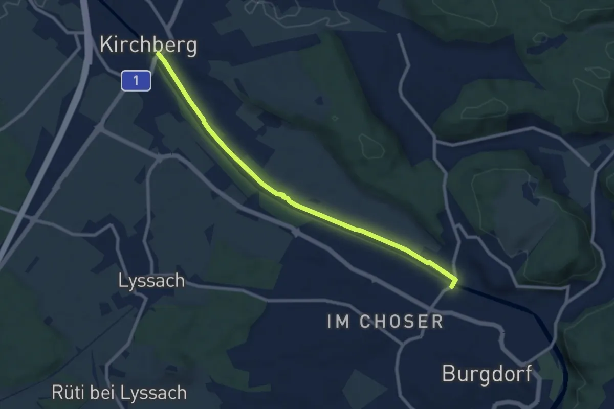
Easy · Trail
Kirchberg – Eybrügg
7.5 km · ↑ 21 m · 1 h 48 min
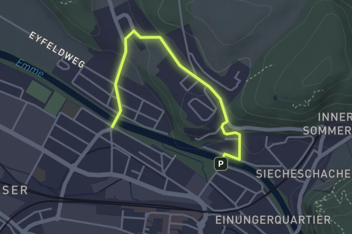
Easy · Trail
Typonsteg – Eybrügg
3.4 km · ↑ 102 m · 1 h 1 min
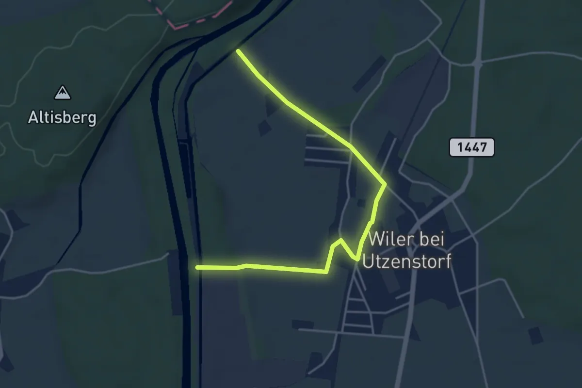
Easy · Trail
67359 – Schachen
4.3 km · ↑ 24 m · 1 h 4 min
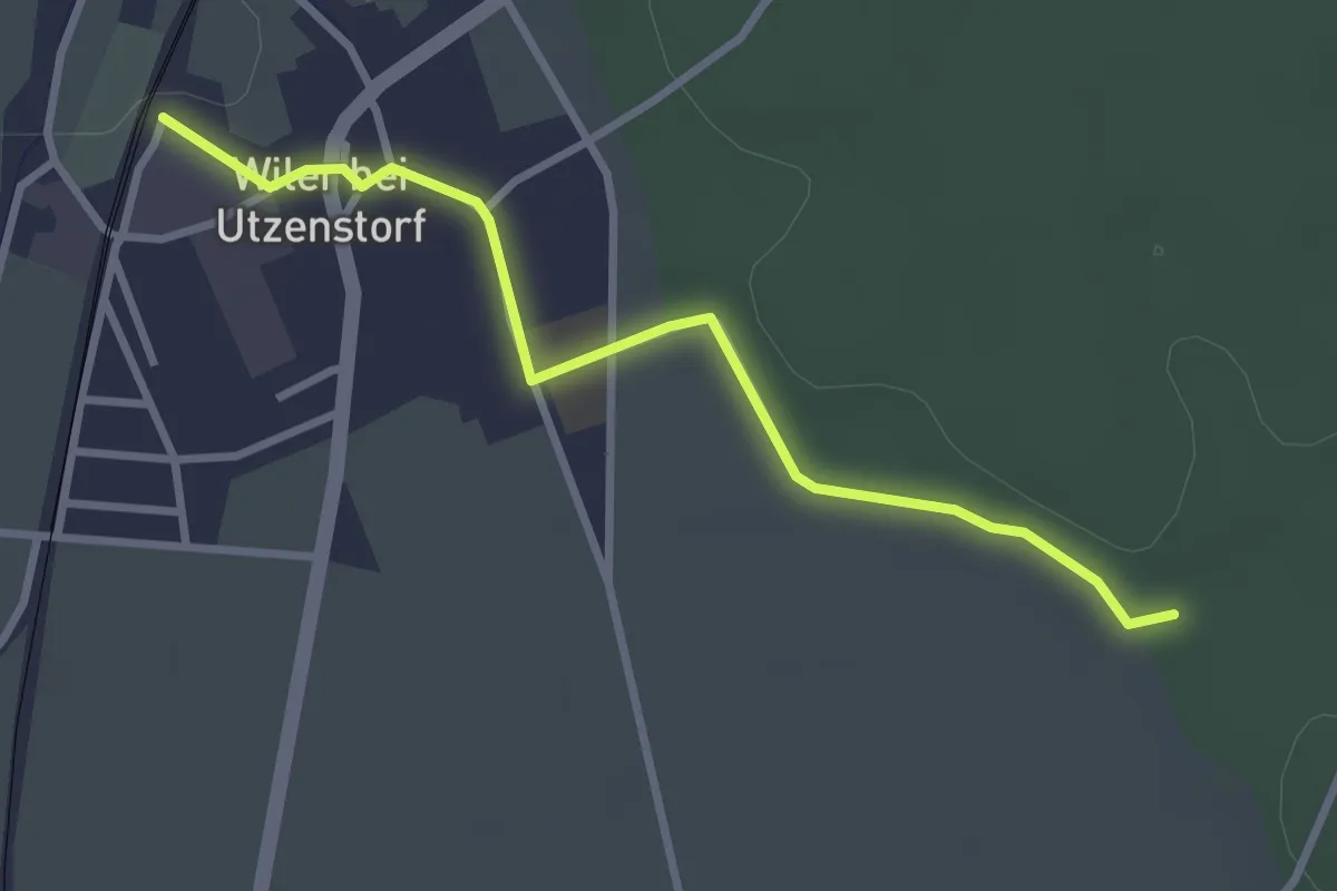
Easy · Trail
Wiler / Station – 132501
3.0 km · ↑ 20 m · 45 min
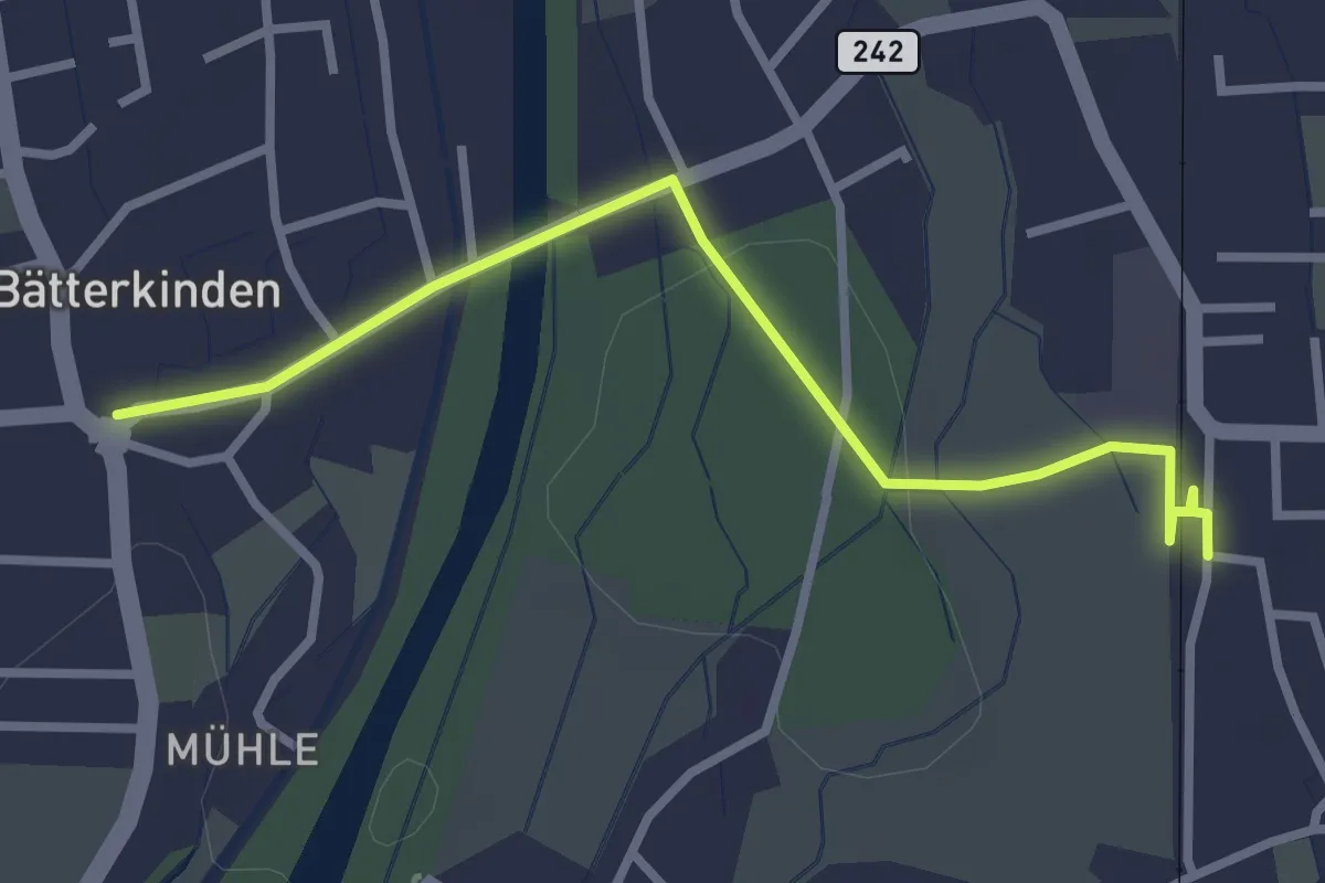
Easy · Trail
Bätterkinden – Utzenstorf
3.0 km · ↑ 22 m · 45 min