Trails in Switzerland
15,055 hiking trails, each with its route, climb, walking time and grade.
All trails, page 243 of 314
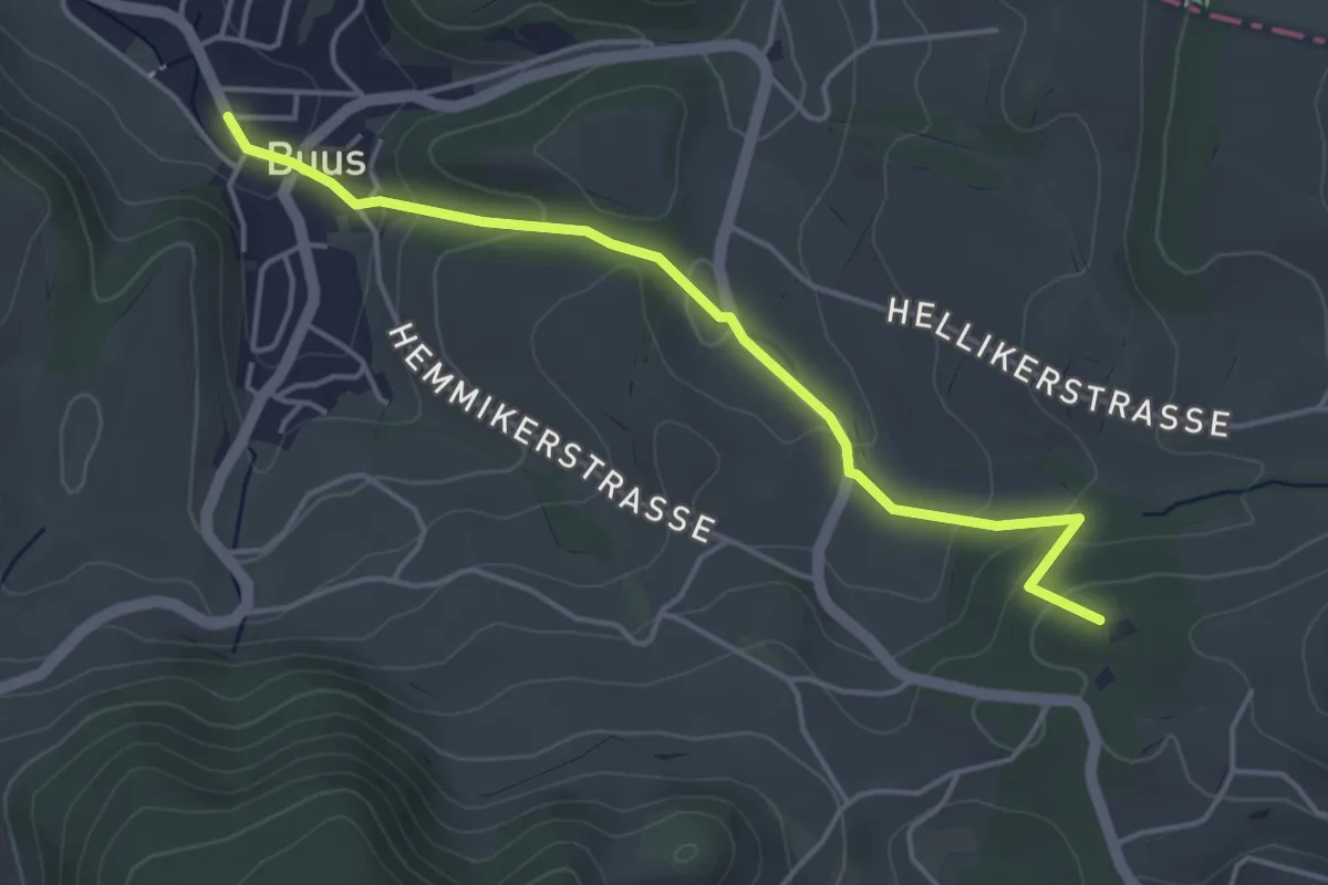
Easy · Summit
Schlegel – Buus
4.3 km · ↑ 197 m · 1 h 26 min
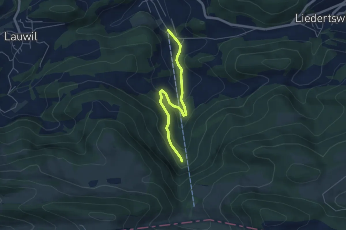
Easy · Trail
Talstation – Schelmenloch
4.4 km · ↑ 237 m · 1 h 33 min
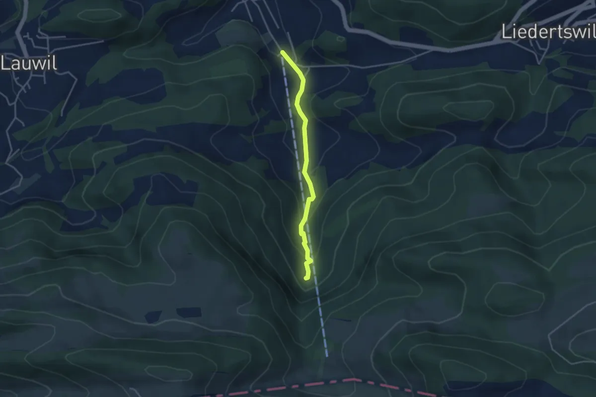
Easy · Trail
Talstation – Schelmenloch
3.1 km · ↑ 204 m · 1 h 10 min
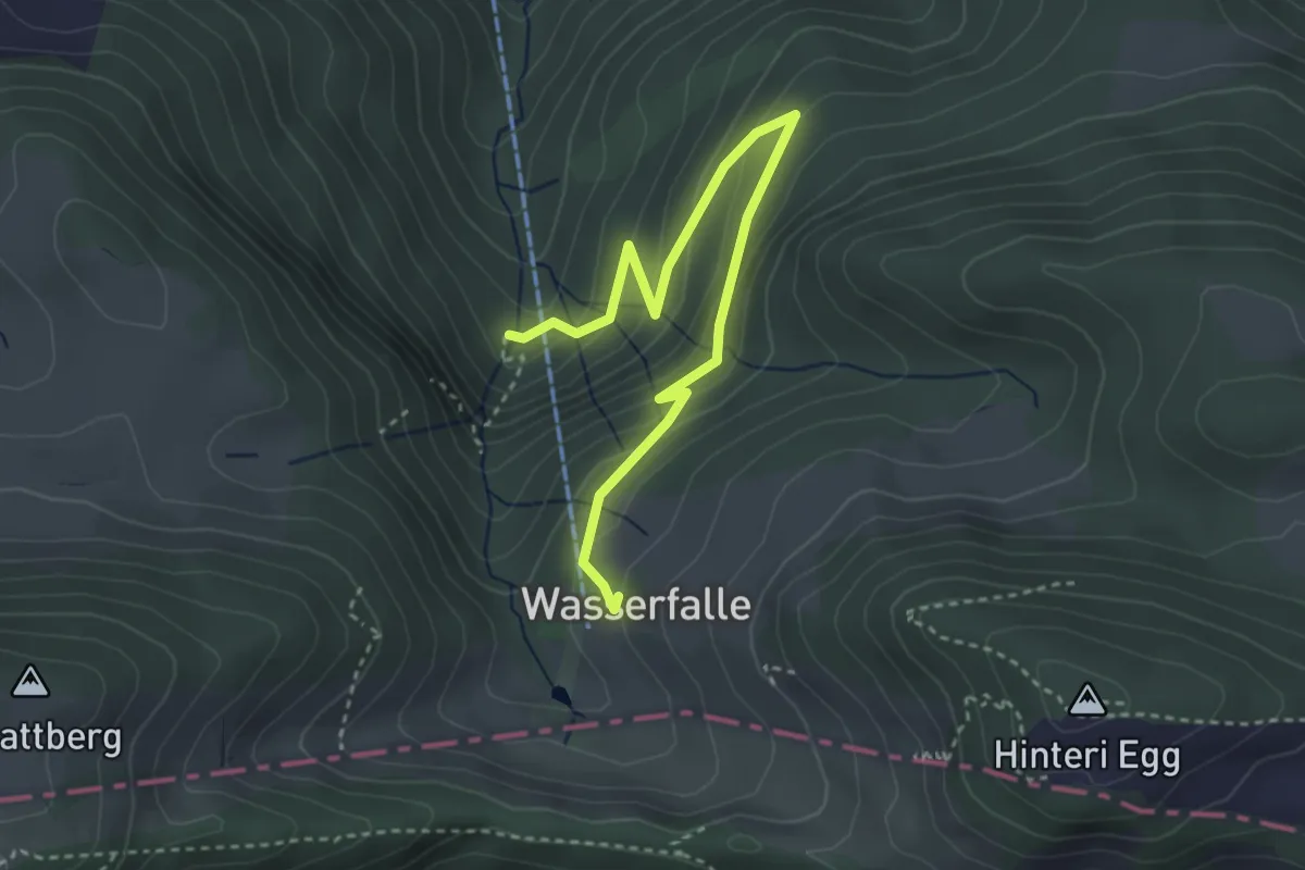
Easy · Trail
Schelmenloch – Wasserfallen
3.8 km · ↑ 246 m · 1 h 25 min
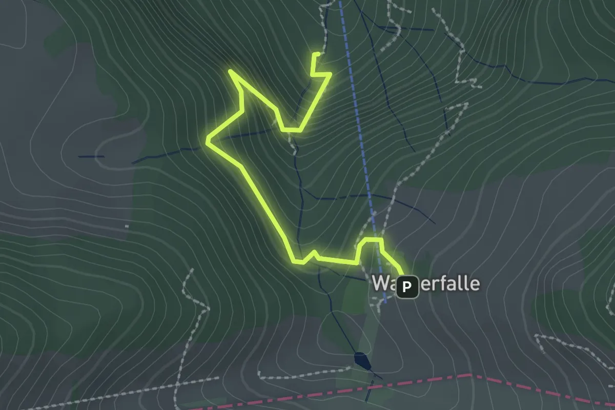
Medium · Trail
Schelmenloch – Wasserfallen
2.4 km · ↑ 248 m · 1 h 6 min
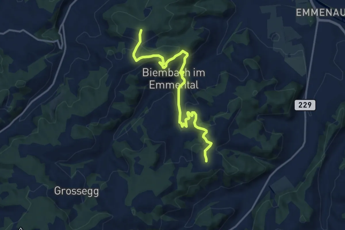
Medium · Trail
Wasenegg – Afterlehn
10.5 km · ↑ 513 m · 3 h 36 min
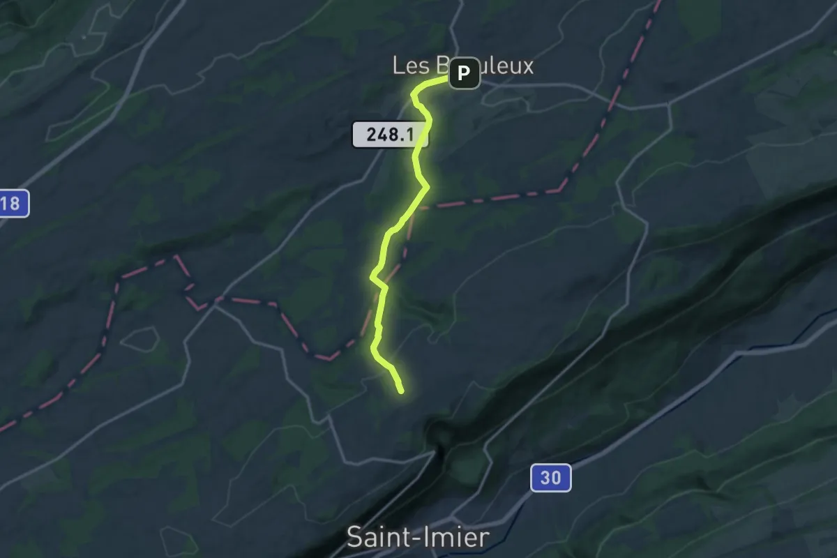
Medium · Trail
Les Breuleux gare – Le Bardeau
11.3 km · ↑ 246 m · 3 h 13 min
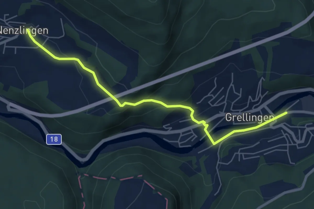
Easy · Trail
Grellingen – Nenzlingen
5.6 km · ↑ 235 m · 1 h 50 min
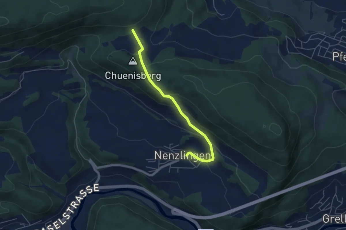
Easy · Trail
Nenzlingen – Blattepass
4.4 km · ↑ 228 m · 1 h 32 min
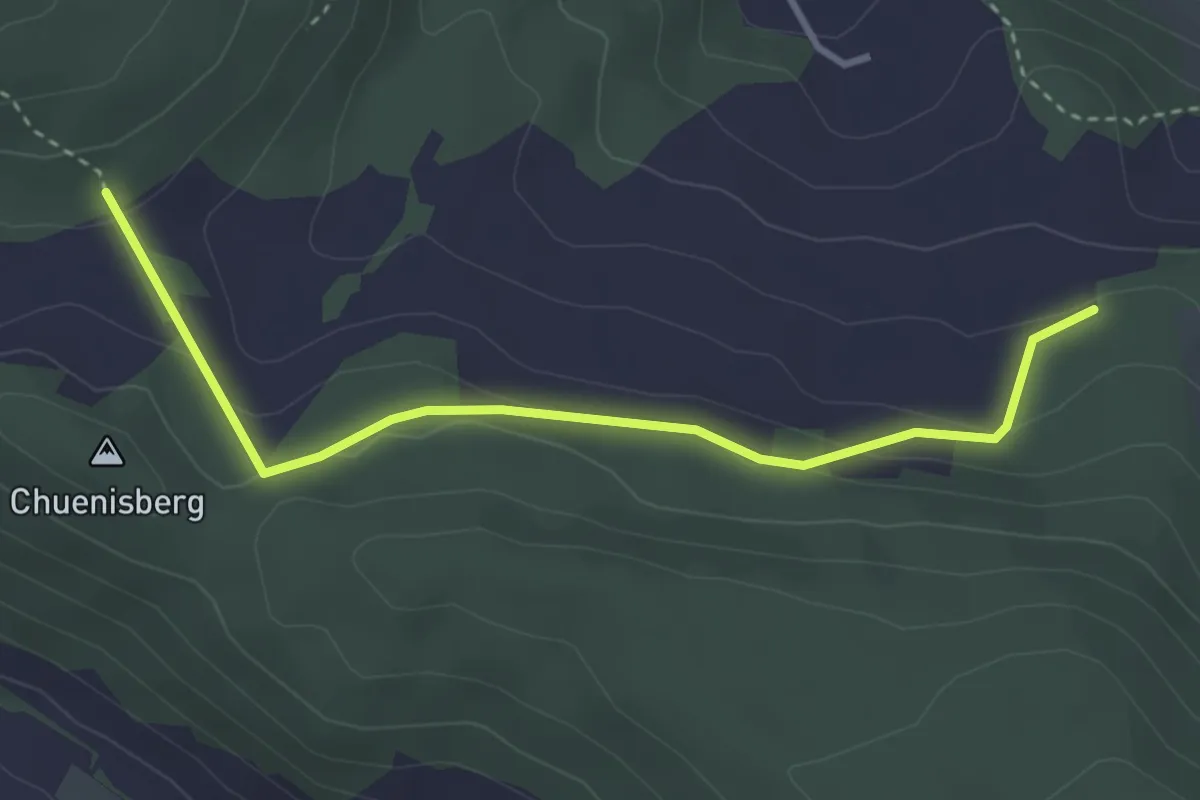
Easy · Trail
Blattepass – Bergmatten
3.5 km · ↑ 114 m · 1 h 4 min
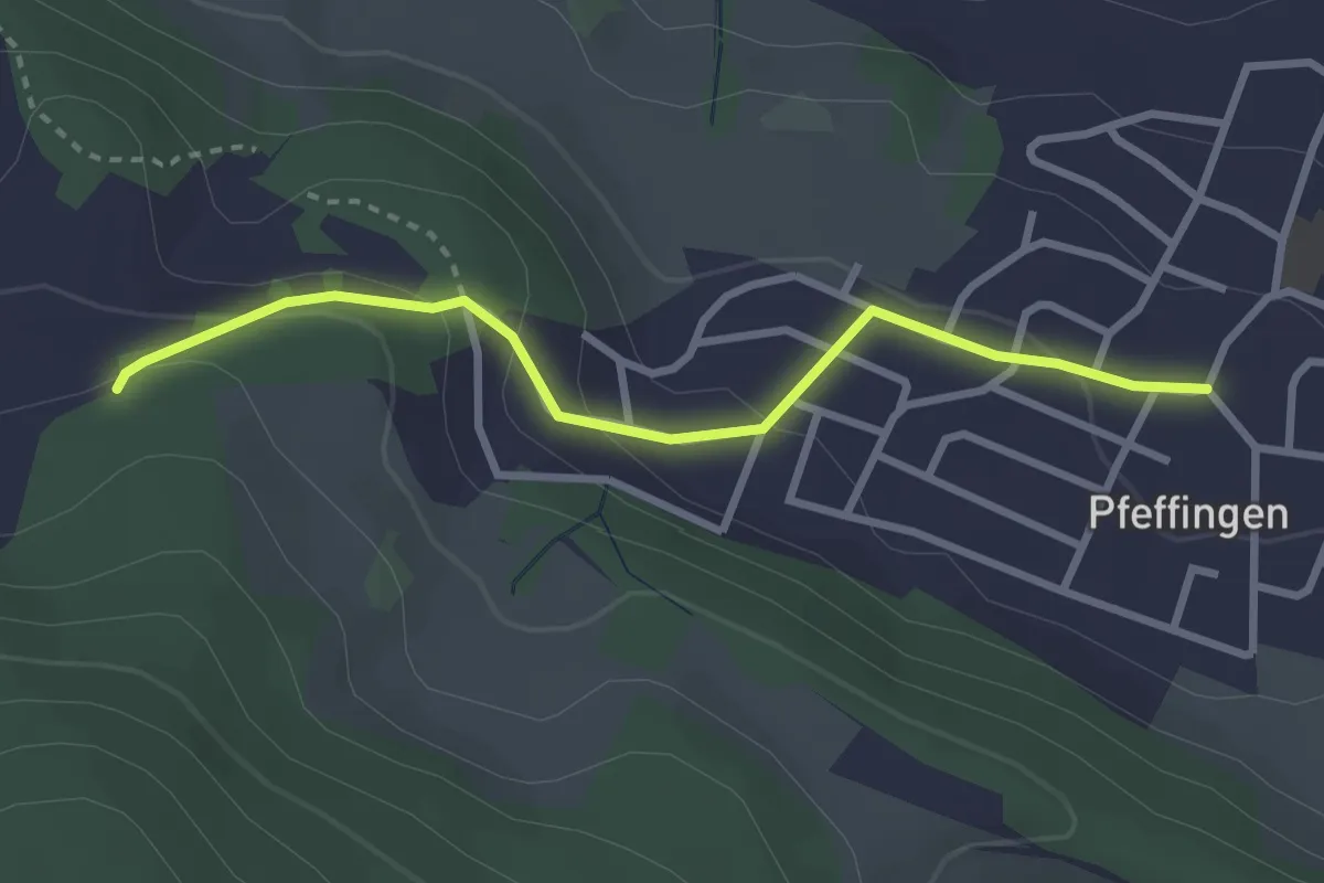
Easy · Trail
Bergmatten – Pfeffingen
2.8 km · ↑ 125 m · 56 min
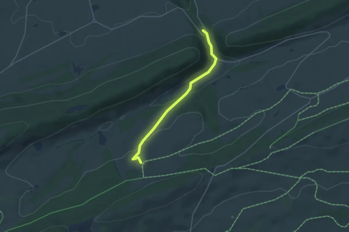
Easy · Trail
Métairie du Bois Raiguel – Pont des Anabaptistes
3.1 km · ↑ 145 m · 1 h 3 min
Easy · Trail
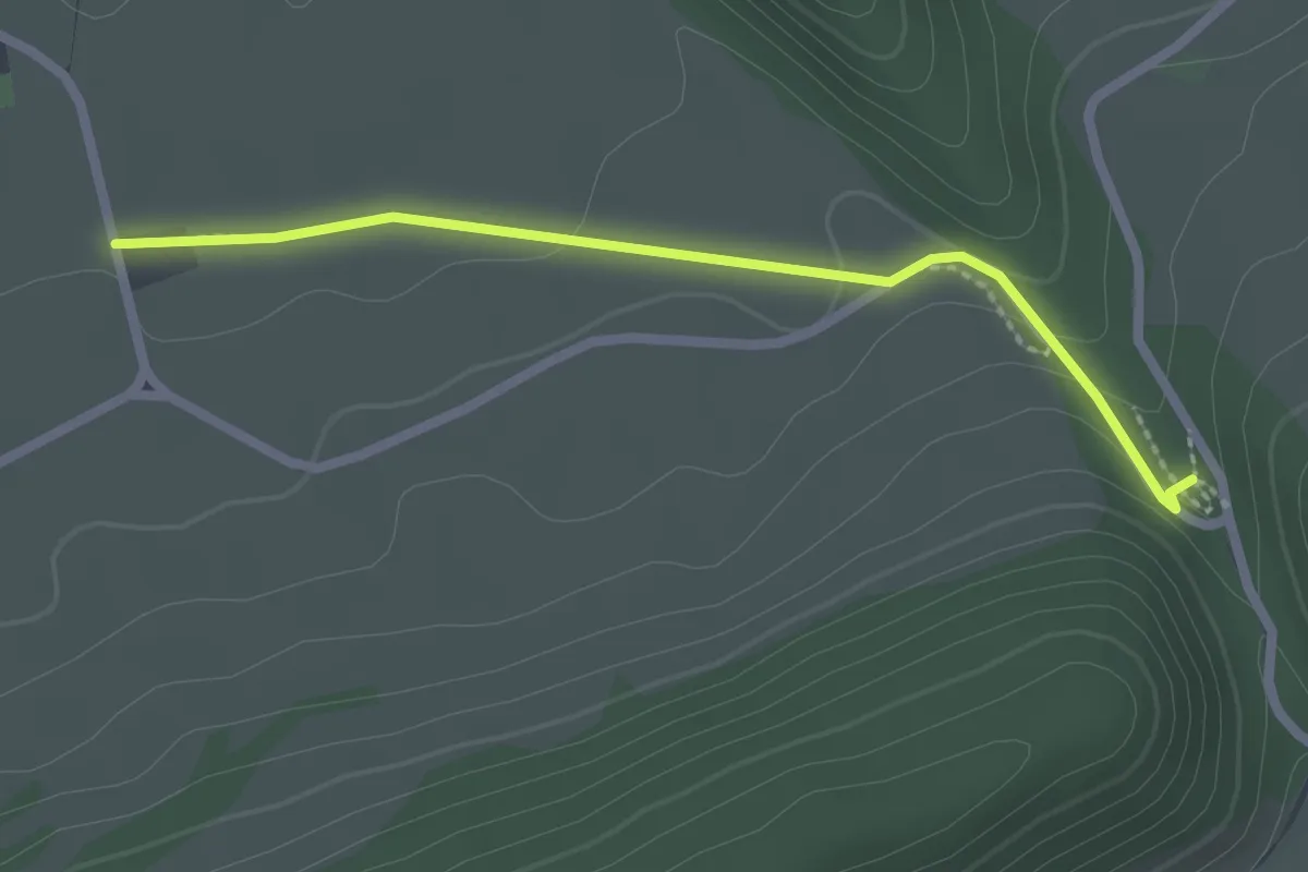
Pont des Anabaptistes – La Cusinière
2.2 km · ↑ 50 m · 38 min
Medium · Trail
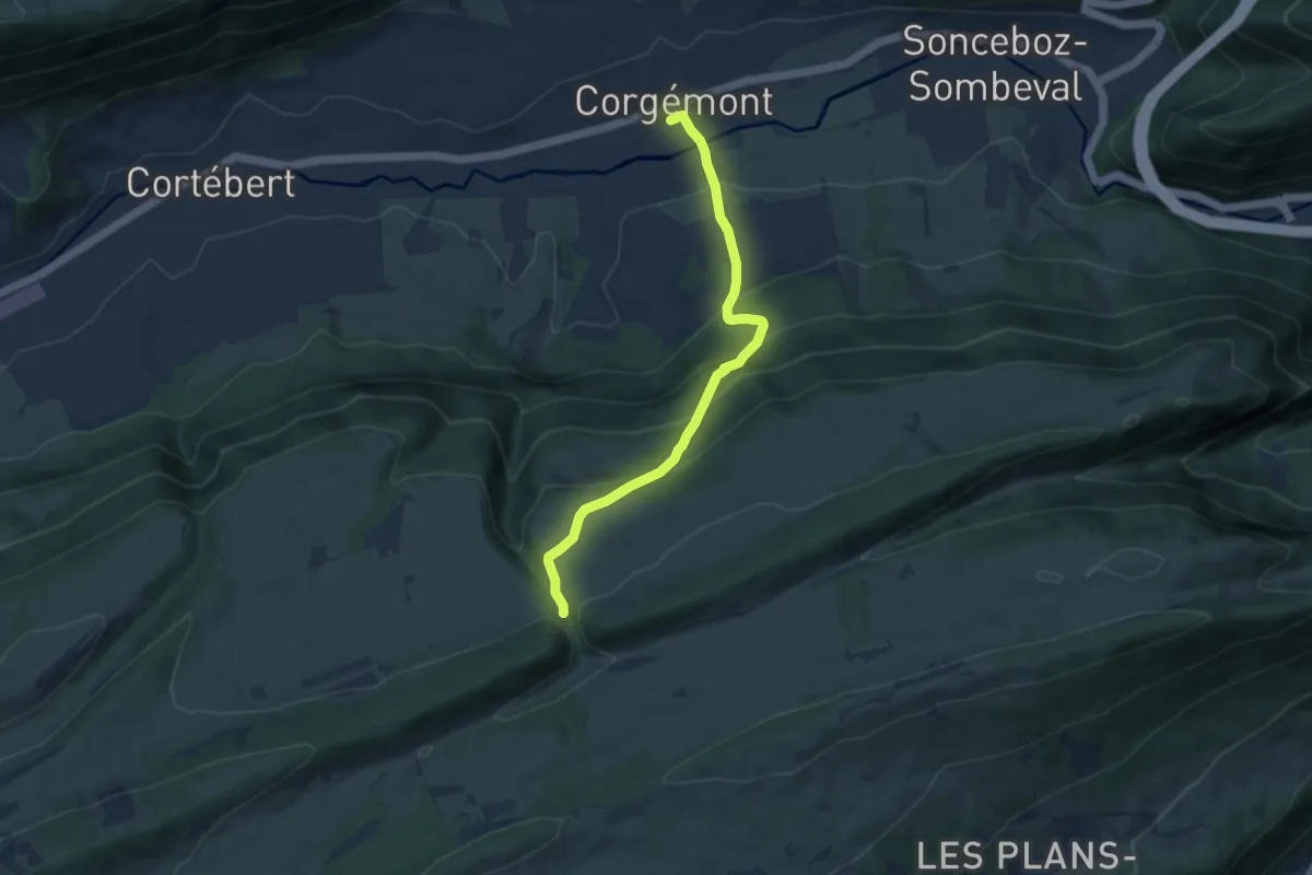
Pont des Anabaptistes – Corgémont
8.0 km · ↑ 527 m · 3 h 2 min
Medium · Trail
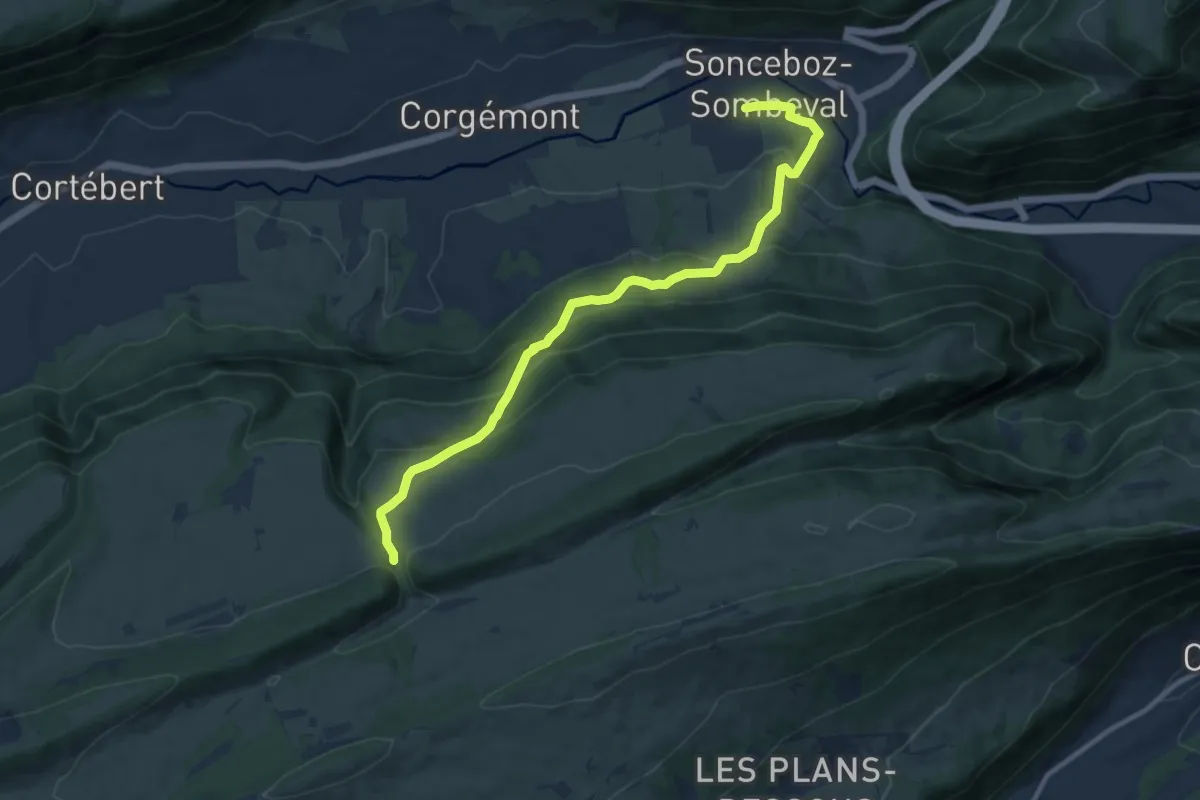
Pont des Anabaptistes – Sonceboz
11.1 km · ↑ 566 m · 3 h 51 min
Easy · Trail
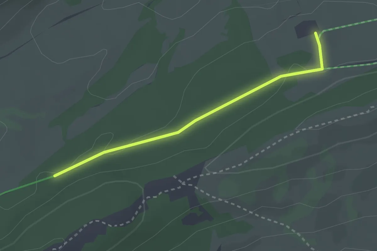
Métairie du Bois Raiguel – Hacki
2.4 km · ↑ 29 m · 38 min
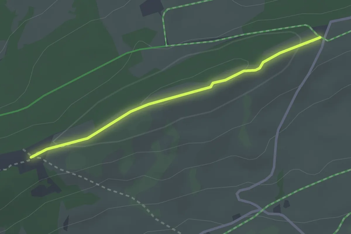
Easy · Trail
Place centrale – Clédar de Pierrefeu
2.4 km · ↑ 39 m · 39 min
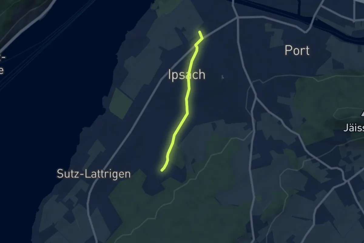
Easy · Trail
Ipsach – Im Schlatt
4.4 km · ↑ 53 m · 1 h 9 min
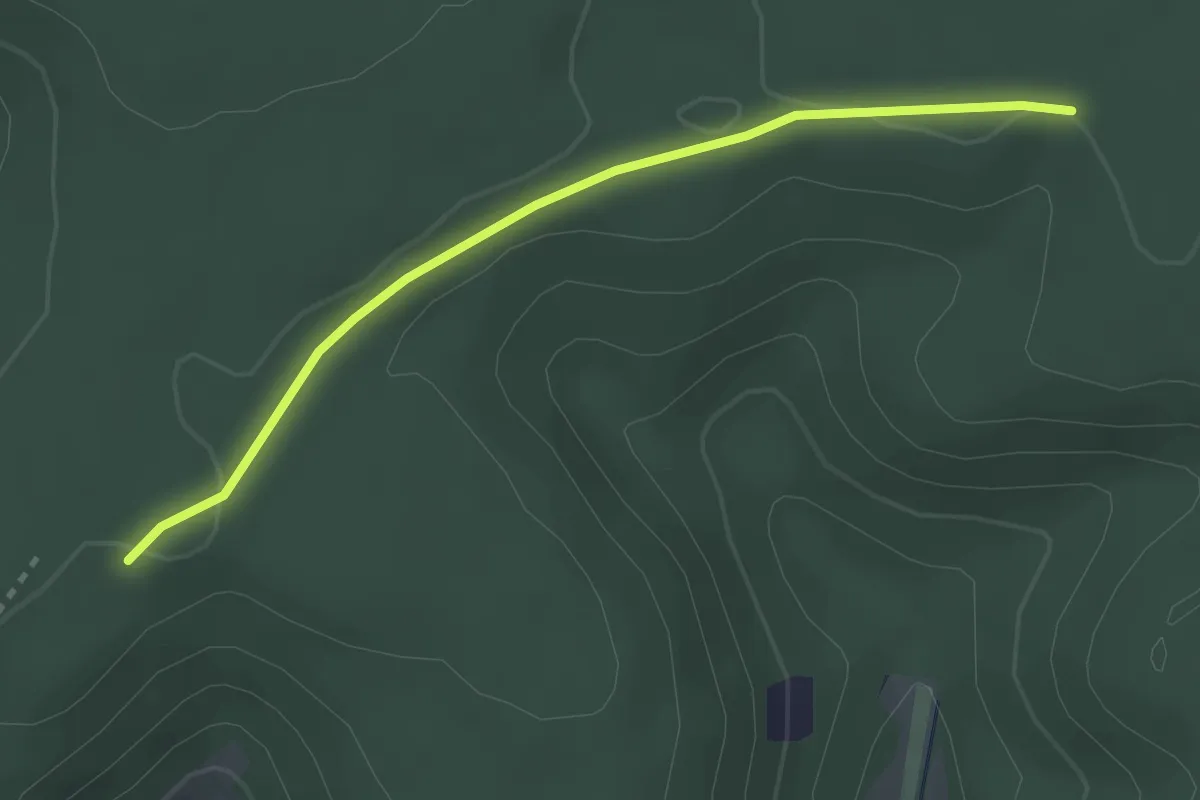
Easy · Trail
Waldhaus – Rottannen
2.8 km · ↑ 12 m · 41 min
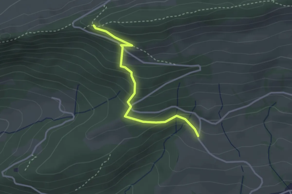
Medium · Trail
Bättlerchuchi – Gruebmatt
2.7 km · ↑ 211 m · 1 h 5 min
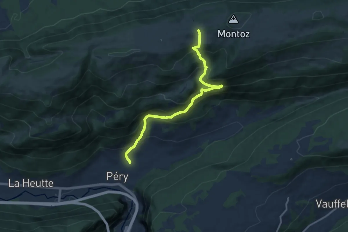
Medium · Cabin
Péry – La Rochette CAS
8.3 km · ↑ 716 m · 3 h 31 min
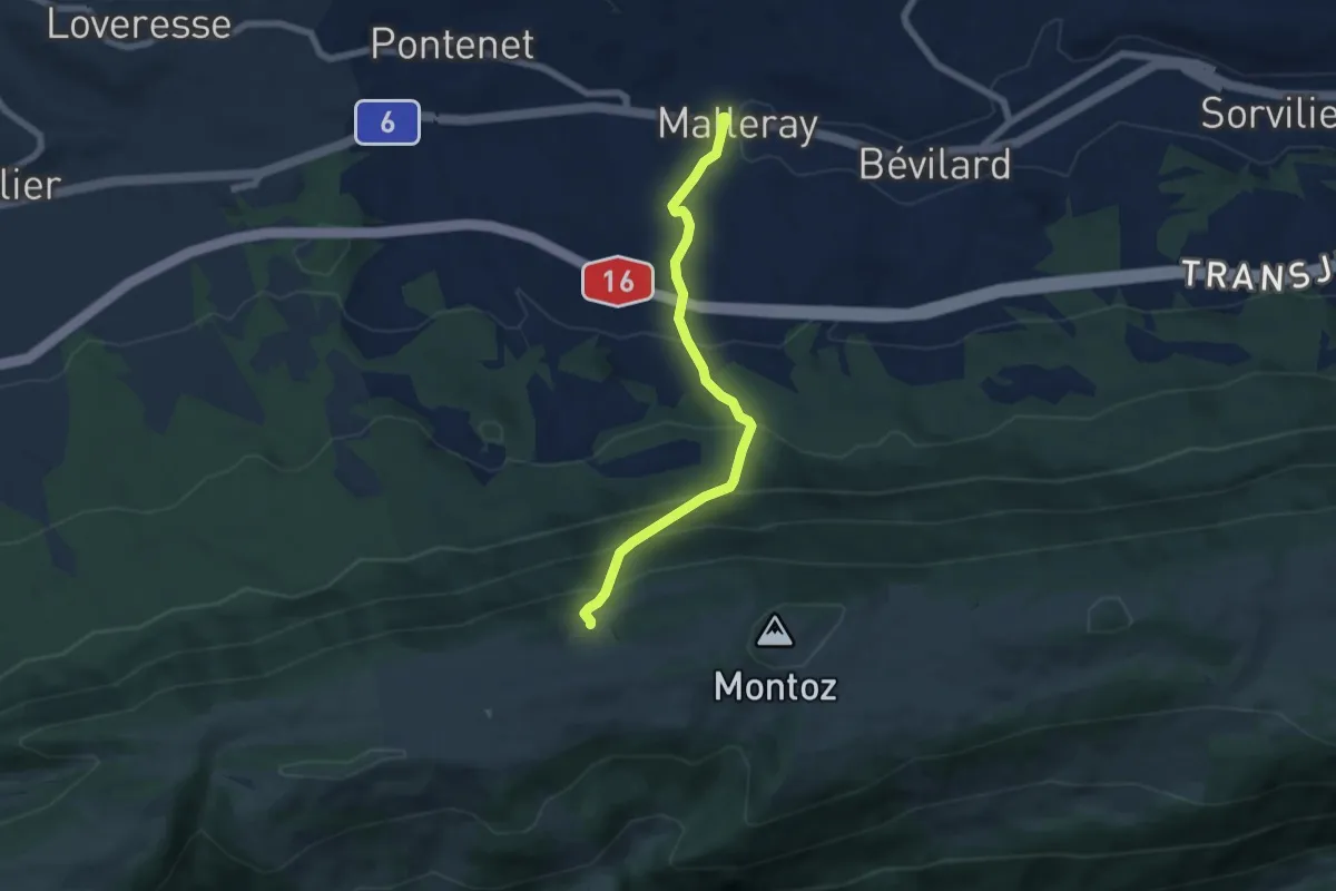
Medium · Trail
Pâturage mét. de Malleray – Malleray
6.0 km · ↑ 531 m · 2 h 35 min
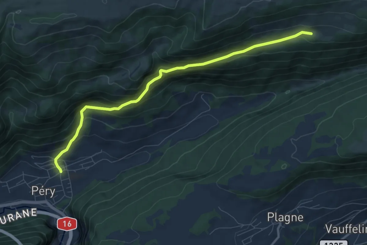
Medium · Trail
Péry – Pré la Patte
8.6 km · ↑ 521 m · 3 h 9 min
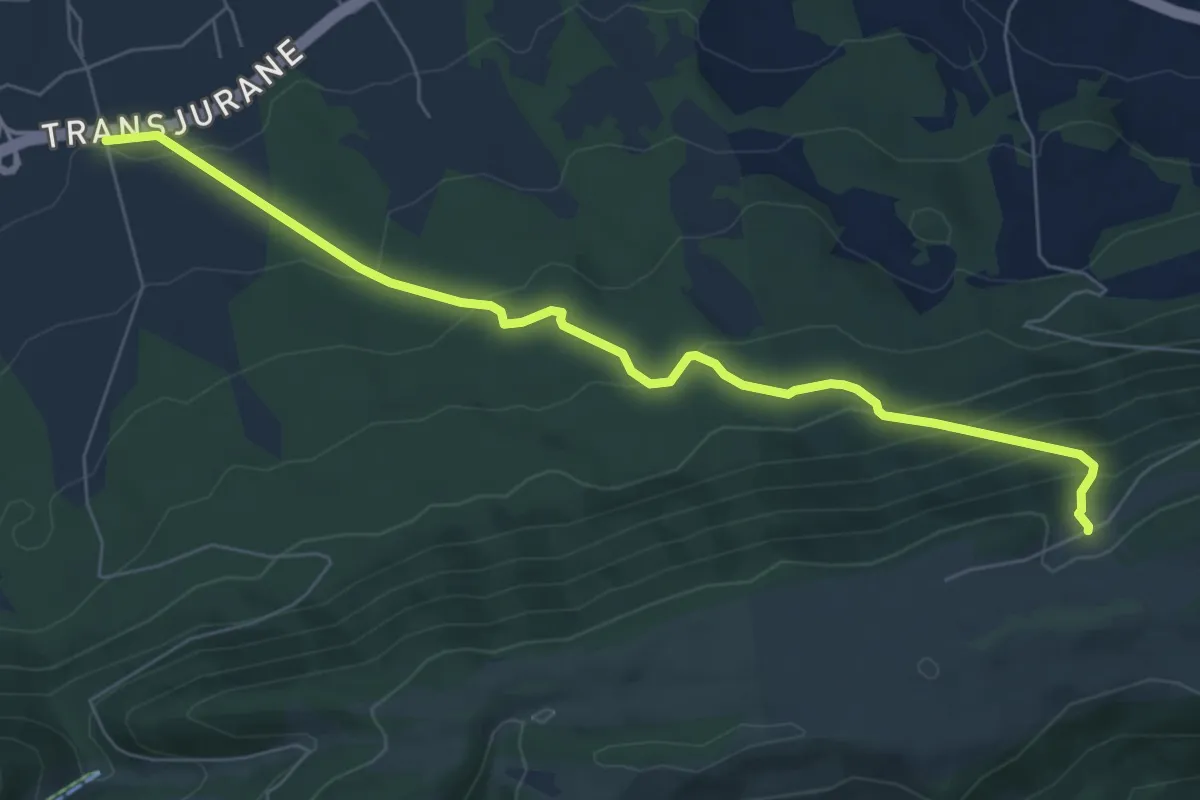
Medium · Trail
Pâturage mét. de Malleray – Reconvilier Halle des fêtes
7.0 km · ↑ 449 m · 2 h 38 min
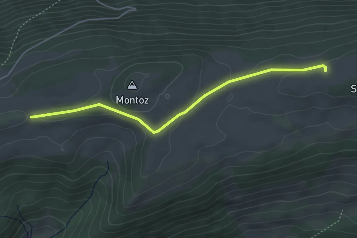
Easy · Cabin
La Rochette CAS – Bergerie de Bévilard
4.1 km · ↑ 78 m · 1 h 8 min
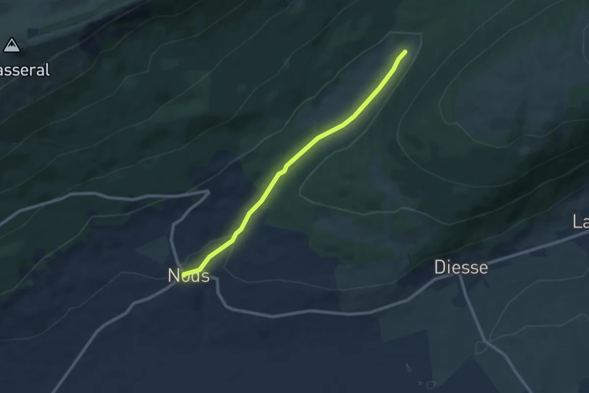
Easy · Trail
Nods – Prés Vaillons
6.2 km · ↑ 115 m · 1 h 43 min
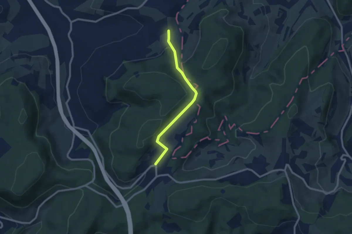
Easy · Trail
Hersberg – Blauenrain
5.3 km · ↑ 242 m · 1 h 47 min
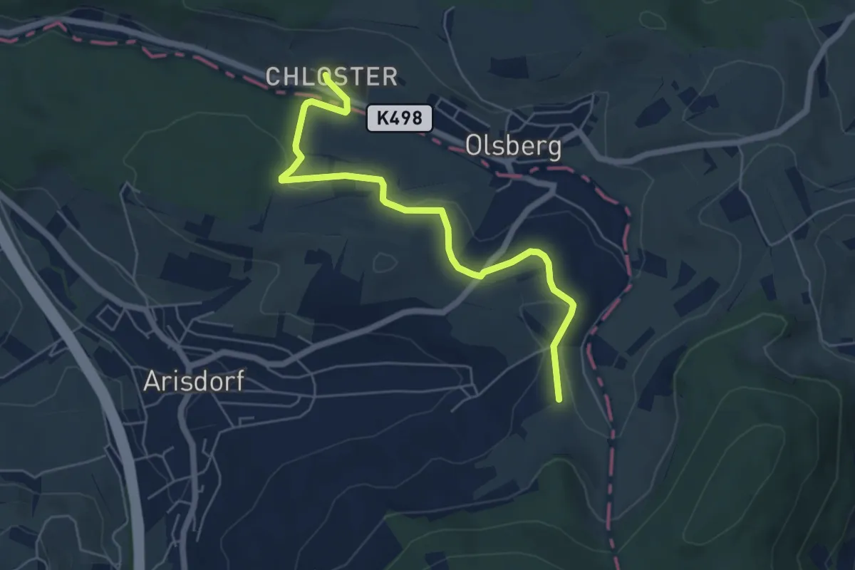
Easy · Trail
Blauenrain – Stift Olsberg
5.7 km · ↑ 129 m · 1 h 38 min
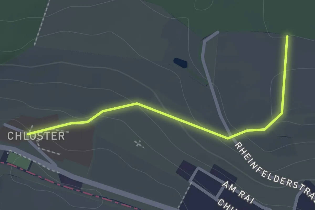
Easy · Trail
Stift Olsberg – Weid
2.0 km · ↑ 56 m · 36 min
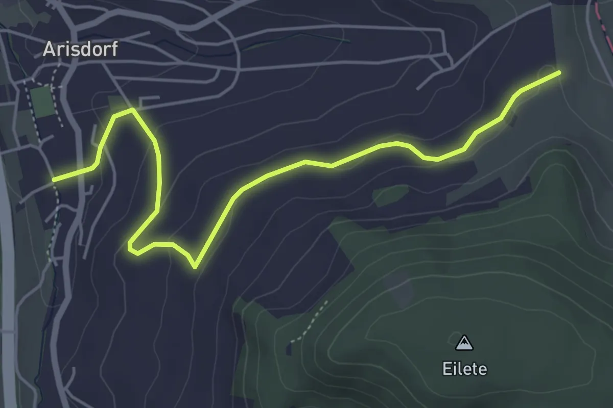
Easy · Trail
Blauenrain – Arisdorf
5.2 km · ↑ 133 m · 1 h 31 min
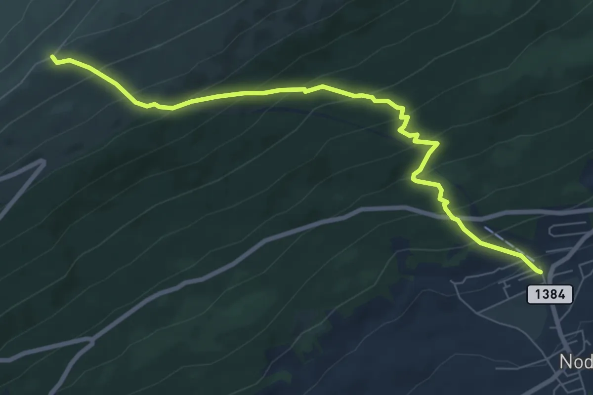
Medium · Trail
Nods Pierre Grise – Chasseral Hôtel
7.0 km · ↑ 599 m · 2 h 57 min
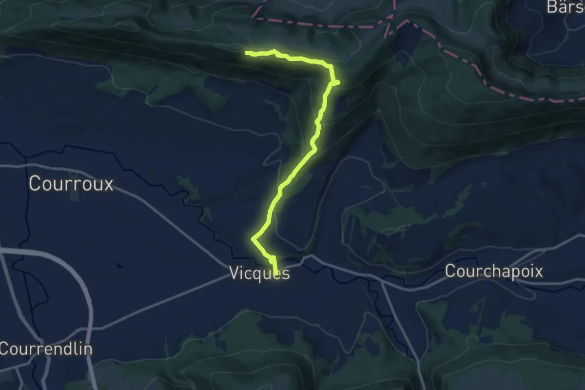
Medium · Trail
Vicques – Vadry
9.9 km · ↑ 488 m · 3 h 23 min
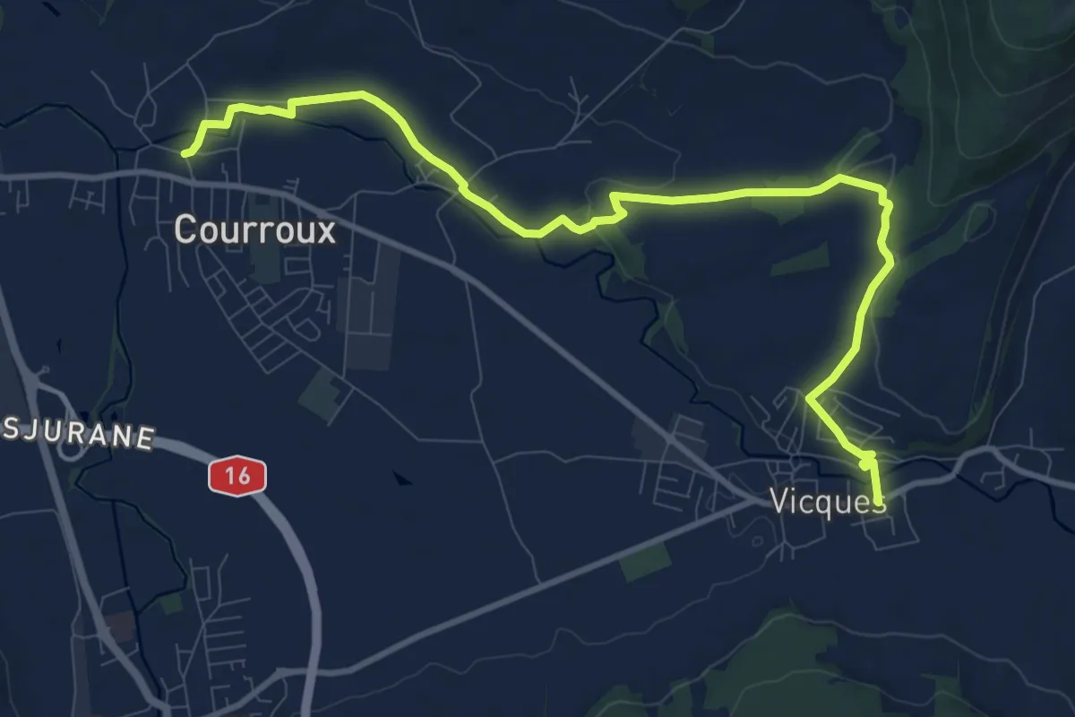
Medium · Trail
Vicques – Courroux
11.4 km · ↑ 155 m · 3 h 2 min
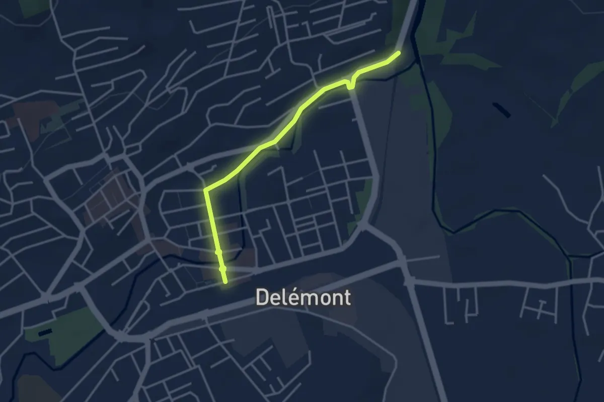
Easy · Trail
Auberge de Jeunesse – Delémont
3.2 km · ↑ 0 m · 45 min
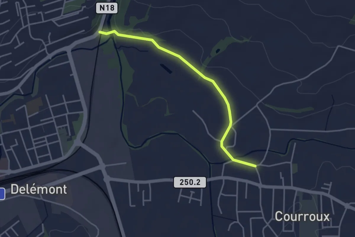
Easy · Trail
Auberge de Jeunesse – Courroux
3.3 km · ↑ 9 m · 48 min
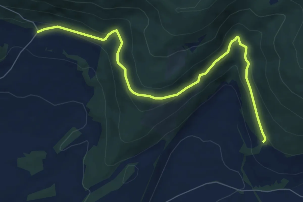
Medium · Trail
Le Bambois – La Providence
7.4 km · ↑ 331 m · 2 h 28 min
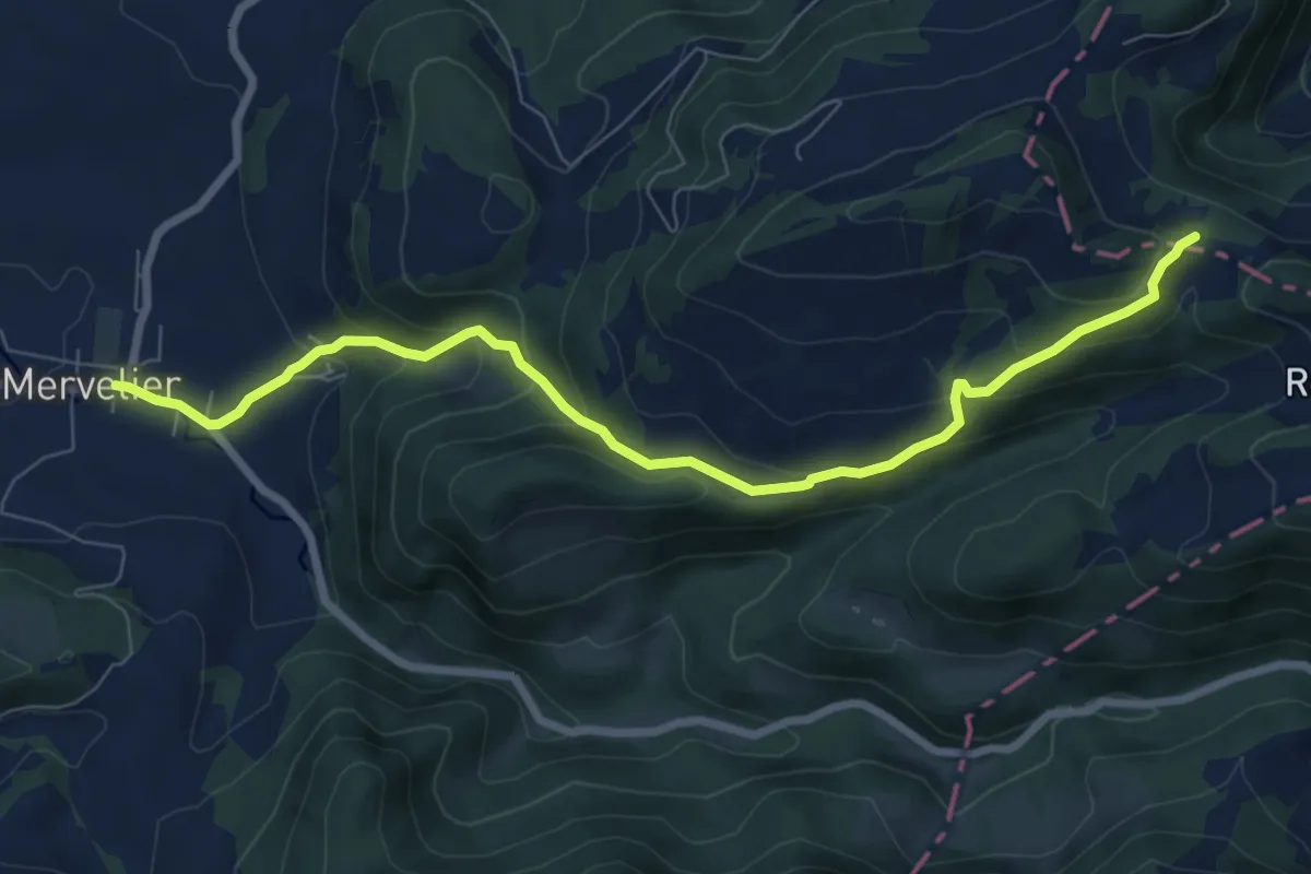
Medium · Trail
Le Choin – Merveiler
8.2 km · ↑ 469 m · 2 h 56 min
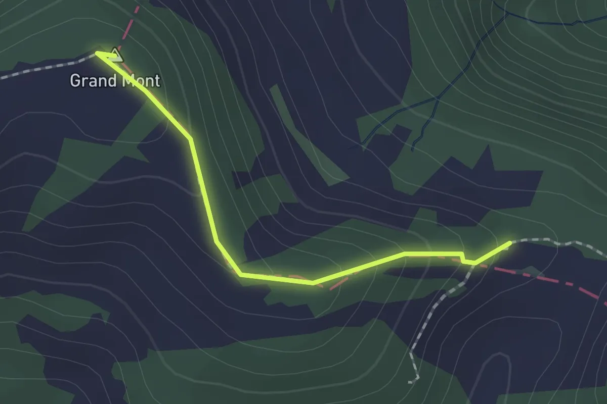
Easy · Summit
Le Champre – Le Choin
1.5 km · ↑ 82 m · 32 min
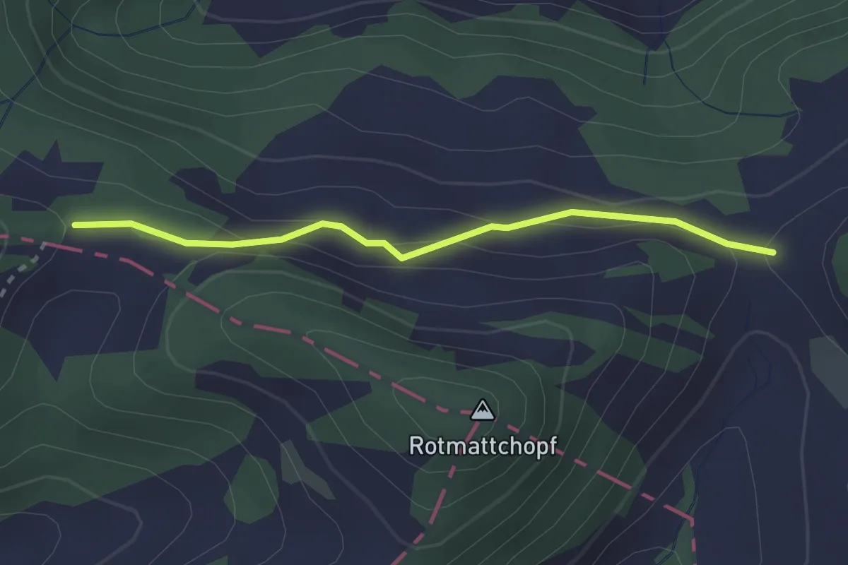
Easy · Trail
Le Choin – Mittlere Rotmatt
2.2 km · ↑ 102 m · 45 min
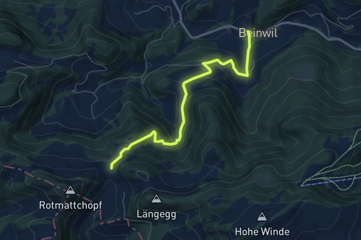
Medium · Trail
Mittlere Rotmatt – Reh
6.5 km · ↑ 407 m · 2 h 24 min
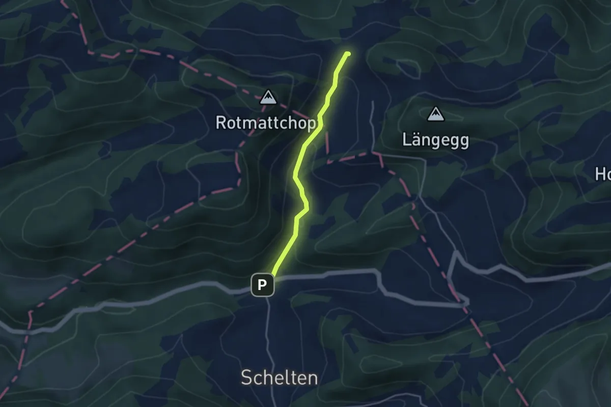
Easy · Trail
Mittlere Rotmatt – Schelten
3.0 km · ↑ 177 m · 1 h 5 min
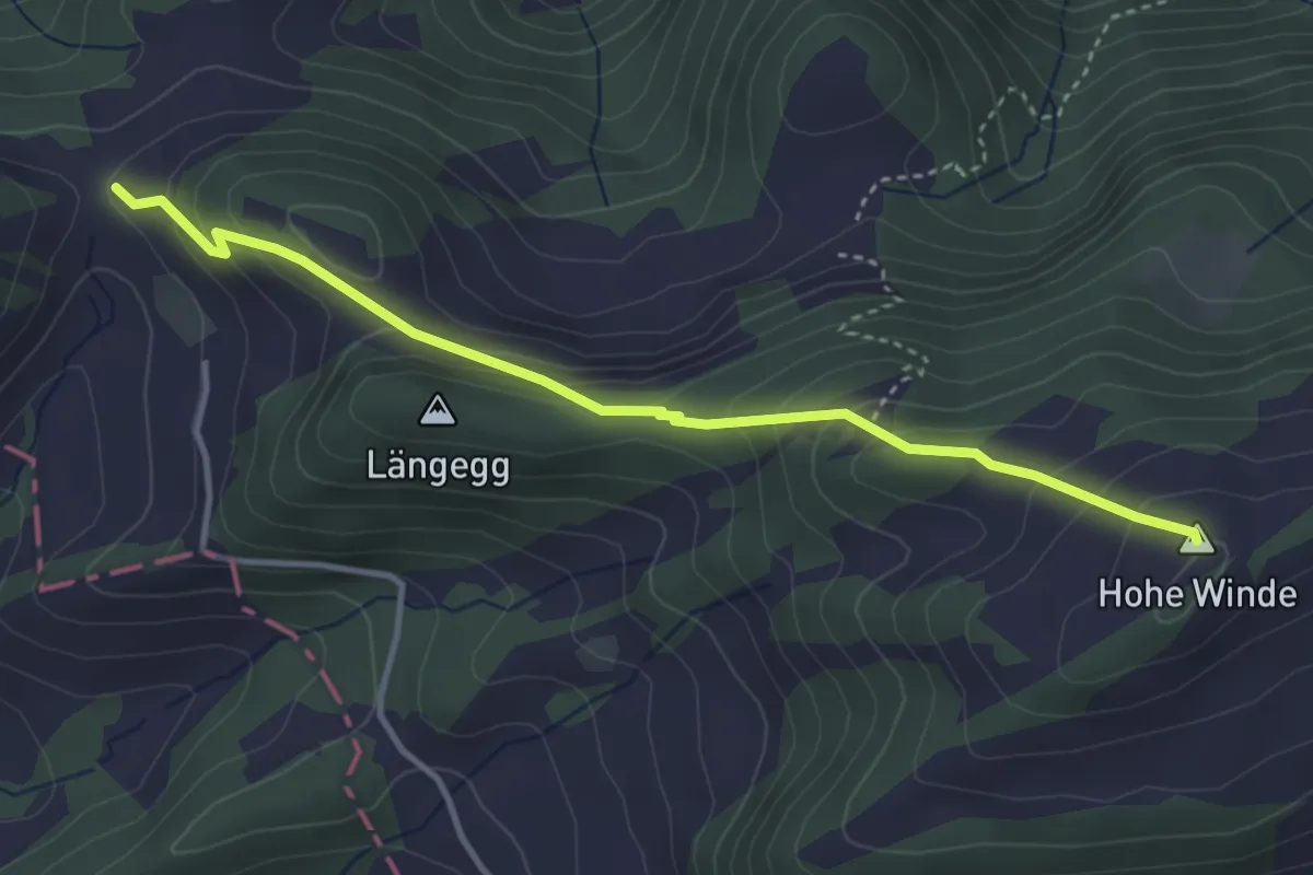
Easy · Summit
Mittlere Rotmatt – Hohe Winde
3.7 km · ↑ 270 m · 1 h 28 min
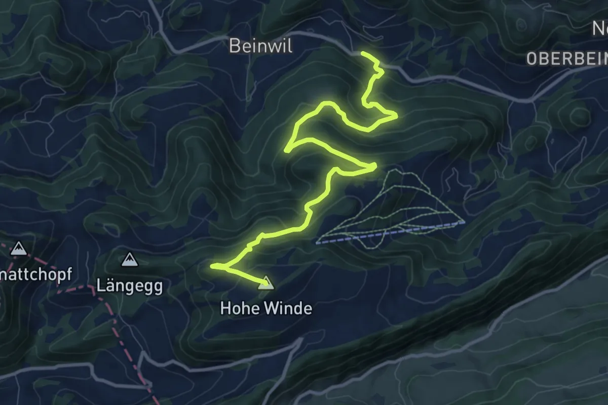
Medium · Summit
Hohe Winde – Klosterhof
10.9 km · ↑ 703 m · 4 h 5 min
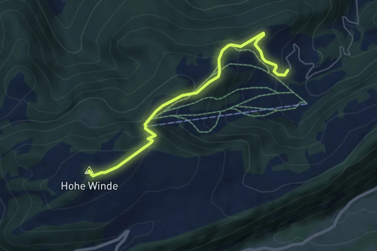
Medium · Summit
Hohe Winde – Bilstein
5.2 km · ↑ 414 m · 2 h 8 min
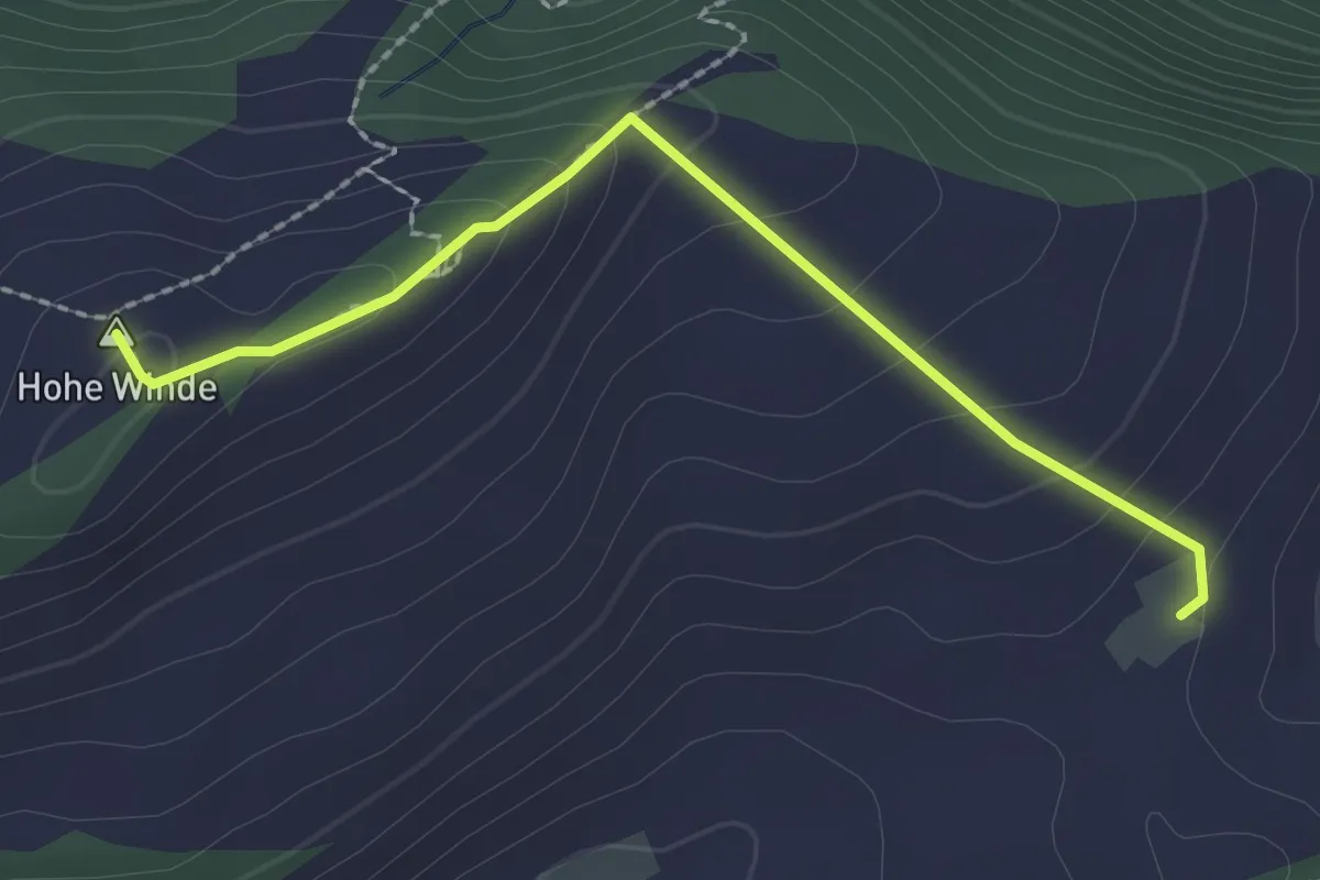
Easy · Summit
Hohe Winde – Vorder Erzberg
2.2 km · ↑ 126 m · 48 min
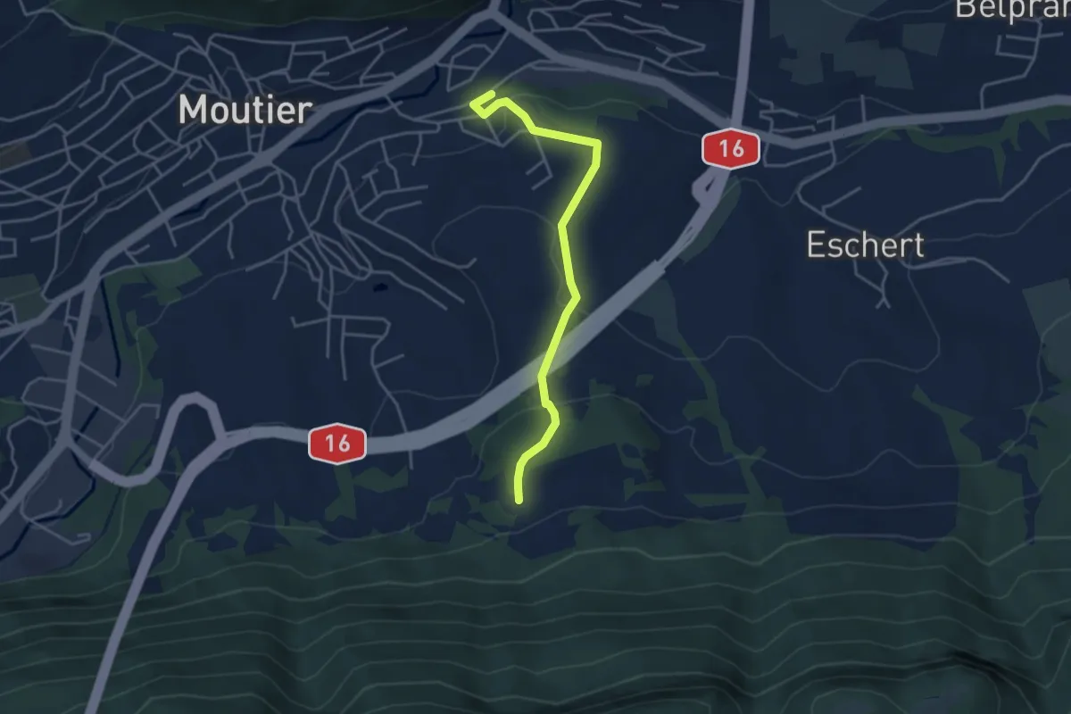
Easy · Trail
Moutier – Rière Plain Champ
3.8 km · ↑ 164 m · 1 h 15 min
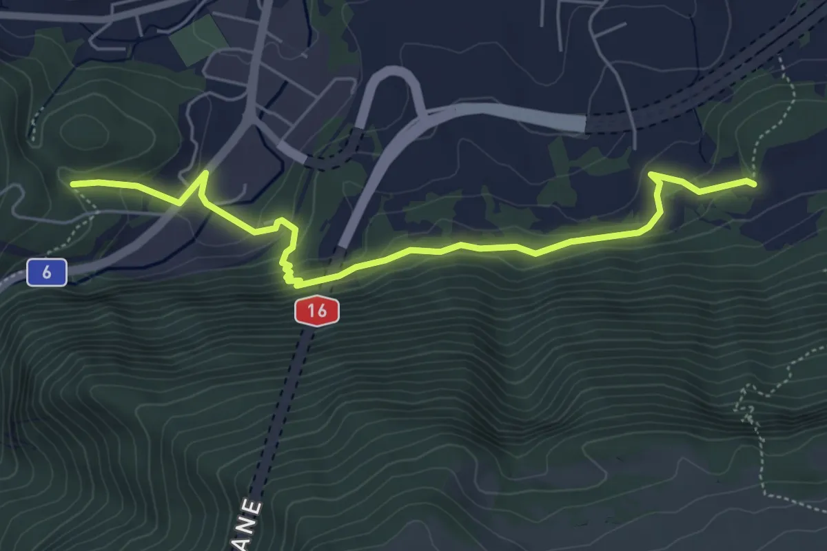
Easy · Trail
Rière Plain Champ – Sur Menué
5.6 km · ↑ 272 m · 1 h 54 min
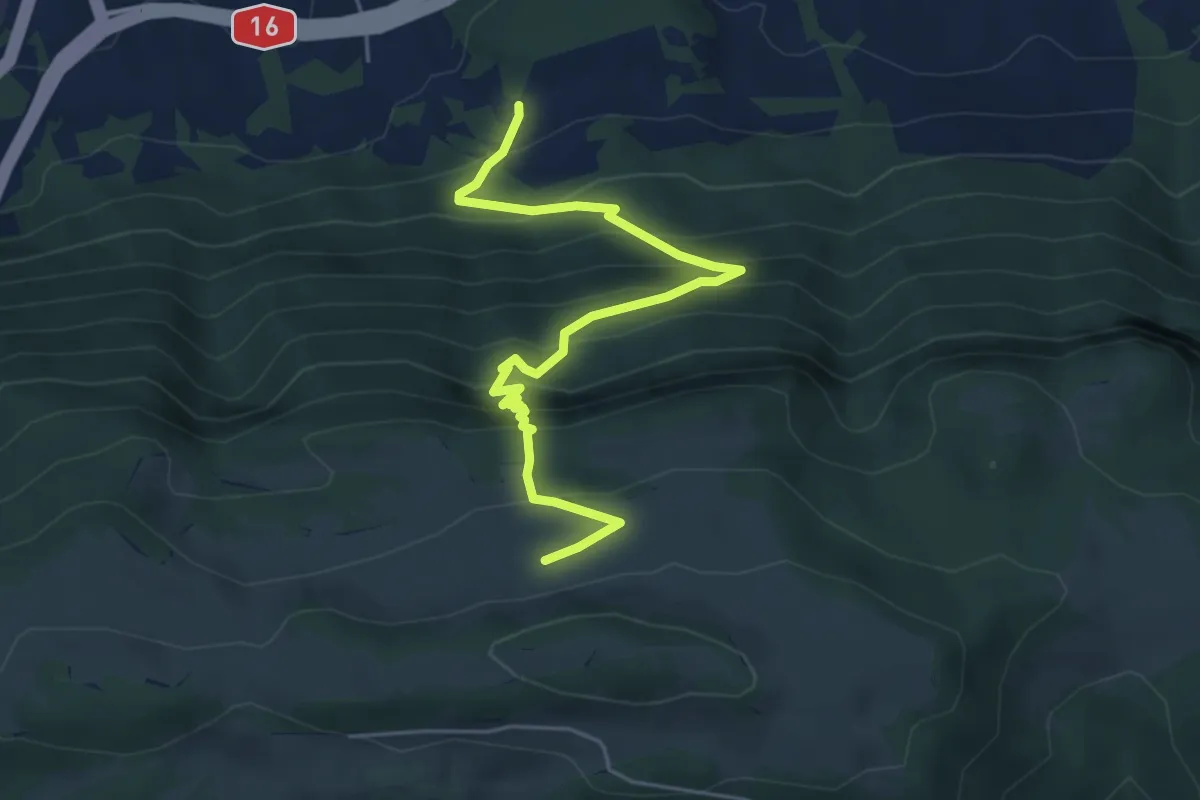
Medium · Trail
Rière Plain Champ – Montagne de Graitery
5.5 km · ↑ 590 m · 2 h 35 min