Trails in Switzerland
15,055 hiking trails, each with its route, climb, walking time and grade.
All trails, page 244 of 314
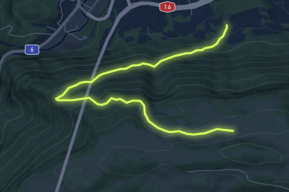
Medium · Trail
Montagne de Graitery – Rière Plain Champ
8.3 km · ↑ 513 m · 3 h 5 min
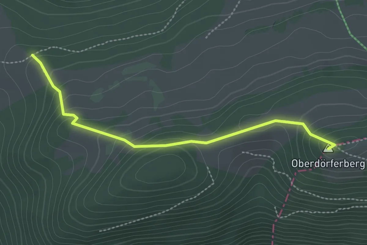
Easy · Summit
Loge aux Boeuf – Oberdörferberg
2.6 km · ↑ 159 m · 57 min
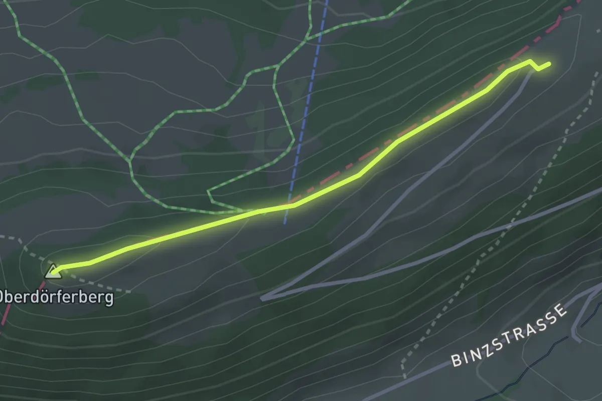
Easy · Summit
Oberdörferberg – Oberdörferberg Rest.
2.8 km · ↑ 78 m · 50 min
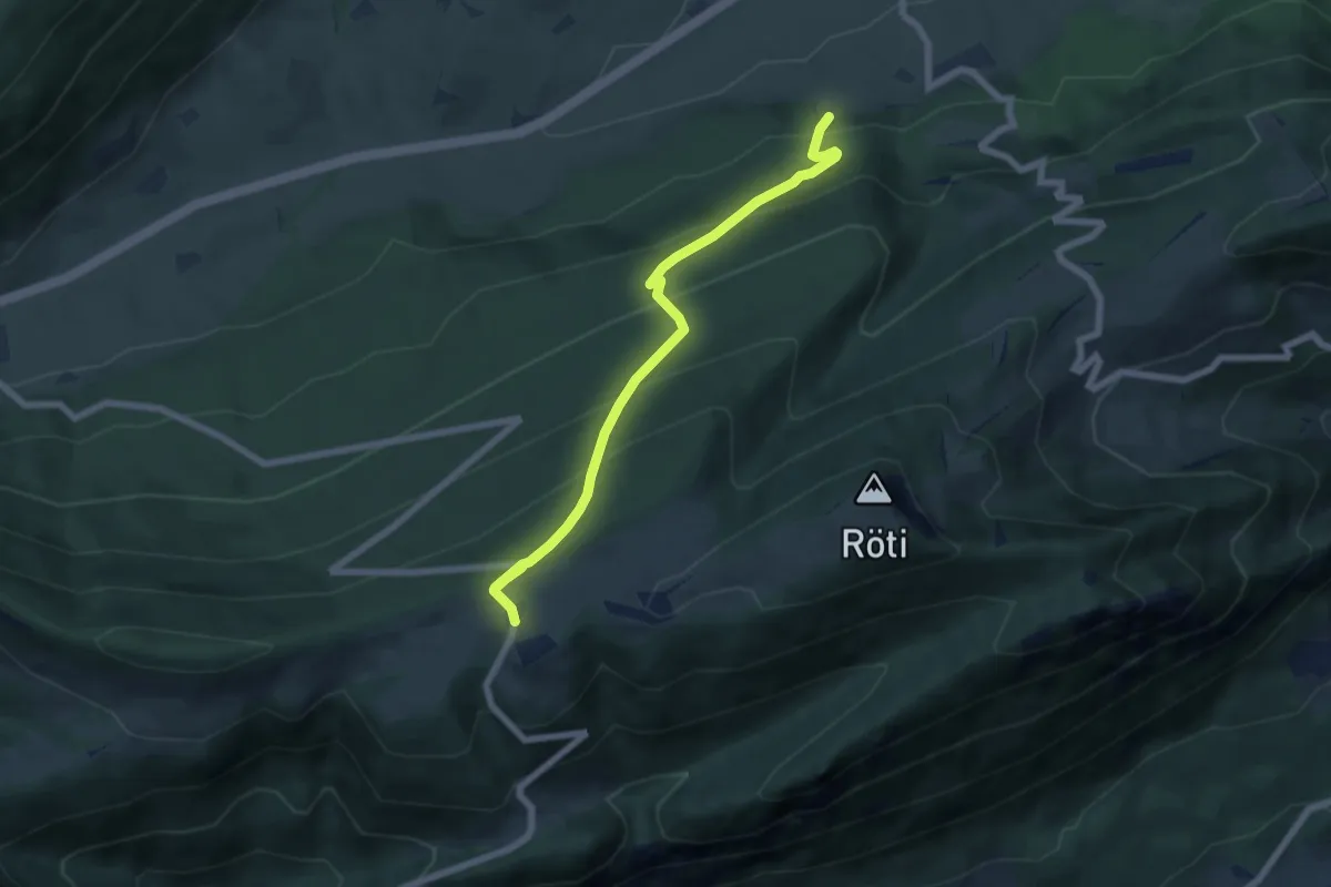
Medium · Trail
Illmatt Schattenberg – Sennhaus Weissenstein
6.9 km · ↑ 515 m · 2 h 44 min
Medium · Cabin
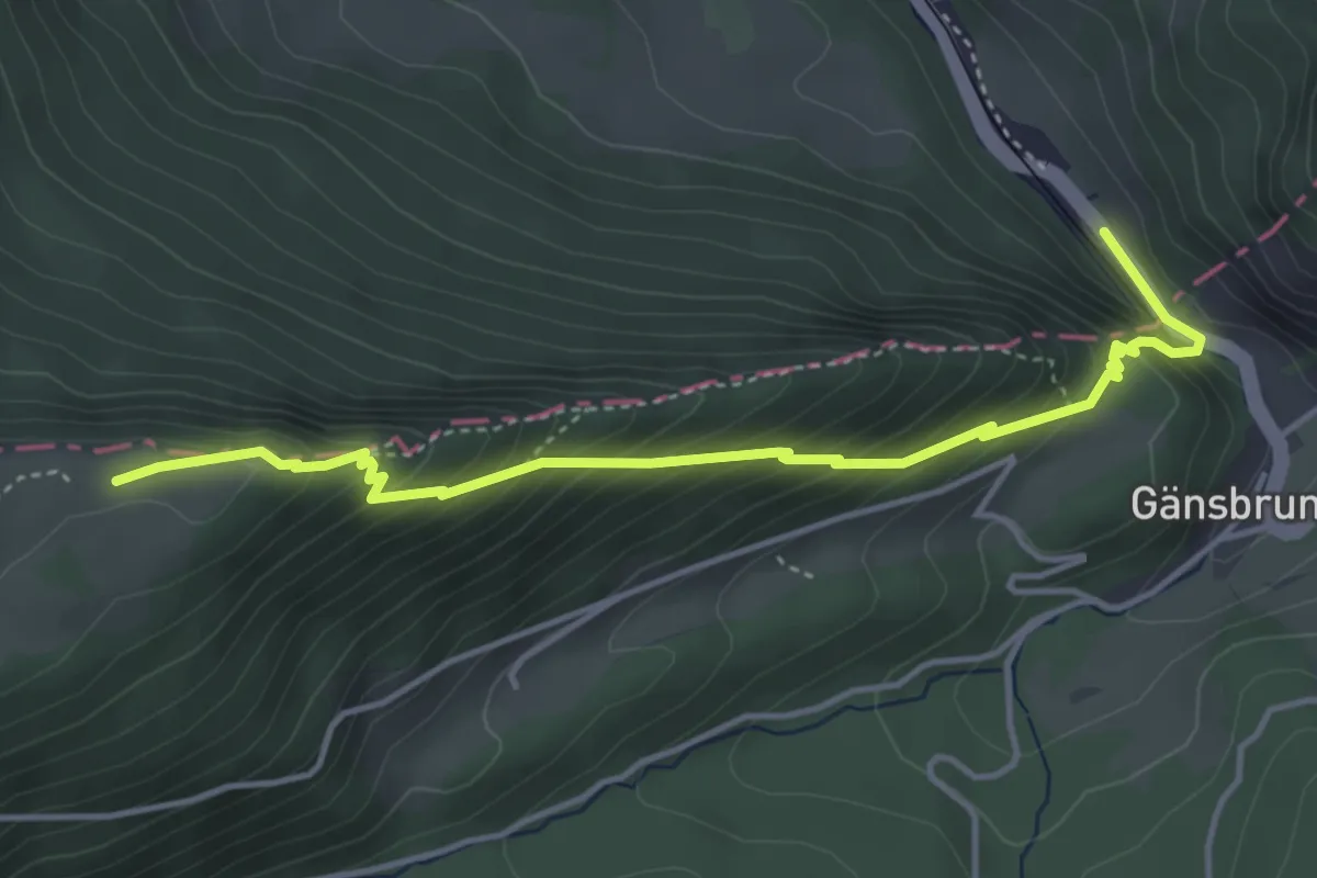
Backi SAC – Gänsbrunnen
4.5 km · ↑ 439 m · 2 h
Easy · Trail
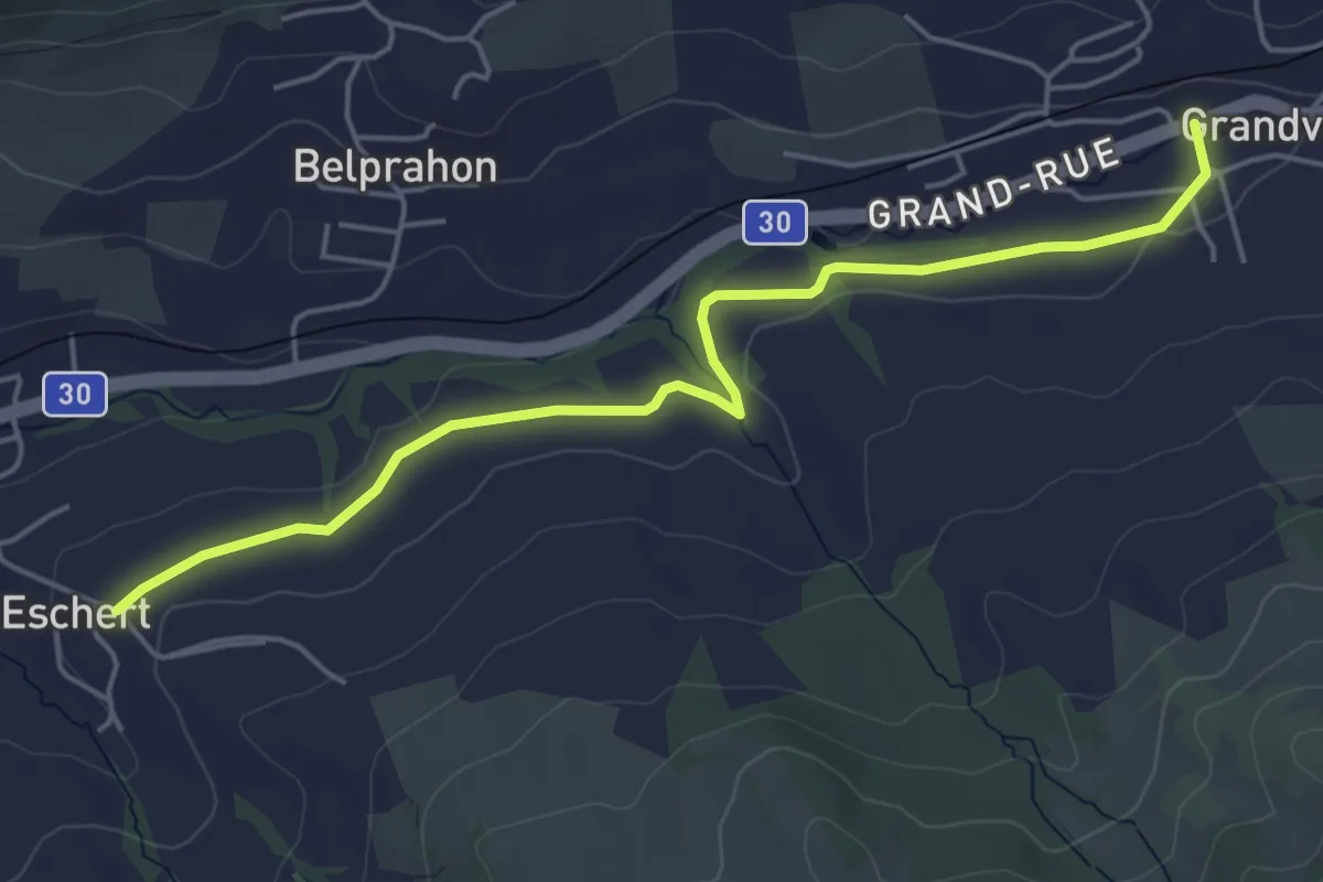
Eschert – Grandval
5.2 km · ↑ 55 m · 1 h 21 min
Easy · Trail
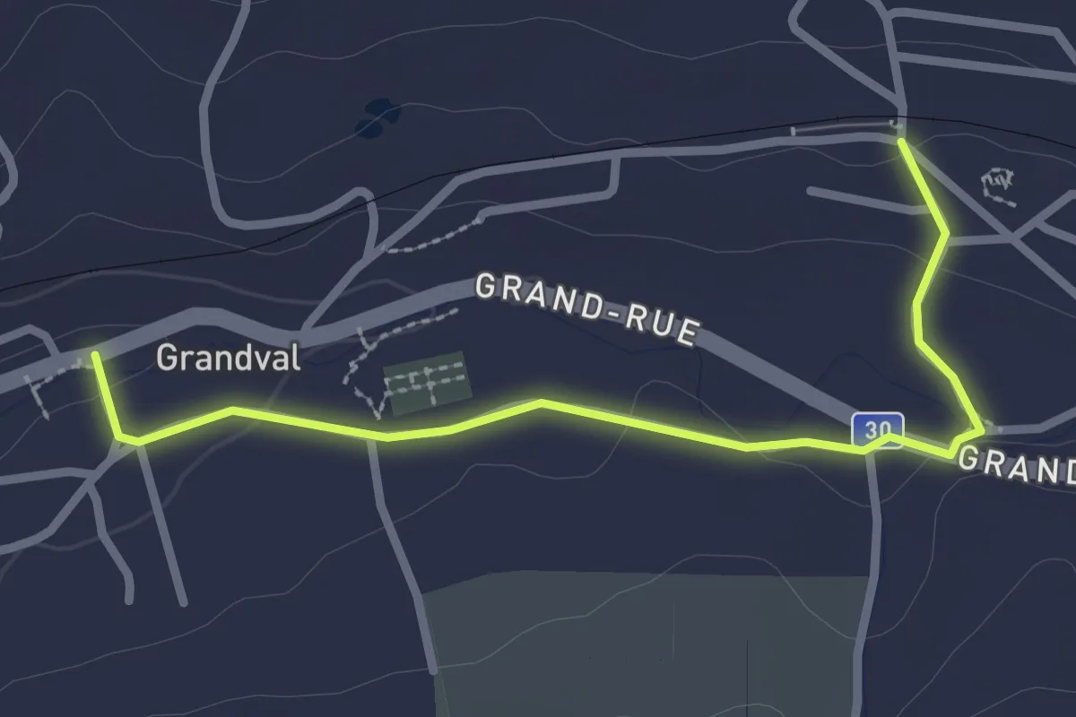
Grandval – Crémines
2.7 km · ↑ 32 m · 42 min
Medium · Trail
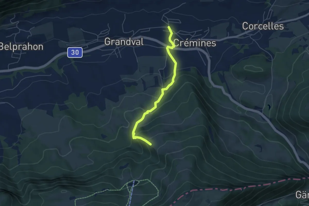
Sur le Rives – Crémines
5.1 km · ↑ 327 m · 1 h 54 min
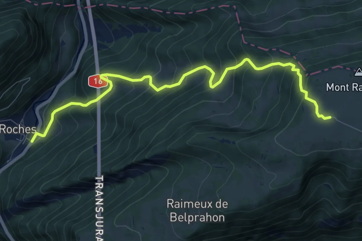
Medium · Trail
Raimeux de Grandval – Roches
9.4 km · ↑ 789 m · 3 h 55 min
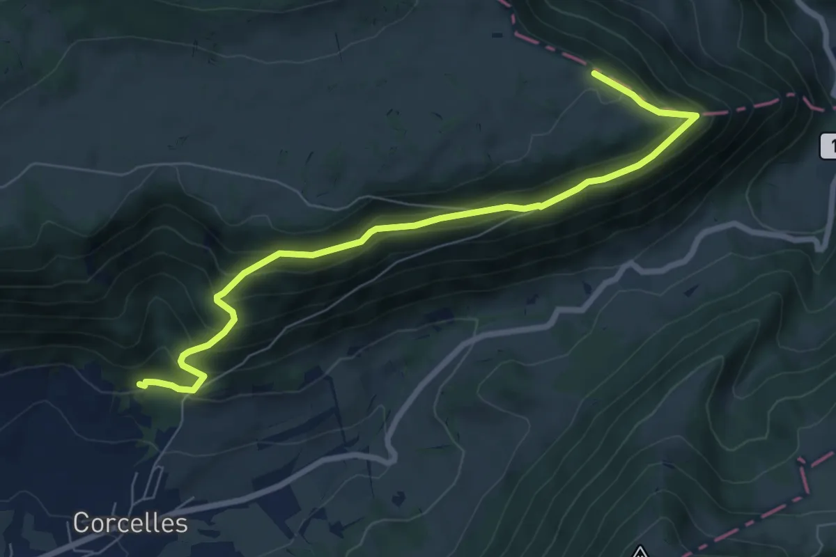
Medium · Trail
Le Gore Virat – Le Petit Pré
7.6 km · ↑ 508 m · 2 h 53 min
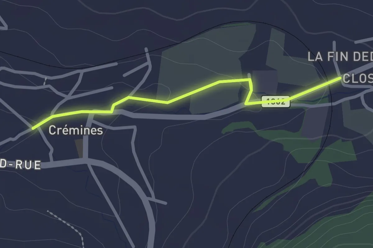
Easy · Trail
Corcelles/halte – Crémines
2.3 km · ↑ 28 m · 36 min
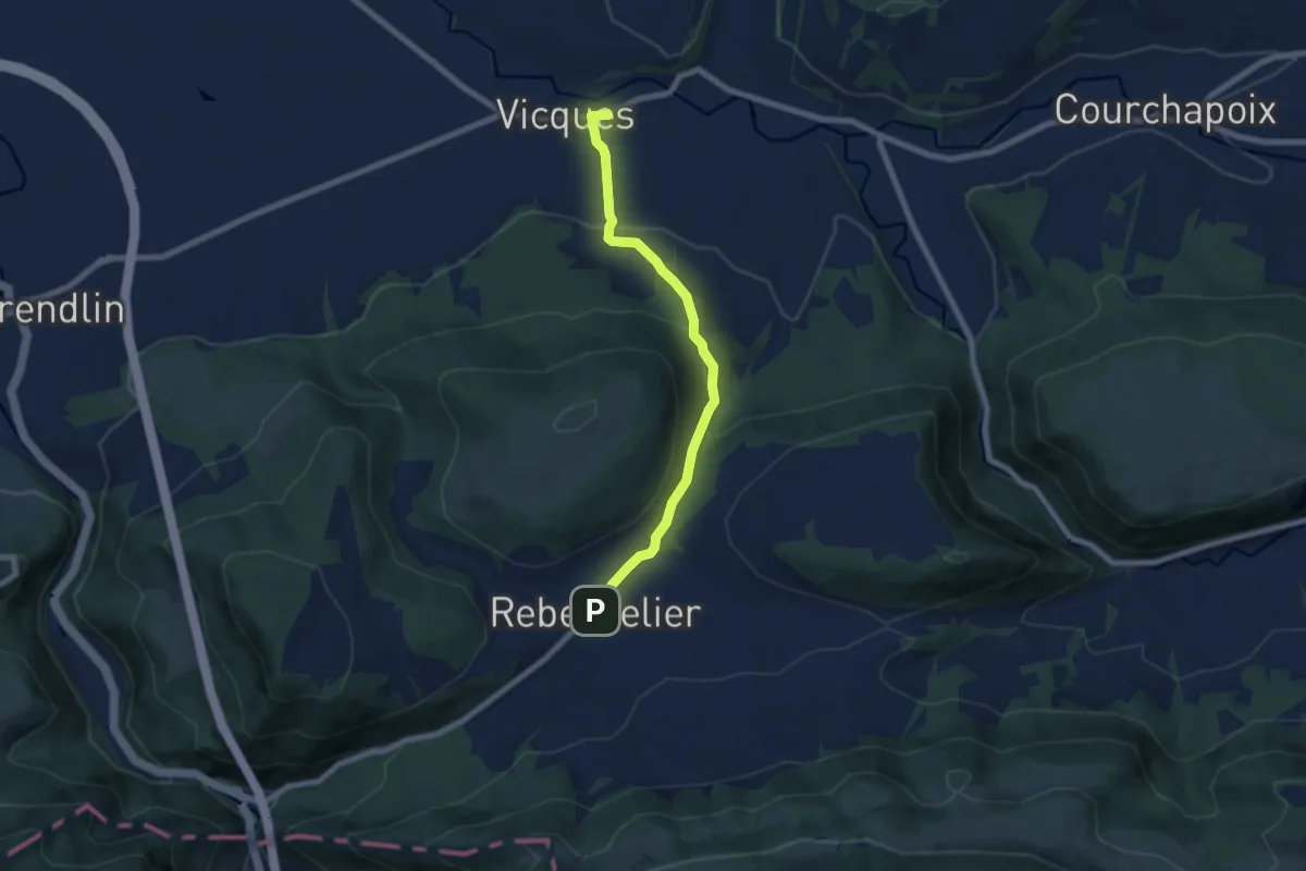
Easy · Trail
Rebeuvelier – Vicques
6.6 km · ↑ 271 m · 2 h 9 min
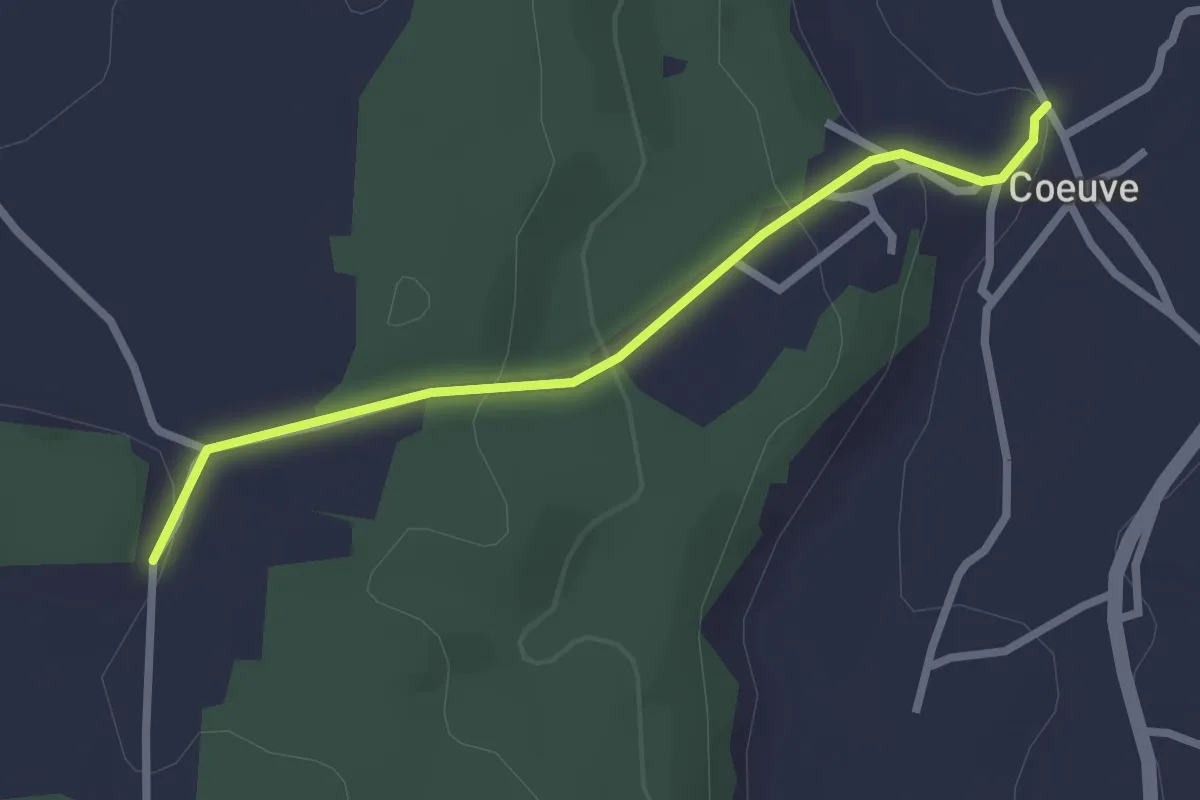
Easy · Trail
Coeuvre – Sur le Mont
2.4 km · ↑ 102 m · 48 min
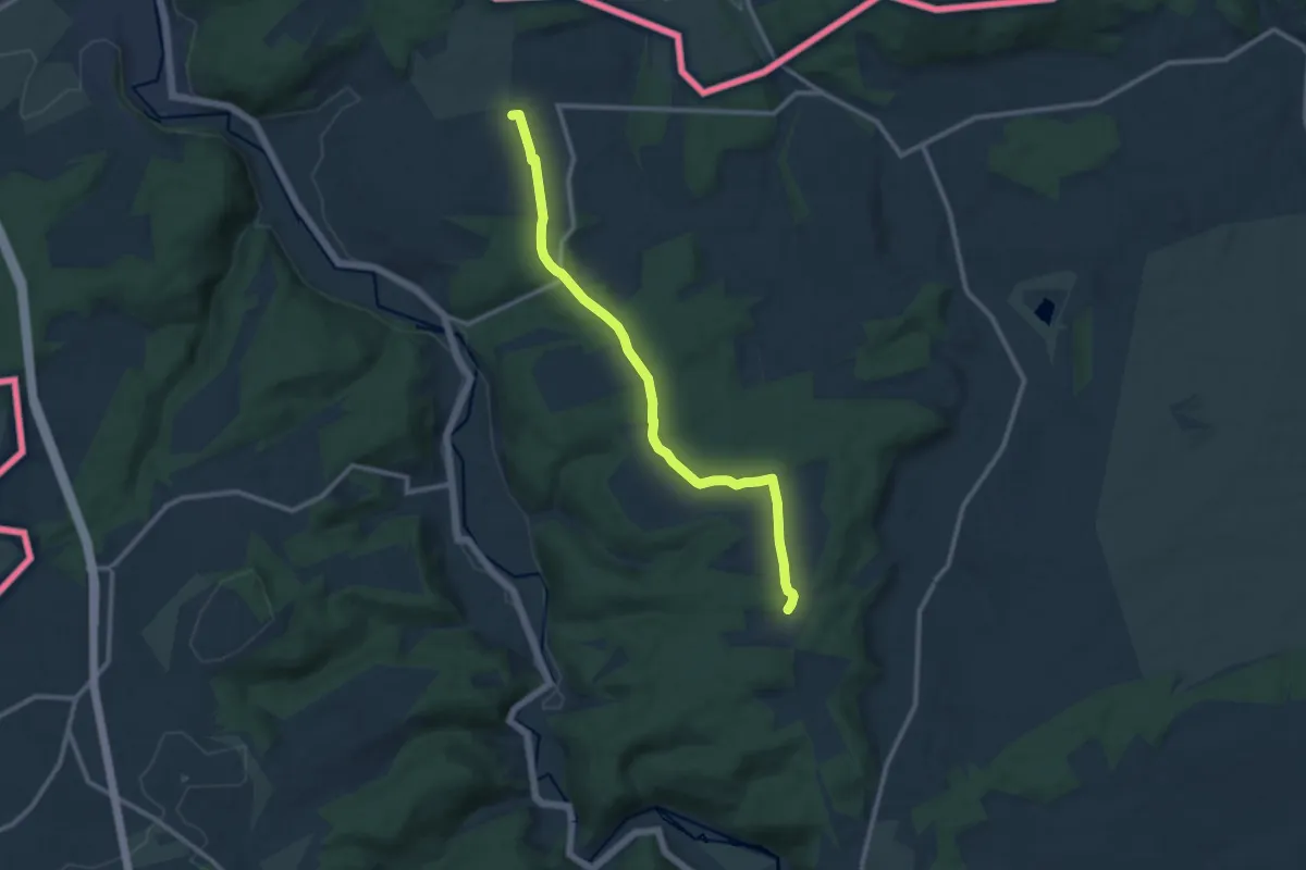
Medium · Trail
Sur le Mont – Montignez
10.7 km · ↑ 203 m · 2 h 58 min
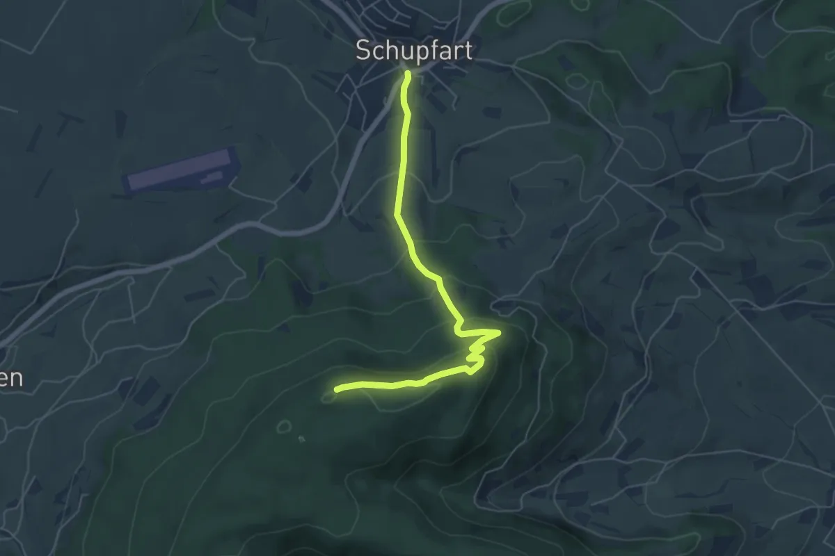
Easy · Summit
Tiersteinberg – Schupfart Postauto
5.6 km · ↑ 291 m · 1 h 58 min
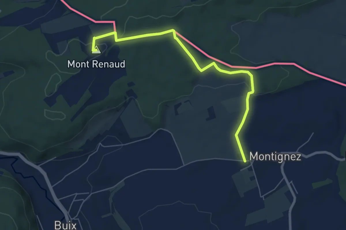
Easy · Summit
Montignez – Boncourt
6.1 km · ↑ 78 m · 1 h 37 min
Easy · Trail
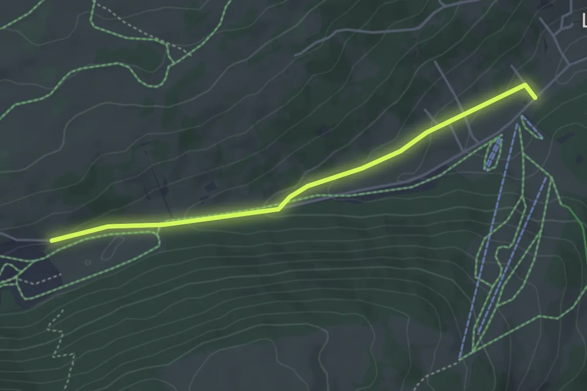
Le Grillon – Métairie de Prêles
4.2 km · ↑ 115 m · 1 h 14 min
Easy · Trail
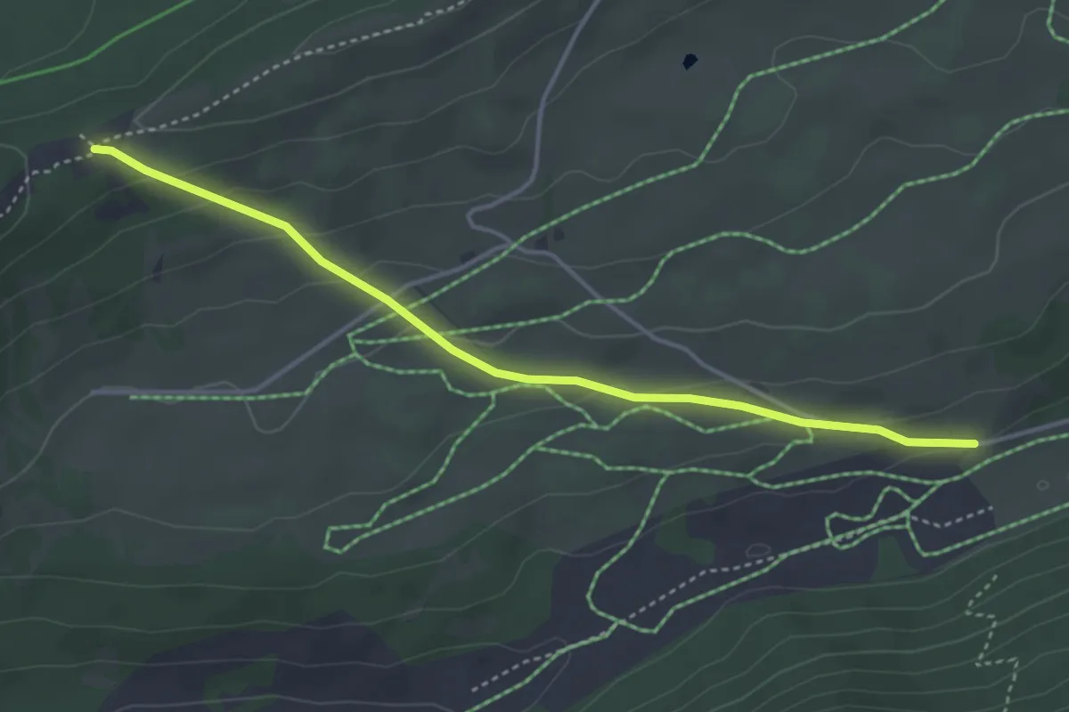
Métairie de Prêles – Clédar de Pierrefeu
4.0 km · ↑ 144 m · 1 h 15 min
Easy · Trail
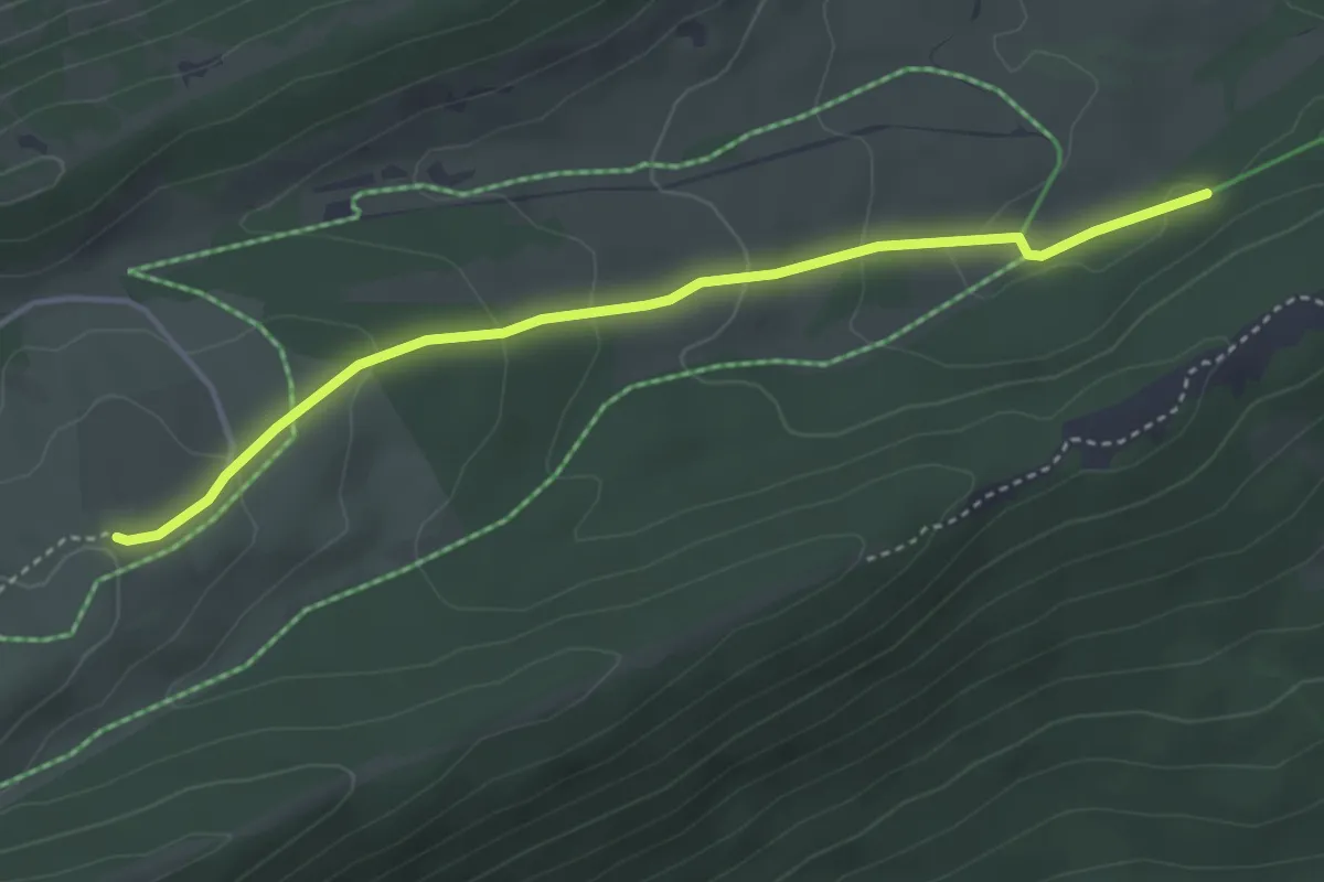
Hacki – Métairie du Milieu de Bienne
3.8 km · ↑ 139 m · 1 h 12 min
Easy · Summit
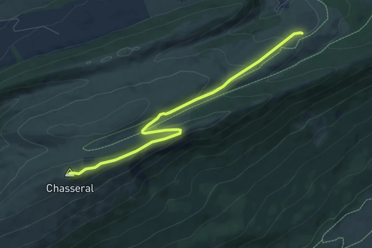
Métairie du Milieu de Bienne – Chasseral Signal
7.8 km · ↑ 220 m · 2 h 19 min
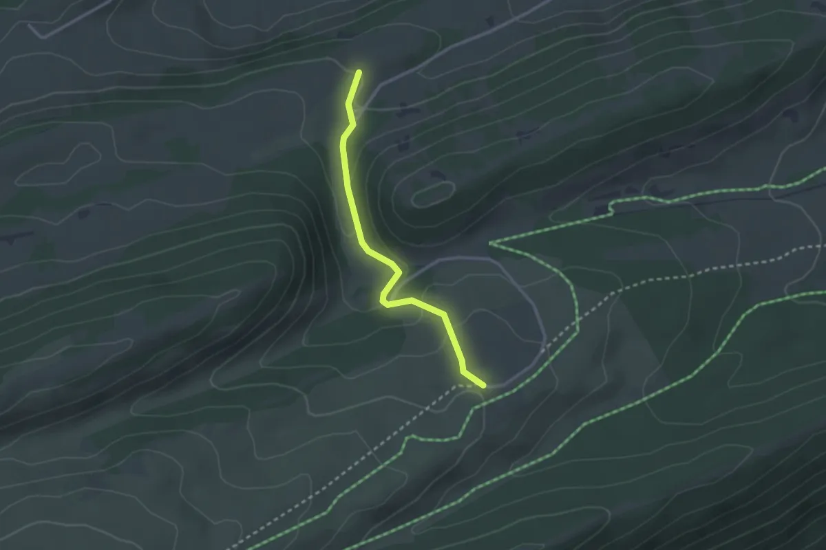
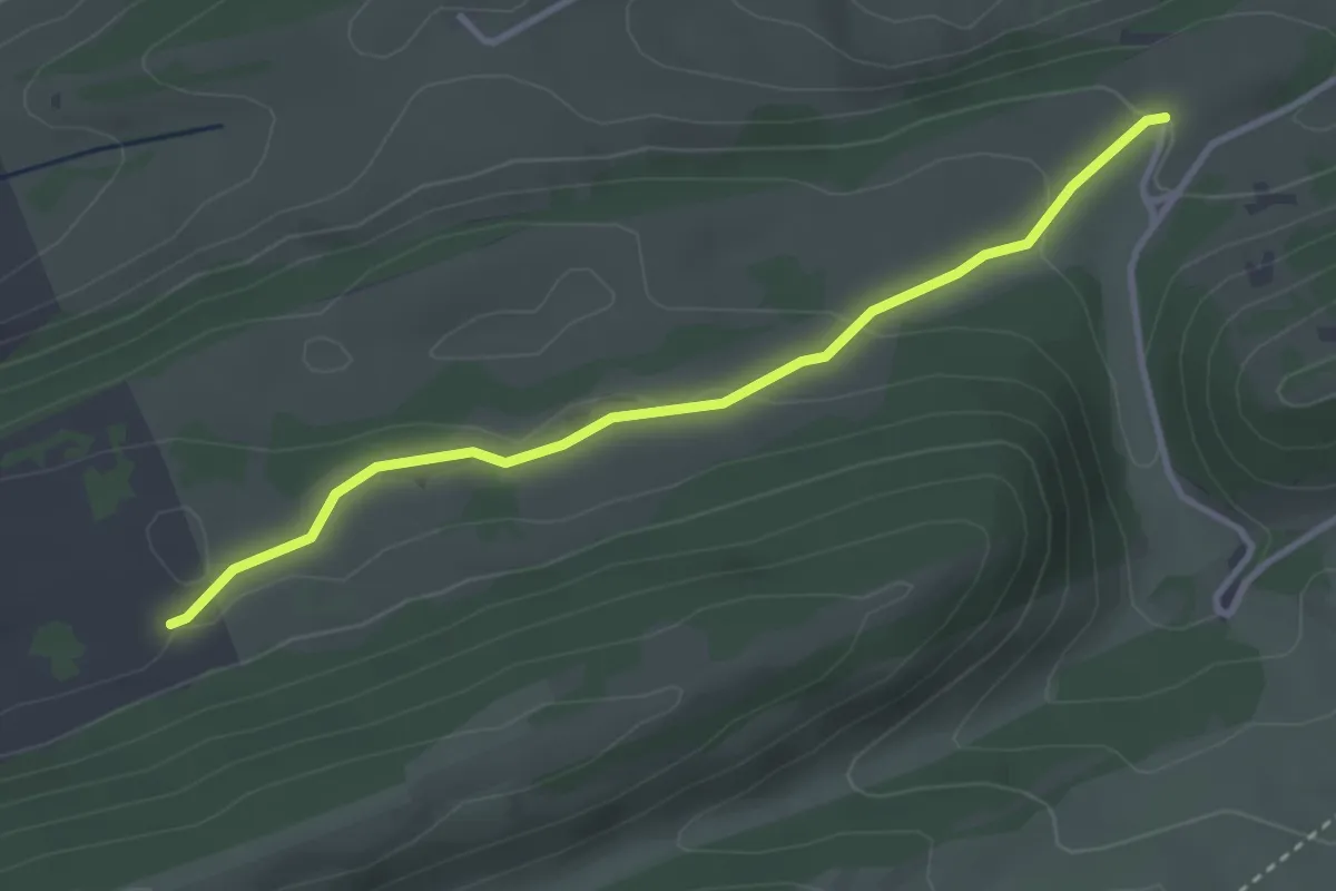
Easy · Trail
Métairie du Milieu de Bienne – Petite Douanne
2.5 km · ↑ 99 m · 48 min
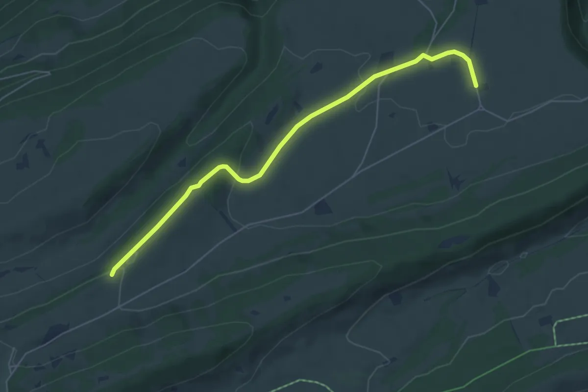
Easy · Trail
Petite Douanne – Métairie de Meuringe
3.3 km · ↑ 83 m · 57 min
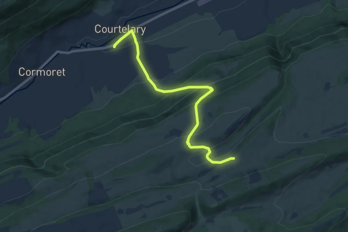
Easy · Trail
Le Pletz – La Cusinière
5.6 km · ↑ 115 m · 1 h 34 min
Medium · Trail
Le Pletz – Courtelary
9.3 km · ↑ 604 m · 3 h 30 min
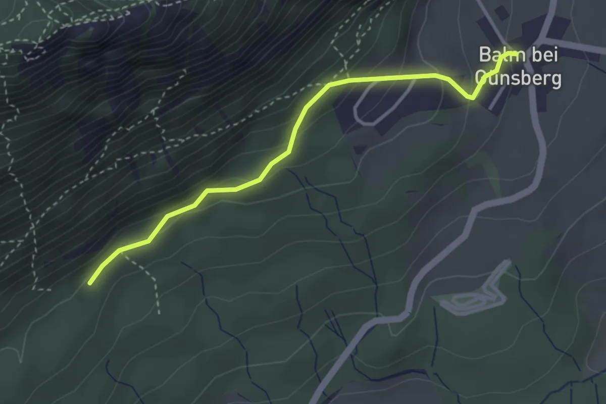
Easy · Trail
Balm – Jungbann
3.2 km · ↑ 208 m · 1 h 12 min
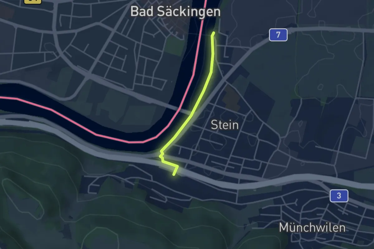
Easy · Trail
Stein-Säckingen – Stein Holzbrücke
2.8 km · ↑ 42 m · 45 min
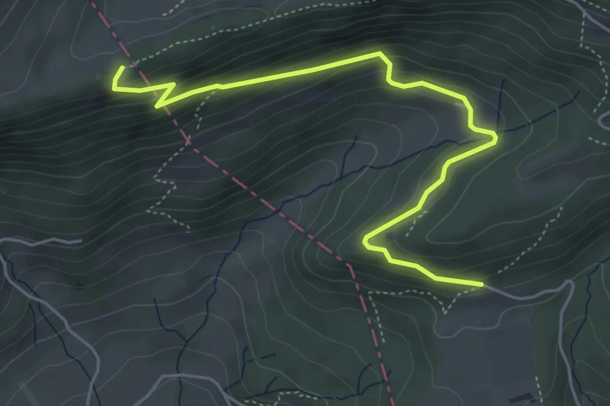
Easy · Trail
Reckenacker – Hochchrüz
5.3 km · ↑ 287 m · 1 h 53 min
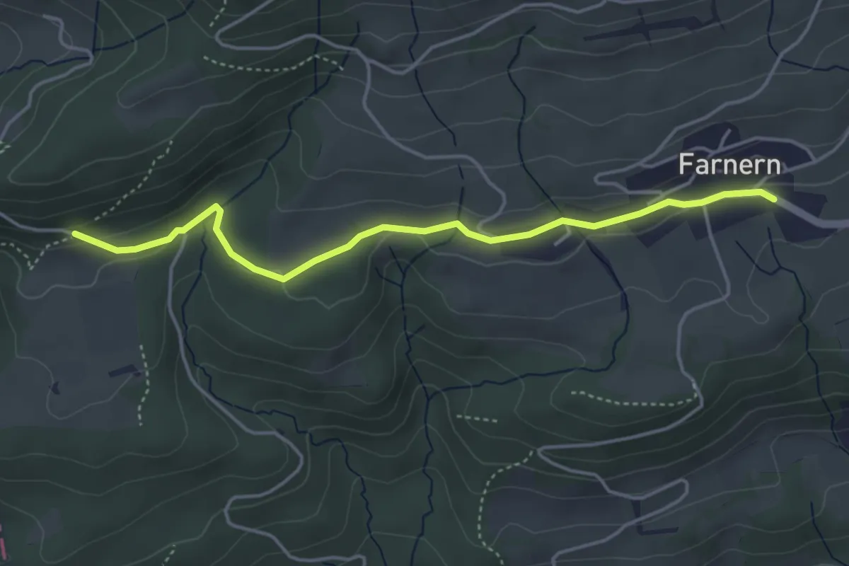
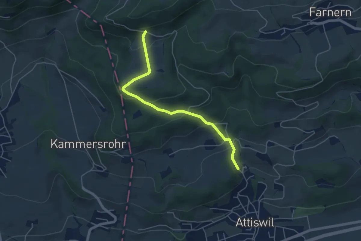
Easy · Trail
Reckenacker – Farnern
4.3 km · ↑ 89 m · 1 h 12 min
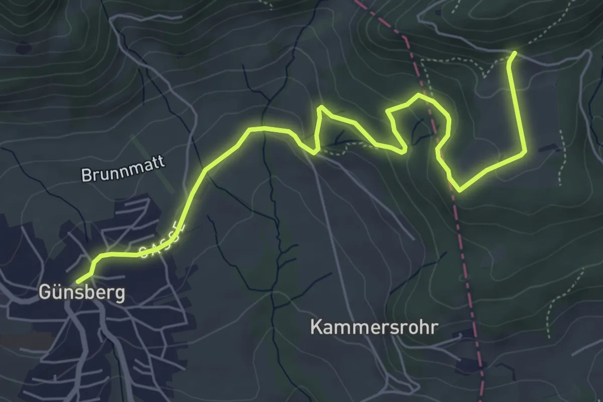
Easy · Trail
Reckenacher – Schnarz
4.4 km · ↑ 273 m · 1 h 38 min
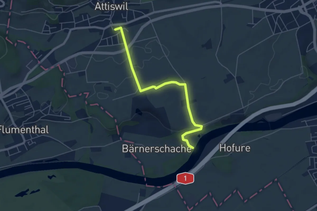
Easy · Trail
Reckenacher – Günsberg
6.7 km · ↑ 255 m · 2 h 8 min
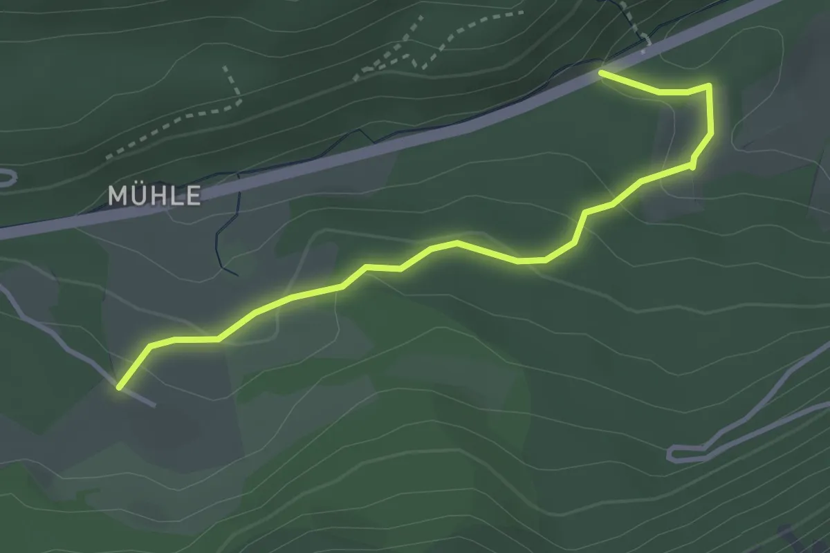
Easy · Trail
Attiswil Bahnof – Bärnerschachen
5.2 km · ↑ 112 m · 1 h 28 min
Easy · Trail
Hammerrain – Sollmatt
3.3 km · ↑ 134 m · 1 h 4 min
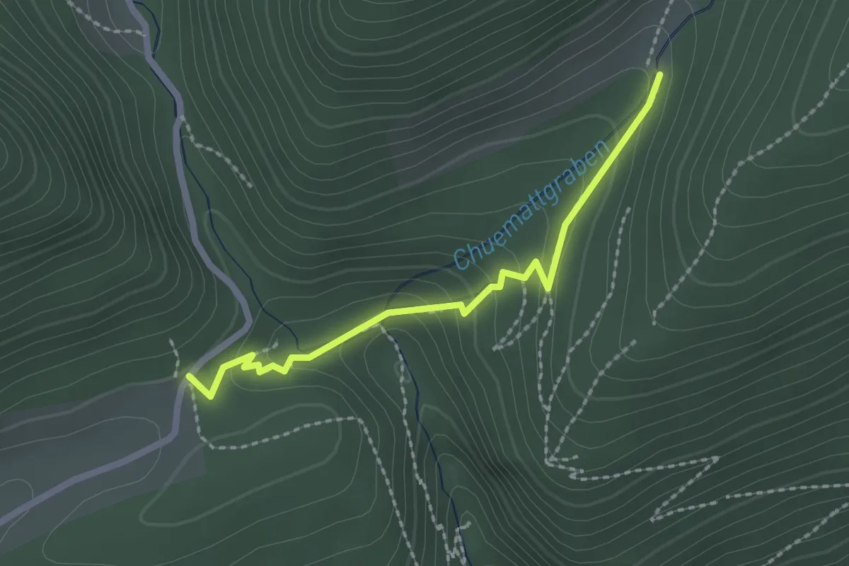
Medium · Trail
Lochboden – Tuftbrunnen
2.0 km · ↑ 103 m · 42 min
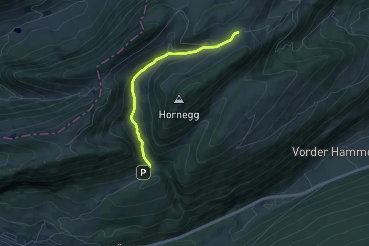
Easy · Trail
Lochboden – Obere Tannmatt
5.6 km · ↑ 303 m · 1 h 59 min
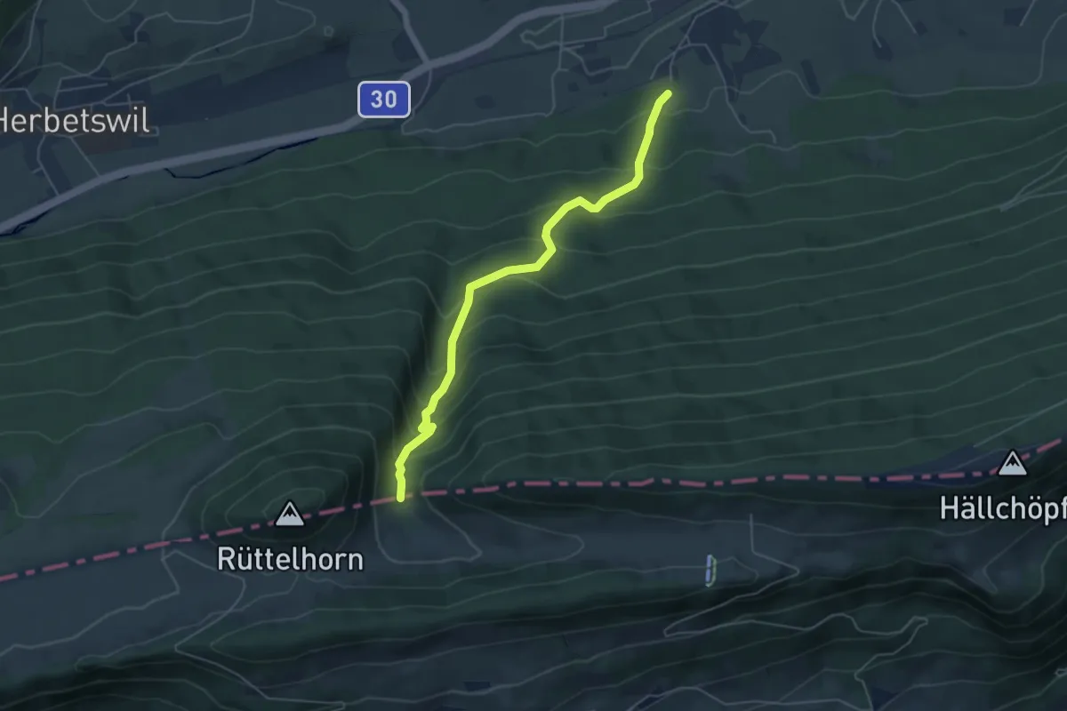
Medium · Trail
Allmendweg – Hirschmätteli
5.2 km · ↑ 457 m · 2 h 12 min
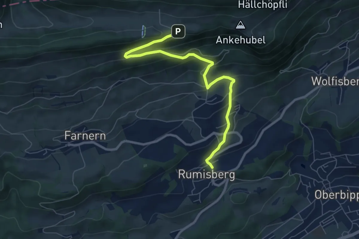
Medium · Trail
Hinteregg – Rumisberg
7.1 km · ↑ 457 m · 2 h 40 min
Easy · Trail
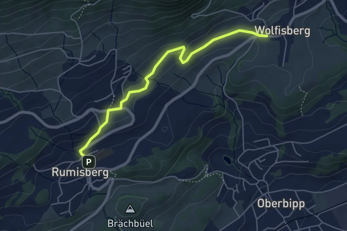
Rumisberg – Wolfisberg
4.3 km · ↑ 130 m · 1 h 18 min
Easy · Summit
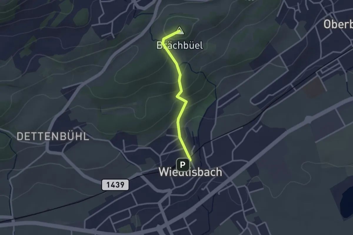
Rumisberg – Wiedlisbach
2.2 km · ↑ 128 m · 48 min
Easy · Trail
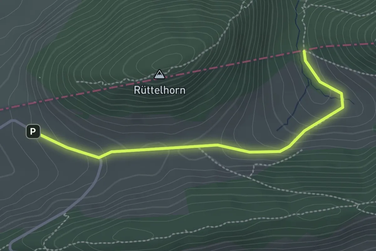
Hirschmätteli – Vordere Schmidenmatt
2.8 km · ↑ 110 m · 54 min
Easy · Trail
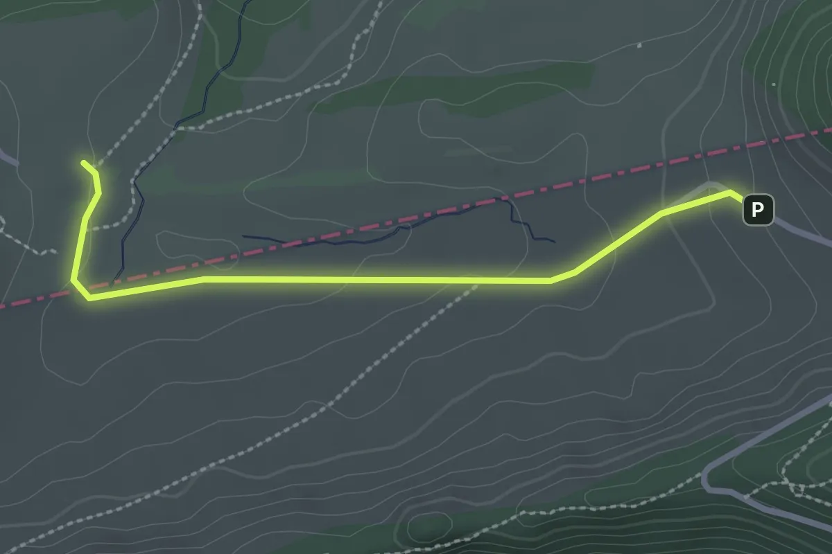
Vordere Schmidenmatt – Hintere Schmiedenmatt
2.5 km · ↑ 65 m · 44 min
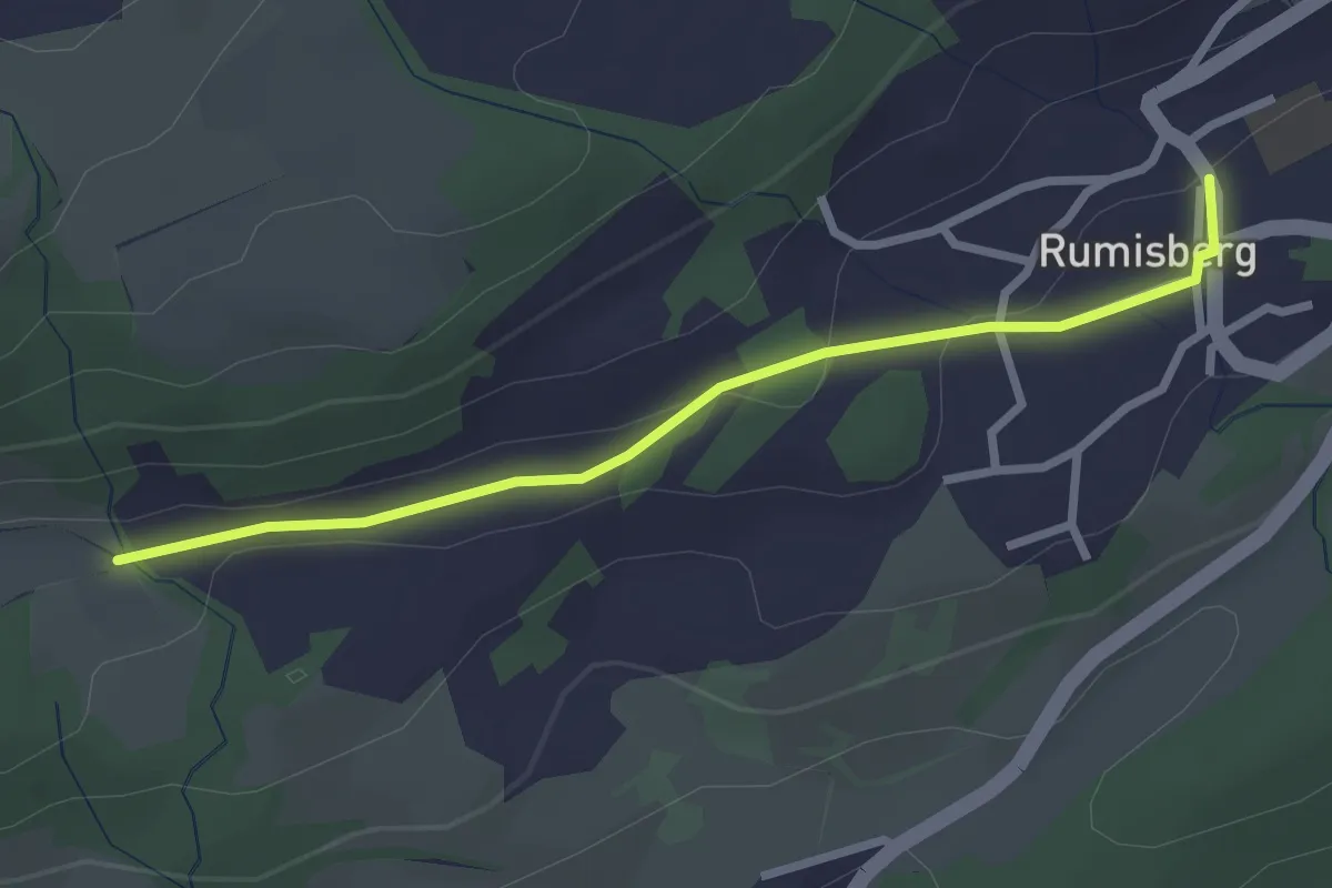
Easy · Trail
Rumisberg – Frauchsrüti
2.6 km · ↑ 56 m · 45 min
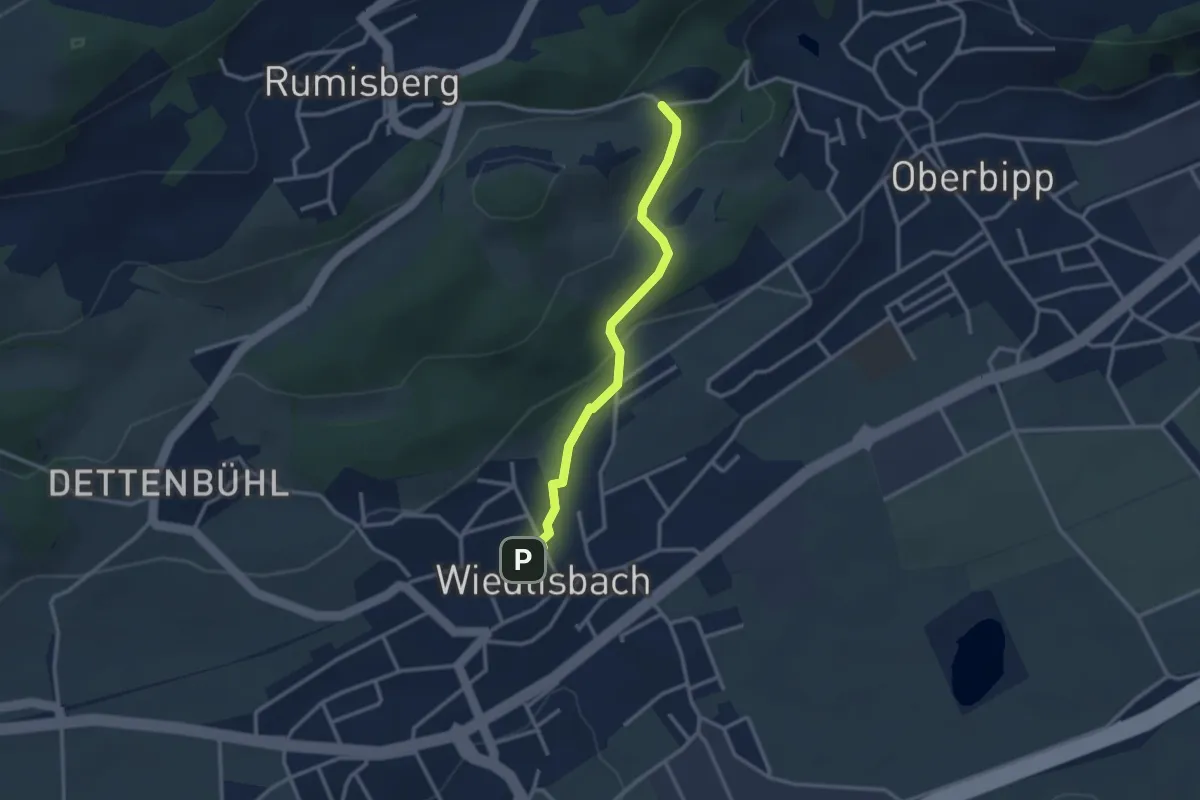
Easy · Trail
Wiedlisbach – Schloss Bipp
2.7 km · ↑ 111 m · 53 min
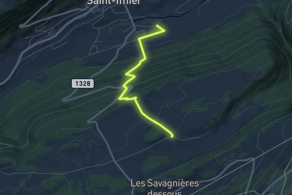
Medium · Trail
La Perrotte – Les Longines
5.5 km · ↑ 371 m · 2 h 6 min
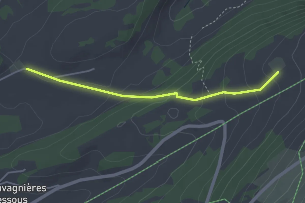
Easy · Trail
La Perrotte – Métairie des Plânes
3.1 km · ↑ 139 m · 1 h 2 min
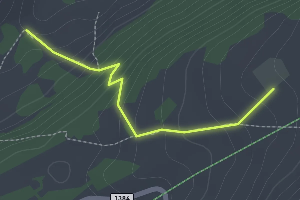
Easy · Trail
Métairie des Planes – L'Ilsach
2.0 km · ↑ 161 m · 50 min
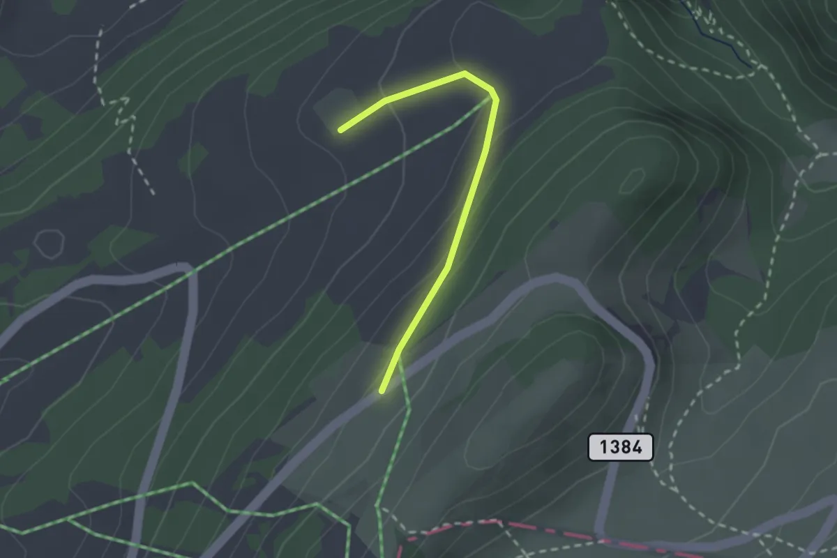
Easy · Trail
Métairie des Plânes – Métairie des l'Egasse
2.0 km · ↑ 103 m · 42 min
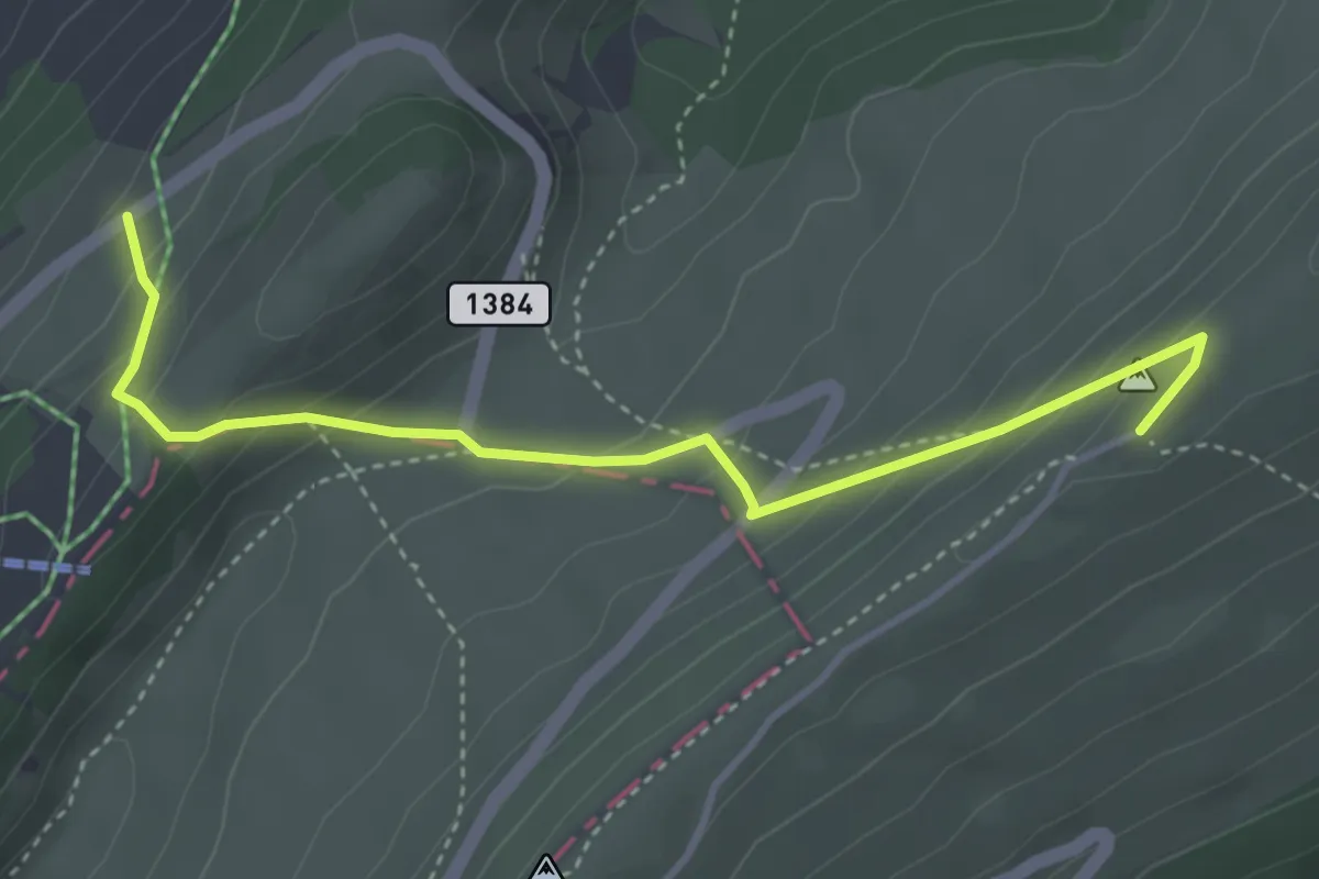
Medium · Trail
Métairie des l'Egasse – Chasseral Hôtel
4.0 km · ↑ 259 m · 1 h 30 min
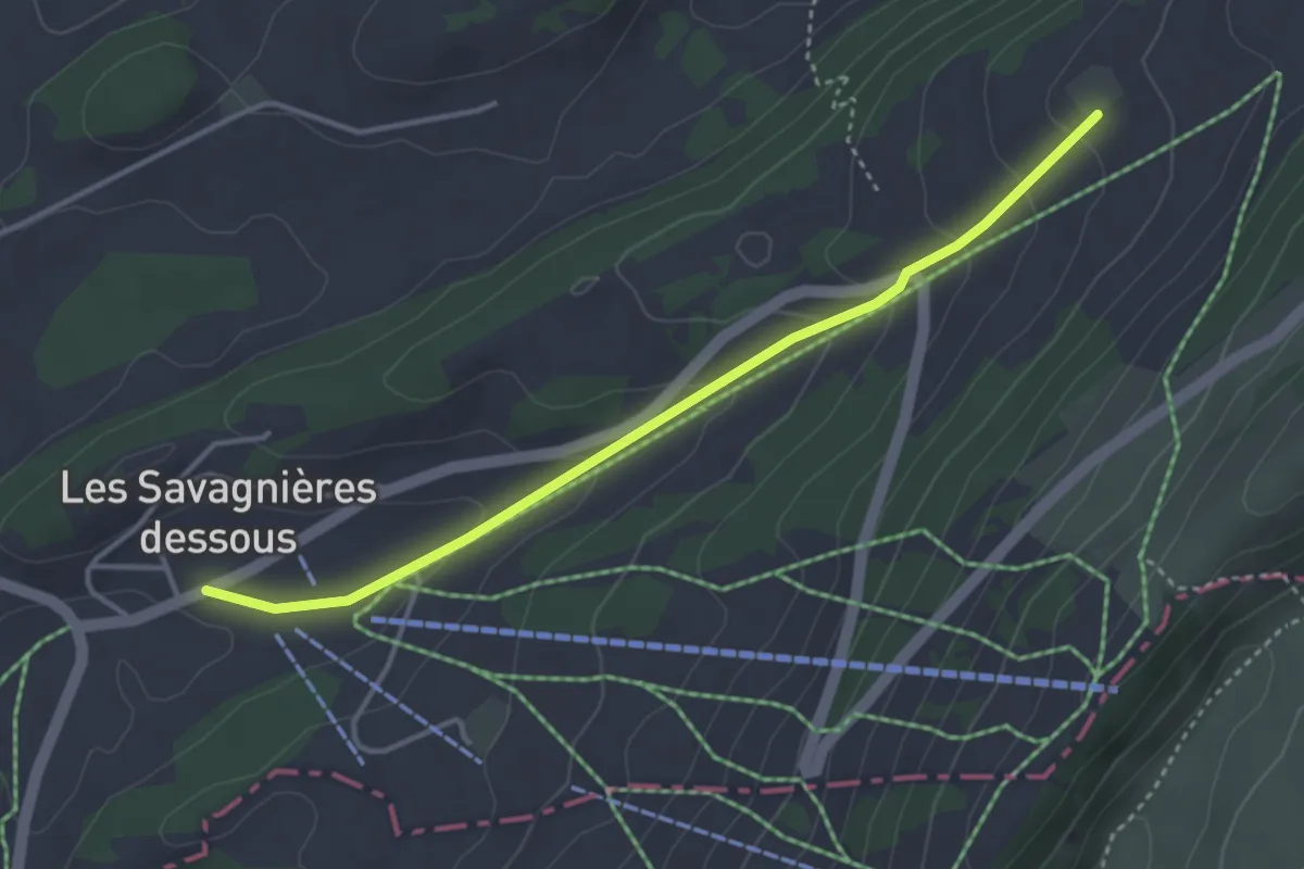
Easy · Trail
Métairie des Plânes – Savagnière Dessous
3.7 km · ↑ 154 m · 1 h 12 min