Trails in Switzerland
15,055 hiking trails, each with its route, climb, walking time and grade.
All trails, page 245 of 314
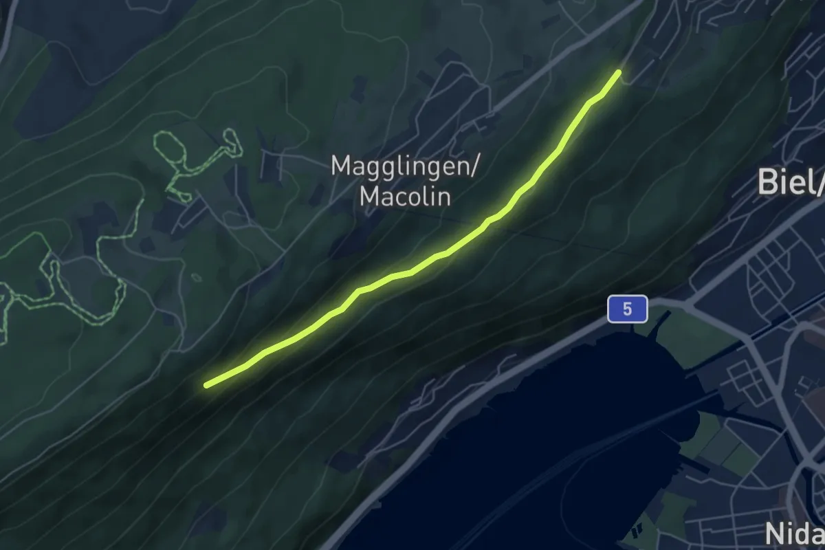
Easy · Trail
Vingelzberg – Maison Blanche
5.1 km · ↑ 186 m · 1 h 36 min
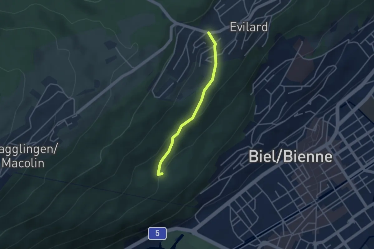
Easy · Trail
Hohflue – Evilard/Leubringen
2.6 km · ↑ 131 m · 54 min
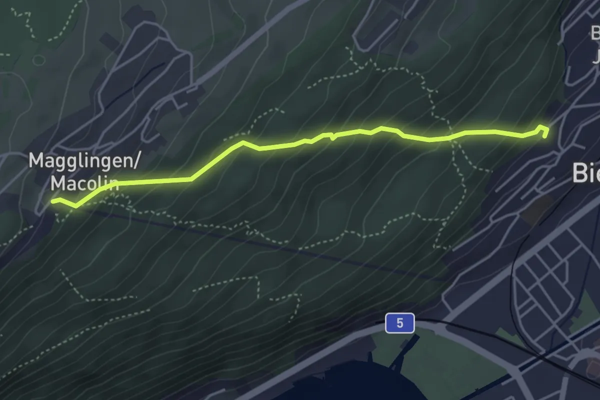
Medium · Trail
Biel-Tschäris – Magglingen/Macolin
4.1 km · ↑ 353 m · 1 h 44 min
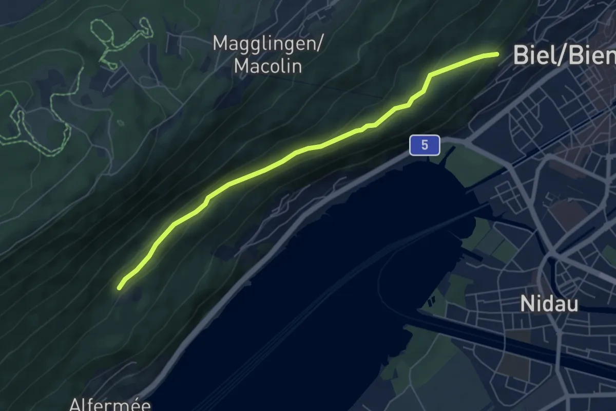
Easy · Trail
Nidauberg – Hohflue
6.3 km · ↑ 214 m · 1 h 57 min
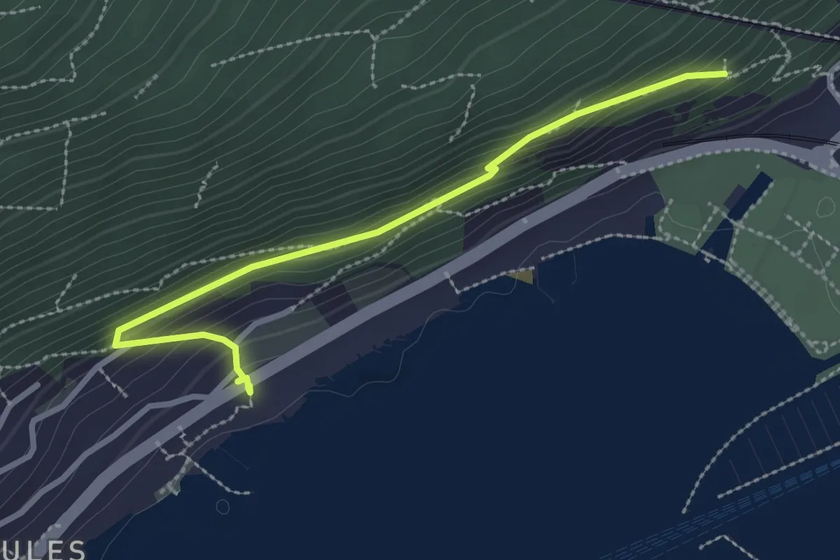
Easy · Trail
Pavillon – Vingelz
2.7 km · ↑ 136 m · 56 min
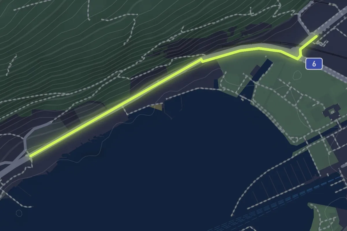
Easy · Trail
Biel-Seevorstadt – Vingelz
2.2 km · ↑ 39 m · 36 min
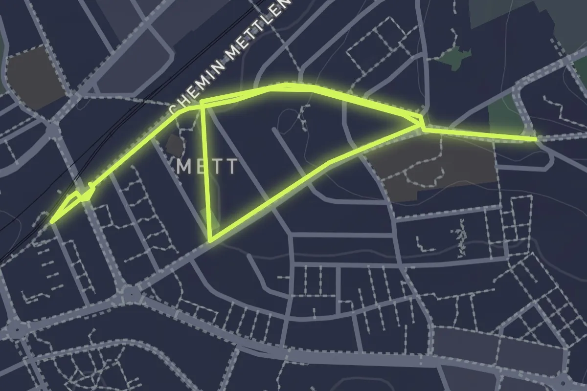
Easy · Trail
Frölisberg – Biel-Mett
4.7 km · ↑ 66 m · 1 h 15 min
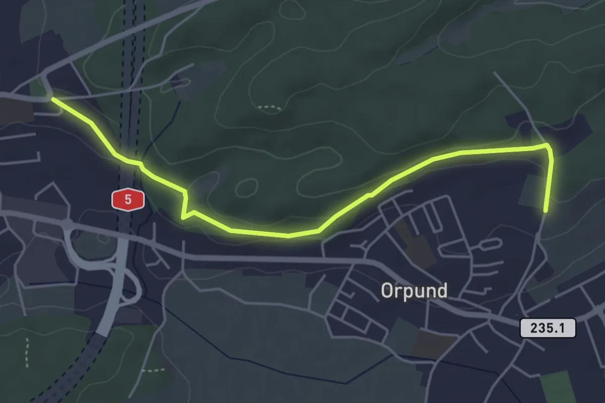
Easy · Trail
Frölisberg – Bim Wald
4.9 km · ↑ 90 m · 1 h 21 min
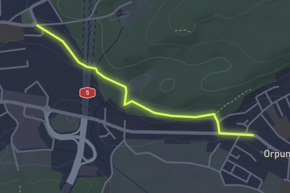
Easy · Trail
Frölisberg – Orpund (Bus)
3.1 km · ↑ 70 m · 53 min
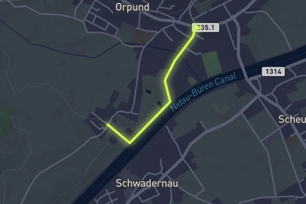
Easy · Trail
Orpund – Zilwil
2.4 km · ↑ 4 m · 35 min
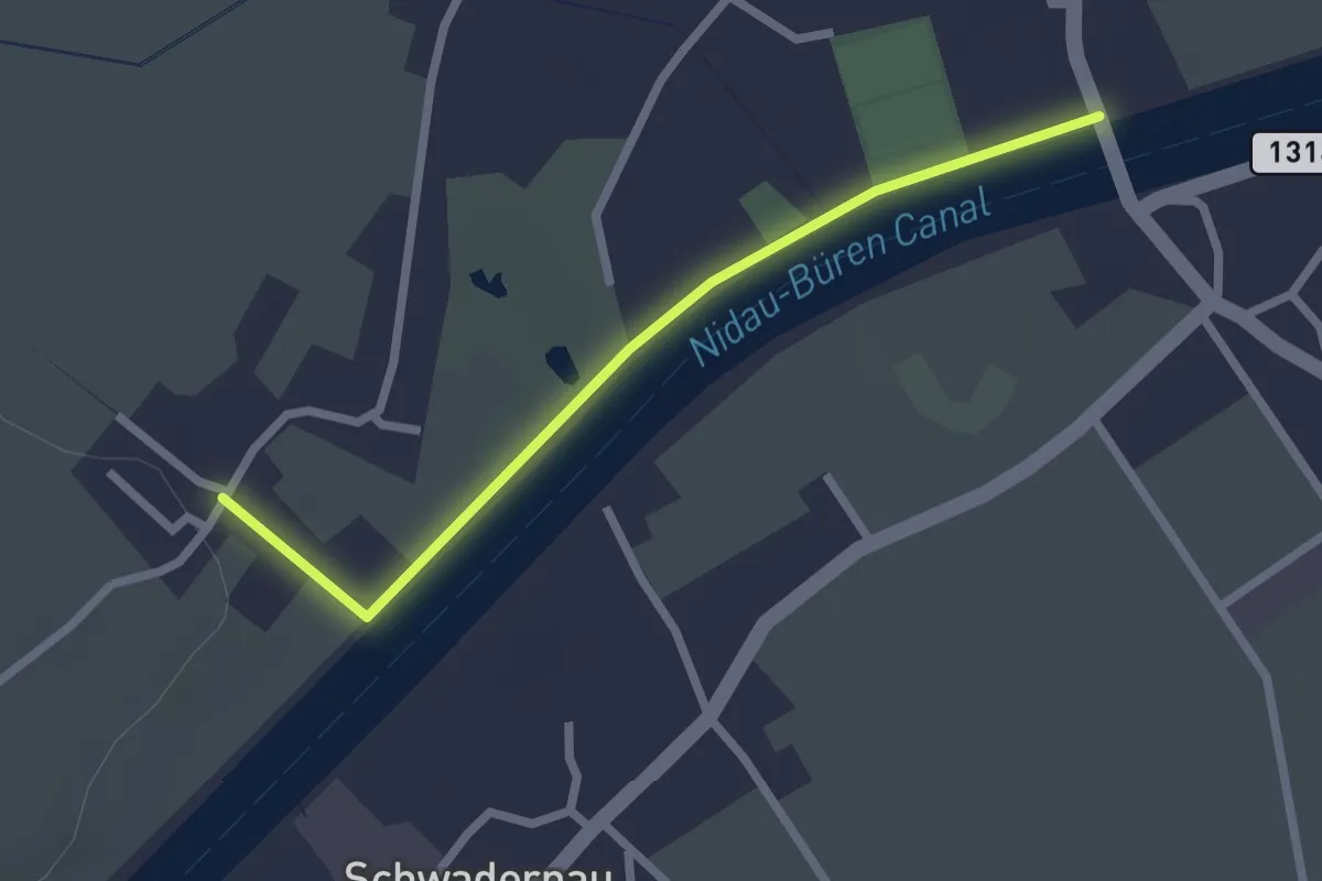
Easy · Trail
Gottstatt – Zilwil
2.3 km · ↑ 6 m · 33 min
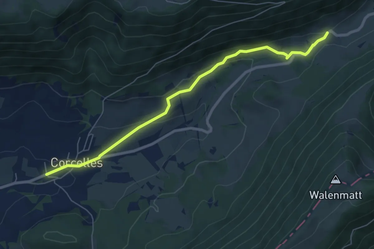
Easy · Trail
Corcelles – Pâturage derrière
6.1 km · ↑ 213 m · 1 h 54 min
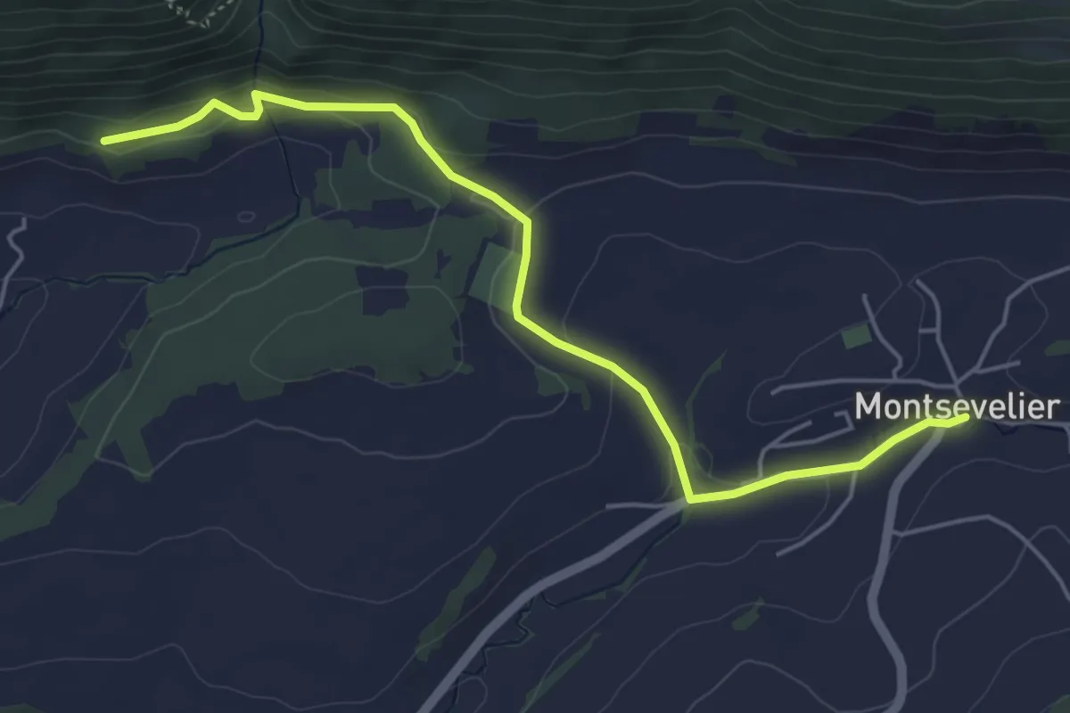
Easy · Trail
Montsevelier – La Providence
5.2 km · ↑ 121 m · 1 h 29 min
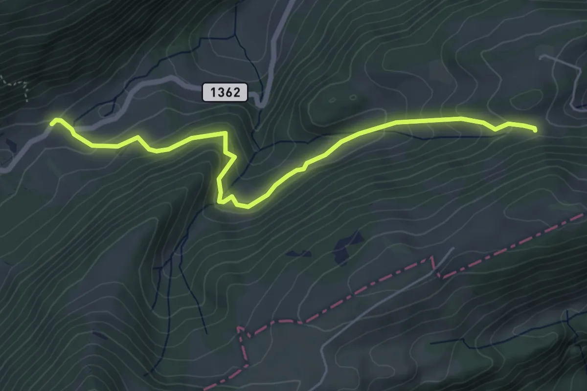
Easy · Trail
Pâturage derrière – Oberi Hell
5.3 km · ↑ 306 m · 1 h 54 min
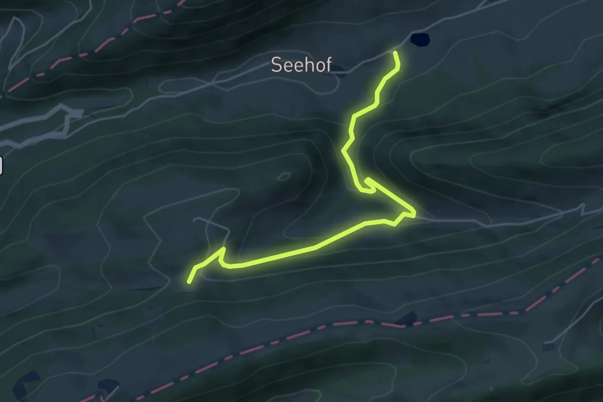
Easy · Trail
Oberi Hell – Seehof
5.0 km · ↑ 282 m · 1 h 48 min
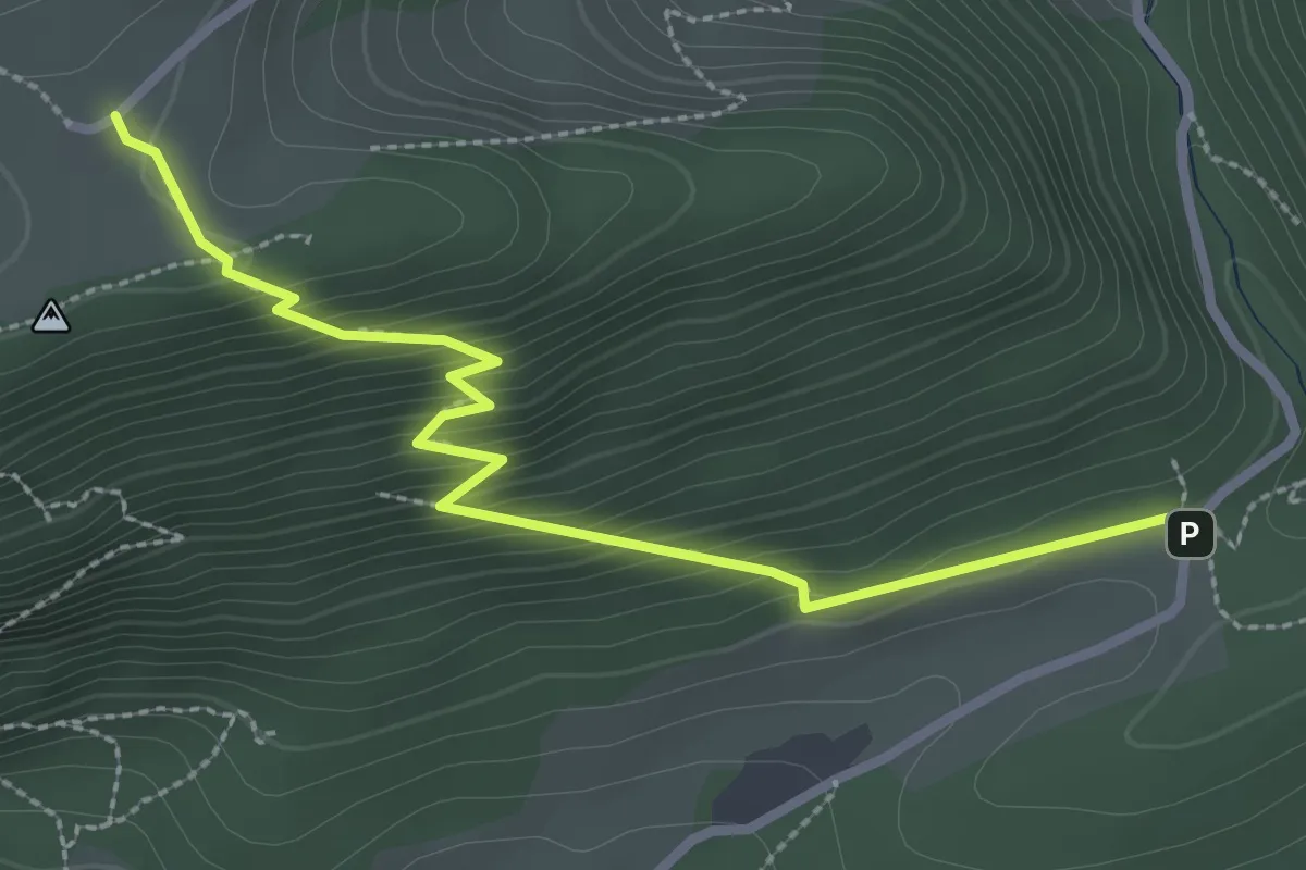
Medium · Trail
Hinterer Brandberg – Lochboden
3.0 km · ↑ 261 m · 1 h 16 min
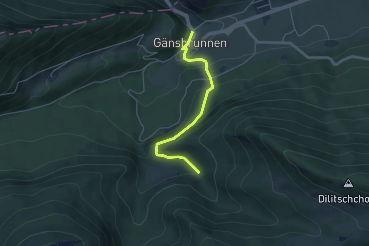
Easy · Trail
Gänsbrunnen St. Joseph – Rüschgraben
3.7 km · ↑ 293 m · 1 h 30 min
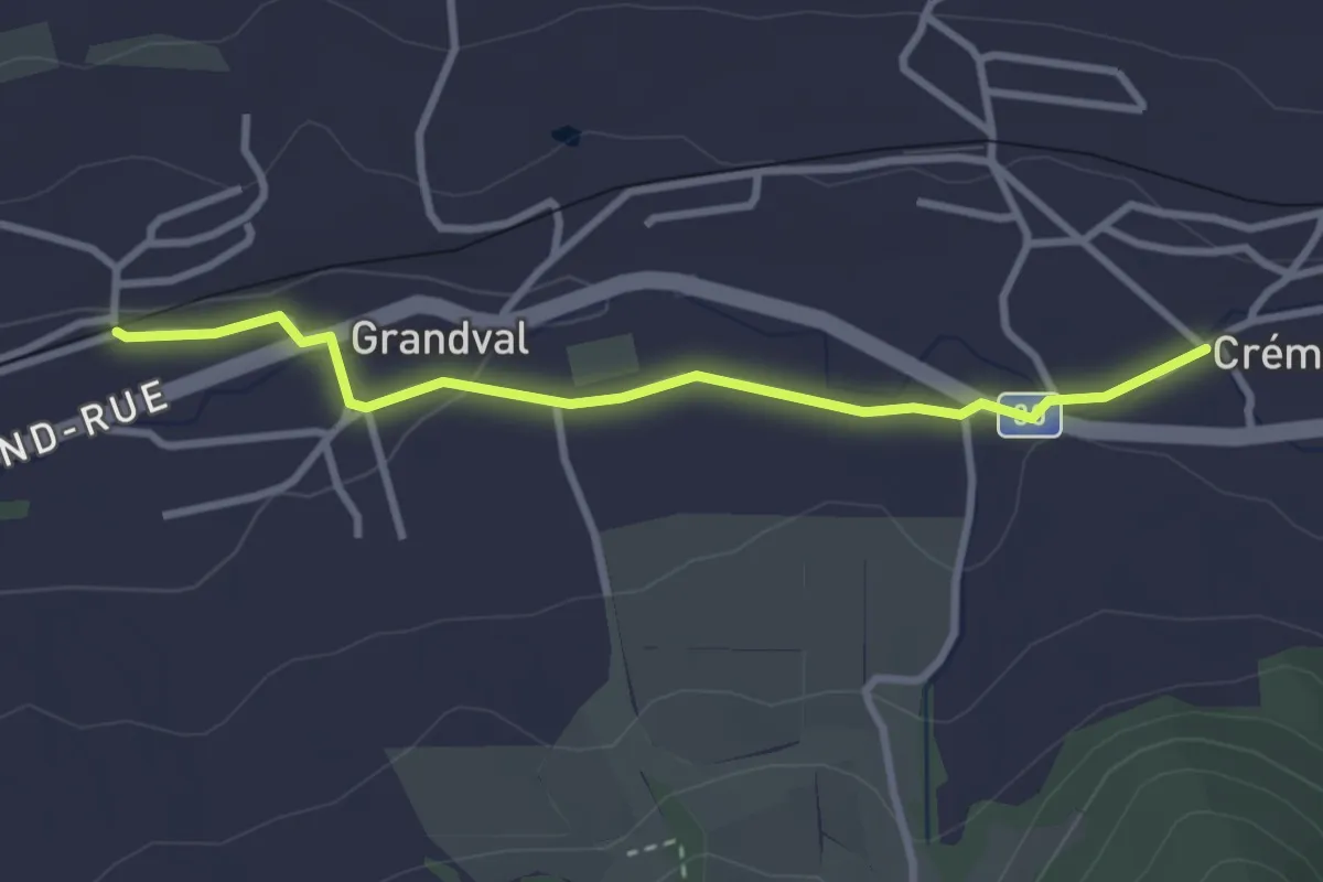
Easy · Trail
Grandval Gare – Crémines
3.0 km · ↑ 22 m · 45 min
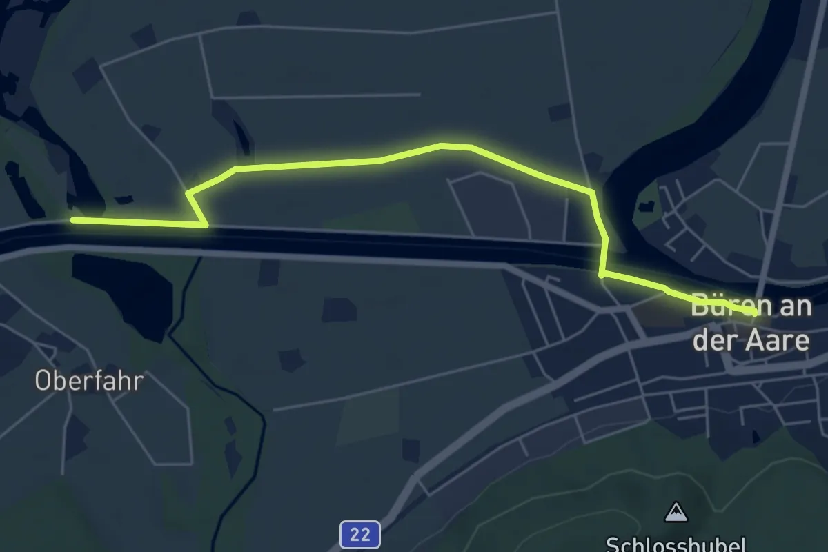
Easy · Trail
Büren a.d. A. – Häftli
6.0 km · ↑ 0 m · 1 h 25 min
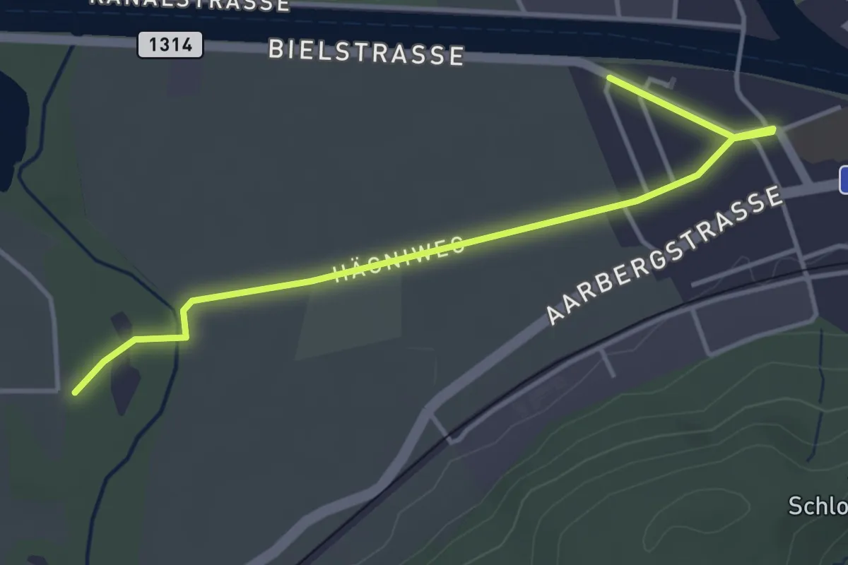
Easy · Trail
Büren a.d.A. – Meienried
4.2 km · ↑ 0 m · 59 min
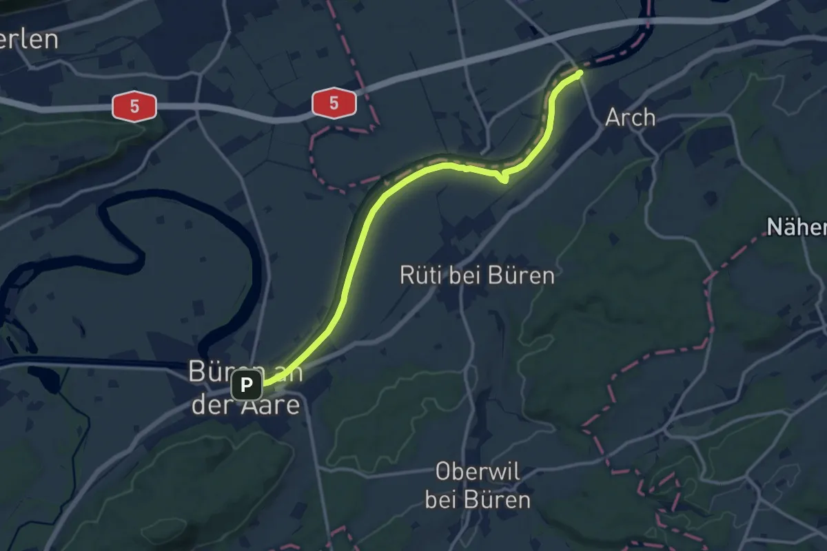
Medium · Trail
Büren a.d. Aare – Arch Aarbrügg
11.8 km · ↑ 5 m · 2 h 47 min
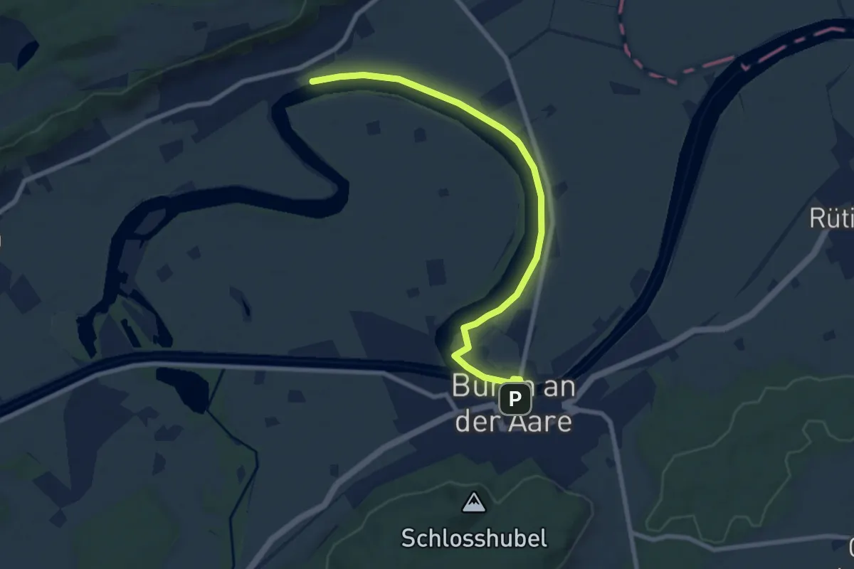
Easy · Trail
Meinisberg Alte Aare – Büren a.d. Aare
7.9 km · ↑ 14 m · 1 h 54 min
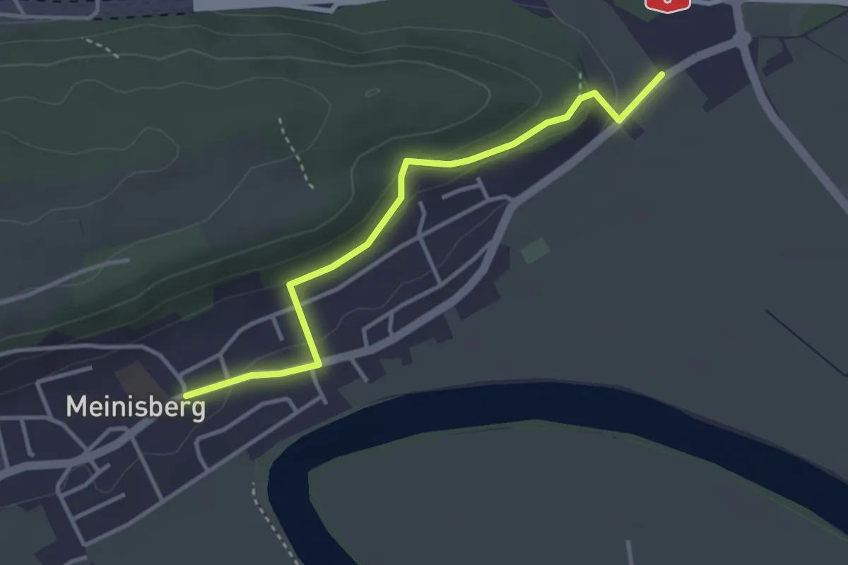
Easy · Trail
Scheidwegen – Meinisberg
3.4 km · ↑ 110 m · 1 h 2 min
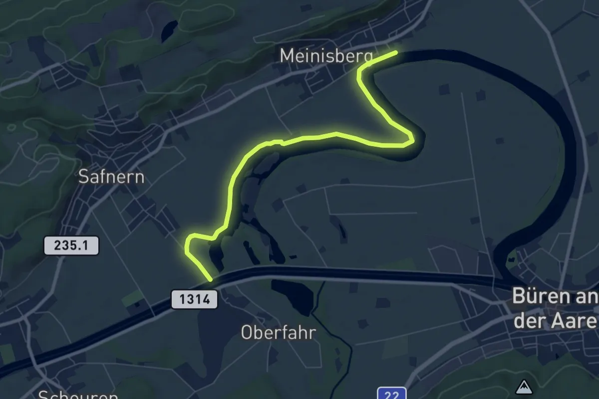
Medium · Trail
Meinisberg Alte Aare – Nidau-Büren-Kanal
8.2 km · ↑ 0 m · 1 h 56 min
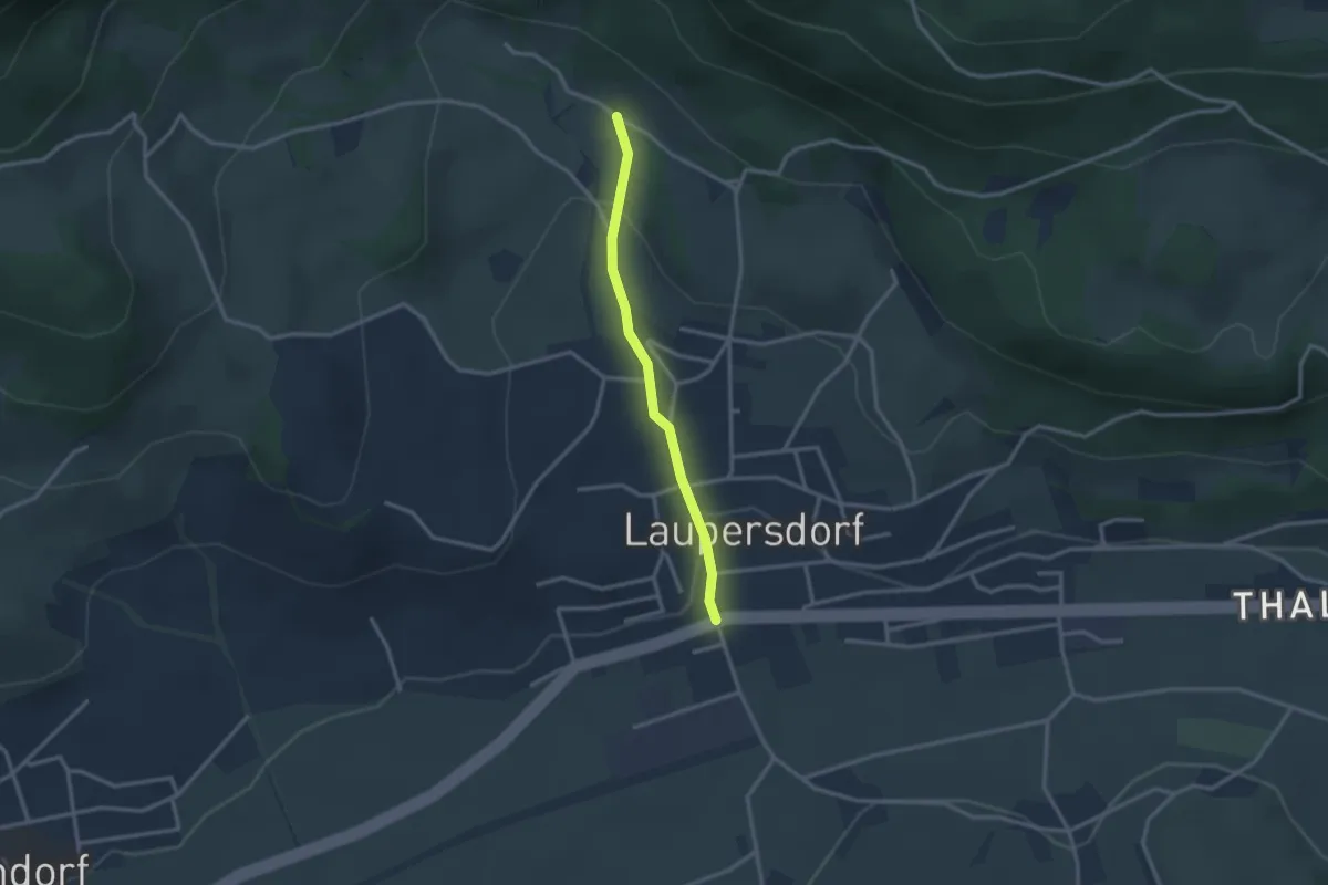
Easy · Trail
Laupersdorf Dorf – Schad
2.5 km · ↑ 74 m · 45 min
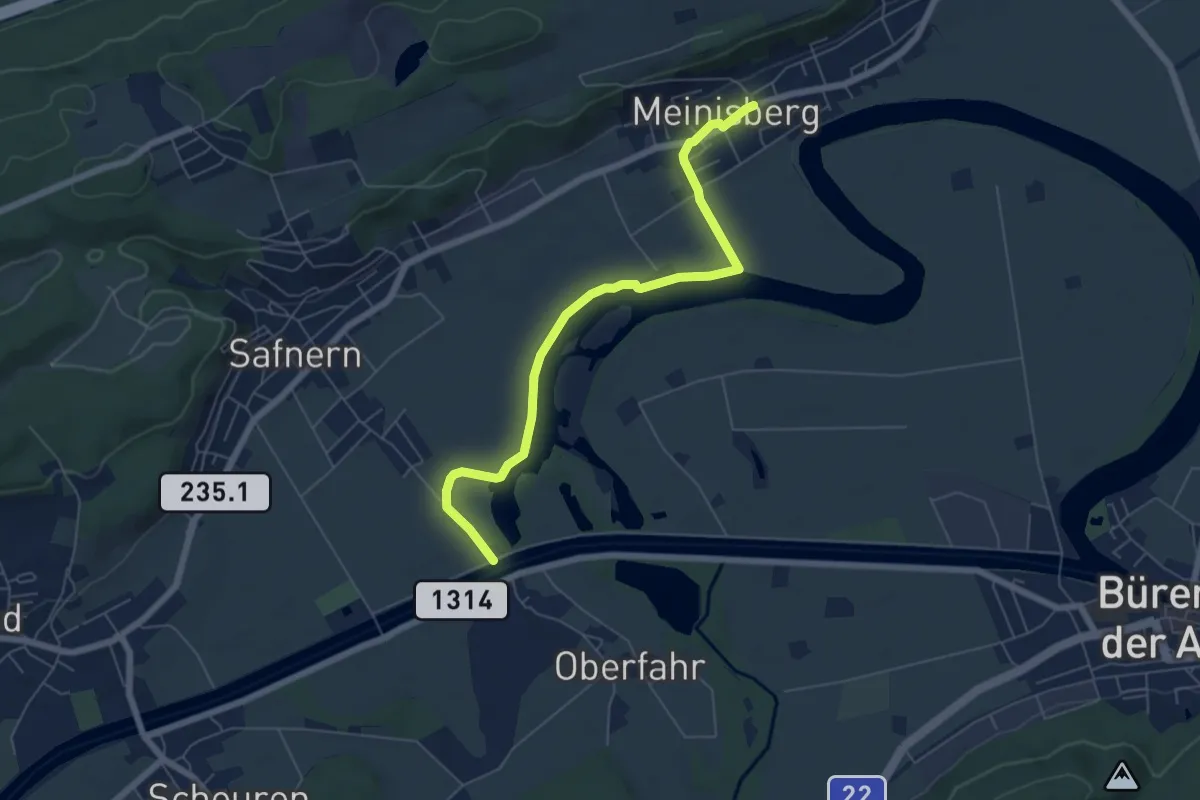
Easy · Trail
Meinisberg – Nidau-Büren-Kanal
6.4 km · ↑ 18 m · 1 h 32 min
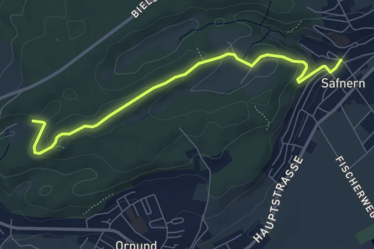
Easy · Trail
Safnern – Holzmatt
6.0 km · ↑ 173 m · 1 h 47 min
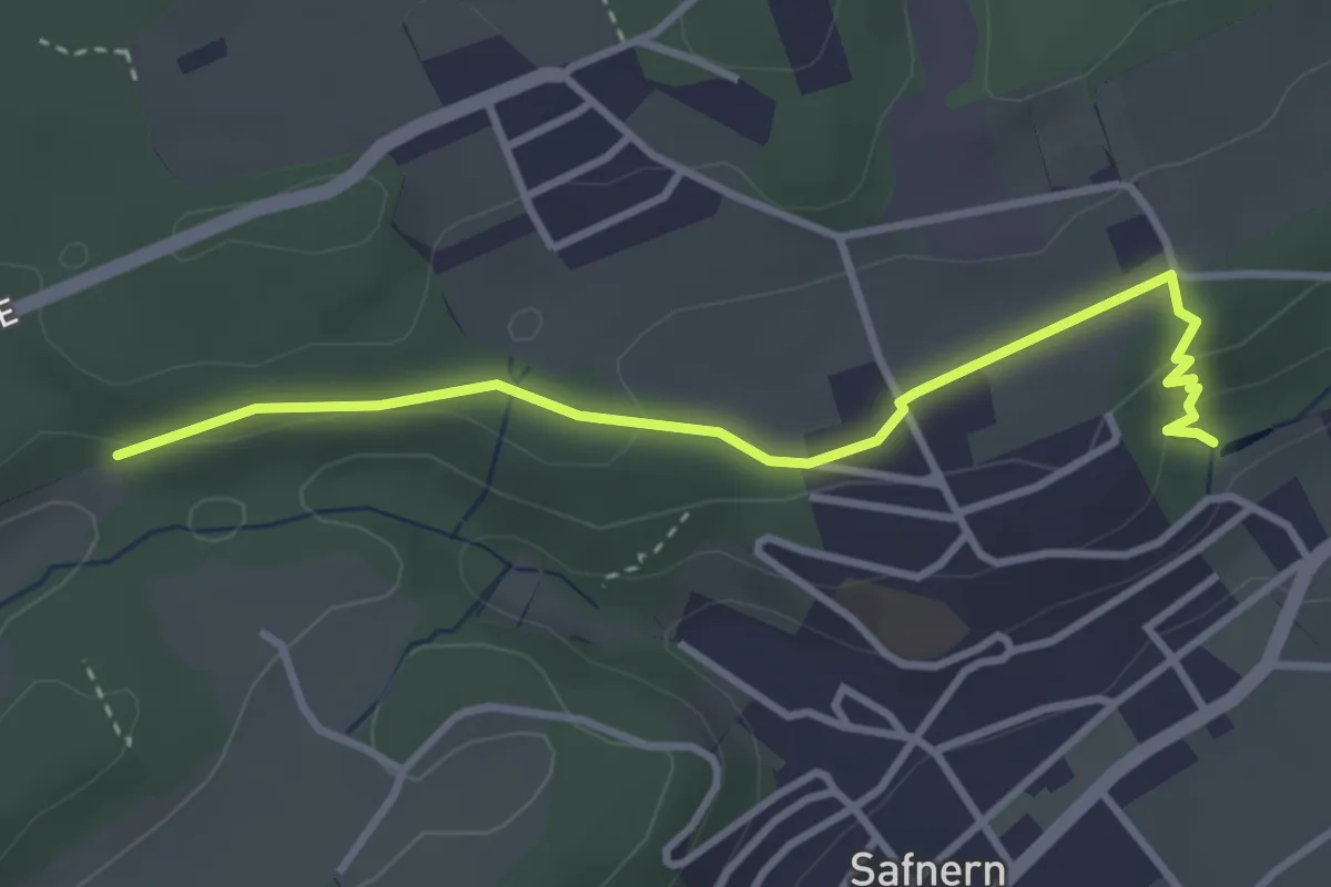
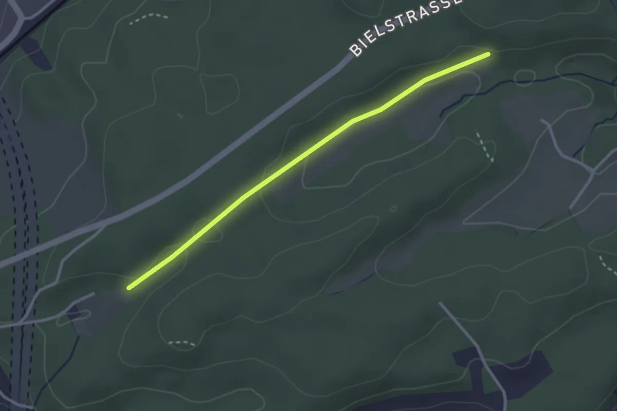
Easy · Trail
Hinderwiler – Riedrain
3.5 km · ↑ 80 m · 1 h
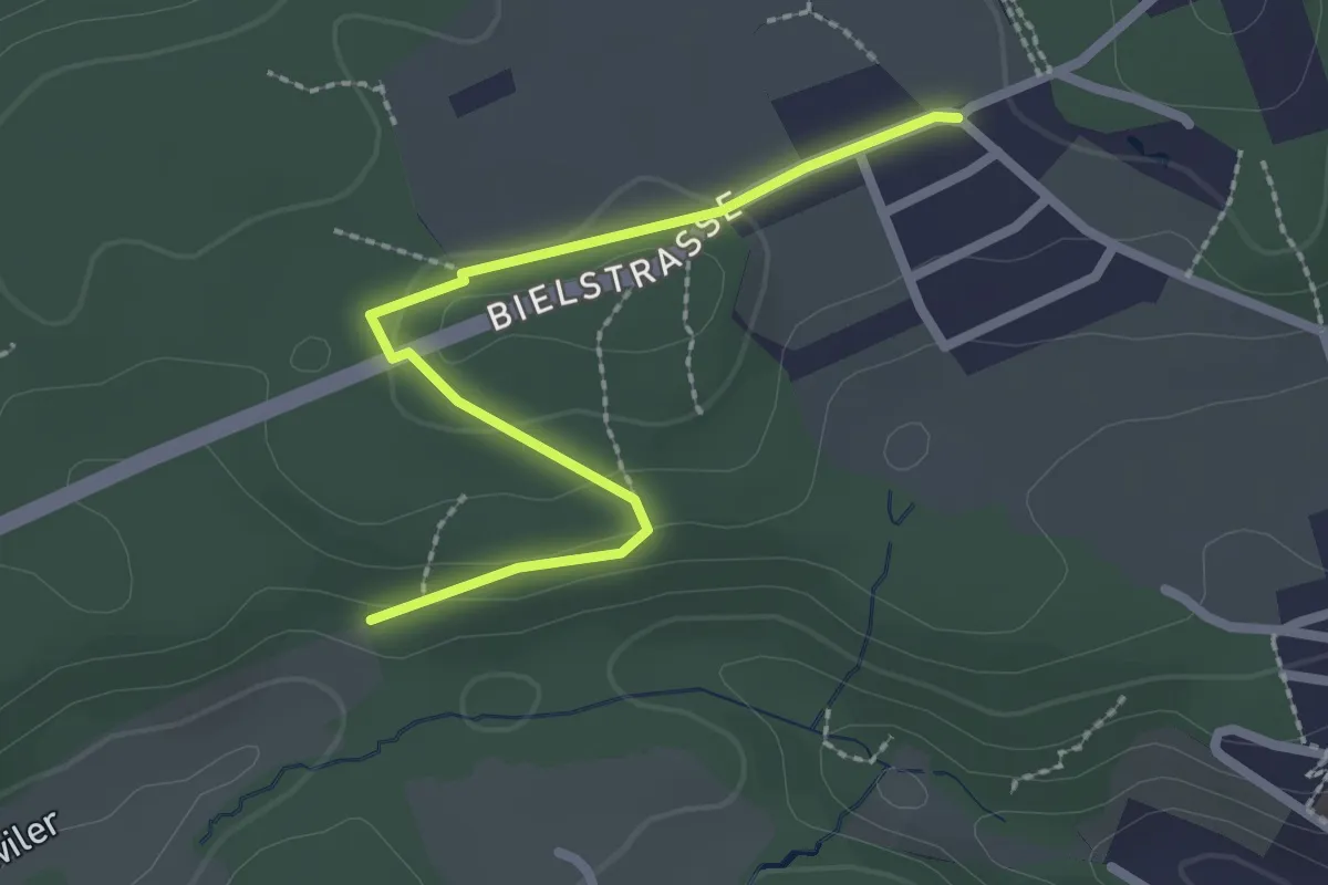
Easy · Trail
Holzmatt – Hinderwiler
2.8 km · ↑ 45 m · 46 min
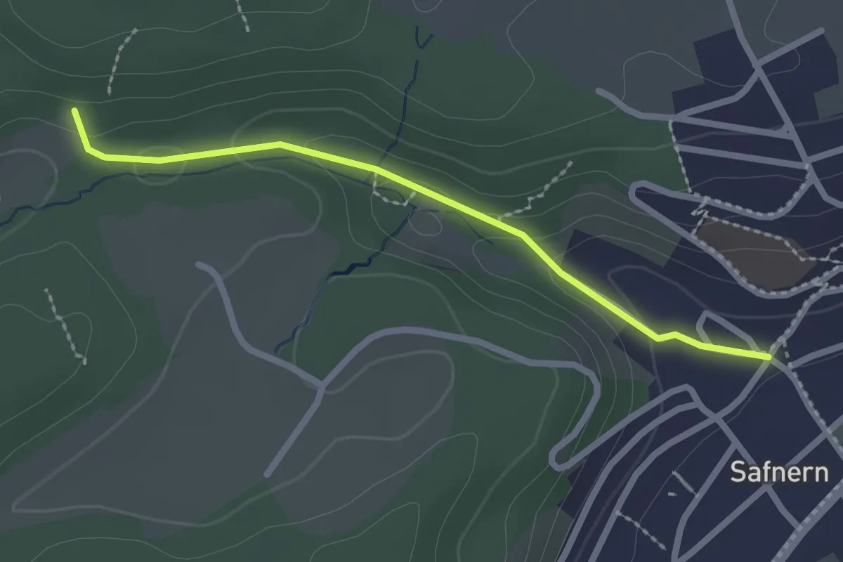
Easy · Trail
Bernhardsguet – Hinderwiler
2.4 km · ↑ 46 m · 40 min
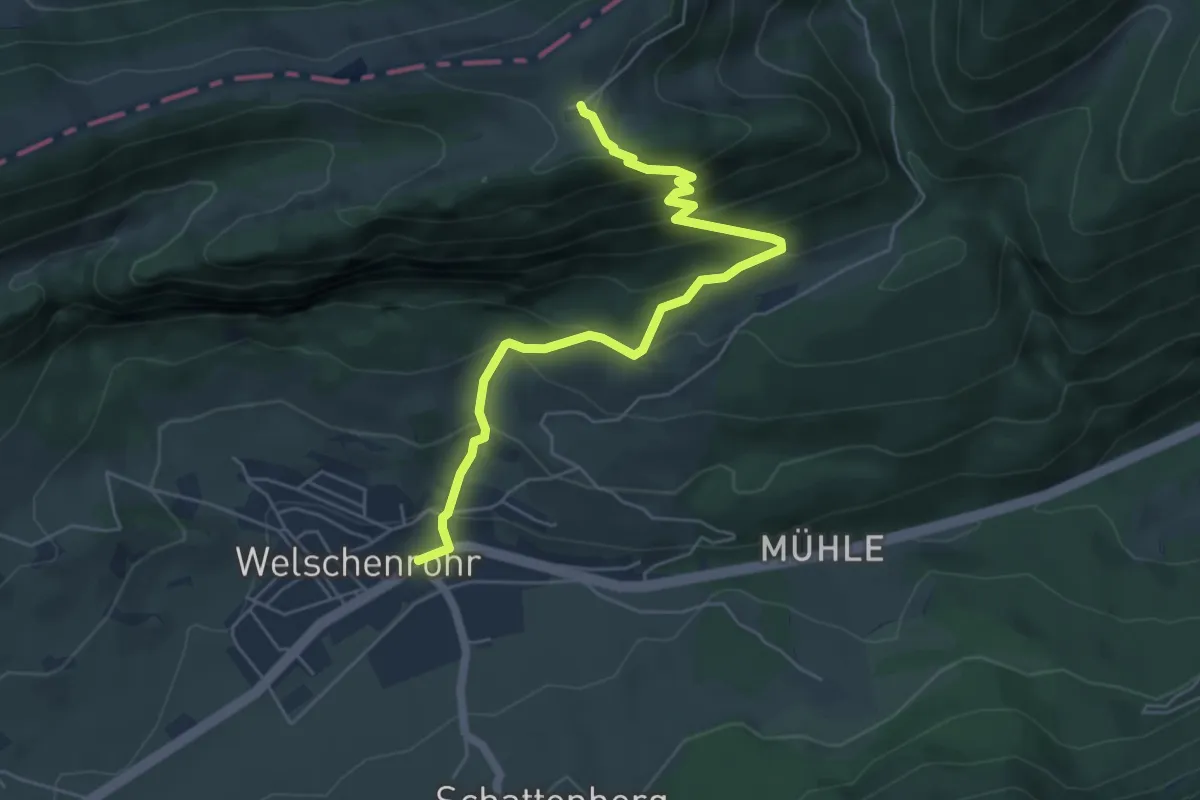
Easy · Trail
Hinderwiler – Safnern
2.2 km · ↑ 74 m · 40 min
Medium · Trail
Hinterer Brandberg – Post
5.8 km · ↑ 488 m · 2 h 26 min
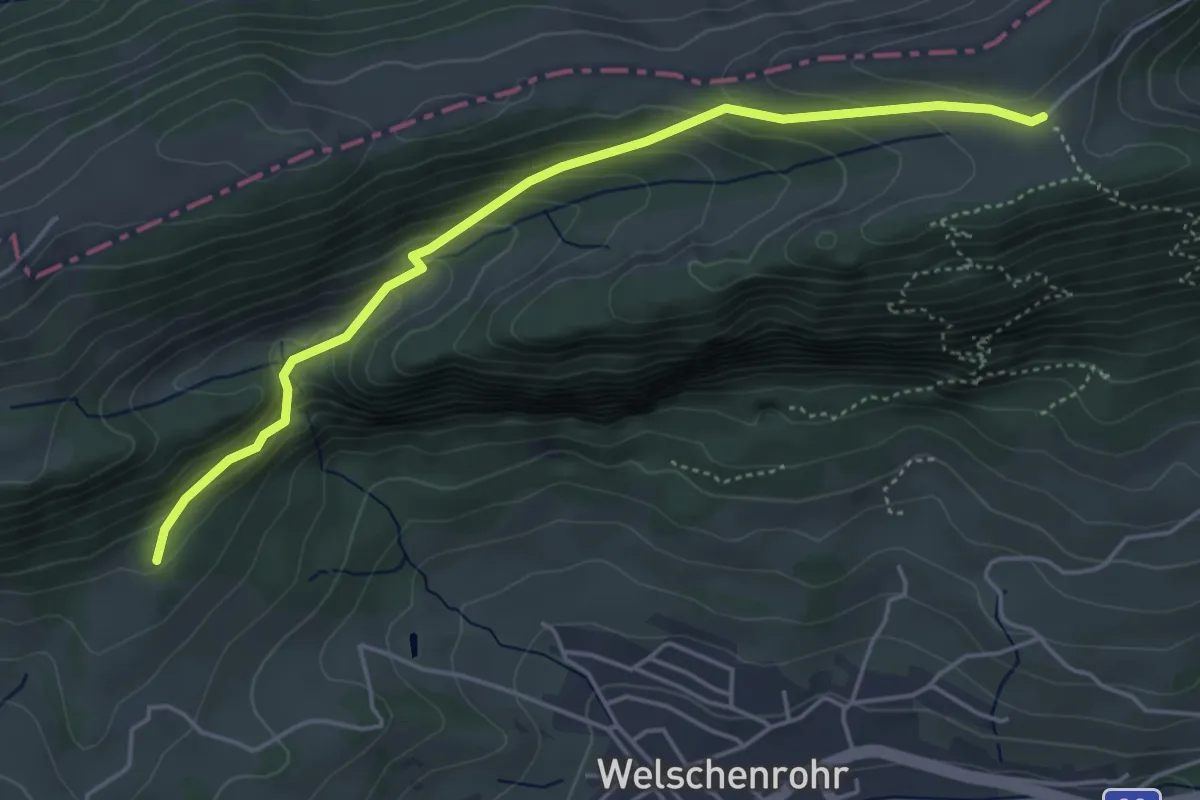
Easy · Trail
Harzerstrasse – Hinterer Brandberg
4.7 km · ↑ 286 m · 1 h 44 min
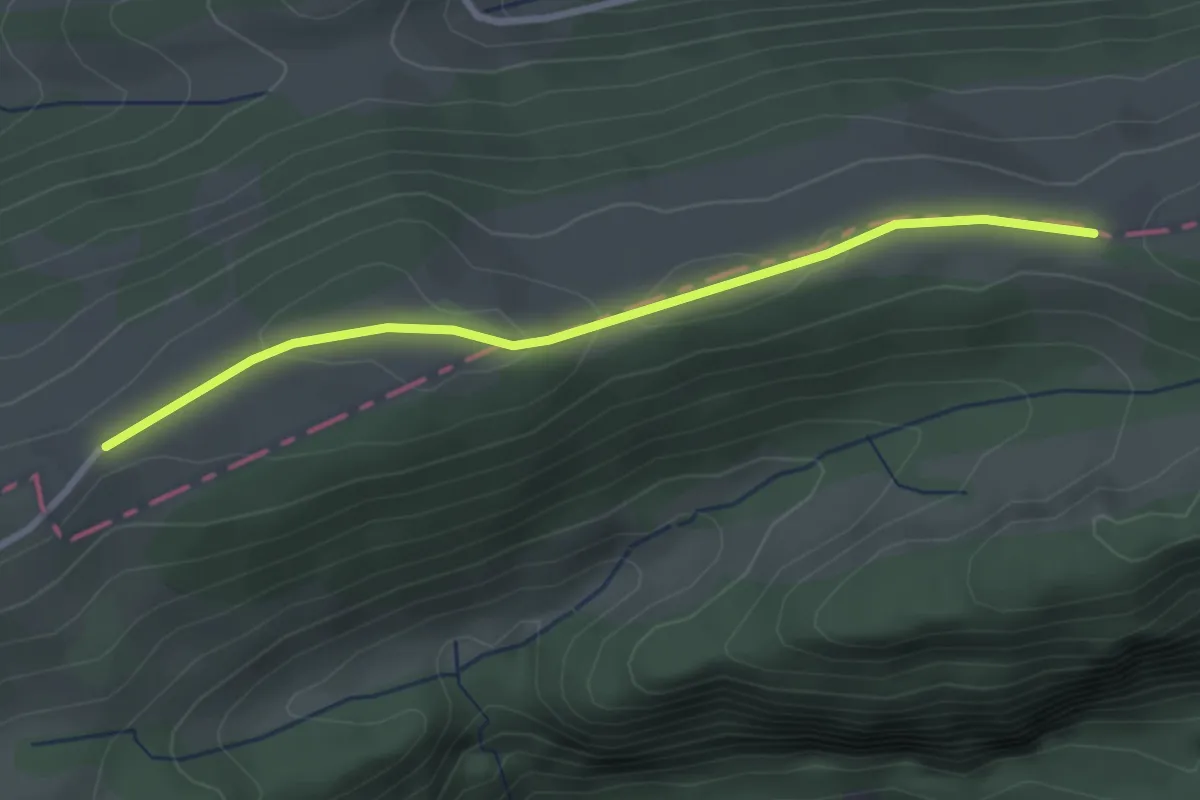
Easy · Trail
Harzer – Probstenberg
2.8 km · ↑ 38 m · 45 min
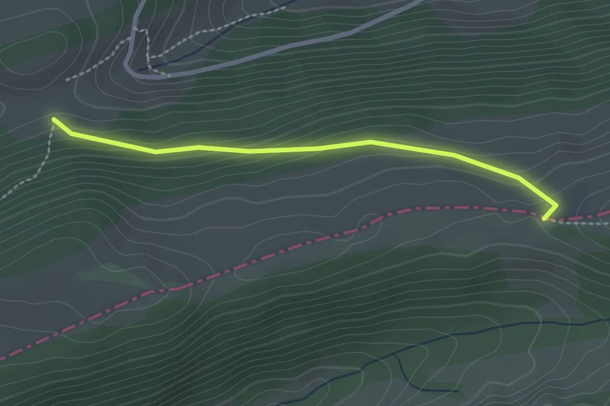
Easy · Trail
Oberi Hell – Probstenberg
2.2 km · ↑ 99 m · 44 min
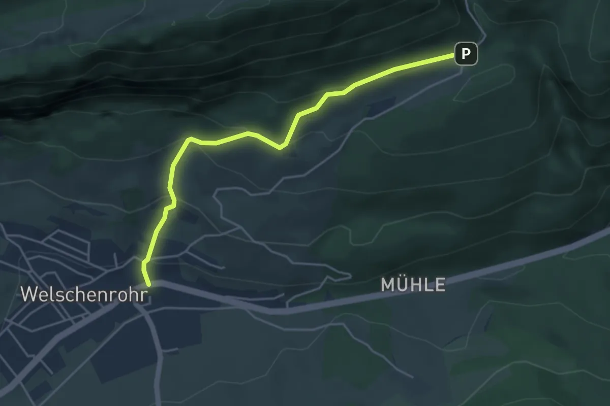
Easy · Trail
Post – Lochboden
4.1 km · ↑ 245 m · 1 h 30 min
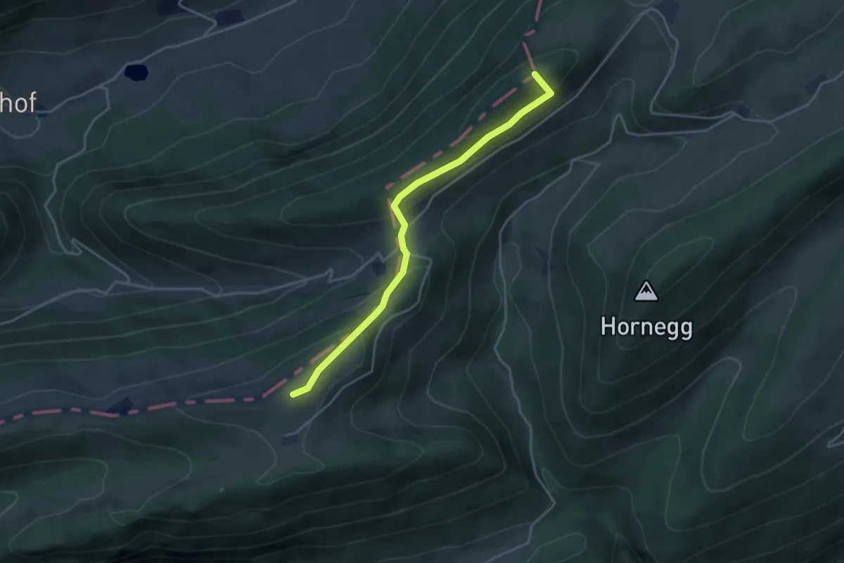
Easy · Summit
Mieschegg – Brandbergegg
3.7 km · ↑ 183 m · 1 h 16 min
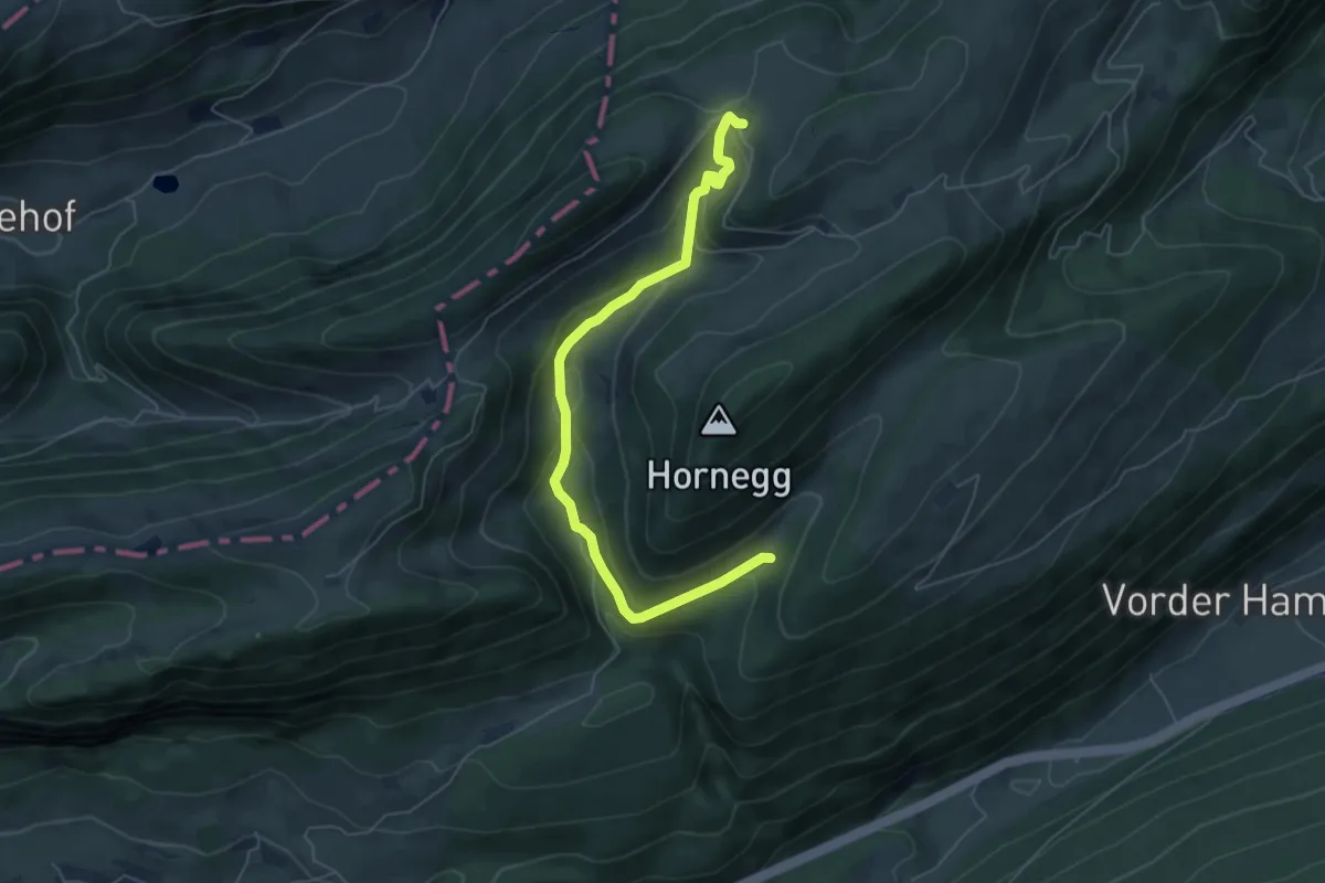
Easy · Trail
Mieschegg – Tuftbrunnen
6.0 km · ↑ 269 m · 2 h
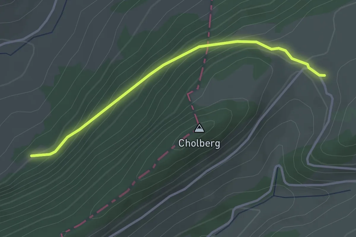
Easy · Trail
Mieschegg – ?
2.9 km · ↑ 211 m · 1 h 9 min
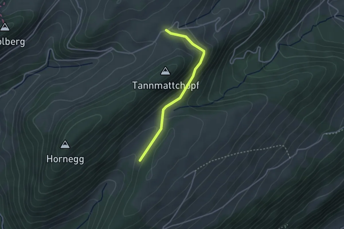
Easy · Trail
Obere Tannmatt – Chuematt
2.6 km · ↑ 86 m · 48 min
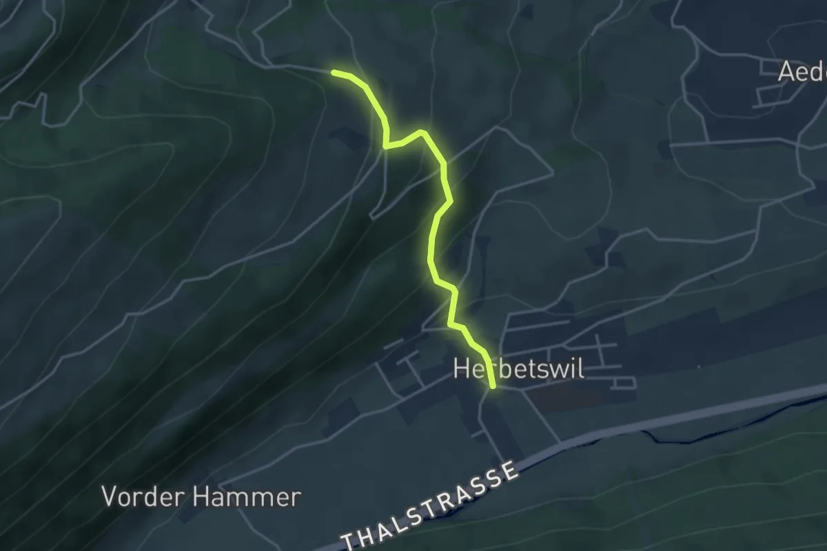
Easy · Trail
Herbestwiler Allmend – Herbetswil
3.0 km · ↑ 243 m · 1 h 14 min
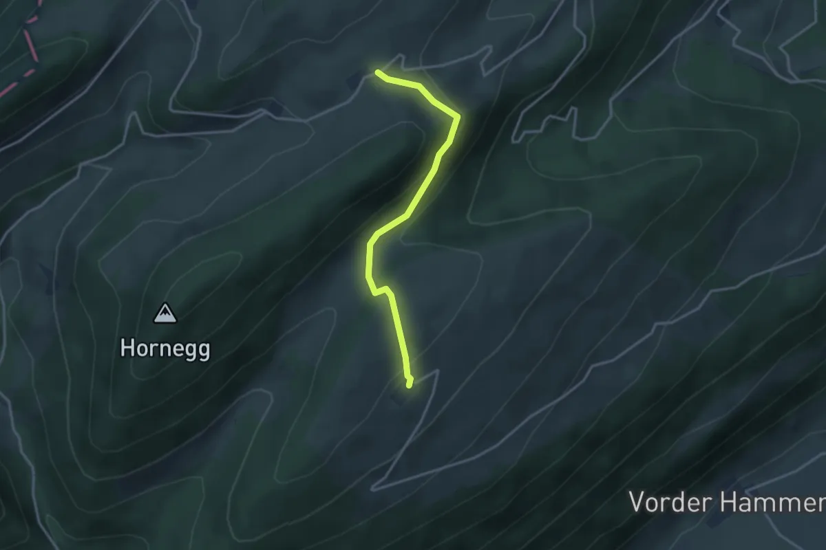
Easy · Trail
Vorderer Brandberg – Obere Tannmatt
2.9 km · ↑ 99 m · 54 min
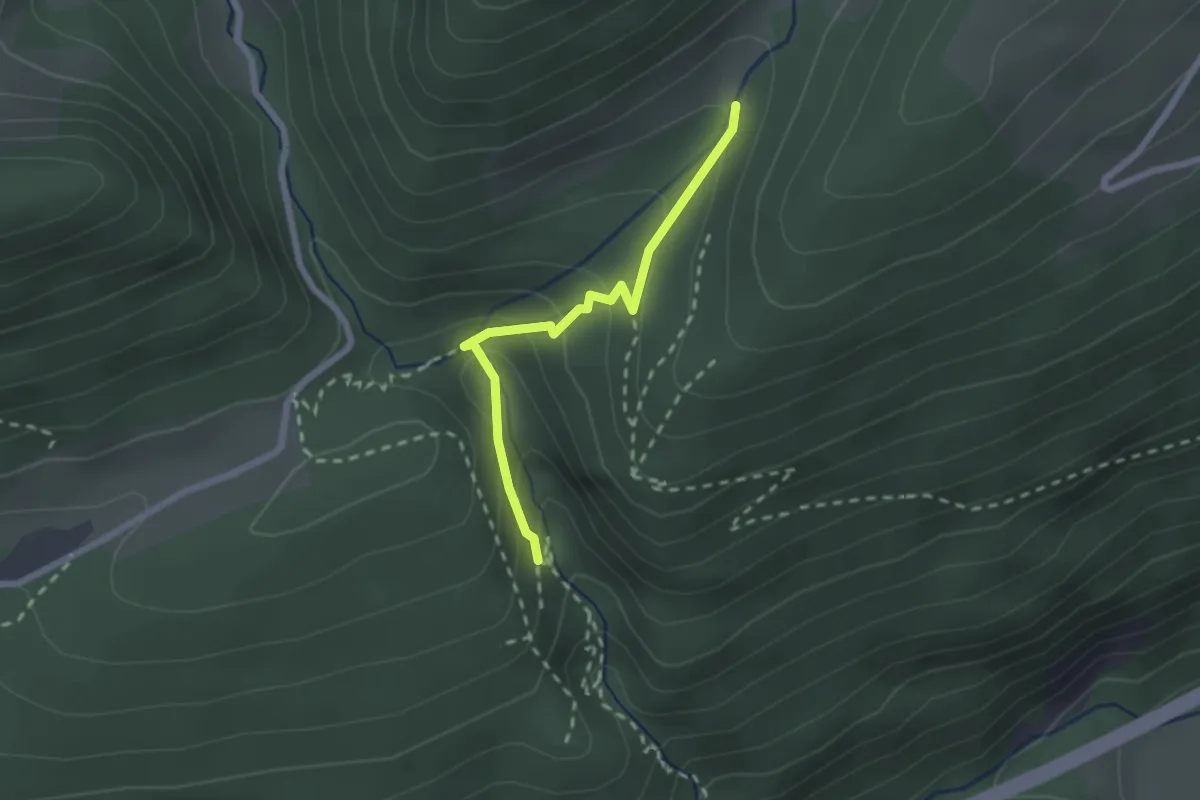
Medium · Trail
Tuftbrunnen – Wolfsschlucht
2.0 km · ↑ 145 m · 48 min
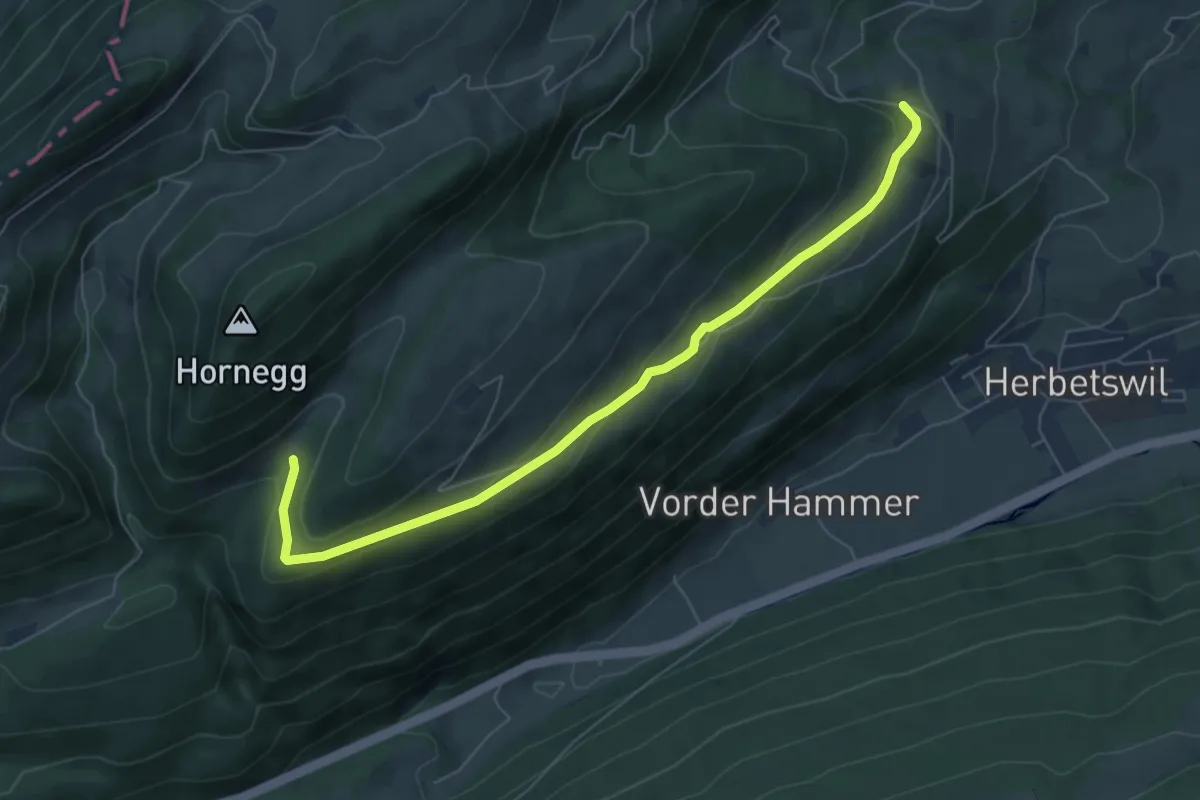
Easy · Trail
Tuftbrunnen – Herbestwiler Allmend
6.8 km · ↑ 218 m · 2 h 5 min
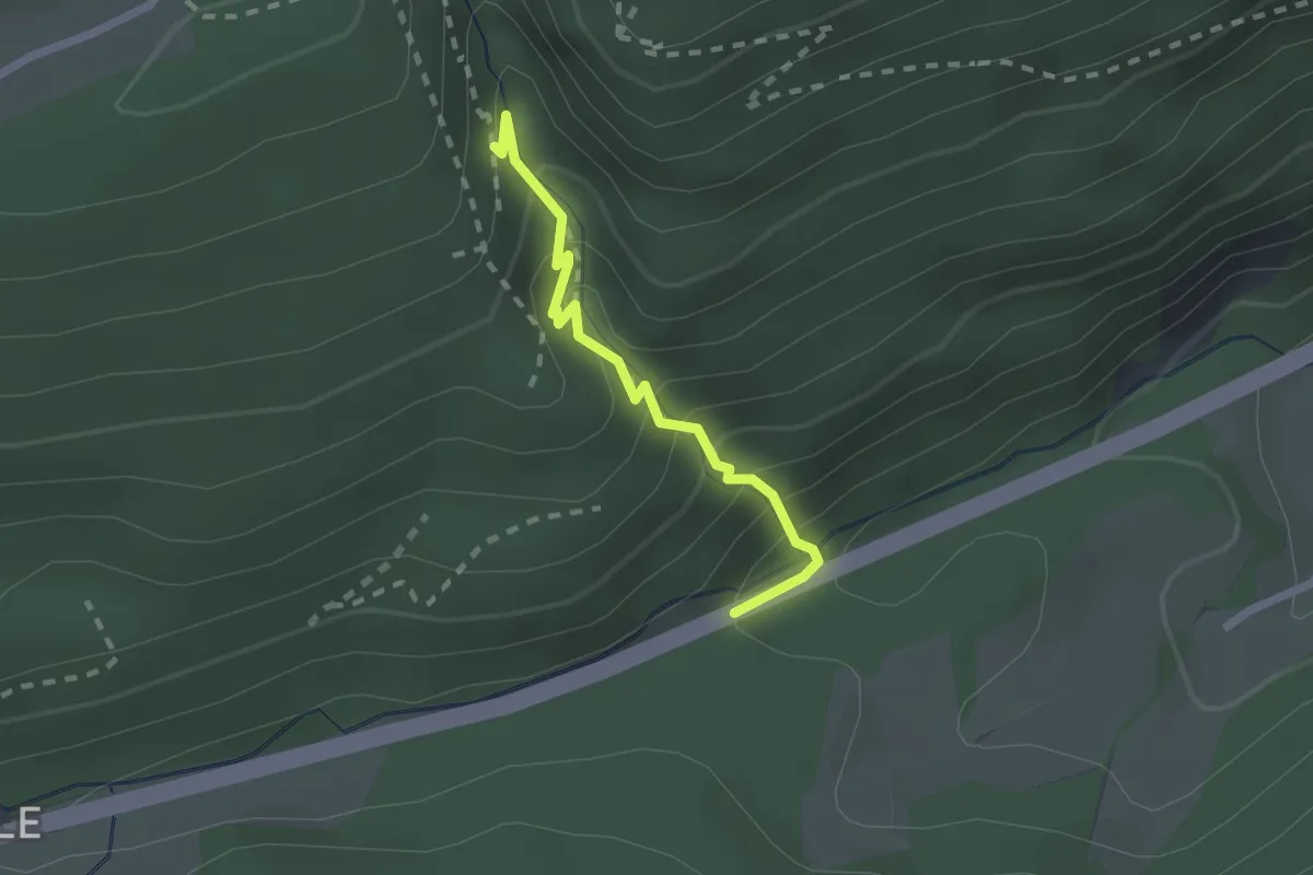
Medium · Trail
Hammerrain – Wolfsschlucht
1.9 km · ↑ 182 m · 50 min
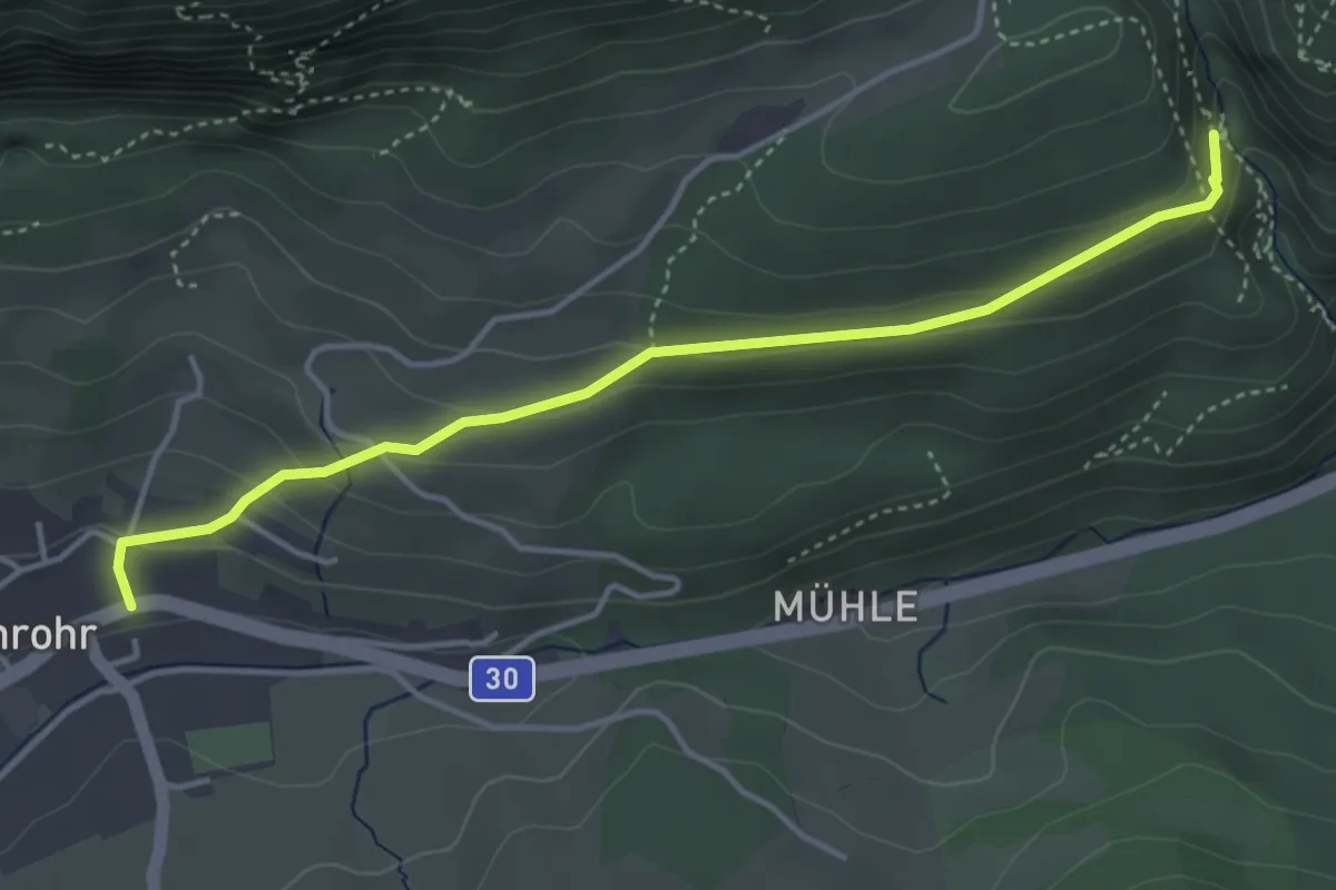
Medium · Trail
Wolfsschlucht – Post
4.1 km · ↑ 160 m · 1 h 19 min
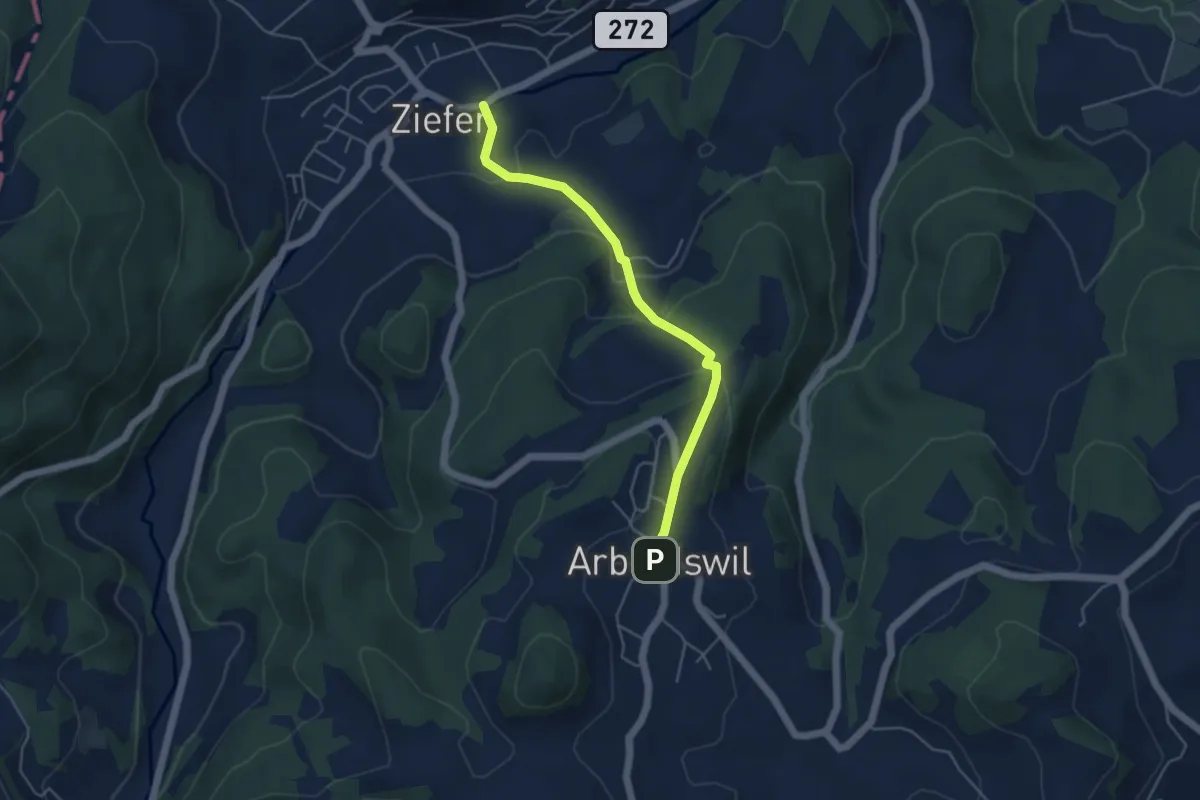
Easy · Trail
Arboldswil – Ziefen
4.4 km · ↑ 218 m · 1 h 31 min
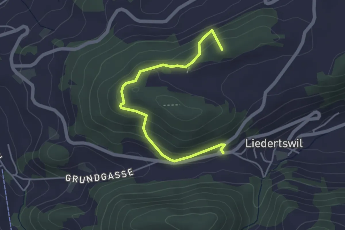
Easy · Summit
Sixfeld – Titterten
3.8 km · ↑ 223 m · 1 h 22 min