Trails in Switzerland
15,055 hiking trails, each with its route, climb, walking time and grade.
All trails, page 246 of 314
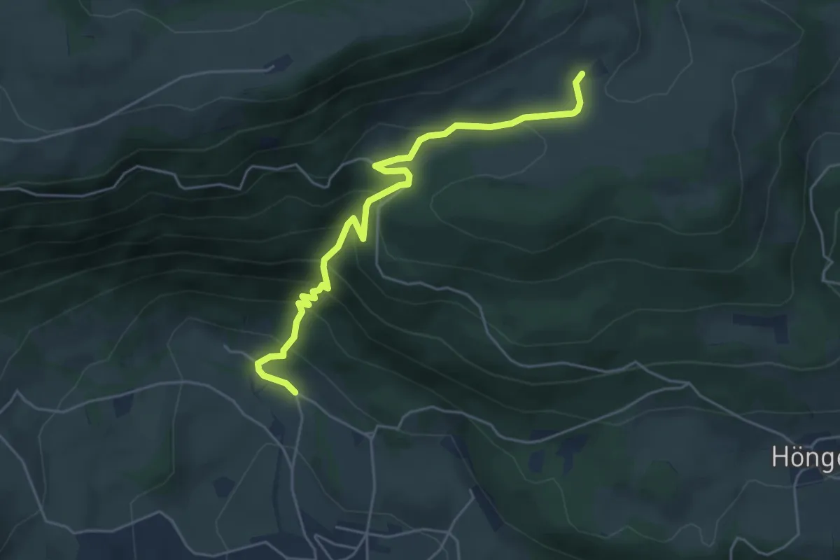
Medium · Trail
Schad – Bremgarten
5.0 km · ↑ 361 m · 1 h 58 min
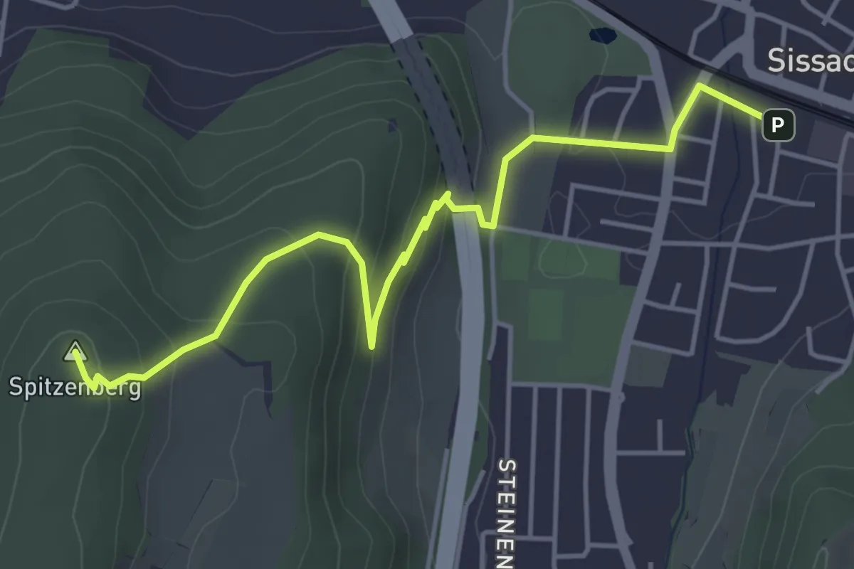
Easy · Summit
Sissach – Zunzgerberg
4.8 km · ↑ 225 m · 1 h 37 min
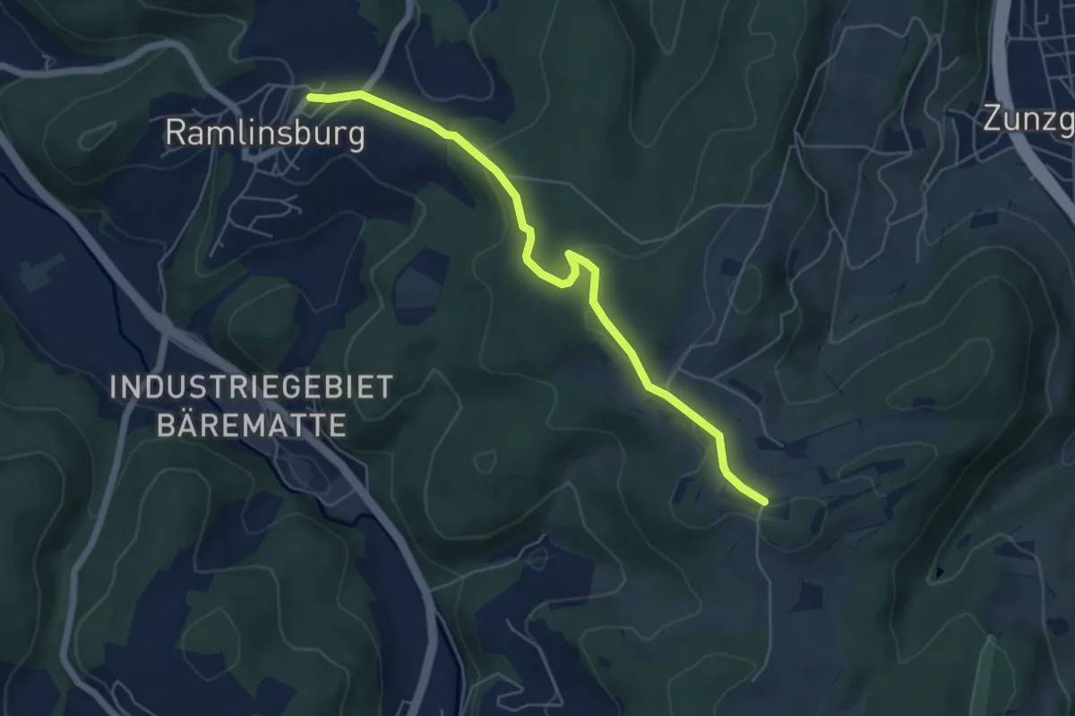
Easy · Trail
Zungerberg – Ramlinsburg
5.6 km · ↑ 105 m · 1 h 33 min
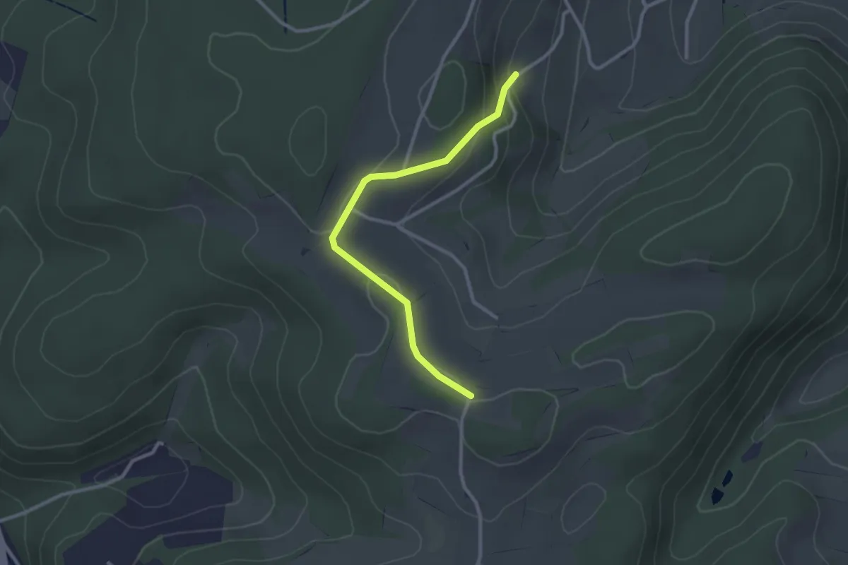
Easy · Trail
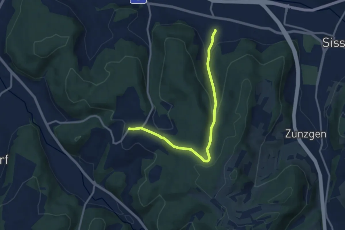
Zunzgerberg – Zunzgen
2.6 km · ↑ 58 m · 45 min
Easy · Trail
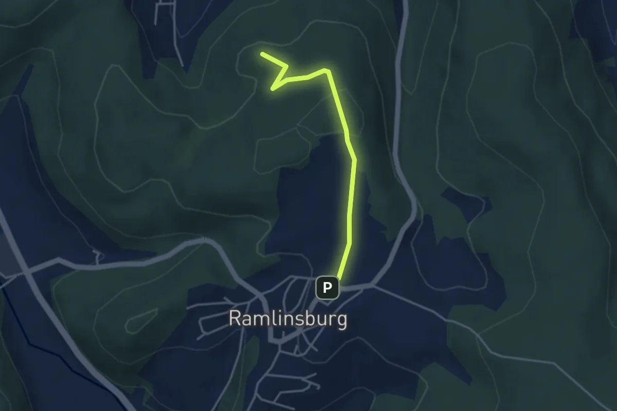
Ramlinsburg – Itingen
7.2 km · ↑ 293 m · 2 h 19 min
Easy · Summit
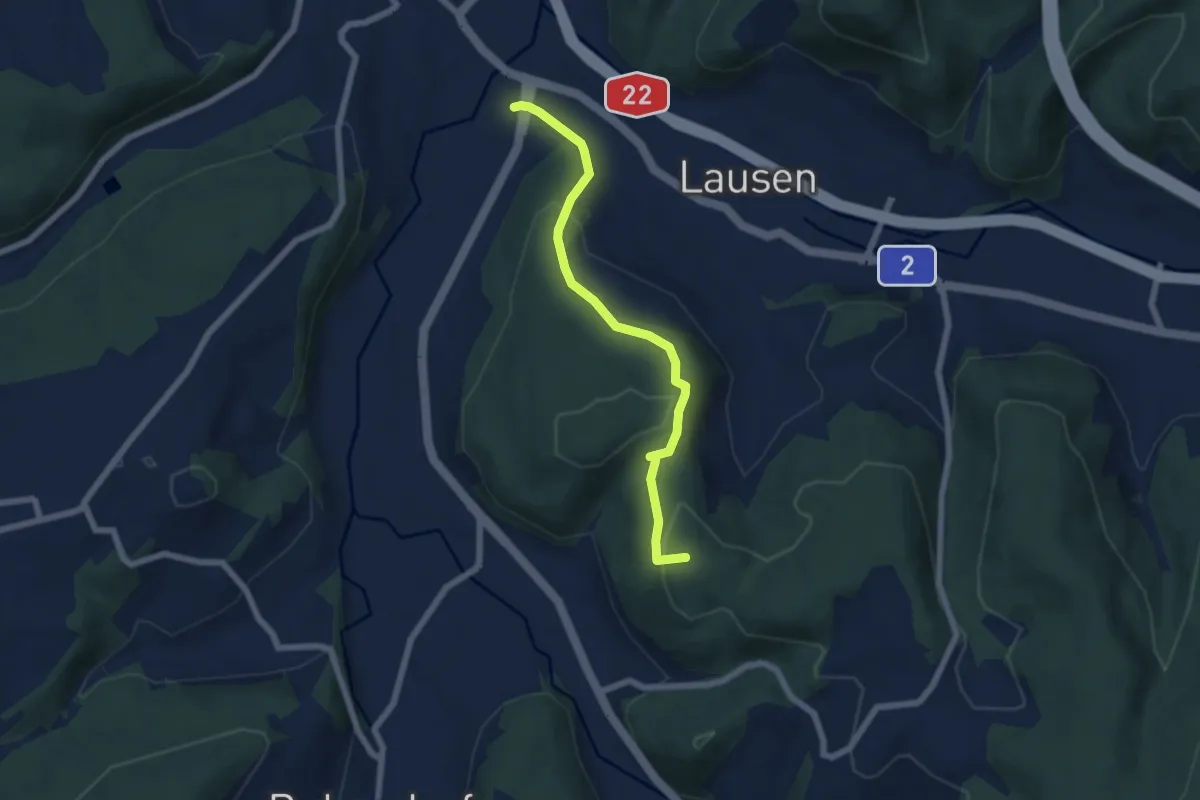
Ramlinsburg – Lausen
3.0 km · ↑ 102 m · 56 min
Easy · Summit
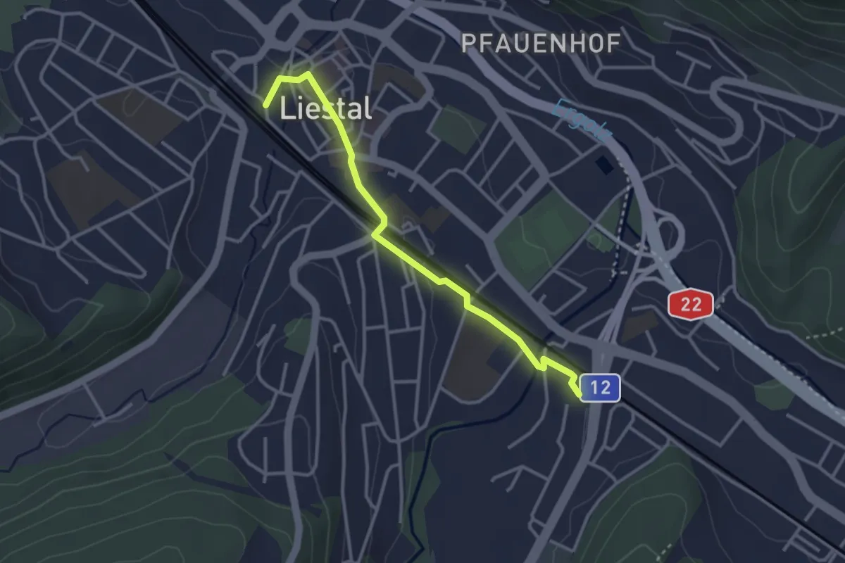
Ramlinsburg – Altmarkt
5.9 km · ↑ 218 m · 1 h 52 min
Easy · Trail
Altmarkt – Liestal Bhf.
3.1 km · ↑ 23 m · 46 min
Easy · Trail
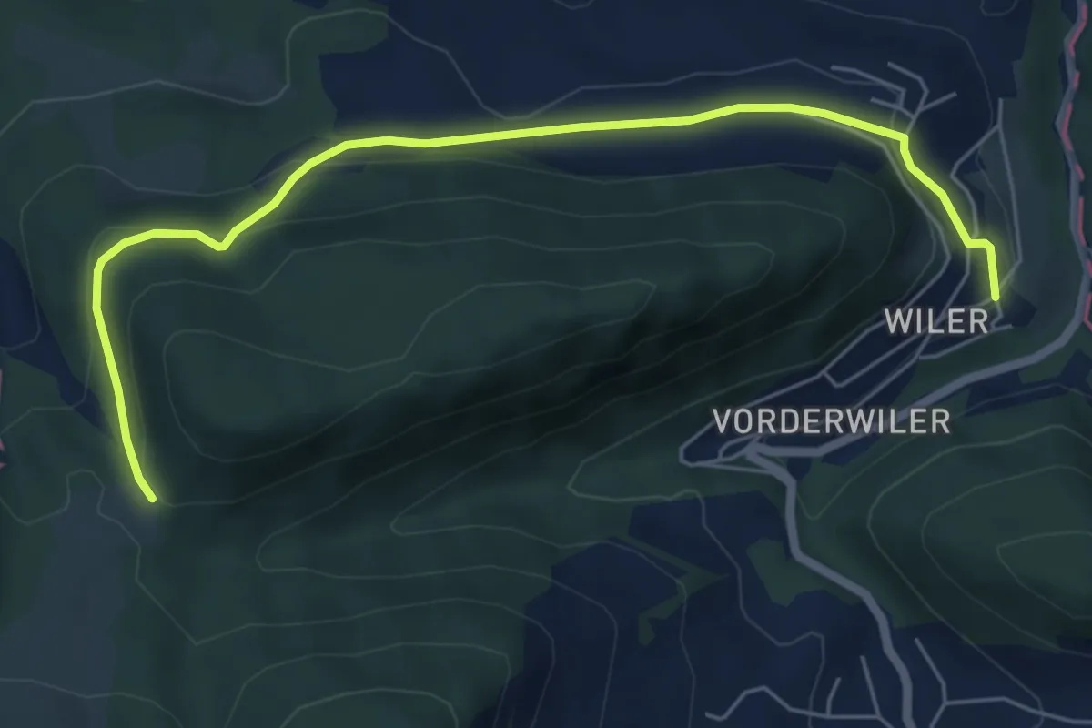
Bärschwiler Jagdhütte – Unter Wiler
6.2 km · ↑ 222 m · 1 h 57 min
Easy · Trail
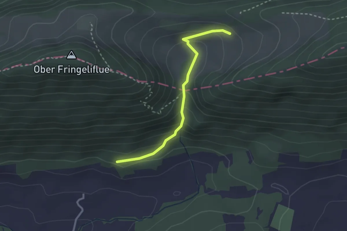
Nieder Fringeli – La Maicheratte
2.4 km · ↑ 147 m · 53 min
Medium · Trail
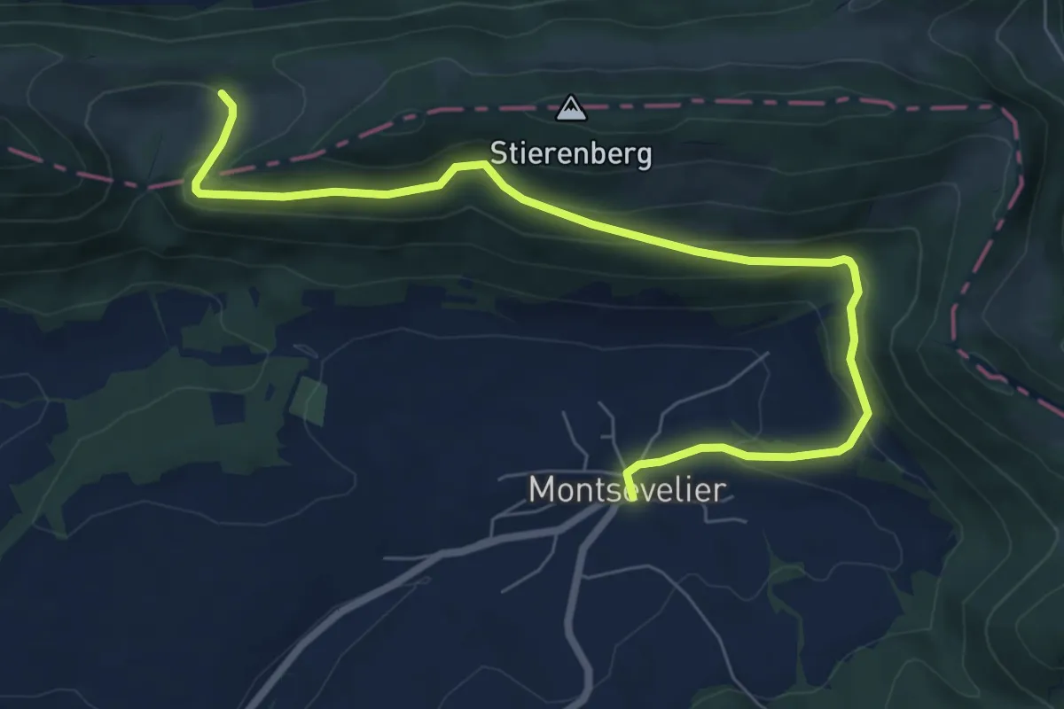
Nieder Fringeli – Montsevelier
8.0 km · ↑ 340 m · 2 h 38 min
Easy · Trail
Centrale éoliennes – Le Bardeau
3.6 km · ↑ 55 m · 58 min
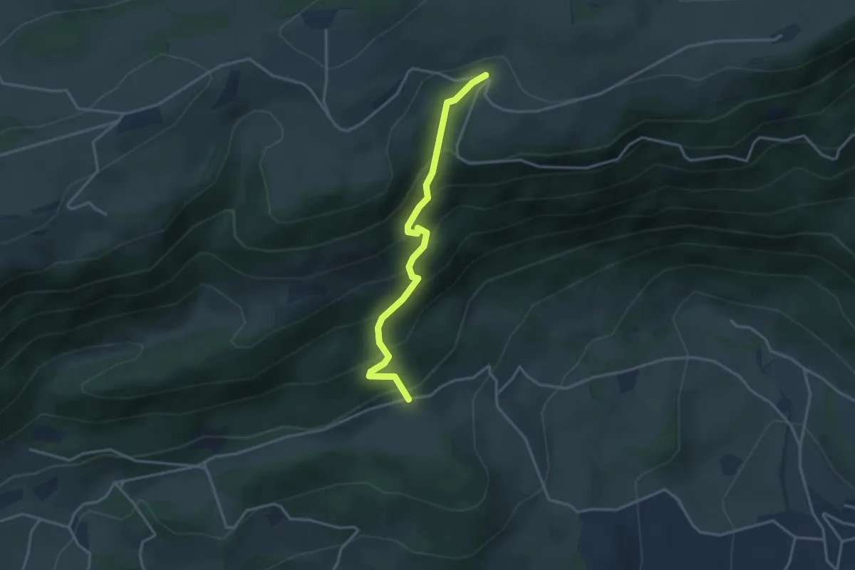
Easy · Trail
Hermesgraben – Längägerten
3.2 km · ↑ 303 m · 1 h 25 min
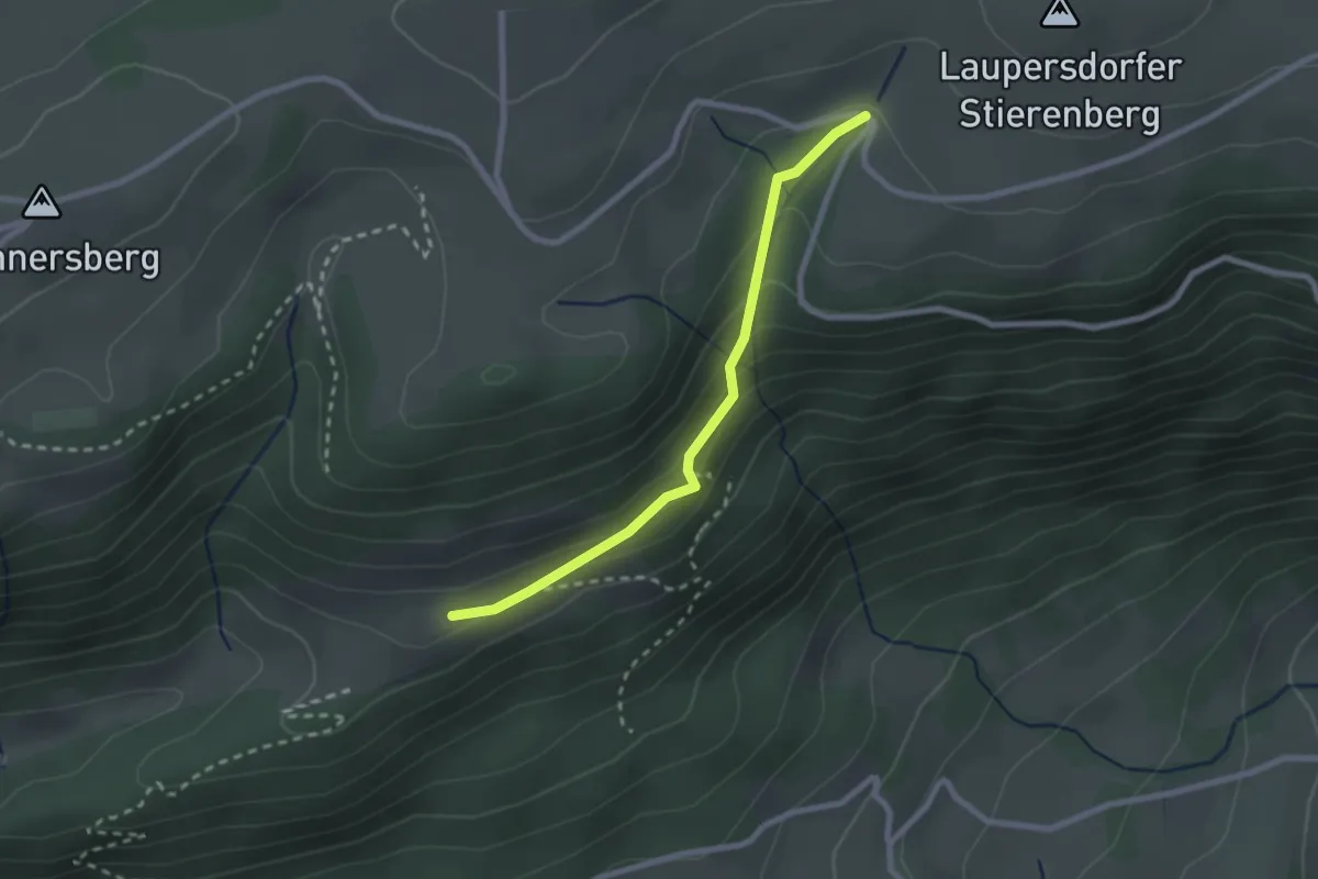
Easy · Trail
Hermesgraben – Oberi Wängi
2.3 km · ↑ 123 m · 48 min
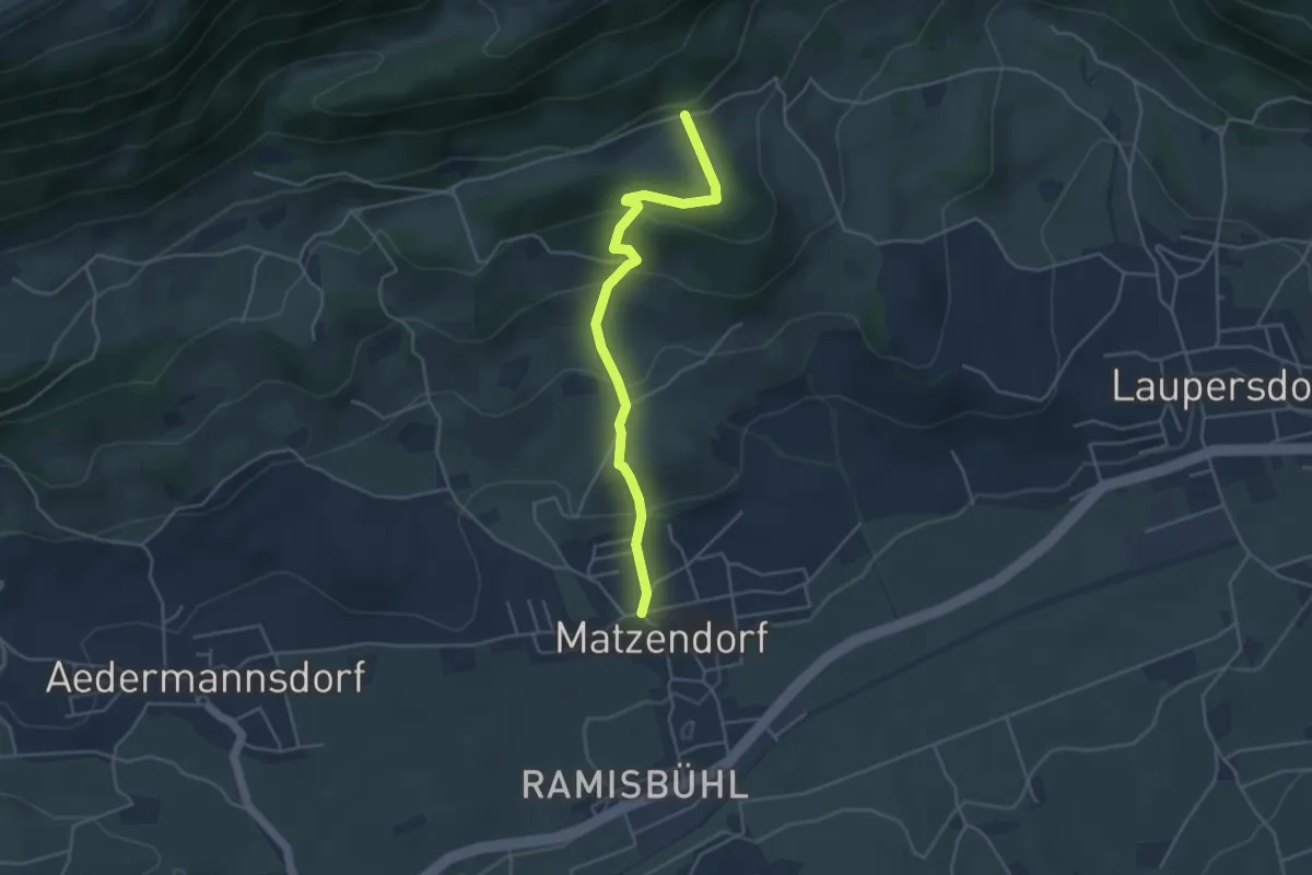
Easy · Trail
Längägerten – Dorfplatz Matzendorf
4.2 km · ↑ 230 m · 1 h 29 min
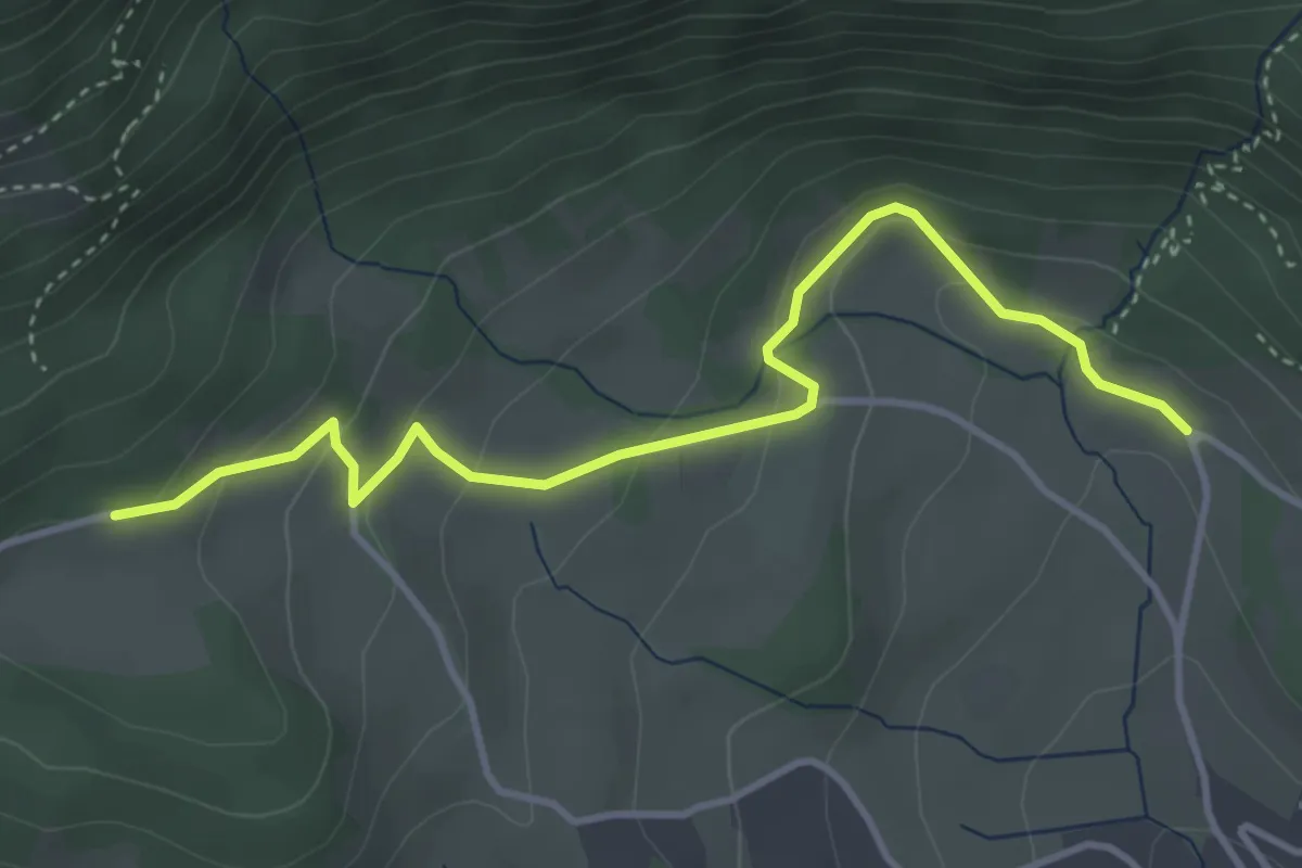
Easy · Trail
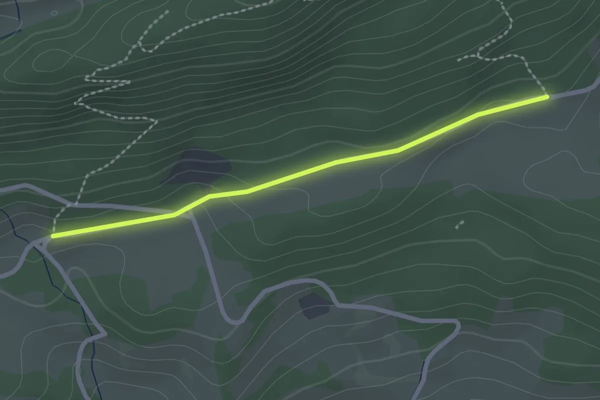
Längägerten – Schad
4.0 km · ↑ 194 m · 1 h 22 min
Easy · Trail
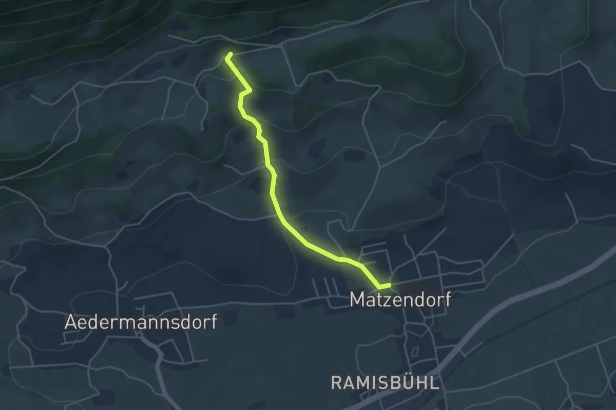
Längägerten – Untere Wängi
2.1 km · ↑ 27 m · 34 min
Easy · Trail
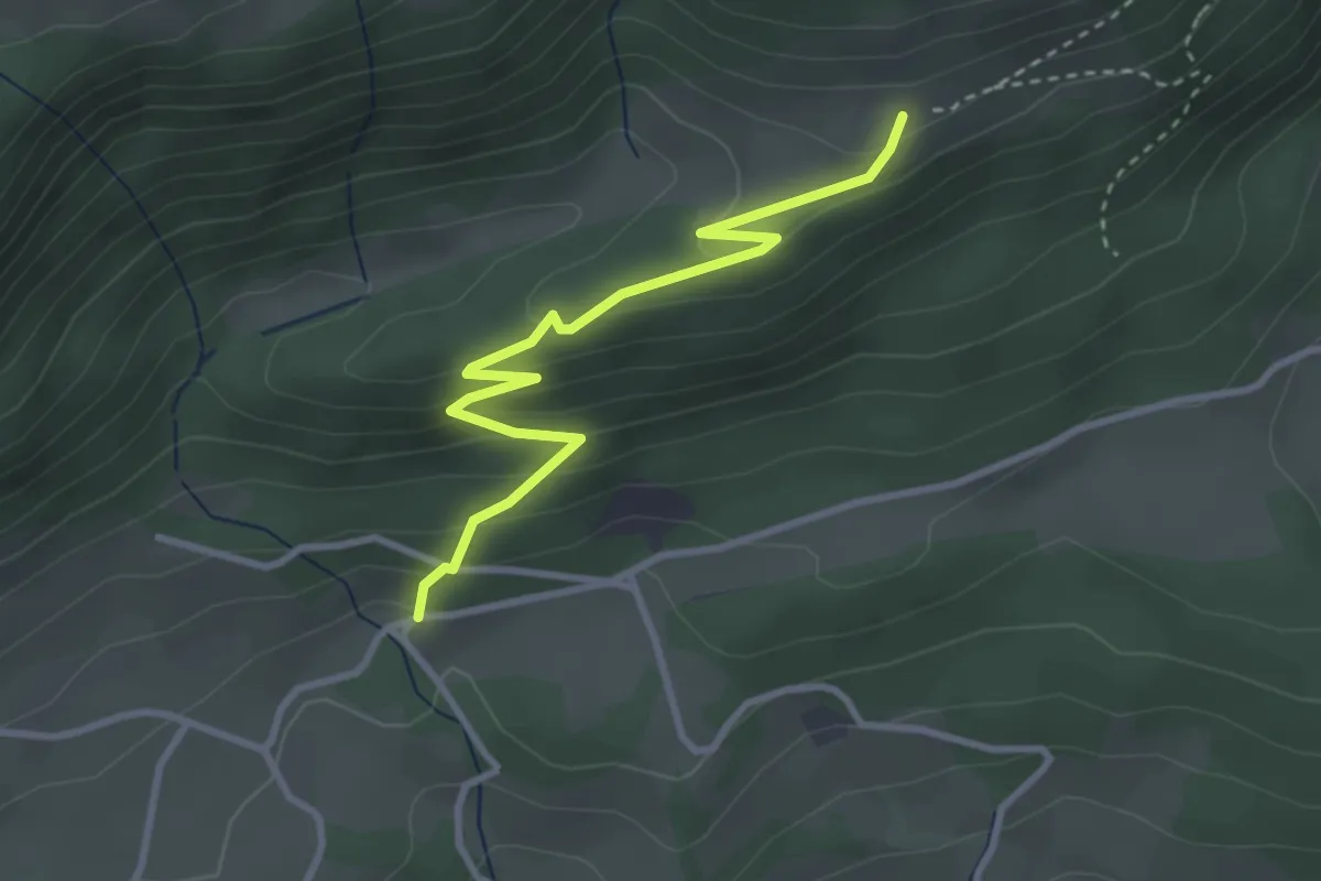
Dorfplatz Matzendorf – Untere Wängi
3.6 km · ↑ 213 m · 1 h 19 min
Easy · Trail
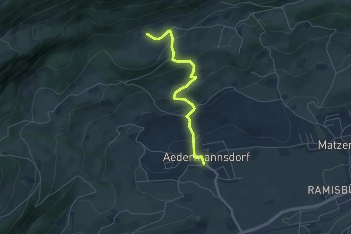
Untere Wängi – Obere Wängi
3.3 km · ↑ 222 m · 1 h 15 min
Easy · Trail
Post – Grossrieden
4.6 km · ↑ 251 m · 1 h 37 min
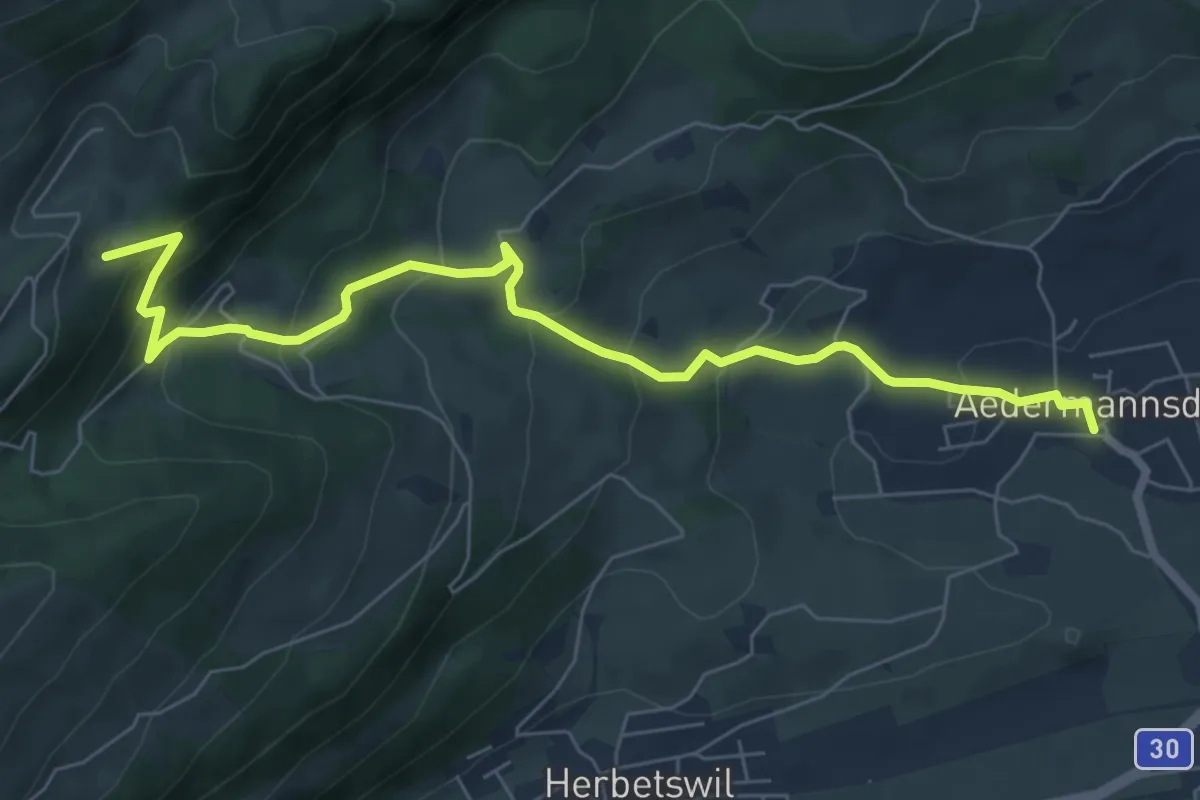
Medium · Trail
Post – Untere Tannmatt
7.5 km · ↑ 445 m · 2 h 44 min
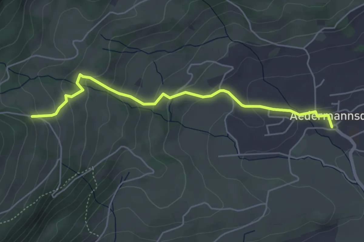
Easy · Trail
Post – Herbestwiler Allmend
4.6 km · ↑ 253 m · 1 h 38 min
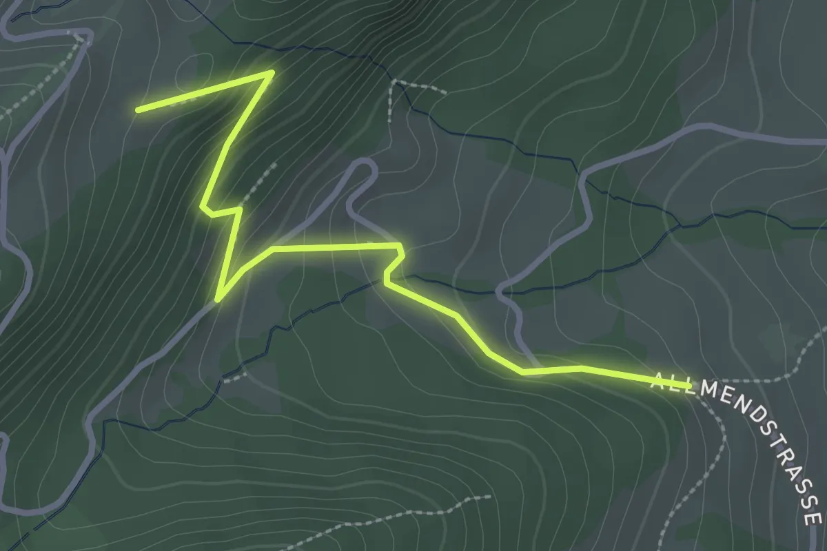
Easy · Trail
Untere Tannmatt – Herbestwiler Allmend
2.9 km · ↑ 207 m · 1 h 8 min
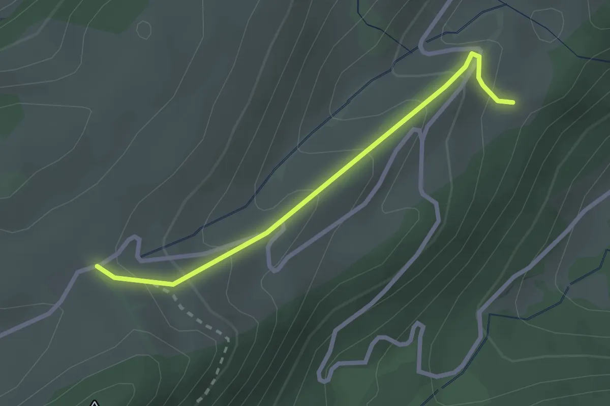
Easy · Trail
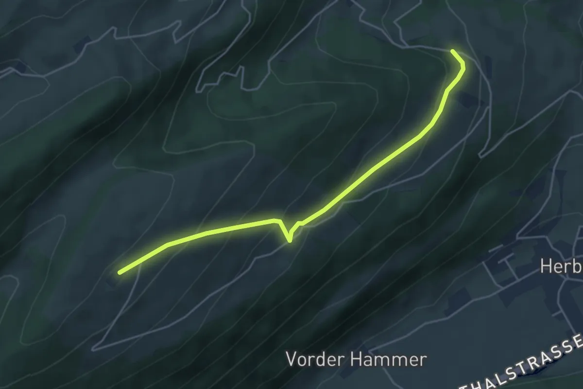
Obere Tannmatt – Untere Tannmatt
2.3 km · ↑ 145 m · 51 min
Easy · Trail
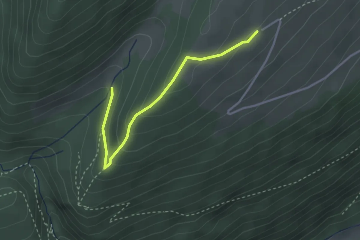
Herbestwiler Allmend – Vorderer Brandberg
4.4 km · ↑ 276 m · 1 h 38 min
Easy · Trail
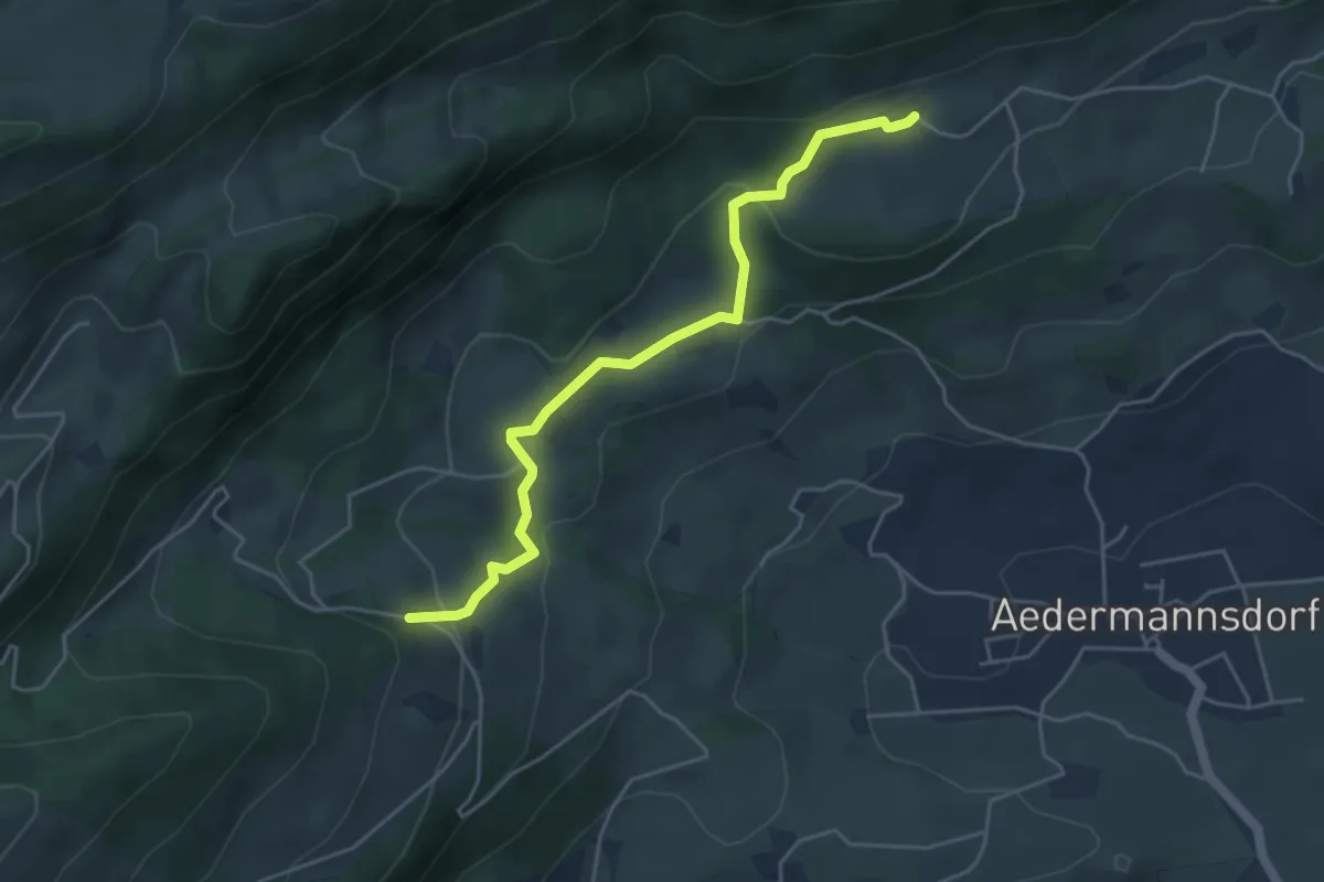
Tuftbrunnen – Vorderer Brandberg
2.8 km · ↑ 120 m · 55 min
Easy · Trail
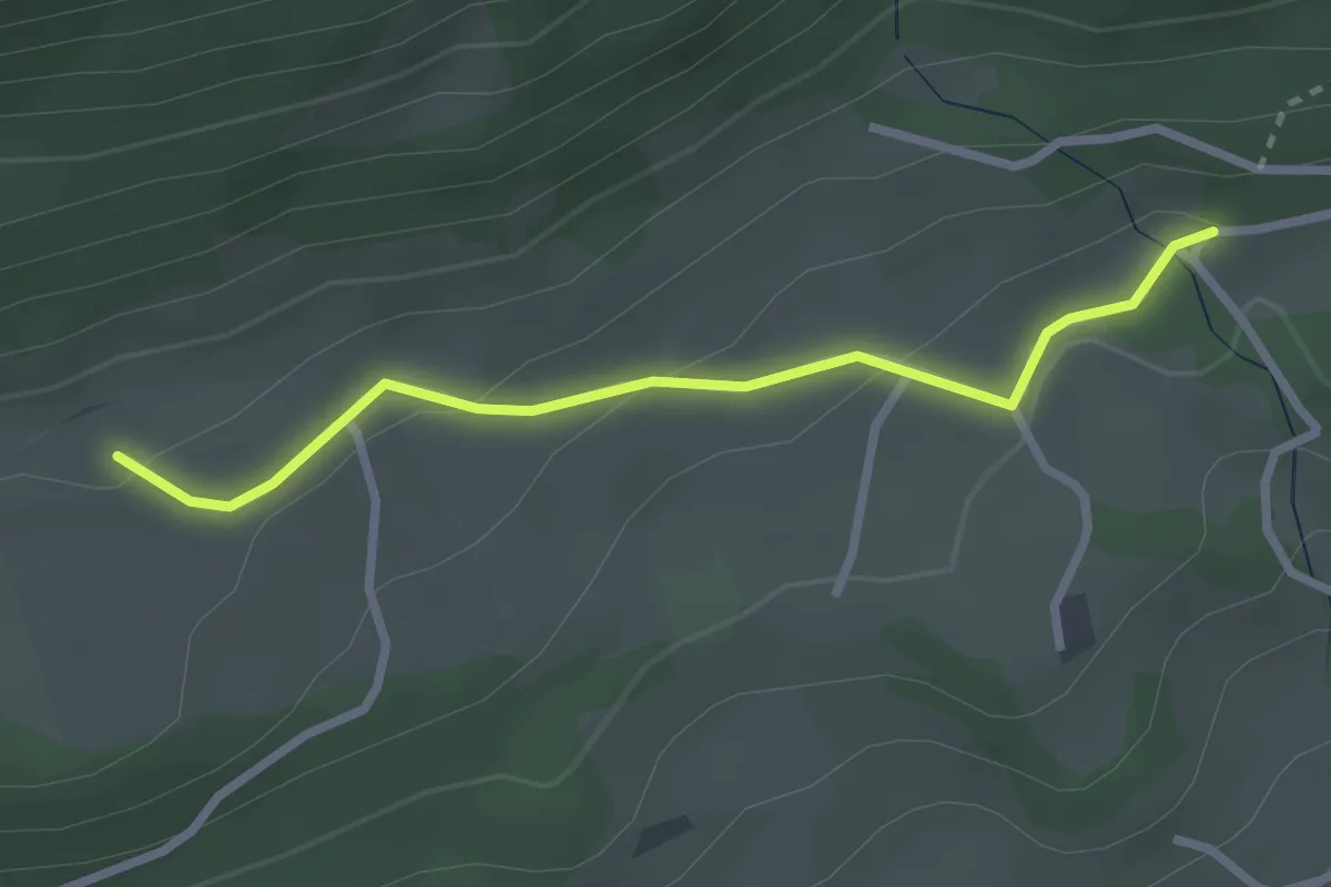
Herbestwiler Allmend – Grossrieden
4.6 km · ↑ 193 m · 1 h 30 min
Easy · Trail
Grossrieden – Untere Wängi
2.5 km · ↑ 91 m · 48 min
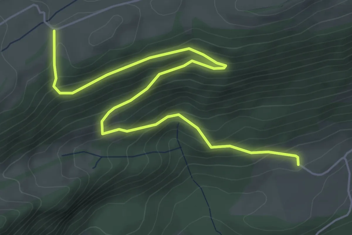
Medium · Trail
Grossrieden – Güggel
6.4 km · ↑ 394 m · 2 h 21 min
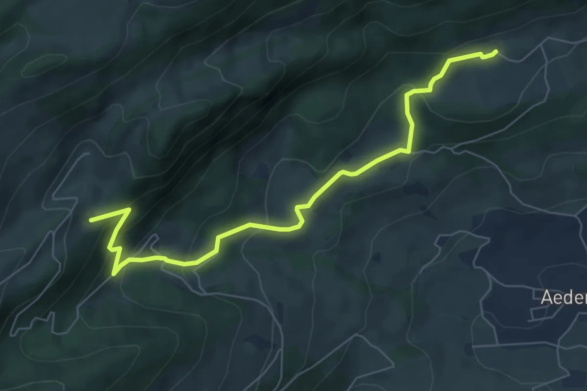
Medium · Trail
Untere Tannmatt – Grossrieden
6.7 km · ↑ 357 m · 2 h 21 min
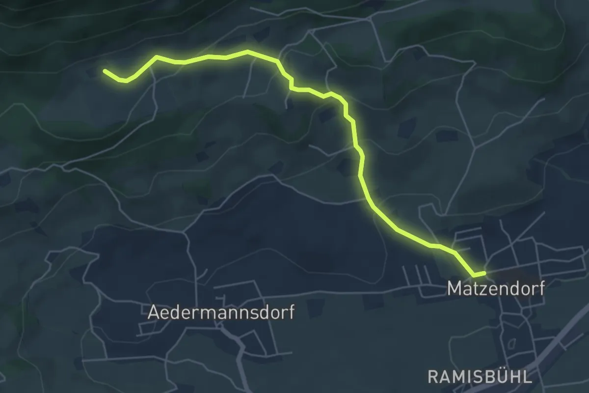
Easy · Trail
Grossrieden – Dorfplatz Matzendorf
5.5 km · ↑ 271 m · 1 h 53 min
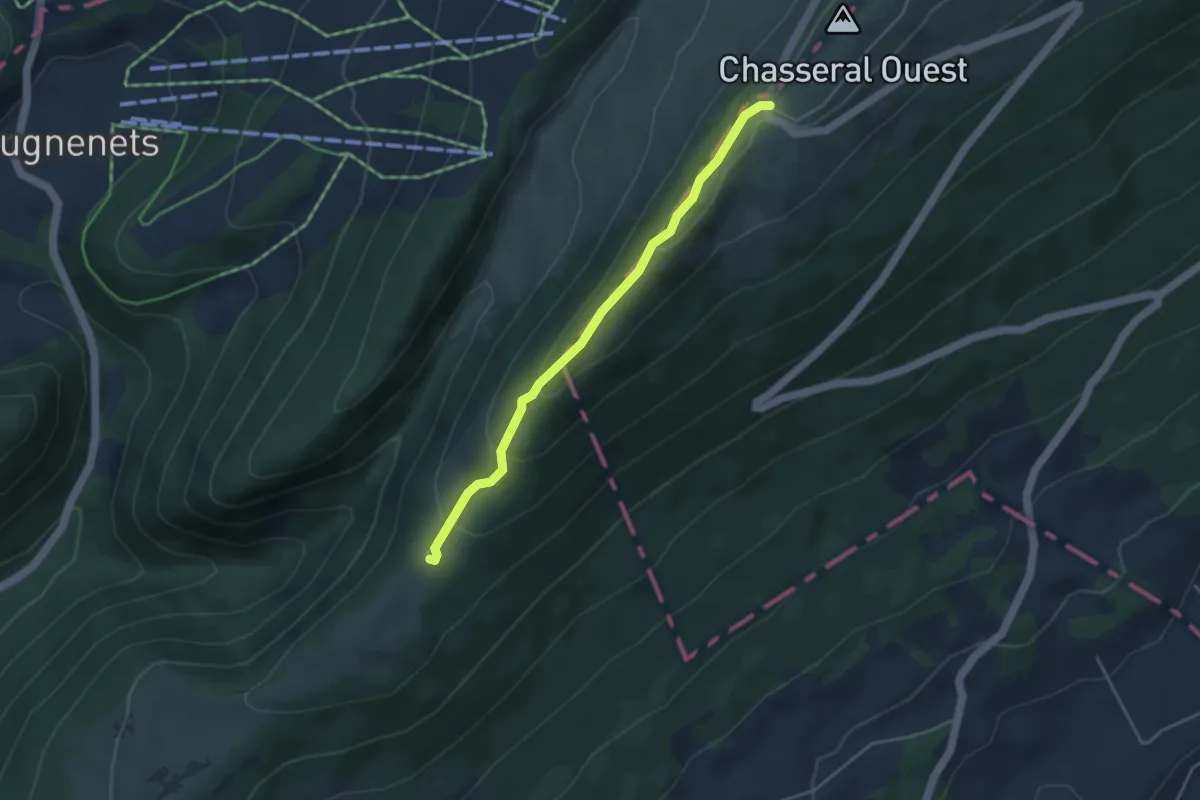
Easy · Trail
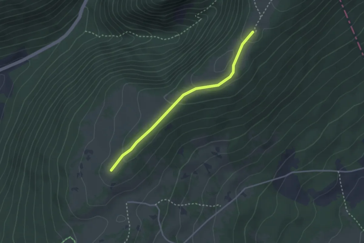
Métairie de l'Ile – Col du Chasseral
3.8 km · ↑ 179 m · 1 h 17 min
Easy · Trail
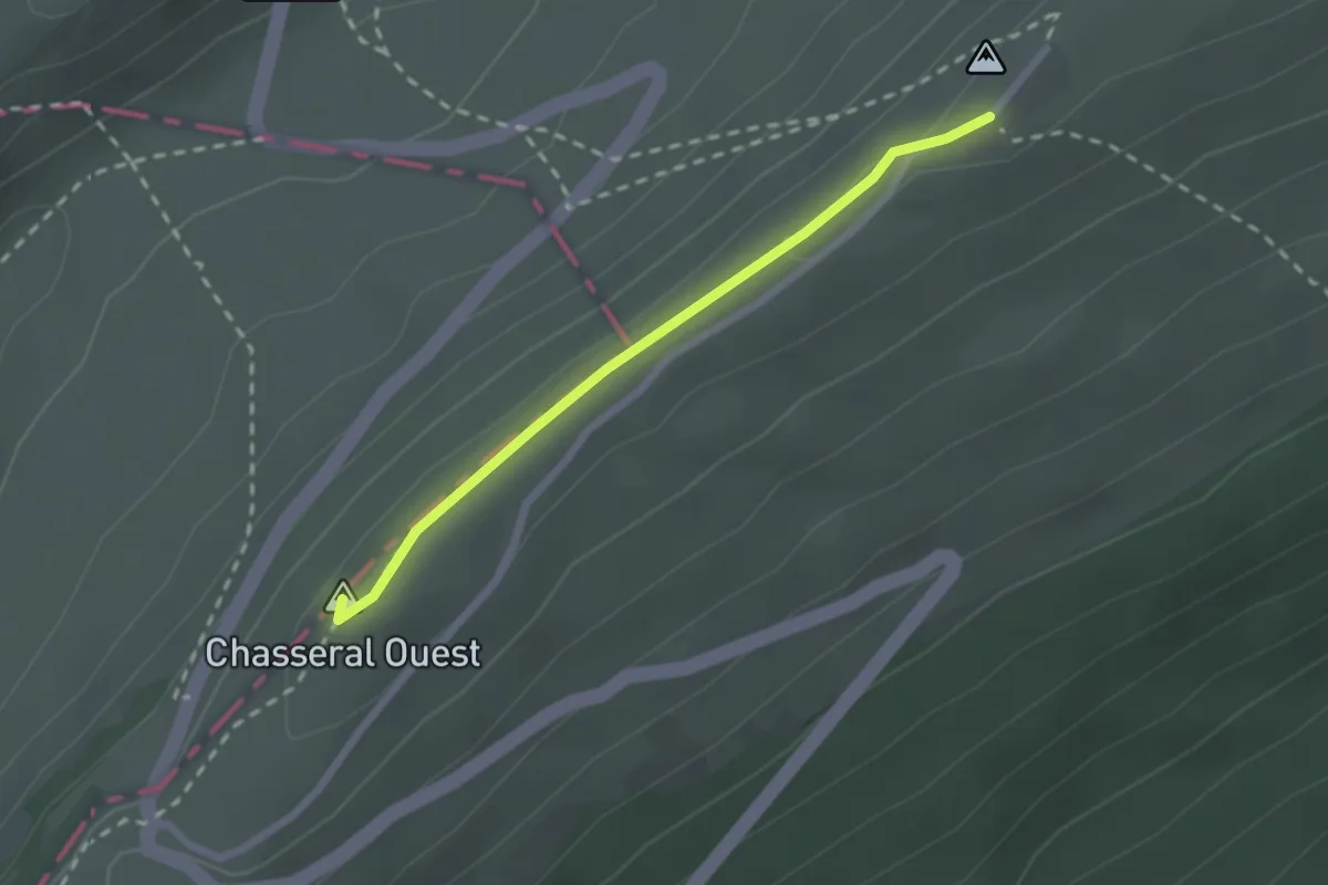
Métairie d'Aarberg – Métairie de l'Ile
2.8 km · ↑ 73 m · 49 min
Easy · Summit
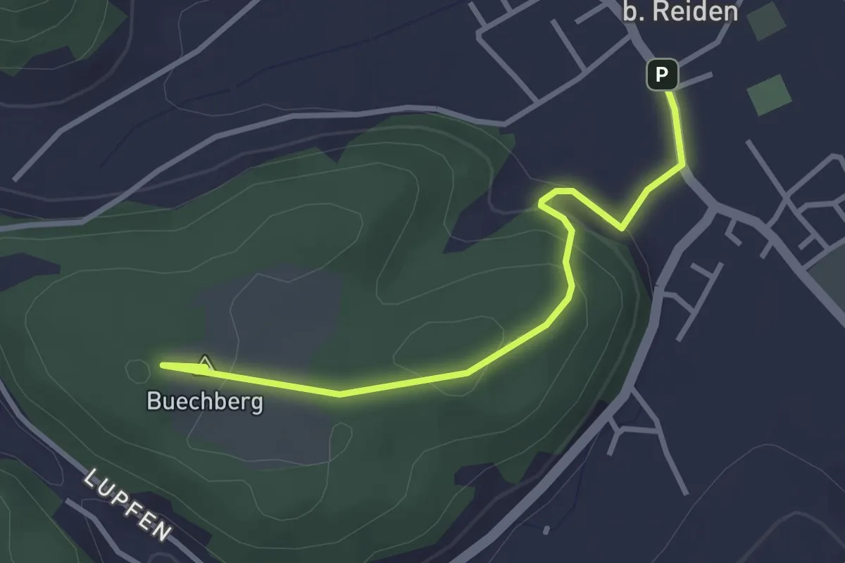
Chasseral Hôtel – Col du Chasseral
2.1 km · ↑ 38 m · 35 min
Easy · Summit
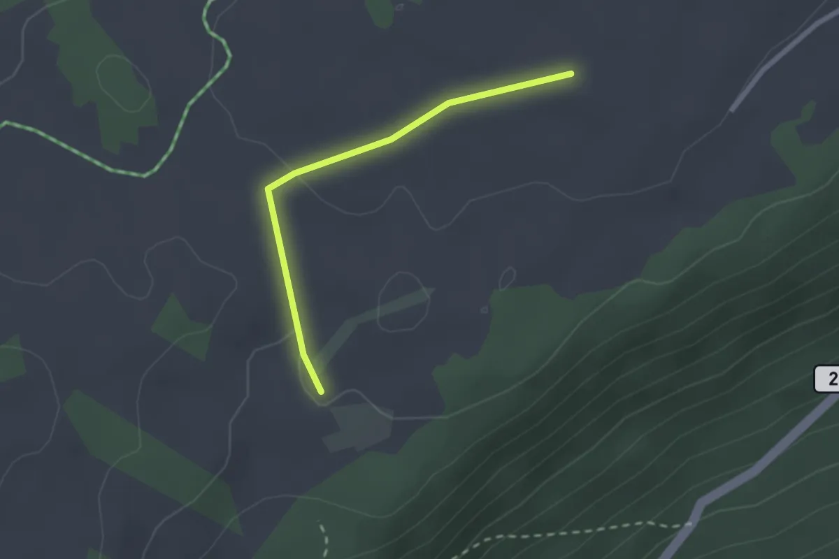
Langnau – Buechberg
3.0 km · ↑ 117 m · 57 min
Easy · Trail
Centrale éoliennes – Le Sergent
2.1 km · ↑ 28 m · 33 min
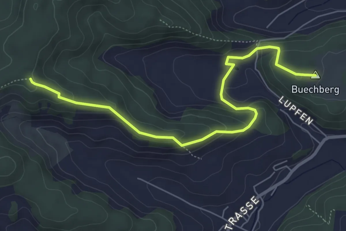
Easy · Summit
Buechberg – Guggerhöchi
6.2 km · ↑ 229 m · 1 h 58 min
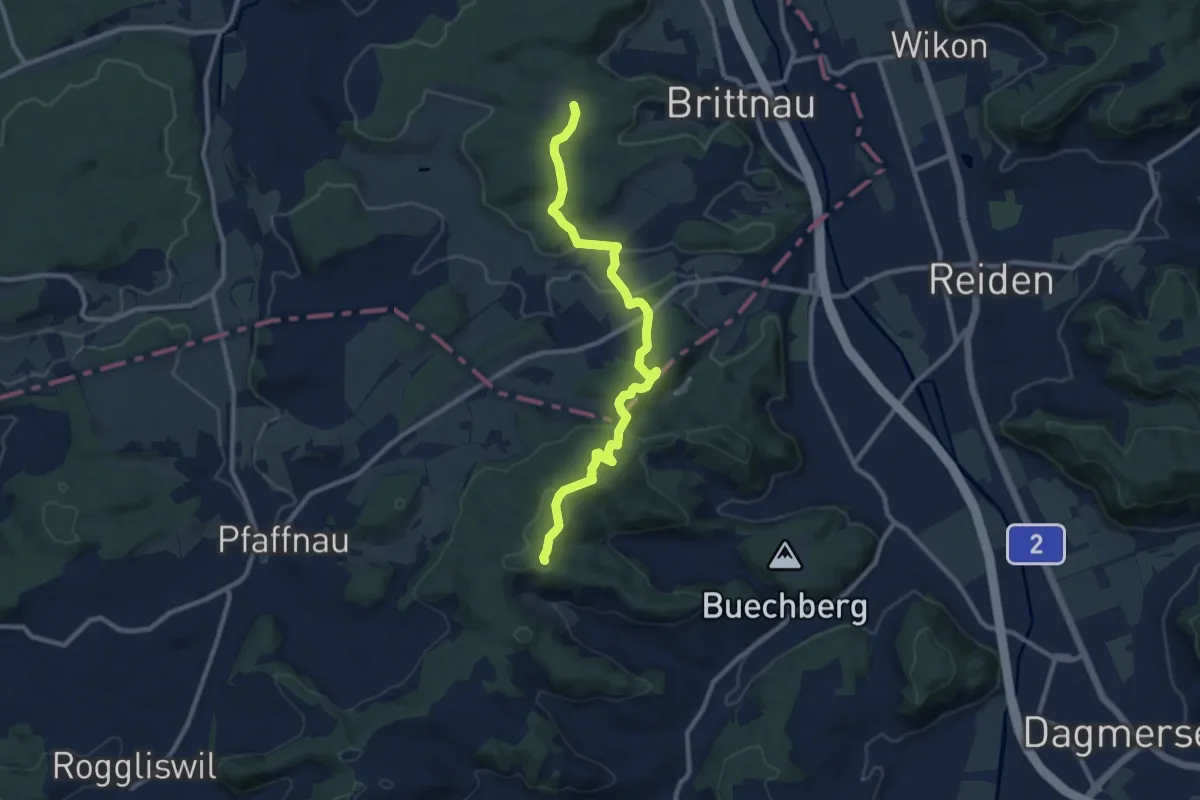
Medium · Trail
Fröschengüllen – Guggerhöchi
10.4 km · ↑ 327 m · 3 h 10 min
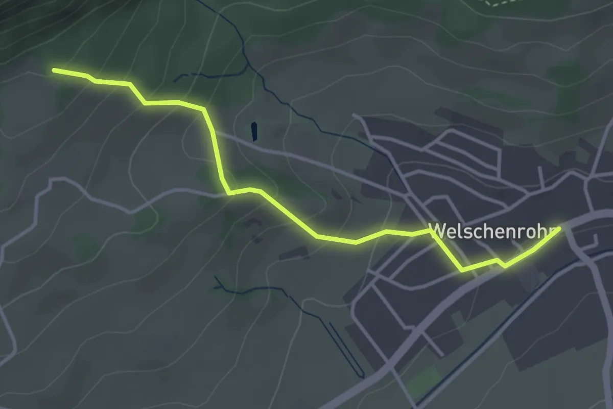
Easy · Trail
Harzerstrasse – Post
3.5 km · ↑ 212 m · 1 h 17 min
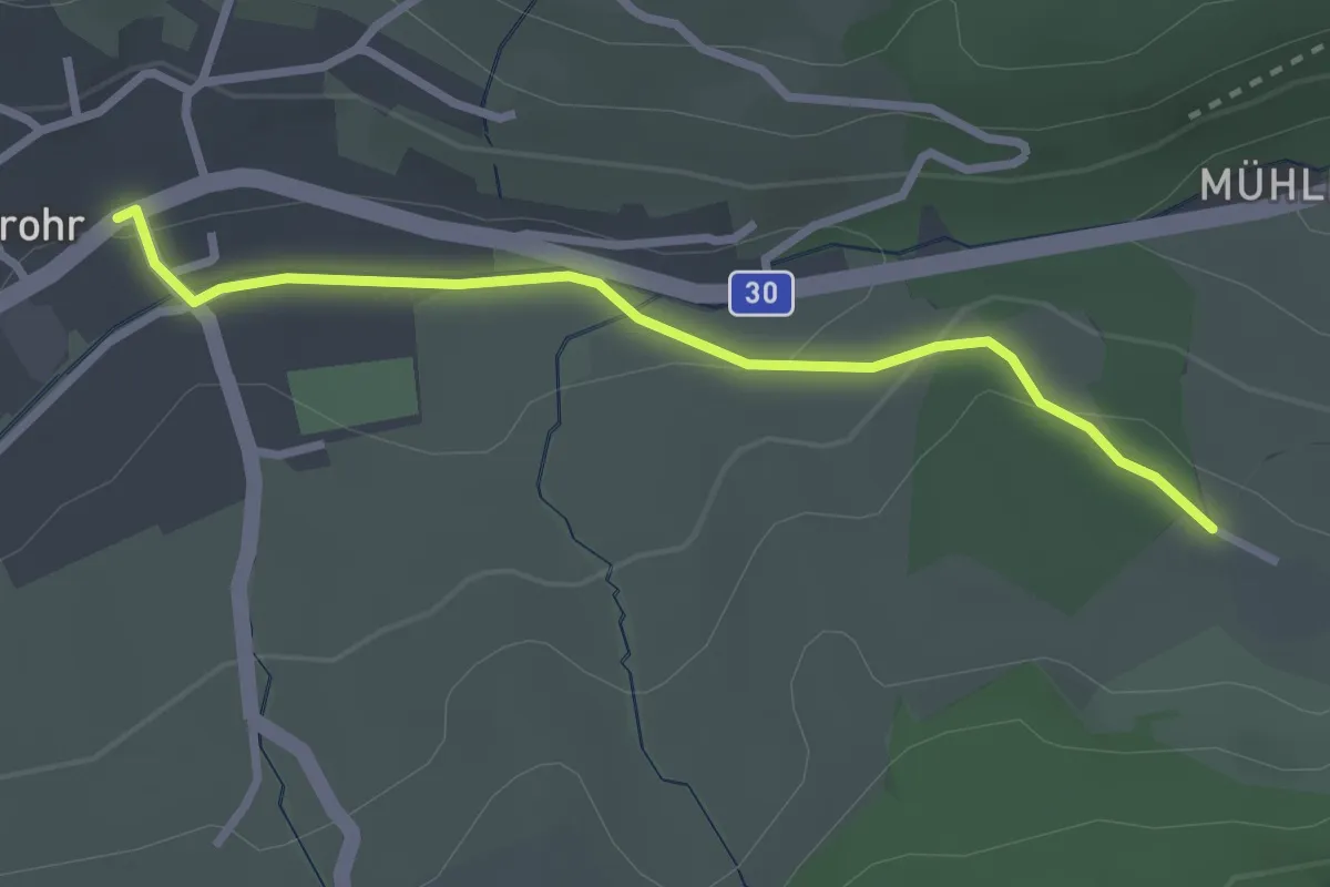
Easy · Trail
Post – Sollmatt
2.7 km · ↑ 56 m · 45 min
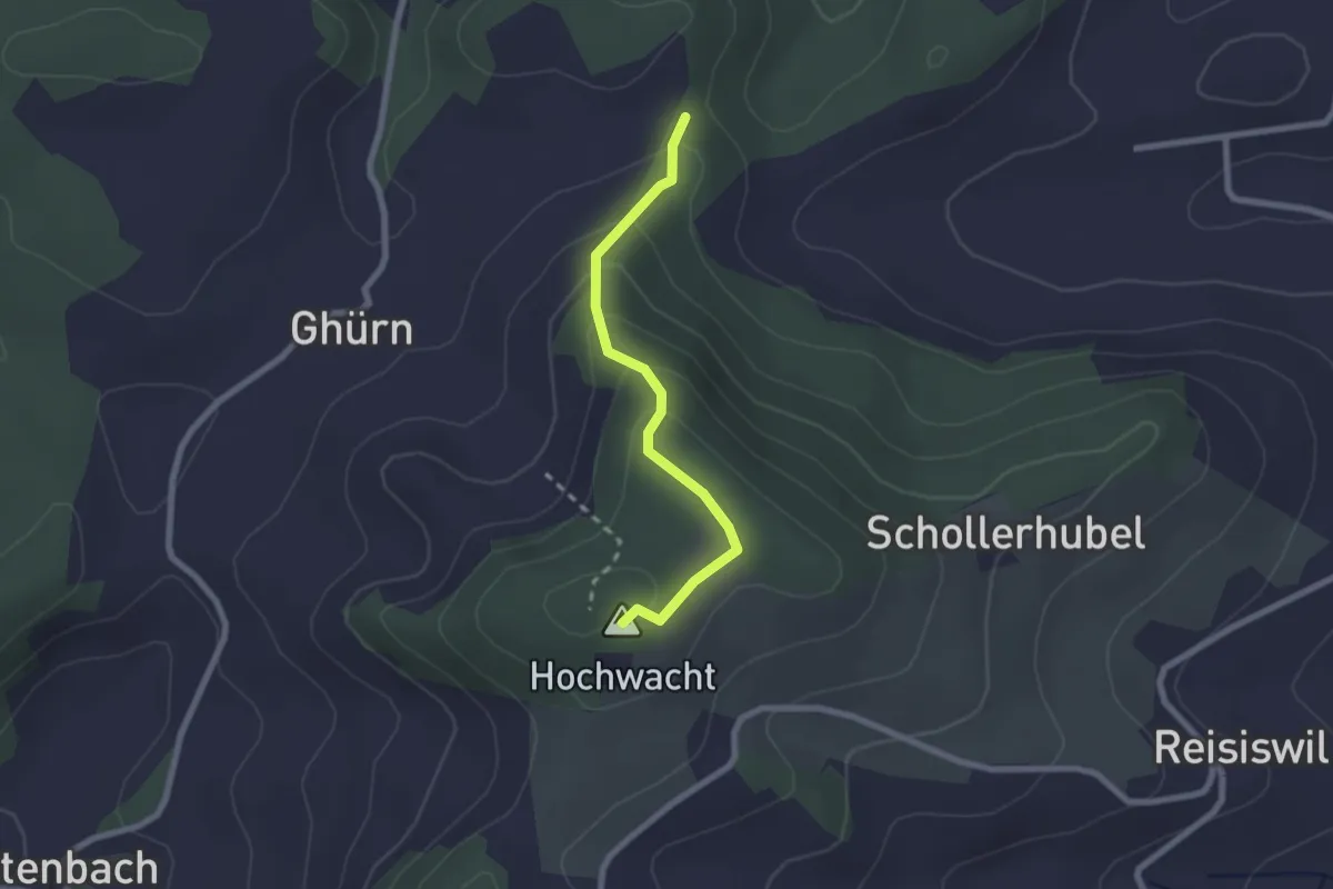
Easy · Summit
Rastplatz Pauli – Hohwacht
2.1 km · ↑ 133 m · 47 min
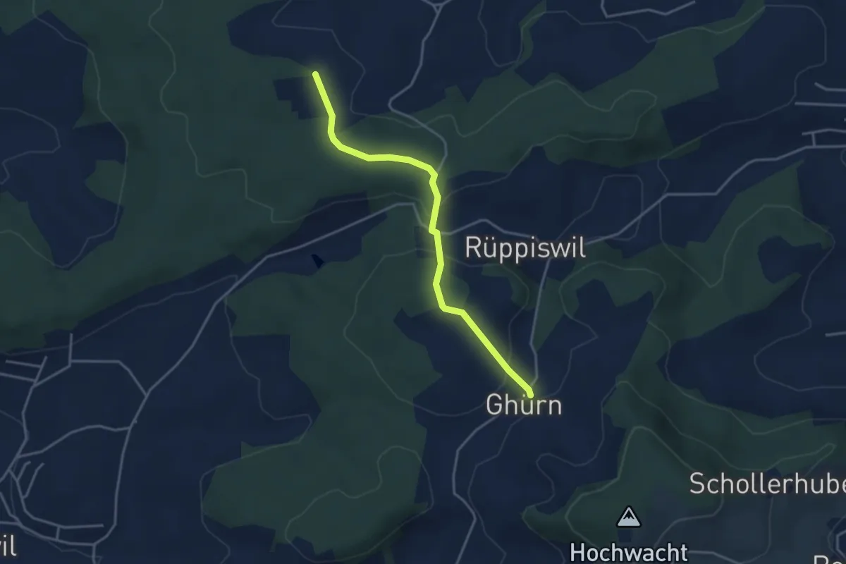
Easy · Trail
Ghürn – Breitacherweid
3.5 km · ↑ 111 m · 1 h 4 min
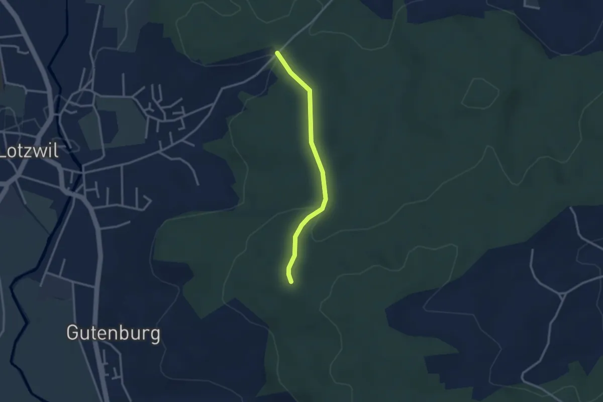
Easy · Trail
Rappechopf – Hambüel
2.4 km · ↑ 77 m · 44 min
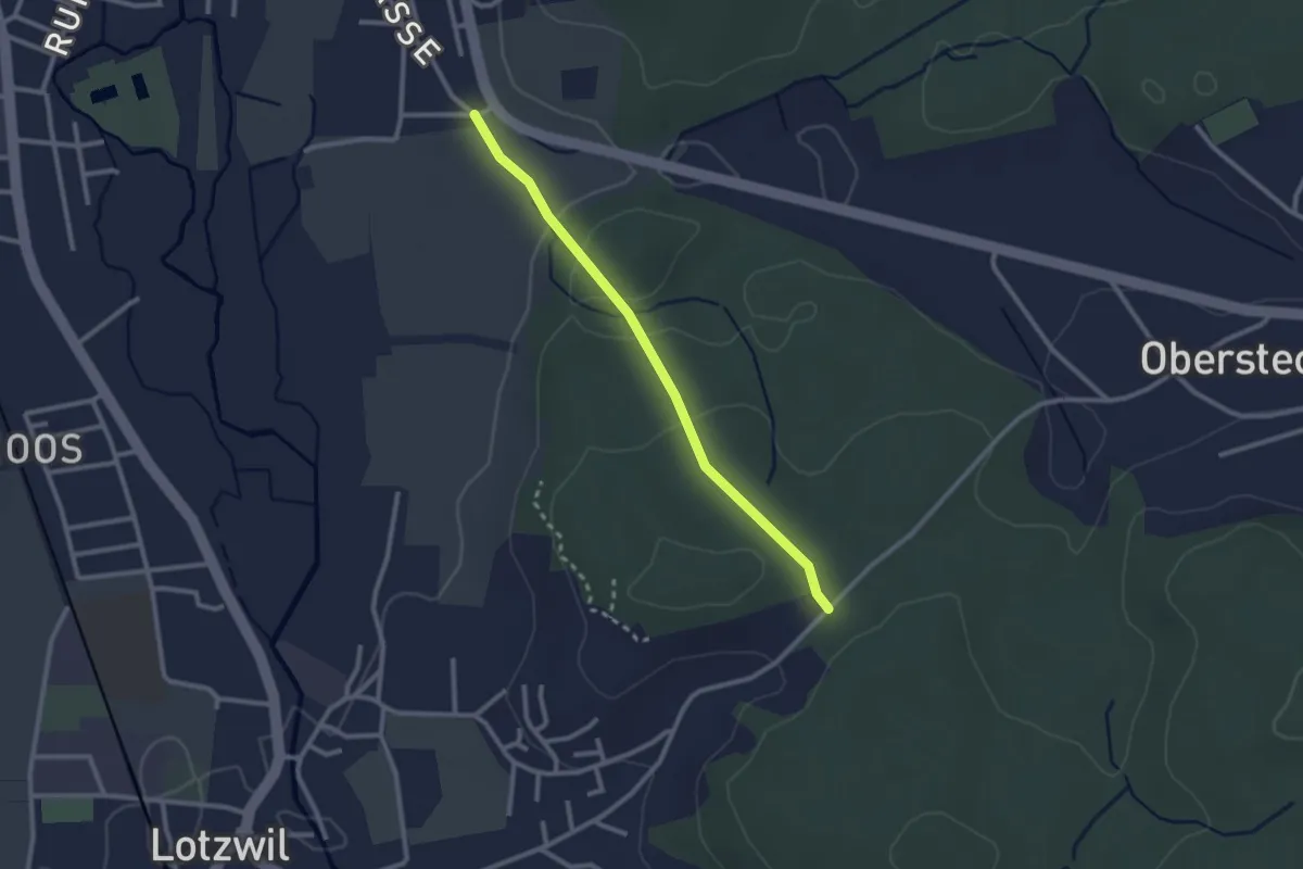
Easy · Trail
Hambüel – Allme
2.4 km · ↑ 63 m · 42 min
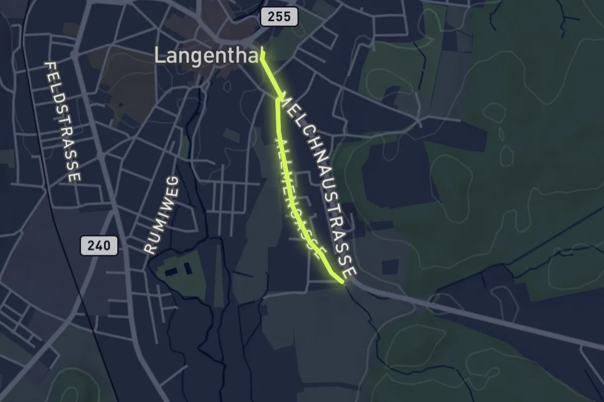
Easy · Trail
Allme – Langenthal / Kirche
2.1 km · ↑ 8 m · 31 min
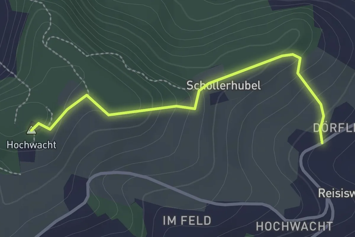
Easy · Summit
Hohwacht – Reisiswil
2.5 km · ↑ 134 m · 53 min
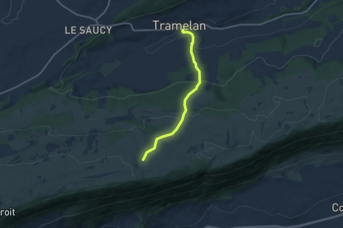
Easy · Trail
Tramelan – Bise de Cortébert
6.0 km · ↑ 275 m · 2 h
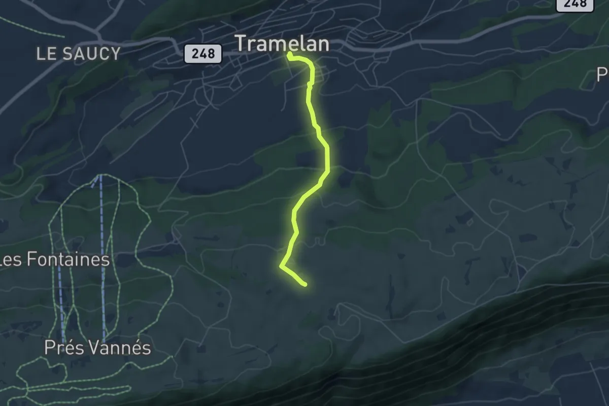
Easy · Trail
Tramelan – Bise de Corgémont
4.6 km · ↑ 219 m · 1 h 33 min