Trails in Switzerland
15,055 hiking trails, each with its route, climb, walking time and grade.
All trails, page 247 of 314
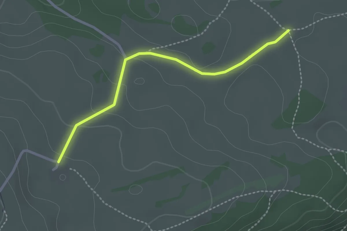
Easy · Trail
Bise de Cortébert – Bise de Corgémont
2.2 km · ↑ 44 m · 37 min
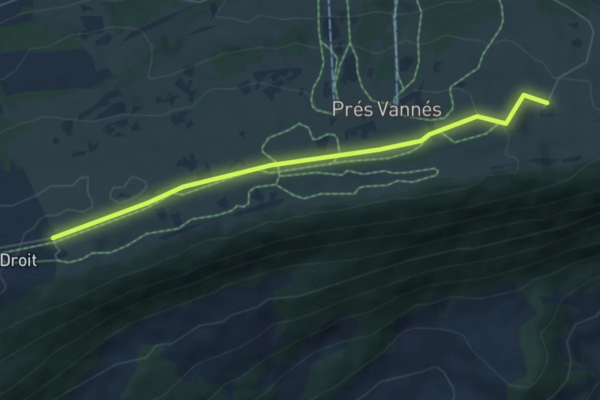
Easy · Trail
Bise de Cortébert – Chalet Neuf
5.4 km · ↑ 78 m · 1 h 27 min
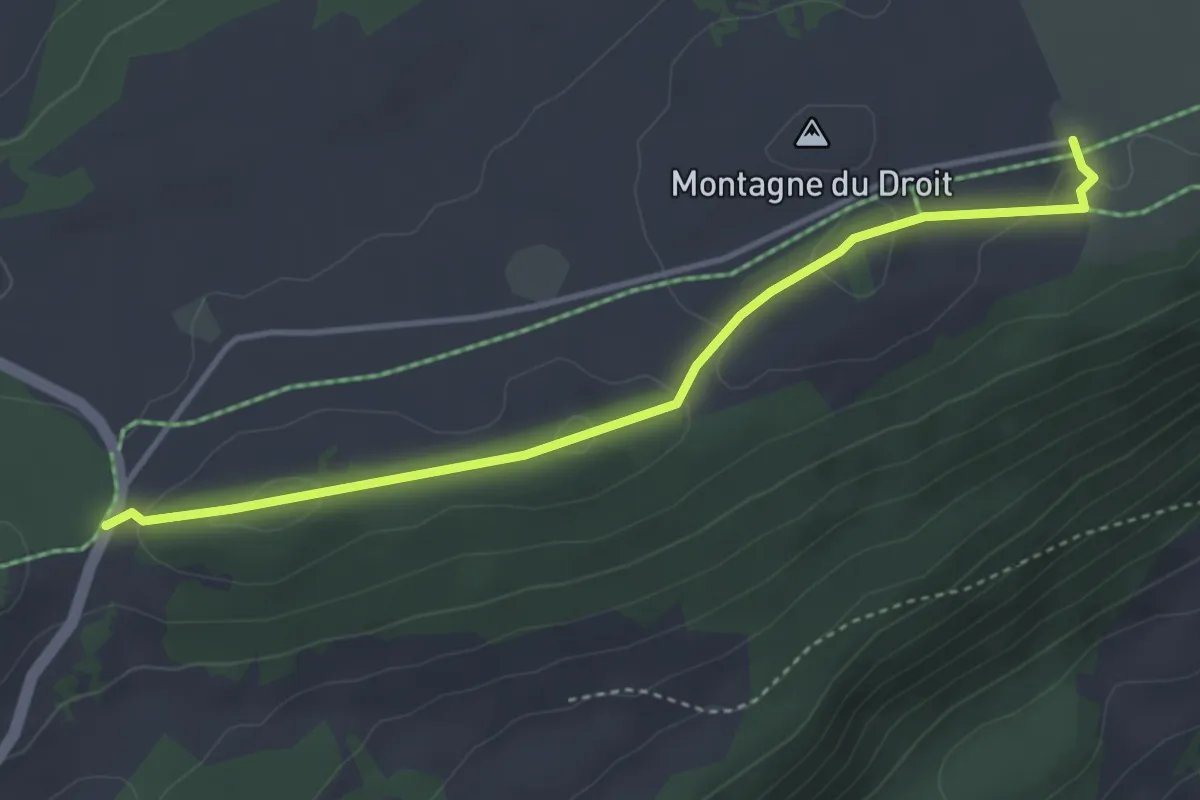
Easy · Trail
Chalet Neuf – Mont Crosin Col
3.9 km · ↑ 90 m · 1 h 7 min
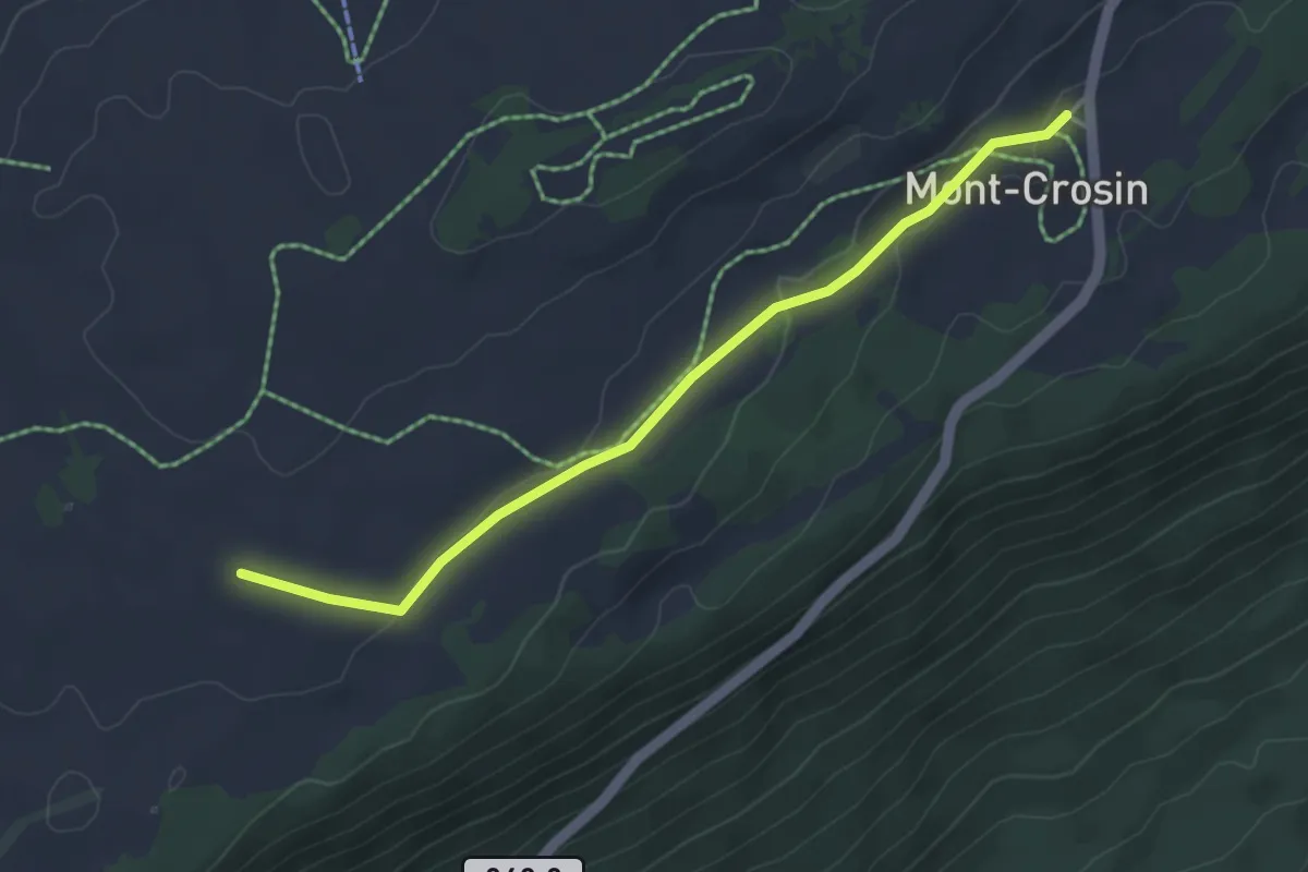
Easy · Trail
Mont Crosin – Centrale éoliennes
3.9 km · ↑ 51 m · 1 h 2 min
Easy · Trail
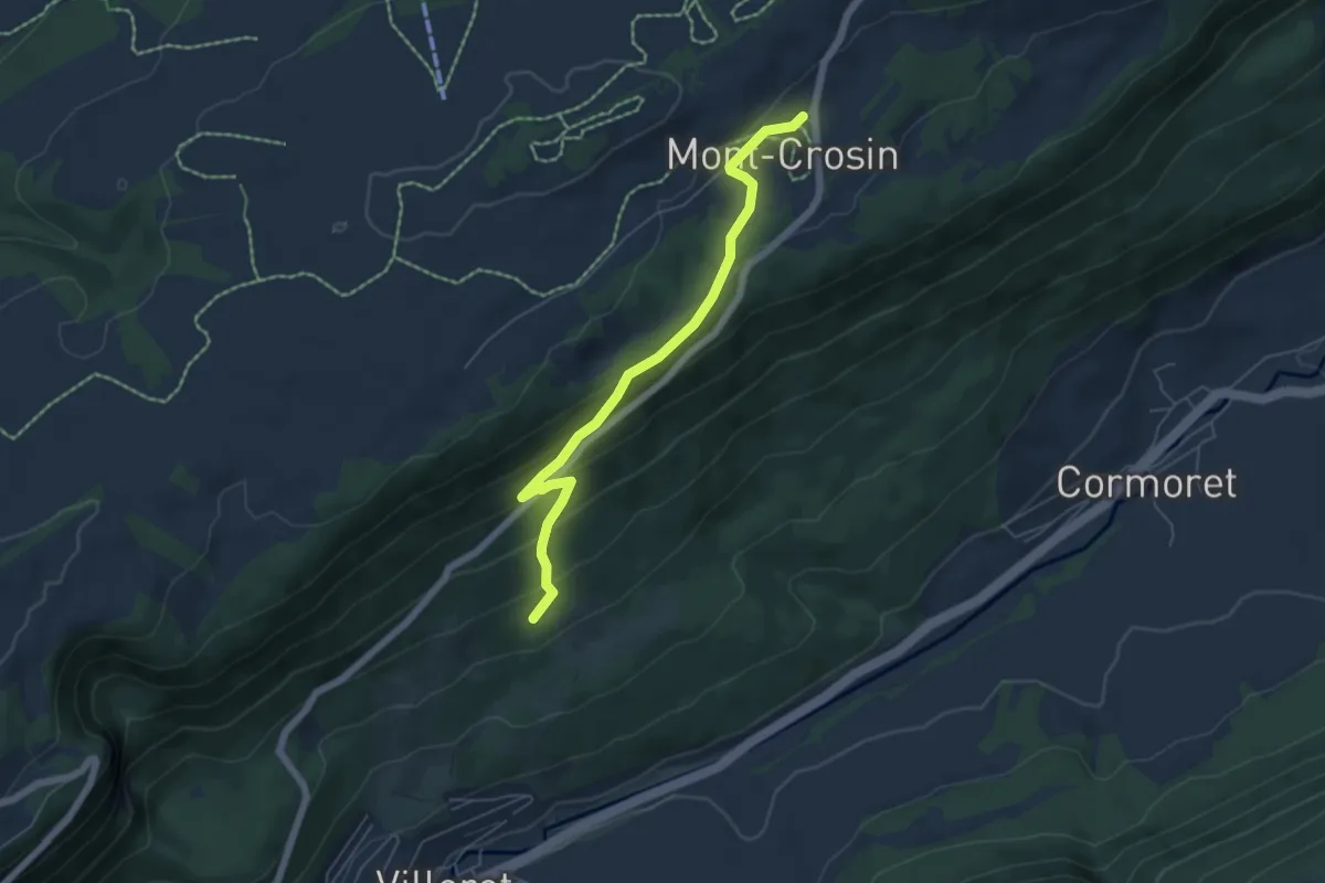
Mont Crosin – Pâturage de la Côte
5.6 km · ↑ 280 m · 1 h 56 min
Medium · Trail
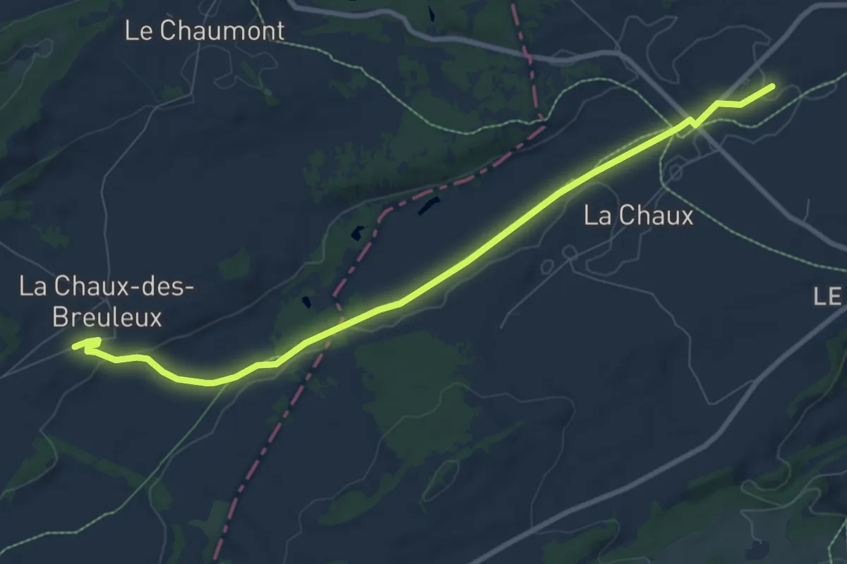
La Chaux-des-Breuleux – Le Cernil
8.8 km · ↑ 70 m · 2 h 14 min
Medium · Trail
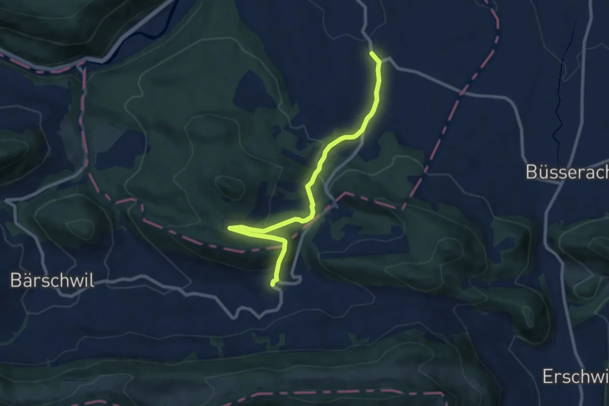
Wahlen – Grindel
7.6 km · ↑ 324 m · 2 h 30 min
Easy · Trail
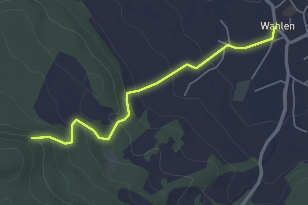
Tannwald – Wahlen
3.8 km · ↑ 188 m · 1 h 18 min
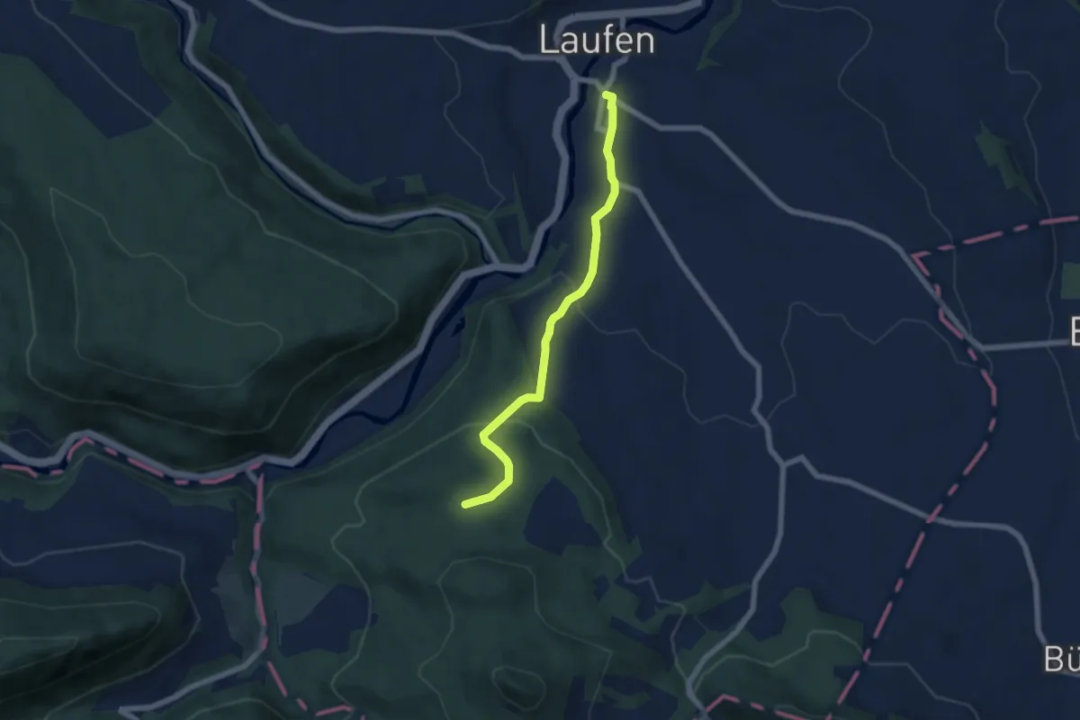
Easy · Trail
Hütteboden – Laufen
5.7 km · ↑ 207 m · 1 h 47 min
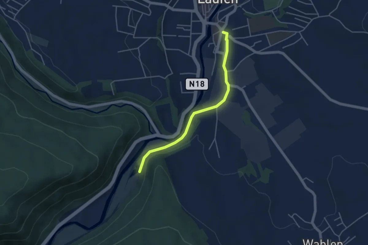
Easy · Trail
Laufen – Bärschwil Station
3.5 km · ↑ 43 m · 56 min
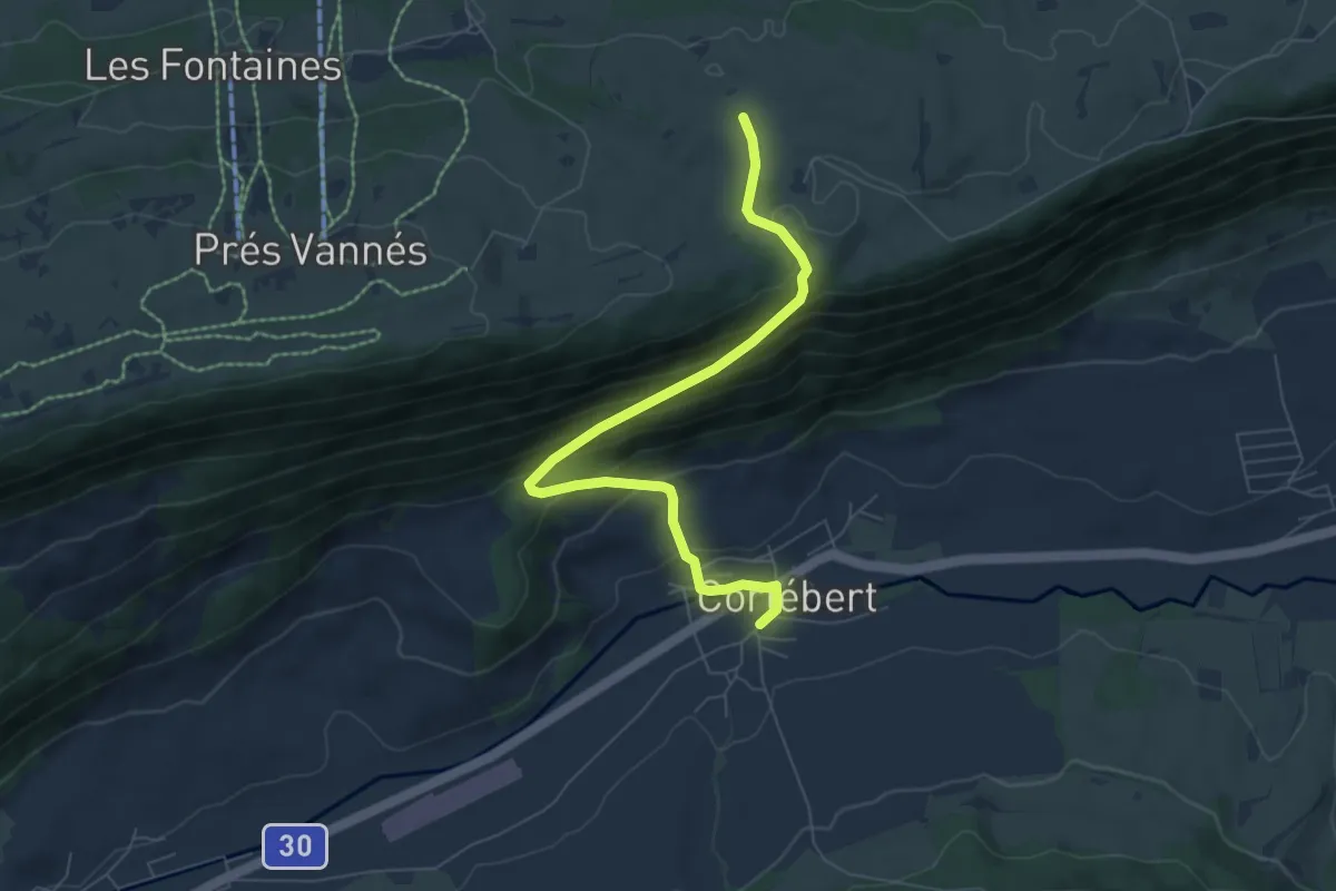
Medium · Trail
Cortébert – Bise de Corgémont
7.0 km · ↑ 434 m · 2 h 35 min
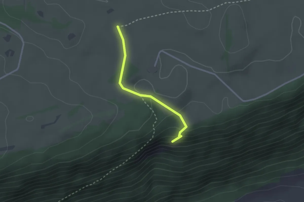
Medium · Trail
Bise de Corgémont – Point de vue
2.1 km · ↑ 80 m · 39 min
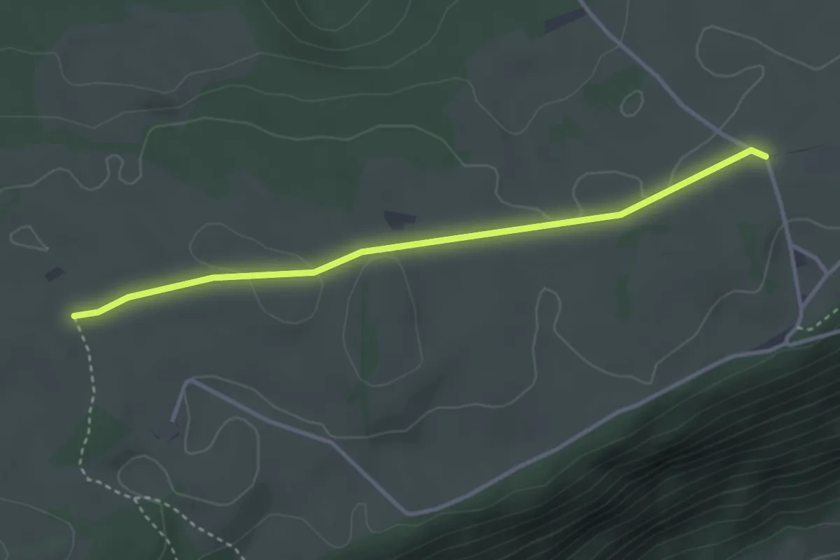
Easy · Trail
Bise de Corgémont – Le Jean Brenin
3.4 km · ↑ 32 m · 52 min
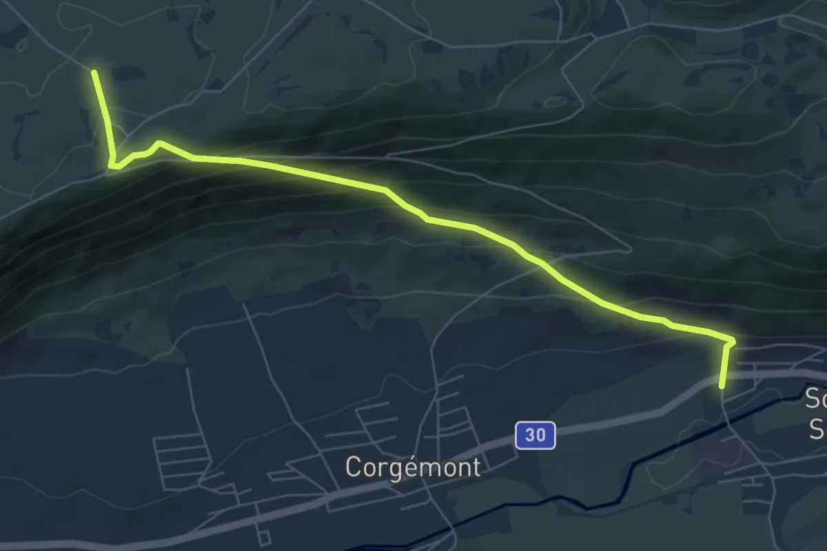
Medium · Trail
Le Jean Brenin – Sombeval
7.0 km · ↑ 444 m · 2 h 37 min
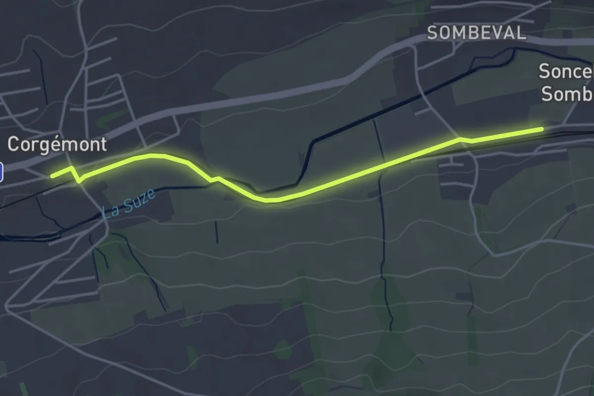
Easy · Trail
Sonceboz gare – Corgémont
3.9 km · ↑ 9 m · 56 min
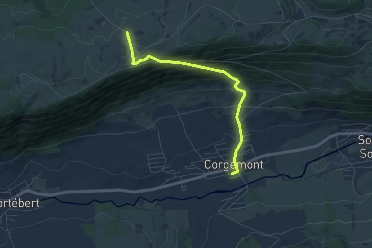
Medium · Trail
Corgémont – Le Jean Brenin
6.5 km · ↑ 441 m · 2 h 29 min
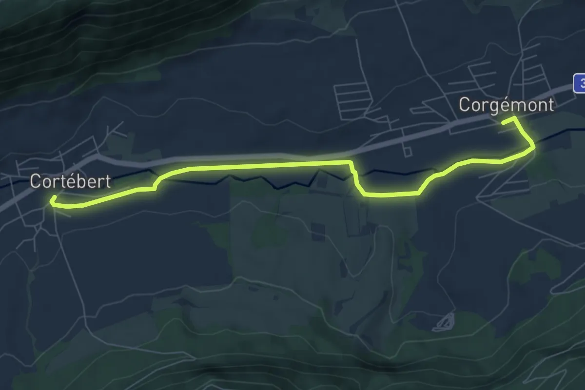
Easy · Trail
Cortébert – Corgémont
7.5 km · ↑ 27 m · 1 h 50 min
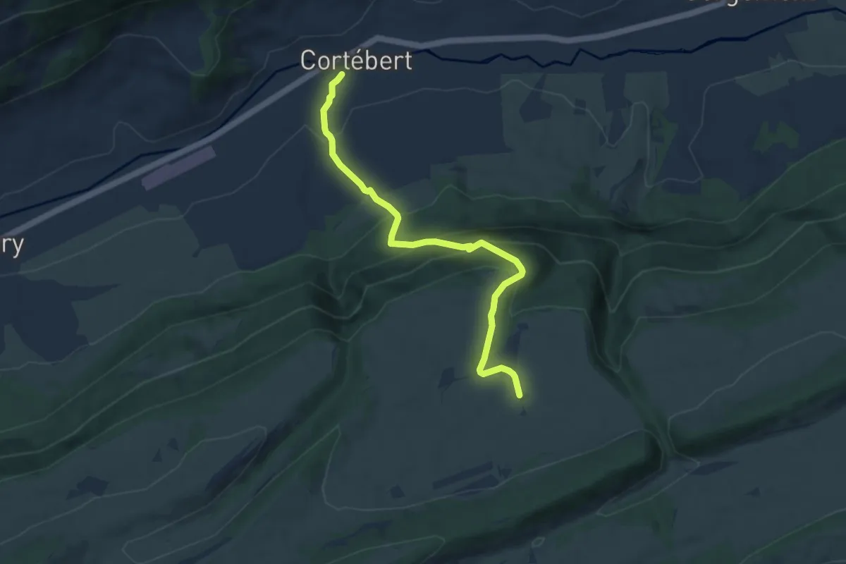
Medium · Trail
Cortébert – La Cusinière
7.7 km · ↑ 482 m · 2 h 51 min
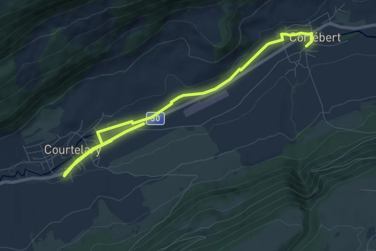
Medium · Trail
Cortébert – Courtelary
10.4 km · ↑ 21 m · 2 h 30 min
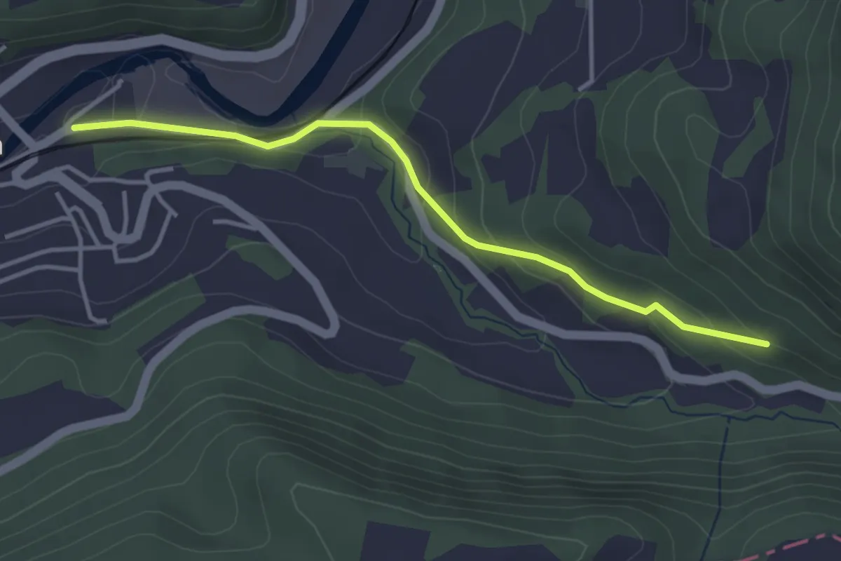
Easy · Trail
Grellingen – Baslerbrünneli
3.5 km · ↑ 139 m · 1 h 8 min
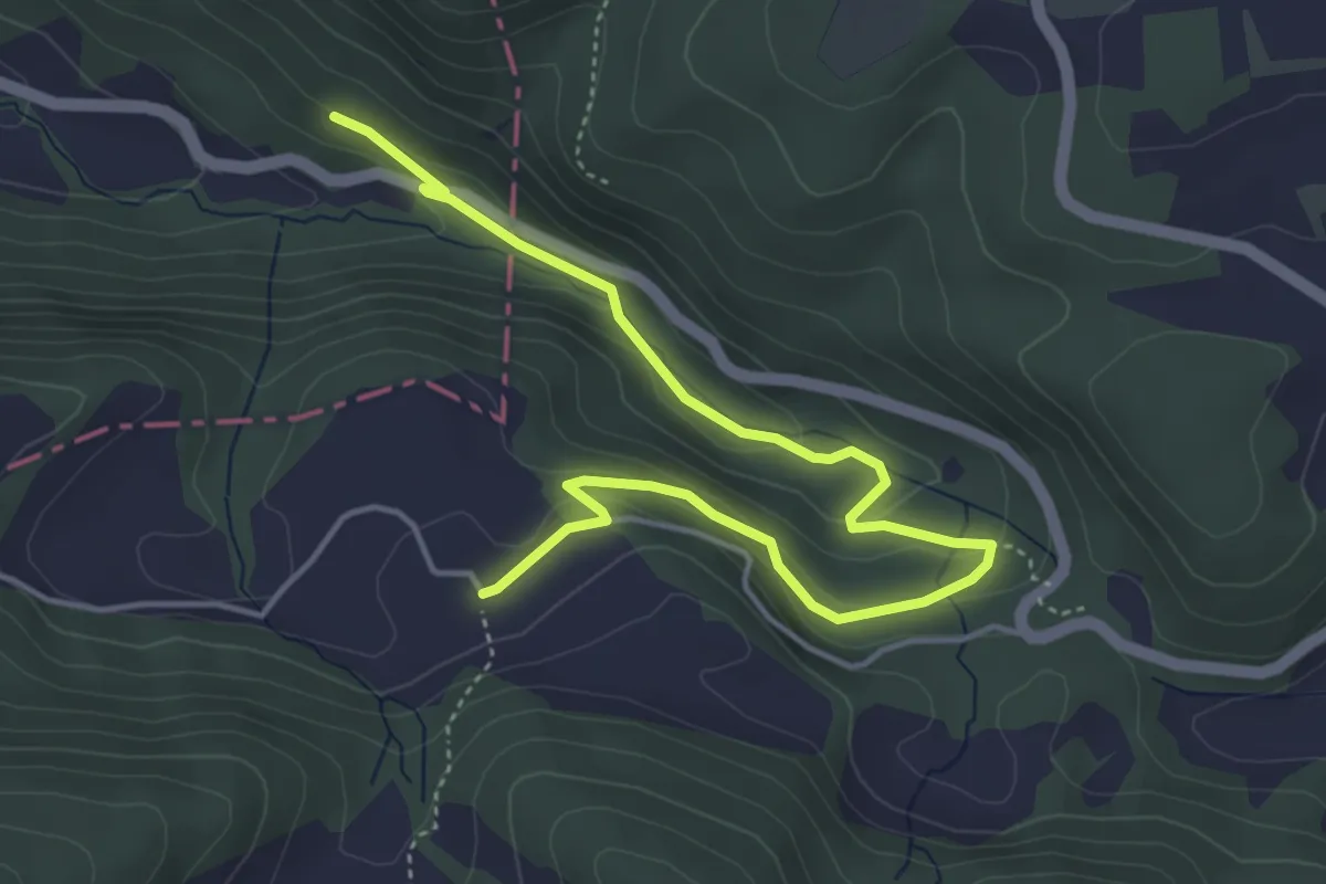
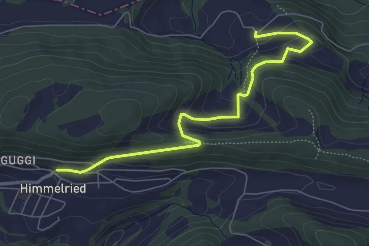
Easy · Trail
Baslerbrünneli – Eigenhof
5.3 km · ↑ 240 m · 1 h 46 min
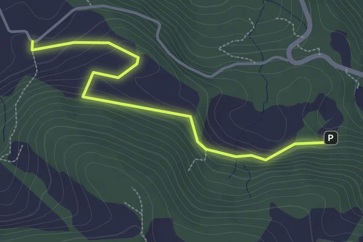
Easy · Trail
Eigenhof – Himmelried Kirche
5.7 km · ↑ 239 m · 1 h 52 min
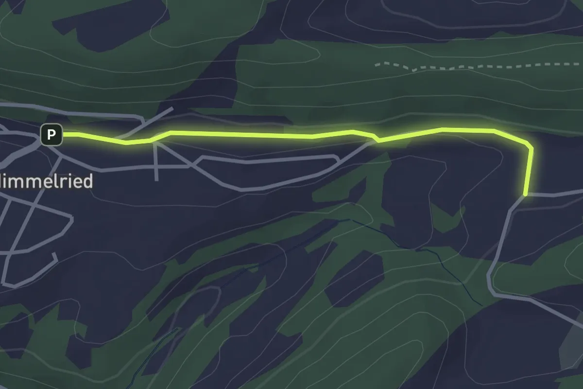
Easy · Trail
Eigenhof – Welschhans
3.2 km · ↑ 120 m · 1 h 2 min
Easy · Trail
Himmelried Kirche – Moos
2.7 km · ↑ 46 m · 45 min
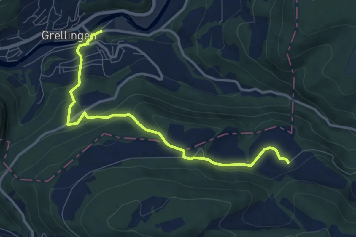
Medium · Trail
Grellingen – Eigenhof
7.3 km · ↑ 420 m · 2 h 38 min
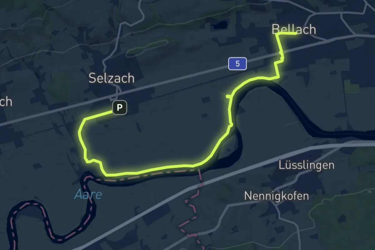
Medium · Trail
Bellach Post – Selzach, Bahnhof
15.2 km · ↑ 32 m · 3 h 39 min
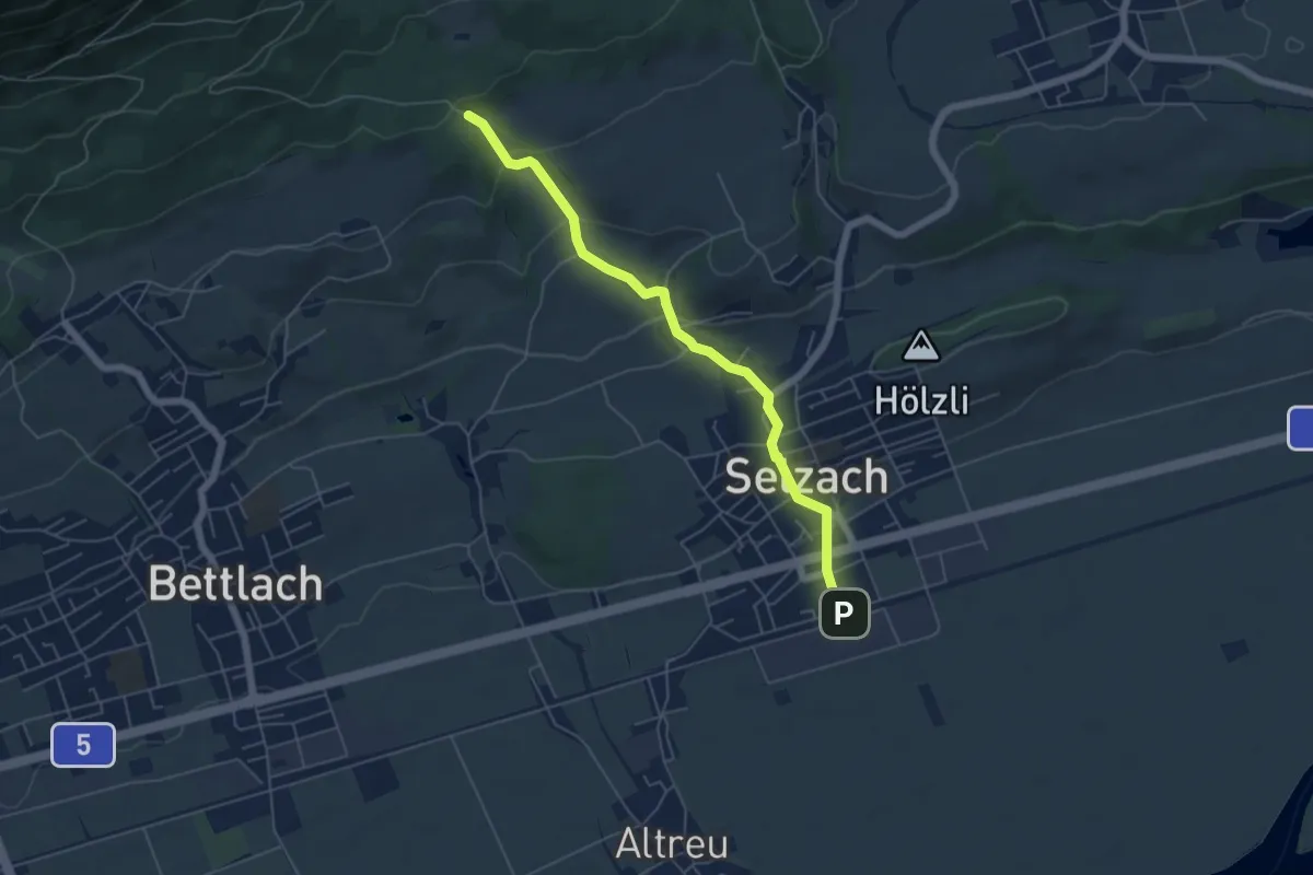
Easy · Trail
Selzach Bahnhof – Lehmannskreuz
5.5 km · ↑ 197 m · 1 h 43 min
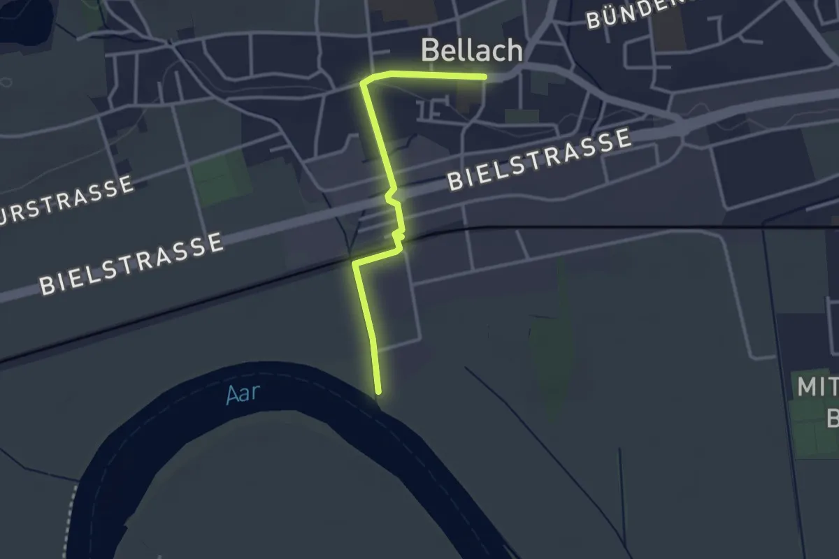
Easy · Trail
Bellach im Gländ – Bellach Post
2.8 km · ↑ 15 m · 42 min
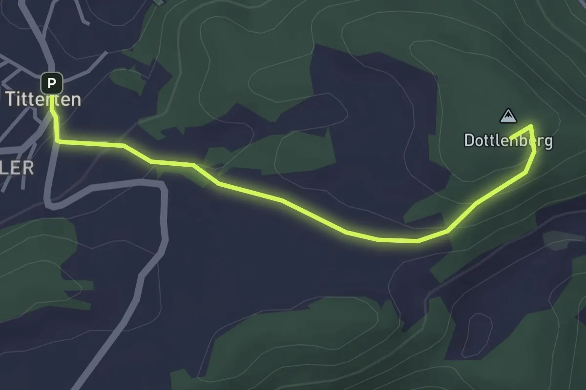
Easy · Summit
Niederdorf – Titterten
3.2 km · ↑ 132 m · 1 h 3 min
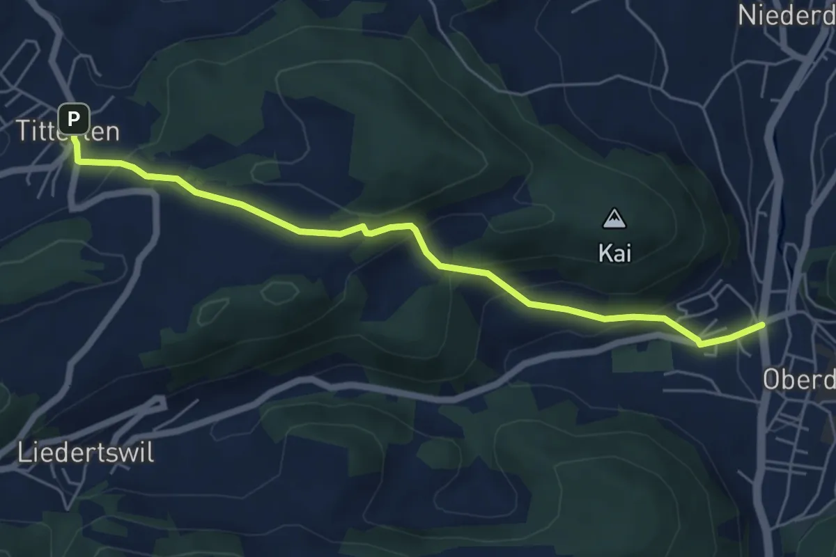
Easy · Trail
Titterten – Rössliplatz
5.5 km · ↑ 319 m · 1 h 59 min
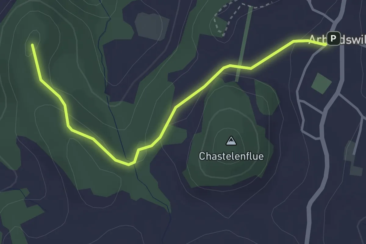
Easy · Summit
Arboldswil – Reigoldswil
3.3 km · ↑ 58 m · 55 min
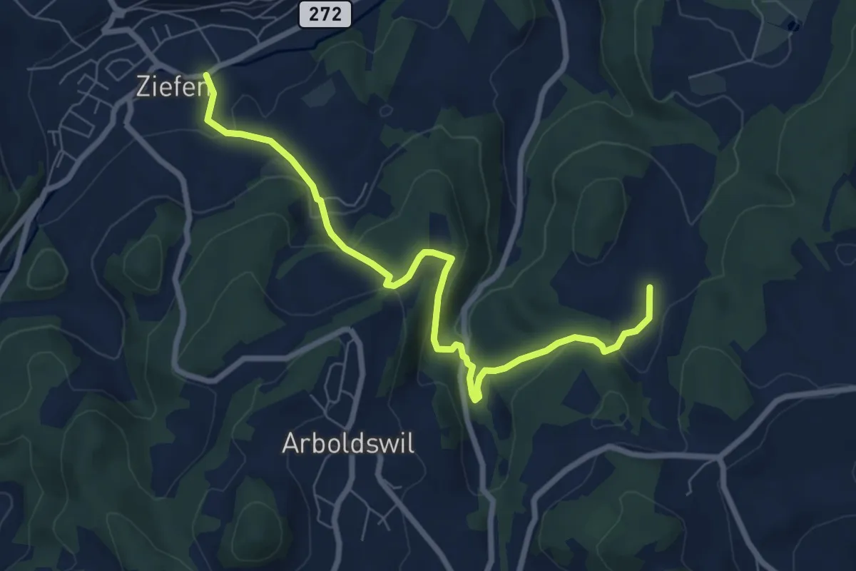
Medium · Trail
Ziefen – Arxhof
7.6 km · ↑ 354 m · 2 h 34 min
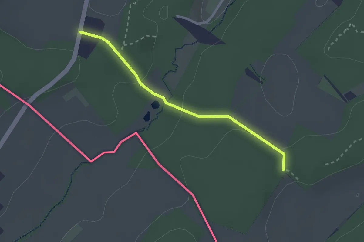
Easy · Trail
Schönenbuch – Chuestelli
2.1 km · ↑ 71 m · 39 min
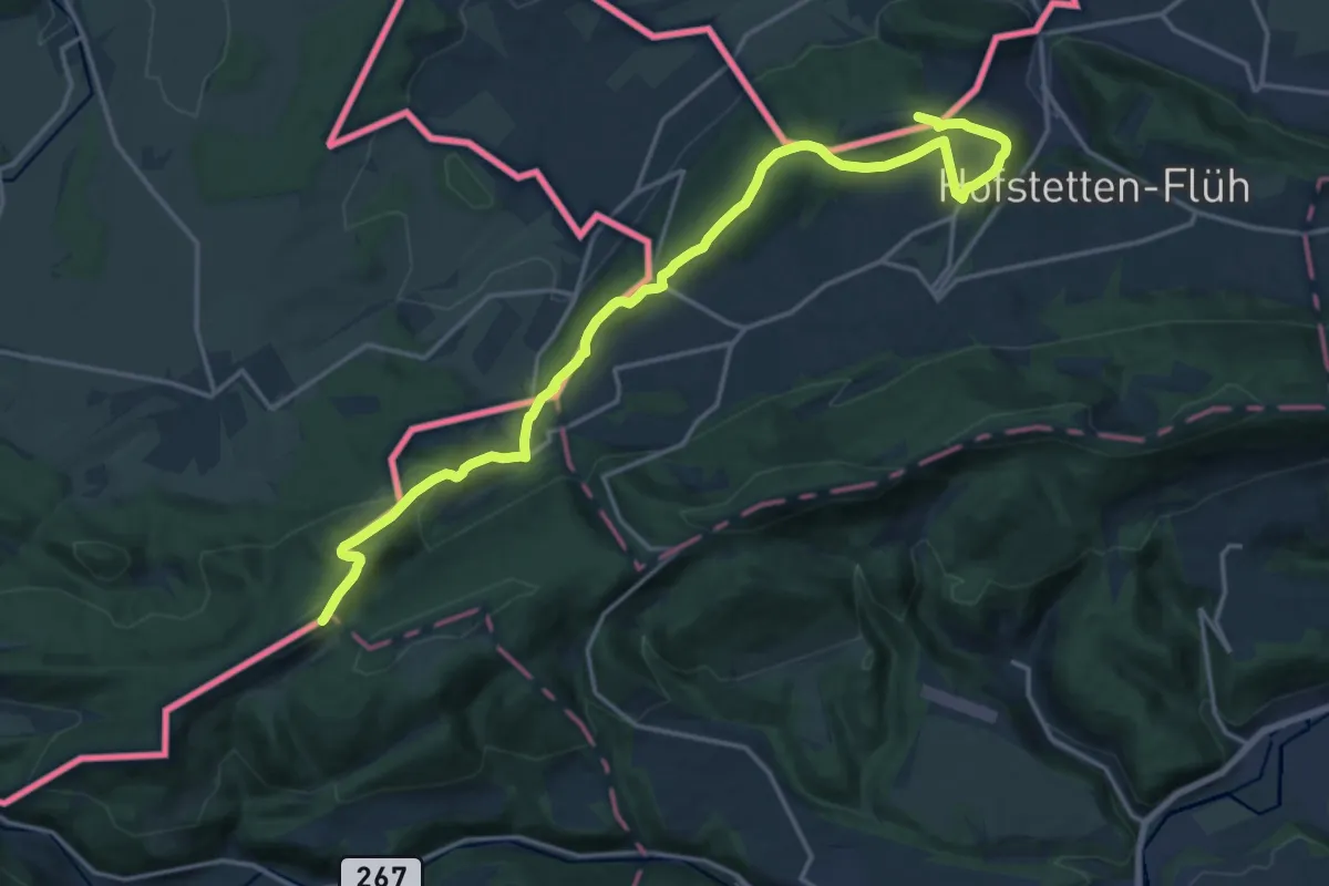
Demanding · Summit
Chloesterli – Mariastein
19.1 km · ↑ 664 m · 5 h 56 min
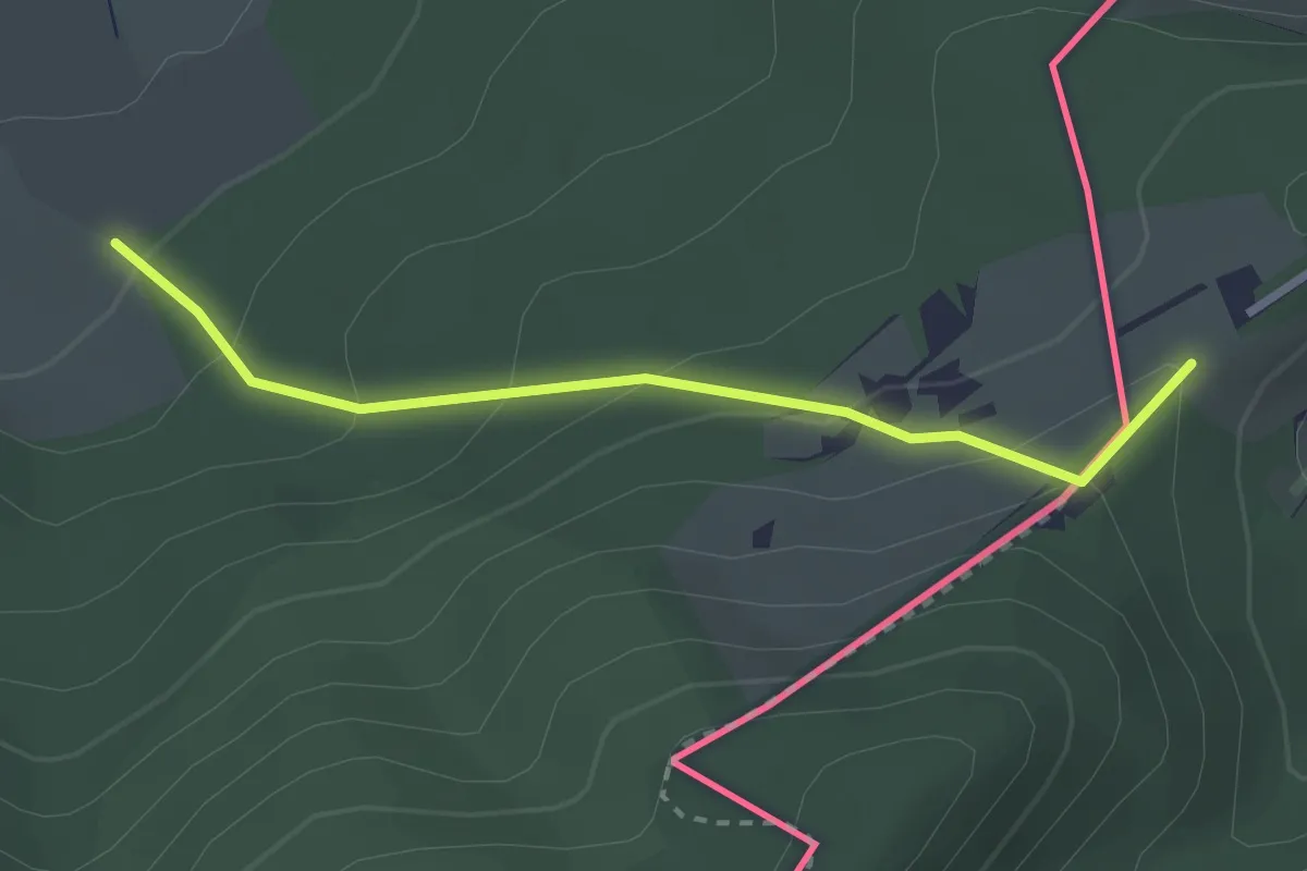
Easy · Trail
Rittimatte – Wolschwiller
2.5 km · ↑ 162 m · 57 min
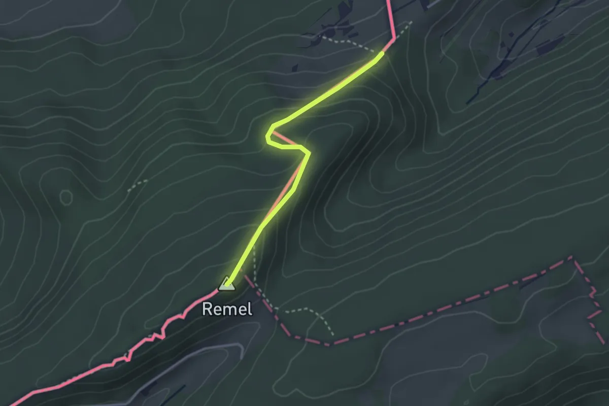
Easy · Summit
Blochmont – Rittimatt
2.7 km · ↑ 178 m · 1 h 1 min
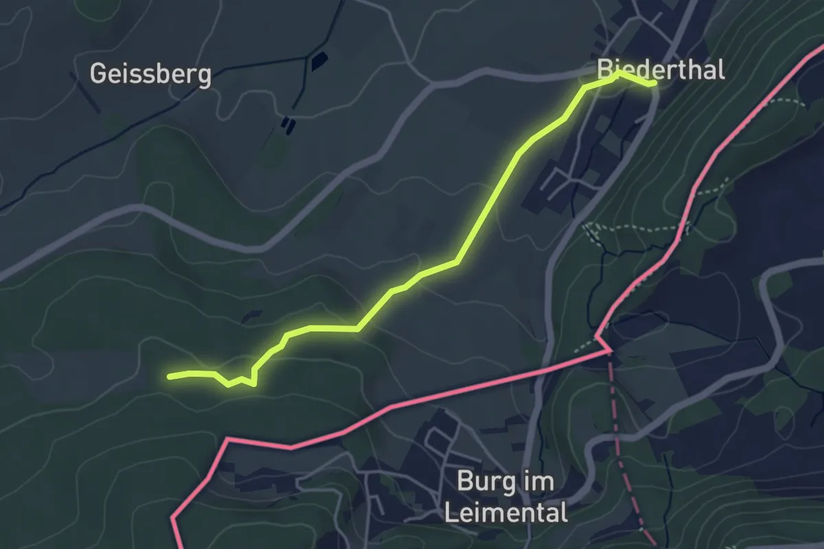
Easy · Trail
Biederthal – Chapelle Saint-Jean-Népomucène
4.0 km · ↑ 122 m · 1 h 12 min
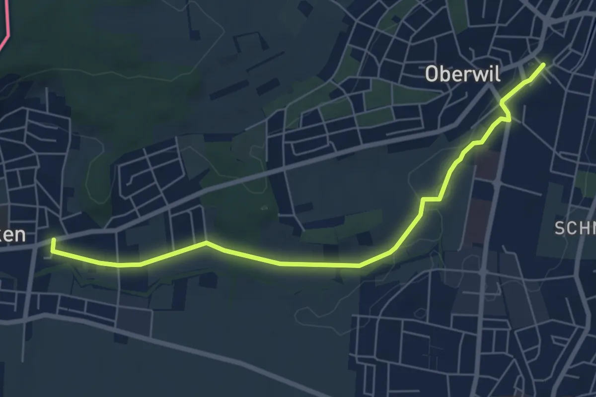
Easy · Trail
Oberwil – Biel
6.1 km · ↑ 40 m · 1 h 31 min
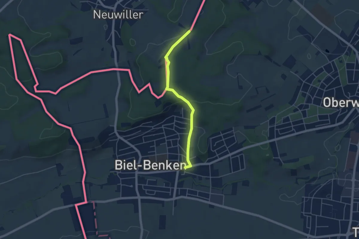
Easy · Trail
Biel – Am Bielweg
4.1 km · ↑ 146 m · 1 h 17 min
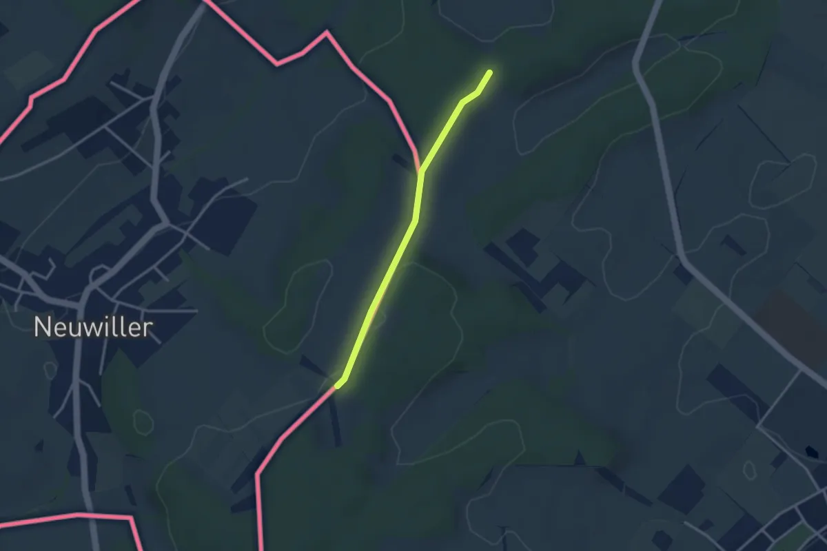
Easy · Trail
Am Bielweg – Chuestelli
2.5 km · ↑ 49 m · 42 min
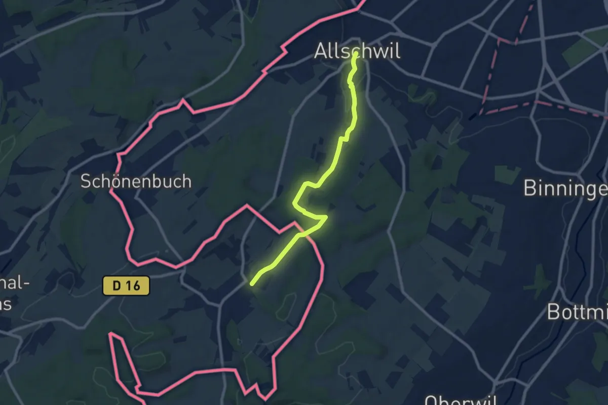
Easy · Trail
Allschwil – Neuwiller
7.6 km · ↑ 139 m · 2 h 6 min
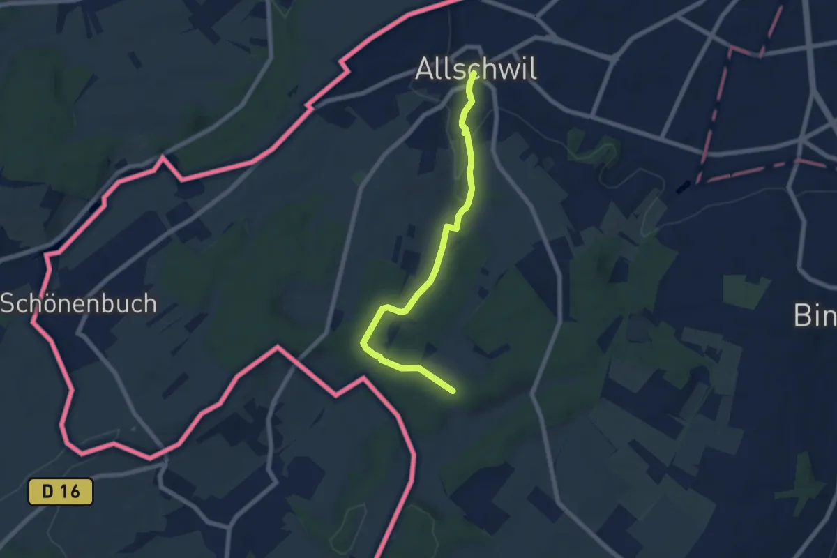
Easy · Trail
Allschwil – Chuestelli
5.8 km · ↑ 129 m · 1 h 39 min
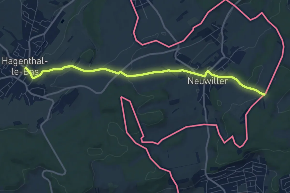
Medium · Trail
Hinteri Allme – Hagenthal-le-Bas
8.1 km · ↑ 159 m · 2 h 15 min
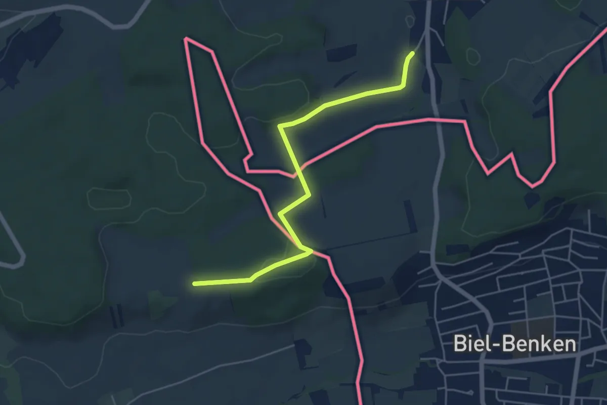
Easy · Trail
Leymen – Leymen
2.4 km · ↑ 65 m · 43 min
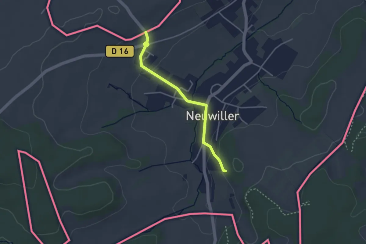
Easy · Trail
Im Kai – Allmend
2.8 km · ↑ 61 m · 47 min
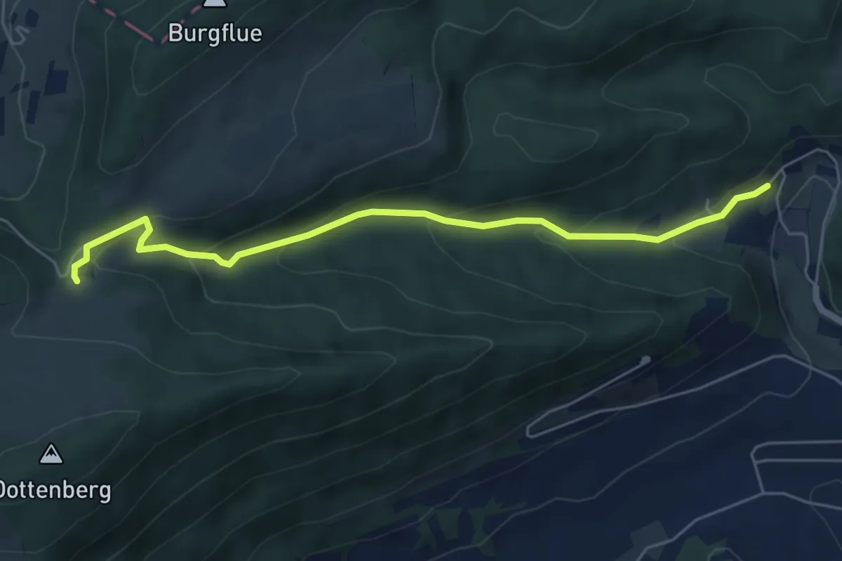
Easy · Trail
Burgweid – Bad Lostorf
5.5 km · ↑ 280 m · 1 h 54 min
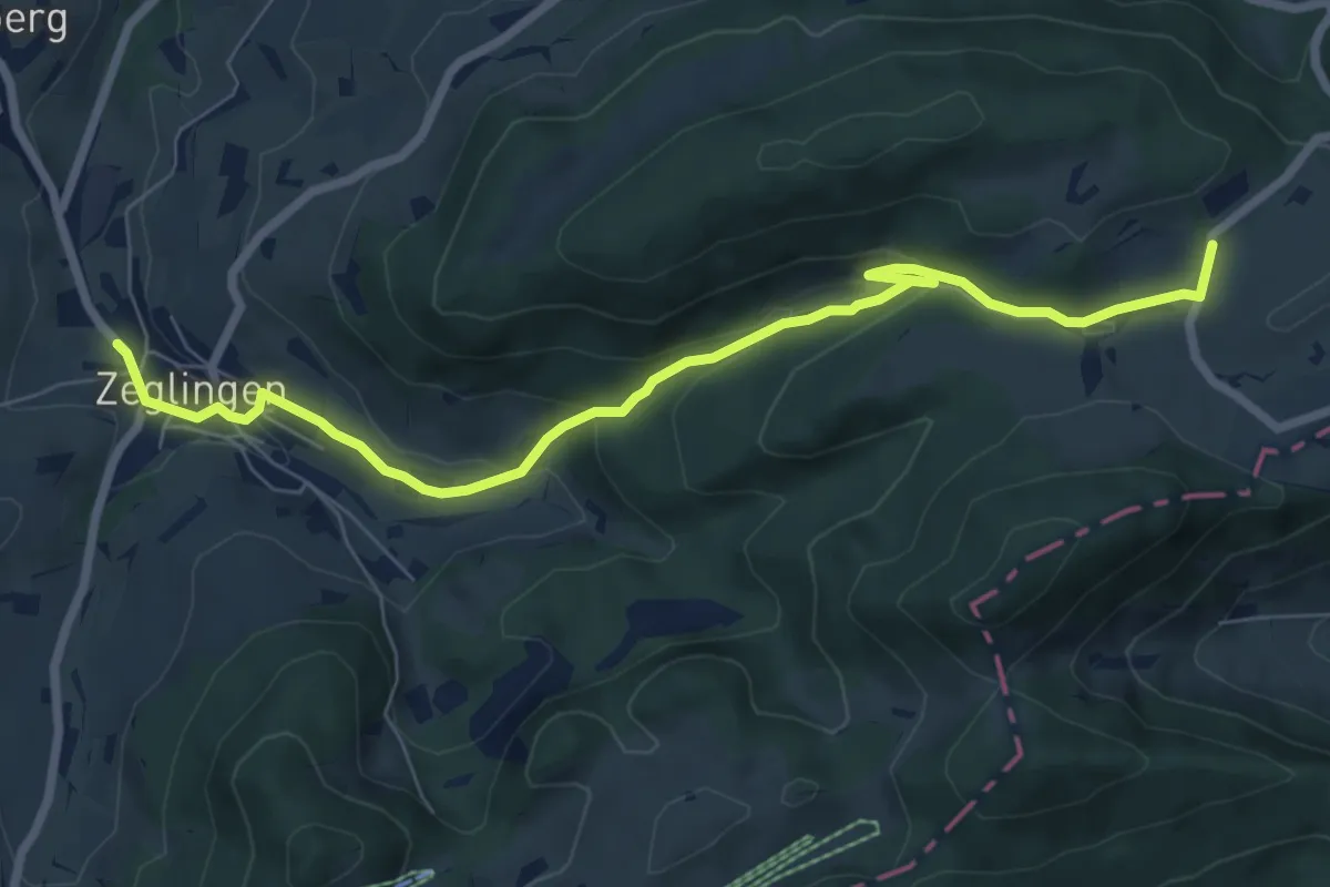
Easy · Trail
Schafmatt – Zeglingen
7.9 km · ↑ 308 m · 2 h 32 min
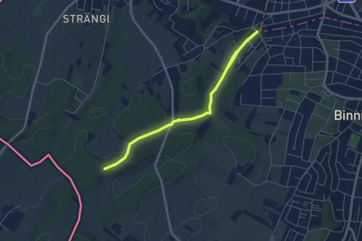
Easy · Trail
Am Weiher – Chuestelli
6.0 km · ↑ 123 m · 1 h 41 min