Trails in Switzerland
15,055 hiking trails, each with its route, climb, walking time and grade.
All trails, page 248 of 314
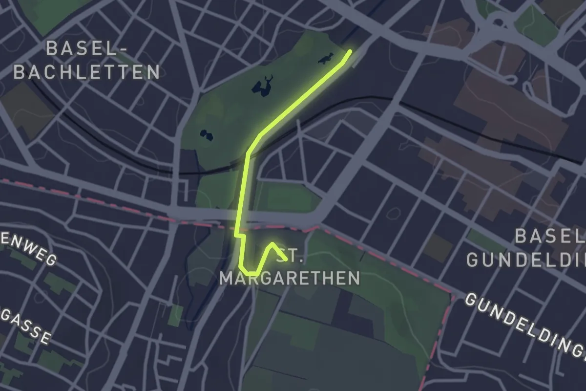
Easy · Trail
Zolli – St. Margreten Kirche
2.2 km · ↑ 26 m · 34 min
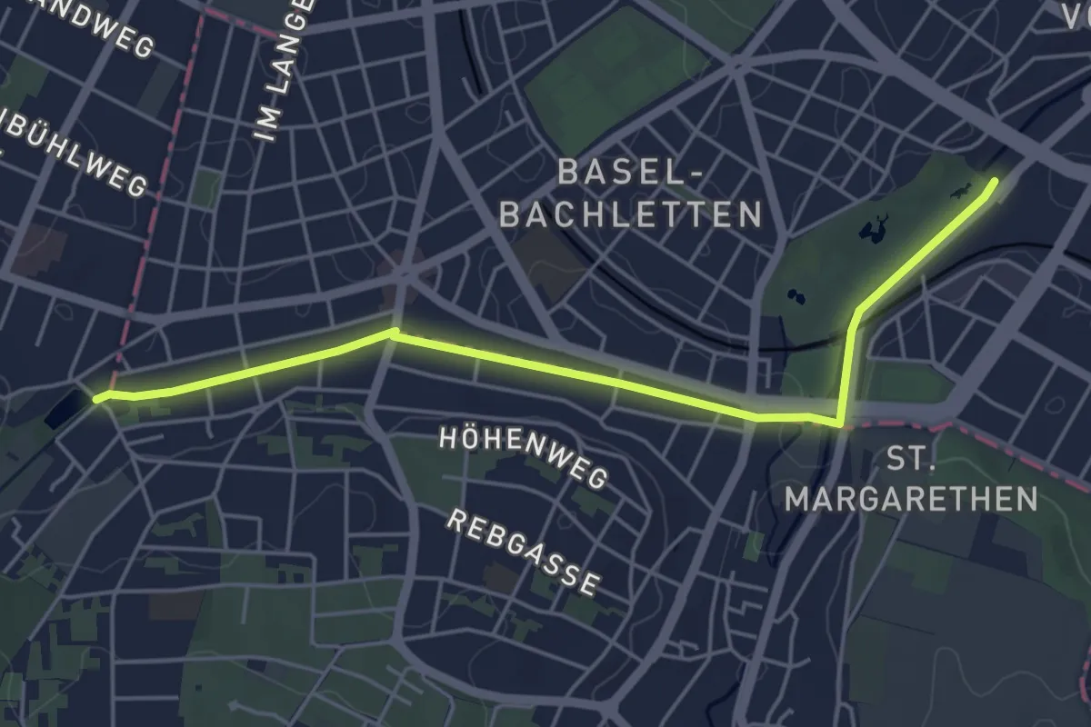
Easy · Trail
Zolli – Am Weiher
4.9 km · ↑ 17 m · 1 h 12 min
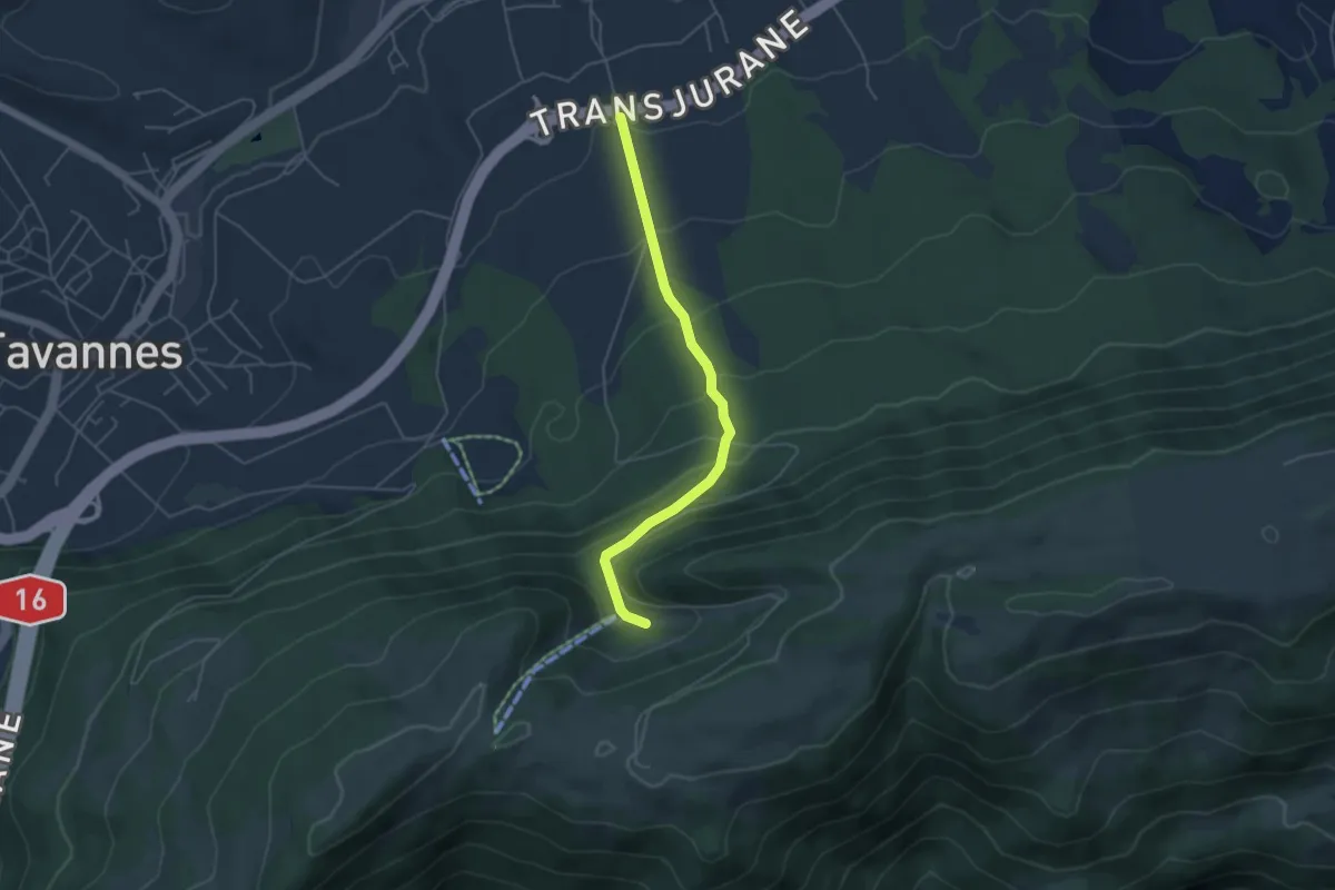
Medium · Trail
La Golatte – Reconvilier Halle des fêtes
4.5 km · ↑ 328 m · 1 h 46 min
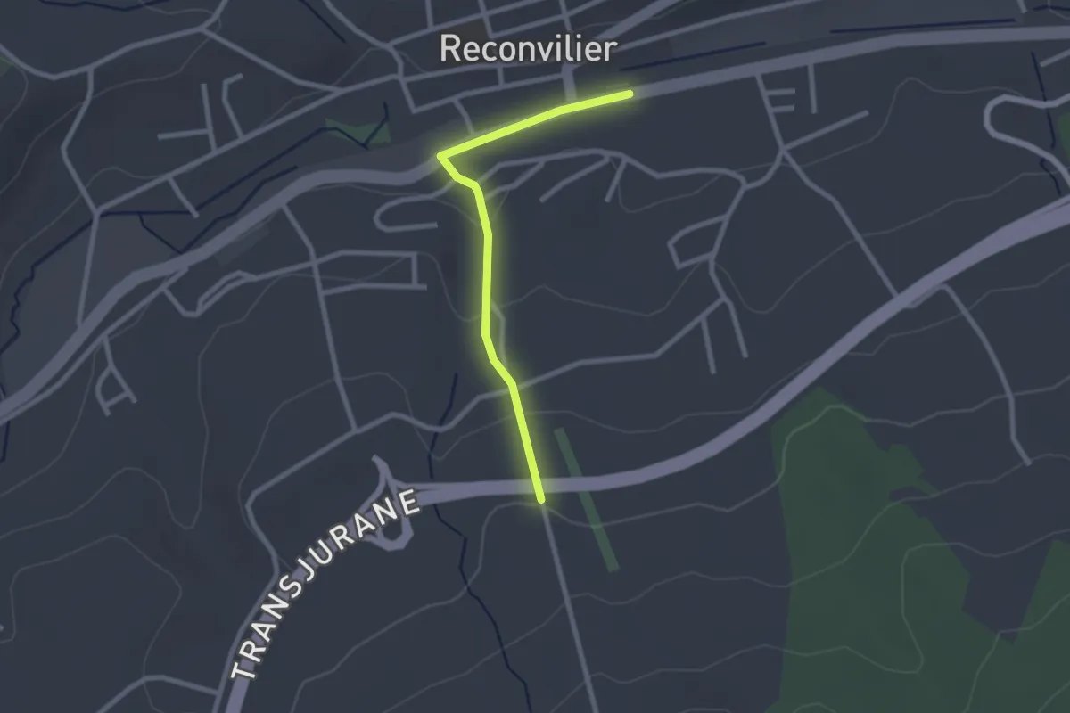
Easy · Trail
Reconvilier Halle des fêtes – Reconvilier
2.2 km · ↑ 63 m · 40 min
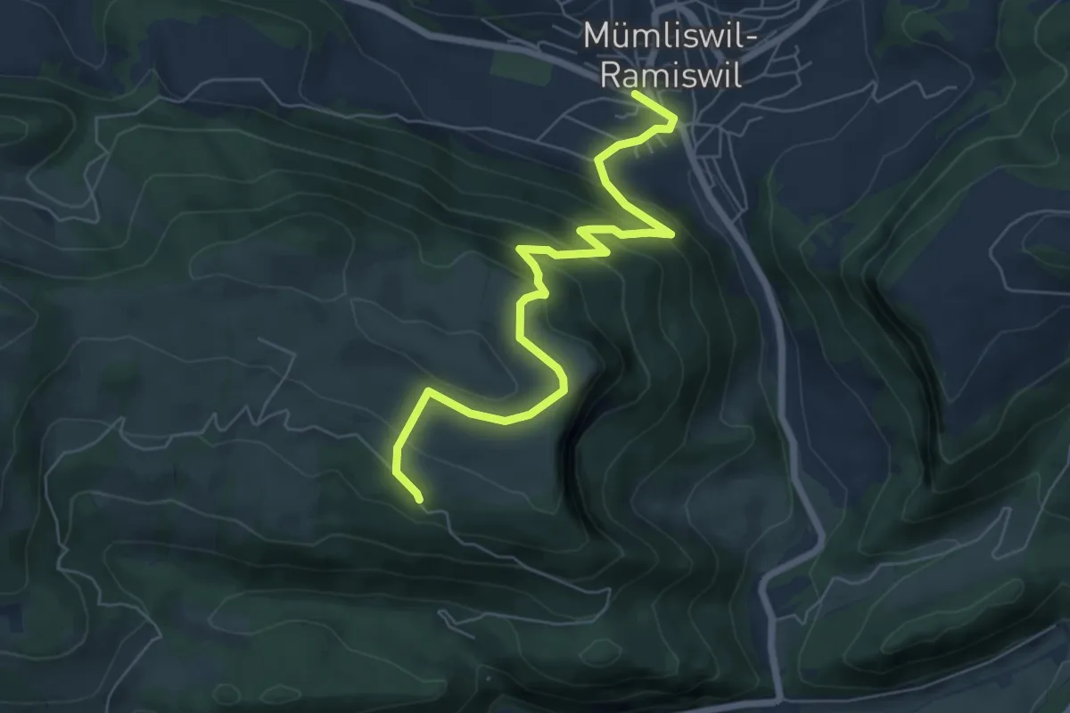
Medium · Trail
Hauptstrasse Mümliswil – Bereten Linde
6.7 km · ↑ 411 m · 2 h 28 min
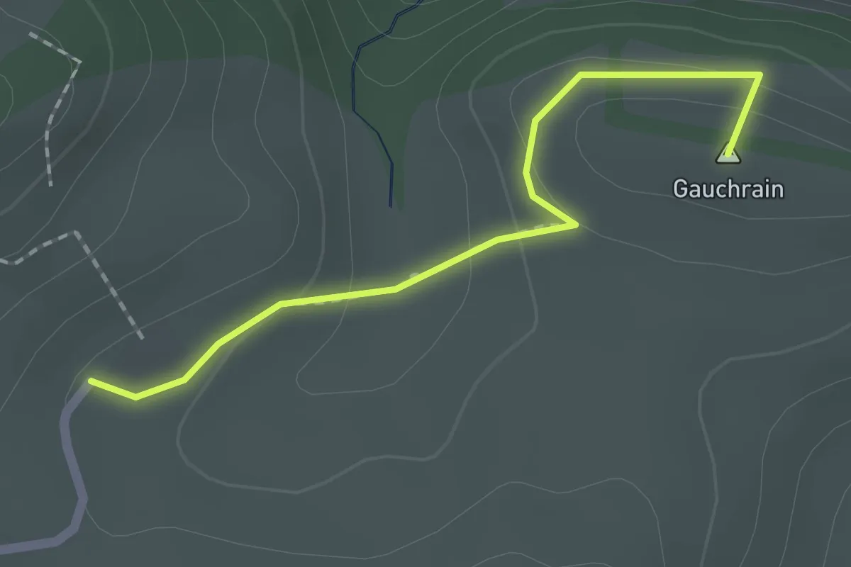
Easy · Summit
Chrützlimatt – Bremgarten
1.8 km · ↑ 73 m · 35 min
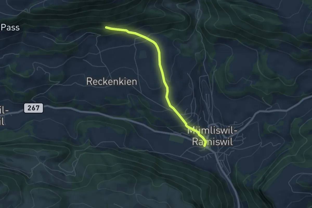
Easy · Trail
Rotisegg – Hauptstrasse Mümliswil
5.3 km · ↑ 305 m · 1 h 54 min
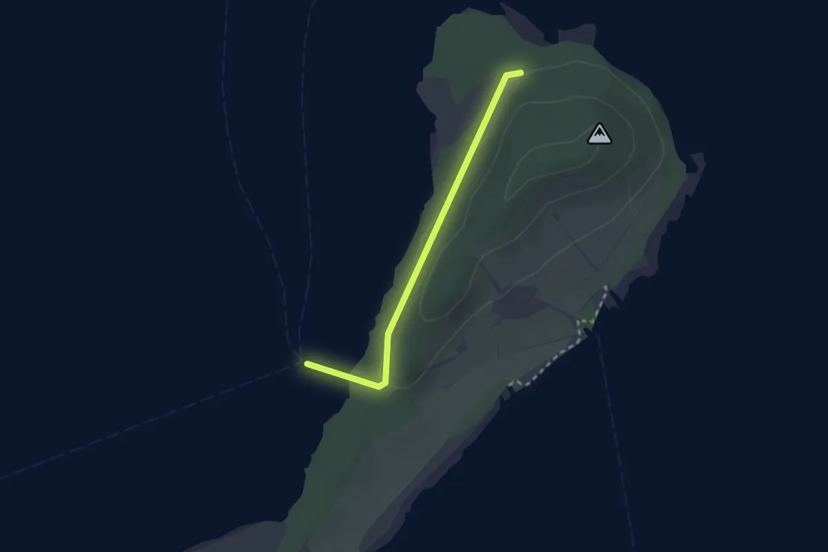
Easy · Trail
St. Petersinsel Nord – Ehemalige Ligerzlänti
2.2 km · ↑ 27 m · 35 min
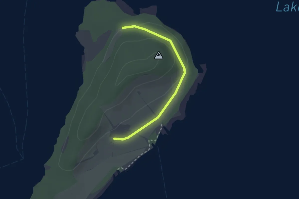
Easy · Trail
Chloster – Ehemalige Ligerzlänti
2.1 km · ↑ 40 m · 35 min
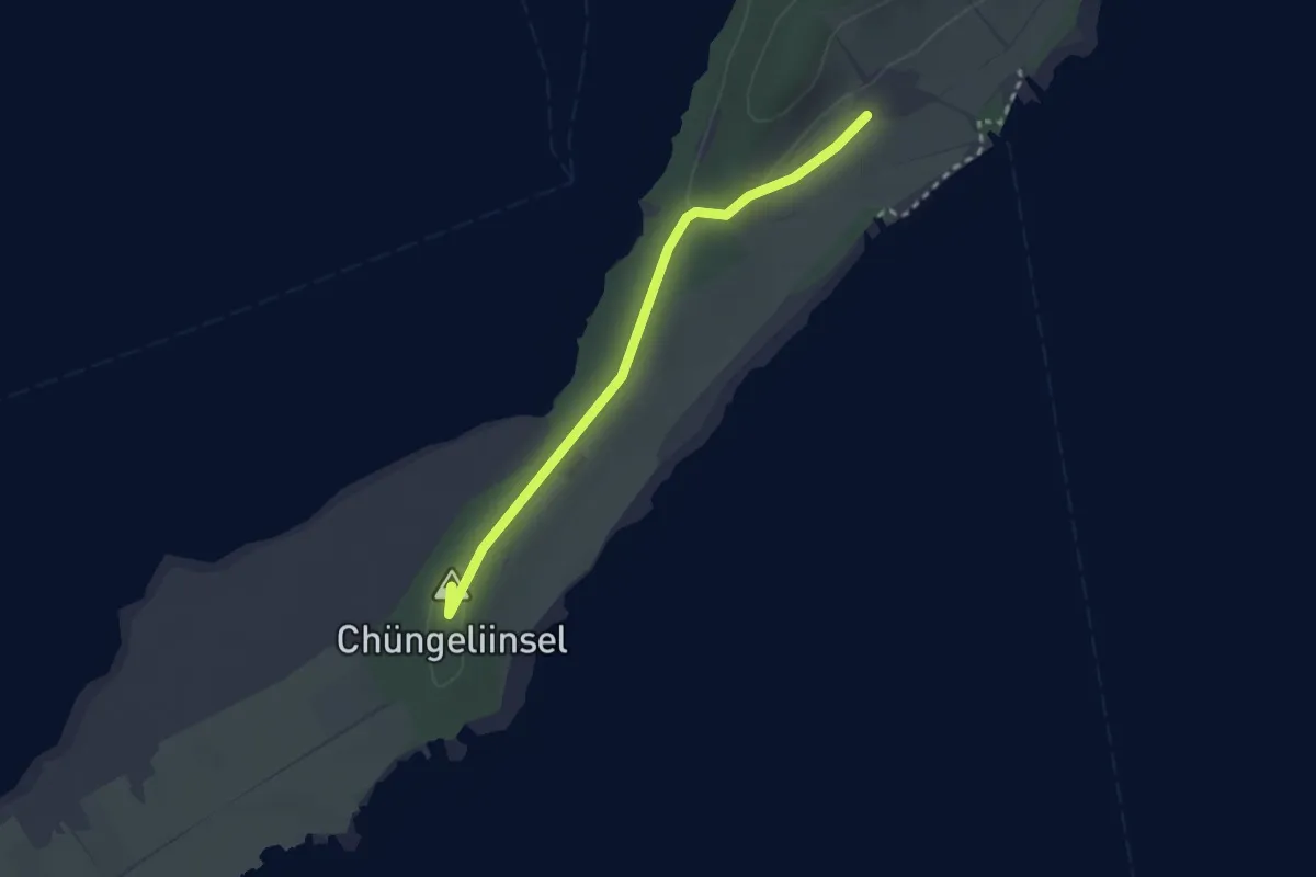
Easy · Summit
Chloster – Chüngeliinsel
2.5 km · ↑ 8 m · 36 min
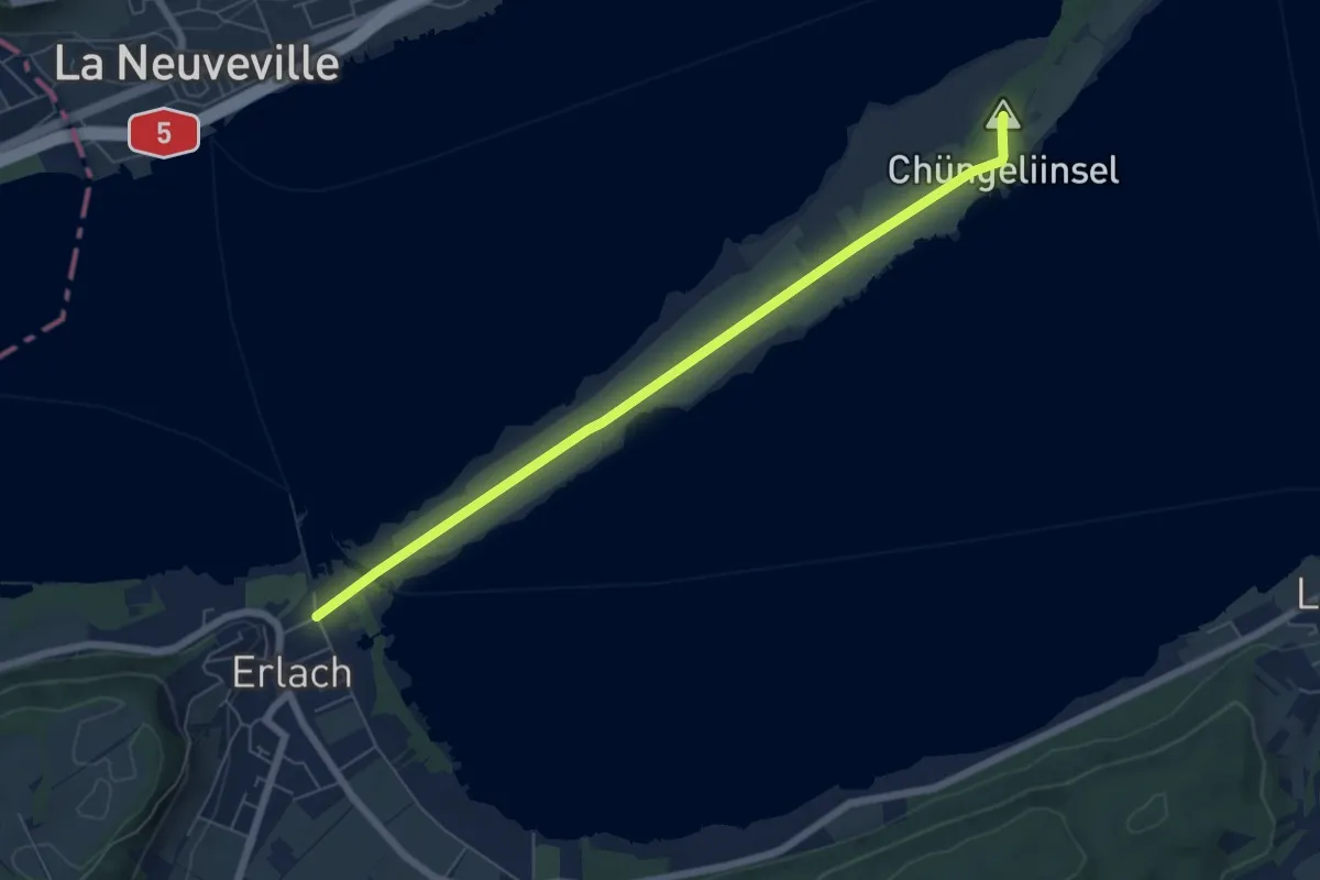
Easy · Summit
Chüngeliinsel – Erlach
6.5 km · ↑ 15 m · 1 h 34 min
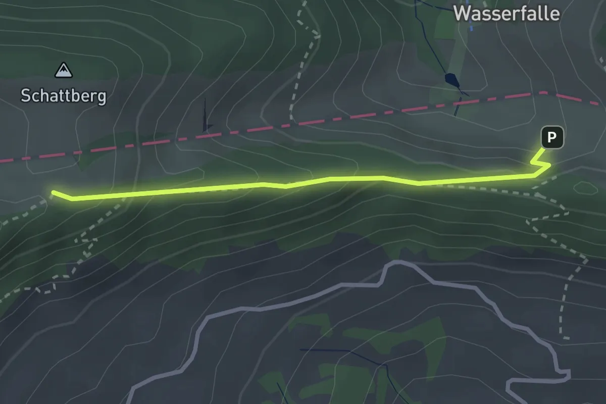
Medium · Trail
Hintere Wasserfallen – Passwang
2.5 km · ↑ 239 m · 1 h 6 min
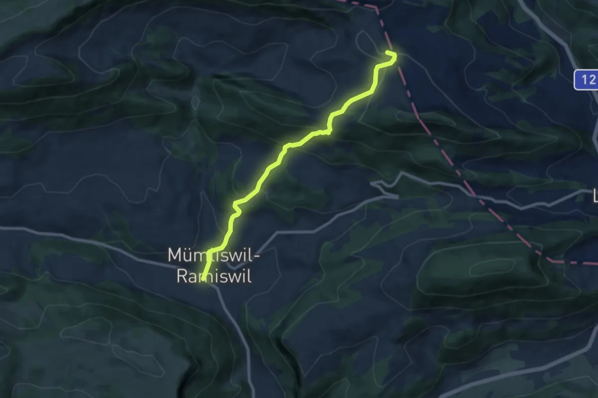
Medium · Trail
Hauptstrasse Münliswil – Sool
7.7 km · ↑ 466 m · 2 h 50 min
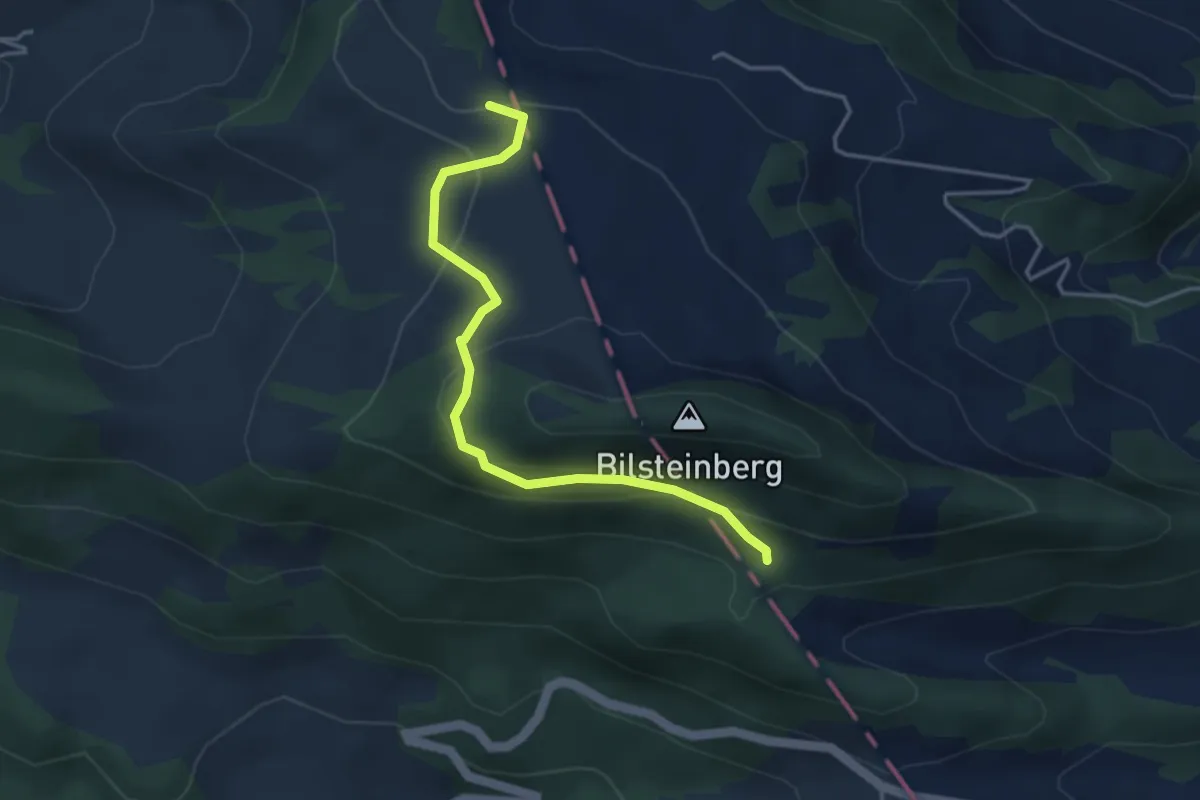
Easy · Trail
Sool – Helfenberg
3.8 km · ↑ 203 m · 1 h 21 min
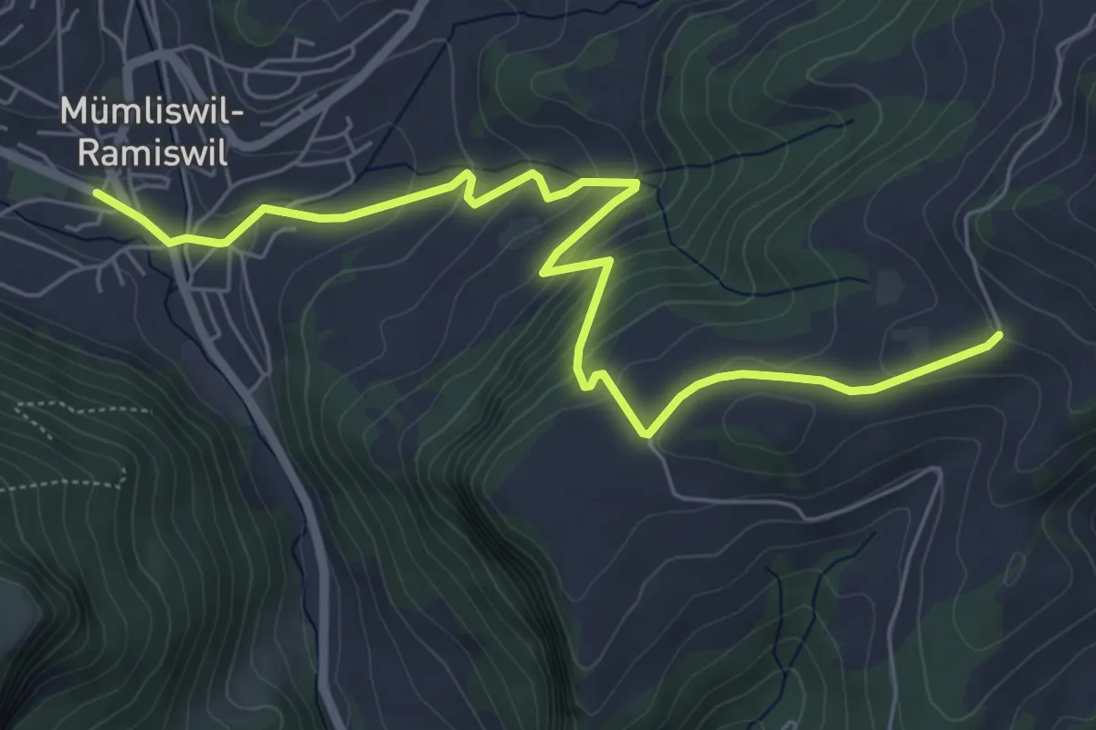
Medium · Trail
Bereten Linde – Hauptstrasse Mümliswil
6.8 km · ↑ 346 m · 2 h 21 min
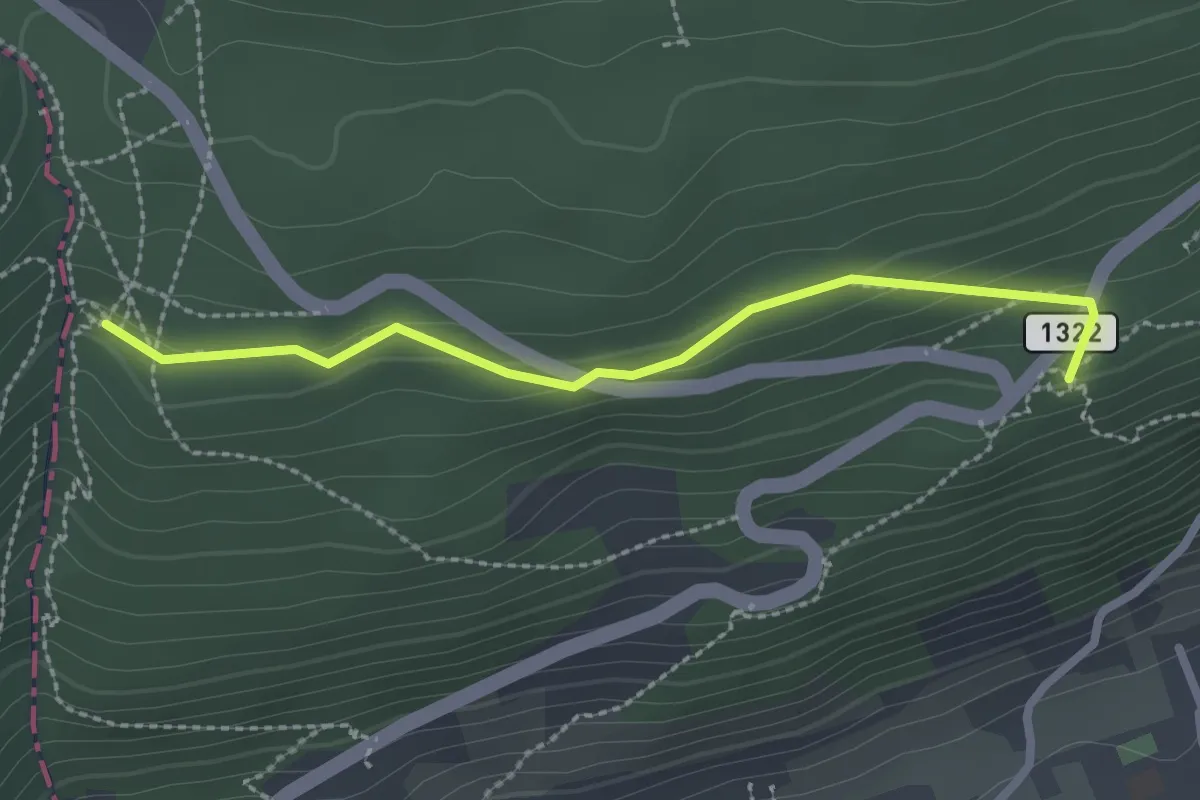
Easy · Trail
Combe du Pilouvi – Pavillon
2.4 km · ↑ 77 m · 44 min
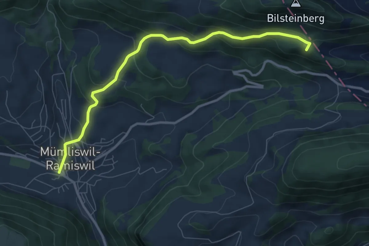
Medium · Summit
Helfenberg – Hauptstrasse Mümliswil
7.7 km · ↑ 399 m · 2 h 41 min
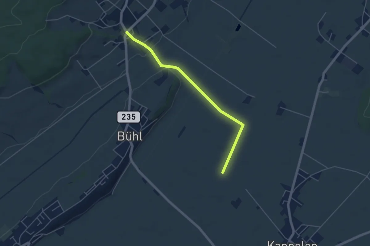
Easy · Trail
Hermrigen – Römerstrass
4.4 km · ↑ 24 m · 1 h 5 min
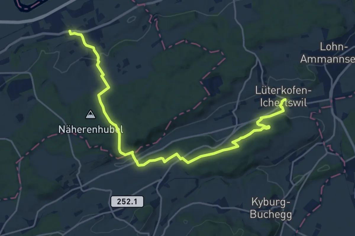
Medium · Trail
Leuzigen – Lüterkofen, Dorf
16.8 km · ↑ 425 m · 4 h 53 min
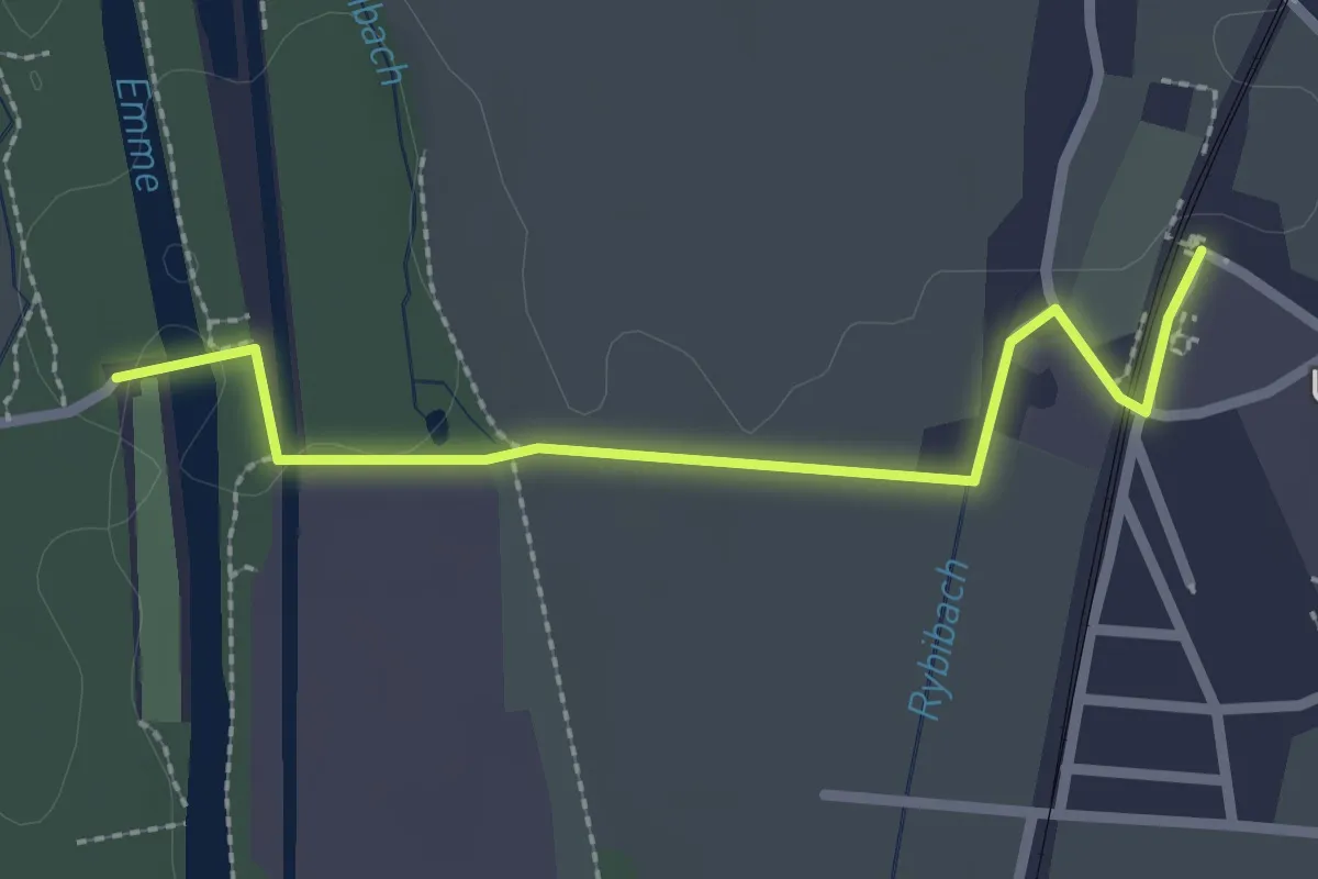
Easy · Trail
Kräiligensteg – Wiler / Station
2.5 km · ↑ 9 m · 36 min
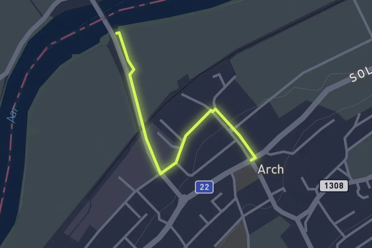
Easy · Trail
Arch / Aarbrügg – Arch
2.3 km · ↑ 19 m · 34 min
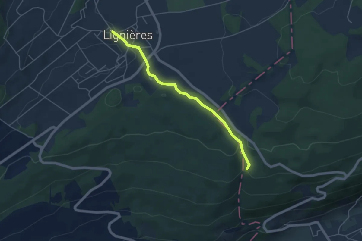
Easy · Trail
Combe du Pilouvi – Lignières
4.0 km · ↑ 98 m · 1 h 10 min
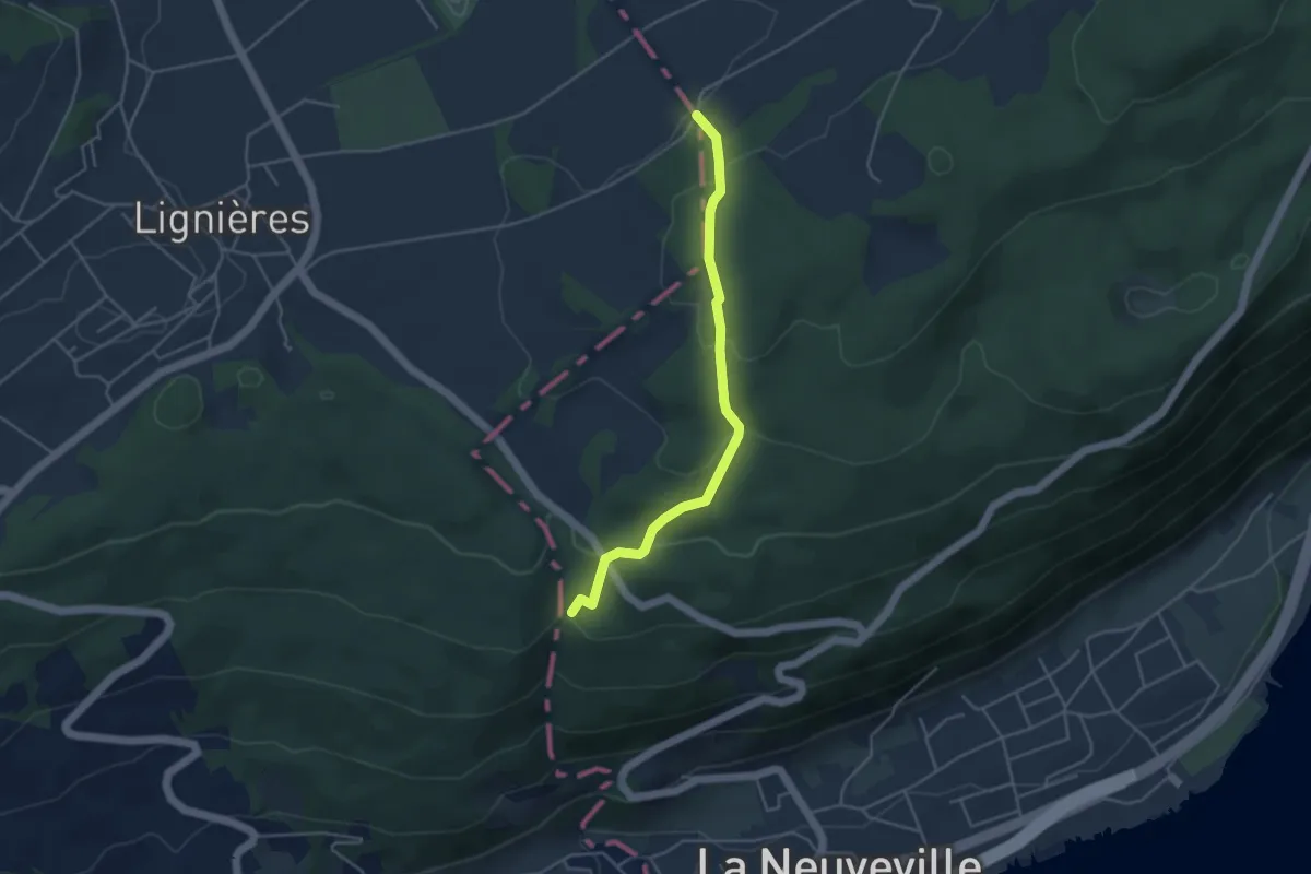
Easy · Trail
Combe du Pilouvi – La Paye
4.0 km · ↑ 219 m · 1 h 25 min
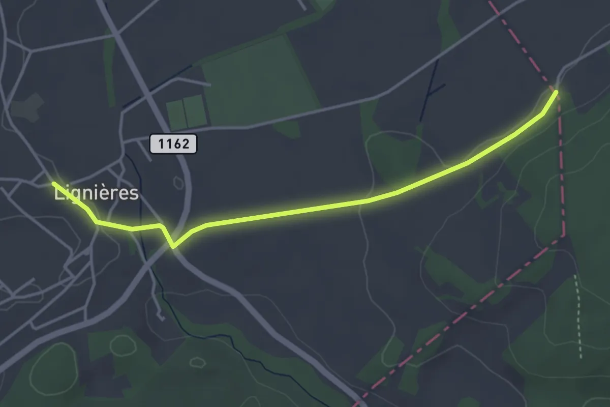
Easy · Trail
Lignières – Bas de la Paye
3.9 km · ↑ 52 m · 1 h 2 min
Easy · Trail
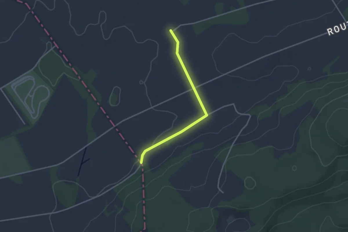
Bas de la Paye – La Paye
2.6 km · ↑ 23 m · 40 min
Medium · Trail
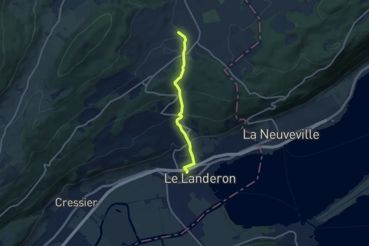
Lignières – Le Landeron
7.0 km · ↑ 375 m · 2 h 28 min
Easy · Trail
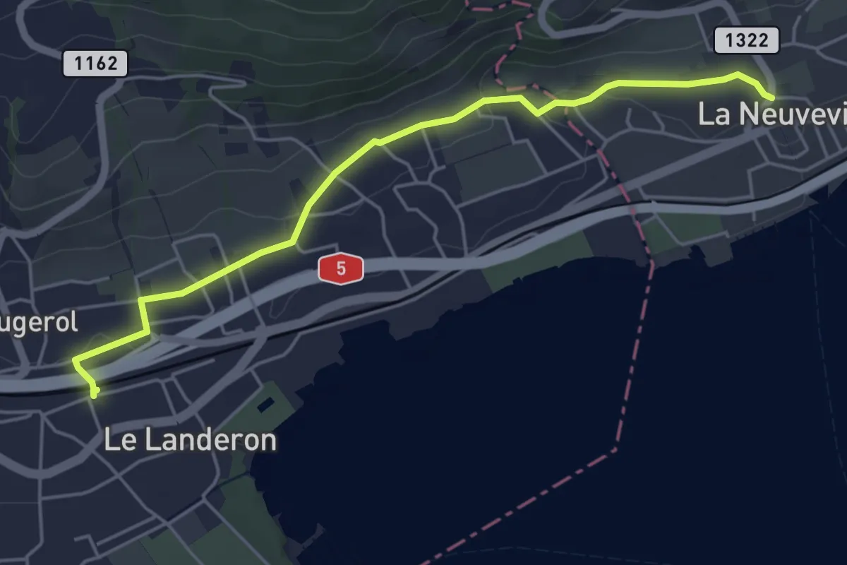
Le Landeron – La Neuveville
5.0 km · ↑ 82 m · 1 h 22 min
Demanding · Trail
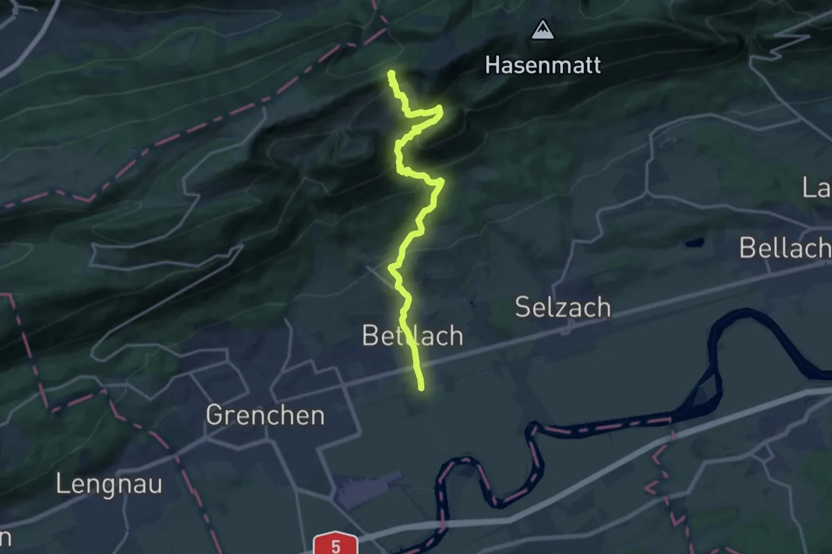
Bettlach, Bahnhof – Küferegg
14.8 km · ↑ 959 m · 5 h 34 min
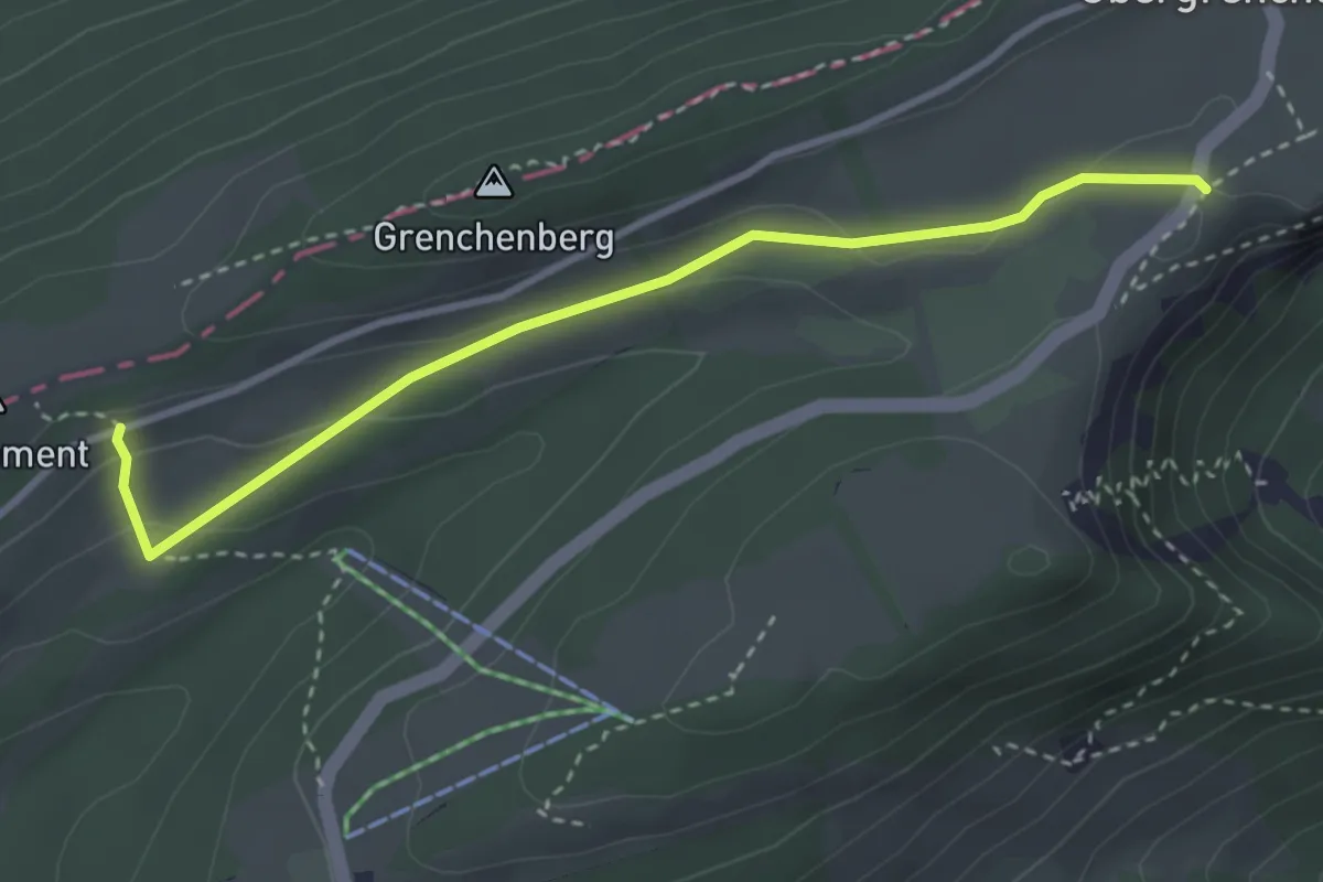
Medium · Trail
Obergrenchenberg – Längschwang
3.4 km · ↑ 100 m · 1 h 1 min
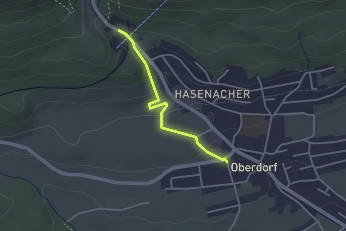
Easy · Trail
Oberdorf – Oberdorf Talstation Gondelbahn
2.4 km · ↑ 92 m · 45 min
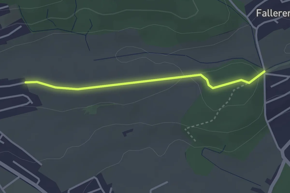
Easy · Trail
Fallerenhöchi – Fallerenhölzli
2.6 km · ↑ 24 m · 39 min
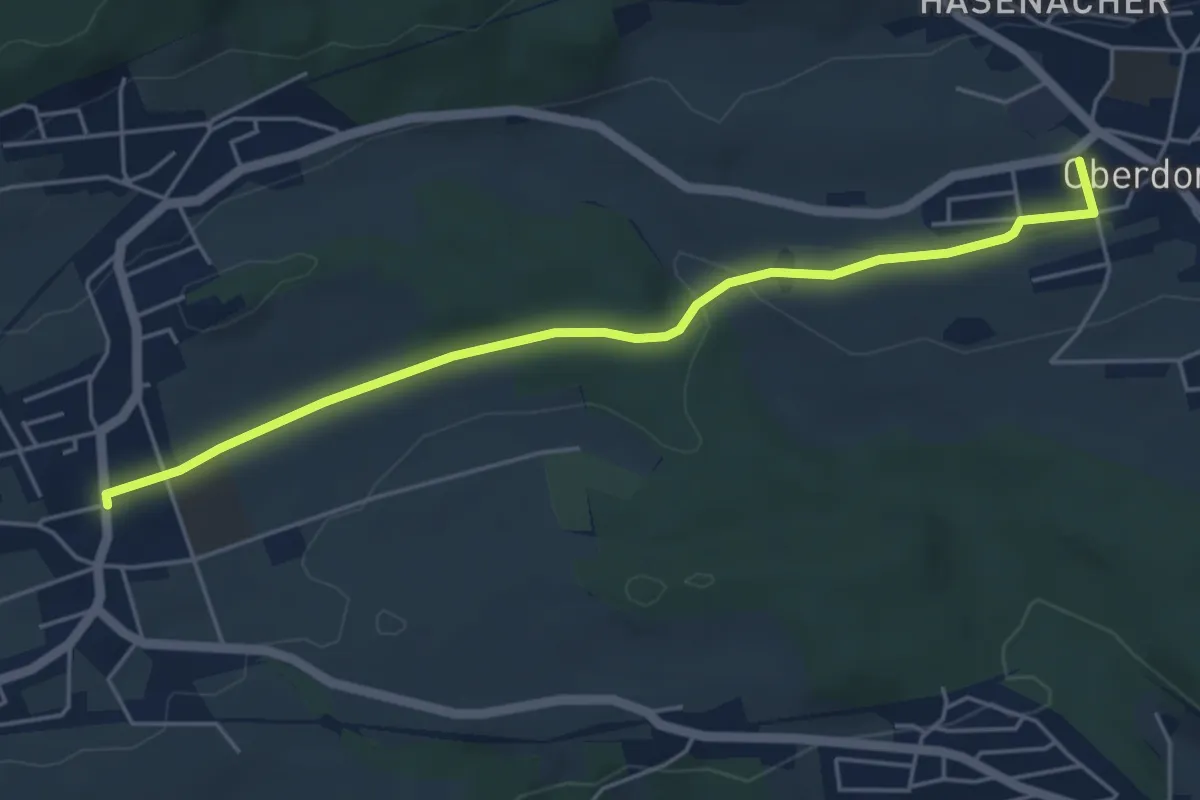
Easy · Trail
Chäsi – Oberdorf
5.1 km · ↑ 59 m · 1 h 20 min
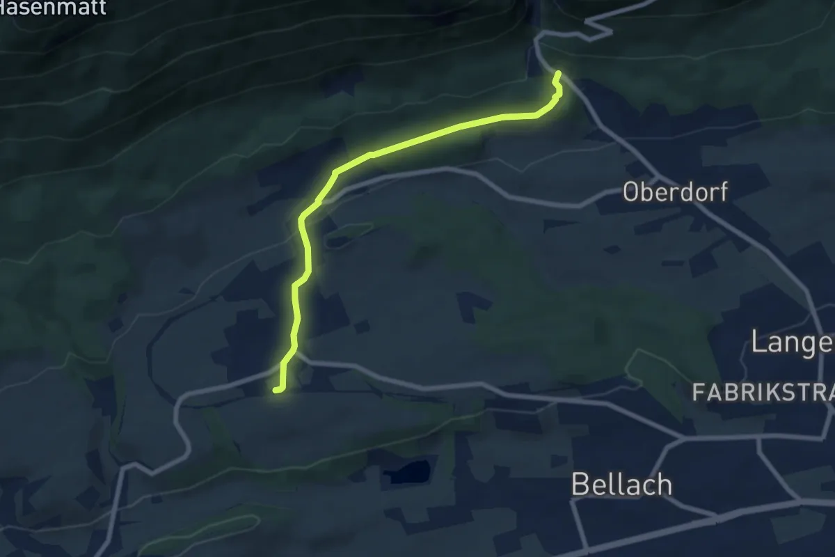
Easy · Trail
Oberdorf Talstation Gondelbahn – Lommiswil Bahnhof
6.4 km · ↑ 123 m · 1 h 47 min
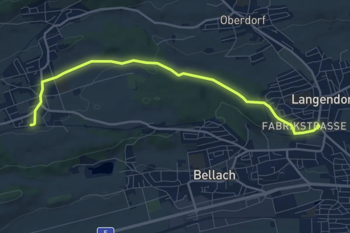
Medium · Trail
Langendorf – Lommiswil Bahnhof
8.5 km · ↑ 132 m · 2 h 17 min
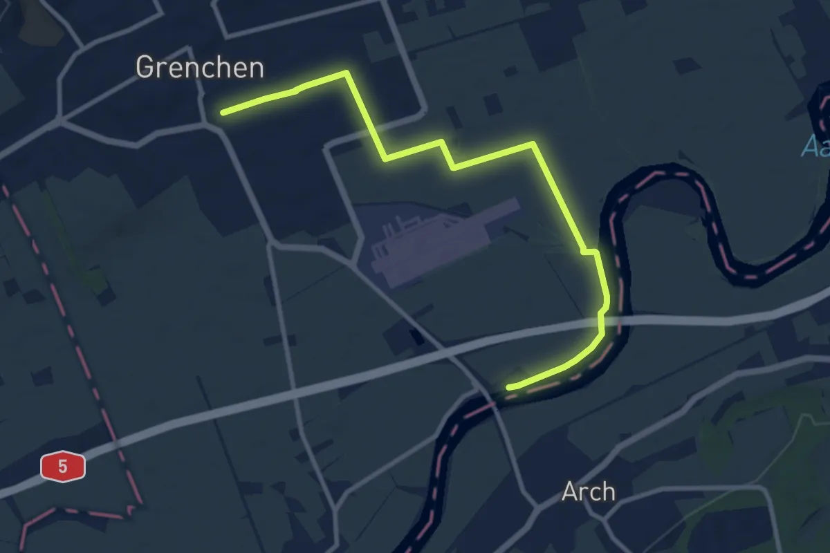
Medium · Trail
Grenchen Süd Riedernstrasse – Grenchen Schiffstation
9.1 km · ↑ 13 m · 2 h 11 min
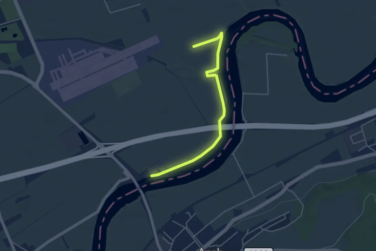
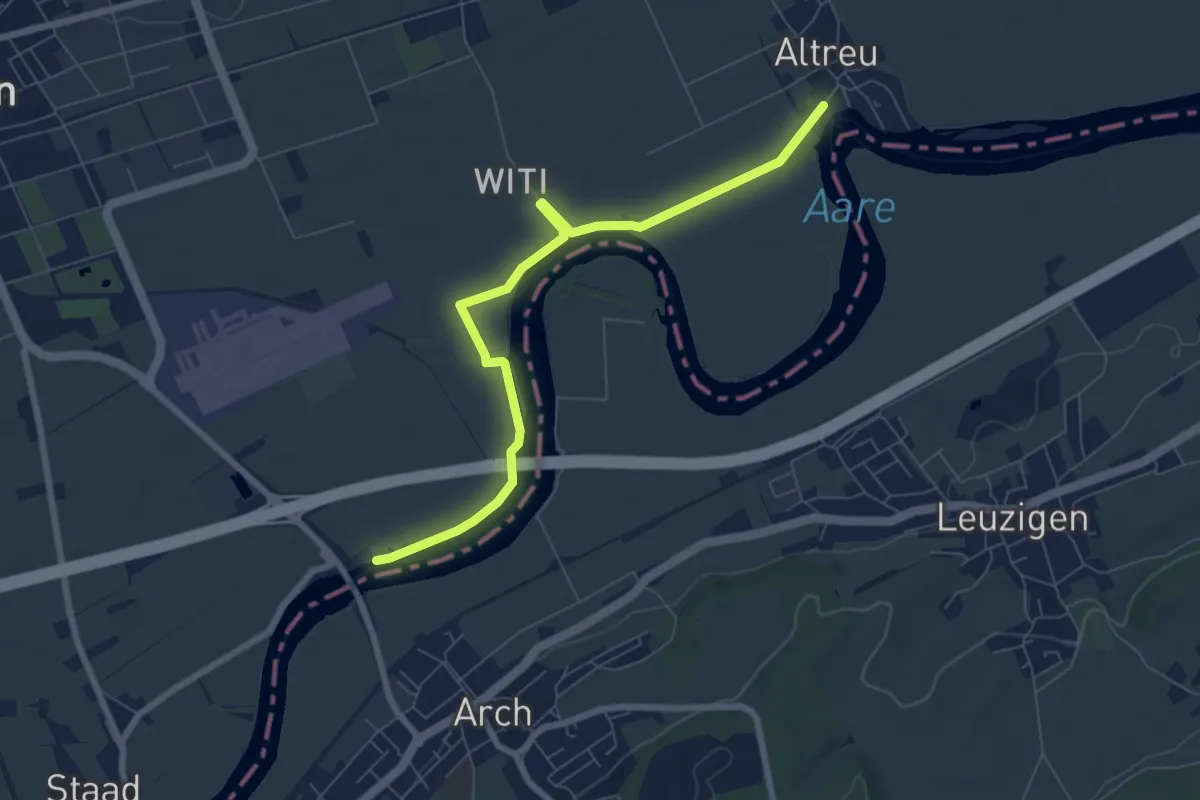
Easy · Trail
Grenchen Schiffstation – Sandacher
4.0 km · ↑ 0 m · 57 min
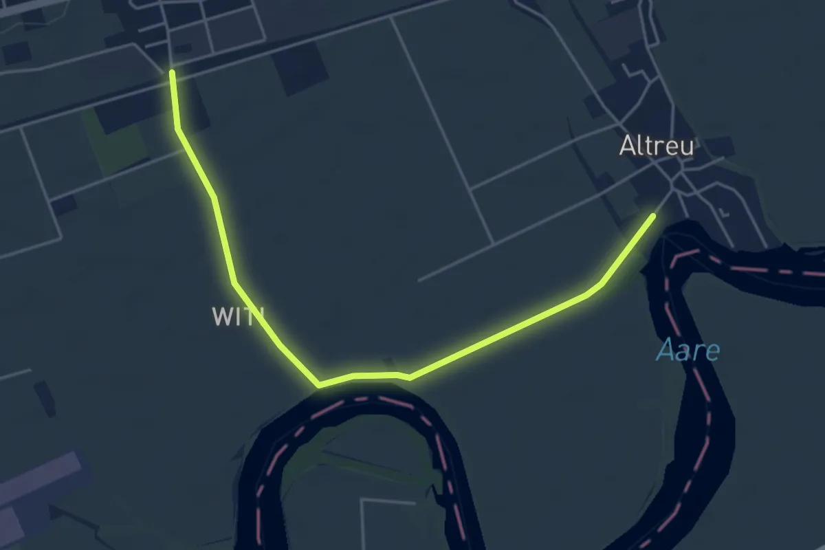
Easy · Trail
Altreu – Grenchen Schiffstation
7.5 km · ↑ 0 m · 1 h 47 min
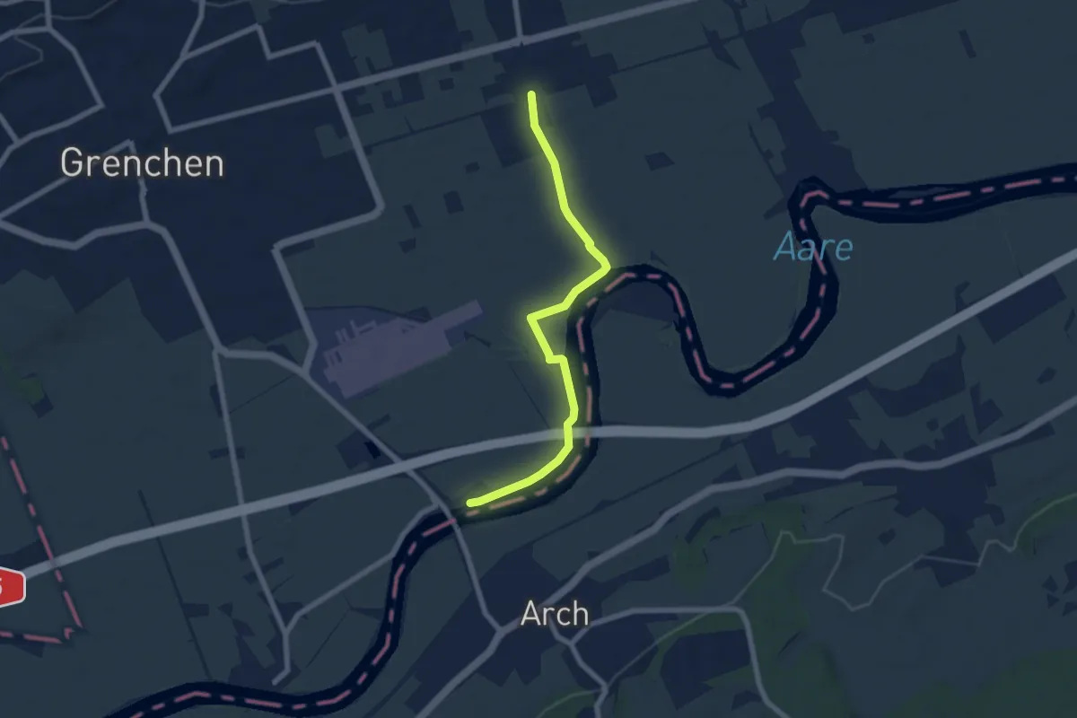
Easy · Trail
Bettlach, Bahnhof – Altreu
4.8 km · ↑ 12 m · 1 h 10 min
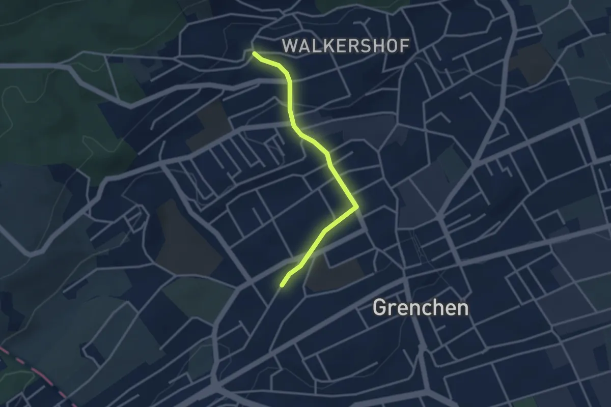
Easy · Trail
Bettlach, Bahnhof – Grenchen Schiffstation
6.6 km · ↑ 13 m · 1 h 35 min
Easy · Trail
Grenchen Nord – Schmelzi
2.6 km · ↑ 64 m · 46 min
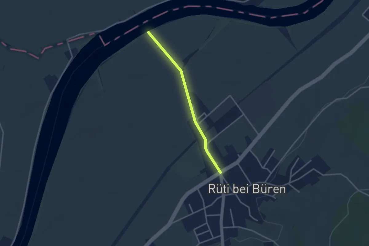
Easy · Trail
Austücki – Rüti b. Büren
2.3 km · ↑ 8 m · 33 min
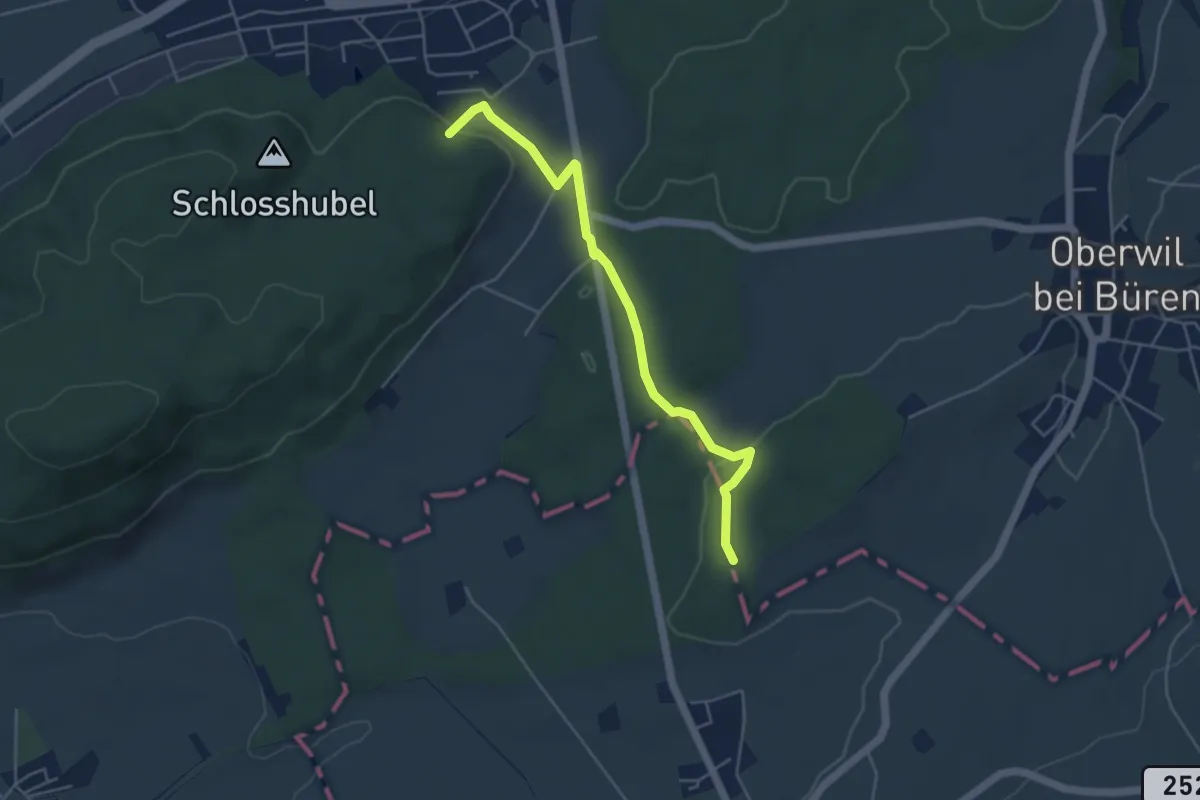
Easy · Trail
Büren a.A. – Chilchenholz
4.7 km · ↑ 98 m · 1 h 19 min
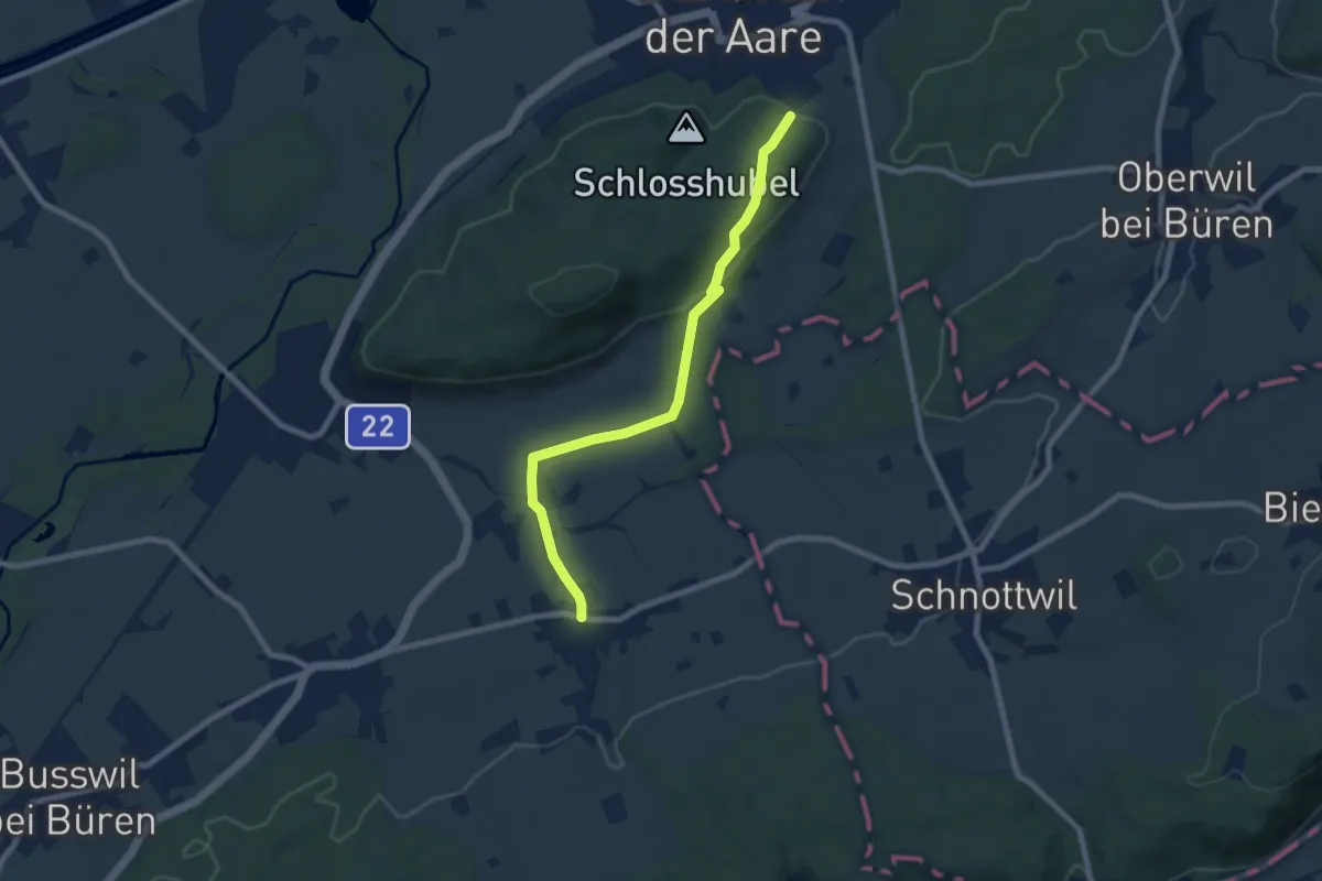
Easy · Trail
Büren a.A. – Diessbach
7.6 km · ↑ 153 m · 2 h 8 min
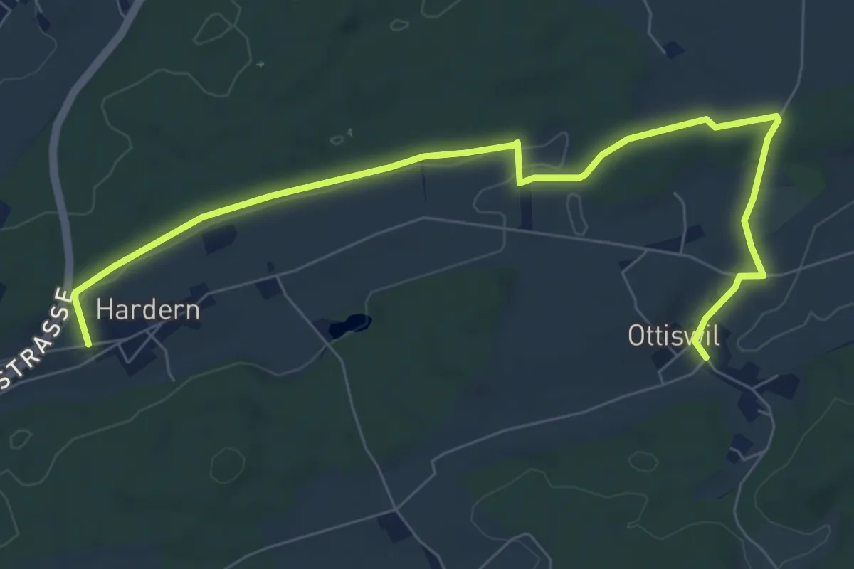
Medium · Trail
Hardern – Ottiswil
8.6 km · ↑ 85 m · 2 h 12 min
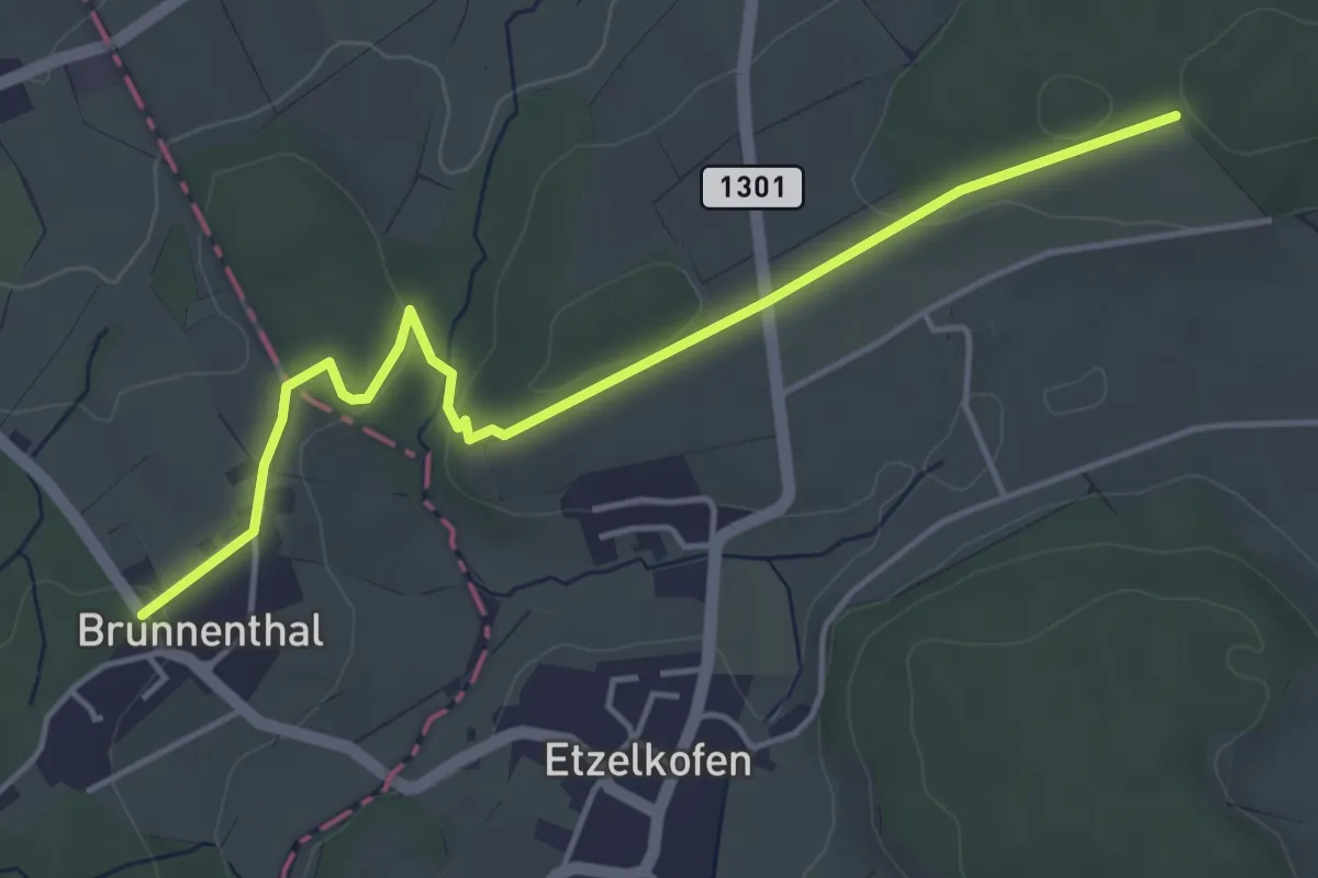
Easy · Trail
Schöniberg – Messen Brunnenthal
4.7 km · ↑ 71 m · 1 h 16 min
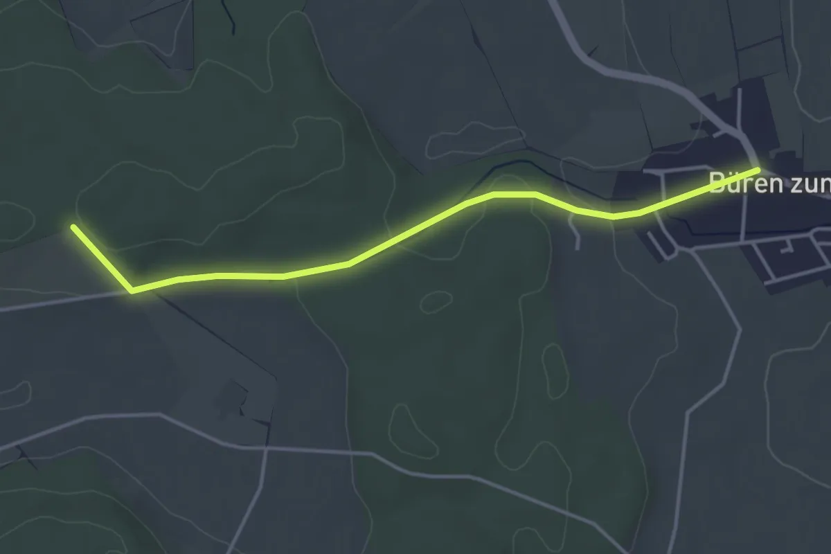
Easy · Trail
Schöniberg – Büren zum Hof
3.9 km · ↑ 59 m · 1 h 4 min
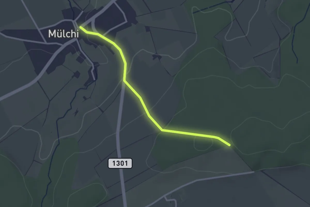
Easy · Trail
Mülchi – Schöniberg
2.6 km · ↑ 78 m · 48 min
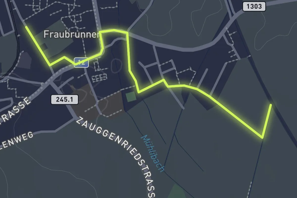
Easy · Trail
Fraubrunnen – Fraubrunnenmoos
3.2 km · ↑ 9 m · 47 min