Trails in Switzerland
15,055 hiking trails, each with its route, climb, walking time and grade.
All trails, page 249 of 314
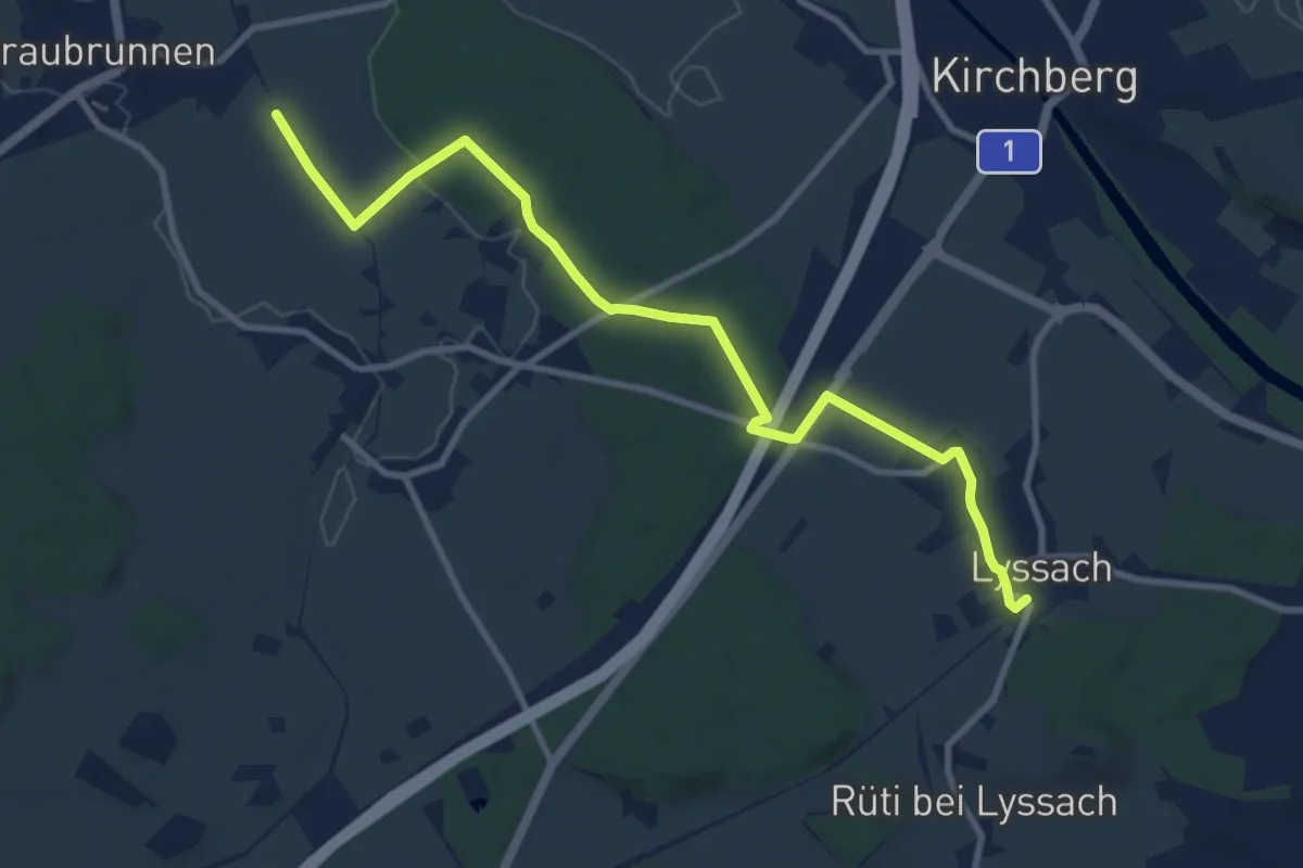
Medium · Trail
Fraubrunnenmoos – Lyssach Station
10.7 km · ↑ 61 m · 2 h 39 min
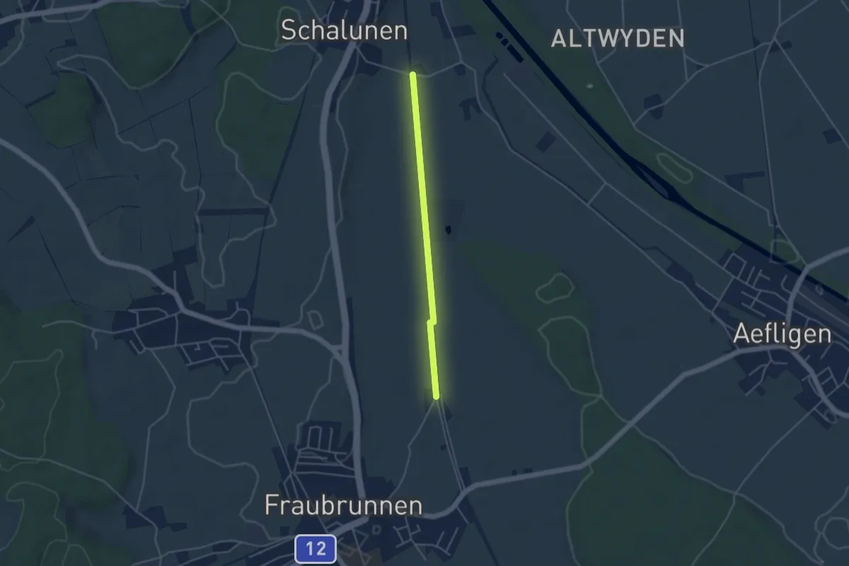
Easy · Trail
Urtene-Brücke – Fraubrunnen Schwimmbad
3.6 km · ↑ 4 m · 51 min
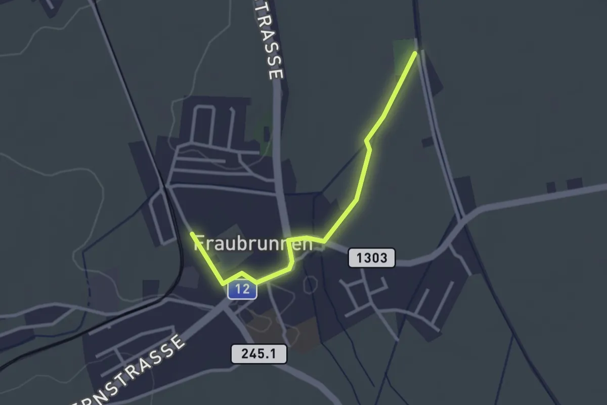
Easy · Trail
Fraubrunnen – Fraubrunnen Schwimmbad
2.6 km · ↑ 13 m · 39 min
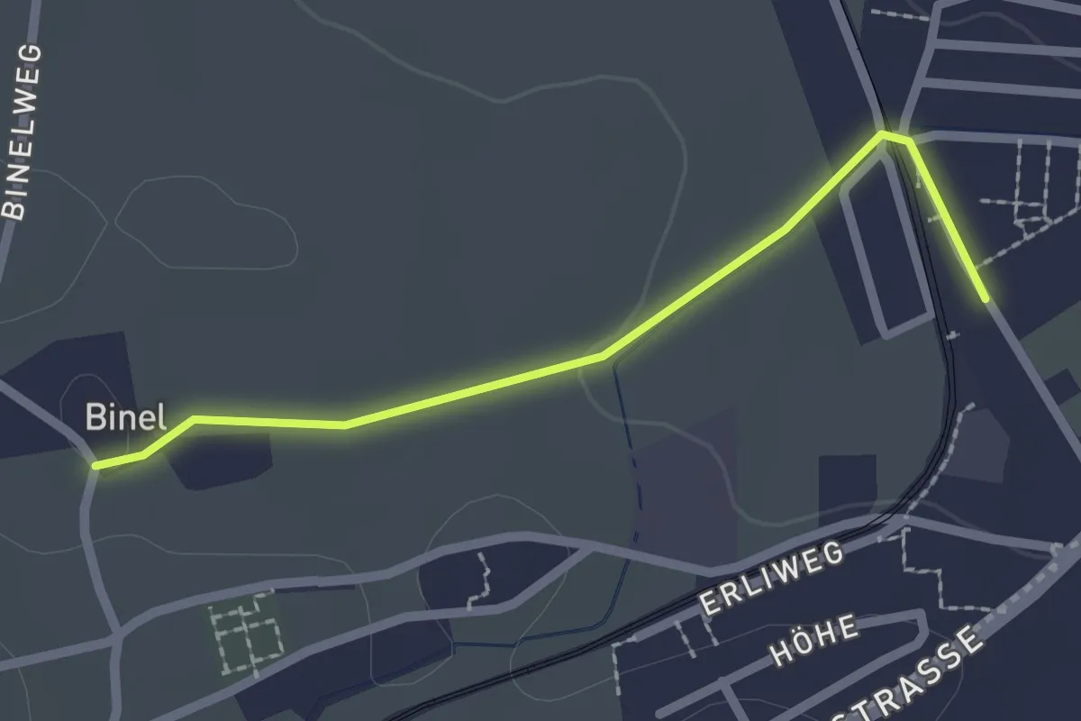
Easy · Trail
Fraubrunnen – Binel
2.0 km · ↑ 13 m · 30 min
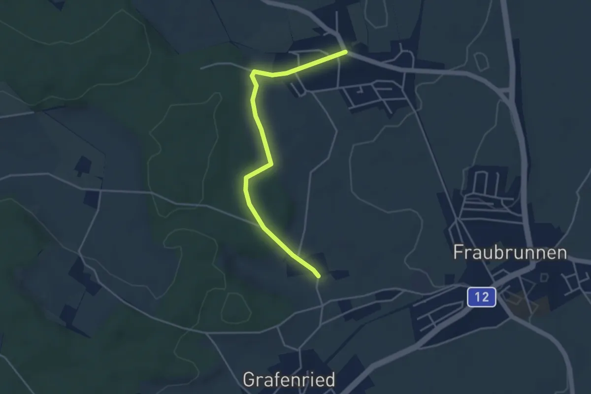
Easy · Trail
Büren zum Hof – Binel
3.7 km · ↑ 61 m · 1 h 1 min
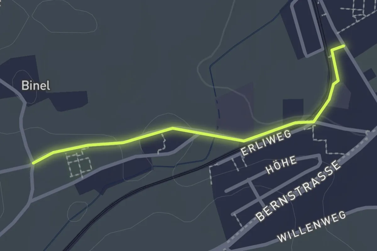
Easy · Trail
Fraubrunnen – Binel
2.0 km · ↑ 19 m · 31 min
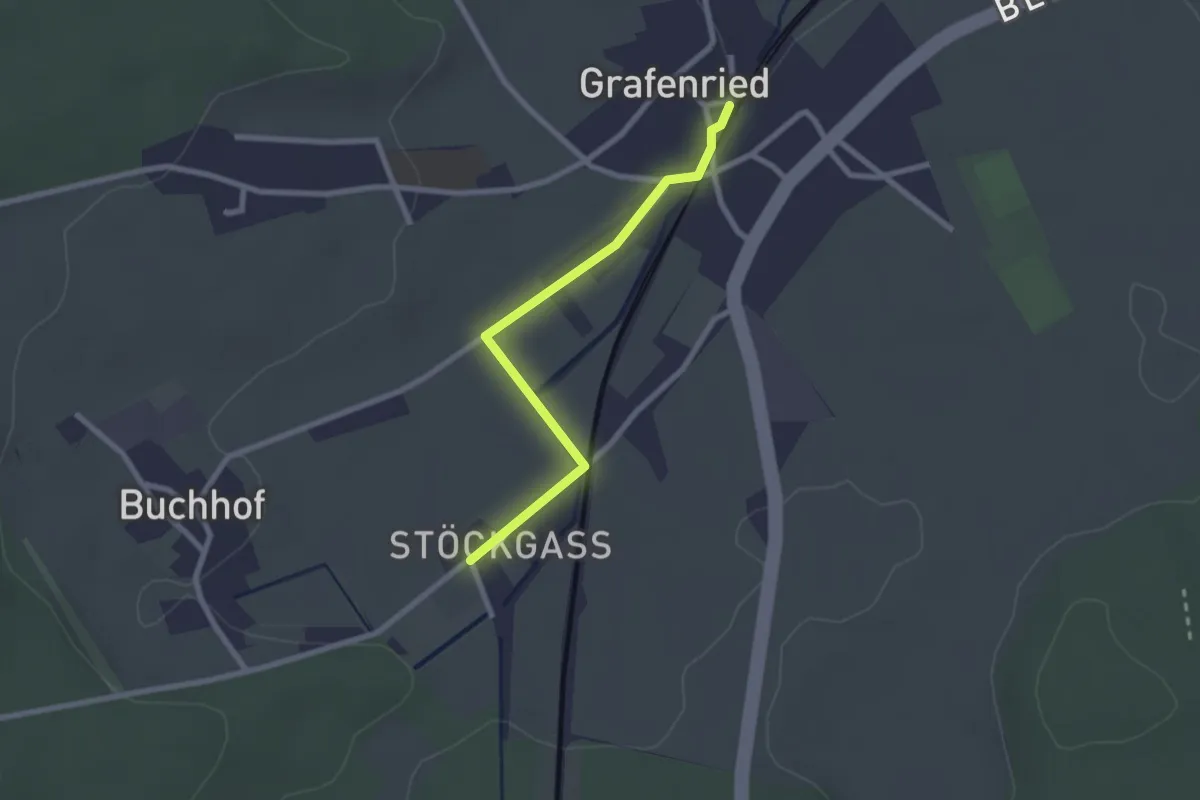
Easy · Trail
Grafenried – Stöckgass
2.3 km · ↑ 4 m · 33 min
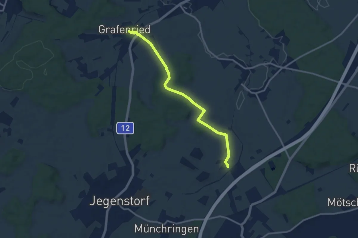
Easy · Trail
Grafenried – Holzmühle
7.9 km · ↑ 115 m · 2 h 7 min
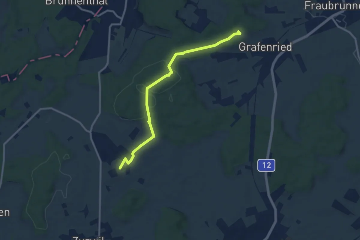
Easy · Trail
Vorder Eichsberg – Iffwil
7.5 km · ↑ 127 m · 2 h 2 min
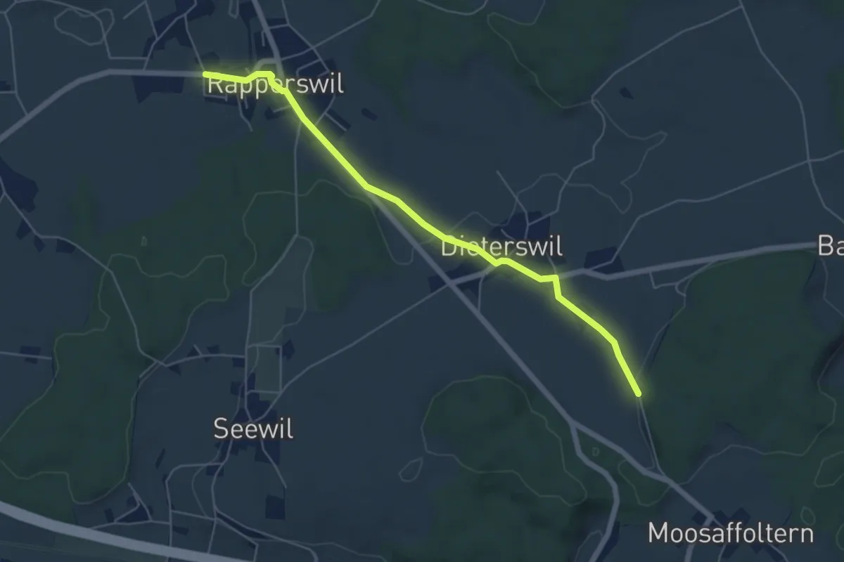
Easy · Trail
Rapperswil – Oberholz
5.6 km · ↑ 89 m · 1 h 32 min
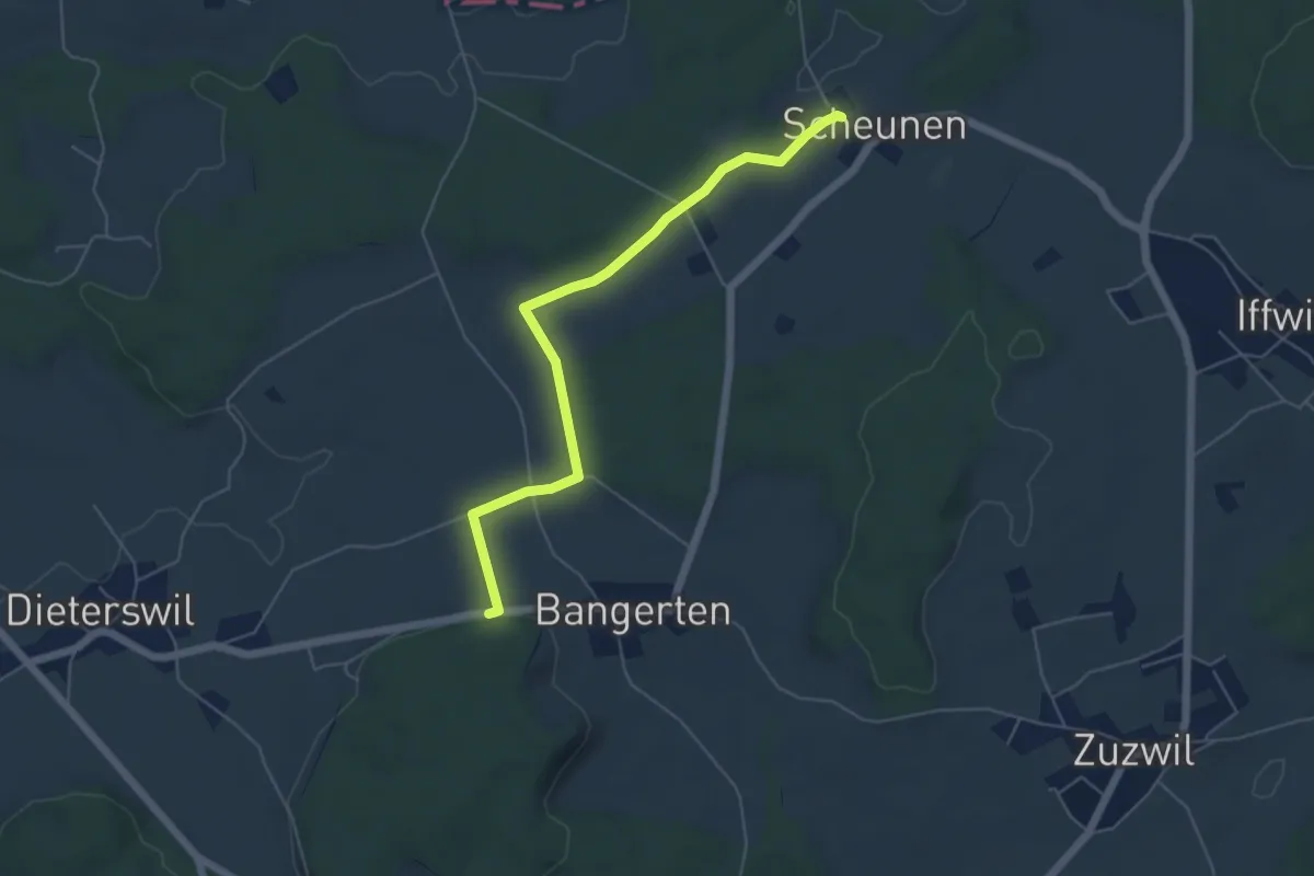
Easy · Trail
Scheunen – Hohrain
5.4 km · ↑ 81 m · 1 h 27 min
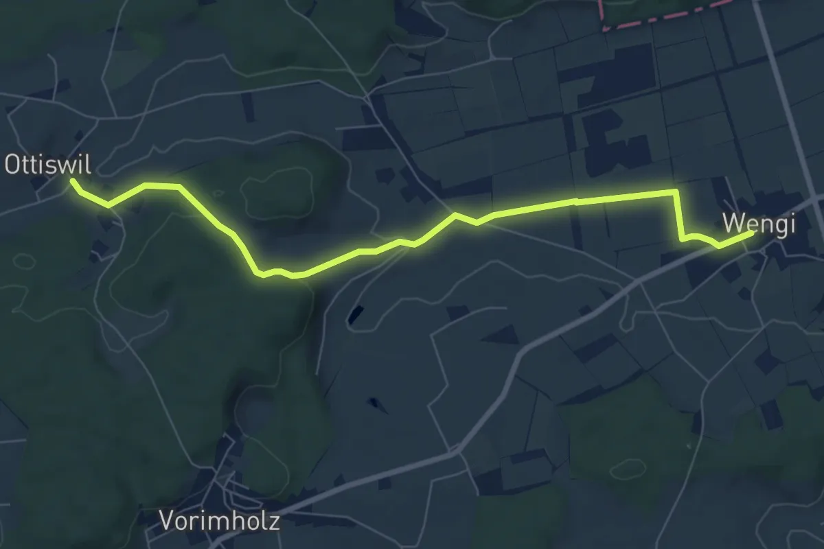
Easy · Trail
Wengi – Ottiswil
7.8 km · ↑ 148 m · 2 h 10 min
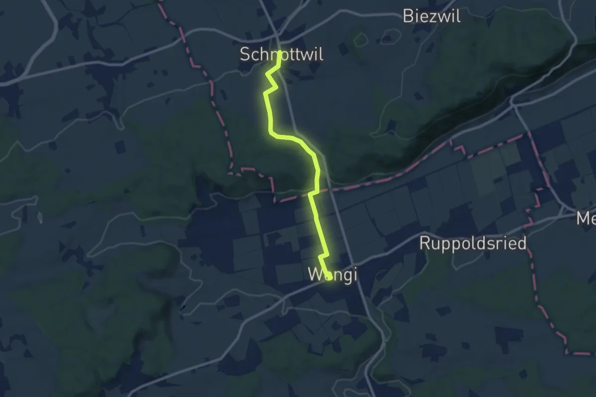
Easy · Trail
Schnottwil – Wengi
7.5 km · ↑ 133 m · 2 h 4 min
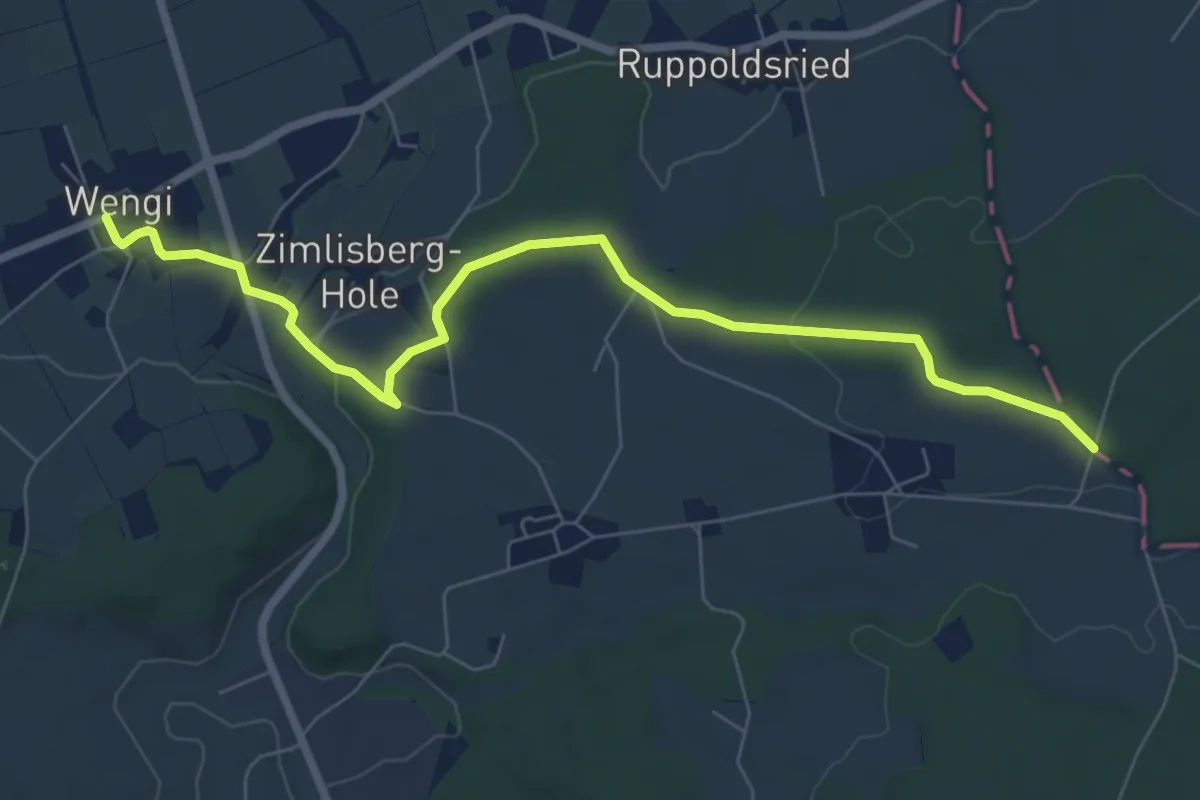
Easy · Trail
Messen Junkholz – Wengi
7.7 km · ↑ 108 m · 2 h 4 min
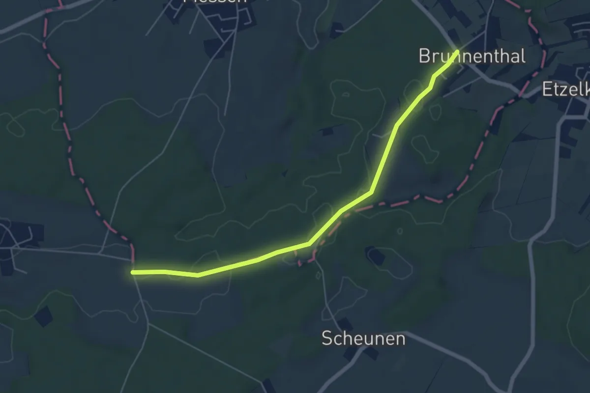
Easy · Trail
Messen Brunnenthal – Messen Chorber Egge
5.5 km · ↑ 46 m · 1 h 23 min
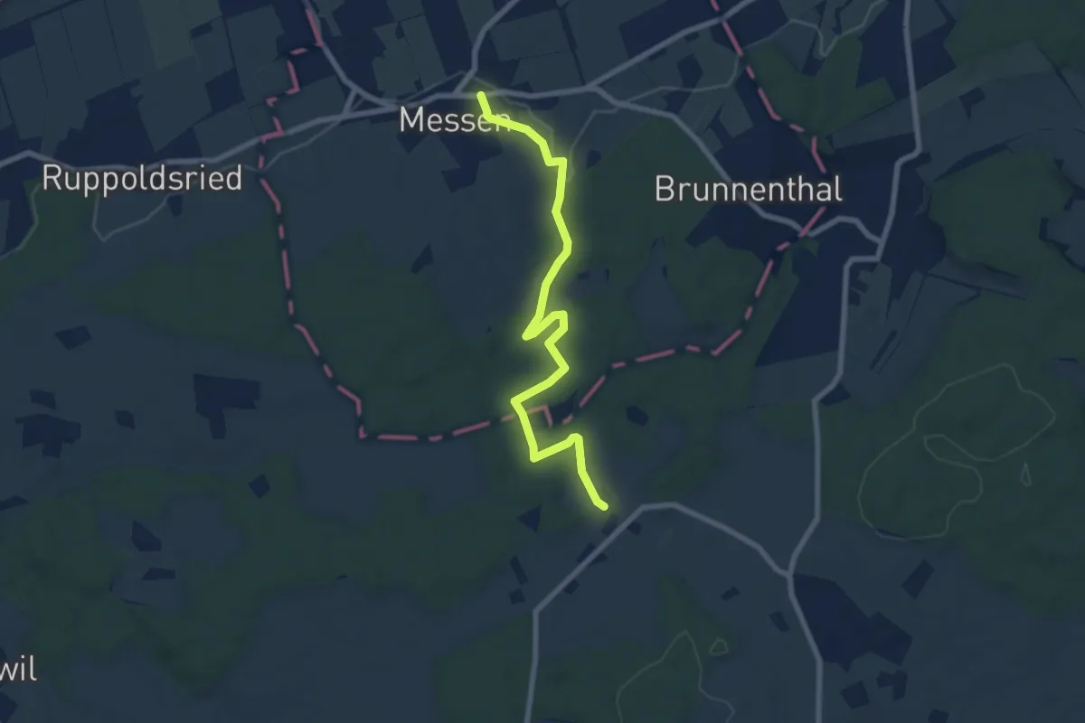
Easy · Trail
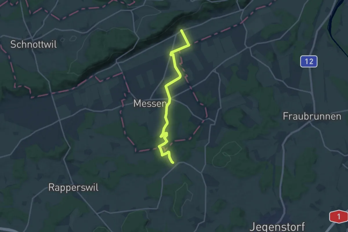
Messen Kirche – Scheunen
7.4 km · ↑ 139 m · 2 h 3 min
Medium · Trail
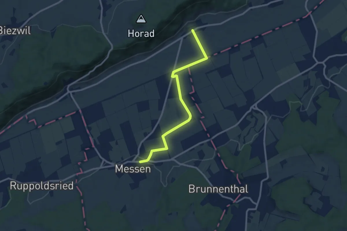
Oberramsern – Scheunen
13.8 km · ↑ 160 m · 3 h 37 min
Easy · Trail
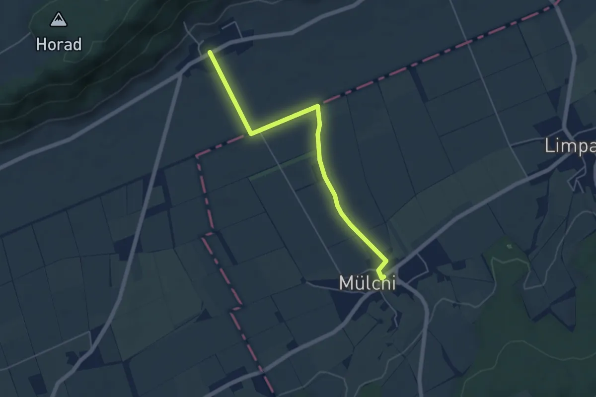
Oberramsern – Messen Kirche
7.7 km · ↑ 44 m · 1 h 55 min
Easy · Trail
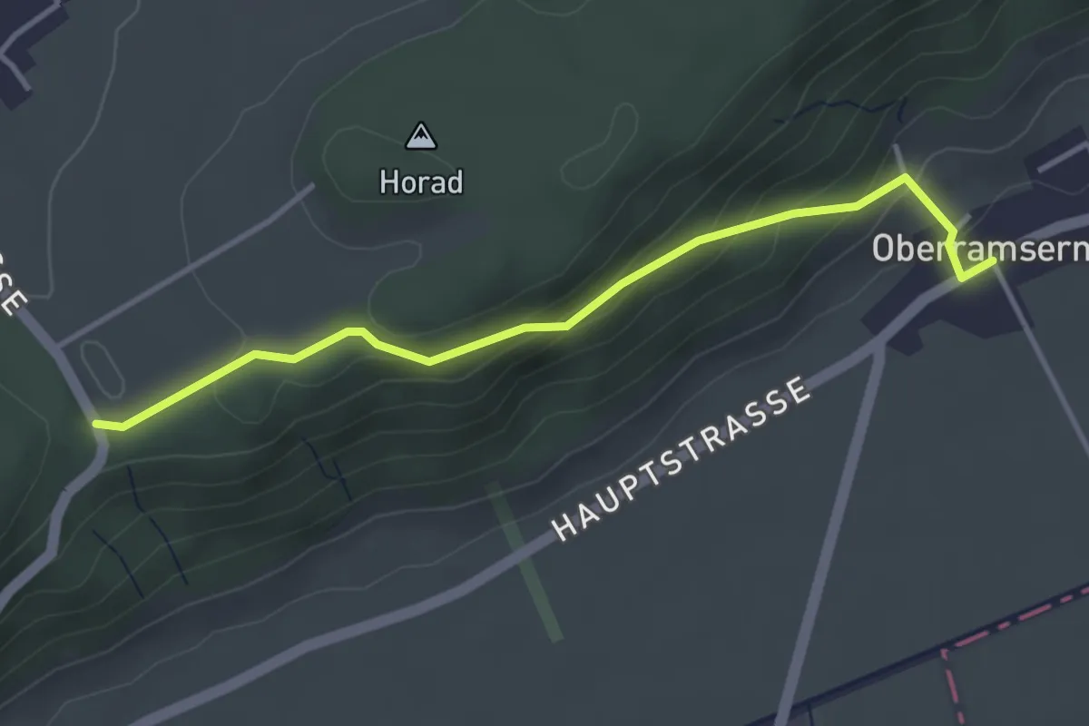
Oberramsern – Mülchi
4.8 km · ↑ 18 m · 1 h 10 min
Easy · Trail
Oberramsern – Lüterswil Balmberg
3.6 km · ↑ 198 m · 1 h 17 min
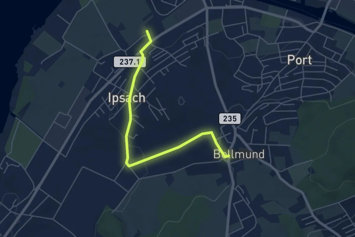
Easy · Trail
Ipsach – Bellmund
4.9 km · ↑ 96 m · 1 h 23 min
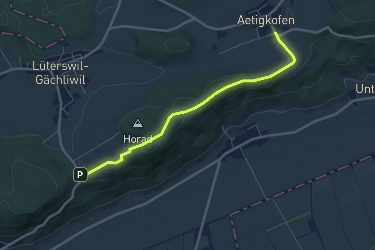
Easy · Trail
Aetigkofen Süd – Lüterswil Balmberg
5.7 km · ↑ 111 m · 1 h 35 min
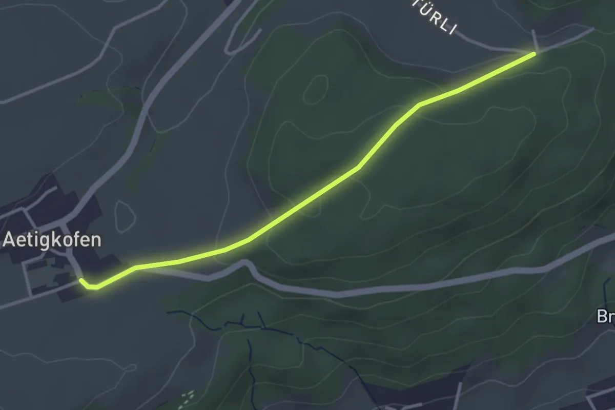
Easy · Trail
Aetigkofen Süd – Wolftürli
3.2 km · ↑ 88 m · 57 min
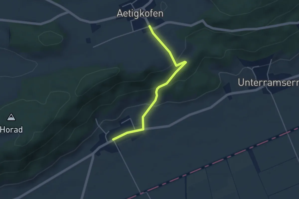
Easy · Trail
Aetigkofen Süd – Oberramsern
3.4 km · ↑ 143 m · 1 h 6 min
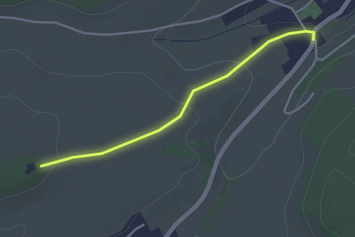
Easy · Trail
Mühledorf Ober Bockstein – Mühledorf
2.4 km · ↑ 61 m · 42 min
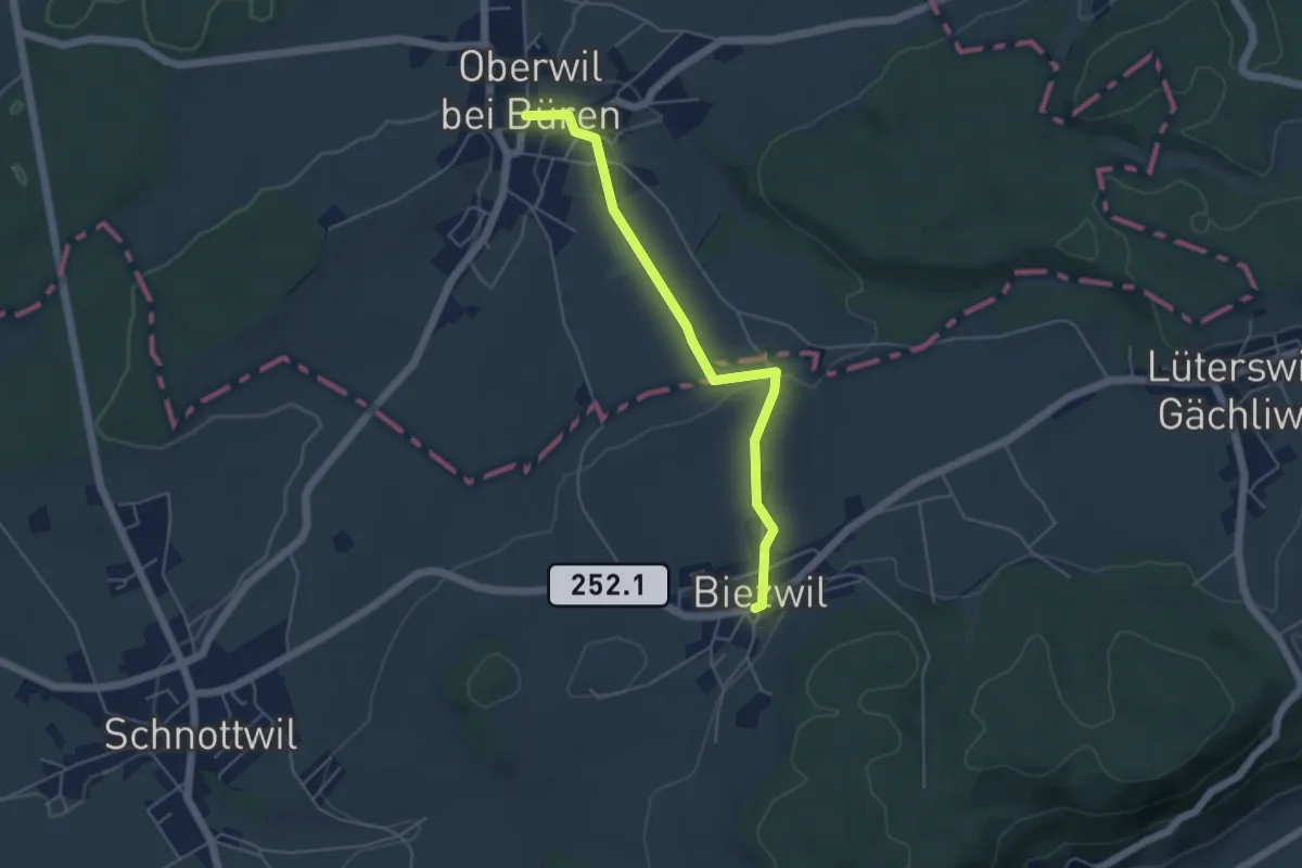
Easy · Trail
Oberwil b. Büren – Biezwil
4.7 km · ↑ 95 m · 1 h 19 min
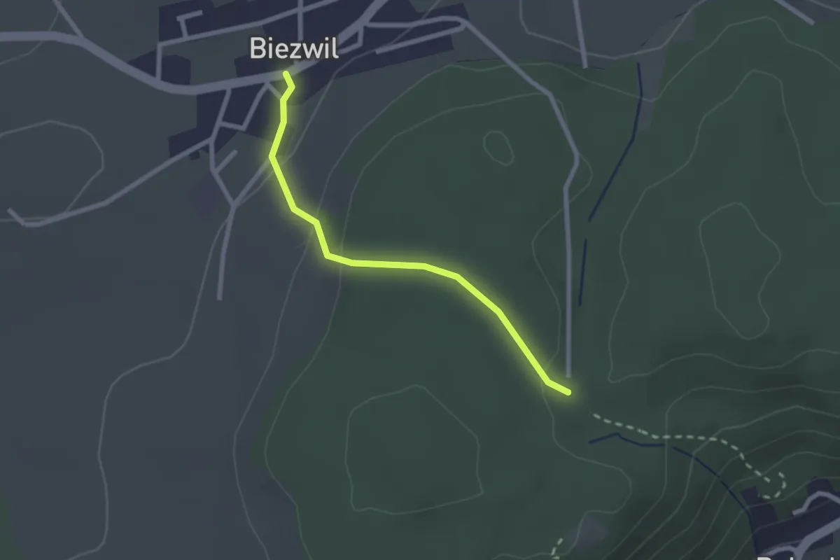
Easy · Trail
Biezwil – Forsthaus Biezwil
2.1 km · ↑ 78 m · 40 min
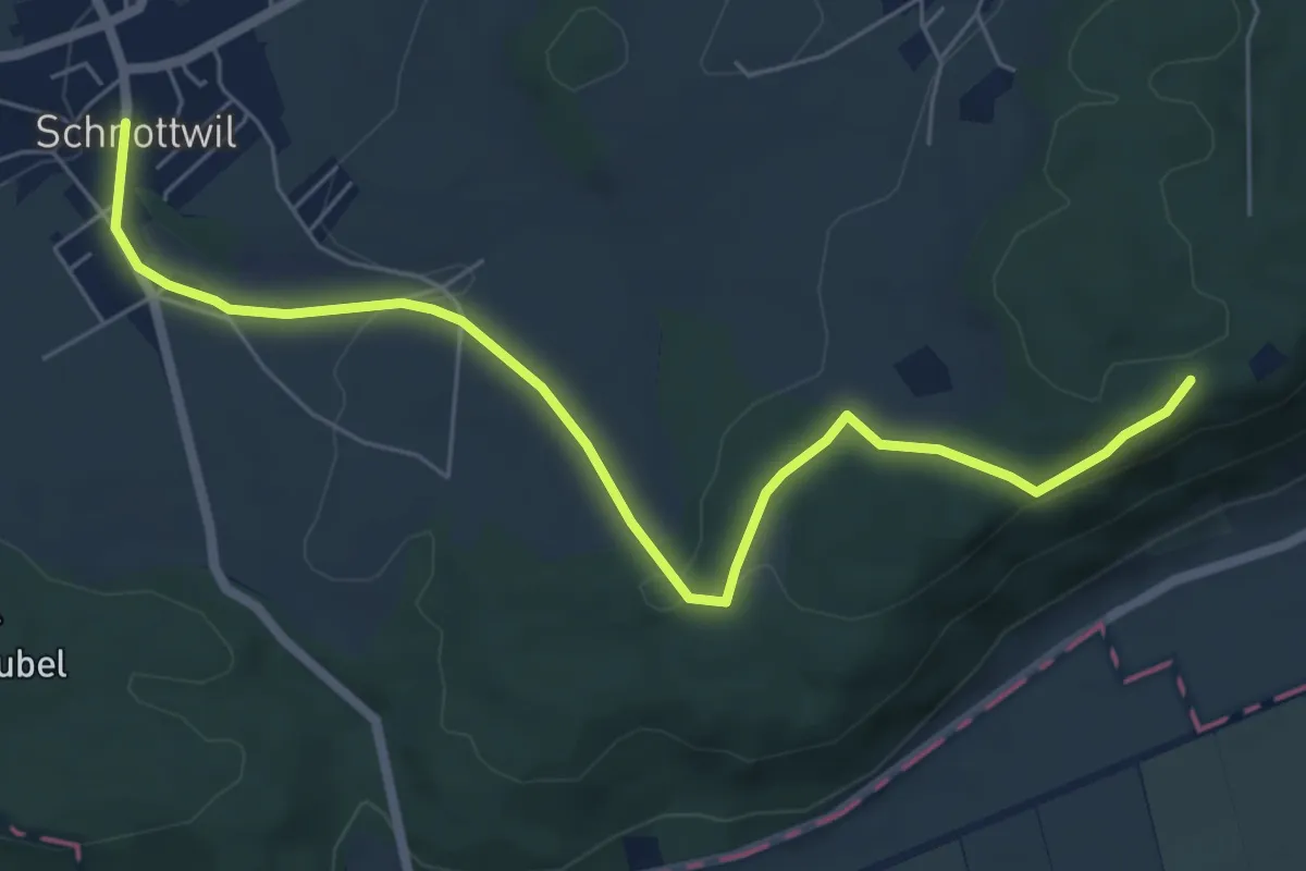
Easy · Trail
Schnottwil – Biezwil Forsthaus
6.9 km · ↑ 174 m · 2 h 1 min
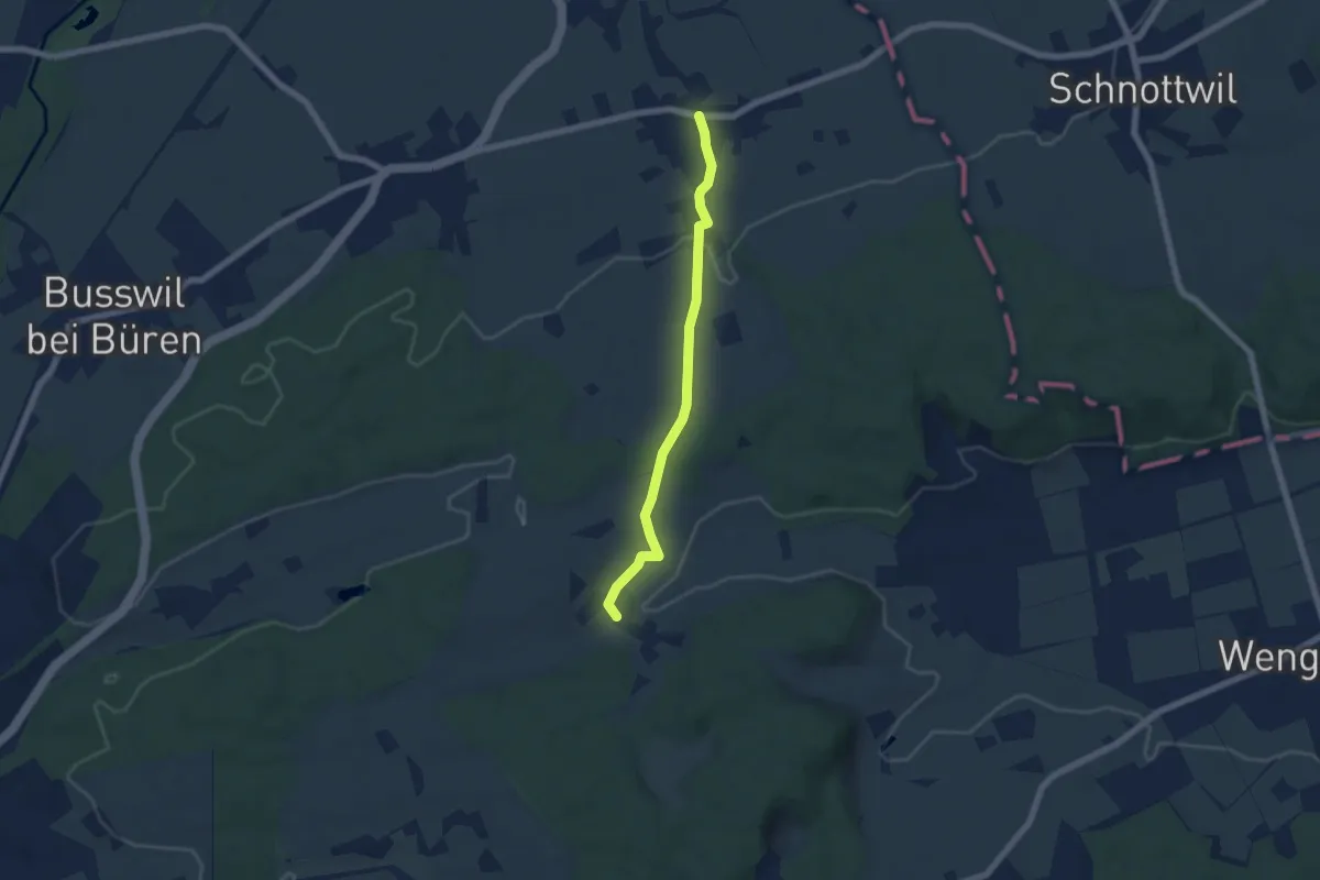
Easy · Trail
Diessbach – Ottiswil
5.7 km · ↑ 97 m · 1 h 33 min
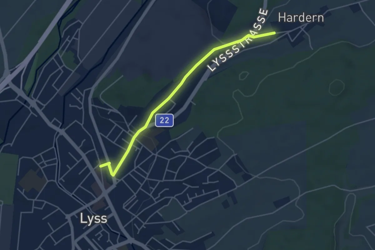
Easy · Trail
Lyss – Hardern
4.2 km · ↑ 58 m · 1 h 7 min
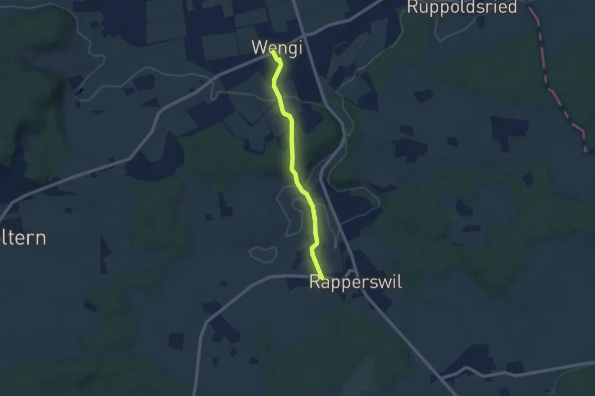
Easy · Trail
Wengi – Rapperswil
4.9 km · ↑ 121 m · 1 h 26 min
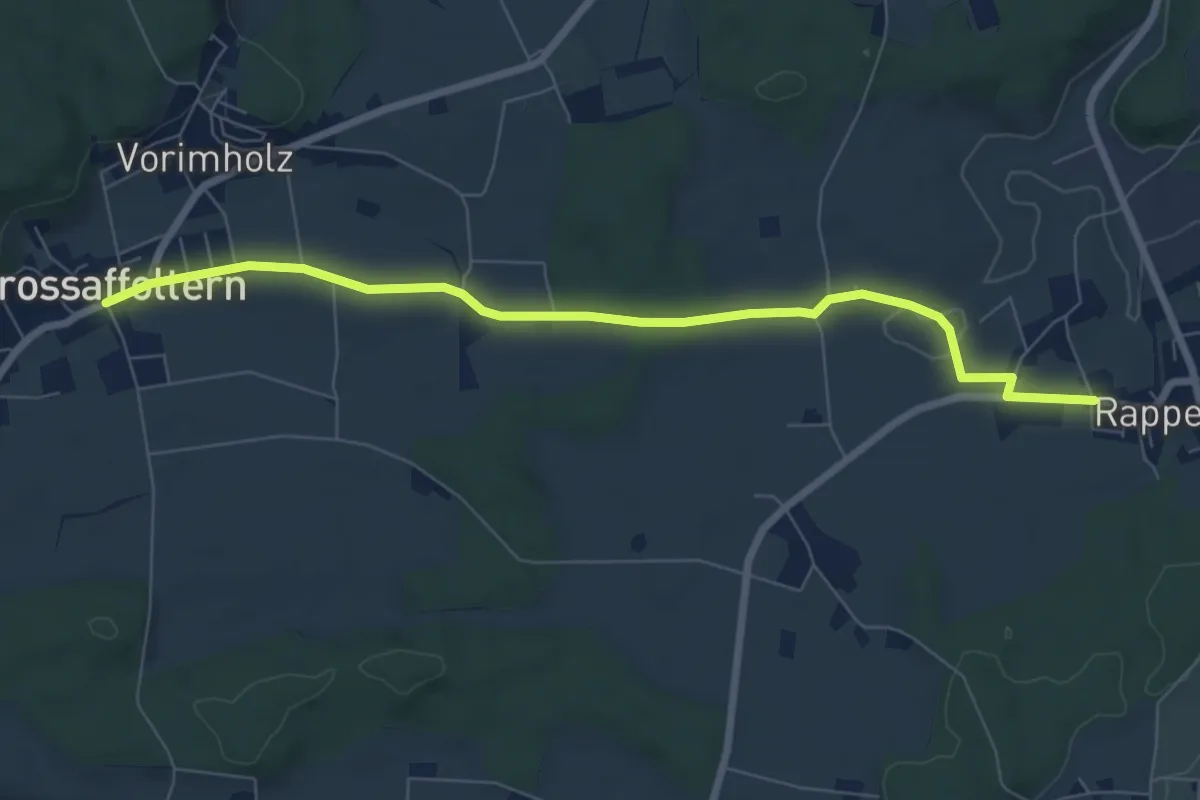
Easy · Trail
Grossaffoltern – Rapperswil
7.5 km · ↑ 71 m · 1 h 55 min
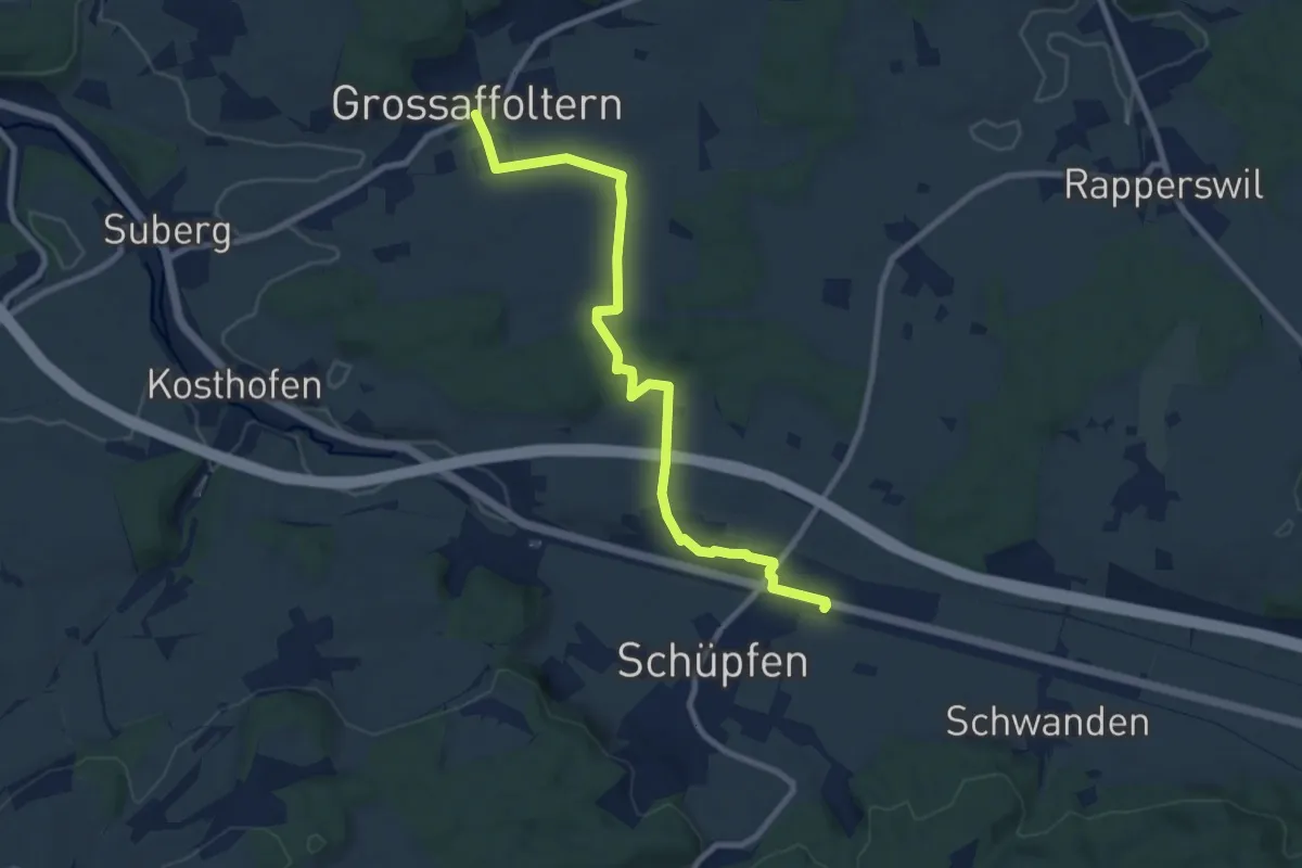
Medium · Trail
Grossaffoltern – Schüpfen / Station
9.2 km · ↑ 95 m · 2 h 23 min
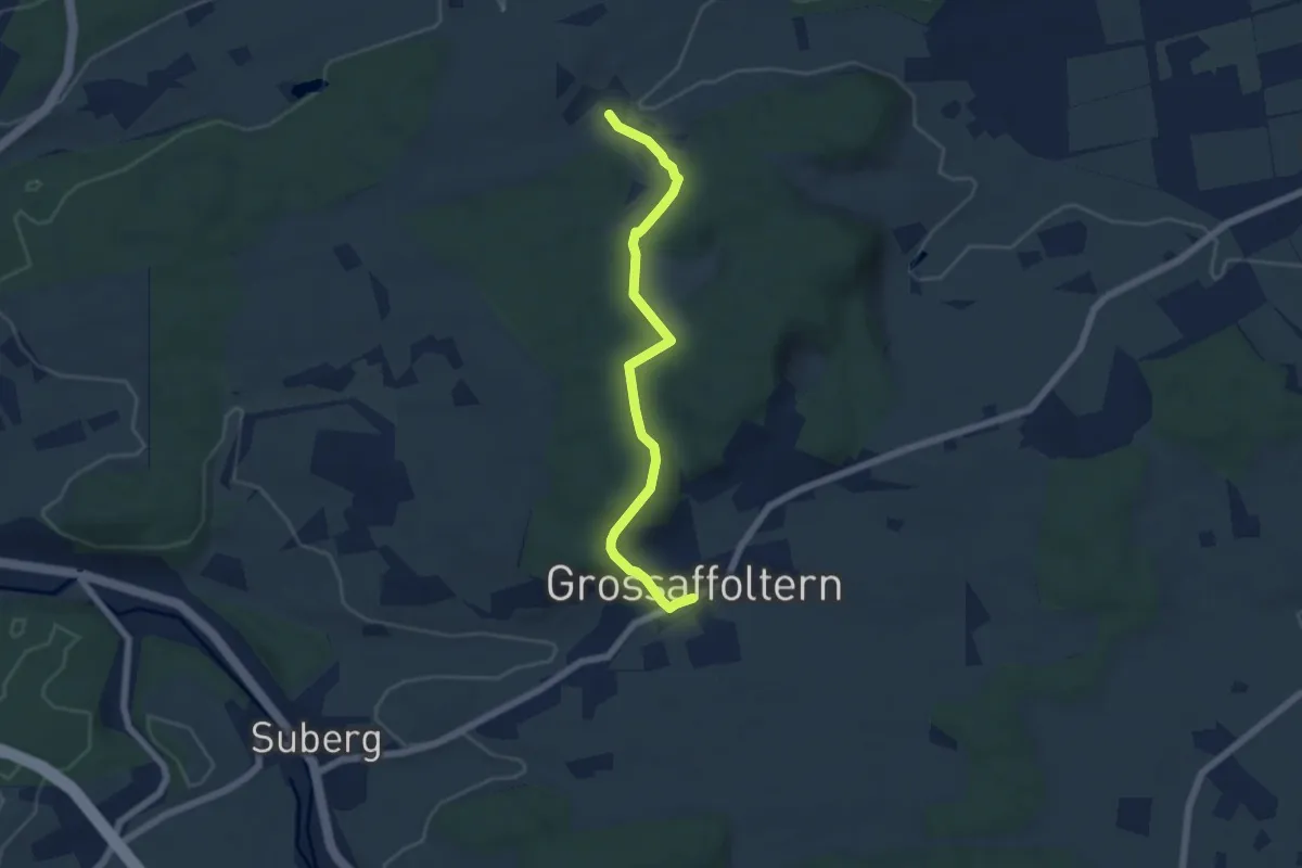
Easy · Trail
Ottiswil – Grossaffoltern
5.8 km · ↑ 169 m · 1 h 45 min
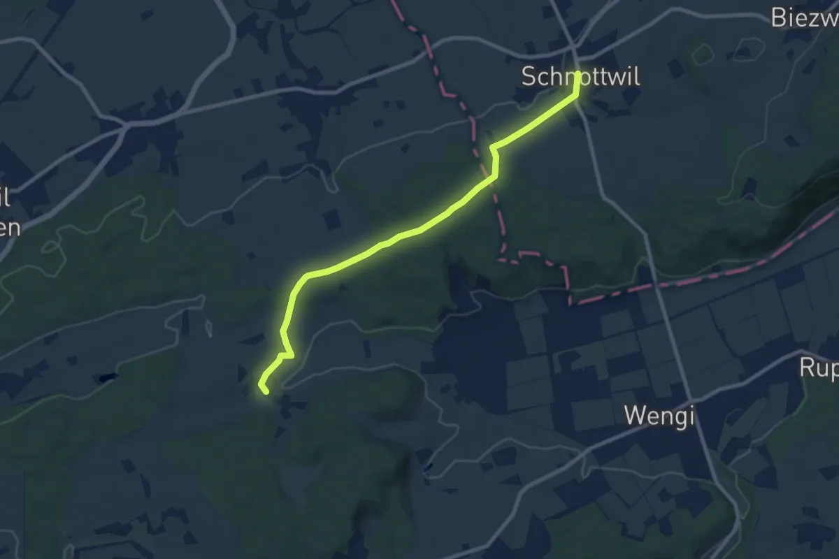
Medium · Trail
Schnottwil – Ottiswil
8.6 km · ↑ 129 m · 2 h 19 min
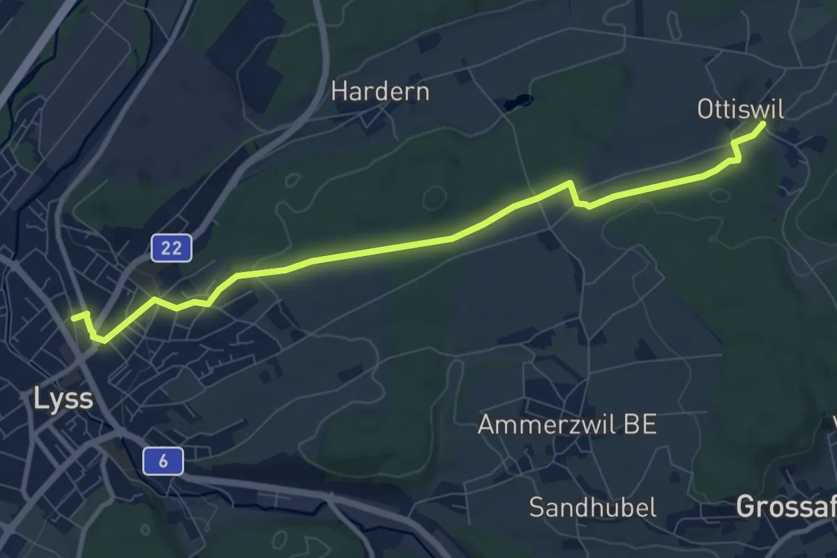
Medium · Trail
Ottiswil – Lyss
8.9 km · ↑ 159 m · 2 h 26 min
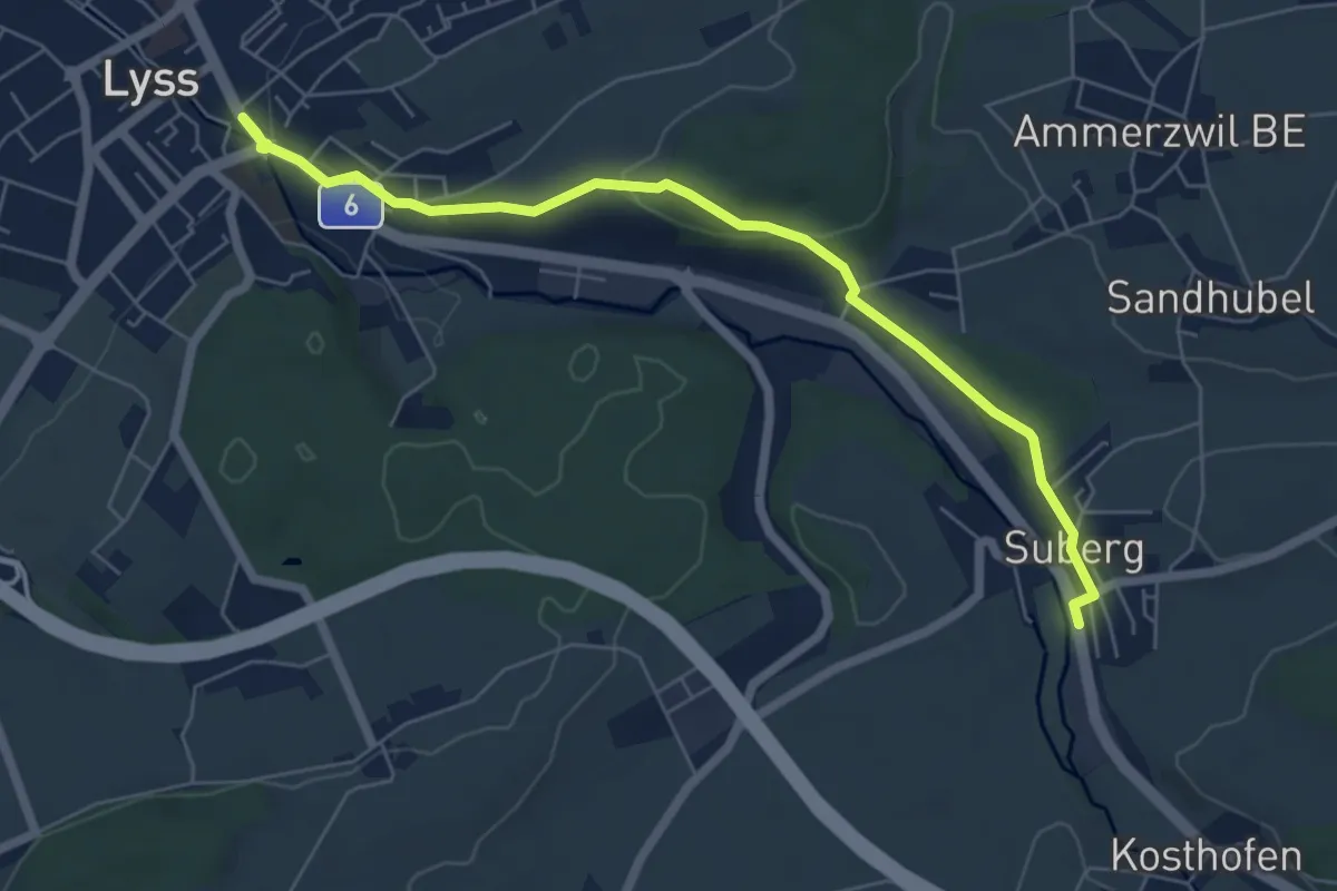
Easy · Trail
Lyss – Suberg
6.6 km · ↑ 171 m · 1 h 55 min
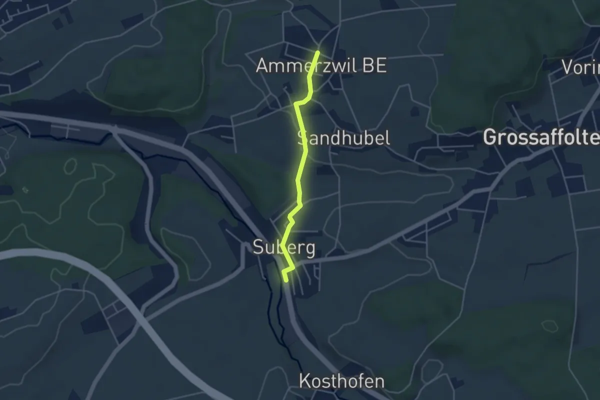
Easy · Trail
Ammerzwil BE – Suberg
3.2 km · ↑ 63 m · 54 min
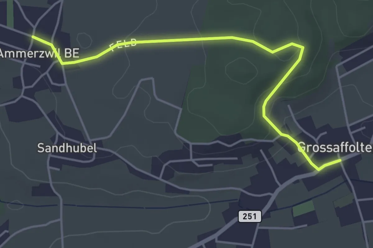
Easy · Trail
Ammerzwil BE – Grossaffoltern
4.5 km · ↑ 116 m · 1 h 19 min
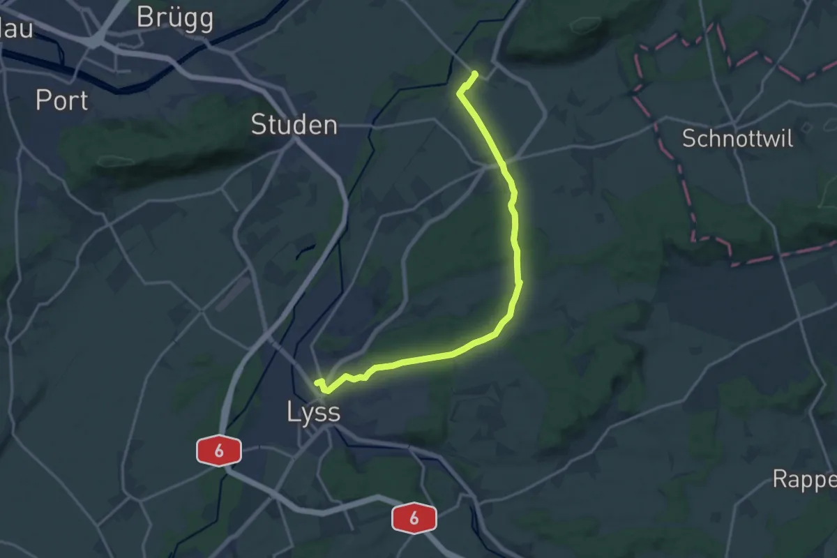
Medium · Trail
Dotzigen / Station – Lyss
15.2 km · ↑ 281 m · 4 h 12 min
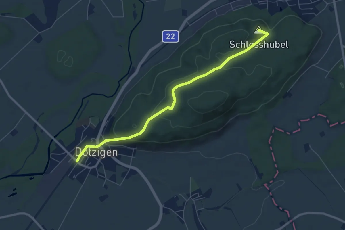
Easy · Summit
Büren a.A./Station – Dotzigen / Station
6.6 km · ↑ 236 m · 2 h 4 min
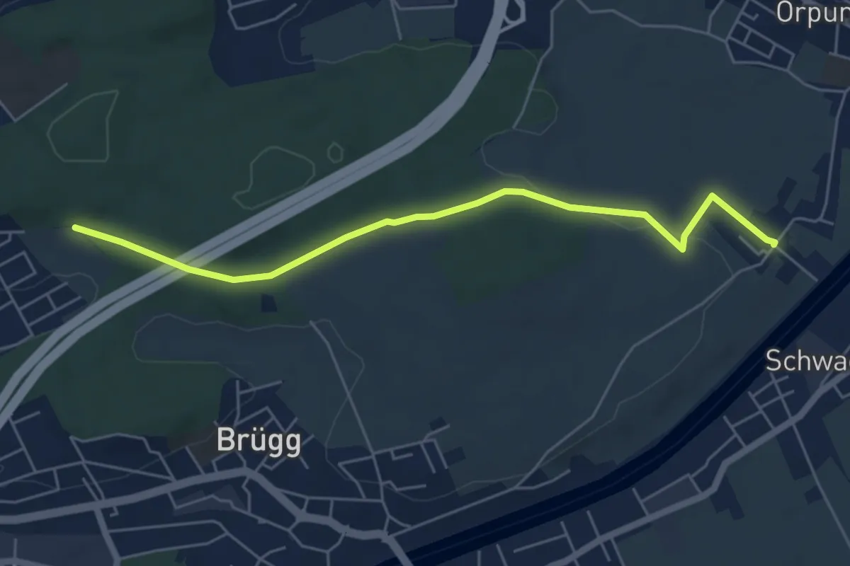
Easy · Trail
Zilwil – Ried
5.5 km · ↑ 69 m · 1 h 27 min
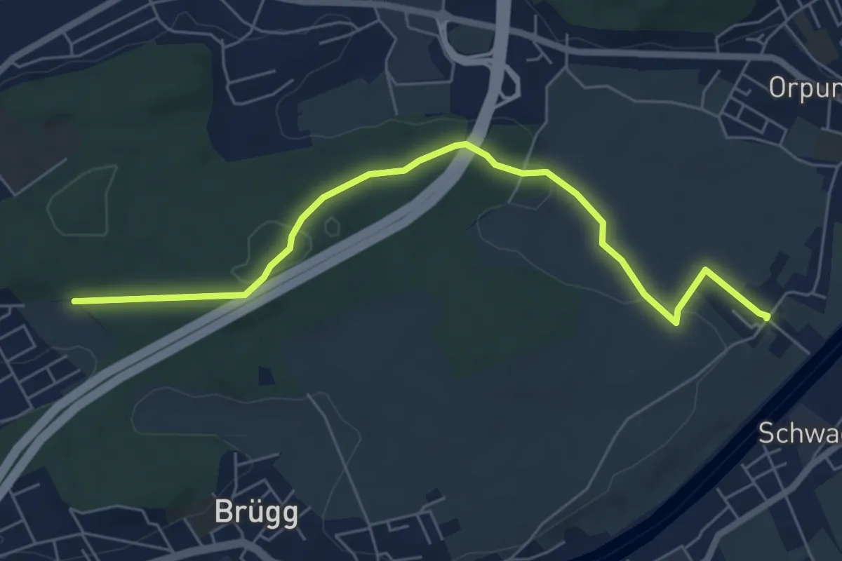
Easy · Trail
Ried – Zilwil
6.2 km · ↑ 129 m · 1 h 45 min
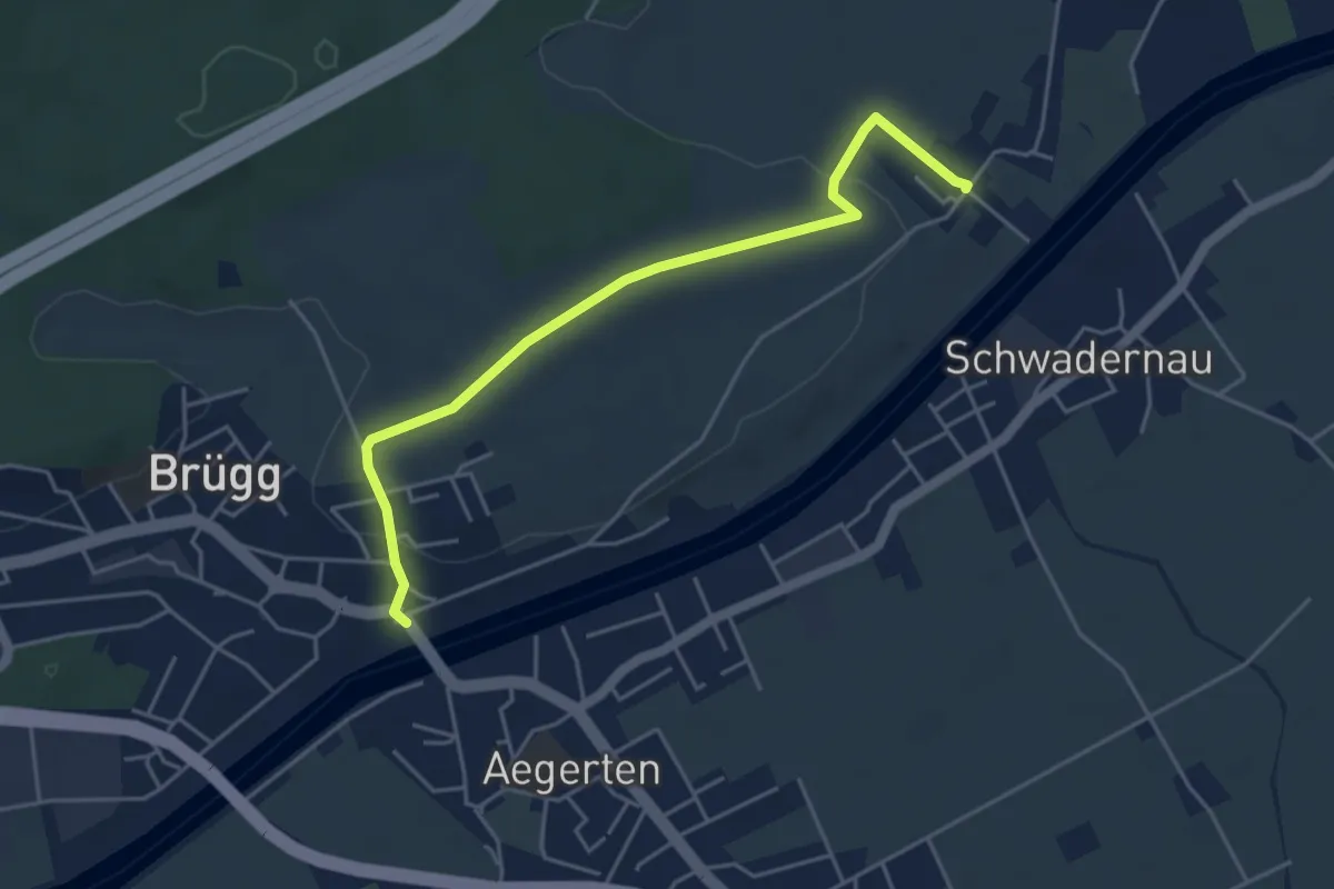
Easy · Trail
Zilwil – Brügg
4.7 km · ↑ 91 m · 1 h 18 min
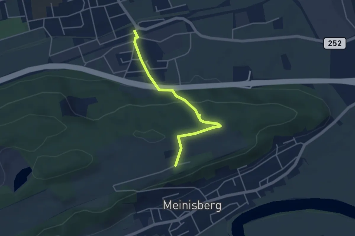
Easy · Trail
Pieterlen Bahnhof – Seeland Camp
3.5 km · ↑ 120 m · 1 h 5 min
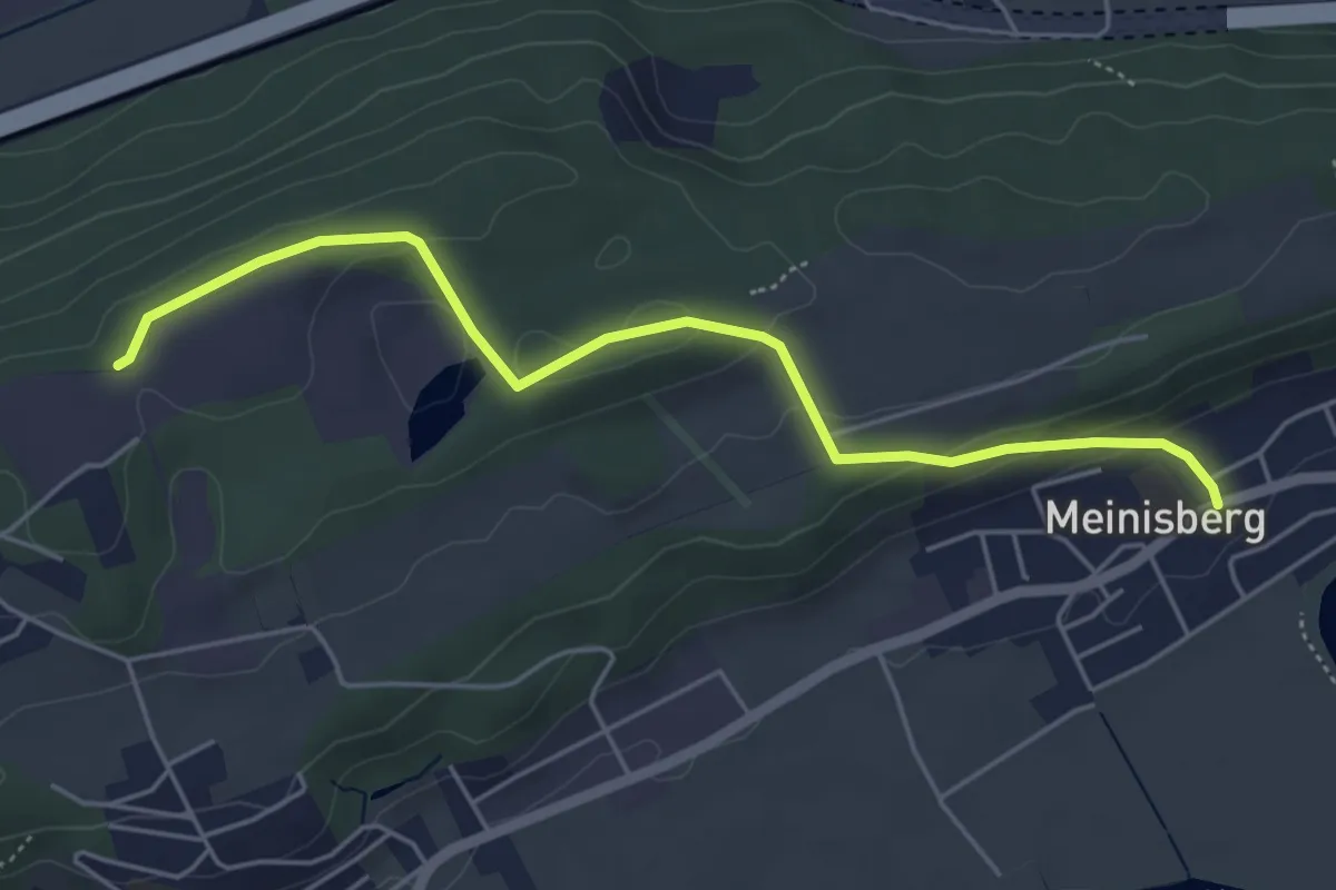
Easy · Trail
Meinisberg – Büttenberg
5.1 km · ↑ 138 m · 1 h 30 min
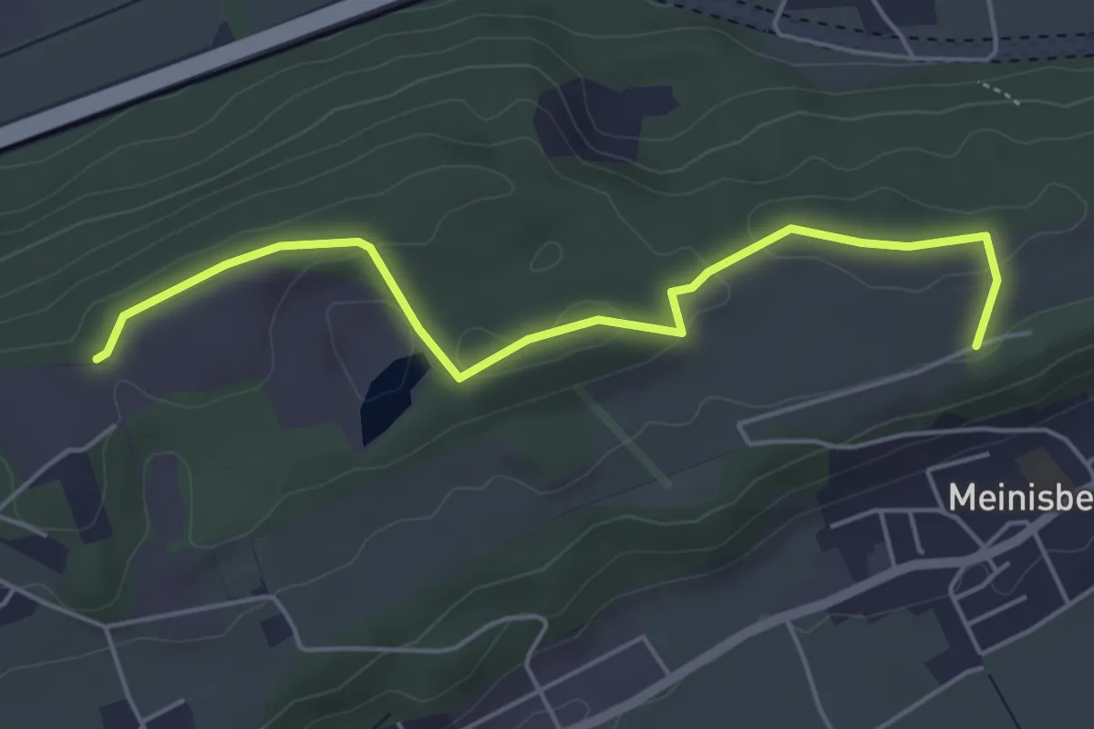
Easy · Trail
Büttenberg – Seeland Camp
5.0 km · ↑ 77 m · 1 h 21 min
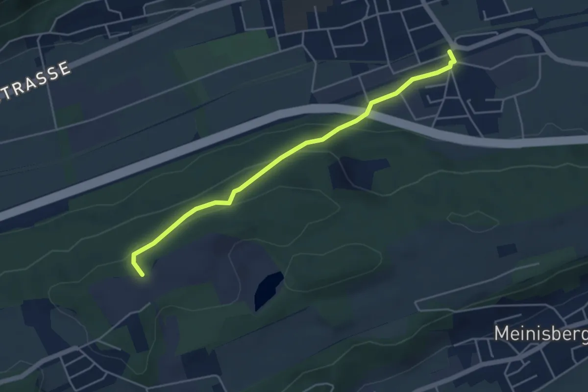
Easy · Trail
Pieterlen Bahnhof – Büttenberg
4.1 km · ↑ 148 m · 1 h 18 min