Trails in Switzerland
15,055 hiking trails, each with its route, climb, walking time and grade.
All trails, page 250 of 314
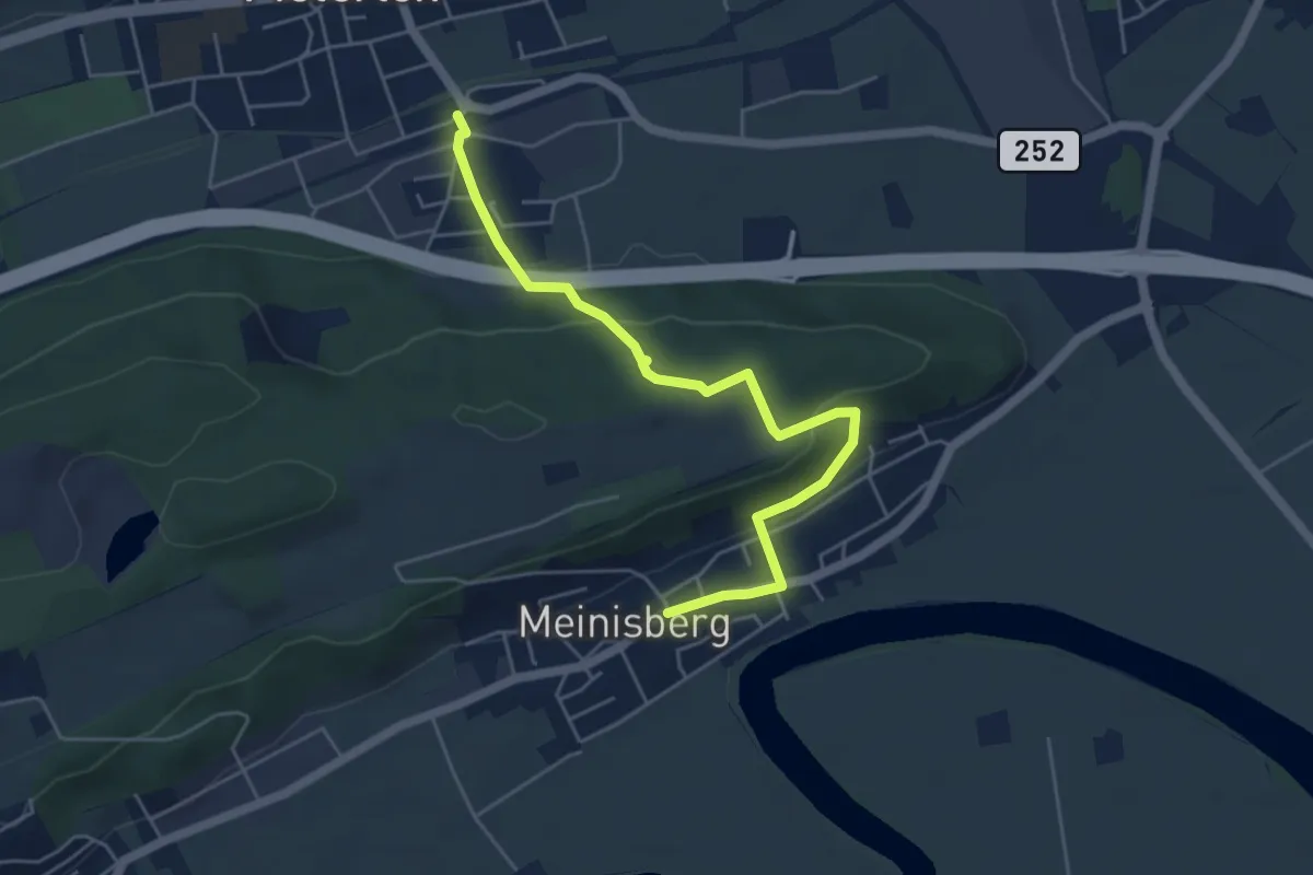
Easy · Trail
Pieterlen Bahnhof – Meinisberg
5.3 km · ↑ 208 m · 1 h 42 min
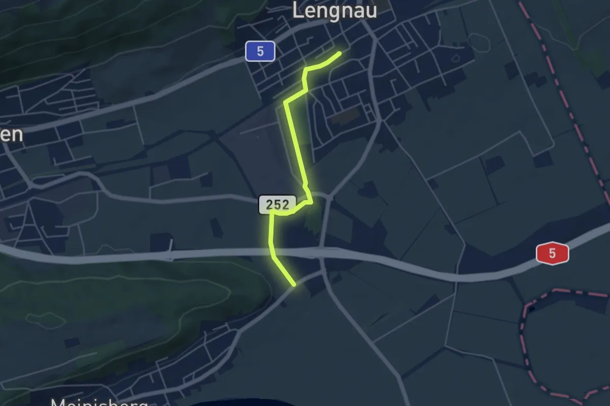
Easy · Trail
Lengnau – Scheidwegen
3.9 km · ↑ 13 m · 57 min
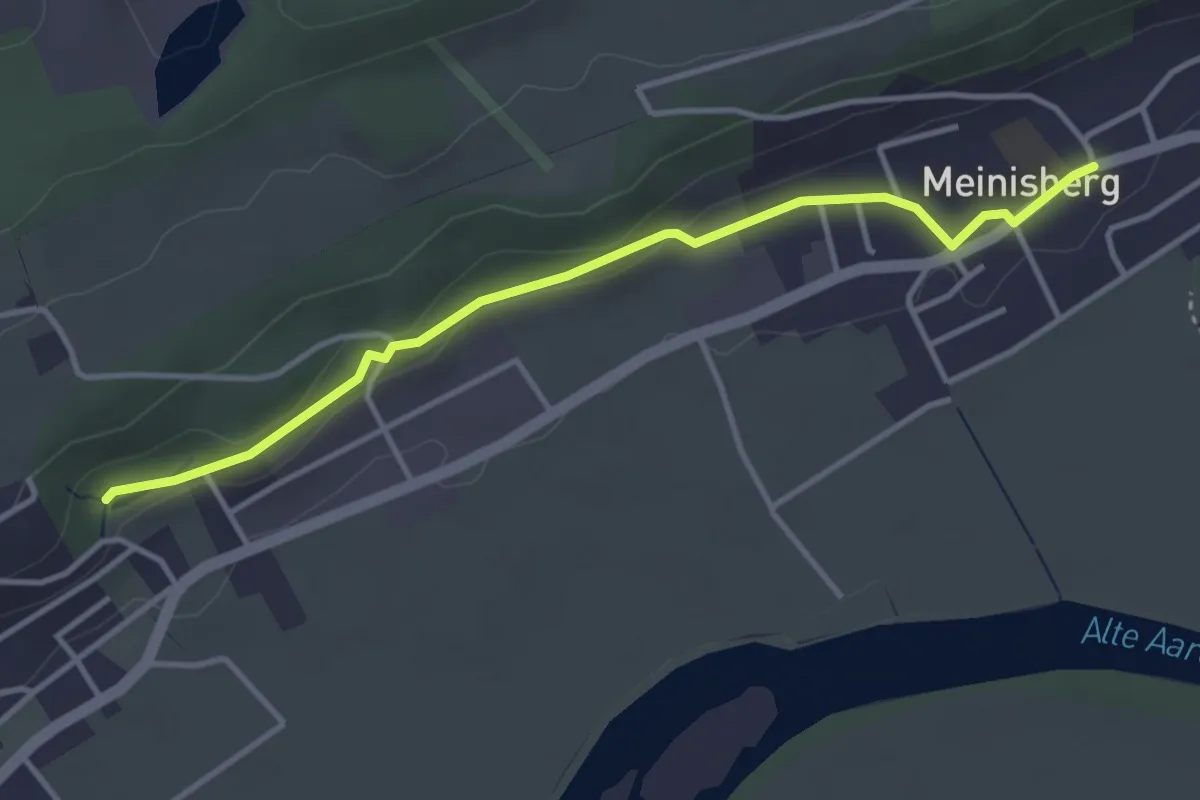
Easy · Trail
Riedrain – Meinisberg
3.7 km · ↑ 61 m · 1 h
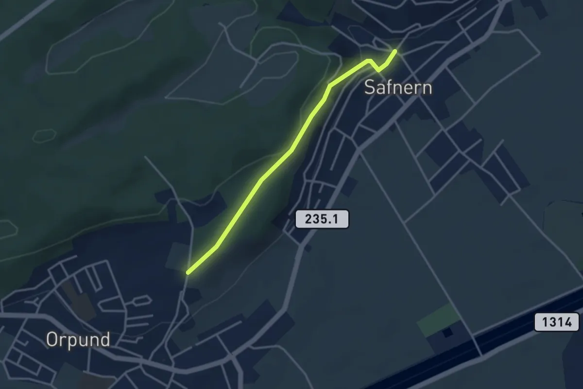
Easy · Trail
Safnern – Bim Wald
2.9 km · ↑ 86 m · 52 min
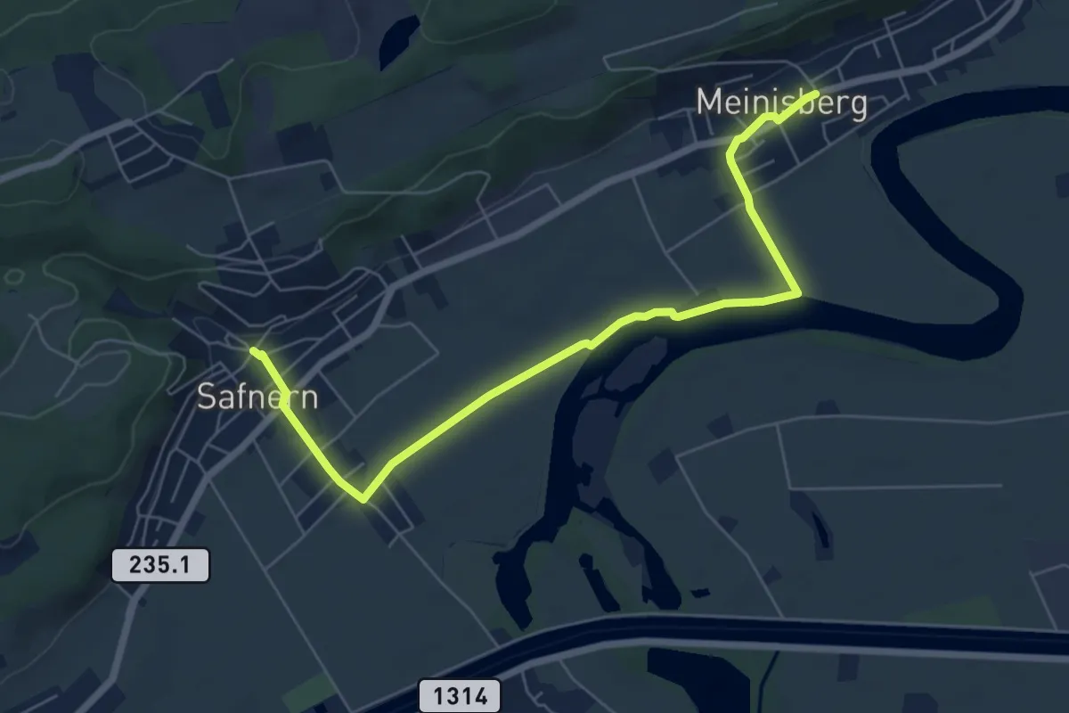
Easy · Trail
Safnern – Meinisberg
6.8 km · ↑ 33 m · 1 h 41 min
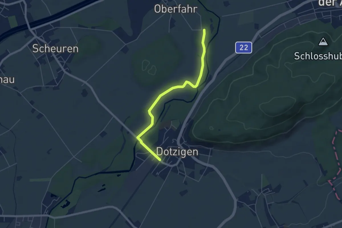
Easy · Trail
Meienried – Dotzigen / Station
5.3 km · ↑ 8 m · 1 h 16 min
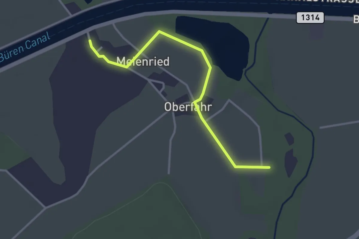
Easy · Trail
Meienried/Underfar – Meienried
3.1 km · ↑ 0 m · 44 min
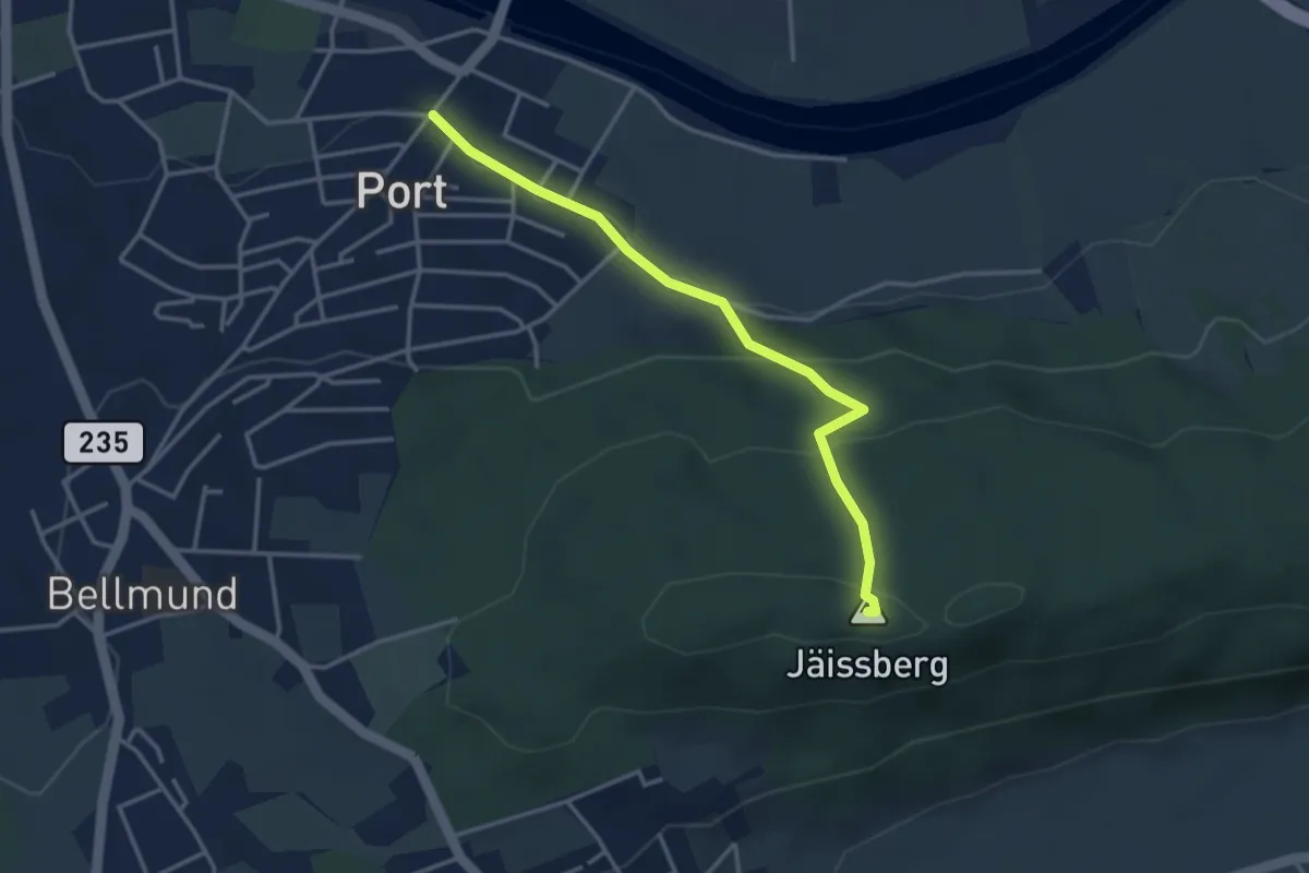
Easy · Summit
Port – Jäissberg
3.4 km · ↑ 160 m · 1 h 9 min
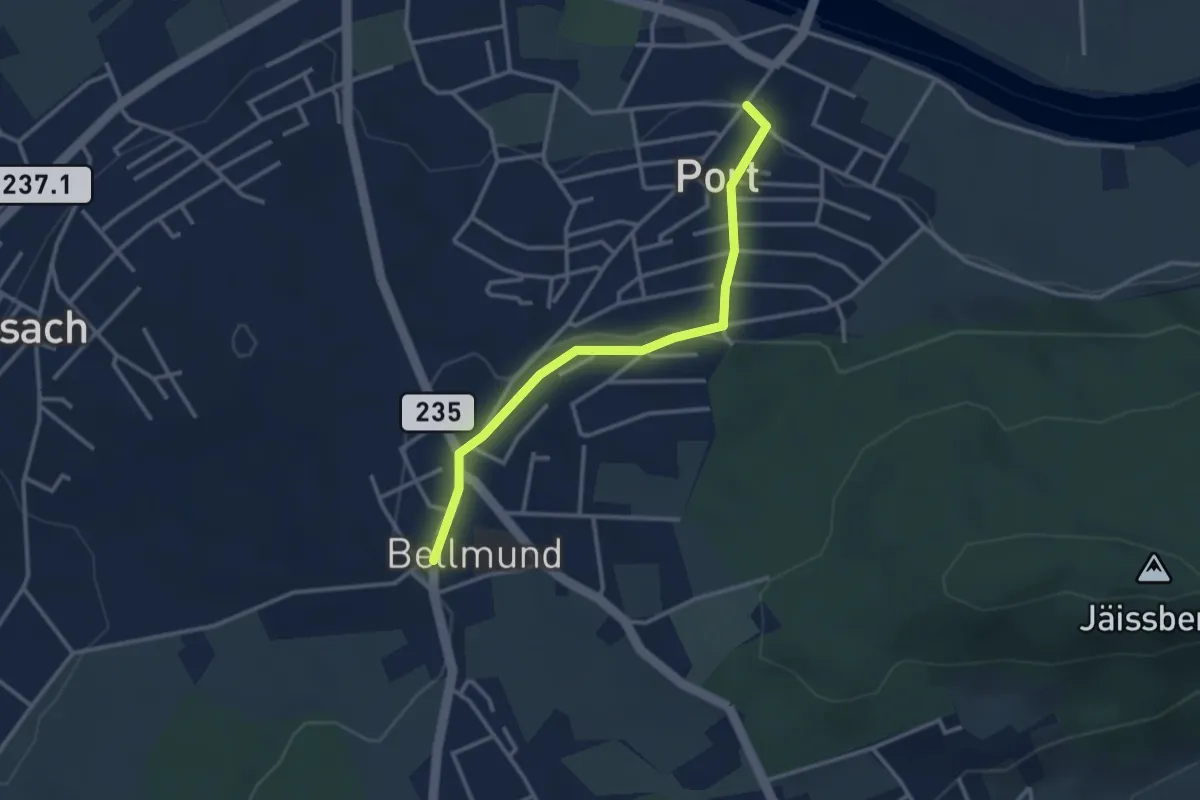
Easy · Trail
Port – Bellmund
3.1 km · ↑ 64 m · 52 min
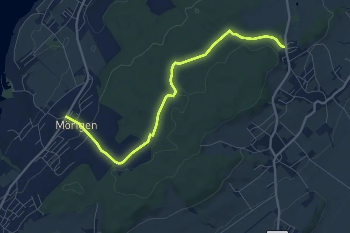
Easy · Trail
St. Niklaus – Mörigen
7.6 km · ↑ 131 m · 2 h 4 min
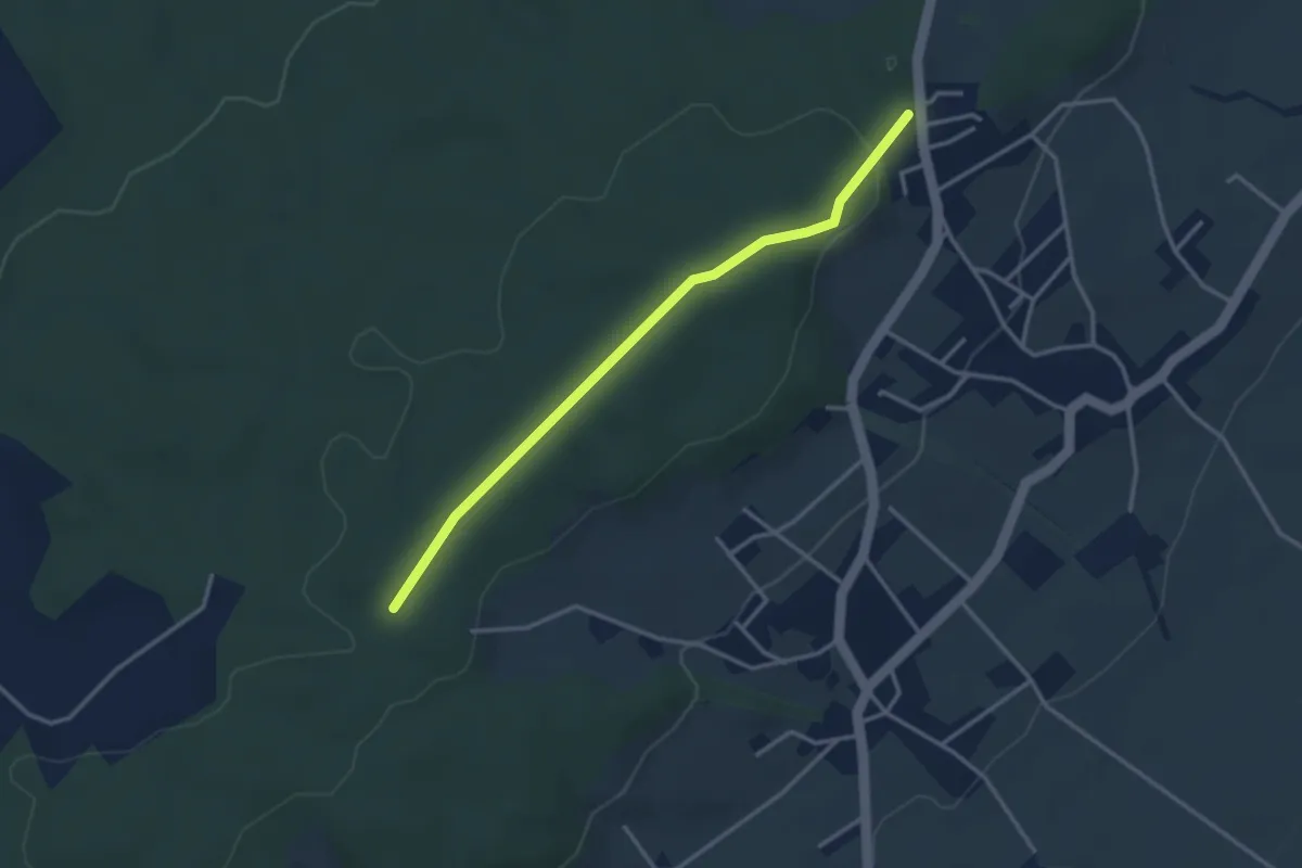
Easy · Trail
St. Niklaus – Gmeindehölzli
3.2 km · ↑ 51 m · 52 min
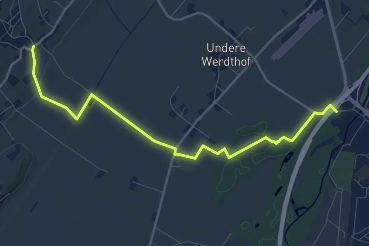
Medium · Trail
Merzligen – Lyss Schwimmbad
9.4 km · ↑ 67 m · 2 h 21 min
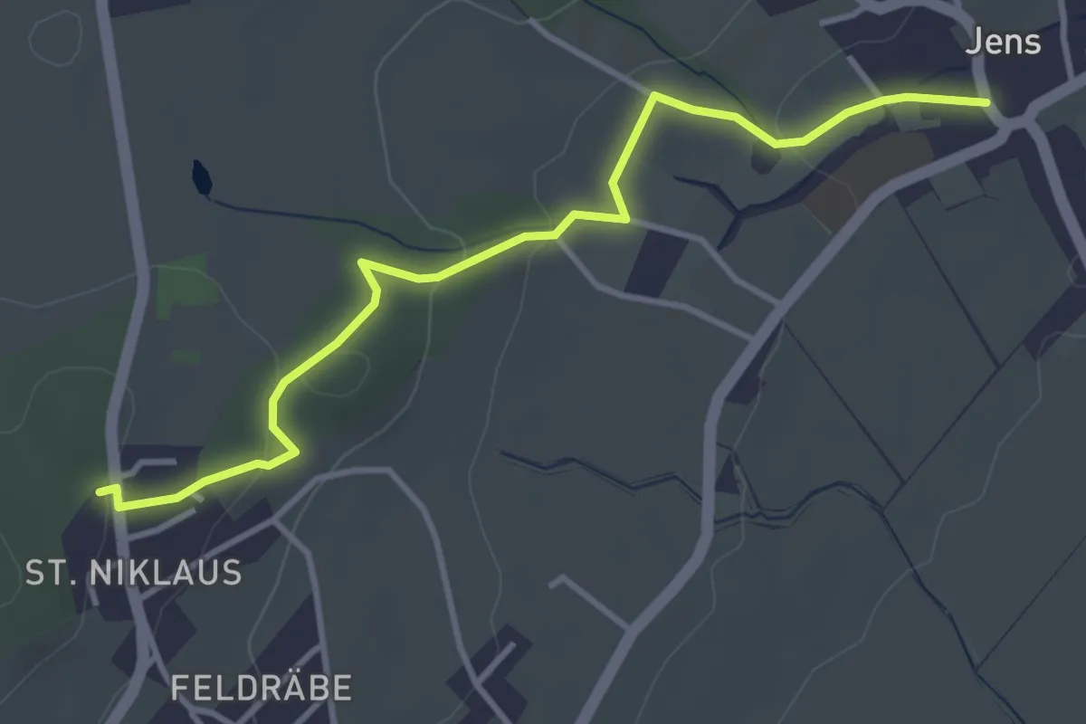
Easy · Trail
St. Niklaus – Jens
3.9 km · ↑ 95 m · 1 h 7 min
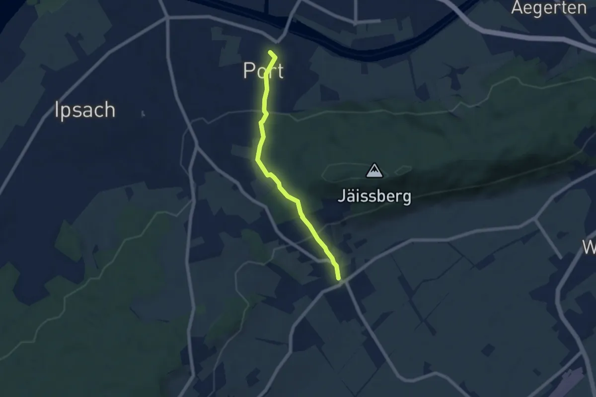
Easy · Trail
Port – Jens
4.8 km · ↑ 223 m · 1 h 37 min
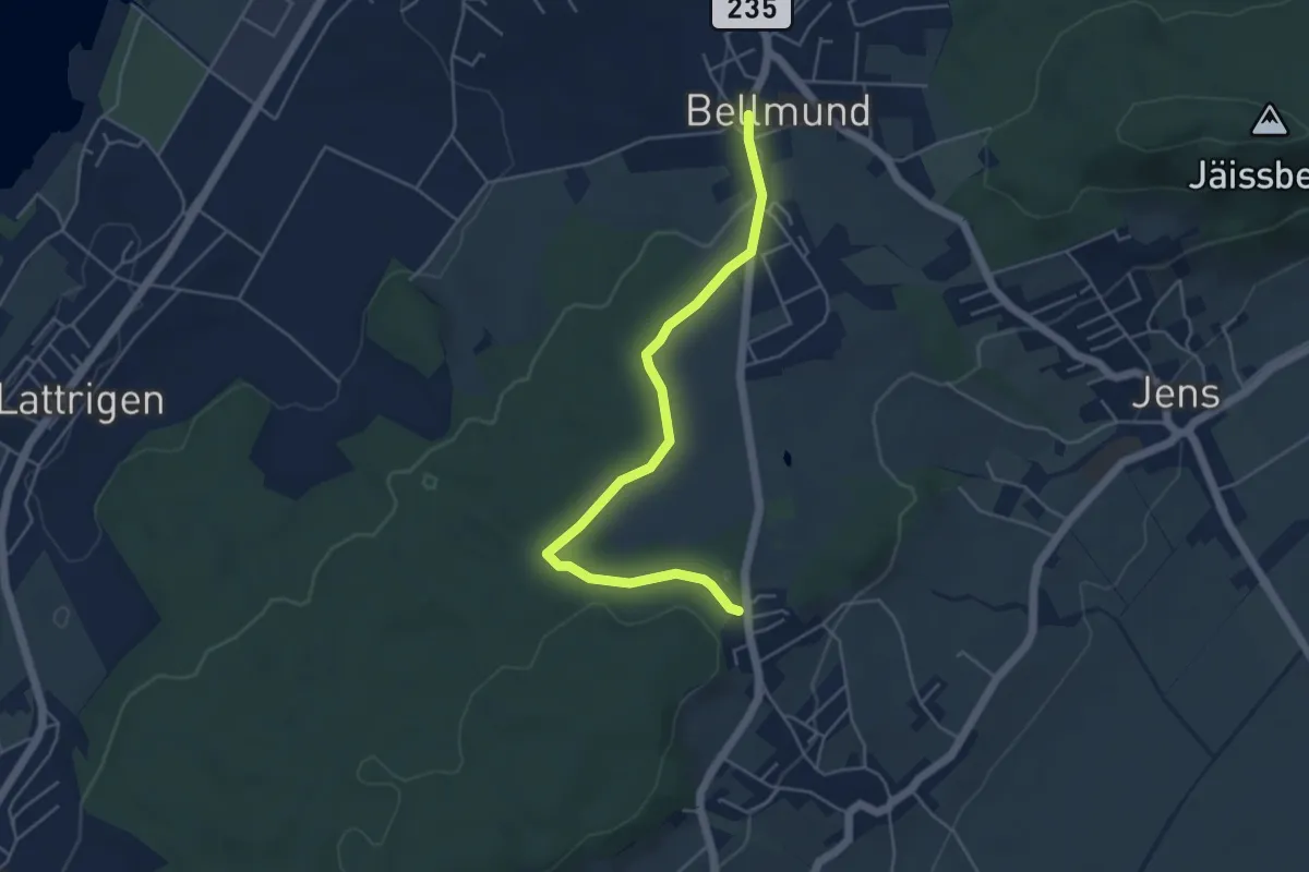
Easy · Trail
Bellmund – St. Niklaus
4.9 km · ↑ 40 m · 1 h 15 min
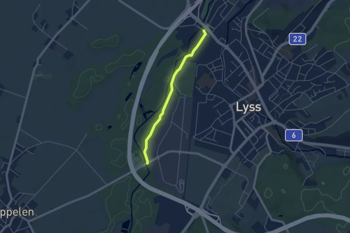
Easy · Trail
Lyss / Schachen – Lyss-Grien
3.7 km · ↑ 9 m · 54 min
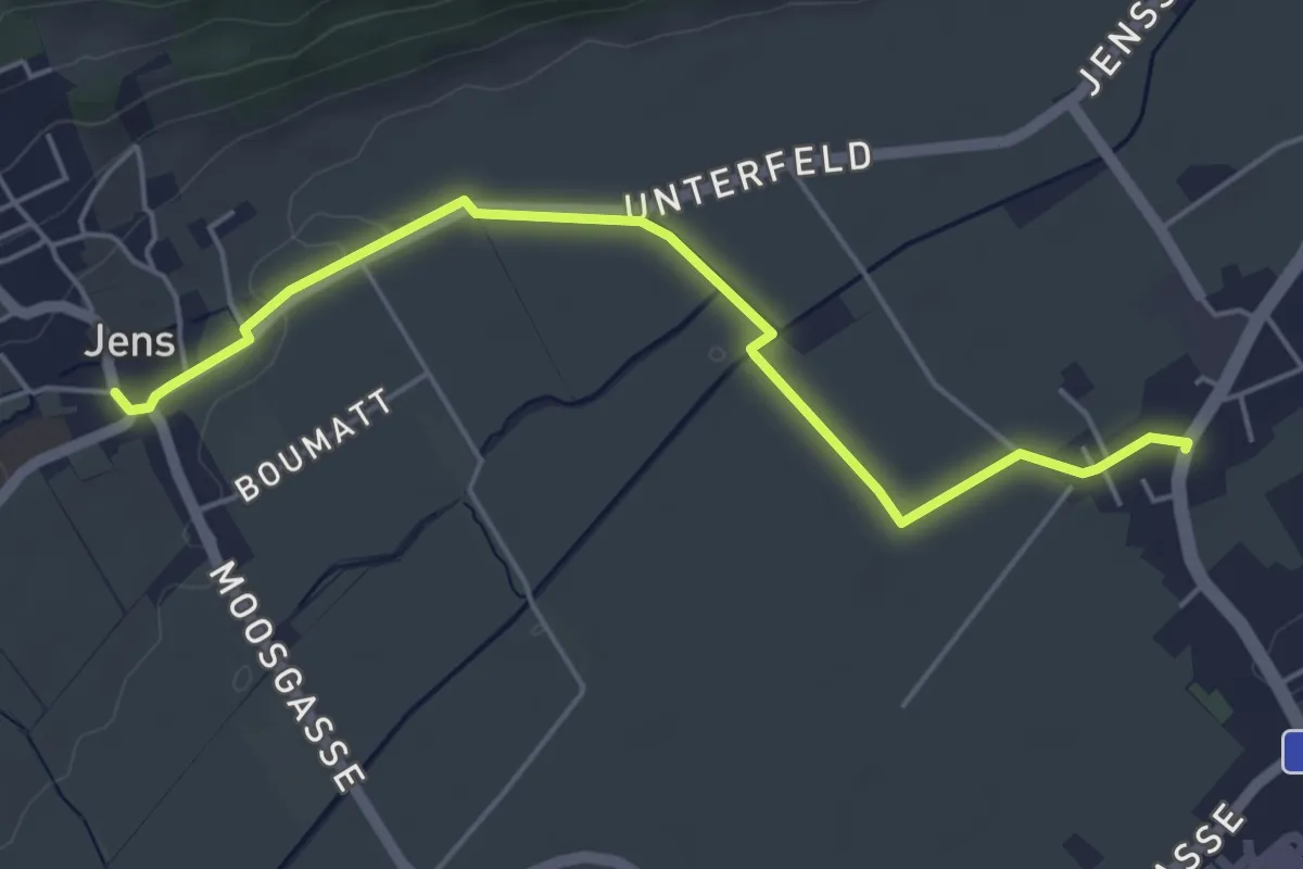
Easy · Trail
Oberworben – Jens
5.1 km · ↑ 9 m · 1 h 13 min
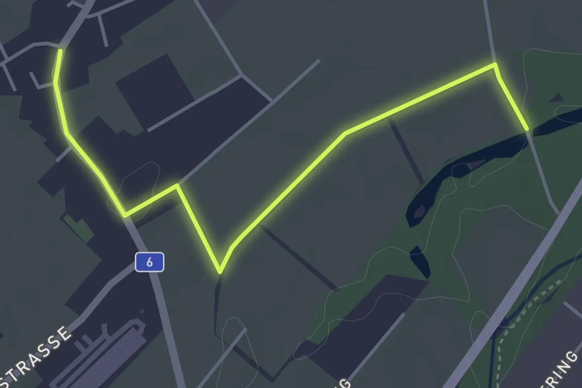
Easy · Trail
Oberworben – Fenchere
4.1 km · ↑ 9 m · 59 min
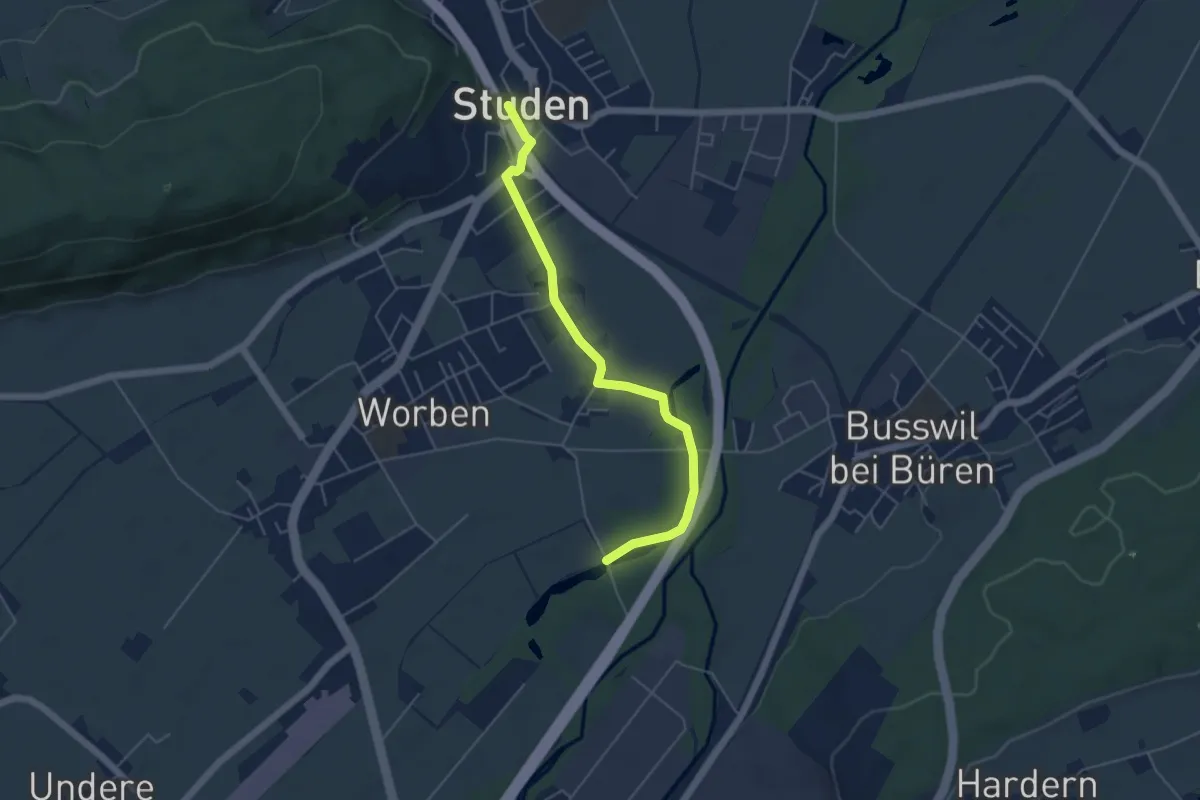
Easy · Trail
Studen – Fenchere
5.0 km · ↑ 5 m · 1 h 11 min
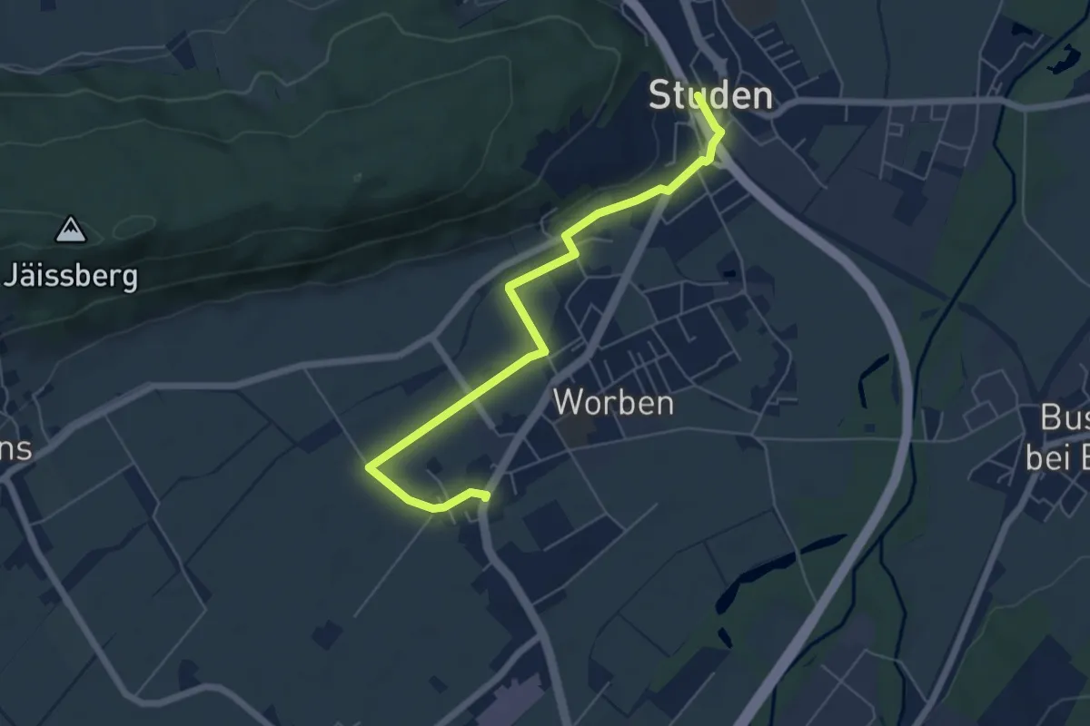
Easy · Trail
Studen – Oberworben
6.1 km · ↑ 14 m · 1 h 28 min
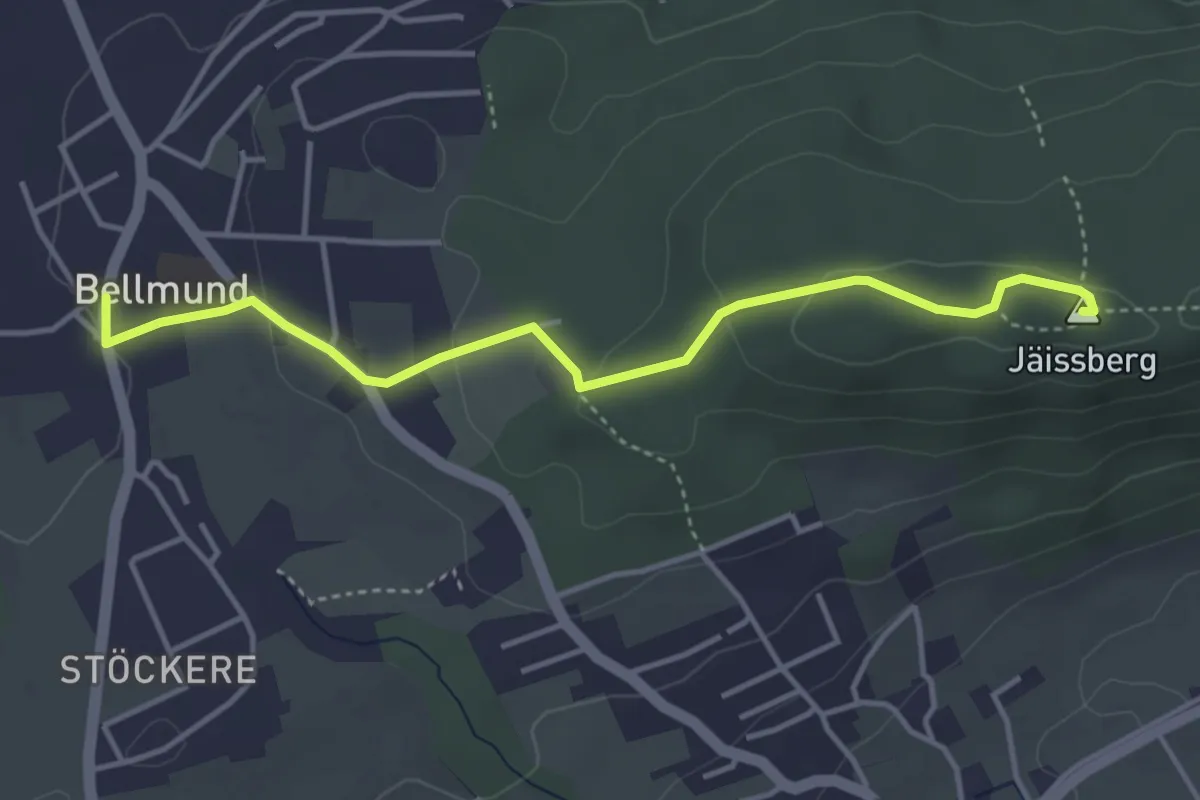
Easy · Summit
Jäissberg – Bellmund
4.1 km · ↑ 104 m · 1 h 11 min
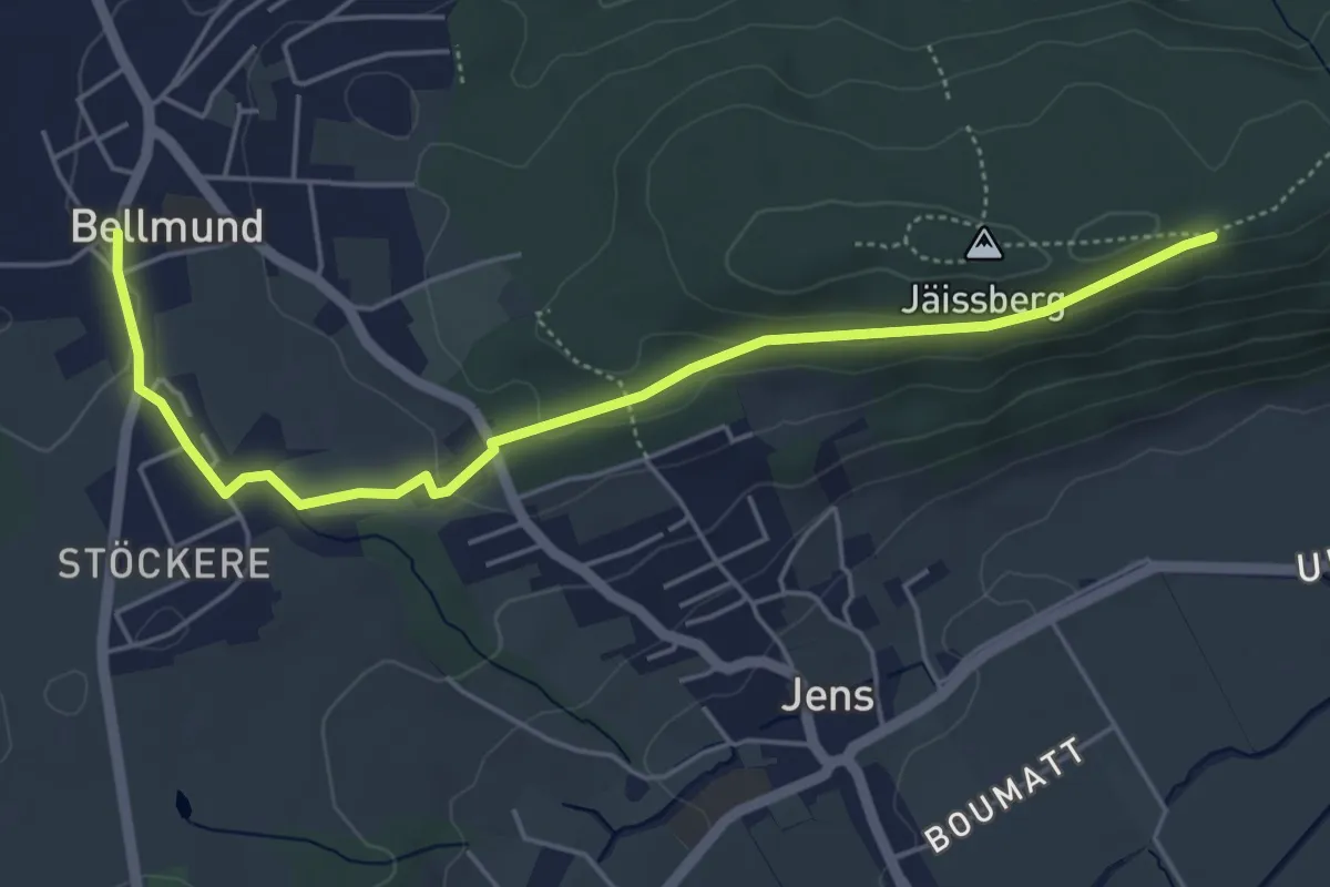
Easy · Trail
Jäissberg – Bellmund
5.3 km · ↑ 95 m · 1 h 28 min
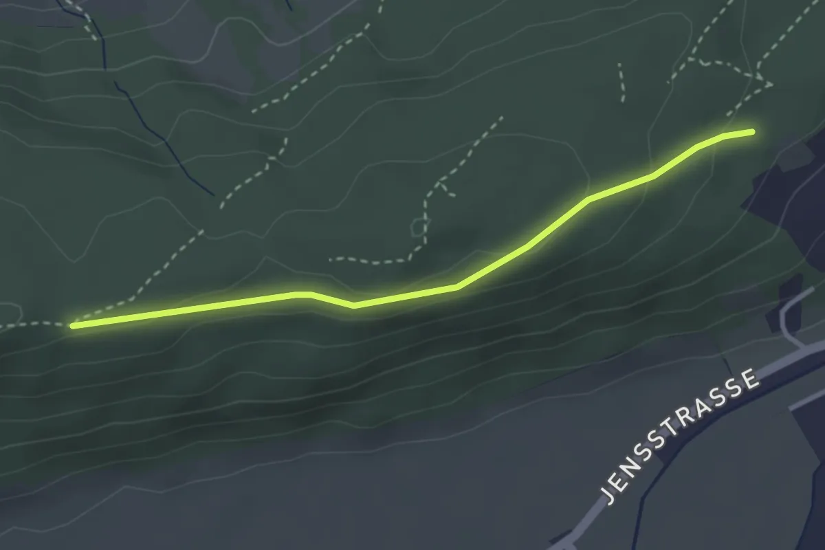
Easy · Trail
Studewald – Jäissberg
3.0 km · ↑ 80 m · 52 min
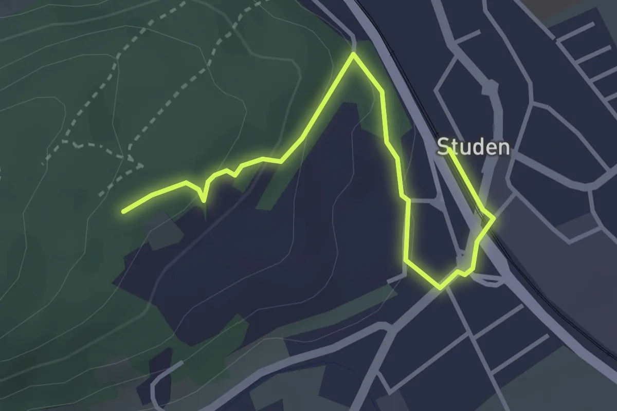
Easy · Trail
Studen – Studewald
3.3 km · ↑ 105 m · 1 h
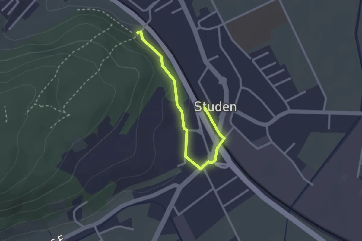
Easy · Trail
Studen – Studen
2.3 km · ↑ 38 m · 38 min
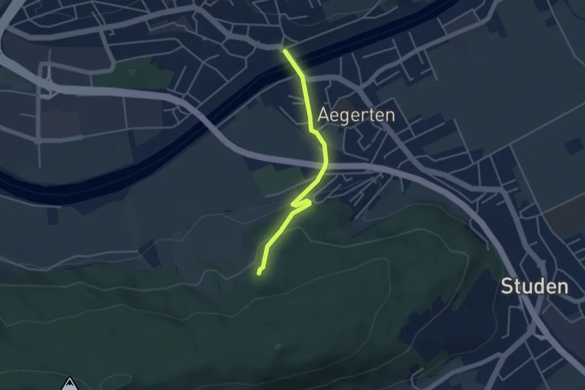
Easy · Trail
Brügg – Aegertewalt
3.2 km · ↑ 103 m · 58 min
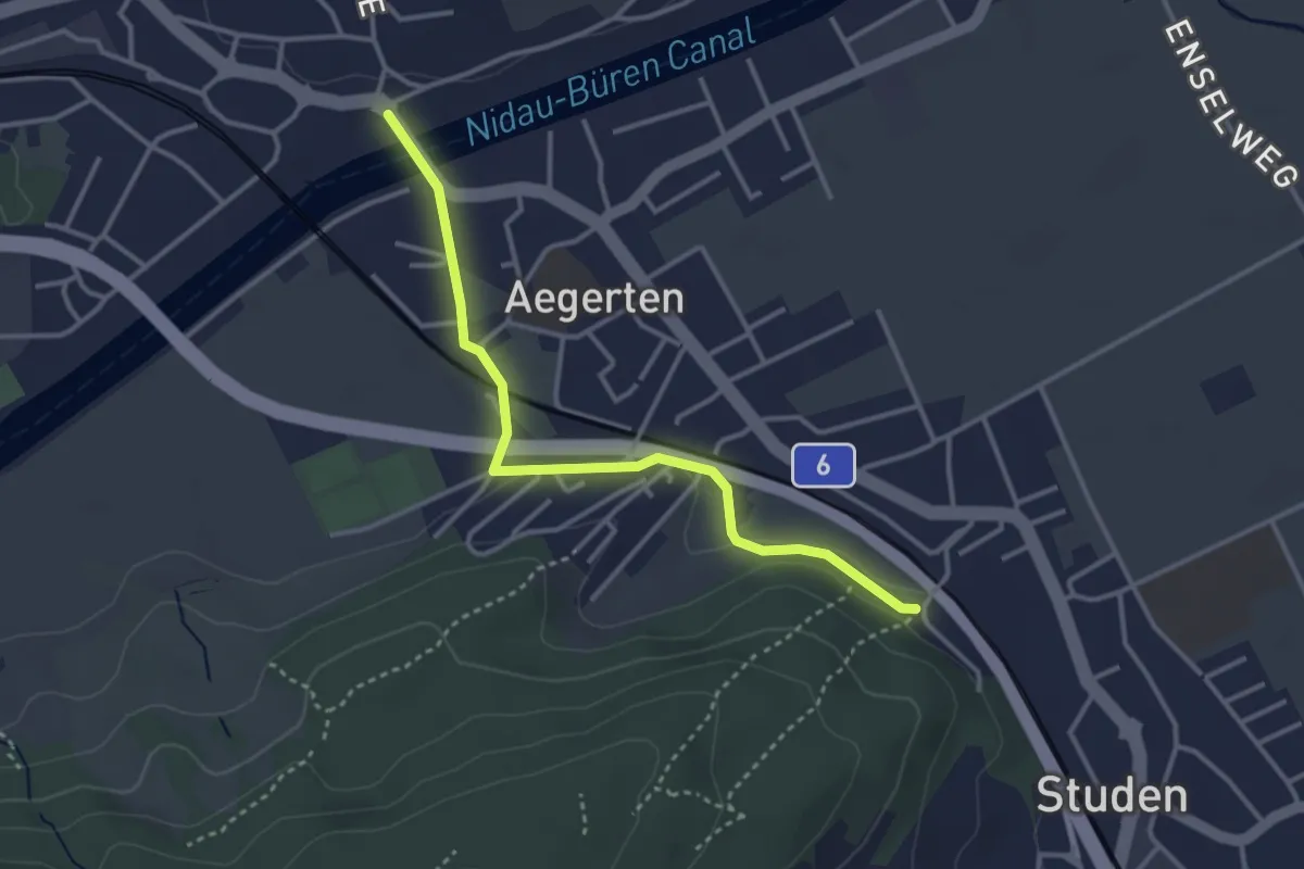
Easy · Trail
Brügg – Studen
3.4 km · ↑ 48 m · 54 min
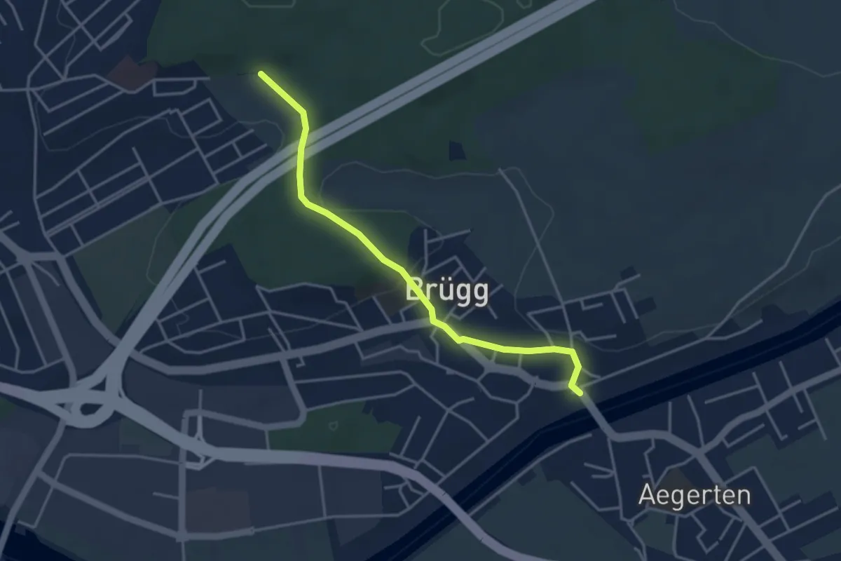
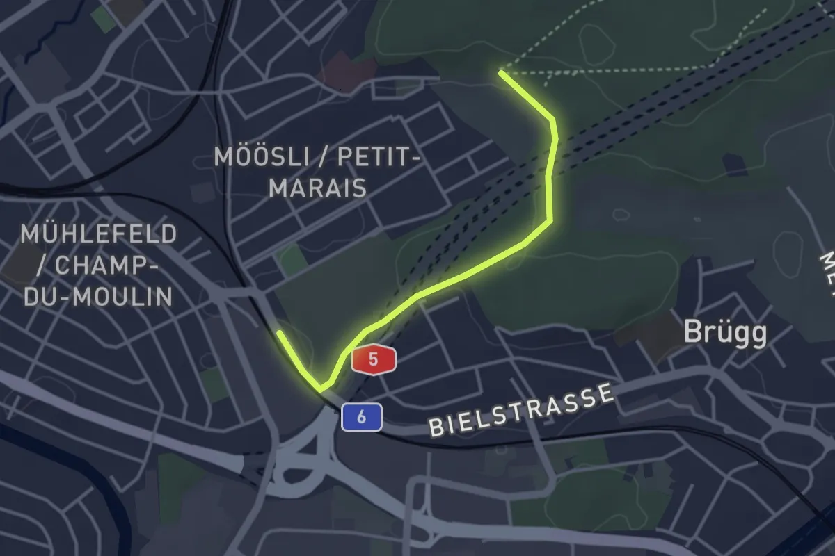
Easy · Trail
Ried – Brügg
3.6 km · ↑ 67 m · 59 min
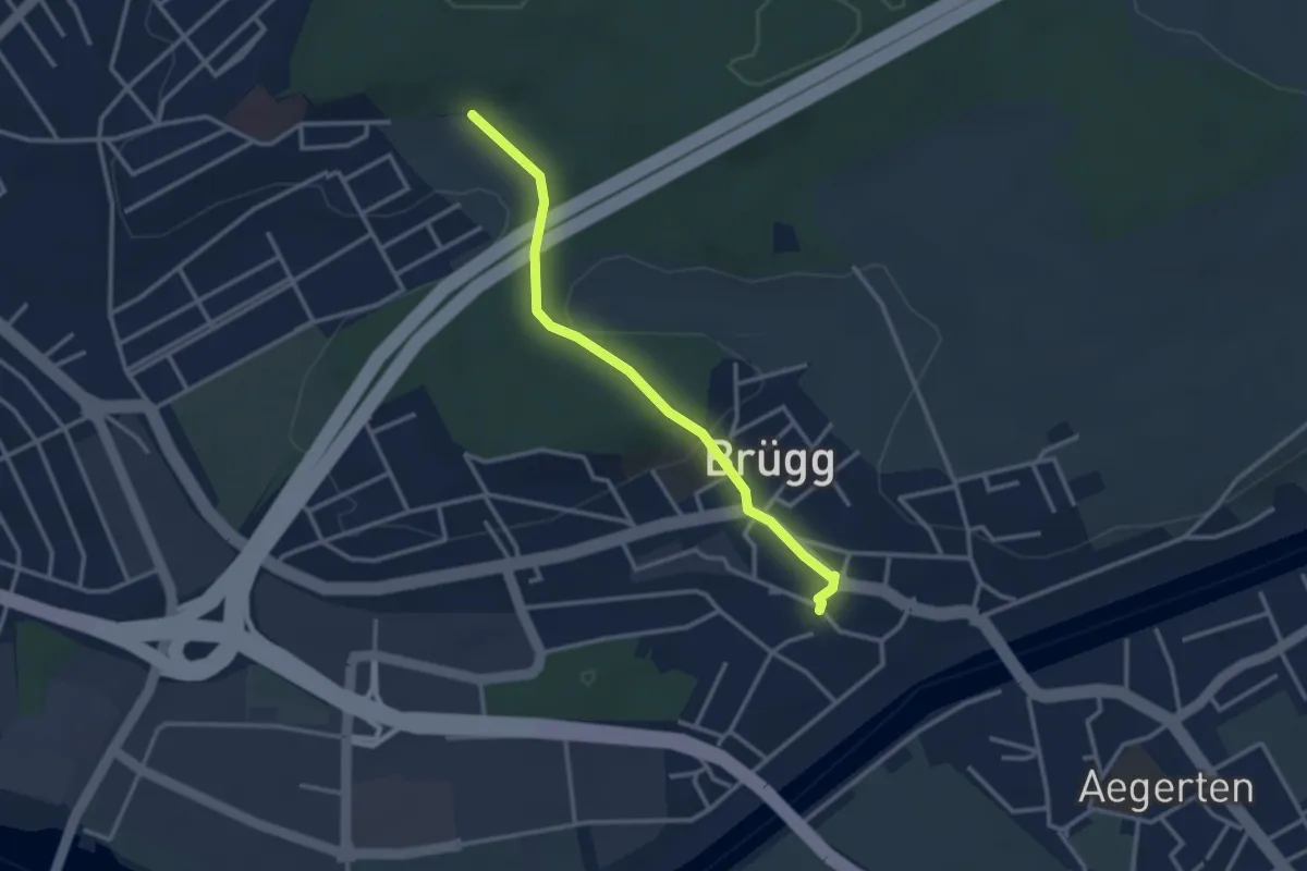
Easy · Trail
Ried – Biel Friedhof
3.0 km · ↑ 28 m · 47 min
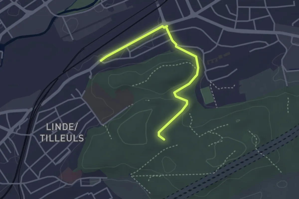
Easy · Trail
Ried – Brügg
2.9 km · ↑ 53 m · 48 min
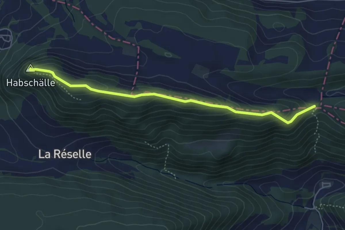
Easy · Trail
Biel-Mett – Heidenstein
3.5 km · ↑ 58 m · 57 min
Easy · Summit
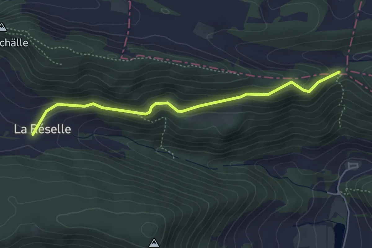
Hasenschell – Habschälle
4.5 km · ↑ 225 m · 1 h 33 min
Easy · Trail
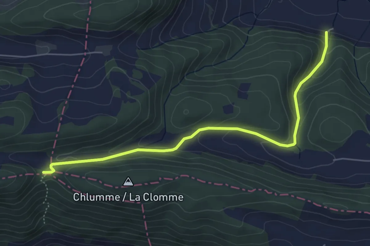
Hasenschell – La Reselle de Movelier
4.3 km · ↑ 186 m · 1 h 25 min
Easy · Trail
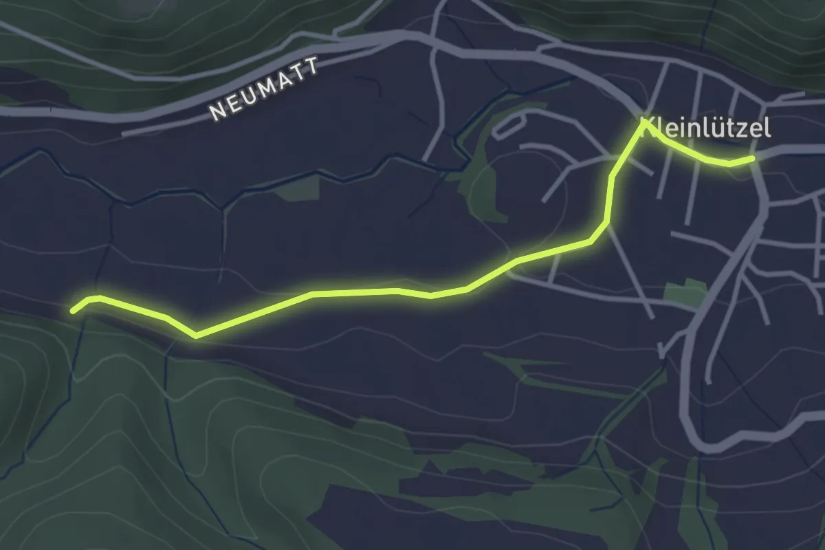
Hasenschell – Vordere Rütte
5.3 km · ↑ 244 m · 1 h 47 min
Easy · Trail
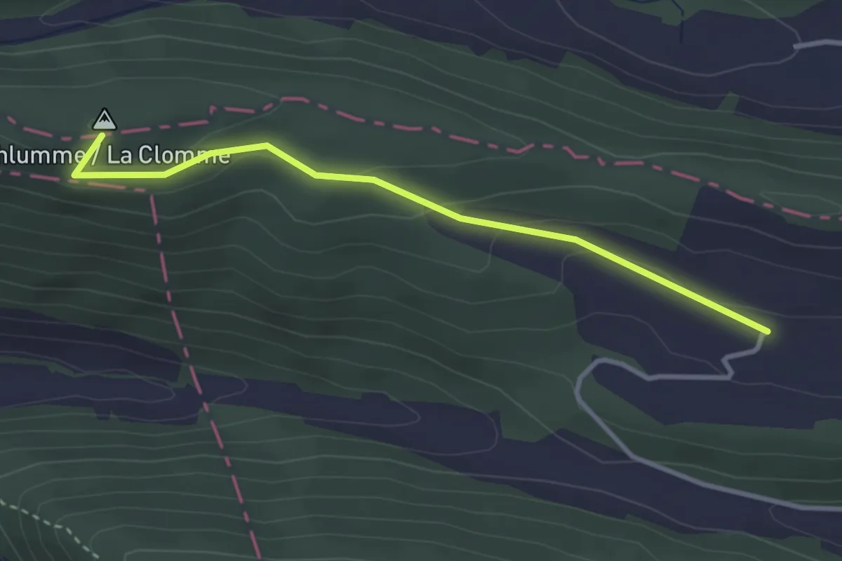
Kleinlützel – Vordere Rütte
3.2 km · ↑ 43 m · 51 min
Easy · Summit
Hasenschell – Albach
3.1 km · ↑ 94 m · 56 min
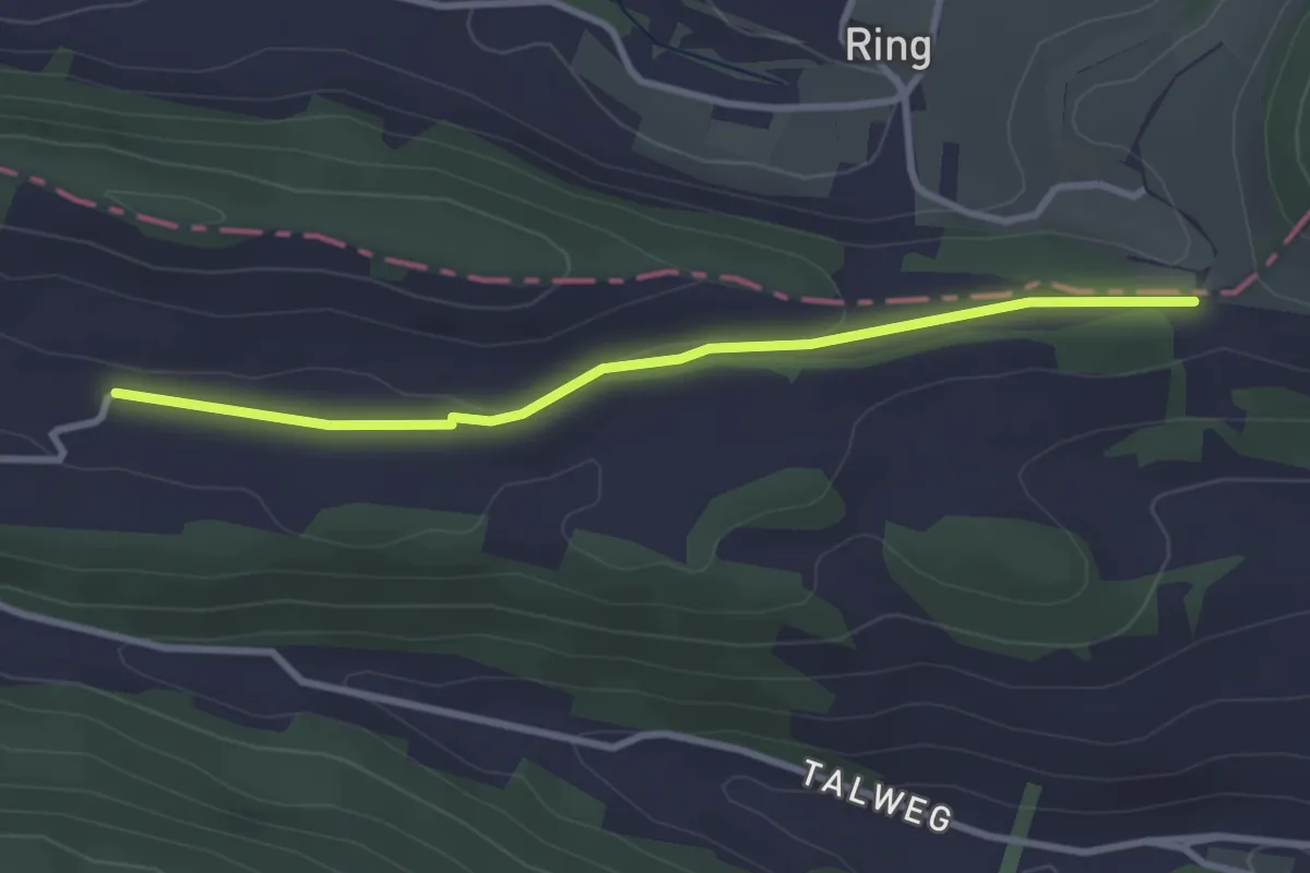
Easy · Trail
Albach – Oltme
3.0 km · ↑ 23 m · 46 min
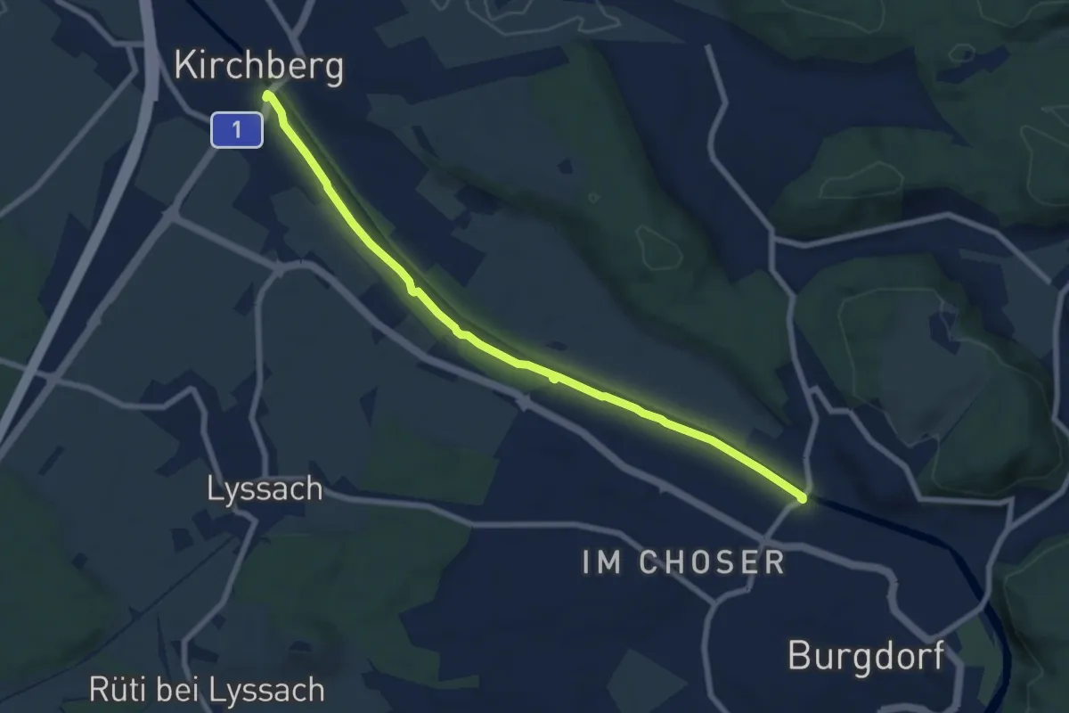
Easy · Trail
Alchenflüh – Eybrügg
7.6 km · ↑ 18 m · 1 h 50 min
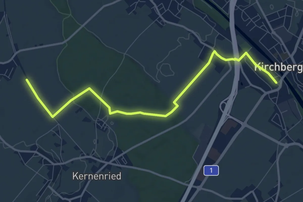
Medium · Trail
Alchenflüh – Fraubrunnenmoos
9.6 km · ↑ 51 m · 2 h 22 min
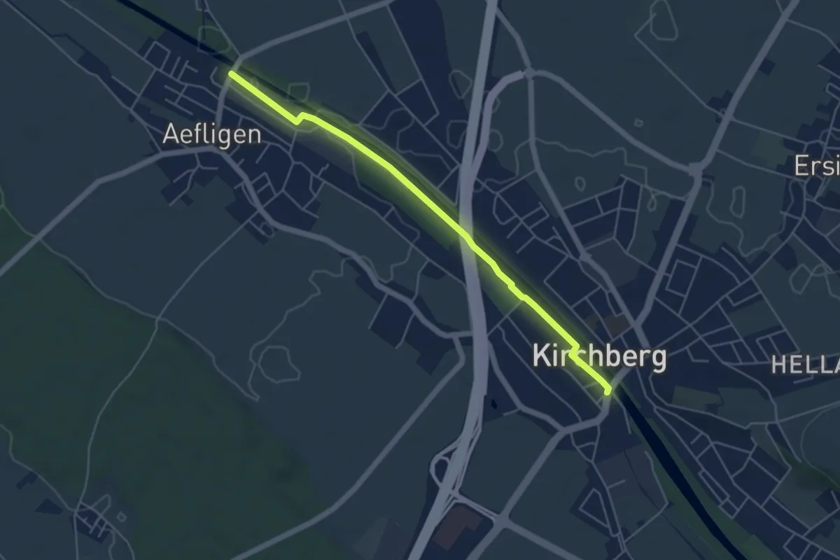
Easy · Trail
Aefligen – Alchenflüh
4.9 km · ↑ 13 m · 1 h 11 min
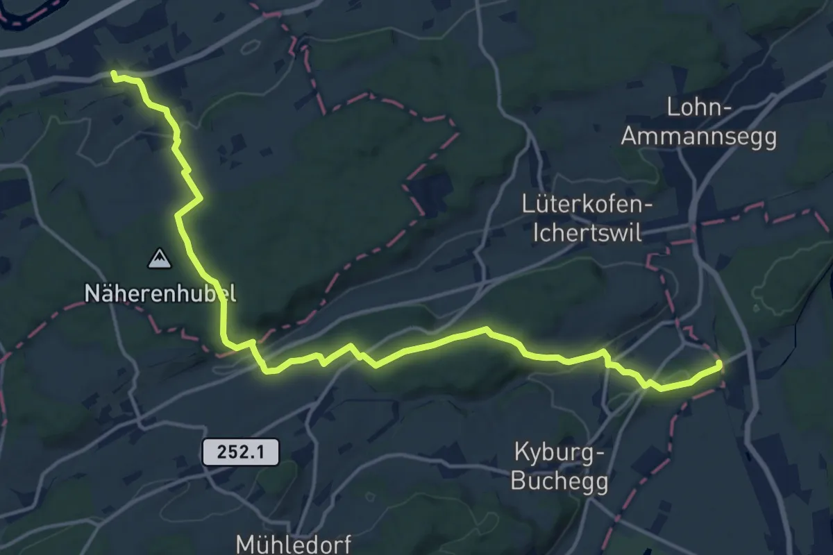
Medium · Trail
Leuzigen – Kräiligen Brücke RBS
17.5 km · ↑ 424 m · 5 h 3 min
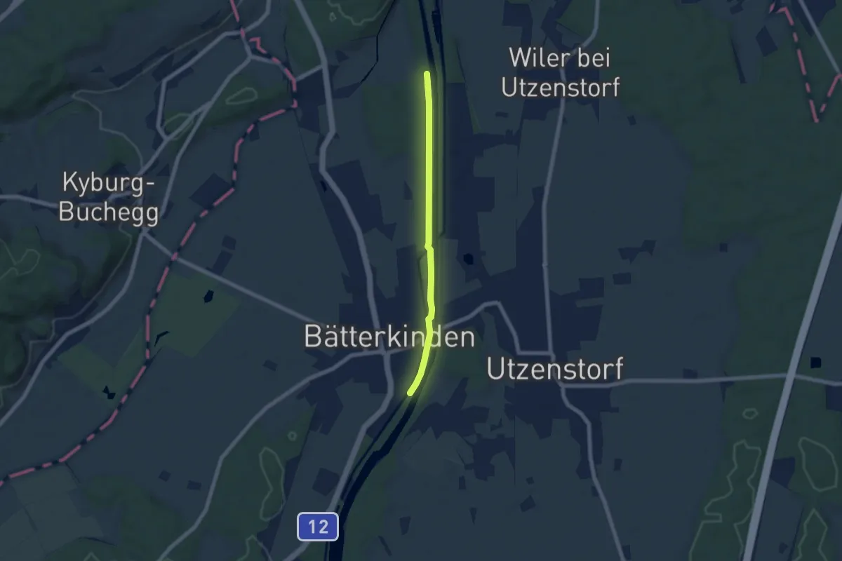
Easy · Trail
Kräiligensteg – Bätterkinden/Mühle
5.3 km · ↑ 12 m · 1 h 17 min
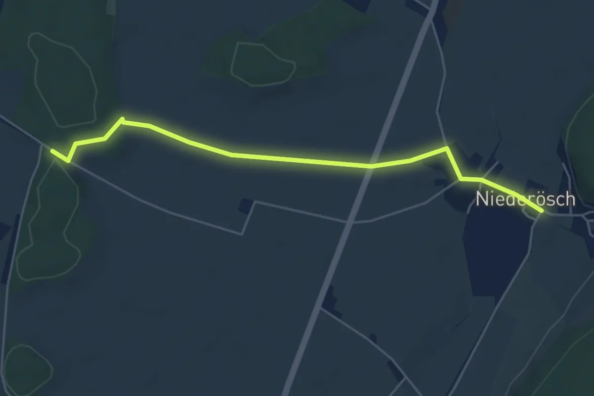
Easy · Trail
Loon – Niederösch
5.0 km · ↑ 24 m · 1 h 14 min
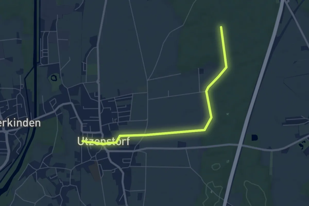
Easy · Trail
Bürgerwald – Utzenstorf
6.8 km · ↑ 63 m · 1 h 45 min
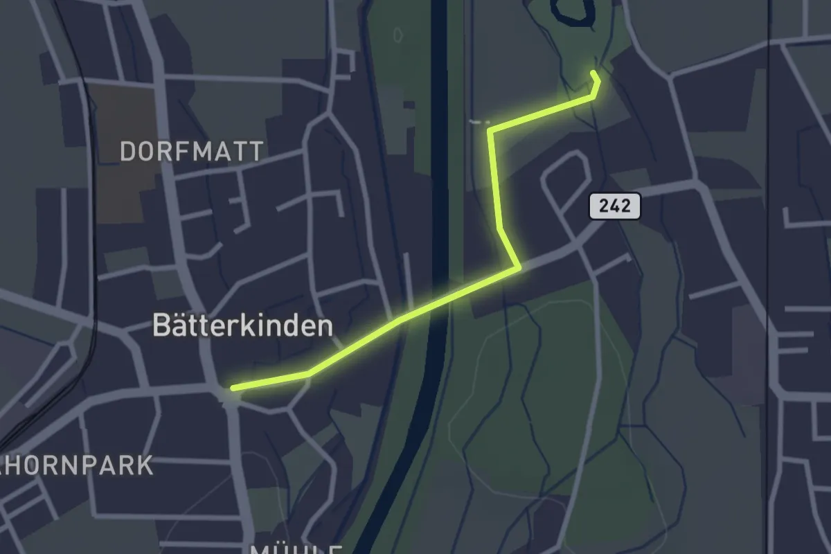
Easy · Trail
Bätterkinden – Schloss Landshut
2.3 km · ↑ 4 m · 33 min
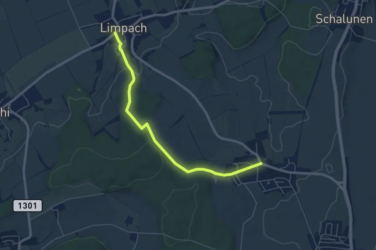
Easy · Trail
Unterramsern – Büren zum Hof
5.4 km · ↑ 114 m · 1 h 32 min
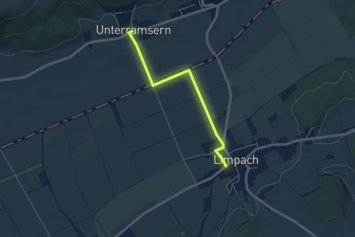
Easy · Trail
Unterramsern – Limpach
3.8 km · ↑ 23 m · 57 min
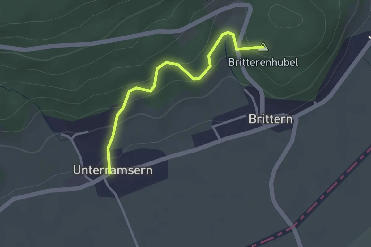
Easy · Summit
Wolftürli – Unterramsern
2.4 km · ↑ 154 m · 54 min