Trails in Switzerland
15,055 hiking trails, each with its route, climb, walking time and grade.
All trails, page 251 of 314
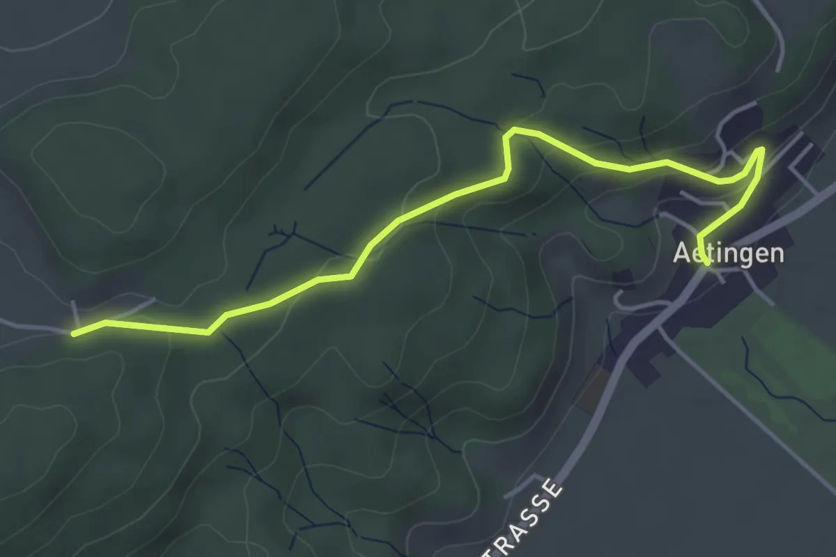
Easy · Trail
Wolftürli – Aetingen
4.4 km · ↑ 160 m · 1 h 23 min
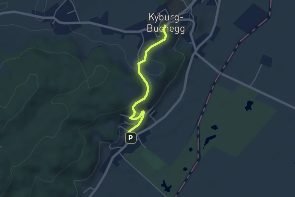
Easy · Trail
Kyburg-Buchegg Schloss Buchegg – Aetingen
3.3 km · ↑ 106 m · 1 h 1 min
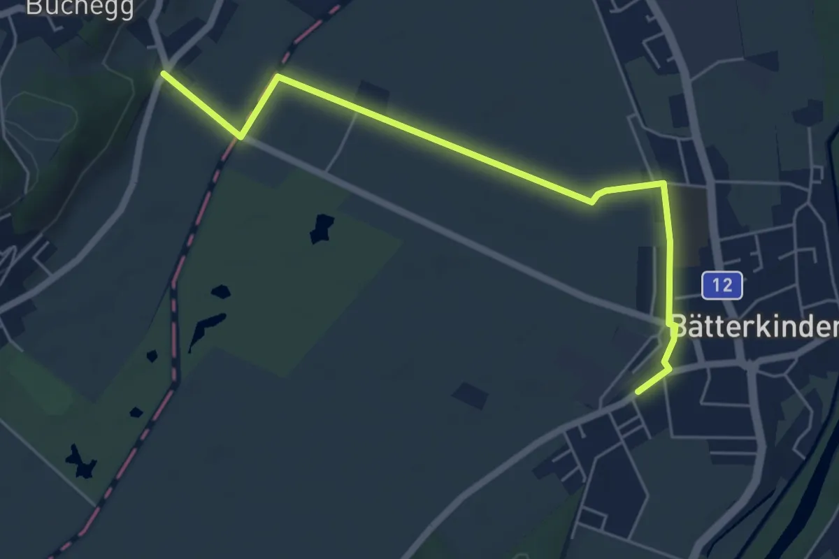
Easy · Trail
Kyburg-Buchegg Kyburg – Bätterkinden
5.6 km · ↑ 21 m · 1 h 21 min
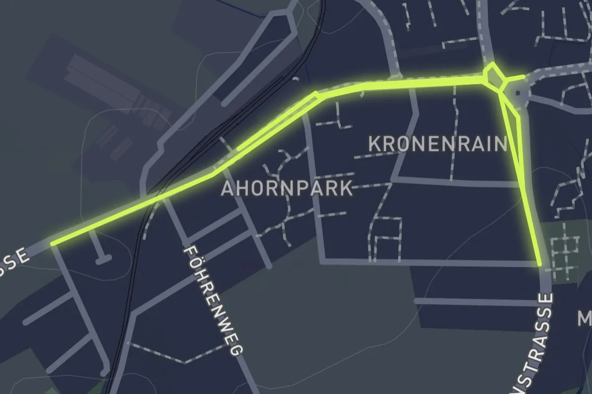
Easy · Trail
Bätterkinden – Bätterkinden
3.3 km · ↑ 22 m · 50 min
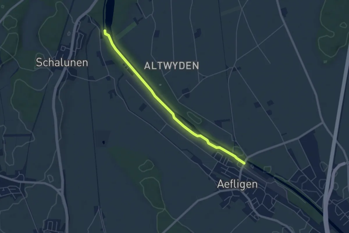
Easy · Trail
Alp – Aefligen
5.4 km · ↑ 18 m · 1 h 19 min
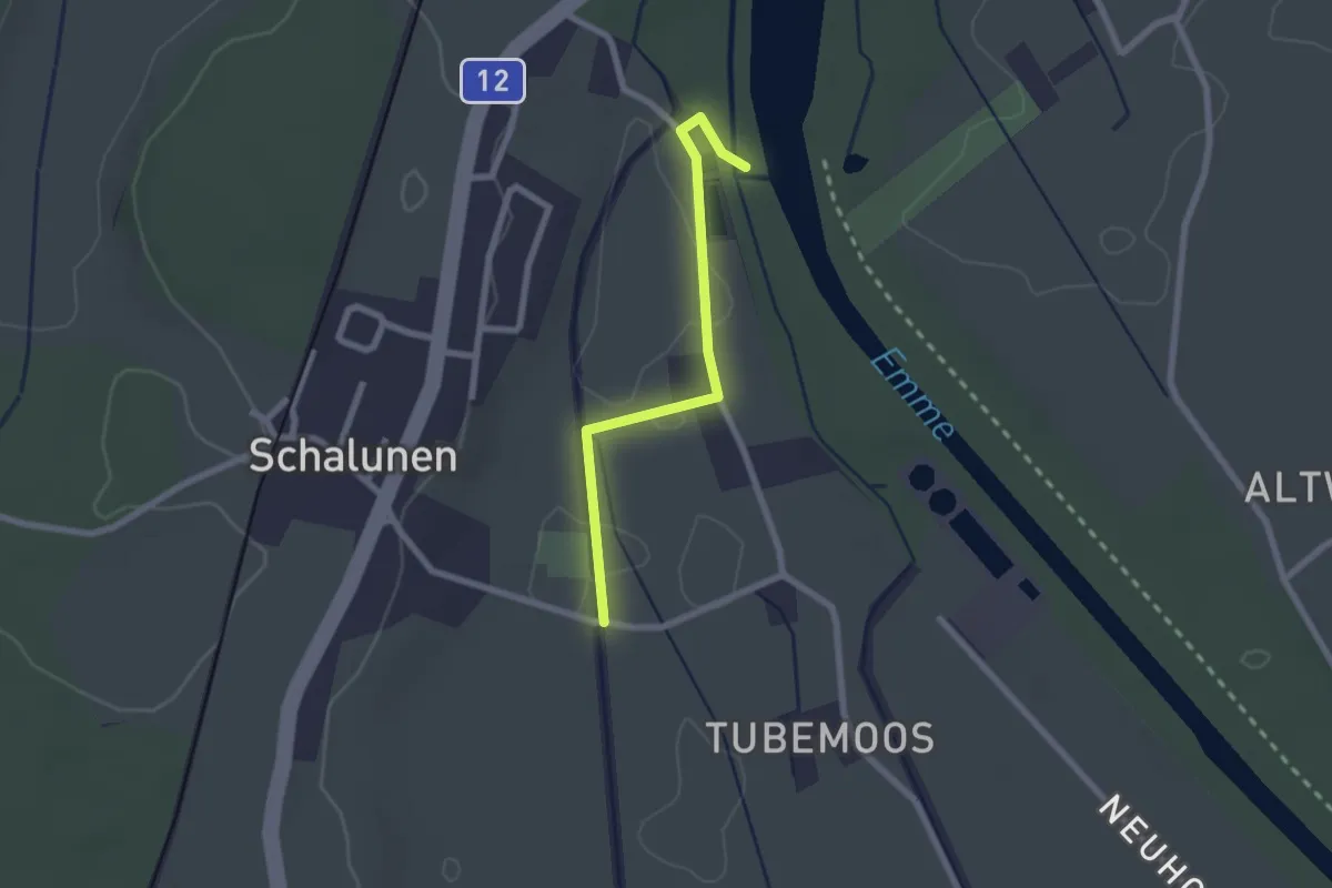
Easy · Trail
Alp – Urtene-Brücke
2.1 km · ↑ 4 m · 30 min
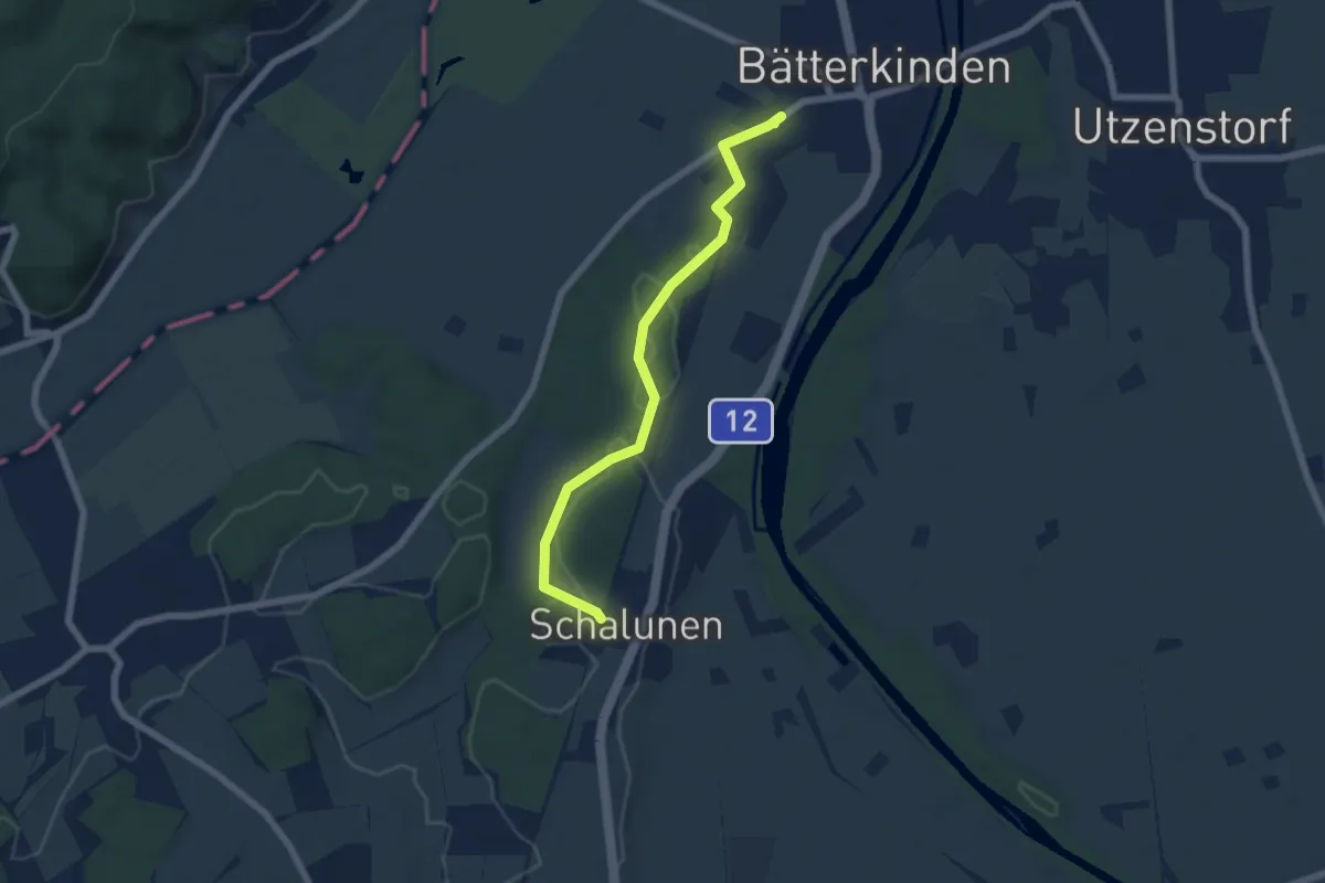
Easy · Trail
Bätterkinden – Schalunen
6.1 km · ↑ 86 m · 1 h 37 min
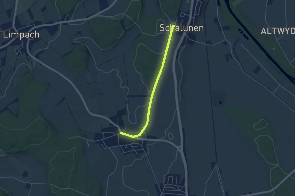
Easy · Trail
Schalunen – Büren zum Hof
4.0 km · ↑ 26 m · 1 h
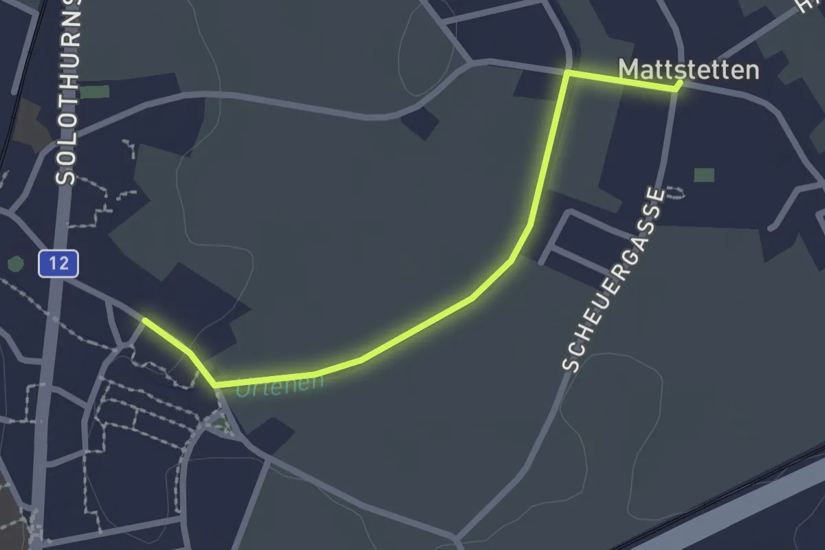
Easy · Trail
Mattstetten – Urtenen
2.2 km · ↑ 9 m · 32 min
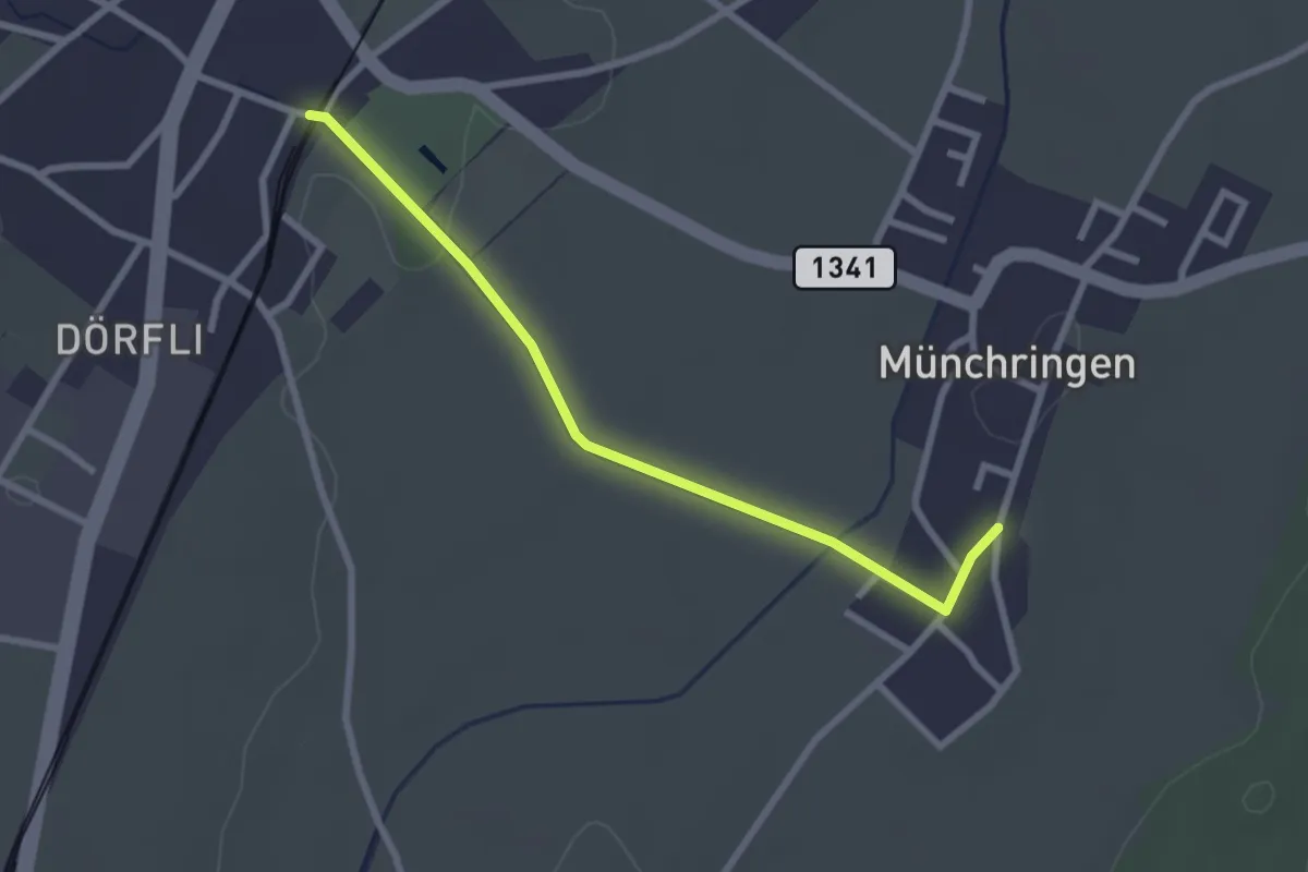
Easy · Trail
Jegenstorf – Münchringen
2.6 km · ↑ 22 m · 40 min
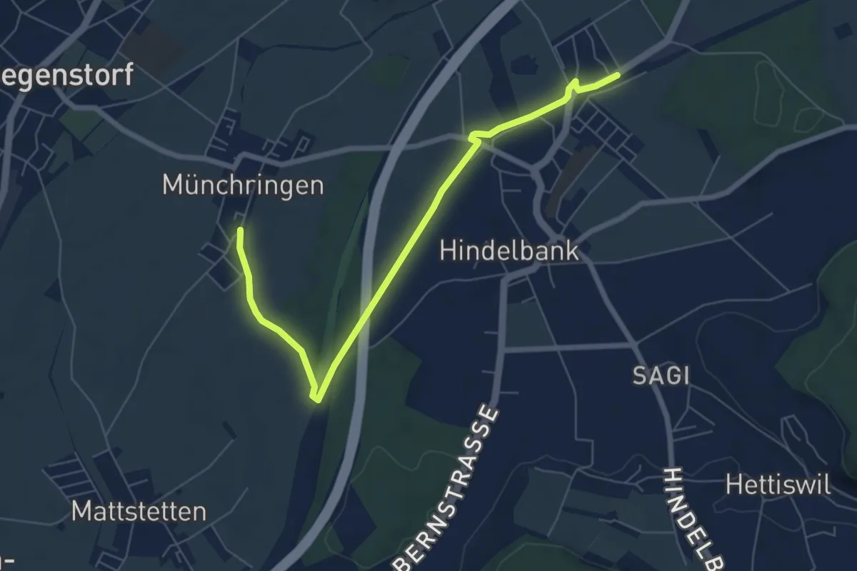
Easy · Trail
Münchringen – Hindelbank / Station
6.9 km · ↑ 50 m · 1 h 44 min
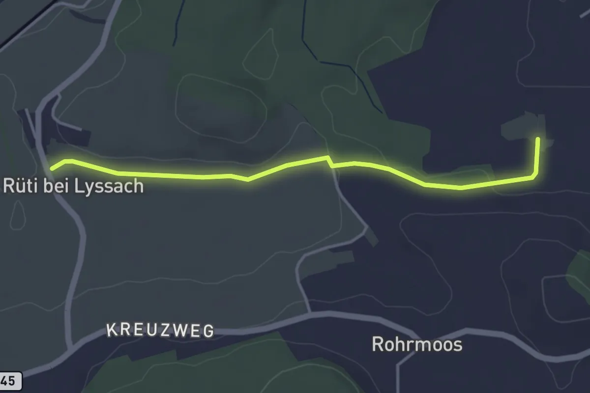
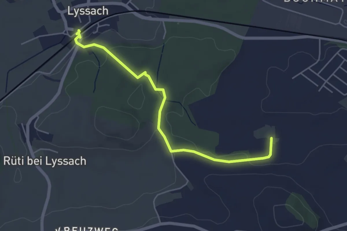
Easy · Trail
Rüti bei Lyssach – Meienmoos
3.7 km · ↑ 29 m · 56 min
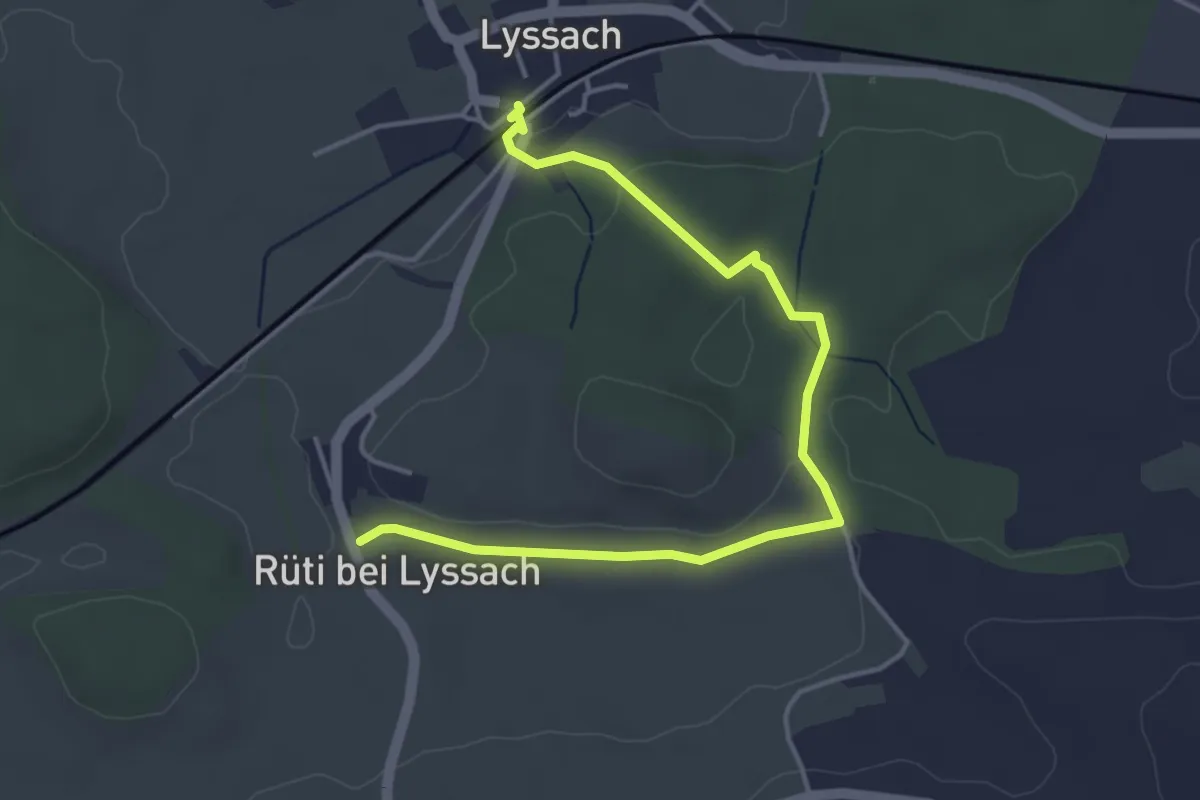
Easy · Trail
Lyssach Station – Meienmoos
4.5 km · ↑ 66 m · 1 h 12 min
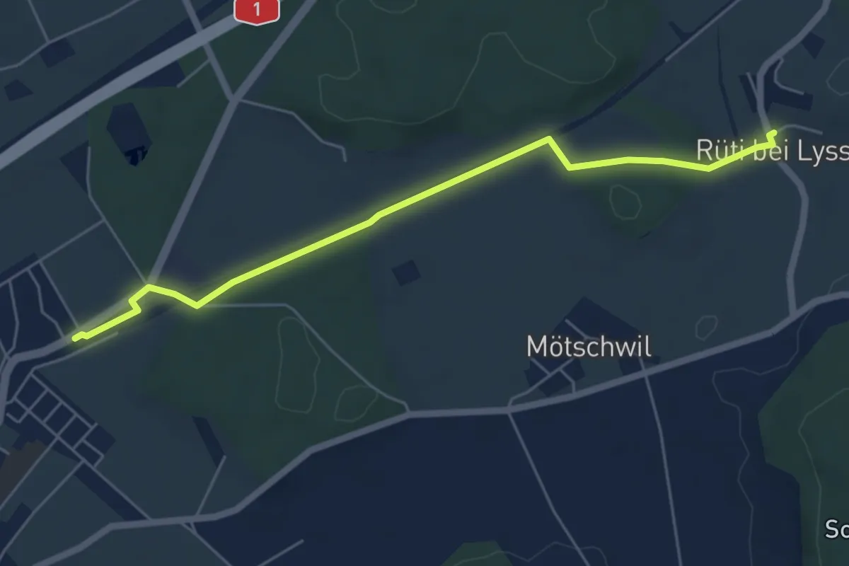
Easy · Trail
Lyssach Station – Rüti bei Lyssach
4.7 km · ↑ 64 m · 1 h 15 min
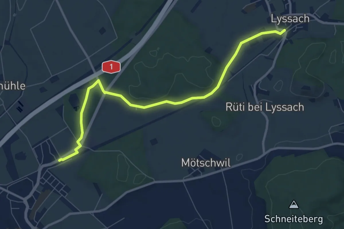
Easy · Trail
Hindelbank / Station – Rüti b. Lyssach
5.5 km · ↑ 39 m · 1 h 23 min
Medium · Trail
Lyssach Station – Hindelbank / Station
8.1 km · ↑ 54 m · 2 h 2 min
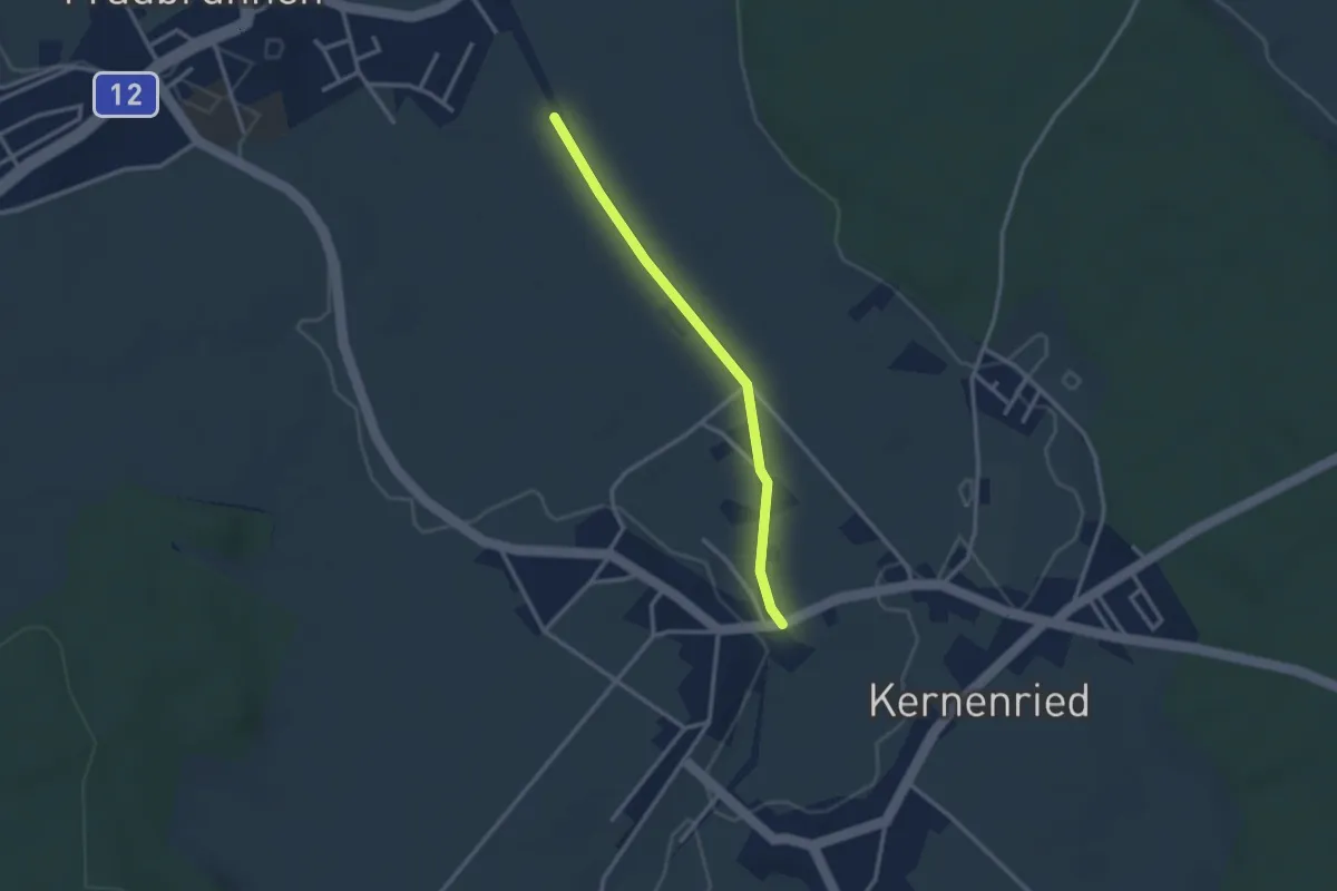
Easy · Trail
Fraubrunnenmoos – Zauggenried
2.6 km · ↑ 4 m · 37 min
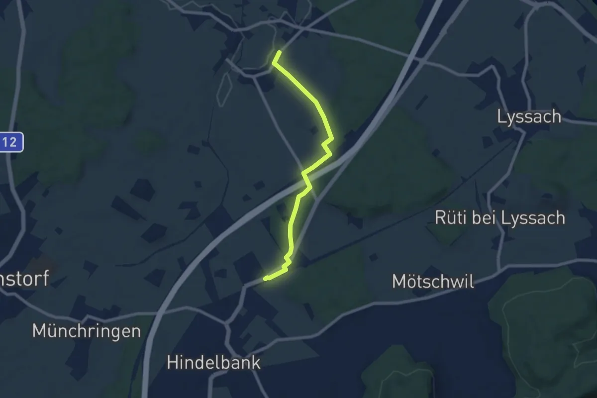
Easy · Trail
Kernenried – Hindelbank / Station
6.2 km · ↑ 32 m · 1 h 32 min
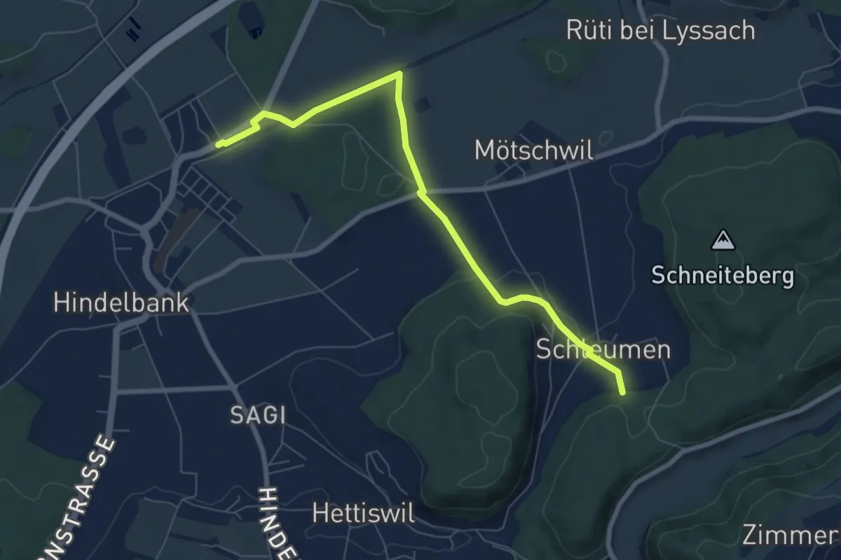
Easy · Trail
Hindelbank / Station – Schleumemoos
7.2 km · ↑ 122 m · 1 h 58 min
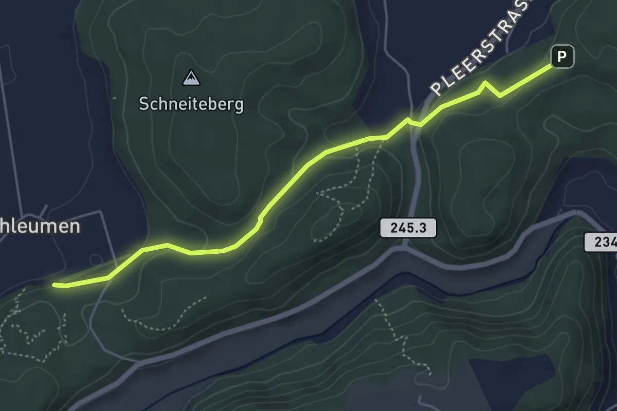
Easy · Trail
Siebenwegeplatz – Schleumemoos
4.9 km · ↑ 133 m · 1 h 27 min
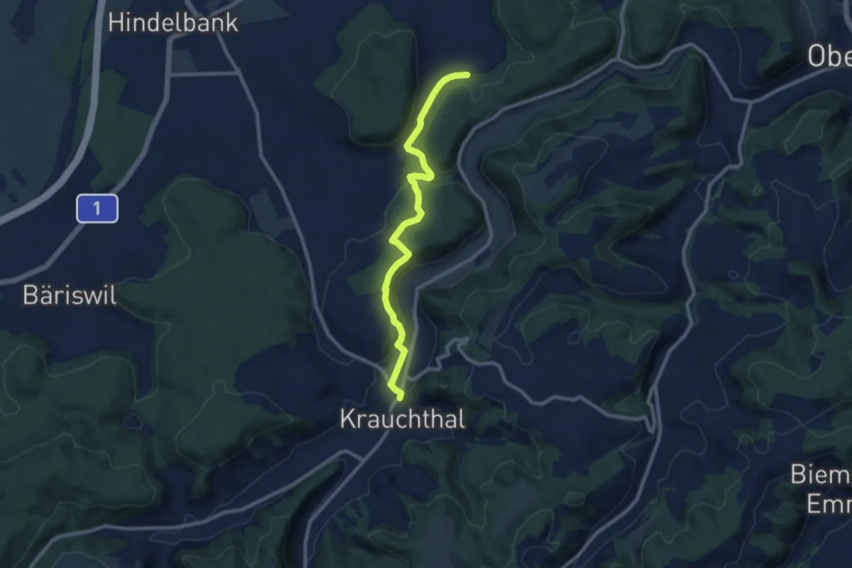
Medium · Trail
Schleumemoos – Krauchthal
8.4 km · ↑ 185 m · 2 h 22 min
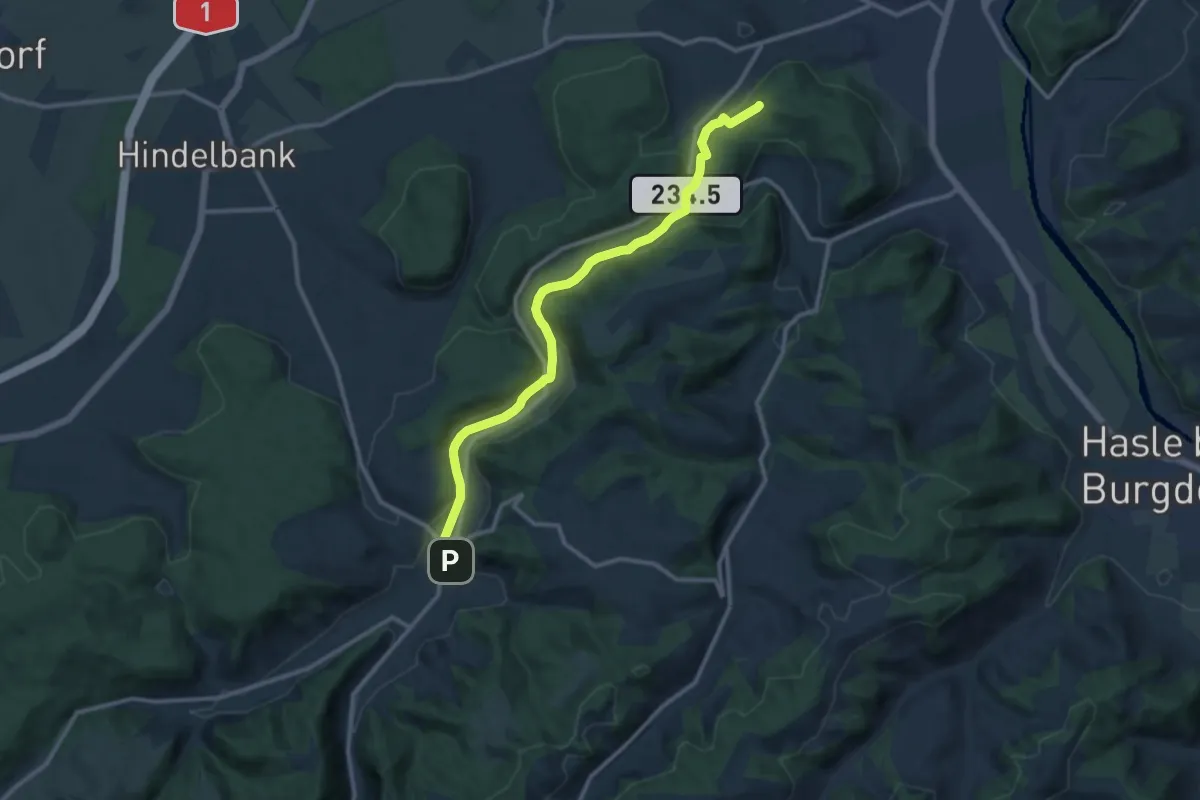
Medium · Trail
Siebenwegeplatz – Krauchthal
11.7 km · ↑ 235 m · 3 h 16 min
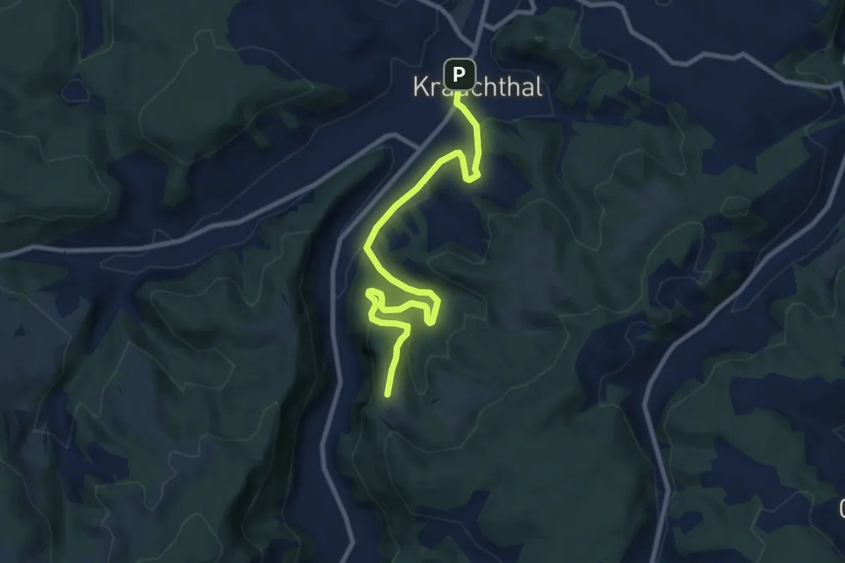
Medium · Trail
Krauchthal – Vordere Geisme
8.1 km · ↑ 340 m · 2 h 39 min
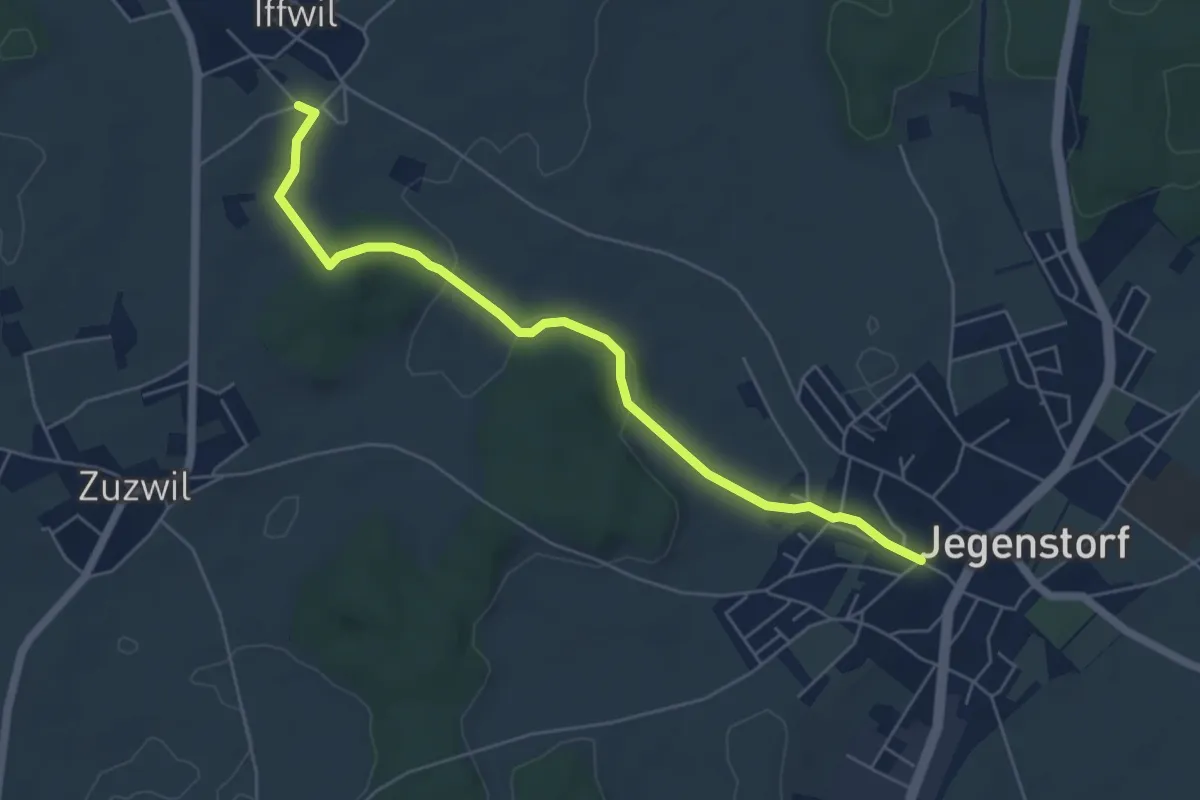
Easy · Trail
Iffwil – Jegenstorf
5.9 km · ↑ 98 m · 1 h 36 min
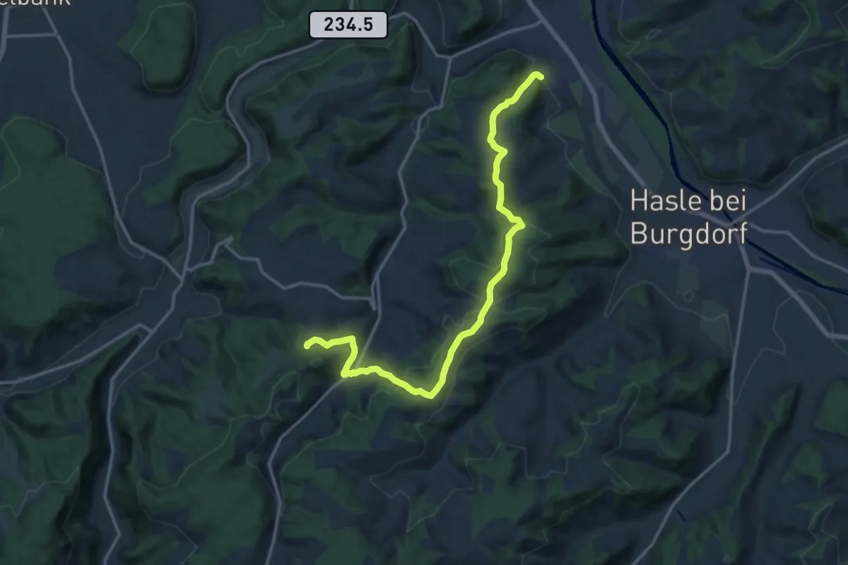
Medium · Trail
Oberburg – Buechwald
14.7 km · ↑ 583 m · 4 h 44 min
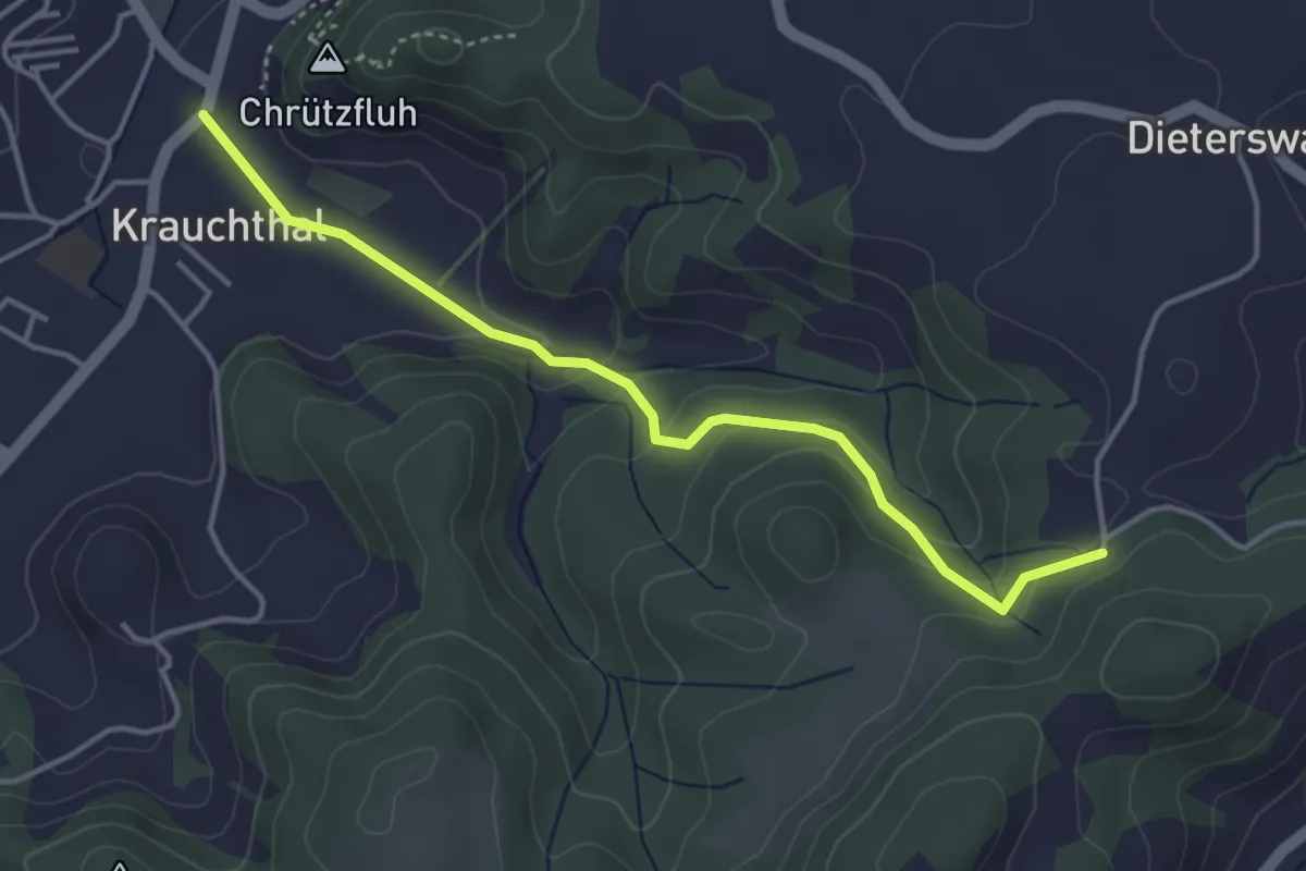
Easy · Trail
Krauchthal – Buechwald
4.0 km · ↑ 186 m · 1 h 20 min
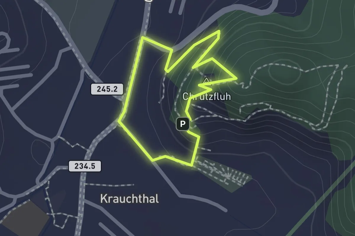
Demanding · Summit
Krauchthal – Krauchthal
1.4 km · ↑ 98 m · 33 min
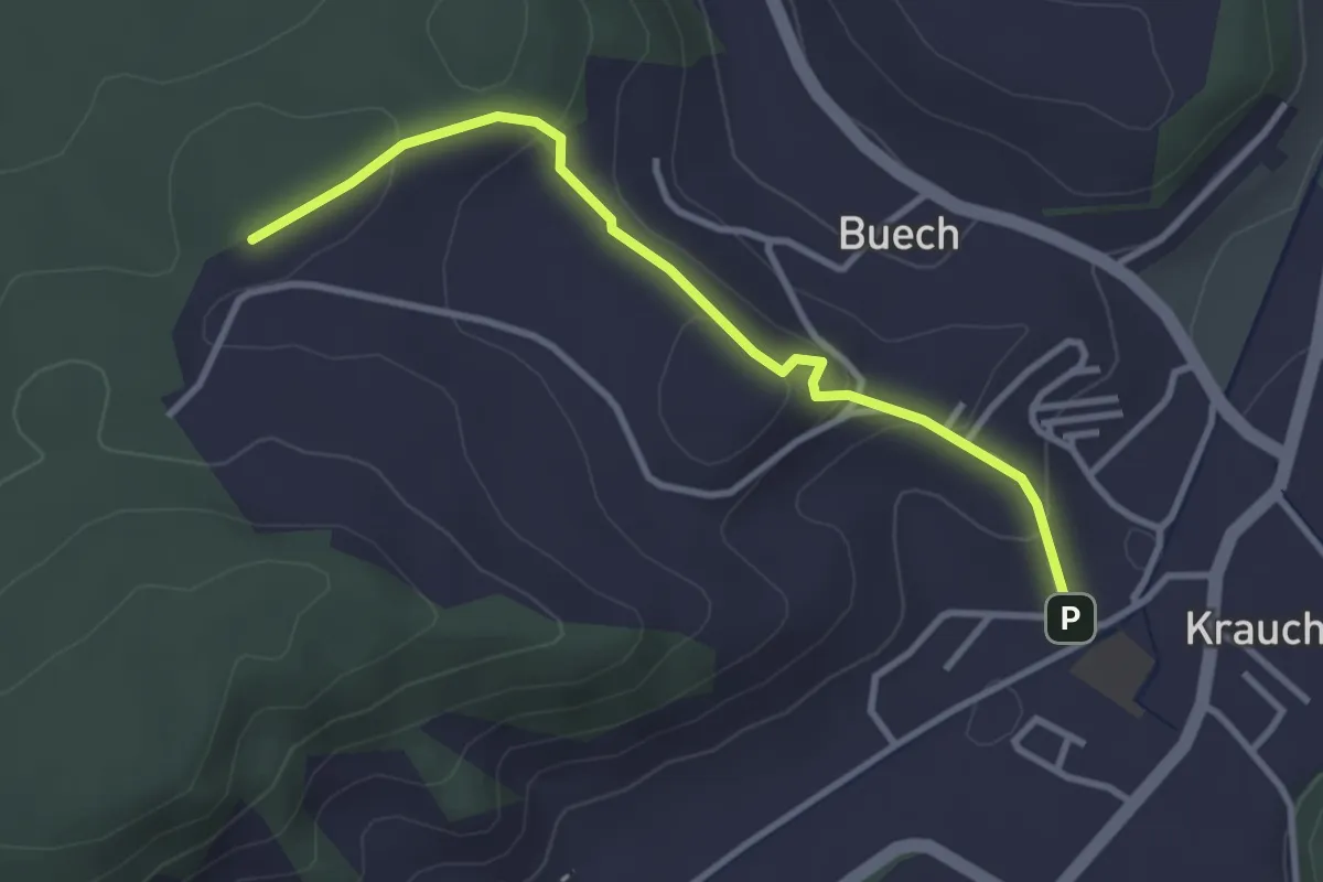
Easy · Trail
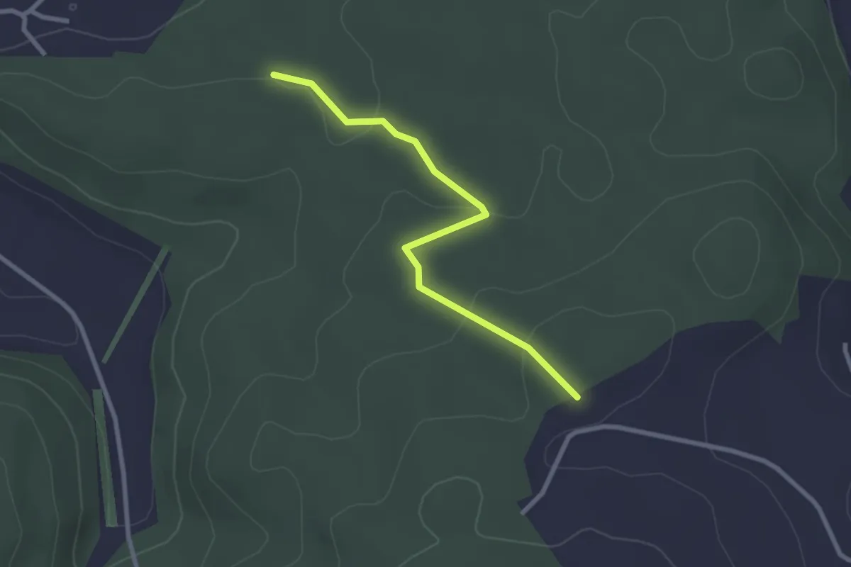
Längenberg – Sandhole
3.2 km · ↑ 100 m · 59 min
Easy · Trail
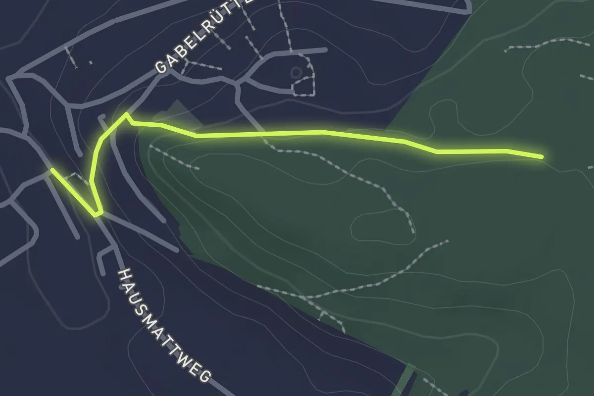
Chriegsholz – Längenberg
2.5 km · ↑ 70 m · 45 min
Easy · Trail
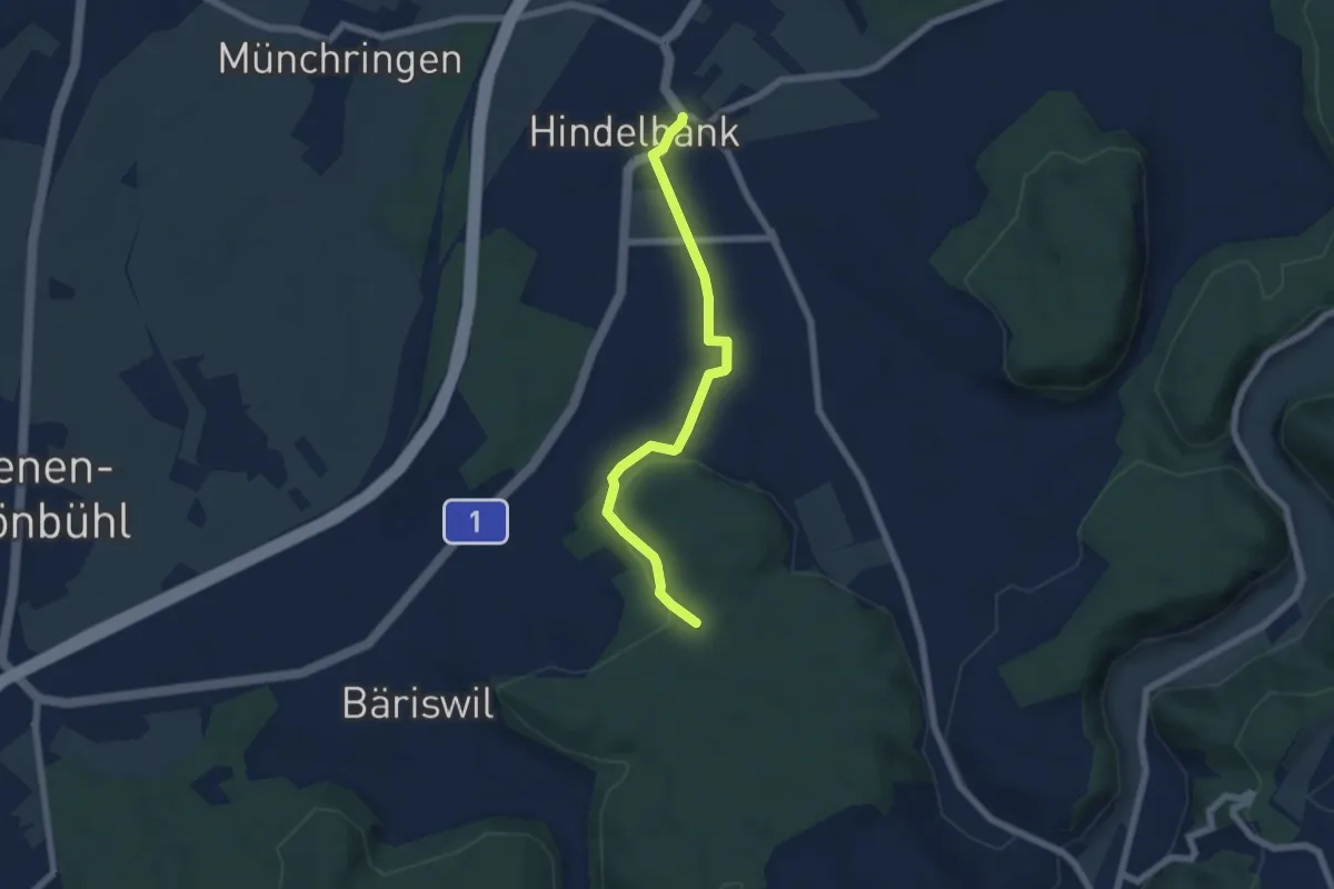
Chriegsholz – Bäriswil
2.1 km · ↑ 67 m · 39 min
Easy · Trail
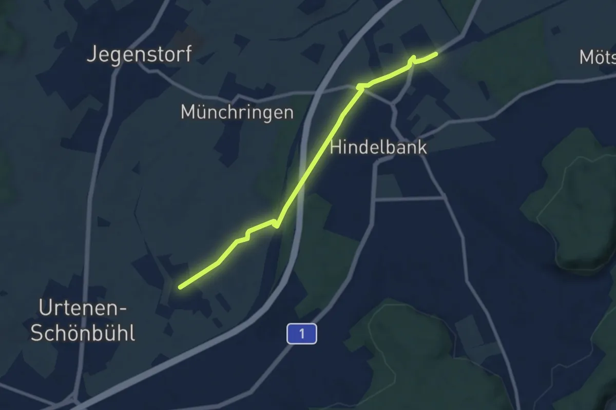
Hindelbank / Dorf – Schachen
5.9 km · ↑ 140 m · 1 h 42 min
Easy · Trail
Hindelbank / Station – Mattstetten
7.3 km · ↑ 41 m · 1 h 49 min
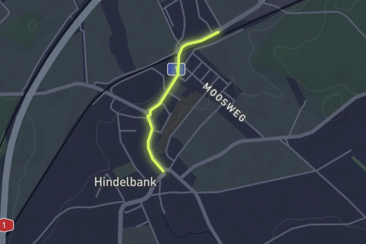
Easy · Trail
Hindelbank / Station – Hindelbank / Dorf
2.1 km · ↑ 8 m · 31 min
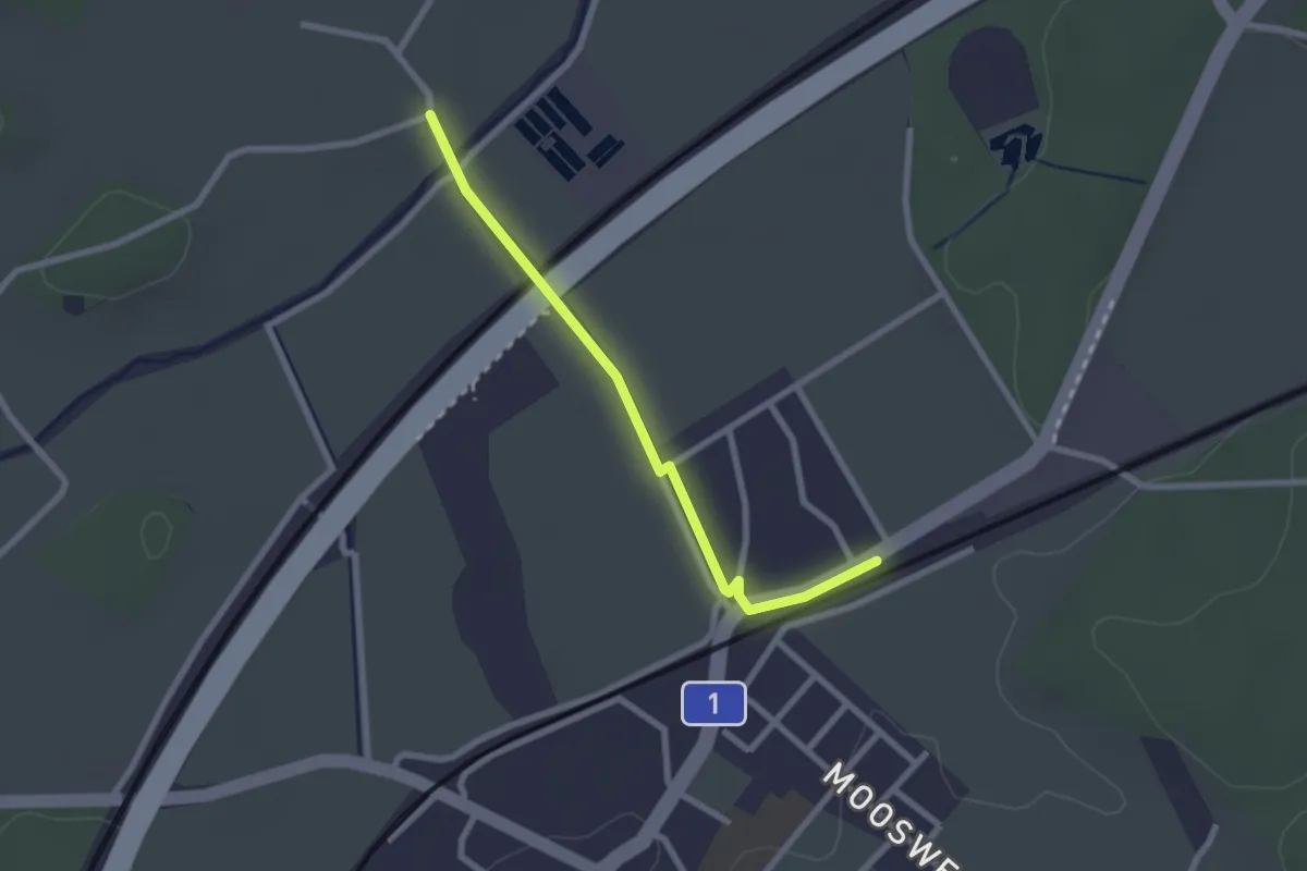
Easy · Trail
Holzmühle – Hindelbank / Station
2.3 km · ↑ 13 m · 34 min
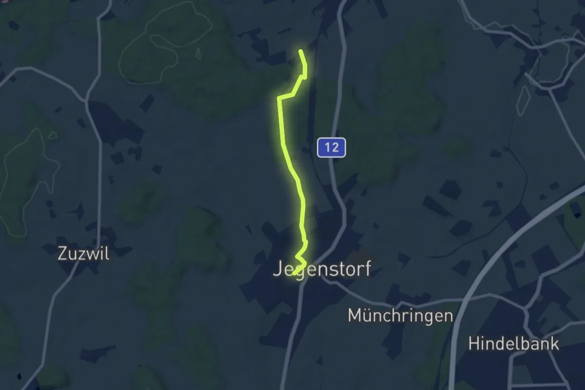
Easy · Trail
Stöckgass – Jegenstorf
6.0 km · ↑ 78 m · 1 h 35 min
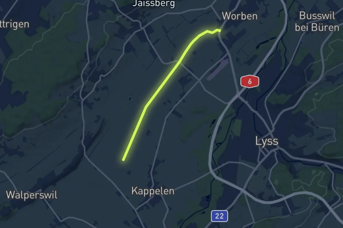
Medium · Trail
Oberworben – Römerstrass
8.6 km · ↑ 4 m · 2 h 2 min
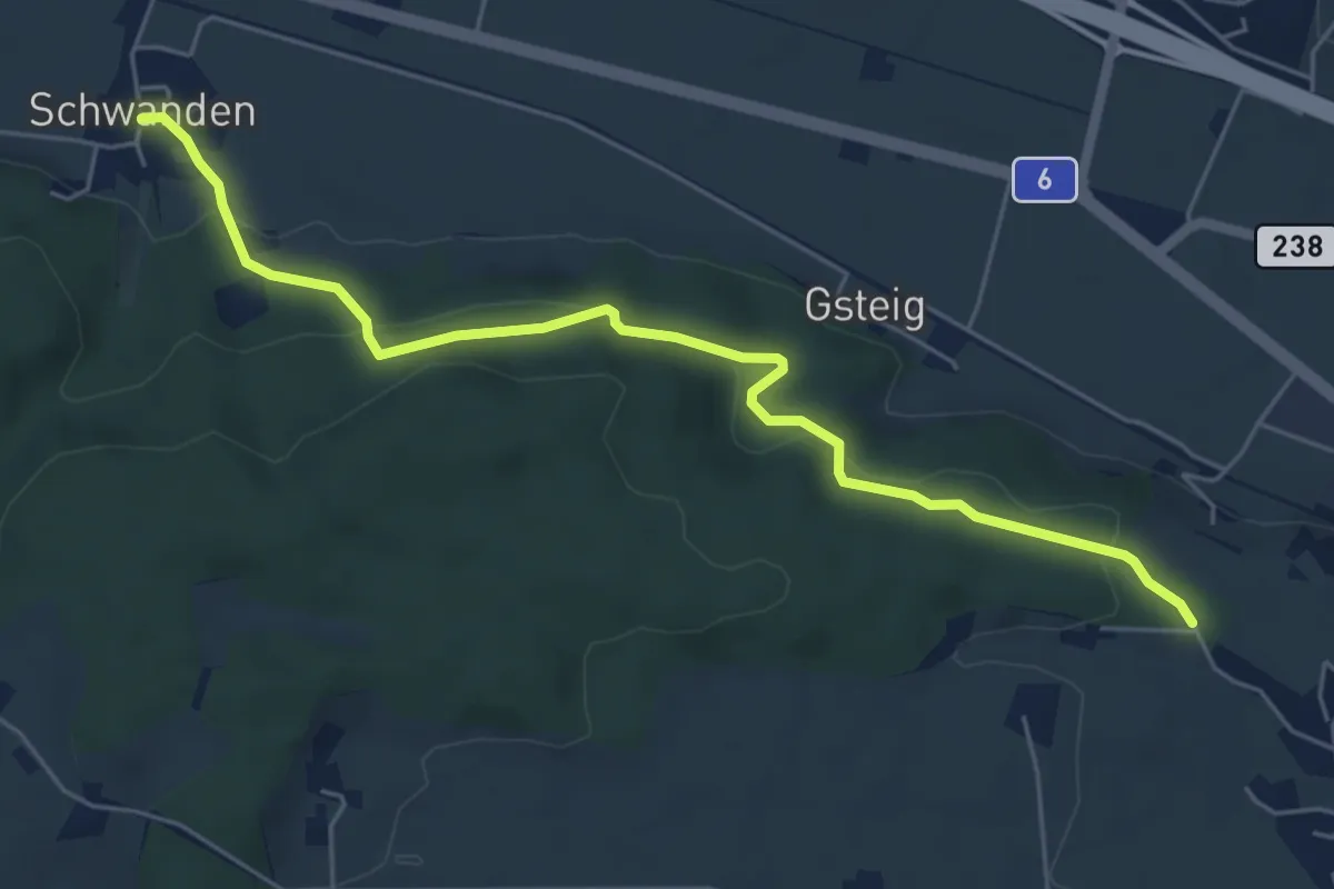
Easy · Trail
Schwanden – Bäreried
6.0 km · ↑ 219 m · 1 h 53 min
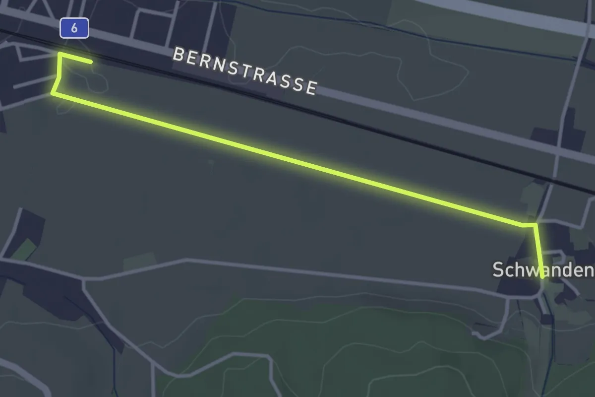
Easy · Trail
Schüpfen / Station – Schwanden
3.5 km · ↑ 13 m · 51 min
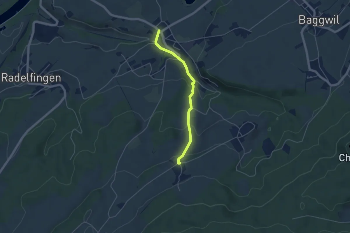
Easy · Trail
Lobsigen – Dampfwil
3.8 km · ↑ 167 m · 1 h 16 min
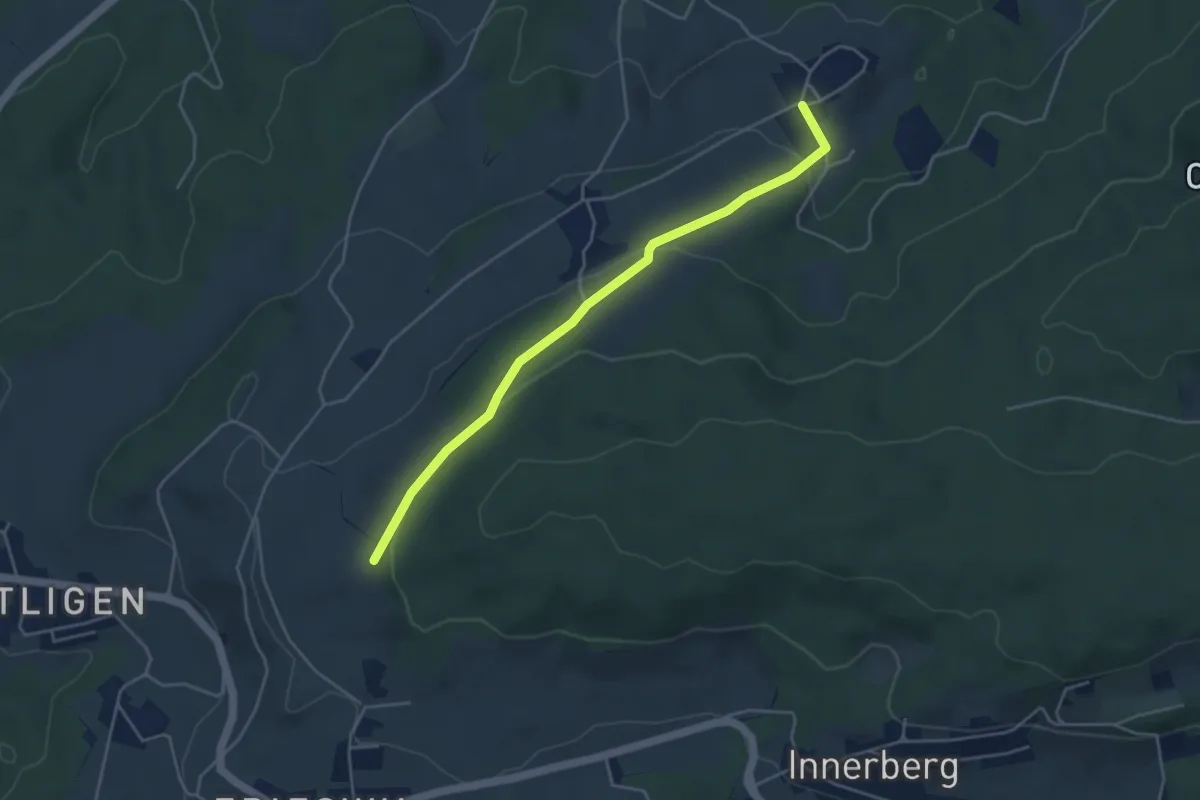
Easy · Trail
Ruchwil – Frieswilhubel
4.3 km · ↑ 127 m · 1 h 18 min
Easy · Trail
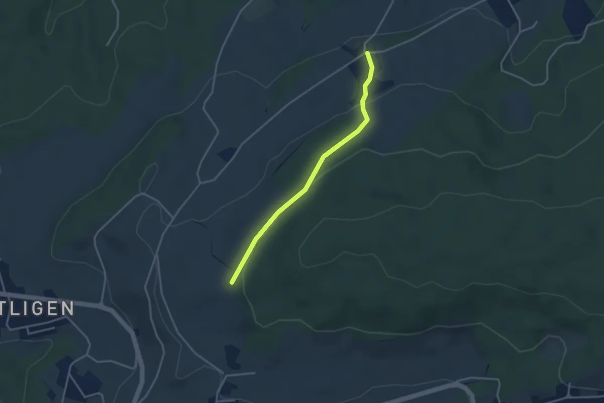
Dampfwil – Frieswilhubel
2.9 km · ↑ 99 m · 54 min
Easy · Trail
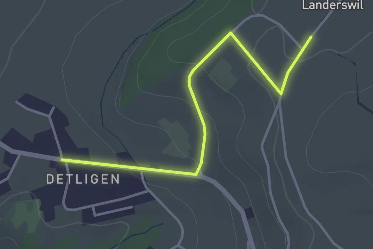
Landerswil – Detligen
3.1 km · ↑ 97 m · 56 min
Easy · Trail
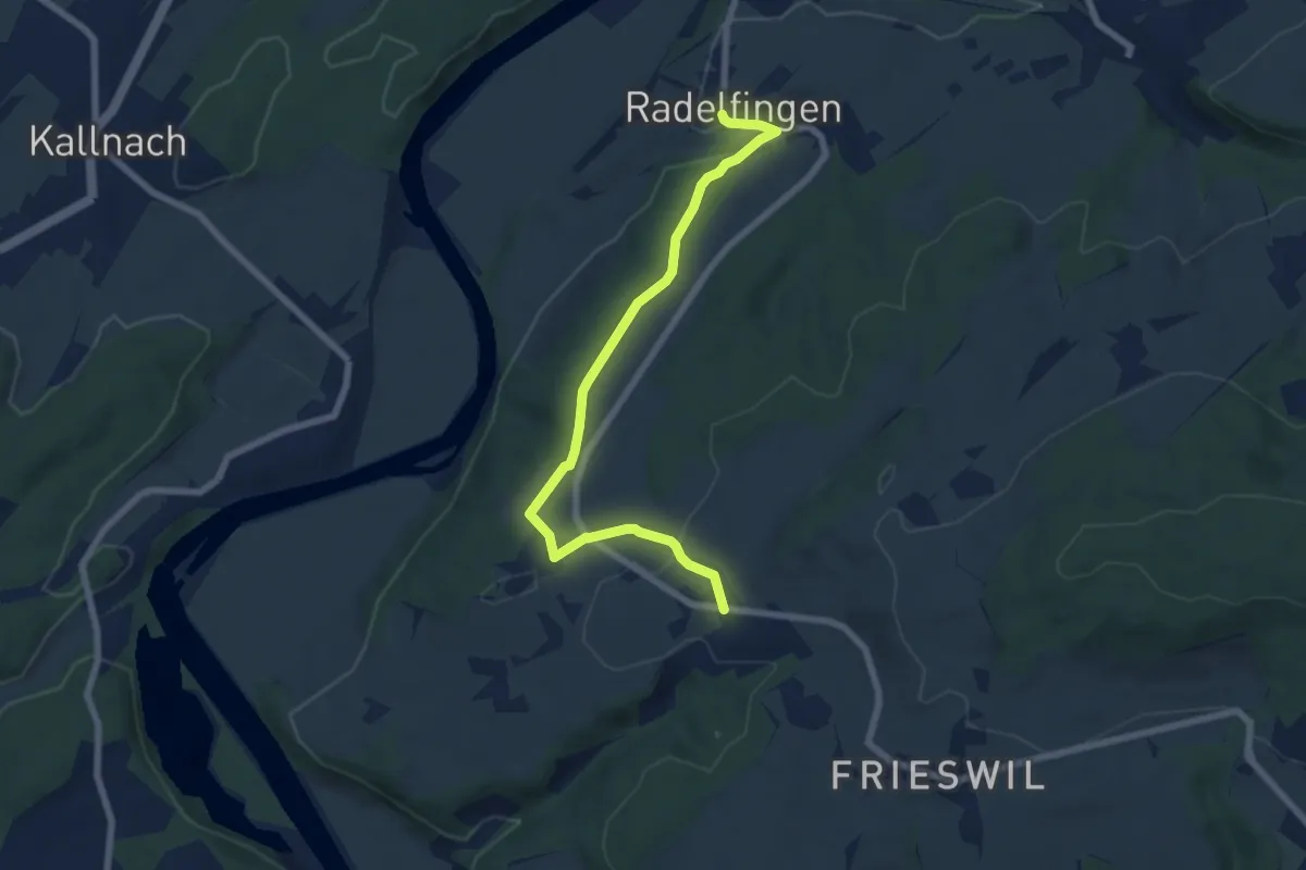
Radelfingen – Detligen
7.2 km · ↑ 142 m · 2 h 1 min
Easy · Trail
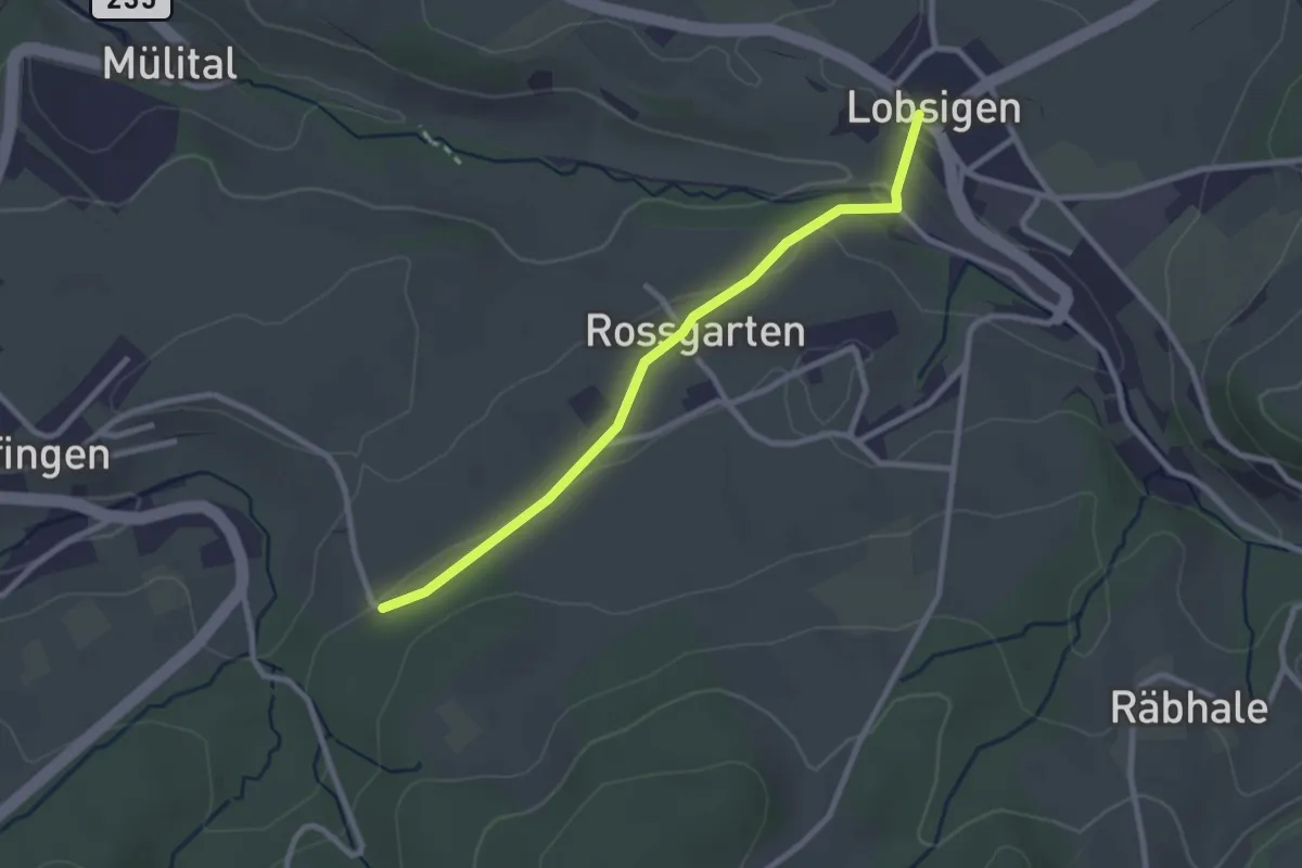
Lobsigen – Salzmatt
2.6 km · ↑ 59 m · 44 min
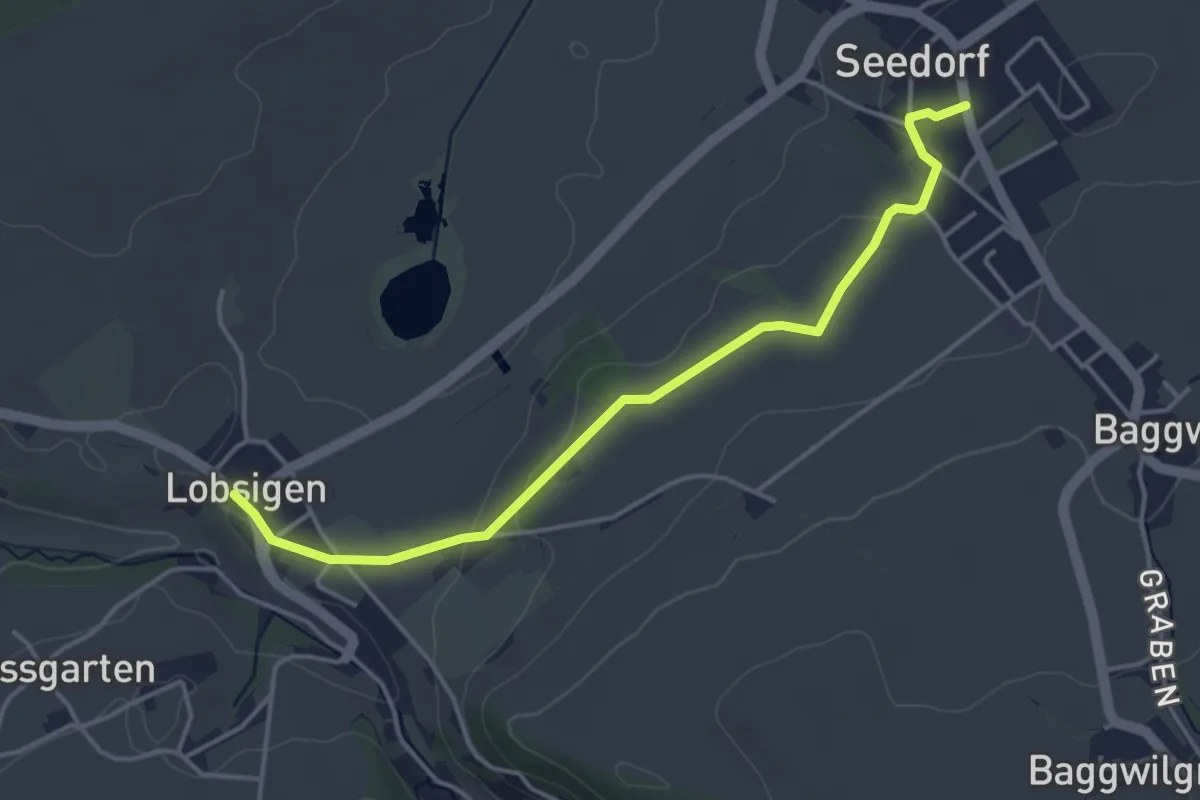
Easy · Trail
Seedorf – Lobsigen
4.2 km · ↑ 64 m · 1 h 8 min
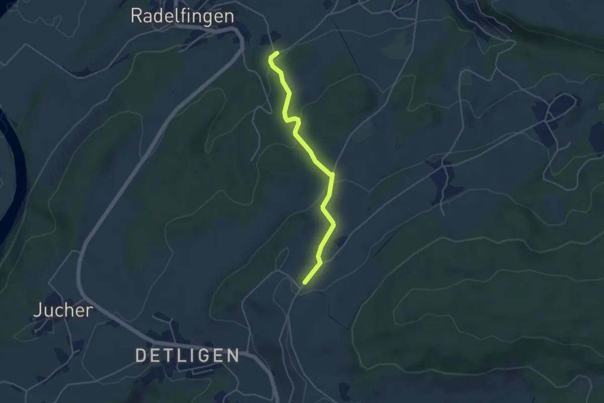
Easy · Trail
Salzmatt – Landerswil
3.8 km · ↑ 162 m · 1 h 16 min
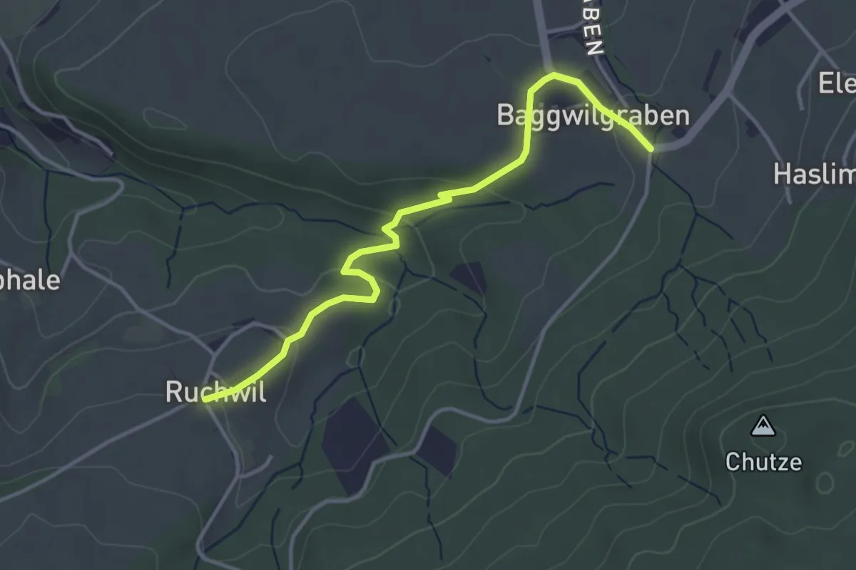
Easy · Trail
Baggwilgraben – Ruchwil
3.7 km · ↑ 103 m · 1 h 6 min
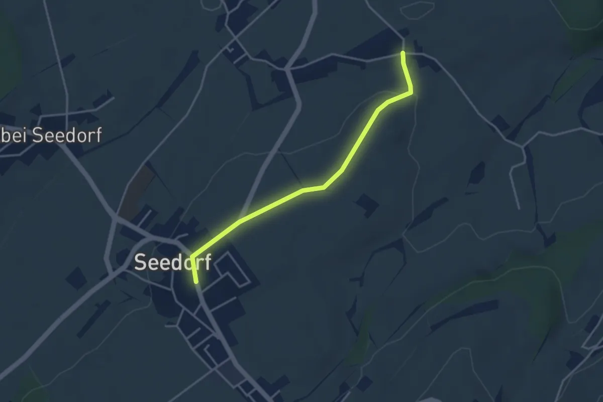
Easy · Trail
Grissenberg – Seedorf
3.3 km · ↑ 38 m · 51 min