Trails in Switzerland
15,055 hiking trails, each with its route, climb, walking time and grade.
All trails, page 252 of 314
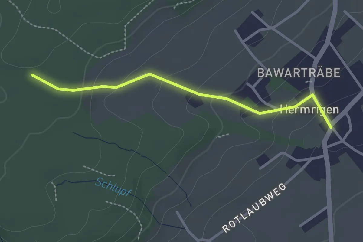
Easy · Trail
Gmeindehölzli – Hermrigen
2.3 km · ↑ 89 m · 45 min
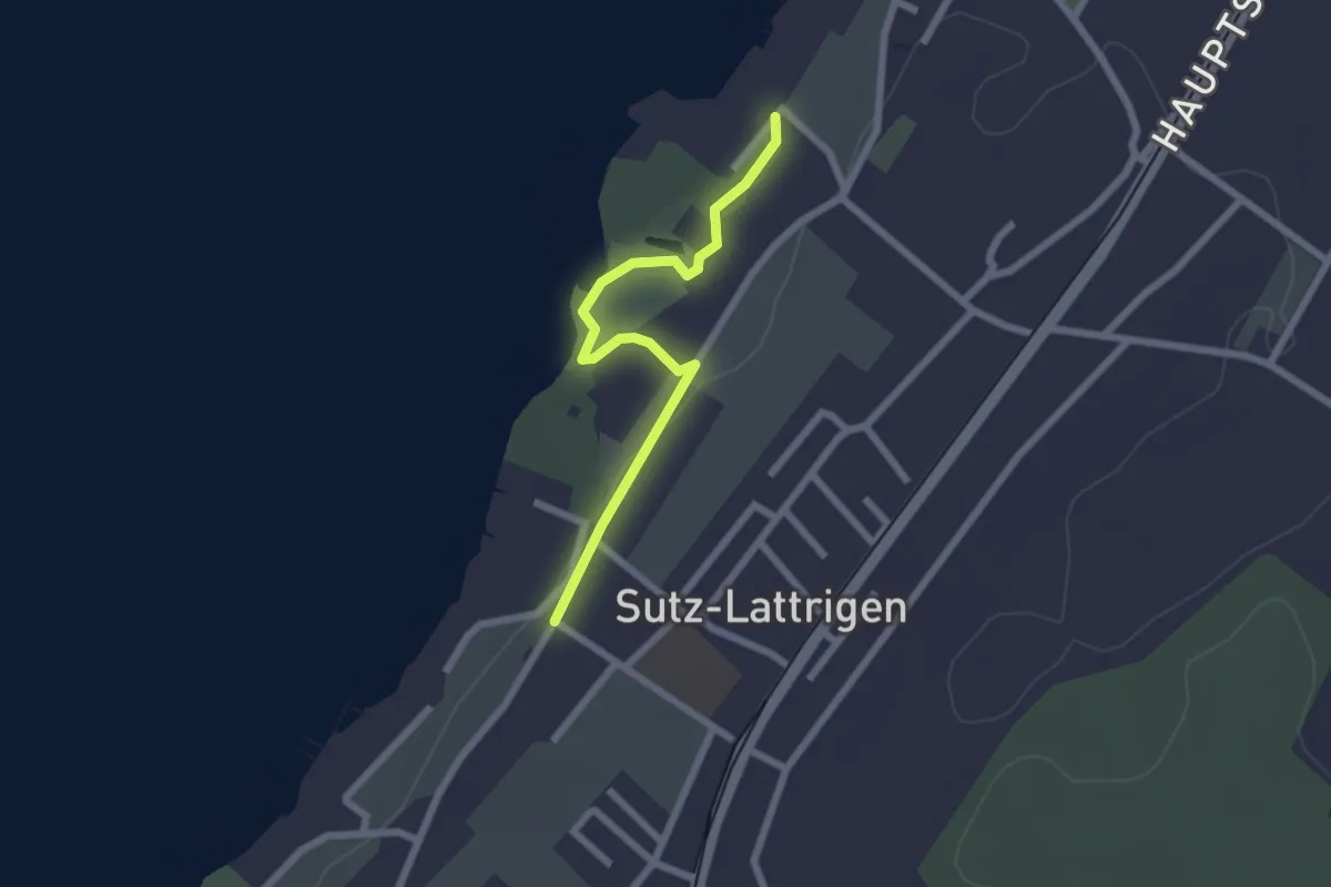
Easy · Trail
Sutz / Kirche – Lattrigen
2.2 km · ↑ 18 m · 33 min
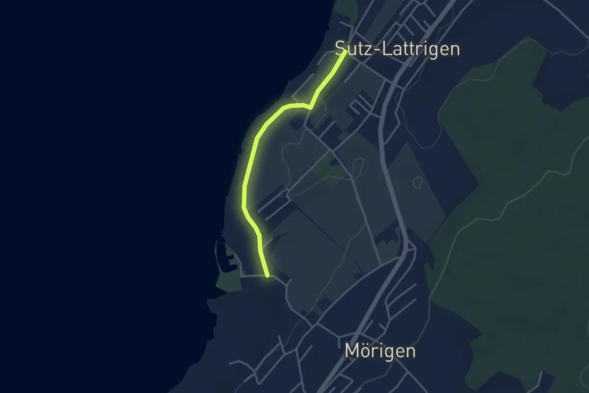
Easy · Trail
? – Mörigebucht
2.9 km · ↑ 14 m · 43 min
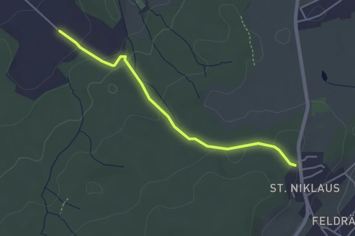
Easy · Trail
Im Schlatt – St. Niklaus
3.3 km · ↑ 98 m · 1 h
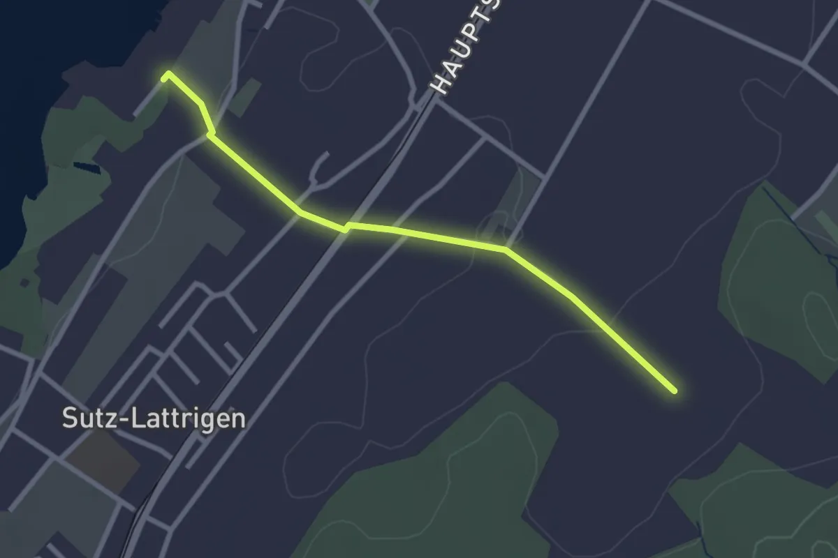
Easy · Trail
Sutz / Kirche – Im Schlatt
2.5 km · ↑ 38 m · 40 min
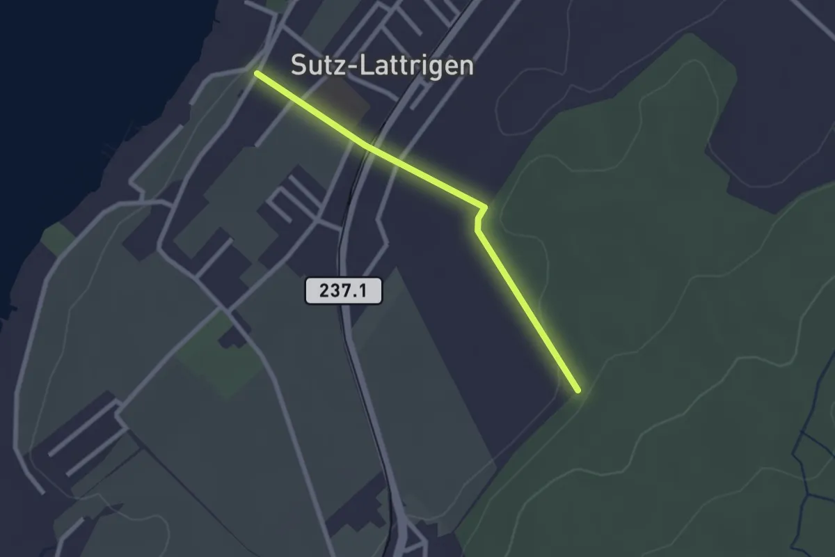
Easy · Trail
Lattrigen – Waldeggen
2.1 km · ↑ 34 m · 34 min
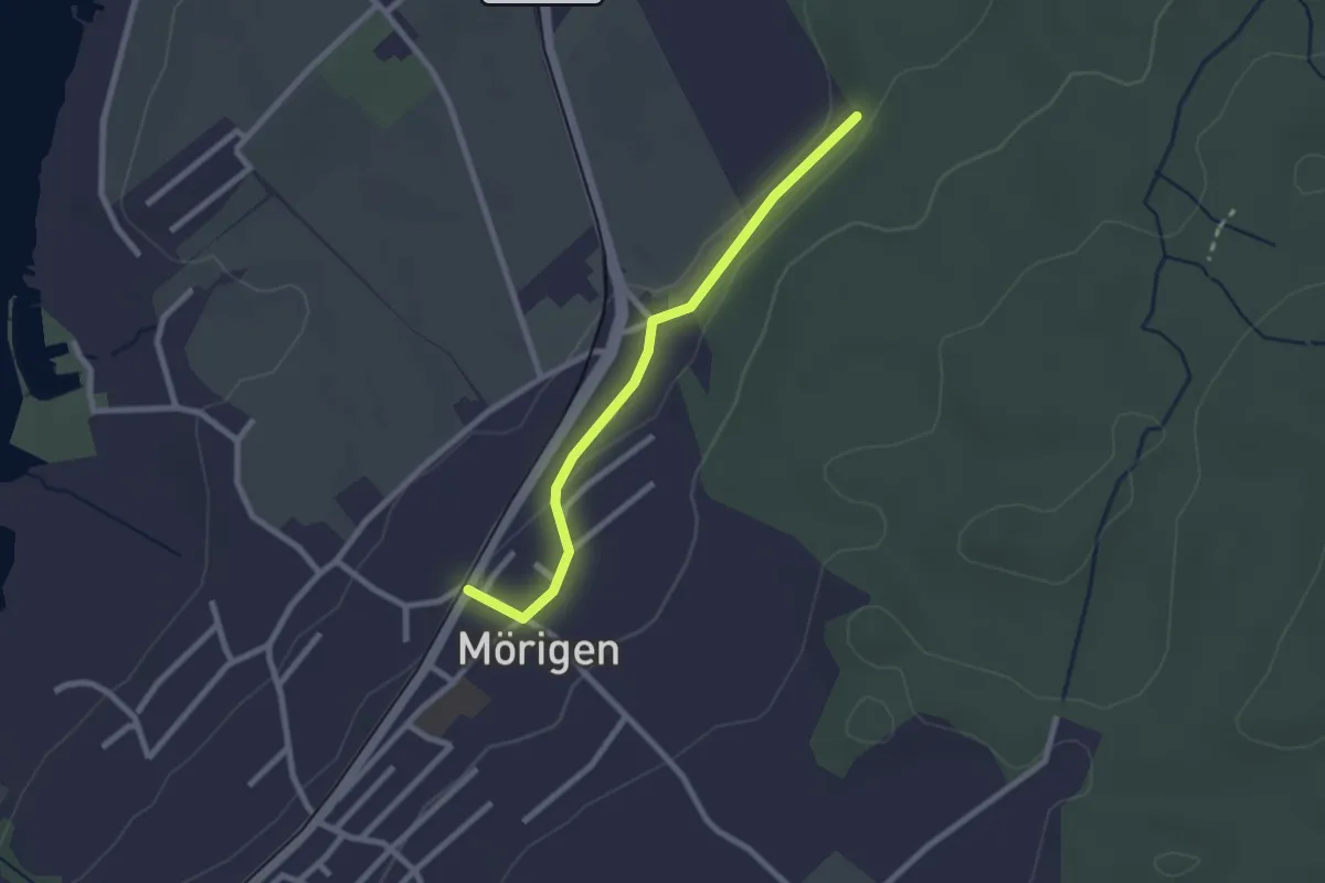
Easy · Trail
Waldeggen – Mörigen
2.3 km · ↑ 35 m · 37 min
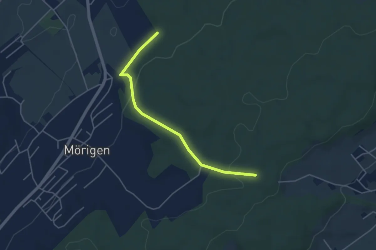
Easy · Trail
Waldeggen – Gmeindehölzli
3.6 km · ↑ 86 m · 1 h 2 min
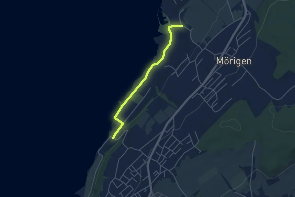
Easy · Trail
Mörigebucht – Gerolfingen
3.4 km · ↑ 14 m · 51 min
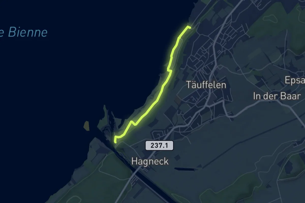
Easy · Trail
Gerolfingen – Hagneck EW
5.1 km · ↑ 55 m · 1 h 20 min
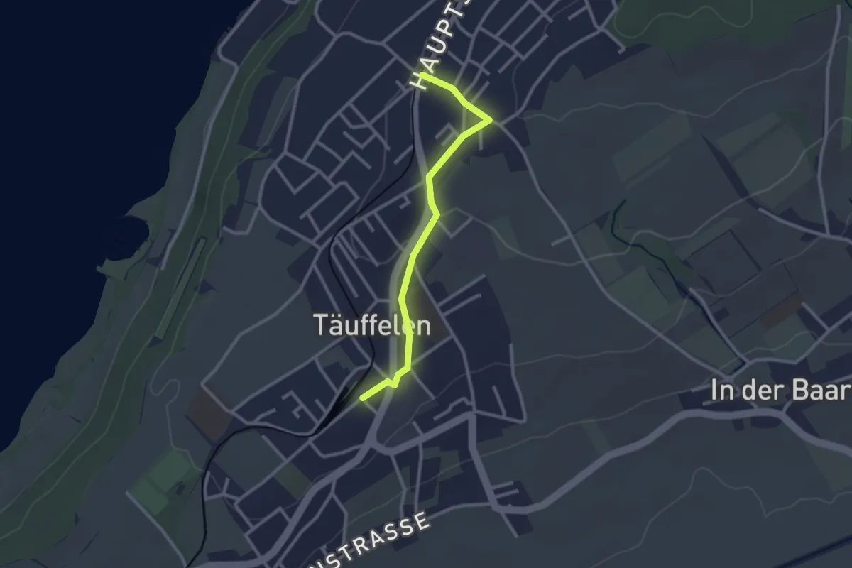
Easy · Trail
Gerolfingen – Täuffelen / Station
2.4 km · ↑ 32 m · 39 min
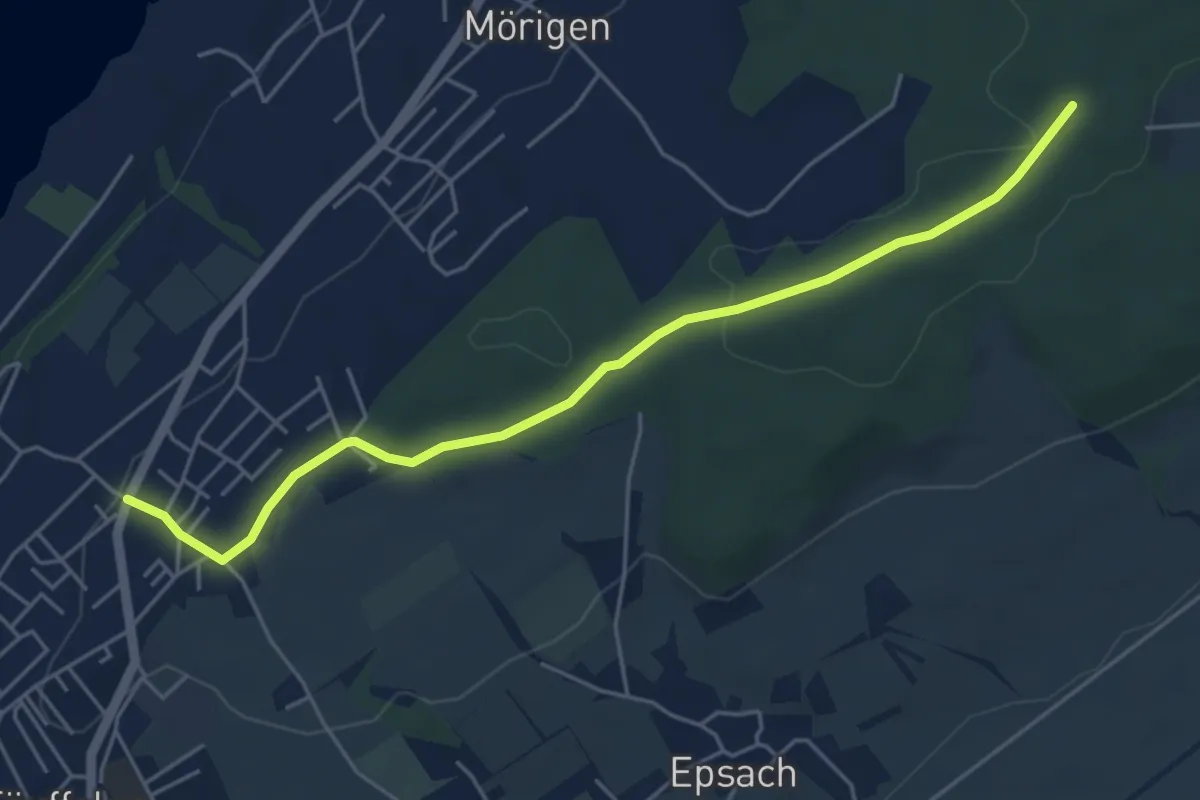
Easy · Trail
Gerolfingen – Gmeindehölzli
5.2 km · ↑ 68 m · 1 h 23 min
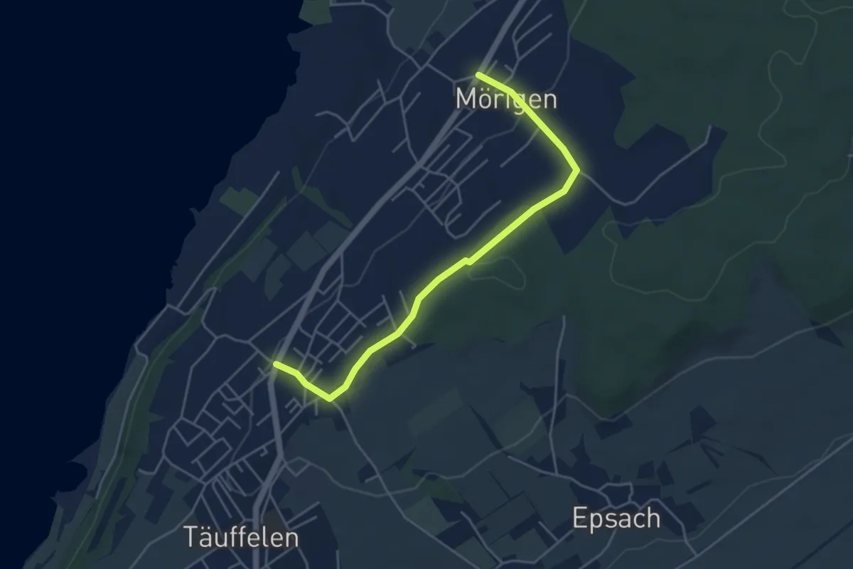
Easy · Trail
Mörigen – Gerolfingen
4.5 km · ↑ 103 m · 1 h 18 min
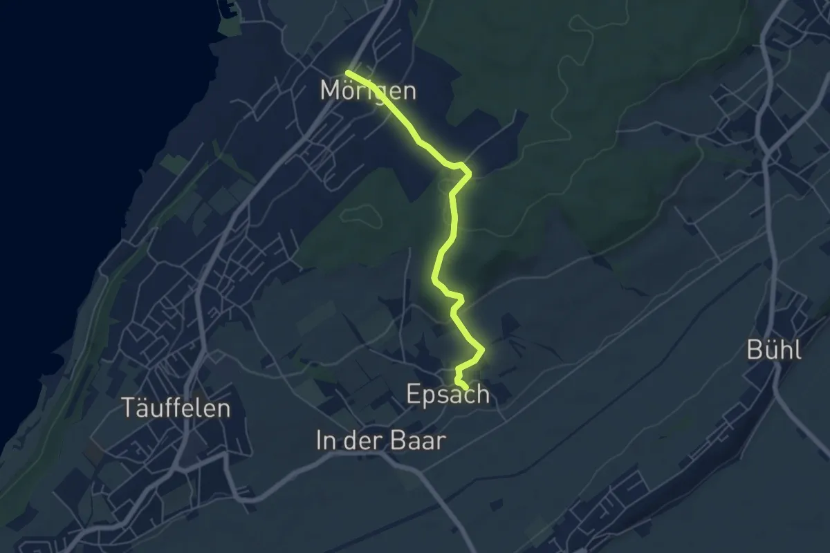
Easy · Trail
Mörigen – Epsach
5.0 km · ↑ 171 m · 1 h 33 min
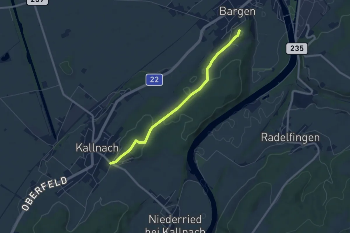
Easy · Trail
Grossi Schanz – Kallnach
5.7 km · ↑ 68 m · 1 h 29 min
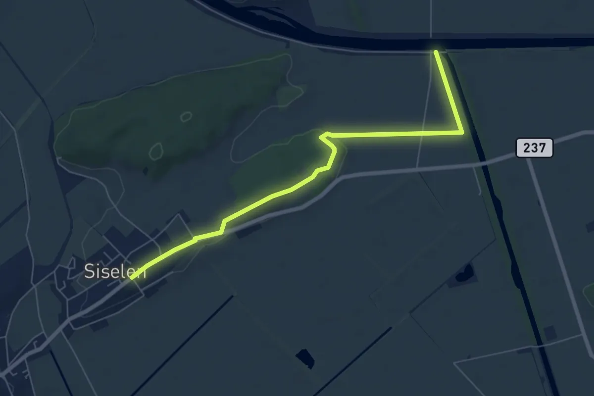
Easy · Trail
Walperswilbrücke – Siselen
6.6 km · ↑ 96 m · 1 h 46 min
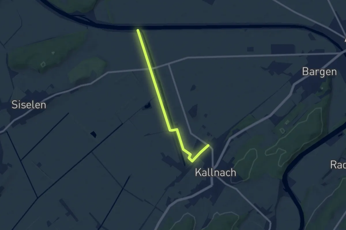
Easy · Trail
Walperswilbrücke – Kallnach
6.7 km · ↑ 24 m · 1 h 39 min
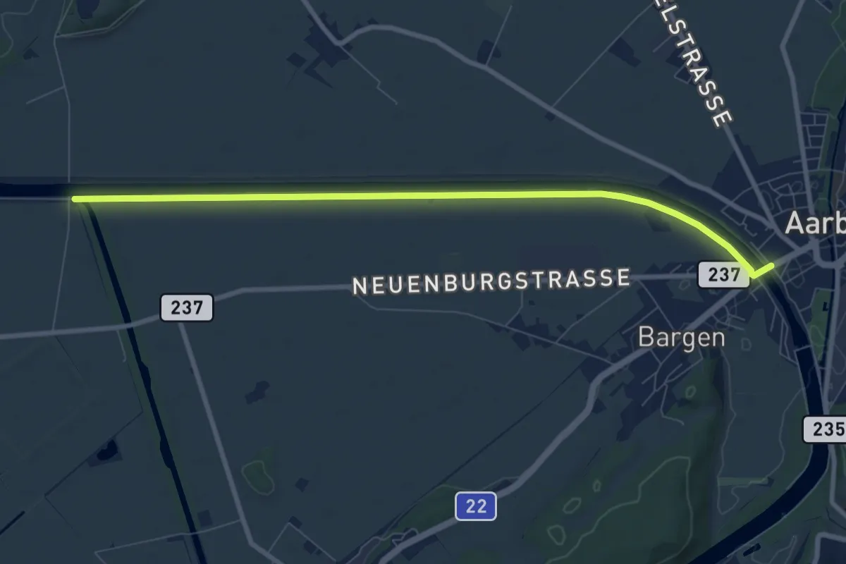
Medium · Trail
Walperswilbrücke – Bargenbrücke
8.5 km · ↑ 9 m · 2 h 1 min
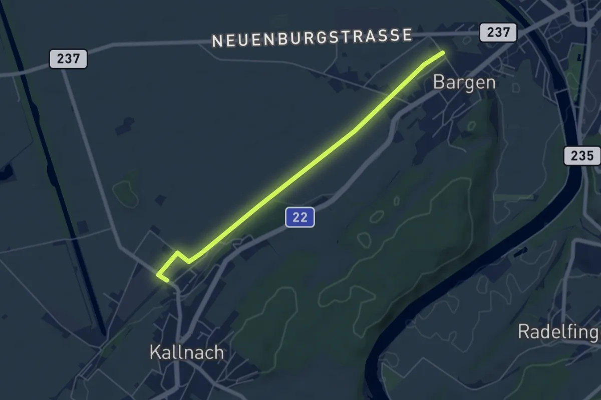
Easy · Trail
Bargen / Station – Kallnach
5.6 km · ↑ 13 m · 1 h 21 min
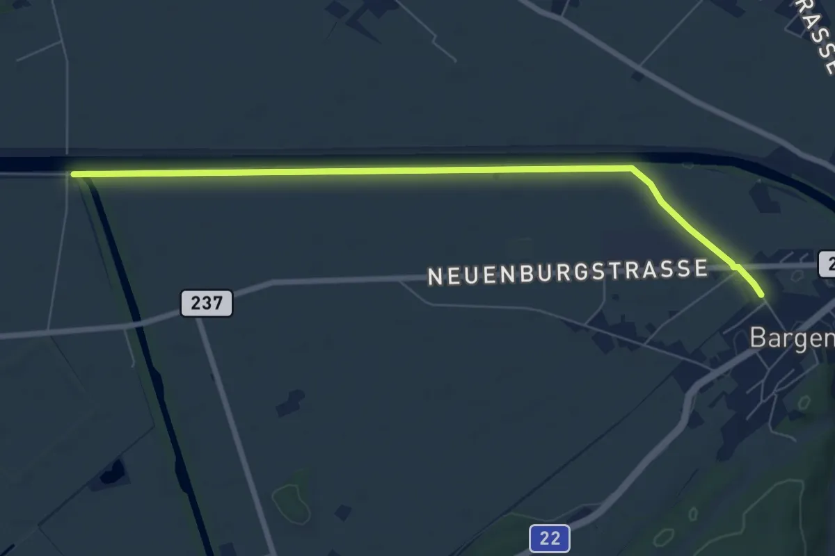
Easy · Trail
Walperswilbrücke – Bargen / Station
7.3 km · ↑ 10 m · 1 h 45 min
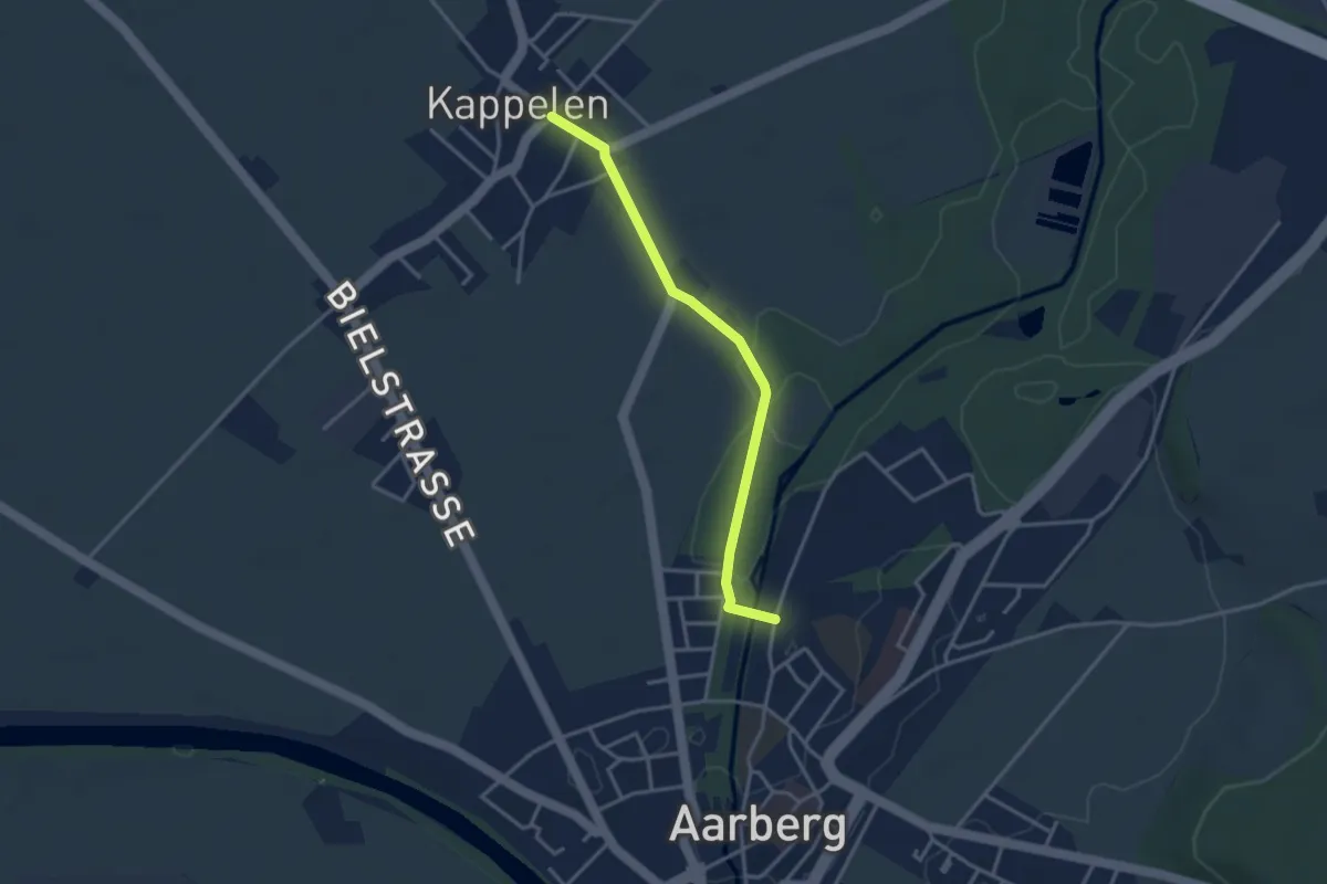
Easy · Trail
Kappelen – Aarberg / Aarolina
3.2 km · ↑ 14 m · 47 min
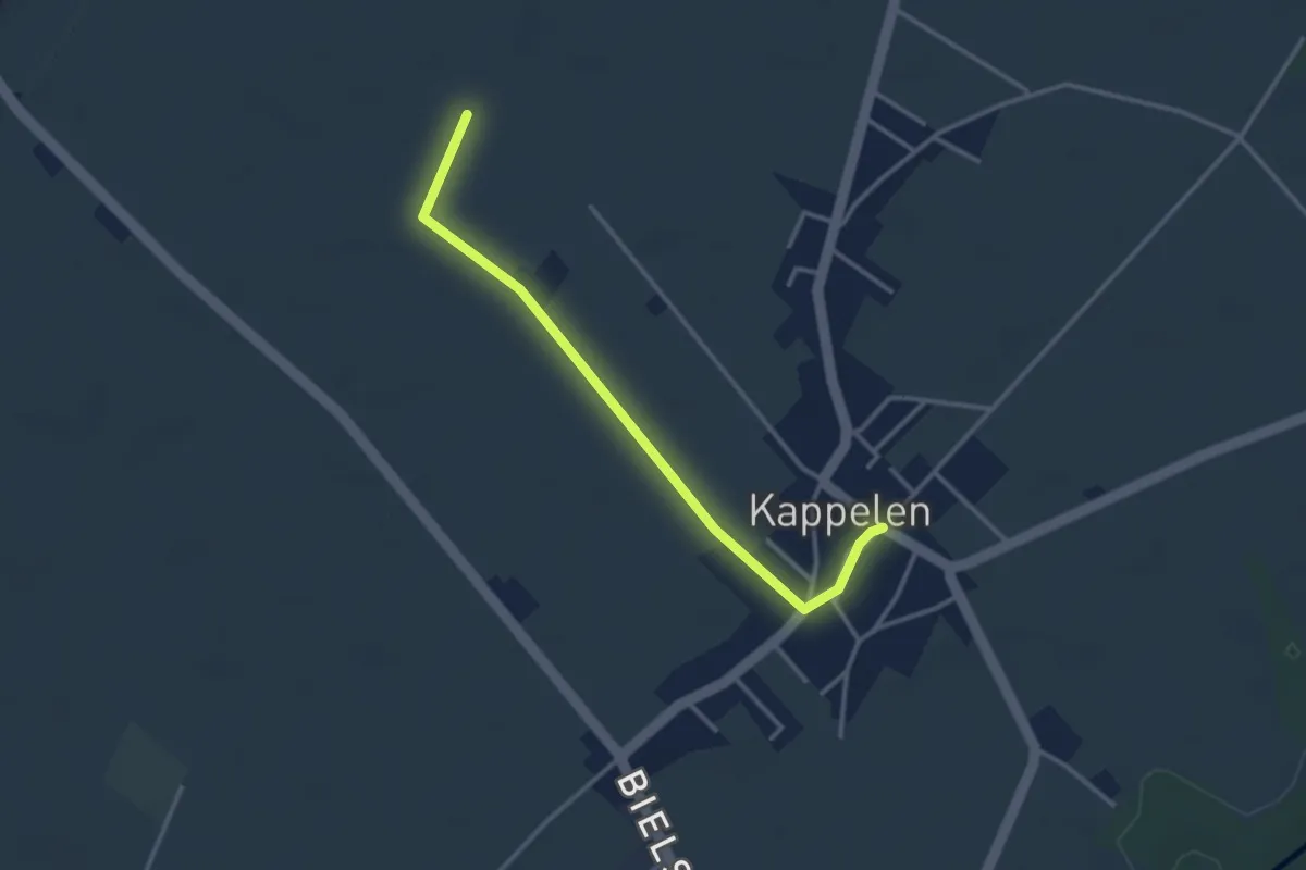
Easy · Trail
Römerstrass – Kappelen
3.1 km · ↑ 4 m · 45 min
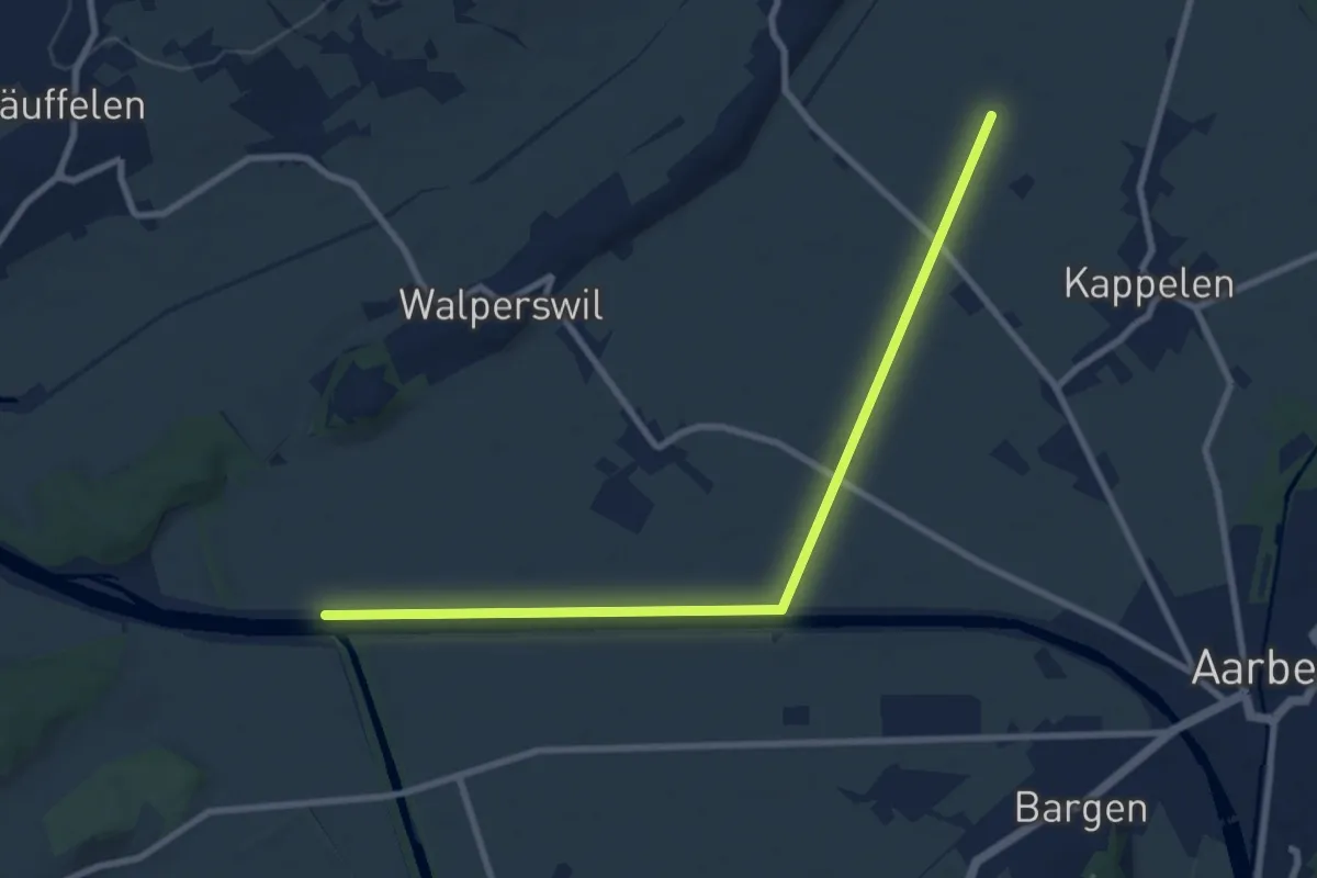
Medium · Trail
Römerstrass – Walperswilbrücke
9.4 km · ↑ 4 m · 2 h 14 min
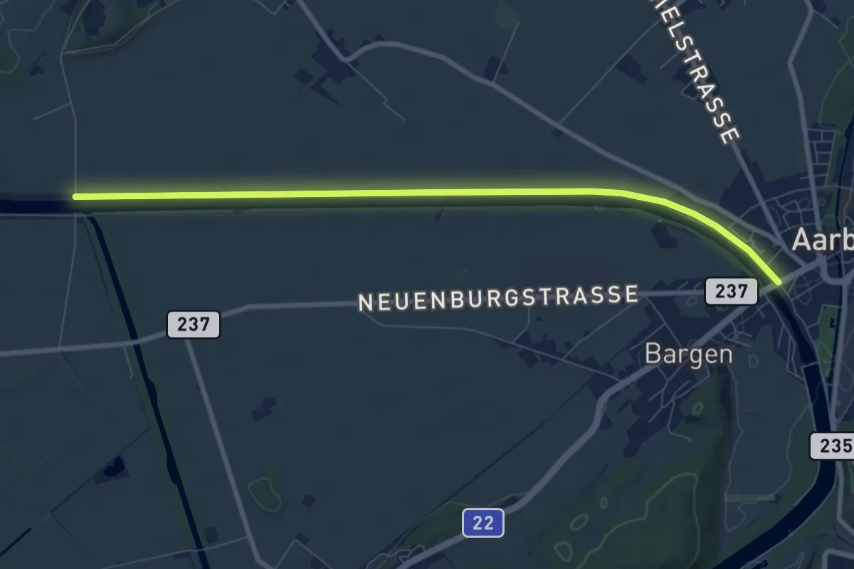
Medium · Trail
Walperswilbrücke – Bargenbrücke
8.5 km · ↑ 8 m · 2 h 2 min
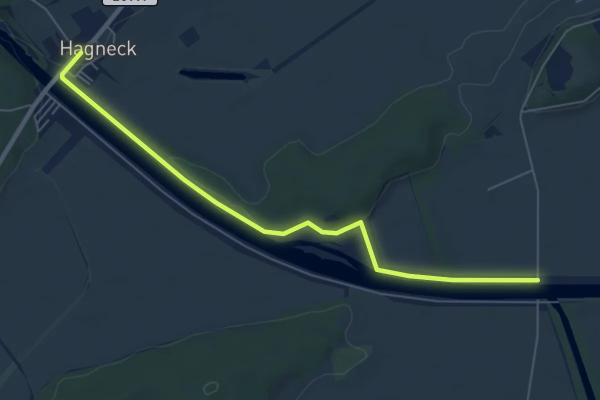
Easy · Trail
Hagneck – Walperswilbrücke
6.0 km · ↑ 66 m · 1 h 33 min
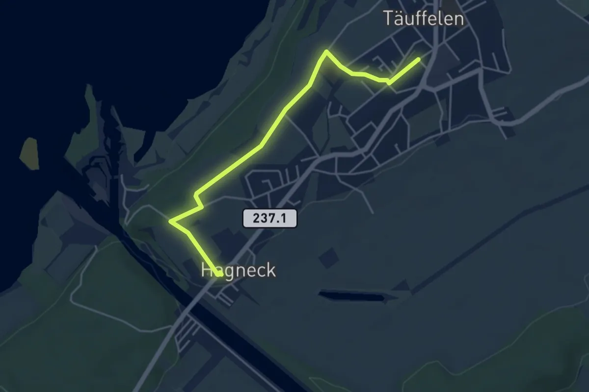
Easy · Trail
Hagneck – Täuffelen / Station
4.4 km · ↑ 37 m · 1 h 6 min
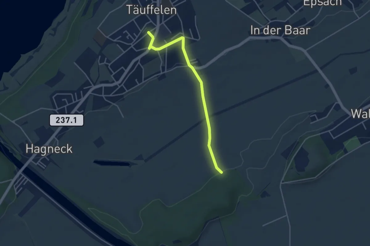
Easy · Trail
Täuffelen / Station – Beichwald
3.6 km · ↑ 58 m · 59 min
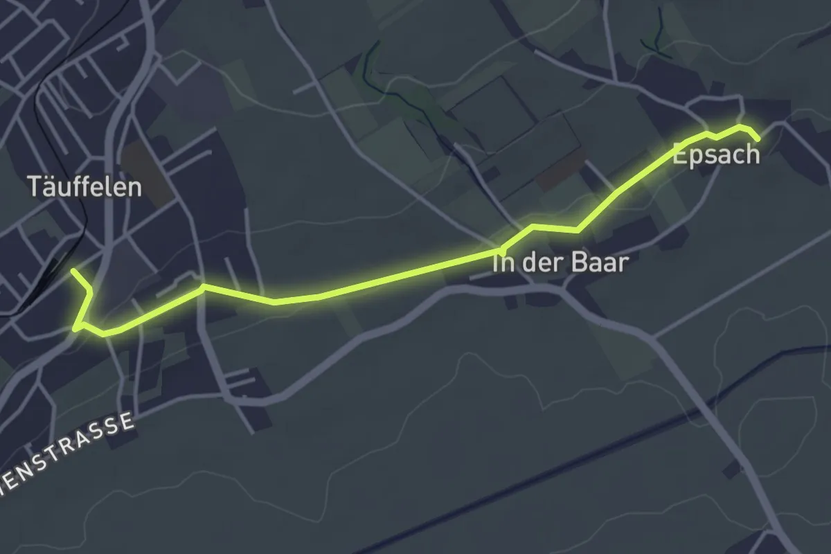
Easy · Trail
Täuffelen / Station – Epsach
4.1 km · ↑ 36 m · 1 h 2 min
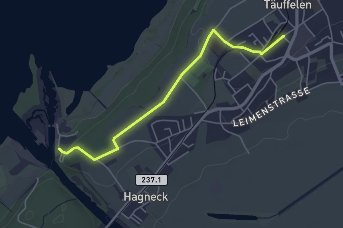
Easy · Trail
Hagneck EW – Täuffelen / Station
4.1 km · ↑ 59 m · 1 h 6 min
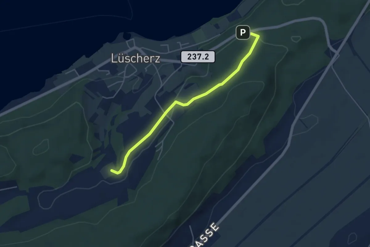
Easy · Trail
Hang – Gurzelen
4.2 km · ↑ 94 m · 1 h 12 min
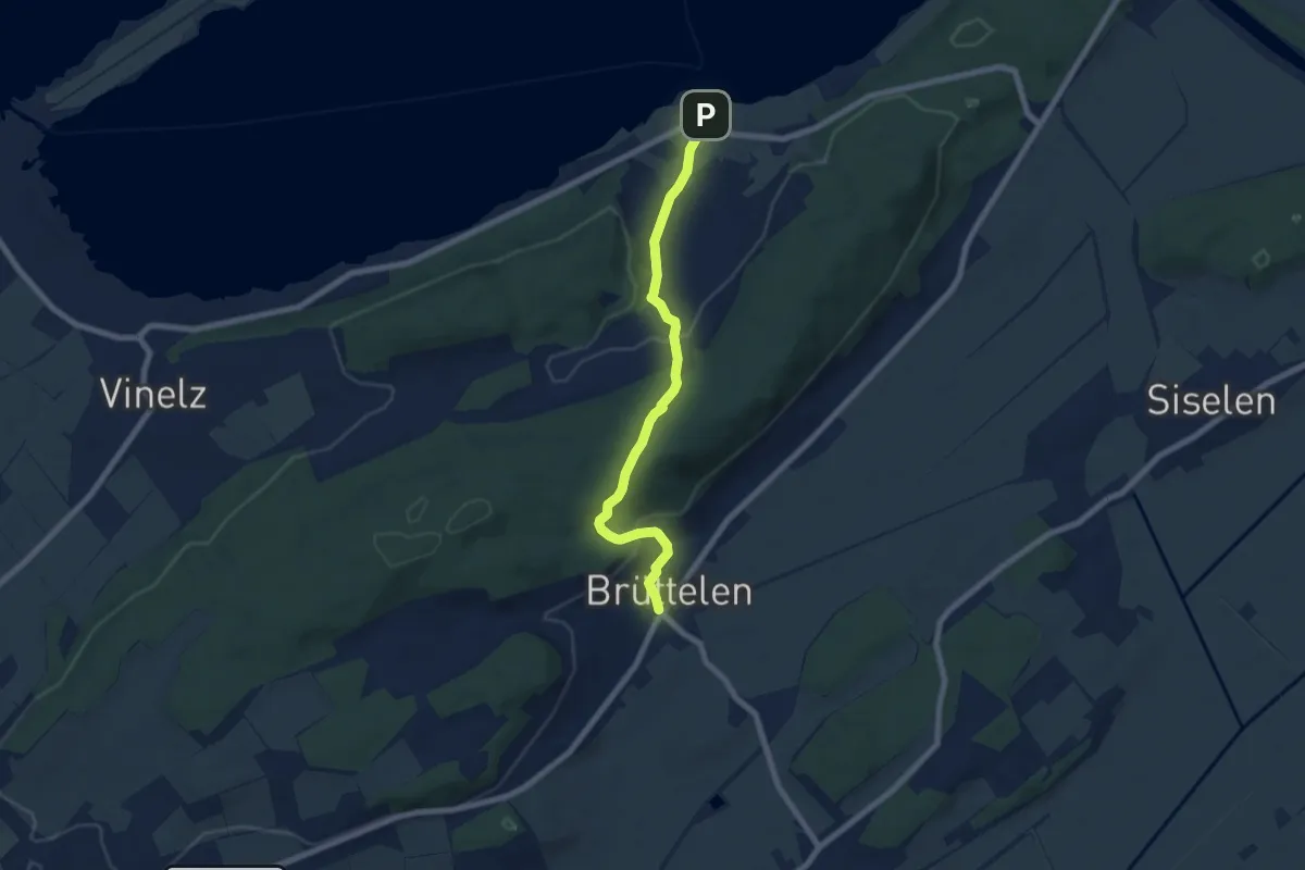
Easy · Trail
Lüscherz – Brüttelen
7.0 km · ↑ 282 m · 2 h 15 min
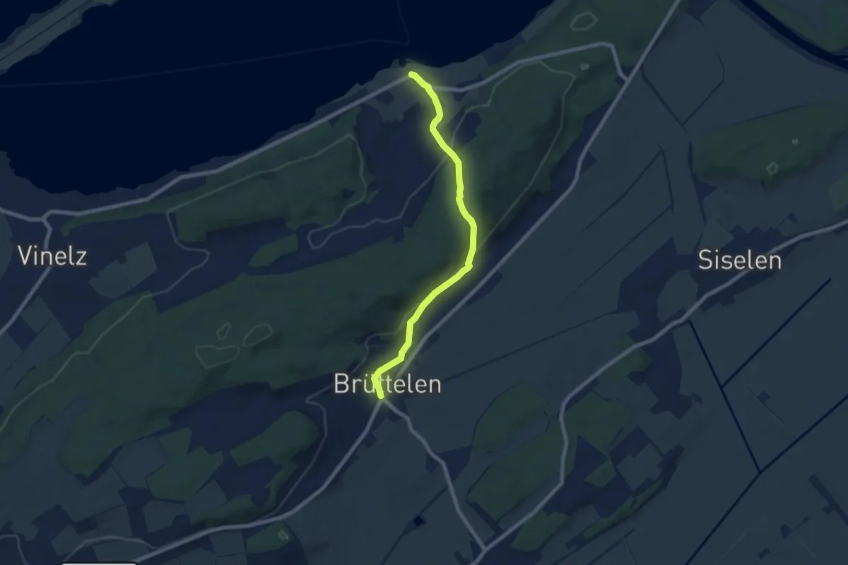
Easy · Trail
Lüscherz – Brüttelen
6.8 km · ↑ 294 m · 2 h 14 min
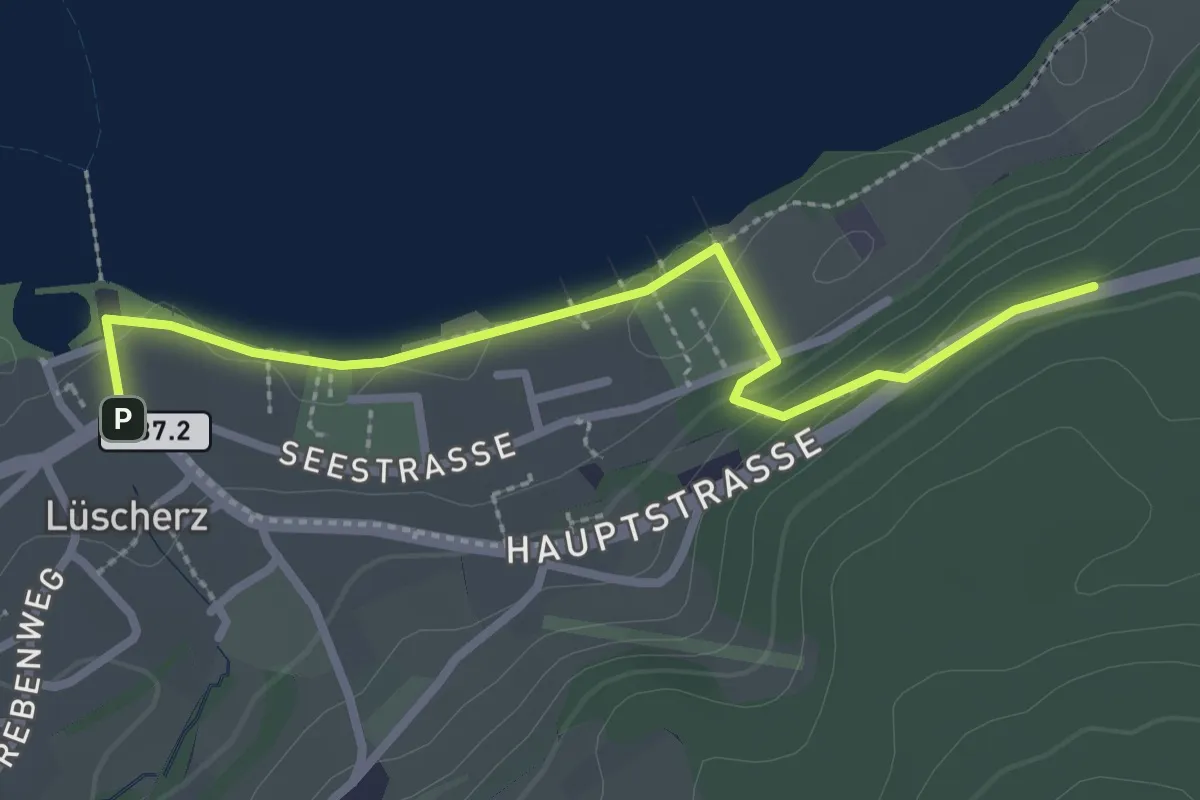
Easy · Trail
Hang – Lüscherz
2.7 km · ↑ 53 m · 45 min
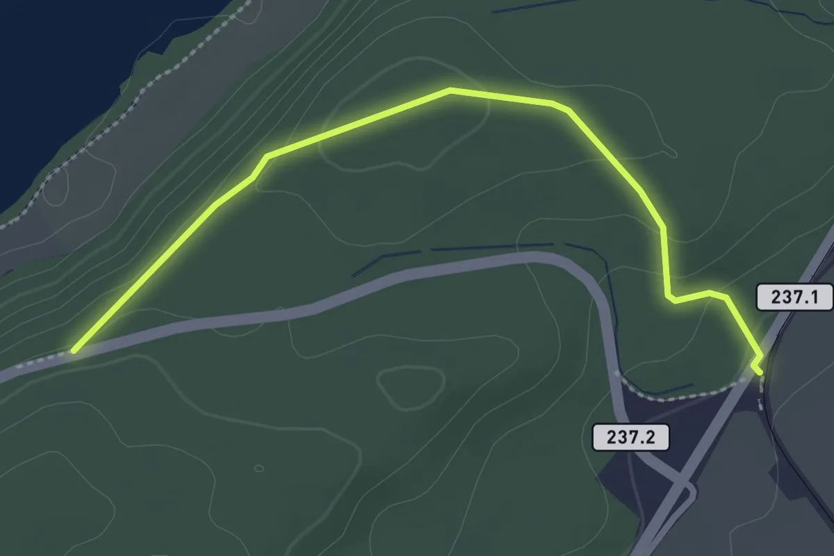
Easy · Trail
Hang – Lüscherz Hst. BTI
2.7 km · ↑ 91 m · 51 min
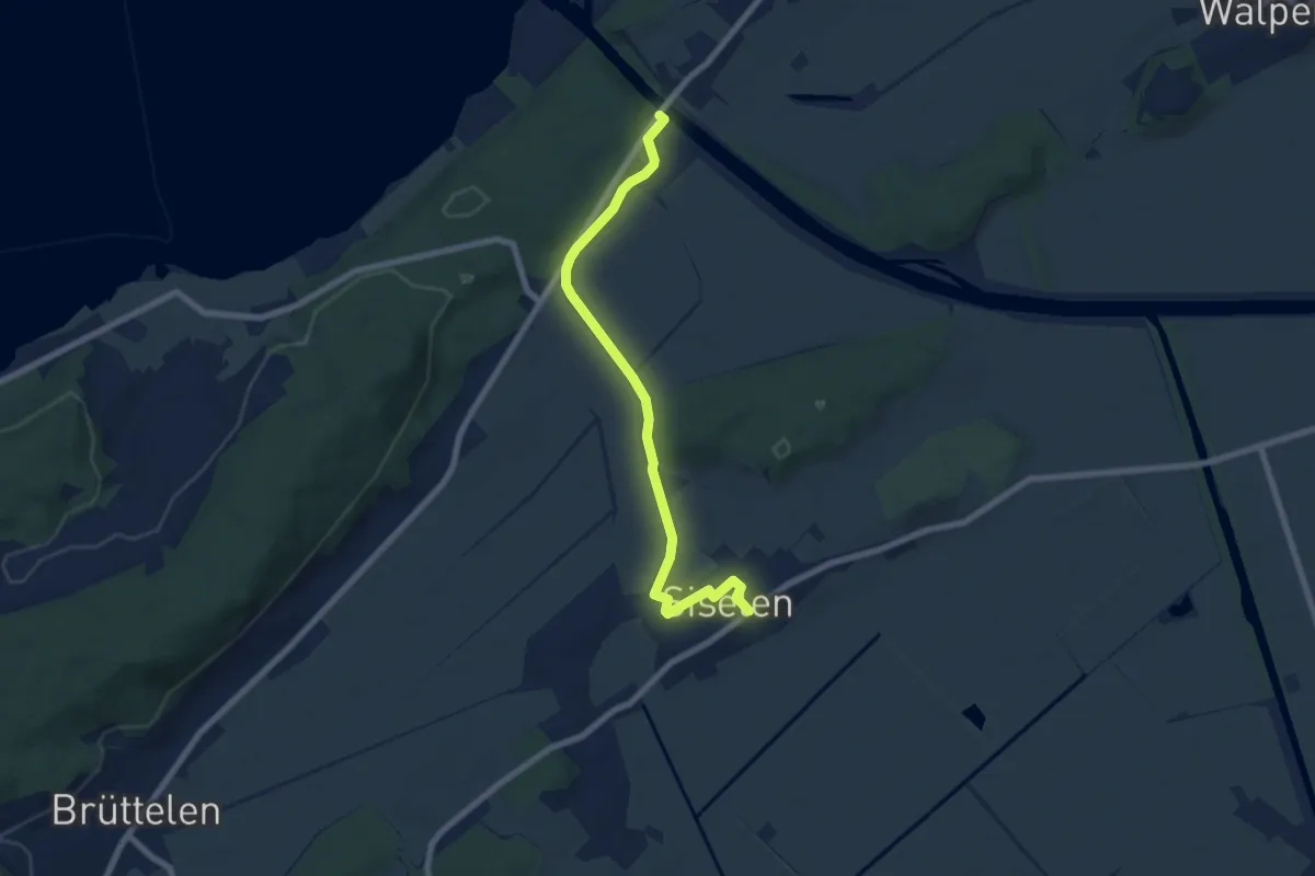
Easy · Trail
Hagneck – Siselen
7.2 km · ↑ 95 m · 1 h 55 min
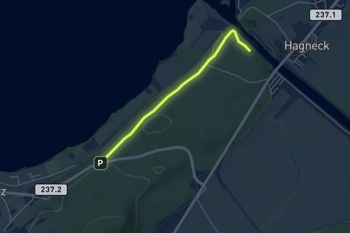
Easy · Trail
Hagniwald – Hang
3.6 km · ↑ 62 m · 59 min
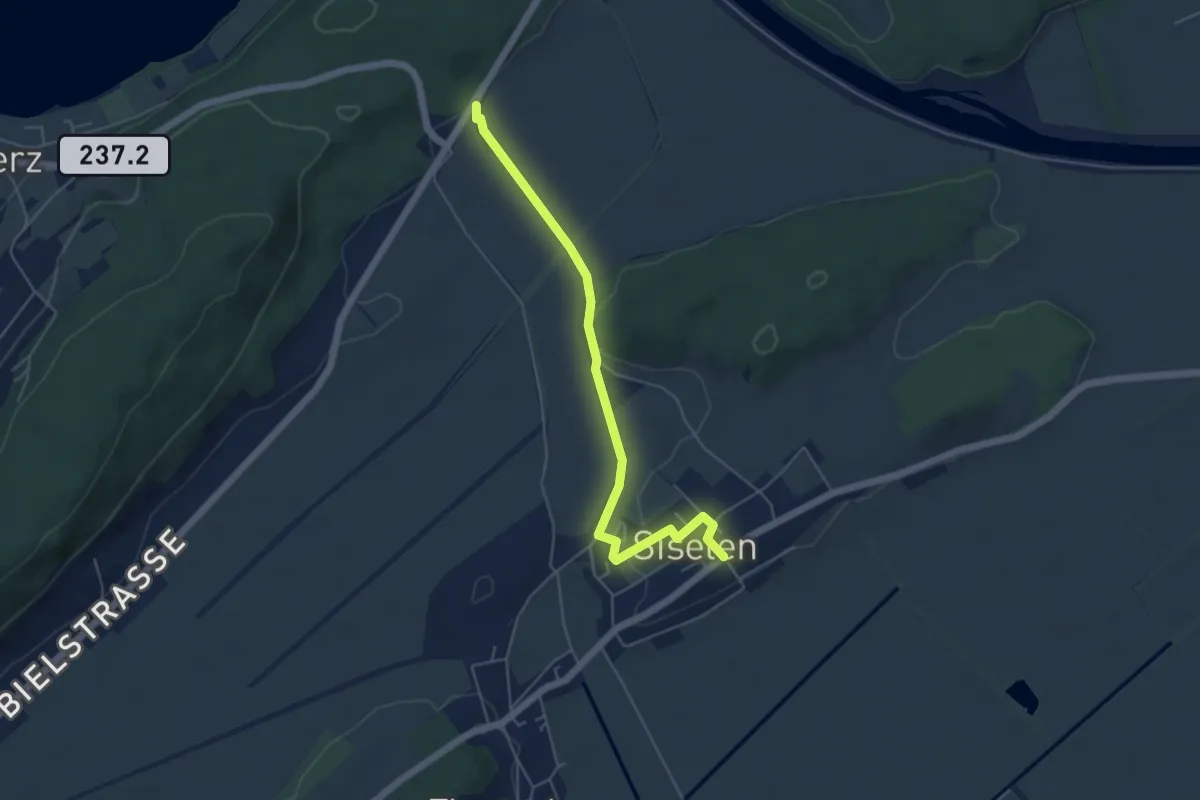
Easy · Trail
Lüscherz Hst. BTI – Siselen
5.2 km · ↑ 46 m · 1 h 20 min
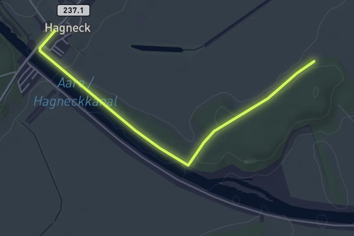
Easy · Trail
Hagneck – Beichwald
4.8 km · ↑ 50 m · 1 h 15 min
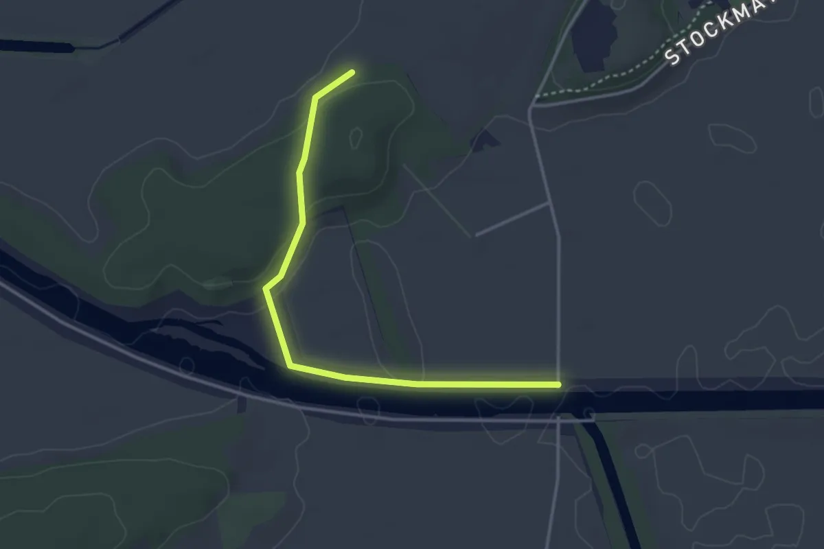
Easy · Trail
Beichwald – Walperswilbrücke
3.6 km · ↑ 61 m · 59 min
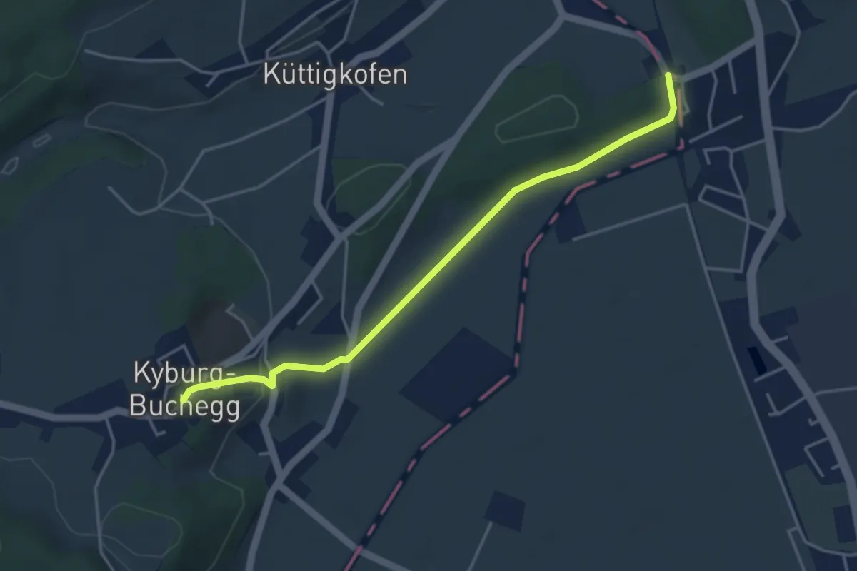
Easy · Trail
Kräiligen Brücke RBS – Kyburg-Buchegg Schloss Buchegg
4.0 km · ↑ 94 m · 1 h 8 min
Medium · Trail
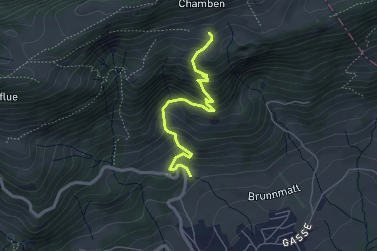
Glutzenberg – Hint. Hofbergli
4.0 km · ↑ 350 m · 1 h 43 min
Easy · Trail
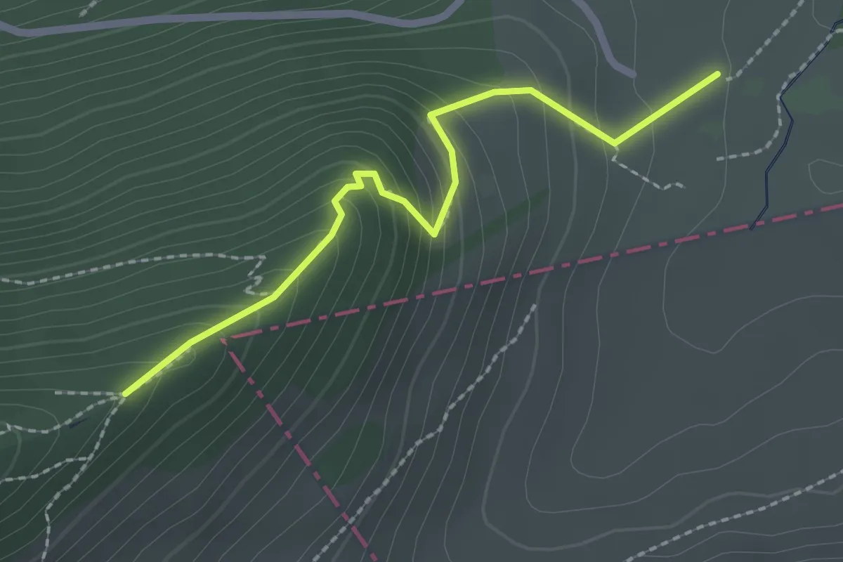
Hint. Schmidenmatt – Chamben
2.1 km · ↑ 203 m · 57 min
Easy · Trail
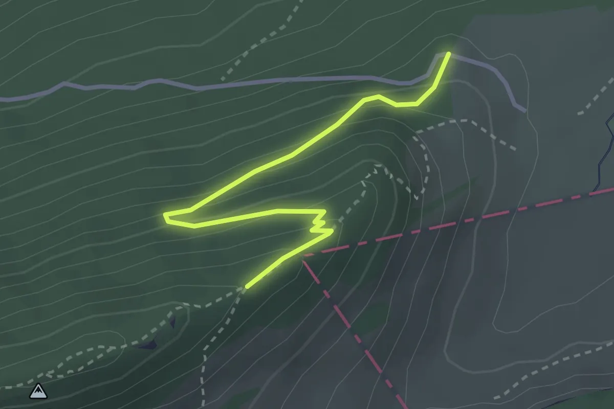
Ramschopf – Chamben
2.9 km · ↑ 235 m · 1 h 11 min
Medium · Trail
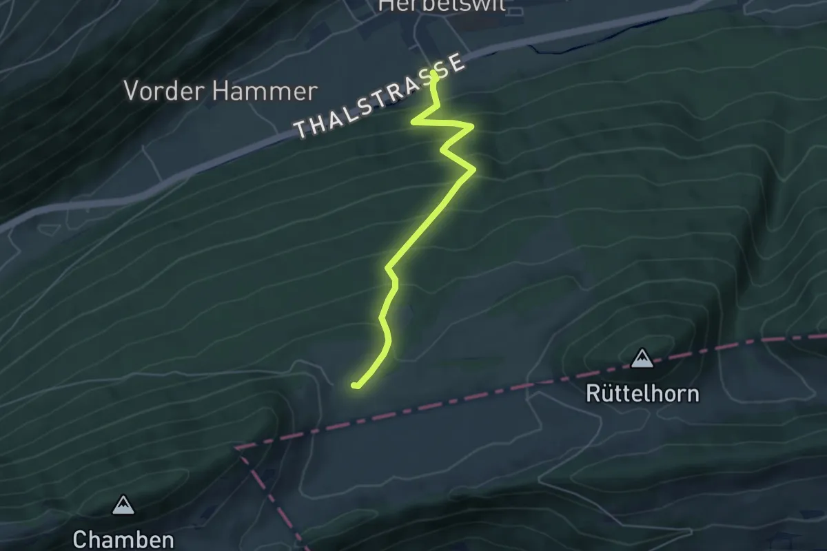
Hint. Schmidenmatt – Thalstrasse
4.6 km · ↑ 446 m · 2 h 3 min
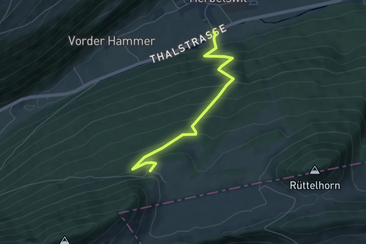
Medium · Trail
Ramschopf – Thalstrasse
5.6 km · ↑ 455 m · 2 h 19 min
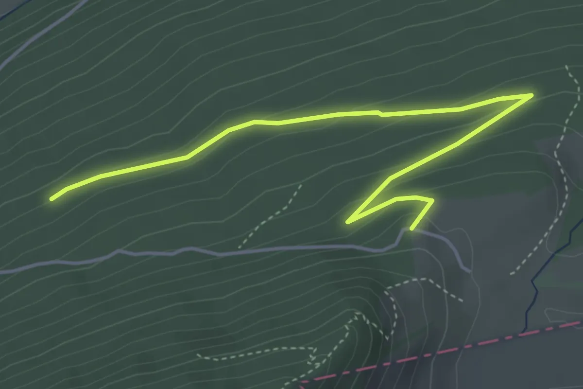
Easy · Trail
Ramschopf – Welschenrohr
4.8 km · ↑ 171 m · 1 h 30 min
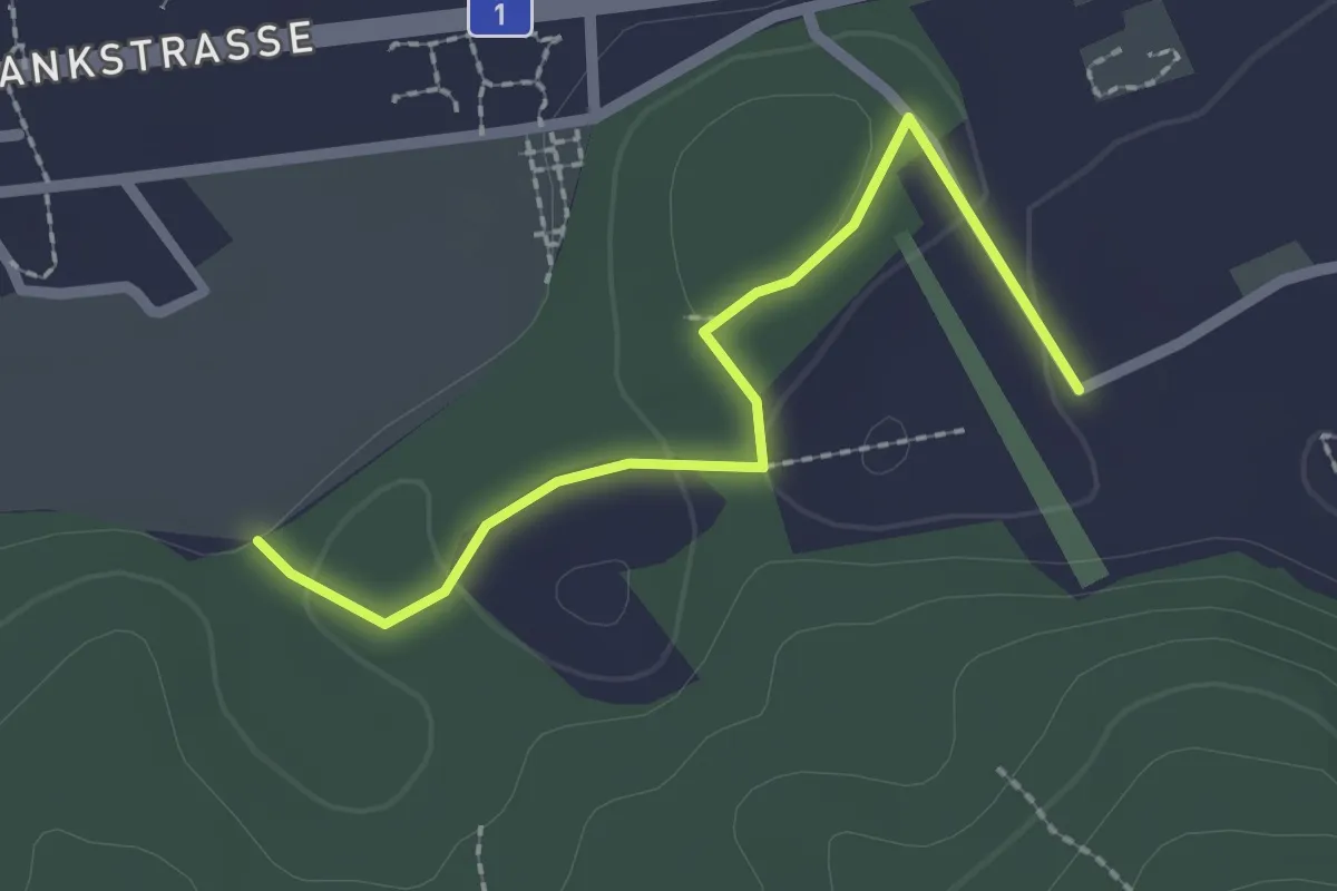
Easy · Trail
Wasebode – Holzmatt
2.2 km · ↑ 19 m · 33 min
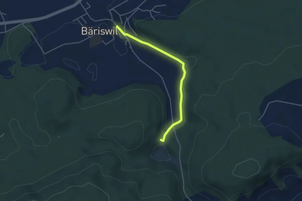
Easy · Trail
Bäriswil – Wannetal
3.2 km · ↑ 64 m · 54 min