Trails in Switzerland
15,055 hiking trails, each with its route, climb, walking time and grade.
All trails, page 253 of 314
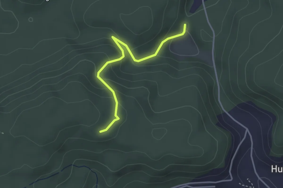
Easy · Trail
Wannetal – Mattstettenberg
3.0 km · ↑ 175 m · 1 h 6 min
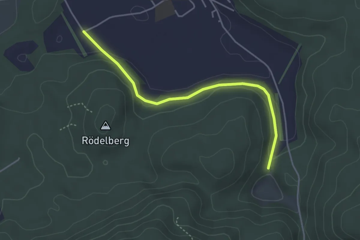
Easy · Trail
Wasebode – Wannetal
3.7 km · ↑ 69 m · 1 h 1 min
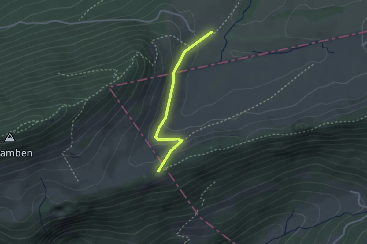
Easy · Trail
Hint. Schmidenmatt – Hochchrüz
2.2 km · ↑ 95 m · 43 min
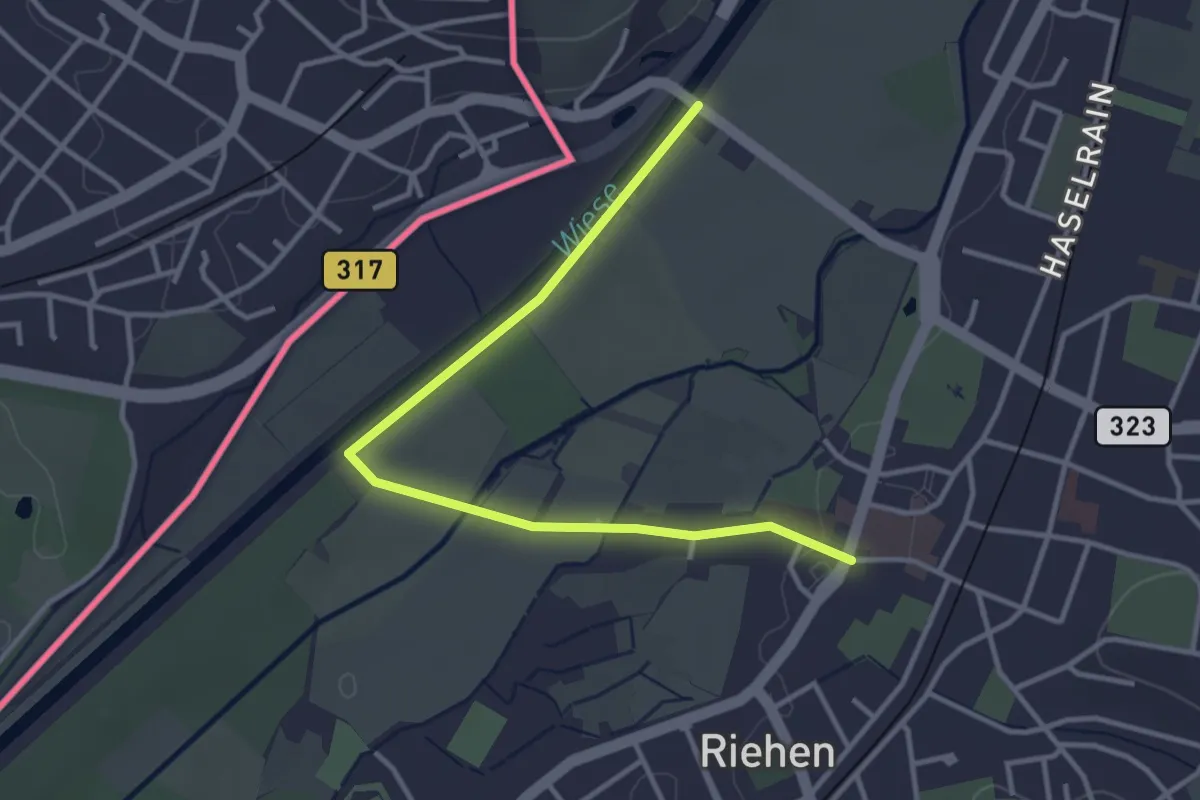
Easy · Trail
Riehen Bad – Riehen Dorf
3.7 km · ↑ 18 m · 55 min
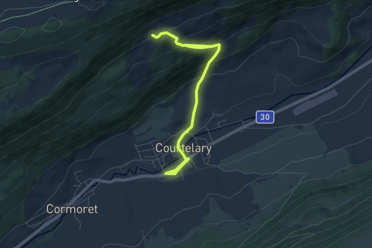
Medium · Trail
Courtelary – Le Piémont
7.9 km · ↑ 422 m · 2 h 46 min
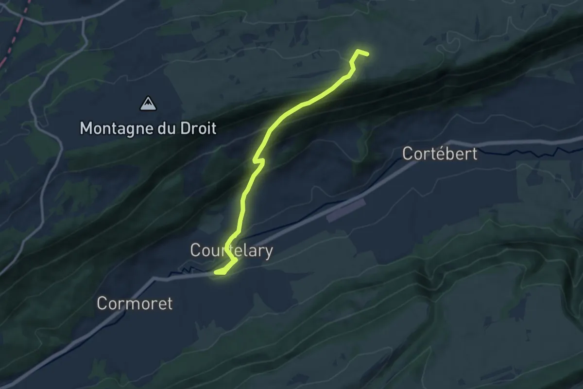
Medium · Trail
Courtelary – Bise de Cortébert
9.7 km · ↑ 545 m · 3 h 28 min
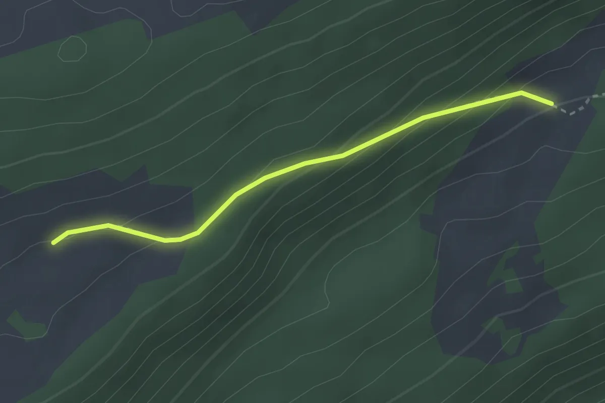
Easy · Trail
Le Piémont – Croix du Ciel
2.6 km · ↑ 140 m · 56 min
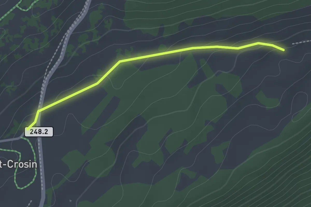
Easy · Trail
Croix du Ciel – Mont Crosin
2.3 km · ↑ 49 m · 39 min
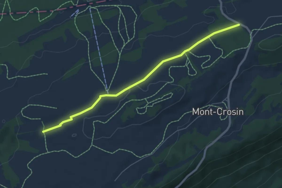
Easy · Trail
Mont Crosin Parking – Combe Aubert
5.4 km · ↑ 61 m · 1 h 25 min
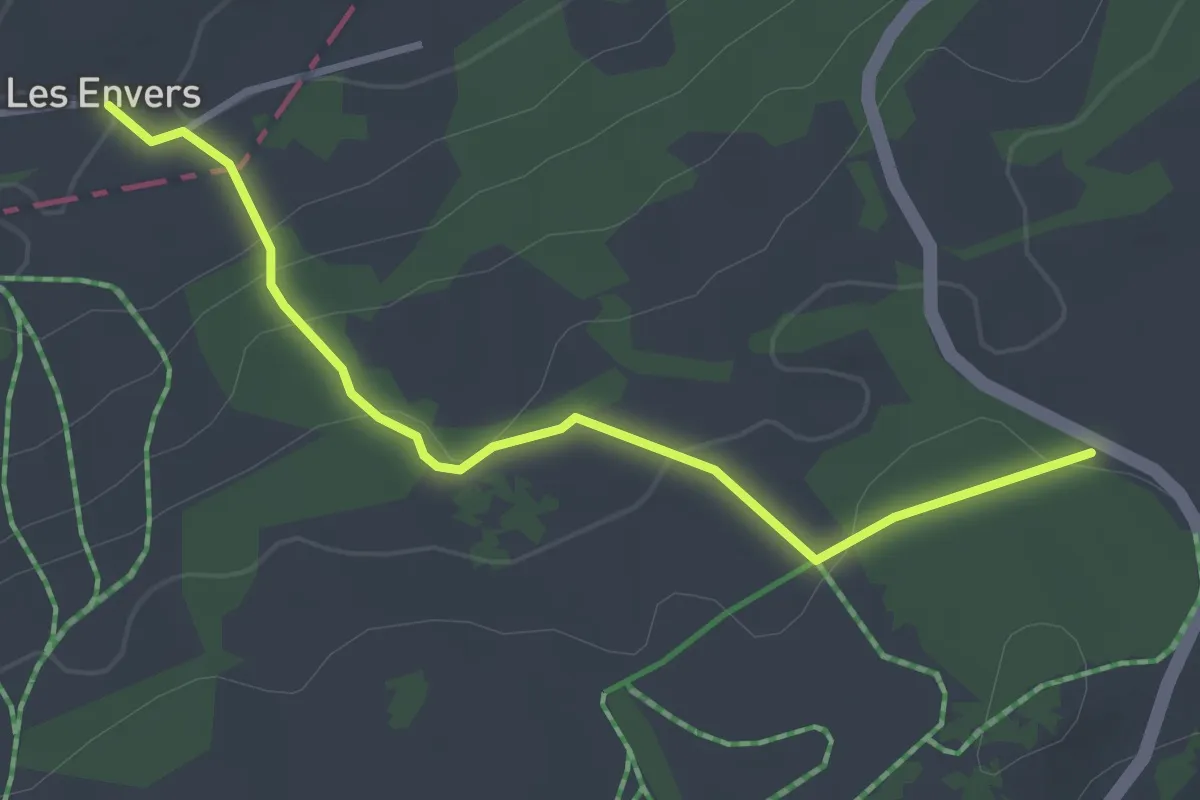
Easy · Trail
Mont Crosin Parking – Les Envers
3.3 km · ↑ 115 m · 1 h 1 min
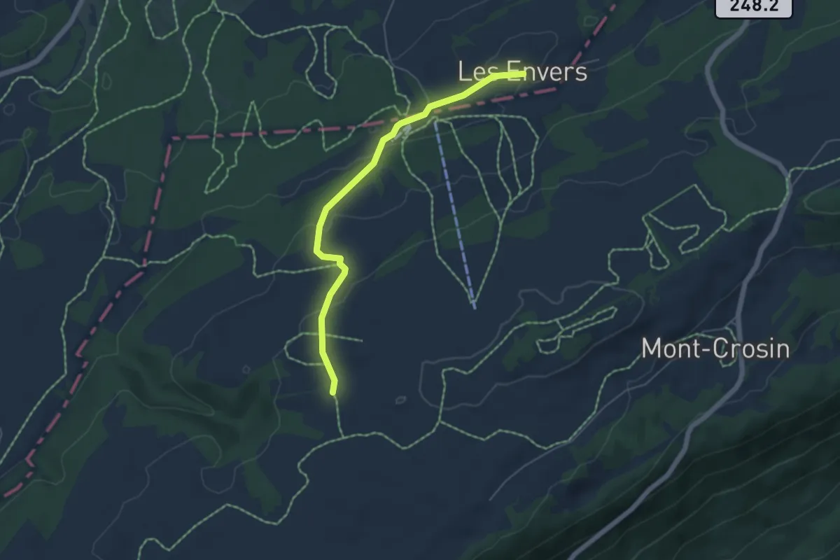
Easy · Trail
Combe Aubert – Les Envers
5.0 km · ↑ 174 m · 1 h 33 min
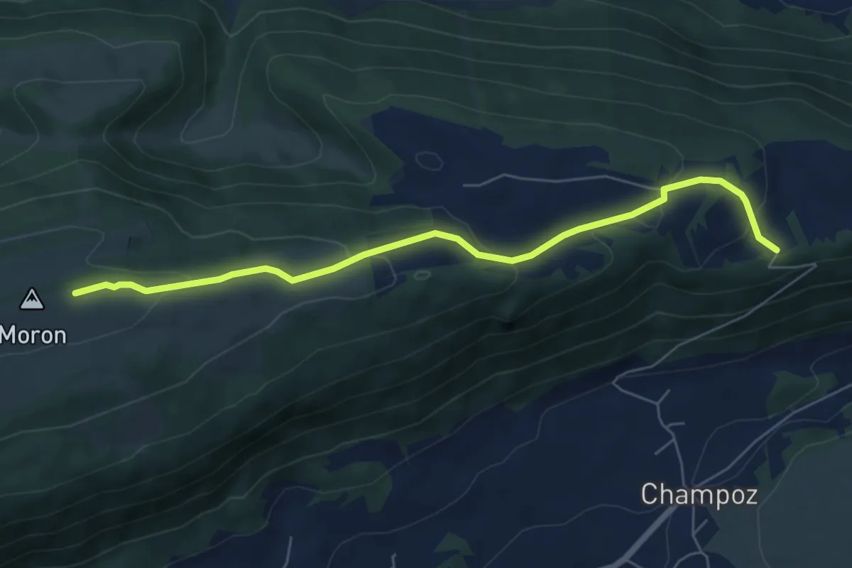
Easy · Trail
Moron sommet – Haut de la Charrière
6.4 km · ↑ 245 m · 2 h 2 min
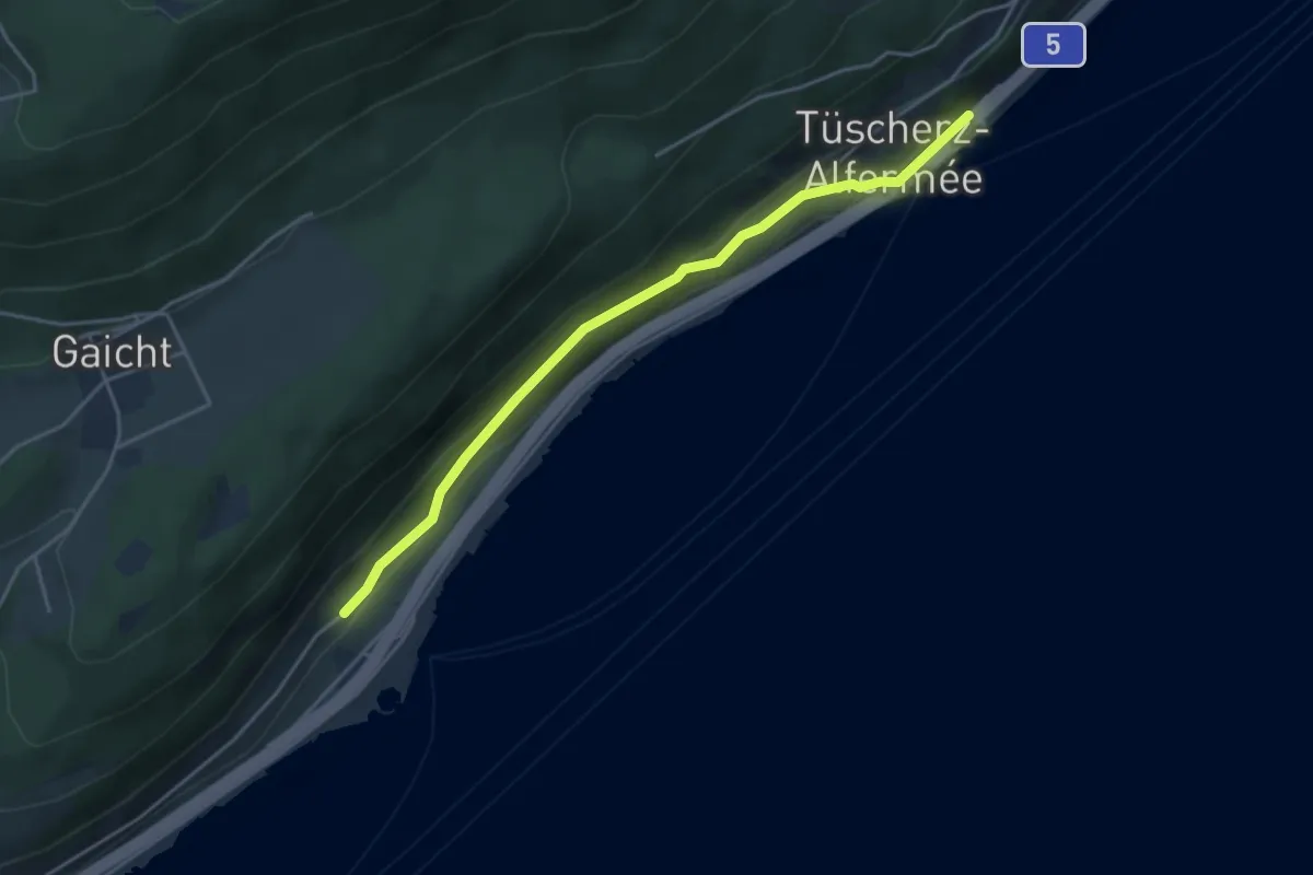
Easy · Trail
Tüscherz – Twann
4.1 km · ↑ 171 m · 1 h 21 min
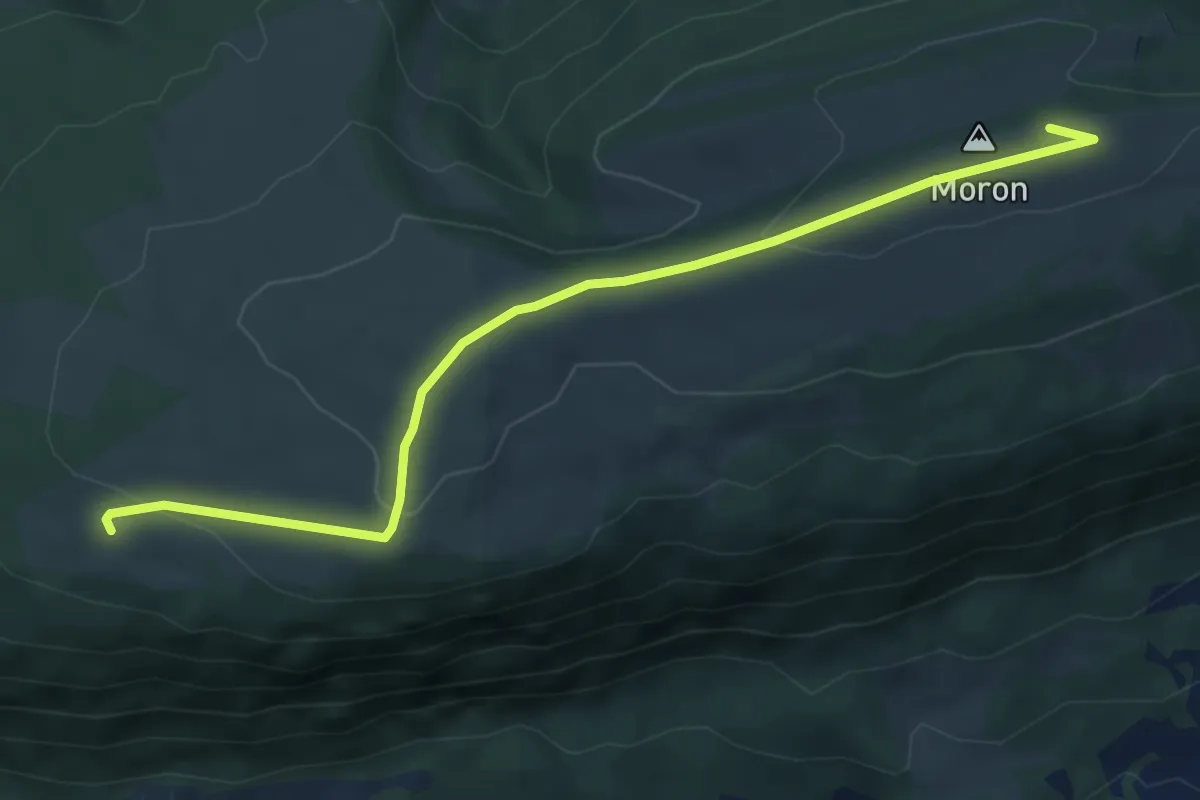
Easy · Trail
Bergerie de Loveresse – Moron sommet
6.1 km · ↑ 142 m · 1 h 45 min
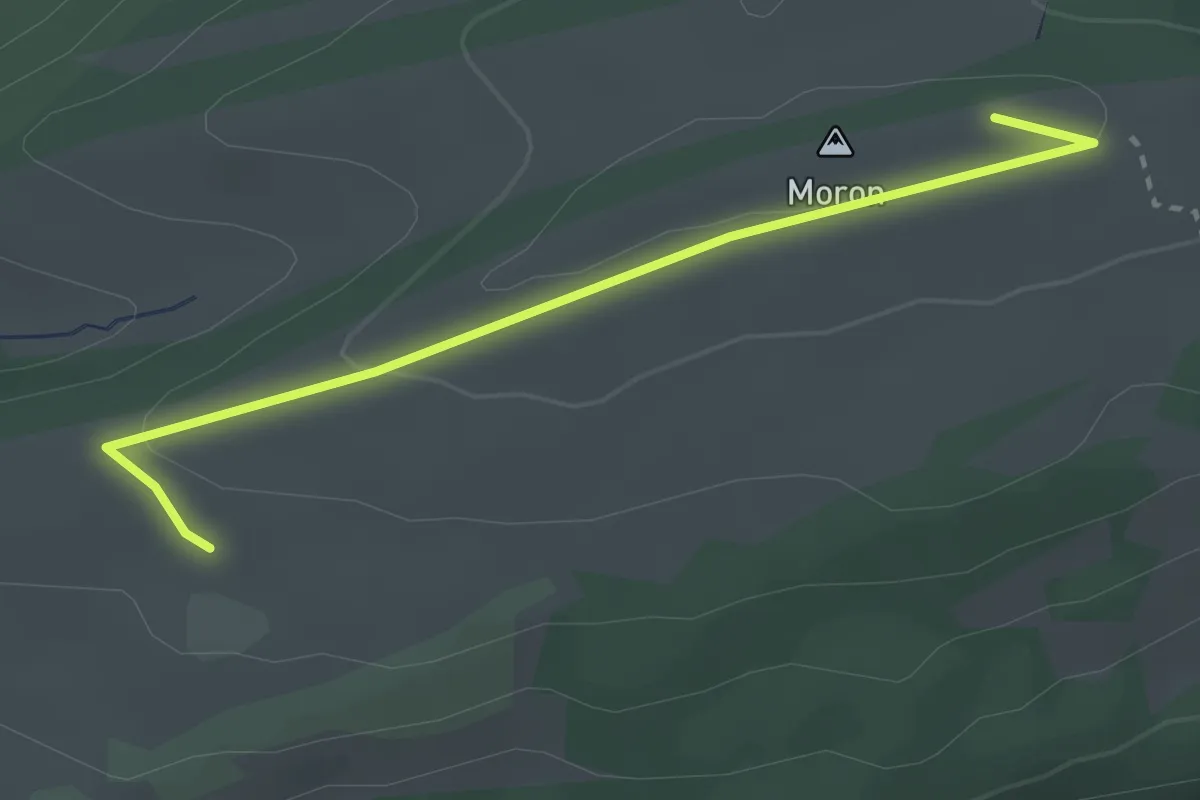
Easy · Trail
Moron sommet – fixme
2.8 km · ↑ 49 m · 46 min
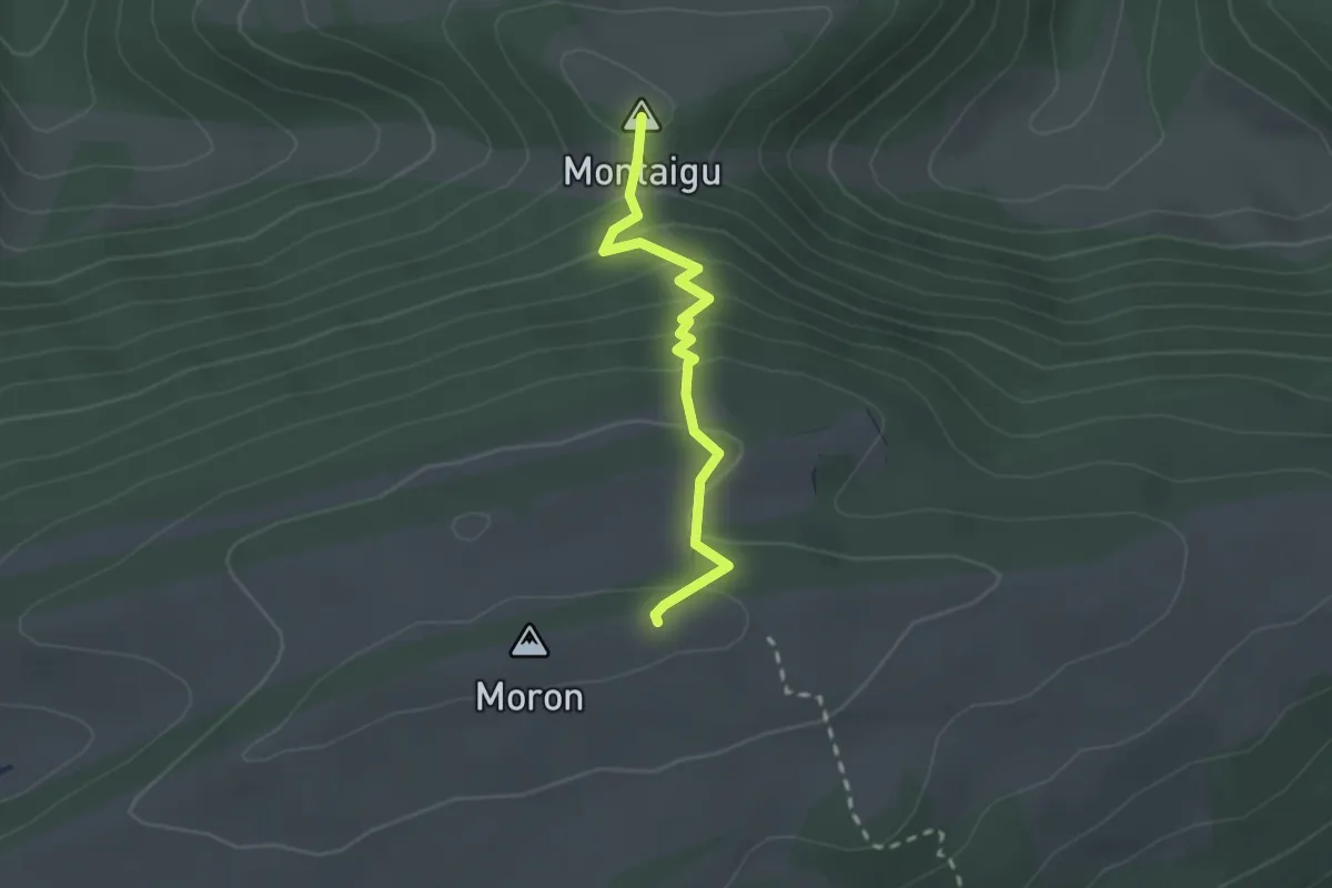
Easy · Summit
Moron sommet – Les Ecorcheresses
2.1 km · ↑ 142 m · 48 min
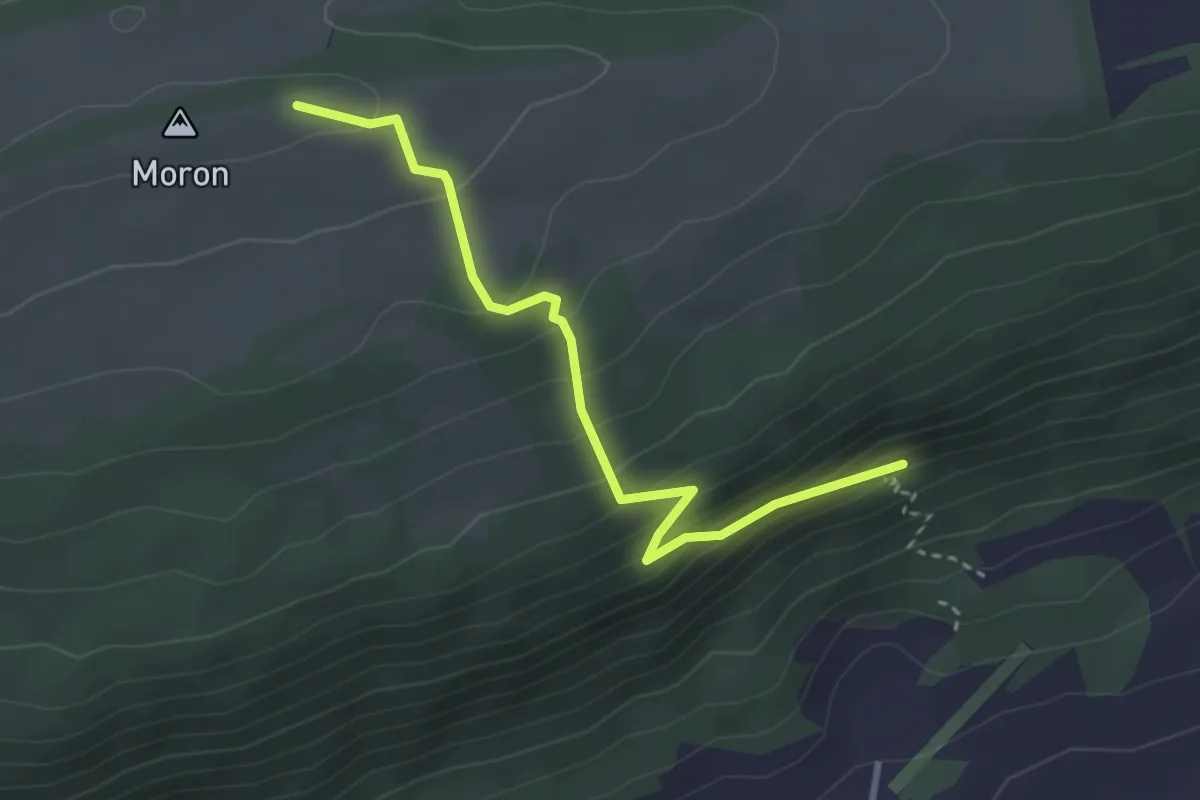
Medium · Trail
Moron sommet – Malleray
3.2 km · ↑ 227 m · 1 h 14 min
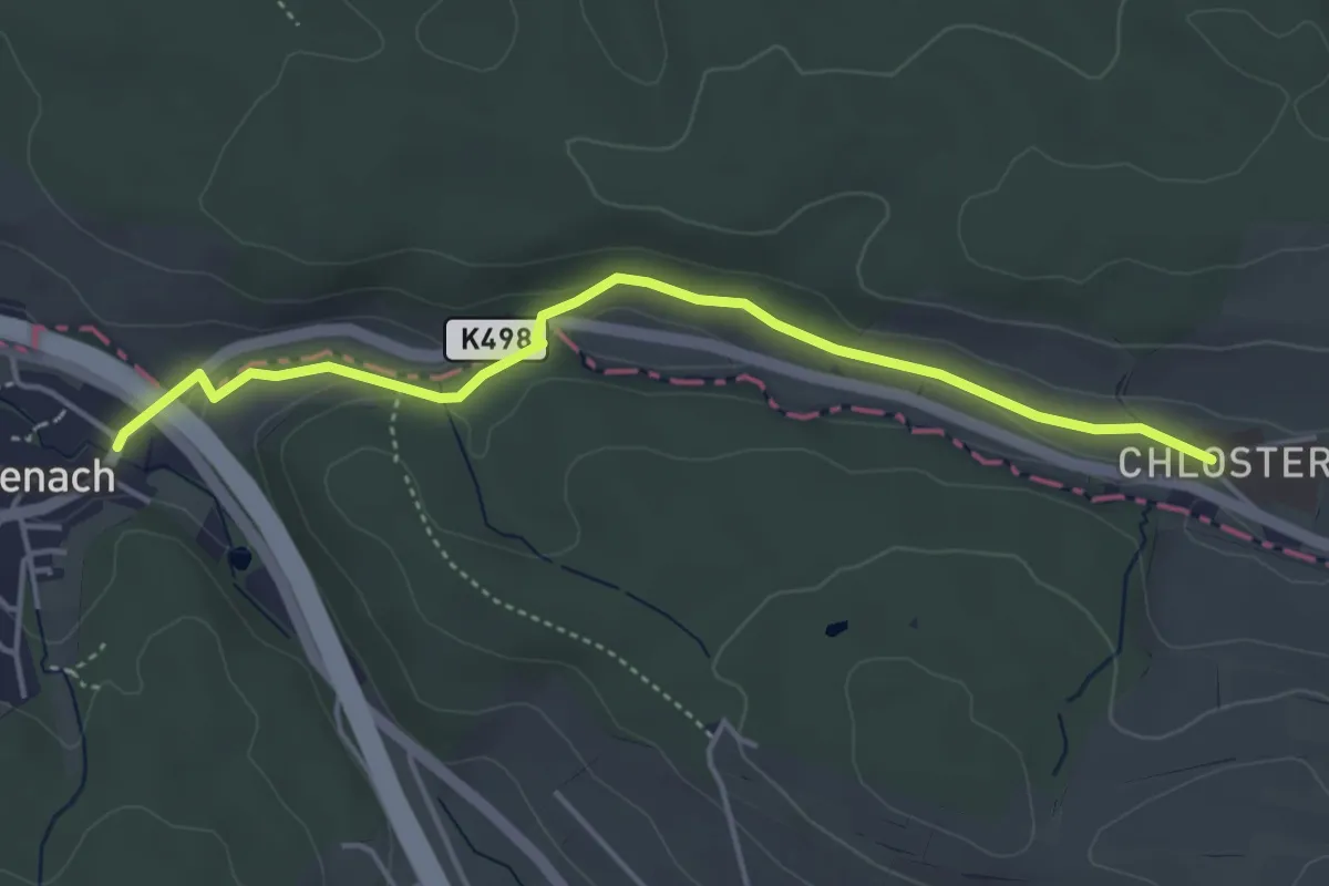
Easy · Trail
Stift Olsberg – Giebenbach
4.3 km · ↑ 67 m · 1 h 10 min
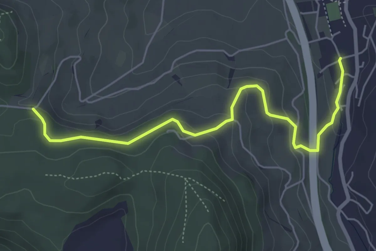
Easy · Trail
Arisdorf – Rankhof
5.3 km · ↑ 201 m · 1 h 41 min
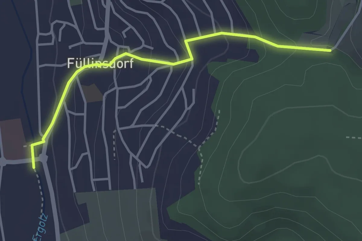
Easy · Trail
Rankhof – Füllinsdorf Schönthal
3.3 km · ↑ 173 m · 1 h 9 min
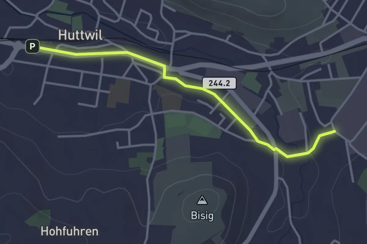
Easy · Trail
Rütistalden – Huttwil Bahnhof
3.2 km · ↑ 32 m · 49 min
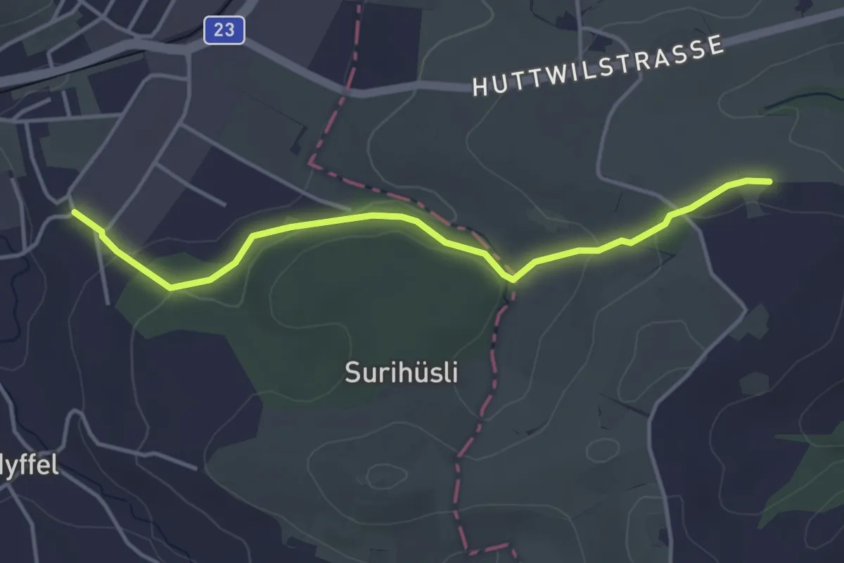
Easy · Trail
Rütistalden – Feldmatt
3.9 km · ↑ 79 m · 1 h 6 min
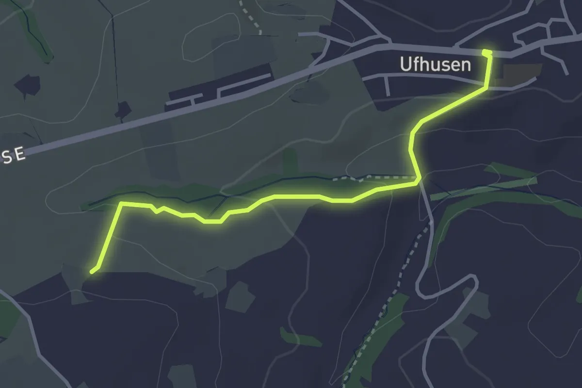
Easy · Trail
Feldmatt – Ufhusen
3.1 km · ↑ 101 m · 57 min
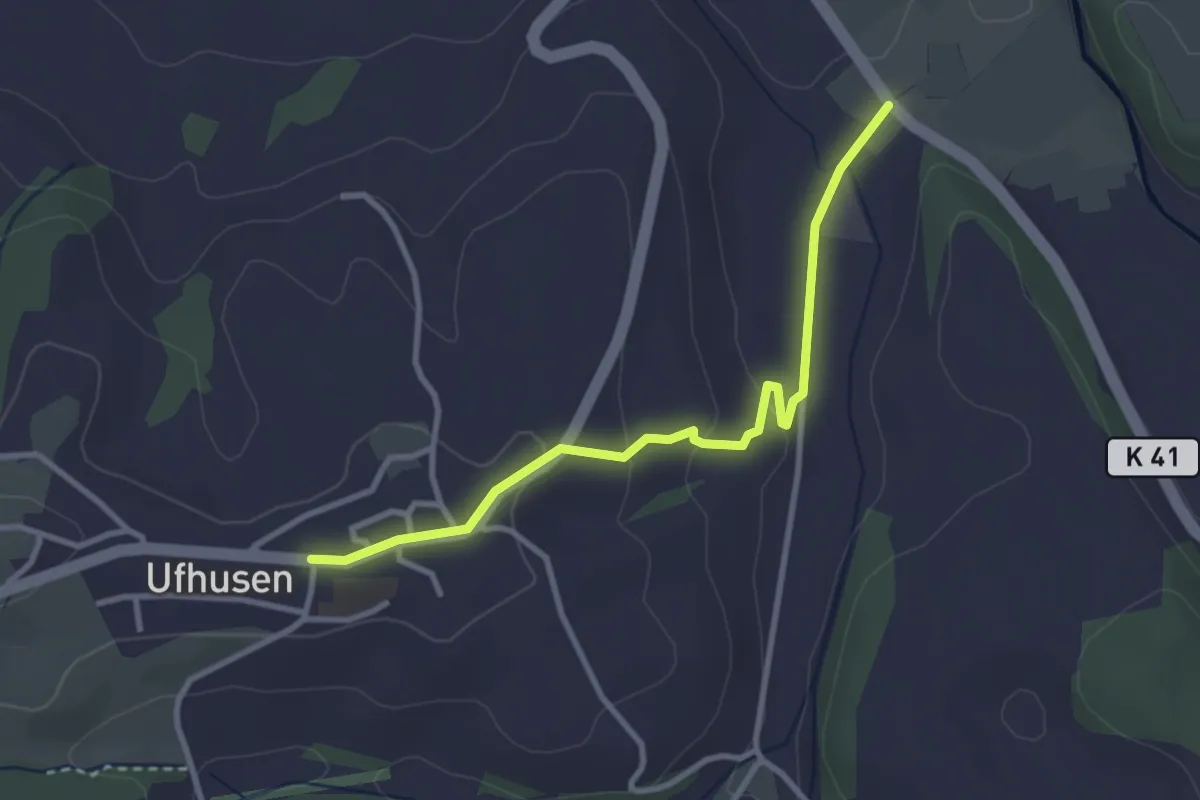
Easy · Trail
Ufhusen – Stoss
3.1 km · ↑ 83 m · 55 min
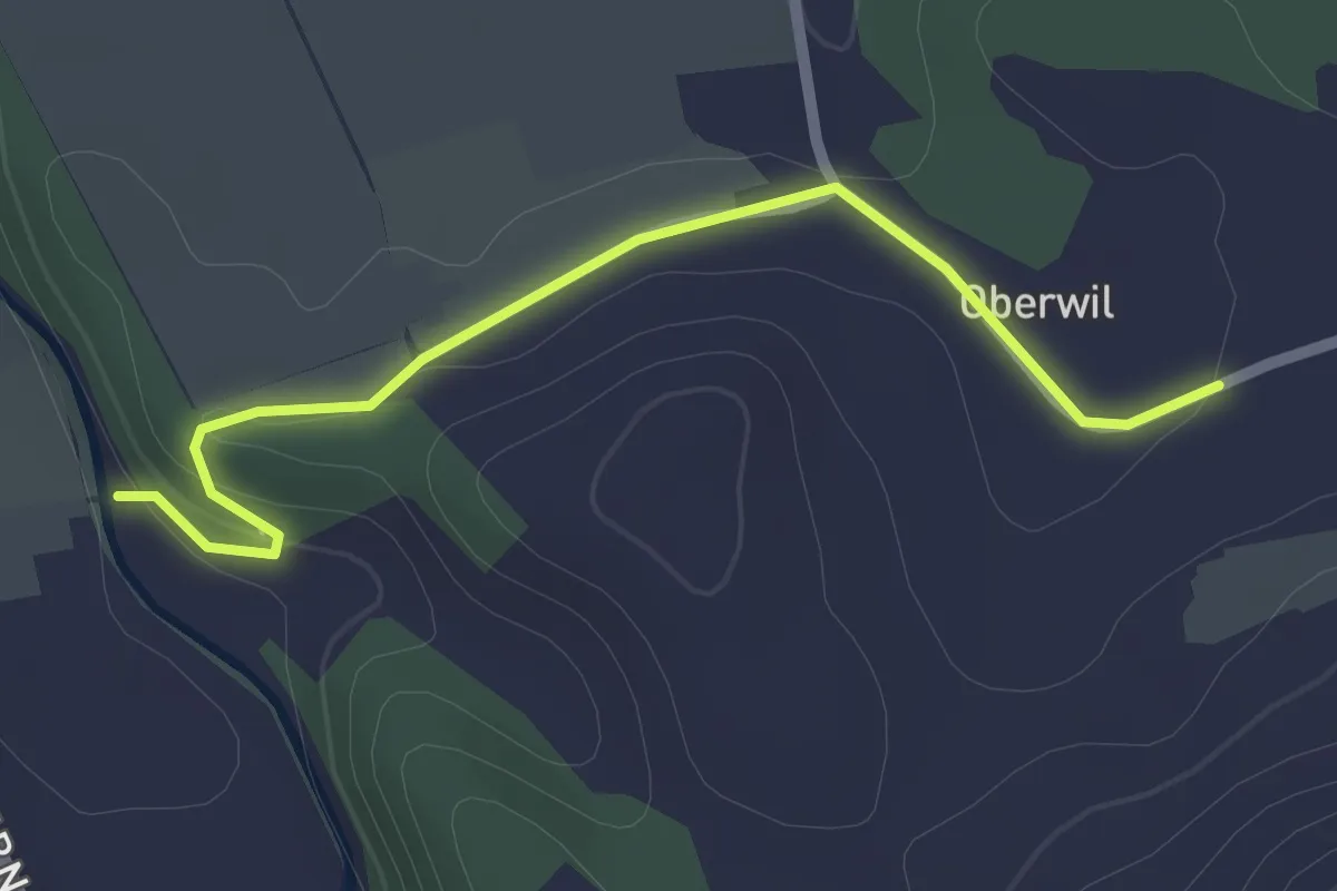
Easy · Trail
Vorder Schachen – Oberwil
2.3 km · ↑ 46 m · 39 min
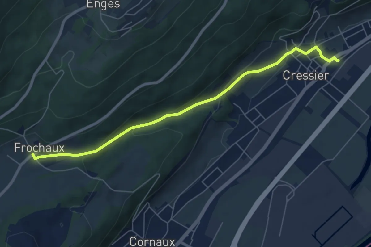
Easy · Trail
Frochaux – Cressier
5.9 km · ↑ 199 m · 1 h 49 min
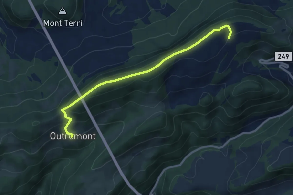
Medium · Trail
Outremont – fixme
6.0 km · ↑ 333 m · 2 h 8 min
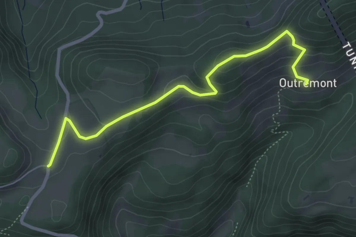
Easy · Trail
Outremont – Col de la Croix
5.2 km · ↑ 232 m · 1 h 44 min
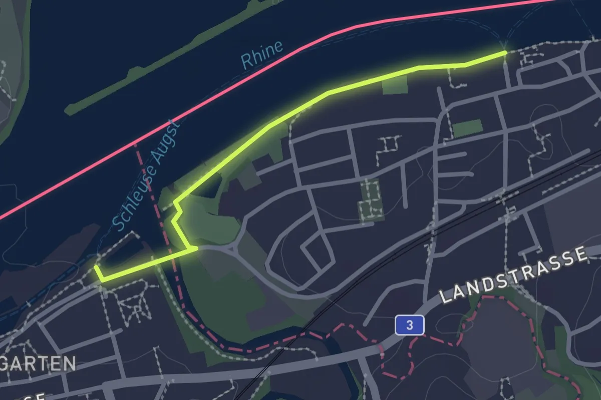
Easy · Trail
Kaiseraugst Schiff – Augst Schiffstation
2.2 km · ↑ 0 m · 32 min
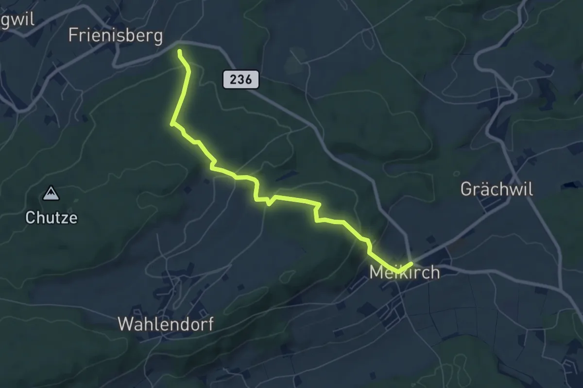
Easy · Trail
Meikrich – Frienisberg
7.1 km · ↑ 275 m · 2 h 16 min
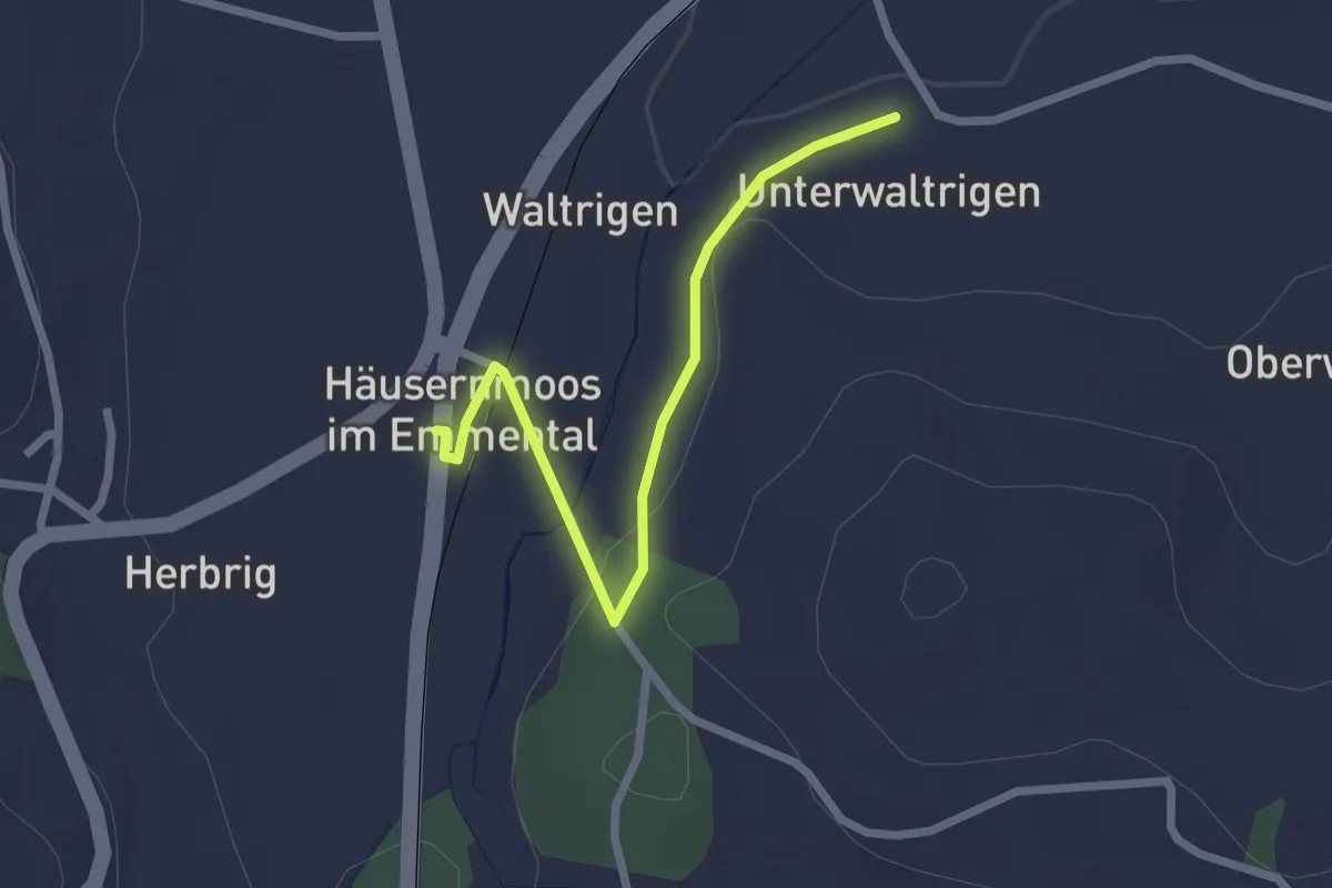
Easy · Trail
Häusernmoos – Unter Waltringen
2.4 km · ↑ 41 m · 39 min
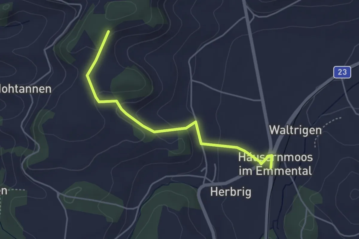
Easy · Trail
Häusernmoos – Otterbachegg
3.9 km · ↑ 133 m · 1 h 13 min
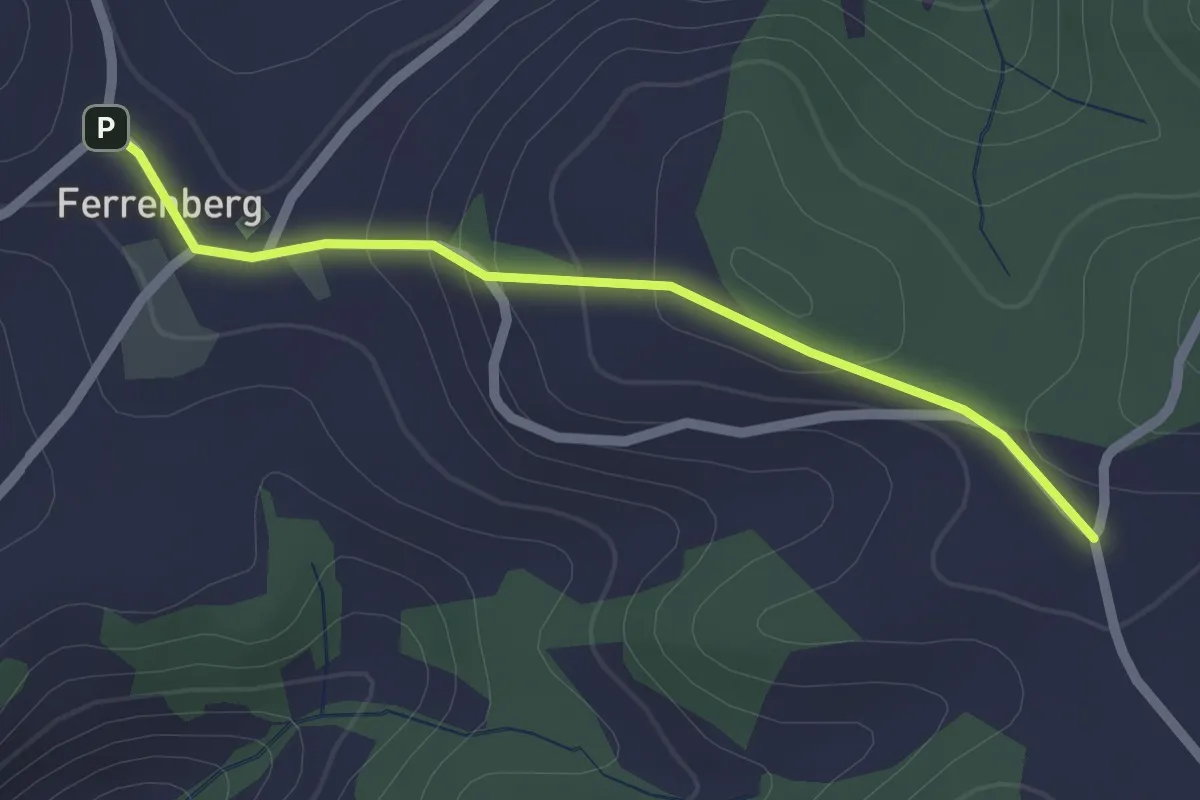
Easy · Trail
Ferrenberg – Färbergweid
2.0 km · ↑ 69 m · 38 min
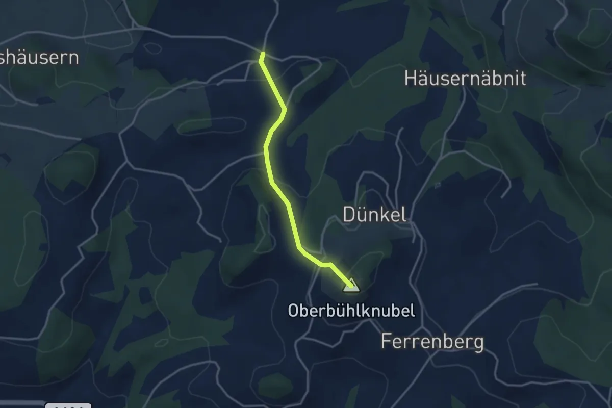
Easy · Summit
Ferrenberg – Rüedisbach
2.7 km · ↑ 162 m · 59 min
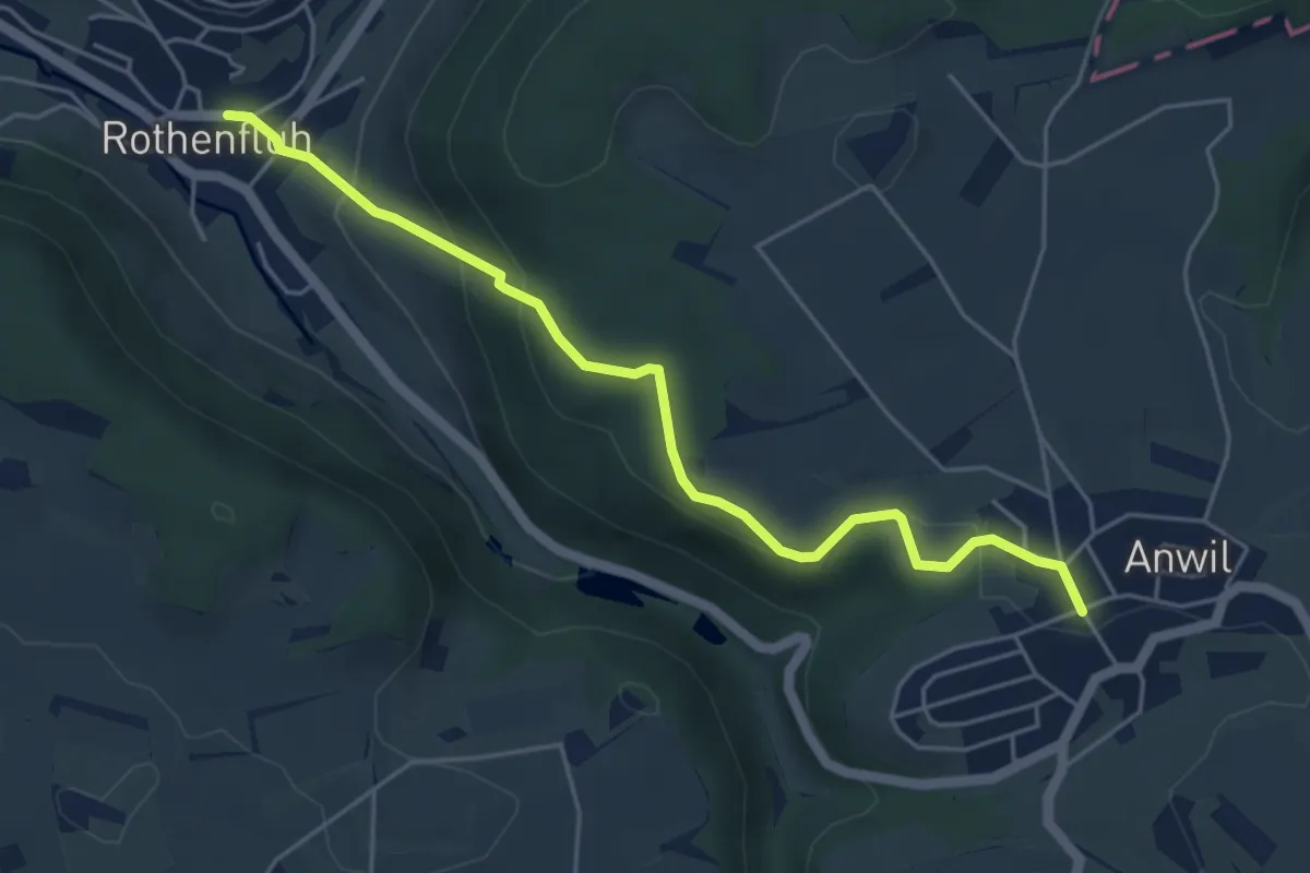
Easy · Trail
Rothenfluh – Anwil
5.0 km · ↑ 205 m · 1 h 38 min
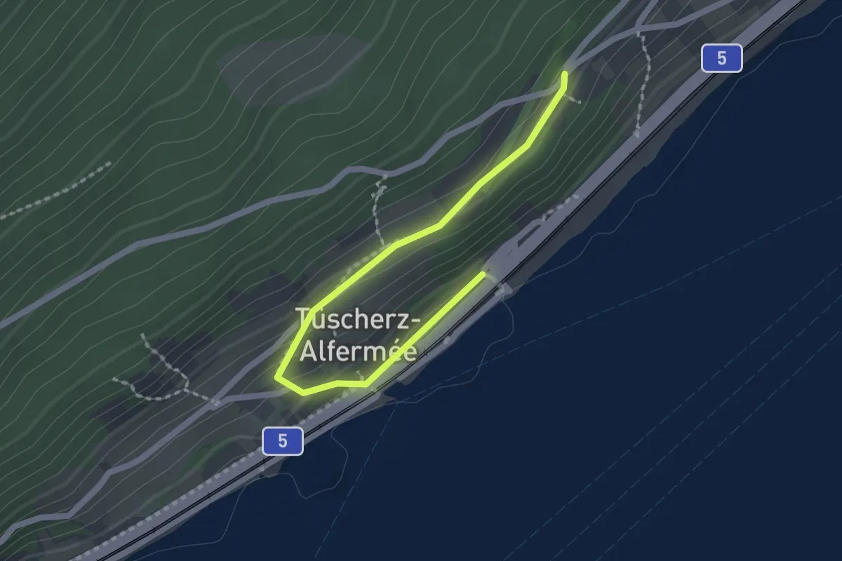
Easy · Trail
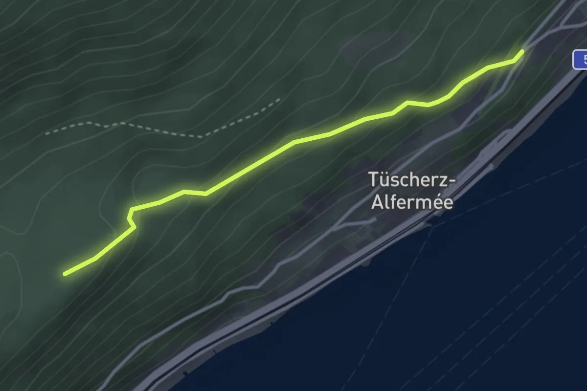
Tüscherz – Biel-Bienne
2.1 km · ↑ 89 m · 41 min
Easy · Trail
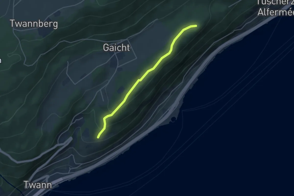
Holenstein – Alfermée
3.0 km · ↑ 155 m · 1 h 3 min
Easy · Trail
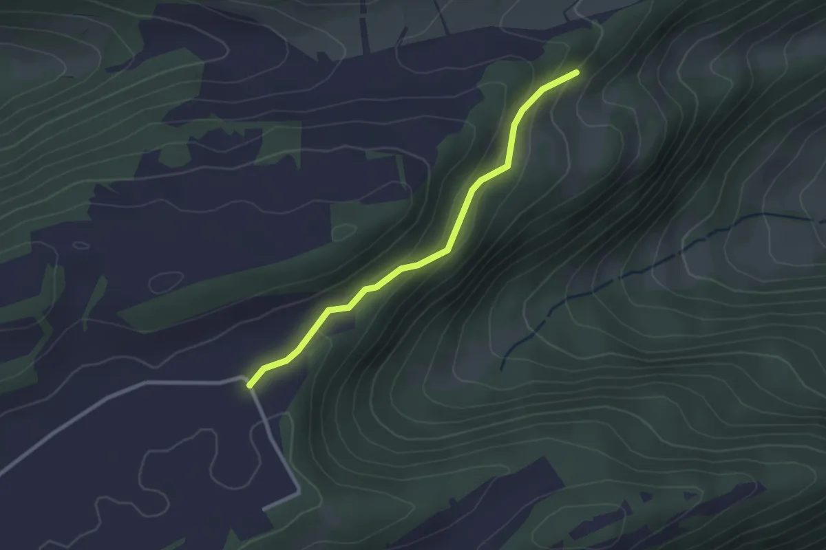
Holenstein – Chapf
3.8 km · ↑ 138 m · 1 h 11 min
Easy · Trail
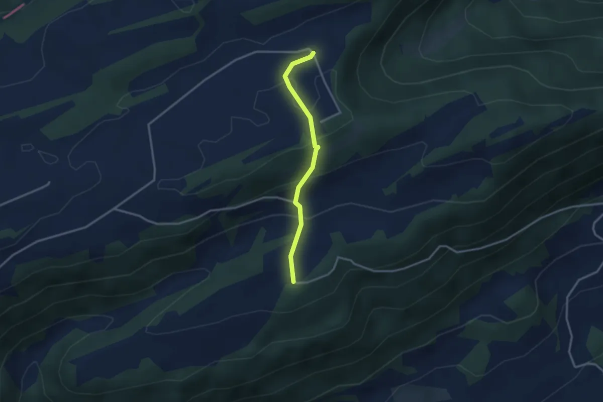
La Roche és Corbets – Haute Montagne
2.4 km · ↑ 123 m · 50 min
Easy · Trail
Haute Montange – Aux Arsattes
2.4 km · ↑ 125 m · 50 min
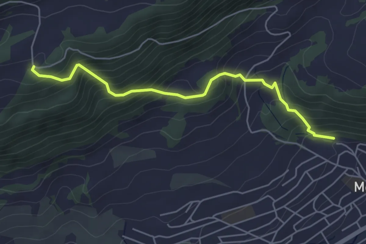
Medium · Trail
Aux Arsattes – Moutier Le Stand
4.5 km · ↑ 422 m · 1 h 59 min
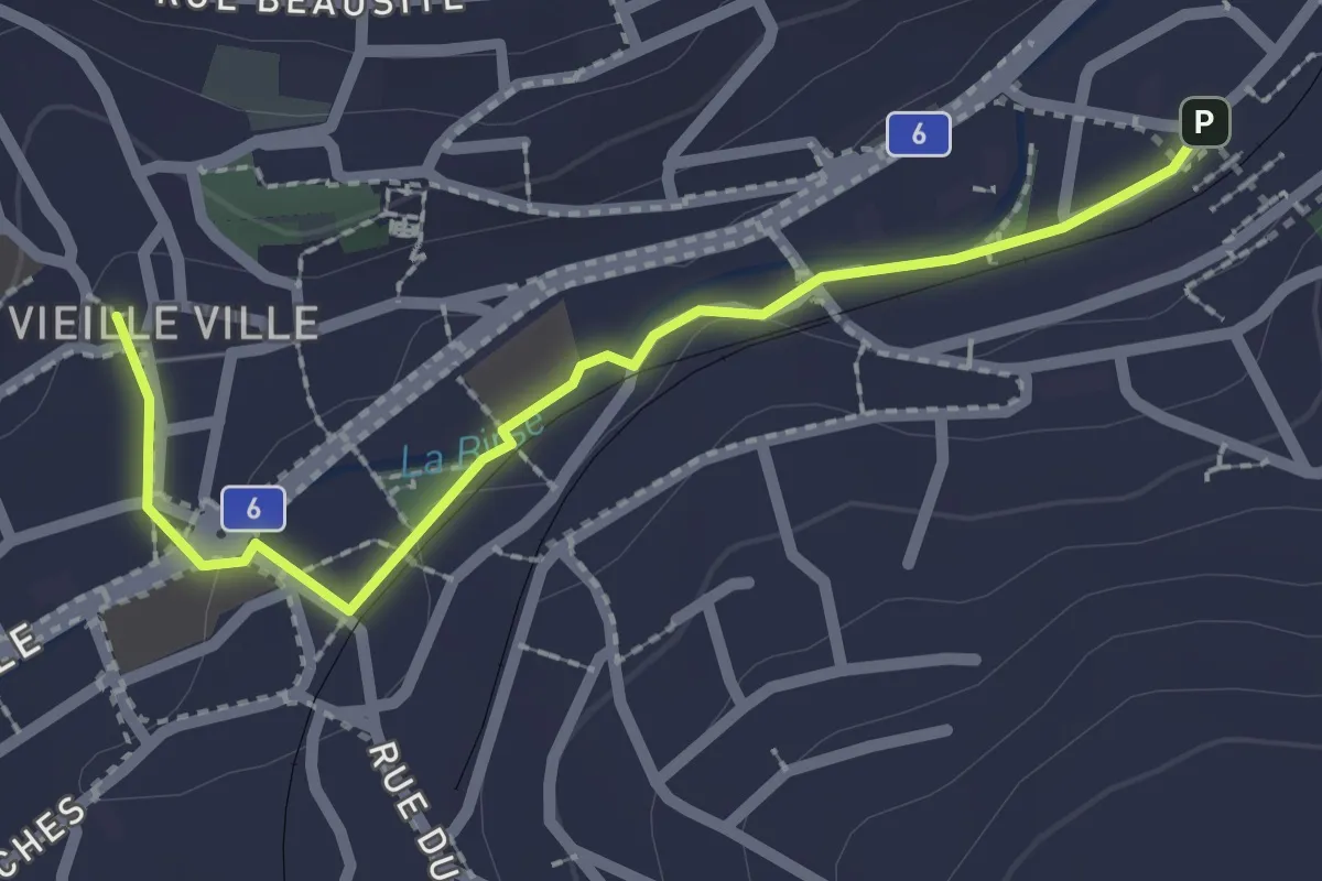
Easy · Trail
Moutier – Moutier
2.2 km · ↑ 14 m · 34 min
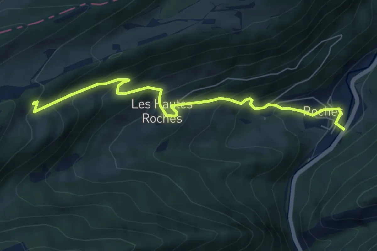
Medium · Trail
La Roche és Corbets – Roches
6.1 km · ↑ 534 m · 2 h 36 min
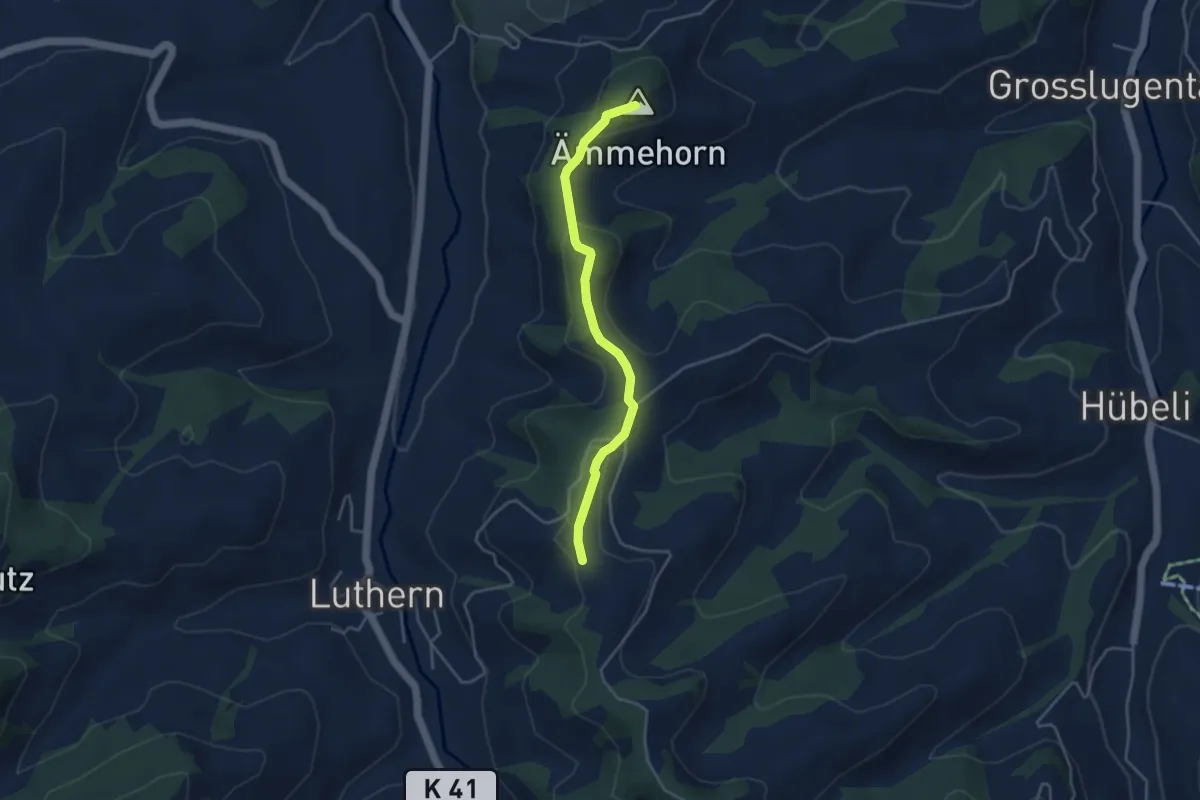
Easy · Summit
Churzhubelegg – Chrüzstigen
3.8 km · ↑ 122 m · 1 h 10 min
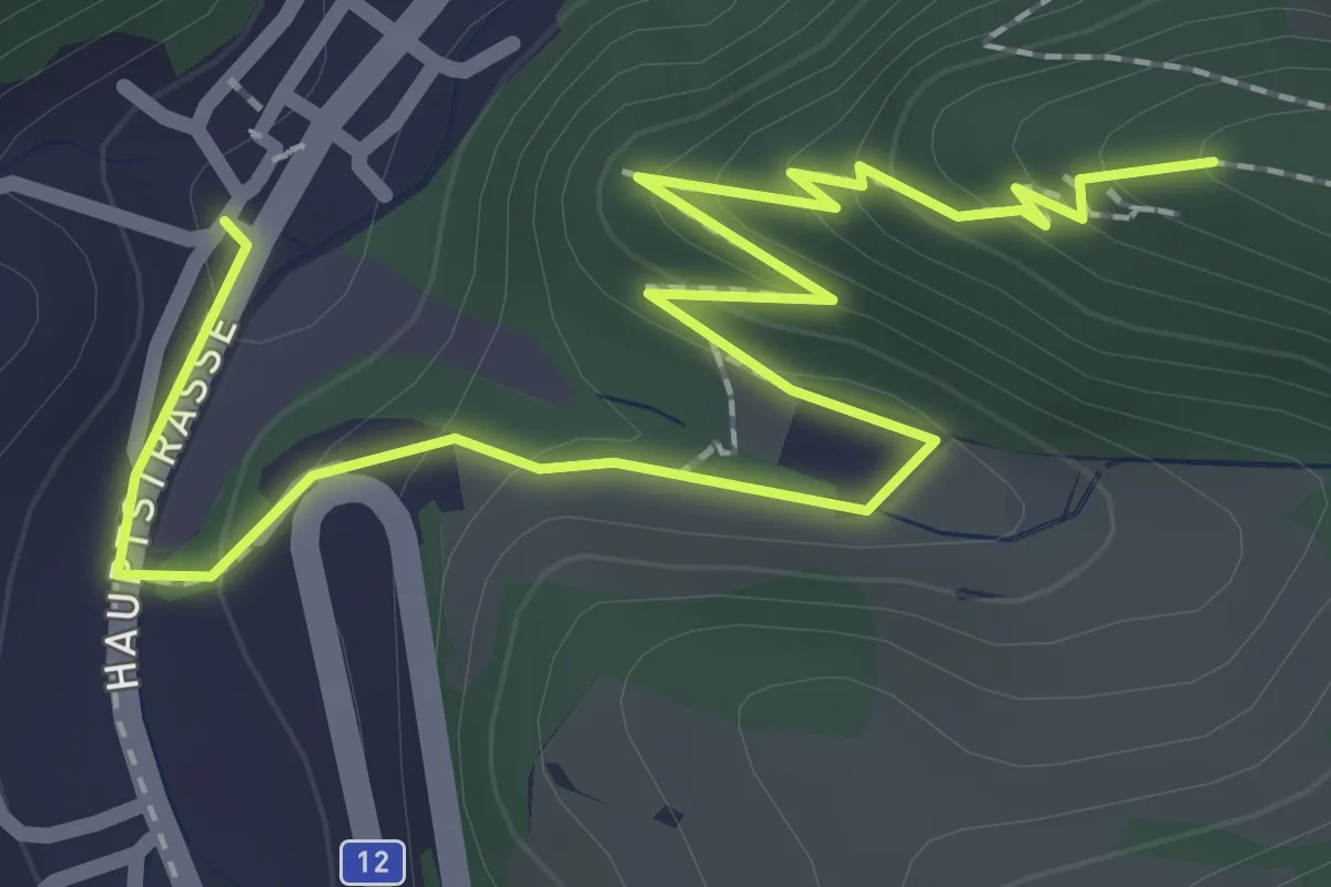
Easy · Trail
Waldenburg Torplatz – Schlossruine
2.9 km · ↑ 199 m · 1 h 7 min
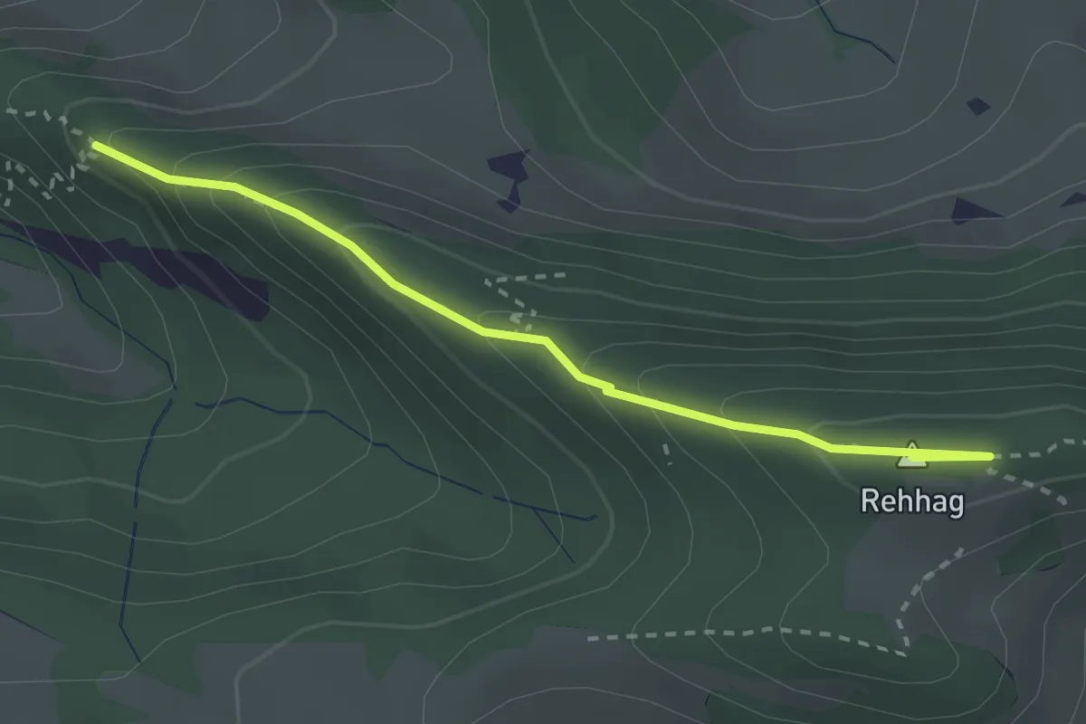
Medium · Summit
Gerstelflue – Rehhag
2.7 km · ↑ 207 m · 1 h 5 min
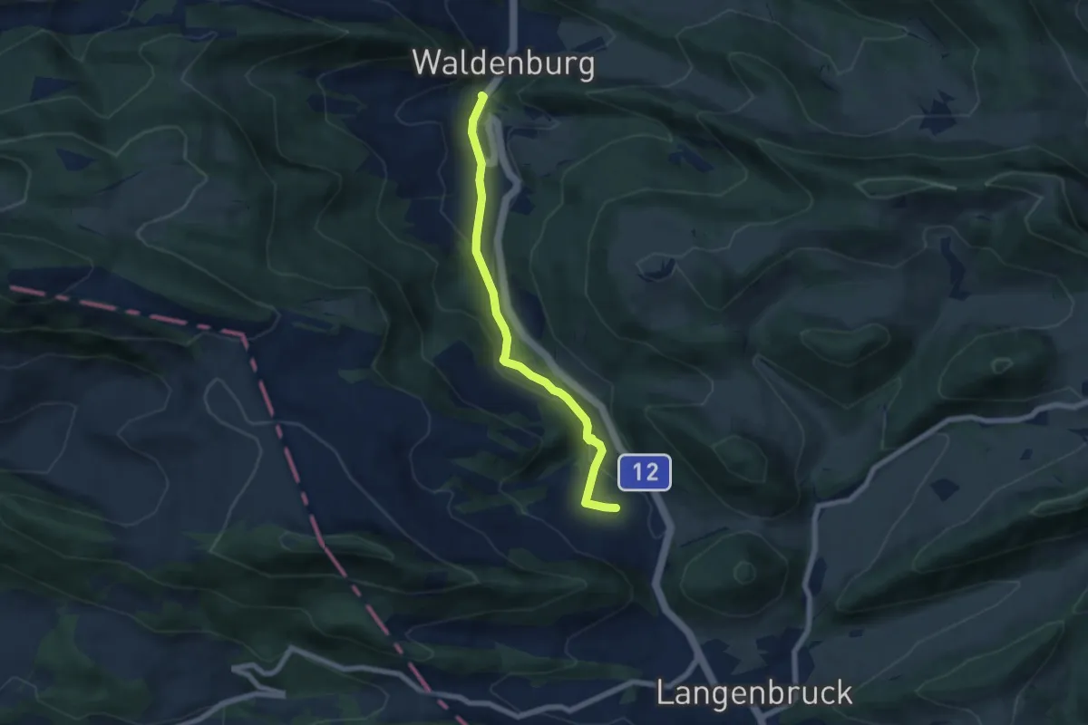
Easy · Trail
Dürrenberg – Waldenburg Torplatz
6.0 km · ↑ 261 m · 1 h 59 min
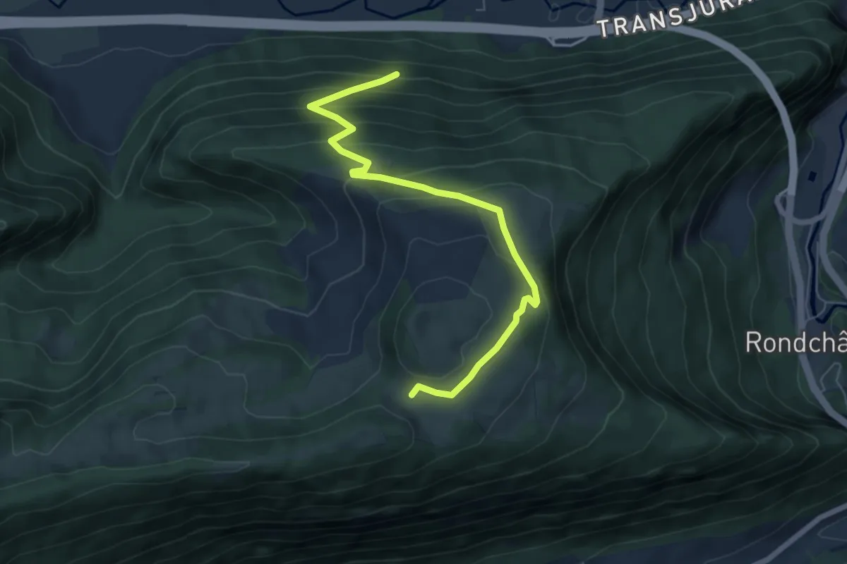
Medium · Trail
La Heutte – Les Coperies
6.3 km · ↑ 417 m · 2 h 23 min