Trails in Switzerland
15,055 hiking trails, each with its route, climb, walking time and grade.
All trails, page 254 of 314
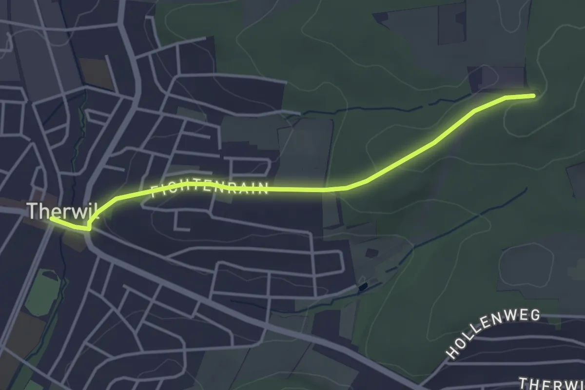
Easy · Trail
Therwil – Froloo
3.5 km · ↑ 90 m · 1 h 2 min
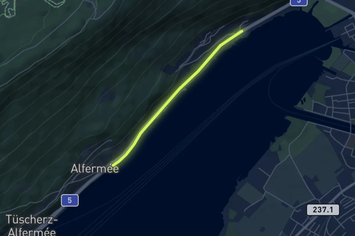
Easy · Trail
Alfermée – Vingelz
3.9 km · ↑ 27 m · 59 min
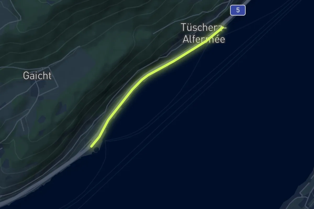
Easy · Trail
Engelberg – Tüscherz
4.2 km · ↑ 23 m · 1 h 3 min
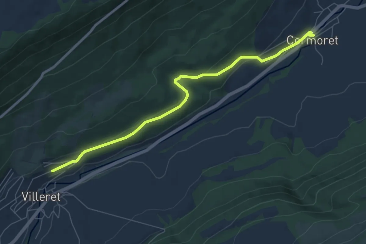
Easy · Trail
Cormoret – Villeret
6.7 km · ↑ 158 m · 1 h 55 min
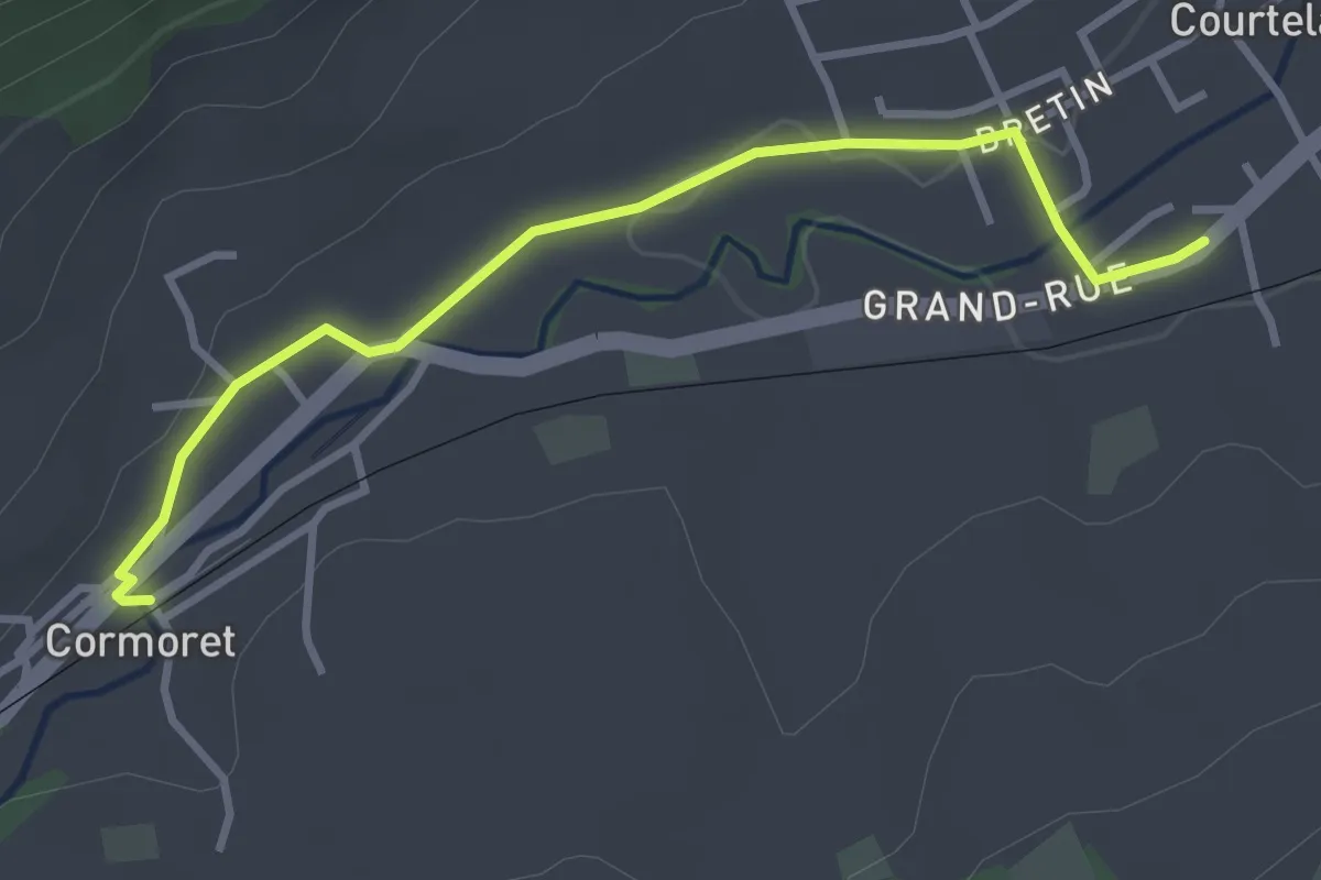
Easy · Trail
Courtelary – Cormoret
3.3 km · ↑ 17 m · 50 min
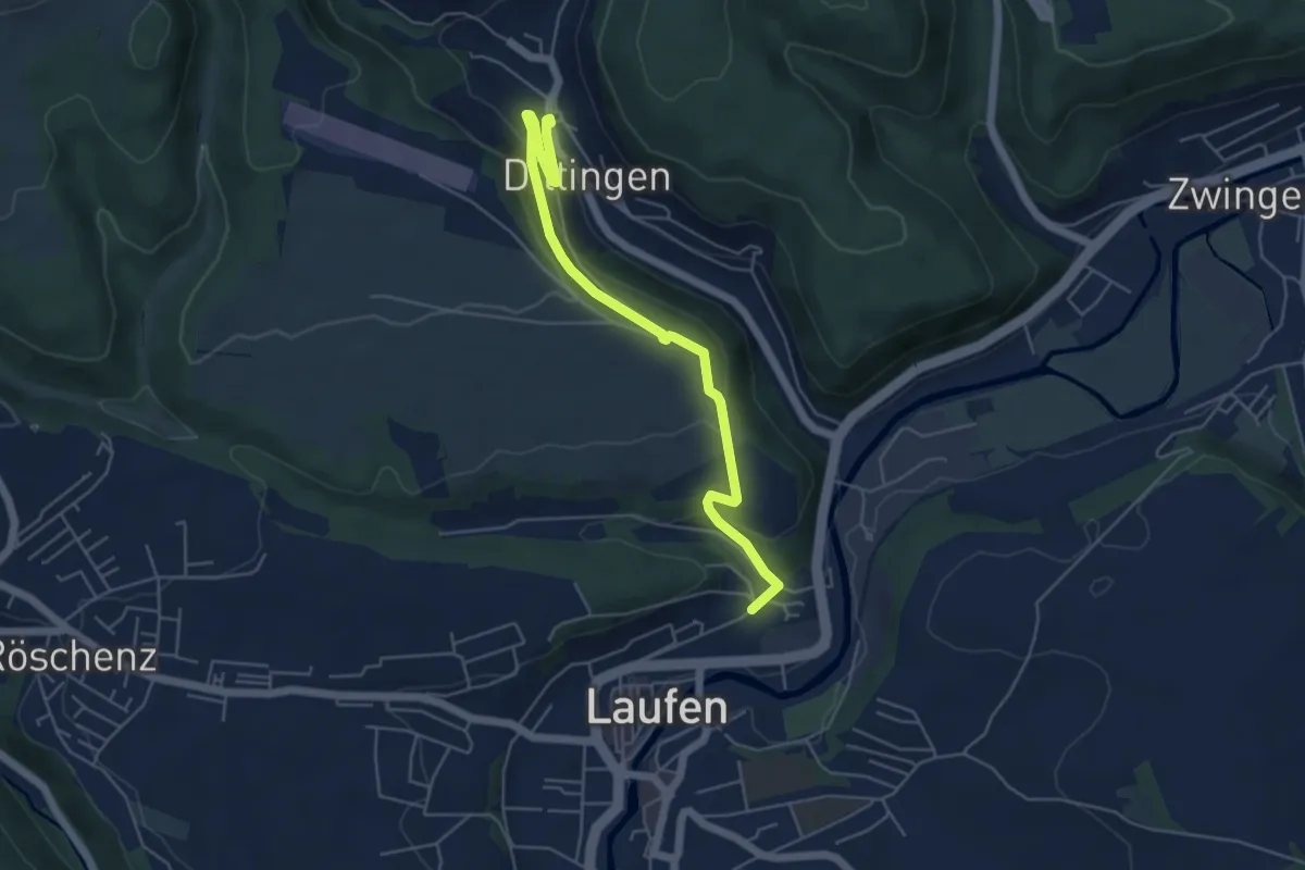
Easy · Trail
Laufen Spital – Dittingen
5.4 km · ↑ 211 m · 1 h 44 min
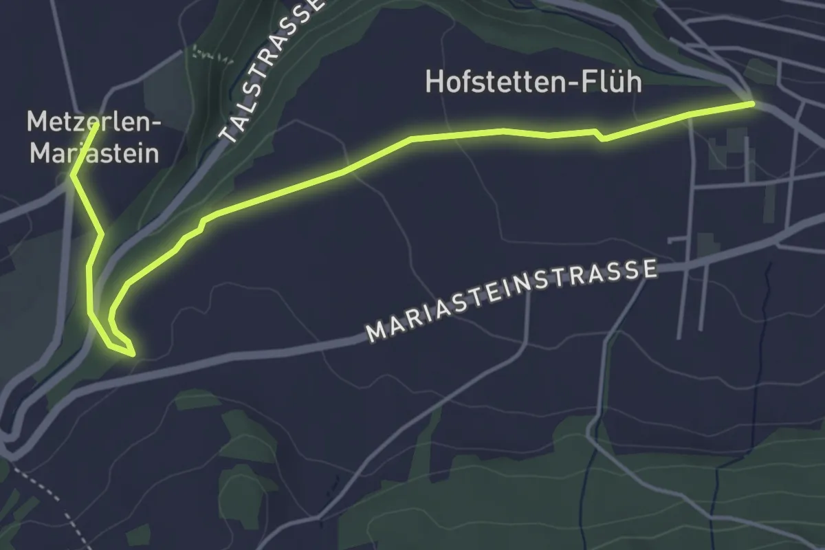
Easy · Trail
Kloster Mariastein – Hofstetten
5.1 km · ↑ 74 m · 1 h 21 min
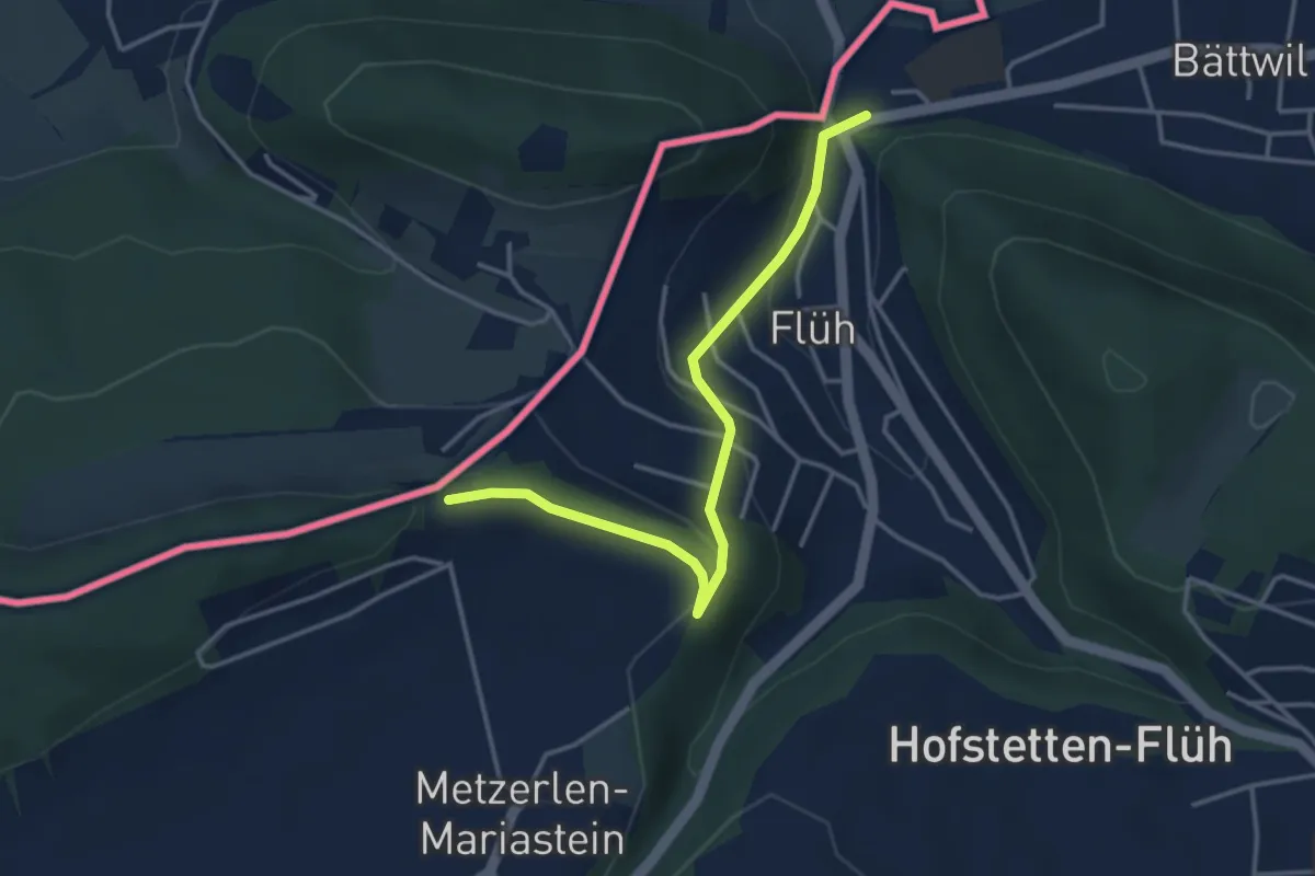
Easy · Trail
Heulen – Flüh Station
3.7 km · ↑ 161 m · 1 h 13 min
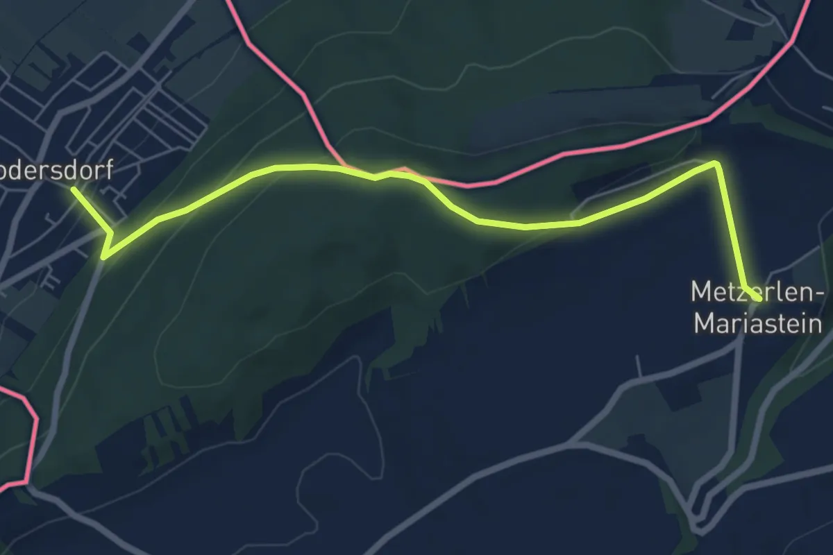
Easy · Trail
Kloster Mariastein – Rodersdorf
6.3 km · ↑ 284 m · 2 h 6 min
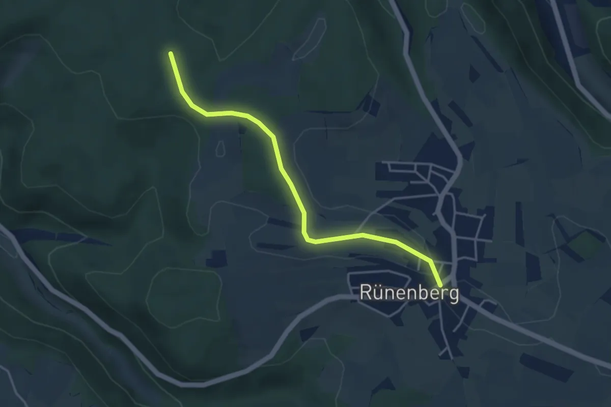
Easy · Trail
Rünenberg – Gelterkinden Berg
3.7 km · ↑ 33 m · 56 min
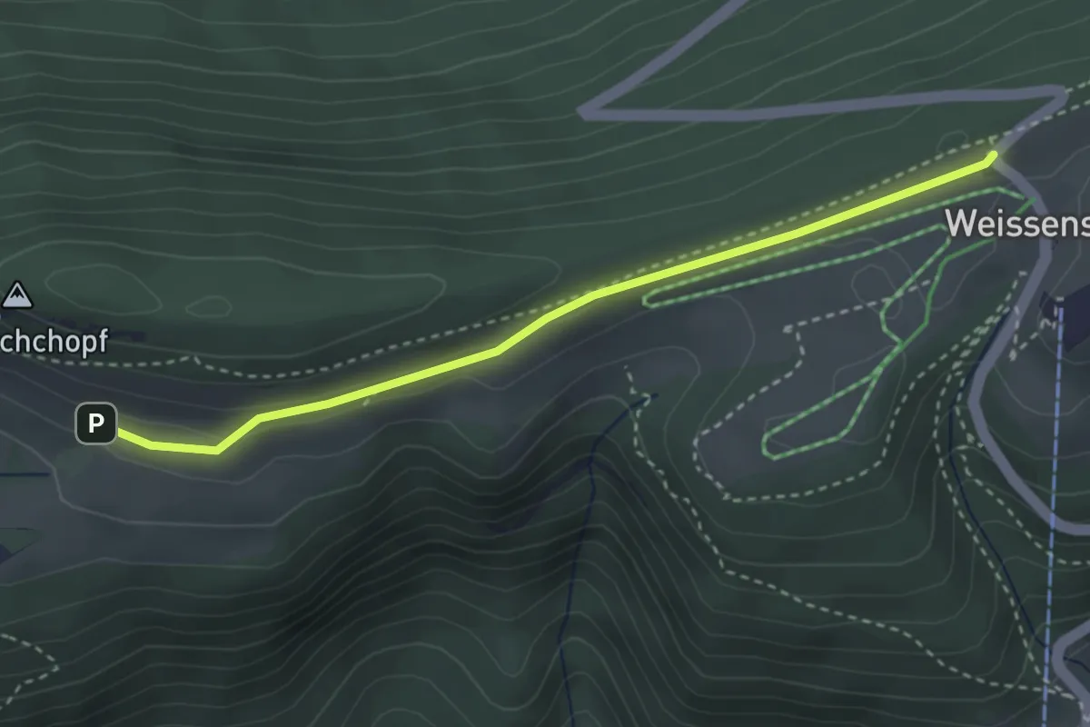
Easy · Trail
Hinter Weissenstein – Weissenstein
3.3 km · ↑ 57 m · 54 min
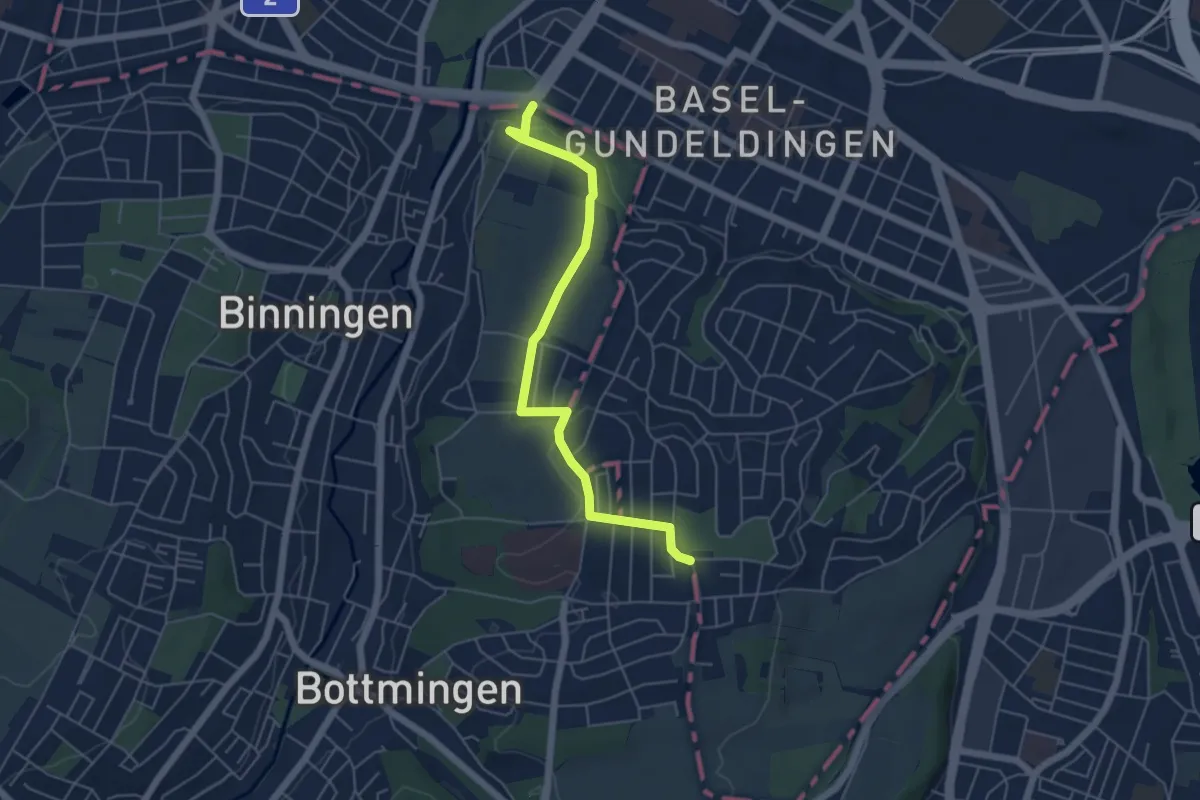
Easy · Trail
Batterie – St. Margreten
5.3 km · ↑ 86 m · 1 h 26 min
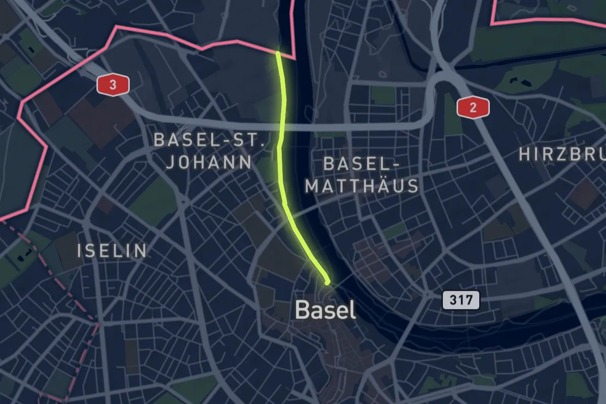
Easy · Trail
Schifflände – Weil am Rhein Bahnhof
3.7 km · ↑ 4 m · 54 min
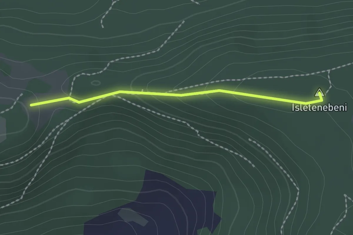
Medium · Summit
Rickenbacherflue – Sissacher Flue
1.7 km · ↑ 55 m · 31 min
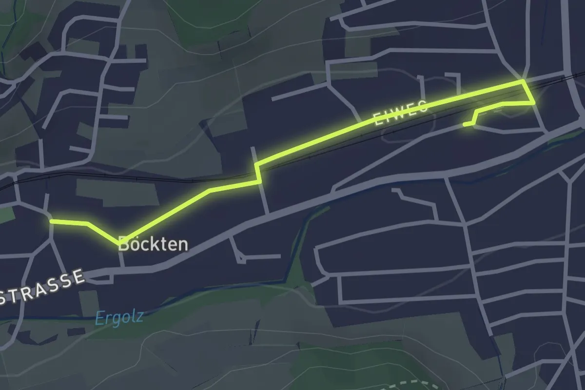
Easy · Trail
Böckten – Gelterkinden
2.8 km · ↑ 13 m · 41 min
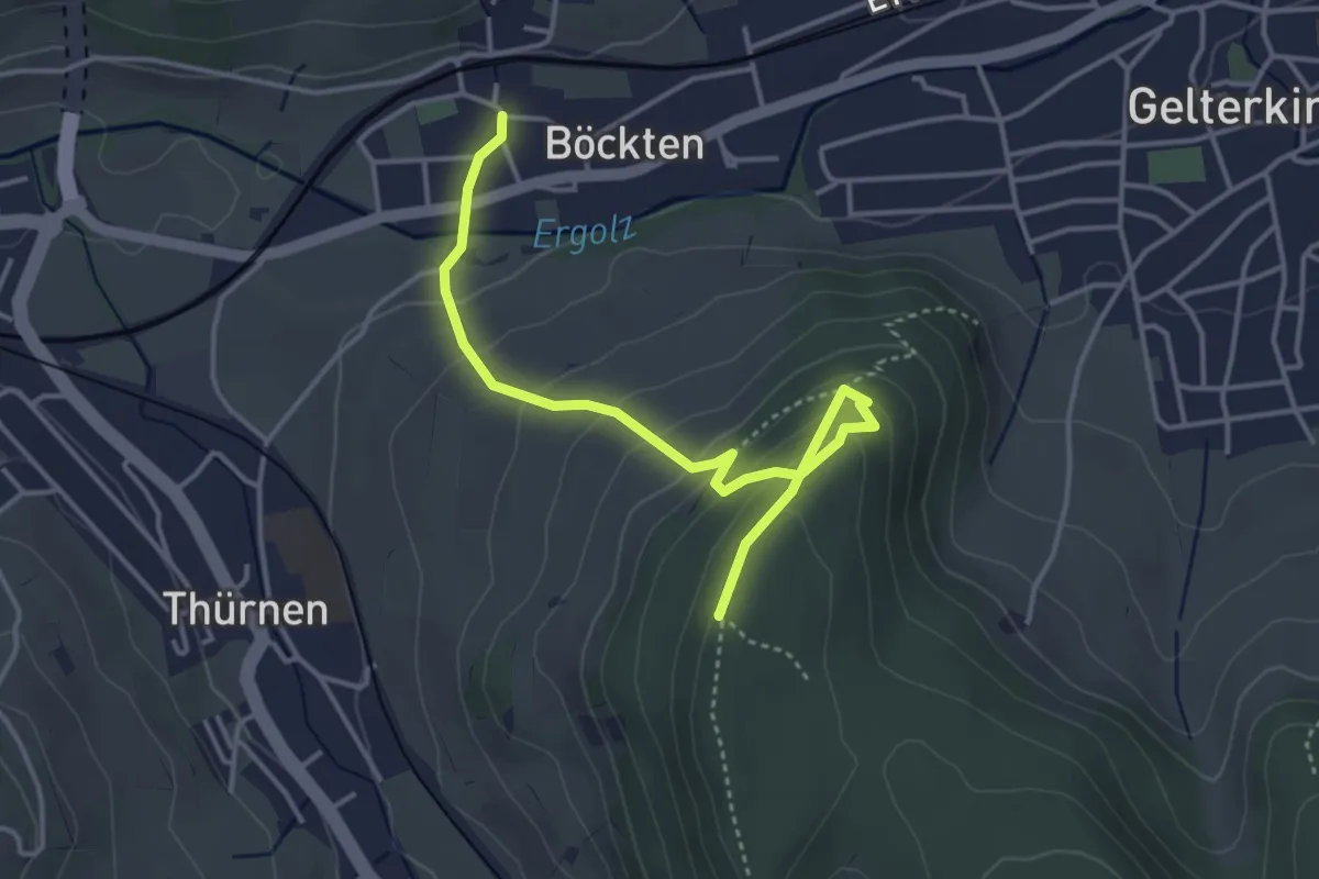
Easy · Summit
Böckten – Thürner Flue
4.1 km · ↑ 258 m · 1 h 32 min
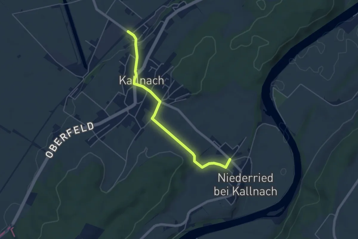
Easy · Trail
Kallnach – Niederried
4.6 km · ↑ 79 m · 1 h 16 min
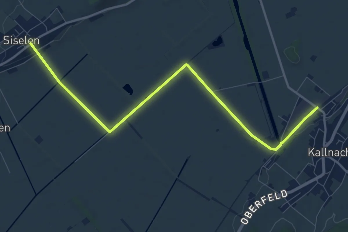
Medium · Trail
Kallnach – Siselen
9.6 km · ↑ 34 m · 2 h 20 min
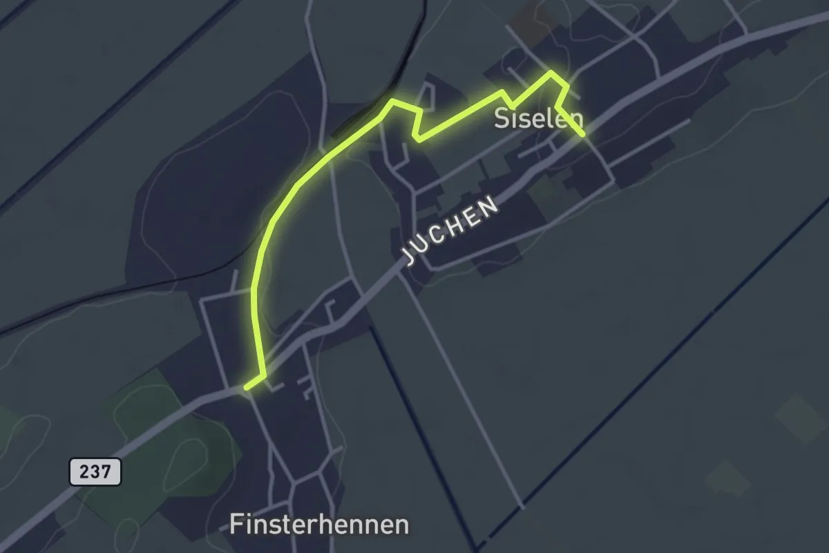
Easy · Trail
Siselen – Finsterhennen
3.3 km · ↑ 32 m · 51 min
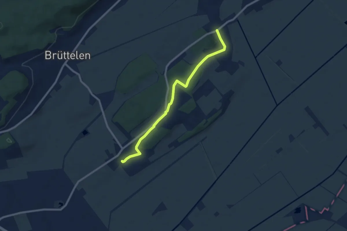
Easy · Trail
Finsterhennen – Treiten
6.0 km · ↑ 110 m · 1 h 40 min
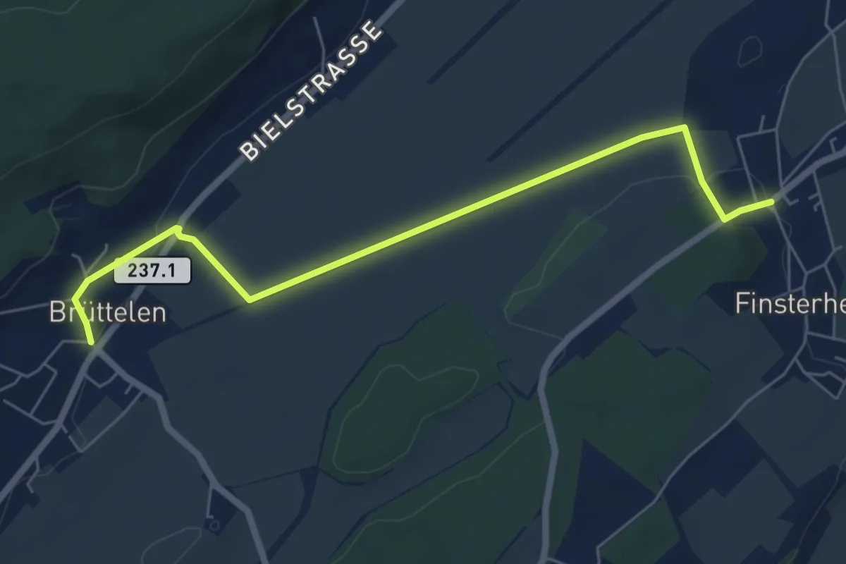
Easy · Trail
Finsterhennen – Brüttelen
6.2 km · ↑ 72 m · 1 h 37 min
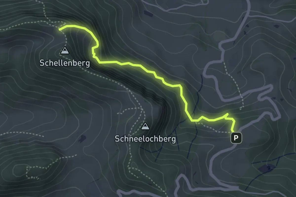
Medium · Trail
Oberbelchen – Lauchflue
4.1 km · ↑ 423 m · 1 h 53 min
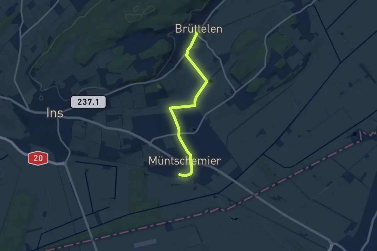
Medium · Trail
Müntschemier – Brüttelen
8.8 km · ↑ 43 m · 2 h 10 min
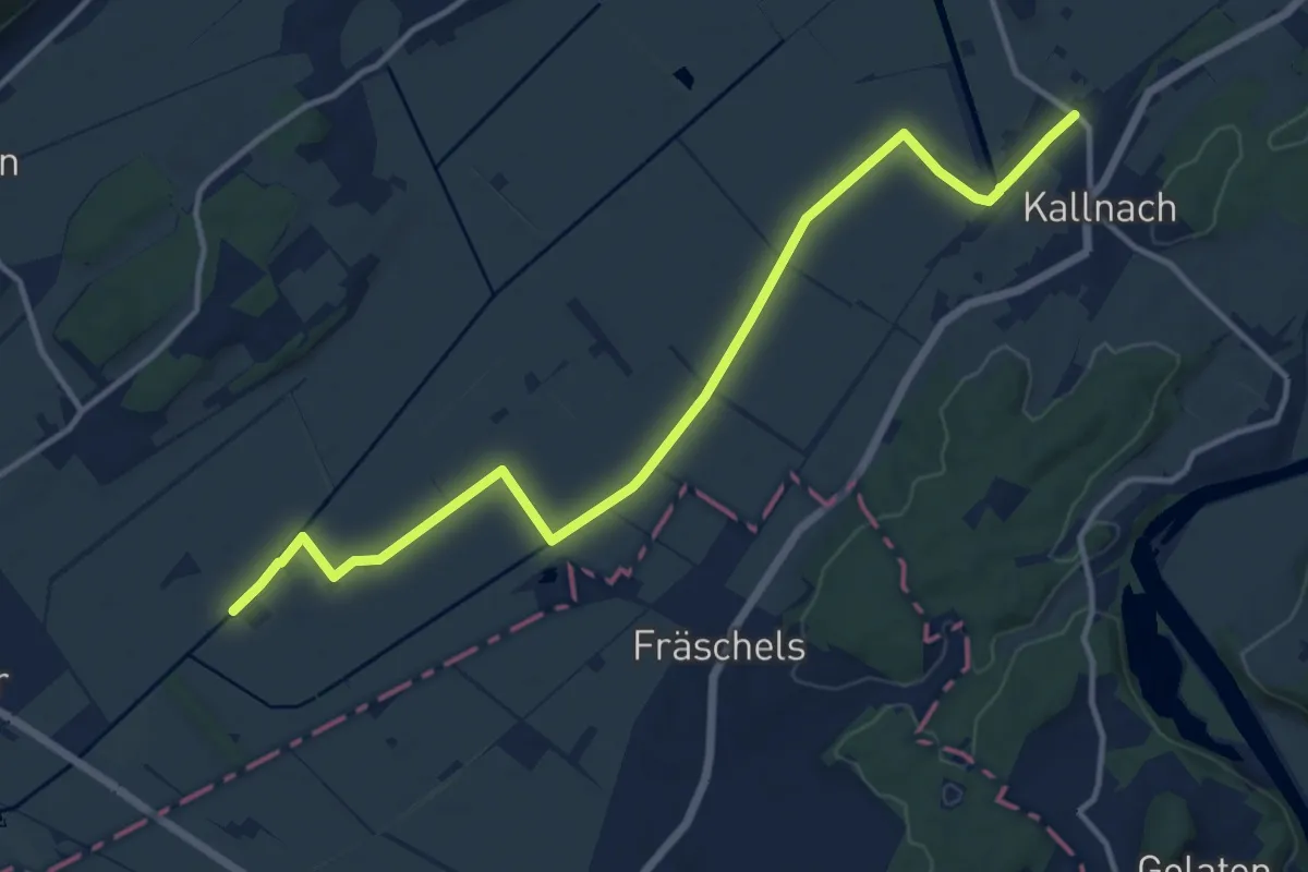
Medium · Trail
Treiten – Kallnach
14.8 km · ↑ 18 m · 3 h 32 min
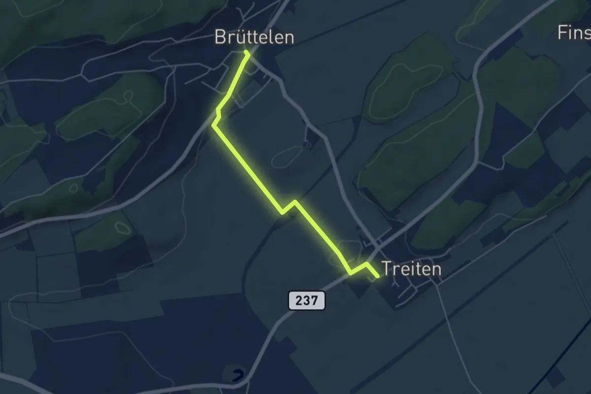
Easy · Trail
Treiten – Brüttelen
4.6 km · ↑ 42 m · 1 h 10 min
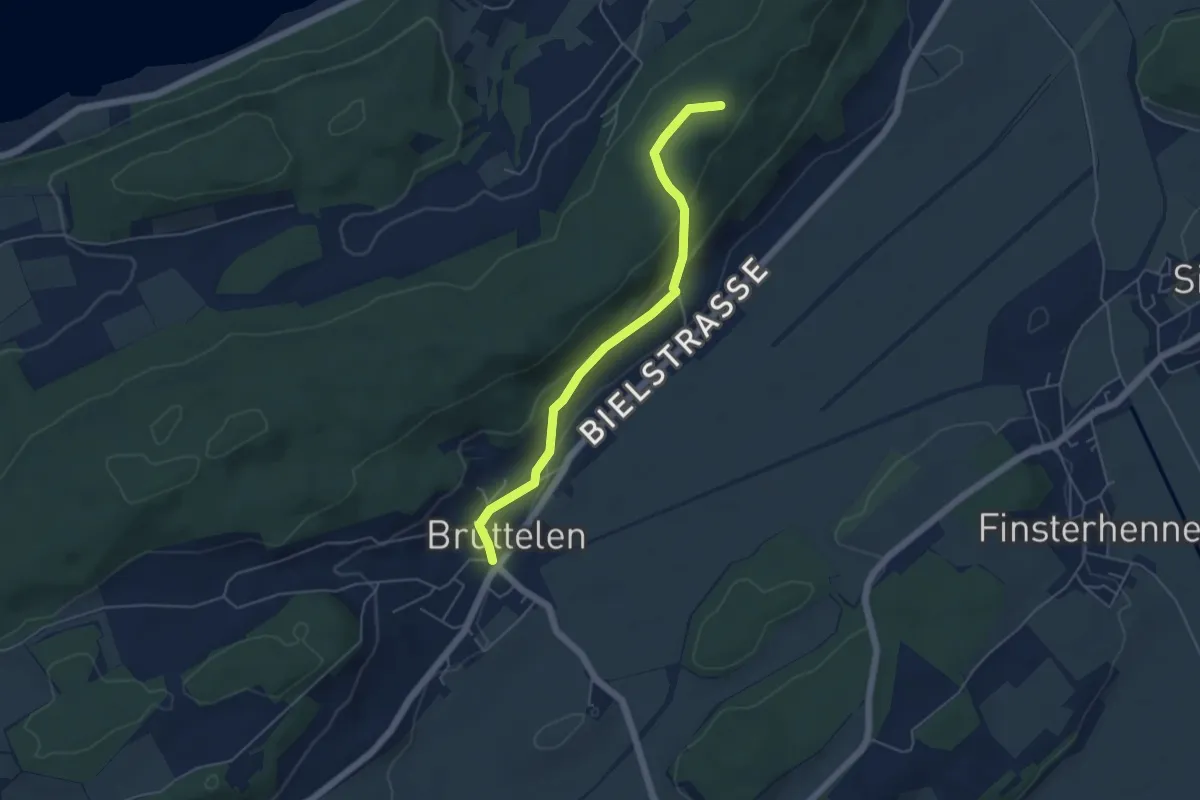
Easy · Summit
Hang – Brüttelen
5.0 km · ↑ 162 m · 1 h 31 min
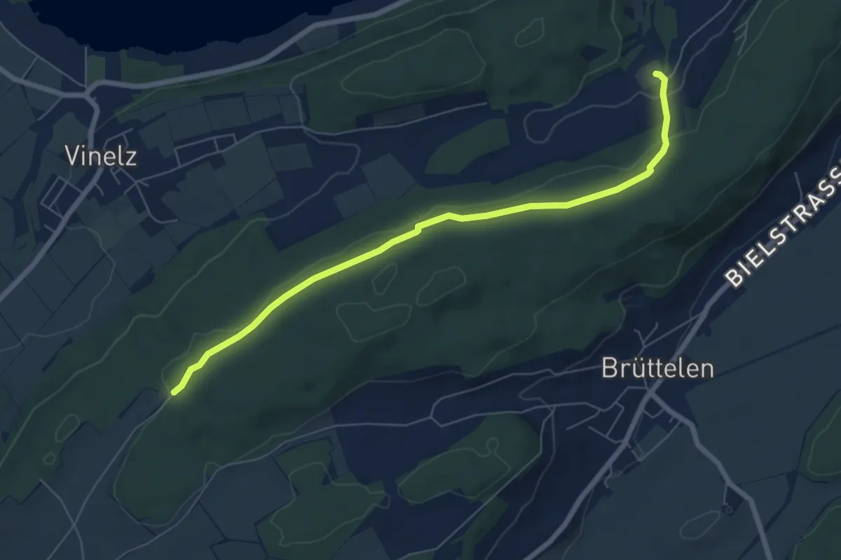
Easy · Trail
Gurzelen – Zweje
6.8 km · ↑ 162 m · 1 h 57 min
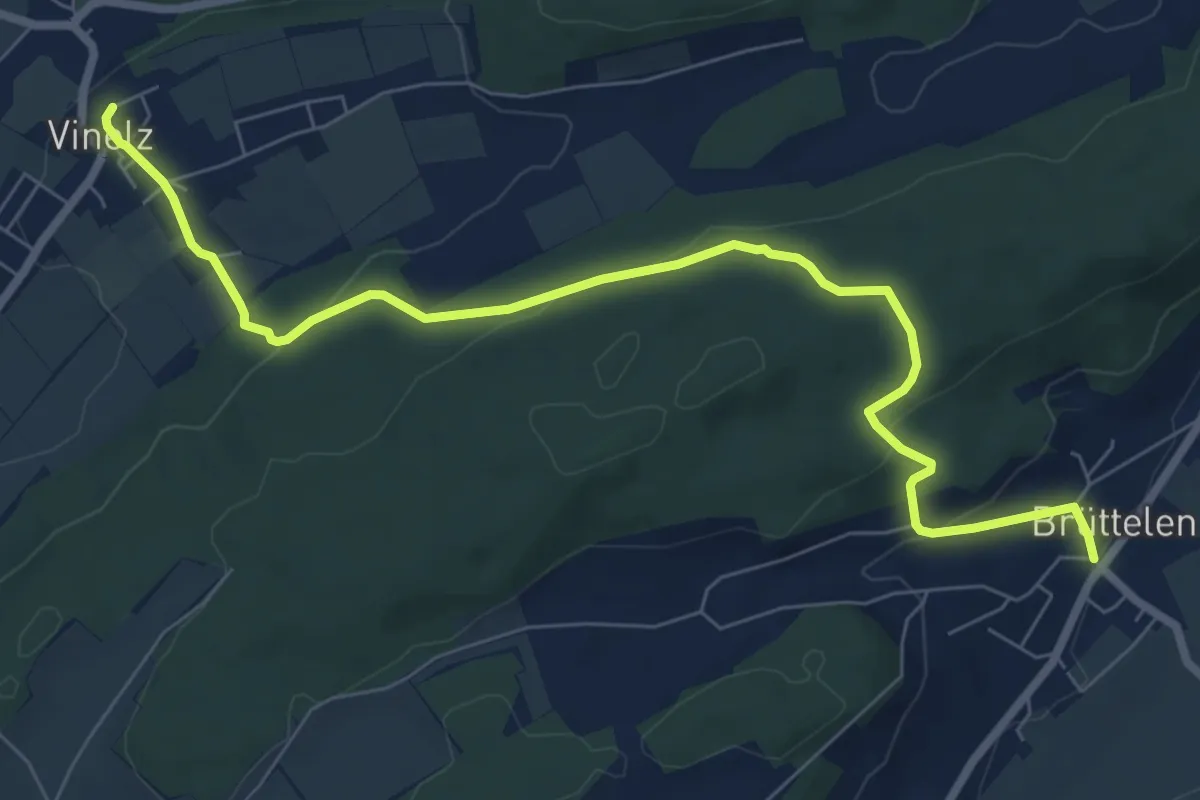
Medium · Trail
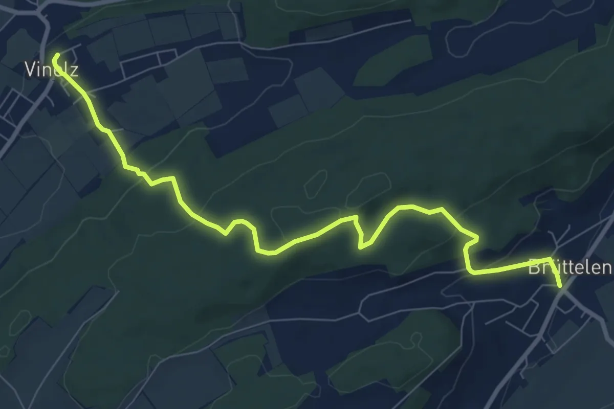
Brüttelen – Vinelz
8.5 km · ↑ 276 m · 2 h 36 min
Medium · Trail
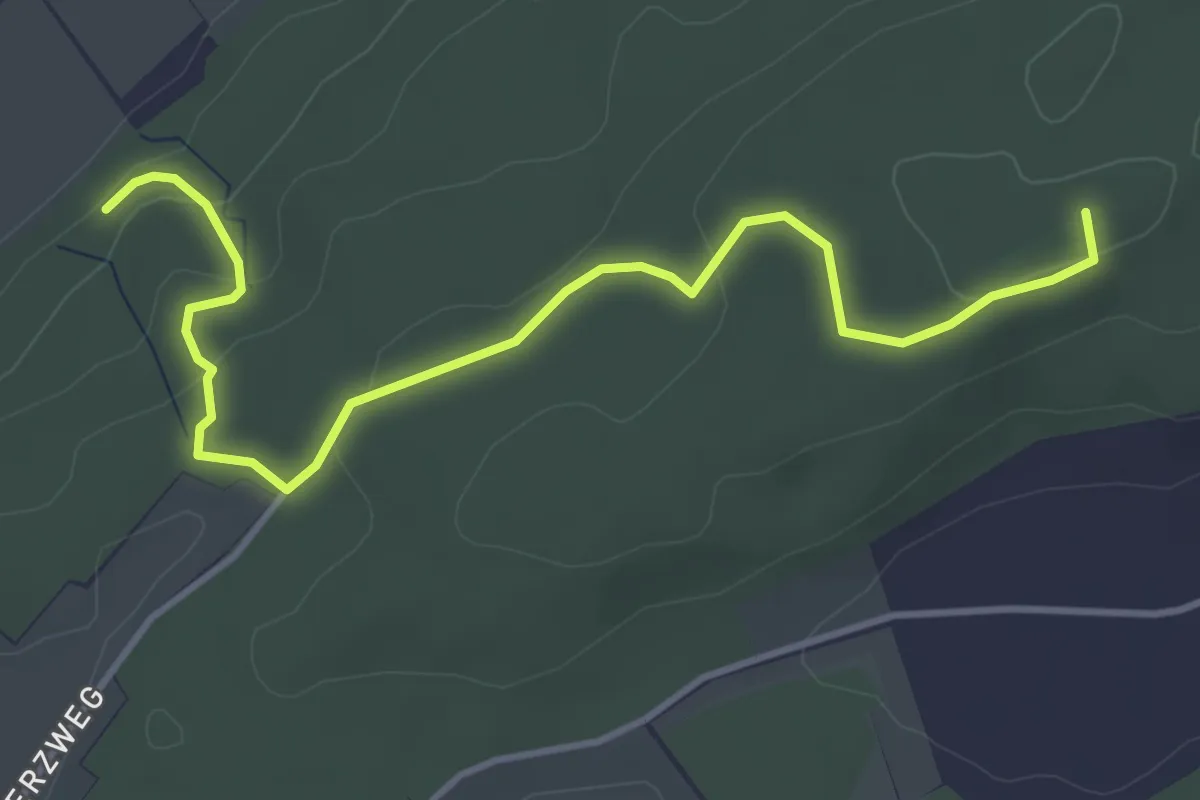
Brüttelen – Vinelz
8.5 km · ↑ 308 m · 2 h 41 min
Easy · Trail
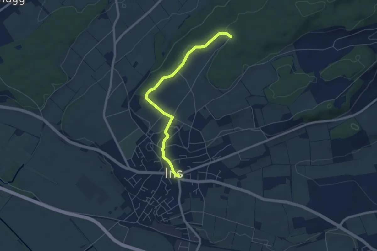
Fürstengräber – Hasenburg
4.5 km · ↑ 133 m · 1 h 21 min
Easy · Trail
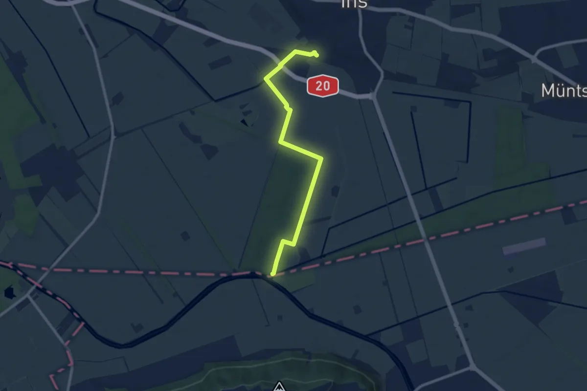
Ins Dorf – Zwejen
5.7 km · ↑ 82 m · 1 h 31 min
Easy · Trail
Ins – Les Trois Lacs
7.8 km · ↑ 47 m · 1 h 56 min
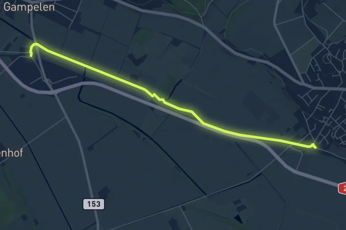
Easy · Trail
Ins – Gampelen
7.4 km · ↑ 26 m · 1 h 48 min
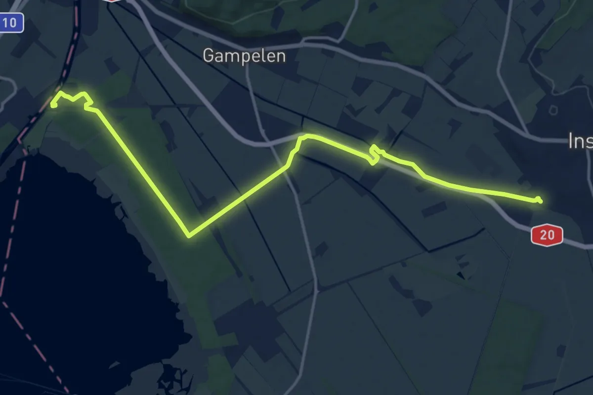
Medium · Trail
Ins – Zihlbrücke
14.7 km · ↑ 54 m · 3 h 35 min
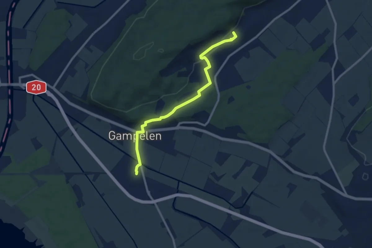
Easy · Trail
Gampelen – Tschugg
6.6 km · ↑ 109 m · 1 h 48 min
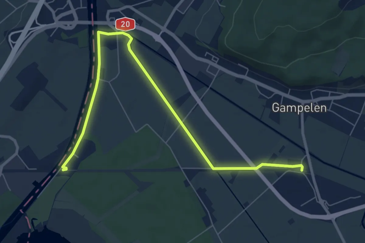
Easy · Trail
Gampelen – Zihlbrücke
7.7 km · ↑ 9 m · 1 h 50 min
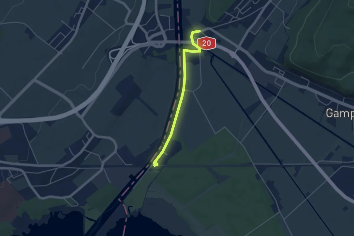
Easy · Trail
Zihlbrücke – Zihlbrücke
3.6 km · ↑ 0 m · 51 min
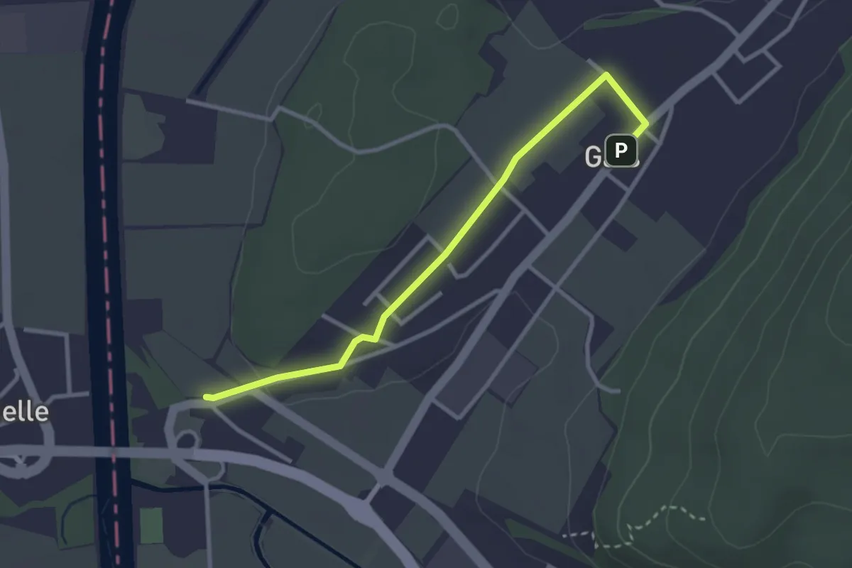
Easy · Trail
Gals – Zihlbrücke
3.0 km · ↑ 22 m · 45 min
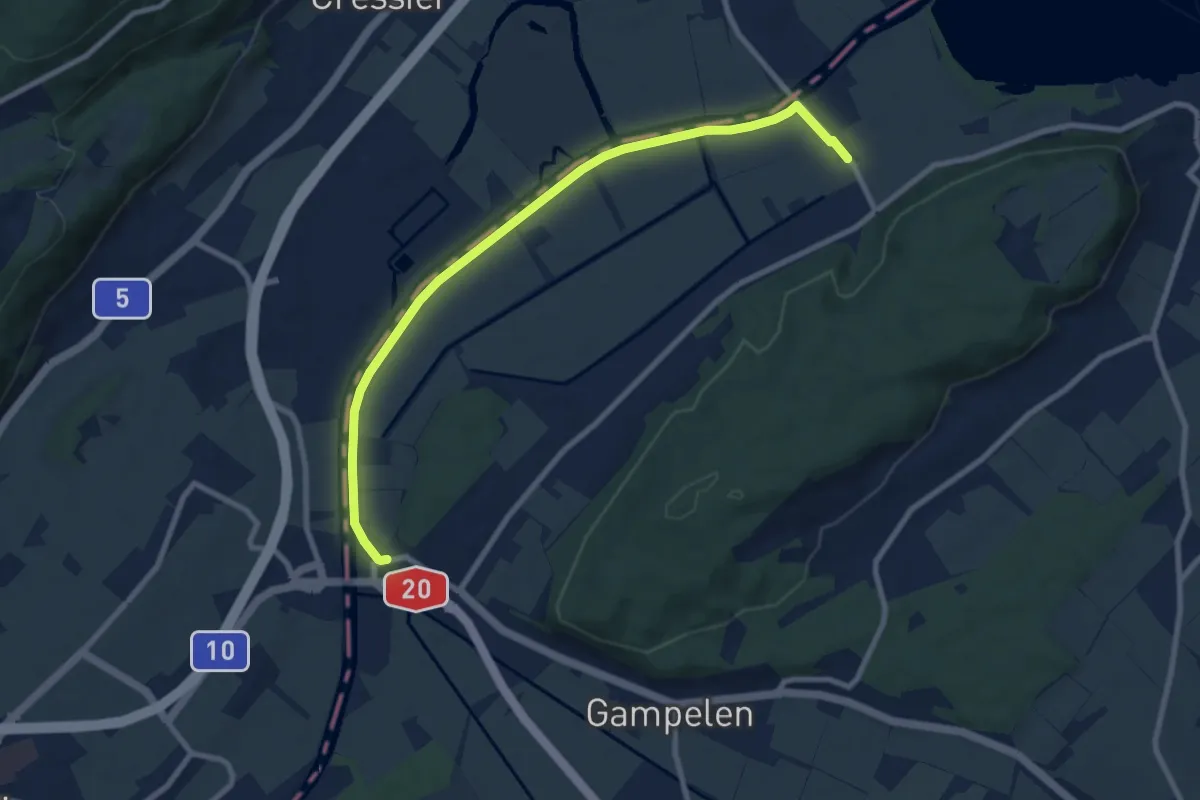
Medium · Trail
St. Johannsen – Zihlbrücke
9.1 km · ↑ 9 m · 2 h 11 min
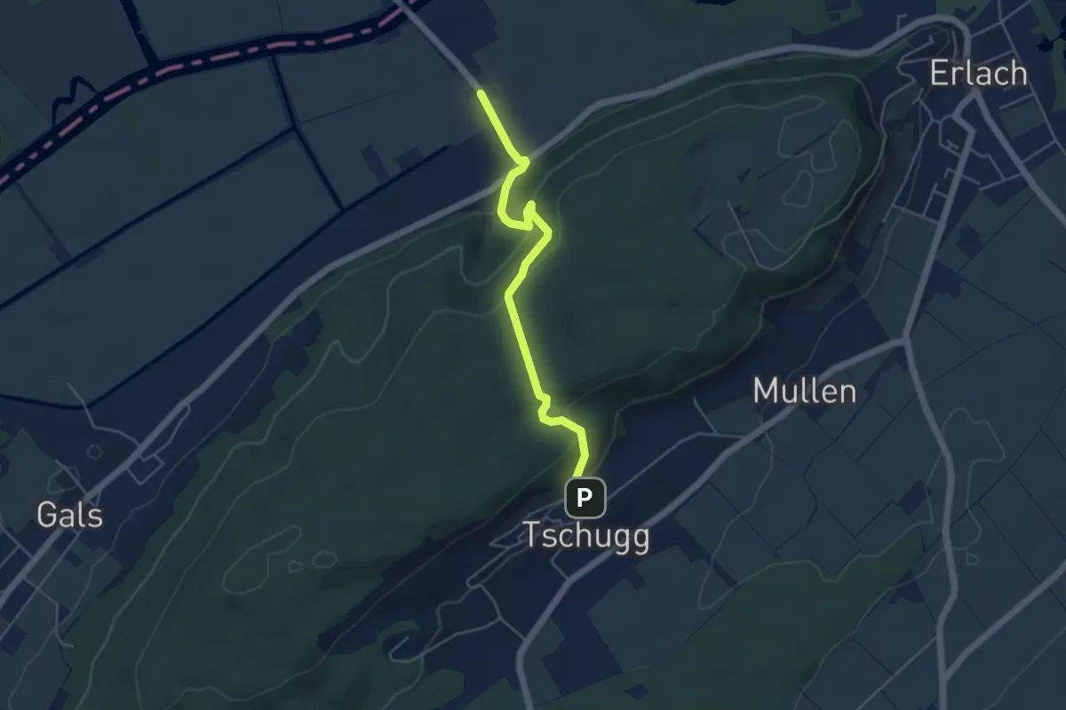
Easy · Trail
Tschugg – St. Johannsen
4.6 km · ↑ 241 m · 1 h 36 min
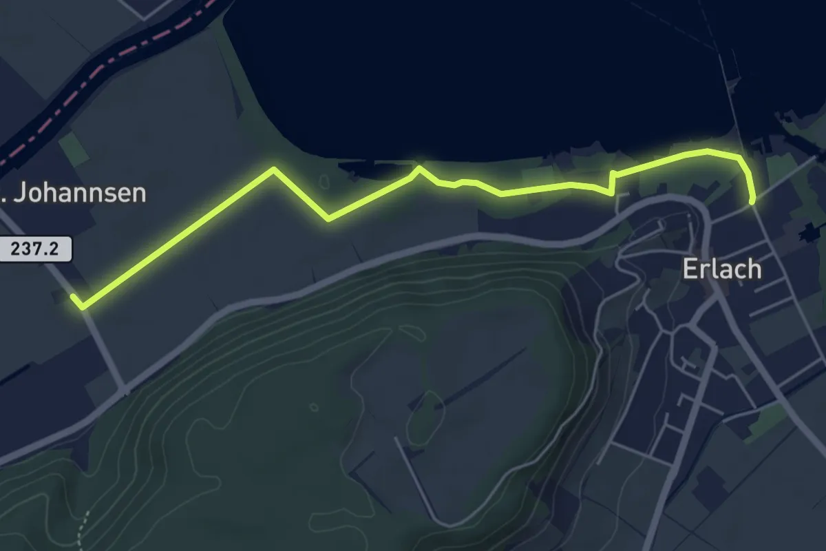
Easy · Trail
Erlach – St. Johannsen
5.2 km · ↑ 19 m · 1 h 16 min
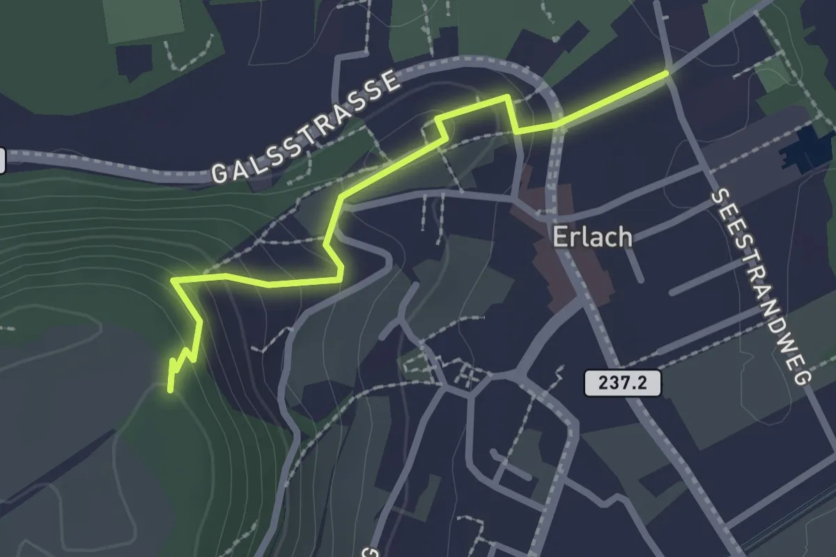
Easy · Trail
Erlach – Erlachbänkli
2.1 km · ↑ 114 m · 45 min
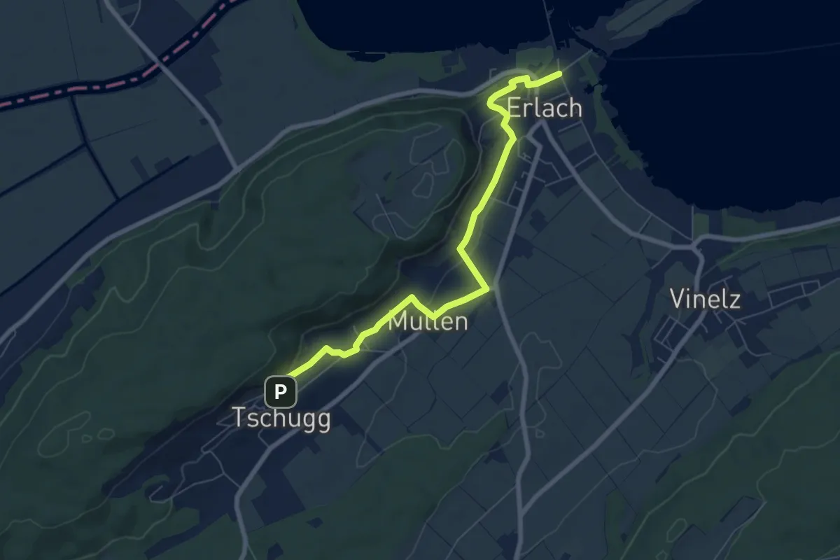
Easy · Trail
Erlach – Tschugg
7.0 km · ↑ 139 m · 1 h 58 min
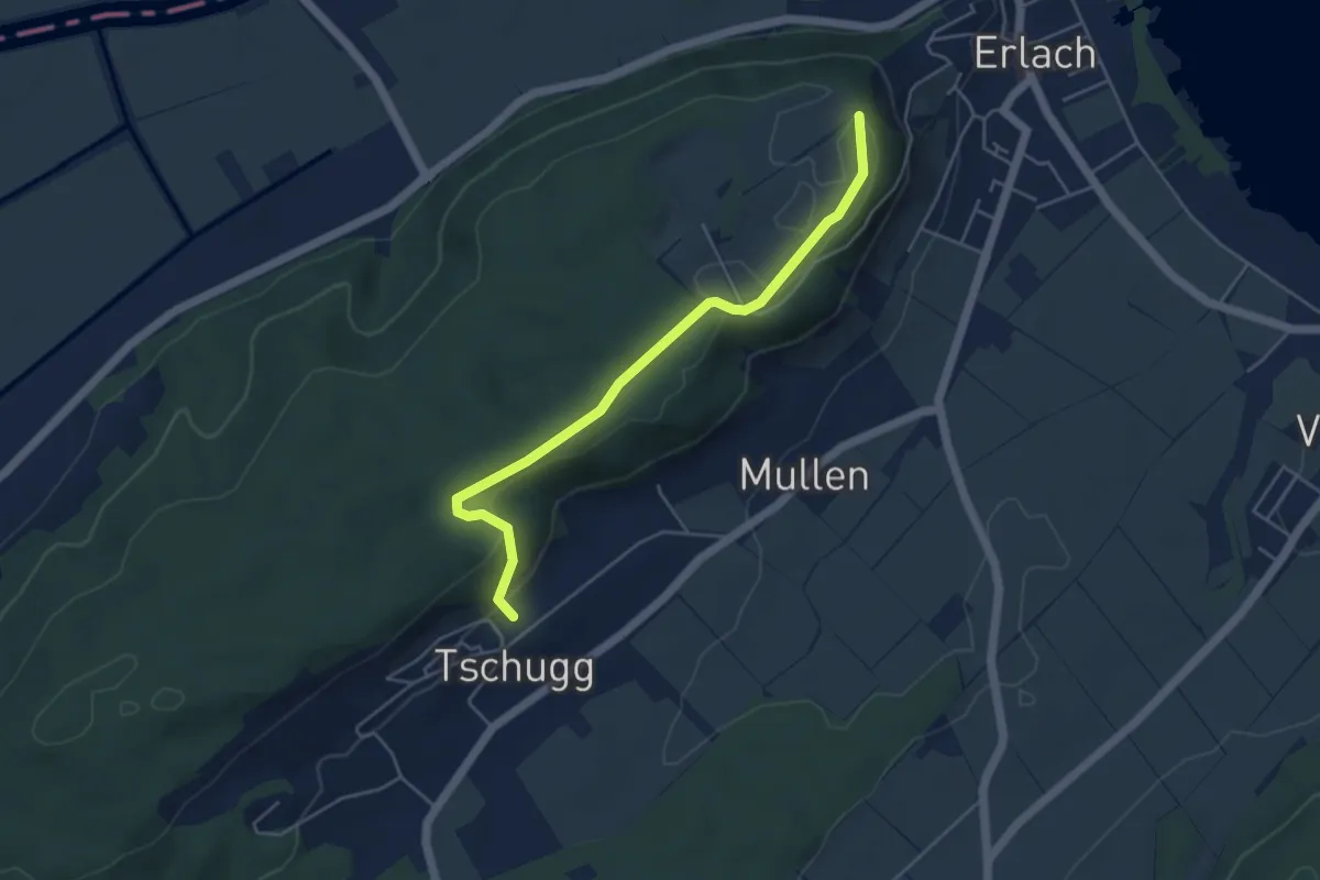
Easy · Trail
Erlachbänkli – Tschugg
4.7 km · ↑ 82 m · 1 h 17 min
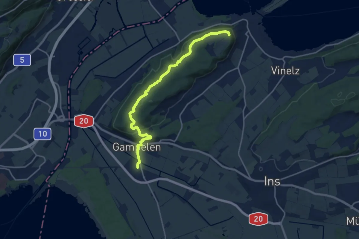
Medium · Trail
Gampelen – Erlachbänkli
12.6 km · ↑ 284 m · 3 h 35 min
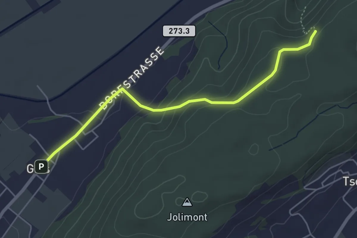
Easy · Trail
Gals – Tüfelsburdi
4.5 km · ↑ 147 m · 1 h 23 min
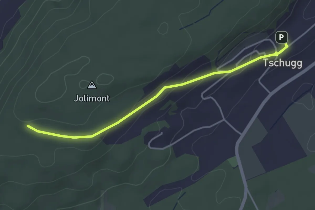
Easy · Trail
Wartstude – Tschugg
3.6 km · ↑ 102 m · 1 h 5 min
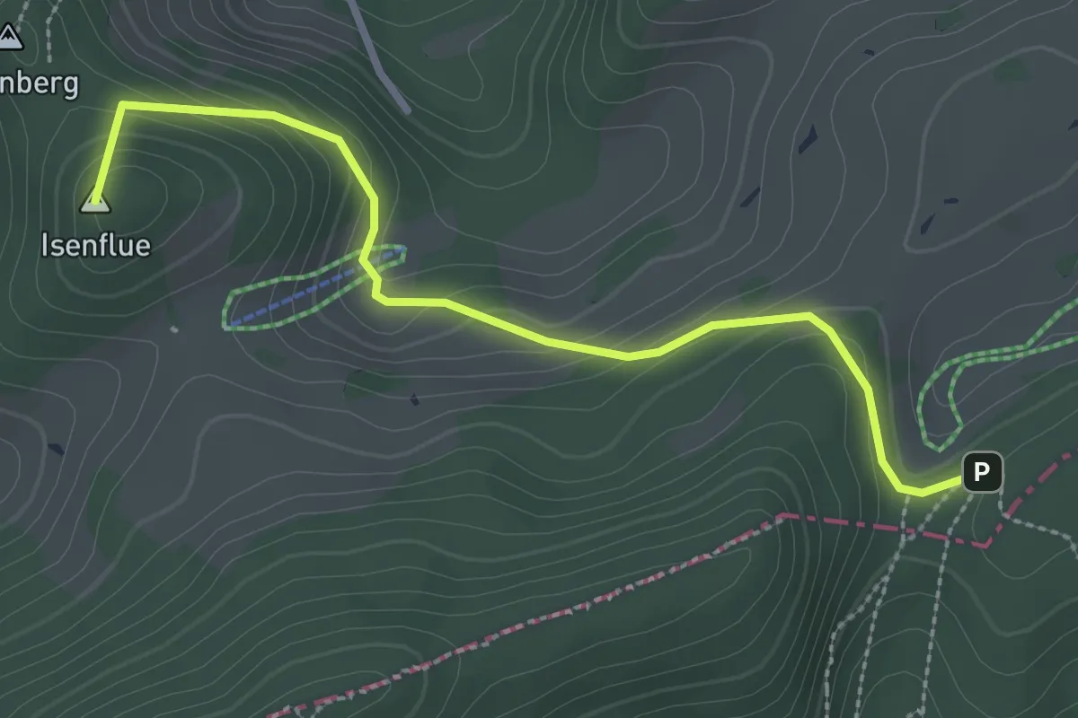
Medium · Summit
Zeglingen – Burggraben
2.9 km · ↑ 163 m · 1 h 2 min