Trails in Switzerland
15,055 hiking trails, each with its route, climb, walking time and grade.
All trails, page 255 of 314
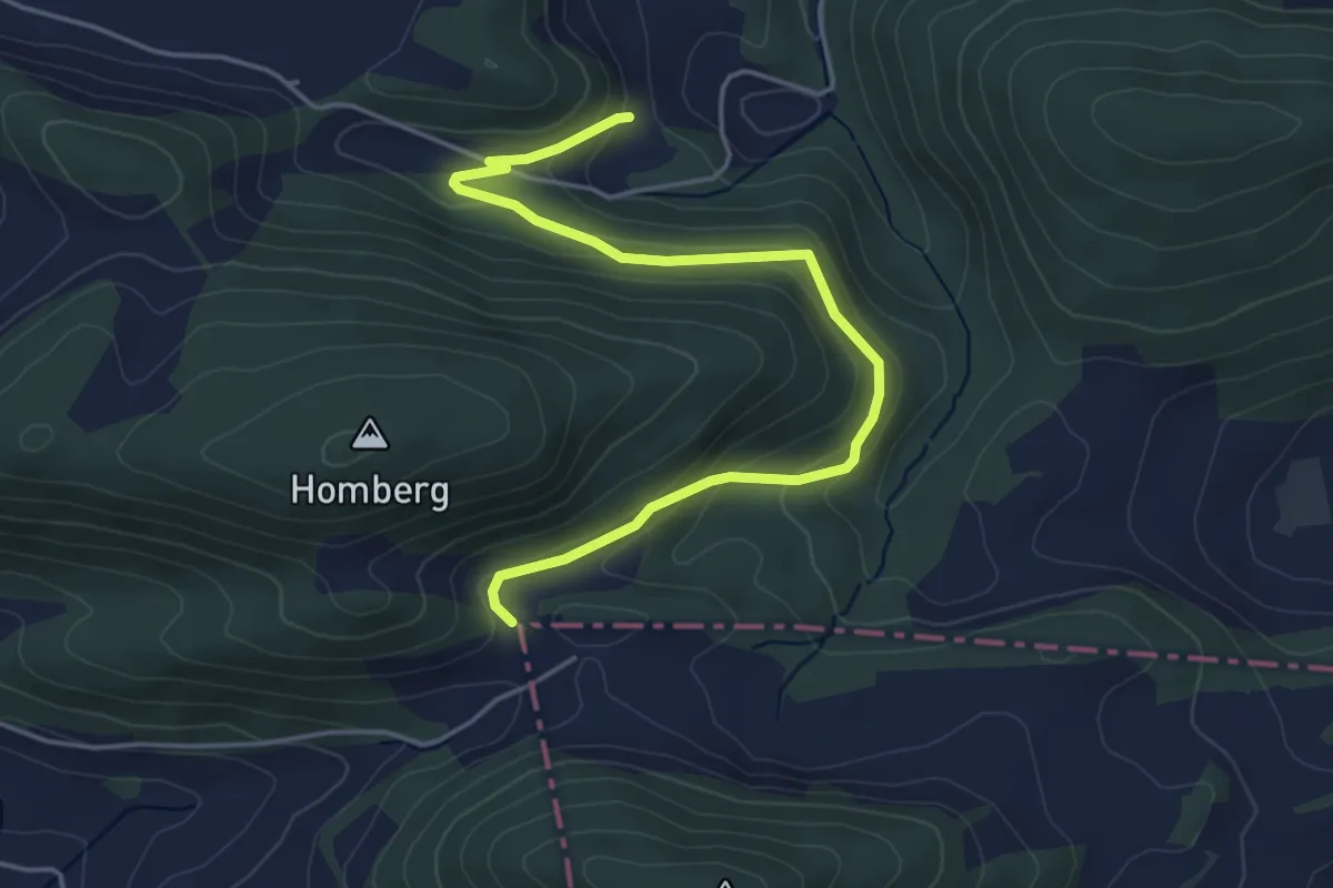
Easy · Trail
Dietel – Unterackert
4.9 km · ↑ 178 m · 1 h 33 min
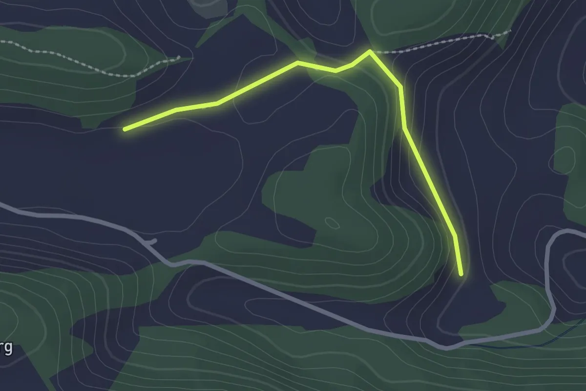
Easy · Trail
Unterackert – Moos
2.1 km · ↑ 58 m · 38 min
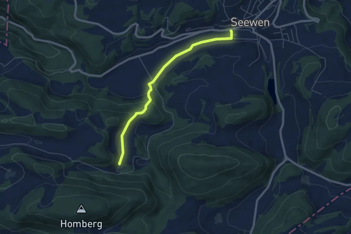
Easy · Trail
Unterackert – Seewen Herrenmatt
5.3 km · ↑ 176 m · 1 h 38 min
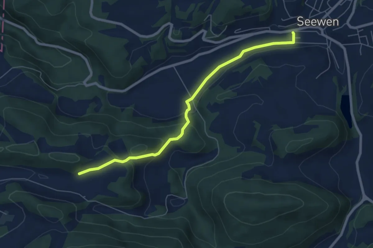
Easy · Trail
Moos – Seewen Herrenmatt
5.9 km · ↑ 198 m · 1 h 49 min
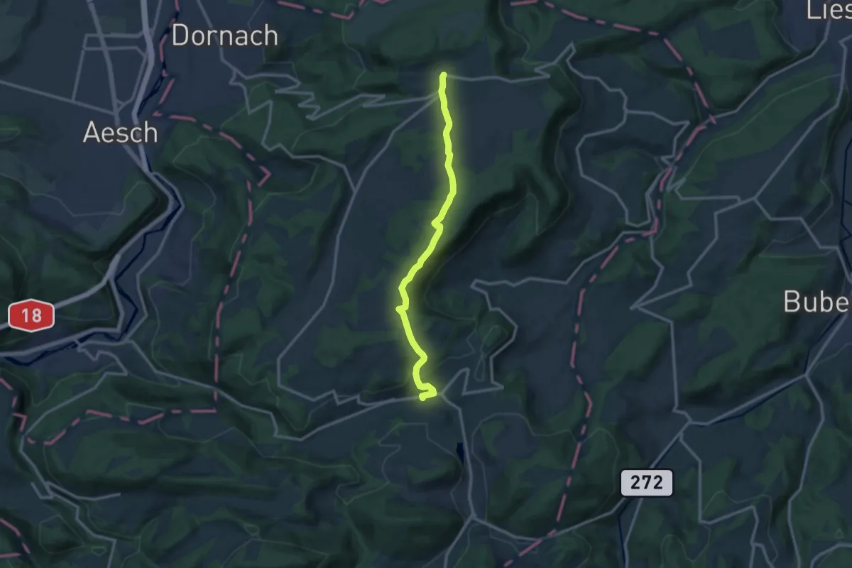
Medium · Trail
Seewen Herrenmatt – Gempen
10.9 km · ↑ 298 m · 3 h 14 min
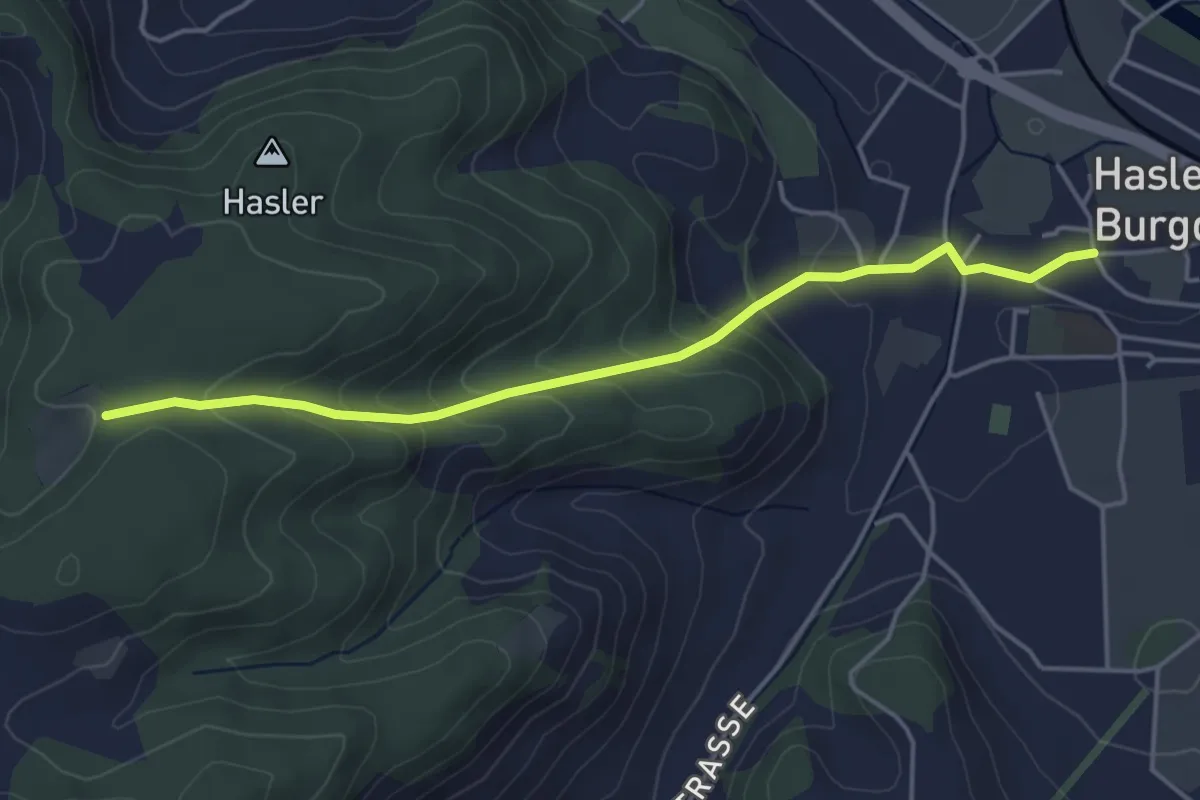
Easy · Trail
Bärgli – Hasle-Rüegsau
4.4 km · ↑ 246 m · 1 h 34 min
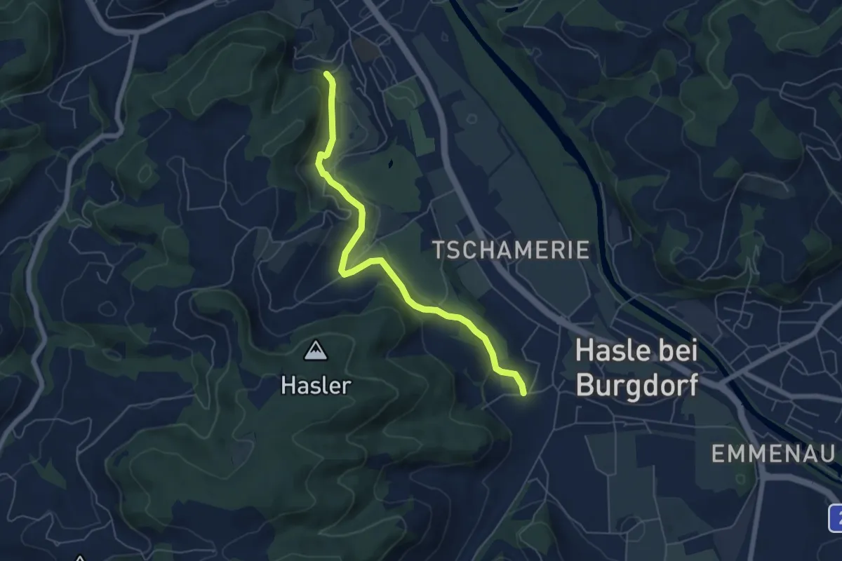
Easy · Trail
Hasle-Rüegsau – Oberburg
5.7 km · ↑ 200 m · 1 h 47 min
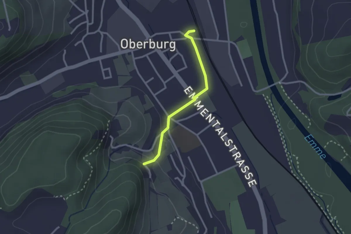
Easy · Trail
Leimern – Oberburg
2.0 km · ↑ 46 m · 35 min
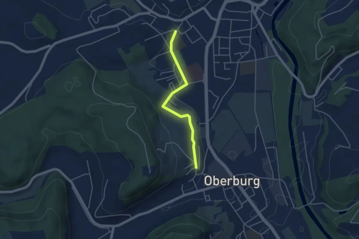
Easy · Trail
Oberburg/Kirche – Burgdorf/Steinhof
3.3 km · ↑ 59 m · 55 min
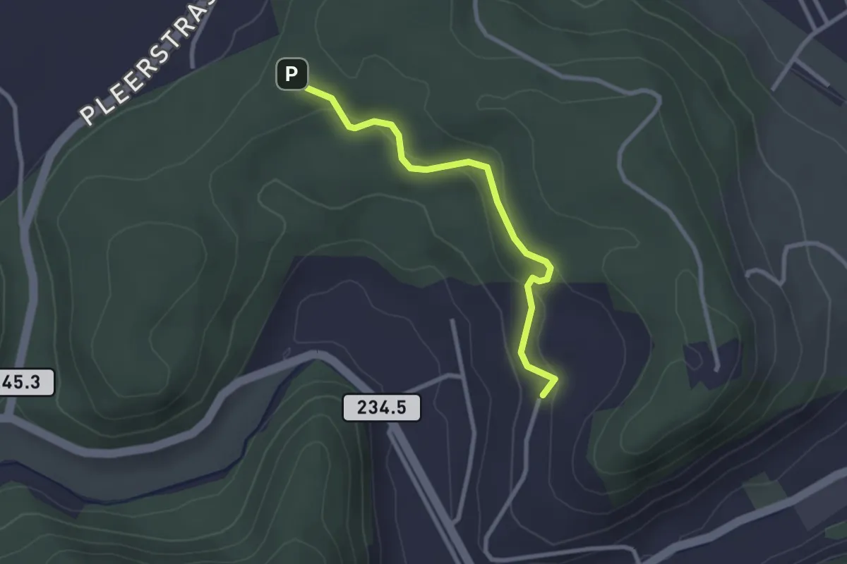
Easy · Trail
Hinterroth – Siebenwegeplatz
2.5 km · ↑ 102 m · 49 min
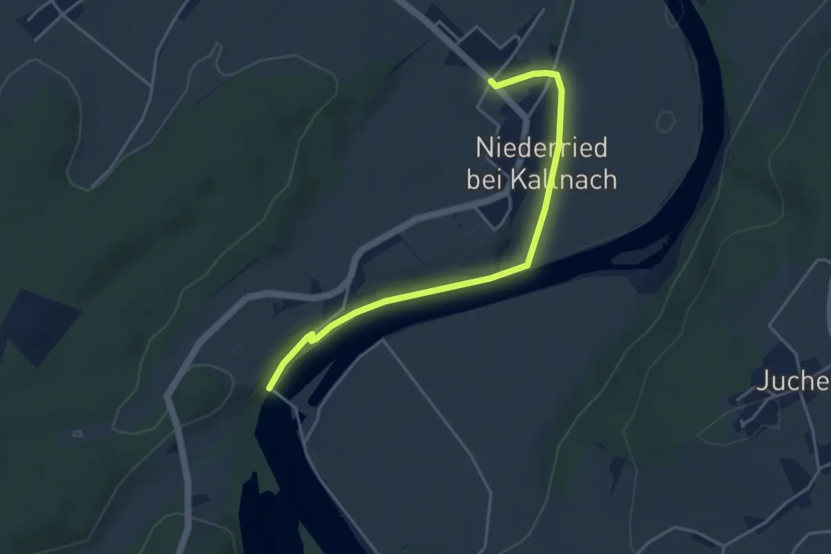
Easy · Trail
Stausee Niederried – Niederried
3.8 km · ↑ 31 m · 58 min
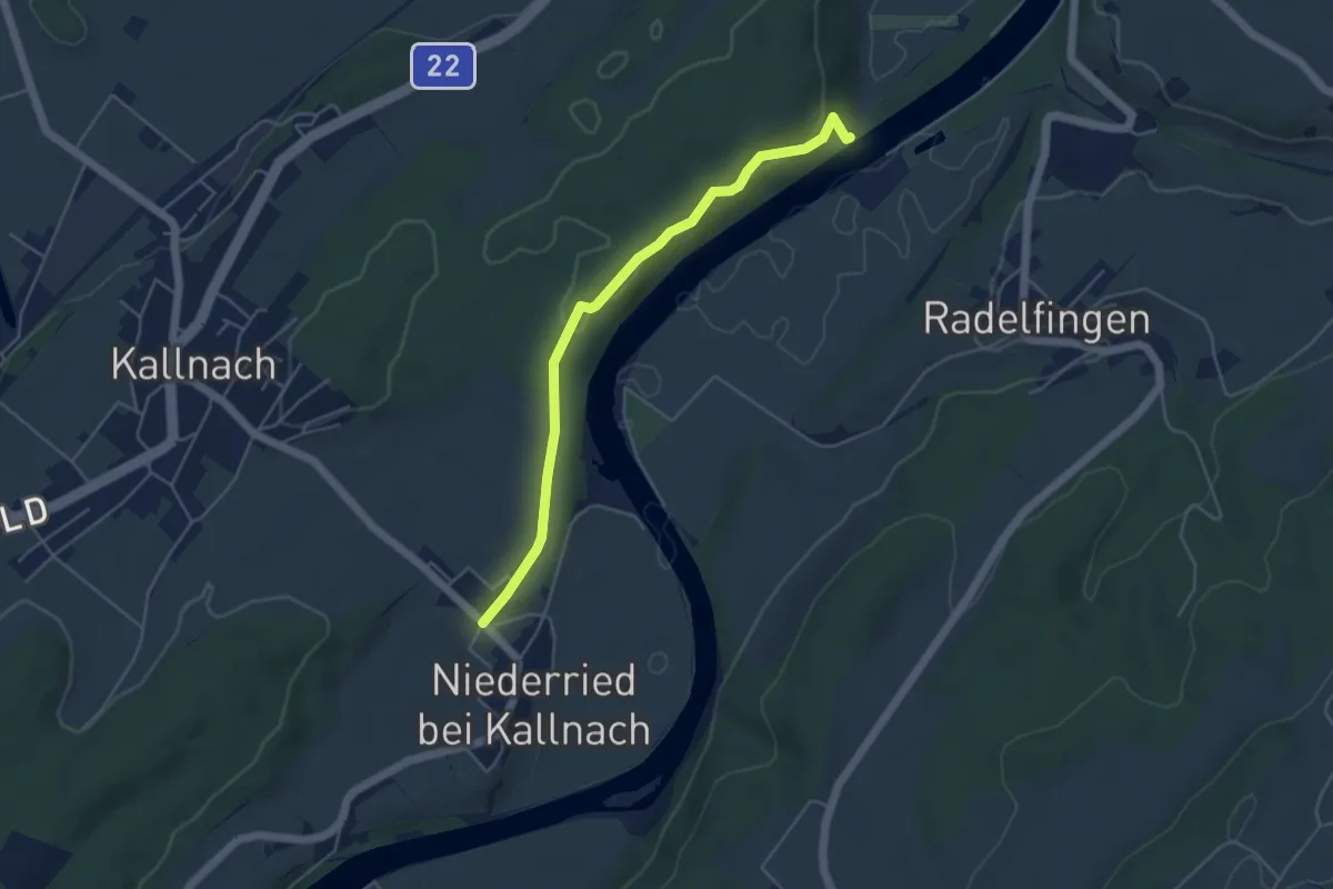
Easy · Trail
Niederried – Mülau
4.7 km · ↑ 119 m · 1 h 22 min
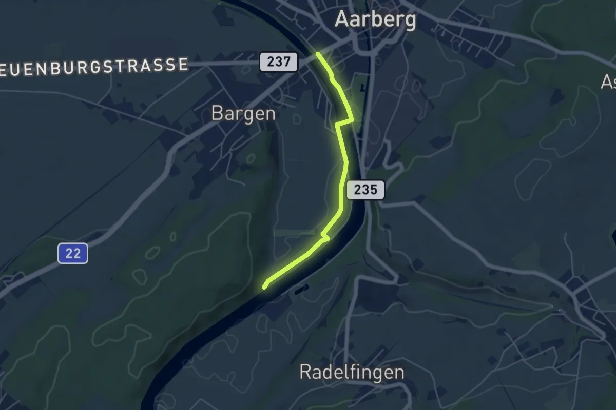
Easy · Trail
Mülau – Bargenbrücke
4.2 km · ↑ 14 m · 1 h 1 min
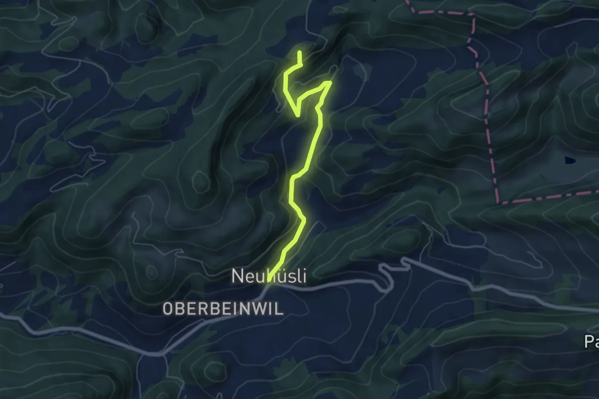
Medium · Summit
Neuhüsli – Nunningerberg
5.5 km · ↑ 322 m · 2 h
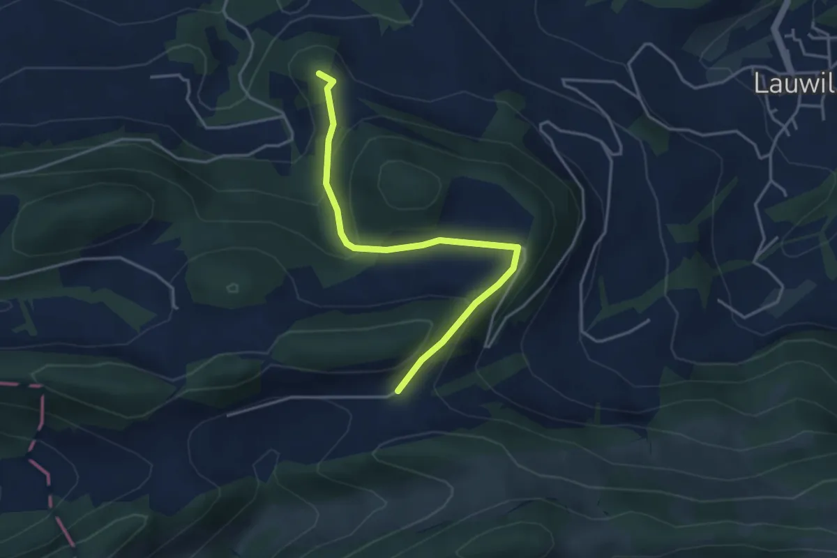
Easy · Summit
Ulmethöhe – Ramstein
3.8 km · ↑ 195 m · 1 h 19 min
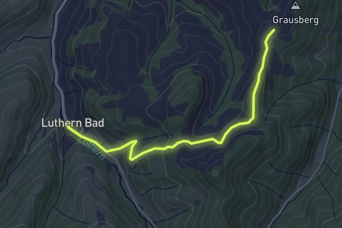
Easy · Trail
Mülibüel – Luthern Bad
4.7 km · ↑ 225 m · 1 h 36 min
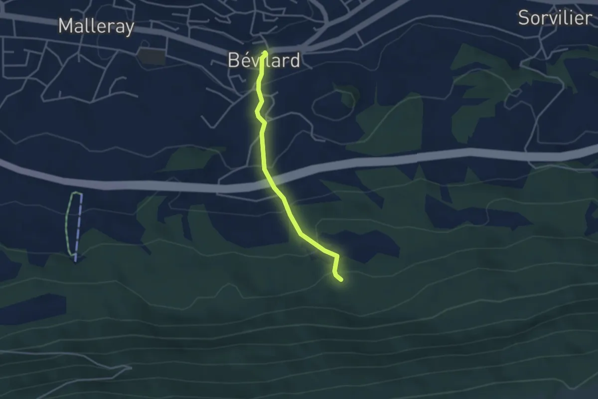
Easy · Trail
Bévilard – Pâturage de l'Envers
2.9 km · ↑ 198 m · 1 h 7 min
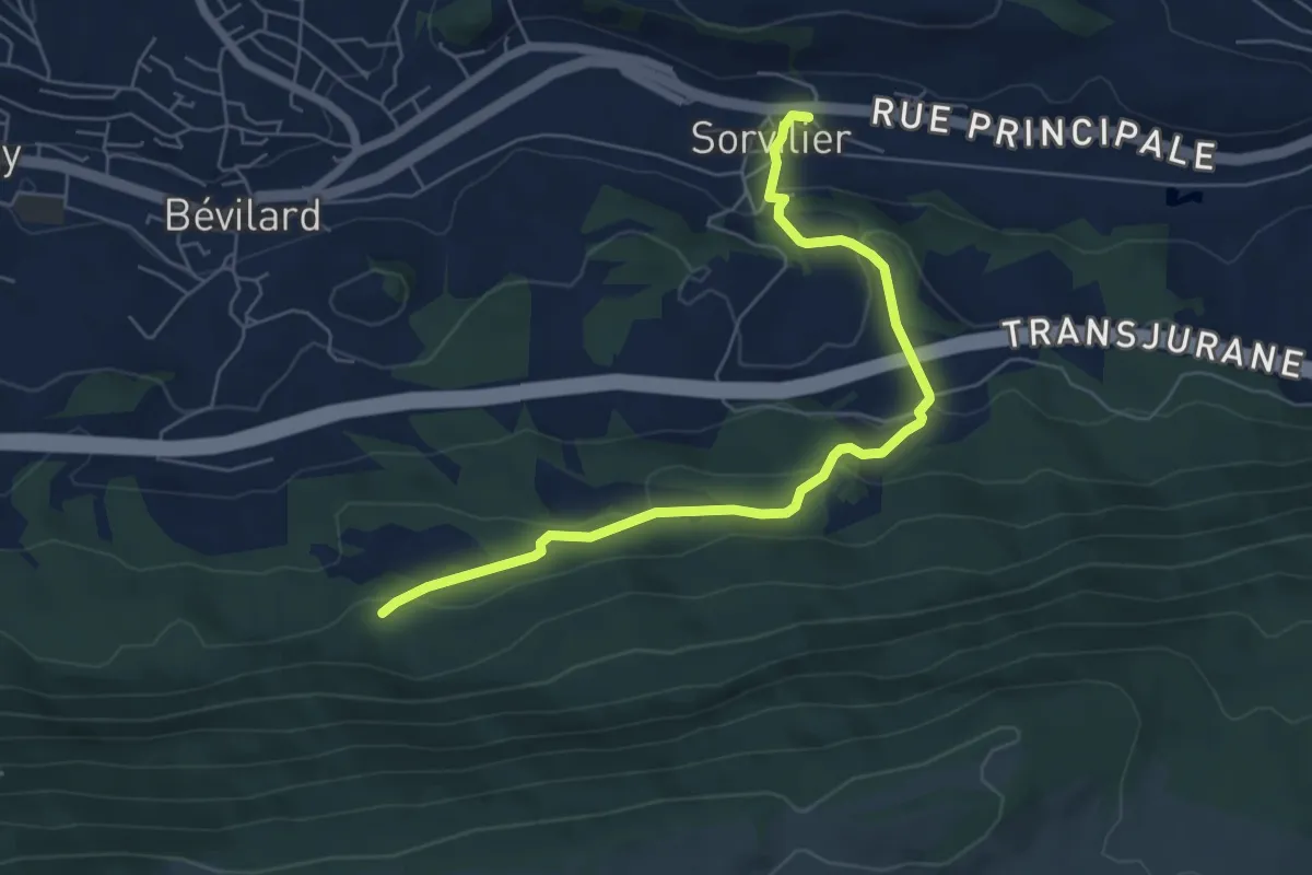
Easy · Trail
Pâturage de l'Envers – Sorvilier
6.2 km · ↑ 274 m · 2 h 4 min
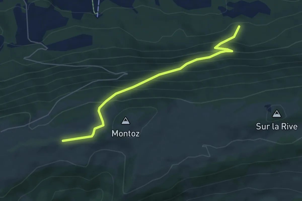
Medium · Cabin
Pâturage de l'Envers – La Rochette CAS
5.3 km · ↑ 394 m · 2 h 7 min
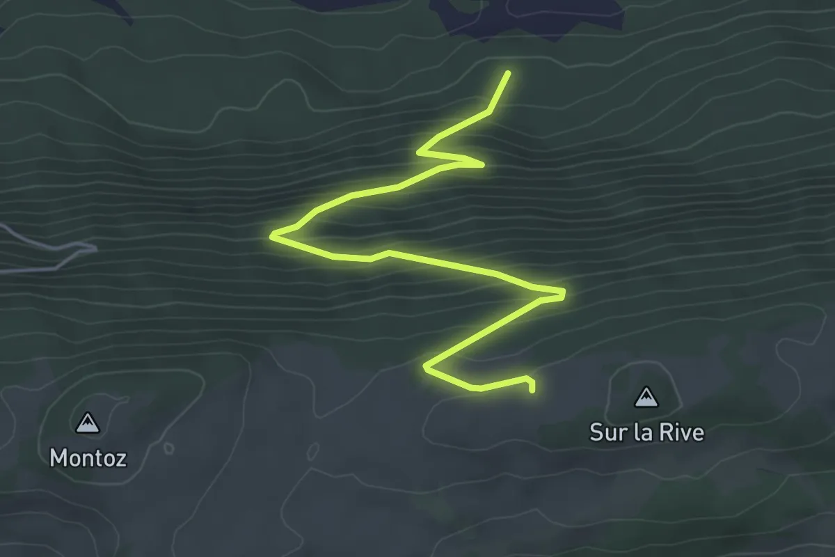
Medium · Trail
Pâturage de l'Envers – Bergerie de Bévilard
5.5 km · ↑ 390 m · 2 h 8 min
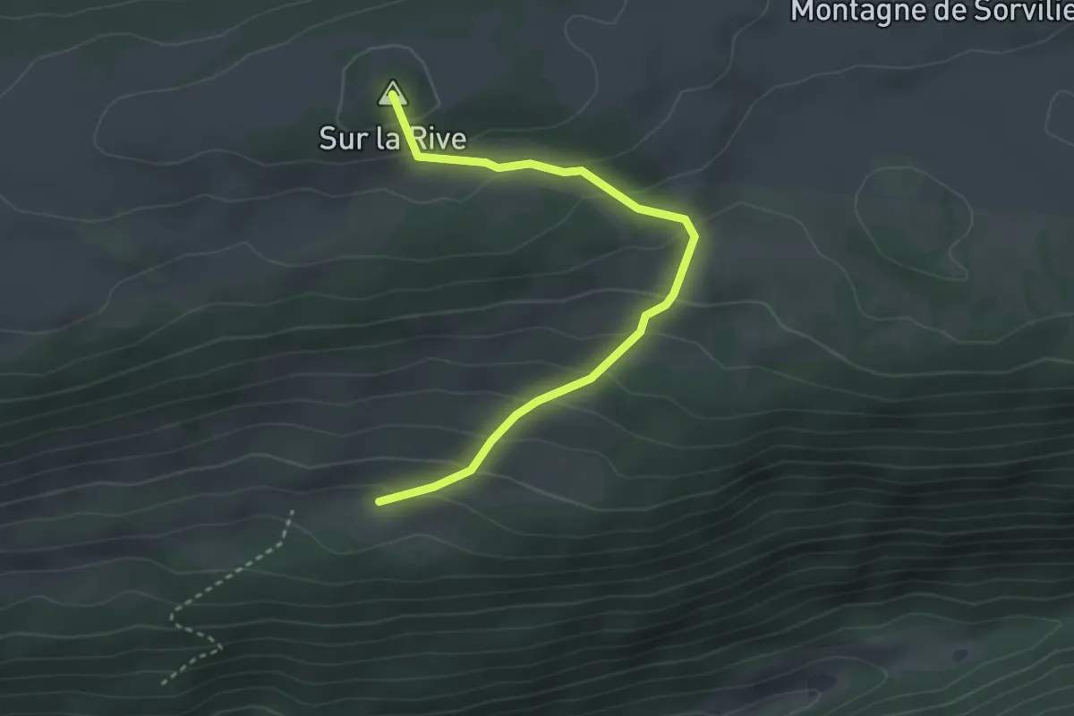
Easy · Summit
Bergerie de Bévilard – Pré la Patte
3.3 km · ↑ 220 m · 1 h 15 min
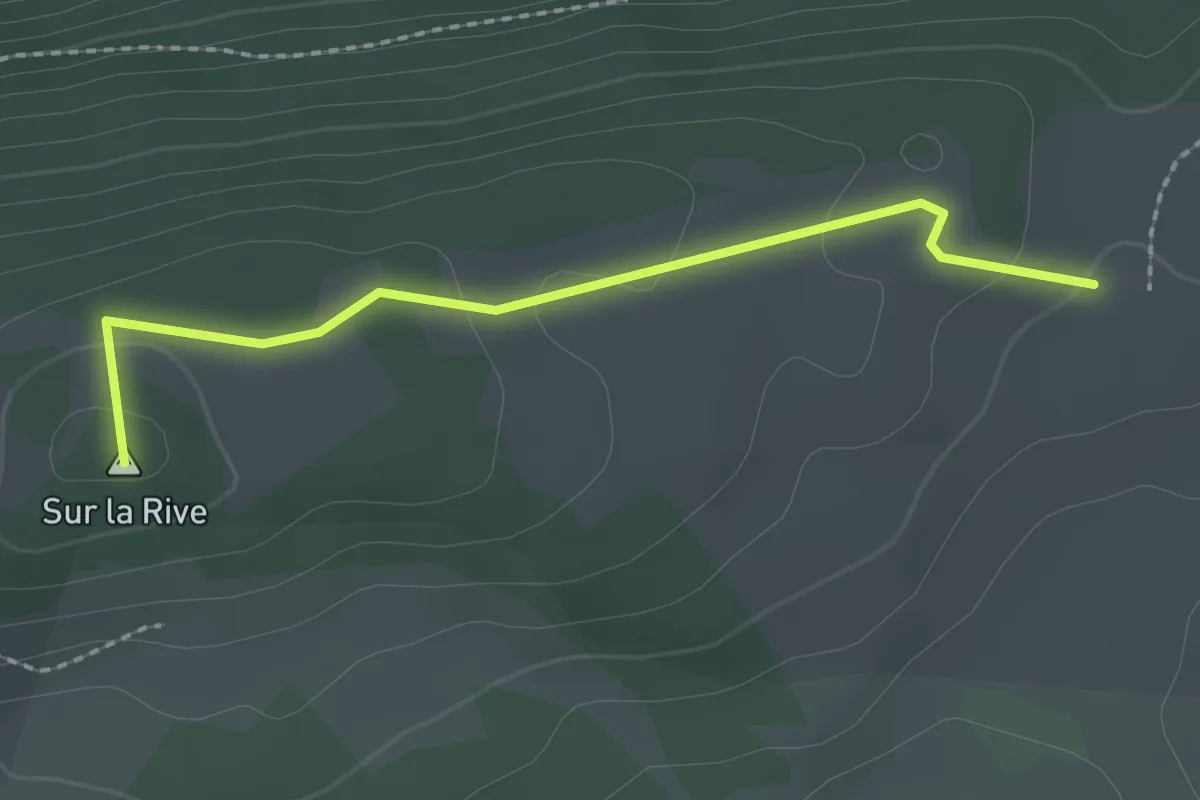
Easy · Summit
Bergerie de Bévilard – Montagne de Sorvilier
2.1 km · ↑ 56 m · 37 min
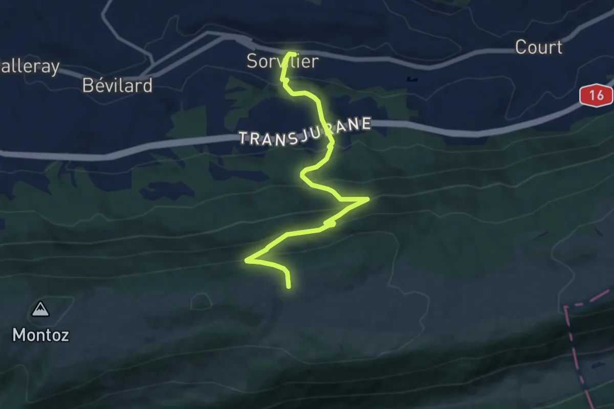
Medium · Trail
Montagne de Sorvilier – Sorvilier
8.8 km · ↑ 576 m · 3 h 20 min
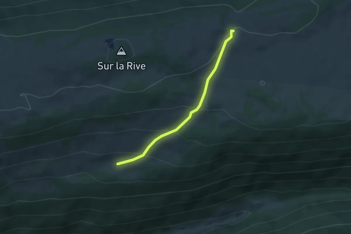
Easy · Trail
Montagne de Sorvilier – Pré la Patte
2.8 km · ↑ 171 m · 1 h 2 min
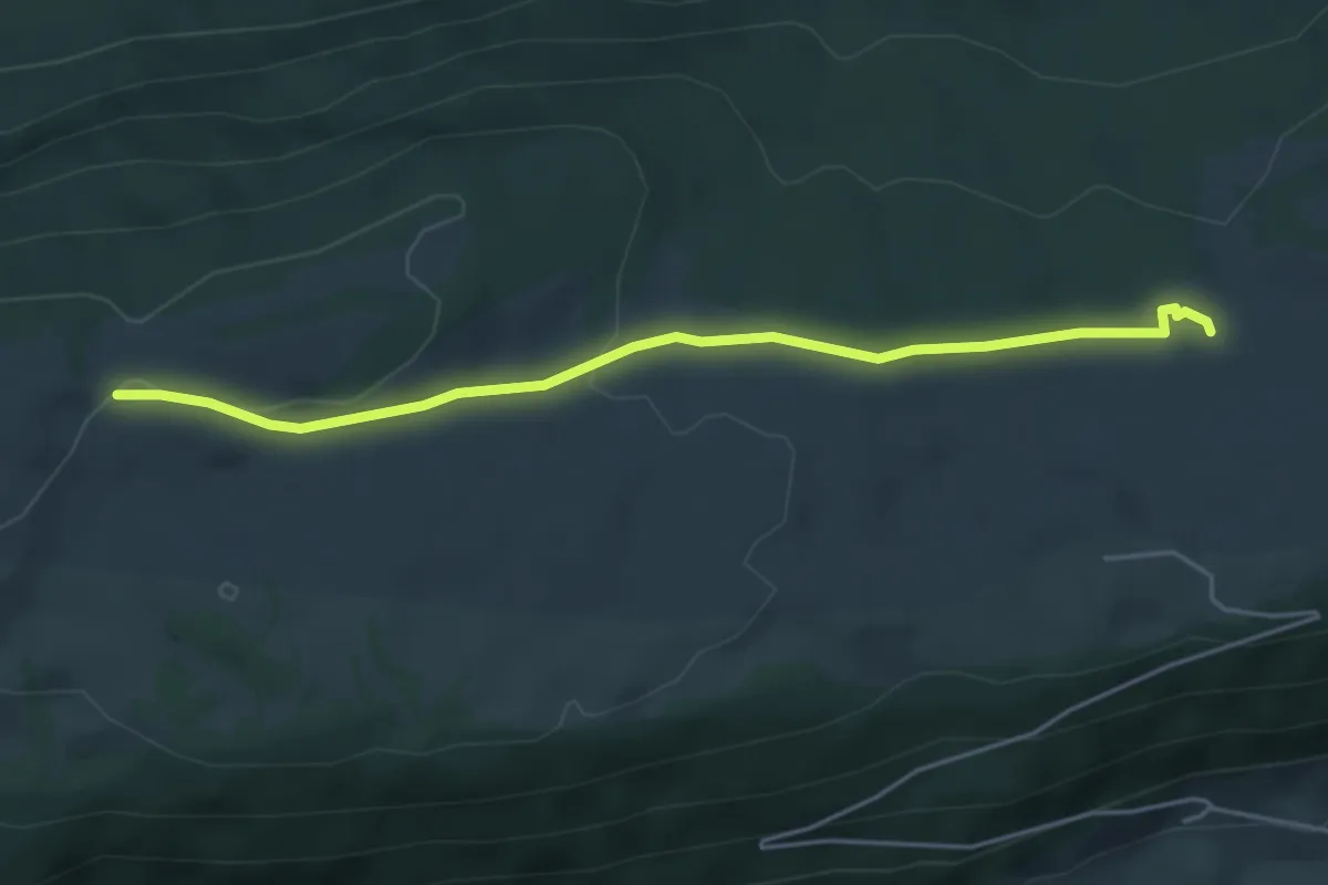
Easy · Trail
Montagne de Sorvilier – La Bergerie
4.6 km · ↑ 101 m · 1 h 18 min
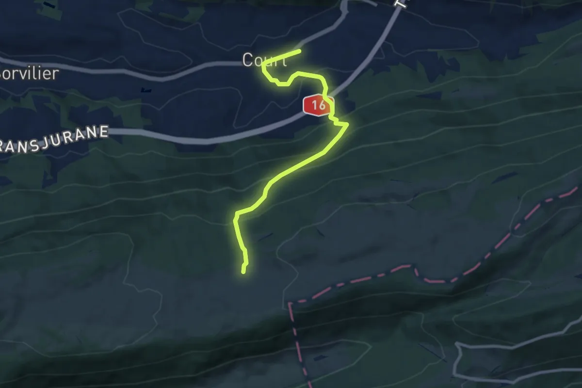
Medium · Trail
La Bergerie – Court
7.9 km · ↑ 501 m · 2 h 57 min
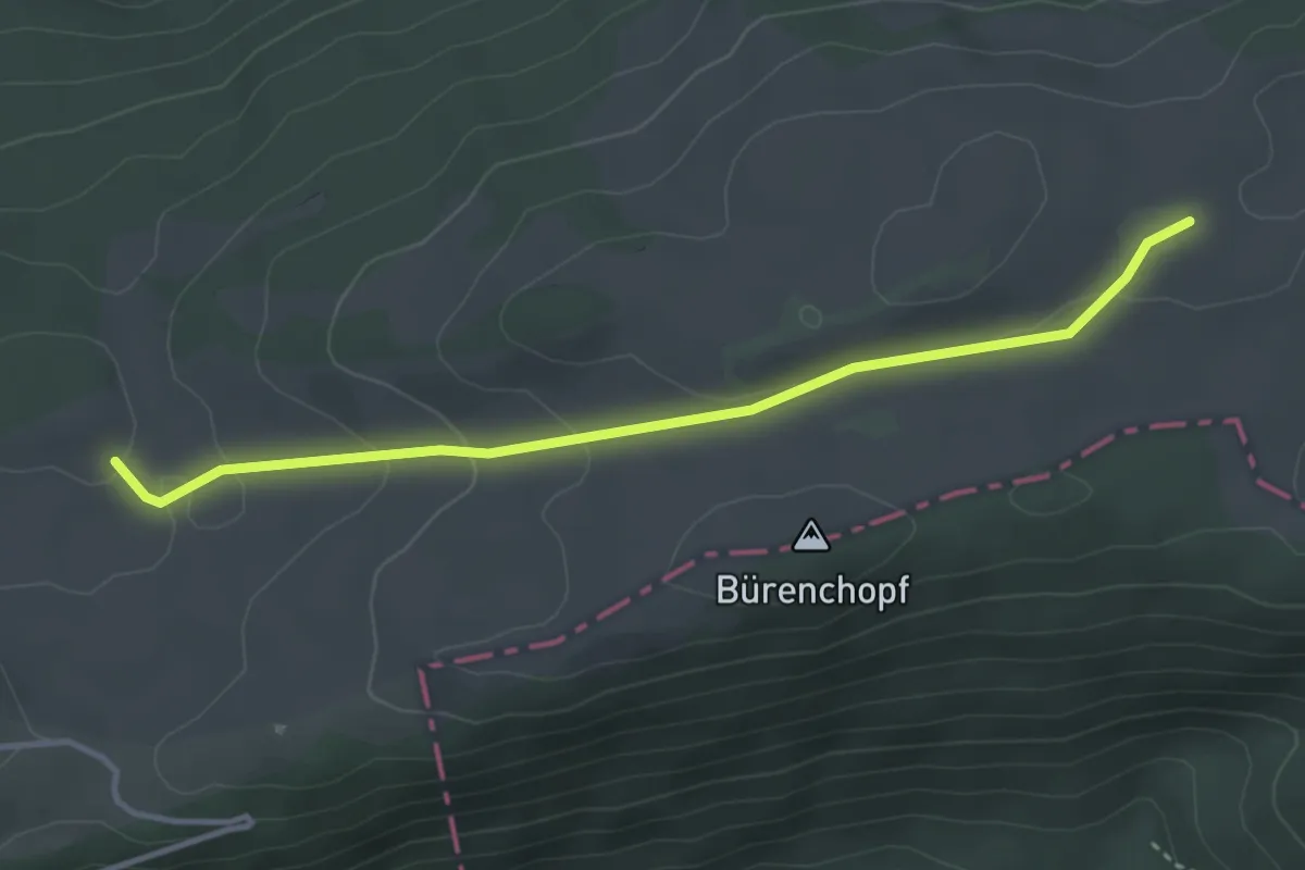
Easy · Trail
La Bergerie – Pré Richard
3.6 km · ↑ 94 m · 1 h 4 min
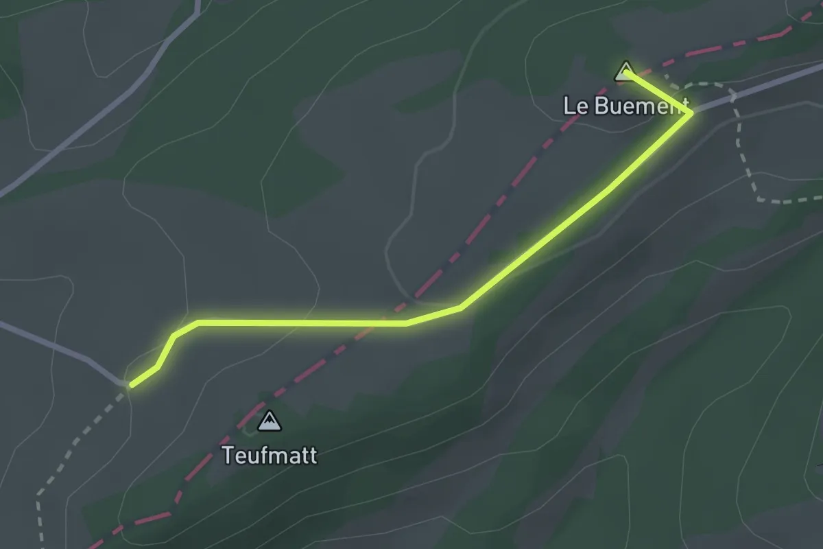
Easy · Summit
La Bluée – Längschwang
2.3 km · ↑ 72 m · 42 min
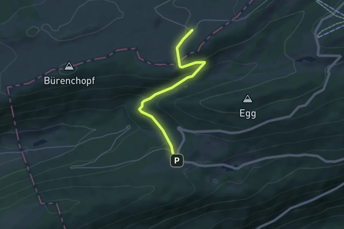
Easy · Trail
La Bluée – Wäsmeli
4.3 km · ↑ 225 m · 1 h 30 min
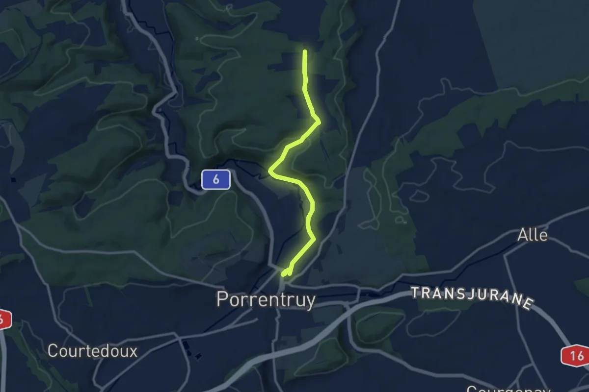
Medium · Trail
Sur le Mont – Porrentruy
8.9 km · ↑ 189 m · 2 h 31 min
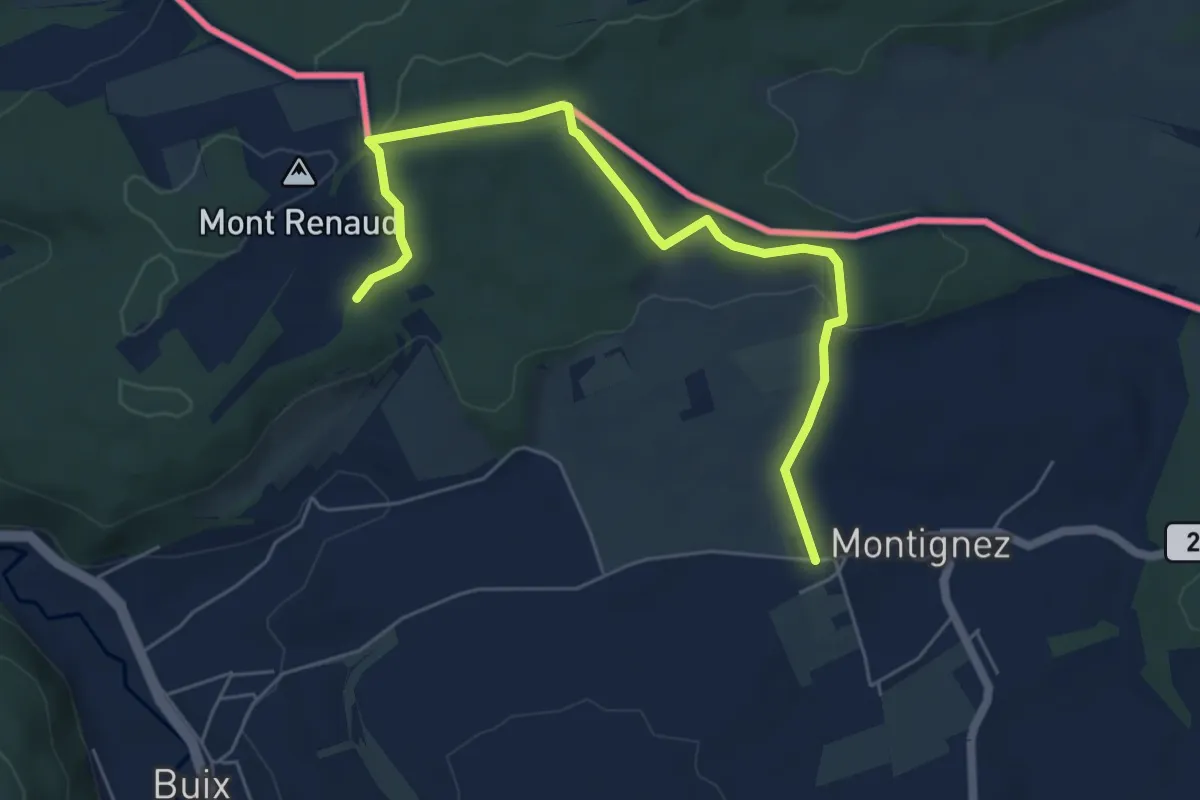
Easy · Trail
Montignez – Buix
6.3 km · ↑ 88 m · 1 h 41 min
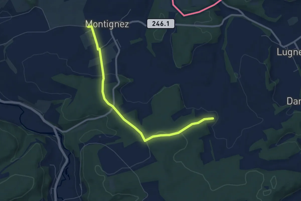
Easy · Trail
Montignez – Damphreux
6.8 km · ↑ 179 m · 2 h
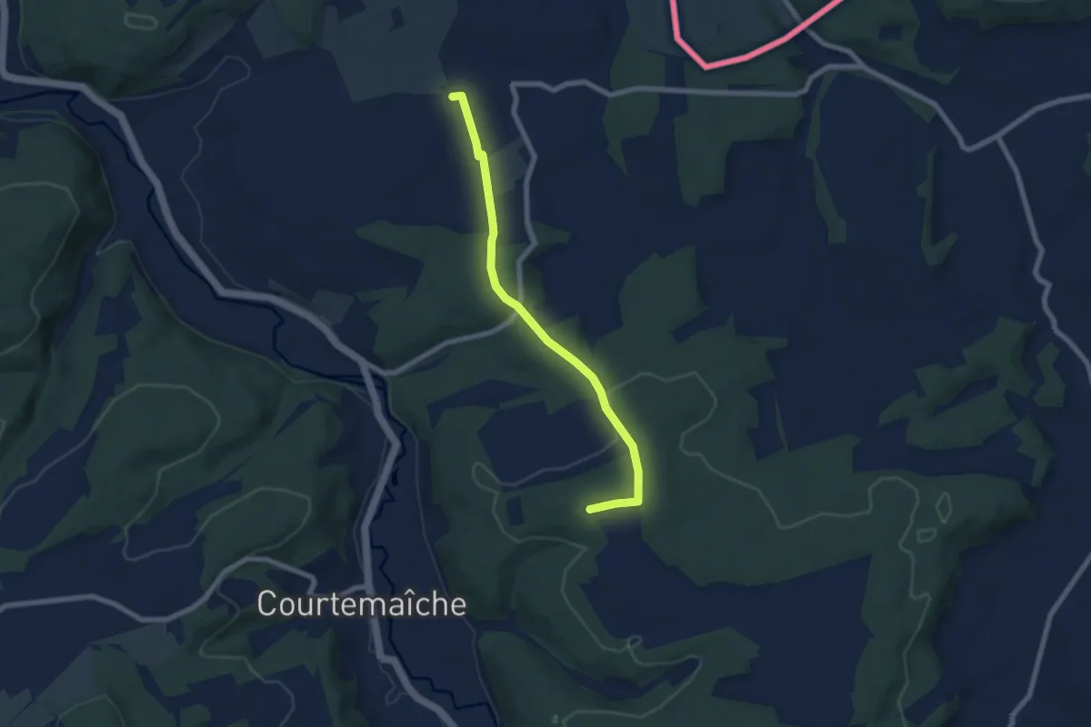
Easy · Trail
Montignez – Courtemaîche
6.5 km · ↑ 159 m · 1 h 52 min
Easy · Trail
Sur le Mont – Courtemaîche
2.6 km · ↑ 72 m · 46 min
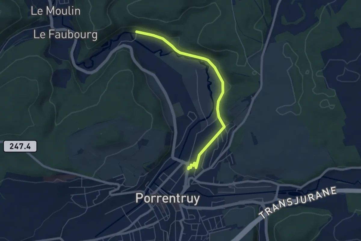
Easy · Trail
Porrentruy – Courchavon
5.6 km · ↑ 58 m · 1 h 26 min
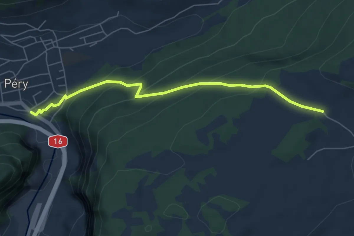
Medium · Trail
Les Oeuches – Reuchenette
5.1 km · ↑ 320 m · 1 h 54 min
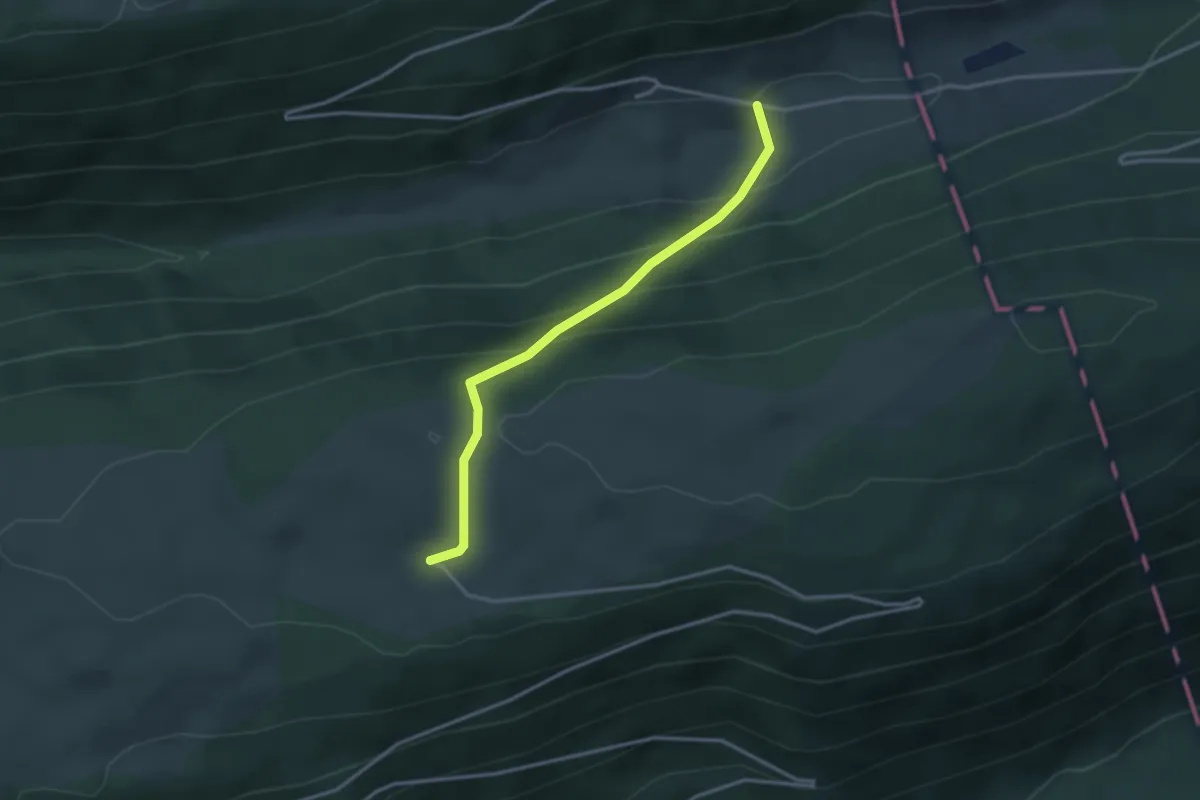
Easy · Trail
Romontberg – Unter Bürenberg
3.0 km · ↑ 233 m · 1 h 13 min
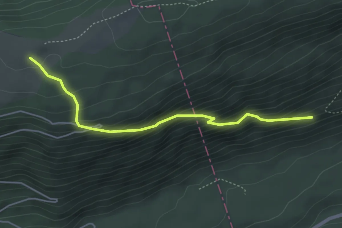
Medium · Trail
Pâturage du la Montagne – Grosser Cher
4.0 km · ↑ 375 m · 1 h 46 min
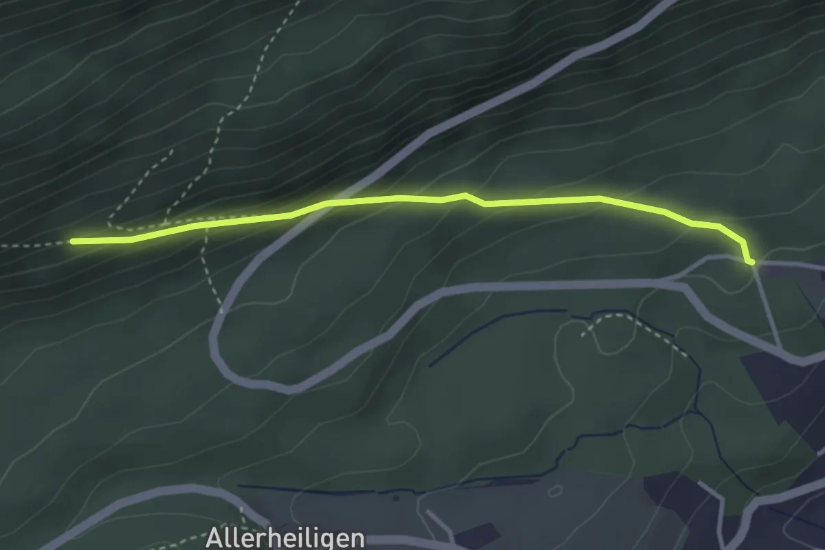
Easy · Trail
Grosser Cher – Holzerhütte
3.2 km · ↑ 221 m · 1 h 14 min
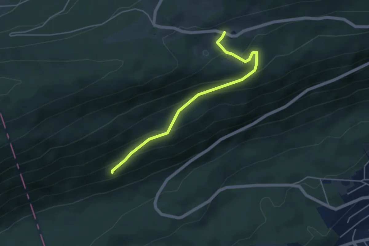
Easy · Trail
Grosser Cher – Stierenberg
3.9 km · ↑ 254 m · 1 h 28 min
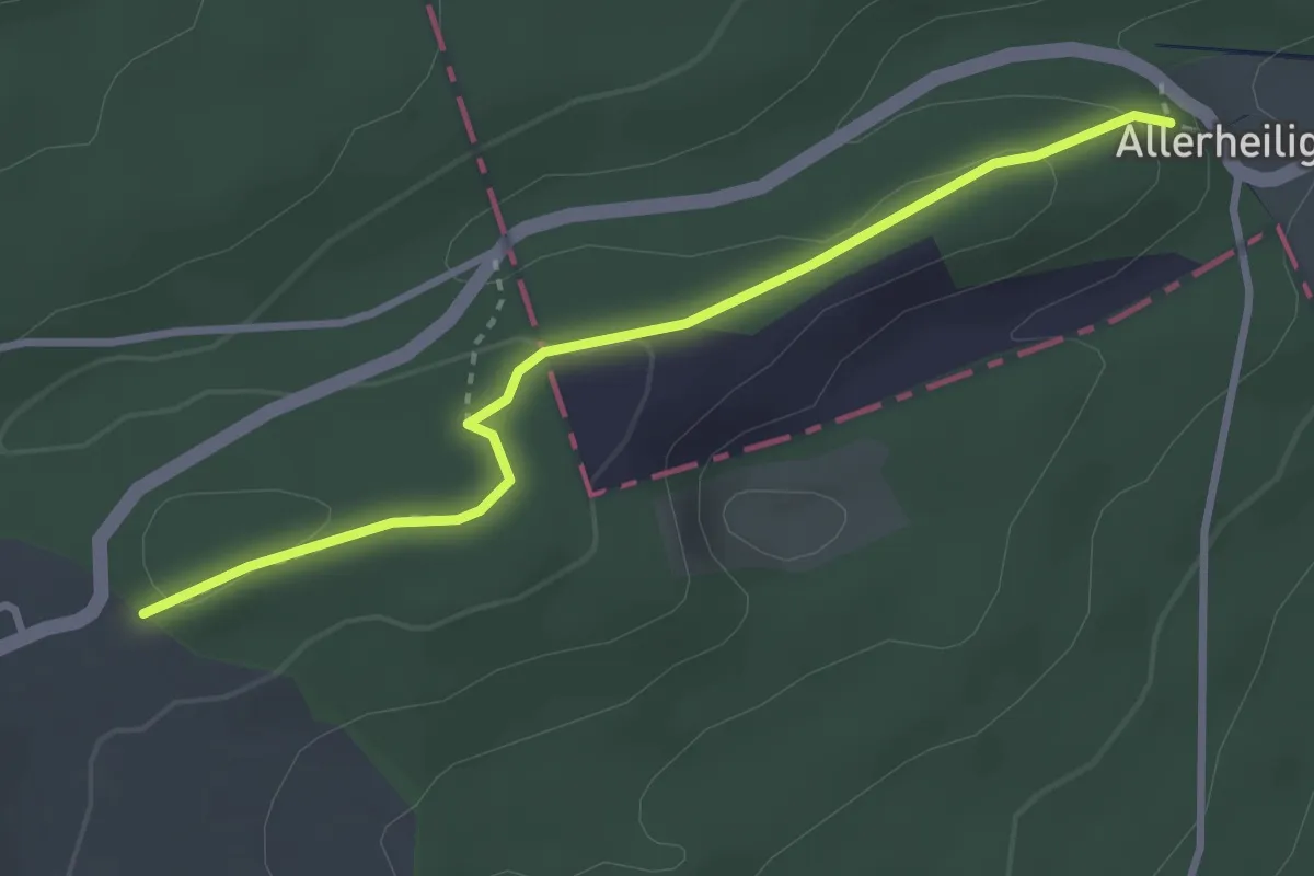
Easy · Trail
Firsi – Neuban
3.0 km · ↑ 81 m · 54 min
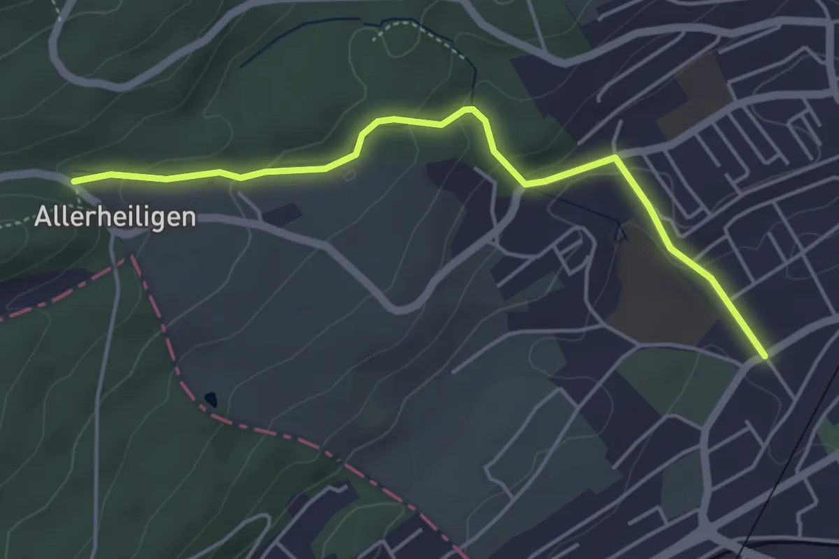
Easy · Trail
Sonnenrain – Dählenstrasse
4.5 km · ↑ 172 m · 1 h 26 min
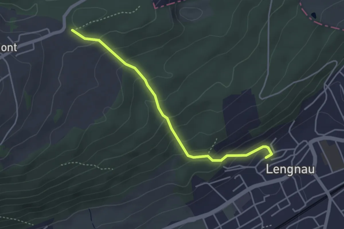
Easy · Trail
Neuban – Lengnau
3.6 km · ↑ 256 m · 1 h 25 min
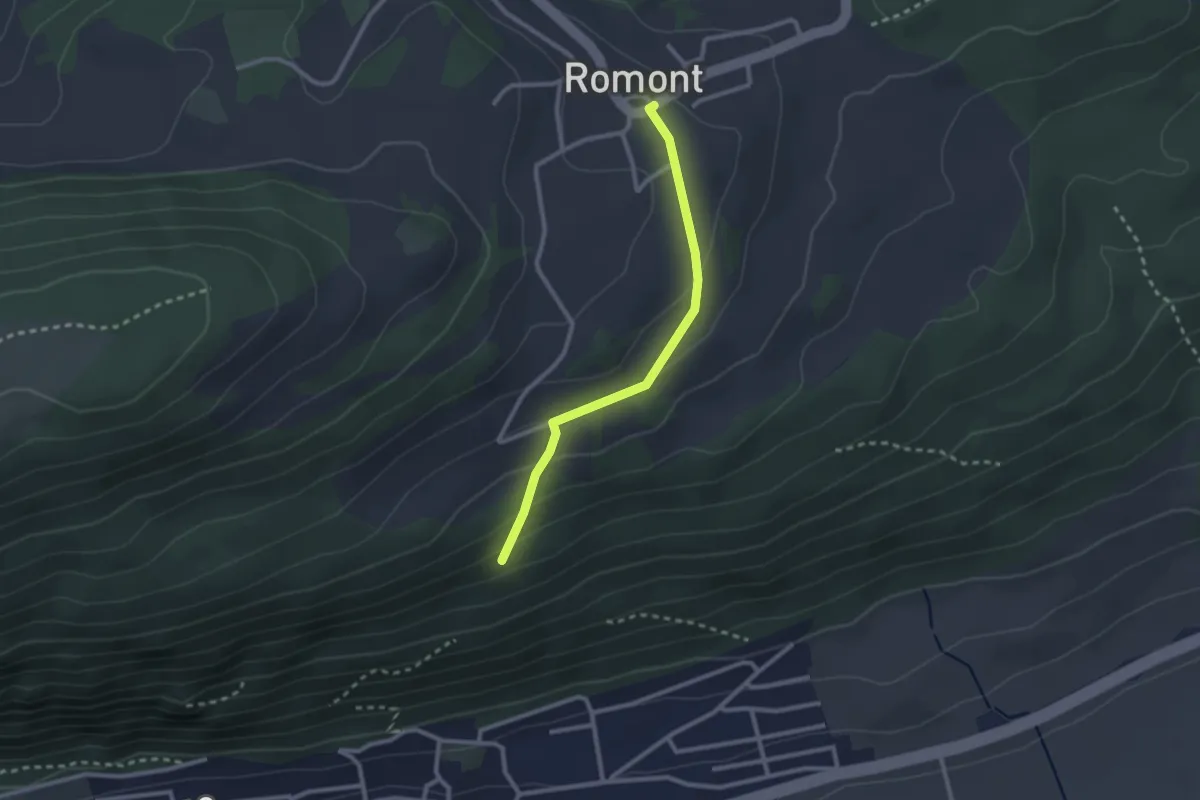
Easy · Trail
Romont – Ob der Chilcheflue
2.3 km · ↑ 97 m · 45 min
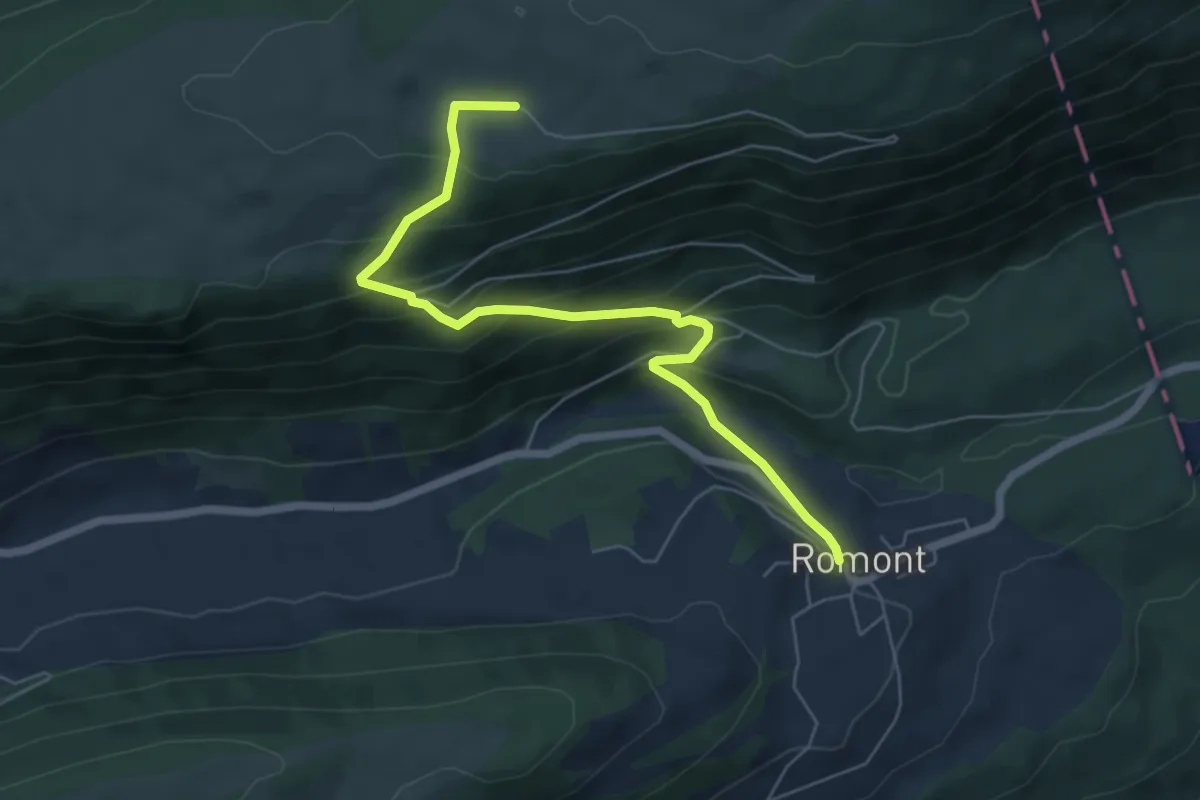
Medium · Trail
Romont – Montagne de Romont
6.2 km · ↑ 460 m · 2 h 28 min
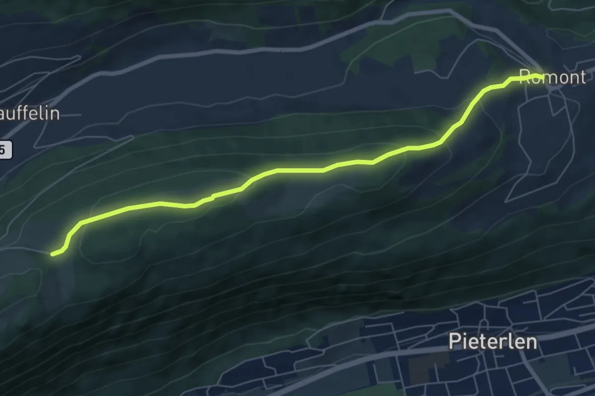
Easy · Trail
Romont – La Bergerie
6.6 km · ↑ 248 m · 2 h 5 min
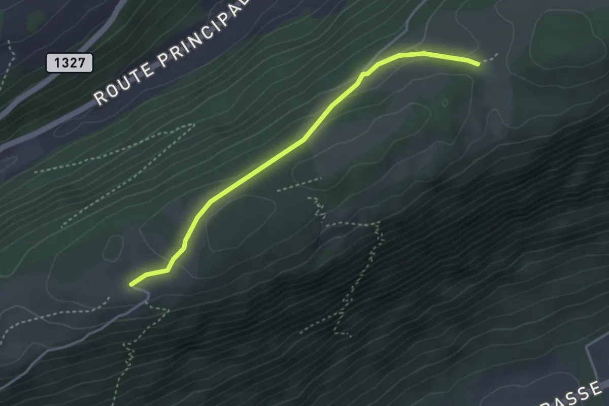
Easy · Trail
La Bergerie – Bözingenberg
3.4 km · ↑ 73 m · 57 min
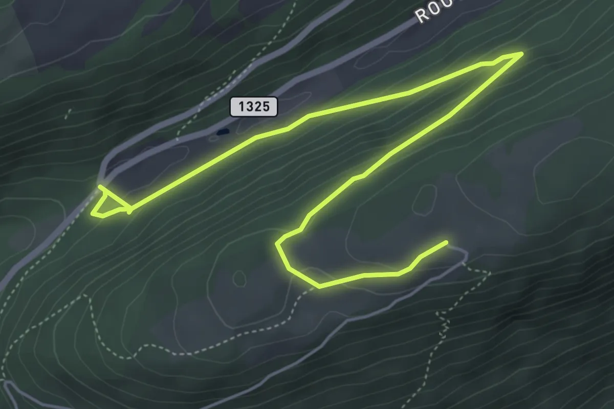
Easy · Trail
Pâturage de Sagne – Bözingenberg
6.7 km · ↑ 253 m · 2 h 8 min