Trails in Switzerland
15,055 hiking trails, each with its route, climb, walking time and grade.
All trails, page 256 of 314
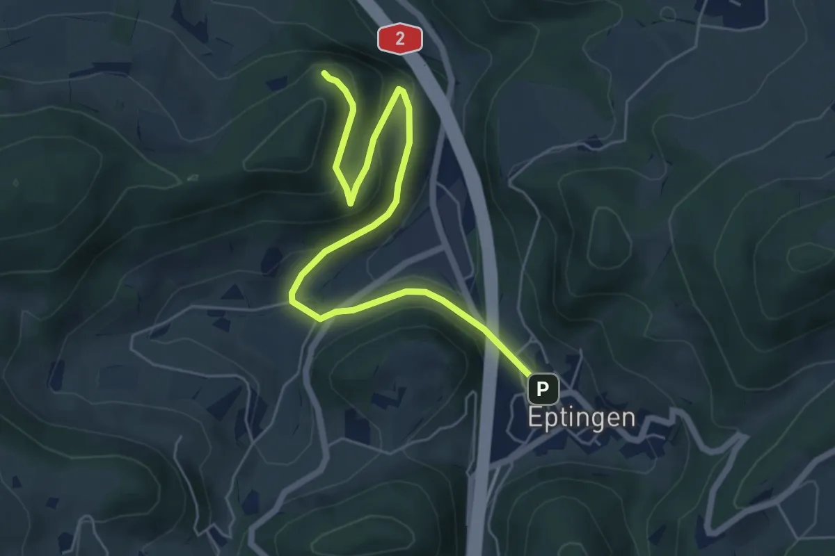
Easy · Summit
Bergflue – Eptingen
6.2 km · ↑ 229 m · 1 h 58 min
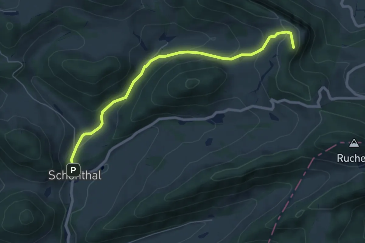
Easy · Summit
Geissflue – Schönthal
5.8 km · ↑ 287 m · 1 h 59 min
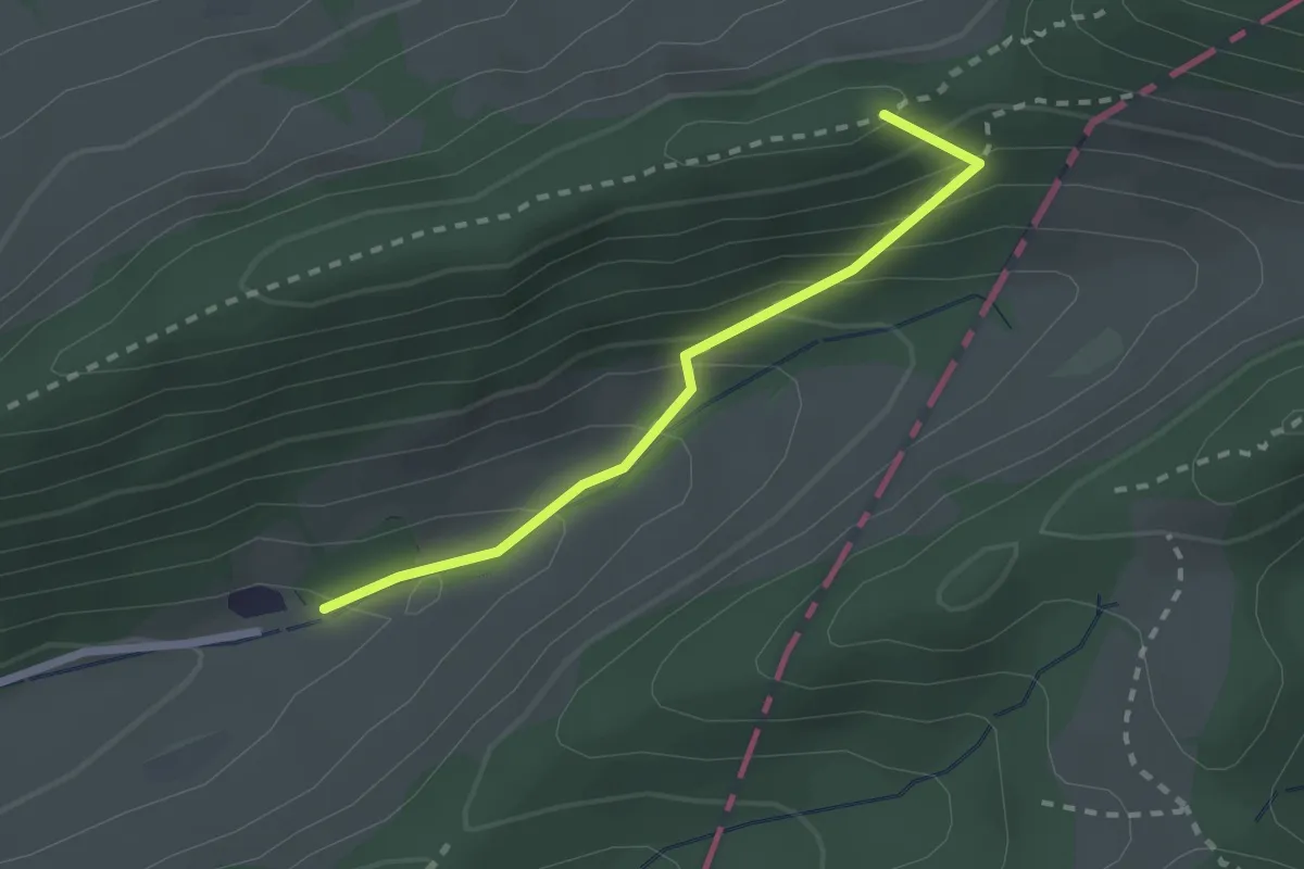
Medium · Summit
Chilchzimmersattel – Dürstel
2.1 km · ↑ 178 m · 53 min
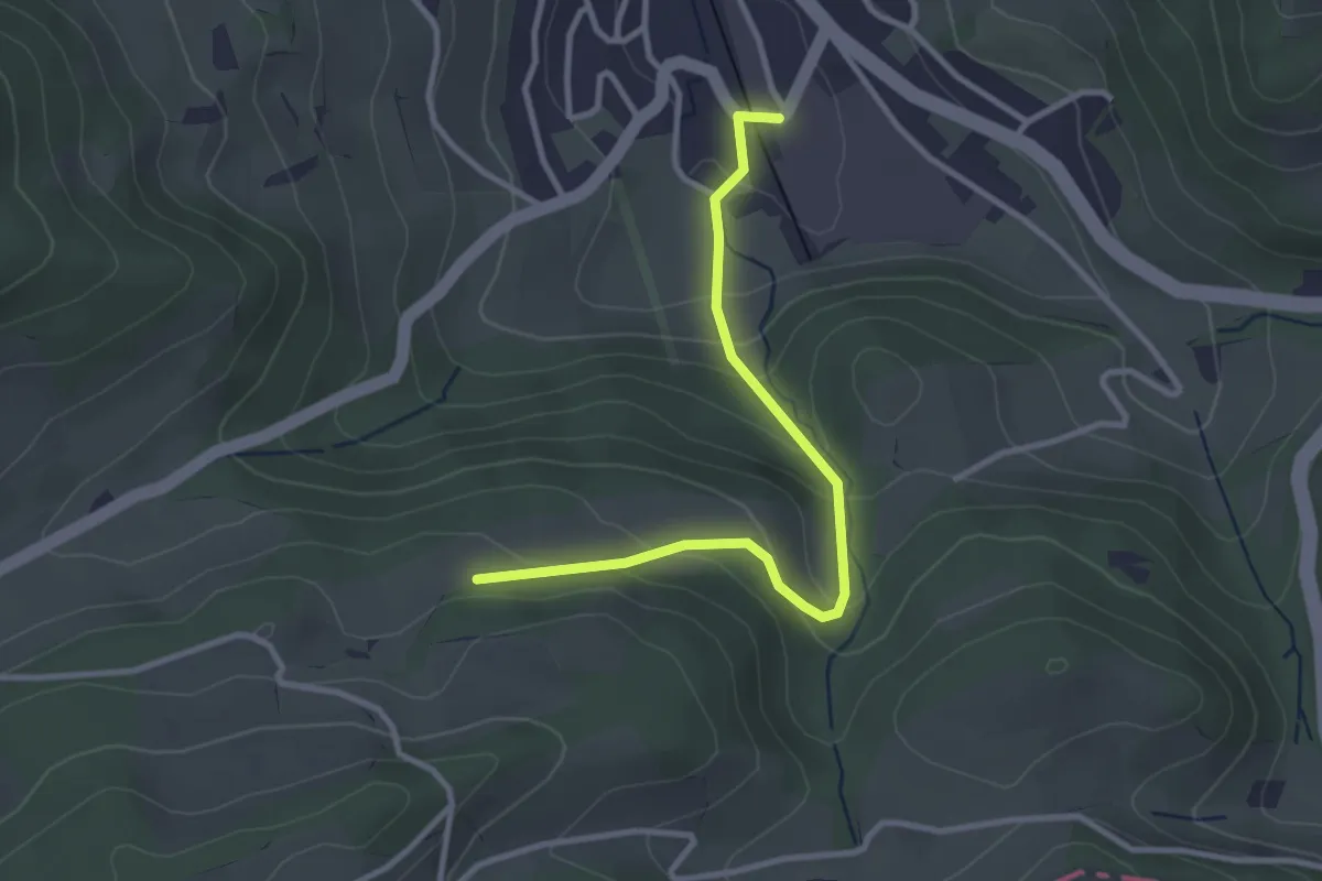
Easy · Trail
Rüti – Läufelfingen
3.1 km · ↑ 195 m · 1 h 9 min
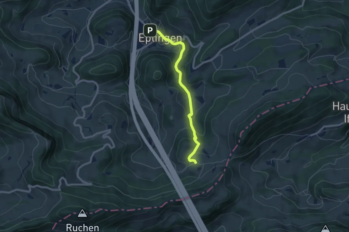
Easy · Trail
Eptingen – Chall
5.1 km · ↑ 294 m · 1 h 51 min
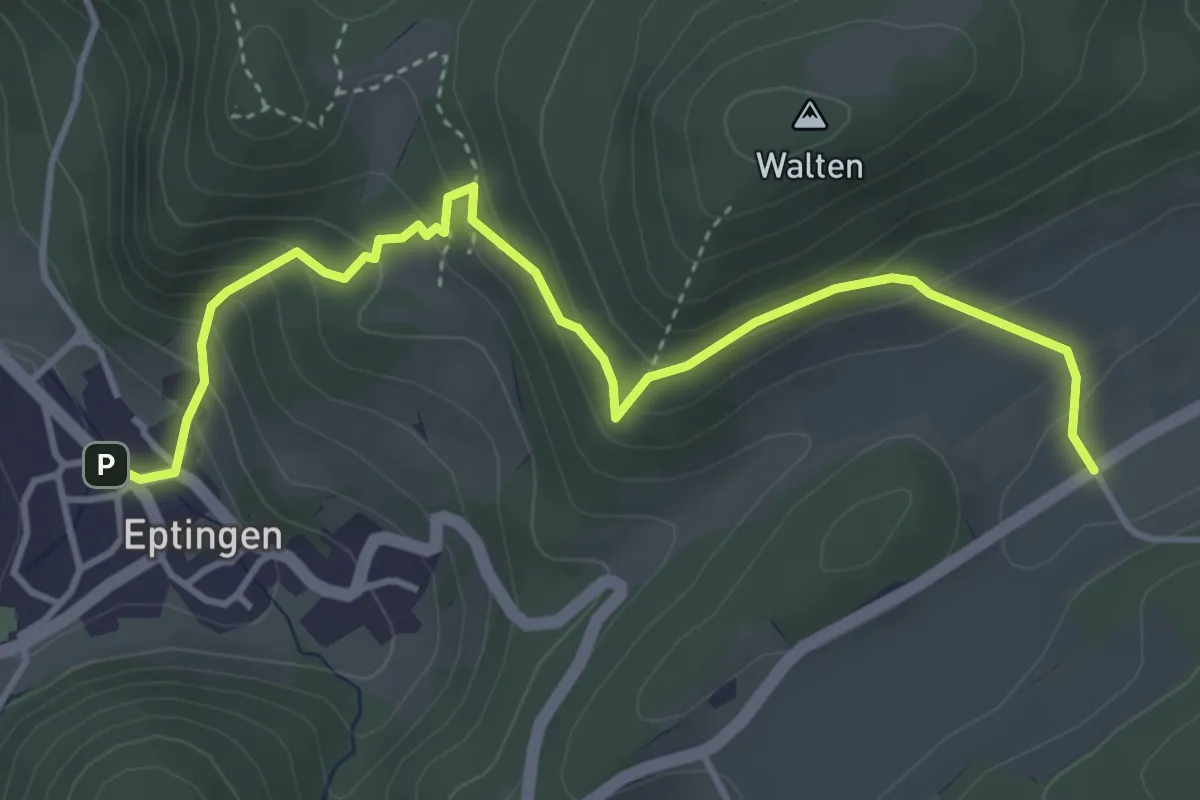
Medium · Trail
Eptingen – Laufmatt
4.5 km · ↑ 350 m · 1 h 49 min
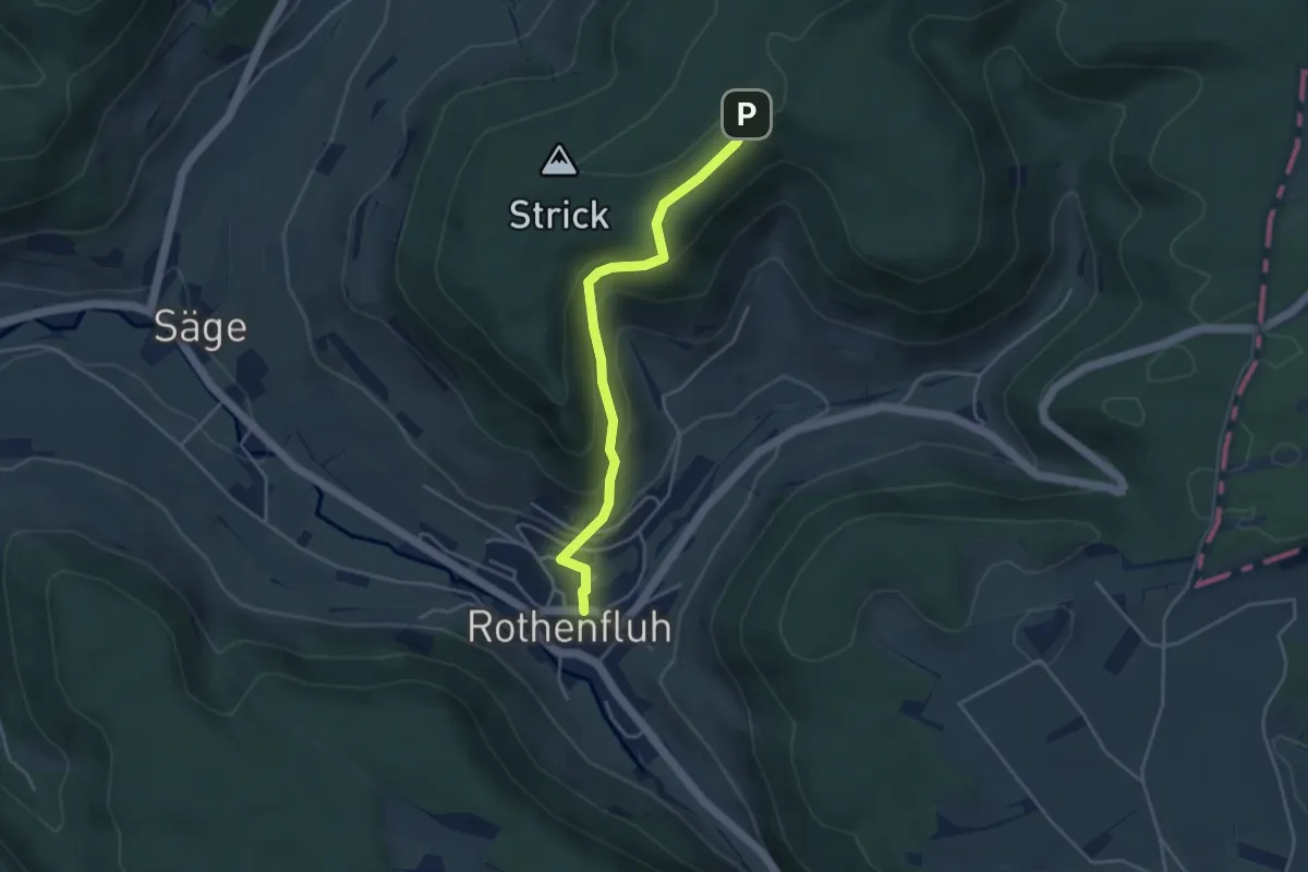
Easy · Trail
Rothenfluh – Waldhaus
3.9 km · ↑ 237 m · 1 h 26 min
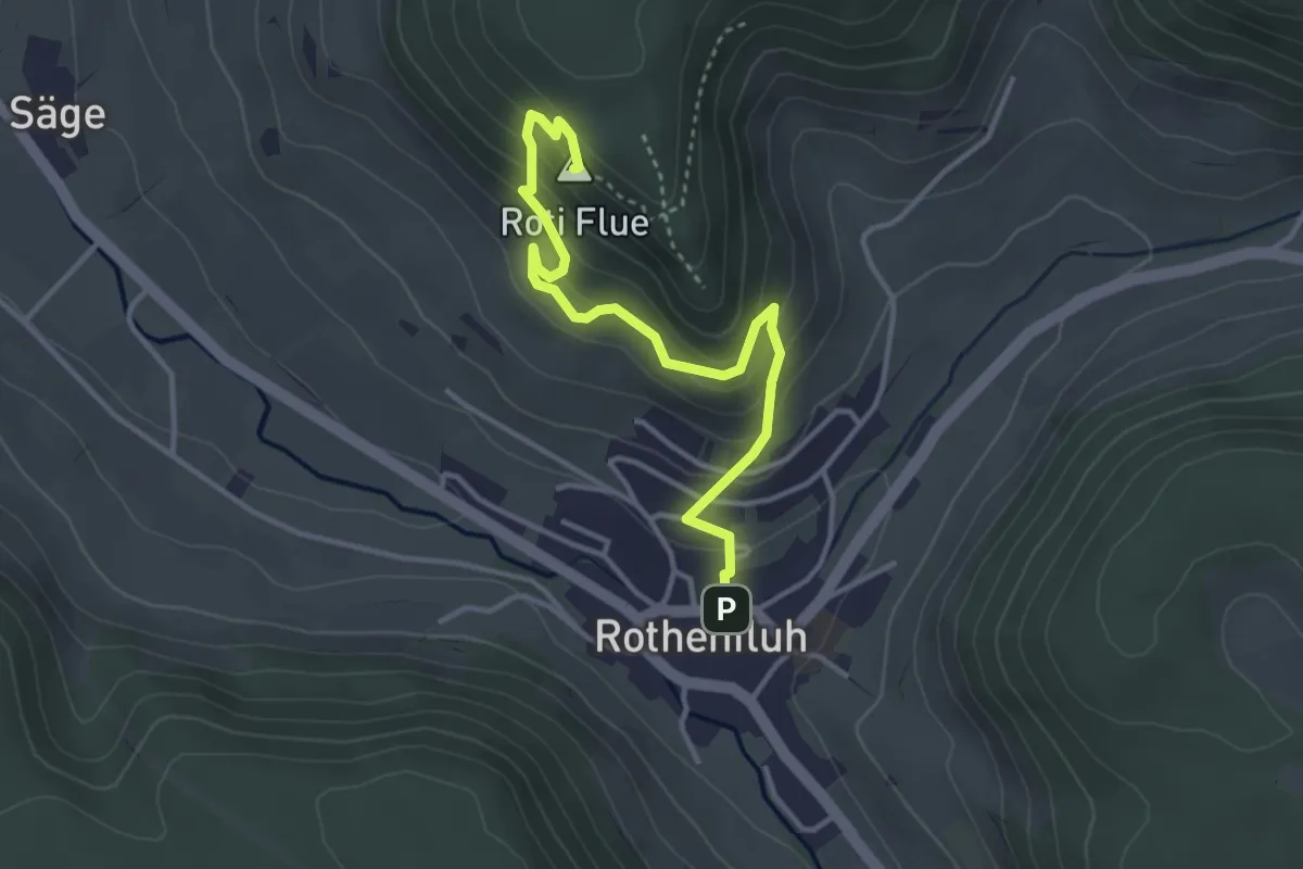
Easy · Summit
Rothenfluh – Rothenfluer Flue
3.7 km · ↑ 279 m · 1 h 29 min
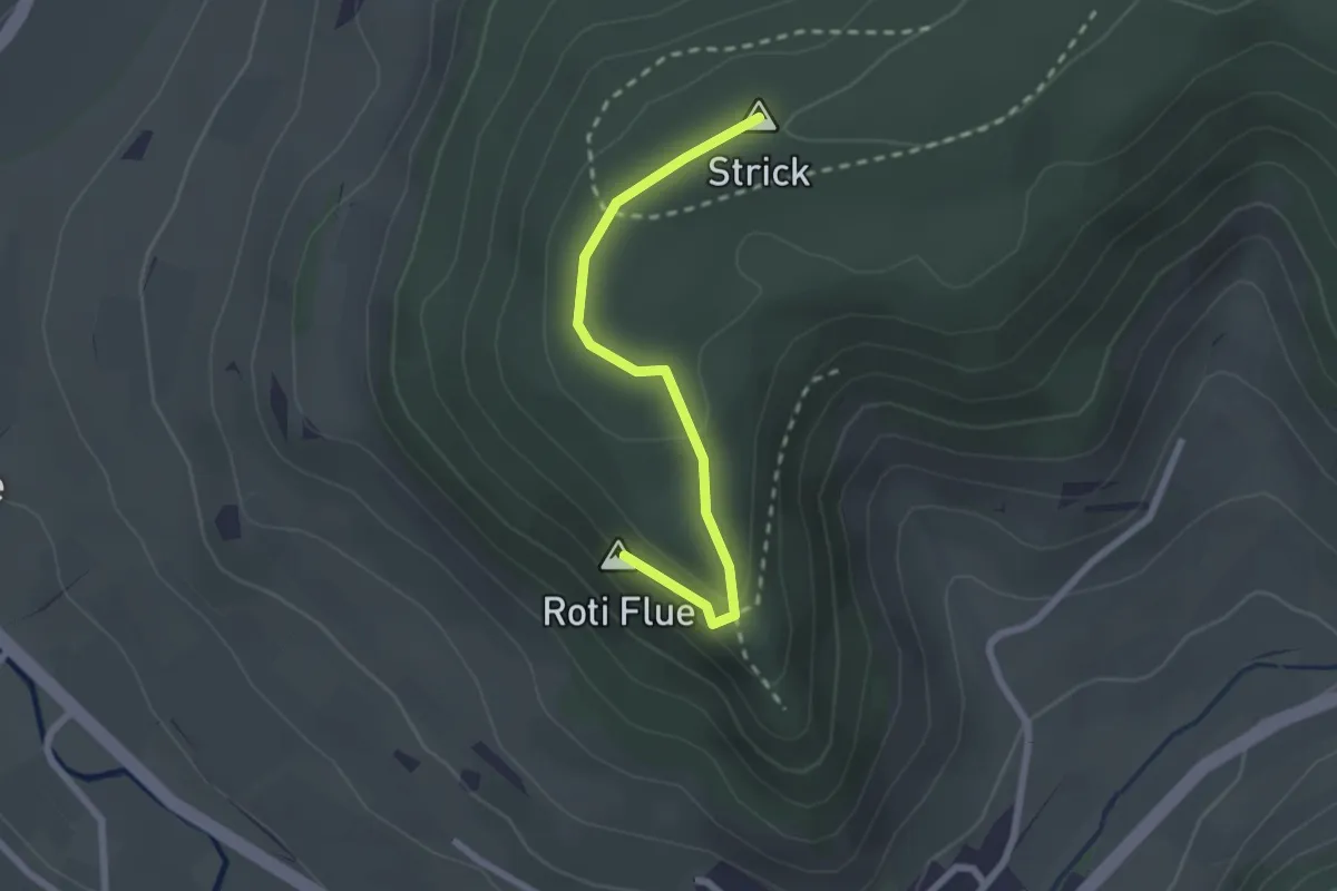
Easy · Summit
Rothenfluer Flue – Waldhaus
2.2 km · ↑ 61 m · 39 min
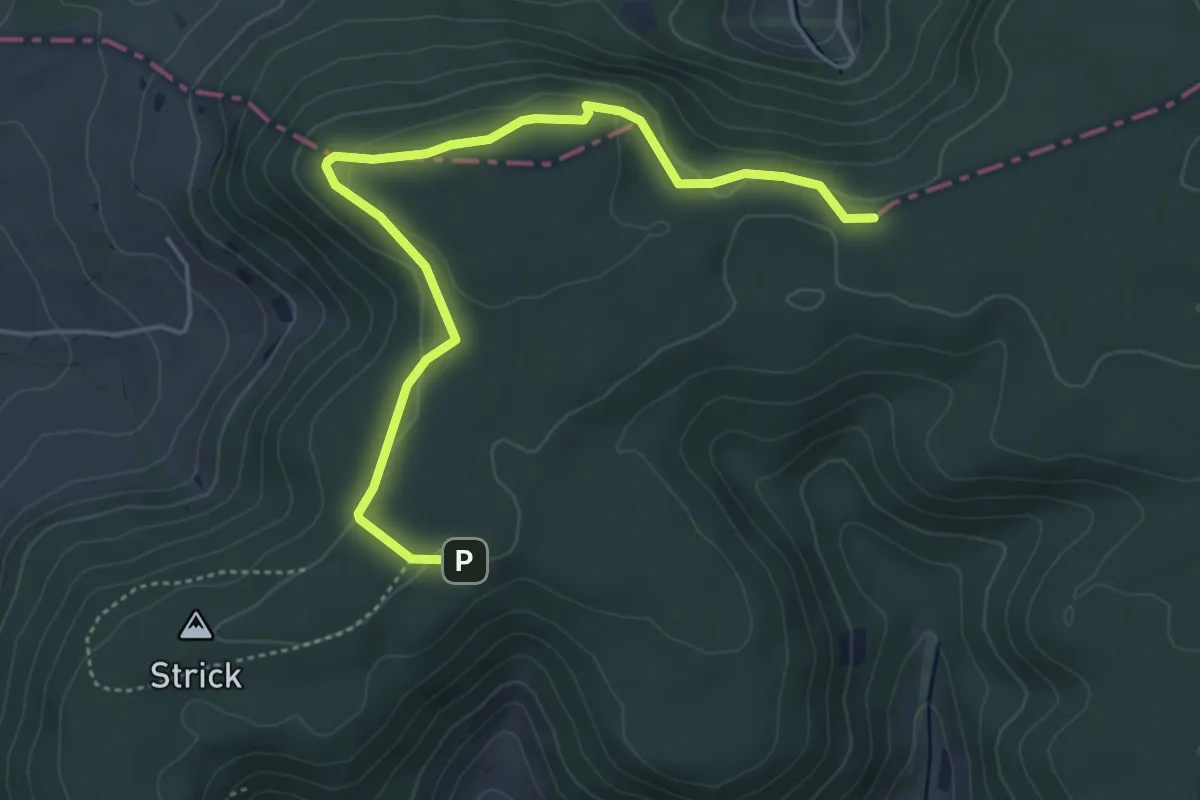
Easy · Trail
Waldhaus – Kei
5.0 km · ↑ 115 m · 1 h 26 min
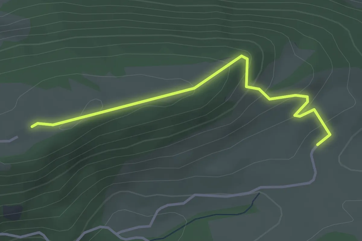
Easy · Trail
Bremgarten – Laupersdörfer Stierenberg
3.1 km · ↑ 168 m · 1 h 6 min
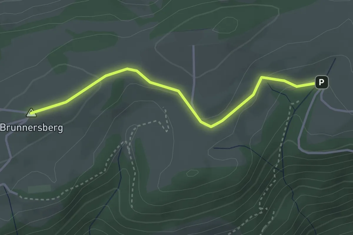
Easy · Summit
Hermesgraben – Gr. Brunnersberg
3.1 km · ↑ 72 m · 53 min
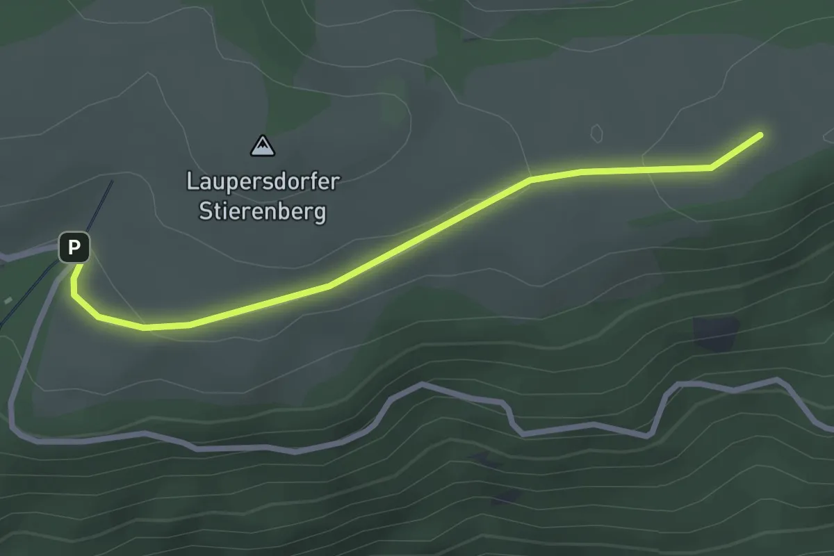
Easy · Trail
Laupersdörfer Stierenberg – Hermesgraben
2.6 km · ↑ 64 m · 45 min
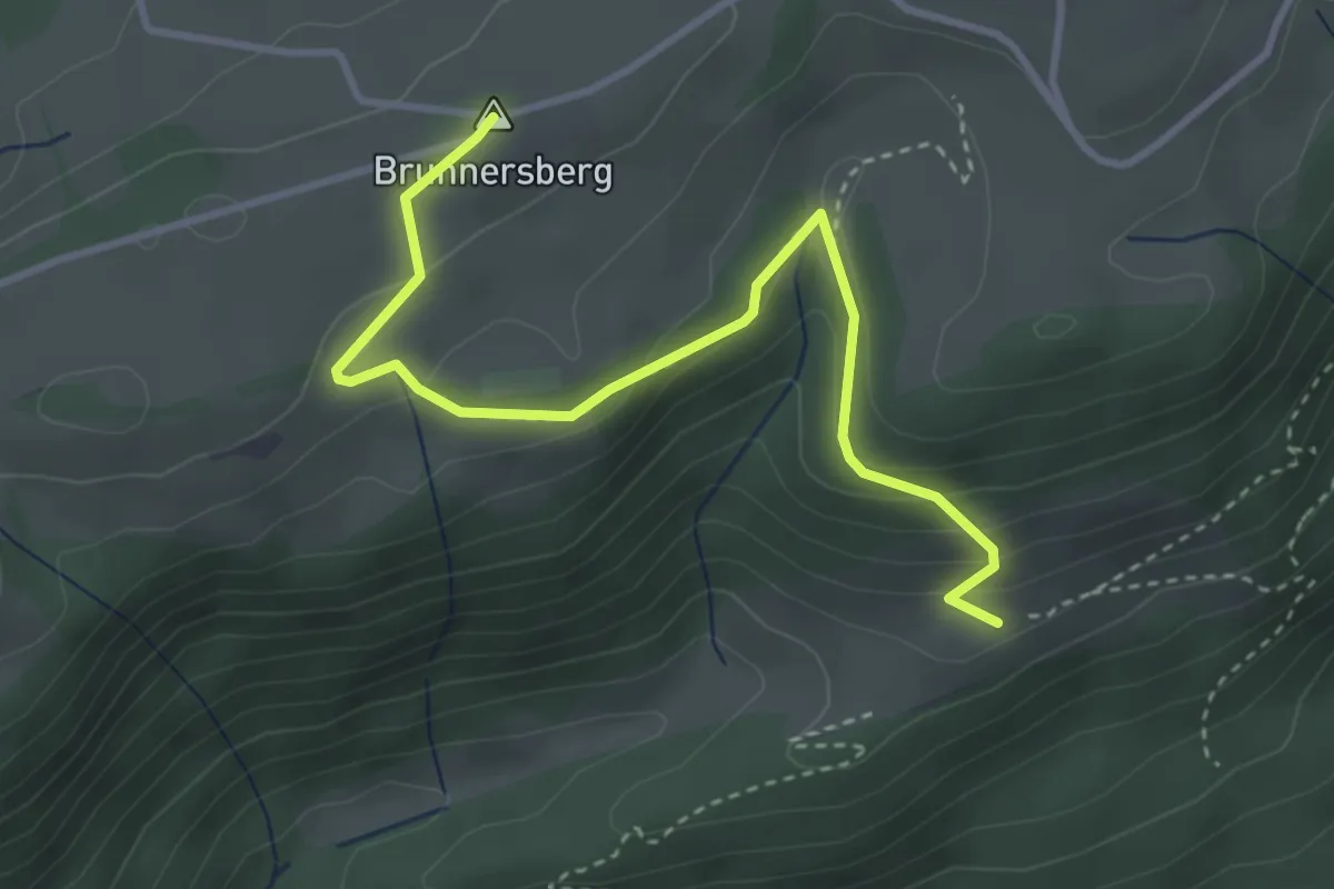
Easy · Summit
Gr. Brunnersberg – Oberi Wängi
3.8 km · ↑ 180 m · 1 h 17 min
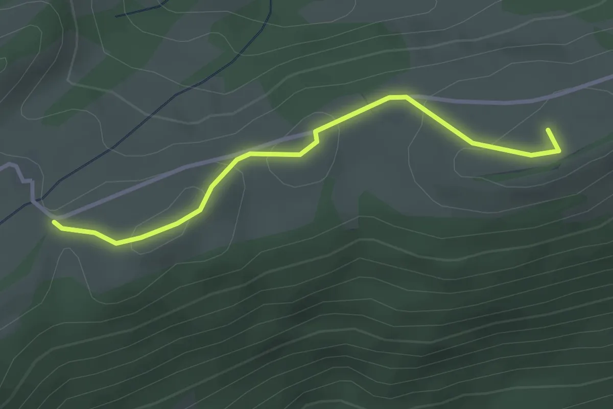
Easy · Summit
Gr. Brunnersberg – Güggel
2.8 km · ↑ 97 m · 52 min
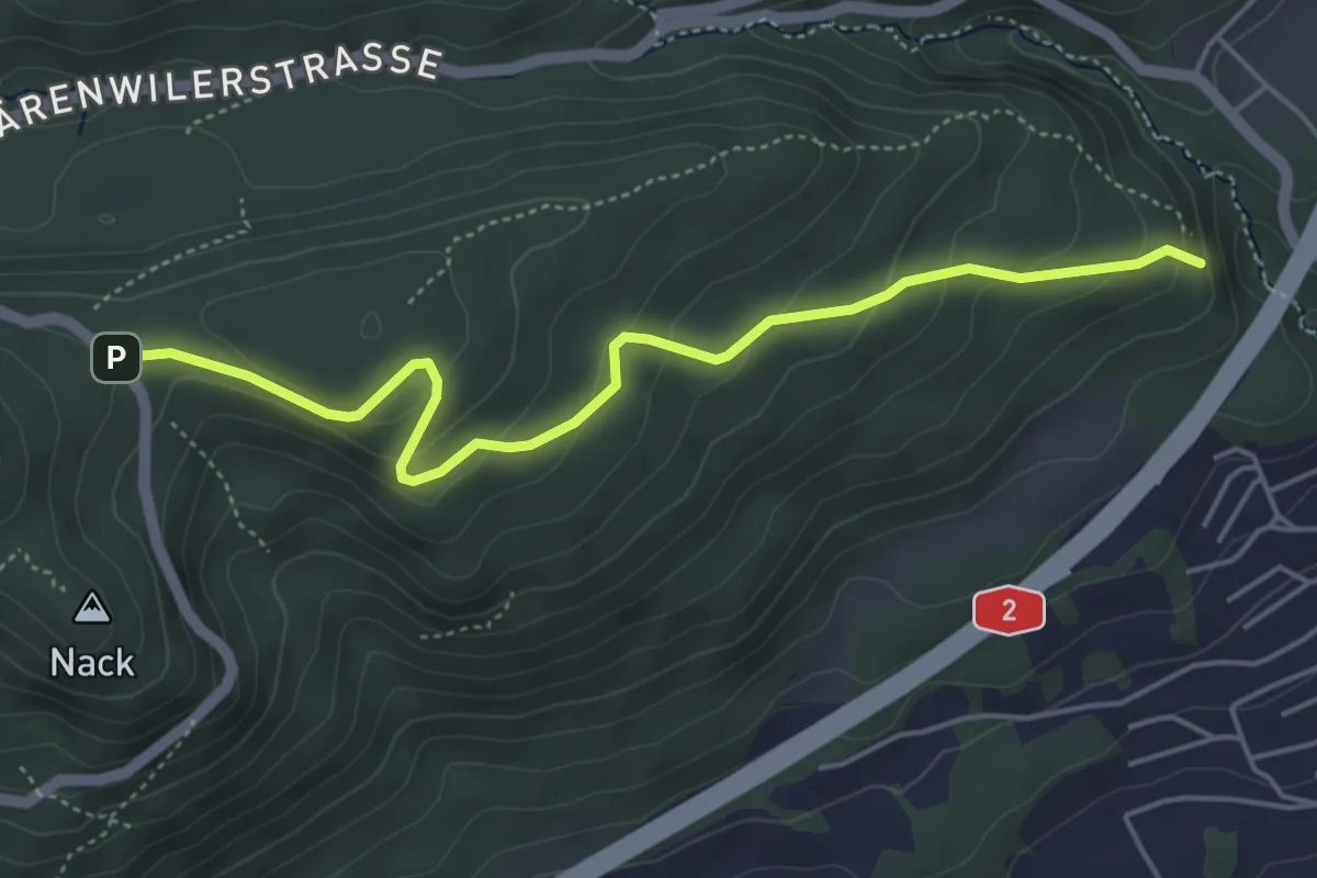
Easy · Trail
Santelhöchi – Sandüberladig
4.9 km · ↑ 270 m · 1 h 45 min
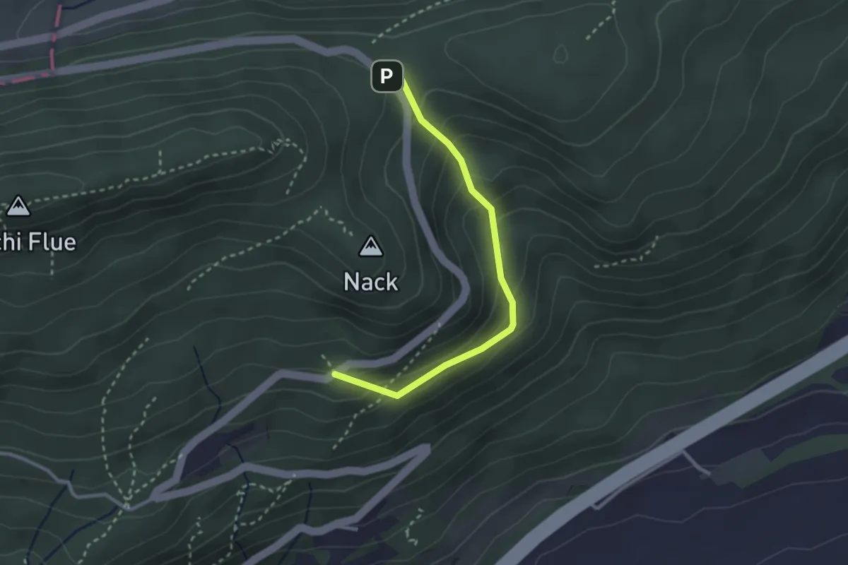
Medium · Trail
Santelhöchi – Fridaustrasse
2.6 km · ↑ 182 m · 1 h 1 min
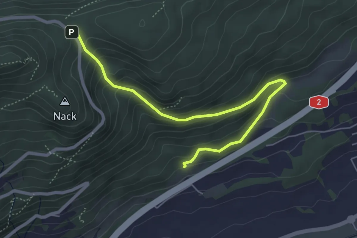
Medium · Trail
Santelhöchi – Santel Kapelle
5.3 km · ↑ 328 m · 1 h 58 min
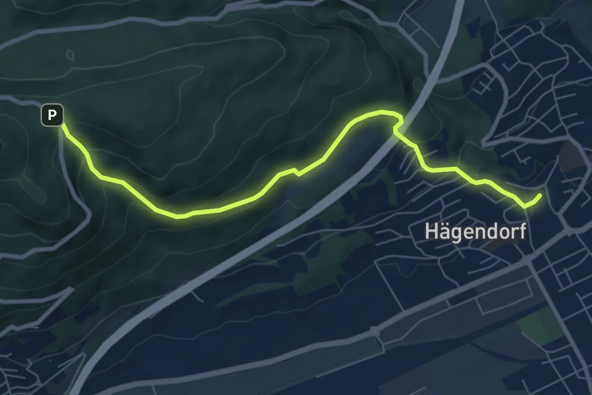
Medium · Trail
Santelhöchi – Hägendorf Dorfplatz
7.1 km · ↑ 413 m · 2 h 34 min
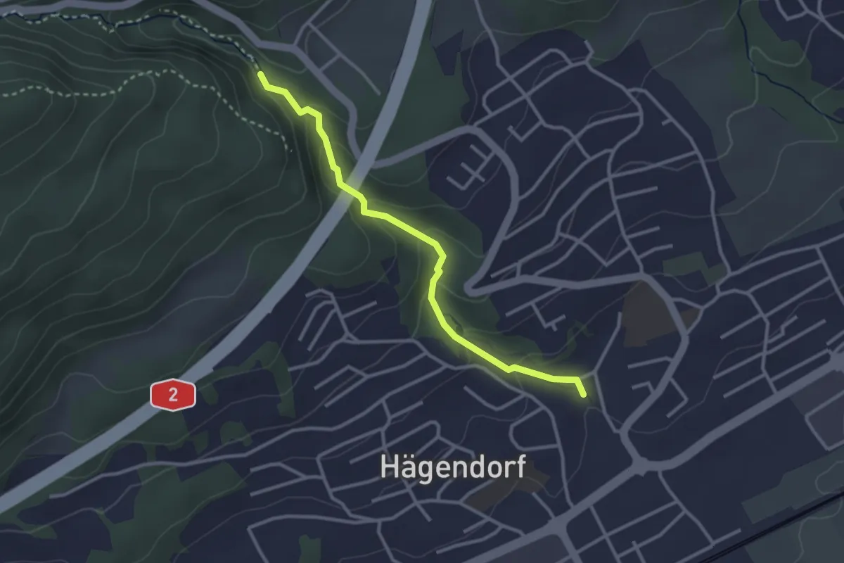
Medium · Trail
Tufftbrunnen – Hägendorf Dorfplatz
2.9 km · ↑ 165 m · 1 h 3 min
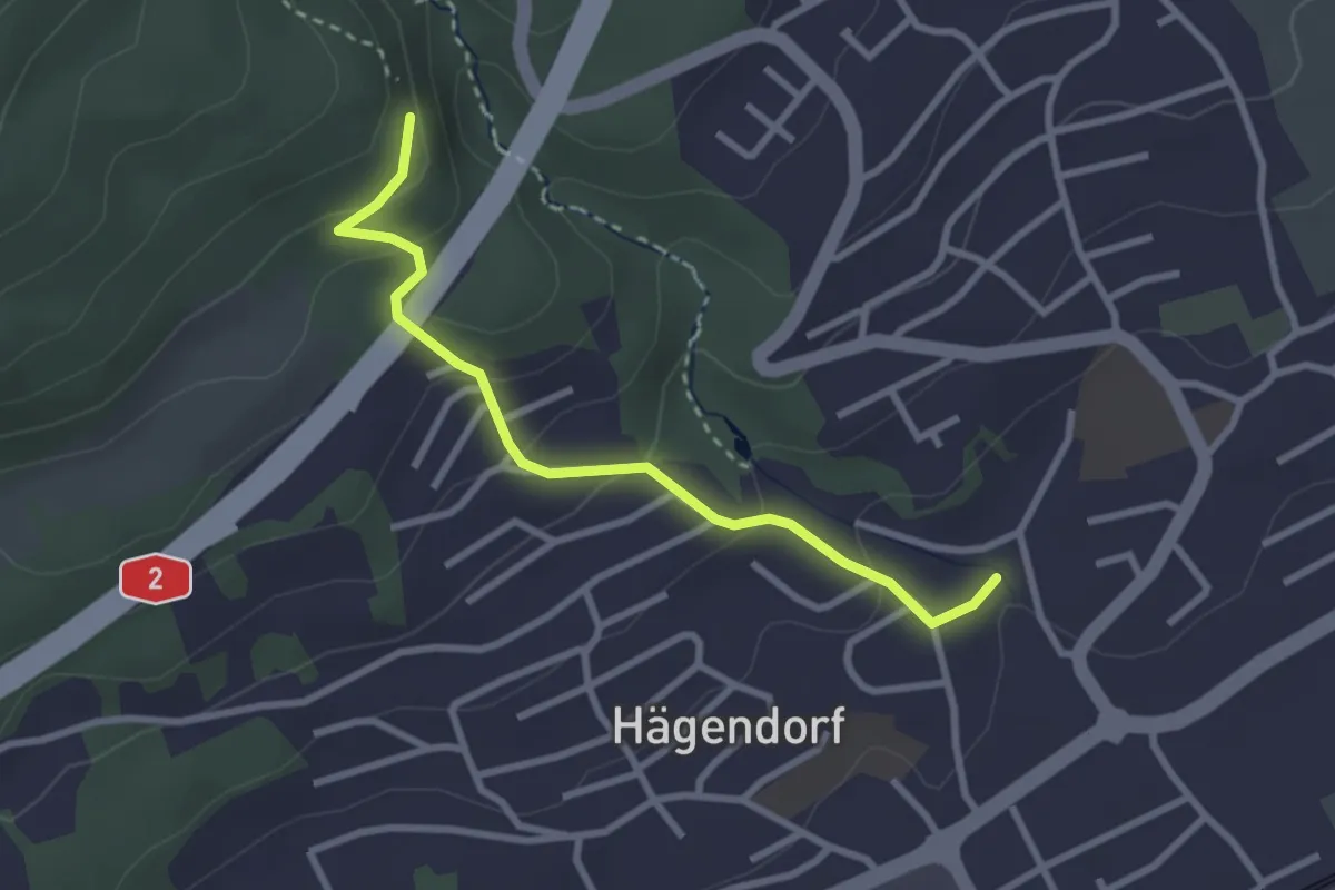
Easy · Trail
Sandüberladig – Hägendorf Dorfplatz
2.8 km · ↑ 161 m · 1 h 1 min
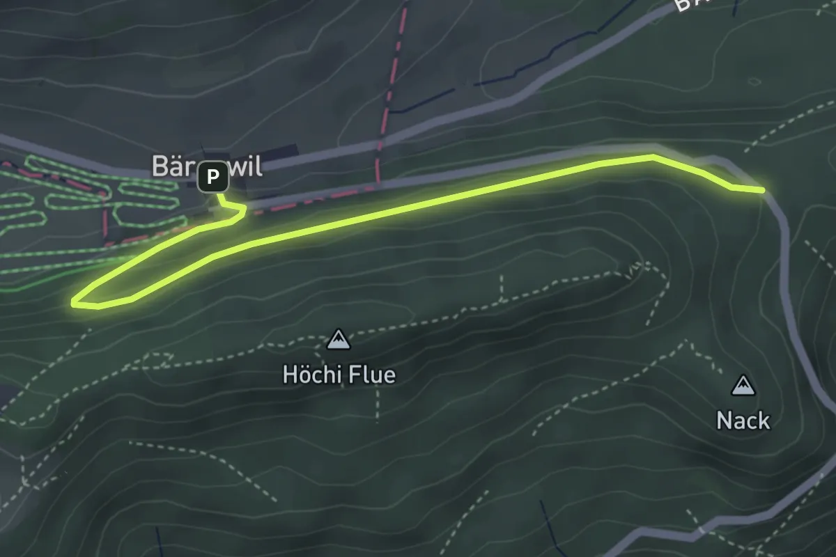
Medium · Trail
Bärenwil – Santelhöchi
4.4 km · ↑ 165 m · 1 h 24 min
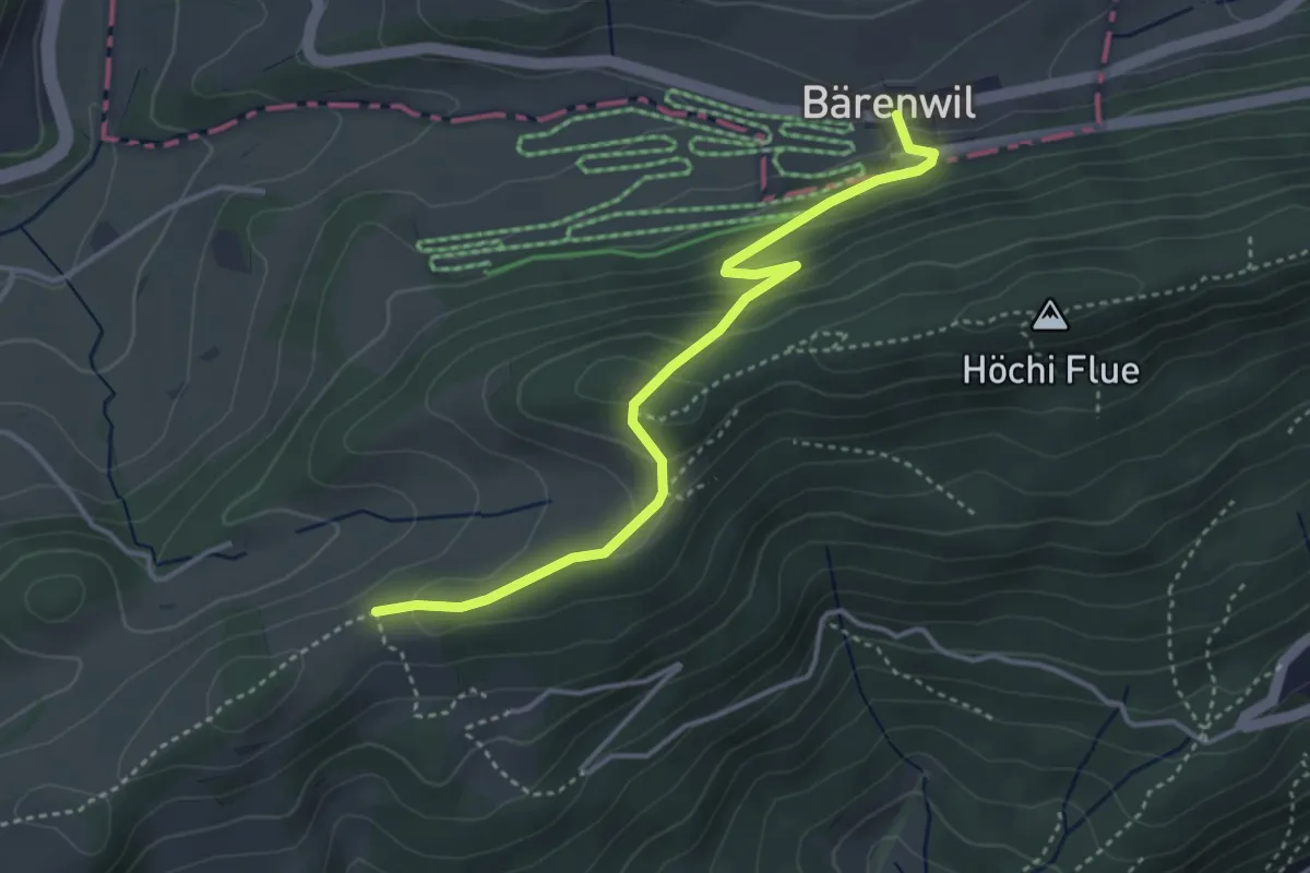
Medium · Trail
Bärenwil – Schlosshöchi
3.8 km · ↑ 207 m · 1 h 21 min
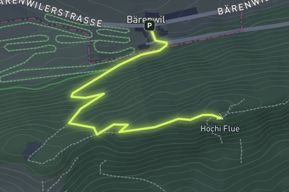
Medium · Summit
Bärenwil – Höchi Flue
3.3 km · ↑ 167 m · 1 h 8 min
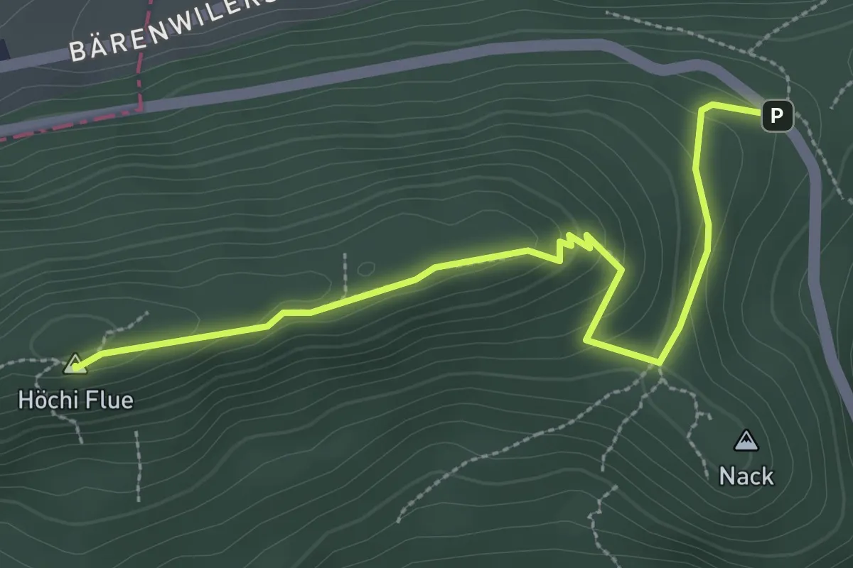
Easy · Summit
Höchi Flue – Santelhöchi
3.1 km · ↑ 134 m · 1 h 2 min
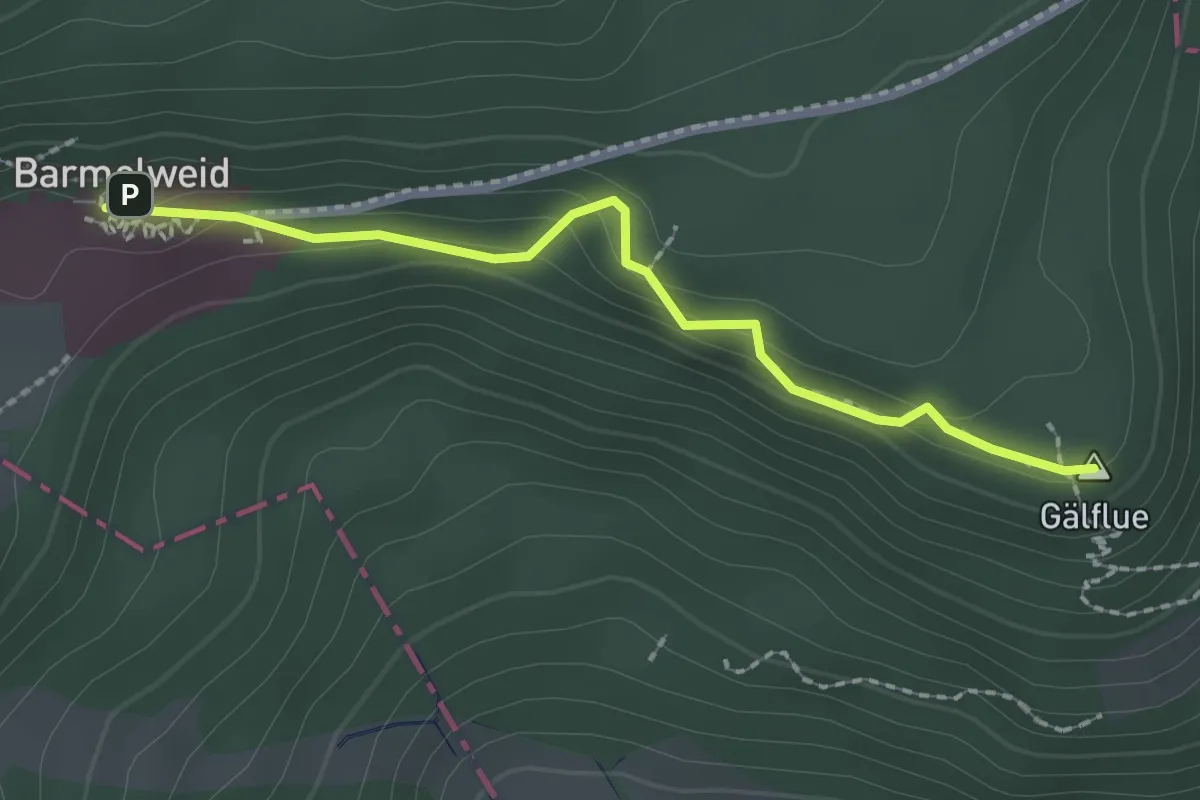
Easy · Summit
Barmelweid – Gälflue
2.1 km · ↑ 107 m · 43 min
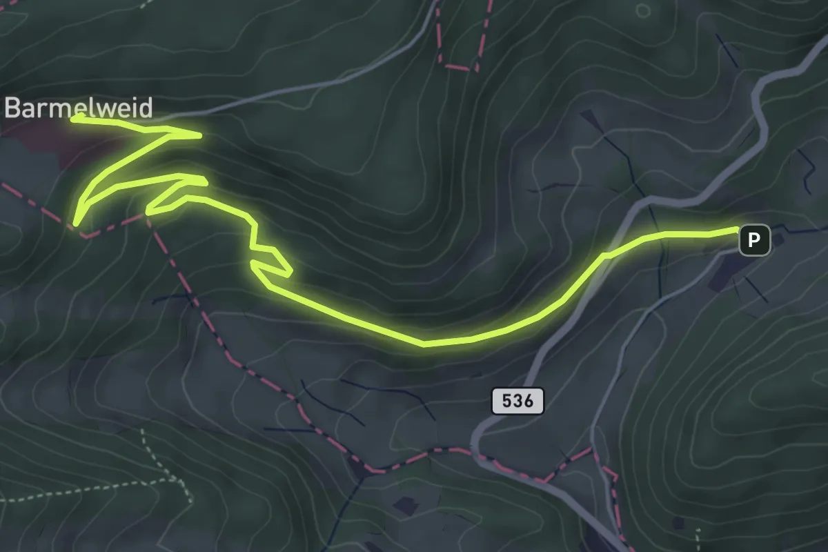
Easy · Trail
Barmelweid – Laurenzenbad
6.7 km · ↑ 254 m · 2 h 7 min
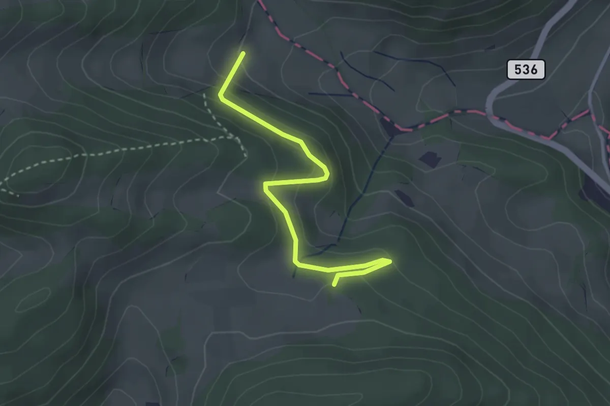
Easy · Trail
Barmelhof – Rütmatt
3.0 km · ↑ 161 m · 1 h 3 min
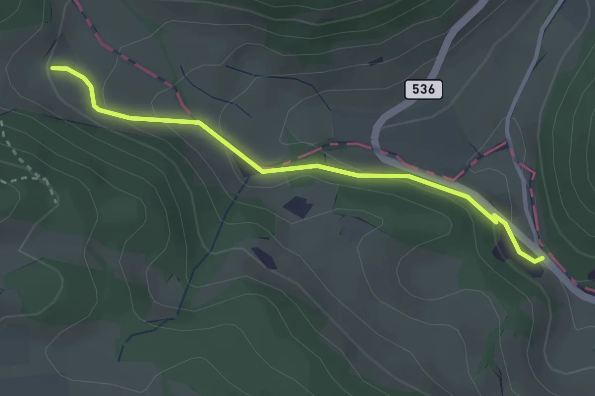
Easy · Trail
Barmelhof – Breitmis
2.6 km · ↑ 107 m · 51 min
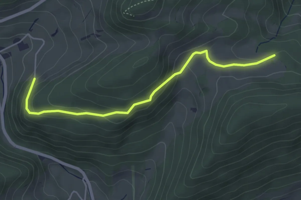
Easy · Trail
Rütmatt – Schneggenberg
4.3 km · ↑ 171 m · 1 h 23 min
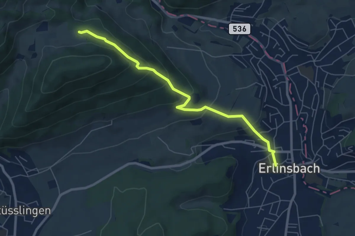
Easy · Trail
Rütmatt – Erlinsbach
5.9 km · ↑ 296 m · 2 h 2 min
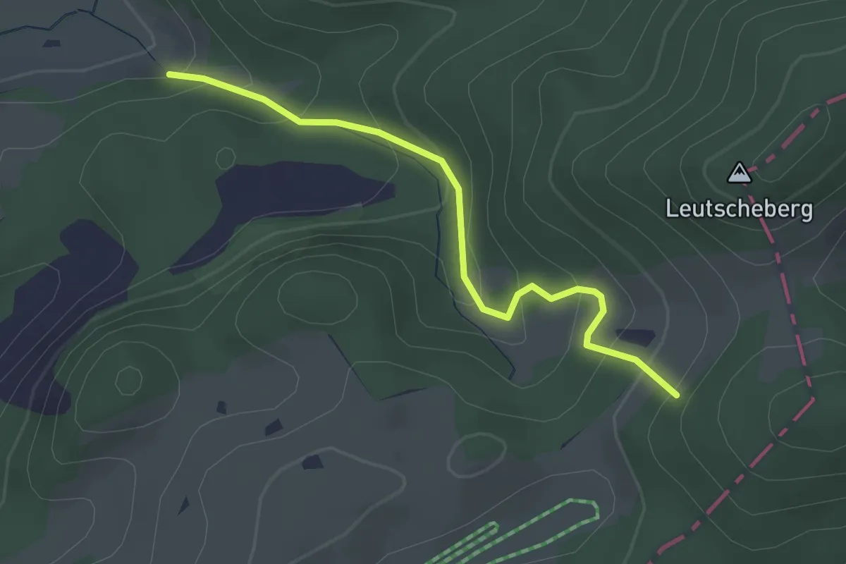
Easy · Trail
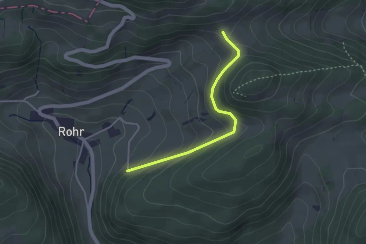
Bergmatten – Zeglingen
2.7 km · ↑ 215 m · 1 h 7 min
Easy · Trail
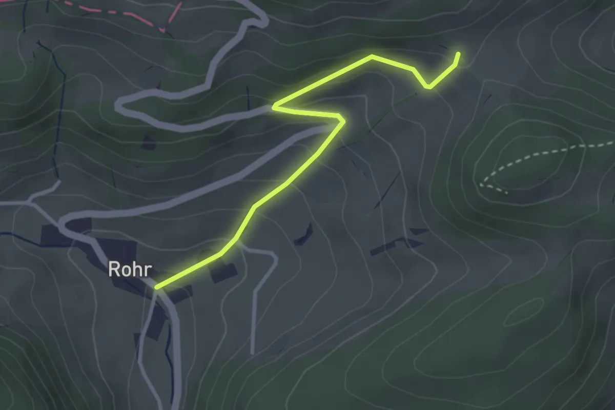
Rosmaregg – Schneggenberg
2.7 km · ↑ 182 m · 1 h 2 min
Easy · Trail
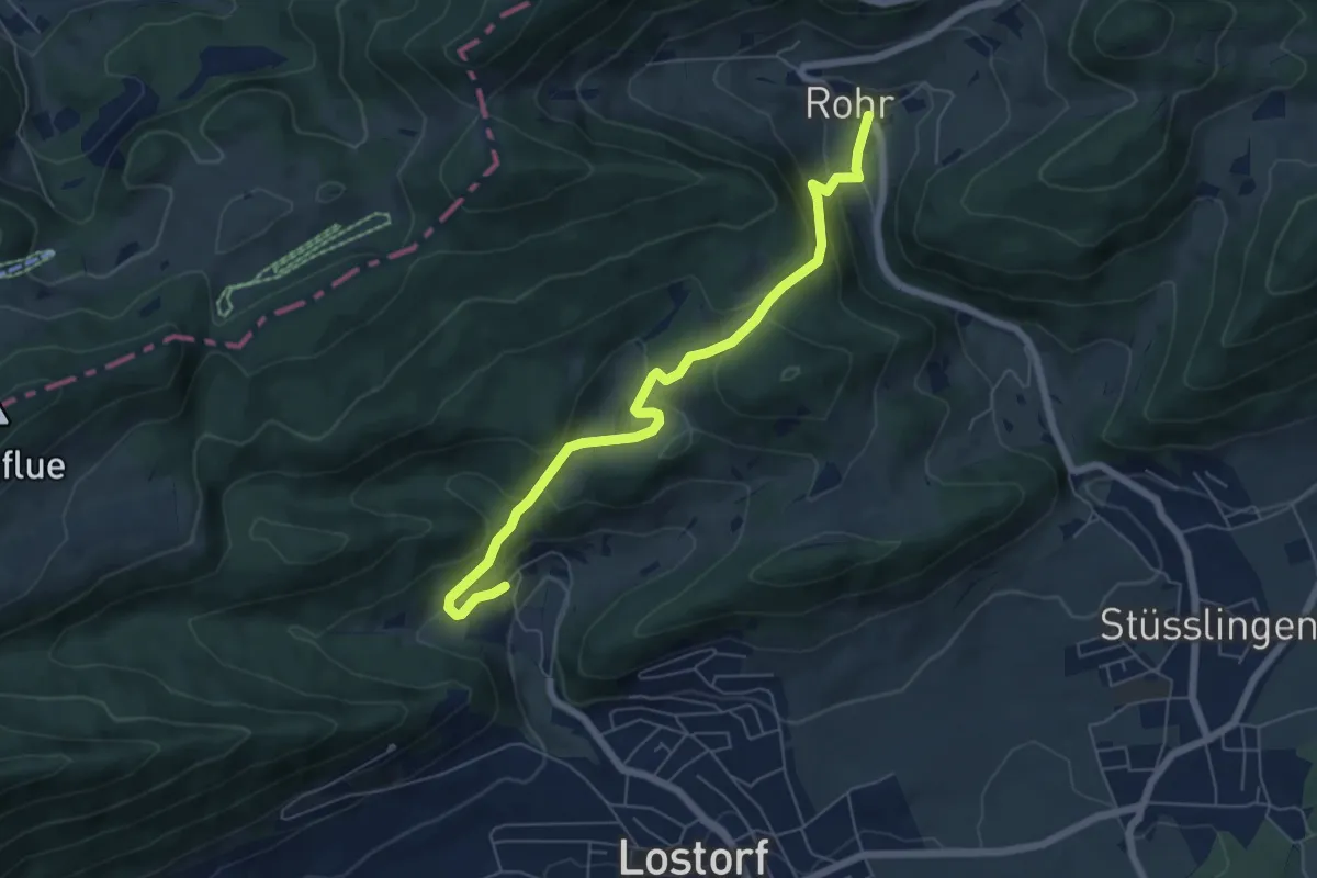
Rohr – Rosmaregg
2.9 km · ↑ 199 m · 1 h 6 min
Medium · Trail
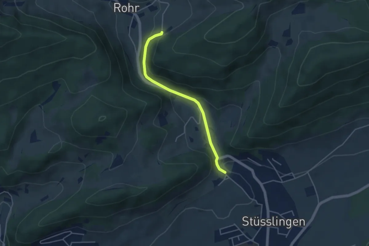
Rohr – Bad Lostorf
6.3 km · ↑ 355 m · 2 h 15 min
Easy · Trail
Schneggenberg – Hüttenhof
3.4 km · ↑ 148 m · 1 h 7 min
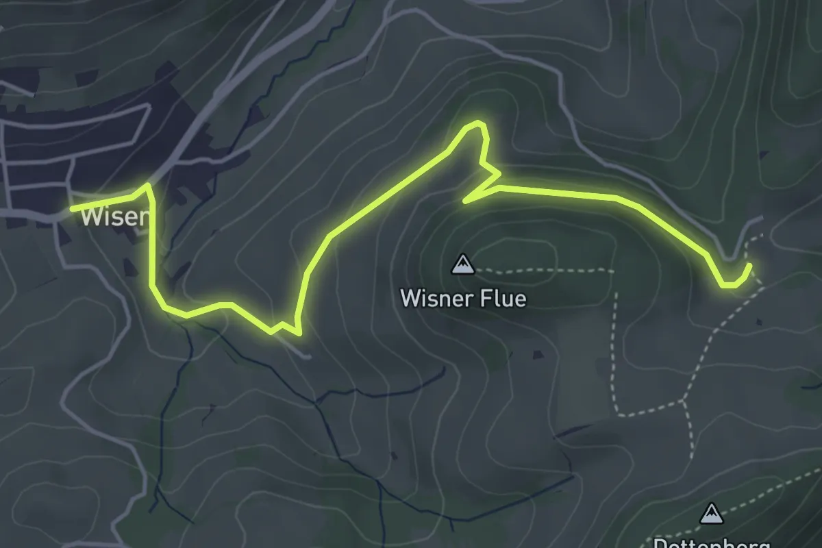
Easy · Trail
Burgweid – Wisen
5.2 km · ↑ 184 m · 1 h 37 min
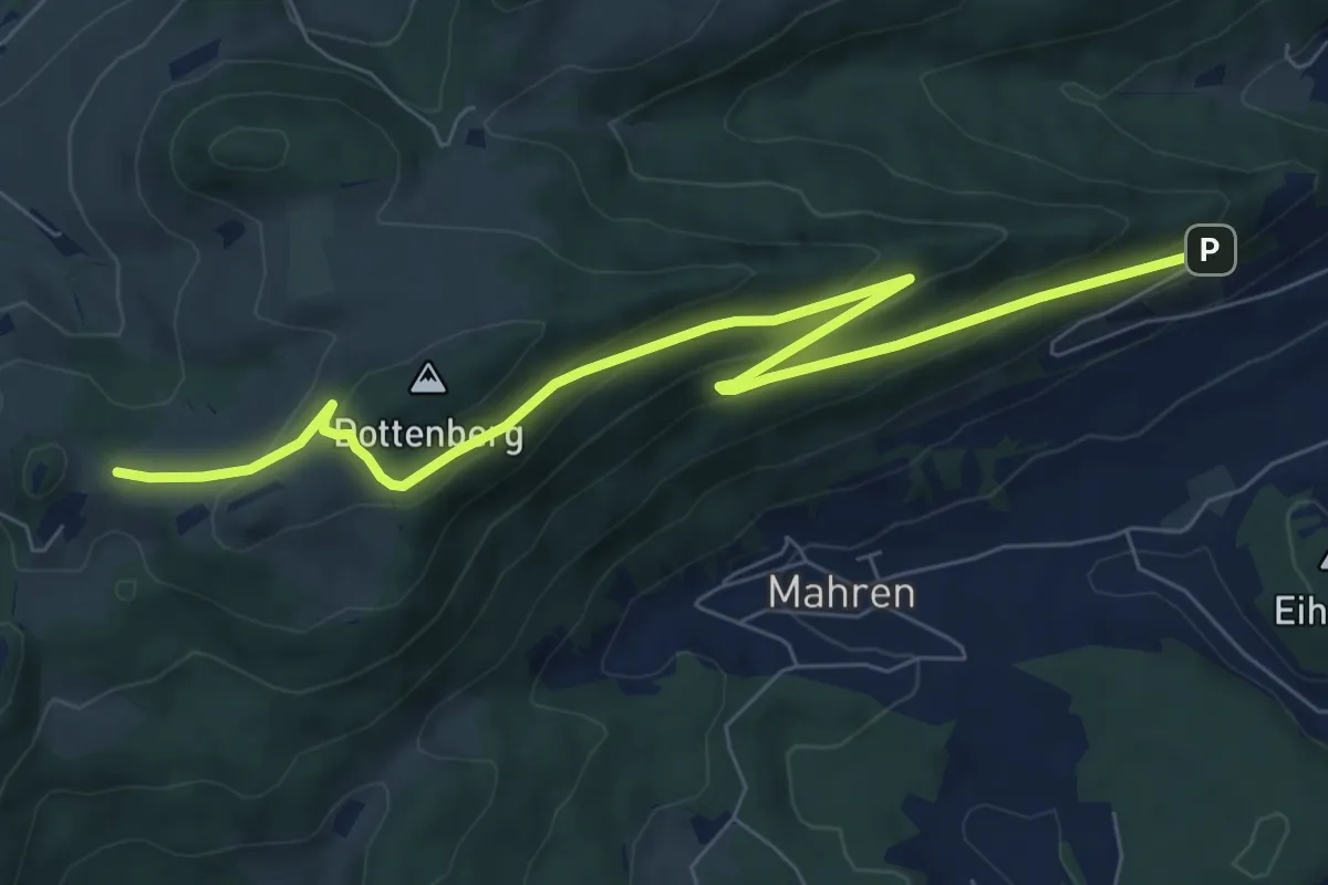
Medium · Trail
Froburg – Schloss Wartenfels
8.6 km · ↑ 321 m · 2 h 44 min
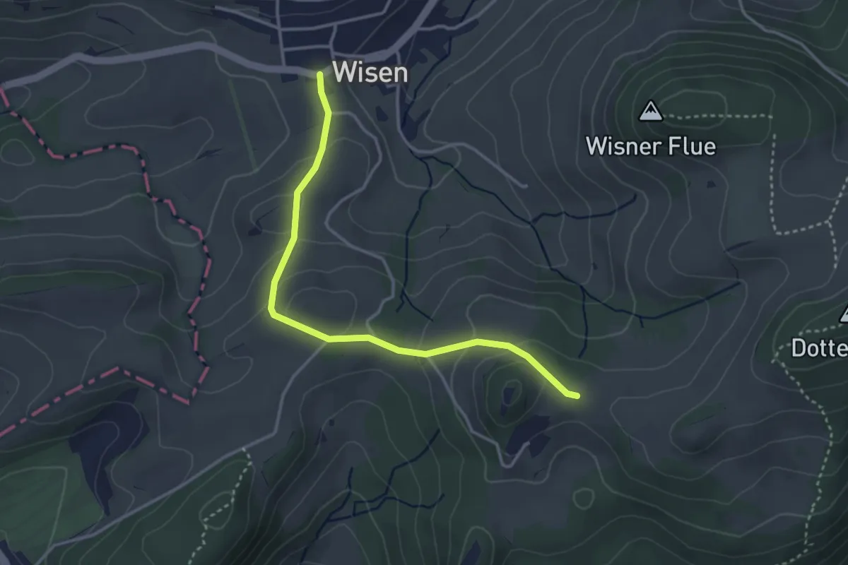
Easy · Trail
Froburg – Wisen
3.4 km · ↑ 147 m · 1 h 8 min
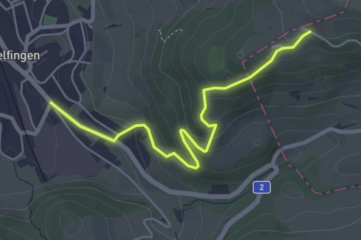
Easy · Trail
Läufelfingen – Blaukreuzheim Hupp
4.3 km · ↑ 258 m · 1 h 34 min
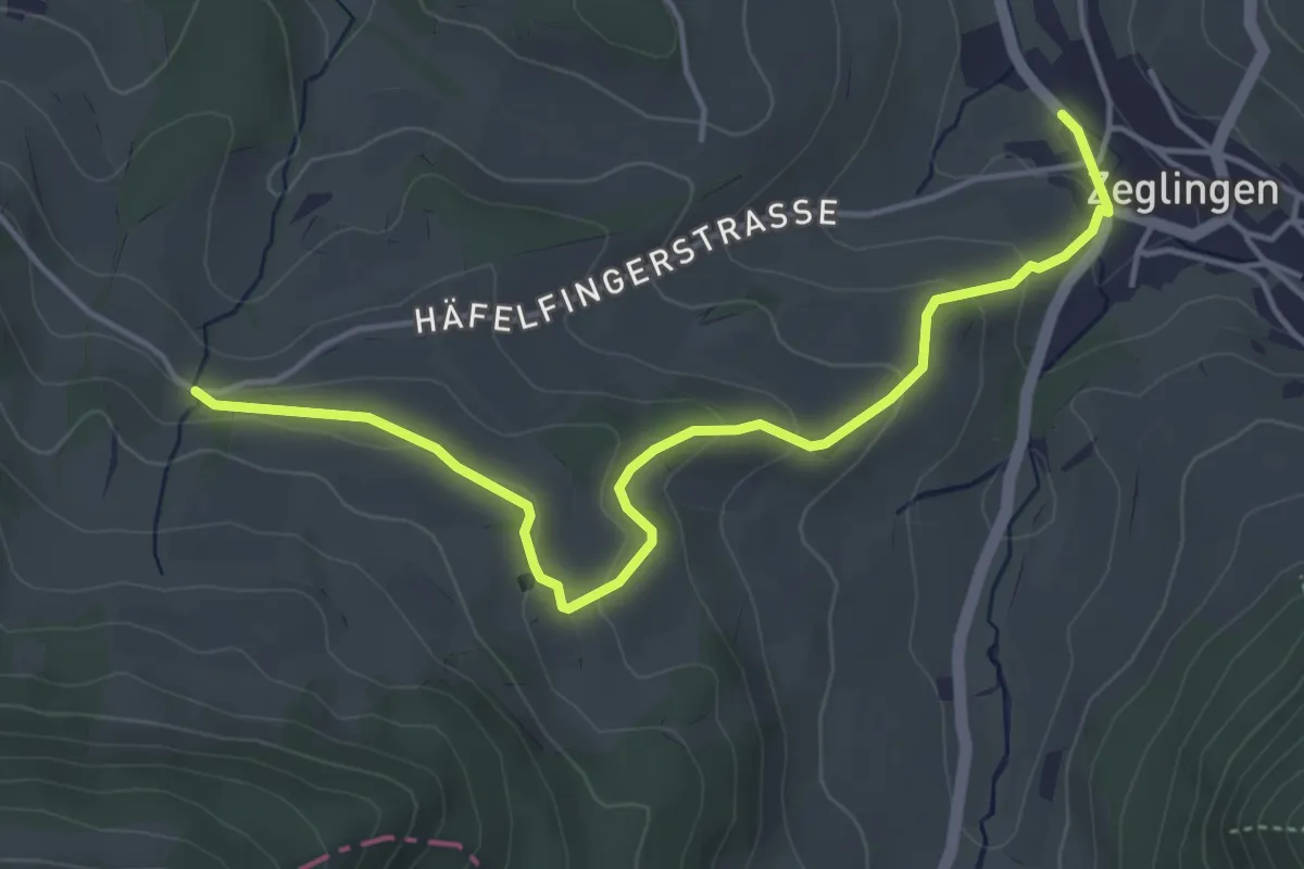
Easy · Trail
Zeglingen – fixme
4.7 km · ↑ 160 m · 1 h 28 min
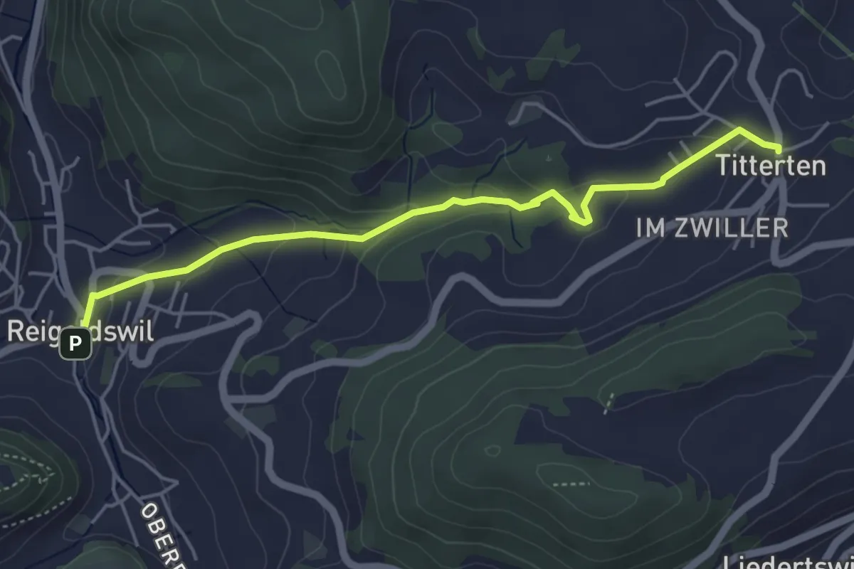
Easy · Trail
Reigoldswil – Titterten
4.7 km · ↑ 165 m · 1 h 28 min
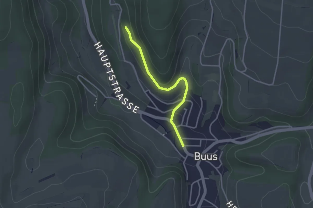
Easy · Trail
Schönenberg – Buus
2.5 km · ↑ 91 m · 47 min
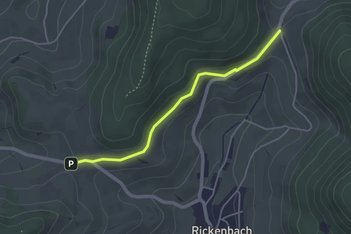
Easy · Trail
Rickenbacherhöchi – Buuseregg
3.2 km · ↑ 59 m · 53 min
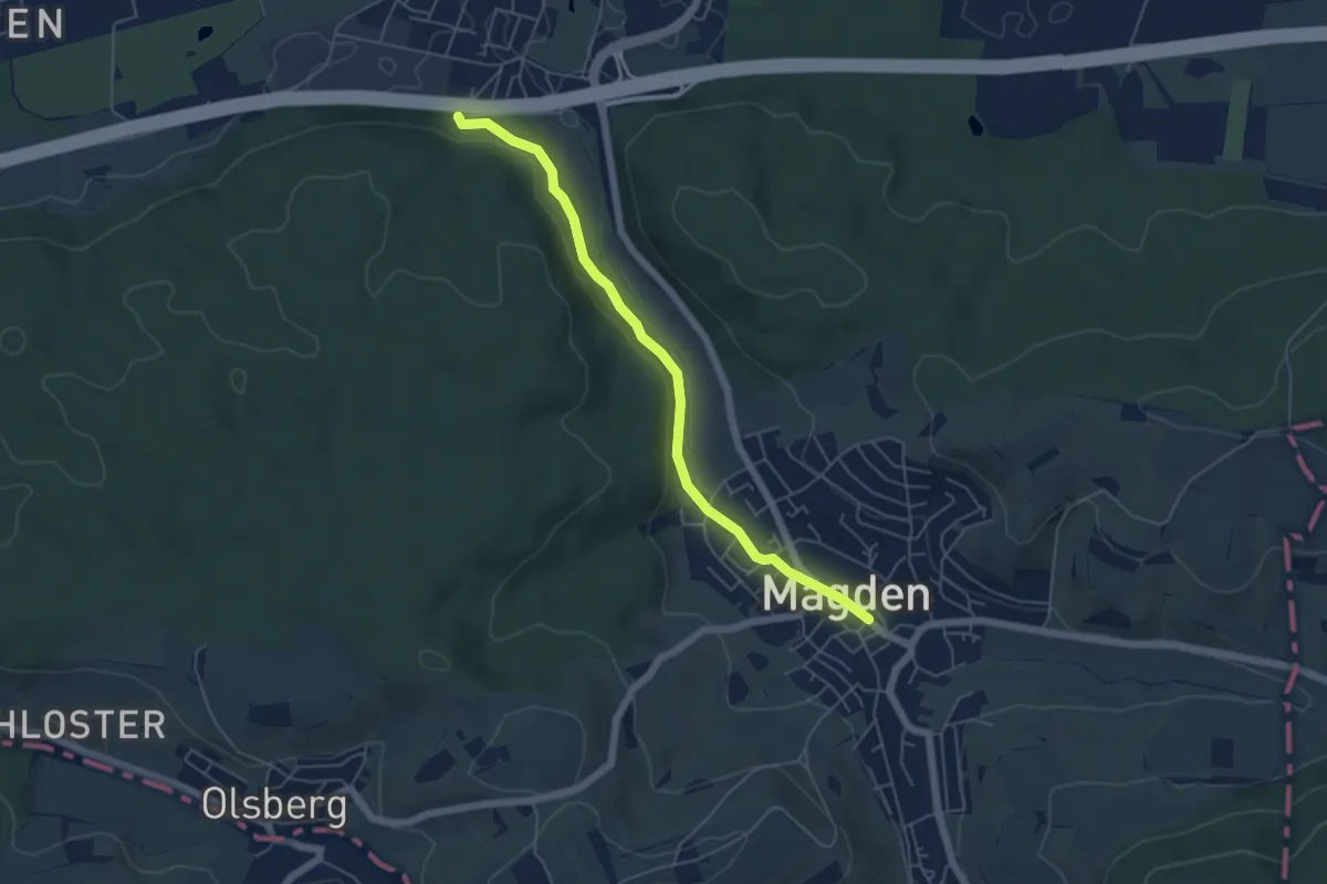
Easy · Trail
Magden – Belchenblick
5.2 km · ↑ 92 m · 1 h 26 min
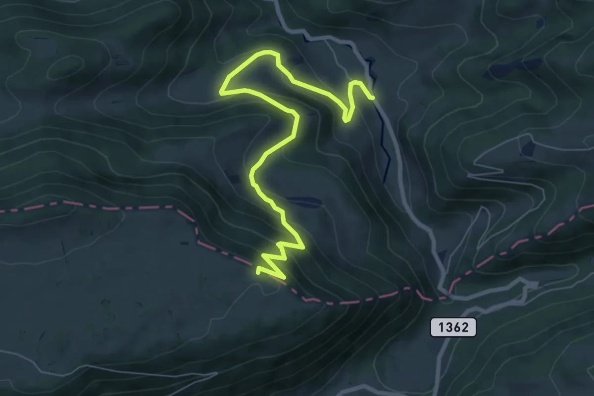
Medium · Trail
Envelier – Le Petit Pré
7.4 km · ↑ 532 m · 2 h 54 min
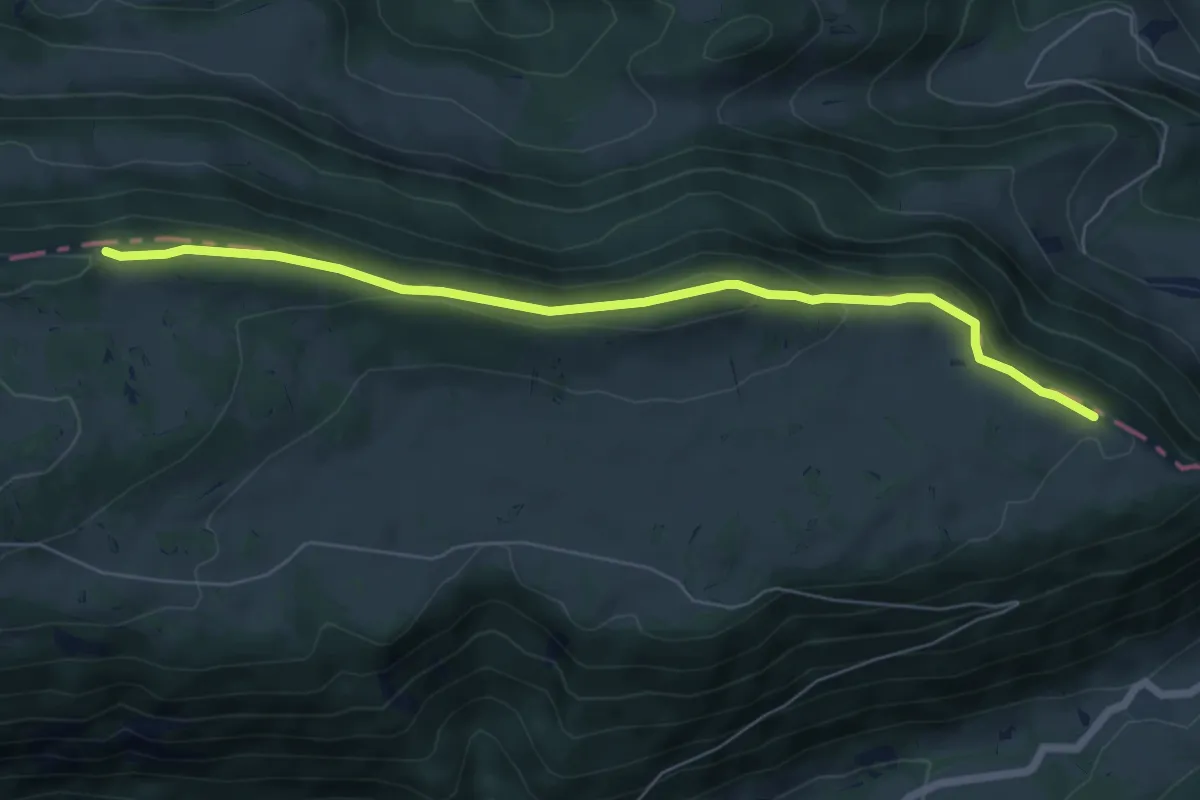
Easy · Trail
Le Petit Pré – Sur le Golat
6.7 km · ↑ 268 m · 2 h 10 min
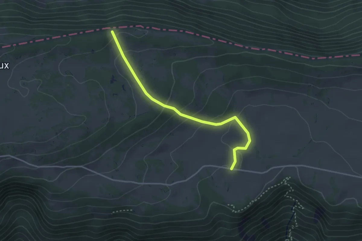
Easy · Trail
Sur le Golat – Raimeux de Crémines
3.3 km · ↑ 131 m · 1 h 3 min