Trails in Switzerland
15,055 hiking trails, each with its route, climb, walking time and grade.
All trails, page 257 of 314
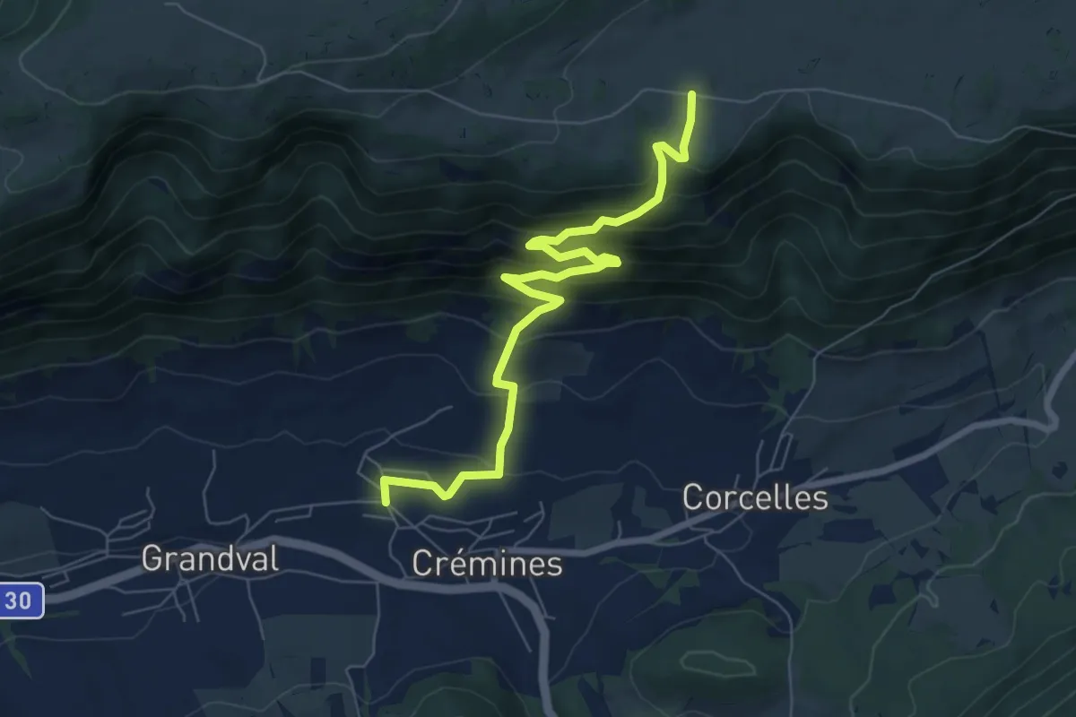
Medium · Trail
Raimeux de Crémines – Crémines
7.4 km · ↑ 543 m · 2 h 55 min
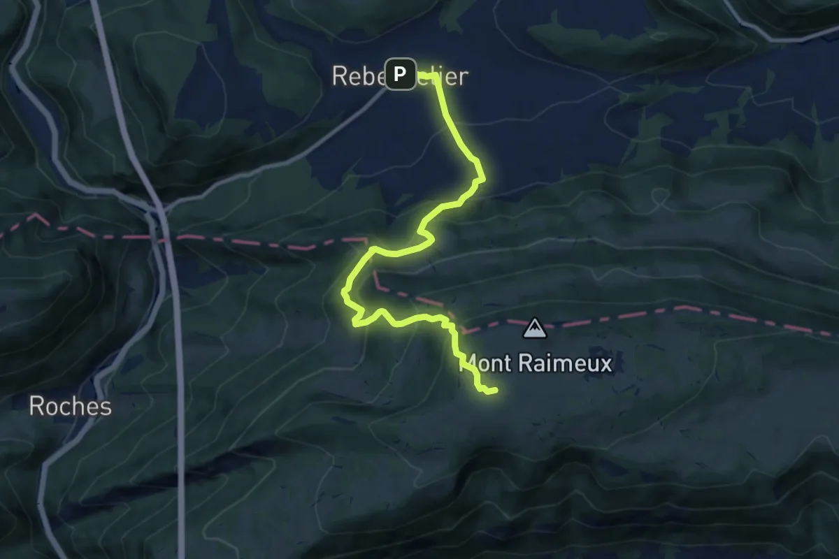
Medium · Trail
Raimeux de Grandval – Rebeuvelier
9.5 km · ↑ 707 m · 3 h 46 min
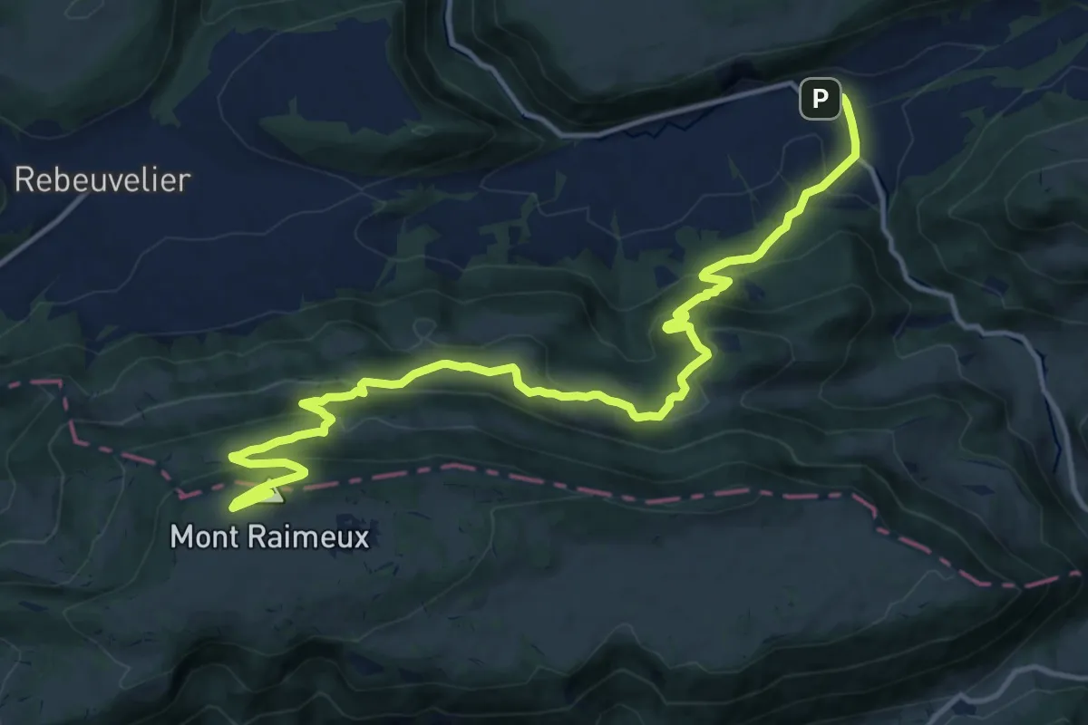
Demanding · Summit
Raimeux sommet – Vermes
16.1 km · ↑ 804 m · 5 h 33 min
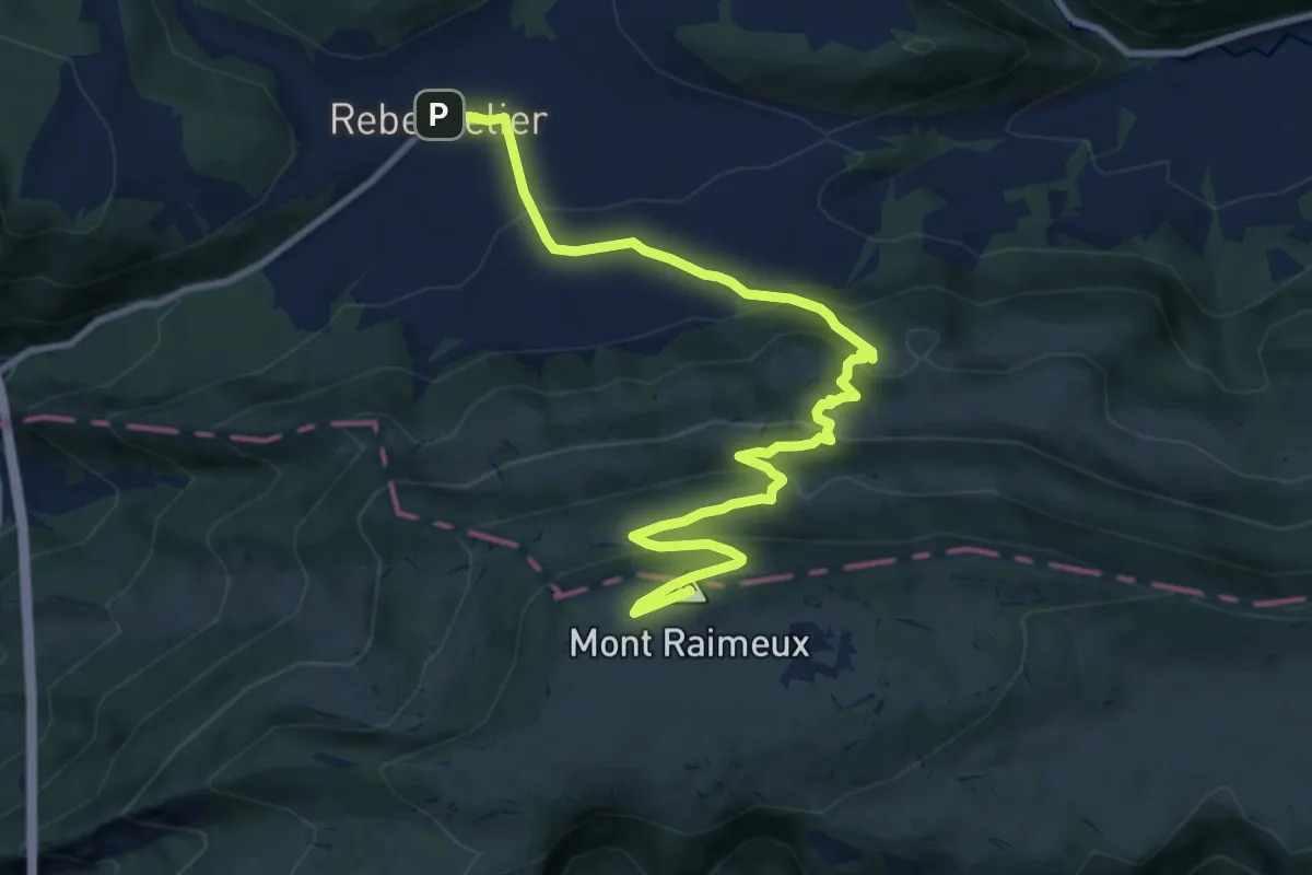
Medium · Summit
Raimeux sommet – Rebeuvelier
11.0 km · ↑ 621 m · 3 h 56 min
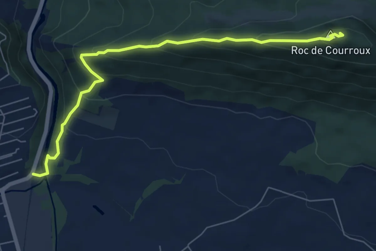
Medium · Summit
Vadry – Auberge de Jeunesse
6.2 km · ↑ 406 m · 2 h 21 min
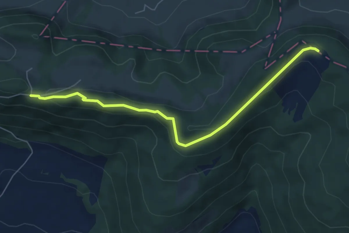
Easy · Trail
Vadry – Retemberg
5.9 km · ↑ 187 m · 1 h 48 min
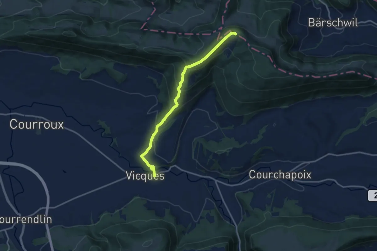
Medium · Trail
Retemberg – Vicques
9.5 km · ↑ 458 m · 3 h 15 min
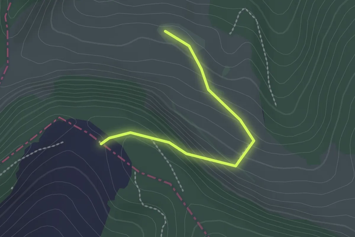
Easy · Trail
Retemberg – Wasserberg
2.1 km · ↑ 129 m · 46 min
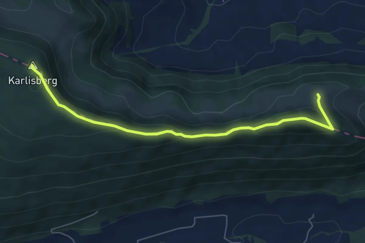
Easy · Summit
Retemberg – Ober Fringeli
5.7 km · ↑ 254 m · 1 h 53 min
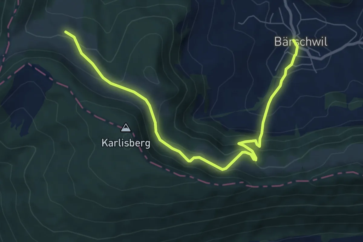
Medium · Trail
Bärschwil Post – Wasserberg
8.0 km · ↑ 553 m · 3 h 5 min
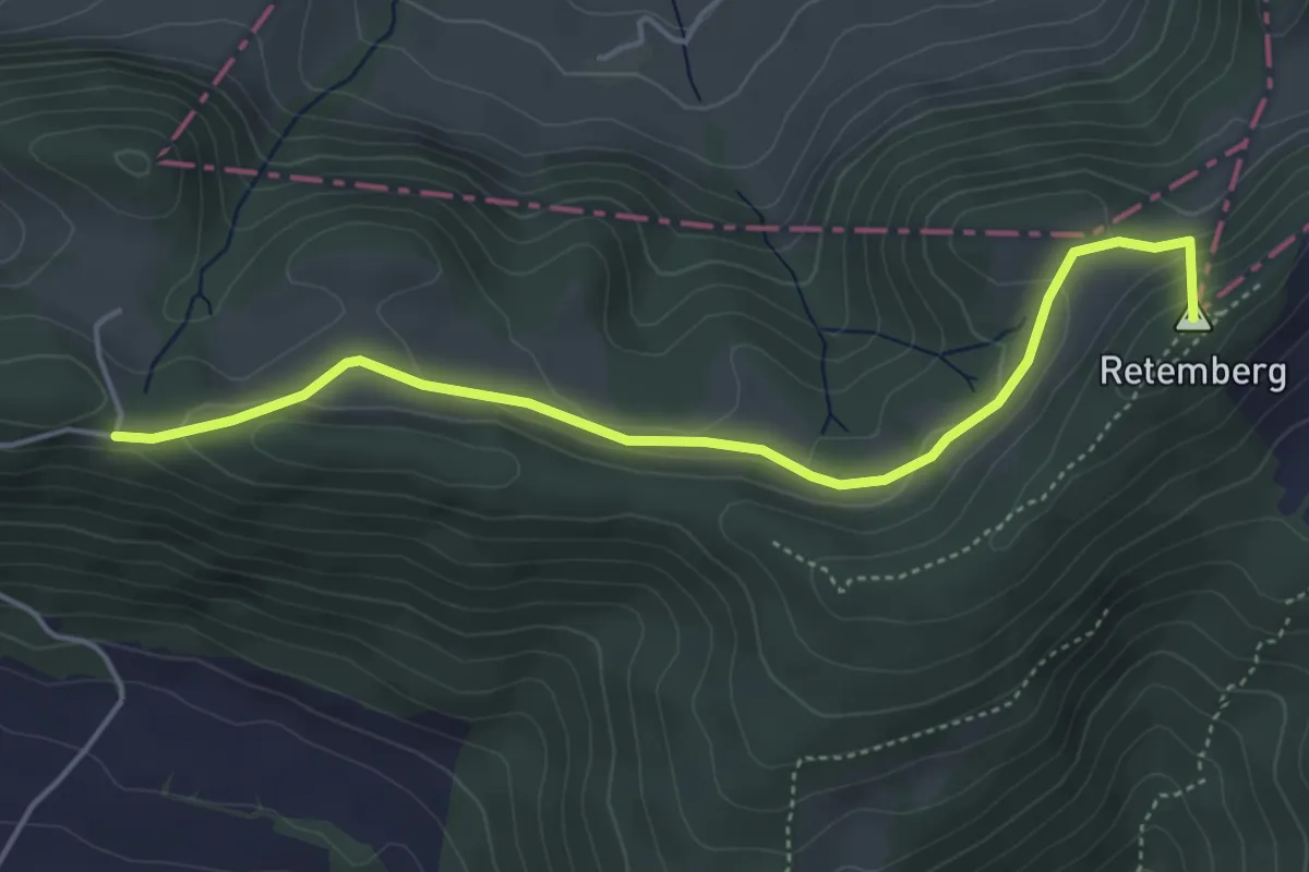
Easy · Summit
Wasserberg – Vadry
4.7 km · ↑ 154 m · 1 h 26 min
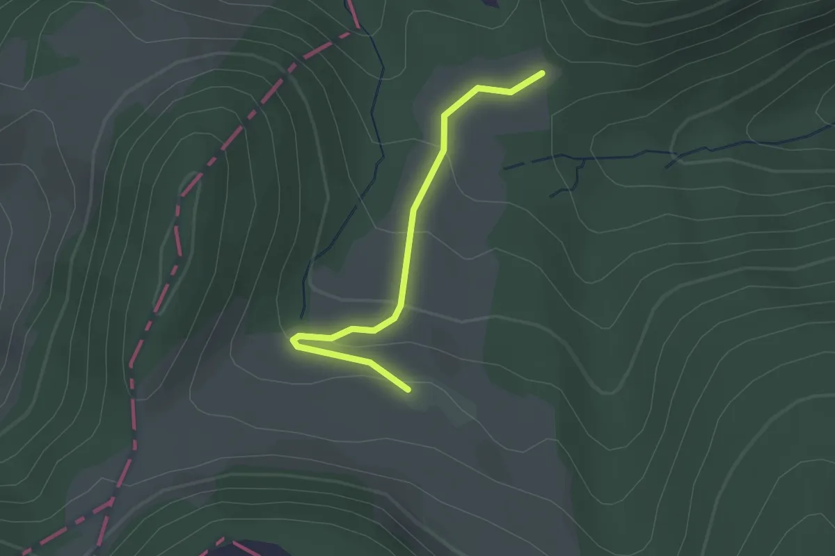
Easy · Trail
Wasserberg – Bärschwiler Jagdhütte
2.1 km · ↑ 93 m · 42 min
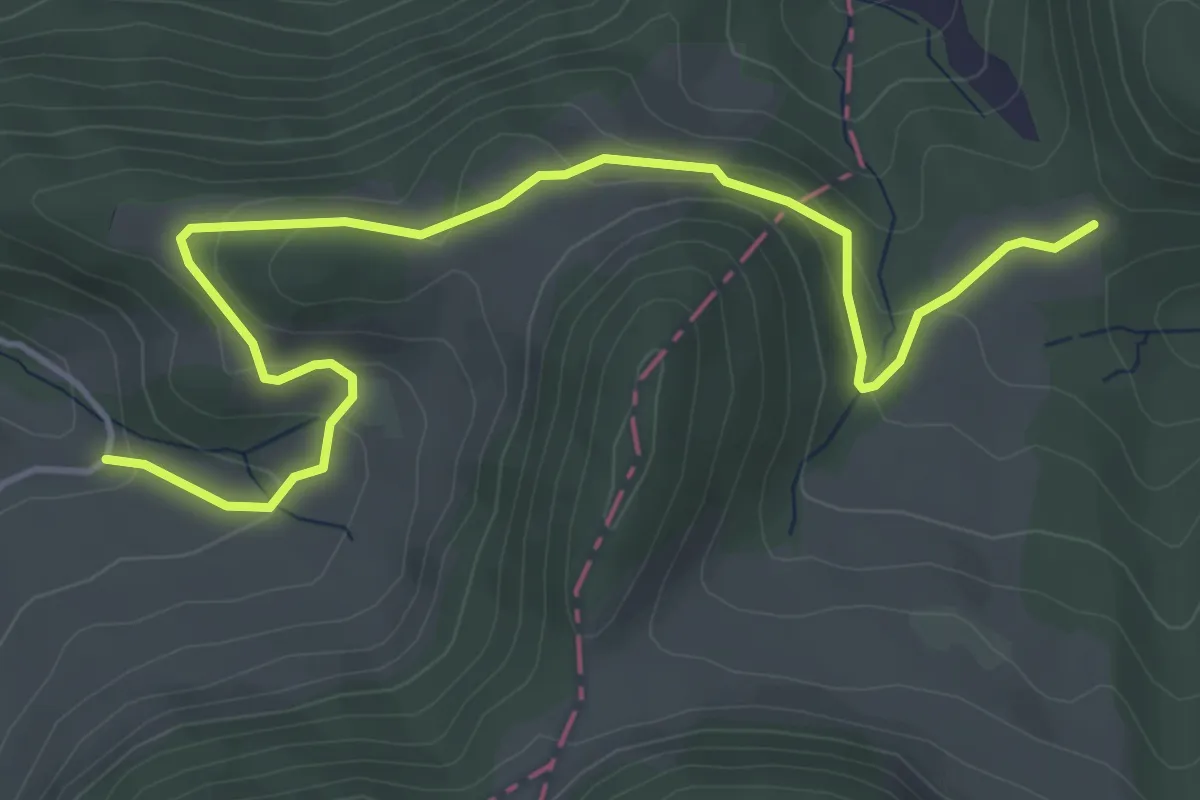
Easy · Trail
Bärschwiler Jagdhütte – Spitzbühl
5.3 km · ↑ 239 m · 1 h 46 min
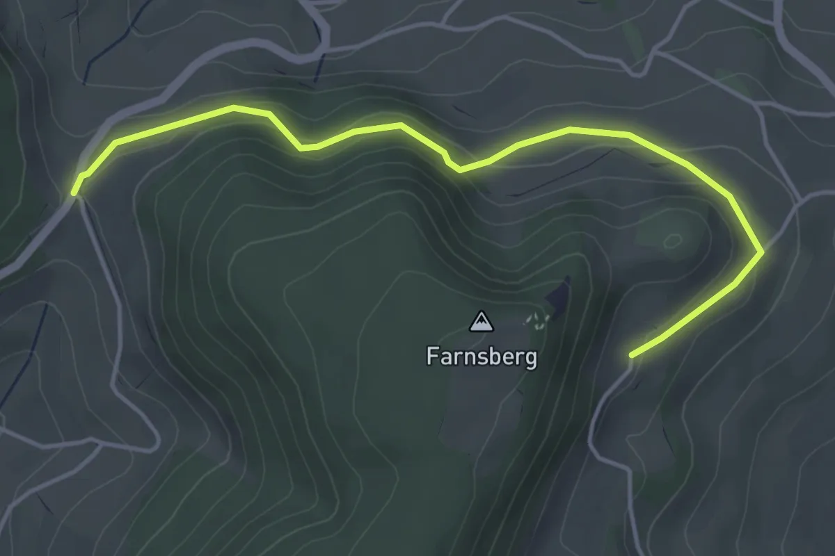
Easy · Trail
Buuseregg – Farnsburg
4.5 km · ↑ 183 m · 1 h 27 min
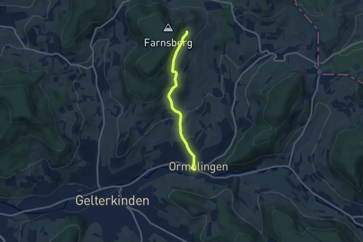
Easy · Trail
Farnsburg – Ormalingen
5.8 km · ↑ 268 m · 1 h 57 min
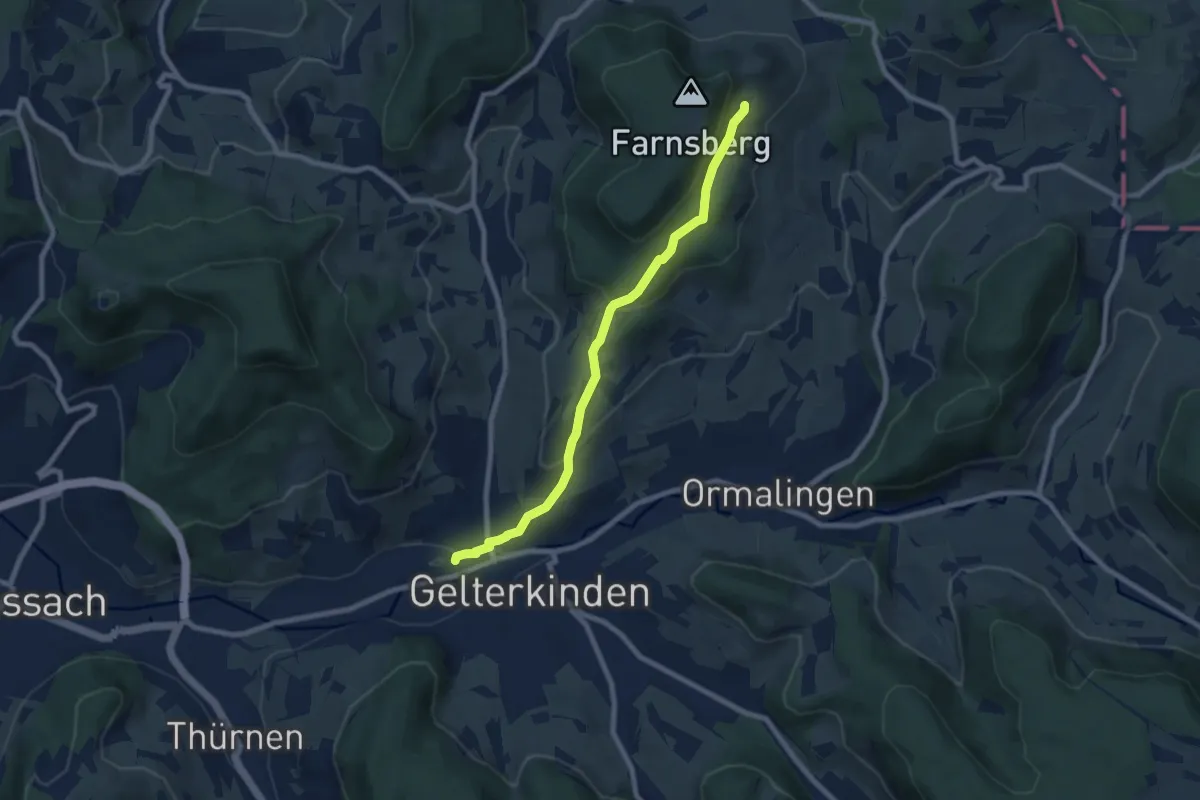
Easy · Trail
Gelterkinden – Farnsburg
7.5 km · ↑ 317 m · 2 h 28 min
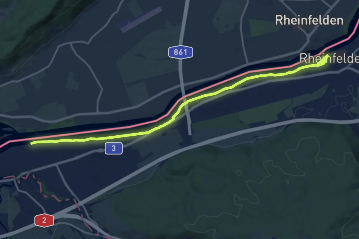
Medium · Trail
Kaiseraugst Schiff – Rheinfelden
11.8 km · ↑ 55 m · 2 h 54 min
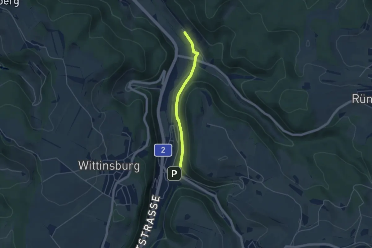
Easy · Trail
Rümlingen – Sommerau
3.6 km · ↑ 107 m · 1 h 5 min
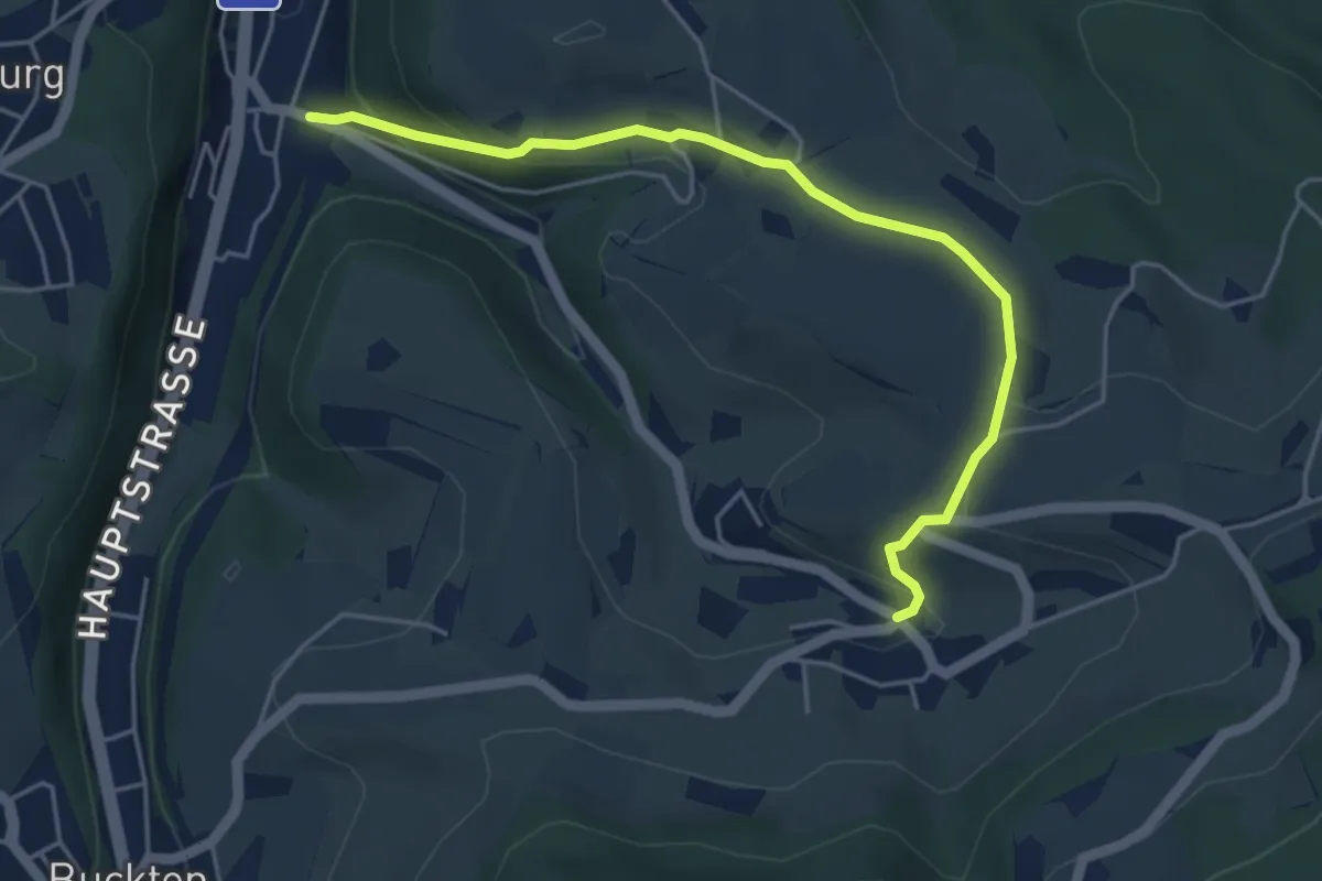
Easy · Trail
Rümlingen – Hafelfingen
4.8 km · ↑ 189 m · 1 h 33 min
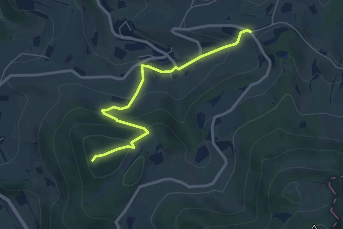
Easy · Summit
Homberg Flue – Egg
5.1 km · ↑ 314 m · 1 h 53 min
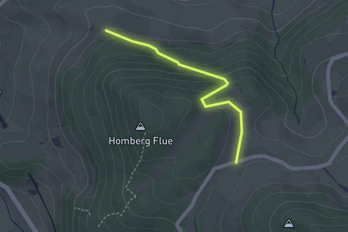
Easy · Trail
Wannenegg – Homberg
2.7 km · ↑ 142 m · 57 min
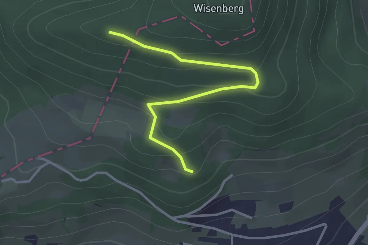
Easy · Trail
Wisenberg – Langacher
2.8 km · ↑ 133 m · 57 min
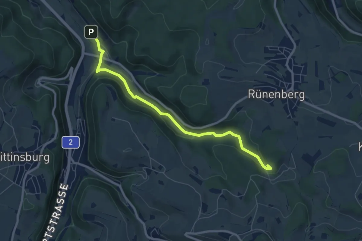
Easy · Trail
Giessen – Sommerau
6.6 km · ↑ 158 m · 1 h 54 min
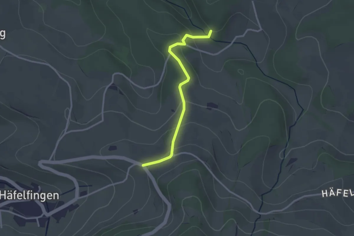
Easy · Trail
Egg – Giessen
2.5 km · ↑ 102 m · 49 min
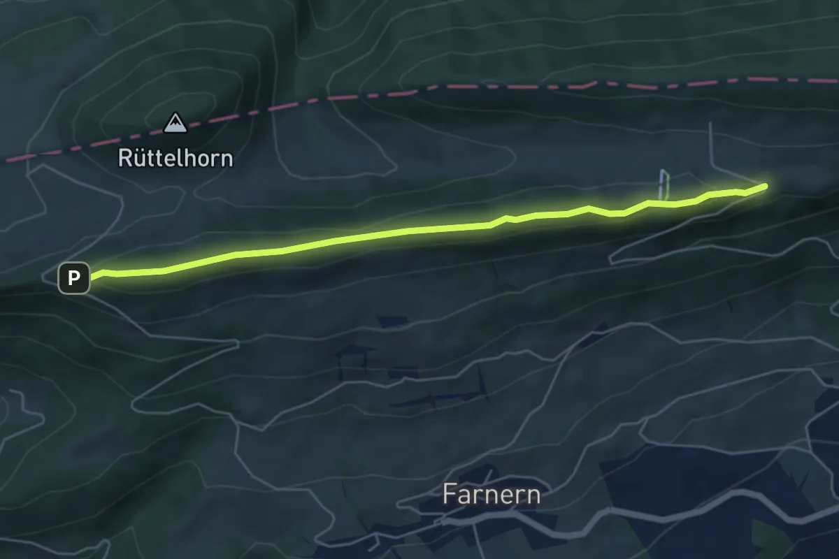
Medium · Trail
Hinteregg – Bättlerchuchi
5.4 km · ↑ 134 m · 1 h 35 min
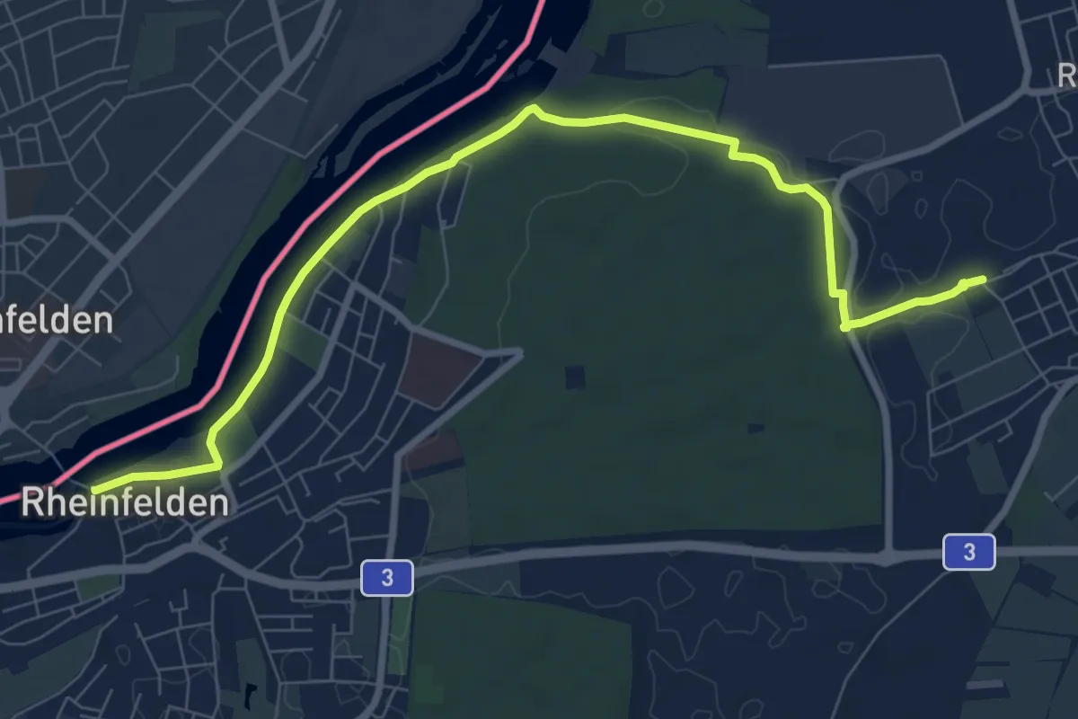
Medium · Trail
Rheinfelden – Möhlin
9.1 km · ↑ 91 m · 2 h 21 min
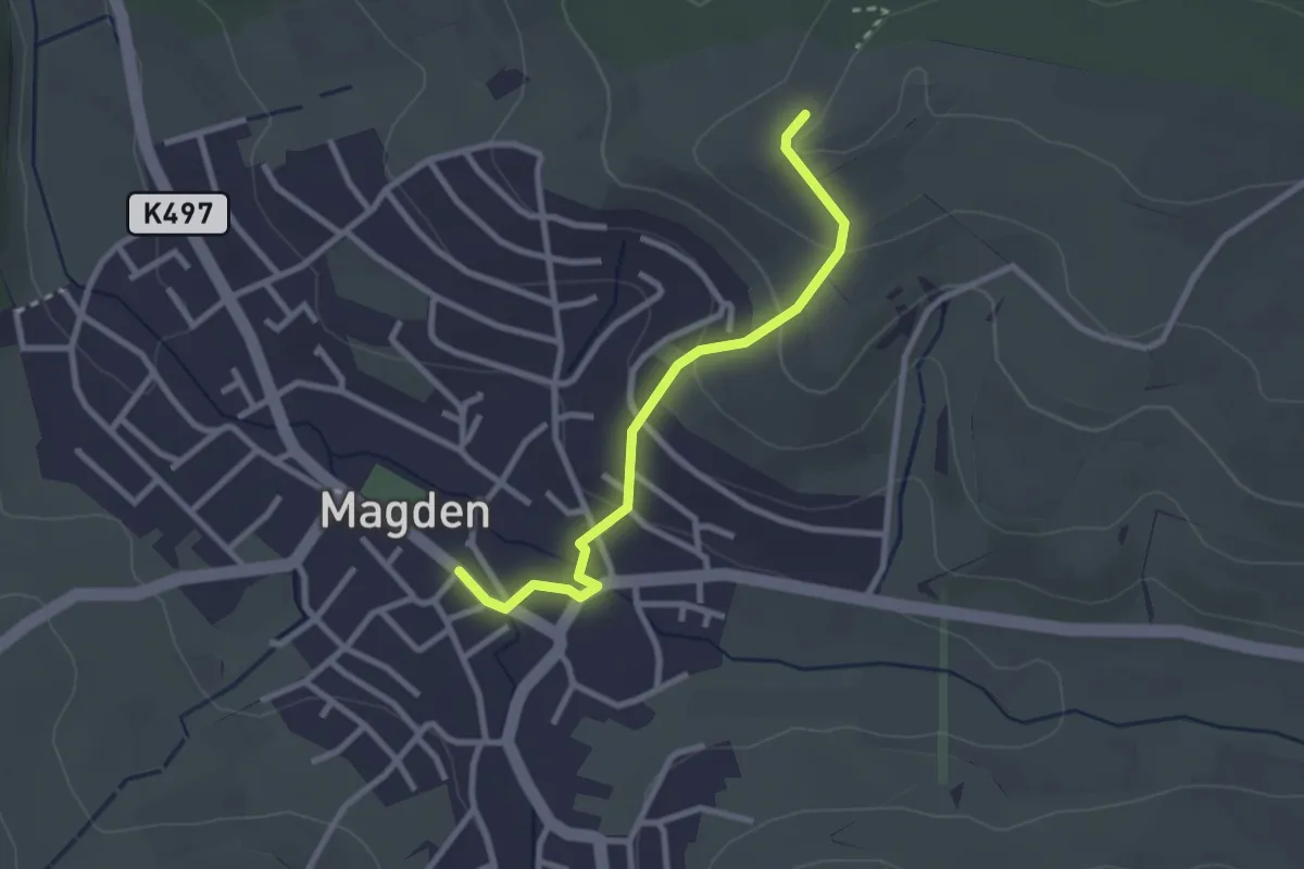
Easy · Trail
Magden Post – Galgen
2.5 km · ↑ 115 m · 51 min
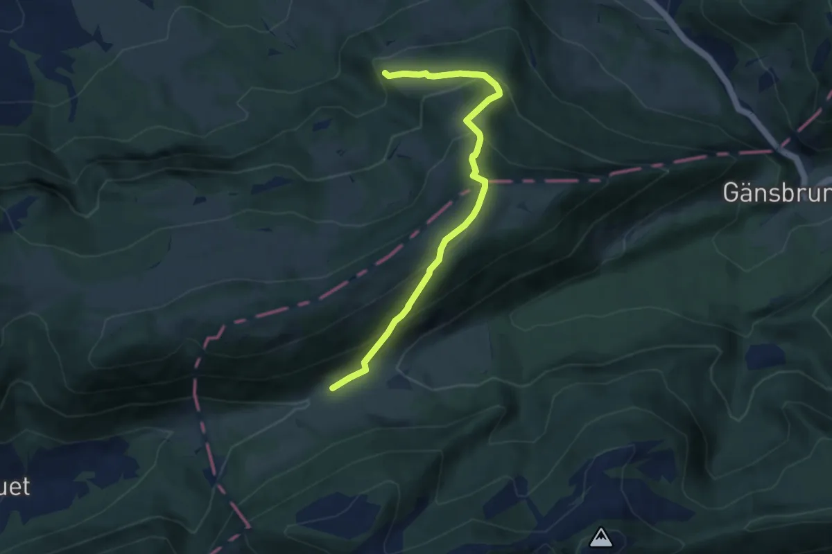
Medium · Trail
Sur le Rives – Binzberg
6.7 km · ↑ 500 m · 2 h 39 min
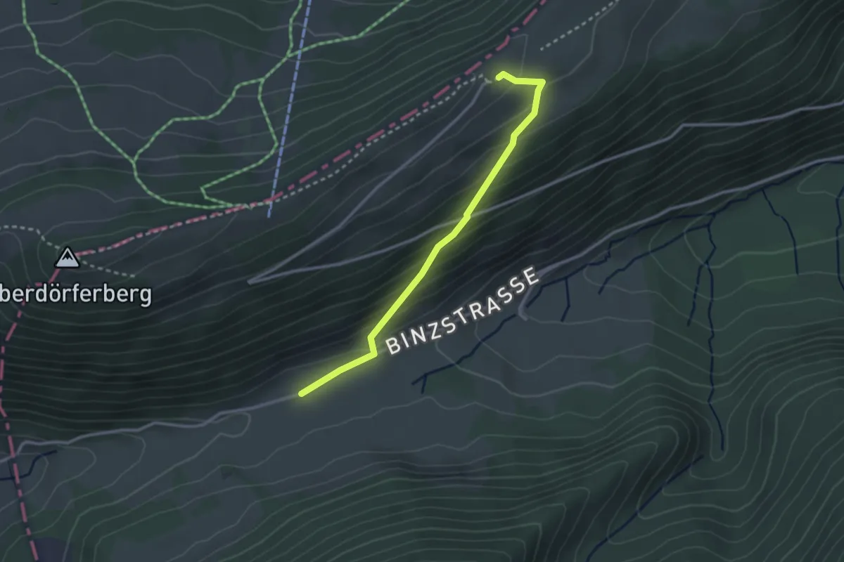
Easy · Trail
Binzberg – Oberdörferberg Rest.
2.7 km · ↑ 210 m · 1 h 6 min
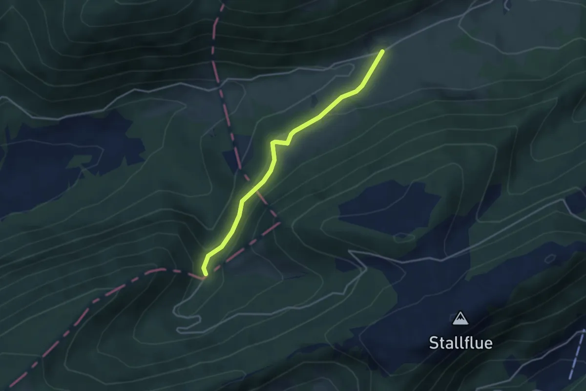
Easy · Trail
Binzberg – Schwelli
3.2 km · ↑ 124 m · 1 h 2 min
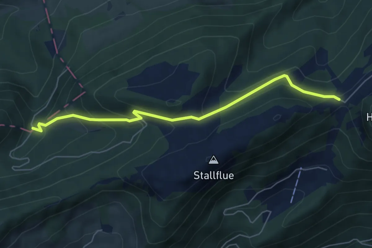
Medium · Trail
Schwelli – Müren
5.3 km · ↑ 341 m · 1 h 59 min
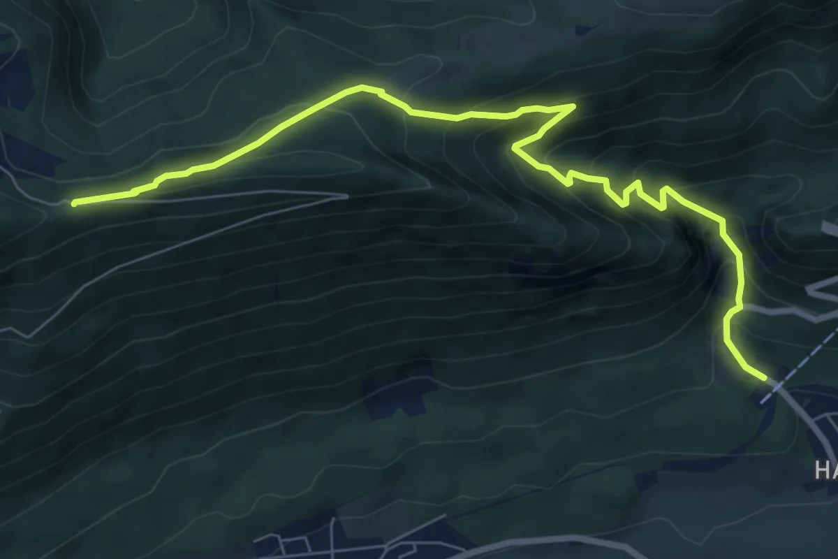
Medium · Trail
Oberdorf Talstation Gondelbahn – Egg
8.2 km · ↑ 660 m · 3 h 22 min
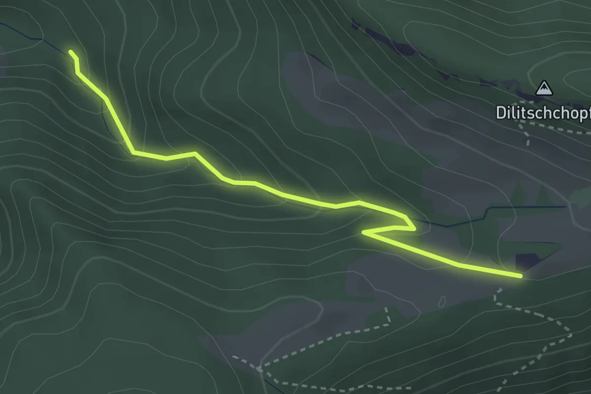
Medium · Trail
Rüschgraben – Hinterer Weissenstein
3.3 km · ↑ 234 m · 1 h 16 min
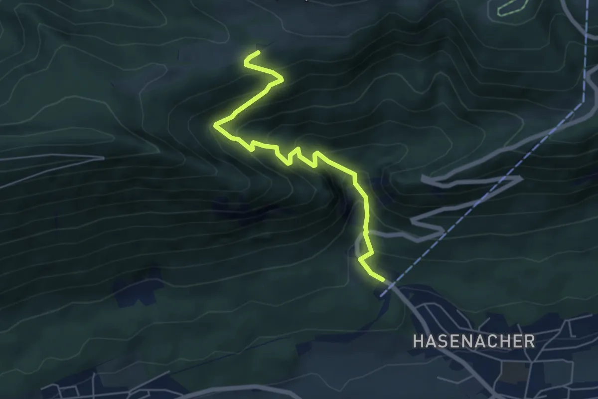
Medium · Trail
Hinterer Weissenstein – Oberdorf Talstation Gondelbahn
5.2 km · ↑ 521 m · 2 h 21 min
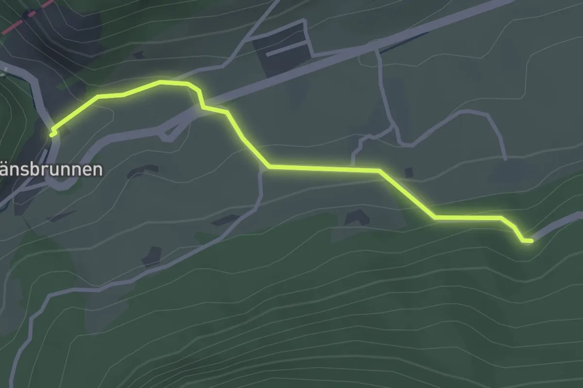
Easy · Trail
Glaserweg – Gänsbrunnen St. Joseph
2.8 km · ↑ 128 m · 56 min
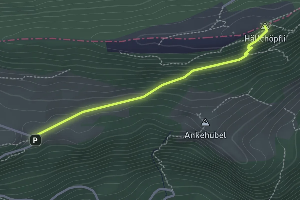
Medium · Summit
Hellchöpfli – Hinteregg
2.4 km · ↑ 136 m · 51 min
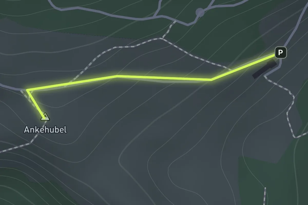
Medium · Summit
Hinteregg – Buechmatt
0.9 km · ↑ 38 m · 17 min
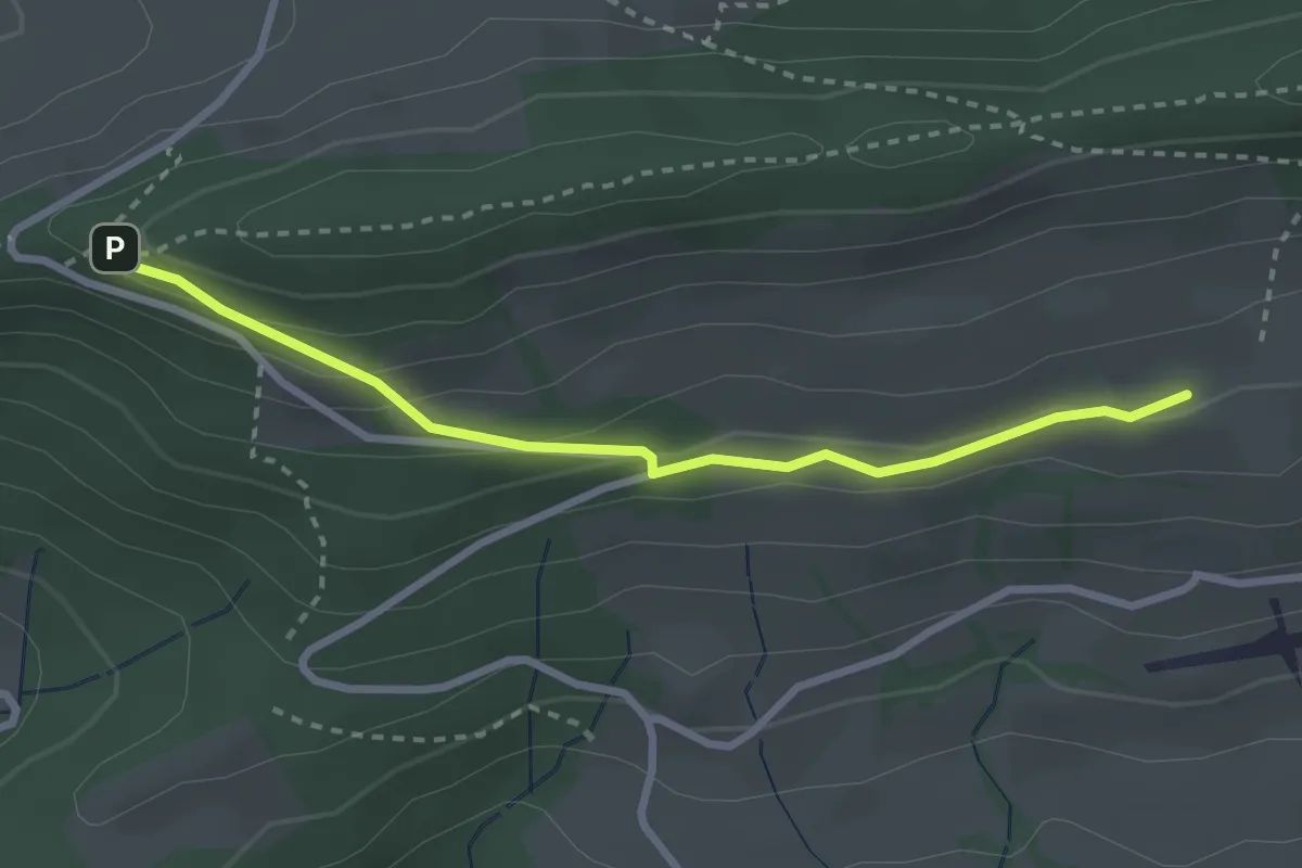
Medium · Trail
Bättlerchuchi – Stierenberg
2.8 km · ↑ 108 m · 53 min
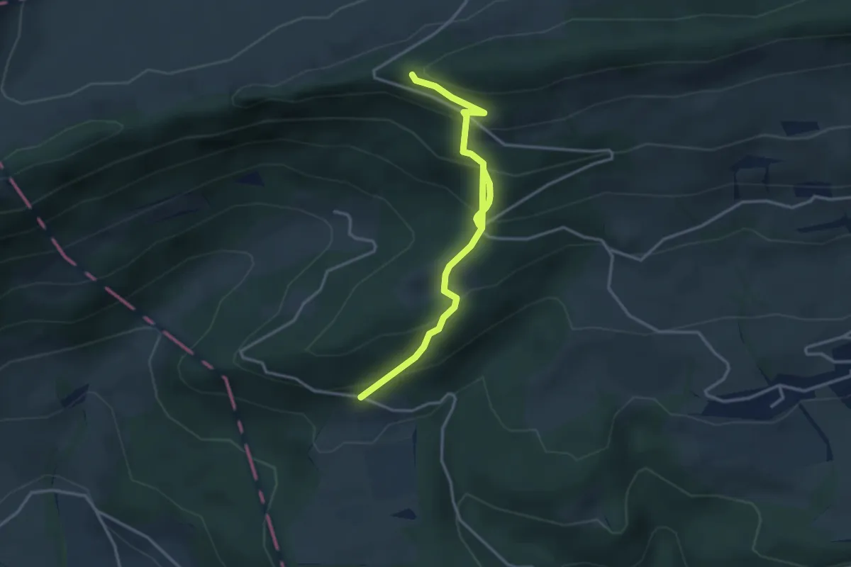
Medium · Trail
Bättlerchuchi – Reckenacher
3.9 km · ↑ 406 m · 1 h 48 min
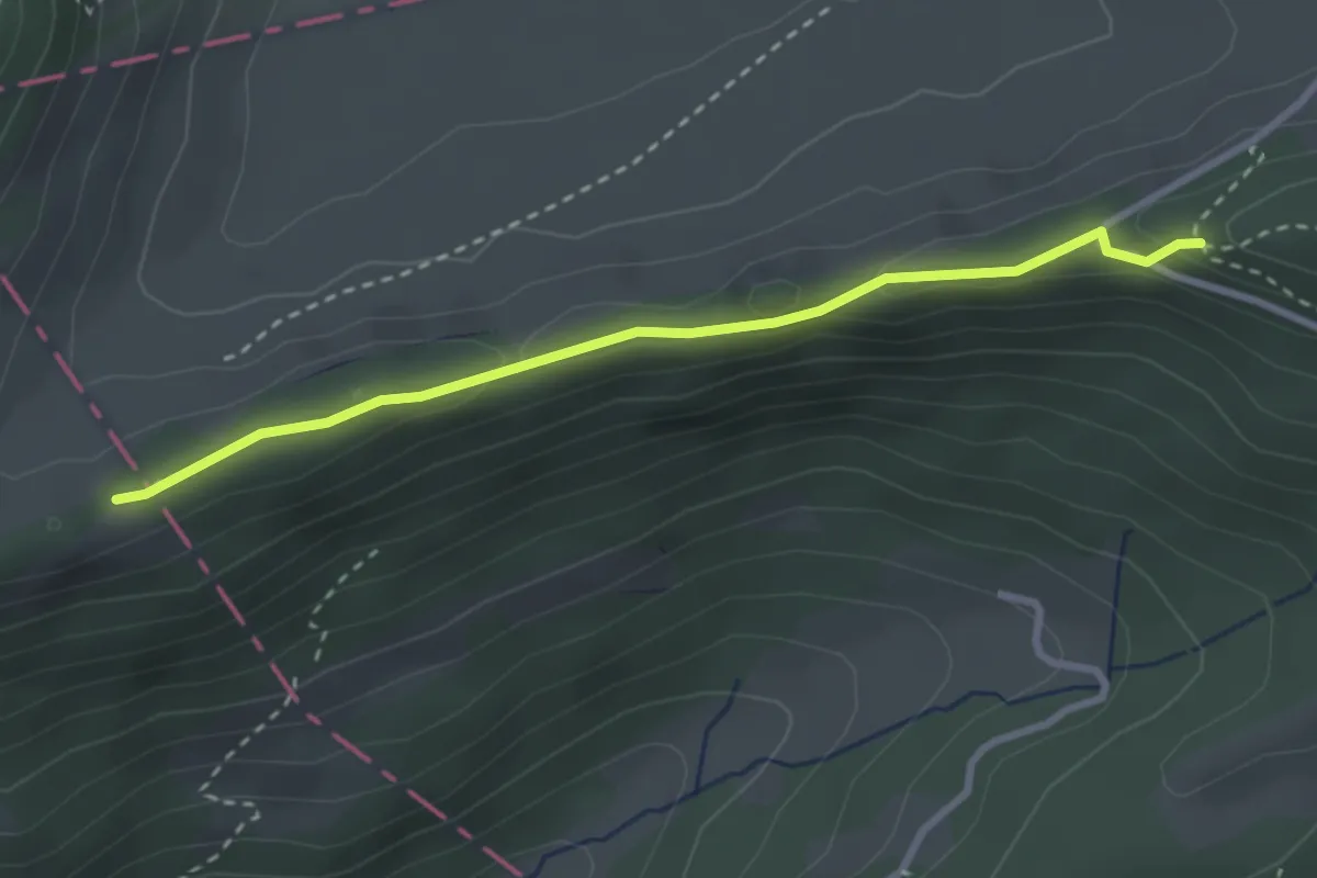
Easy · Trail
Bättlerchuchi – Hochchrüz
2.8 km · ↑ 87 m · 52 min
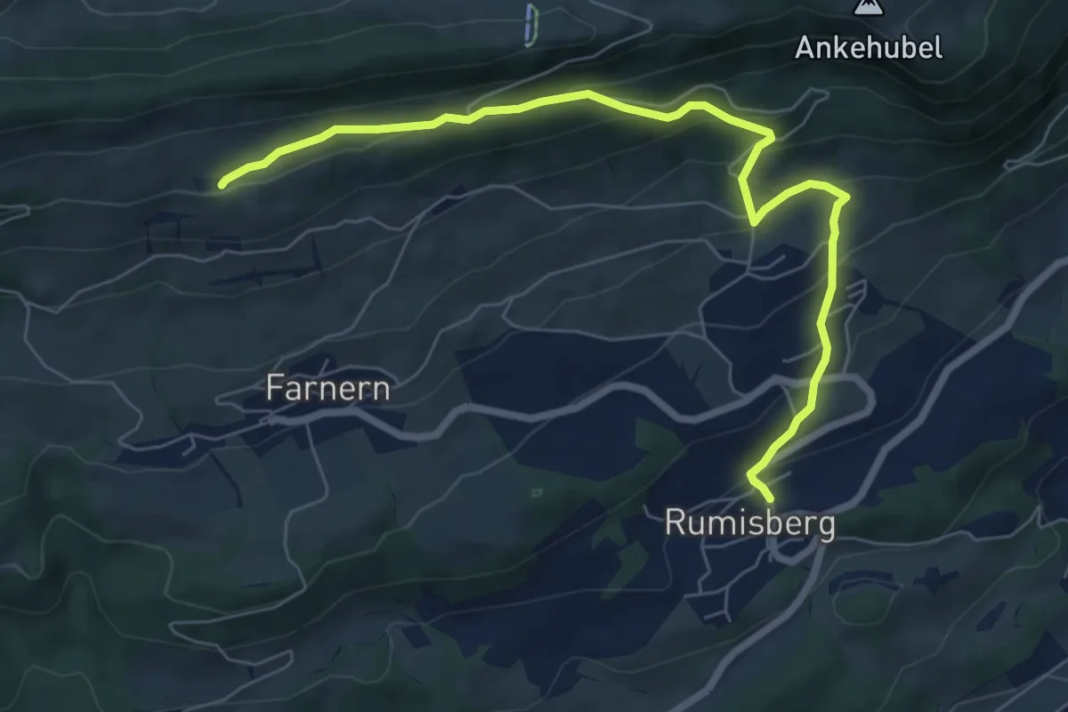
Medium · Trail
Stierenberg – Rumisberg
7.4 km · ↑ 426 m · 2 h 41 min
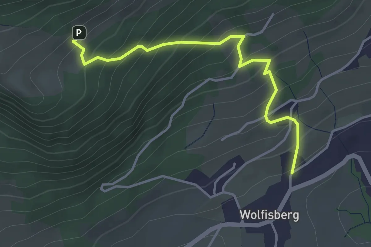
Medium · Trail
Wolfisberg – Buechmatt
3.5 km · ↑ 365 m · 1 h 37 min
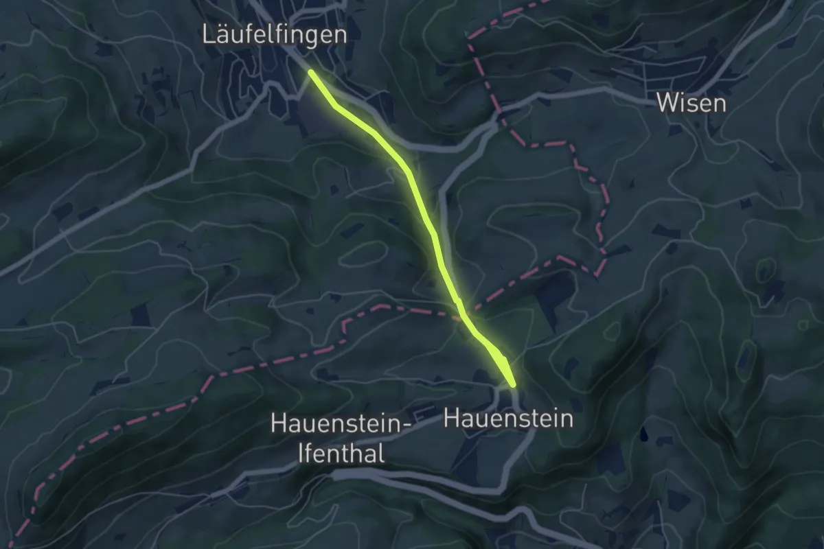
Easy · Trail
Hauenstein – Läufelfingen
4.9 km · ↑ 166 m · 1 h 31 min
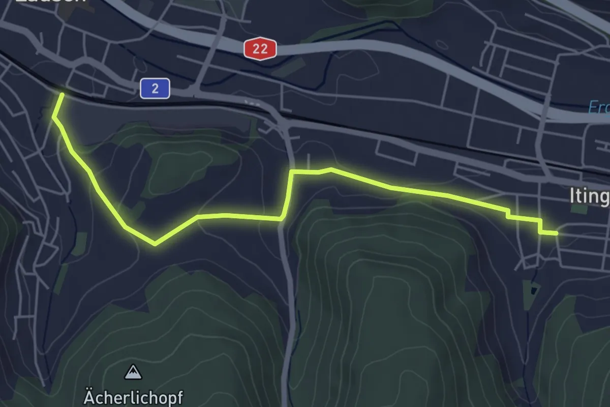
Easy · Trail
Itingen – Lausen
5.2 km · ↑ 105 m · 1 h 27 min
Easy · Trail
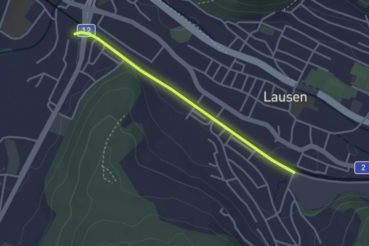
Lausen – Altmarkt
2.8 km · ↑ 13 m · 41 min
Easy · Trail
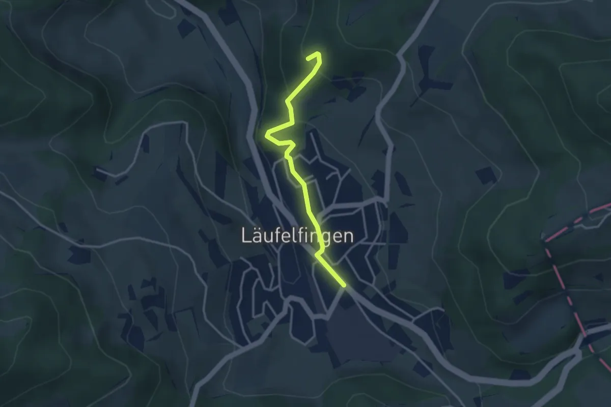
Läufelfingen – Ruine Homburg
2.8 km · ↑ 181 m · 1 h 3 min
Easy · Trail
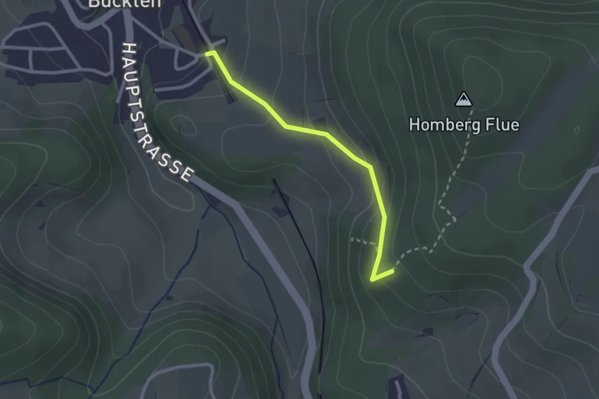
Ruine Homburg – Buckten
2.1 km · ↑ 149 m · 49 min
Easy · Trail
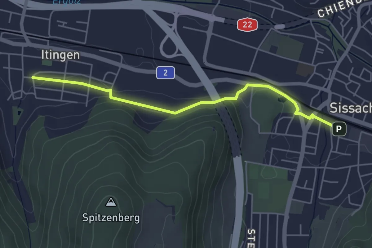
Sissach – Itingen
4.5 km · ↑ 75 m · 1 h 14 min