Trails in Switzerland
15,055 hiking trails, each with its route, climb, walking time and grade.
All trails, page 258 of 314
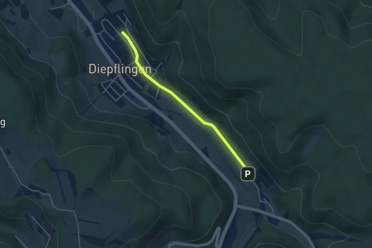
Easy · Trail
Sommerau – Diepflingen
3.1 km · ↑ 37 m · 49 min
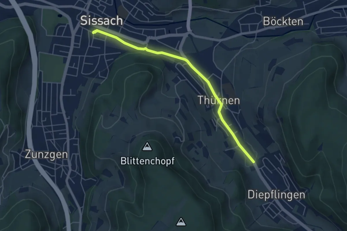
Easy · Trail
Thürnen – Sissach
4.9 km · ↑ 19 m · 1 h 12 min
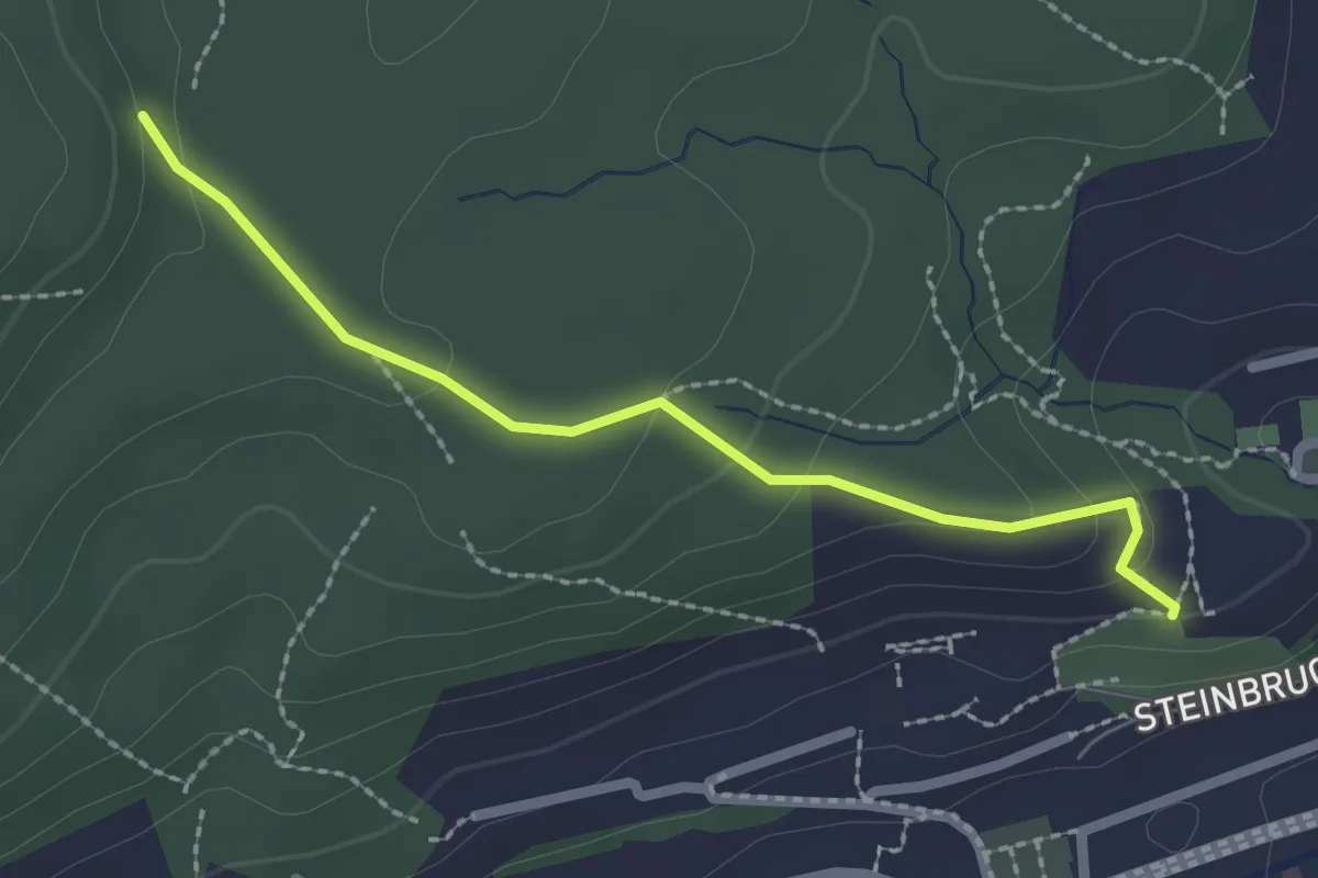
Easy · Trail
Gütsch – Willbrig
2.2 km · ↑ 90 m · 43 min
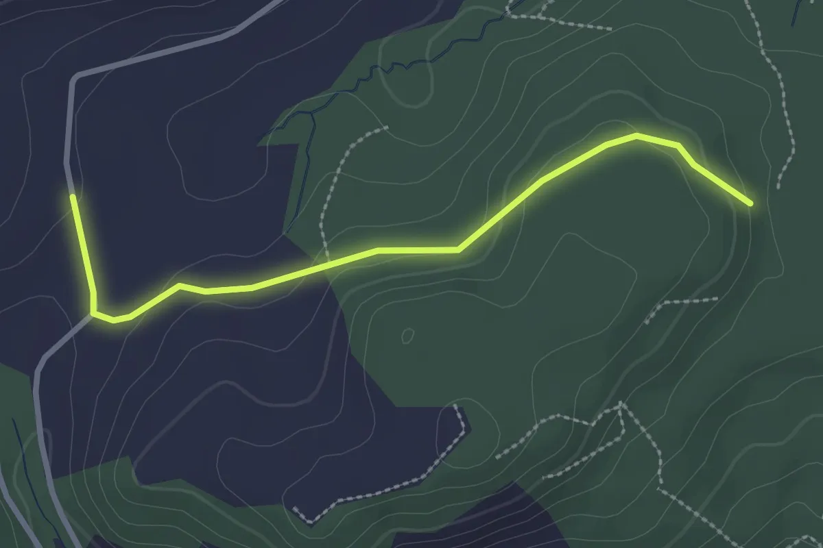
Easy · Trail
Willberg – Olisrüti
2.7 km · ↑ 74 m · 48 min
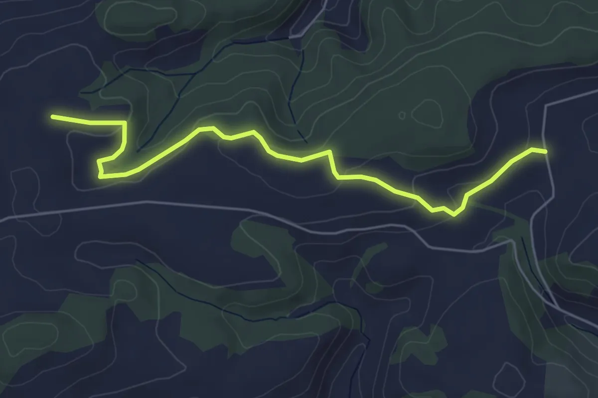
Easy · Trail
Olisrüti – Stocki
5.5 km · ↑ 110 m · 1 h 32 min
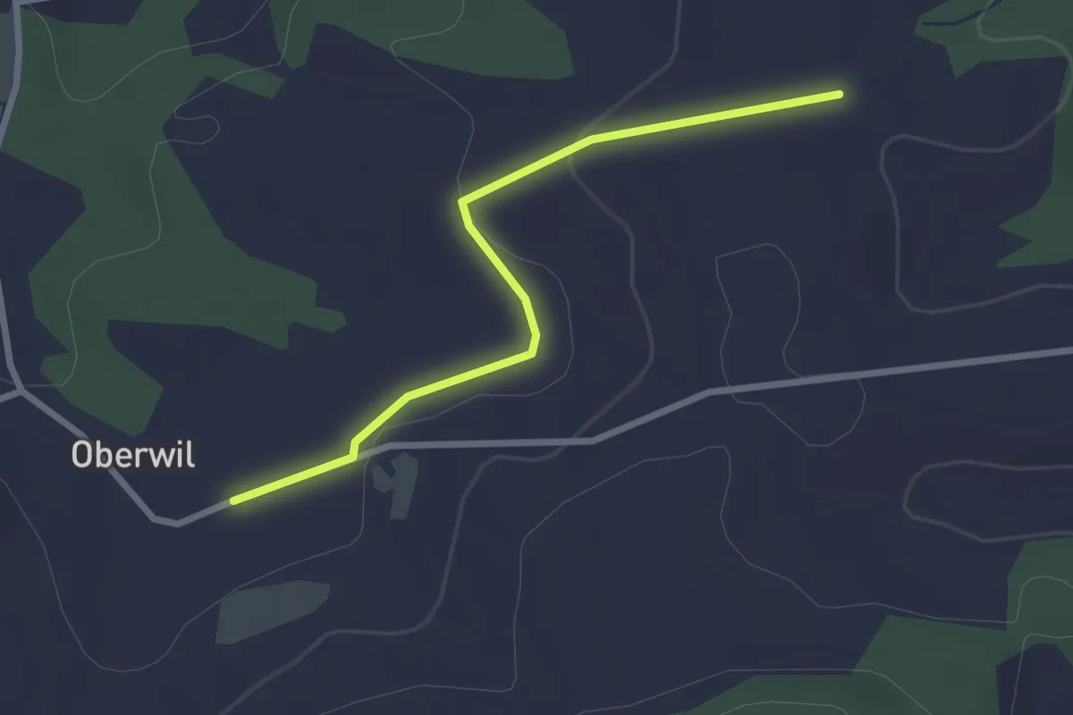
Easy · Trail
Stocki – Oberwil
2.5 km · ↑ 48 m · 42 min
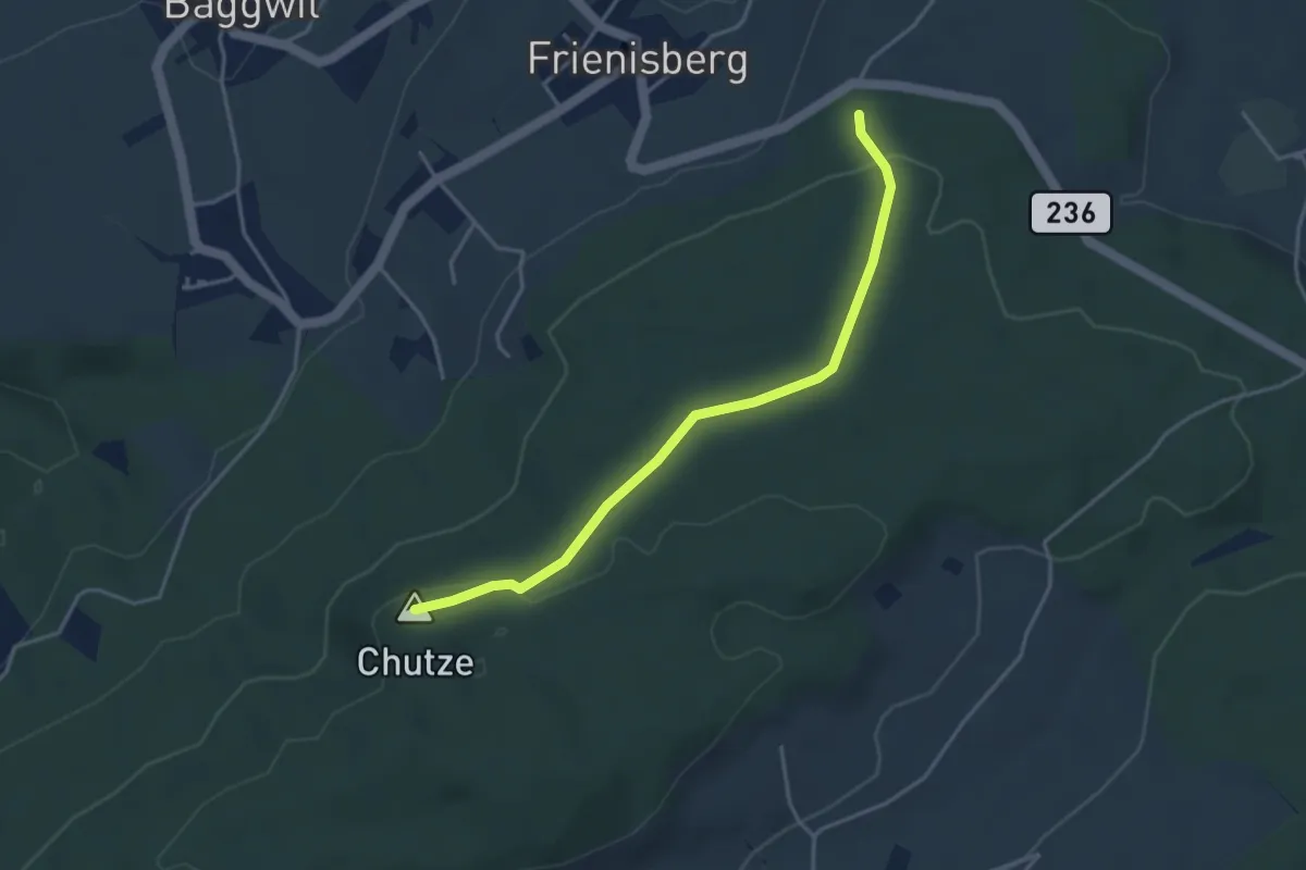
Easy · Summit
Chutzenturm – Frienisberger
3.8 km · ↑ 78 m · 1 h 4 min
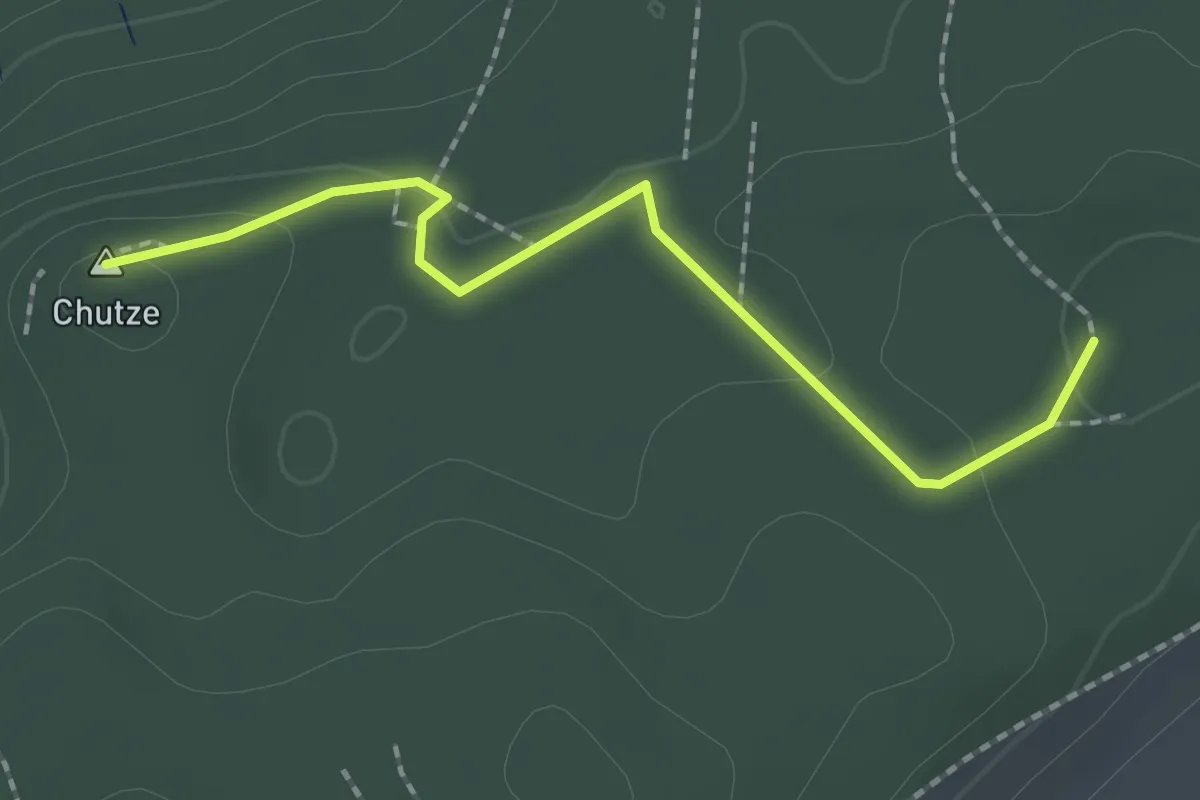
Easy · Summit
Chutzenturm – Weichel
2.0 km · ↑ 36 m · 34 min
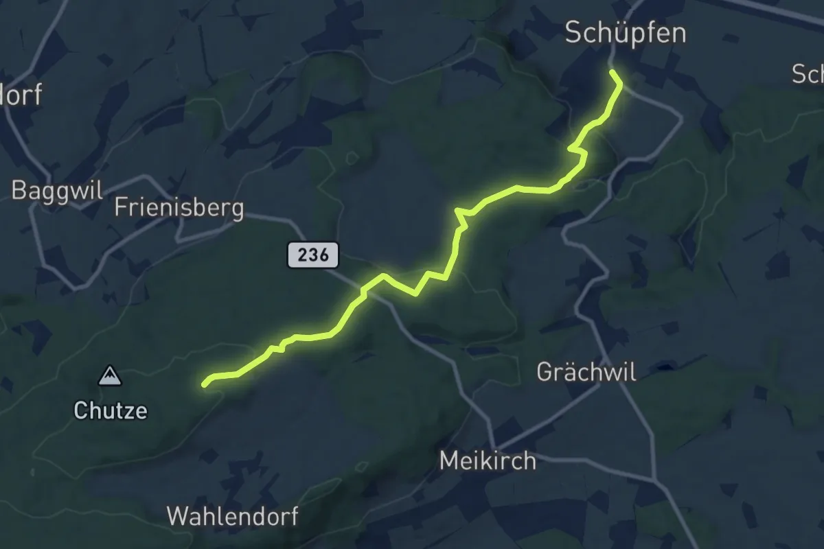
Medium · Trail
Weichel – Schüpfen
10.3 km · ↑ 350 m · 3 h 11 min
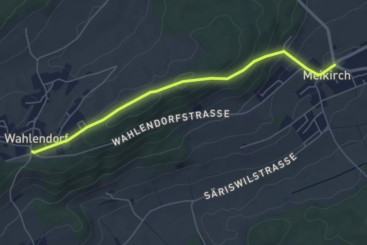
Easy · Trail
Wahlendorf Usserdorf – Meikirch
4.7 km · ↑ 167 m · 1 h 28 min
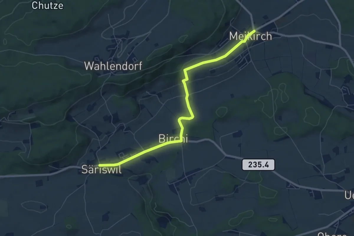
Easy · Trail
Säriswil – Meikirch
7.6 km · ↑ 147 m · 2 h 6 min
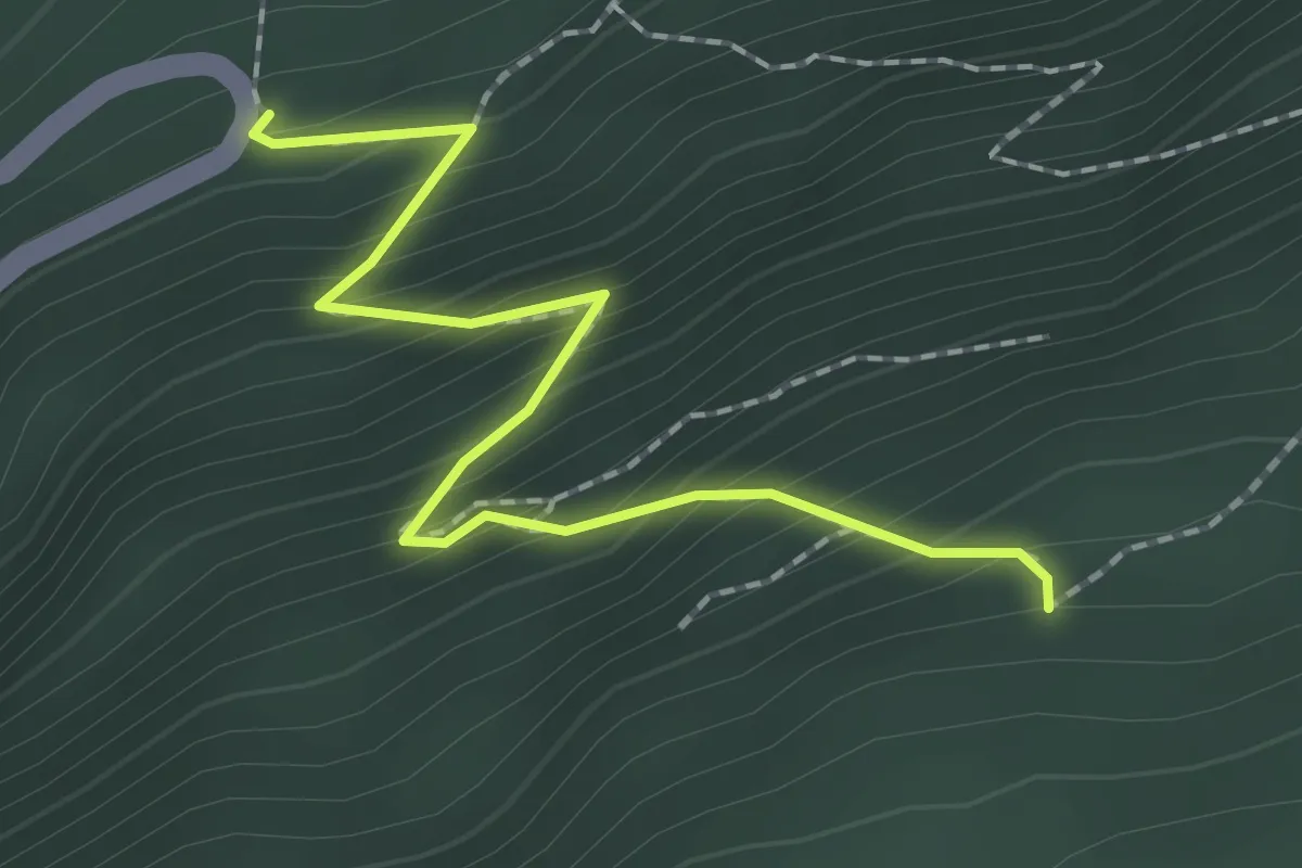
Medium · Trail
Bettlachrank – Burgannisloch
2.0 km · ↑ 237 m · 1 h
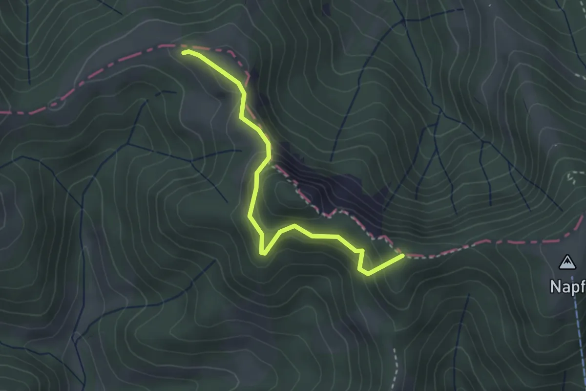
Easy · Summit
Nideränzi – Grüebli
3.0 km · ↑ 157 m · 1 h 3 min
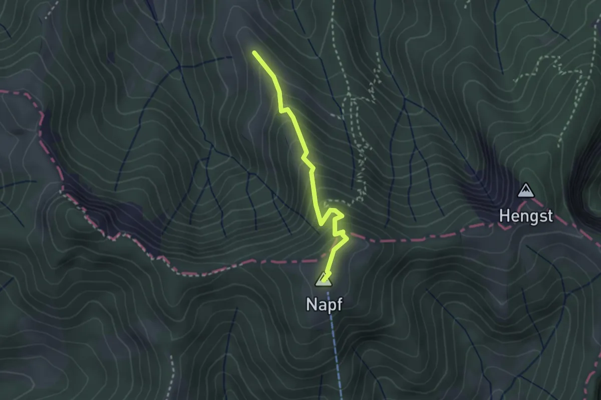
Easy · Summit
Napf – Trachselegg
2.4 km · ↑ 273 m · 1 h 10 min
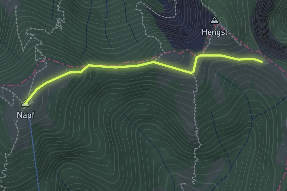
Easy · Summit
Napf – Stächelegg
2.2 km · ↑ 133 m · 48 min
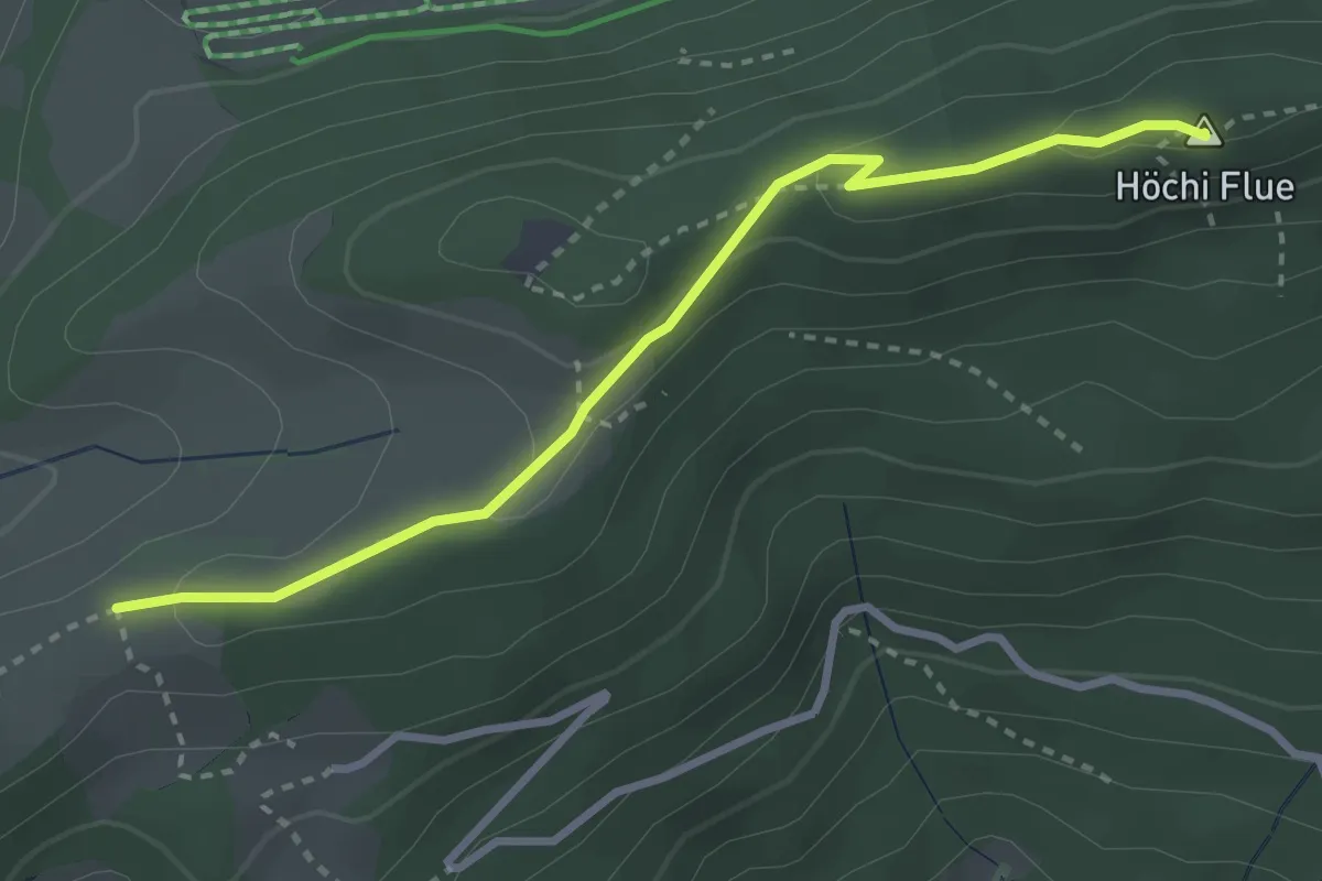
Medium · Summit
Schlosshöchi – Höchi Flue
3.1 km · ↑ 104 m · 58 min
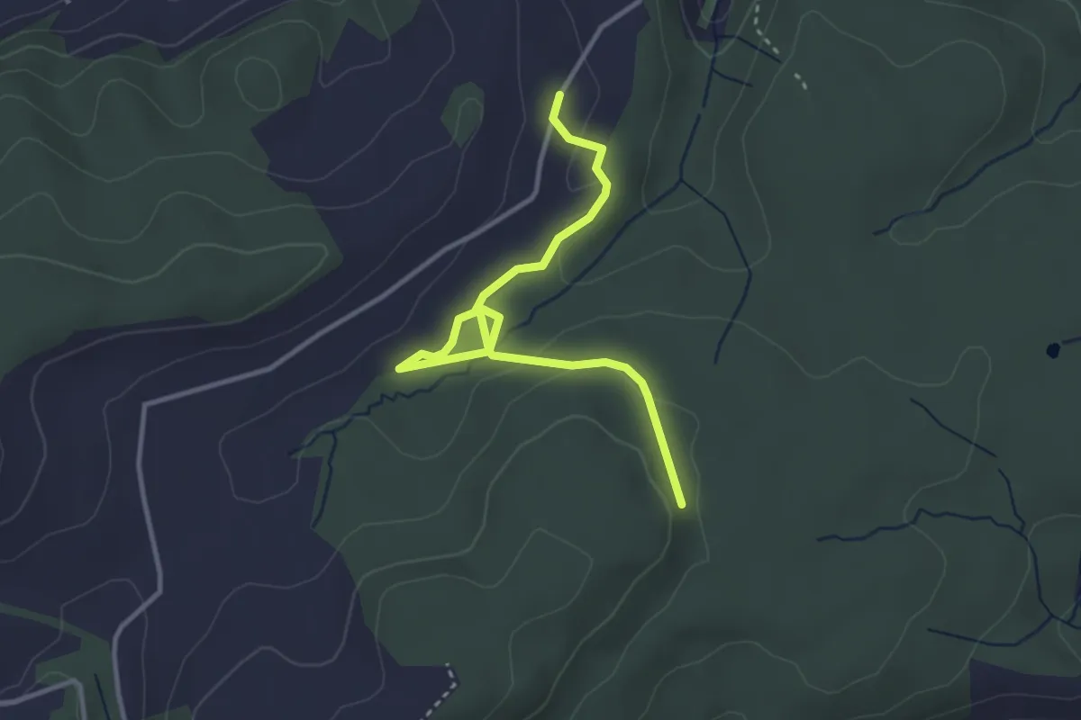
Easy · Trail
Willbrig – Unteregg
3.6 km · ↑ 75 m · 1 h 1 min
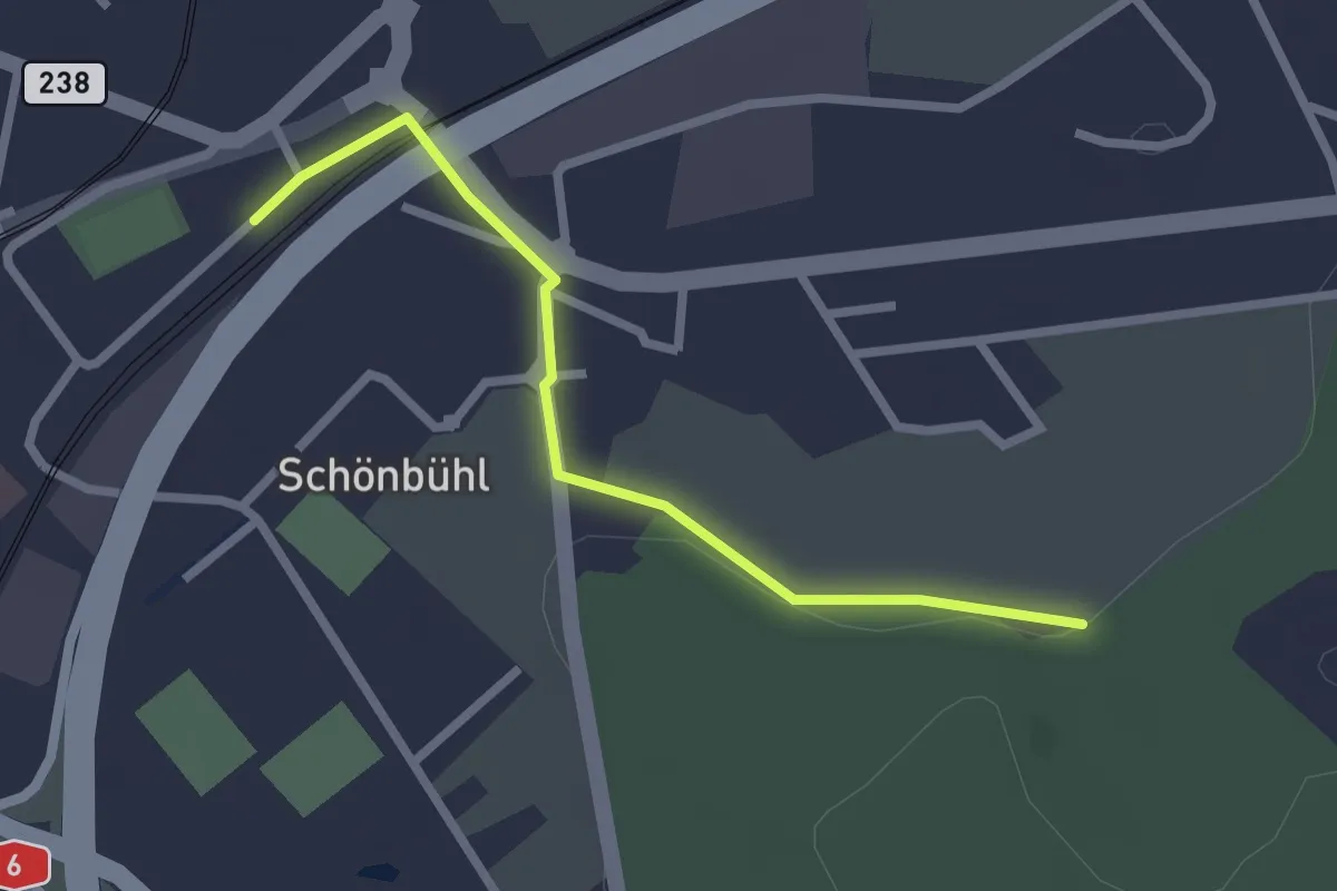
Easy · Trail
Schönbühl SBB – Holzmatt
2.4 km · ↑ 13 m · 35 min
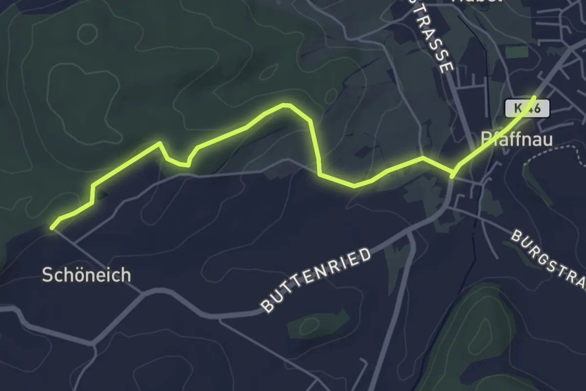
Easy · Trail
Pfaffnau – Chüewald
5.3 km · ↑ 127 m · 1 h 32 min
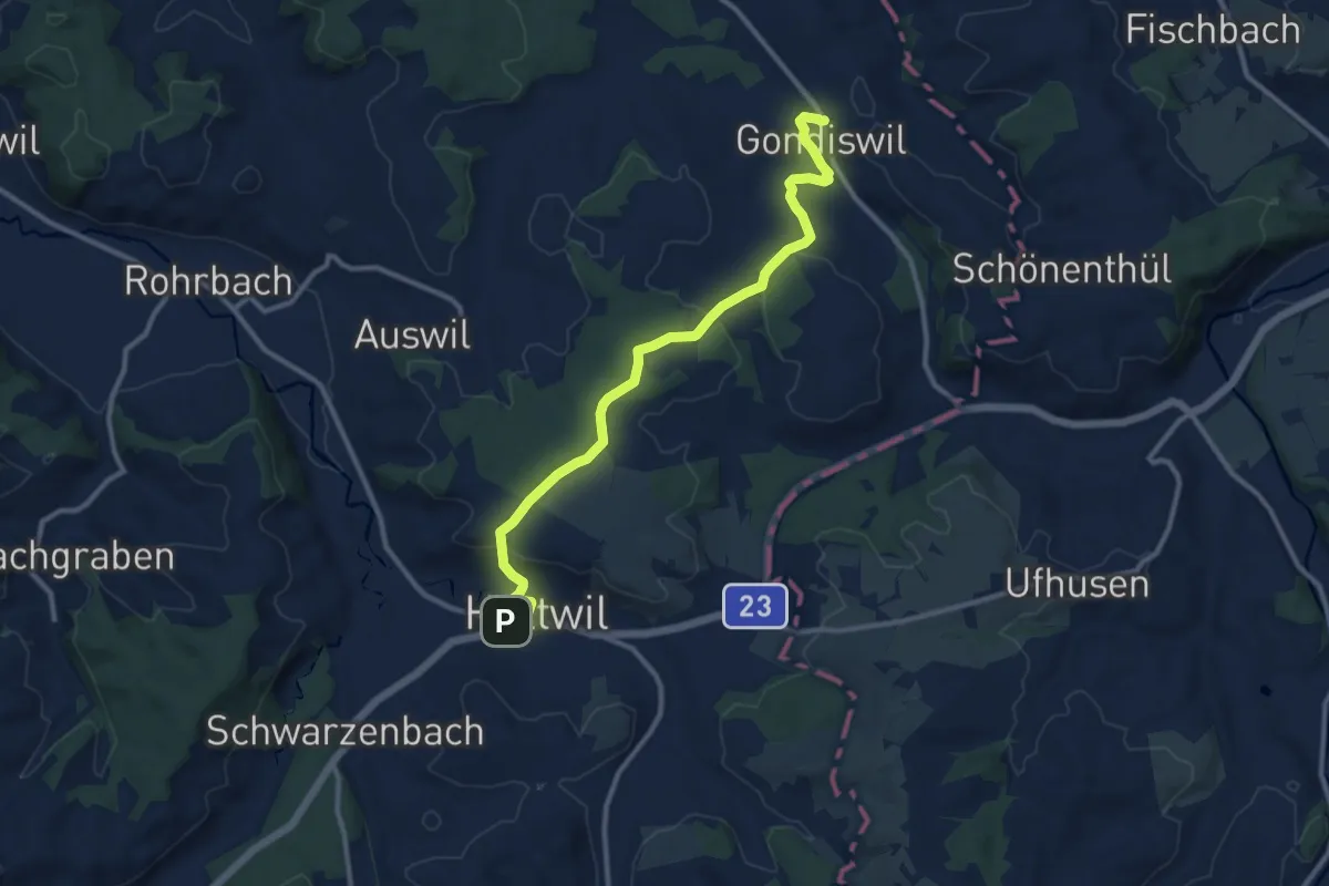
Medium · Trail
Huttwil Bahnhof – Grondiswil
11.4 km · ↑ 260 m · 3 h 15 min
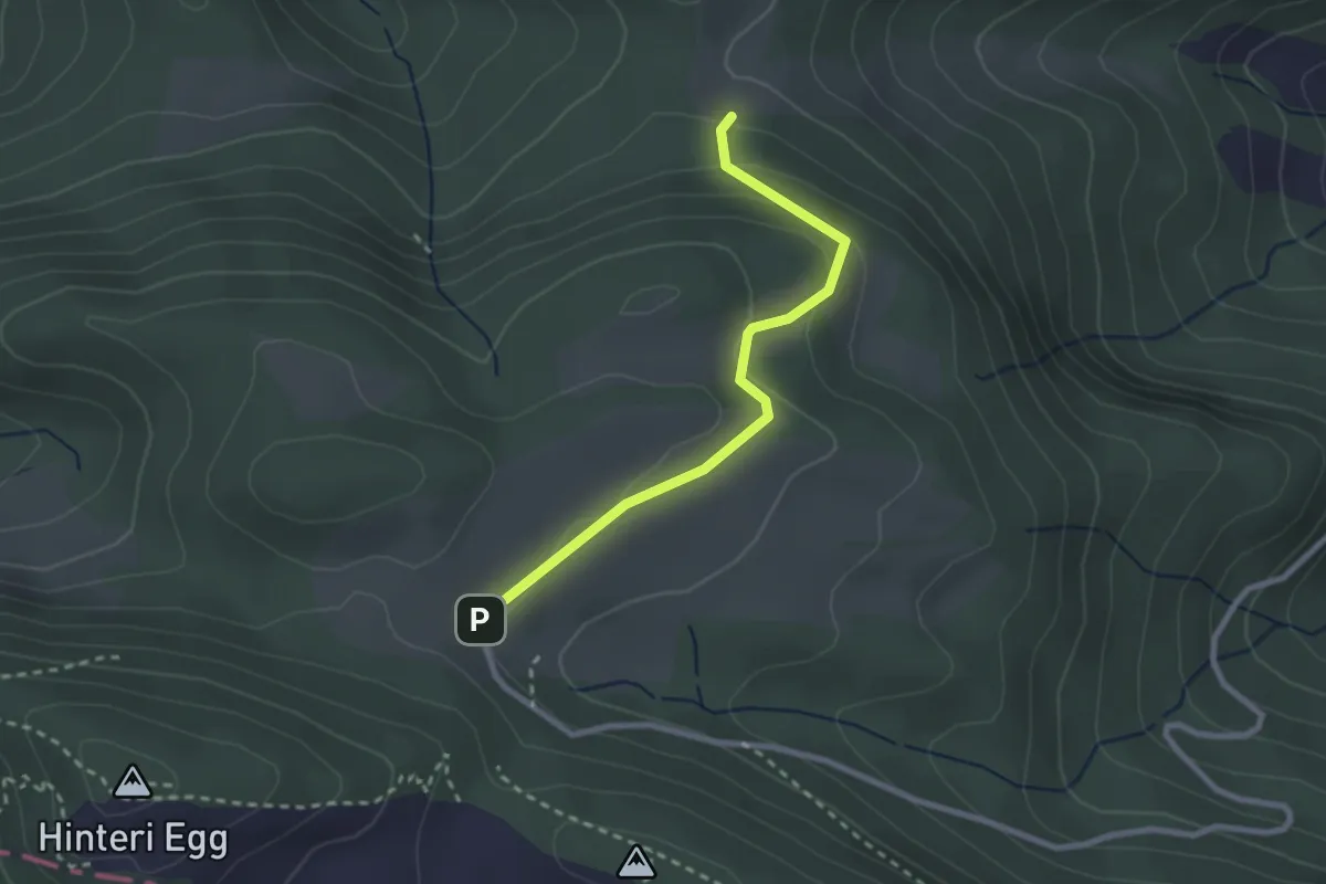
Easy · Trail
Waldweid – Studenweid
2.4 km · ↑ 116 m · 50 min
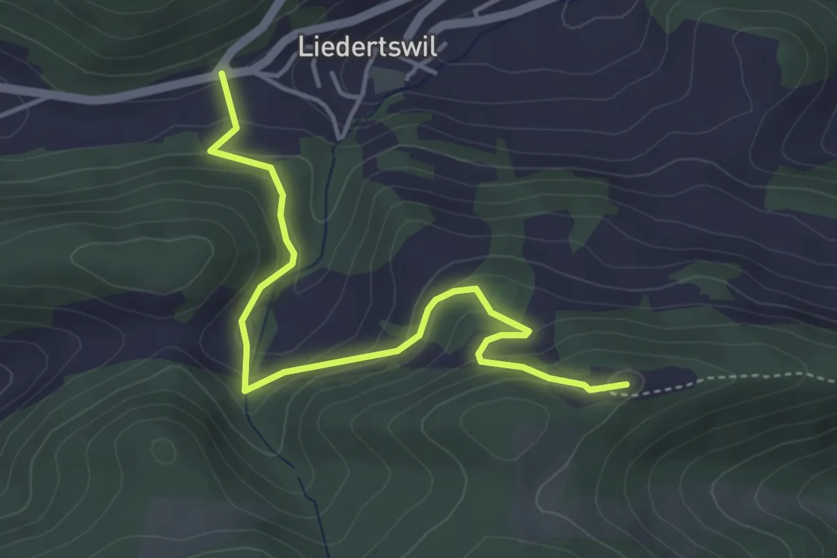
Easy · Summit
Studenweid – Sixfeld
4.2 km · ↑ 248 m · 1 h 32 min
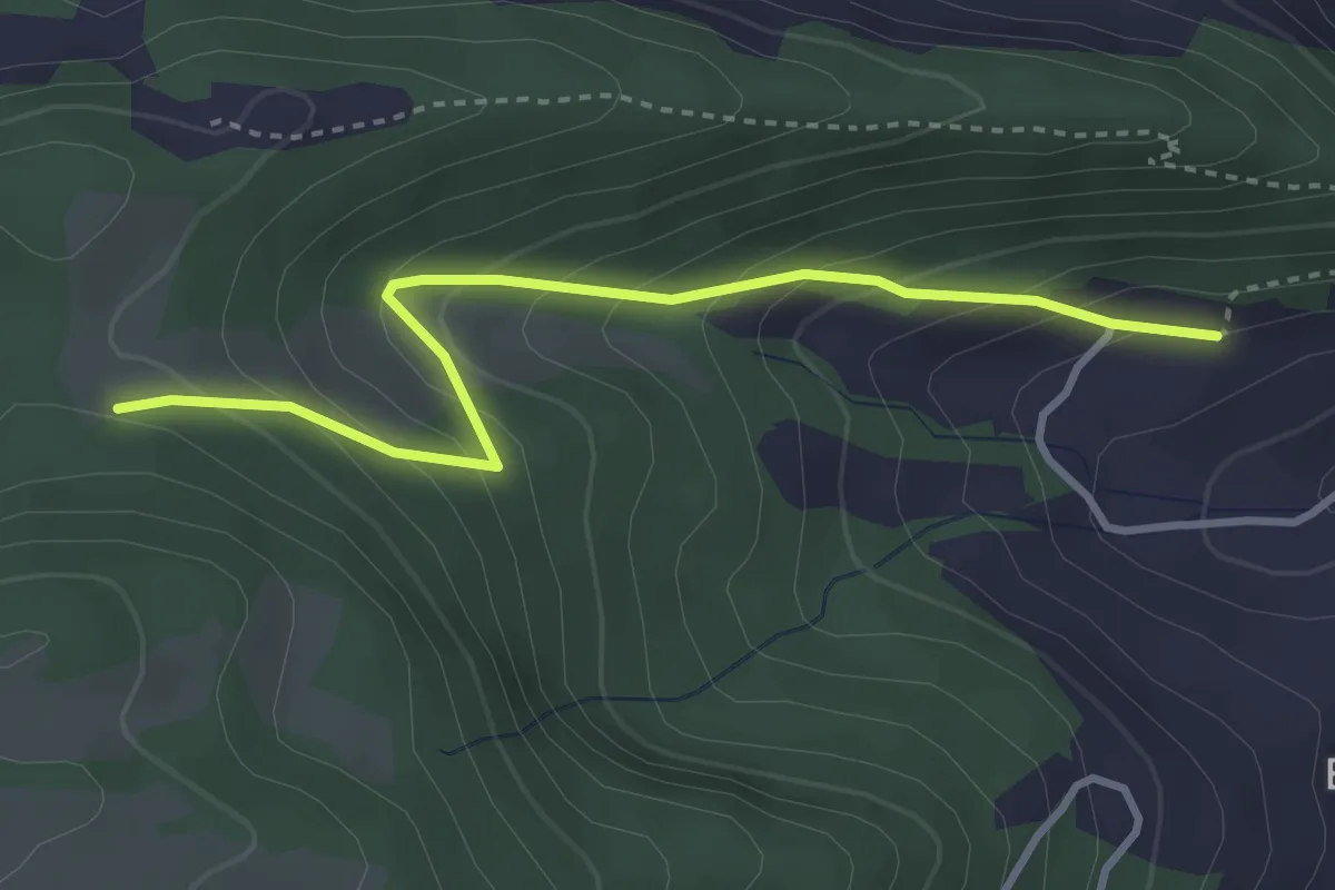
Easy · Trail
Studenweid – Richtacher
3.4 km · ↑ 297 m · 1 h 26 min
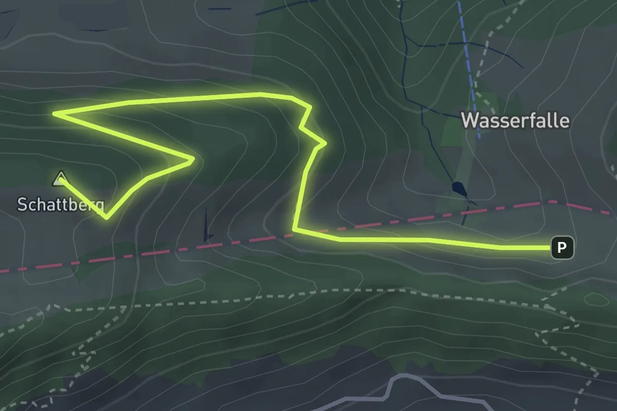
Easy · Summit
Hintere Wasserfallen – Vogelberg
4.3 km · ↑ 257 m · 1 h 34 min
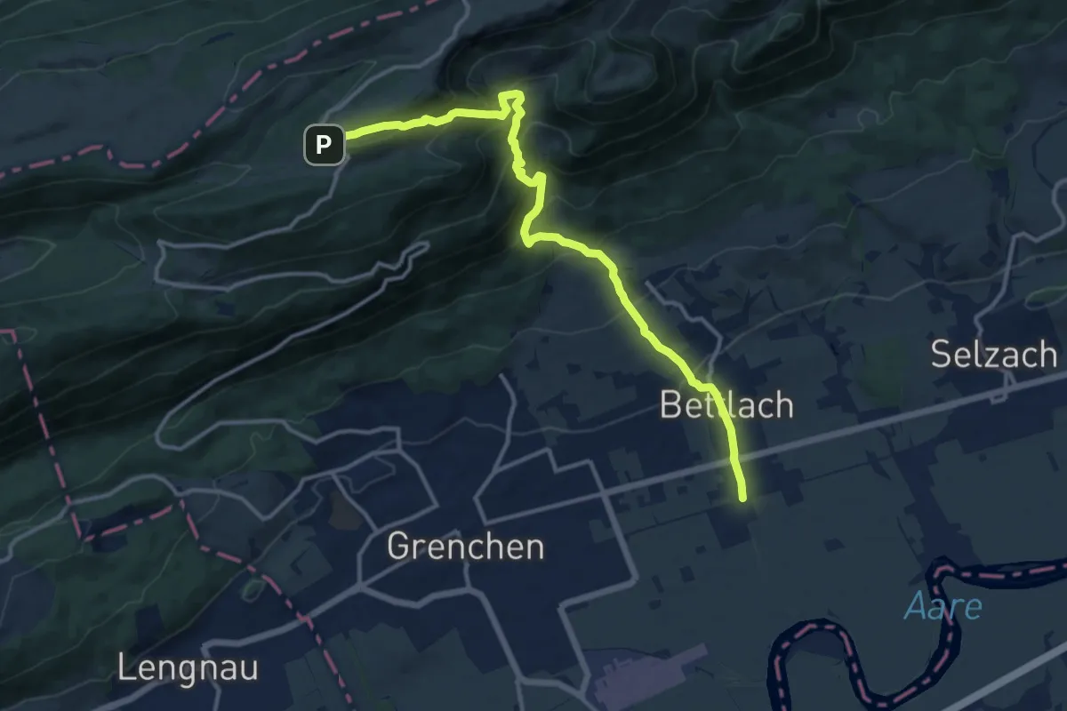
Demanding · Trail
Bettlach, Bahnhof – Untergrenchenberg
13.5 km · ↑ 1002 m · 5 h 21 min
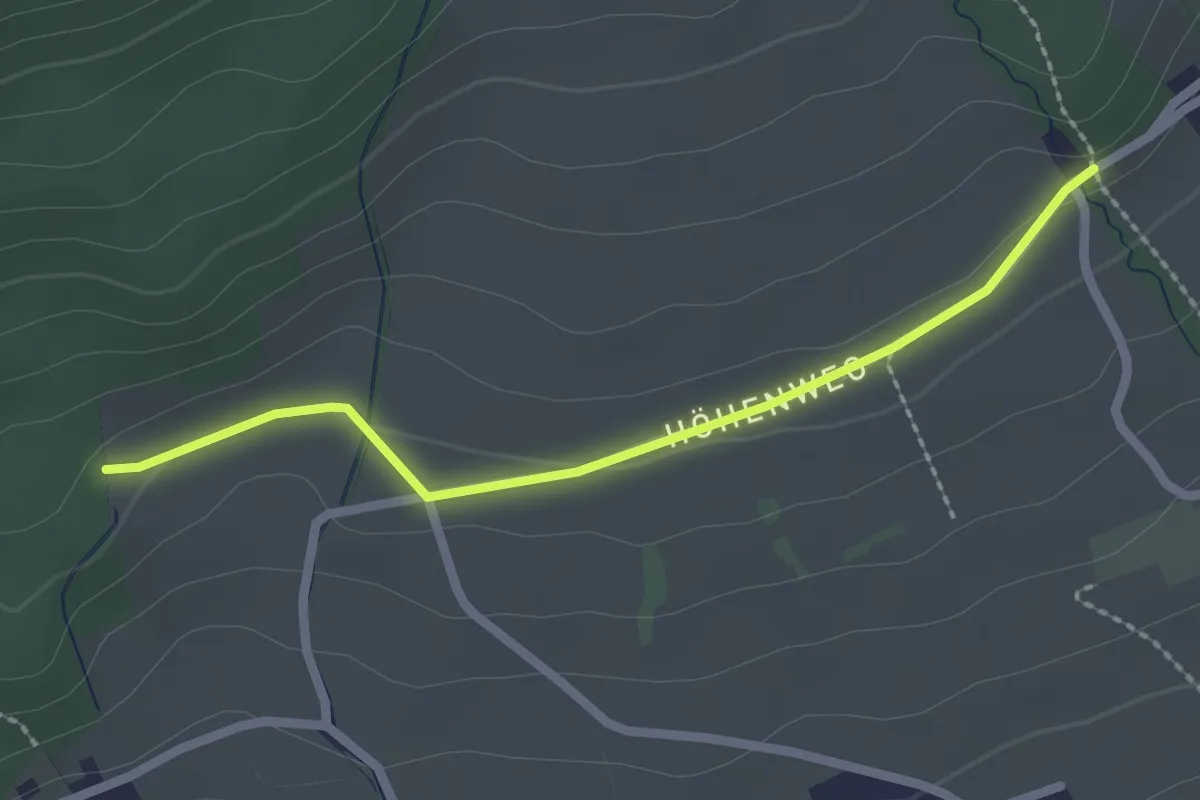
Easy · Trail
Höhenweg – Höfli Grenchen
2.2 km · ↑ 35 m · 35 min
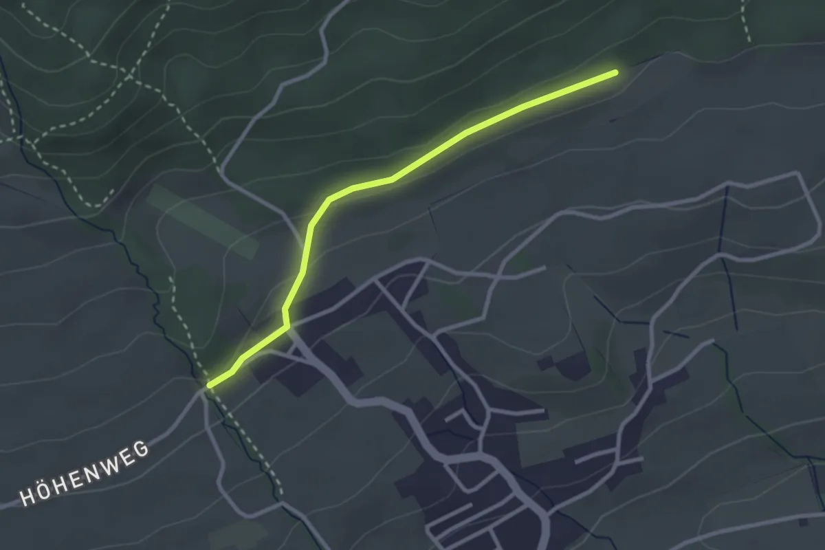
Easy · Trail
Höhenweg – Bettlach Allmend
2.6 km · ↑ 59 m · 45 min
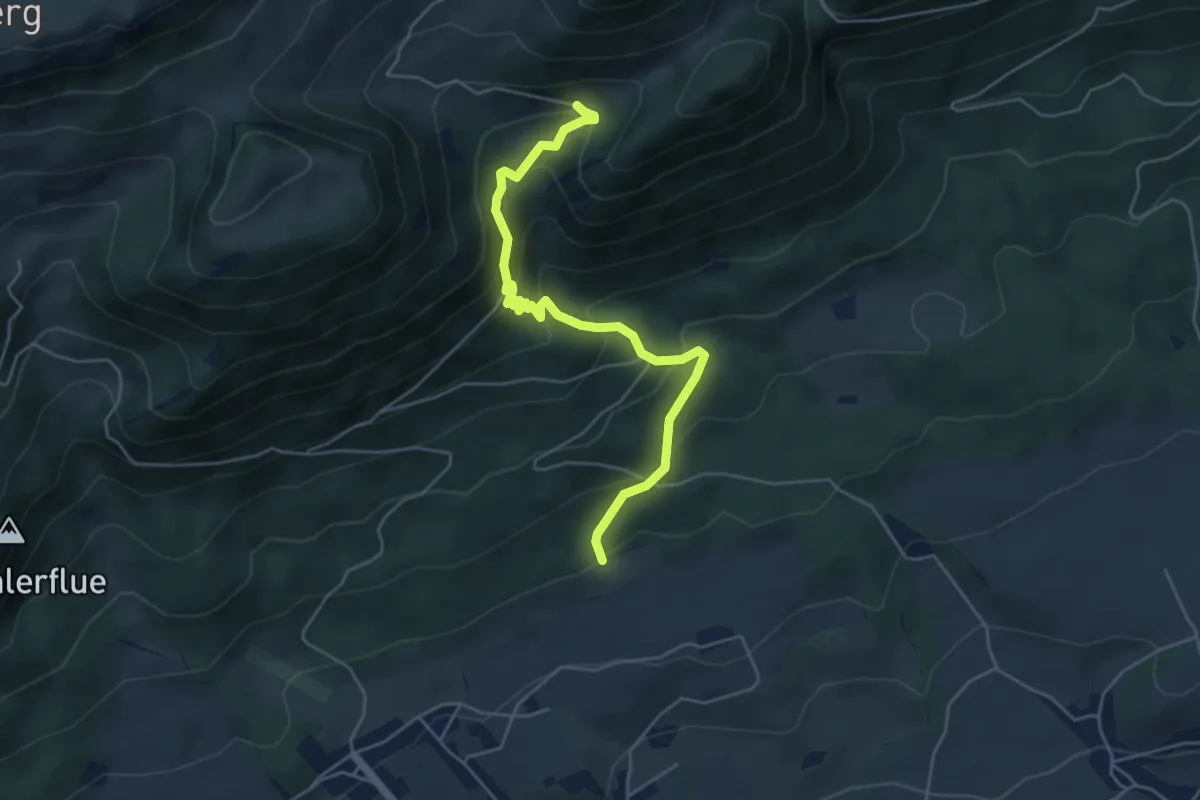
Medium · Trail
Bettlach Allmend – Unteres Brüggli
5.2 km · ↑ 405 m · 2 h 6 min
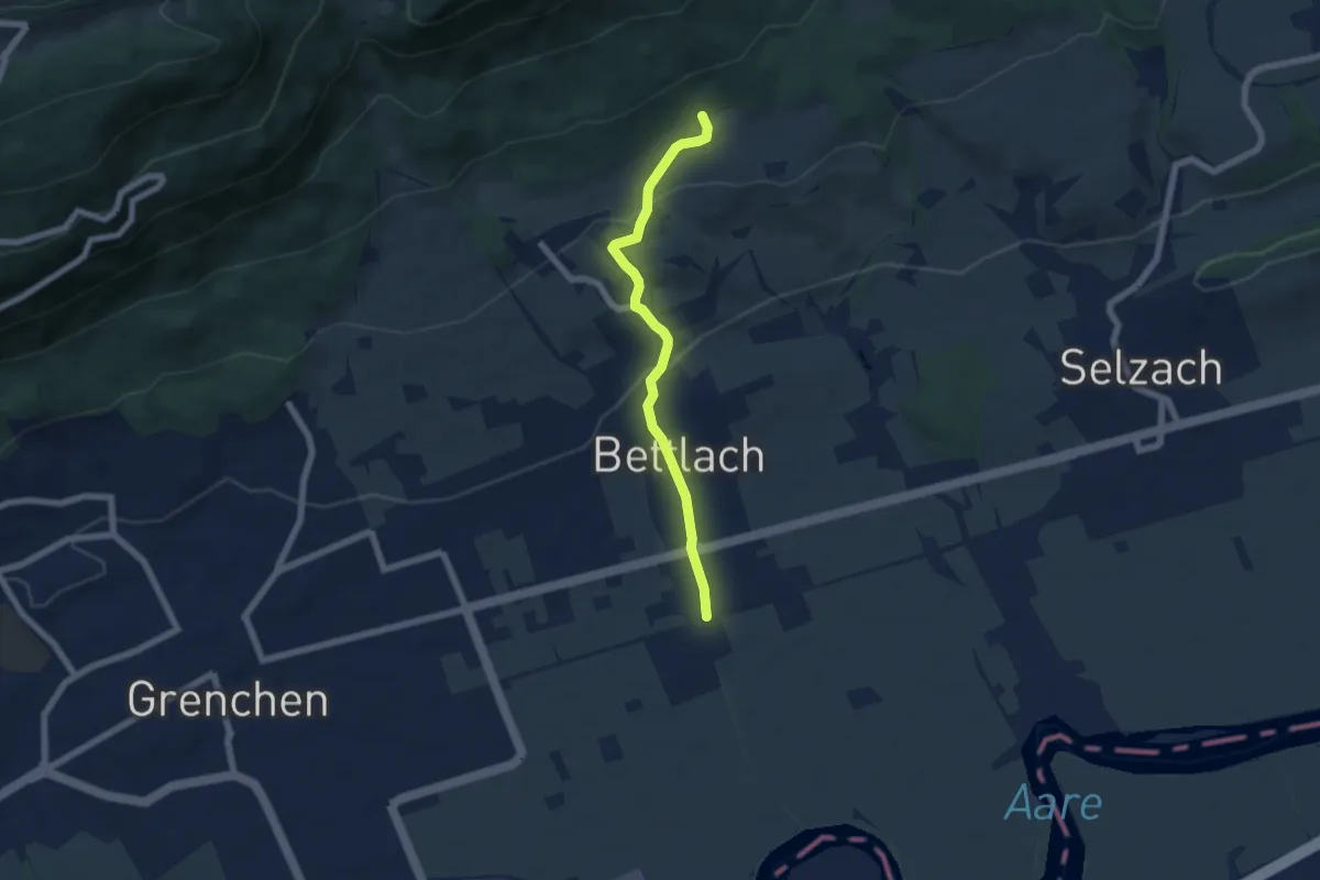
Easy · Trail
Bettlach Allmend – Bettlach, Bahnhof
5.7 km · ↑ 214 m · 1 h 49 min
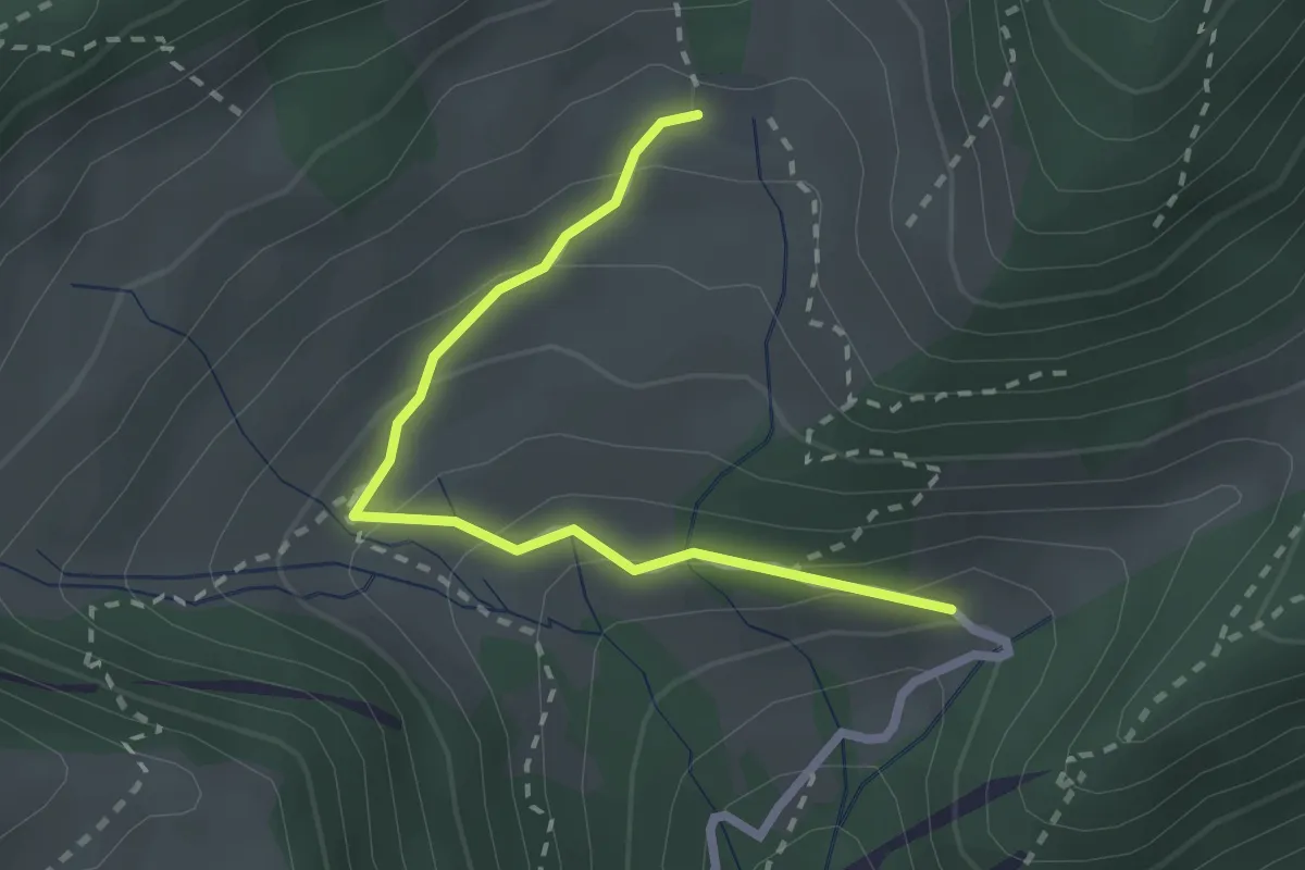
Easy · Trail
Unteres Brüggli – Oberes Brüggli
2.4 km · ↑ 153 m · 53 min
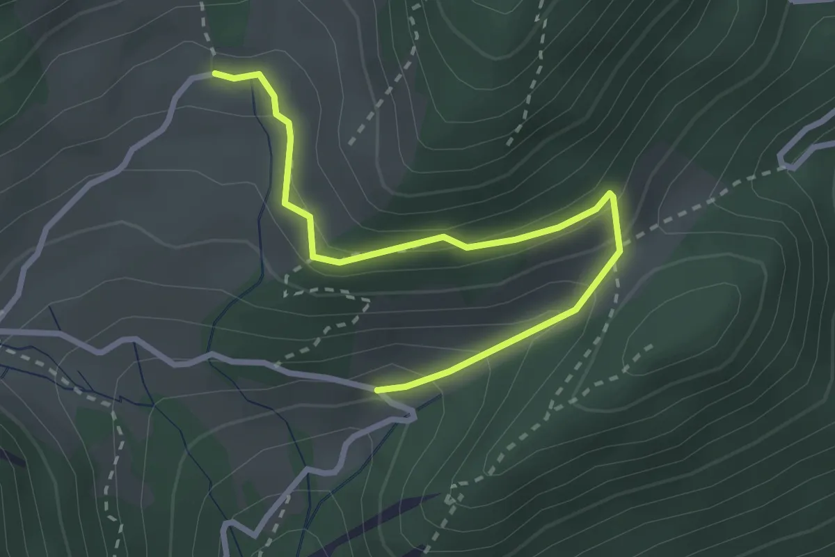
Easy · Trail
Unteres Brüggli – Oberes Brüggli
2.9 km · ↑ 220 m · 1 h 9 min
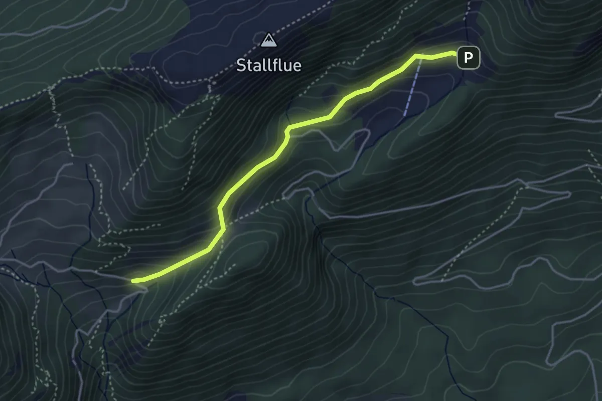
Easy · Trail
Schauenburg – Unteres Brüggli
3.7 km · ↑ 239 m · 1 h 24 min
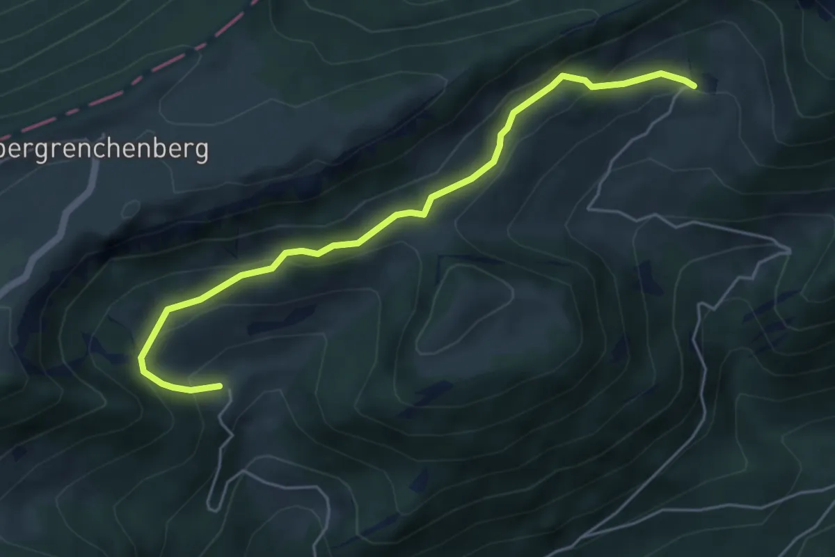
Easy · Trail
Bettlachberg – Oberes Brüggli
5.0 km · ↑ 294 m · 1 h 49 min
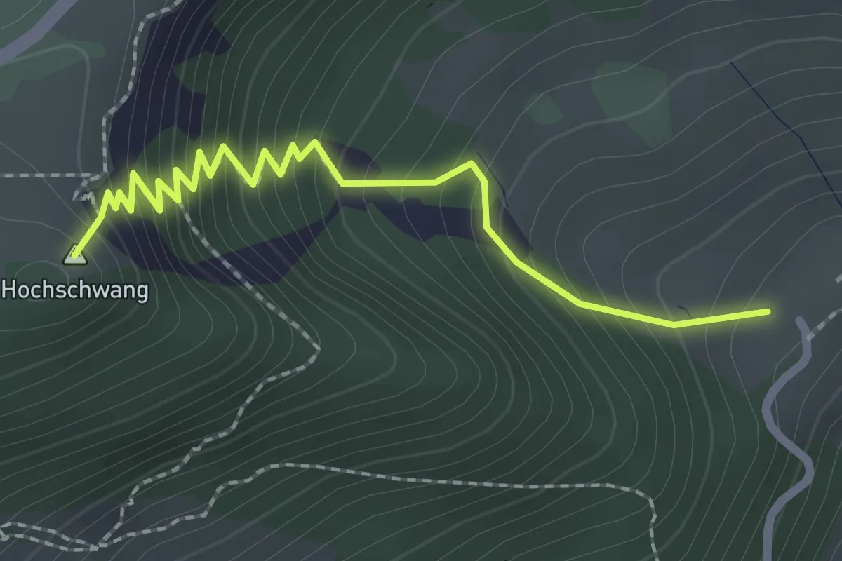
Medium · Summit
Engloch – Bettlachberg
2.3 km · ↑ 284 m · 1 h 10 min
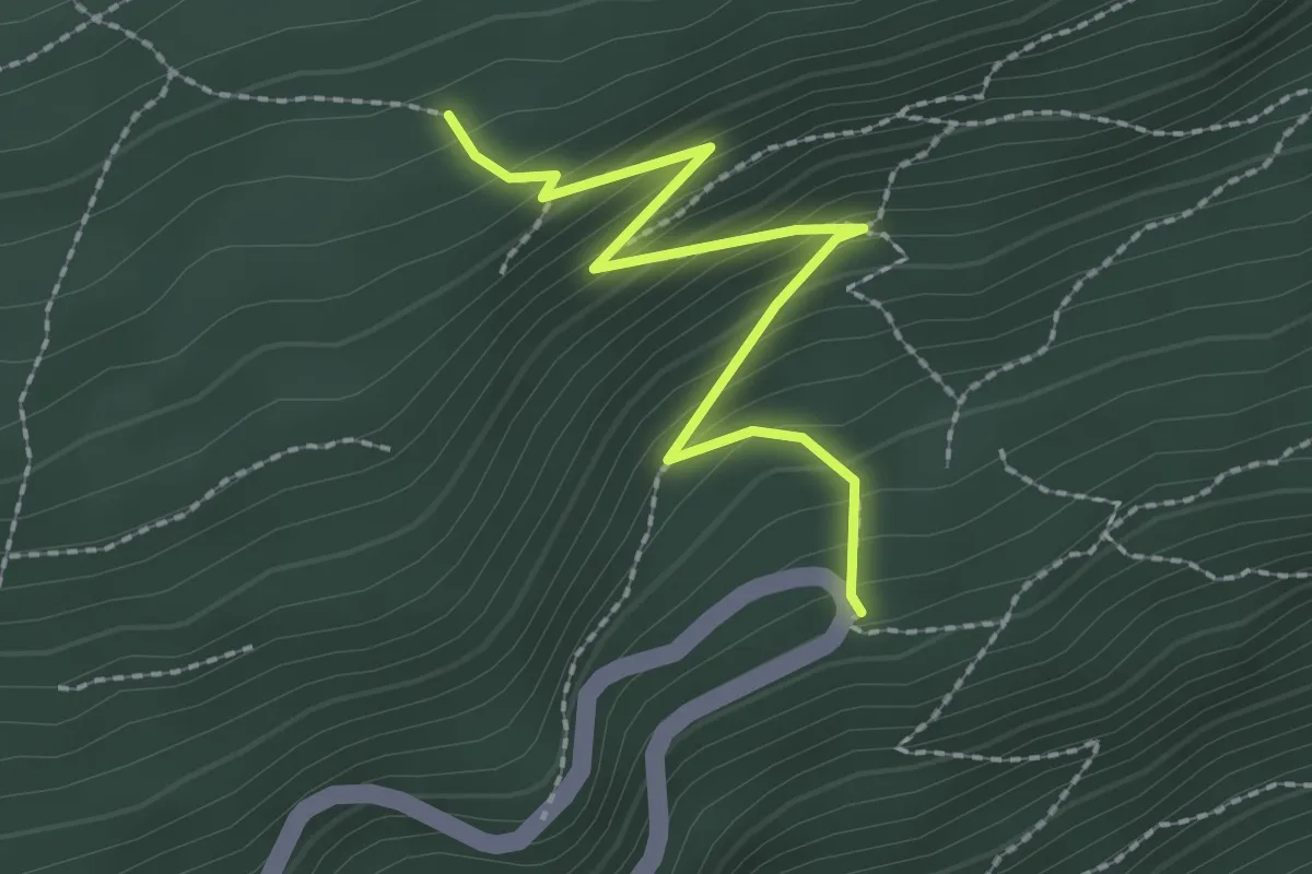
Medium · Trail
Blütti – Bettlachrank
2.3 km · ↑ 210 m · 59 min
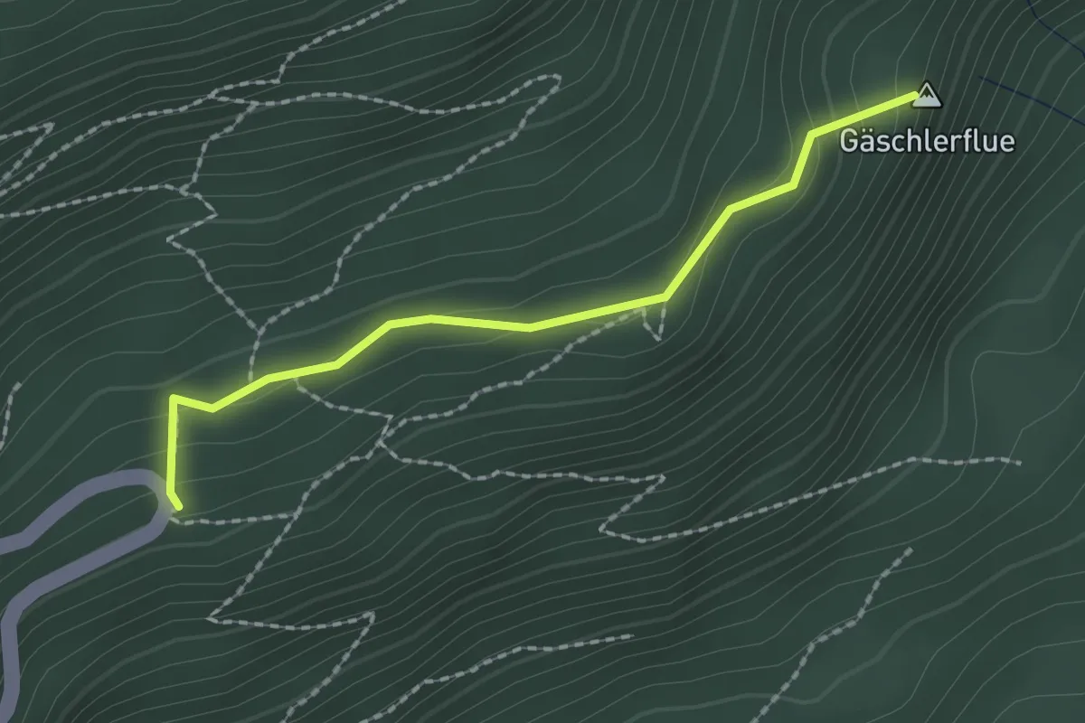
Medium · Summit
Bettlachrank – Ebenimatt Burg
1.9 km · ↑ 110 m · 41 min
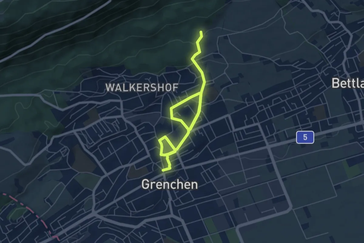
Easy · Trail
Höfli Grenchen – Postplatz
7.6 km · ↑ 237 m · 2 h 18 min
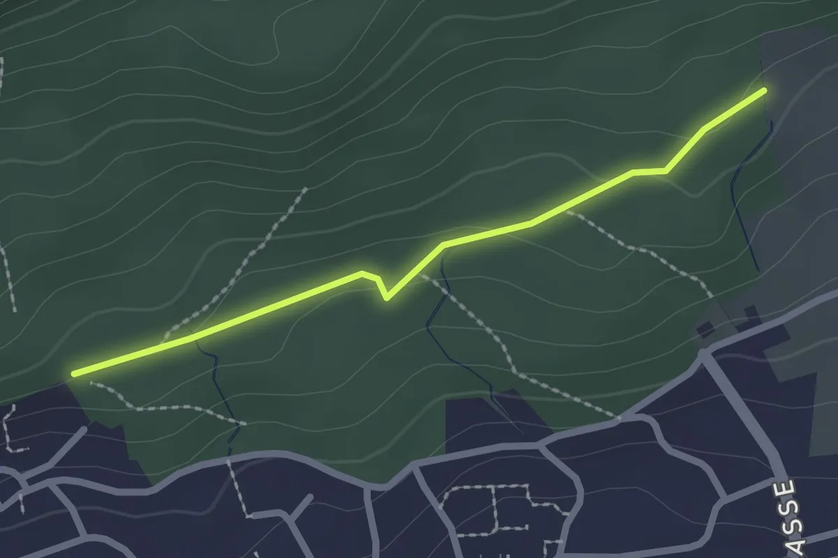
Easy · Trail
Höfli Grenchen – Panoramaweg
2.0 km · ↑ 34 m · 33 min
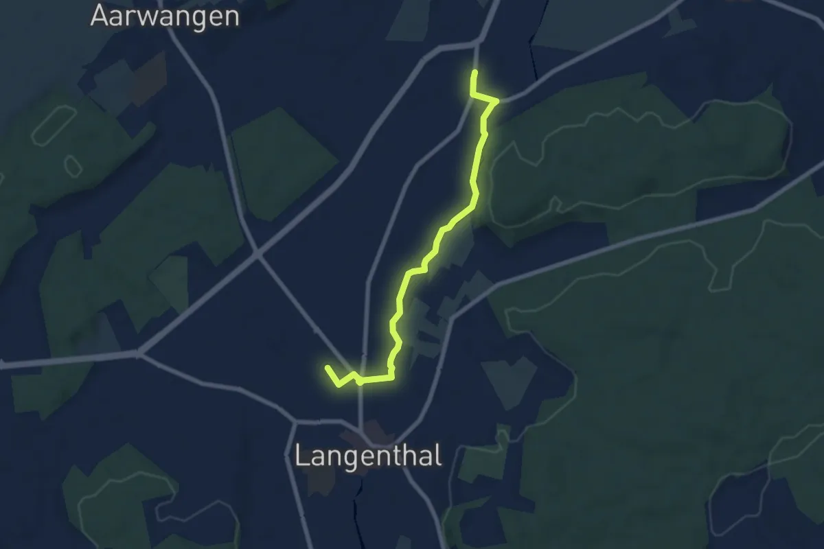
Easy · Trail
Langenthal Bahnhof – Kaltenherberg
6.4 km · ↑ 39 m · 1 h 36 min
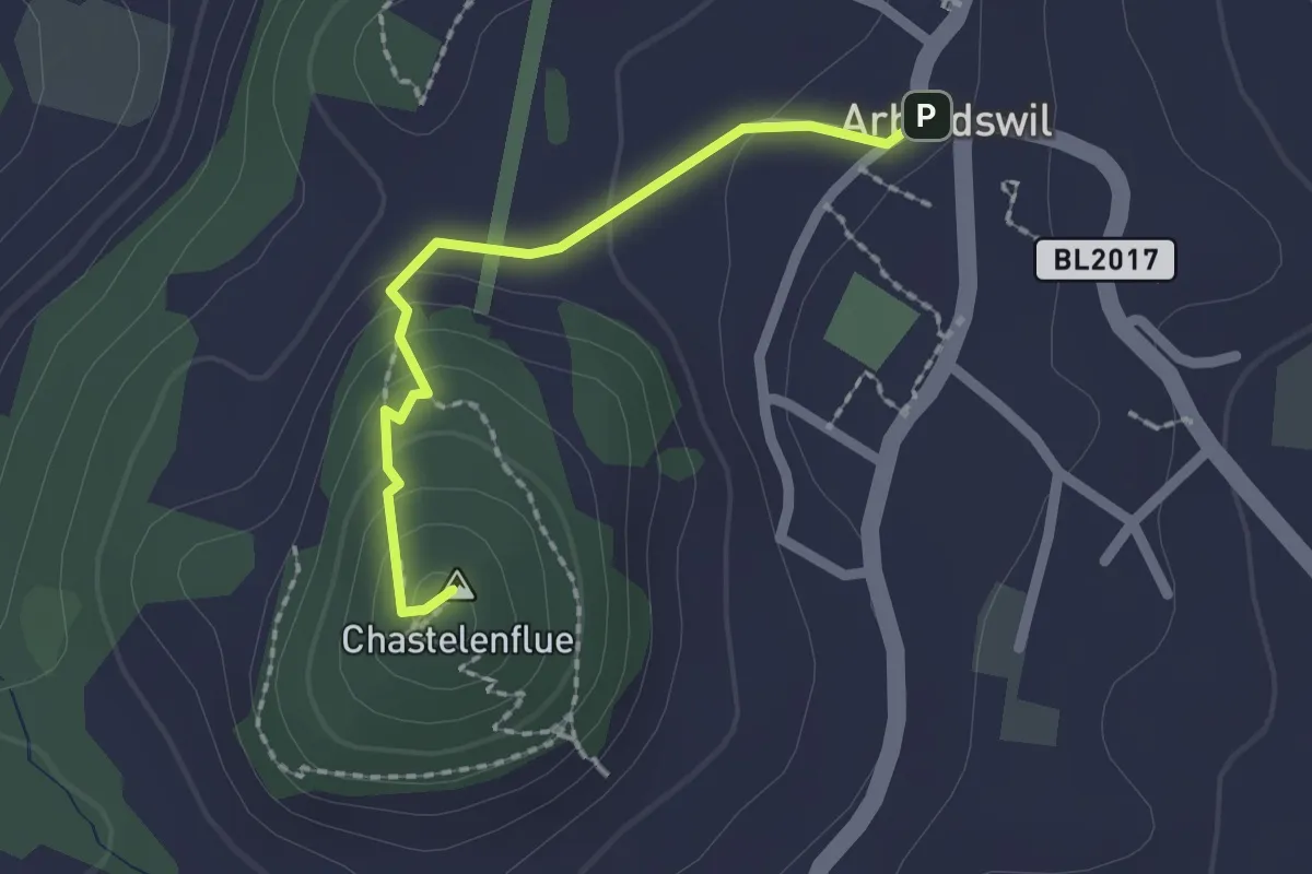
Easy · Summit
Titterten – Arboldswil
1.8 km · ↑ 90 m · 37 min
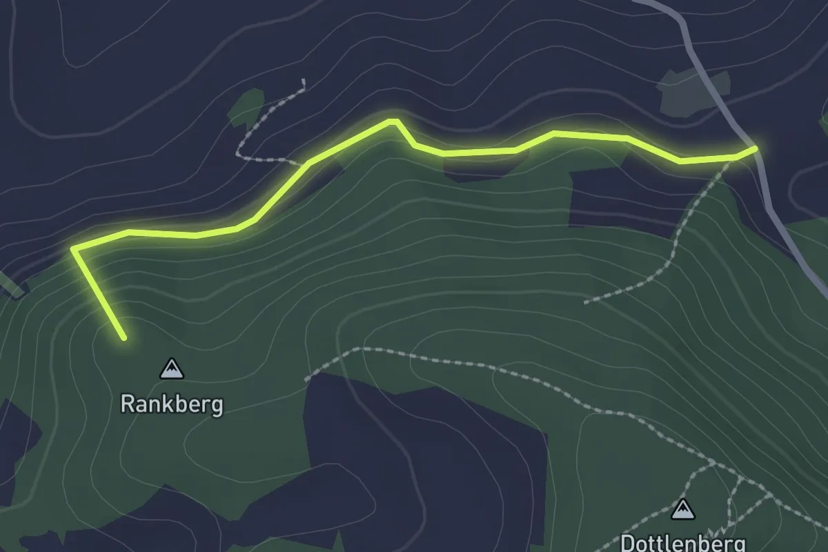
Easy · Summit
Ober Serzach – Titterten
2.2 km · ↑ 106 m · 45 min
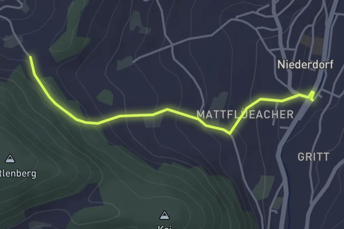
Easy · Trail
Niederdorf – Ober Serzach
3.3 km · ↑ 210 m · 1 h 14 min
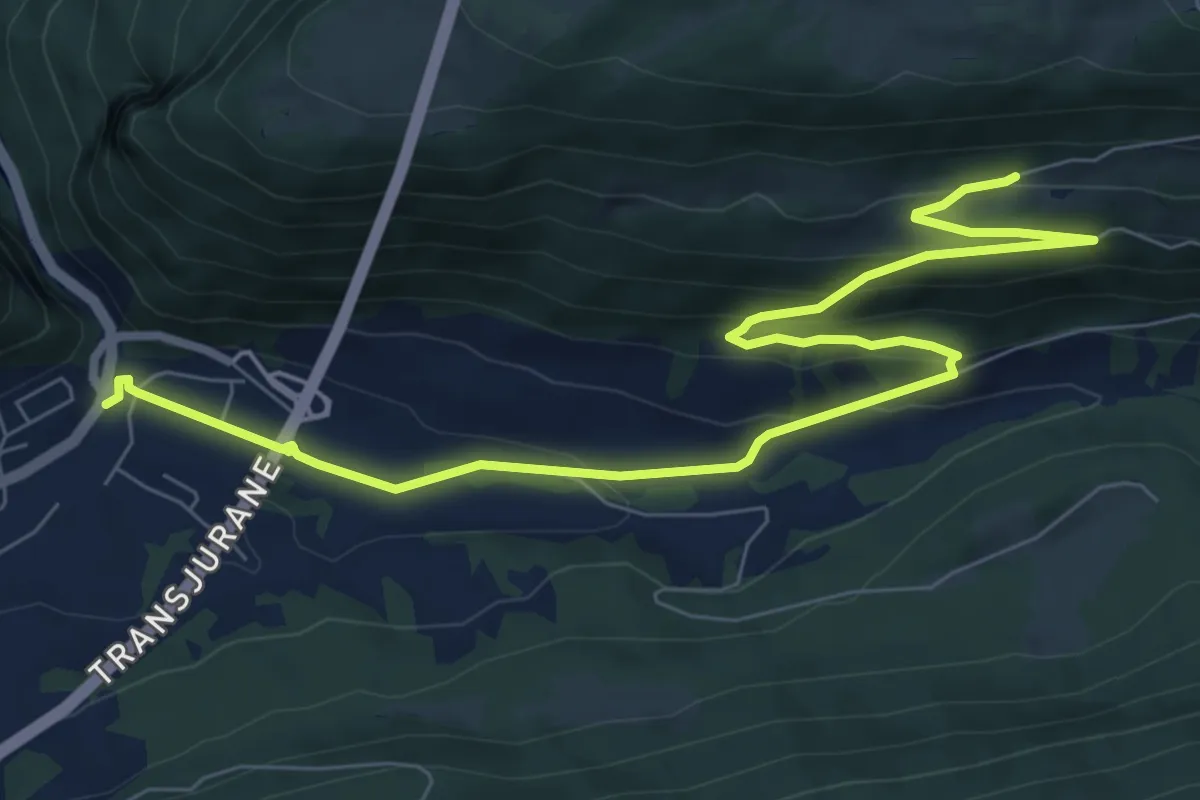
Medium · Trail
Les Ordons – Court
9.8 km · ↑ 369 m · 3 h 7 min
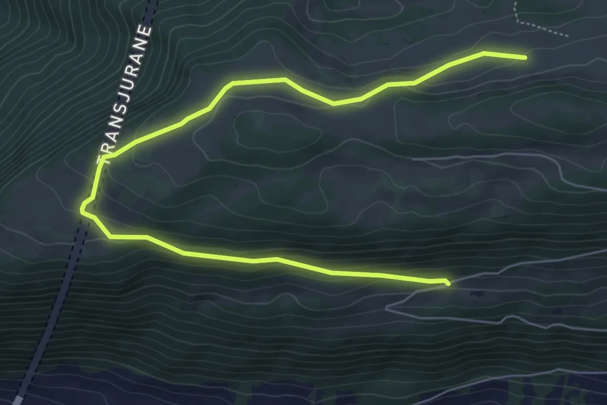
Easy · Trail
Les Ordons – Montagne de Graitery
7.6 km · ↑ 278 m · 2 h 24 min
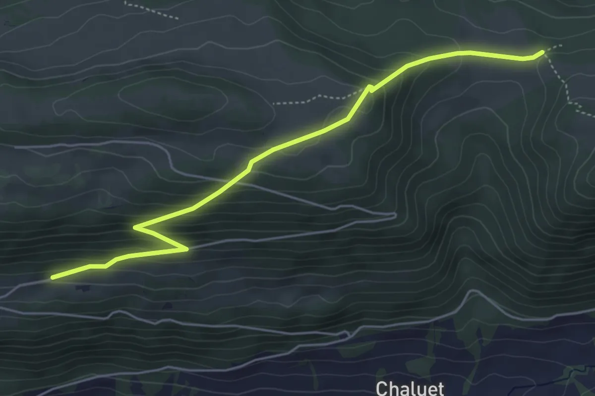
Medium · Trail
Les Ordons – Loge aux Boeufs
5.3 km · ↑ 325 m · 1 h 58 min
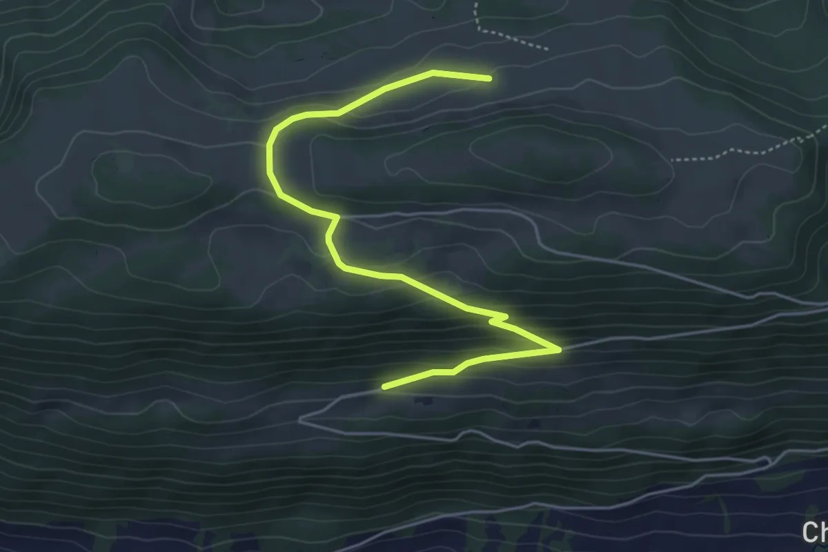
Easy · Trail
Les Ordons – Montagne de Graitery
5.2 km · ↑ 264 m · 1 h 48 min
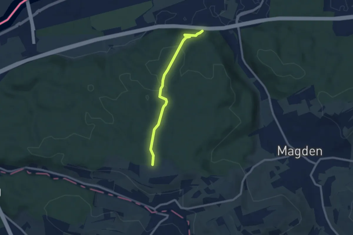
Medium · Trail
Belchenblick – Weid
5.0 km · ↑ 137 m · 1 h 29 min
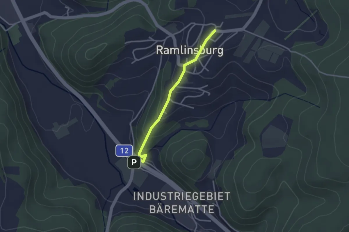
Easy · Trail
Lampenberg – Ramlinsburg
2.4 km · ↑ 113 m · 49 min