Trails in Switzerland
15,055 hiking trails, each with its route, climb, walking time and grade.
All trails, page 259 of 314
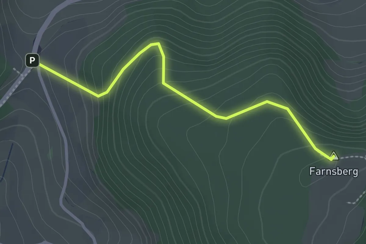
Easy · Summit
Buuseregg – Ruine Farnsburg
2.5 km · ↑ 174 m · 58 min
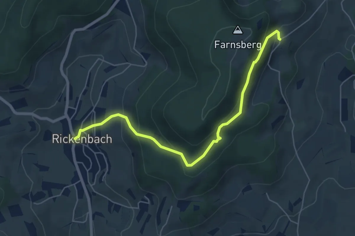
Medium · Trail
Farnsburg – Rickenbach
5.4 km · ↑ 327 m · 1 h 58 min
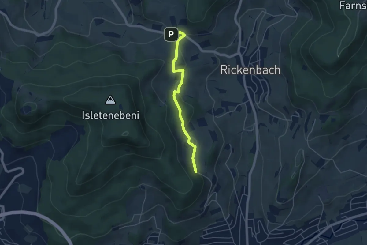
Easy · Trail
Dottmesen – Rickenbacherhöchi
4.0 km · ↑ 128 m · 1 h 13 min
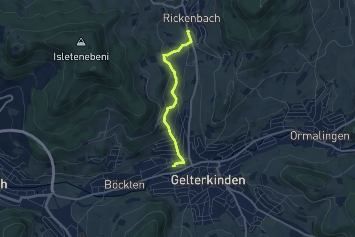
Easy · Trail
Rickenbach – Gelterkinden
5.1 km · ↑ 171 m · 1 h 35 min
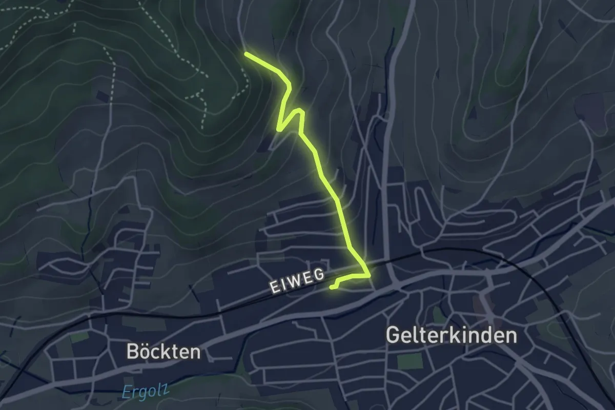
Easy · Trail
Dottmesen – Gelterkinden
2.9 km · ↑ 161 m · 1 h 2 min
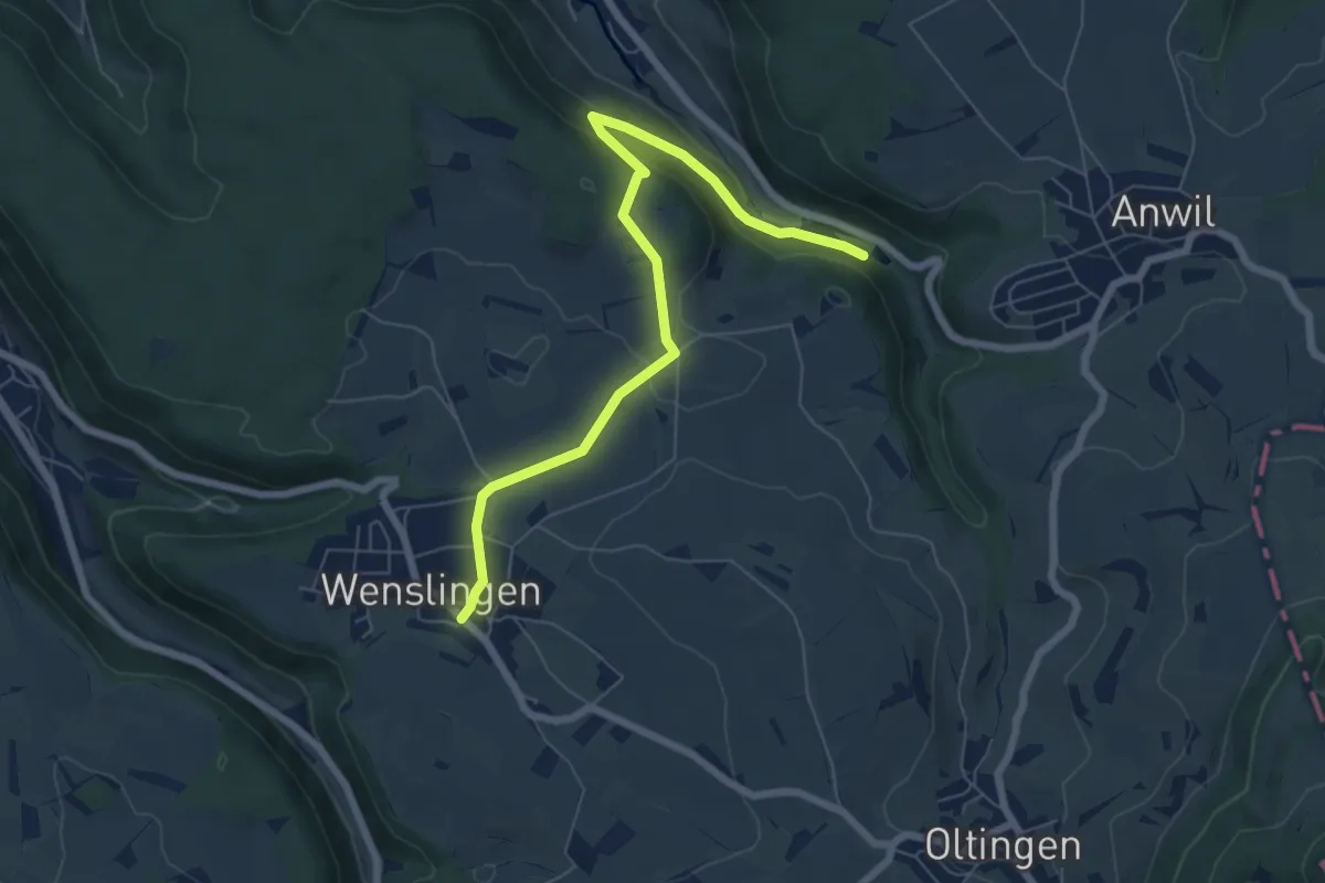
Easy · Trail
Talweiher – Wenslingen
7.0 km · ↑ 217 m · 2 h 7 min
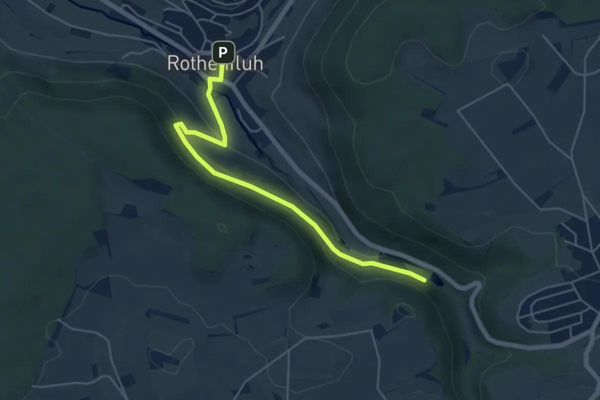
Easy · Trail
Talweiher – Rothenfluh
4.6 km · ↑ 165 m · 1 h 26 min
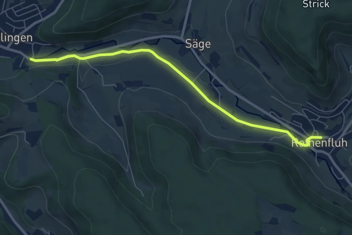
Easy · Trail
Rothenfluh – Ormalingen
6.1 km · ↑ 47 m · 1 h 33 min
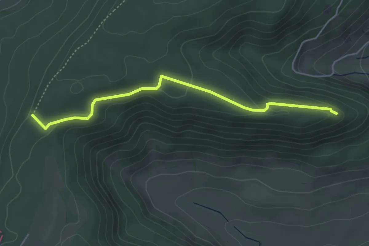
Easy · Trail
Fazedelle – Ruine Alt Homberg
4.1 km · ↑ 98 m · 1 h 11 min
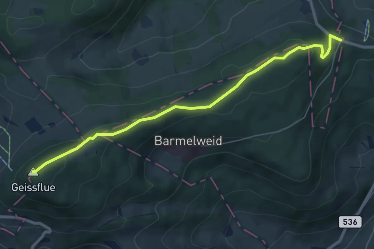
Easy · Summit
Salhöhe – Geissflue
5.6 km · ↑ 177 m · 1 h 42 min
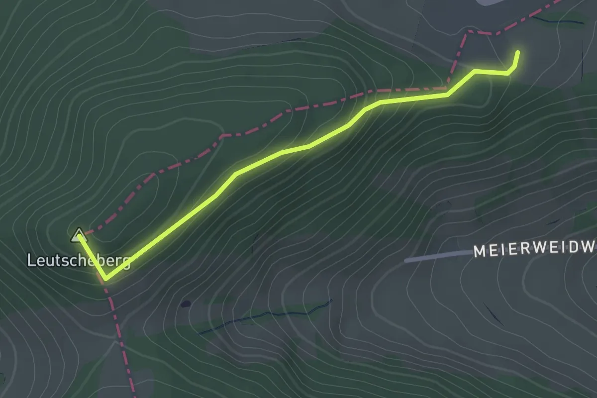
Easy · Summit
Romatten – Bergmatten
2.2 km · ↑ 131 m · 49 min
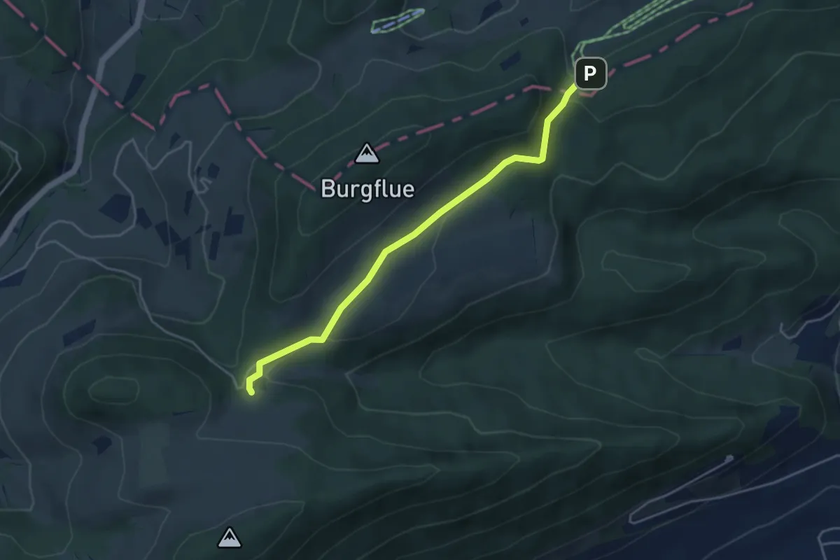
Easy · Trail
Burggraben – Burgweid
4.1 km · ↑ 119 m · 1 h 13 min
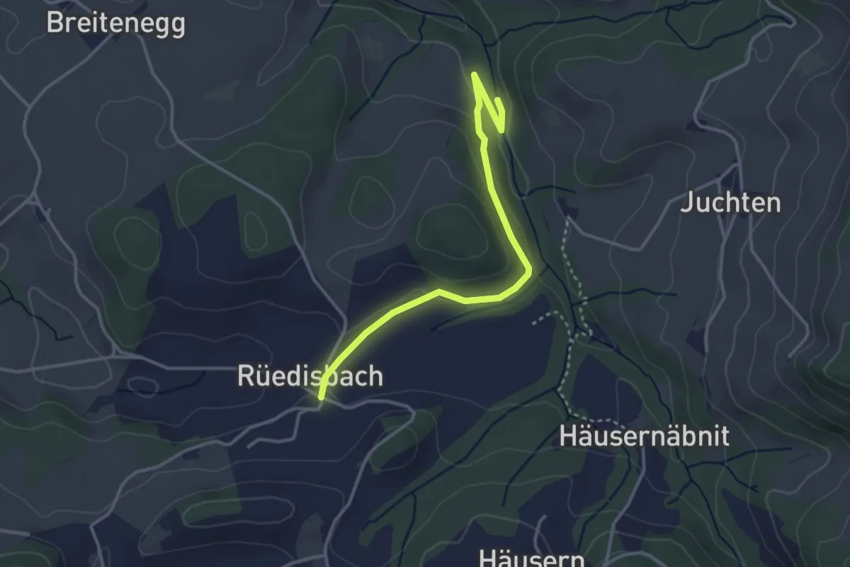
Easy · Trail
Mutzgraben – Rüedisbach
3.4 km · ↑ 82 m · 58 min
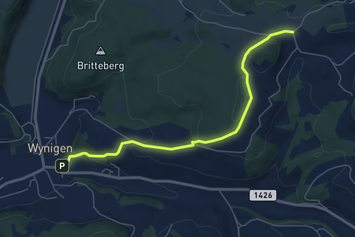
Easy · Trail
Hinter Leggiswil – Wynigen
5.4 km · ↑ 218 m · 1 h 45 min
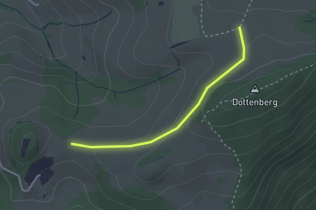
Easy · Trail
Birmatt – Froburg
2.1 km · ↑ 69 m · 39 min
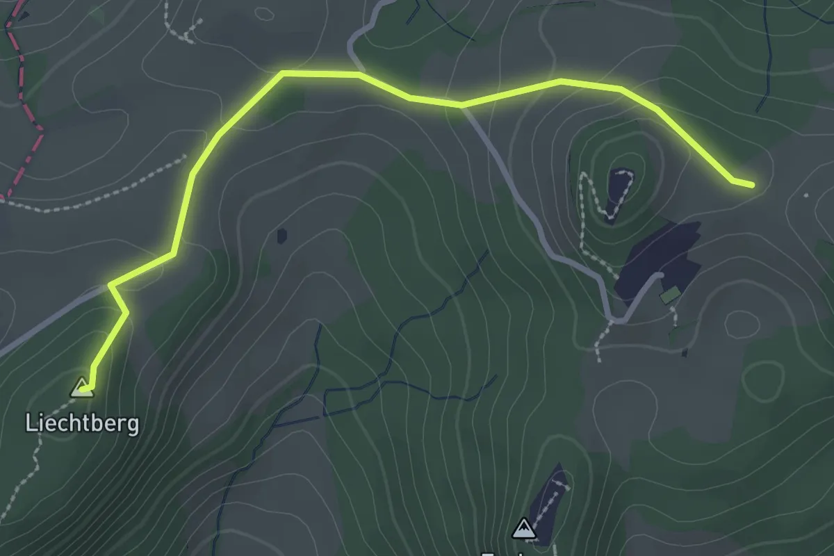
Medium · Summit
Froburg – Hauenstein
2.8 km · ↑ 81 m · 51 min
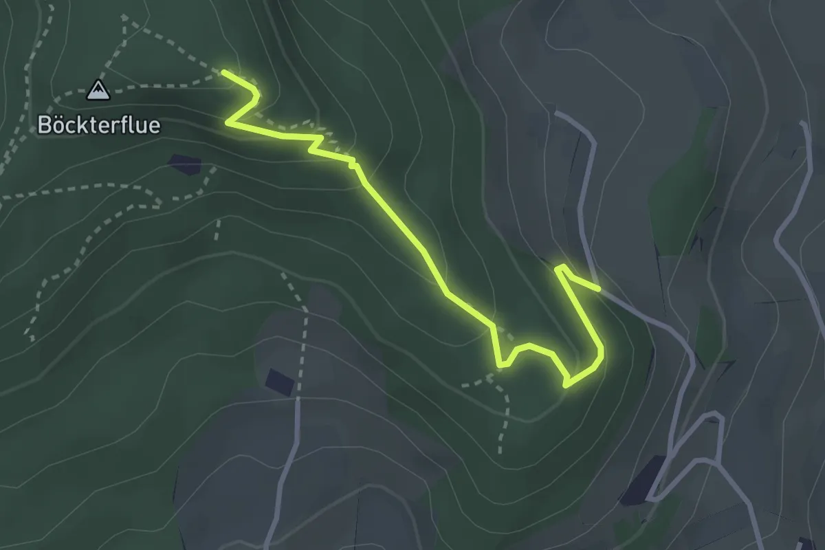
Easy · Trail
Rickenbacherflue – Dottmesen
2.9 km · ↑ 198 m · 1 h 7 min
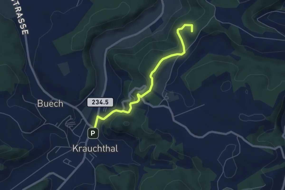
Easy · Summit
Krauchthal – ?
4.9 km · ↑ 215 m · 1 h 37 min
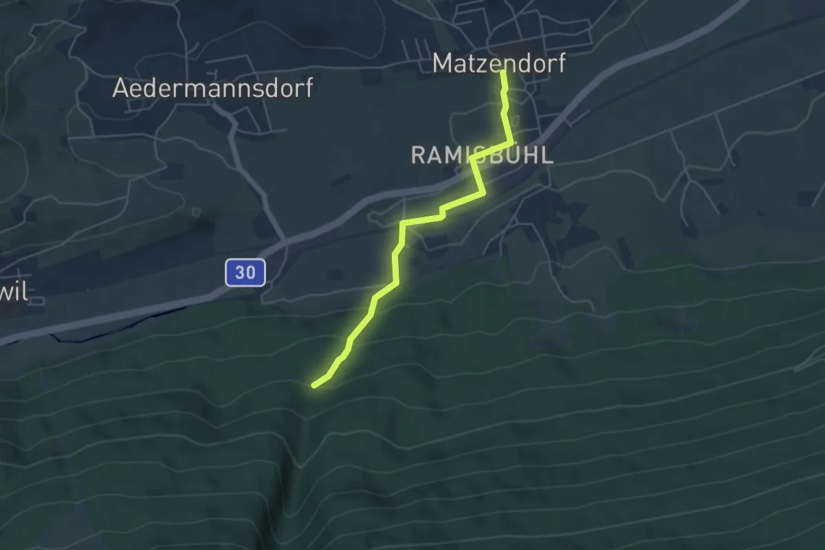
Easy · Trail
St. Antonius – Matzendorf
4.4 km · ↑ 155 m · 1 h 23 min
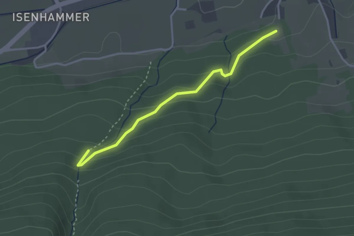
Easy · Trail
St. Antonius – Allmendweg
2.7 km · ↑ 157 m · 59 min
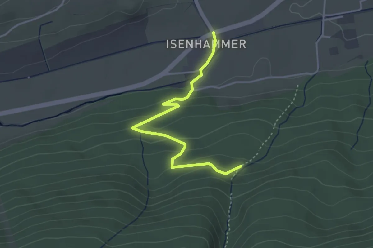
Easy · Trail
St. Antonius – Eisenhammer
3.5 km · ↑ 164 m · 1 h 11 min
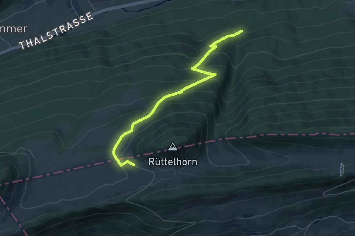
Medium · Trail
St. Antonius – Vordere Schmidenmatt
5.8 km · ↑ 379 m · 2 h 12 min
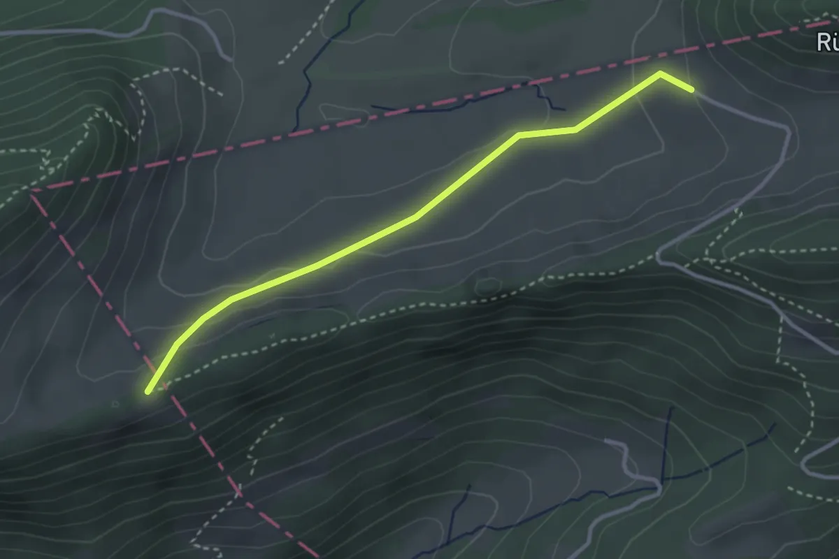
Easy · Trail
Hochchrüz – Vordere Schmidenmatt
3.1 km · ↑ 105 m · 58 min
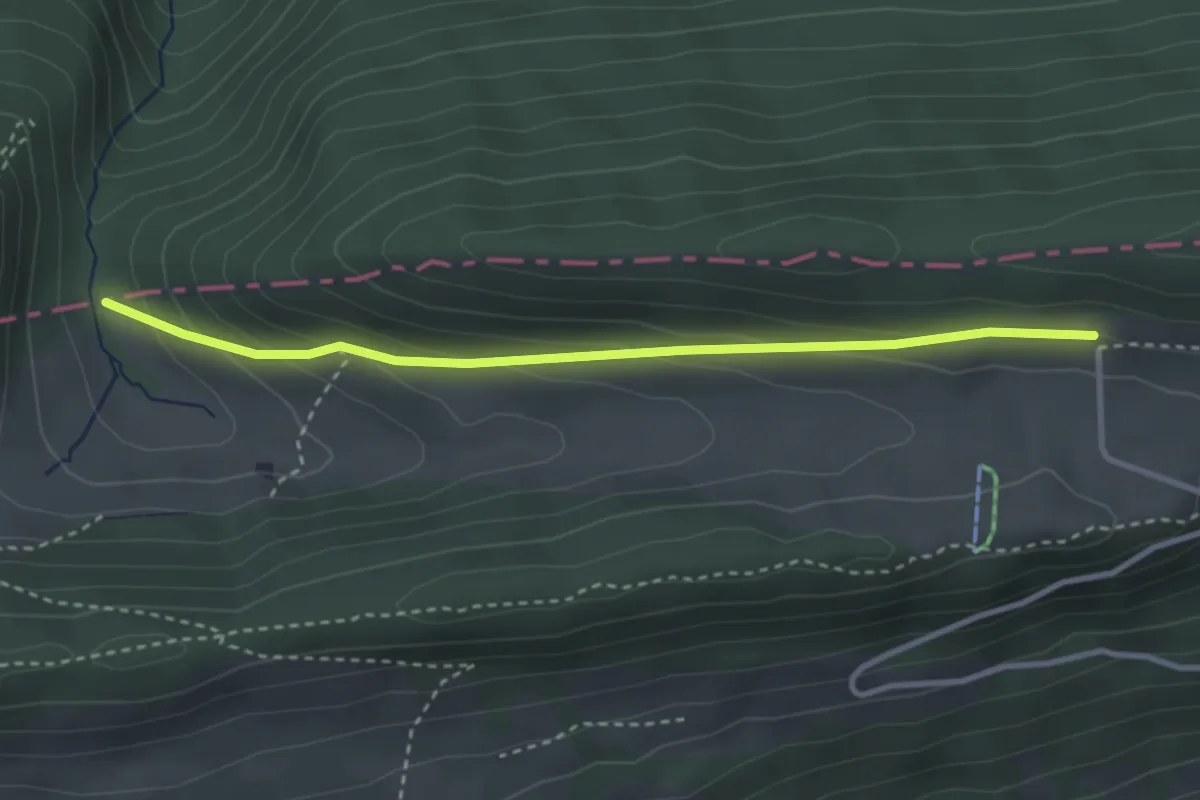
Easy · Trail
Hirschmätteli – Hinteregg
3.2 km · ↑ 152 m · 1 h 5 min
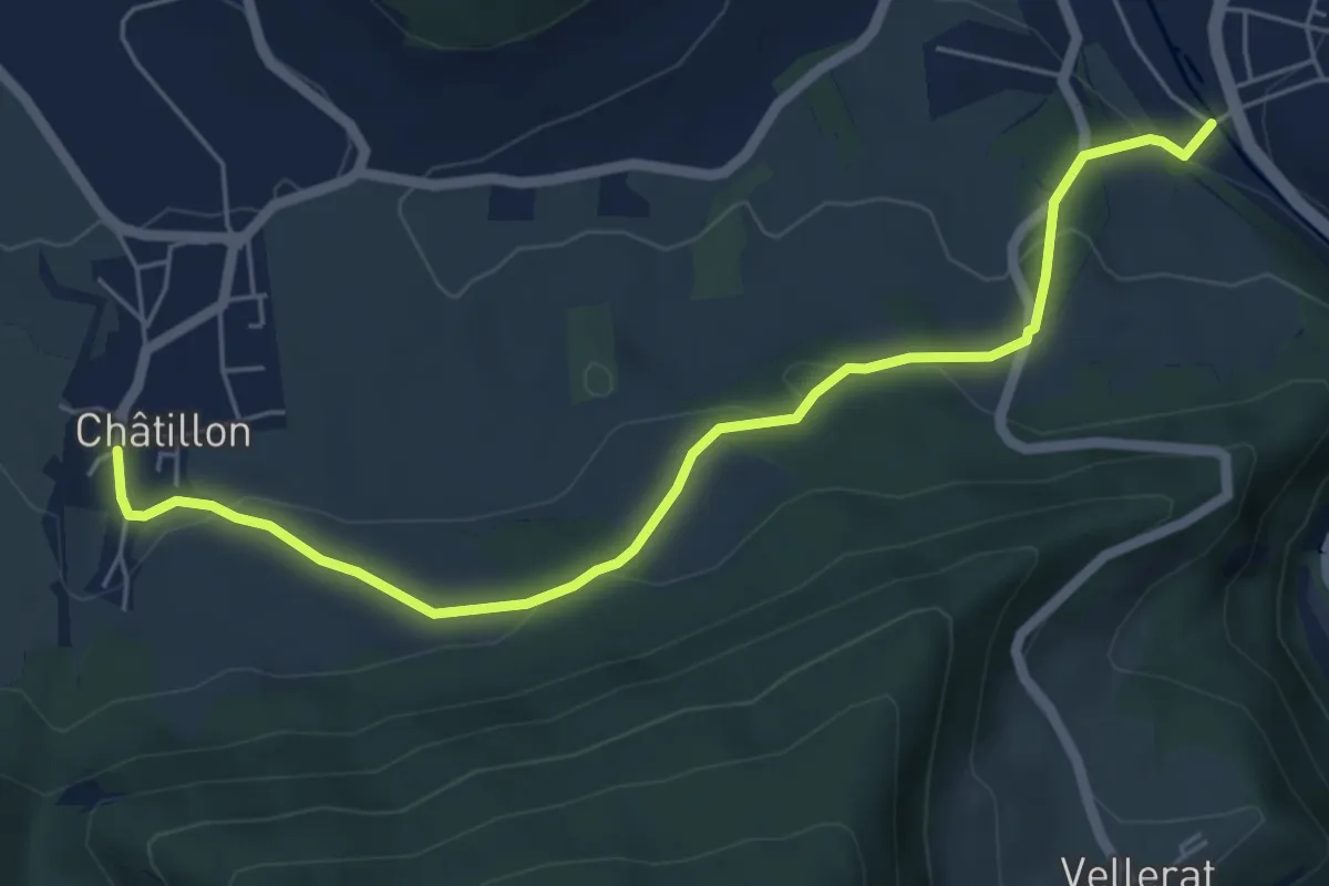
Easy · Trail
Châtillon – Courrendlin
6.1 km · ↑ 212 m · 1 h 54 min
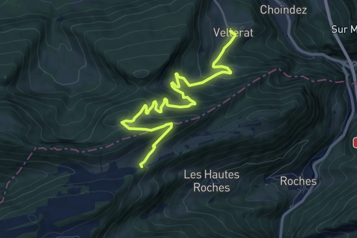
Medium · Trail
Vellerat – La Combe
10.7 km · ↑ 571 m · 3 h 46 min
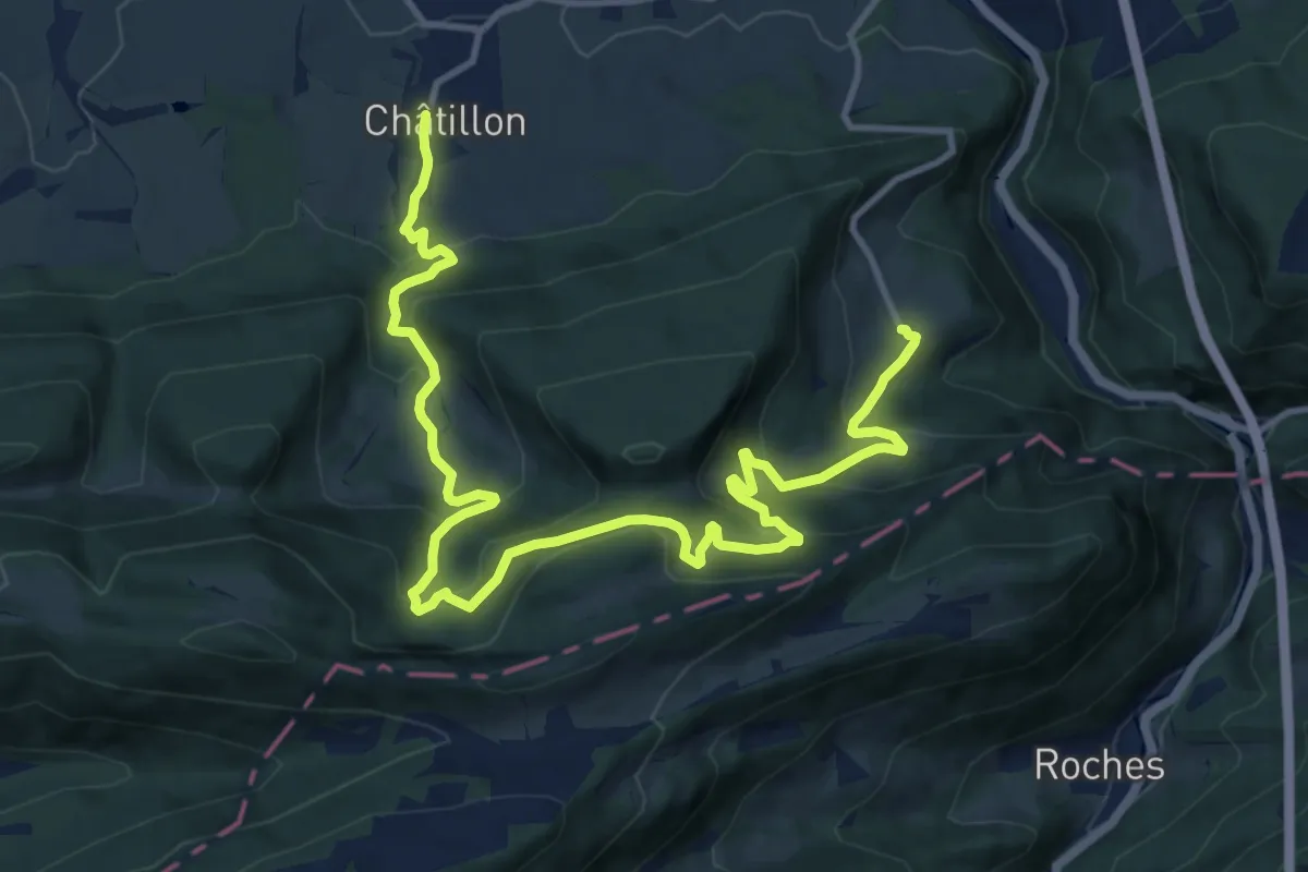
Demanding · Trail
Vellerat – Châtillon
15.6 km · ↑ 957 m · 5 h 46 min
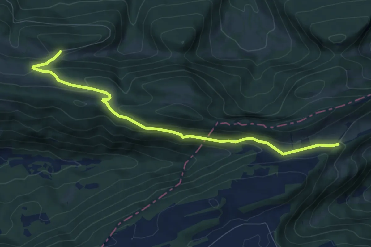
Medium · Trail
La Combe – Les Fouchies
8.6 km · ↑ 329 m · 2 h 45 min
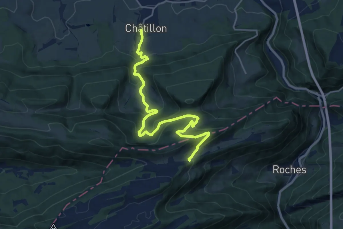
Medium · Trail
Châtillon – La Combe
13.3 km · ↑ 720 m · 4 h 42 min
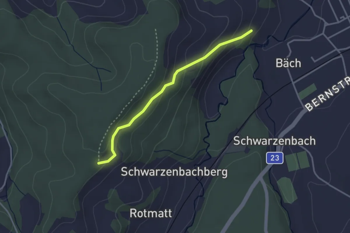
Easy · Trail
Fiechtenberg – Zwang
2.7 km · ↑ 151 m · 59 min
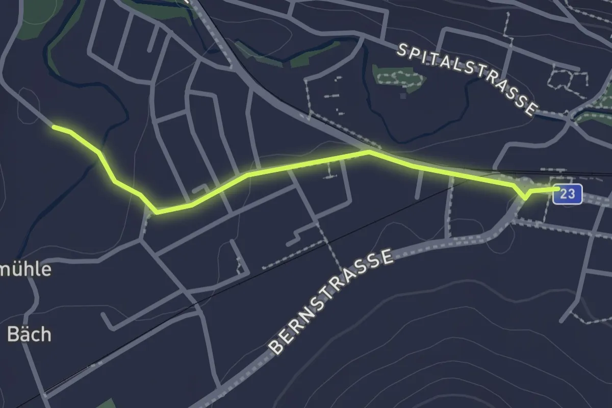
Easy · Trail
Fiechten – Huttwil Bahnhof
2.2 km · ↑ 27 m · 35 min
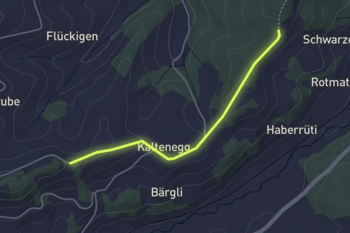
Easy · Trail
Zwang – Müliweid
3.5 km · ↑ 90 m · 1 h 1 min
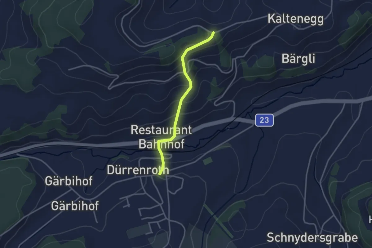
Easy · Trail
Müliweid – Dürrenroth
2.5 km · ↑ 152 m · 55 min
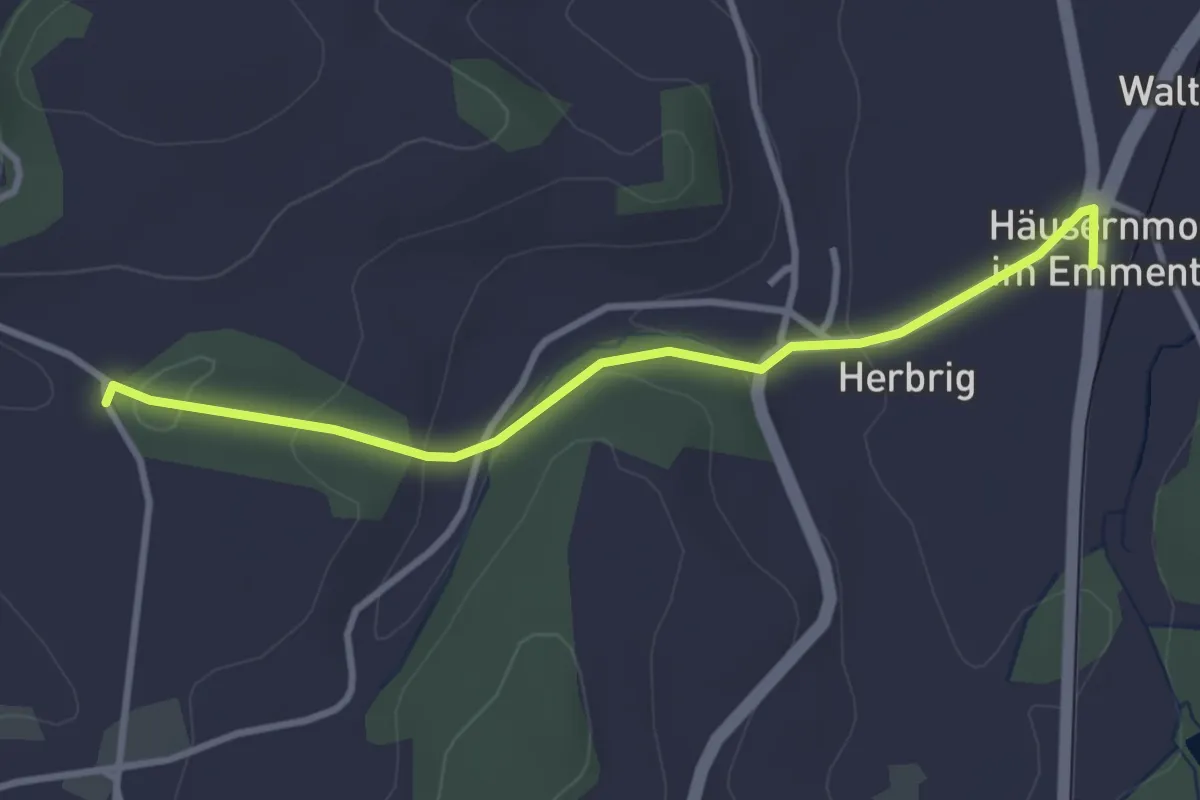
Easy · Trail
Häusernmoos – Chloster
3.2 km · ↑ 94 m · 58 min
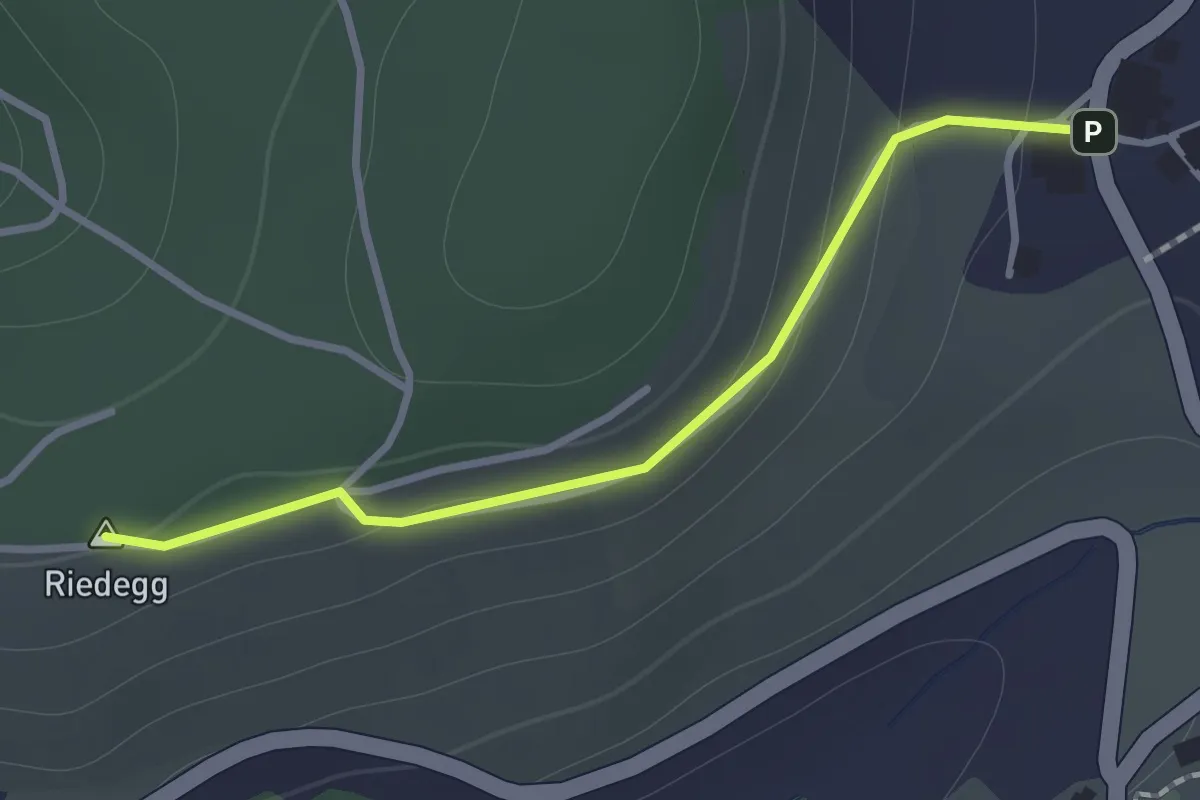
Easy · Summit
Brachacker – Bättwil
1.1 km · ↑ 42 m · 21 min
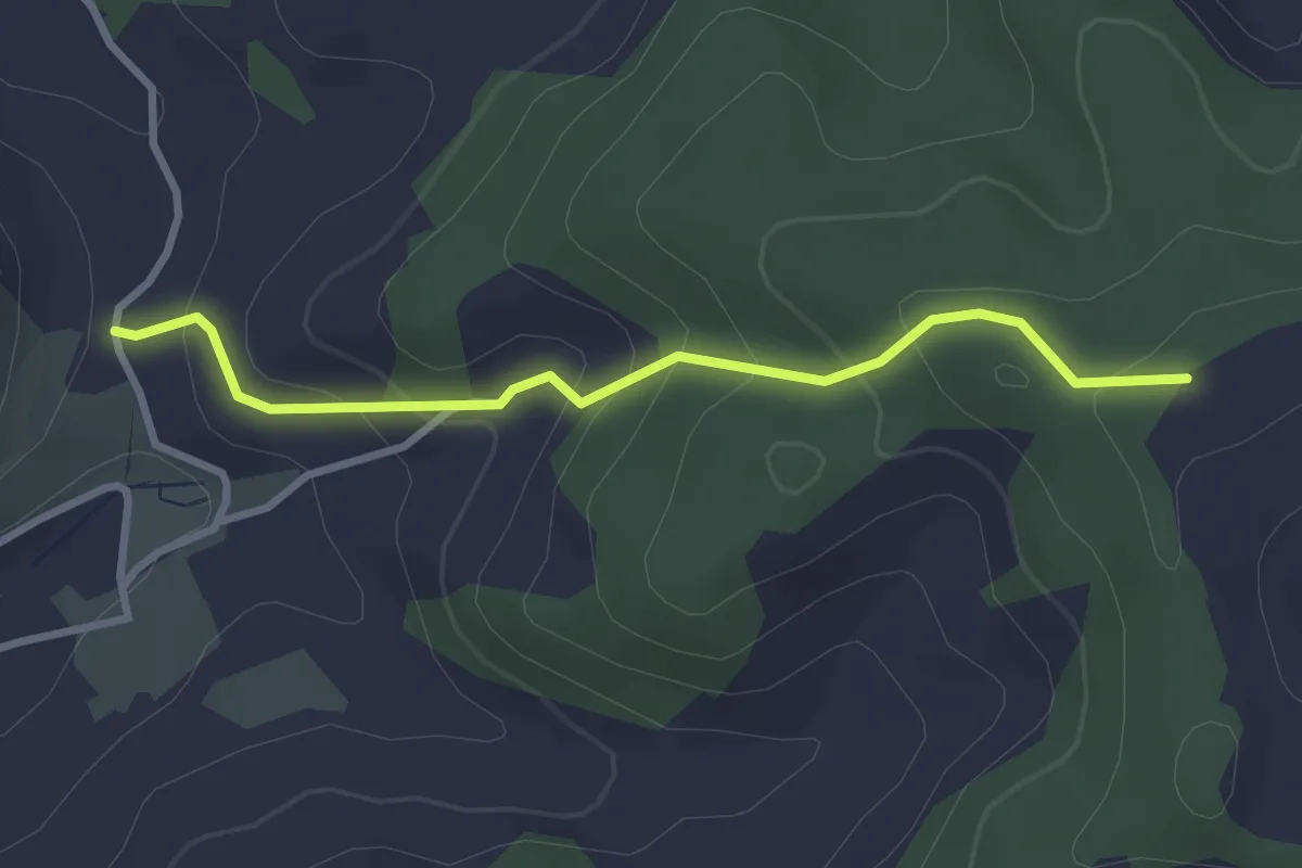
Easy · Trail
Brachacker – Rachisberg
2.9 km · ↑ 191 m · 1 h 6 min
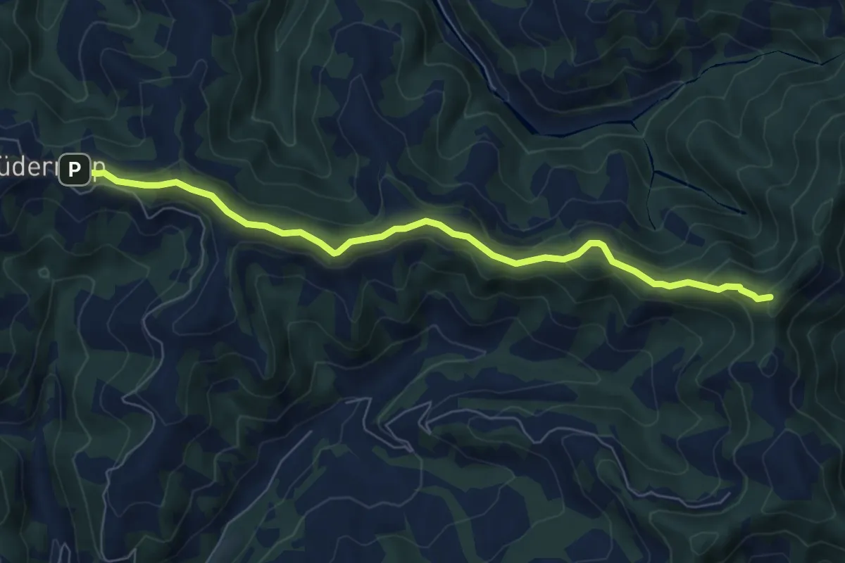
Easy · Summit
Lüderenalp – Hohmattgäatterli
7.2 km · ↑ 258 m · 2 h 15 min
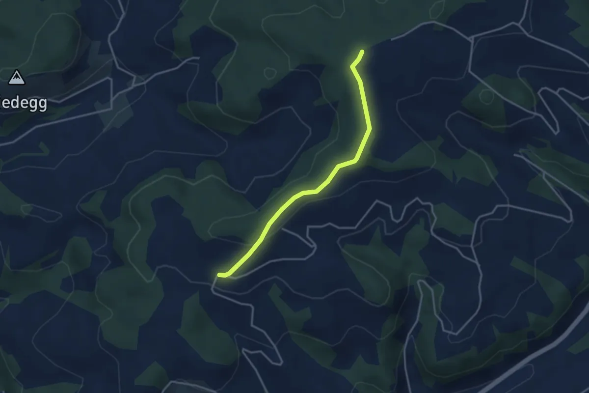
Easy · Trail
Rachisberg – Schallenberg
3.1 km · ↑ 85 m · 55 min
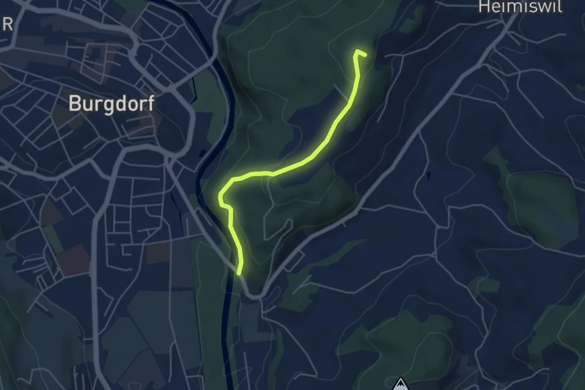
Easy · Summit
Heimiswilbrügg – Oberi Rüügle
4.0 km · ↑ 194 m · 1 h 21 min
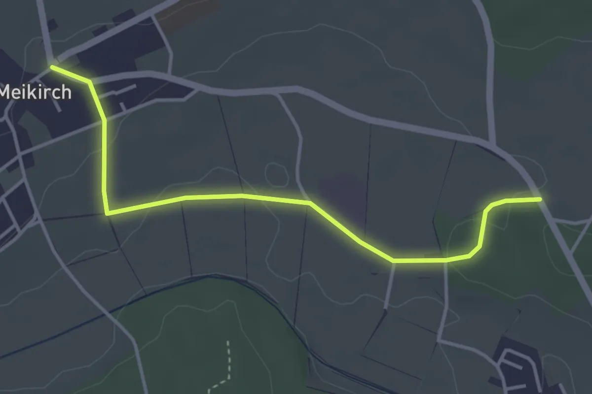
Easy · Trail
Meikirch – Rüti
3.8 km · ↑ 72 m · 1 h 4 min
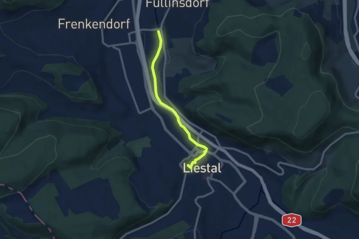
Easy · Trail
Füllinsdorf Schöntal – Liestal
5.1 km · ↑ 38 m · 1 h 17 min
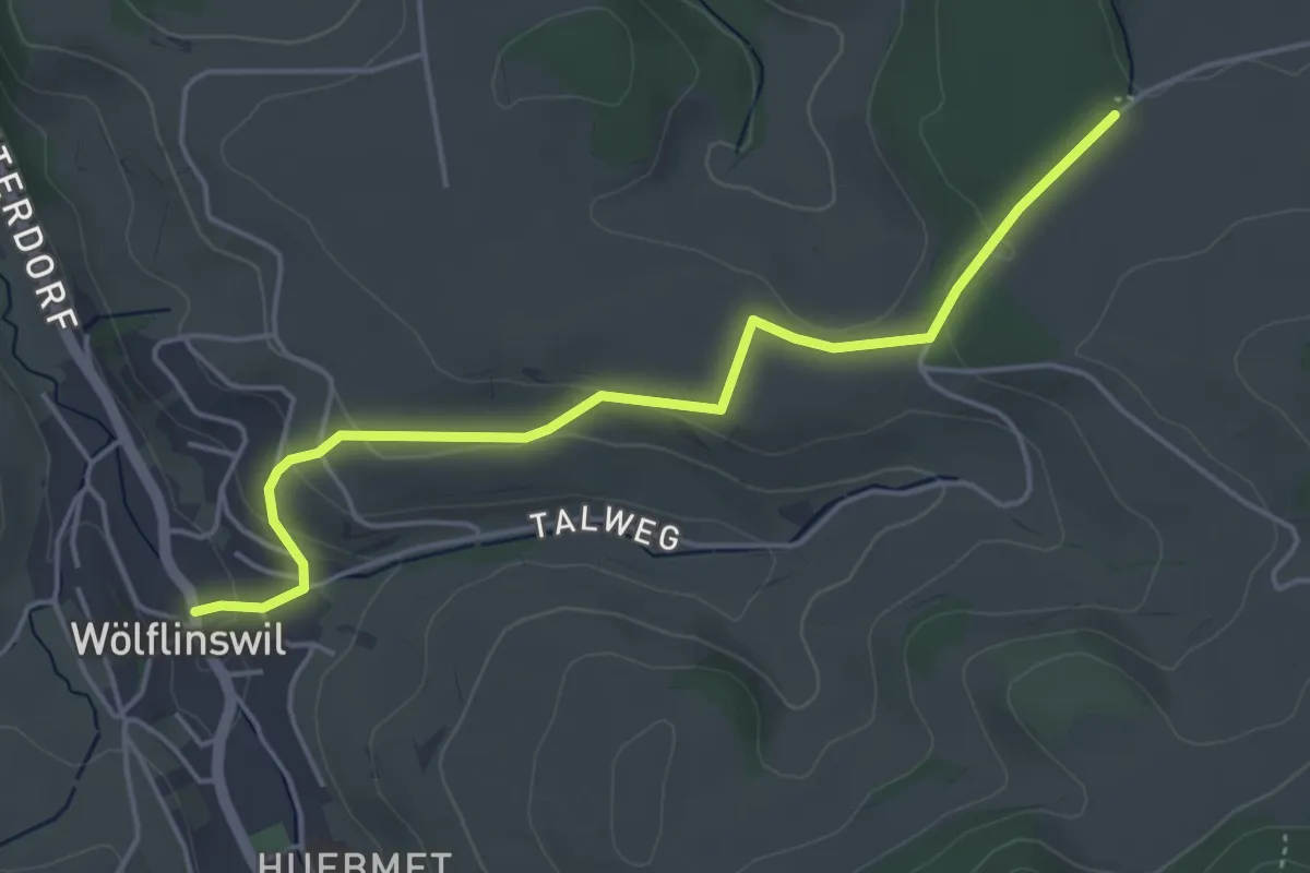
Easy · Trail
Wölflinswil – Junkholz
4.7 km · ↑ 140 m · 1 h 24 min
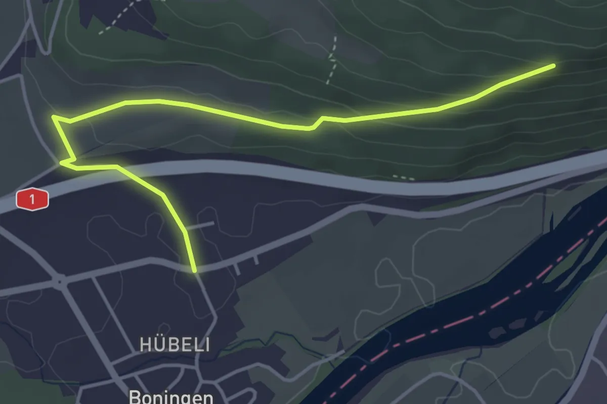
Easy · Trail
Boningen – Fülerfeld
4.4 km · ↑ 172 m · 1 h 25 min
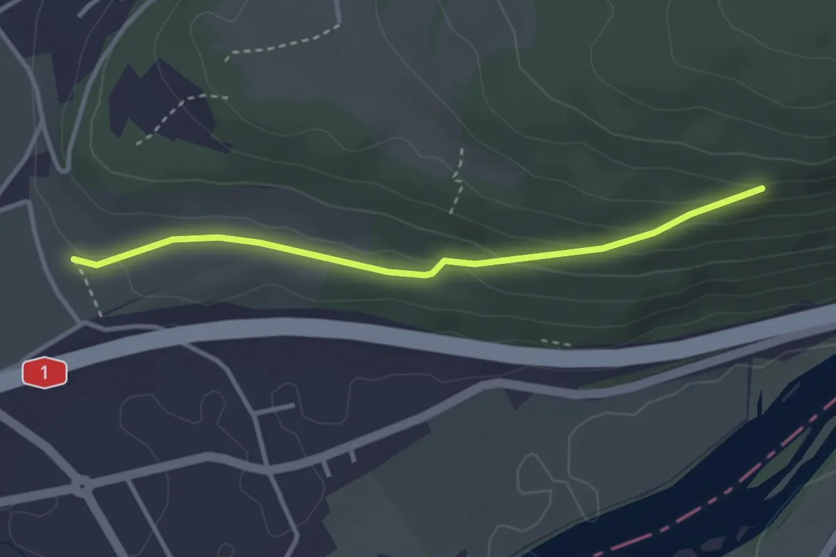
Easy · Trail
Fülerfeld – Ober Rainban
3.0 km · ↑ 140 m · 1 h 1 min
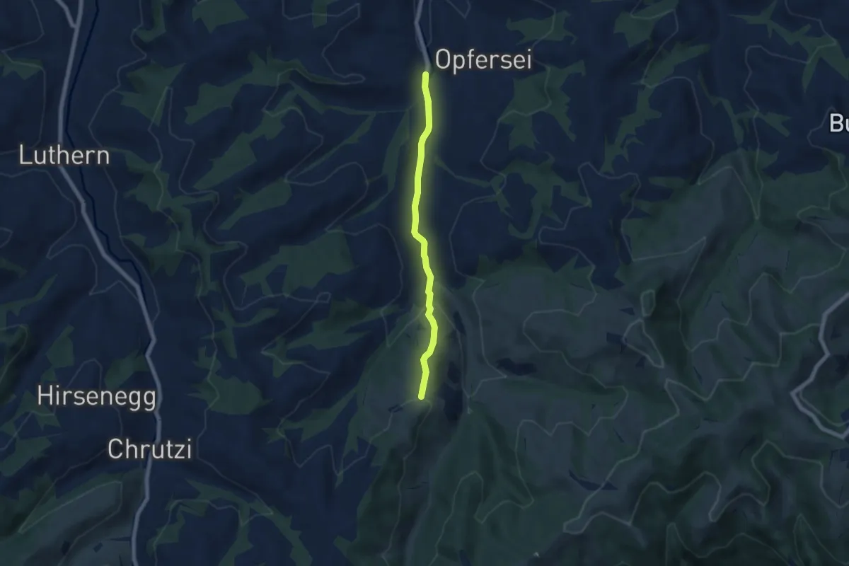
Easy · Trail
Hübeli – Ober Graus
5.1 km · ↑ 192 m · 1 h 37 min
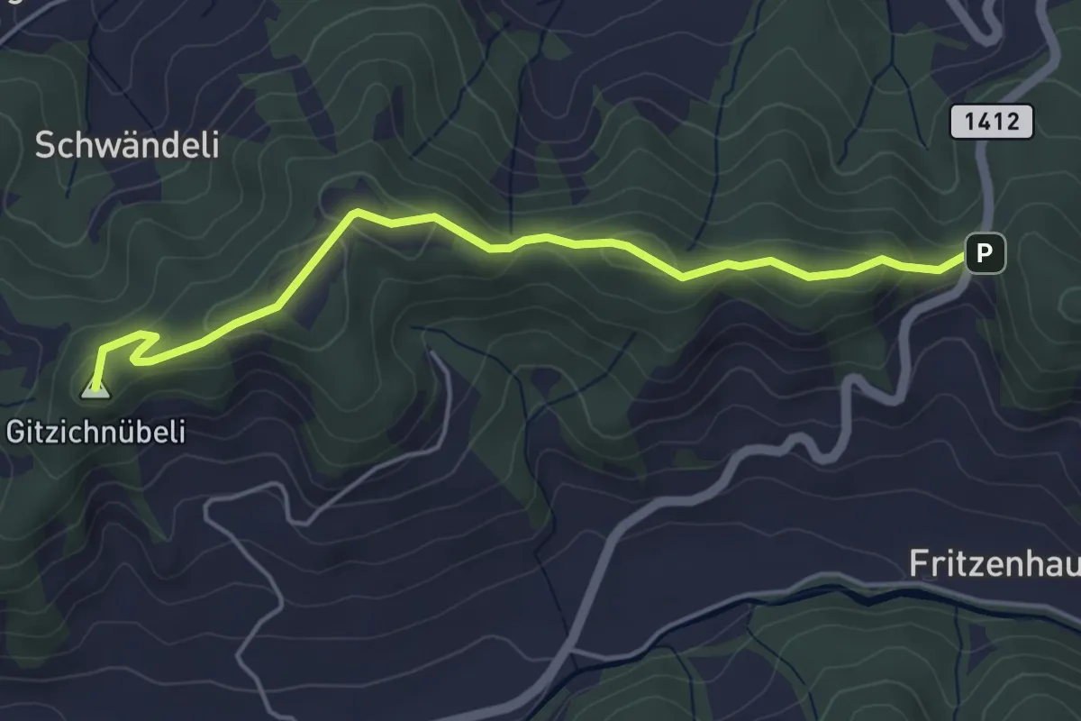
Easy · Summit
Freudigenegg – Fritzenflue
4.6 km · ↑ 155 m · 1 h 25 min
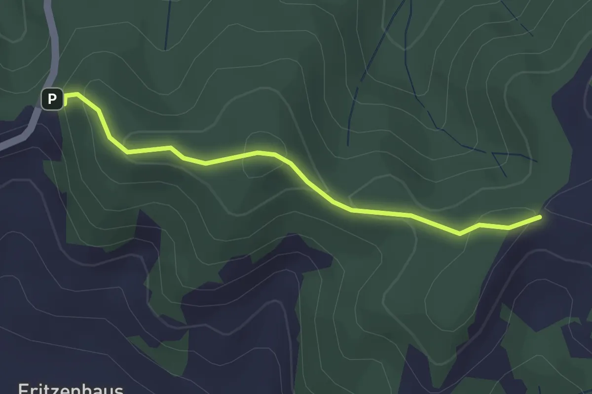
Easy · Trail
Fritzenflue – Bettler
2.5 km · ↑ 113 m · 50 min
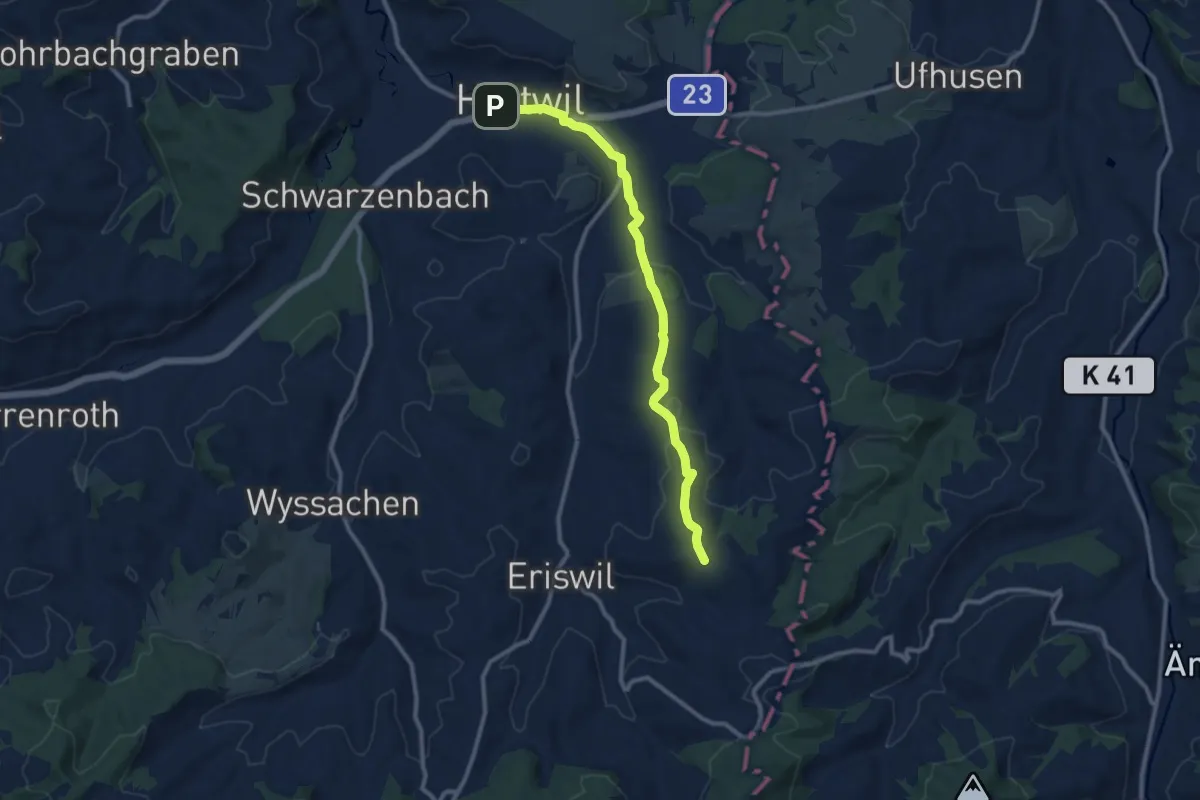
Medium · Summit
Huttwil Bahnhof – Hitzenberg
10.4 km · ↑ 226 m · 2 h 56 min