Trails in Switzerland
15,055 hiking trails, each with its route, climb, walking time and grade.
All trails, page 260 of 314
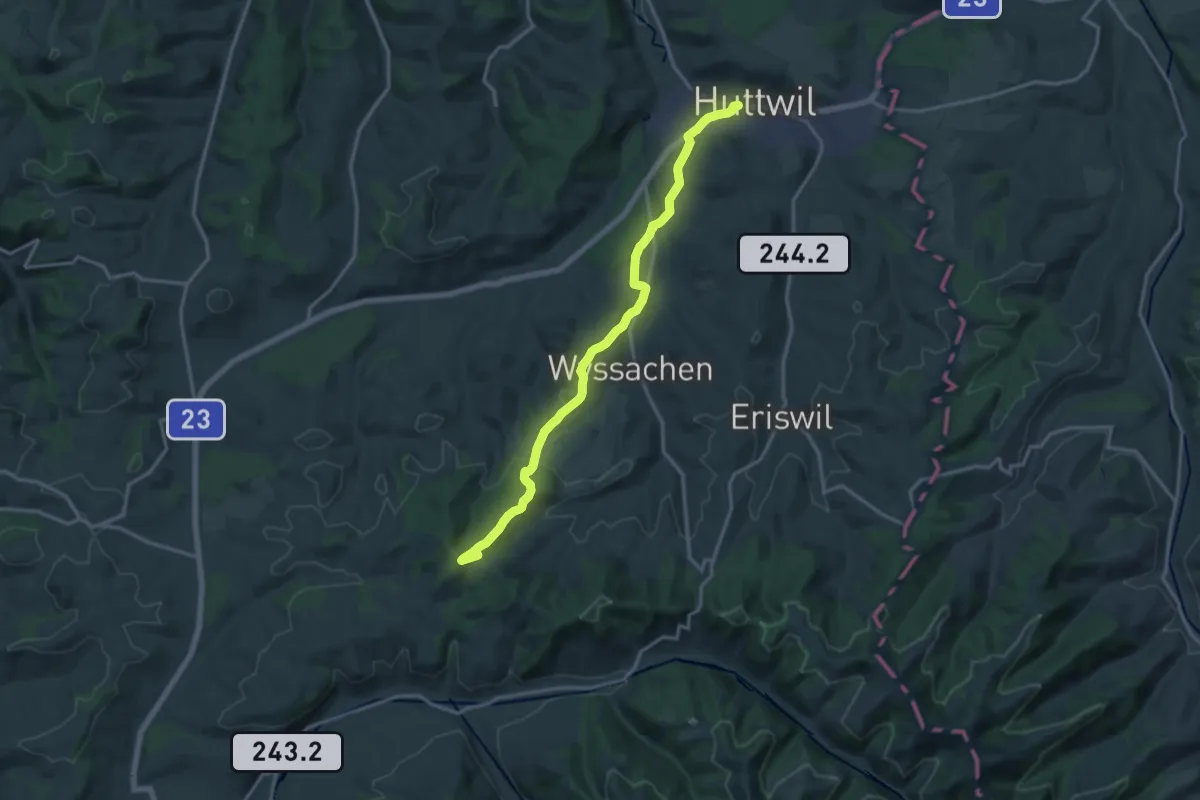
Medium · Trail
Oberwald Schaber – Huttwil Bahnhof
16.3 km · ↑ 383 m · 4 h 41 min
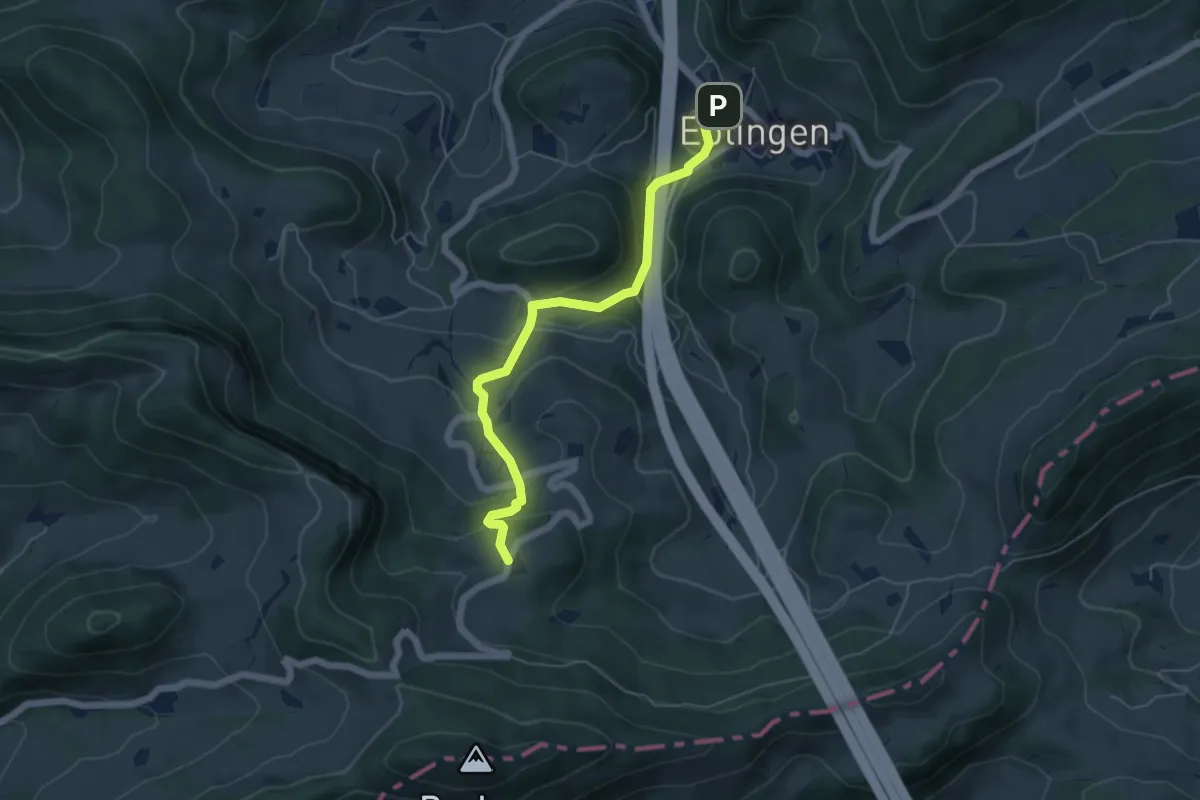
Medium · Trail
Eptingen – Oberbelchen
5.4 km · ↑ 352 m · 2 h 2 min
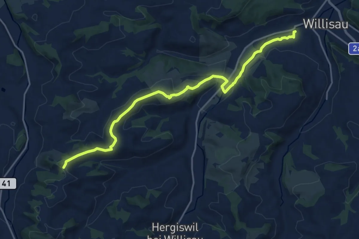
Medium · Trail
Willisau – Birchbühl
13.4 km · ↑ 336 m · 3 h 53 min
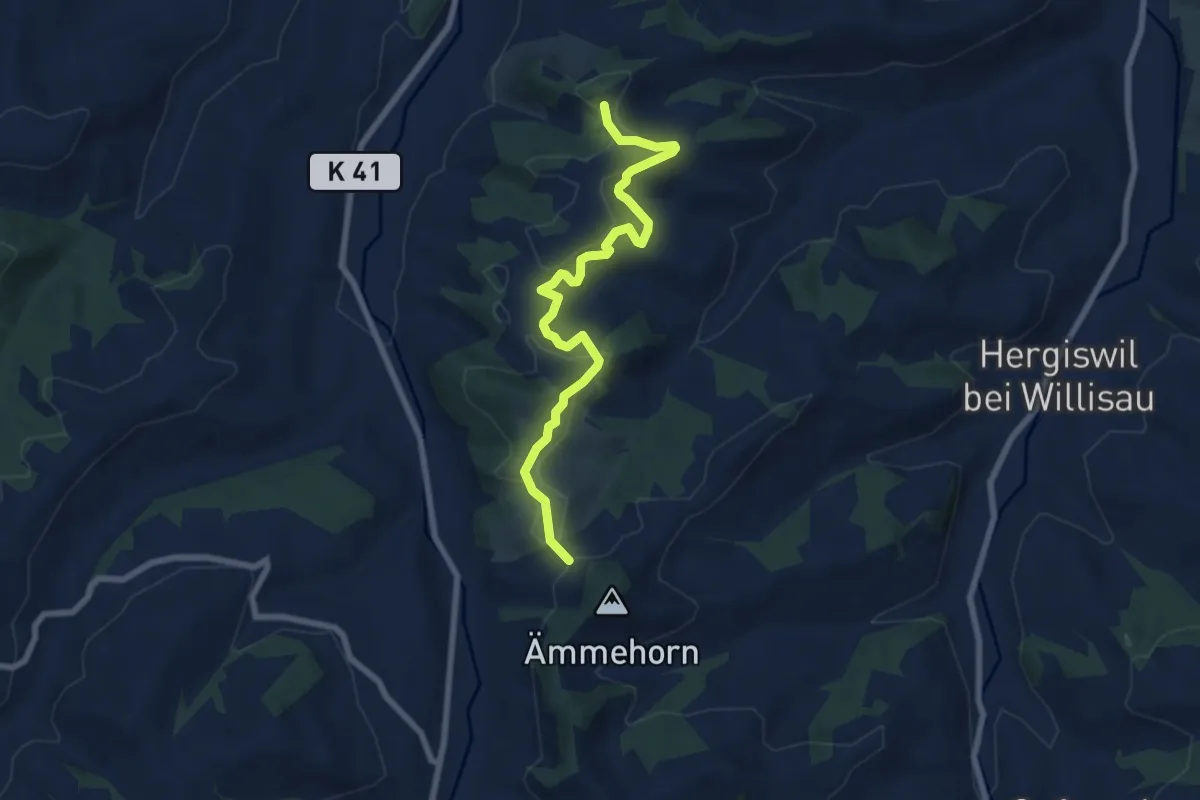
Easy · Trail
Chrüzstigen – Birchbühl
7.5 km · ↑ 278 m · 2 h 22 min
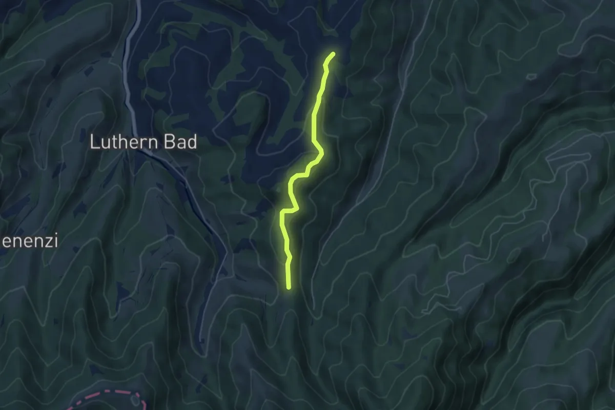
Easy · Trail
Eigatter – Mülibüel
4.1 km · ↑ 158 m · 1 h 19 min
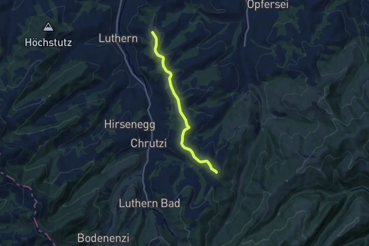
Easy · Trail
Mülibüel – Churzhubelegg
7.5 km · ↑ 174 m · 2 h 9 min
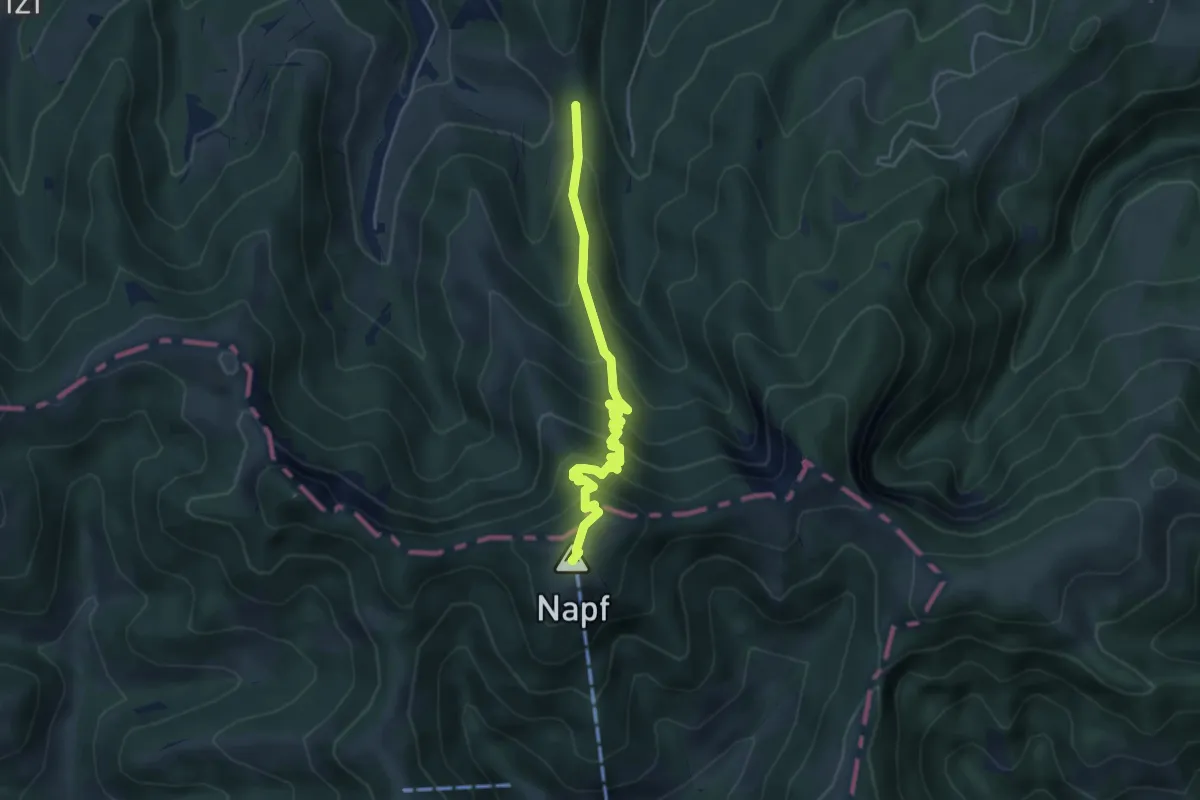
Medium · Summit
Napf – Eigatter
4.4 km · ↑ 405 m · 1 h 55 min
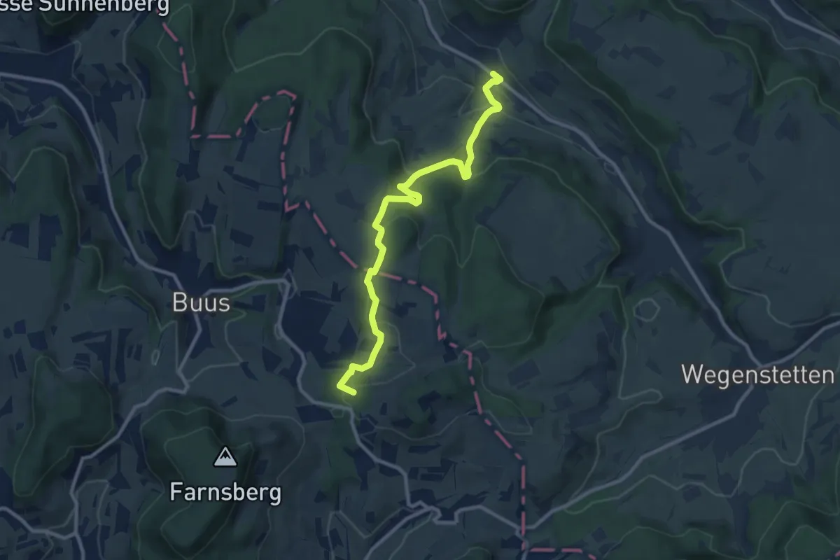
Medium · Summit
Zuzgen Postauto – Schlegel
9.8 km · ↑ 410 m · 3 h 12 min
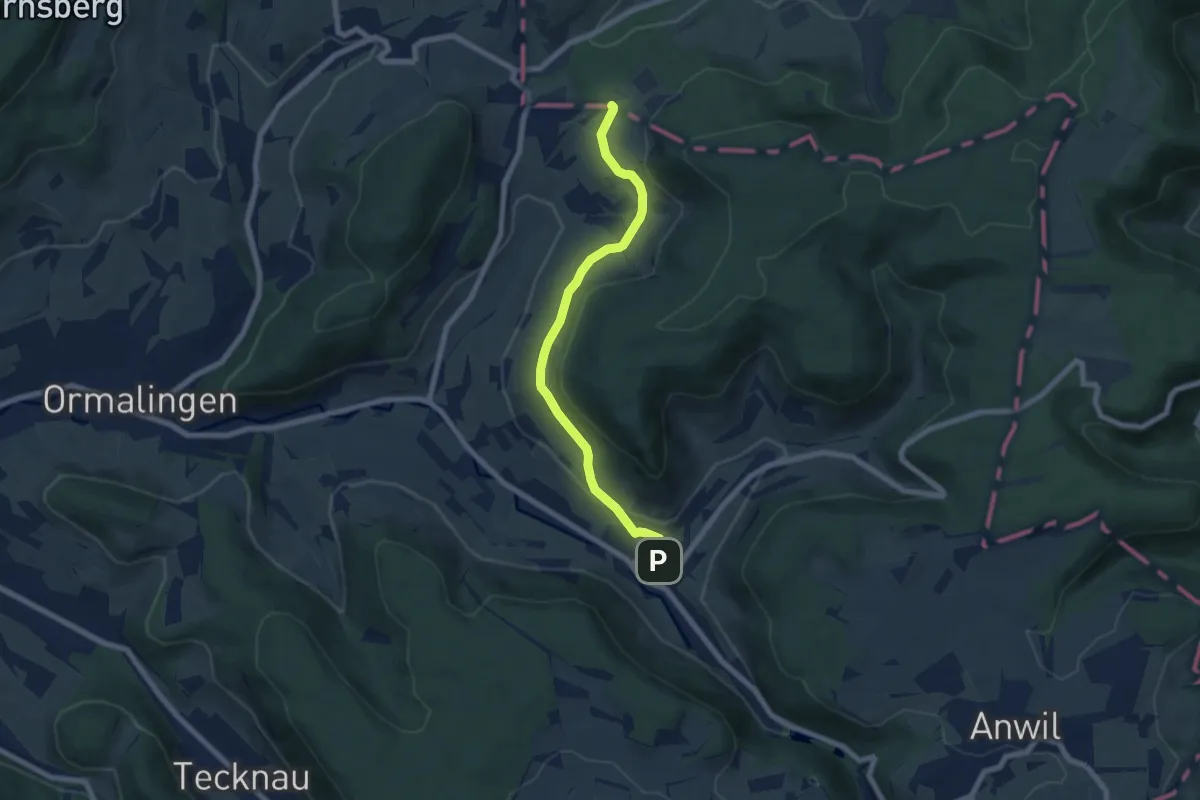
Easy · Trail
Usseri Weid – Rothenfluh
6.6 km · ↑ 183 m · 1 h 57 min
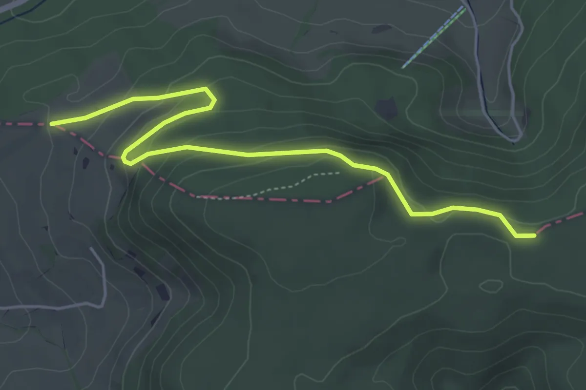
Easy · Trail
Usseri Weid – Kei
5.0 km · ↑ 194 m · 1 h 37 min
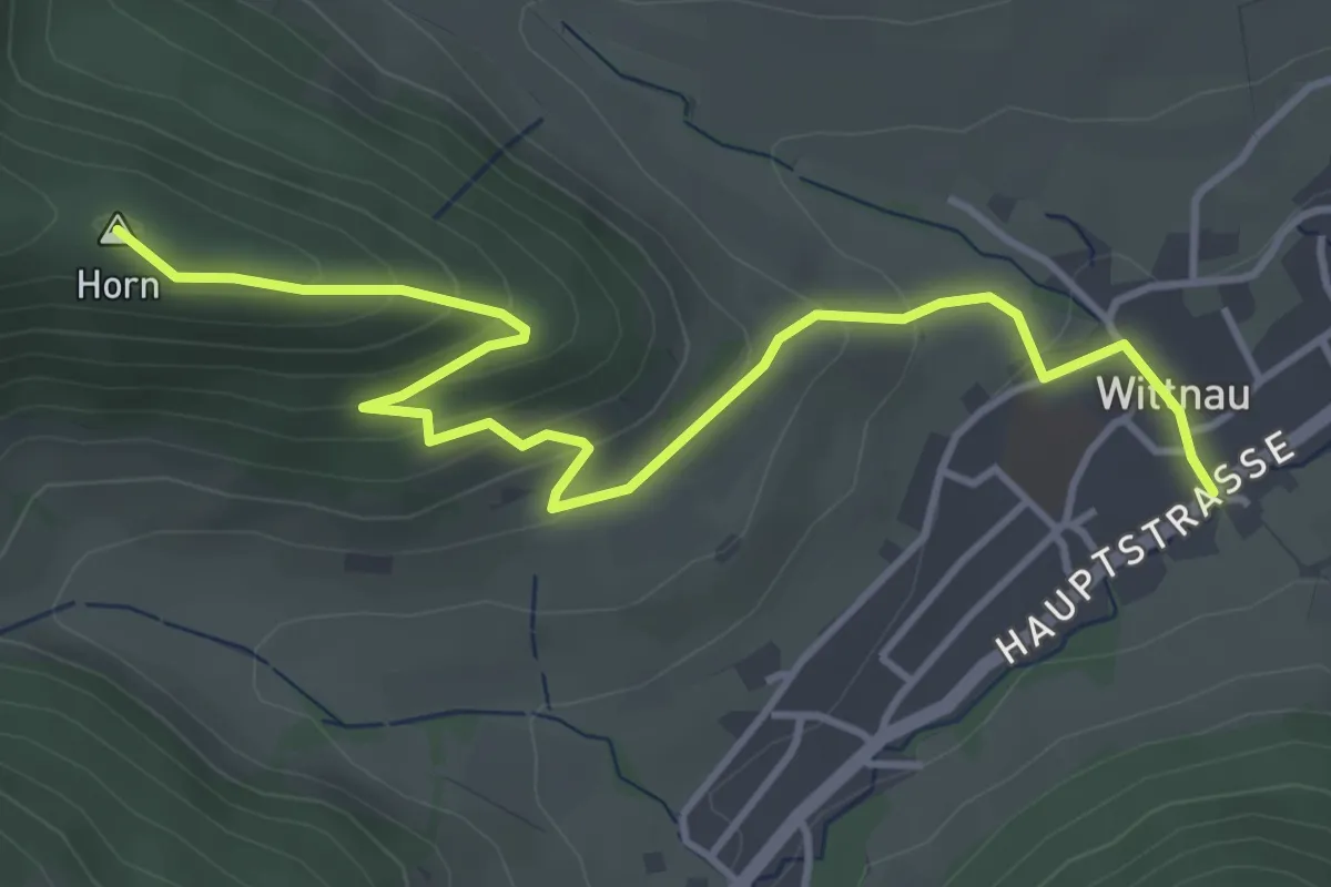
Easy · Summit
Wittnau – Buschberg
4.6 km · ↑ 260 m · 1 h 39 min
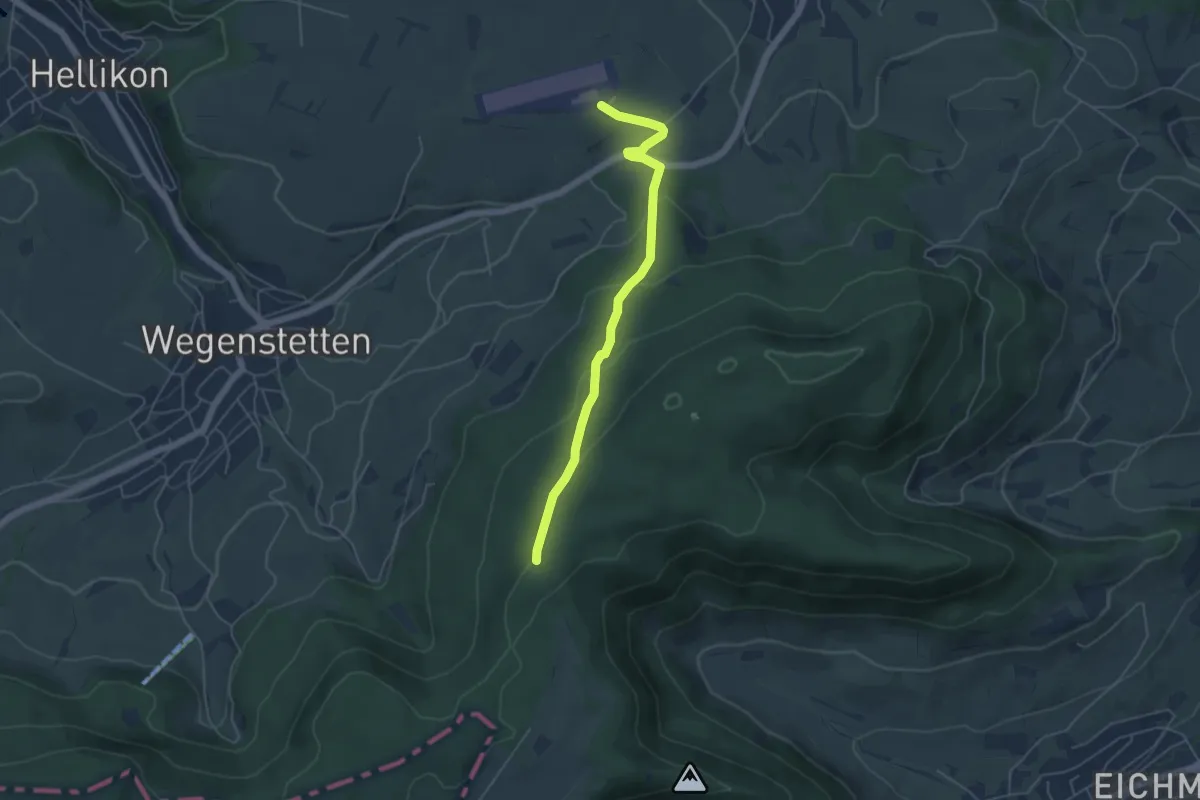
Easy · Trail
Fazedelle – Schupfart Flugplatz
4.8 km · ↑ 194 m · 1 h 34 min
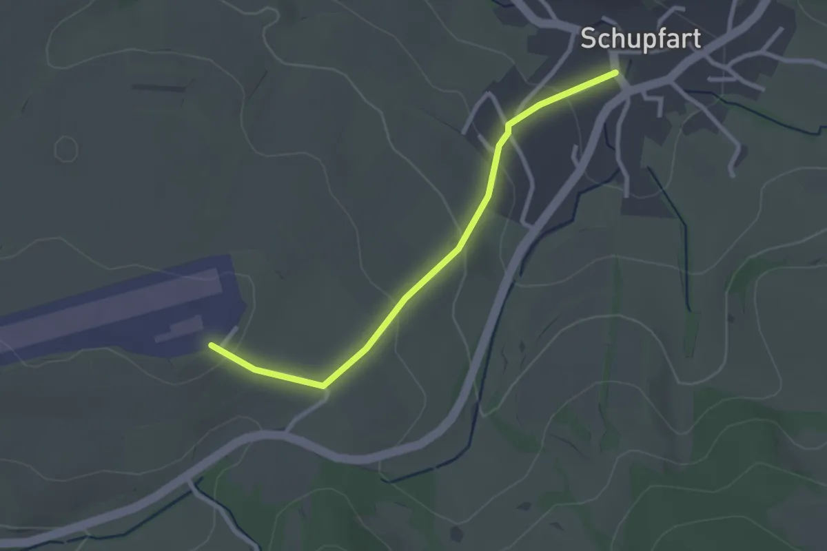
Easy · Trail
Flugplatz Schupfart – Schupfart
2.5 km · ↑ 92 m · 48 min
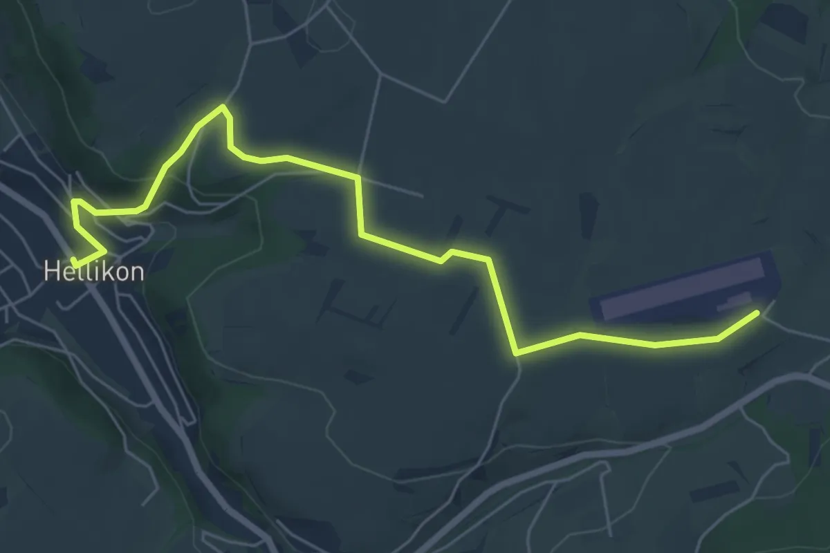
Easy · Trail
Flugplatz Schupfart – Hellikon
6.5 km · ↑ 144 m · 1 h 51 min
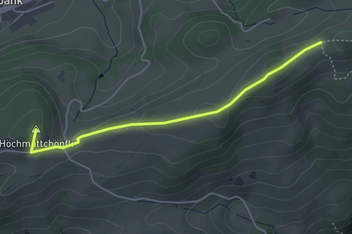
Medium · Summit
Tiefmatt – Schlosshöchi
3.7 km · ↑ 124 m · 1 h 8 min
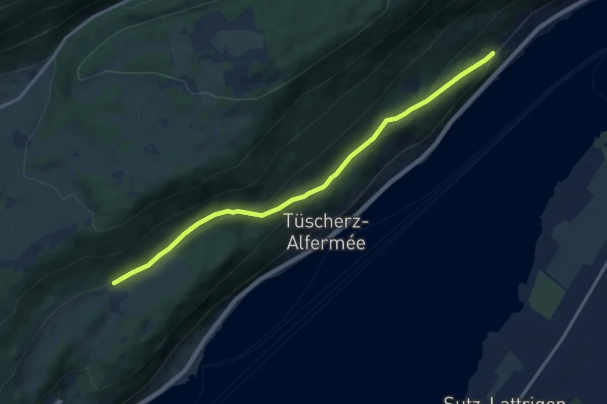
Medium · Trail
Gaicht – Vingelz
8.5 km · ↑ 310 m · 2 h 41 min
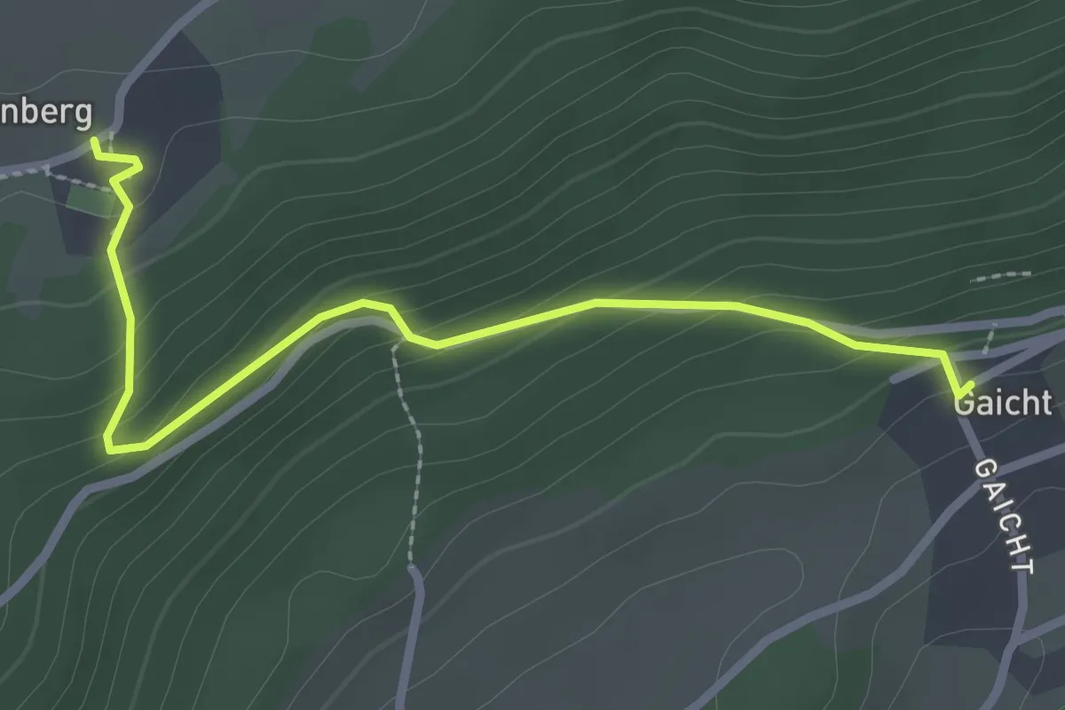
Easy · Trail
Gaicht – Twannberg
2.7 km · ↑ 165 m · 59 min
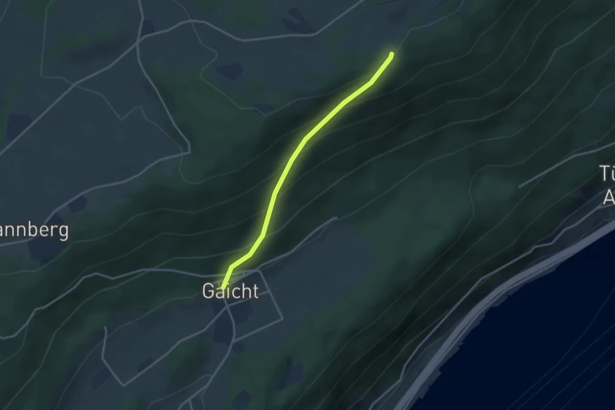
Easy · Trail
Gaicht – Magglingematten
2.8 km · ↑ 248 m · 1 h 11 min
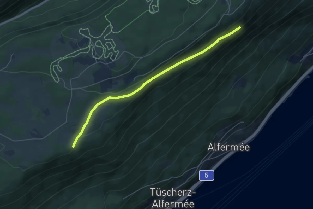
Easy · Trail
Magglingematten – Vingelzberg
5.1 km · ↑ 112 m · 1 h 26 min
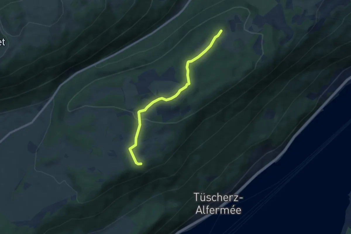
Easy · Trail
Magglingematten – Hohmatt
5.9 km · ↑ 145 m · 1 h 42 min
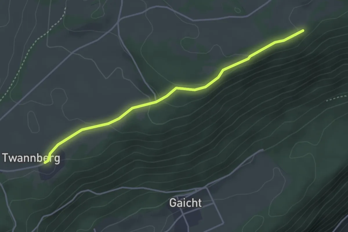
Easy · Trail
Magglingematten – Twannberg
3.9 km · ↑ 93 m · 1 h 7 min
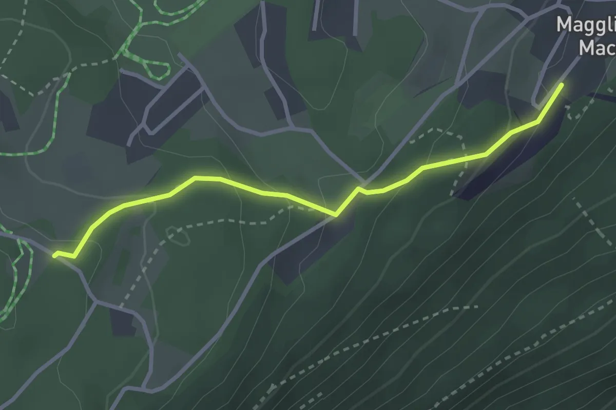
Easy · Trail
Hohmatt – Magglingen/Macolin
2.7 km · ↑ 143 m · 57 min
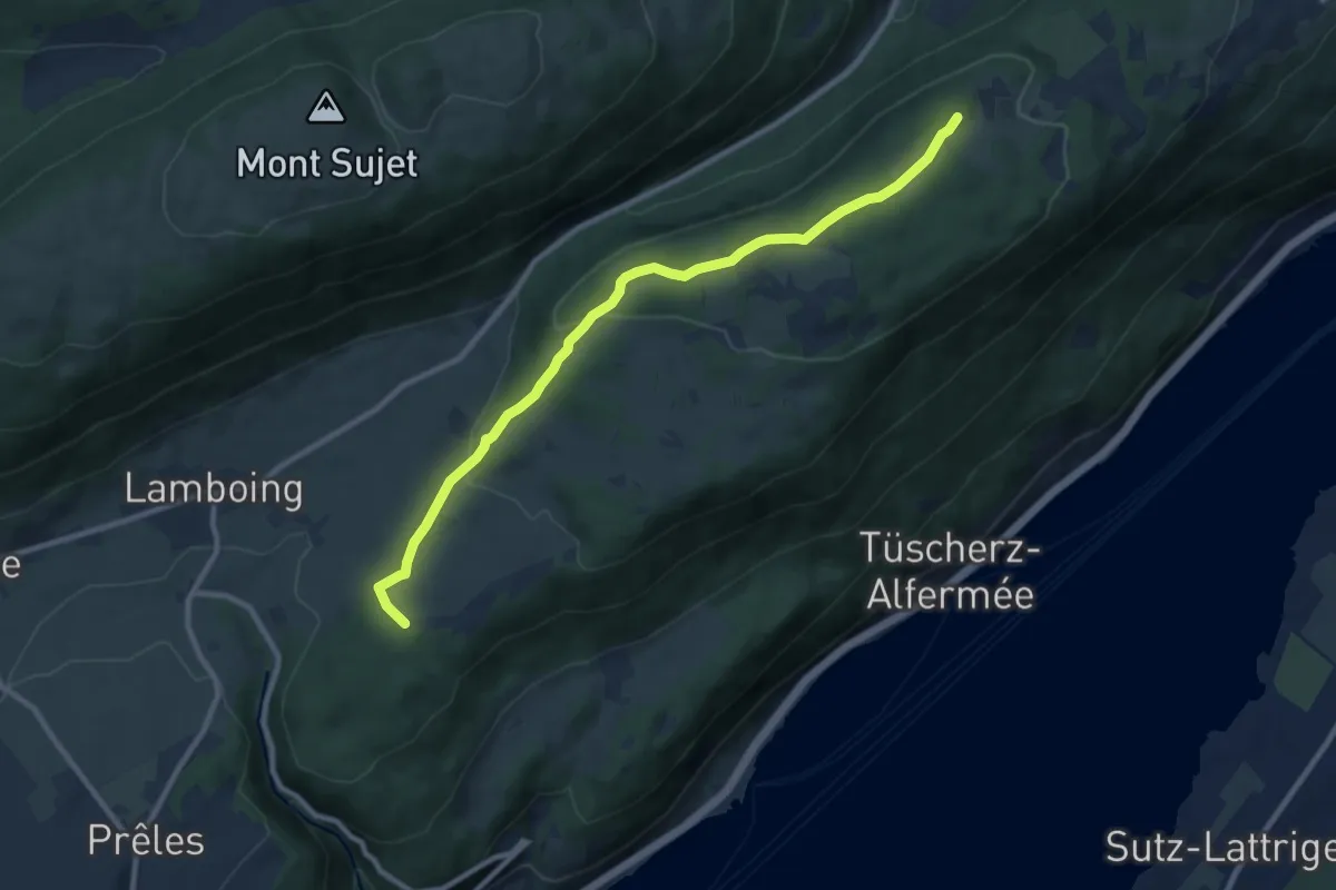
Medium · Trail
Hohmatt – Twannberg
9.9 km · ↑ 285 m · 2 h 58 min
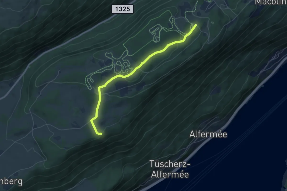
Easy · Trail
Magglingematten – Hohmatt
6.1 km · ↑ 167 m · 1 h 47 min
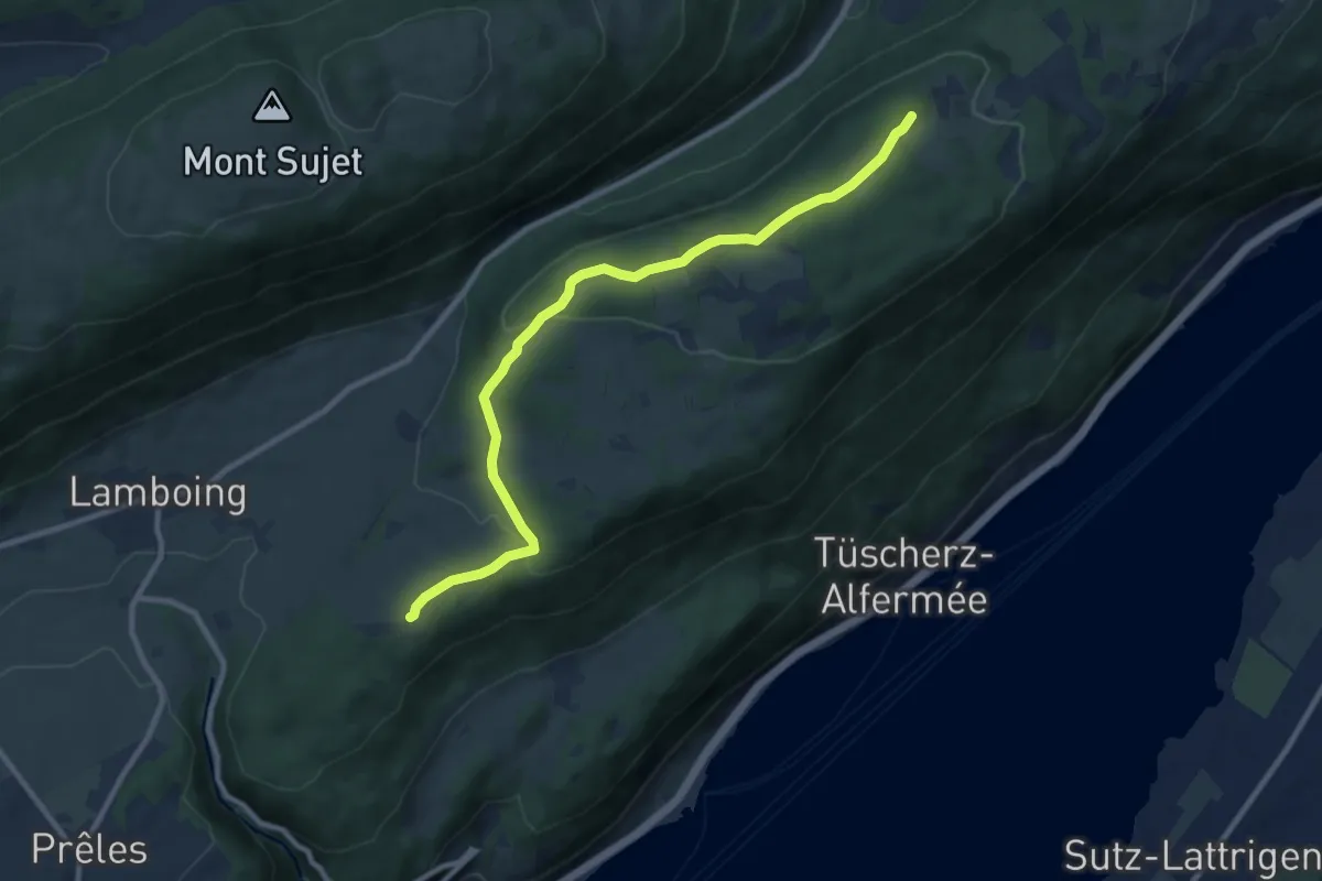
Medium · Trail
Hohmatt – Twannberg
10.0 km · ↑ 229 m · 2 h 51 min
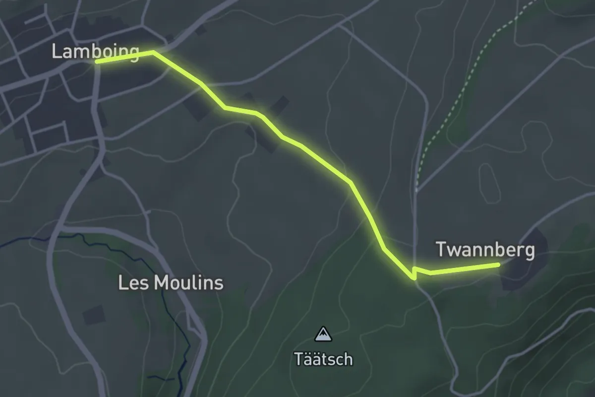
Easy · Trail
Lamboing – Twannberg
3.6 km · ↑ 79 m · 1 h 1 min
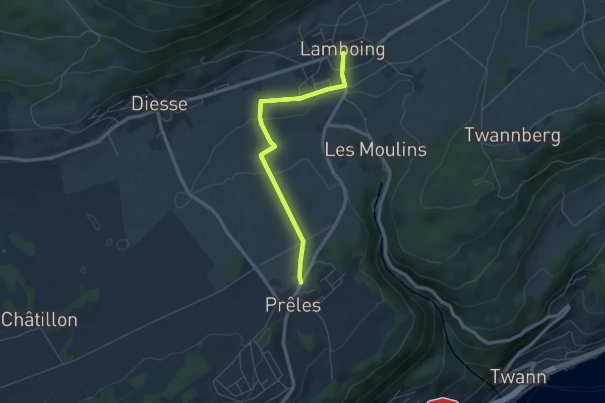
Easy · Trail
Lamboing – Prêles
5.2 km · ↑ 79 m · 1 h 24 min
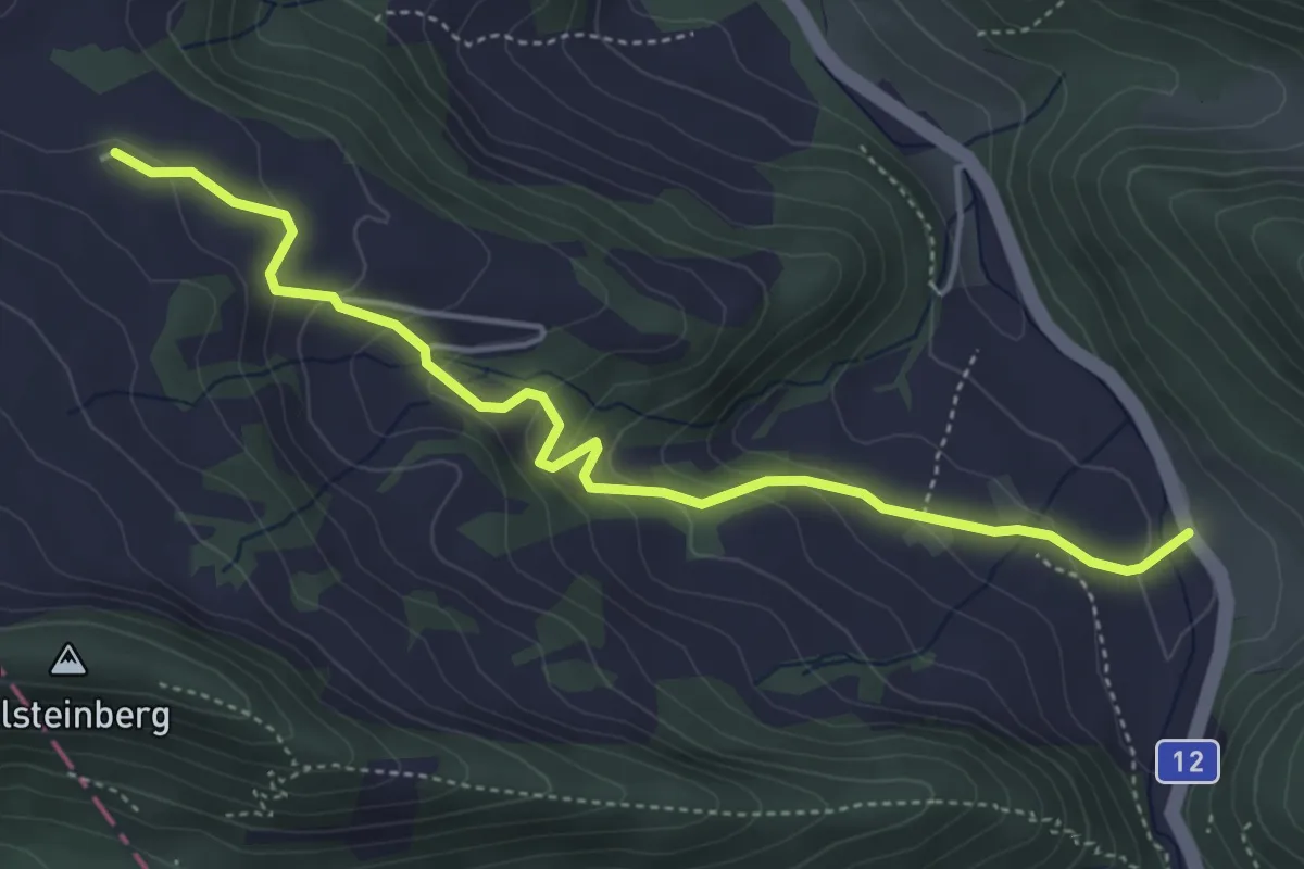
Easy · Trail
Bilstein – Dürrenberg
4.7 km · ↑ 251 m · 1 h 40 min
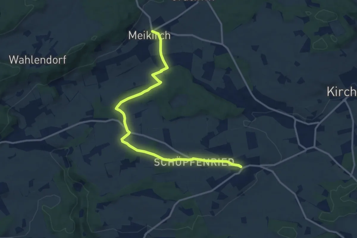
Medium · Trail
Meikirch – Uettligen/Linde
10.5 km · ↑ 119 m · 2 h 44 min
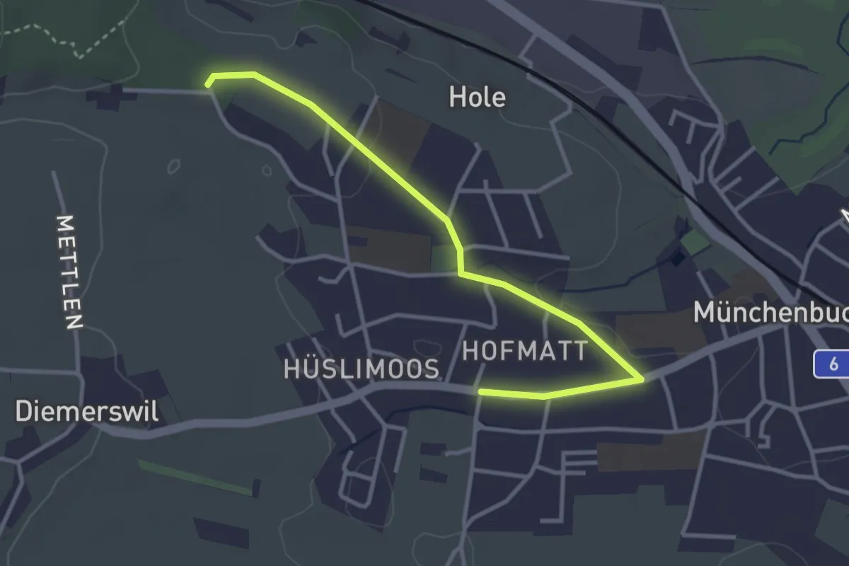
Easy · Trail
Münchenbuchsee – Bäreried
3.4 km · ↑ 45 m · 54 min
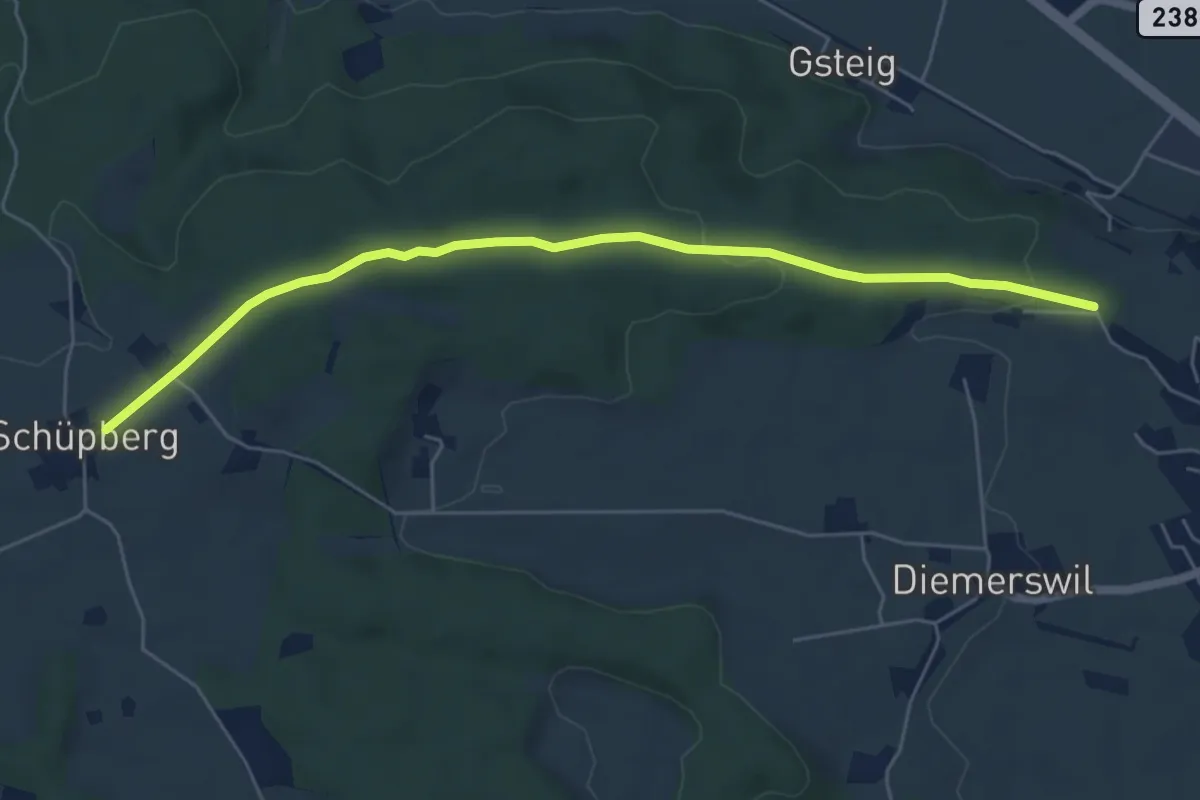
Easy · Trail
Bäreried – Schüpberg
6.0 km · ↑ 129 m · 1 h 41 min
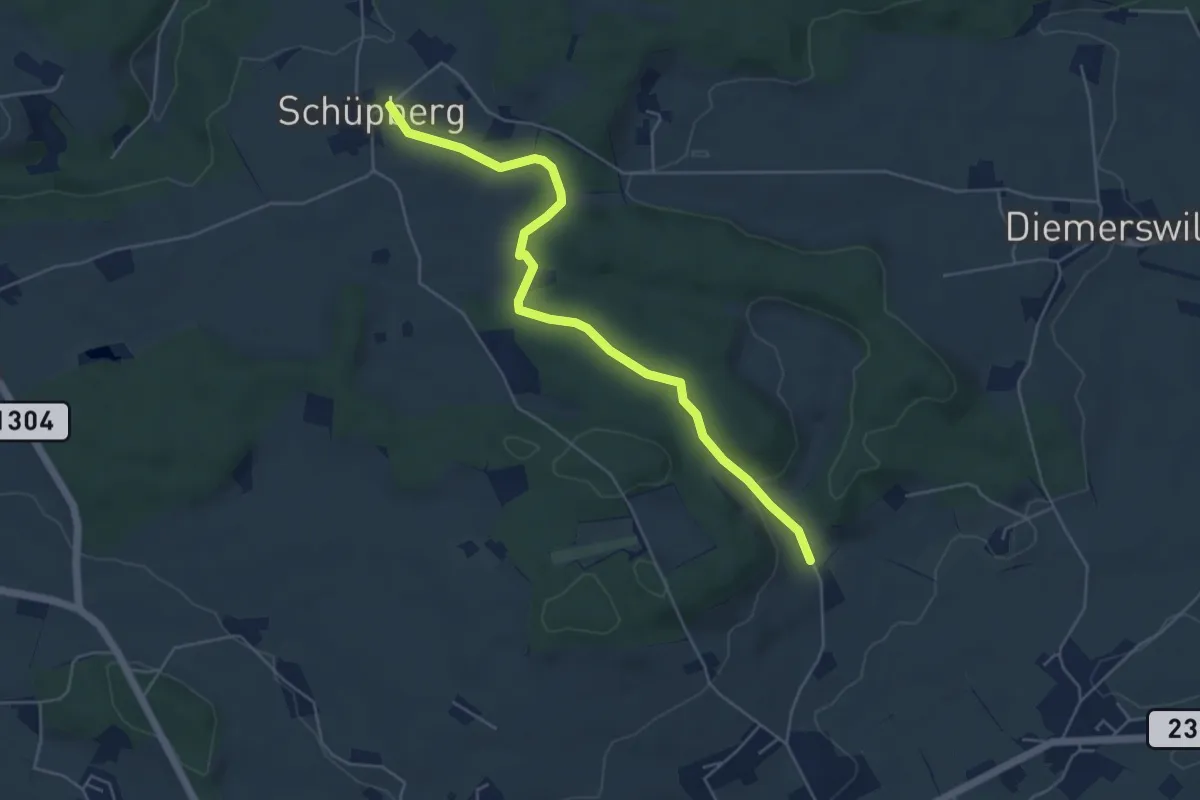
Easy · Trail
Schüpberg – Buchsacher
5.4 km · ↑ 115 m · 1 h 31 min
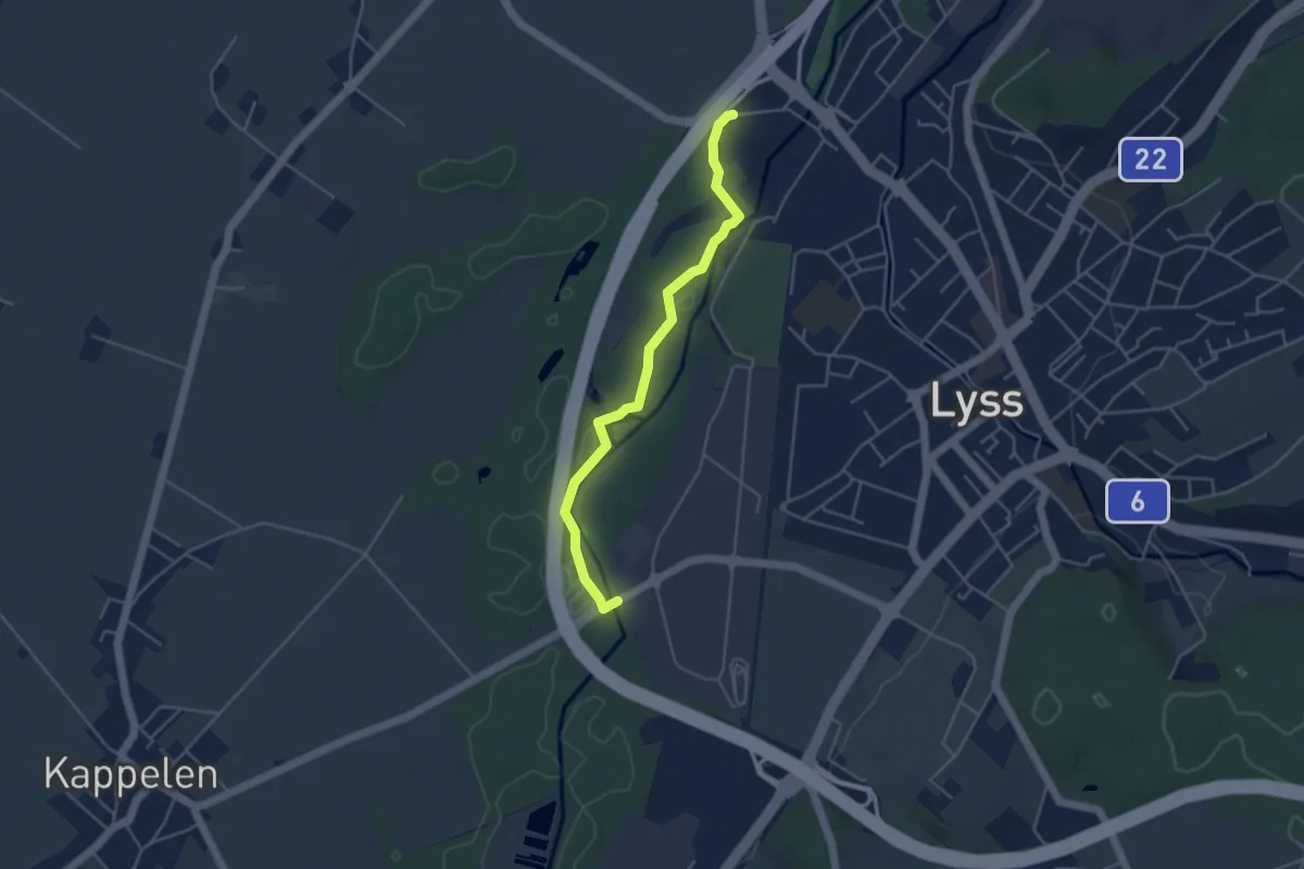
Easy · Trail
Lyss Schwimmbad – Lyss-Grien
4.3 km · ↑ 13 m · 1 h 2 min
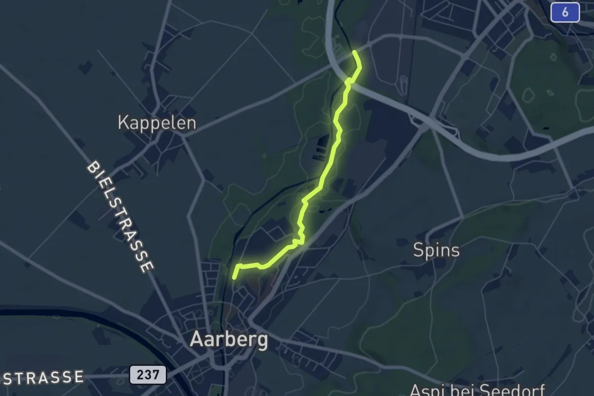
Easy · Trail
Lyss-Grien – Aarberg / Aarolina
5.2 km · ↑ 8 m · 1 h 15 min
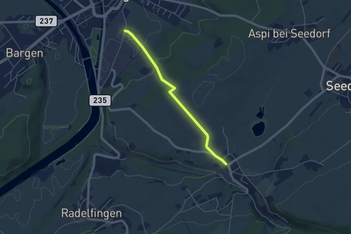
Easy · Trail
Aarberg/Zuckerfabrik – Lobsigen
4.1 km · ↑ 108 m · 1 h 12 min
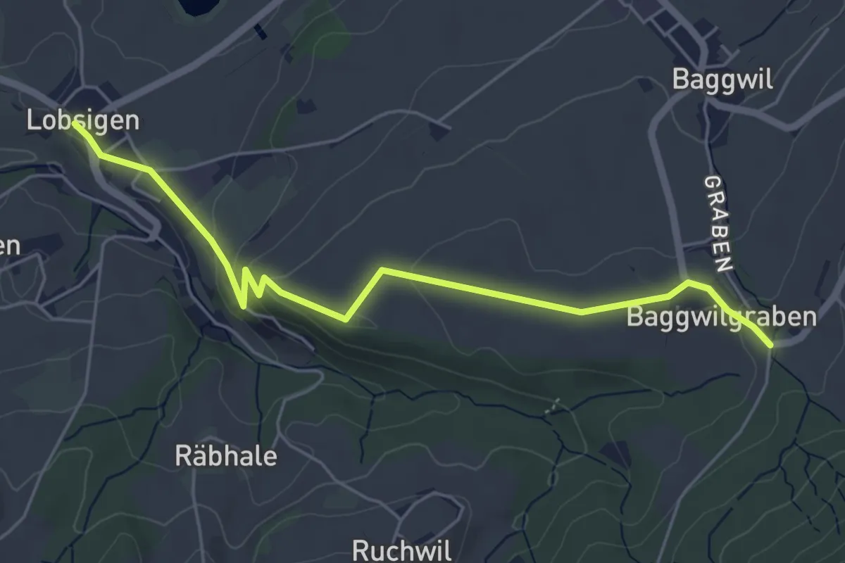
Easy · Trail
Lobsigen – Baggwilgraben
5.4 km · ↑ 130 m · 1 h 34 min
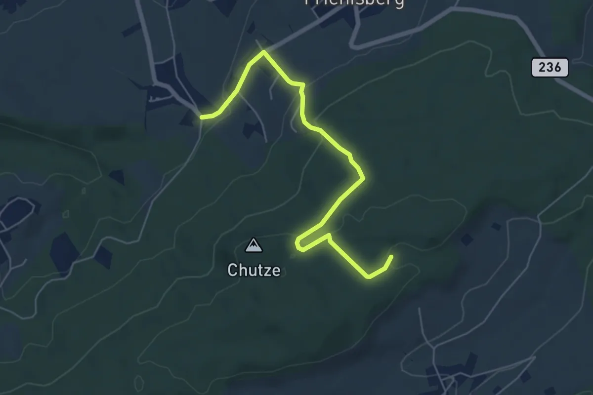
Easy · Trail
Baggwilgraben – Weichel
5.4 km · ↑ 183 m · 1 h 40 min
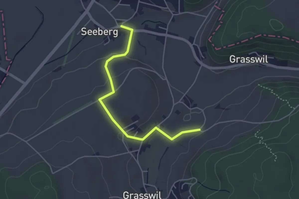
Easy · Trail
Eggen – Seeberg
3.9 km · ↑ 66 m · 1 h 3 min
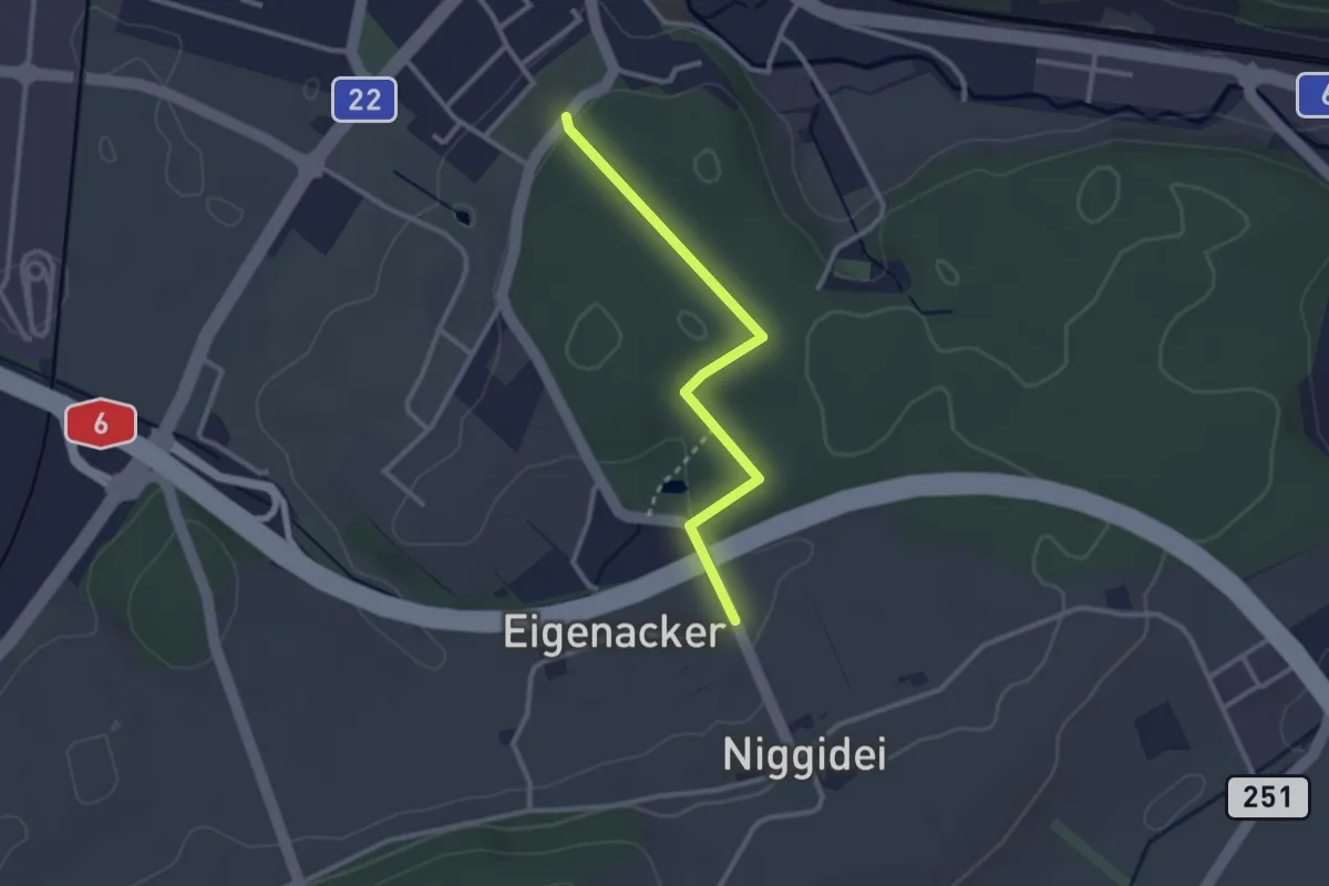
Easy · Trail
Lyss Friedhof – Eigenacher
2.6 km · ↑ 44 m · 43 min
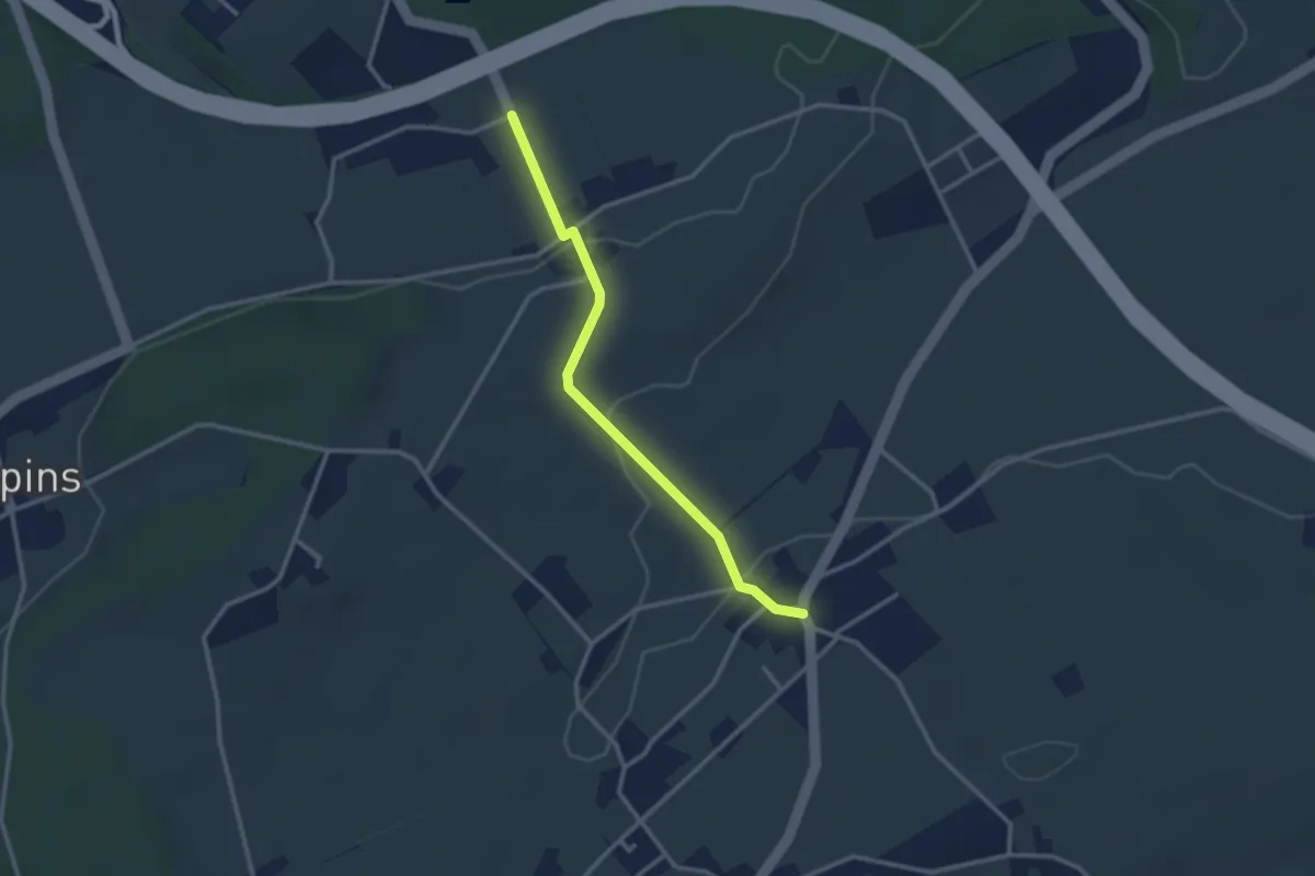
Easy · Trail
Eigenacher – Wiler
2.8 km · ↑ 56 m · 46 min
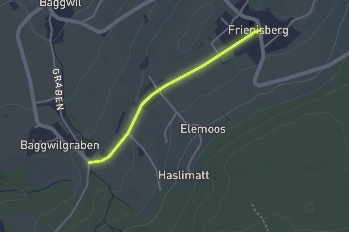
Easy · Trail
Frieniswil – Baggwilgraben
2.2 km · ↑ 37 m · 36 min
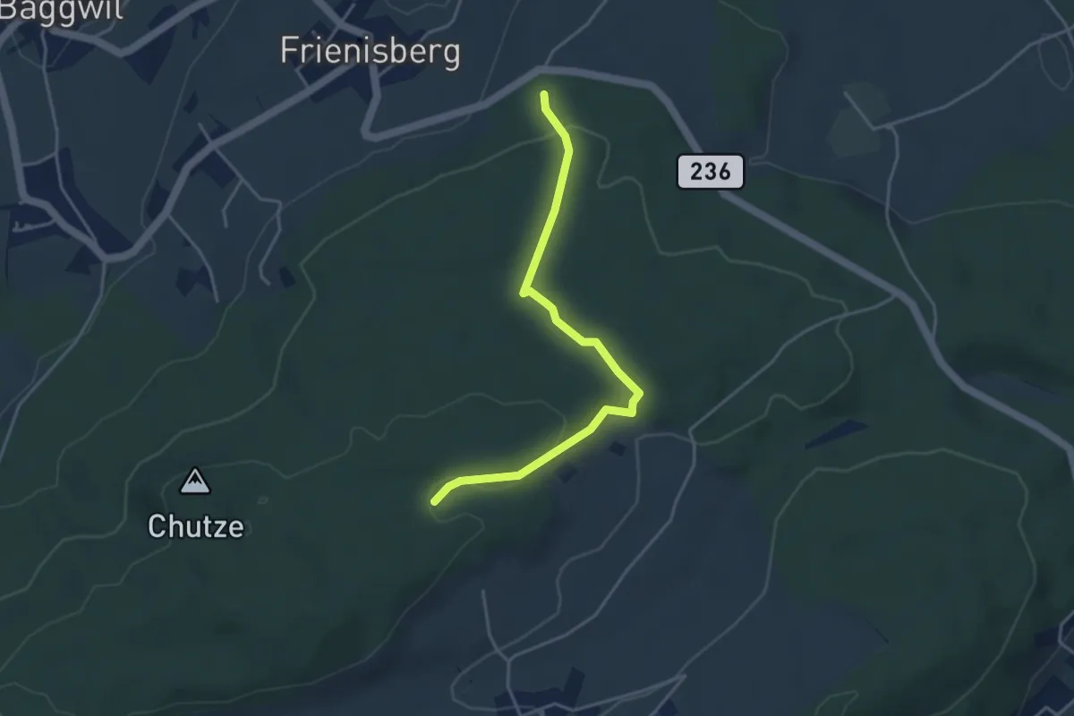
Easy · Trail
Frienisberger – Weichel
3.9 km · ↑ 101 m · 1 h 8 min
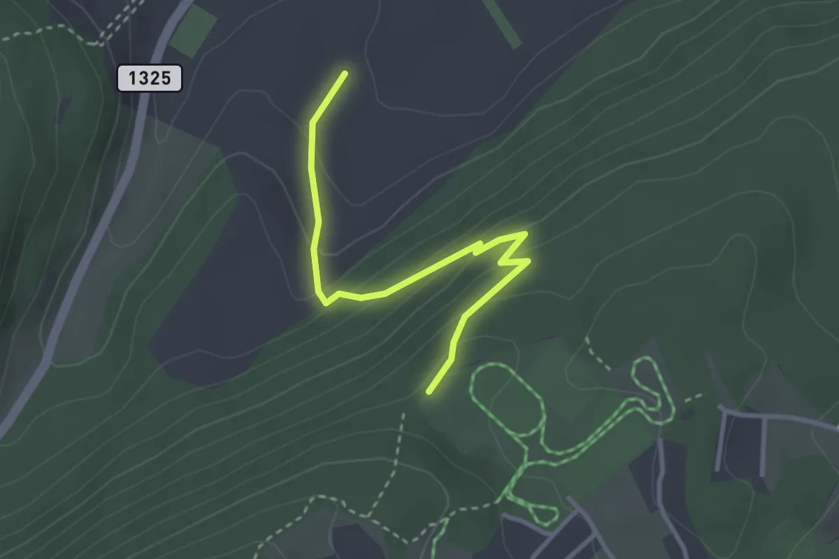
Easy · Trail
End der Welt / Fin du Monde – L'Avanchie
3.0 km · ↑ 193 m · 1 h 7 min
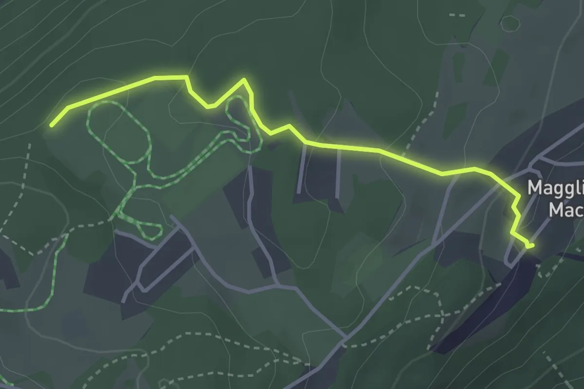
Easy · Trail
Magglingen/Macolin – End der Welt / Fin du Monde
3.1 km · ↑ 115 m · 58 min
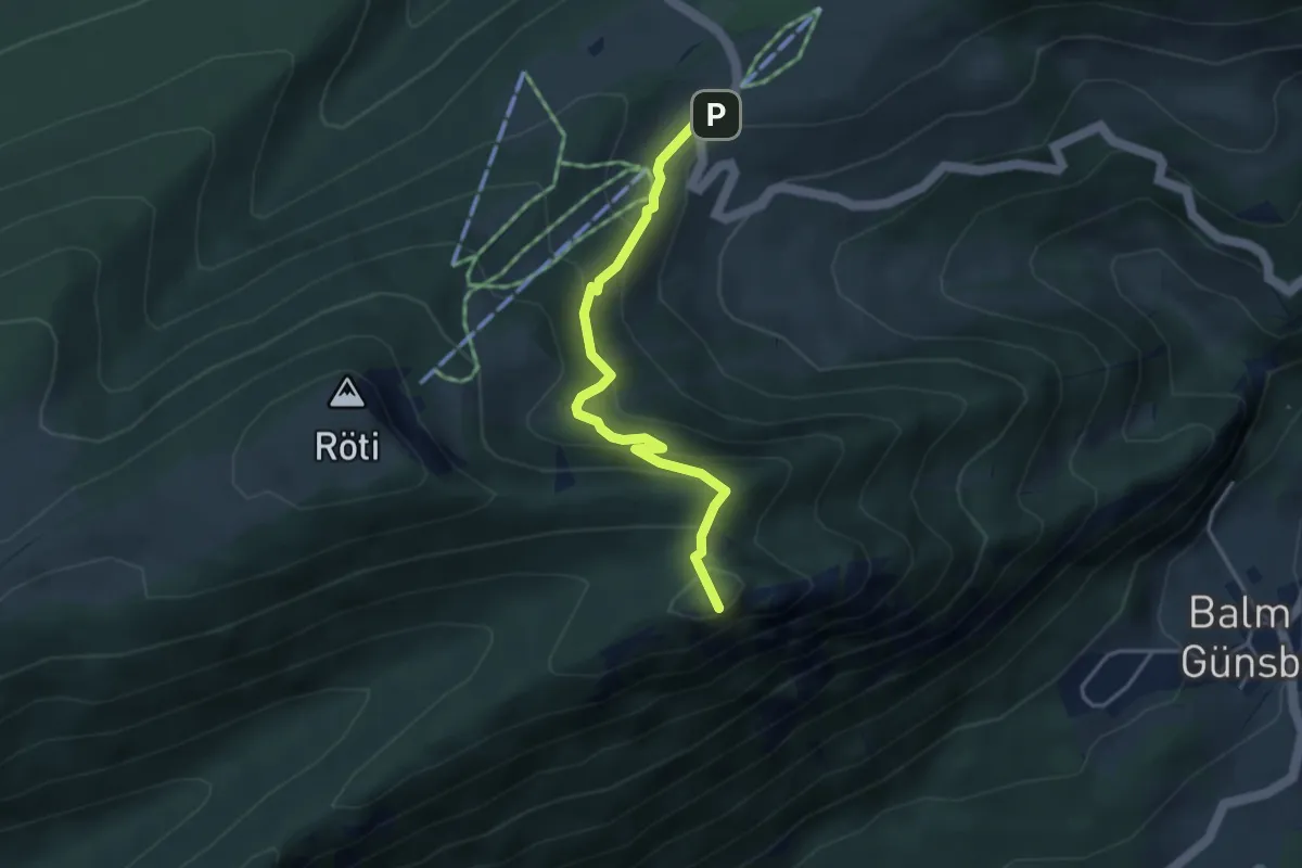
Medium · Summit
Balmberg Kurhaus – Nesselbodenröti
3.6 km · ↑ 196 m · 1 h 17 min
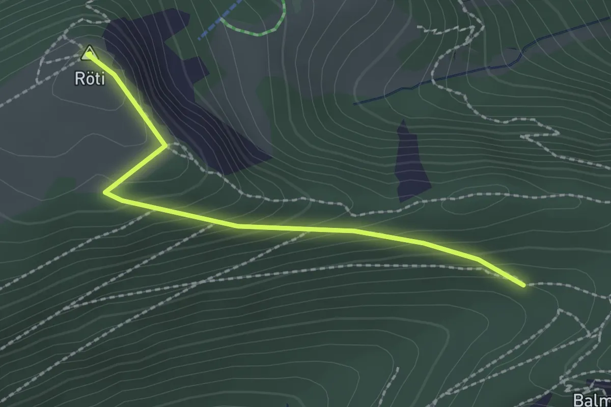
Easy · Summit
Nesselbodenröti – Röti
2.1 km · ↑ 143 m · 48 min
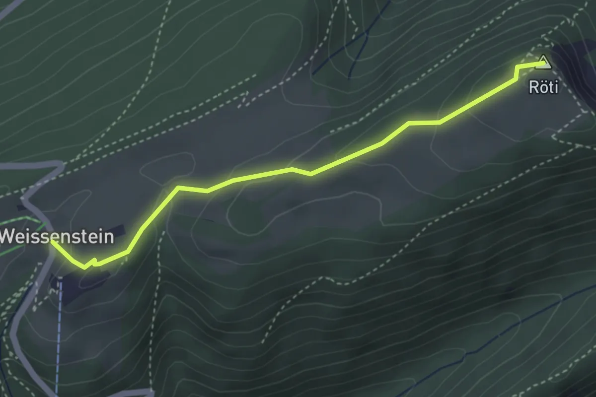
Easy · Summit
Röti – Weissenstein/Sennhaus
3.6 km · ↑ 173 m · 1 h 13 min
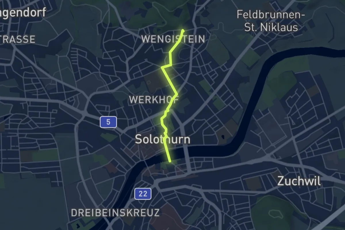
Easy · Trail
Einsiedelei Süd Wengistein – Solothurn Kreuzacker
3.6 km · ↑ 34 m · 56 min