Trails in Switzerland
15,055 hiking trails, each with its route, climb, walking time and grade.
All trails, page 261 of 314
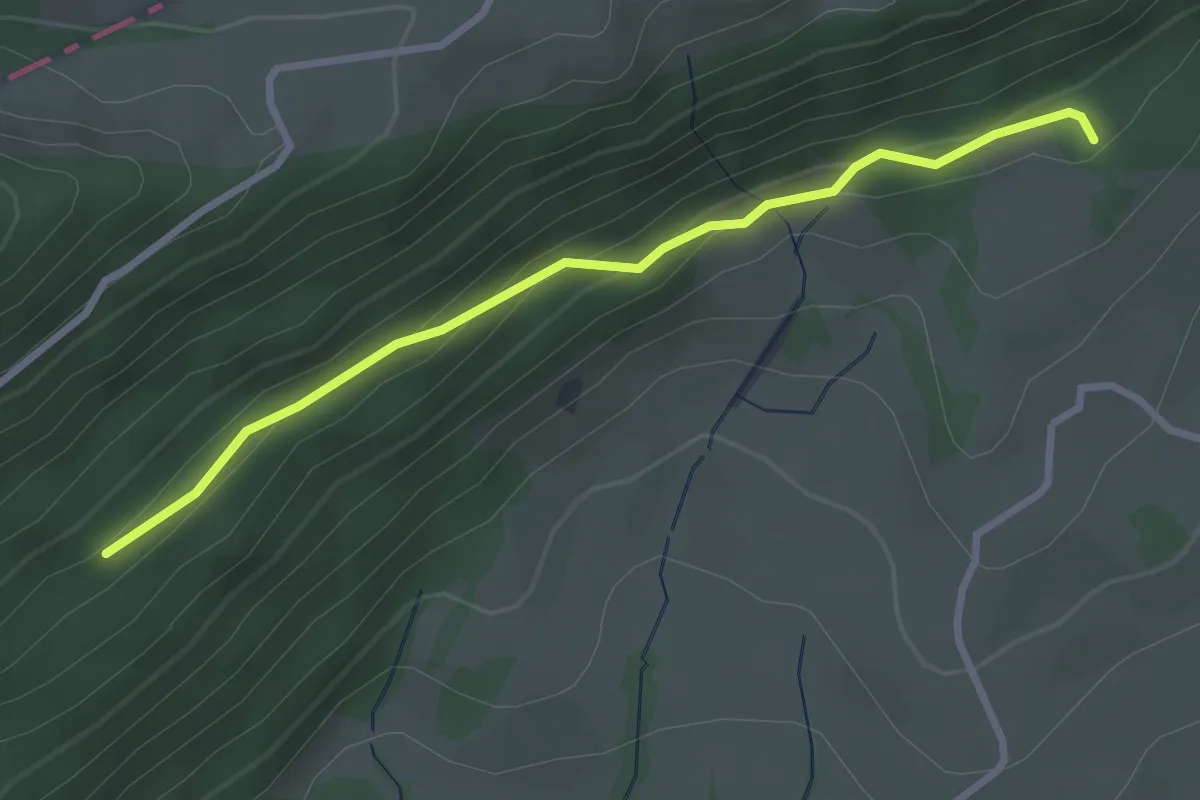
Easy · Trail
Harzerstrasse – Schwang
2.9 km · ↑ 157 m · 1 h 1 min
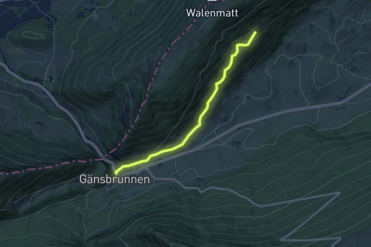
Medium · Trail
Gänsbrunnen St. Joseph – Schwang
5.9 km · ↑ 321 m · 2 h 6 min
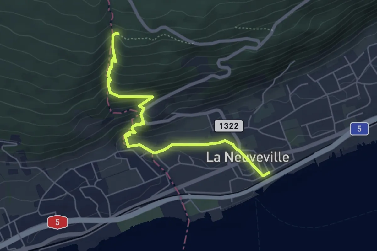
Easy · Trail
La Neuveville – Combe du Pilouvi
5.1 km · ↑ 306 m · 1 h 51 min
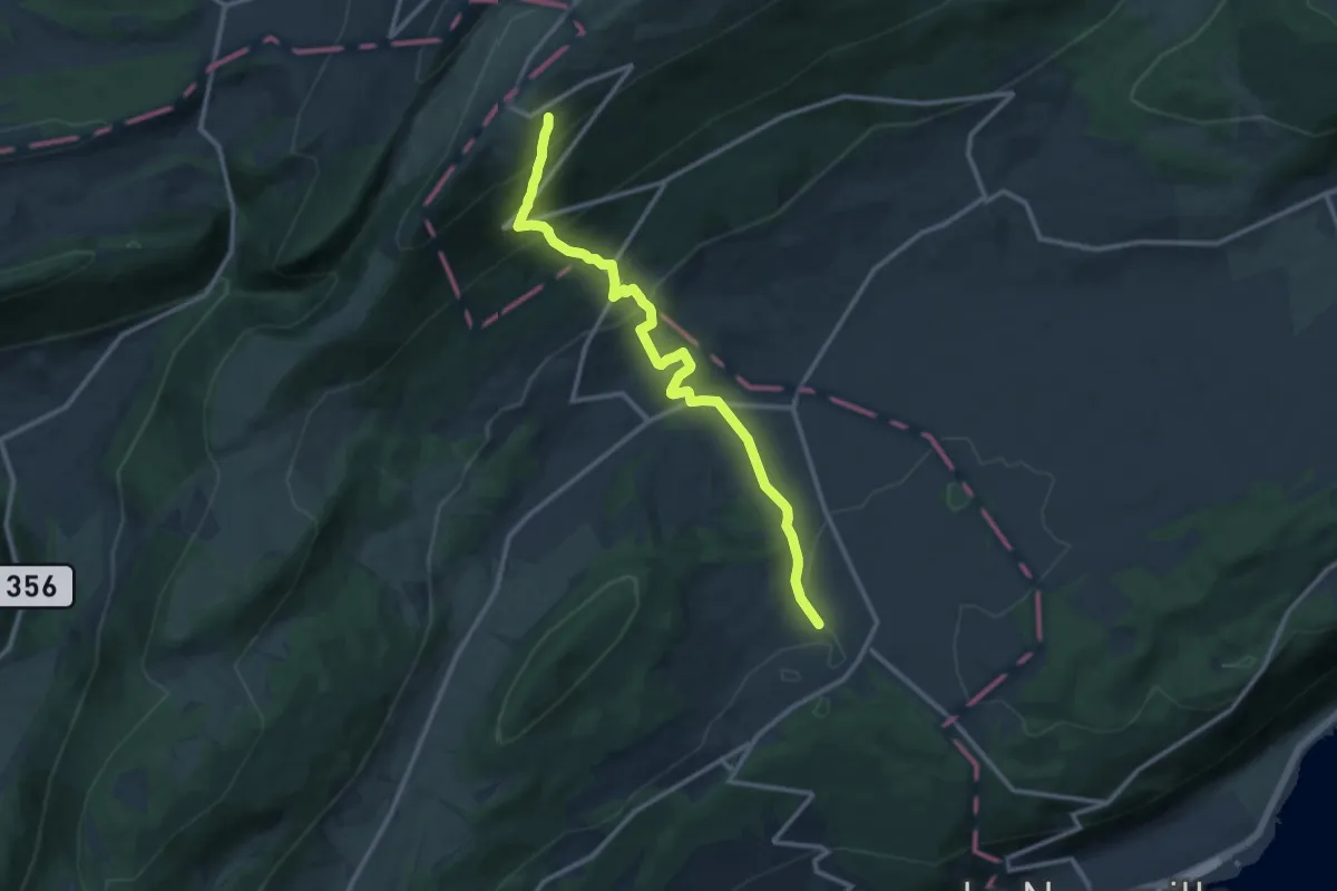
Medium · Trail
Lignières – Chasseral Hôtel
11.9 km · ↑ 679 m · 4 h 17 min
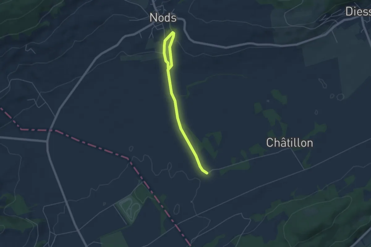
Easy · Trail
Nods – La Praye
5.1 km · ↑ 107 m · 1 h 26 min
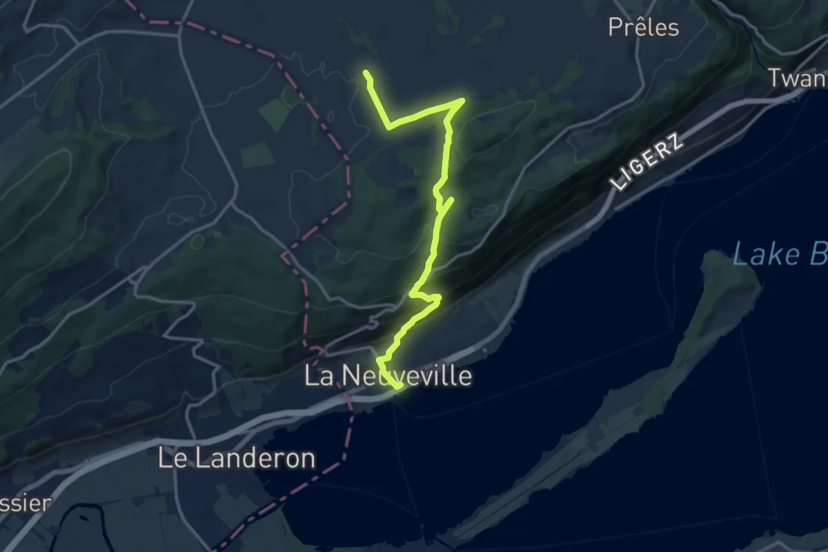
Medium · Trail
La Praye – La Neuveville
12.3 km · ↑ 550 m · 4 h 6 min
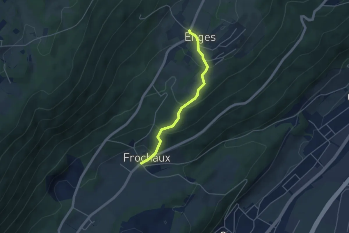
Easy · Trail
Frochaux – Enges
3.5 km · ↑ 191 m · 1 h 14 min
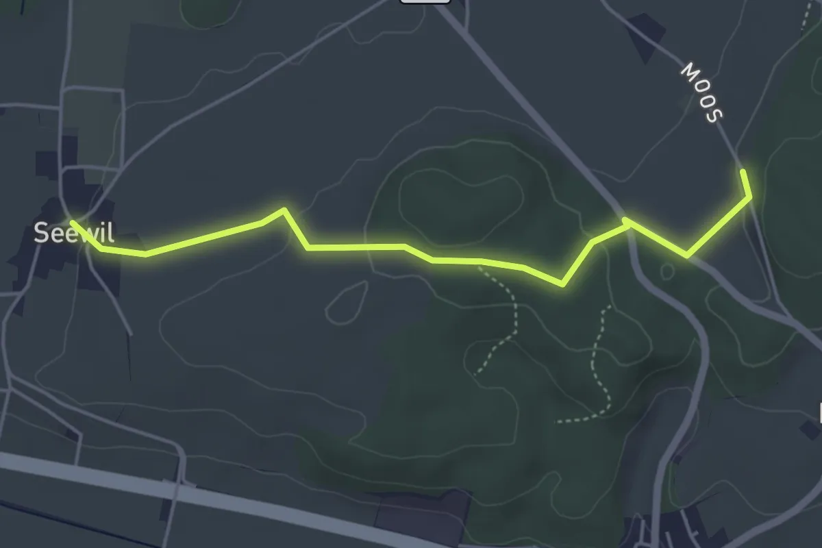
Easy · Trail
Oberholz – Seewil
4.5 km · ↑ 85 m · 1 h 15 min
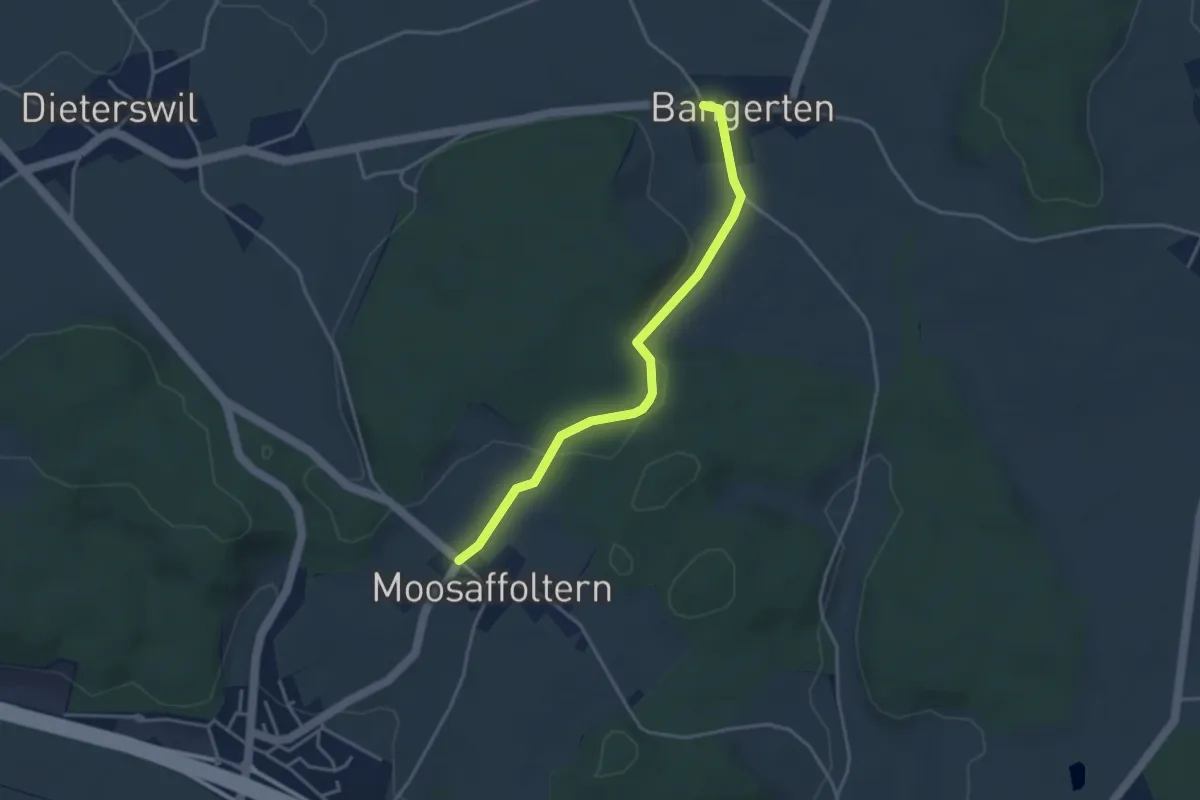
Easy · Trail
Moosaffoltern – Bangerten
3.6 km · ↑ 46 m · 56 min
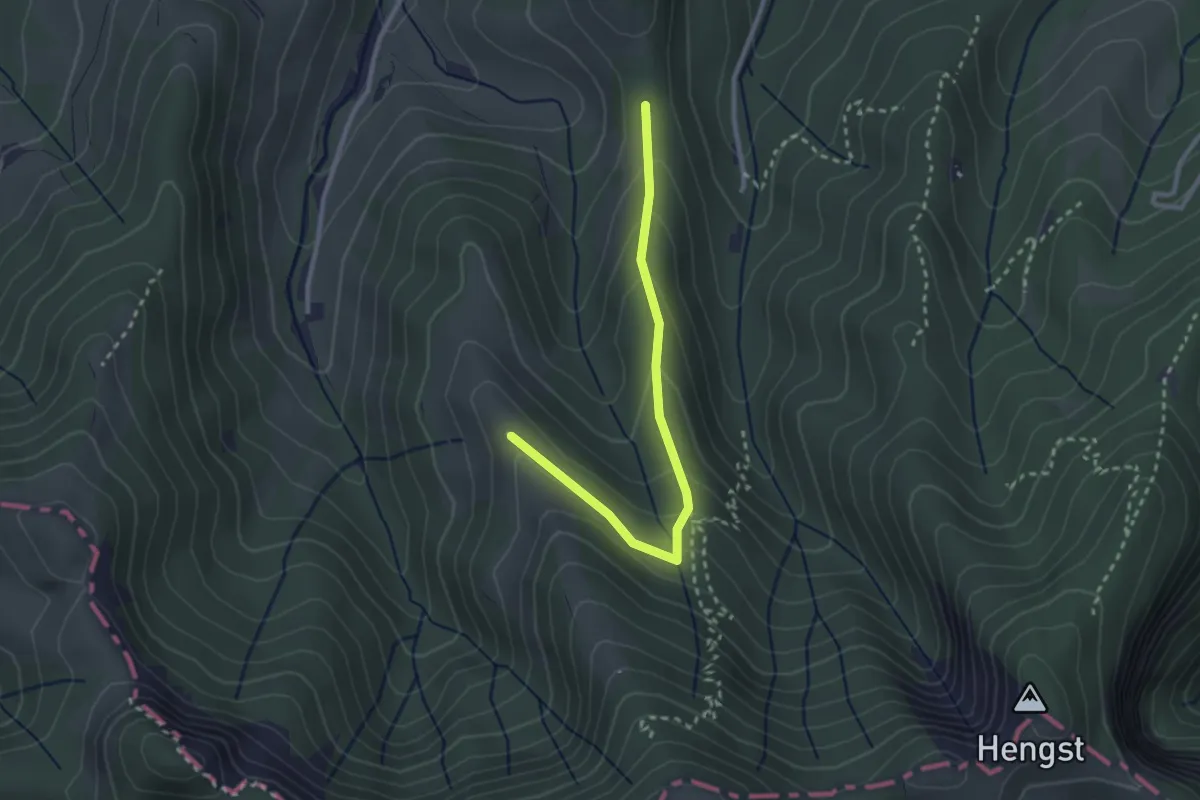
Easy · Trail
Trachselegg – Eigatter
2.7 km · ↑ 168 m · 59 min
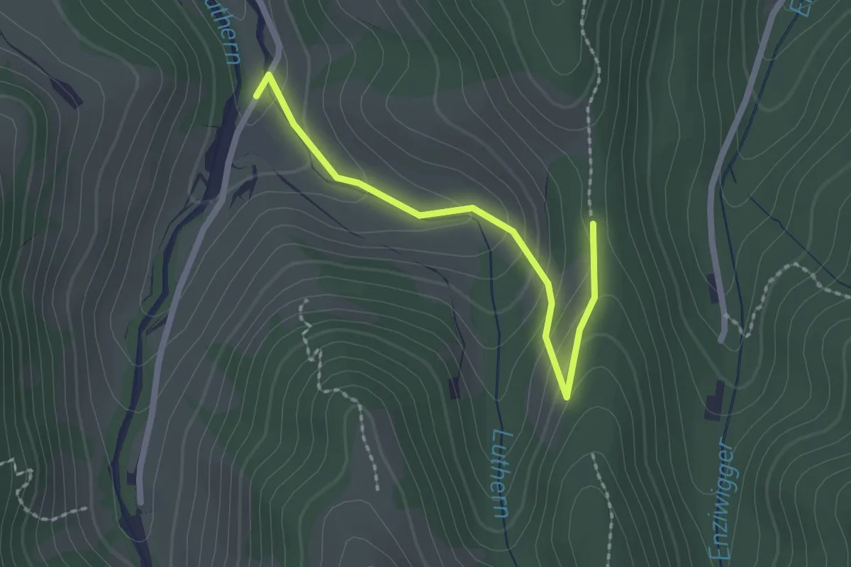
Easy · Trail
Eigatter – Mittler Ei
2.1 km · ↑ 107 m · 43 min
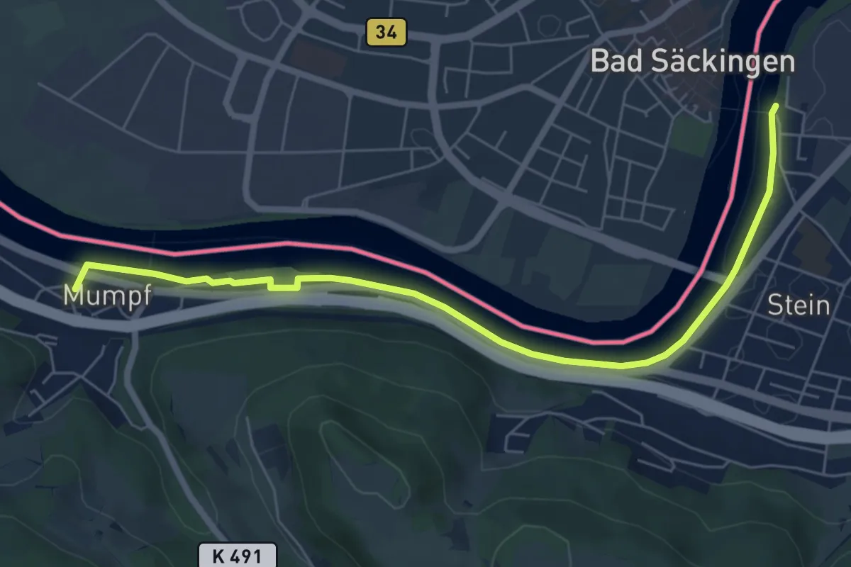
Easy · Trail
Mumpf – Stein Holzbrücke
6.7 km · ↑ 43 m · 1 h 40 min
Easy · Trail
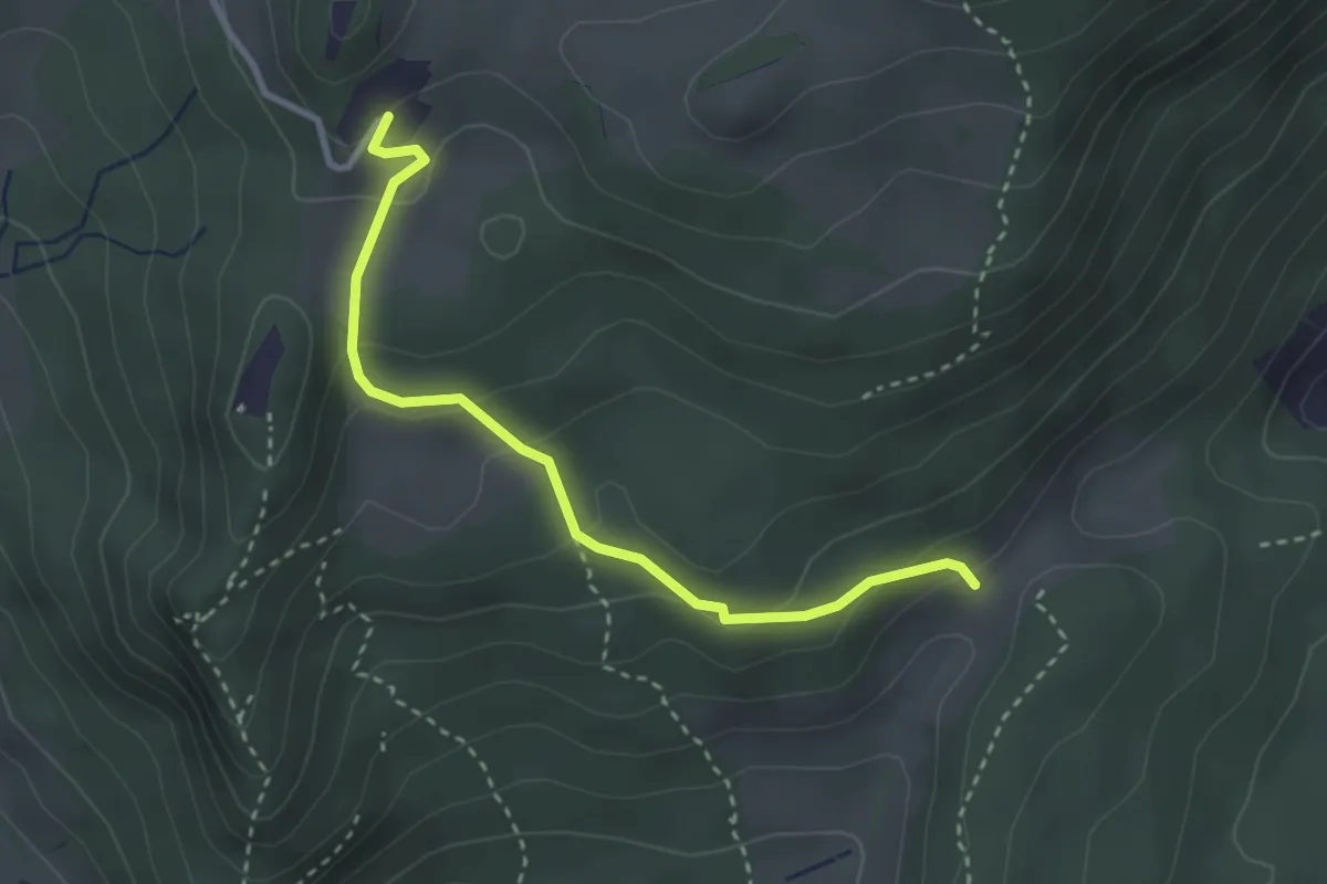
Froburg – Mahrenacker
3.0 km · ↑ 165 m · 1 h 4 min
Easy · Trail
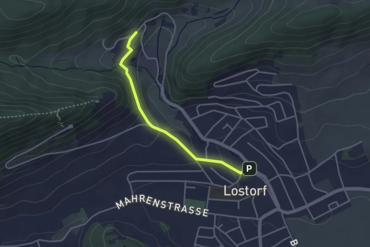
Lostorf – Bad Lostorf
2.8 km · ↑ 78 m · 50 min
Easy · Trail
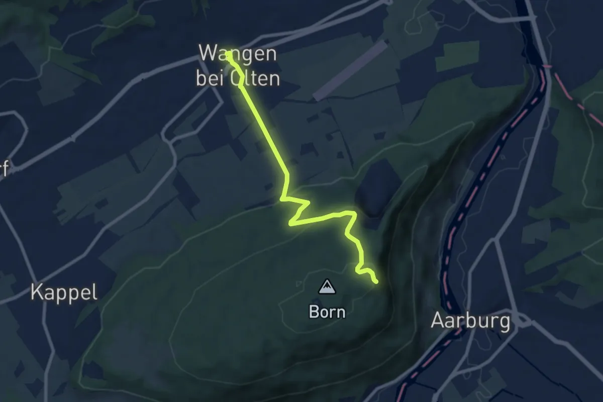
Wangen bei Olten – Born
7.0 km · ↑ 291 m · 2 h 17 min
Easy · Trail
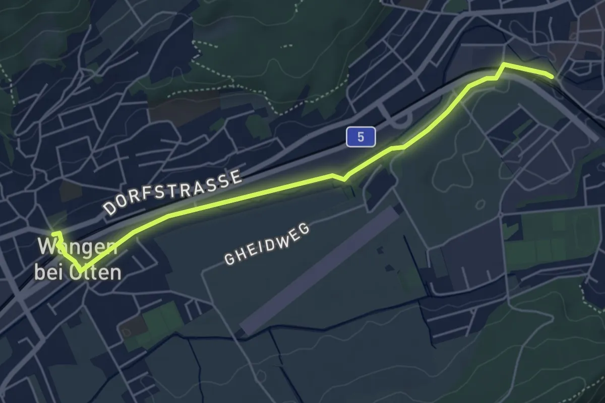
Wangen bei Olten – Olten Hammer SBB
5.1 km · ↑ 21 m · 1 h 15 min
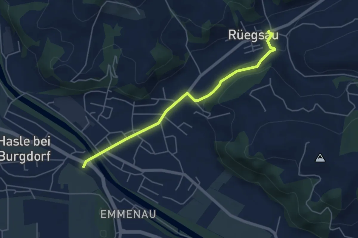
Easy · Trail
Hasle-Rüegsau – Rüegsau
4.1 km · ↑ 101 m · 1 h 11 min
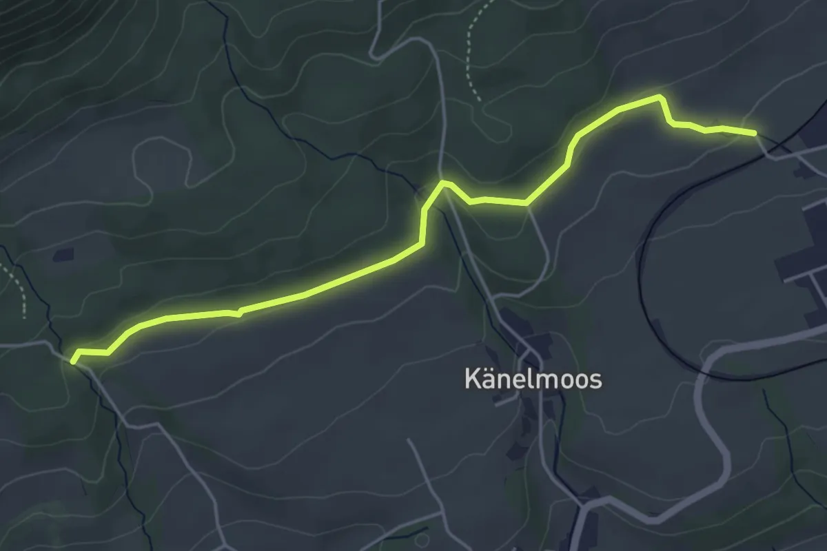
Easy · Trail
Lehmannskreuz – Breiten
4.8 km · ↑ 99 m · 1 h 21 min
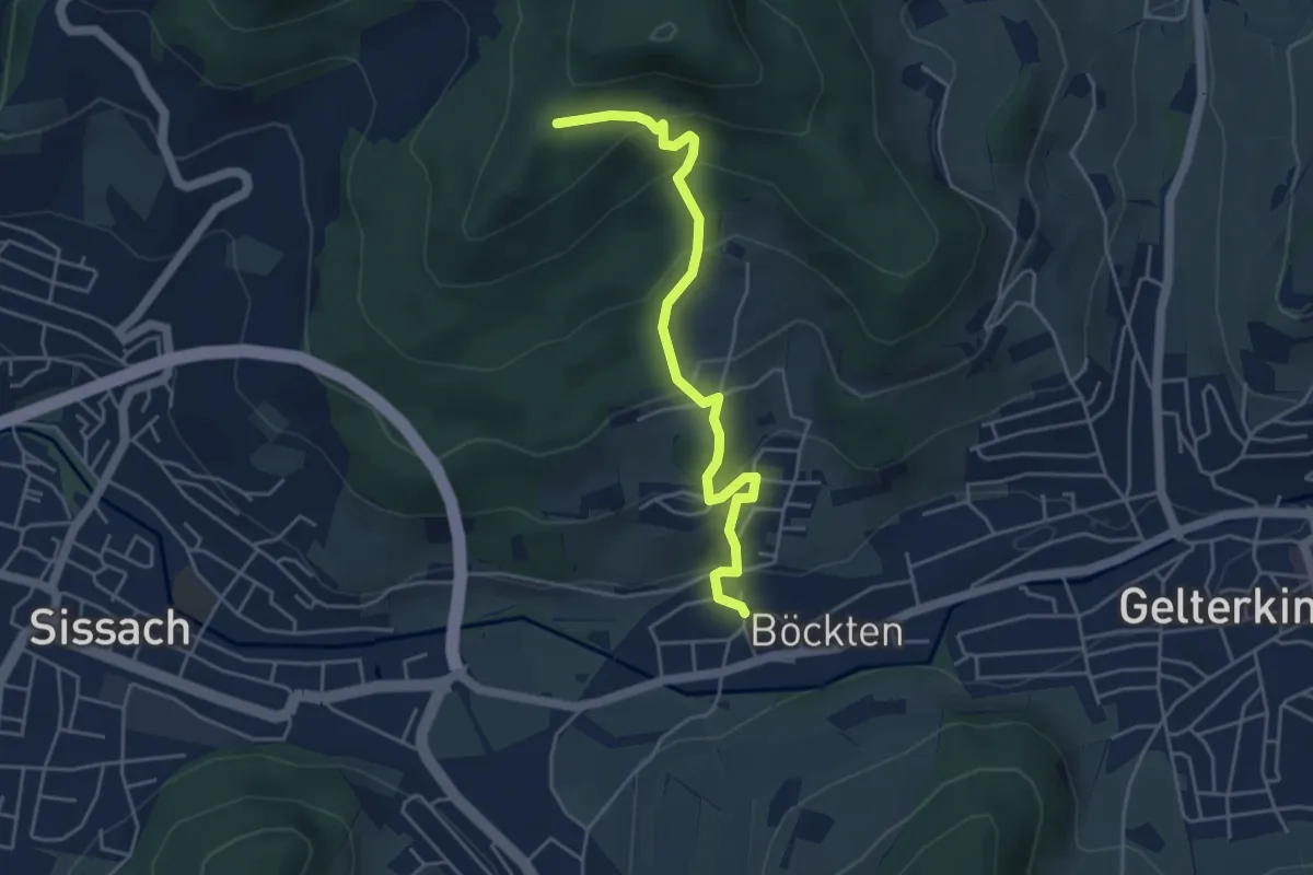
Easy · Trail
Ruine Bischofstein – Böckten
4.6 km · ↑ 294 m · 1 h 43 min
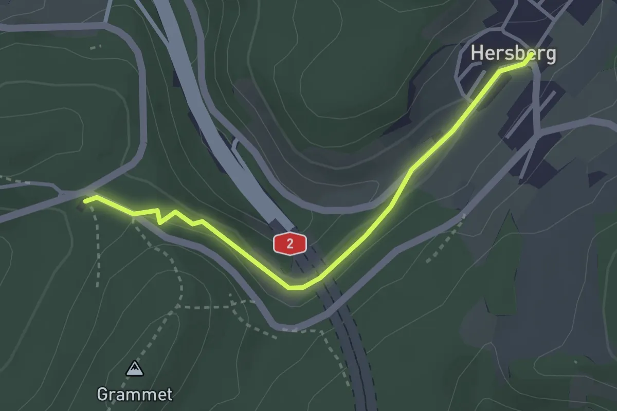
Medium · Trail
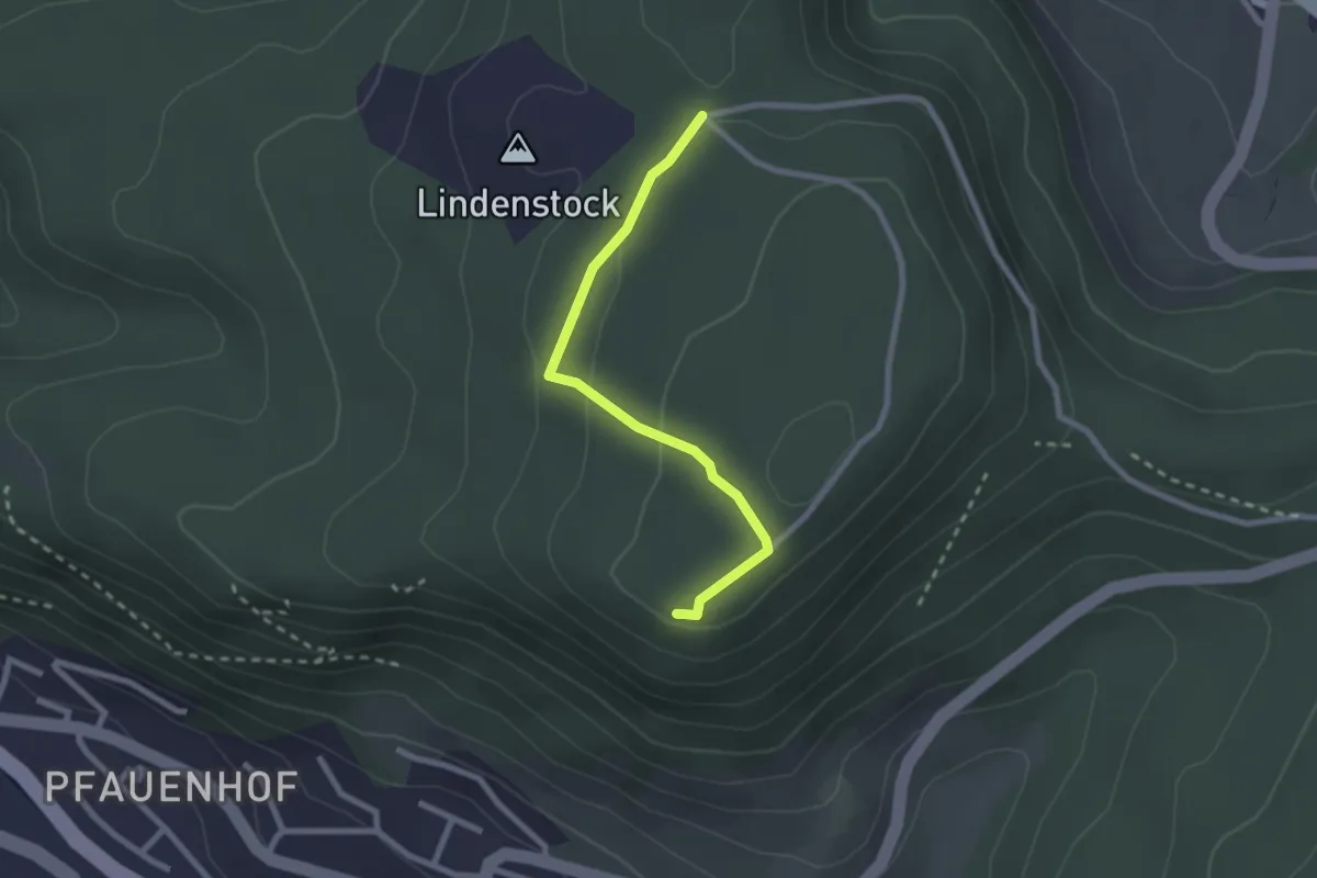
Stechpalmenhägli – Hersberg
3.0 km · ↑ 71 m · 52 min
Easy · Trail
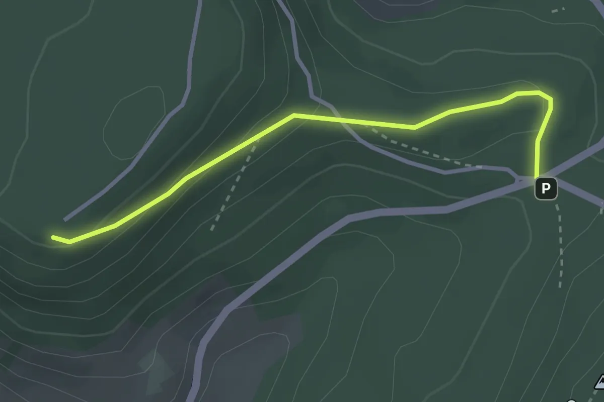
Dreilauf-Buche – Schleifenberg
2.2 km · ↑ 84 m · 43 min
Medium · Trail
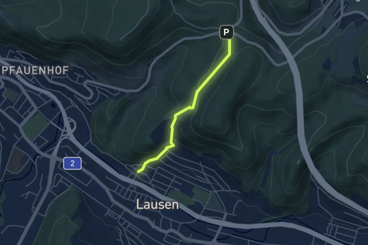
Stächpalmenhegli – Schleifenberg
2.8 km · ↑ 98 m · 52 min
Medium · Trail
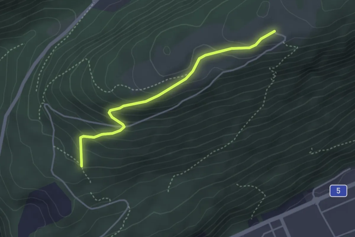
Stächpalmenhegli – Lausen Kirche
3.8 km · ↑ 209 m · 1 h 20 min
Easy · Trail
Bözingenberg – Vorberg
3.5 km · ↑ 225 m · 1 h 19 min
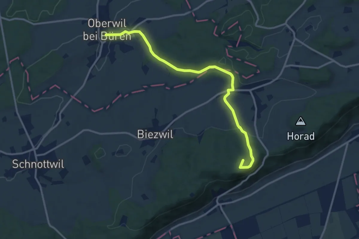
Medium · Summit
Oberwil b. Büren – Forsthaus Biezwil
9.1 km · ↑ 230 m · 2 h 40 min
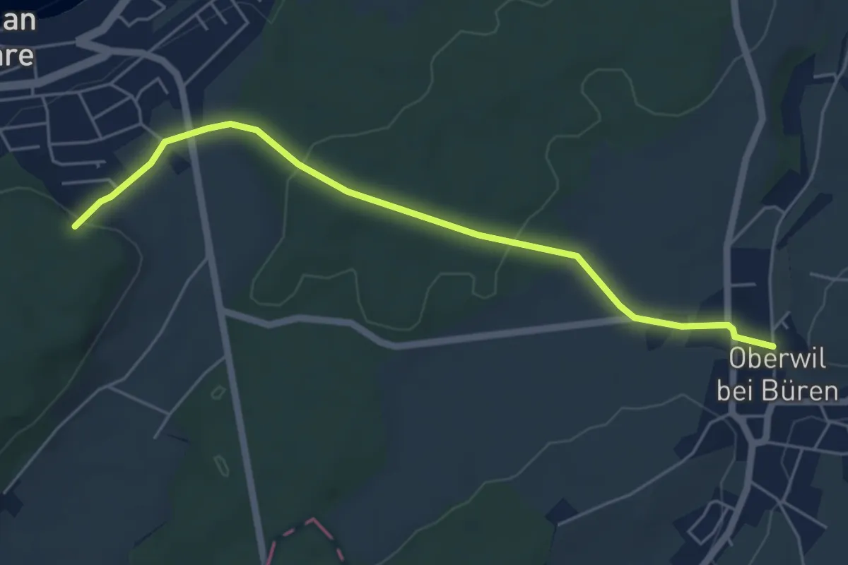
Easy · Trail
Büren a.A. – Oberwil
5.2 km · ↑ 106 m · 1 h 27 min
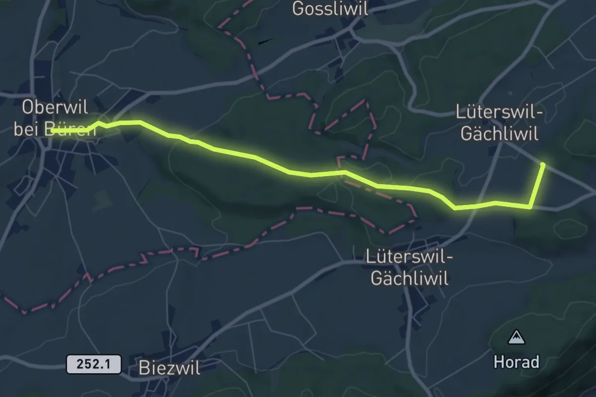
Easy · Trail
Oberwil b. Büren – Gächliwil
7.7 km · ↑ 152 m · 2 h 8 min
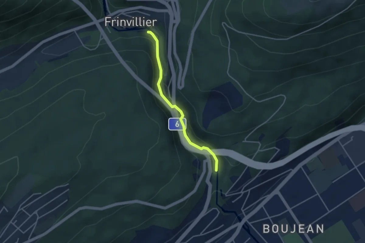
Easy · Trail
Tubelochschlucht – Frinvillier/Taubenloch
2.8 km · ↑ 94 m · 52 min
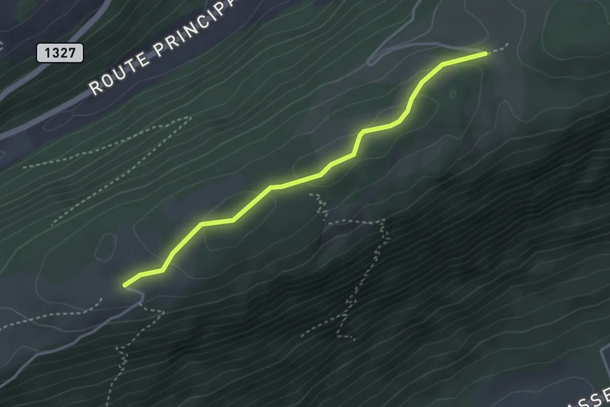
Easy · Trail
Bözingenberg – La Bergerie
3.3 km · ↑ 82 m · 57 min
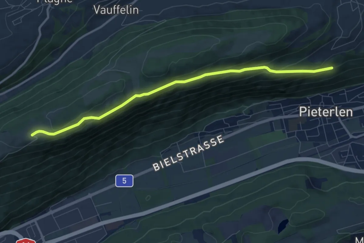
Medium · Trail
Bözingenberg – Ob der Chilcheflue
8.5 km · ↑ 325 m · 2 h 43 min
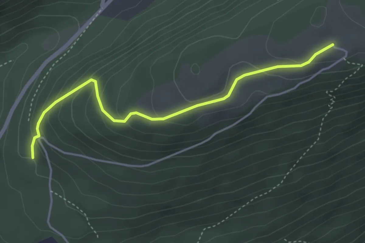
Easy · Trail
Bözingenberg – Vorberg
3.9 km · ↑ 227 m · 1 h 25 min
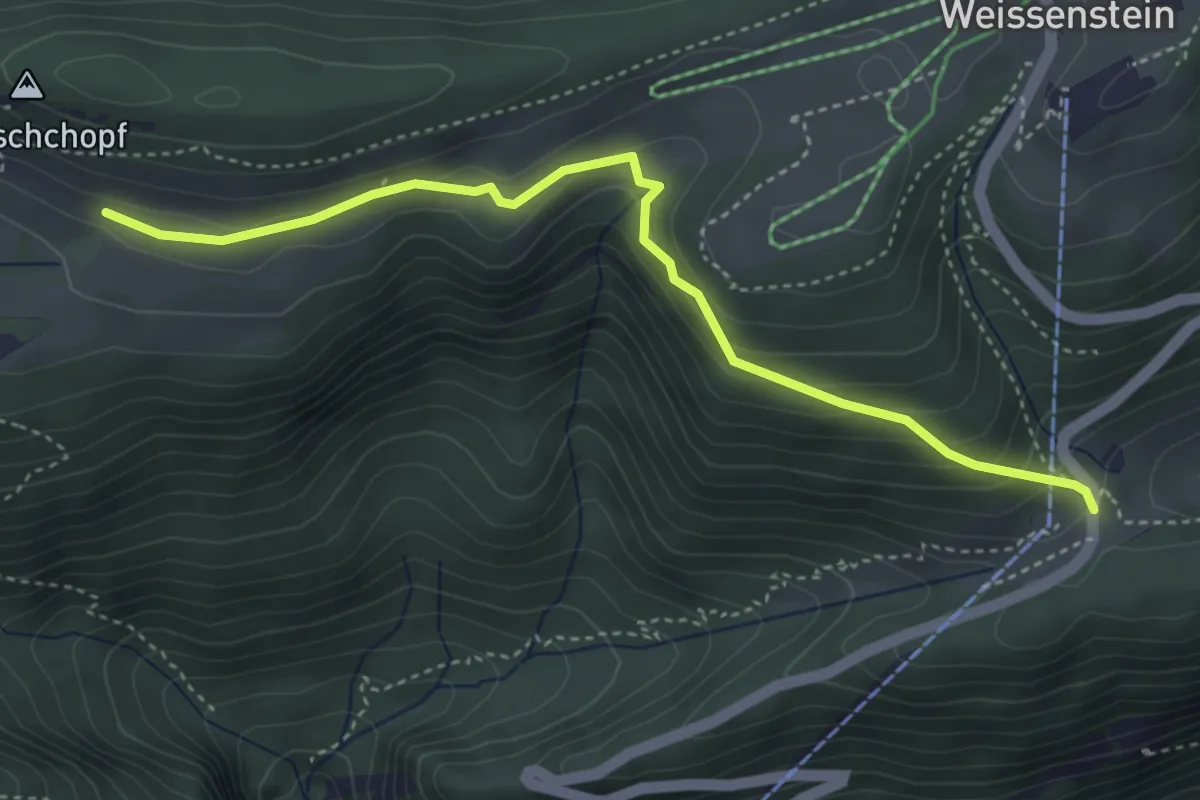
Medium · Trail
Nesselboden – Hinter Weissenstein
4.2 km · ↑ 214 m · 1 h 27 min
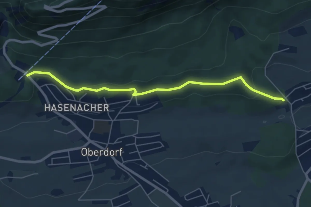
Easy · Trail
Falleren – Oberdorf
5.0 km · ↑ 119 m · 1 h 27 min
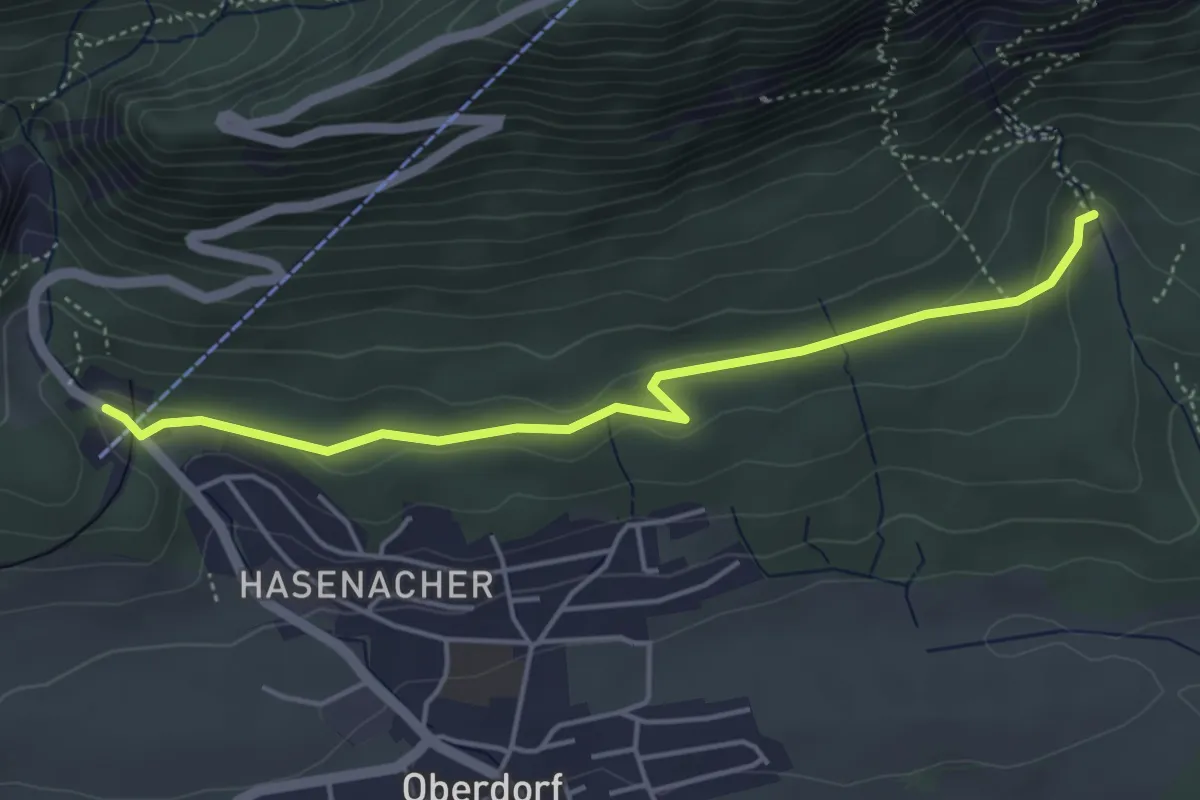
Easy · Trail
Oberdorf Talstation Gondelbahn – Forsthaus Rüttenen
4.5 km · ↑ 108 m · 1 h 18 min
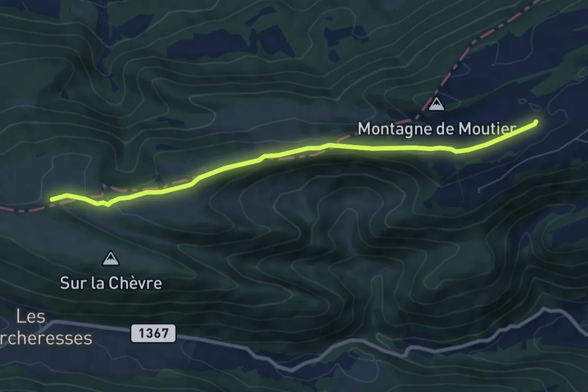
Easy · Trail
Montagne de Moutier – Pré La Vigne
7.5 km · ↑ 247 m · 2 h 18 min
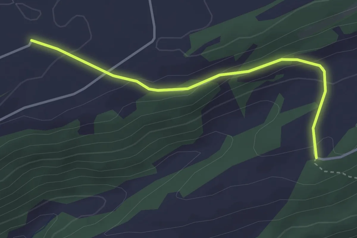
Easy · Trail
Montagne de Moutier – Aux Arsattes
3.1 km · ↑ 124 m · 1 h
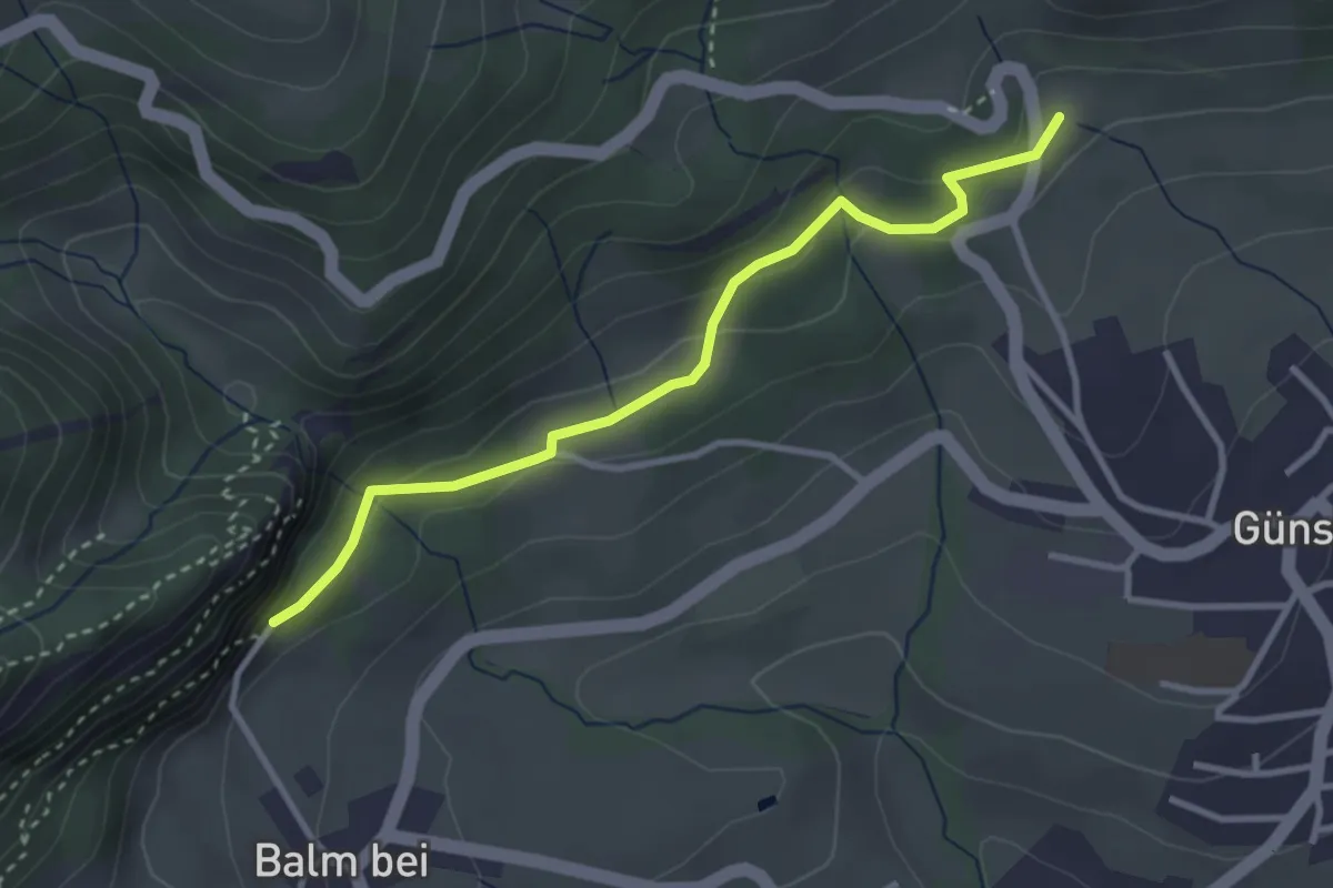
Easy · Trail
Ruine Balm – Glutzenberg
3.1 km · ↑ 166 m · 1 h 6 min
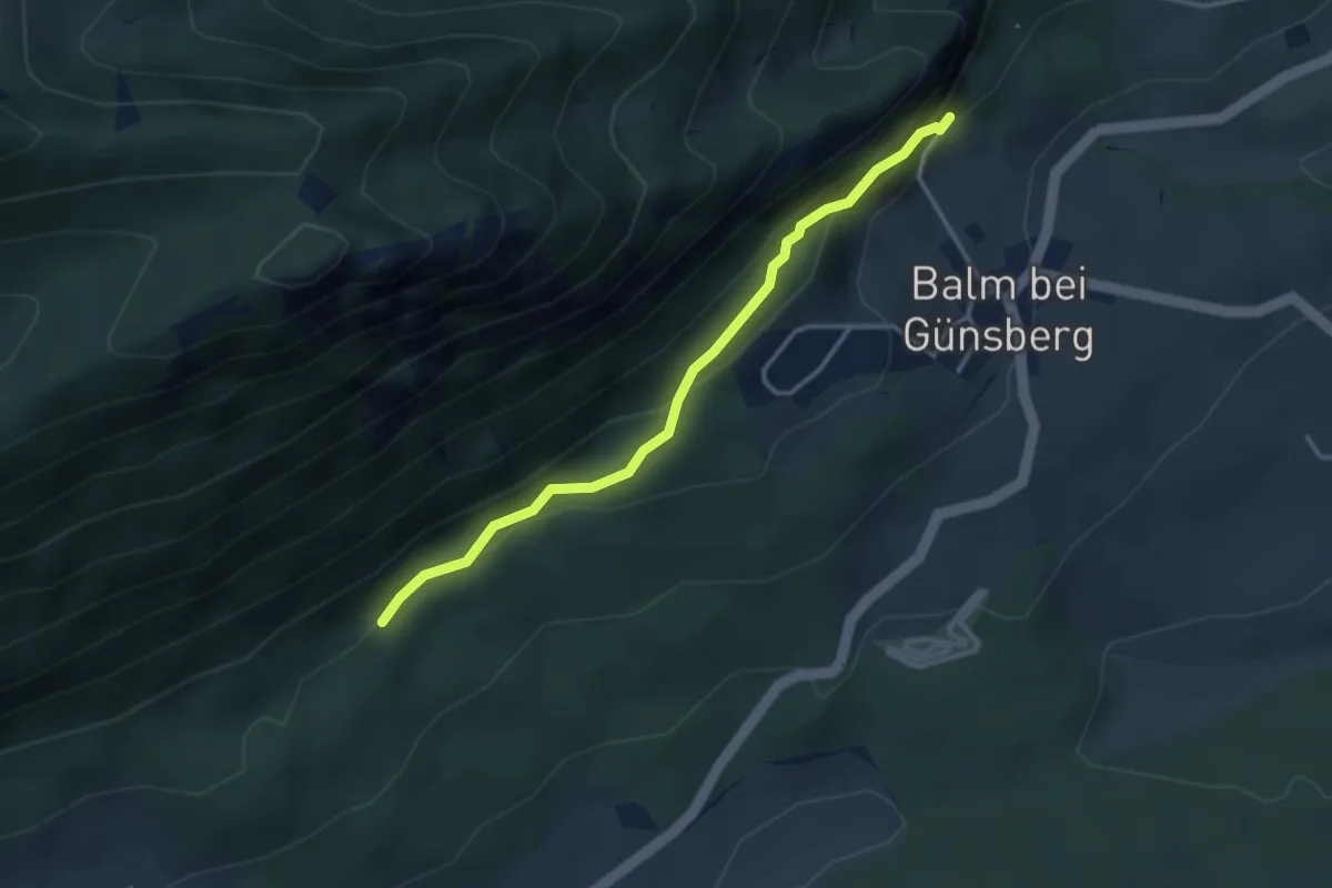
Easy · Trail
Ruine Balm – Jungbann
3.2 km · ↑ 207 m · 1 h 12 min
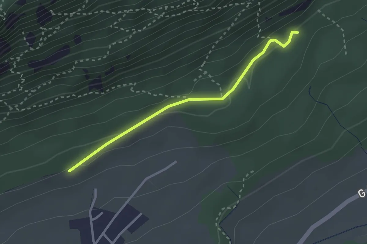
Easy · Trail
Witteli – Jungbann
2.4 km · ↑ 72 m · 43 min
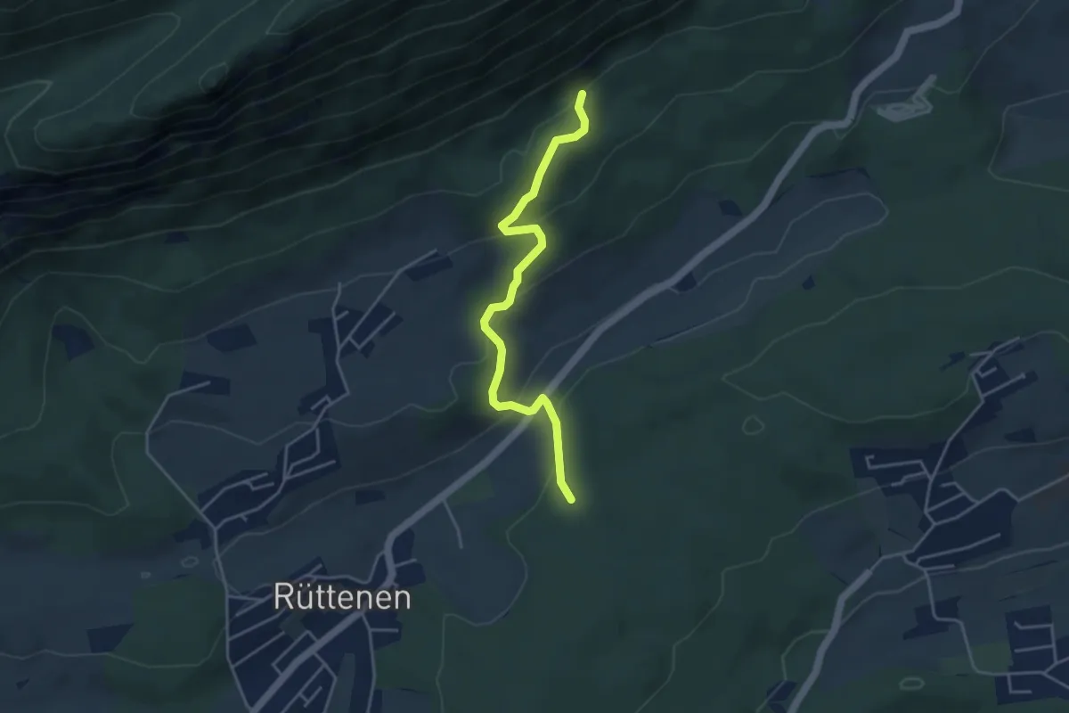
Easy · Trail
Jungbann – Lirenrain
4.0 km · ↑ 196 m · 1 h 22 min
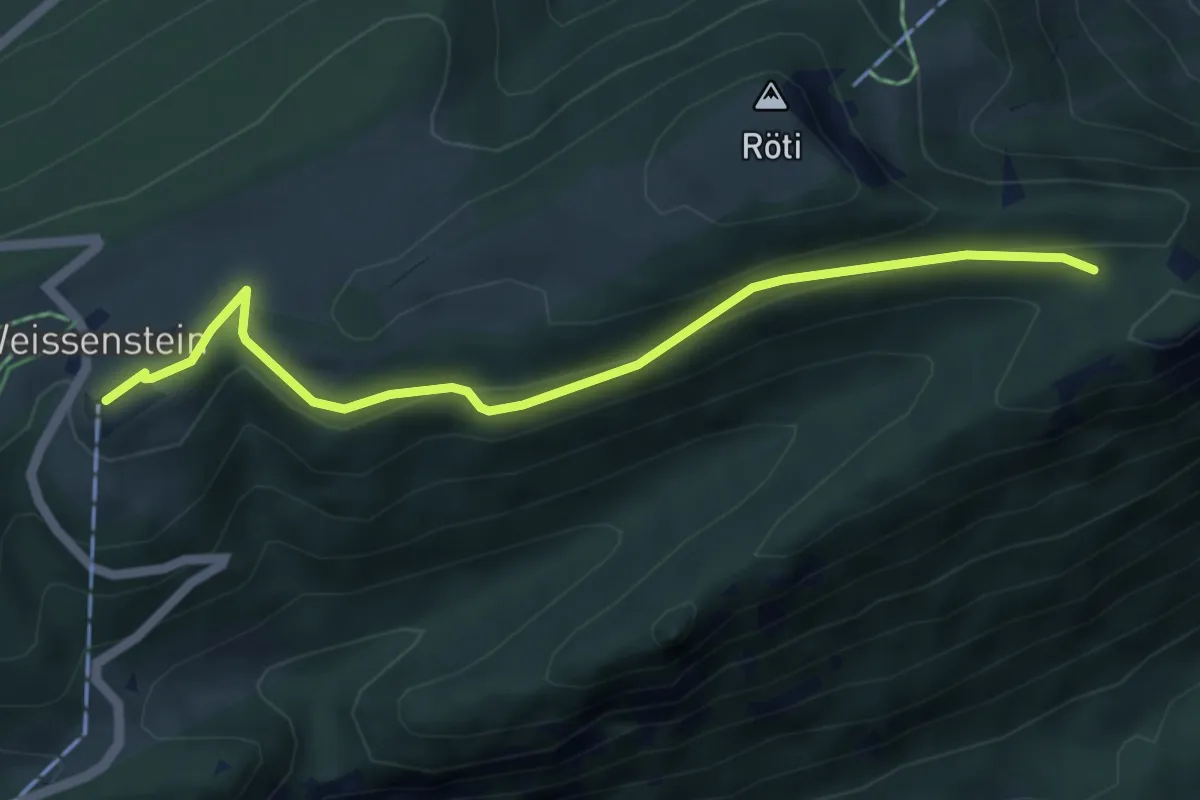
Easy · Trail
Nesselbodenröti – Kurhaus Weissenstein
5.1 km · ↑ 170 m · 1 h 35 min
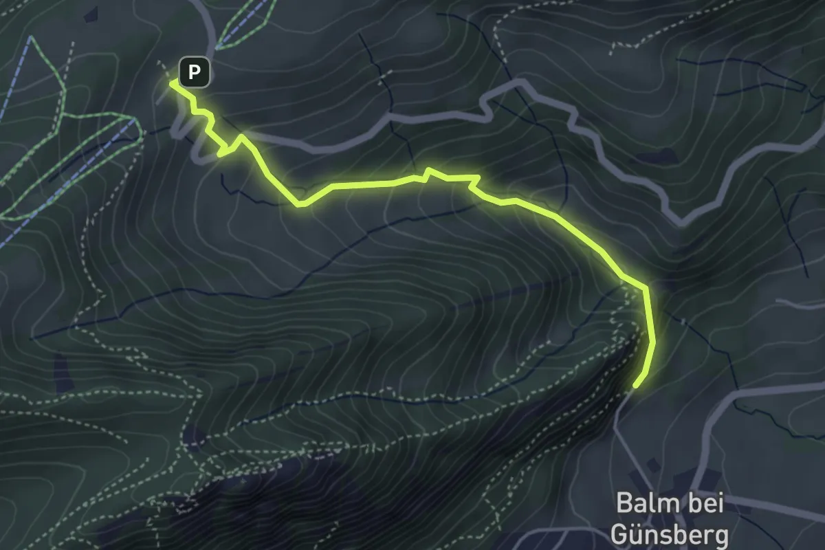
Easy · Trail
Balmberg Kurhaus – Ruine Balm
4.4 km · ↑ 311 m · 1 h 42 min
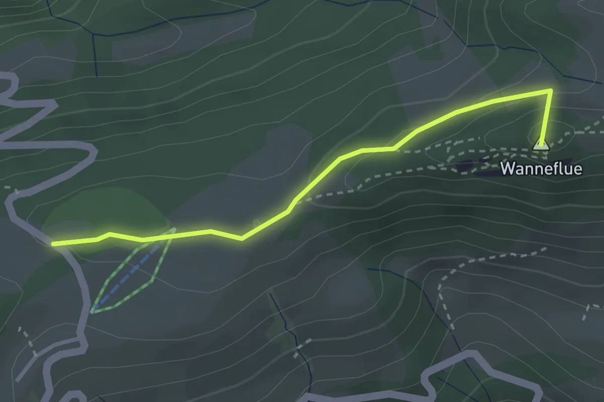
Easy · Summit
Balmberg Passhöhe – Niederwiler Stierenberg
2.8 km · ↑ 85 m · 50 min
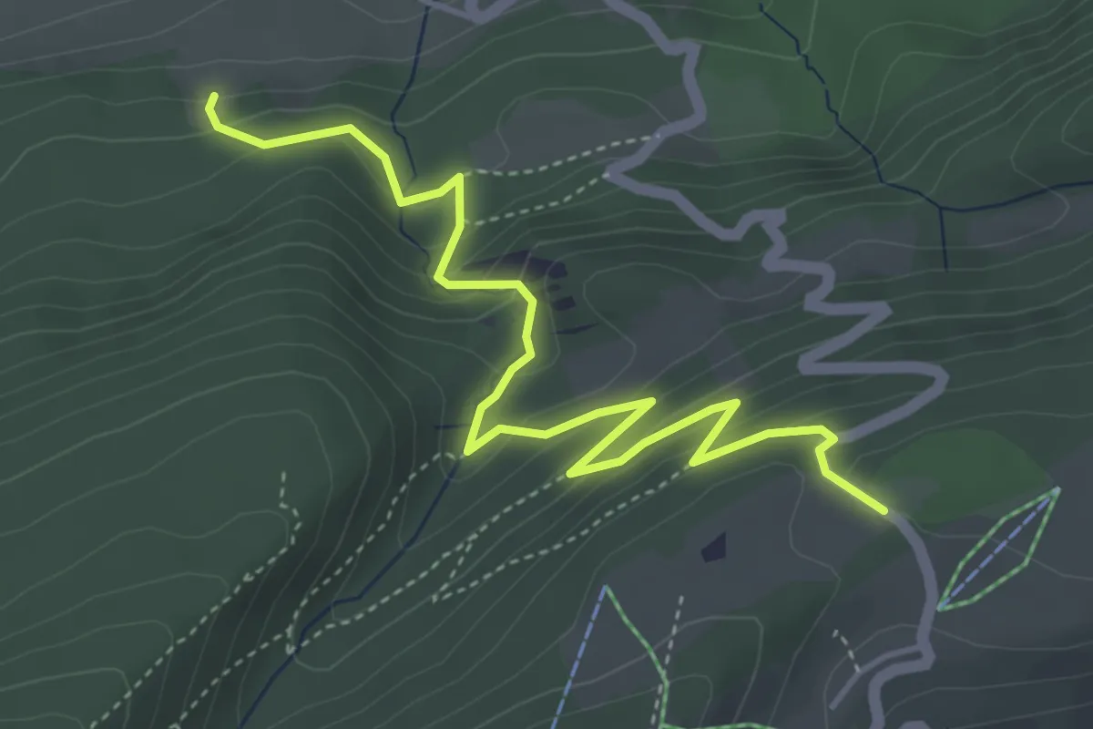
Medium · Trail
Illmatt Schattenberg – Balmberg Passhöhe
4.9 km · ↑ 331 m · 1 h 53 min
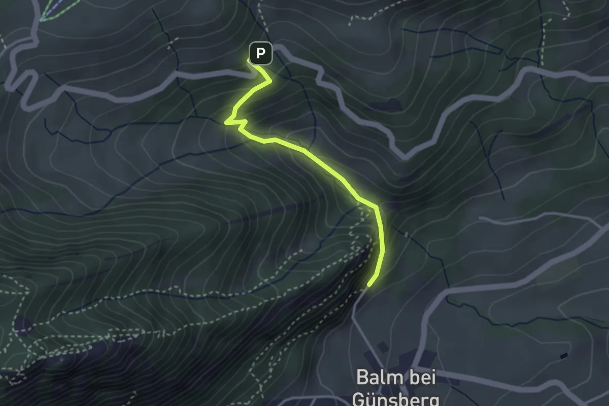
Easy · Trail
Längmatt Postauto – Ruine Balm
2.7 km · ↑ 198 m · 1 h 5 min
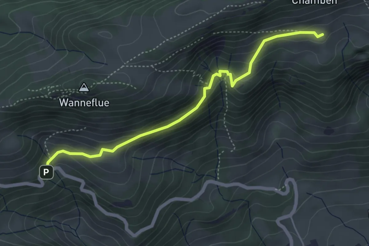
Medium · Trail
Längmatt Postauto – Hint. Hofbergli
4.5 km · ↑ 197 m · 1 h 29 min
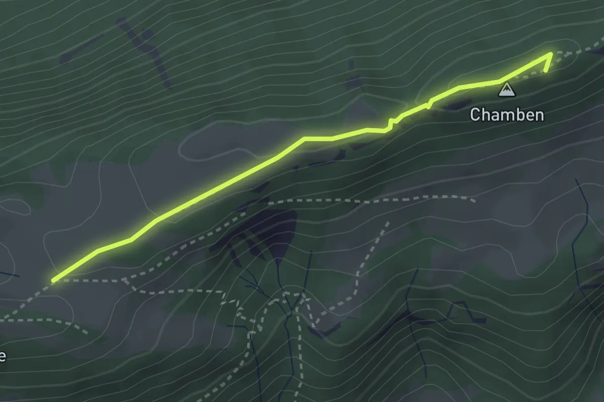
Medium · Summit
Niederwiler Stierenberg – Chamben
3.0 km · ↑ 70 m · 51 min
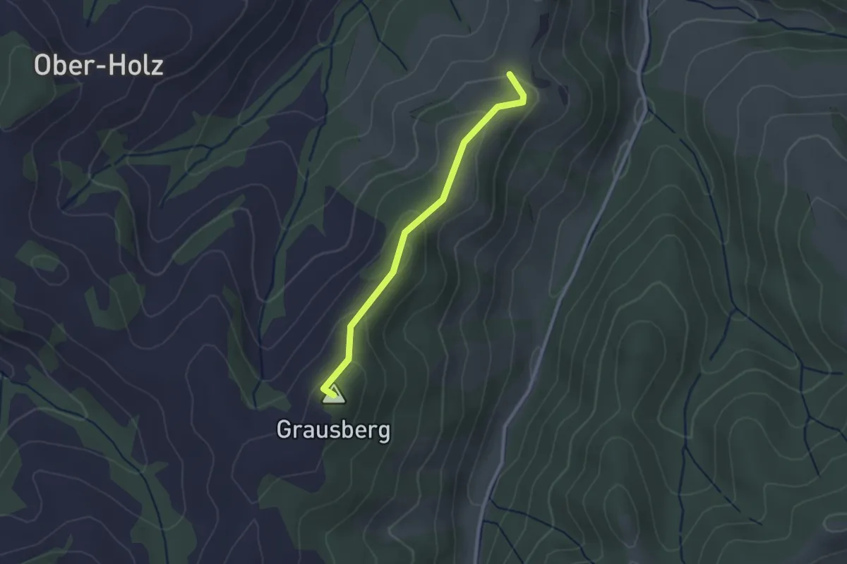
Easy · Summit
Ob. Graus – Mülibüel
2.2 km · ↑ 77 m · 41 min