Trails in Switzerland
15,055 hiking trails, each with its route, climb, walking time and grade.
All trails, page 262 of 314
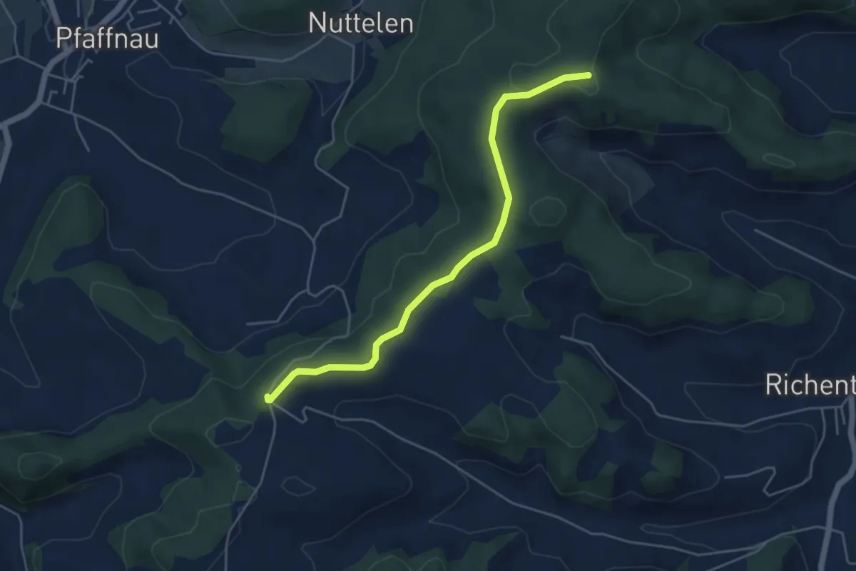
Easy · Trail
Guggerhöchi – Äberdingen
4.7 km · ↑ 46 m · 1 h 13 min
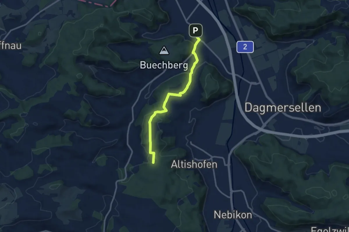
Medium · Trail
Langnau – Hint. Huebäbni
8.6 km · ↑ 250 m · 2 h 34 min
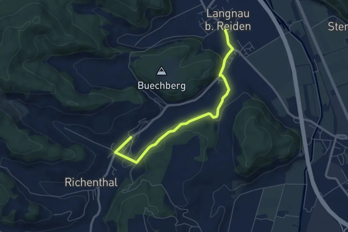
Easy · Trail
Langnau – Richenthal
6.0 km · ↑ 147 m · 1 h 44 min
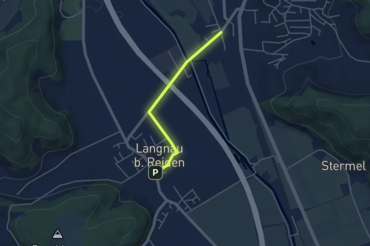
Easy · Trail
Reiden Station – Langnau
3.0 km · ↑ 8 m · 44 min
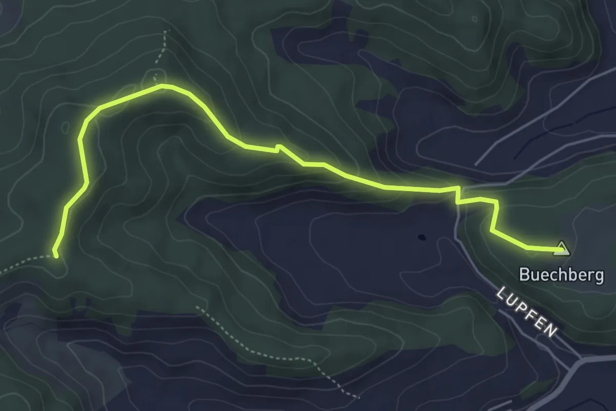
Easy · Summit
Guggerhöchi – Buechberg
5.5 km · ↑ 244 m · 1 h 49 min
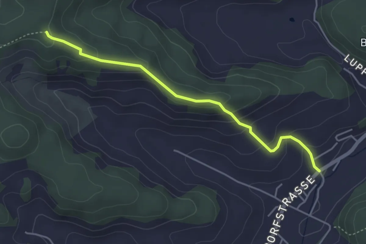
Easy · Trail
Richenthal – Guggerhöchi
3.9 km · ↑ 195 m · 1 h 20 min
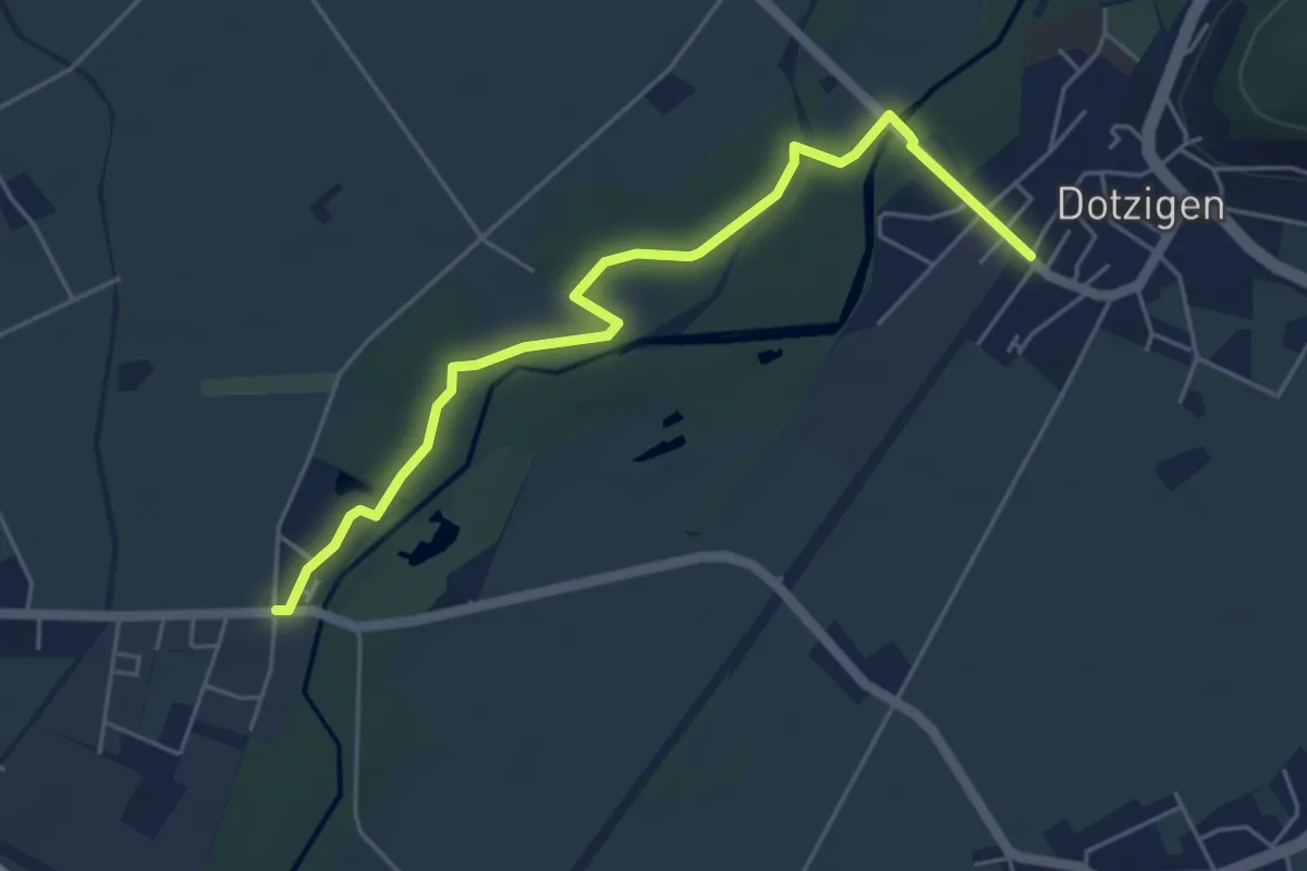
Easy · Trail
Studengrien – Dotzigen / Station
5.2 km · ↑ 27 m · 1 h 18 min
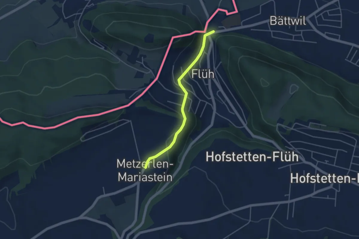
Easy · Trail
Flüh Station – Kloster Mariastein
3.5 km · ↑ 126 m · 1 h 5 min
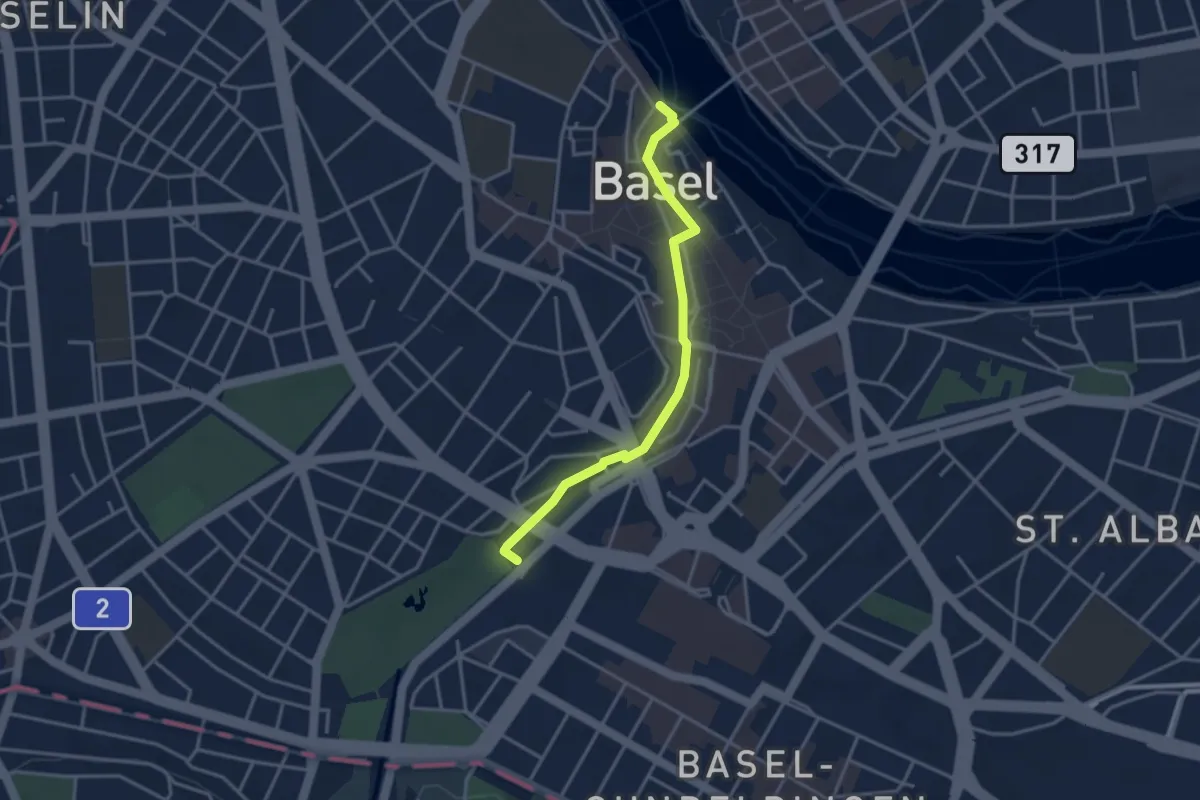
Easy · Trail
Zolli – Schifflände
3.3 km · ↑ 25 m · 50 min
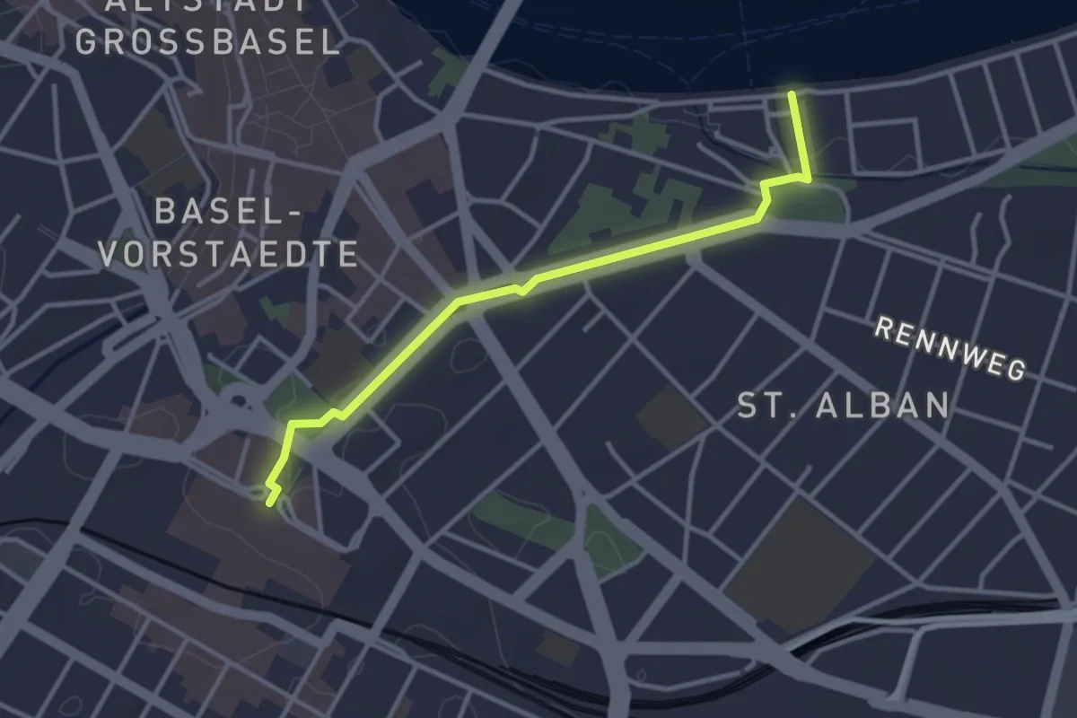
Easy · Trail
St. Albans – Bahnhof SBB
3.1 km · ↑ 34 m · 49 min
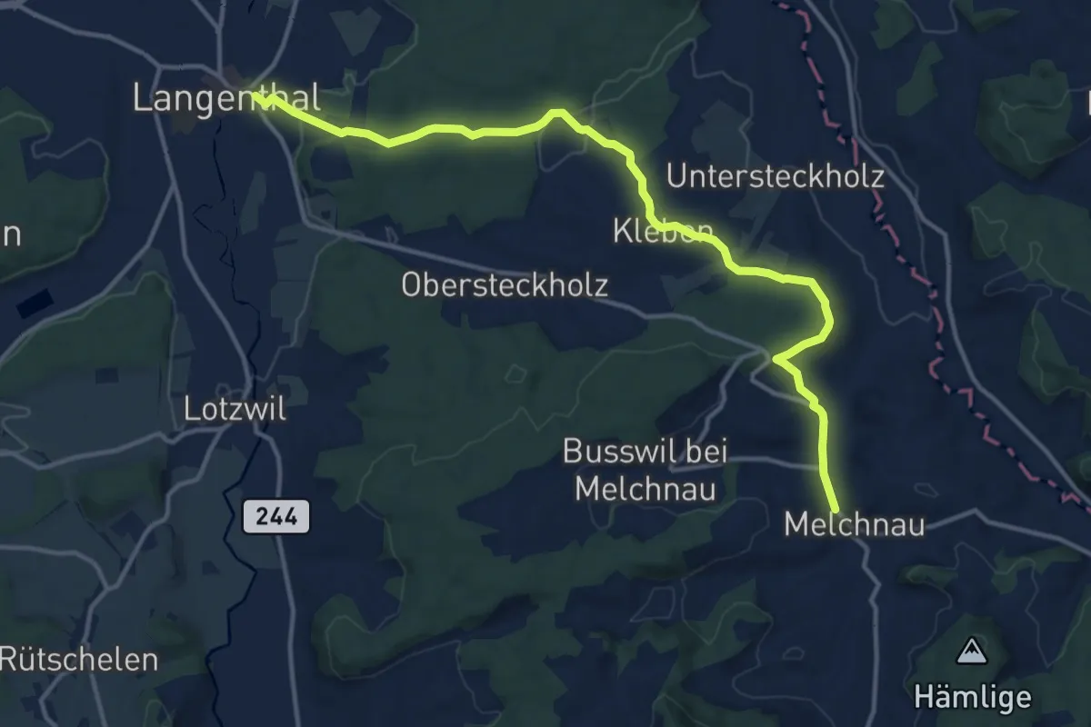
Medium · Trail
Melchnau – Langenthal / Kirche
14.6 km · ↑ 335 m · 4 h 10 min
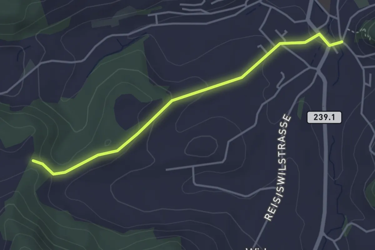
Easy · Trail
Rastplatz Pauli – Melchnau Kirche
3.7 km · ↑ 111 m · 1 h 7 min
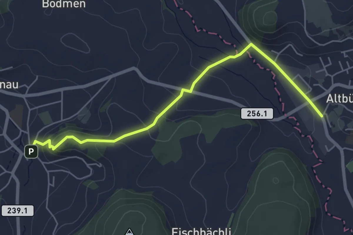
Easy · Trail
Altbüron – Melchnau Kirche
5.0 km · ↑ 203 m · 1 h 38 min
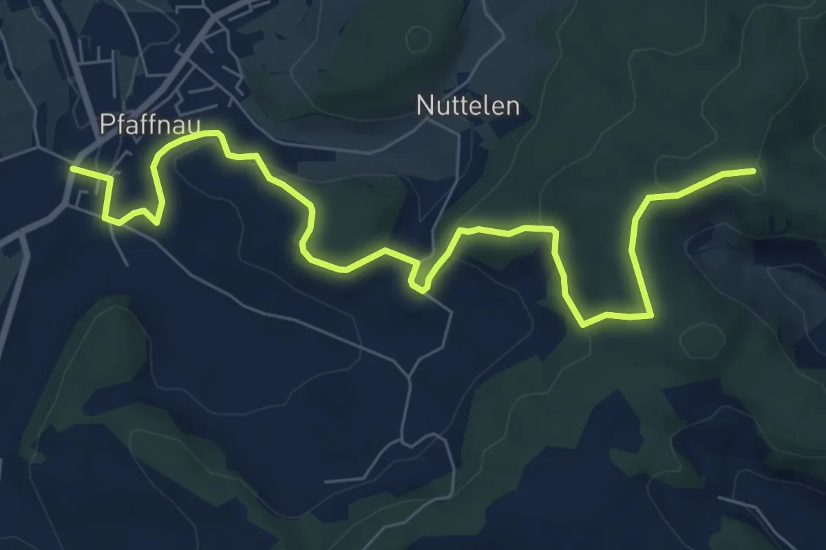
Medium · Trail
Pfaffnau – Guggerhöchi
8.2 km · ↑ 262 m · 2 h 30 min
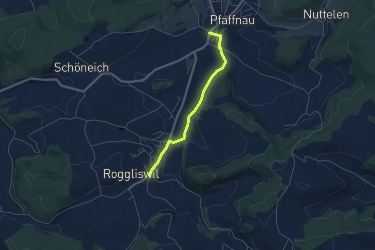
Easy · Trail
Roggliswil – Pfaffnau
4.3 km · ↑ 91 m · 1 h 13 min
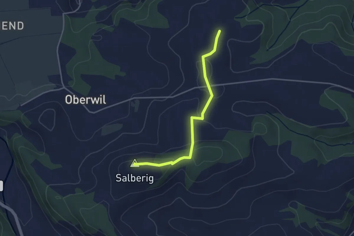
Easy · Summit
Stocki – Salberig
3.0 km · ↑ 54 m · 50 min
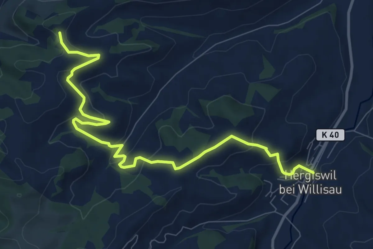
Medium · Trail
Hergiswil – Birchbühl
9.4 km · ↑ 384 m · 3 h 3 min
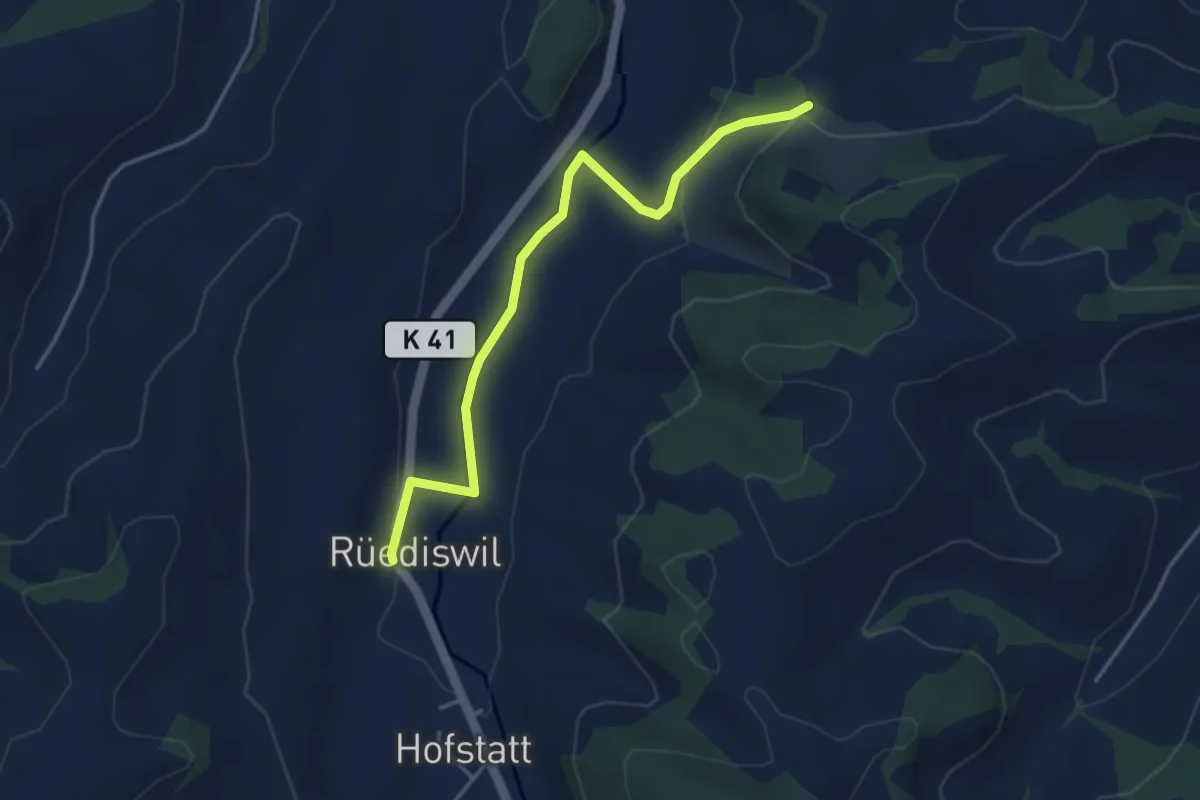
Easy · Trail
Rüediswil – Bösegg
4.1 km · ↑ 97 m · 1 h 10 min
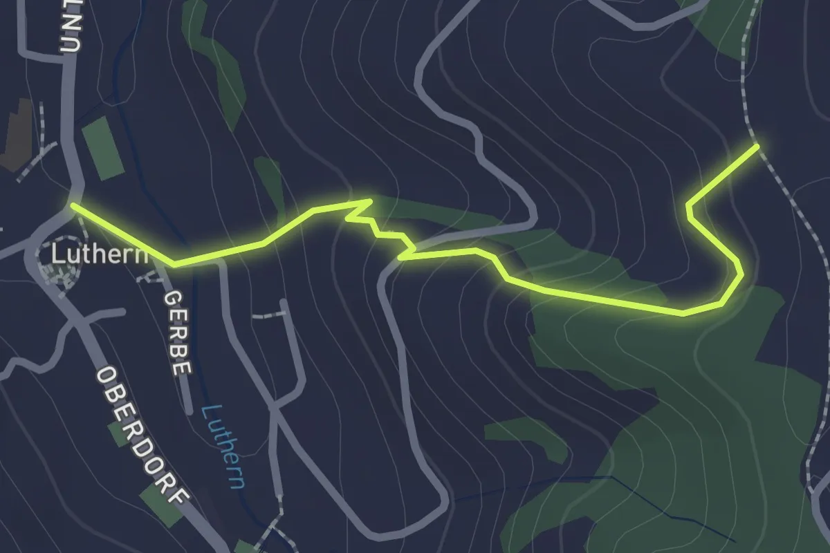
Easy · Trail
Luthern – Churzhubelegg
2.2 km · ↑ 145 m · 50 min
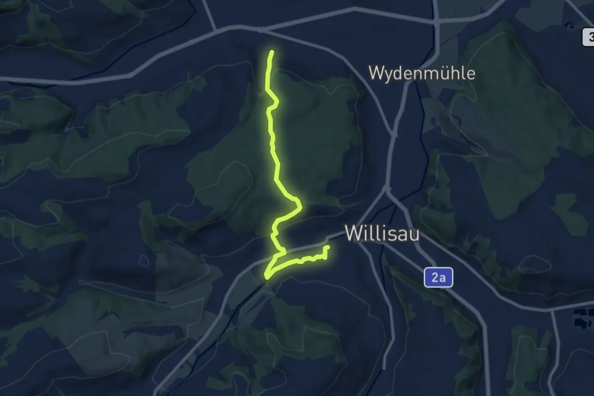
Easy · Trail
Obere Stalde – Willisau
7.8 km · ↑ 268 m · 2 h 25 min
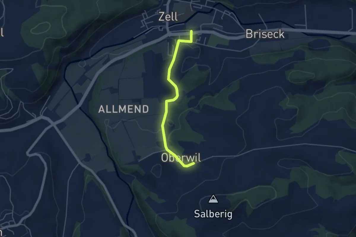
Easy · Trail
Zell – Oberwil
3.9 km · ↑ 108 m · 1 h 10 min
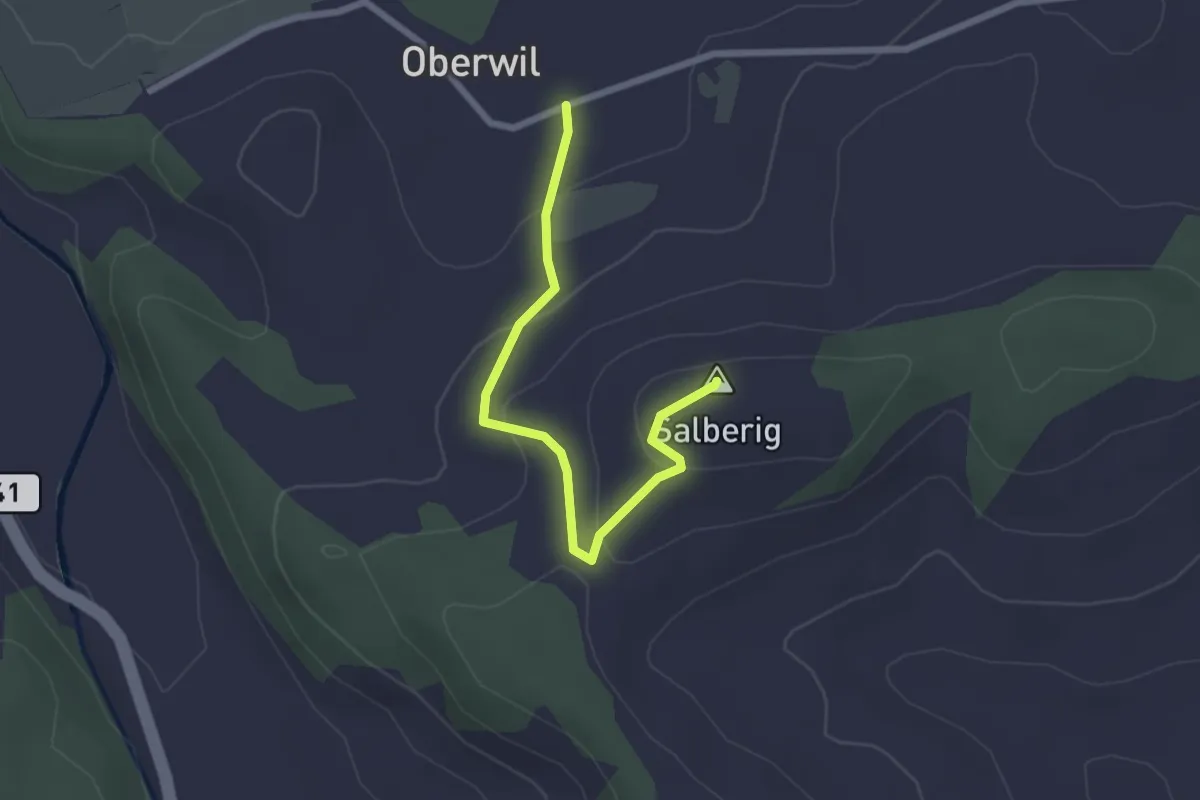
Easy · Summit
Oberwil – Salberig
2.4 km · ↑ 91 m · 46 min
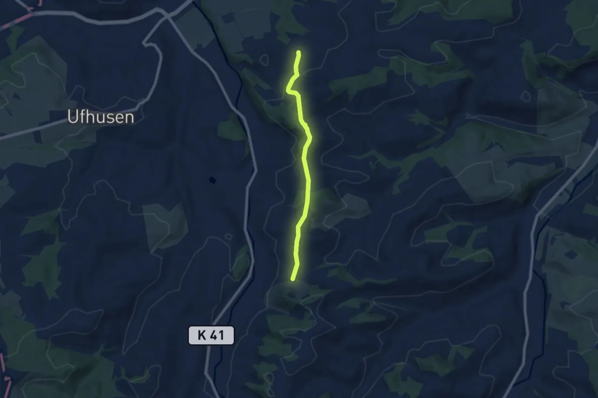
Easy · Trail
Bösegg – Oberwil
5.8 km · ↑ 122 m · 1 h 38 min
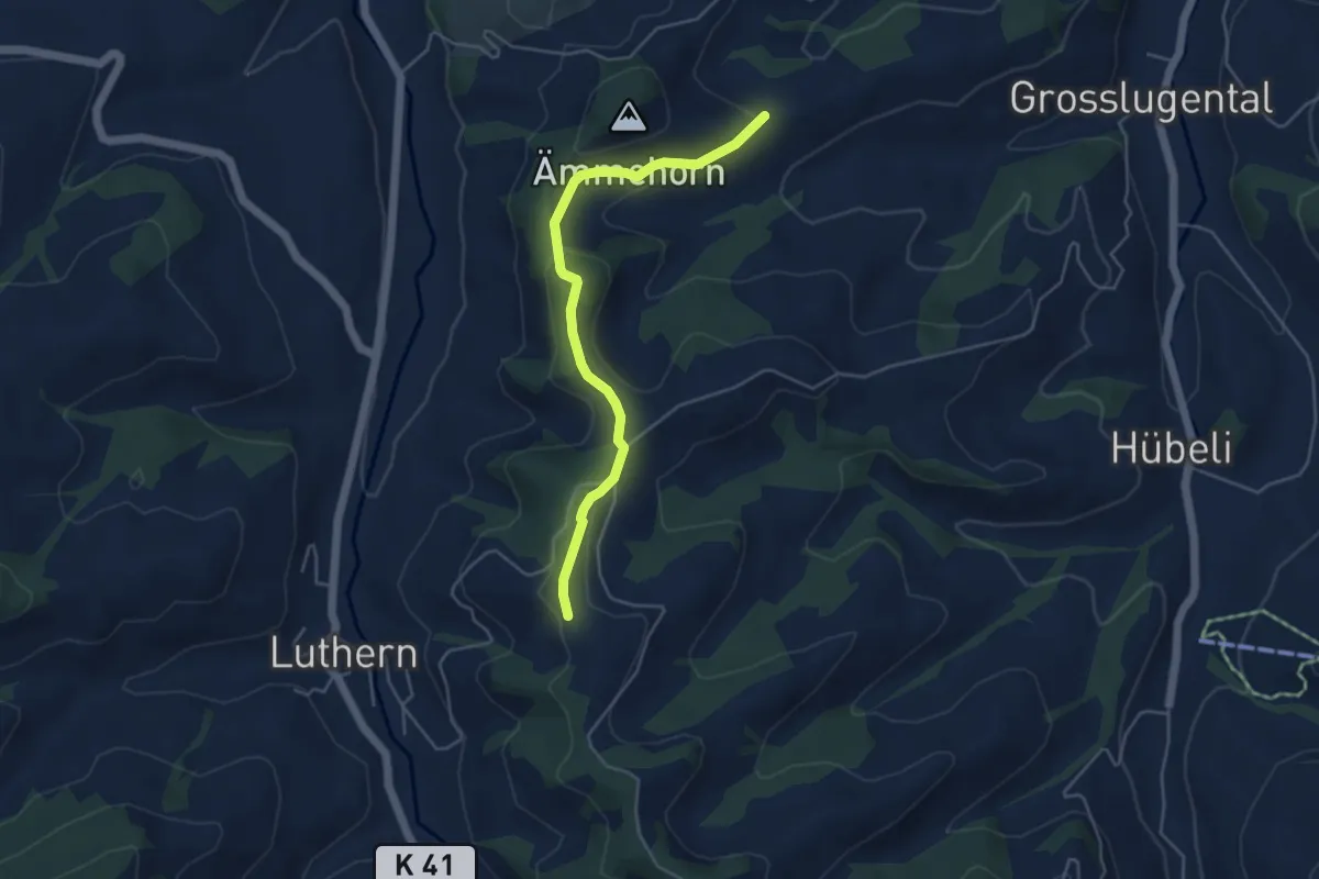
Easy · Trail
Churzhubelegg – Opfersbüel
4.6 km · ↑ 157 m · 1 h 25 min
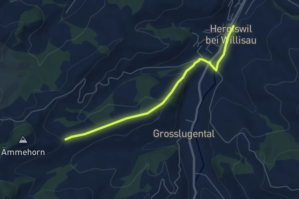
Easy · Trail
Hergiswil – Opfersbüel
4.8 km · ↑ 141 m · 1 h 27 min
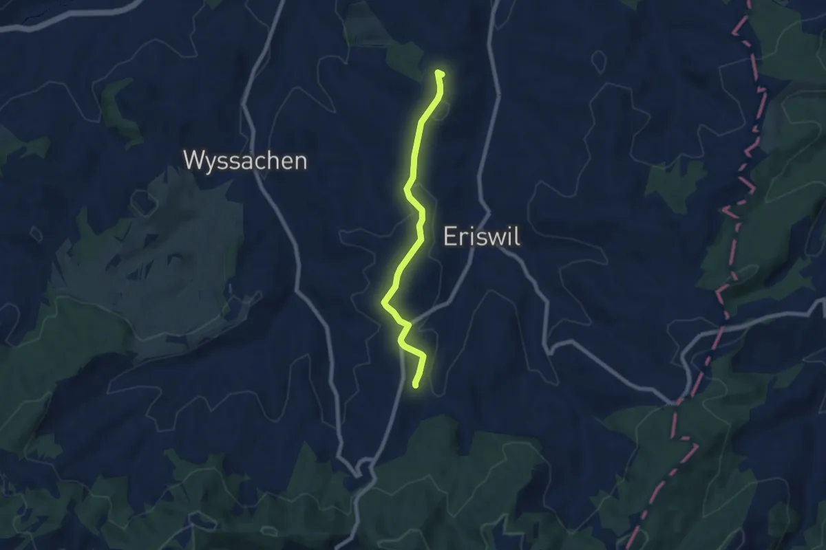
Easy · Summit
Huttwil Bahnhof – Langeten
6.2 km · ↑ 81 m · 1 h 38 min
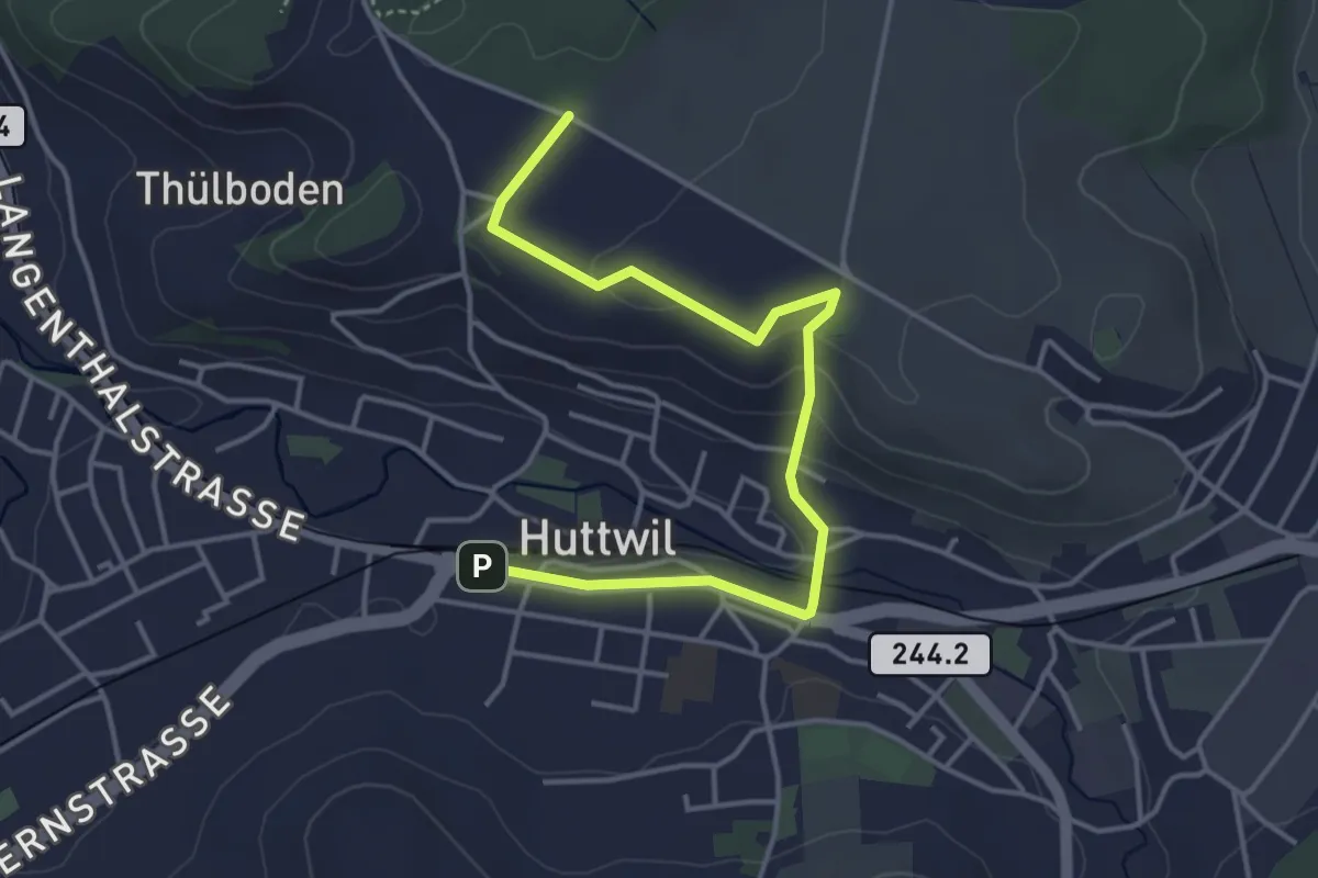
Easy · Trail
Huttwil Bahnhof – Huttwilerberg
4.5 km · ↑ 111 m · 1 h 19 min
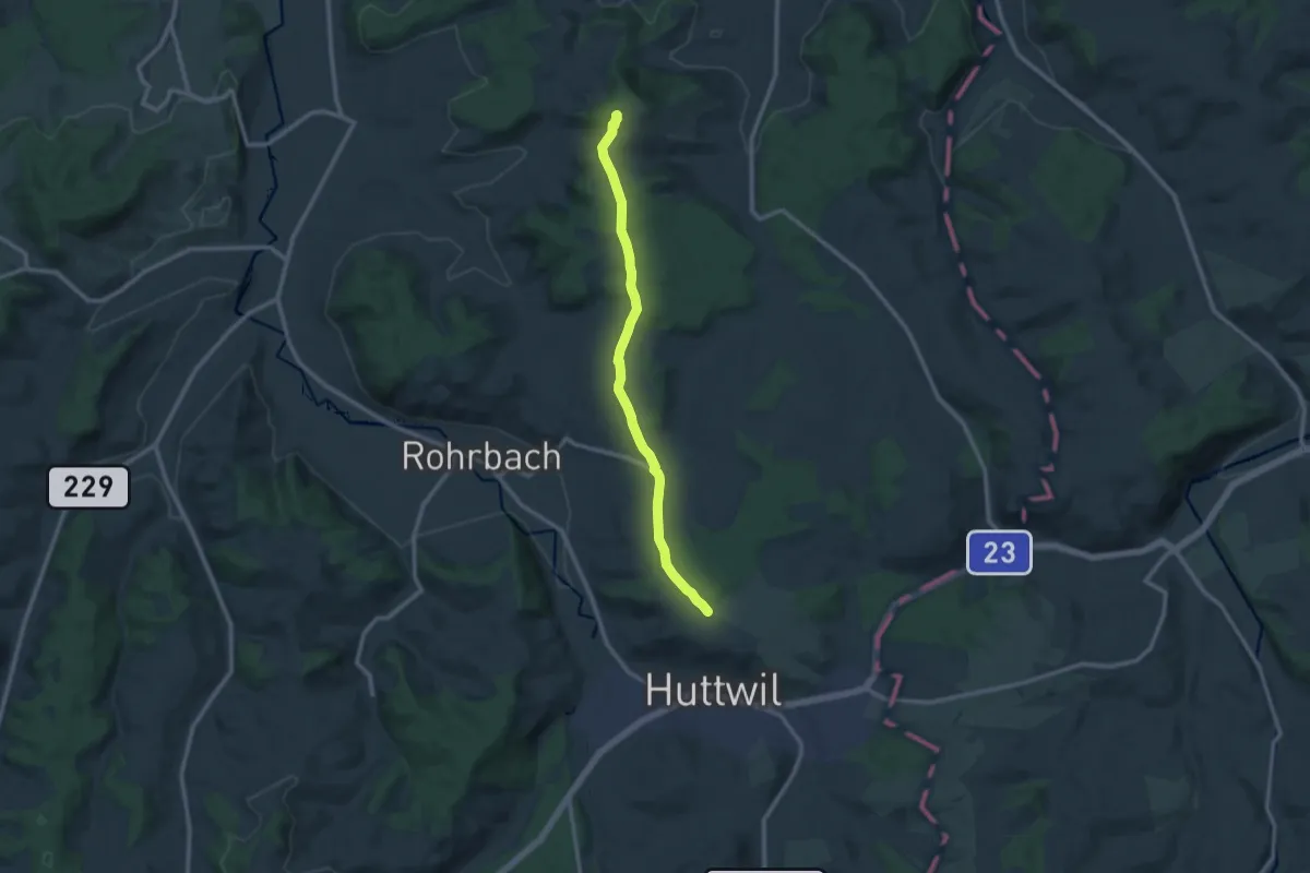
Medium · Summit
Huttwilerberg – Hohwacht
10.8 km · ↑ 190 m · 2 h 58 min
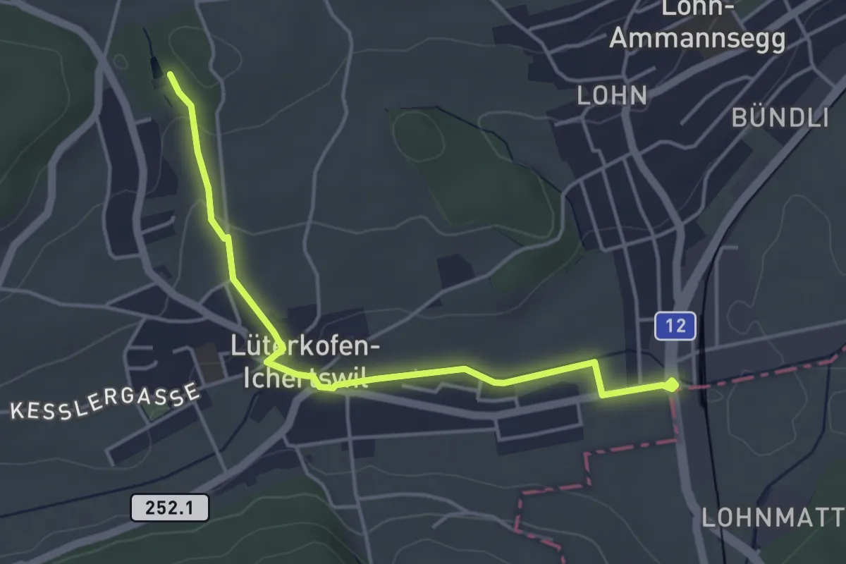
Easy · Trail
Lohn Lüterkofen – Grimpach Weier
4.2 km · ↑ 69 m · 1 h 9 min
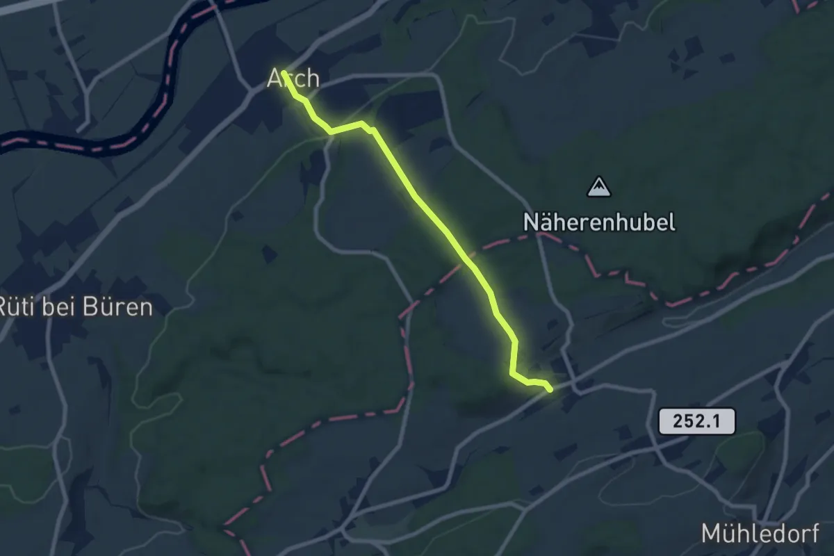
Easy · Trail
Arch – Bibern SO
7.0 km · ↑ 238 m · 2 h 10 min
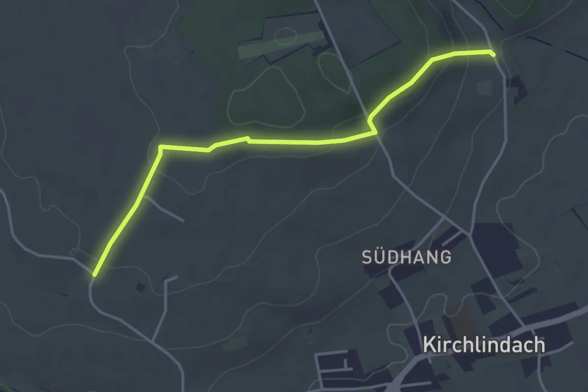
Easy · Trail
Jetzikofen – Buchsacher
3.8 km · ↑ 106 m · 1 h 7 min
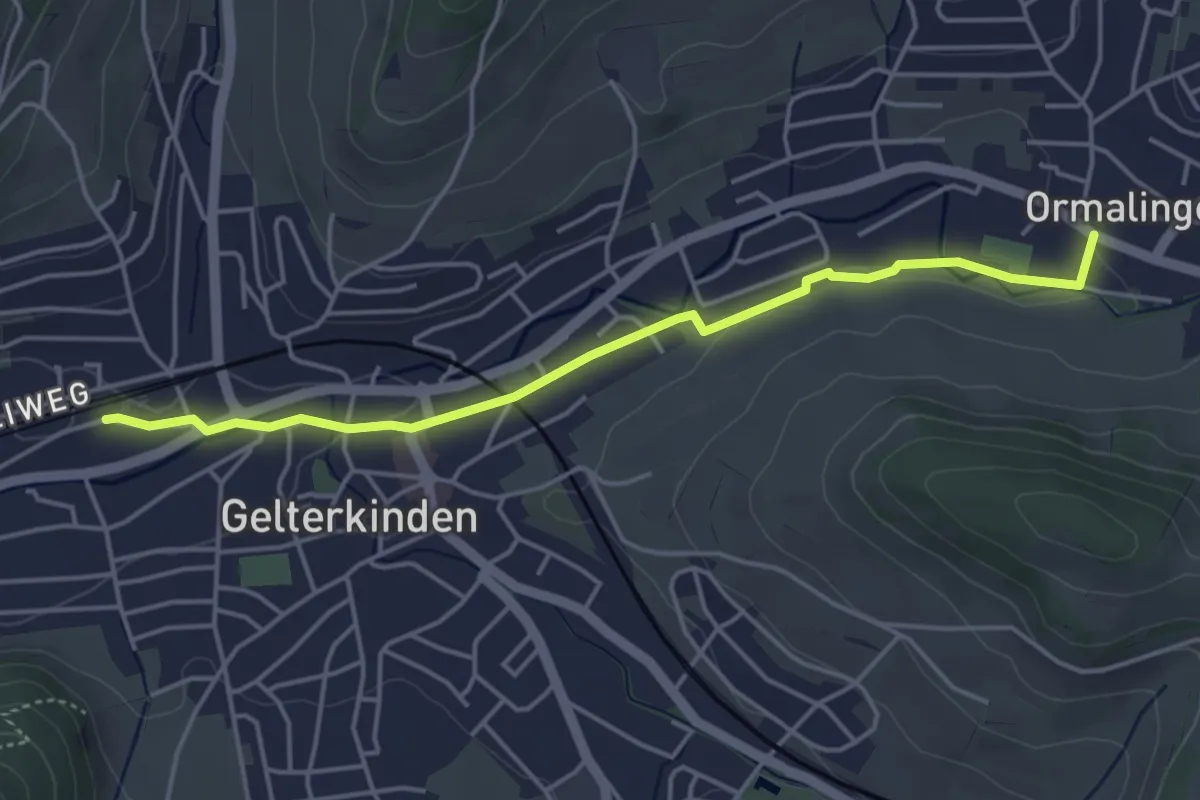
Easy · Trail
Gelterkinden – Ormalingen
4.4 km · ↑ 31 m · 1 h 7 min
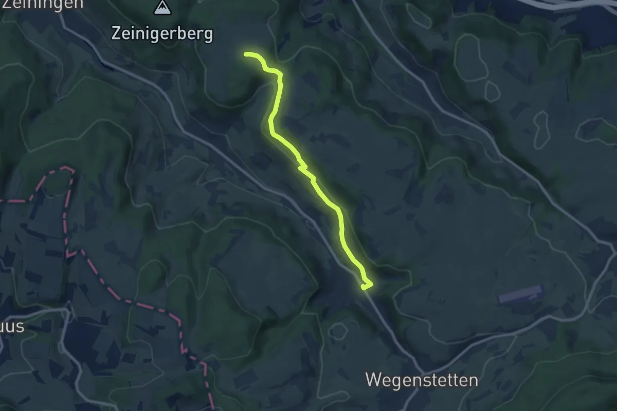
Easy · Trail
Hellikon – Chriesiberg
7.7 km · ↑ 209 m · 2 h 16 min
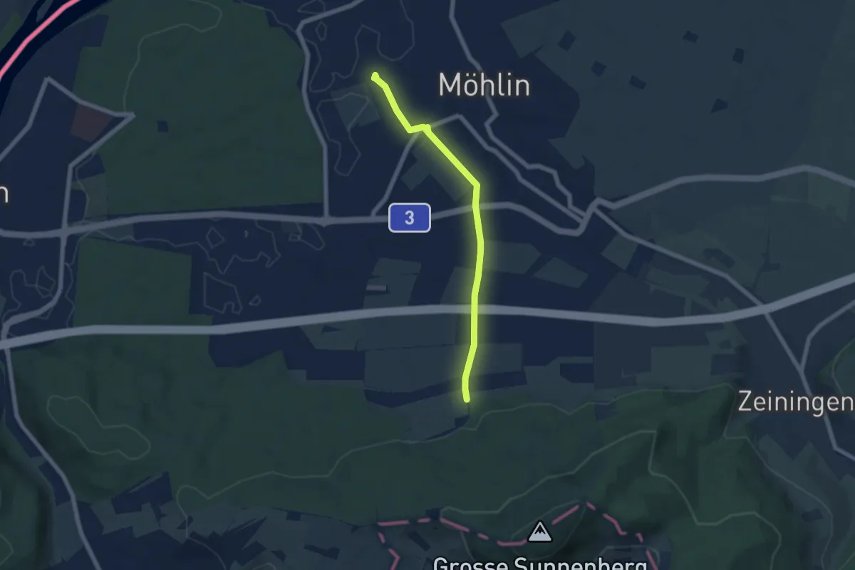
Easy · Trail
Kymshof – Möhlin
5.3 km · ↑ 58 m · 1 h 22 min
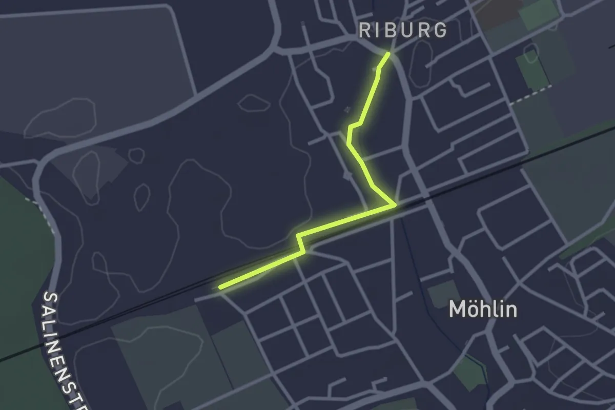
Easy · Trail
Riburg – Möhlin
2.2 km · ↑ 0 m · 31 min
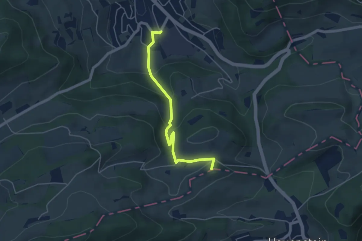
Easy · Summit
Hauenstein – Läufelfingen
3.9 km · ↑ 264 m · 1 h 30 min
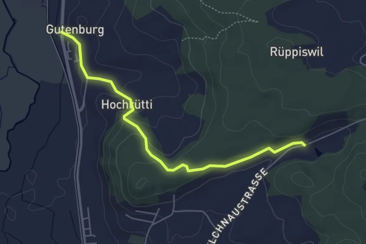
Easy · Trail
Gutenburg Bad – Burgisweier Bad
4.8 km · ↑ 133 m · 1 h 25 min
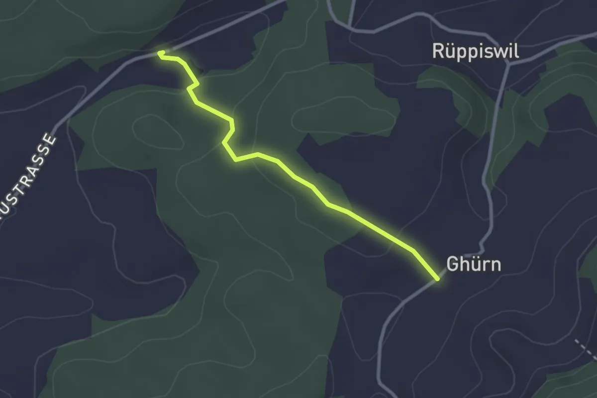
Easy · Trail
Burgisweier Bad – Ghürn
2.4 km · ↑ 85 m · 45 min
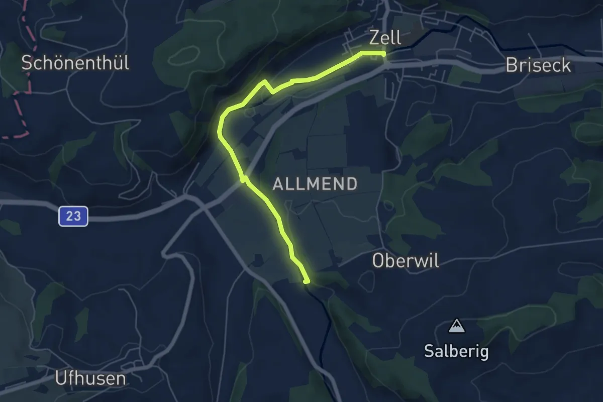
Easy · Trail
Zell – Vorder Schache
5.5 km · ↑ 112 m · 1 h 33 min
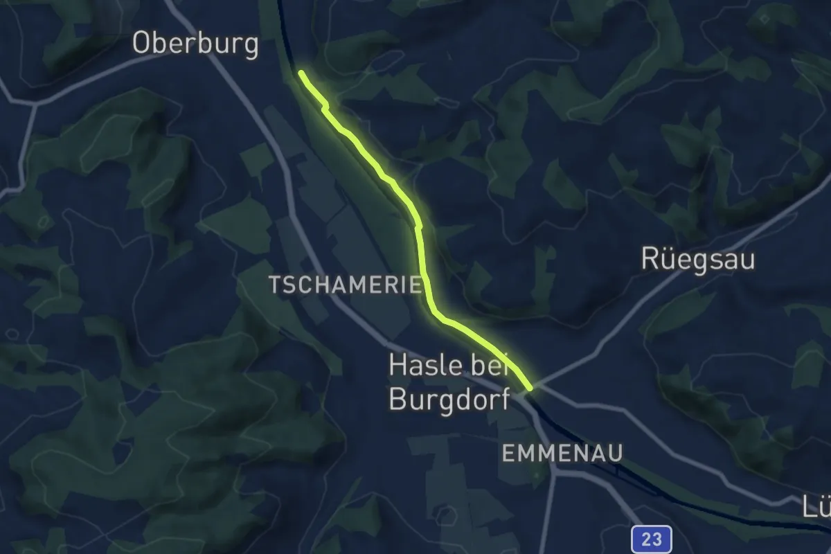
Easy · Trail
Rügsauschachen – Lochbachbrügg
5.8 km · ↑ 47 m · 1 h 29 min
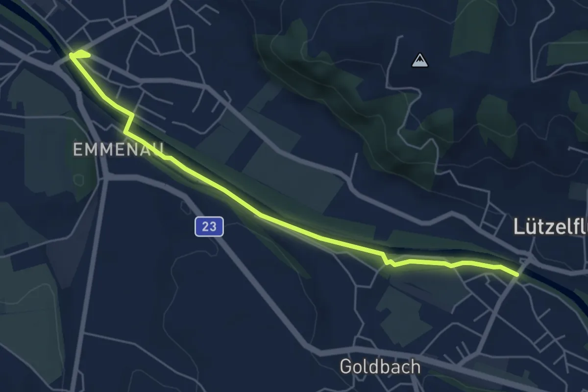
Easy · Trail
Rügsauschachen – Lützelflüh
5.6 km · ↑ 14 m · 1 h 21 min
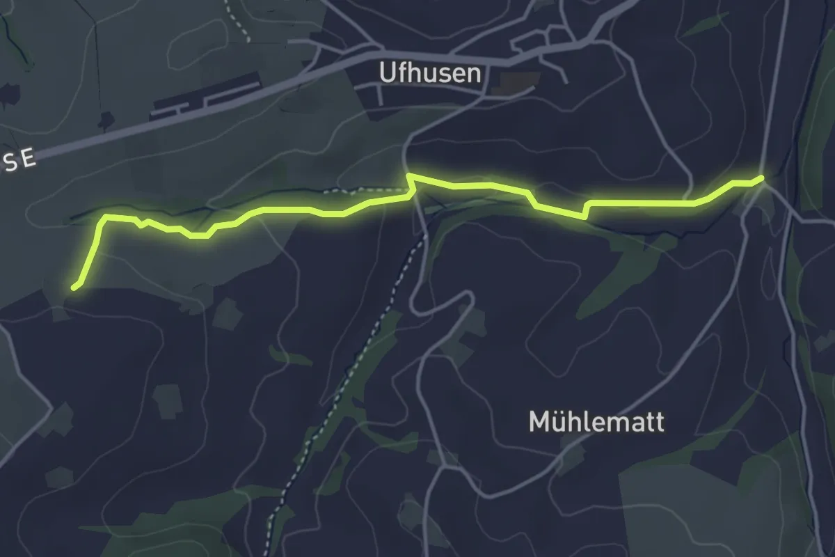
Easy · Trail
Lochmüli – Feldmatt
6.4 km · ↑ 116 m · 1 h 46 min
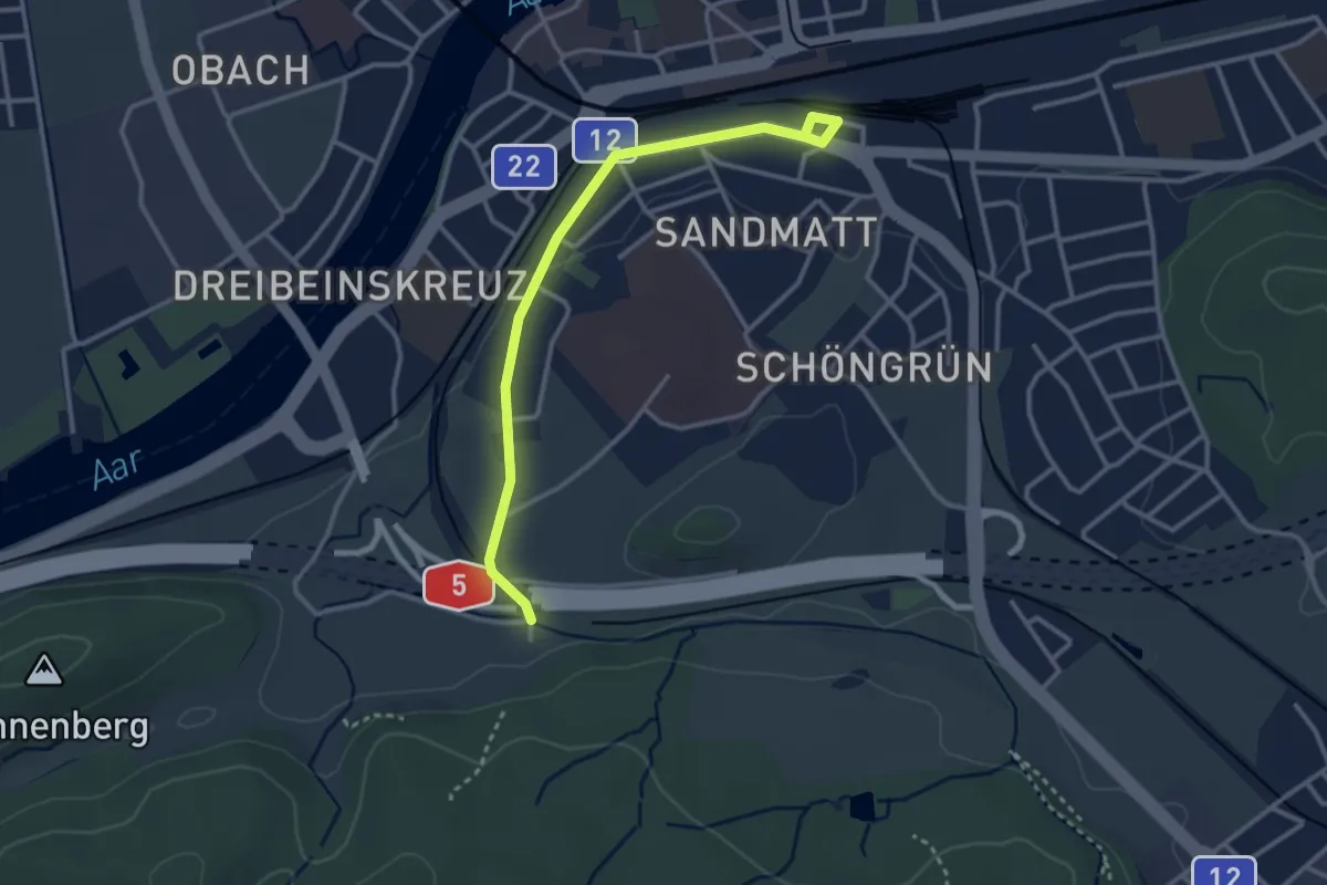
Easy · Trail
Solothurn HB RBS – Biberist Schöngrüen
3.1 km · ↑ 19 m · 47 min
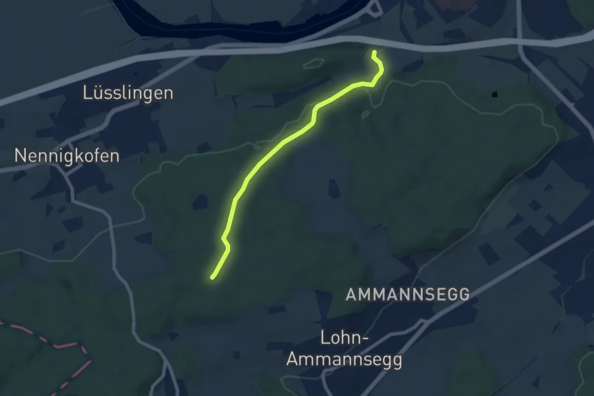
Easy · Trail
Spitalhof – Ischlag
5.5 km · ↑ 120 m · 1 h 34 min
Easy · Summit
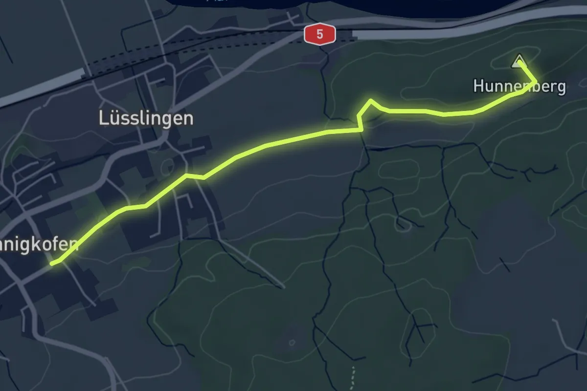
Spitalhof – Nennigkofen
5.1 km · ↑ 75 m · 1 h 22 min
Easy · Trail
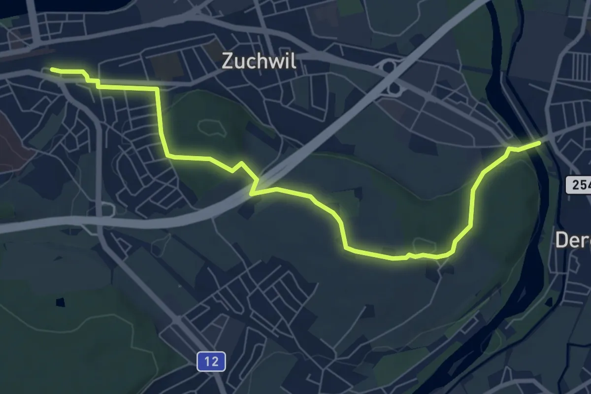
Solothurn HB RBS – Derendingen
8.0 km · ↑ 153 m · 2 h 13 min
Easy · Trail
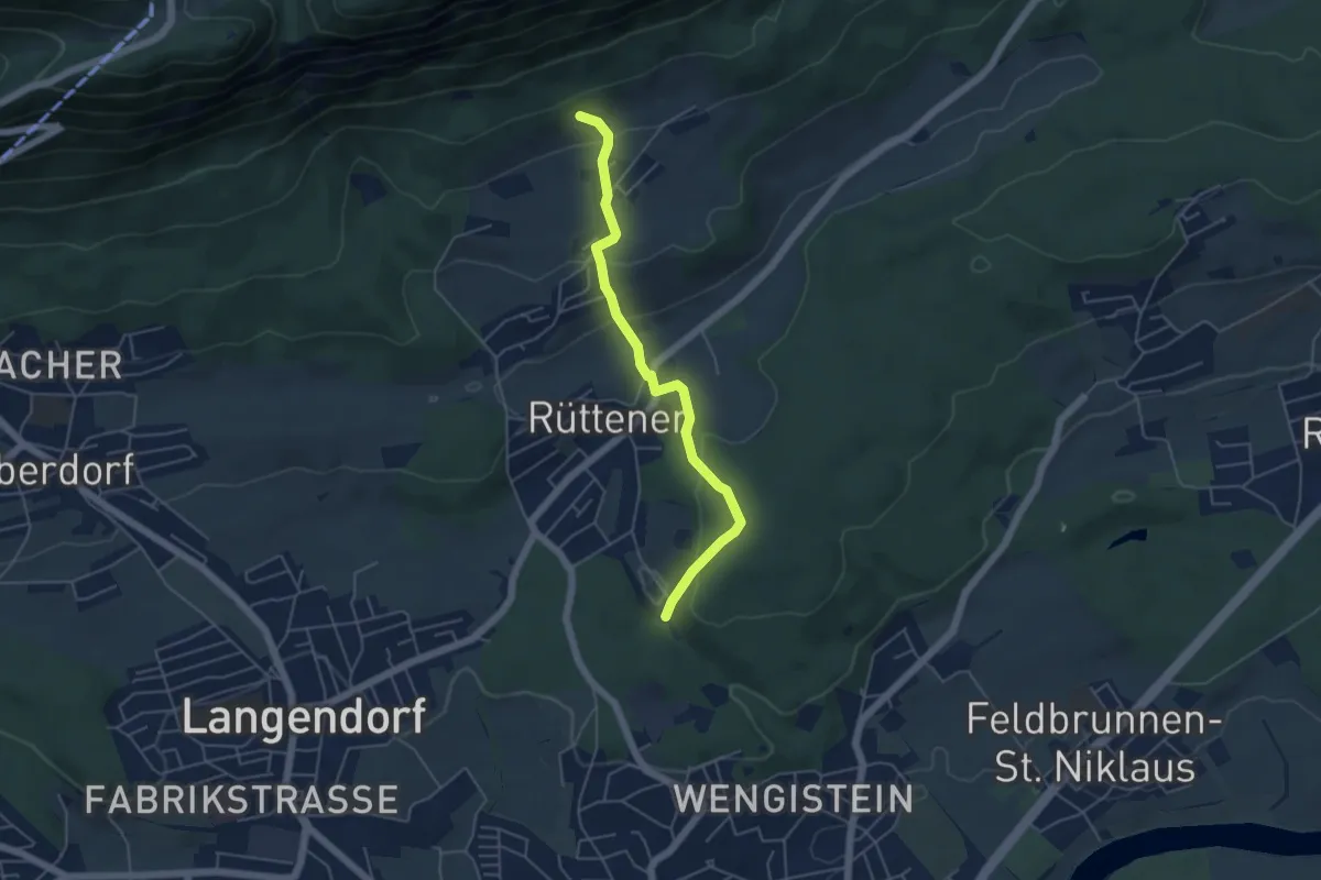
Einsidelei Nord – Witteli
4.8 km · ↑ 274 m · 1 h 43 min
Easy · Trail
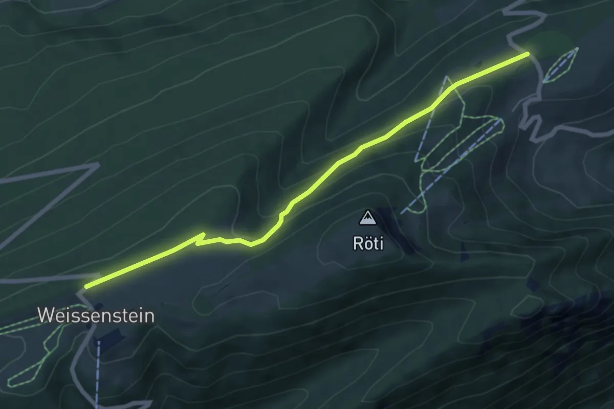
Hammerweg – Balmberg Passhöhe
5.9 km · ↑ 226 m · 1 h 53 min