Trails in Switzerland
15,055 hiking trails, each with its route, climb, walking time and grade.
All trails, page 263 of 314
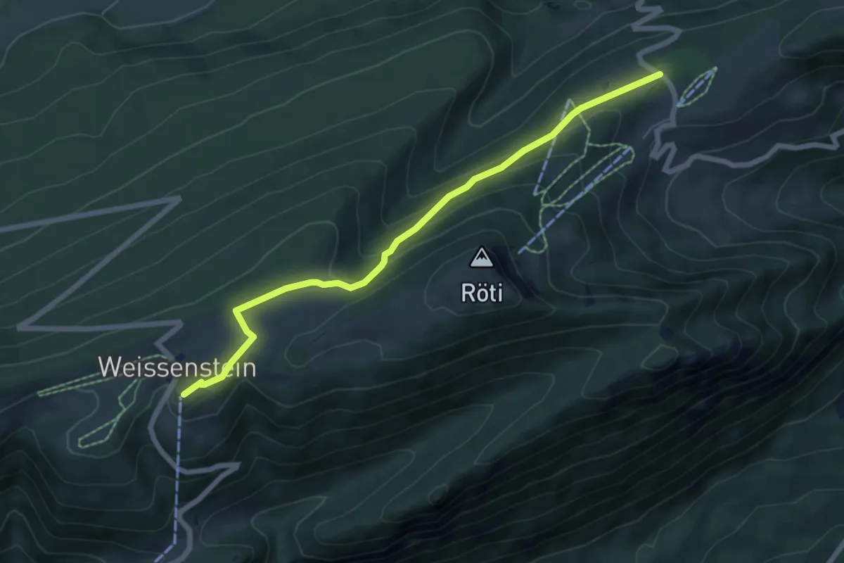
Easy · Trail
Weissenstein Kurhaus – Balmberg Passhöhe
6.3 km · ↑ 254 m · 2 h 2 min
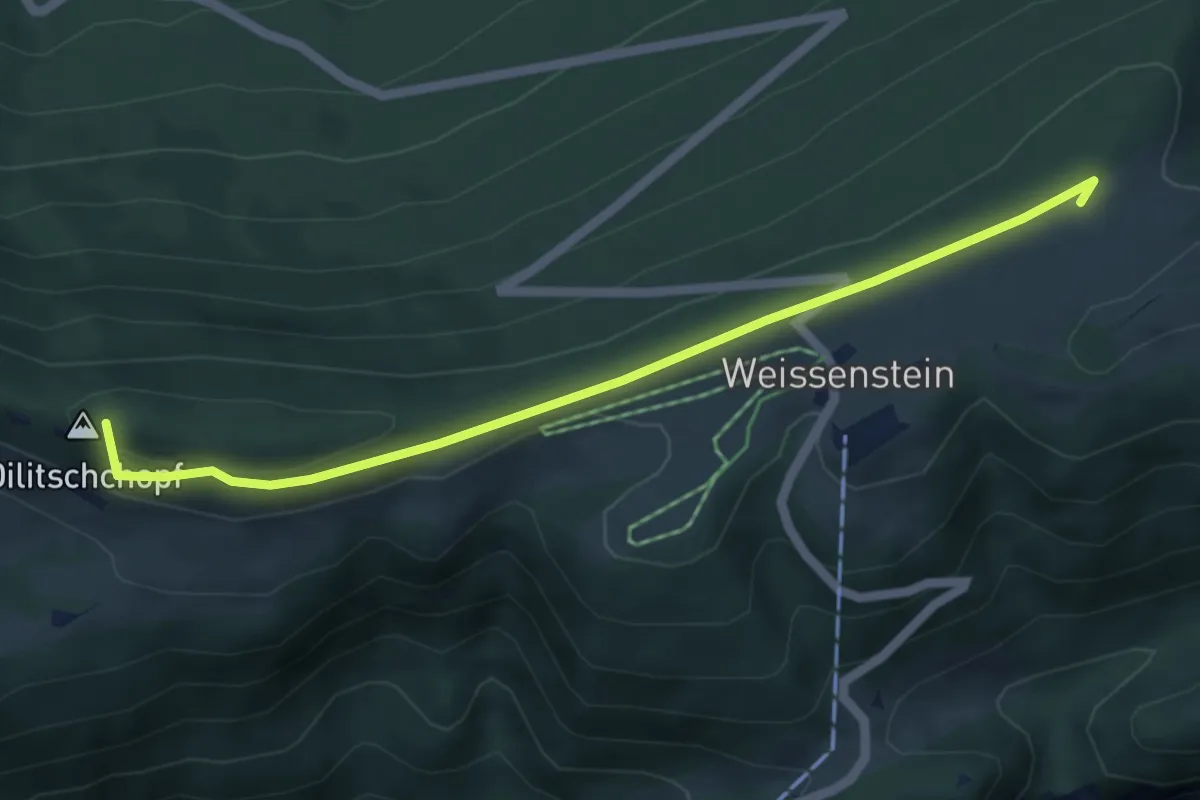
Easy · Summit
Hammerweg – Hinterer Weissenstein
5.2 km · ↑ 120 m · 1 h 29 min
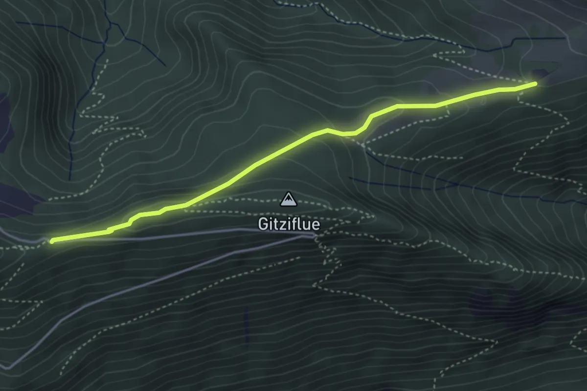
Medium · Trail
Hinterer Weissenstein – Egg
4.1 km · ↑ 145 m · 1 h 17 min
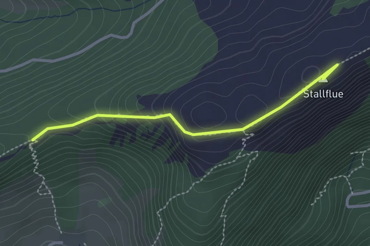
Easy · Summit
Müren – Küfferegg
2.3 km · ↑ 118 m · 47 min
Easy · Trail
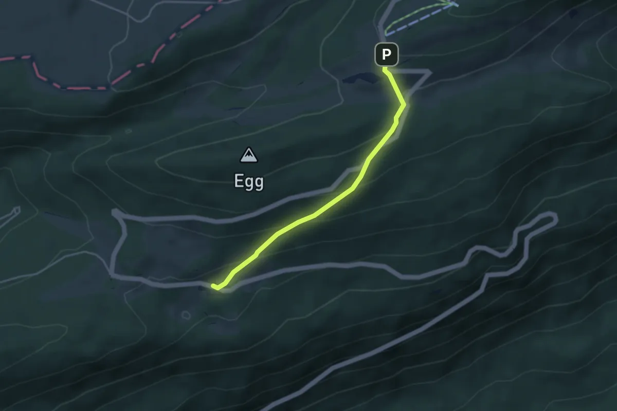
Untergrenchenberg – Stierenberg
3.4 km · ↑ 213 m · 1 h 15 min
Easy · Summit
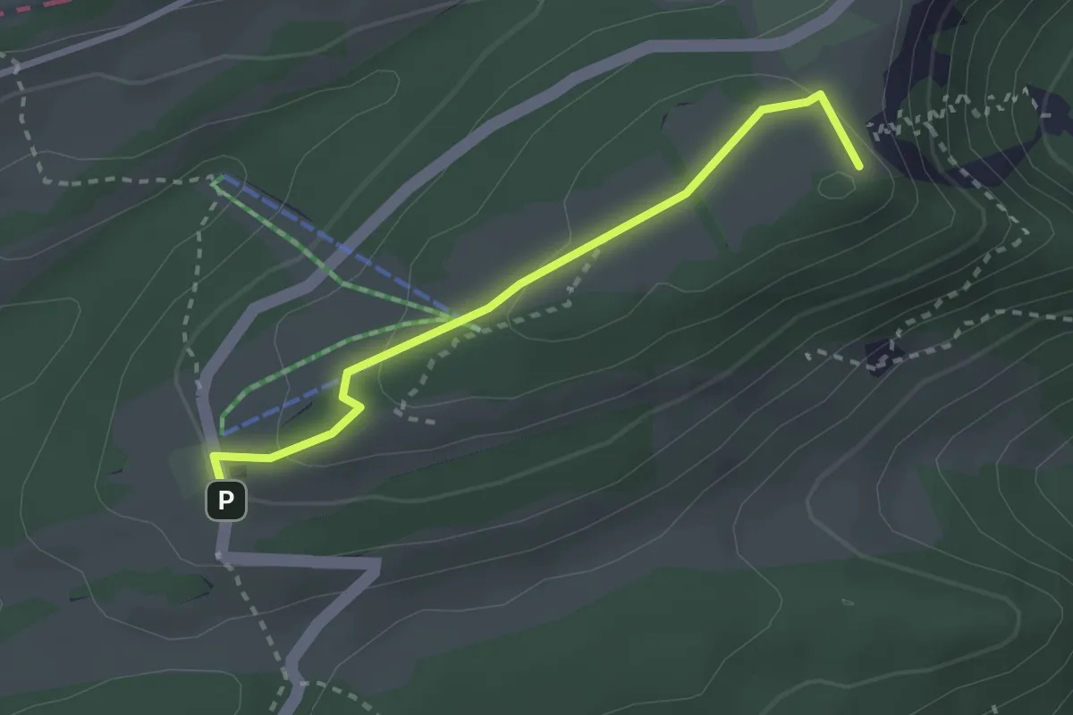
Untergrenchenberg – Obergrenchenberg
2.6 km · ↑ 90 m · 48 min
Easy · Summit
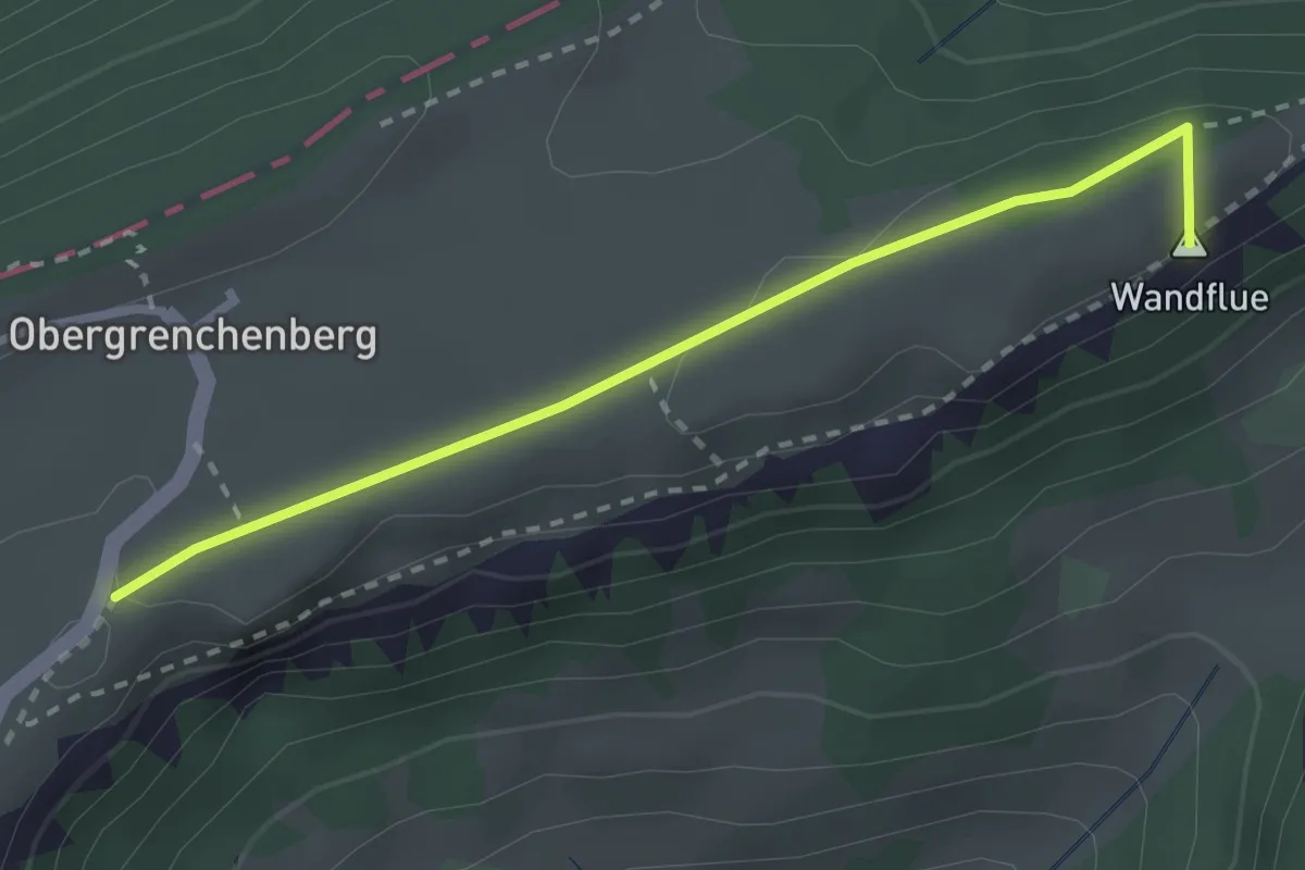
Küfferegg – Obergrenchenberg
2.6 km · ↑ 46 m · 42 min
Easy · Trail
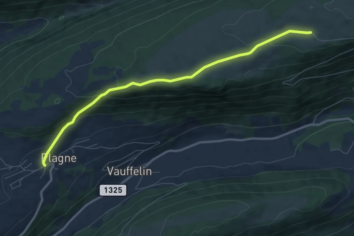
Montagne de Romont – Plagne
7.4 km · ↑ 280 m · 2 h 22 min
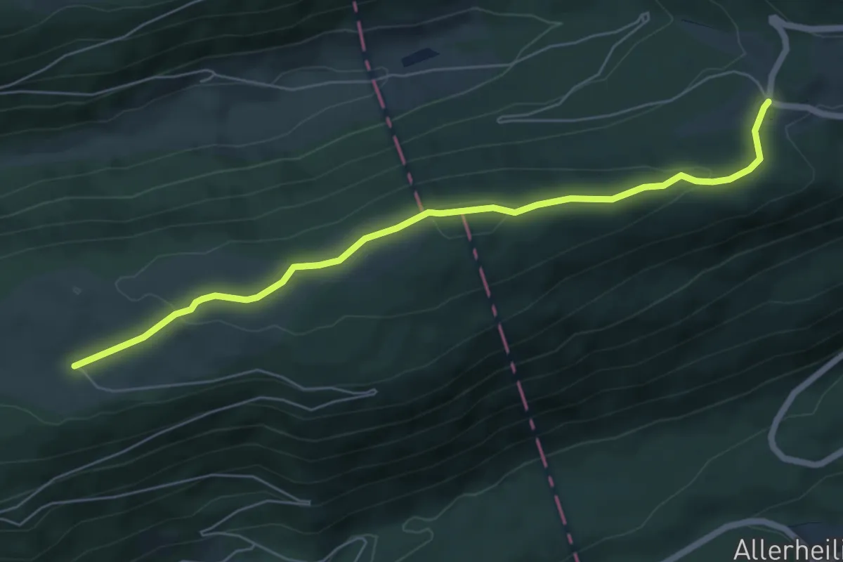
Easy · Trail
Wäsmeli – Romontberg
6.3 km · ↑ 170 m · 1 h 51 min
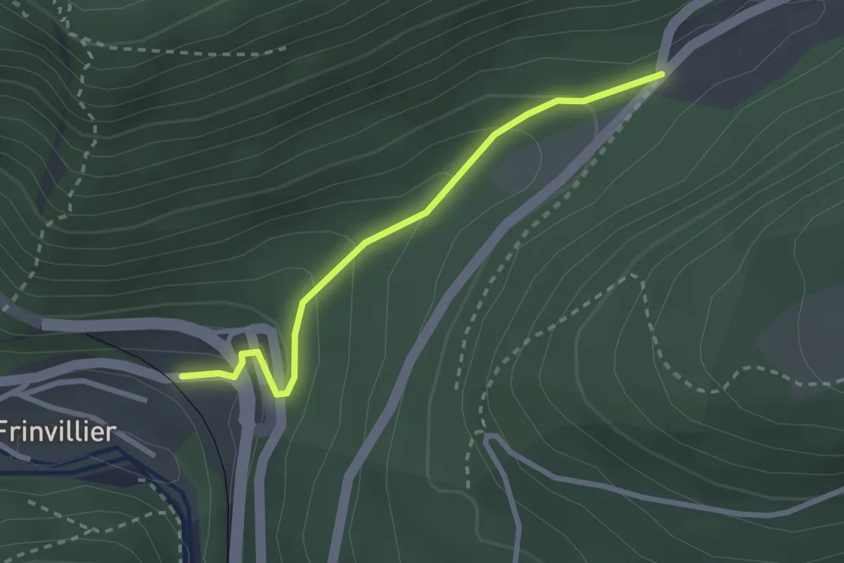
Easy · Trail
Pâturage de Sagne – Frinvillier Gare
2.4 km · ↑ 157 m · 54 min
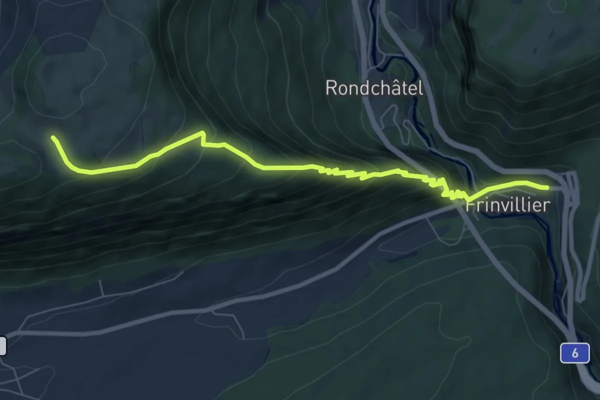
Medium · Trail
Frinvillier – Les Coperies
7.3 km · ↑ 671 m · 3 h 10 min
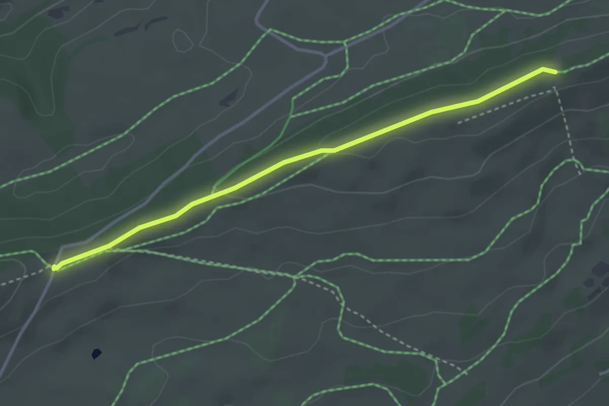
Easy · Cabin
Jurahaus – Place Centrale
3.4 km · ↑ 33 m · 52 min
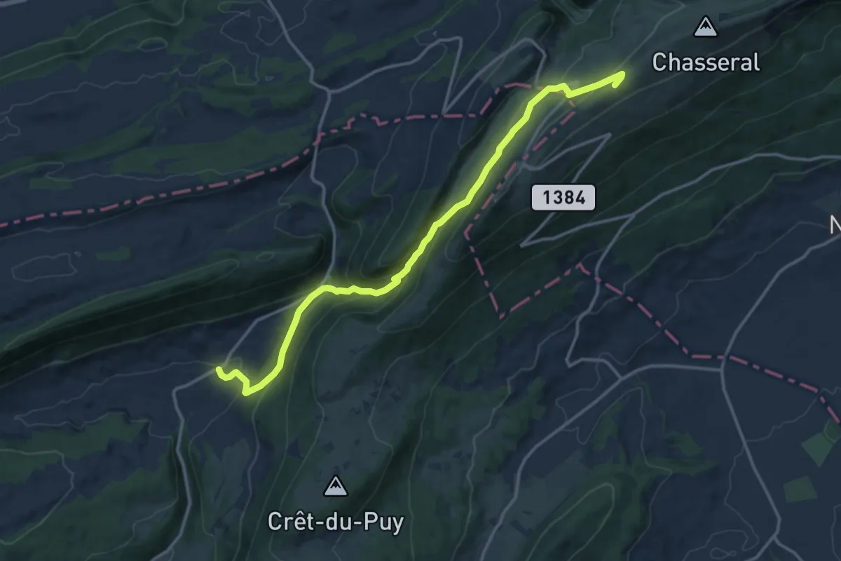
Medium · Trail
Chasseral Hôtel – Le Pâquier
13.9 km · ↑ 771 m · 4 h 58 min
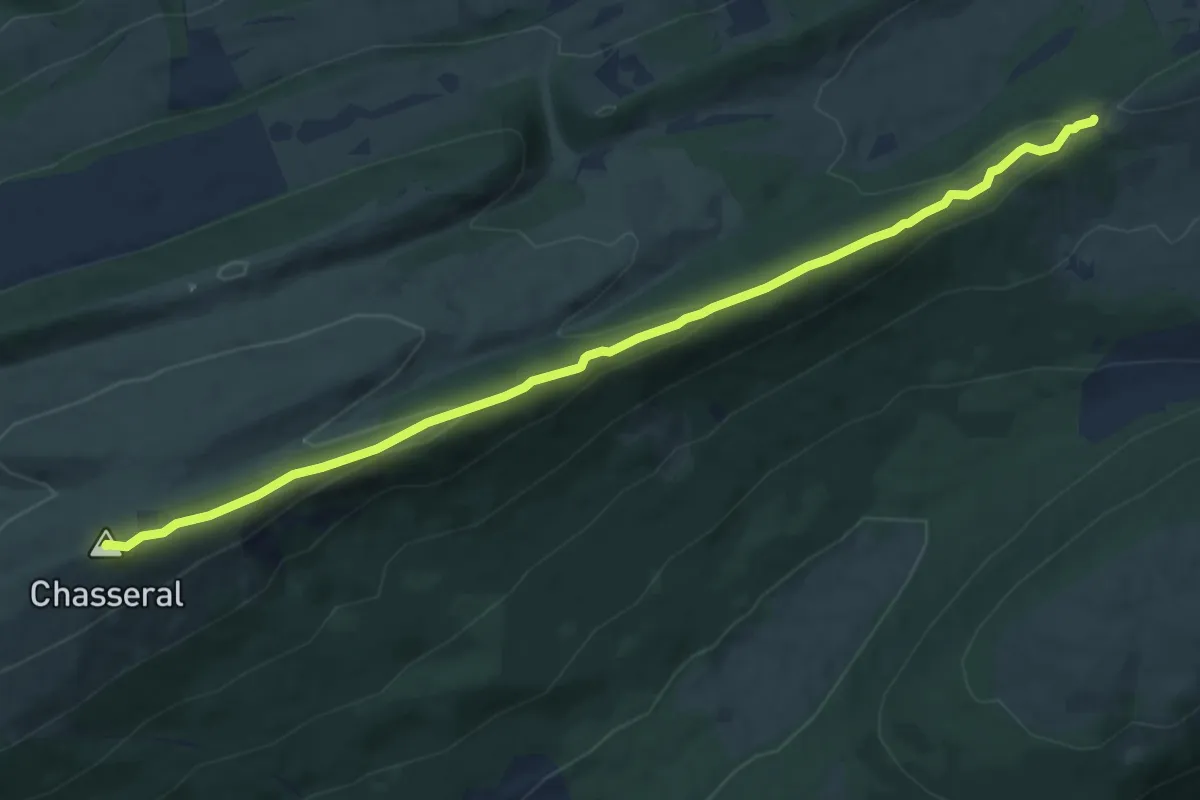
Medium · Summit
Clédar de Pierrefeu – Chasseral
10.7 km · ↑ 307 m · 3 h 11 min
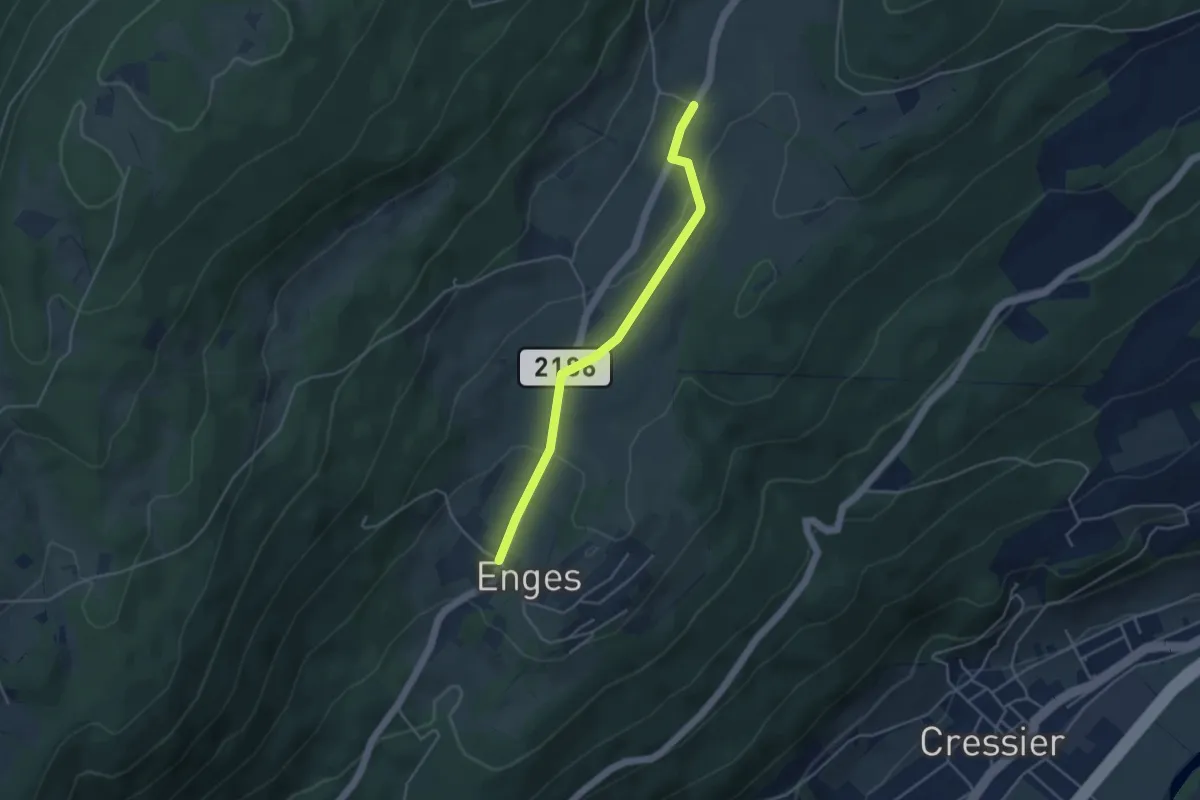
Easy · Trail
Enges – Lordel
4.0 km · ↑ 99 m · 1 h 9 min
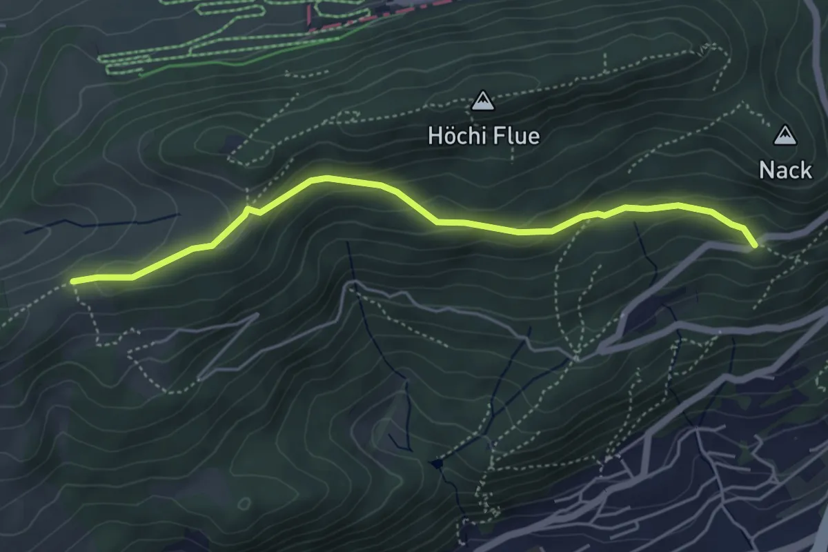
Medium · Trail
Schlosshöchi – Fridaustrasse
4.6 km · ↑ 212 m · 1 h 32 min
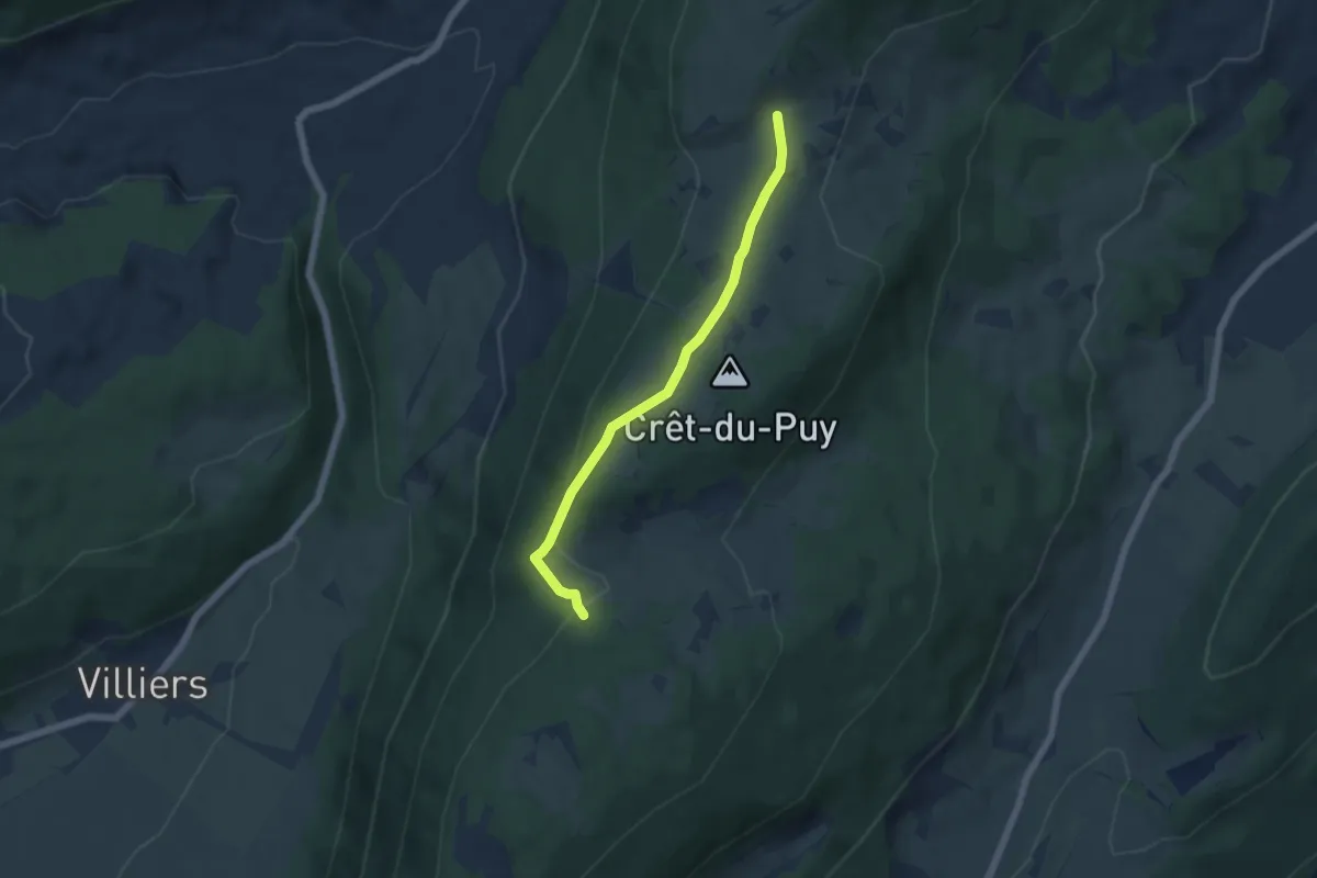
Easy · Trail
La Dame – Chuffort
5.1 km · ↑ 145 m · 1 h 32 min
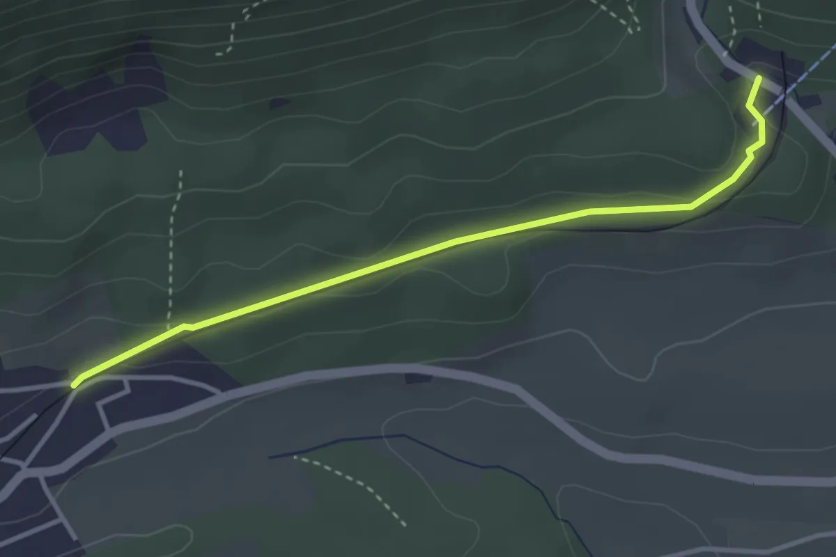
Easy · Trail
Lommiswil Im Holz – Oberdorf Talstation Gondelbahn
3.4 km · ↑ 58 m · 55 min
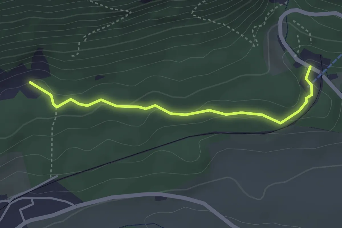
Easy · Trail
Steingruben – Oberdorf Talstation Gondelbahn
3.2 km · ↑ 95 m · 58 min
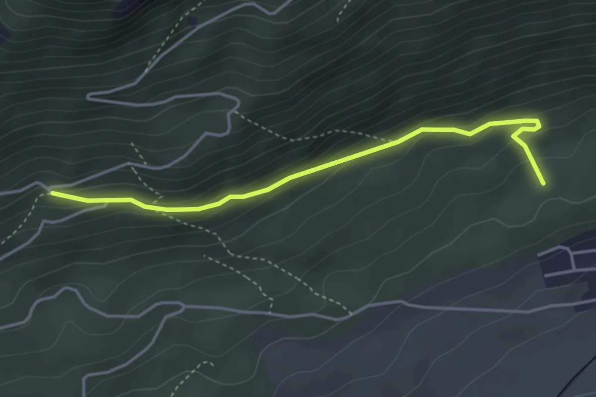
Easy · Trail
Burgbüel – Reservoir
3.8 km · ↑ 203 m · 1 h 20 min
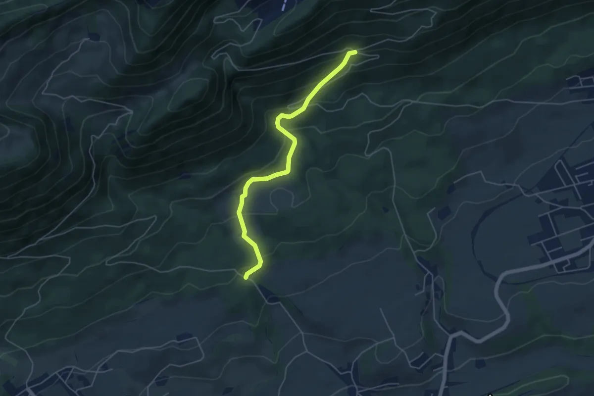
Medium · Trail
Lehmannskreuz – Burgbüel
4.7 km · ↑ 294 m · 1 h 44 min
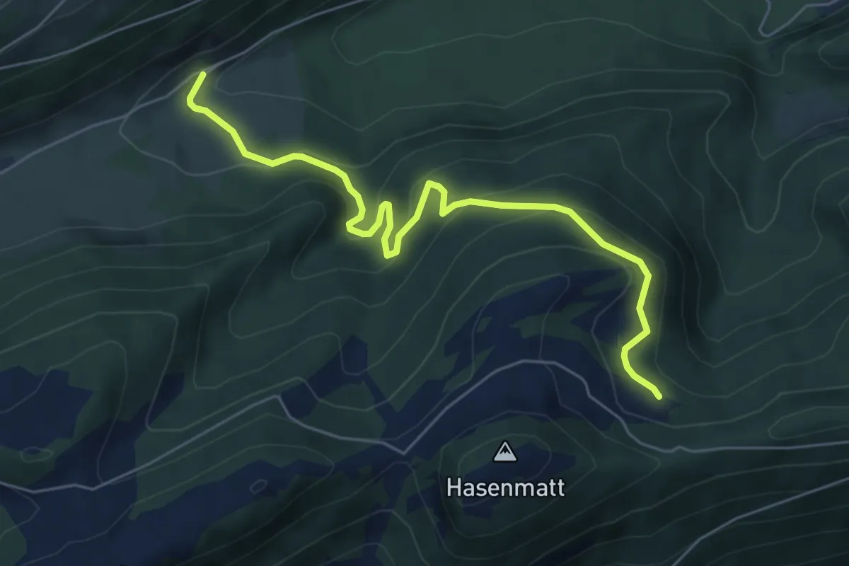
Medium · Trail
Chessel – Subigerberg
6.2 km · ↑ 349 m · 2 h 14 min
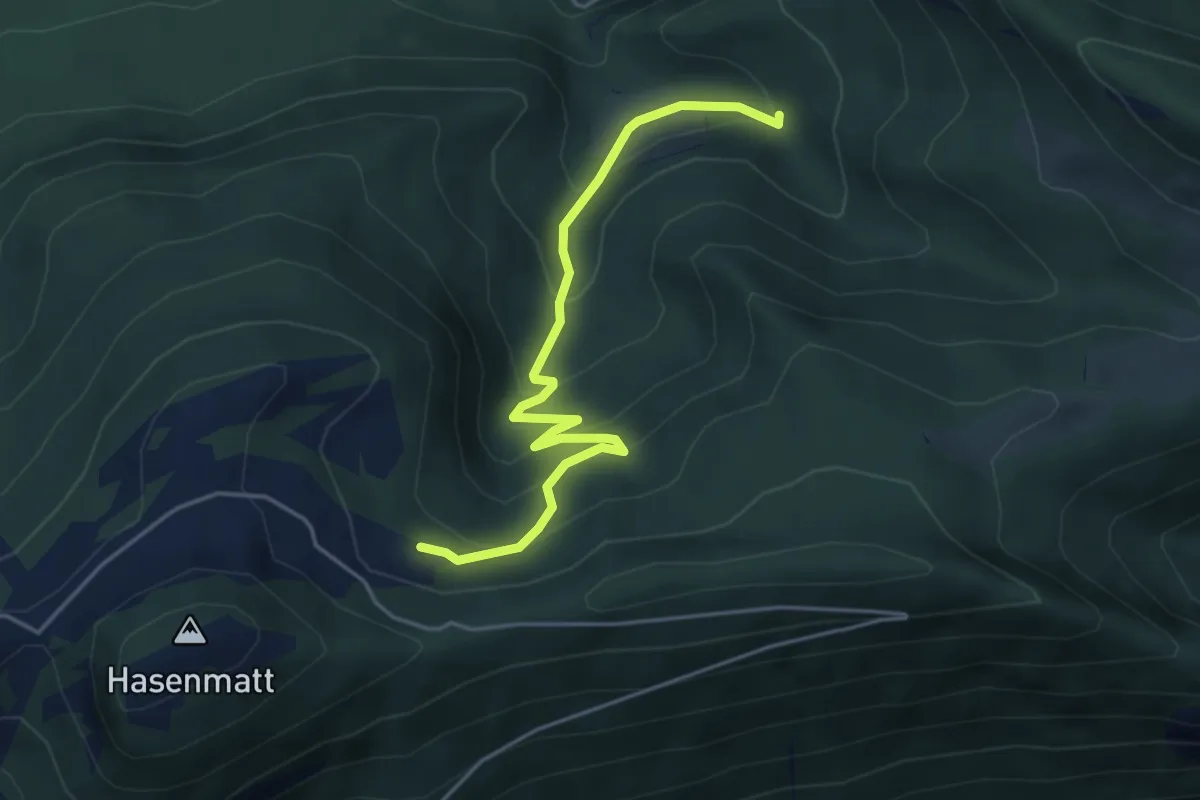
Medium · Trail
Rüschgraben – Chessel
4.6 km · ↑ 384 m · 1 h 55 min
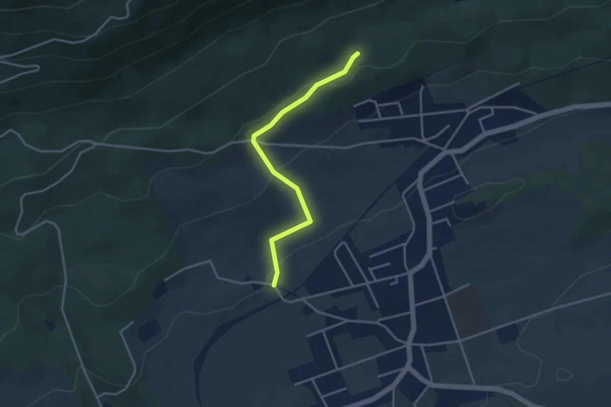
Easy · Trail
Reservoir – Breiten
2.8 km · ↑ 111 m · 55 min
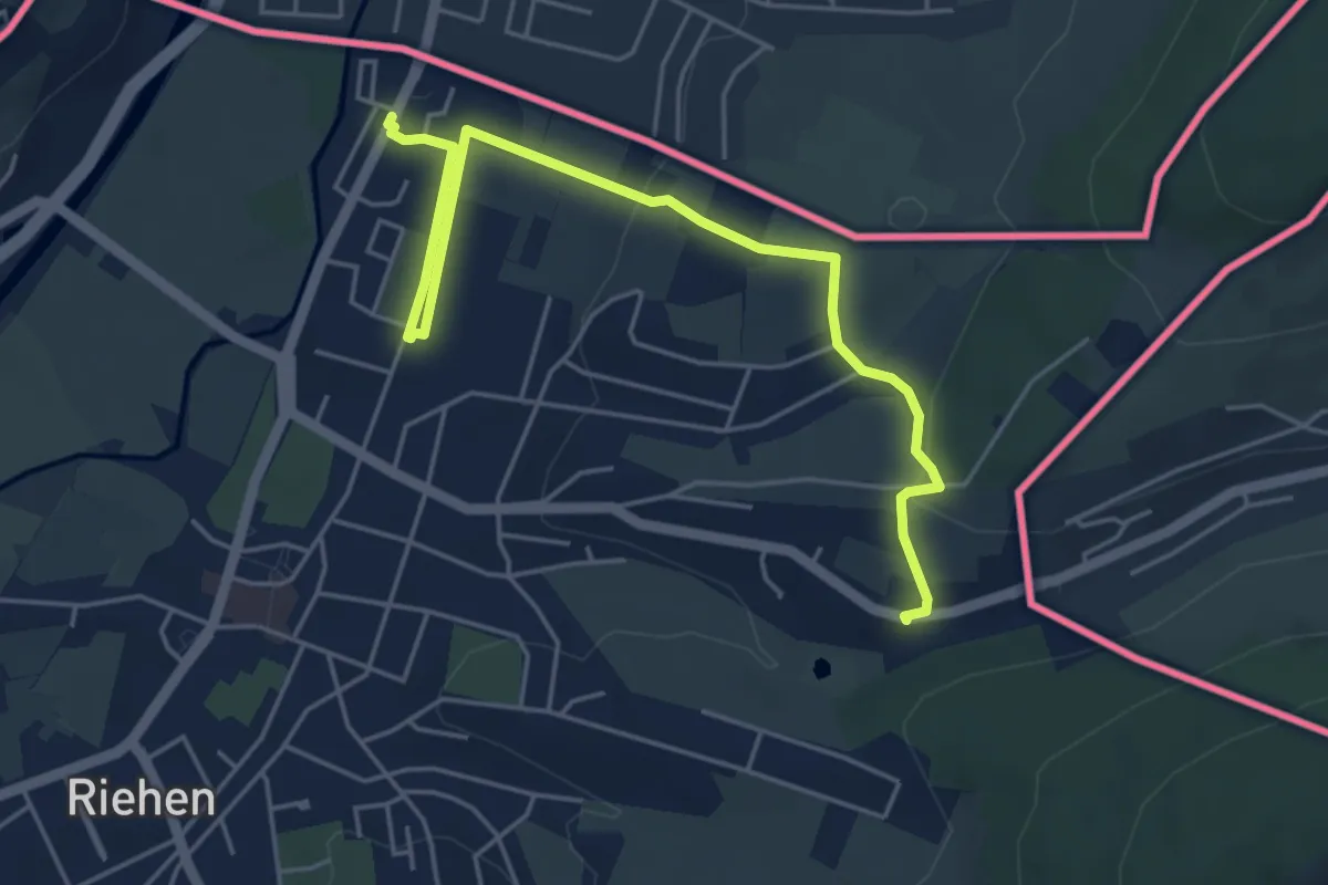
Easy · Trail
In der Au – Riehen Grenze
5.6 km · ↑ 114 m · 1 h 34 min
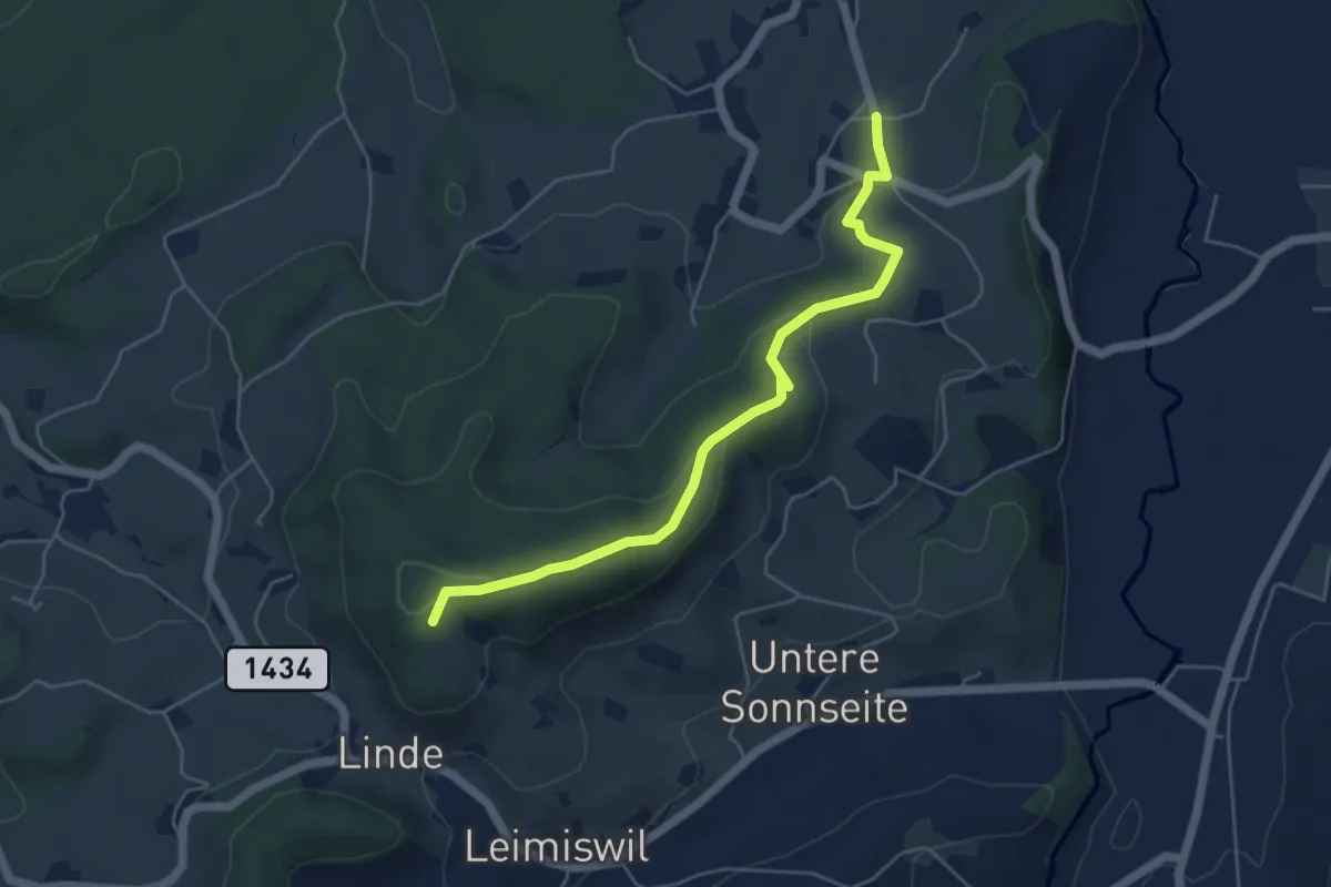
Easy · Trail
Spiegelberg – Gütsch
5.3 km · ↑ 168 m · 1 h 37 min
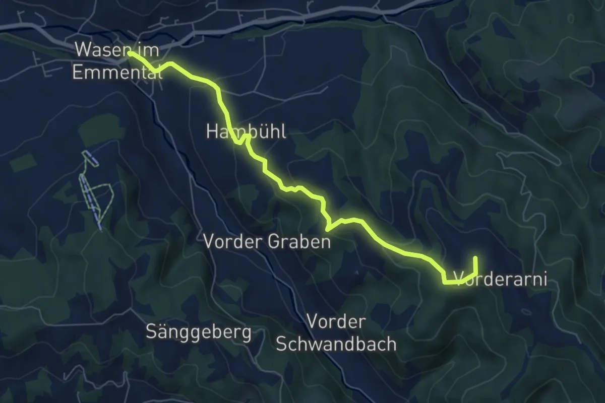
Medium · Summit
Wasen i. E. – Vorderarni
6.8 km · ↑ 368 m · 2 h 24 min
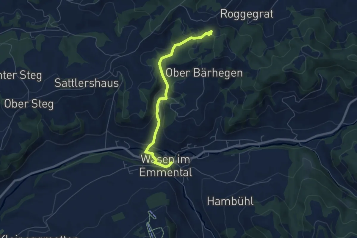
Easy · Trail
Wasen i. E. – Bärhegenchnübeli
5.4 km · ↑ 205 m · 1 h 44 min
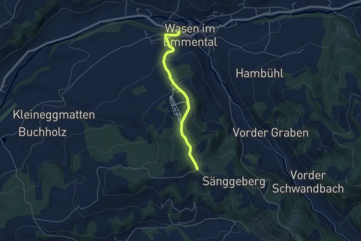
Easy · Trail
Wasen i. E. – Sänggli
4.2 km · ↑ 247 m · 1 h 31 min
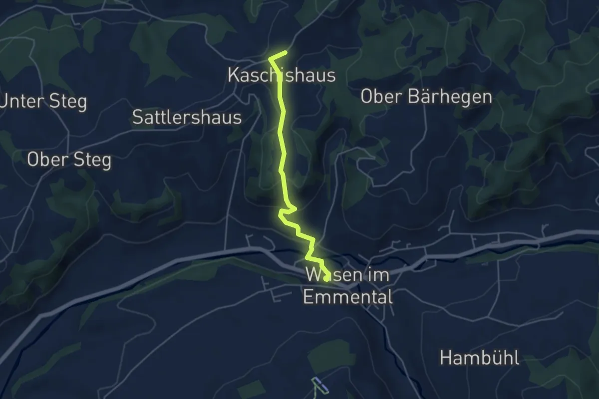
Easy · Trail
Wasen i. E. – Schoneeg Dräjerhüsli
3.8 km · ↑ 149 m · 1 h 13 min
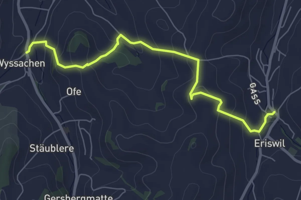
Easy · Trail
Eriswil – Wyssachen
6.0 km · ↑ 274 m · 2 h 1 min
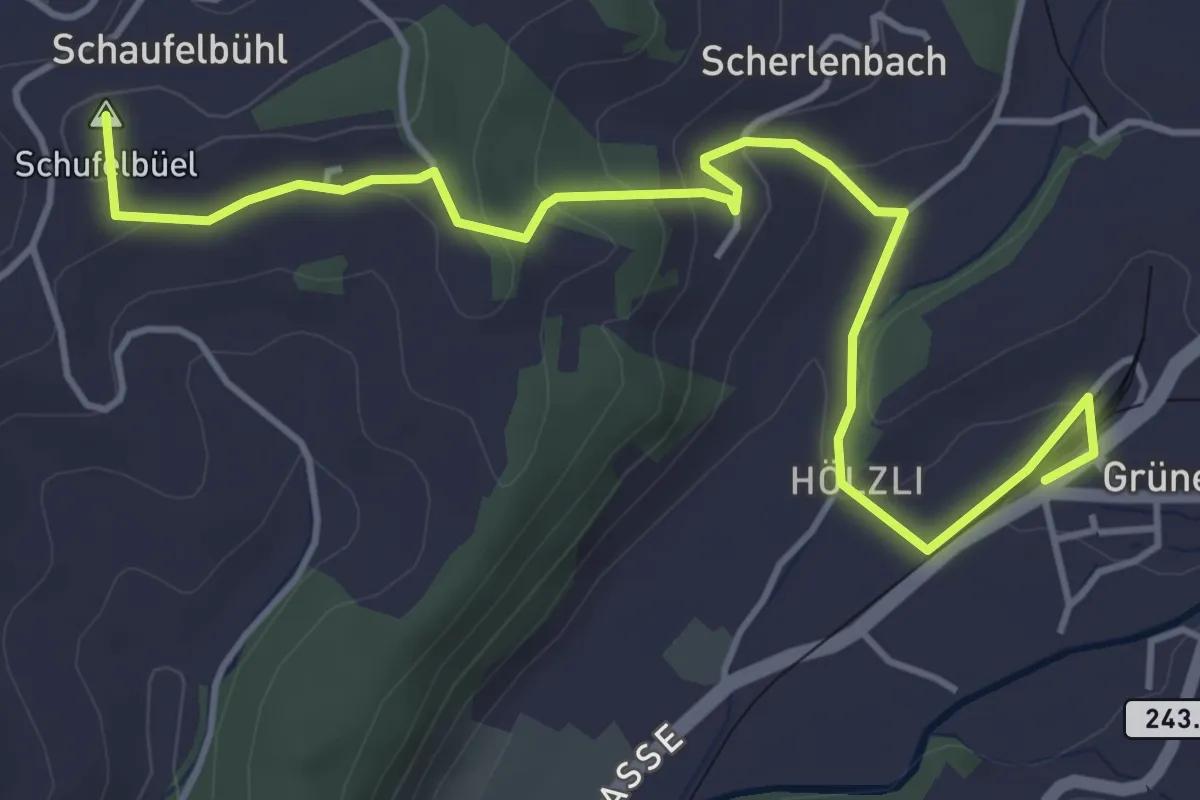
Easy · Summit
Sumiswald/Grünen – Schaufelbüehlneuhaus
5.3 km · ↑ 166 m · 1 h 37 min
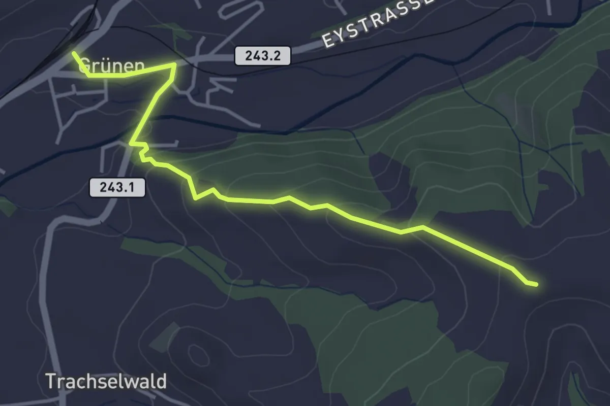
Easy · Trail
Sumiswald/Grünen – Haretegg
3.9 km · ↑ 163 m · 1 h 17 min
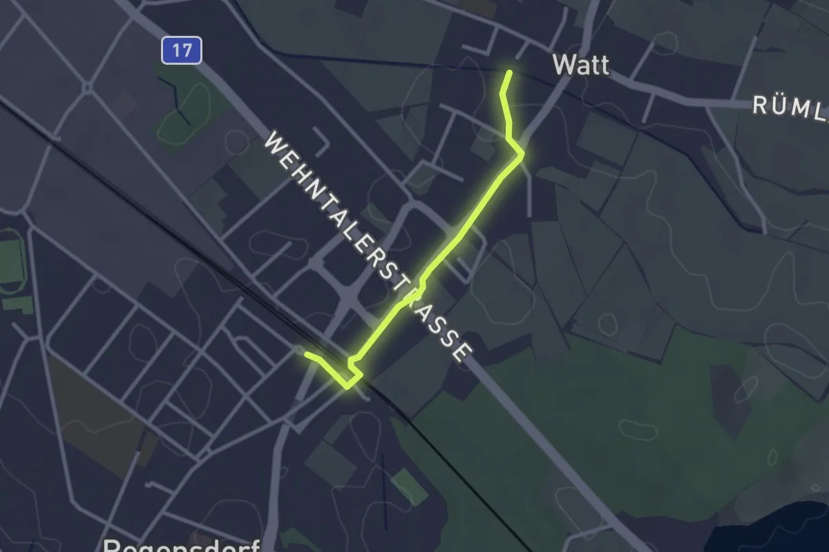
Easy · Trail
Regensdorf Bahnhof – Watt
2.3 km · ↑ 0 m · 32 min
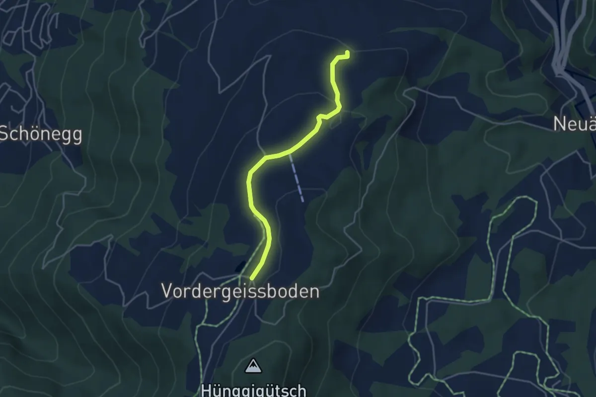
Easy · Trail
Vorder Geissboden – Ober Brunegg
3.5 km · ↑ 82 m · 1 h
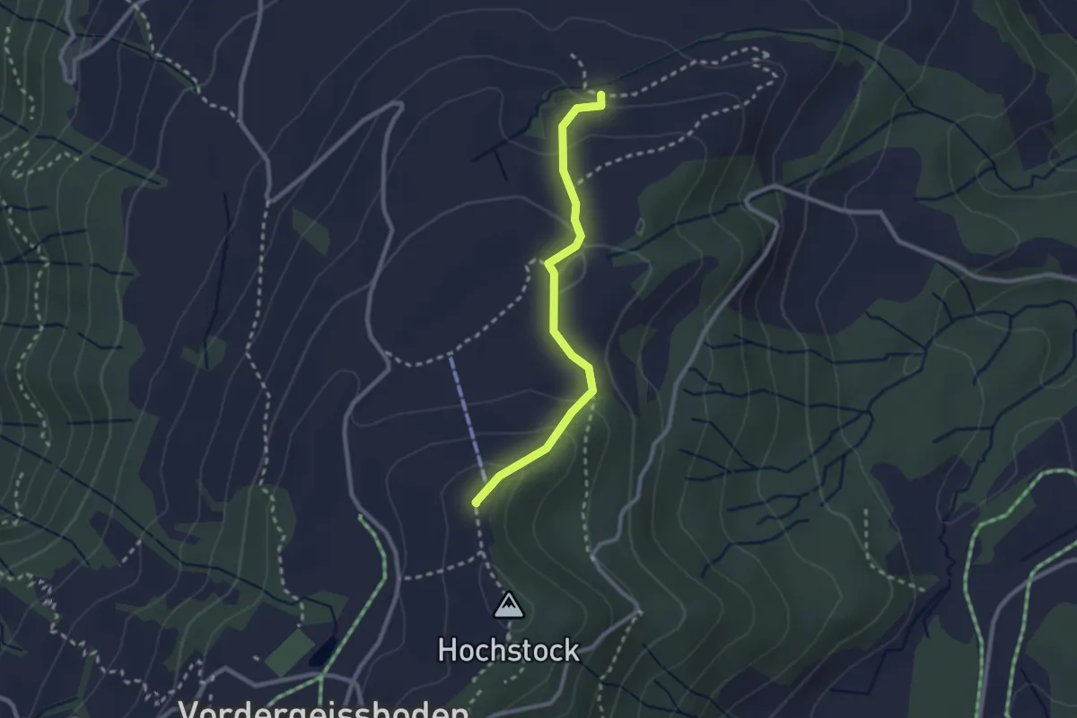
Easy · Summit
Ober Brunegg – Hochwacht
2.3 km · ↑ 110 m · 47 min
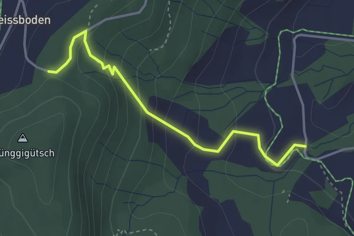
Easy · Trail
Hünggigütsch Sätteli – Hünggi
2.9 km · ↑ 187 m · 1 h 6 min
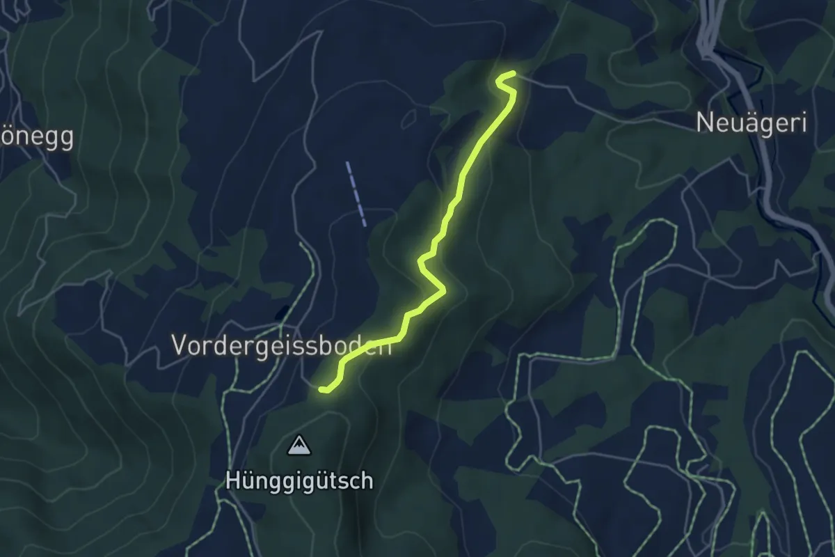
Easy · Trail
Hünggigütsch Sätteli – Brunegg
3.9 km · ↑ 194 m · 1 h 20 min
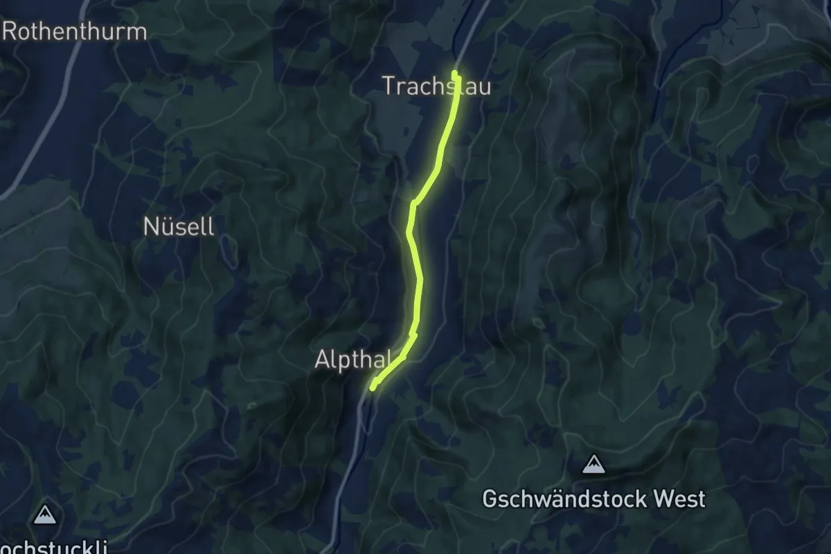
Easy · Trail
Trachslau – Alpthal
7.5 km · ↑ 94 m · 1 h 58 min
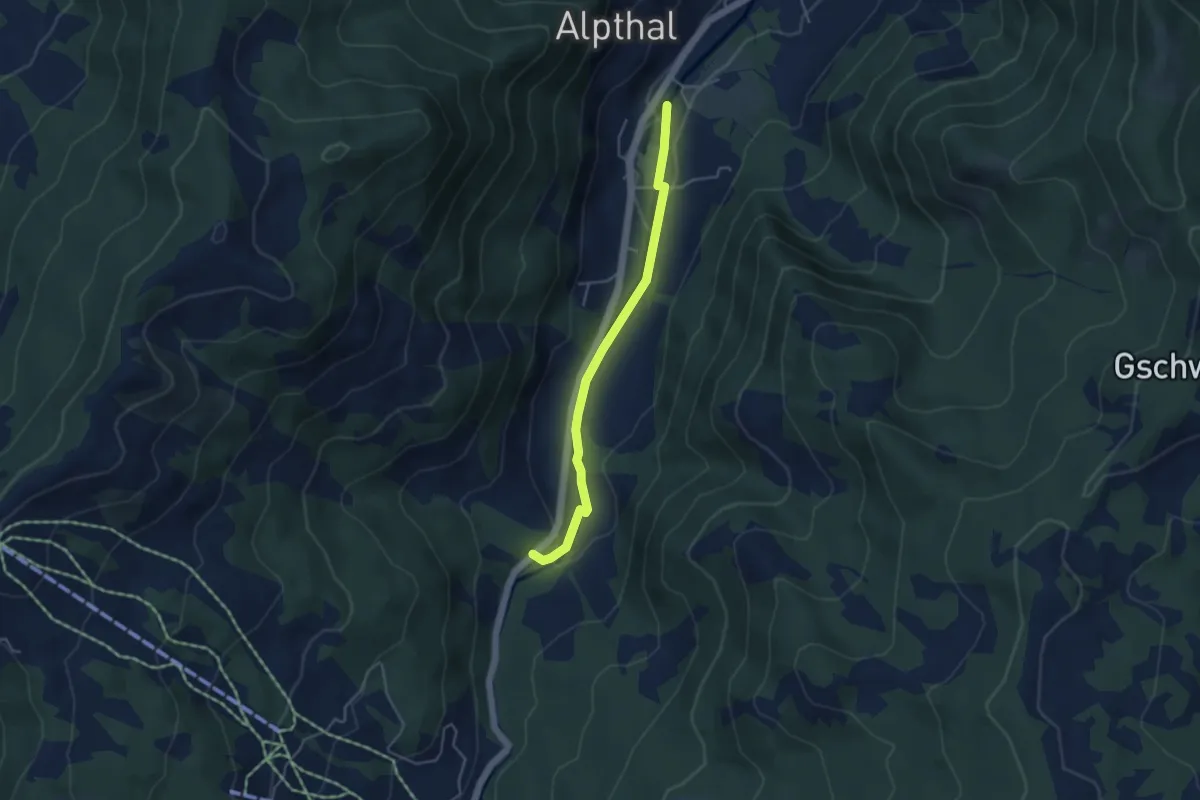
Easy · Trail
Alpthal – Stei
4.0 km · ↑ 79 m · 1 h 7 min
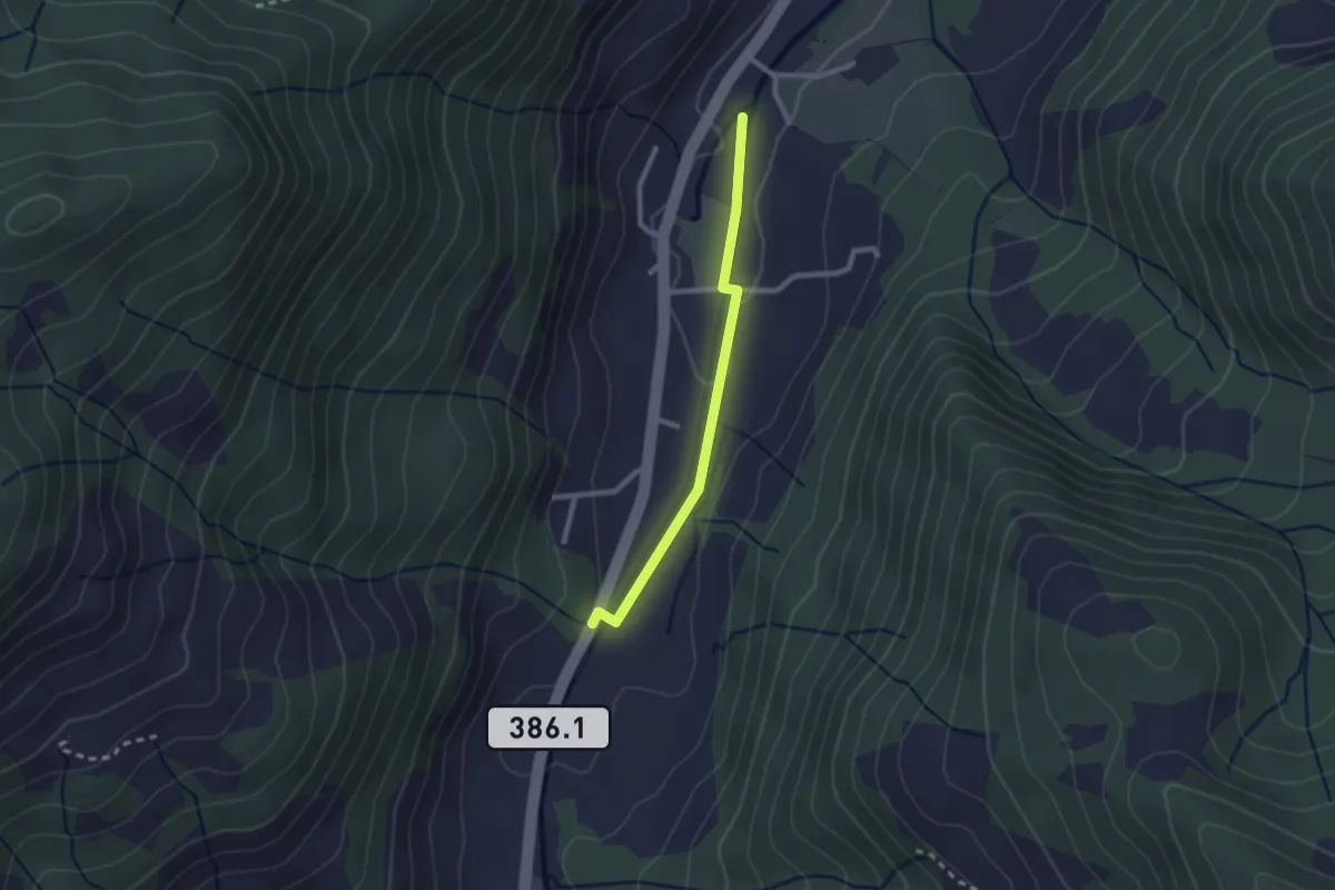
Easy · Trail
Alpthal – Malosen
2.1 km · ↑ 39 m · 35 min
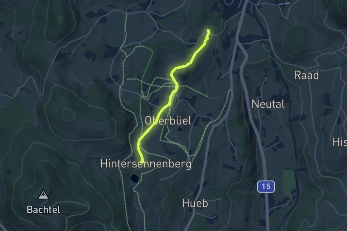
Easy · Trail
Wissengubel – Hinterer Sennenberg
3.5 km · ↑ 111 m · 1 h 4 min
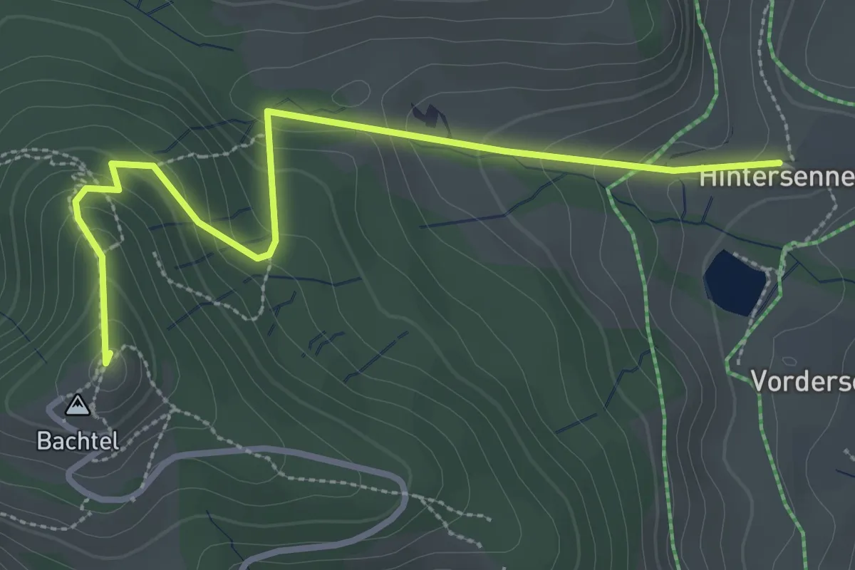
Easy · Summit
Hinterer Sennenberg – Bachtel
3.2 km · ↑ 193 m · 1 h 11 min
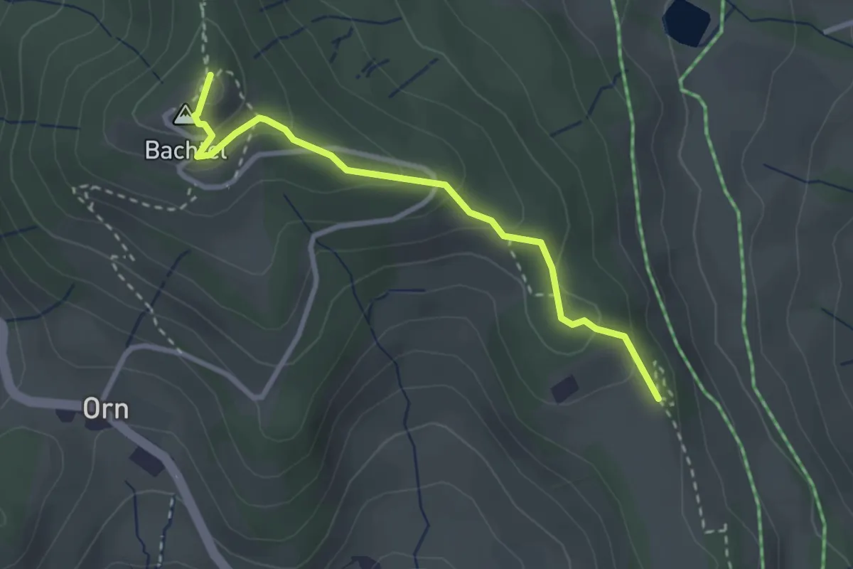
Easy · Summit
Bachtel – Bachtelspalt
2.7 km · ↑ 129 m · 55 min
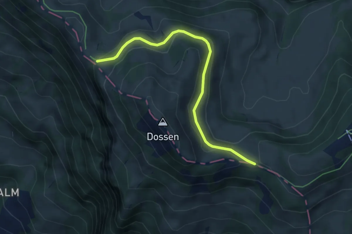
Easy · Trail
Hinder Dossen – Unterstetten
4.5 km · ↑ 128 m · 1 h 21 min
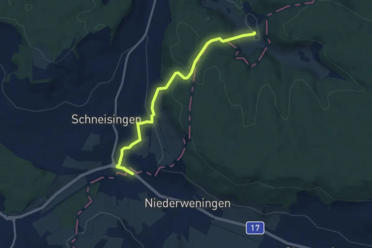
Easy · Trail
Niederweningen – Rütihof
7.3 km · ↑ 257 m · 2 h 17 min
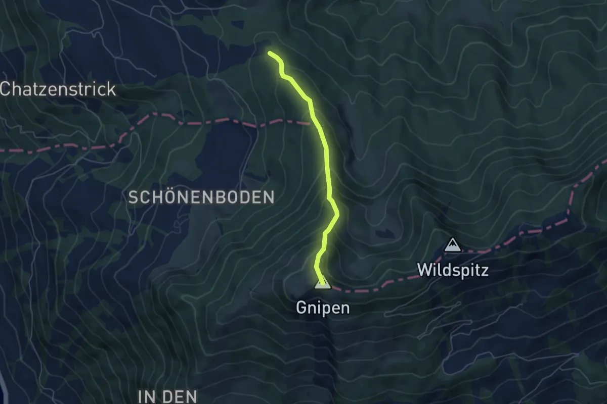
Medium · Summit
Heumoosegg – Ob. Beichli
4.4 km · ↑ 421 m · 1 h 57 min
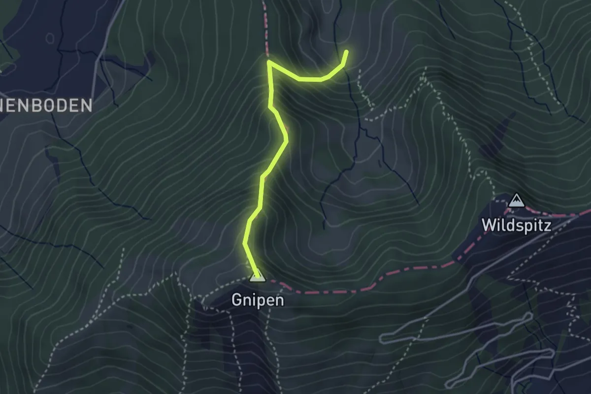
Medium · Summit
Alpli – Ober Beichli
2.8 km · ↑ 371 m · 1 h 27 min