Trails in Switzerland
15,055 hiking trails, each with its route, climb, walking time and grade.
All trails, page 264 of 314
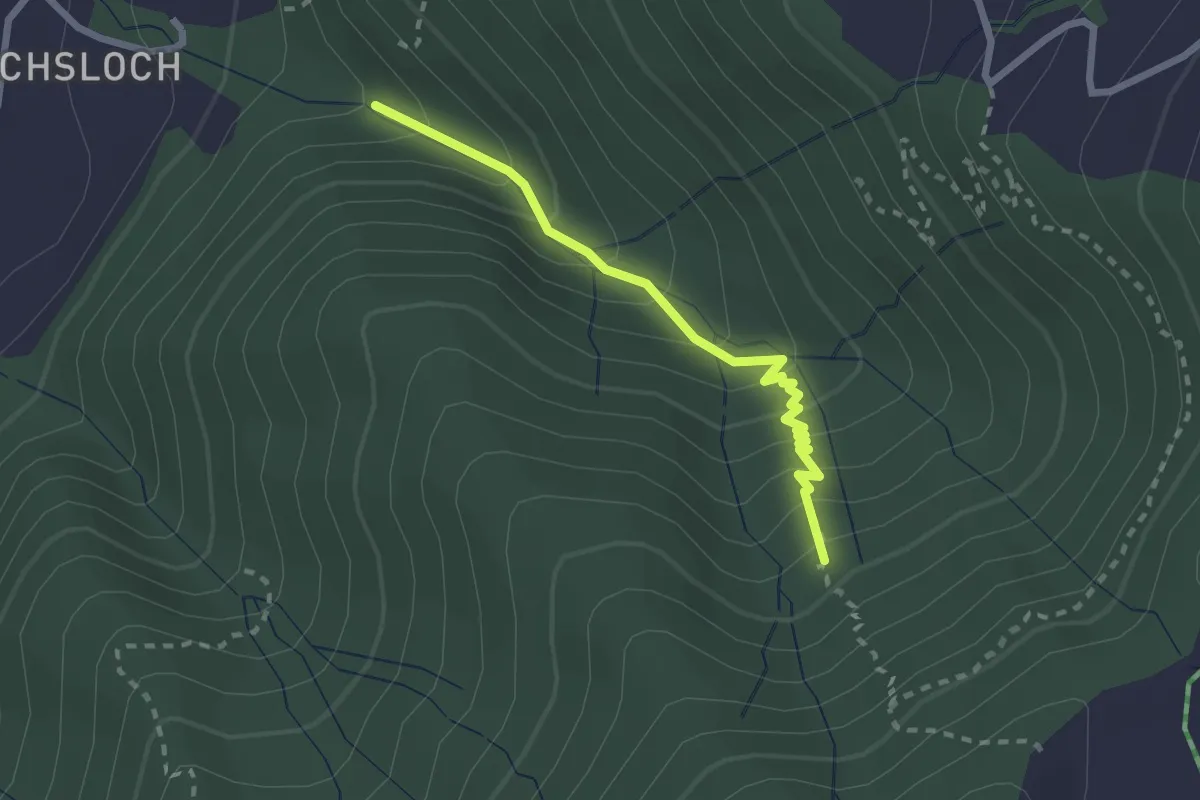
Easy · Trail
Mülibachbrücke – Zügli
2.3 km · ↑ 227 m · 1 h 2 min
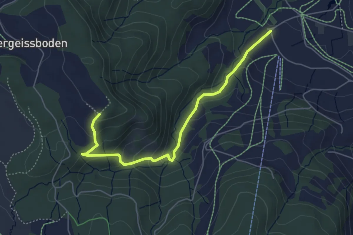
Easy · Trail
Räbrüti – Boden
4.7 km · ↑ 241 m · 1 h 38 min
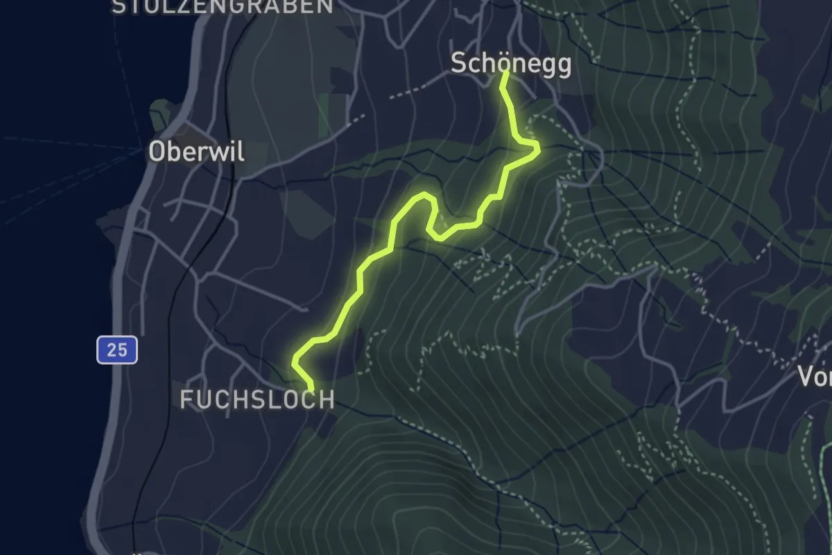
Easy · Trail
Franziskusheim – Schönegg
3.3 km · ↑ 200 m · 1 h 12 min
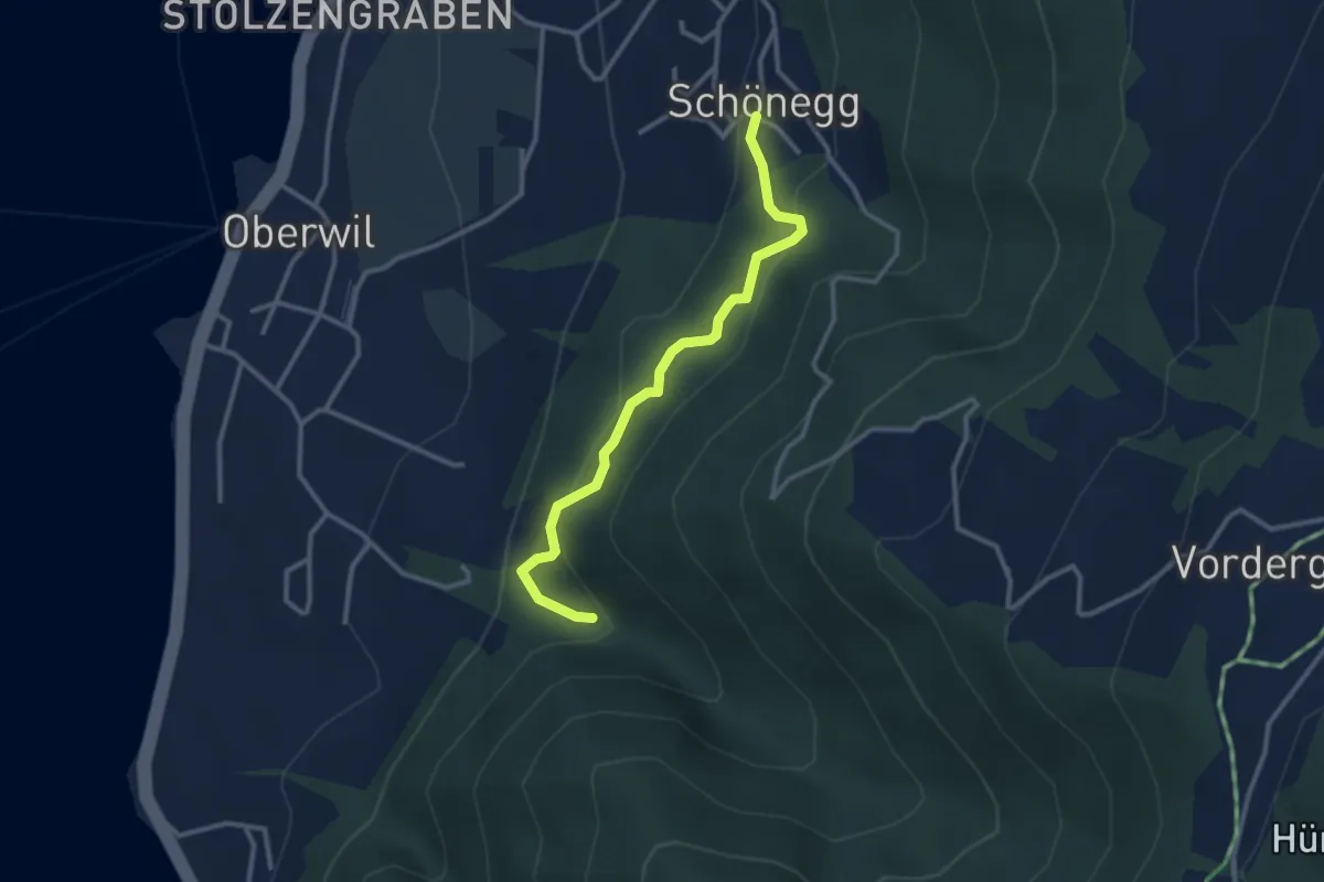
Easy · Trail
Mülibachbrücke – Schönegg
2.9 km · ↑ 214 m · 1 h 9 min
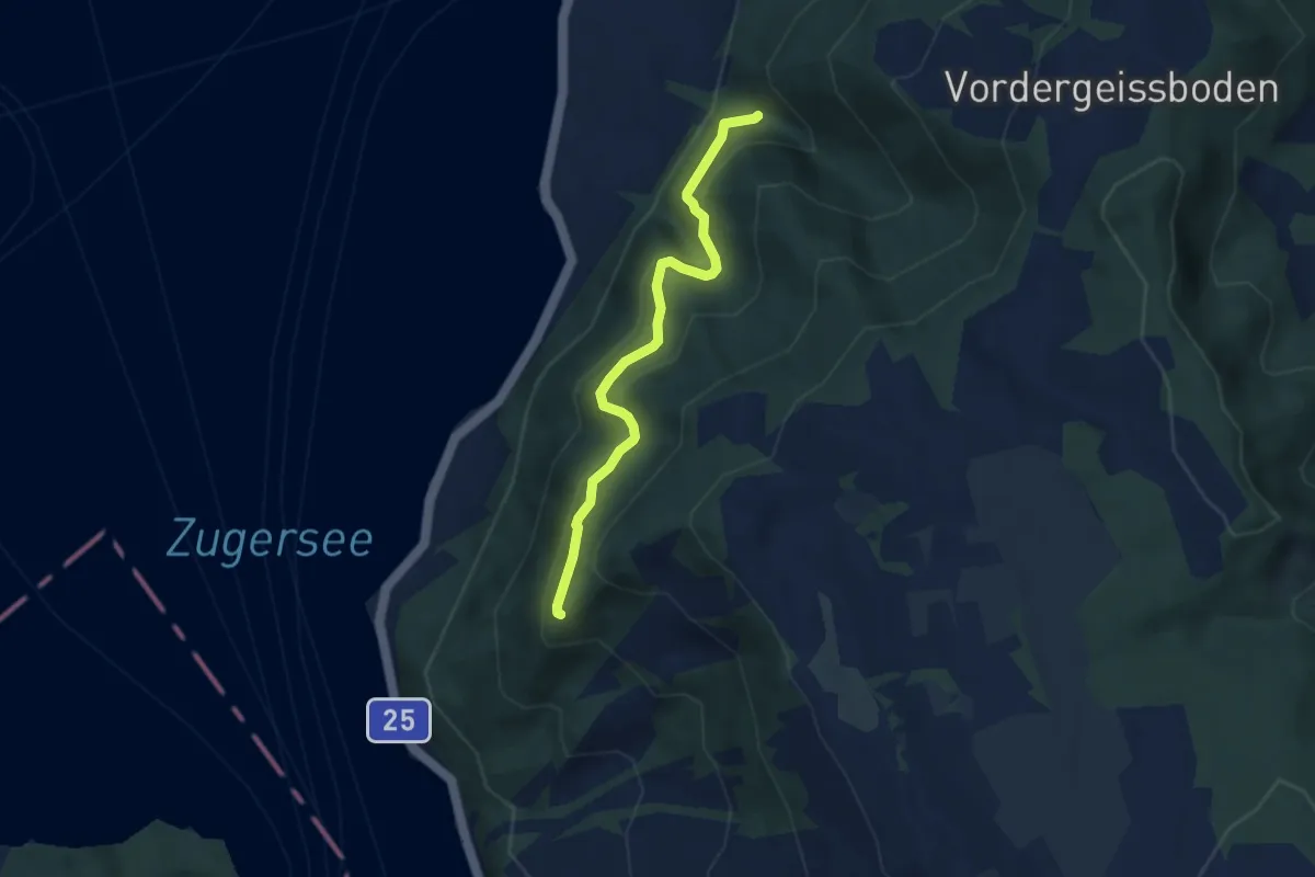
Medium · Trail
Mülibachbrücke – Eielenwaldhütte
5.8 km · ↑ 414 m · 2 h 15 min
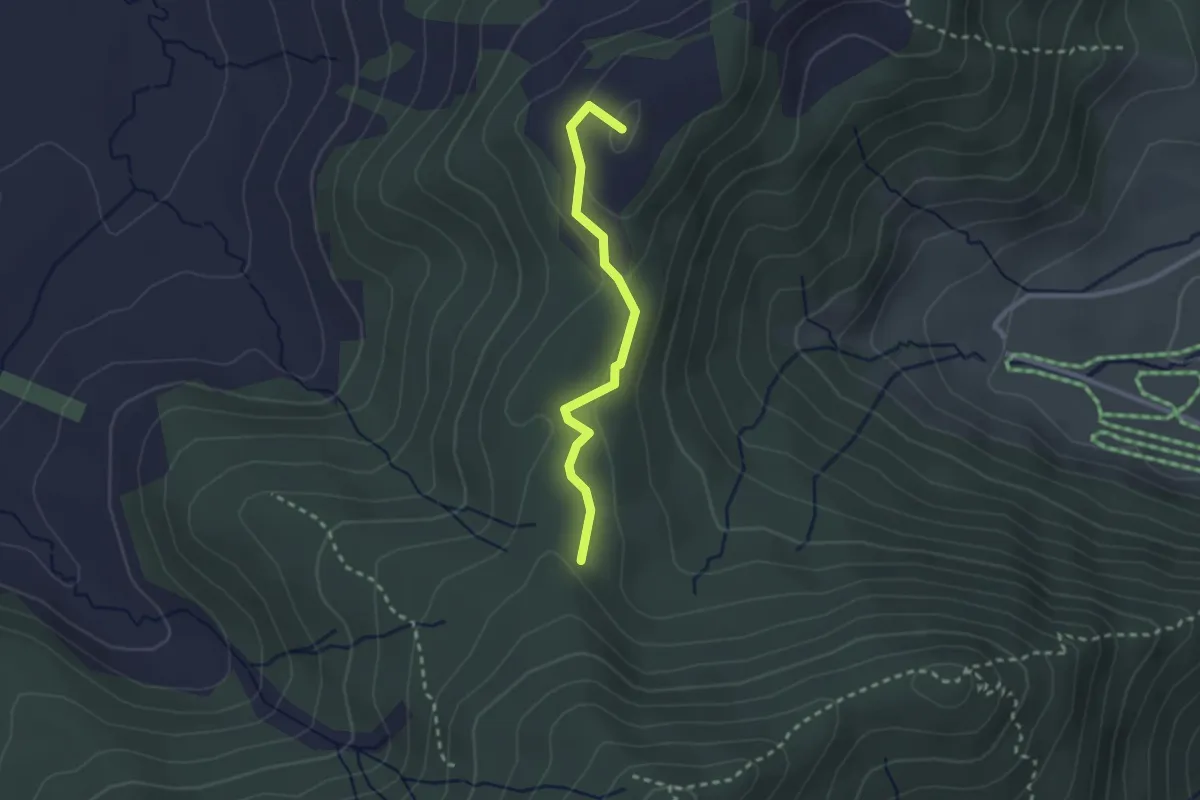
Easy · Summit
Hundwileren – Schwyzeren
2.3 km · ↑ 59 m · 40 min
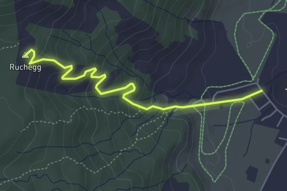
Easy · Summit
Trachslau – Ruchegg
4.4 km · ↑ 294 m · 1 h 41 min
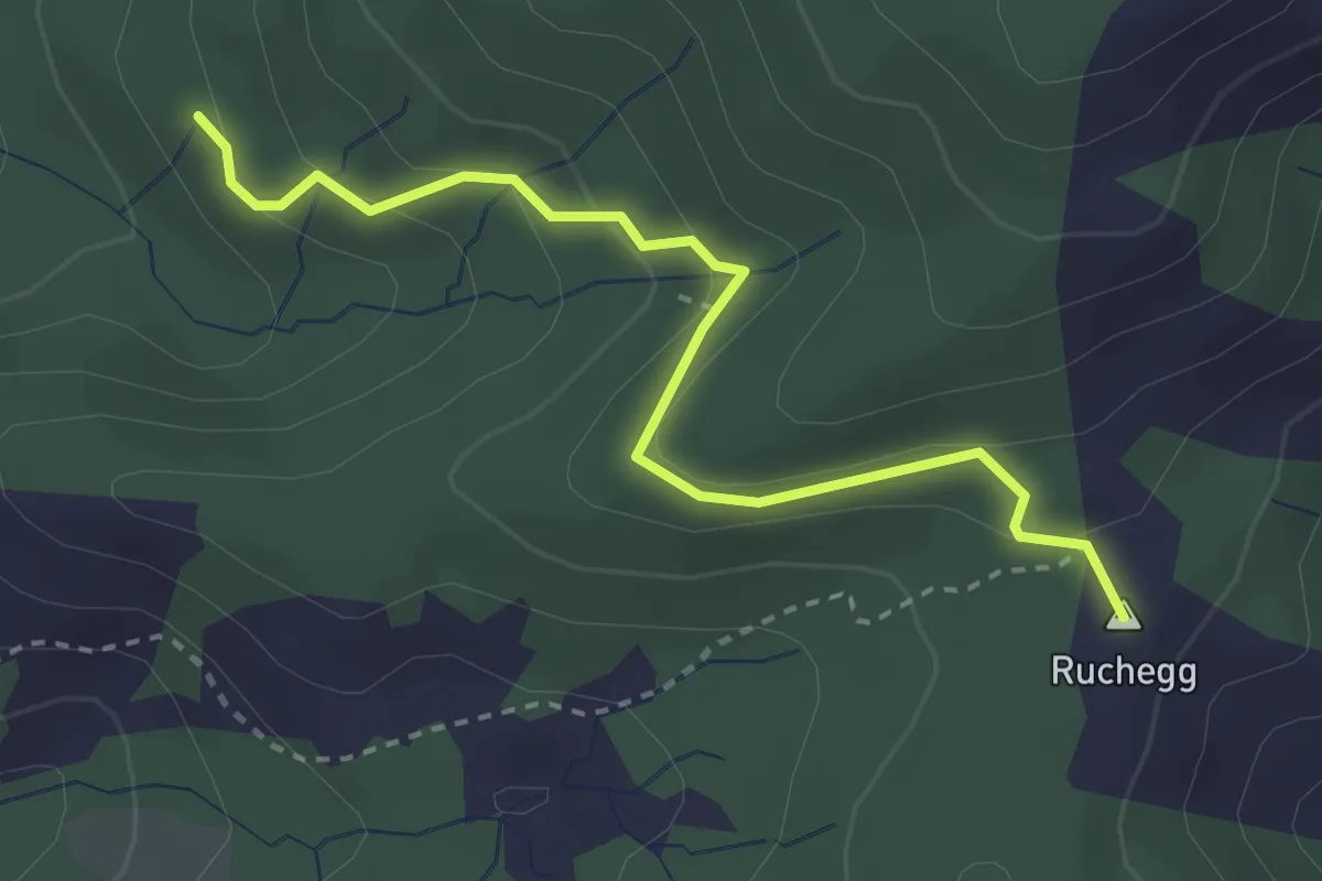
Easy · Summit
Herrenwald – Ruchegg
3.1 km · ↑ 159 m · 1 h 4 min
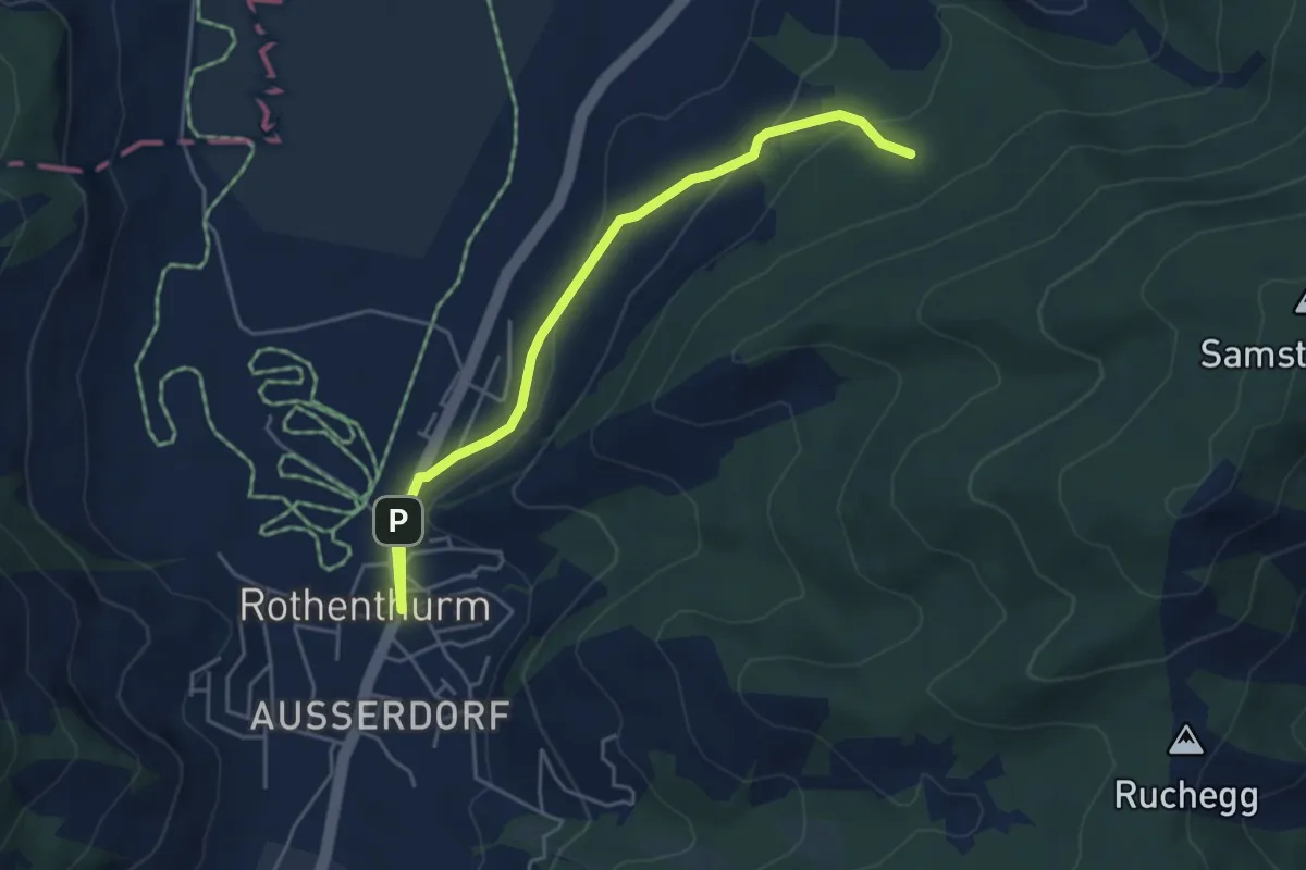
Easy · Trail
Cholholz – Rothenthurm
4.8 km · ↑ 149 m · 1 h 27 min
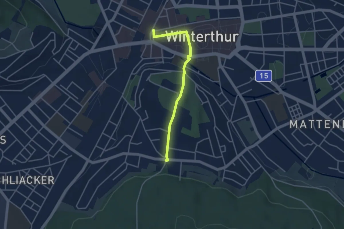
Easy · Trail
Winterthur – Breiti
2.9 km · ↑ 53 m · 47 min
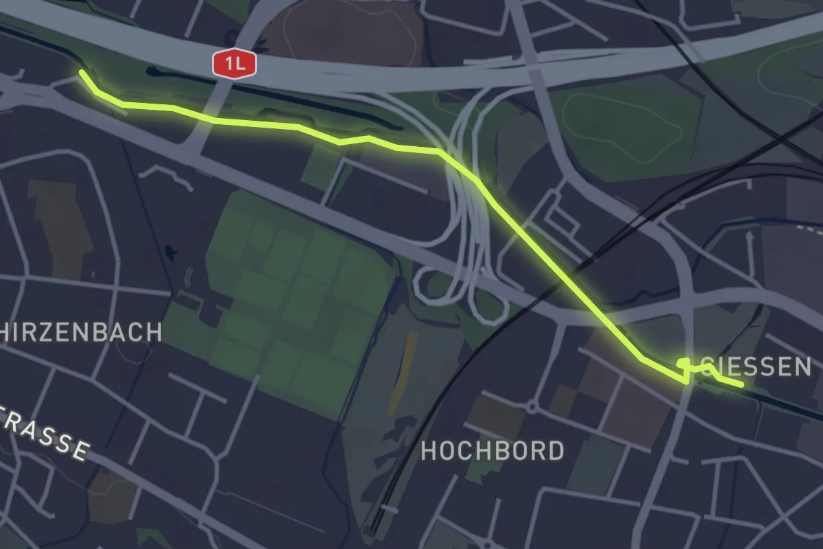
Easy · Trail
Schwamendingen Brücke – Giessen
3.7 km · ↑ 13 m · 54 min
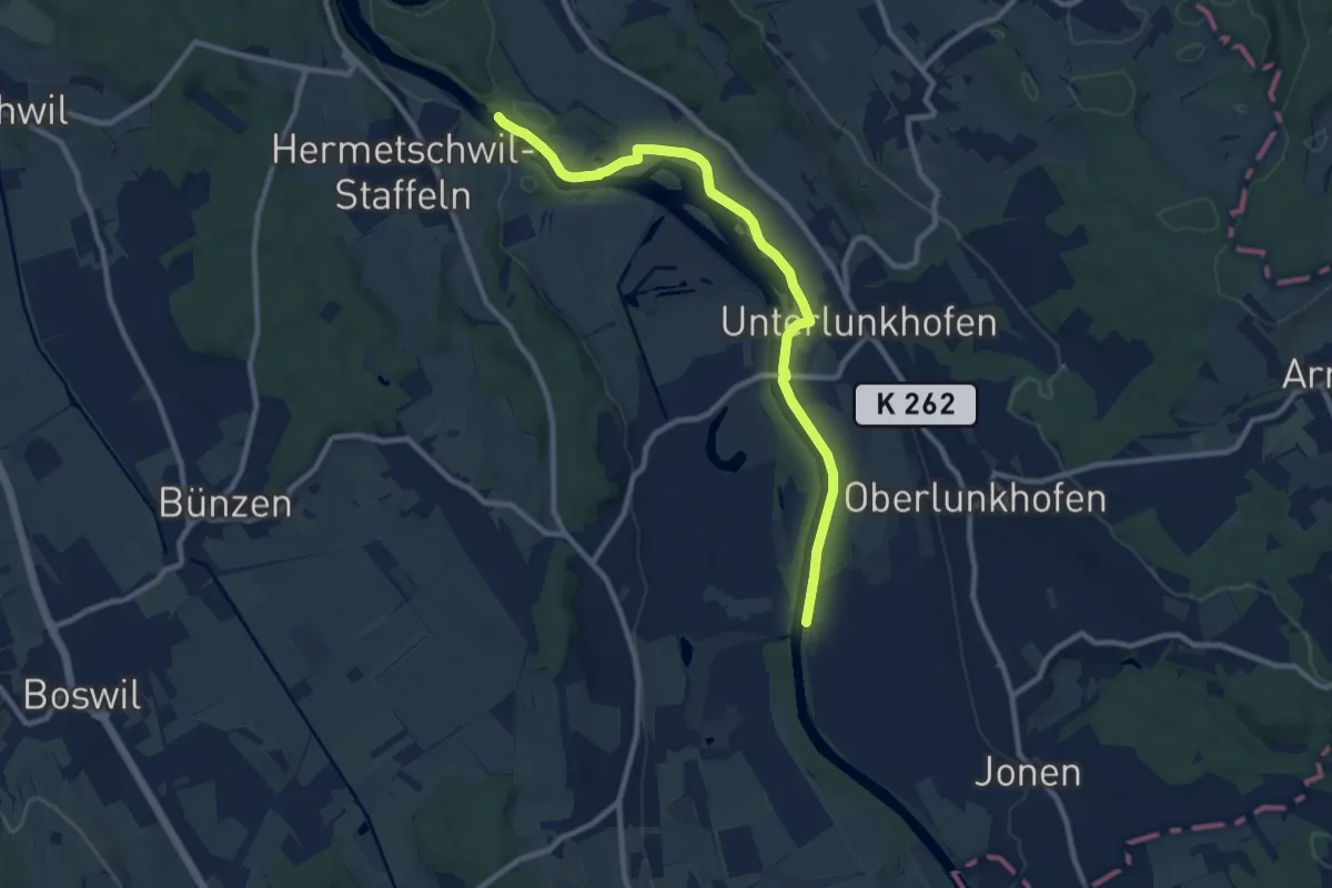
Medium · Trail
Dominolochsteg – Brücke Werd (ost)
10.1 km · ↑ 34 m · 2 h 28 min
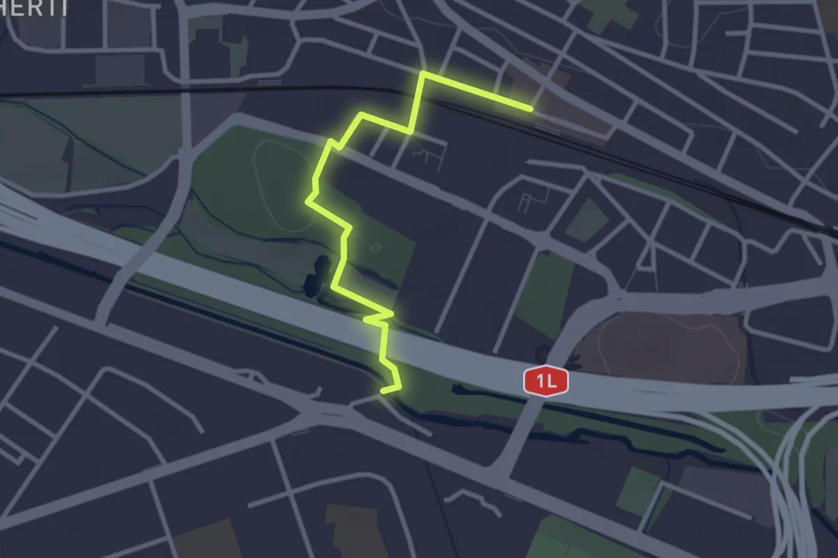
Easy · Trail
Schwamendingen Brücke – Wallisellen
2.8 km · ↑ 39 m · 44 min
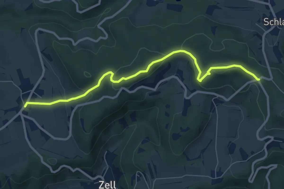
Easy · Trail
Oberlangenhard – Hand
6.5 km · ↑ 289 m · 2 h 10 min
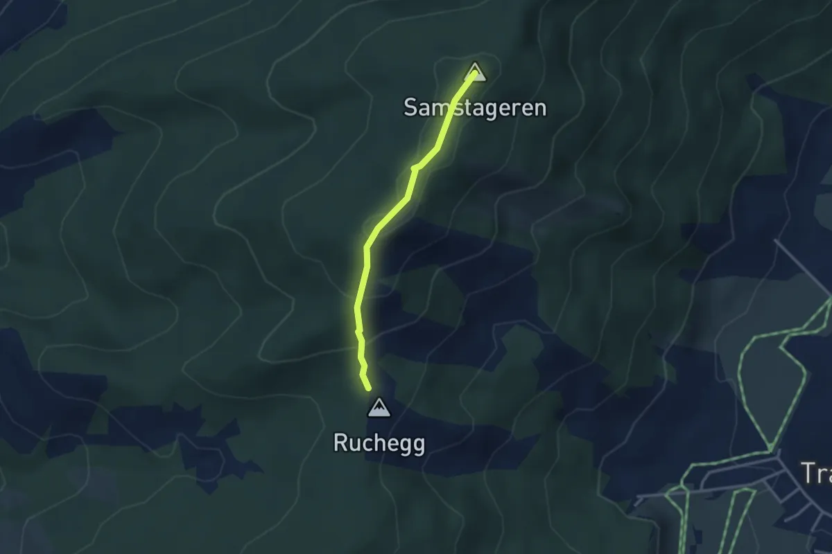
Easy · Summit
Ruchegg – Windwurf
2.5 km · ↑ 145 m · 54 min
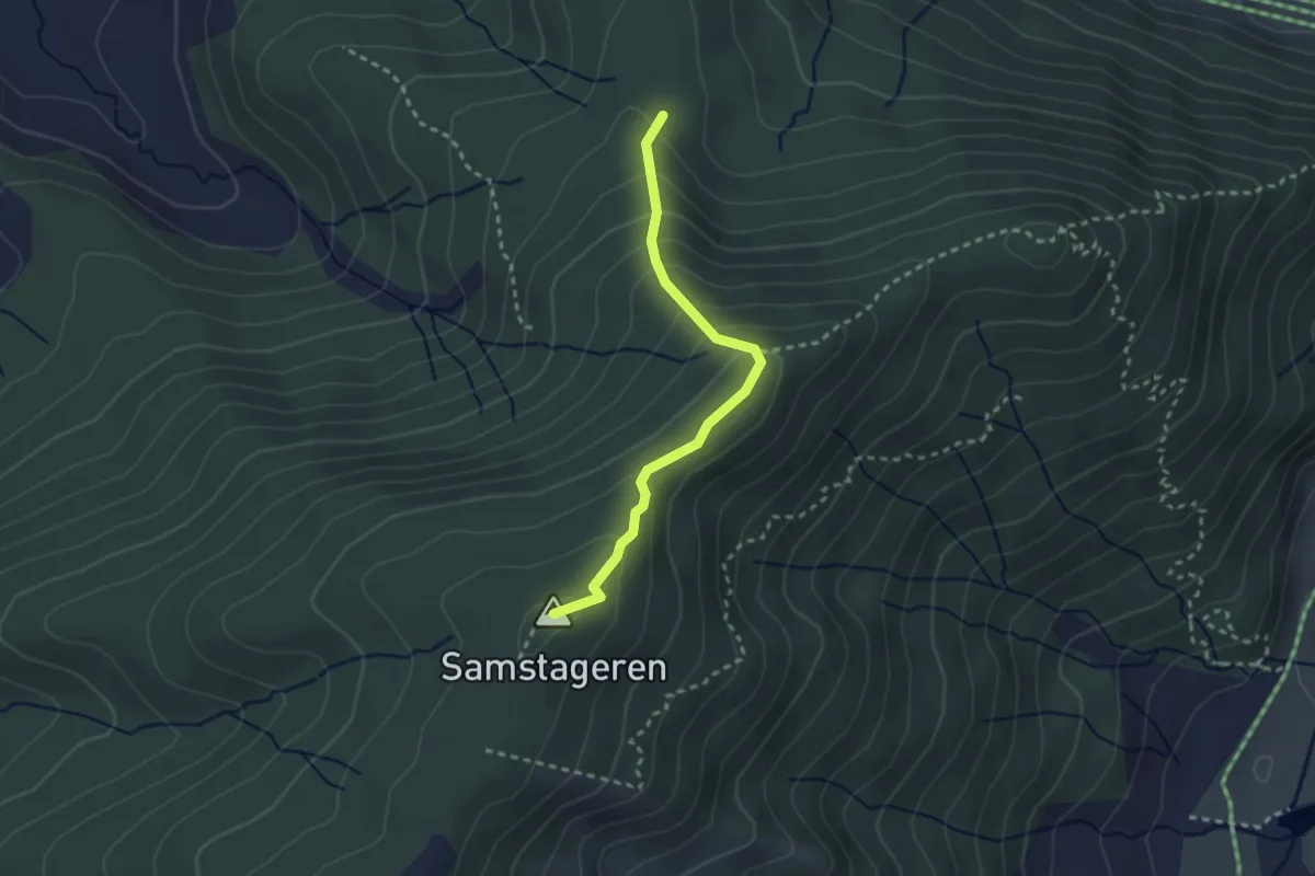
Medium · Summit
Schwyzeren – Windwurf
2.5 km · ↑ 209 m · 1 h 3 min
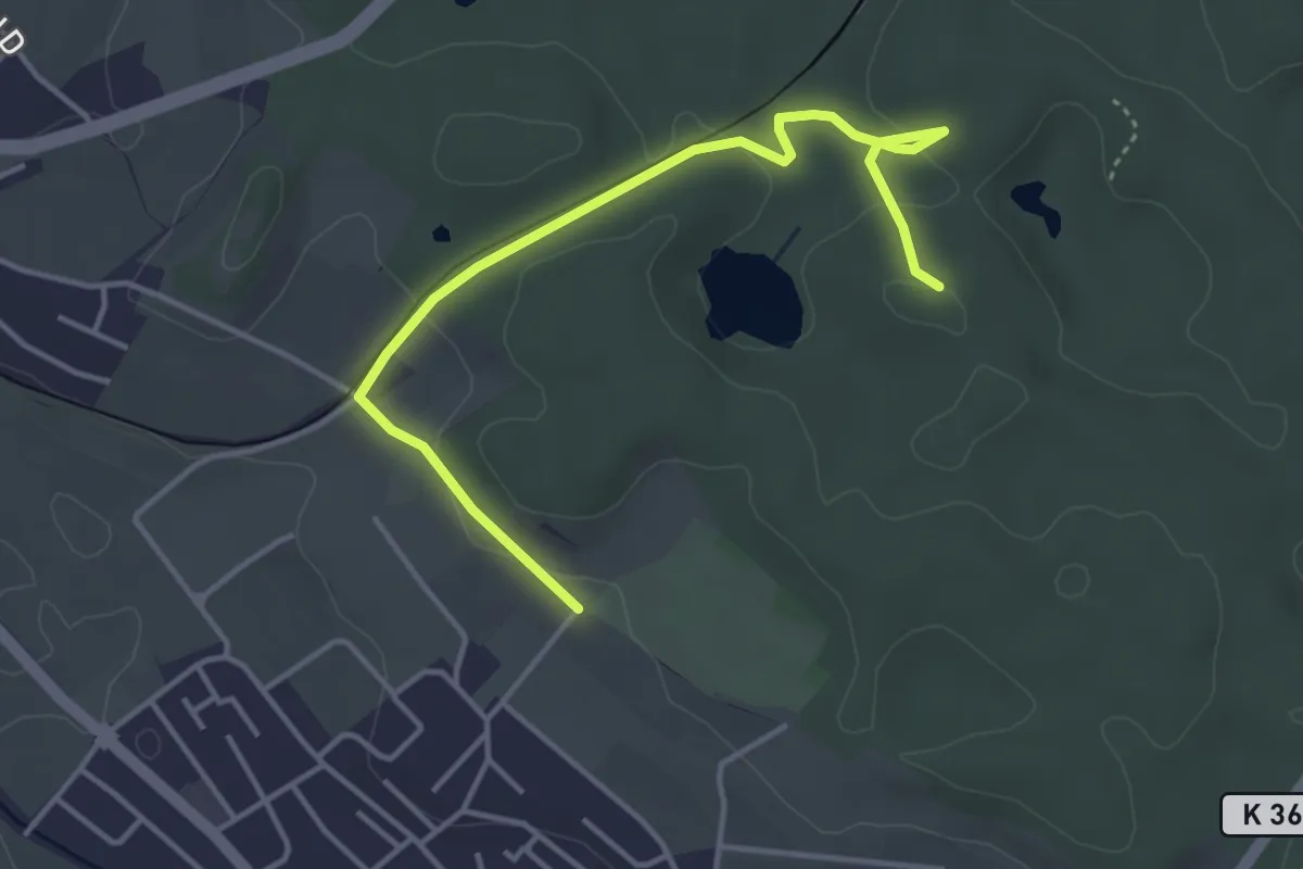
Easy · Trail
Erdmannlistein – Tierpark
4.3 km · ↑ 62 m · 1 h 9 min
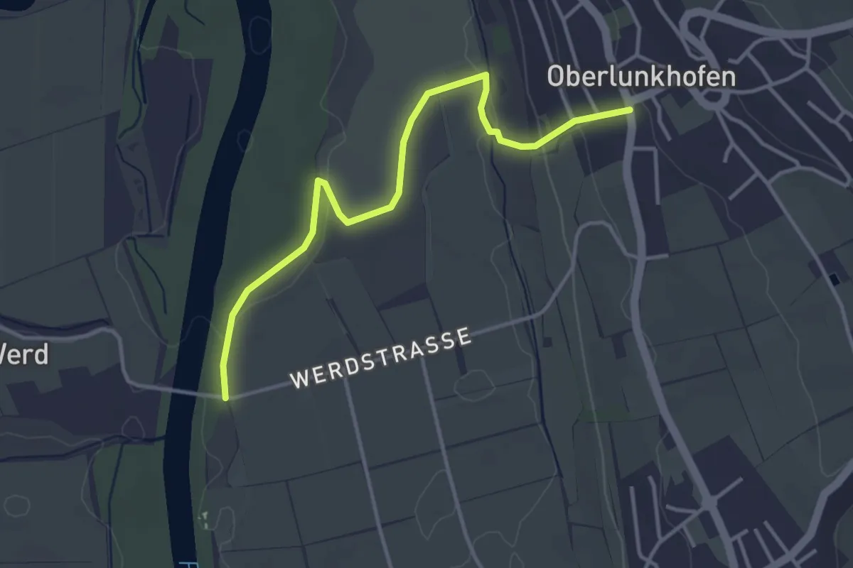
Easy · Trail
Brücke Werd (ost) – Oberlunkhofen
3.8 km · ↑ 66 m · 1 h 2 min
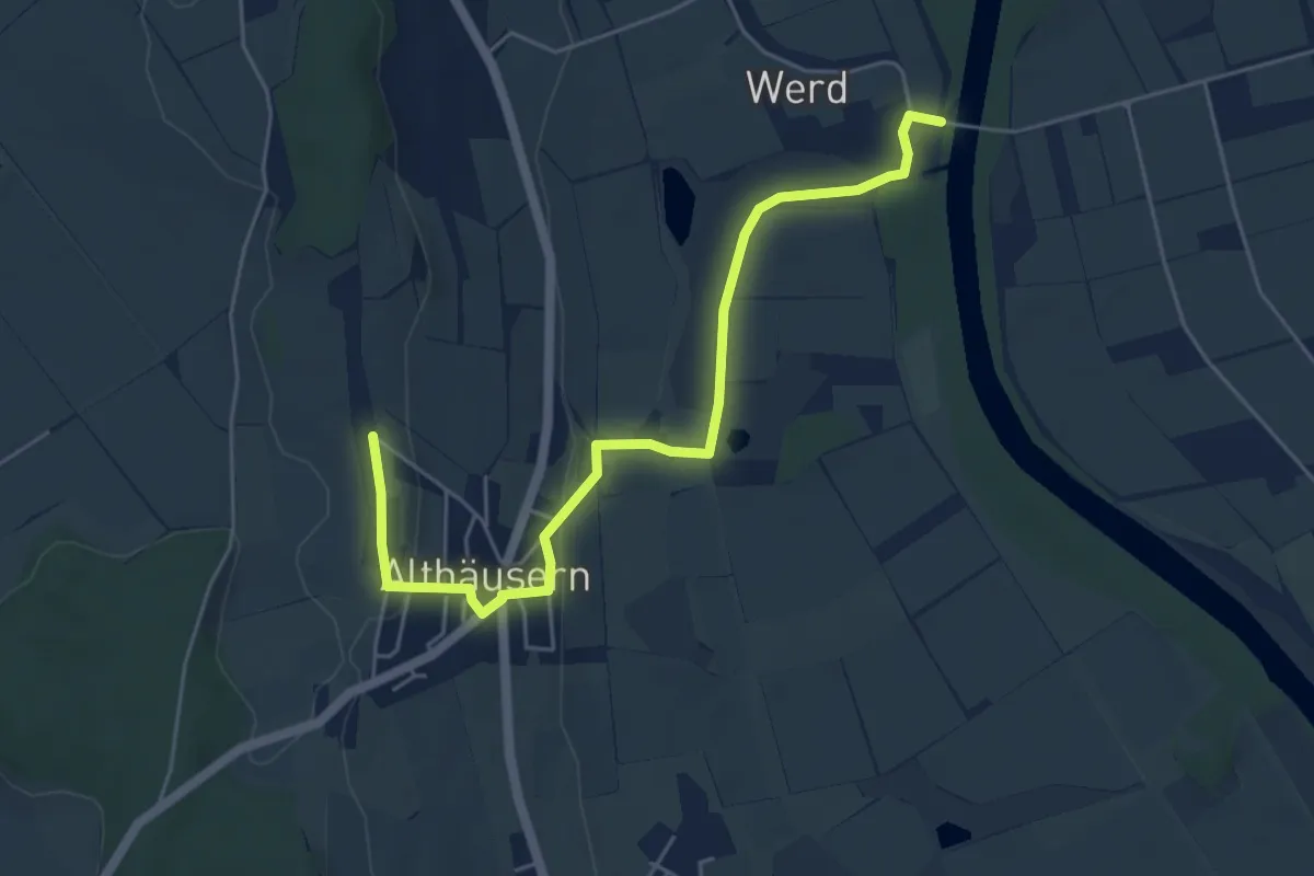
Easy · Trail
Chapf – Brücke Werd (west)
5.5 km · ↑ 80 m · 1 h 29 min
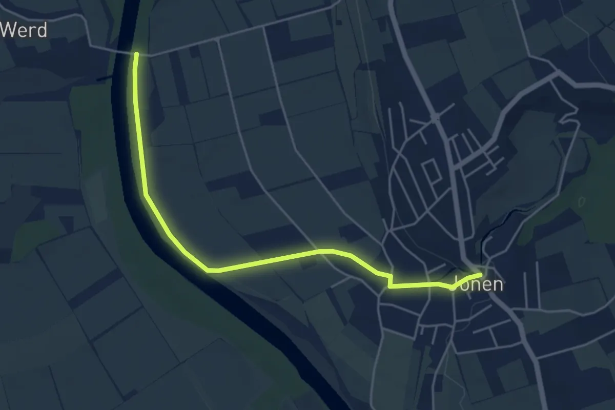
Easy · Trail
Brücke Werd (ost) – Jonen
4.5 km · ↑ 18 m · 1 h 6 min
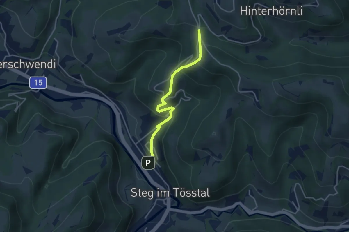
Easy · Trail
Steg – Breitenweg
2.9 km · ↑ 240 m · 1 h 13 min
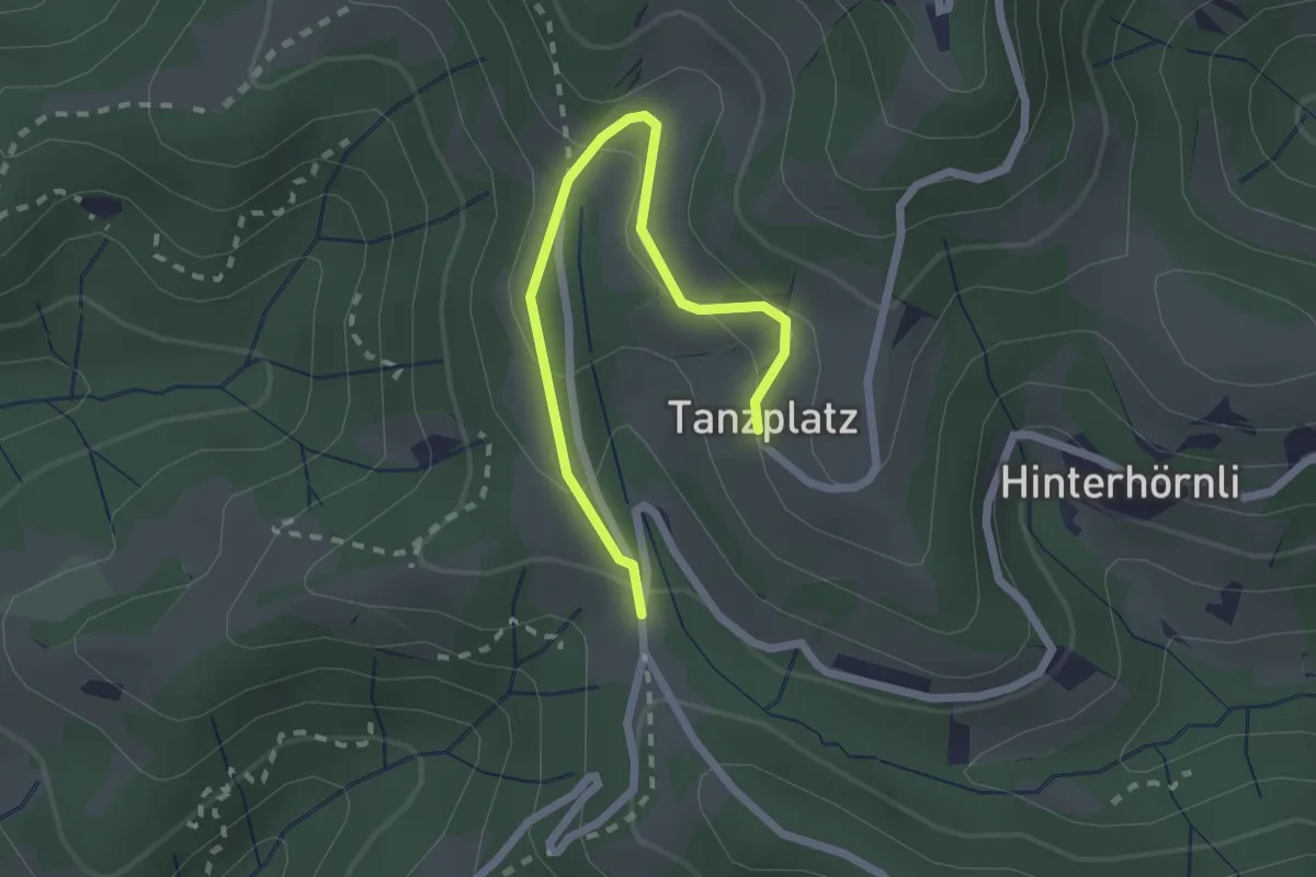
Easy · Trail
Tanzplatz – Breitenweg
2.3 km · ↑ 124 m · 49 min
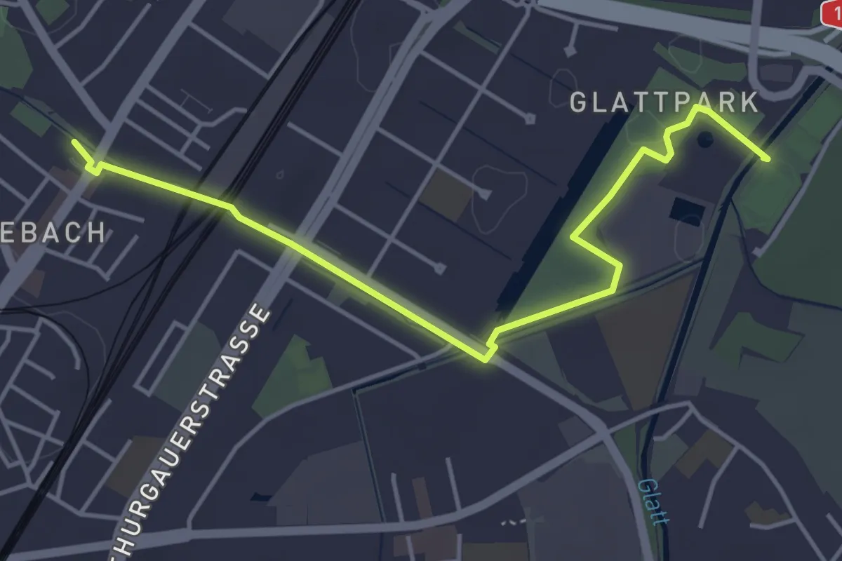
Easy · Trail
Seebach – Auholz
4.6 km · ↑ 9 m · 1 h 6 min
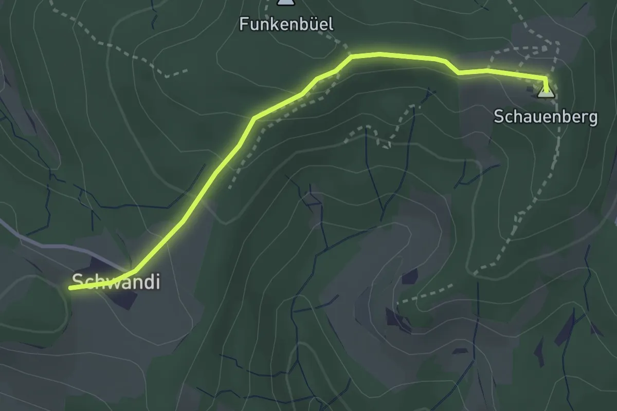
Easy · Summit
Schauenberg – Schwändi
3.0 km · ↑ 115 m · 58 min
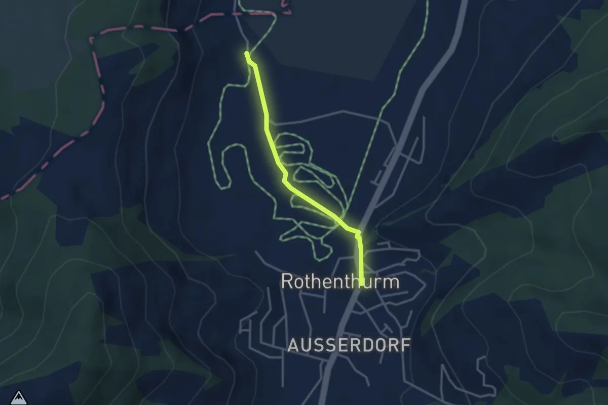
Easy · Trail
Rothenthurm – Möslibrugg
2.6 km · ↑ 22 m · 39 min
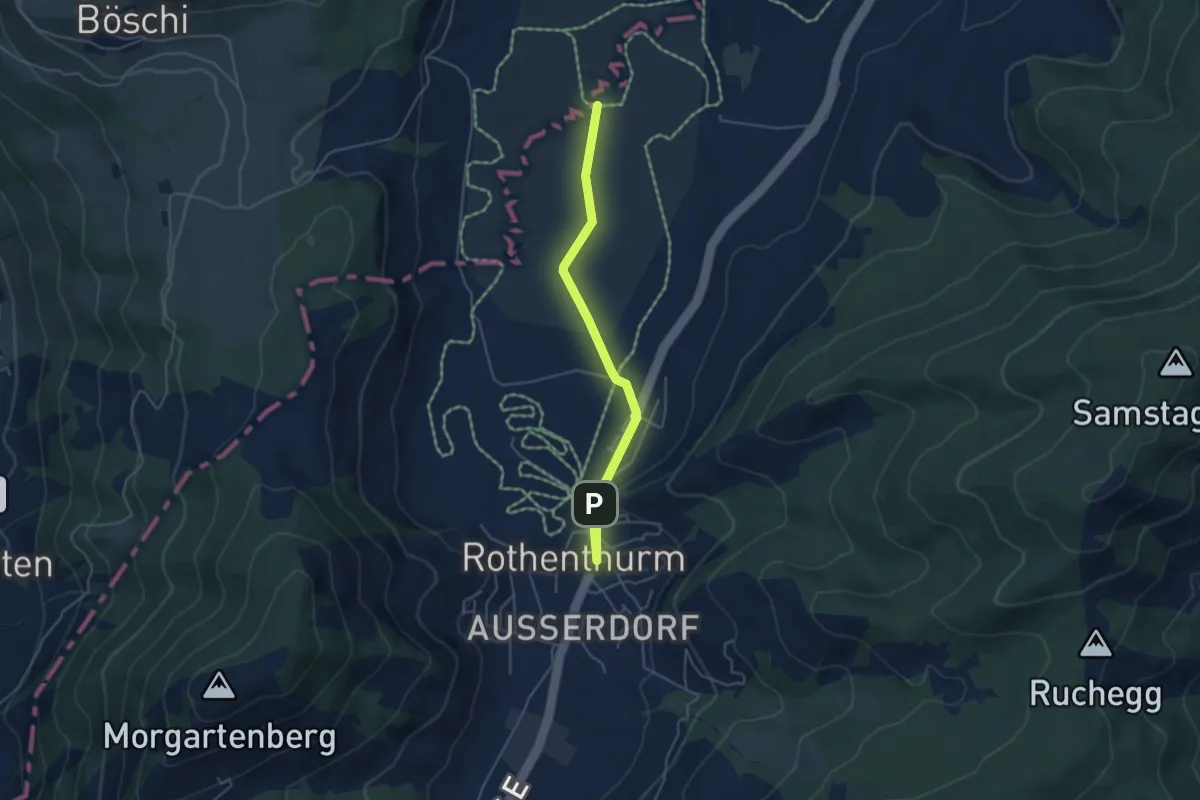
Easy · Trail
Rothenthurm – Bubrugg
4.6 km · ↑ 22 m · 1 h 8 min
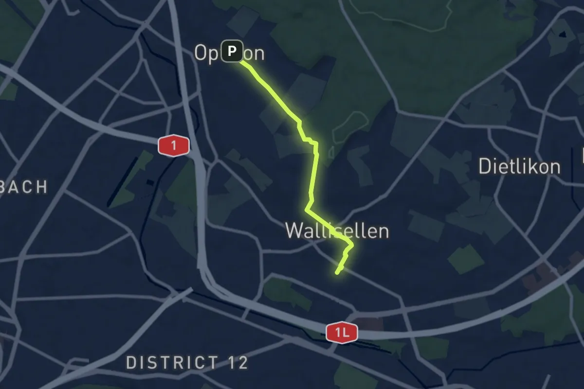
Easy · Trail
Wallisellen – Opfikon
5.8 km · ↑ 89 m · 1 h 33 min
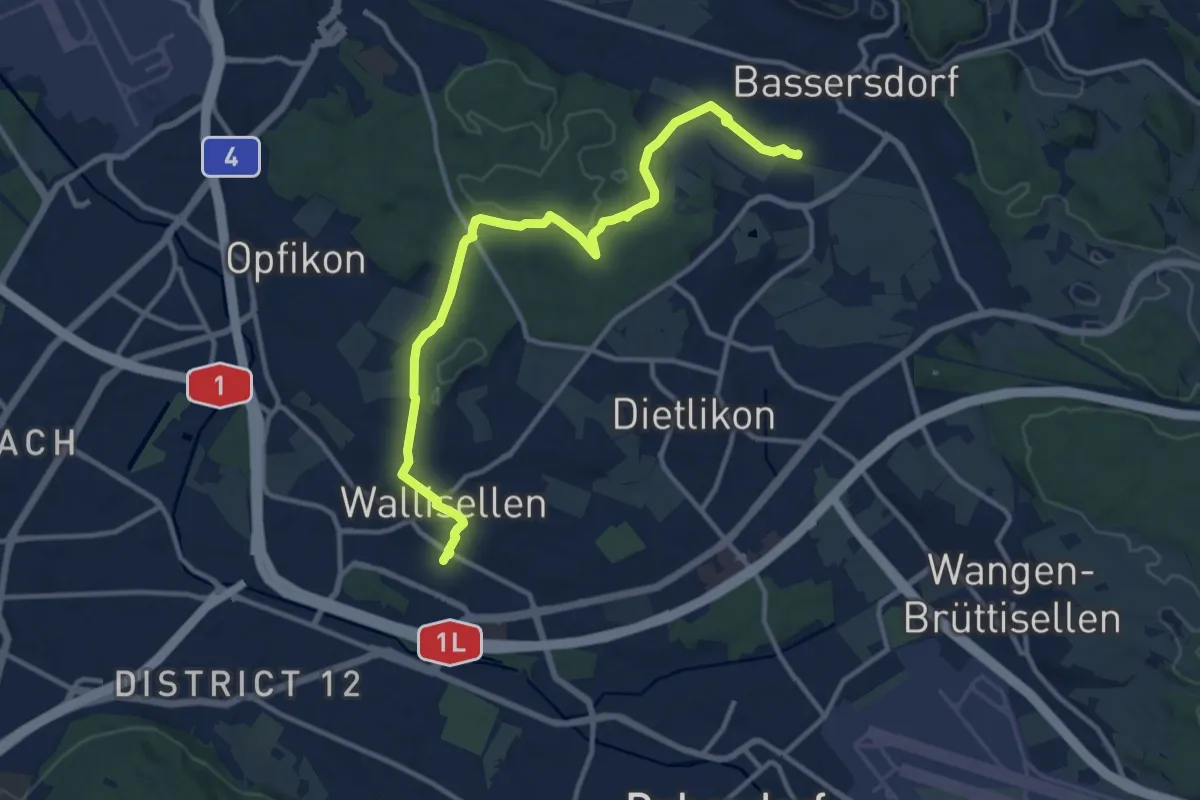
Medium · Trail
Wallisellen – Bassersdorf
12.7 km · ↑ 180 m · 3 h 23 min
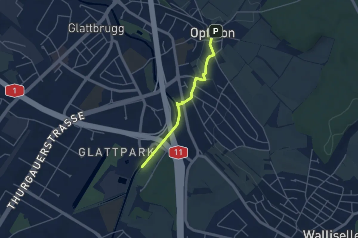
Easy · Trail
Auholz – Opfikon
3.1 km · ↑ 31 m · 48 min
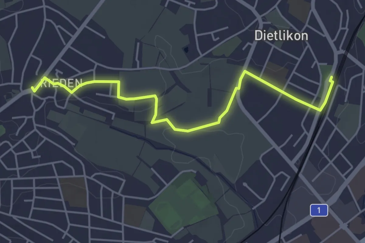
Easy · Trail
Rieden – Dietlikon
4.7 km · ↑ 57 m · 1 h 13 min
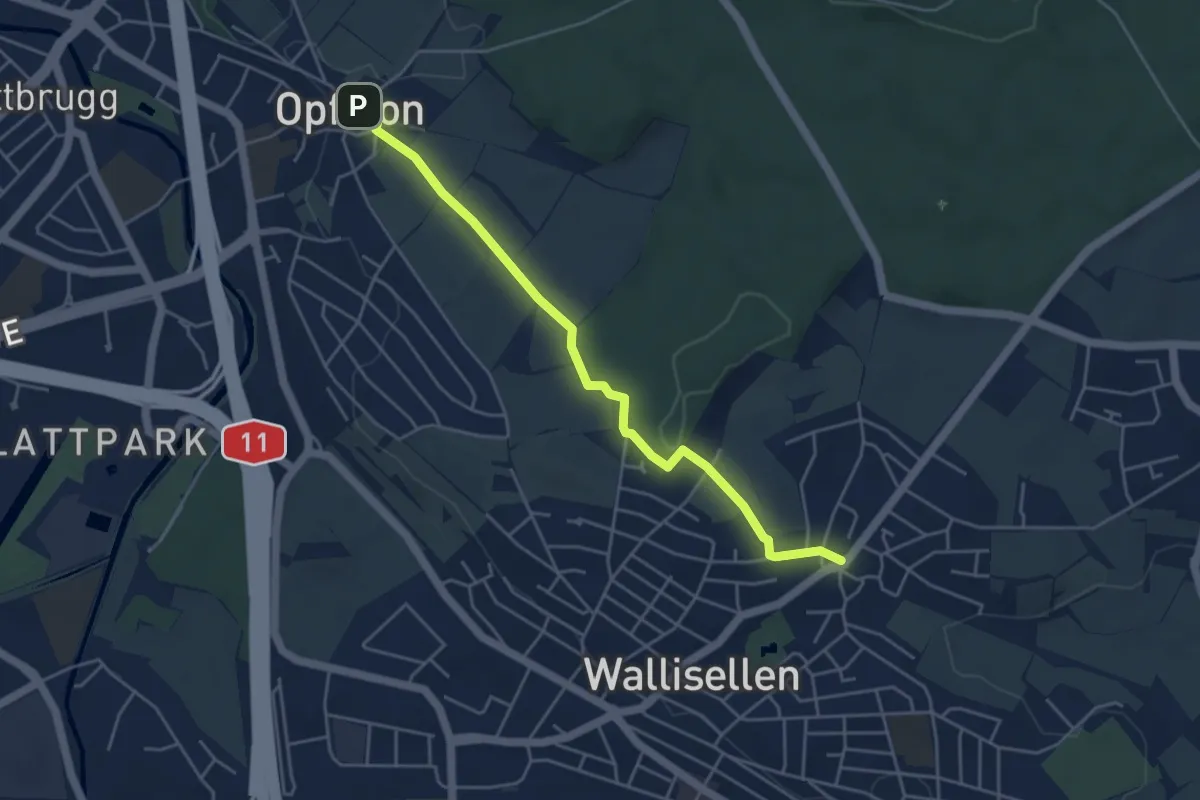
Easy · Trail
Rieden – Opfikon
4.6 km · ↑ 56 m · 1 h 12 min
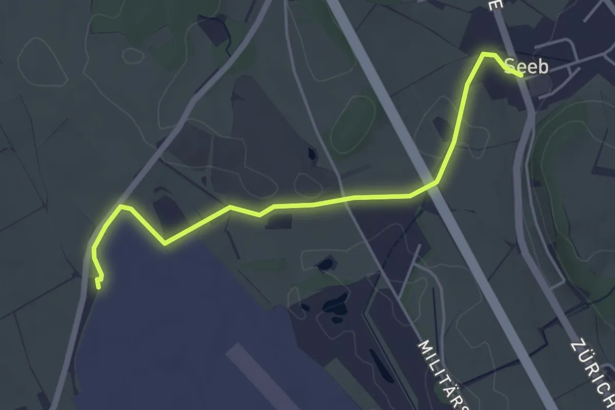
Easy · Trail
Winkel Seeb – Pistenende
4.3 km · ↑ 34 m · 1 h 5 min
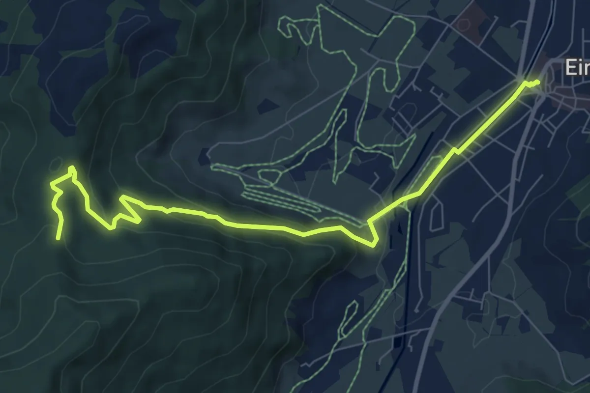
Medium · Trail
Einsiedeln Bahnhof – Schwyzeren
8.2 km · ↑ 293 m · 2 h 34 min
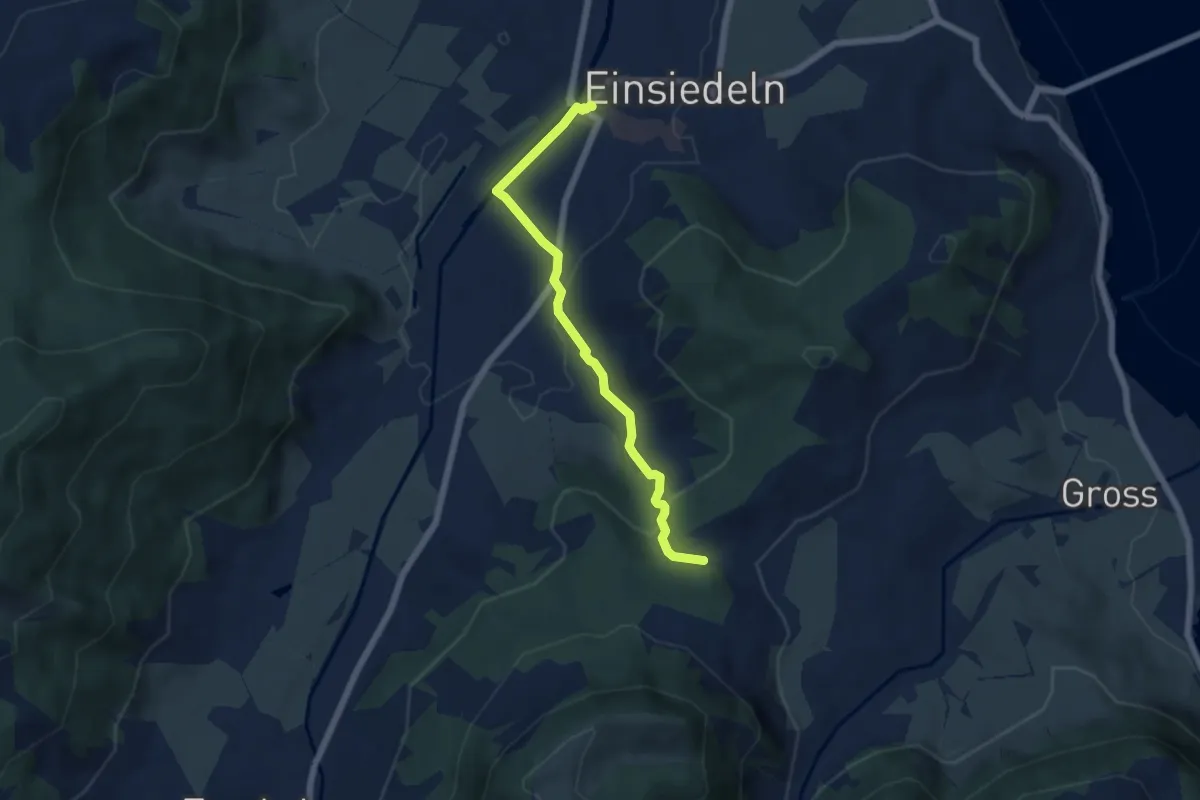
Medium · Trail
Einsiedeln Bahnhof – Einsiedeln Bahnhof -
5.5 km · ↑ 150 m · 1 h 38 min
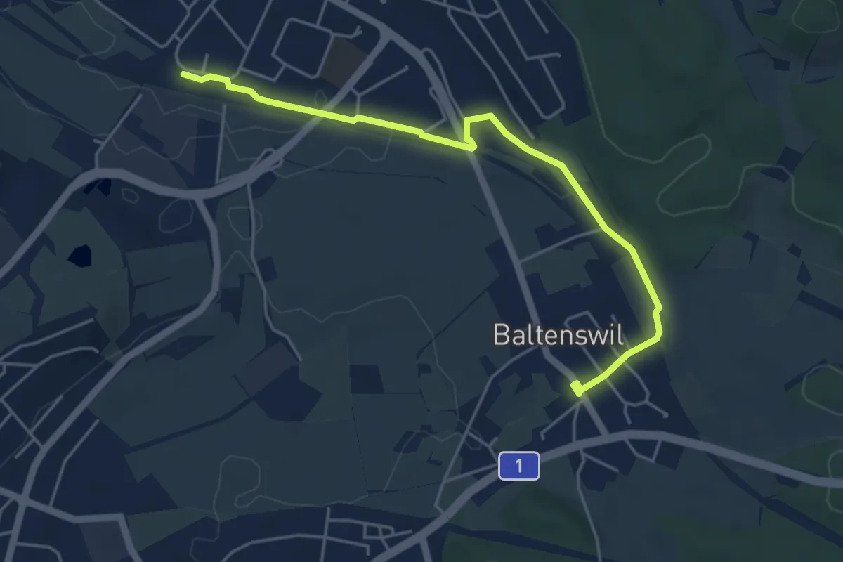
Easy · Trail
Baltenswil – Bassersdorf
4.8 km · ↑ 26 m · 1 h 12 min
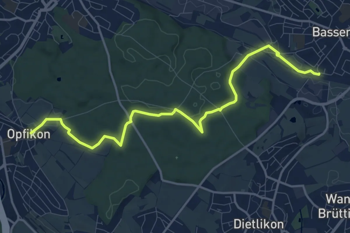
Medium · Trail
Opfikon – Bassersdorf
10.7 km · ↑ 130 m · 2 h 49 min
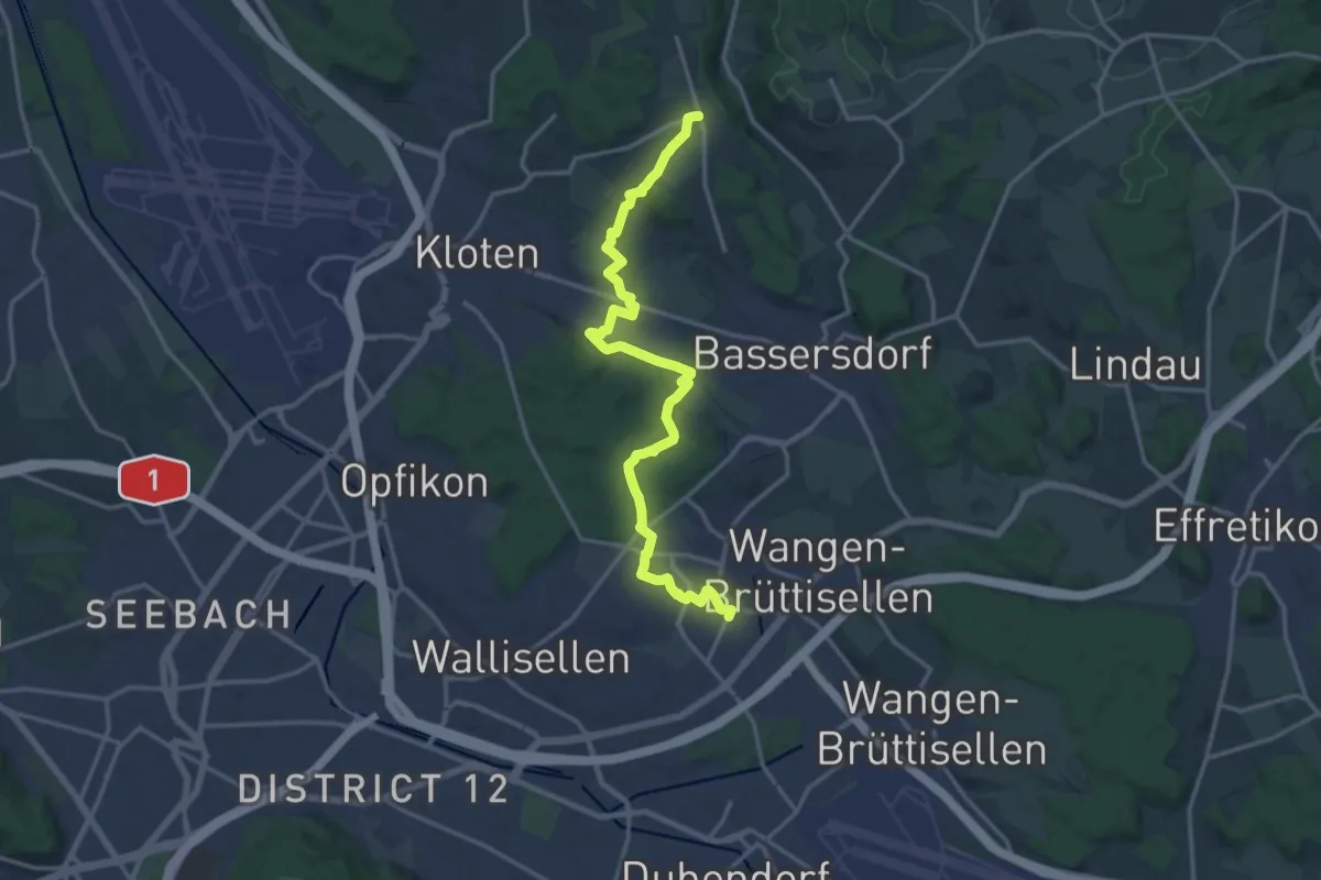
Medium · Trail
Dietlikon – Gerlisberg
16.8 km · ↑ 238 m · 4 h 29 min
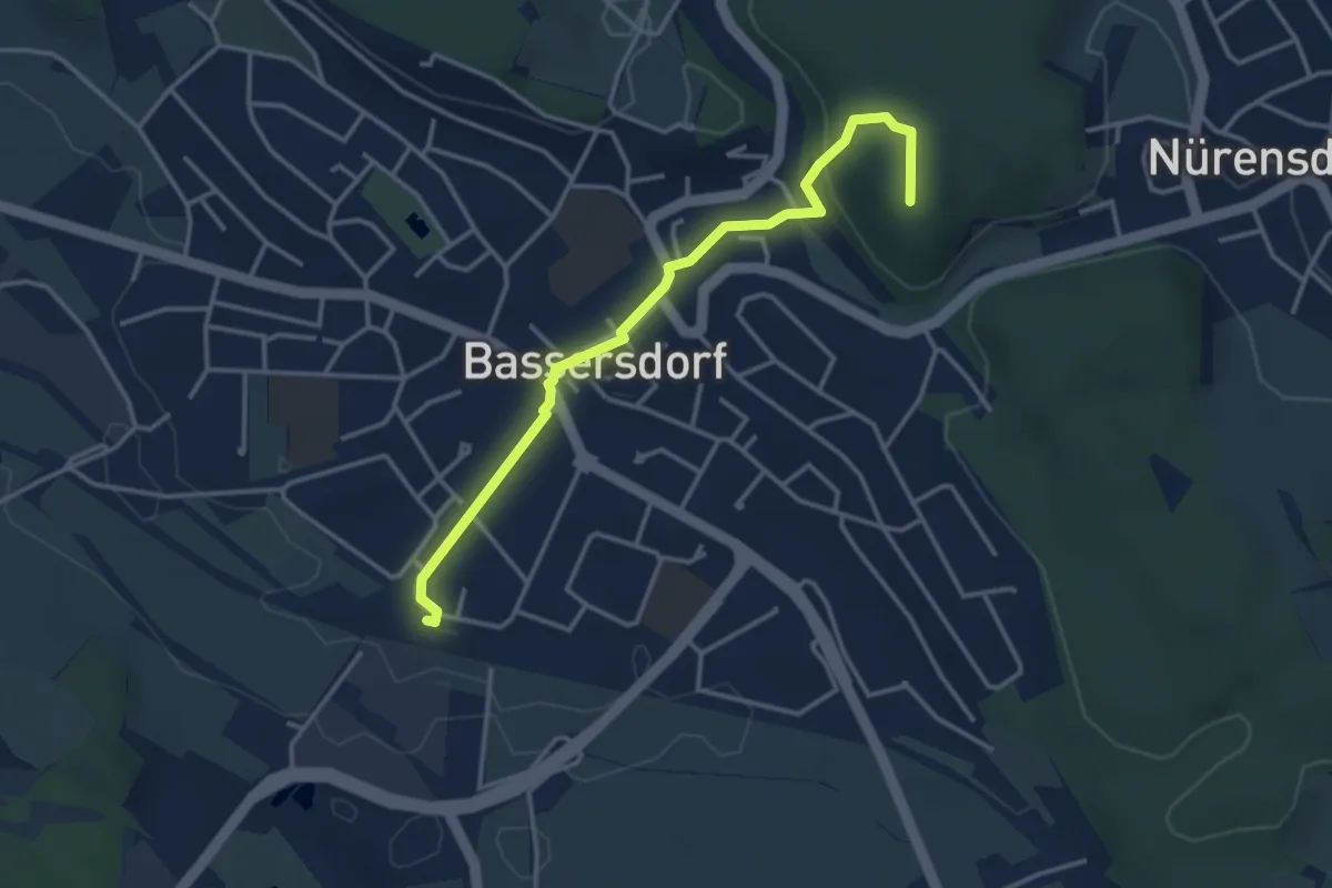
Easy · Summit
Bassersdorf – Nürensdorf
3.6 km · ↑ 84 m · 1 h 2 min
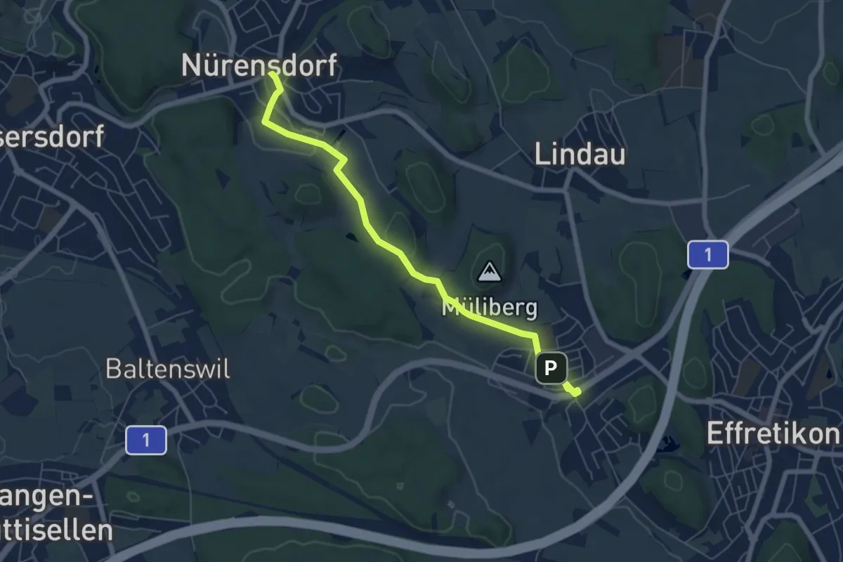
Easy · Trail
Nürensdorf – Tagelswangen
6.4 km · ↑ 94 m · 1 h 42 min
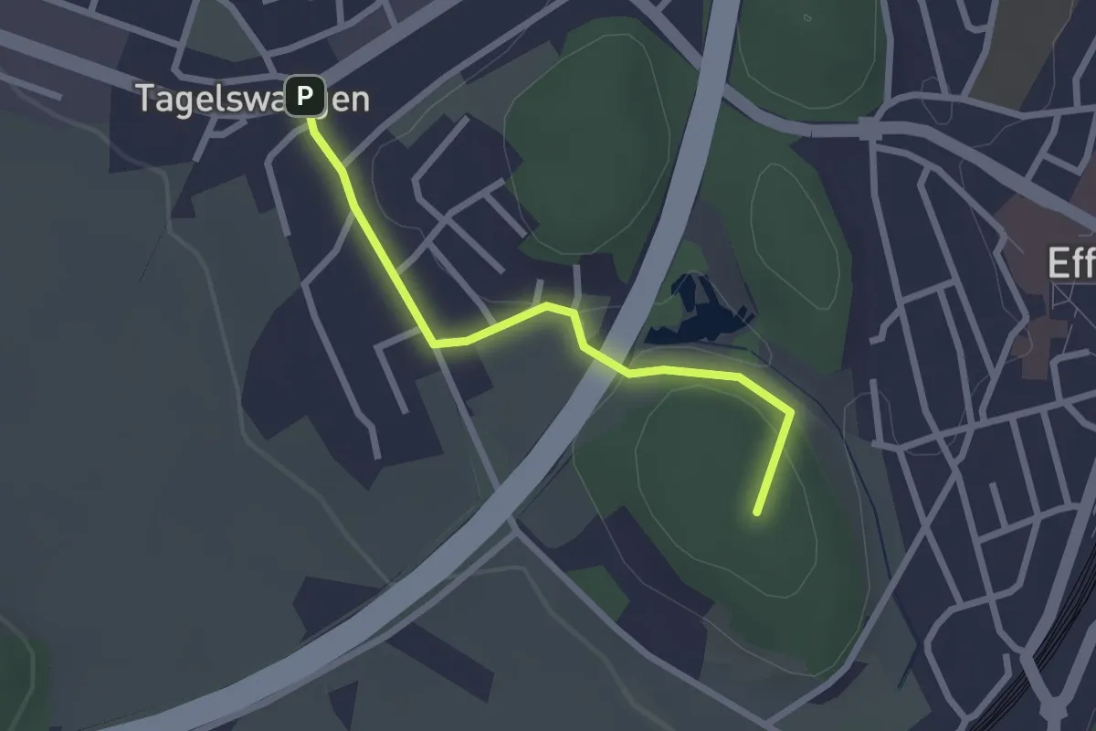
Easy · Summit
Tagelswangen – Effretikon
2.2 km · ↑ 36 m · 35 min
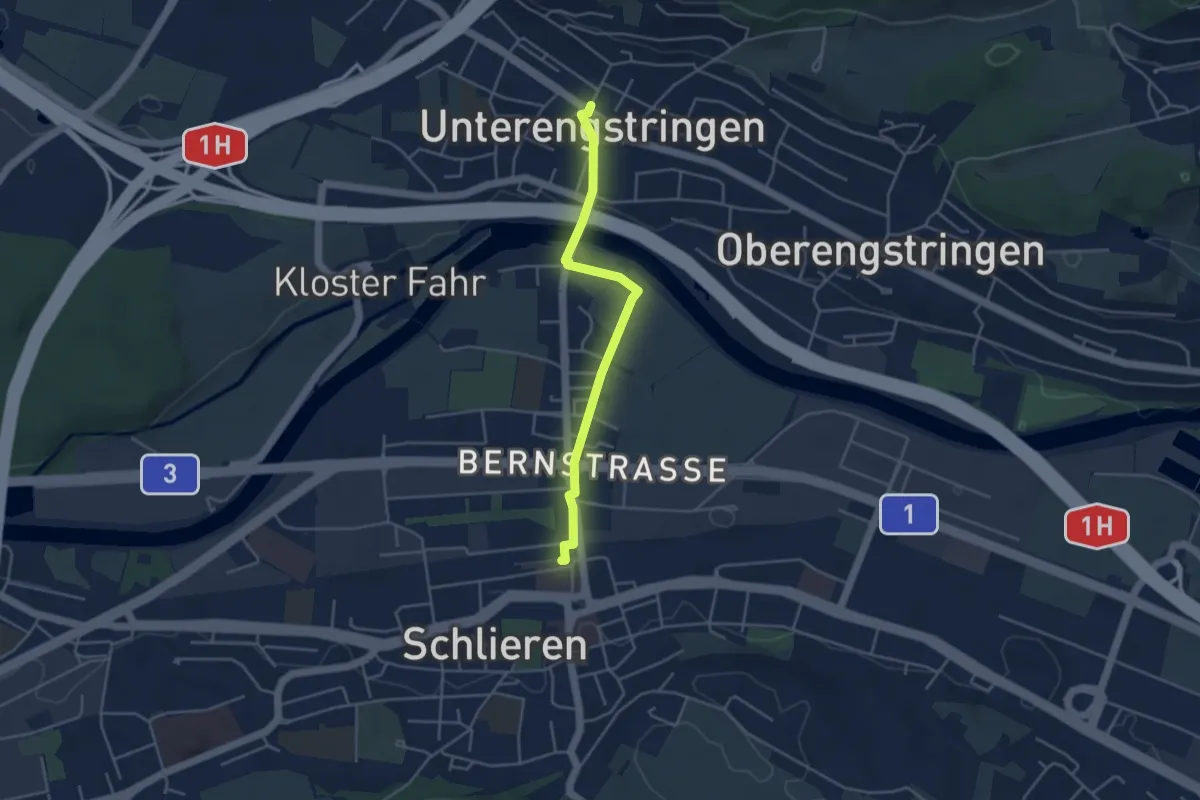
Easy · Trail
Schlieren – Unterengstringen
3.9 km · ↑ 36 m · 1 h
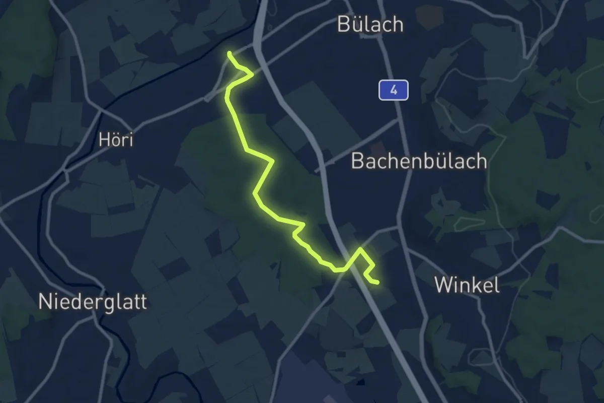
Medium · Trail
Jakobstal – Römischer Gutshof
8.2 km · ↑ 81 m · 2 h 6 min
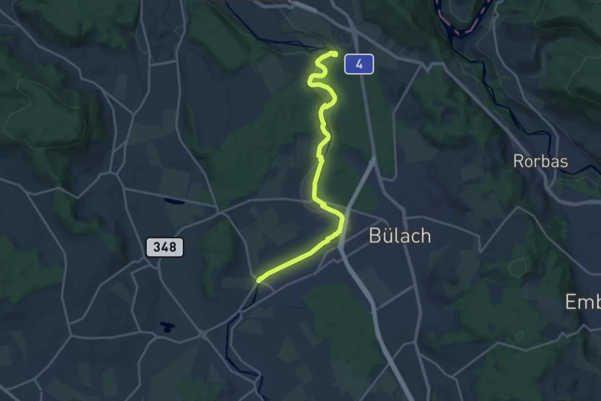
Medium · Trail
Niederhöri – Station Glattfelden
14.2 km · ↑ 241 m · 3 h 52 min
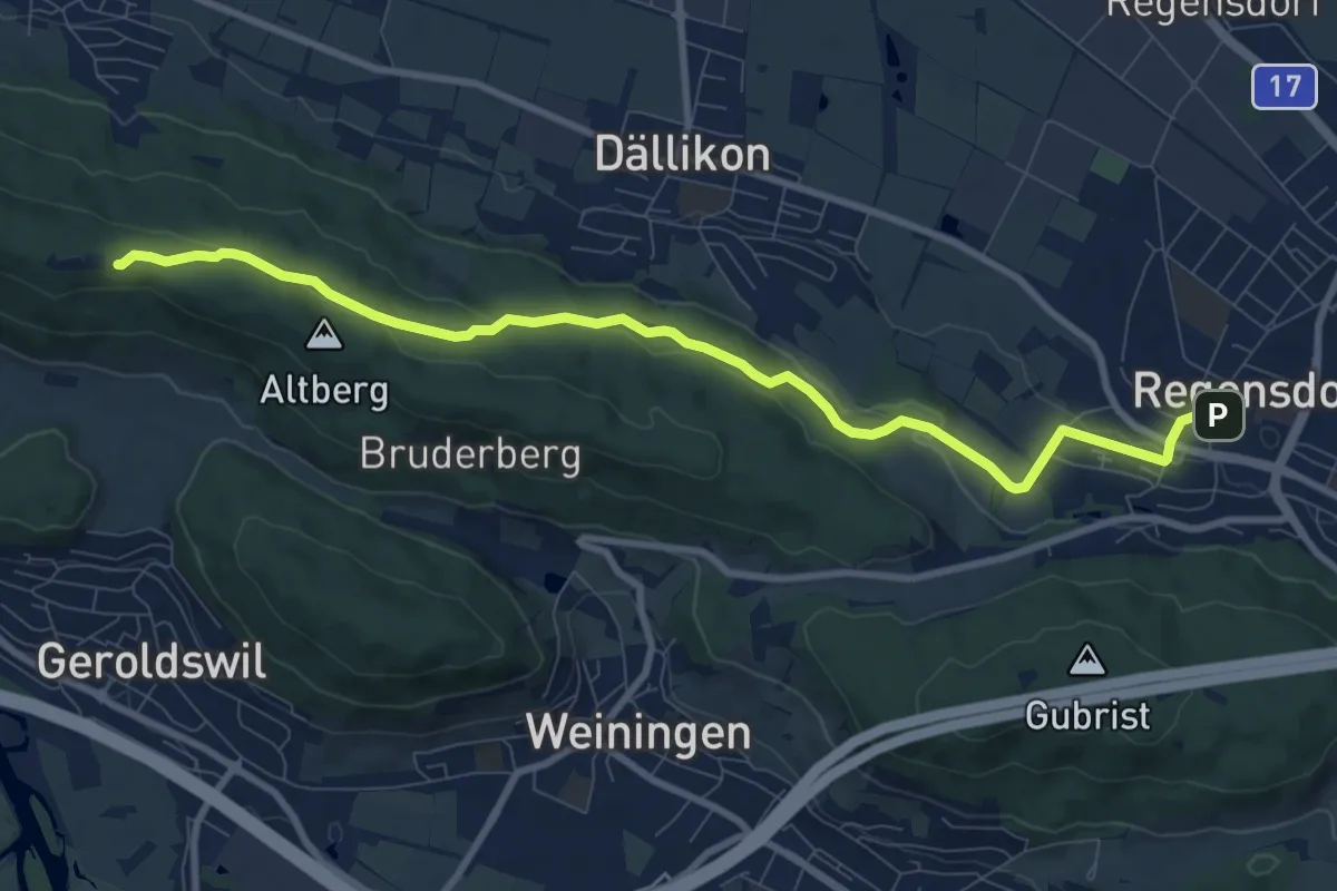
Medium · Cabin
Regensdorf – Altberg
9.7 km · ↑ 230 m · 2 h 47 min
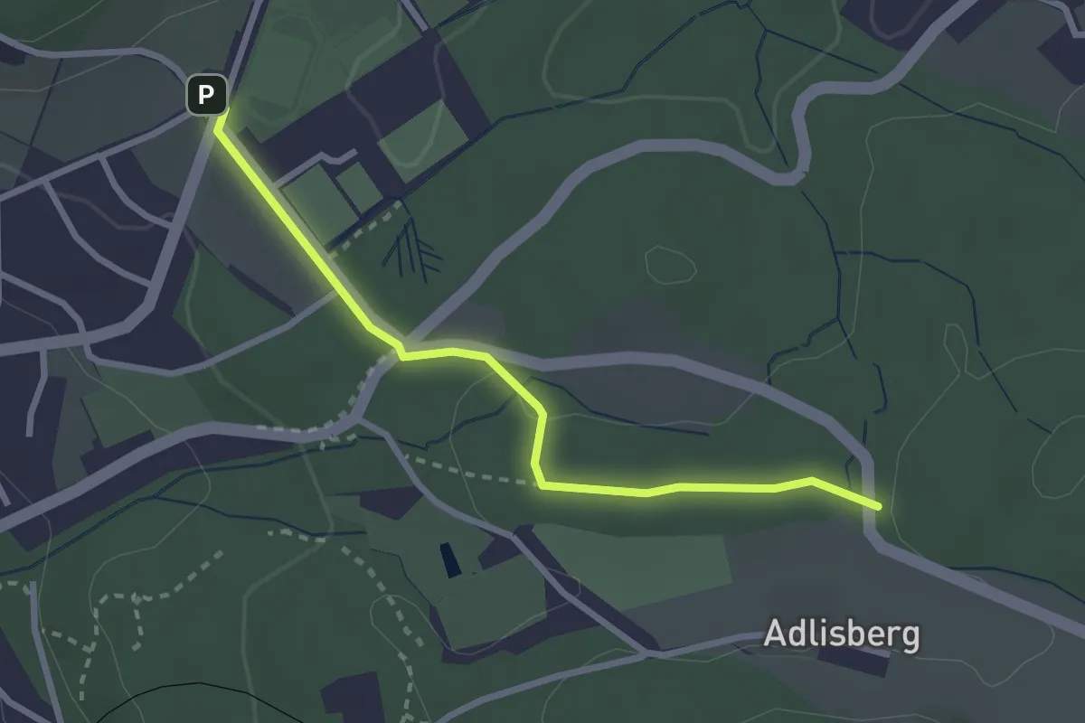
Easy · Trail
Fluntern – Vorderadlisberg
2.6 km · ↑ 37 m · 42 min
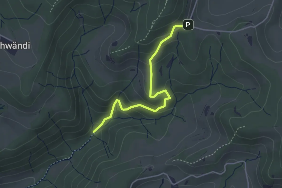
Easy · Trail
Hutziker Tobel – Tannenweid
3.3 km · ↑ 210 m · 1 h 14 min
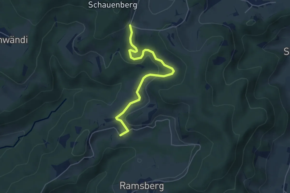
Easy · Trail
Tannenweid – Schnurrberg
4.5 km · ↑ 114 m · 1 h 19 min
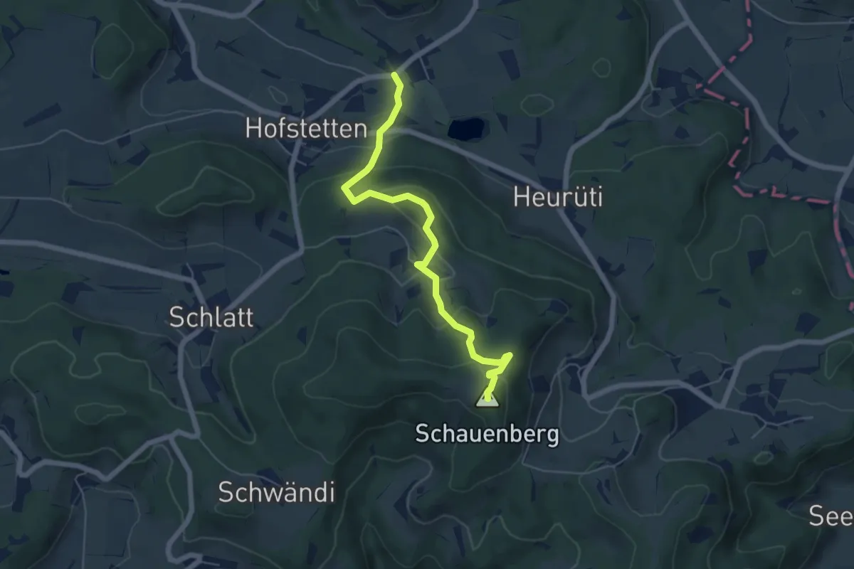
Easy · Summit
Schauenberg – Guwilmühle
5.5 km · ↑ 296 m · 1 h 56 min