Trails in Switzerland
15,055 hiking trails, each with its route, climb, walking time and grade.
All trails, page 265 of 314
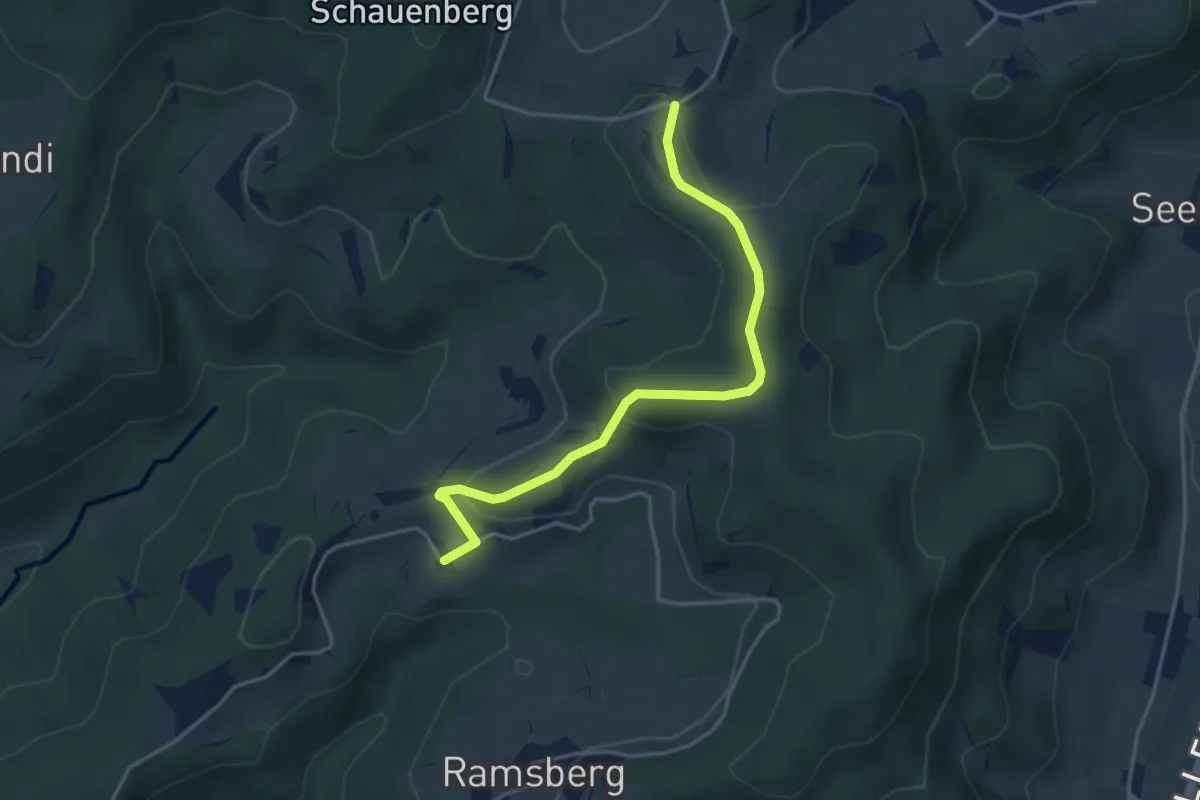
Easy · Trail
Hüttstall – Schnurrberg
3.9 km · ↑ 147 m · 1 h 14 min
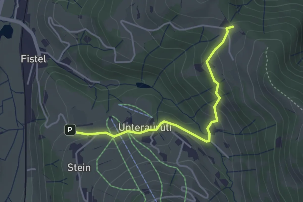
Easy · Trail
Aurüti – Tannen
3.3 km · ↑ 135 m · 1 h 5 min
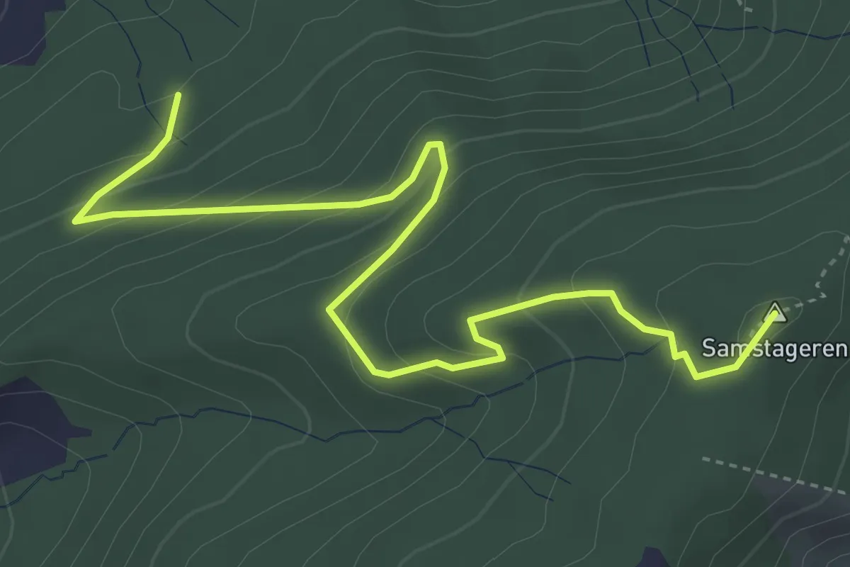
Medium · Summit
Cholholz – Windwurf
5.0 km · ↑ 321 m · 1 h 53 min
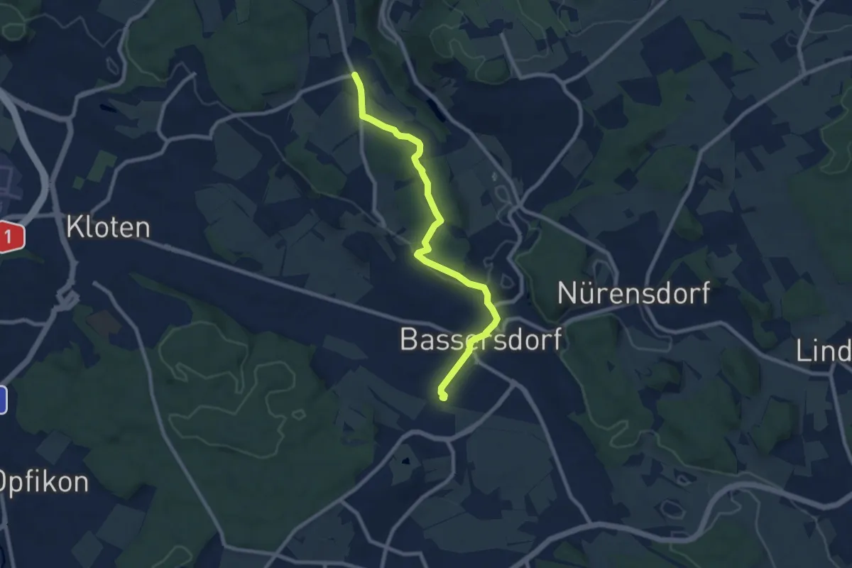
Medium · Trail
Bassersdorf – Gerlisberg
8.1 km · ↑ 129 m · 2 h 12 min
Easy · Trail
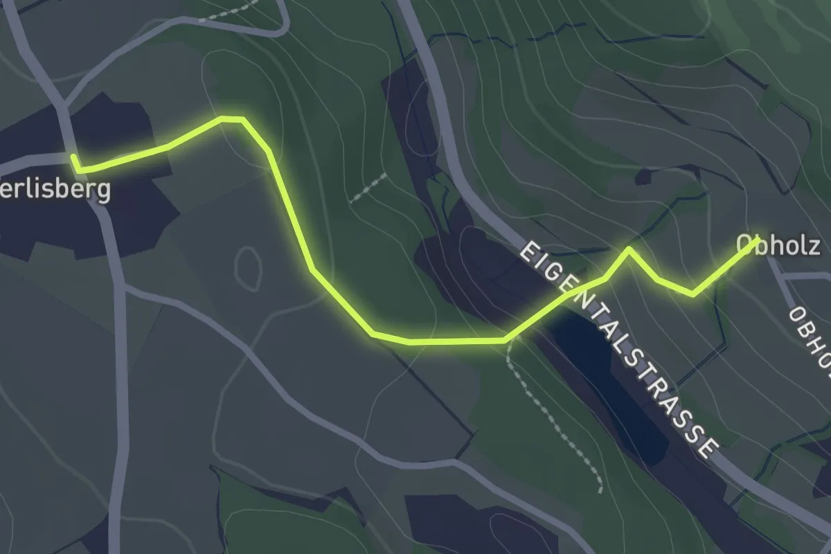
Gerlisberg – Obholz
2.4 km · ↑ 91 m · 46 min
Easy · Trail
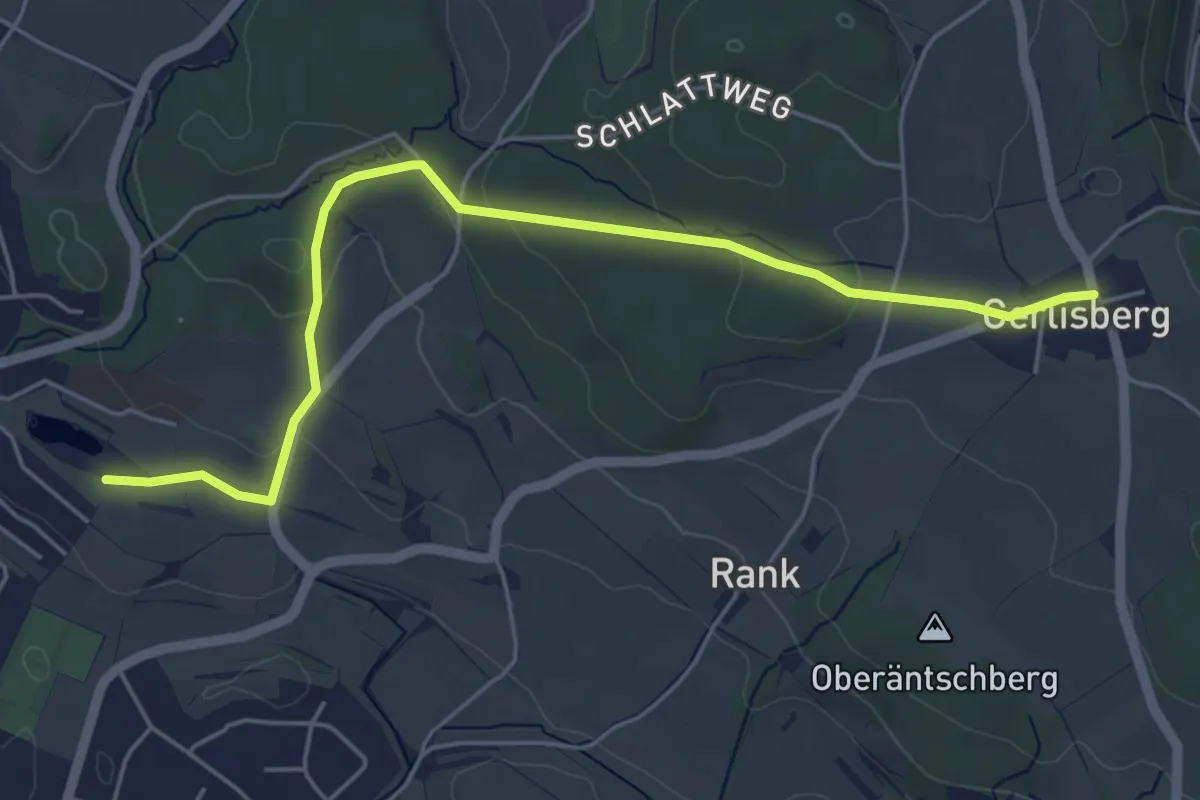
Nägelimoos – Gerlisberg
5.5 km · ↑ 106 m · 1 h 32 min
Easy · Trail
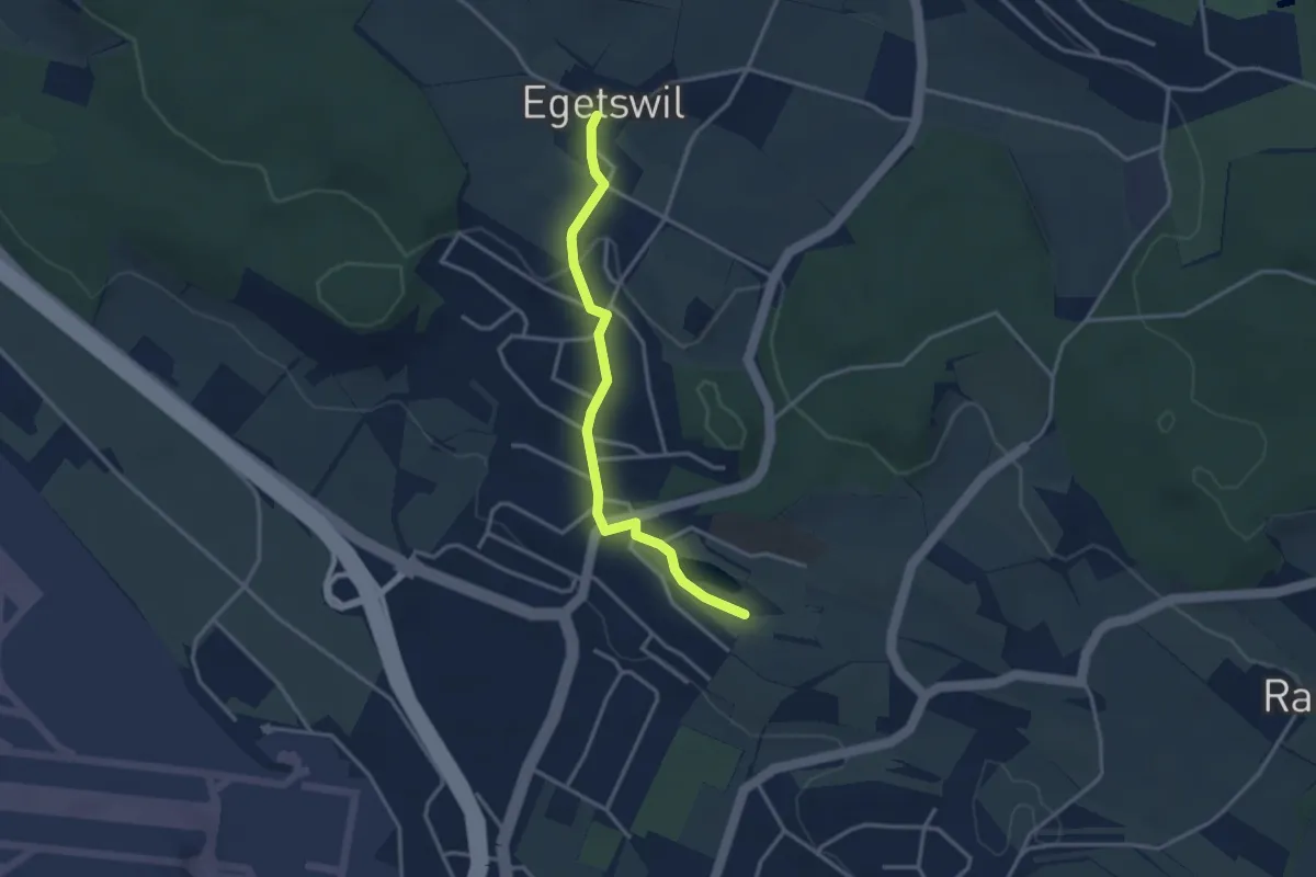
Nägelimoos – Egetswil
3.1 km · ↑ 61 m · 52 min
Easy · Trail
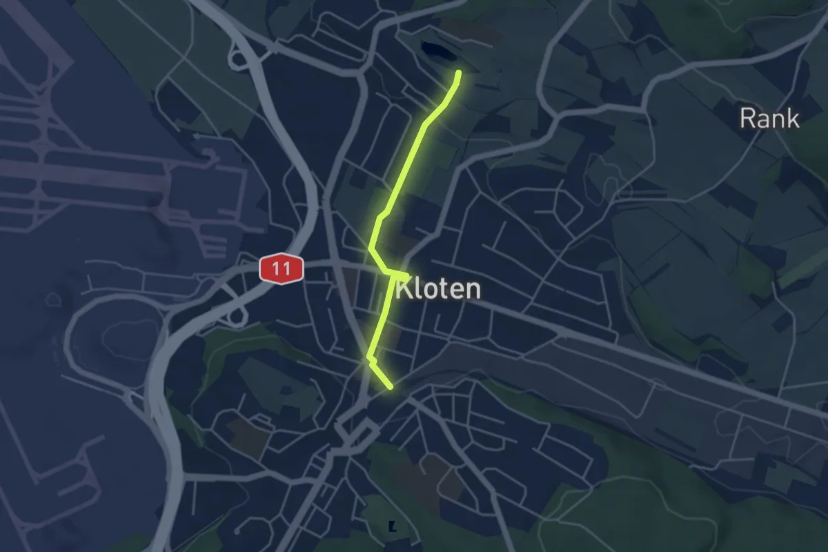
Kloten – Nägelimoos
3.4 km · ↑ 29 m · 52 min
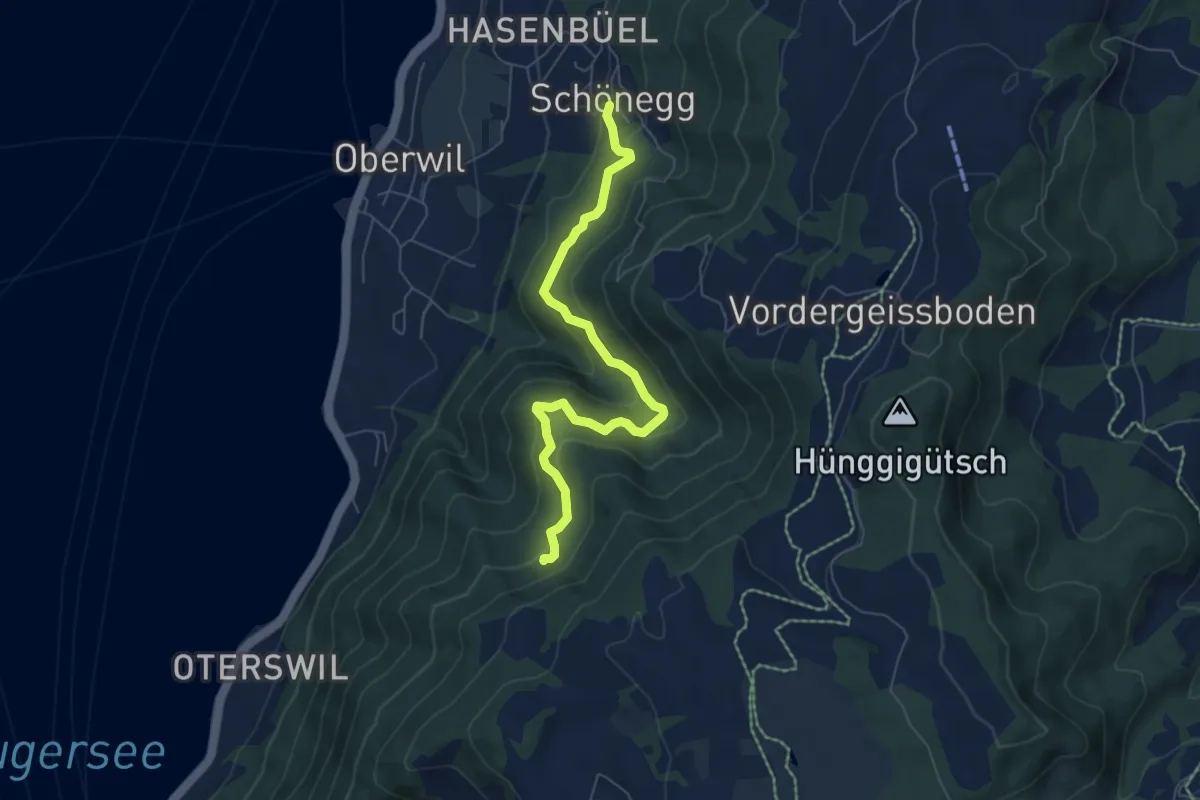
Medium · Trail
Schönegg – In den Bächen
6.5 km · ↑ 411 m · 2 h 25 min
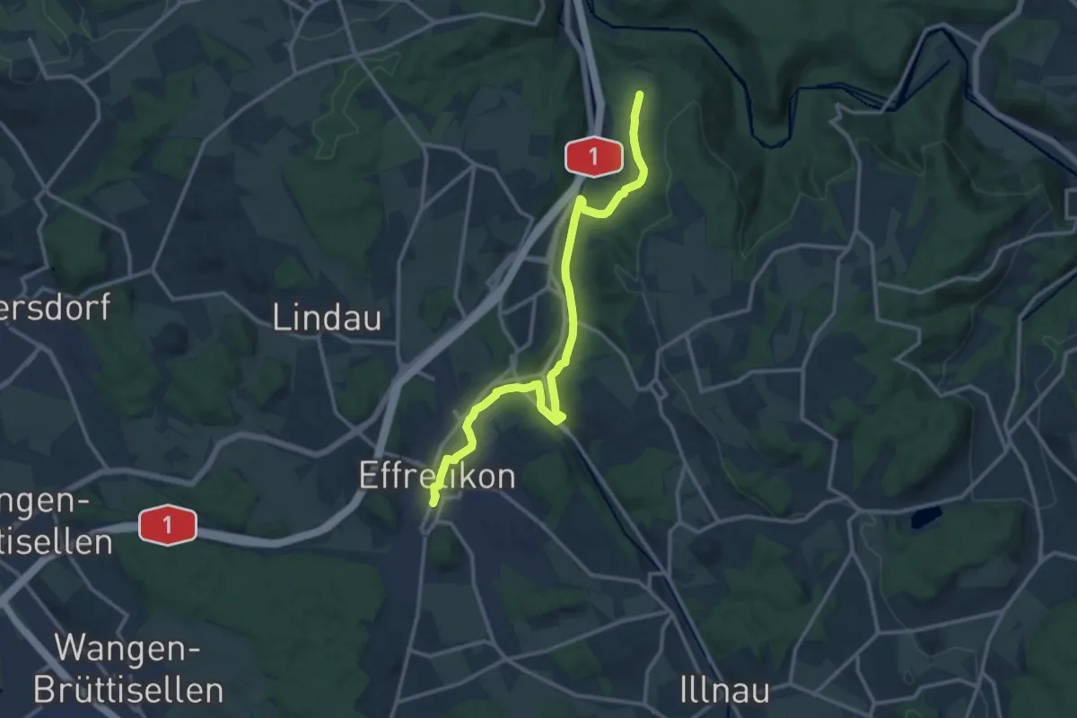
Medium · Trail
Effretikon – Rossberg
13.1 km · ↑ 190 m · 3 h 31 min
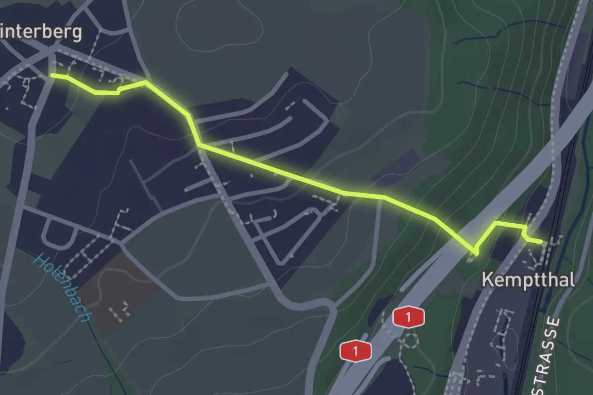
Easy · Trail
Kemptthal – Winterberg
2.4 km · ↑ 97 m · 47 min
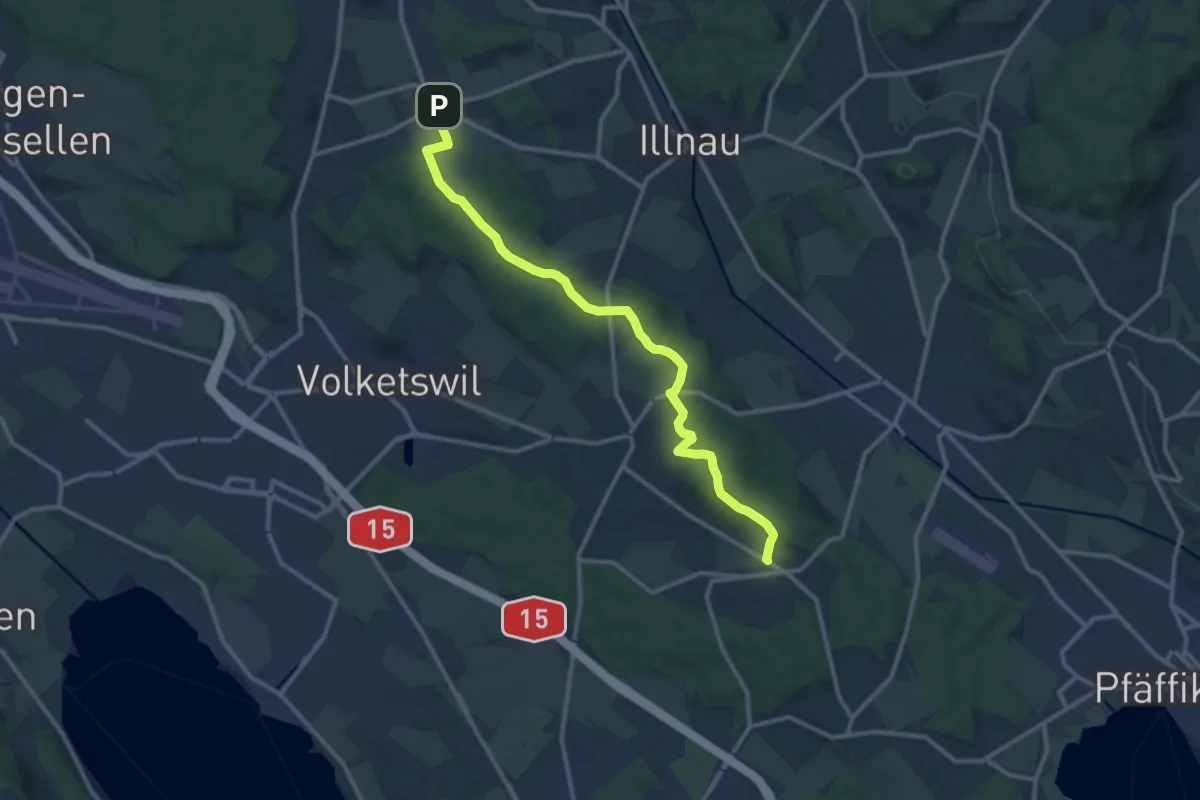
Medium · Trail
Freudwil – Bisikon
12.4 km · ↑ 225 m · 3 h 25 min
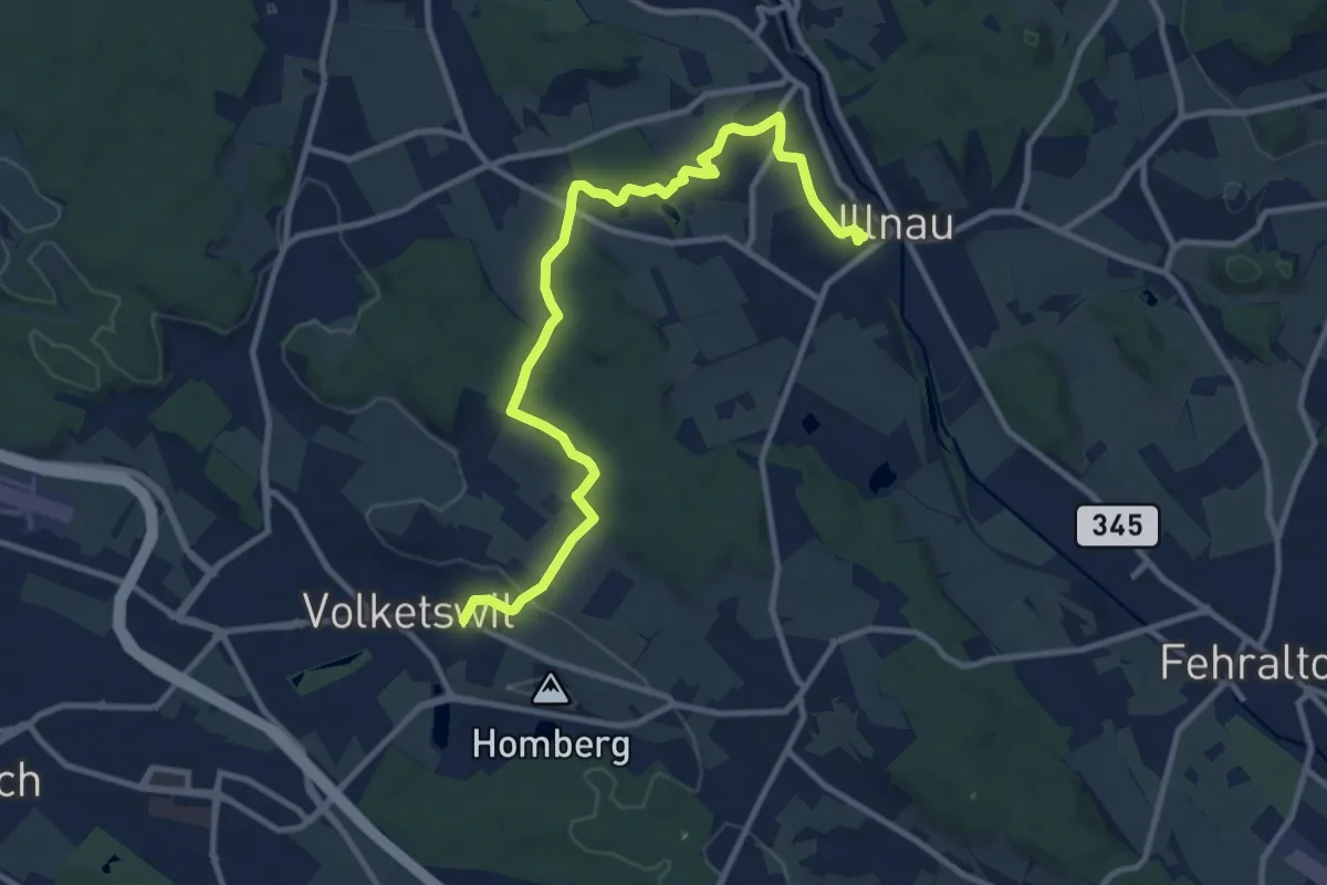
Medium · Trail
Volketswil – Illnau (ost)
11.8 km · ↑ 251 m · 3 h 19 min
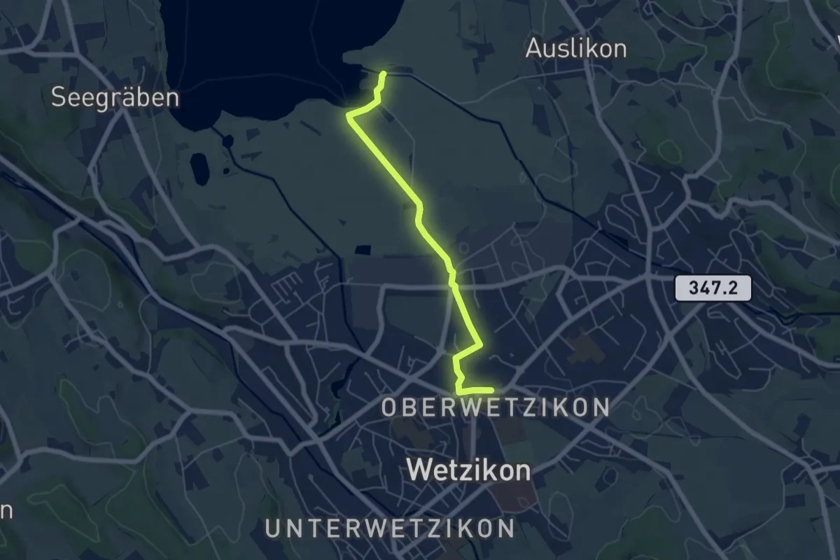
Easy · Trail
Oberwetzikon – Auslikon Strandbad
5.0 km · ↑ 8 m · 1 h 12 min
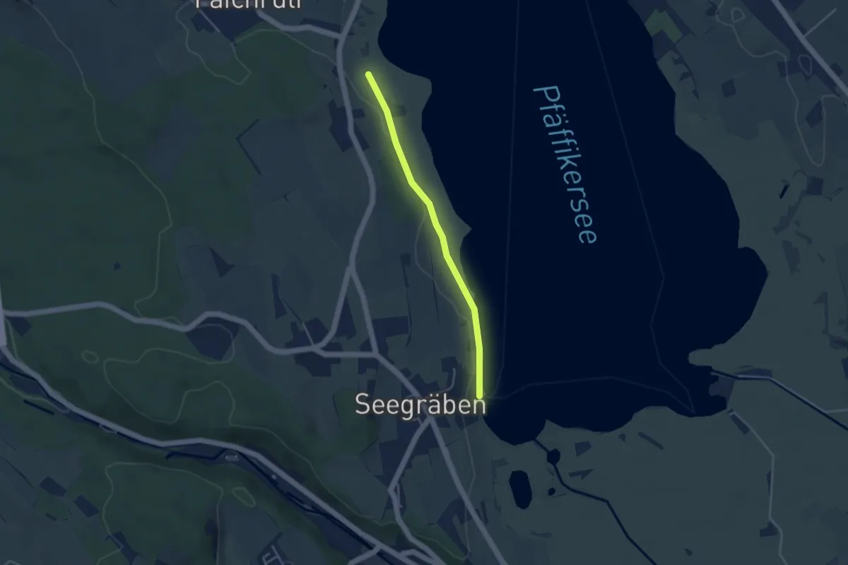
Easy · Trail
Talhof – Seegräben Landungssteg
3.4 km · ↑ 28 m · 52 min
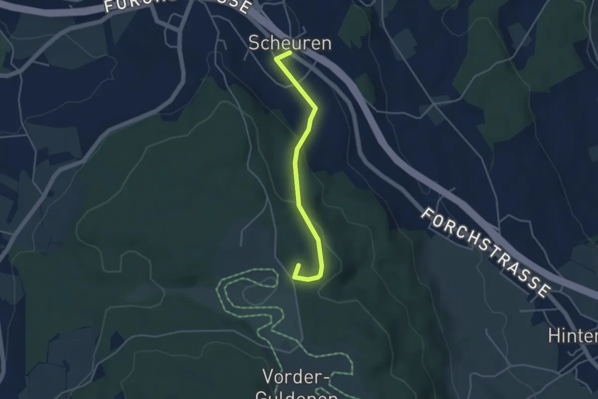
Easy · Summit
Scheuren – Gerstenchrütz
3.4 km · ↑ 116 m · 1 h 3 min
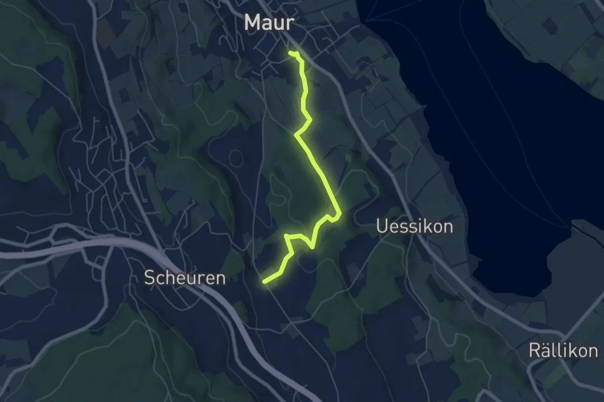
Easy · Trail
Maur – Hinterwannwis
5.1 km · ↑ 118 m · 1 h 28 min
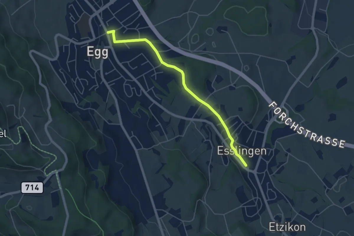
Easy · Trail
Egg – Esslingen
4.8 km · ↑ 66 m · 1 h 17 min
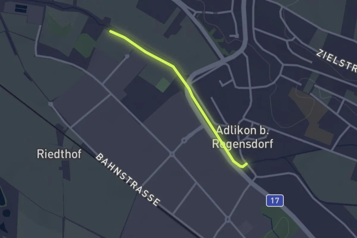
Easy · Trail
Adlikon – Allmend
2.0 km · ↑ 4 m · 29 min
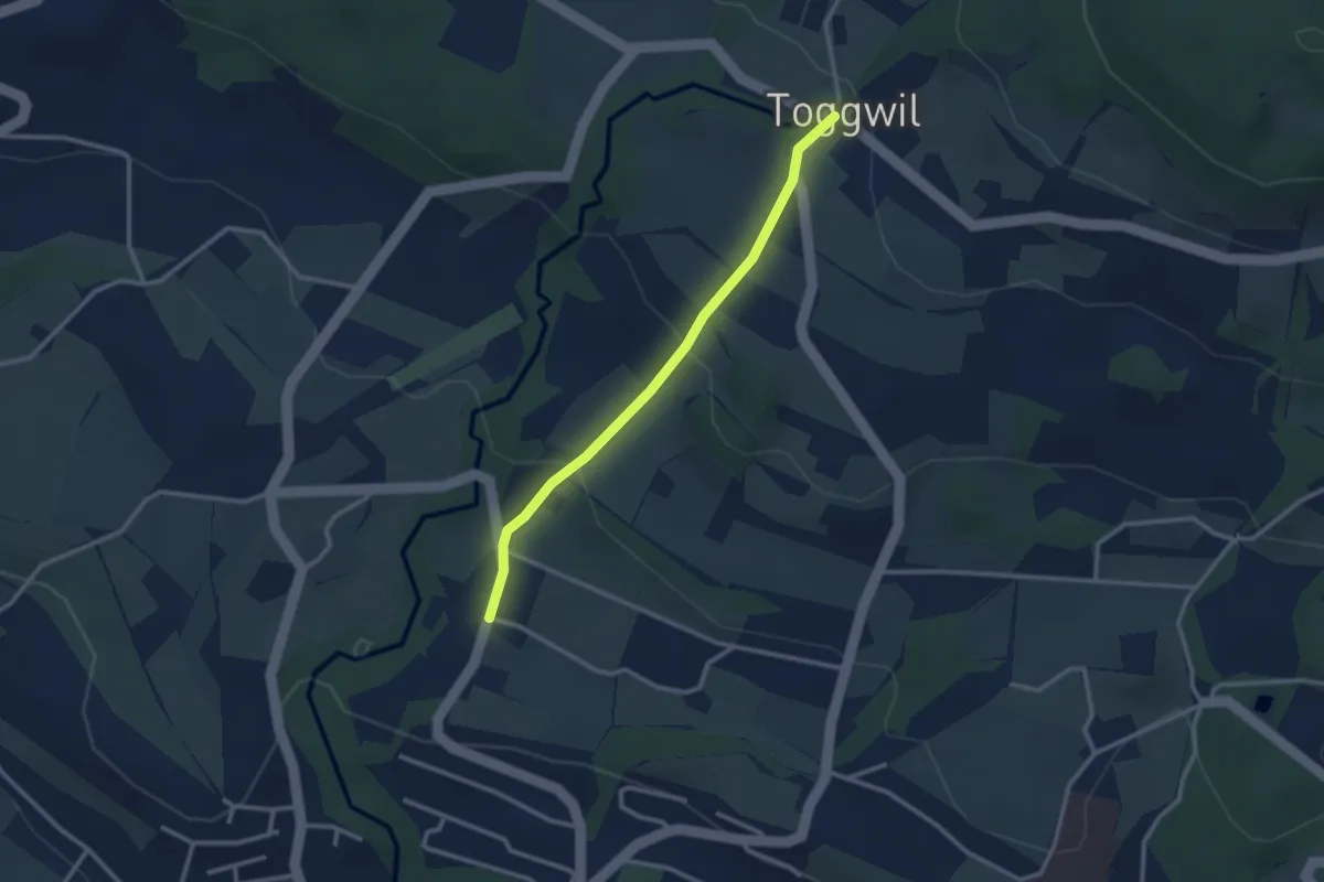
Easy · Trail
Toggwil – Burg
2.6 km · ↑ 132 m · 54 min
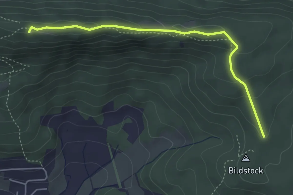
Medium · Summit
Lägern Hochwacht – Bildstock
4.1 km · ↑ 162 m · 1 h 18 min
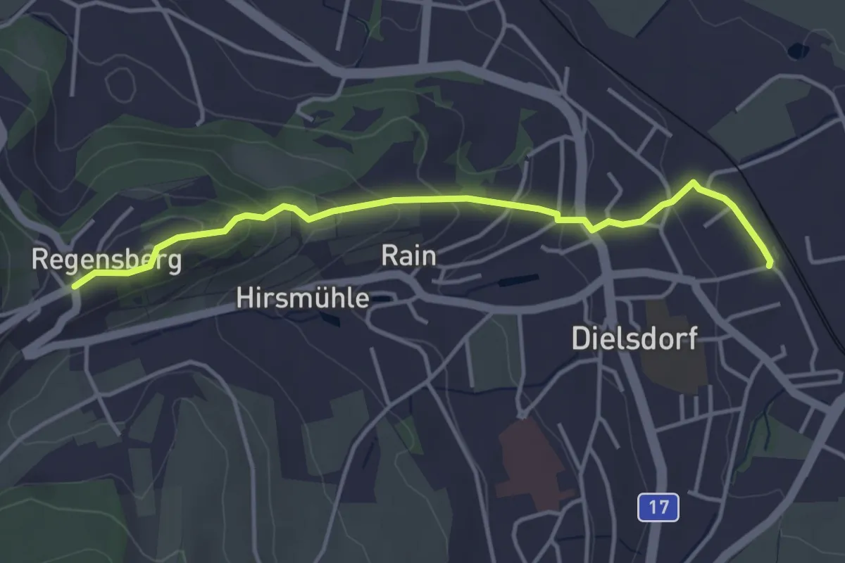
Easy · Trail
Regensberg – Dielsdorf
3.9 km · ↑ 168 m · 1 h 17 min
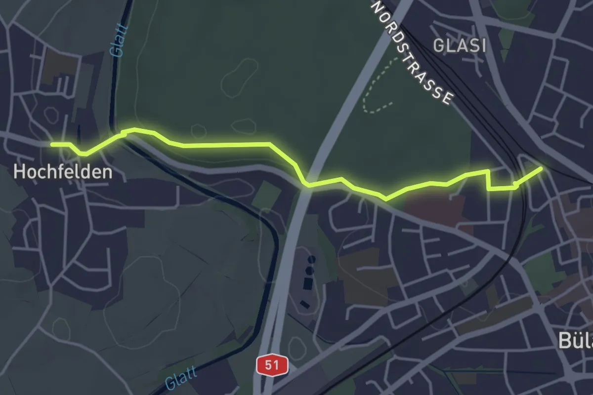
Easy · Trail
Bülach – Hochfelden
4.0 km · ↑ 78 m · 1 h 6 min
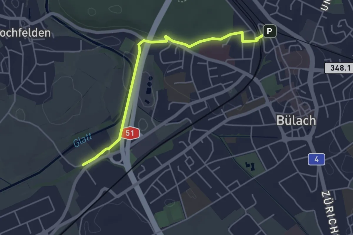
Easy · Trail
Jakobstal – Bülach
4.1 km · ↑ 38 m · 1 h 2 min
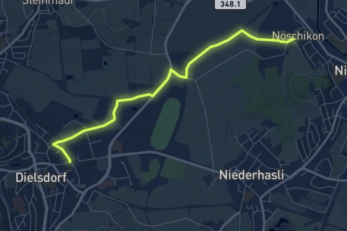
Easy · Trail
Dielsdorf – Nöschikon
7.4 km · ↑ 31 m · 1 h 49 min
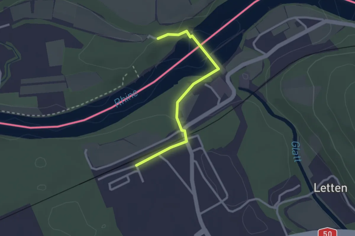
Easy · Trail
Rheinsfelden Kraftwerk – Zweidlen (Station)
2.2 km · ↑ 47 m · 38 min
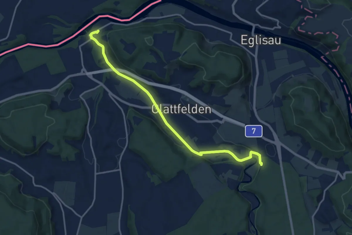
Medium · Trail
Rheinsfelden – Station Glattfelden
11.3 km · ↑ 147 m · 3 h
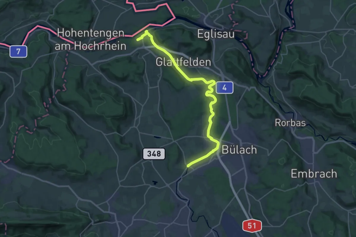
Demanding · Trail
Zweidlen (Station) – Niederhöri
25.8 km · ↑ 344 m · 6 h 50 min
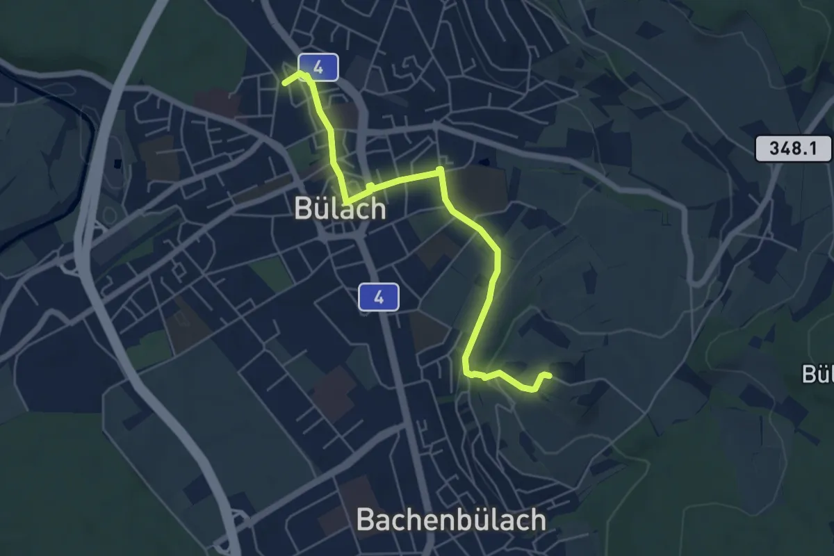
Easy · Trail
Brueder – Bülach
5.4 km · ↑ 114 m · 1 h 31 min
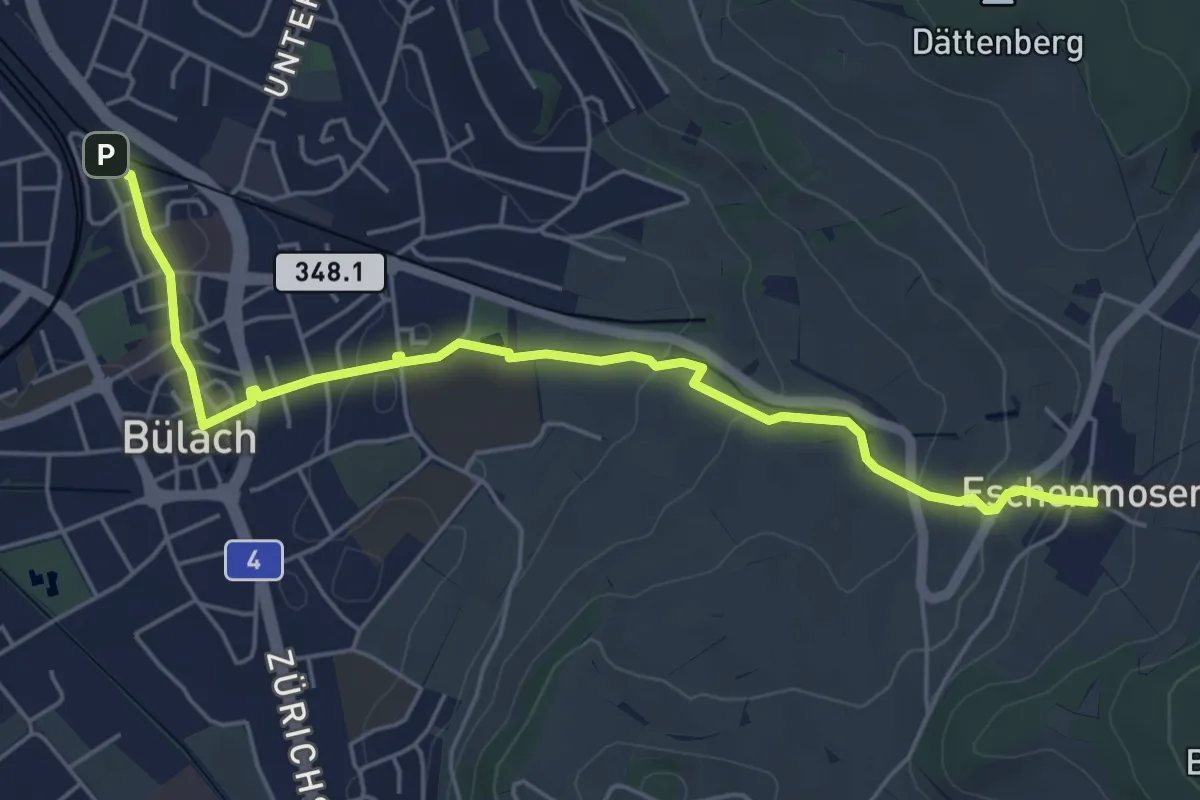
Easy · Trail
Eschenmosen – Bülach
5.7 km · ↑ 109 m · 1 h 35 min
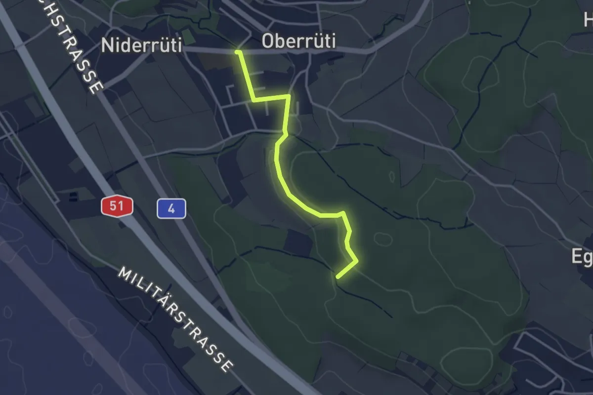
Easy · Trail
Oberrüti – Homberg
2.8 km · ↑ 50 m · 46 min
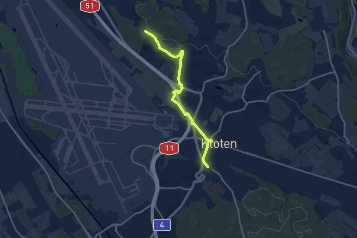
Easy · Trail
Kloten – Homberg
7.8 km · ↑ 89 m · 2 h 2 min
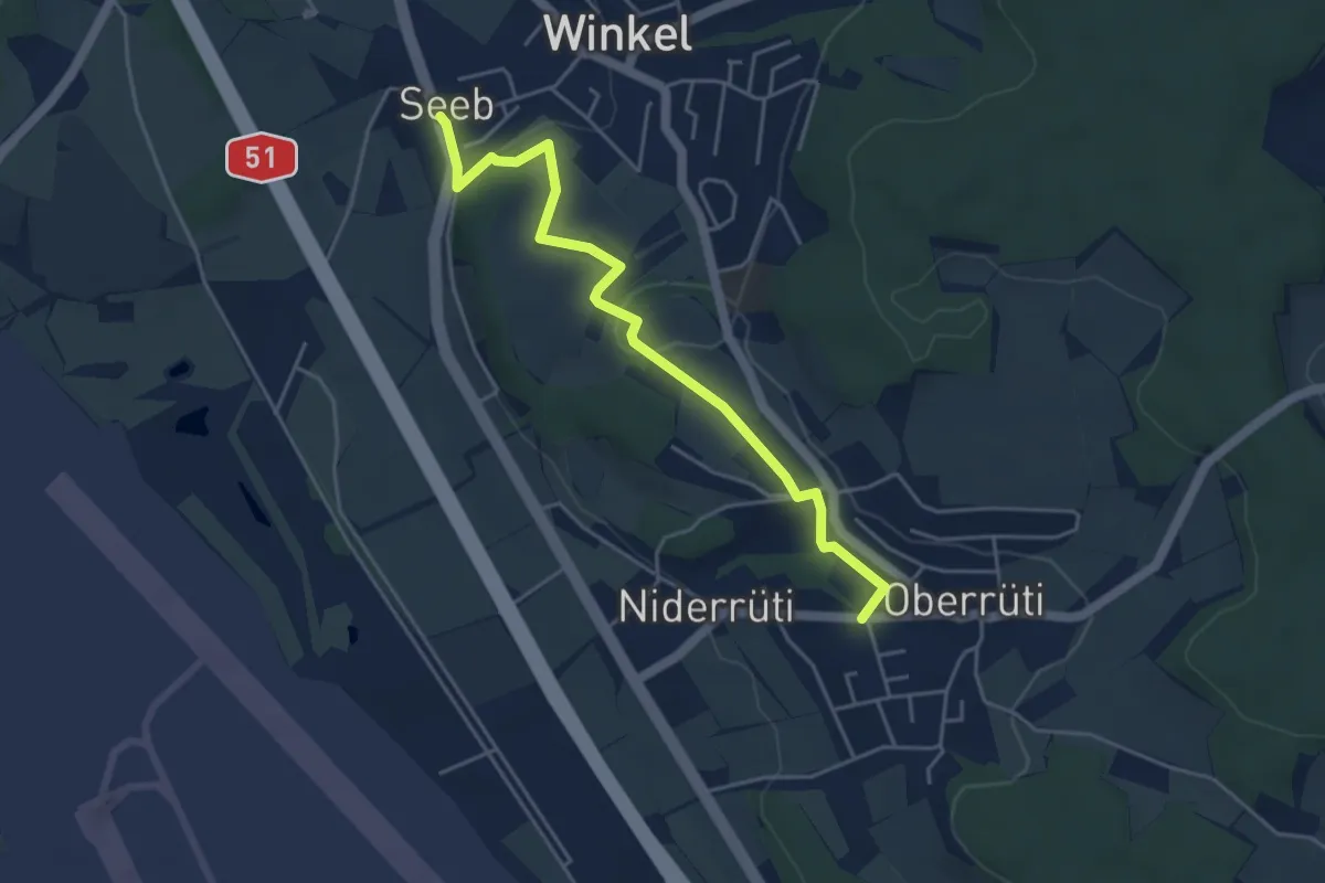
Easy · Trail
Winkel Seeb – Oberrüti
4.6 km · ↑ 109 m · 1 h 19 min
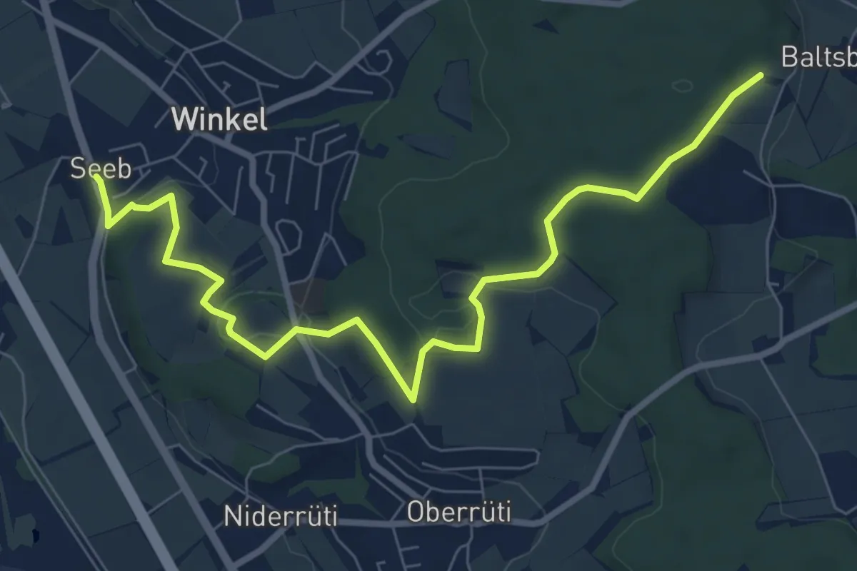
Medium · Trail
Husacher – Winkel Seeb
8.5 km · ↑ 220 m · 2 h 30 min
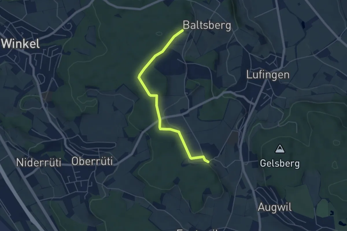
Easy · Trail
Hinter Marchlen – Husacher
4.8 km · ↑ 86 m · 1 h 19 min
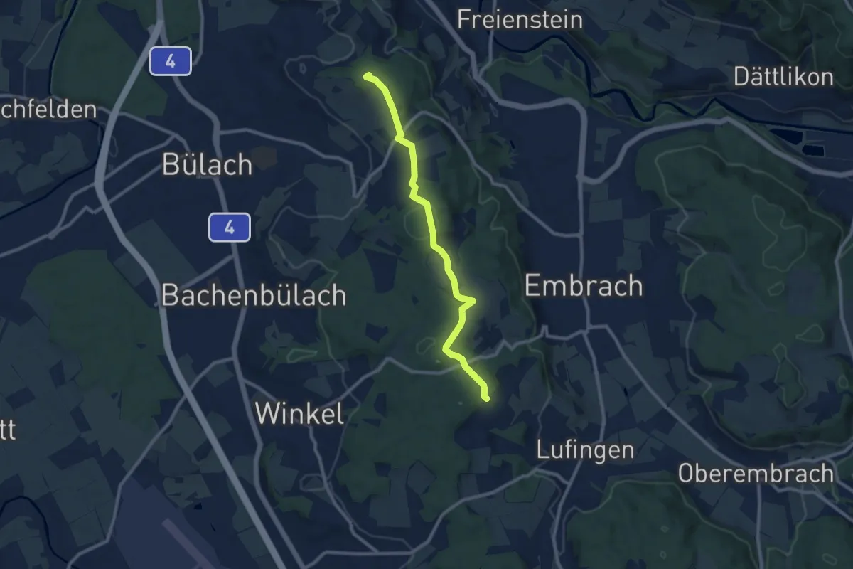
Medium · Summit
Petersboden – Husacher
8.7 km · ↑ 241 m · 2 h 35 min
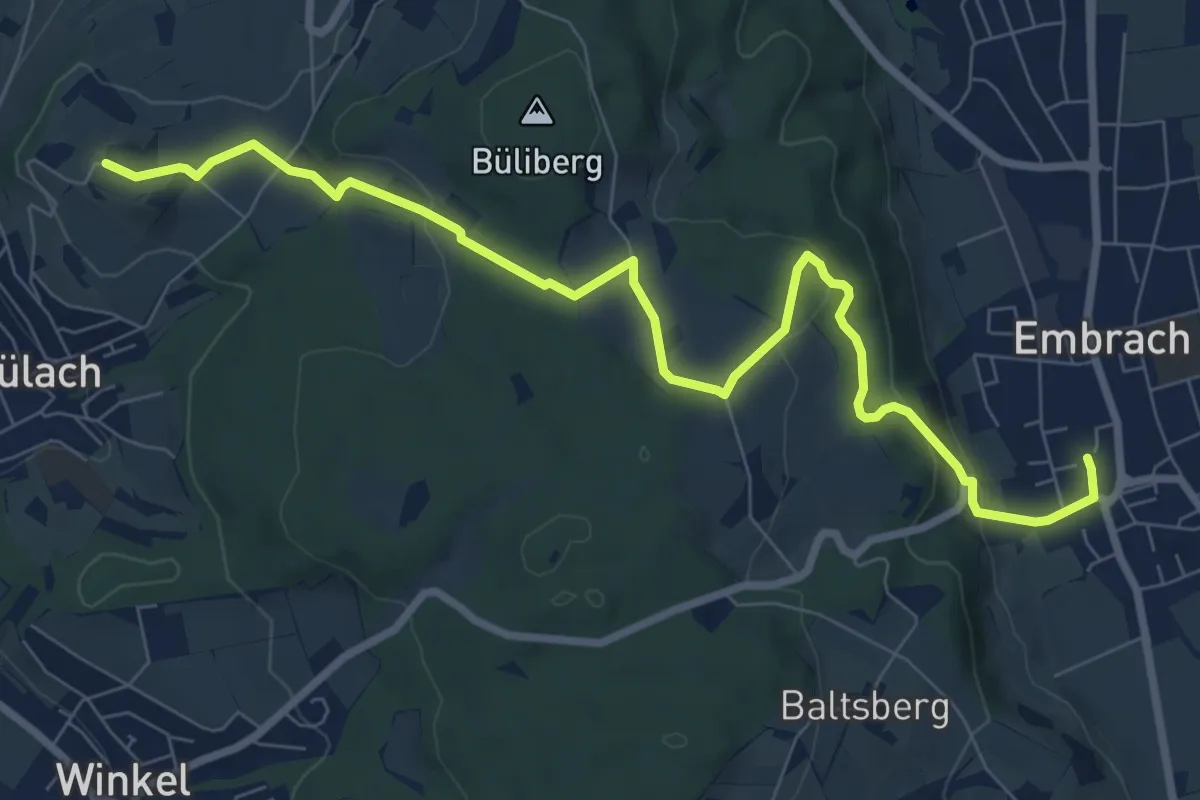
Medium · Trail
Embrach Oberdorf – Brueder
9.3 km · ↑ 247 m · 2 h 44 min
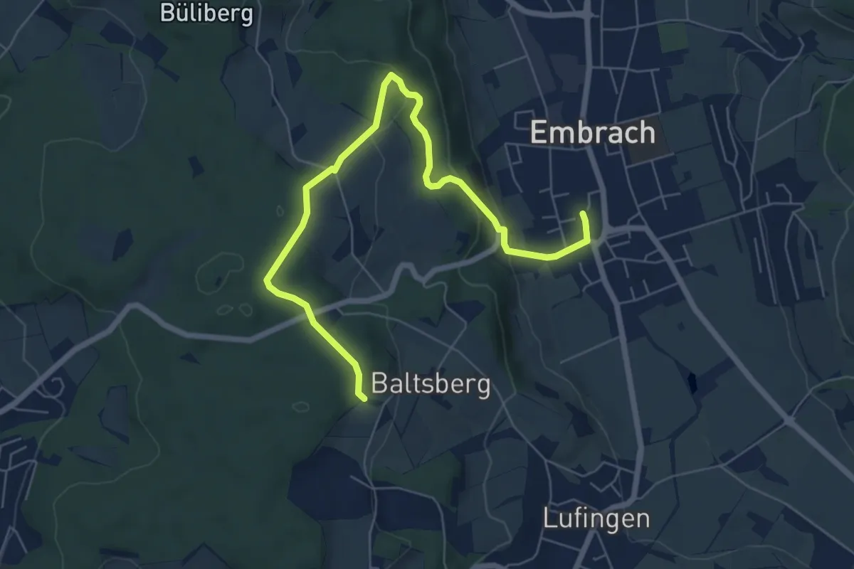
Easy · Trail
Husacher – Embrach Oberdorf
7.1 km · ↑ 221 m · 2 h 10 min
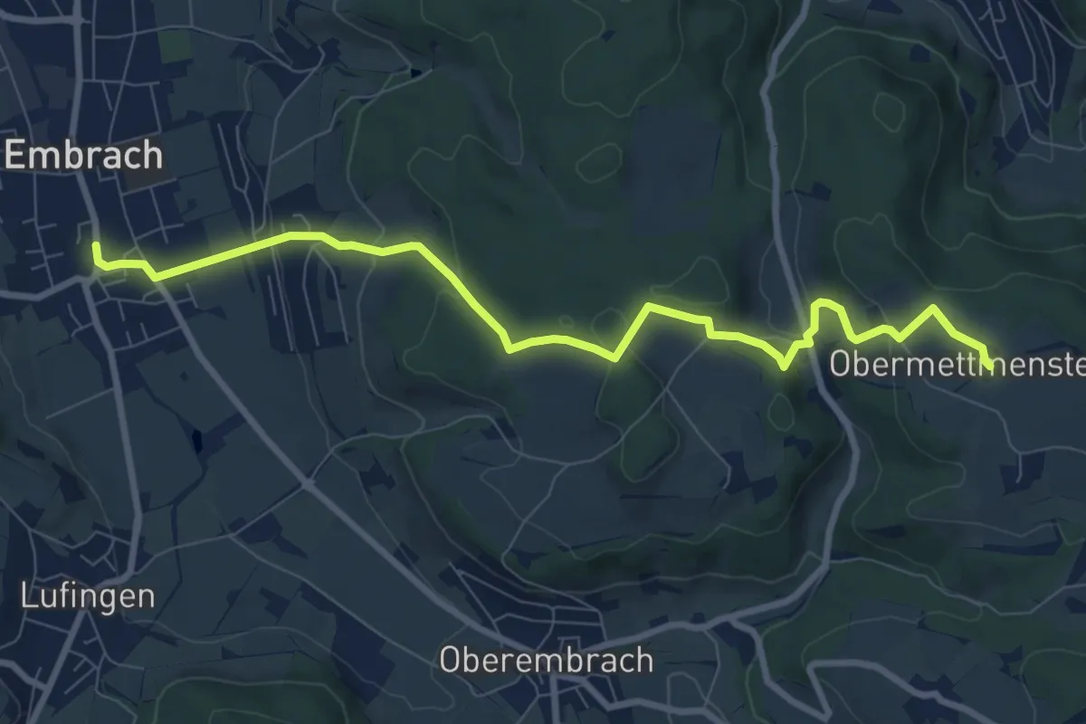
Medium · Trail
Ober Mettmenstetten – Embrach Oberdorf Bus
9.1 km · ↑ 300 m · 2 h 48 min
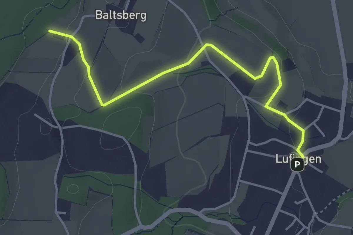
Easy · Trail
Lufingen – Husacher
3.8 km · ↑ 127 m · 1 h 10 min
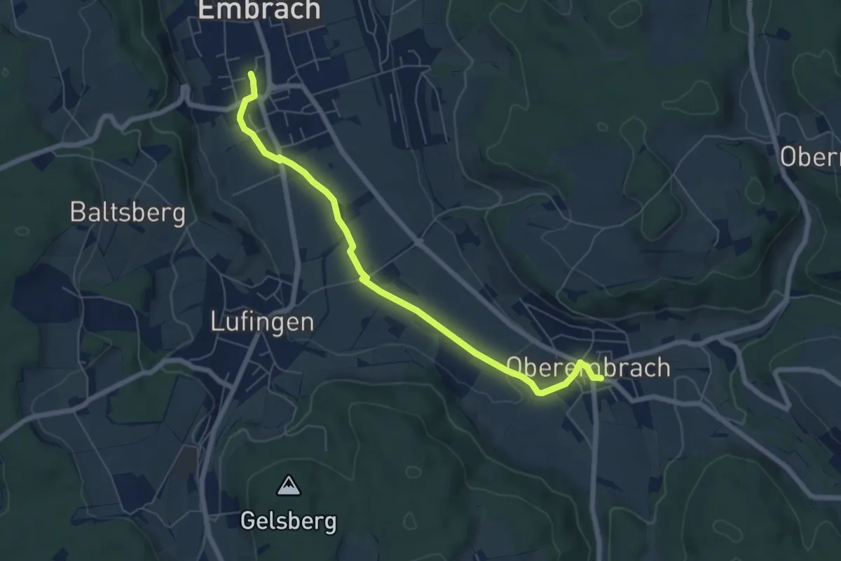
Easy · Trail
Embrach Oberdorf – Oberembrach
6.4 km · ↑ 31 m · 1 h 34 min
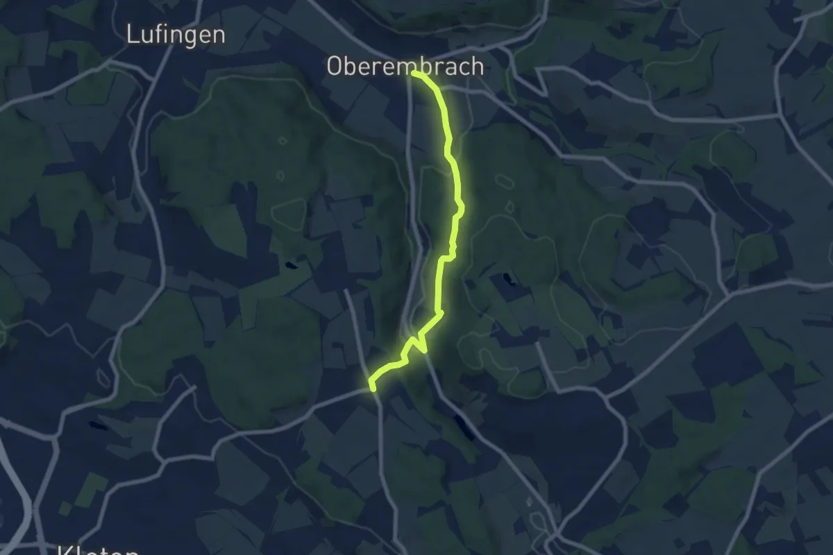
Easy · Trail
Oberembrach – Gerlisberg
6.5 km · ↑ 212 m · 1 h 59 min
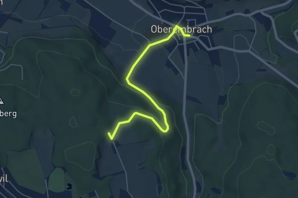
Easy · Trail
Hinterbänikon – Oberembrach
4.5 km · ↑ 131 m · 1 h 21 min
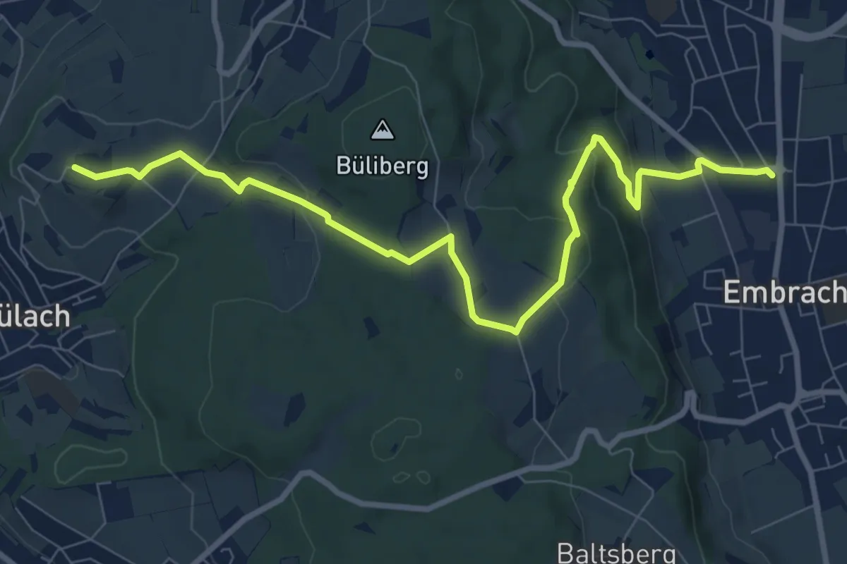
Medium · Trail
Embrach Unterdorf – Brueder
9.3 km · ↑ 275 m · 2 h 47 min
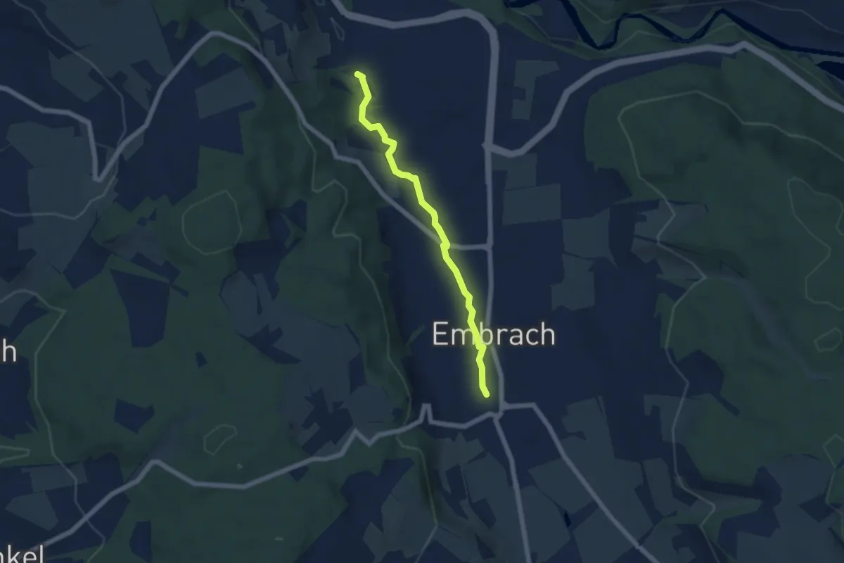
Easy · Trail
Haumüli – Embrach Oberdorf
4.8 km · ↑ 22 m · 1 h 12 min
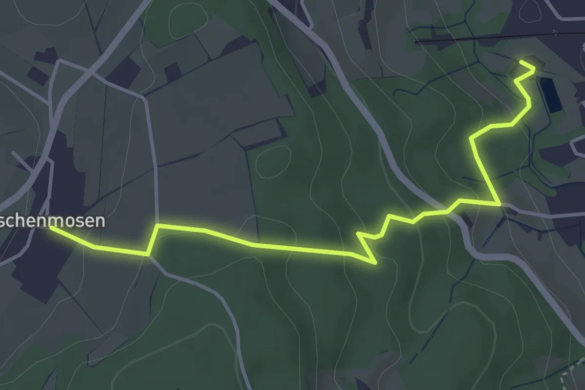
Easy · Trail
Haumüli – Eschenmosen
4.0 km · ↑ 202 m · 1 h 23 min
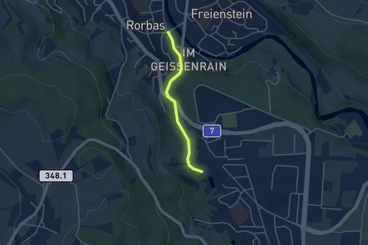
Easy · Trail
Rorbas – Haumüli
2.6 km · ↑ 68 m · 46 min
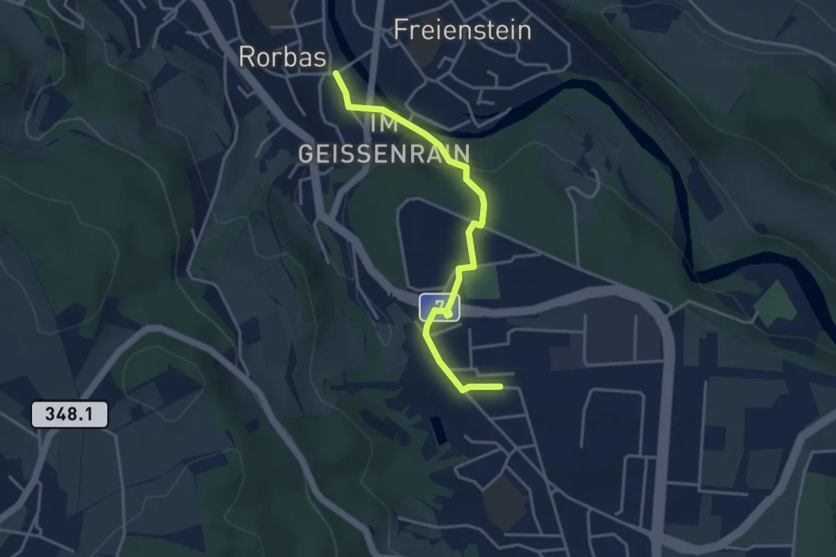
Easy · Trail
Rorbas – Embrach
3.4 km · ↑ 65 m · 56 min