Trails in Switzerland
15,055 hiking trails, each with its route, climb, walking time and grade.
All trails, page 266 of 314
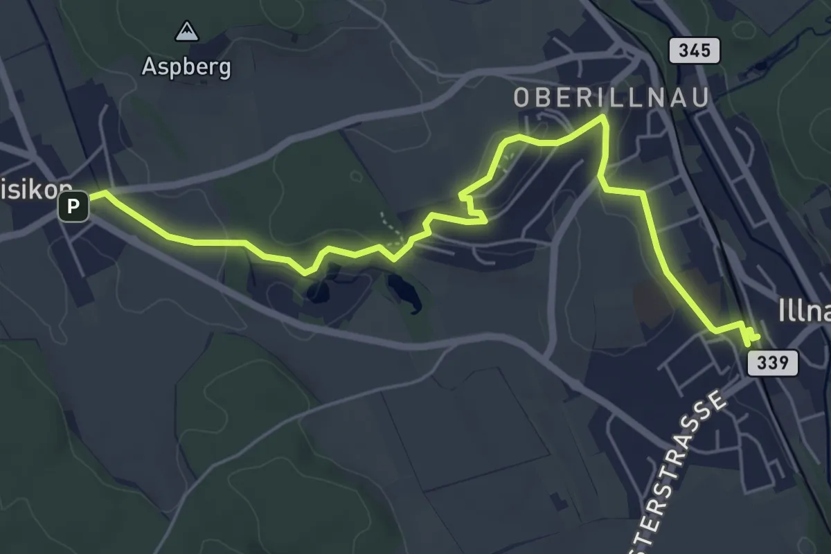
Easy · Trail
Illnau (ost) – Bisikon
6.3 km · ↑ 119 m · 1 h 44 min
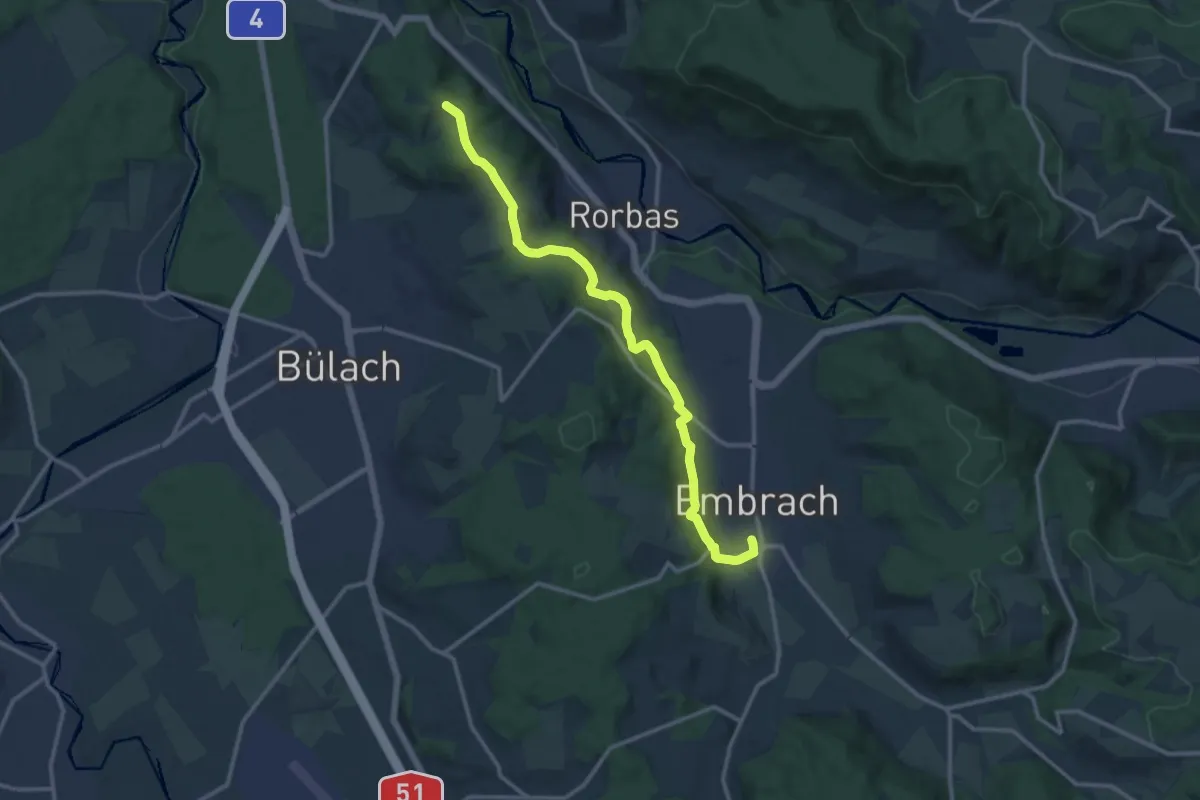
Medium · Trail
Embrach Oberdorf – Petersboden
12.8 km · ↑ 424 m · 3 h 57 min
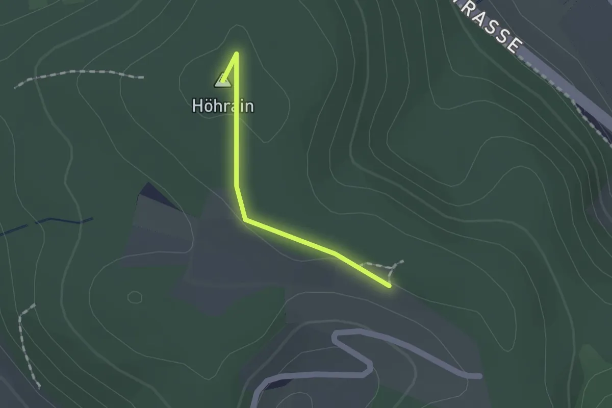
Easy · Summit
Petersboden – Wagenbrechi
1.1 km · ↑ 15 m · 17 min
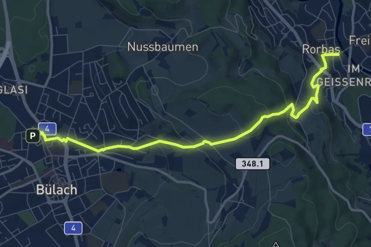
Medium · Trail
Bülach – Rorbas
8.7 km · ↑ 367 m · 2 h 51 min
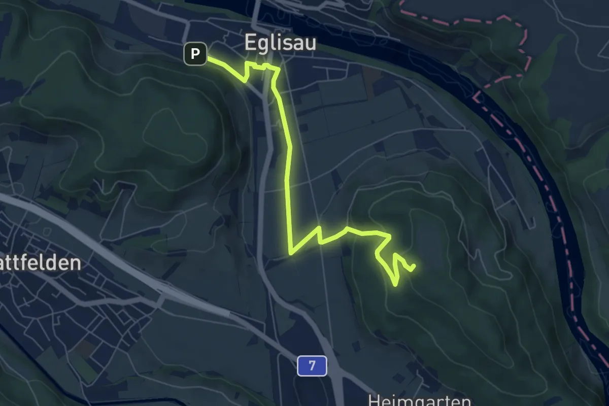
Easy · Trail
Eglisau Bahnhof – Rhinsberg Hochwacht
7.4 km · ↑ 247 m · 2 h 17 min
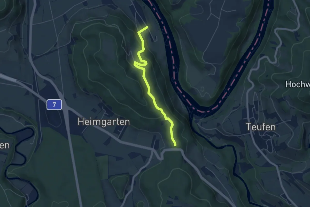
Easy · Trail
Wagenbrechi – Tössriederen
4.8 km · ↑ 219 m · 1 h 37 min
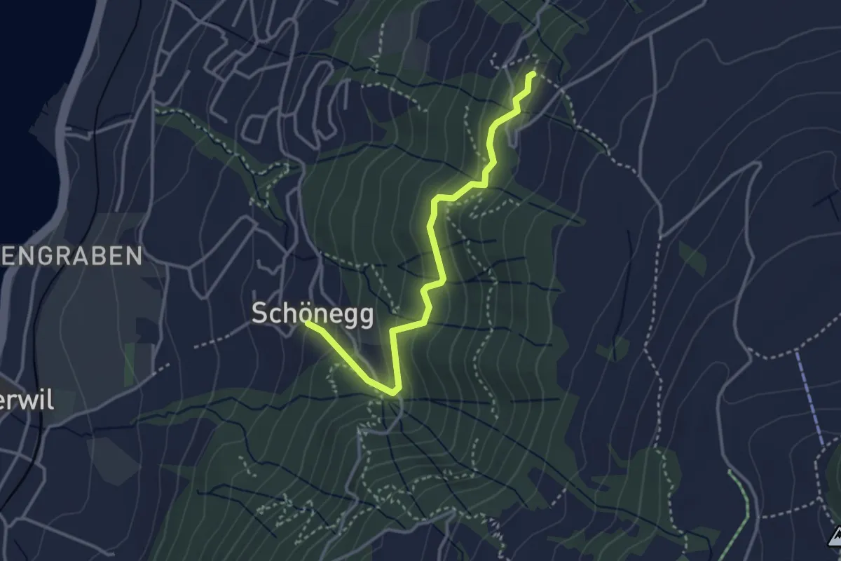
Easy · Trail
Blasenberg – Schönegg
3.2 km · ↑ 249 m · 1 h 18 min
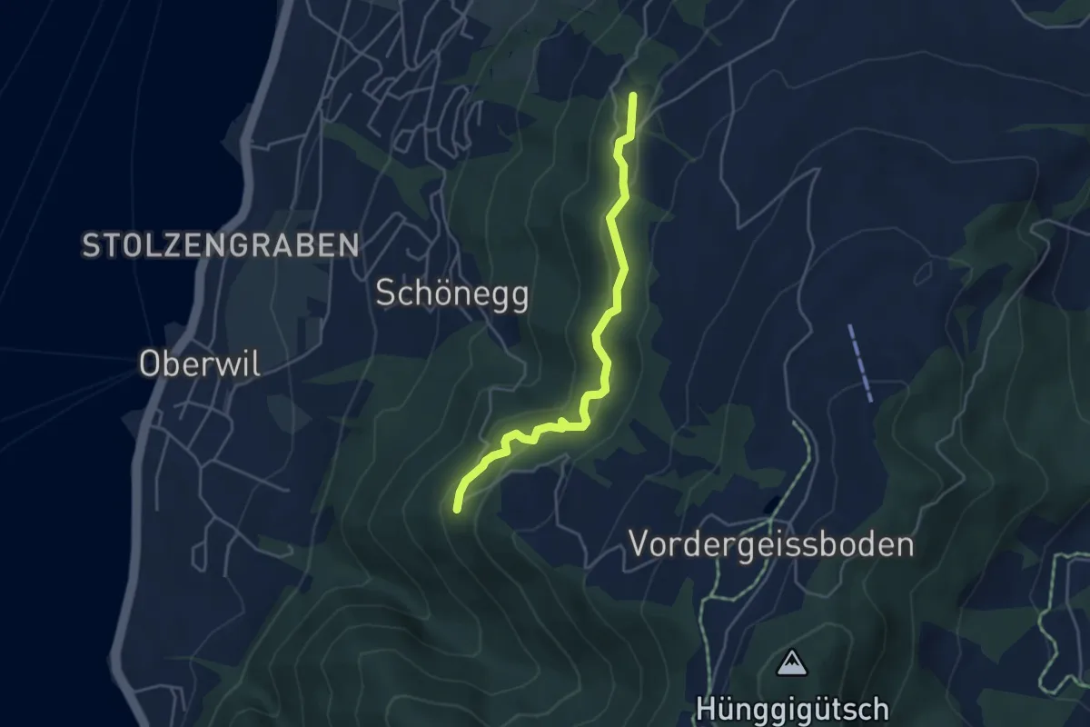
Easy · Trail
Blasenberg – Lärch
4.1 km · ↑ 213 m · 1 h 26 min
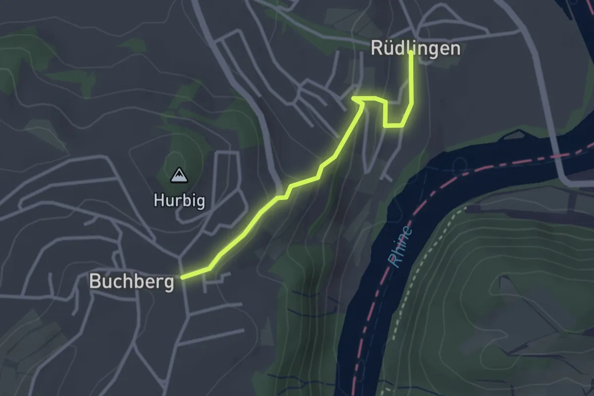
Easy · Trail
Rüdlingen – Buchberg
2.5 km · ↑ 121 m · 52 min
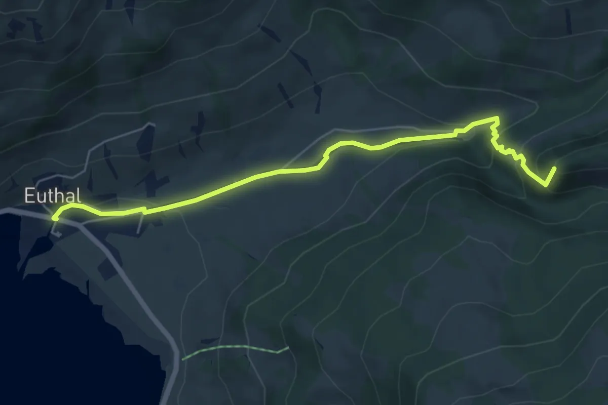
Easy · Summit
Euthal – vord. Chrumfluh
5.5 km · ↑ 233 m · 1 h 48 min
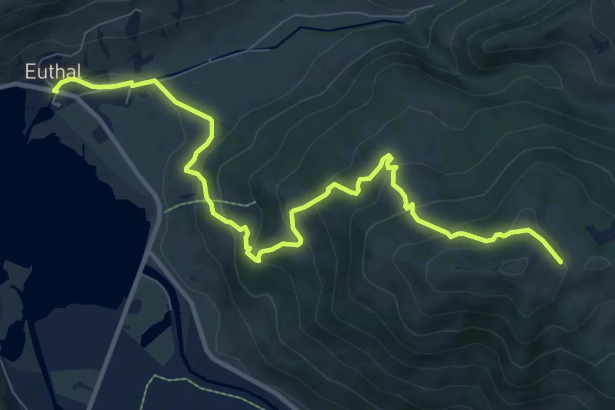
Medium · Trail
Euthal – Wisstannen (Vorder Wisstannenweid)
8.9 km · ↑ 505 m · 3 h 12 min
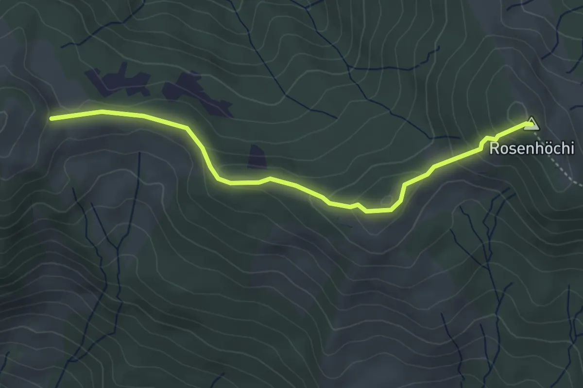
Easy · Summit
Wisstannen (Vorder Wisstannenweid) – Rosenhöchi
4.3 km · ↑ 209 m · 1 h 28 min
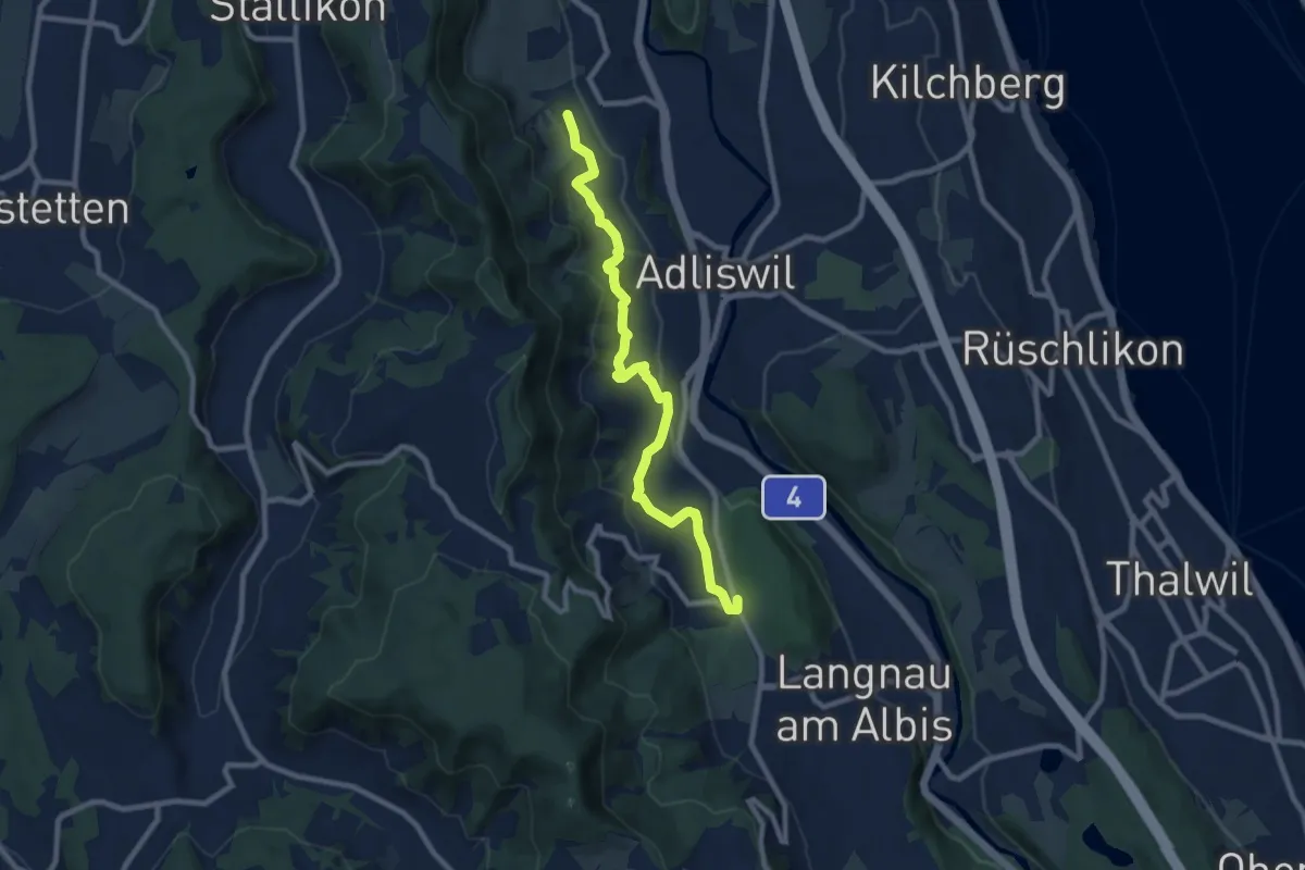
Medium · Trail
Ober Leimbach – Waldi
8.9 km · ↑ 368 m · 2 h 54 min
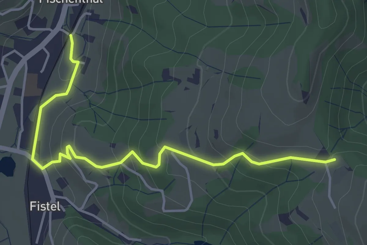
Easy · Trail
Fischenthal – Tannen
4.2 km · ↑ 222 m · 1 h 28 min
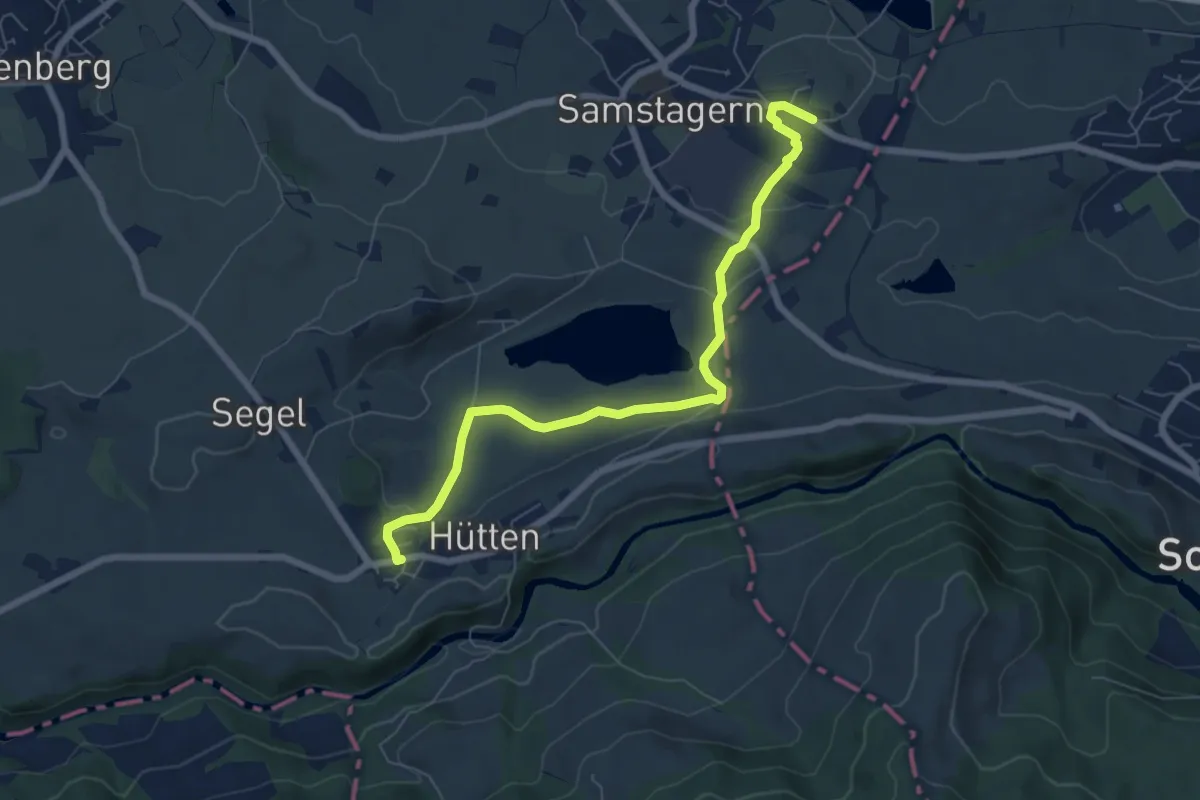
Easy · Trail
Hütten – Samstagern
7.0 km · ↑ 142 m · 1 h 58 min
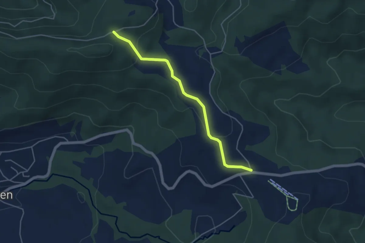
Easy · Trail
Charenboden – Raten
3.8 km · ↑ 100 m · 1 h 7 min
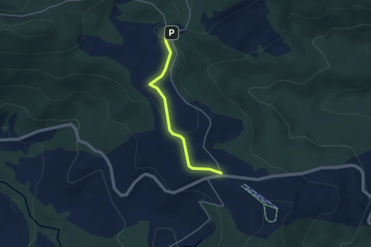
Easy · Trail
Raten – Chlausenchappeli
2.8 km · ↑ 63 m · 48 min
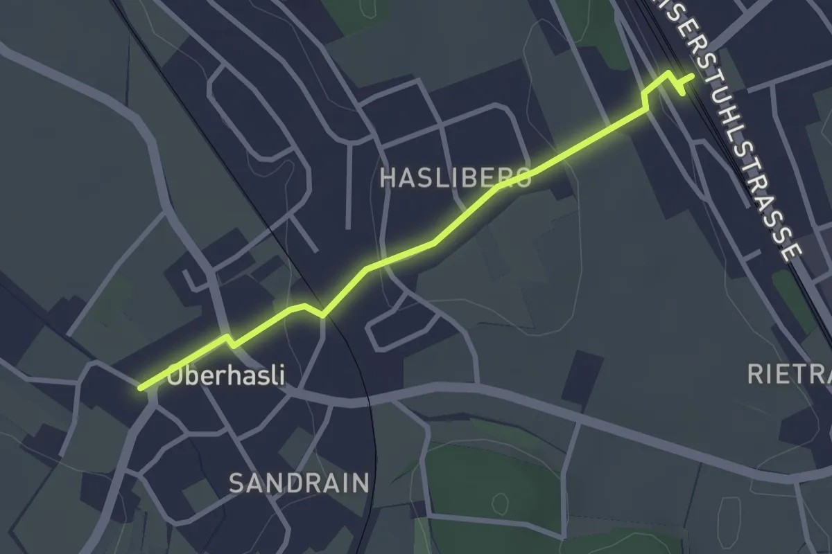
Easy · Trail
Oberhasli – Oberglatt
2.5 km · ↑ 64 m · 44 min
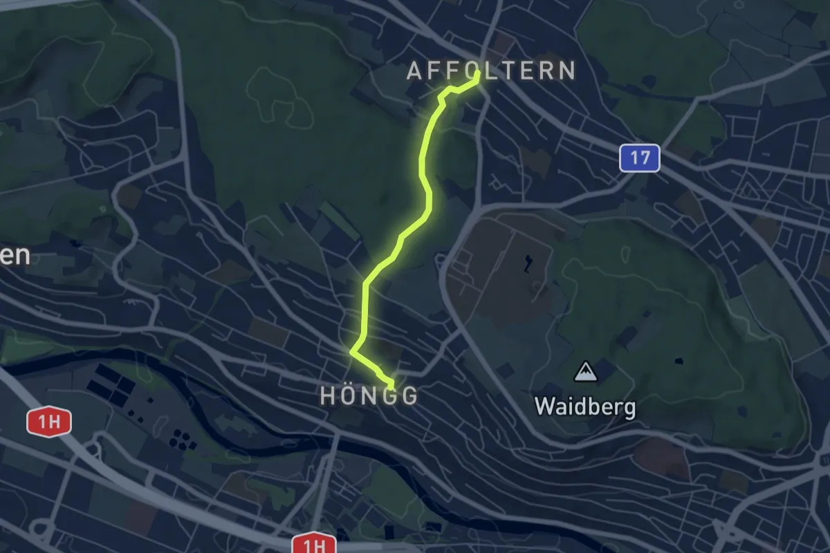
Easy · Trail
Höngg – Zehntenhausplatz
4.6 km · ↑ 114 m · 1 h 20 min
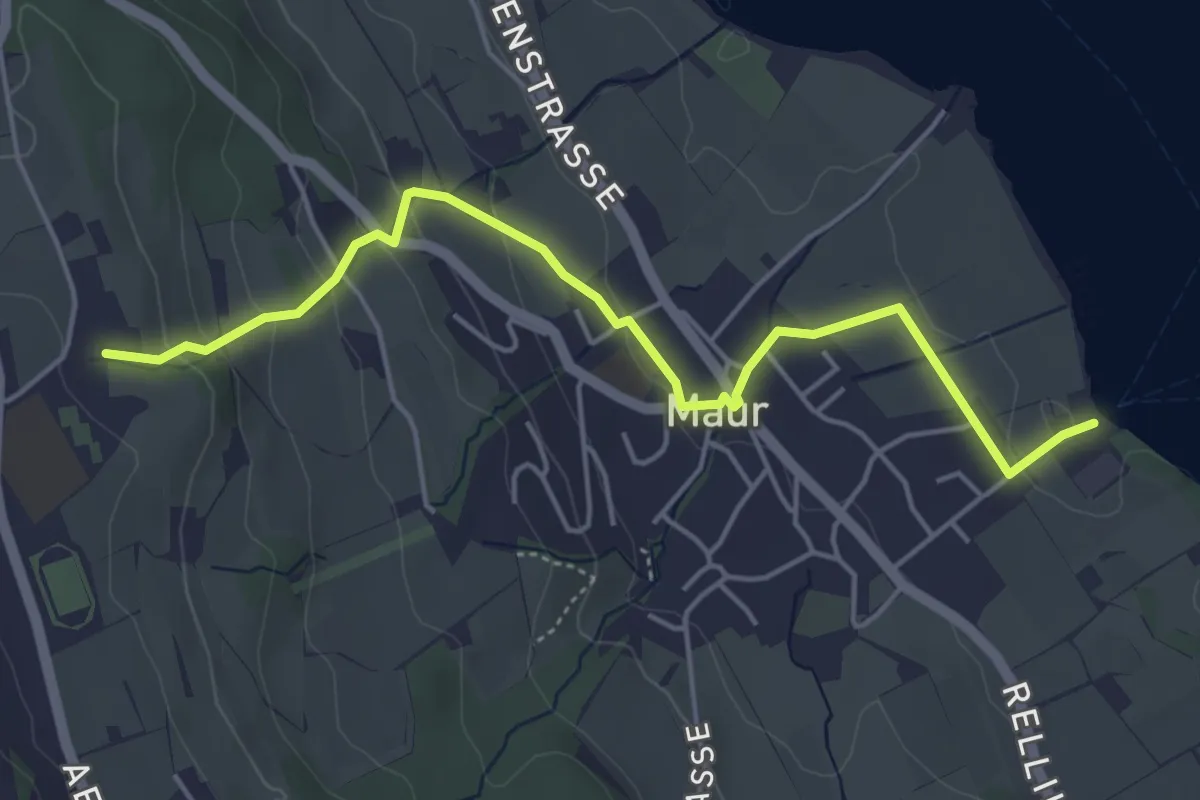
Easy · Trail
Maur Schifflände – Looren
5.0 km · ↑ 174 m · 1 h 34 min
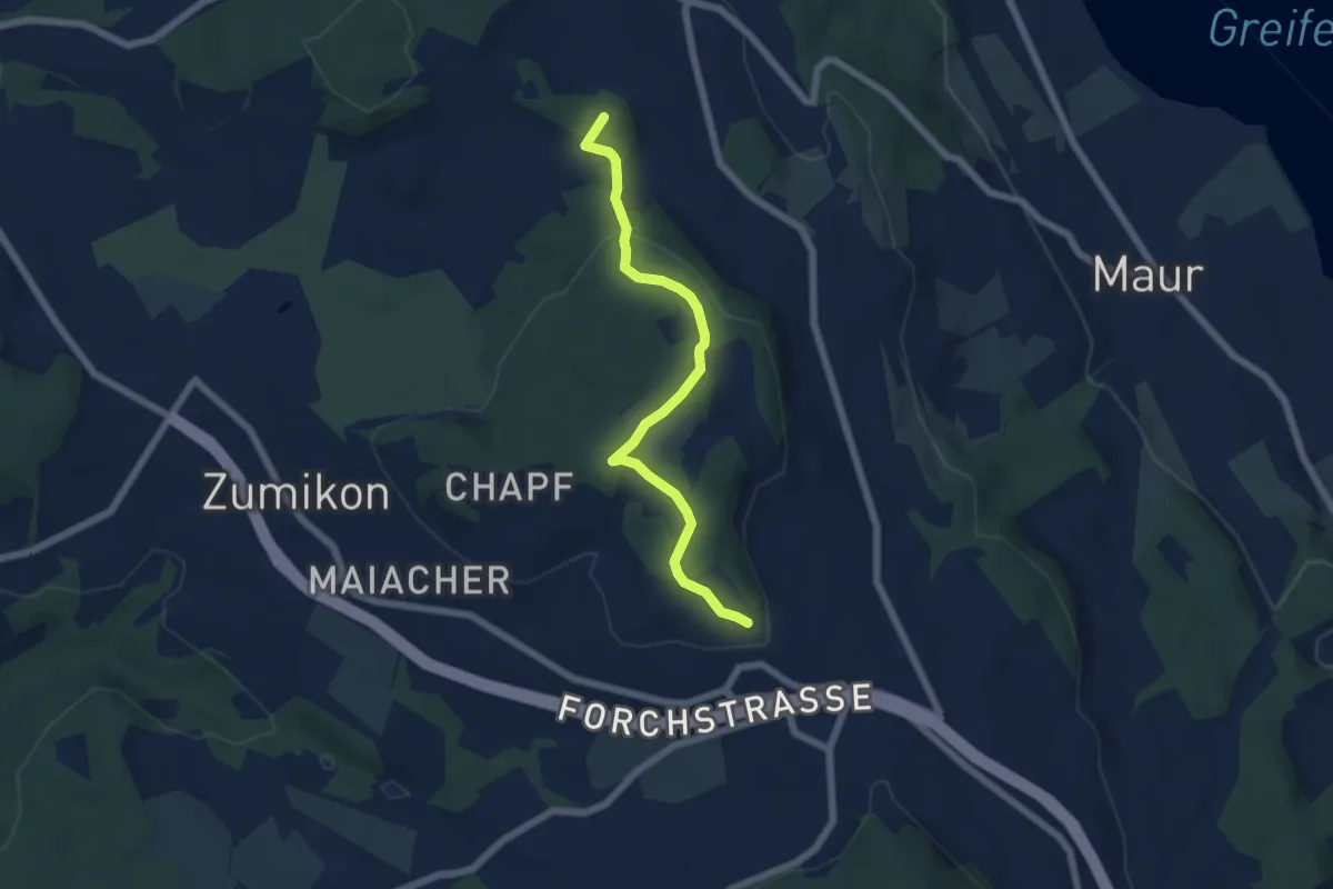
Easy · Summit
Süessblätz – Wehrmännerdenkmal
5.7 km · ↑ 186 m · 1 h 45 min
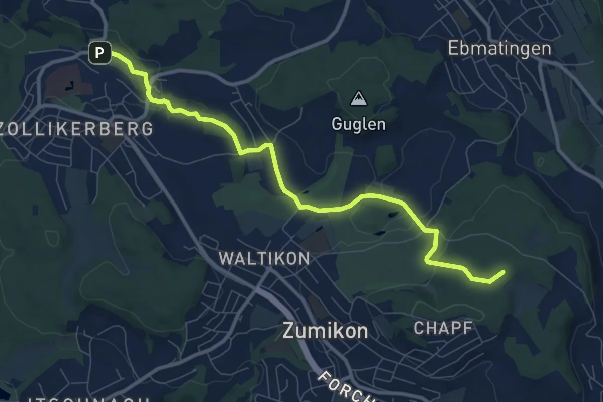
Medium · Summit
Trichtenhusen – Wehrmännerdenkmal
8.4 km · ↑ 188 m · 2 h 23 min
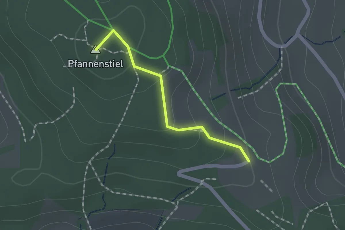
Easy · Summit
Guldener Höchi – Pfannenstiel Hochwacht
1.2 km · ↑ 50 m · 23 min
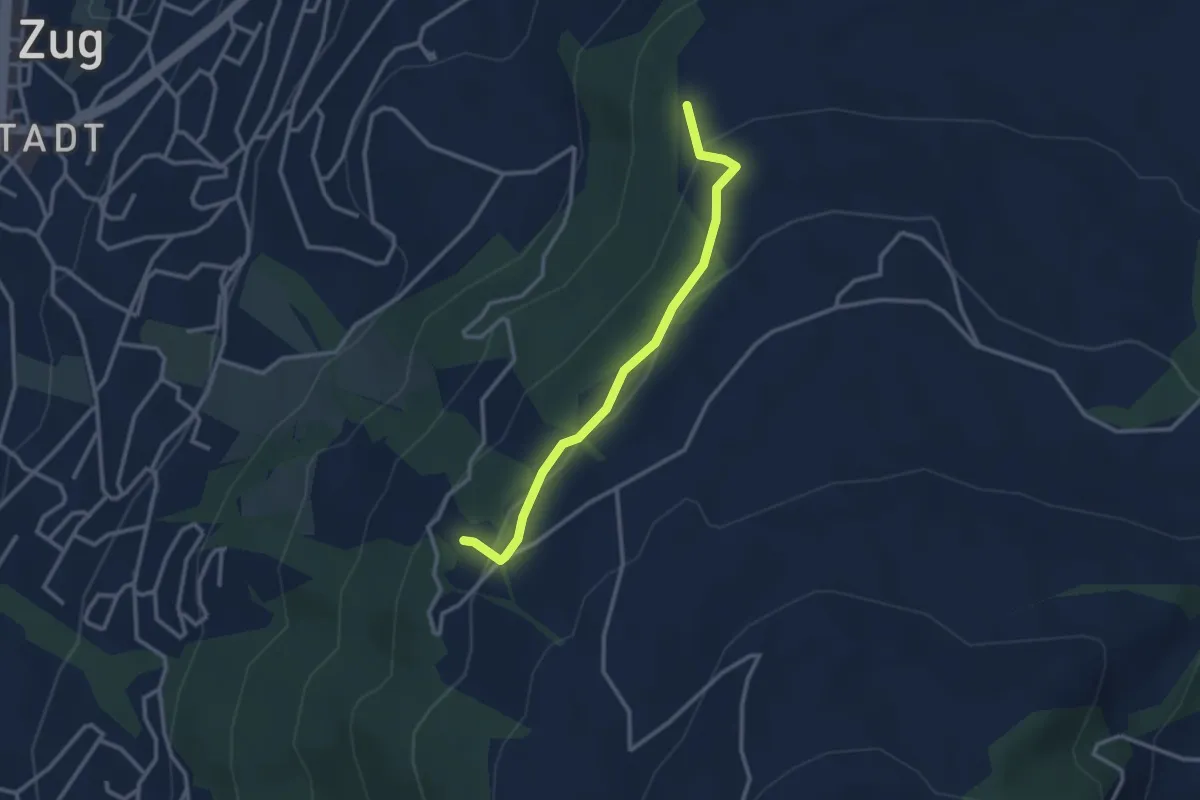
Easy · Trail
Steren – Blasenberg
2.8 km · ↑ 117 m · 55 min
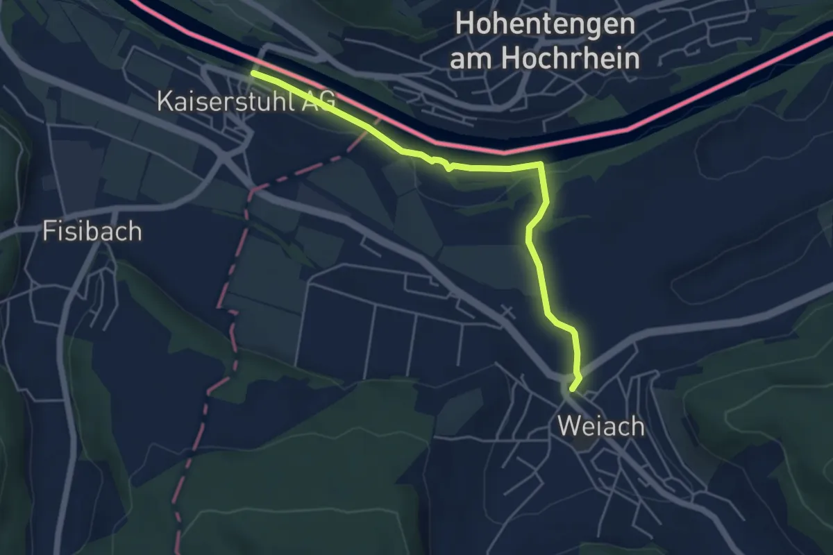
Easy · Trail
Weiach – Kaiserstuhl
4.6 km · ↑ 49 m · 1 h 11 min
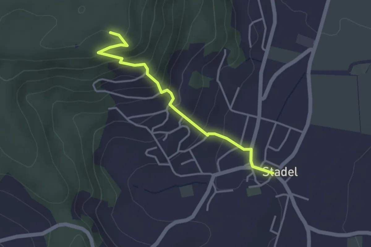
Easy · Trail
Stadel – Stadlerberg
3.2 km · ↑ 198 m · 1 h 11 min
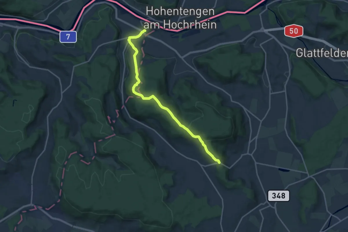
Medium · Trail
Stig – Kaiserstuhl Bahnhof
13.8 km · ↑ 350 m · 4 h 2 min
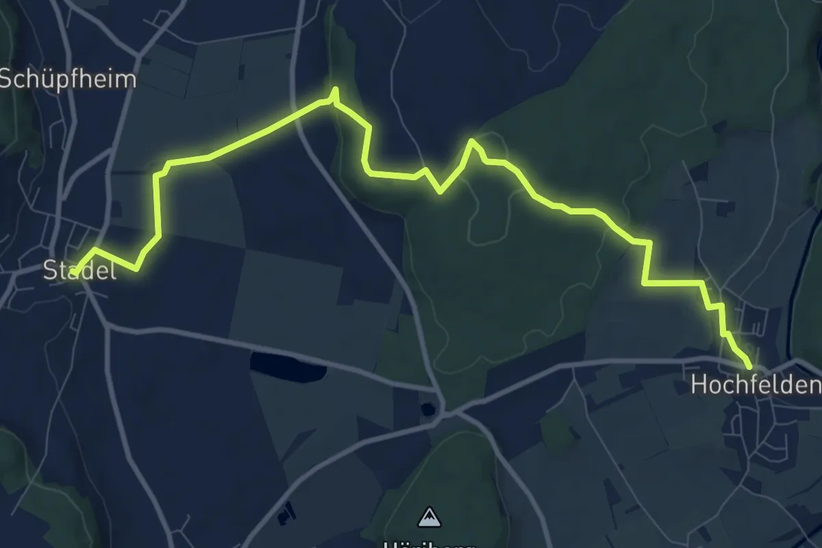
Medium · Trail
Hochfelden – Stadel
11.4 km · ↑ 245 m · 3 h 14 min
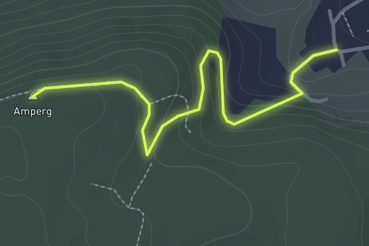
Easy · Summit
Leuenchopf – Zweidlen
2.6 km · ↑ 97 m · 49 min
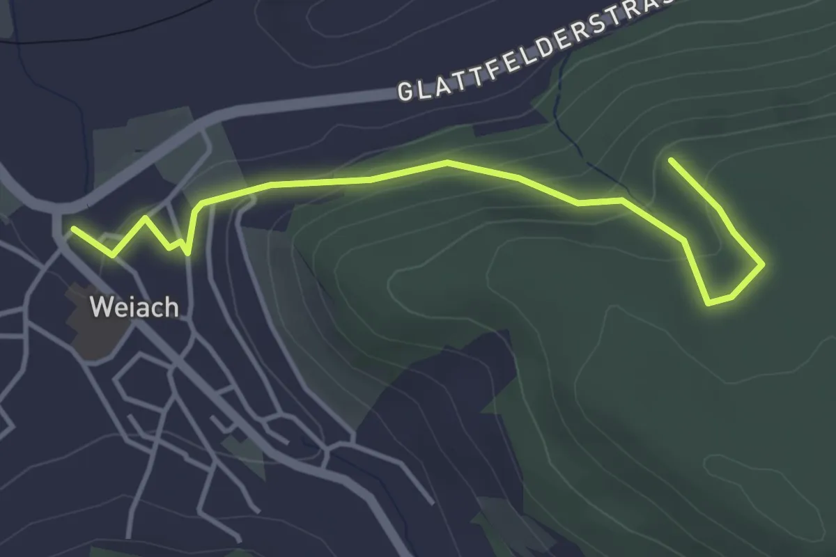
Easy · Trail
Weiach – Leuenchopf
3.9 km · ↑ 185 m · 1 h 19 min
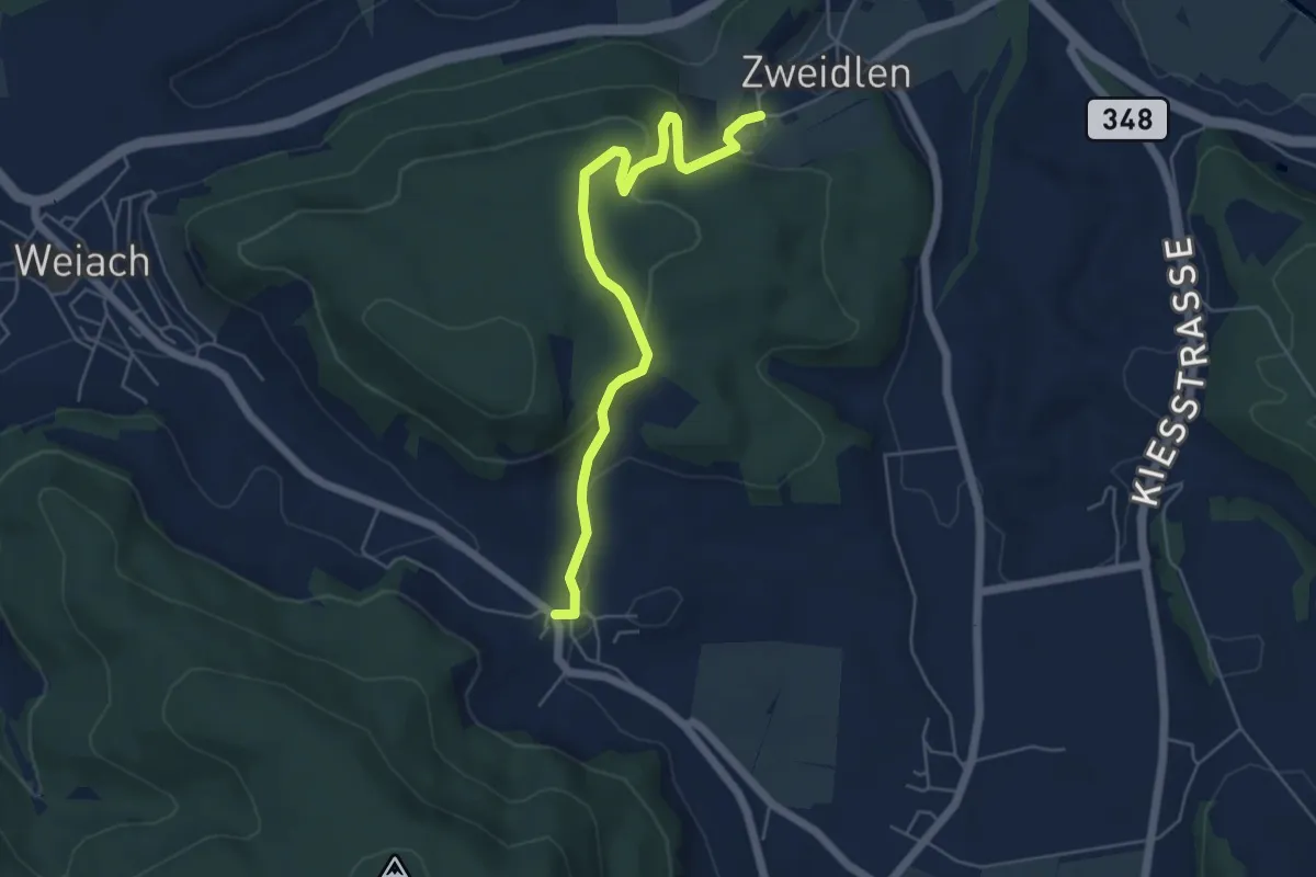
Easy · Trail
Zweidlen – Raat
5.6 km · ↑ 182 m · 1 h 42 min
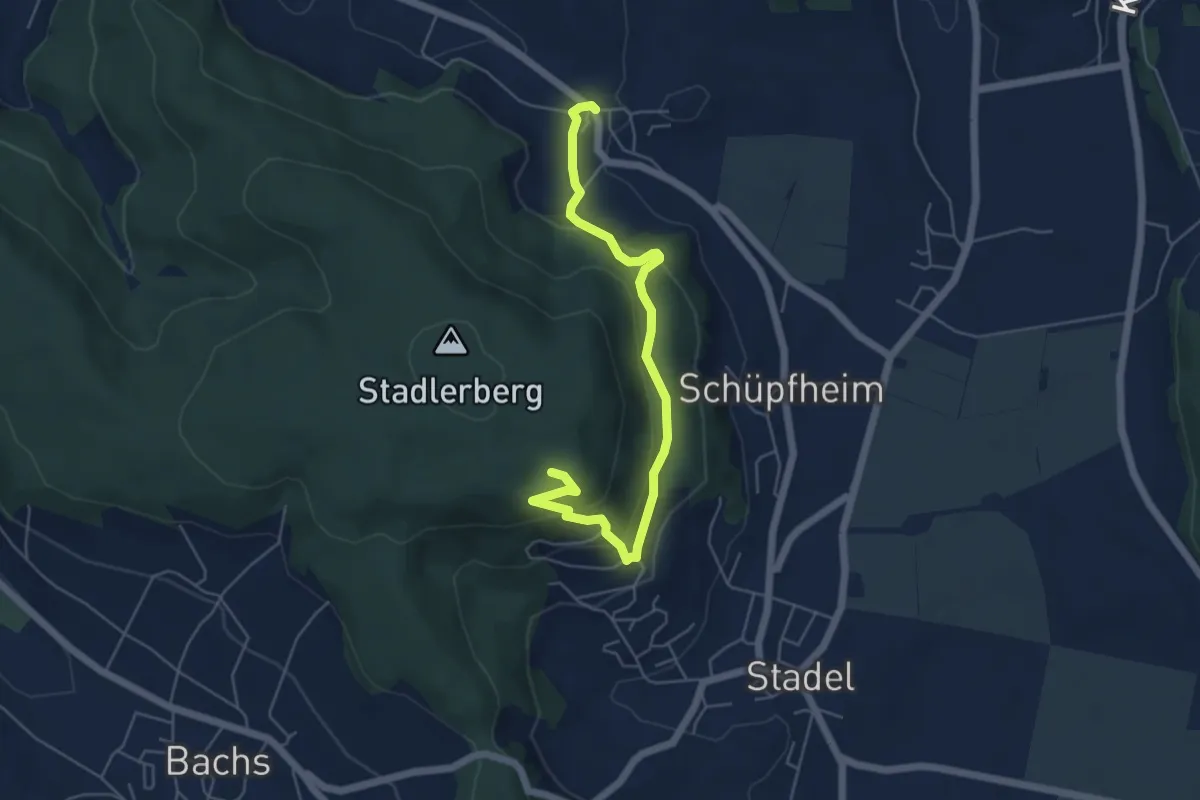
Easy · Trail
Raat – Stadlerberg
5.7 km · ↑ 307 m · 2 h
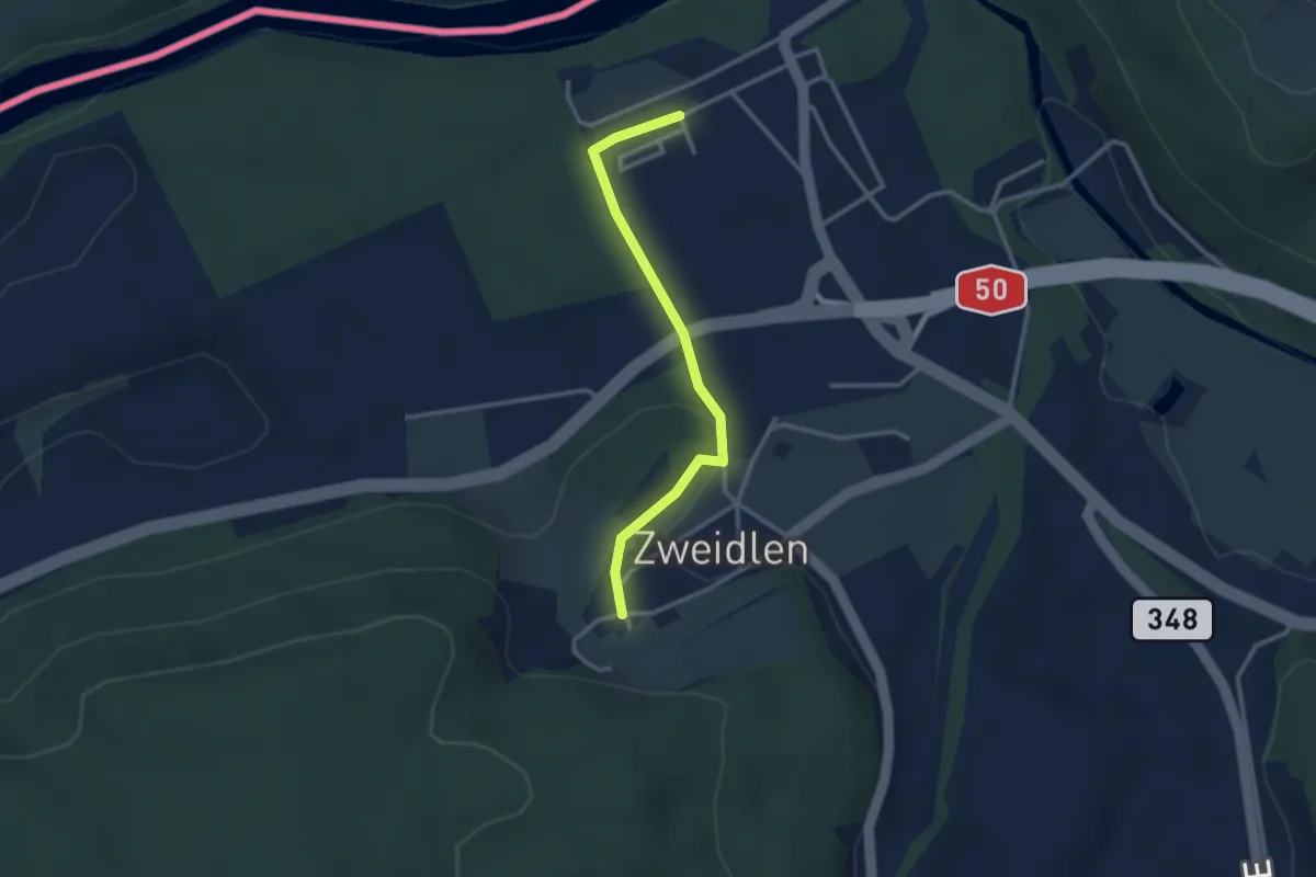
Easy · Trail
Zweidlen – Zweidlen (Station)
2.8 km · ↑ 60 m · 47 min
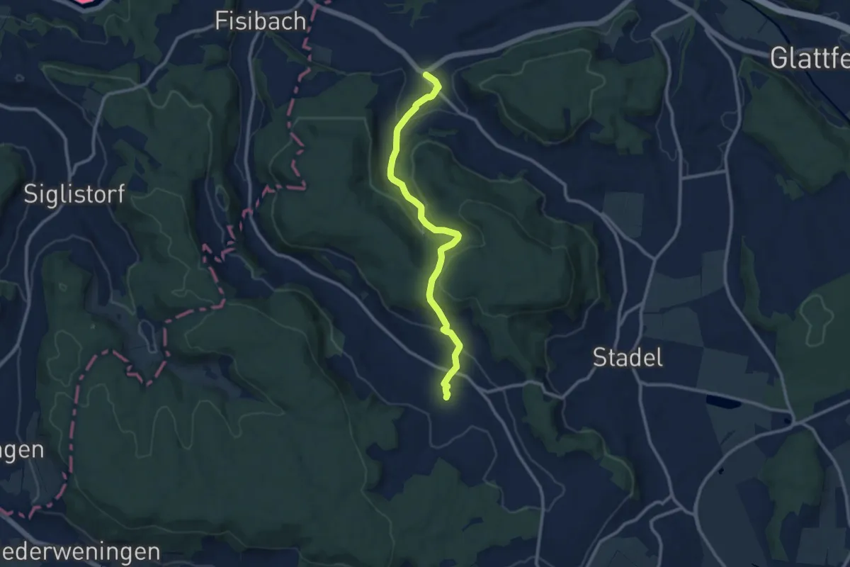
Medium · Trail
Weiach – Bachs
9.9 km · ↑ 349 m · 3 h 6 min
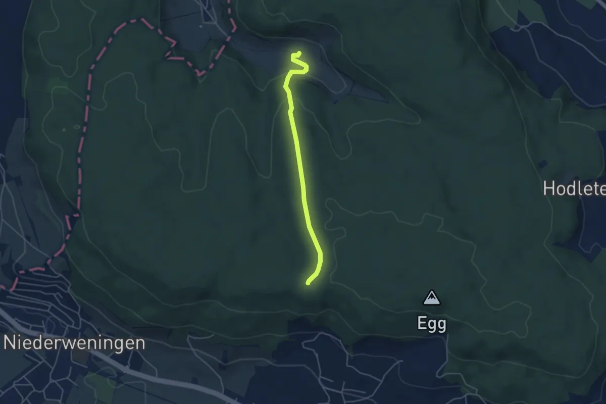
Easy · Trail
Schliniker Platten – Wattwil
3.9 km · ↑ 112 m · 1 h 10 min
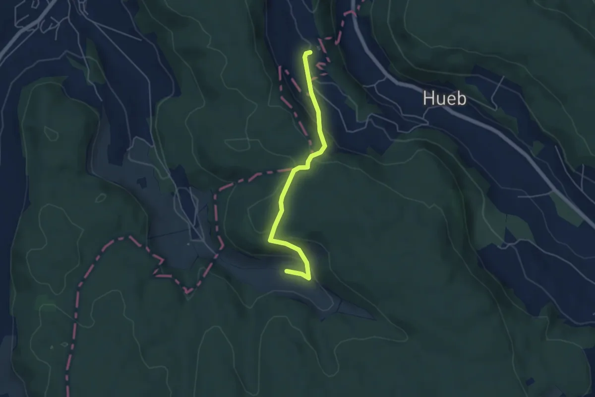
Easy · Trail
Waldhusen – Wattwil
4.4 km · ↑ 199 m · 1 h 29 min
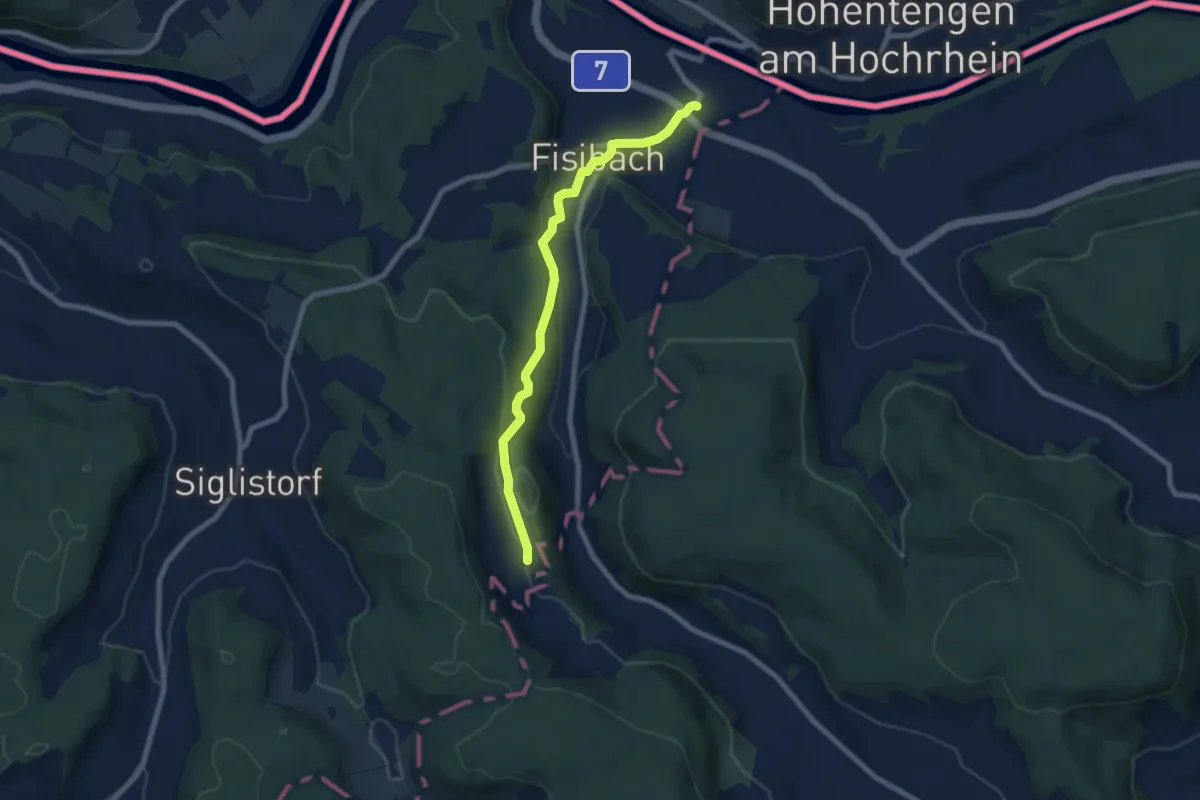
Easy · Trail
Waldhusen – Kaiserstuhl Bahnhof
7.3 km · ↑ 165 m · 2 h 5 min
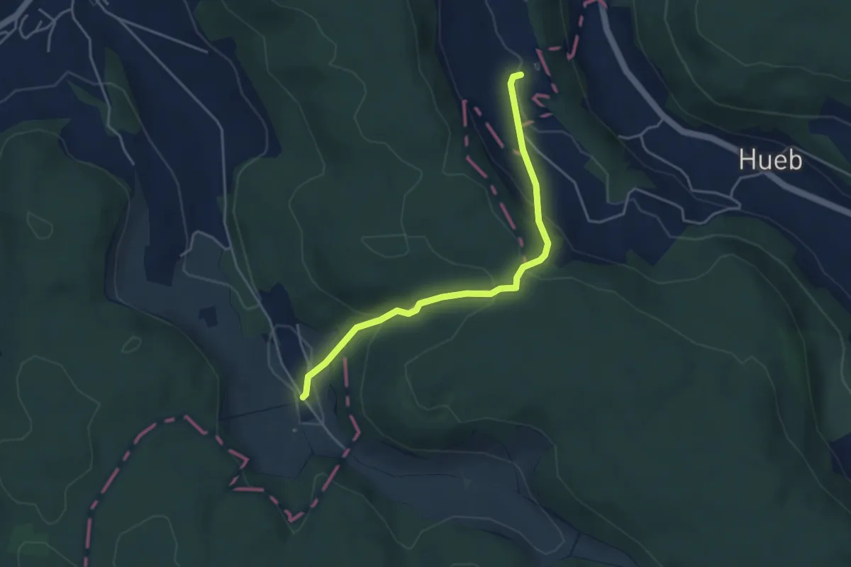
Easy · Trail
Rütihof – Waldhusen
4.0 km · ↑ 209 m · 1 h 23 min
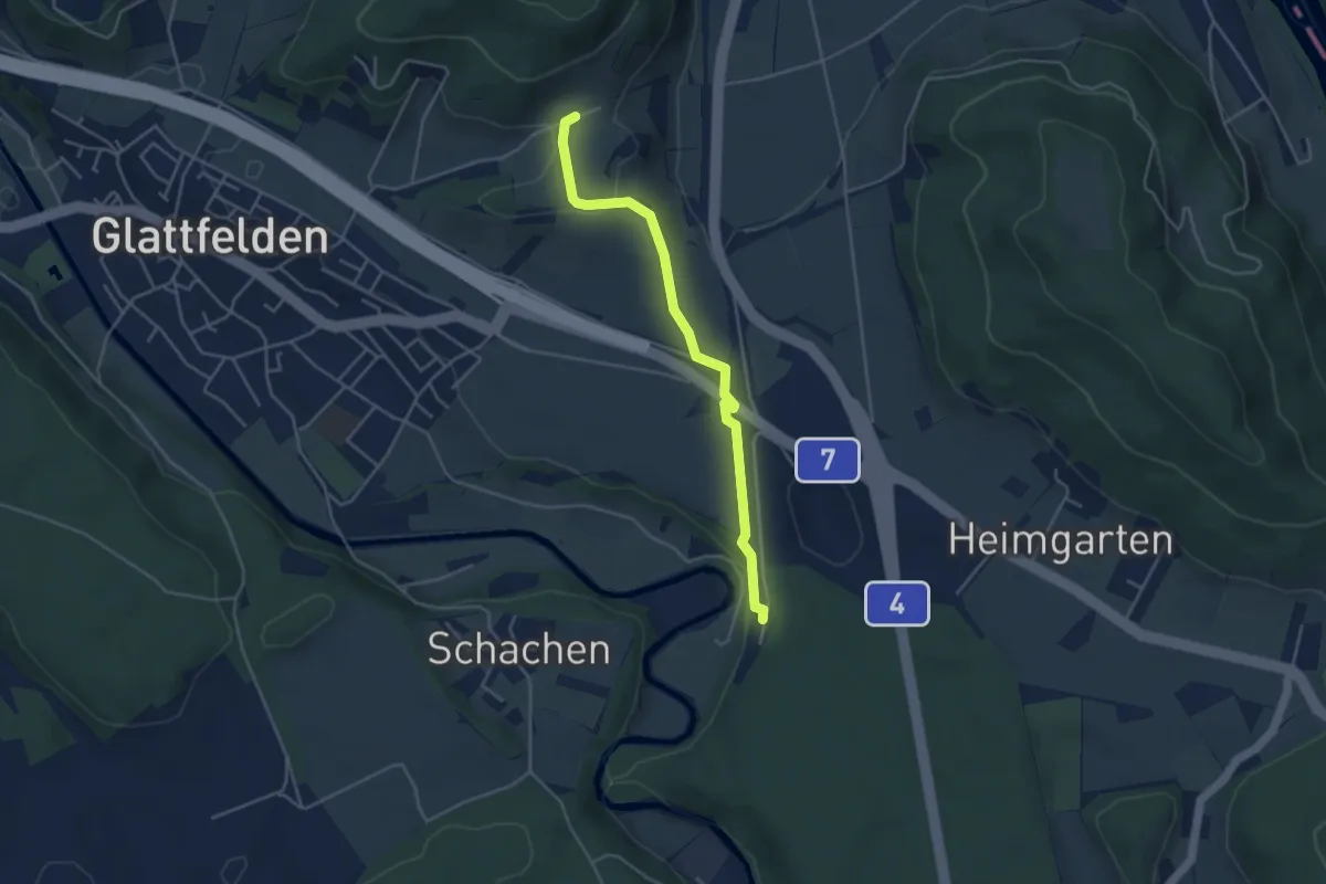
Easy · Trail
Wölflishalden – Station Glattfelden
4.0 km · ↑ 68 m · 1 h 6 min
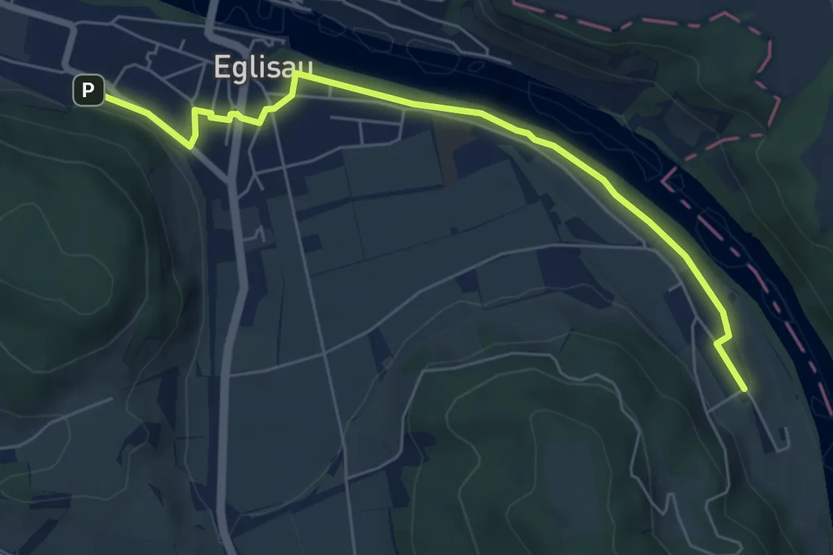
Easy · Trail
Eglisau Bahnhof – Tössriederen
6.0 km · ↑ 95 m · 1 h 37 min
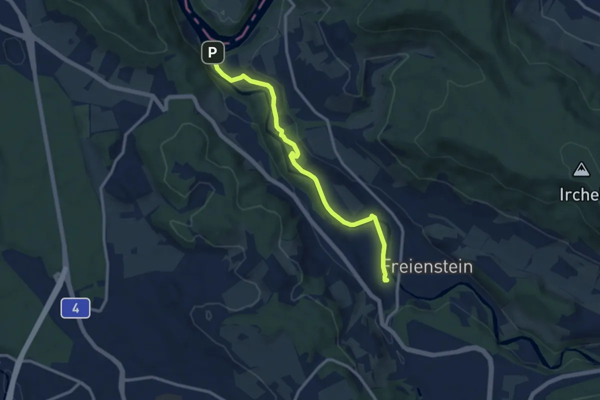
Easy · Trail
Rorbas – Tössegg Schiffsteg
7.6 km · ↑ 96 m · 2 h
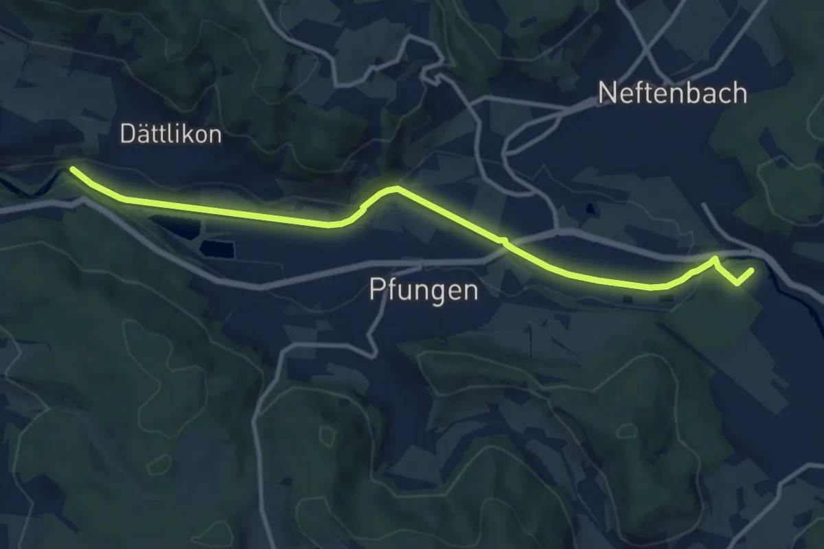
Medium · Trail
Hardau – Blindensteg
10.2 km · ↑ 81 m · 2 h 35 min
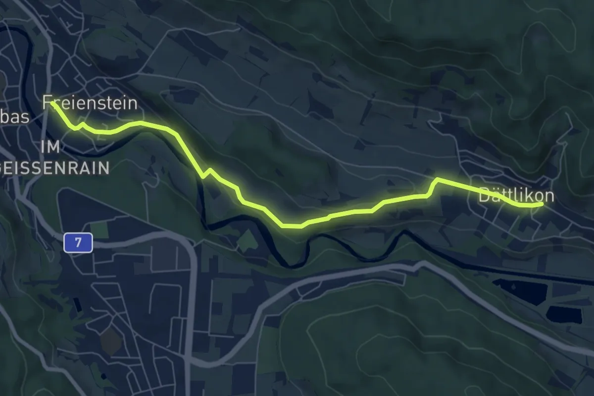
Easy · Trail
Dättlikon – Freienstein
7.6 km · ↑ 139 m · 2 h 6 min
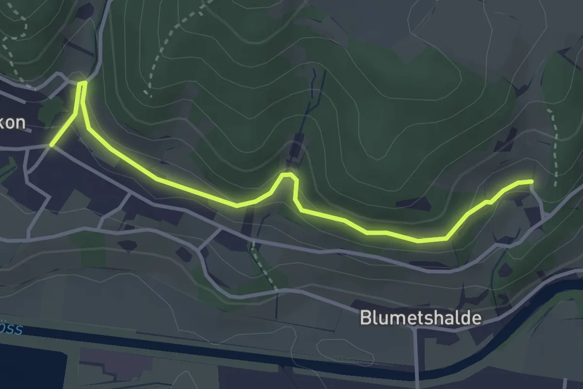
Easy · Trail
Talguet – Dättlikon
3.3 km · ↑ 163 m · 1 h 9 min
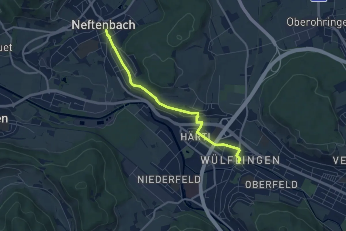
Easy · Trail
Winterthur Wülflingen – Neftenbach
6.5 km · ↑ 105 m · 1 h 45 min
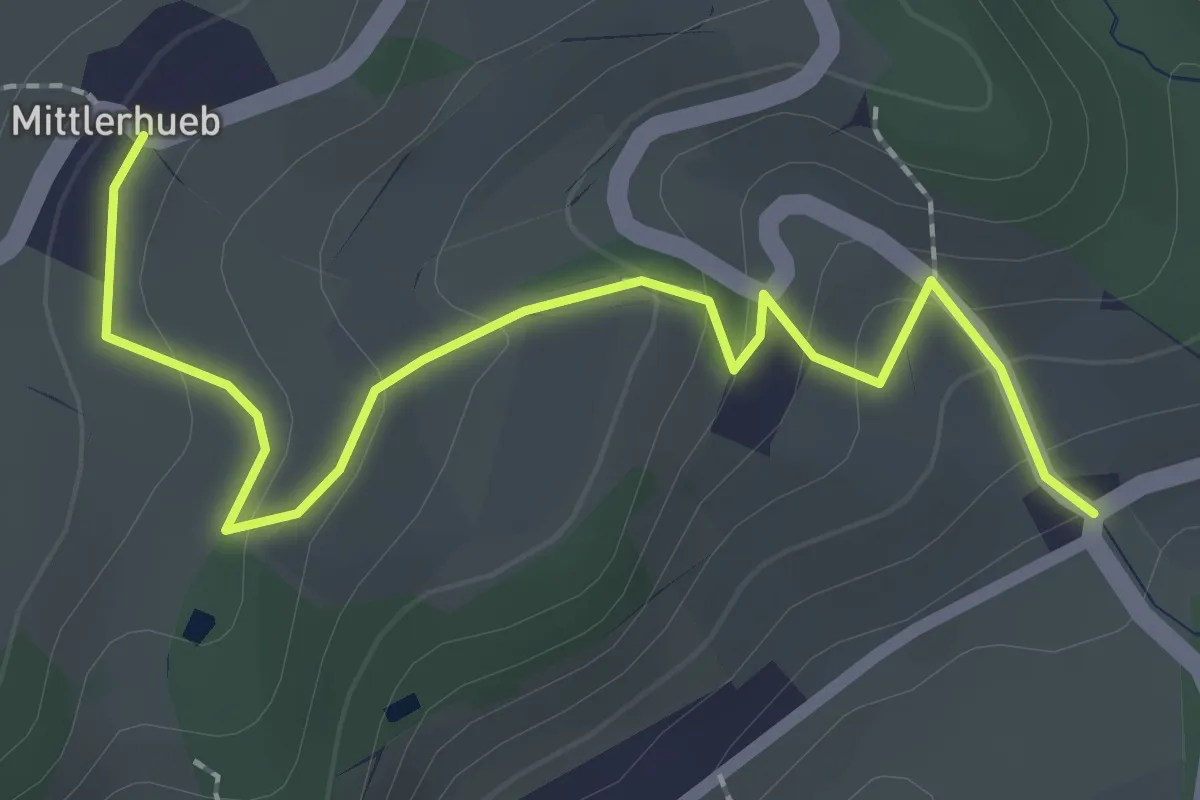
Easy · Trail
Mittlerhueb – Museum
2.4 km · ↑ 123 m · 50 min
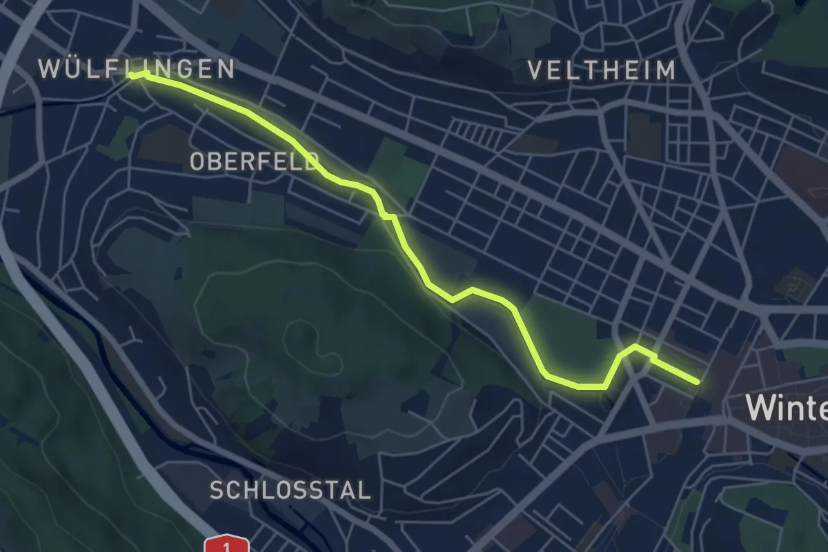
Easy · Trail
Winterthur – Winterthur Wülflingen
5.7 km · ↑ 93 m · 1 h 33 min
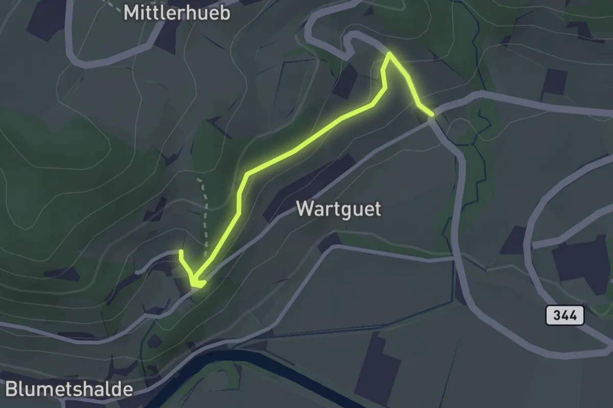
Easy · Trail
Museum – Talguet
2.3 km · ↑ 162 m · 54 min