Trails in Switzerland
15,055 hiking trails, each with its route, climb, walking time and grade.
All trails, page 267 of 314
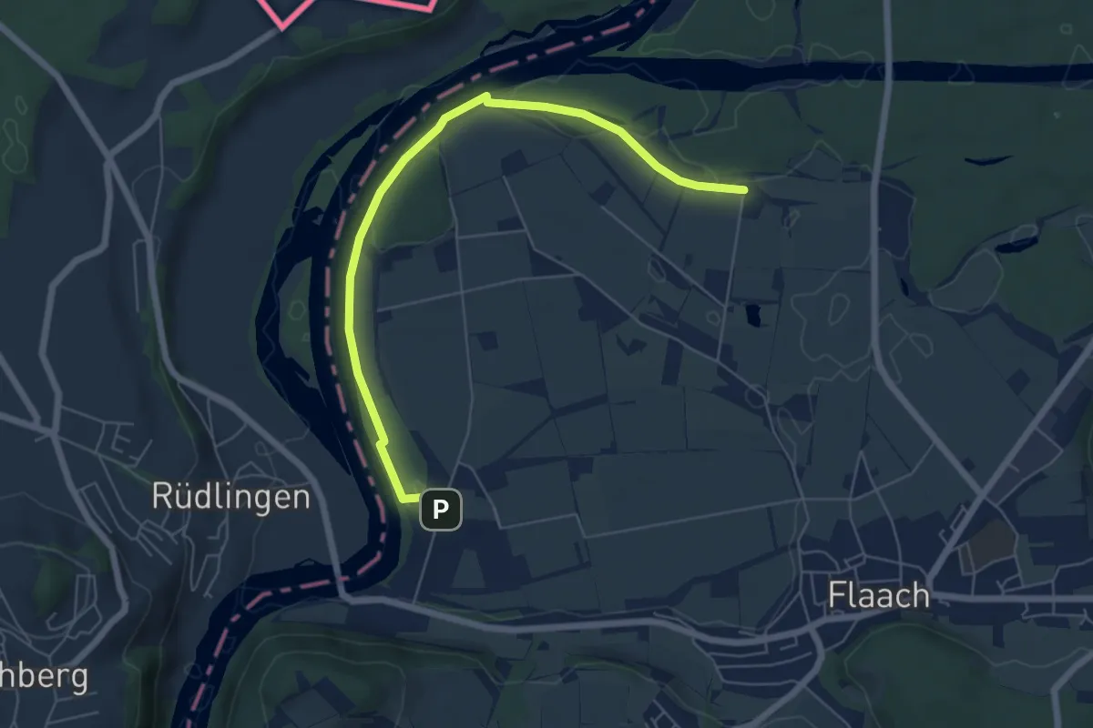
Easy · Trail
Steubisallmend – Thurhof
6.3 km · ↑ 19 m · 1 h 31 min
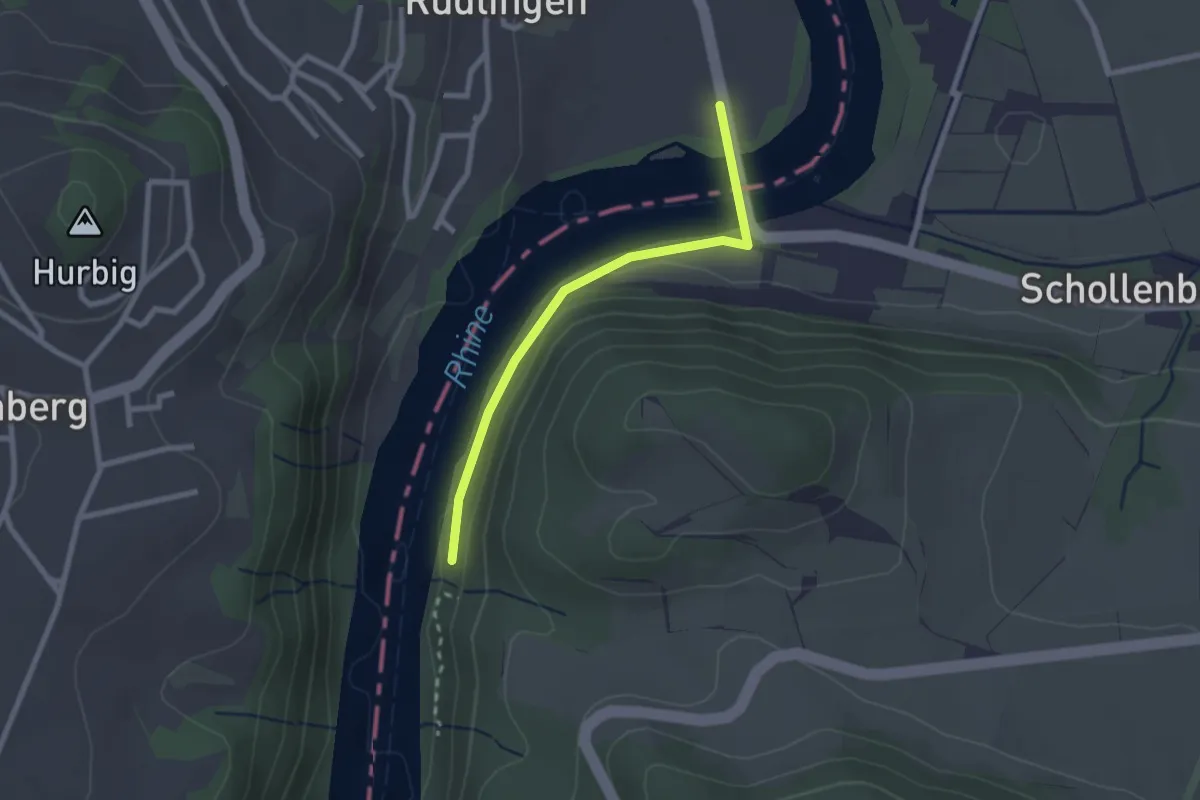
Easy · Trail
Jöslirain – Rüdlingen ARA
2.2 km · ↑ 34 m · 36 min
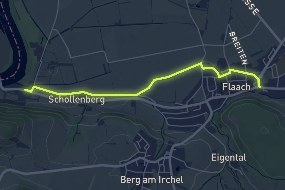
Easy · Trail
Ziegelhütte – Flaach
4.8 km · ↑ 35 m · 1 h 13 min
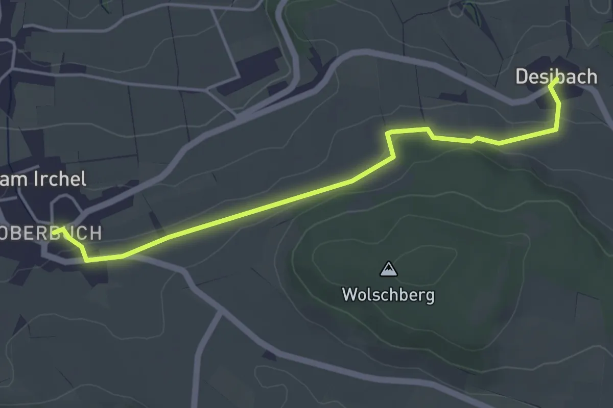
Easy · Trail
Desibach – Ober Buch am Irchel
4.1 km · ↑ 90 m · 1 h 10 min
Easy · Trail
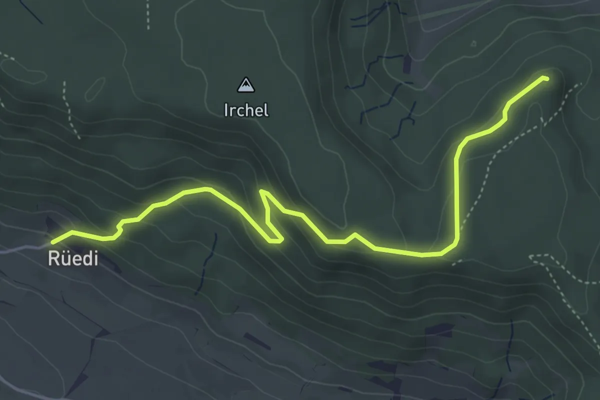
Rüedi – Heerenbänkli Irchelturm
5.2 km · ↑ 265 m · 1 h 48 min
Easy · Trail
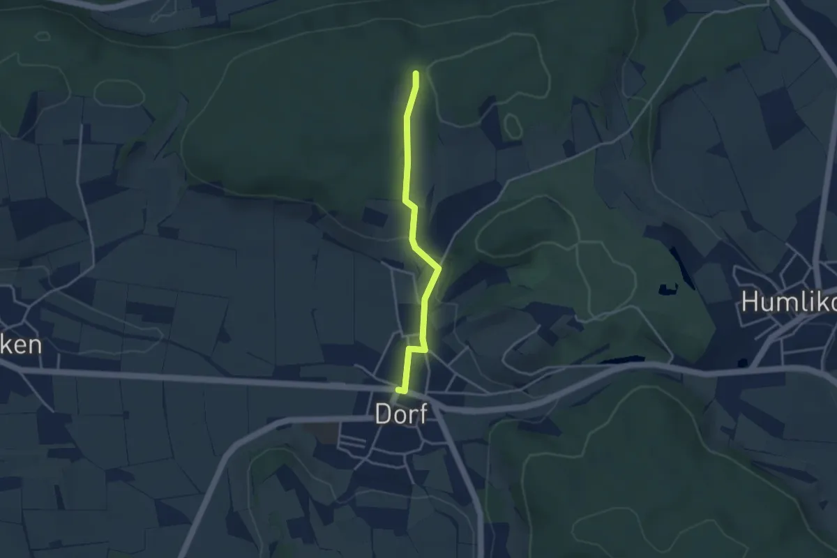
Paradisli – Dorf
3.0 km · ↑ 72 m · 52 min
Easy · Trail
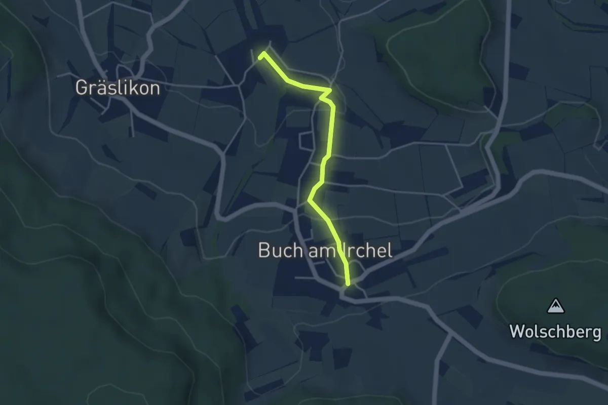
Ober Buch am Irchel – Wiler
3.2 km · ↑ 102 m · 59 min
Easy · Trail
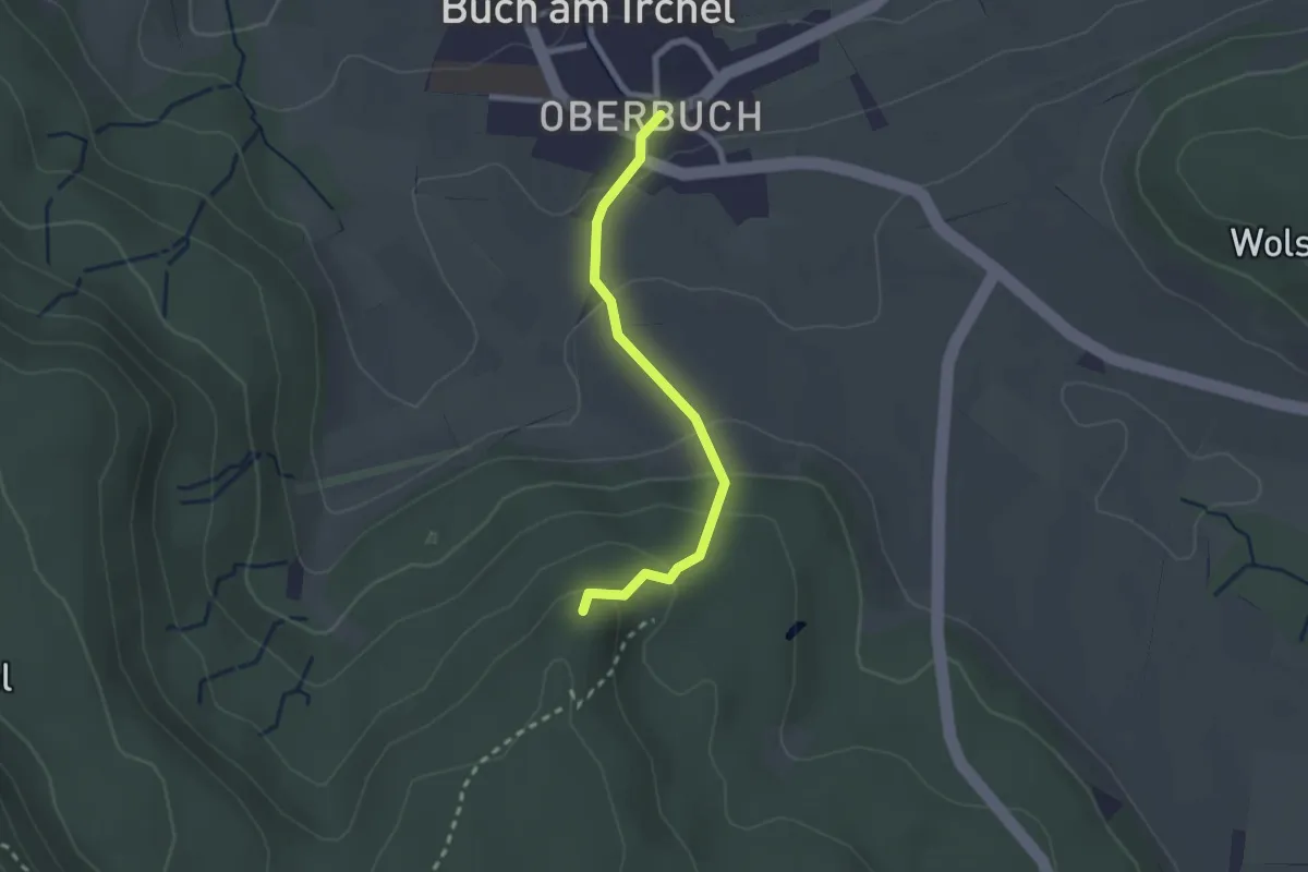
Heerenbänkli Irchelturm – Ober Buch am Irchel
2.2 km · ↑ 120 m · 46 min
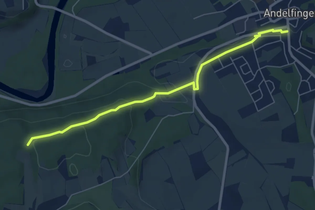
Easy · Trail
Bahnhof Andelfingen – Paradisli
5.7 km · ↑ 125 m · 1 h 37 min
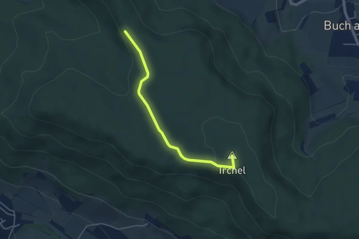
Easy · Summit
Schartenflue – Oberhueb
3.4 km · ↑ 77 m · 57 min
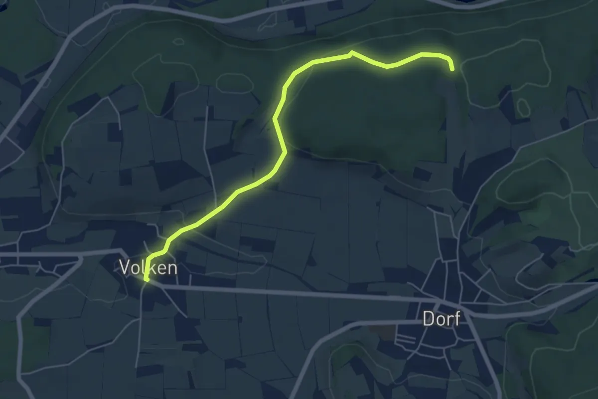
Easy · Trail
Paradisli – Volken
5.3 km · ↑ 109 m · 1 h 29 min
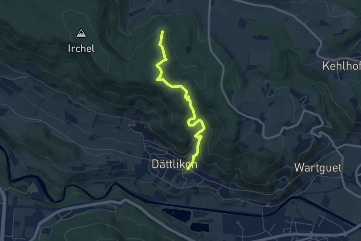
Medium · Trail
Heerenbänkli Irchelturm – Dättlikon
5.3 km · ↑ 329 m · 1 h 59 min
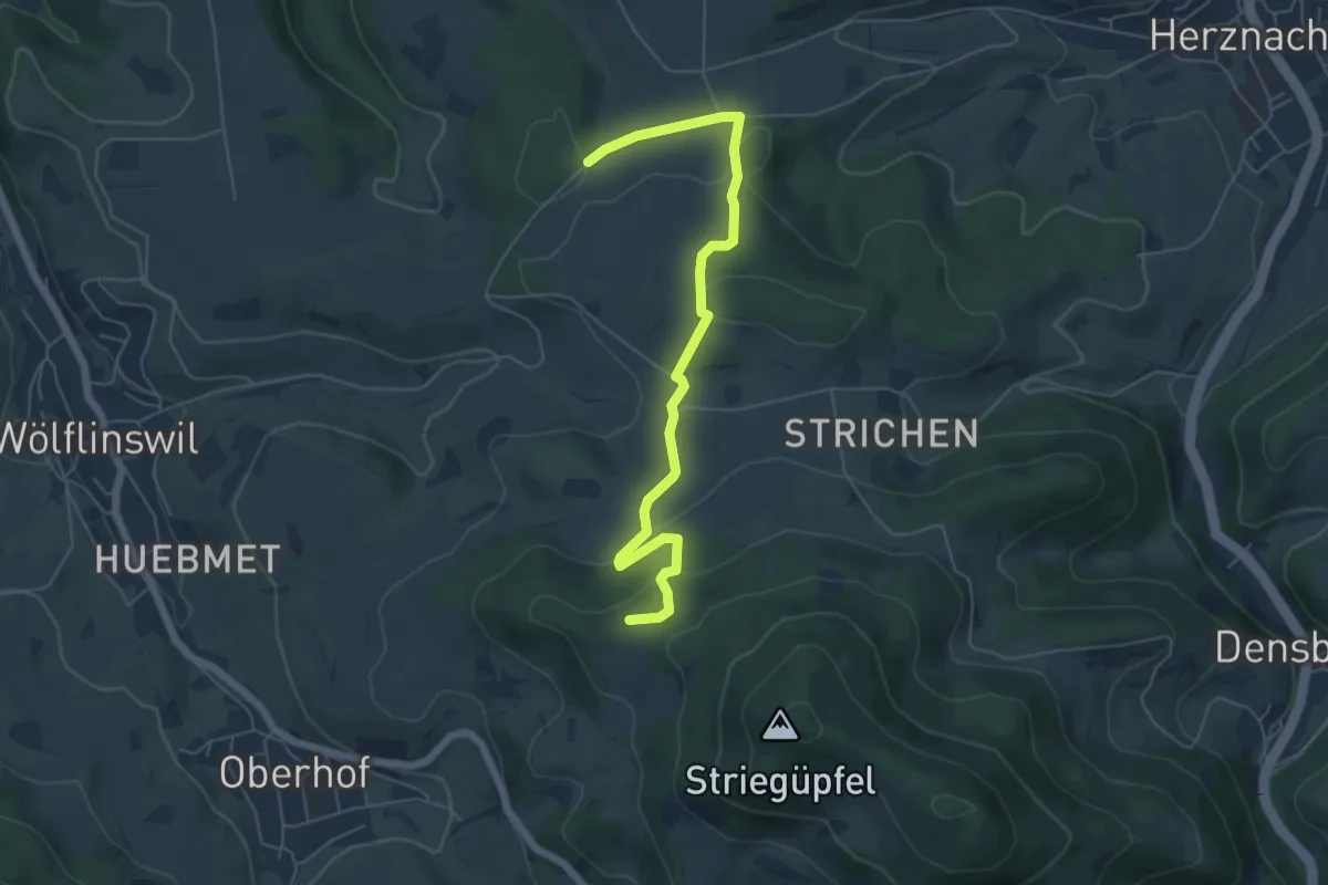
Medium · Trail
Waldhaus Wölflinswil – Junkholz
6.0 km · ↑ 210 m · 1 h 53 min
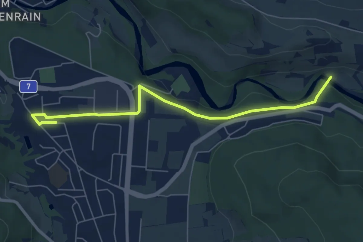
Easy · Trail
Embrach – Blindensteg
5.6 km · ↑ 75 m · 1 h 28 min
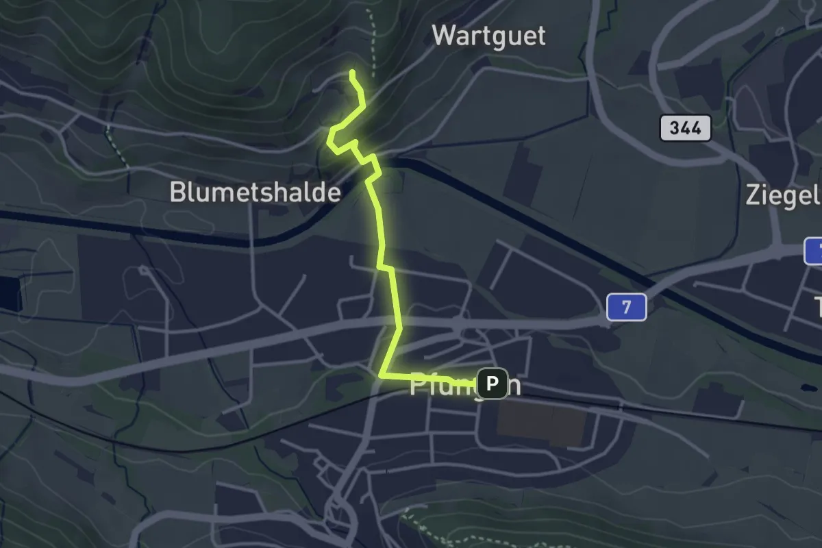
Easy · Trail
Pfungen – Talguet
3.0 km · ↑ 89 m · 54 min
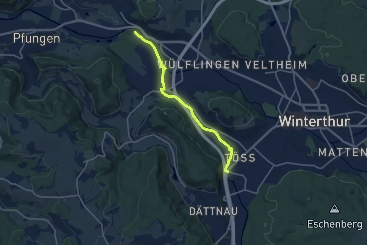
Medium · Trail
Winterthur Töss – Hardau
9.1 km · ↑ 51 m · 2 h 15 min
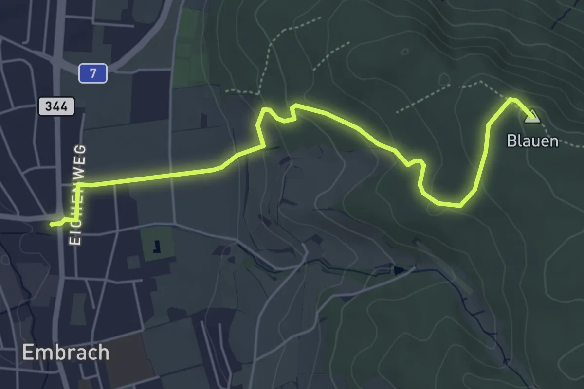
Easy · Summit
Pfungen – Embrach Unterdorf
5.6 km · ↑ 174 m · 1 h 43 min
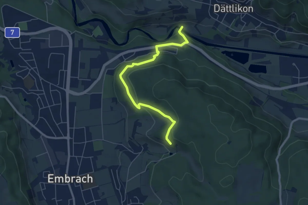
Easy · Trail
Warpel – Blindensteg
5.7 km · ↑ 248 m · 1 h 53 min
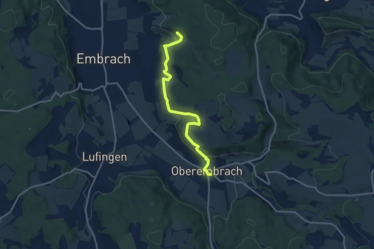
Easy · Trail
Oberembrach – Warpel
7.9 km · ↑ 234 m · 2 h 22 min
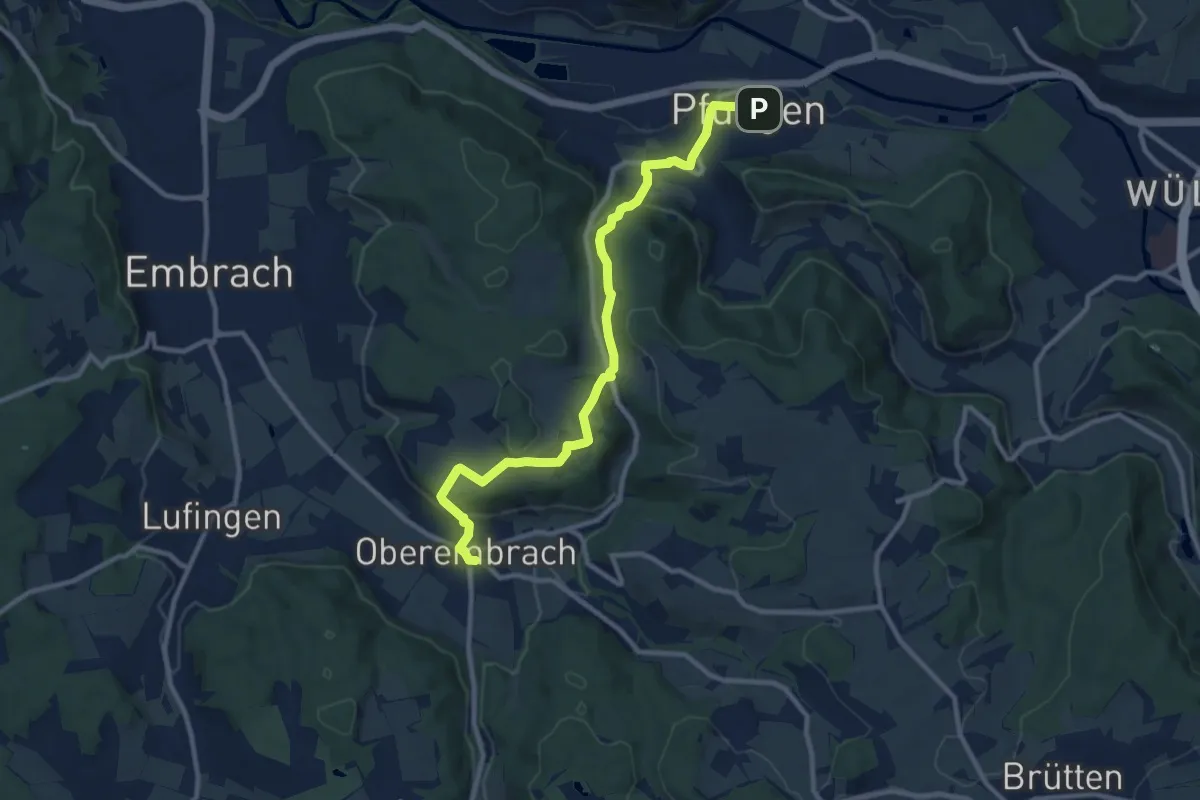
Medium · Trail
Pfungen – Oberembrach
10.8 km · ↑ 363 m · 3 h 20 min
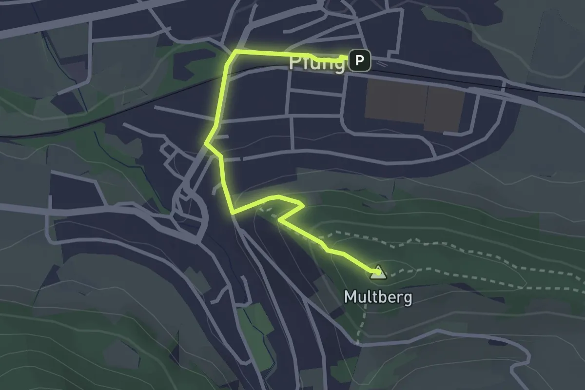
Easy · Summit
Multberg – Pfungen
2.7 km · ↑ 132 m · 56 min
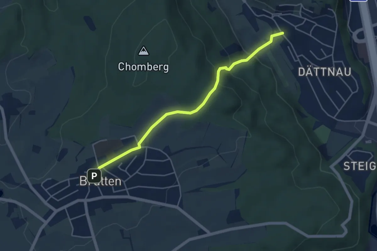
Easy · Trail
Brütten – Dättnau
4.0 km · ↑ 187 m · 1 h 22 min
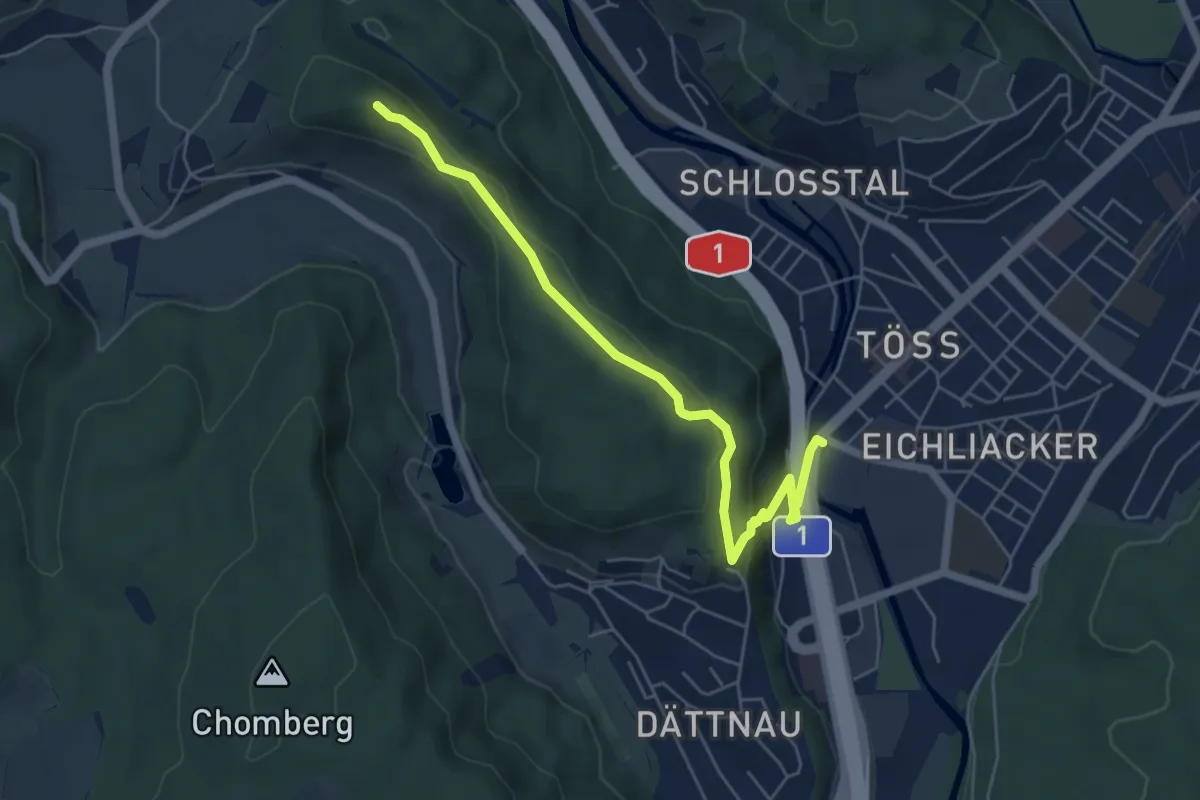
Easy · Summit
Winterthur Töss – Hoh Wülflingen
5.7 km · ↑ 177 m · 1 h 43 min
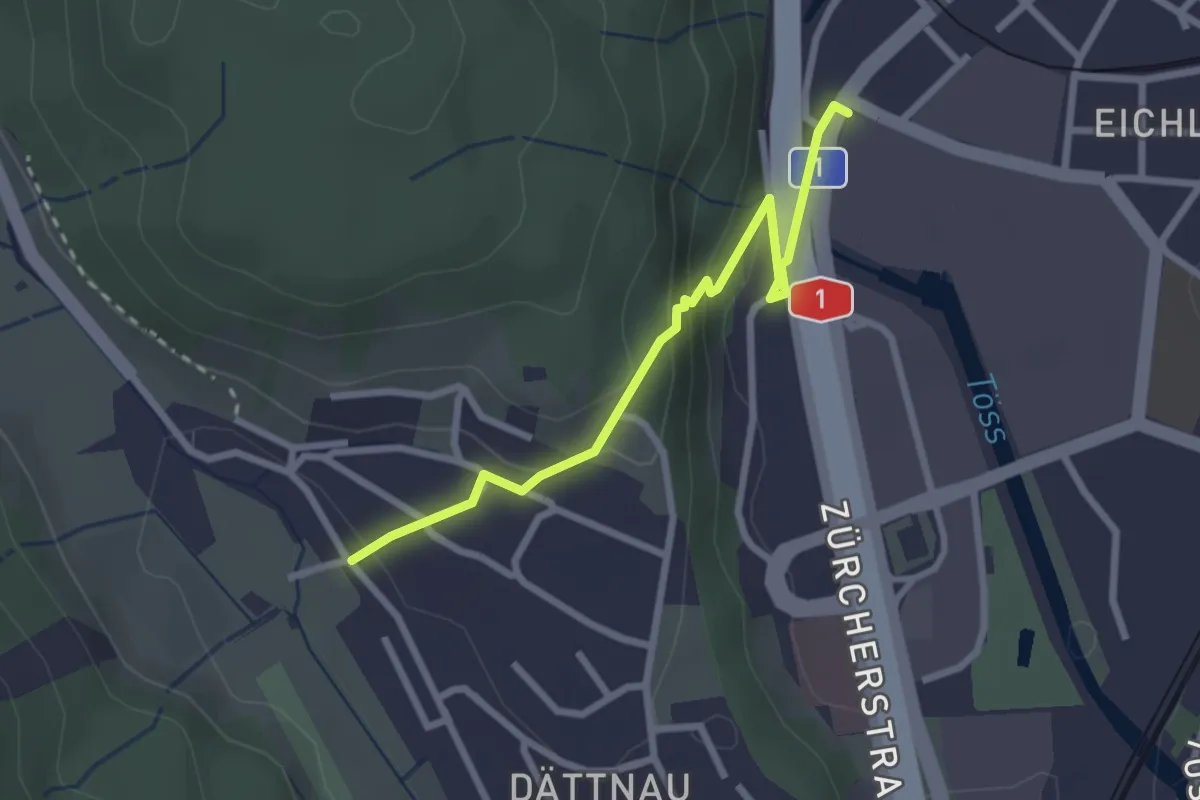
Easy · Trail
Dättnau – Winterthur Töss
2.6 km · ↑ 102 m · 50 min
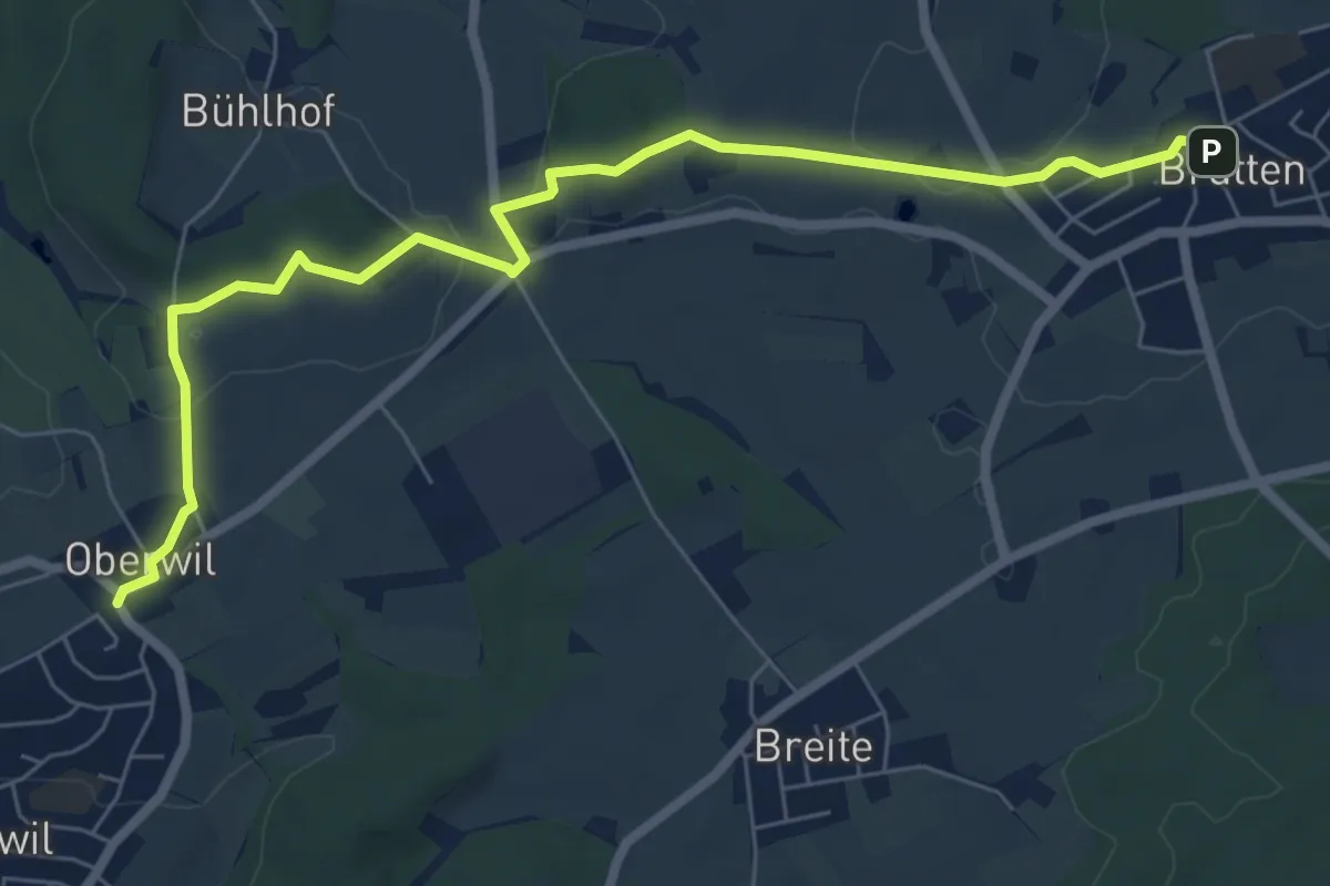
Easy · Trail
Oberwil – Brütten
7.6 km · ↑ 120 m · 2 h 4 min
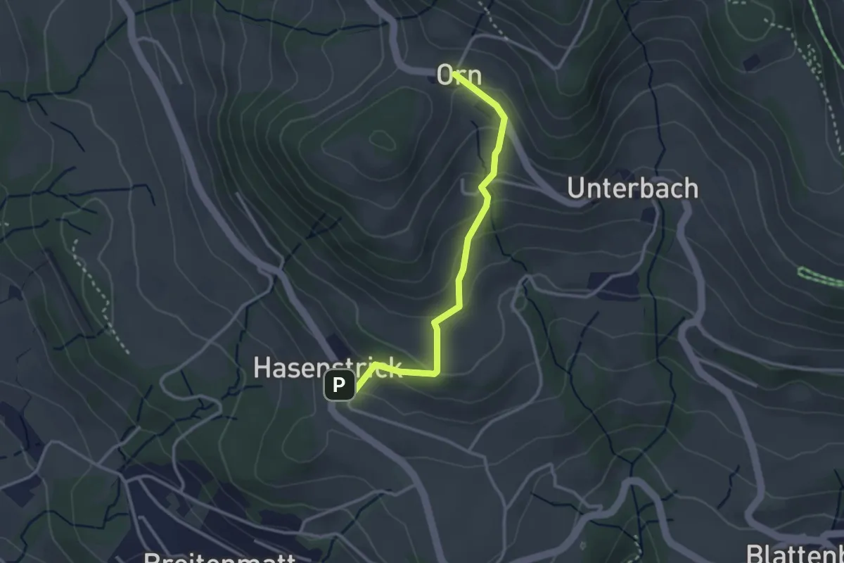
Easy · Trail
Hasenstrick – Orn
2.8 km · ↑ 176 m · 1 h 2 min
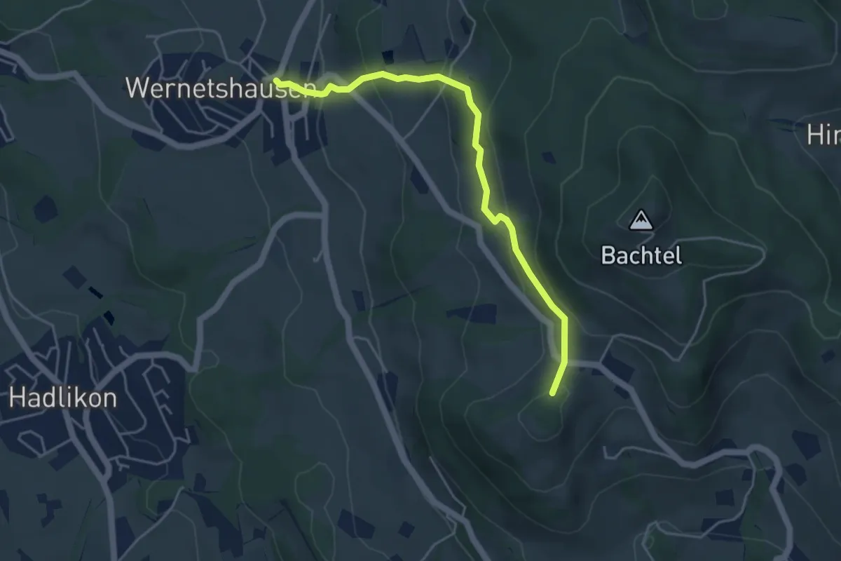
Easy · Summit
Orn – Wernetshausen
4.3 km · ↑ 246 m · 1 h 33 min
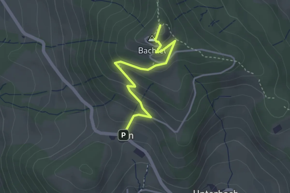
Easy · Summit
Orn – Bachtel
2.9 km · ↑ 170 m · 1 h 3 min
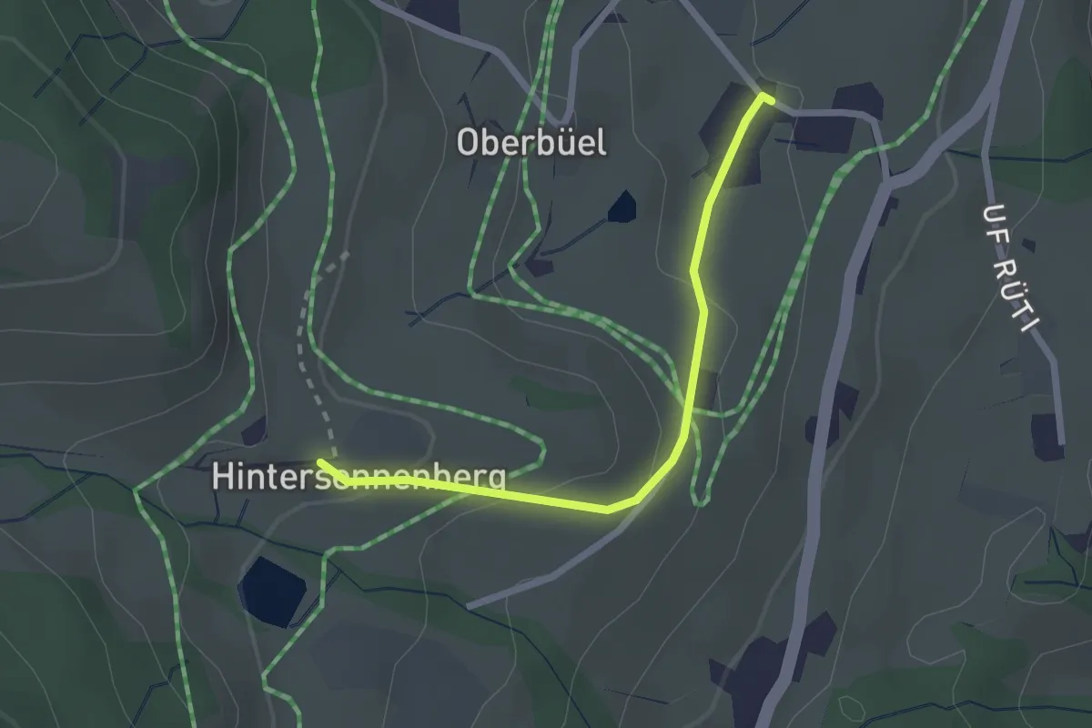
Easy · Trail
Hinterer Sennenberg – Büel
2.1 km · ↑ 83 m · 40 min
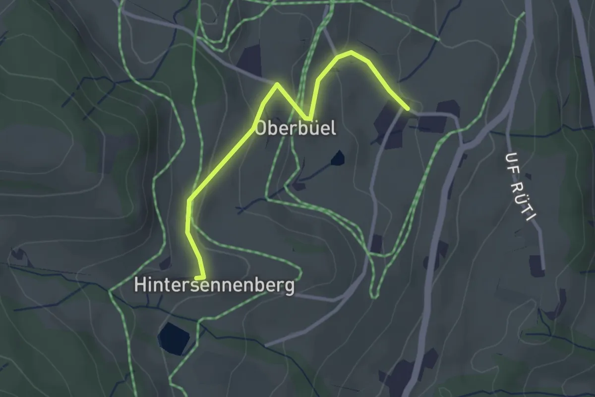
Easy · Trail
Büel – Hinterer Sennenberg
2.6 km · ↑ 98 m · 49 min
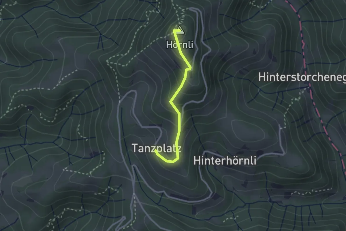
Easy · Summit
Tanzplatz – Hörnli
2.1 km · ↑ 149 m · 49 min
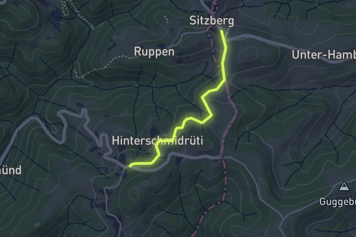
Easy · Trail
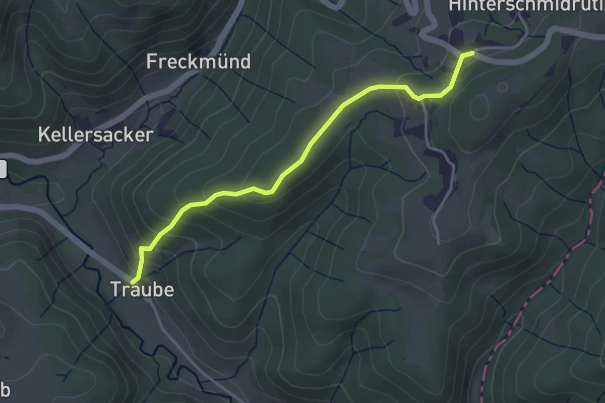
Sitzberg – Schmidrüti
3.1 km · ↑ 77 m · 54 min
Easy · Trail
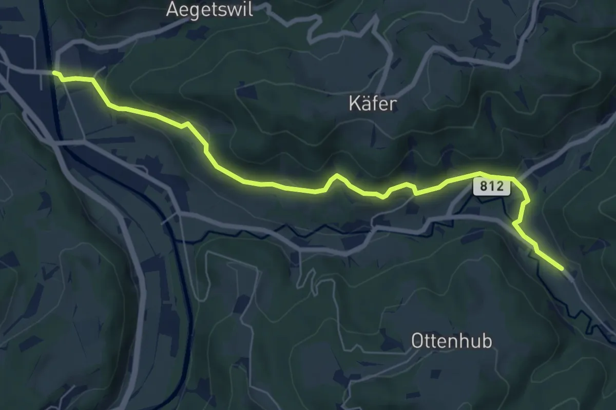
Schmidrüti – Truben
3.4 km · ↑ 192 m · 1 h 13 min
Easy · Trail
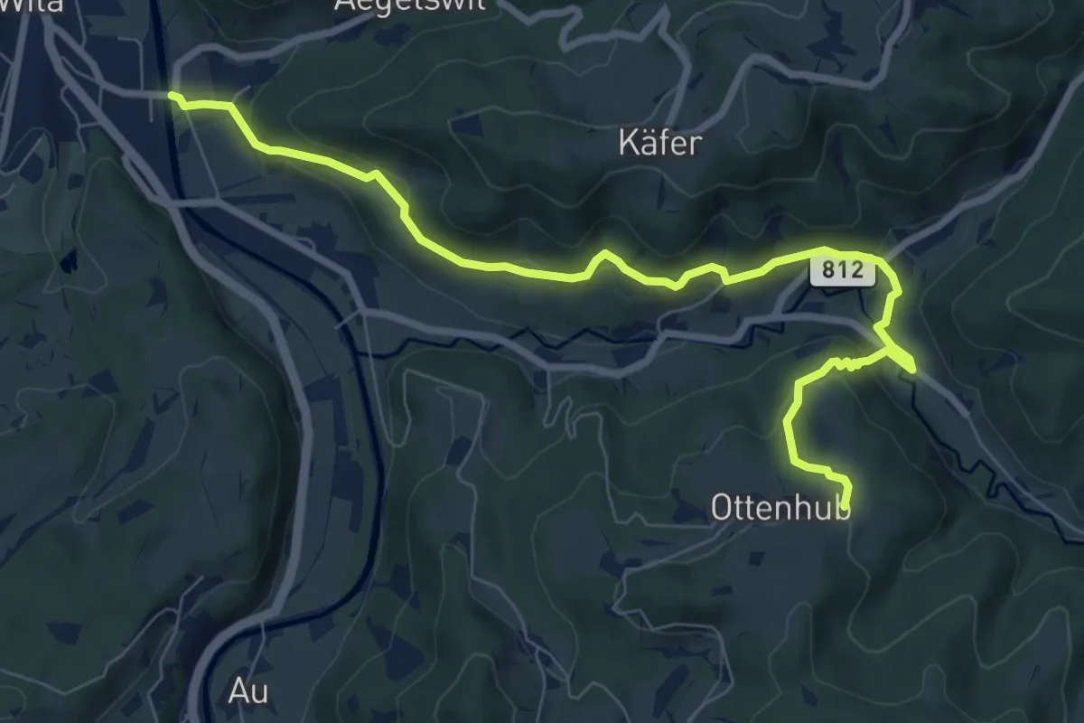
Truben – Wila
7.0 km · ↑ 229 m · 2 h 9 min
Medium · Trail
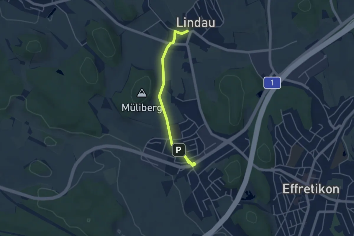
Wila – Ottenhueb
8.8 km · ↑ 369 m · 2 h 53 min
Easy · Trail
Tagelswangen – Lindau
3.7 km · ↑ 41 m · 58 min
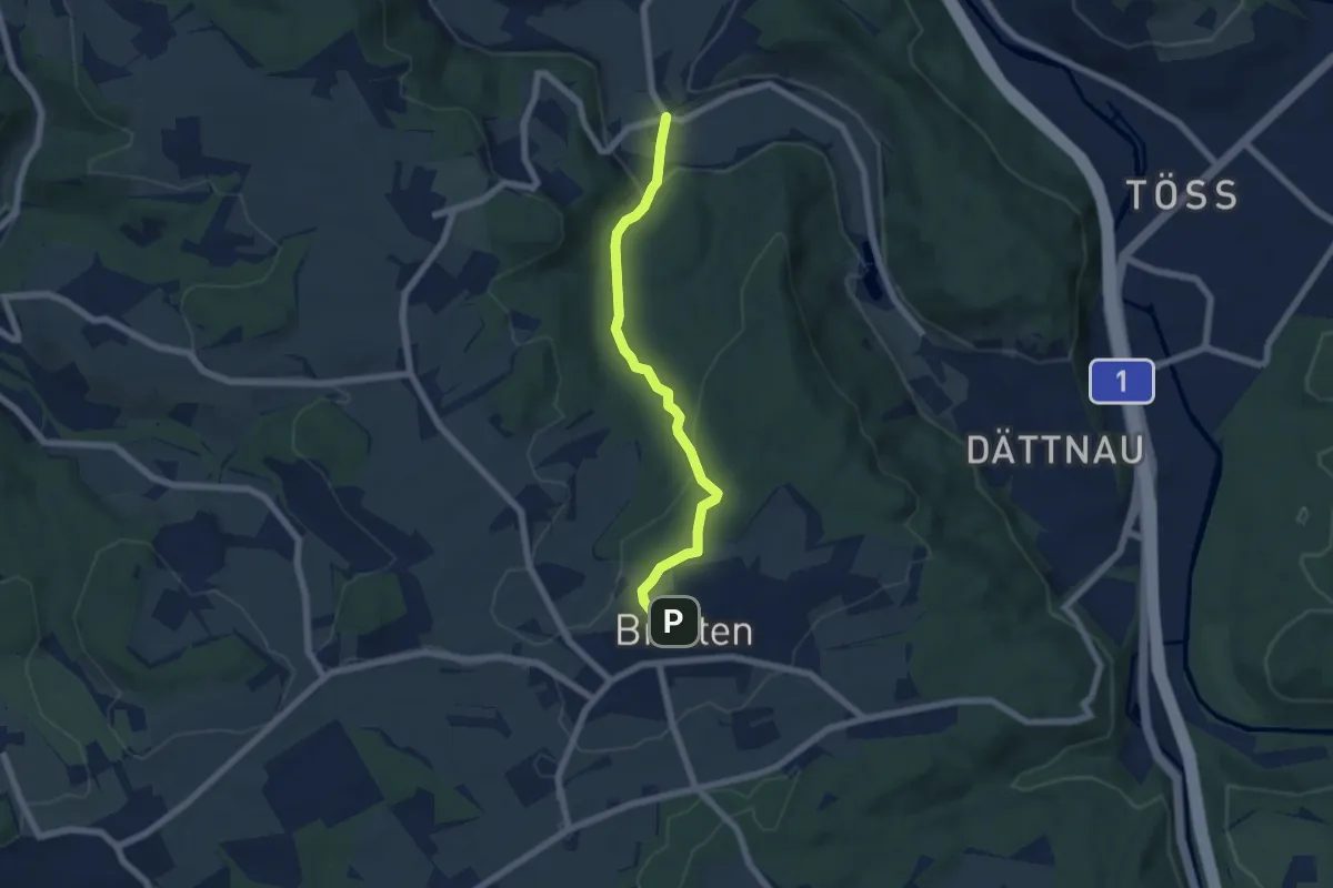
Easy · Trail
Furt – Brütten
5.9 km · ↑ 185 m · 1 h 48 min
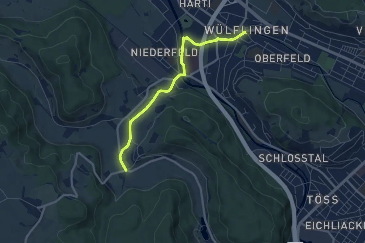
Easy · Trail
Winterthur Wülflingen – Furt
5.9 km · ↑ 83 m · 1 h 34 min
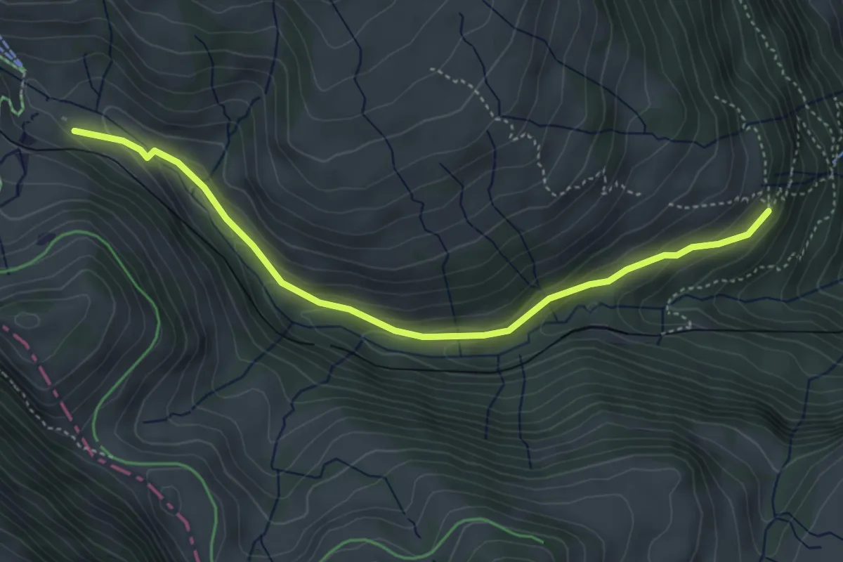
Medium · Trail
Rigi Klösterli – Dächli
4.5 km · ↑ 229 m · 1 h 34 min
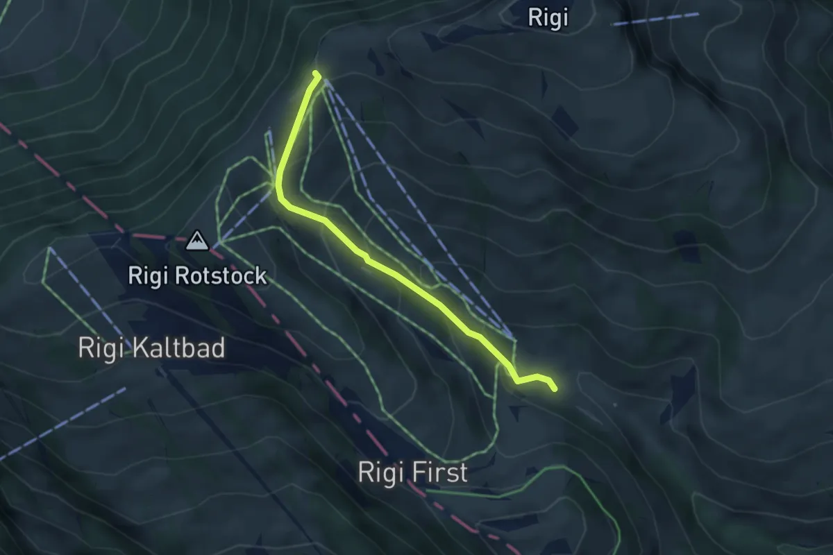
Easy · Trail
Rigi-Staffel – Rigi Klösterli
3.5 km · ↑ 265 m · 1 h 24 min
Medium · Trail
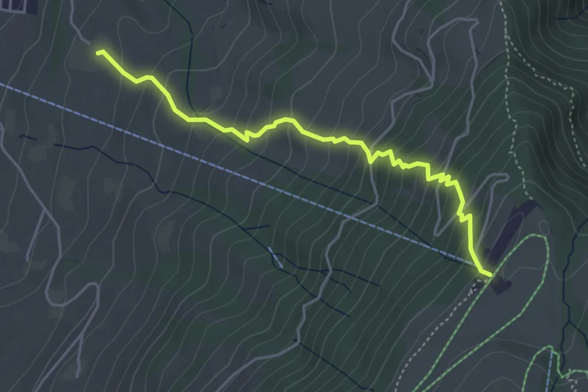
Alpenhof – Seebodenalp
4.4 km · ↑ 463 m · 2 h 2 min
Easy · Trail
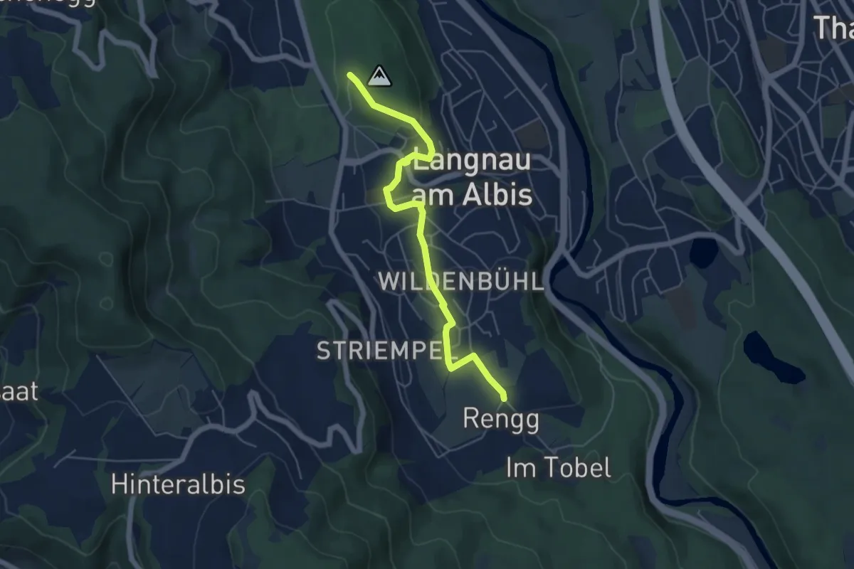
Rängg – Wildpark Langenberg
5.1 km · ↑ 99 m · 1 h 25 min
Easy · Trail
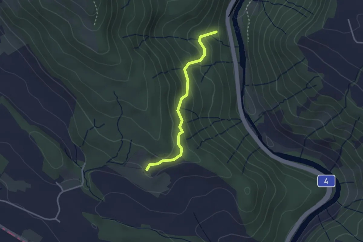
Schweikhof – Eschentobel
2.6 km · ↑ 147 m · 55 min
Medium · Trail
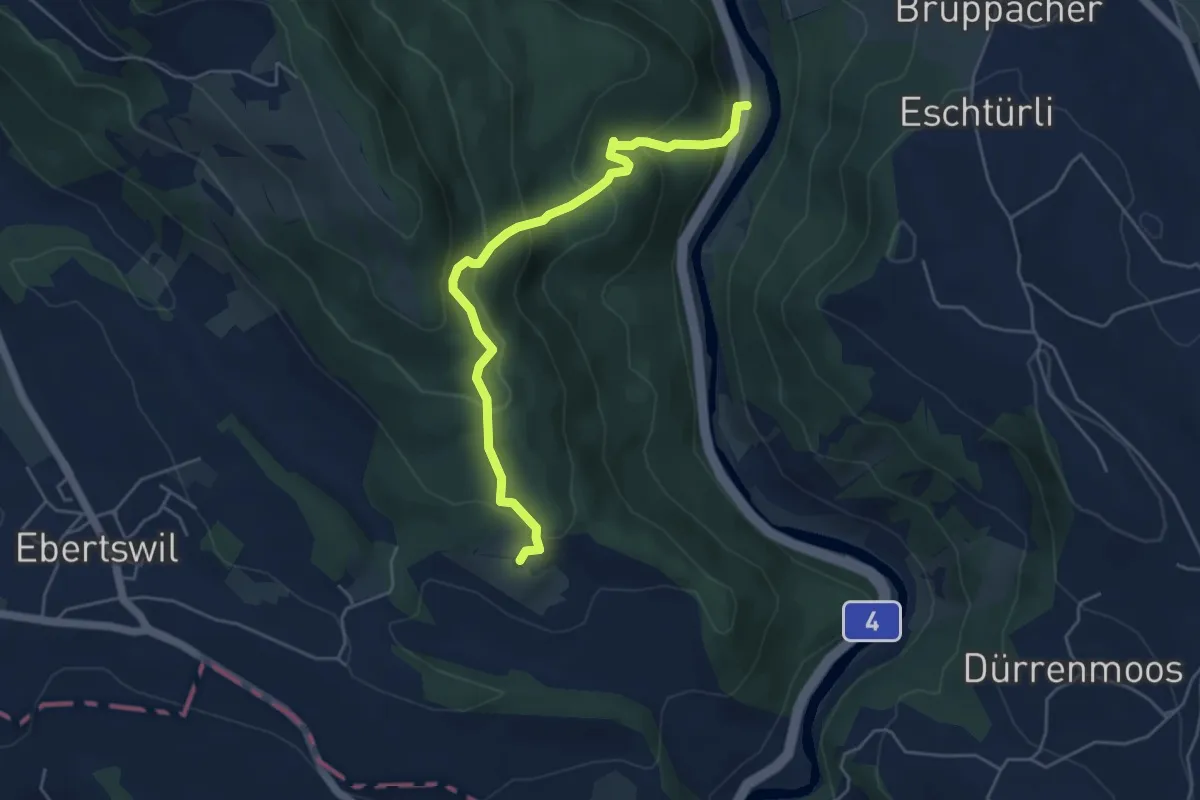
Schweikhof – Stn. Sihlbrugg
5.0 km · ↑ 368 m · 1 h 59 min
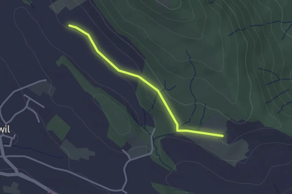
Easy · Trail
Schweikhof – Husertal
2.4 km · ↑ 58 m · 42 min
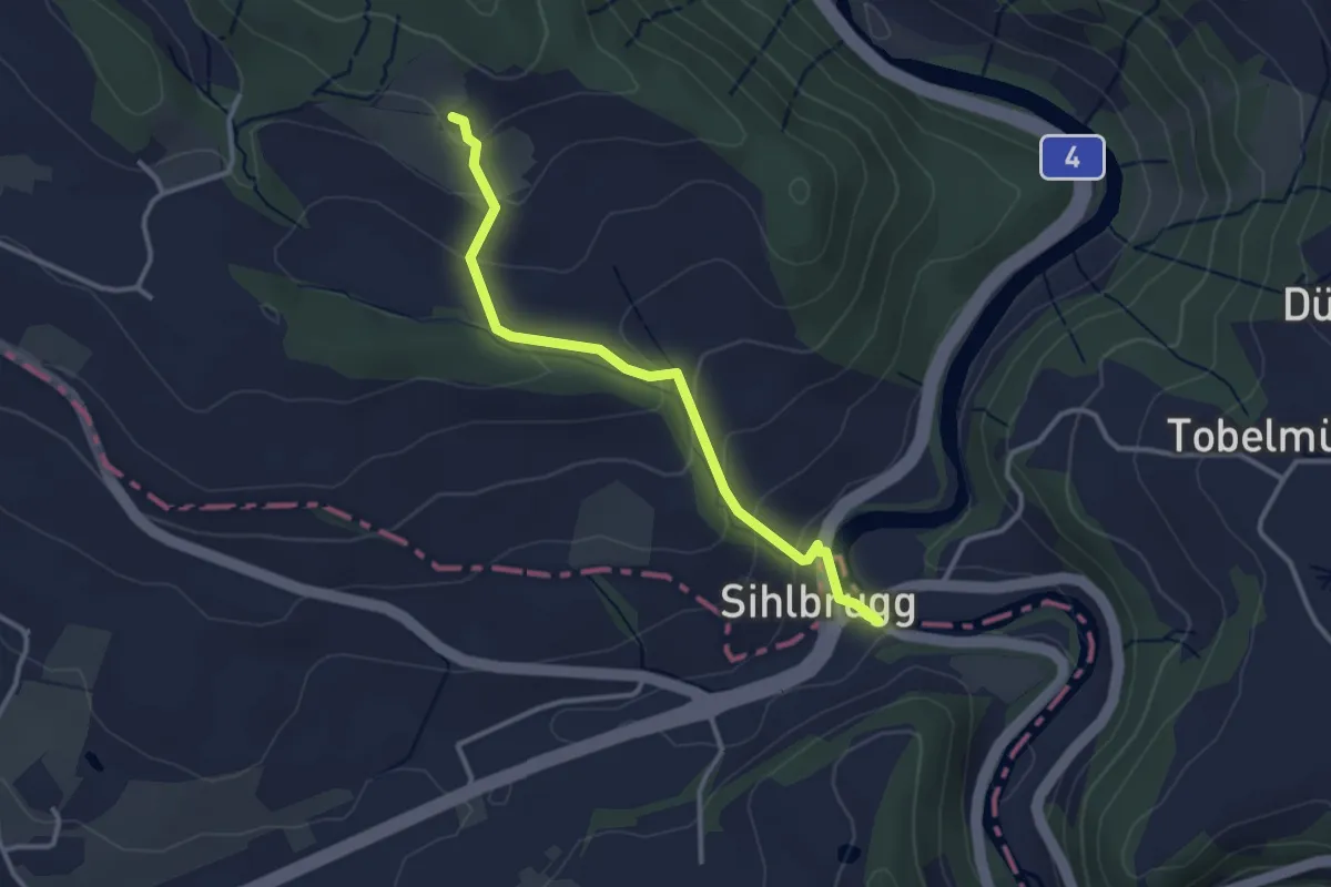
Easy · Trail
Schweikhof – Sihlbrugg Dorf
3.1 km · ↑ 147 m · 1 h 3 min
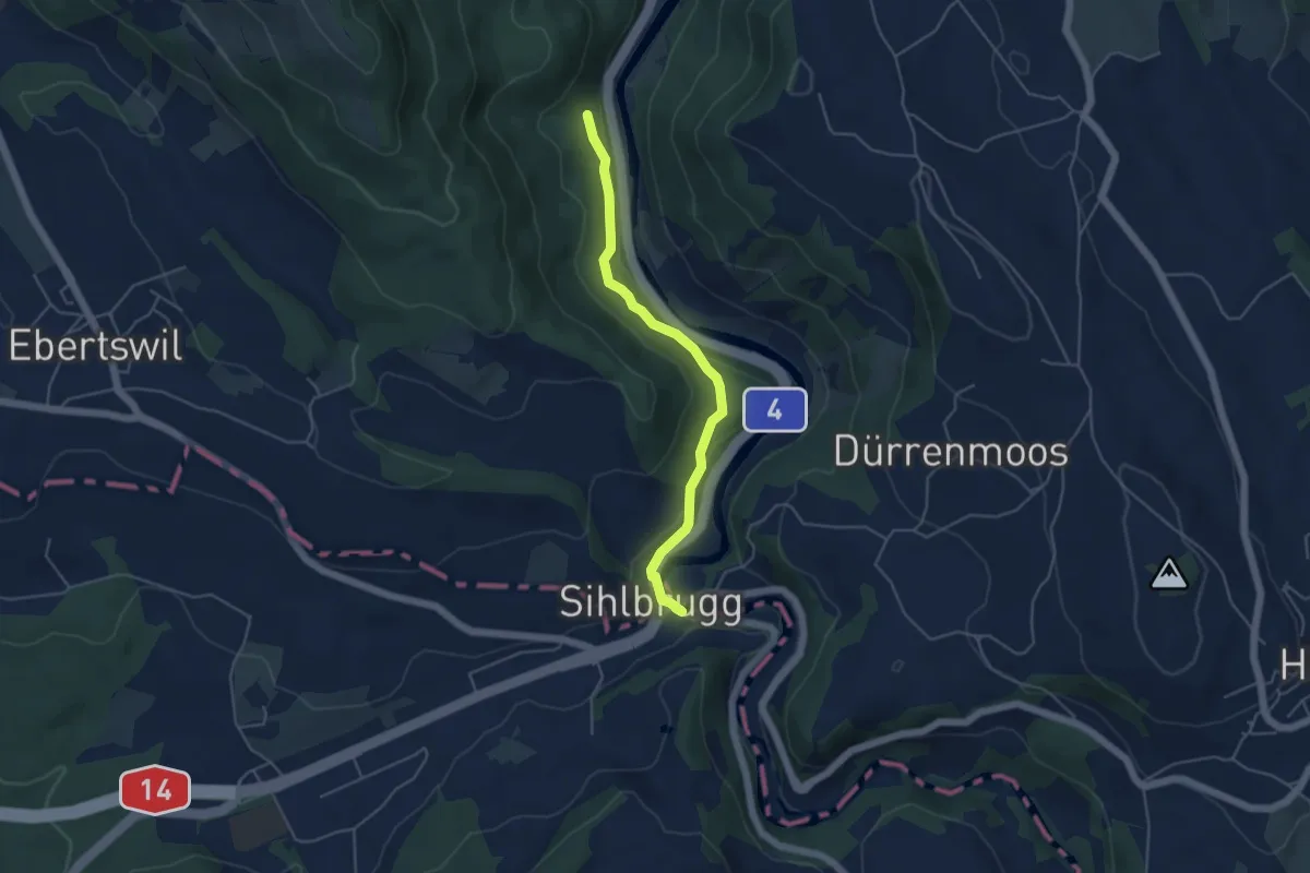
Easy · Trail
Eschentobel – Sihlbrugg Dorf
4.5 km · ↑ 115 m · 1 h 19 min
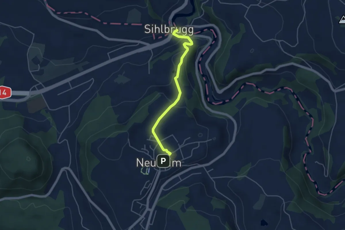
Easy · Trail
Sihlbrugg Dorf – Neuheim
4.0 km · ↑ 127 m · 1 h 13 min