Trails in Switzerland
15,055 hiking trails, each with its route, climb, walking time and grade.
All trails, page 268 of 314
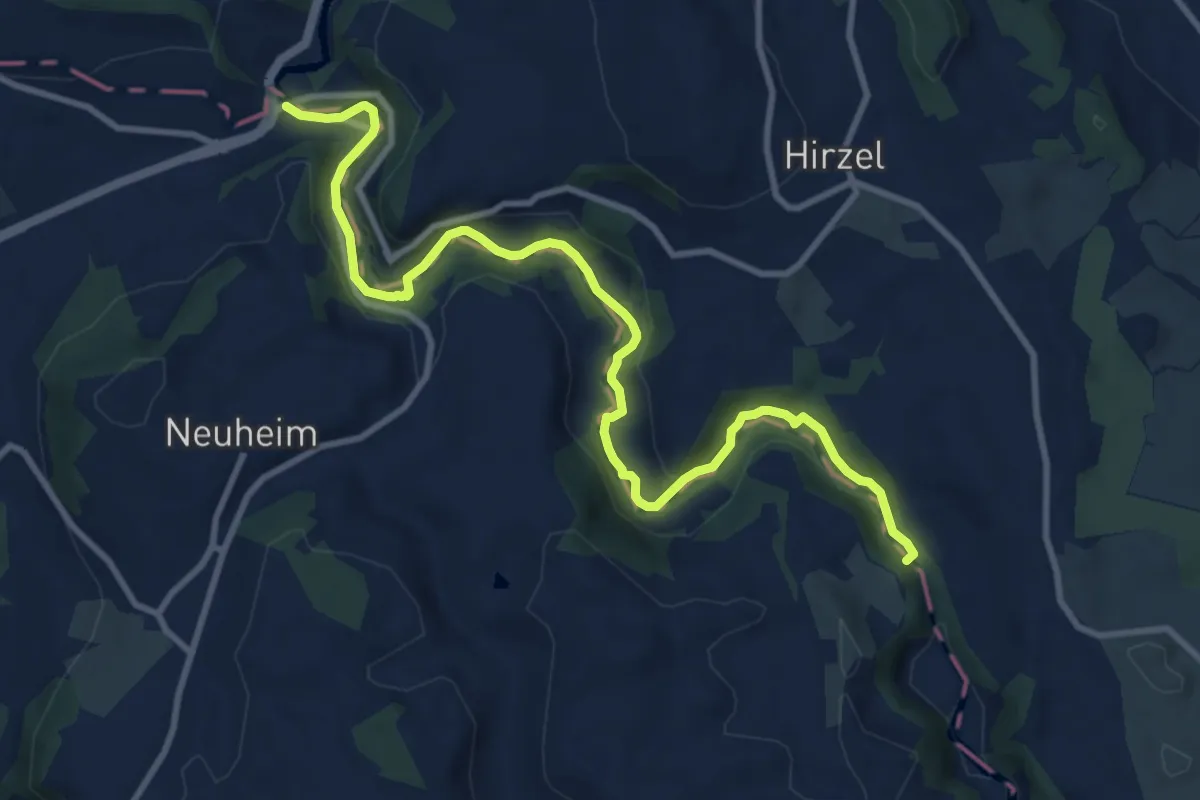
Medium · Trail
Sihlbrugg Dorf – Sihlsprung
11.5 km · ↑ 199 m · 3 h 9 min
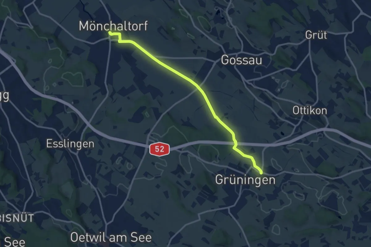
Medium · Trail
Grüningen Haufland – Mönchaltorf
10.2 km · ↑ 55 m · 2 h 31 min
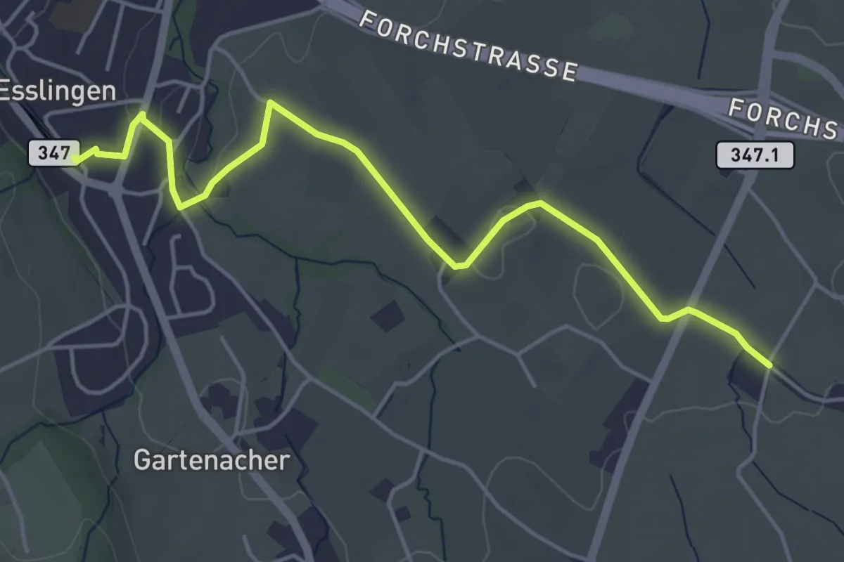
Easy · Trail
Esslingen – Summerau
4.9 km · ↑ 22 m · 1 h 13 min
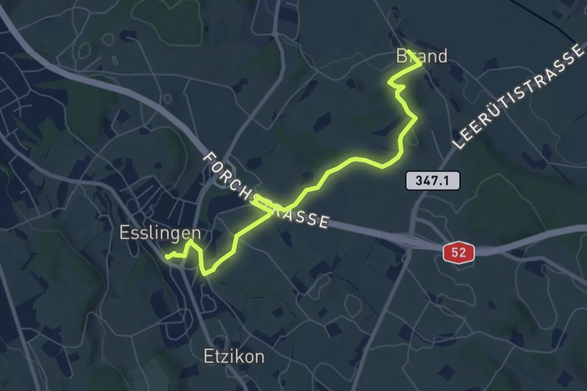
Easy · Trail
Brand – Esslingen
7.1 km · ↑ 79 m · 1 h 50 min
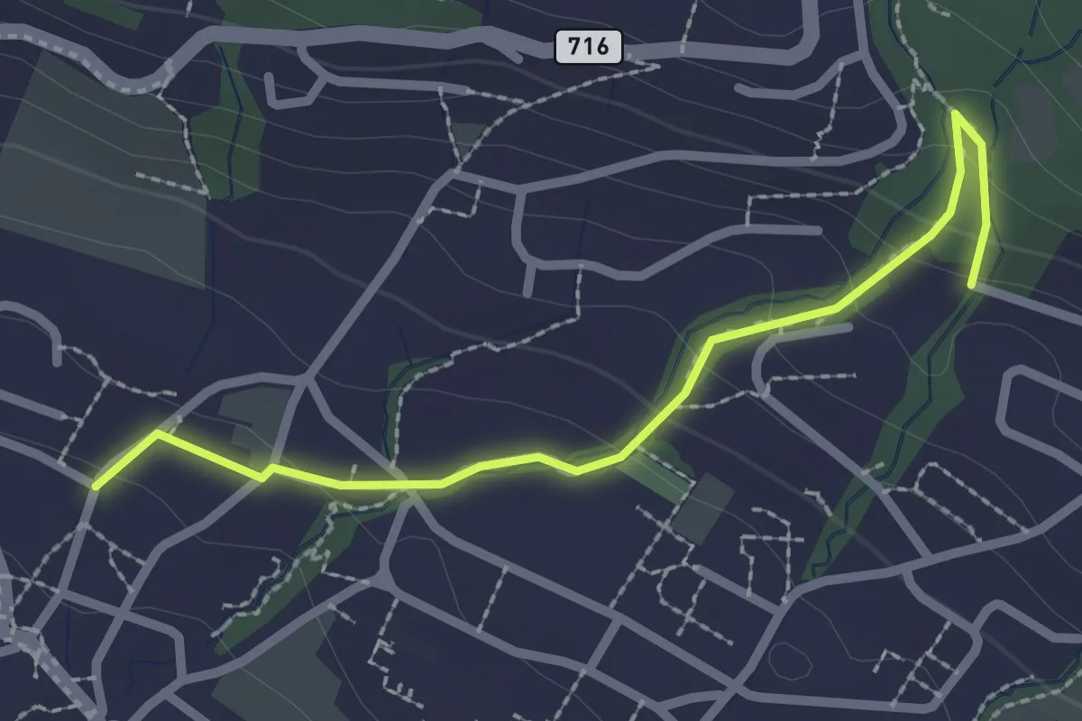
Easy · Trail
Uetikon Grossdorf – Stötzli
2.4 km · ↑ 124 m · 50 min
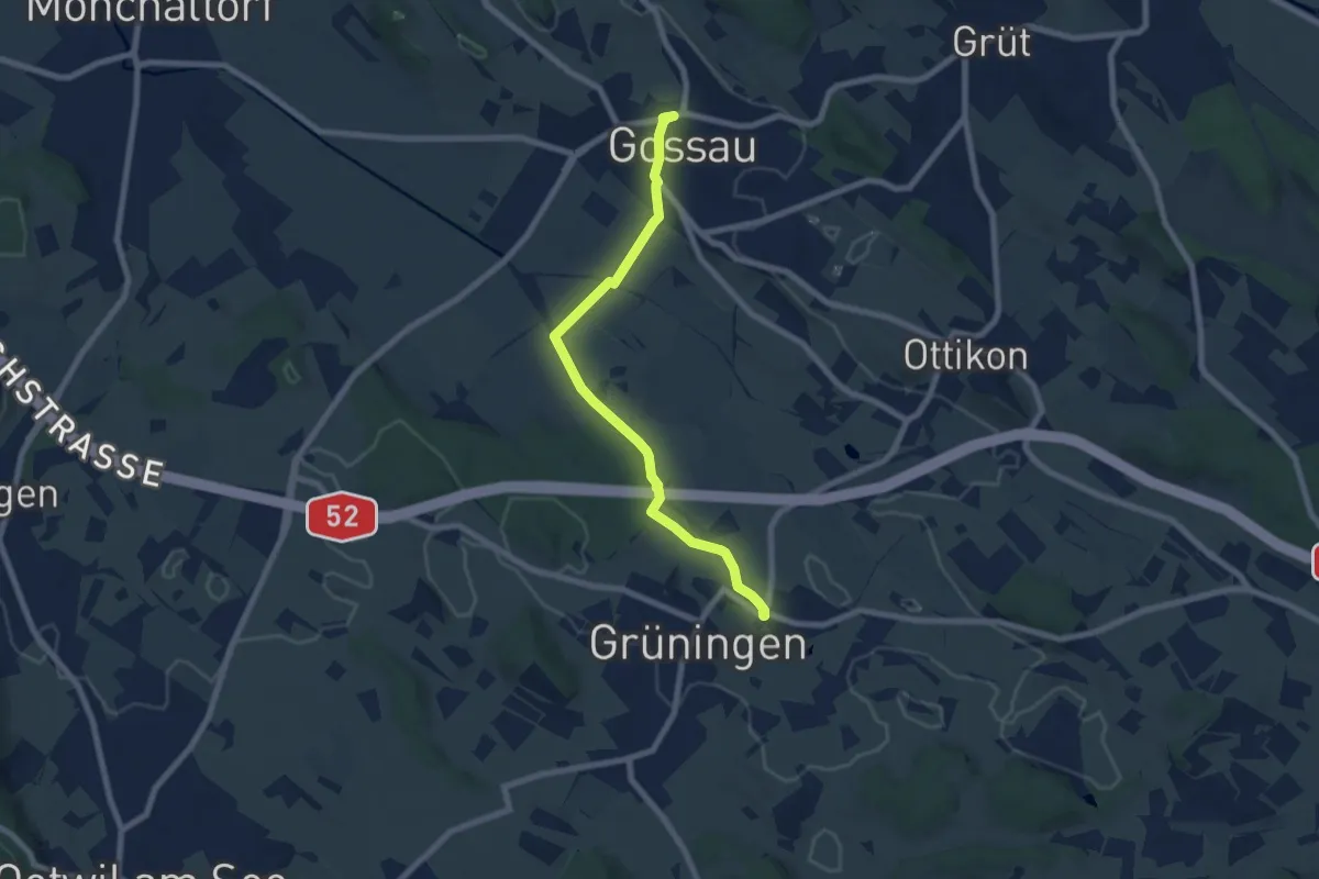
Easy · Trail
Grüningen Haufland – Gossau (Bus)
7.3 km · ↑ 78 m · 1 h 53 min
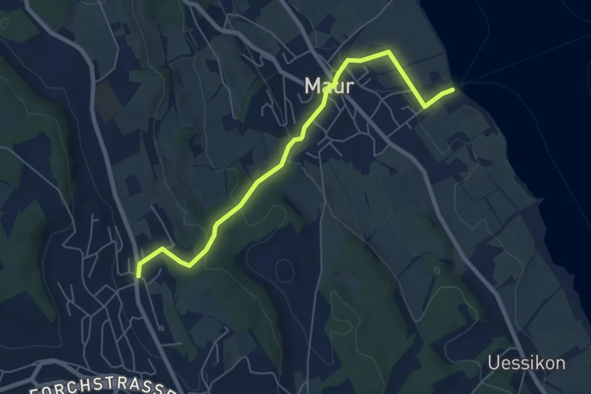
Easy · Trail
Maur Schifflände – Aesch
5.5 km · ↑ 190 m · 1 h 43 min
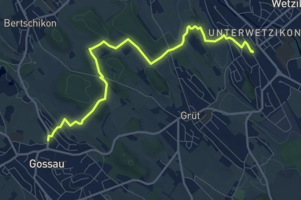
Medium · Trail
Gossau – Wetzikon
8.6 km · ↑ 221 m · 2 h 31 min
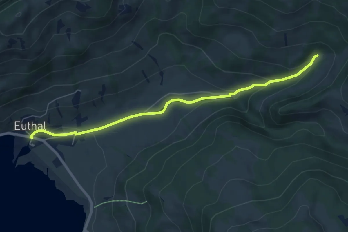
Easy · Trail
Euthal – Chrummflüeli
5.7 km · ↑ 176 m · 1 h 43 min
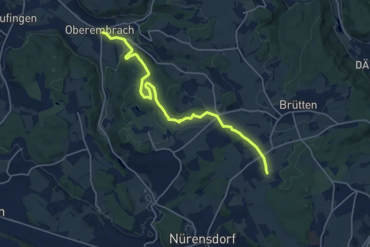
Medium · Trail
Oberembrach – Breite
13.6 km · ↑ 238 m · 3 h 44 min
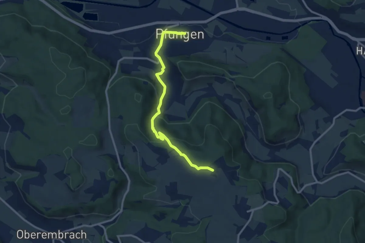
Easy · Trail
Pfungen – Stiegen
7.2 km · ↑ 319 m · 2 h 24 min
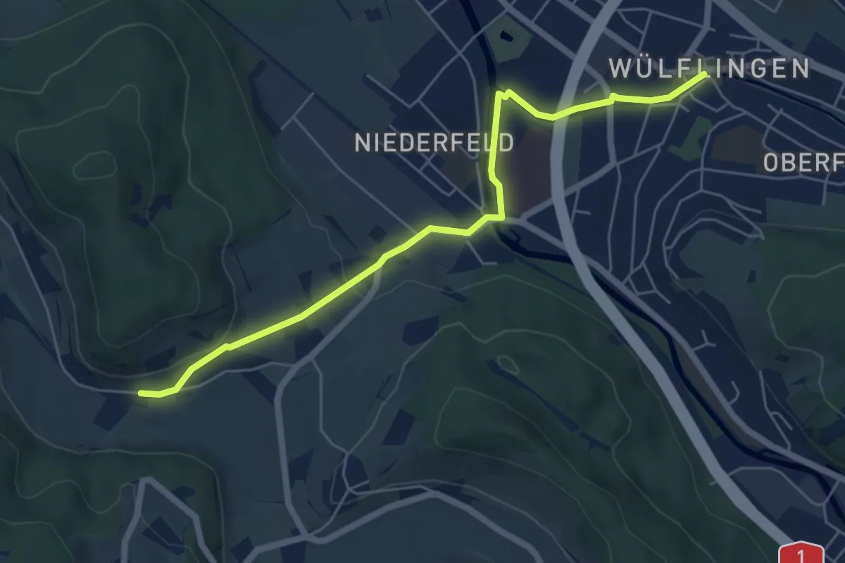
Easy · Trail
Winterthur Wülflingen – Weiertal
5.8 km · ↑ 104 m · 1 h 35 min
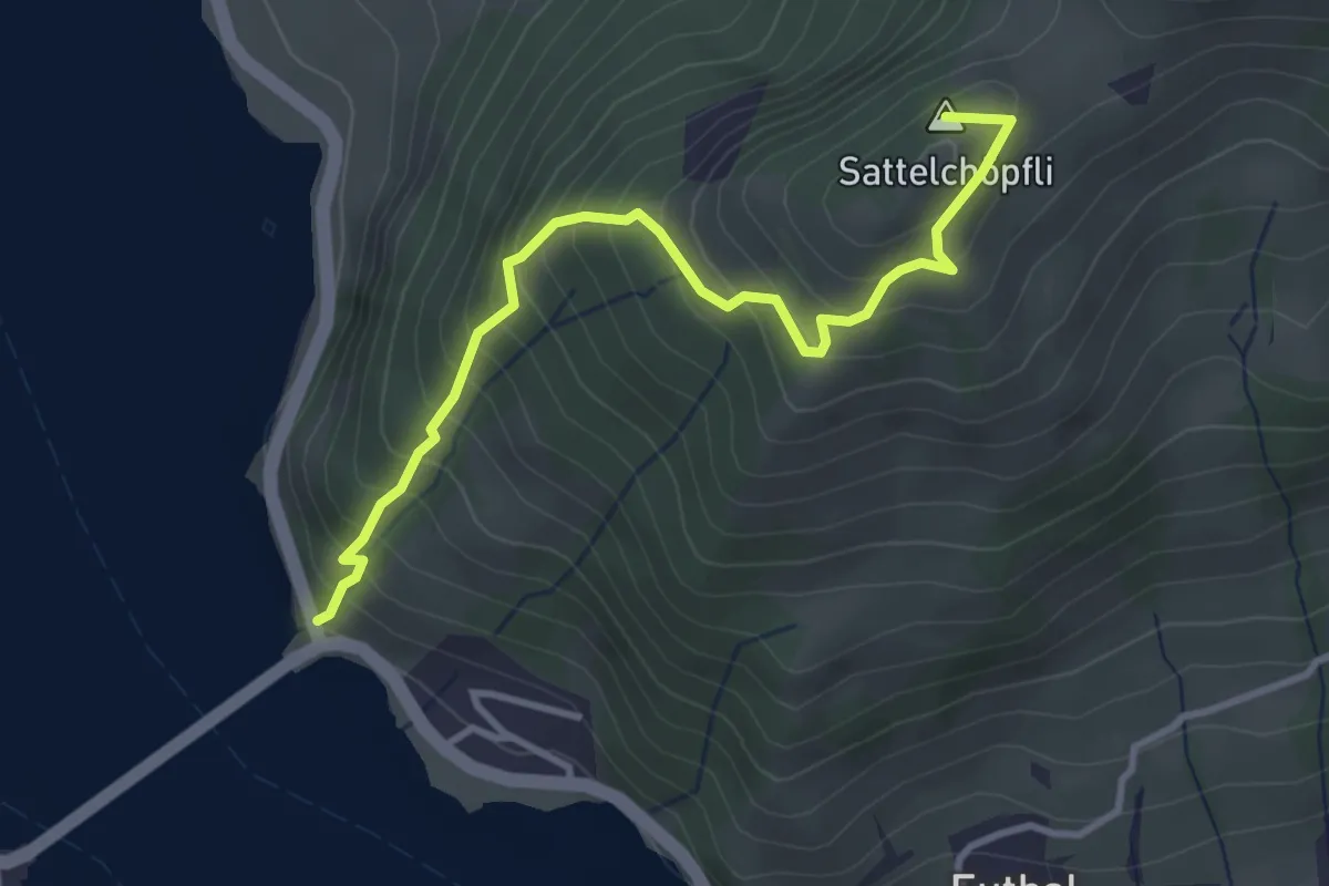
Medium · Summit
Ruestel – Chrähwäldli
3.6 km · ↑ 428 m · 1 h 46 min
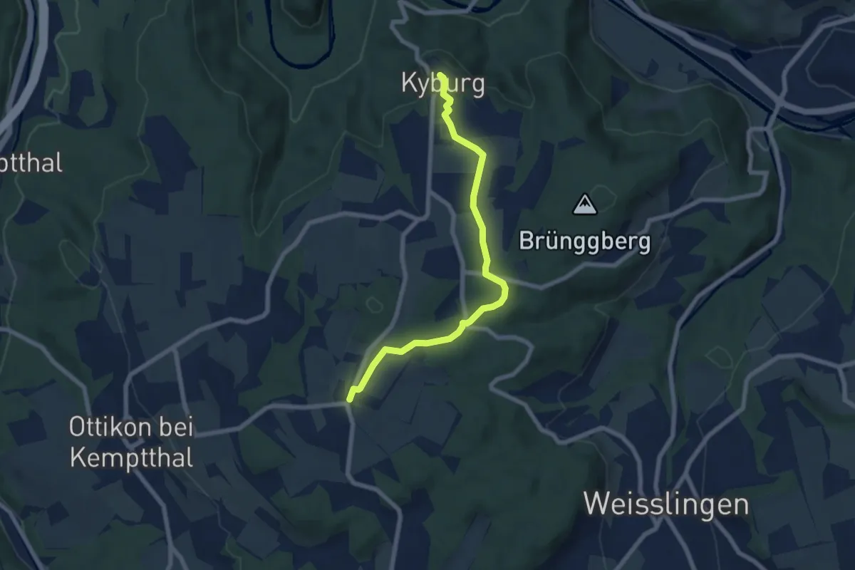
Easy · Trail
First – Kyburg
6.3 km · ↑ 76 m · 1 h 38 min
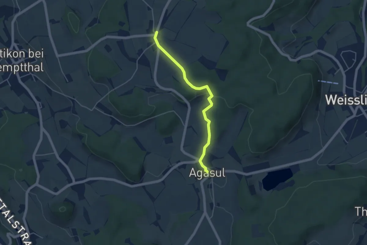
Easy · Trail
Agasul – First
3.8 km · ↑ 81 m · 1 h 4 min
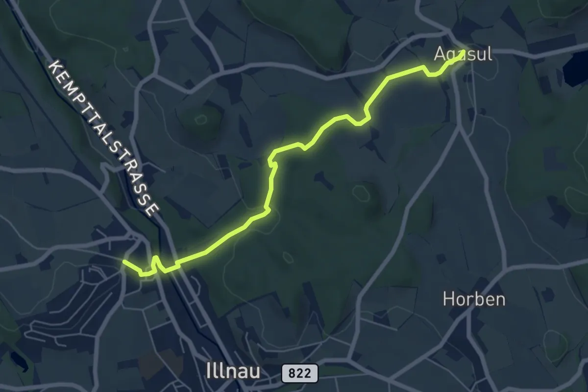
Easy · Trail
Oberillnau – Agasul
5.9 km · ↑ 143 m · 1 h 42 min
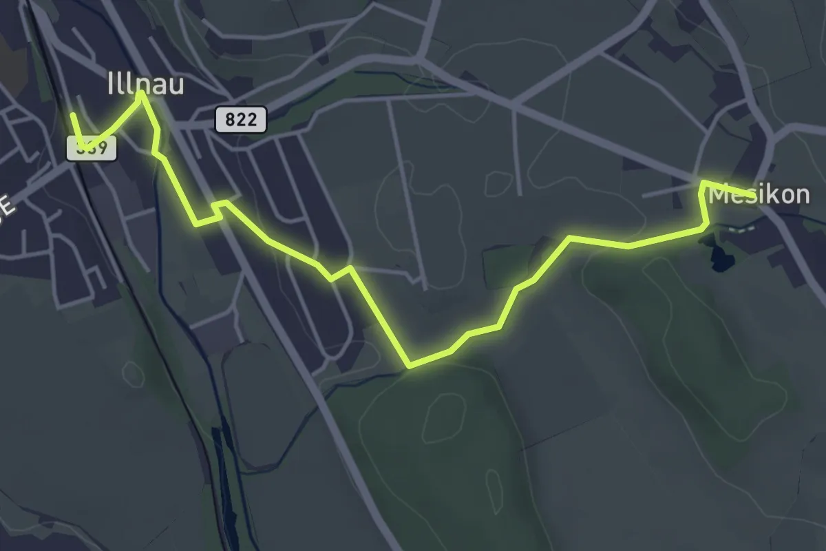
Easy · Trail
Mesikon – Illnau (ost)
5.0 km · ↑ 47 m · 1 h 17 min
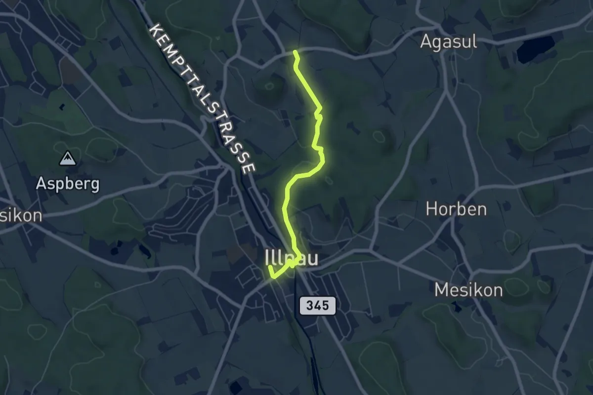
Easy · Trail
Luckhausen – Illnau (ost)
5.1 km · ↑ 85 m · 1 h 23 min
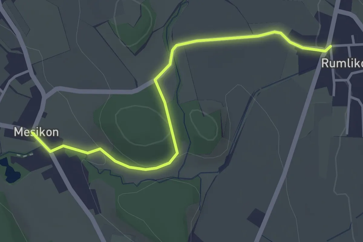
Easy · Trail
Mesikon – Rumlikon
3.3 km · ↑ 72 m · 56 min
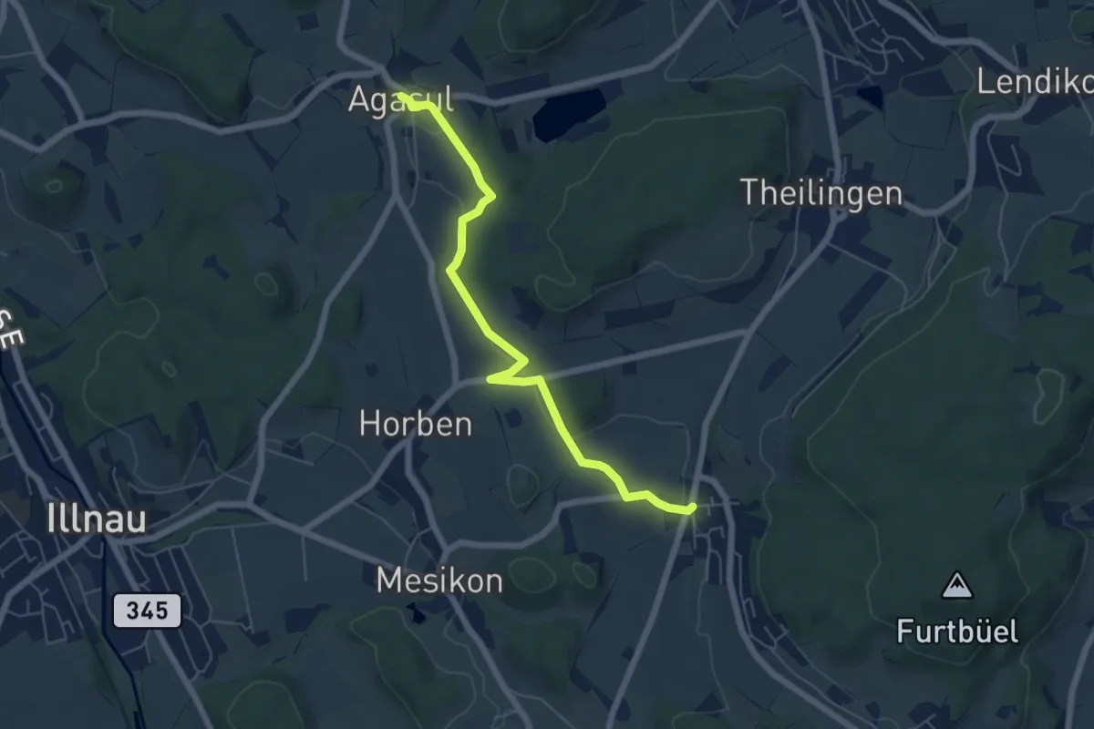
Easy · Trail
Rumlikon – Agasul
5.8 km · ↑ 110 m · 1 h 36 min
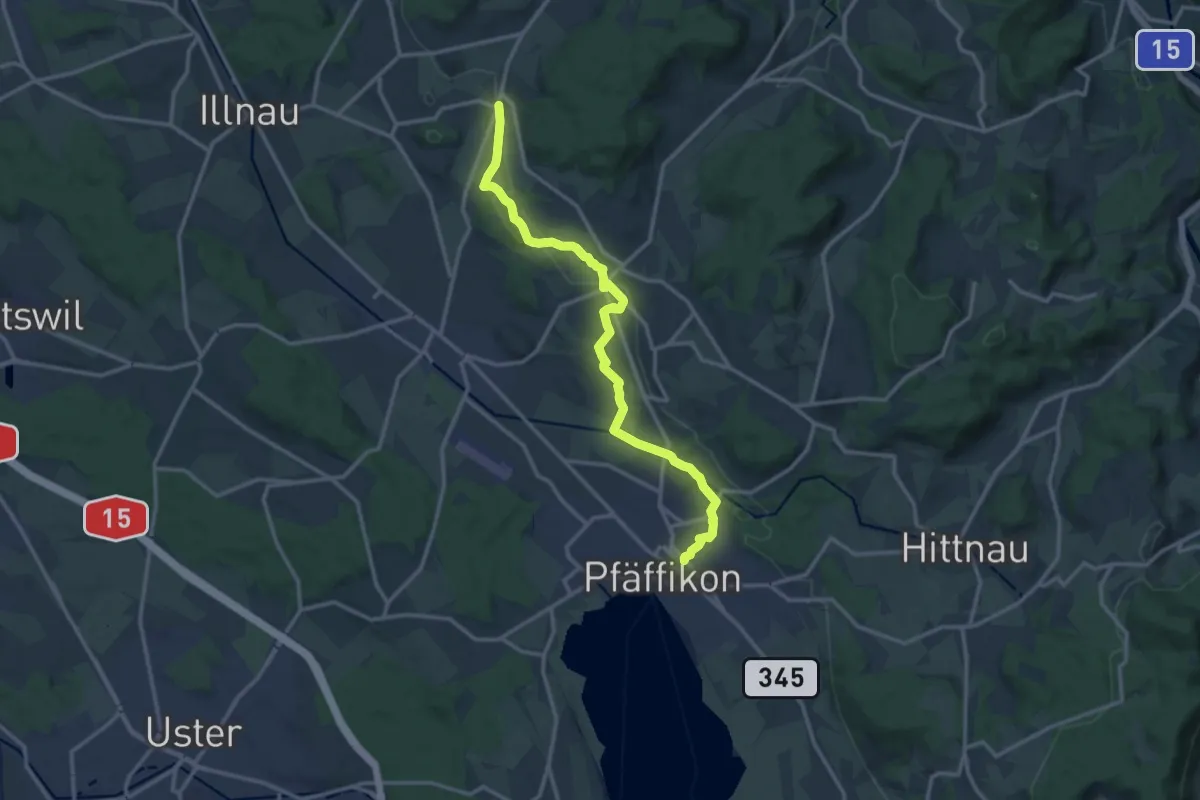
Medium · Trail
Rumlikon – Pfäffikon
13.8 km · ↑ 242 m · 3 h 47 min
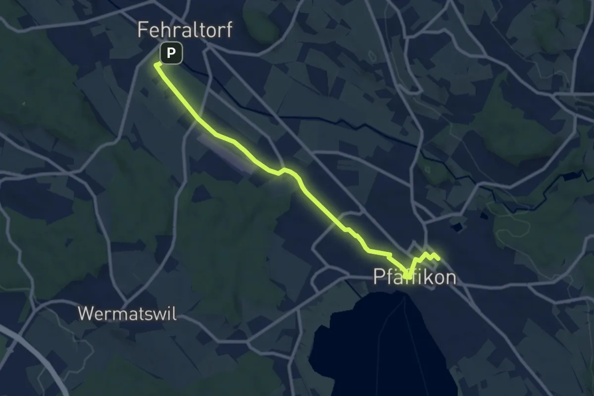
Medium · Trail
Fehraltorf – Pfäffikon
8.4 km · ↑ 17 m · 2 h 1 min
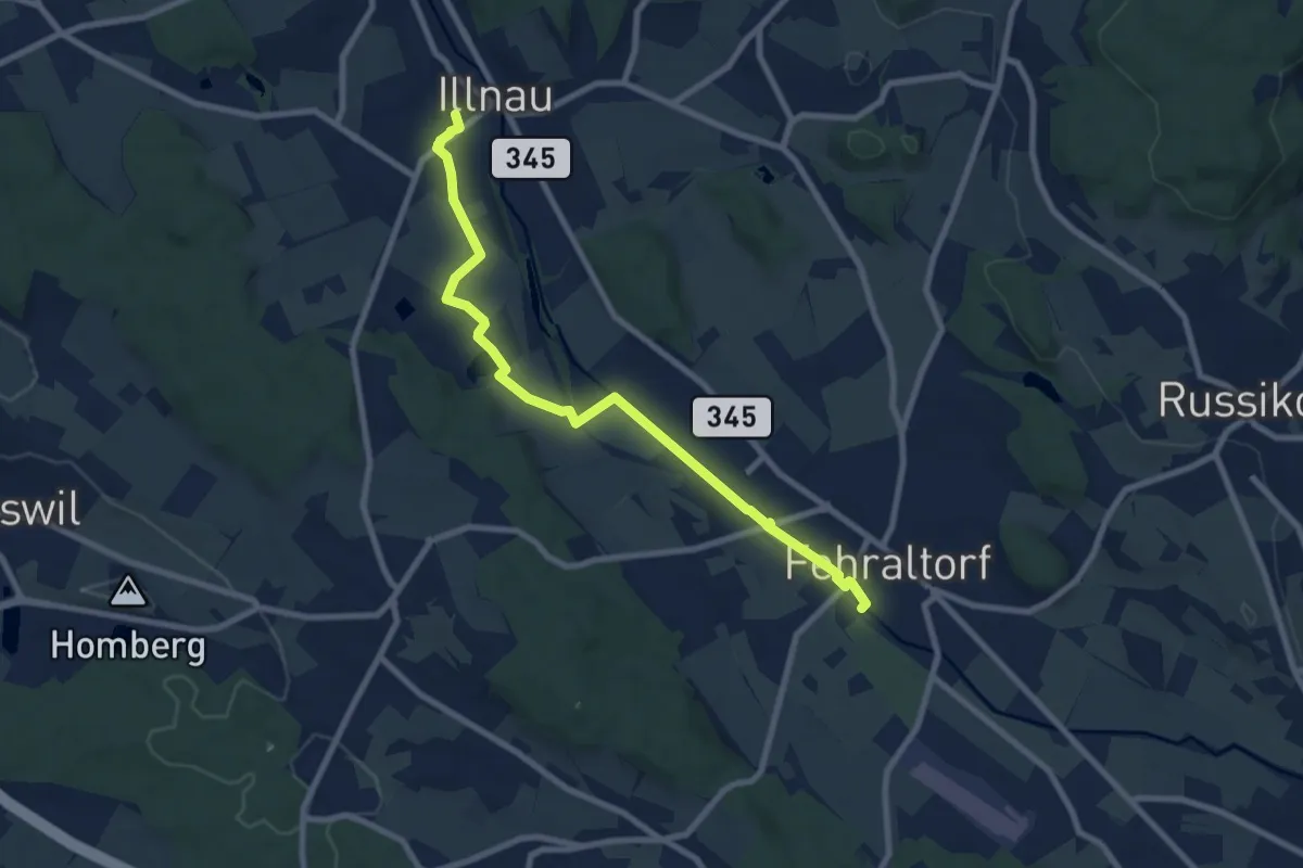
Medium · Trail
Illnau (west) – Pfäffikon
8.5 km · ↑ 40 m · 2 h 5 min
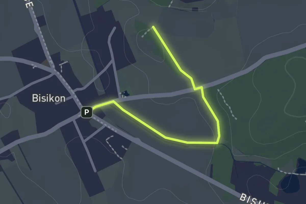
Easy · Trail
Bisikon – Buck
2.0 km · ↑ 10 m · 30 min
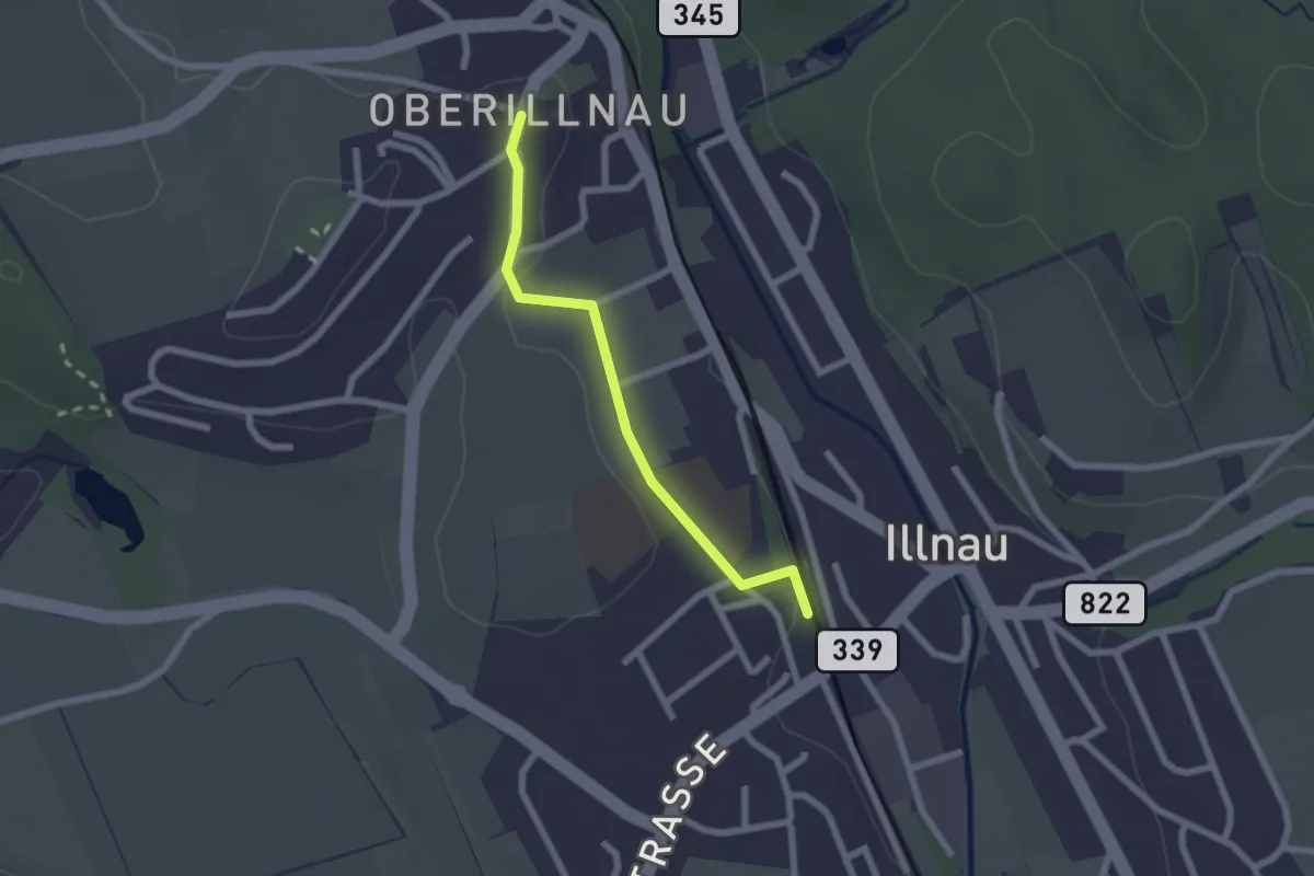
Easy · Trail
Illnau (west) – Oberillnau
2.0 km · ↑ 52 m · 35 min
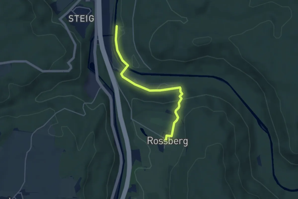
Easy · Trail
Ritplatz – Rossberg
3.8 km · ↑ 95 m · 1 h 6 min
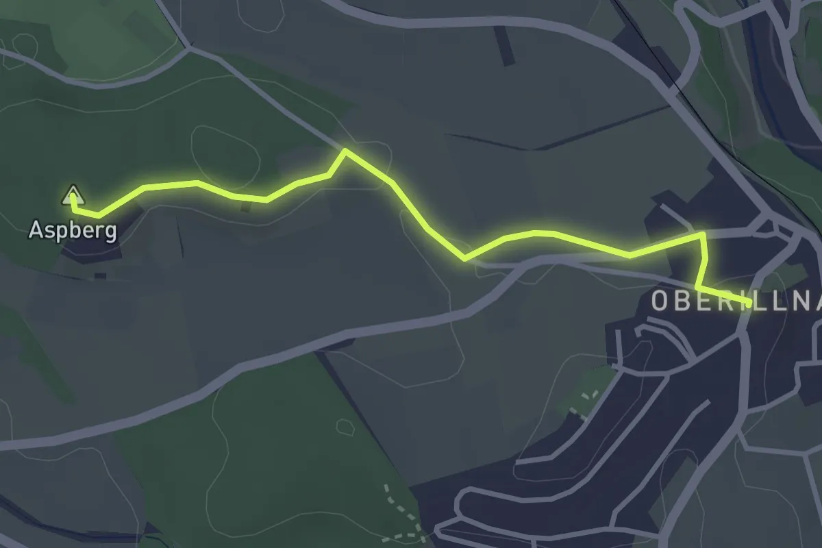
Easy · Summit
Moosburg – Oberillnau
3.1 km · ↑ 31 m · 48 min
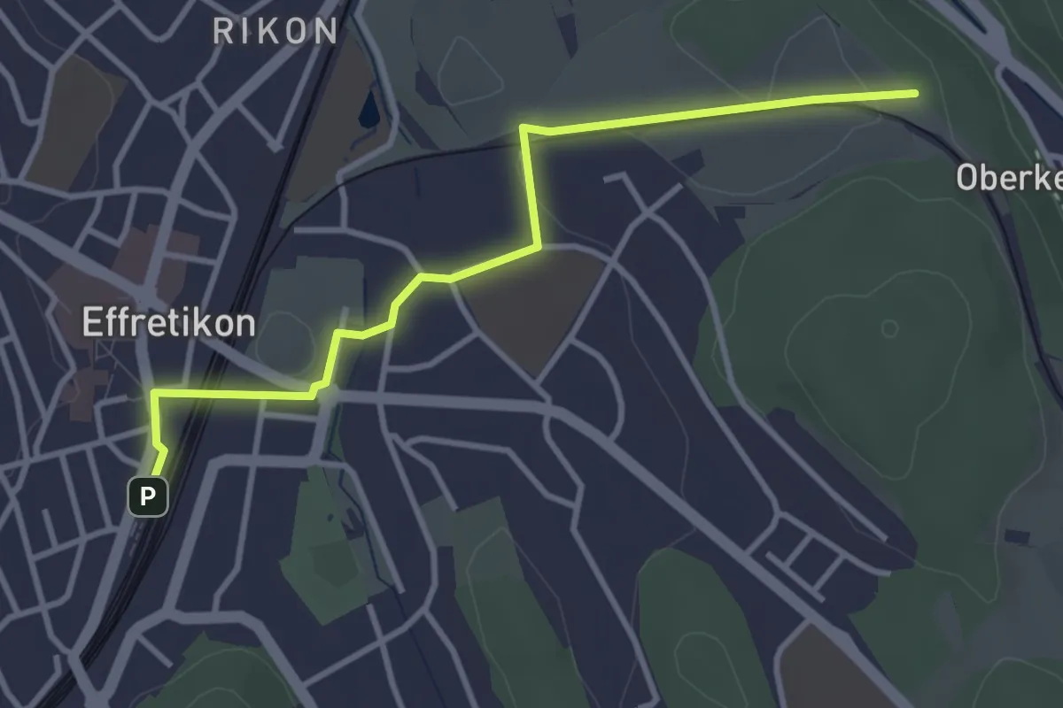
Easy · Trail
Effretikon – Höckler
3.5 km · ↑ 9 m · 50 min
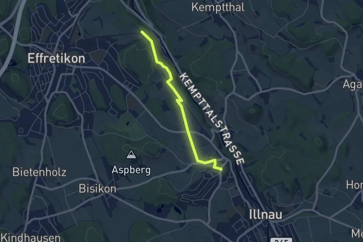
Easy · Trail
Höckler – Oberillnau
5.2 km · ↑ 75 m · 1 h 24 min
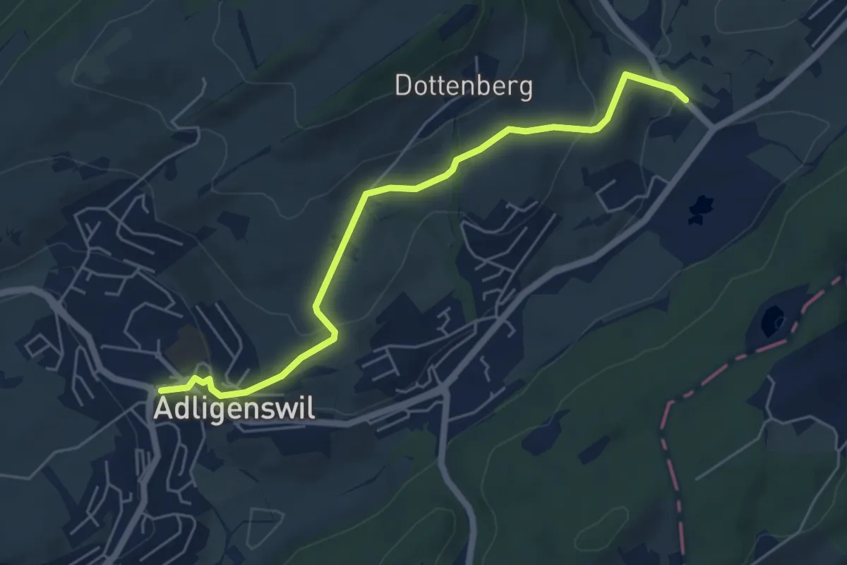
Easy · Trail
Stegmatt – Adligenswil
5.5 km · ↑ 173 m · 1 h 40 min
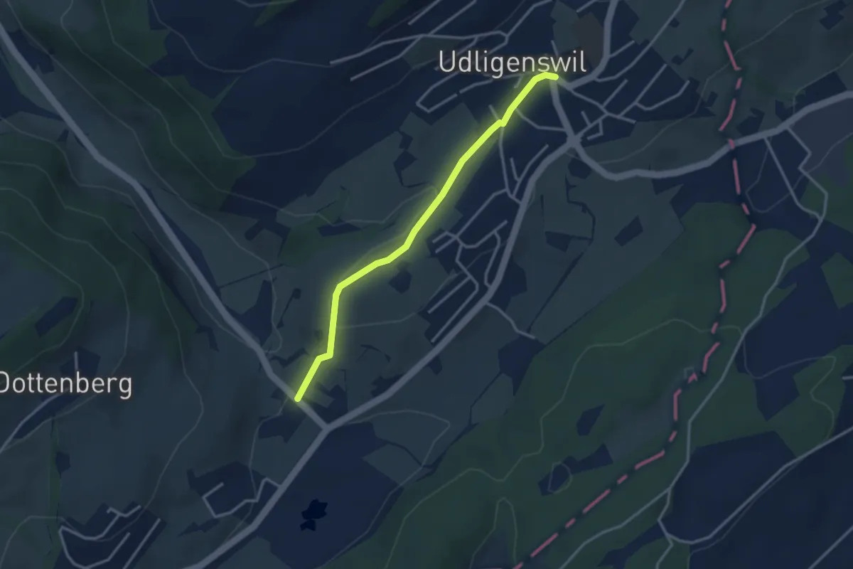
Easy · Trail
Udligenswil – Stegmatt
3.0 km · ↑ 80 m · 53 min
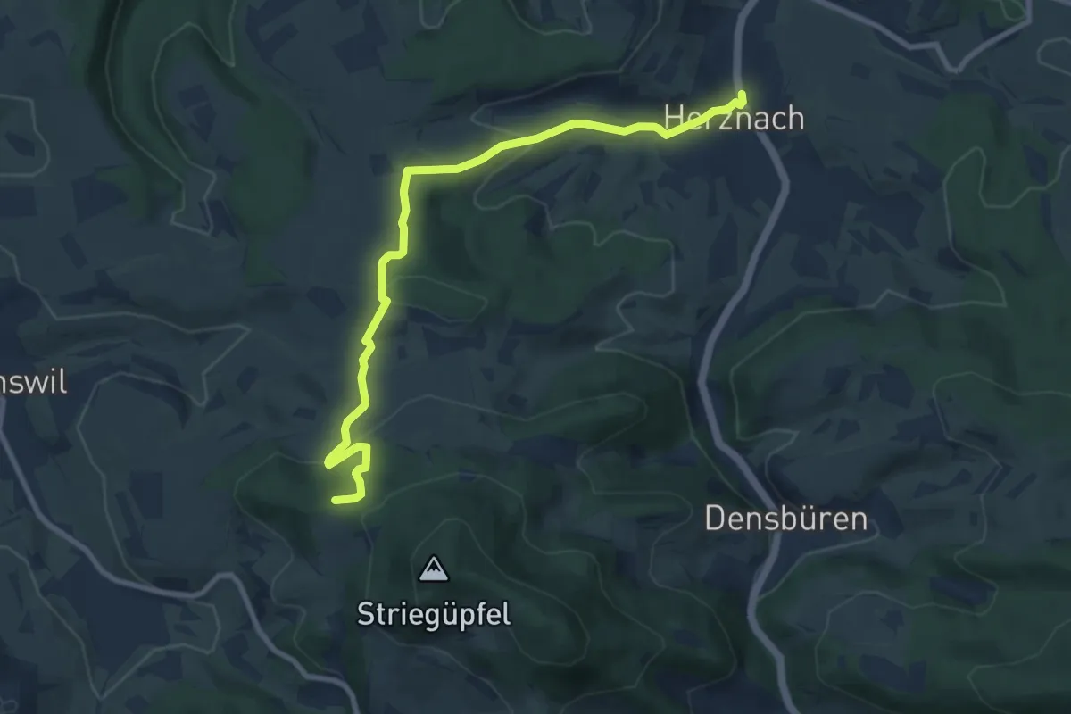
Medium · Trail
Waldhaus Wölflinswil – Herznach
8.8 km · ↑ 321 m · 2 h 47 min
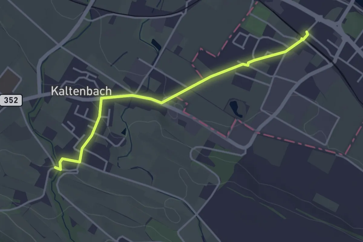
Easy · Trail
Pleuelhuuse – Stein am Rhein
3.6 km · ↑ 46 m · 58 min
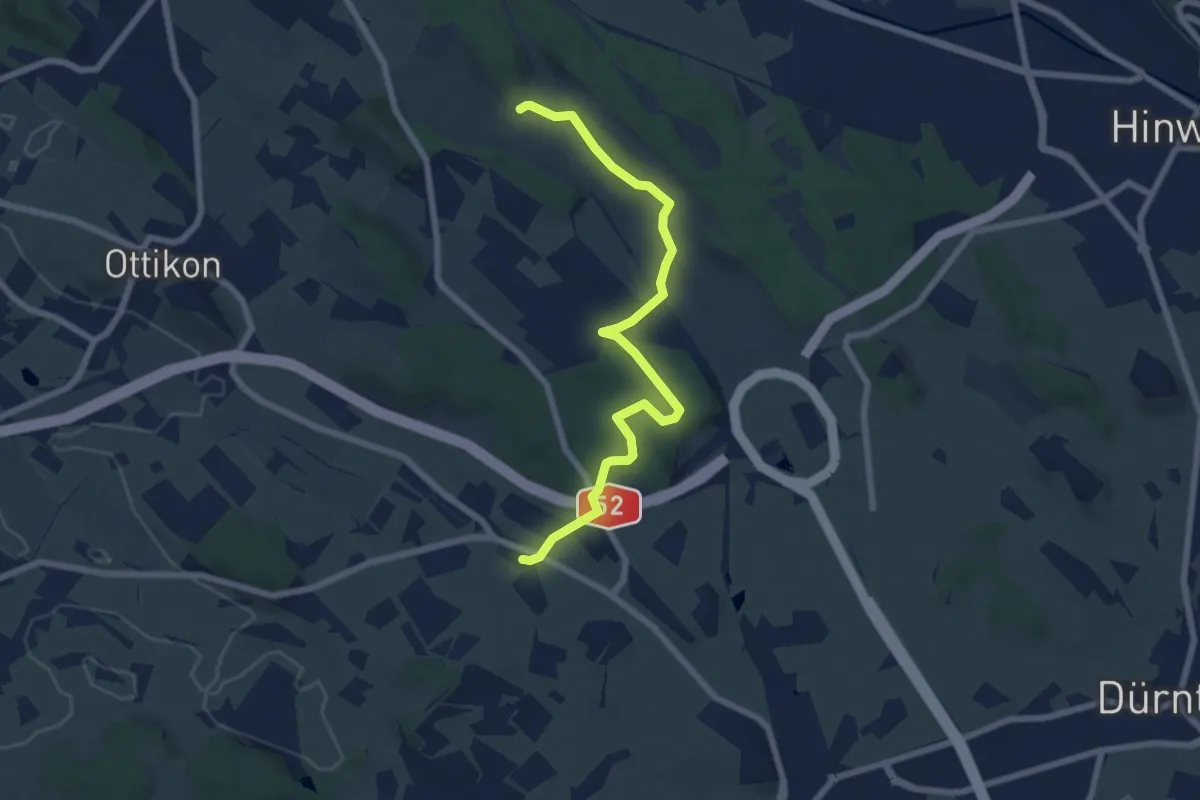
Easy · Trail
Herschmettlen – Ambitzgiried
7.1 km · ↑ 106 m · 1 h 54 min
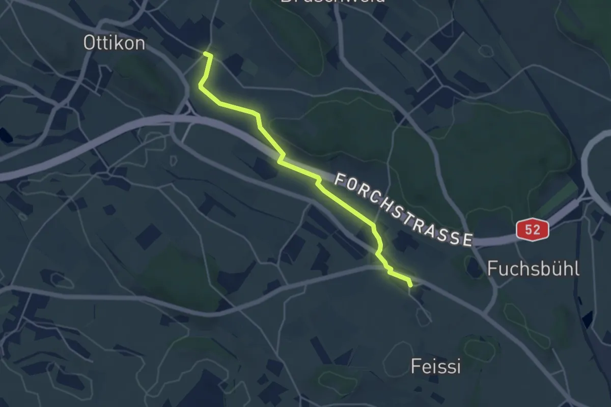
Easy · Trail
Oberottikon – Herschmettlen
4.0 km · ↑ 40 m · 1 h 2 min
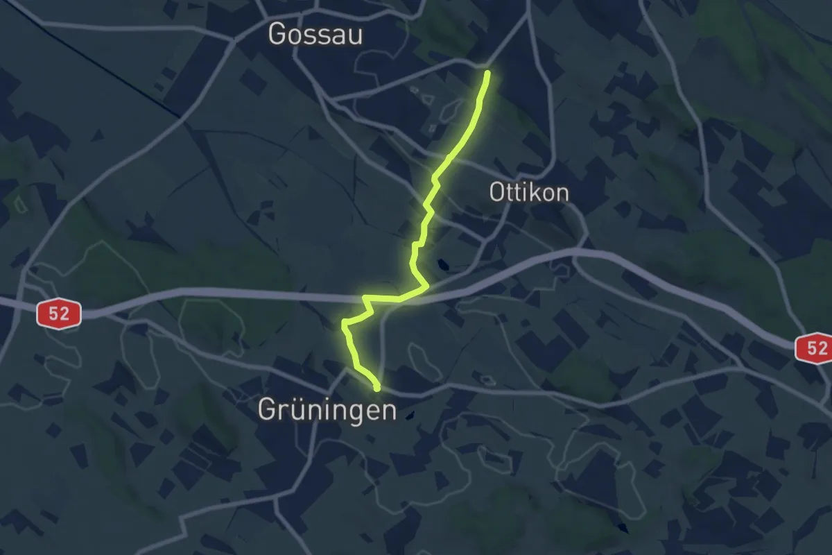
Easy · Trail
Berghof – Grüningen Haufland
6.2 km · ↑ 92 m · 1 h 40 min
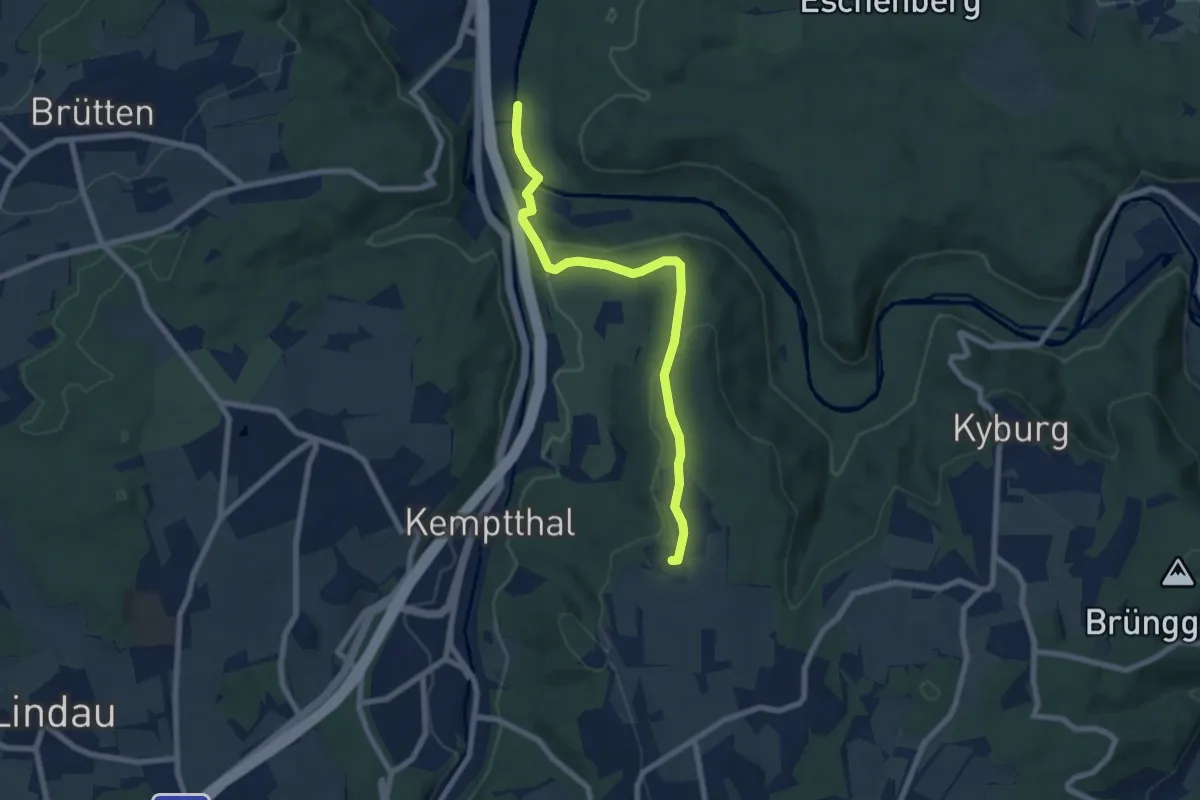
Easy · Trail
Ritplatz – Kemleten
7.2 km · ↑ 177 m · 2 h 5 min
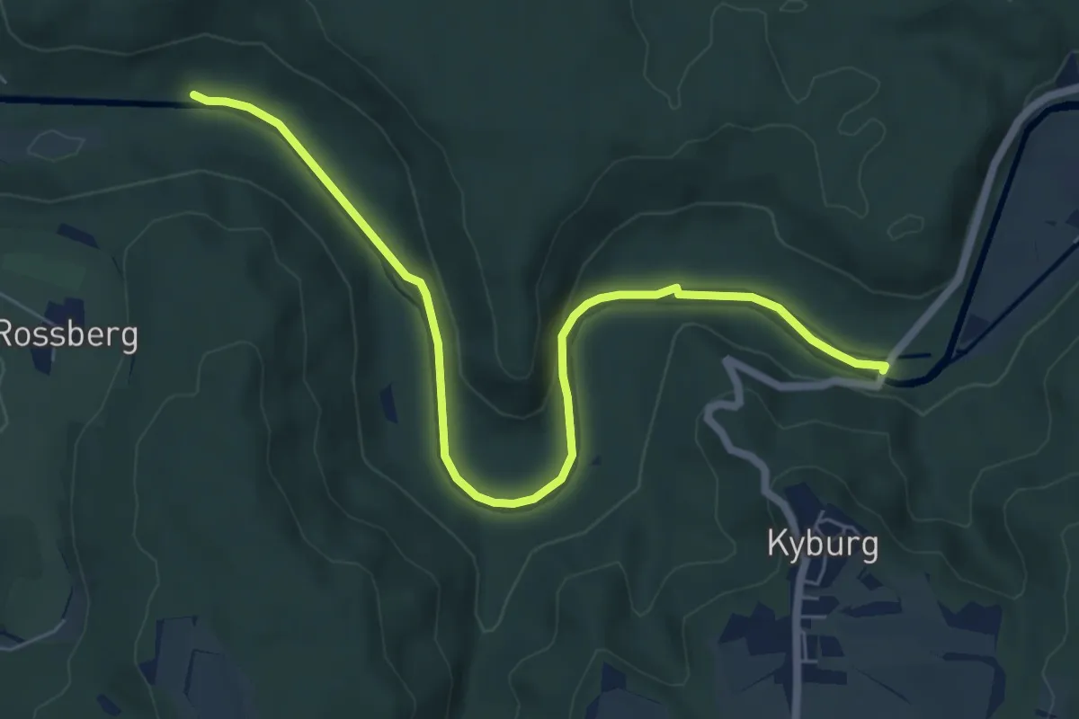
Easy · Trail
Brunibrugg – Kyburgerbrugg
6.8 km · ↑ 117 m · 1 h 52 min
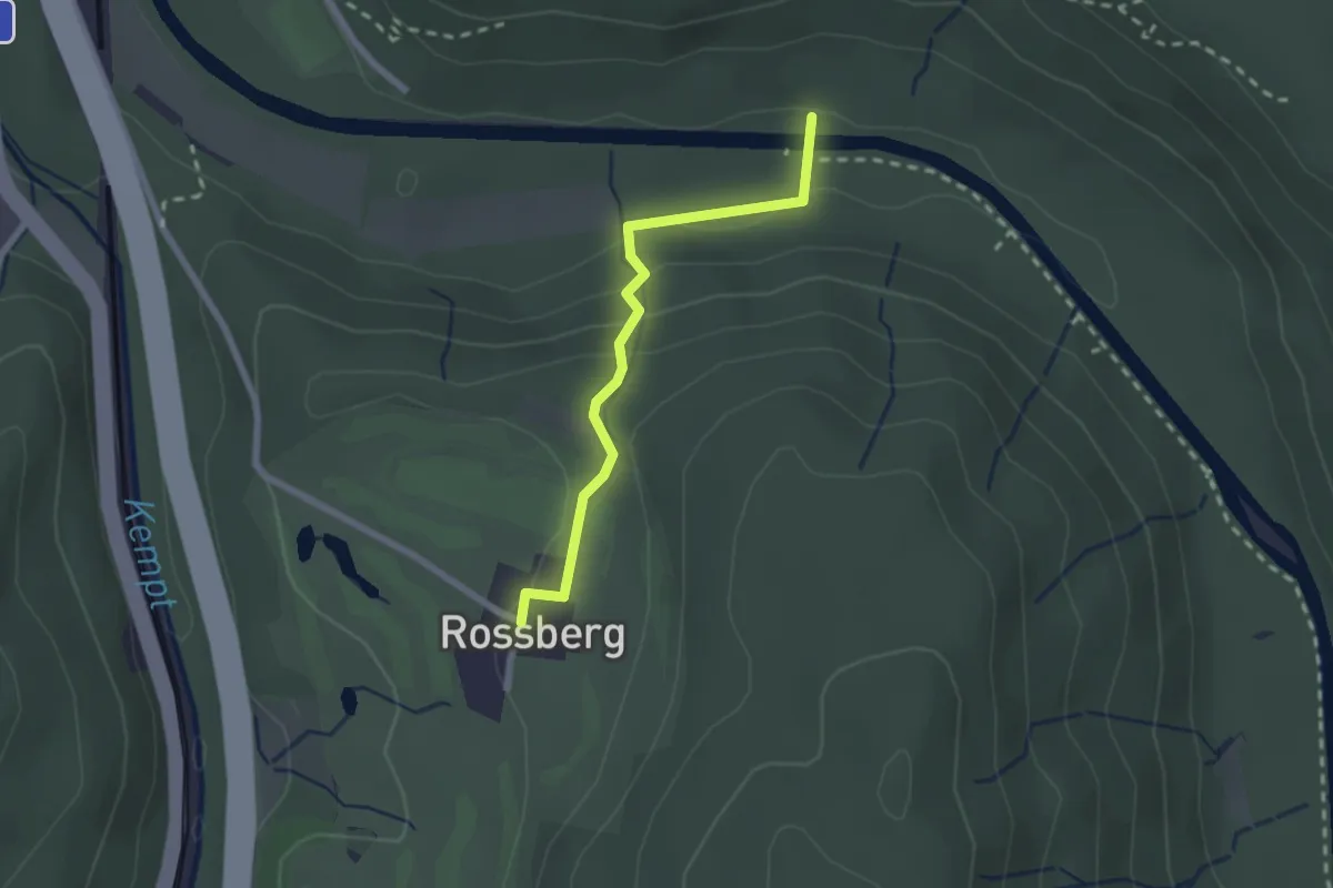
Easy · Trail
Brunibrugg – Rossberg
2.1 km · ↑ 66 m · 38 min
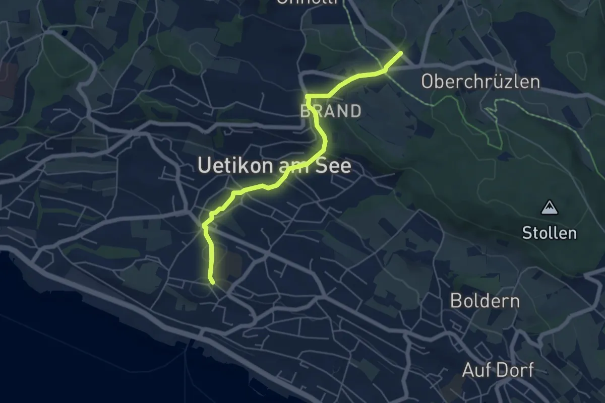
Easy · Trail
Uetikon Dorf – Gibisnüd
5.0 km · ↑ 196 m · 1 h 36 min
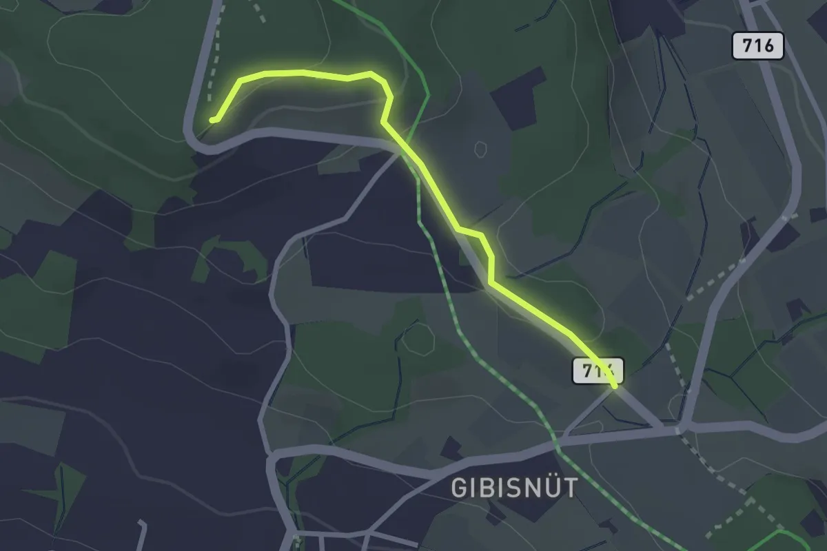
Easy · Trail
Buechholz – Gibisnüd
2.3 km · ↑ 76 m · 42 min
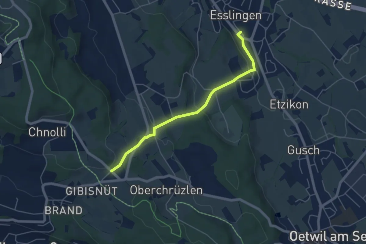
Easy · Trail
Esslingen – Gibisnüd
4.3 km · ↑ 161 m · 1 h 22 min
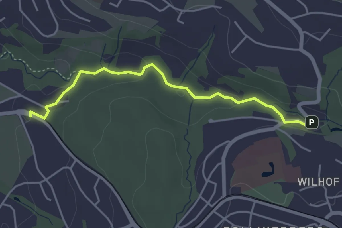
Easy · Trail
Rehalp – Trichtenhusen
3.6 km · ↑ 57 m · 58 min
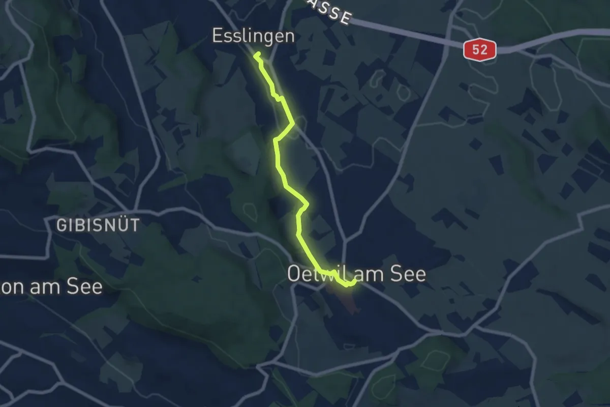
Easy · Trail
Esslingen – Oetwil
5.4 km · ↑ 60 m · 1 h 24 min
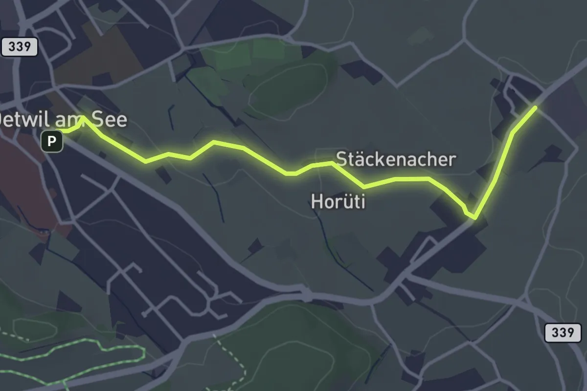
Easy · Trail
Holzhusen – Oetwil
3.7 km · ↑ 20 m · 55 min
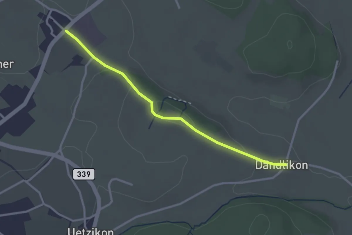
Easy · Trail
Dändlikon – Holzhusen
2.5 km · ↑ 46 m · 42 min
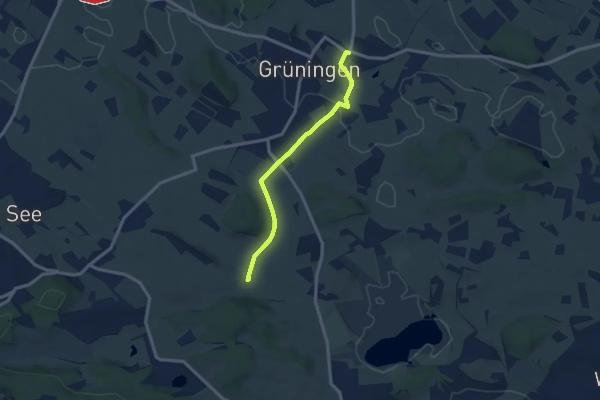
Easy · Trail
Grüningen Haufland – Dändlikon
5.2 km · ↑ 66 m · 1 h 23 min
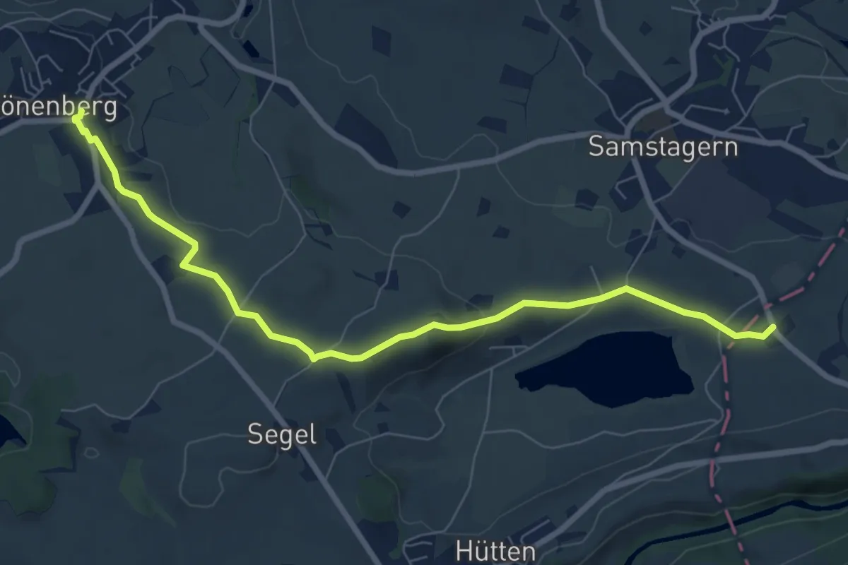
Easy · Trail
Schönenberg – Neumühli
7.7 km · ↑ 124 m · 2 h 5 min