Trails in Switzerland
15,055 hiking trails, each with its route, climb, walking time and grade.
All trails, page 269 of 314
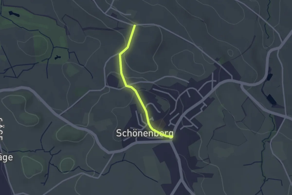
Easy · Trail
Stollen – Schönenberg
2.1 km · ↑ 58 m · 37 min
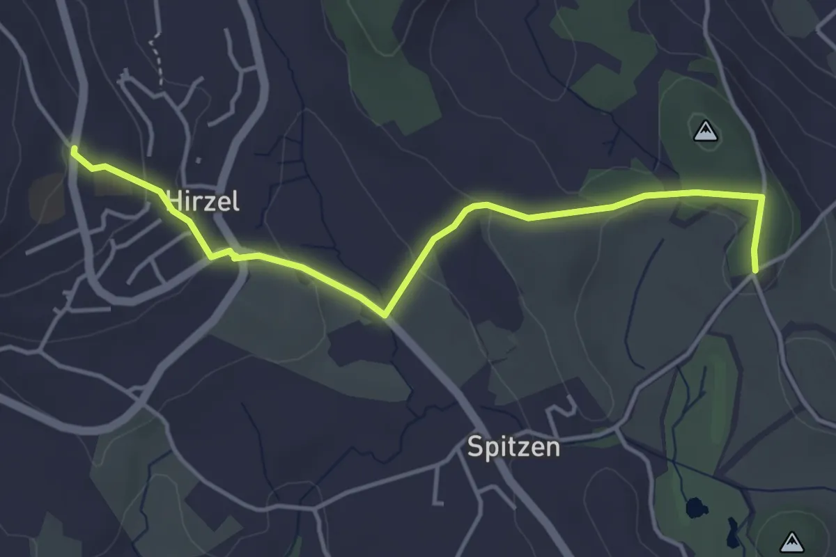
Easy · Trail
Hirzel – Schlieregg
4.2 km · ↑ 95 m · 1 h 12 min
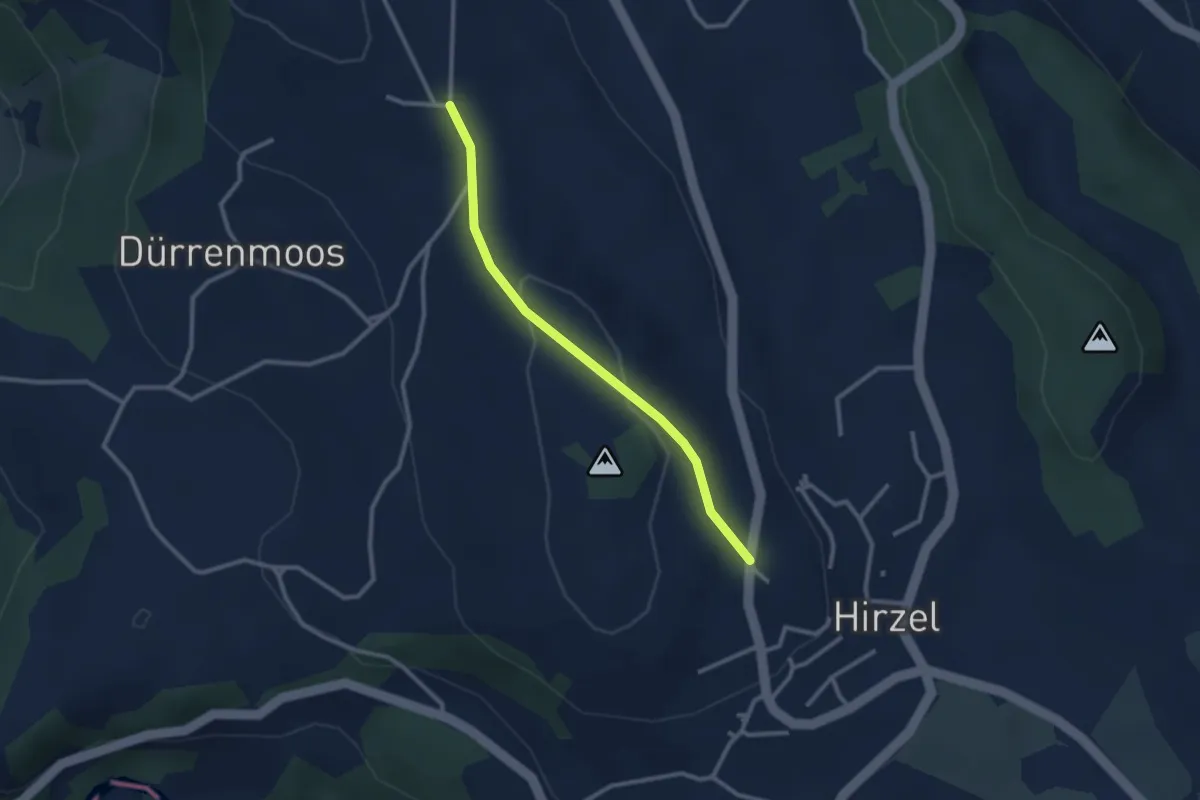
Easy · Trail
Höhi – Hirzel
2.5 km · ↑ 64 m · 44 min
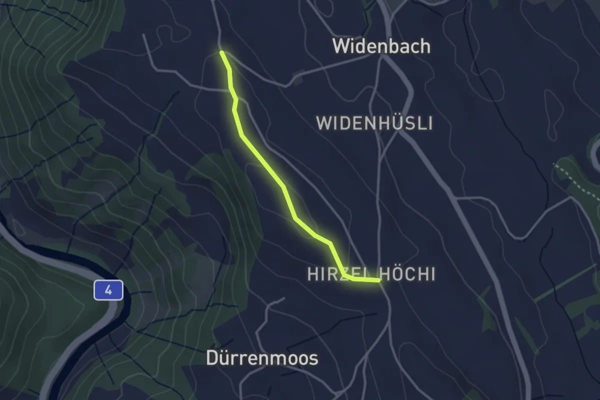
Easy · Trail
Zimmerberg – Höhi
2.5 km · ↑ 46 m · 41 min
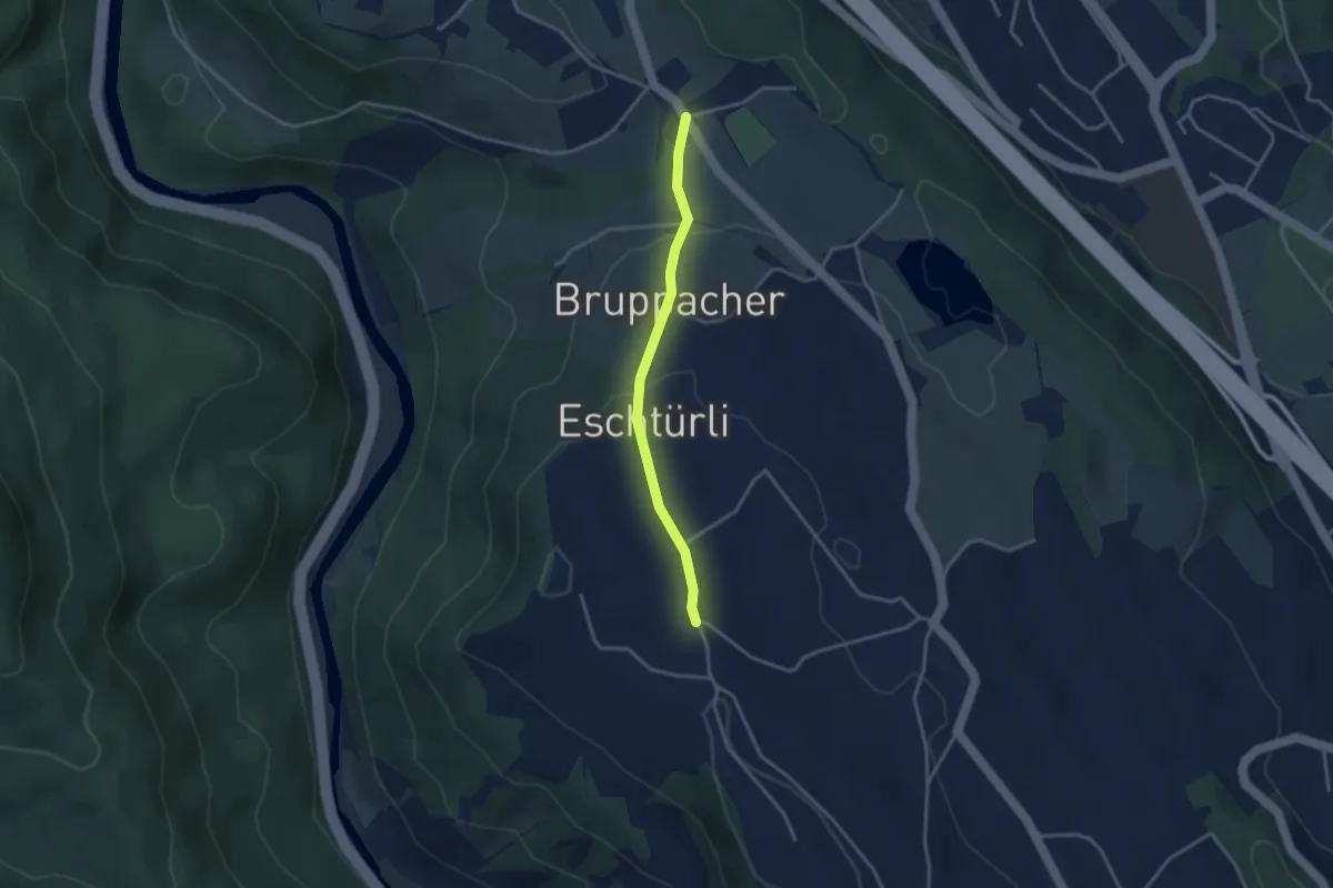
Easy · Trail
Wüeribach – Zimmerberg
3.0 km · ↑ 100 m · 55 min
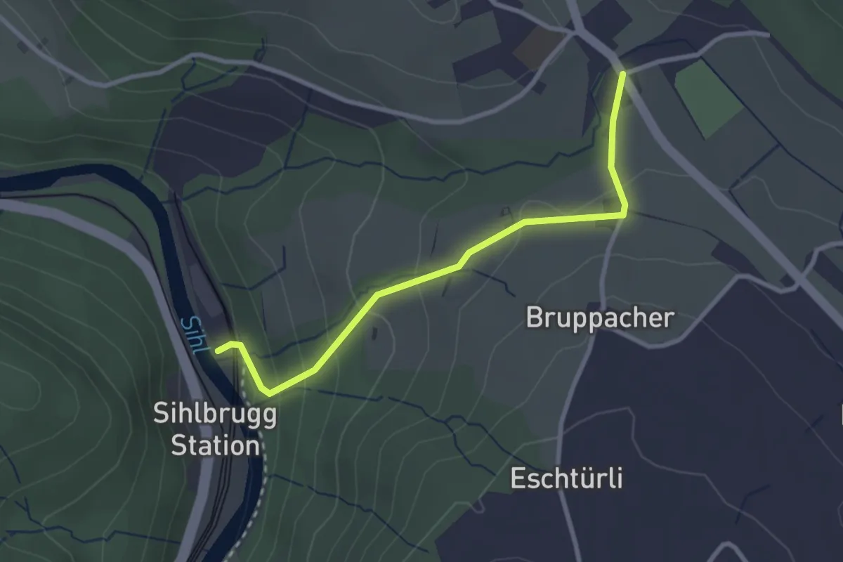
Easy · Trail
Steinchratten – Wüeribach
2.7 km · ↑ 134 m · 56 min
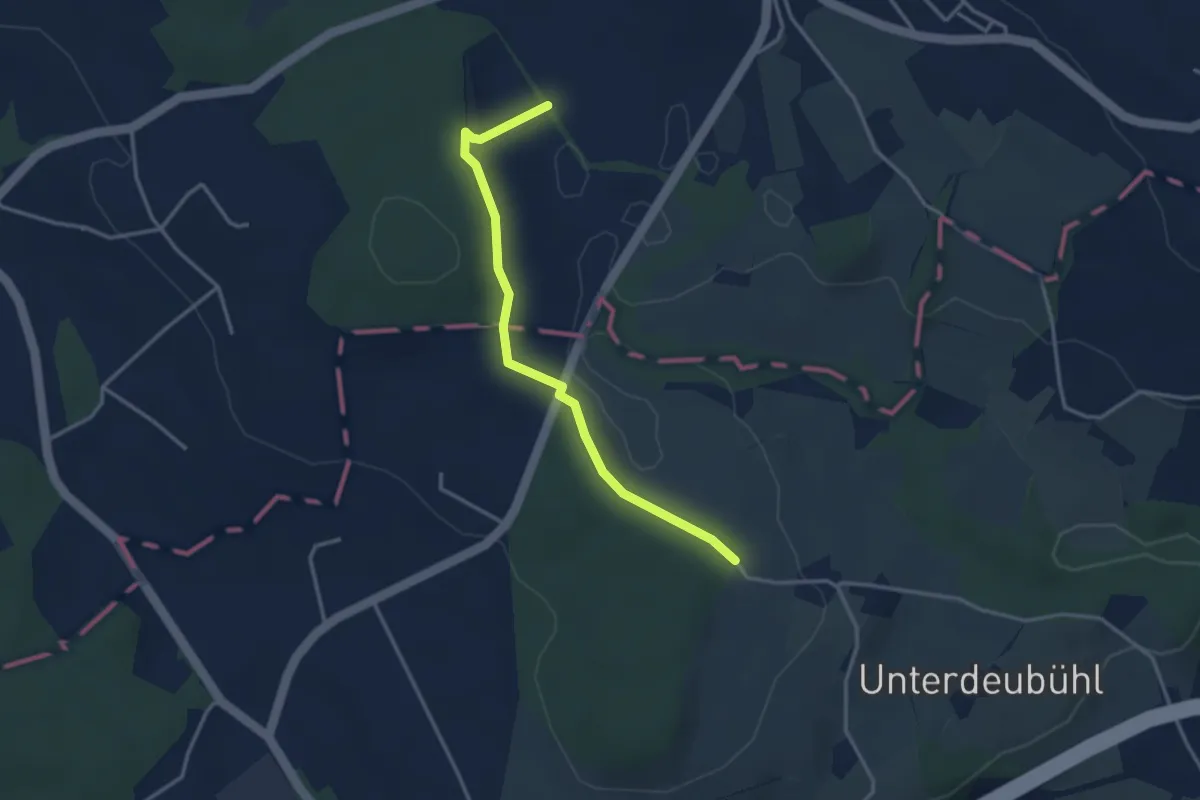
Easy · Trail
Chlostermatt – Baar
3.3 km · ↑ 104 m · 1 h
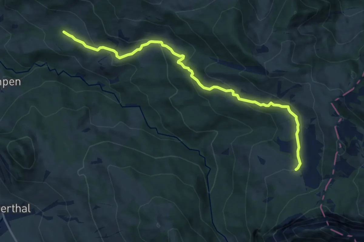
Medium · Trail
Schwändelen – Gross Feldrederten
10.9 km · ↑ 563 m · 3 h 47 min
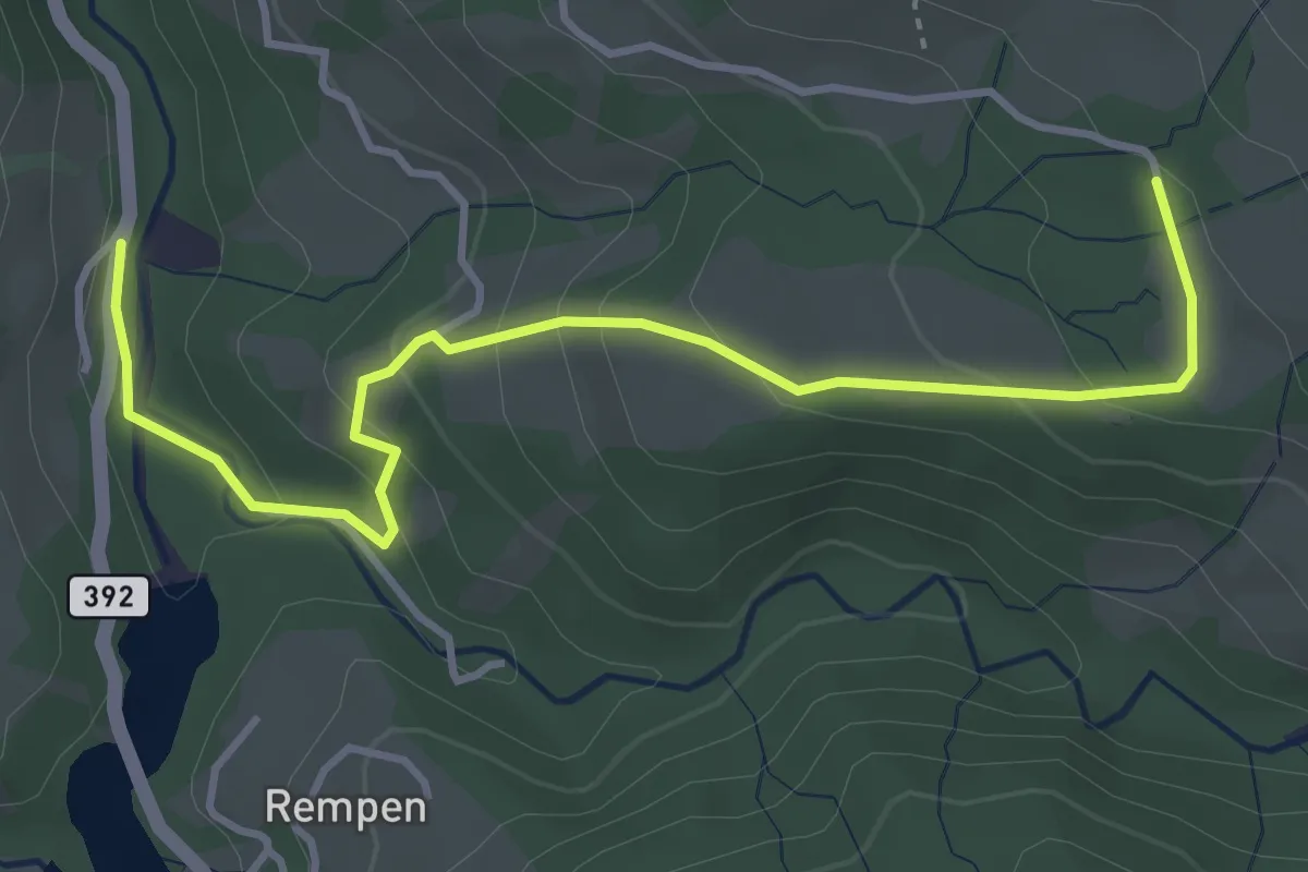
Easy · Trail
Flüebödeli – Schwändelen
4.3 km · ↑ 223 m · 1 h 29 min
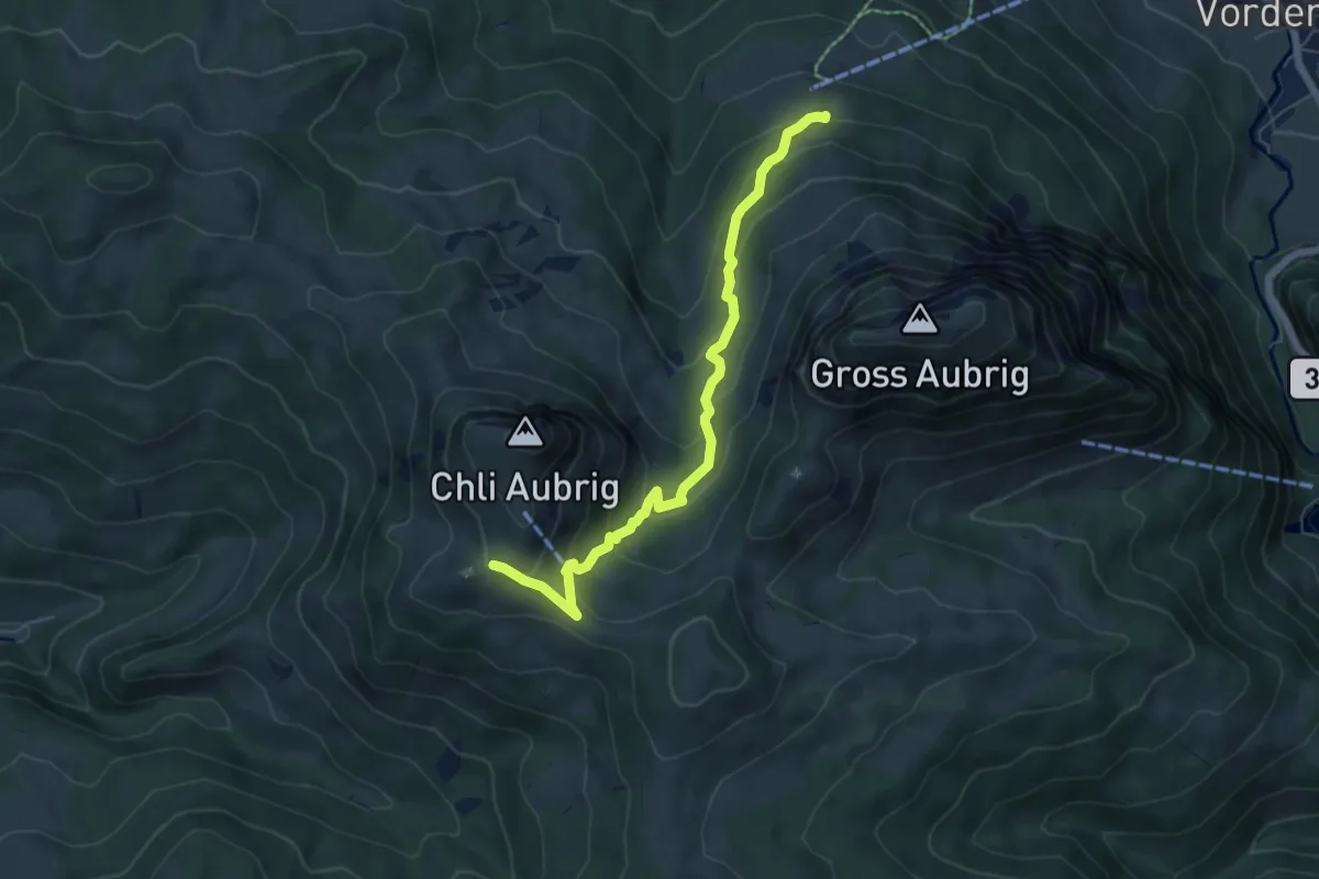
Medium · Trail
Wildegg – Dorlaui
6.1 km · ↑ 374 m · 2 h 15 min
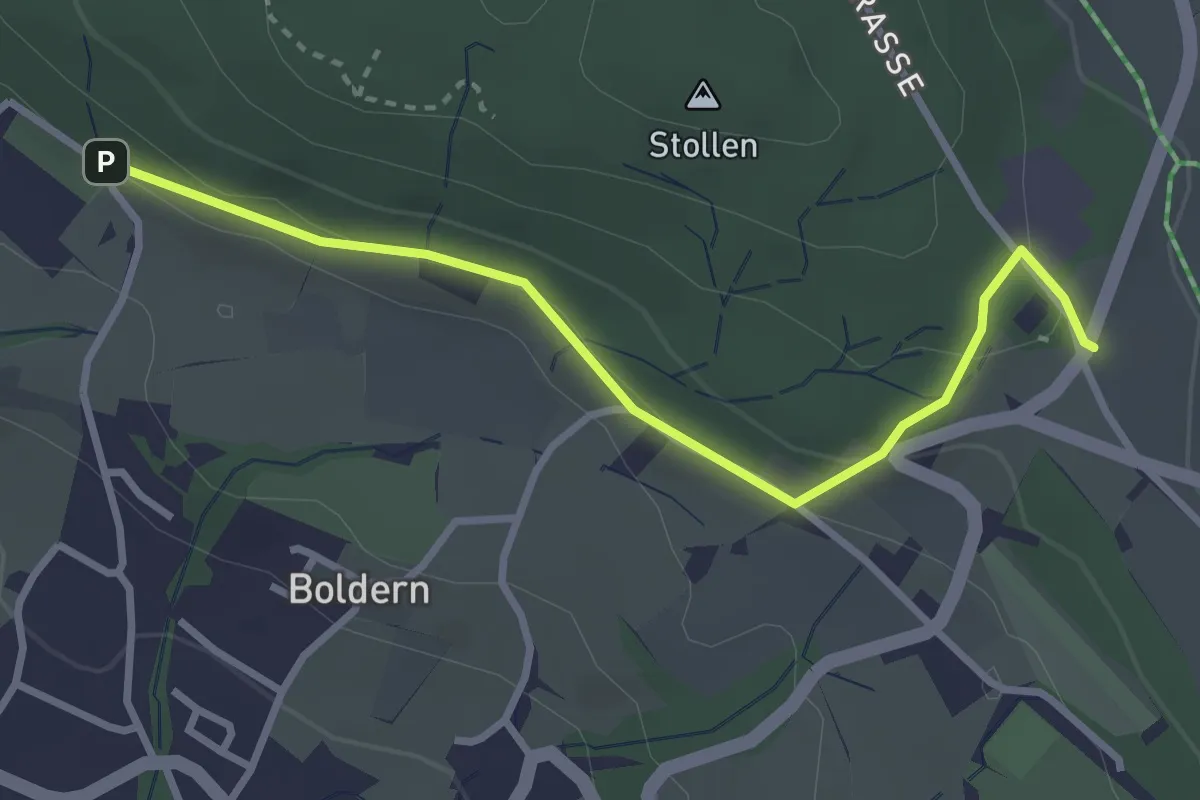
Easy · Trail
Appisberg – Stäfnertürli
3.1 km · ↑ 89 m · 55 min
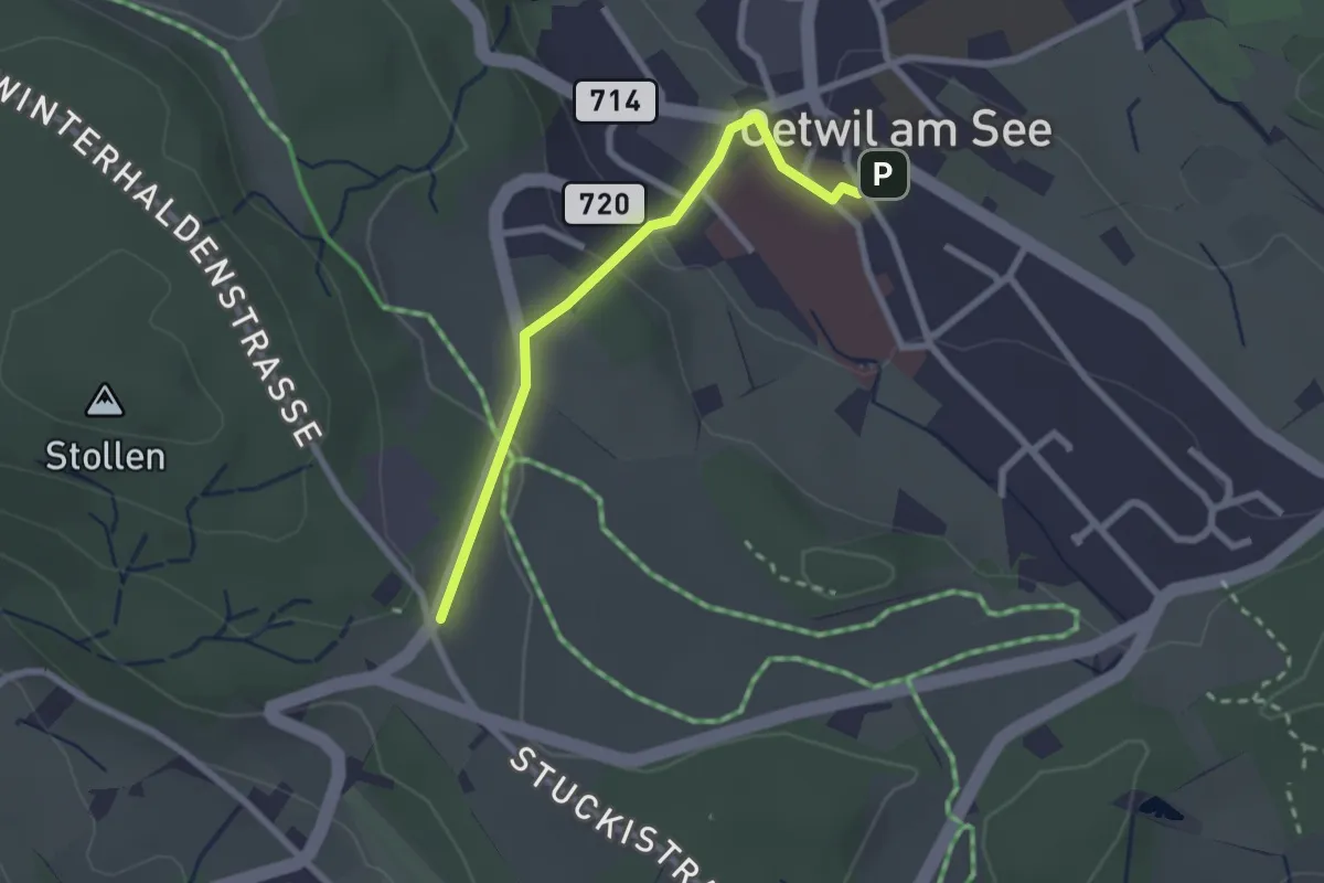
Easy · Trail
Oetwil – Stäfnertürli
2.3 km · ↑ 68 m · 41 min
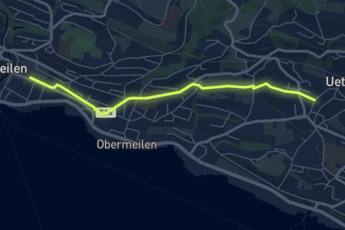
Easy · Trail
Meilen – Uetikon Grossdorf
5.5 km · ↑ 53 m · 1 h 24 min
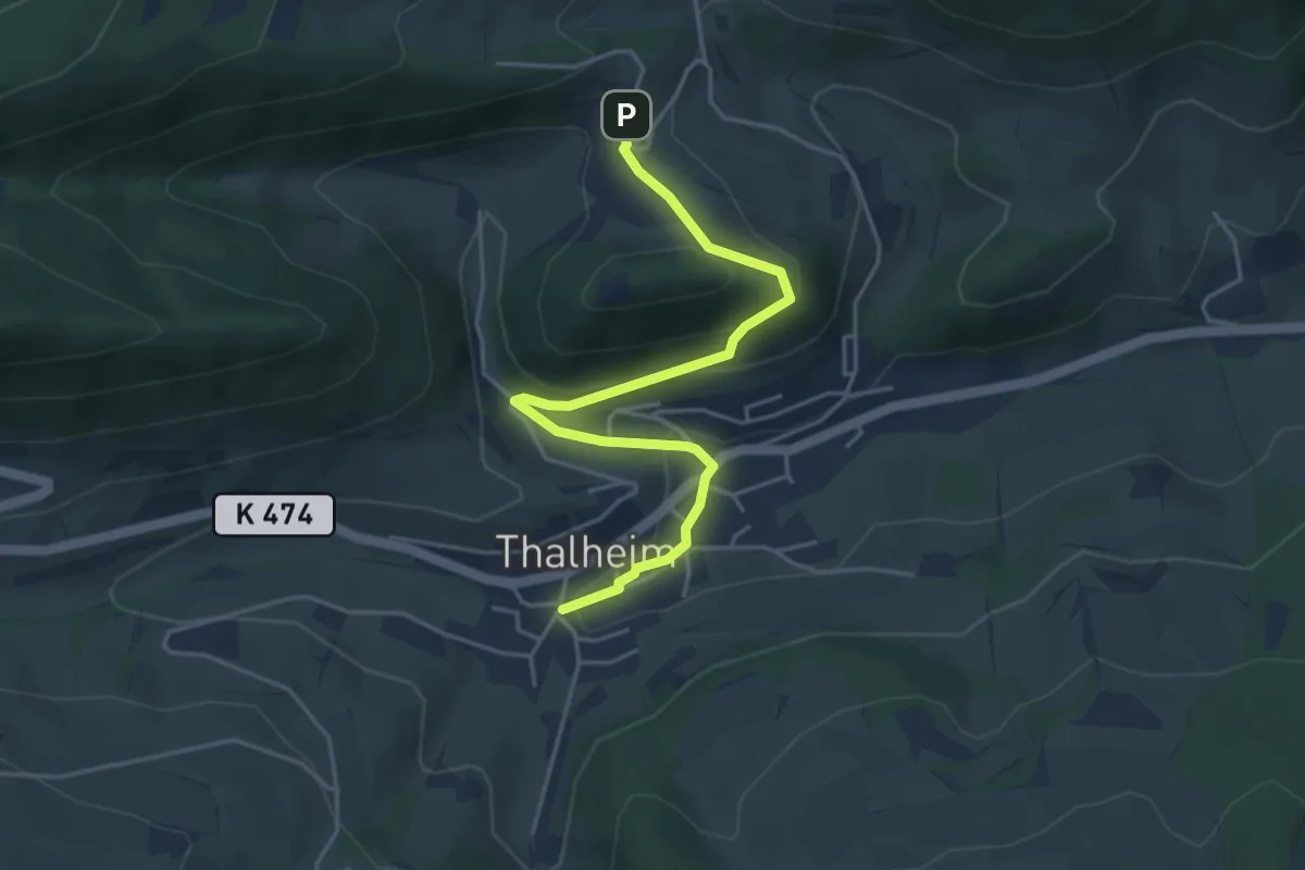
Easy · Trail
Schenkenberghöf – Thalheim
4.6 km · ↑ 176 m · 1 h 28 min
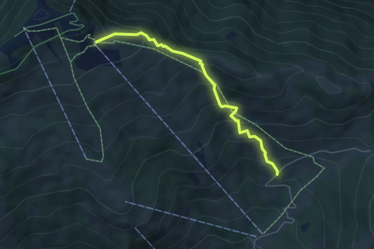
Medium · Trail
Hasenbüel – Burggeist
4.2 km · ↑ 423 m · 1 h 54 min
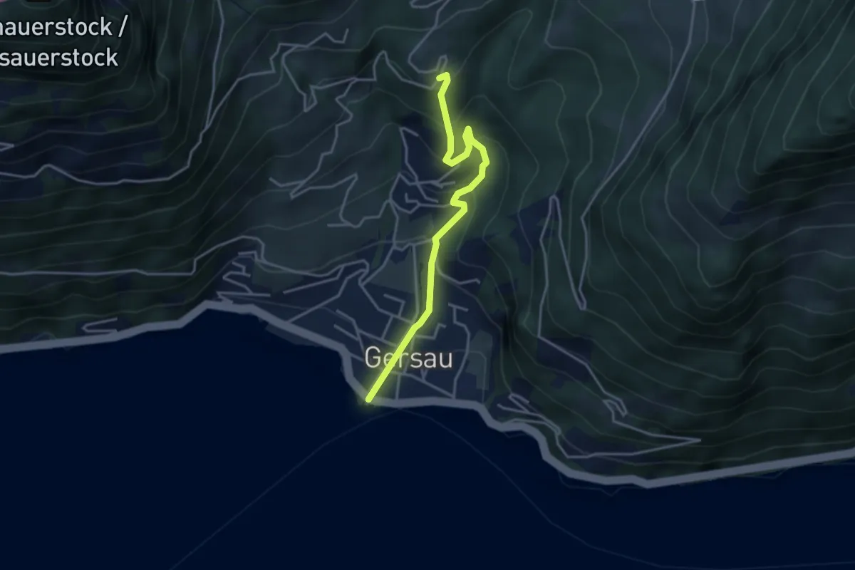
Medium · Trail
Gersau – Brand
3.5 km · ↑ 376 m · 1 h 39 min
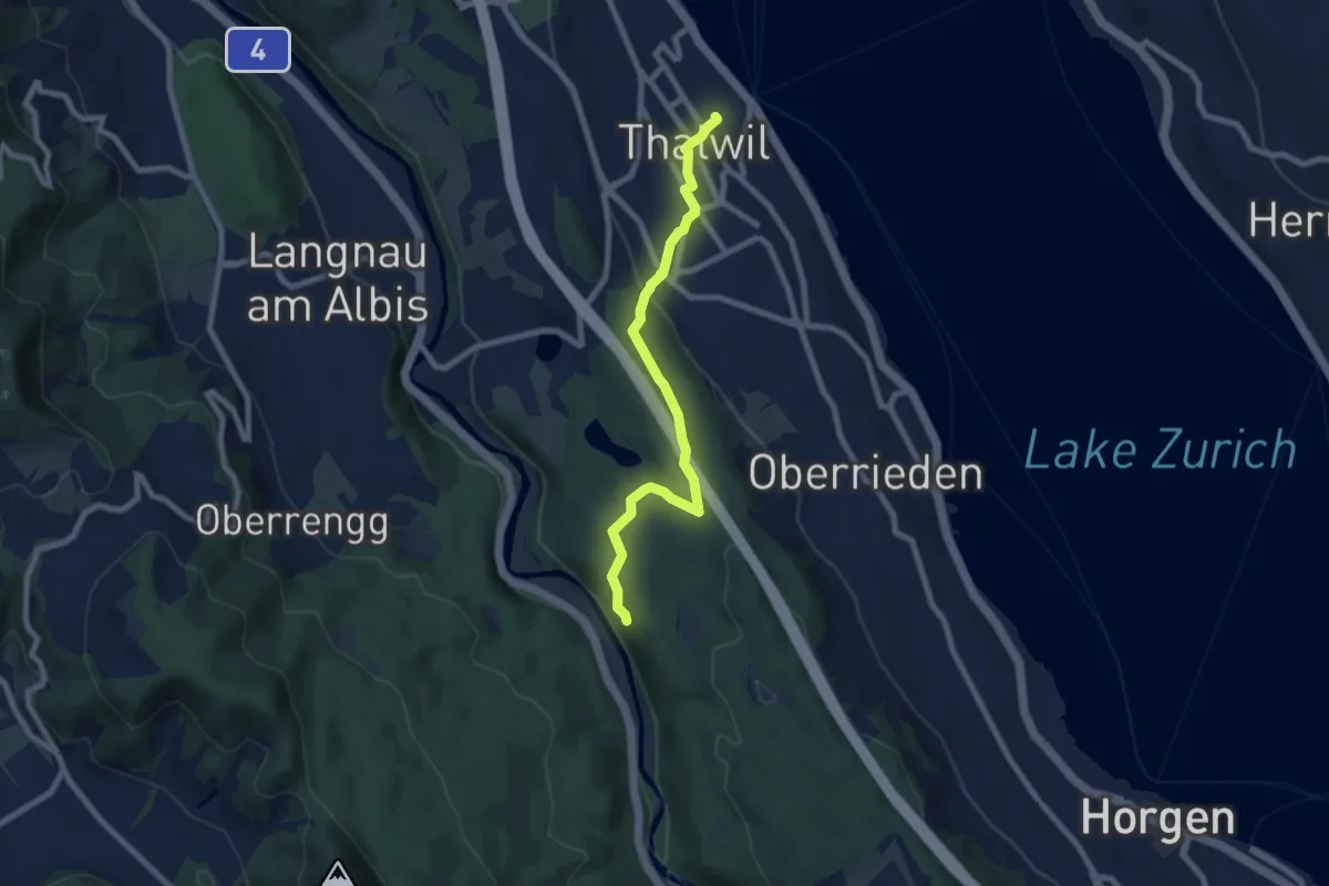
Easy · Trail
Thalwil (Bahnhof) – Schlegeltobel
7.5 km · ↑ 214 m · 2 h 15 min
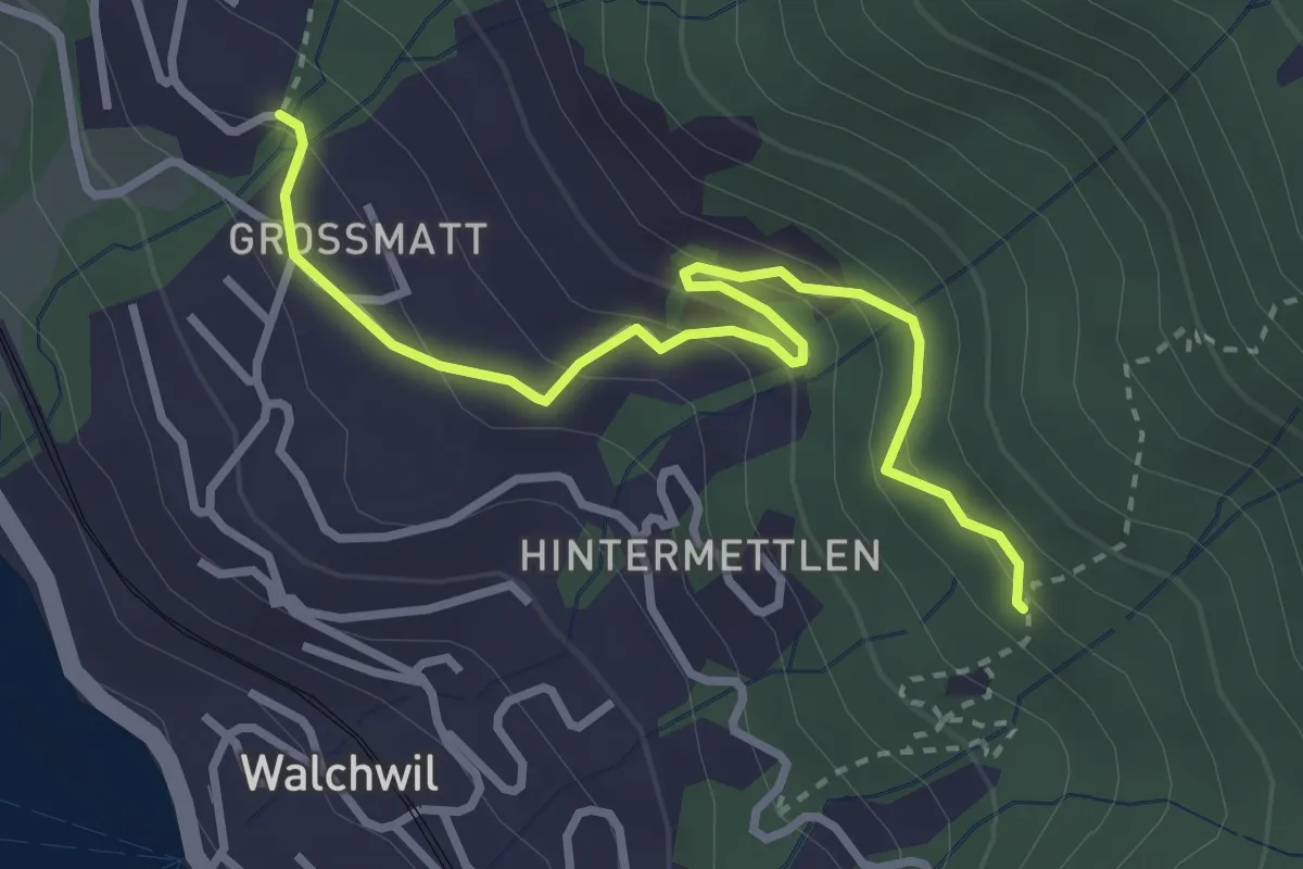
Easy · Trail
Geisswald – Dürrenburg
3.3 km · ↑ 194 m · 1 h 12 min
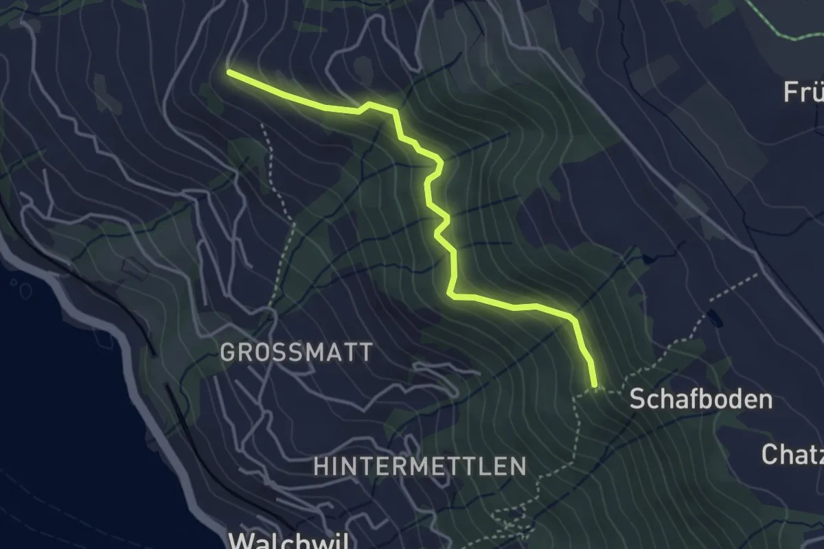
Easy · Trail
Herrenwald – Gibel
3.6 km · ↑ 281 m · 1 h 27 min
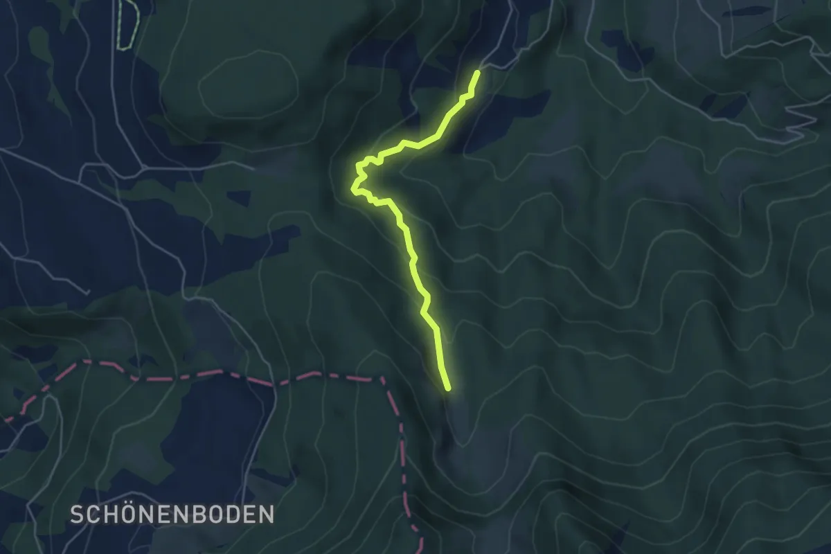
Medium · Trail
Ochsenfeissi – Unter Alpli
4.2 km · ↑ 271 m · 1 h 34 min
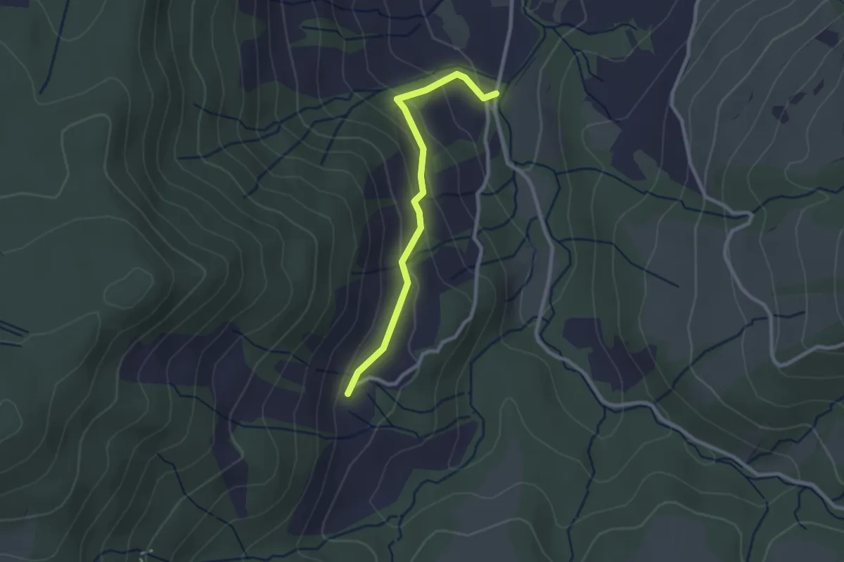
Easy · Trail
Egg-Gatter – Ochsenfeissi
2.3 km · ↑ 126 m · 50 min
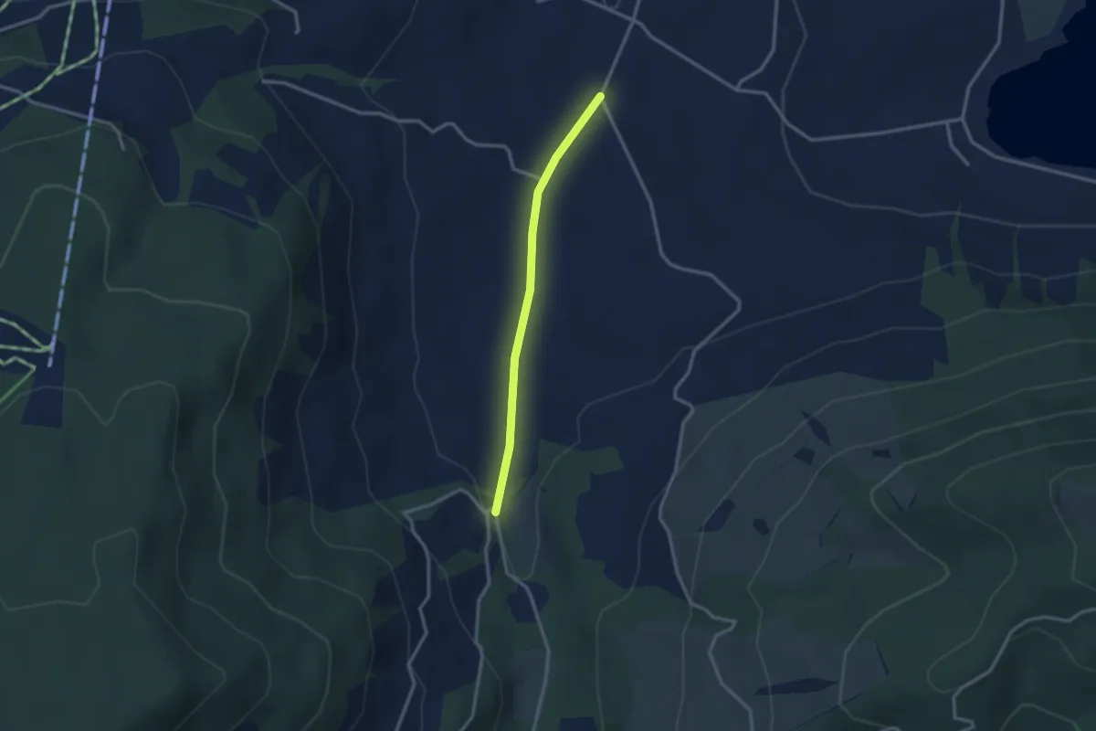
Easy · Trail
Rogeneubrücke – Egg Gatter
2.5 km · ↑ 36 m · 40 min
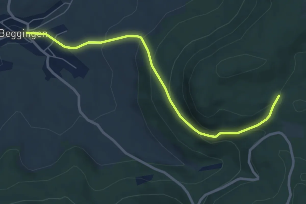
Easy · Trail
Beggingen – Hasebuck
5.6 km · ↑ 300 m · 1 h 59 min
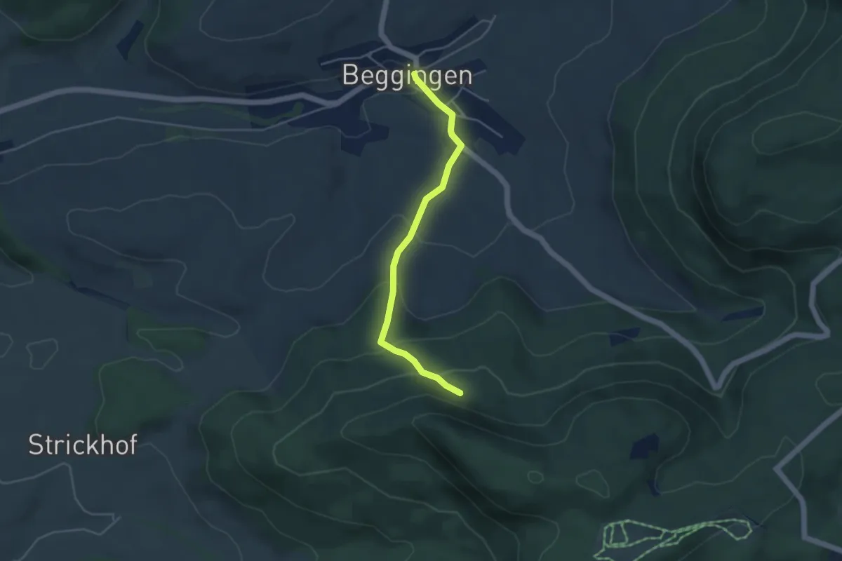
Easy · Trail
Beggingen – Chollgruben
3.8 km · ↑ 220 m · 1 h 23 min
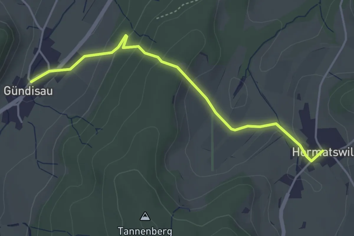
Easy · Trail
Gündisau – Hermatswil
3.9 km · ↑ 172 m · 1 h 17 min
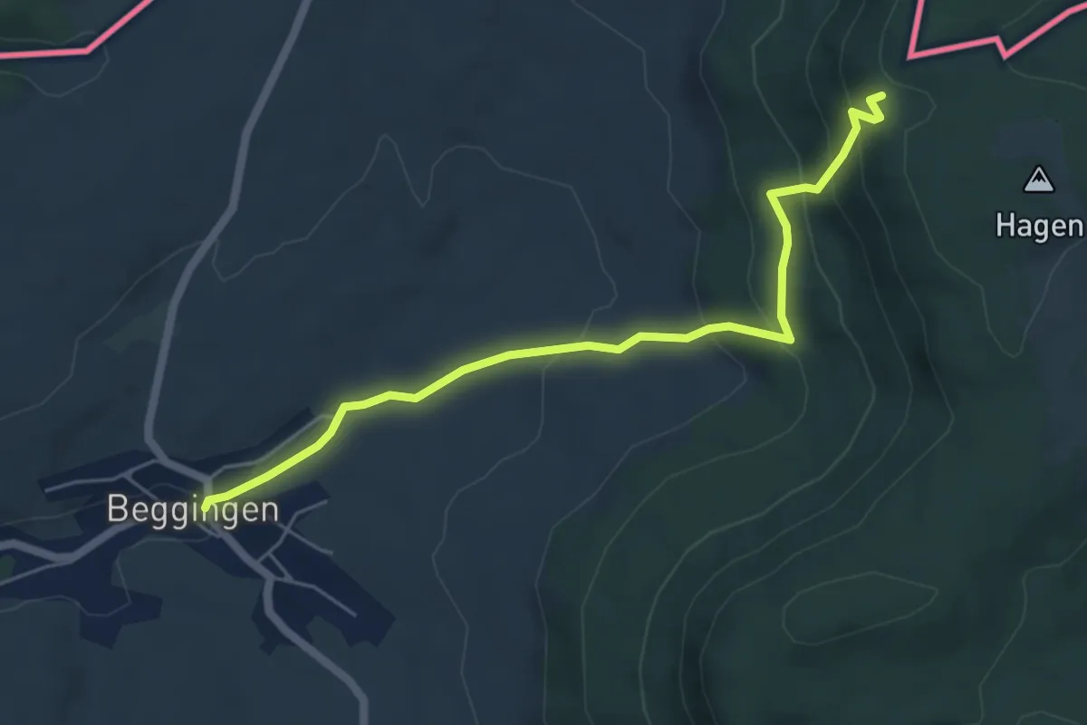
Medium · Trail
Beggingen – Schwedeschwanze
5.5 km · ↑ 335 m · 2 h 2 min
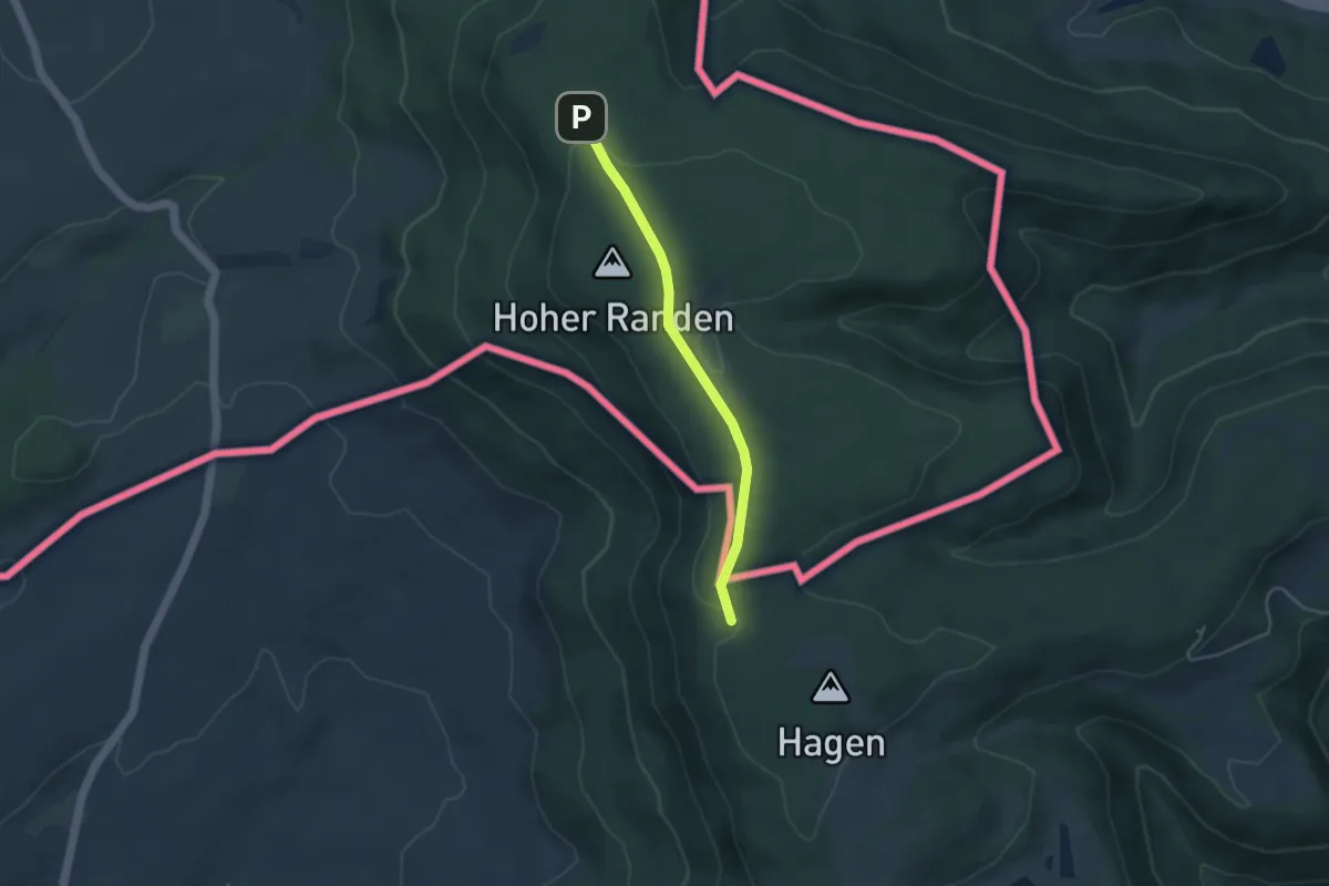
Easy · Trail
Hoher Randen – Randenhütte
3.5 km · ↑ 90 m · 1 h 2 min
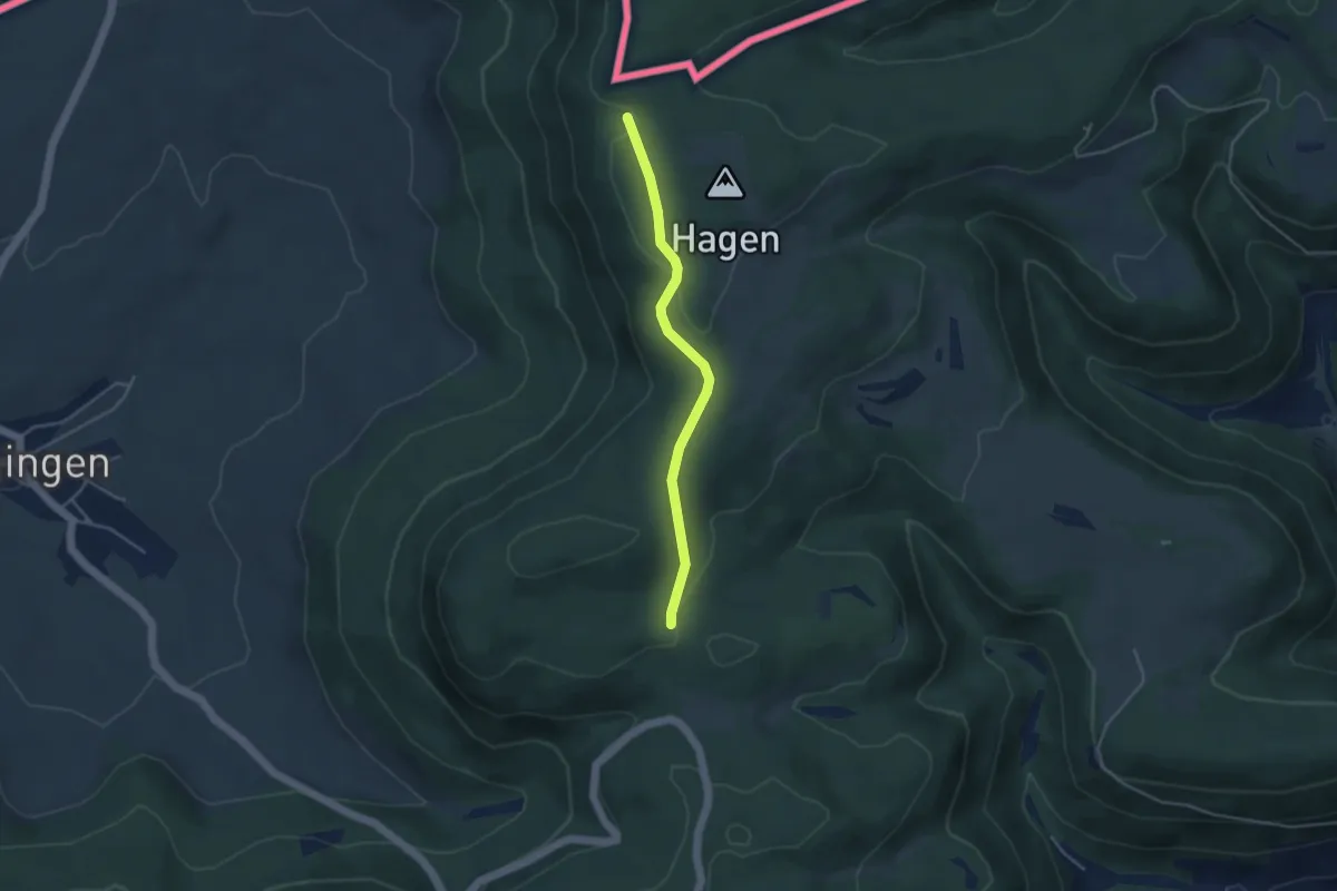
Easy · Trail
Hoher Randen – Hasebuck
3.6 km · ↑ 83 m · 1 h 2 min
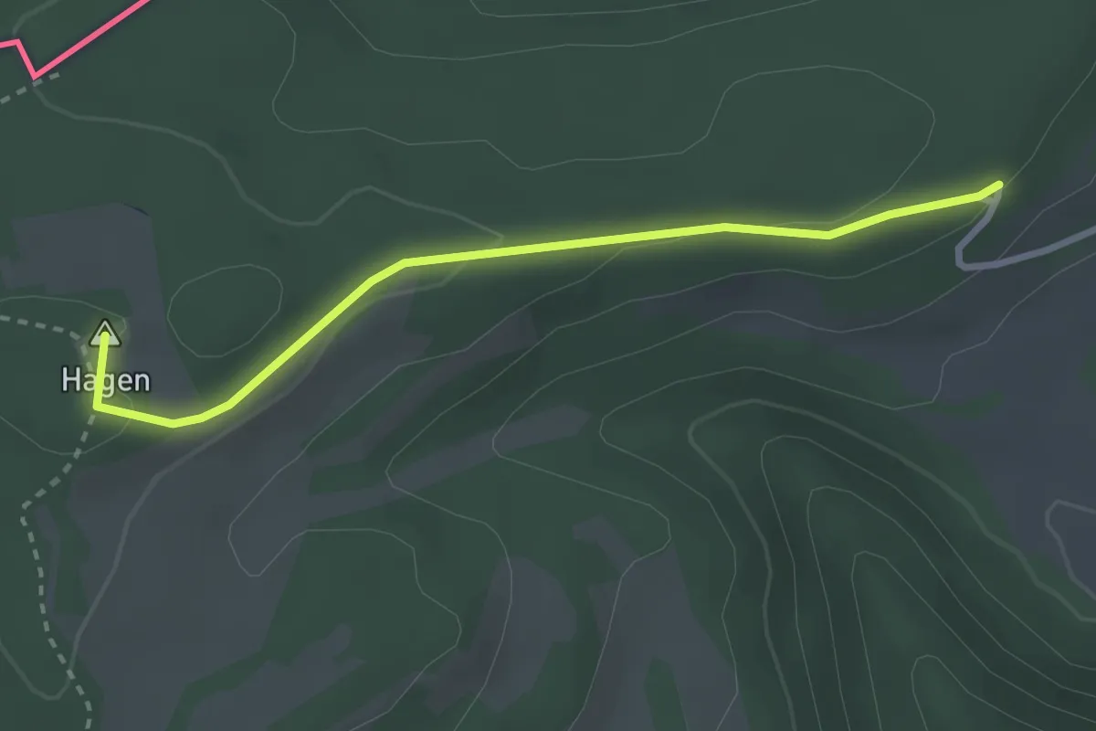
Easy · Summit
Hagenturm – Soohölzli
2.8 km · ↑ 64 m · 48 min
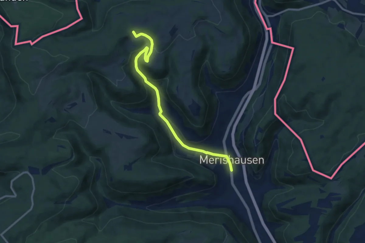
Medium · Trail
Ättebärg – Merishausen
7.8 km · ↑ 332 m · 2 h 34 min
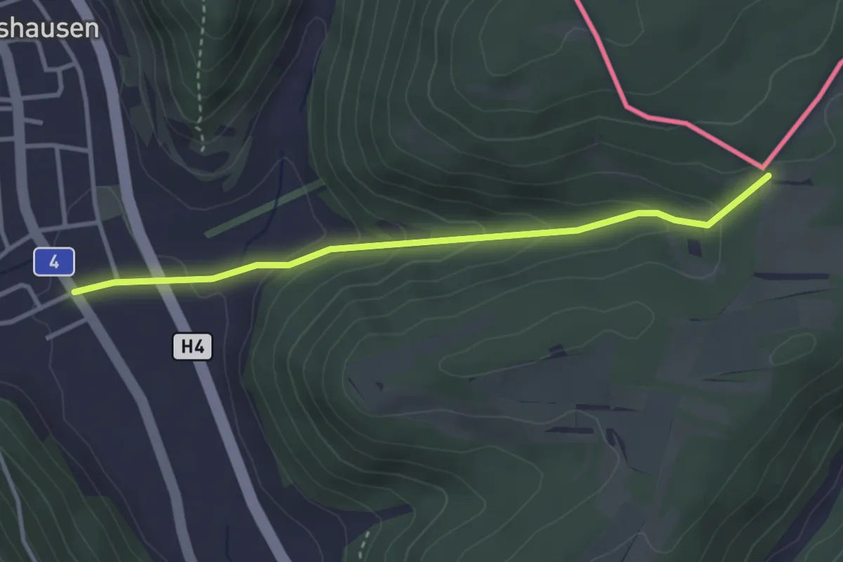
Easy · Trail
Merishausen Süd – Gmaafäld
3.2 km · ↑ 161 m · 1 h 6 min
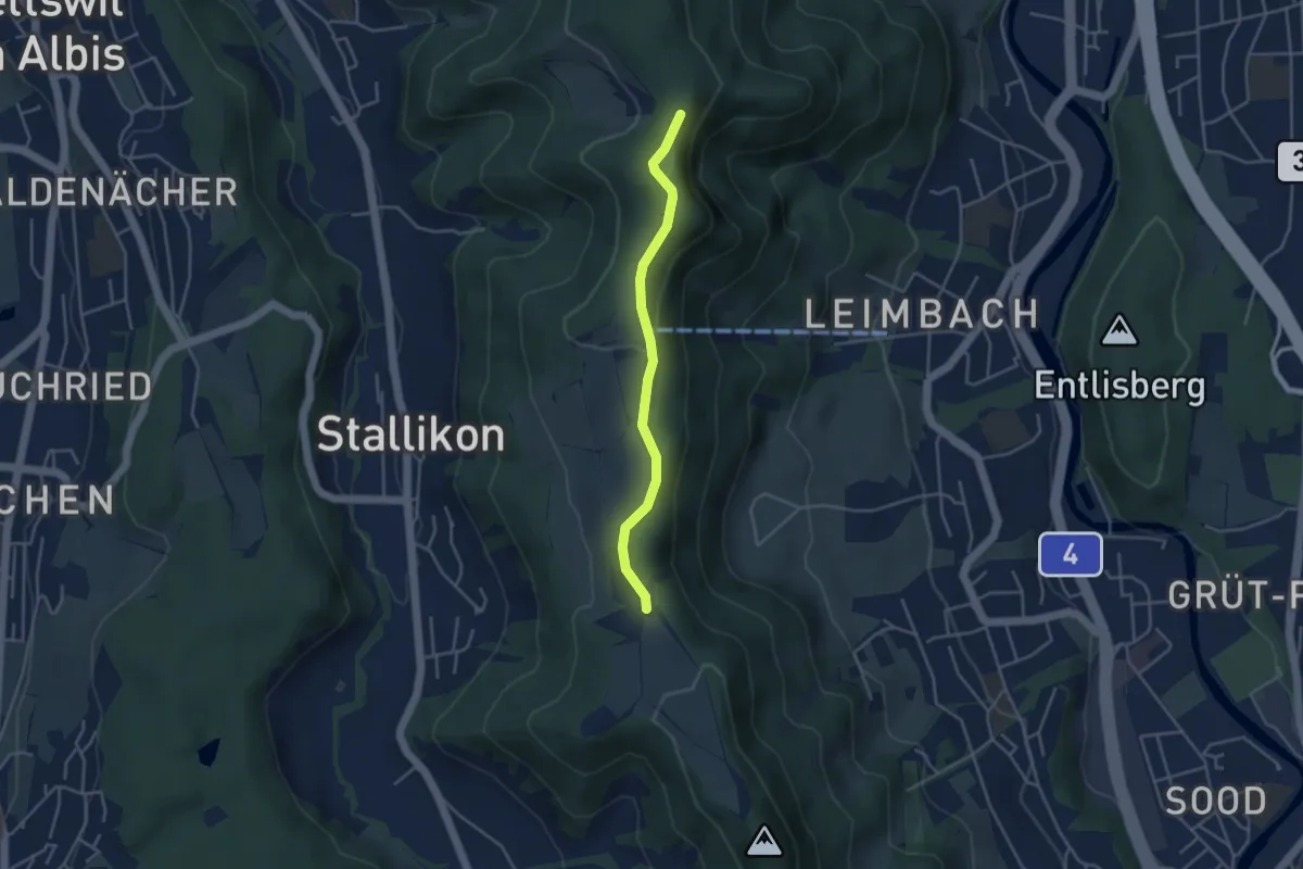
Easy · Trail
Folenweid – Baldern
3.6 km · ↑ 100 m · 1 h 4 min
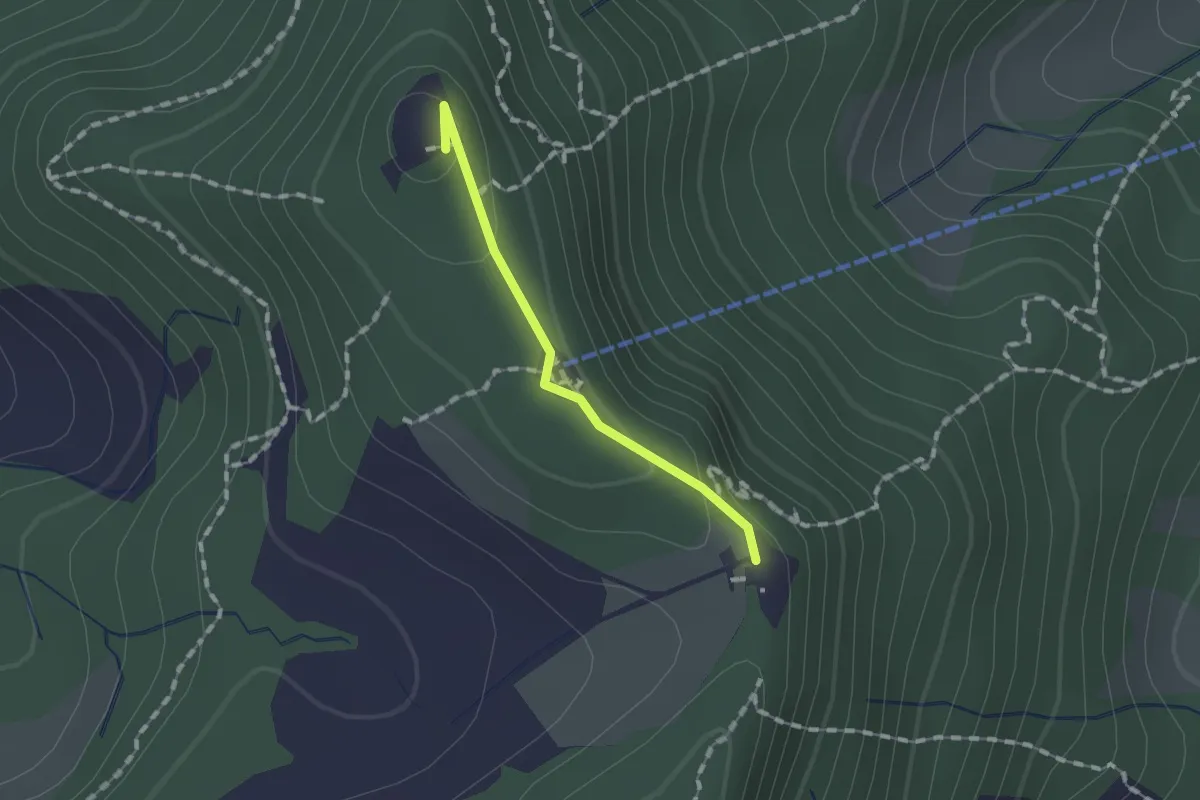
Easy · Summit
Felsenegg – Balderen
1.1 km · ↑ 31 m · 19 min
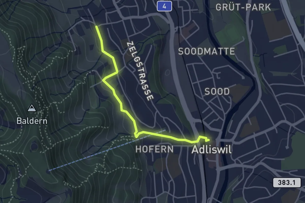
Easy · Trail
Adliswil (Bahnhof) – Ober Leimbach
3.6 km · ↑ 149 m · 1 h 10 min
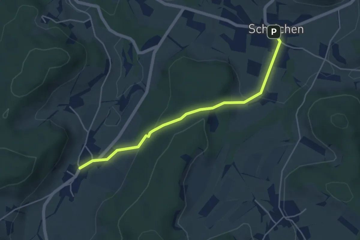
Easy · Trail
Schalchen – Gündisau
3.9 km · ↑ 147 m · 1 h 15 min
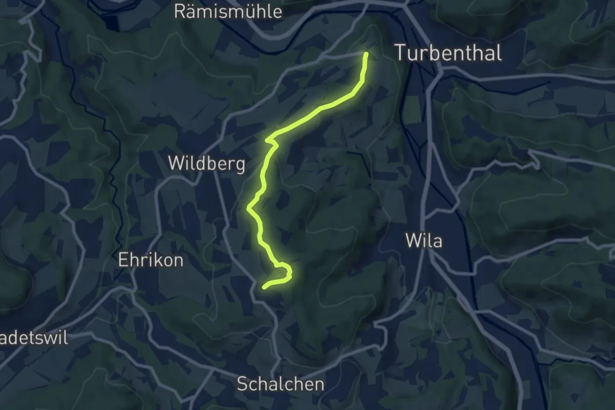
Easy · Trail
Ober Luegeten – Tössegg
6.9 km · ↑ 197 m · 2 h 3 min
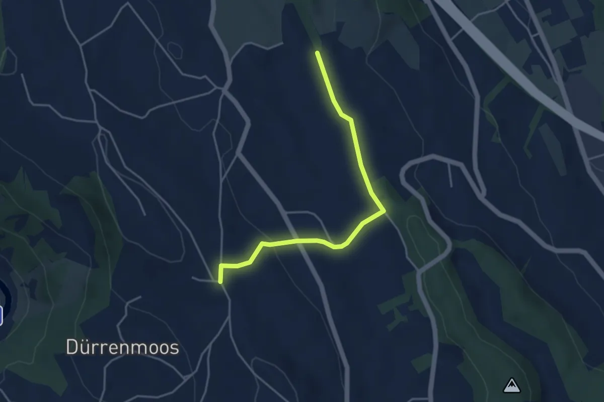
Easy · Trail
Simmismoos – Höhi
3.7 km · ↑ 70 m · 1 h 2 min
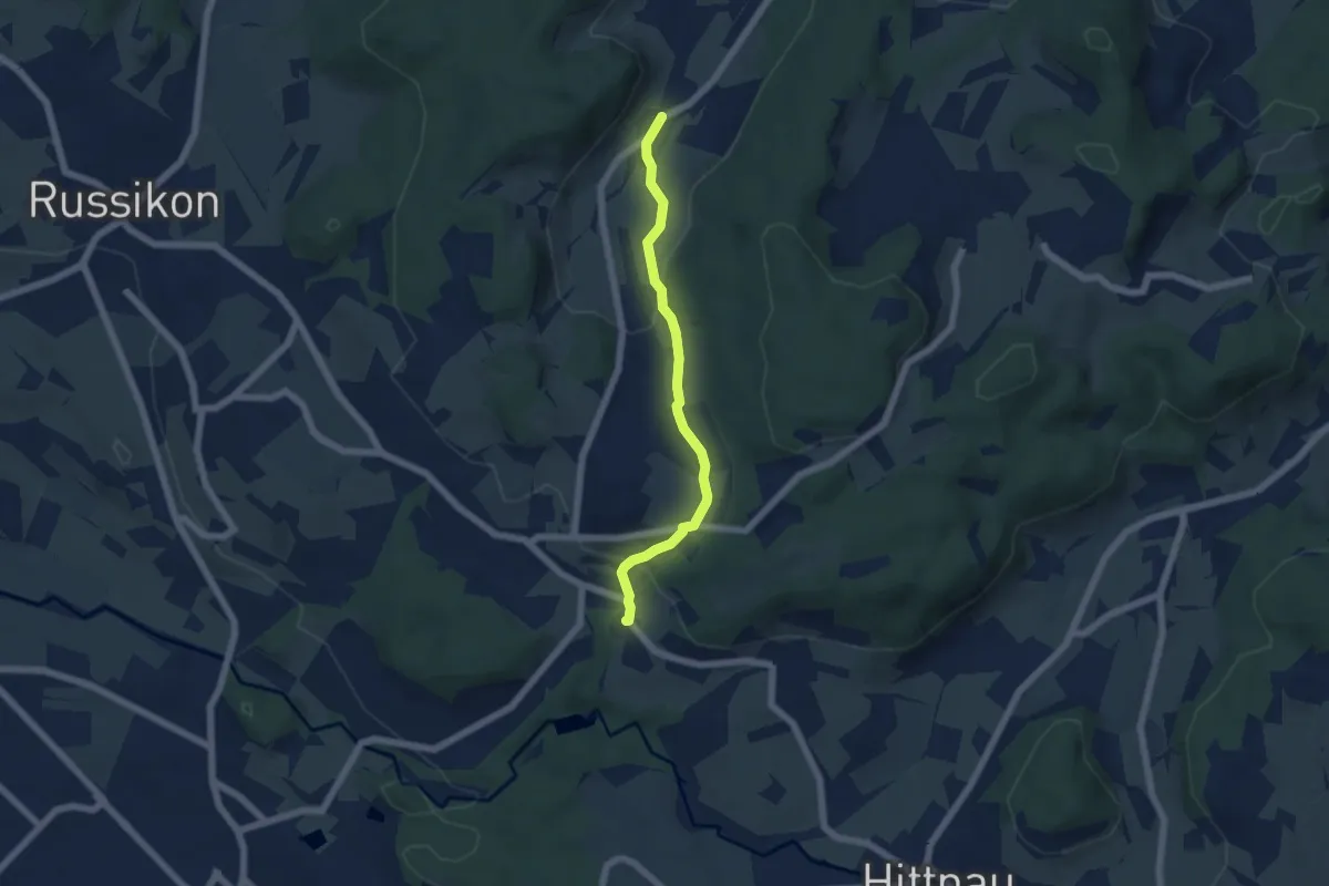
Easy · Trail
Gündisau – Wallikon
5.1 km · ↑ 150 m · 1 h 31 min
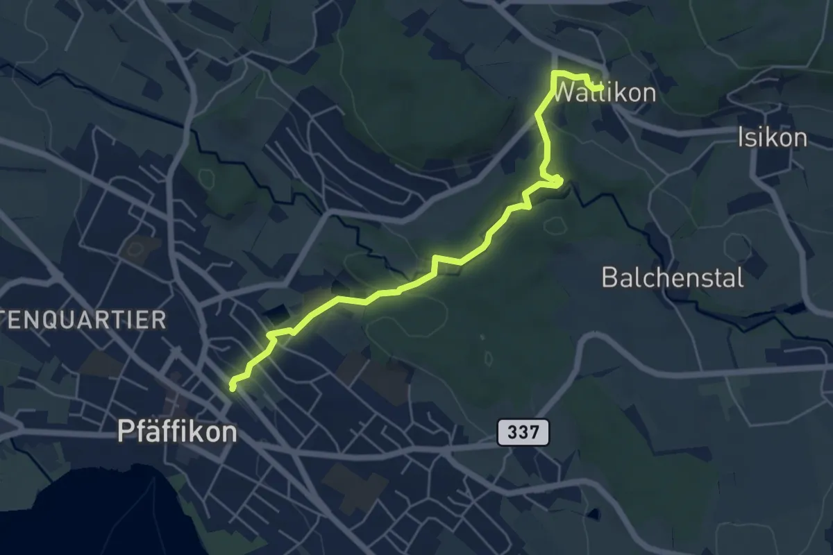
Easy · Trail
Wallikon – Pfäffikon
5.3 km · ↑ 133 m · 1 h 33 min
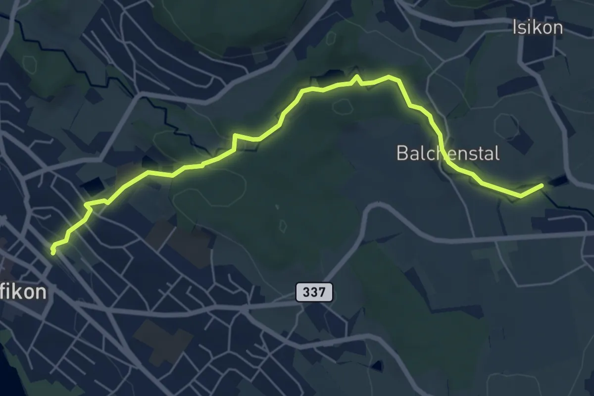
Easy · Trail
Pfäffikon – Hittnau Seewadel
6.1 km · ↑ 117 m · 1 h 41 min
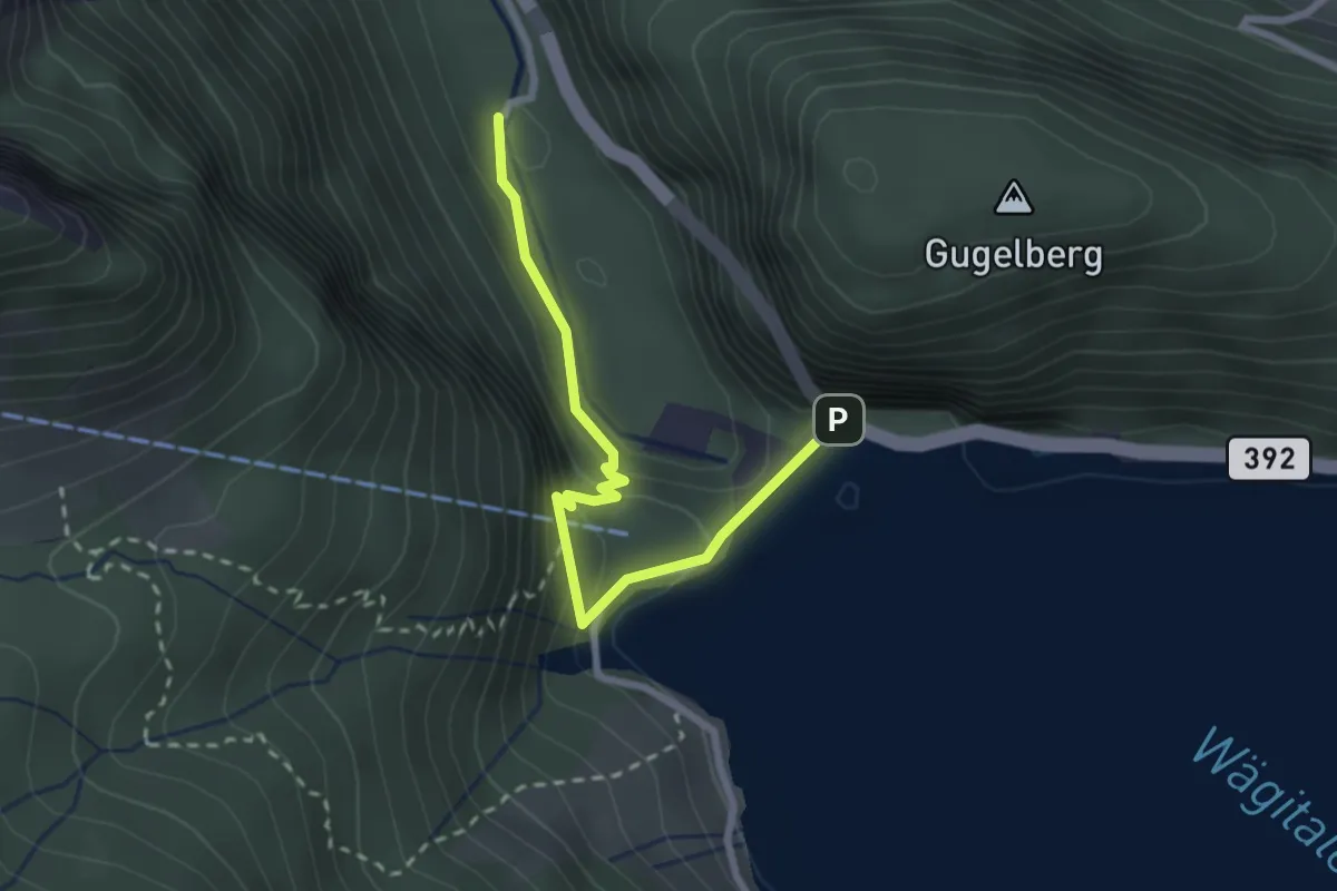
Medium · Trail
Staumauer – Stockerli
2.5 km · ↑ 230 m · 1 h 6 min
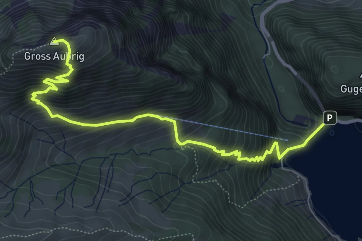
Demanding · Summit
Staumauer – Gross Aubrig
7.1 km · ↑ 782 m · 3 h 22 min
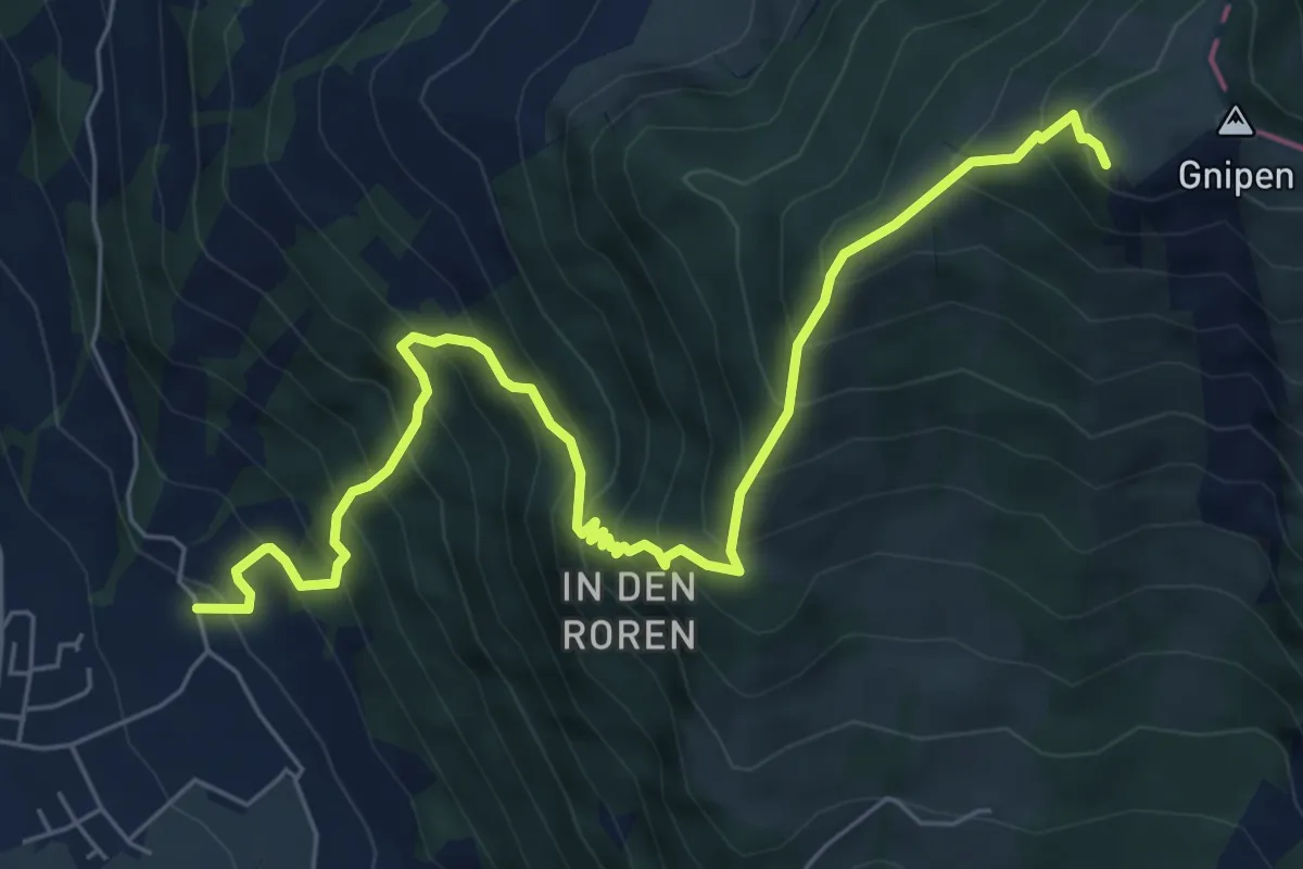
Demanding · Trail
Gnipen (West) – Sunnenberg
7.6 km · ↑ 1016 m · 3 h 59 min
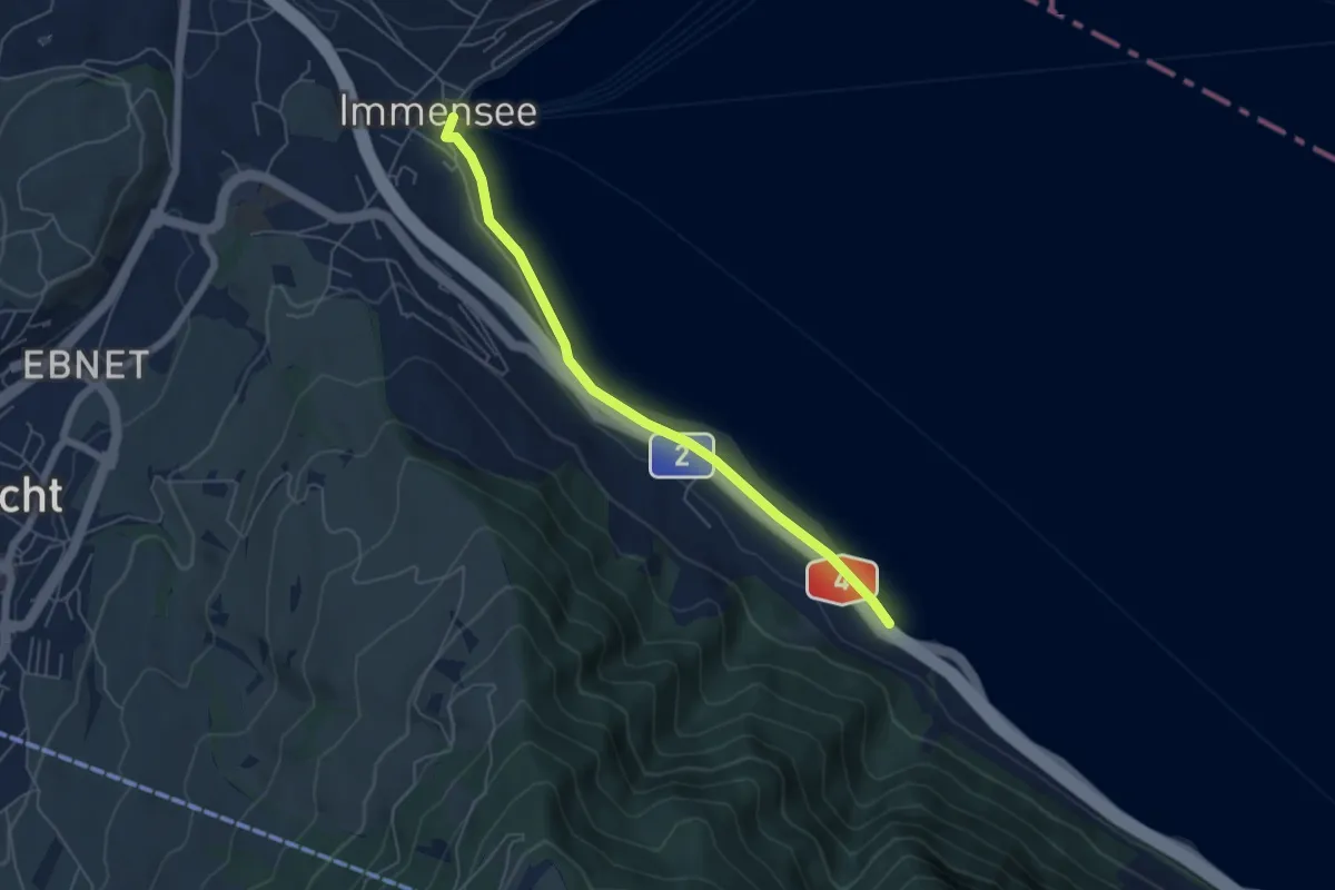
Easy · Trail
Immensee – Fischchratten
5.3 km · ↑ 47 m · 1 h 21 min
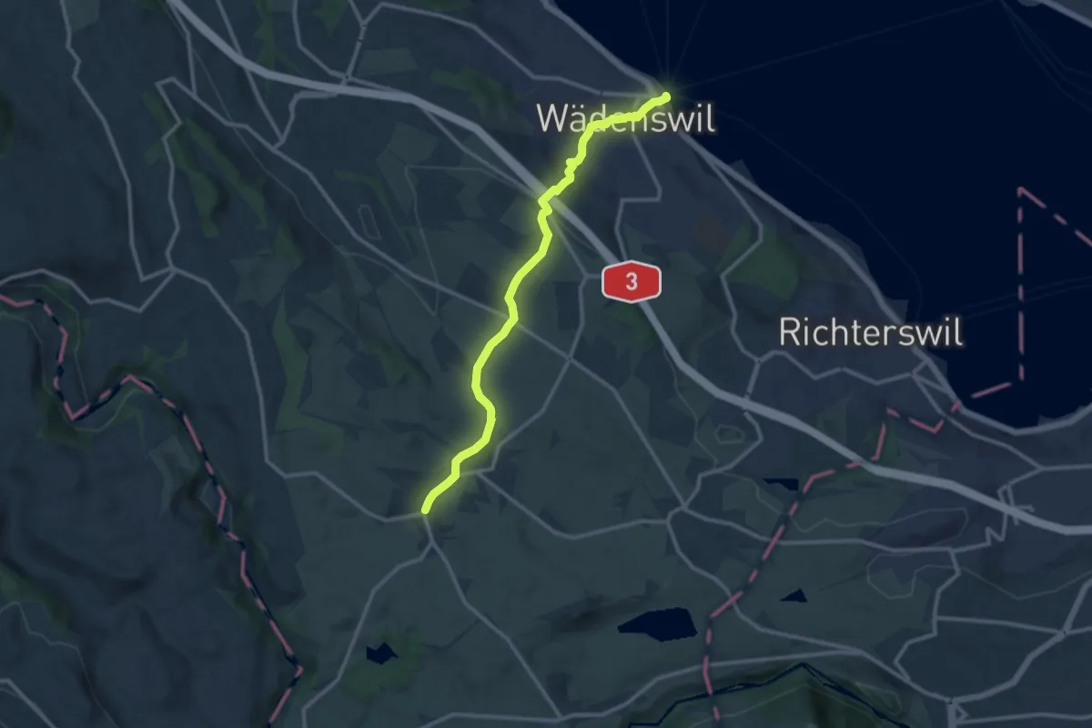
Medium · Trail
Wädenswil – Schönenberg
11.1 km · ↑ 356 m · 3 h 24 min
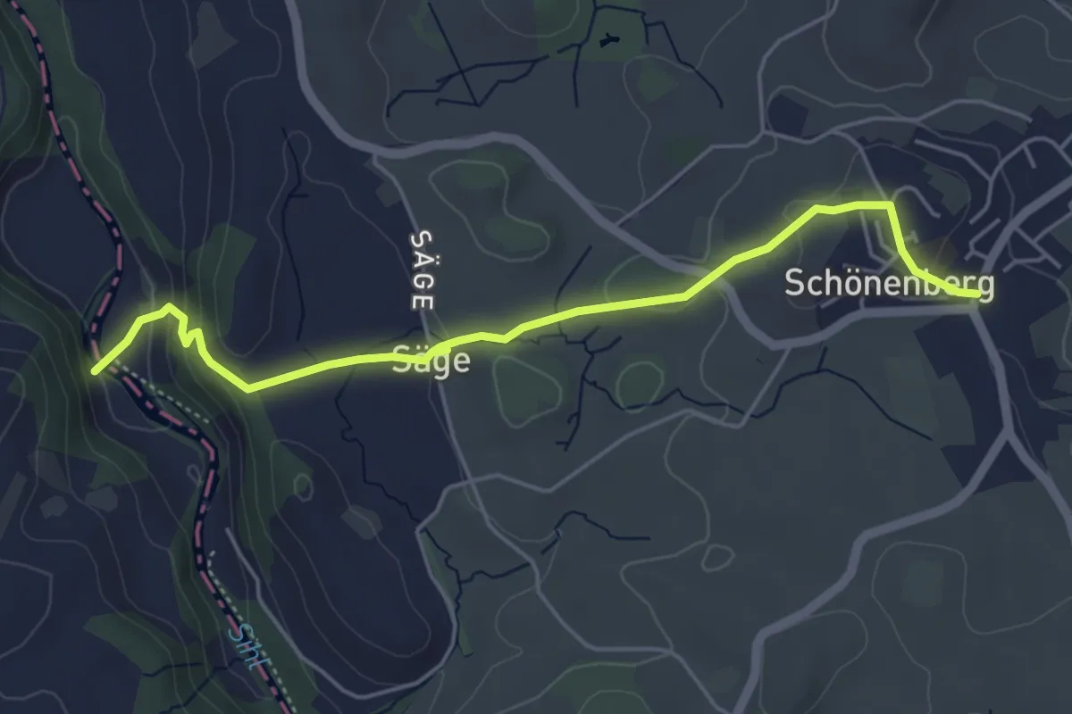
Easy · Trail
Suenersteg – Schönenberg
5.1 km · ↑ 163 m · 1 h 33 min
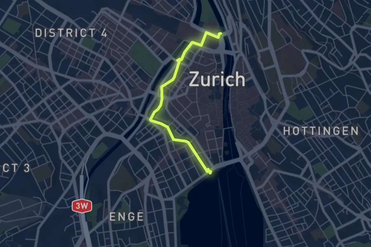
Easy · Trail
Bürkliplatz – Zürich HB
4.7 km · ↑ 24 m · 1 h 10 min
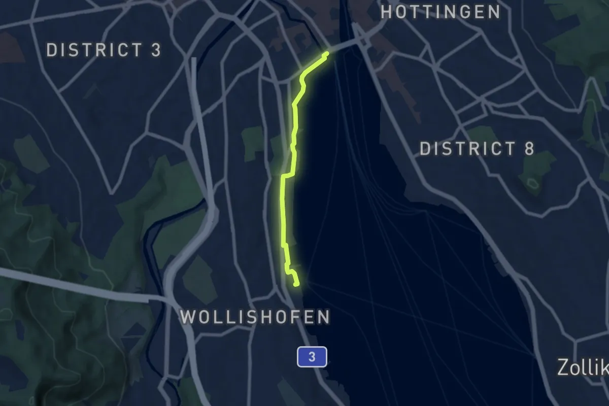
Easy · Trail
Bürkliplatz – Wollishofen (Schiff)
5.3 km · ↑ 23 m · 1 h 18 min