Trails in Switzerland
15,055 hiking trails, each with its route, climb, walking time and grade.
All trails, page 270 of 314
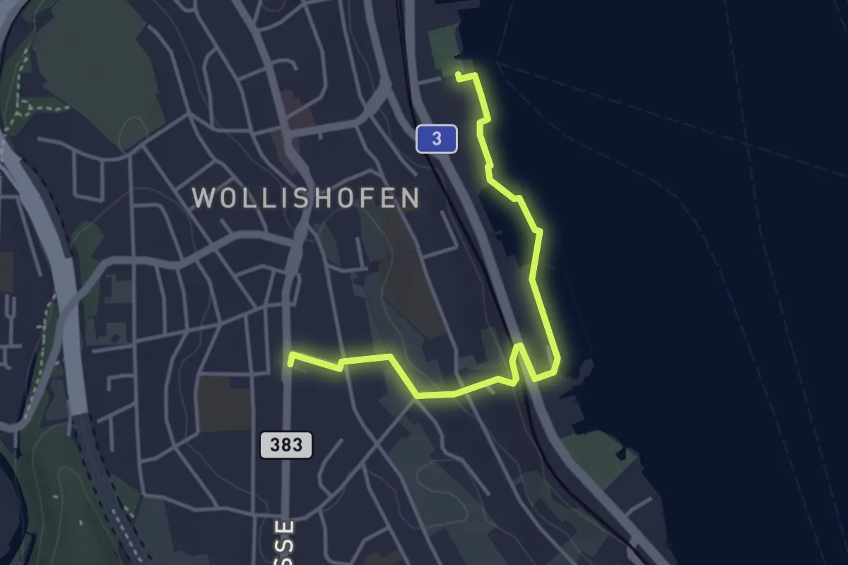
Easy · Trail
Wollishofen (Schiff) – Wollishofen
3.8 km · ↑ 51 m · 1 h
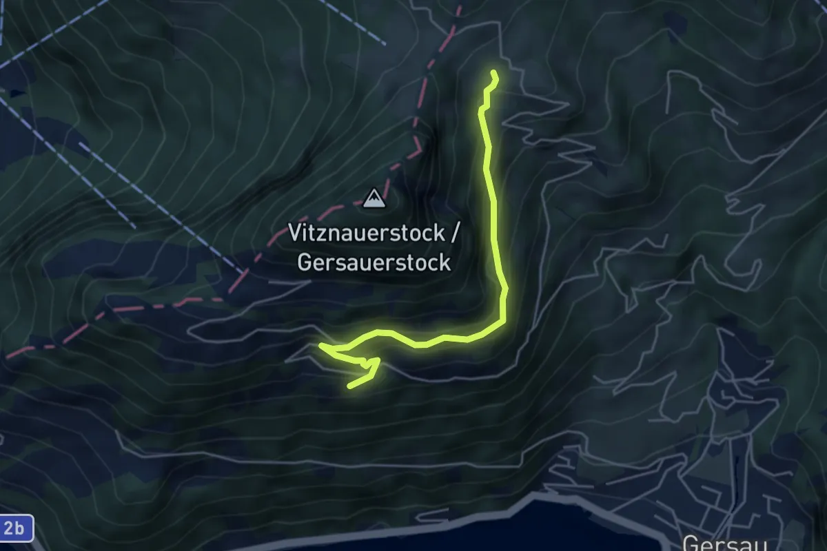
Medium · Trail
Nieder Urmi – Rotflüen
4.3 km · ↑ 417 m · 1 h 56 min
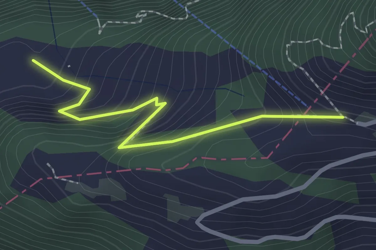
Easy · Trail
Ober Urmi – Wissifluh
2.0 km · ↑ 236 m · 59 min
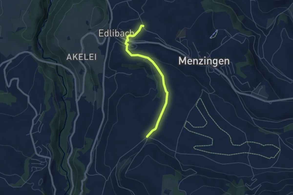
Easy · Trail
Edlibach – Bolzli
4.9 km · ↑ 86 m · 1 h 21 min
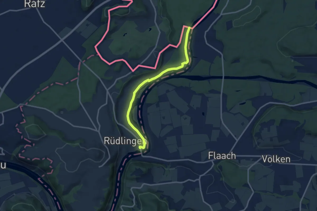
Medium · Trail
Rüdlingen ARA – Eggholz
8.8 km · ↑ 58 m · 2 h 13 min
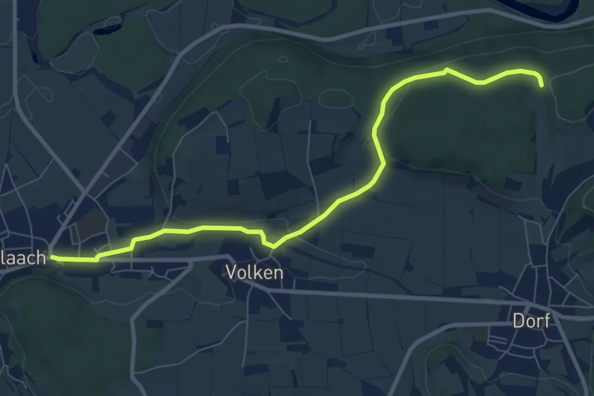
Easy · Trail
Flaach – Paradisli
7.6 km · ↑ 128 m · 2 h 5 min
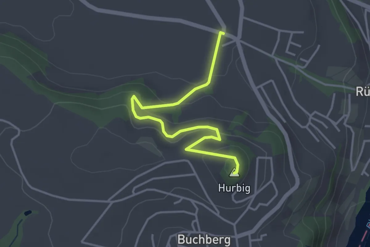
Easy · Summit
Buchberg – Steinenkreuz
3.6 km · ↑ 155 m · 1 h 10 min
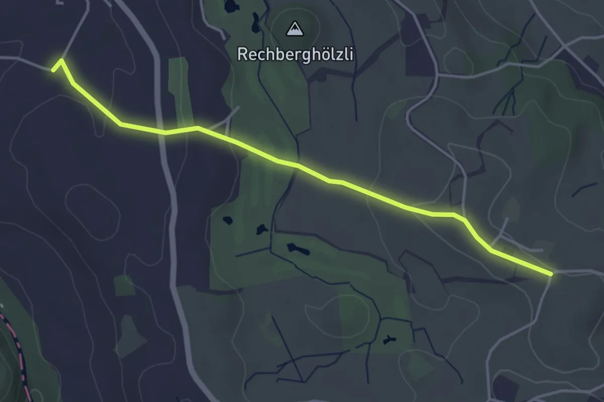
Easy · Trail
Bächenmoos – Stollen
4.0 km · ↑ 97 m · 1 h 9 min
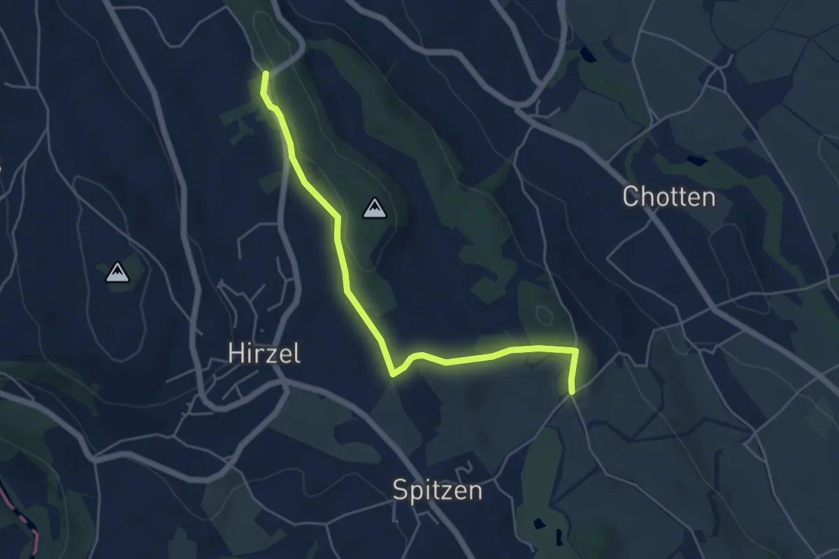
Easy · Trail
Chrutzelen – Schlieregg
4.8 km · ↑ 79 m · 1 h 19 min
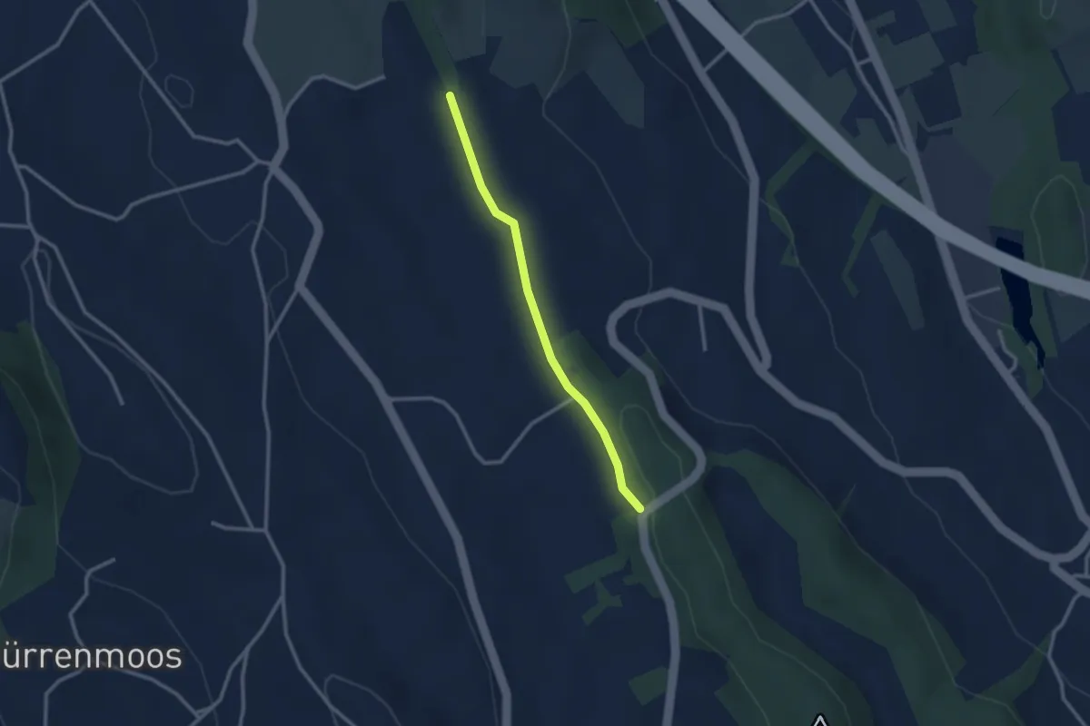
Easy · Trail
Simmismoos – Chrutzelen
2.4 km · ↑ 32 m · 38 min
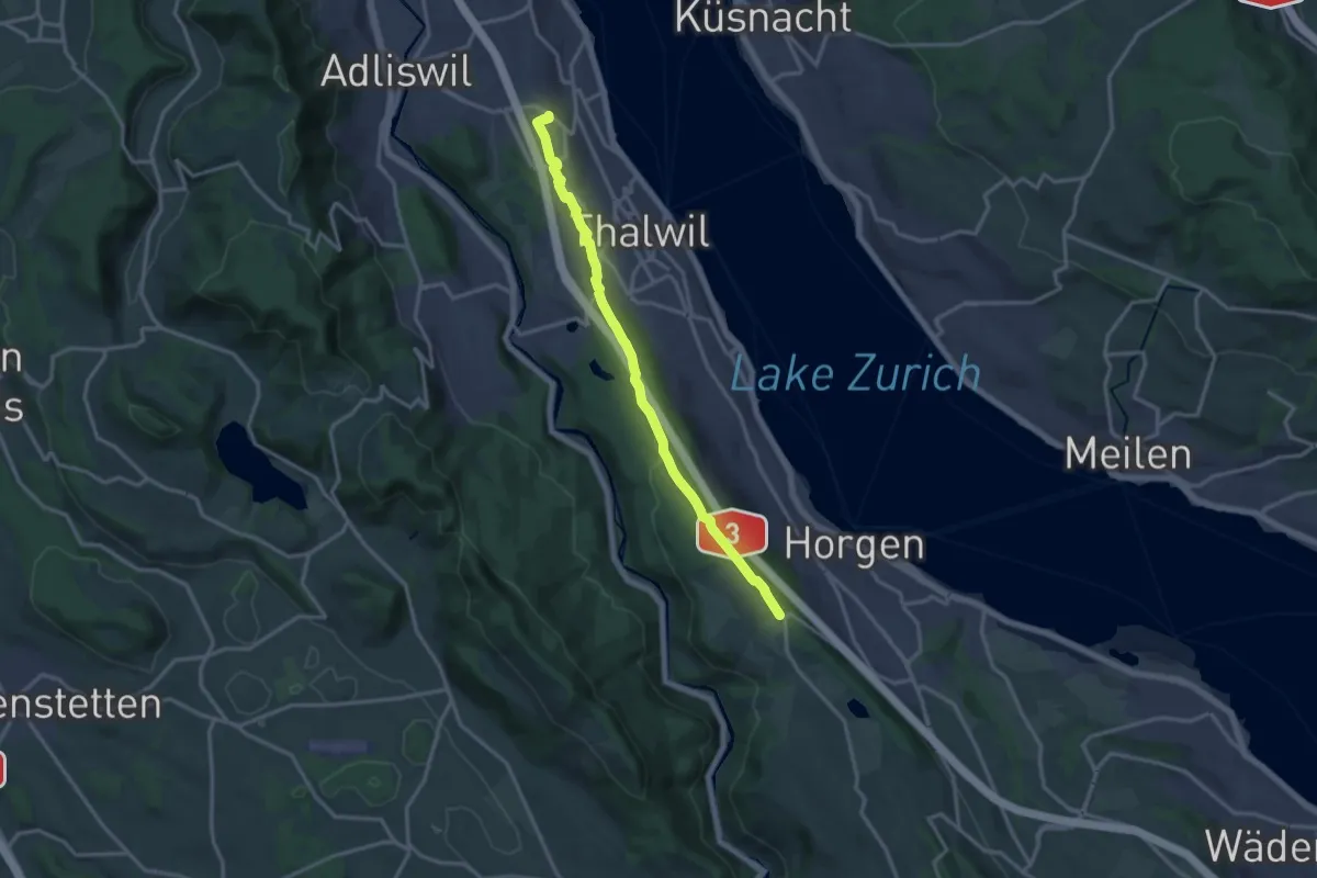
Medium · Trail
Nidelbad – Horgenberg
14.4 km · ↑ 199 m · 3 h 50 min
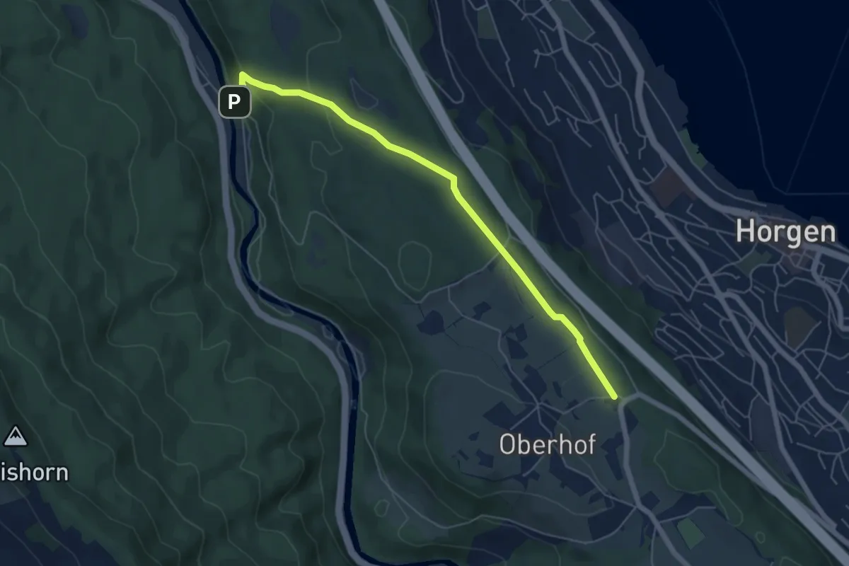
Easy · Trail
Schlegeltobel – Horgenberg
6.0 km · ↑ 168 m · 1 h 46 min
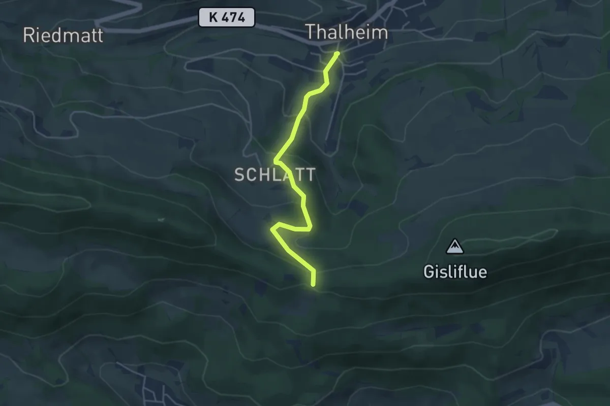
Easy · Trail
Thalheim – Gatter
3.8 km · ↑ 194 m · 1 h 19 min
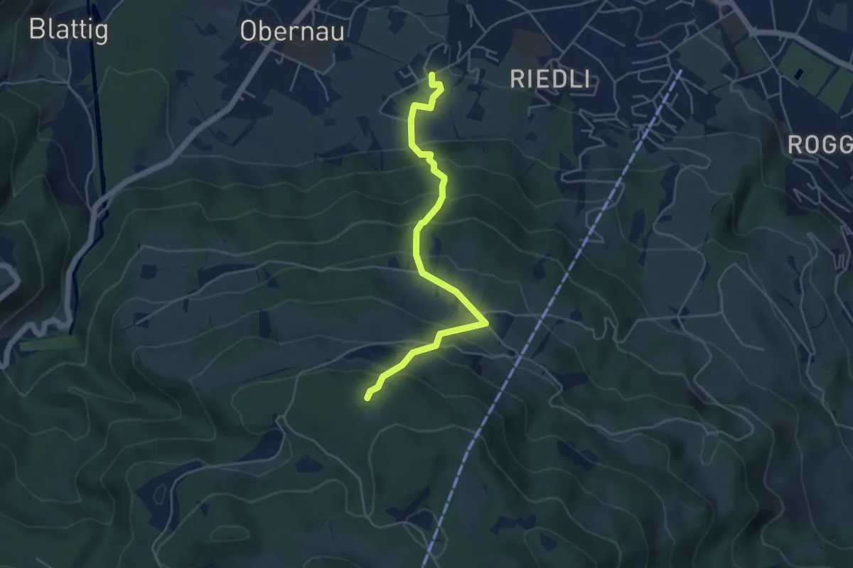
Medium · Trail
Hackenrain – Gruohubel
4.7 km · ↑ 418 m · 2 h 1 min
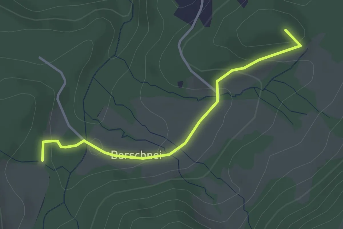
Easy · Summit
Rosshütte – Ricketschwändi
2.8 km · ↑ 132 m · 57 min
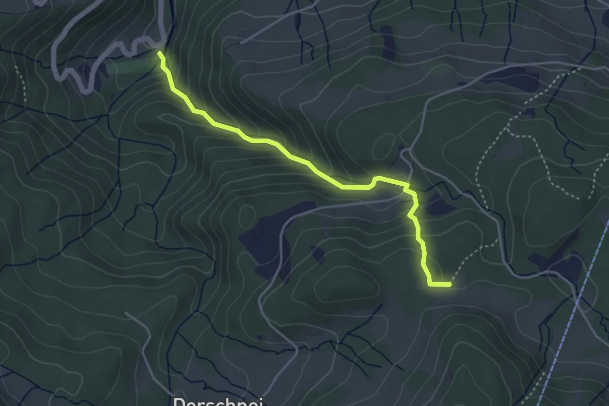
Medium · Trail
Stalden – Ricketschwändi
3.7 km · ↑ 323 m · 1 h 34 min
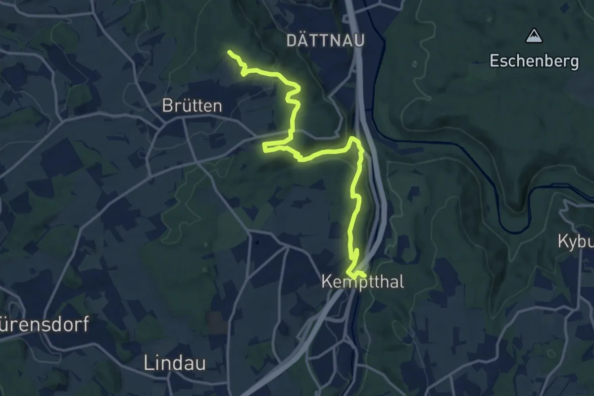
Medium · Trail
Kemptthal – Aspenriet
13.1 km · ↑ 388 m · 3 h 56 min
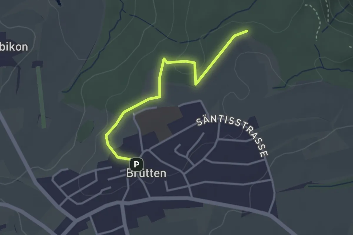
Easy · Trail
Brütten – Aspenriet
2.8 km · ↑ 62 m · 48 min
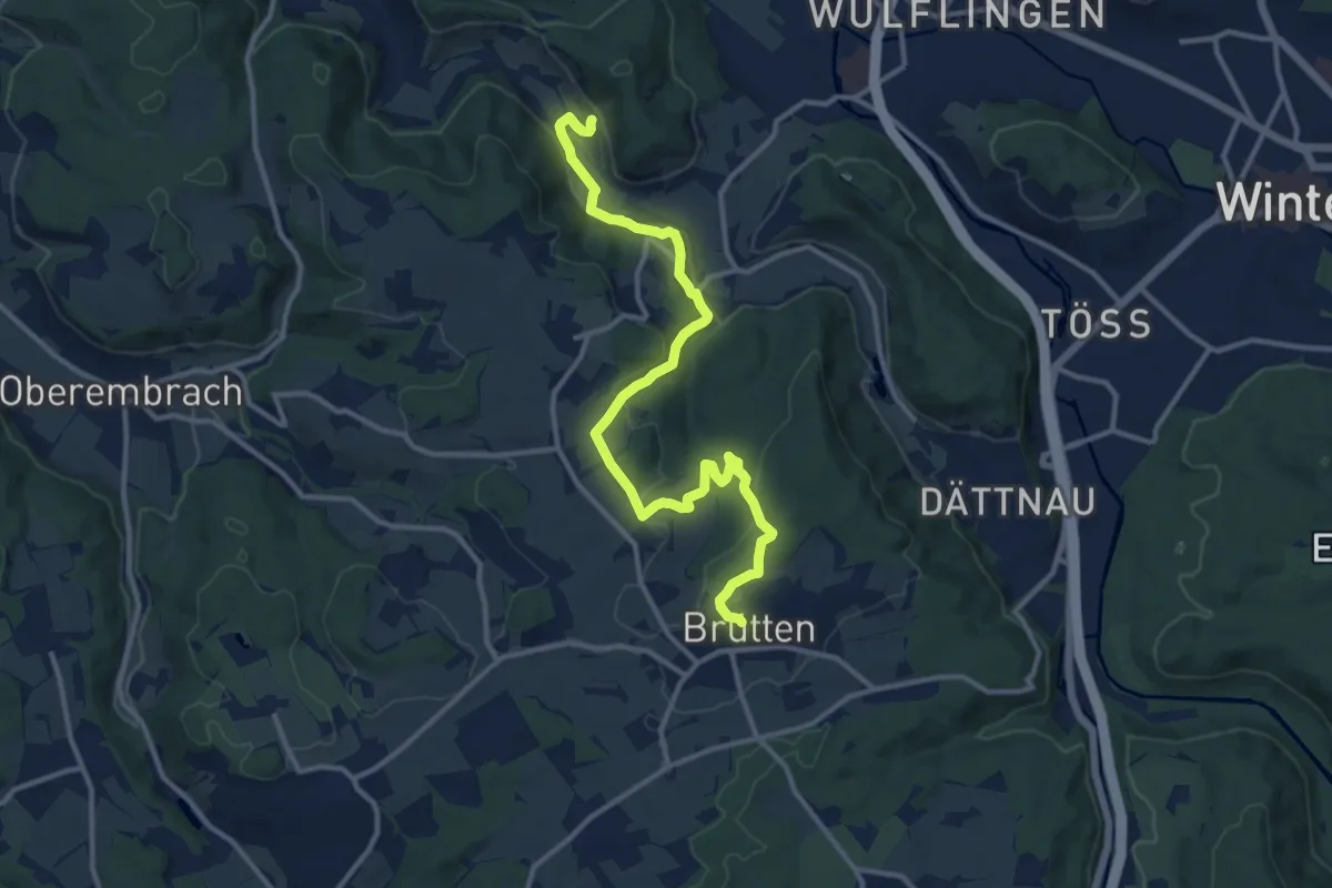
Medium · Trail
Vorder Rumstal – Brütten
13.4 km · ↑ 396 m · 4 h 1 min
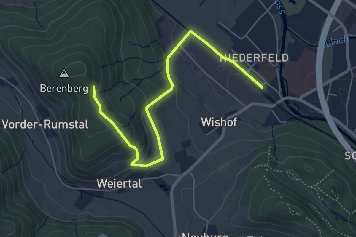
Easy · Trail
Winterthur Wülflingen – Berenberg Kloster
5.3 km · ↑ 199 m · 1 h 40 min
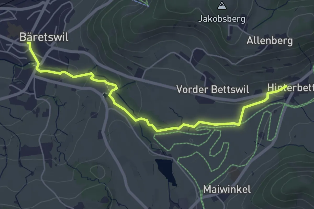
Easy · Trail
Bettswil – Bäretswil
5.1 km · ↑ 115 m · 1 h 27 min
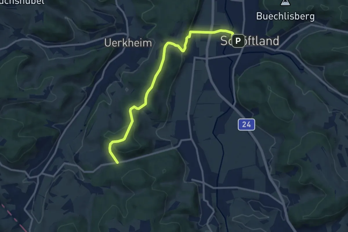
Medium · Trail
Breiten – Schöftland
8.4 km · ↑ 283 m · 2 h 35 min
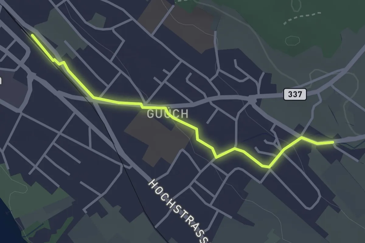
Easy · Trail
Pfäffikon – Oberwil
3.1 km · ↑ 43 m · 49 min
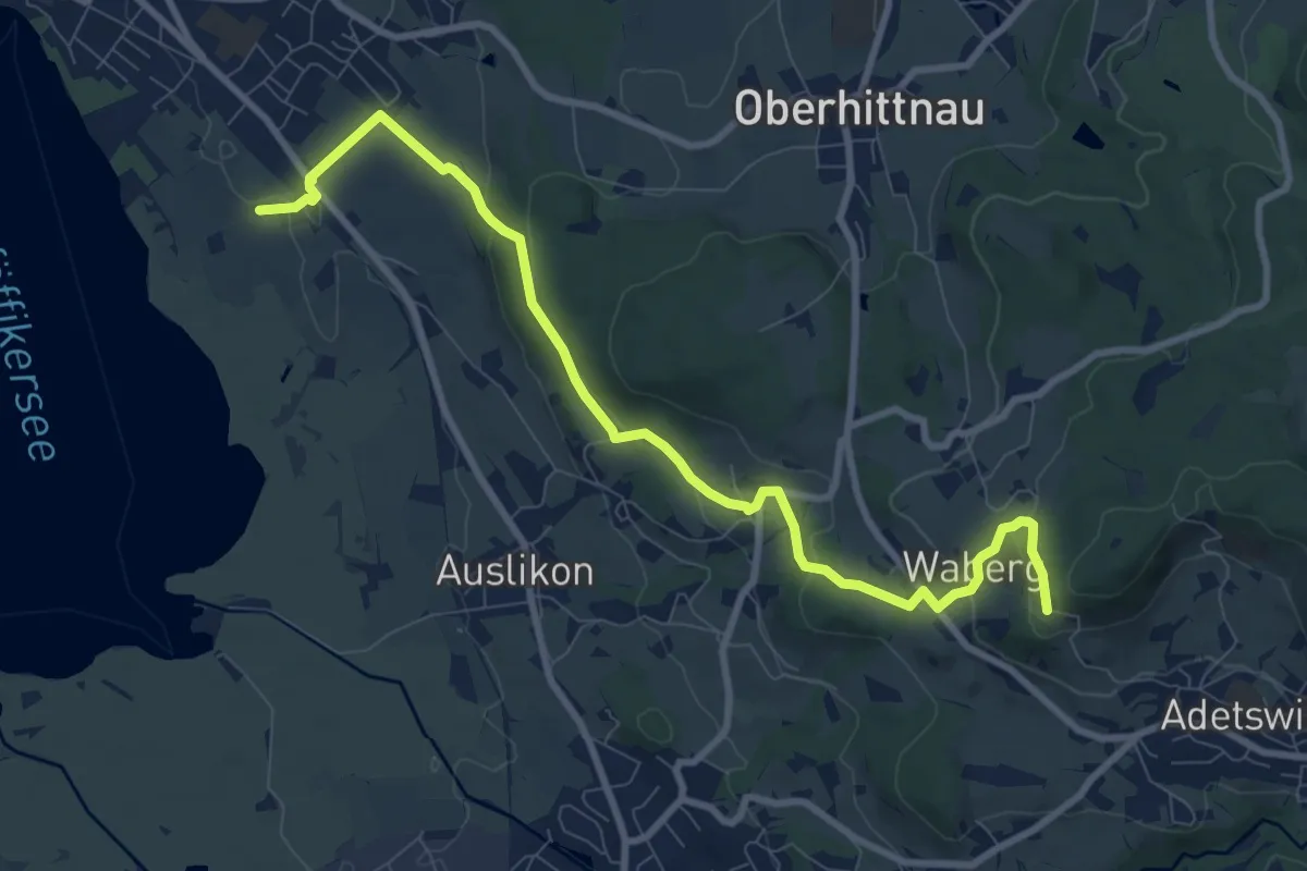
Medium · Trail
Römerkastell – Rosinli
9.9 km · ↑ 285 m · 2 h 57 min
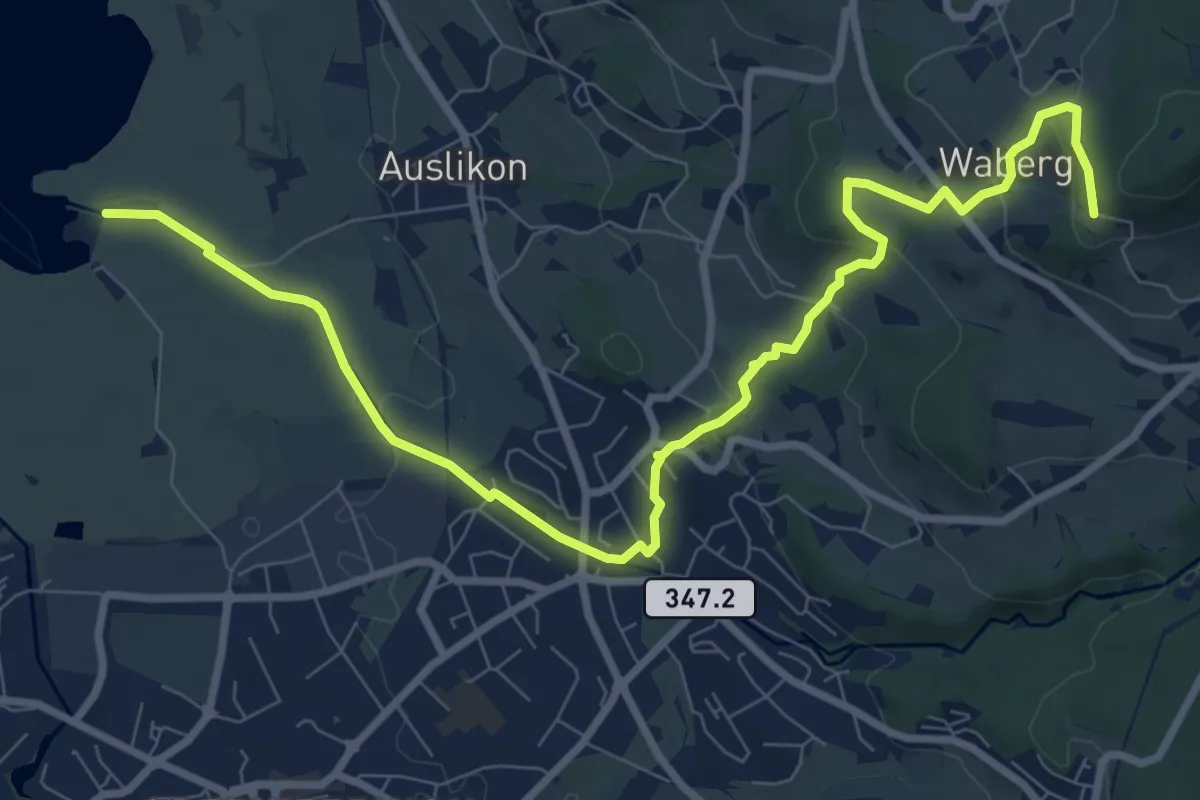
Medium · Trail
Strandbad Auslikon – Rosinli
10.7 km · ↑ 274 m · 3 h 7 min
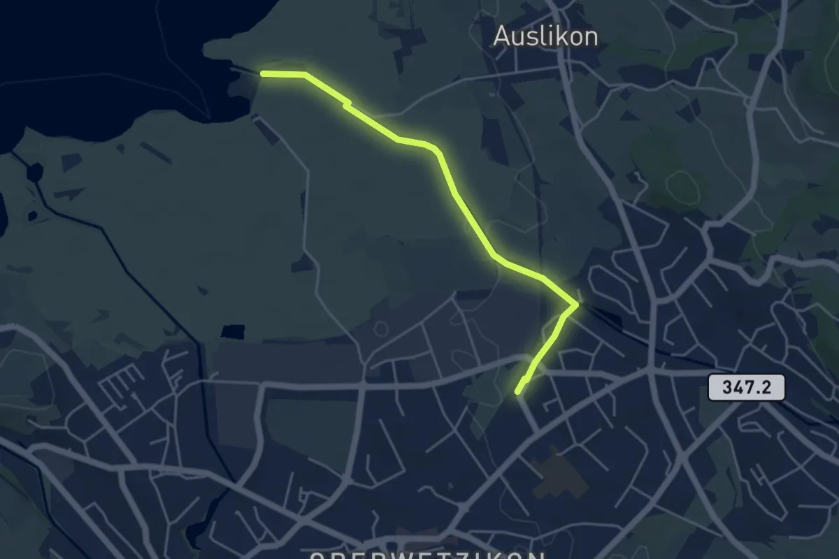
Easy · Trail
Strandbad Auslikon – Kempten
4.1 km · ↑ 21 m · 1 h 1 min
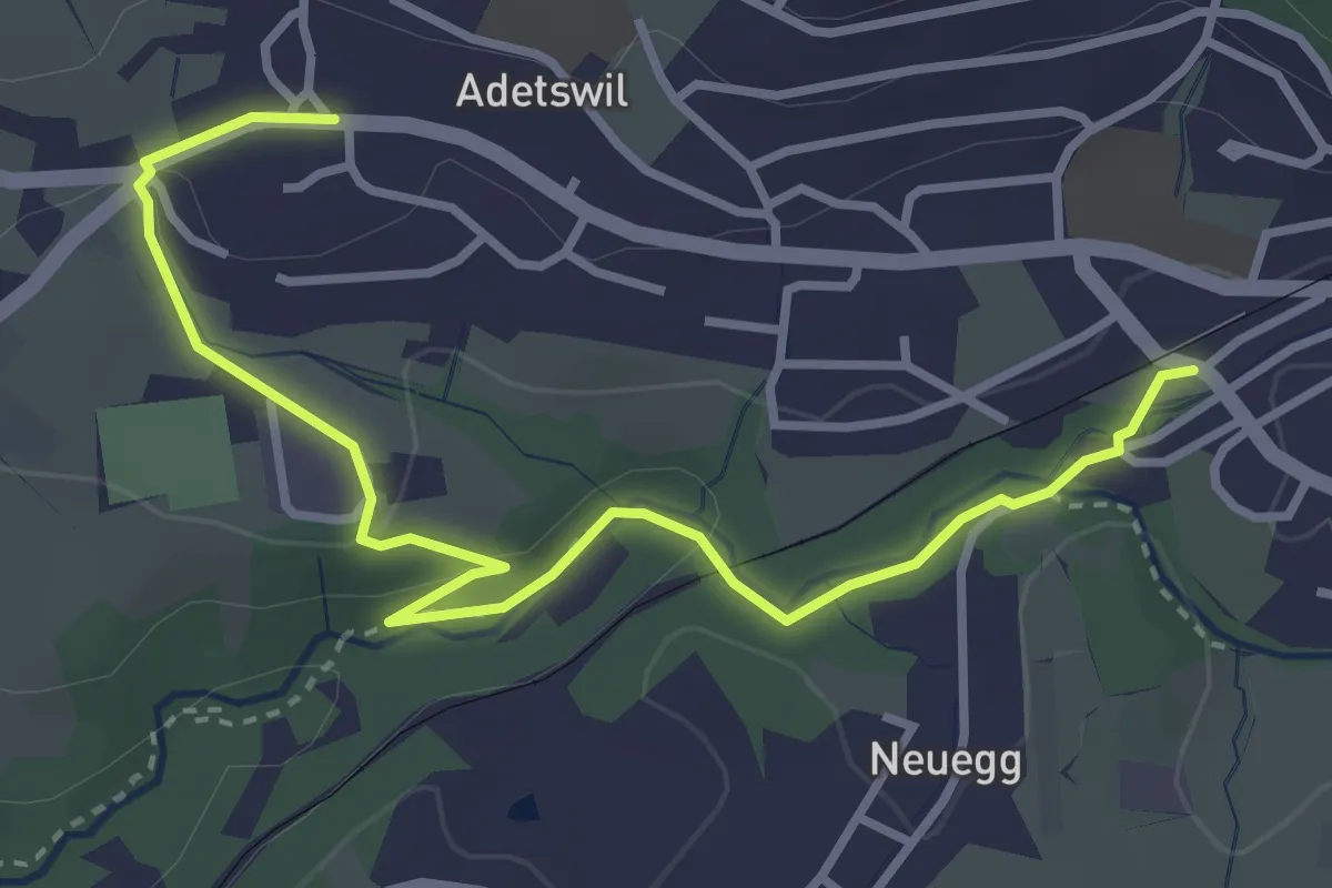
Easy · Trail
Bäretswil Station – Adetswil
3.9 km · ↑ 73 m · 1 h 4 min
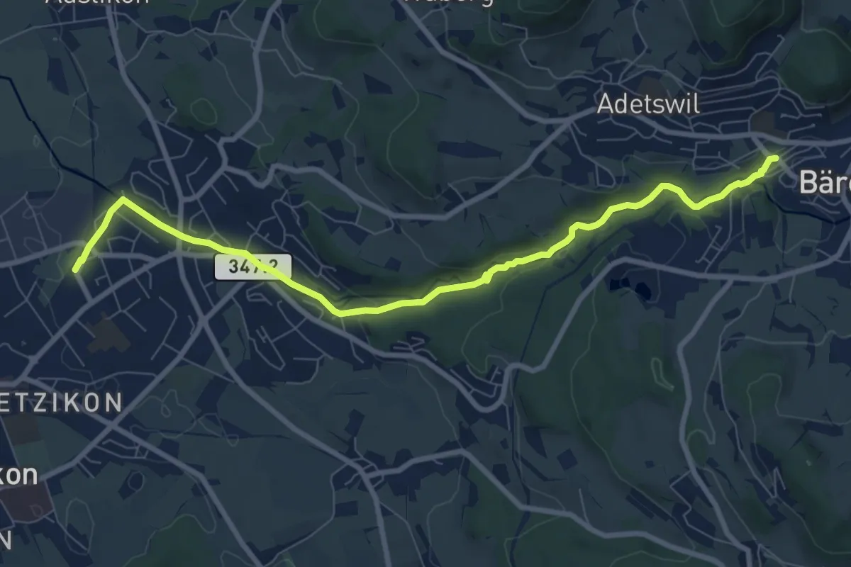
Medium · Trail
Kempten – Bäretswil Station
8.7 km · ↑ 154 m · 2 h 23 min
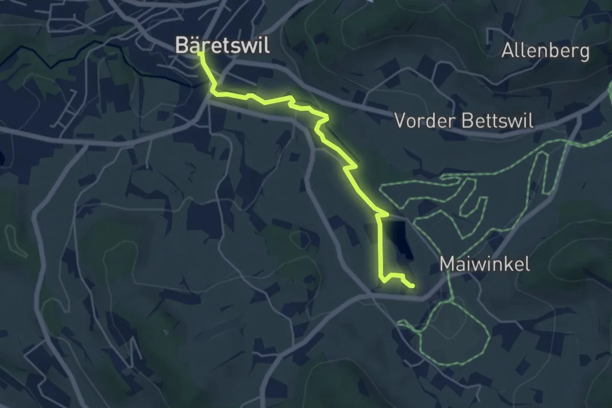
Easy · Trail
Bäretswil – Stockrüti
4.3 km · ↑ 85 m · 1 h 12 min
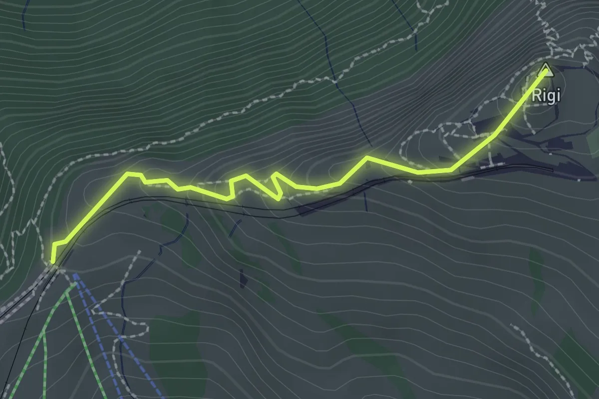
Easy · Summit
Rigi Staffel – Rigi Kulm
2.3 km · ↑ 160 m · 53 min
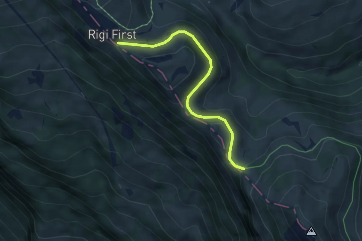
Medium · Trail
Rigi First – Unterstetten
4.0 km · ↑ 134 m · 1 h 15 min
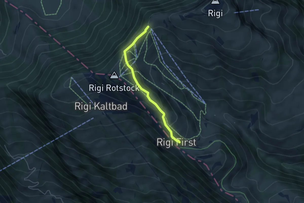
Easy · Trail
Rigi Staffel – Rigi First
3.7 km · ↑ 186 m · 1 h 17 min
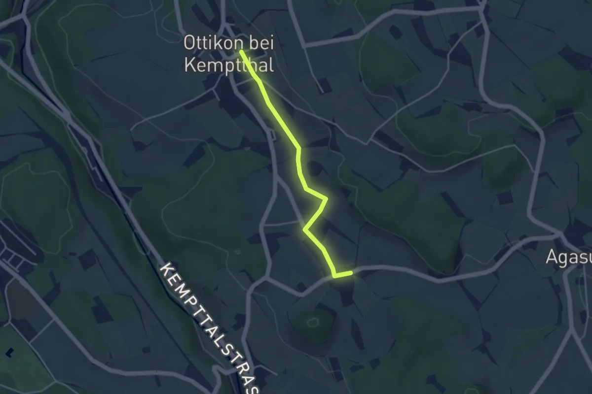
Easy · Trail
Luckhausen – Ottikon
3.3 km · ↑ 32 m · 50 min
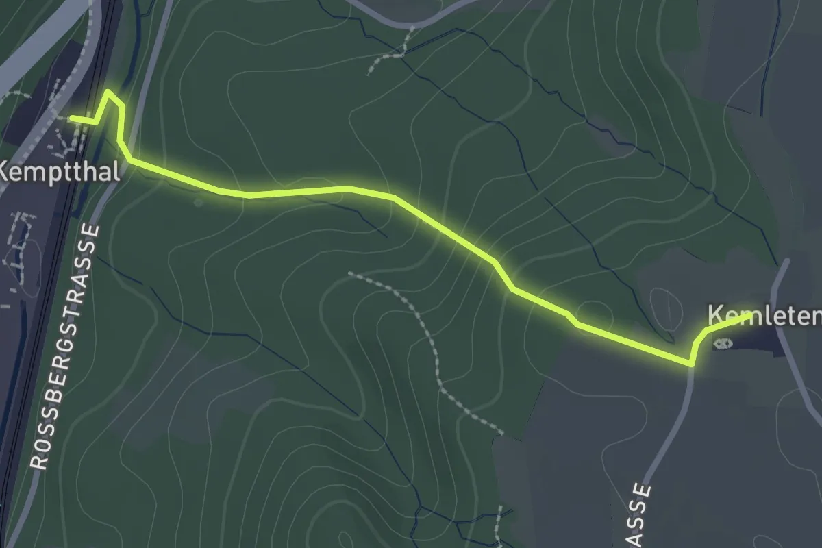
Easy · Trail
Kemptthal – Kemleten
2.5 km · ↑ 149 m · 54 min
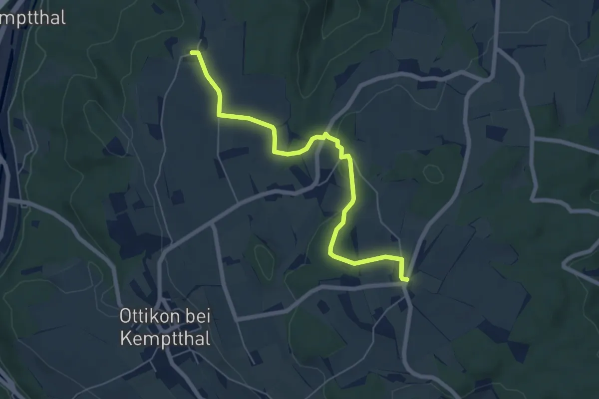
Easy · Trail
Kemleten – First
5.5 km · ↑ 93 m · 1 h 30 min
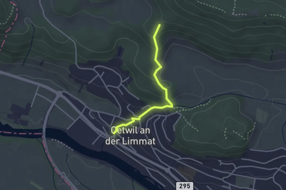
Easy · Trail
Oetwil a. d. L. – Rotris
2.6 km · ↑ 148 m · 55 min
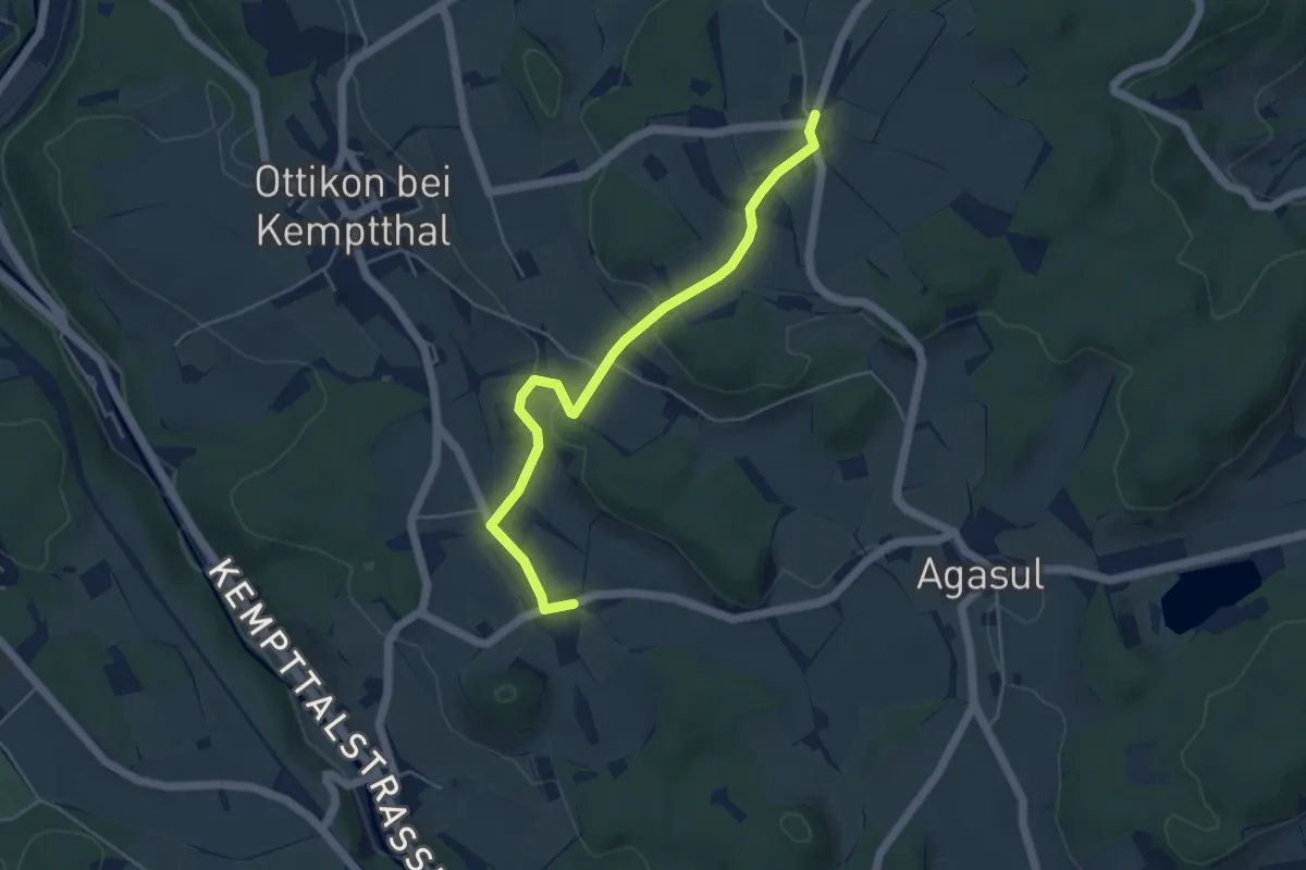
Easy · Trail
Luckhausen – First
4.8 km · ↑ 127 m · 1 h 25 min
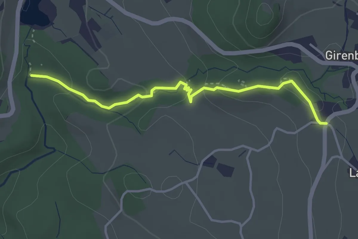
Easy · Trail
Wildbach – Girenbad (Parkplatz)
3.2 km · ↑ 105 m · 59 min
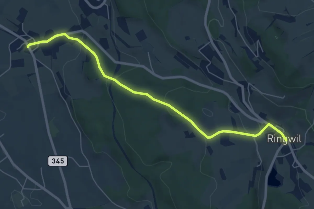
Easy · Trail
Ringwil – Ettenhausen
5.7 km · ↑ 151 m · 1 h 41 min
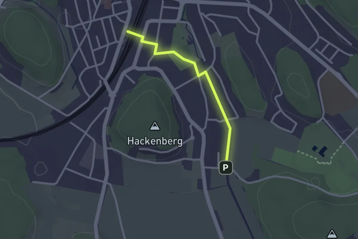
Easy · Trail
Effretikon – Moosburg
2.2 km · ↑ 0 m · 31 min
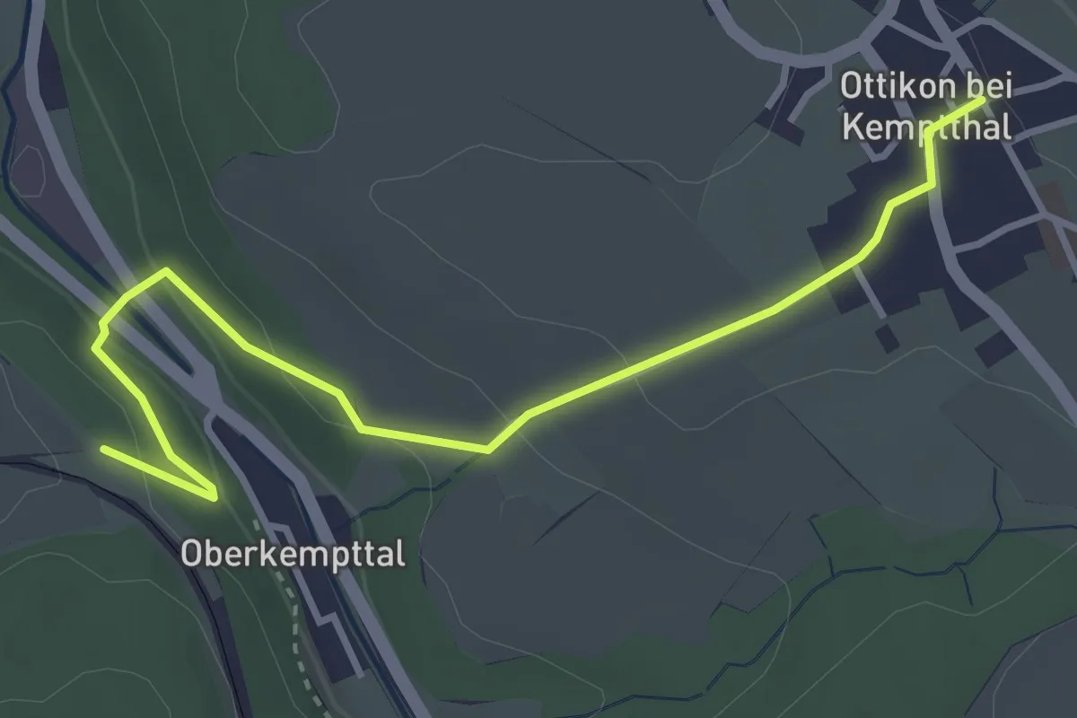
Easy · Trail
Höckler – Ottikon
3.7 km · ↑ 93 m · 1 h 5 min
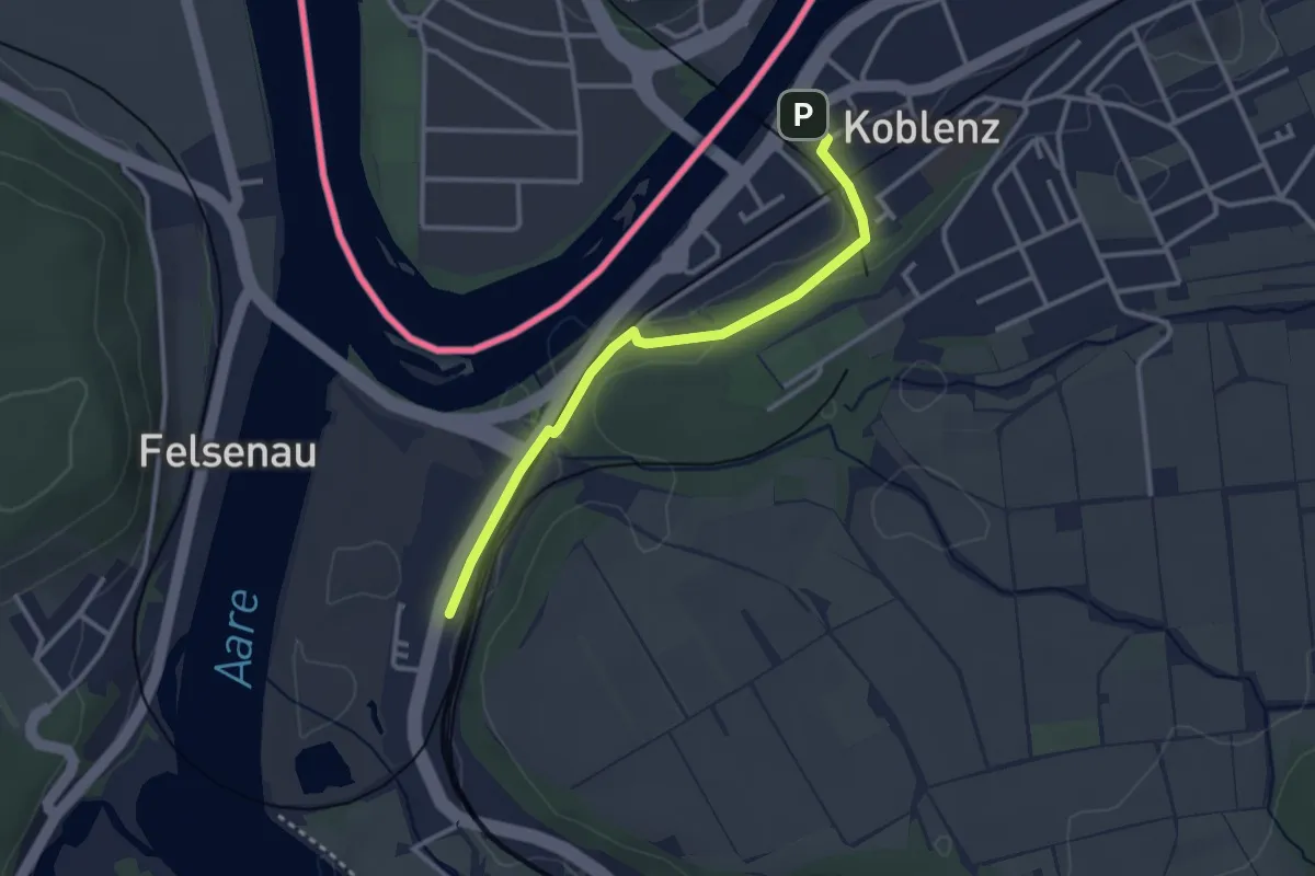
Easy · Trail
Koblenz Dorf – Koblenz
2.9 km · ↑ 31 m · 45 min
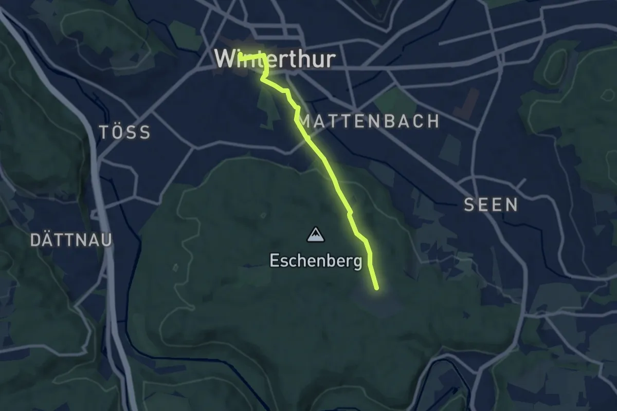
Easy · Trail
Winterthur Bahnhof – Eschenberg Sternwarte
7.0 km · ↑ 142 m · 1 h 57 min
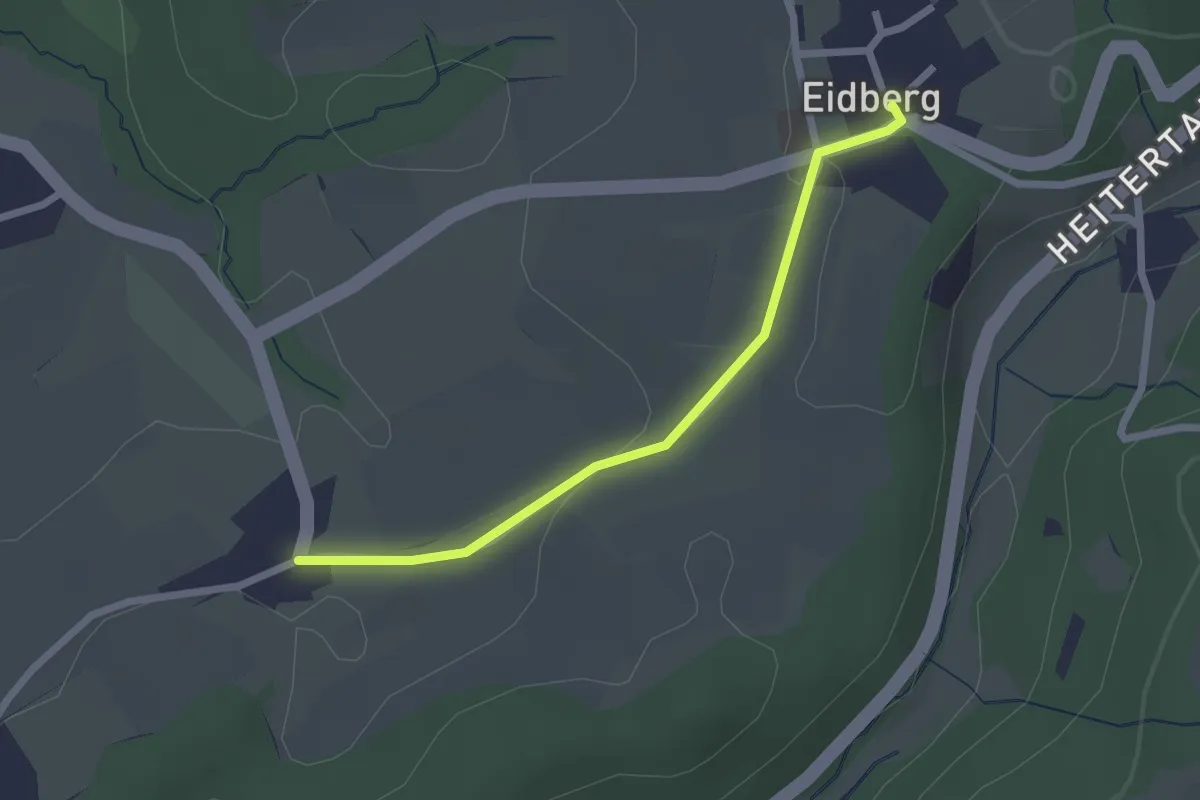
Easy · Trail
Thaa – Eidberg
2.1 km · ↑ 32 m · 34 min
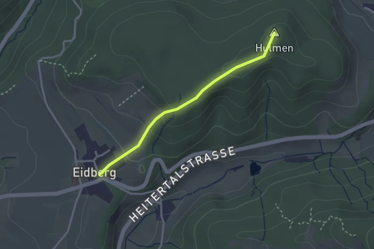
Easy · Summit
Eidberg – Hulmen
2.3 km · ↑ 96 m · 46 min
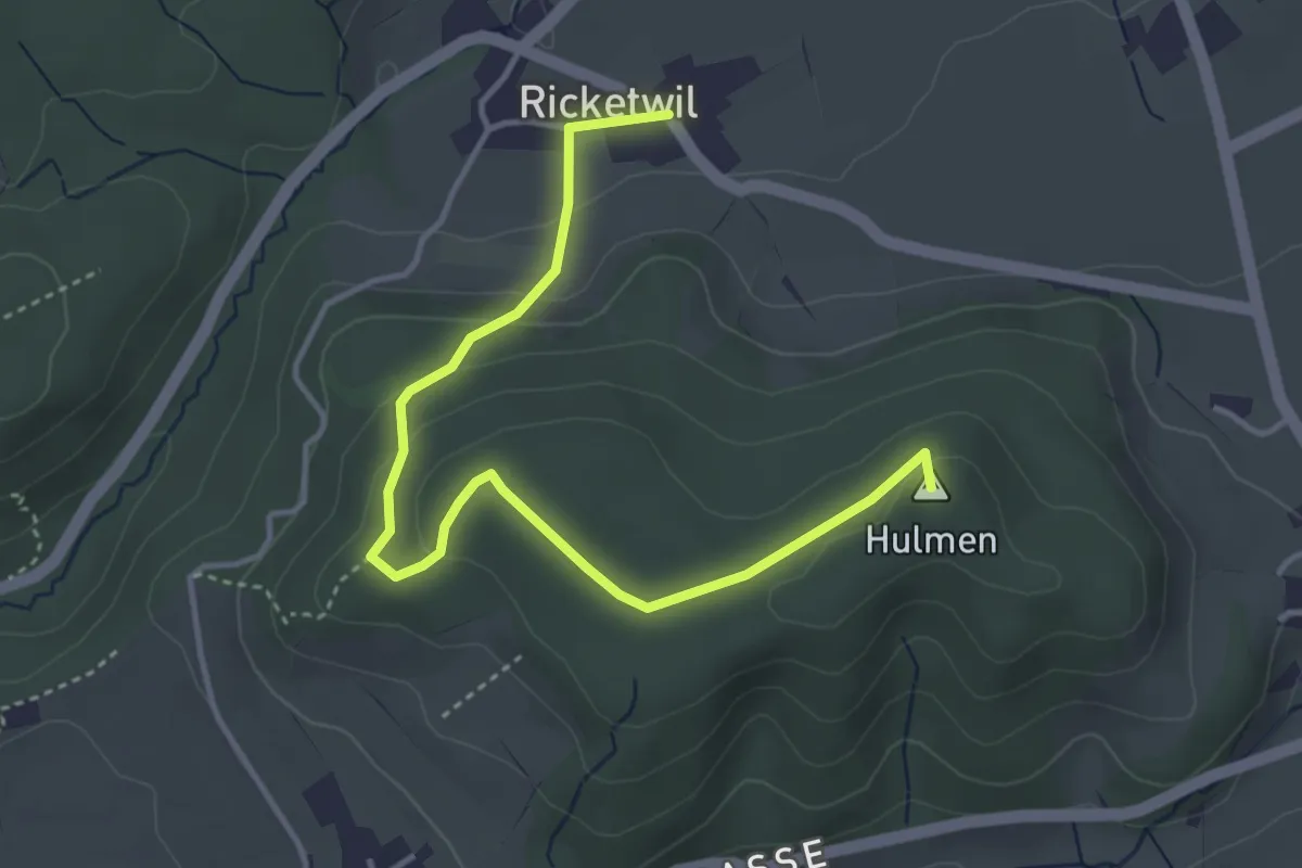
Easy · Summit
Hulmen – Ober Ricketwil
4.4 km · ↑ 140 m · 1 h 20 min
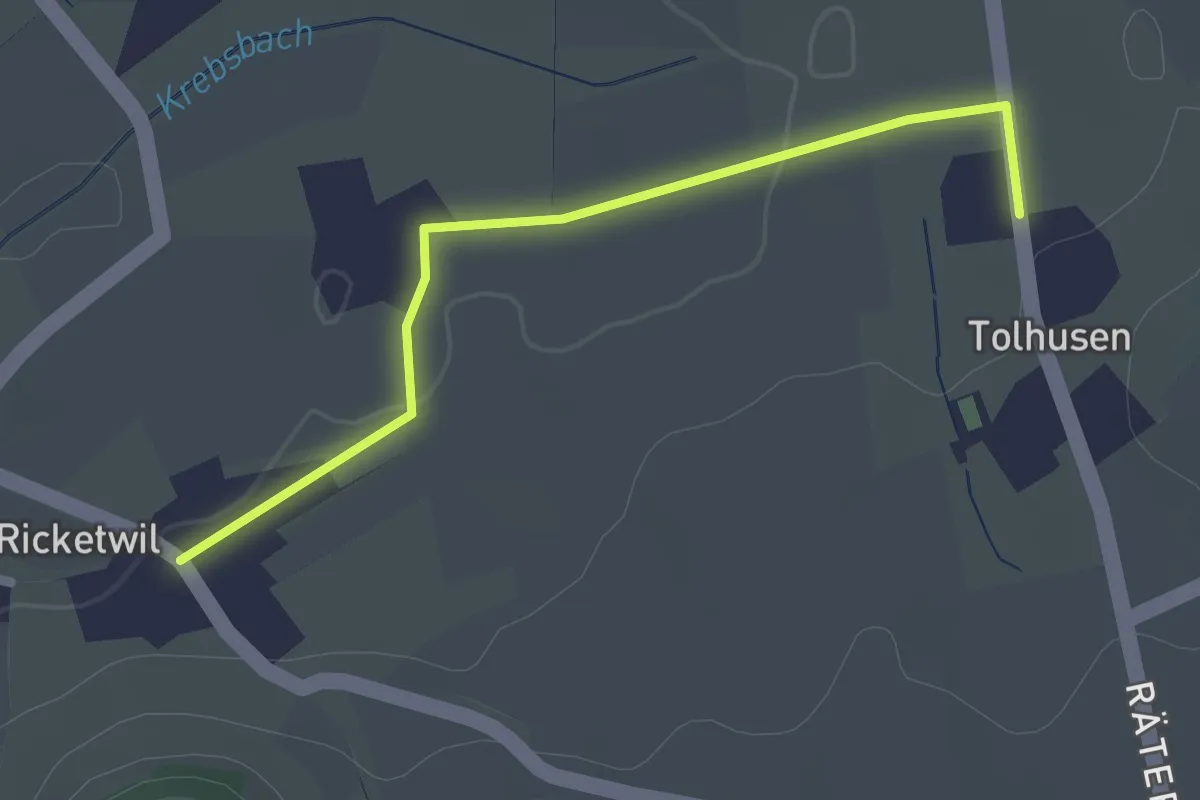
Easy · Trail
Ober Ricketwil – Tolhusen
2.2 km · ↑ 5 m · 32 min
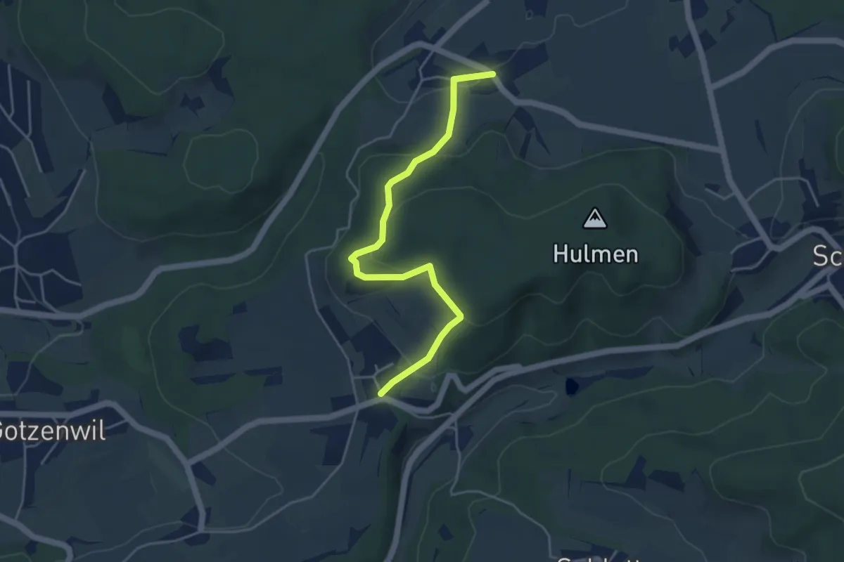
Easy · Trail
Ober Ricketwil – Eidberg
4.4 km · ↑ 213 m · 1 h 30 min