Trails in Switzerland
15,055 hiking trails, each with its route, climb, walking time and grade.
All trails, page 271 of 314
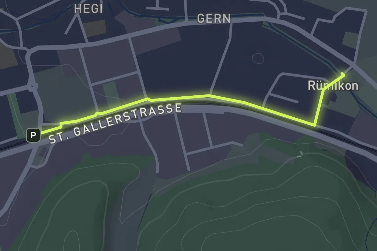
Easy · Trail
Bahnhof Winterthur Hegi – Rümikon
2.5 km · ↑ 9 m · 37 min
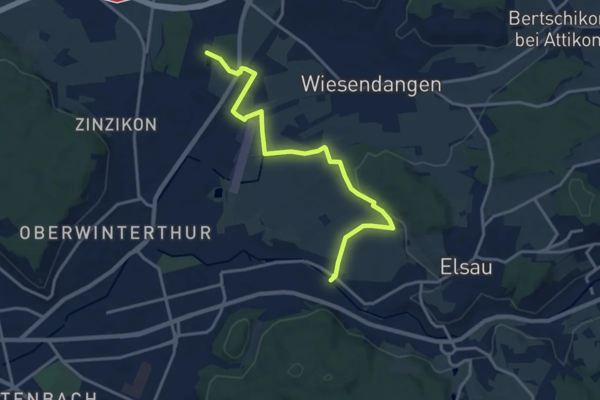
Medium · Trail
Rümikon – Riethof
9.2 km · ↑ 84 m · 2 h 21 min
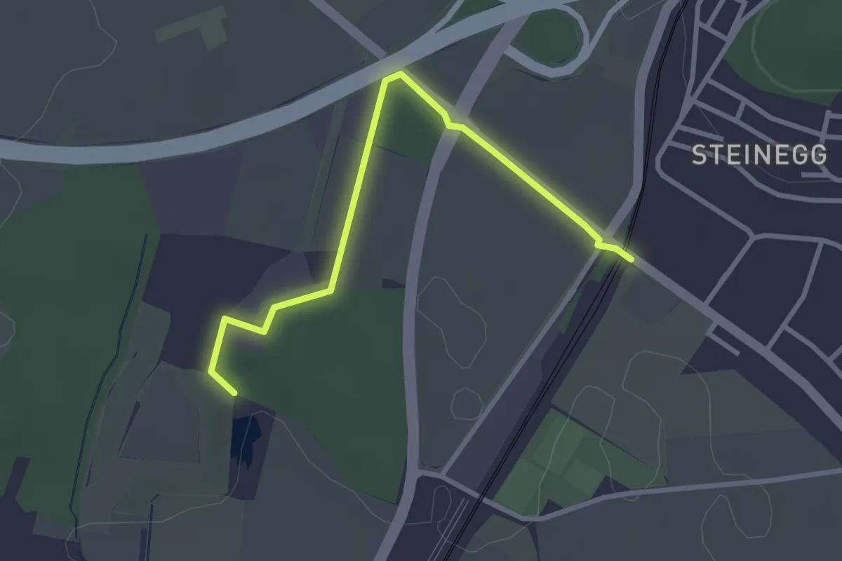
Easy · Trail
Riethof – Bahnhof Wiesendangen
2.8 km · ↑ 13 m · 42 min
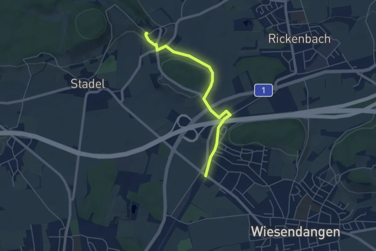
Easy · Trail
Bahnhof Wiesendangen – Mörsburg
4.5 km · ↑ 64 m · 1 h 12 min
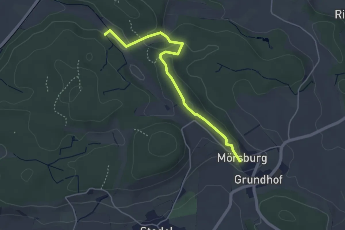
Easy · Trail
Mörsburg – Eschberg
3.8 km · ↑ 92 m · 1 h 5 min
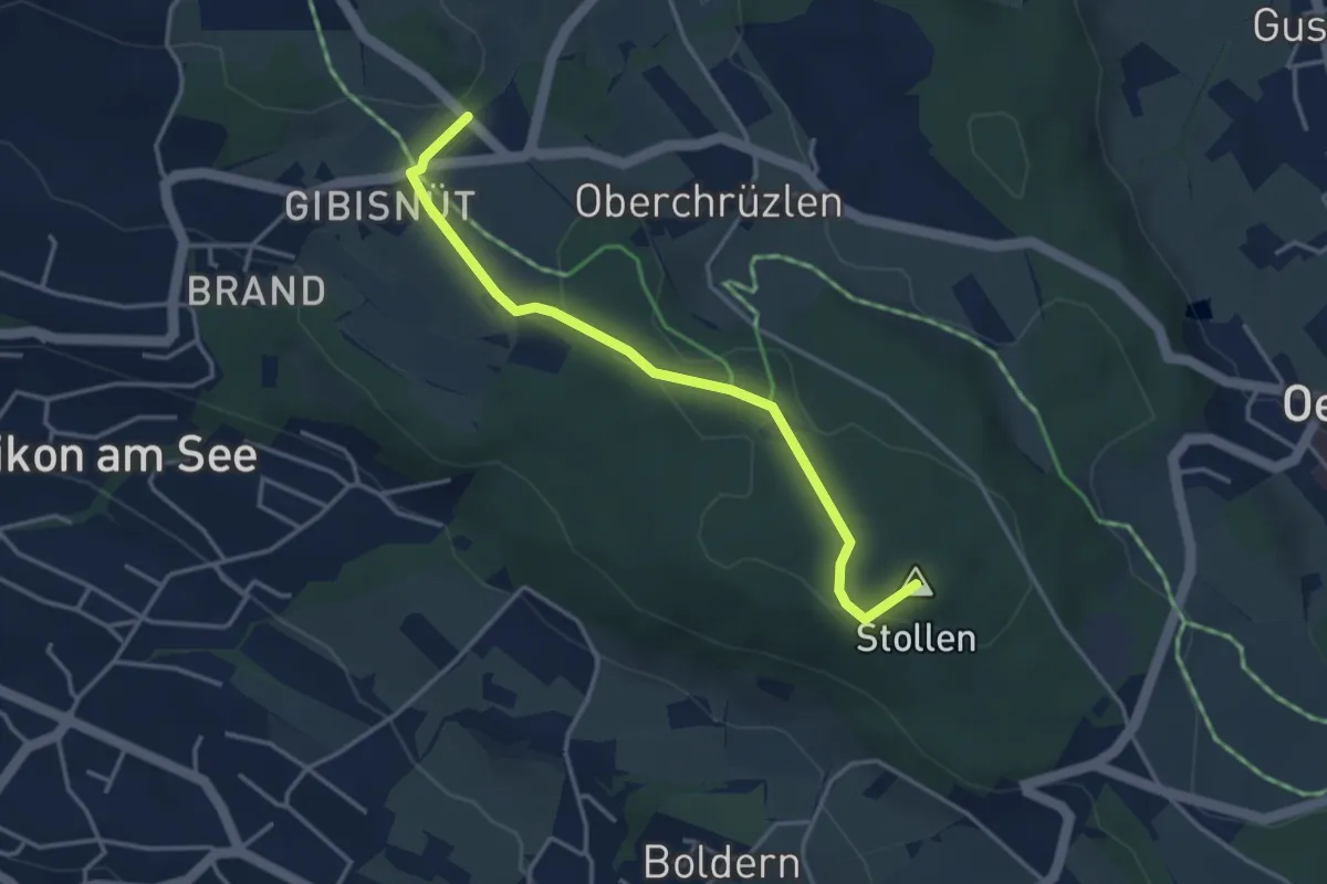
Easy · Summit
Stäfnertürli – Gibisnüd
3.6 km · ↑ 54 m · 59 min
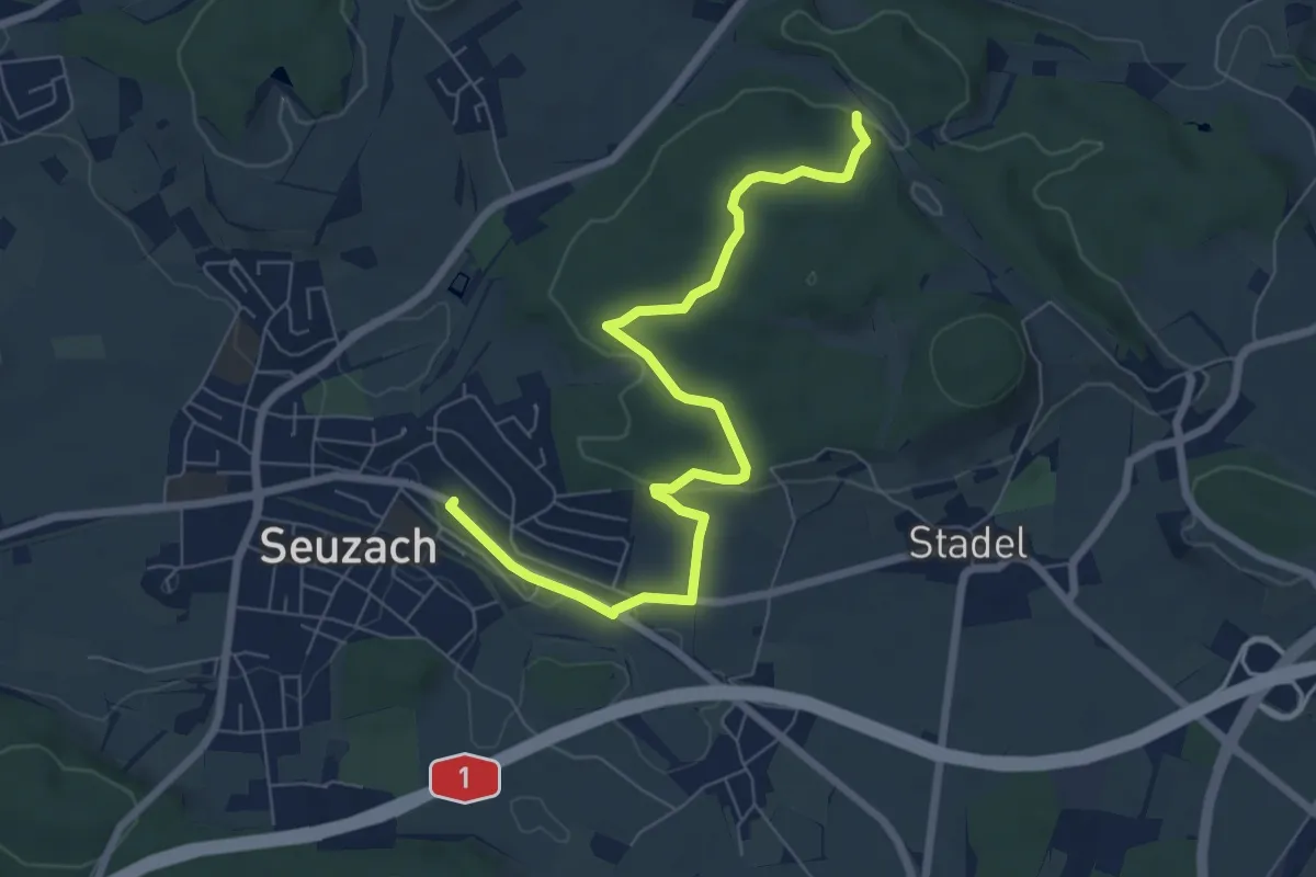
Easy · Trail
Eschberg – Bahnhof Seuzach
7.7 km · ↑ 157 m · 2 h 9 min
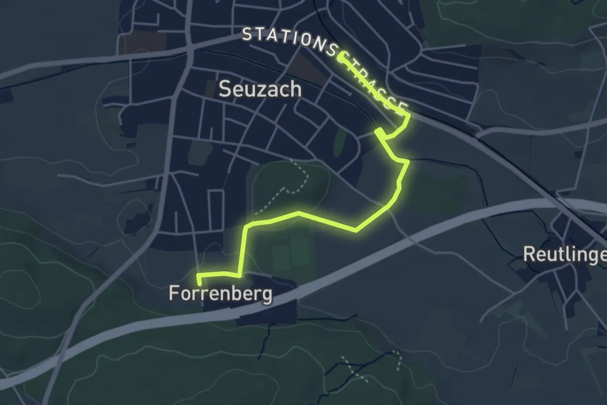
Easy · Trail
Bahnhof Seuzach – Forrenberg
4.2 km · ↑ 23 m · 1 h 2 min
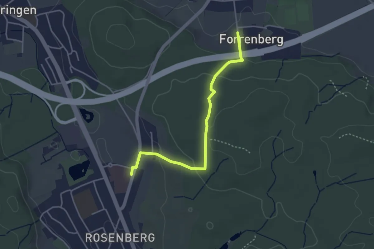
Easy · Trail
Forrenberg – Bushaltestelle Rosenberg
3.3 km · ↑ 106 m · 1 h 1 min
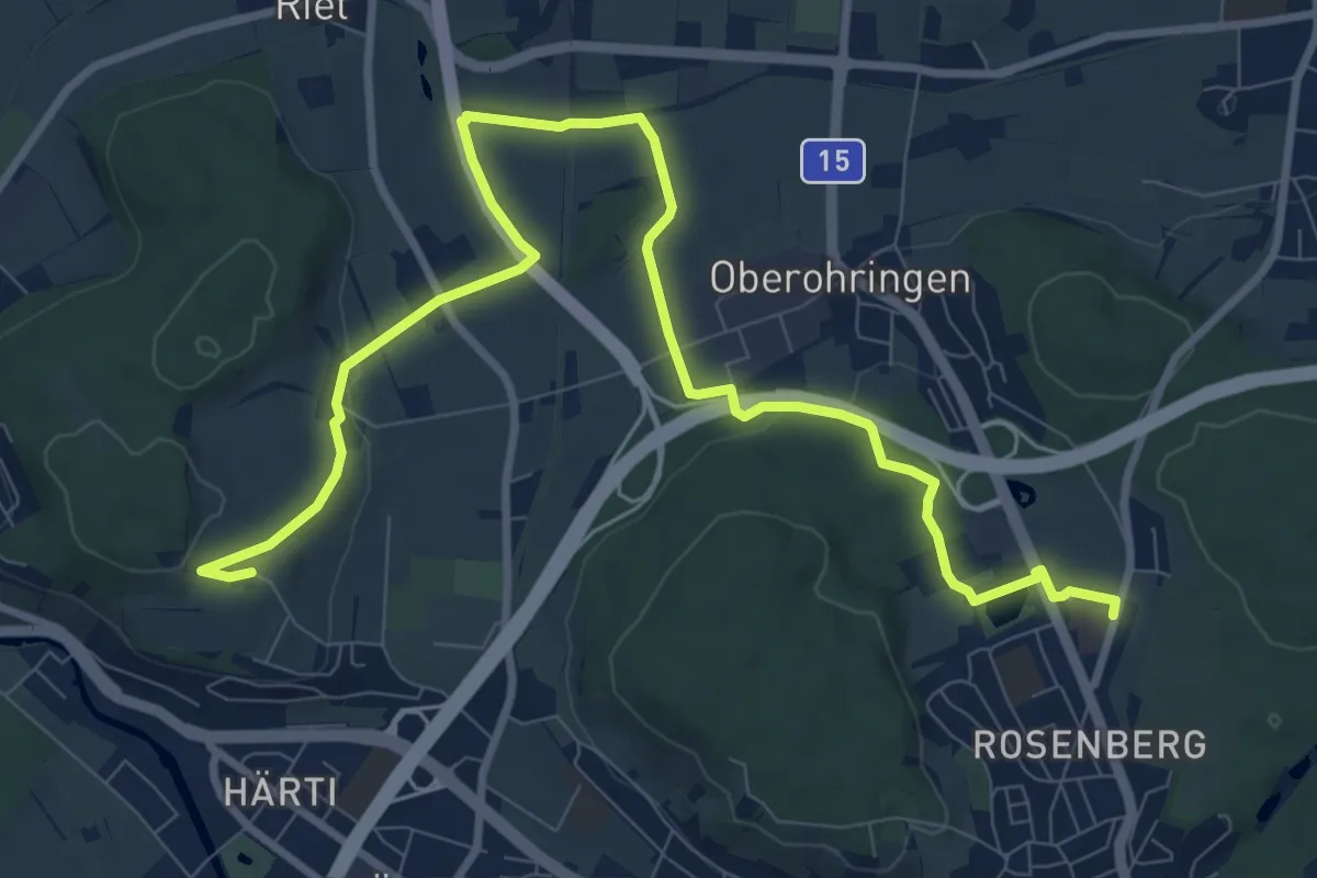
Medium · Trail
Bushaltestelle Rosenberg – Taggenberg
11.7 km · ↑ 124 m · 3 h 1 min
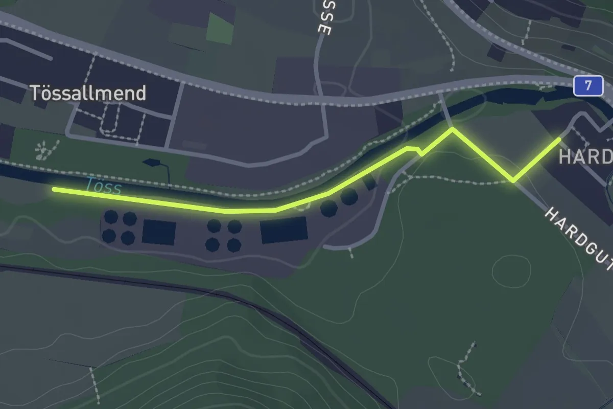
Easy · Trail
Hardau – Tiefster Punkt
2.4 km · ↑ 21 m · 37 min
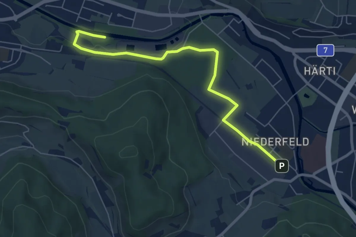
Easy · Trail
Tiefster Punkt – Bahnhof Winterthur Wülflingen
6.2 km · ↑ 65 m · 1 h 36 min
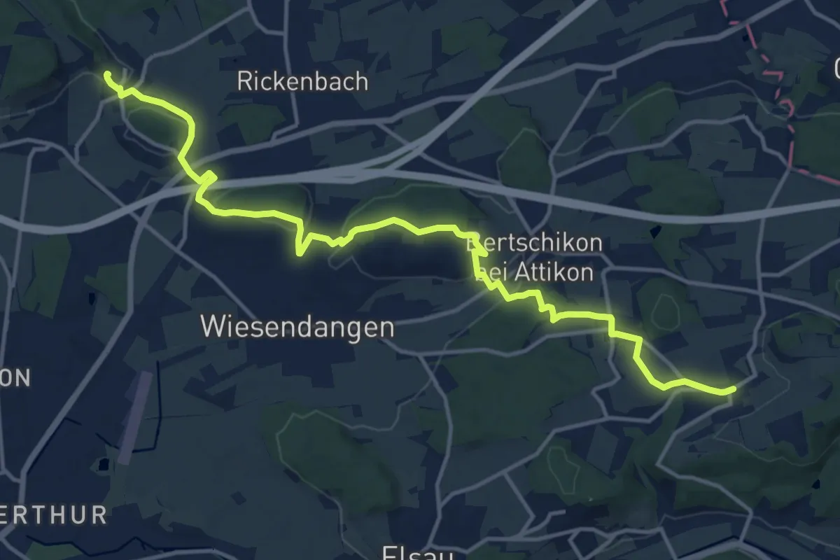
Medium · Trail
Mörsburg – Zünikon
15.6 km · ↑ 348 m · 4 h 26 min
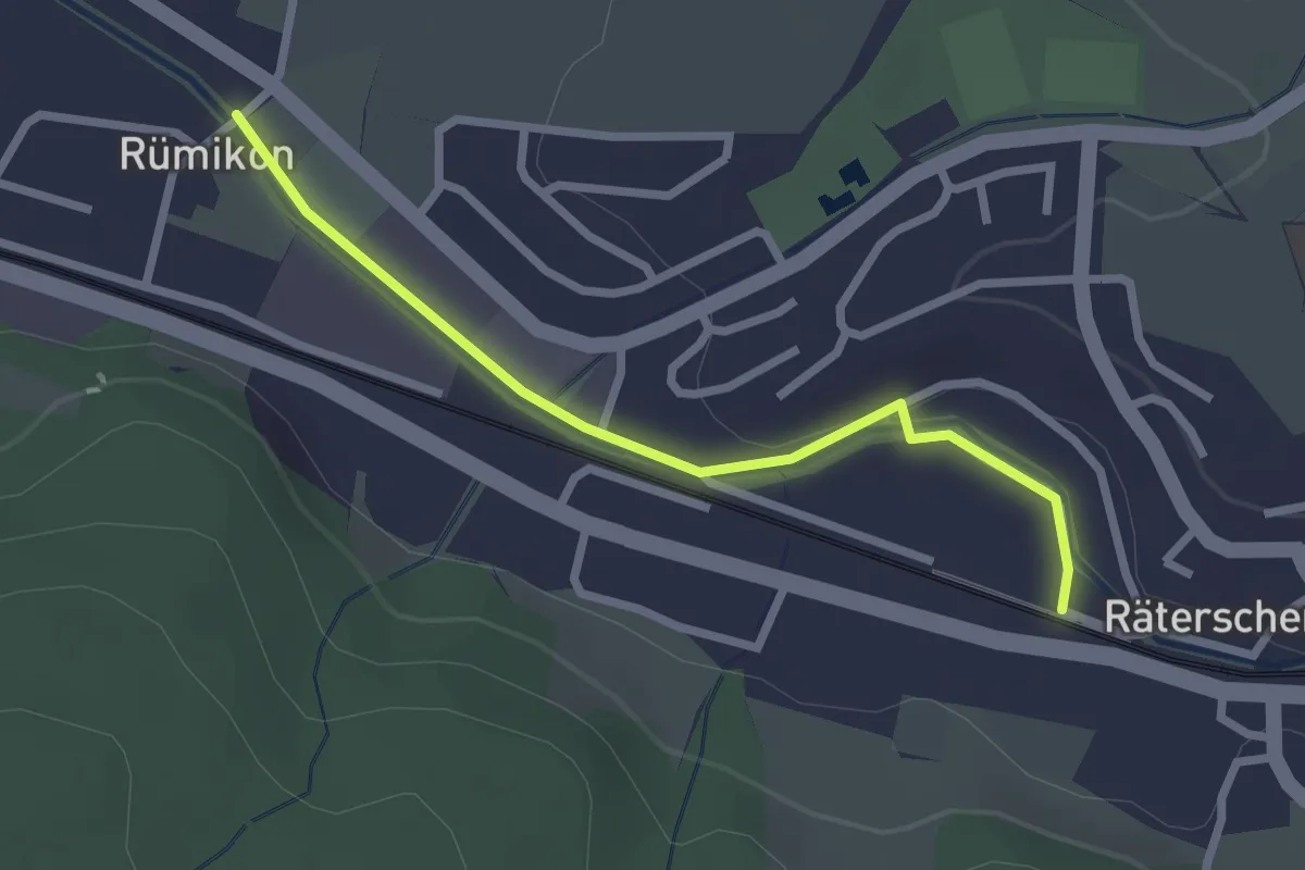
Easy · Trail
Rümikon – Bahnhof Räterschen
2.4 km · ↑ 27 m · 37 min
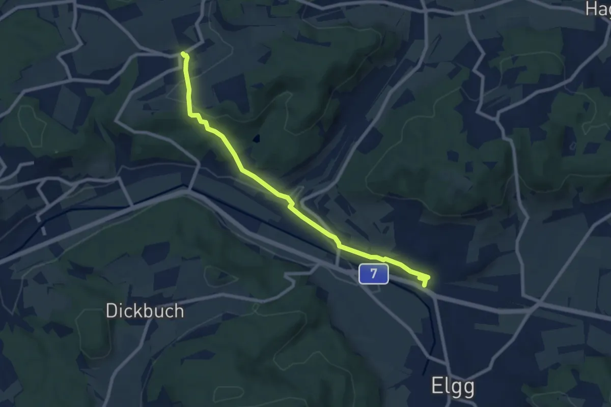
Easy · Trail
Zünikon – Bahnhof Elgg
7.0 km · ↑ 175 m · 2 h 2 min
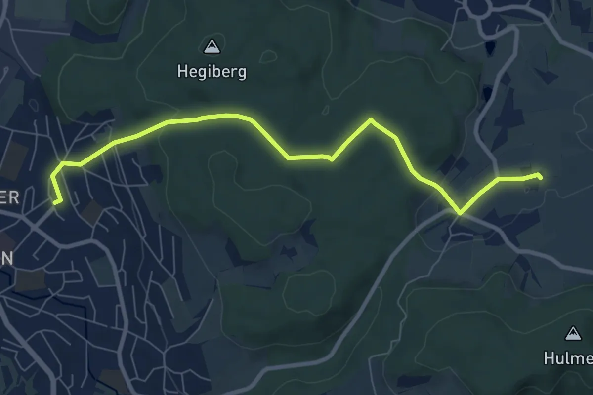
Easy · Trail
Bahnhof Winterthur Seen West – Ricketwil Mas
7.3 km · ↑ 175 m · 2 h 6 min
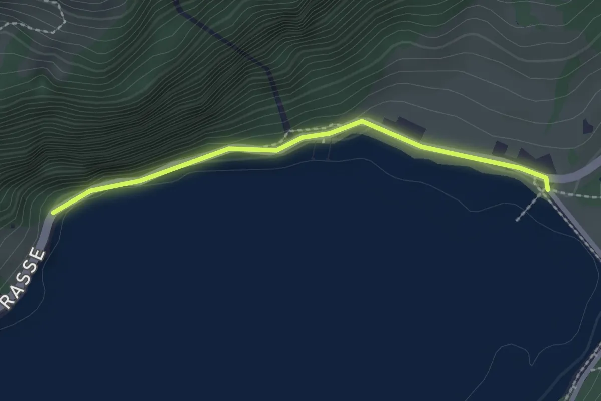
Easy · Trail
Rhodannenberg – Vorder Ruestelchopf
2.0 km · ↑ 109 m · 43 min
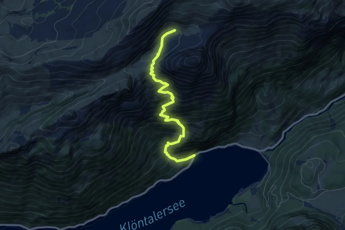
Demanding · Trail
Vorder Ruestelchopf – Dejen
7.2 km · ↑ 929 m · 3 h 42 min
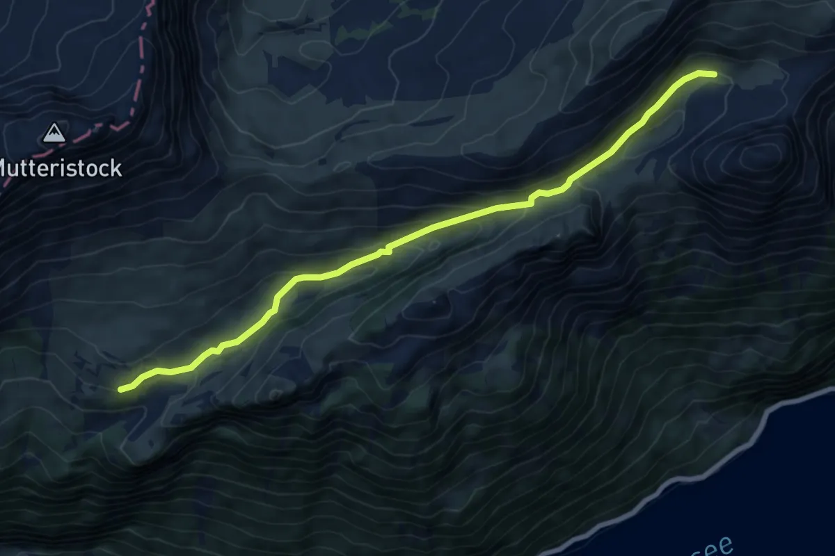
Medium · Trail
Dejen – Türliboden
7.6 km · ↑ 365 m · 2 h 35 min
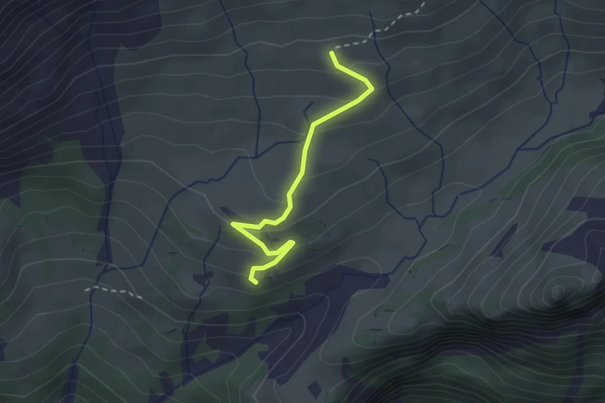
Easy · Trail
Türliboden – Ober Längenegg
2.3 km · ↑ 141 m · 51 min
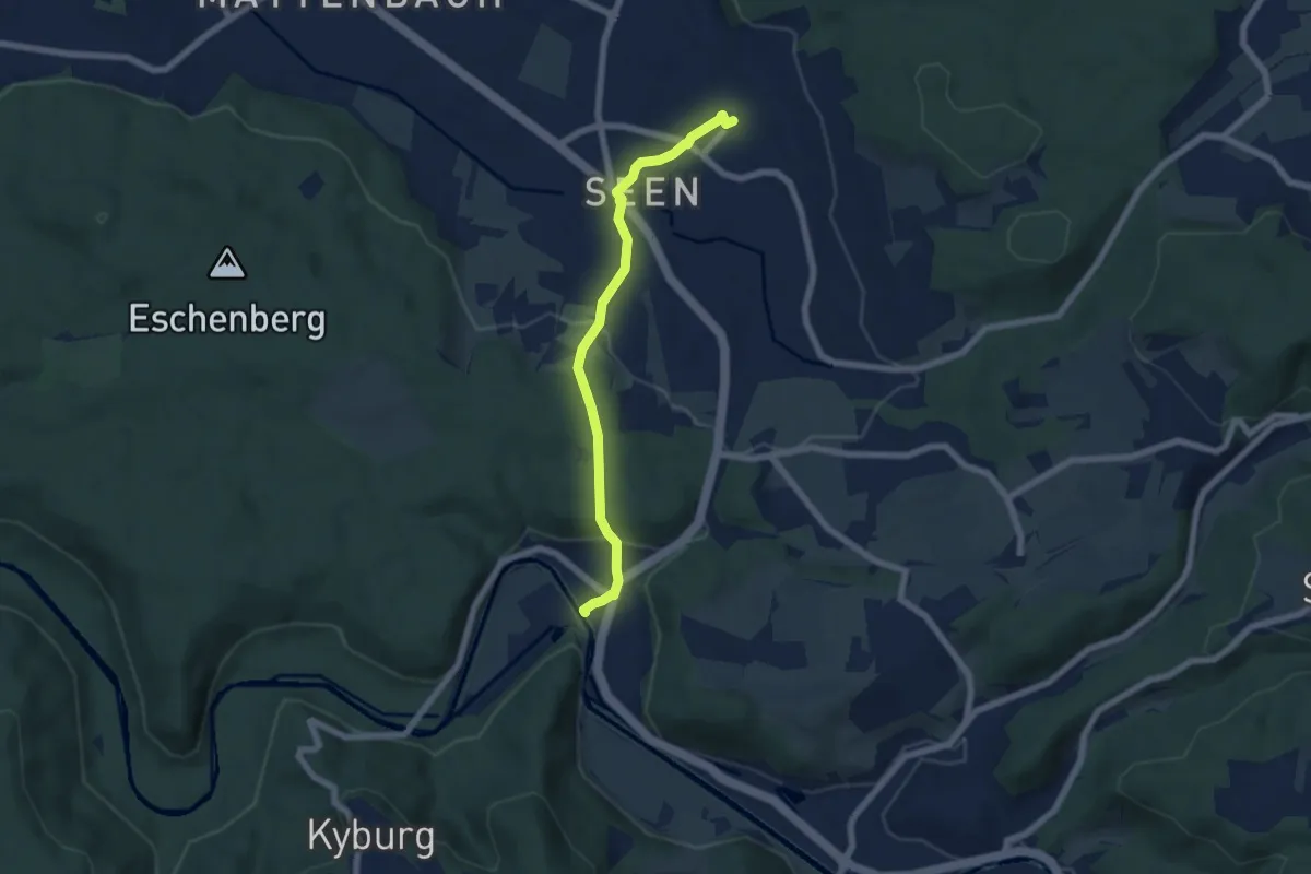
Easy · Trail
Bahnhof Seen – Sennhof
5.9 km · ↑ 153 m · 1 h 43 min
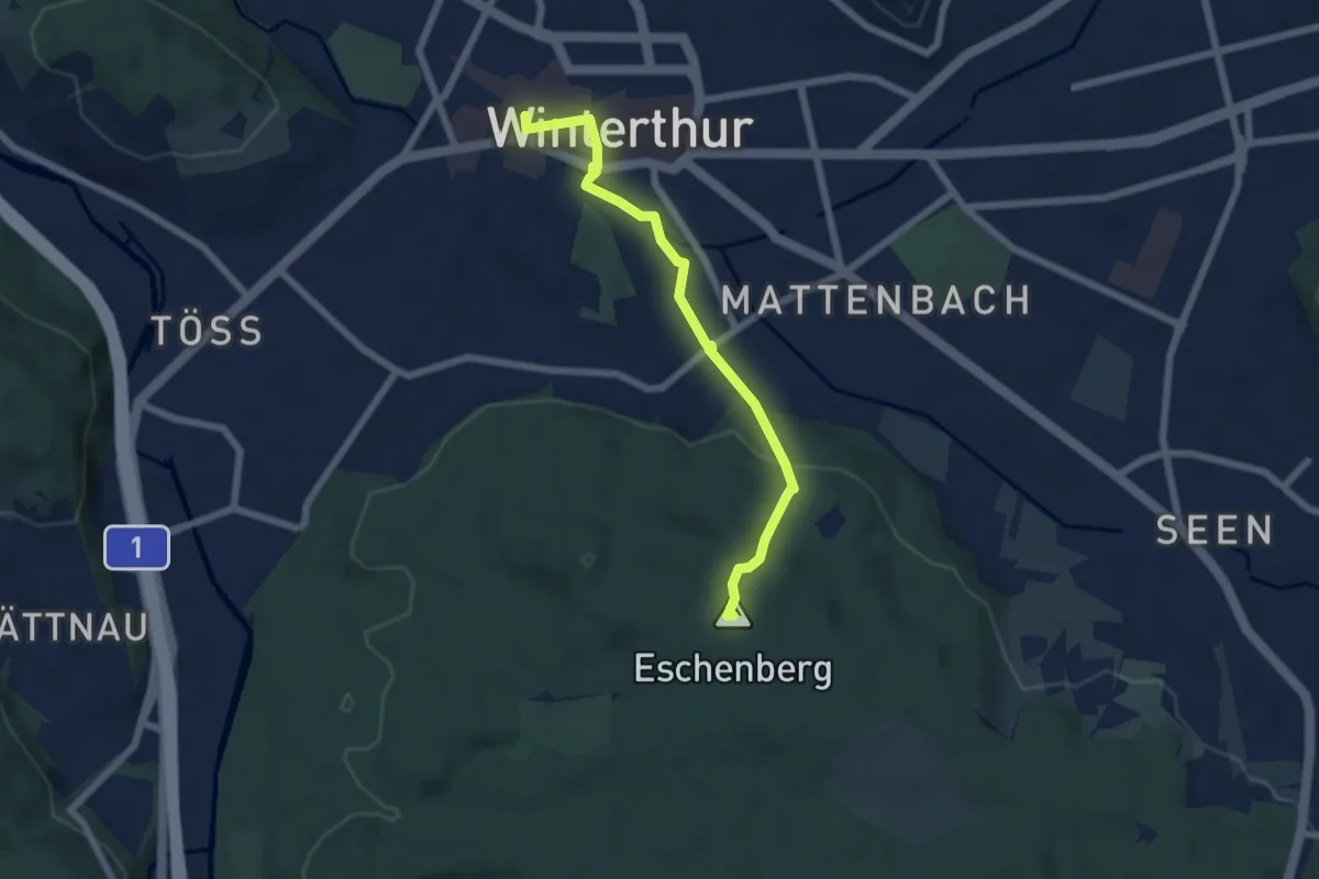
Easy · Summit
Bahnhof Winterthur – Eschenberg Aussichtsturm
5.8 km · ↑ 160 m · 1 h 44 min
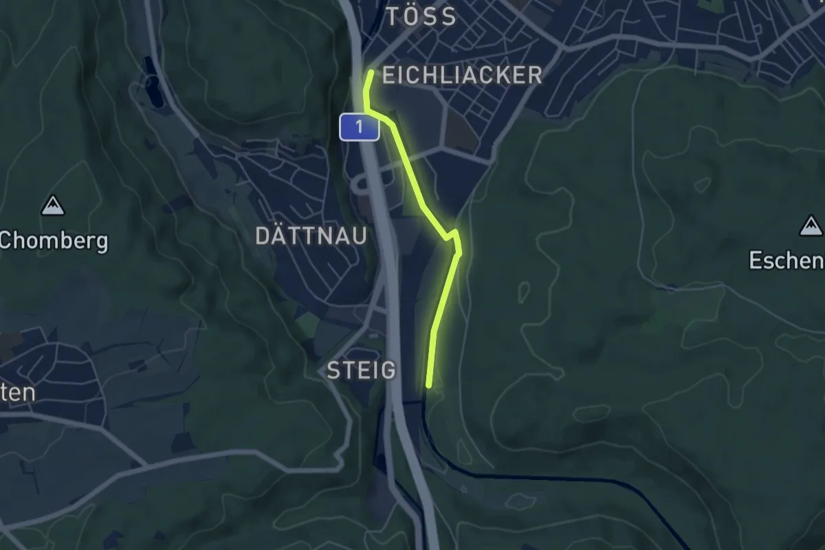
Easy · Trail
Winterthur Töss – Ritplatz
4.0 km · ↑ 53 m · 1 h 4 min
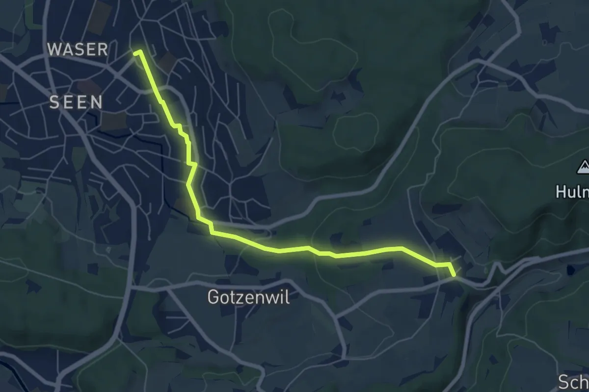
Easy · Trail
Bahnhof Winterthur Seen – Eidberg
6.4 km · ↑ 154 m · 1 h 51 min
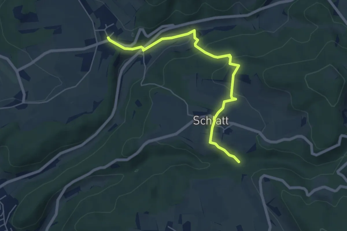
Easy · Trail
Eidberg – Rörlitobel
5.2 km · ↑ 190 m · 1 h 39 min
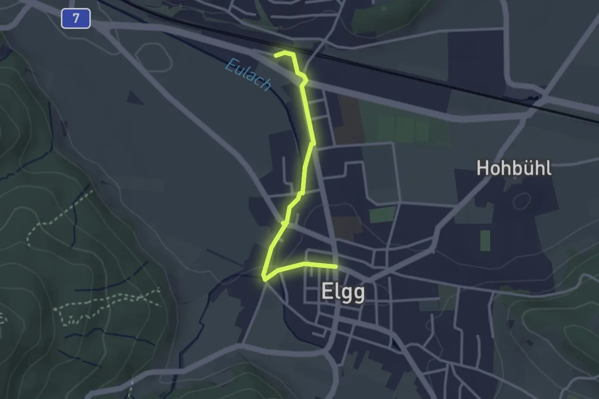
Easy · Trail
Elgg – Elgg
2.6 km · ↑ 28 m · 41 min
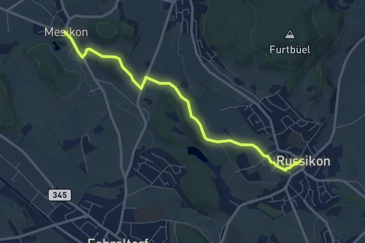
Easy · Trail
Mesikon – Russikon
6.6 km · ↑ 158 m · 1 h 53 min
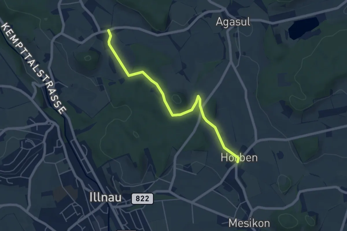
Easy · Trail
Horben – Luckhausen
4.9 km · ↑ 87 m · 1 h 20 min
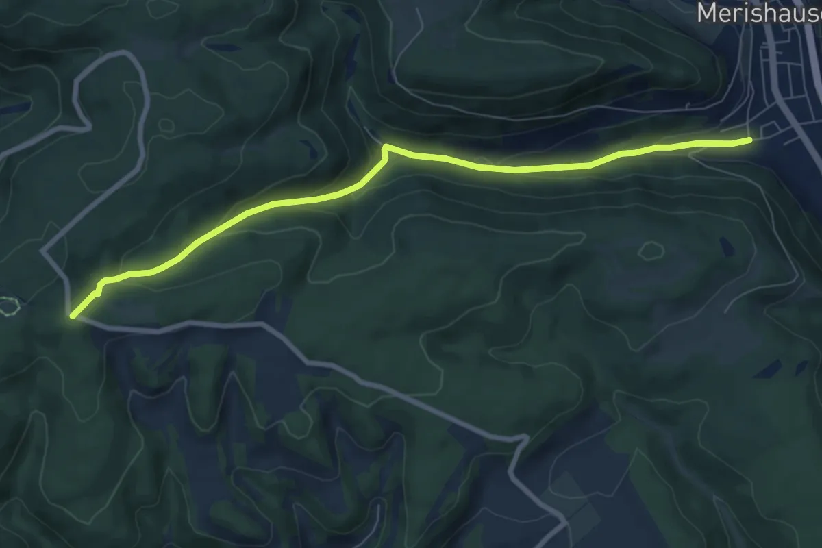
Medium · Trail
Doschdetaal – Mäserich
7.7 km · ↑ 341 m · 2 h 33 min
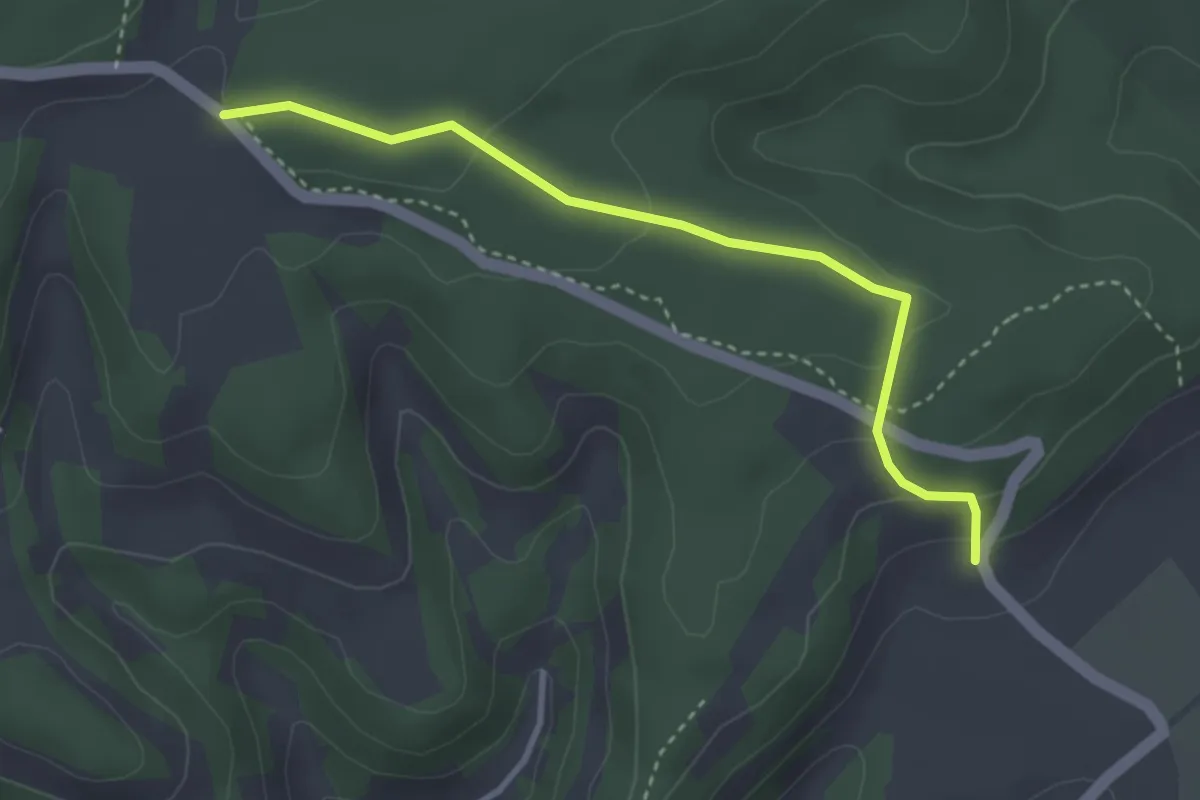
Easy · Trail
Chrüüzwäg – Lankholz
3.3 km · ↑ 118 m · 1 h 2 min
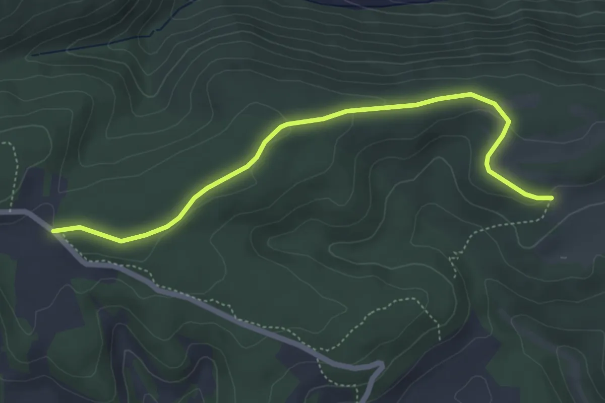
Easy · Cabin
Chrüüzwäg – Buechbärghuus
4.9 km · ↑ 85 m · 1 h 21 min
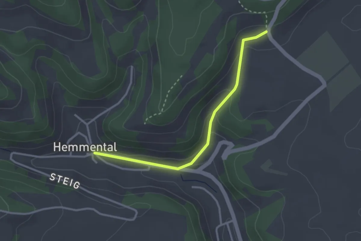
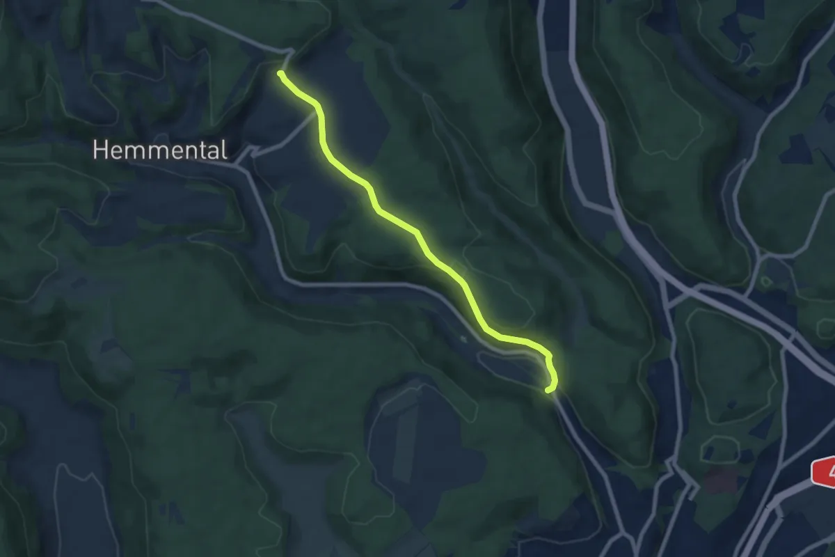
Easy · Trail
Lankholz – Hemmental
2.6 km · ↑ 104 m · 50 min
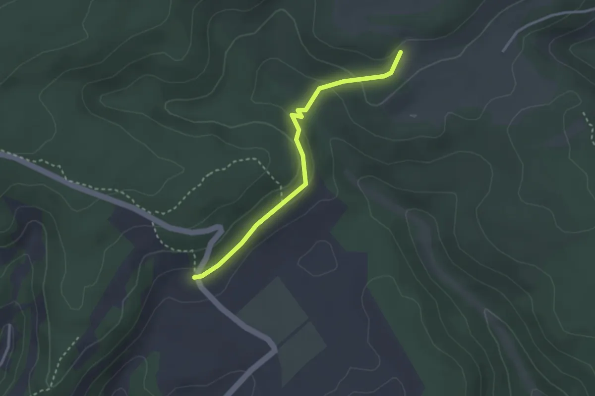
Easy · Trail
Lankholz – Summerwis
6.8 km · ↑ 209 m · 2 h 4 min
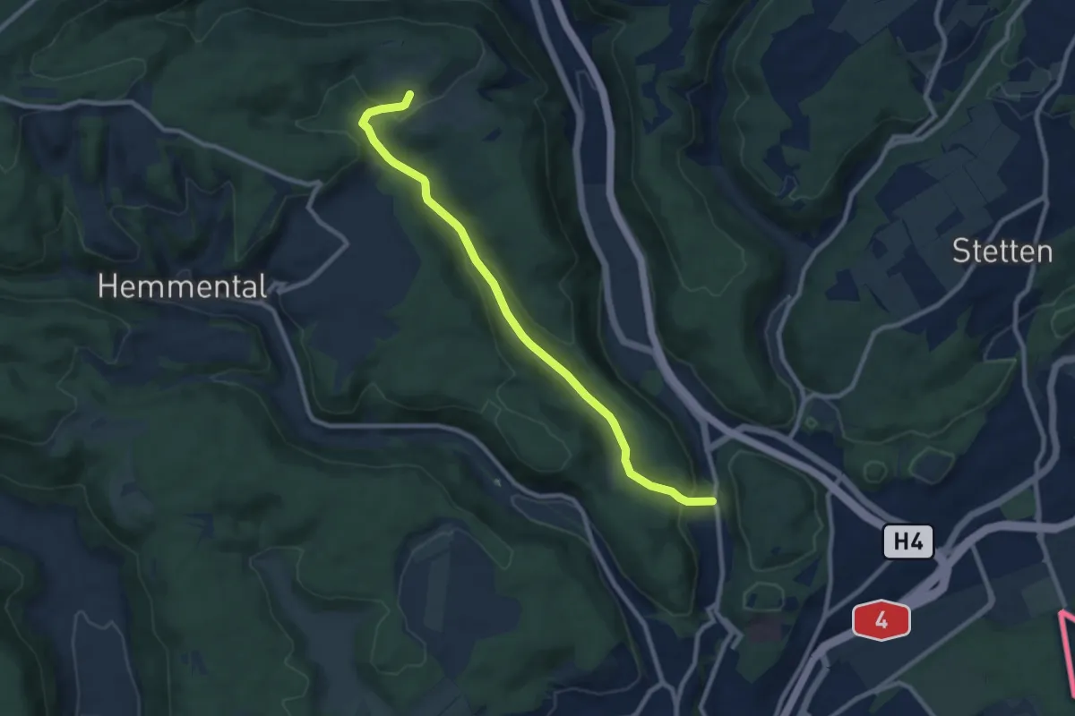
Easy · Cabin
Lankholz – Buechbärghuus
2.7 km · ↑ 96 m · 50 min
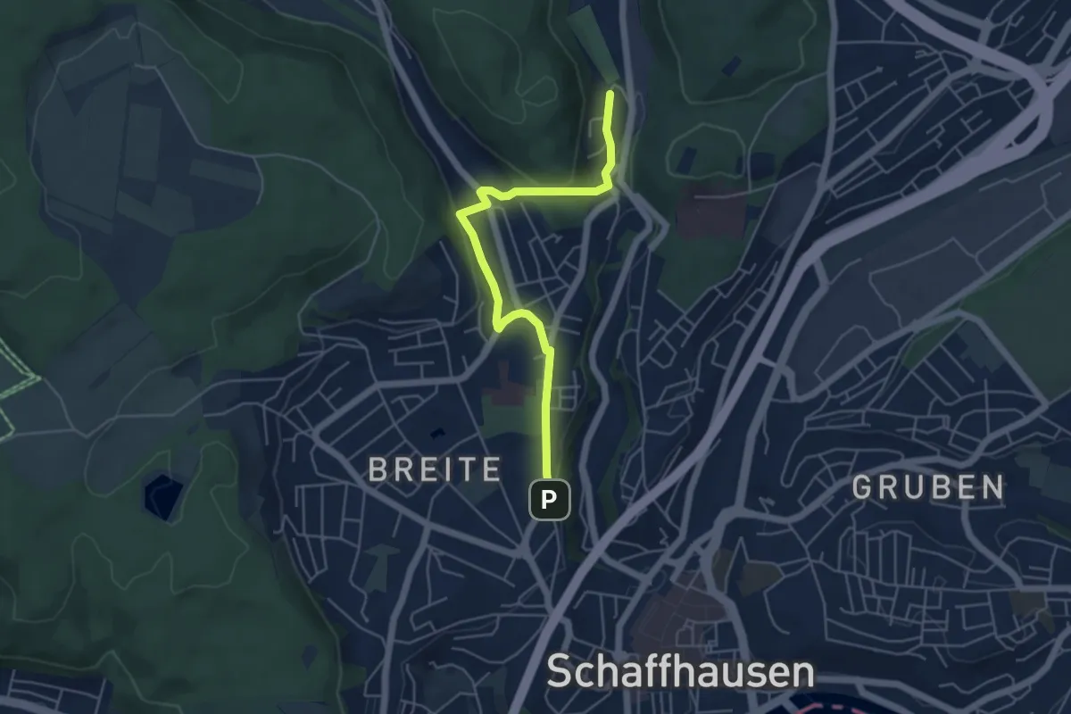
Medium · Cabin
Buechbärghuus – Chliibuechbärg
8.8 km · ↑ 274 m · 2 h 40 min
Easy · Trail
Breite – Birch
4.9 km · ↑ 125 m · 1 h 26 min
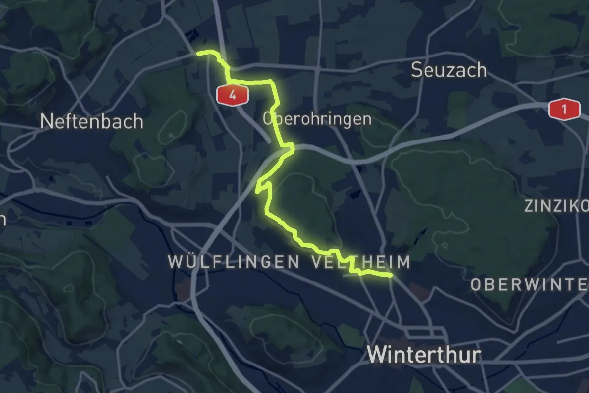
Medium · Trail
Winterthur Veltheim – Riet
12.4 km · ↑ 235 m · 3 h 27 min
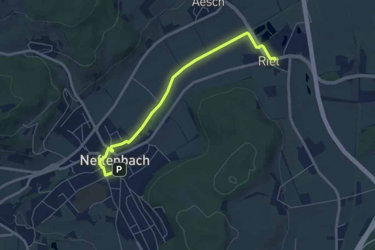
Easy · Trail
Riet – Neftenbach
5.3 km · ↑ 13 m · 1 h 17 min
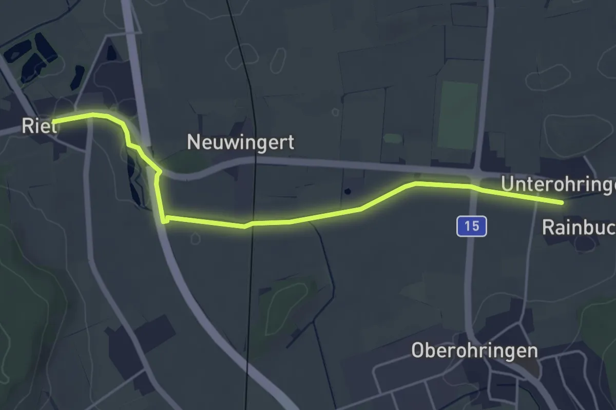
Easy · Trail
Riet – Unterohringen
4.7 km · ↑ 13 m · 1 h 8 min
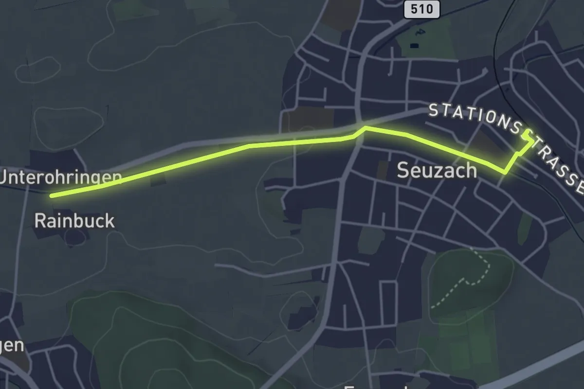
Easy · Trail
Unterohringen – Bahnhof Seuzach
4.1 km · ↑ 19 m · 1 h
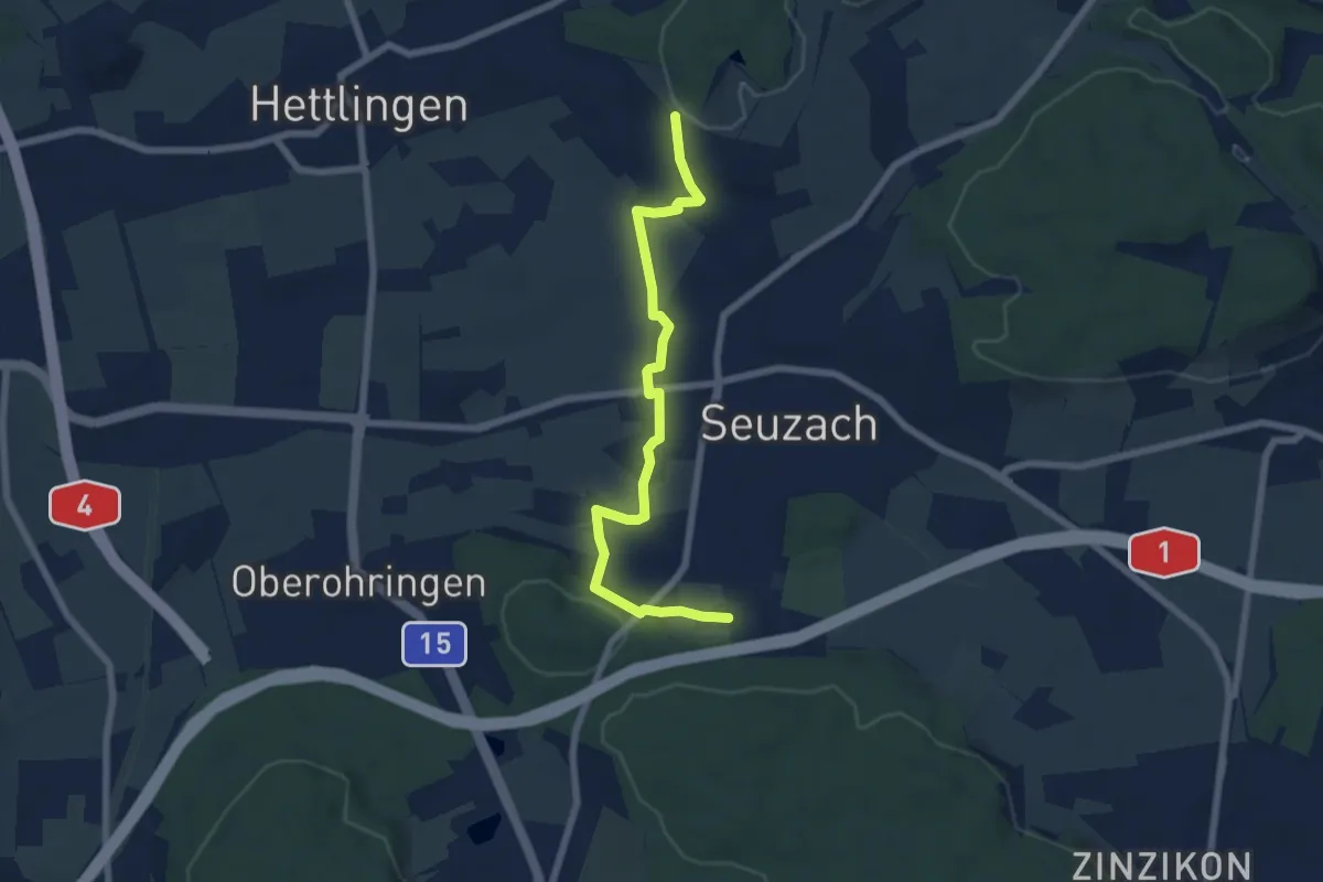
Easy · Trail
Forrenberg – Heimenstein
6.6 km · ↑ 118 m · 1 h 50 min
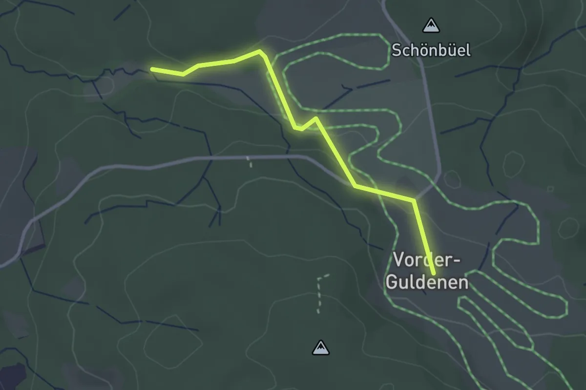
Easy · Trail
Vorderguldenen – Chüelenmorgen
2.5 km · ↑ 70 m · 44 min
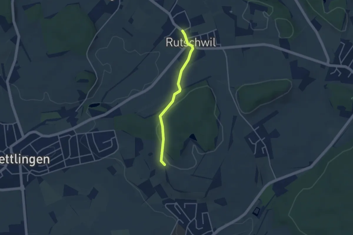
Easy · Trail
Heimenstein – Rutschwil
2.8 km · ↑ 54 m · 47 min
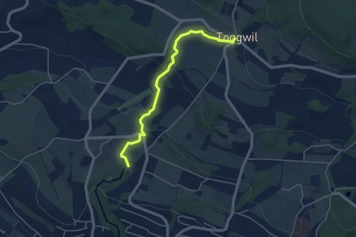
Easy · Trail
Toggwil – Rne. Friedberg
3.7 km · ↑ 134 m · 1 h 9 min
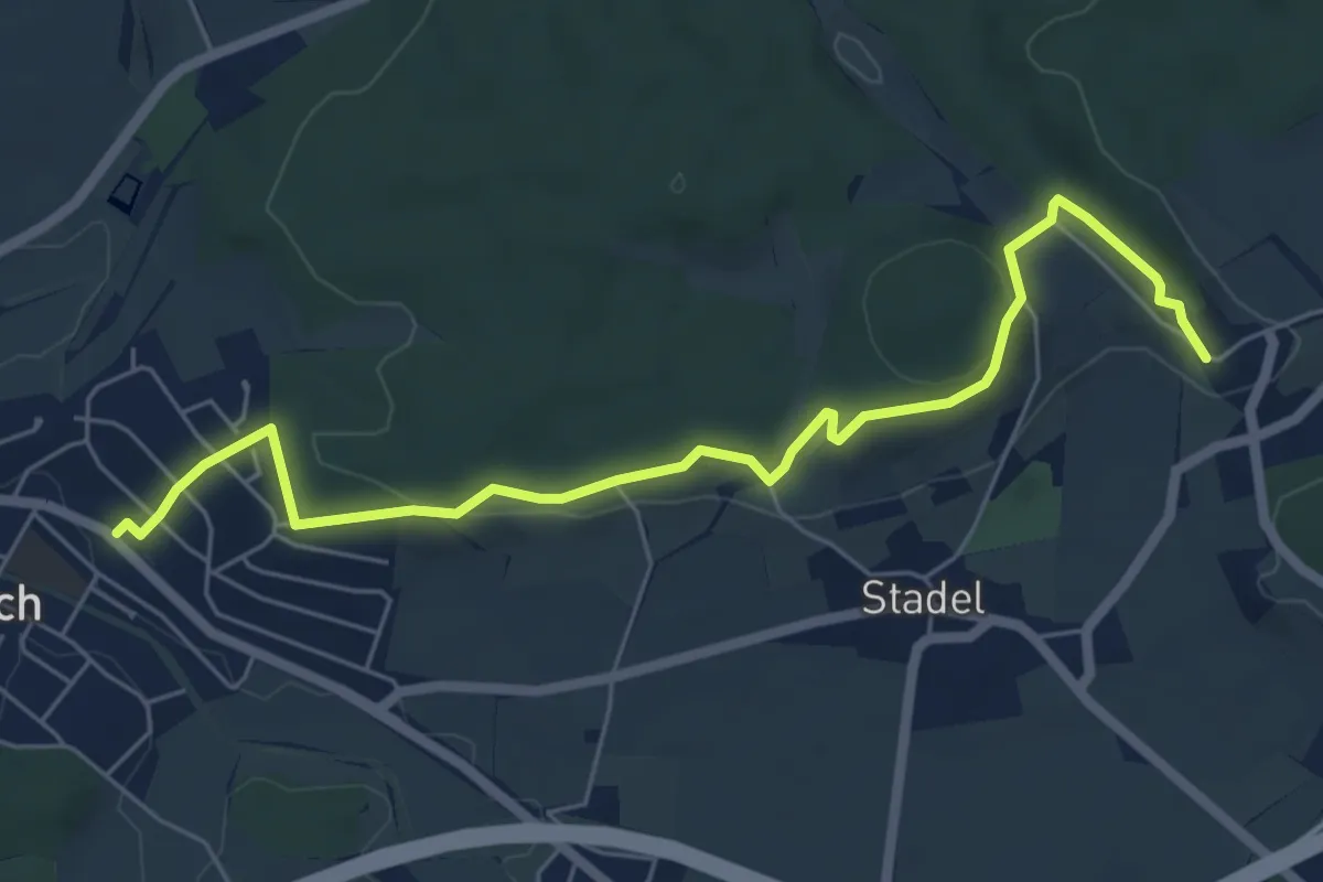
Easy · Trail
Bahnhof Seuzach – Mörsburg
6.5 km · ↑ 163 m · 1 h 54 min
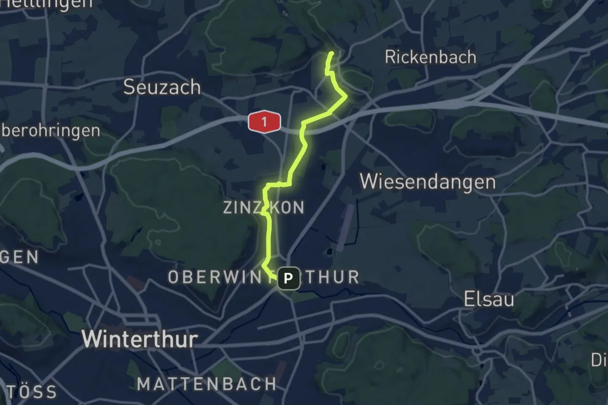
Medium · Trail
Bahnhof Oberwinterthur – Mörsburg
10.1 km · ↑ 106 m · 2 h 37 min
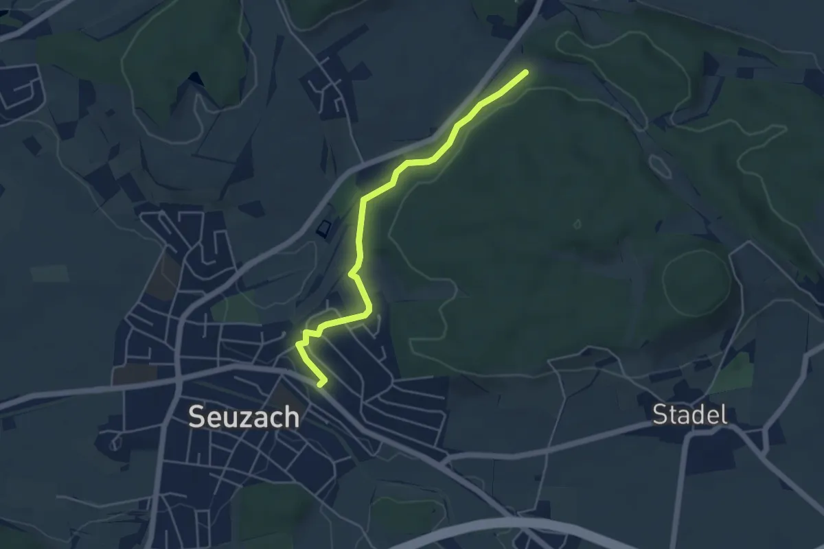
Easy · Trail
Bahnhof Seuzach – Herrenhalden
4.4 km · ↑ 46 m · 1 h 8 min
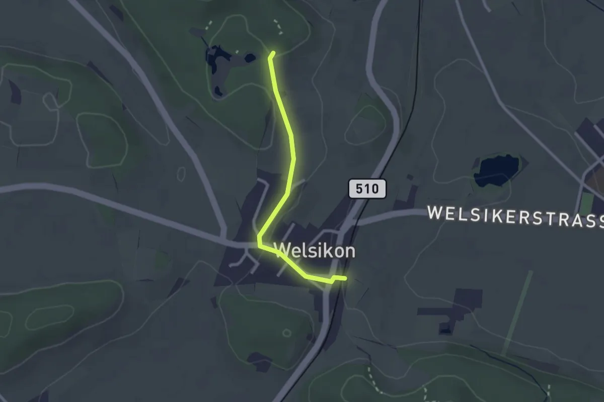
Easy · Trail
Dinhard – Gurisee
2.1 km · ↑ 39 m · 34 min