Trails in Switzerland
15,055 hiking trails, each with its route, climb, walking time and grade.
All trails, page 272 of 314
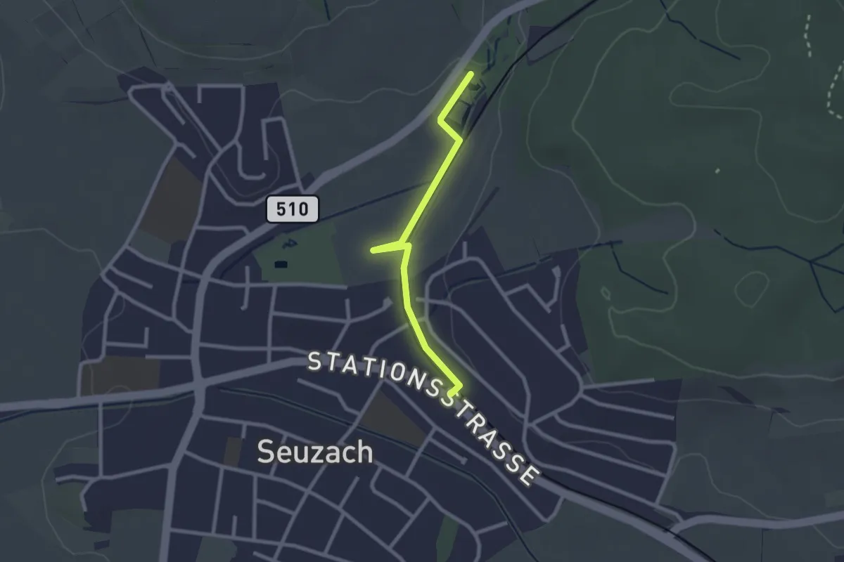
Easy · Trail
Bahnhof Seuzach – Weier Seuzach
2.2 km · ↑ 9 m · 33 min
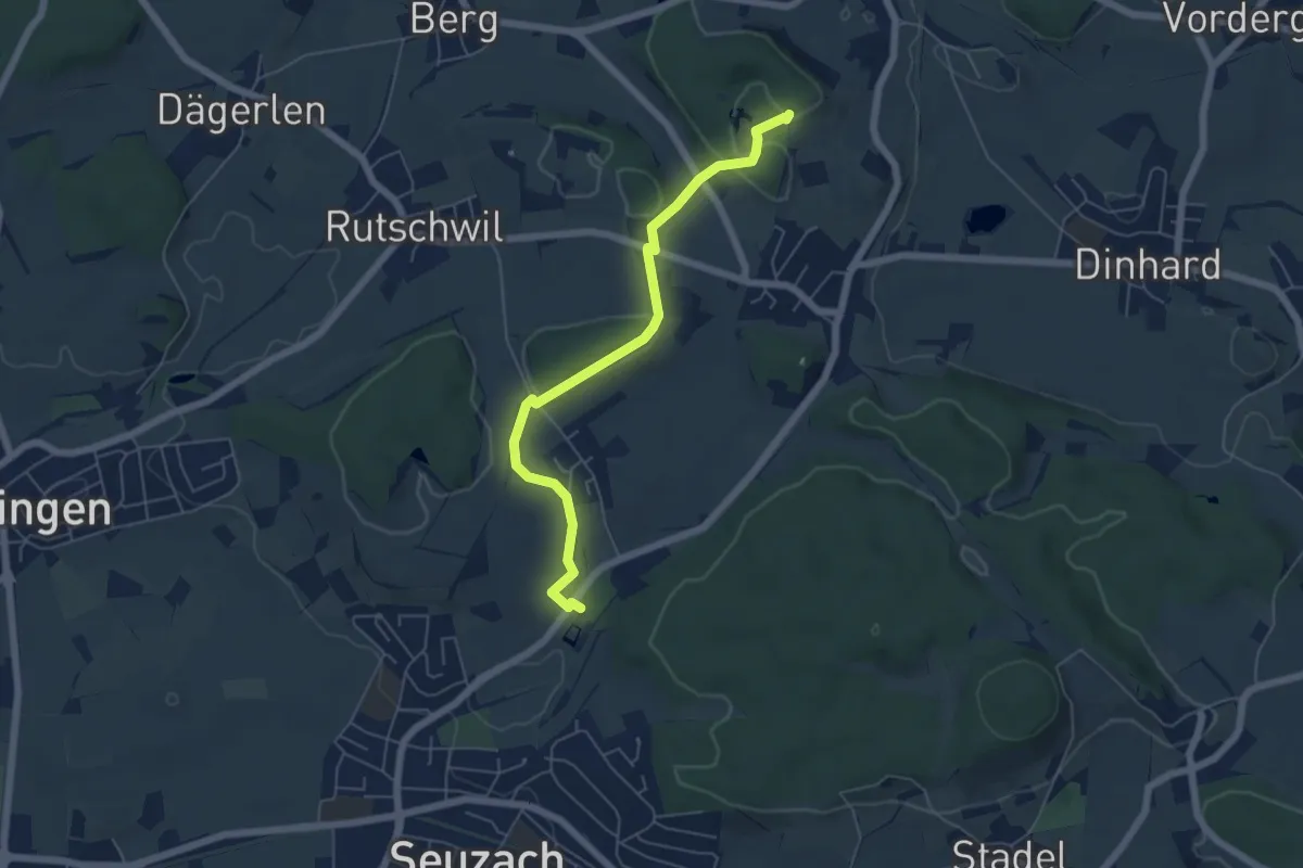
Easy · Trail
Weier Seuzach – Gurisee
5.6 km · ↑ 85 m · 1 h 31 min
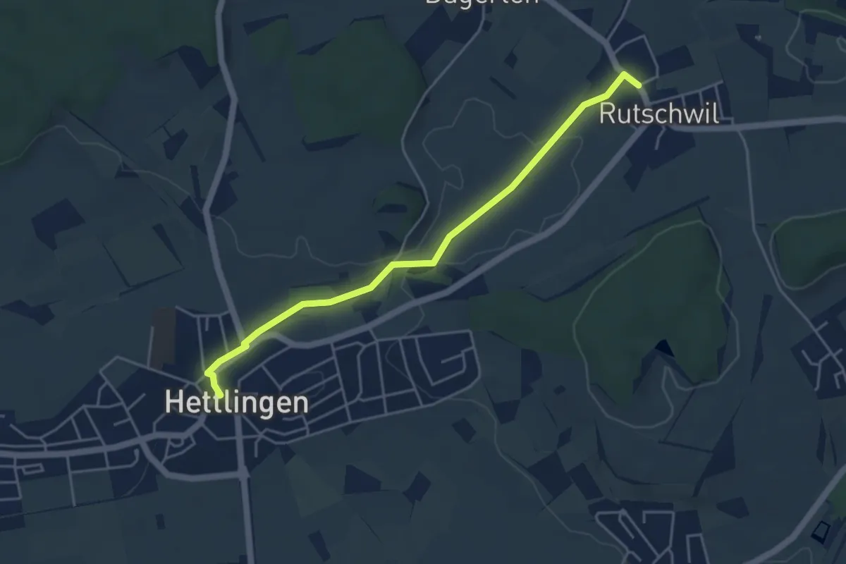
Easy · Trail
Hettlingen Dorf – Rutschwil
4.4 km · ↑ 21 m · 1 h 5 min
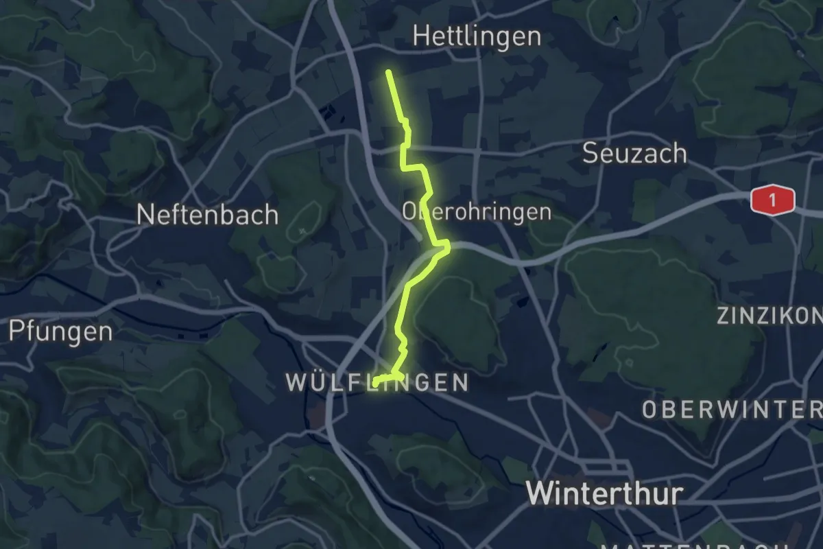
Medium · Trail
Winterthur Wülflingen – Bahnhof Hettlingen
9.7 km · ↑ 87 m · 2 h 28 min
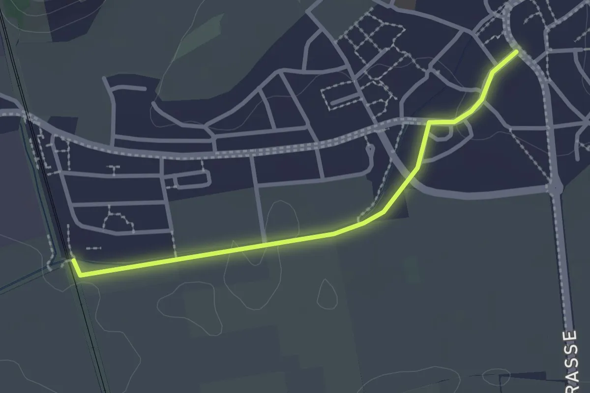
Easy · Trail
Bahnhof Hettlingen – Hettlingen Dorf
2.4 km · ↑ 13 m · 36 min
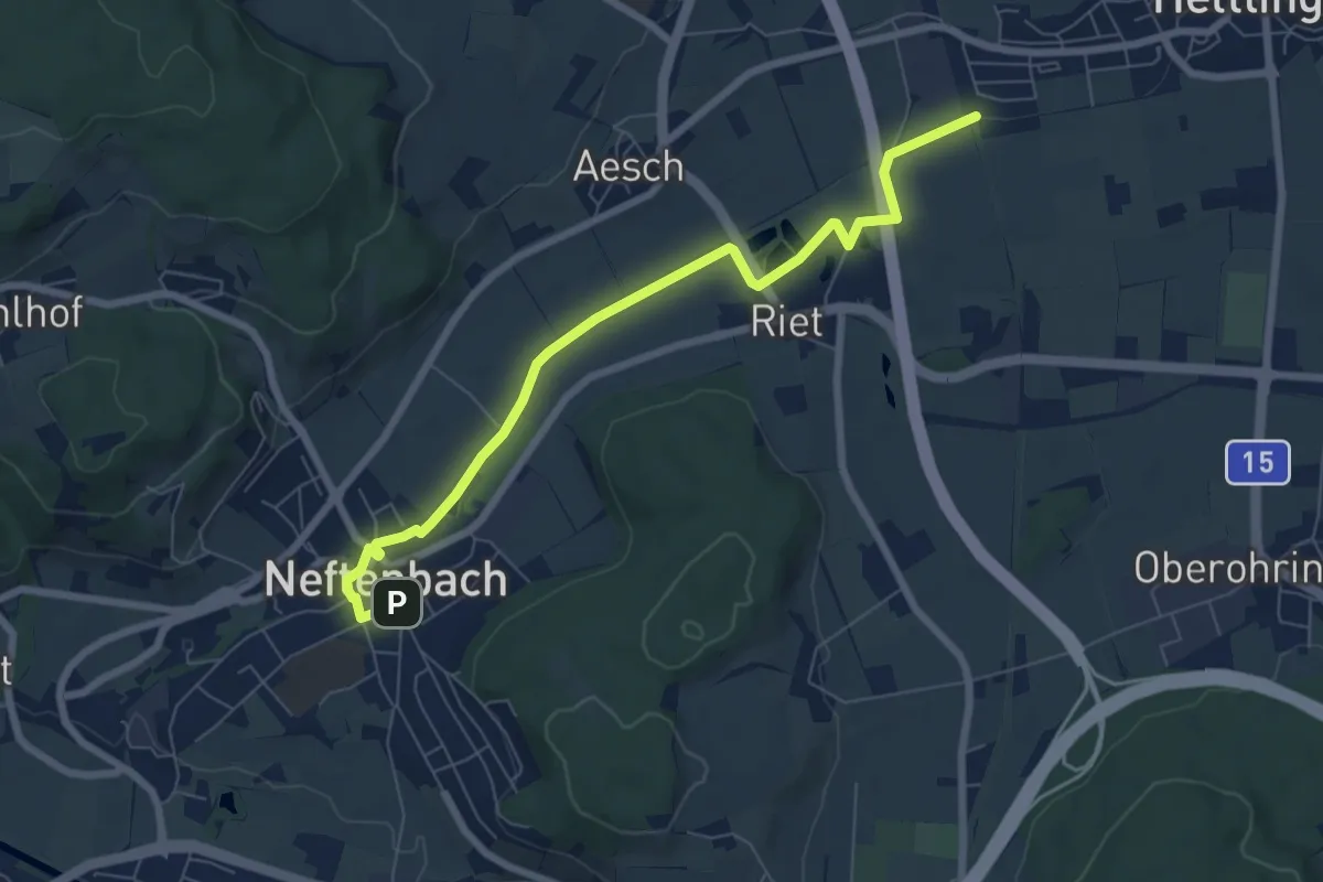
Easy · Trail
Neftenbach – Bahnhof Hettlingen
7.3 km · ↑ 22 m · 1 h 47 min
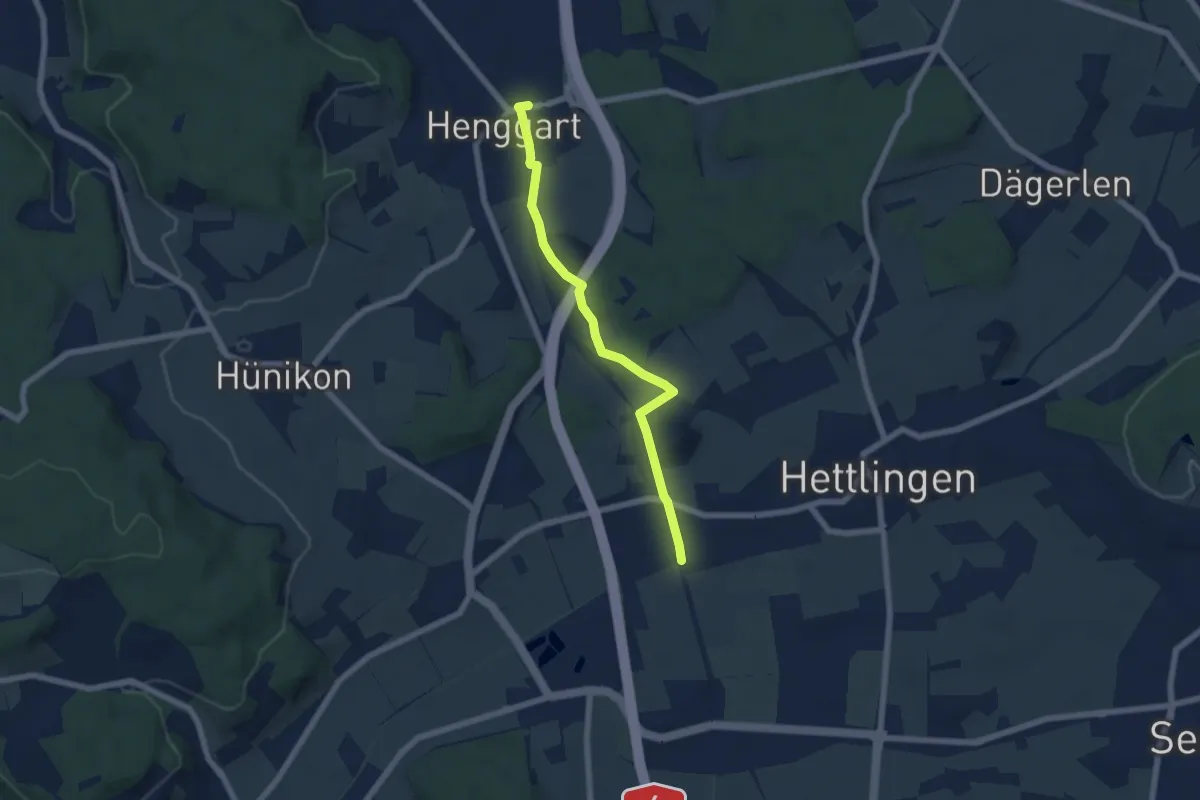
Easy · Trail
Bahnhof Hettlingen – Bahnhof Henggart
5.9 km · ↑ 47 m · 1 h 29 min
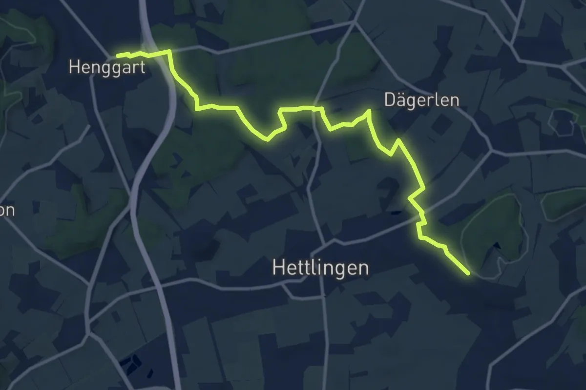
Medium · Trail
Bahnhof Henggart – Heimenstein
11.1 km · ↑ 216 m · 3 h 5 min
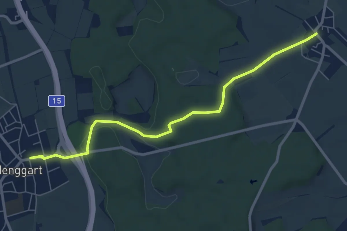
Easy · Trail
Henggart – Oberwil
6.0 km · ↑ 83 m · 1 h 35 min
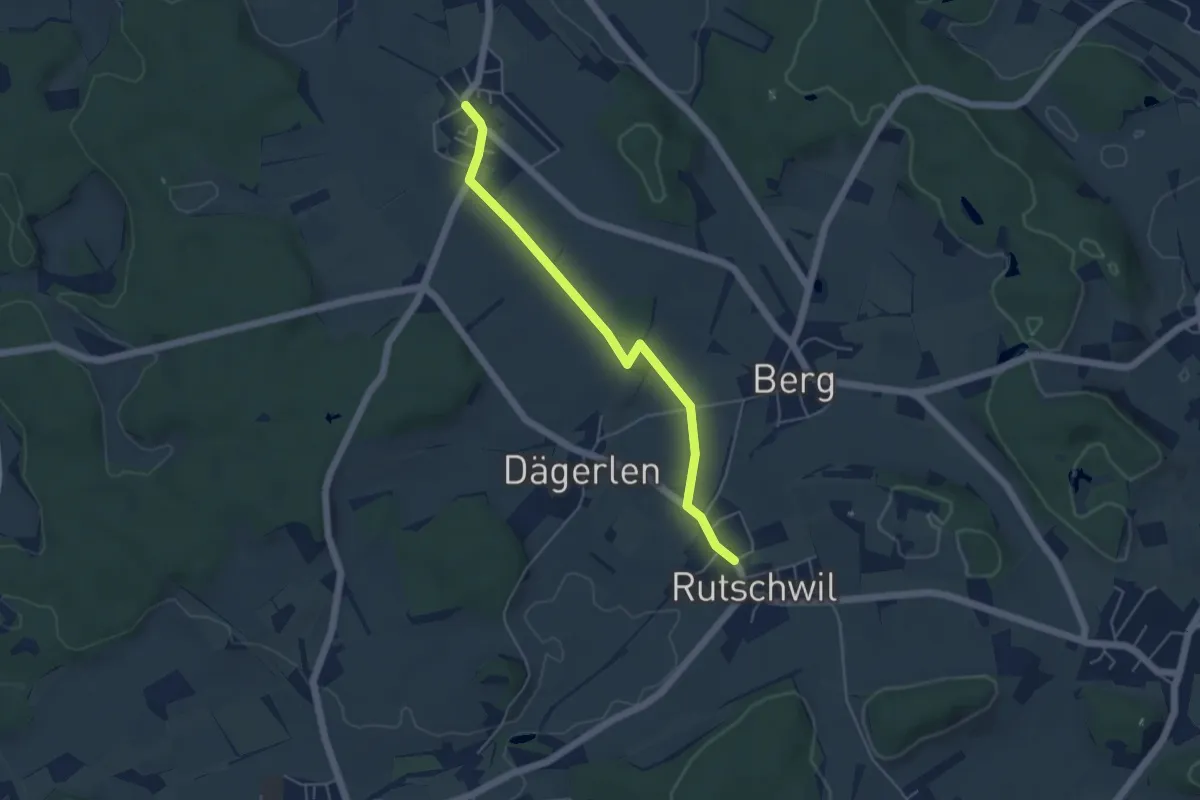
Easy · Trail
Oberwil – Rutschwil
4.7 km · ↑ 36 m · 1 h 11 min
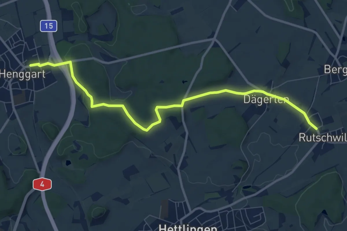
Medium · Trail
Henggart – Rutschwil
8.7 km · ↑ 118 m · 2 h 19 min
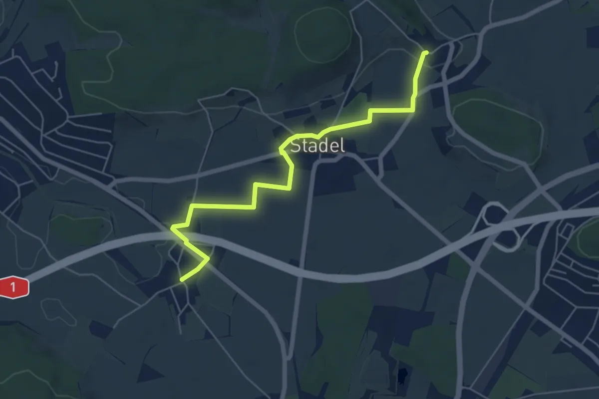
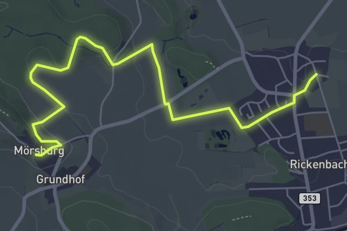
Easy · Trail
Reutlingen – Mörsburg
5.4 km · ↑ 59 m · 1 h 24 min
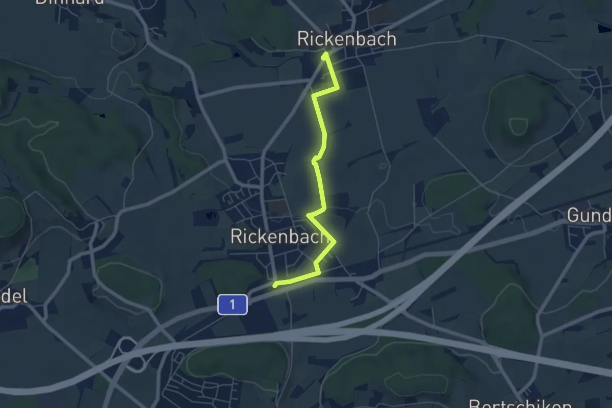
Easy · Trail
Mörsburg – Sulz
6.3 km · ↑ 122 m · 1 h 45 min
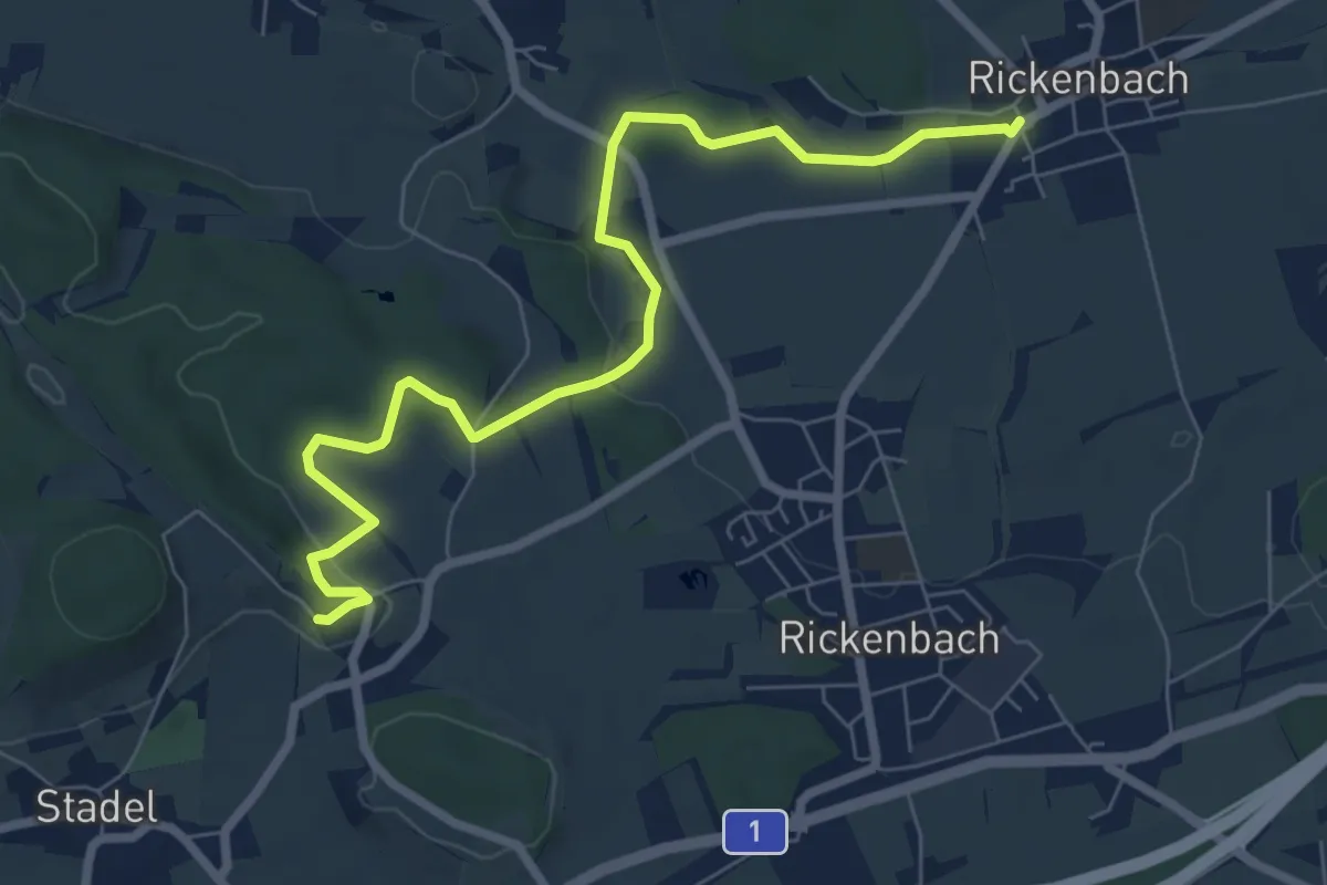
Easy · Trail
Bahnhof Rickenbach-Attikon – Rickenbach
5.0 km · ↑ 54 m · 1 h 18 min
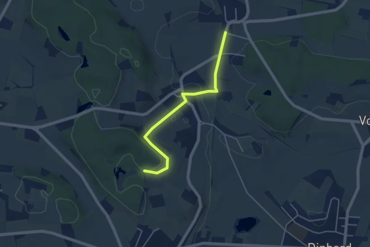
Easy · Trail
Mörsburg – Rickenbach
7.8 km · ↑ 145 m · 2 h 9 min
Easy · Trail
Gurisee – Bahnhof Thalheim-Altikon
3.3 km · ↑ 57 m · 54 min
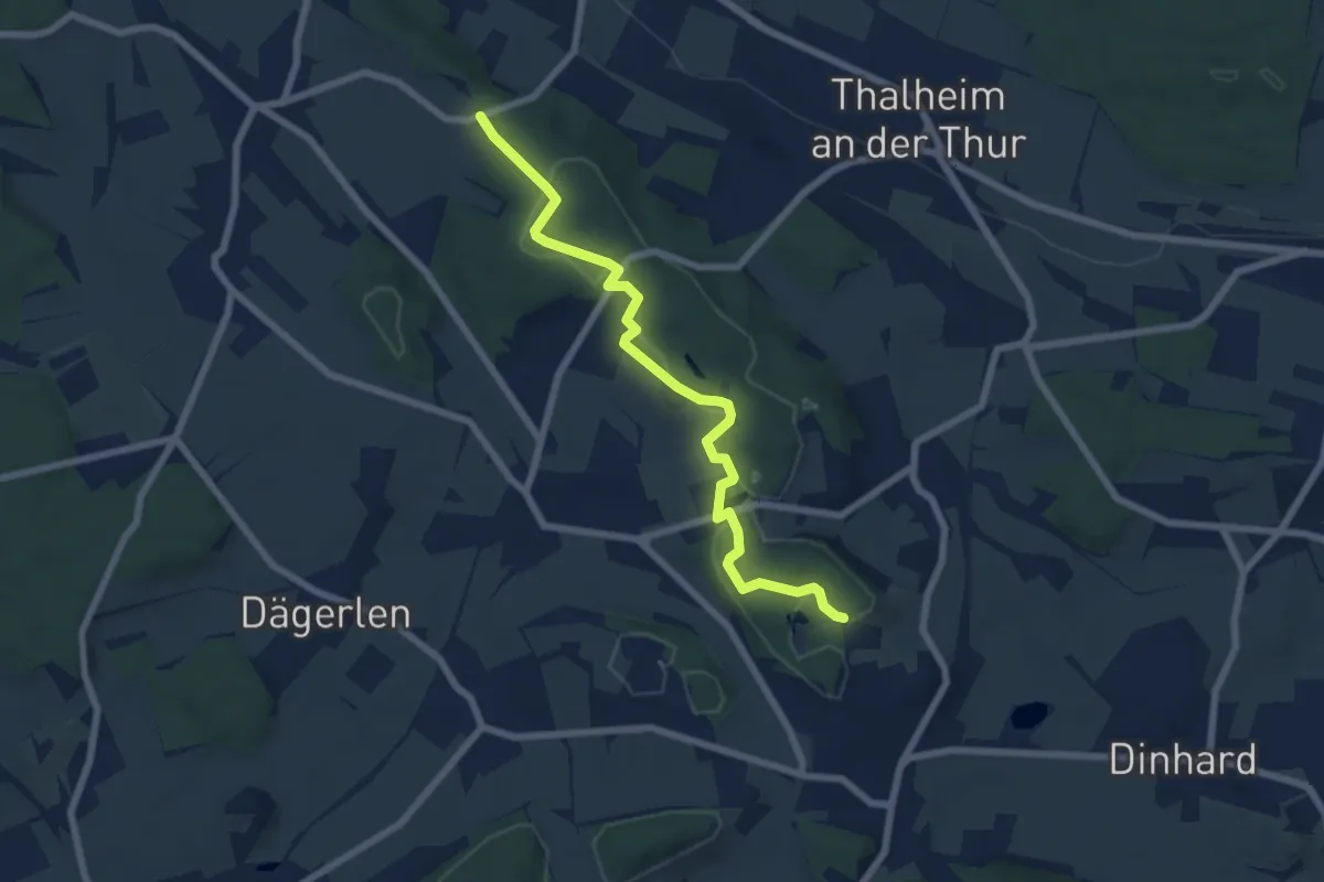
Easy · Trail
Holgass – Gurisee
6.9 km · ↑ 147 m · 1 h 57 min
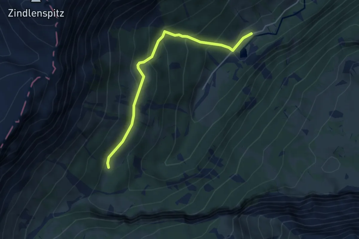
Easy · Trail
Sulzboden – Sulz
4.0 km · ↑ 309 m · 1 h 37 min
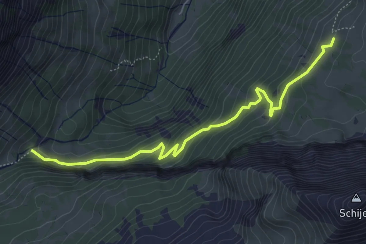
Medium · Cabin
Punkt 1391 – Rautialp
5.8 km · ↑ 376 m · 2 h 11 min
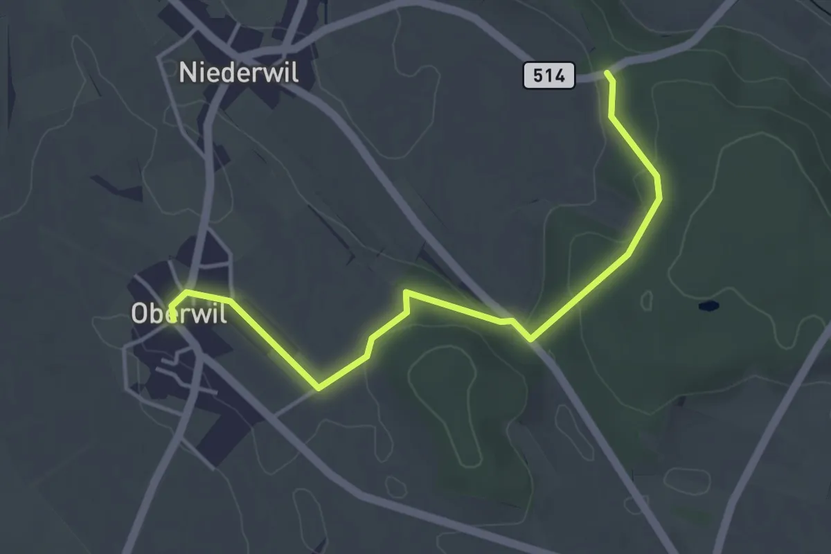
Easy · Trail
Oberwil – Holgass
4.0 km · ↑ 67 m · 1 h 6 min
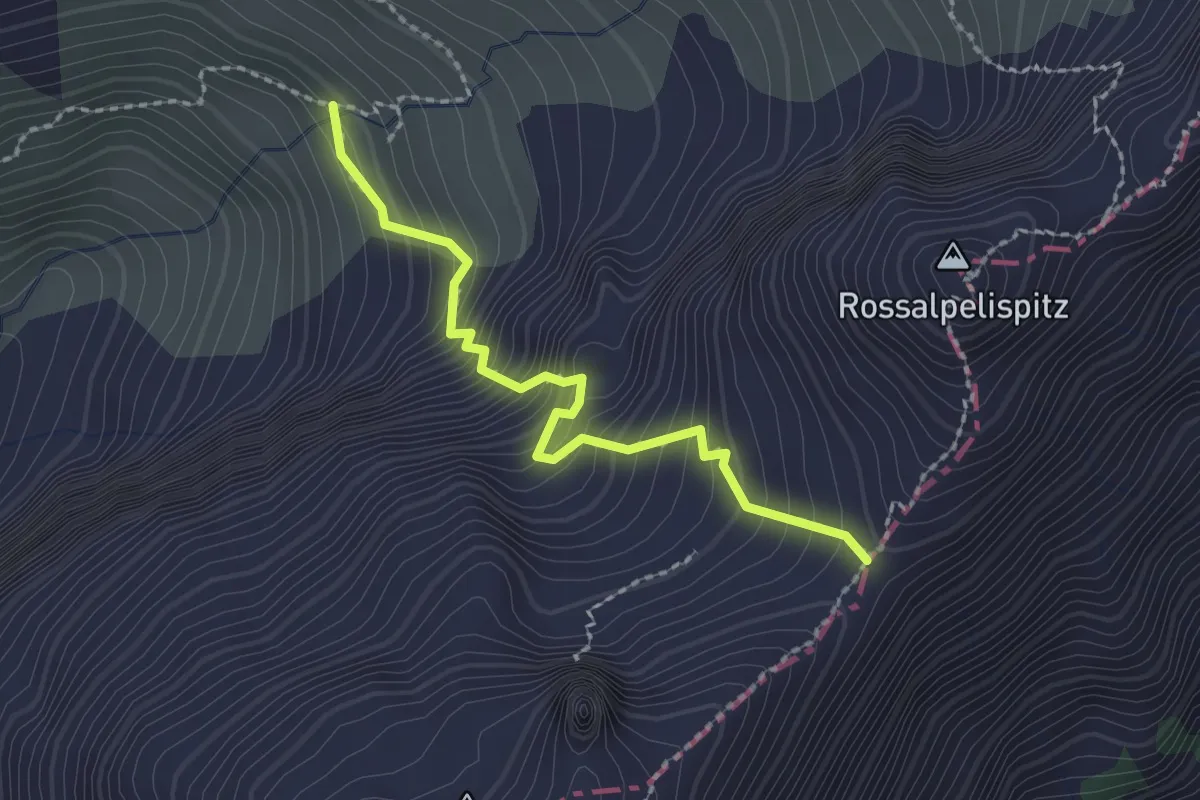
Expert · Trail
Hohfläschenmatt – Rossalpeli
2.1 km · ↑ 320 m · 1 h 11 min
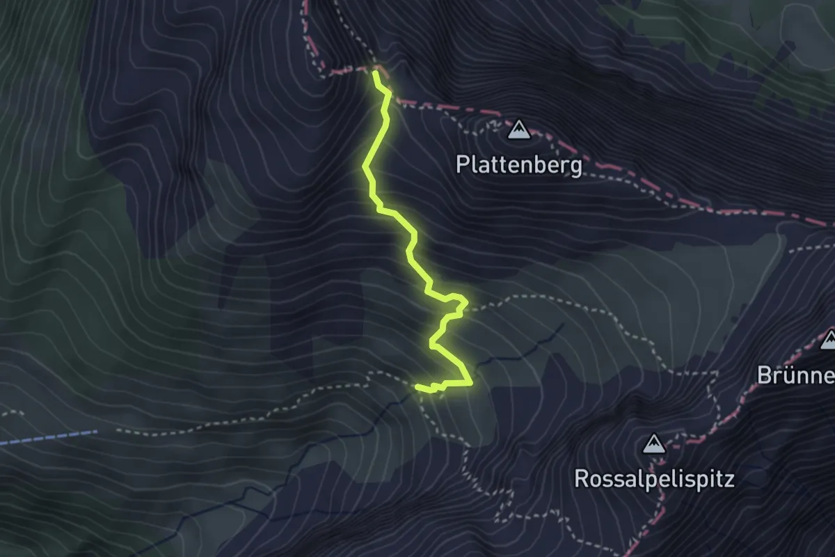
Medium · Trail
Hohfläschenmatt – Furgge/Schneeschmelzi
2.6 km · ↑ 332 m · 1 h 20 min
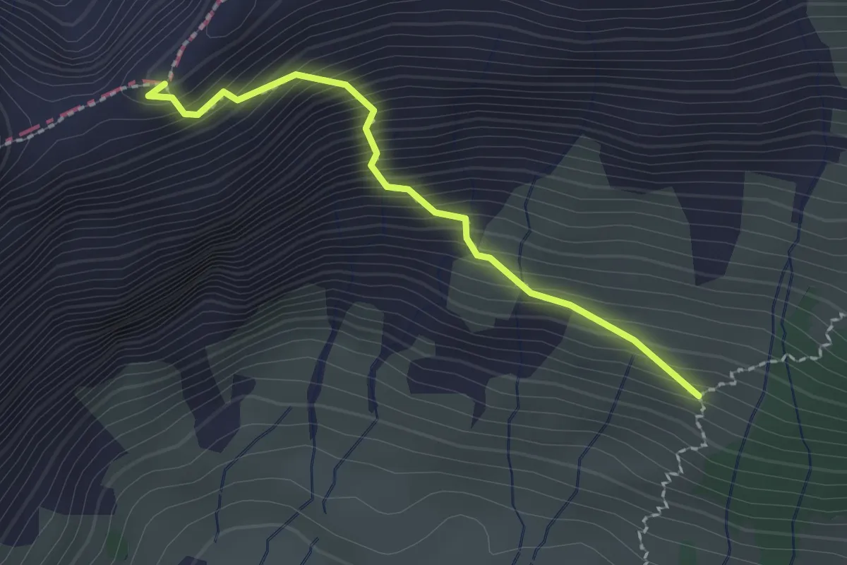
Expert · Trail
Heualp – Wildchamm
2.0 km · ↑ 309 m · 1 h 8 min
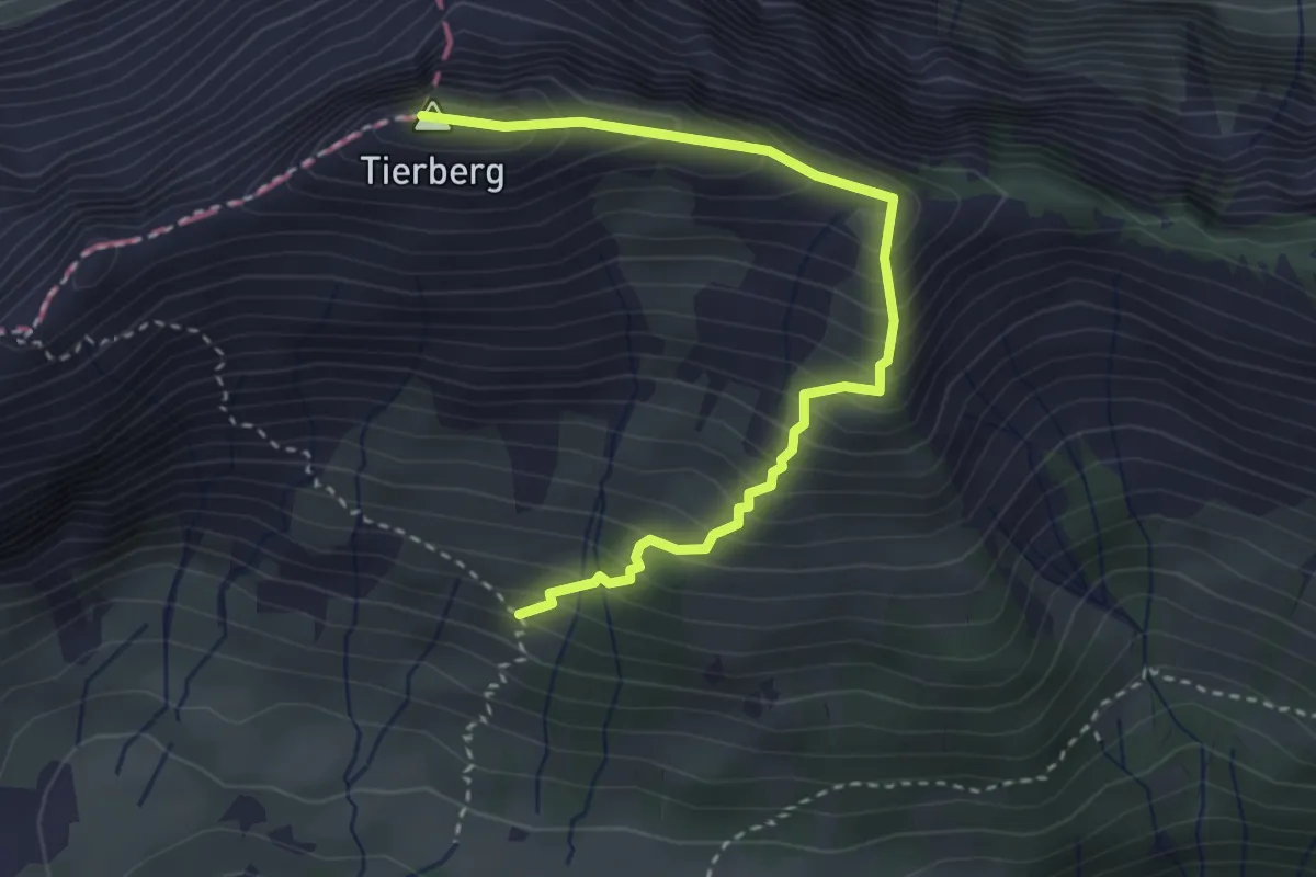
Medium · Summit
Heualp – Tierberg
3.5 km · ↑ 449 m · 1 h 48 min
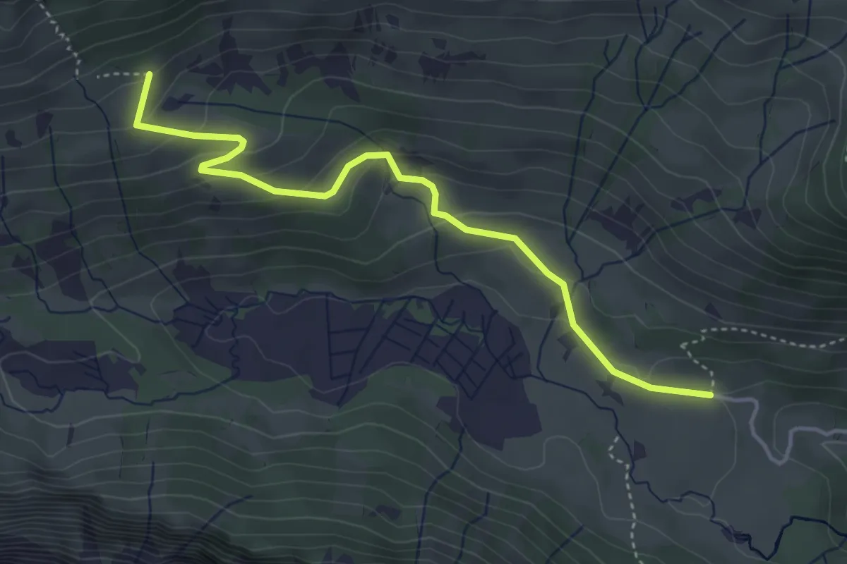
Easy · Trail
Matt Schwändital – Winteregg (Stattboden)
4.3 km · ↑ 217 m · 1 h 29 min
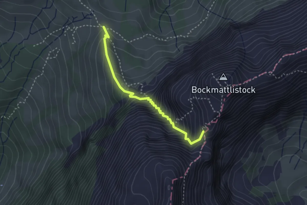
Medium · Trail
Schwarzenegghöchi – Bockmattlipass
2.8 km · ↑ 403 m · 1 h 32 min
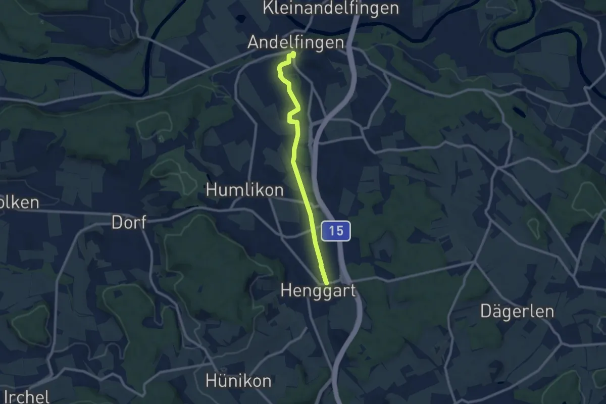
Medium · Trail
Bahnhof Andelfingen – Bahnhof Henggart
8.6 km · ↑ 66 m · 2 h 10 min
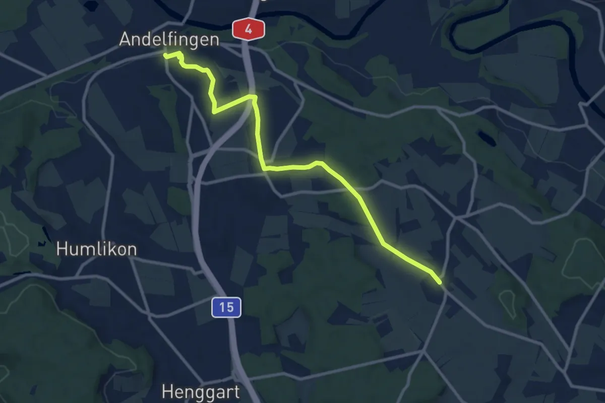
Medium · Trail
Bahnhof Andelfingen – Oberwil
9.1 km · ↑ 120 m · 2 h 25 min
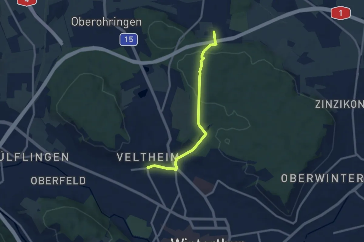
Easy · Trail
Forrenberg – Winterthur Veltheim
5.7 km · ↑ 132 m · 1 h 38 min
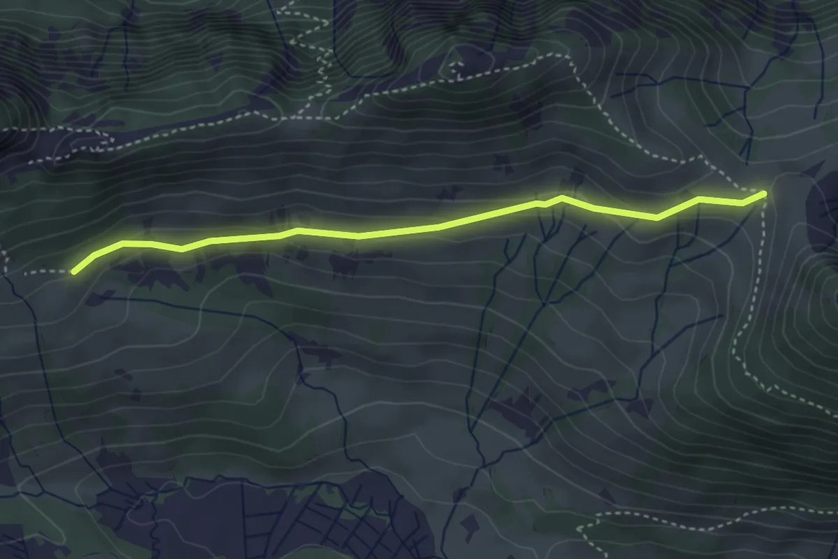
Easy · Trail
Winteregg – Lochegg
3.7 km · ↑ 114 m · 1 h 7 min
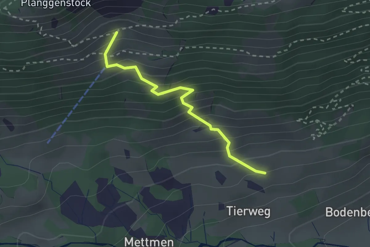
Medium · Trail
Tierweg – Obere Planggen
2.1 km · ↑ 297 m · 1 h 8 min
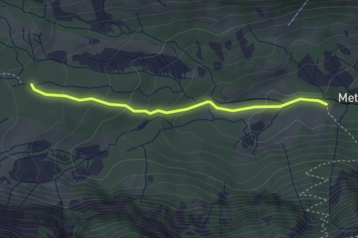
Easy · Trail
Mettmen – Flüewald
3.1 km · ↑ 165 m · 1 h 5 min
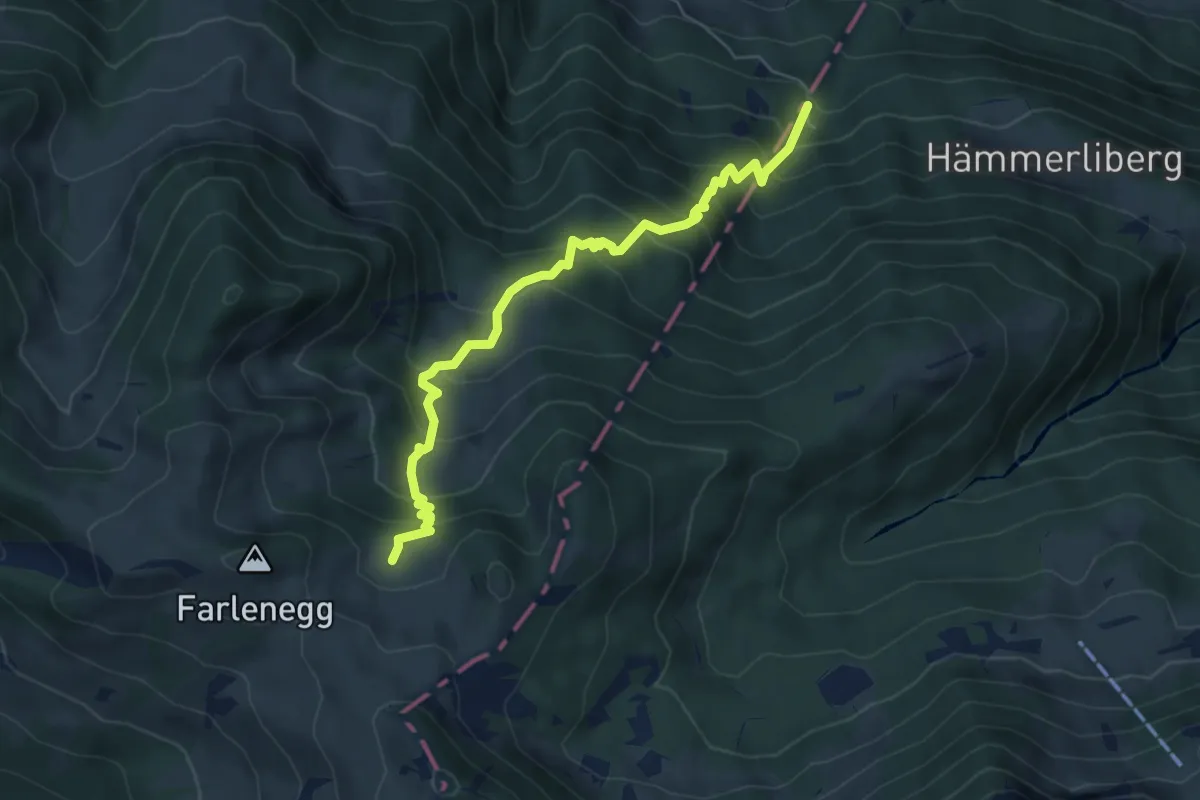
Medium · Trail
Hoggli – Lachen (Alp)
6.0 km · ↑ 668 m · 2 h 52 min
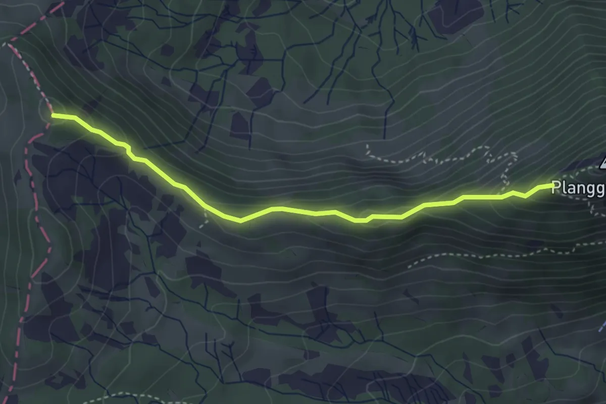
Medium · Trail
Kessel – Mälchterli
3.6 km · ↑ 197 m · 1 h 17 min
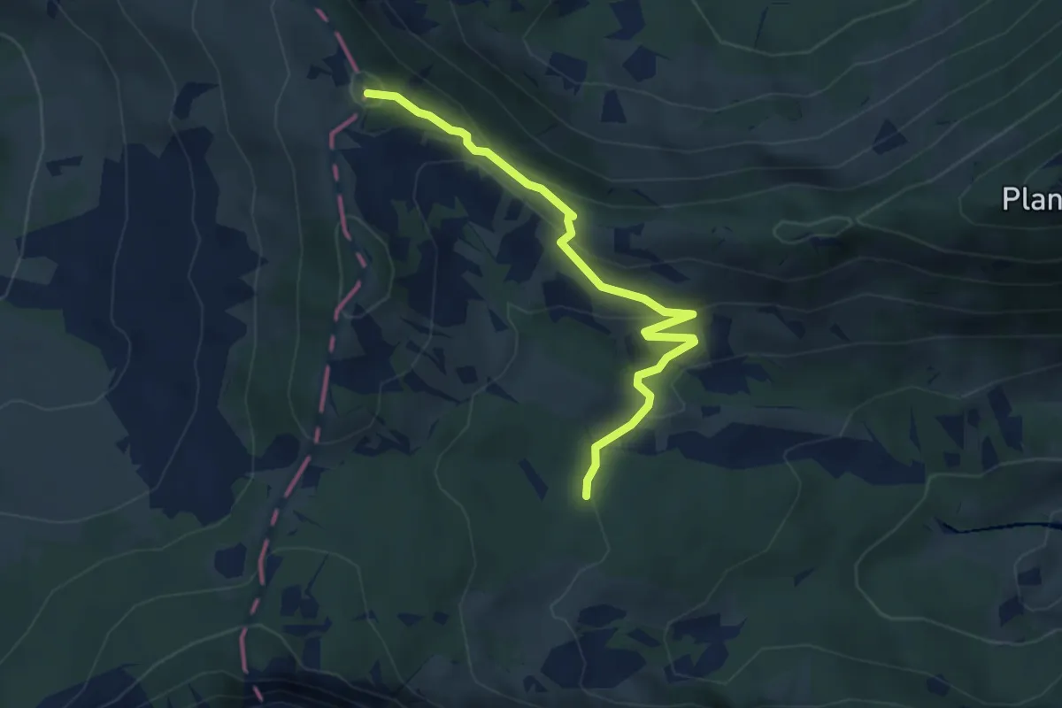
Medium · Trail
Flüewald – Mälchterli
3.9 km · ↑ 151 m · 1 h 14 min
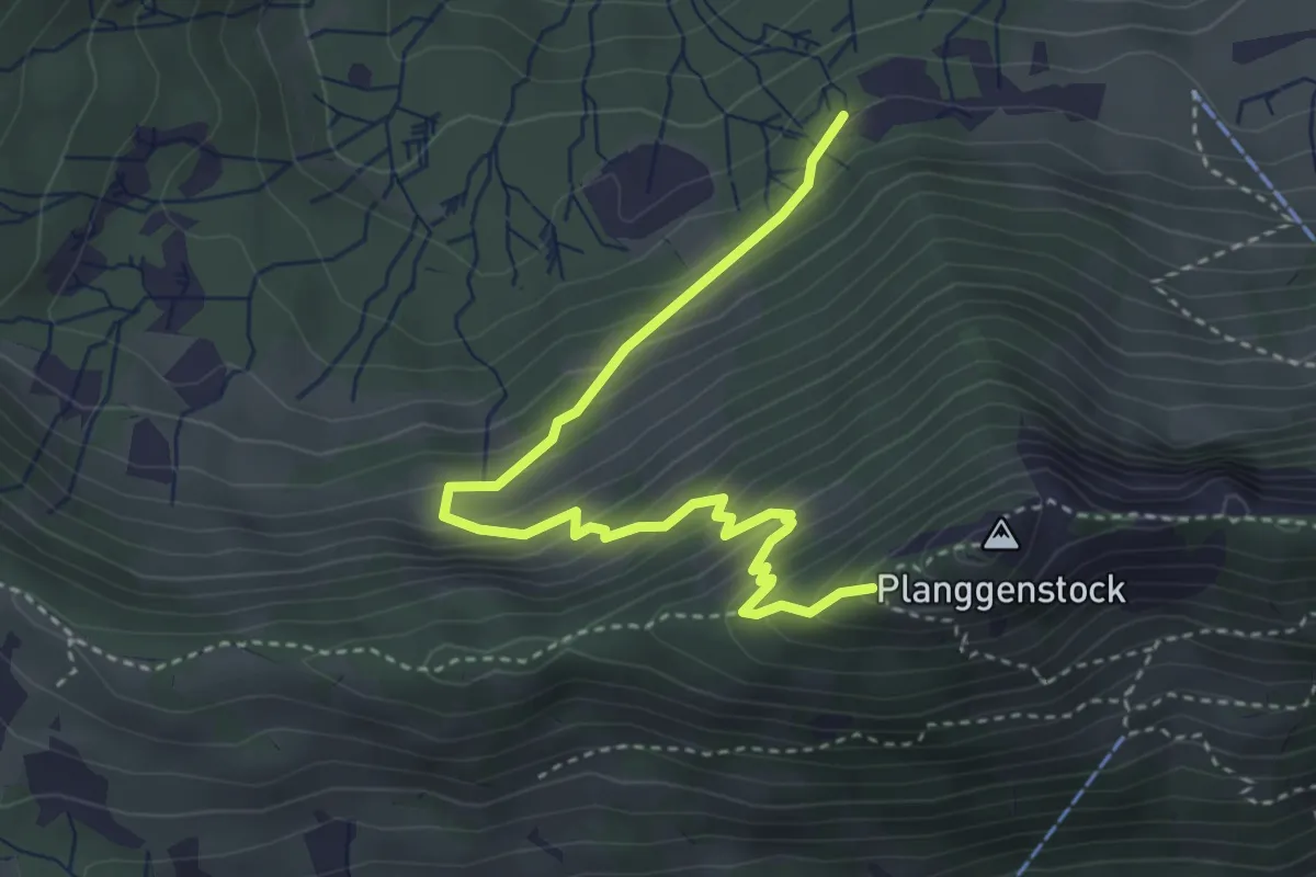
Medium · Trail
Bühls – Kessel
3.9 km · ↑ 354 m · 1 h 41 min
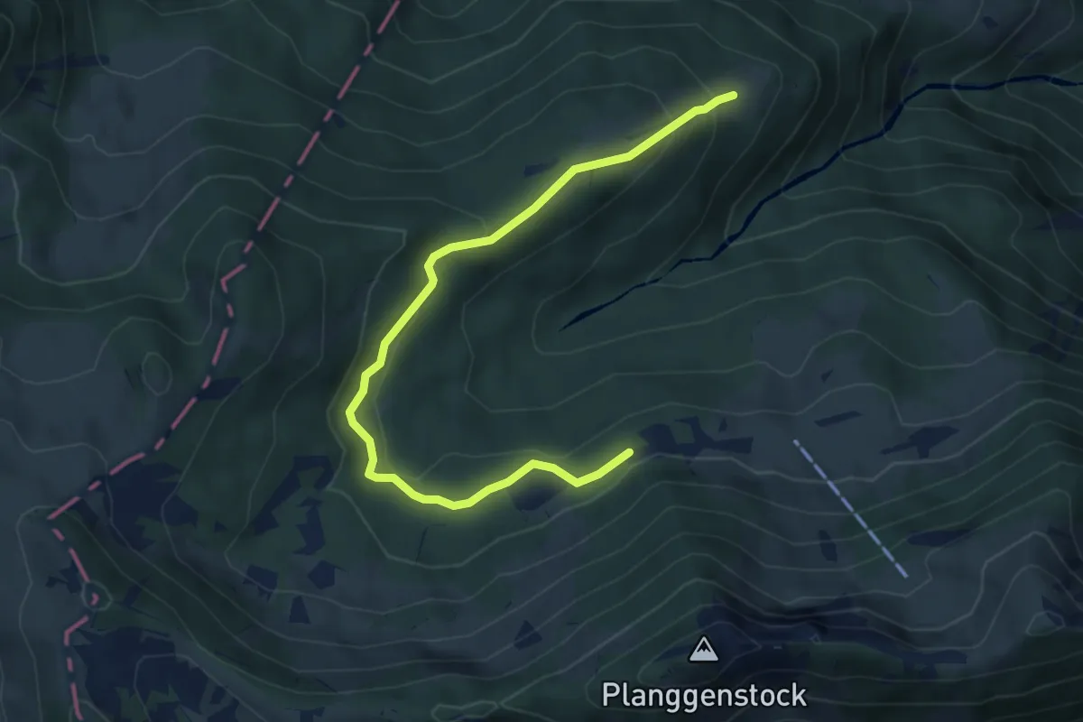
Medium · Trail
Sonnenberg – Bühls
5.5 km · ↑ 271 m · 1 h 53 min
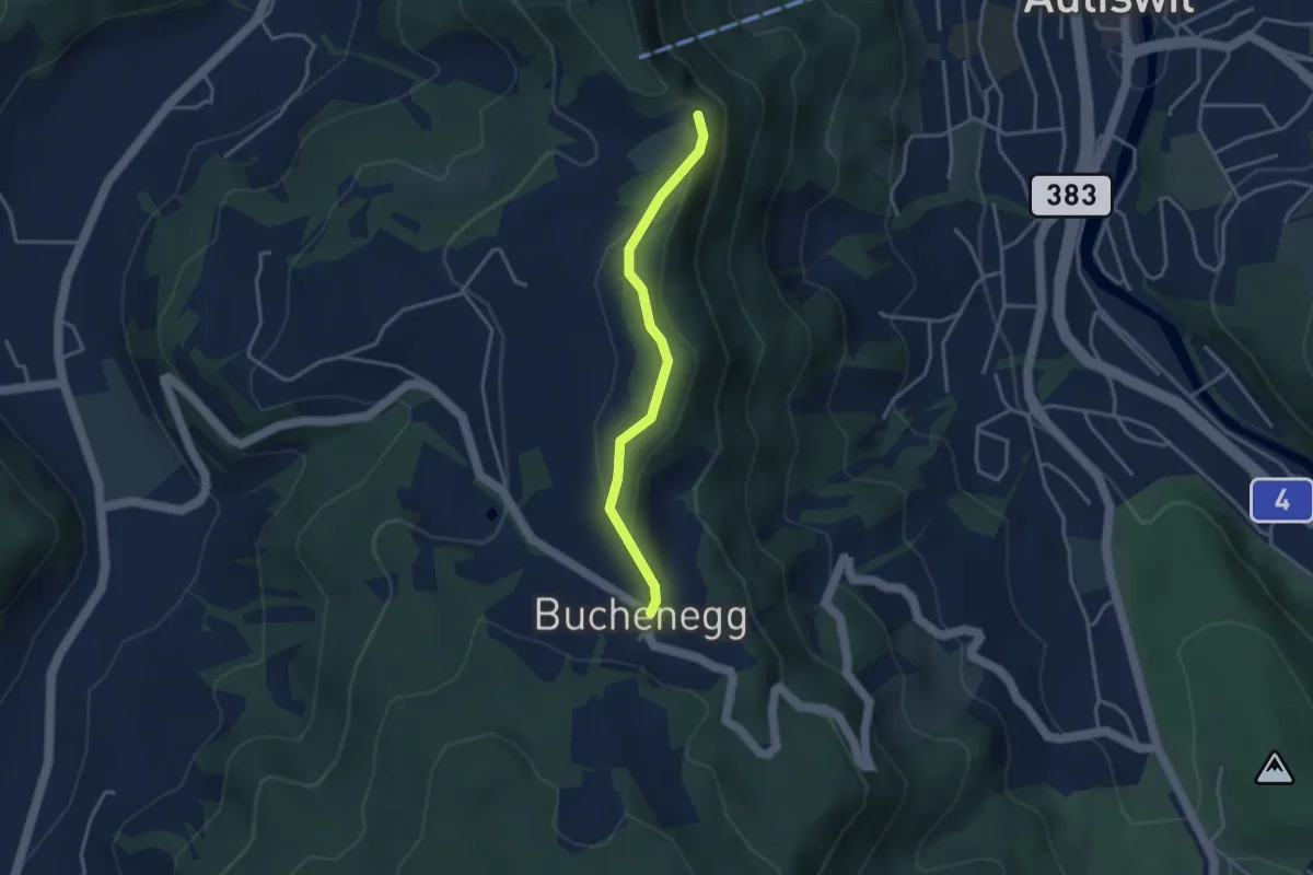
Easy · Trail
Felsenegg – Buchenegg
3.2 km · ↑ 66 m · 54 min
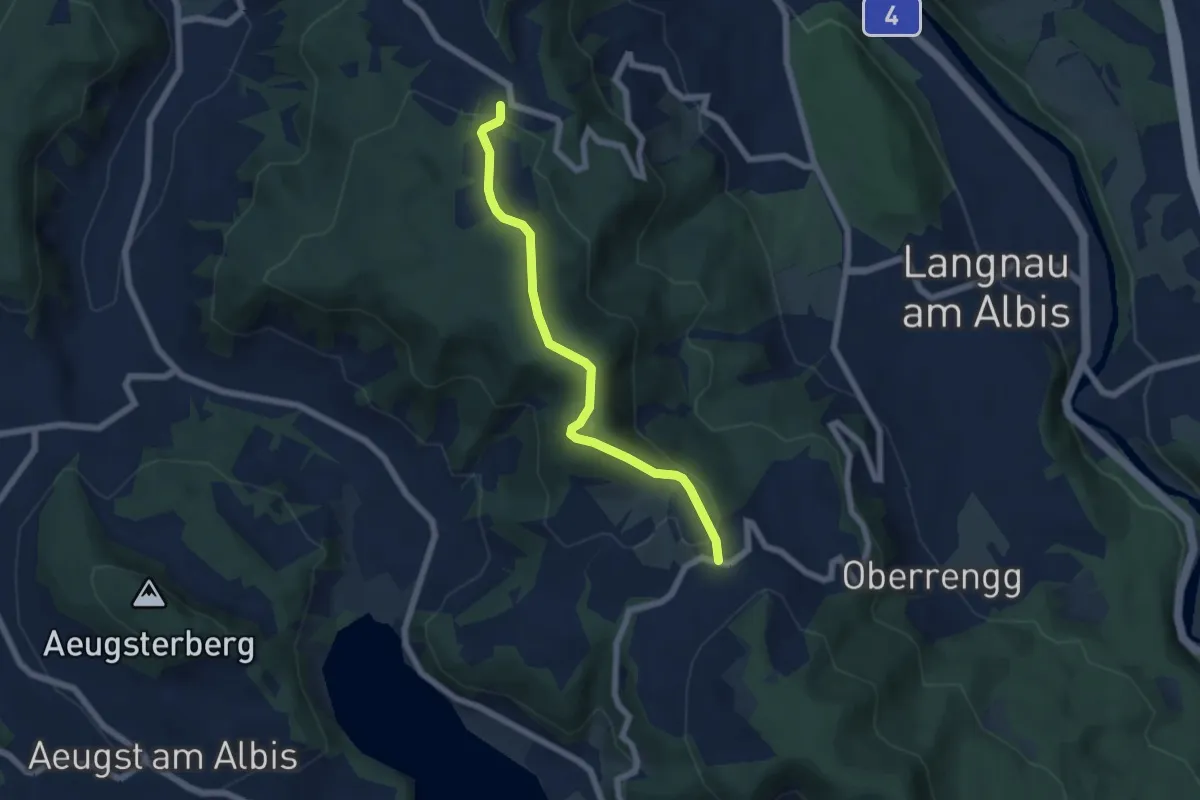
Easy · Trail
Näfenhüser – Albispass
5.7 km · ↑ 240 m · 1 h 52 min
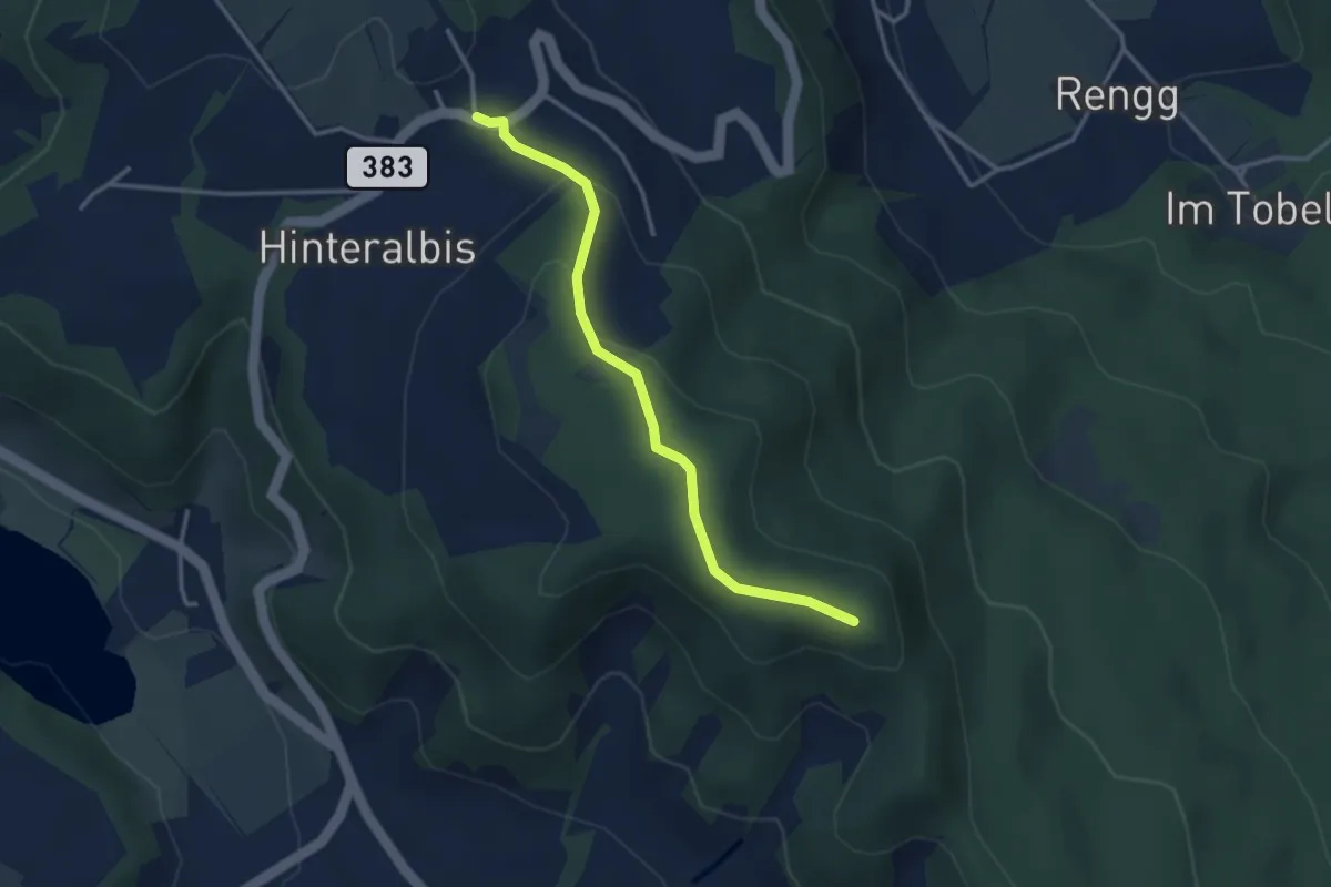
Easy · Trail
Albispass – Albis Hochwacht
3.2 km · ↑ 89 m · 57 min
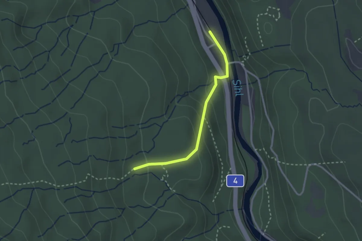
Easy · Trail
Tannboden – Sihlwald
2.3 km · ↑ 123 m · 48 min
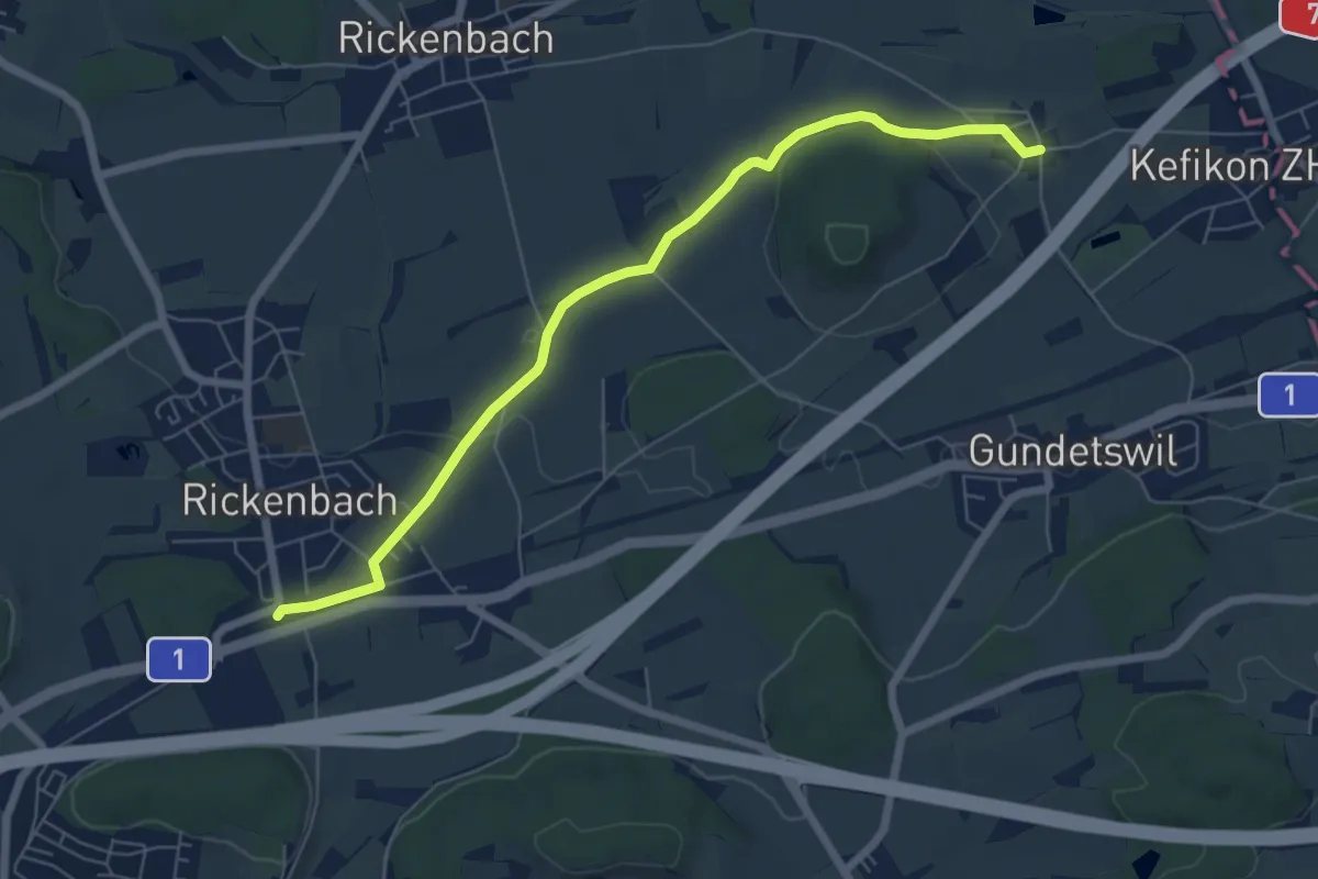
Easy · Trail
Bahnhof Rickenbach-Attikon – Menzengrüt
6.7 km · ↑ 71 m · 1 h 44 min
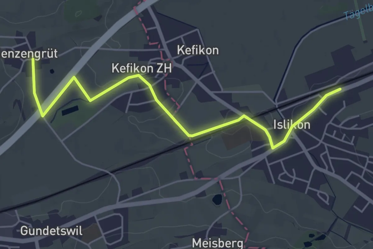
Easy · Trail
Menzengrüt – Islikon Station
5.3 km · ↑ 26 m · 1 h 19 min
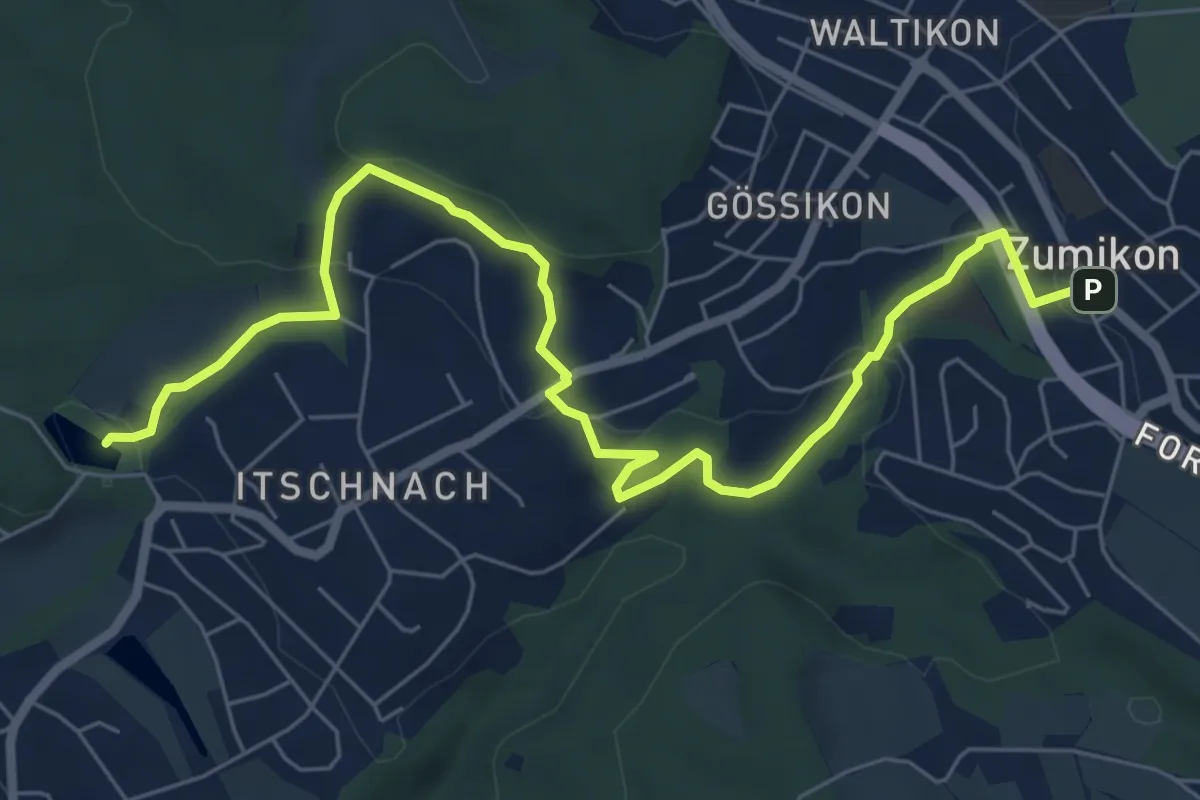
Medium · Trail
Rumensee – Zumikon
8.1 km · ↑ 288 m · 2 h 32 min
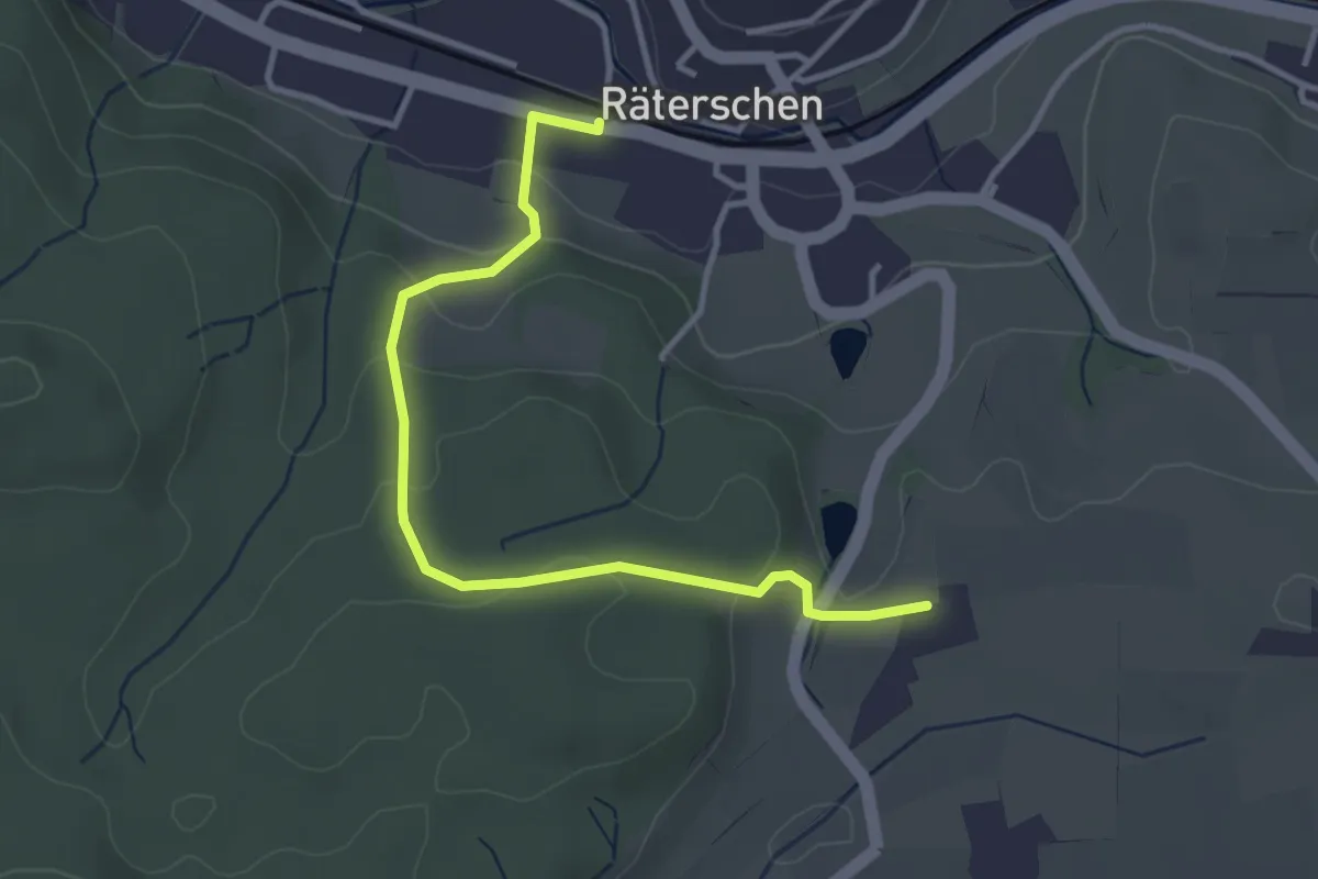
Easy · Trail
Bahnhof Räterschen – Weingarten
3.6 km · ↑ 138 m · 1 h 9 min
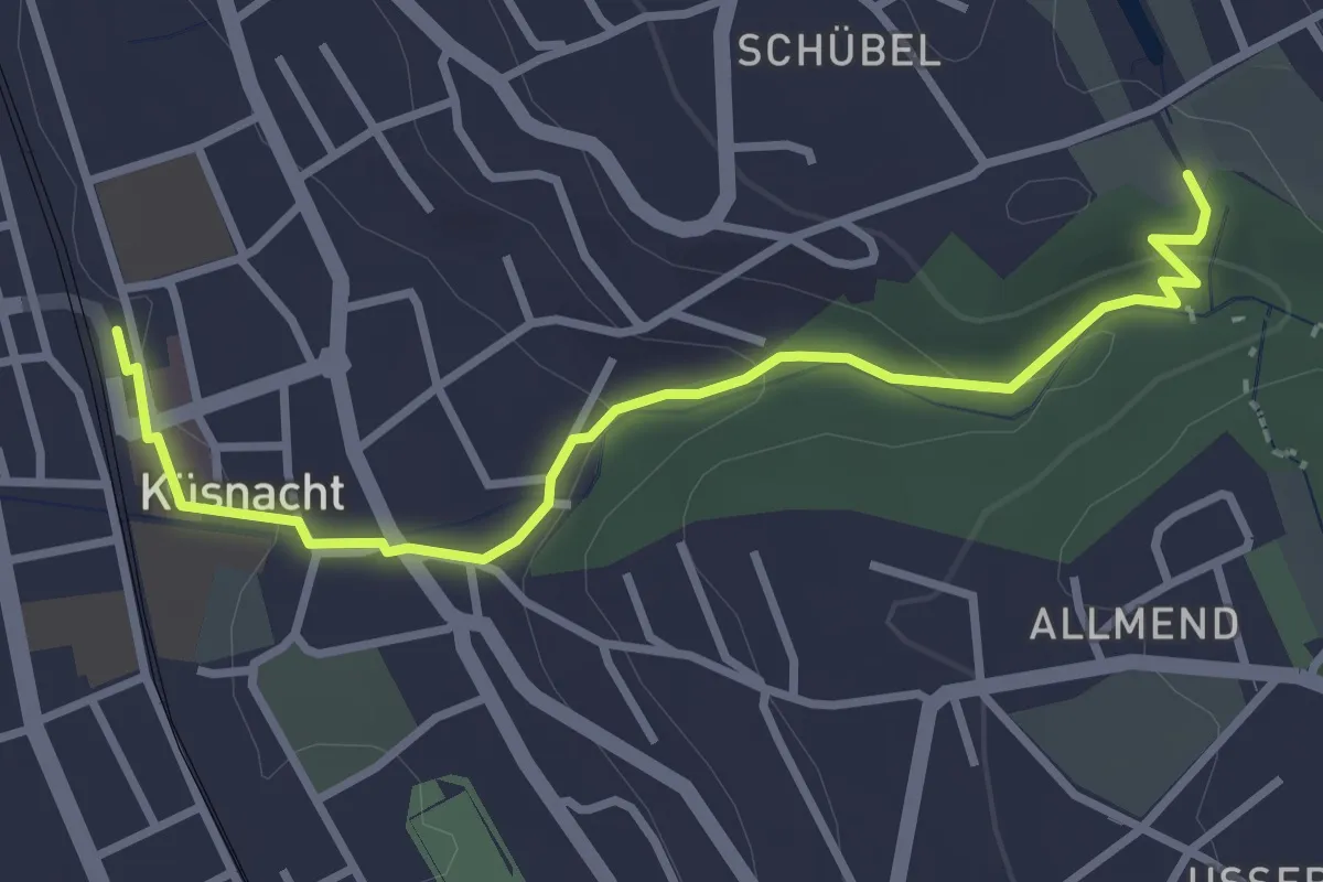
Easy · Trail
Küsnacht – Schübelweiher
3.3 km · ↑ 95 m · 1 h
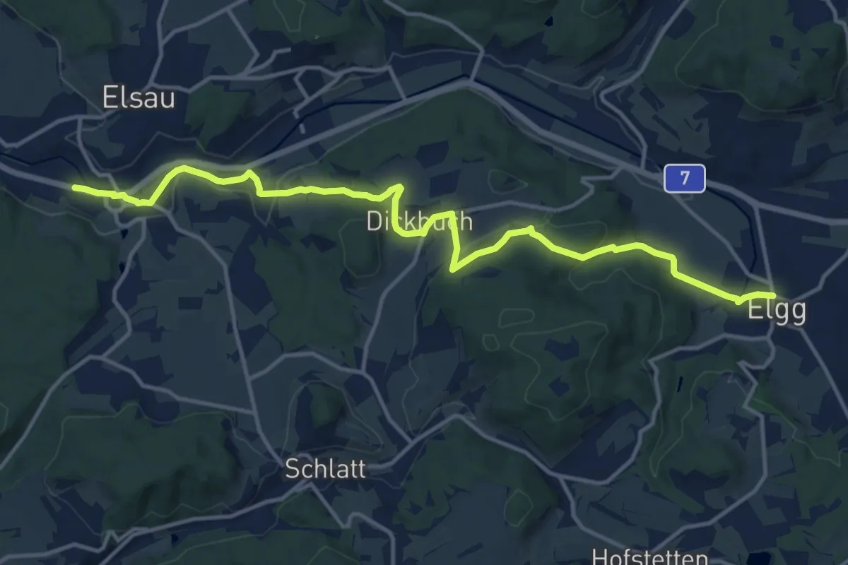
Medium · Trail
Bahnhof Räterschen – Elgg
14.0 km · ↑ 350 m · 4 h 4 min
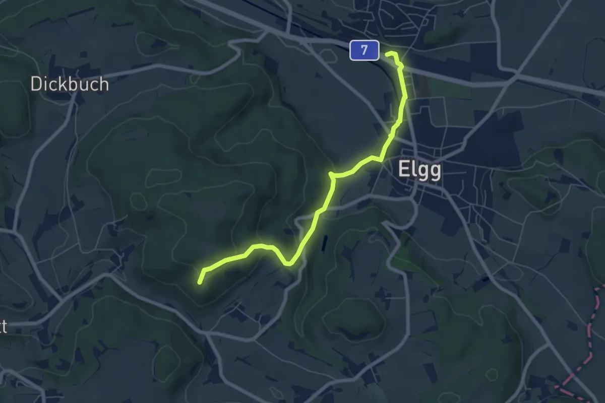
Easy · Summit
Elgg – Guegenhard
6.3 km · ↑ 236 m · 2 h