Trails in Switzerland
15,055 hiking trails, each with its route, climb, walking time and grade.
All trails, page 273 of 314
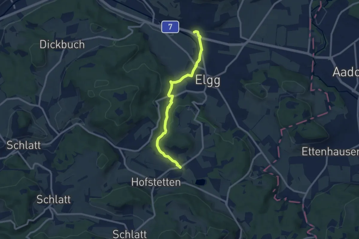
Easy · Trail
Elgg – Guwilmühle
7.0 km · ↑ 149 m · 1 h 59 min
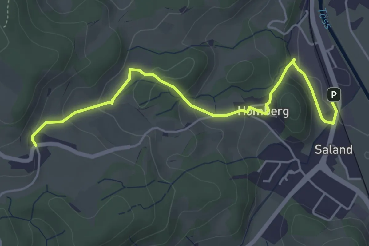
Easy · Trail
Ravensbüel – Saland Bhf
4.5 km · ↑ 175 m · 1 h 27 min
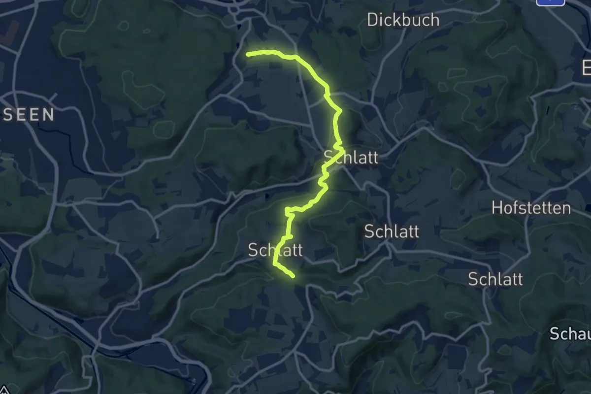
Medium · Trail
Weingarten – Rörlitobel
10.4 km · ↑ 260 m · 3 h 1 min
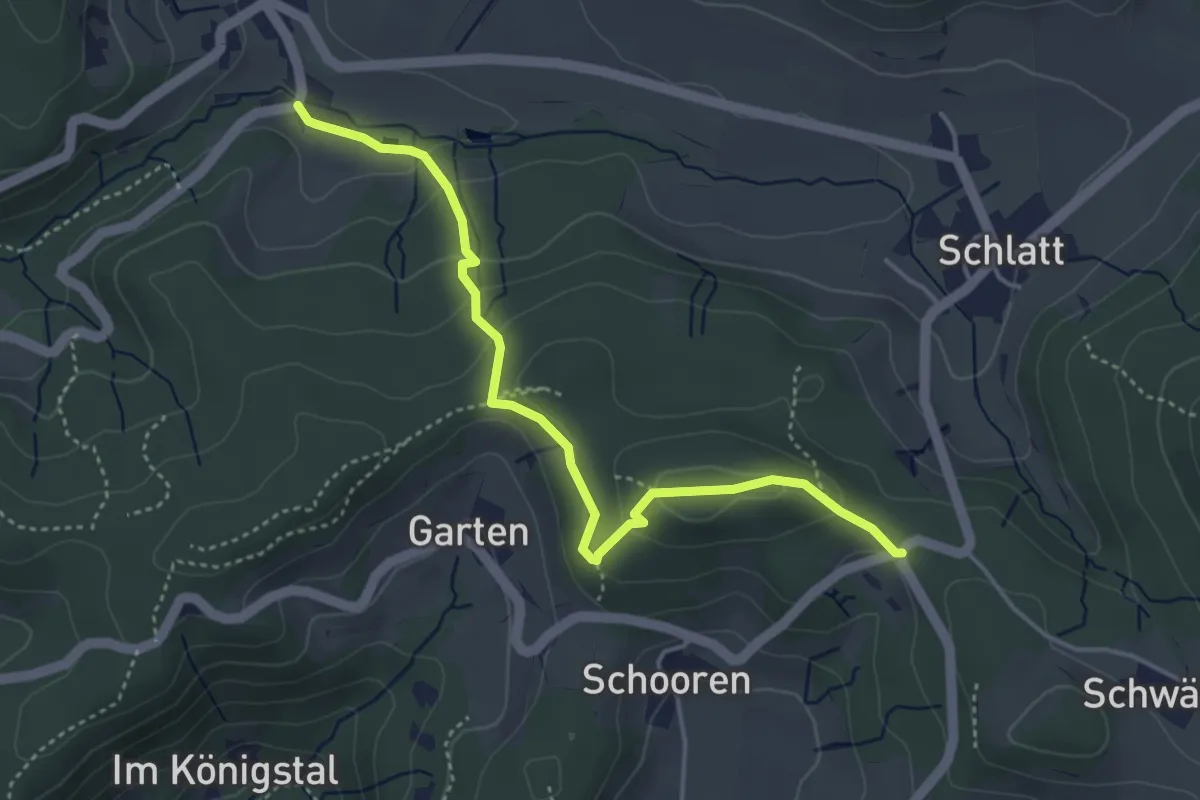
Easy · Trail
Unterschlatt – Hand
4.3 km · ↑ 205 m · 1 h 27 min
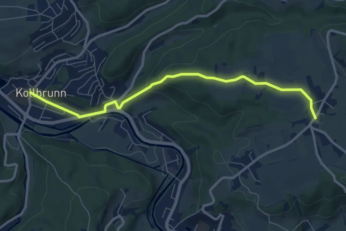
Easy · Trail
Kollbrunn Bhf. – Oberlangenhard
6.4 km · ↑ 198 m · 1 h 57 min
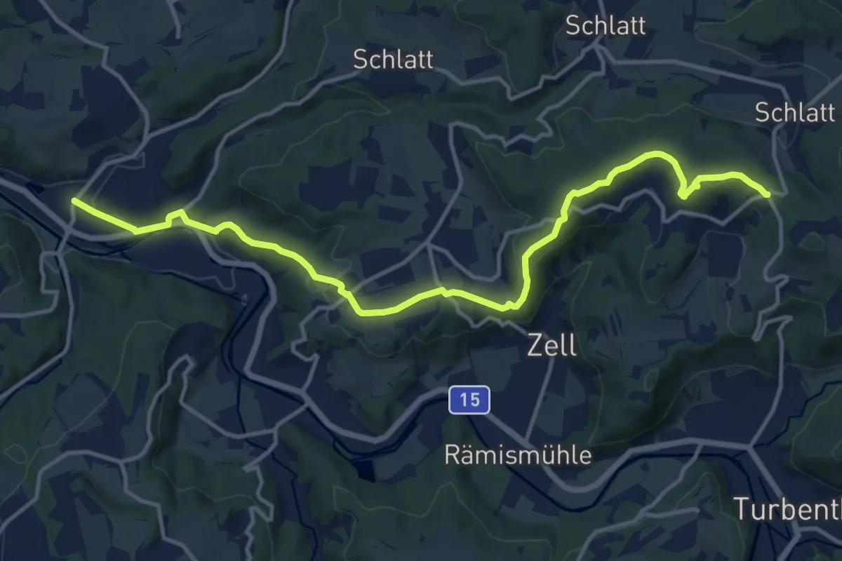
Medium · Trail
Kollbrunn Bhf. – Hand
13.9 km · ↑ 418 m · 4 h 11 min
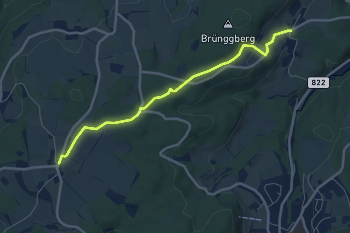
Easy · Trail
First – Brünggen
5.6 km · ↑ 133 m · 1 h 37 min
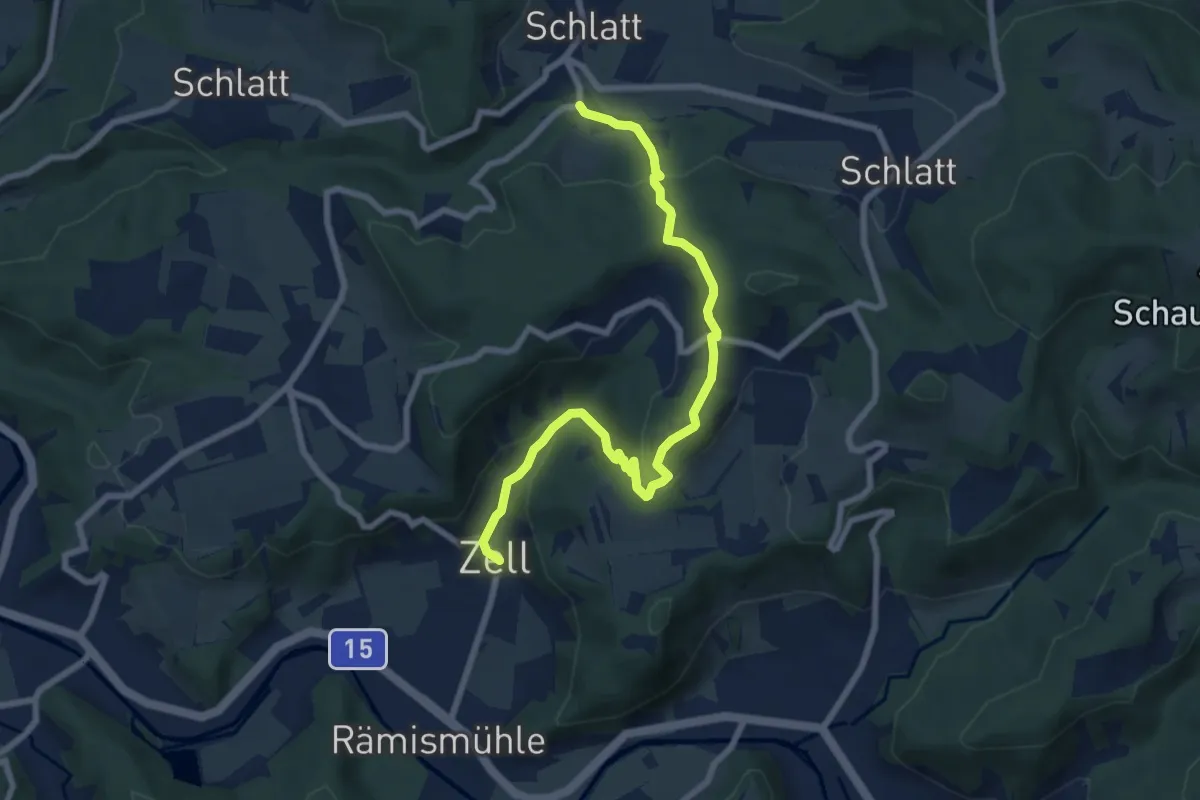
Medium · Trail
Unterschlatt – Zell
8.0 km · ↑ 340 m · 2 h 37 min
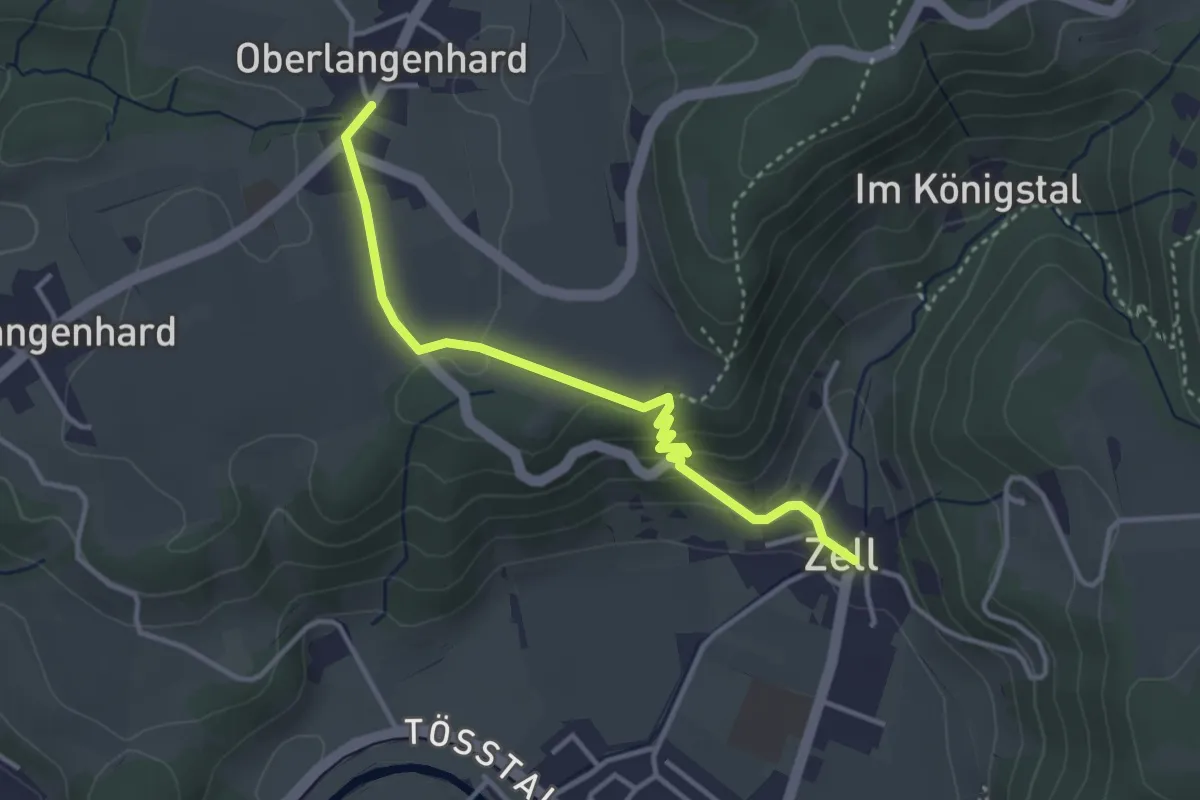
Easy · Trail
Ober Langenhard – Zell
3.5 km · ↑ 125 m · 1 h 6 min
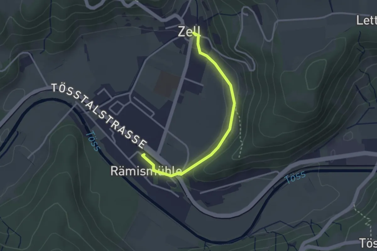
Easy · Trail
Zell – Stn. Rämismühle-Zell
2.8 km · ↑ 33 m · 43 min
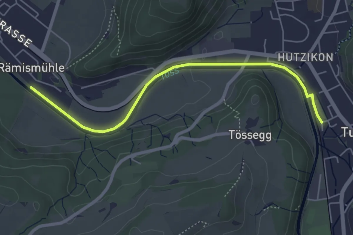
Easy · Trail
Rämismühle – Turbenthal
4.7 km · ↑ 24 m · 1 h 10 min
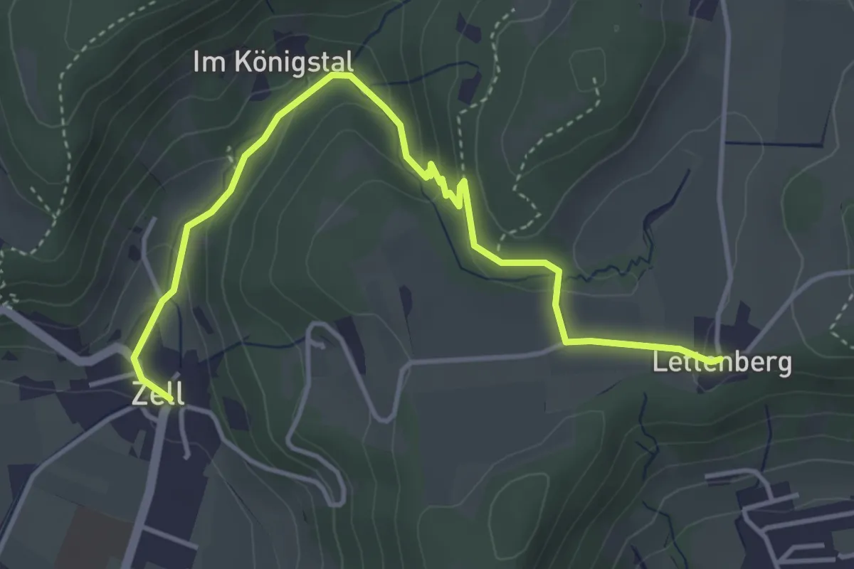
Easy · Trail
Lettenberg – Zell
4.4 km · ↑ 159 m · 1 h 24 min
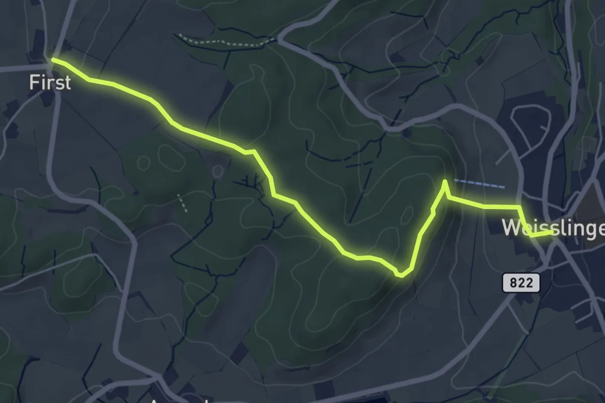
Easy · Trail
First – Weisslingen
5.6 km · ↑ 148 m · 1 h 39 min
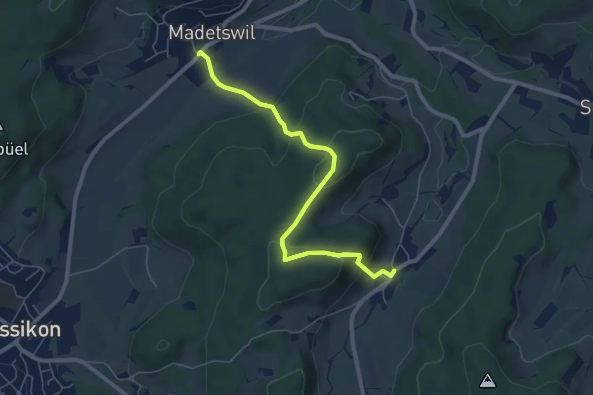
Easy · Trail
Madetswil – Gündisau
5.5 km · ↑ 277 m · 1 h 53 min
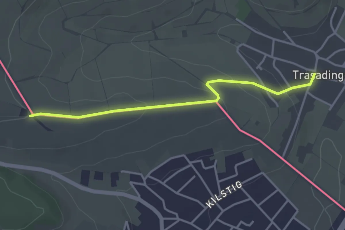
Easy · Trail
Trasadingen – Bergkapelle
3.1 km · ↑ 86 m · 55 min
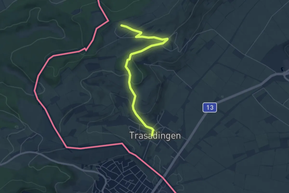
Easy · Trail
Trasadingen – Wilchinger Berghaus
6.0 km · ↑ 196 m · 1 h 51 min
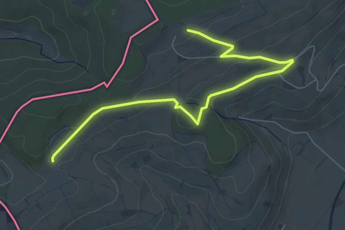
Easy · Trail
Wilchinger Berghaus – Bergkapelle
6.0 km · ↑ 121 m · 1 h 41 min
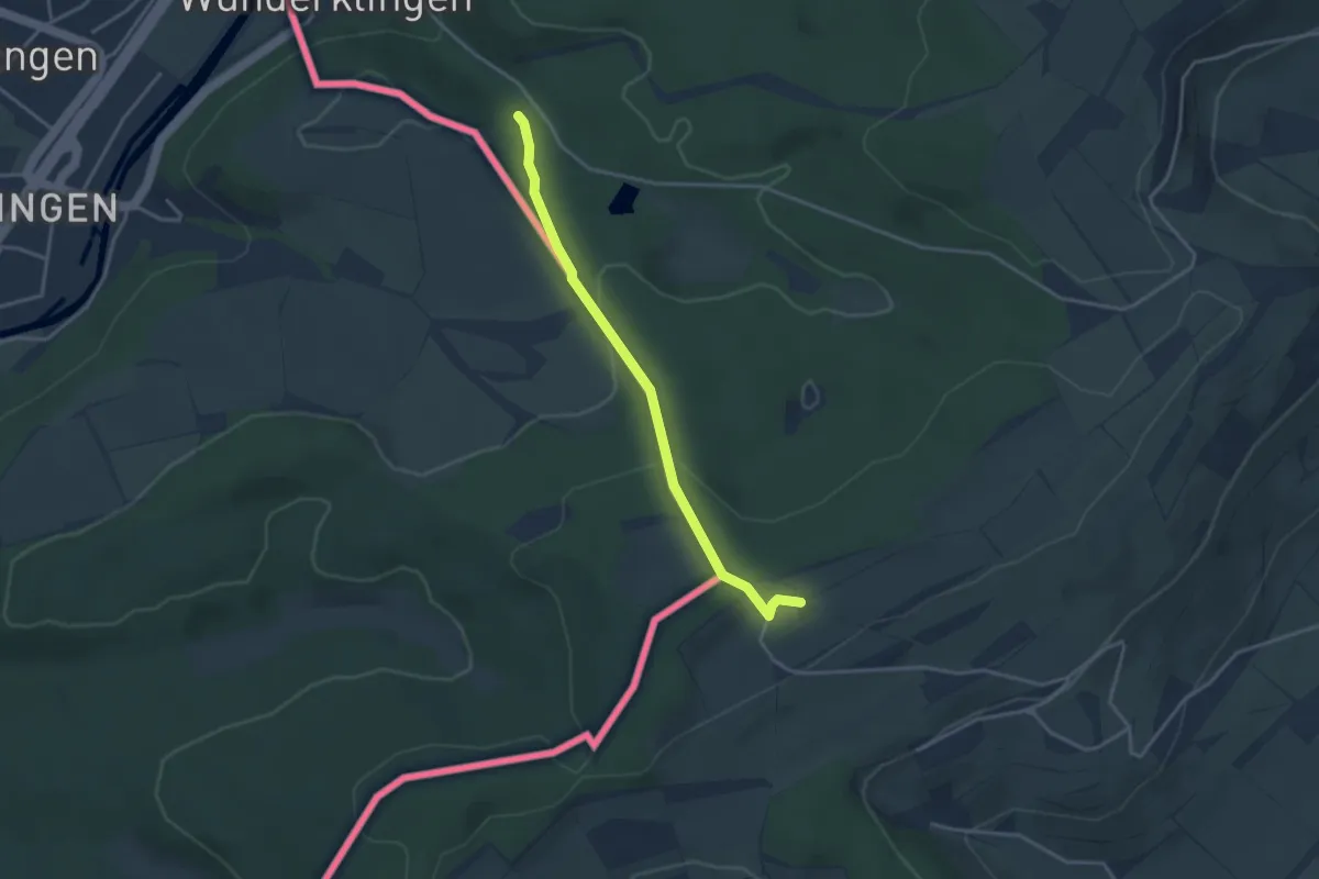
Easy · Trail
Wilchinger Berghaus – Wunderklingen
3.3 km · ↑ 92 m · 58 min
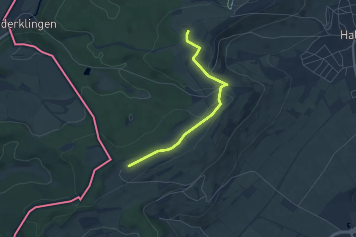
Easy · Trail
Wilchinger Berghaus – Rummele
4.9 km · ↑ 60 m · 1 h 18 min
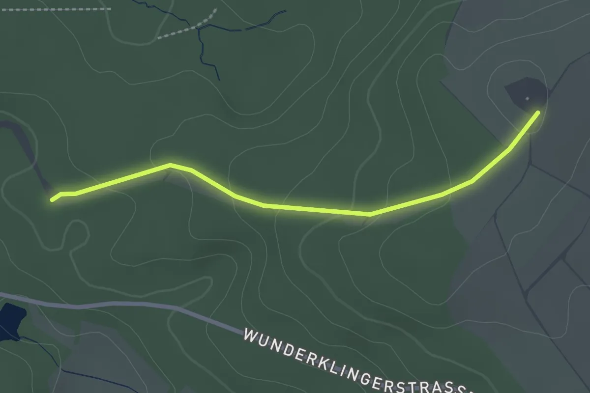
Easy · Trail
Rummele – Wunderklingen
2.3 km · ↑ 76 m · 42 min
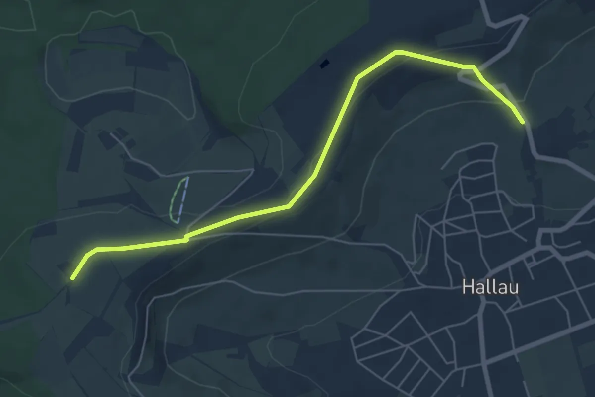
Easy · Trail
Rummele – Bergkirche St. Moritz
5.3 km · ↑ 131 m · 1 h 33 min
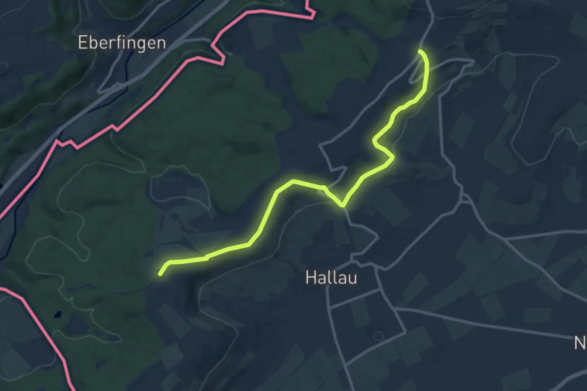
Medium · Trail
Rummele – Hinterer Berghof
9.9 km · ↑ 248 m · 2 h 53 min
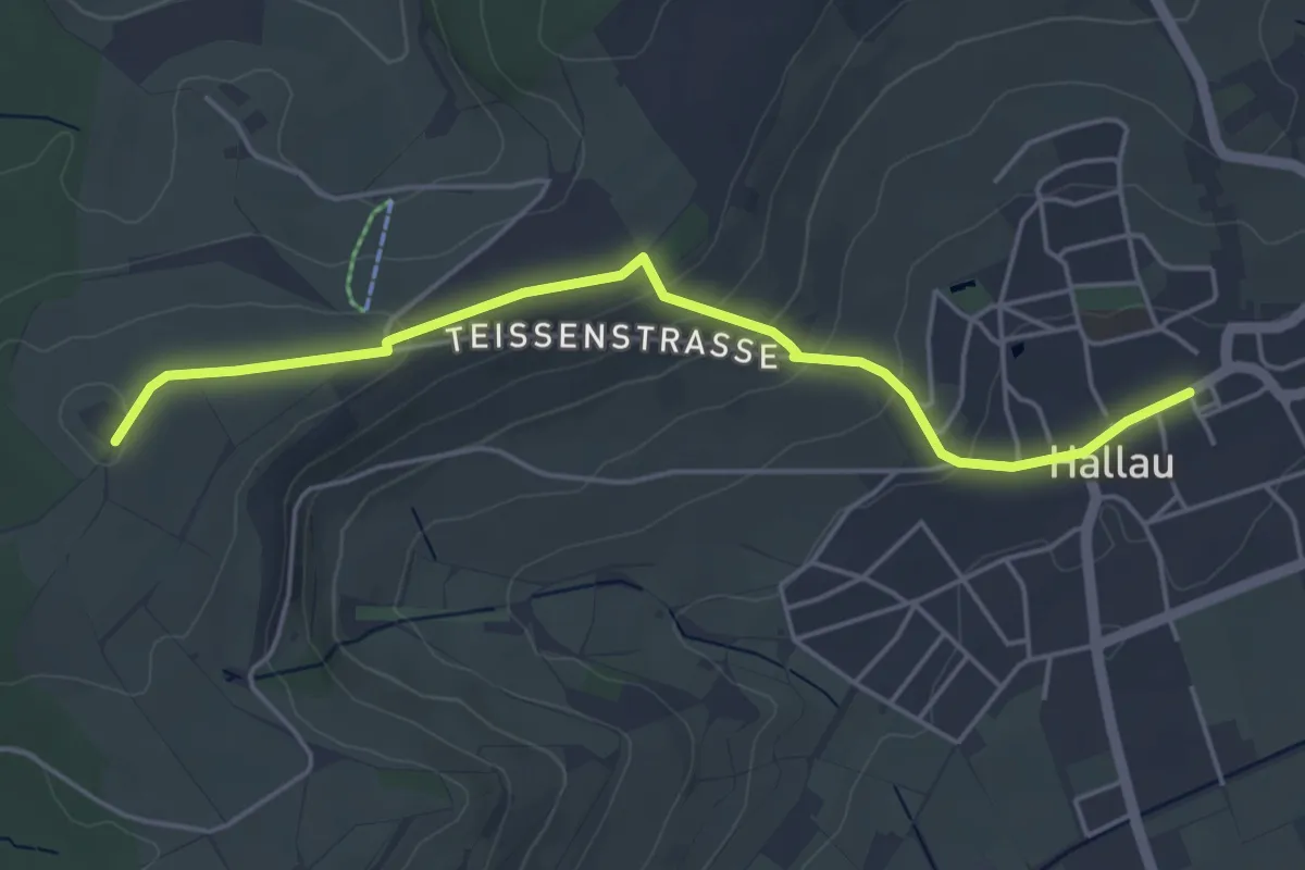
Easy · Trail
Rummele – Hallau
4.8 km · ↑ 152 m · 1 h 27 min
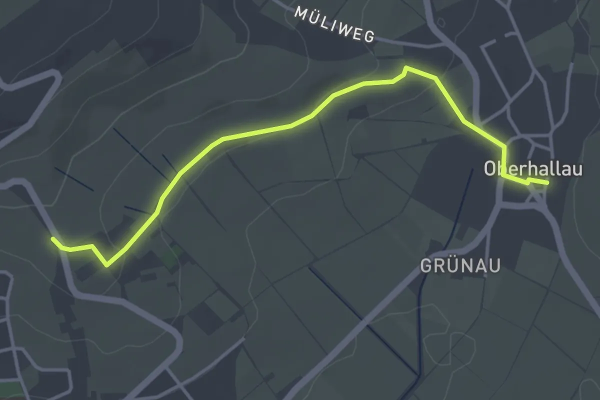
Easy · Trail
Bergkirche St. Moritz – Oberhallau
3.8 km · ↑ 58 m · 1 h 1 min
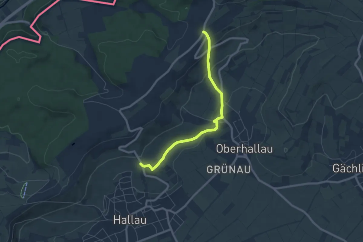
Easy · Trail
Bergkirche St. Moritz – Hinterer Berghof
5.5 km · ↑ 174 m · 1 h 40 min
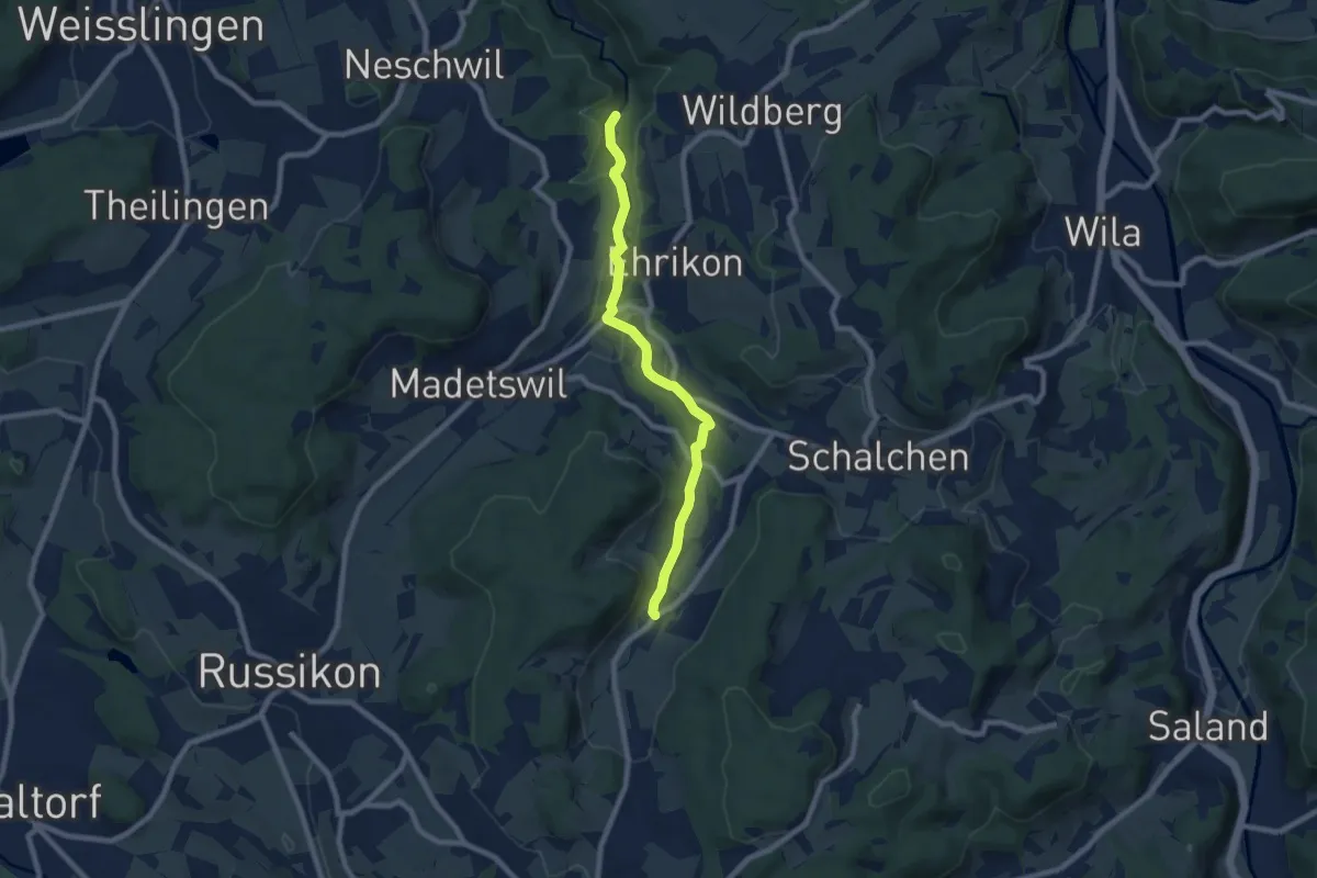
Easy · Trail
Tobel – Gündisau
7.5 km · ↑ 124 m · 2 h 2 min
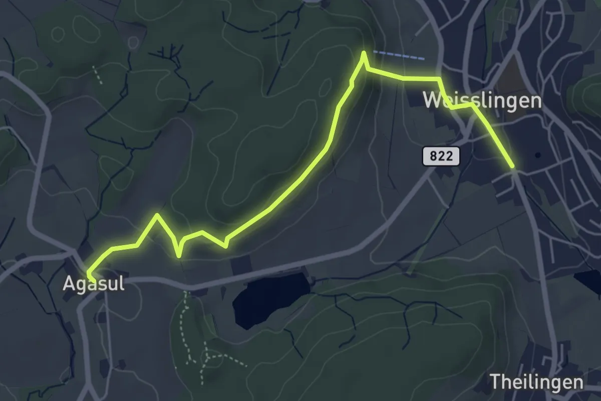
Easy · Trail
Agasul – Weisslingen
5.5 km · ↑ 161 m · 1 h 39 min
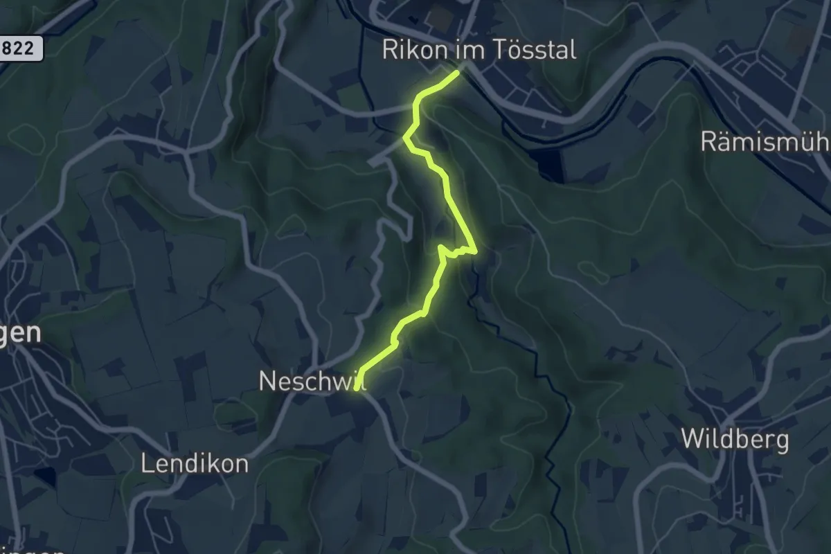
Easy · Trail
Neschwil – Rikon Brücke
4.6 km · ↑ 147 m · 1 h 25 min
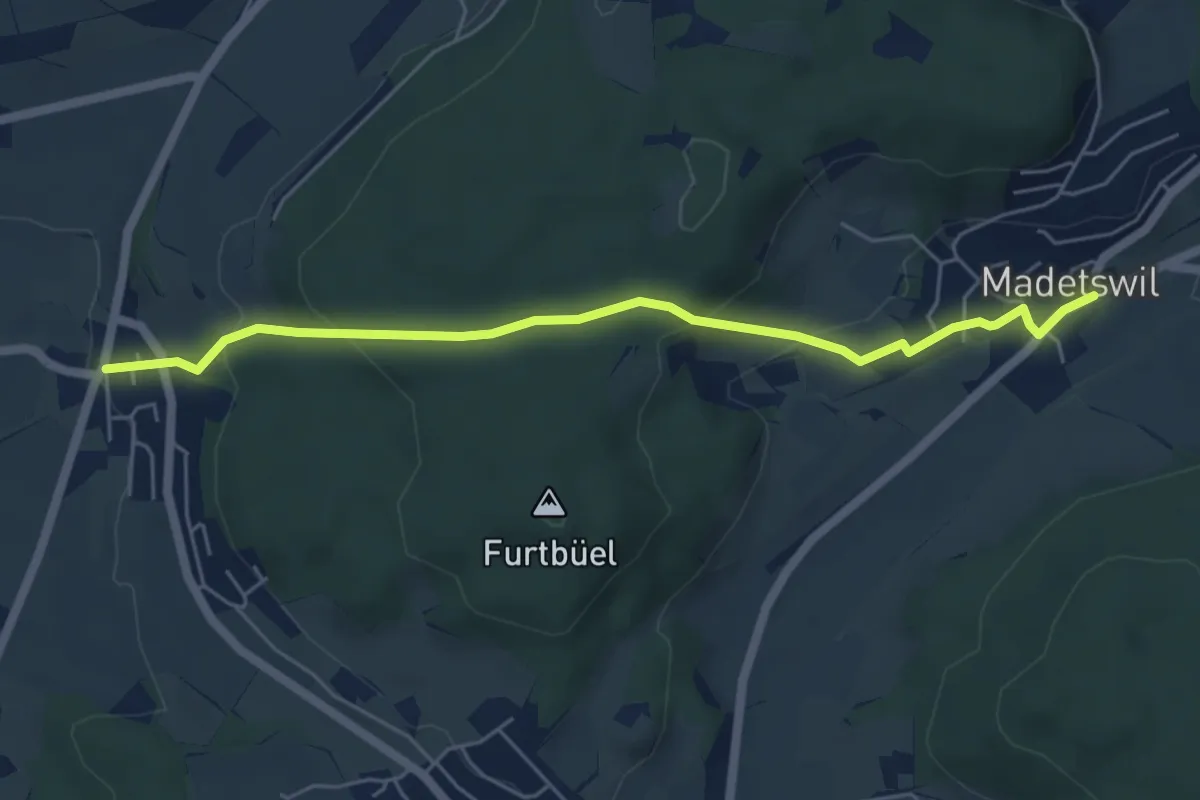
Easy · Trail
Rumlikon – Madetswil
5.5 km · ↑ 227 m · 1 h 47 min
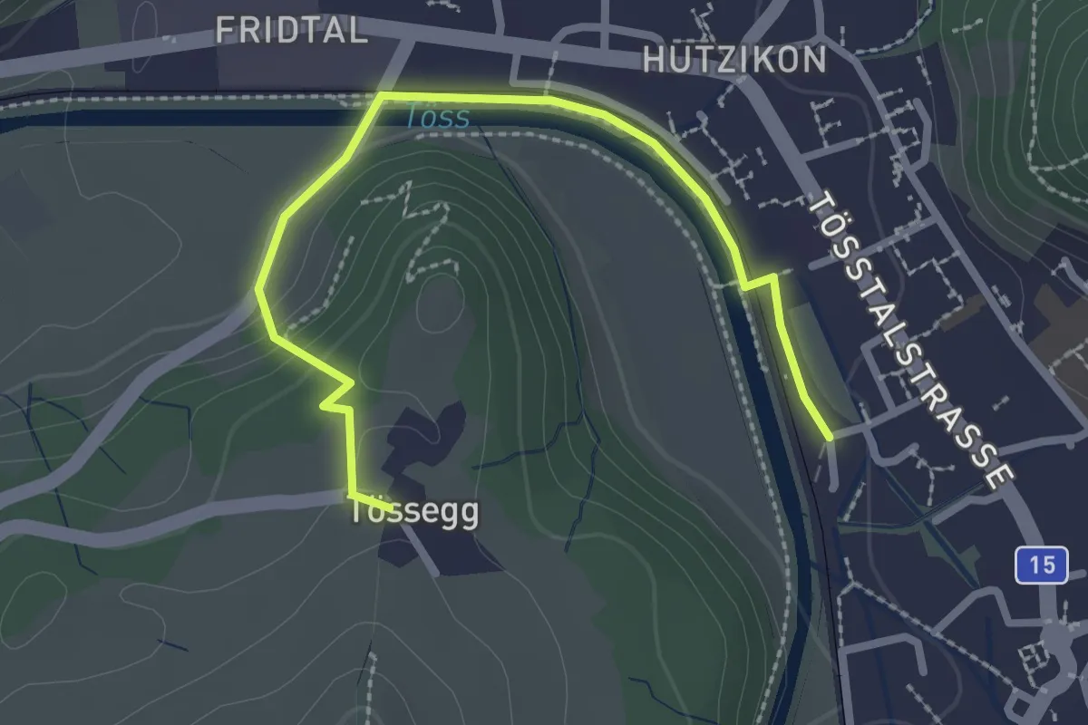
Easy · Trail
Turbenthal – Tössegg
2.7 km · ↑ 72 m · 47 min
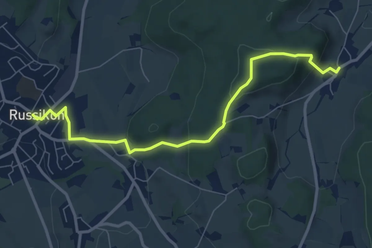
Easy · Trail
Russikon – Gündisau
6.7 km · ↑ 271 m · 2 h 10 min
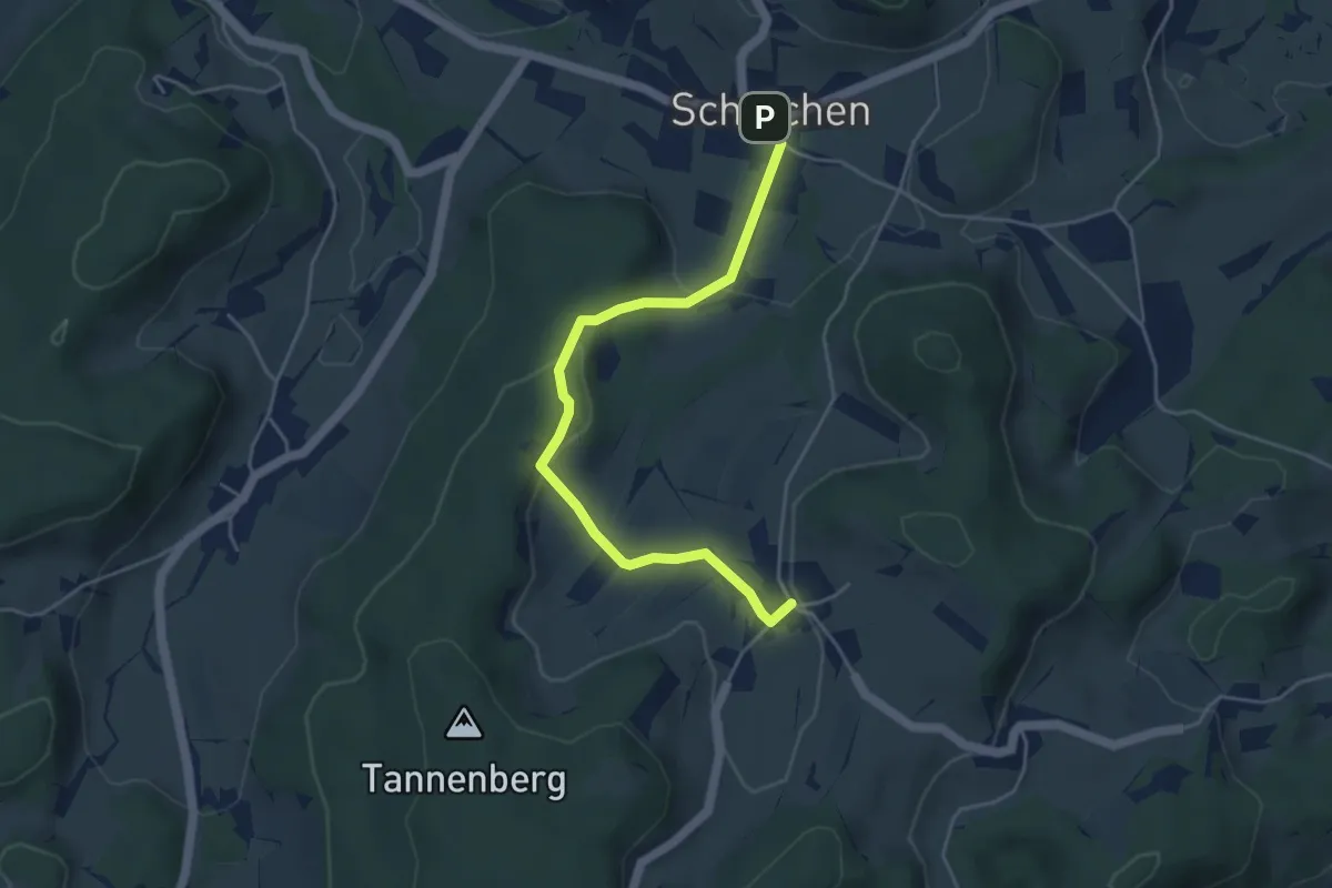
Easy · Trail
Hermatswil – Schalchen
4.6 km · ↑ 145 m · 1 h 24 min
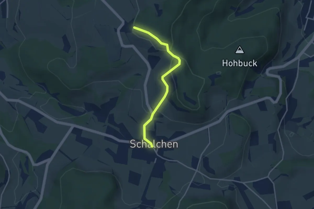
Easy · Trail
Schalchen – Ober Luegeten
2.7 km · ↑ 108 m · 53 min
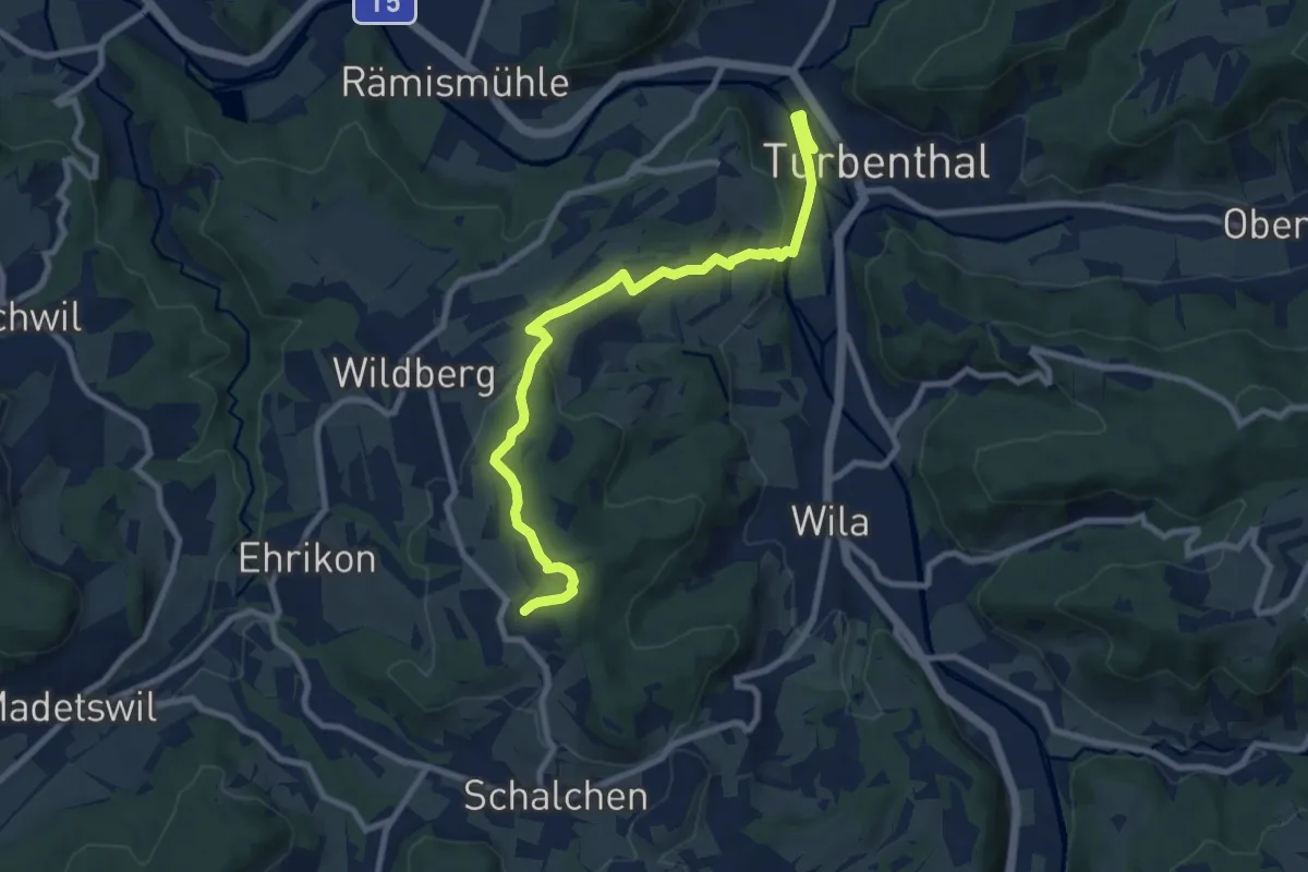
Medium · Trail
Ober Luegeten – Turbenthal
9.2 km · ↑ 262 m · 2 h 45 min
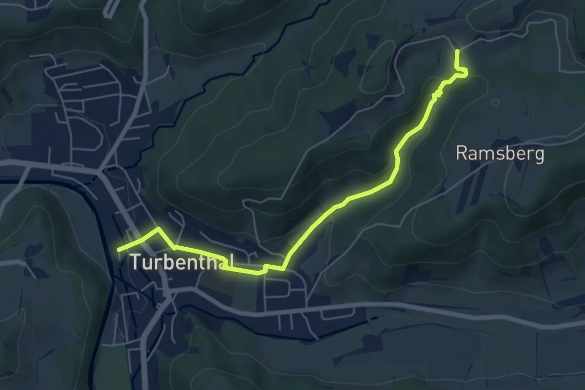
Easy · Trail
Schnurrberg – Turbenthal
5.4 km · ↑ 171 m · 1 h 39 min
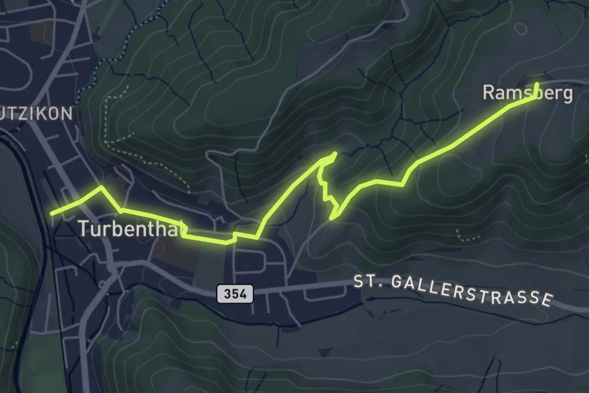
Easy · Trail
Ramsberg – Turbenthal
5.9 km · ↑ 214 m · 1 h 52 min
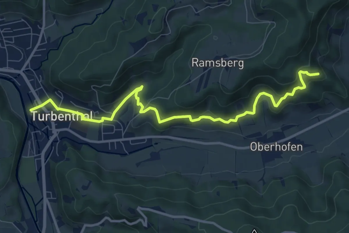
Medium · Trail
Buechenegg – Turbenthal
9.1 km · ↑ 400 m · 3 h 2 min
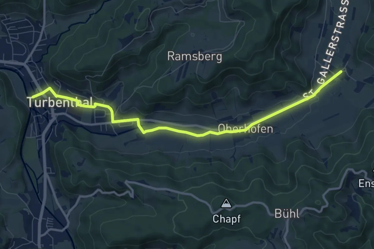
Medium · Trail
Neubrunn – Turbenthal
8.9 km · ↑ 77 m · 2 h 17 min
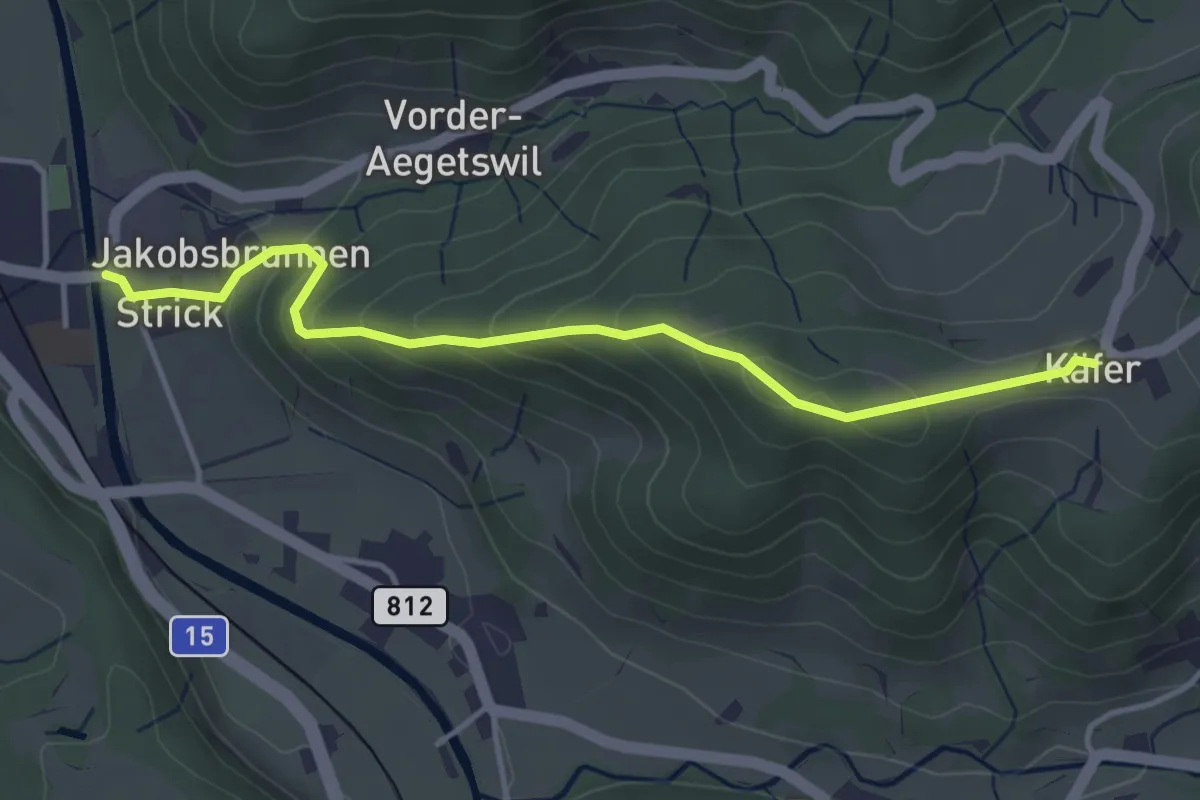
Easy · Trail
Chäfer – Wila
4.0 km · ↑ 236 m · 1 h 27 min
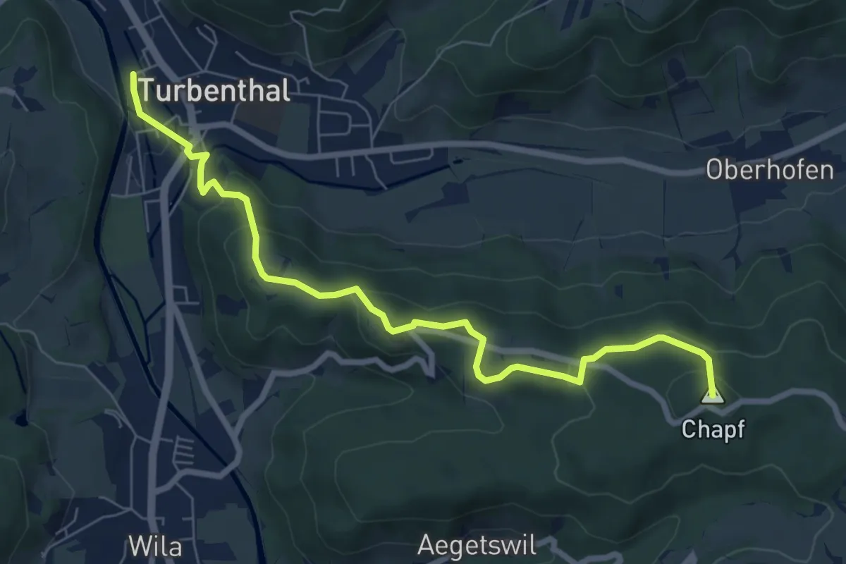
Easy · Summit
Turbenthal – Büel
7.4 km · ↑ 307 m · 2 h 25 min
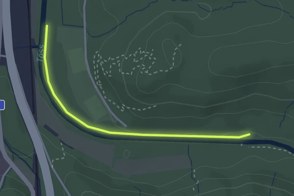
Easy · Trail
Ritplatz – Brunibrugg
2.5 km · ↑ 18 m · 38 min
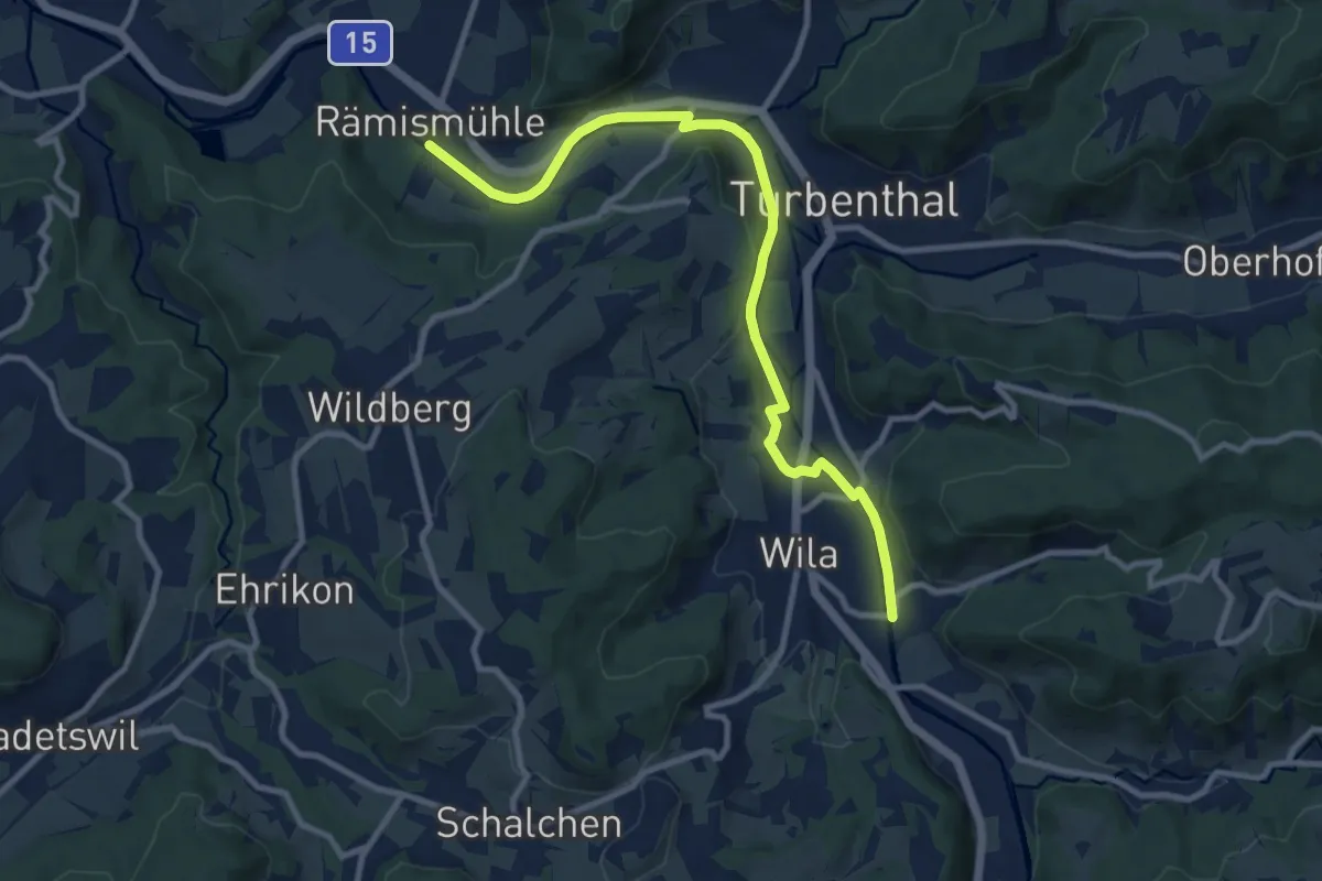
Medium · Trail
Rämismühle – Wila
10.4 km · ↑ 115 m · 2 h 43 min
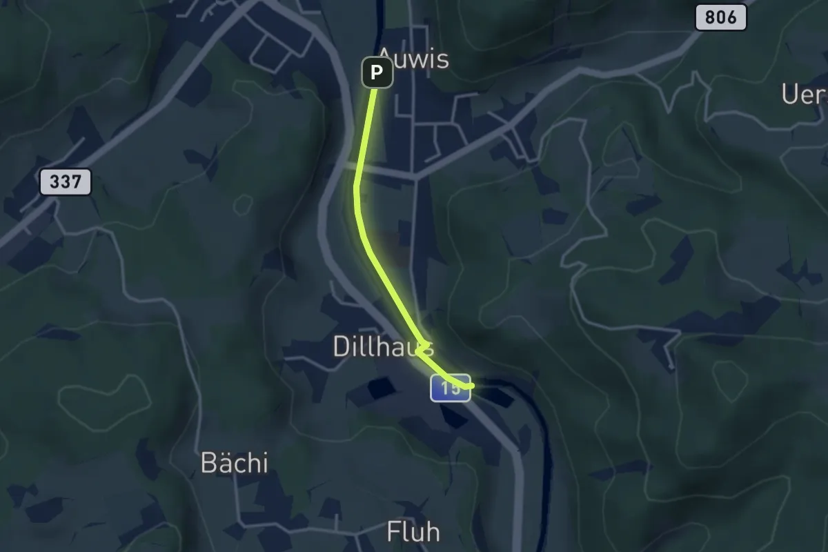
Easy · Trail
Rittwegweiher – Auwis
2.4 km · ↑ 13 m · 36 min
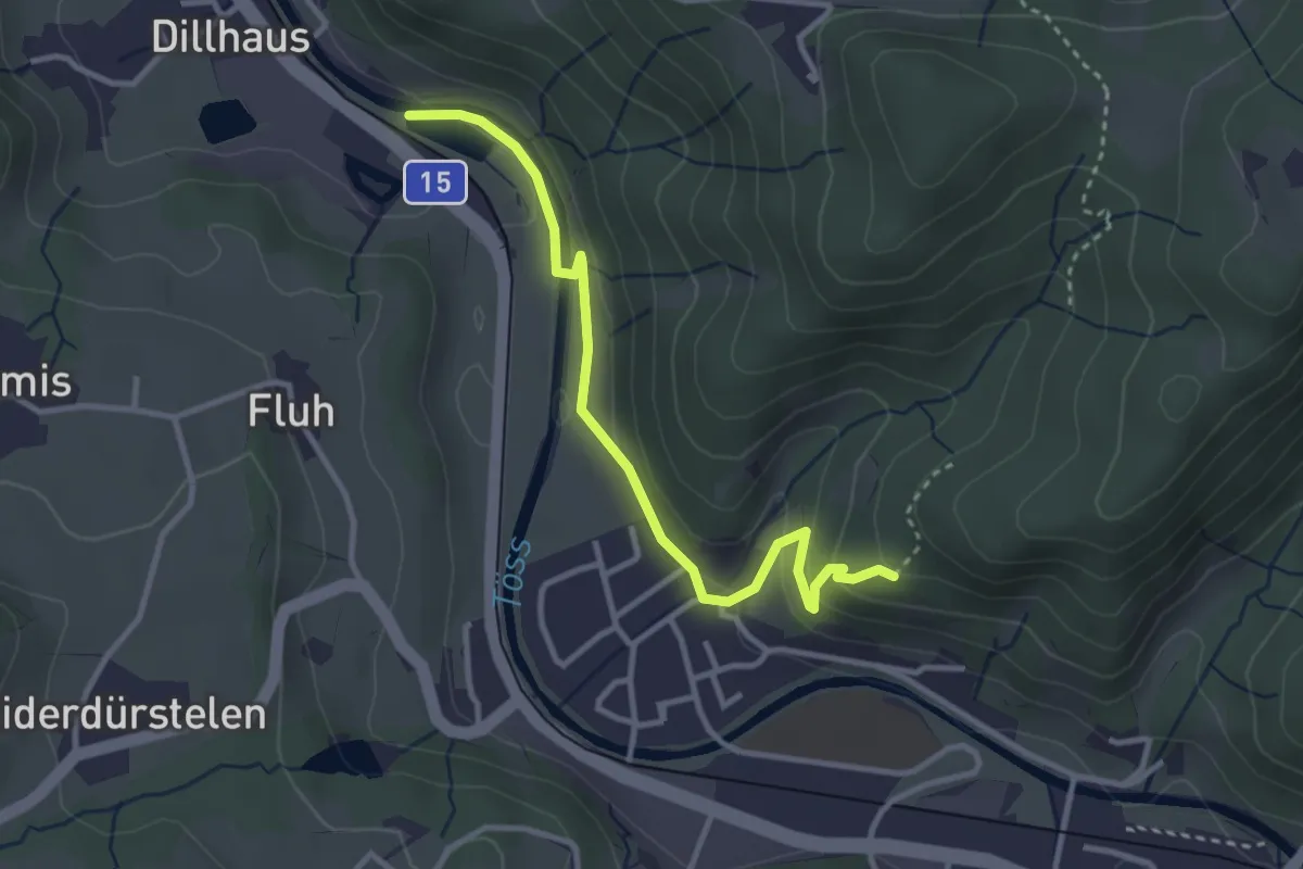
Easy · Trail
Rittwegweiher – Ruine Altlandenberg
3.3 km · ↑ 115 m · 1 h 1 min
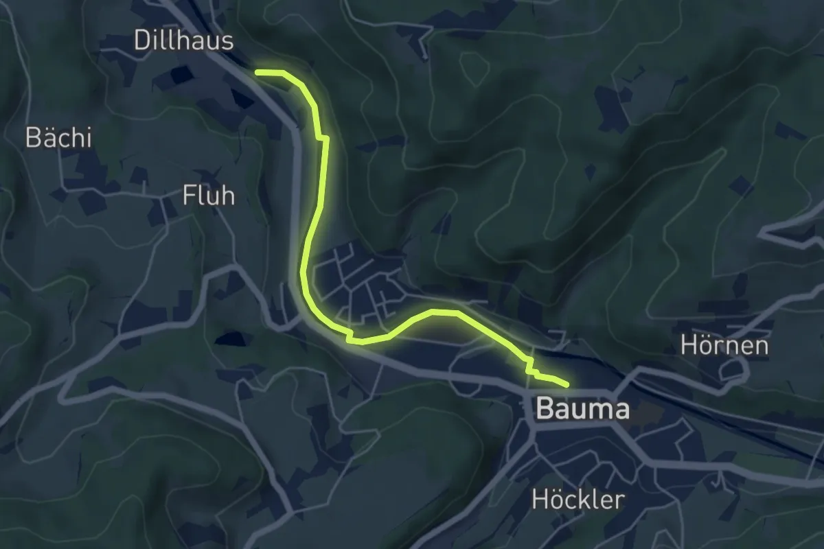
Easy · Trail
Bauma Bhf. – Rittwegweiher
4.6 km · ↑ 41 m · 1 h 11 min
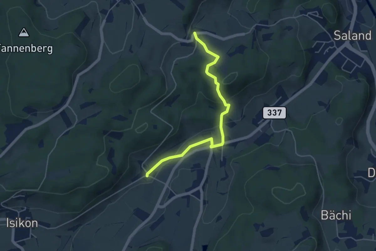
Easy · Trail
Schönau – Ravensbüel
4.3 km · ↑ 139 m · 1 h 19 min
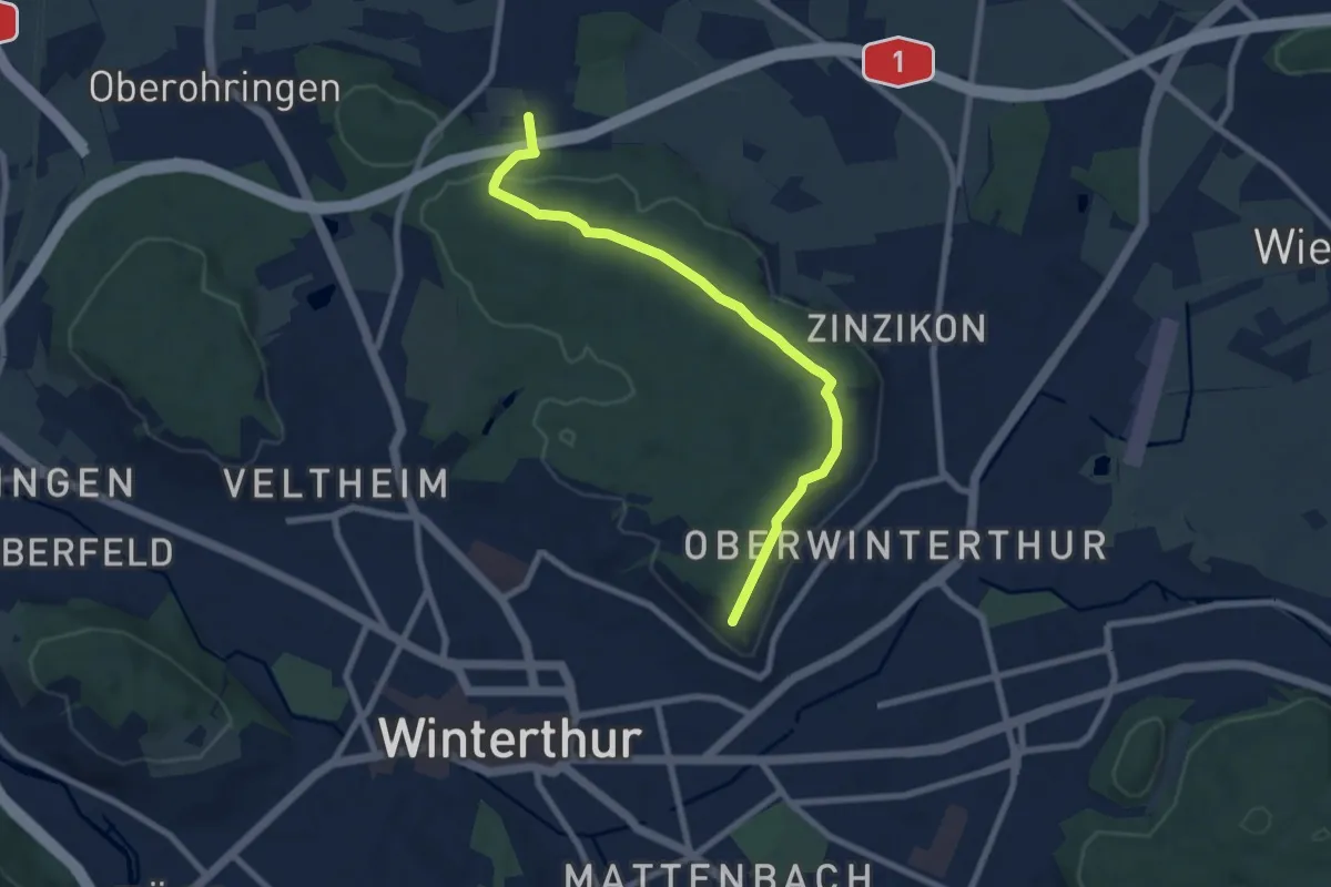
Easy · Trail
Forrenberg – Bäumli
7.8 km · ↑ 170 m · 2 h 12 min
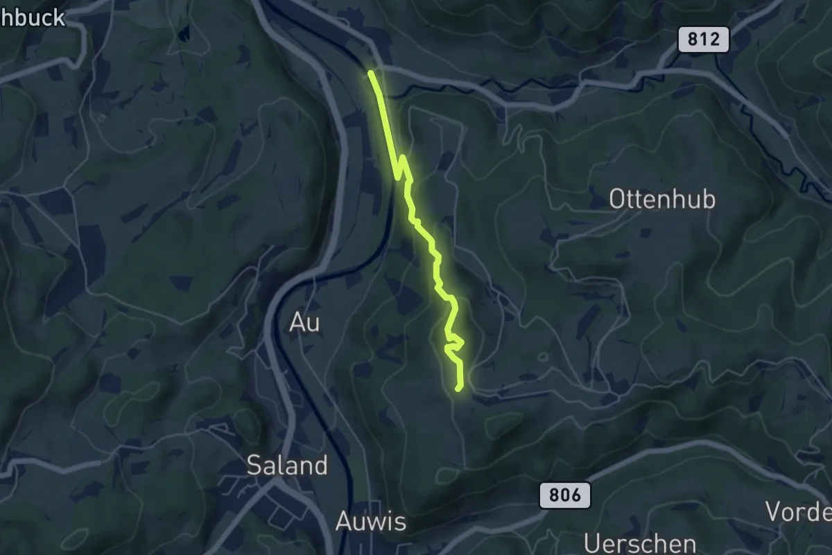
Easy · Trail
Vordereich – Tablat
4.3 km · ↑ 221 m · 1 h 30 min