Trails in Switzerland
15,055 hiking trails, each with its route, climb, walking time and grade.
All trails, page 274 of 314
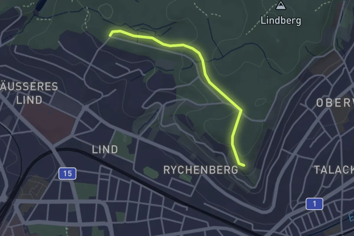
Easy · Trail
Bäumli – Römerholz
2.8 km · ↑ 81 m · 50 min
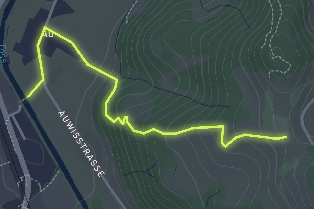
Easy · Trail
Vordereich – Saland
2.9 km · ↑ 162 m · 1 h 2 min
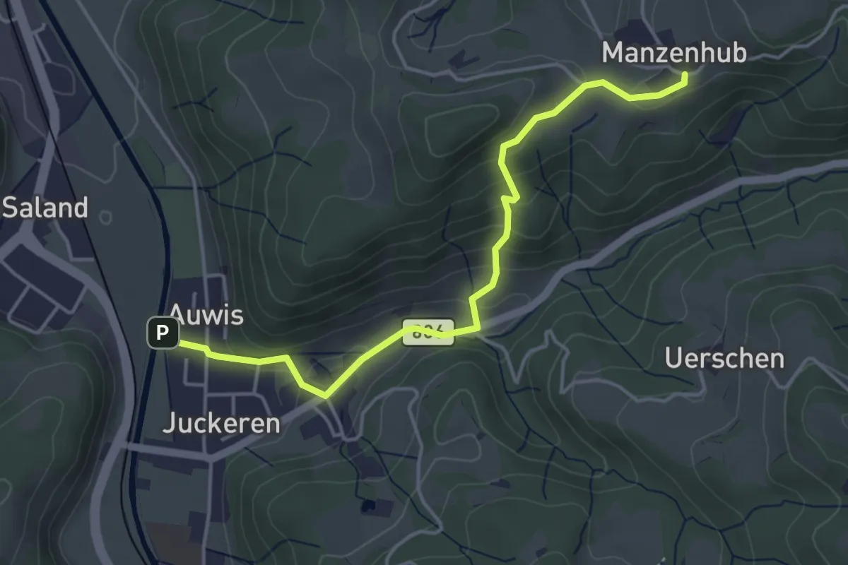
Easy · Trail
Manzenhueb – Auwis
4.3 km · ↑ 221 m · 1 h 30 min
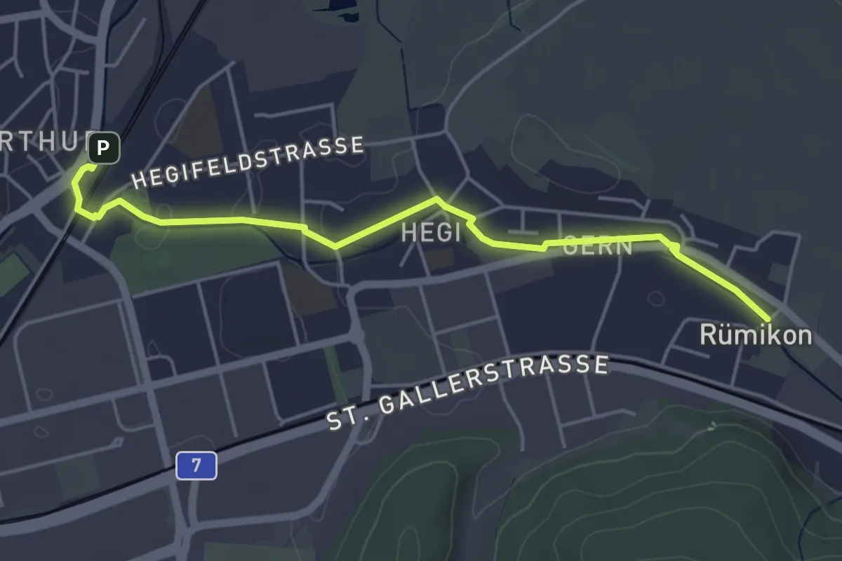
Easy · Trail
Rümikon – Oberwinterthur Bhf.
4.6 km · ↑ 8 m · 1 h 7 min
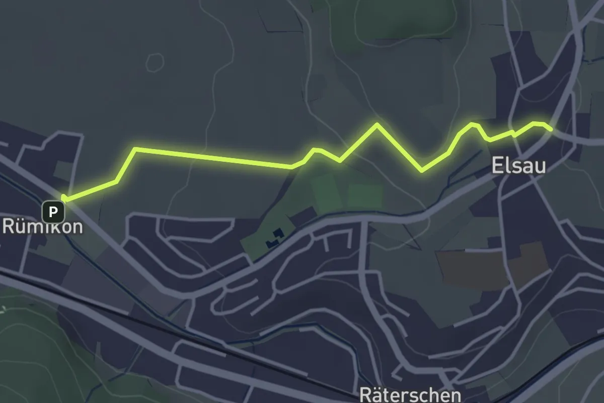
Easy · Trail
Elsau – Rümikon
3.6 km · ↑ 59 m · 58 min
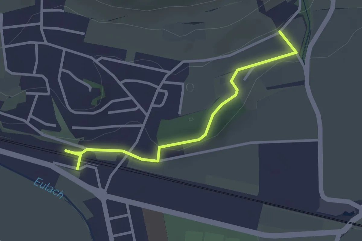
Easy · Trail
Elgg – Giessenthal
2.6 km · ↑ 50 m · 43 min
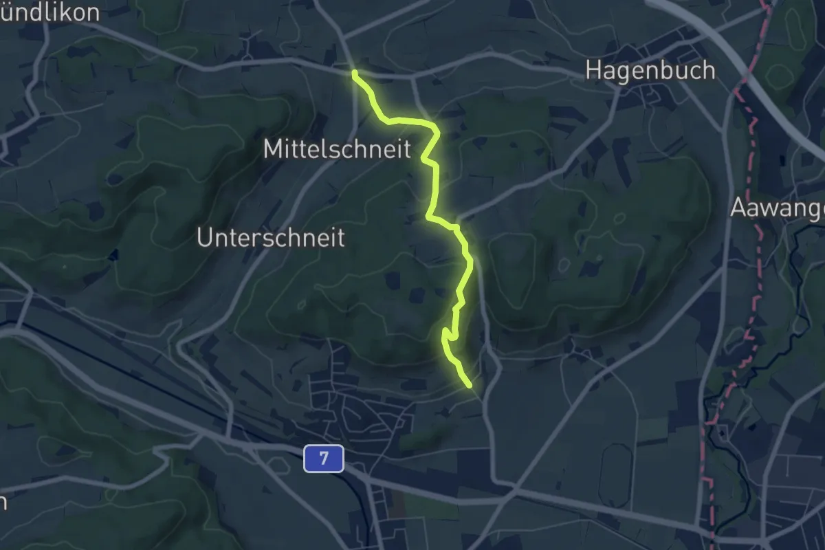
Easy · Trail
Giessenthal – Oberschneit
5.5 km · ↑ 247 m · 1 h 50 min
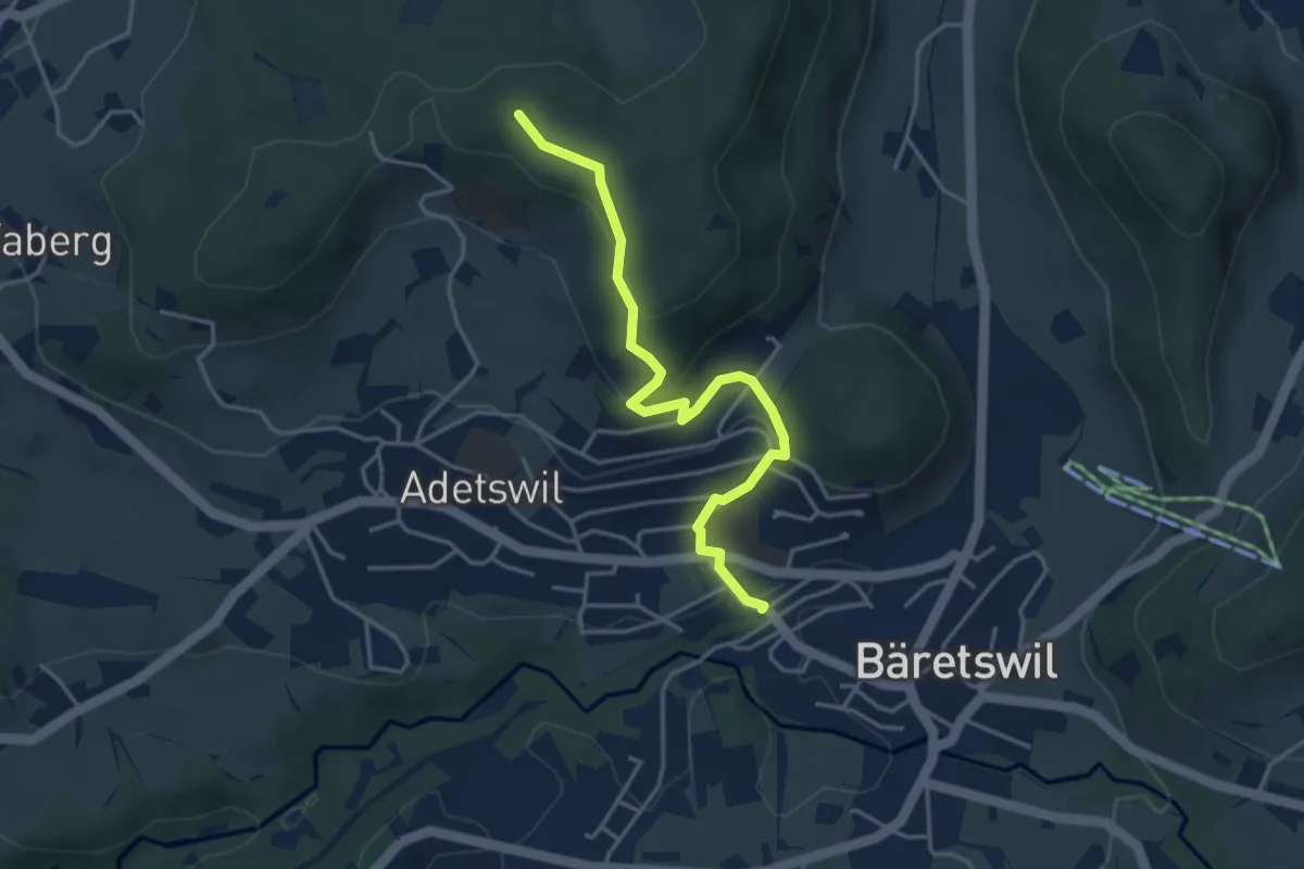
Easy · Trail
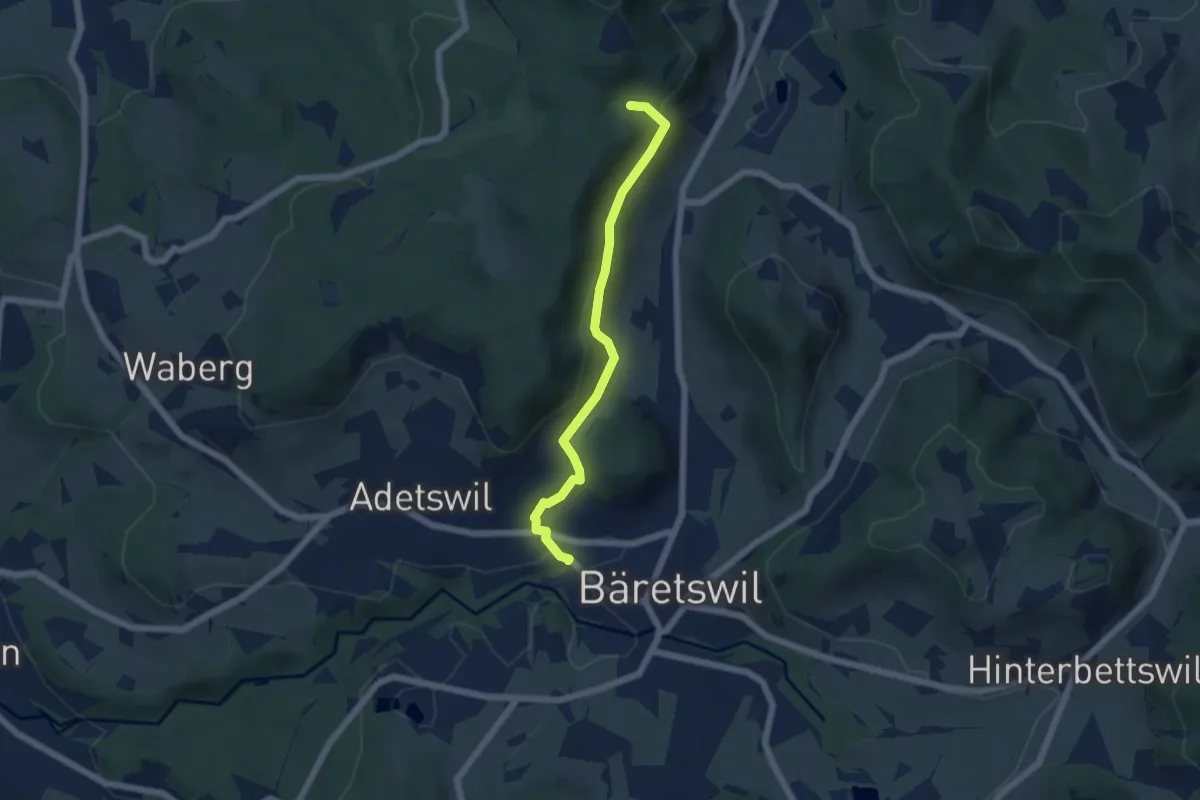
Bäretswil Station – Türli
4.0 km · ↑ 165 m · 1 h 18 min
Easy · Trail
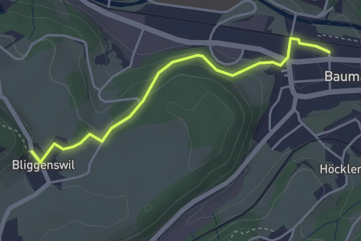
Bäretswil Station – Hofschür
5.0 km · ↑ 197 m · 1 h 37 min
Easy · Trail
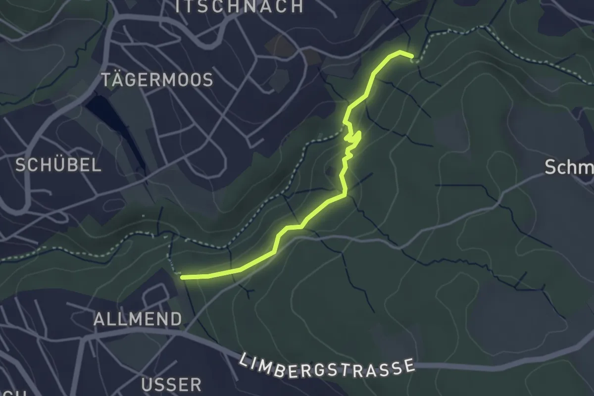
Bauma Bhf. – Bliggenswil
3.0 km · ↑ 100 m · 56 min
Easy · Trail
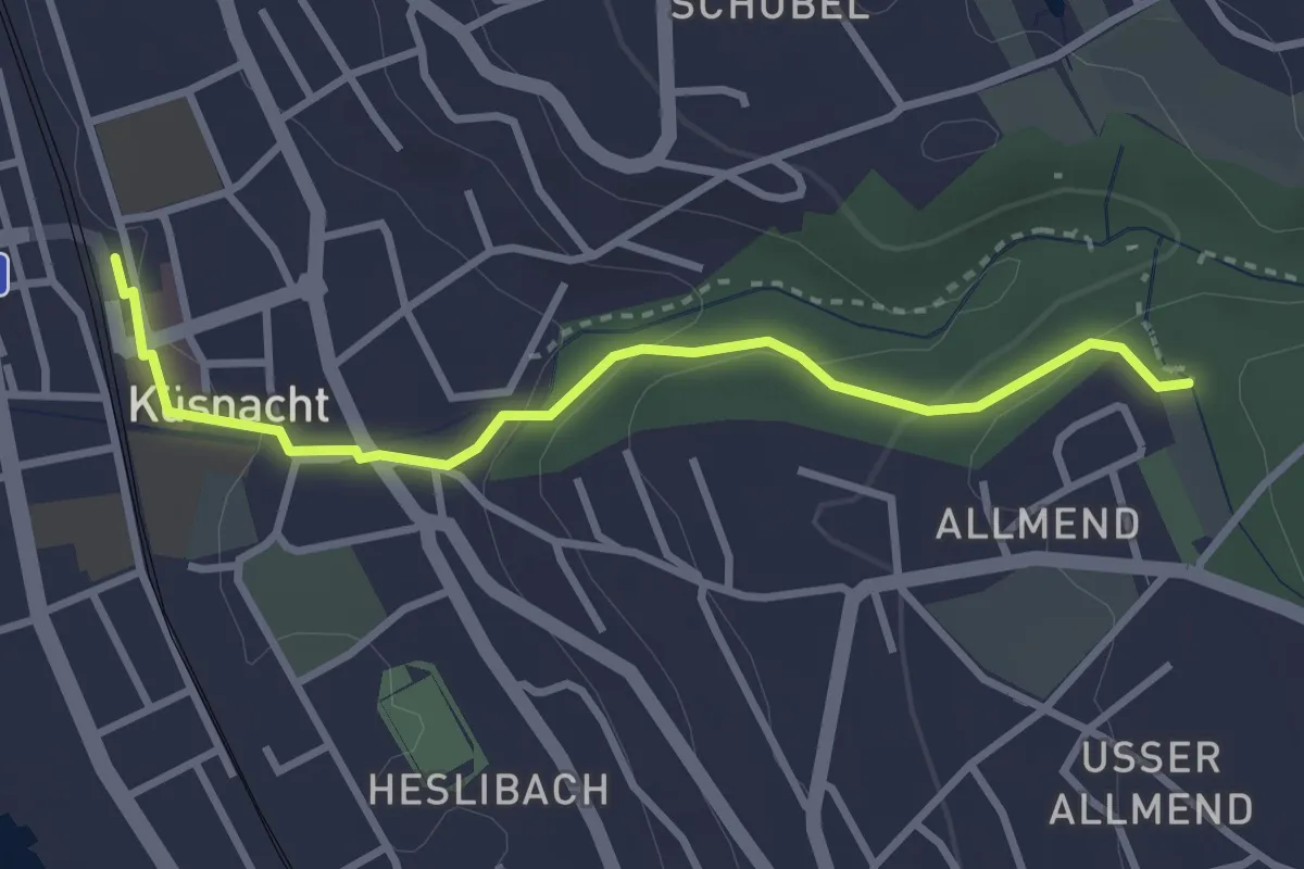
Küsnachter Tobel – Johannisburg
3.3 km · ↑ 108 m · 1 h
Easy · Trail
Küsnacht – Küsnachter Tobel
3.1 km · ↑ 106 m · 57 min
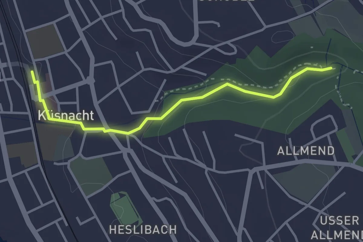
Easy · Trail
Küsnacht – Küsnacht Dorfbach
2.9 km · ↑ 92 m · 53 min
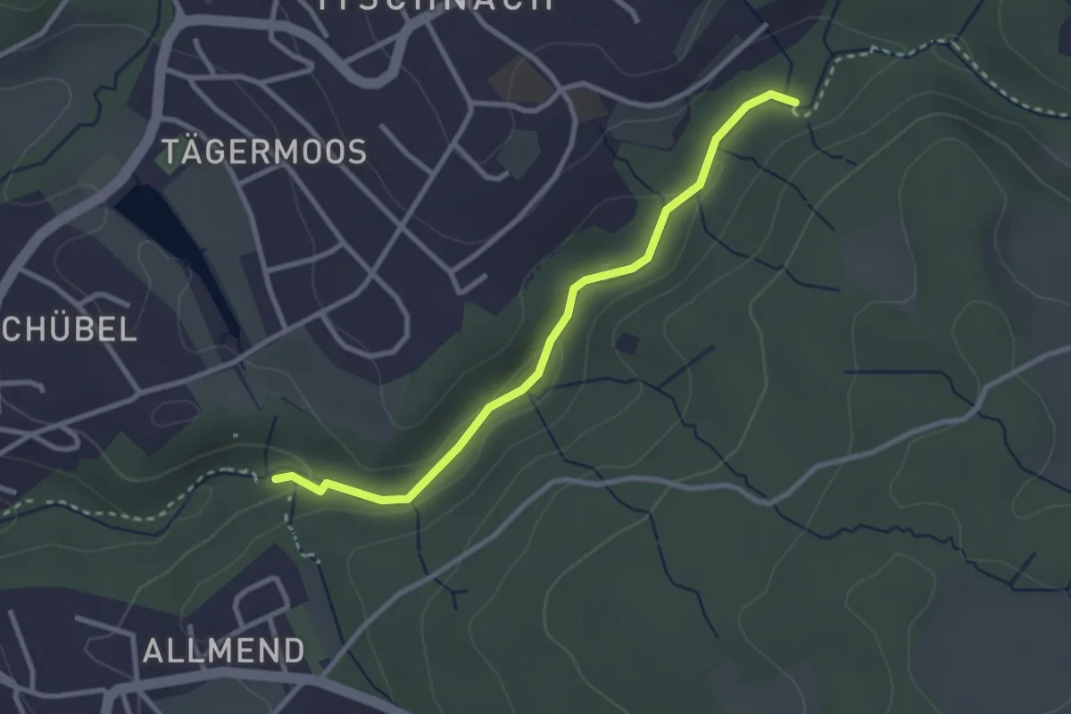
Easy · Trail
Küsnacht Dorfbach – Johannisburg
2.8 km · ↑ 68 m · 48 min
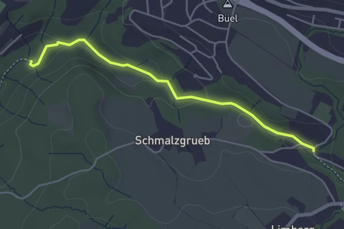
Easy · Trail
Johannisburg – Tobelmüli
3.7 km · ↑ 87 m · 1 h 4 min
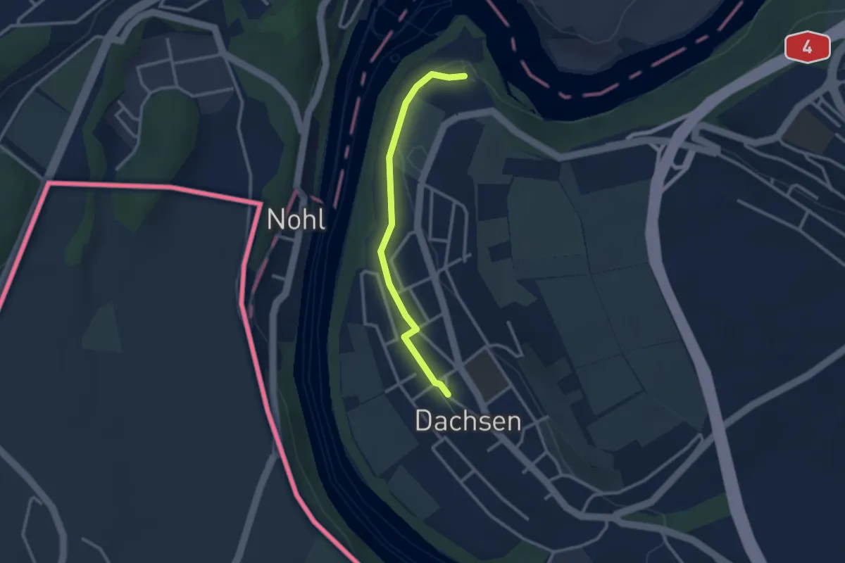
Easy · Trail
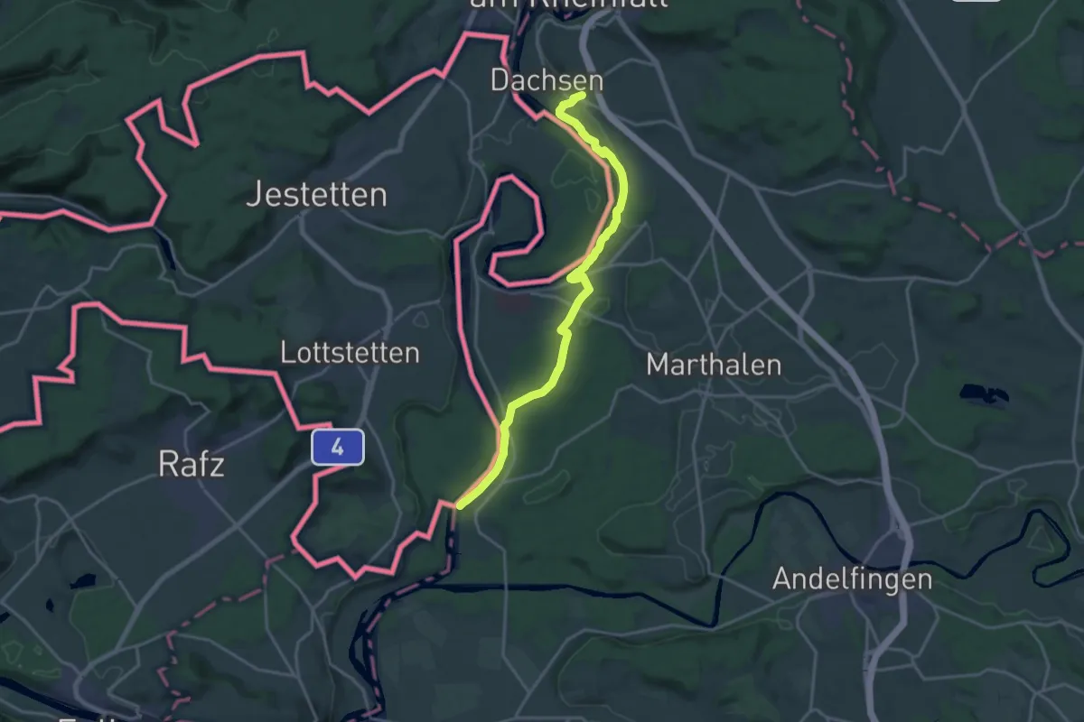
Dachsen – Laufen Rheinfall
2.4 km · ↑ 35 m · 39 min
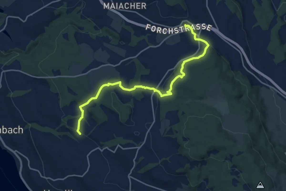
Medium · Trail
Blüemlisalp – Forch
11.9 km · ↑ 335 m · 3 h 33 min
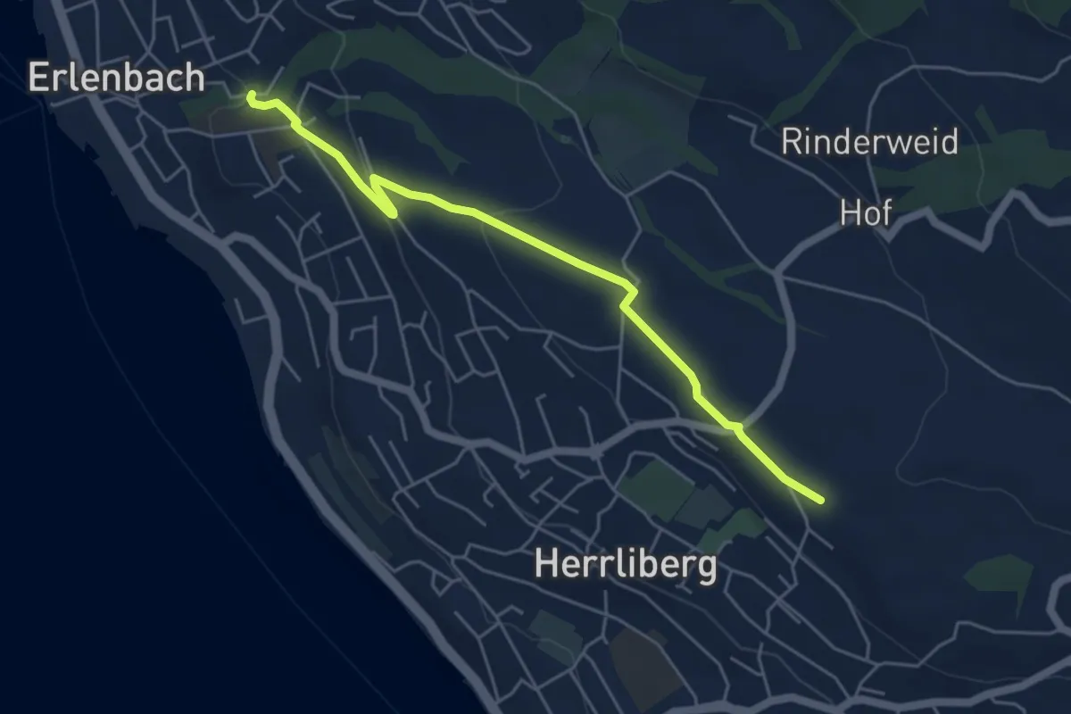
Easy · Trail
Erlenbach Dorfbach – Wängi
5.0 km · ↑ 127 m · 1 h 28 min
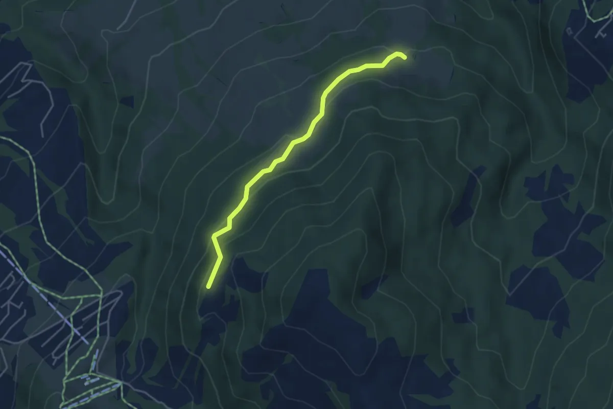
Easy · Trail
Mäderen – Spilmettlen? -
3.7 km · ↑ 208 m · 1 h 20 min
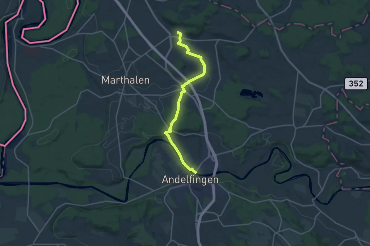
Medium · Trail
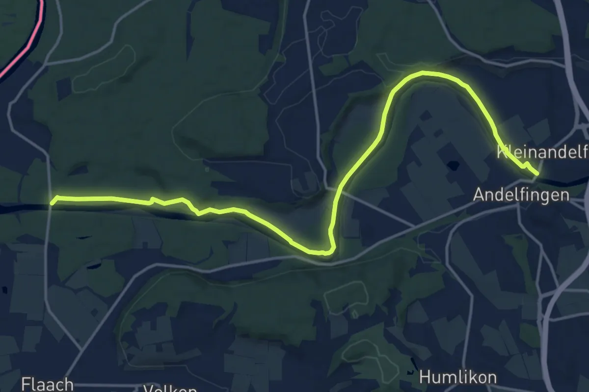
Kleinandelfingen – Rudolfingen
13.4 km · ↑ 126 m · 3 h 26 min
Medium · Trail
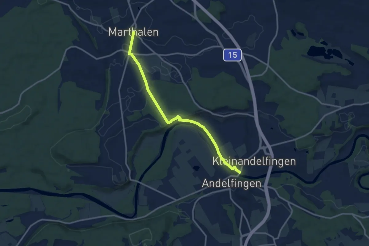
Kleinandelfingen – Marthalen Dorf
9.3 km · ↑ 85 m · 2 h 23 min
Medium · Trail
Kleinandelfingen – Thurhau
16.0 km · ↑ 129 m · 4 h 3 min
Medium · Trail
Ellikon am Rhein – Uhwiesen
17.7 km · ↑ 141 m · 4 h 29 min
Medium · Trail
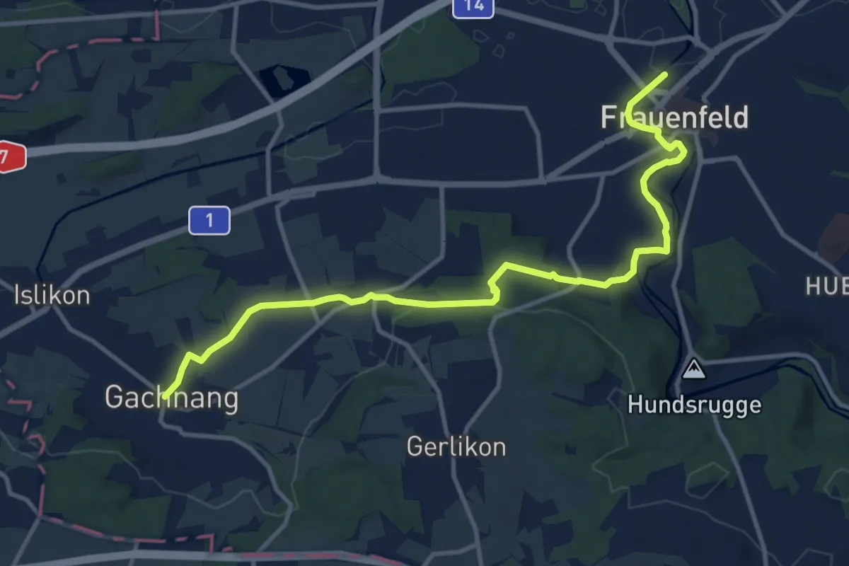
Frauenfeld – Gachnang
11.7 km · ↑ 167 m · 3 h 7 min
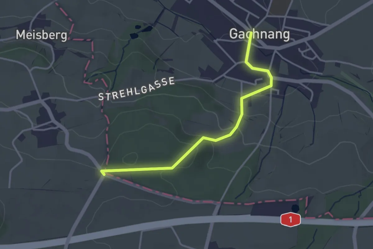
Easy · Trail
Gachnang – Weidhof
3.2 km · ↑ 118 m · 1 h 1 min
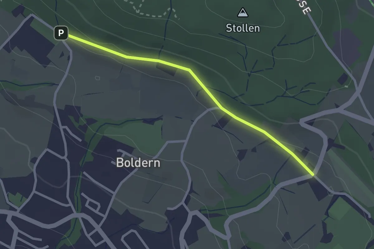
Easy · Trail
Appisberg – Widenbad
2.4 km · ↑ 37 m · 39 min
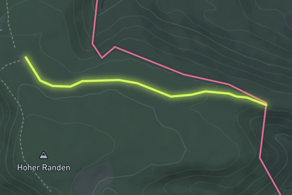
Easy · Trail
Hoh Hengst – Randenhütte
2.9 km · ↑ 40 m · 46 min
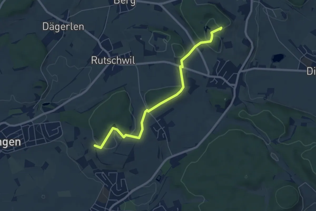
Easy · Trail
Gurisee – Heimenstein
5.9 km · ↑ 102 m · 1 h 37 min
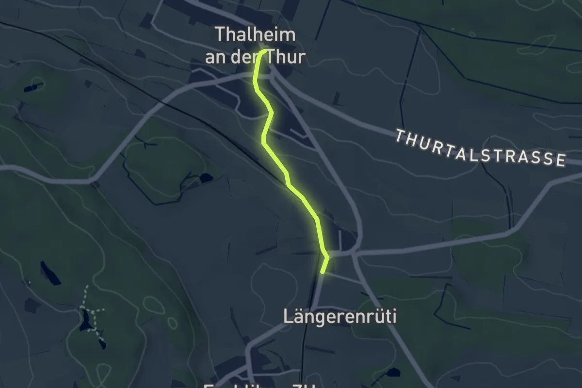
Easy · Trail
Thalheim – Thalheim-Altikon
2.2 km · ↑ 54 m · 38 min
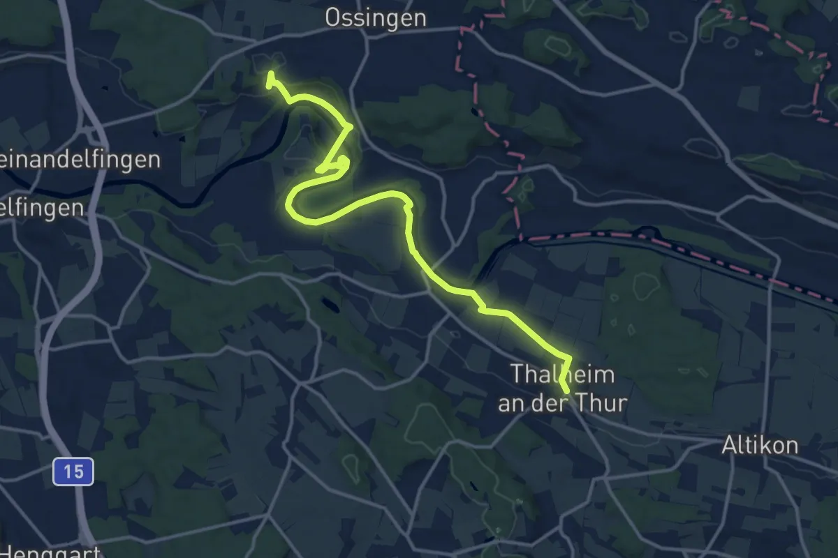
Medium · Trail
Thalheim – Hausen
14.8 km · ↑ 222 m · 3 h 58 min
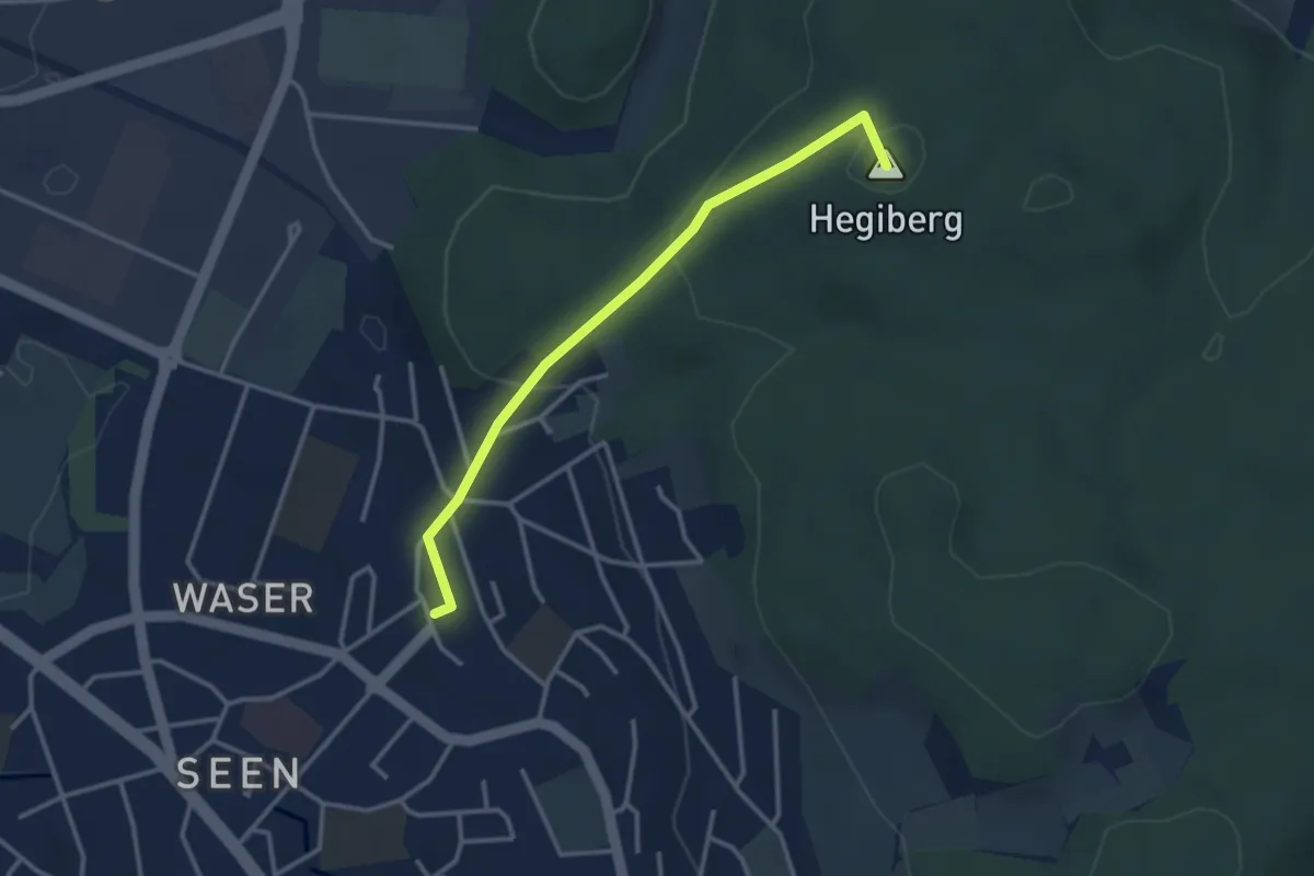
Easy · Summit
Winterthur Seen Bhf. – Hegiberg
3.1 km · ↑ 136 m · 1 h 1 min
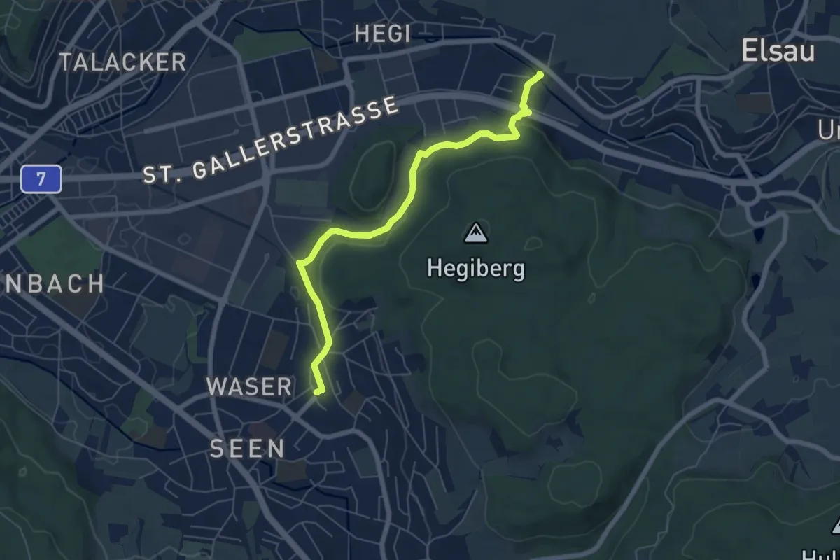
Easy · Trail
Winterthur Seen Bhf. – Rümikon
6.0 km · ↑ 175 m · 1 h 48 min
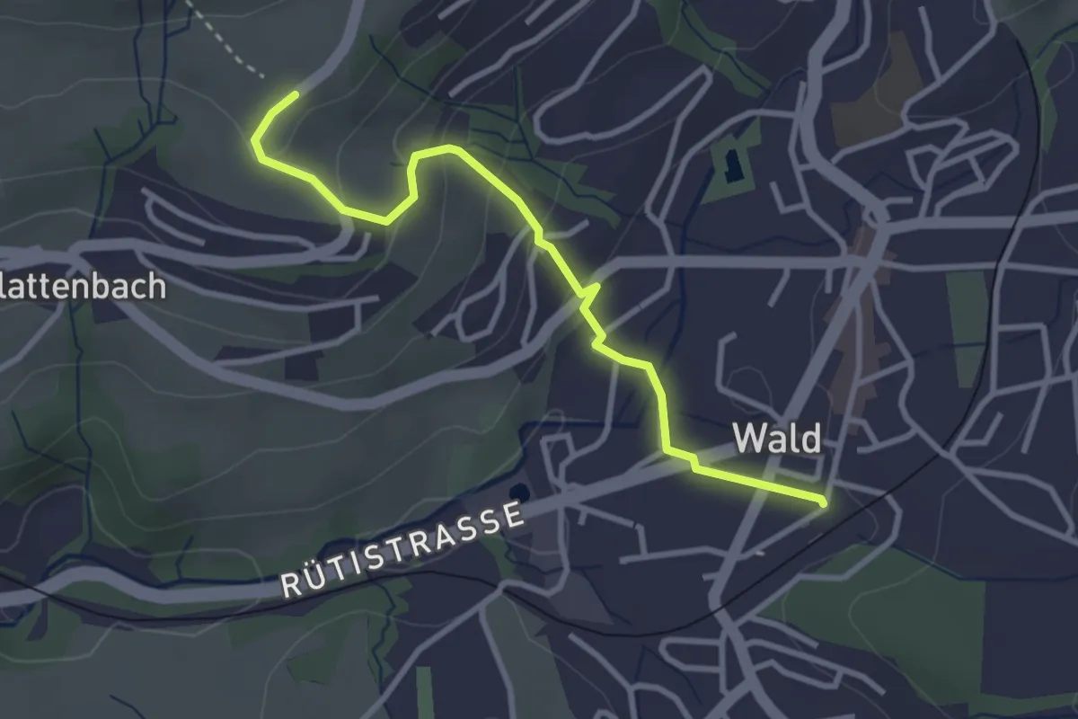
Easy · Trail
Tänler – Wald
3.1 km · ↑ 148 m · 1 h 3 min
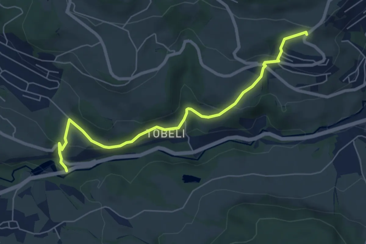
Easy · Trail
Tänler – Pilgersteg
5.7 km · ↑ 232 m · 1 h 51 min
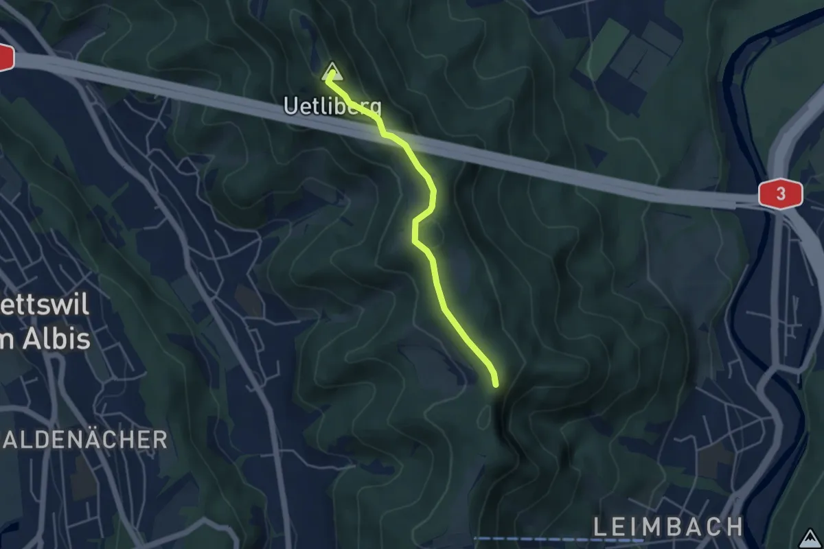
Easy · Summit
Uetliberg – Folenweid
3.7 km · ↑ 140 m · 1 h 10 min
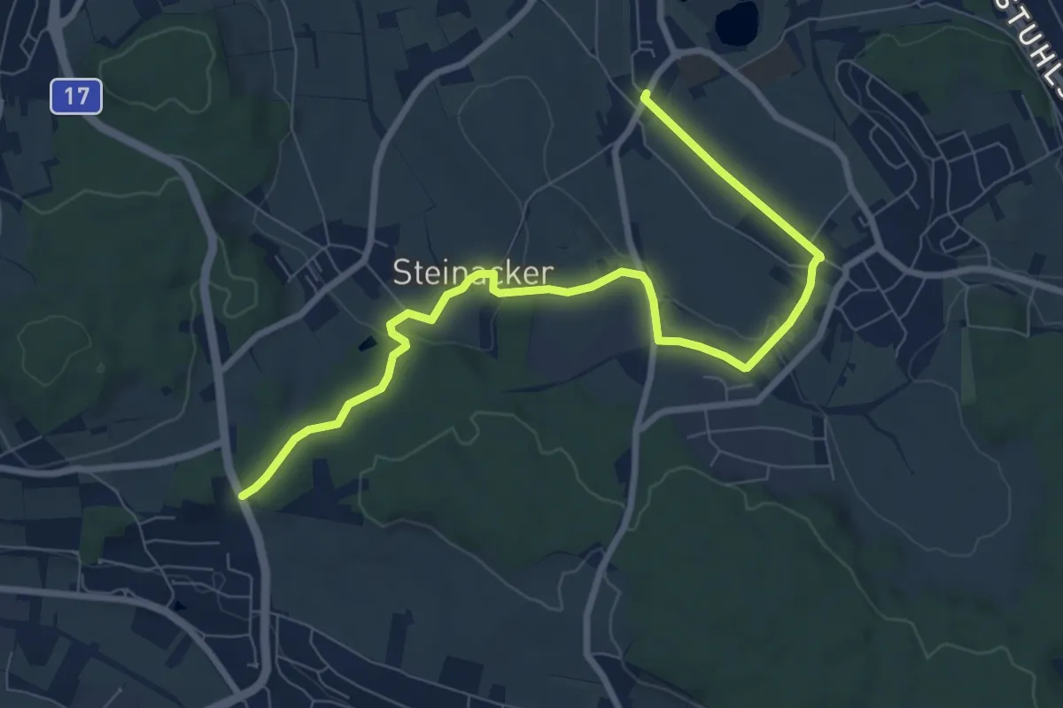
Medium · Trail
Bösbuck – Mettmenhasli
9.0 km · ↑ 152 m · 2 h 28 min
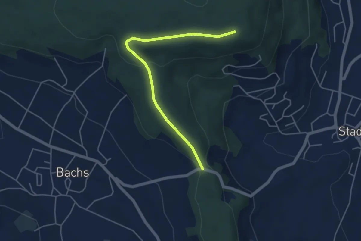
Easy · Trail
Stig – Stadlerberg
3.9 km · ↑ 96 m · 1 h 7 min
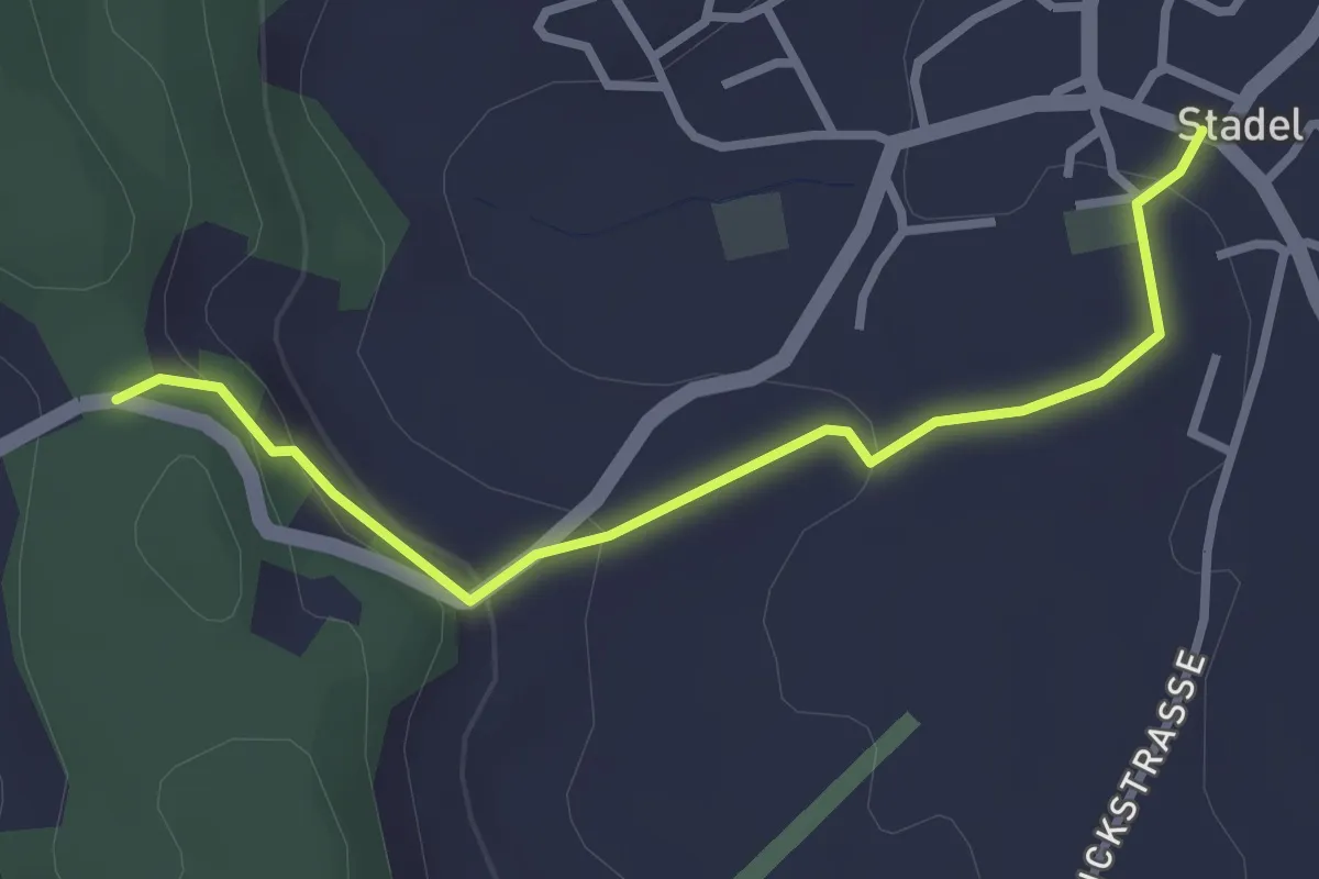
Easy · Trail
Stadel – Stig
2.9 km · ↑ 106 m · 55 min
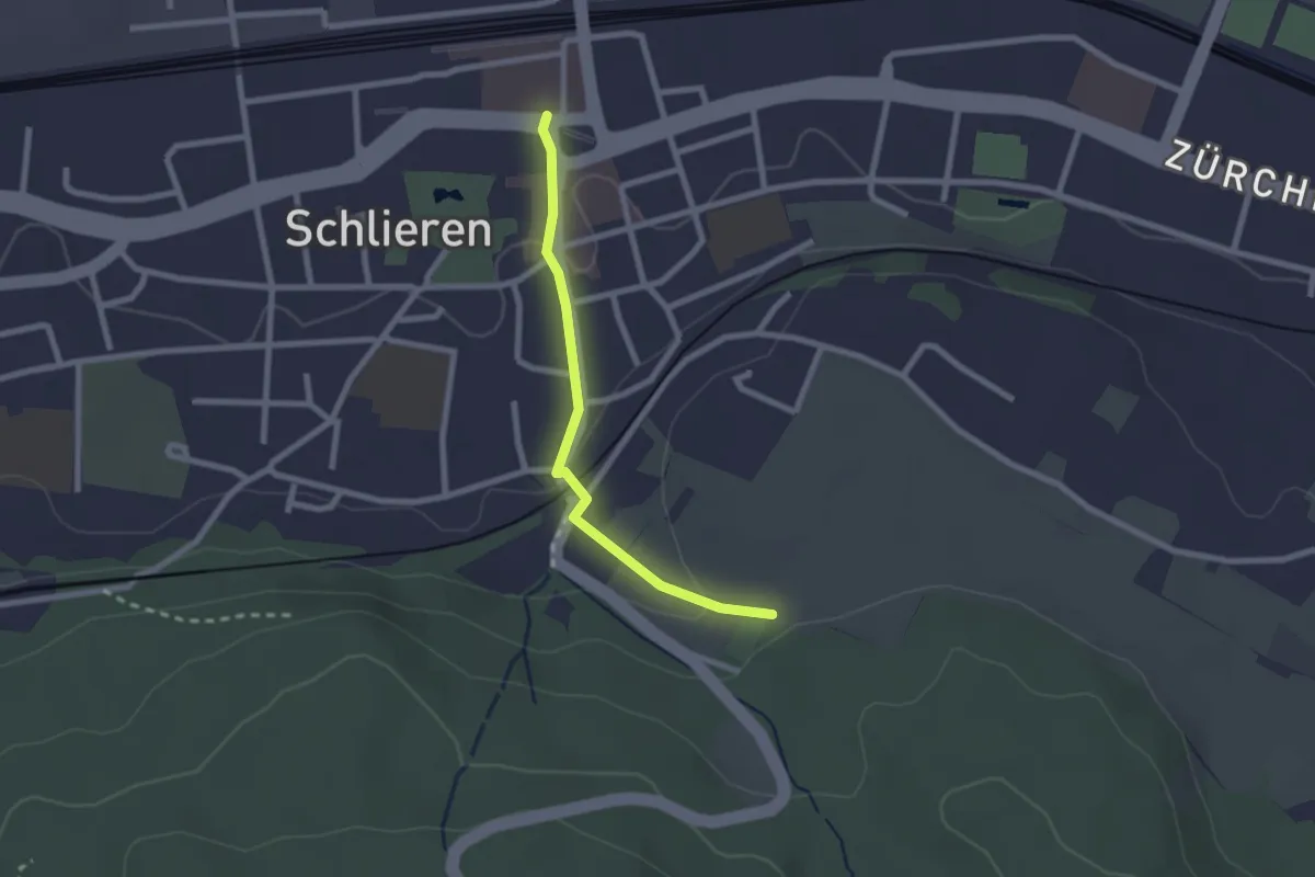
Easy · Trail
Stärpel – Schlieren
2.1 km · ↑ 54 m · 37 min
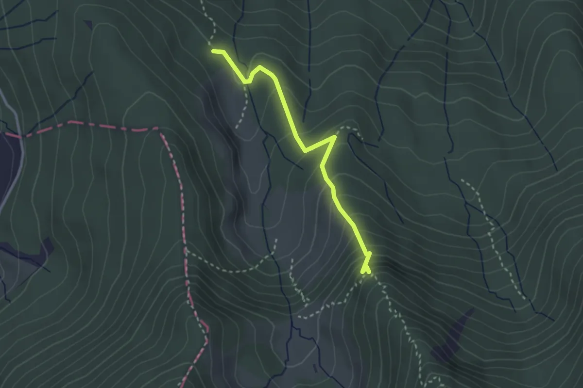
Demanding · Trail
Alplibachbrücke – Alplihorn
2.6 km · ↑ 214 m · 1 h 5 min
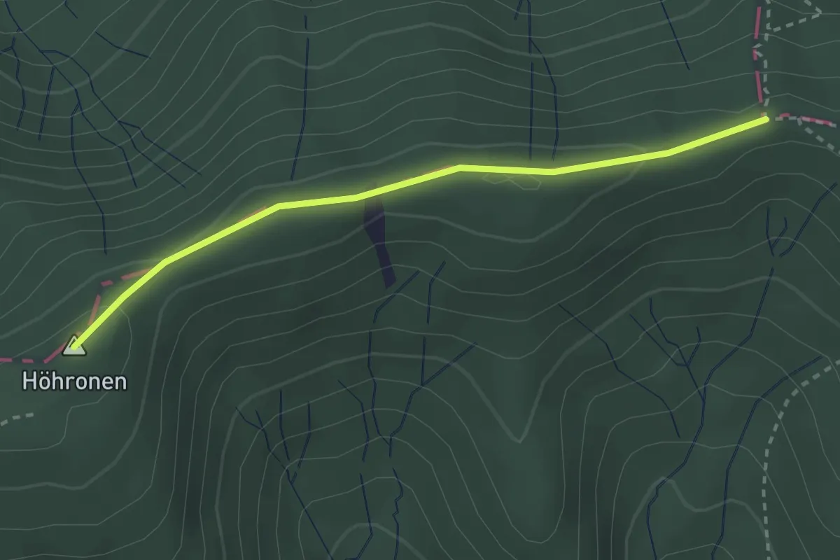
Easy · Summit
Dreiländerstein – Hohboden
2.7 km · ↑ 69 m · 48 min
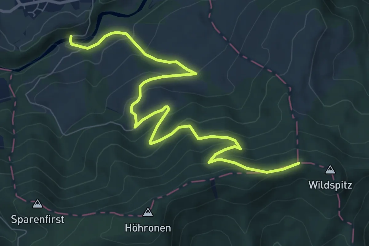
Medium · Trail
Dreiländerstein – Hüttner Brugg
9.6 km · ↑ 564 m · 3 h 29 min
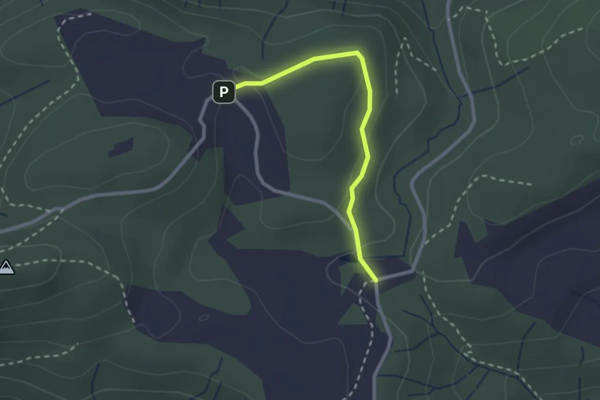
Easy · Trail
Chlausenchappeli – Gottschalkenberg
2.1 km · ↑ 47 m · 35 min
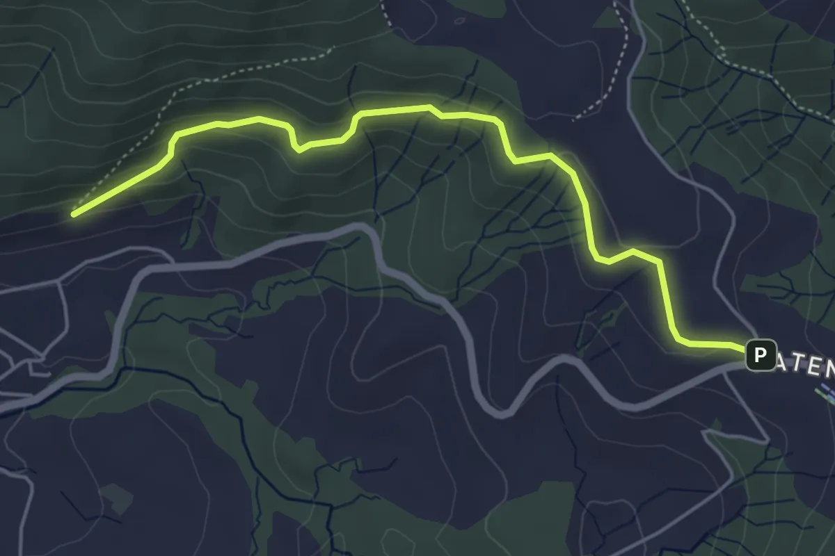
Easy · Trail
Gireggwald – Raten
5.0 km · ↑ 194 m · 1 h 36 min
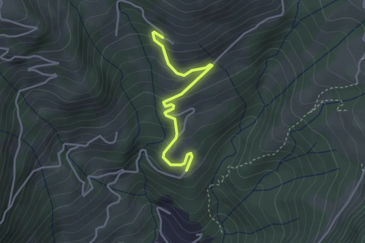
Easy · Trail
Brand – Biregg
2.9 km · ↑ 209 m · 1 h 8 min
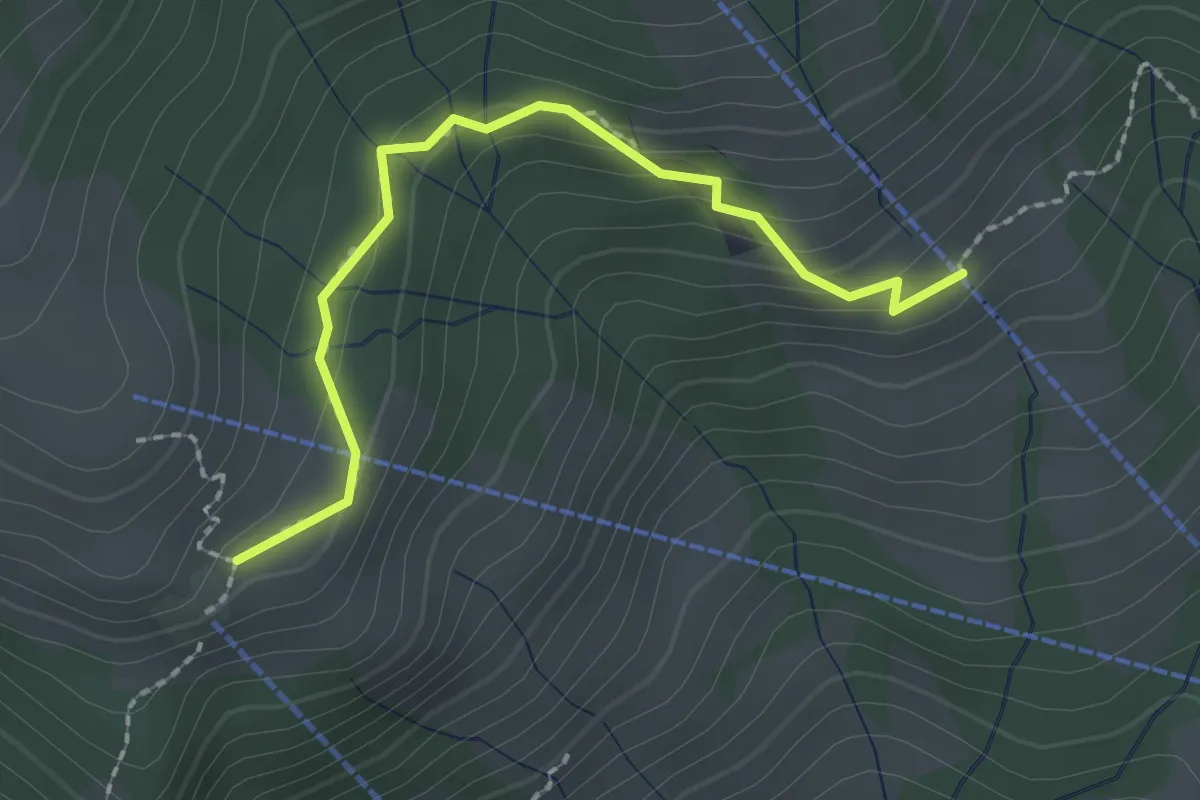
Easy · Trail
Breitäbnet – Bergli
2.1 km · ↑ 129 m · 47 min
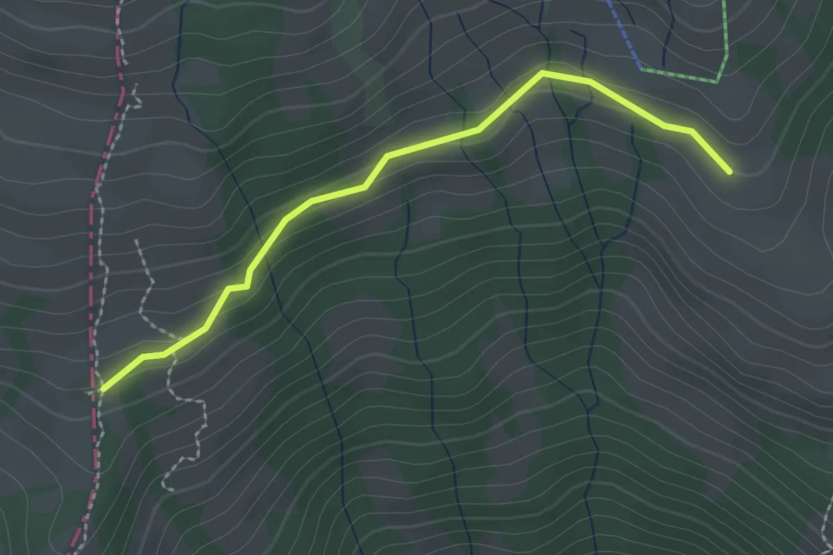
Easy · Trail
Obermatthütte – Pfäng
2.3 km · ↑ 81 m · 42 min
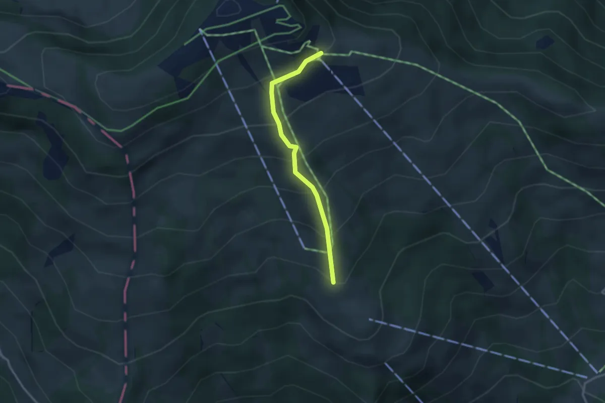
Easy · Trail
Obermatthütte – Burggeist
2.4 km · ↑ 258 m · 1 h 8 min