Trails in Switzerland
15,055 hiking trails, each with its route, climb, walking time and grade.
All trails, page 275 of 314
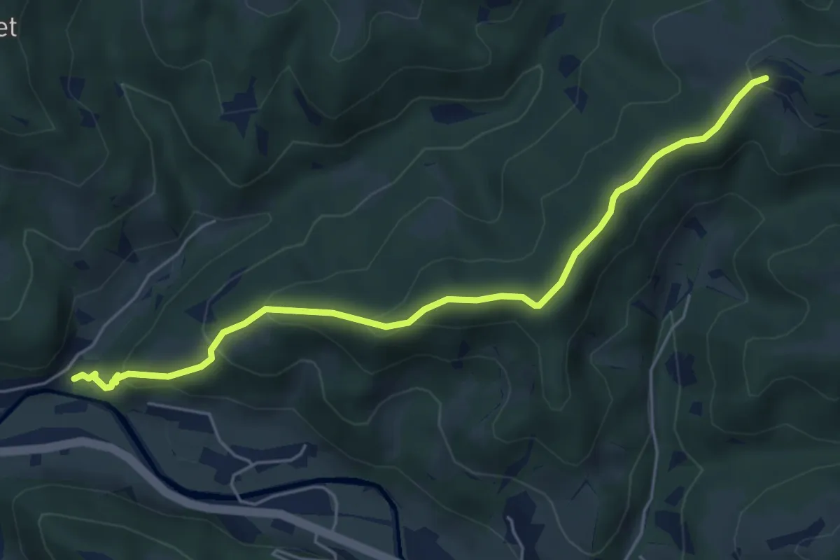
Easy · Trail
Tüfenbach – Heiletsegg
5.4 km · ↑ 271 m · 1 h 52 min
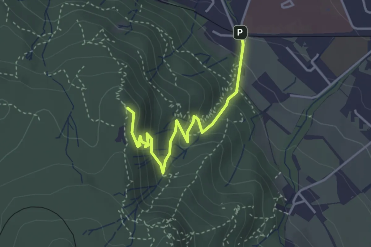
Easy · Summit
Triemli – Hohenstein
3.2 km · ↑ 219 m · 1 h 14 min
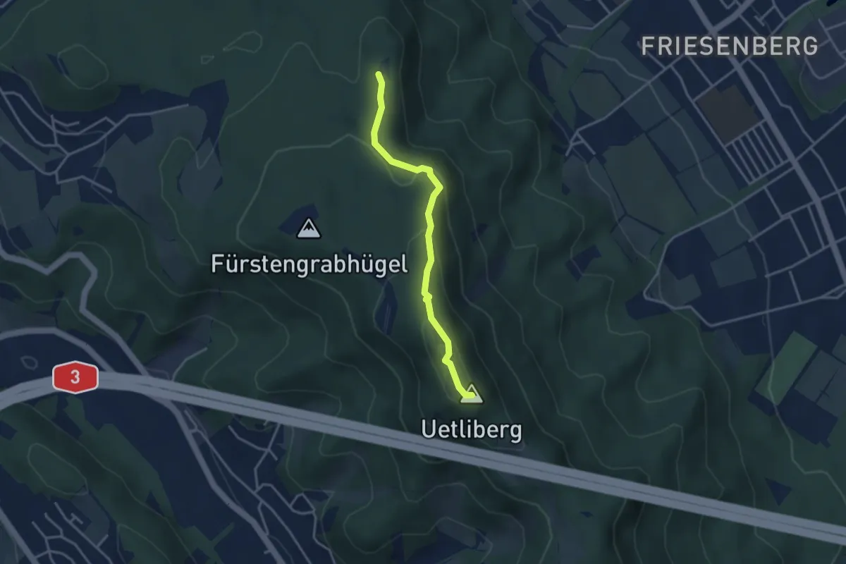
Medium · Summit
Hohenstein – Uetliberg Uto Kulm
3.1 km · ↑ 163 m · 1 h 5 min
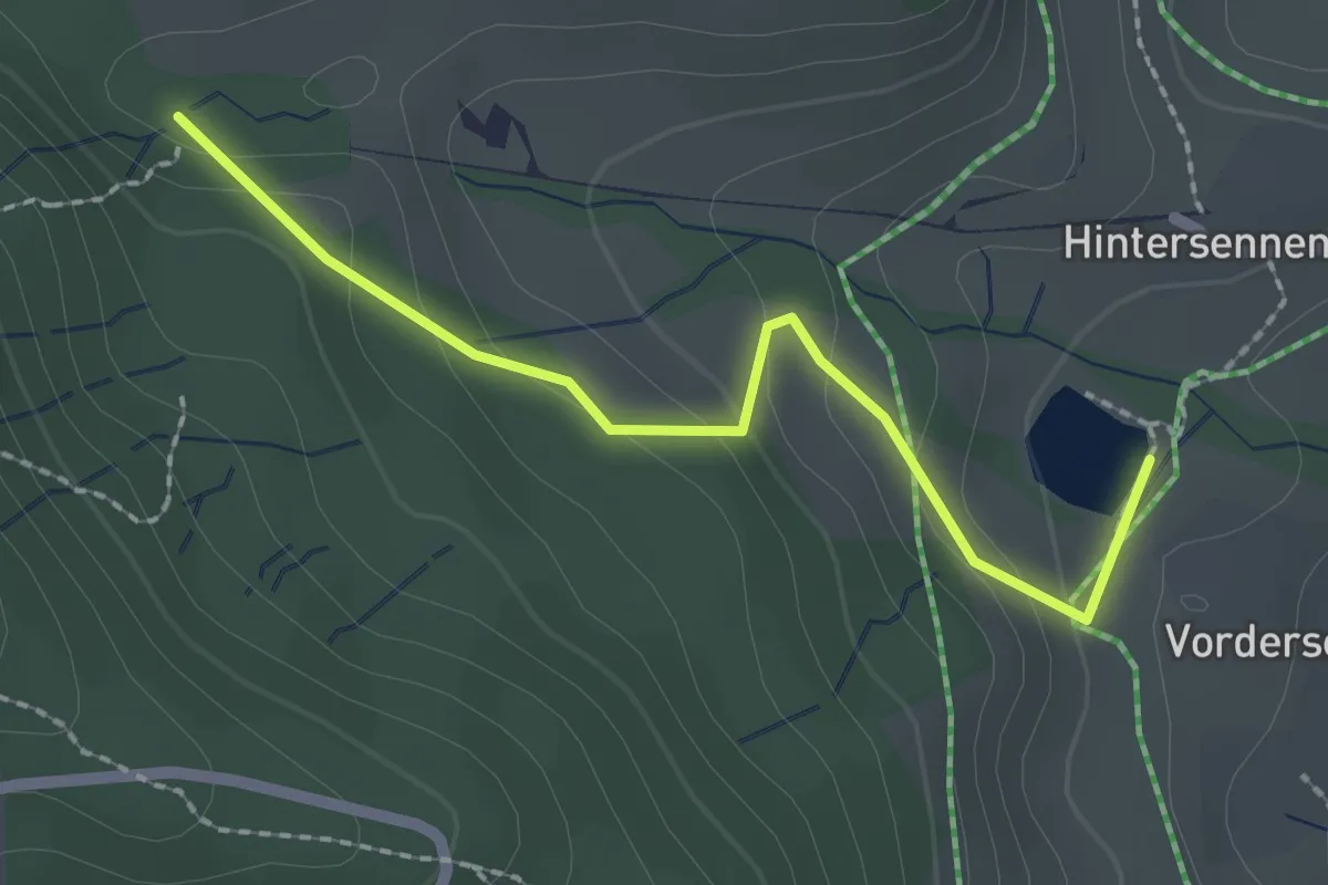
Easy · Trail
Bachtelweiher – Auenberg Sattel
2.1 km · ↑ 116 m · 45 min
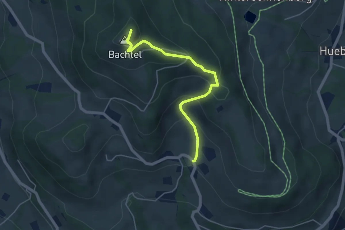
Easy · Summit
Unterbach – Bachtel
3.7 km · ↑ 247 m · 1 h 25 min
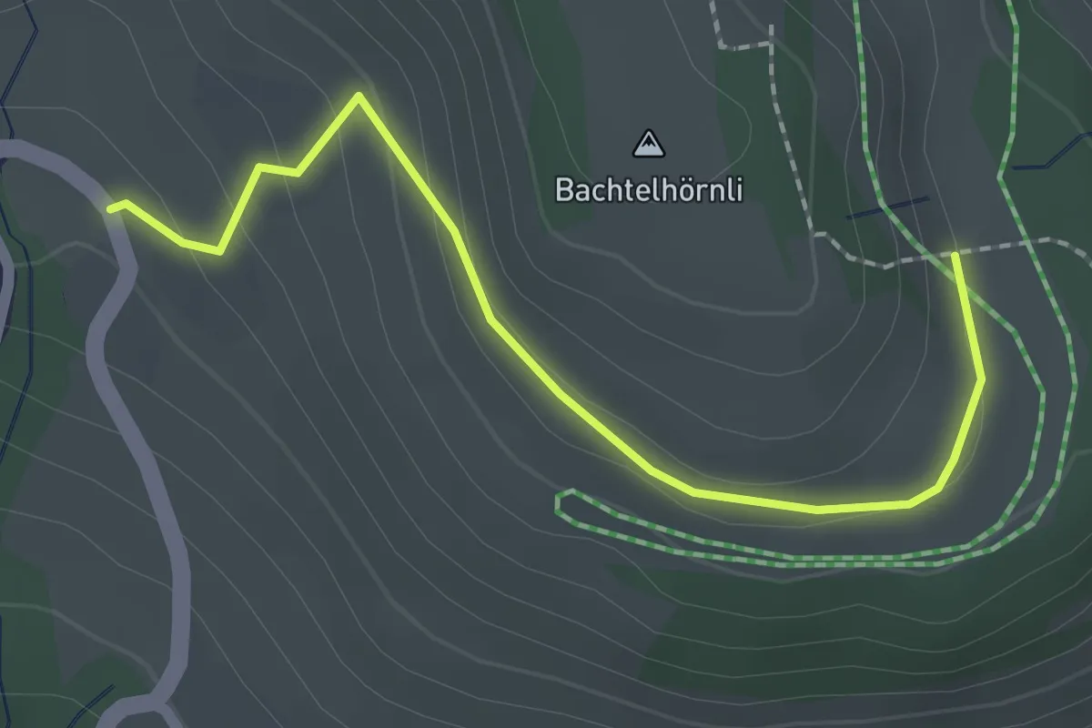
Easy · Trail
Unterbach – ?
2.1 km · ↑ 71 m · 39 min
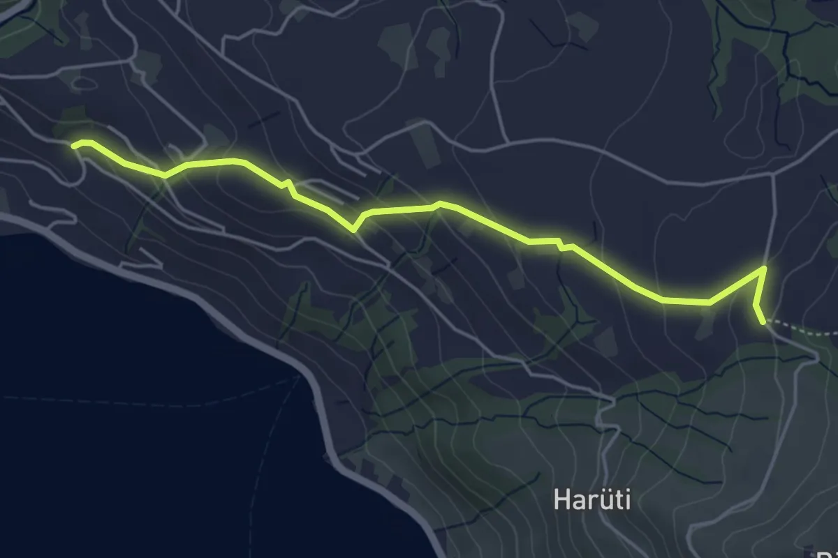
Easy · Trail
Bättenbüel – Waldschlagchrüz
4.7 km · ↑ 237 m · 1 h 38 min
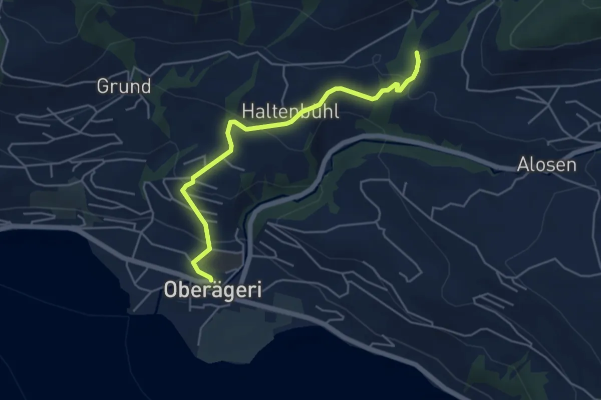
Easy · Trail
Chefibach – Oberägeri
4.3 km · ↑ 181 m · 1 h 24 min
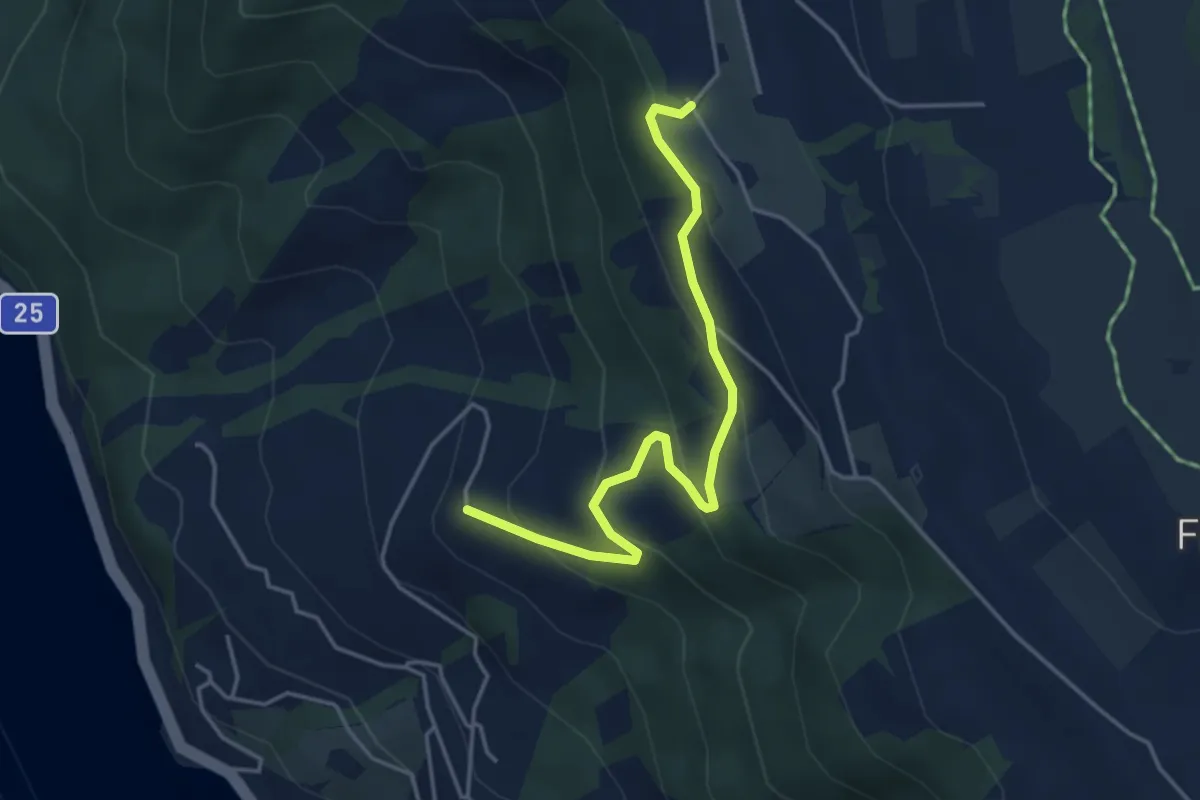
Easy · Trail
Gibel – Lienisberg
4.2 km · ↑ 235 m · 1 h 30 min
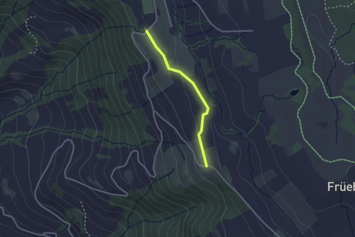
Easy · Trail
Lienisberg – Wissenschwändi
2.1 km · ↑ 52 m · 36 min
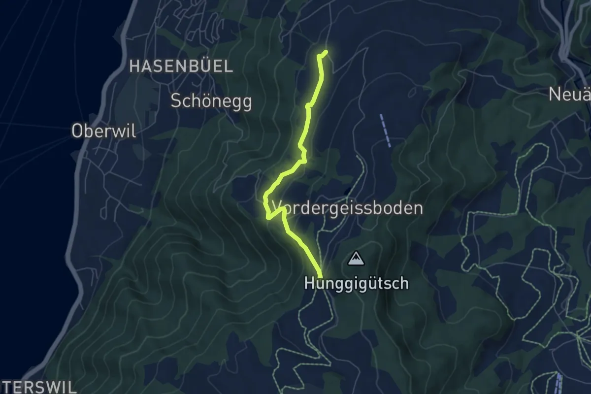
Easy · Trail
Sennhütte – Tankfalle
5.1 km · ↑ 171 m · 1 h 34 min
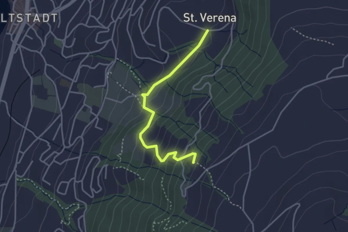
Easy · Trail
St. Verena – Blasenberg
3.1 km · ↑ 219 m · 1 h 12 min
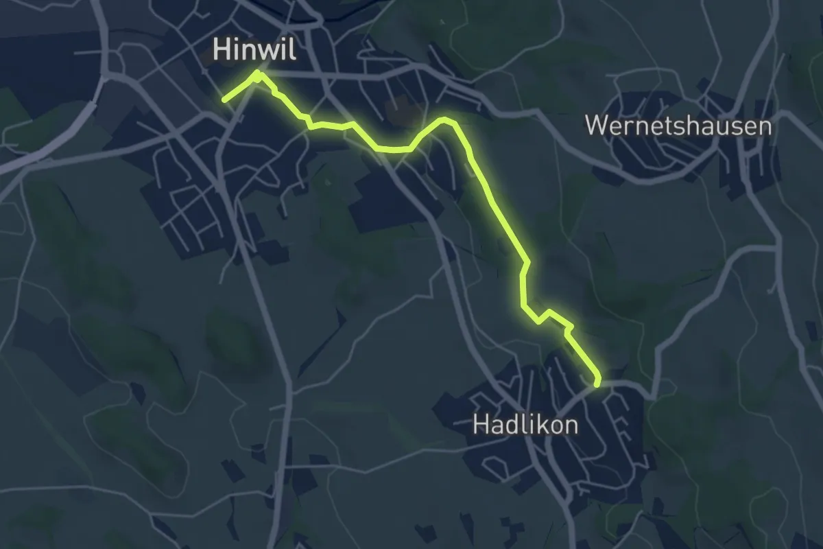
Easy · Trail
Hadlikon – Hinwil
5.1 km · ↑ 82 m · 1 h 22 min
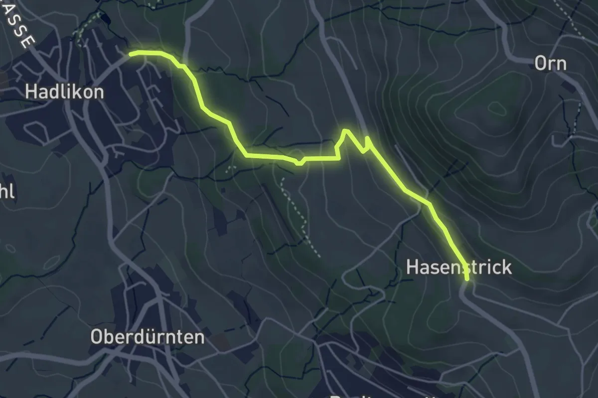
Easy · Trail
Hadlikon – Hasenstrick
4.4 km · ↑ 171 m · 1 h 25 min
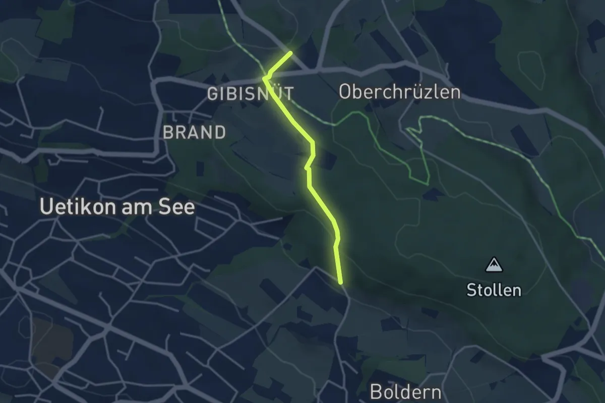
Easy · Trail
Gibisnüd – Appisberg
2.6 km · ↑ 81 m · 47 min
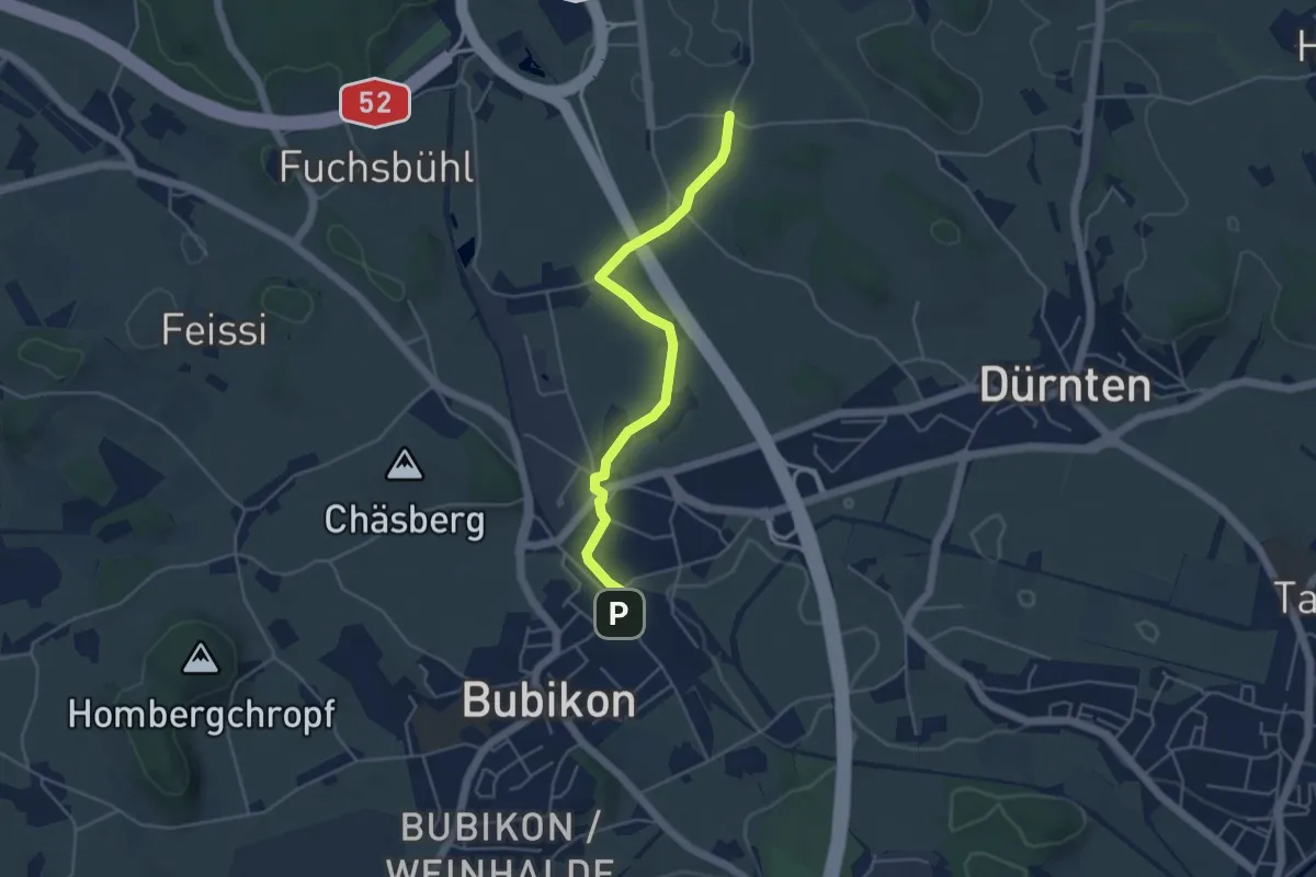
Easy · Trail
Bubikon – Oberhof
4.4 km · ↑ 36 m · 1 h 7 min
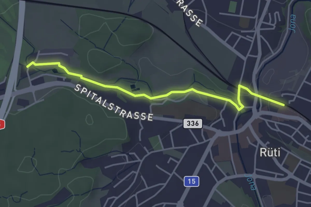
Easy · Trail
Rüti – Schwarz
3.8 km · ↑ 33 m · 58 min
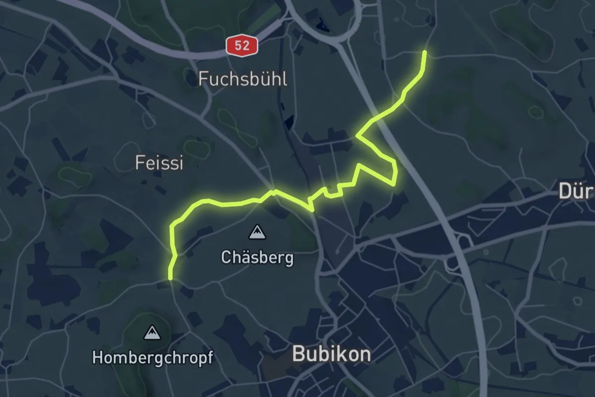
Easy · Trail
Oberhof – Sennschür
6.9 km · ↑ 72 m · 1 h 47 min
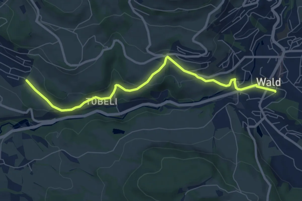
Easy · Trail
Breitenmatt – Wald
7.0 km · ↑ 232 m · 2 h 10 min
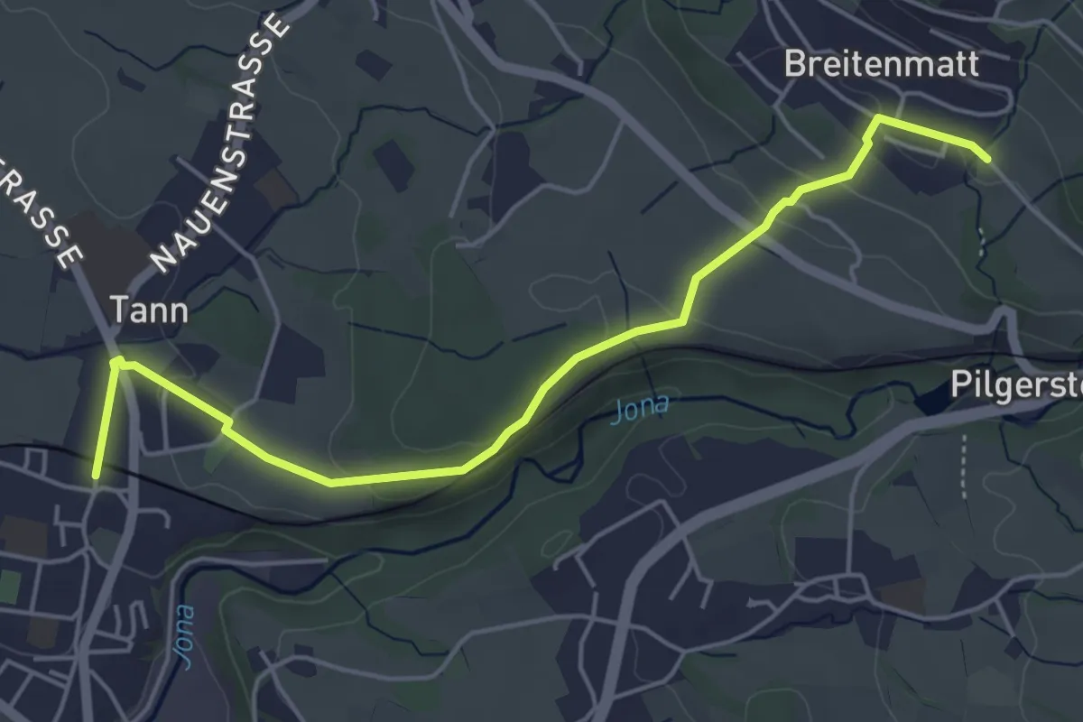
Easy · Trail
Breitenmatt – Tann-Dürnten
5.1 km · ↑ 109 m · 1 h 27 min
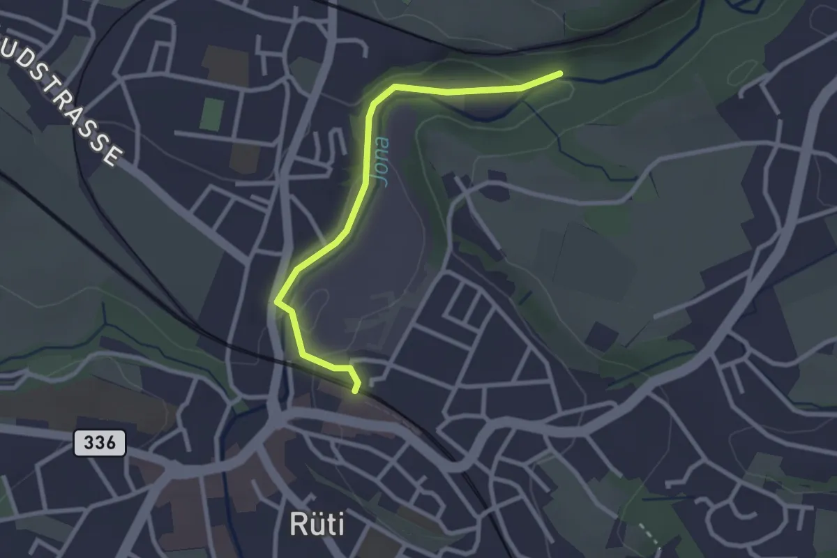
Easy · Trail
Rüti – Tannertobel
2.5 km · ↑ 48 m · 41 min
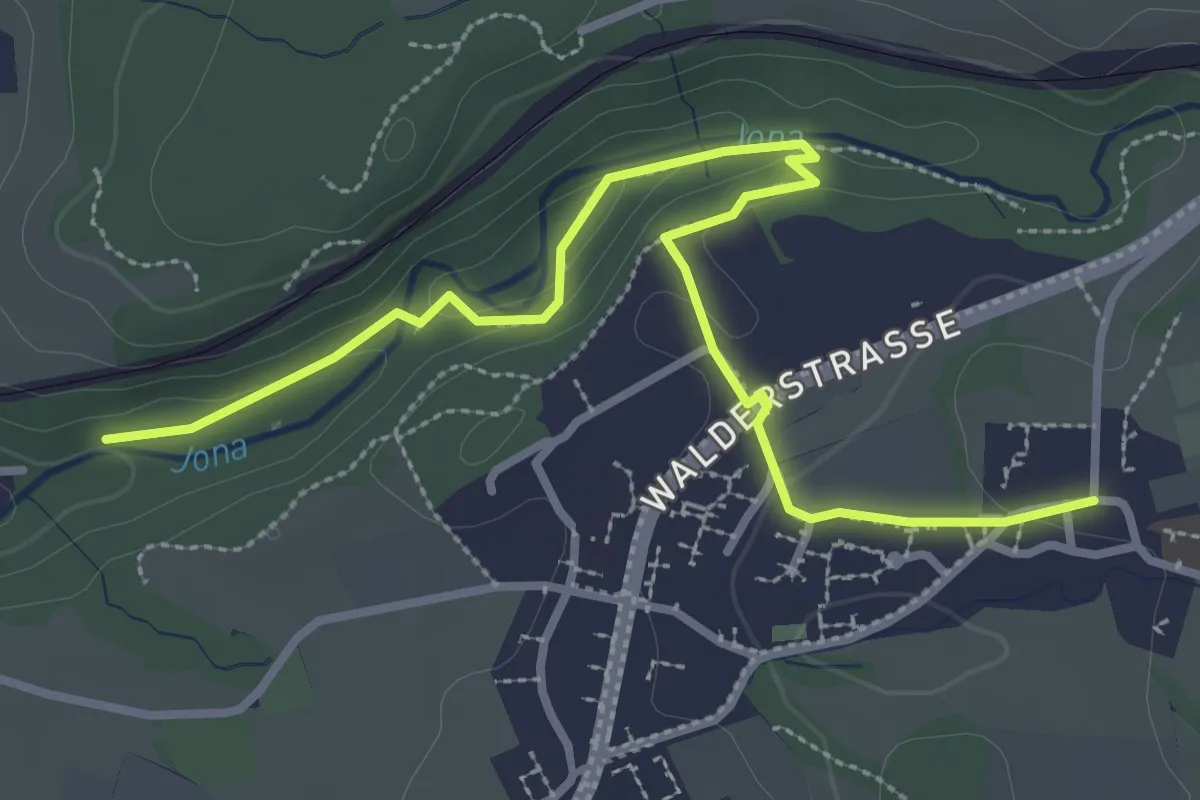
Easy · Trail
Tannertobel – Unterfägswil
3.6 km · ↑ 62 m · 59 min
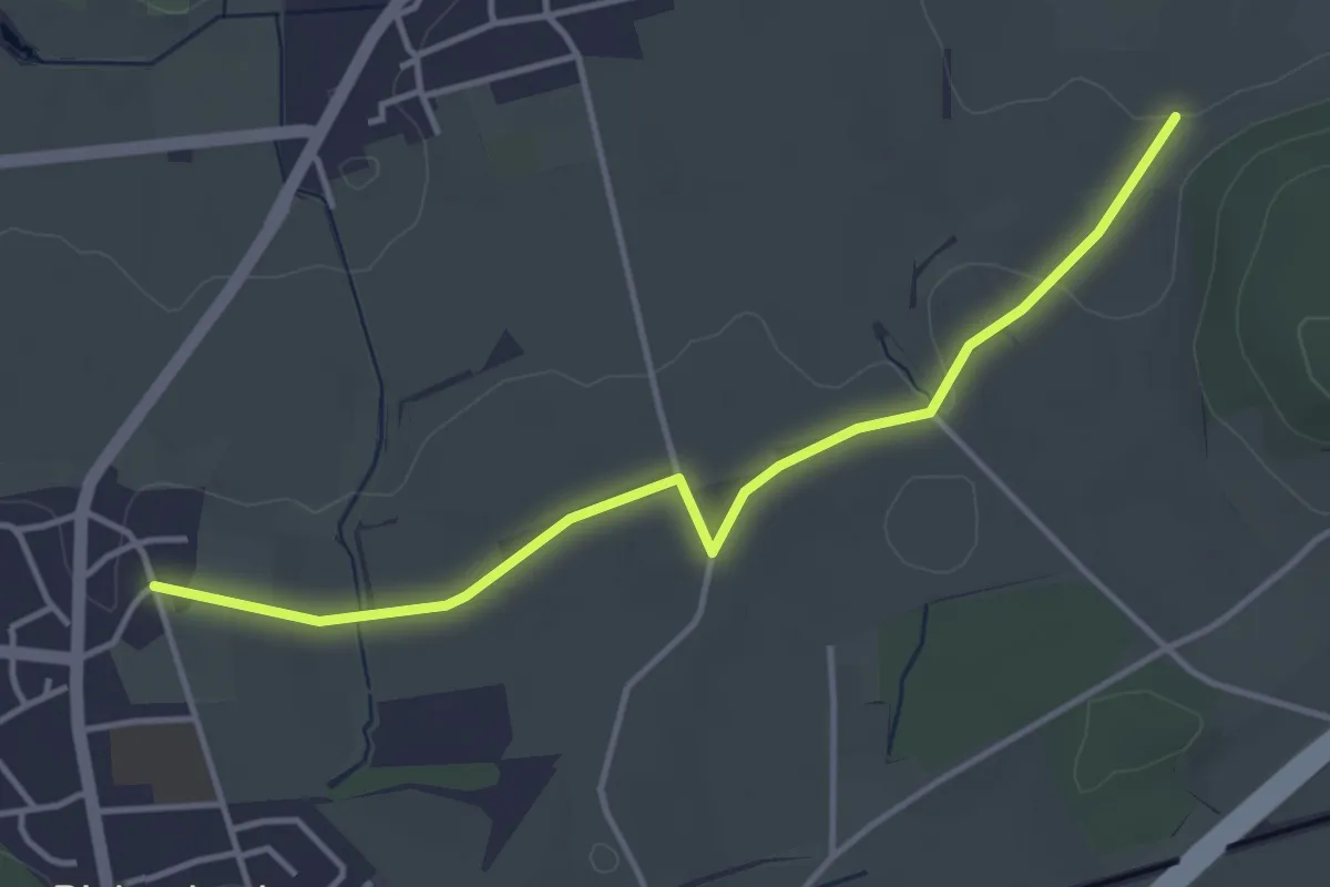
Easy · Trail
Sulz – Frauenfeld
4.0 km · ↑ 31 m · 1 h 1 min
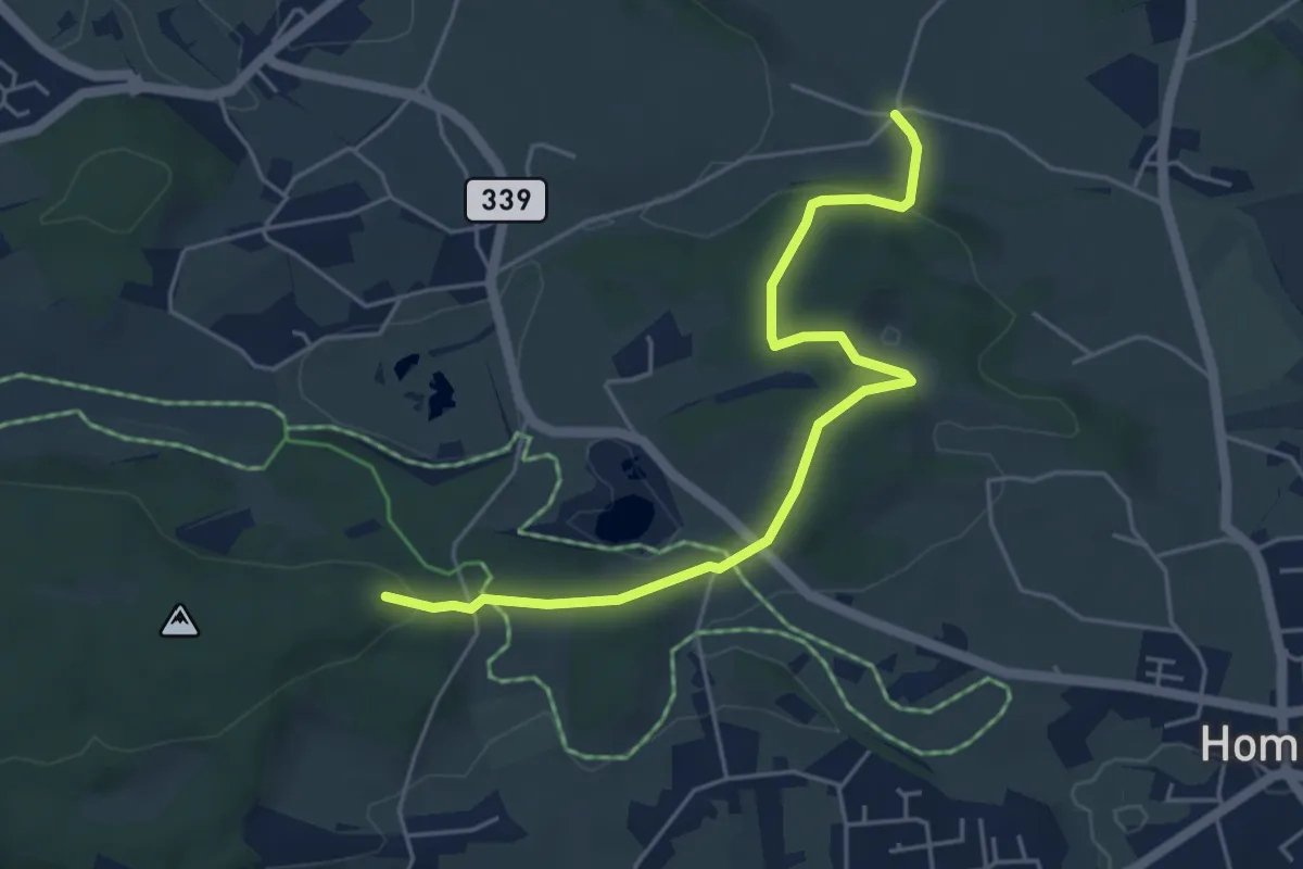
Easy · Trail
Dändlikon – Buechstutz
5.1 km · ↑ 120 m · 1 h 28 min
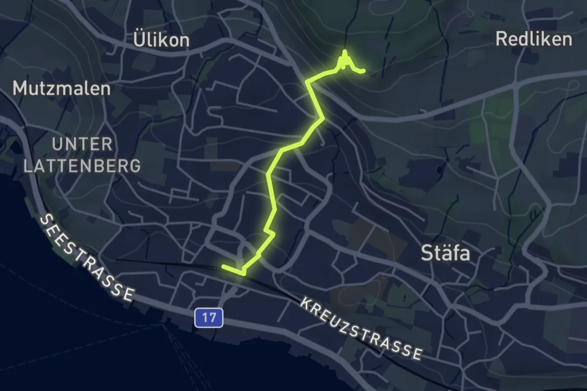
Easy · Trail
Risi – Stäfa
3.2 km · ↑ 165 m · 1 h 7 min
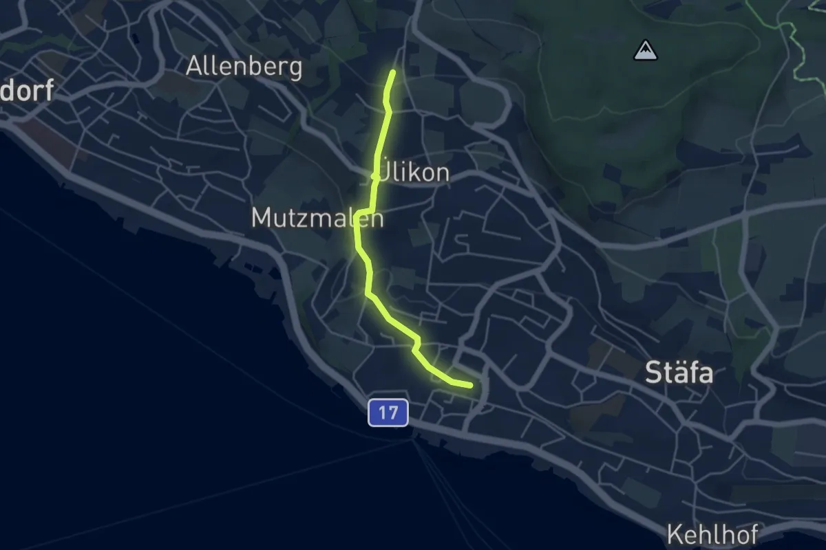
Easy · Trail
Püntacher – Stäfa
3.7 km · ↑ 141 m · 1 h 10 min
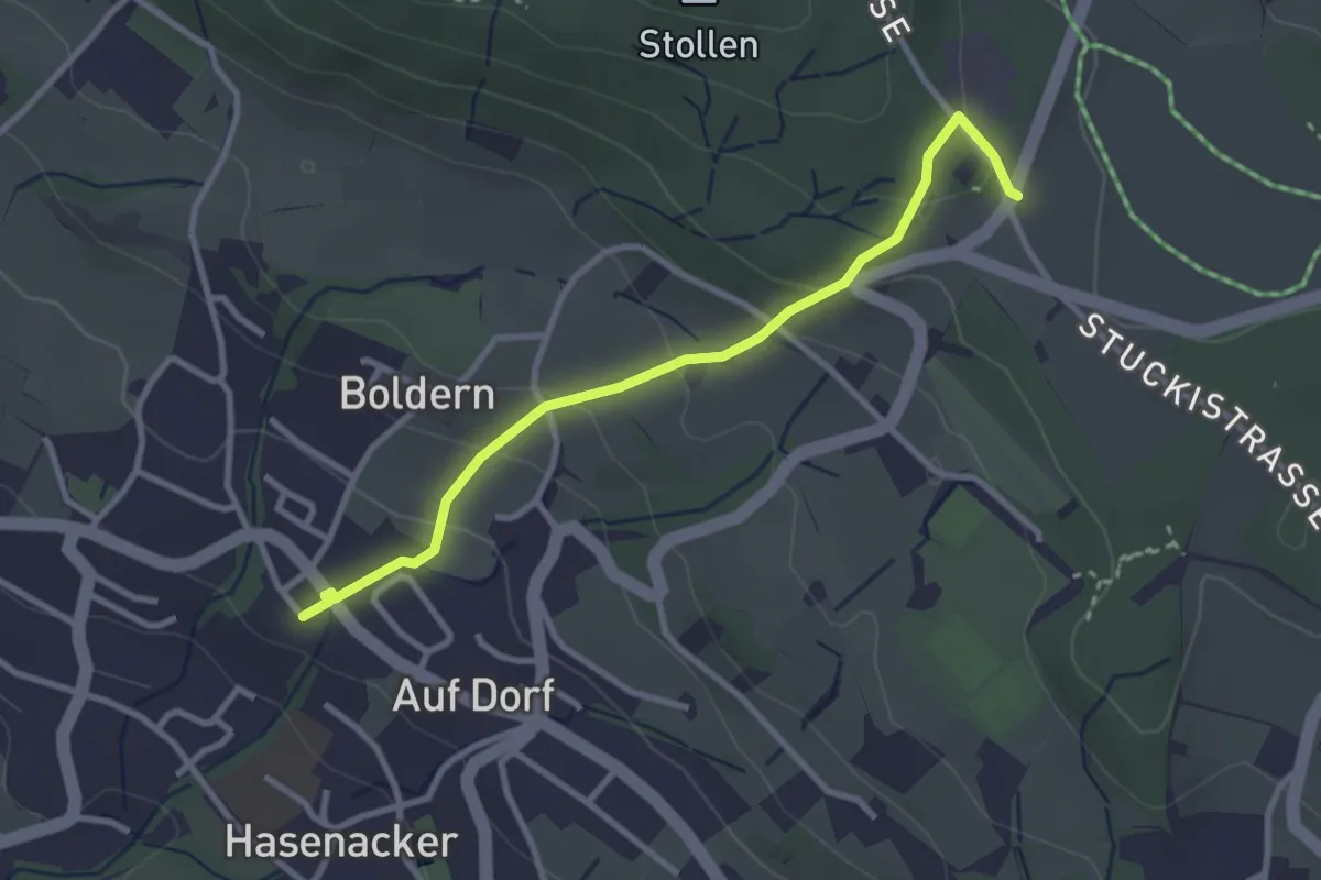
Easy · Trail
Stäfnertürli – Boldernstrasse
3.0 km · ↑ 158 m · 1 h 2 min
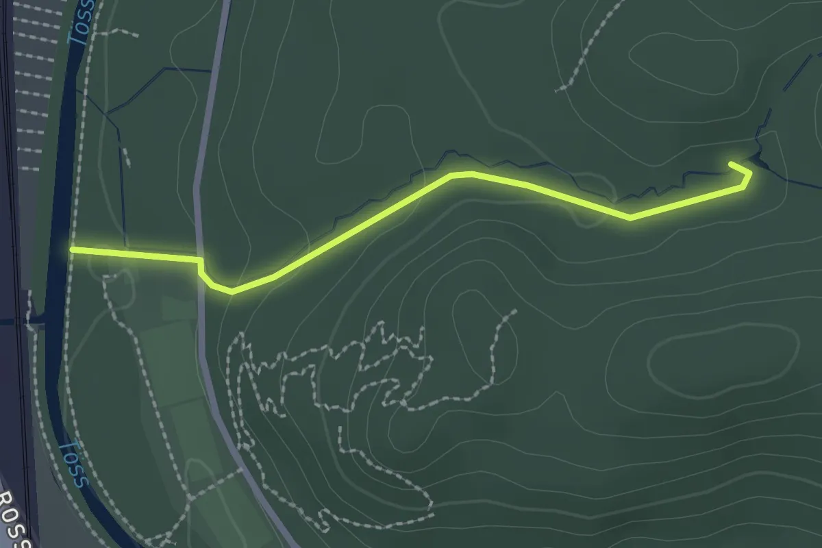
Easy · Trail
Sternweiher – Ritplatz
2.1 km · ↑ 58 m · 37 min
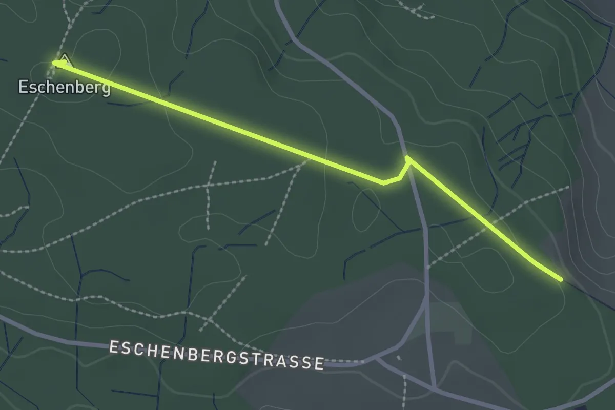
Easy · Summit
Eschenberg Aussichtsturm – Seen
2.5 km · ↑ 51 m · 41 min
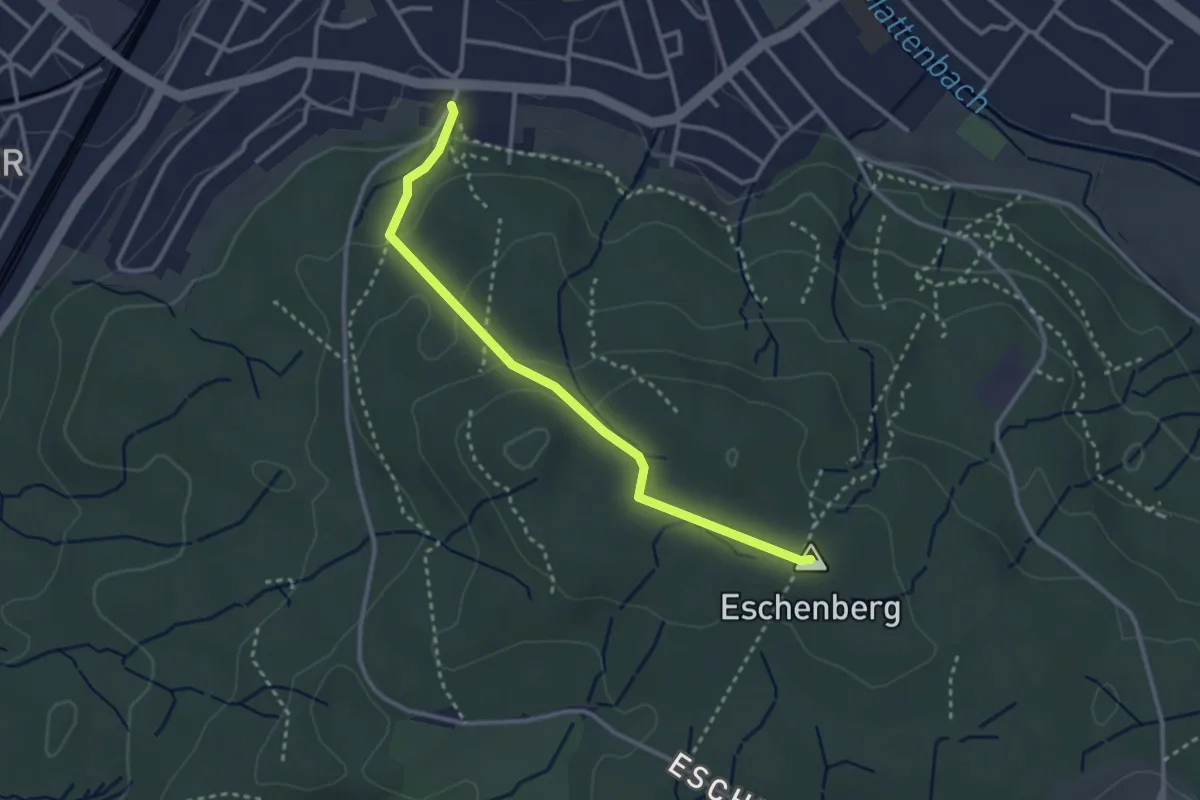
Easy · Summit
Eschenberg Aussichtsturm – Breiti
3.0 km · ↑ 105 m · 56 min
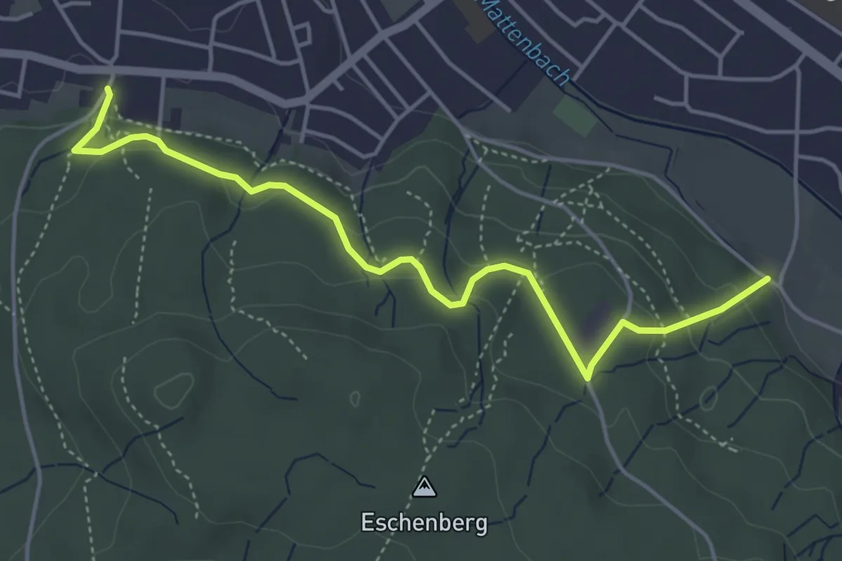
Easy · Trail
Breiti – Waldegg
4.7 km · ↑ 192 m · 1 h 31 min
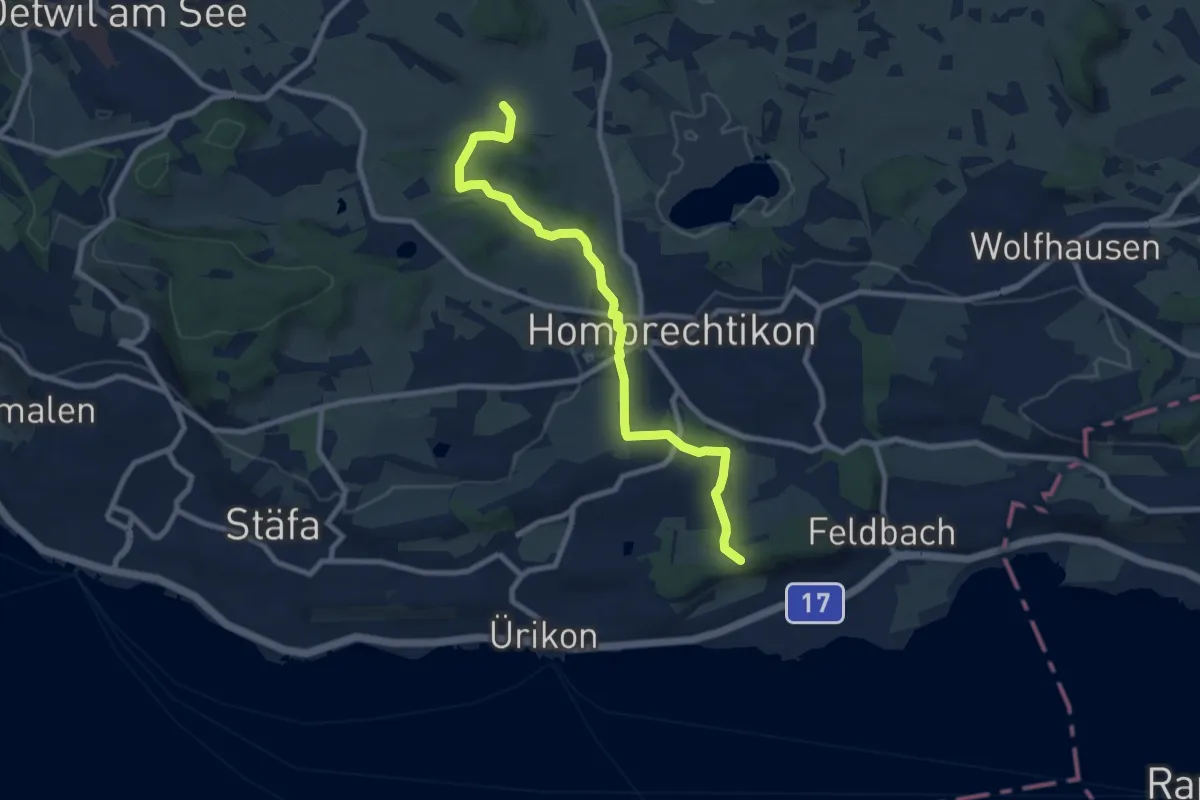
Medium · Trail
Dändlikon – Langgass
9.0 km · ↑ 182 m · 2 h 31 min
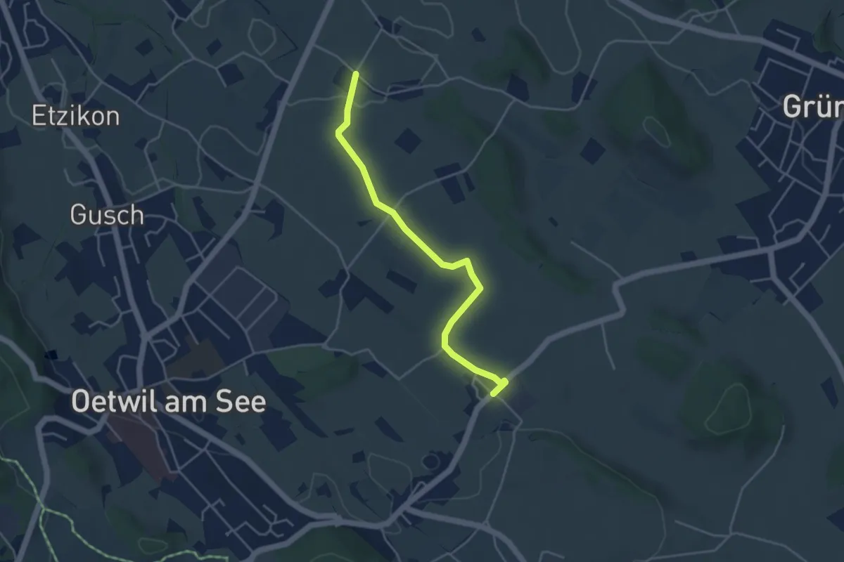
Easy · Trail
Holzhusen – Summerau
4.0 km · ↑ 48 m · 1 h 2 min
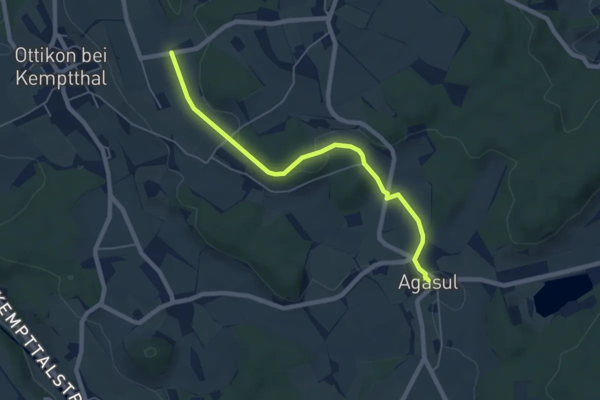
Easy · Trail
Agasul – Erli
4.6 km · ↑ 79 m · 1 h 16 min
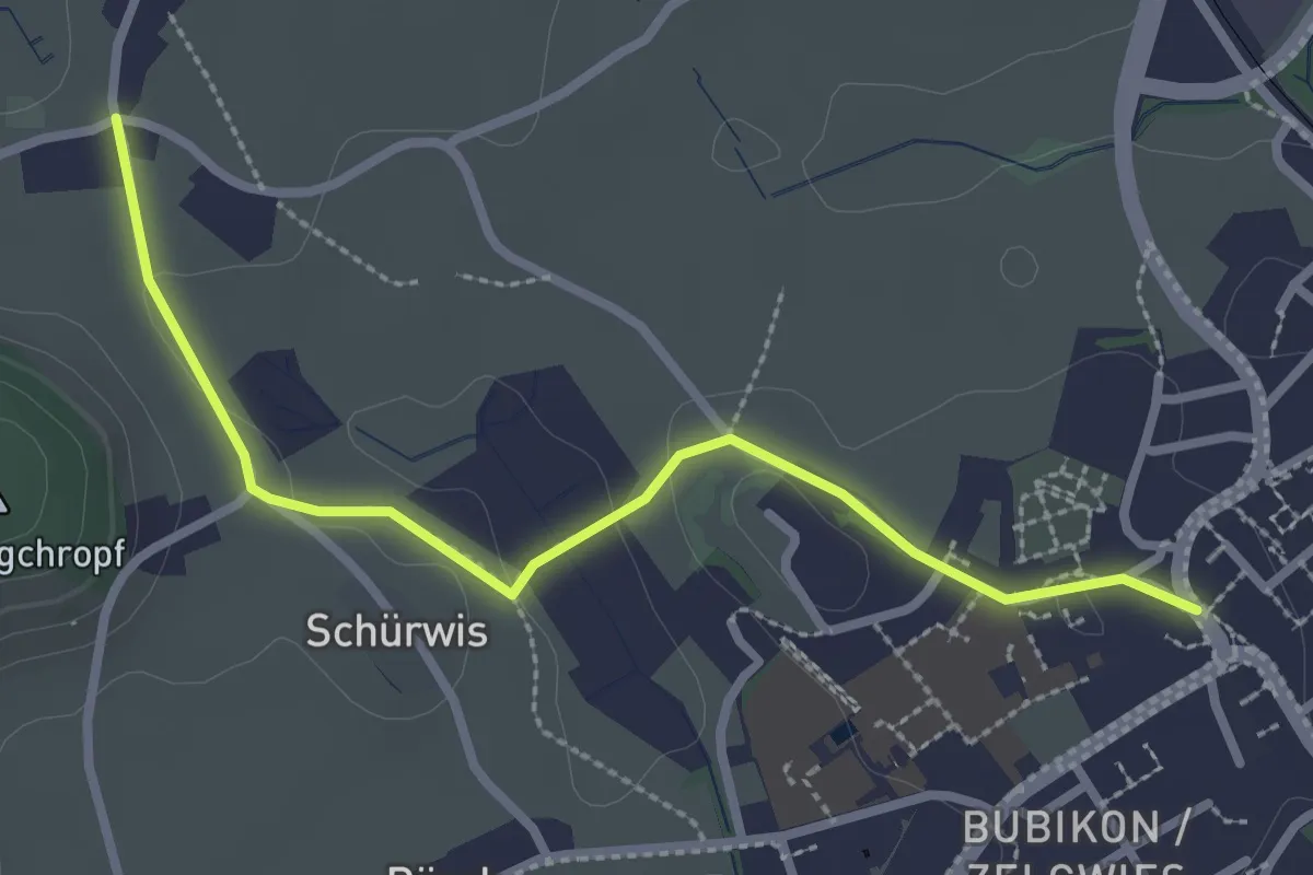
Easy · Trail
Bubikon Dorf – Sennschür
2.8 km · ↑ 34 m · 44 min
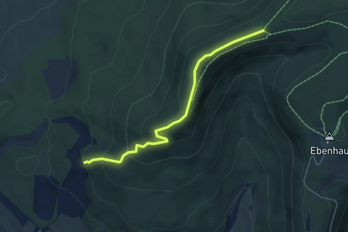
Easy · Trail
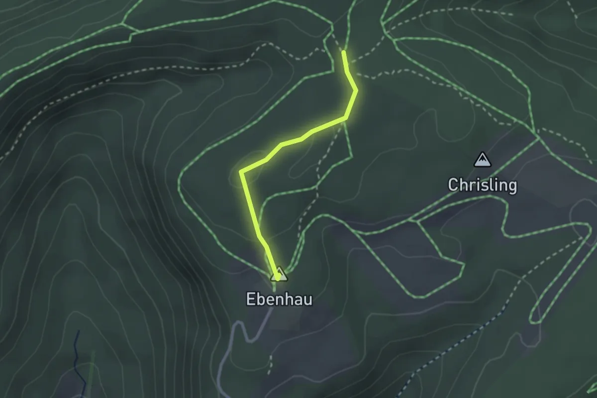
Hörnli – Langer Randen
4.2 km · ↑ 270 m · 1 h 35 min
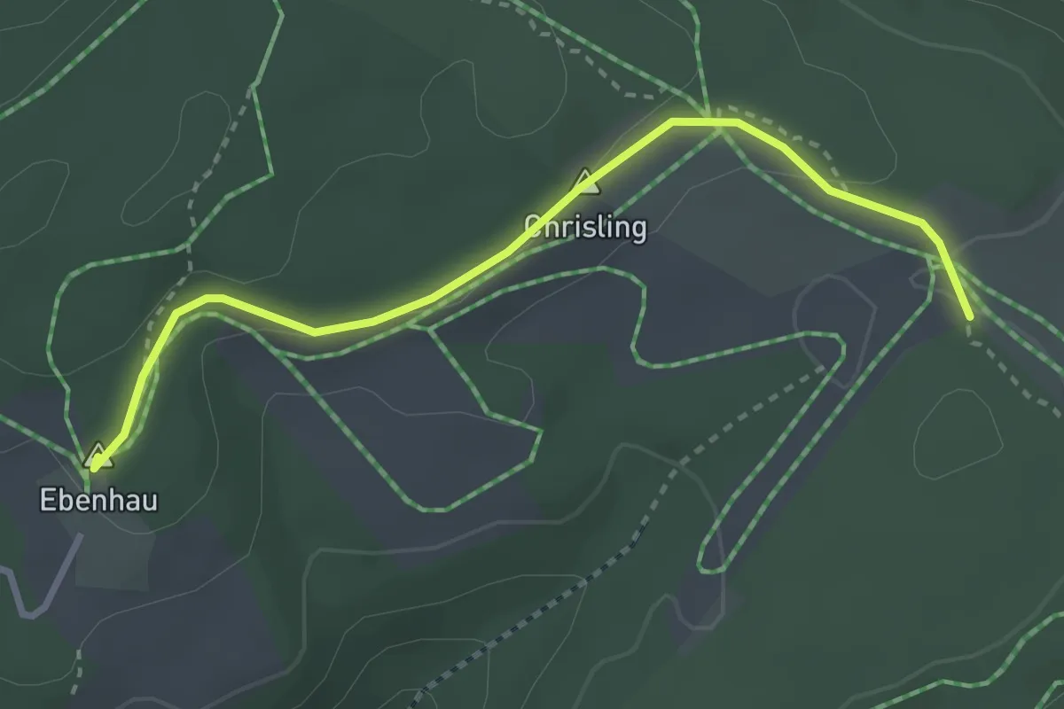
Easy · Summit
Chisling – Siblinger Randenhaus
2.0 km · ↑ 56 m · 35 min
Easy · Summit
Siblinger Randenhaus – Winkeläcker
3.1 km · ↑ 104 m · 57 min
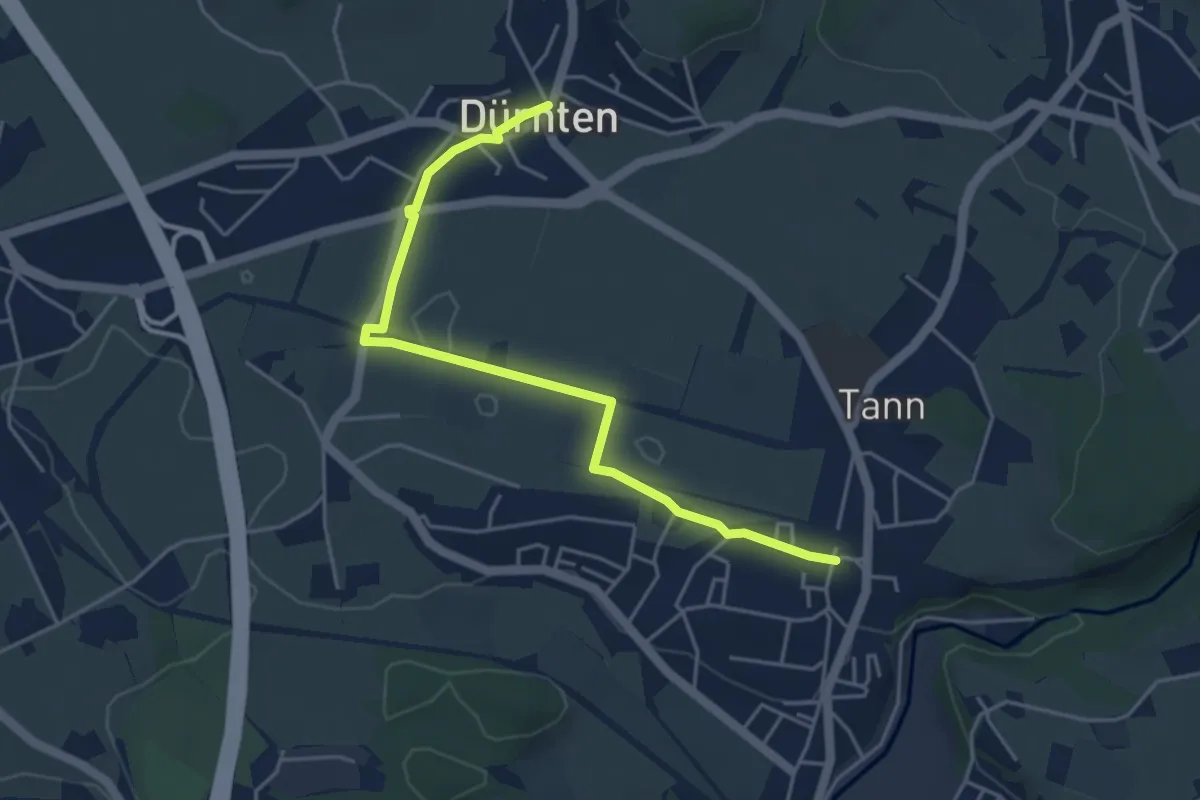
Easy · Trail
Dürnten – Tann
4.7 km · ↑ 25 m · 1 h 10 min
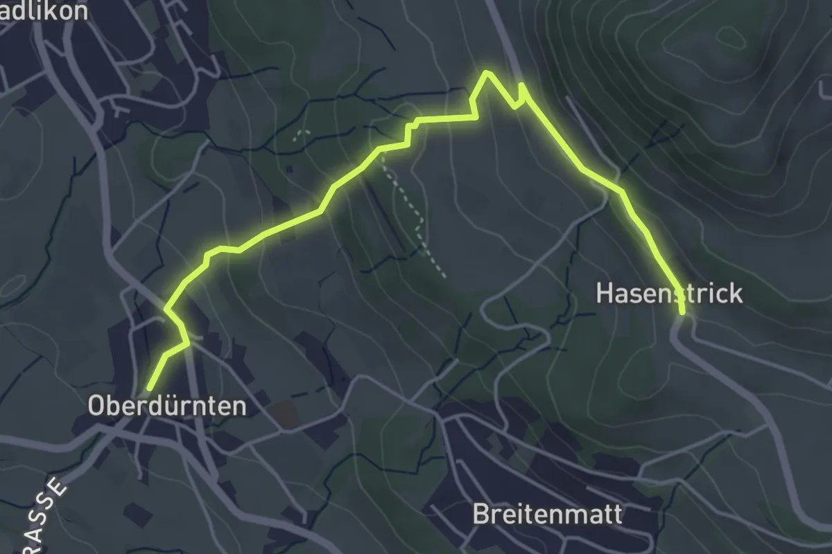
Easy · Trail
Oberdürnten – Hasenstrick
4.8 km · ↑ 233 m · 1 h 38 min
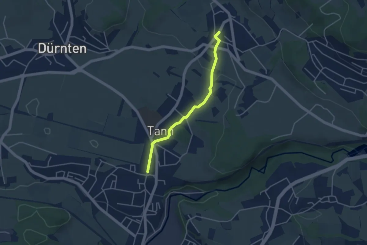
Easy · Trail
Tann-Dürnten – Oberdürnten
3.1 km · ↑ 50 m · 50 min
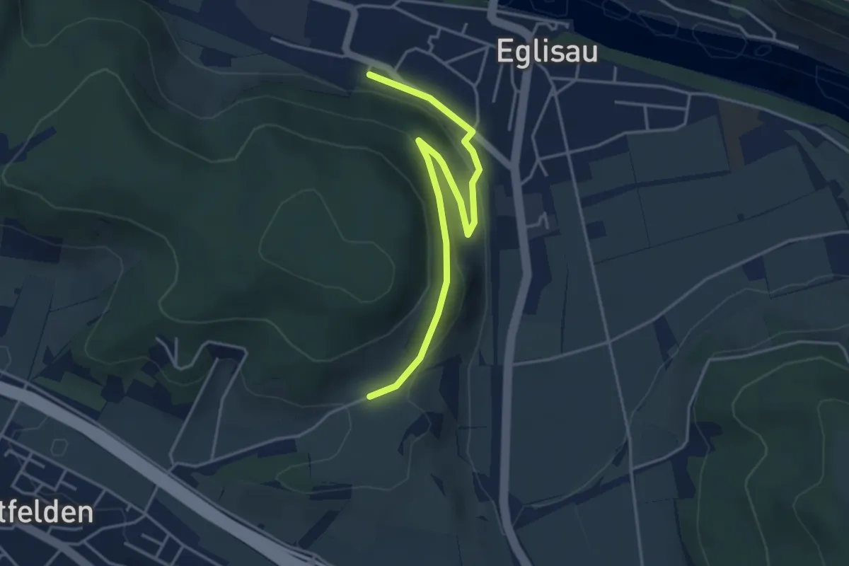
Easy · Trail
Wölflishalden – Eglisau Bahnhof
4.1 km · ↑ 114 m · 1 h 14 min
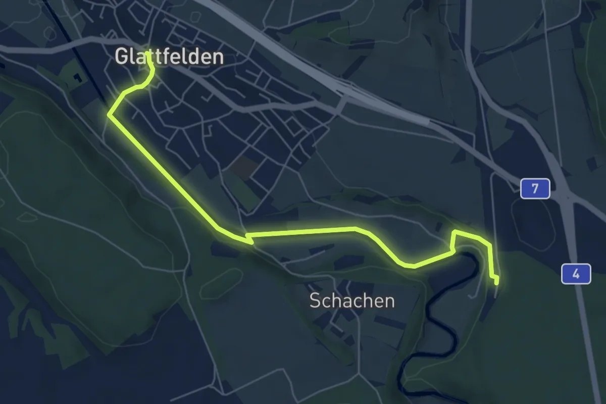
Easy · Trail
Glattfelden – Station Glattfelden
6.5 km · ↑ 113 m · 1 h 47 min
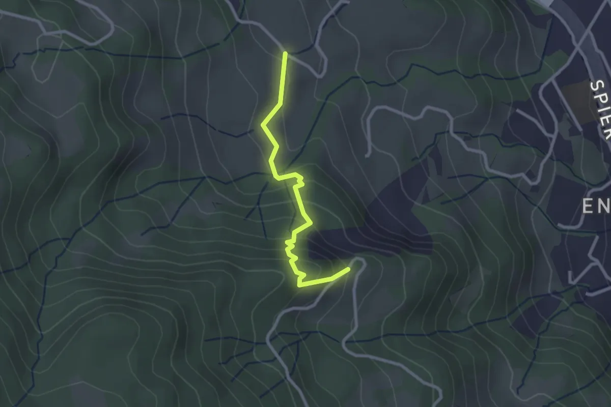
Easy · Trail
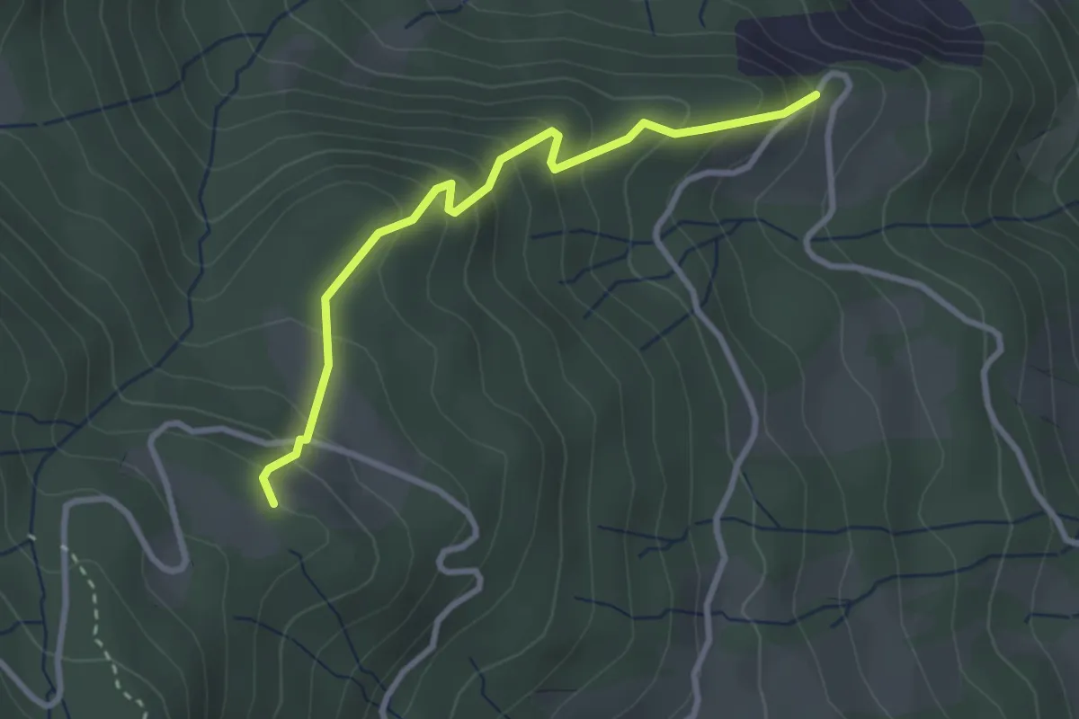
Kreuel – Schwendelberg
2.3 km · ↑ 185 m · 57 min
Easy · Trail
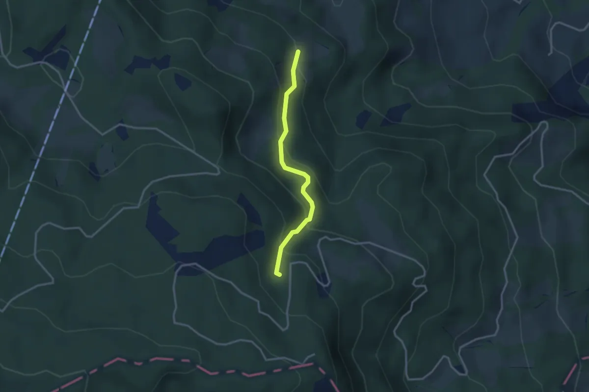
Schwendelberg – Buholzerschwändi
2.9 km · ↑ 301 m · 1 h 20 min
Easy · Trail
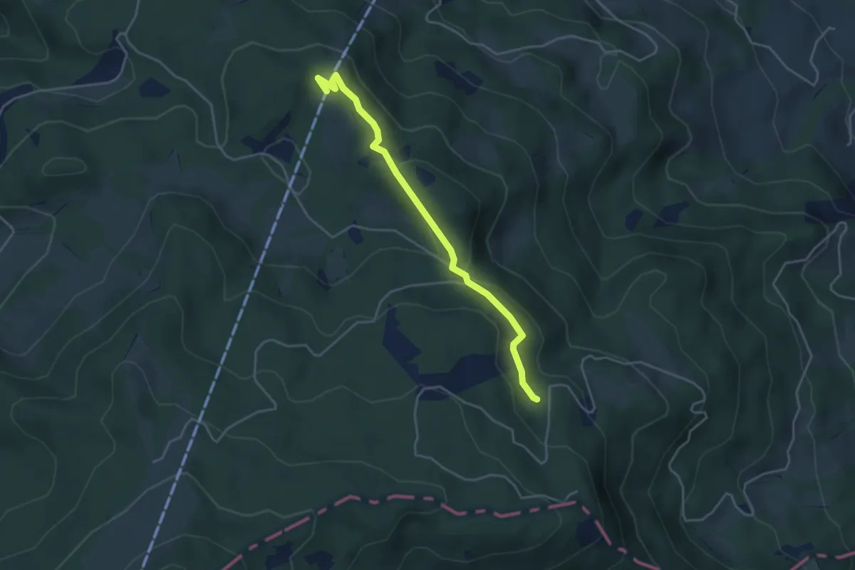
Risene – Chrumbachwiti/Kriens
2.6 km · ↑ 187 m · 1 h 1 min
Easy · Trail
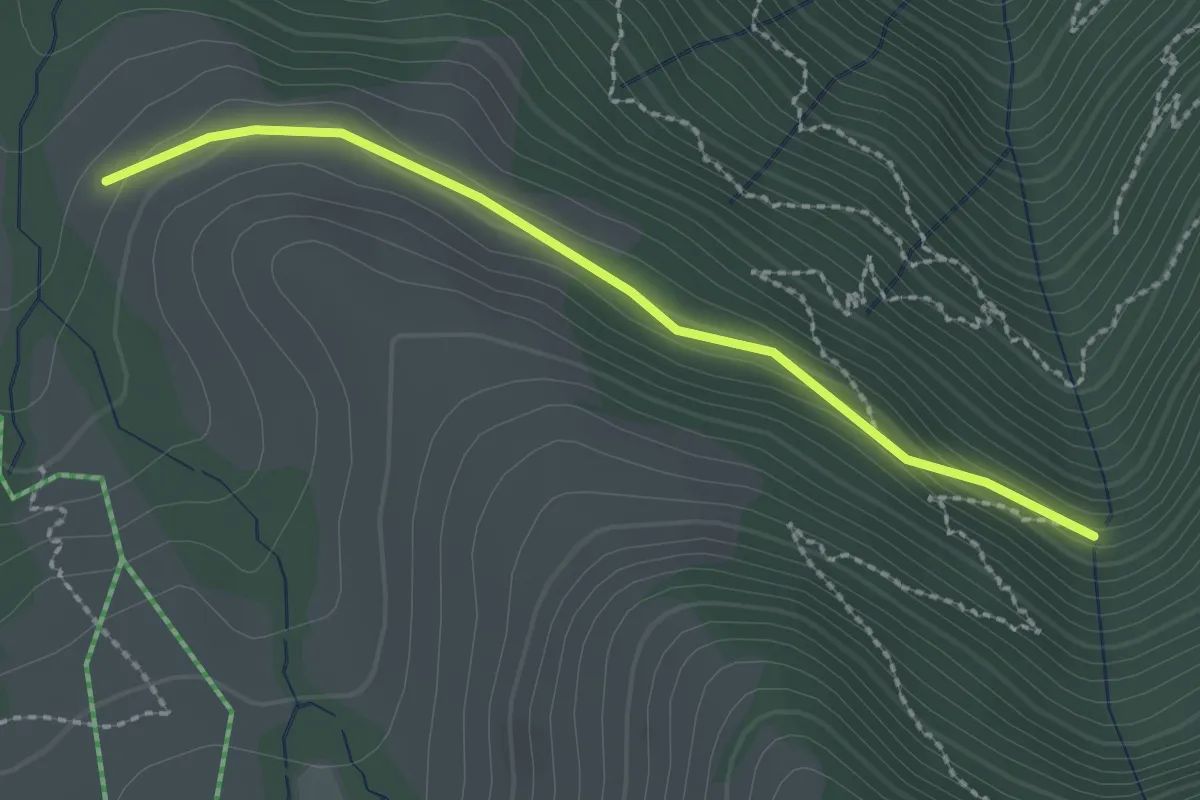
Risene – Krienseregg
3.9 km · ↑ 65 m · 1 h 3 min
Easy · Trail
Stock – Alpetli
2.3 km · ↑ 41 m · 37 min