Trails in Switzerland
15,055 hiking trails, each with its route, climb, walking time and grade.
All trails, page 276 of 314
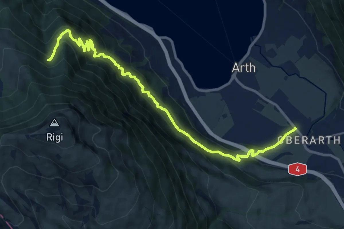
Demanding · Trail
Oberarth – Stock
12.8 km · ↑ 1156 m · 5 h 31 min
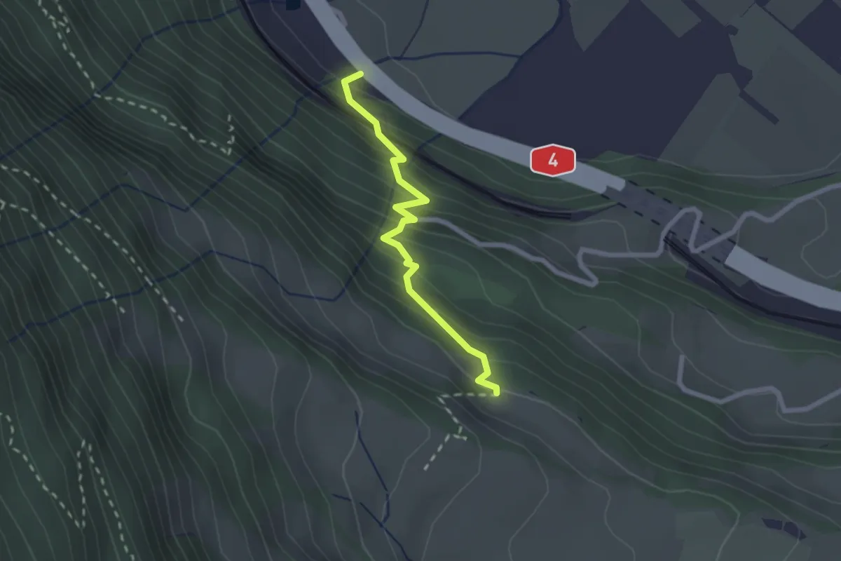
Medium · Trail
Arth – Dächli
2.1 km · ↑ 245 m · 1 h 1 min
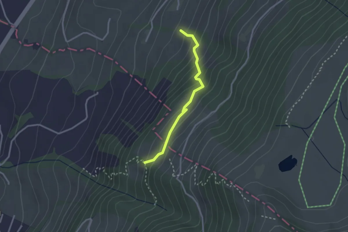
Medium · Trail
Rüti – Chümimattli
2.2 km · ↑ 190 m · 56 min
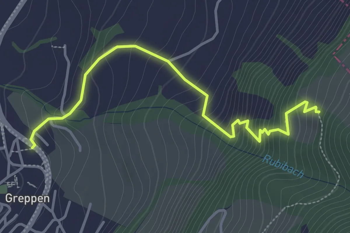
Medium · Trail
Rüti – Greppen Bus
3.4 km · ↑ 321 m · 1 h 30 min
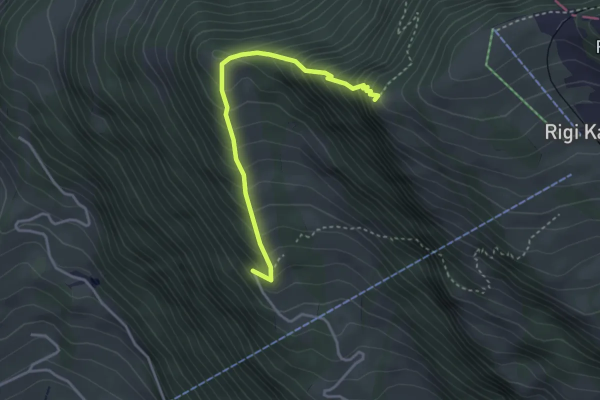
Demanding · Trail
Müseralp – Chänzeli
3.1 km · ↑ 409 m · 1 h 37 min
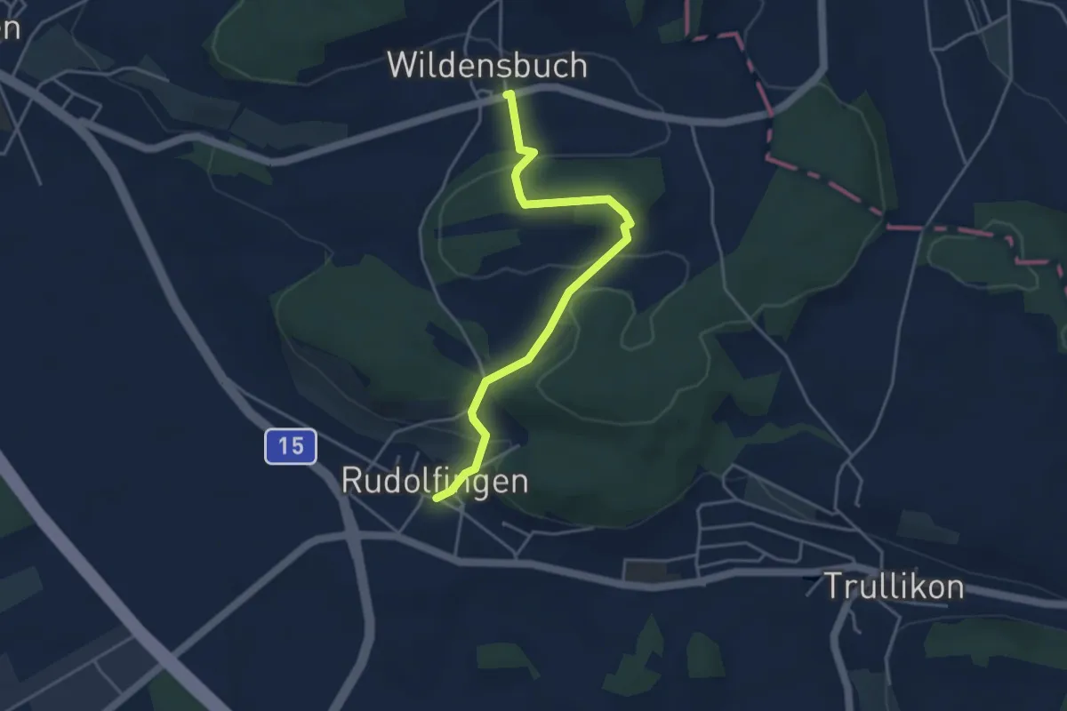
Easy · Trail
Rudolfingen – Wildensbuch
4.0 km · ↑ 173 m · 1 h 19 min
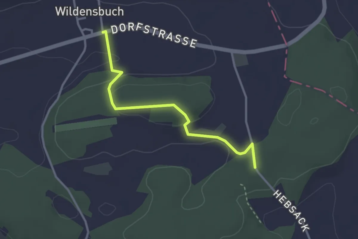
Easy · Trail
Wildensbuch – Guntalingen
2.7 km · ↑ 91 m · 49 min
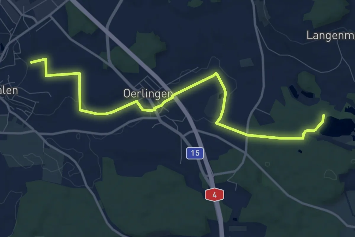
Medium · Trail
Marthalen – Husemersee
10.3 km · ↑ 55 m · 2 h 33 min
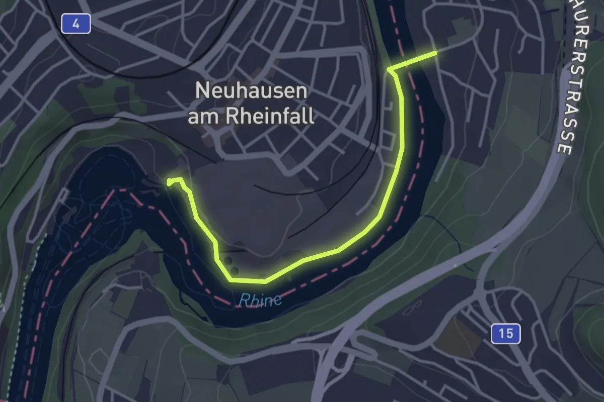
Easy · Trail
Rheinfall – Flurlingen
3.4 km · ↑ 17 m · 50 min
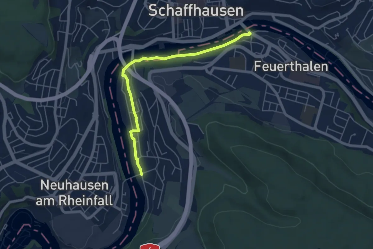
Easy · Trail
Flurlingen – Feuerthalen Brücke
4.7 km · ↑ 43 m · 1 h 12 min
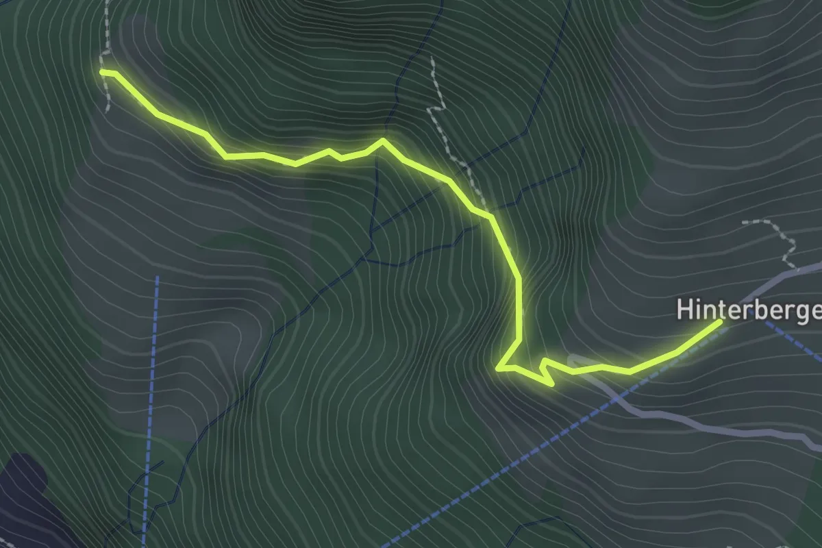
Medium · Trail
Gebetschwil – Hinterbergen 🚠
2.5 km · ↑ 291 m · 1 h 13 min
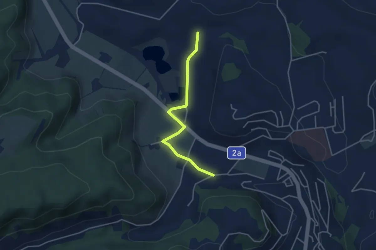
Easy · Trail
Underschlächte – Hübeli Tutensee
3.0 km · ↑ 38 m · 48 min
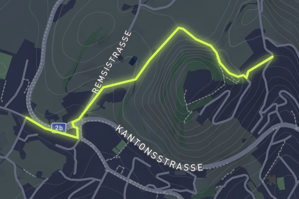
Easy · Trail
Untereggi – Zopf
3.0 km · ↑ 108 m · 56 min
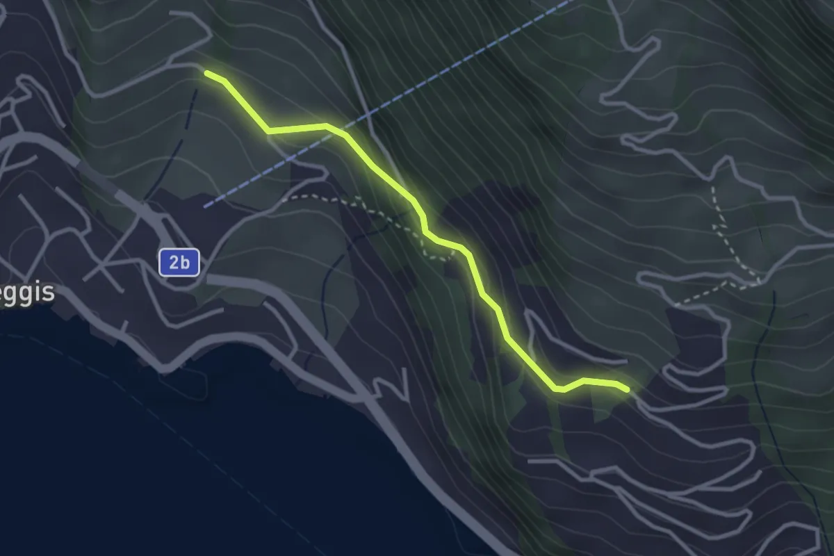
Easy · Trail
Gribsch – Bodenberg
2.8 km · ↑ 144 m · 58 min
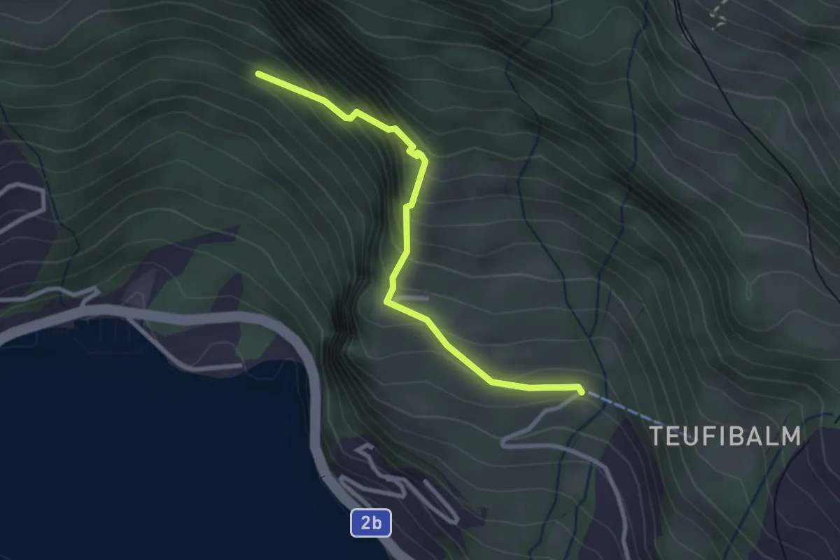
Medium · Trail
Orefad – Langwilen
2.7 km · ↑ 329 m · 1 h 21 min
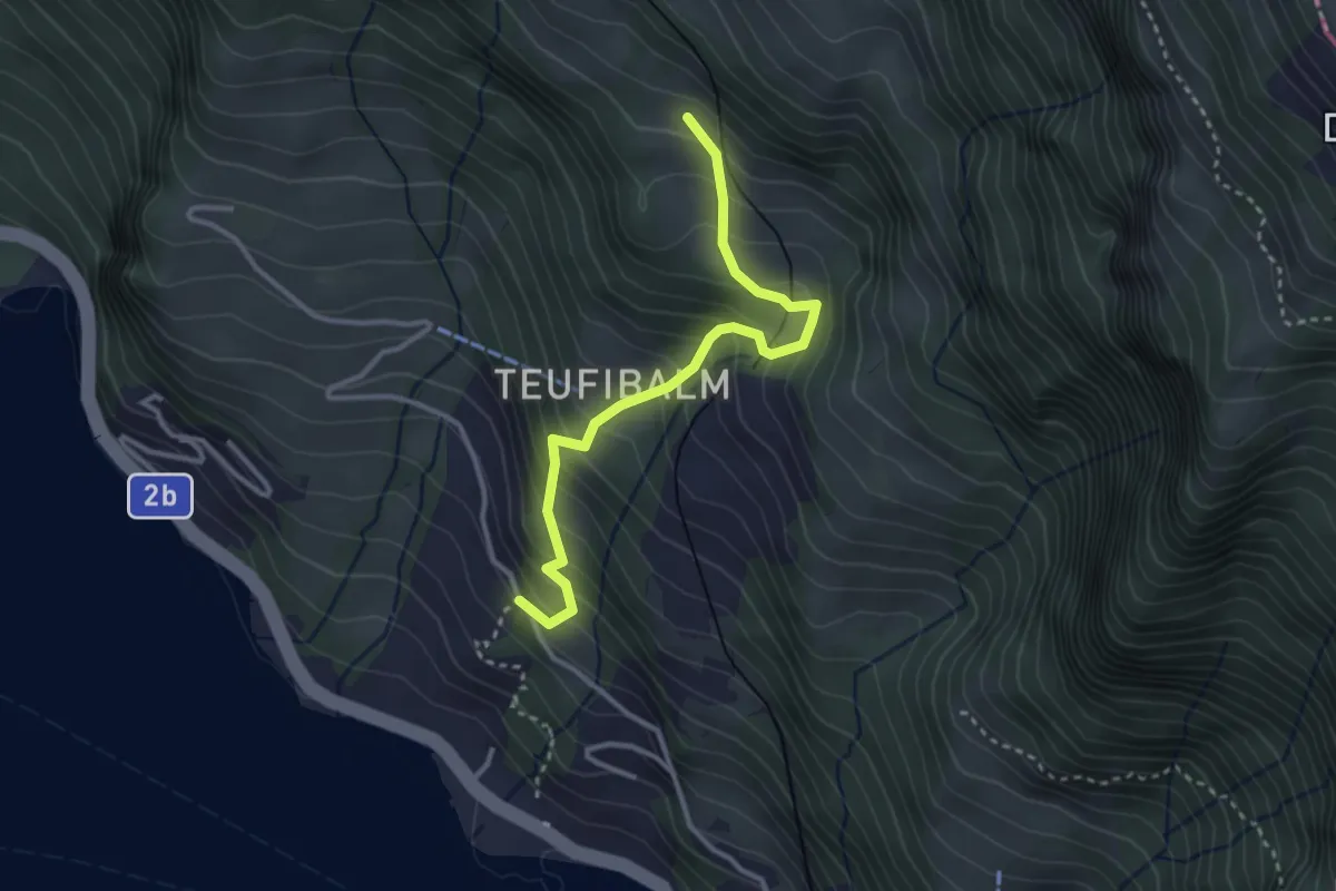
Medium · Trail
Äbnet – Grubisbalm
3.1 km · ↑ 364 m · 1 h 32 min
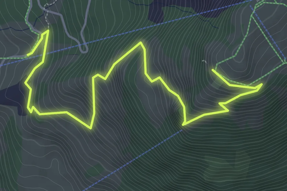
Medium · Trail
Rätigs – Rotenflue
5.2 km · ↑ 519 m · 2 h 21 min
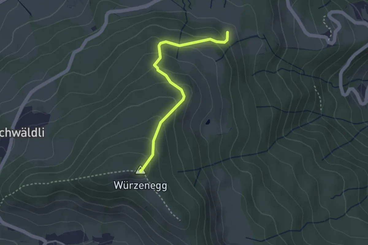
Easy · Summit
Würzenegg – (Holderchäppeli)
2.8 km · ↑ 193 m · 1 h 5 min
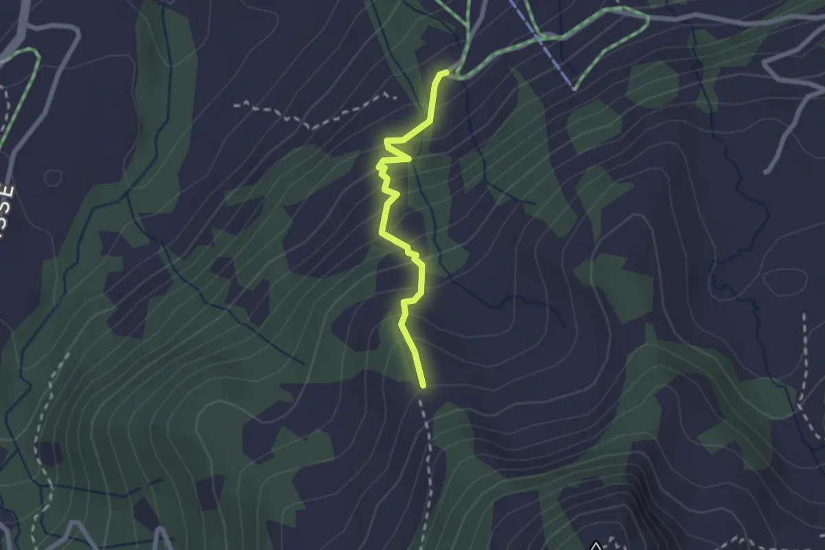
Medium · Trail
Stafel – Jäntli
1.9 km · ↑ 227 m · 57 min
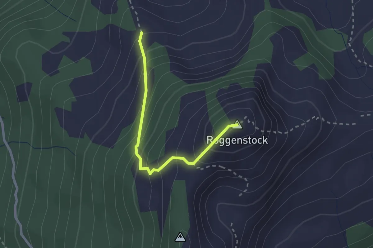
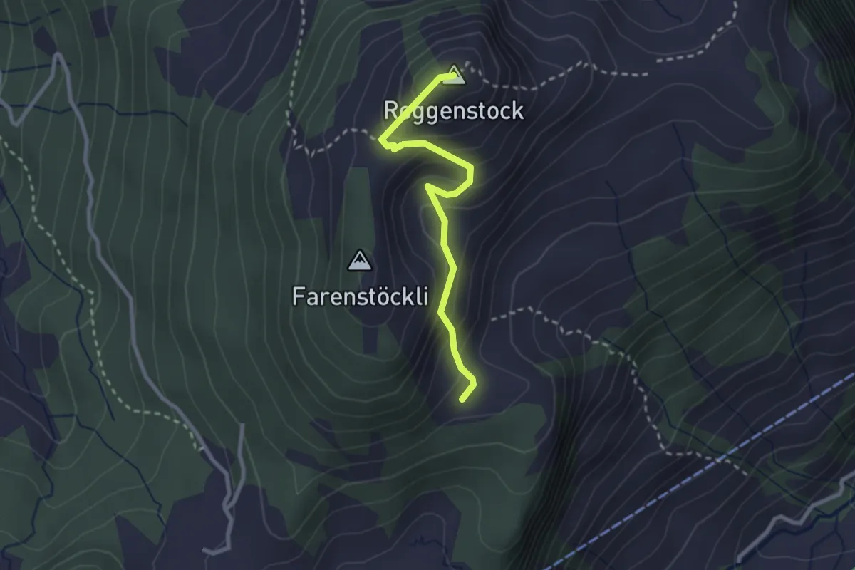
Demanding · Summit
Jäntli – Roggenstock
2.1 km · ↑ 244 m · 1 h 1 min
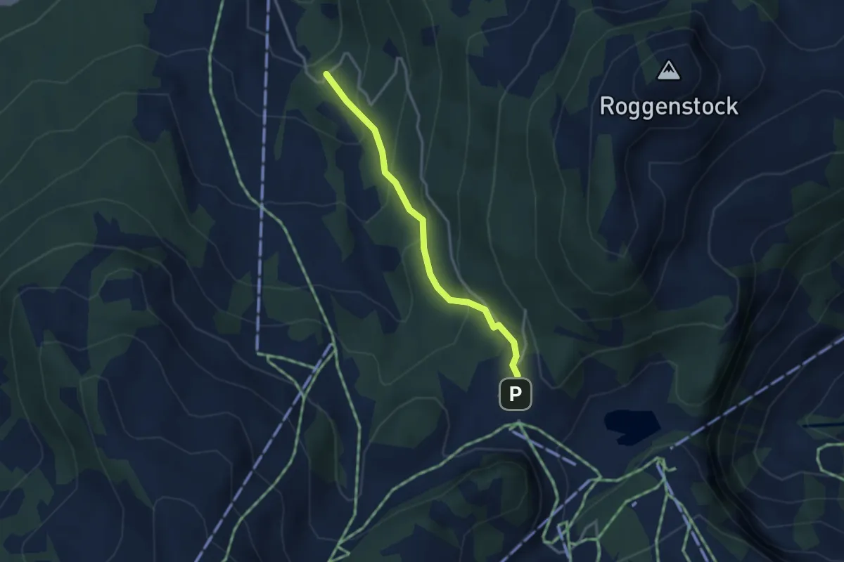
Demanding · Summit
Roggenhütte – Roggenstock
2.4 km · ↑ 213 m · 1 h 1 min
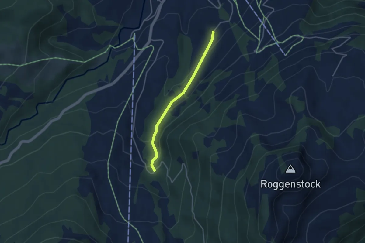
Easy · Trail
Fuederegg – Chäswald
2.8 km · ↑ 219 m · 1 h 8 min
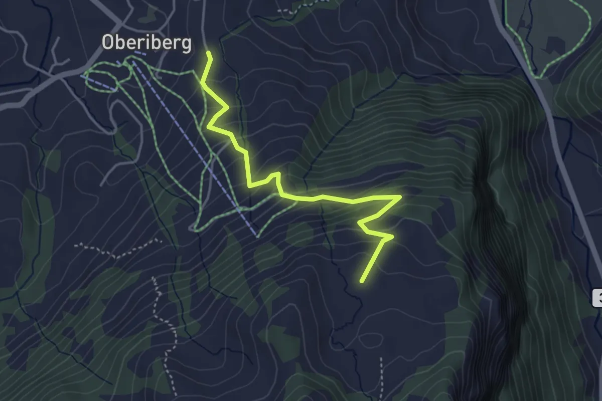
Medium · Trail
Chäswald – Gütsch
2.8 km · ↑ 129 m · 56 min
Easy · Trail
Moos – Tubenmoos
3.9 km · ↑ 319 m · 1 h 36 min
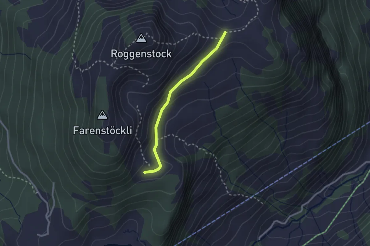
Easy · Trail
Roggenhütte – Roggenegg
2.0 km · ↑ 70 m · 38 min
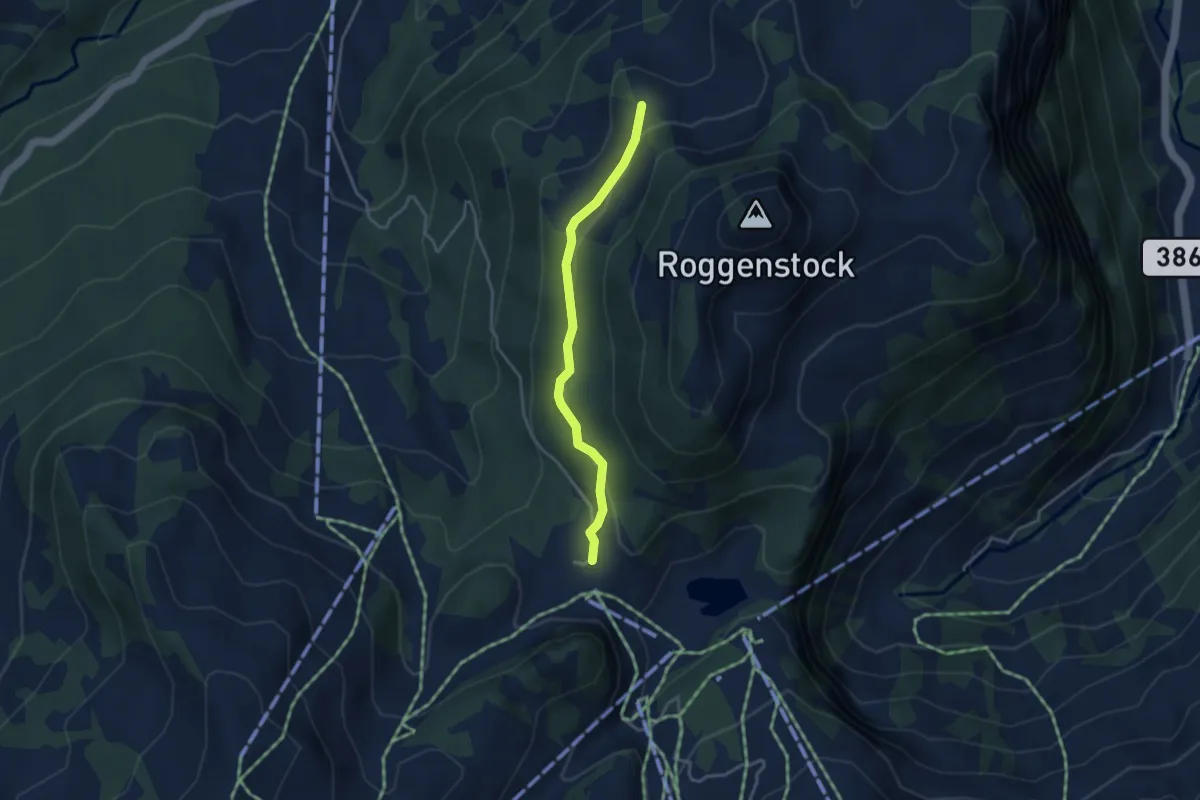
Easy · Trail
Jäntli – Fuederegg
3.3 km · ↑ 106 m · 1 h
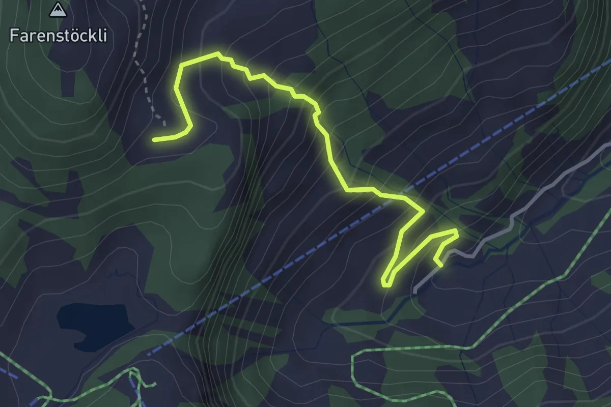
Medium · Trail
Roggenegg – Wang
3.4 km · ↑ 394 m · 1 h 39 min
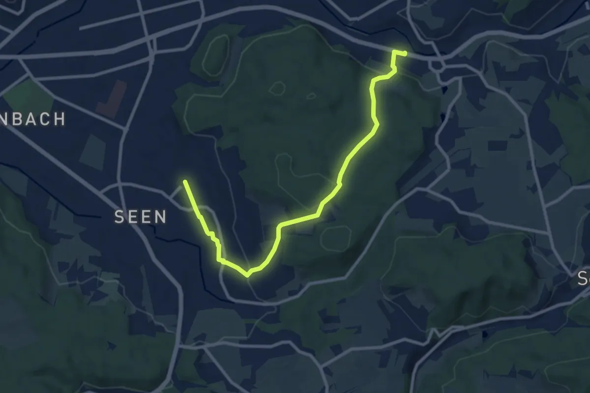
Medium · Trail
Bahnhof Winterthur Seen – Bahnhof Räterschen
8.4 km · ↑ 253 m · 2 h 33 min
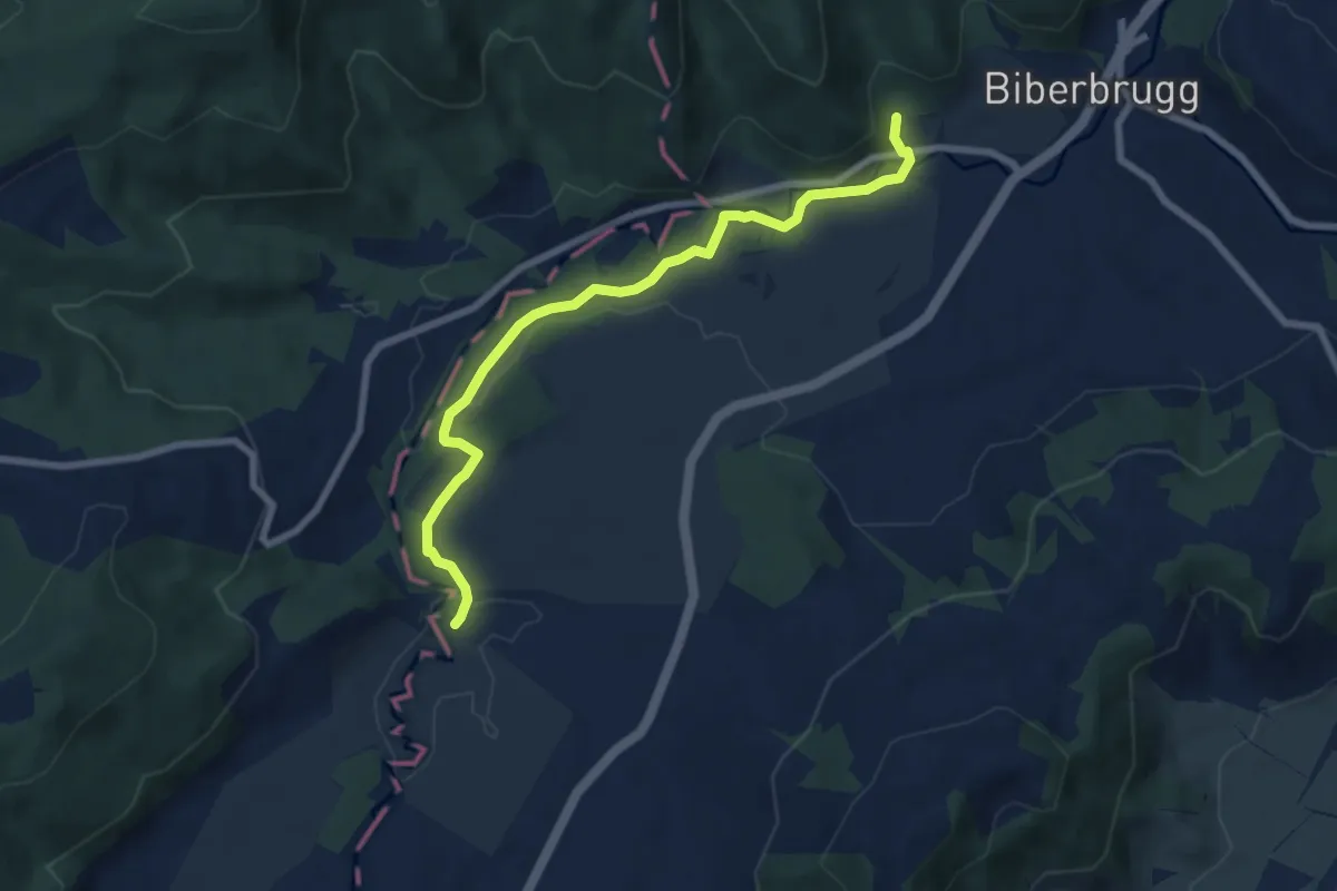
Easy · Trail
Tomisloch – Bibersteg
7.4 km · ↑ 155 m · 2 h 4 min
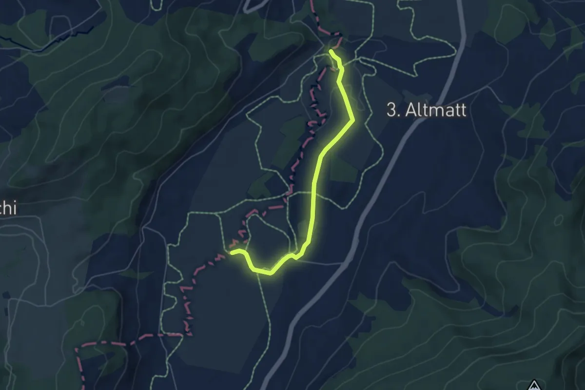
Easy · Trail
Bibersteg – Bubrugg
5.0 km · ↑ 47 m · 1 h 17 min
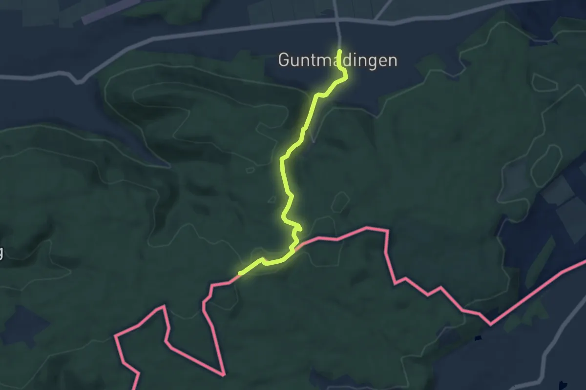
Easy · Trail
Guntmadingen – Eerlebode
6.5 km · ↑ 197 m · 1 h 57 min
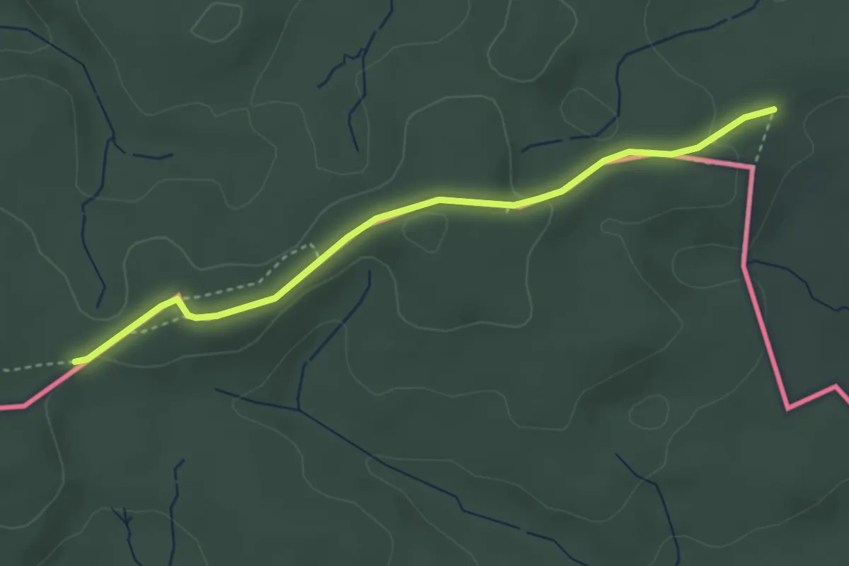
Easy · Trail
Eerlebode – Bohnerüüti
3.5 km · ↑ 86 m · 1 h
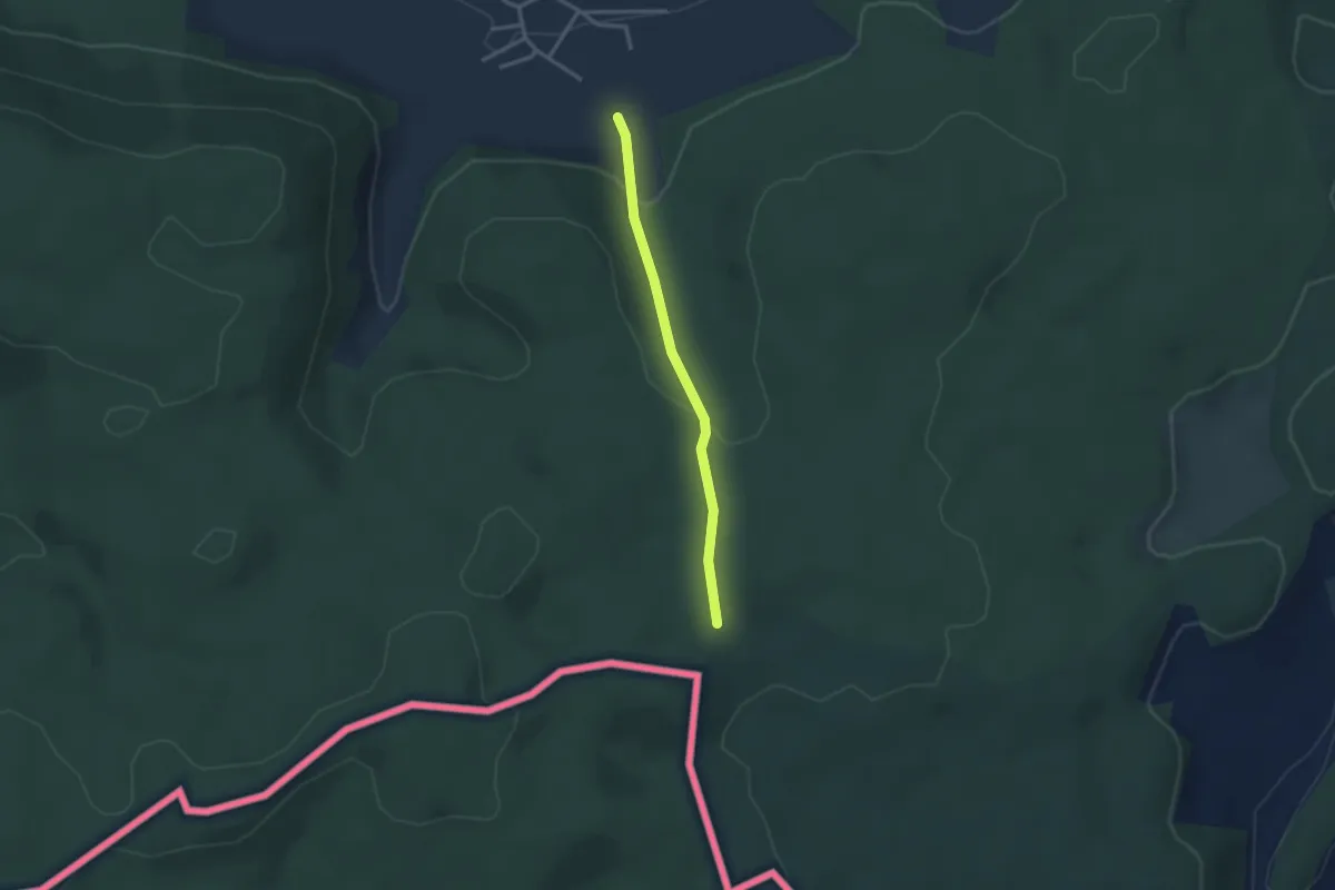
Easy · Trail
Bohnerüüti – Rüüti
2.6 km · ↑ 100 m · 49 min
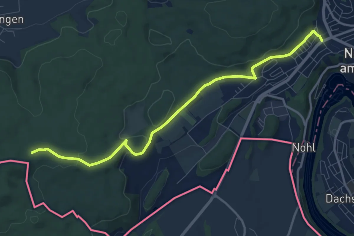
Medium · Trail
Bohnerüüti – Neuhausen Bad. Bhf.
9.1 km · ↑ 184 m · 2 h 33 min
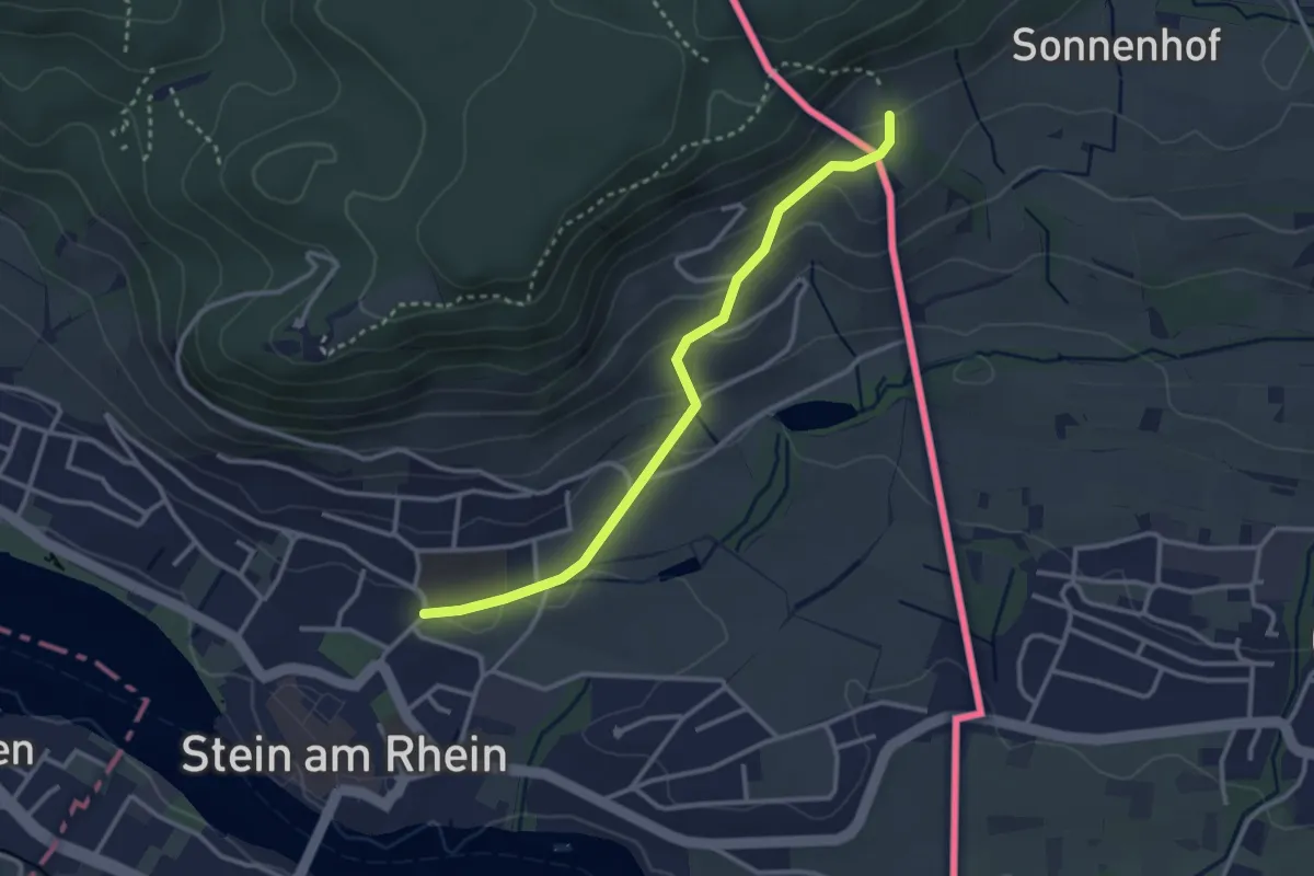
Easy · Trail
Grenzübergang Hof Bleiki – Obermühle
3.0 km · ↑ 125 m · 58 min
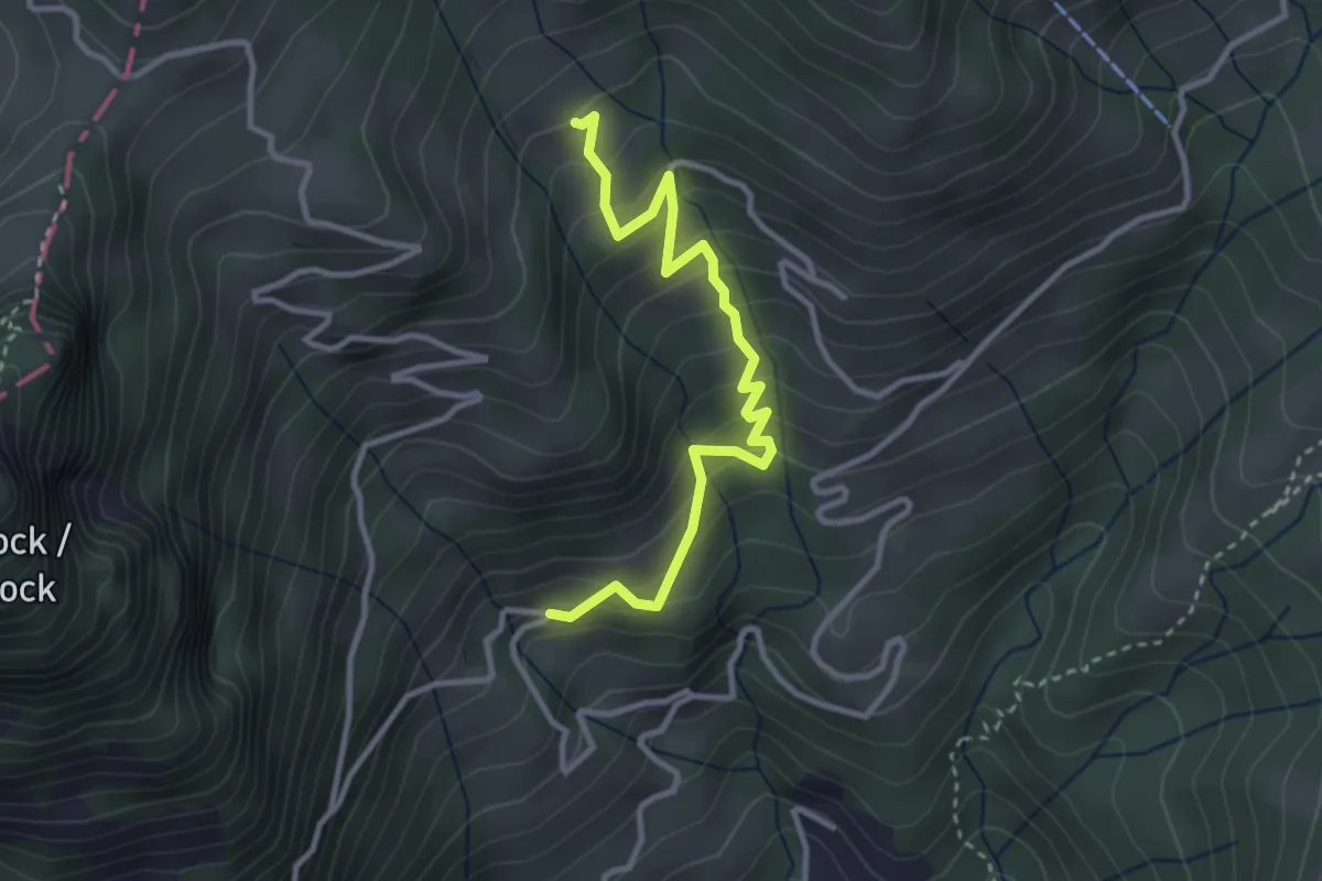
Medium · Trail
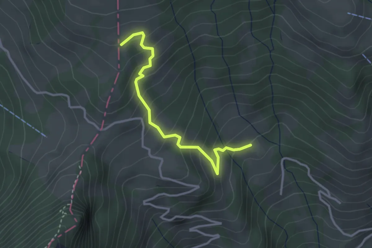
Schwanden – Oberbrüggen
3.3 km · ↑ 336 m · 1 h 30 min
Easy · Trail
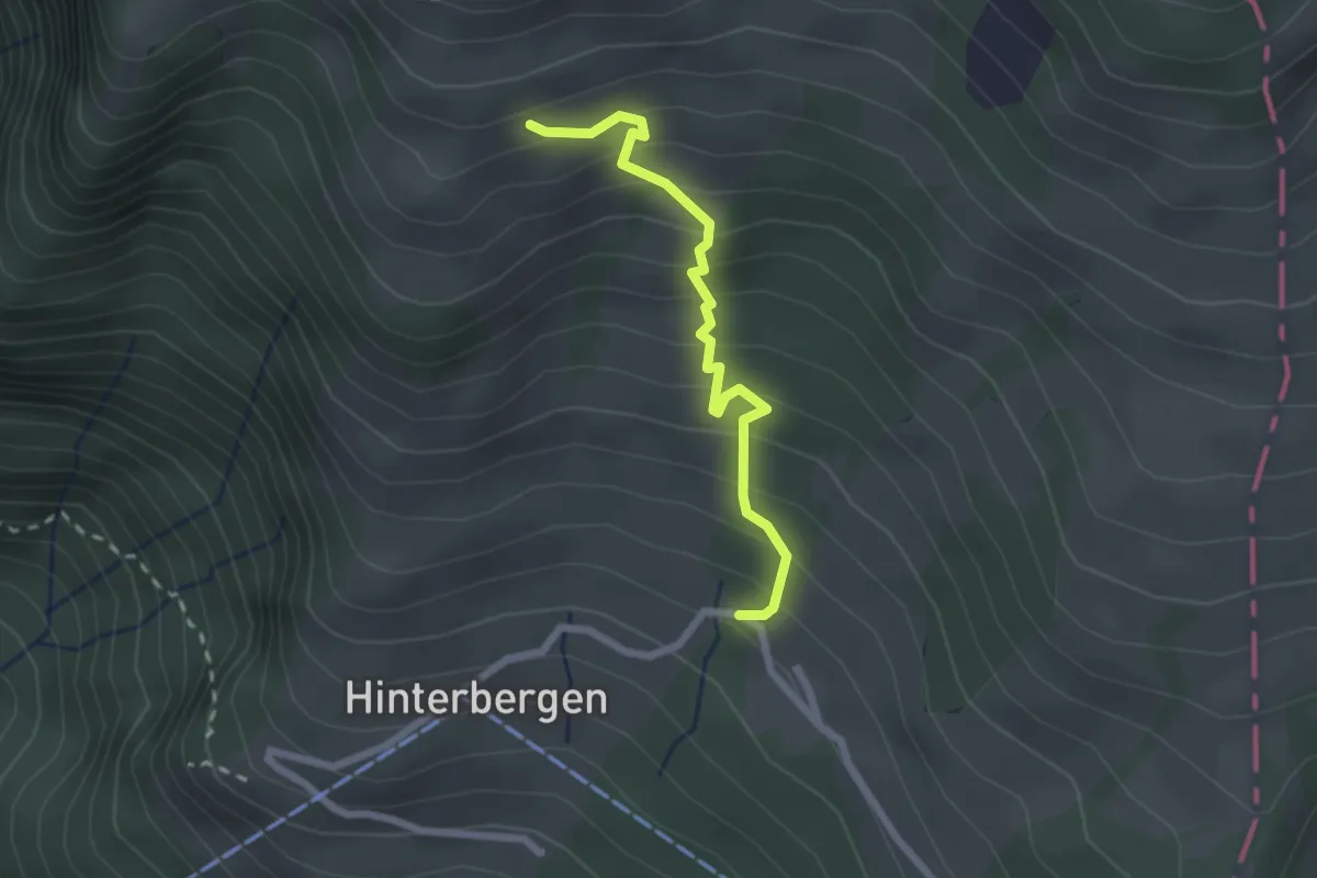
Oberbrüggen – Fäng
2.8 km · ↑ 293 m · 1 h 18 min
Easy · Trail
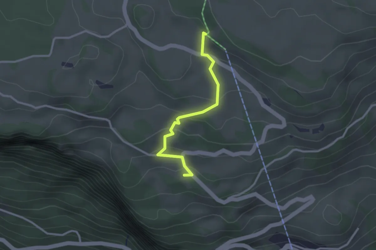
Hinterbergen – Glätti
2.2 km · ↑ 268 m · 1 h 5 min
Medium · Trail
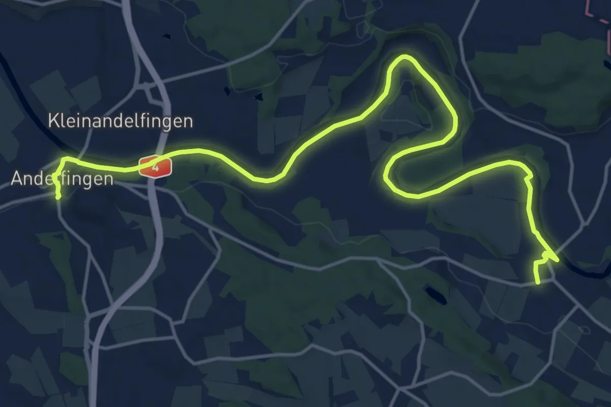
Andelfingen Bhf. – Gütighausen
16.4 km · ↑ 172 m · 4 h 15 min
Easy · Trail
Wart – St. Karl
2.2 km · ↑ 112 m · 46 min
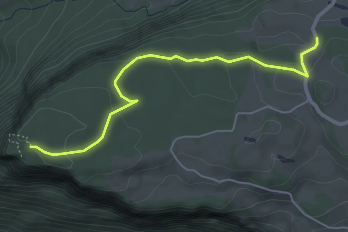
Easy · Trail
Fallenflue – Gründel
4.2 km · ↑ 108 m · 1 h 14 min
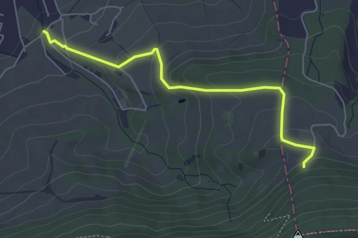
Easy · Trail
Unter Eich – Bergwisen
4.5 km · ↑ 212 m · 1 h 32 min
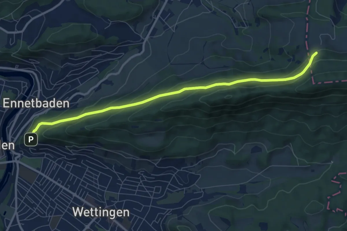
Medium · Trail
Bergwisen – Schartenfels
8.1 km · ↑ 386 m · 2 h 46 min
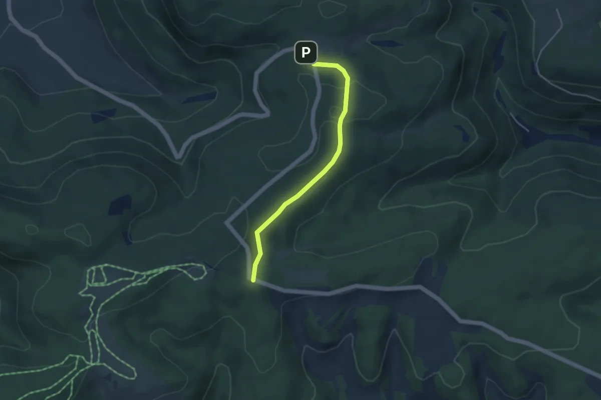
Easy · Trail
Häidebomm – Mäserich
3.4 km · ↑ 45 m · 55 min
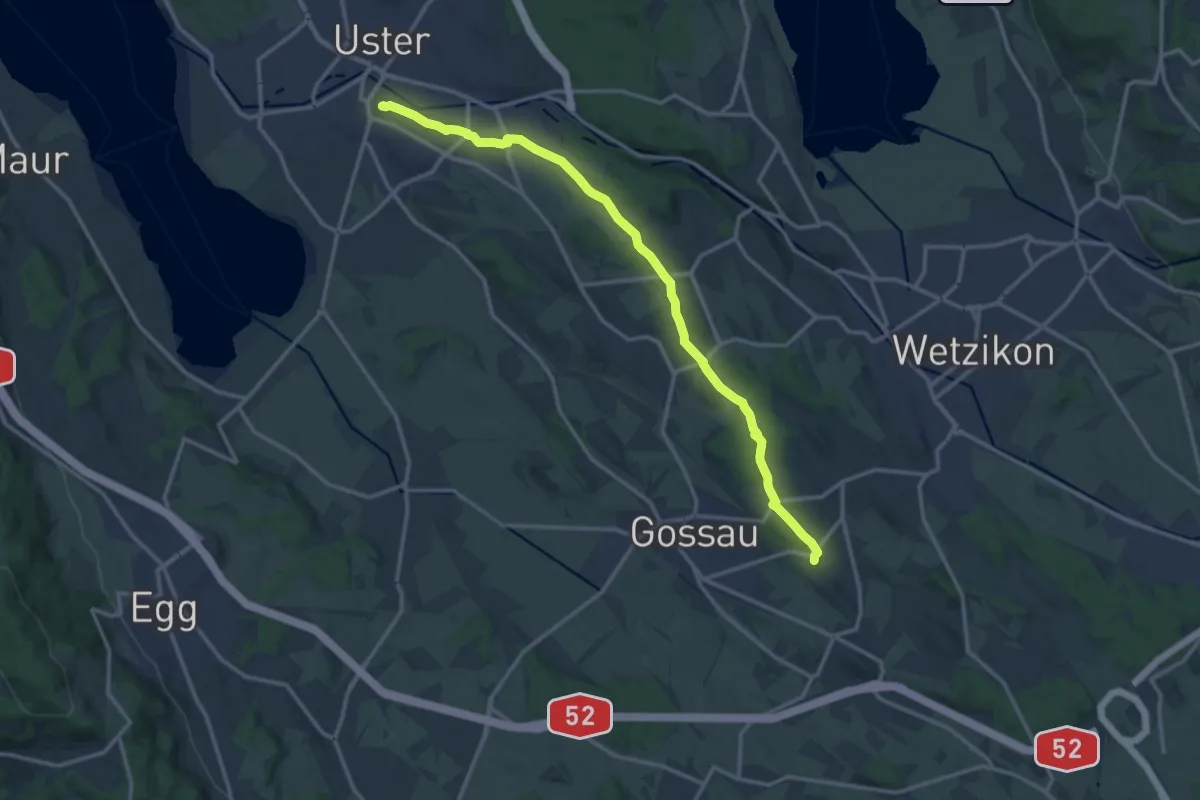
Medium · Trail
Berghof – Schloss Uster
14.5 km · ↑ 237 m · 3 h 56 min
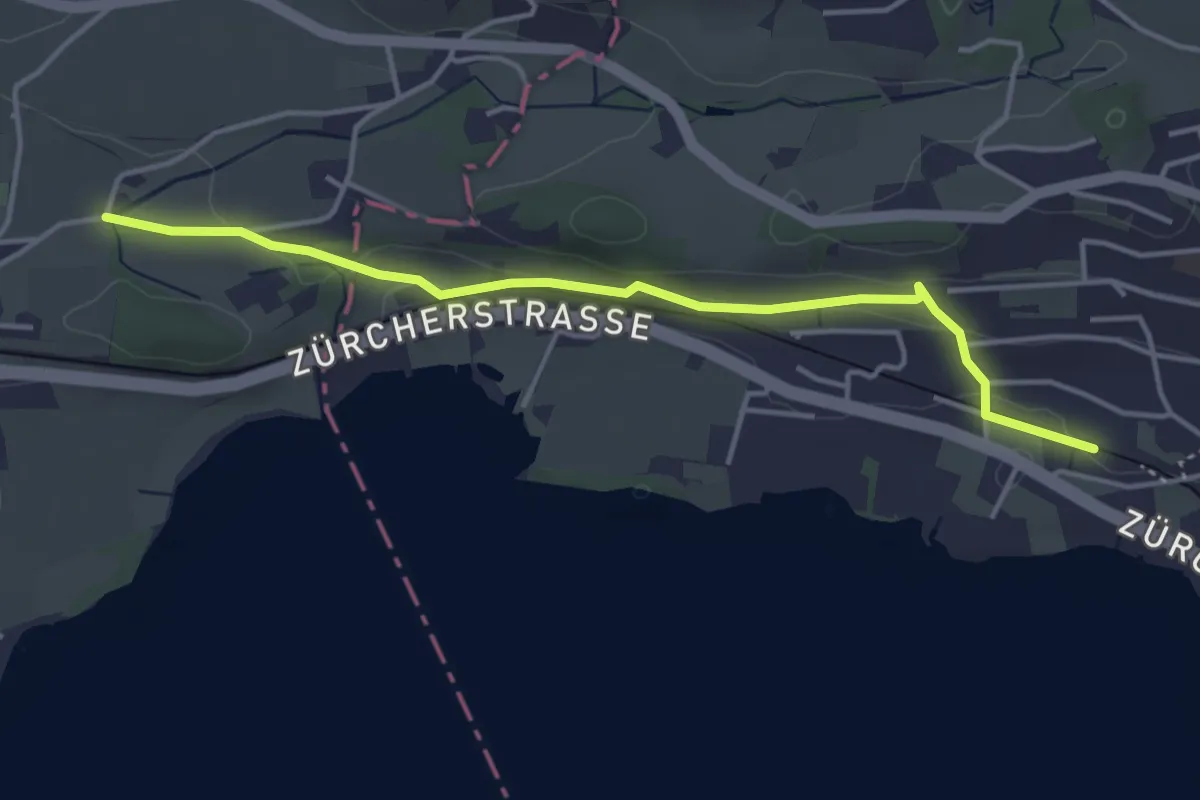
Easy · Trail
Goldenberg – Kempraten
4.1 km · ↑ 105 m · 1 h 12 min
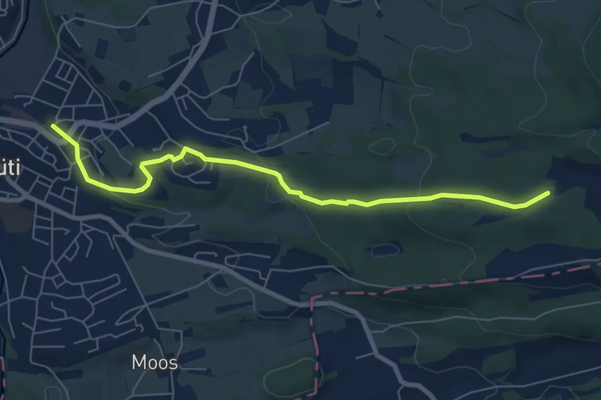
Easy · Trail
Rüti – Grossweier
6.0 km · ↑ 161 m · 1 h 46 min
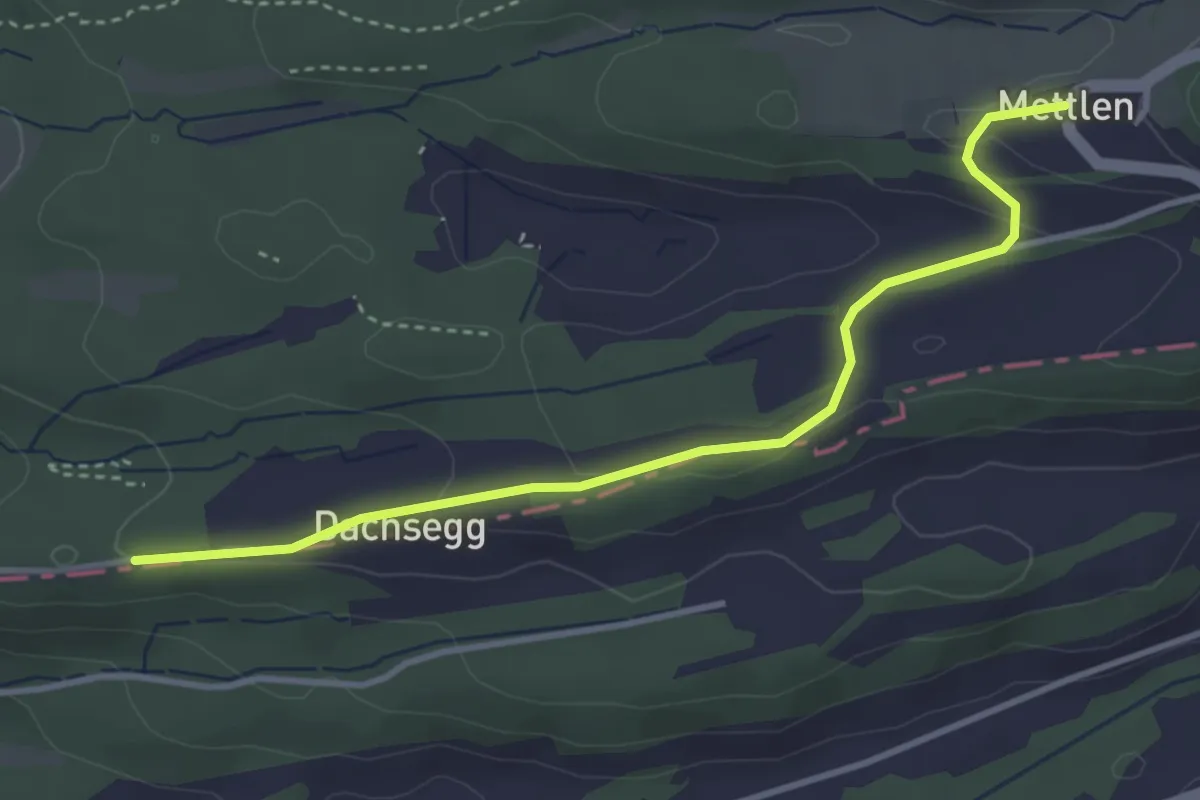
Easy · Trail
Mettlen – Honegg
3.7 km · ↑ 100 m · 1 h 6 min