Trails in Switzerland
15,055 hiking trails, each with its route, climb, walking time and grade.
All trails, page 277 of 314
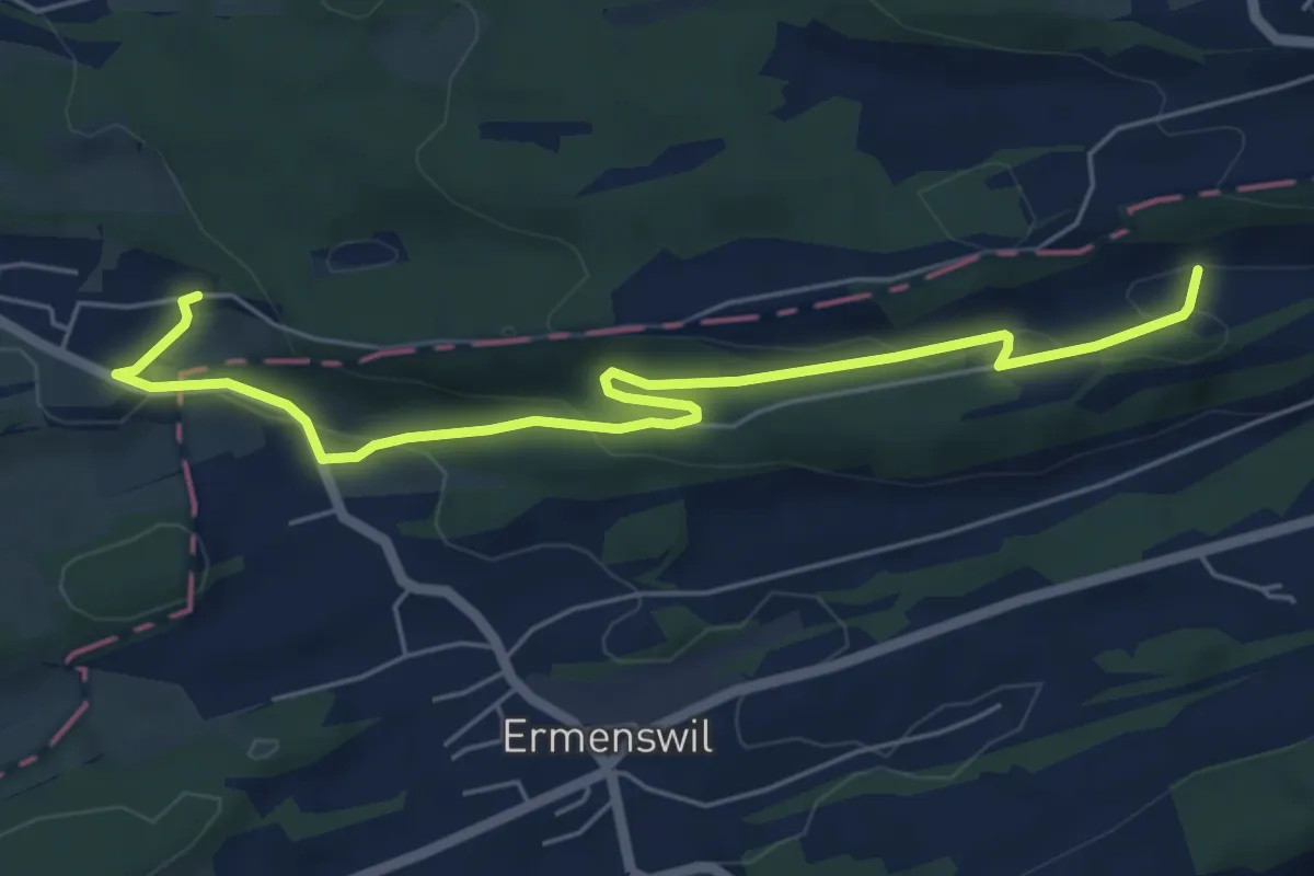
Easy · Trail
Honegg – Weier
6.3 km · ↑ 199 m · 1 h 55 min
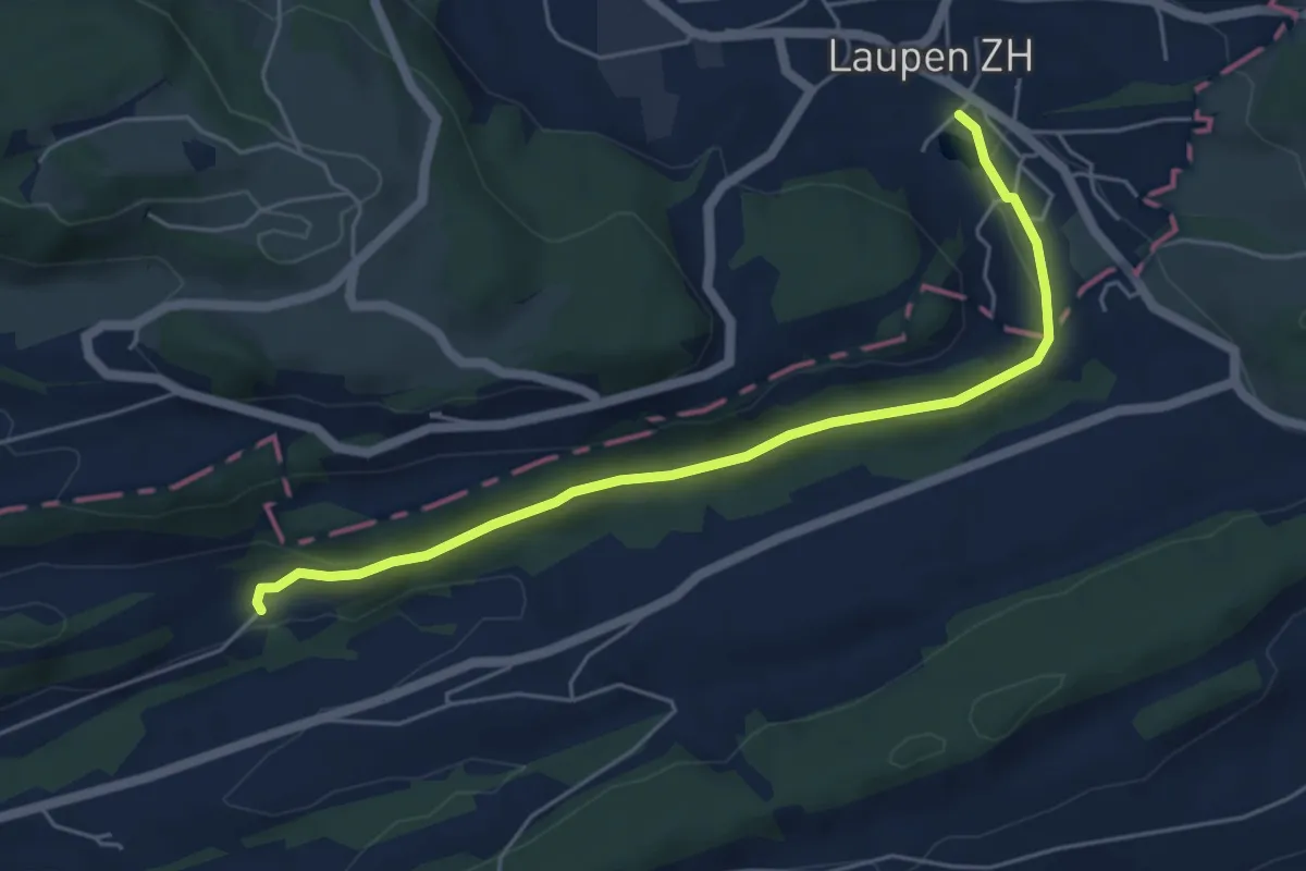
Easy · Trail
Kraueren – Laupen
5.4 km · ↑ 128 m · 1 h 33 min
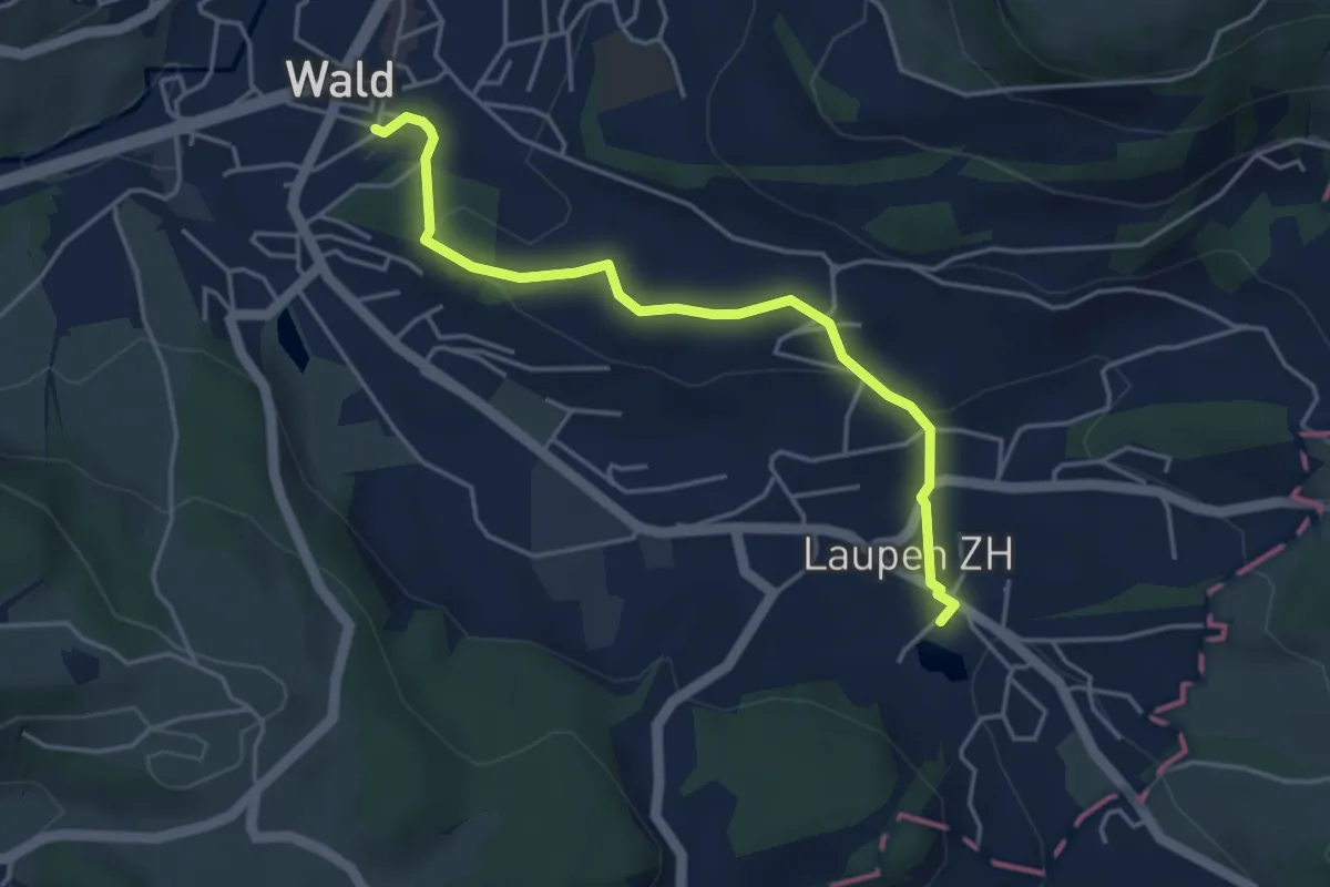
Easy · Trail
Laupen – Wald
4.2 km · ↑ 133 m · 1 h 17 min
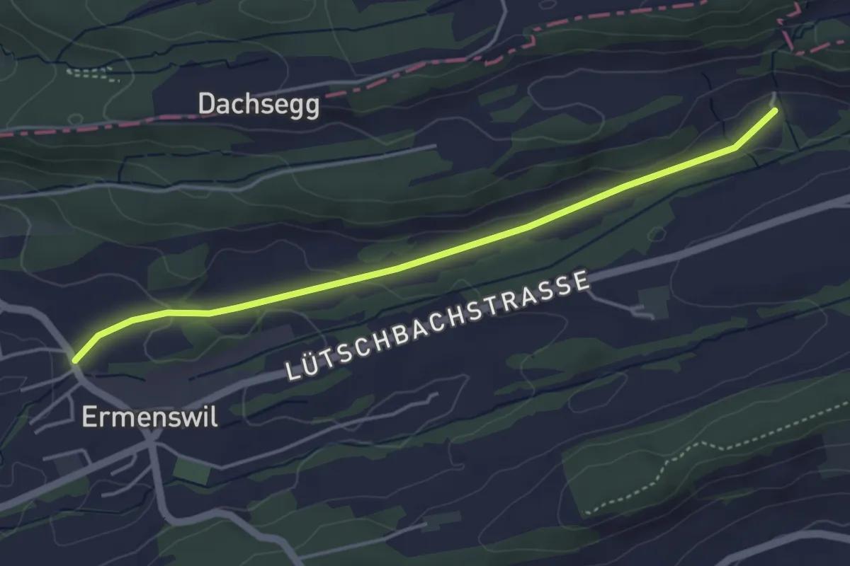
Easy · Trail
Kraueren – Ermenswil
4.2 km · ↑ 74 m · 1 h 9 min
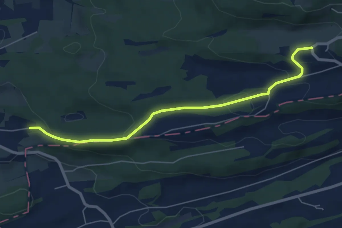
Easy · Trail
Mettlen – Weier
5.2 km · ↑ 175 m · 1 h 36 min
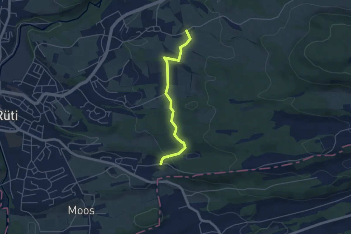
Easy · Trail
Oberfägiswil – Weier
3.8 km · ↑ 98 m · 1 h 6 min
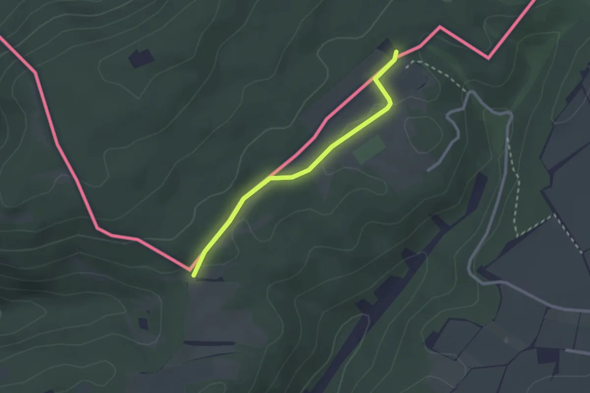
Easy · Trail
Gmaafäld – Ferienheim
2.2 km · ↑ 24 m · 34 min
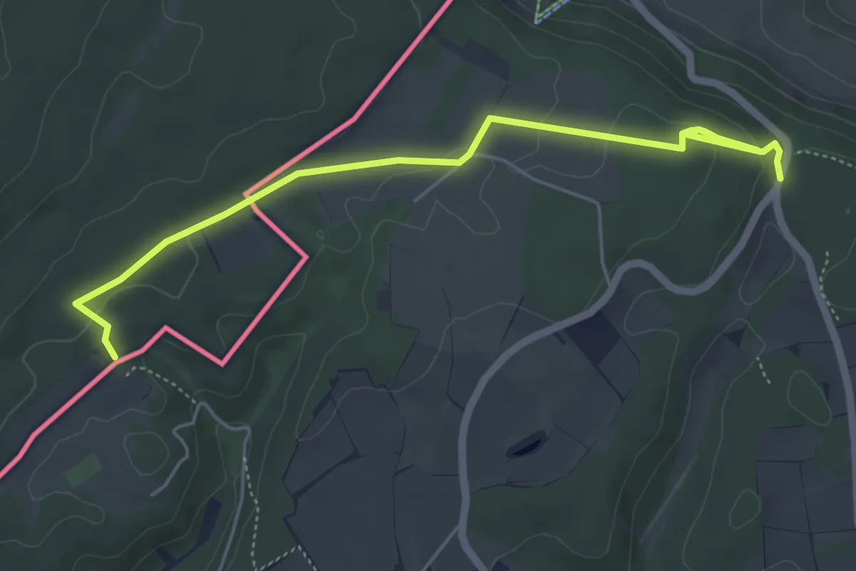
Easy · Trail
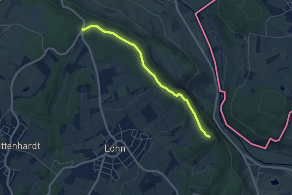
Ferienheim – Horn
5.8 km · ↑ 134 m · 1 h 40 min
Easy · Trail
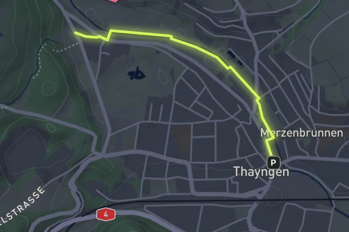
Horn – Cherzestübli
4.5 km · ↑ 160 m · 1 h 25 min
Easy · Trail
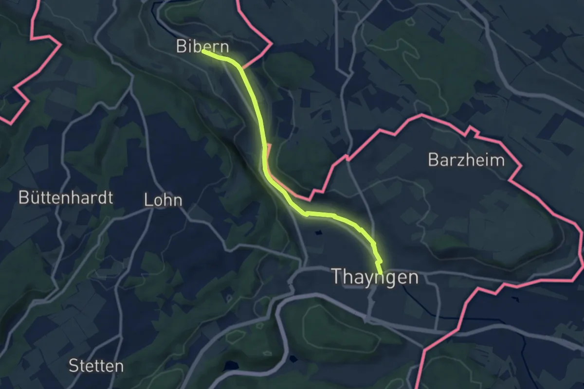
Hütteläbe – Thayngen
3.3 km · ↑ 10 m · 48 min
Medium · Trail
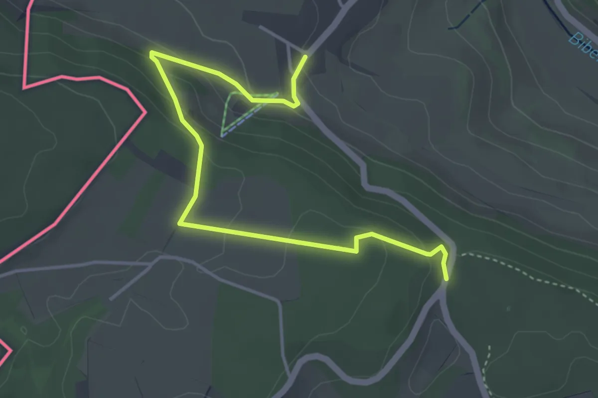
Thayngen – Bibern
8.2 km · ↑ 50 m · 2 h 2 min
Easy · Trail
Horn – Opfertshofen
4.3 km · ↑ 137 m · 1 h 19 min
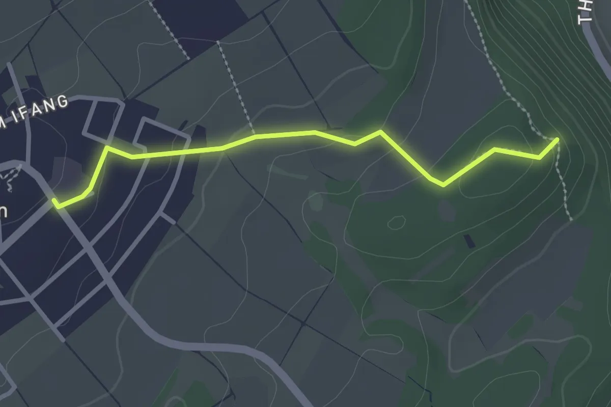
Easy · Trail
Cherzestübli – Lohn
2.4 km · ↑ 62 m · 42 min
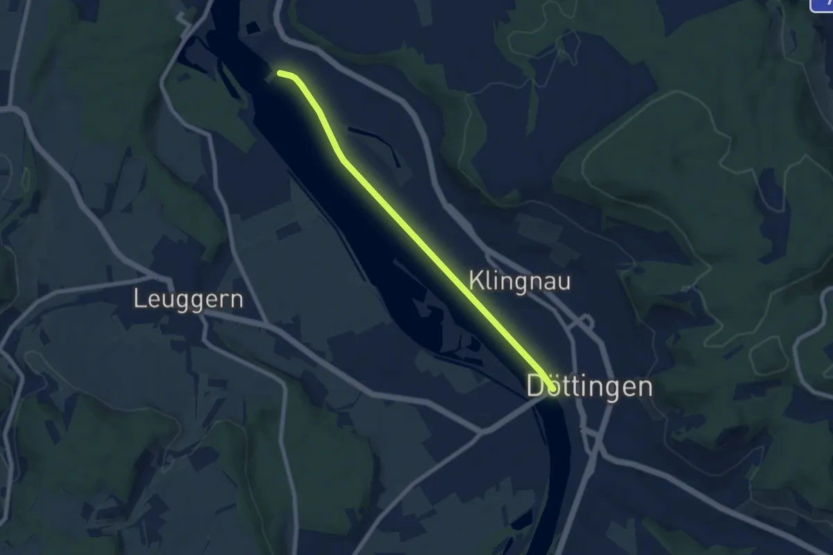
Easy · Trail
Kraftwerk Klingnau – Döttingen Brücke
6.3 km · ↑ 4 m · 1 h 29 min
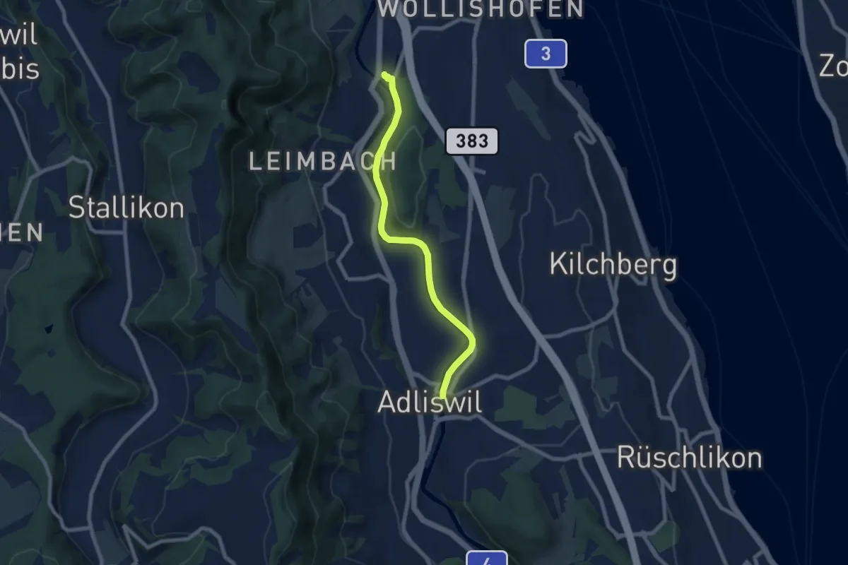
Easy · Trail
Zürich Manegg – Adliswil
6.8 km · ↑ 133 m · 1 h 54 min
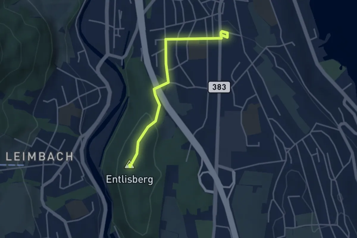
Easy · Summit
Sood Oberleimbach – Wollishofen
3.3 km · ↑ 75 m · 57 min
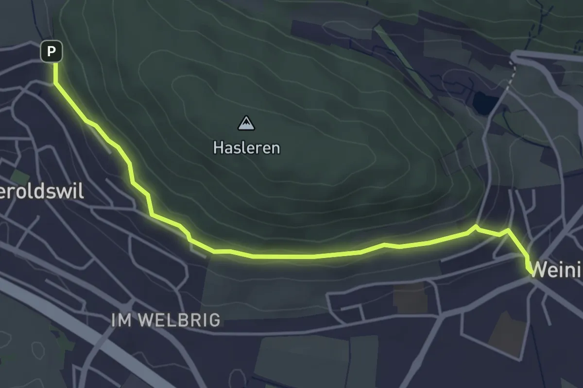
Easy · Trail
Bühl – Weiningen
4.3 km · ↑ 132 m · 1 h 18 min
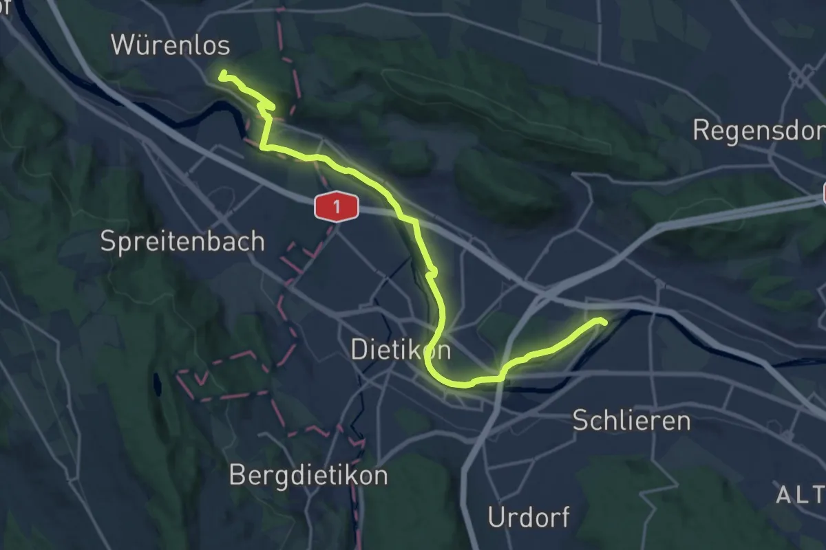
Demanding · Trail
Kloster Fahr – Gipf
18.3 km · ↑ 290 m · 4 h 58 min
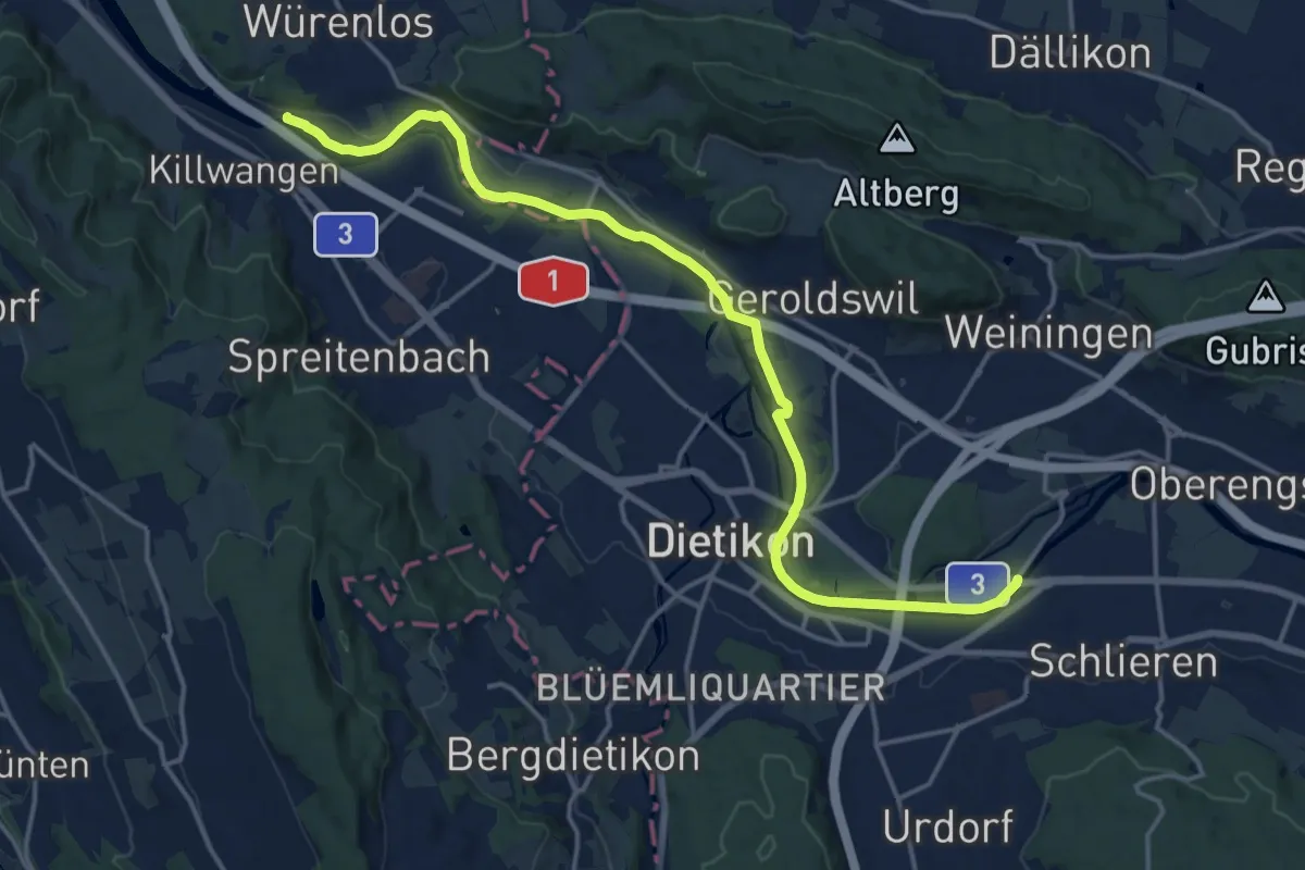
Medium · Trail
Werd – Würenlos Brücke
17.8 km · ↑ 50 m · 4 h 19 min
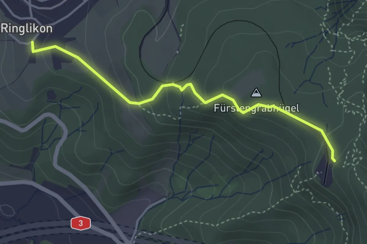
Easy · Trail
Ringlikon – Uetliberg
3.5 km · ↑ 190 m · 1 h 14 min
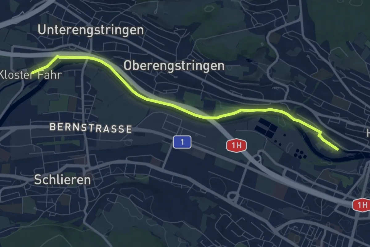
Medium · Trail
Werdinsel – Kloster Fahr
8.5 km · ↑ 42 m · 2 h 6 min
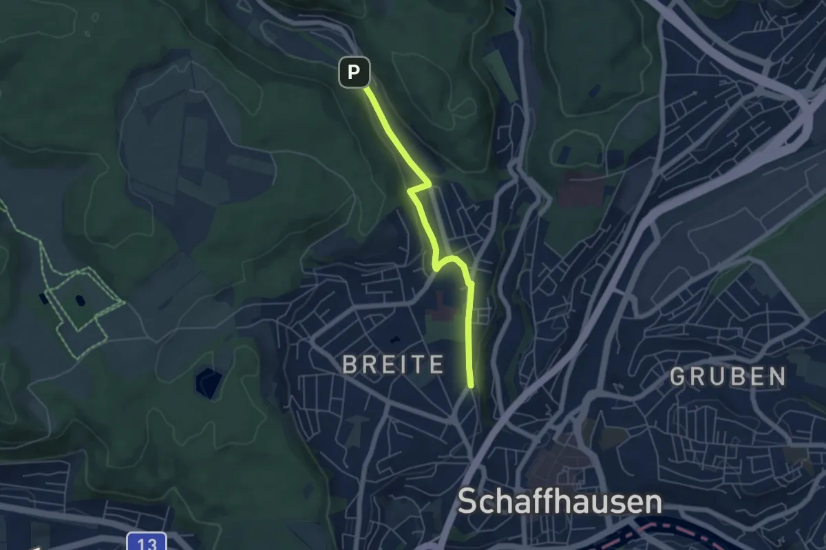
Easy · Trail
Breite – Summerwis
4.6 km · ↑ 79 m · 1 h 15 min
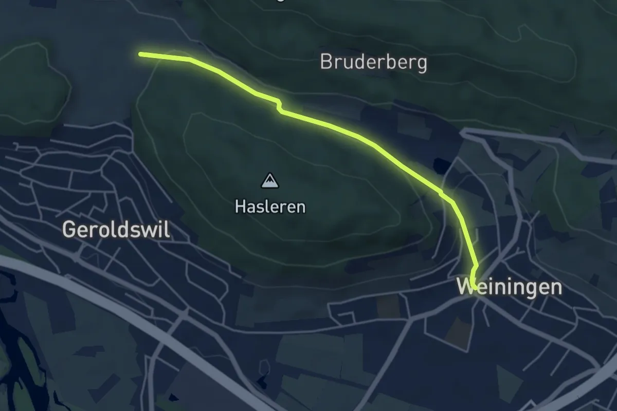
Easy · Trail
Weiningen – Harwätti
4.3 km · ↑ 132 m · 1 h 17 min
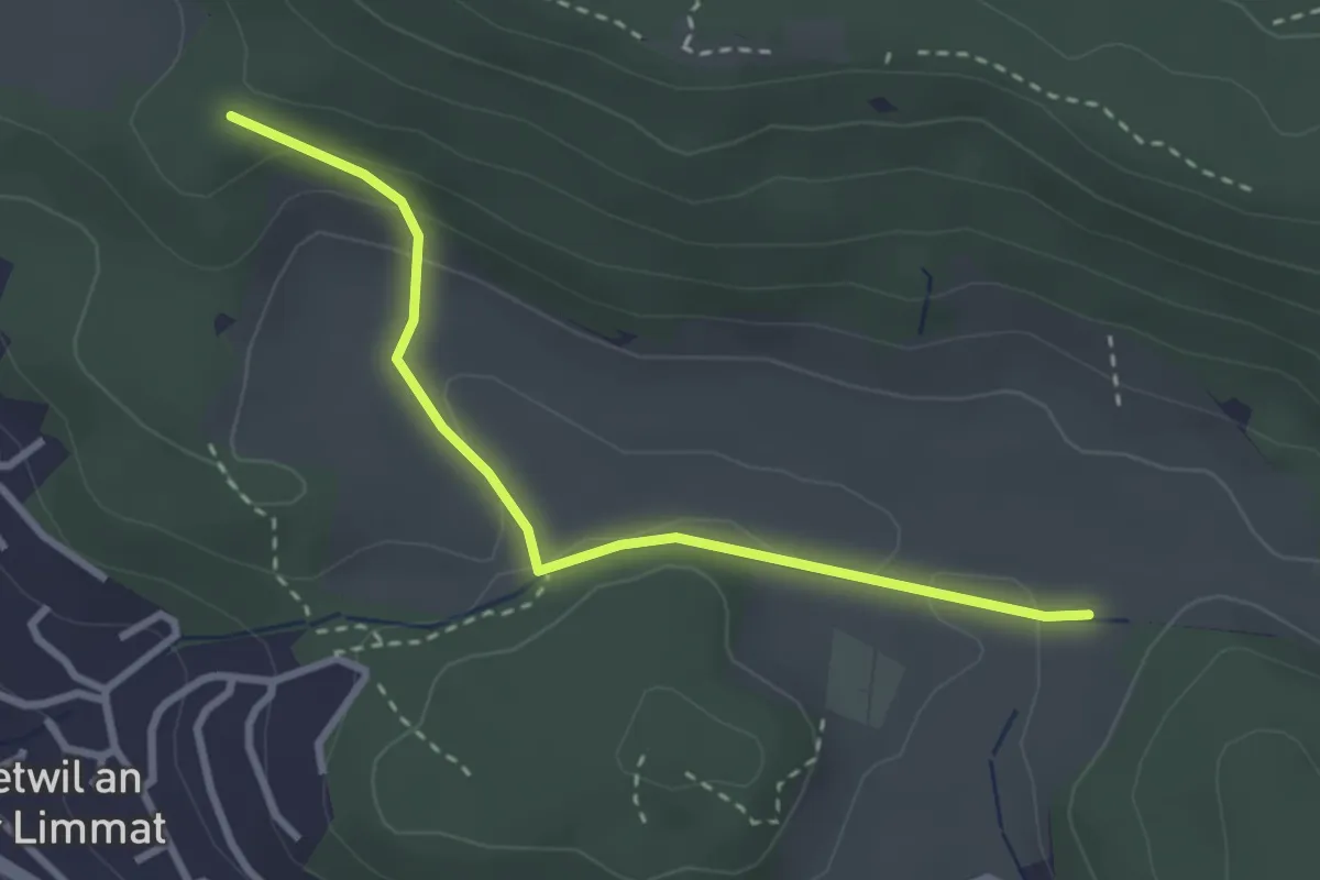
Easy · Trail
Rotris – Harwätti
2.9 km · ↑ 82 m · 52 min
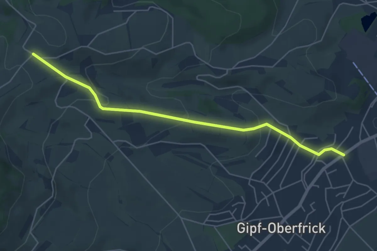
Easy · Trail
Wolberg – Gipf
4.9 km · ↑ 182 m · 1 h 33 min
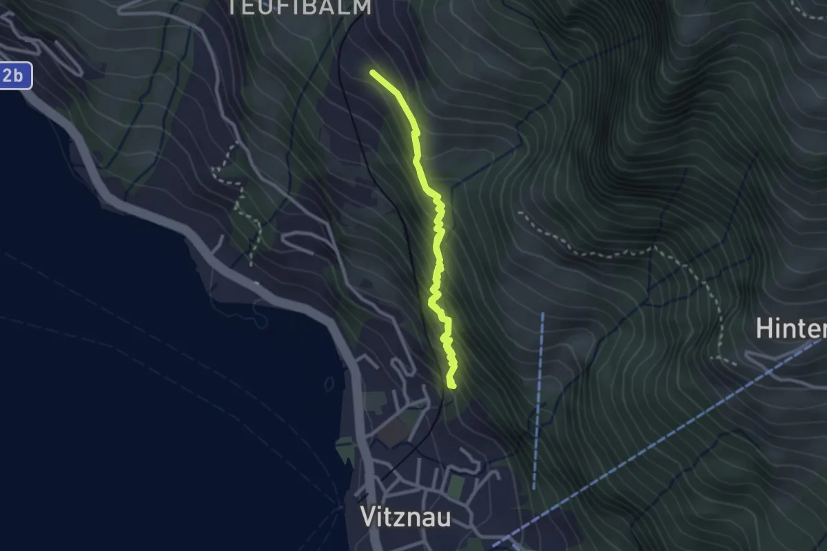
Easy · Trail
Vitznau Dorf – Schwanden
2.1 km · ↑ 252 m · 1 h 4 min
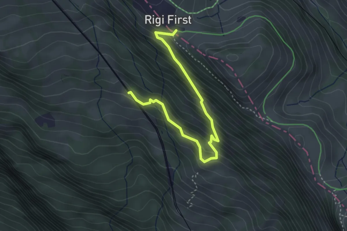
Medium · Trail
Romiti – First
3.8 km · ↑ 389 m · 1 h 45 min
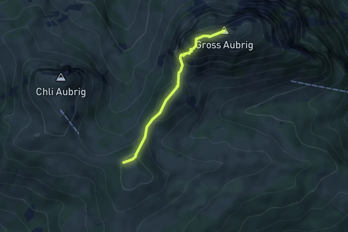
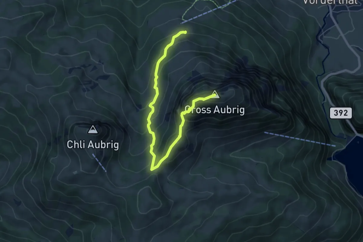
Demanding · Summit
Gross Aubrig – Nüssen
3.5 km · ↑ 375 m · 1 h 39 min
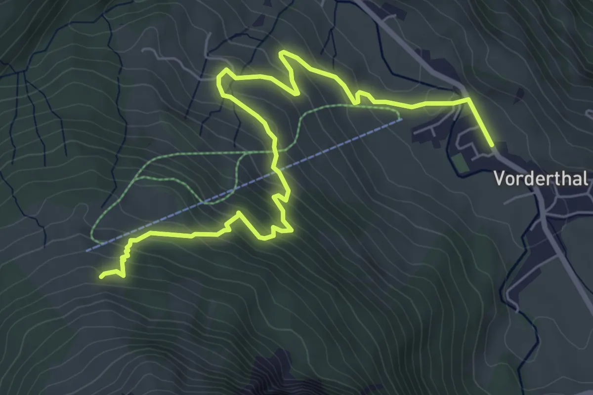
Demanding · Summit
Dorlaui – Gross Aubrig
6.9 km · ↑ 578 m · 2 h 53 min
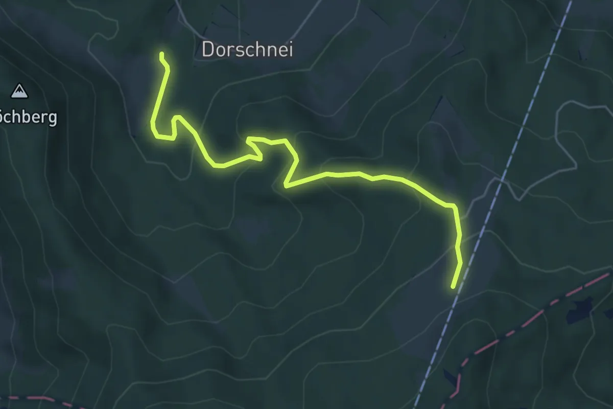
Medium · Trail
Dorlaui – Vorderthal
7.2 km · ↑ 489 m · 2 h 46 min
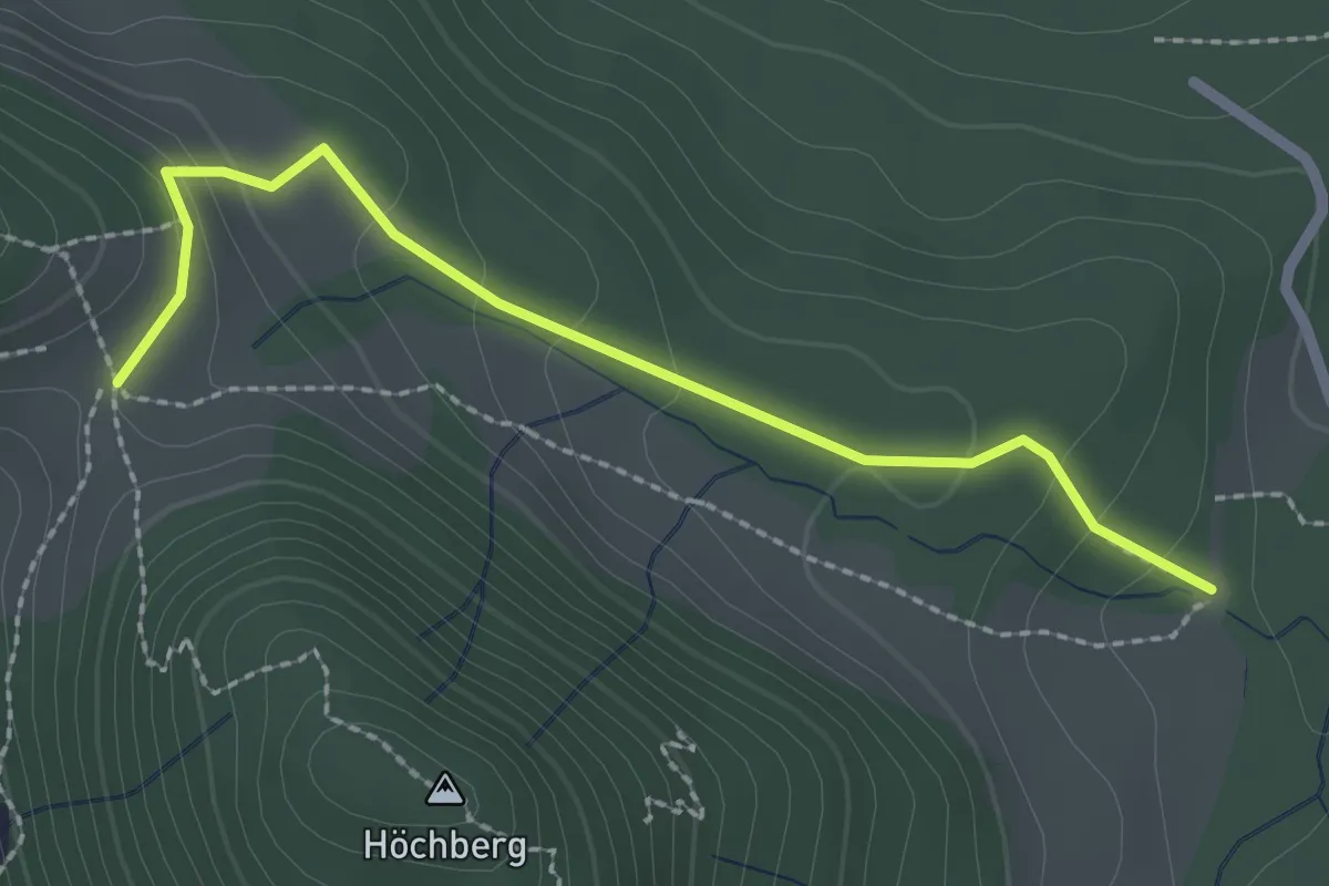
Medium · Trail
Rosshütte – Mühlemäss
5.3 km · ↑ 321 m · 1 h 57 min
Easy · Trail
Rosshütte – Chräigütsch
2.3 km · ↑ 119 m · 49 min
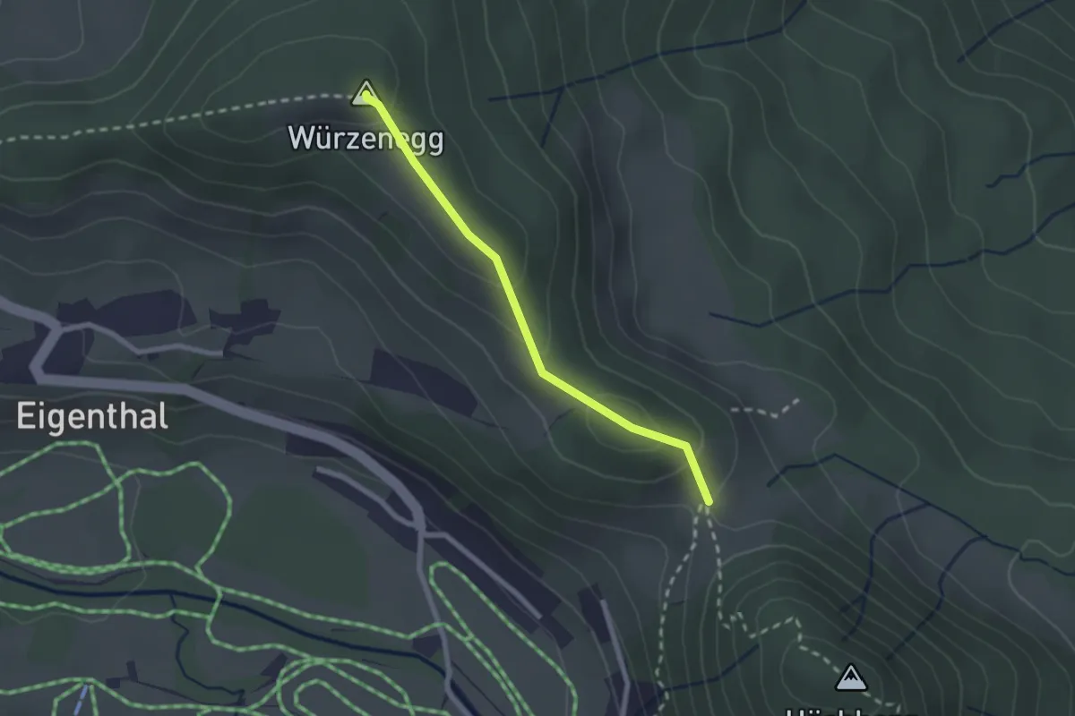
Easy · Summit
Chräigütsch – Würzenegg
2.1 km · ↑ 83 m · 40 min
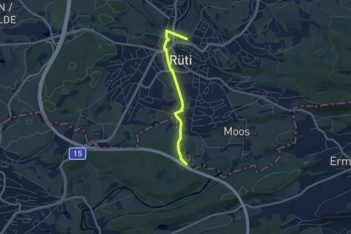
Easy · Trail
Rüti – Moosbrugg
4.8 km · ↑ 48 m · 1 h 14 min
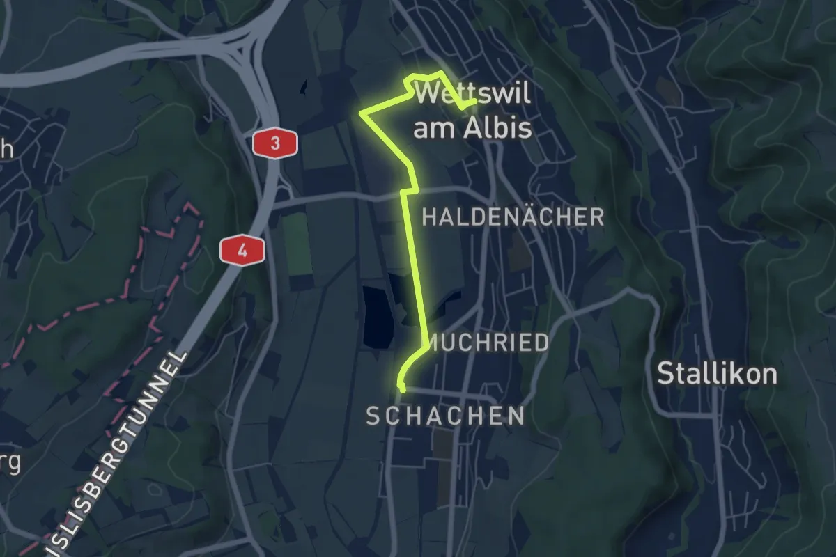
Easy · Trail
Bonstetten-Wettswil – Wettswil
4.9 km · ↑ 40 m · 1 h 15 min
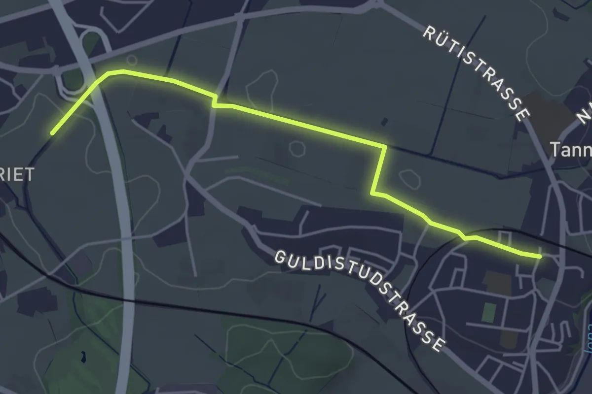
Easy · Trail
Lettenmoos – Tann
4.4 km · ↑ 13 m · 1 h 4 min
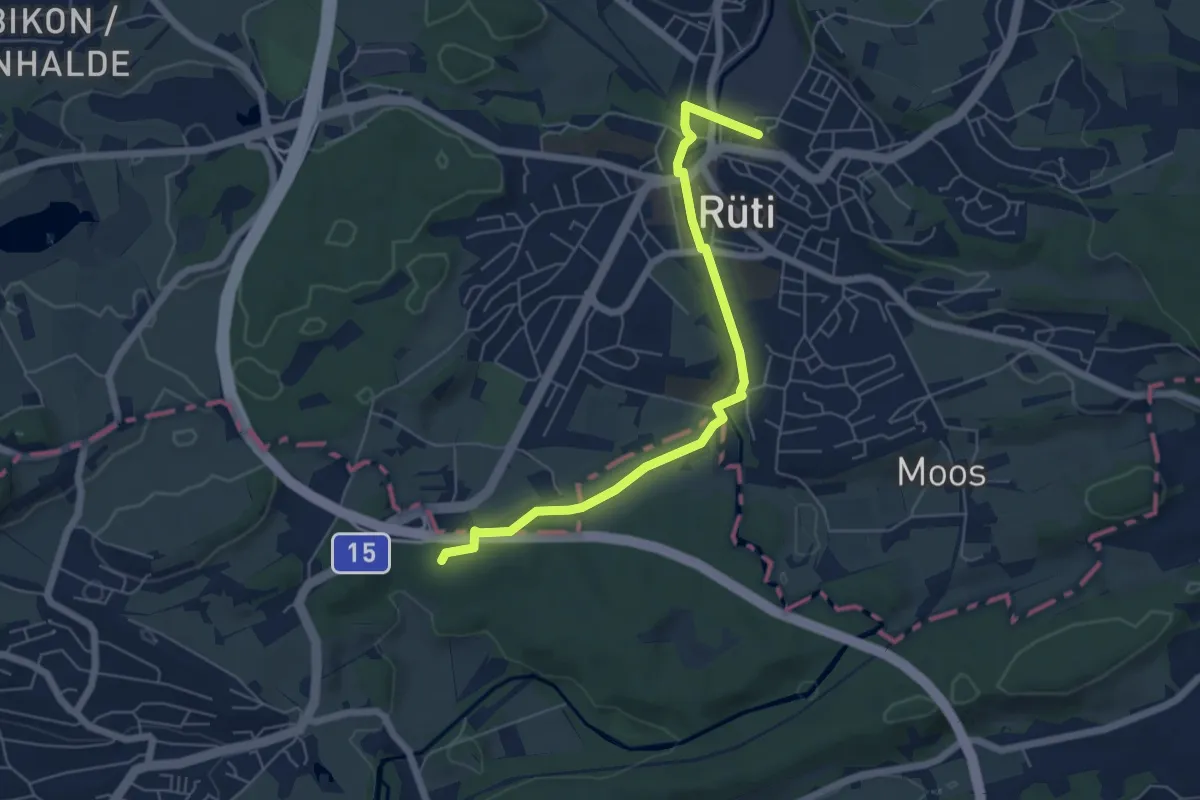
Easy · Trail
Rüti – Martinsbrünneli
5.9 km · ↑ 47 m · 1 h 29 min
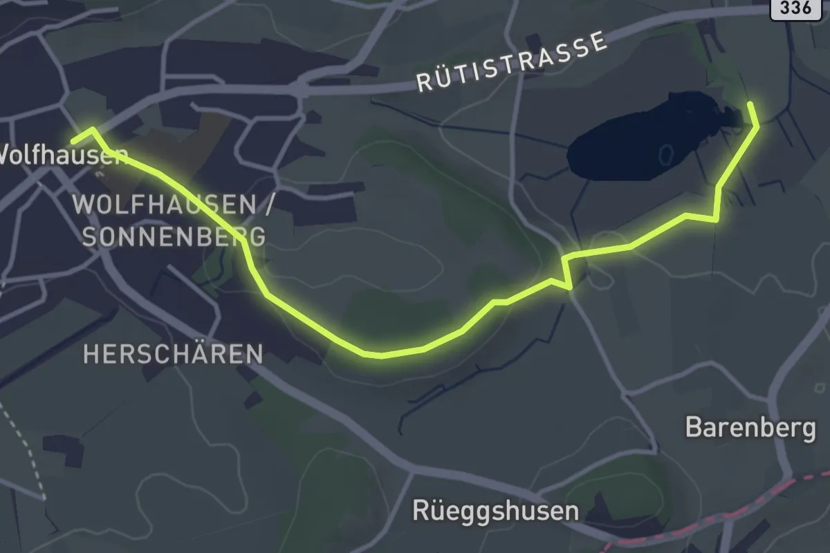
Easy · Trail
Wolfhausen – Egelsee
4.0 km · ↑ 50 m · 1 h 3 min
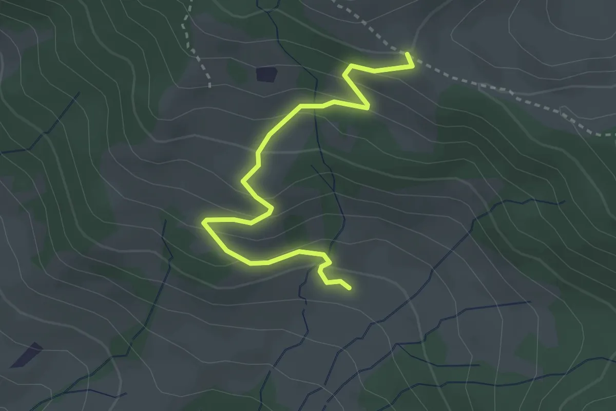
Easy · Trail
Ruebergschwänd – Billmeschwändi
3.1 km · ↑ 207 m · 1 h 10 min
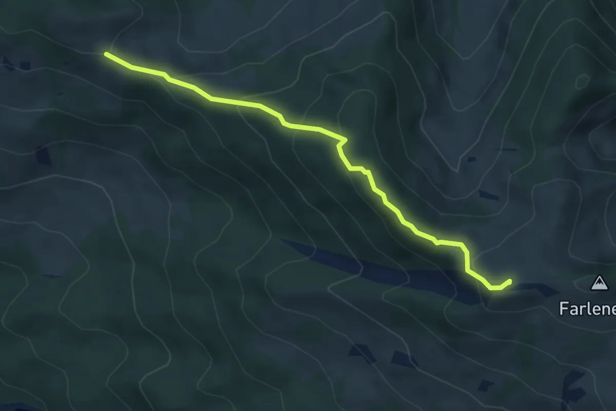
Medium · Summit
Ruebergschwänd – Lauihöchi
4.6 km · ↑ 247 m · 1 h 37 min
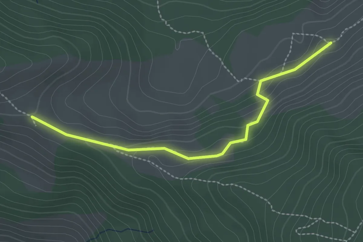
Medium · Trail
Ruebergschwänd – Müllergschwänd
2.5 km · ↑ 104 m · 49 min
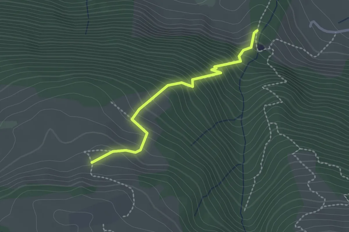
Easy · Trail
Unter Willisberg – östlich Bätthell
2.1 km · ↑ 286 m · 1 h 7 min
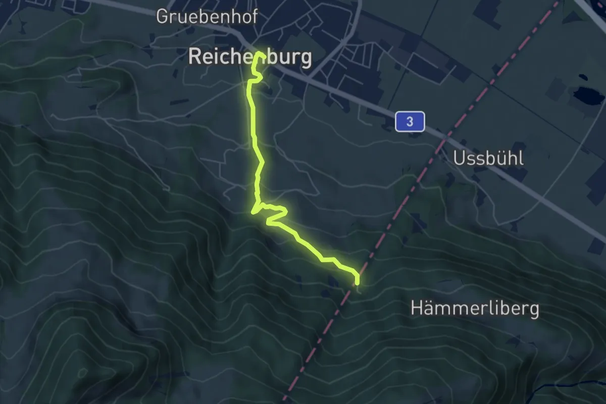
Medium · Trail
Reichenburg – Hoggli
5.1 km · ↑ 323 m · 1 h 54 min
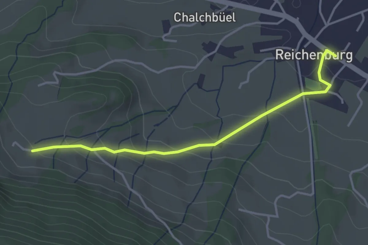
Easy · Trail
Reichenburg – Ob. Tafleten
3.4 km · ↑ 146 m · 1 h 8 min
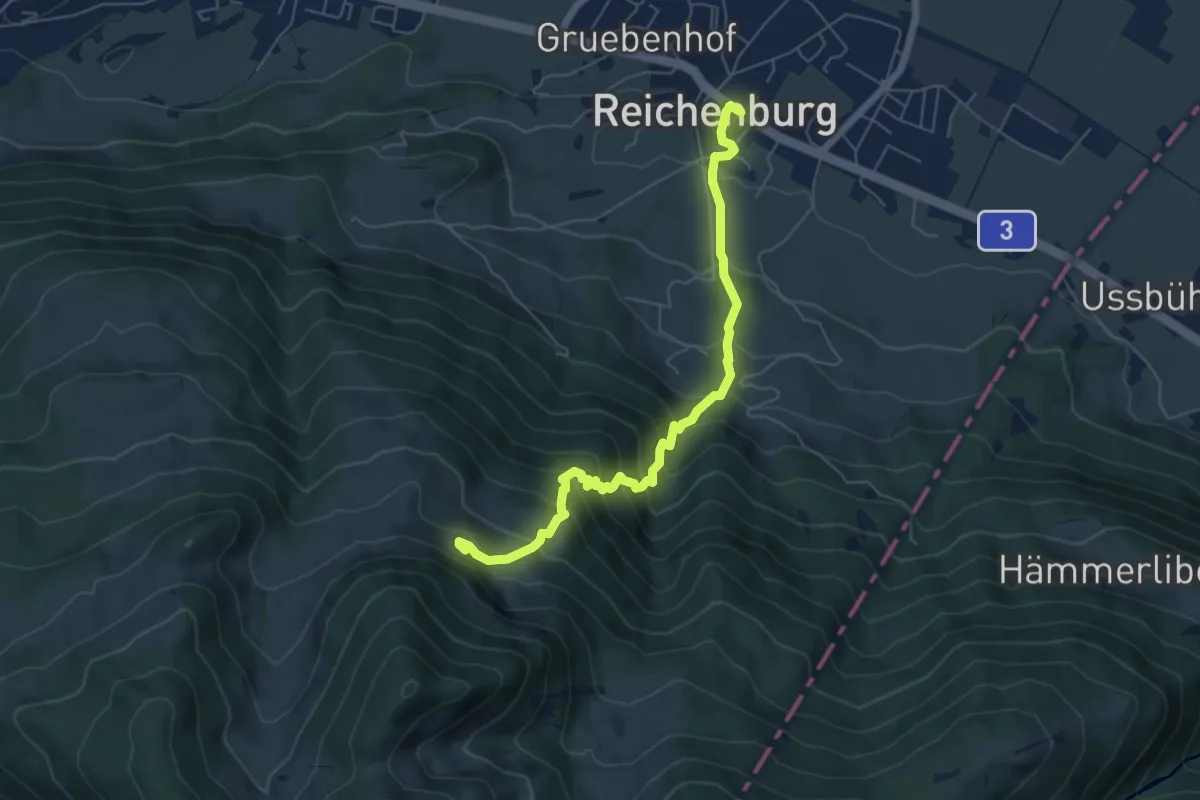
Medium · Trail
Reichenburg – Au
6.0 km · ↑ 637 m · 2 h 48 min
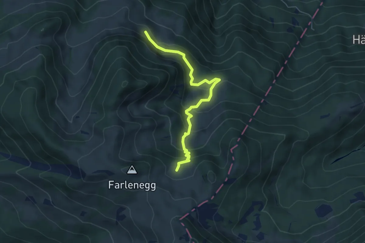
Medium · Trail
Au – Lachen (Alp)
5.2 km · ↑ 374 m · 2 h 2 min
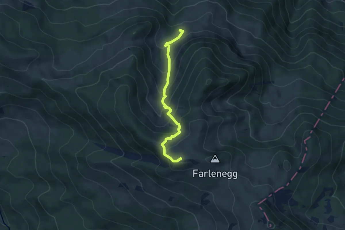
Medium · Summit
Lauihöchi – Skihaus
4.3 km · ↑ 356 m · 1 h 47 min
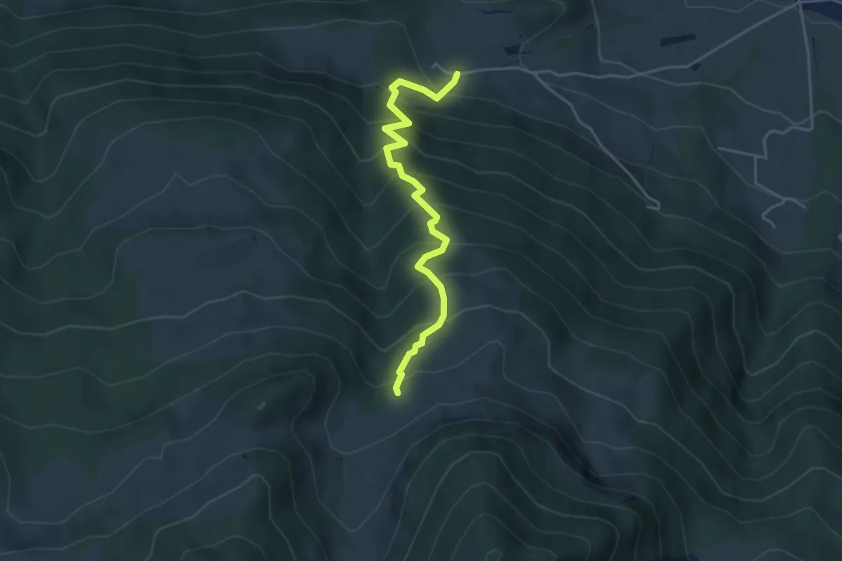
Medium · Trail
Skihaus – Ob. Tafleten
3.9 km · ↑ 475 m · 1 h 57 min