Trails in Switzerland
15,055 hiking trails, each with its route, climb, walking time and grade.
All trails, page 278 of 314
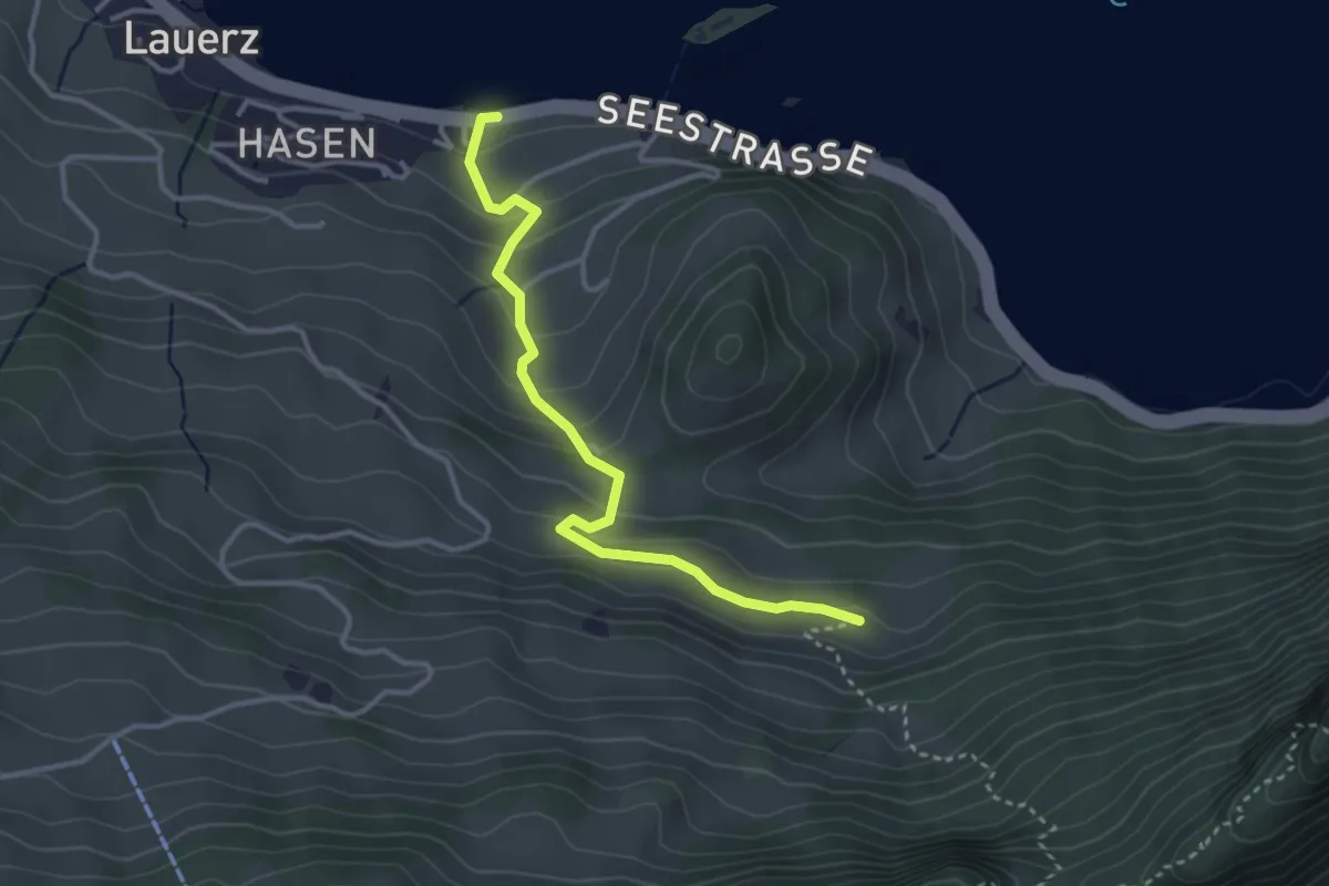
Easy · Trail
Seegüetli – Schwändi
3.4 km · ↑ 212 m · 1 h 15 min
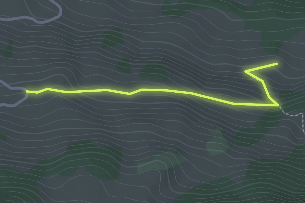
Easy · Trail
Schwändi – Bergkapelle Langberg
2.1 km · ↑ 124 m · 46 min
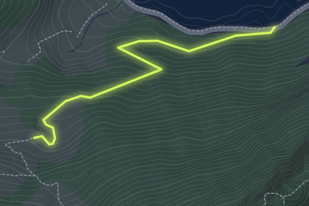
Easy · Trail
Schwändi – Bierkeller
2.7 km · ↑ 185 m · 1 h 3 min
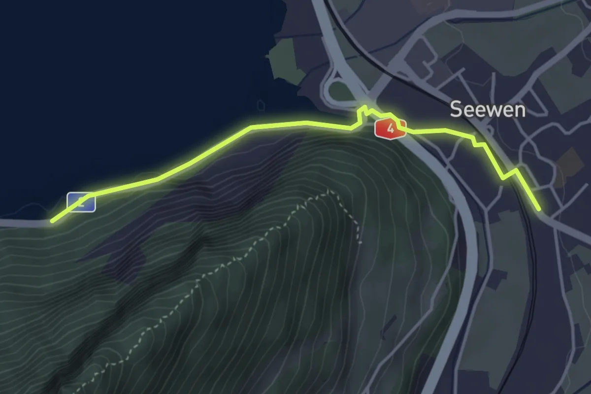
Easy · Trail
Bierkeller – Seewen / Schwyz
3.8 km · ↑ 107 m · 1 h 8 min
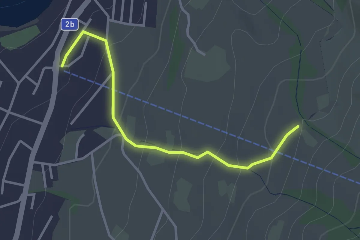
Easy · Trail
Sämpel – Talstation LKüS
2.8 km · ↑ 164 m · 1 h 1 min
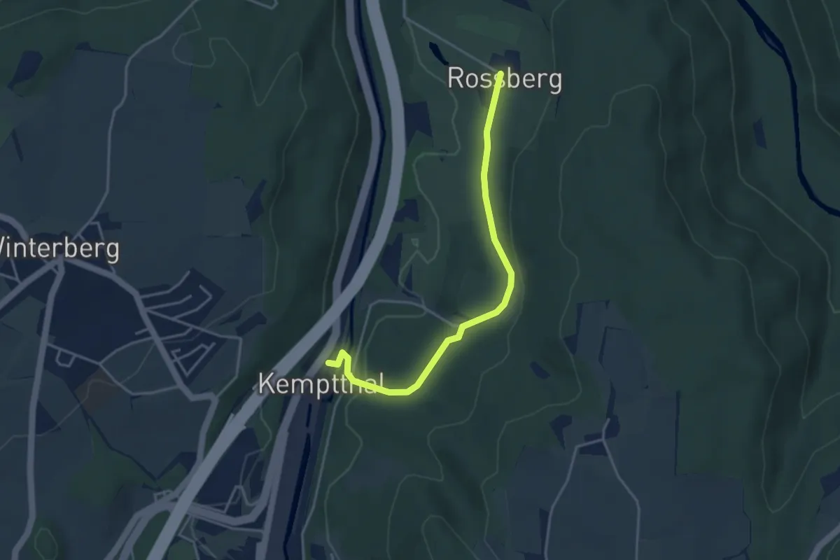
Easy · Trail
Kemptthal – Rossberg
3.7 km · ↑ 107 m · 1 h 6 min
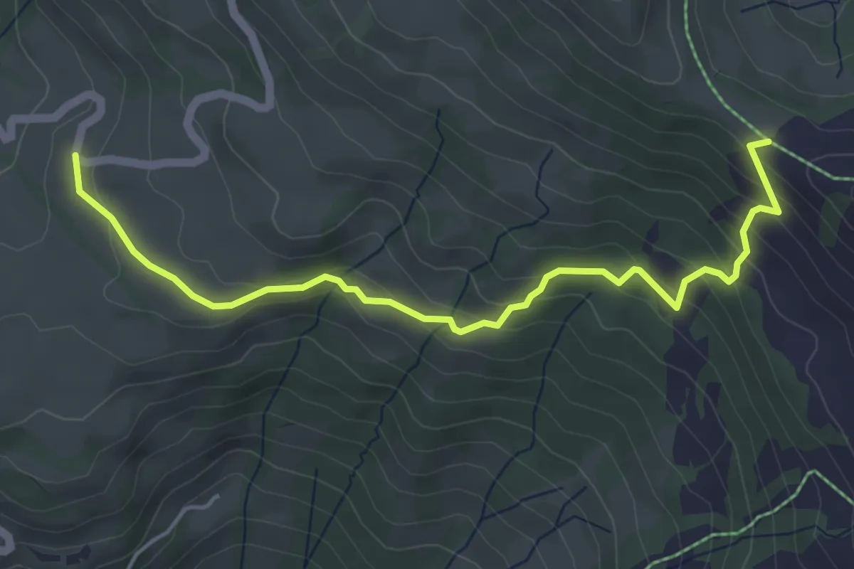
Easy · Cabin
Sternenegg – Chaltenbrunnen
5.0 km · ↑ 282 m · 1 h 48 min
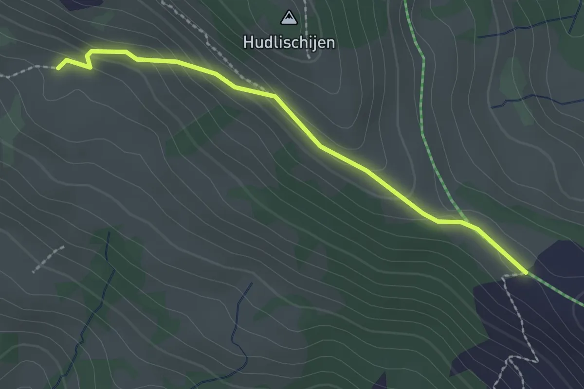
Easy · Cabin
Sternenegg – Ober Altberg
2.2 km · ↑ 108 m · 45 min
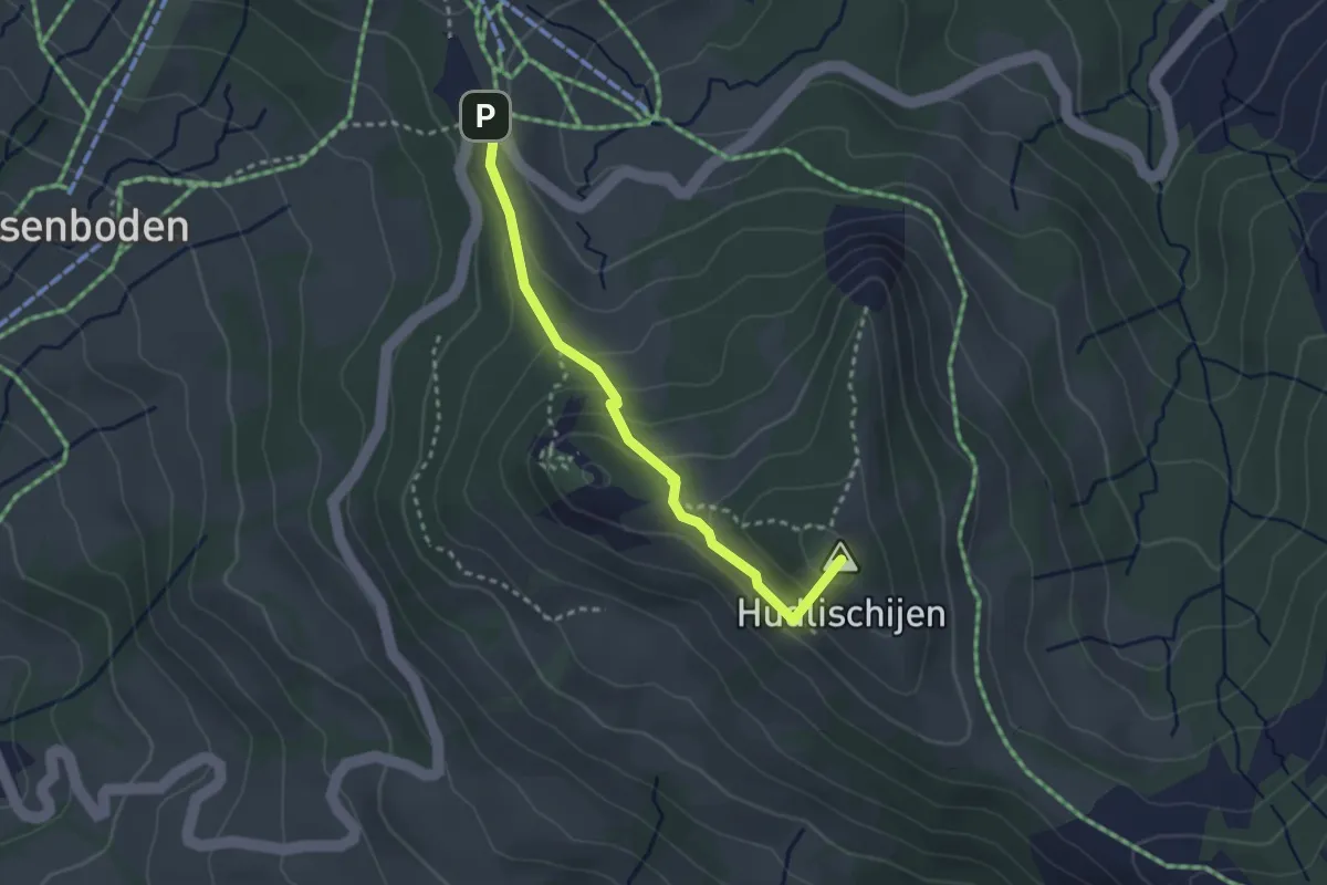
Easy · Summit
Sternenegg – Ibergeregg
2.7 km · ↑ 148 m · 58 min
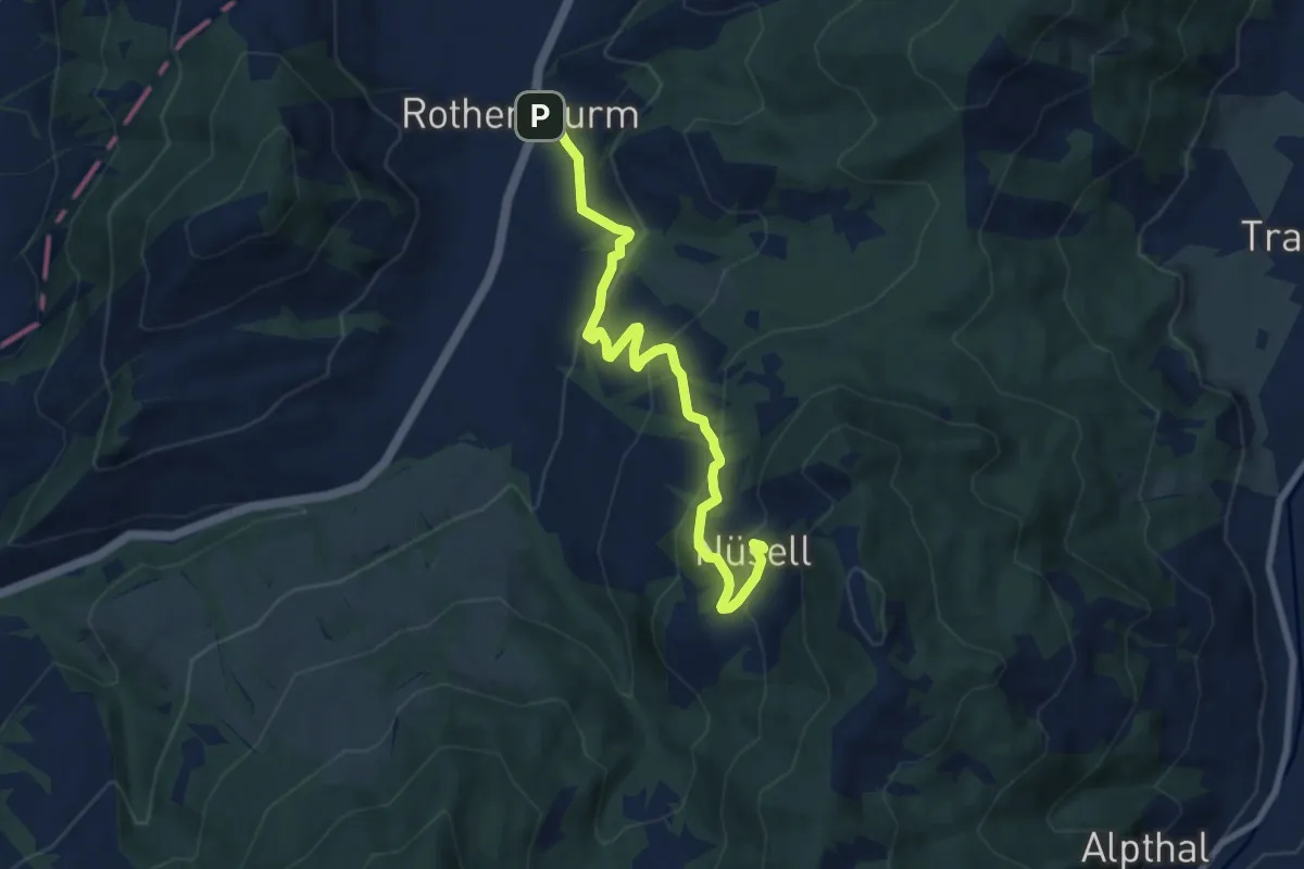
Medium · Trail
Rothenthurm – Nüsell
8.1 km · ↑ 418 m · 2 h 49 min
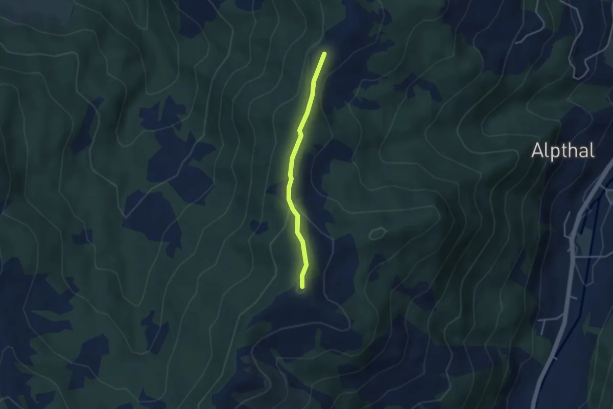
Medium · Summit
Chli Tändli – Brüschrainhöchi
2.9 km · ↑ 133 m · 58 min
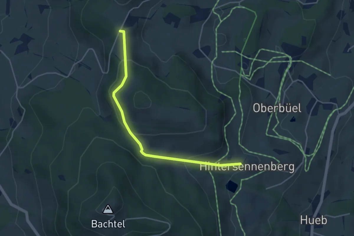
Easy · Trail
Schufelberger Egg – Hinterer Sennenberg
3.6 km · ↑ 141 m · 1 h 10 min
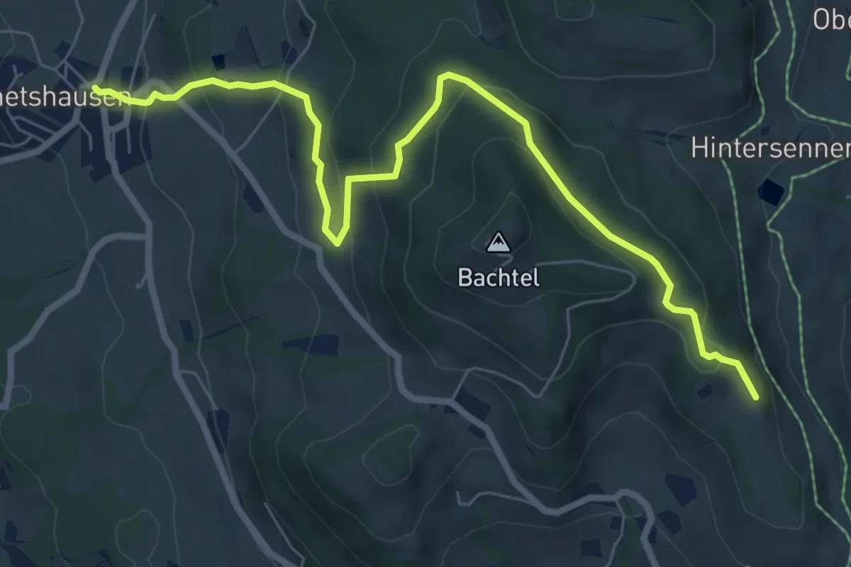
Medium · Trail
Wernetshausen – Bachtelspalt
7.7 km · ↑ 394 m · 2 h 40 min
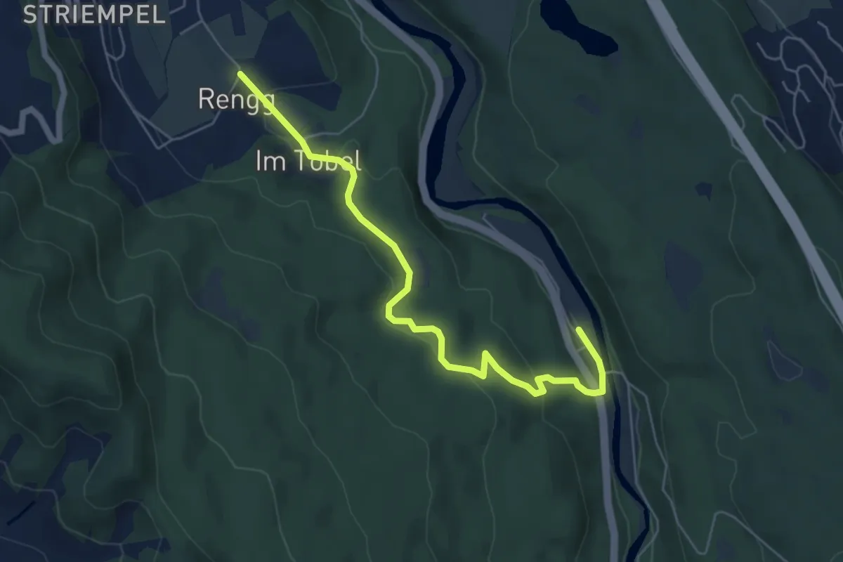
Easy · Trail
Rängg – Sihlwald
5.8 km · ↑ 209 m · 1 h 49 min
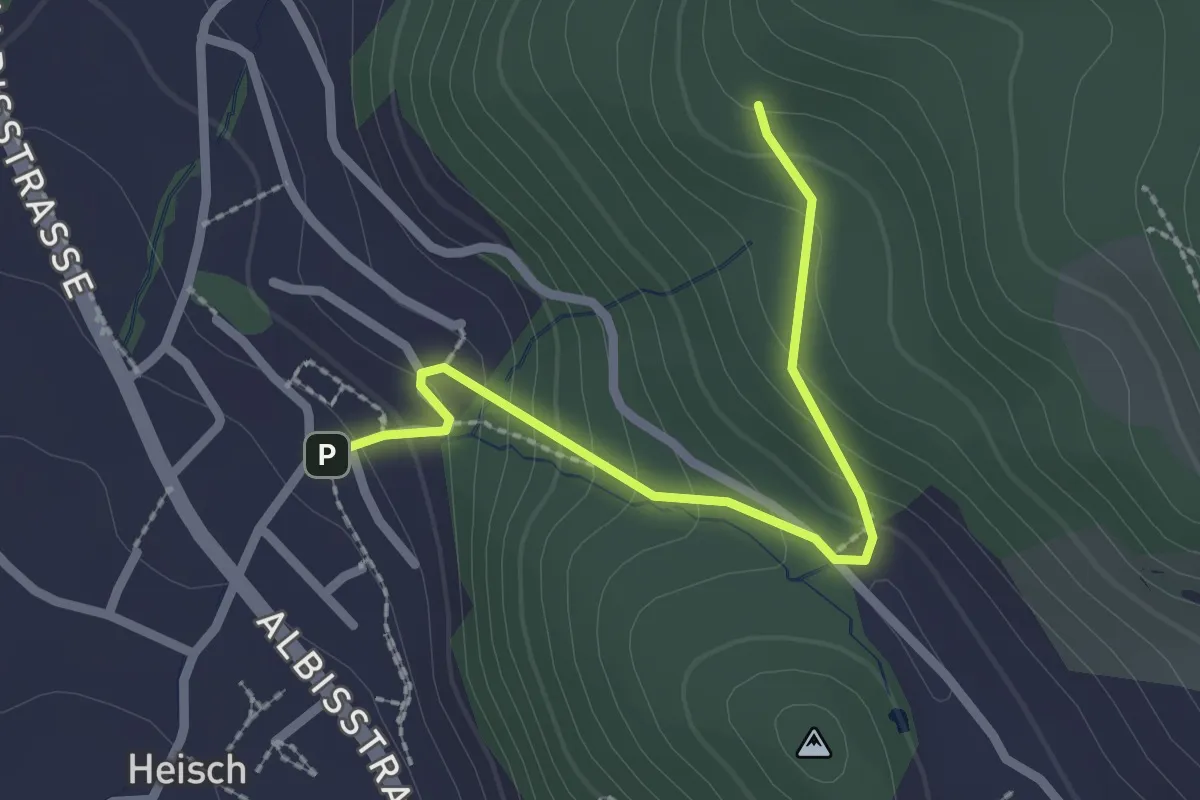
Easy · Trail
Äbni – Heisch
2.3 km · ↑ 172 m · 55 min
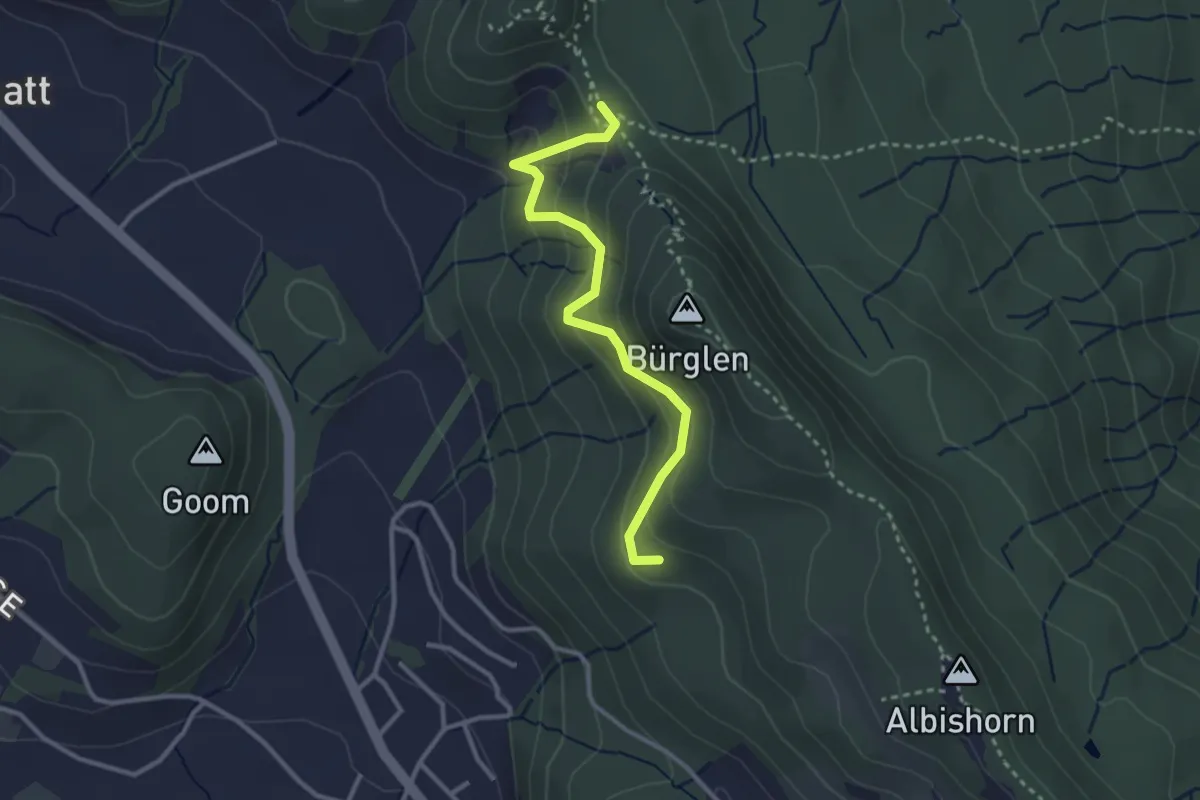
Easy · Summit
Äbni – Schnabellücke
2.9 km · ↑ 189 m · 1 h 6 min
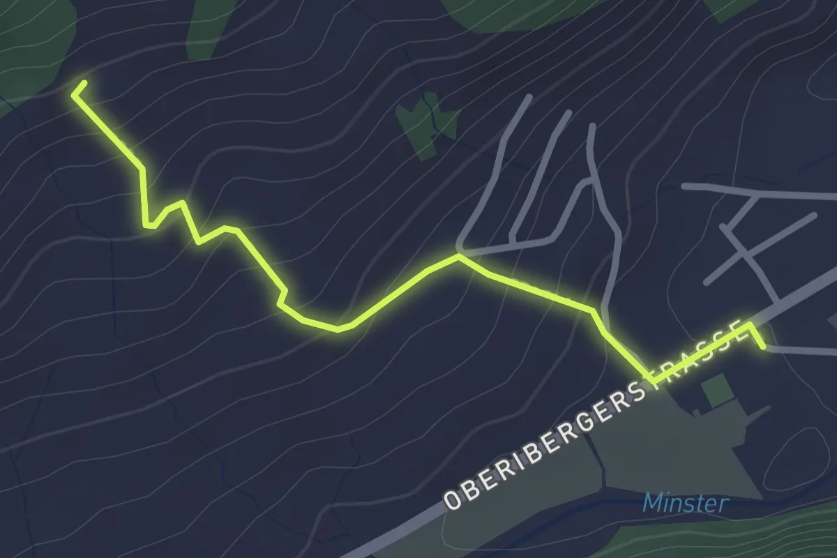
Easy · Trail
Unteriberg Minsterplatz – Höch Gütsch
2.6 km · ↑ 172 m · 59 min
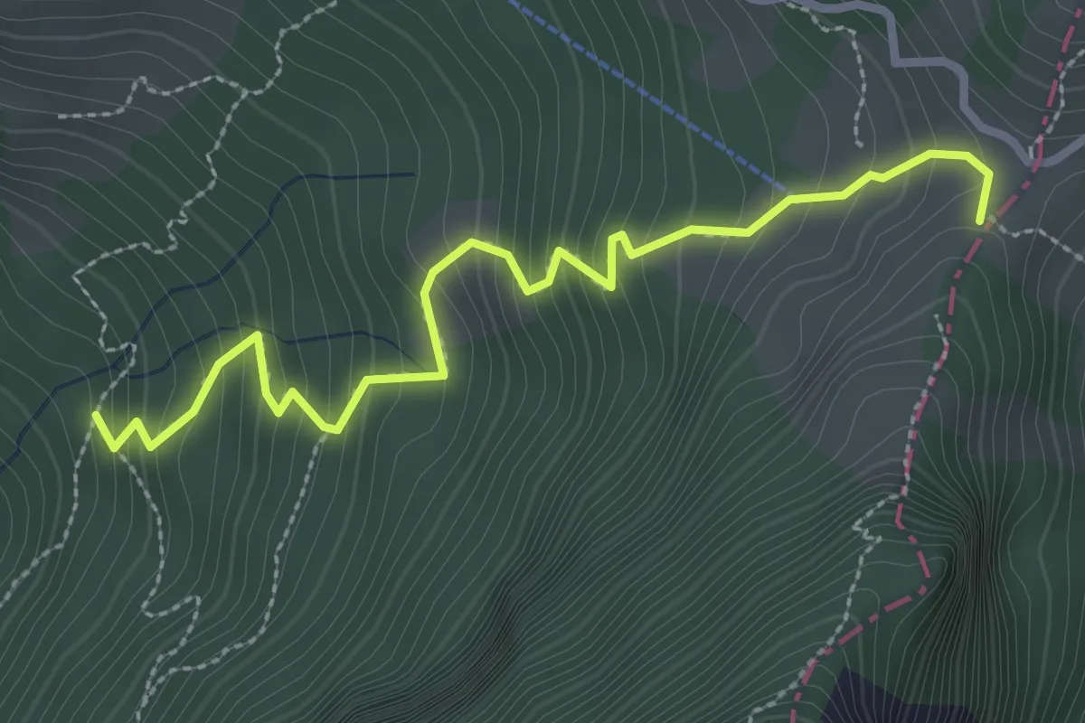
Medium · Trail
St. Antoni – Fälmisegg
3.0 km · ↑ 355 m · 1 h 29 min
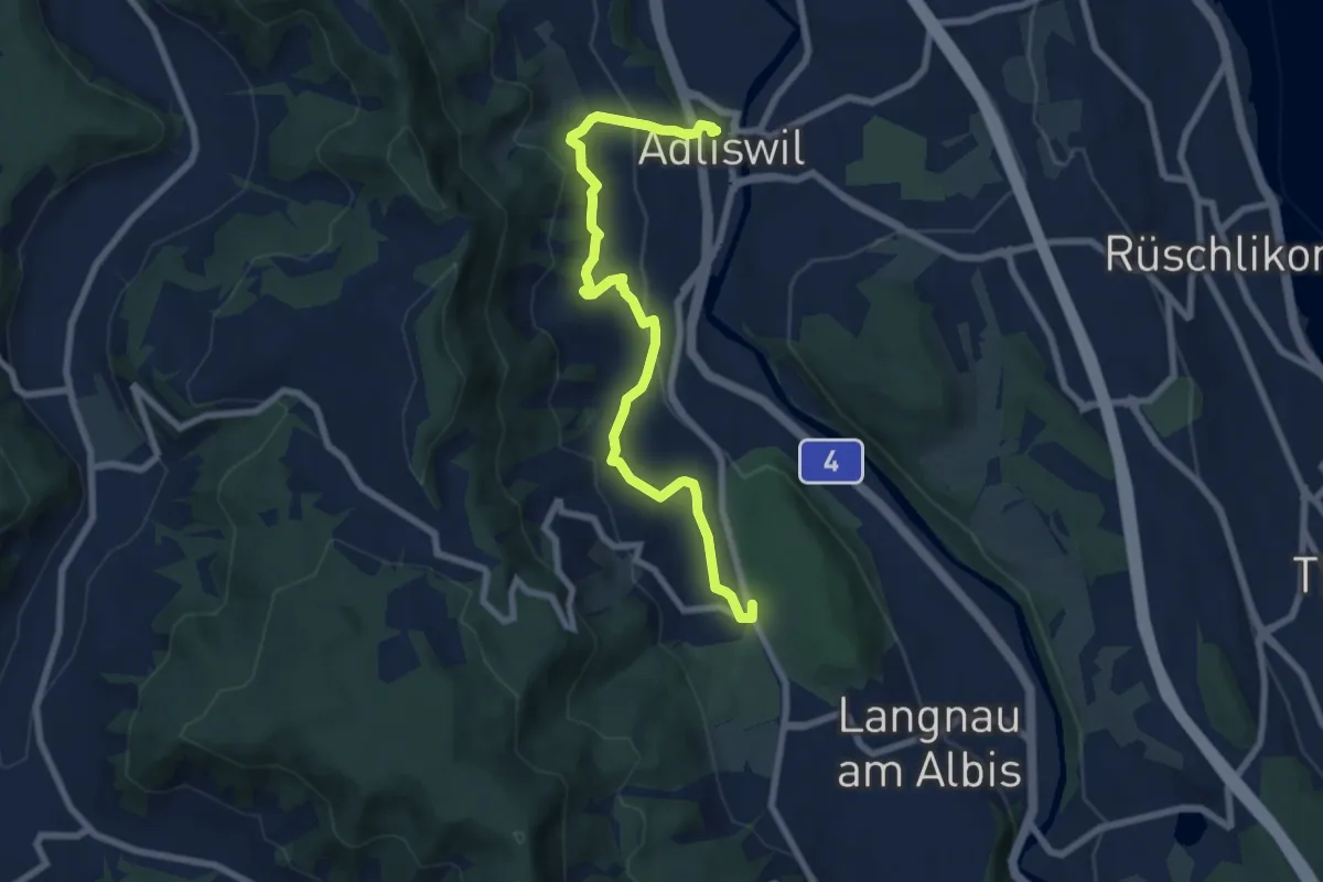
Medium · Trail
Adliswil (Bahnhof) – Waldi
8.0 km · ↑ 388 m · 2 h 43 min
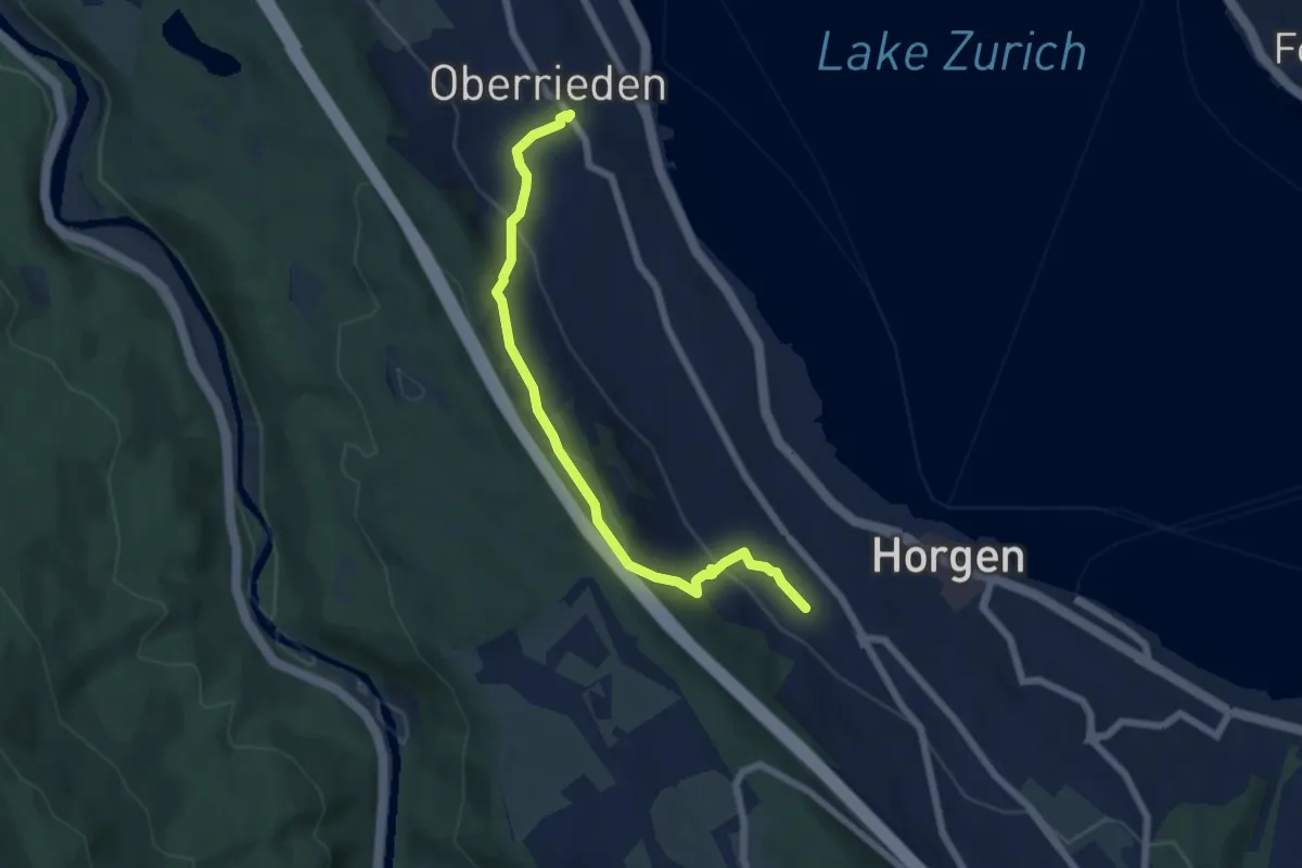
Easy · Trail
Oberrieden (Bahnhof) – Horgen Oberdorf (Station)
6.2 km · ↑ 299 m · 2 h 7 min
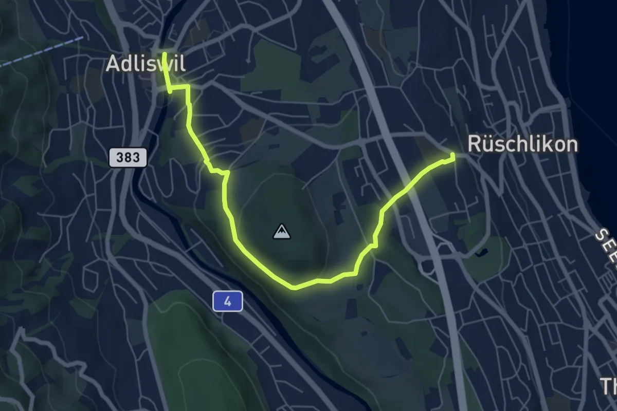
Easy · Trail
Adliswil – Nidelbad
6.5 km · ↑ 172 m · 1 h 55 min
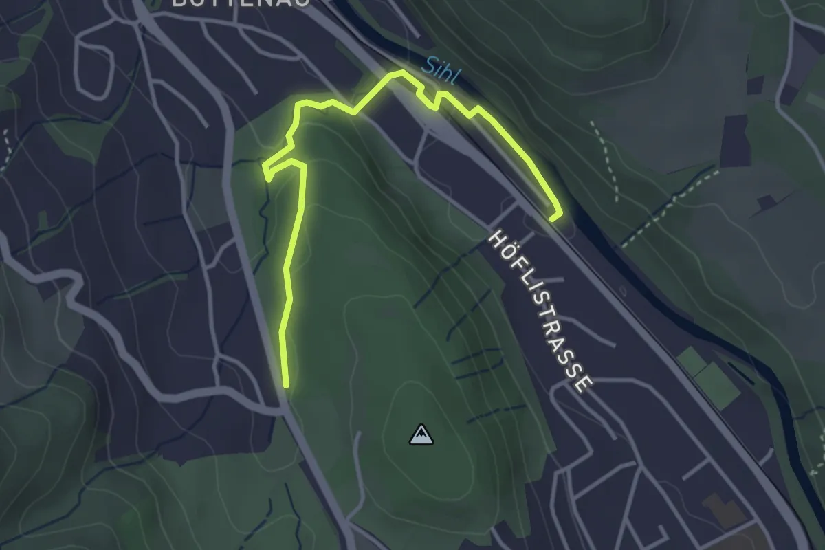
Easy · Trail
Waldi – Wildpark Höfli
3.6 km · ↑ 73 m · 1 h 1 min
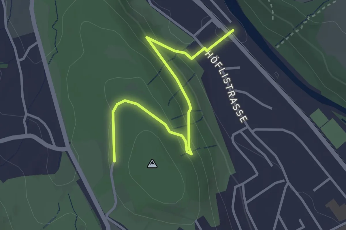
Easy · Trail
Wildpark Langenberg – Wildpark Höfli
3.1 km · ↑ 126 m · 1 h
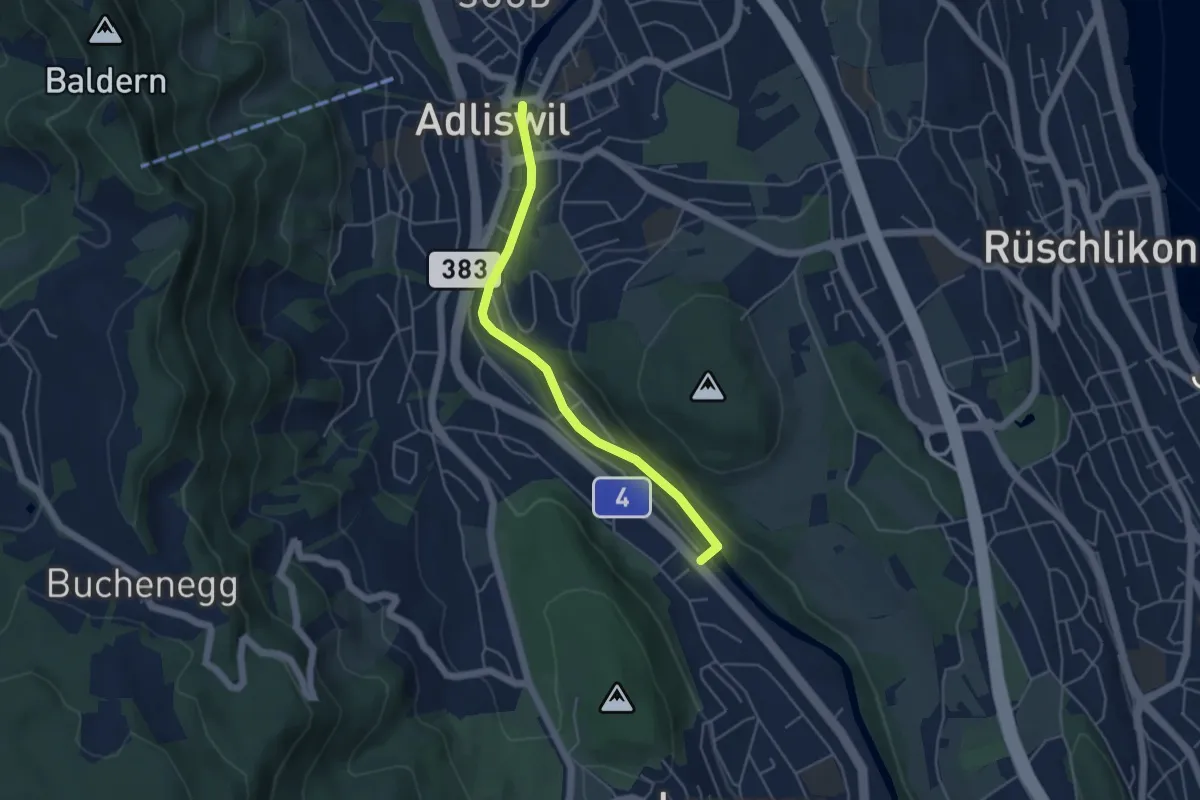
Easy · Trail
Adliswil – Wildpark Langenberg
4.4 km · ↑ 56 m · 1 h 9 min
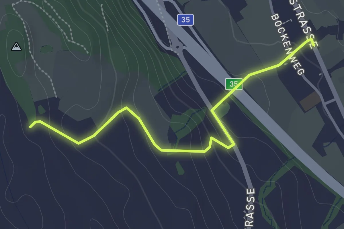
Easy · Trail
Simmismoos – Arn
3.0 km · ↑ 120 m · 59 min
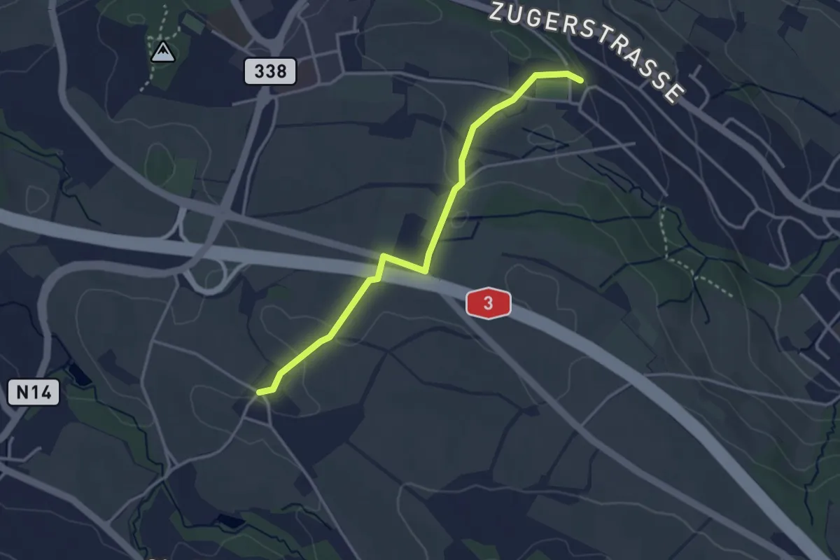
Easy · Trail
Schönegg – Stocken
3.2 km · ↑ 45 m · 51 min
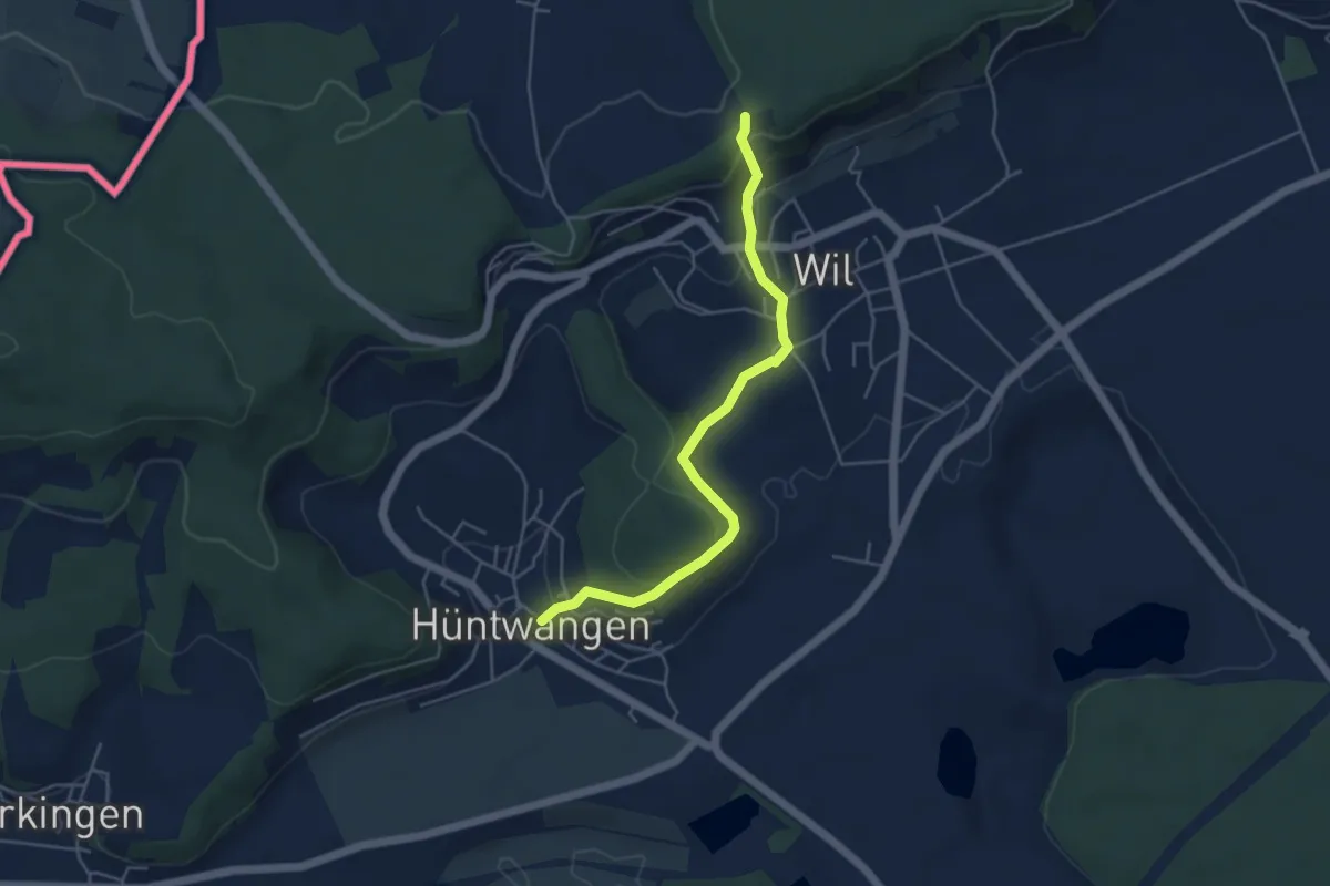
Easy · Trail
Hüntwangen – Flüestig
4.6 km · ↑ 206 m · 1 h 32 min
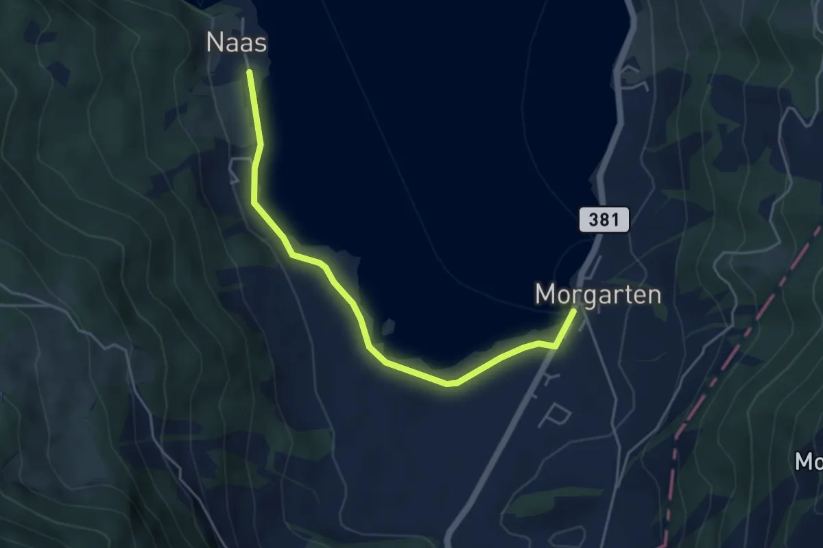
Easy · Trail
Nas – Morgarten Hauptsee
4.4 km · ↑ 19 m · 1 h 4 min
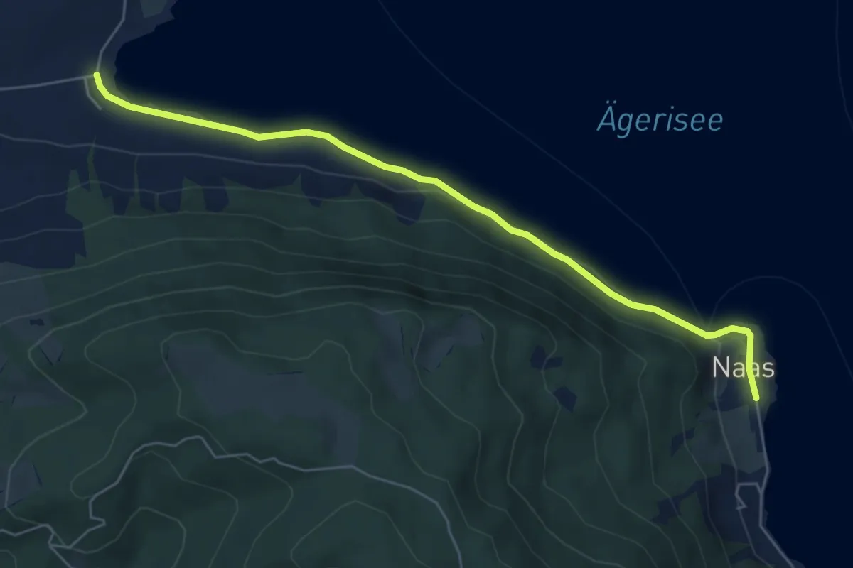
Easy · Trail
Wilbrunnen – Nas
6.1 km · ↑ 45 m · 1 h 32 min
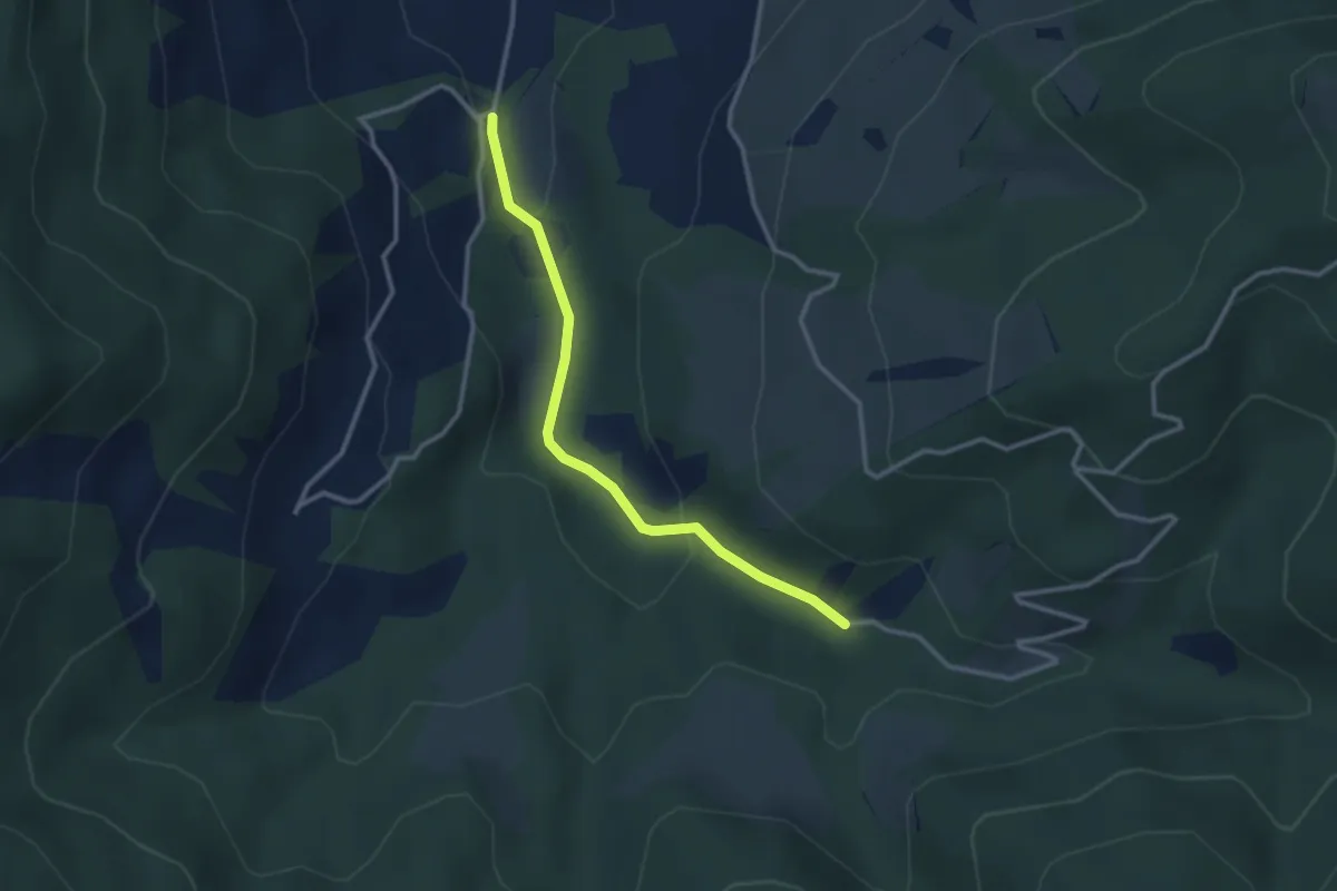
Easy · Trail
Egg Gatter – Schönalp Hütte
2.8 km · ↑ 81 m · 50 min
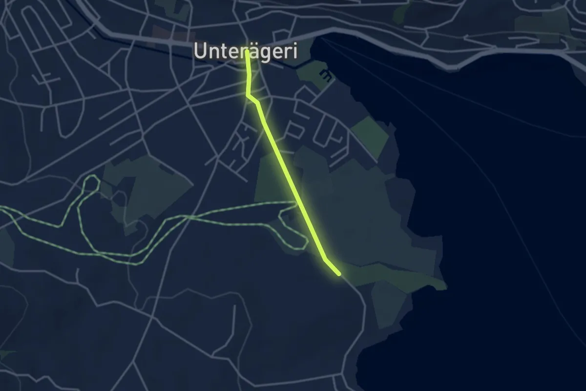
Easy · Trail
Campingplatz – Dorfplatz
2.4 km · ↑ 0 m · 34 min
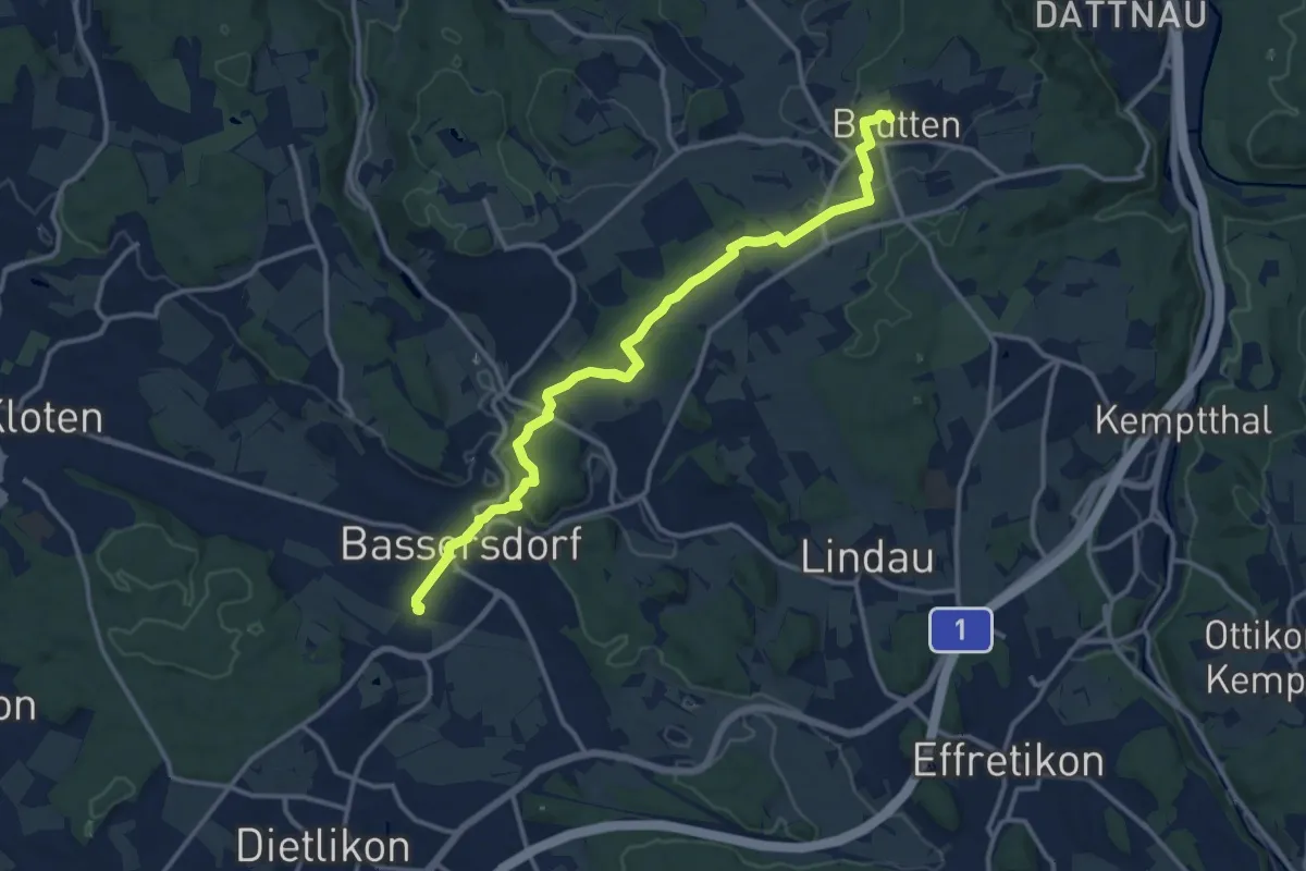
Medium · Trail
Bassersdorf – Brütten
13.7 km · ↑ 244 m · 3 h 46 min
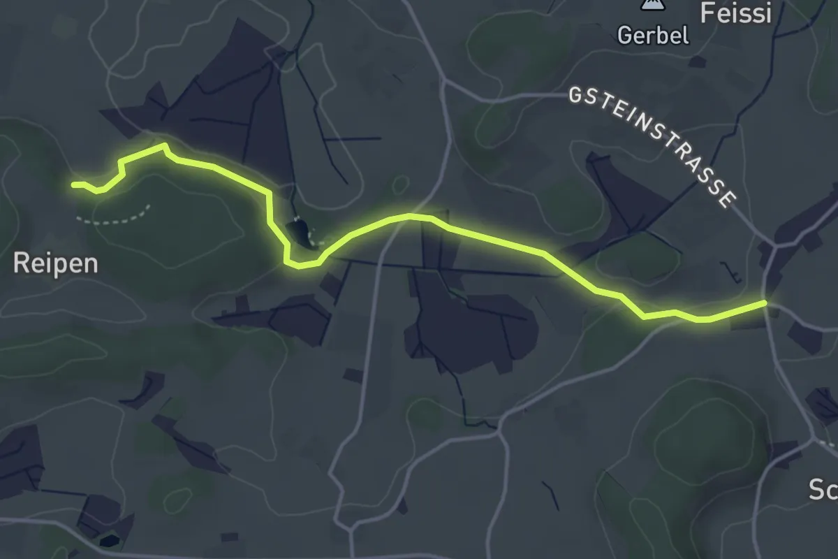
Easy · Trail
Sennschür – Reipen
4.3 km · ↑ 50 m · 1 h 8 min
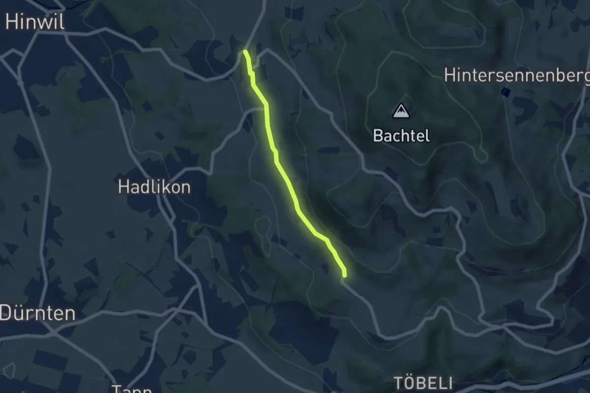
Easy · Trail
Wernetshausen – Hasenstrick
4.6 km · ↑ 102 m · 1 h 18 min
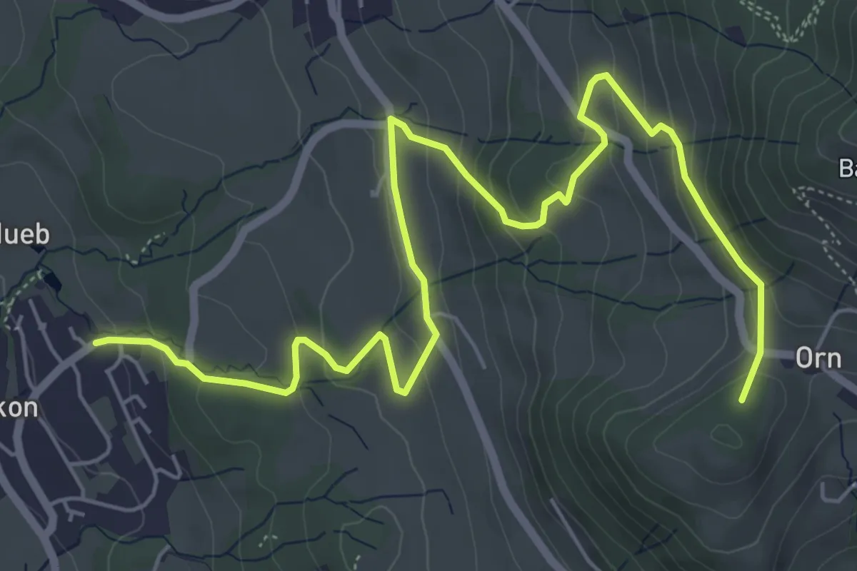
Medium · Summit
Hadlikon – Orn
7.6 km · ↑ 394 m · 2 h 39 min
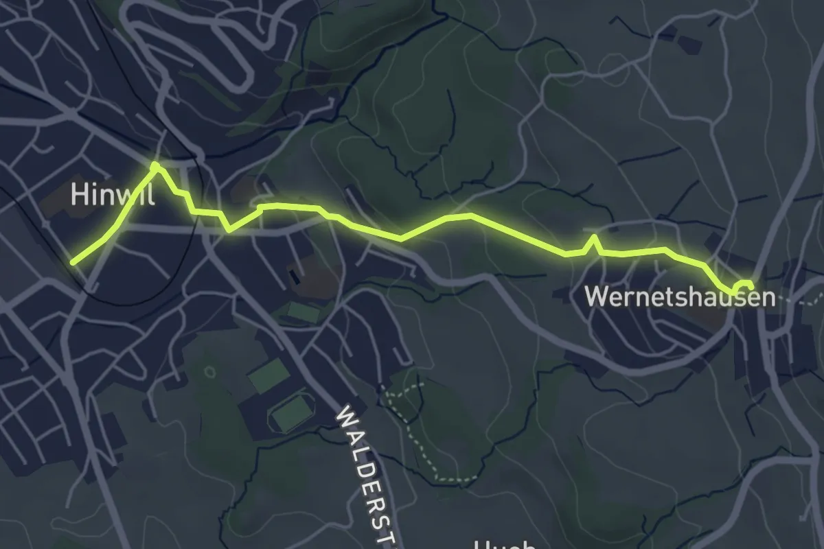
Easy · Trail
Hinwil – Wernetshausen
5.0 km · ↑ 157 m · 1 h 31 min
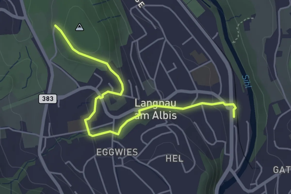
Easy · Trail
Wildpark Langenberg – Langnau-Gattikon
4.3 km · ↑ 114 m · 1 h 16 min
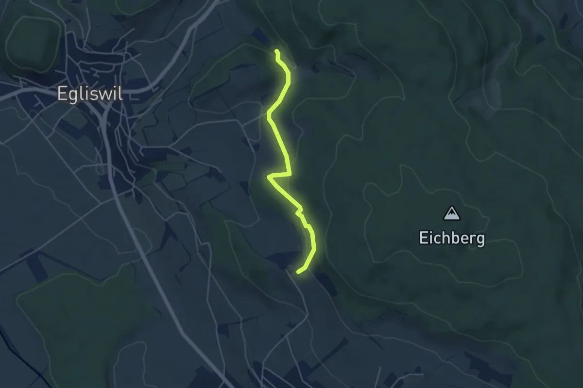
Easy · Trail
Eichberg – Firmetel
3.9 km · ↑ 153 m · 1 h 15 min
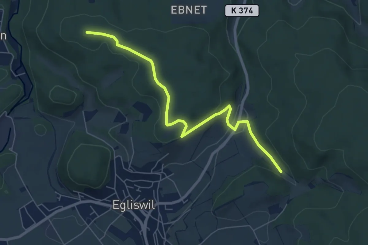
Easy · Trail
Esterliturm – Firmetel
6.0 km · ↑ 146 m · 1 h 44 min
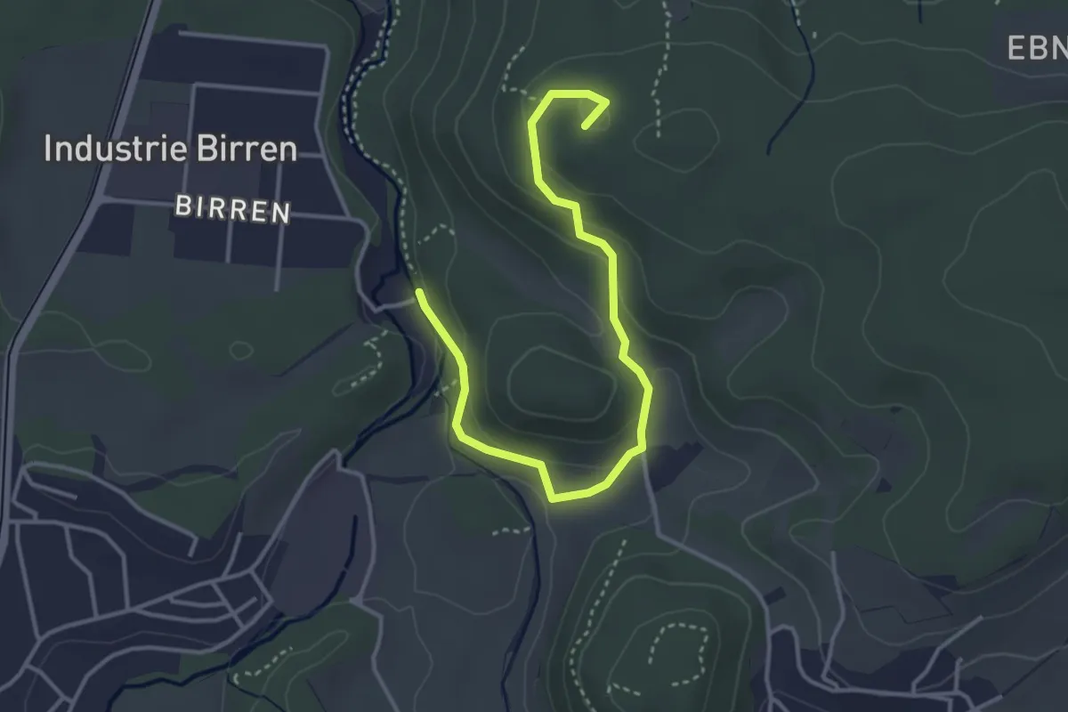
Easy · Summit
Esterliturm – Sigismüli
4.0 km · ↑ 147 m · 1 h 15 min
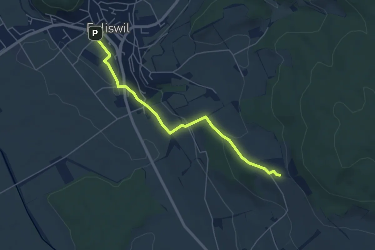
Easy · Trail
Eichberg – Egliswil
4.8 km · ↑ 154 m · 1 h 27 min
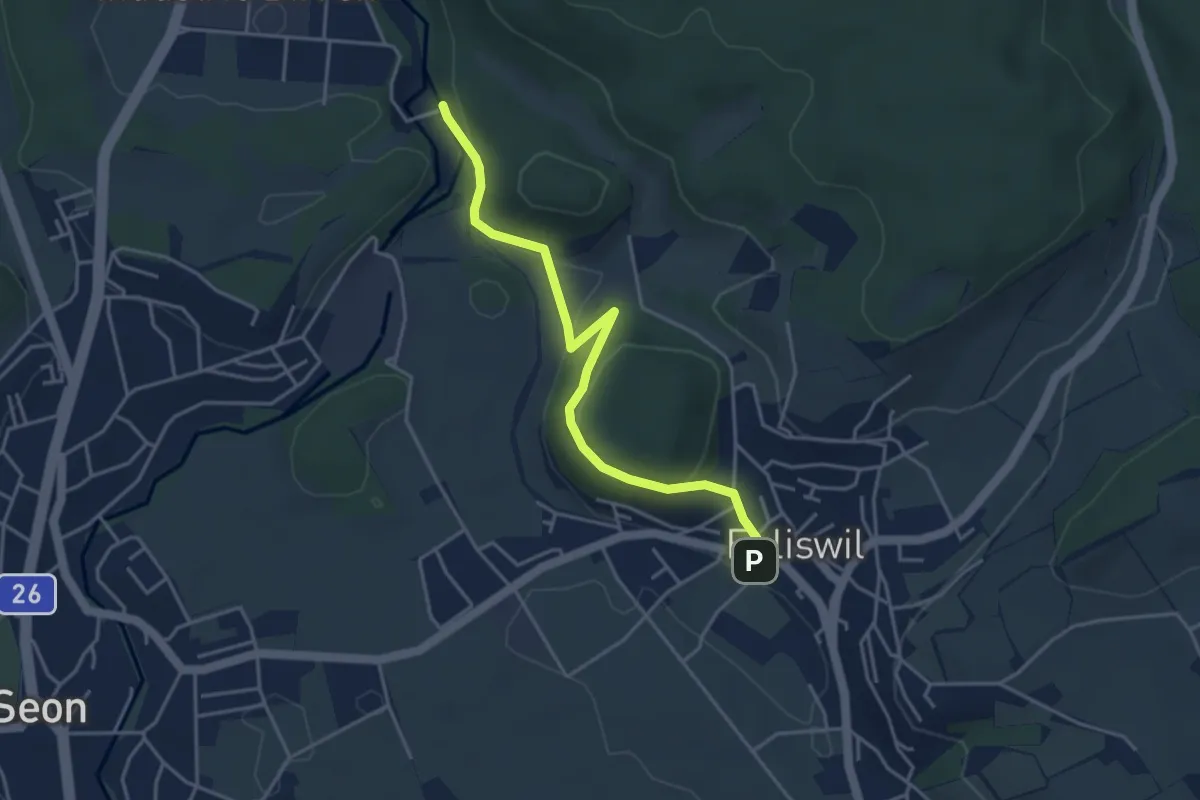
Easy · Trail
Egliswil – Sigismüli
4.1 km · ↑ 156 m · 1 h 18 min
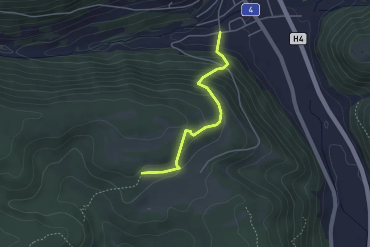
Easy · Cabin
Doschdetaal – Buechbärghuus
3.0 km · ↑ 242 m · 1 h 14 min
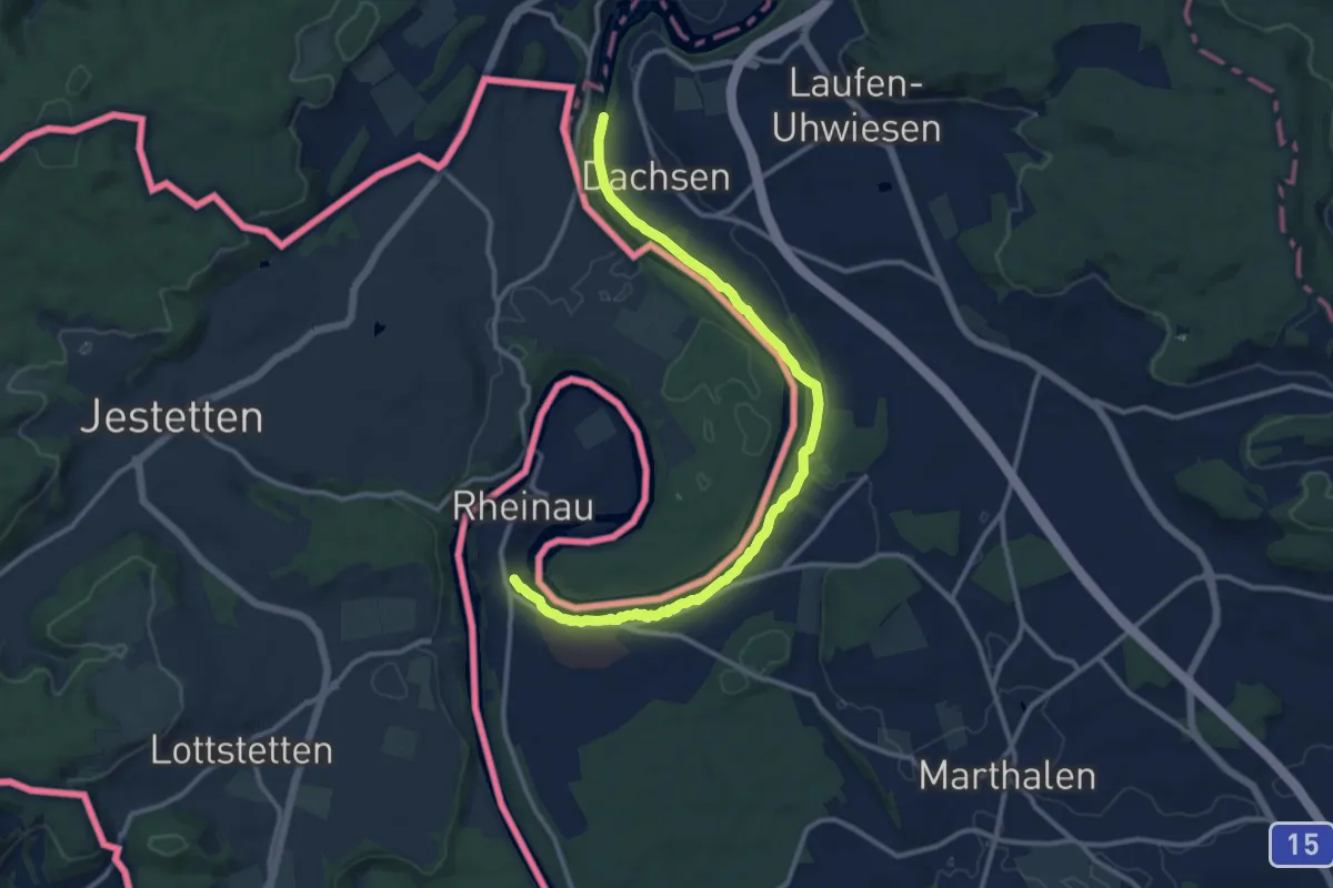
Medium · Trail
Rheinau Bad – Nohlbrücke (ost)
12.7 km · ↑ 122 m · 3 h 16 min
Medium · Trail
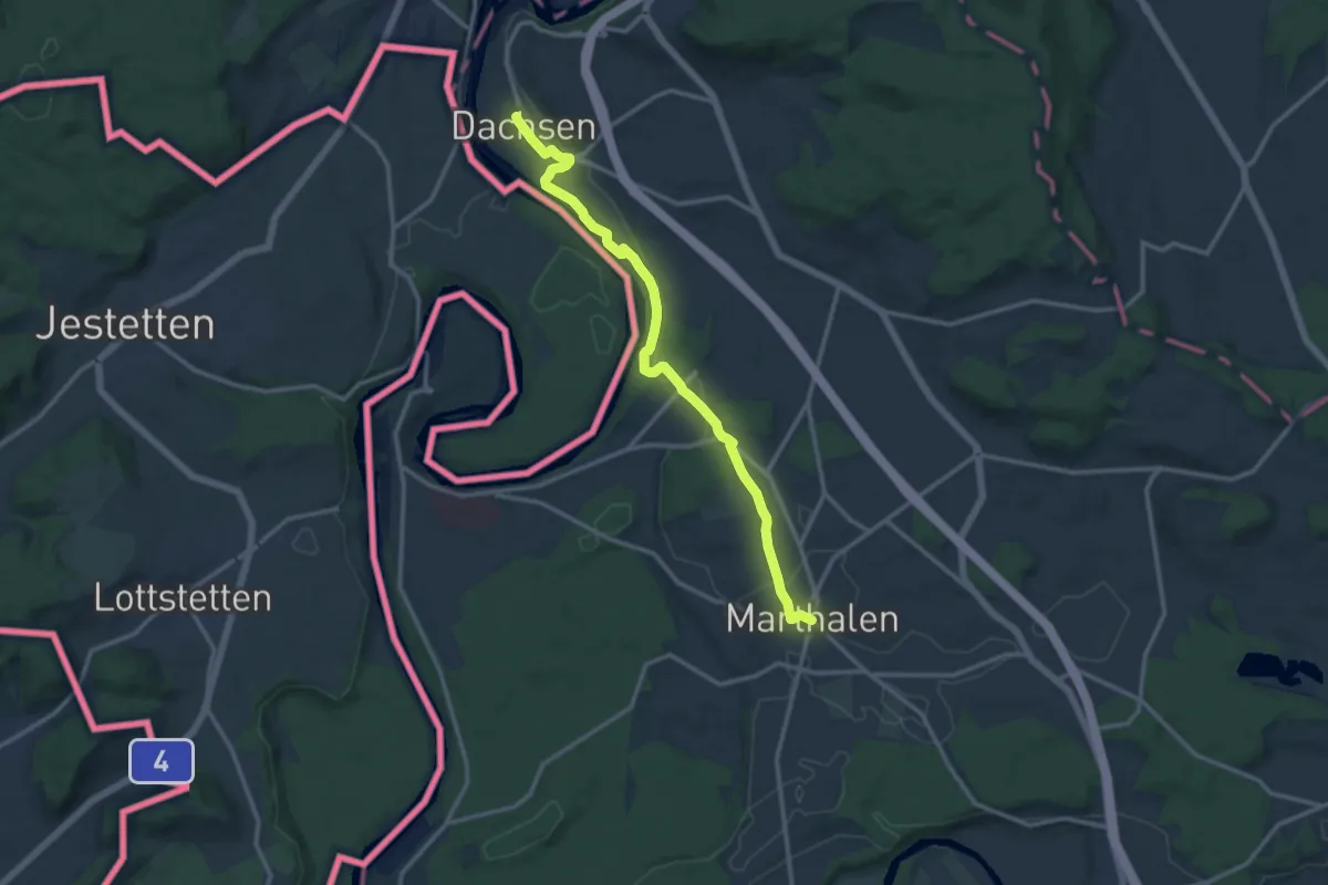
Marthalen Dorf – Dachsen
12.9 km · ↑ 106 m · 3 h 17 min
Medium · Trail
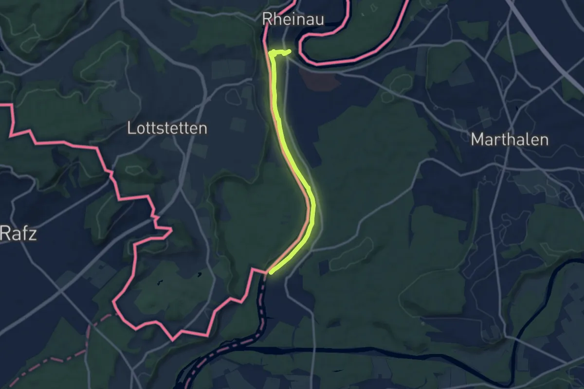
Ellikon am Rhein – Rheinau Bad
9.2 km · ↑ 94 m · 2 h 23 min
Easy · Trail
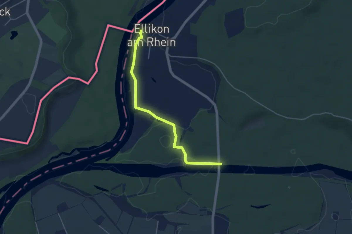
Ellikon am Rhein – Thurhau
3.8 km · ↑ 4 m · 55 min
Easy · Trail
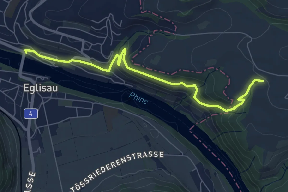
Humelbärg – Eglisau Brücke
6.1 km · ↑ 271 m · 2 h 2 min