Trails in Switzerland
15,055 hiking trails, each with its route, climb, walking time and grade.
All trails, page 280 of 314
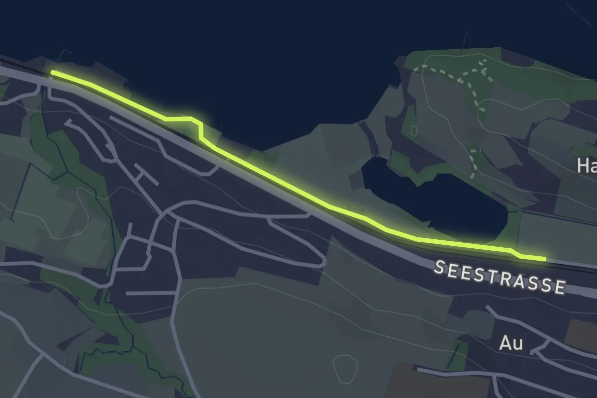
Easy · Trail
Meilibach – Au
2.8 km · ↑ 4 m · 40 min
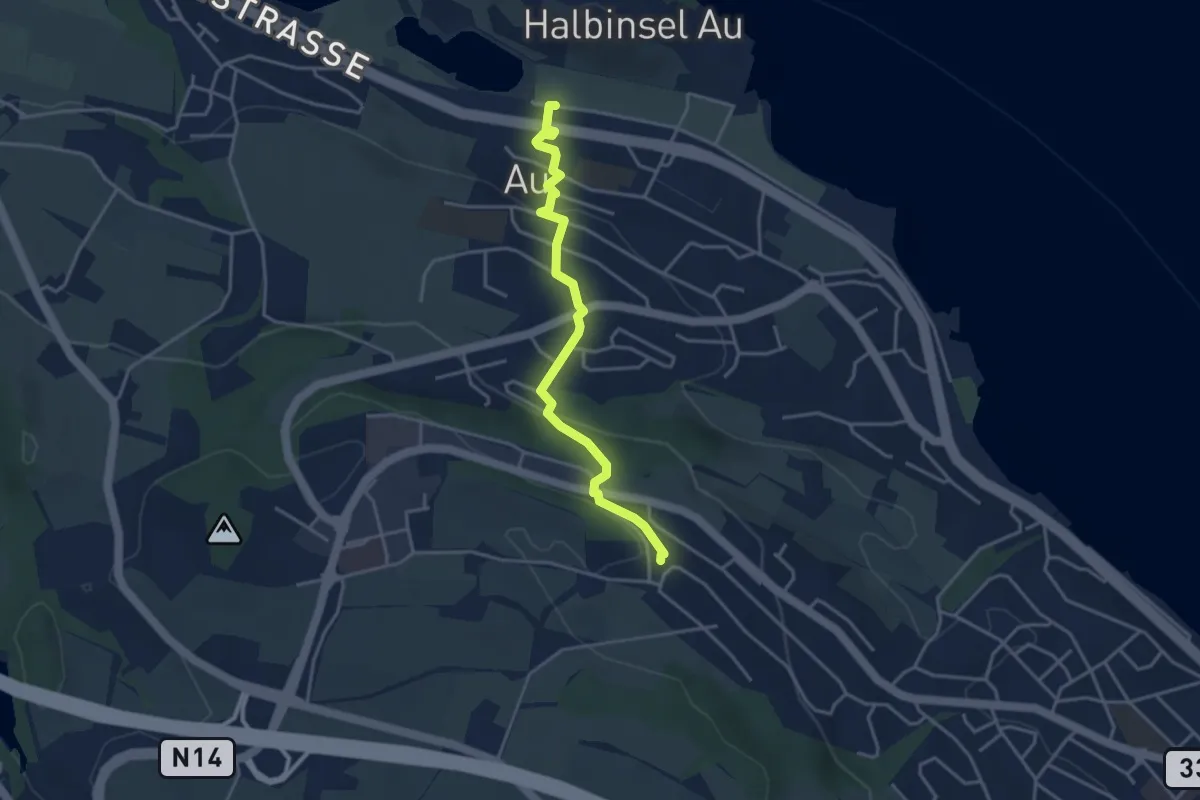
Easy · Trail
Au – Schönegg
3.7 km · ↑ 142 m · 1 h 11 min
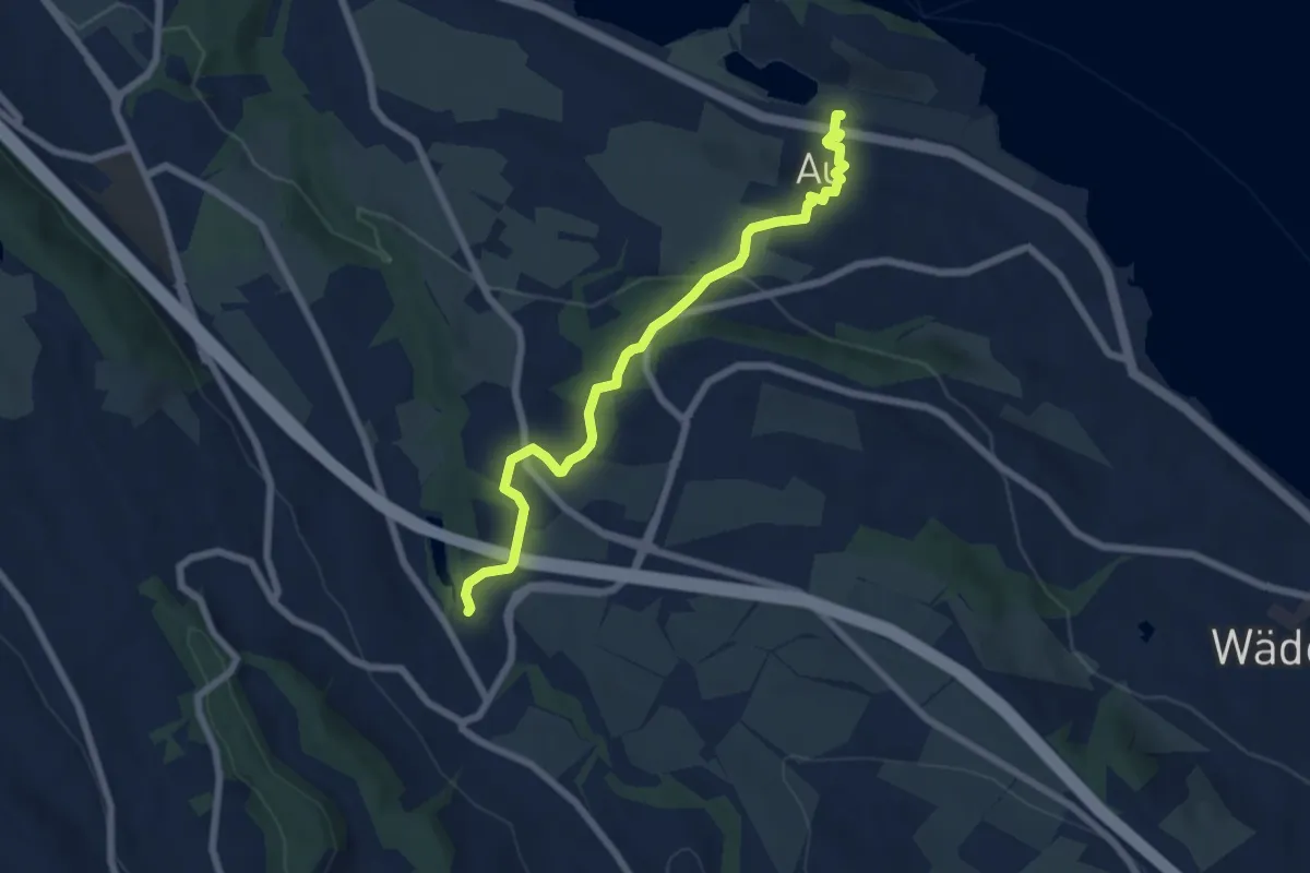
Easy · Trail
Aamüli – Au
6.6 km · ↑ 199 m · 1 h 59 min
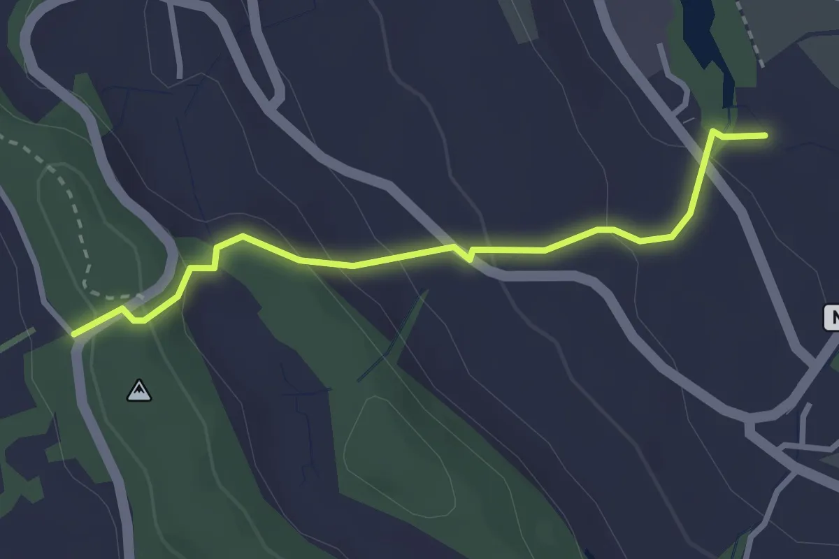
Easy · Trail
Chrutzelen – Aamüli
2.7 km · ↑ 160 m · 59 min
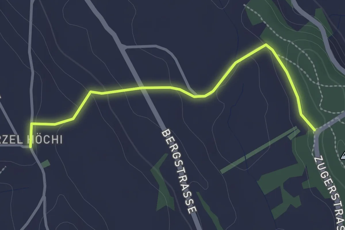
Easy · Trail
Chrutzelen – Höhi
2.7 km · ↑ 77 m · 48 min
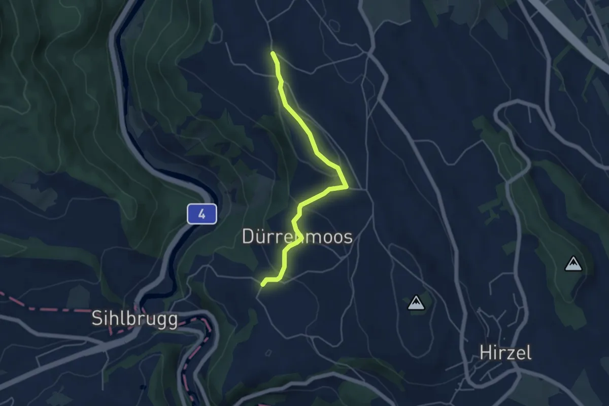
Easy · Trail
Zimmerberg – Tobelmüli
4.3 km · ↑ 139 m · 1 h 19 min
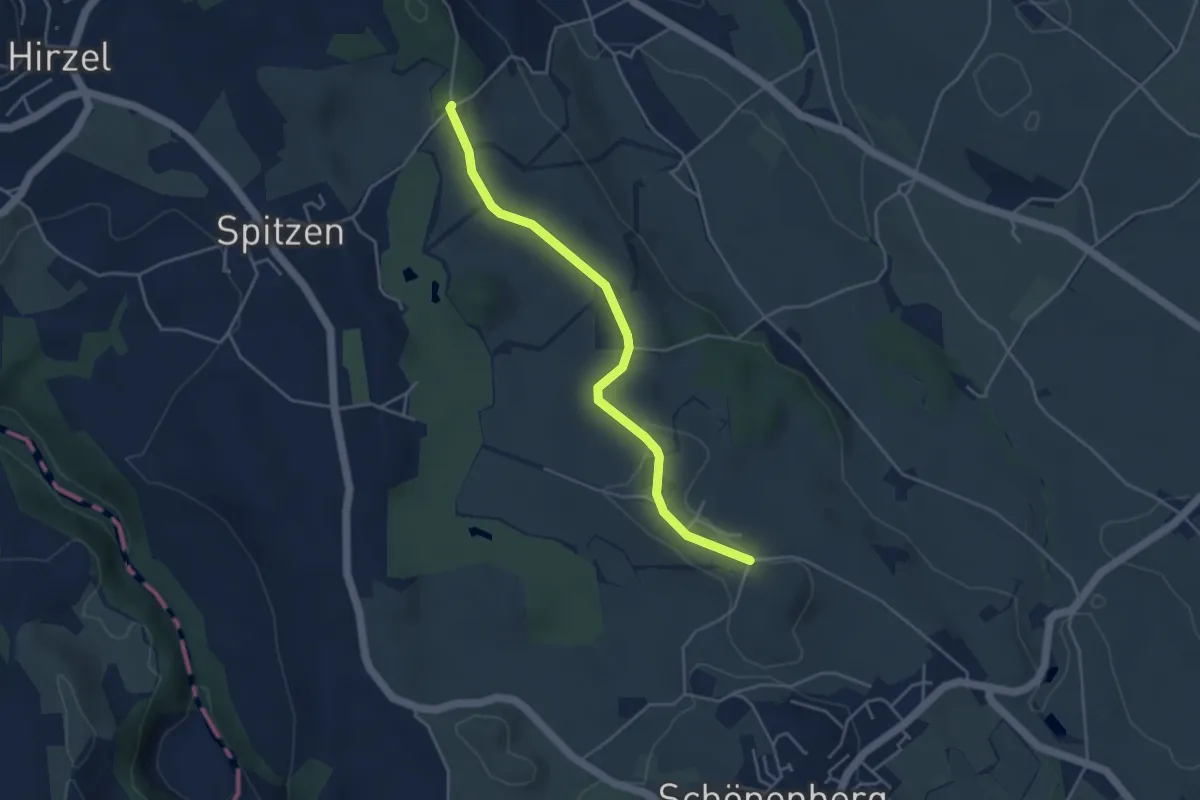
Easy · Trail
Schlieregg – Stollen
4.1 km · ↑ 48 m · 1 h 5 min
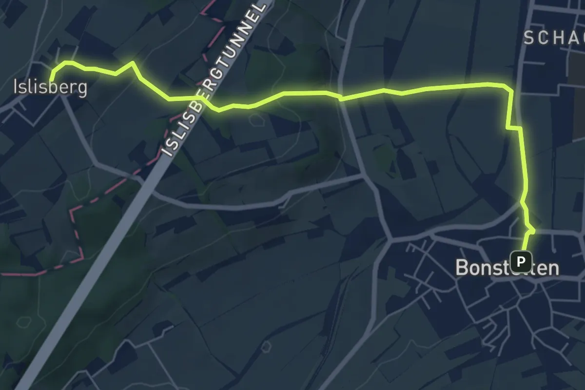
Easy · Trail
Bonstetten – Islisberg
6.4 km · ↑ 162 m · 1 h 51 min
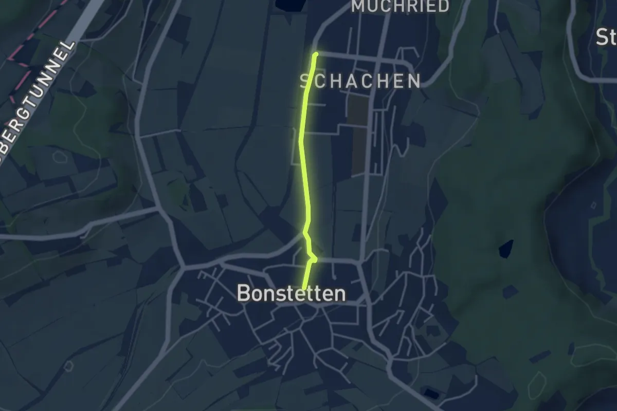
Easy · Trail
Bonnstetten – Bonstetten-Wettswil
2.4 km · ↑ 13 m · 36 min
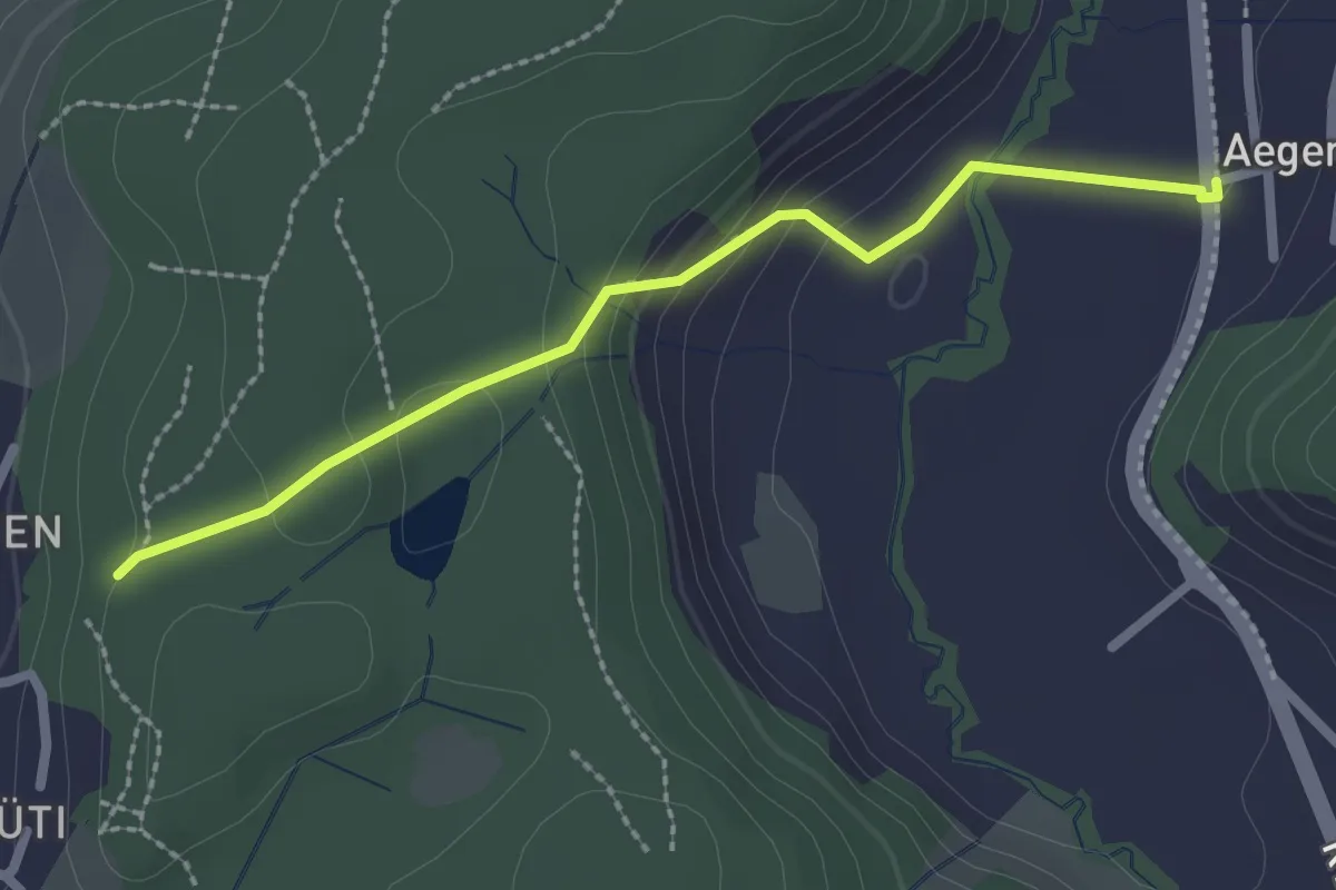
Easy · Trail
Ägerten – Buechholz
2.3 km · ↑ 93 m · 45 min
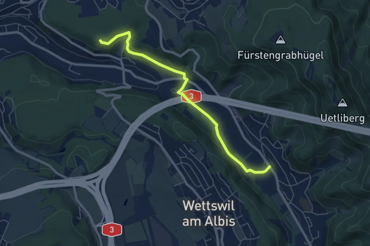
Easy · Trail
Sellenbüren – Maas
5.6 km · ↑ 163 m · 1 h 41 min
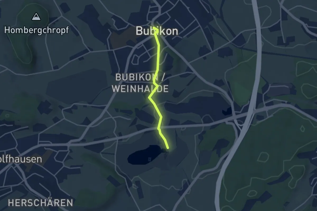
Easy · Trail
Bubikon Dorf – Egelsee
2.6 km · ↑ 41 m · 43 min
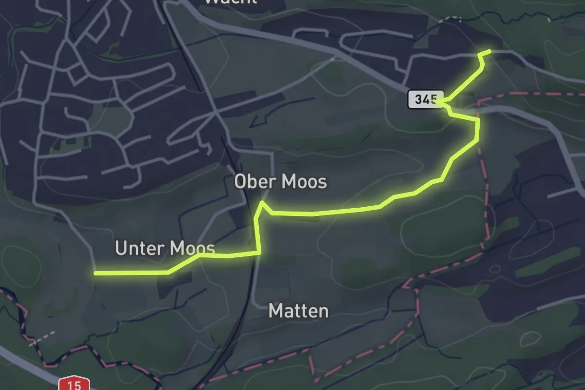
Easy · Trail
Weier – Untermoos
3.9 km · ↑ 74 m · 1 h 5 min
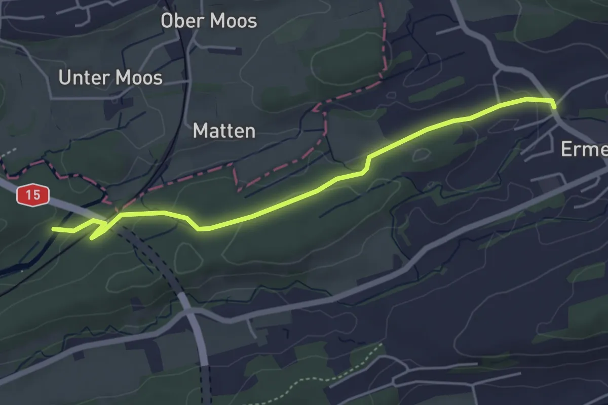
Easy · Trail
Hackennest – Ermenswil
4.4 km · ↑ 70 m · 1 h 11 min
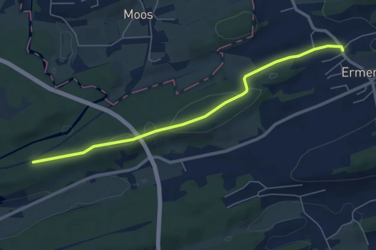
Easy · Trail
Ermenswil – Klimse
5.0 km · ↑ 82 m · 1 h 21 min
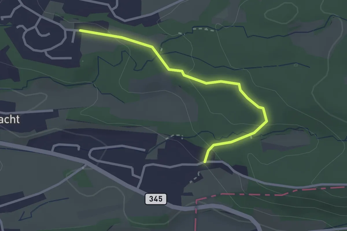
Easy · Trail
Weier – Niggital
2.5 km · ↑ 83 m · 46 min
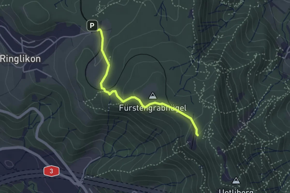
Easy · Trail
Ringlikon (Station) – Uetliberg
3.1 km · ↑ 134 m · 1 h 1 min
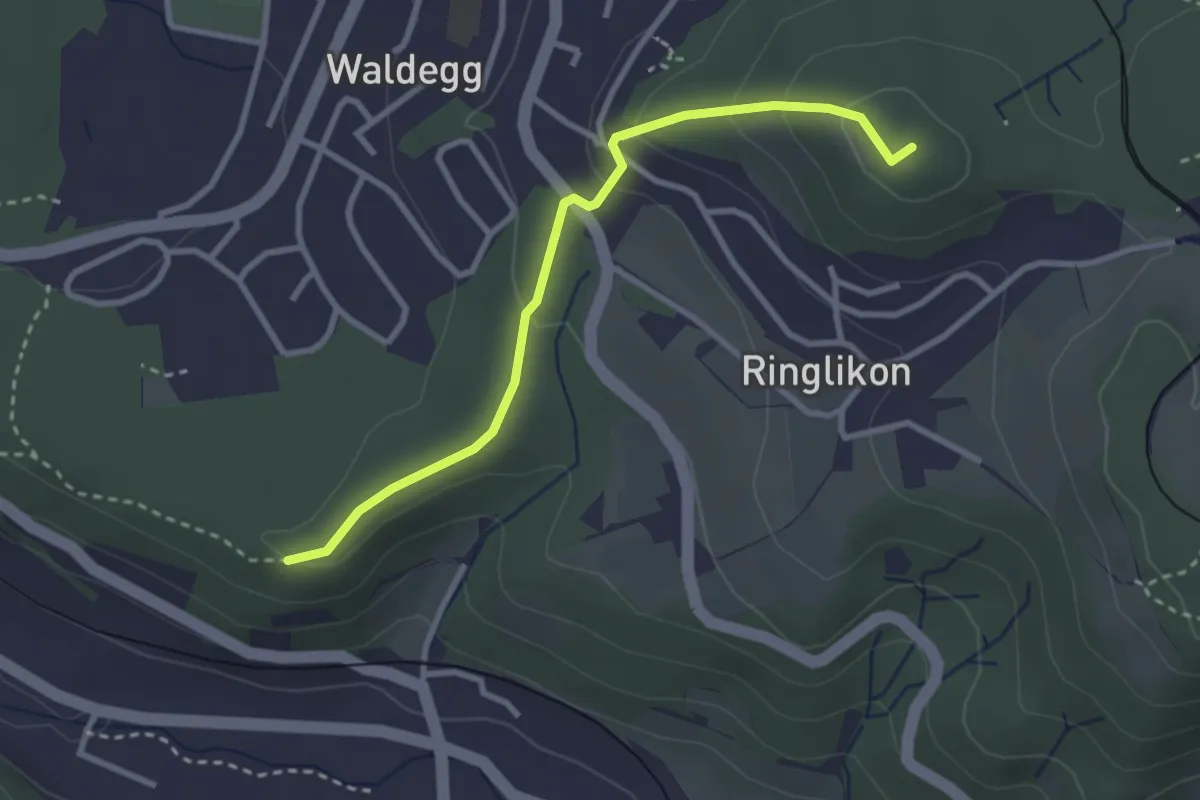
Easy · Summit
Maas – Ringlikon (Station)
2.9 km · ↑ 126 m · 58 min
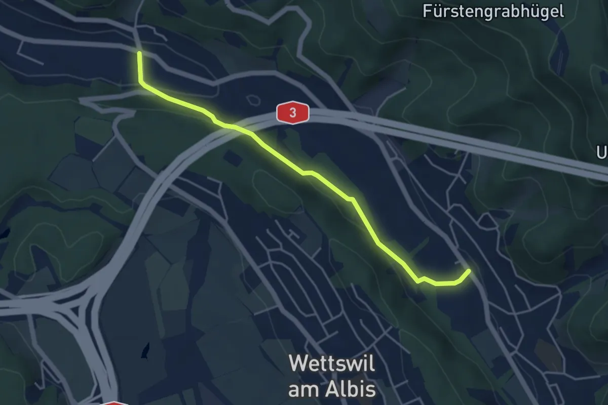
Easy · Trail
Landikon – Sellenbüren
4.1 km · ↑ 138 m · 1 h 16 min
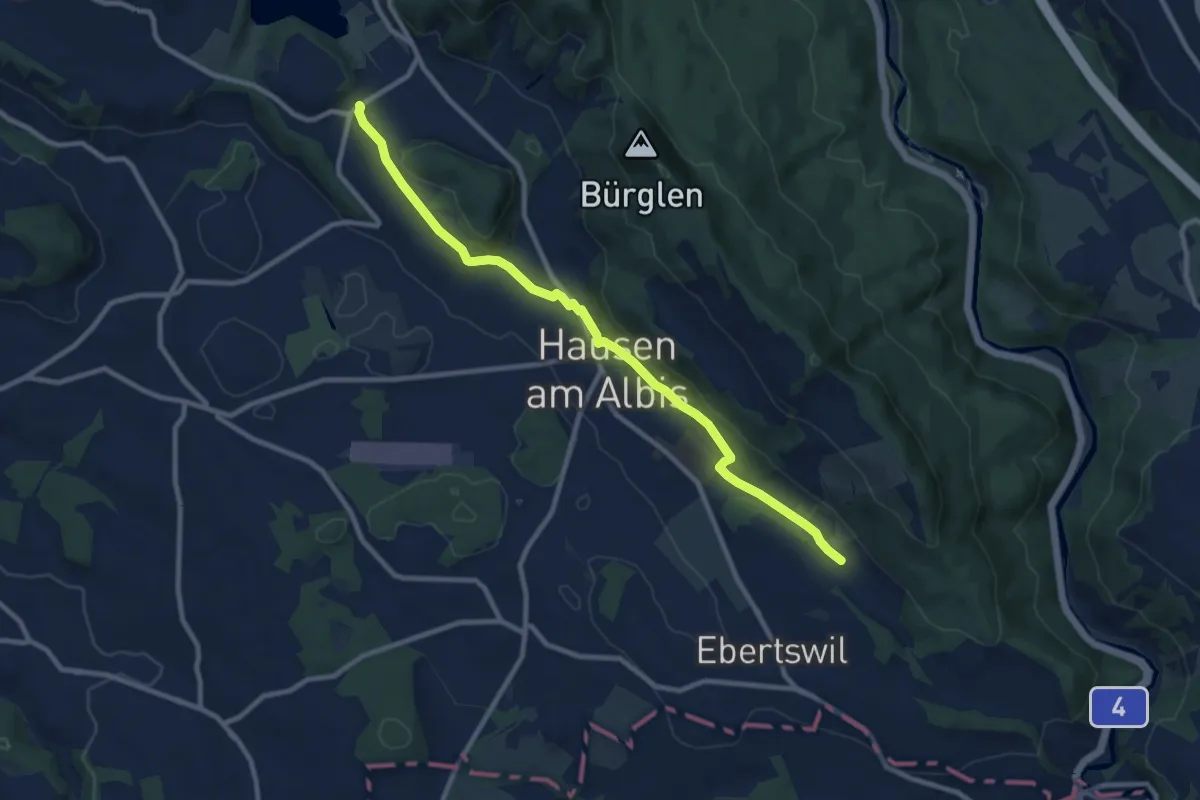
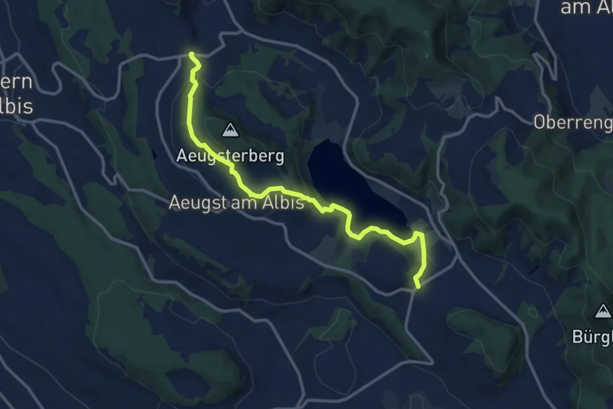
Medium · Trail
Husertal – Vollenweid
9.9 km · ↑ 210 m · 2 h 47 min
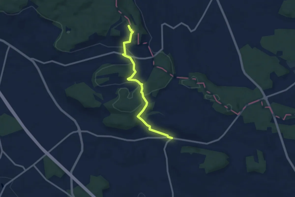
Medium · Trail
Vollenweid – Müliberg
9.7 km · ↑ 284 m · 2 h 54 min
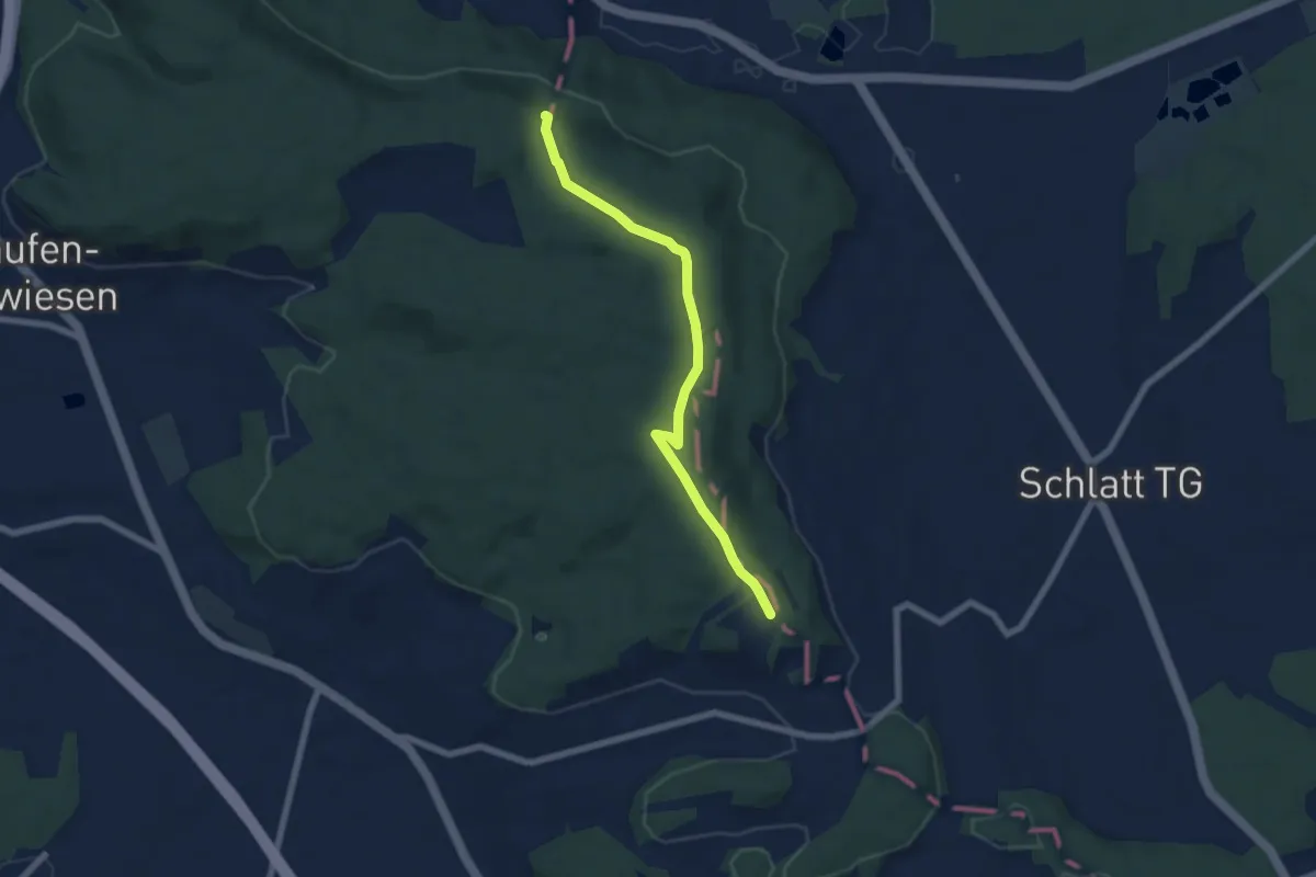
Easy · Trail
Trüllikon – Cholfirst Hochwacht
6.1 km · ↑ 191 m · 1 h 51 min
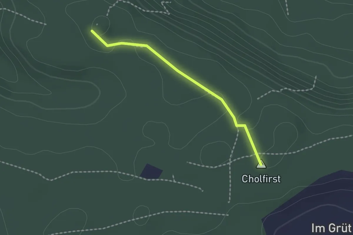
Easy · Trail
Cholfirst Hochwacht – Kyburgerstein
6.2 km · ↑ 92 m · 1 h 40 min
Easy · Summit
Kyburgerstein – Antennenturm
1.6 km · ↑ 5 m · 24 min
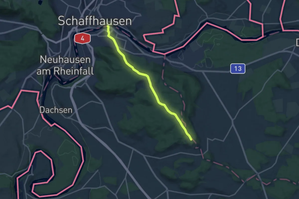
Medium · Trail
Cholfirst Hochwacht – Feuerthalen Brücke
11.1 km · ↑ 299 m · 3 h 16 min
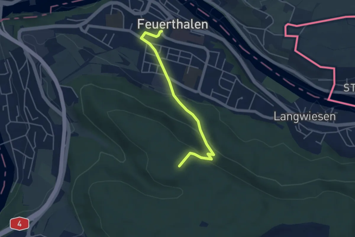
Medium · Trail
Antennenturm – Feuerthalen
3.7 km · ↑ 160 m · 1 h 13 min
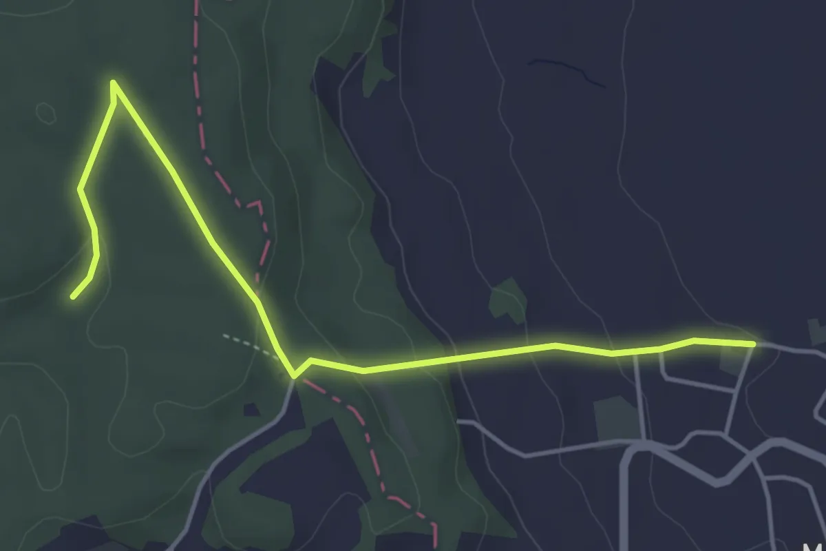
Easy · Trail
Schlatt – Wildenspuch
4.7 km · ↑ 165 m · 1 h 28 min
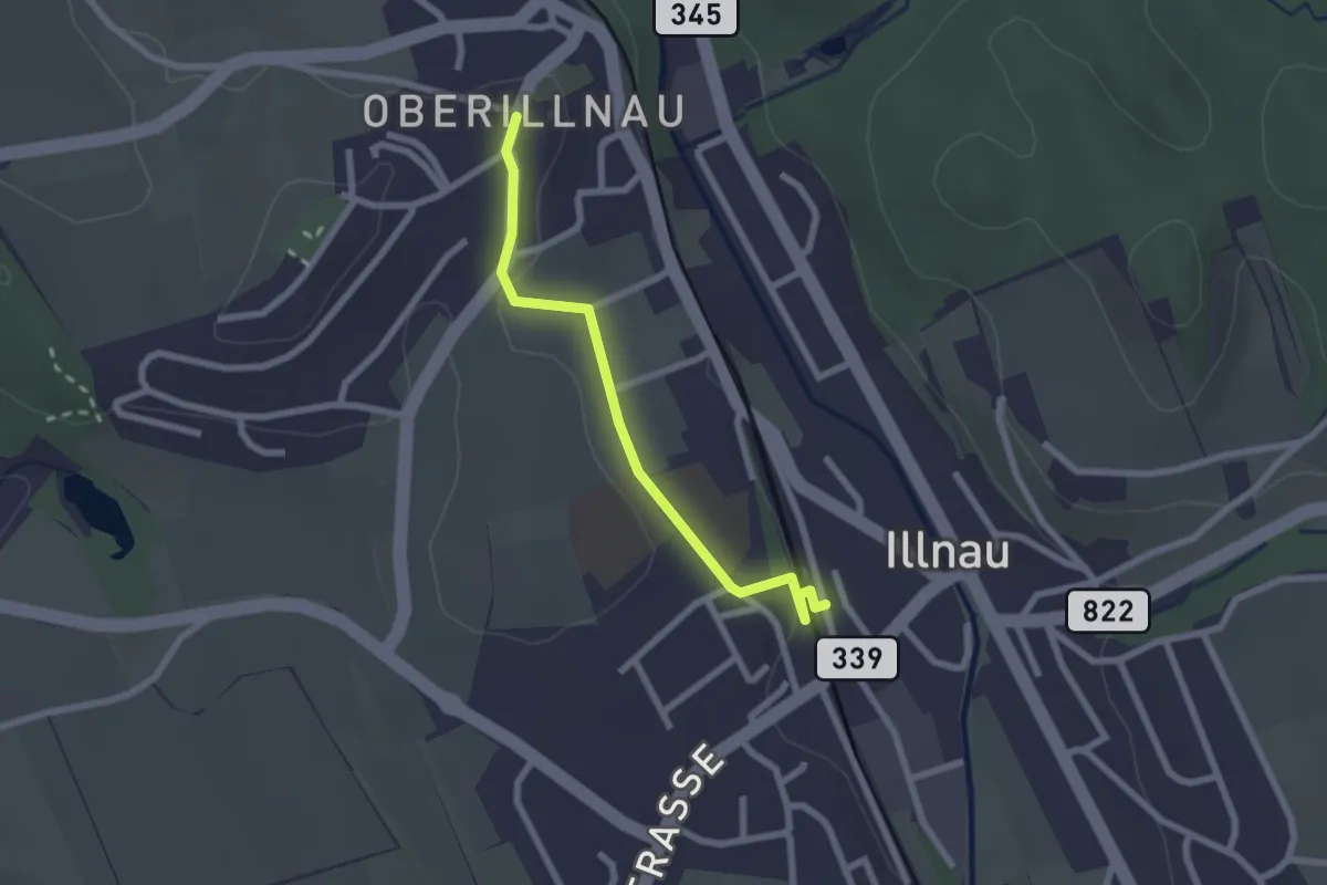
Easy · Trail
Illnau (ost) – Oberillnau
2.2 km · ↑ 49 m · 37 min
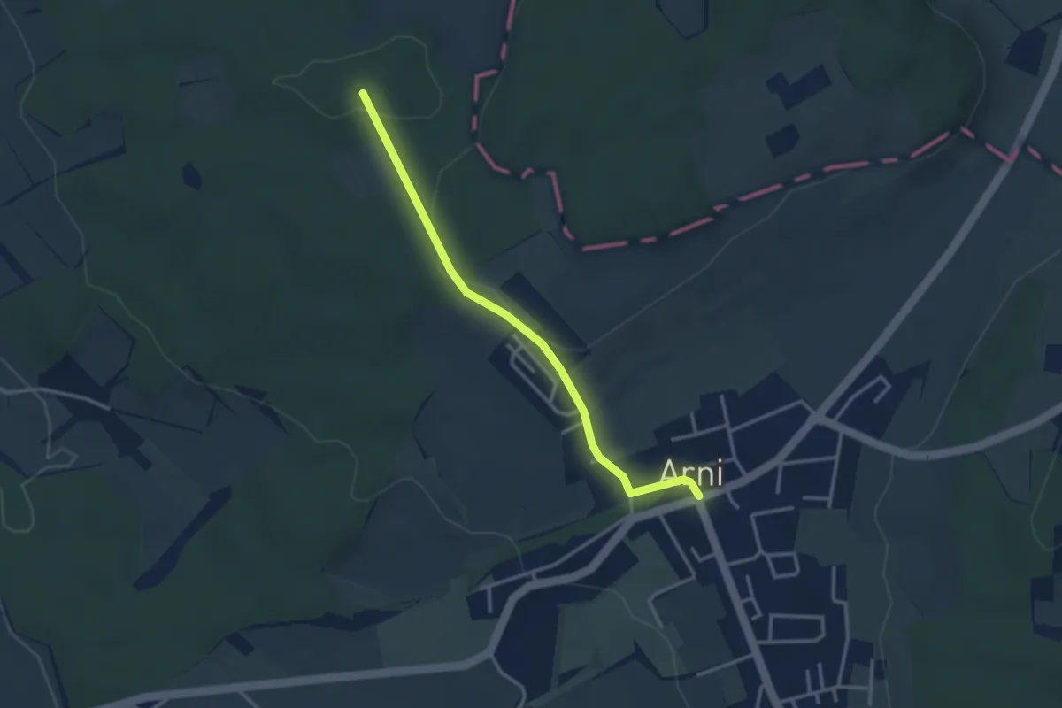
Easy · Trail
Arni – Lieli
3.0 km · ↑ 46 m · 49 min
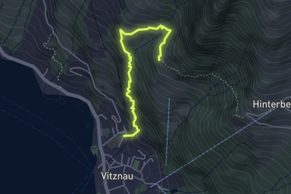
Medium · Trail
Vitznau Dorf – Gebetschwil
3.5 km · ↑ 450 m · 1 h 48 min
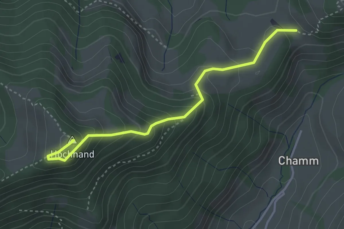
Medium · Summit
Hand – Höchhand
3.3 km · ↑ 296 m · 1 h 24 min
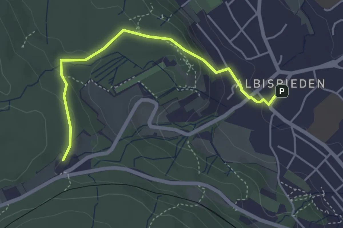
Easy · Trail
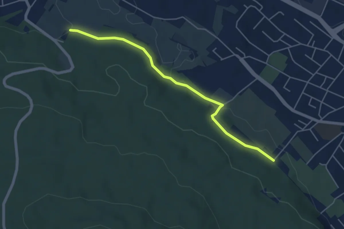
Feldermoos – Uitikon
3.8 km · ↑ 153 m · 1 h 14 min
Easy · Trail
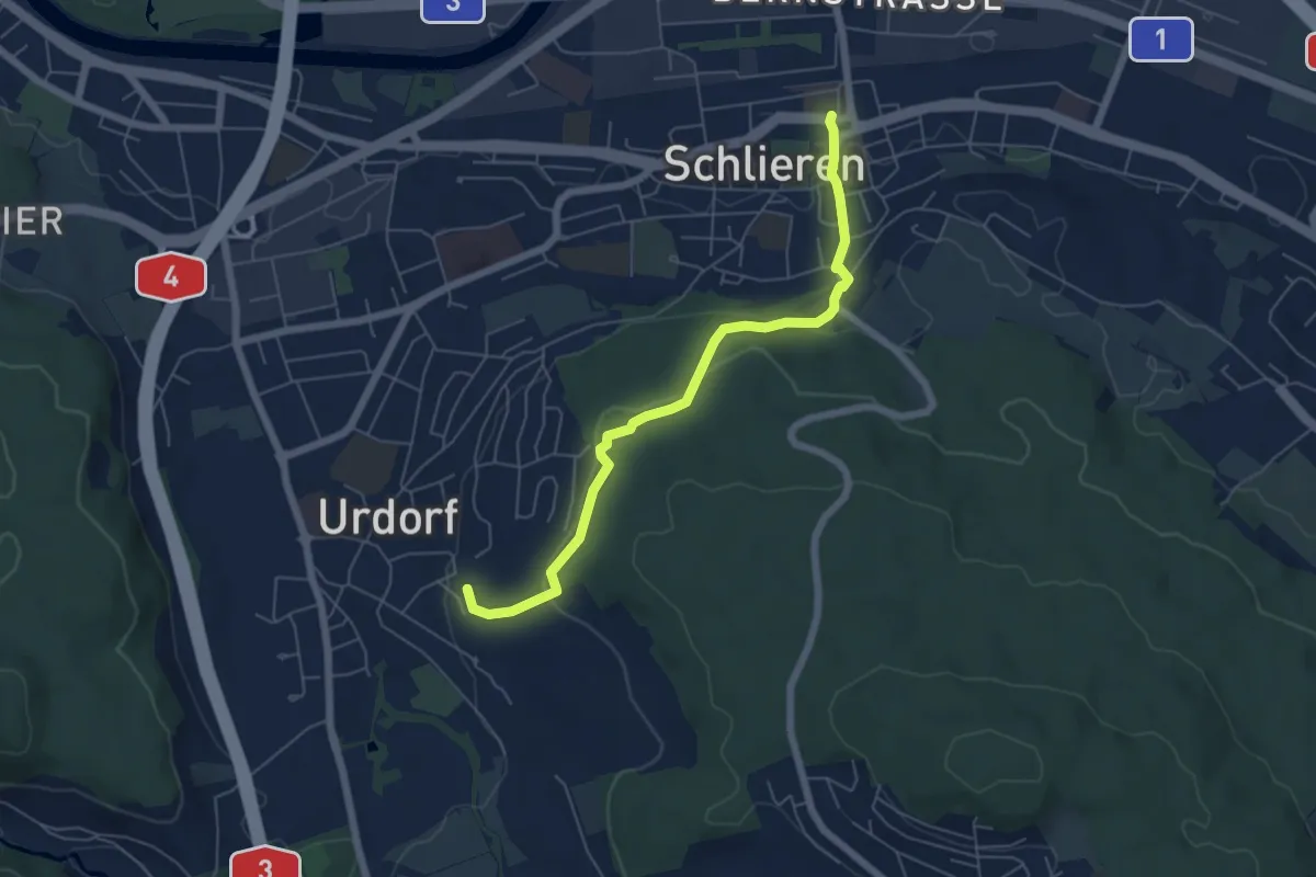
Altstetten – Stärpel
4.1 km · ↑ 94 m · 1 h 11 min
Easy · Trail
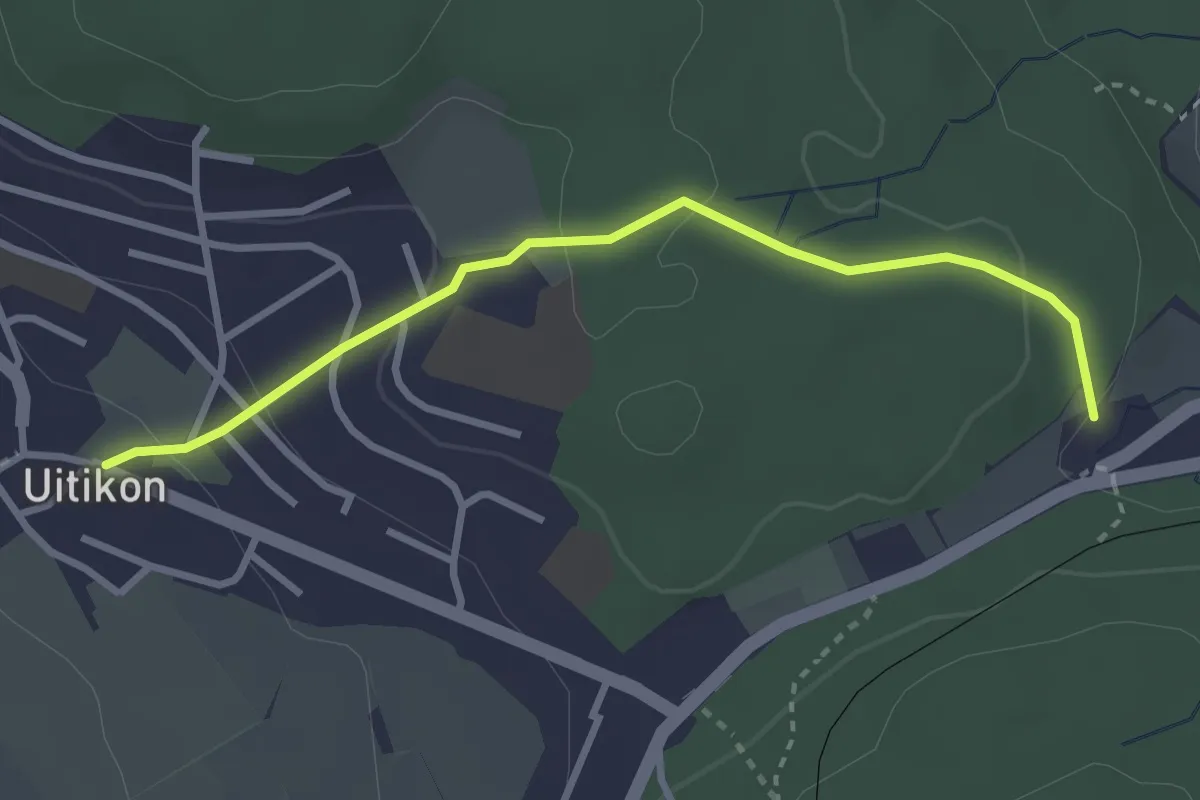
Weihermatt – Schlieren
5.9 km · ↑ 189 m · 1 h 48 min
Easy · Trail
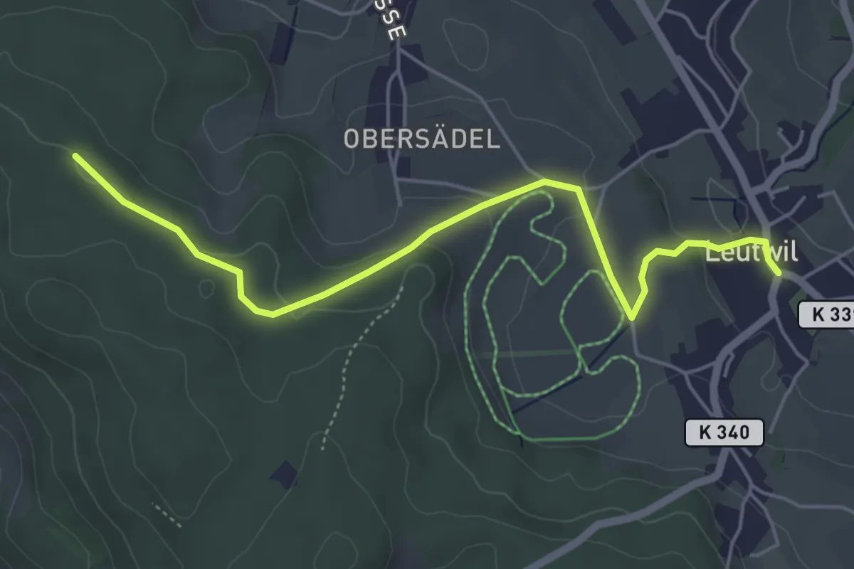
Feldermoos – Uitikon
3.0 km · ↑ 103 m · 56 min
Easy · Trail
Burghalden – Leutwil
5.1 km · ↑ 122 m · 1 h 28 min
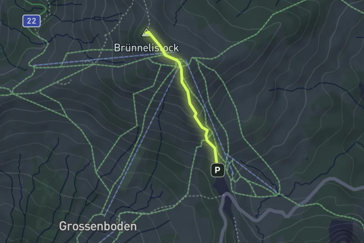
Medium · Summit
Brünnelistock – Ibergeregg
2.1 km · ↑ 179 m · 53 min
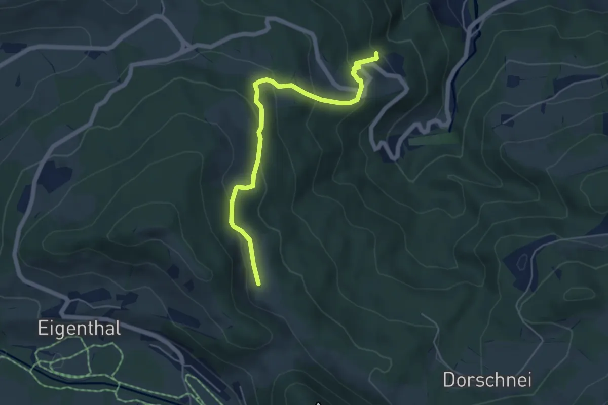
Easy · Trail
Hergiswald – Schilt
4.8 km · ↑ 263 m · 1 h 42 min
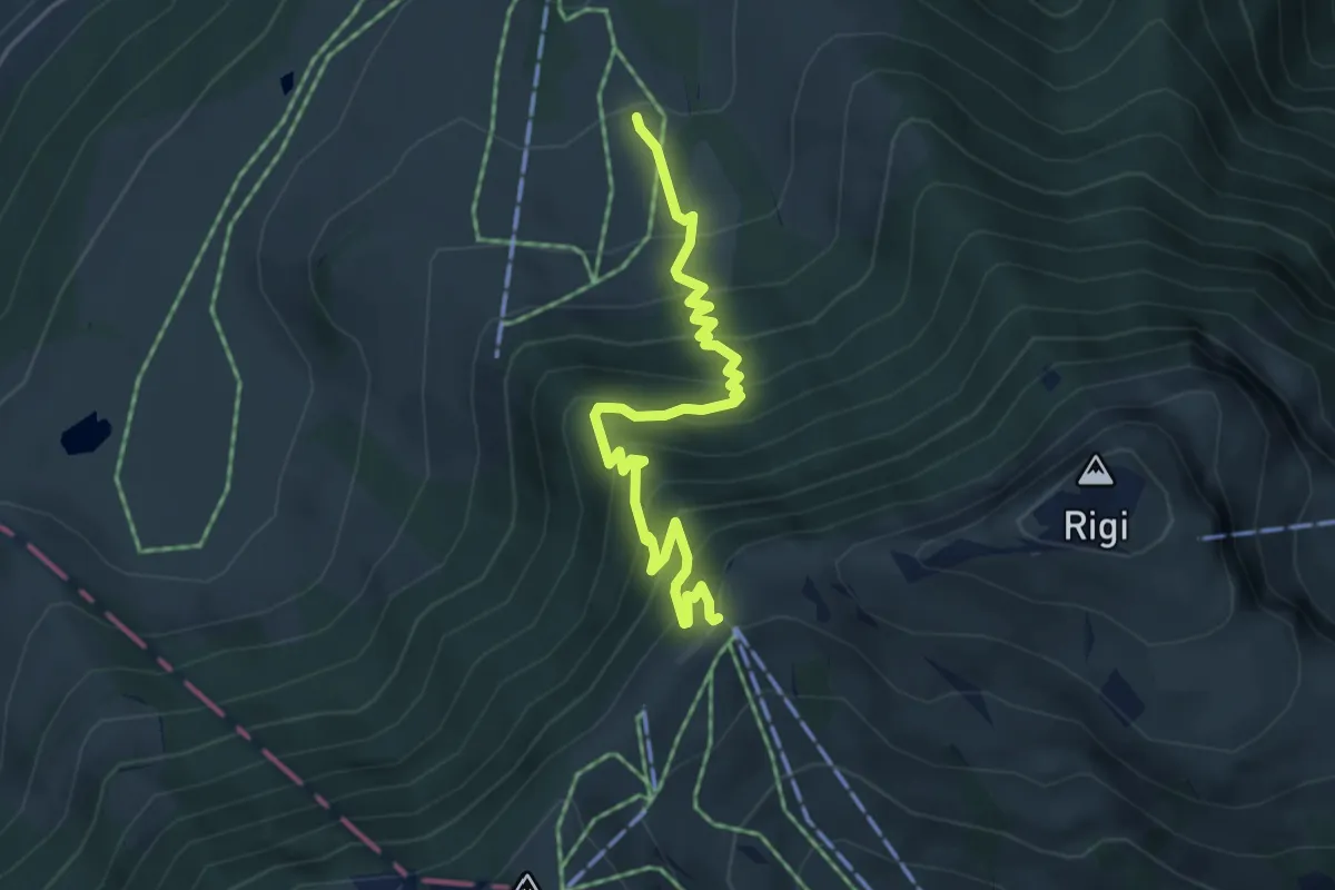
Medium · Trail
Holderen – Rigi Staffel
4.9 km · ↑ 513 m · 2 h 16 min
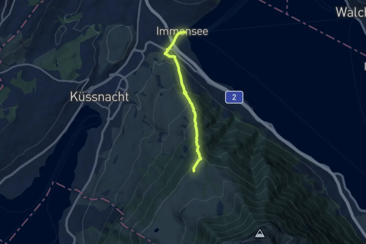
Medium · Trail
Immensee – Seebodenalp
7.5 km · ↑ 603 m · 3 h 5 min
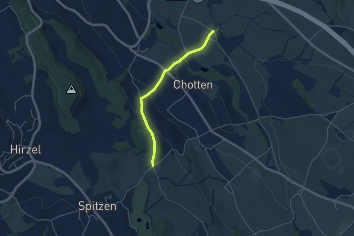
Easy · Trail
Stocken – Schlieregg
3.5 km · ↑ 128 m · 1 h 6 min
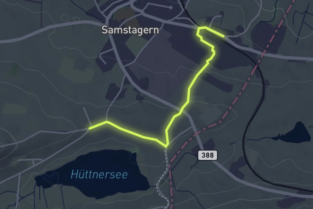
Easy · Trail
Seeli – Samstagern
3.4 km · ↑ 51 m · 55 min
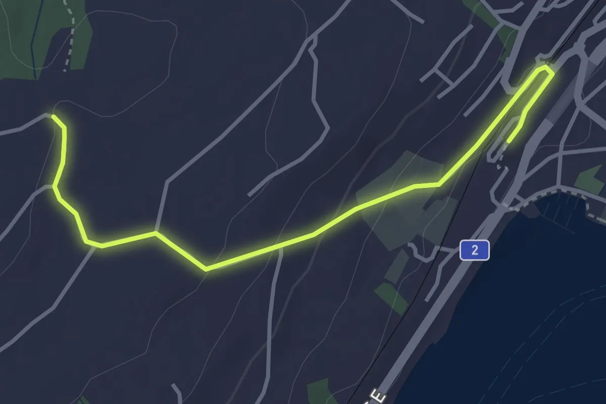
Easy · Trail
Küsnacht – Sunnehöfli
3.6 km · ↑ 111 m · 1 h 6 min
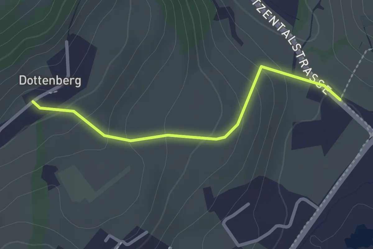
Easy · Trail
Dottenberg – Stegmatt
2.1 km · ↑ 108 m · 43 min
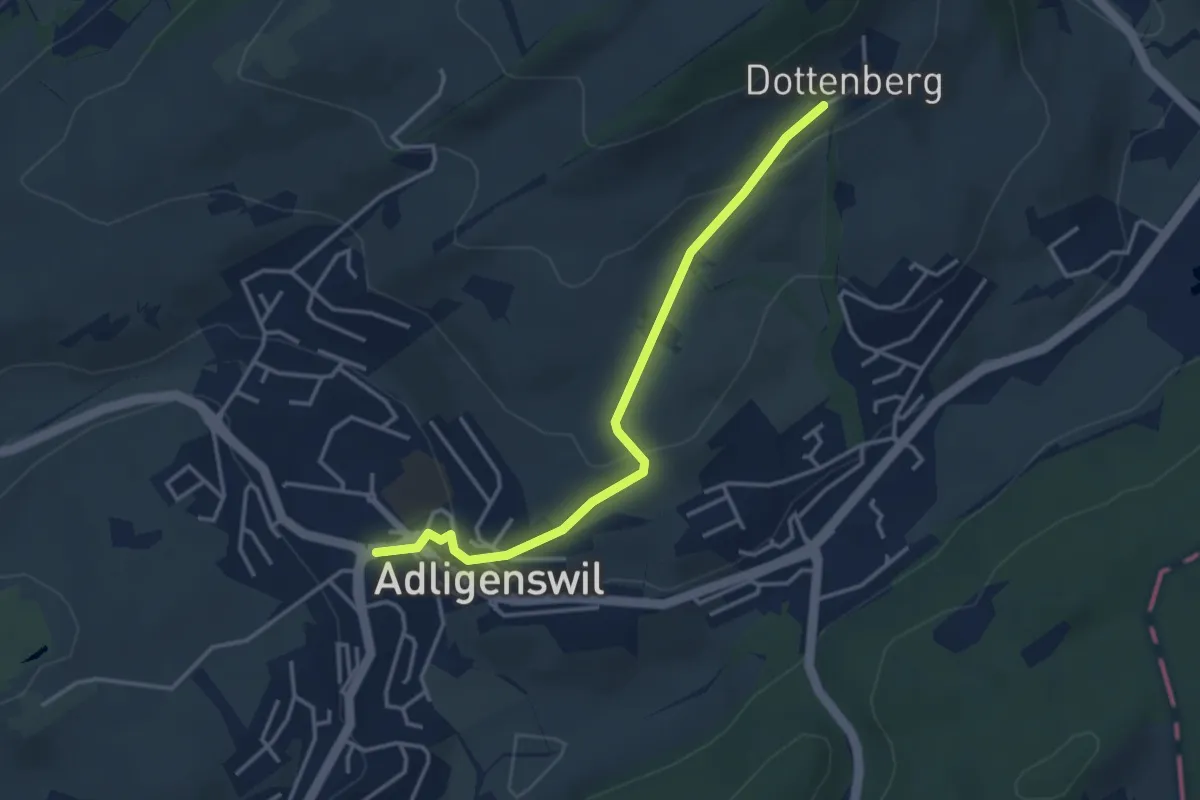
Easy · Trail
Dottenberg – Adlingswil
3.6 km · ↑ 124 m · 1 h 7 min
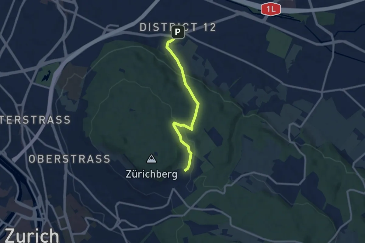
Easy · Trail
Schwamendingerplatz – Zoo
6.2 km · ↑ 198 m · 1 h 53 min
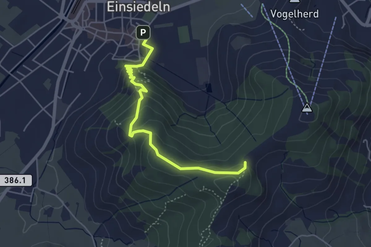
Easy · Trail
Einsiedeln Kloster – Friherrenberg
4.3 km · ↑ 196 m · 1 h 26 min
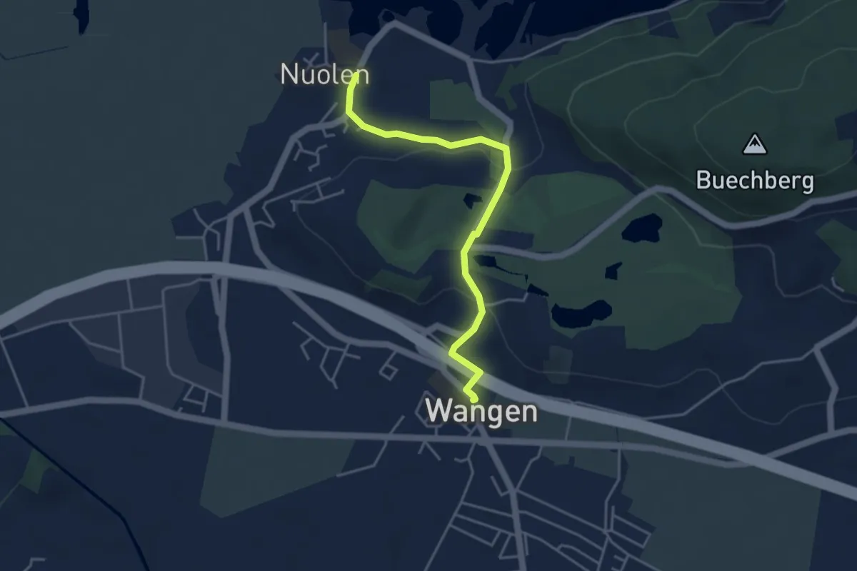
Easy · Trail
Wangen – Nuolen
3.8 km · ↑ 100 m · 1 h 7 min