Trails in Switzerland
15,055 hiking trails, each with its route, climb, walking time and grade.
All trails, page 281 of 314
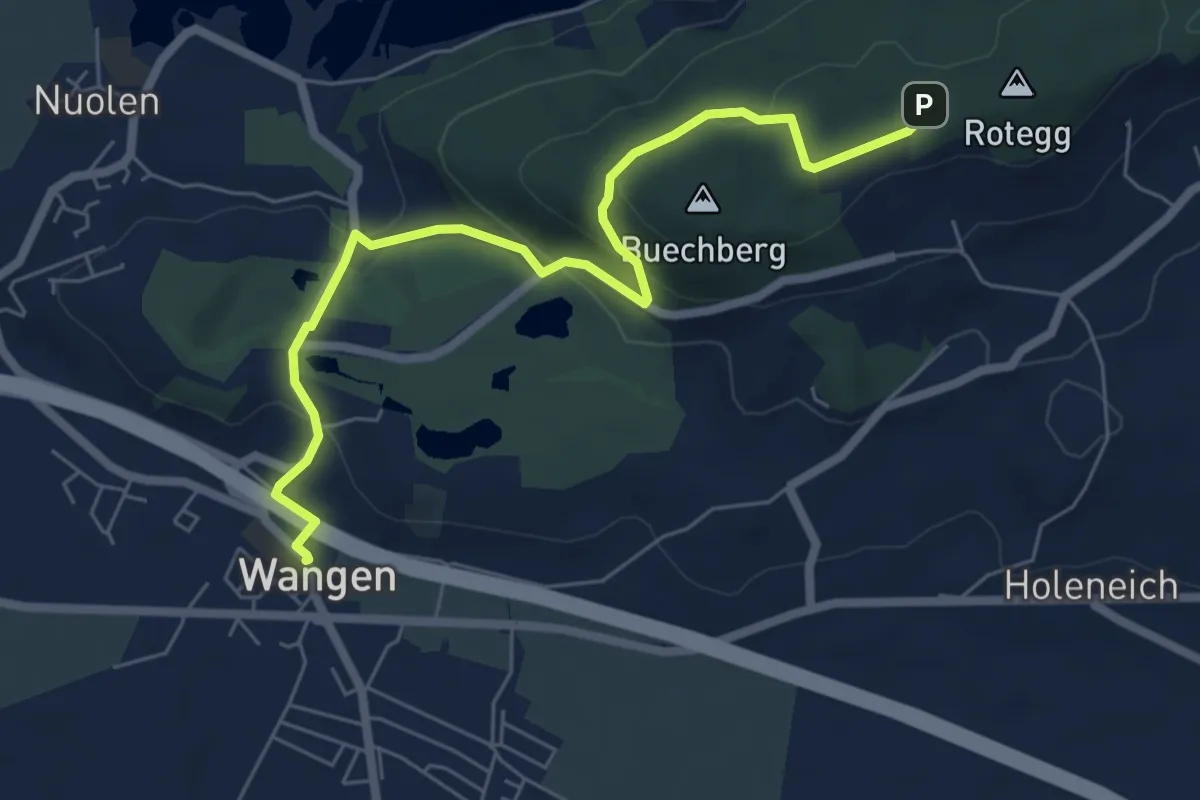
Easy · Trail
Wangen – Buechberg (Rotegg)
6.7 km · ↑ 221 m · 2 h 4 min
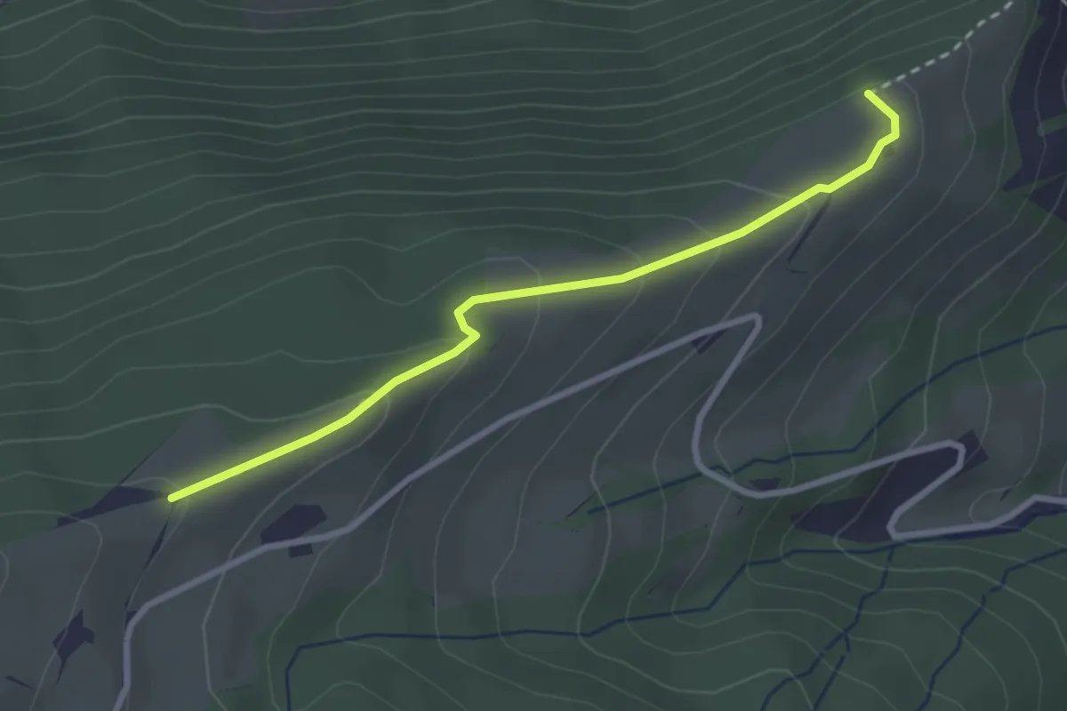
Easy · Trail
Schürhof – Lehnhof
2.8 km · ↑ 146 m · 58 min
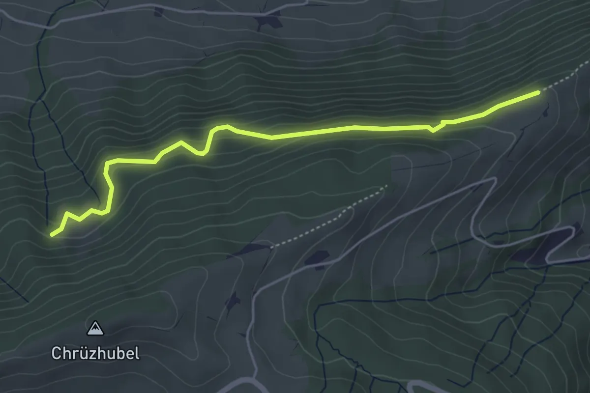
Easy · Trail
Schürhof – Gspan
4.6 km · ↑ 269 m · 1 h 41 min
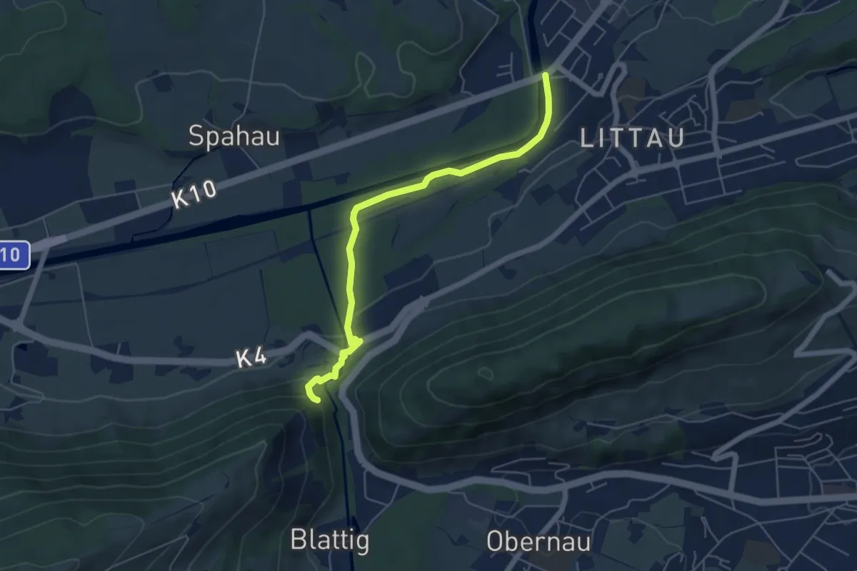
Easy · Trail
Ränggloch – Thorenbergbrücke
5.3 km · ↑ 133 m · 1 h 32 min
Easy · Trail
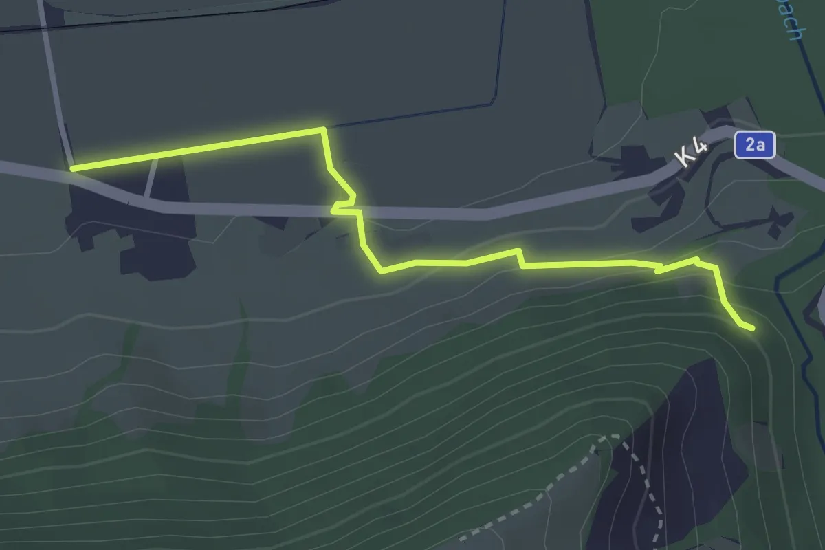
Ränggloch – Blatten
3.0 km · ↑ 124 m · 58 min
Easy · Trail
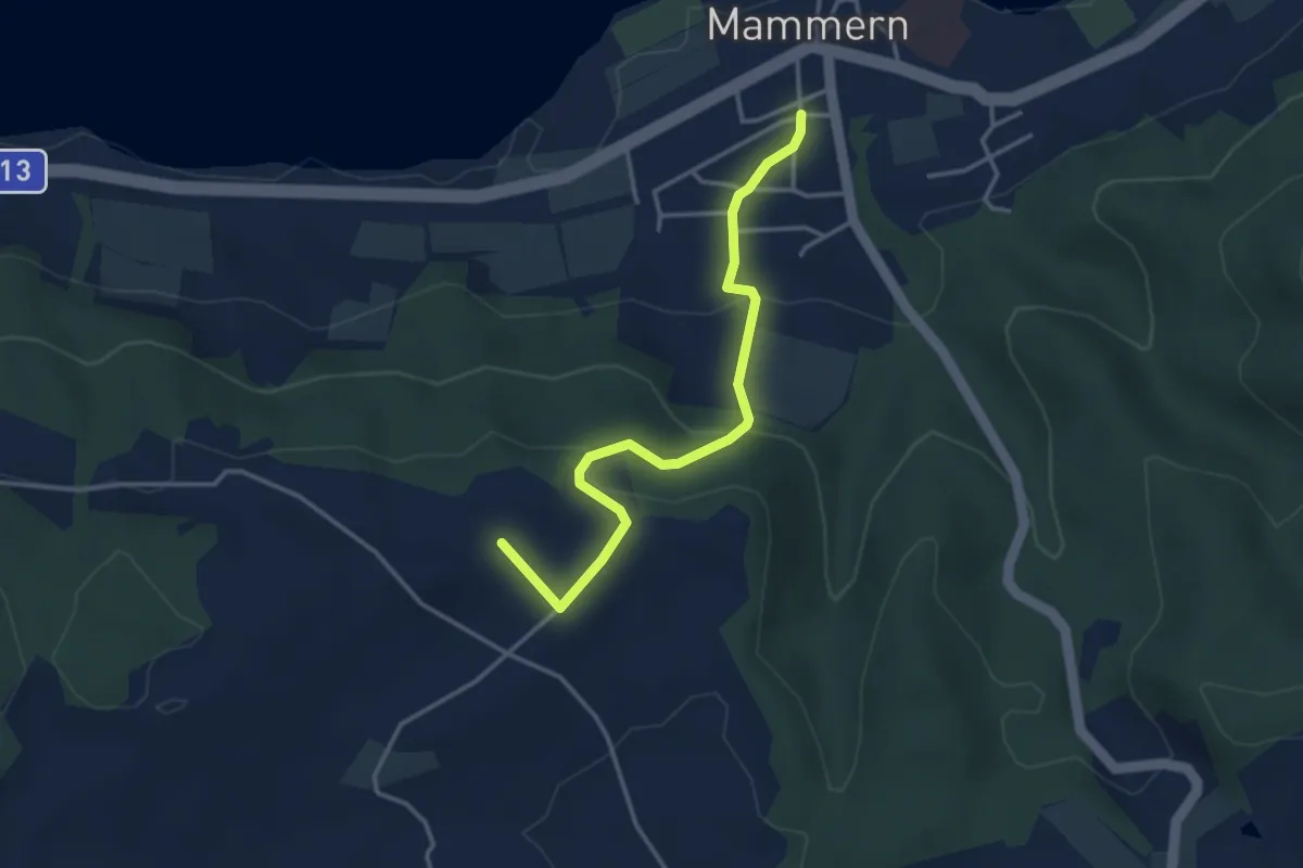
Mammern – Hochwacht
3.5 km · ↑ 171 m · 1 h 12 min
Easy · Trail
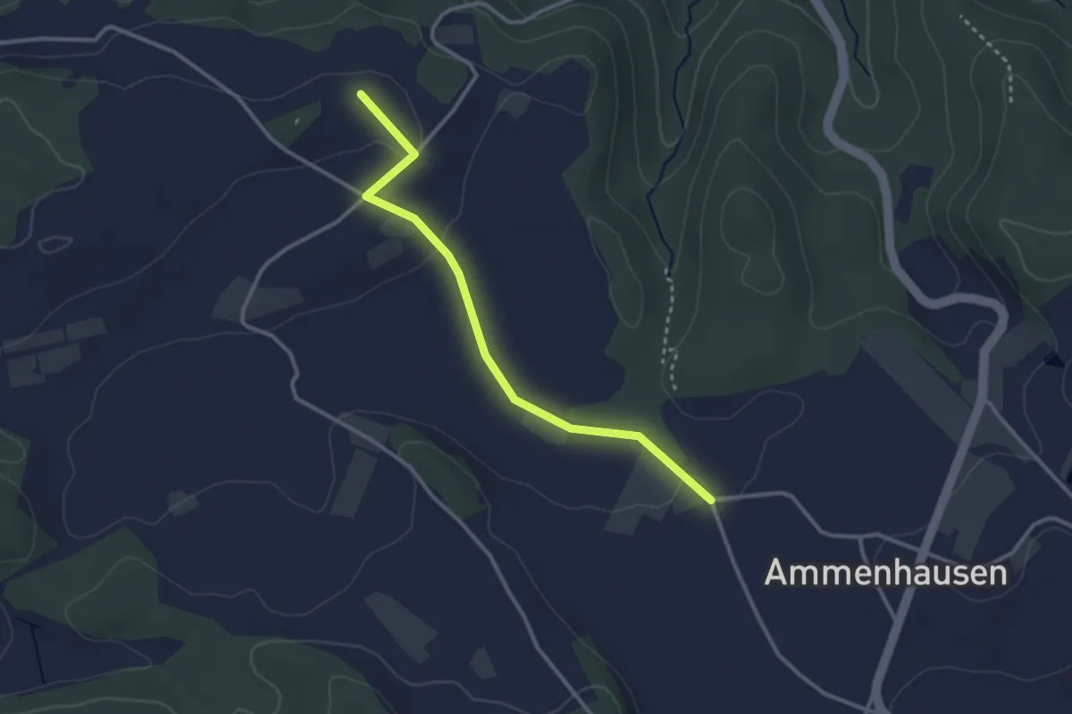
Hochwacht – Ammenhausen
2.9 km · ↑ 48 m · 48 min
Easy · Trail
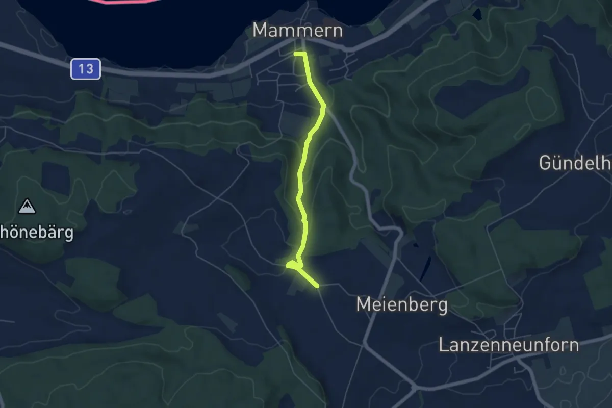
Ammenhausen – Mammern
4.6 km · ↑ 160 m · 1 h 26 min
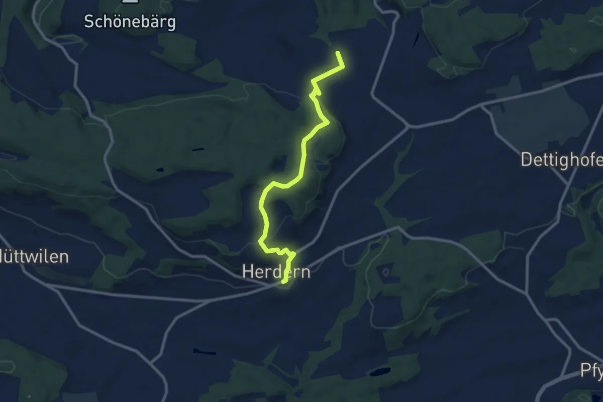
Easy · Trail
Ammenhausen – Herdern
7.7 km · ↑ 229 m · 2 h 19 min
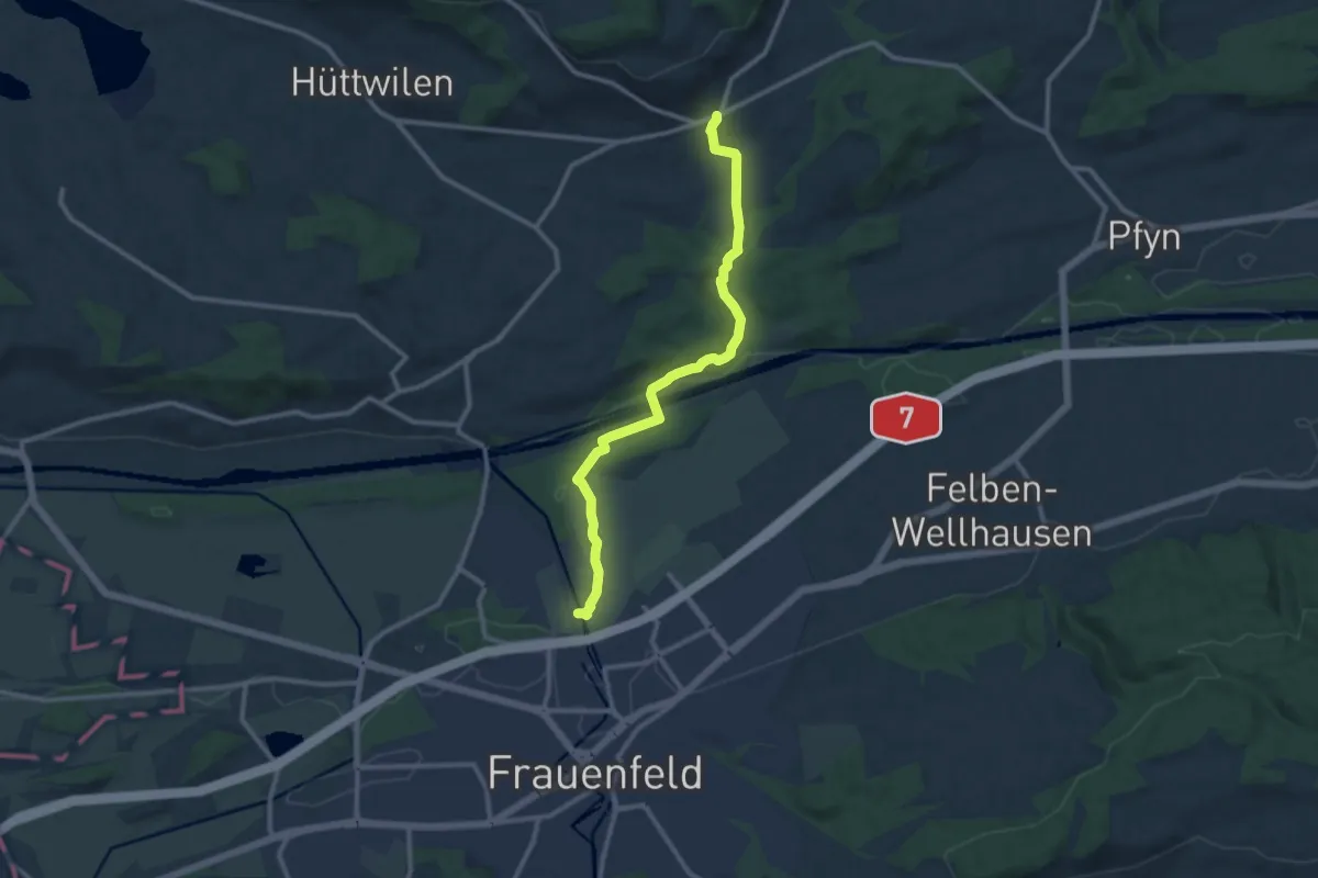
Medium · Trail
Herdern – Allmend
10.9 km · ↑ 171 m · 2 h 57 min
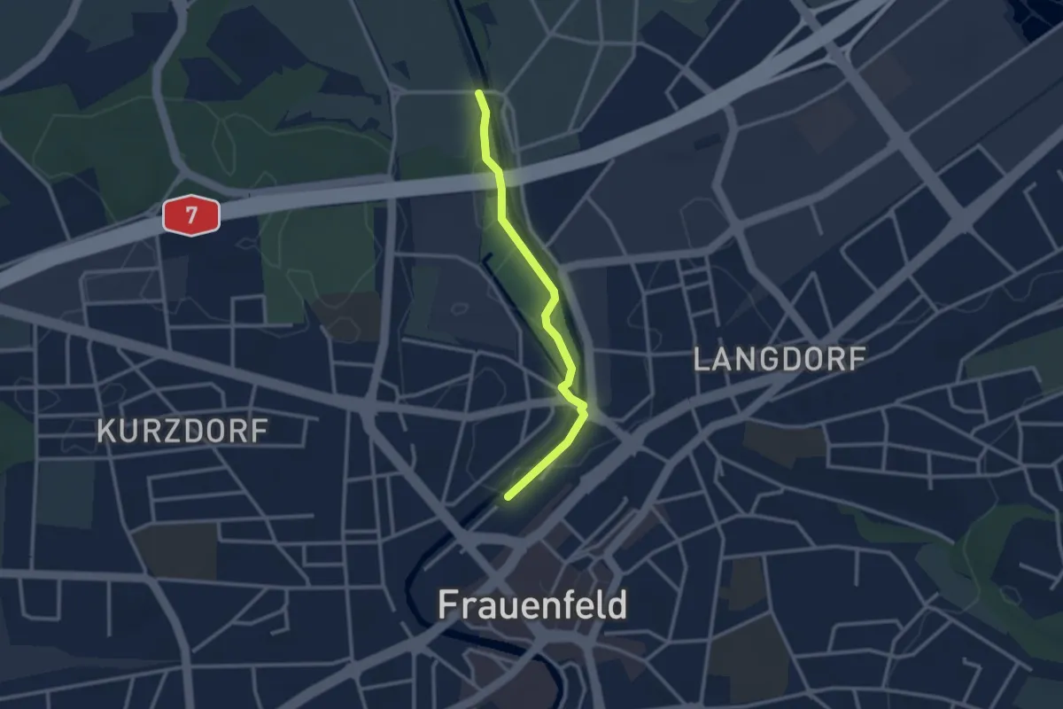
Easy · Trail
Allmend – Frauenfeld
2.5 km · ↑ 9 m · 36 min
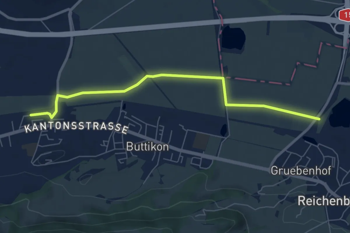
Easy · Trail
Schübelbach - Büttikon – Hirschlen
6.3 km · ↑ 9 m · 1 h 30 min
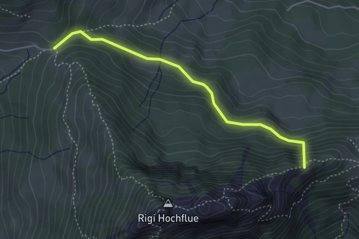
Medium · Summit
Gätterli – Egg
3.7 km · ↑ 295 m · 1 h 31 min
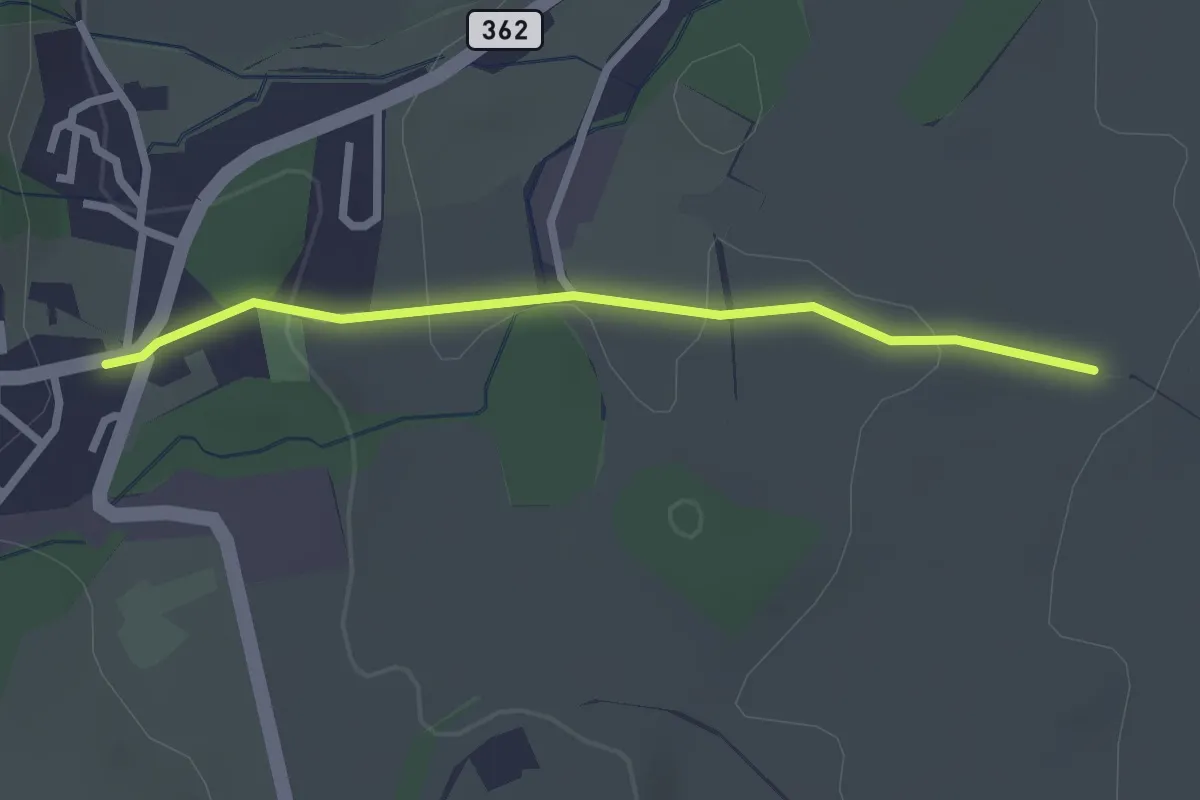
Easy · Trail
Schwand – Hellbühl
2.3 km · ↑ 46 m · 39 min
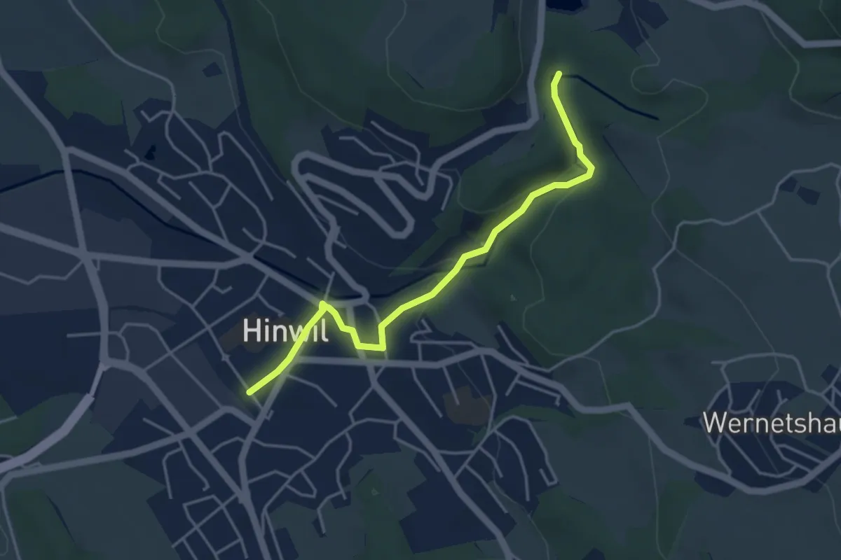
Easy · Trail
Hinwil – Wildbach
4.0 km · ↑ 105 m · 1 h 10 min
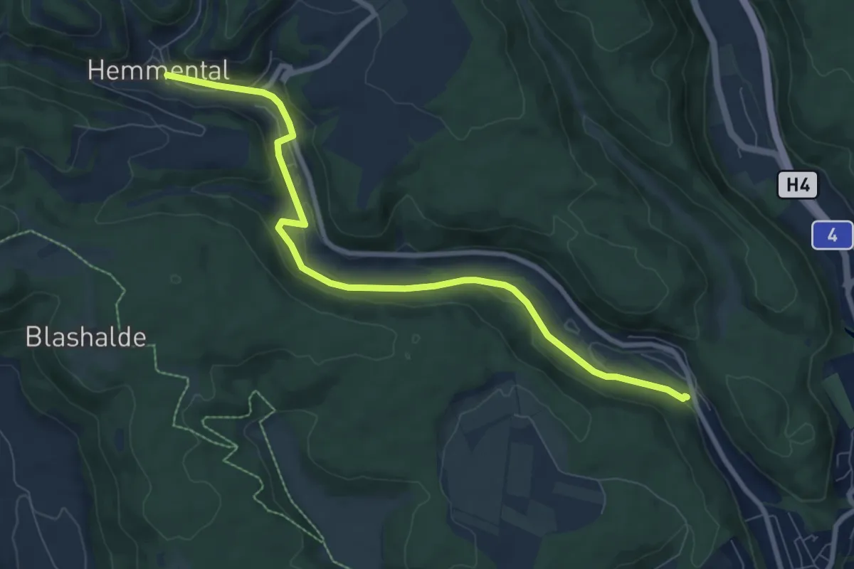
Medium · Trail
Summerwis – Hemmental
8.5 km · ↑ 207 m · 2 h 27 min
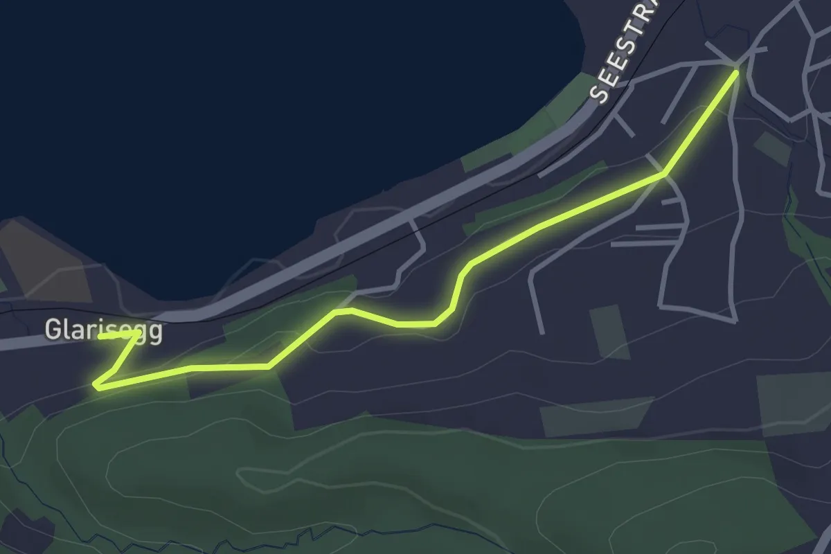
Easy · Trail
Weiermüli – Glarisegg
3.3 km · ↑ 89 m · 58 min
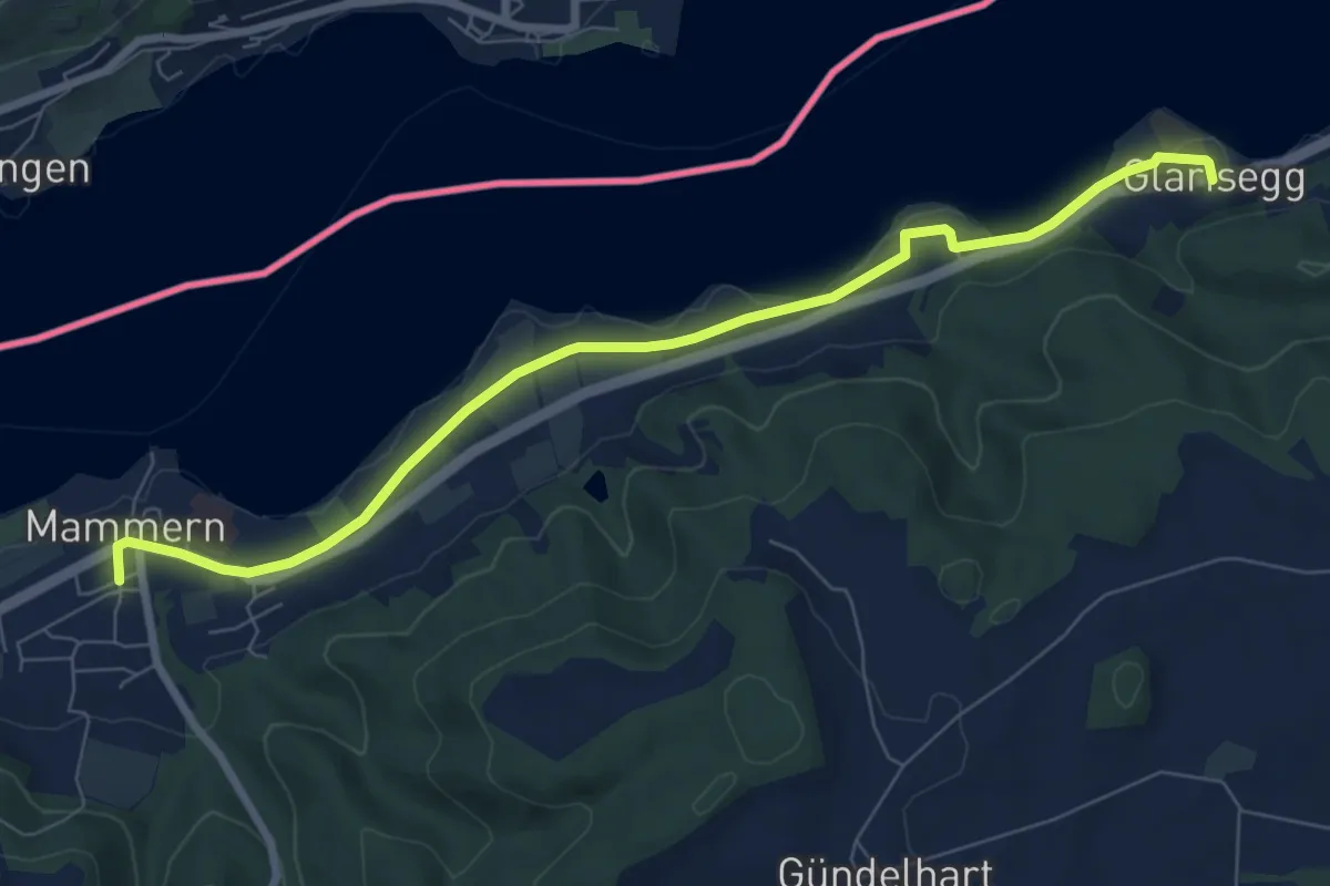
Easy · Trail
Glarisegg – Mammern
8.0 km · ↑ 42 m · 1 h 58 min
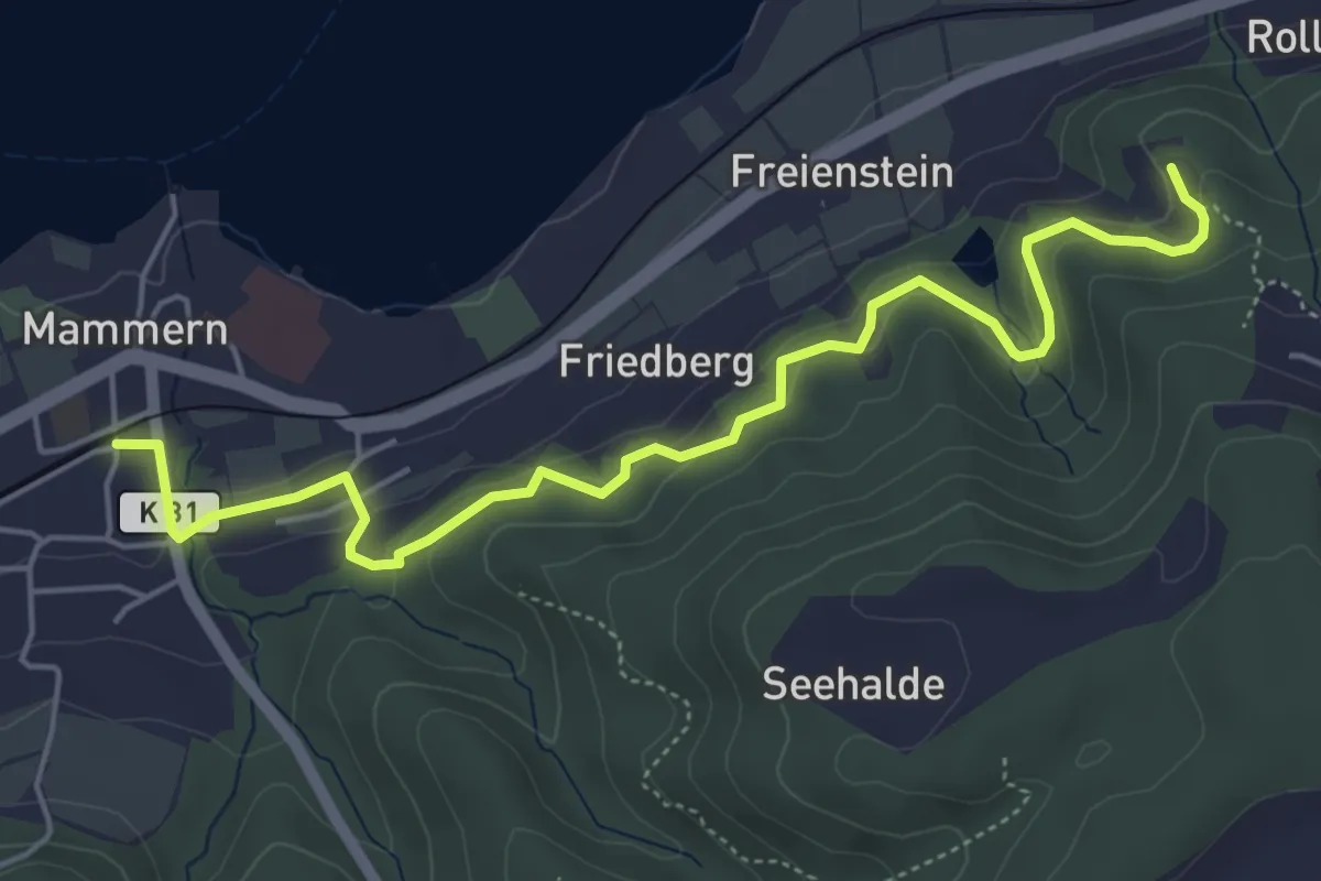
Easy · Trail
Mammern – Ruine Neuburg
5.7 km · ↑ 265 m · 1 h 55 min
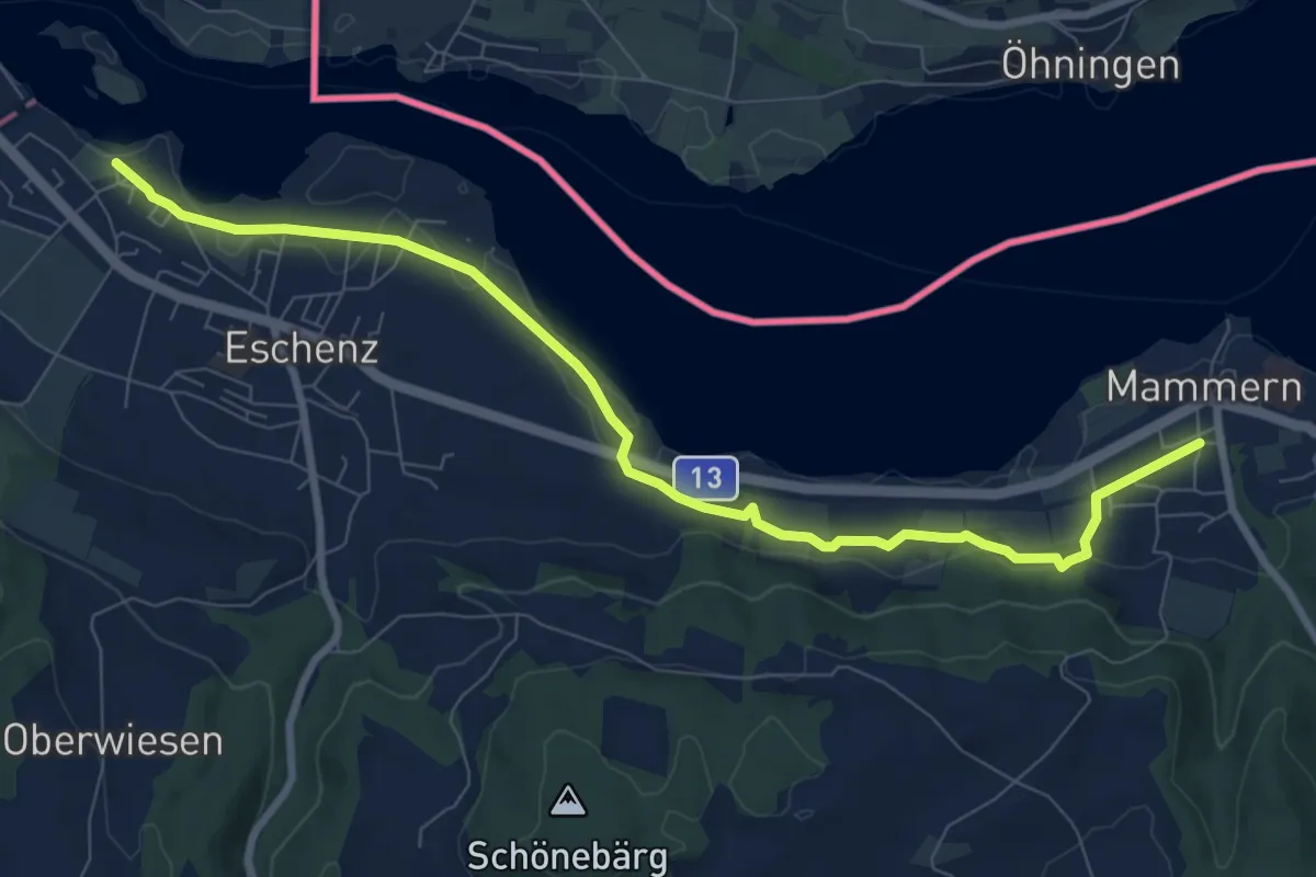
Medium · Trail
Mammern – Eschenz Unterdorf
9.1 km · ↑ 117 m · 2 h 24 min
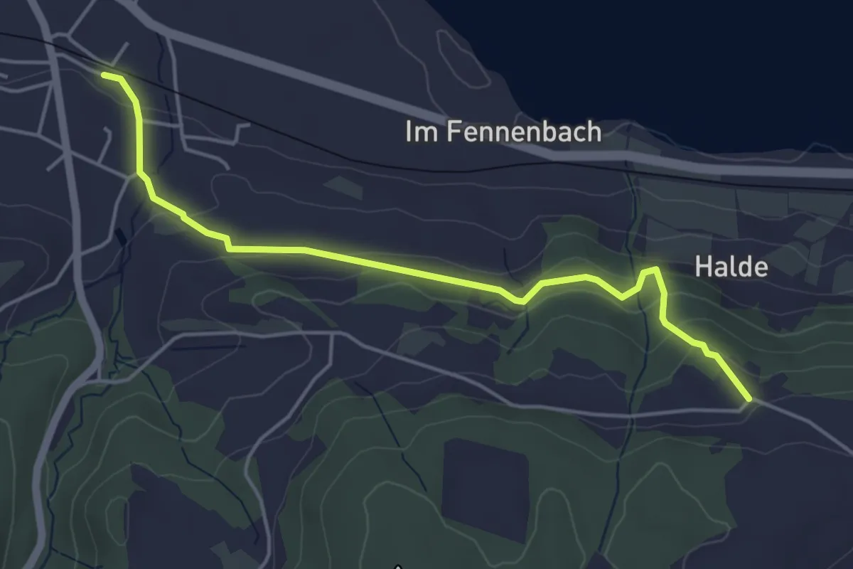
Easy · Trail
Klingenzell – Eschenz
4.6 km · ↑ 193 m · 1 h 30 min
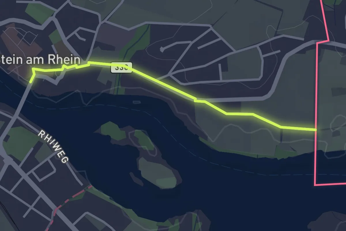
Easy · Trail
Grenzübergang Öhningen – Stein am Rhein
2.7 km · ↑ 20 m · 41 min
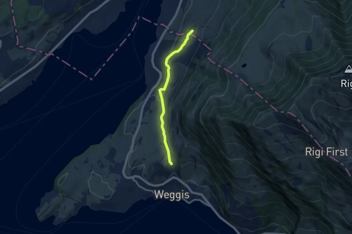
Easy · Trail
Rotenhof – Untereggi
6.7 km · ↑ 212 m · 2 h 2 min
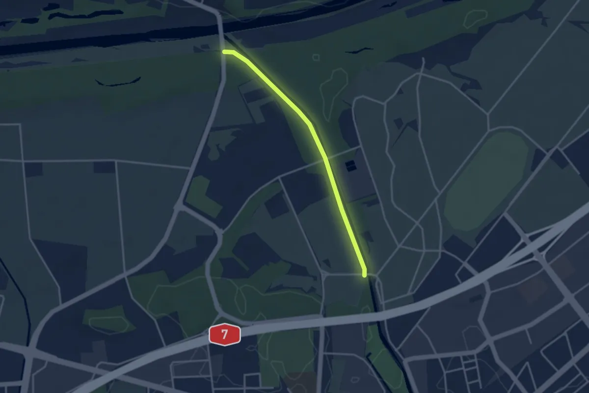
Easy · Trail
Rohrerbrücke – Allmend
2.9 km · ↑ 0 m · 41 min
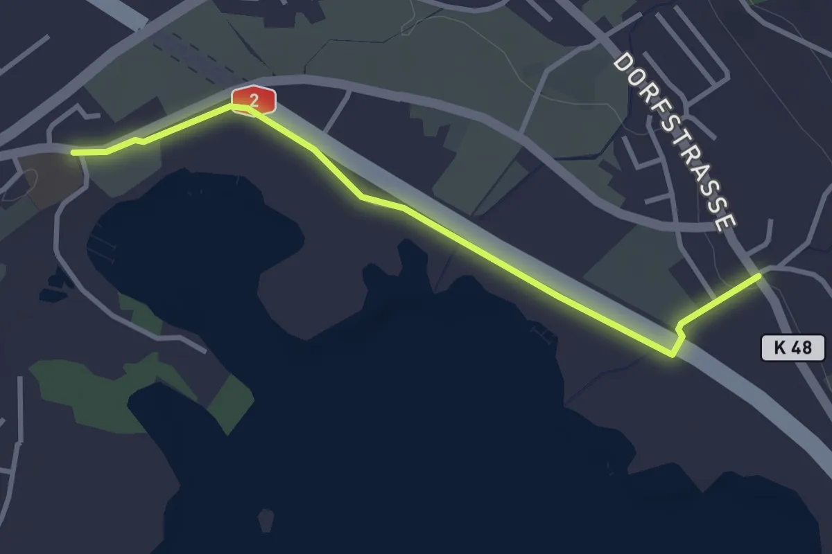
Easy · Trail
Mariazell – Schenkon
3.0 km · ↑ 23 m · 46 min
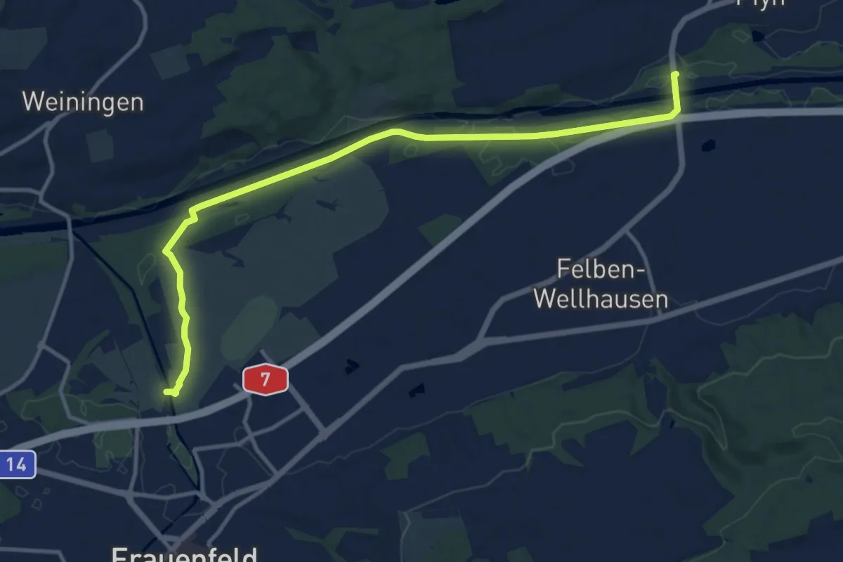
Medium · Trail
Pfyn Thurbrücke – Allmend
11.9 km · ↑ 26 m · 2 h 52 min
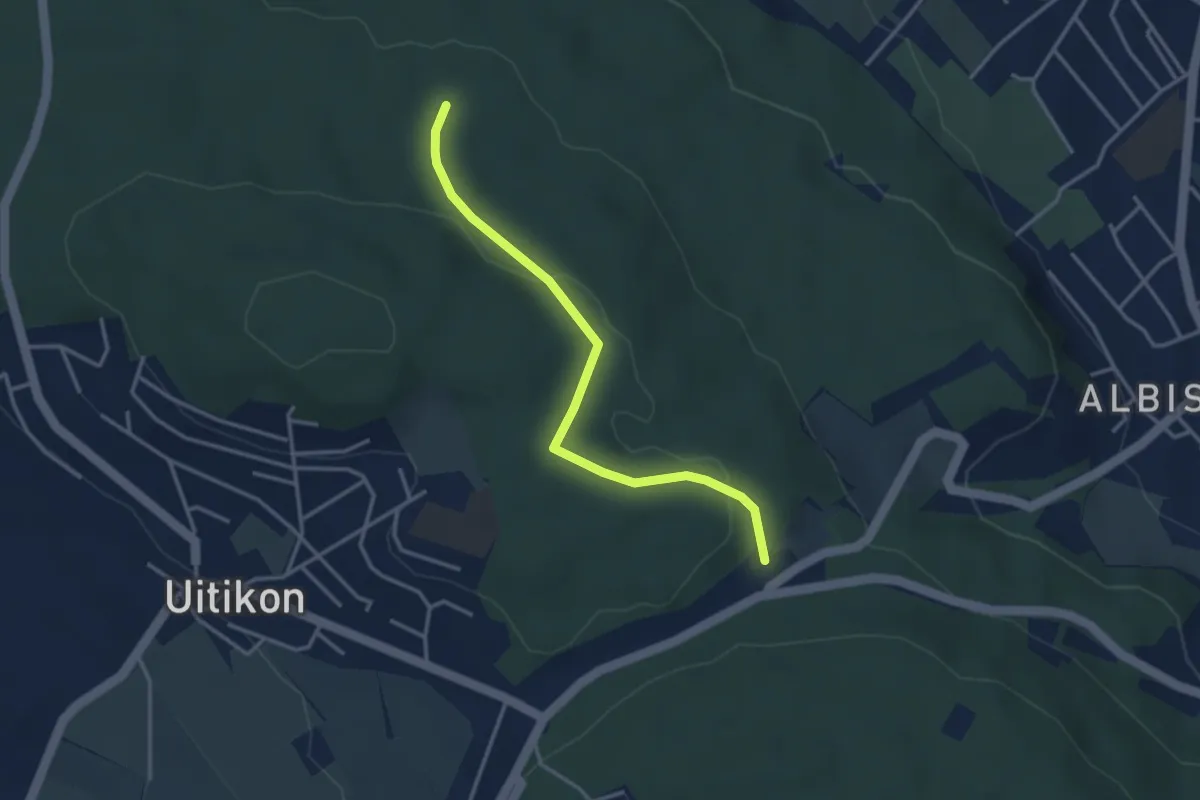
Easy · Trail
Frauenmatt – Feldermoos
3.3 km · ↑ 81 m · 57 min
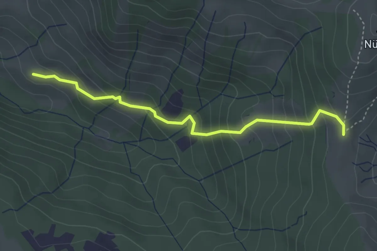
Medium · Trail
Salzäcki – Chilentobel
3.6 km · ↑ 324 m · 1 h 33 min
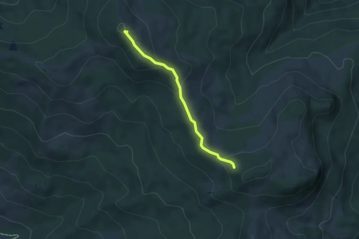
Easy · Summit
Rosenhöchi – Fläschlihöchi
3.5 km · ↑ 121 m · 1 h 6 min
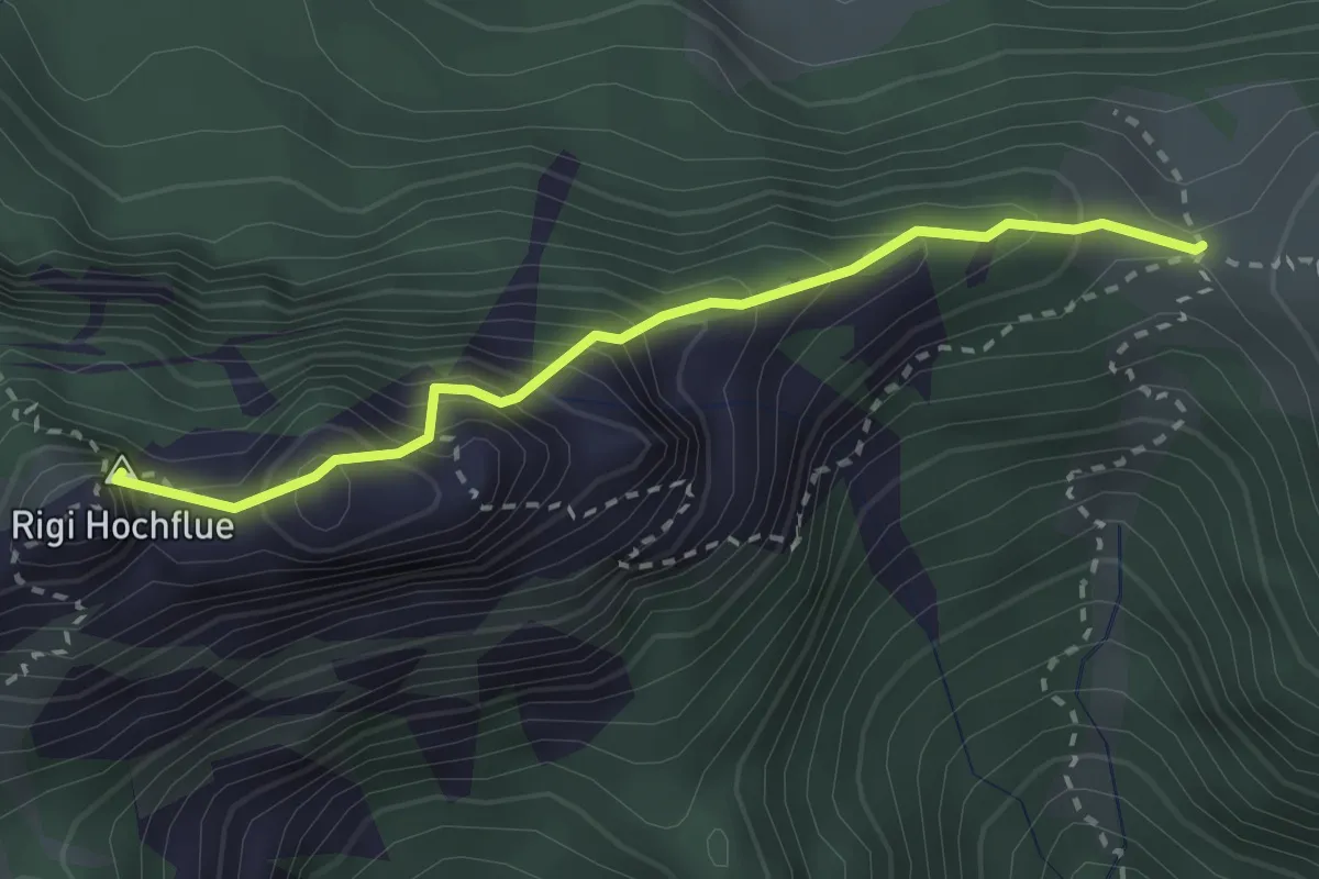
Expert · Summit
Egg – Rigi Hochflue
2.6 km · ↑ 436 m · 1 h 33 min
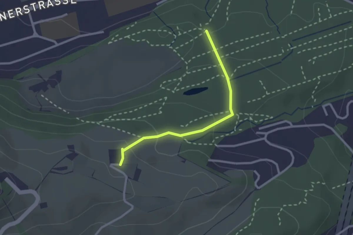
Easy · Trail
Schwizerhüsli – Gütschwald
2.1 km · ↑ 101 m · 42 min
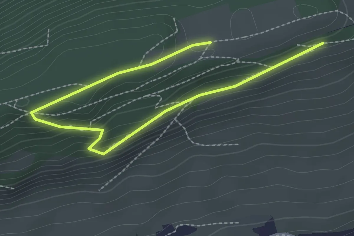
Easy · Trail
Chrüzhöchi – Otto-Eder-Platz
3.0 km · ↑ 120 m · 59 min
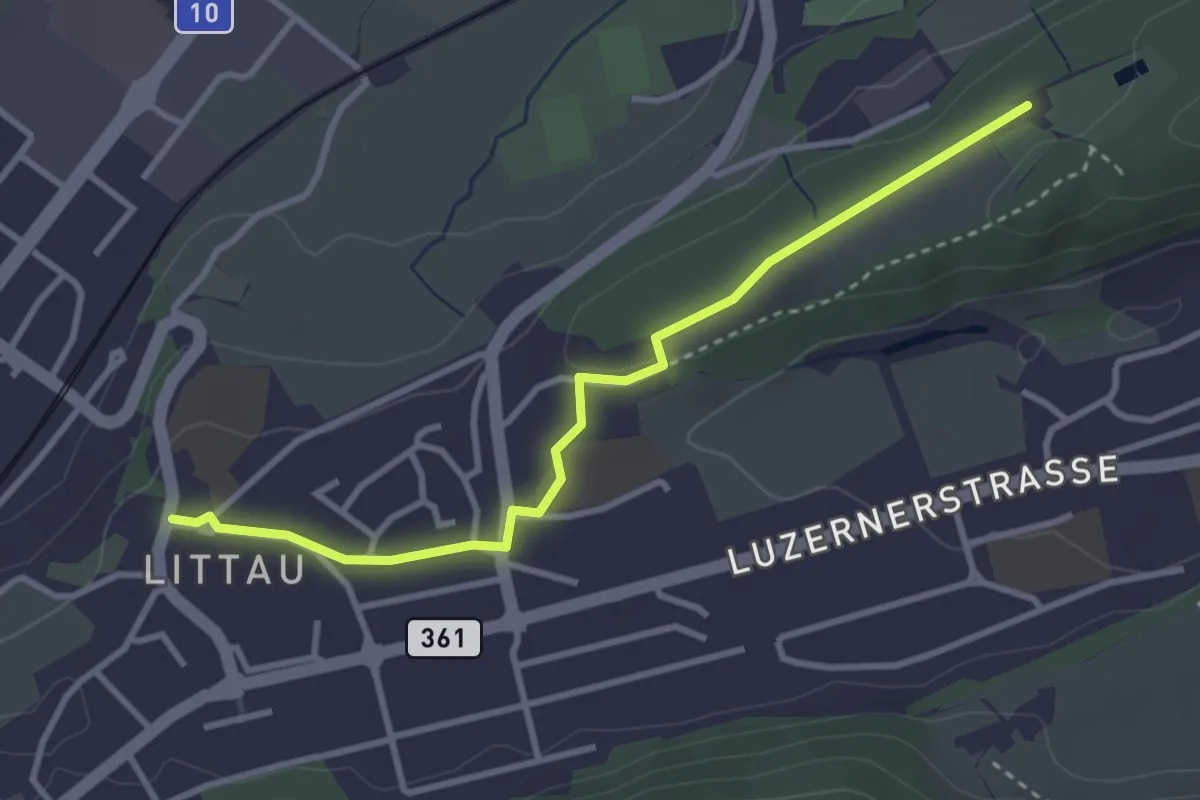
Easy · Trail
Zimmeregg – Littau Dorf
3.4 km · ↑ 41 m · 53 min
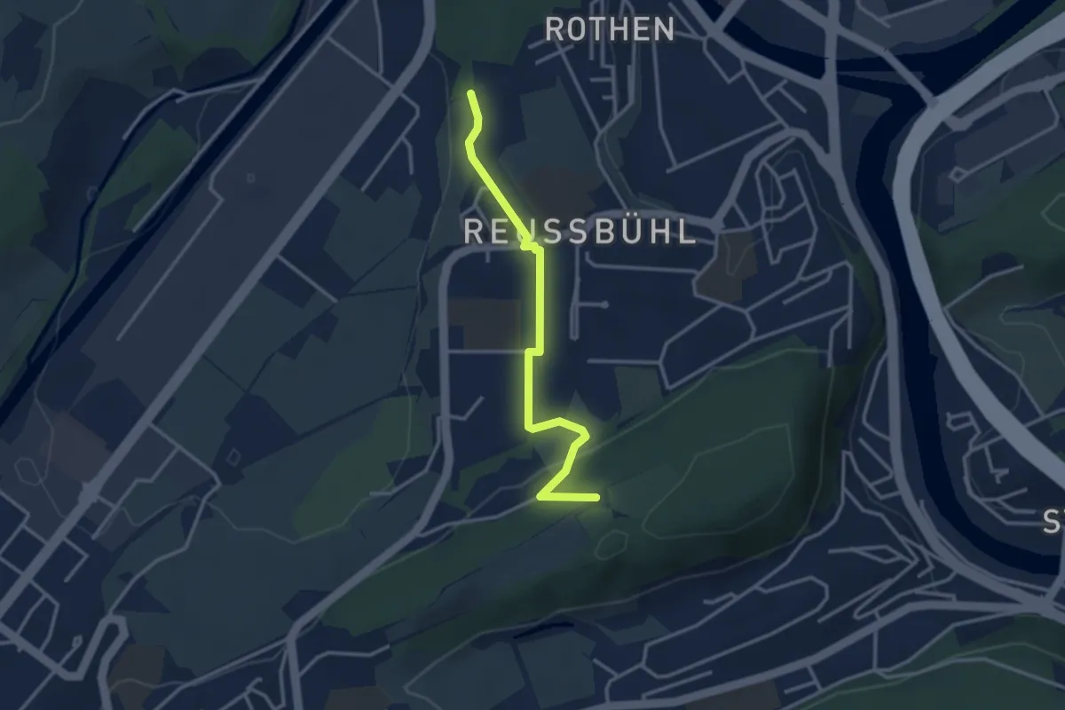
Easy · Trail
Zimeregg – Rothen
3.0 km · ↑ 68 m · 52 min
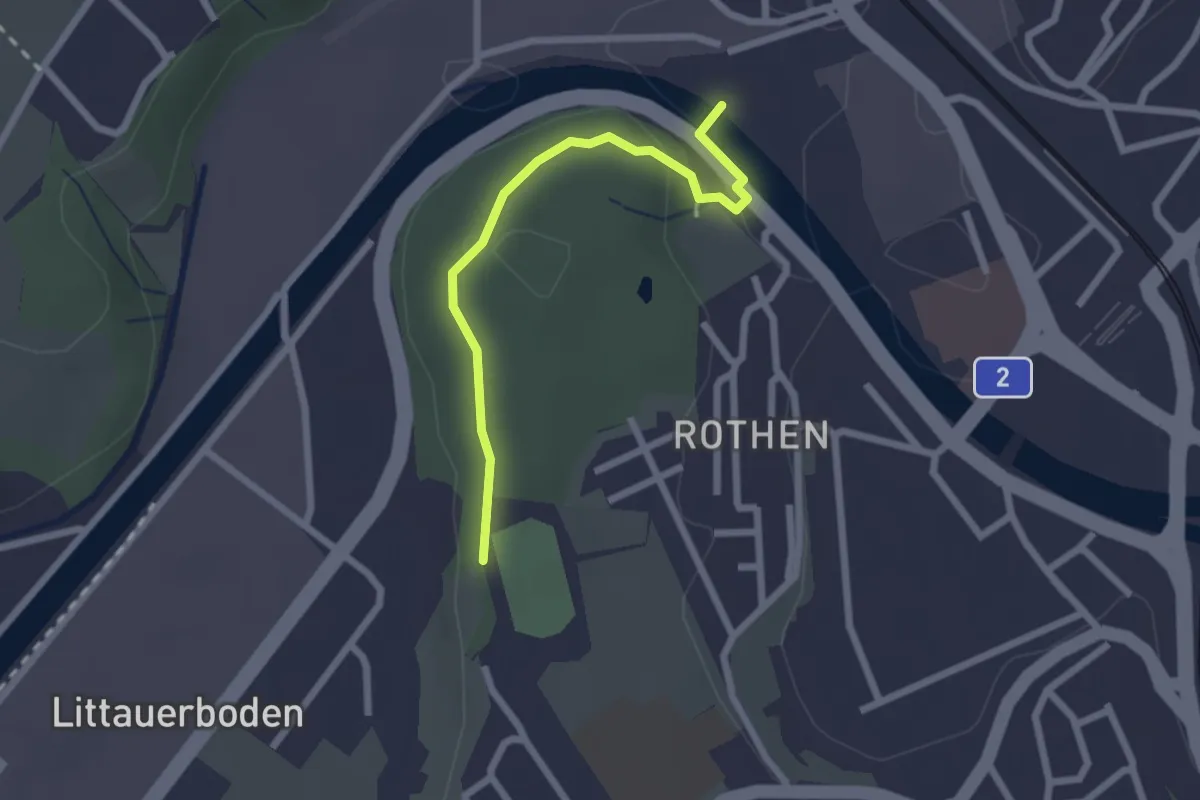
Easy · Trail
Rothen – Viscose
2.2 km · ↑ 50 m · 38 min
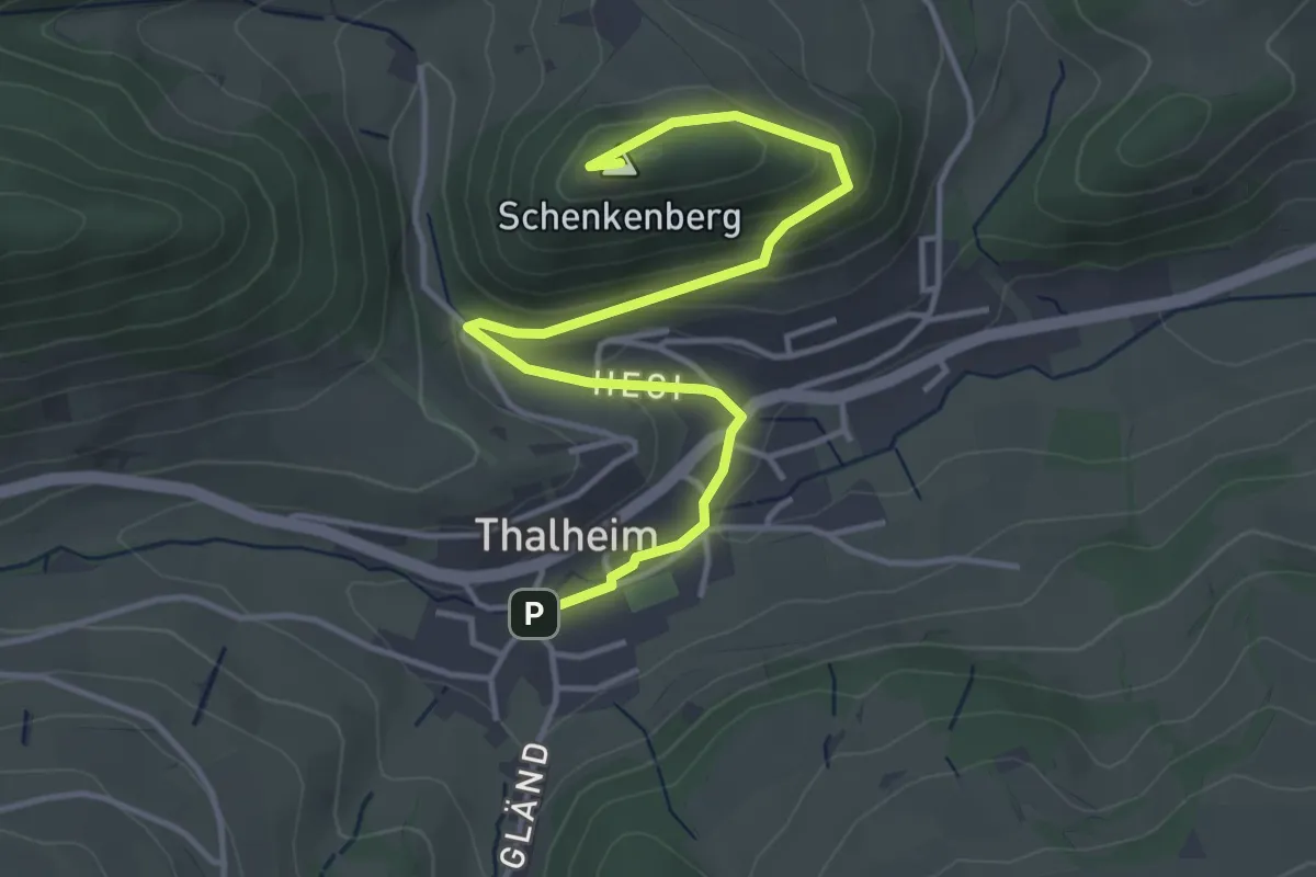
Easy · Summit
Thalheim – Ruine Schenkenberg
4.5 km · ↑ 180 m · 1 h 27 min
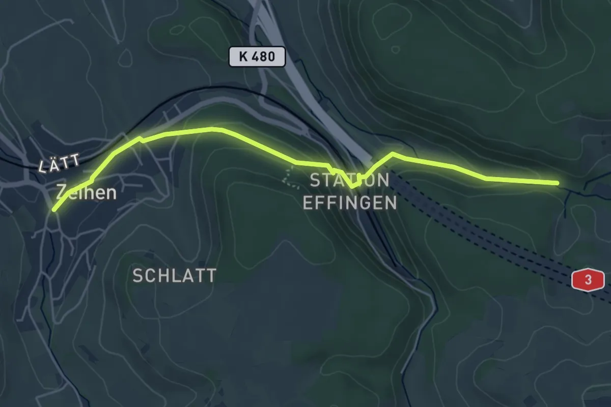
Easy · Trail
Sagenmüli – Zeihen
4.9 km · ↑ 154 m · 1 h 29 min
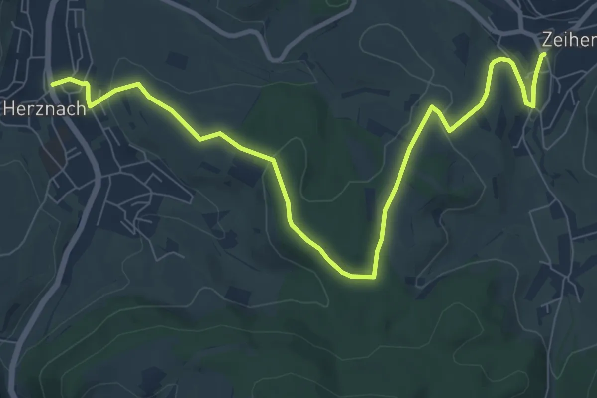
Medium · Trail
Zeihen – Herznach
8.8 km · ↑ 205 m · 2 h 31 min
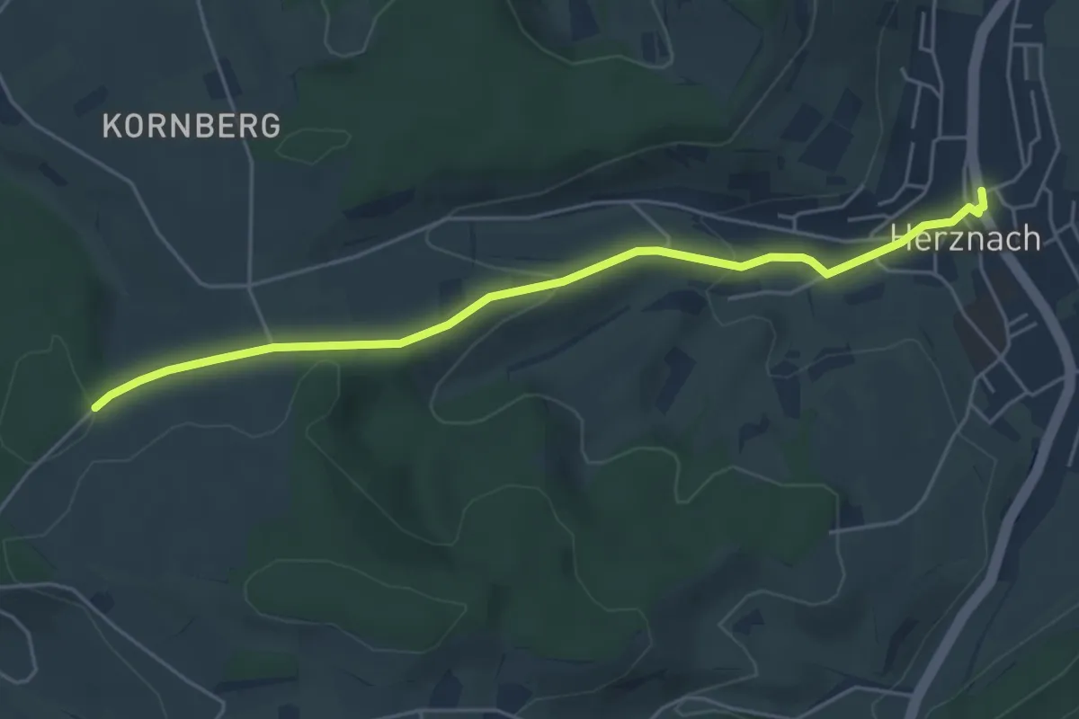
Easy · Trail
Herznach – Junkholz
5.0 km · ↑ 130 m · 1 h 28 min
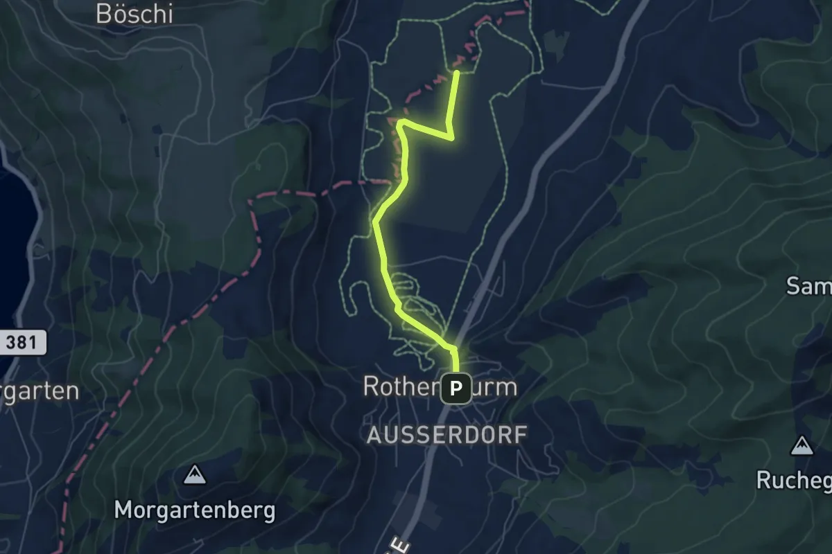
Easy · Trail
Burbrugg – Rothenturm
5.2 km · ↑ 27 m · 1 h 17 min
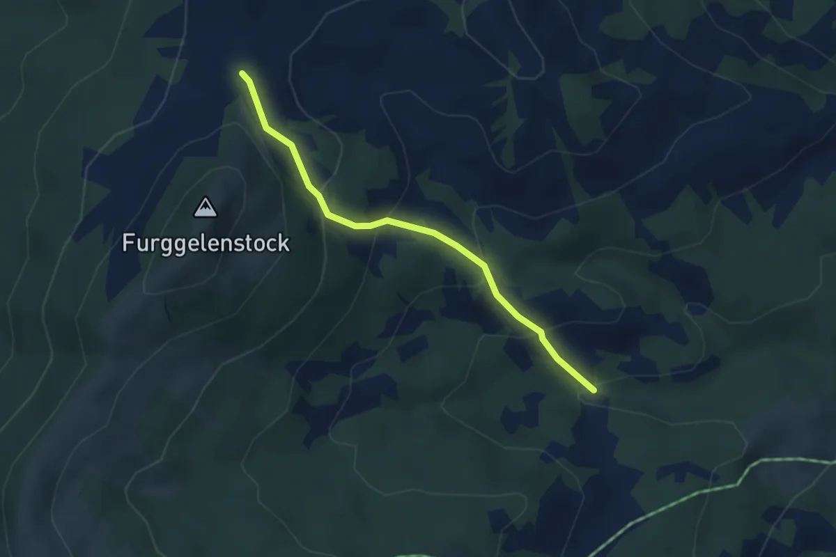
Medium · Trail
Underbäch – Furggelen
3.2 km · ↑ 233 m · 1 h 16 min
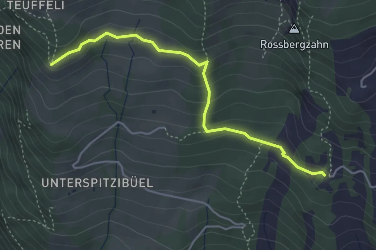
Demanding · Trail
Spitzibüel – Gribsch
3.7 km · ↑ 195 m · 1 h 17 min
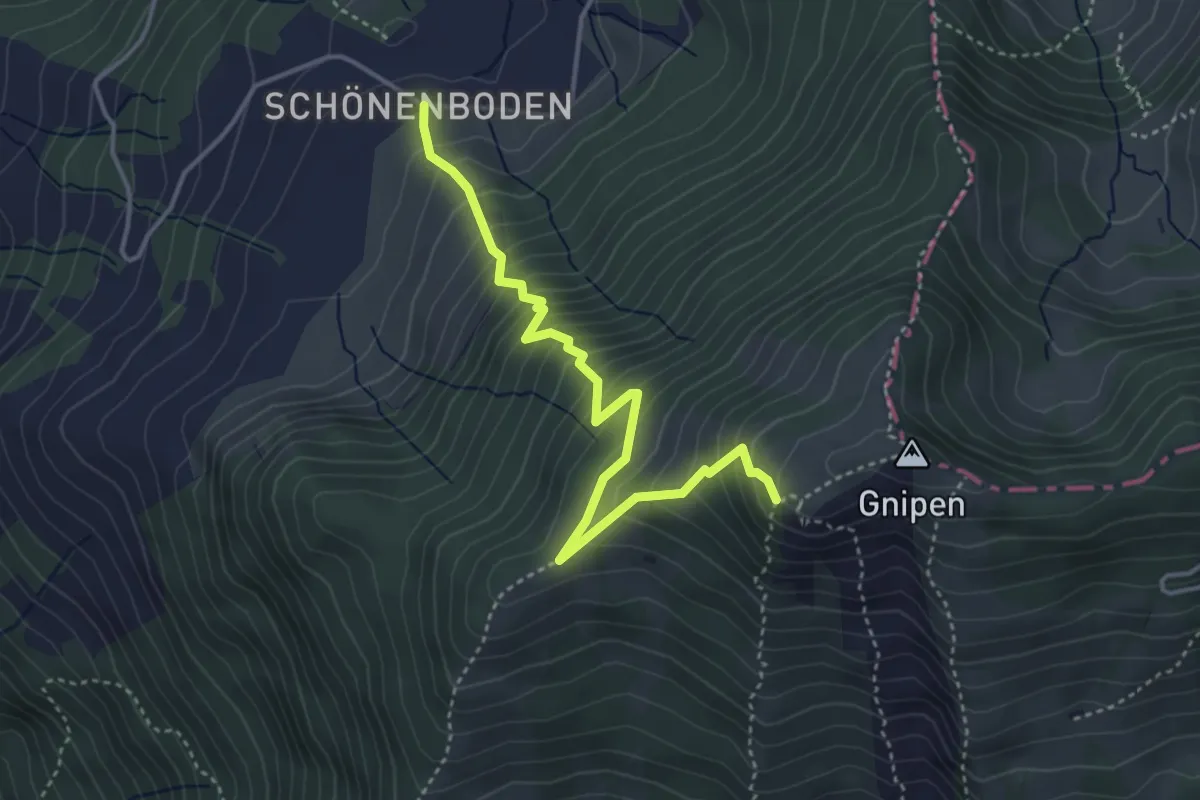
Medium · Trail
Gnipen (West) – Rufiberg
4.1 km · ↑ 500 m · 2 h 3 min
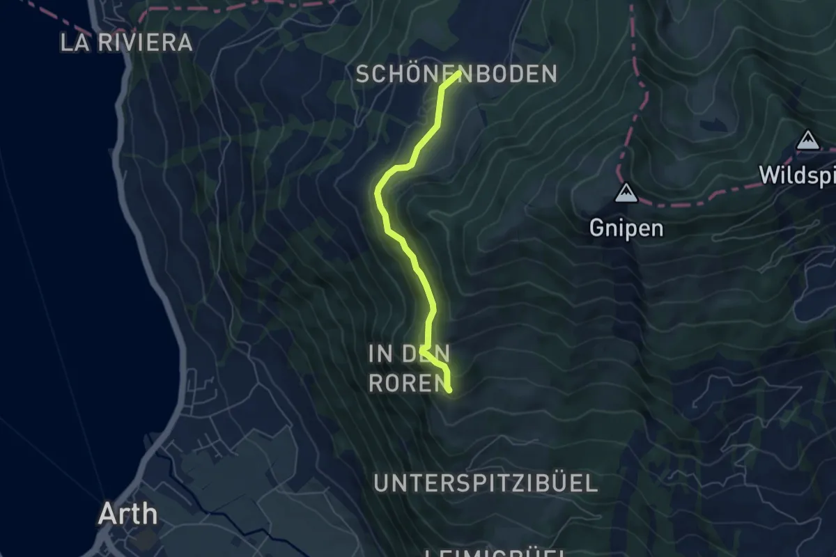
Easy · Trail
Spitzibüel – Rufiberg
4.6 km · ↑ 183 m · 1 h 30 min
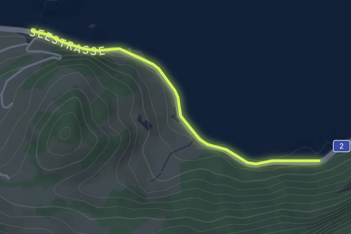
Easy · Trail
Bierkeller – Schwanau
2.9 km · ↑ 54 m · 48 min
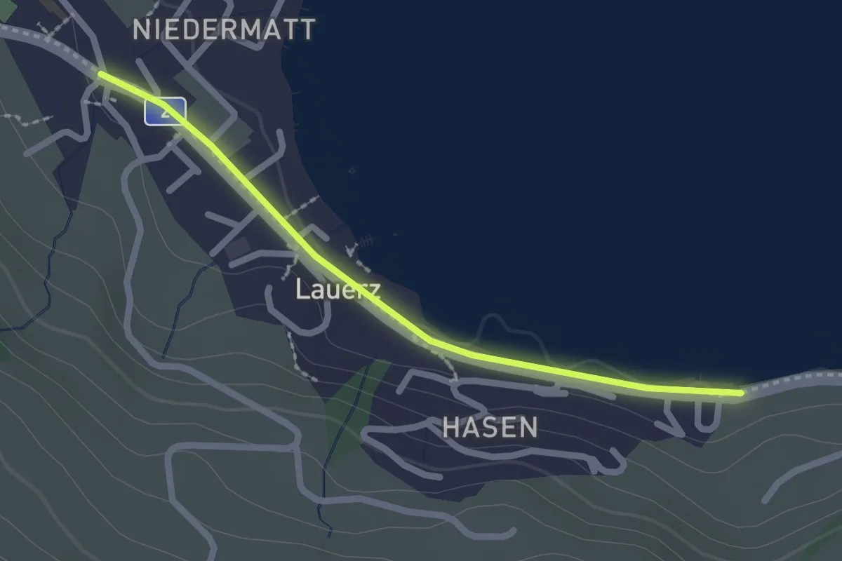
Easy · Trail
Seegüetli – Lauerz
2.1 km · ↑ 9 m · 30 min
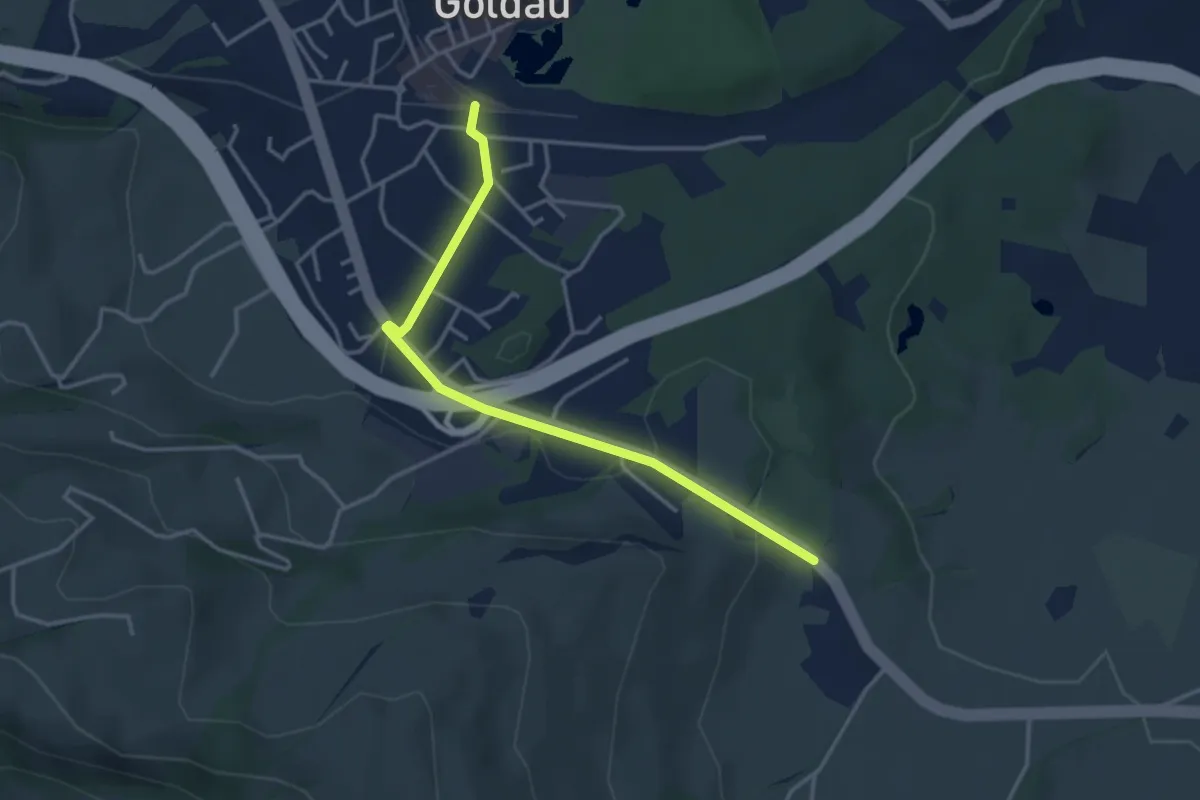
Easy · Trail
Goldau – Bernerhöchi / Summerau
3.6 km · ↑ 68 m · 1 h
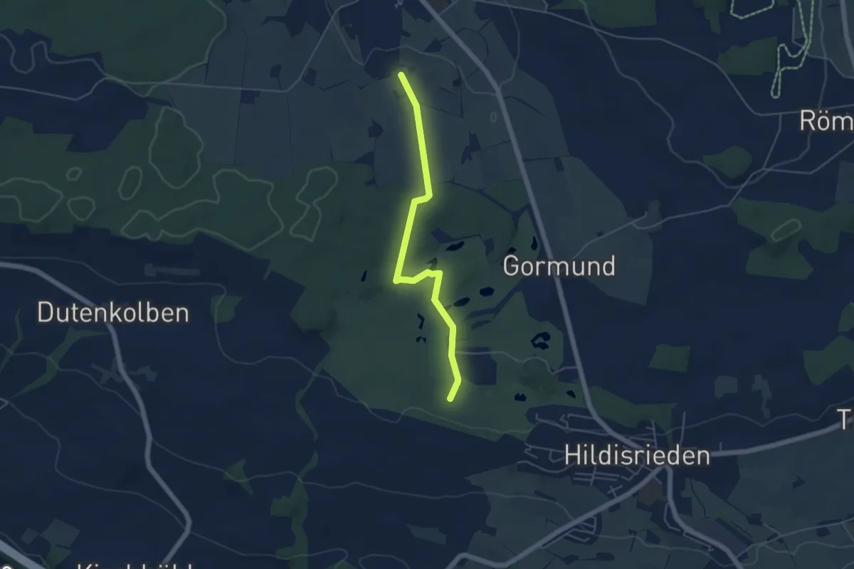
Easy · Trail
Schopfe – Weier
4.7 km · ↑ 50 m · 1 h 13 min